Medicine Hat Adventures – Medicine Hat, Canada

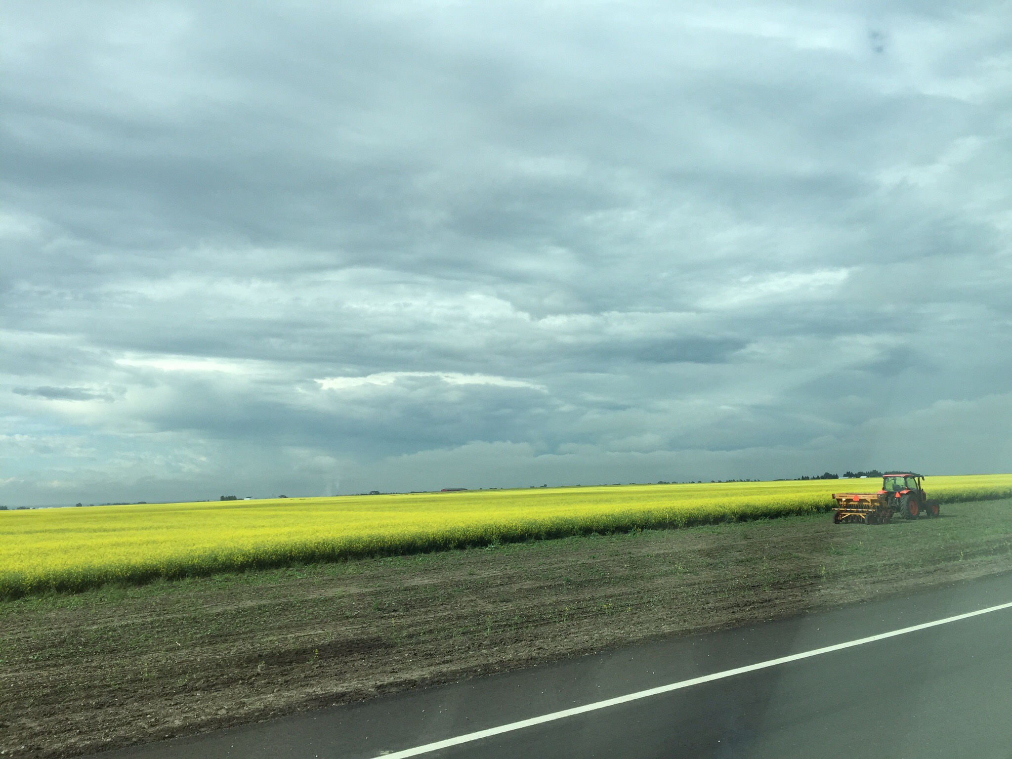
On Tuesday we drove from Calgary to Medicine Hat which is about a three hour drive further east in Alberta.  We had been warned that the landscape was going to be very flat with long straight roads – they weren’t wrong.  We saw lots of fields of Canola flowers and wheat and not much else!  I had never thought about where Canola Oil came from.

Canola was developed through conventional plant breeding from rapeseed, an oilseed plant already used in ancient civilization as a fuel.  When the war blocked European and Asian sources of rapeseed oil, a critical shortage developed, and Canada began to expand its limited rapeseed production.  After the war, demand declined sharply, and farmers began to look for other uses for the plant and its products. Rapeseed oil extracts were first put on the market in 1956–1957 as food products, but these suffered from several unacceptable characteristics. Rapeseed oil had a distinctive taste and a disagreeable greenish color, due to the presence of chlorophyll.  

Canola was bred from rapeseed at the University of Manitoba, Canada, by Keith Downey and Baldur R. Stefansson in the early 1970s, having then a different nutritional profile than present day oil in addition to much less erucic acid.  A variety developed in 1998 is considered to be the most disease and drought resistant canola variety to date. This and other recent varieties have been produced using genetic engineering. In 2011, 26% of the acres sown were genetically modified (biotech) canola.

Canola was originally a trademark, but is now a generic term for edible varieties of rapeseed oil in North America and Australia. In Canada, an official definition of canola is codified in Canadian law.  Canada is the second largest producer of Canola Oil in the world.  Our first stop in Medicine Hat was Best Buy which is a large electronics store – this store has overtaken the hardware store in Stevie’s world.  I sat in the car and read my book, although I discovered after Steve returned to the car and we drove around to the supermarket that there was actually a shopping mall within 100 metres!


We were spending the first couple of nights out at Elk Water Lodge which is in the Cypress Hills, about 40 minutes from Medicine Hat.  The plan was to get out there, unpack and go and play the 9 hole course.  That wasn’t to be, the thunder clouds moved in and there was quite a downpour with lots of thunder and lightening. 

Elkwater is an unincorporated community at the western edge of the Cypress Hills in southeastern Alberta.  The former hamlet is located within Cypress Hills Interprovincial Park on the south edge of Elkwater Lake, and consists mostly of a collection of cabins. The name “Elkwater” is translated from Blackfoot.  Since the Elkwater townsite is in a provincial park, it is administered by the provincial government. Residents can never own the land on which their cottages or homes are built. Leases must be negotiated with the provincial government.

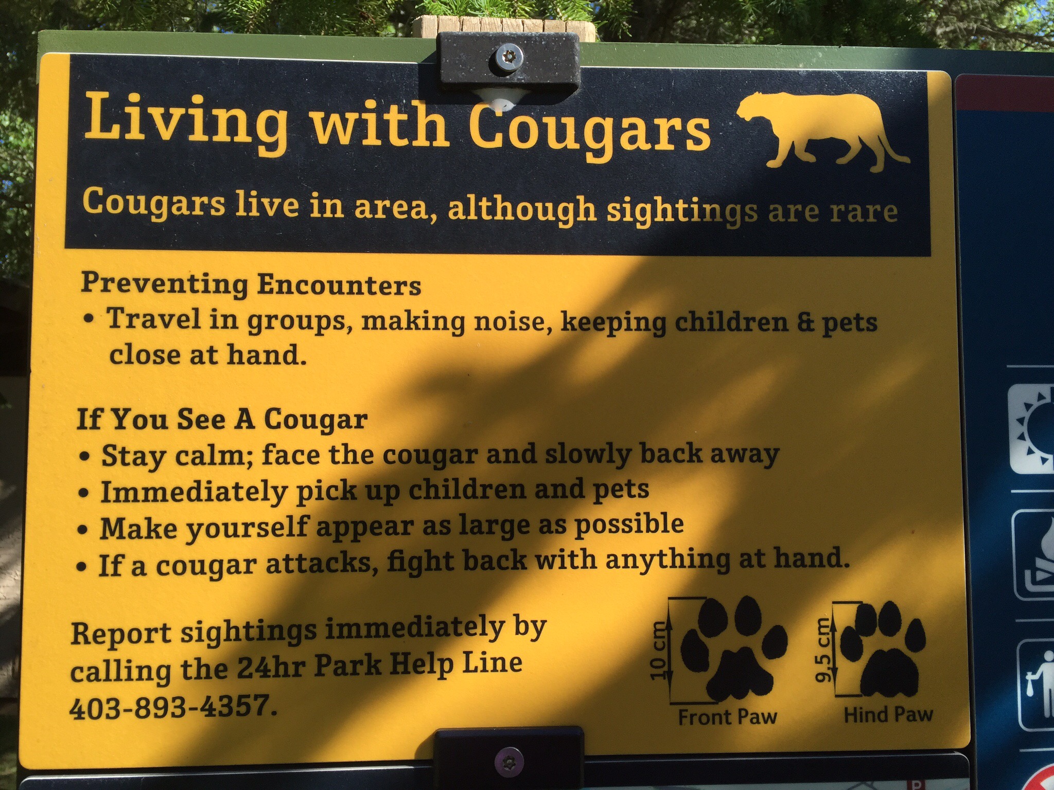
It is a lovely spot and we enjoyed a little wander around the lake one morning.  We had been told that Cougars had been spotted in the area : 0


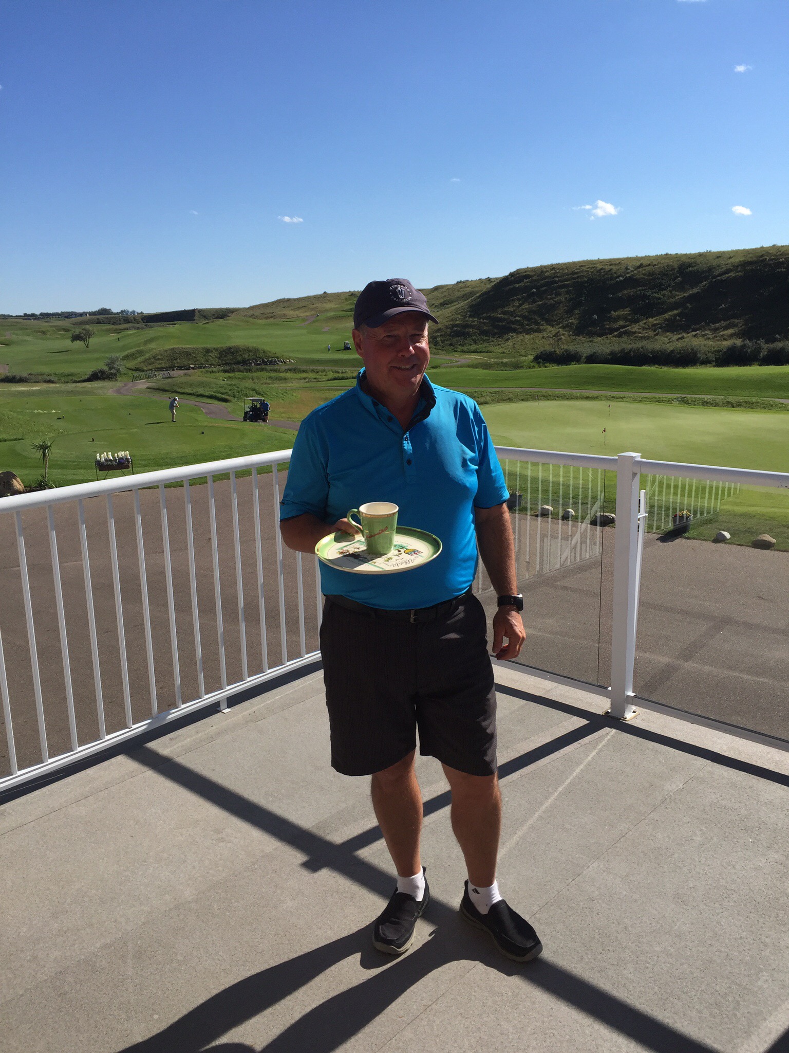
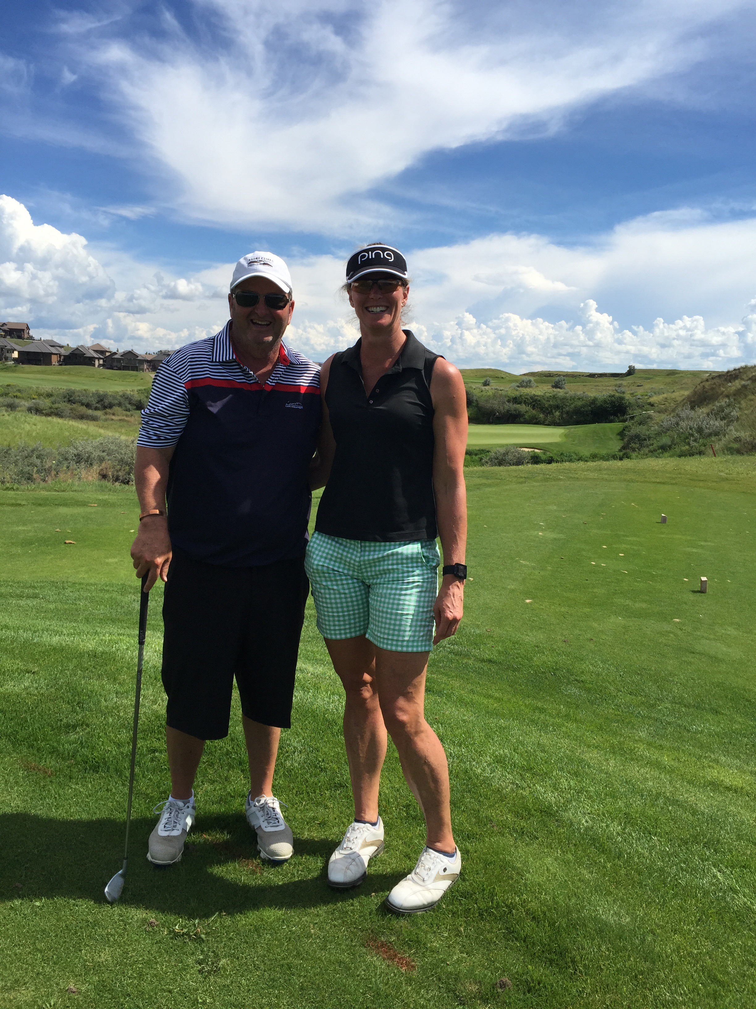
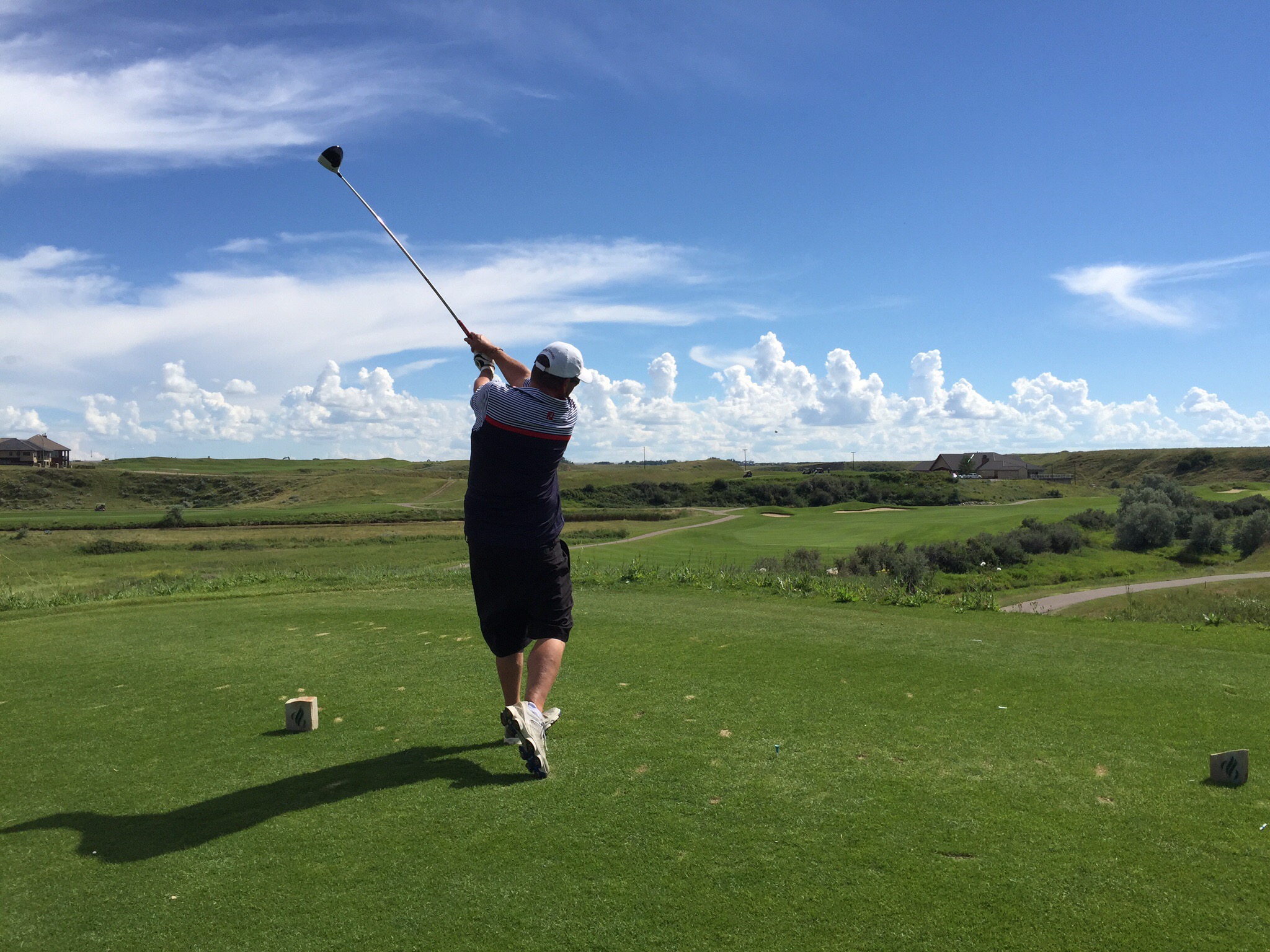
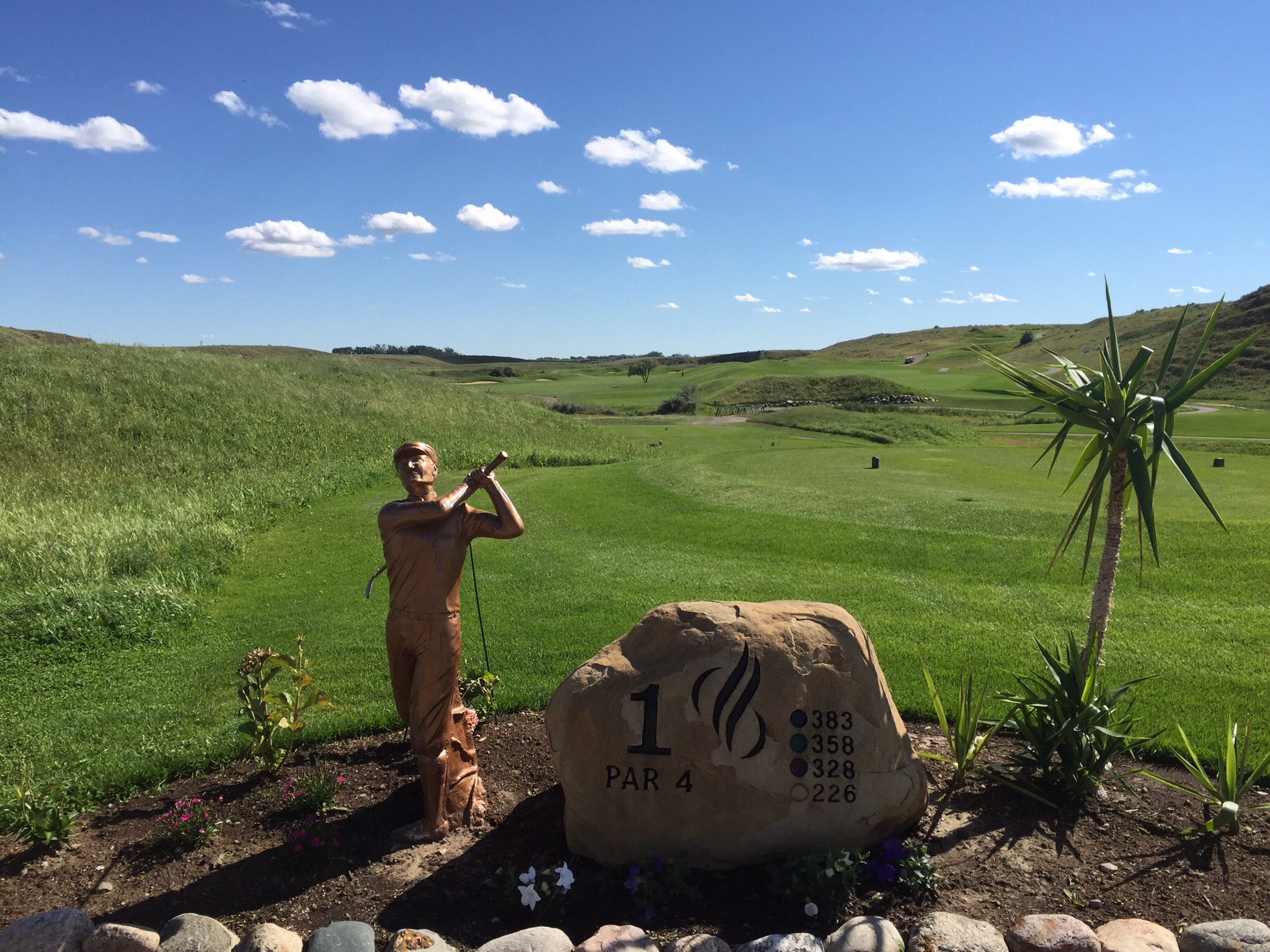
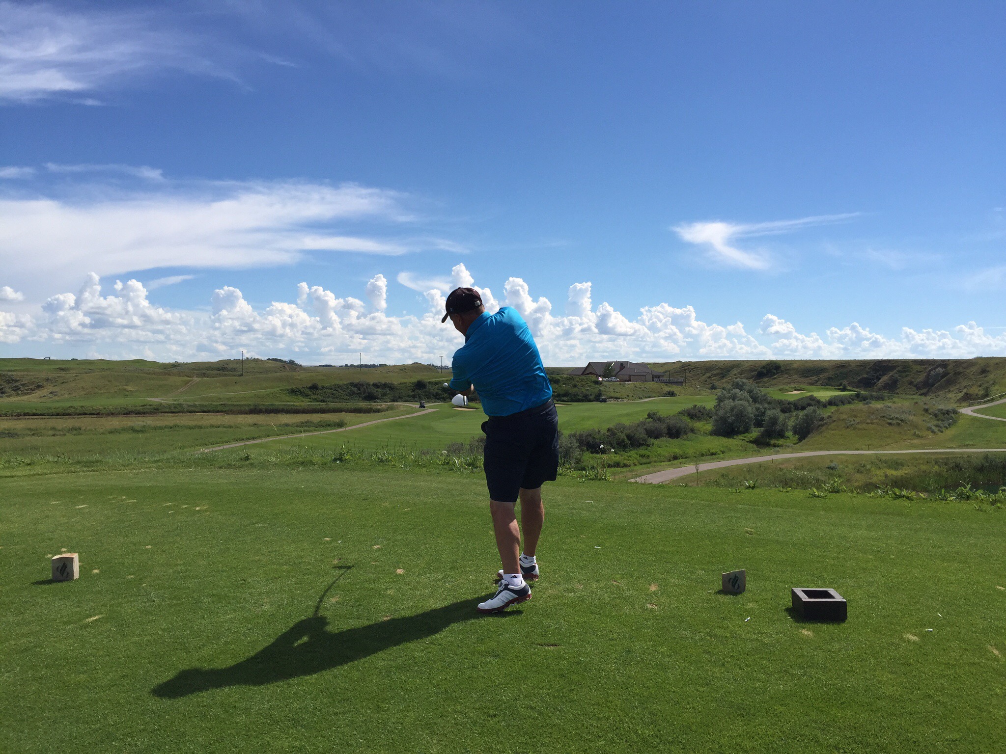
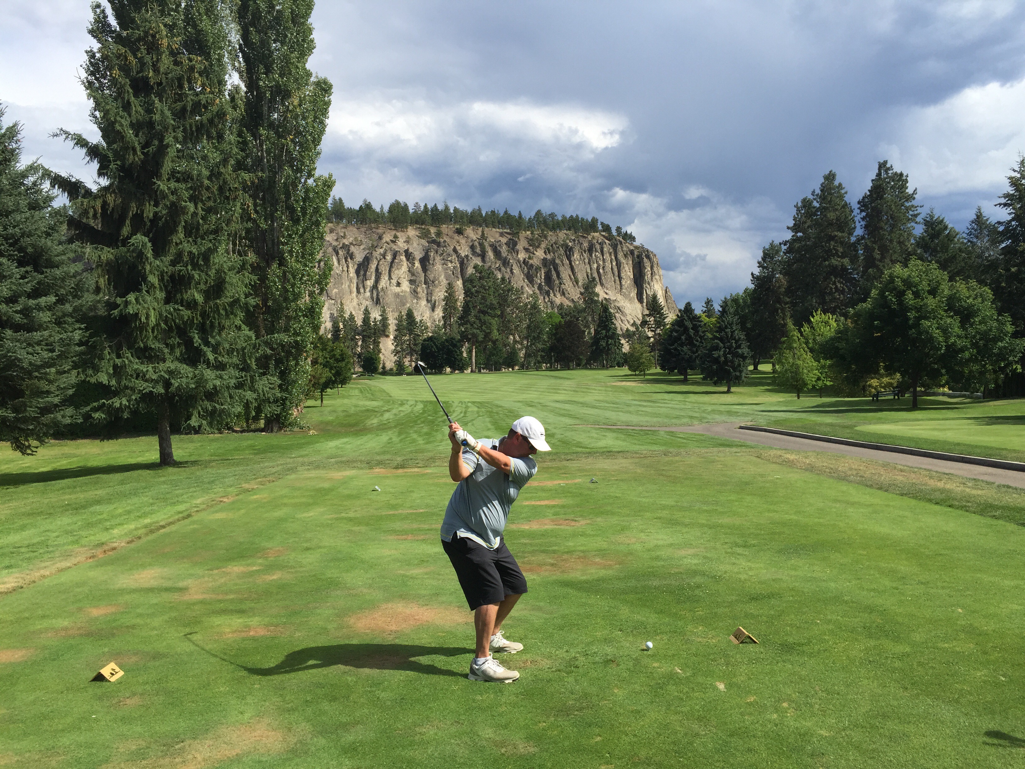
On Thursday we drove back into Medicine Hat to the Desert Blume Golf club to meet up with Gary & Anita for a game. This was the start of the Canada Cup – a sporting rivalry that was borne back on a cruise ship in the Mediterranean in June 2014. Steve and I had taken a shore excursion to Sorento and the Isle of Capri in Italy. We were sweltering in the heat waiting for the ferry to take us back to the cruise ship when Steve and Gary struck up a conversation. It turned out that Gary was a keen golfer with a healthy competitive streak – bingo – two peas in a pod. Gary was with his wife Anita and their friends Pat & Kaye. No doubt Steve spun a few yarns which lead to a daily ping pong and mini putt competition on the cruise ship. Email addresses were exchanged and the rest is history. Check out the Desert Blume blog post regarding the scintillating and nail biting Canada Cup.

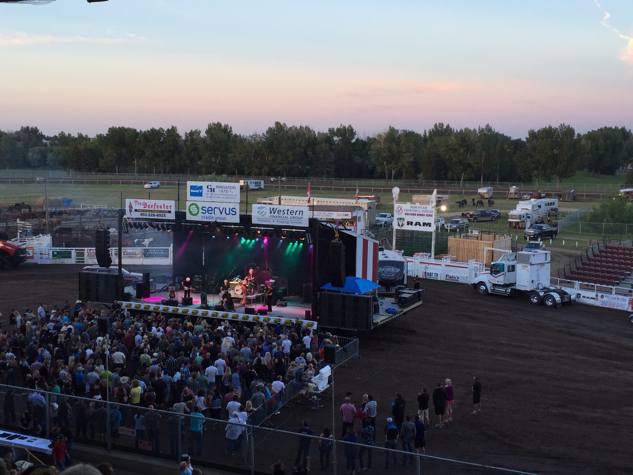
We had a lovely dinner at Gary & Anita’s before going to a concert at the Stampede Grounds.  This week was Stampede Week in Medicine Hat.  The concert featured Harlequin, Chillawack and April Wine.  They are old Canadian rock bands so we didn’t know any of their songs but it was still a fun atmosphere.


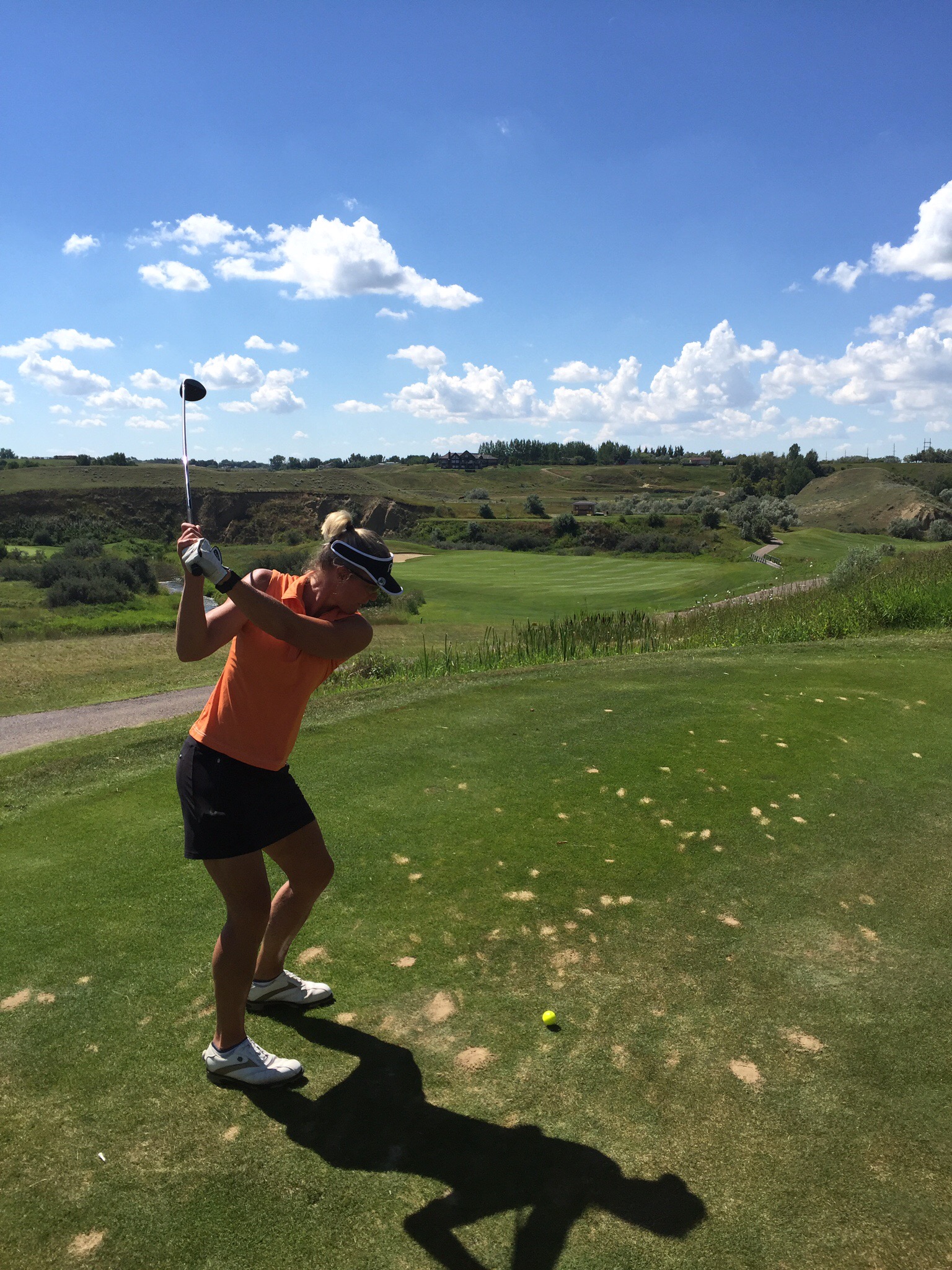
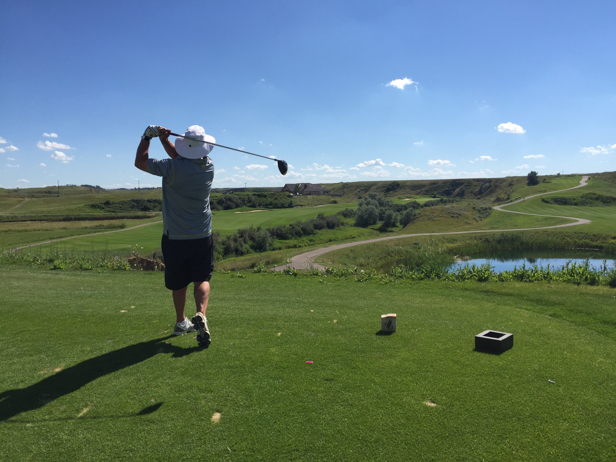
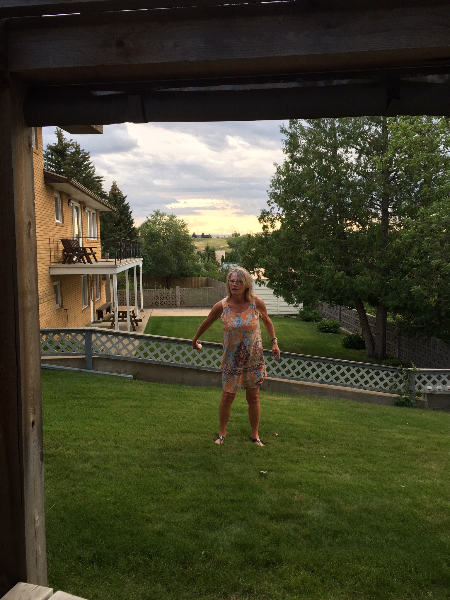
On Thursday we golfed again but this time Pat & Kay joined us so it we split up into girls and boys.  That evening we went to Pat & Kay’s for pizza – they have a pizza oven and are quite the masters.  The pizzas were delicious.  We even had a desert pizza which had Nutella, blueberries, goats cheese, white chocolate and roasted walnuts on it – it was delicious.  Steve was up to his old egg tricks again so had the girls out on the lawn giving it a go with some success.


On Friday night, Gary & Anita had organised a party with some of their friends.  They prepared a great meal of ribs, sausages and salads.  We were on desert so we did our Kiwi BBQ desert – fruit, chocolate bits and mini marshmallows on the BBQ.  There were about 29 people expected so we did 29 little packages up.  It was a fun night and really nice to meet all their friends.  Steve was up to his usual Minister of Tourism for NZ antics, the Kiwi BBQ desert was a hit as was the NZ wine we had taken over so hopefully we will have a few more Canadian visitors in the near future.  


This is how you buy Chocolate Chips – 2.4kg.  They don’t muck around with the 250 gram bags we buy!

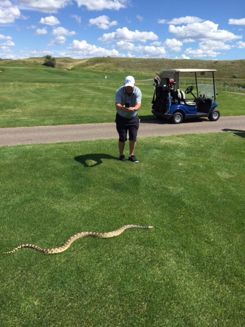
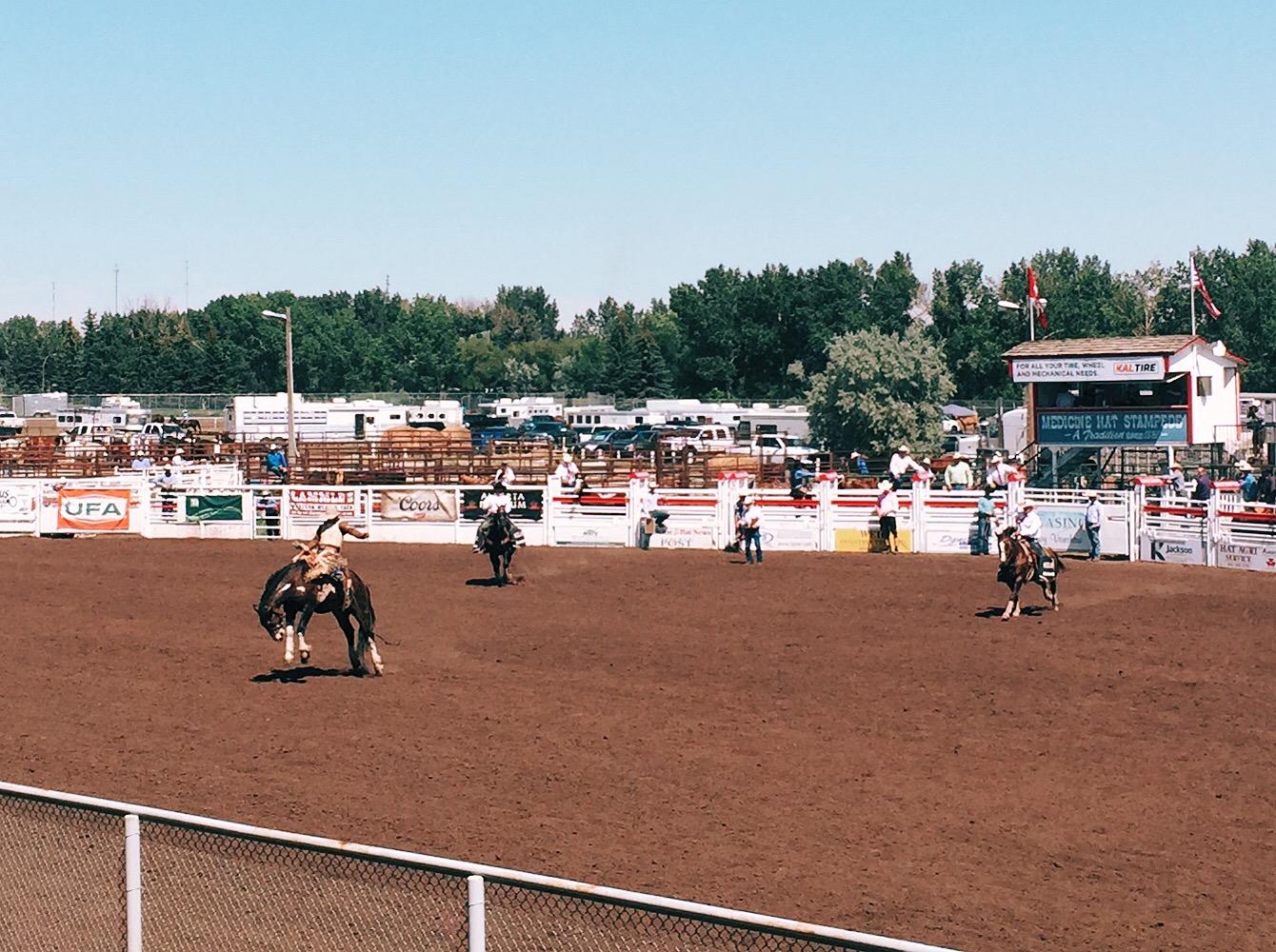
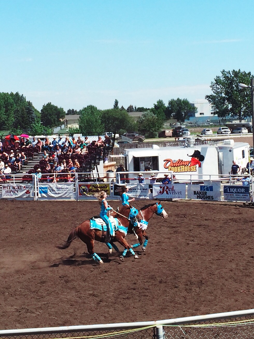
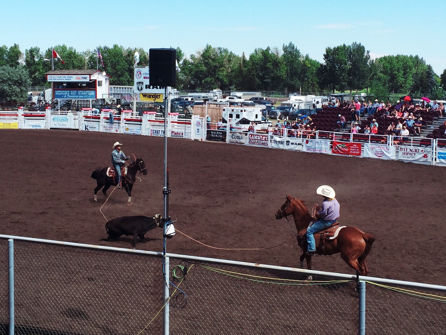
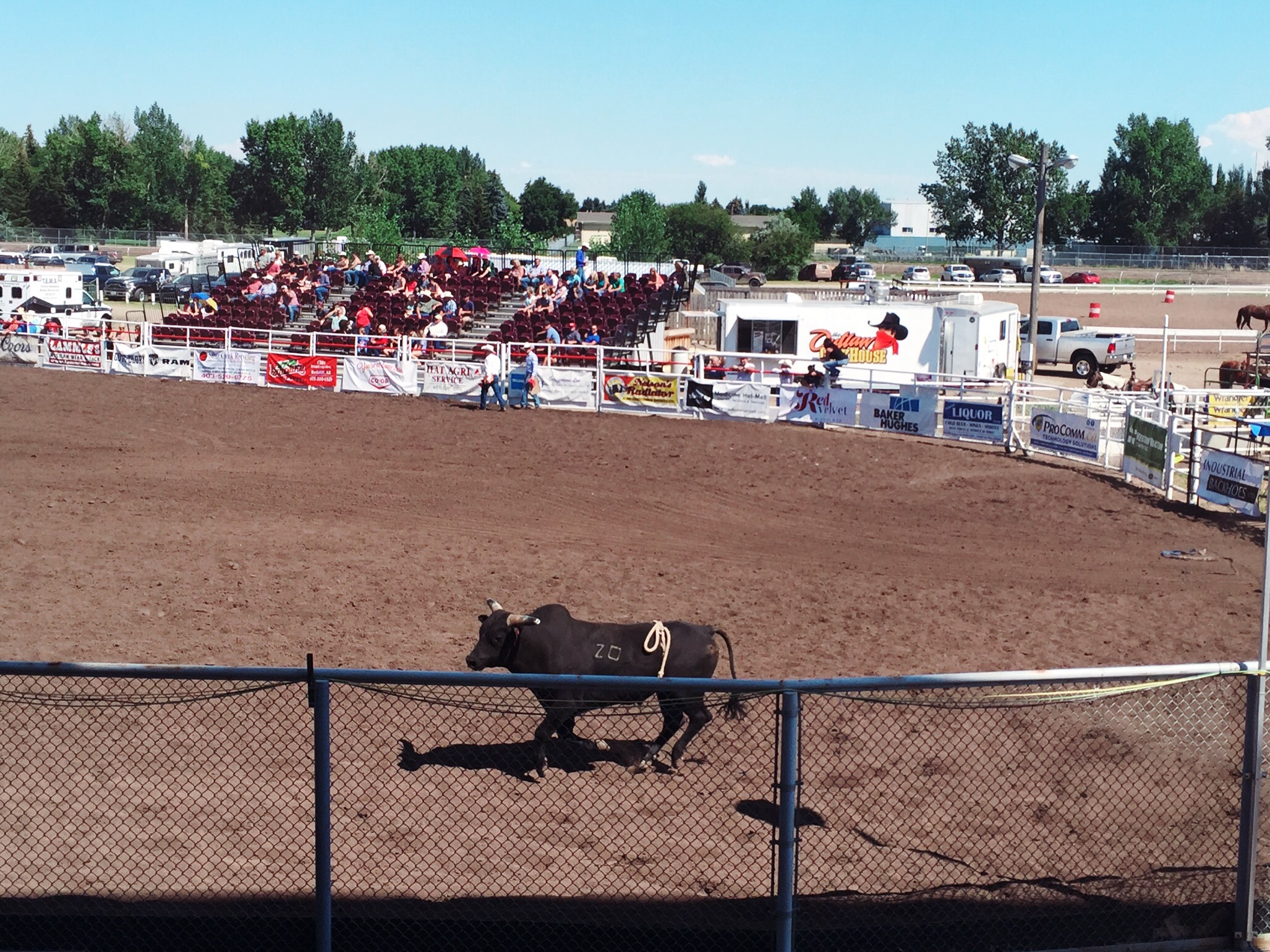
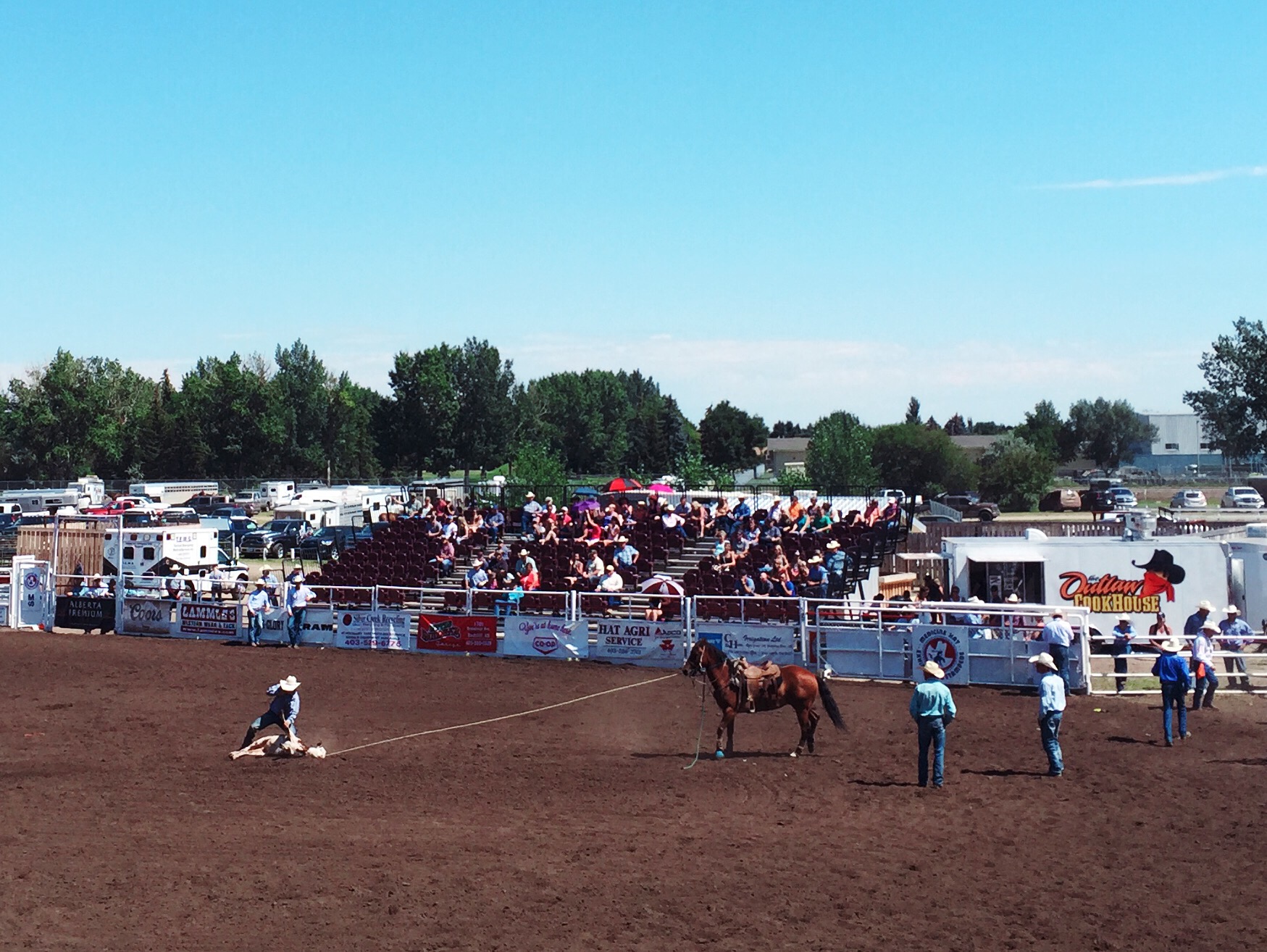
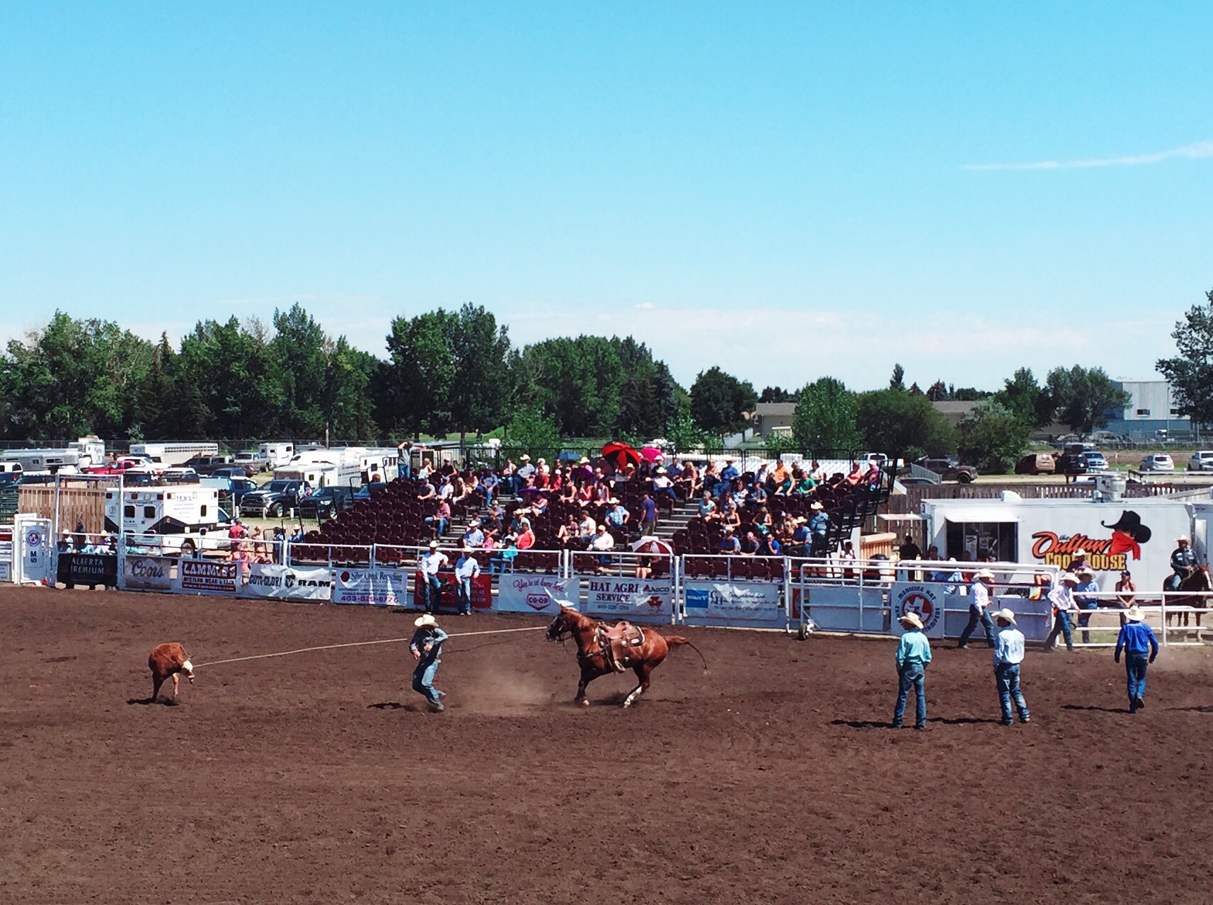
We had a quiet start to the day on Saturday. I took a walk down town to do some exploring in the morning and then in the afternoon we went to the Rodeo. We had never been to a Rodeo before so it was really cool. We saw the guys jumping off the horse to catch the calf, the guys lassoing the calf and then having to restrain it, wild horse riding and of course the wild bull riding. The cowgirls also did there stuff with a time trial around three barrels and then a couple of girls doing acrobatics while riding their horses at top speed. It was very entertaining. Unfortunately one of the bull riders got hurt and had to be taken away by ambulance – the bull had fallen on his leg so it was potentially broken. They took a lot of precautions loading him onto the gurney wth neck braces etc… It is a very dangerous sport and as Steve says “they must have rocks in there heads to do it”!

They also have a big fair going at the rodeo with rides, food and an exhibition hall.  It goes on for a week and is a big thing for the community – it is known as the Medicine Hat Stampede.  The ‘performers’ are professionals and travel all over the place participating in shows for prize money.  Over 500 volunteers work at the Stampede which has been going since 1887 making it one of the oldest Stampedes in North America.


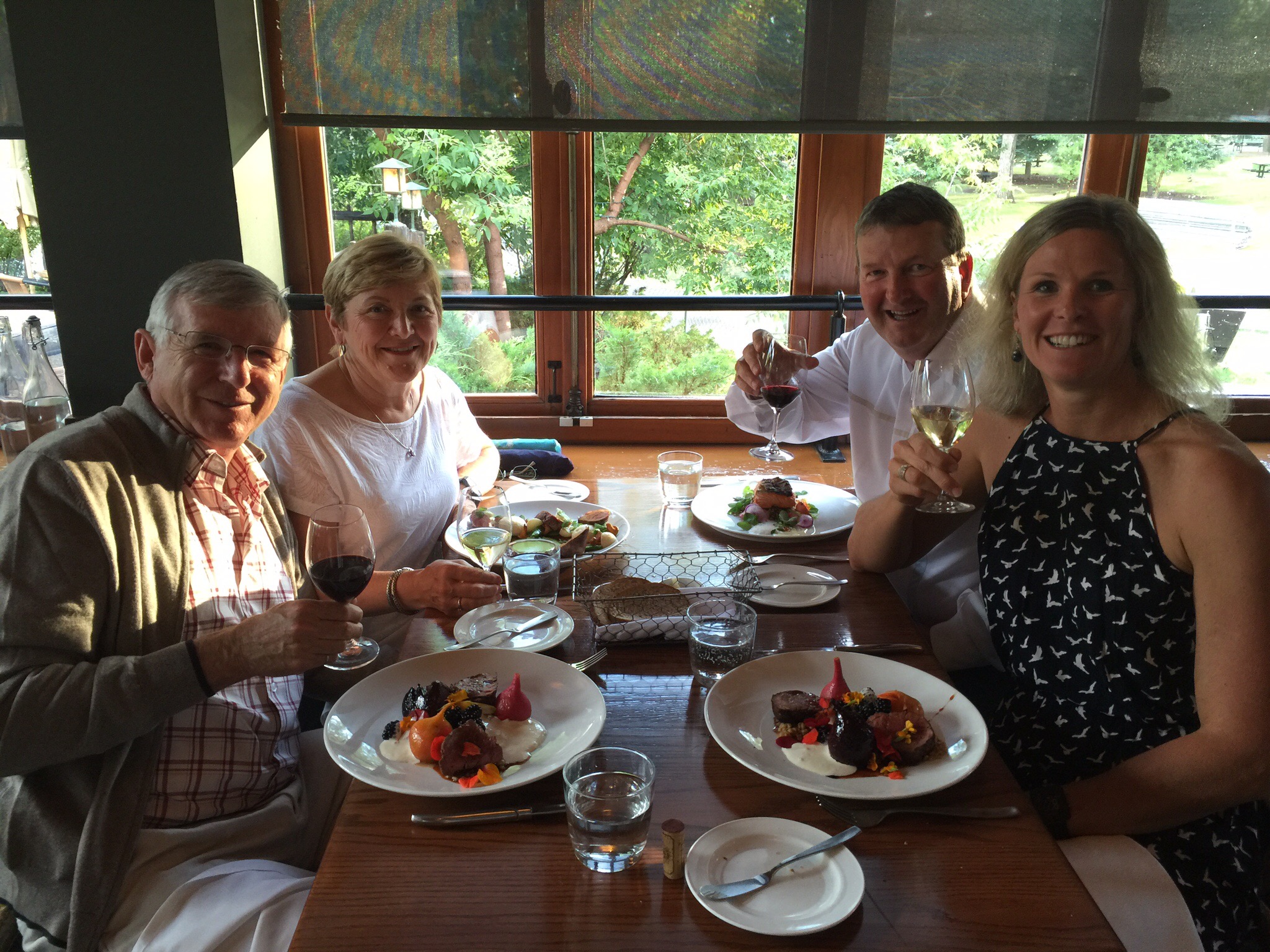
Monday night was our last night in Medicine Hat so we met Pat & Kay at the Local for dinner. Another evening filled with laughter and various shenanigans. We have had such a fabulous time connecting with our Canadian friends. The hospitality that they have shown us has been outstanding and we feel very privileged to have been invited into their homes and to have shared quality time with them. They have been fantastic tour guides and we’ve enjoyed learning about their corner of the world which we also happen to think is pretty awesome : )

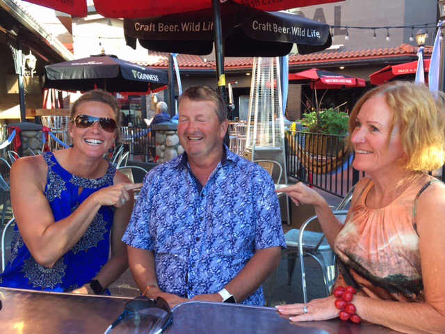
Steve sitting between two dominant woman – not sure if he has his eyes closed because he is in heaven or because he is fearing for his life!

Pat & Gary – Pat with his pint of Coke!

Steve enjoying his personal space being invaded by the hugging monster Gary : ). The headwear is courtesy of the fries the boys had just enjoyed!

Medicine Hat has a population of approximately 63,000 people.  Historically, Medicine Hat has been known for its large natural gas fields, being immortalized by Rudyard Kipling as having “all hell for a basement”.  Because of these reserves, the city is known as “The Gas City”. It is Alberta’s sixth largest city
The name “Medicine Hat” is the English translation of Saamis (SA-MUS) – the Blackfoot word for the eagle tail feather headdress worn by medicine men – or “Medicine Hat”.

In 1883, when the Canadian Pacific Railway (CPR) reached Medicine Hat and crossed the river a town site was established using the name from the First Nations legends. As the west developed, Medicine Hat became instrumental with the development of the first hospital past Winnipeg in 1889 and as a CPR divisional point. It was incorporated as a town on October 31, 1898, and as a city on May 9, 1906. Medicine Hat is halfway between Winnipeg and Vancouver.

Rich in natural resources including natural gas, coal, clay, and farmland, the town was known in the early days as “the Pittsburgh of the West”.  A number of large industries located here, under the inducement of cheap and plentiful energy resources. Coal mines, brick works, pottery and glass bottle manufacturing plants, flour mills, etc. became established. The agricultural potential of the surrounding area, both in crop and livestock, also made the town a viable service centre with a well established transportation route. An economic boom was experienced between 1909–1914 bringing the population to over 10,000. Little growth occurred between the World Wars, although the population swelled in the mid-1940s due to the town hosting one of the largest Second World War P.O.W. camps in Canada. It was not until the 1950s that the town again experienced significant commercial development. Today, Medicine Hat prides itself as one of the most economical places to live in Canada, with its unique city-owned gas utility and power generation plant being predominant factors. Major industries have included chemical plants, a Goodyear tire and rubber plant, greenhouses, numerous oil and gas related companies, a foundry, I-XL Industries (a brickworks dating from the 1880s), to name a few.

Alberta, Saskatchewan and Manitoba are the three prairie provinces in Canada as they are partially covered by prairie or grasslands.  Medicine Hat receives less precipitation annually than most other cities on the Canadian Prairies and plentiful sunshine and is widely known as “The sunniest city in Canada”,  making it a popular retirement city.   

Medicine Hat has a sister city type relationship with New Plymouth in NZ potentially through the gas industry.  It was quite fitting that I visited Medicine Hat given I am the SUNGRL and I was born in New Plymouth!

 This landmark in Riverside Park in downtown Medicine Hat represents a more modern influence of the railway, and is located just a stones throw from the old railway bridge that spans the South Saskatchewan River. Two vintage diesel train engines, numbered 1418 and 1424, have been on permanent display here since 1985. As noted on the placard, these engines were retired after traveling more than seven million miles. 

The Ewart Duggan House.  In 1887, John Ewart built this house using brick manufactured by B.C. McCord at the site if the present day I-XL Medicine Hat Brick & Tile plant.  As the oldest standing home in Alberta, it is a testament to the durability of brick.  I-XL Ltd acquired this historic home and in 2002 donated it to the community for use by the Museum (which is next door) as part of the Esplanade.

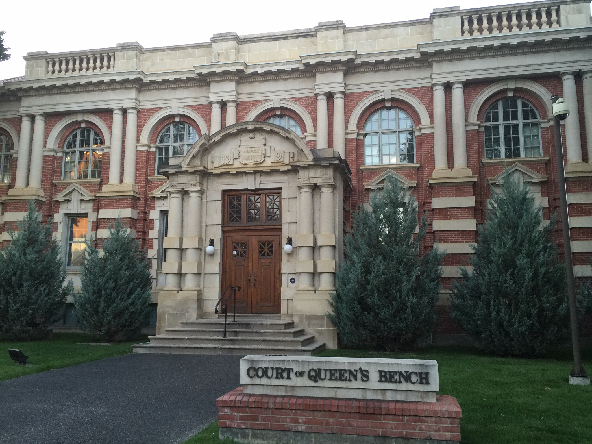
The court house built in 1919 which is still used today.

In 1883, the Canadian Pacific Railway stopped to build a bridge across the South Saskatchewan River.  This was the first major river crossed by the railway after leaving Winnipeg.  The bridge took a year to build.  

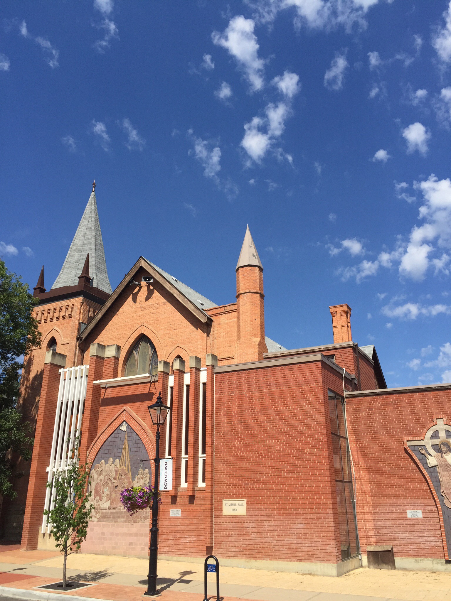
St Barnabas Anglican Church also built of the brick produced by B.C. McCord

Ben C. McCord came to the Medicine Hat area with his brother in about 1880 from British Columbia.  He established the Medicine Hat Brick and Tile Company which operated between 1885 and 1925.  The company produced bricks for the school house, the residence and warehouse of Mr. Ewart, and the houses of Mr. Tweed and Mr. Cousins.  Jacob and Charles Purmal took over the company in the 1890’s and renamed it Purmal Brick Company.  In 1929 Herbert J. Sissons bought the company, and it has remained in the Sissons family ever since. The company was renamed I-XL Industries in 1971. 

A chokecherry tree which is native to North America.  For many Native American tribes choke cherries were the most important fruit in their diets.  Nowadays the fruit is used to make jam, jelly or syrup but the bitter nature of the fruit requires sugar to sweeten the preserves.  Chokecherry is toxic to horses, moose, cattle, goats, deer and other animals with segmented stomachs.

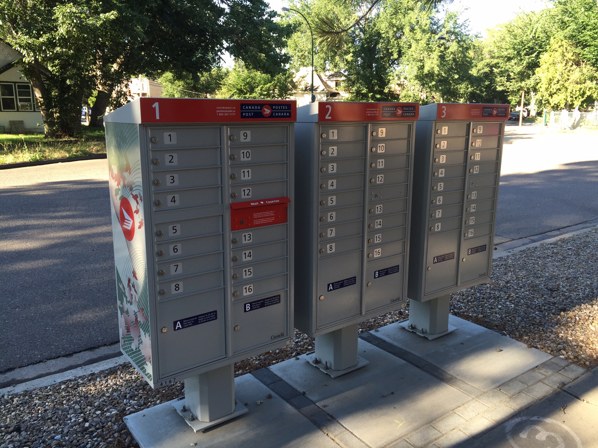
About a year ago mail delivery to homes was stopped and these neighbourhood mail boxes installed.  Perhaps that is the next step for NZ Post given it has just reduced our home mail deliveries to three days a week.

Posted in Canada, Medicine Hat | 1 Comment

Calgary Adventures – Calgary, Canada

After sleeping in the other bedroom (due to our bed still being in a state of disrepair) we got up early on Saturday morning to pack up and tidy the cabin ready to hit the road.  We were heading to Calgary where Diane and Ken have their primary residence.  We were originally going to take two cars but with one being incapacitated we had to fit into one – Smokey the cat and all.  It actually worked out really well with all of us in the one car from a sharing the stories, knowledge and experience point of view.  It didn’t appear to sit well with Smokey though – he was quite unsettled for the first half of the journey.

We travelled along the Kootenay River over the Kootenay Crossing before travelling along the Vermilion River and over the Vermilion Crossing.  We then reached the Continental Divide of the Americas (also known as the Continental Gulf of Division, the Great Divide, or merely the Continental Divide) which is the principal, and largely mountainous, hydrological divide of the Americas. The Continental Divide extends from the Bering Strait to the Strait of Magellan, and separates the watersheds that drain into the Pacific Ocean from (1) those river systems that drain into the Atlantic Ocean (including those that drain into the Gulf of Mexico and the Caribbean Sea), and (2) along the northernmost reaches of the Divide, those river systems that drain into the Arctic Ocean.

Though there are many other hydrological divides in the Americas, the Great Divide is by far the most prominent of these because it tends to follow a line of high peaks along the main ranges of the Rocky Mountains and Andes, at a generally much higher elevation than the other hydrological divisions.

In 1913, Boundary Commissioners R.W. Cautley and A.O. Wheeler toiled up peaks and passes and through marshes, tracing streams to their sources.  With the mineral rights and natural resources of two provinces at stake, precise mapping of the boundary became essential.The four Rocky Mountain national parks of Banff, Jasper, Kootenay and Yoho share boundaries, scenery, geology, plant and animal life, human history and importance to the world.  These four parks were declared a UNESCO World Heritage Site in 1985.  World Heritage sites and monuments are considered to be of such exceptional interest and of such universal value that protecting them is a concern of all mankind.

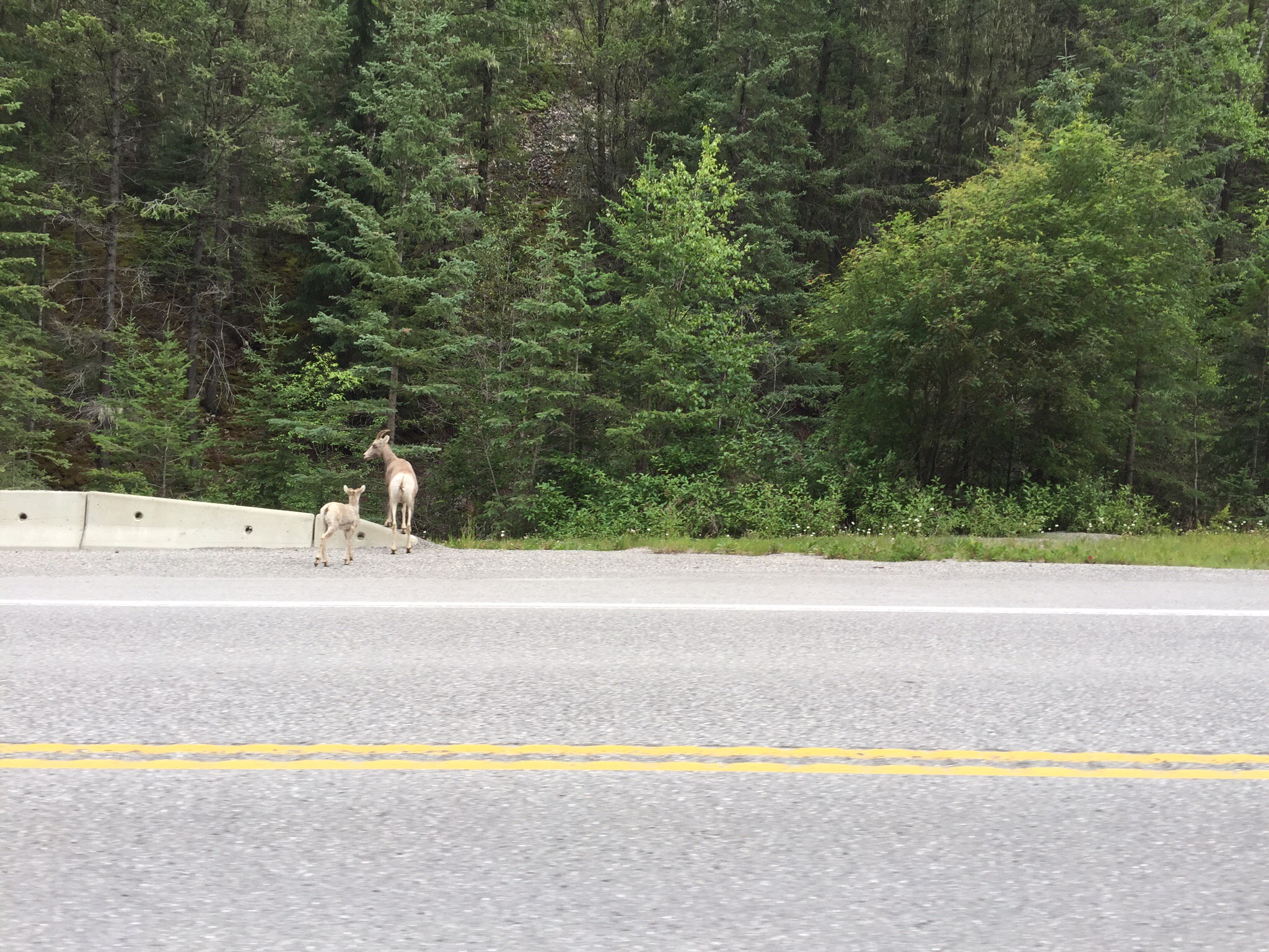
 We have heard so many stories of seeing wildlife along the roads etc… We got very excited when we first came across a mountain sheep and her baby and then saw a grizzly bear walking alongside the road.  The mountain sheep are nothing like the sheep we have at home – they look more like goats – they’re quite wiry.  You can imagine the excitement when we saw the bear – unfortunately there was another bloody tourist in front of us and they slowed to take pictures which meant by the time we got alongside it, it was disappearing into the bush so we didn’t get a photo.  A fabulous memory to have in our minds anyway.The plan was to try our luck at Lake Louise – this is peak tourist season and it was a Saturday so it is not always possible to get up there.  We drove into the village only to see signs saying “Carpark Full” and all these traffic controllers turning people around.  There would be no Lake Louise visit for us today unfortunately.  We backtracked with our next stop being Banff.

The mountains that we saw in this area were once flat beds of rock that lay buried to the west.  Immense pressures within the earth cracked the rock layers millions of years ago, forcing them to slide atop one another and shift many kilometres eastward.  These thrust-fault mountains are now the front ranges of the Rocky Mountains.  Much later, great amounts of glacier ice filled the spaces between the mountains, so deep that some of the summits were buried.  For many thousands of years, ice and snow ruled.  About 15,000 years ago, the ice began to melt back to where it is today.
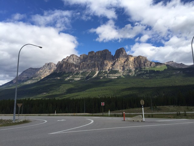
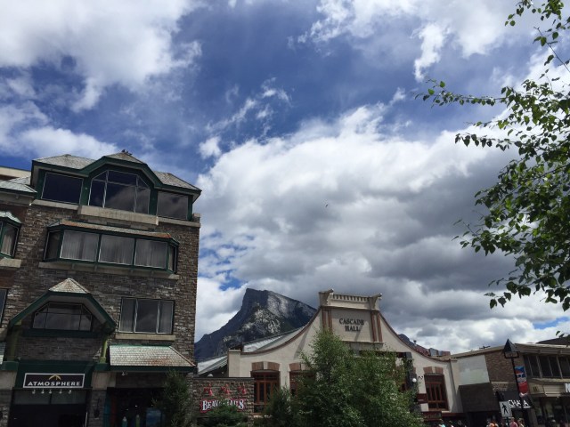
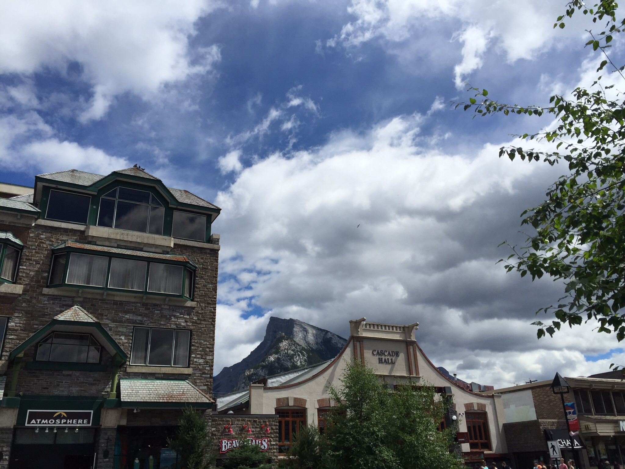
Mt Rundle

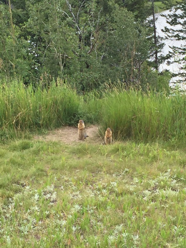
Two friendly little gophers were curious to see if we had any tasty morsels for them : )

Banff, Canada’s first national park, was less than 26 square kilometres when established in 1885.  Now covering 6,500 square kilometres of the Canadian Rocky Maountains, it has now become a leader in nature conservation.  Cattle once grazed the meadows.  The railroad cut off water flows.  Wolves were killed off, leaving over-abundant elk to destroy willow and aspen thickets.  In the mid-twentieth century, the lakes were treated with toxic pesticides to control mosquitoes.

But national parks are meant to be passed on to future generations unimpaired.  That is why Parks Canada has used science, innovation and partnerships to restore much of the ecological health of these wetlands.  Cattle are long gone.  Wolves, Cougars and grizzly bears have returned.  Elk are no longer over-abundant and, in response, willow thickets and aspen forests thrive again.  Working with partners, Parks Canada has restored water flows to keep wetlands healthy.  Frogs, fish, Eagles, moose and beavers are among the wildlife that have benefited.

Banff is an awesome little town – it is really touristy but still manages to maintain it’s charm. We had a wander around the shops – you could spend quite a few hours there and part with a bit of money. Luckily, Smokey had us on a tight schedule. We did go into a photo gallery where the photographer had spent many an hour in nature waiting to capture that perfect moment. His work was phenomenal and none of it is photoshopped – it is as he shot it. I fell in love with a photo of a bear cub and couldn’t leave without it. The photographer was in the gallery so he signed the back for me. I could have gone crazy in there.

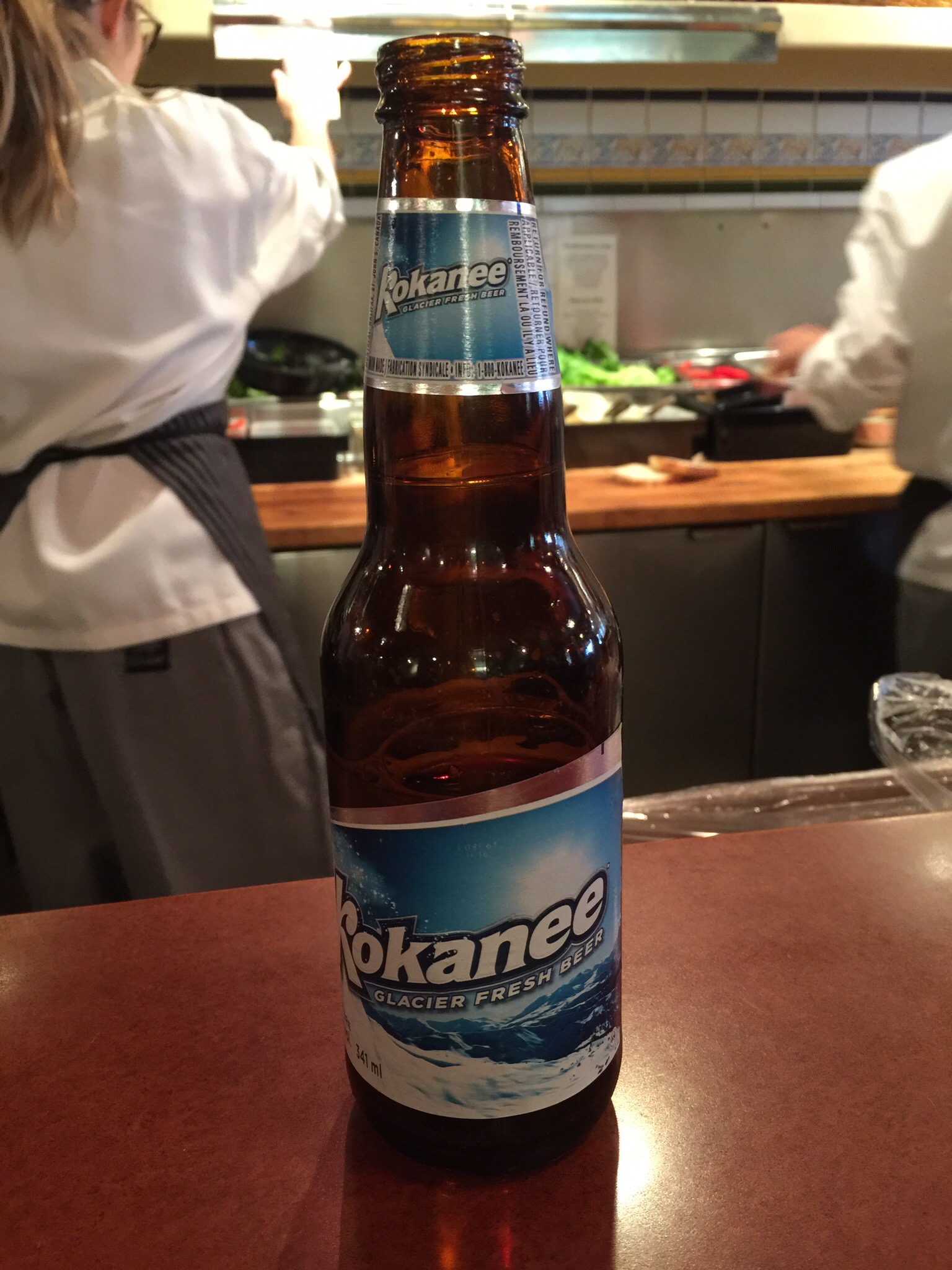
We had a casual lunch at Coyotes Southwestern Grill sitting at the counter and Steve enjoyed a local beer.  A quick freshen up for Smokey and we were on the road again.  
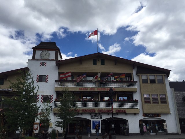

Banff is a town within Banff National Park in the province of Alberta.  At an elevation of 1,400 m (4,600 ft) to 1,630 m (5,350 ft), Banff is the community with the second highest elevation in Alberta after Lake Louise.  The Town of Banff was the first municipality to incorporate within a Canadian national park. 

Banff is a resort town and one of Canada’s most popular tourist destinations, known for its mountainous surroundings and hot springs. It is a destination for outdoor sports and features extensive hiking, biking, scrambling and skiing areas within the area. Sunshine Village, Ski Norquay and Lake Louise Mountain Resort are the three nearby ski resorts located within the national park.

Banff was first settled in the 1880s, after the transcontinental railway was built through the Bow Valley. In 1883, three Canadian Pacific Railway workers stumbled upon a series of natural hot springs on the side of Sulphur Mountain. In 1885, Canada established a federal reserve of 26 km2 (10 sq mi) around the Cave and Basin hot springs, and began promoting the area as an international resort and spa as a way to support the new railway.  In 1887, the reserve area was increased to 673 km2 (260 sq mi) and named “Rocky Mountain Park.” This was the beginning of Canada’s National Park system.

The area was named Banff in 1884 by George Stephen, president of the Canadian Pacific Railway, recalling his birthplace in Banff, Scotland. The Canadian Pacific built a series of grand hotels along the rail line and advertised the Banff Springs Hotel as an international tourist resort.

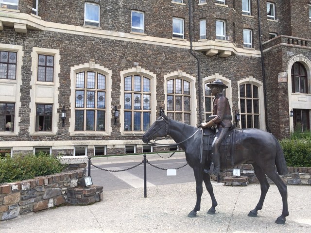
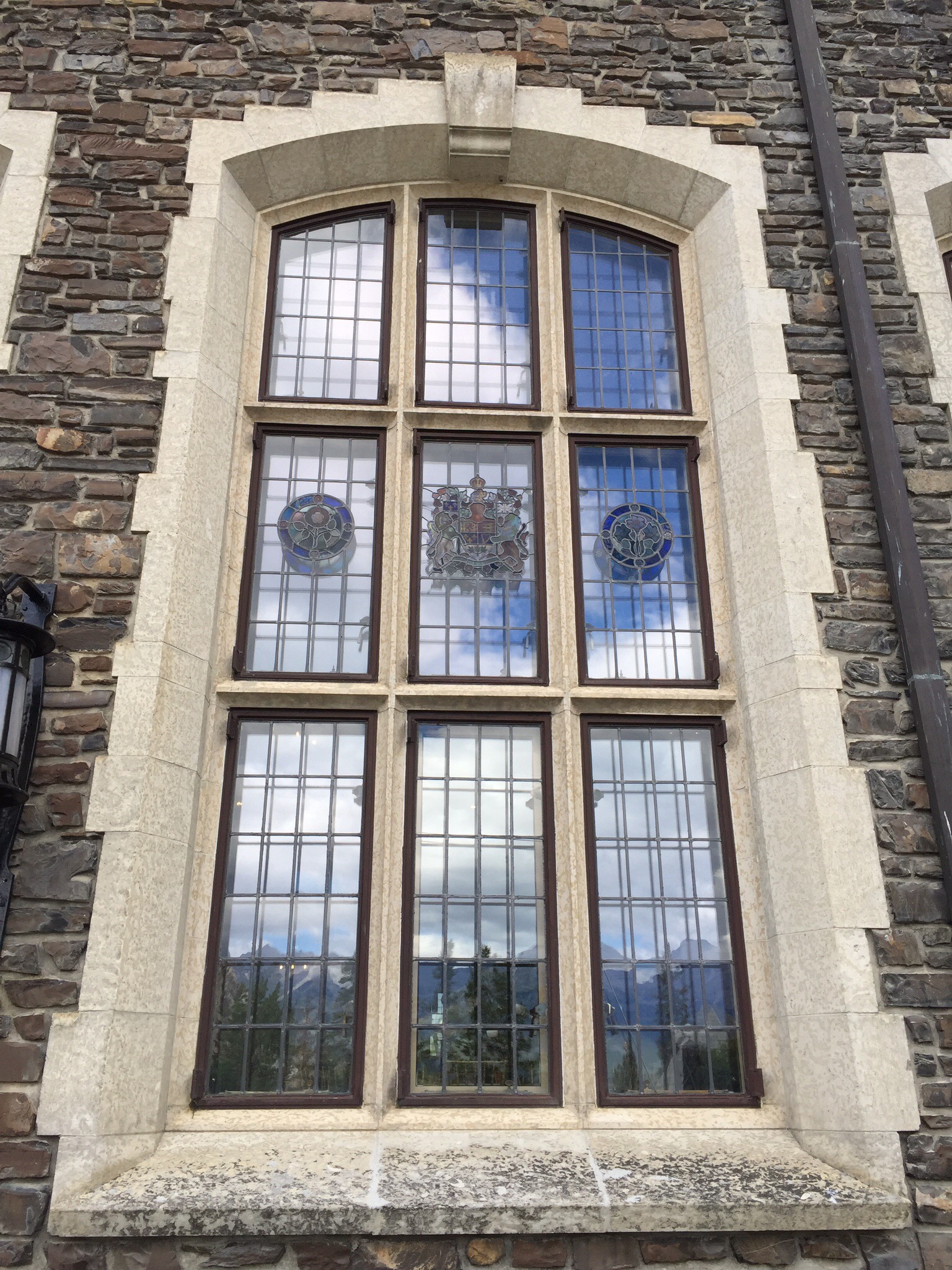
Speaking of such, our next stop was The Fairmont Banff Springs Hotel which was opened in 1888 by the Canadian Pacific Railway.  This landmark hotel was the inspiration of Sir William Cornelius Van Horne, 19th century railway pioneer and hotel visionary, who famously quipped “If we can’t export the scenery, we’ll import the tourists.”  It was originally a five storey, wooden structure built on a cement foundation.  The architect was the renowned Bruce Price of New York.  The hotel was described as “a bastion of luxury,” and boasted 250 rooms with the cost of a room starting at $3.50 per night.  The hotel opened seasonally from the 15th May until the 1st October.

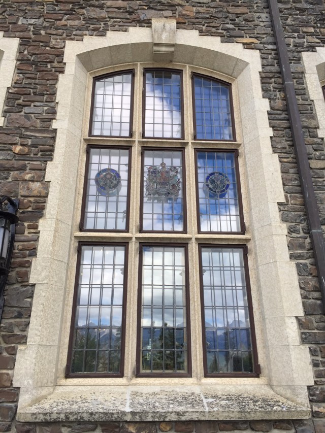
Due to the increasing popularity of the hotel as an international mountain resort destination, a decision was made in 1910 to replace the wooden hotel in stages.  In between 1911 and 1914, the 11 storey centre tower designed by Walter Painter of Pennsylvania was added as the first stage of the new grand and luxurious hotel.  In 1926, disaster struck when the north wing of the original wooden hotel burnt down.  Subsequently, the new north and the south wings were quickly rebuilt and completed on the 15th May 1928.  Styled in the spirt of a Scottish baronial castle, the thick limestone blocks used on the exterior were quarried from Mount Rundle, a short distance from the hotel along the Spray River.  Hundreds of Italianstone cutters and Scottish stone masons were employed to complete the project.

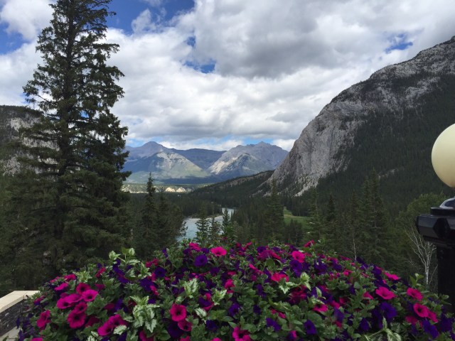
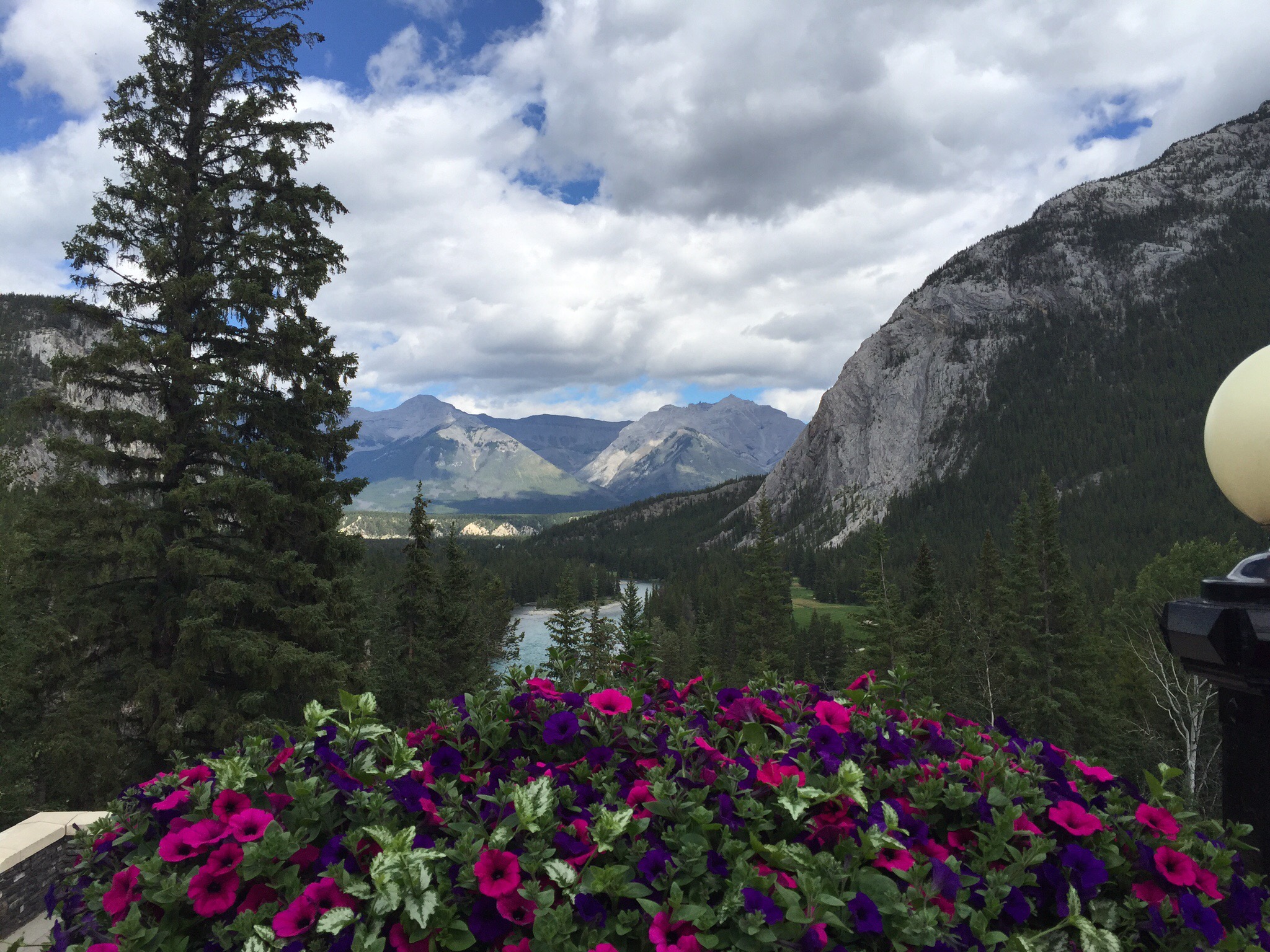
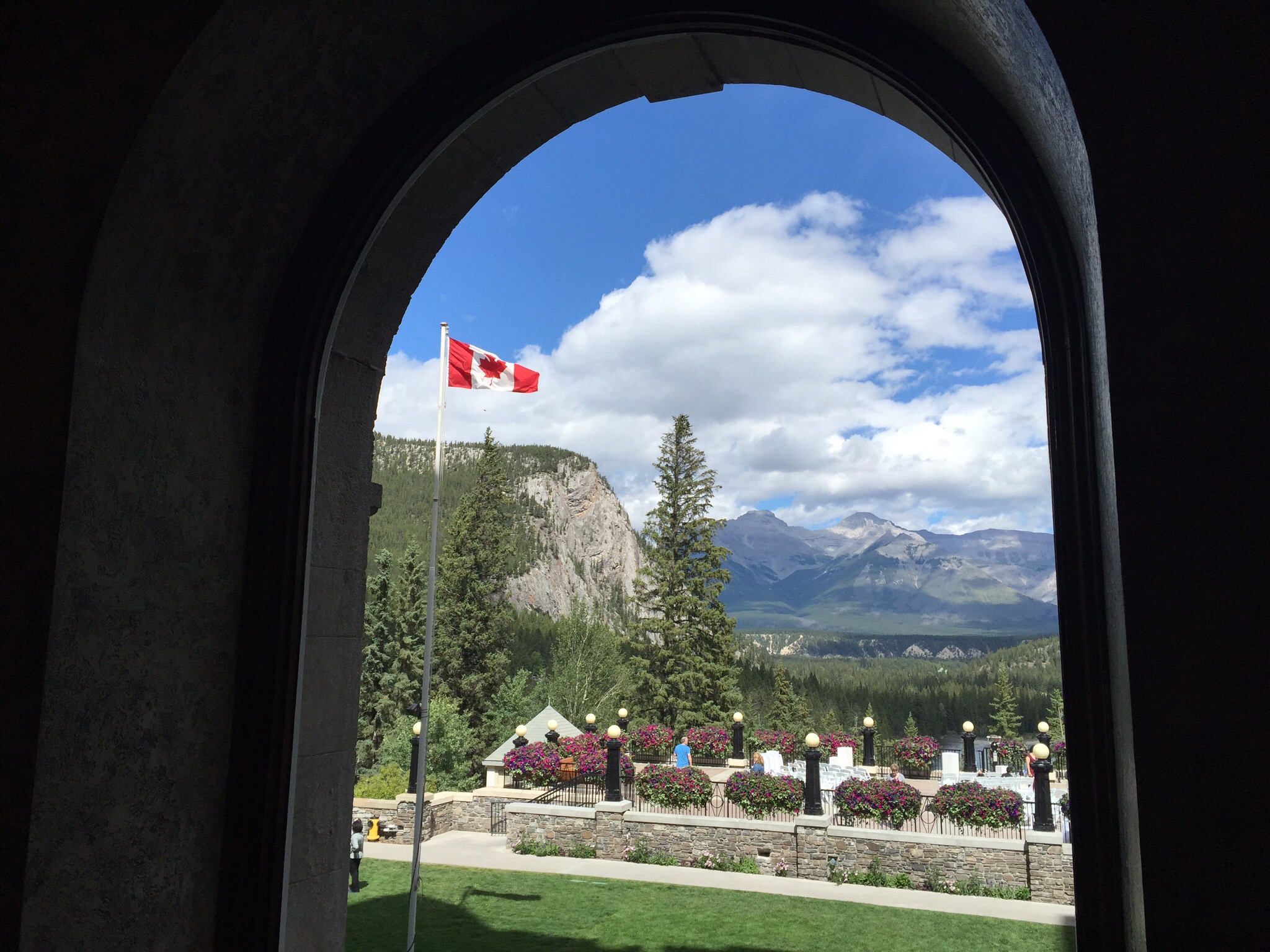
It is a stunning piece of architecture located in a stunning setting.  It reminded me of the Vaduz Palace in St Moritz, Switzerland although with this one you could go in and have a look around.  There had been a wedding on the balcony and they were just taking some photos and setting up for the reception so we got to see that.  It is very grand inside.  It is also a very popular tourist attraction with lots of people coming and going.


 We then drove out to the springs and alongside some of the holes on the Banff Springs Golf Course – wow, what a stunning looking course. Another to add to the list.


By this time it really was time to get Smokey home – we still had another hour or so to Calgary.  He had settled down and slept most of the way home.

Sunday was a lovely day so we took a walk around the South Glenmore Park along the reservoir.  The Calgary Ironman was on so we got to see some of the runners who were also running alongside the reservoir.
That afternoon Diane and Ken hosted a family BBQ – their son, daughter in law and granddaughter were back from Ottawa so it was nice to meet them and also some other members of the extended family.  Canadians are very congenial like Kiwi’s so as you can imagine it was a great evening.  Ken worked his magic on the BBQ with the lamb patties for the home made burgers and we had some delicious salads and home made raspberry flan and a rhubarb, custard pie.  The raspberries and rhubarb were home grown.  Everything was so, so good!  We washed it down with some Pegasus Bay Riesling.

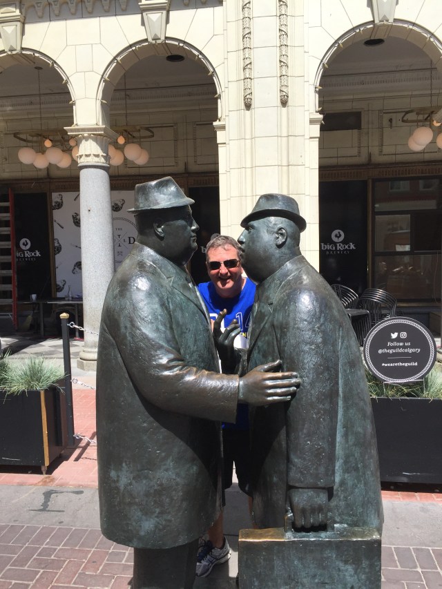
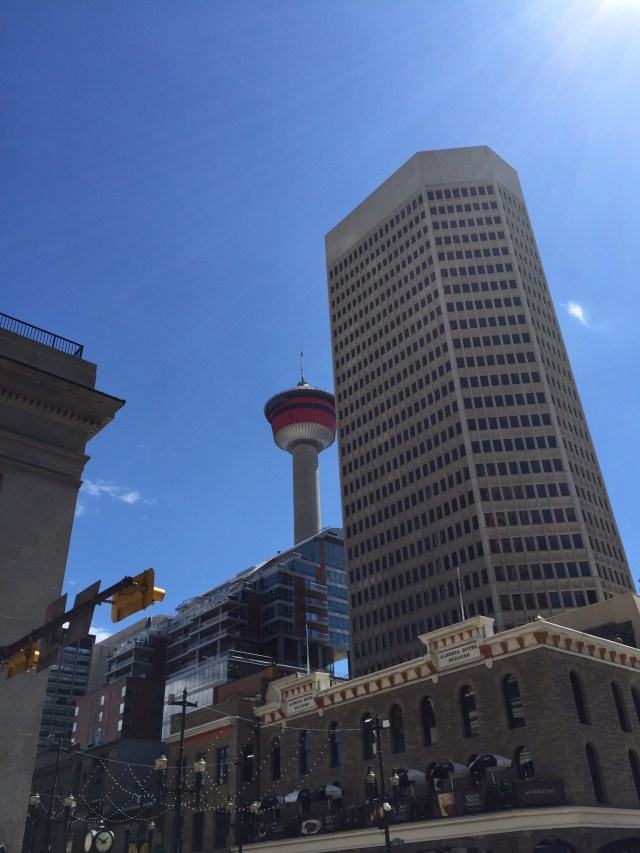
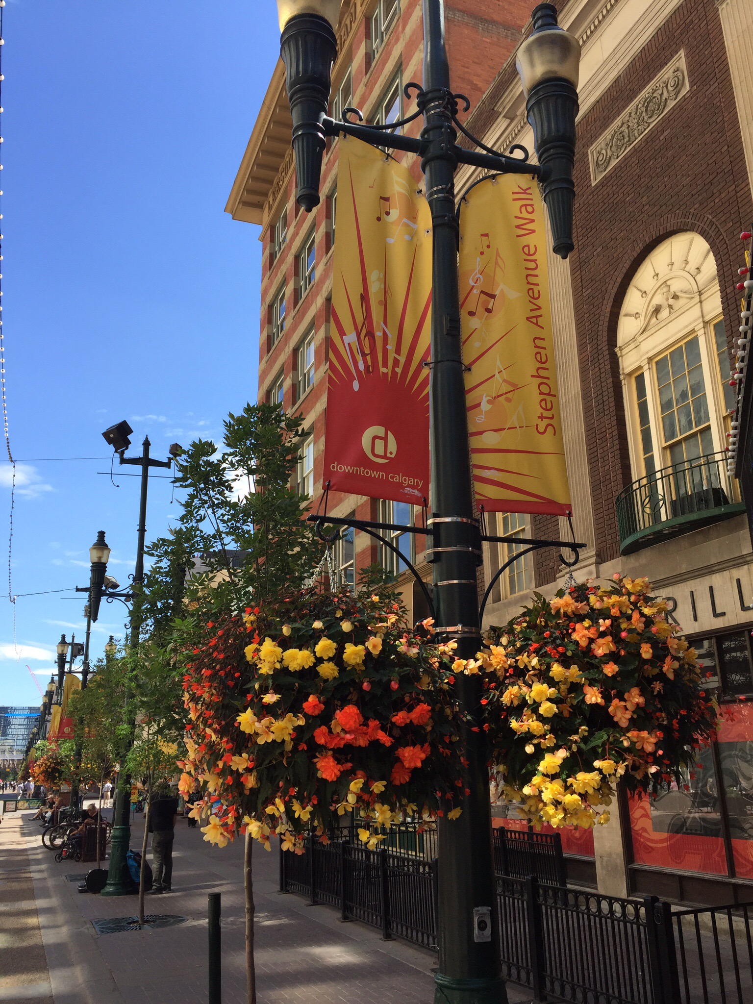
Monday was another lovely day so we ventured into downtown Calgary to have a look around.  It is a really nice city and has all these glass walkways between buildings to make it more pleasant in winter to move about the city.  We wandered down the Stephen Avenue Walk which is a pedestrian and cyclist only street during the day.  There is some lovely architecture along here.  They have preserved the outside facades and erected taller buildings behind in some cases.  


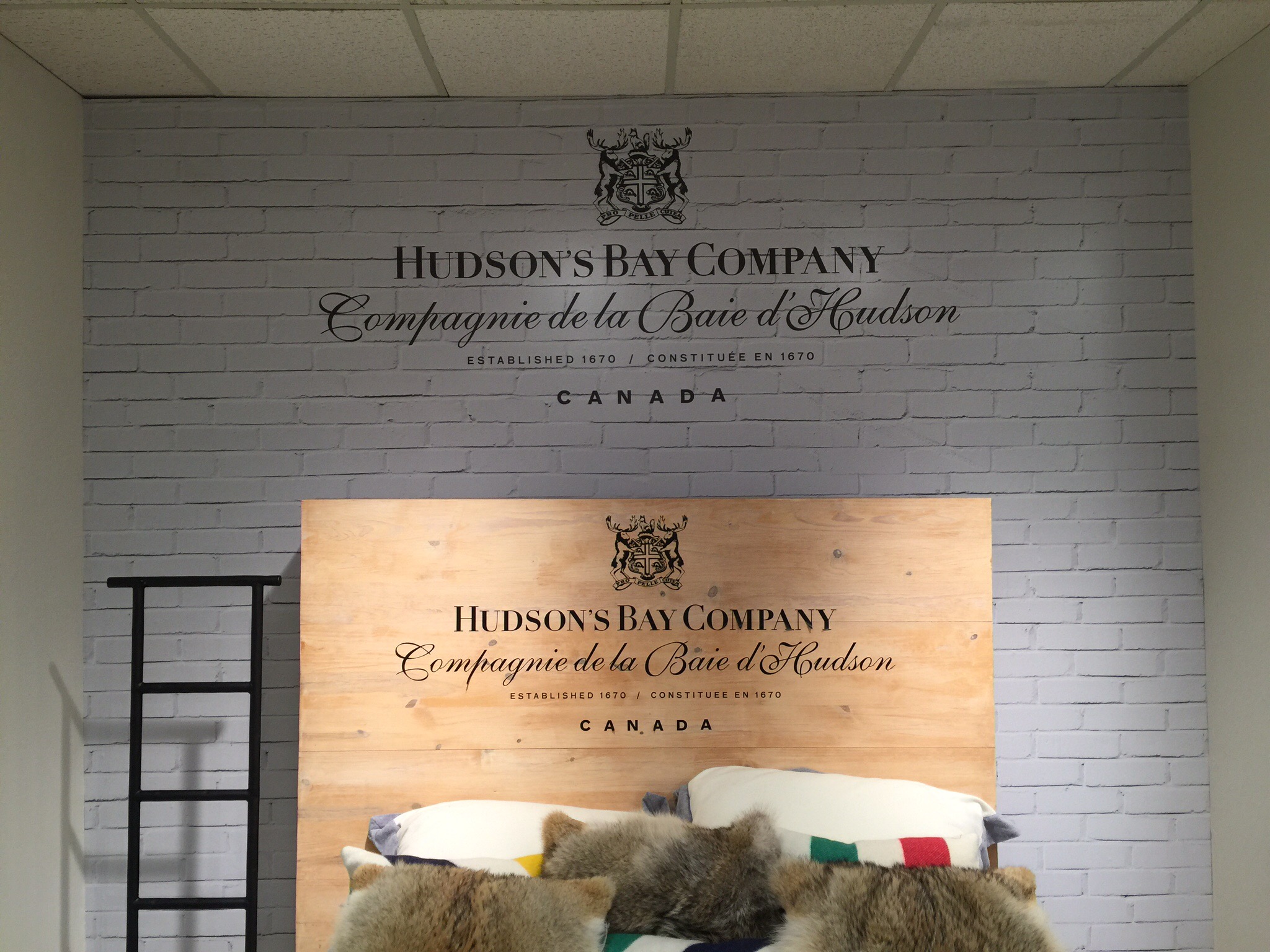
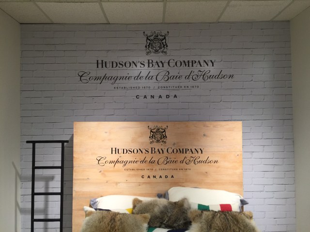
We had a look around the Hudson’s Bay Company department store. The Hudson’s Bay Company, commonly referred to as The Bay (La Baie in French), is a Canadian retail business group. A fur trading business for much of its existence, today Hudson’s Bay Company owns and operates retail stores throughout Canada, Germany, Belgium and the United States with Galeria Kaufhof, Gilt, Hudson’s Bay, Home Outfitters, Lord & Taylor, Saks Fifth Avenue and Saks Fifth Avenue OFF 5TH. The Company was incorporated by English royal charter in 1670.

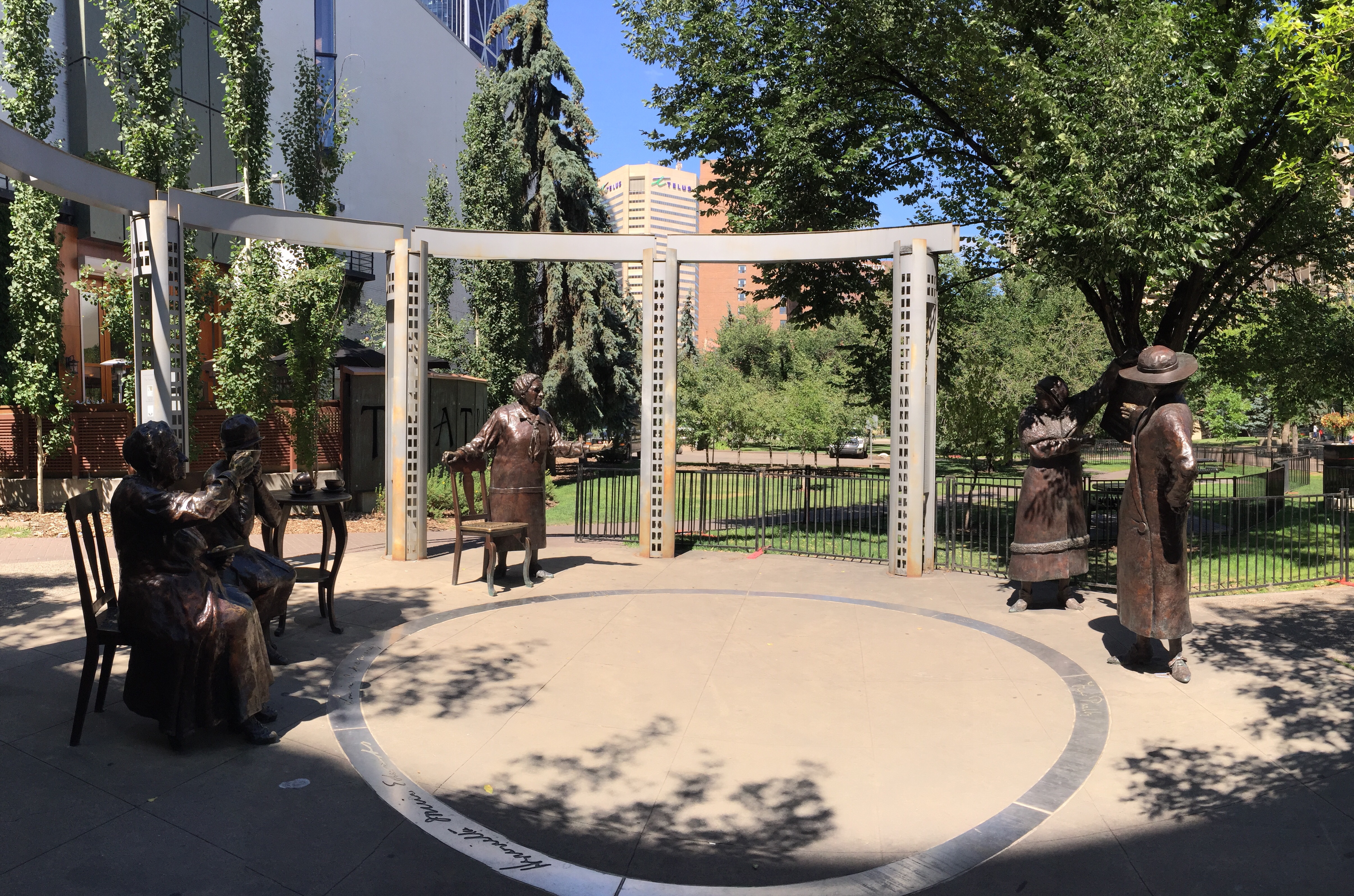
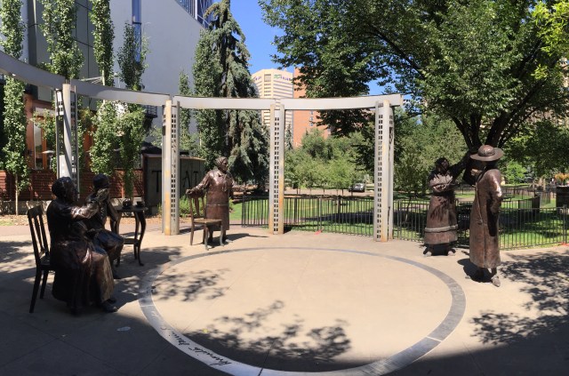
We then walked towards the Olympic Plaza which is an urban park and gathering place in downtown Calgary.  It was created as the venue for the medal ceremonies at the 1988 Winter Olympic Games. It is now used for various events and doubles as a ice skating rink in the winter.  Along the way we came across the Famous Five.  

The Famous Five or The Valiant Five were five Alberta women who asked the Supreme Court of Canada to answer the question, “Does the word ‘Persons’ in Section 24 of the British North America Act, 1867, include female persons?” in the case Edwards v. Canada (Attorney General).  The five women, Emily Murphy, Irene Marryat Parlby, Nellie Mooney McClung, Louise Crummy McKinney and Henrietta Muir Edwards, created a petition to ask this question. They sought to have women legally considered persons so that women could be appointed to the Senate. The petition was filed on August 27, 1927, and on 24 April 1928, Canada’s Supreme Court summarized its unanimous decision that women are not such “persons”.  The last line of the judgement reads, “Understood to mean ‘Are women eligible for appointment to the Senate of Canada,’ the question is answered in the negative.” This judgement was overturned by the British Judicial Committee of the Privy Council on 18 October 1929. This case came to be known as the “Persons Case”.

These five Albertan women were drawn together by the tides of history and a shared idealism. Each was a true leader in her own right: one a police magistrate, another a legal expert who founded the National Council for Women, and three served as Members of the Legislative Assembly of Alberta. And they did all this before they were even fully defined as “persons” under Canadian and British law.

Separately, these five women were champions of the rights and welfare of women and children. They worked hard and courageously in the face of the prejudices and resistance of the day. Together, they formed an unstoppable force that changed the world for women in Canada and in all Commonwealth countries.

The Famous 5 sculpture was done by Edmonton sculptor Barbara Paterson and an identical one is also on Parliament Hill in Ottawa. Paterson captured the five women at the moment they reunited over a cup of tea to celebrate their victory.   

I particularly liked this following quote by Louise McKinney (1868 – 1931):

“What, after all, is the purpose of a woman’s life? The purpose of a woman’s life is just the same as the purpose of a man’s life: that she may make the best possible contribution to the generation in which she is living.”

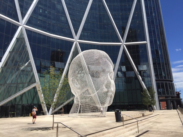
The 12 metre tall, bent-wire head of a young girl called “Wonderland” was created by Spanish sculptor Jaume Plensa.  The  artist’s concept represents the hopes and dreams of young Albertans and the youthful energy of the tenants.  This sculpture is located outside The Bow building.

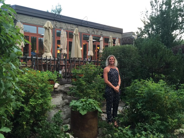
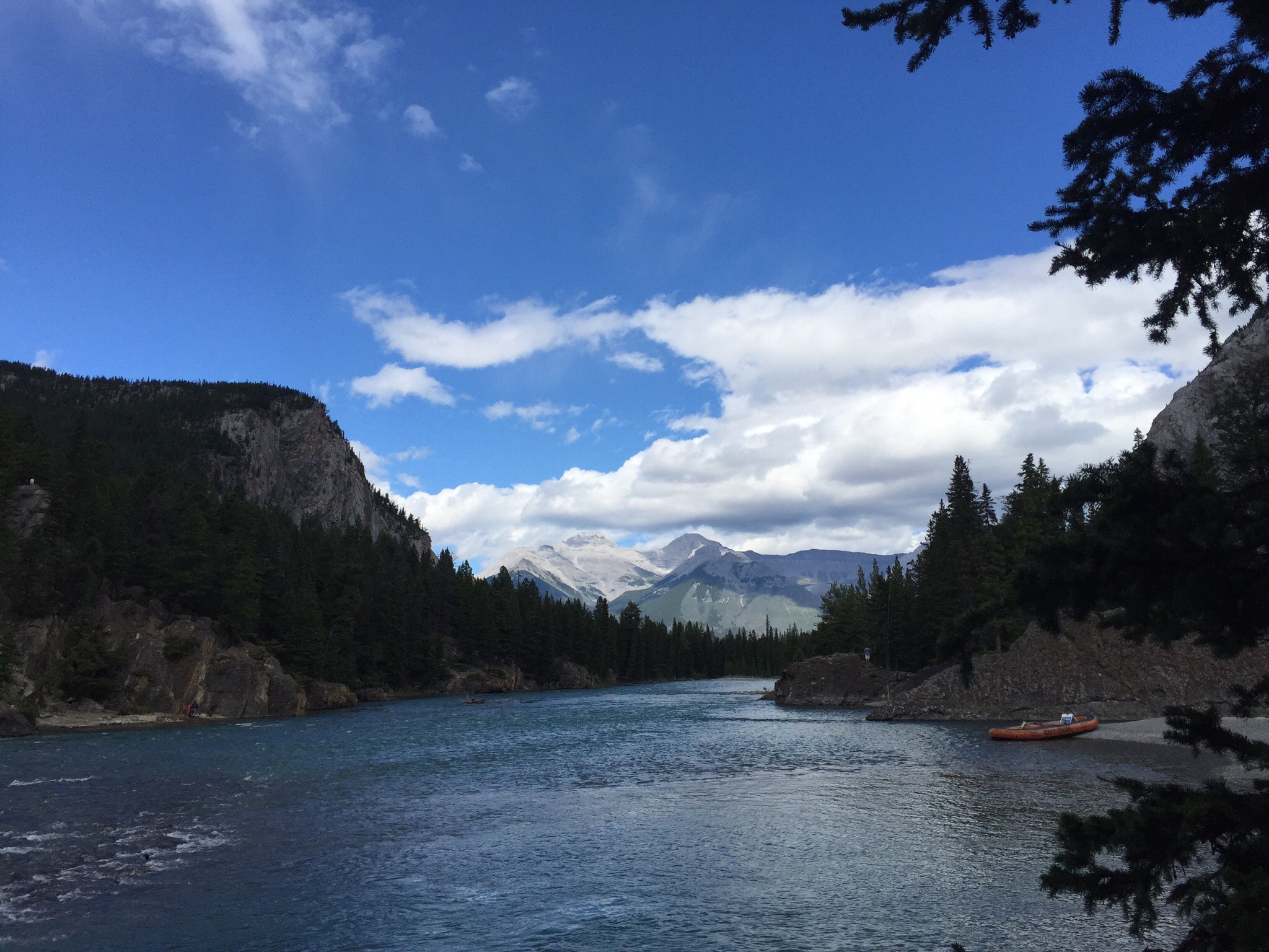
That evening we came back into the city to have dinner at the River Cafe on Prince’s Island.  If you had been standing on this island in 1885, you wouldn’t even have been standing on an island.  This was just a bend in the Bow Riveruntil 1886, when the Eau Claire and Bow River Lumber Company dug a channel to get logs from Kananaskis closer to Calgary sawmill.

The resulting island was named after the company’s manager, Peter Prince.  Prince was one of Calgary’s earliest entrepreneurs.  In 1889 he formed the Calgary Water Power Company to supply electric streetlights to the town.  Despite its name, the company used steam generators powered by sawdust until 1893, when Prince built Calgary’s first hydro-electric plant near the east end of the lagoon. 

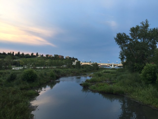
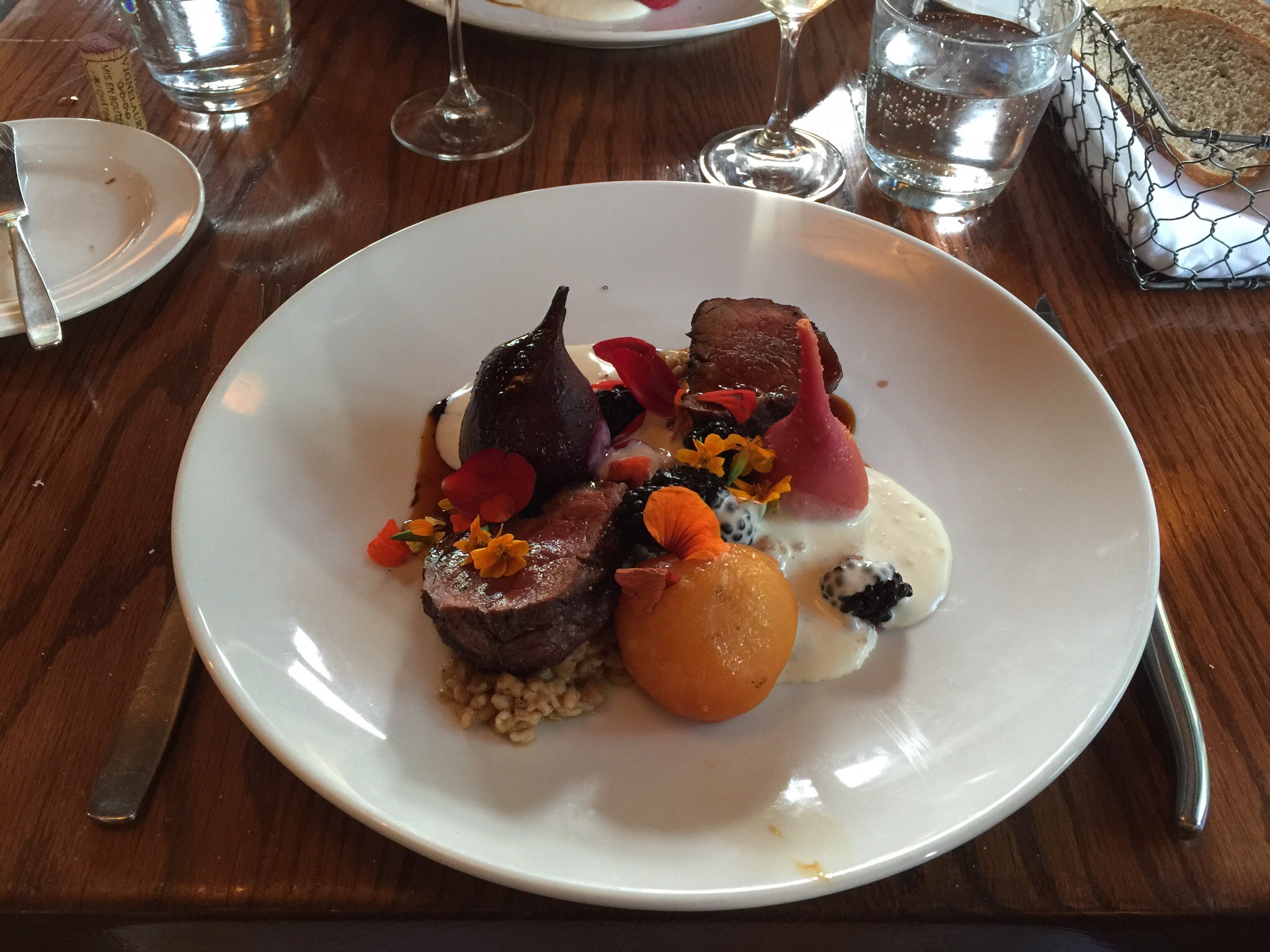
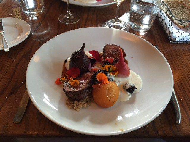
The River Cafe serves seasonal Canadian food.  They are dedicated to sourcing the best tasting local ingredients in season. They connect directly with growers and producers at their farms, gardens and ranches, and carefully choose those purveyors who are responsible stewards of the land. They support and honor the connection to these farms by always identifying the provenance of their ingredients on menu.  The food was delicious with a creative use of local flavours.  After dinner we wandered back along the river where we had some great views of the city.  We saw all these groups of young people on their phones and realised they were all chasing Pokemon – another sign the world has gone mad!

We really enjoyed our time in both Invermere and Calgary and have to say a huge thank you to our hosts Diane and Ken.  They shared their homes, knowledge and passion with us so generously as well as Smokey the cat.  They are so well travelled in both Canada and the rest of the world that their knowledge and experience is endless – they are an inspiration.



Calgary

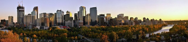
Calgary is a city in the Canadian province of Alberta. It is situated at the confluence of the Bow River and the Elbow River in the south of the province, in an area of foothills and prairie, about 80 km (50 mi) east of the front ranges of the Canadian Rockies. In the 2011 census, the City of Calgary had a population of 1,096,833 and a metropolitan population of 1,214,839, making it the largest city in Alberta, and the third-largest municipality and fifth-largest census metropolitan area (CMA) in Canada.

The economy of Calgary includes activity in the energy, financial services, film and television, transportation and logistics, technology, manufacturing, aerospace, health and wellness, retail, and tourism sectors.  The Calgary CMA is home to the second-highest number of corporate head offices in Canada among the country’s 800 largest corporations.

With the energy sector employing a huge number of Calgarians, the fallout from the economic slump of the early 1980s was significant, and the unemployment rate soared.  By the end of the decade, however, the economy was in recovery. Calgary quickly realized that it could not afford to put so much emphasis on oil and gas, and the city has since become much more diverse, both economically and culturally. The period during this recession marked Calgary’s transition from a mid-sized and relatively nondescript prairie city into a major cosmopolitan and diverse centre. This transition culminated in the city hosting Canada’s first Winter Olympics in 1988.  The success of these Games essentially put the city on the world stage.

Thanks in part to escalating oil prices, the economy in Calgary and Alberta was booming until the end of 2009, and the region of nearly 1.1 million people was home to the fastest growing economy in the country.  While the oil and gas industry comprise an important part of the economy, the city has invested a great deal into other areas such as tourism and high-tech manufacturing. Over 3.1 million people now visit the city annually for its many festivals and attractions, especially the Calgary Stampede. The nearby mountain resort towns of Banff, Lake Louise, and Canmore are also becoming increasingly popular with tourists, and are bringing people into Calgary as a result. Other modern industries include light manufacturing, high-tech, film, e-commerce, transportation, and services.

Widespread flooding throughout southern Alberta, including on the Bow and Elbow rivers, forced the evacuation of over 75,000 city residents on June 21, 2013 and left large areas of the city, including downtown, without power.
Posted in Calgary, Canada | 1 Comment

Invermere Adventures – Invermere, Canada

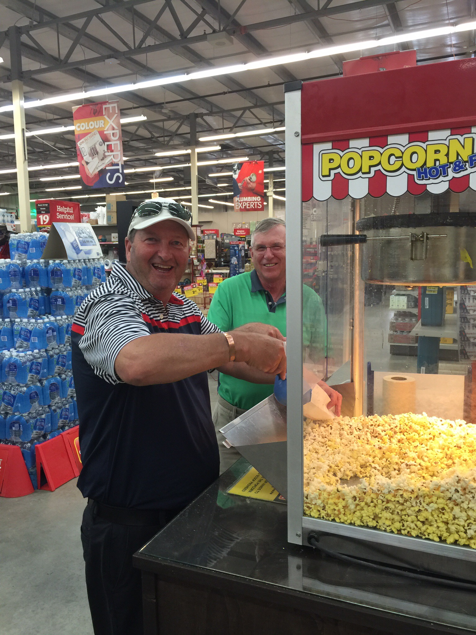
On our first morning at Diane & Ken’s we managed to break the shower rail.  That afternoon we took a trip to the hardware store – foreign hardware stores are to Steve what foreign supermarkets are to me.  He then discovered they had a big popcorn machine where customers could help themselves – we just about had to surgically remove him from the store. 

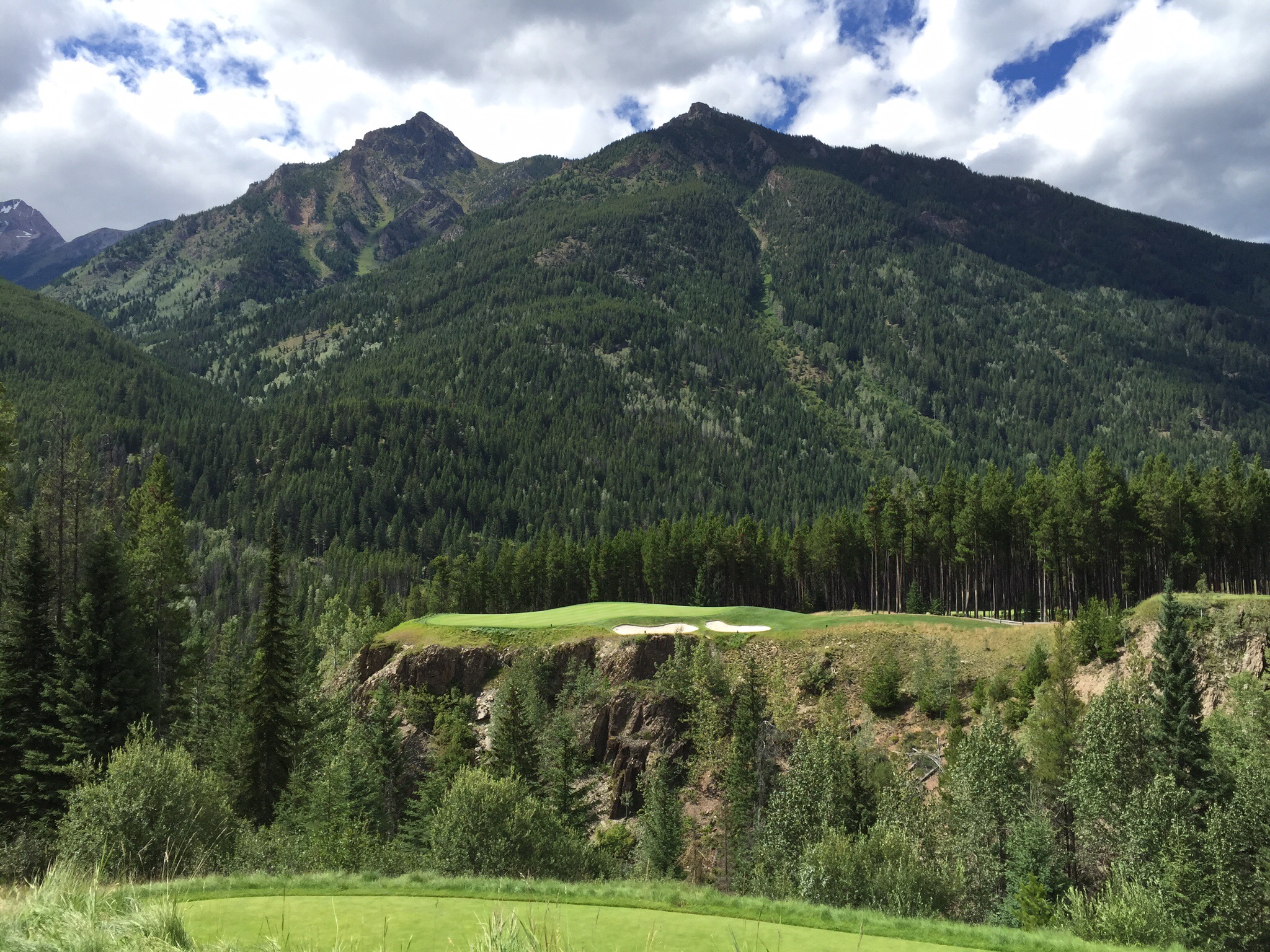
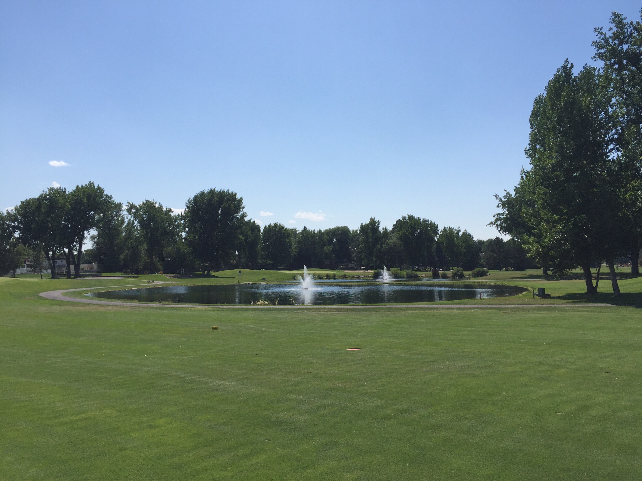
Popcorn in hand, we took a drive up to Panorama Mountain Resort which is a ski and golf resort in the Purcell Mountains. Greywolf, the golf course up there was designed by Canadian architect Doug Carrick. We went up to have a look at their signature hole called Cliffhanger. Cliffhanger has already secured a place among the best golf holes in the world. Golfers face an island green perched across the aptly named “Hopeful Canyon” with a cliff on the front left and back of the green.
We snuck onto the course to have a look at the hole.  Some people then came up to tee off so we watched them – one of the guys ended up in the canyon but both of the ladies got over.  Steve was salivating looking at this hole and other parts of the course that we could see.  We will definitely be back to play on our next trip.

We then drove to Eagle Ranch golf course to have a drink at the Clubhouse which is beautiful.  This course is built on the First Nation Shuswap reserve land.  The Shuswap Indian Band (SIB) is a First Nation community in the East Kootenays. The band has 260 members, and two reserves on 1,240 hectares of land, with its main reserve located one mile north of Invermere. Whereas many First Nations have focused their economic development on natural resource industries such as fishing, forestry and mining, the Shuswap Indian Band has focused on commercial, residential and land development.  The construction of the golf course was started in 1997 and finished in 2000.  Another one to go on the list for our return visit.

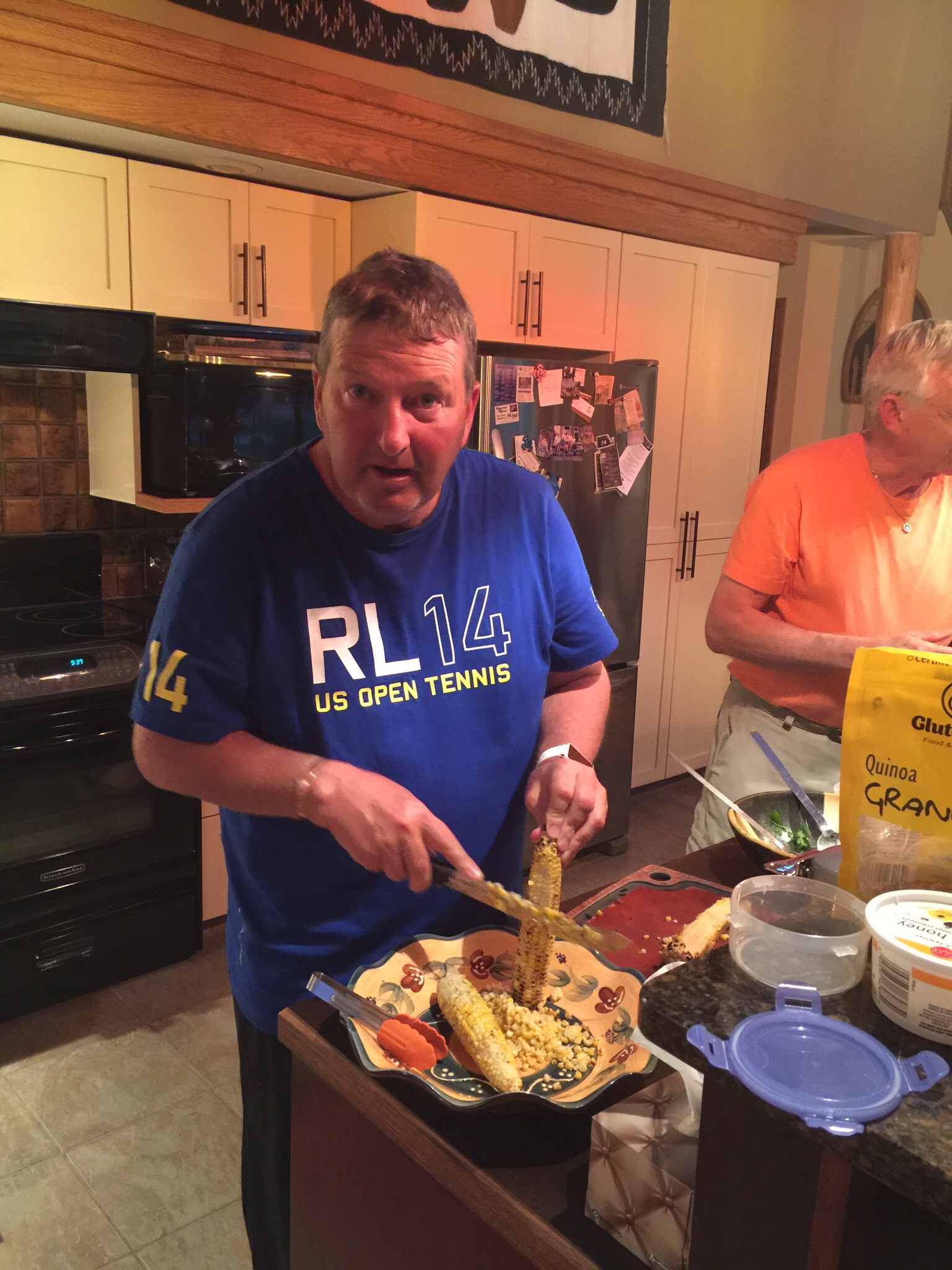
That evening we enjoyed another delicious meal – marinated flank steak with corn cooked on the BBQ.  We’re learning lots of new recipes so look forward to trying them out when we get home.  We had some corn left over so we decided to strip the cobs so we could use the corn the next day in a salad.  Most of you know about Steve’s grasp of the English language so according to Steve he was ‘pruning’ the corn.  And another Stevism was born!


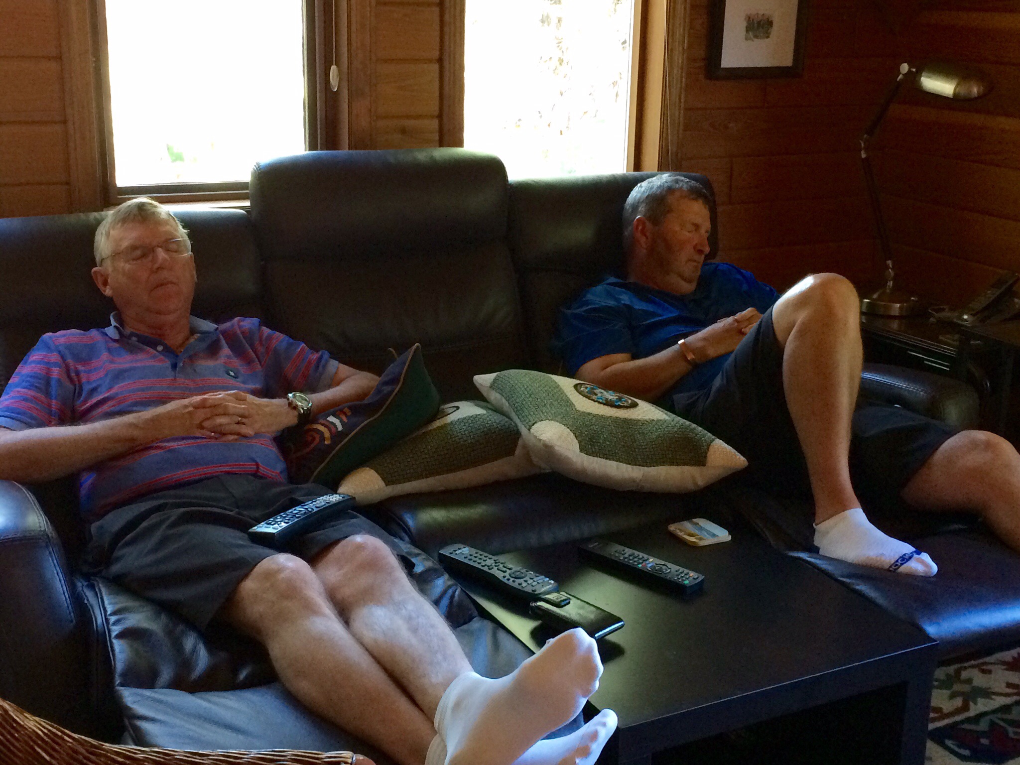
After golf on Thursday the boys watched some of the Canadian Open which had just started in Toronoto.  This picture really works in the favour of the naysayers who say they would rather watch paint dry than watch golf!


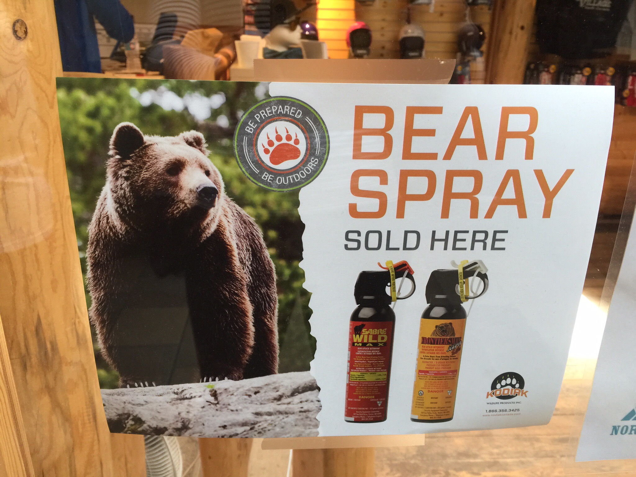
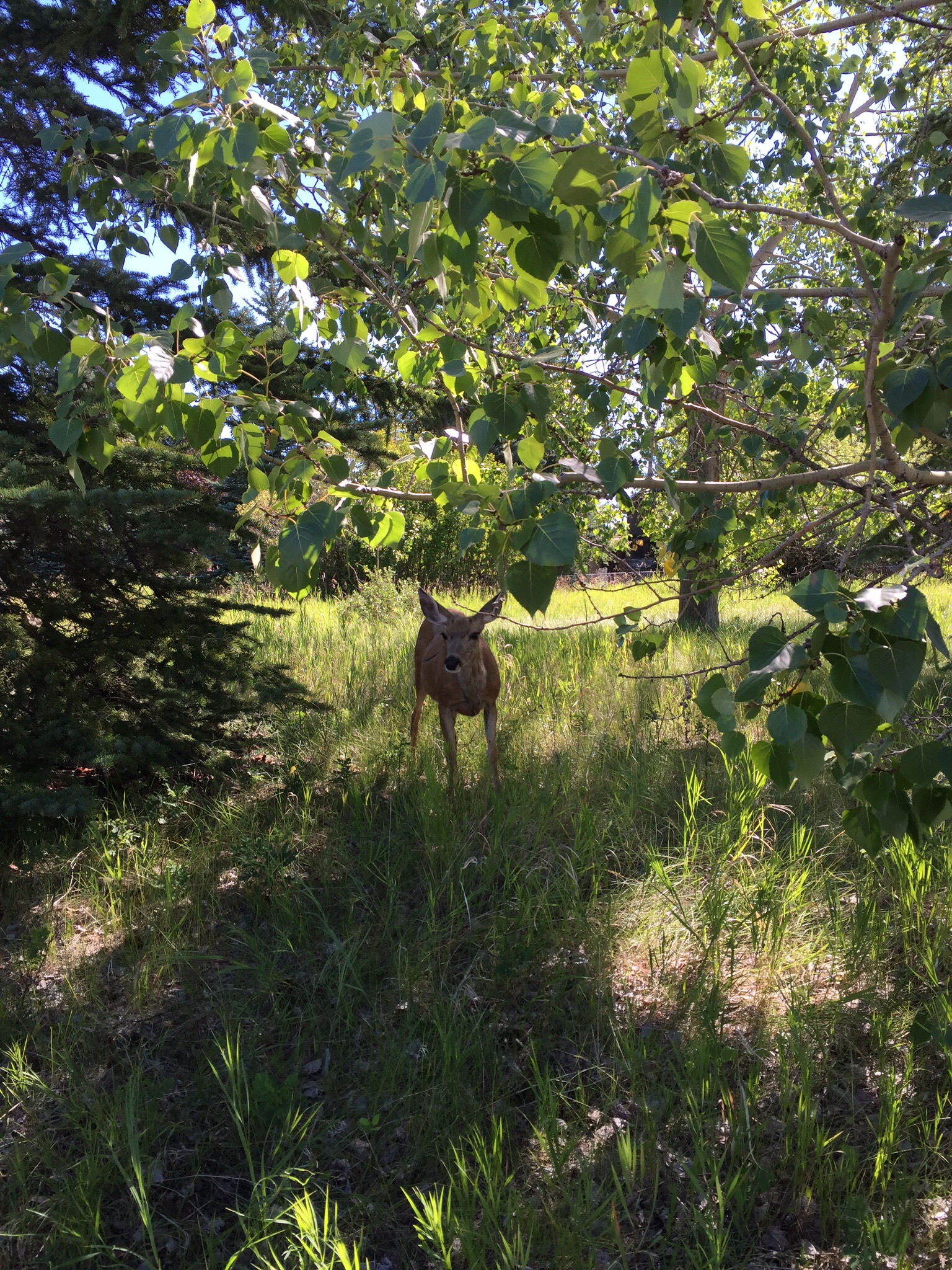
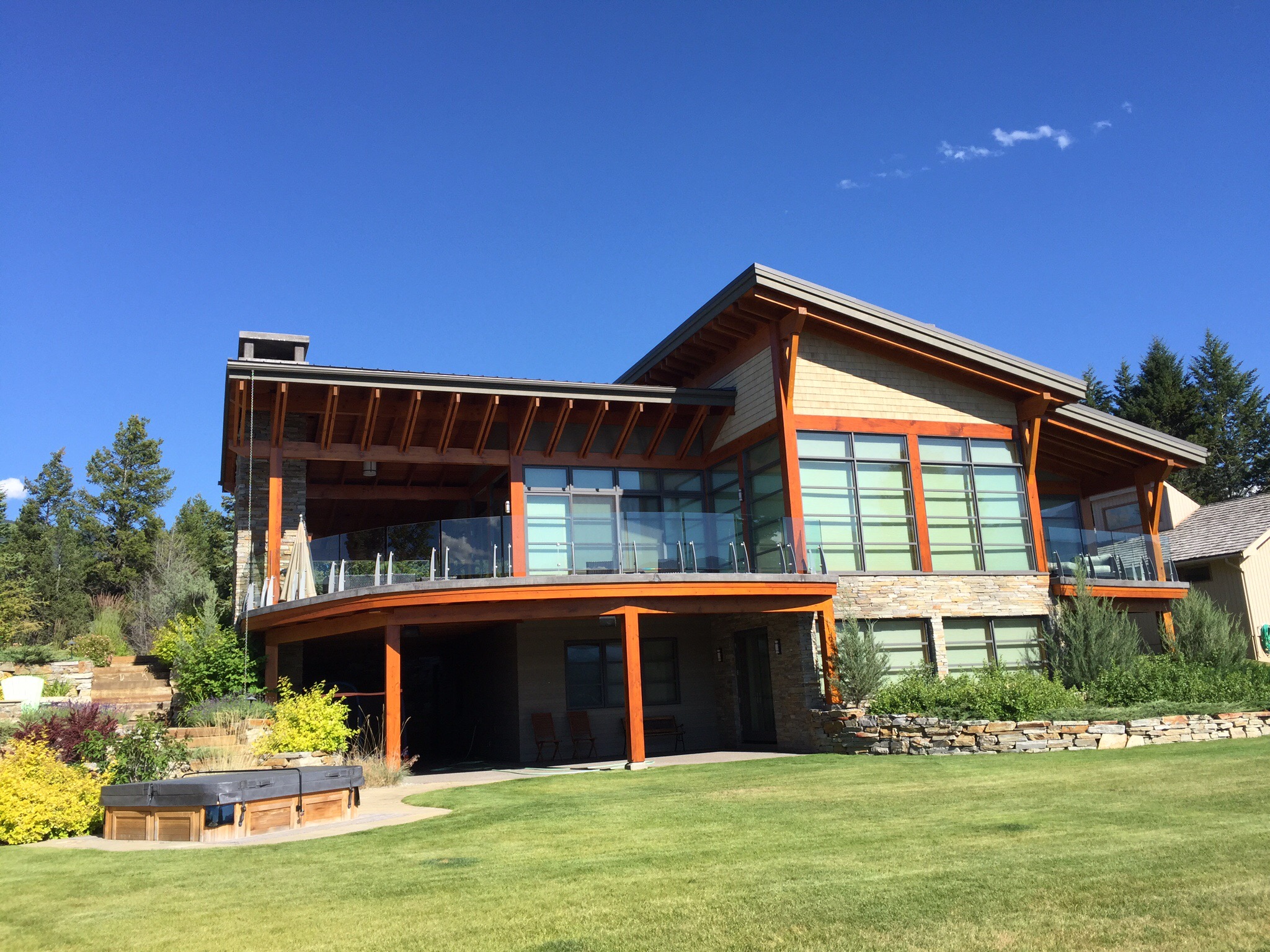
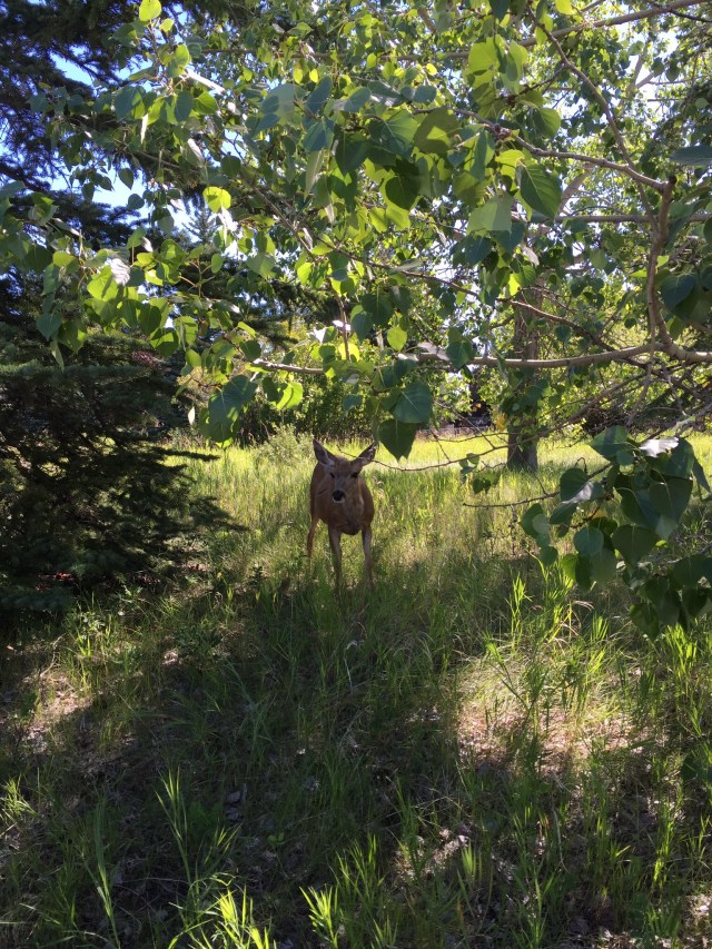
After the boys nap time we took a walk around Timber Ridge where the cabin is.  It was about 28 degrees at 5pm.  There are some very nice properties and a lot of them are built with native timbers and stone – they really blend in with the environment which I love.  They are not allowed to fence their properties to allow the wildlife and people to roam free – in true cabin style they want them to blend in with nature and not to have any barriers.  We saw a deer on our walk.  Diane and Ken have seen black bears passing through their property.  The Bears are normally looking for food.

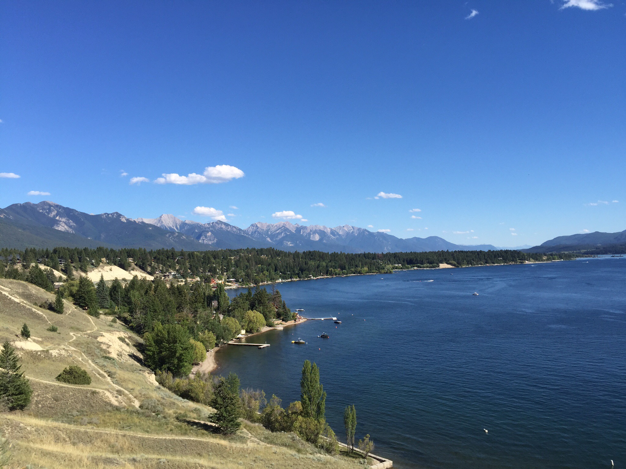
This area is mainly holiday homes with the majority of people having their primary homes in Calgary which is about a 3 hour drive away.  They have their own marina and beach area down on the edge of Lake Windermere.  What an idyllic spot.  They call them cabins in this part of the world which is the equivalent of our batches or cribs if you come from the South Island.

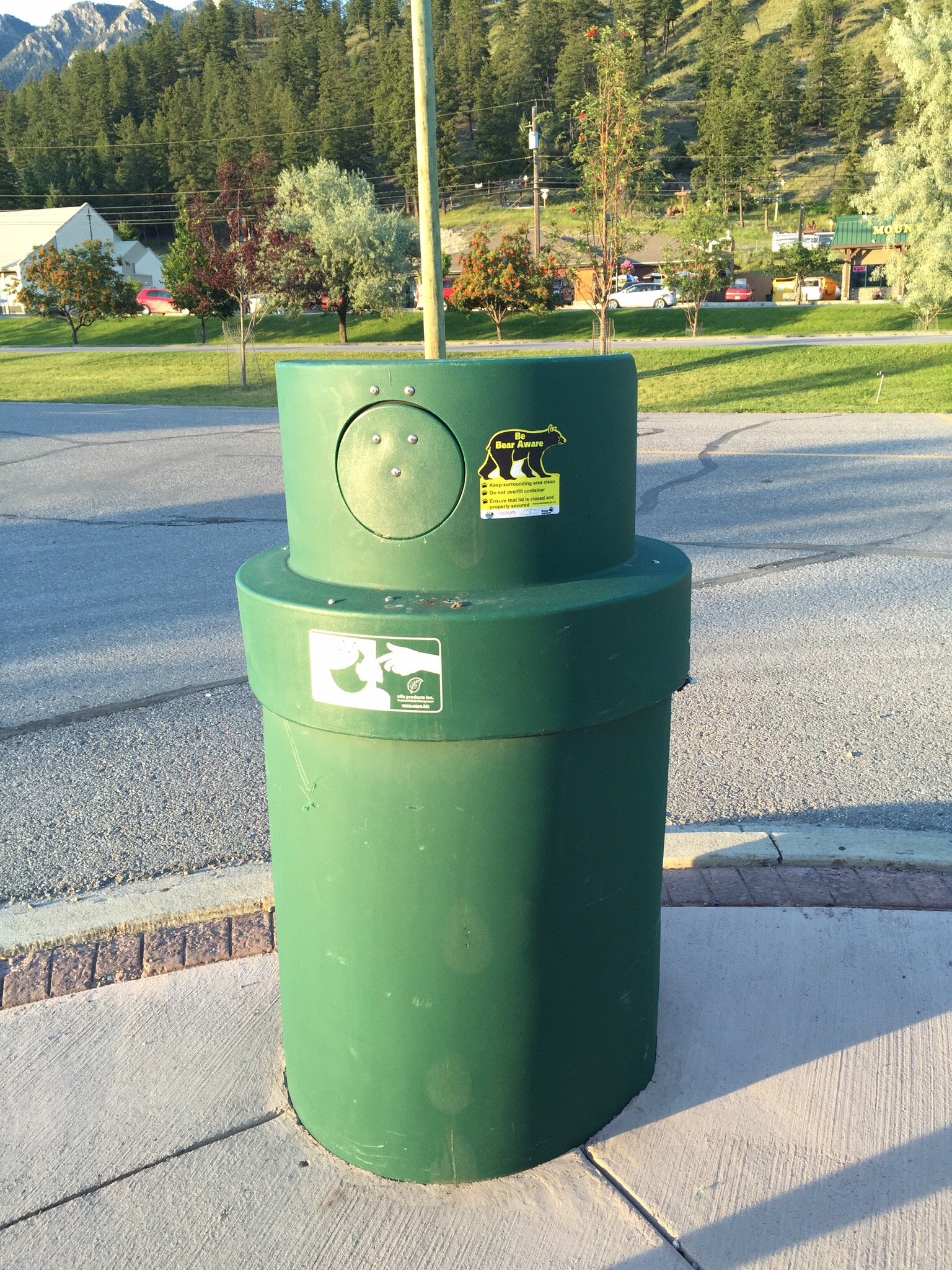
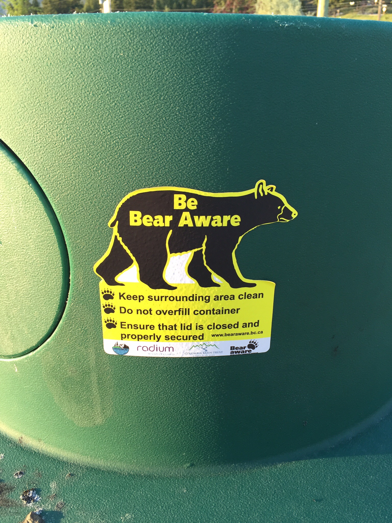
That evening we went to an Austrian restaurant in Radium for dinner called Helnas Stube. A Stube is a warm and cozy room – a place to enjoy the company of your friends and family. The Chef and his wife who are originally from Austria opened the restaurant in 1999. You can’t beat a good schnitzel and it was good! In the street outside the restaurant there was a large rubbish bin concreted into the ground with only a small flapped opening. On the side of the bin is a sign “Be Bear Aware” – these bins are designed so the Bears can’t get into them or knock them over.
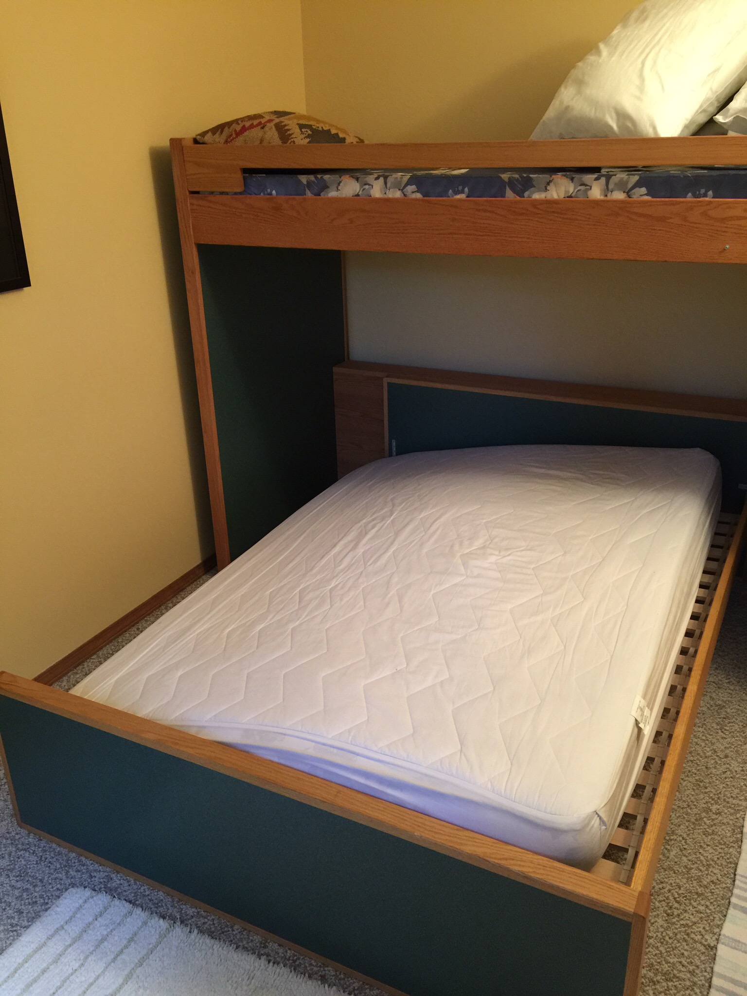
Steve was obviously dreaming about another trip to the hardware store so proceeded to break the bed and fall out at 2am that morning. I woke up to see him cast on all fours on the floor – I said what the heck happened there. The side arm had fallen off causing all the slats to go south. We turned the light on but didn’t think it was an easy fix at that hour of the night so decided Steve would sleep on my side and I would sleep on the top bunk. He had the cheek to say to me “make sure you only take one blanket”. I was the one venturing to the top bunk after he had broken the bed! I went back to sleep but dreamt that the top bunk fell on top of Steve – I was agonising over telling him to turn around and sleep with his head the other way. Funnily enough Steve had the same thoughts as he heard the top bunk creaking.

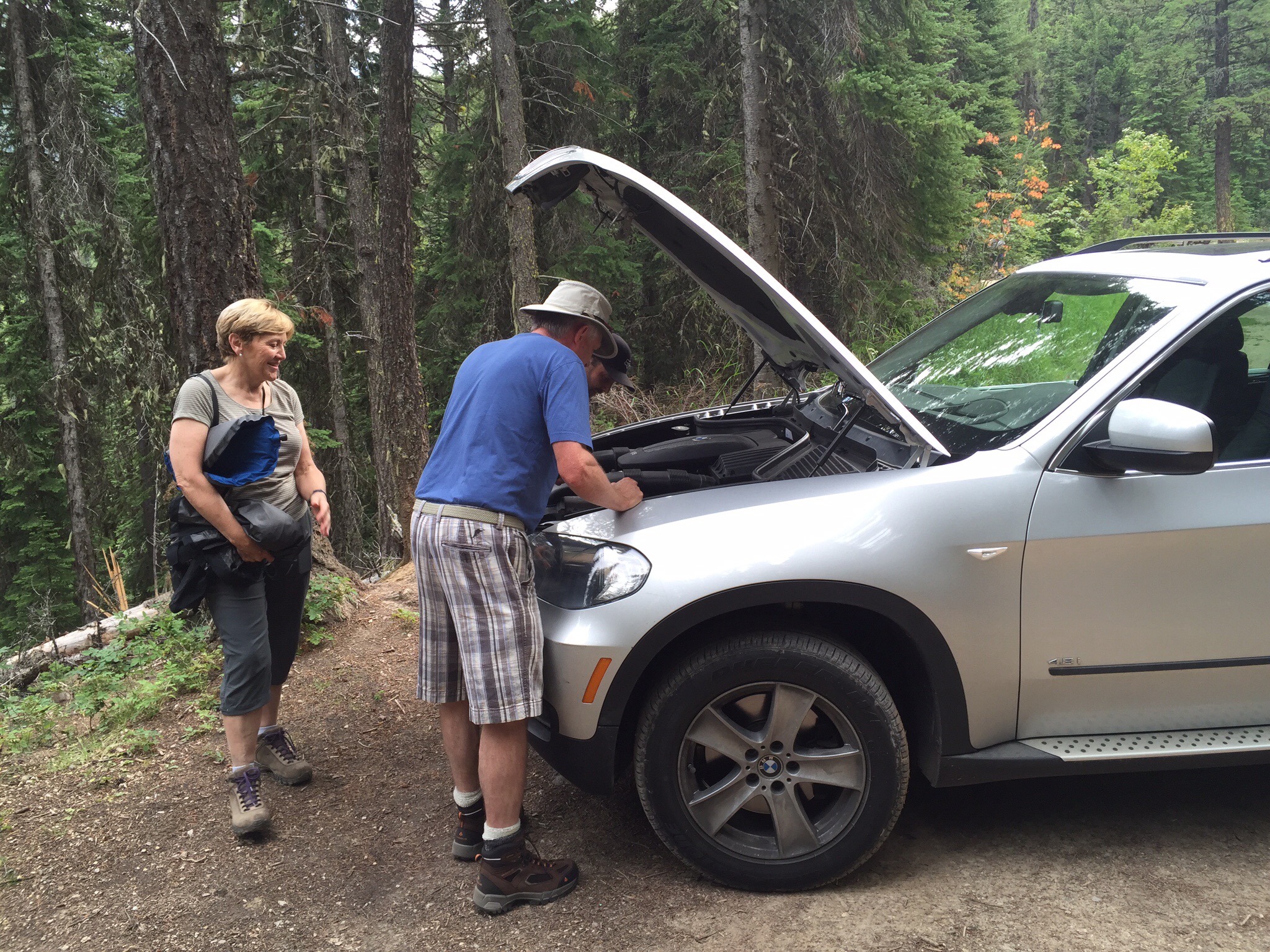
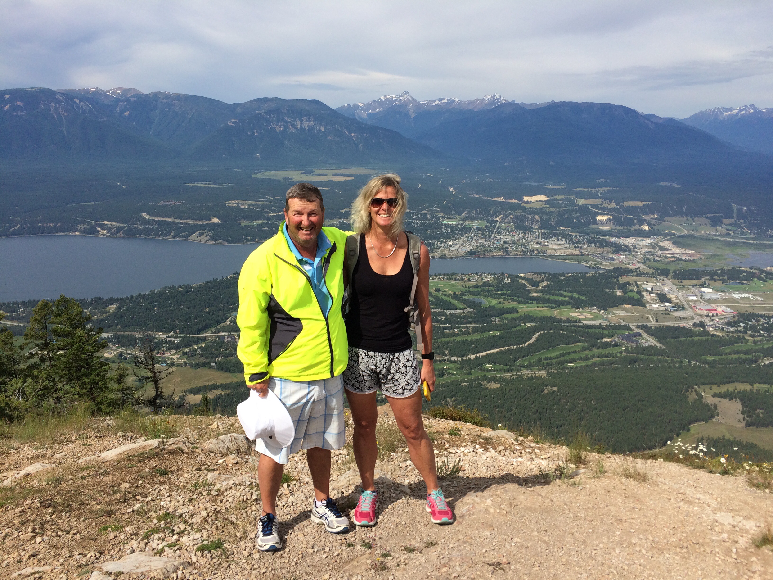
We woke up on Friday morning with no further nocturnal incidents.  The plan this morning was to take a drive up Mount Swansea – we would drive up to the carpark and then walk the 15 minutes up to the summit.  The drive up is on a fairly rugged road, twisting up through the forest.  It is a popular spot for mountain biking so we saw a few of the trails.  A warning light came on in the car not far from the top which Ken wondered what it meant.  When we arrived in the carpark we noticed there was steam coming from under the bonnet – uh oh!  Ken lifted the bonnet and it was fairly warm under there.  We then noticed a lot of liquid coming out from under the engine.  Oh boy this was not looking good.  

Ken called the Canadian equivalent of the AA and explained the problem.  The next problem for the AA was finding a garage who had a flat bed trailer and a four wheel drive to tackle the forestry road.   A flat bed trailer was required because you can’t tow a BMW.  Two families pulled up with quite big vehicles so we had a chat with them and they offered us a lift down if we didn’t get the problem resolved.  We carried on with our hike to the top.  There were a few phone calls back and forth with the AA and the consensus was that it may take a while to find someone with the appropriate vehicles and also someone who was willing to come up the Mount.

We decided to take up the kind offer the two families had made.  They managed to squeeze three adults and six kids into one of the vehicles while the other guy drove the four of us down in his.  Luckily they didn’t have to go too far.
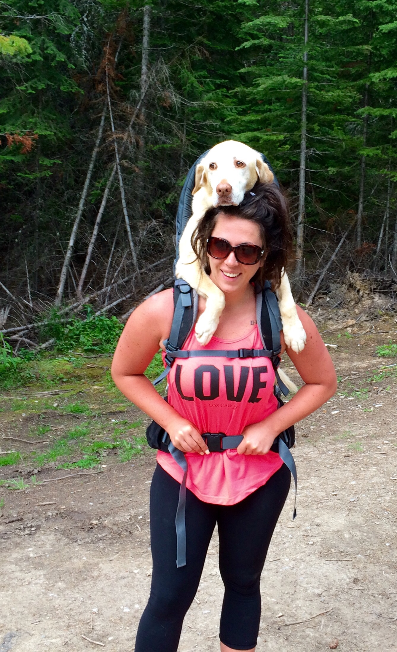
Prior to going down we met another group of people who had come up to do the walk. They had a three legged dog with them who was good on the flat but no good on the hills so they had a child’s backpack carrier to carry him up the hill. He was a very cool dog.
We got back to the cabin and Ken decided to call some of the local garages directly – the main problem he was having was finding someone who was willing to go up there.  In the end one of the garages said they would send one of their staff in a beat up truck to go up with Ken to have a look at the problem.  Steve the accountant had made the suggestion when we were up the Mount re just getting bottles of coolant, filling it, driving down and topping it up along the way.  In the end that is what they did although Ken didn’t stop to refill – he got off that Mount as fast as he could!  When he got to the bottom they got a flat bed trailer and towed him to the garage.  This was Friday afternoon so we still haven’t heard what the problem was.

We decided this was the third incident in three so hopefully Steve and I wouldn’t jinx anything else!  The shower rail, the bed and now the car!

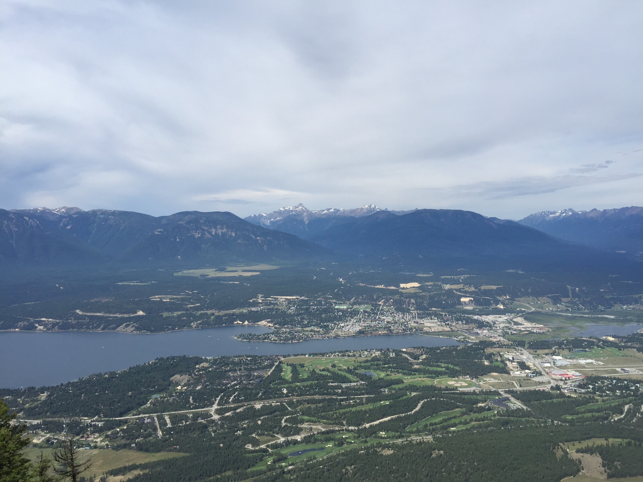
Mount Swansea is located in the Columbia Valley, overlooking the Upper Columbia River, Lake Windermere, the Columbia Wetlands and the town of Windermere.  At an altitude of 1,727 metres or 5,665 feet, it is a mere bump compared to the towering Candian Rocky Mountains in the distance but it is high enough to allow some grea views and provide some challenges to outdoor enthusiasts.

Mount Swansea wasn’t always known by it’s present name.  In 1801, it was known to all as Windermere Mountain.  The initial trail was constructed to reach a copper mine at the summit.  In the first year, pack-horses carried 50 tons of copper ore down the mountainside in ordinary pack loads.  From the Salmon Beds in Athalmer (lower Invermere), the ore was shipped by barge to Golden, then on to Vancouver by train and across the ocean to Wales, where it was concentrated and sold, bringing a tidy profit to the owners of the mine.

In 1891, one of the mine’s owners named the location Mount Swansea since supposedly, the original name given by Vikings to Wakes was Sweyne’s Eue.  True or not, it makes for a good story and it kind of also makes some sense.

In 1924, the BC Forest Service established the mountain as a fire lookout.  In 1952, they constructed a lookout hut filled with the latest fire detecting equipment and a metallic telephone line that was strung on trees along the old pack trail.  The lookout person kept records of sky conditions, wind direction, velocity and humidity.  He then sent the information each day to the local forest service by telephone (later by radio).


On the way down we stopped to take some photos of a mountain bike jump that looked suicidal to us.

That afternoon we took a drive in our car down to the village of Invermere. It is a nice little village with some really good art stores which we had a good look in. We then went to the butcher to get something for dinner and decided on Bison – neither Steve or I had eaten it before.  


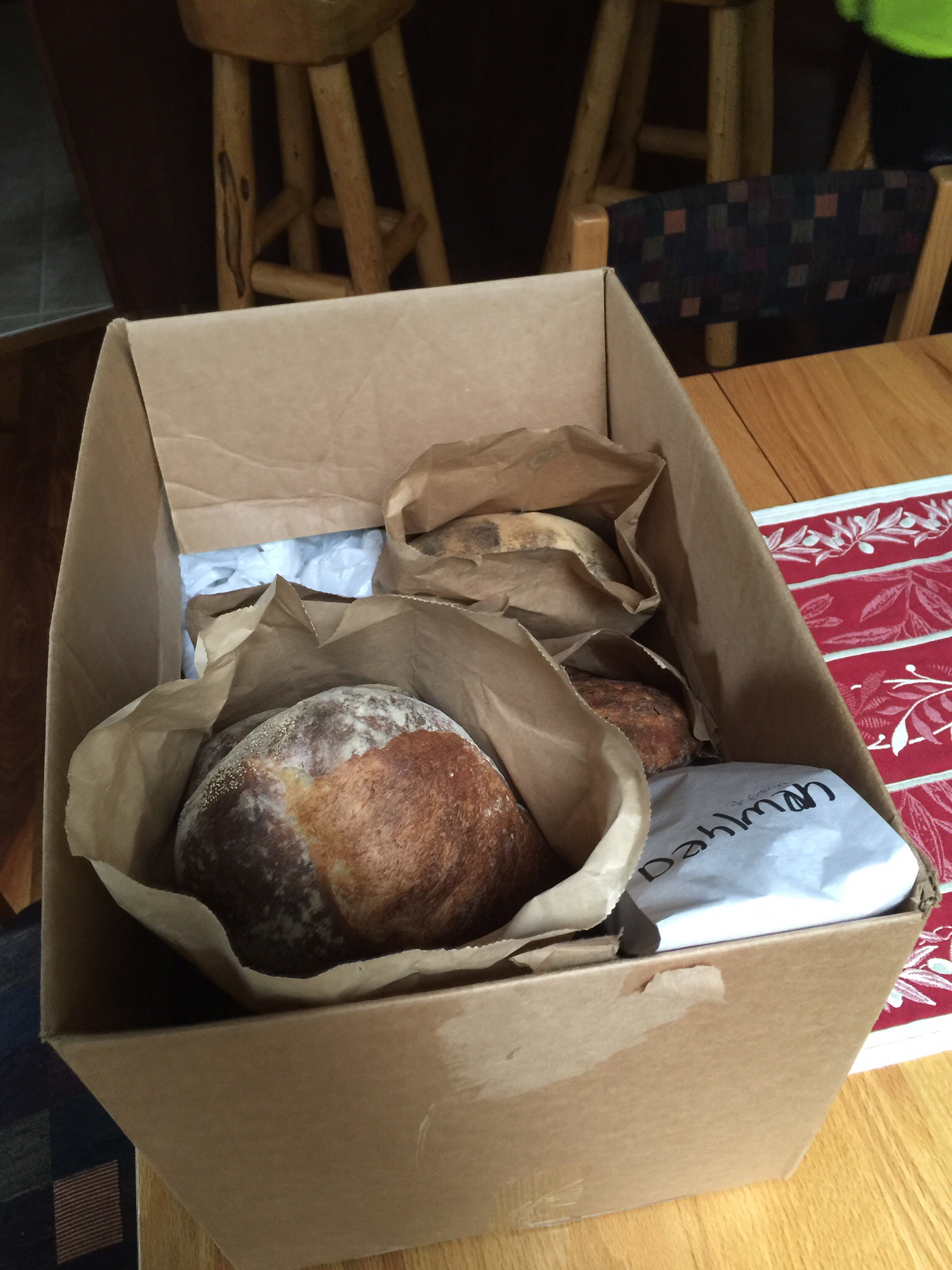
We then went to pick up the bread.  Now this bread is not just any bread – it is made by the bread God I tell you – it is so good!

The bread God is Andi Schöni (pronounced Sheu ∙ nee) who left Switzerland in 1982 to work in Canada as a trained French chef at Strands Restaurant in Invermere.  He instantly fell in love with this small town seated amongst the magnificent Rockies, but left it to pursue chef opportunities, first in 1984 at Assiniboine Lodge in Alberta, then in Whistler, B.C. in 1985, and ended up owning a wholesale bakery (Little Mountain Bakery) there for 12 years where he eventually met his spouse, Suzanna. They moved to Invermere in 2000, but Andi was unable to find his idea of a decent loaf of bread, so he worked with a wood oven at a local bakery for a few years, but found he was limited with what he could do there. After leaving there, customers begged him to begin baking bread on his own.  

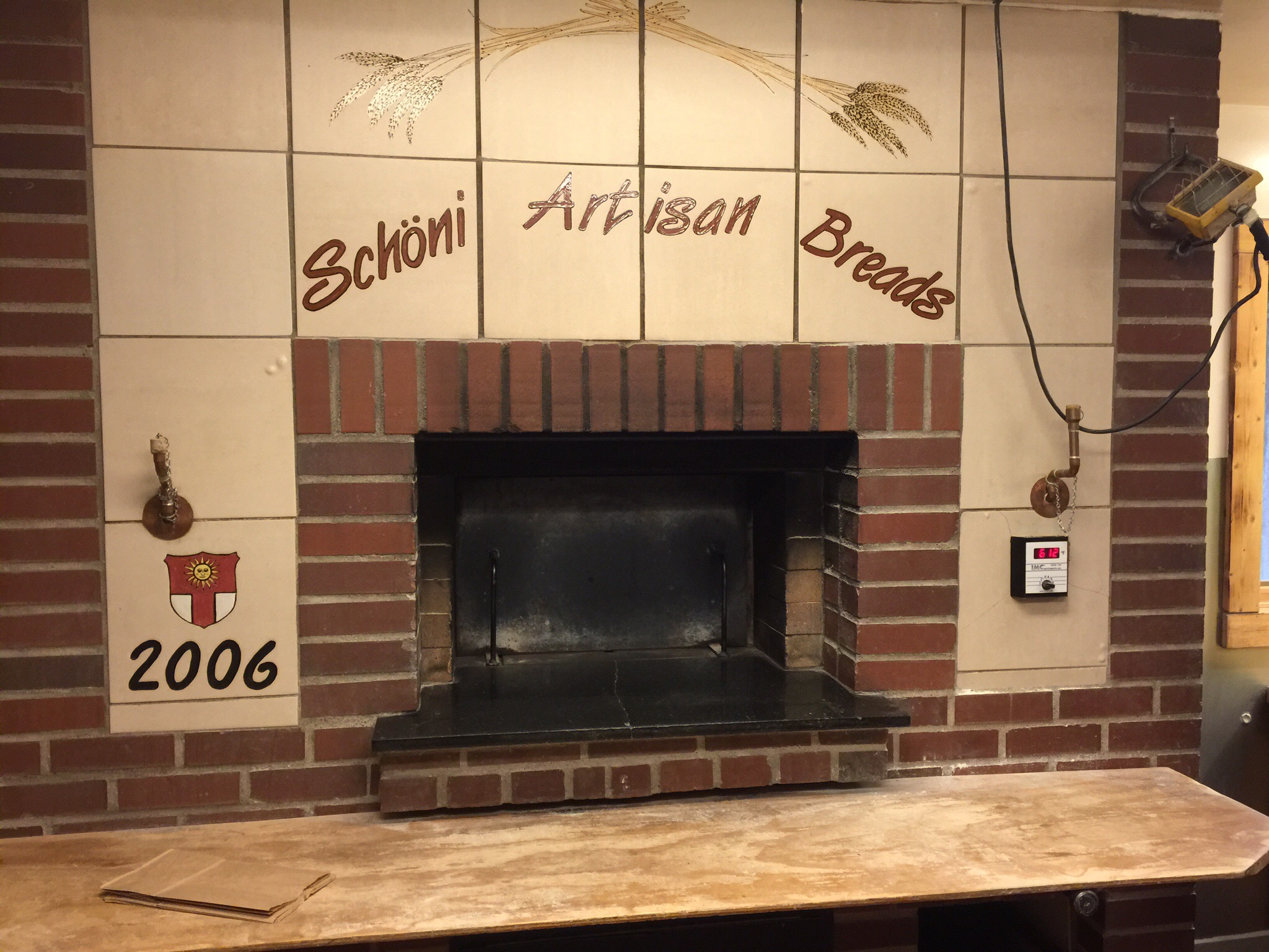
Finally, Andi began baking bread for customers again in a small wood oven in his home, but this time, he was able to be as creative as he wanted, use better and higher quality ingredients, and take the extra time and attention that authentic wood oven breads need to meet his Swiss quality standards as well as his passion for the art of proper bread making. After lots of research, he built a custom commercial bakery with a custom wood oven, built locally by Lusti in 2006. Today, Andi continues to passionately create and experiment away. Although it’s been over 30 years since leaving Switzerland, Andi still maintains his high Swiss standards in year round production, while Suzanna helps out with the rest of the details and orders.

You might wonder why he is such an excellent baker when he was never professionally trained as one. His passion and love of bread (who else would take so many days to make a loaf and then buy back his sold bread if he runs out of bread for himself?) and his gift as a chef who knows instinctively what flavours and ingredients work best, combined with his Swiss precision certainly helps, but he’s also able to create freely, not being bound by all those bakers’ rules, and take the extra time needed to properly prepare every step and ingredient by working where he lives. At least, this is what Suzanna sees! 

He bakes for restaurants with deliveries on Wednesday, individual customers pick up between 4pm and 6pm on Fridays and he bakes sweet treats for restaurants and cafes on a Saturday.  It was like a train station when we were there doing our pick up on Friday.  He also had some sample loaves you could help yourself to.  Luckily I don’t live in Invermere – it would be fatal!

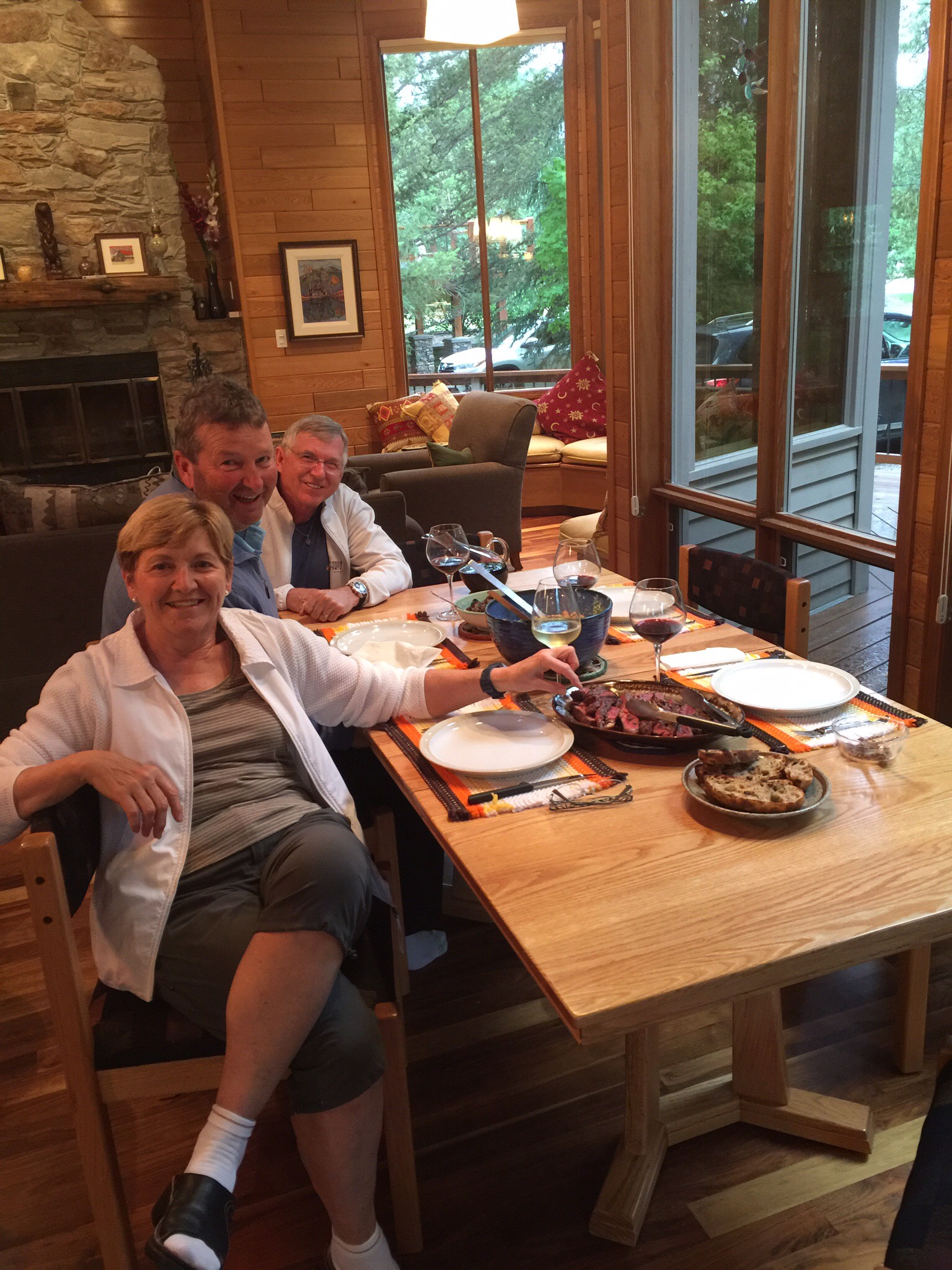
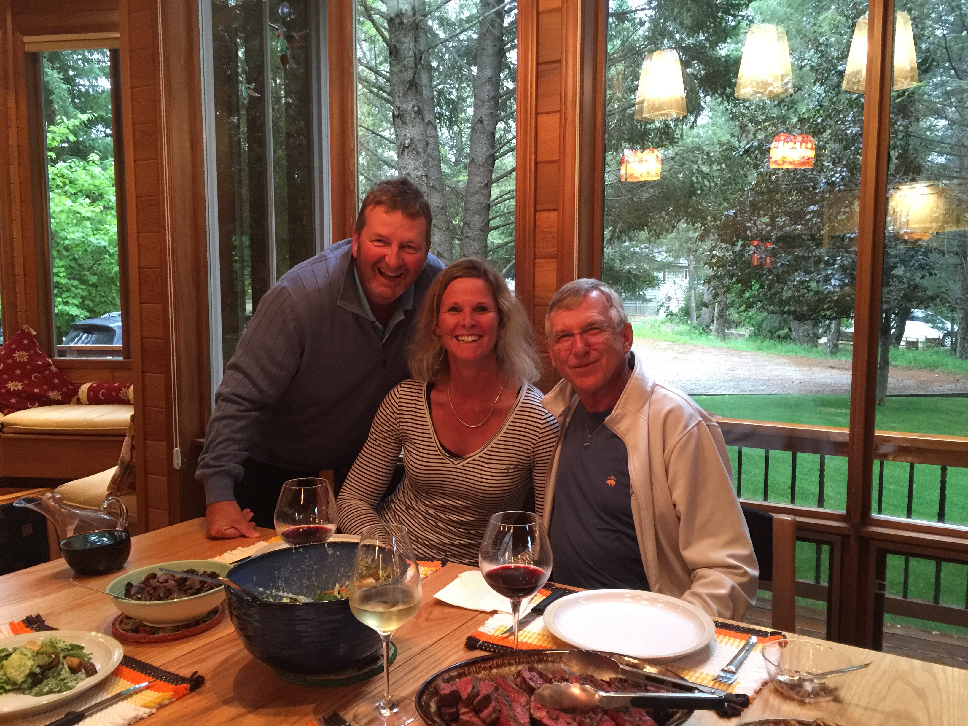
Another culinary masterpiece was served up for dinner – Ken is a whiz on the BBQ and cooks the meat to perfection.  Diane is very creative in the kitchen so we had bison, Caesar salad and a reduction of mushrooms, onions and red wine.  The bison is cooked medium rare and was lovely and tender.  That was a YES from us : )

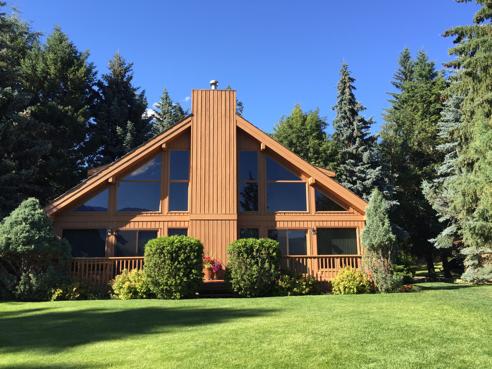
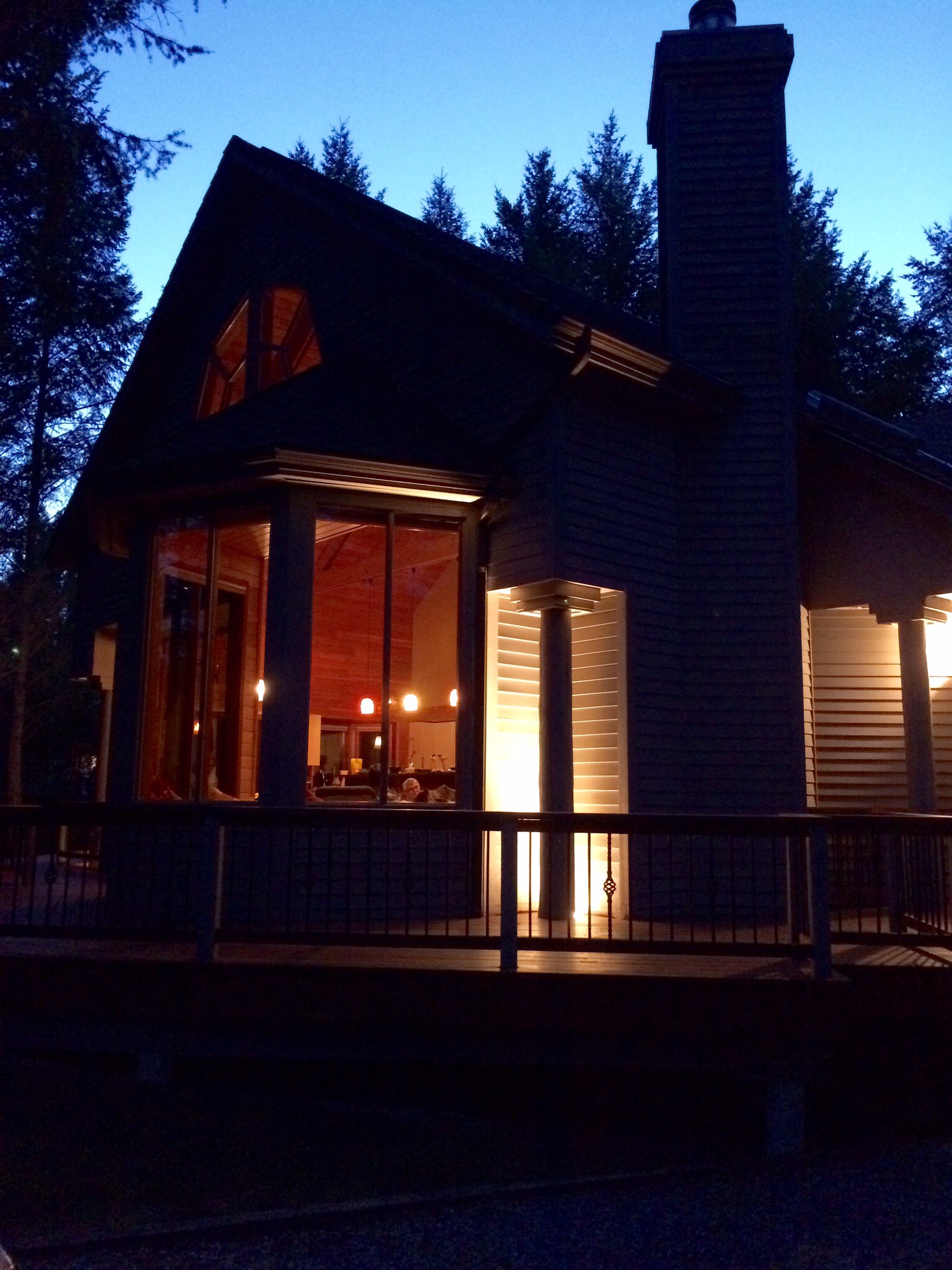
The lovely cabin at Timber Ridge where we stayed.

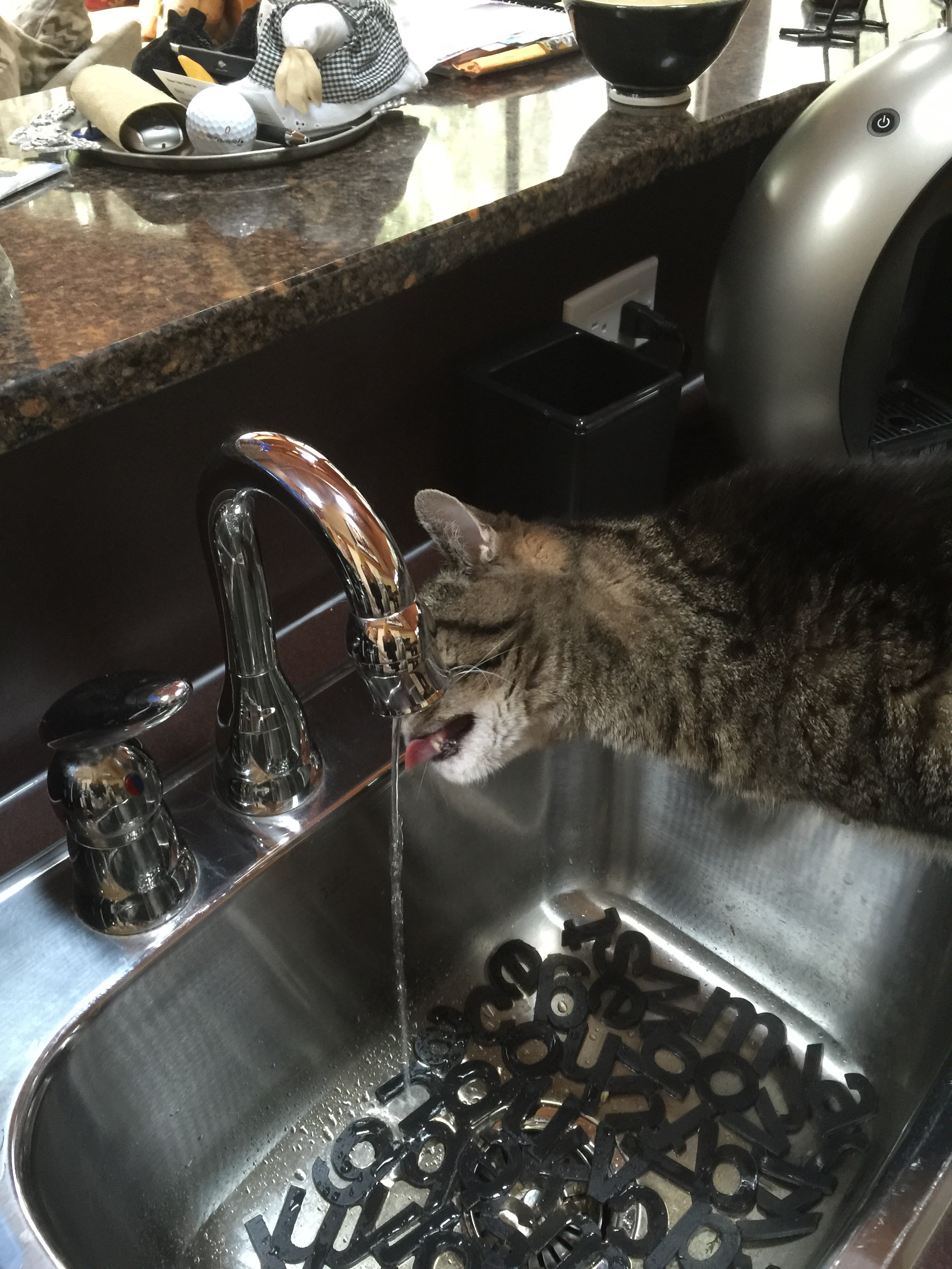
Smokey the cat having a drink – this is normal behaviour : ). Smokey spends his time between Calgary and Invermere.  The other interesting thing about Smokey is that he is a fulltime indoor cat.  He cannot go outside due to the threat of predators – bears, Cougars etc…  This is also normal practice in Canada.

Posted in Canada, Invermere | 3 Comments

Copper Point Golf Club – Invermere, Canada

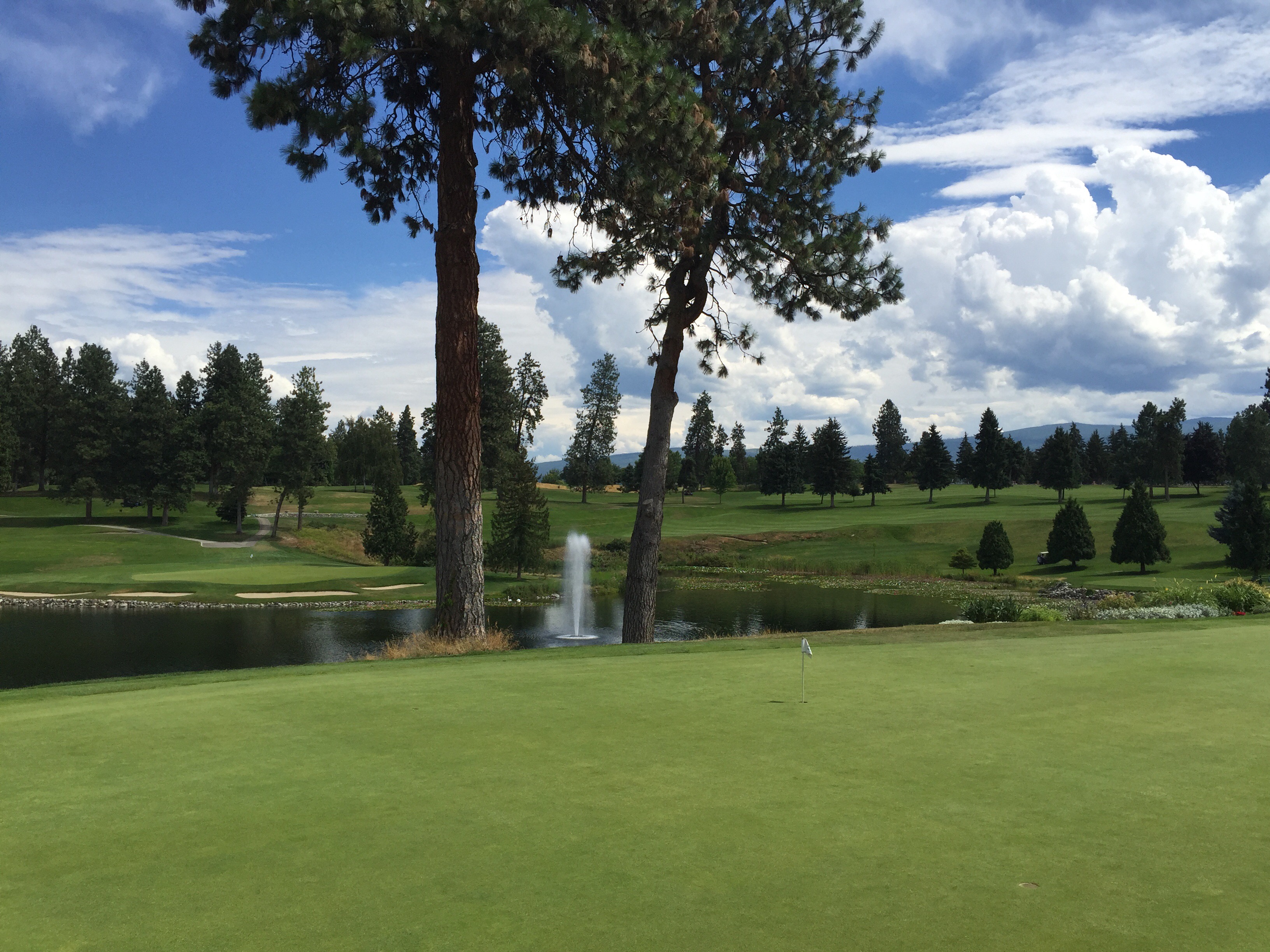
On Wednesday morning we were booked in to play golf at Copper Point Golf Club which is where Diane and Ken belong.  There are two courses at Copper Point – The Point Course and The Ridge Course.  We played The Point which is carved from the natural beauty of the land and follows the rise and fall of the Kootenay Rockies.  It was designed by Browning Design Inc and opened in 2004.

The Ridge course is a par 62 Masters Course which can be played in about three hours.  The innovative design features full length Par 3 and Par 4 holes that maintain the perfect blend of playability and challenge, appealing to every level of golfer.

It is a cart only course due to the terrain.  We really enjoyed the course and the scenery is lovely.  

We played the course again on Thursday and we both played a lot better – it is always better the second time around when you know where you are going.

Steve, myself and Ken


Posted in Canada, Invermere | 1 Comment

Kelonwa to The Rockies – Canada

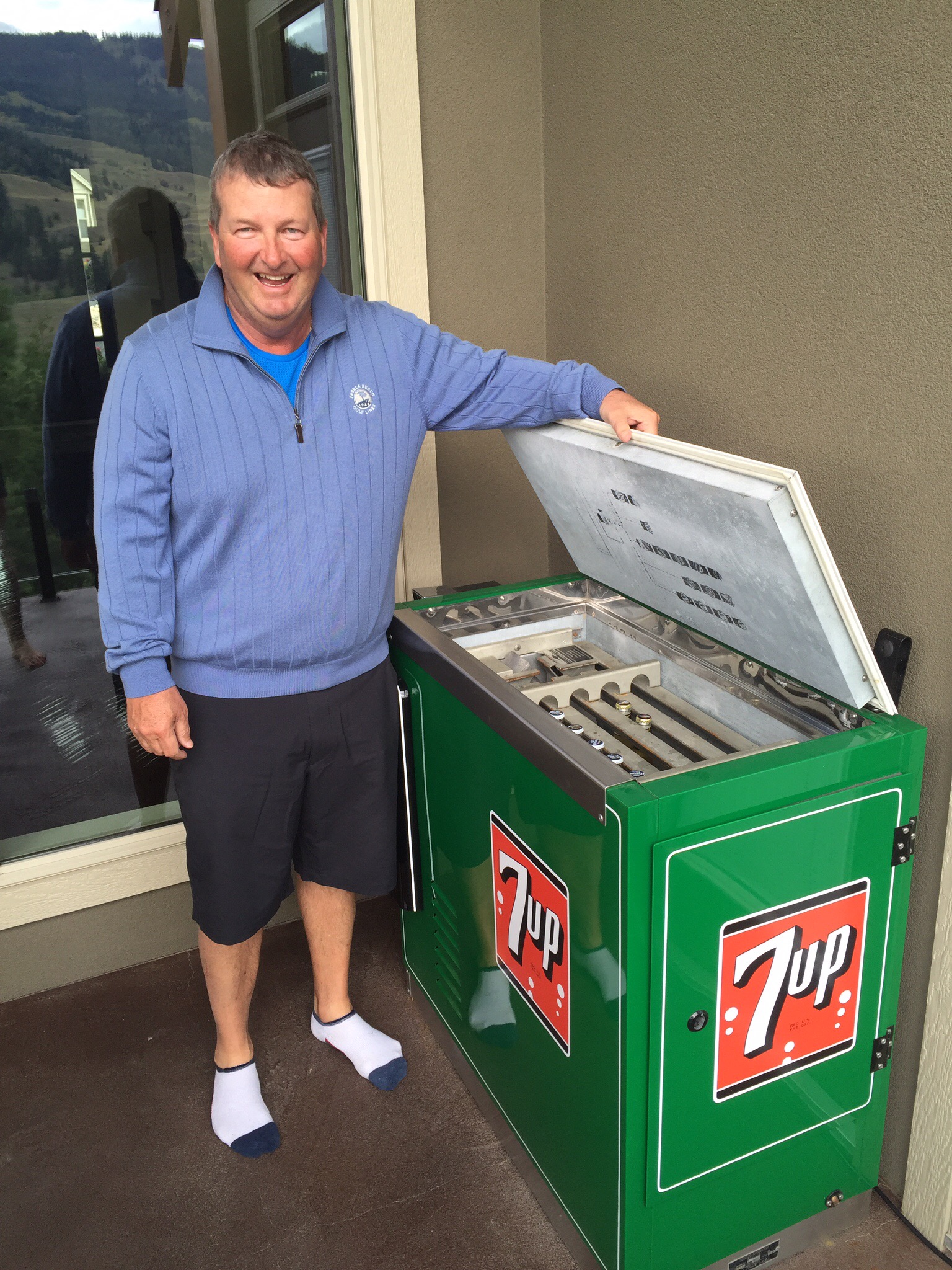
We stayed in a B & B on Monday night just out of Kelonwa.  It was called Fairways B & B and it overlooked the Black Mountain Golf Course.  It was a lovely spot and our hosts, Linda and Al were very hospitable.  Linda cooked us a beautiful breakfast the next morning – I even ate the bacon which I am normally not fussed on.  It was maple cured bacon which she dusted in flour and sprinkled with Montreal Spice – very tasty and crunchy.  Steve wasn’t too pleased that I ate the bacon – this would normally be passed his way. We ended up getting away a bit later than we had planned due to an impromptu business coaching session with Linda – Steve can never resist these opportunities. She was reasonably new to the B & B business so was grateful for the ideas. Steve was also enamoured with DJ the little dog. Not to mention the 7Up fridge that had been restored and contained coronas – thank goodness it was a bit early for partaking.

Today we were travelling through to Invermere to stay with our friends Diane and Ken.  Invermere is a community in eastern British Columbia, near the border of Alberta.  It sits on the northwest shore of Lake Windermere and is a popular summer destination for visitors and second home owners from Calgary.  Invermere is approximately 465km or five and a half hours drive from Kelonwa.

We were going to be following the Trans Canada Highway for the majority of the trip and we were going to pass through two National Parks – Mount Revelstoke and Glacier.  We stopped in Revelstoke for a look around and to grab some lunch.  Revelstoke’s economy has traditionally been tied to the Canadian Pacific Railway (CPR) and it still maintains a strong connection to that industry. However forestry, construction, tourism and retail have increased over the past decades. Today, telecommuters, freelancers, tech workers and entrepreneurs play an increasingly important role in Revelstoke’s success. 

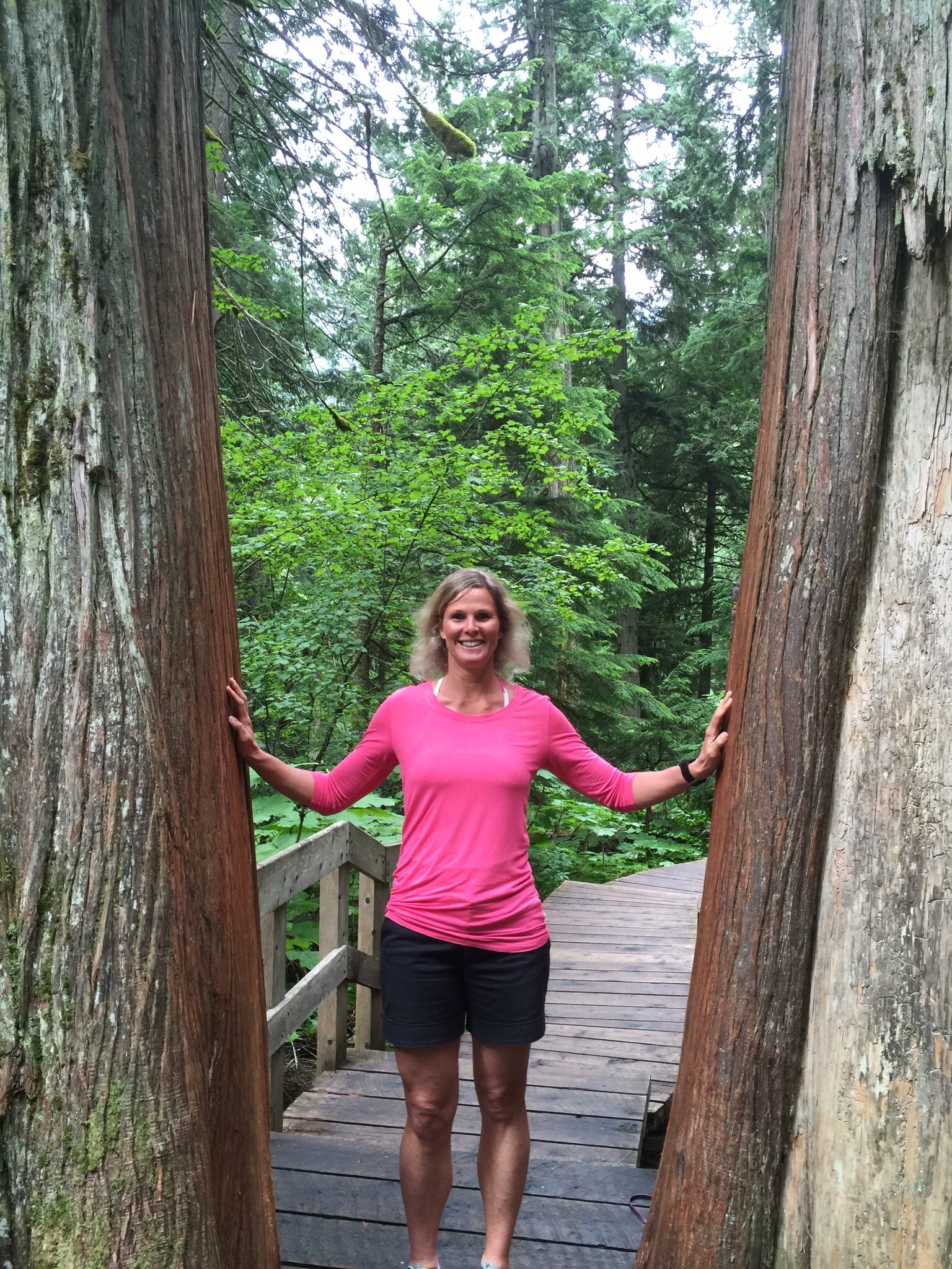
About 25km out of Revelstoke is the Giant Cedars Walk which Diane had recommended we do – it was only half a kilometre long but had a high concentration of giant Cedar Trees, some of which were more than 500 years old.  Unfortunately the weather wasn’t the best but the rain had eased when we got to the GIant Cedars Walk.  This forest is here as a result of moist westerly air flows from the Pacfic Ocean rising over the Columbia Mountains.  As this moist air climbs, it cools and produces incredible amounts of rain and snow.  The combination of substantial Spring snowmelt followed by abundant rainfall during the growing season makes this area the perfect lush forest environment.  These conditions are unique to British Columbia.  This is the only place in the world where a temperate rainforest exists this far from an ocean coastline.  

The old growth forests of Mount Revelstoke National Park are unmanaged landscapes cultivated by time where natural processes have created a collection of old and new, large and small, living and dead trees.  This delicate balance of age and form took centuries to evolve.  They are home to hundreds of species, living in fragile equilibrium, that would not exist in younger forests.

No tree lives forever, but because of their extensive root system, trees can remain standing long after they die.  Western Red Cedar snags (stab dubs dead trees) can remain virtually intact for up to 125 years.  These larger snags provide habitat for many cavity-nesting birds and mammals.  The hollow cores of large old growth cedar trees are sometimes used by black bears for winter denning sites.  


Our next stop was at the Rogers Pass Discovery Centre.  Rogers Pass is in the heart of Glacier National Park, in the midst of mountains popular for ski mountaineering, camping, hiking and mountain climbing ever since the region became accessible in 1886.  Rogers Pass is commemorated as a National Historic Site of Canada.  The pass was discovered on May 29, 1881, by Major Albert Bowman Rogers, a surveyor working for the Canadian Pacific Railway. 

He was accompanied by his nephew and ten Shuswap Indians, he first set eyes on the potential pass from the crest of Mt Avalanche.  He was forced to turn back due to lack of food and provisions, but confirmed this route a year later from the east.  In gratitude, the Canadian Pacific Railway named the pass for Rogers and presented him with a $5,000 cheque.  Initially, he refused to cash the cheque, preferring instead to display it in a frame.  I’m not here for the money he declared.

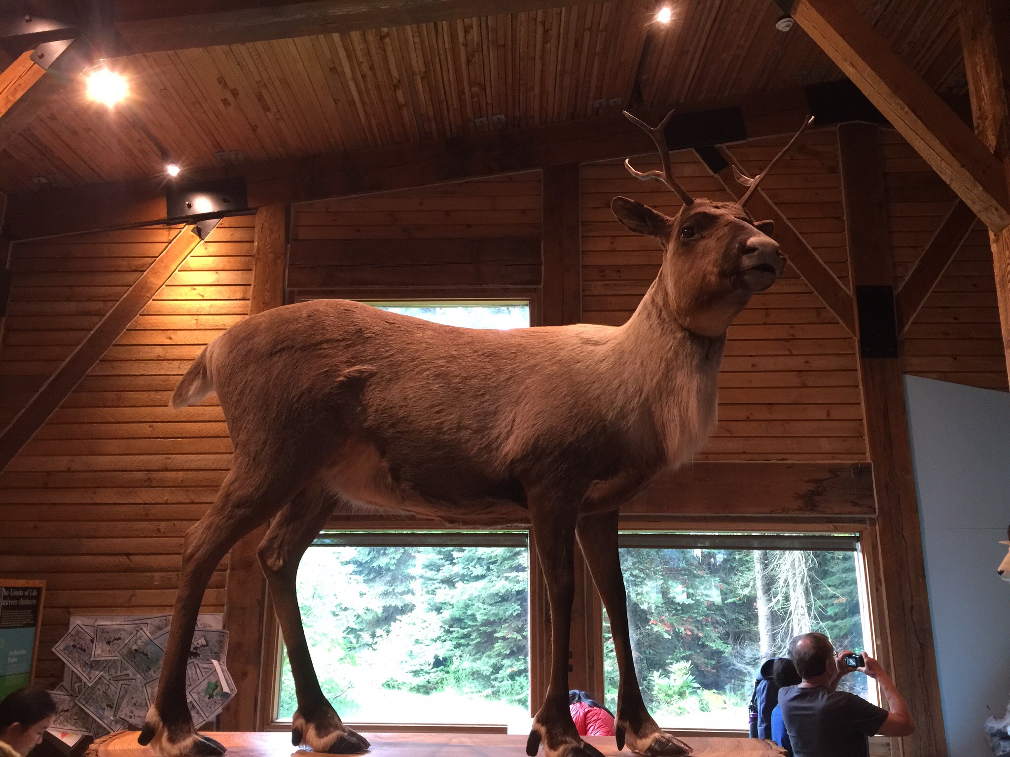
The Discovery Centre was quite busy as a couple of tour buses had just pulled up.  We had a quick look around – there were a number of stuffed animals typical of this area.  They also had a sample of their fur that you could touch – it was amazing how warm they felt and you could imagine why they were used by people as clothes.

Mountain goats negotiate cliffs using their non-skid hooves and natural sense of agility.  They live in the most rugged and inhospitable areas of the Columbia Mountains to avoid pursuit by predators.  In summer, mountain goats graze in alpine meadows, seldom ex far from an escape route.  During the warm months they shed their dense coat of winter fur in ragged clumps, giving them a scruffy look.  Mountain goats are continuously threatened by falling rock and avalanches, but the goats of Glacier National Park also face the unusual problem of avoiding Avalanche control artillery fire.  Remarkably, these herds persist, wintering just out of range of deadly shrapnel.  

The Caribou are a subspecies in North America.  They are well adapted to cooler climates, with hollow-hair fur that covers almost all of it’s body including its nose, and provides insulation in winter and flotation for swimming.  They can reach speeds of 60 to 80km per hour.

Our next destination after leaving Rogers Pass was a town called Golden.  We dropped down from the Selkirks (part of the Columbia Mountains) into the Rocky Mountain Trench, where we crossed the Columbia River. The Rocky Mountain Trench is a geological depression extending north-northwest for about 900 miles (1,400 km) from western Montana, south of Flathead Lake and through British Columbia to the headwaters of the Yukon River. The trench’s rugged floor, which is 2–10 miles (3–16 km) wide and 2,000–3,000 feet (600–900 m) above sea level, forms a natural travel route.  In this section of the trench we followed the Columbia River south towards its headwaters which are not very far from Invermere. What is really interesting is that the Columbia is in fact flowing north to Golden (where we crossed it), continuing on until what is called “The Big Bend” where it then turns to flow south not far from Revelstoke.  It crosses the Canadian border into the State of Washington, ending on the border between Washington and Oregon at its entry to the Pacific. It is the largest river in the Pacific Northwest of North America.

Just after Golden the sun came out so we were able to see the Rockies which are very majestic.  We had crossed into the Mountain Time Zone just before Rogers Pass so we lost an hour.  We arrived into Invermere about 6.30pm to a warm welcome from Diane and Ken.  We met Diane and Ken in the Hawke’s Bay back in 2011.  They were travelling around NZ for two months and we were staying at the same B & B in the Hawke’s Bay.  We got chatting over a glass of wine and it turned out they were going to be in Auckland later in their trip so we invited them to come and have dinner.  We have kept in touch over the years and finally we are visiting them in their own backyard.  They had prepared a feast for us which was so good – Steve was in heaven with the salmon.  The weather had definitely warmed up so we sat outside under the mosquito proofed pergola.  

Posted in Canada | 2 Comments

Kelonwa Golf & Country Club – Okanagan Valley, Canada

Monday the 18th July was my 45th birthday and this year I celebrated in the beautiful Okanagan Valley. We had a relaxed start to the day before a nice walk around the lake down in Kelonwa.  We then enjoyed a relaxed lunch at Bliss Bakery before heading out to the Kelonwa Golf & Country Club.  We were lucky enough to be invited by Mike and his wife Brenda who are members there.  Steve met Mike while playing in the Holland Derby at Predator Ridge.

The first golf in Kelowna was played in 1899 on a 9-hole course located near the present day City Hall and Memorial Arena. In 1914 the golf course moved to a new location in the Bankhead area where a 9-hole course was established. This location proved unsuccessful due in part to members leaving to join the Armed Forces to fight in World War 1 (1914 – 1918).

In 1920, the members decided to purchase and move to the present location known then as the Wolaston property. The Club had 72 members at that time. Funds to purchase the property were raised by the sale of shares to members. The Club was incorporated in 1920 as the Kelowna Golf Club. Play commenced on the new course consisting of nine holes with sand greens.  Due to an increasing membership the course was extended into an 18 hole course which was officially opened in 1962.  

We teed off at 3pm and it was really hot which was a nice change.  It is a really nice course – Steve and Mike were enjoying playing off the Blue Tees rather than the Tips which they had played off in the tournament.  On about the 6th hole the skies started getting darker and we could hear thunder rumbling in the distance.  We also saw the odd bolt of lightening.  Mike didn’t think we would be affected but we did get the odd spot of rain.  We were just about to putt on the 9th when the hooter sounded for everyone to get off the course.   We did putt out and then decided to go to the Clubhouse for an early dinner.  It was a Monday which is Seniors Day at the Club so they had a CAD12 roast beef special plus dessert.  Steve thought I now qualified given I was now 45!

After the roast beef the thunder and lightening threat had passed so we went back out to finish the back nine.  We had dessert after we finished which was a chocolate mint cake – I decided that could be the equivalent of my birthday cake.

Gary had dropped us at the golf course before leaving the car at the airport – he was flying back to Calgary.  He had only bought one set of keys with him so on the Sunday we had a debate about what the best course of action was re where to leave the keys etc…  It was decided after consultation with some of the guys that Kelonwa is a pretty safe place so the car and our luggage would be fine in the airport carpark with the keys hidden in the car : 0. Living dangerously in the Okanagan Valley!

Mike and Brenda dropped us at the airport and we found the car and our luggage safe and sound.


The logo on the flag is Ogopogo – Lake Okanagan’s answer to the Loch Ness Monster
We saw many Marmots on the golf course – we had first come across Marmots in Switzerland up on a mountain where they were very shy.  These guys were very used to people and were living the life of Riley eating the lush grass on the golf course.

Lake Okanagan

My birthday cake which was yummy 🍰👌🏼😚

Posted in Canada, Okanagan Valley | 2 Comments

Kettle Valley Railway, Myra Canyon – Okanagan Valley, Canada

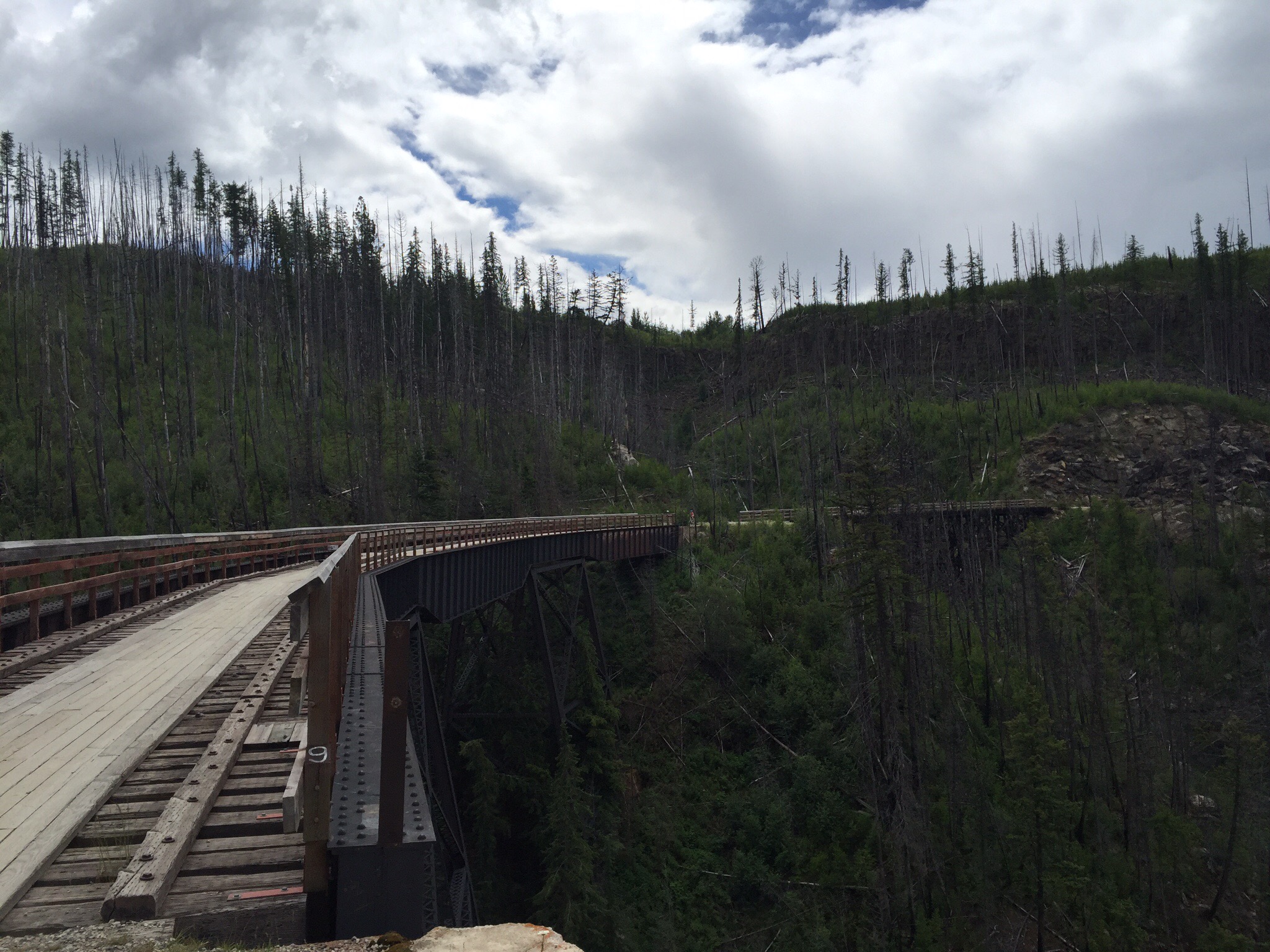
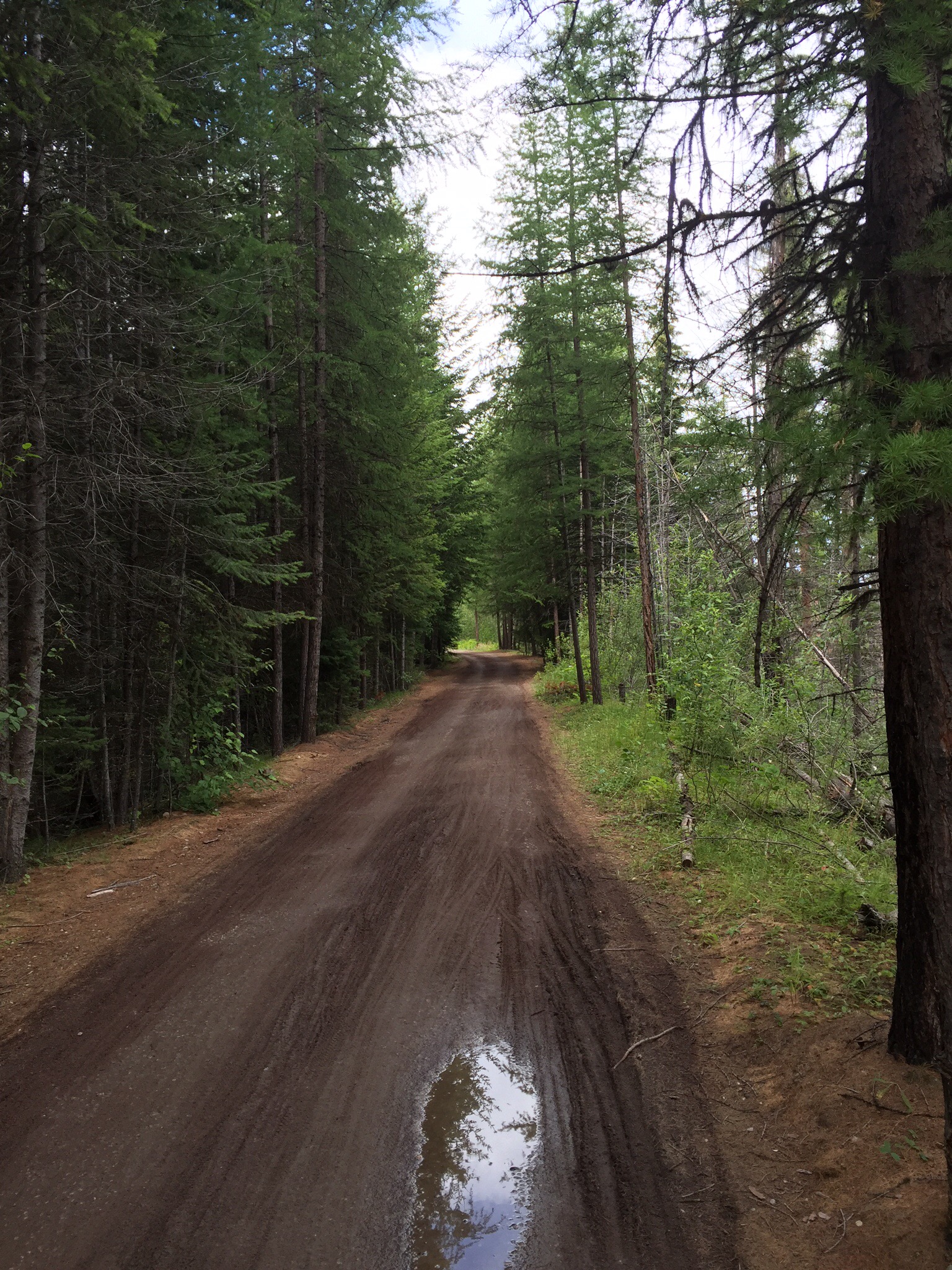
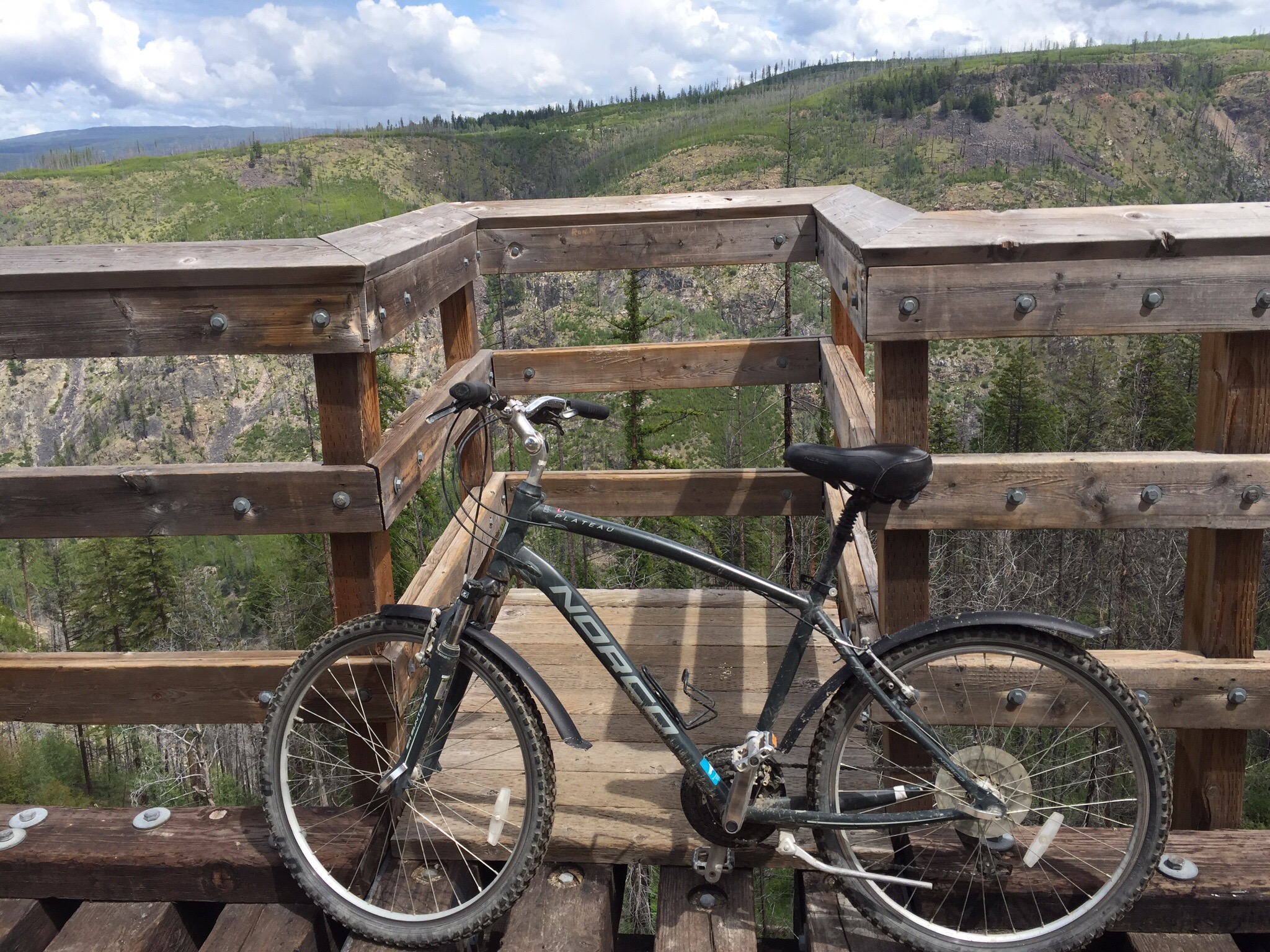
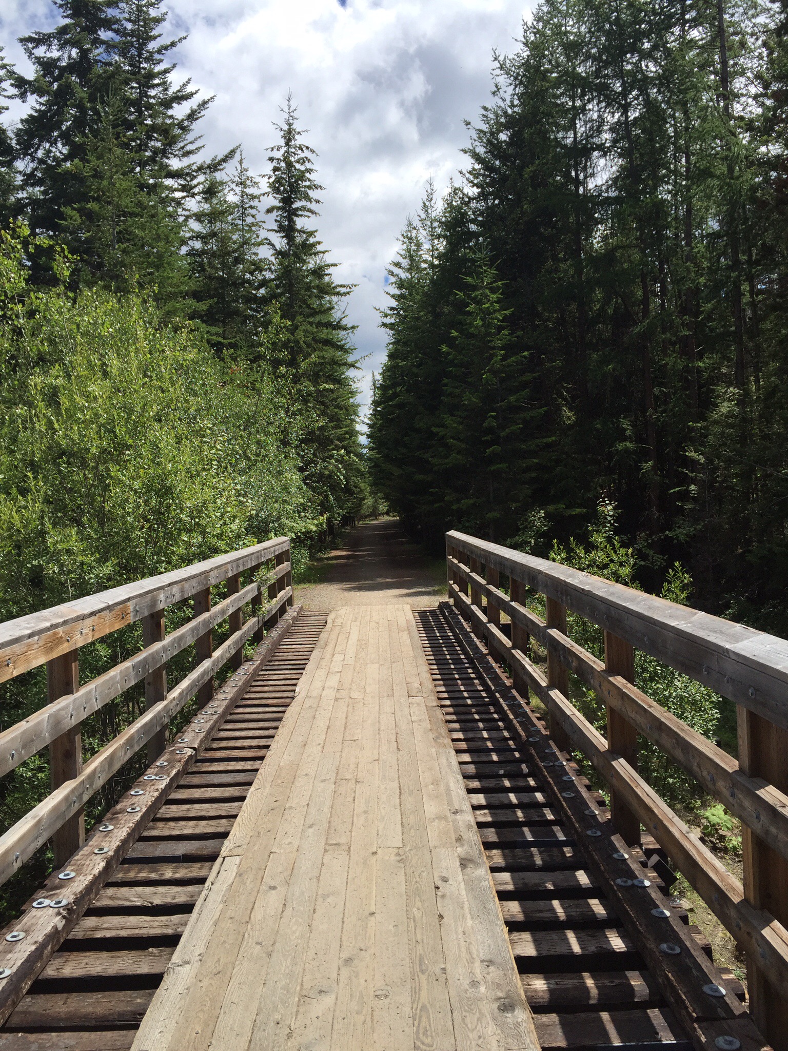
On Sunday I decided to check out the Kettle Valley Railway (KVR) in Myra Canyon.  It took me about an hour to get there with the last 8km being on a forestry road.  It is a popular spot with lots of people up there to go hiking or biking.  I hired a bike and set off – the trail is 12km one way, when you get to the end you turn around and come back.  You cross 18 trestle bridges and go through 2 tunnels.  The ride was easy but the gradient deceiving.  As I started out it appeared I was going downhill – I thought I would have a slight uphill ride coming back.  On my return trip it appeared I was going downhill also.  Apparently the gradient is only 2% so is relatively flat.

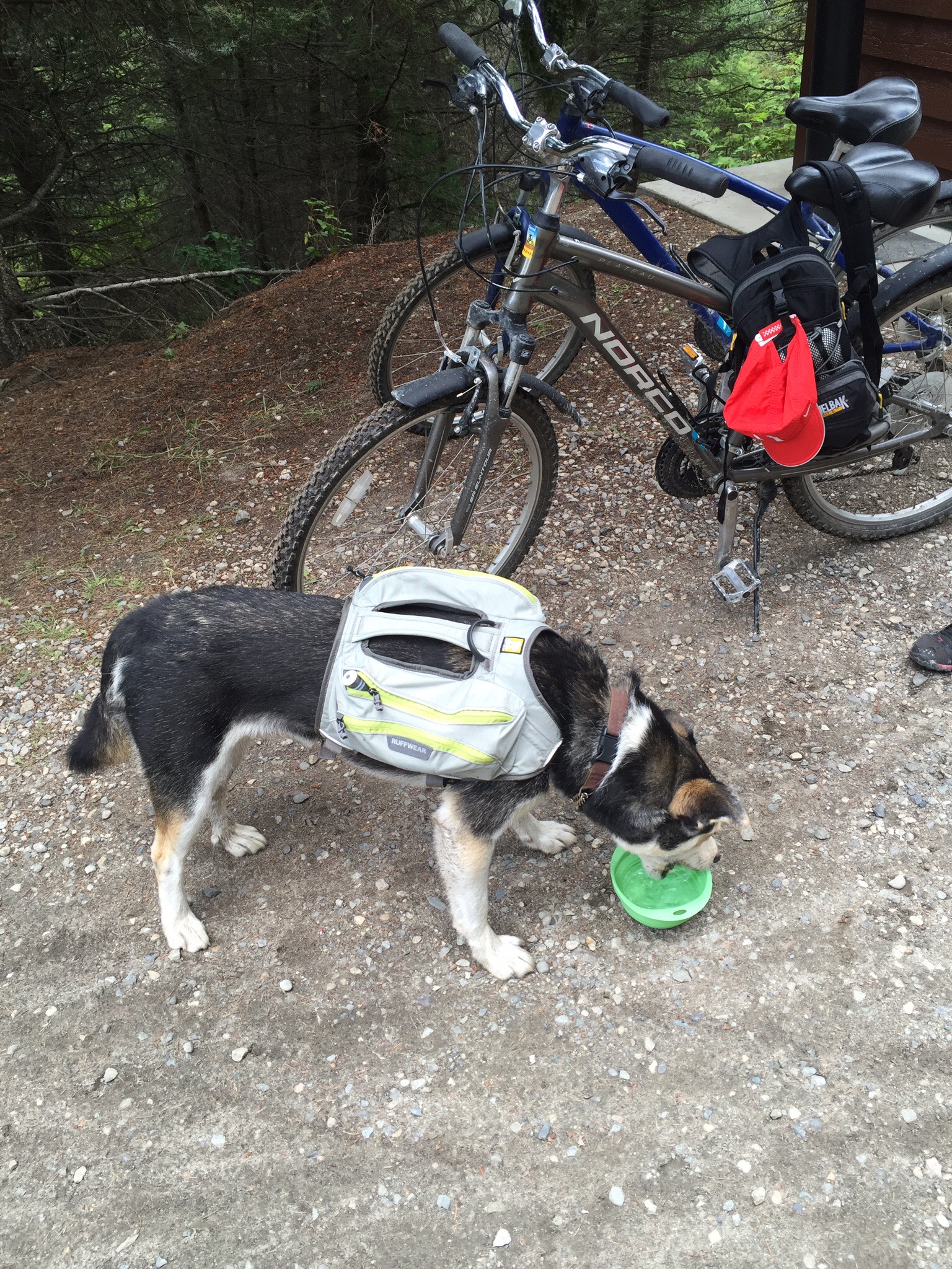
I came across a dog that carries his own water pack.  I spoke to the owner and she said “we have to carry our own water, so he does too”.  He was a Husky dog and apparently they enjoy carrying somethings as it makes them feel like they are working.

I found the majority of the scenery quite stark, barren and not particularly attractive.  The forest has been milled up there and the remnants of the 2003 fire remain with a lot of charred trees.  It was good to be out on the bike though.

When I drove back down the forestry road it had obviously rained so it was a bit muddy.  The car got quite dirty so I went in search of a car wash : 0


The Kettle Valley Railroad was a subsidiary of the Canadian Pacific Railway that operated in the Thompson-Okanagan region of southern British Columbia.

It opened in 1915 and was abandoned in portions beginning in 1961, with the final segment falling into disuse in 1989.

Much of the railroad’s original route has been converted to a multi-use recreational trail, known as the Kettle Valley Rail Trail, which carries the Trans-Canada Trail through this part of British Columbia.

Freight carried on the KVR consisted primarily of ore from the Kootenay region of British Columbia, as well as forestry products and fruit from the Okanagan. Finished goods were primarily brought into the Southern Interior on trains heading Eastbound. During the Kettle Valley Railway’s lifespan, on numerous occasions it was called upon to act as “The Second Mainline” when washouts, avalanches and rock slides closed off the main CPR line through the Fraser Canyon. CPR recognized the benefit of having a second railway transiting through British Columbia, so in the 1950s, they set off on an upgrade program that saw the weight-bearing strength of the rails increased, as well as bridge and trestle improvements which brought the railway up closer to mainline standards.

One of the most popular sections of the hiking trail along the former Kettle Valley Railway line is the section through Myra Canyon. Myra Canyon is located South of Kelowna on Okanagan Mountain. The section of line originally transited between Midway and Penticton. When the railway was built, the section of railway between Myra station and June Springs station required 18 wooden trestles and two tunnels in order to traverse the deep canyon.

For years after the abandonment of this section of rail line, the area was a noted attraction, with its relatively gentle grade, it became a hiker and cyclist haven. Years of disrepair on the trestles began to take its toll on the line. In some cases vandals had removed railway ties on the larger steel bridges, thus creating large gaps. In some cases hikers and cyclists wanting to cross the trestles would be required to walk on sections of steel no wider than a foot across in sections where the ties were removed. This would not normally be an issue, but many of these trestles and bridges were hundreds of feet in height. However after a fatal accident involving a cyclist on one of the trestles, many people petitioned to have the bridges and trestles made safer. These upgrades included repairs after numerous years of disrepair, and the installation of handrails and planks so that people did not have to jump between each railway tie.

This section of the railway was designated a National Historic Site of Canada in 2002.

From August to September 2003, lightning sparked the 2003 Okanagan Mountain Park Fire in Okanagan Mountain Provincial Park. This fire rapidly grew in strength and size and made its way Southeast across Okanagan Mountain. This fire engulfed many portions of the KVR between Penticton and McCulloch Lake. Despite concerted efforts by the firefighters, the fire claimed 12 of the 18 trestles within Myra Canyon. In addition, the bridge decks of two of the metal bridges were also destroyed in the fire.

Soon after the Okanagan Mountain Park Fire in 2003, the B.C provincial government announced that it would rebuild the damaged and destroyed trestles and bridges. In addition, safety improvements including stabilizing rock faces along the line and clearing rock also has taken place. The trestles have since been rebuilt and the trail is fully open to the public. There are indications that plans for further improvement are in place, such as a restroom located at approximately the middle of the trail.

Summerhill Pyramid Winery

Two people had recomended visting the Summerhill Pyramid Winery and it was not far from the KVR.  It is a lovely spot with great views over Lake Okanagan. It was a very popular spot with the tourists with about three tour buses in when I got there.  It was the 17th of July but in NZ it was already the 18th of July which is my birthday so I had been receiving many messages so felt I should have a little NZ celebration – lunch for one overlooking the Lake was just the ticket.

Summerhill is committed to producing 100% organic wine, and has received Demeter Biodynamic certification for our Kelowna vineyard in 2012. Certified organic status was achieved in our cellar in 2007, allowing us to display the Canadian certified organic logo on our bottles, ensuring that a level of quality and purity can be expected by the consumer.

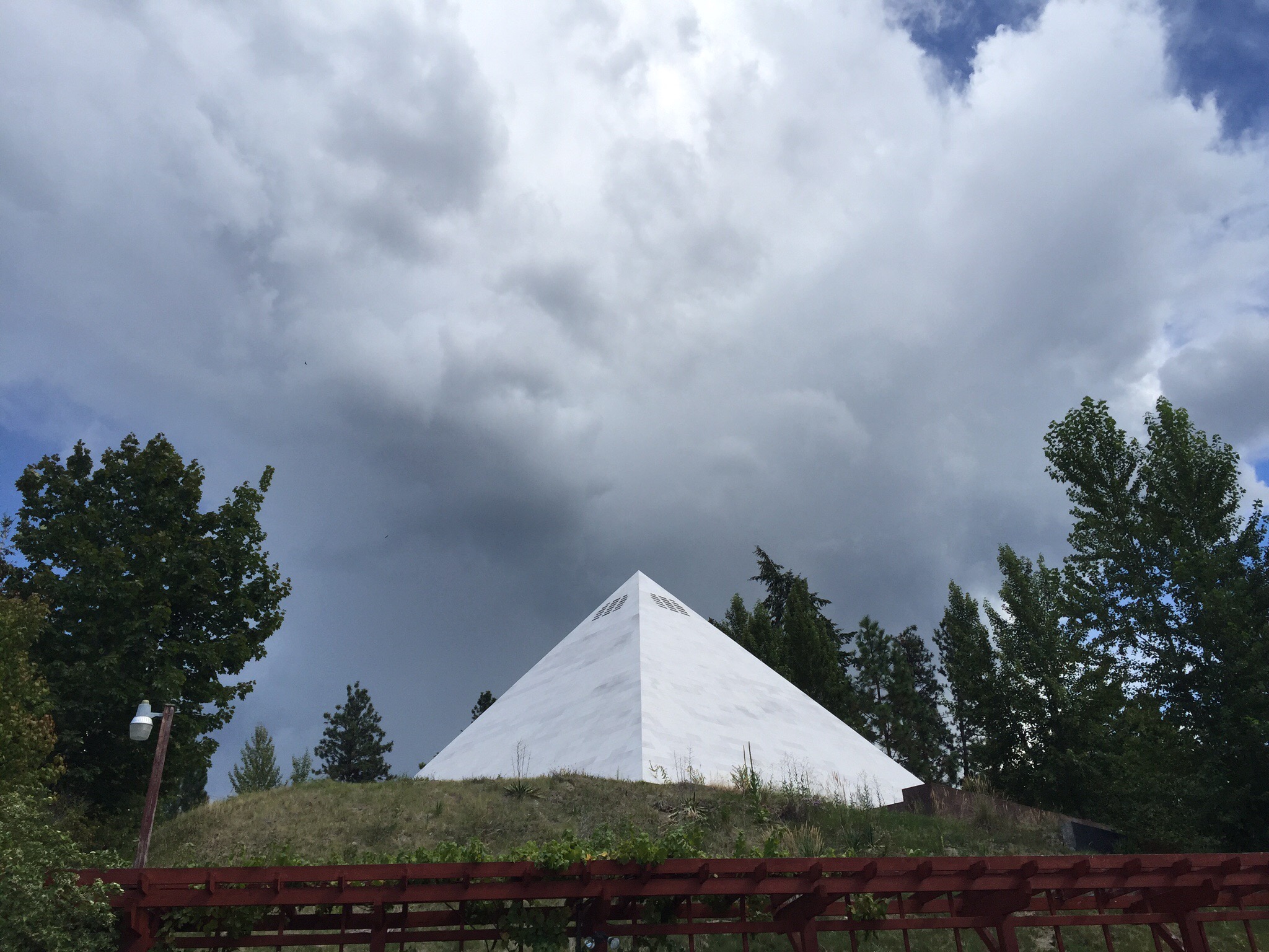
They have also built a replica of the great pyramid in Egypt to cellar there wine in.  The reasons for this are very interesting.  The Summerhill Pyramid is second only to the Great Pyramid of Egypt for alignment and precision.   The message is profound. They have done a twenty year experiment proving the effect of sacred geometry on liquids with a twenty year track record of international gold medals. 

The word Py-ra-mid means “fire in the middle”. We all have this fire in the middle. It is our hearts, our souls. We are mostly liquid and we are affected just like the wine is effected. The effect is clarification. If a wine has a flaw in it, the flaw is accentuated. If the wine has good qualities, they are enhanced. We humans are mostly liquid so when we enter this sacred chamber, it is a grand opportunity to clarify our own inner selves. This chamber helps us to get to the knowingness of who we are. We are electrical in nature, with impulses running from our brains through our spinal columns. We are receivers, we are conduits, and this chamber enhances our receptiveness, opening the left and right sides of our brains, much like the dolphins, whales, and elephants who are in touch with Essence, the all-one ‘soul of the world’.

The experiment is an overwhelming success! The conclusion… There is a definite and profound effect on liquids placed in sacred geometry. Three years of conclusive taste test comparisons in the 900 ft² pyramid led to the building of our new Pyramid that is a 4 story high 3249 ft² 8% replica of the Great Pyramid. Every day at 2 o’clock for three years, we toured the smaller pyramid with the general public. We did taste comparisons of the same wine, bottled on the same day, and served at the same temperature. One was stored in the pyramid for 30-90 days and the other never having being put in the pyramid. The results were overwhelming. The tasters chose the pyramid-aged wine almost unanimously every day as being smoother and having a better aroma. These experiments boosted our convictions that indeed, a precisely constructed pyramid (that was oriented to true north versus magnetic north, and that was constructed without the use of ferrous metals so that it would not be reoriented to magnetic north) becomes a chamber for the “clarification” of liquids. For instance, a bad tasting wine, or juice, would become more foul tasting. The chamber seems to bring out flaws as well as exaggerating the qualities. We humans are made mostly of liquid and seem to be affected by the chamber as well. We can actually feel our own “life force energy” strengthen within the Pyramid!


Posted in Canada, Okanagan Valley | 1 Comment

Predator Ridge – Okanagan Valley, Canada

We have just spent the last four nights at the Predator Ridge Golf Resort.  Steve was invited to play in a 54 hole tournament by our Canadian friend Gary.  This tournament is called the Holland Derby as it was initiated by Ken Holland.  Ken Holland is the General Manager of the Detroit Red Wings Ice Hockey Team who play in the National Hockey League (NHL) so there were a lot of guys at the tournament that have had or currently have an association with NHL.  Ice hockey is the national sport in Canada.  Ice hockey and the NHL are all new to us so it was fascinating learning about how the league works and who are the major players etc…

Ken Holland has gained a reputation as one of the most successful General Managers in the NHL.  Under his leadership as GM the Red Wings have won the Central Division ten times, the regular-season Conference title five times, the Presidents’ Trophy four times, and the Stanley Cup three times, and won more regular-season games (789) and postseason games (118) than any other NHL team.  The Stanley Cup has been around since 1893 and is the oldest sports trophy in North America.  Apparently it is the creme de la creme of NHL.  After a series of league mergers and folds, it became the championship trophy of the National Hockey League (NHL) in 1926. Today, the championship round of the NHL’s playoffs is a best-of-seven series played between the champions of the Eastern and Western Conferences.

We arrived into Kelonwa (pronounced Colona) on Thursday – we flew from Vancouver which is only an hour’s flight.  Gary picked us up from the airport – it was good to see him again.  We first met Gary and his wife Anita in 2014 – we were on a shore excursion in Naples and the Isle of Capris and sat next to them and their Canadian friends Pat and Kaye on the ferry.  It turned out they were all keen golfers and the conversation went from there.  Steve and Gary met up most days after that on the cruise ship to play mini putt – apparently Steve holds the Canada Cup in mini putt.  Anyway we kept in touch and now we have come to visit them in their native Canada.  They actually live in Medicine Hat, Alberta so we will be heading that way next week.

Thursday was a practice round on The Ridge course and Steve and Gary were partnered together.  Pre match they were like little kids getting ready for a birthday party – they were so excited to get out on the course.  They played pretty well and were very happy with themselves although they were just out of money contention.

The tournament proper started the next day and it was a different kettle of fish – you have drawn partners and you play off the Tips – these are the tees right at the back, effectively where the pros would play.  Pretty hard work for the old fellas :). Steve’s partner was Gilly who has a reputation for drinking whisky and smoking cigars all the way around the course.  They had fun but didn’t do particularly well in the golf stakes.  Some of the Canadian guys are quite touchy feely, hugs all around etc… When you do a good shot.  Steve is not used to this and it became a bit of a joke – he reckons he was too scared to get a birdie due to the amount of man love he would experience!  The first day you played to your normal handicap, the second it was halved and the third it was halved again.  It was the best team score per hole that counted.

Overall Steve played OK but found it really tough playing so far back.  He loved meeting all the guys and enjoyed many a drink with them all each evening.  Ken hosted a pizza party at his house on the shores of Lake Kalamalka which we were invited to.  What a beautiful spot.  We all made our own pizzas and cooked them in the outdoor pizza oven.  I got to meet the guys and some of the wives which was good – there were about 40 guys that played in the tournament.  I got lots of hugs too!  It turns out Ken isn’t much of a hugger so him and Steve devised a plan for the final night.

I acquired a couple of tape measures on my travels and we made “Personal Space Measures” for Gilly and Gary who was the biggest hugger of them all.  Steve presented these to them at the final presentation and apparently all the other guys thought it was hilarious.  The personal space measure was originally devised by Rose, one of my Business Like colleagues who thought Steve sat too close to her when they were working at her desk – it was a bit of a joke between them so Rose presented Steve with his own “Personal Space Measure” – ironic really : ). Steve’s defence was that the desk was too small.

All in all Steve had a blast and we really enjoyed staying at the resort.

Steve on the practice range on Day 1

The Practice Facilities   

The Lodge where we stayed


 Steve and GillySteve, Gilly and the other pair they played with – Dan & Tony.  Tony, as well as having his own private practice he is the Doctor for the Detroit Red Wings

Meanwhile I was a golf widow but had no problem entertaining myself. There are 25km of biking and hiking trails around the resort so I went exploring on these most days. The first day I did a walk up to the Lake Okanagan lookout. It took me a little while to find the start of the trail – my Adventure Racing buddies would have been proud of me for preservering with map in hand! I came across a couple of amusing signs on day one – “Turtle Crossing Slow Down” and “Warning Bear Sighting in Area”. I must say I jumped a couple of times when I heard rustling in the bushes! I did see a small snake one day too – it slithered across the path in front of me. It was very well camouflaged and it was only the fact that it was moving that I managed to spot it.

It is a beautiful spot and I enjoyed all the walks. The scenery reminded me of Switzerland with the mountains and lakes.

I drove myself around the Okanagan Valley as you can see from my other blogs. Steve was freaking out that I would ding the car or drive up the road the wrong way – it is left hand drive over here. I had no problems and feel quite comfortable driving on the other side of the road. Steve experienced that the night I drove them to the pizza party so has decided that perhaps I should do the majority of the driving going forward!


Predator Ridge Golf Resort

Predator Ridge Golf Resort is a 36-hole golf resort community in the Okanagan Valley outside Vernon, British Columbia.
Predator Ridge Resort spans 1,200 acres and is home to a community of over 800 people. 

Opened in 1991, Predator Ridge originally consisted of 27-holes, designed by Les Furber. The three nine-hole courses were named after resident birds of prey: The Osprey and The Red Tail (built in 1991) and eventually The Peregrine built in 2000.  To expand into a 36-hole golf facility, architect Doug Carrick was hired to build 9 new holes as well as renovate the original 9-hole Peregrine course. This new 18-hole golf course was renamed The Predator Course.

In 2010, Carrick opened another 18-hole course which was named The Ridge Course. Predator Ridge is the only Golf Digest 4.5 star course in the Okanagan, and was voted as the best BC golf course by the Vancouver Sun.

Designed by Carrick, the Ridge Course is a par-72 championship 18-hole course which opened in July 2010.[4] It was voted best new golf course in Canada in 2010 by Scoregolf. From the tournament tees, The Ridge Course measures 7123 yards with a slope rating of 133 and course rating of 73.8.

The Predator course was designed by Furber. The course hosted the Telus World Skins Game, twice, in 2000 and 2008.  It is a par-71 golf course with elevated greens and links-style bunkers. From the tournament tees, The Predator Course measures 7090 yards with a slope rating of 137 and course rating of 74.2.

Posted in Canada, Okanagan Valley | 1 Comment

Exploring Kelonwa & The Okanagan Valley – Canada

On Saturday morning I took a free walking tour through the Culltural District of Kelonwa.  Apparently the distance was only 2km but we saw a lot of things and the tour went for two hours!  Our tour guide Robin was originally from Adelaide but has lived in Kelonwa since 1968.  Throughout his working life he was a professional tour guide and he had bought many tours down to NZ, some were land tours and some were on the cruise ships.  He knew Napier well and said he loved to visit NZ. 

Kelowna is a situated on Okanagan Lake in the Okanagan Valley.  It serves as the head office of the Regional District of Central Okanagan. Its name derives from an Okanagan language term for “grizzly bear”.  Kelowna is the third largest metropolitan area in the province and ranks as the 22nd largest in Canada, with a population of 179,839 in 2011. 

The service industry employs the most people in Kelowna, the largest city in the tourist-oriented Okanagan Valley. In summer, boating, golf, hiking and biking are popular, and in winter, both Alpine skiing and Nordic skiing are favourite activities at the nearby Big White and Silver Star ski resorts.

Kelowna produces wines that have received international recognition.  Okanagan College and University of British Columbia are the predominant centres for post-secondary education. Over 5000 full-time students attend Okanagan College. 

With scenic lake vistas and a dry, mild climate, Kelowna has become one of the fastest growing cities in North America. The appropriate management of such rapid development (and its attendant consequences) is a source of significant debate within the community. Kelowna is the fourth least affordable housing market in Canada, currently maintaining the classification of “Severely Unaffordable”.  Because of the Okanagan’s climate and vineyard-filled scenery, it is often compared to Napa Valley, California.
The meeting point for the tour was the Laurel Packinghouse.  The Laurel Packinghouse was built in 1917, using bricks made locally from Knox Mountain clay. At that time, what is now Kelowna’s Cultural District was packed with fruit warehouses, packinghouses, canneries, and a sawmill. Horses, boxcars, and trucks jostled for position on tracks and dirt roads.

A fire in the 1960’s destroyed much of the industrial district, but the Laurel was a working packinghouse until the 1970s. When it was slated for demolition in 1982, members of the community rallied to save it, making it Kelowna’s first designated heritage building. The building was revitalized in 2010.

Today the Laurel is a unique and atmospheric rental space for events such as weddings, private functions, and community events. All proceeds from rentals help the Kelowna Museums Society support the preservation and presentation of Kelowna’ s heritage.  It houses a wine museum and an orchard industry museum.This region has many similarities to the Hawke’s Bay back in NZ with it’s orchard and wine industries.  The climate is also similar although it gets cooler in the winter which means they cannot grow citrus fruits.

Cultivated fruits have been grown in British Columbia since the early 1800’s, but the commercial orchard industry in the Okanagan Valley began just over a hundred years ago.  European explorers introduced many fruits to North America and the western world. Stocks of grafted fruit tress were transported across the America’s by wagon and transplanted in regions of the Pacific Northwest where they thrived in the mild climate.

In 1859, a French Catholic mission, Father Charles John Felex Adolphe Marie Pandosy, arrived in the Okanagan and established the first white settlement in the valley. In 1862, Father Pandosy planted the first Okanagan fruit trees, apple seedlings, which were brought from the St. Mary’s Mission in the Fraser.  Other early settlers in the Okanagan concentrated their agricultural efforts on growing grain and cattle ranching, but over time began to grow small plantings of fruit trees, mostly to supply themselves.

Although paying high prices for fruit that was brought in was difficult, the region wasn’t yet suited for growing commercial orchards. The absence of a needed railroad for rapid and gentle transportation of crops was a barrier to getting fruit to a larger market.  As time passed, the Pandosy mission expanded their crops with other fruits, and gave names to apple varieties such as ‘Fallawater’. They bought nursery stock at Olympia and transported it up the Columbia to the Okanagan Valley by canoe.  For several years, the Pandosy Mission was the only orchard in the area.

Father Pandosy died in Penticton in 1891, and in the same year, Lord Aberdeen (Sir John Campbell Hamilton Gordon, 7th Earl and 1st Marquess of Aberdeen and Temair), a Scottish born politician and colonial governor, purchased 13,000 acres of land in Coldstream BC (The Coldstream Ranch) and moved there to pioneer fruit farming.

Lord Aberdeen, former Governor General of Canada, and his wife purchased, sight unseen, 480 acres of land (The McDougall Ranch) near the Okanagan Mission, in 1890, while touring through Canada. This property was intended as a home for Lady Aberdeen’s brother. This ranch was named ‘Guisachan’, after the estate of Lady Aberdeen’s father.

In 1892, two 100 acre lots of orchards were planted on the two Aberdeen estates. Okanagan fruit trees included apricots, peaches, apples, crabapples, prunes, cherries, plums, raspberry canes and strawberries.  Lord Aberdeen was appointed Governor General of Canada in 1893 and held this position for five years. The Aberdeen’s built a jam factory at Vernon to process the much anticipated crops of the small berry fruits, and subdivided a portion of their Coldstream property, selling 900 acres in just a year.

The Aberdeen’s grew the Coldstream Ranch into one of the largest producers of fruit in the British Empire. But not without it’s difficulties. Improper care, and other factors, caused problems with the hundreds of acres of Okanagan fruit planted on the Guisachan and Coldstream estates, and by 1896 the entire Guisachan planting was pulled, as well as most of the Coldstream orchard, delaying fruit producing crops for another number of years.  Following the Aberdeen’s early footsteps other commercial growers began planting large orchards, while other ranchers and farmers planted smaller orchards.

As the economic depression began to ease after the Klondike Gold Rush of 1898, the Okanagan fruit industry began to flourish.  John Moore (JM) Robinson, a prairie farmer from Manitoba traveled to the Okanagan on a gold mine venture near Lake Okanagan in 1897. This venture failed, however Mr. Robinson saw the potential of the fruit industry and began selling land to interested prospects in an area he called ‘Peachland’.

He then expanded his developments to include the Summerland (1906), and Naramata (1907) settlements, setting up irrigation and enticing settlers into fruit farming in the communities of Peachland, Summerland and Naramata.

In 1910 Penticton heard news that it would be the headquarters for the new Kettle Valley Railway, and the rail would finally link transportation between the coast and the Kootenays. The railway would provide a much needed form of efficient transportation for local products, opening the entire Okanagan fruit orchard industry to more distant markets.  With Penticton’s economic future secure, the railway’s arrival brought multitudes of jobs and the town’s population more than doubled by the time the line was finished in 1914.

With some successful, and some not so successful, Okanagan fruit growing came innovation, technology, and horticultural research.  The Dominion Experimental Farm, also known as the Summerland Research Station, was established in the Summerland ‘dry belt’ area in 1914 for trialing different fruit varieties, and studying fruit growing methods such as fertilization, pruning, disease resistance and hardiness.  The first apple breeding program began in 1924 by R.C. Plamer.

Over the years, apple varieties produced included Sinta, Spartan and Summerred apples, as well as cherry varieties including Star, Van cherries, Lapins, Stella and the Sam cherry. The Skaha apricot was also the product of the Summerland Research Station.  Today, the Agriculture Canada’s Pacific Agri-Food Research Station, scientists are continuing to develop new varieties of apples, cherries, grapes and other fruits.

The woman pictured in this photo were known as the apple wrapper flappers – each Apple was wrapped in tissue paper and then artfully loaded into boxes maximising the numbers in the box

This is the size of the ladders they used to use to pick the apples – they now grow trees that are a lot smaller so no ladder is required making it less time consuming.  The smaller trees produce more fruit than the larger trees too.

The history of winemaking in the Okanagan Valley is long and storied and began with Father Charles Pandosy, who was also instrumental in the development of the orchard industry in the region, in 1859.  Pandosy planted the first vines in the region, with the wine earmarked for Church sacramental purposes. 

Father Pandosy planted vines of the labrusca variety and while the wine produced from the grapes was suitable for sacramental purposes, it did not produce high-quality wines – the likes of which are now associated with the valley. Nevertheless, following Father Pandosy, a number of small wineries emerged. However, prohibition forced the wineries to remove their vines and plant other crops instead.

The next significant development came in 1925 when Charles Casorso planted vines in Rutland. 1930 saw Pete and Louis Casorso, Charles’ brothers, plant vines just off what is now Casorso Road in Kelowna. That vineyard presently supplies Sperling Vineyards.  The Casorsos were influential in launching Kelowna’s Calona Vineyards, which opened in the early 1930s. Calona Vineyards is British Columbia’s oldest continuously operating winery. Another significant event occurred in 1966, as that is the year that Mission Hill winery opened.

As the twentieth century progressed, Okanagan wineries started experimenting with hybrid grape varieties and eventually vinifera vines (vinifera meaning common grape vine which is a species of Vitis, native to the Mediterranean region, central Europe, and southwestern Asia, from Morocco and Portugal north to southern Germany and east to northern Iran.  There are currently between 5,000 and 10,000 varieties of Vitis vinifera grapes though only a few are of commercial significance for wine and table grape production allowing them to produce much better wines).  The vinifera grapes produce wine of a high-quality and it is this development that has allowed the Okanagan to compete for wine awards on the world stage. However, it wasn’t until the latter part of the 1980s that vinifera vines really took hold in the Okanagan. This was thanks, in part, to the North American Free Trade Agreement and the influx of American wines on the Canadian market. As a result, the Canadian government introduced a vine pulling scheme where they paid growers to remove non-vinifera crops and replace them with vinifera vines.

After discussing the history of the orchard and wine industries we went out to explore the Cultural District.  Robin is very passionate about the culture and is on the Board of the Rotary Centre for the Arts.  The building that houses the Rotary Centre for the Arts is actually built around and over the old Growers Supply agriculture warehouse.  Beams, walls and flooring from the original building are still evident.  This multi purpose facility openings in 2002.  It houses a 326 seat theatre, rehearsal hall, eight artist studios, an art gallery, a dance studio, rentable space and a bistro.  It brings together the performing arts and the creative arts.

The Cultural District was borne out of the defunct industrial zone which was previously home to packing houses, canneries, railways, shipping wharves, a sawmill and even a cigar factory.  The city planners have done a fabulous job and there are some 16 spots or buildings to see in a six block area.  This major initiative started in 2000 and as well as all the points of interest there are year round arts, entertainment, outdoor festivals, classes and workshops.  The city is extremely clean with Robin picking up the only couple of peices of rubbish we saw.  They also have an anti graffiti initiative where the service and  ultities boxes are covered with a silicone based coating that repels everything.

A utilities box covered in anti graffiti silicone – they have also made clever use of it putting some historical information on it

This is a bicycle locker provided by the city – you can lock your bike in here for free

They area also very big on public art with many pieces around the city.  Property developers are usually required to contribute to the public art scene when they build a new building.
Running Man

Bear is a tribute to Kelonwa’s settlement on the shores of Lake Okanagan.  The theme of the artwork is a Grizzly Bear – “Kelonwa” being an English translation of the Okanagan / Syilx First Nation word for “Femal Grizzly Bear”.  Within the Bears body are symbols that represent periods of Kelonwa’s history.


The Kasugai Gardens – co designed by Kelonwa and their sister city in Japan, Kasugai

William Andrew Cecil Bennett, a Kelowna resident, was British Columbia’s longest-serving premier. The 20 spires on the tower represent Bennett’s 20 years as premier, and 7 steps on either side of the clock represent the number of his terms in office.

There were beautifully panted gardens all over the city

There is also a small canal that winds its way around a couple of the high rise accomodation blocks – you can park your boat right outside your condo.  There is a lock that joins the canal system with the lake.
We visited the Okanagan Heritage Museum which had quite an array of stuffed animals.  I also learnt where the Mad Hatter reference came from.  Beaver fur predisposes it to the felting process due to it’s strength and malleability.  The milners or hatters used a solution containing mercuric nitrate as a smoothing agent.  Prolonged exposure to mercury vapours caused these hatters to go mad.

After the tour my energy levels were feeling a little depleted so I sampled the coffee and some of the goodies at Bliss Bakery.

On the way back to Predator Ridge where we are staying I called in at Gray Monk Estate Winery where I did a wine tasting.   The Heiss family moved to the Okanagan Valley from Europe via Edmonton, Alberta with dreams of owning a successful vineyard. In 1972, George & Trudy Heiss were at the front of the line presenting their request to be allowed to make (and sell) wine from their own grapes. That began the Estate Winery program – which many believe was the turning point for British Columbia Wines.  The winery’s name, Gray Monk, is the English translation of the Austrian name for Pinot Gris. The winery is appropriately named as George & Trudy sourced 50 plants of Pinot Gris from a nursery in Colmar, Alsace in 1976. These 50 vines are recognized as the first plantings of Pinot Gris in Canada.

In the early 1980’s, the BC provincial government defined three types of wineries that were regulated under these separate categories:

Farm Winery – could only use their own grapes; required ten acres of land and had a production limit of 5,000 gallons (19,000 litres) annually.

Estate Winery – first known as “cottage wineries”, but soon changed, required 20 acres of land; could contract up to fifty per cent of what they owned; had a production limit of 30,000 gallons (114,000 litres) annually.

Commercial Winery – basically had no restrictions.

When Gray Monk was first started, they began as an Estate Winery as defined by the regulations at that time.  Today, the rules have changed – there is no more distinction between a farm, estate or commercial winery – wineries need only to have a license. However, Gray Monk chose to keep the name of Estate Winery because of its importance in their history and the volume of their production.

The family now own and farm 75 acres in the Okanagan Valley.

After my big day out I needed to have a bit of a lie down when I got home : )

Posted in Canada, Okanagan Valley | 1 Comment

Vancouver Day 5 – Vancouver, Canada

Again the day started off cool with grey skies.  We decided to go and do the Park Loop on the Hop on Hop off Trolley Bus.  Unfortunately we got the same driver that we had the other day.  He pointed out all the sights which was great but in between speaking he didn’t shift the microphone from his mouth so we had to enjoy his very heavy breathing : 0

The trip took us all around Stanley Park which was great as we were planning to cycle the Seawall around there in the afternoon.  Heavy Breather pointed out all the points of interest and paths to get to certain things which was great because again you can very easily miss things when you don’t know they are there.

After the tour we walked to the bike hire shop – Steve had checked it out a couple of days prior and was quite excited because the bikes were electric, or so he thought.  When we got to Cycle City Tours on Hornby Street he was bitterly disappointed that he had been mistaken – there were no electric bikes in sight.  Not sure what he thought he saw the other day but just confirms that he lives in a state of delusion at times : ). They had only been open for a month and all the bikes were brand new.  Bikes and helmets acquired and we were off.  They have all these bike lanes in Vancouver which are curbed off from the road – they even have their own traffic lights. We rode through the city to Canada Place and the start of the Seawall. I told Steve that I was going to be stopping off along the way to take photos etc.. To me that meant, don’t go too far ahead so we can explore the park together. To Steve that meant great, how fast can I do the Seawall – anyone would think he was doing the Tour de Vancouver. So we cycled the Seawall separately and I didn’t take as many detours as I would have like in case I missed him coming back down to another spot because he was waiting for me – yeah right!

I eventually caught up with him so we could at least cycle back into town together.

Stanley Park is a 405-hectare (1,001-acre) public park that borders the downtown of Vancouver and is almost entirely surrounded by the waters of Vancouver Harbour and English Bay.

The park has a long history and was one of the first areas to be explored in the city. The land was originally used by indigenous peoples for thousands of years before British Columbia was colonized by the British during the 1858 Fraser Canyon Gold Rush. For many years after colonization, the future park with its abundant resources would also be home to nonaboriginal settlers. The land was later turned into Vancouver’s first park when the city incorporated in 1886. It was named after Lord Stanley, a British politician who had recently been appointed governor general.

Unlike other large urban parks, Stanley Park is not the creation of a landscape architect, but rather the evolution of a forest and urban space over many years.  Most of the manmade structures we see today were built between 1911 and 1937 under the influence of then superintendent W.S. Rawlings. Additional attractions, such as a polar bear exhibit, aquarium, and miniature train, were added in the post-war period.

Much of the park remains as densely forested as it was in the late 1800s, with about a half million trees, some of which stand as tall as 76 metres (249 ft) and are up to hundreds of years old.  Thousands of trees were lost (and many replanted) after three major windstorms that took place in the past 100 years, the last in 2006.

Significant effort was put into constructing the near-century-old Vancouver Seawall, which can draw thousands of residents and visitors to the park every day.  The park also features forest trails, beaches, lakes, children’s play areas, and the Vancouver Aquarium, among many other attractions.

On June 18, 2014 Stanley Park was named ‘top park in the entire world’ by TripAdvisor.

Vancouver Rowing Club which has been going since 1886

 You have to cycle around the park anti clockwise and there are separate paths for cyclists and pedestrians 


A statue of Harry Winston Jerome who was a Canadian Track & Field Athlete.  He held seven world records – some for the 100 metre sprint and some for the 100 yard dash – one of only a handful of people to hold both.  He was named British Columbia’s Athlete of the Decade (1871 to 1971).  That is Downtown Vancouver in the background.

Brockton Point Lighthouse built in 1914

Totem Poles in Stanley Park – these are replicas of the ones made in 1880 and the 1920’s and 1930’s.  The originals have been preserved in various museums.

Girl in a Wetsuit is a life size bronze sculpture by Elek Imredy – there was some controversy in relation to it being like the famous Little Mermaid statue in Copenhagen, Denmark.  Elek Imredy was quoted as saying “I didn’t believe we should have a copy of the mermaid. She is rightfully a symbol of Copenhagen… I proposed to have a life-size scuba diver seated there. At that time scuba diving was getting quite popular here in Vancouver and, just as important, I didn’t know of any similar sculpture anywhere in the world. It was a new idea… There was tremendous opposition and great controversy. I still don’t know why.”The Lions Gate Bridge, opened in 1938, officially known as the First Narrows Bridge, is a suspension bridge that crosses the first narrows of Burrard Inlet and connects the City of Vancouver to the North Shore municipalities of the District of North Vancouver, the City of North Vancouver, and West Vancouver. The term “Lions Gate” refers to The Lions, a pair of mountain peaks north of Vancouver. Northbound traffic on the bridge heads in their general direction. A pair of cast concrete lions, designed by sculptor Charles Marega, were placed on either side of the south approach to the bridge in January, 1939.

The stone sculpture behind me is an Inukshuk which is an ancient symbol of the Inuit culture which is traditionally used as a landmark and navigational aid and also represents northern hospitality and friendship.  It is constructed of grey granite and was commissioned for Expo 86 and later gifted to the city of Vancouver.  It was moved to this site in 1987.

We have enjoyed our time in Vancouver and come across some interesting sights as we have wandered around or ridden the bus to and from the city.  As we travelled through the Downtown Eastside of Vancouver we were surprised by the number of homeless people – both sides of the street seemed to be taken up with them and there was always a police presence. 

Homelessness in Vancouver is a social crisis that has been rapidly accelerating over the last decade.  According to the United Nations, homelessness can either be relative or absolute. Absolute homelessness describes people living in absence of proper physical shelter.  Relative homelessness describes people living in poor conditions of health or security, including an absence of both personal safety and steady income despite having physical shelter to reside in.  As of 2011, roughly 2,651 people in Vancouver are subject to one of these types of homelessness, or are transitioning between them.  Homelessness as a social issue in Vancouver originated from federal funding cuts to affordable housing.  After market housing increased, the cost of housing became one of Vancouver’s main causes of homelessness, alongside lack of income. The homeless population in Vancouver have developed or previously suffered from mental health and addiction issues, and they are subjected to high amounts of crime-related victimization. There have been several approaches to reducing the homeless population in Metro Vancouver by the city and other organizations. As of 2011, the rate of homelessness in Vancouver has stopped increasing, but it is not being reduced either.

On one of our bus rides home we sat near these three young Indian people who were planning a weekend away.  They were discussing hiring a car and when they should hire it to and from etc…  The two guys were trying to get a better deal on their phones than the girl could get.  Anyway they were laughing and joking with that great Indian sense of humour.  After sorting their weekend away ‘ride’ the girl then said “OK shall we hire a car this Saturday then so we can practice driving before the weekend away?”  OMG, I hope she was joking!

We stopped for a chat with one of the neighbours one afternoon – he was out doing some concreting.  It turns out he was a Fijian Indian who has lived in Vancouver for the past 35 years.  He was building a concrete ramp for under a gate so he could back his RV in for when his mates come to party in it.

We came across another neighbour on our first day in Vancouver and she had loud music blaring from her car – she came across and said something to us which we have no idea what she was going on about.  Her pet parrot was perched happily on her shoulder.  We came across her or should I say, her car most days – it appeared she didn’t have a sound system in the house so just blasted the music from her car which was sitting on the roadside : 0

On our last day we got off the bus and I was in my cycle gear – this girl got off with us and she said “you look like you’ve been cycling, you didn’t forget to get your bike off the bus did you?”  You can transport your bike on the front of the bus and as she was saying this to us the bus was driving off.  Jokingly I said, oh no I forgot my bike and she believed me.  After having a bit of a laugh about that she asked us if we were Australian – we said no, so she said OK, so are you Australianish, you know like from NZ?  She then proceeded to ask us what language we spoke – we told her English and she said ‘oh English but with an accent’.  She was quite excited to work out that if she ever visited NZ she would be speaking English but with an accent!  She then proceeded to crazy parrot lady’s house who still had her music blaring from her car.  Say no more!

Stevie on the bendy bus – he looks like he has wings : 0

Stevie enjoying some local beer samplers at Steamworks – there are lots of micro breweries in the city which is great but you need to do a sampling tray every time you go to a different bar as no two beers are alike – Steve of course didn’t see a problem with this : )

Yam fries with balsamic glaze and pesto aioli – OMG so good

A cute little VW Combi spotted in Stanley Park

Lunch on our last day from this food truck – Butter Chicken Naan Kebab – delish

Posted in Canada, Vancouver | 1 Comment