Spearfish Canyon Country Club – South Dakota, USA

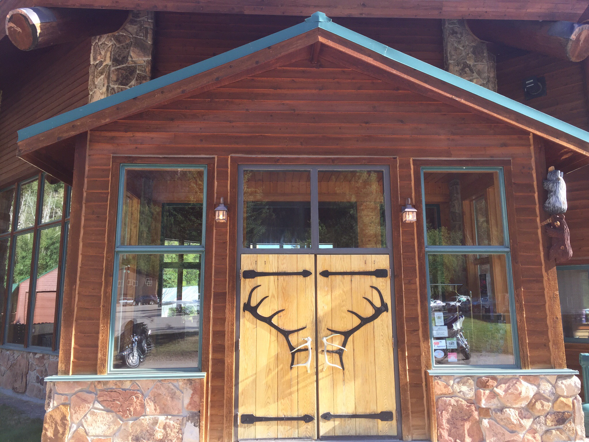
We arrived into Spearfish late in the afternoon.  We had booked a Stay and Play package at the Spearfish Canyon Country Club which I had dialled into the GPS.  When we arrived at the Country Club there was no accomodation in sight so I checked the website – we were staying at the Spearfish Canyon Lodge which was some 25 minutes away.  The drive down to the Lodge was pretty nice though through the canyon valley.  When we arrived at the Lodge we were greeted by lots of motorcyclists, beer tents and motorcycle paraphernalia – we were both thinking what have we got here.

We checked in no problem and got sorted.  There is only one place to eat out there so we were worried that we would have to drive back into town for dinner as it would be so busy but by the time we went for dinner at 7.30pm the place was deserted.  We learnt that they all eat early and then head into Sturgis for the evening’s entertainment.


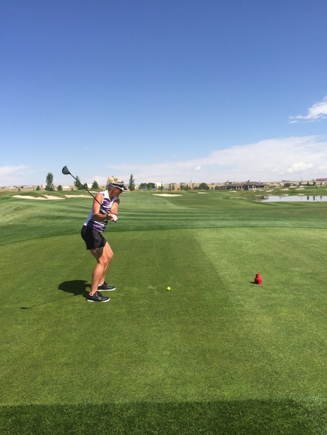
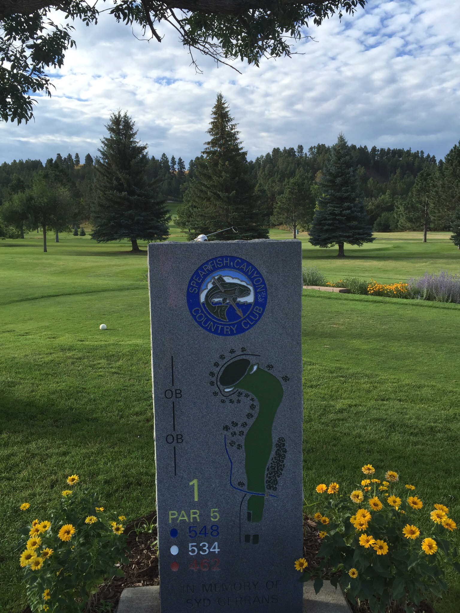
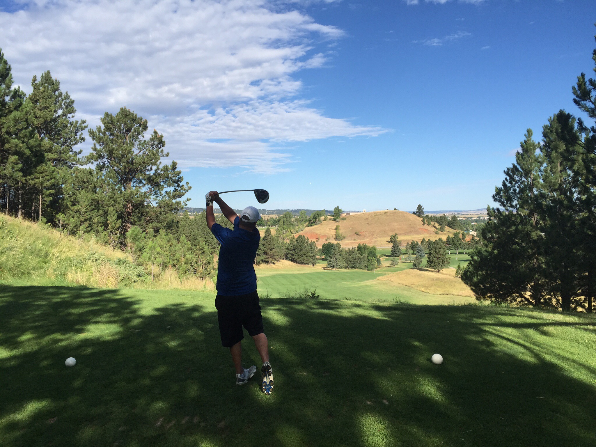
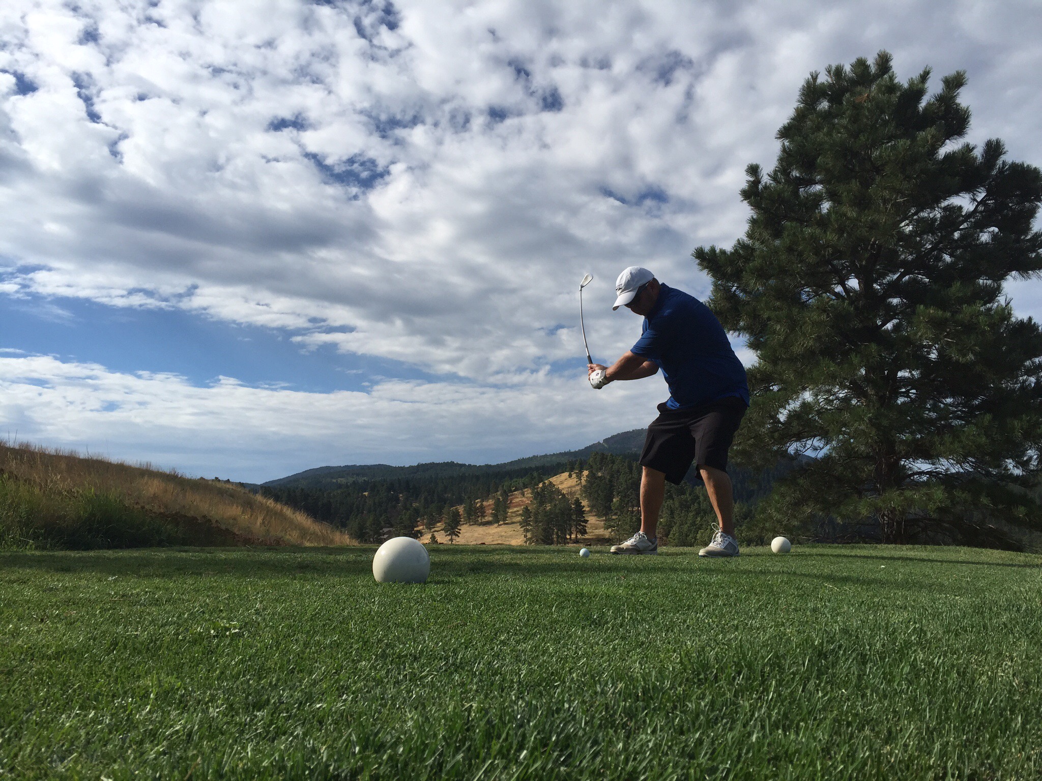
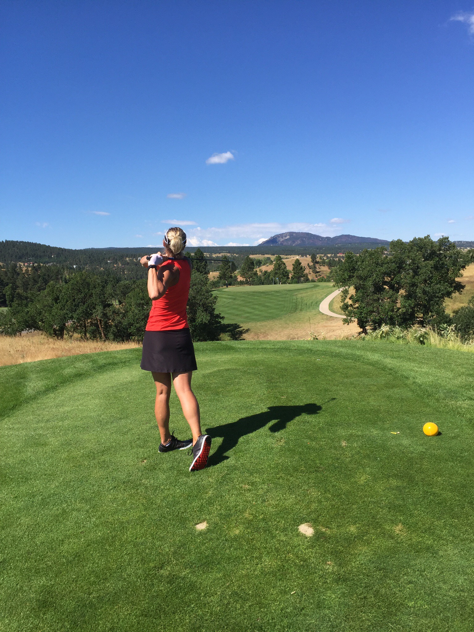
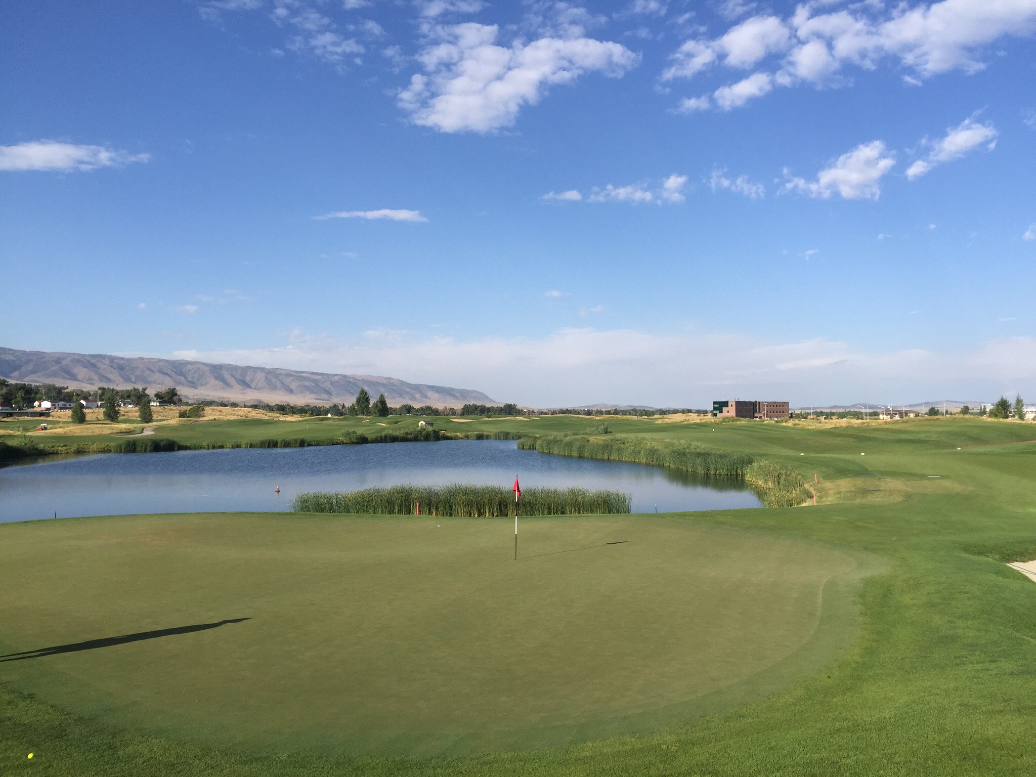
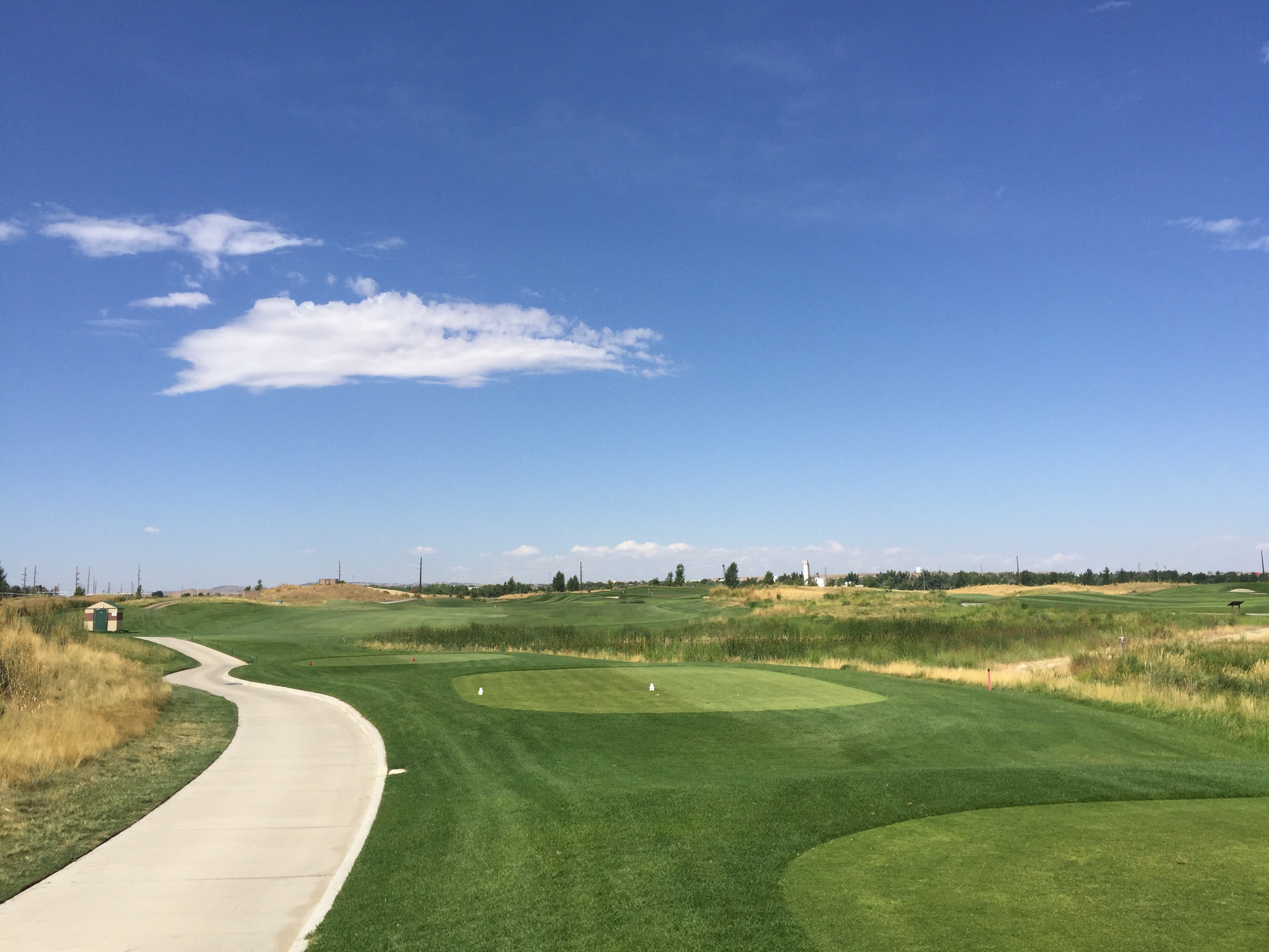
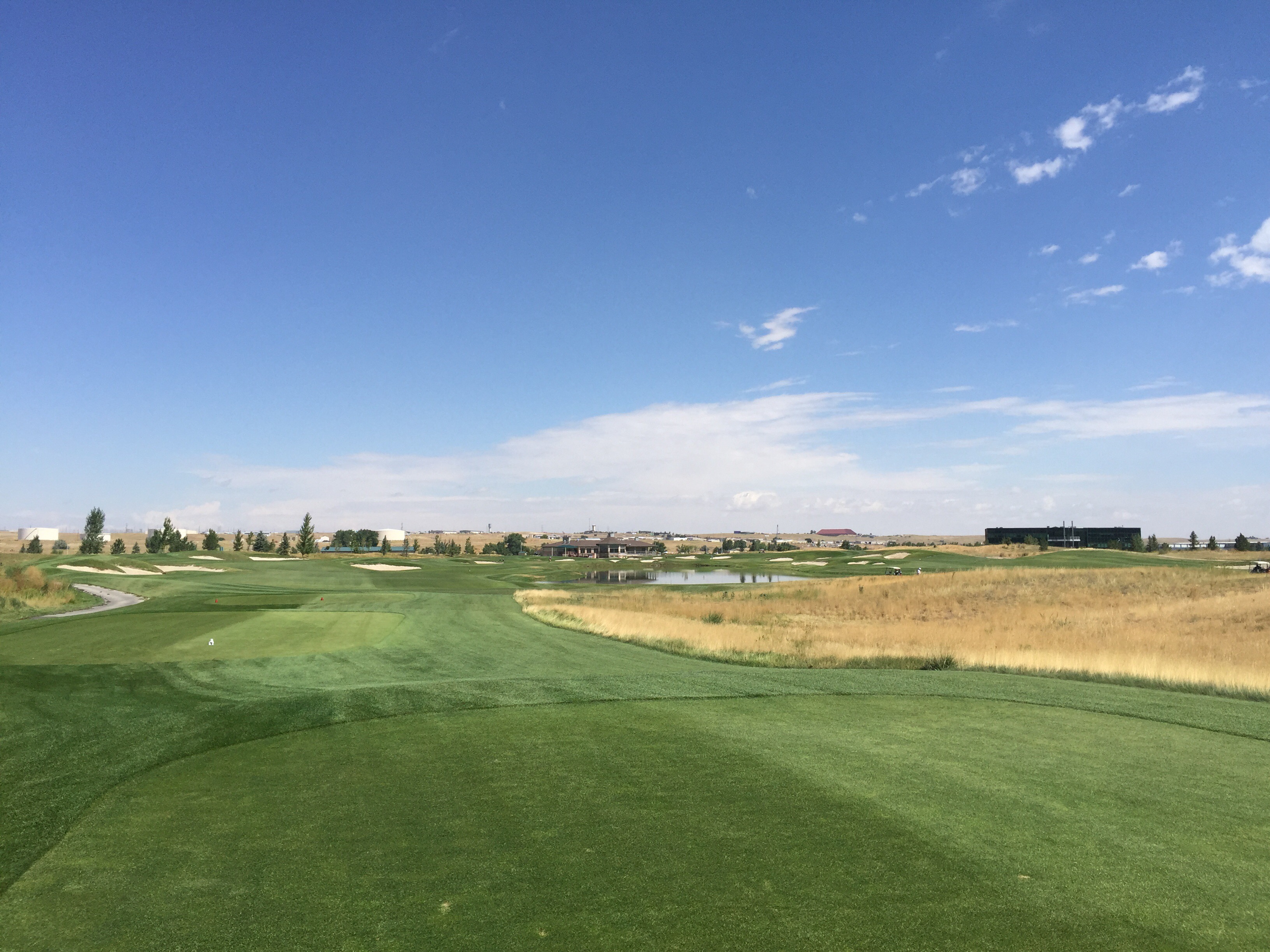
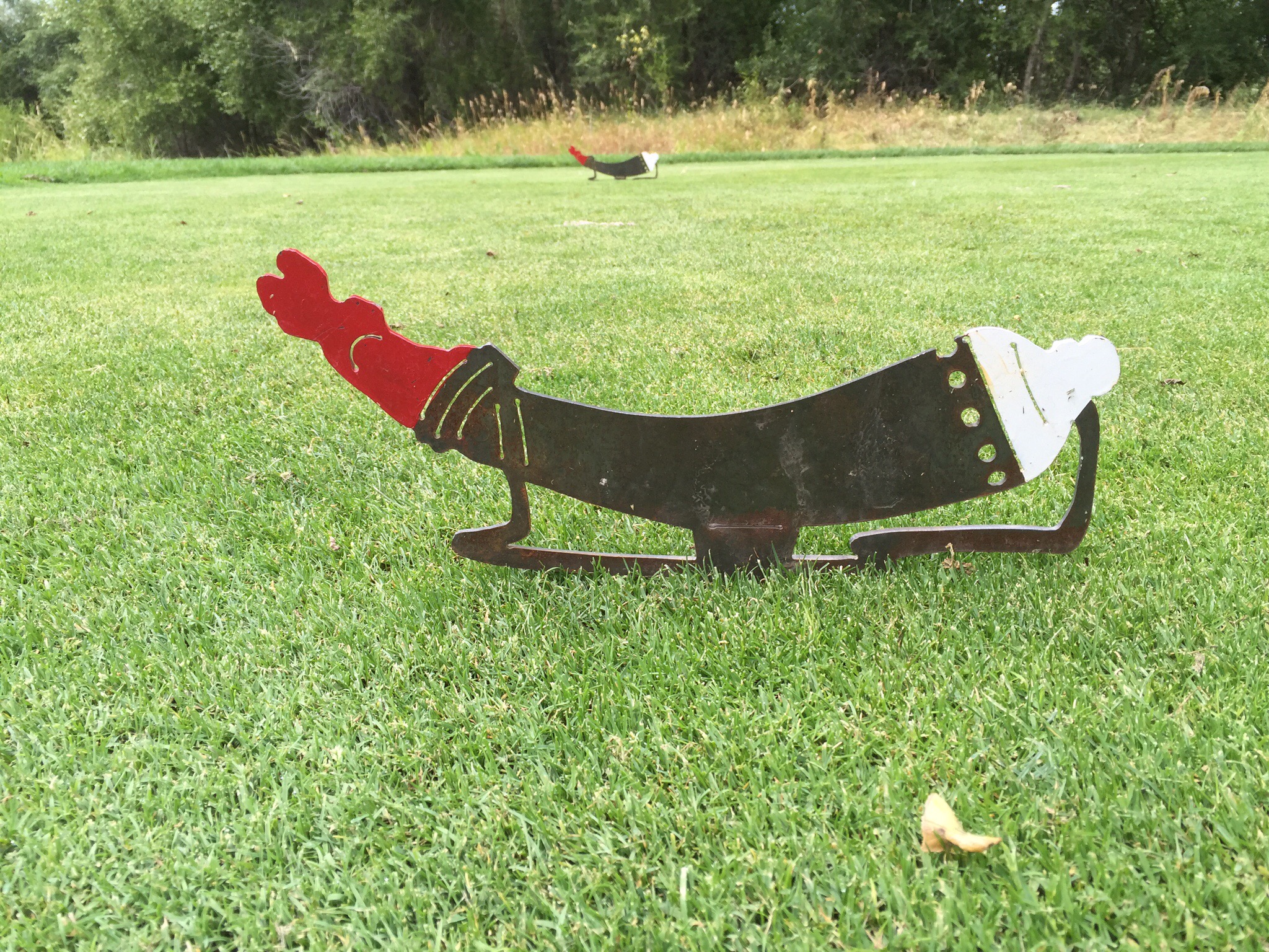
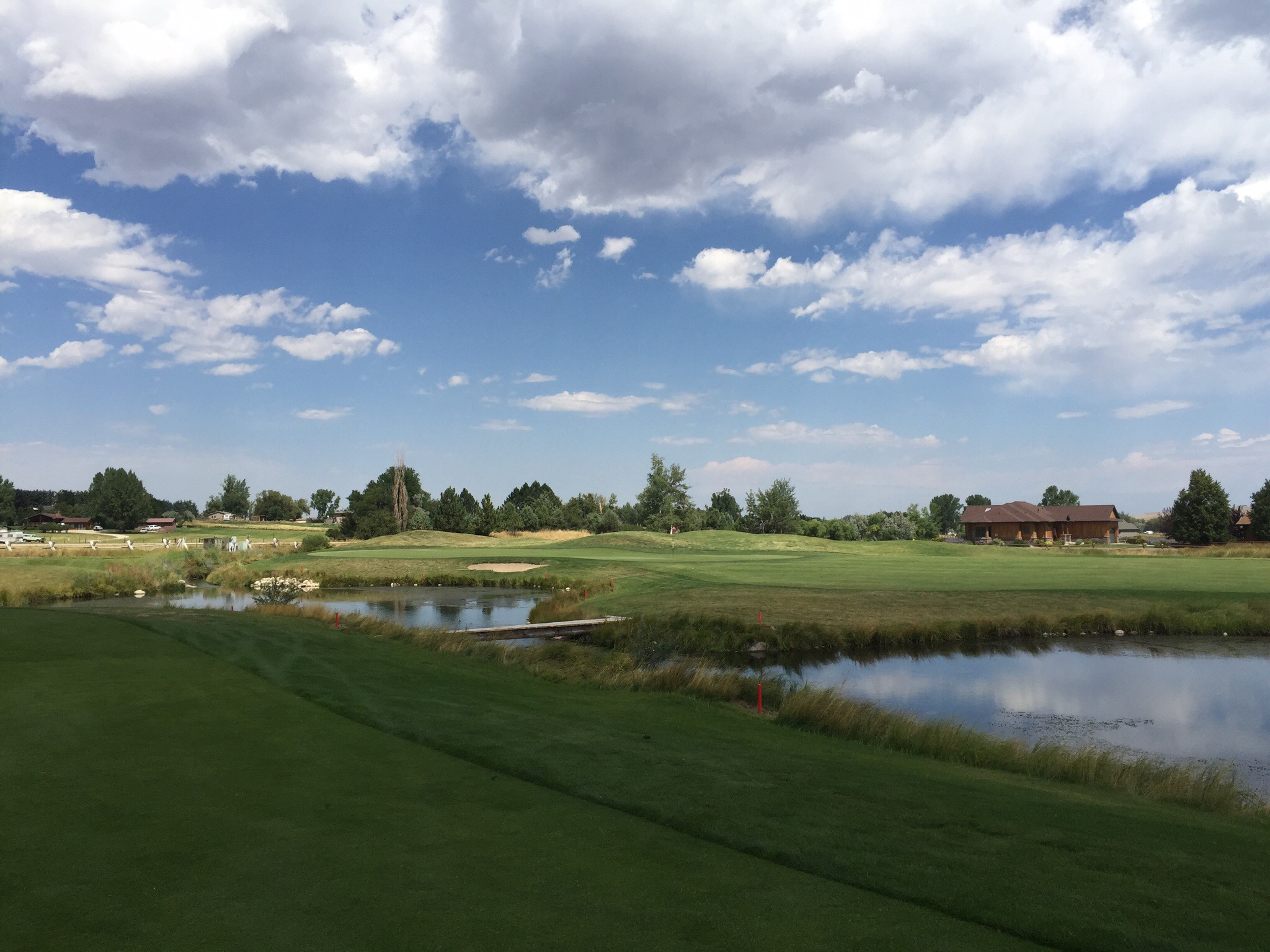
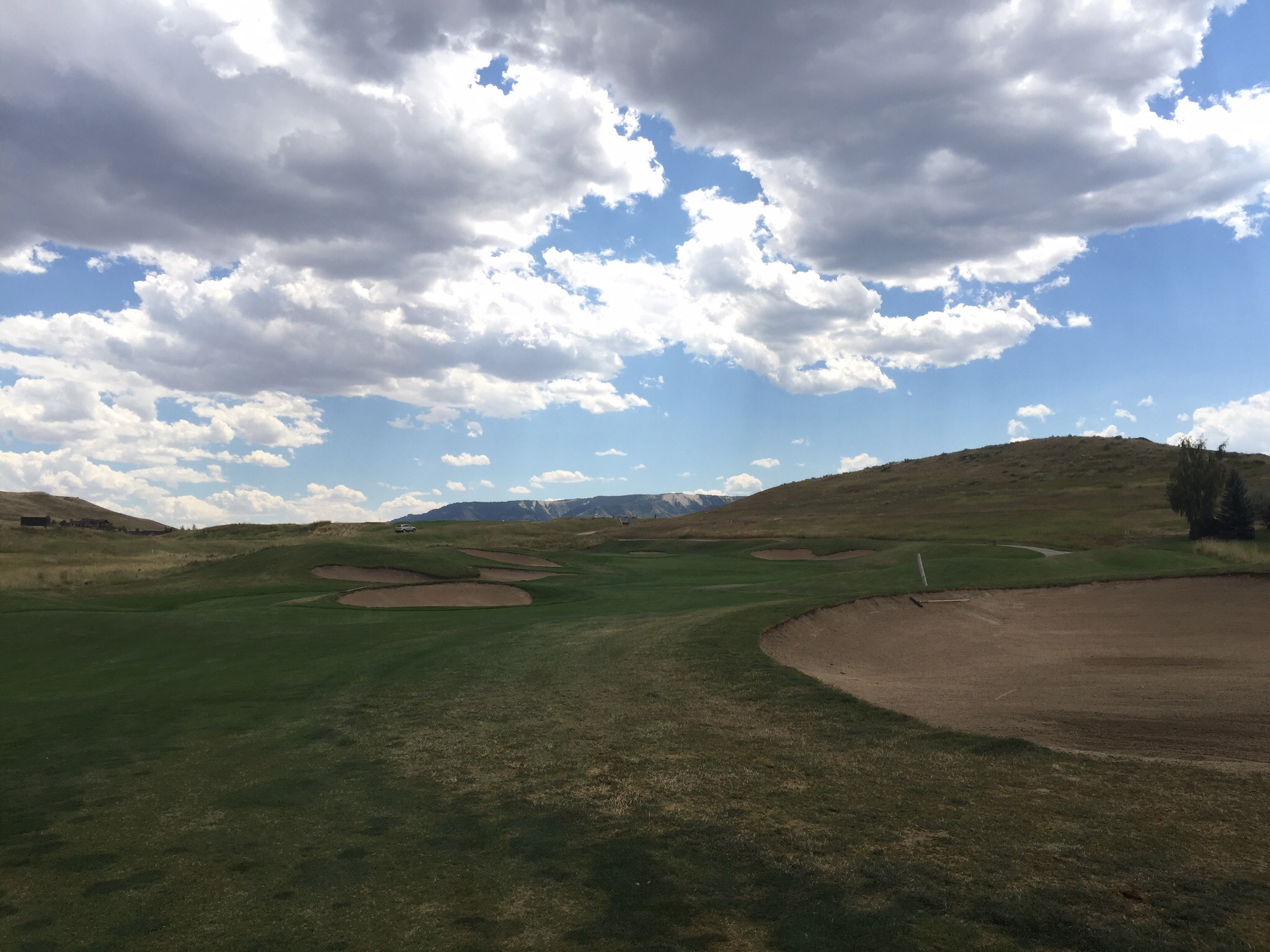
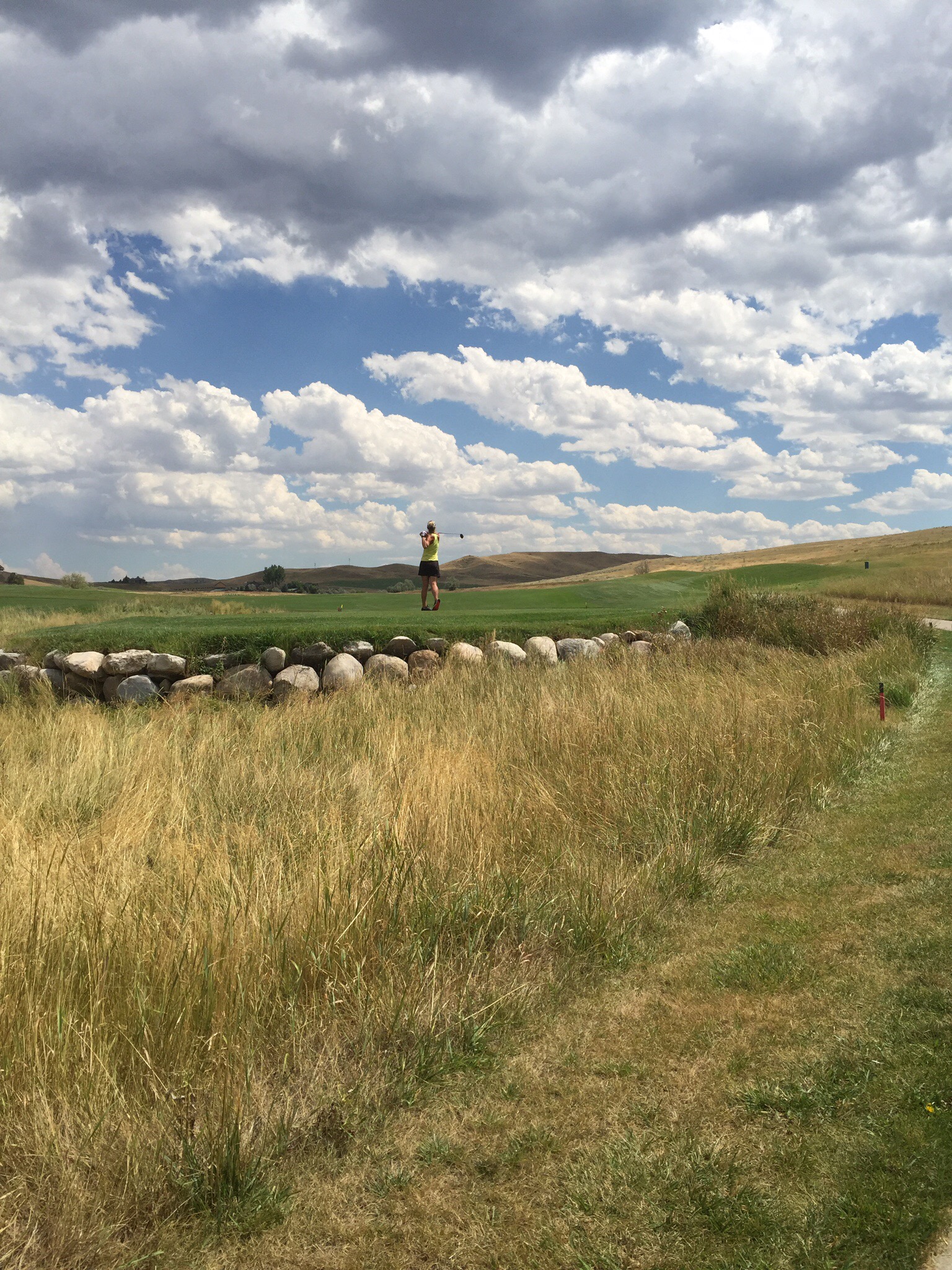
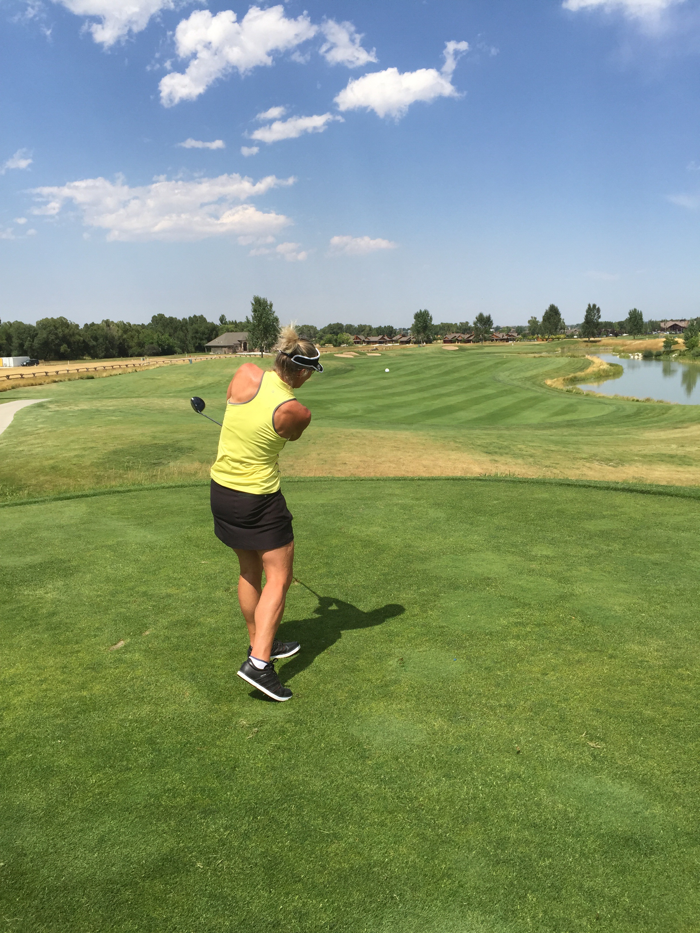
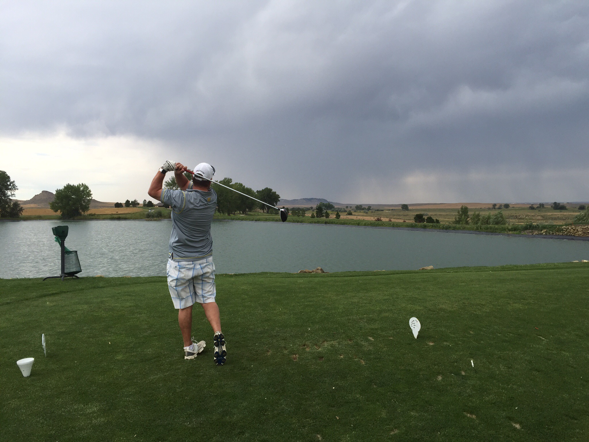
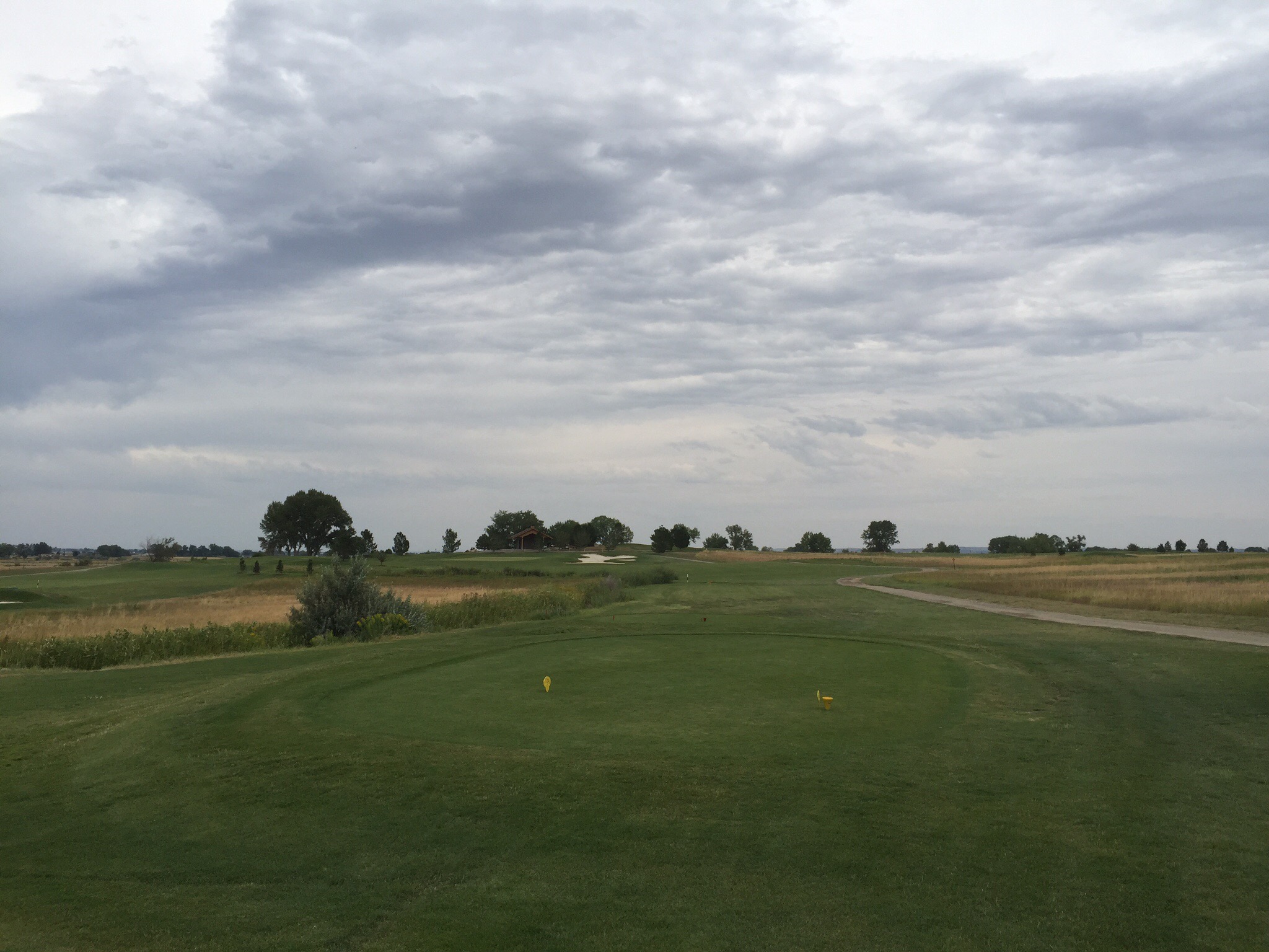
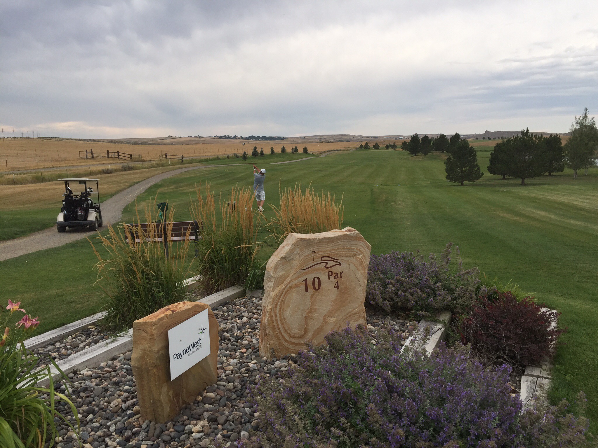
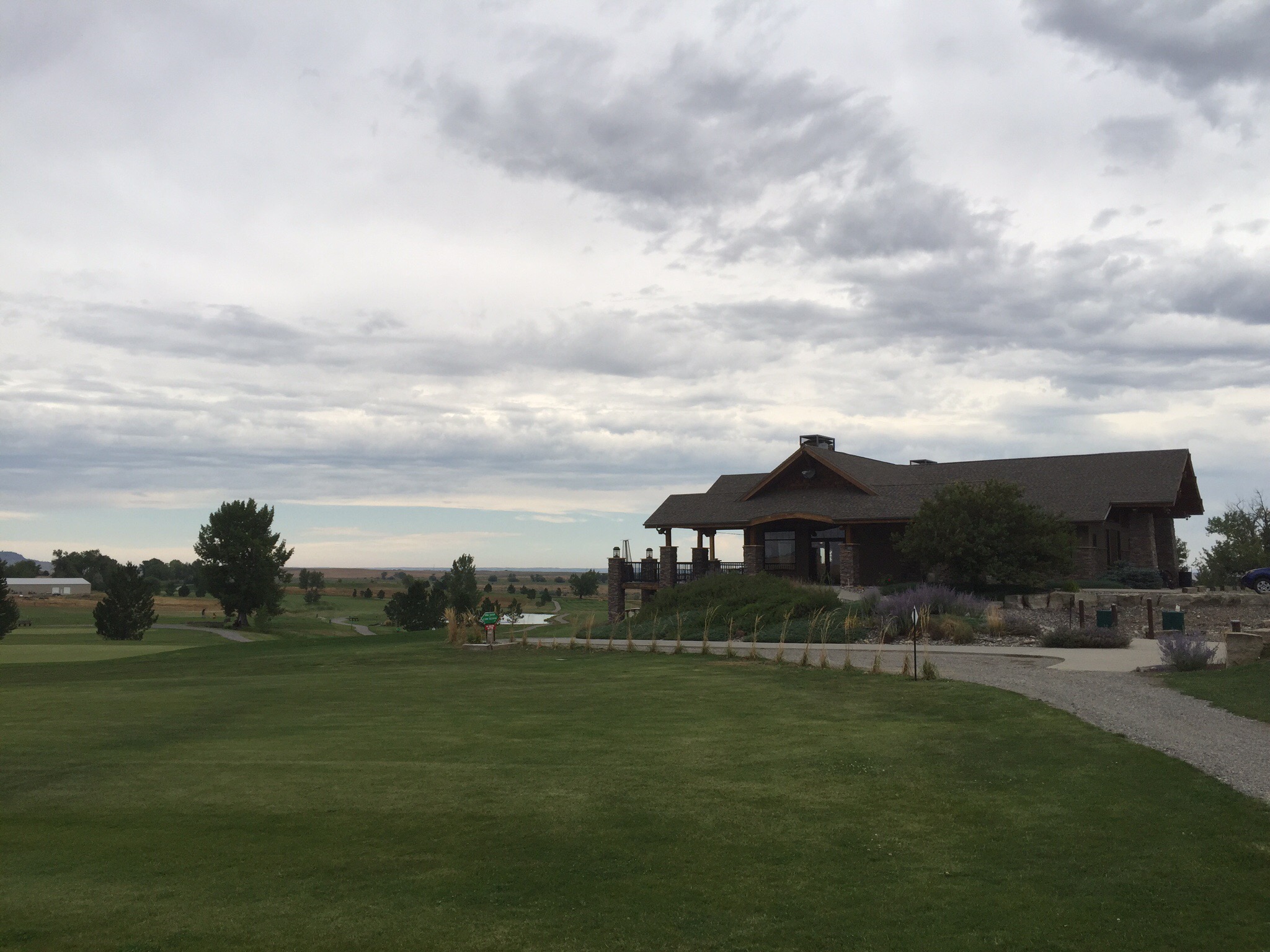
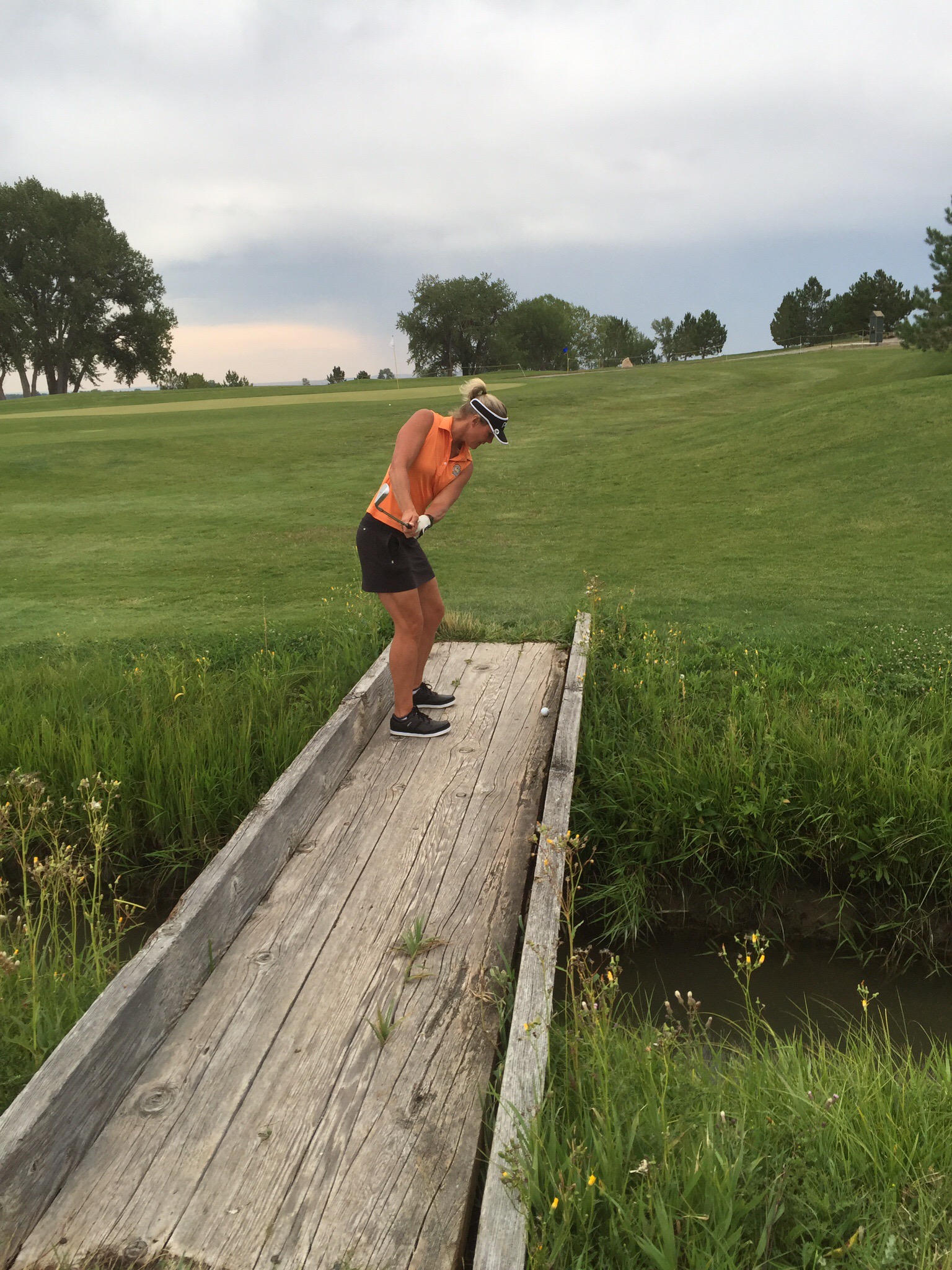
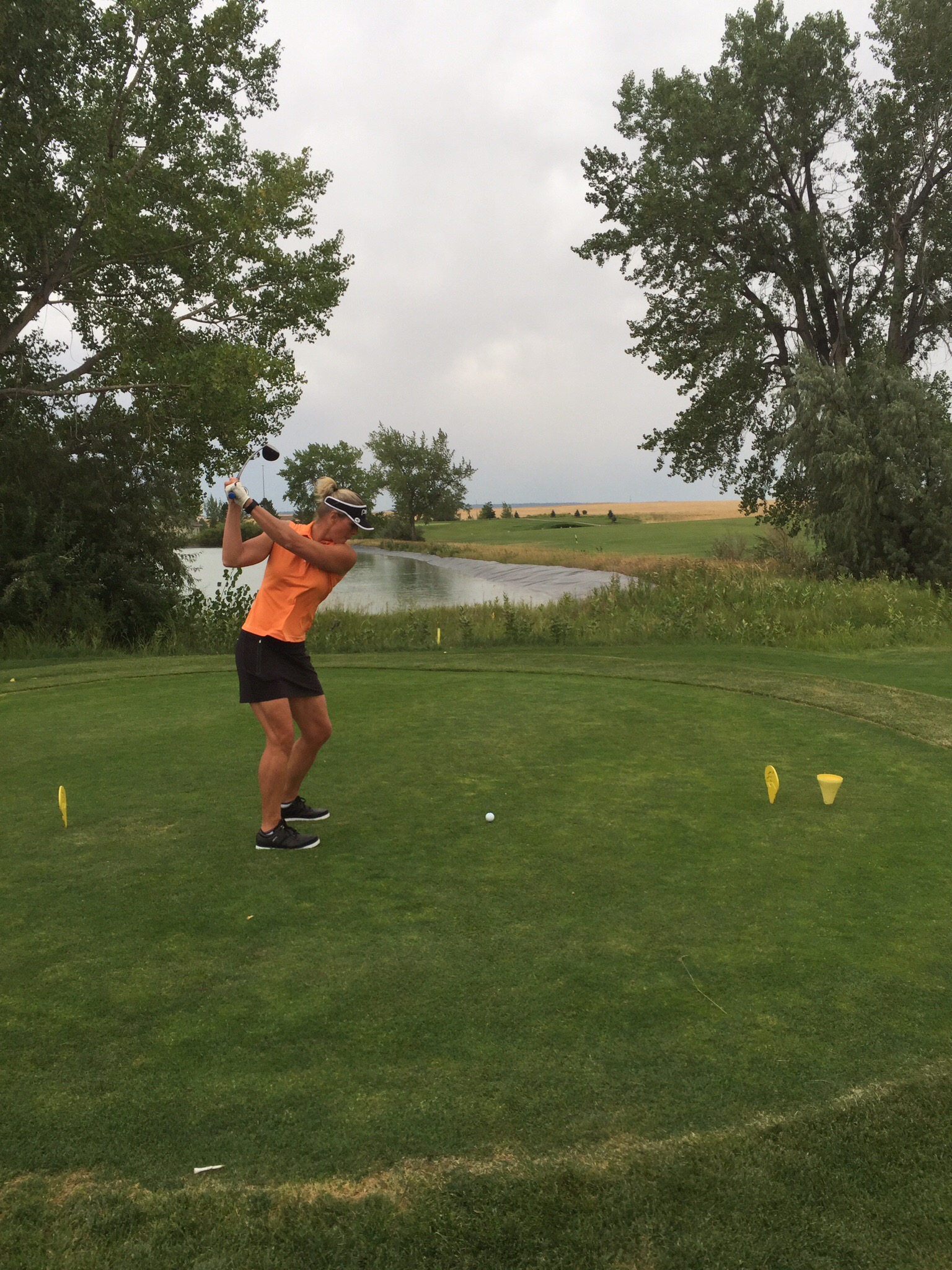
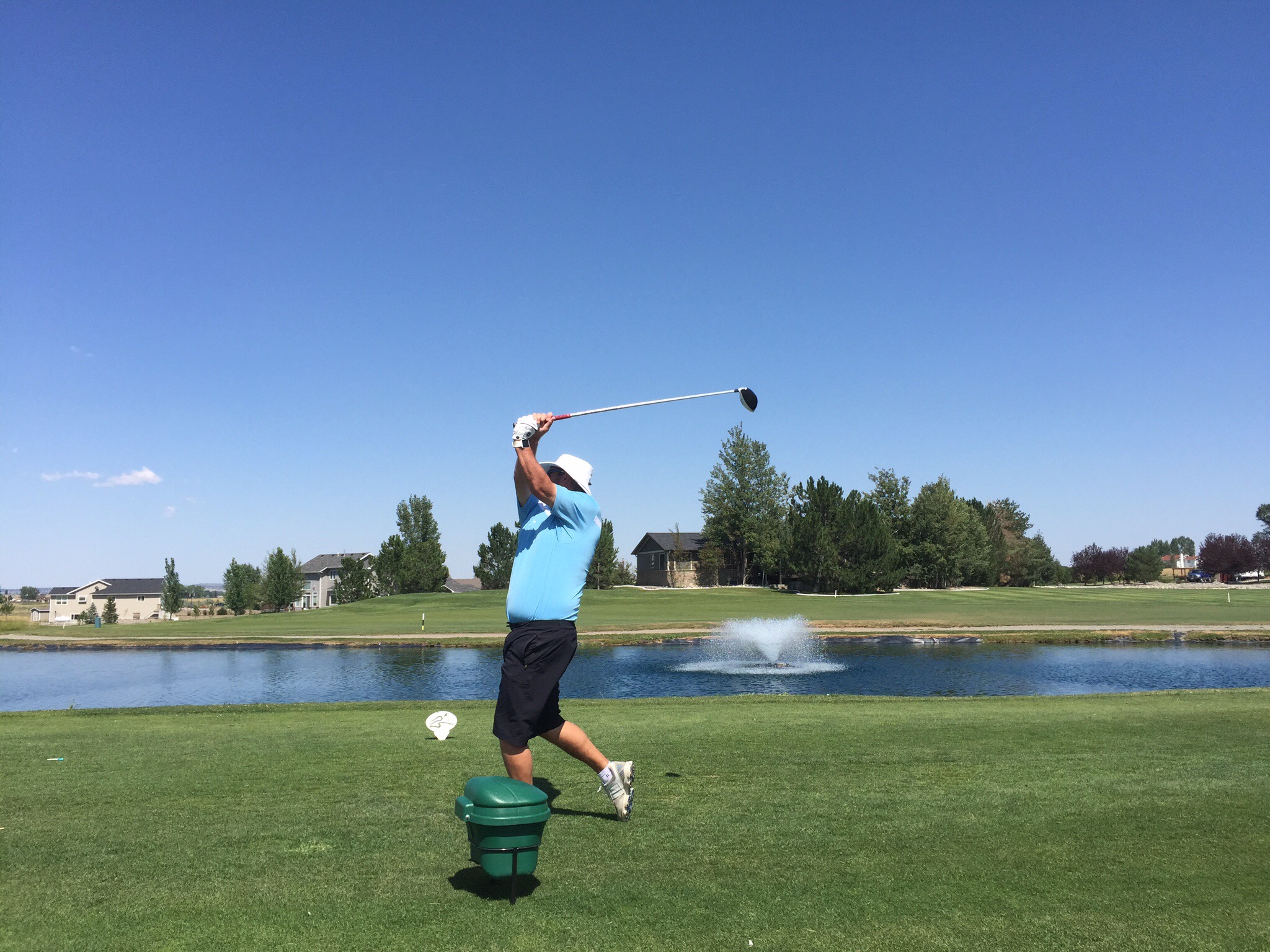
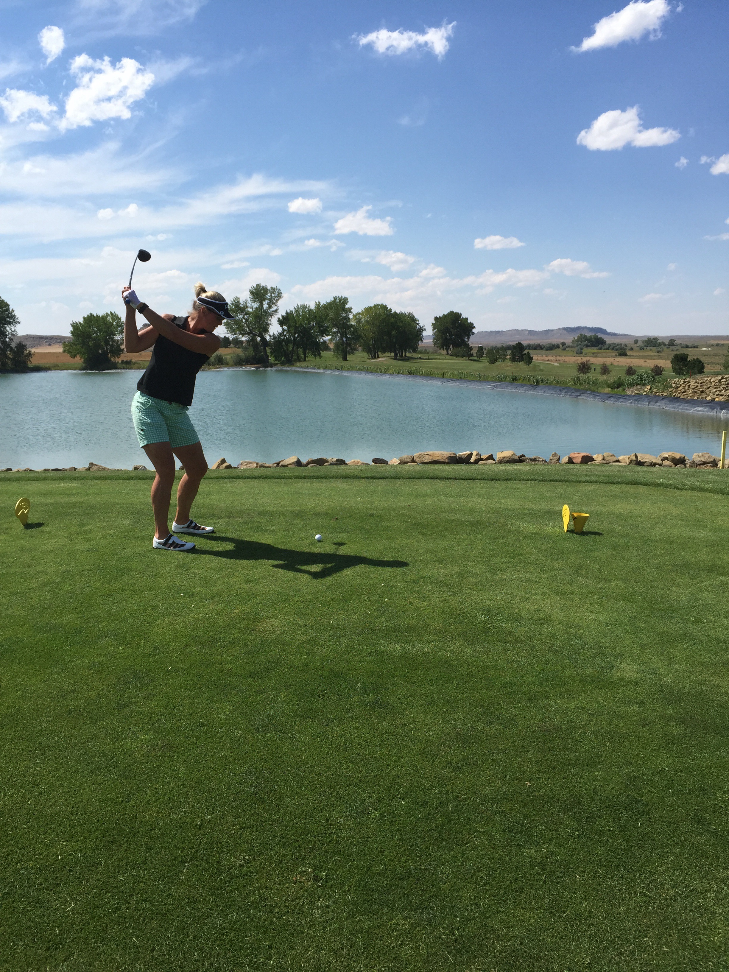
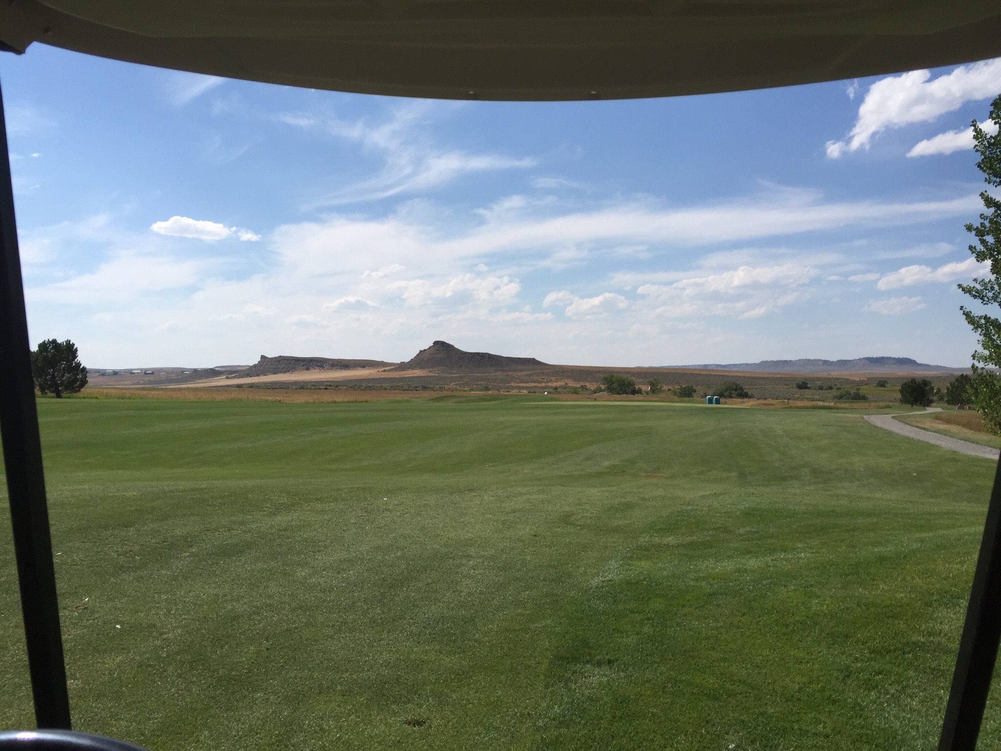
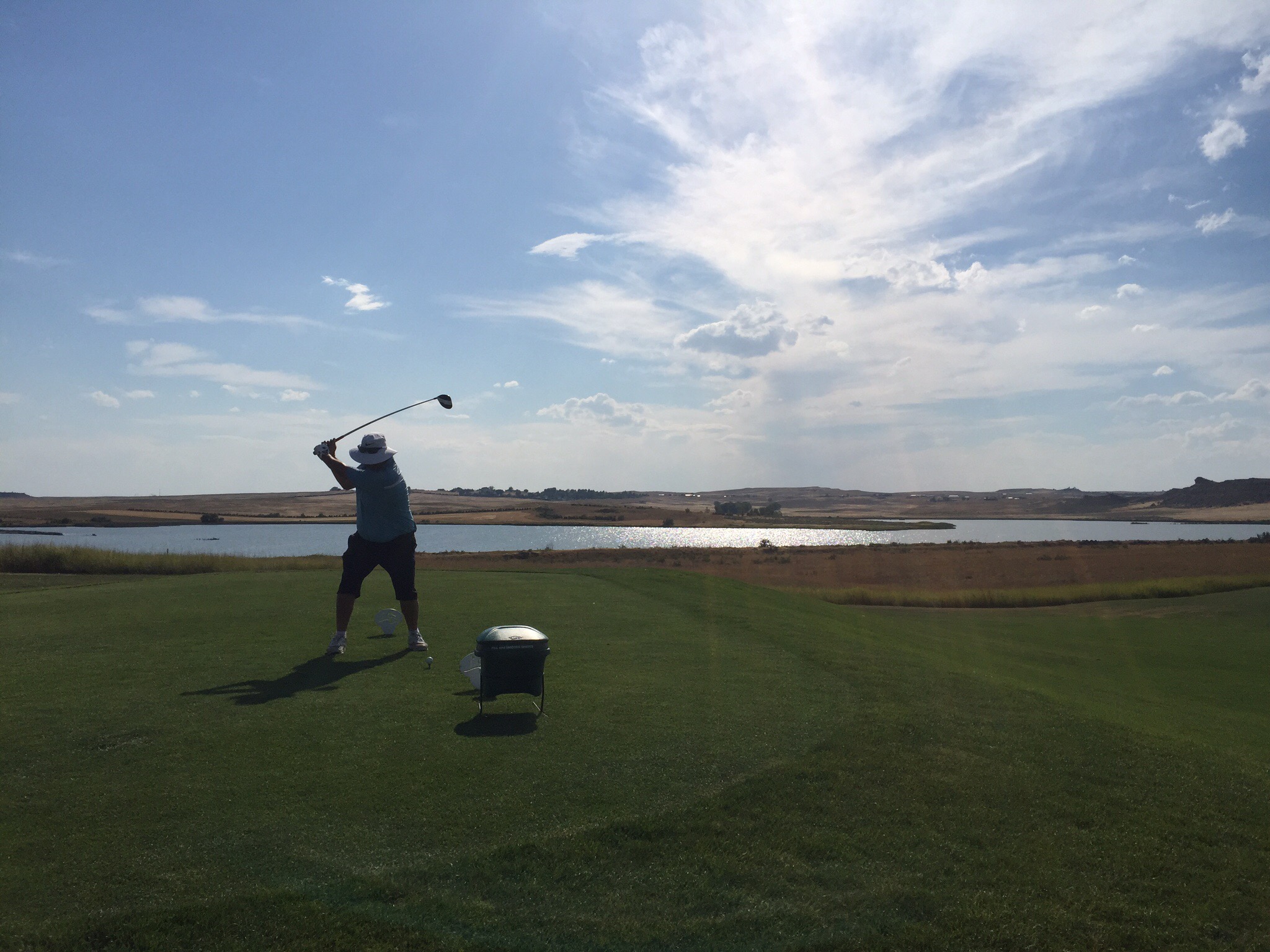
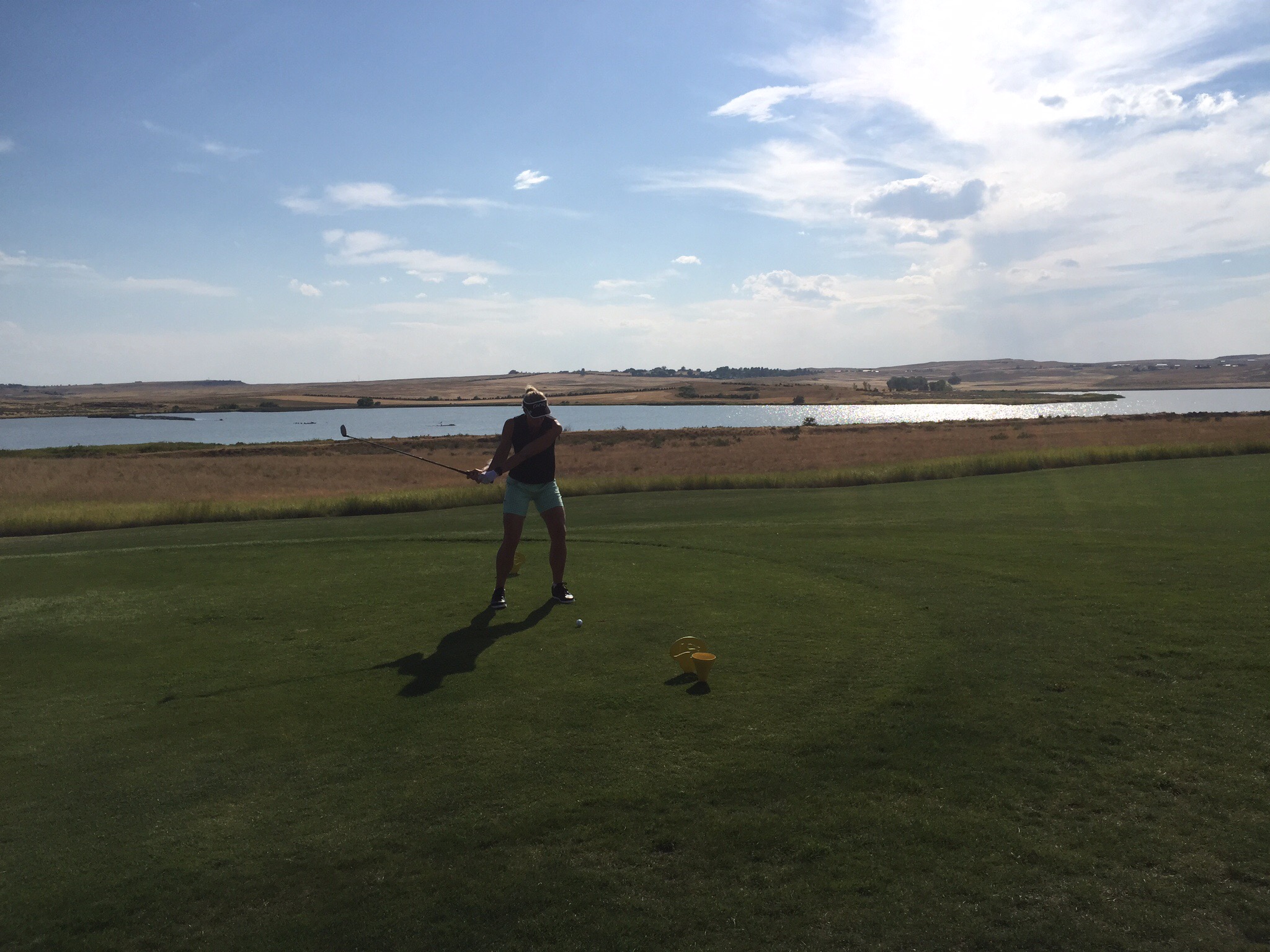
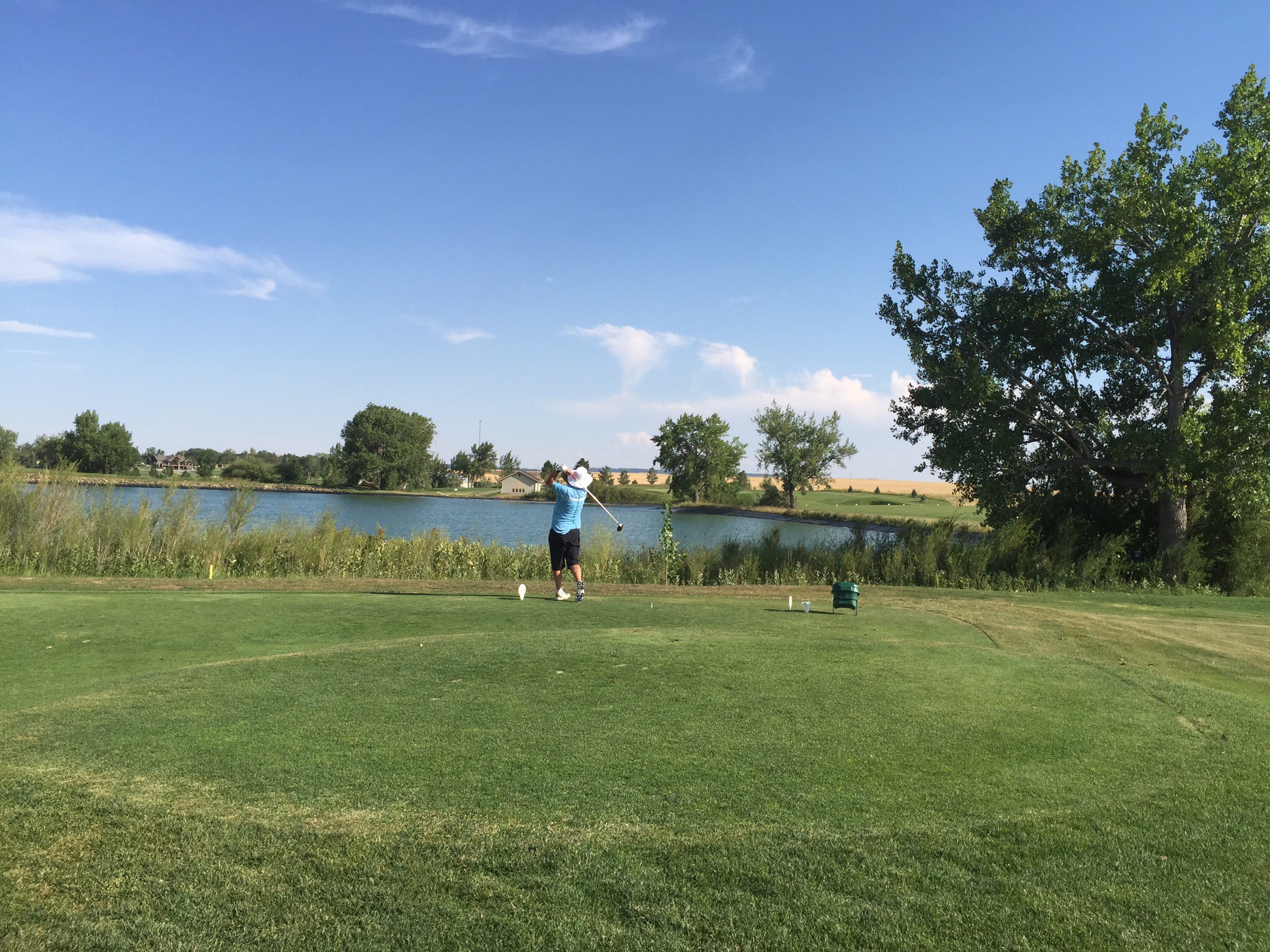
On Saturday morning we headed back into Spearfish to play golf at the Spearfish Canyon Country Club. The Spearfish Country Club was established in 1921 and the front nine was opened shortly thereafter, making it one of the oldest golf courses in the great state of South Dakota. In 1988, the Spearfish Canyon Country Club became the only 18-hole golf course in the Northern Black Hills.  

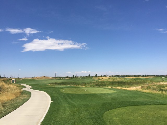
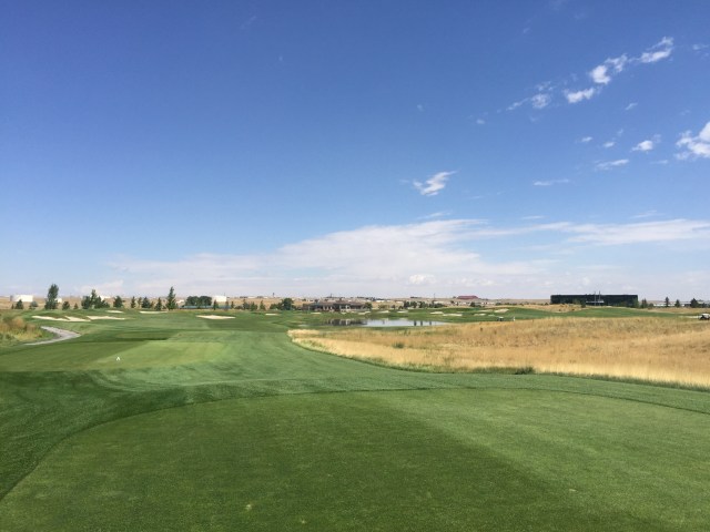
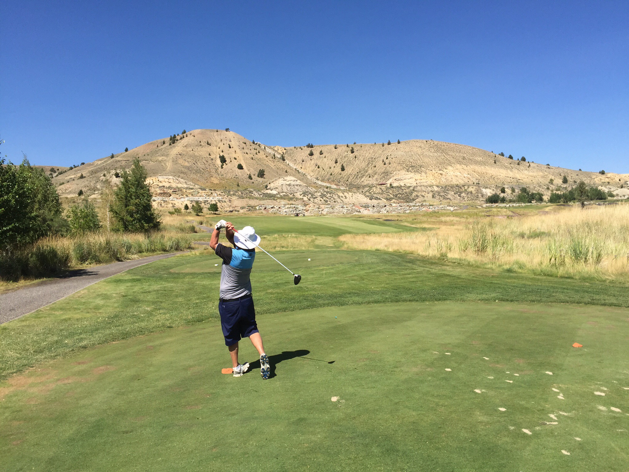
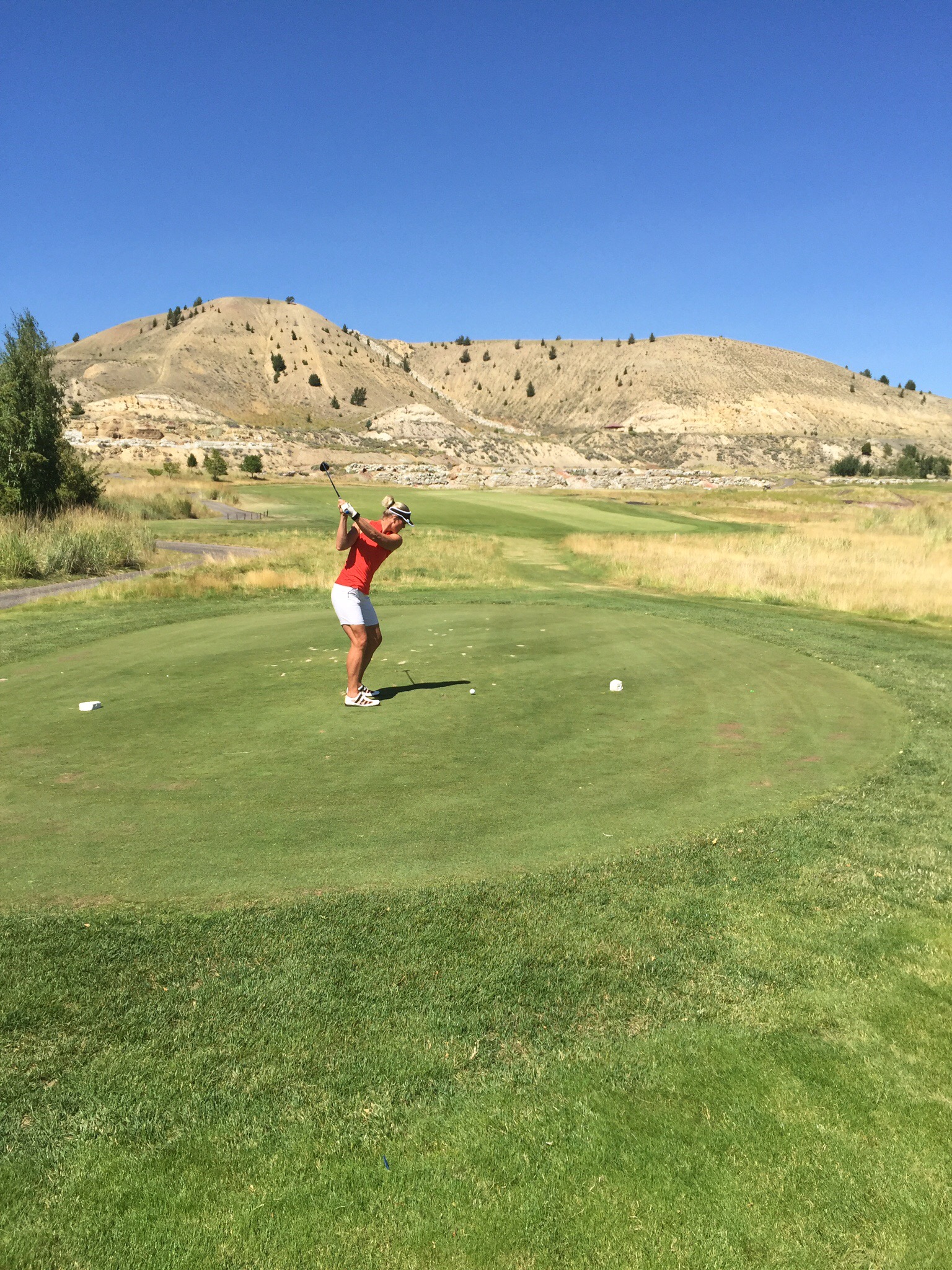
It wasn’t a long course but you had to play strategically and the greens on the front nine were really small – the smallest greens I’ve ever played on.  Steve said he grew up playing on a course with small greens but that was quite some time ago!  They intimidated us to start with but we got used to them.  The back nine is much more open and the greens are bigger.  We really enjoyed the course so signed up to play again on Sunday.


After golf we checked out the town of Spearfish which is not large. We had a nice lunch and then Steve went off to False Bottom bar while I found a nice cafe that did good coffee. When I joined Steve in the bar he had of course made friends with the bar staff. They were making authentic tacos using non processed, fresh ingredients. Jarred the taco maker was really into organic eating and has his own vege garden and chickens etc… 

We then decided to go to the movies – Steve had been hanging out to see the Jason Bourne movie.  The movie theatres in Spearfish were nice and small.

Steve had spotted a wine bar that he wanted to check out so after the movies we went to the Level Wine Bar – we were the only customers there.  It turns out the owners had been playing golf a few holes behind us so recognised us.  They are both retired policemen from California.  They have retired to Spearfish so they can play golf and hunt — they are both bow hunters.  The wine bar is a bit of a hobby which one of their daughters run.  A couple of glasses of wine later, invitations to NZ extended we thought we better get something to eat before heading back to the Lodge.

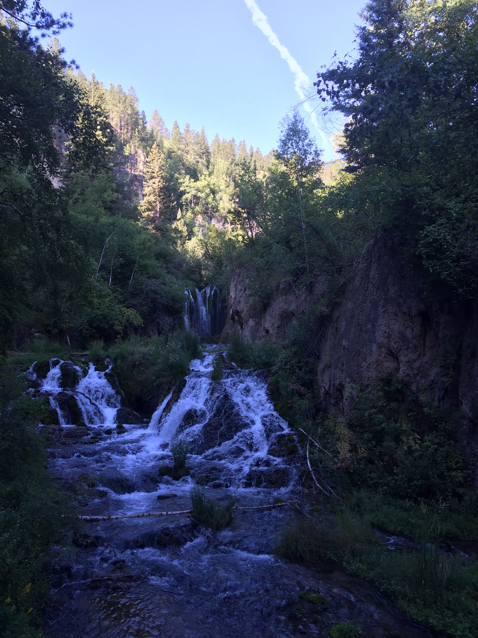
On Sunday morning we walked up to Roughlock Falls which is up behind the Lodge.  The water was so clear we could see lots of trout.


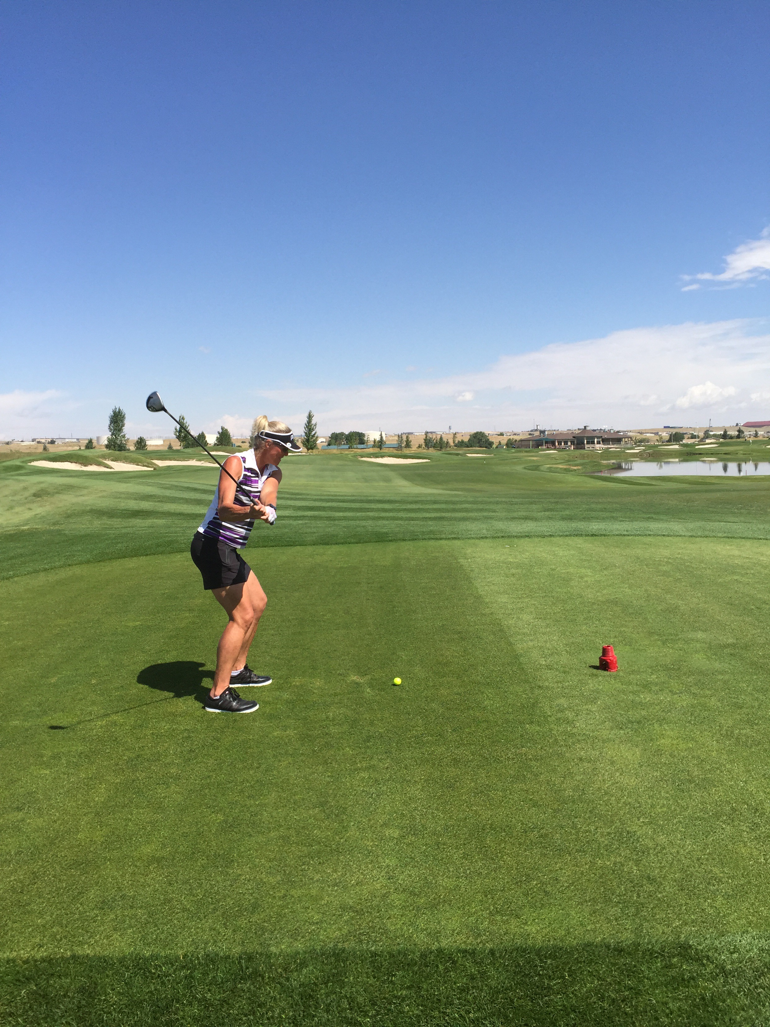
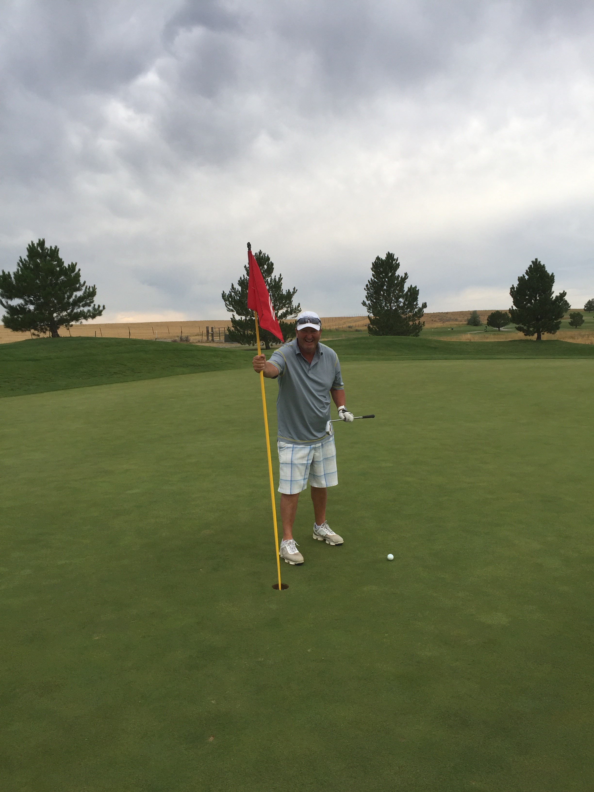
We enjoyed another game at the Canyon Club which was much better the second time around as we knew what not to do. In saying that it is still no guarantee the ball is going to end up where you want it to!

Spearfish 

Spearfish is located in Lawrence County in South Dakota and has a population of about 11,000.  Before the Black Hills Gold Rush of 1876, the area was used by Native Americans (primarily bands of Sioux but others also ranged through the area) who would spear fish in the creek (hence the name of the creek and subsequently the town). Once the gold rush started, the city was founded in 1876 at the mouth of Spearfish Canyon, and was originally called Queen City.  Spearfish grew as a supplier of foodstuffs to the mining camps in the hills. Even today, a significant amount of truck farming and market gardening still occurs in the vicinity.

Posted in South Dakota, USA | Leave a comment

Devil’s Tower – Wyoming, USA

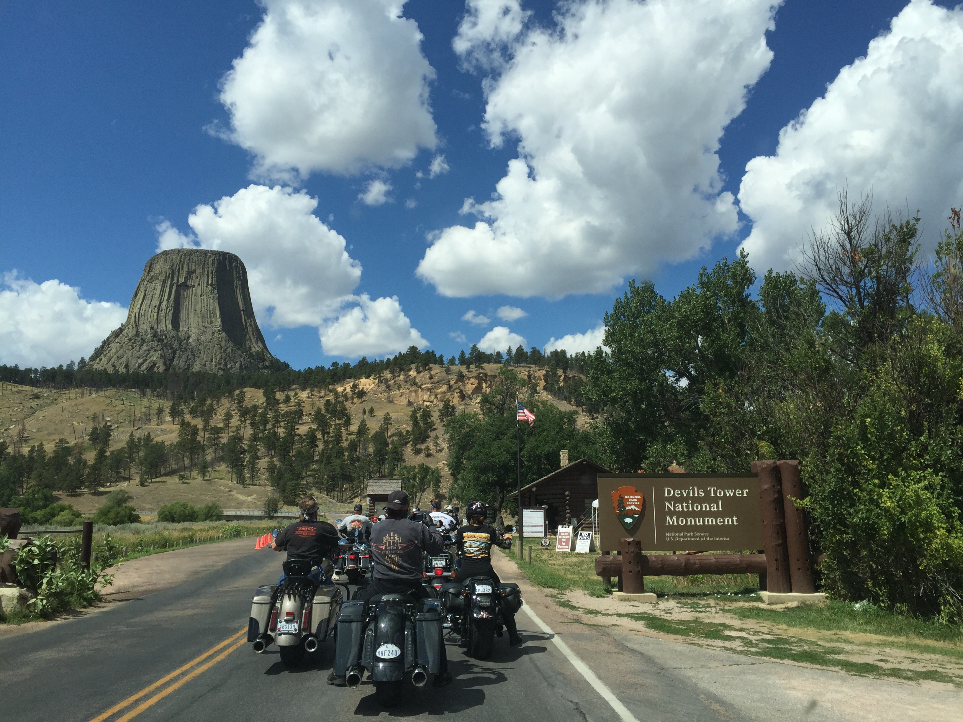
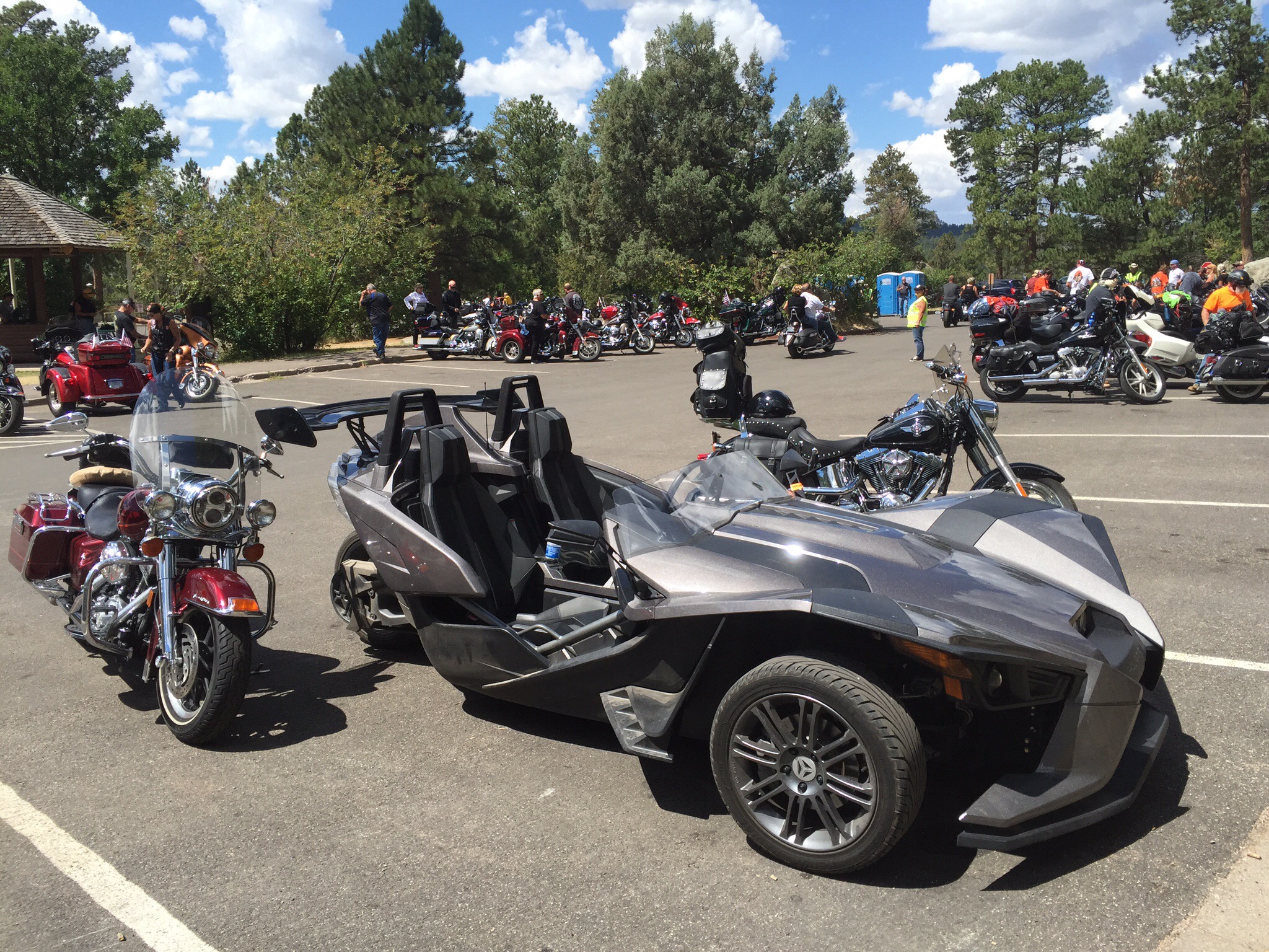
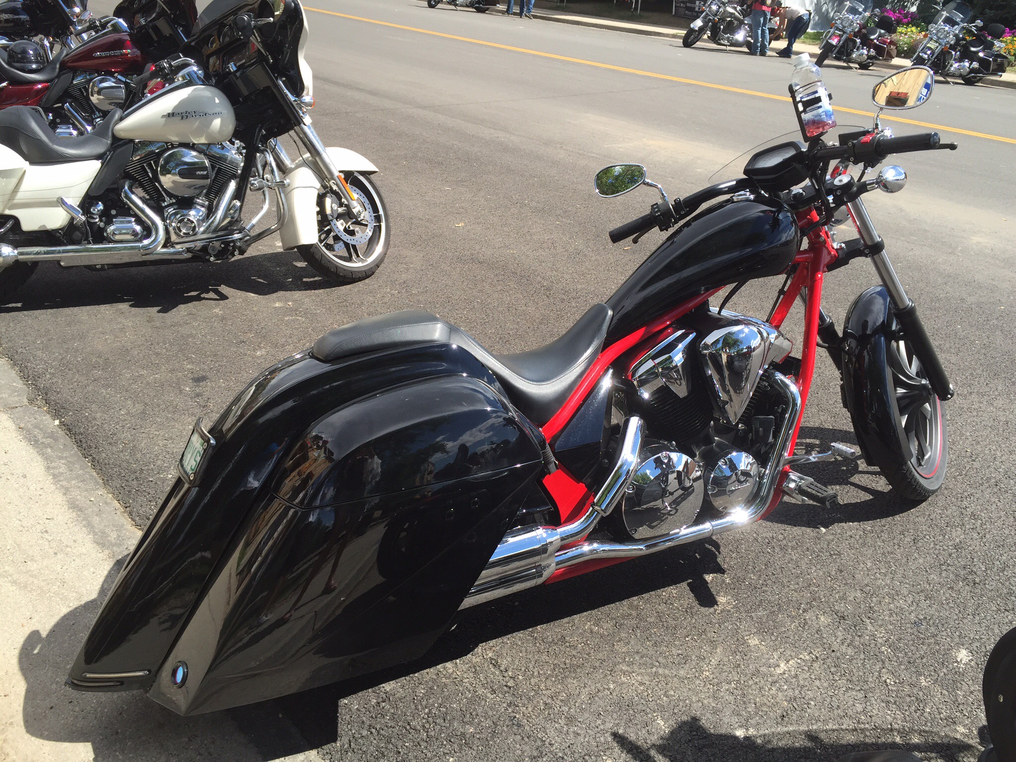
We left Casper and headed north east – today’s adventure was to check out the Devil’s Tower Monument before heading into Spearfish in South Dakota.  The annual Sturgis motorcycle rally has been on in this area for the past week so there were a lot of motorcycles around.  I was quite fascinated by all the bikes, outfits and people – this is a way of life for them and some of the bikes are pretty amazing.  Most of them don’t wear helmets – apparently it is ony required by law if you are under eighteen.

The Sturgis Motorcycle Rally is an American motorcycle rally held annually in Sturgis, South Dakota, usually during the first full week of August. It was begun in 1938 by a group of Indian Motorcycle riders and was originally held for stunts and races, but it has evolved into being a meeting for motorcycle enthusiasts from around the world. It brings significant income to the citizens of Sturgis, a town of only 6,627 people. It is one of the largest motorcycle rallies in the world.  They reckon some 400,000 attend annually.  The population of the whole state of South Dakota is only a 1,000,000 so for that week the population explodes.

Many attendees of the Sturgis Rally have families, bring their children and drive trailers and campers to the rally, and ride their motorcycles just the last few miles. The director of the rally estimated in 2005 that less than half the attendees actually rode there.  Shipping companies transport thousands of motorcycles to Sturgis for attendees who arrive via airline.  Last year there were 12 fatalities and this year there have been 2 to date.

Apparently there are some sights to behold in Sturgis with females wearing leather chaps with only a g-string or lacy underwear.  I was quite keen to go and just feel the vibe in Sturgis but Steve wasn’t keen – not even the minimalistic attire could entice him.  To be fair we have seen more motorcycles in the last two days than we have in our lives.

We lined up with the motorcycles to drive up to the Devil’s Tower – it costs USD10 for a vehicle or USD5 for a motorcycle.  This is my favourite picture from today.

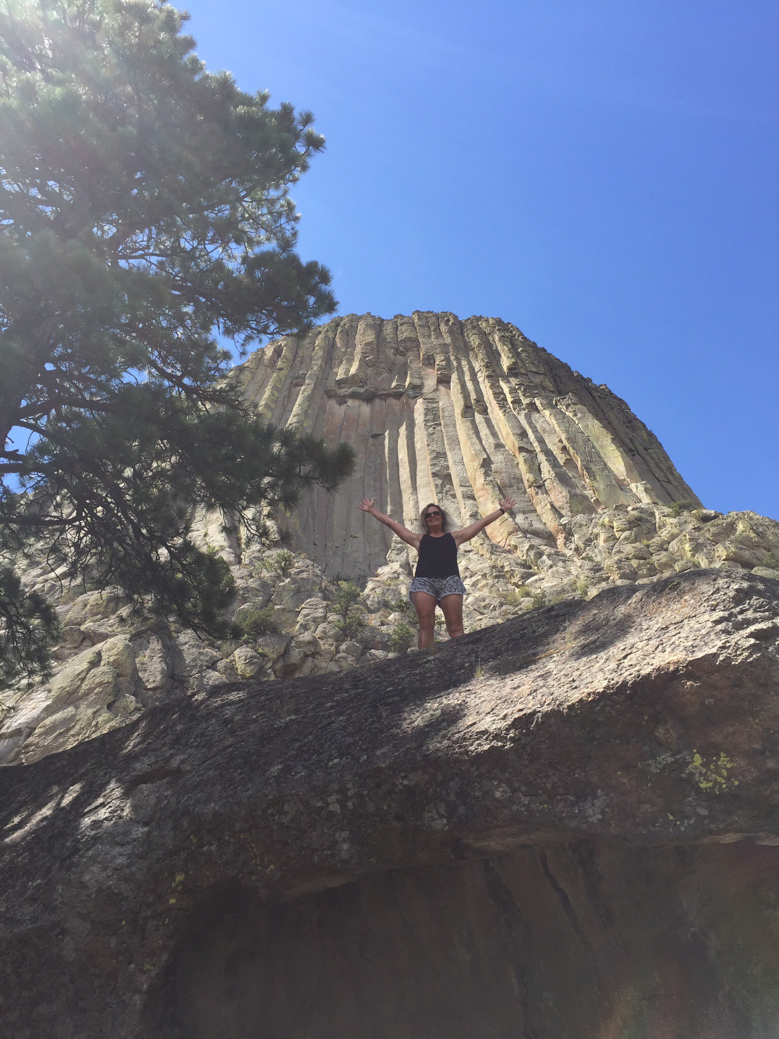
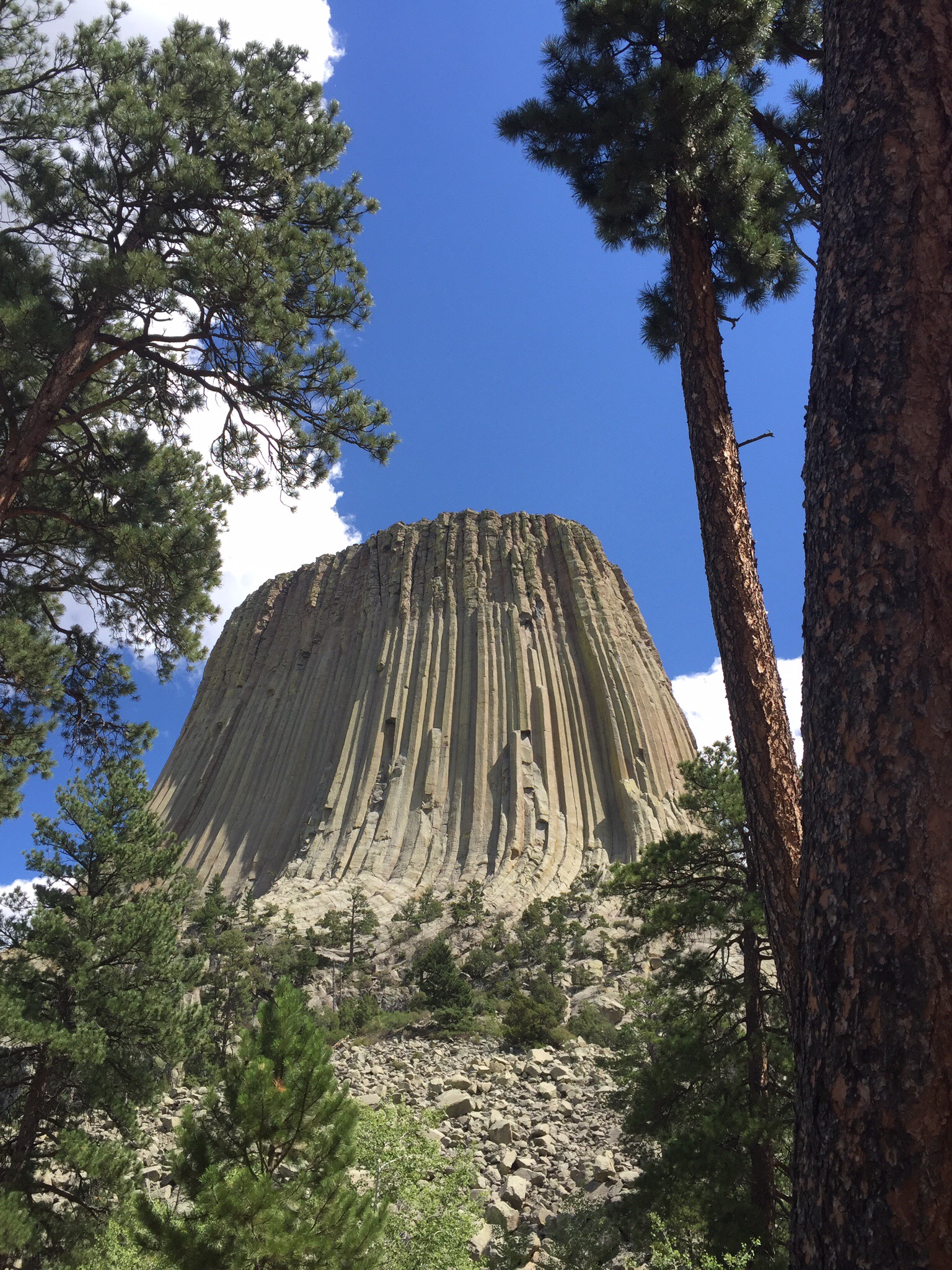
About 50 million years ago molten magma was forced into sedimentary rocks above it and cooled underground. As it cooled it contracted and fractured into columns. An earlier flow formed Little Missouri Buttes. Over millions of years, erosion of the sedimentary rock exposed Devil’s Tower and accentuated Little Missouri Buttes. The tower rises 867 feet from its base and stands 1,267 feet above the river and 5,112 feet above sea level. The area of its teardrop shaped top is 1.5 acres. The diameter of its base is 1,000 feet.

There are a few walking trails at the base of the tower so we decided to do the one that circumnavigated the base – it was about 2km long.  You can also climb the tower with a permit so we witnessed a few people climbing up there – they were attached by ropes and once they reached the top they abseiled down.

The legend of the native Kiowa people says….

“Eight children were at play, seven sisters and their brother.  Suddenly the boy was struck dumb; he trembled and began to run upon his hands and feet.  His fingers became claws, and his body was covered with fur.  Directly there was a bear where the boy had been.  The sisters were terrified; they ran, and the bear ran after them.  They came to the stump of a great tree, and the tree spoke to them.  It bade them to climb upon it, and as they did so it began to rise into the air.  The bear came to kill them, but they were just beyond its reach.  It reared against the tree and scored the bark all around with its claws.  The seven sisters were borne into the sky, and they became the stars of the Pleiades.”

Bear Lodge is one of the many American Indian names for the Tower.  Colonel Richard Dodge named it Devils Tower in 1875.  He led the military expedition sent to confirm reports of gold in the Black Hills and to survey the area.  Scientists them thought Devils Tower was the core of an active volcano.  Recent data suggest it is an igneous intrusion.

On July 4, 1893, with fanfare and over 1,000 spectators, William Rogers and Willard Ripley made the ‘first’ ascent, using a wooden ladder for the first 350 feet.  The fact that there was already a flagpole for raising Old Glory atop the Tower suggests the first ascent might have been one day earlier.  The Tower became a Fourth of July meeting place for ranching families who might see each other but once a year.  At the annual picnic, Mrs Rogers used her husband’s ladder to become the first woman to reach the summit.

Records of Tower climbs have been kept since 1937.  Some 5,000 climbers come every year from all over the world to climb o the massive columns.  Over 220 climbing routes have been used.

In 1906 President Theodore Roosevelt proclaimed Devils Tower the first national monument under the new Antiquities Act.  His action made Wyoming the home of both the first national park – Yellowstone in 1872 – and the first national monument.  

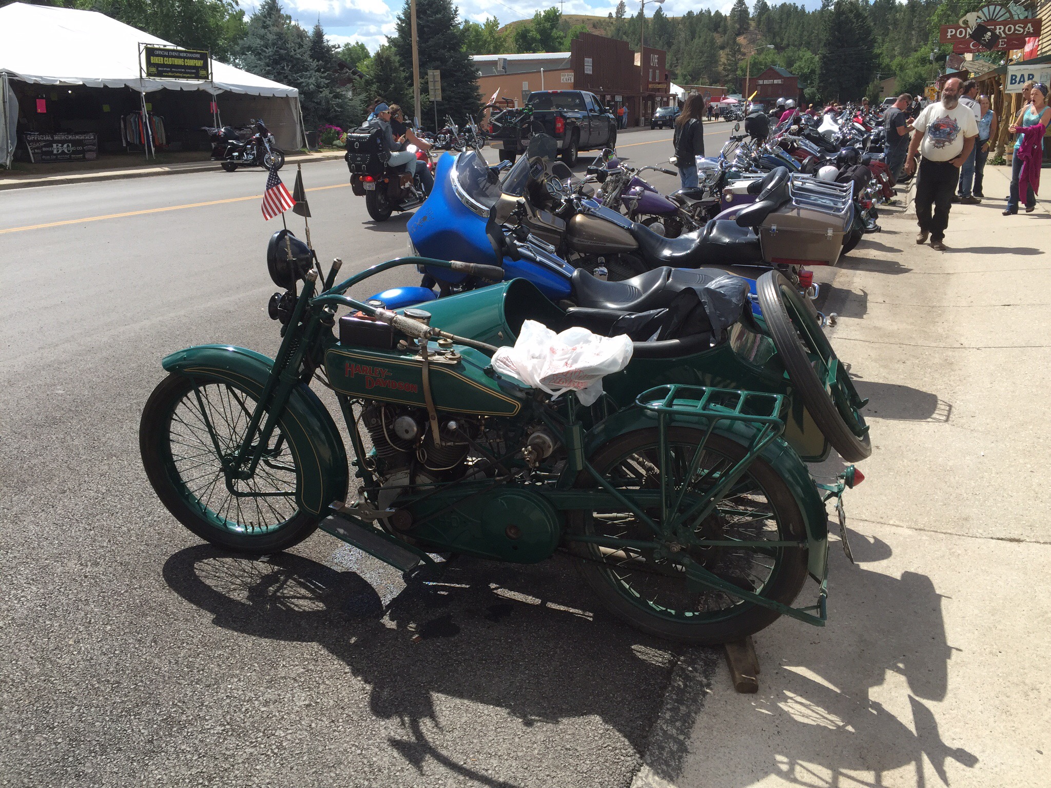
A 1922 Harley Davidson


Posted in United States of America, Wyoming, USA | Leave a comment

Three Crowns Golf Course – Wyoming, USA

Today we played golf at the Three Crowns Golf Course which is in Casper, Wyoming.  It came highly recomended and it didn’t dissapoint.  We were supposed to play yesterday afternoon also but someone put their back out getting out of the car!  He was much better this morning but still wasn’t sure he would be able to play until he swung a club.  I wanted to play regardless so we went to the golf course for our 8am tee time anyway.  After warming up he decided he would be fine and he was.

This is another golf course built on reclaimed land that had been used in the energy industry in days gone by.  In the case of Three Crowns this land used to be an oil refinery.  Our road trip starting in Calgary, Canada and then going through Montana and Wyoming has been really interesting in terms of the various energy industries that have and are still the basis of these provinces and states.  See the article below re the history of the land used for the Three Crowns Golf Course.

We played the first nine on our own and then a guy who had been playing behind us joined us on the 10th.  His name was Nick and he was from Gillette, Wyoming which is about 175km north of Casper.  His wife, Noreen, is a State Legislator and was in town for a mining and oil summit so he thought he would have a game of golf.  Turns out he was quite a handy golfer on a 4 handicap.  Steve immediately decided they should play for the Presidents Cup – the US versus the rest of the world.  Steve had to work pretty hard to regain the honour and he reckons he won the back nine by 1 hole.  Nick said he wasn’t keeping score : )

Noreen’s summit was being held nearby so she joined us for lunch in the Clubhouse.  We also met a few other people that were attending the summit including some lobbyists.  We had some interesting discussions about politics and nuclear power.  Wyoming is a fairly strong Republican state so although not really wanting to vote for Donald Trump they feel they don’t have much choice as they certainly don’t want Hilary Clinton to be President.

What they have done in terms of cleaning up this old oil refinery site is impressive and the state of Wyoming prides itself on making a huge effort to right the wrongs of earlier years.  Nick is a retired engineer who worked in the coal industry.  There are three coal operations in Gillette where he lives and they are all facing bankruptcy due to the price of coal falling.  These towns that we have been travelling through are real ‘boom or bust’ towns due to the industries they rely on from an economic perspective.  

Email addresses were exchanged and an invitation to NZ was extended to Nick and Noreen before we went on our way.

I decided to do some exploring in downtown Casper this afternoon.  On my way back to the hotel the skies got quite black and I could hear thunder in the distance.  I upped my pace and only had about a kilometre to go when the heavens opened up.  I managed to find a tree to shelter behind  and being the eternal optimist thought that the skies were clearing.  The next minute it was hailing!  OK, maybe it wasn’t going to clear anytime soon.  I decided to Skype Steve to come and pick me up – I told him I was under a tree outside Rainbow Real Estate – ironic really : ). The next minute the wind and rain changed directions so I had to move around to the other side of the tree – it was such a quick turnaround and then more hail started falling.

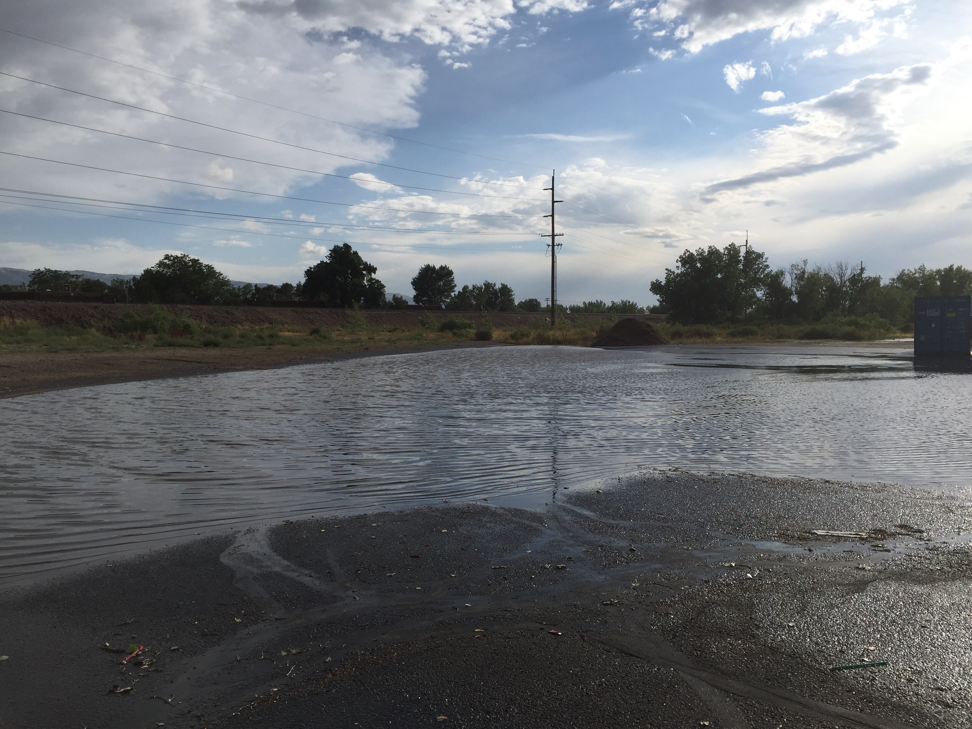
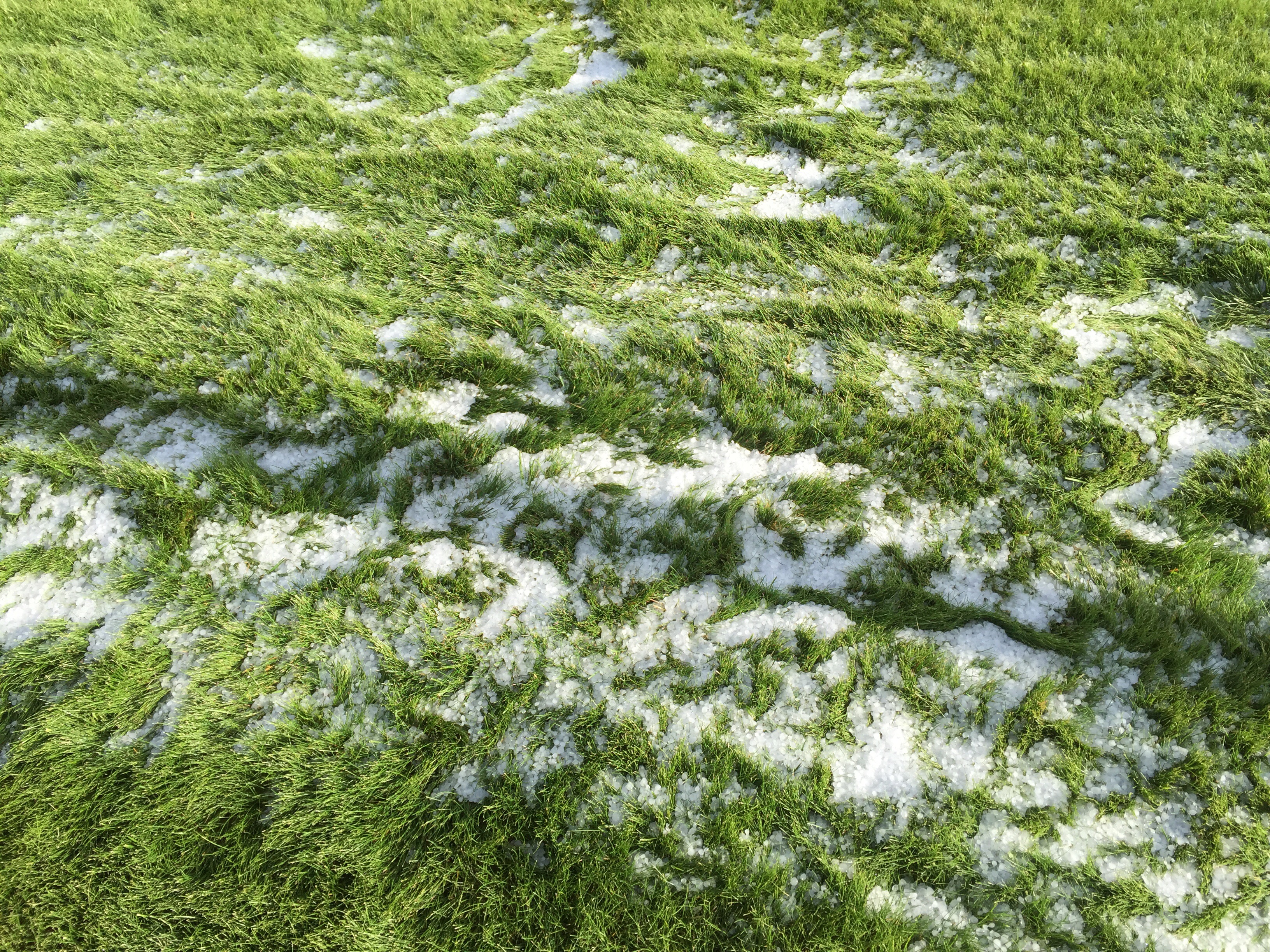
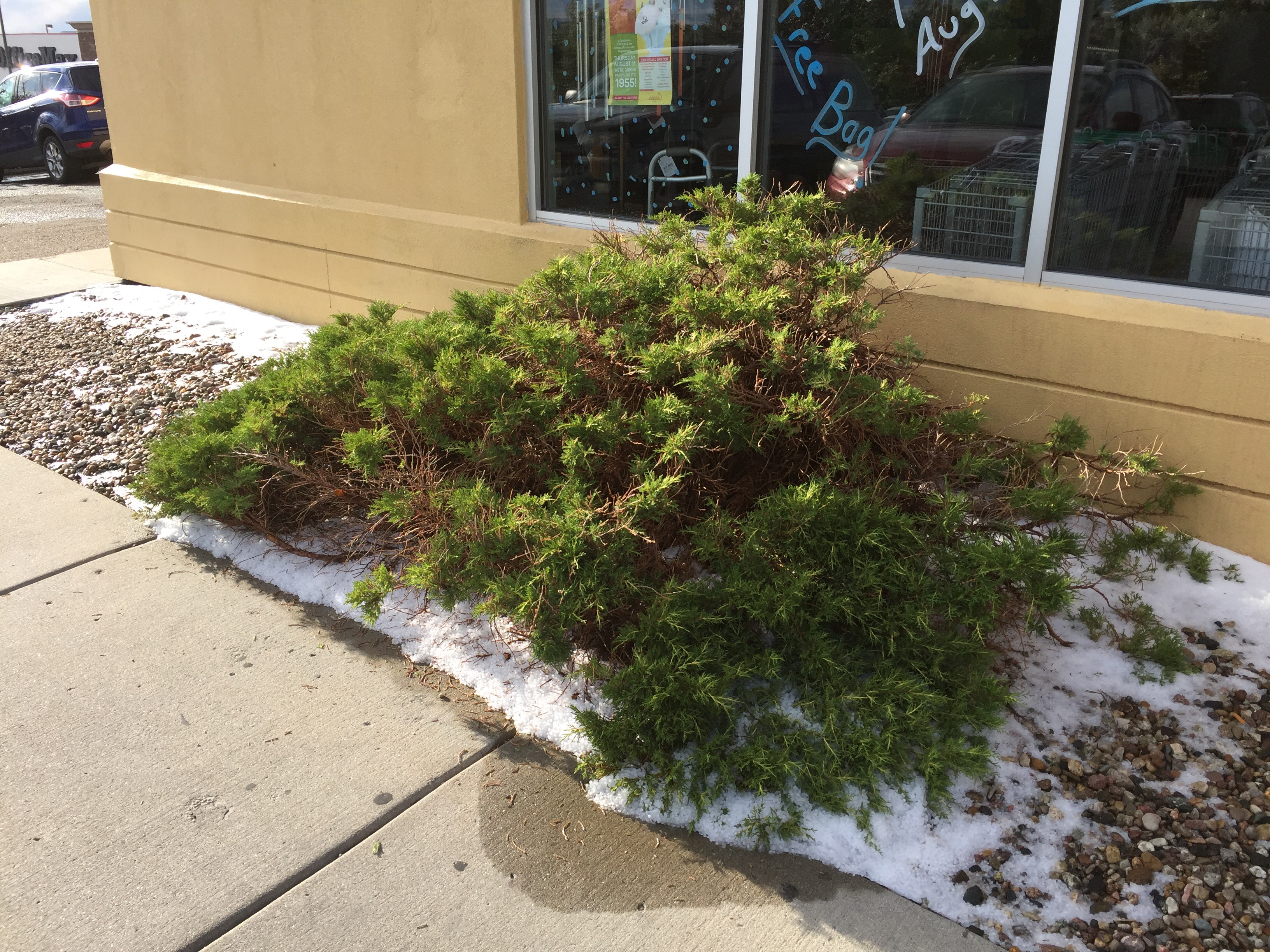
Steve then located me and I came back to the hotel to dry off.   The rain stopped eventually so we took a trip to the supermarket – part of the hotel carpark was flooded and when we parked outside the supermarket we discovered the hail was still lying on the ground.  We went from about 33 degrees on the golf course to 14 degrees within a few hours.  I’m sure it will be back to normal again tomorrow : )


The flooded carpark

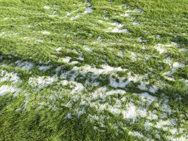
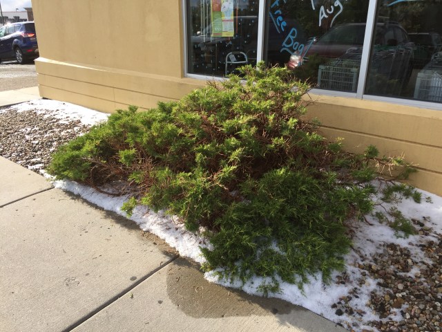
Hail still on the ground about an hour later

Three Crowns’ Remediation Done Just Right

By Steve Habel, Cybergolf

Wyoming is America’s least populated state, and the city of Casper, with 54,000 residents, is one of its benchmark towns. Casper was built on the back of the energy business – especially oil and natural gas, and the city’s past, present and future are directly linked to this vital industry.

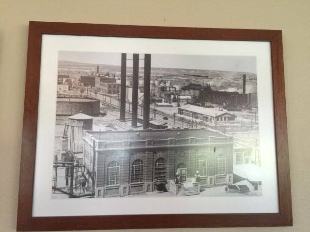
Given that fact, it’s appropriate that Casper’s newest and best golf course was built on the site of one of the region’s largest and longest-operating oil refineries. Smack dab in the middle of town, and directly adjacent to the North Platte River, lies Three Crowns Golf Club, an award-winning track and remediation project on the former Amoco Oil Refinery. 

Where once there were tanks and towers and heat exchangers and thousands of miles of pipe, there is now a gleaming and green, par-72, 7,065-yard Robert Trent Jones, Jr.-designed course. The layout has 110 acres of manicured turf and 45 acres of native grasses. Eight lakes – four of which help remediate water pollution – come into play on 14 holes, and 84 bunkers filled with white sand punctuate the golfscape while adding challenges galore. 

Three Crowns is named for BP Amoco’s old symbol – crowns of gold, white and red, which represent the three different grades of gasoline sold by the company. The golf course occupies land that still contains millions of gallons of refinery product scheduled for recovery over the next two decades.

The successful exploration and discovery of abundant oil reserves in Wyoming has been the driving force in the economy in the state for decades and led to the construction of the Midwest Oil Refinery in Casper in 1912. The facility is a significant part of the city’s history, but the condition of the property around the refinery and the runoff from it into the river was a health risk and a huge cause of concern for local residents. 

The 340-acre site pumped and refined 48,000 barrels of oil a day for eight decades before Amoco announced the refinery would be closed. On December 13, 1991 – as stories grew of basements on the site filled waist-deep with oil leeching from the ground – the last barrel of gasoline was refined and the site was shut down. It took eight years before the Wyoming Department of Environmental Quality signed a consent decree with the corporation to establish a framework for cleanup of the property. The site, now known as Platte River Commons, includes the golf course, a burgeoning business park, jogging trail and riverside parks. 

The department then went to work with the entire Casper community and identified an environmentally safe reuse of the land. It was quite an undertaking as over the years close to 300 million gallons of oil had spilled onto the site.

One of Jones, Jr.’s biggest challenges in designing Three Crowns was adjusting to the requirement that cuts could not be made deeper than six feet. In preparing the site, 3,000 miles of pipe and 400,000 cubic yards of concrete were removed, and contaminated soil was capped with 6 feet of clean dirt. Landowner BP Products North America, which had merged with Amoco, then installed a remediation system; an intricate arrangement of pumps, oil separators, monitoring and recovery wells and other technology is integrated across the course to treat and test all water, ensuring that it meets environmental standards before it is returned to the North Platte River. 

Using high-tech maps that identified places where the soil was uncontaminated at lower depths, Jones’ construction team dug lakes (which they lined with geotechnical fiber to keep out contamination) and used the excavated dirt to build mounds and other features around the course. 

The mounds separate the golf holes from each other, lend an isolated feel to the course and are covered in native grasses that turn wheat-colored in summer to beautifully set off the verdant fairways.

There are more than 100 recovery wells working at Three Crowns GC, many on the footprint of the golf course. They produce not only oil (about 30 barrels a day are still taken out of the ground), but water as well. Jones incorporated the water-remediation process into the design. 

And what a job the RTJ team did. Opened in 2005 with much fanfare, Three Crowns Golf Club is a jewel to play and a tough course for anyone. Rated at 73.3 and sloped at 133 from its back set of four tees, the track crosses the old rolling refinery site with a combination of long par-3s (all at least 200 yards), monster par-5s (three are 575 yards or longer) and a collection of mostly short par-4s (the longest of which is just 425 yards). 
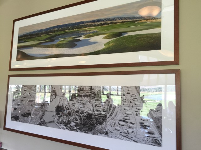
A before and after photo of the land. 

Posted in United States of America, Wyoming, USA | Leave a comment

Powder Horn Golf Club – Wyoming, USA

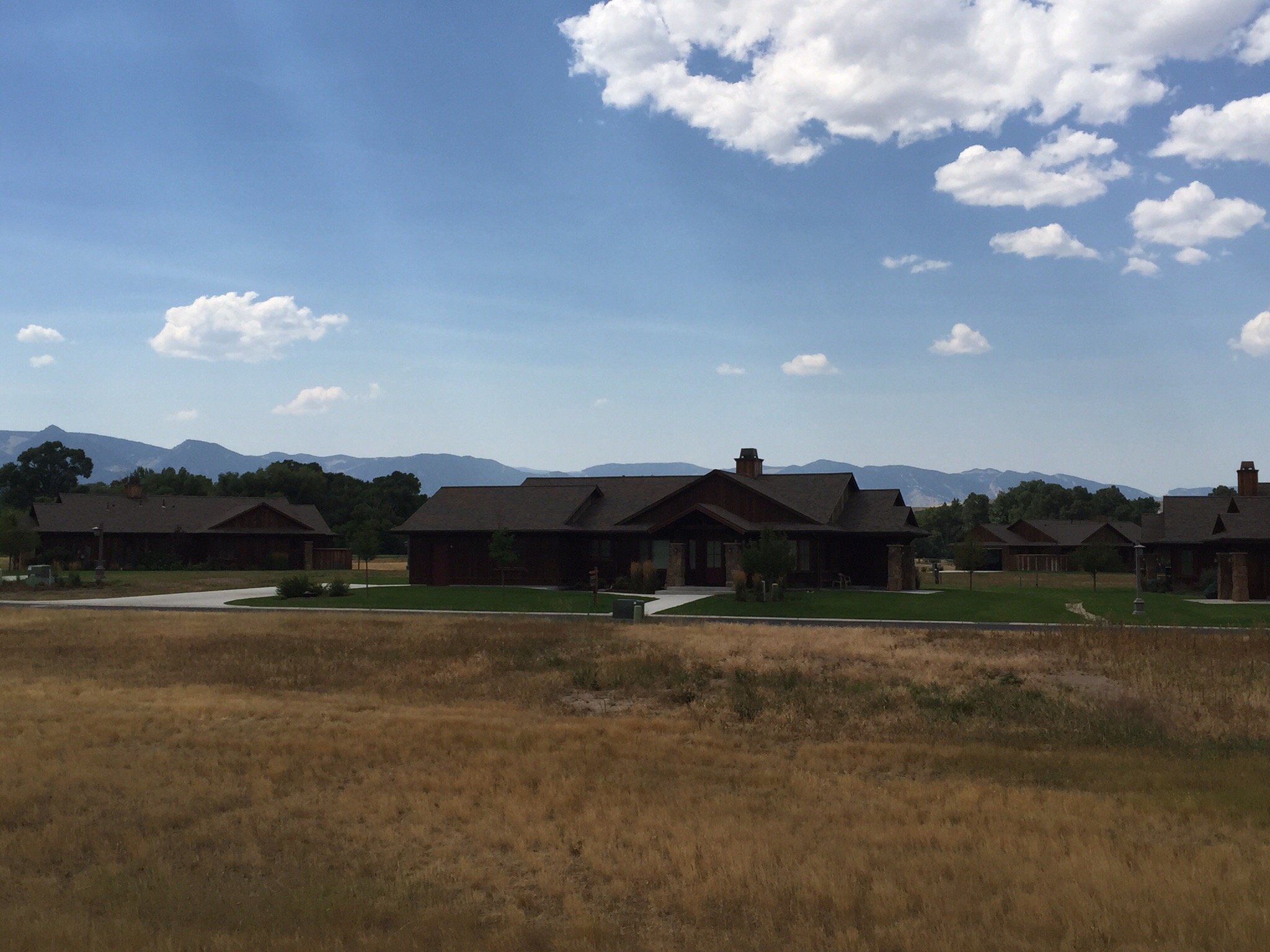
Our destination today was the Powder Horn Golf Club which is located just outside Sheridan in Wyoming.  We had booked a round of golf in the afternoon and were staying in one of the houses in the Powder Horn community.

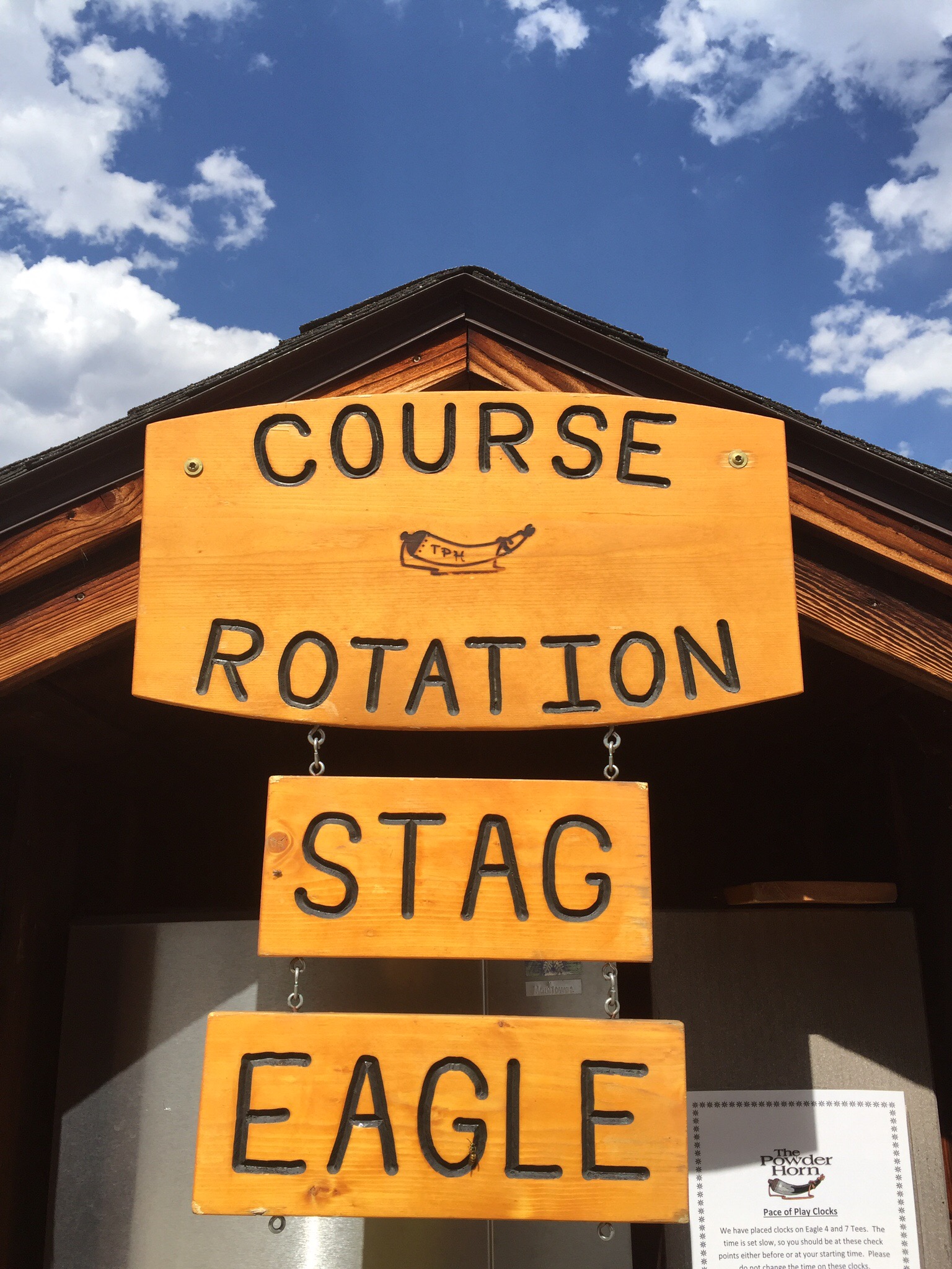
The centerpiece of The Powder Horn community is the nationally recognized 27-hole championship golf course. The original eighteen holes opened in 1997, followed by the addition of a new nine holes that opened in 2002.   There are three distinct nines – the Eagle nine, the Stag nine and the Mountain nine.  We played the Stag and Eagle nines.  

With a nod to the game’s mecca, St. Andrews, the Mountain Nine features a small replica of the famous Swilcan Burn Bridge, as well as large greens, 30 sizeable sand bunkers and the open rolling terrain of a Scottish links course. Woods and wetlands surround the Old Red Barn to create target golf with Old West flair on the Stag Nine. The Eagle Nine rounds out the course, offering surprising length and creative shots within a mix of meadow and creek-side terrain. 

The Powder Horn Golf Club is managed by Troon Privé, the world’s leader in private club management.

PS – A powder horn was a container for gunpowder, and was generally created from a cow, ox or buffalo horn. 

Our house for the night

This was a first – fried Brussel Sprouts accompanied by aioli, blue cheese and a balsamic reduction – quite tasty : )

Sheridan

Sheridan has a population of about 18,000.  The city was named after General Philip Sheridan, Union cavalry leader in the American Civil War.[7] Travel book information describe Sheridan as the scene of many fierce battles between US Cavalry and the Sioux, Cheyenne and Crow Indian tribes.

Like many towns in the western United States, Sheridan’s early industries included cattle ranching, logging, coal mining, railroading, agriculture, and small factories including a flour mill, brewery, and sugarbeet refinery. Residents today find employment in many fields including nearby coal mines; education; coal bed methane extraction; health care; retailing; banking; law firms; city, county, and state government; National Forest; home construction; and a large number of small businesses; farming; and ranching.

Posted in United States of America, Wyoming, USA | Leave a comment

Battle of the Little Bighorn – Montana, USA

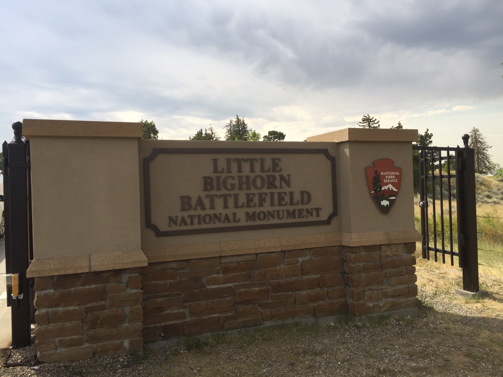
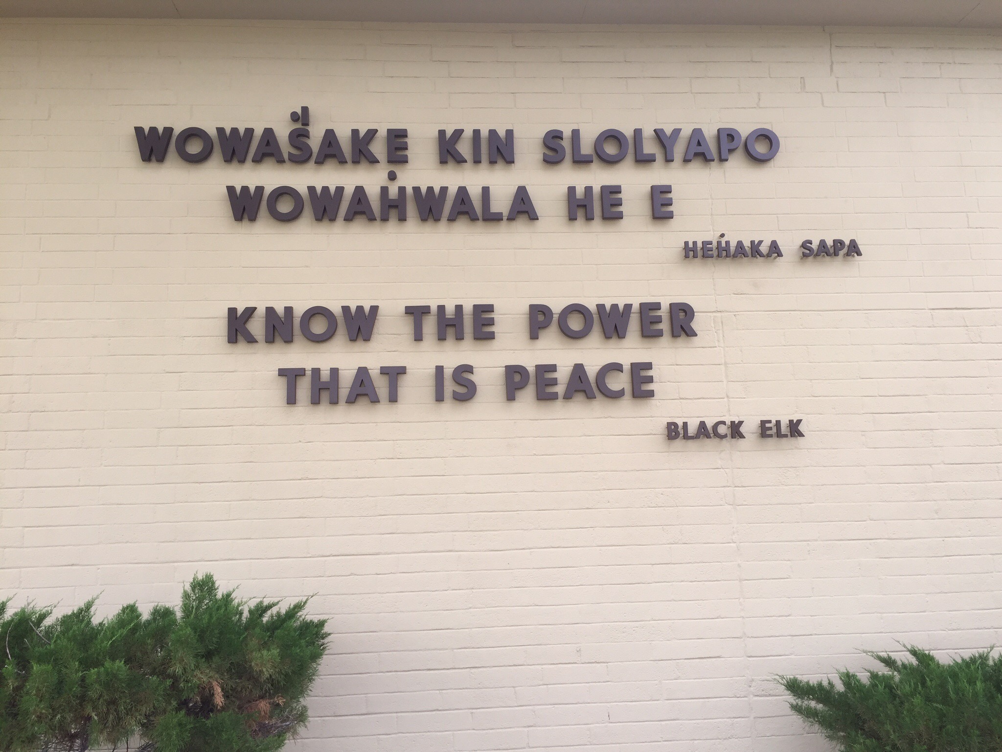
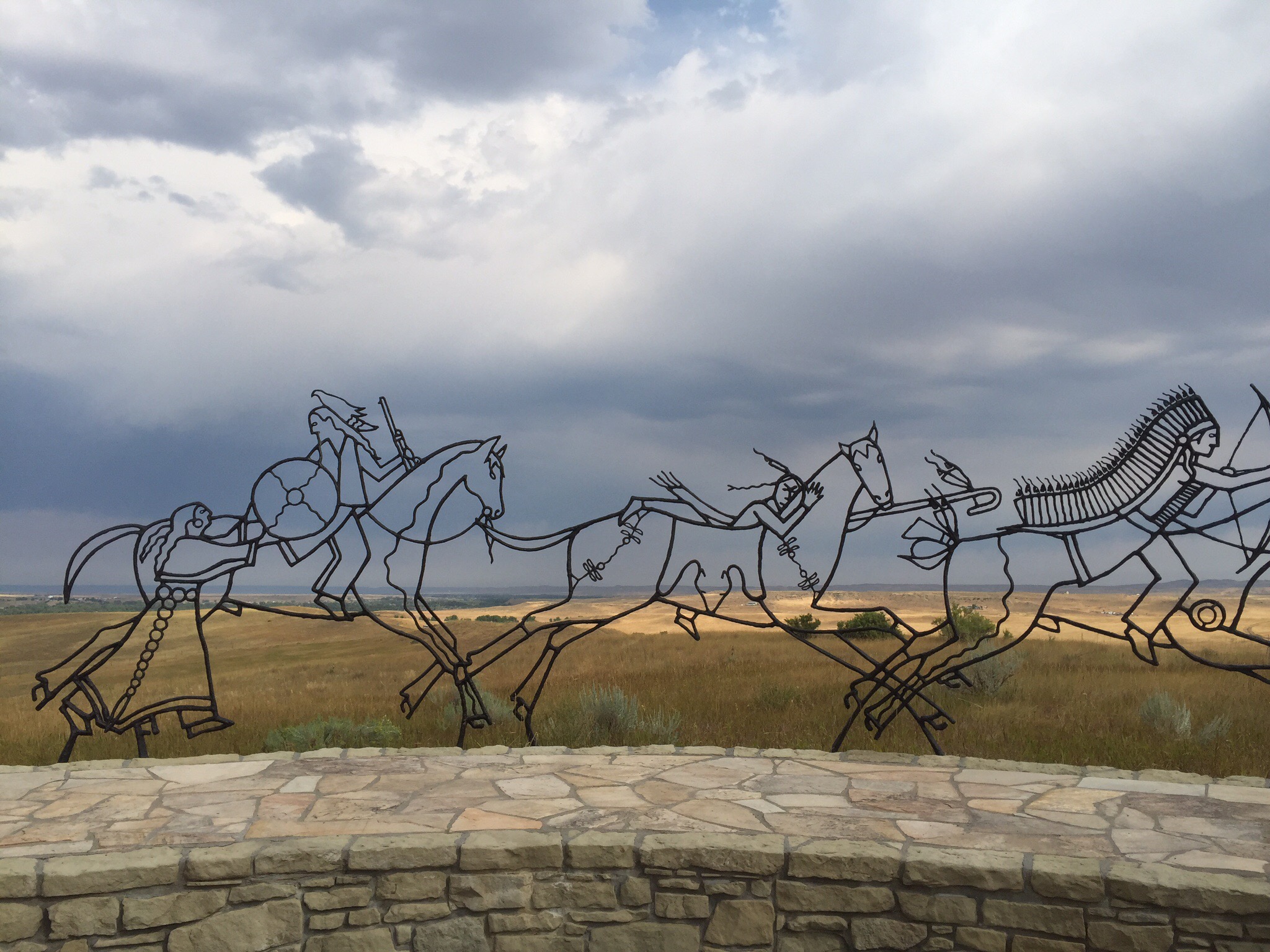
On our way from Billings to Sheridan we stopped off at the Little Bighorn Battlefield Monument.  The monument sits in the middle of a huge expanse of prairie land just up from the Little Bighorn River and you can imagine the battle in the day.  As well as the monument there is a Visitor Centre as well as a cemetery.  It was really interesting and the reasons for the battle are similar the world over with the indigenous people being forced to change their traditional habits by the white people.

In the words of Ta Sunke Witko – Crazy Horse “We did not ask you white men to come here.  The Great Spirit gave us this country as a home.  You had yours.  We did not interfere with you.  We do not want your civilisation!”

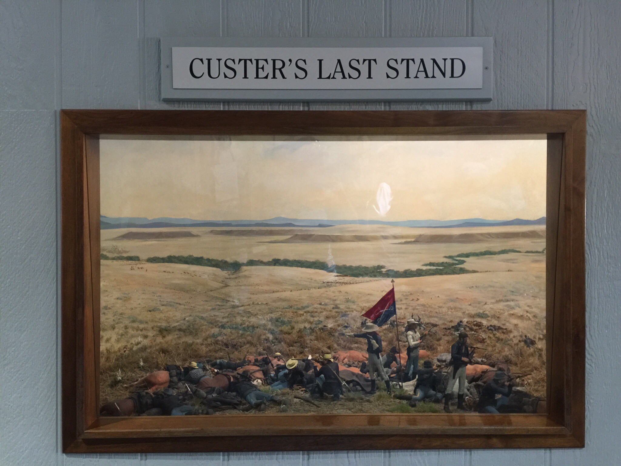
Th monument memorialises one of the last armed efforts of the Northern Plains Indians to preserve their ancestral way of life.  Here in the valley of the Little Bighorn River on two hot June days in 1876, more than 260 soldiers and attached personnel of the US Army met defeat and death at the hands of several thousand Lakota and Cheyenne warriors.  Among the deat were Lt. Col. George Armstrong Custer and every member of his immediate command.  Although the Indians won the battle, they subsequently lost the war against the military’s efforts to end their independent, nomadic way of life.
The Battle of the Little Bighorn was but the latest encounter in a centuries-long conflict that began with the arrival of the first Europeans in North America.  The contact between Indian and Euro-American cultures had continued relentlessly, sometimes around the campfire, sometimes at treaty grounds, but more often on the battlefield.  It reached its peak in the decade following the Civil War, when settlers resumed their vigorous westward movement.  These western emigrants, possessing little or no understanding of the Indian way of life, showed slight regard for the sanctity of hunting grounds, or the terms of former treaties.  The Indians’ resistance to those encroachments on their domain only served to intensify hostilities.

In 1868, believing it “cheaper to feed than to fight the Indians,” representatives of the US government signed a treaty at Fort Laramie, Wyoming with the Lakota, Cheyenne and other tribes of the Great Plains, by which a large area in eastern Wyoming was designated a permanent Indian reservation.  The government promised to protect the Indians “against the commission of all depredations by people of the United States.”

Peace, however, was not to last.  In 1874 gold was discovered in the Black Hills, the heart of the new Indian reservation.  News of the strike spread quickly, and soon thousands of eager gold seekers swarmed into the region in violation of the Fort Laramie treaty.  The army tried to keep them out, but to no avail.  Efforts to buy the Black Hills from the Indians, and thus avoid another confrontation, also proved unsuccessful.  In growing defiance, the Lakota and Cheyenne left the reservation and resumed raids on settlements and travellers along the fringes of Indian domain.  In December 1875, the commissioner of Indian Affairs ordered the tribes to return before January 31, 1876, or be treated as hostile so”by the military force.”  When the Indians did not comply, the army was called in to enforce the order.

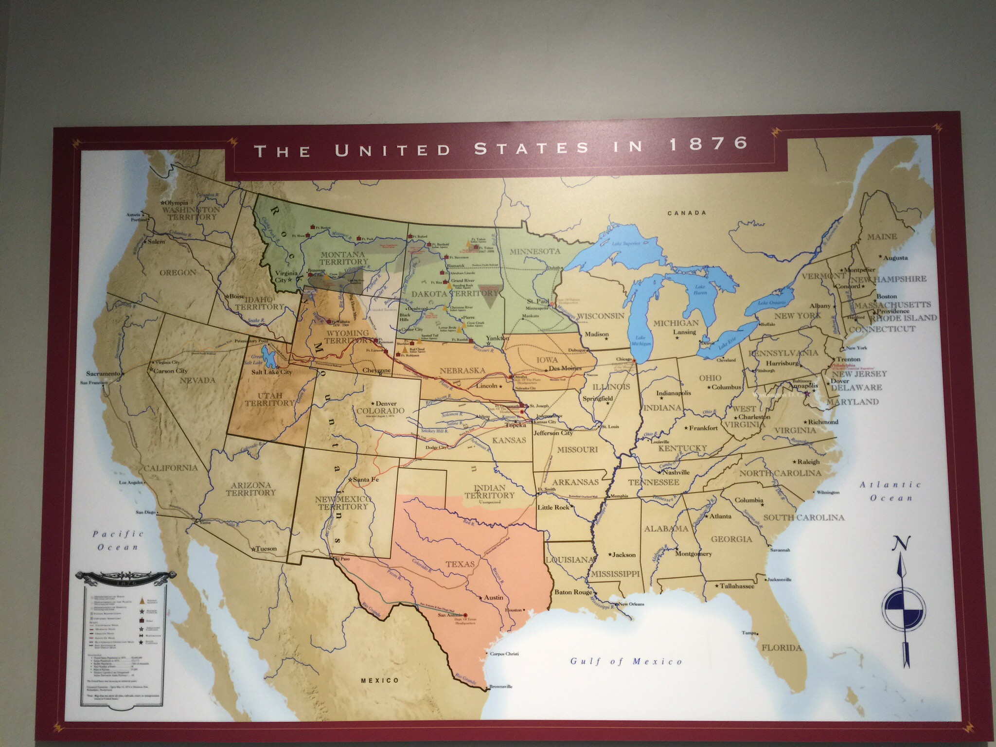
The army’s campaign against the Lakota and Cheyenne called for three separate expeditions – one under General George Crook from Fort Fetterman in Wyoming, another under Colonel John Gibbon from Fort Ellis in Montana and the third under General Alfred H. Terry from Fort Abraham Lincoln in Dakota.  These columns were to converge on the Indians concentrated in southeastern Montana under the leadership of Sitting Bull, Crazy Horse, and other war Chiefs.

Custer and his 7th Cavalry were under the command of General Terry and they were ordered to approach the Little Bighorn from the south.  The 7th Cavalry, numbering about 600 men, located the Indian camp at dawn on June 25.  Custer, probably underestimating the size and fighting power of the Lakota and Cheyenne forces, divided his regiment into three battalions.

Custer’s precise movements after he separated from the other two battalions have never been determined, but vivid accounts of the battle by Indians who participated in it tell how his command was surrounded and destroyed in fierce fighting.  In the battle the 7th Cavalry lost about 210 men.  The other two battalions lost 53 men with the Indians losing about 100.  The Indians removed most of their dead from the battlefield.  The tribes and families scattered, some going north, some going south.  Most of them returned to the reservation and surrendered in the next few years.

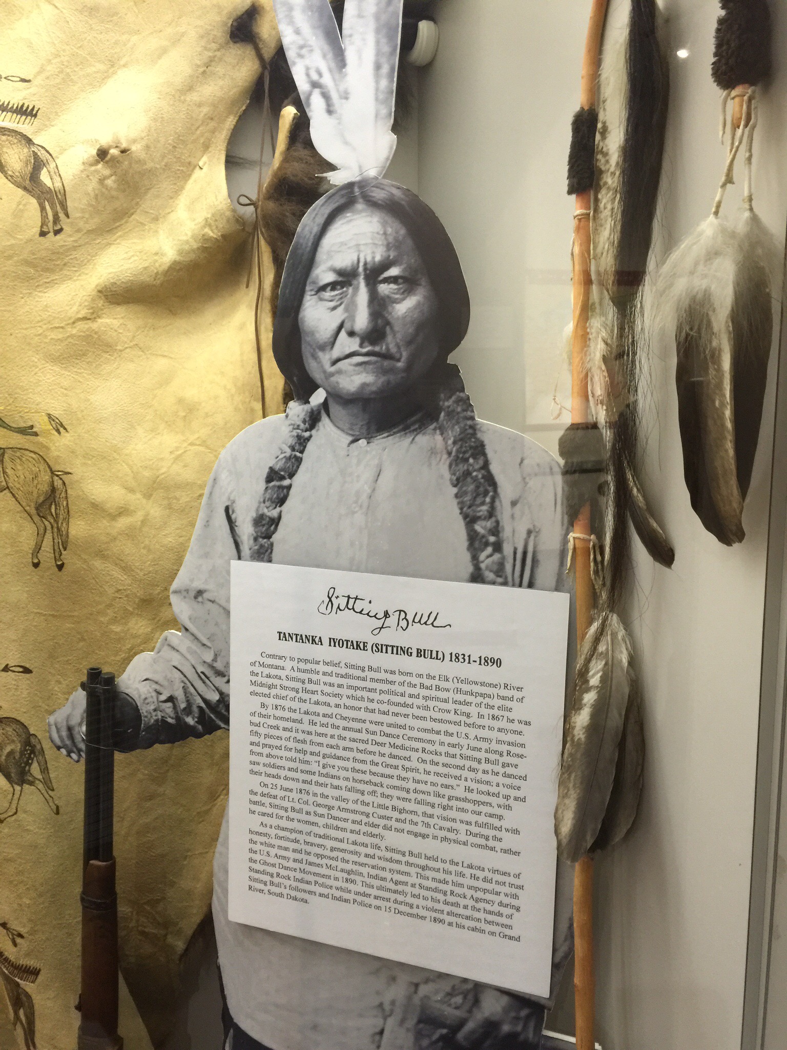
Tatanka-iyotanka – Sitting Bull 1831 – 1890

Sitting Bull was born between the years of 1831 and 1837, near the confluence of the Grand and Missouri Rivers in present day South Dakota.  During his youth he became an accomplished hunter and warrior.  He rose to prominence within his tribe as both a political and spiritual leader and became a champion of traditional Lakota culture.  He is often characterised as a spiritual leader whose wisdom and eloquence was able to transform people to act together in resisting the encroaching westward expansion.  During the winter and spring of 1876, open warfare broke out between the combined Lakota and Cheyenne and the Federal military forces.  Sitting Bull was a leading voice in combating the US Army’s invasion of what he saw as Lakota way of life.  The premiere battle of this struggle on the northern plains was the Battle of the Little Bighorn.  After Custer’s defeat, Sitting Bull, along with his people, fled north to Canada.  In 1881, he returned to the US to surrender. Sitting Bull was killed by Indian police on the Standing Rock reservation in South Dakota on December 15, 1890.


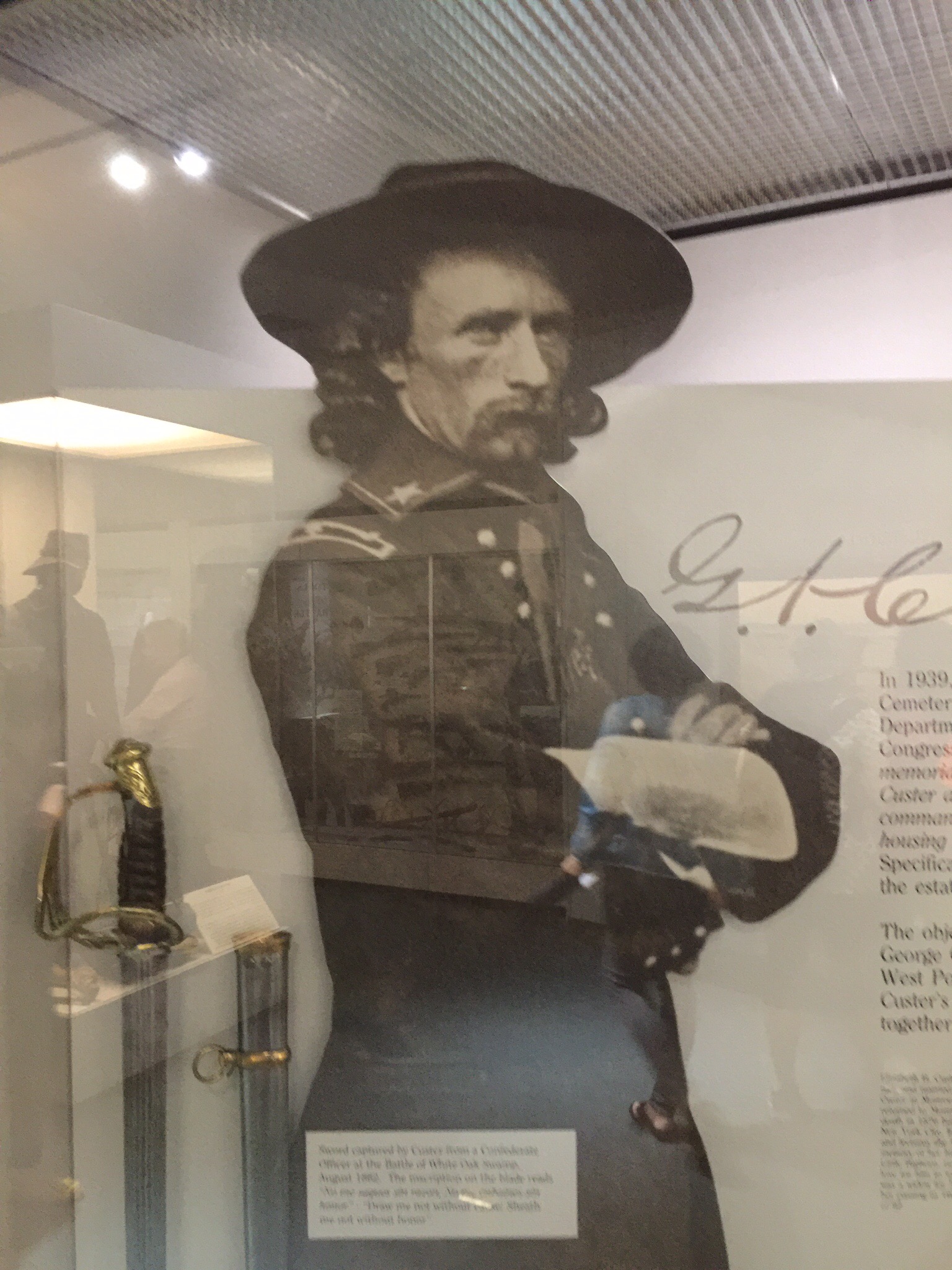
George Custer 1839 – 1876

George Armstrong Custer was born in New Rumley, Ohio on December 5, 1839.  After his early education he became a teacher but soon accepted an appointment as a cadet at the United States Military Academy.  He graduated from the Academy in JUne of 1861.  He chose the Cavalry as the Branch he wished to serve with.  Initially Custer was assigned staff duty with the Army of Potomac.  During the Civil War he steadily advanced in responsibility and rank.  In the majority of the battles he engaged in with Confederate forces he was victorious.  He escaped harm in battle having 11 horses hot from under him and incurring only one wound fro a Confederate artillery shell during the Battle of Culpepper Courthouse.  As a result he became known for his legendary “Custer Luck.”  During 1866 when the US &th Cavalry Regiment was created at Fort Kansas, Custer was promoted to Lt. Colonel of the regiment.  Custer and the 7th Cavalry were assigned to accompany General Terry and the Dakota column in the summer campaign of 1876.  In compliance with General Terry’s strategy and orders, he and 262 men met their death at the Battle of the Little Bighorn, June 25, 1876.


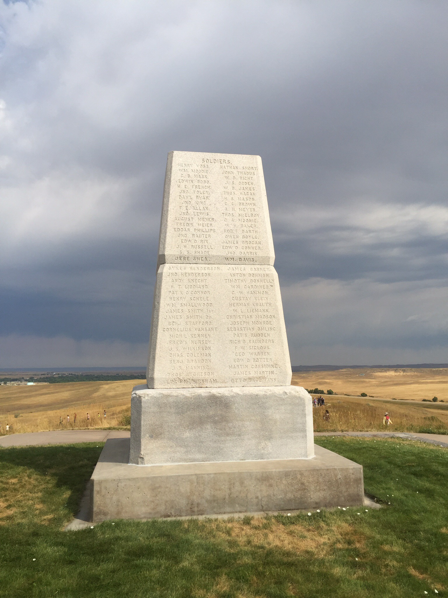
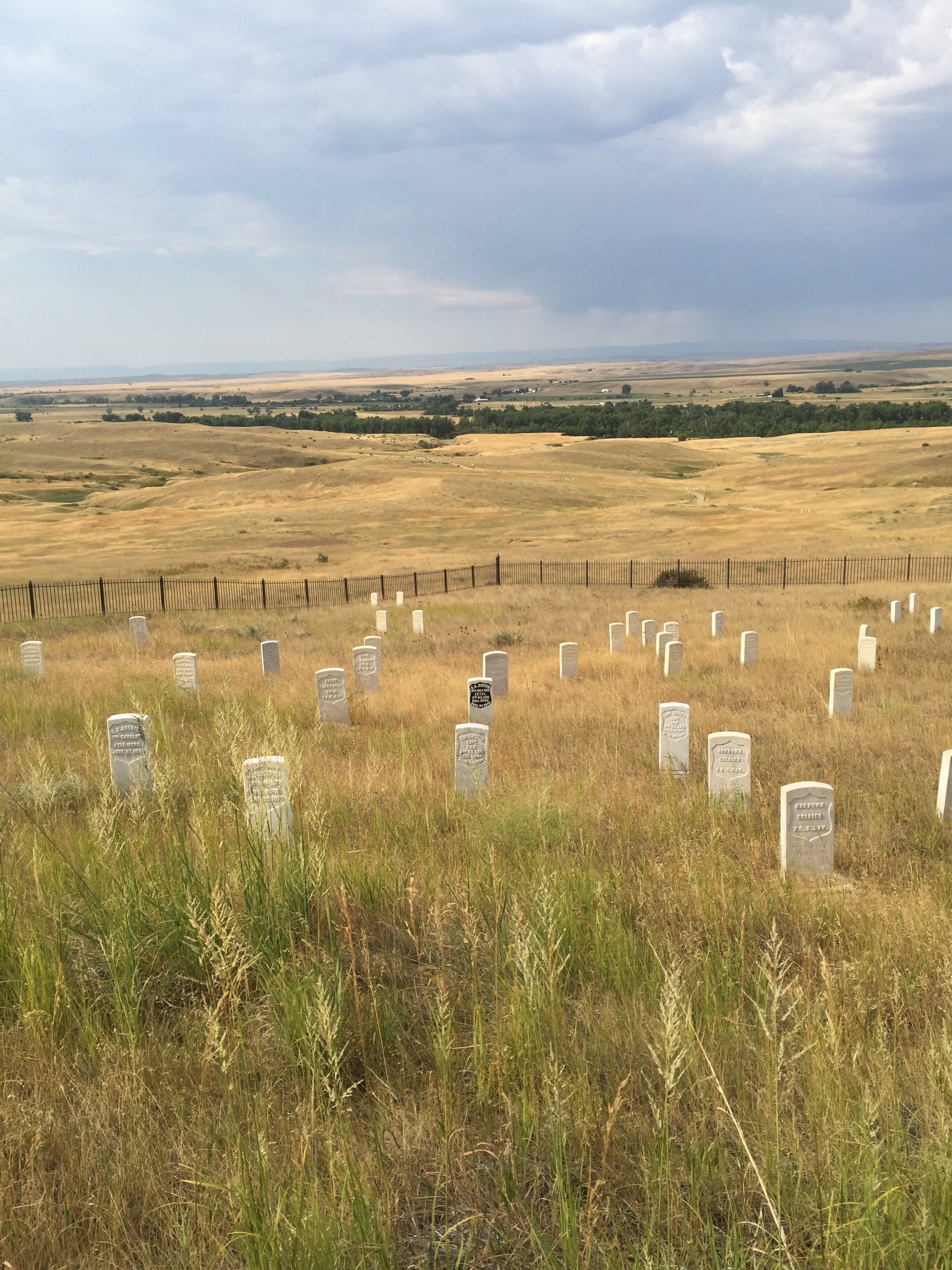
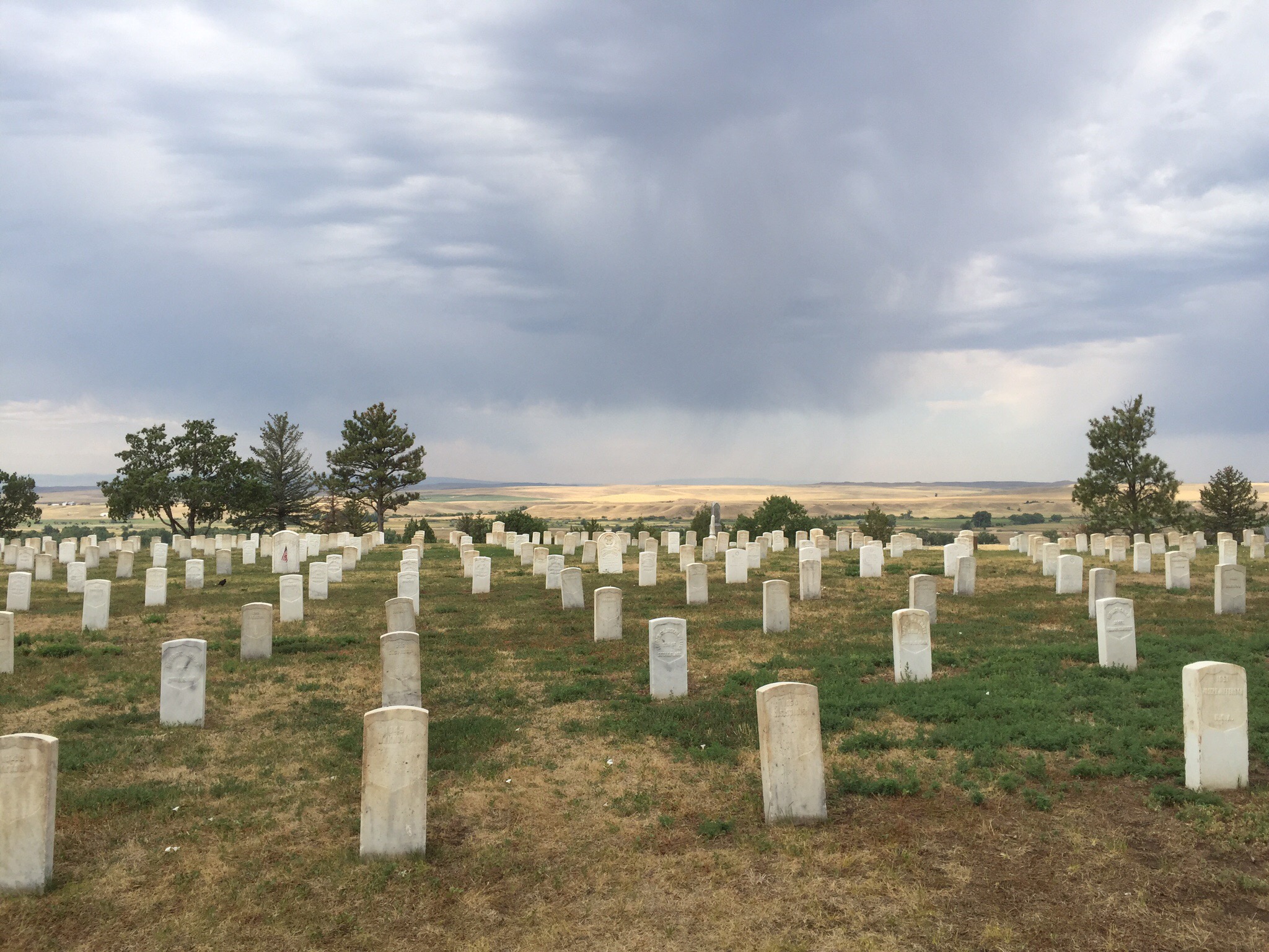
The remains of about 220 soldiers, scouts, and civilians are buried around the base of this memorial.  The white marble headstones scattered over the battlefield denote where the slain troopers were found and originally buried.  In 1881 they were reinterred in a single grave on this site.  The officers remains were removed in 1877 to various cemeteries throughout the country.  General Custer was buried at West Point Cemetery in New York.

The marble headstone with the black emblem on it is where General Custer was slain.

Custer National Cemetery, like Arlington National Cemetery, provides a final resting place for many generations of those who faithfully served in the United States Armed Forces.  Here, Americans of many races and beliefs rest side by side.


Posted in Montana, USA, United States of America | Leave a comment

Billings – Montana, USA

We have spent the last three days in Billings playing golf, shopping and a little bit of sight seeing.  There is no Sales Tax (GST) in Montana so a little bit of retail therapy was had : 0

When the Northern Pacific Railroad set its sights on southeastern Montana in the late 1870’s, the small town of Coulson saw opportunity.  It’s residents raised land prices significantly and Northern Pacific chose to establish it’s own town rather than pay the outrageous prices.  Thus, in March 1882, the “Magic City” was born.  Seemingly overnight, like magic, Billings was established and became one of the most vibrant towns in the west.

Billings sits at 3,567 feet above sea level and has a population of 104,000 with over 140,000 in the entire Yellowtsone County.  Billings is the State of Montana’s largest city.  The average temperature in January is zero degrees while the average temperature in July is 30 degrees Celcius.

One of Billings’ most significant industries is oil refining with three plants surrounding the city.  These three refineries produce about 180,000 barrels of oil a day from oil operations in Montana, Wyoming and primarily Canada.  That oil is then distributed to nine western states.

Agriculture is Montana’s number one industry, hence it plays a vital role in Billings economy.  A diverse climate and fertile soil help Montana farmers and ranchers produce a wide variety of high quality food products.  While wheat and beef are the two largest commodities, many other products contribute to the state’s agriculture, including corn, barley, sugar beets and cattle.

Sugar beets are second only to sugar cane as a source for sugar.  This is one of Billings most lucrative industries, the sugar beet thrives here.  Farmers all over the region grow the crop and sell it to the Western Sugar Cooperative Plant – one of the nation’s largest sugar cooperatives with a local processing plant processing a multi-million dollar crop of sugar beets each year.

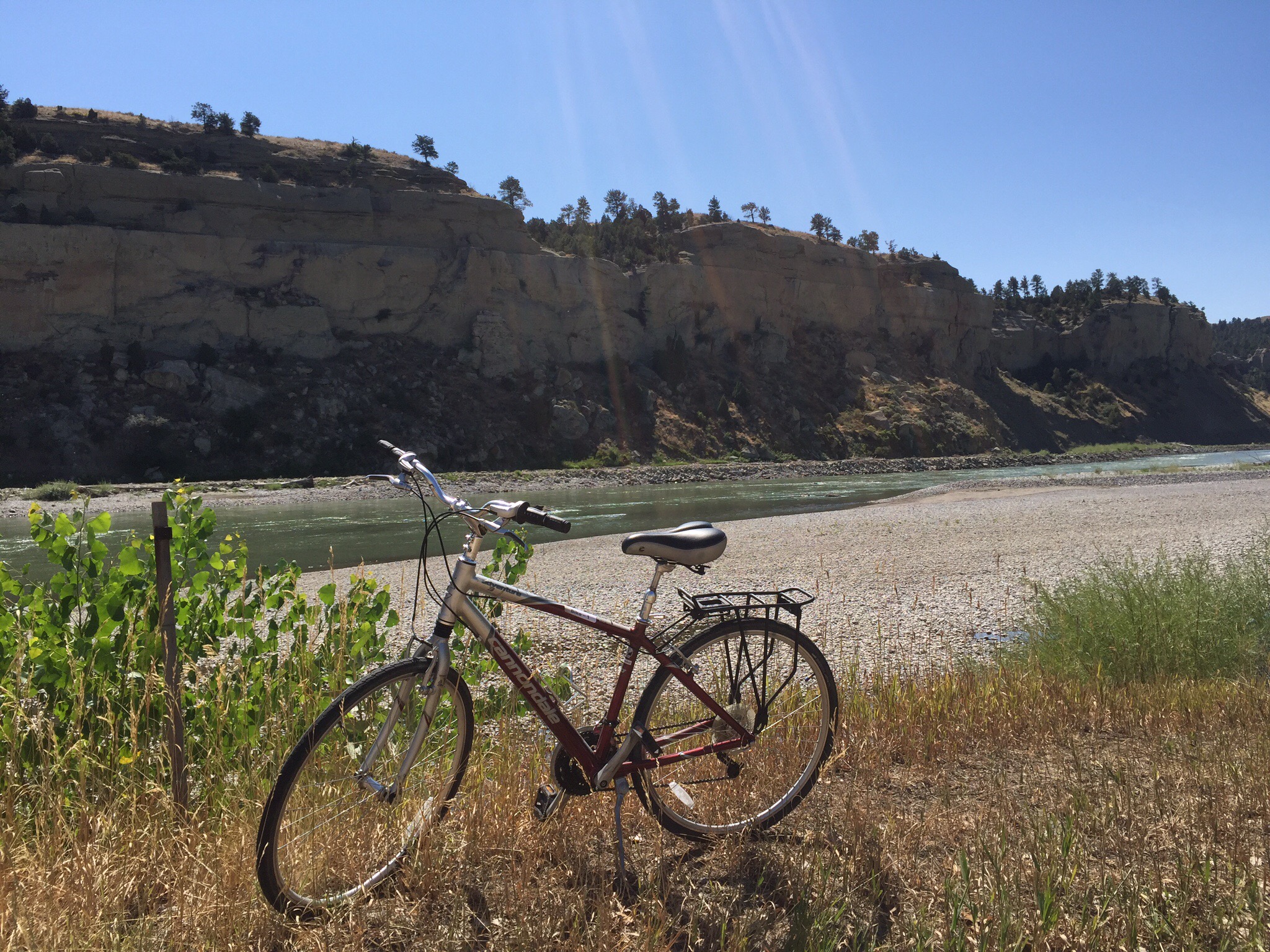
We didn’t get a lot of time to do much sightseeing here but I did borrow a bike and go for a ride along the Yellowstone River.  The Visitor Information Centre has bikes you can borrow for free – you just need to leave your credit card number as security.  

The Yellowstone River is a tributary of the Missouri River, approximately 692 miles (1,114 km) long, in the western United States. Considered the principal tributary of the upper Missouri, the river and its tributaries drain a wide area stretching from the Rocky Mountains in the vicinity of the Yellowstone National Park across the mountains and high plains of southern Montana and northern Wyoming.  In Montana the river has been used extensively for irrigation since the 1860s. In its upper reaches, within Yellowstone Park and the mountains of Montana, it is a popular destination for fly fishing. 

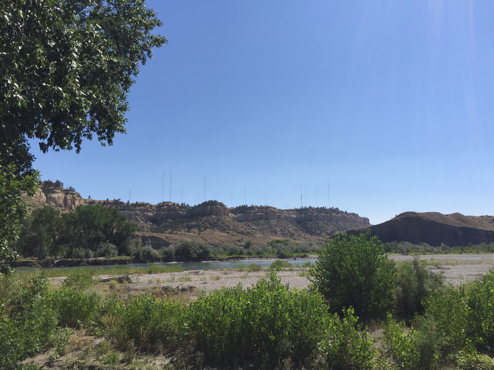
It was really hot but the breeze I generated as I whizzed along kept me cooler.  I spotted the Rimrocks, known as the “Rims” by the locals which are geological rimrock sandstone formations that outcrop in sections of Billings.

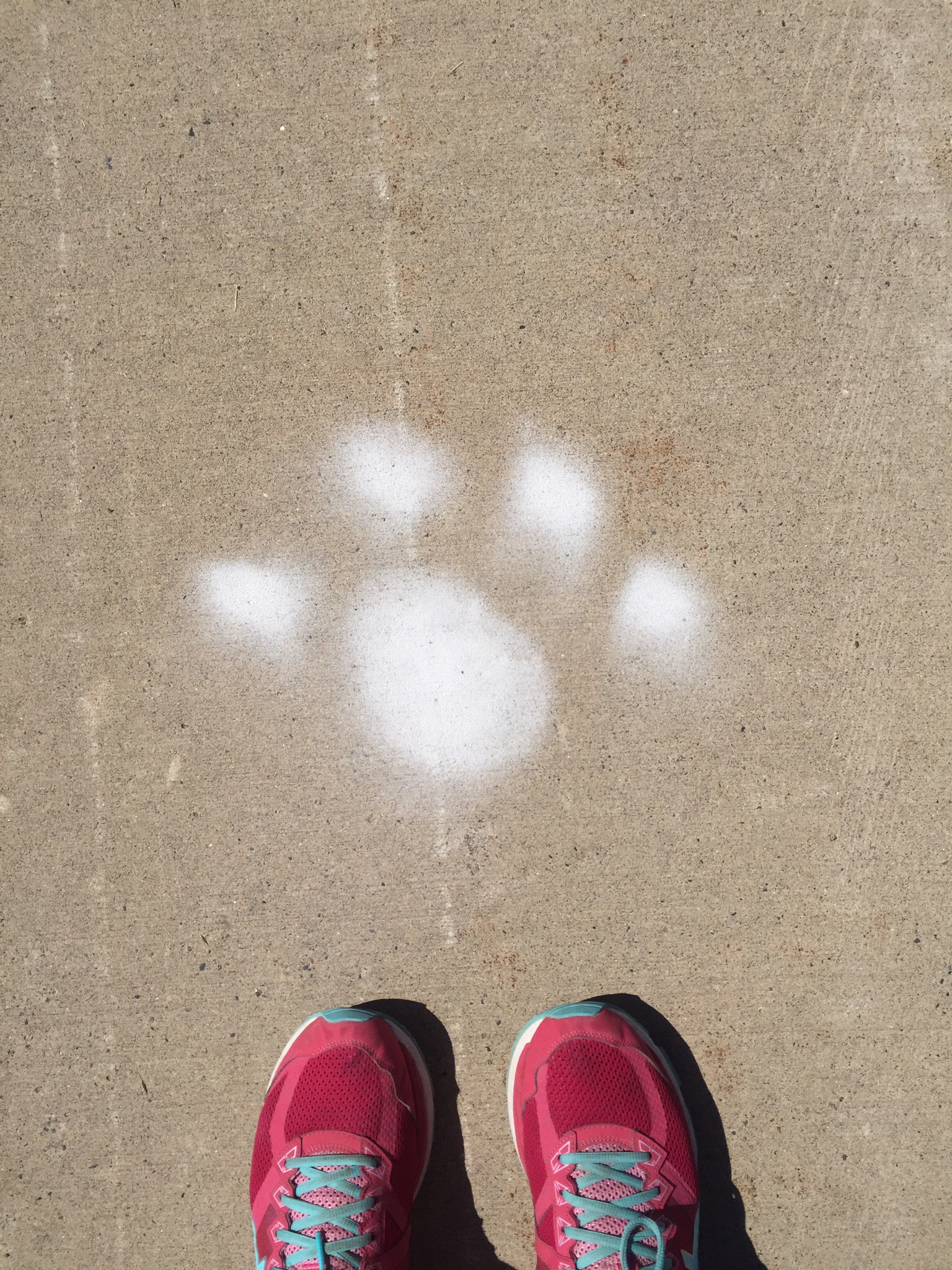
I also spotted these little white paws spray painted on one side of the bike path and a large paw spray painted on the other side – it certainly made me be aware of my surroundings.  The bike paths were actually concrete with a yellow line down the middle – I made sure I applied the left hand drive rules : )


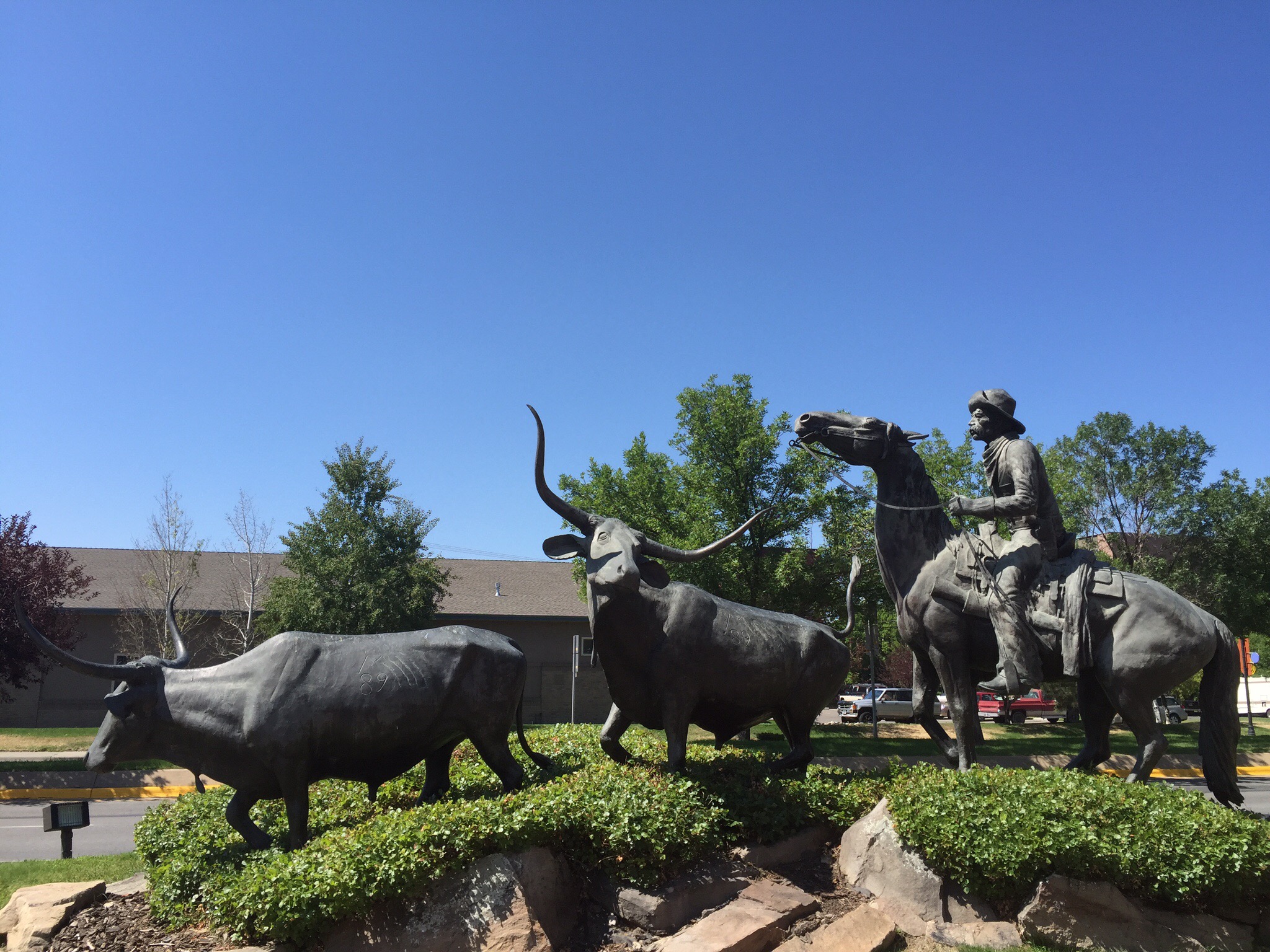
The Great Montana Centennial Cattle Drive Monument 1889 to 1989

The Montana Centennial Cattle Drive Bronze is dedicated to every child who dreamed of being a cowboy… Every cowboy who dreamed of clear water and rolling prairies… Every traveller who gazed at Montana’s mountains and knew they were home… And all the Montanans who hold the dream of our precious heritage in their hearts.

Posted in Montana, USA, United States of America | 1 Comment

Eagle Rock Golf Club – Montana, USA

We found this little course on the Internet just outside Billings that we thought looked pretty good and if you played after 3pm it was only USD25 each including a cart.  Our first round was on Sunday afternoon and although the weather was warm the black clouds were rolling in.  We had been treated to a massive lightening and thunderstorm on the Saturday night so we knew how wet we could get if the heavens opened up.  SUNGRL being the external optimist believed we would be fine.  We got a few spits on the second hole and the wind got up but that was the extent of it.  Montana is getting with the SUNGRL’s mantra – it never rains in my world : )

We got chatting to the guys in the Pro Shop and they were quite interested in NZ.  I went off to the toilet and when I came back Steve was behind the counter – what the…  He was busy showing them Cape Kidnappers on their computer and giving them his email address for when they come to visit.

It is a nice little course and we managed to play 18 holes in two hours and forty minutes.  Steve went back to the Pro Shop afterwards to buy some golf balls and they gave him the staff discount rate : )

We went back out there this afternoon for the same deal.  It was a typical Montana Big Sky Day – blue skies with not a cloud in sight.  The course looked even better in the sunshine.  We played the 18 holes in about three hours today.

History of the Course

As Matt Martinson grew up on this piece of property in Montana, he dreamt of building a home here. But instead, he and his family built something that the community of Billings can enjoy.

From the beginning, the vision was to design a high end daily fee course with a residential community. Matt and his father, Vernon, began building the course many years before it opened. Eaglerock opened to the public in 2003. It is located just 15 minutes from downtown Billings. The 18-hole facility has a fun, challenging layout with scenic views and beautiful sunsets over the lake. The family has a passion for the game of golf and have enjoyed the journey of bringing something to their community that will last for generations to come.

Eaglerock is a labor of love, started by a father and son. Hard work and a commitment to the family vision made it a dream come true.


The Rattler strikes again – he tapped in for a birdie : )

My second shot landed on the path so I did a Phil Mickleson and played it where it lay – I made a bogey but was pretty happy with my path efforts : )

Cart with a view and natural air conditioning – the cart had no windscreen which turned out to be ideal given it was about 33 degrees!

Posted in Montana, USA, United States of America | Leave a comment

Old Works Golf Club – Montana, USA

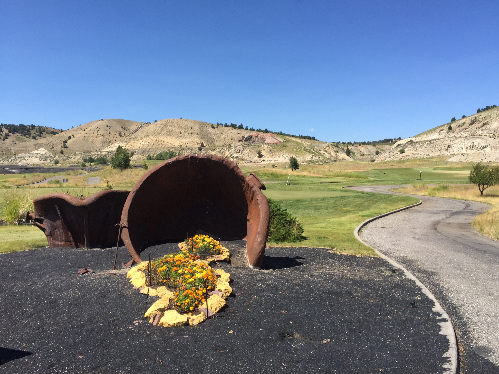
We travelled thirty minutes from Butte to Anaconda to play the Old Works Golf Course which is a Jack Nicklaus Signature design.  Like a Phoenix rising from the ashes, the Old Works Golf Course has been reborn on the site of Anaconda’s historic century old copper smelter.  Jack Nicklaus incorporated many historic relics in his Signature design.  

It is a really nice course with interesting surrounds due to it’s mining history.  During the initial design phase, Jack Nicklaus believed slag would add a historical aspect and wondered if the slag would be a viable alternative for bunker sand.  After doing some field testing they confirmed that slag was an inert material that posed no risk so the bunkers are filled with black slag.  The slag is a by-product of the copper smelting process.  The practice facilities at the course are also great.    Due to my many experiences in the bunkers I can also tell you that hitting out of the slag was better than hitting out of conventional sand : )
History of the Land

In 1883, an Irish immigrant, Marcus Daly backed by J.B. Haggin and others purchased the land on which the city of Anaconda and the Old Works were to be built. In September 1884 the Upper Works began production, with a capacity to treat 500 tons of ore daily.  Remnants of the Upper Works can be seen today when playing the front nine at Old Works.

In 1886, installing updated equipment increased capacity to 1,000 tons per day.

The need for more smelting capacity from the Butte mine’s resulted in construction beginning on the Lower Works in 1887, one mile east of the Upper Works. Shortly after completion, the Lower Works were destroyed by fire. The rebuilt Lower Works were operational by 1889 with a capacity to process 3,000 tons of ore daily. To keep up with the ore supply, a third smelter was planned across the valley. Marcus Daly never saw these Reduction Works in operation; he died in New York in 1900.

The new more modern Washoe Smelter had the capacity to process all of the ore from the Butte mines, resulting in the dismantling and closure of the Old Works. The location lay idle until 1983 when it became a super fund cleanup site. In 1989, Anaconda citizen’s formed a group to promote the construction of a “world class” golf course on the site. Through hard work and cooperation, between the community, ARCO, State and Federal Agencies along with golf legend Jack Nicklaus, ground was broken on May 26, 1994.


Posted in Montana, USA, United States of America | Leave a comment

Our Lady of the Rockies – Montana, USA

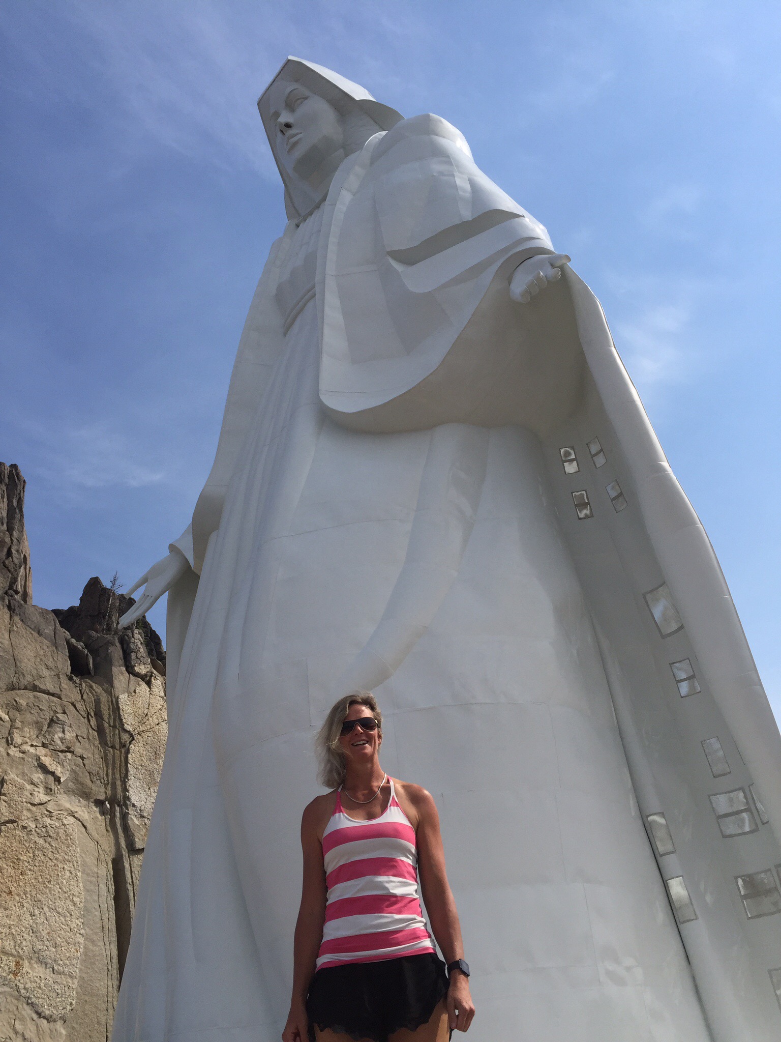
On Friday I joined a tour to go and visit Our Lady of the Rockies.  There were 9 of us on the tour including three children.  Our guide Rhonda was really good and told us a lot about both the statue and the area.  Butte sits at about 5,400 feet above sea level and Our Lady is at 8,510 feet so we had a bit of a climb in the van to get there.  Prior to the tour we watched a video about how Our Lady came to be.  It was very interesting and the passion of the people involved was quite phenomenal.  The statue was made in 4 sections and Butte literally came to a standstill when the final piece of the statue was helicoptered up and put into place, as you can see the statue from the town below.  The statue sits on top of the Continental Divide that separates the Pacific from the Atlantic – we crossed the Continental Divide six times before reaching the top.

The statue was first imagined by local resident Bob O’Bill. In 1979, his wife was seriously ill with cancer. He promised the Blessed Virgin Mary that he would make a 5-foot statue of her in his yard if his wife recovered.  When she recovered he began the project with his fellow workers who gradually changed the initial vision to a 90-foot-high mountain top statue. Many people in Butte donated materials and time to make the statue a reality. The design for the statue was engineered by Laurien Eugene Riehl. He was a retired engineer for the Anaconda Company who donated his engineering skills to the project. The statue had to withstand the powerful windsheers that buffet the ridge tops. Joe Roberts donated his lot and buildings for the construction of the statue. The statue was airlifted from Roberts Rocky Mountain Equipment to its present site on the Continental Divide.

Work on the project began in December 29, 1979. Volunteers spent many summer evenings blasting a road to the top of the Rockies, sometimes making only 10 feet of progress a day. The base of the statue was poured in September 1985 with 400 tons of concrete. The concrete was provided by Pioneer Concrete Company, a longtime family business in Butte, Montana. On December 17, 1985, a CH-54 Tarhe from the Army National Guard’s 137th Aviation Company lifted the statue in four sections into place.

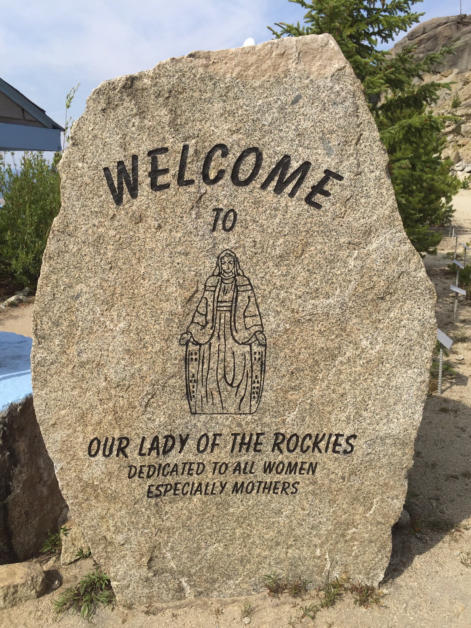
Our lady of the Rockies is entirely nondenominational, and was dedicated by workers to woman everywhere, especially to mothers. 

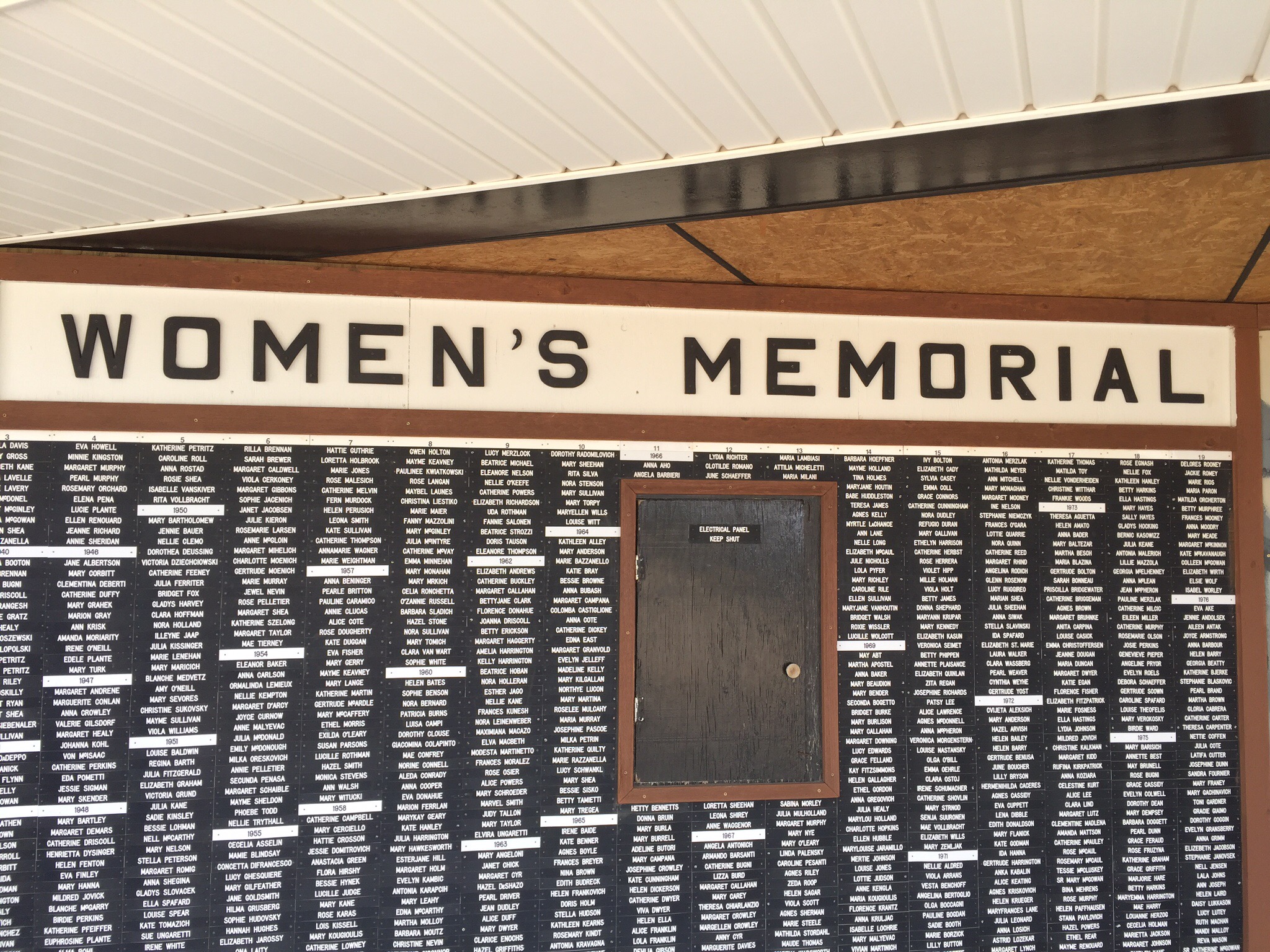
A chapel was built on the site some years later with the base being in the shape of a star.  On the walls of the base they have a Womens Memorial Board where thousands of women’s names are listed under the year they died.  These names include Princess Diana and Mother Theresa.

You also got a really good view up there over the town and the various mountain ranges that surround the town.  You can see the active mine below and the lake of extremely toxic water as a result of the mining industry that has dominated this town for many years.

The pit of greenish poison a mile is a half a mile wide and over a third of a mile deep. It hasn’t always been so – it was once a thriving copper mine appropriately dubbed “The Richest Hill in the World.” Over a billion tons of copper ore, silver, gold, and other metals were extracted from the rock of southwestern Montana, making the mining town of Butte one of the richest communities in the country, as well as feeding America’s industrial might for nearly a hundred years. By the middle of the twentieth century, the Anaconda Mining Company was in charge of virtually all the mining operations. When running underground mines became too costly in the 1950’s, Anaconda switched to the drastic but effective methods of “mountaintop removal” and open pit mining. Huge amounts of copper were needed to satisfy the growing demand for radios, televisions, telephones, automobiles, computers, and all the other equipment of America’s post-war boom. As more and more rock was excavated, groundwater began to seep into the pit, and pumps had to be installed to keep it from slowly flooding.

By 1983, the hill was so exhausted that the Anaconda Mining Company was no longer able to extract minerals in profitable amounts. They packed up all the equipment that they could move, shut down the water pumps, and moved on to more lucrative scraps of Earth. Without the pumps, rain and groundwater gradually began to collect in the pit, leaching out the metals and minerals in the surrounding rock. The water became as acidic as lemon juice, creating a toxic brew of heavy metal poisons including arsenic, lead, and zinc. No fish live there, and no plants line the shores. There aren’t even any insects buzzing about. The Berkeley Pit had become one of the deadliest places on earth, too toxic even for microorganisms. 

They are working to clean the site up.  The most recent development in the clean-up was the construction of a treatment plant on Horseshoe Bend. This facility treats and diverts water coming from the Horseshoe Bend flow. In addition, it will be able to treat the existing Berkeley Pit water in 2018, or whenever the water level hits the critical point of 5,410 feet (1,650 m) above sea level. This number was set by federal order and is intended to protect the ground water from being contaminated by the water in the pit.
The Berkeley Pit is a Superfund site – Superfund or Comprehensive Environmental Response, Compensation, and Liability Act of 1980 (CERCLA) is a United States federal law designed to clean up sites contaminated with hazardous substances and pollutants.

Posted in Montana, USA, United States of America | Leave a comment

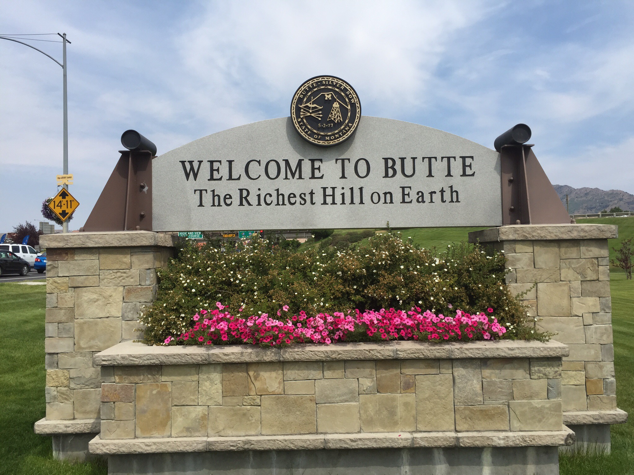
Butte – The Richest Hill on Earth – Montana, USA

We arrived into Butte on Wednesday for three nights.  We had been told that Butte was a nice town with a lot of history and it was also relatively close to a Jack Nicklaus golf course Steve had found on the web and wanted to play.

Butte is a city in, and the county seat of, Silver Bow County I the state of Montana.  As of the 2010 census, Butte’s population was approximately 34,200. Butte is Montana’s fifth largest city.

In the 19th and 20th centuries, Butte experienced every stage of development of a mining town, from camp to boomtown to mature city to center for historic preservation and environmental cleanup. Unlike most such towns, Butte’s urban landscape includes mining operations set within residential areas, making the environmental consequences of the extraction economy all the more apparent. 

Butte was one of the largest cities in the Rocky Mountains in the late 1800s and early 1900s. Silver Bow County (Butte and suburbs) had 24,000 people in 1890, and peaked at 100,000 in 1920. The population steadily declined with falling copper prices after World War I, eventually dropping to 34,000 in 1990 and has since been reasonably stable.  In its heyday from the late 19th century to circa 1920, it was one of the largest and most notorious copper boomtowns in the American West, home to hundreds of saloons and a famous red-light district. 

Butte began as a mining town in the late 19th century in the Silver Bow Creek Valley (or Summit Valley), a natural bowl sitting high in the Rockies straddling the Continental Divide. At first only gold and silver were mined in the area, but the advent of electricity caused a soaring demand for copper, which was abundant in the area. The small town was often called “the Richest Hill on Earth”.

Since the 1950s, five major developments have occurred: the Anaconda’s decision to begin open-pit mining in the mid-1950s; a series of fires in Butte’s business district in the 1970s; a debate over whether to relocate the city’s historic business district; a new civic leadership; and the end of copper mining in 1983. In response, Butte looked for ways to diversify the economy and provide employment. The legacy of over a century of environmental degradation has, for example, produced some jobs. Environmental cleanup in Butte, designated a Superfund site, has employed hundreds of people.

Around 20 of the headframes still stand over the mine shafts, and the city still contains thousands of historic commercial and residential buildings from the boom times, which, especially in the Uptown section, give it a very old-fashioned appearance, with many commercial buildings not fully occupied. 

A century after the era of intensive mining and smelting, the area around the city remains an environmental issue. Arsenic and heavy metals such as lead are found in high concentrations in some spots affected by old mining, and for a period of time in the 1990s the tap water was unsafe to drink due to poor filtration and decades-old wooden supply pipes. Efforts to improve the water supply have taken place in the past few years, with millions of dollars being invested to upgrade water lines and repair infrastructure. Environmental research and clean-up efforts have contributed to the diversification of the local economy, and signs of vitality remain, including a multimillion-dollar polysilicon manufacturing plant locating nearby in the 1990s and the city’s recognition and designation in the late 1990s as an All-American City and also as one of the National Trust for Historic Preservation’s Dozen Distinctive Destinations in 2002. In 2004, Butte received another economic boost as well as international recognition as the location for the Hollywood film Don’t Come Knocking, directed by renowned director Wim Wenders and released throughout the world in 2006.

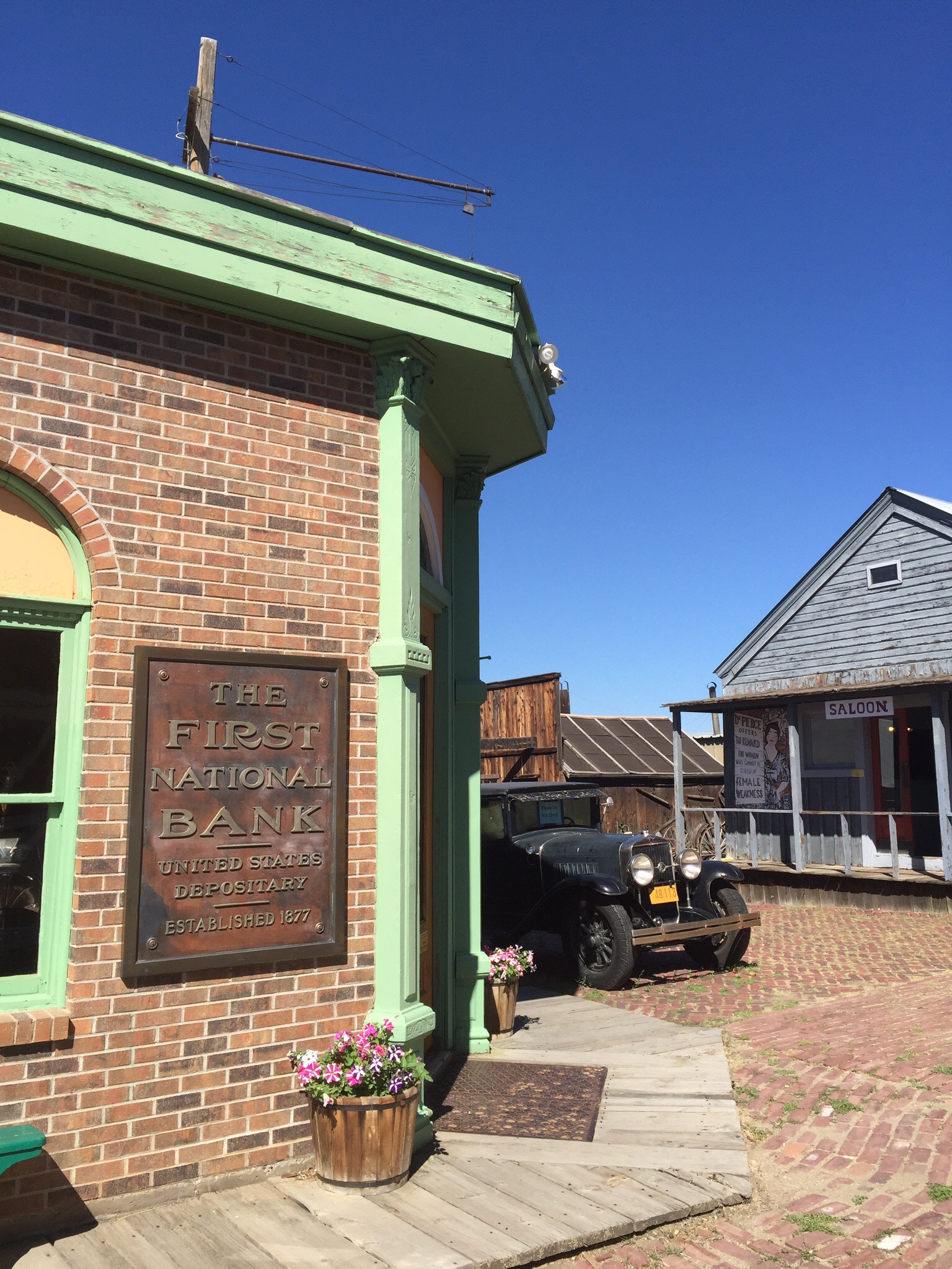
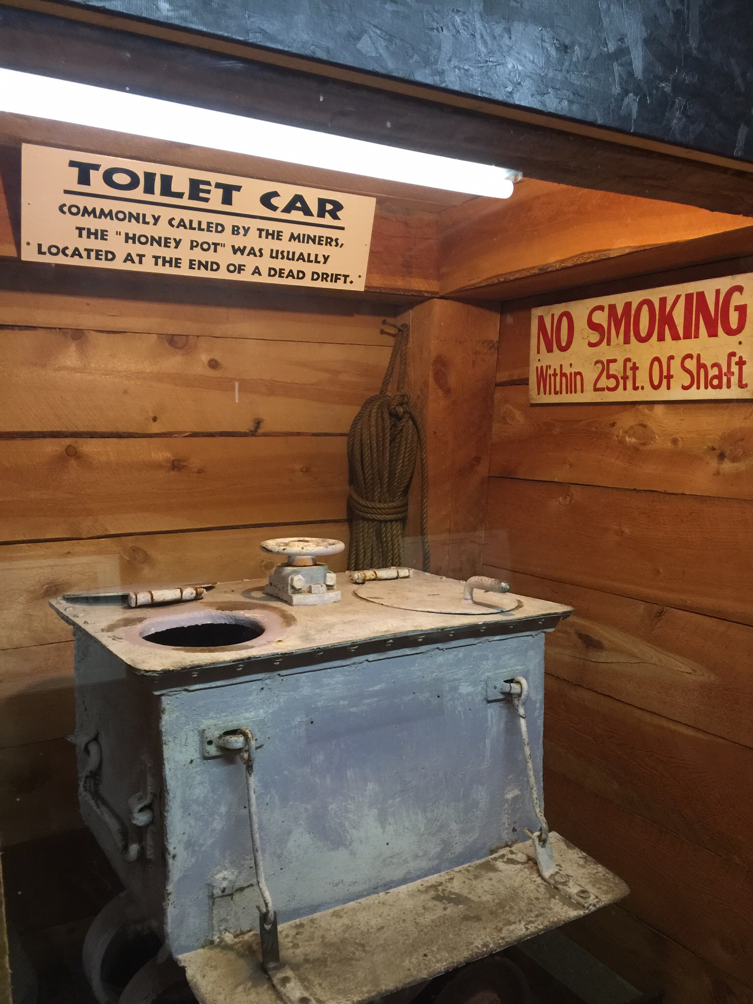
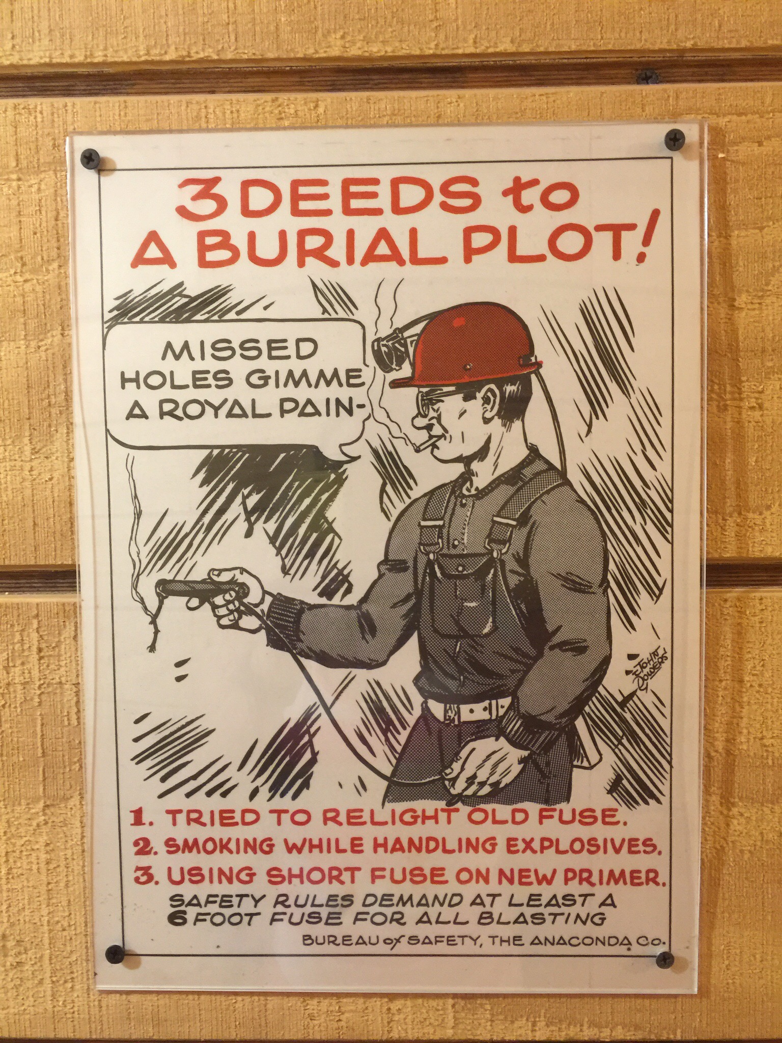
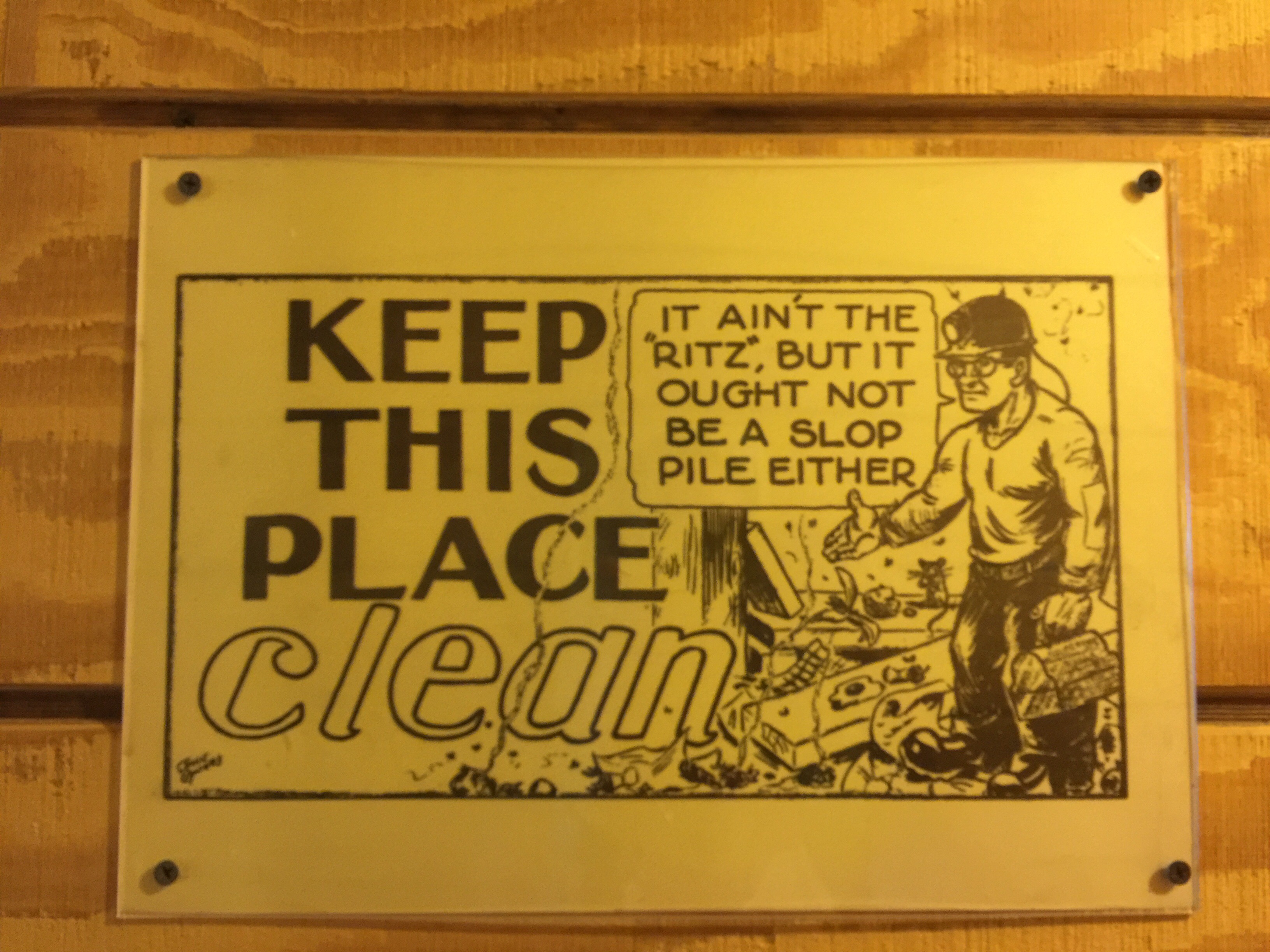
Given the mining history we thought we would go and check out the World Mining Museum.  They have recreated an 1890s mining town, with 15 intact historic structures and approximately 35 buildings constructed from old materials by the many volunteers who put the museum together from the mid-1960s to the 1980s.  The museum is located on the site of The Orphan Girl Mine which gives you an opportunity to look at the 100 foot tall head frame and hoist house up close as well as some of the original equipment.  They also do underground tours but we weren’t too keen on that.  Instead we looked at all the exhibits and photos – it was an extremely dangerous industry to be involved in.

The Orphan Girl Mine also remembers the 2,500 men who were killed in the Silver Bow Mining District since 1865. These men lost their lives in a mining, mill/smelter, concentrator, or railroad accident in any of the mine outfits in this district that employed so many for so many years. The fine presentation of four polished black granite slab memorial walls, that were sandblasted with all the names of the deceased miners are a great tribute to these souls who died on the job.

Over the years of its operation, The Orphan Girl Mine was a copper/zinc/gold/silver mine, owned and operated by Anaconda Copper Mining Company. A tremendous amount of copper was brought to the surface, creating wealth and prosperity for owners, and a decent if dangerous living for workers. At other times, gold, silver and zinc mining were also very profitable for owners and helped to keep the economy of Butte humming along. It was open from 1875 to 1956, which is a fairly long time for a mine to be in production; which gives an idea about how much rich volume of hard rock ore this mine had within its walls.

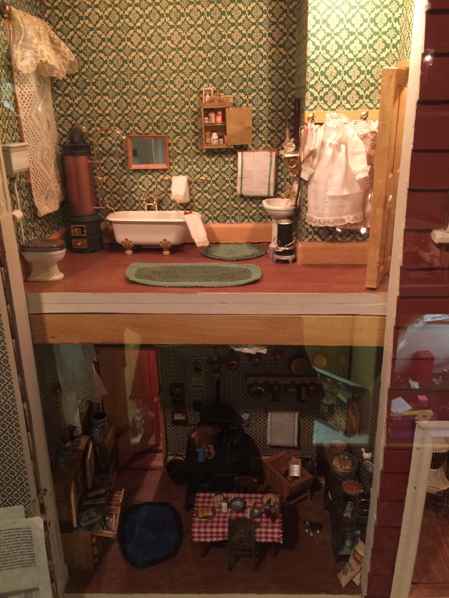
They also had a couple of separate exhibits – one was a dolls house exhibition which was really good.  The detail in these doll’s houses was unbelievable.  The photos below don’t do them justice.

Some of the Health & Safety signs from days gone by…

The Doll’s Houses including Sherlock Holmes Baker Street….

The Copper King Mansion, also known as the W. A. Clark Mansion, is a 34-room residence of Romanesque Revival Victorian architecture that was built from 1884 to 1888 as the Butte, Montana residence of William Andrews Clark, one of Montana’s three famous Copper Kings.  Apparently he was worth about USD200 million when he died in 1925.  His last surviving daughter has just passed away and her jewellery collection alone was worth USD30 million!


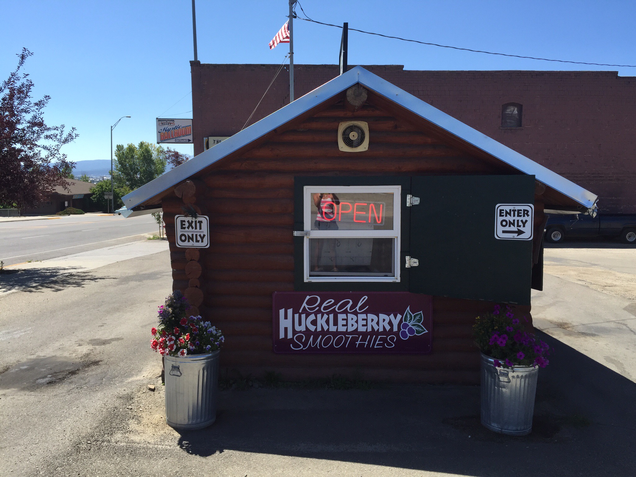
We had been told to try Huckleberries if we came across them – we saw a sign for Huckleberry Smoothies so we pulled in and got one – it was very yummy : )

We also found a really nice Cafe called The Hummingbird Cafe – lots of fresh, healthy food with vegetarian and gluten free options.  I had a ‘Parading without a Permit’ smoothie – strawberries, banana, almond butter, chocolate and soy milk – delicious.  

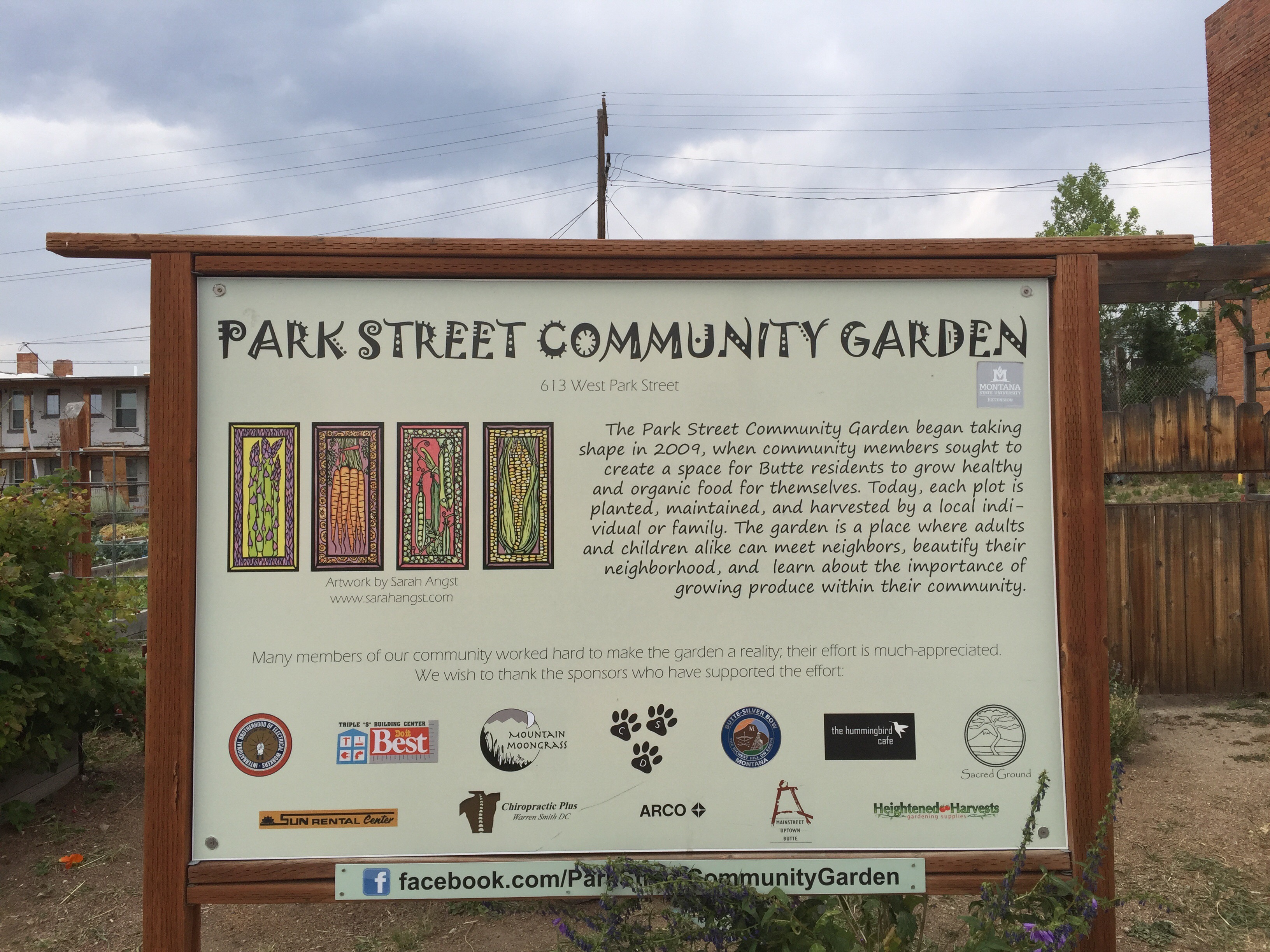
This community garden was next door to the Cafe. 

Posted in Montana, USA, United States of America | 5 Comments