Sounds to Sounds – nearlyThe Pyscholists 
 take two…..
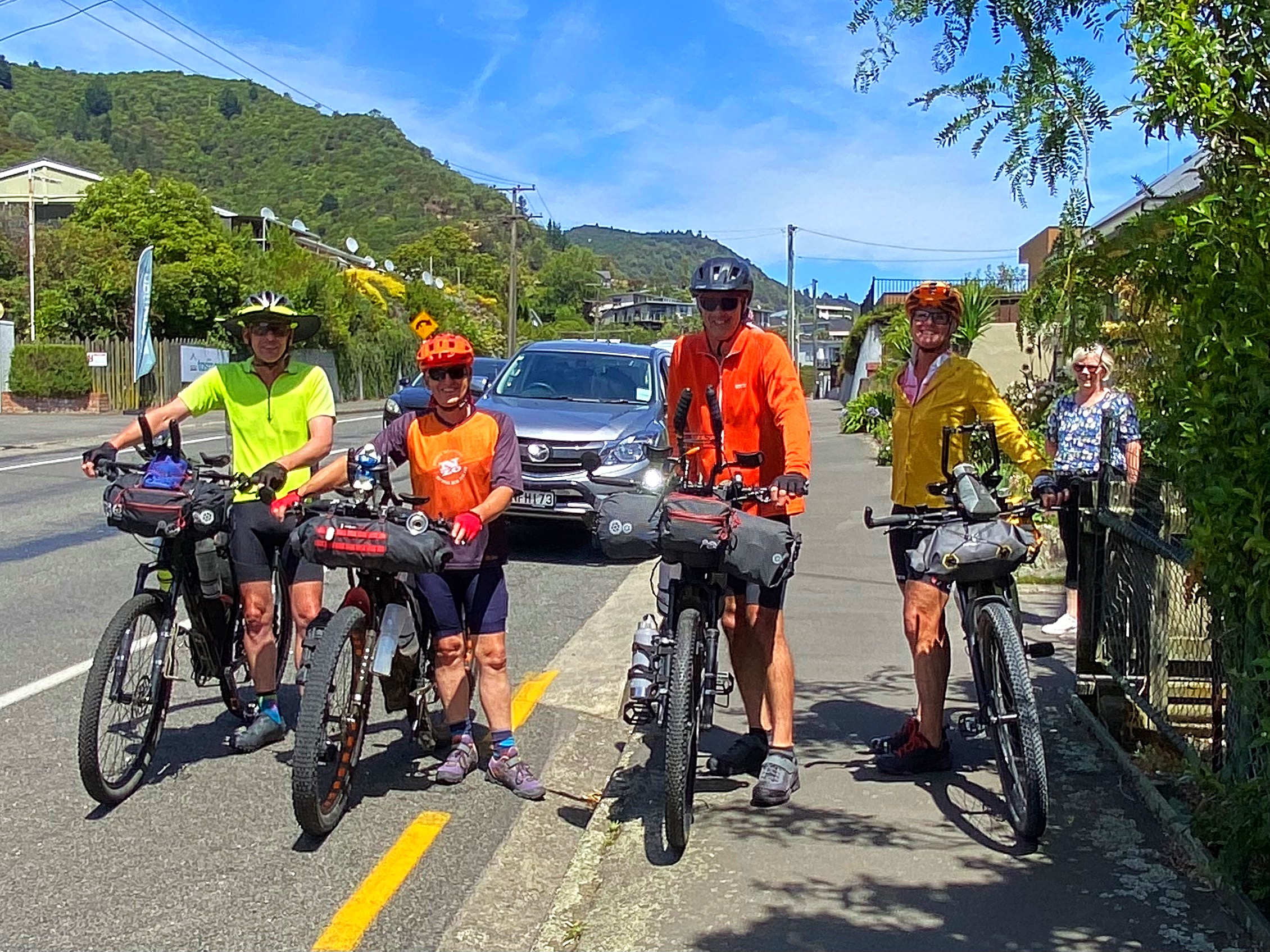
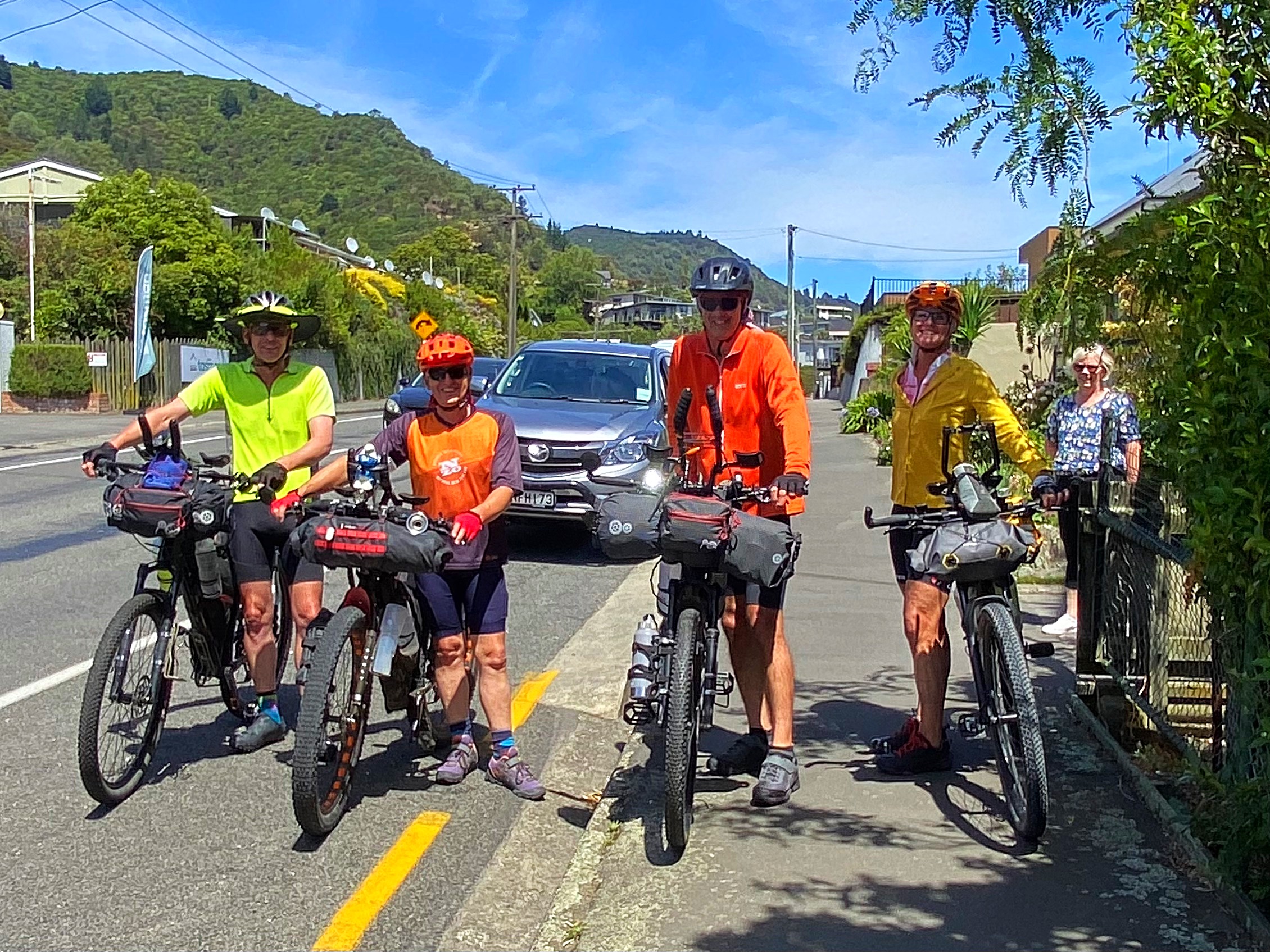
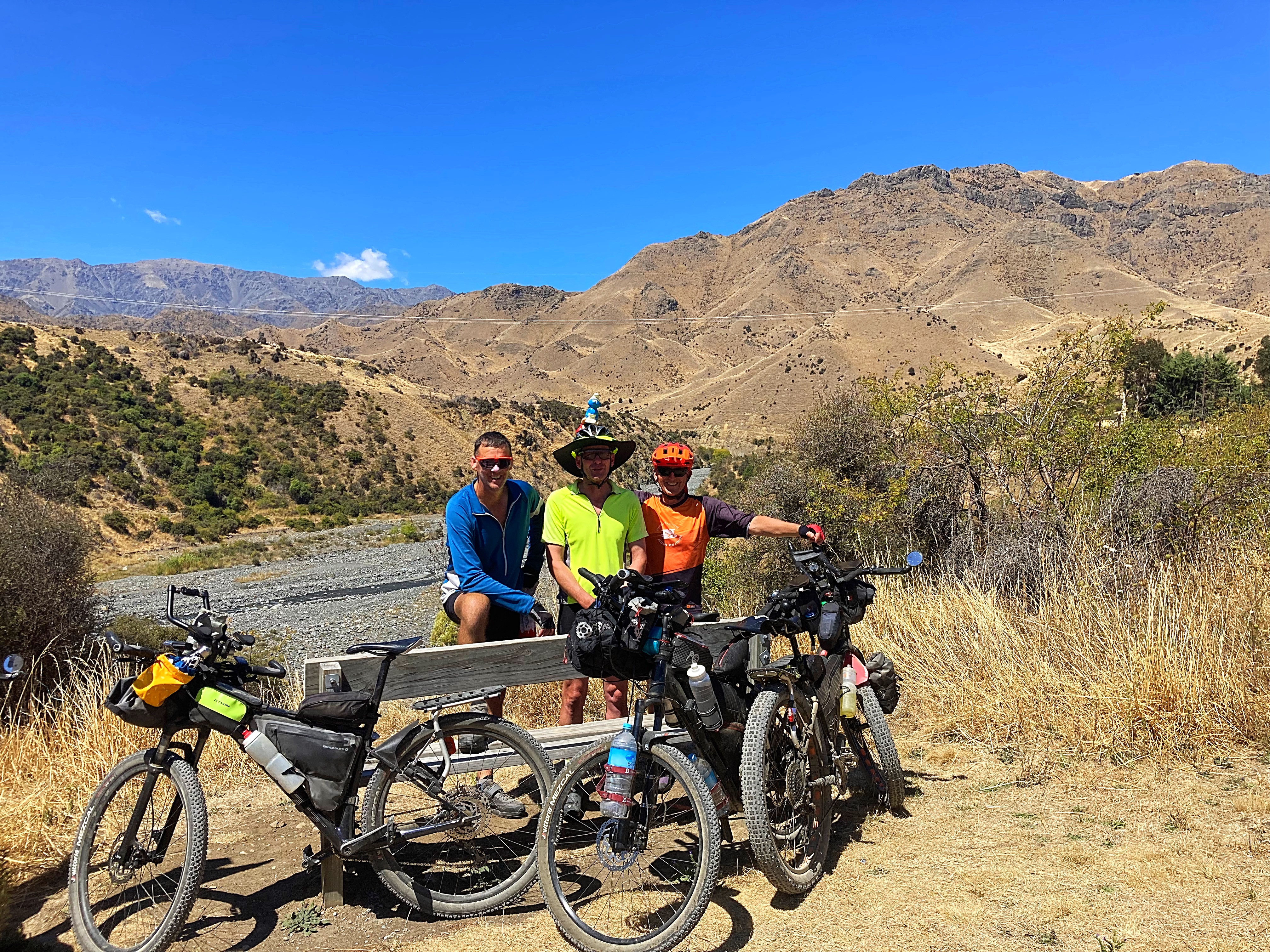
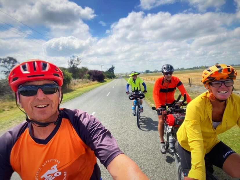
Lambers, Crammers, Hicksy and the Young One are clearly very slow learners as today we take on another epic adventure on our bikes.
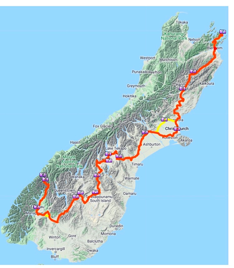
This time we will be rolling down the South Island from Picton to Milford Sound, a slightly varied version on the Kennett Brothers Sounds to Sounds which goes from Queen Charlotte Sound to Milford Sound.
Crammers walked the Queen Charlotte a couple of years back and said “not on a bike”  For him to say that was quite something so we’re starting from Picton instead.
12 February 2024
Day 1 – Wellington to Picton on the  and then Picton to Blenheim (the long way) on the 64km 1438 metres climbed
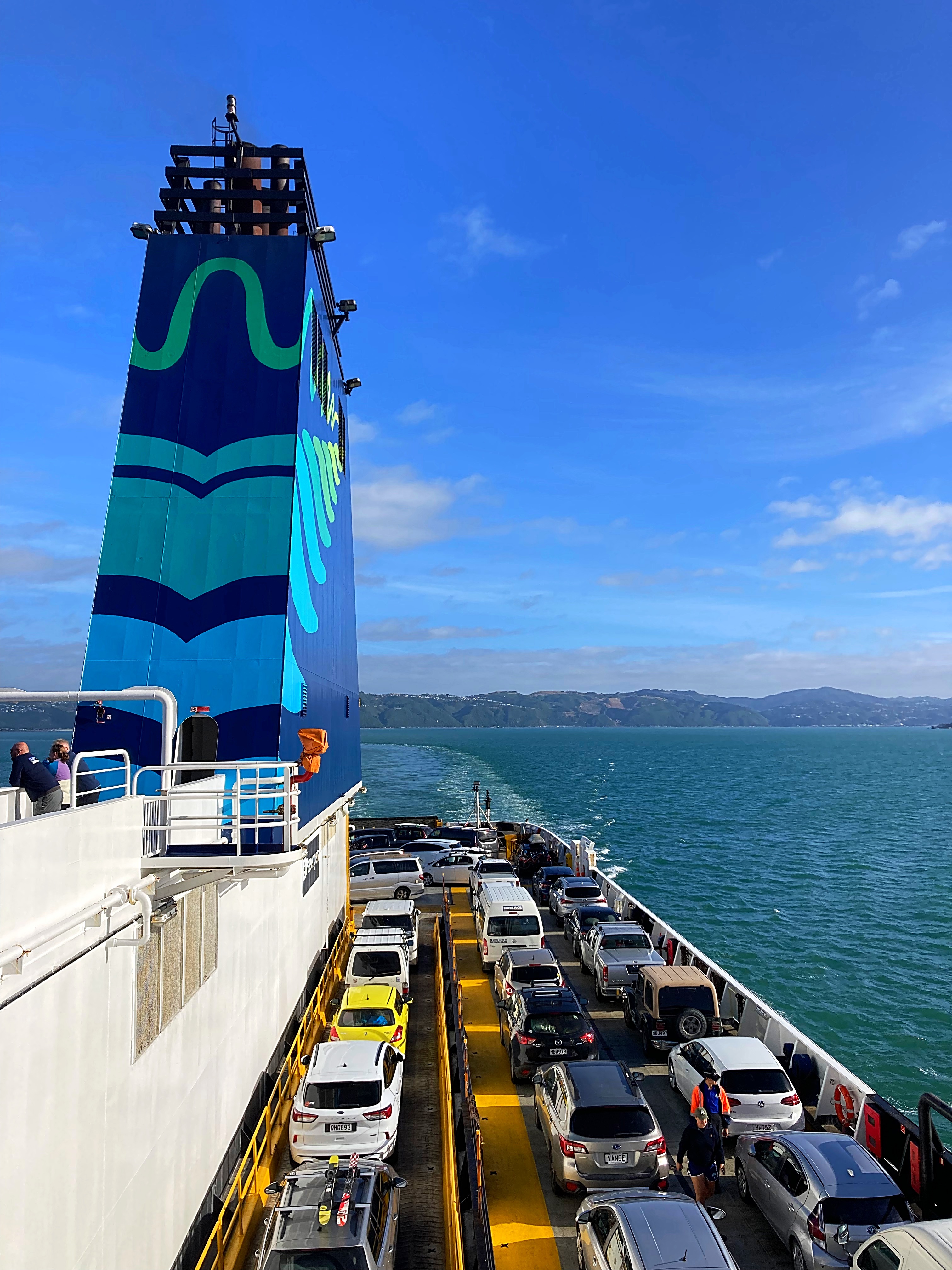
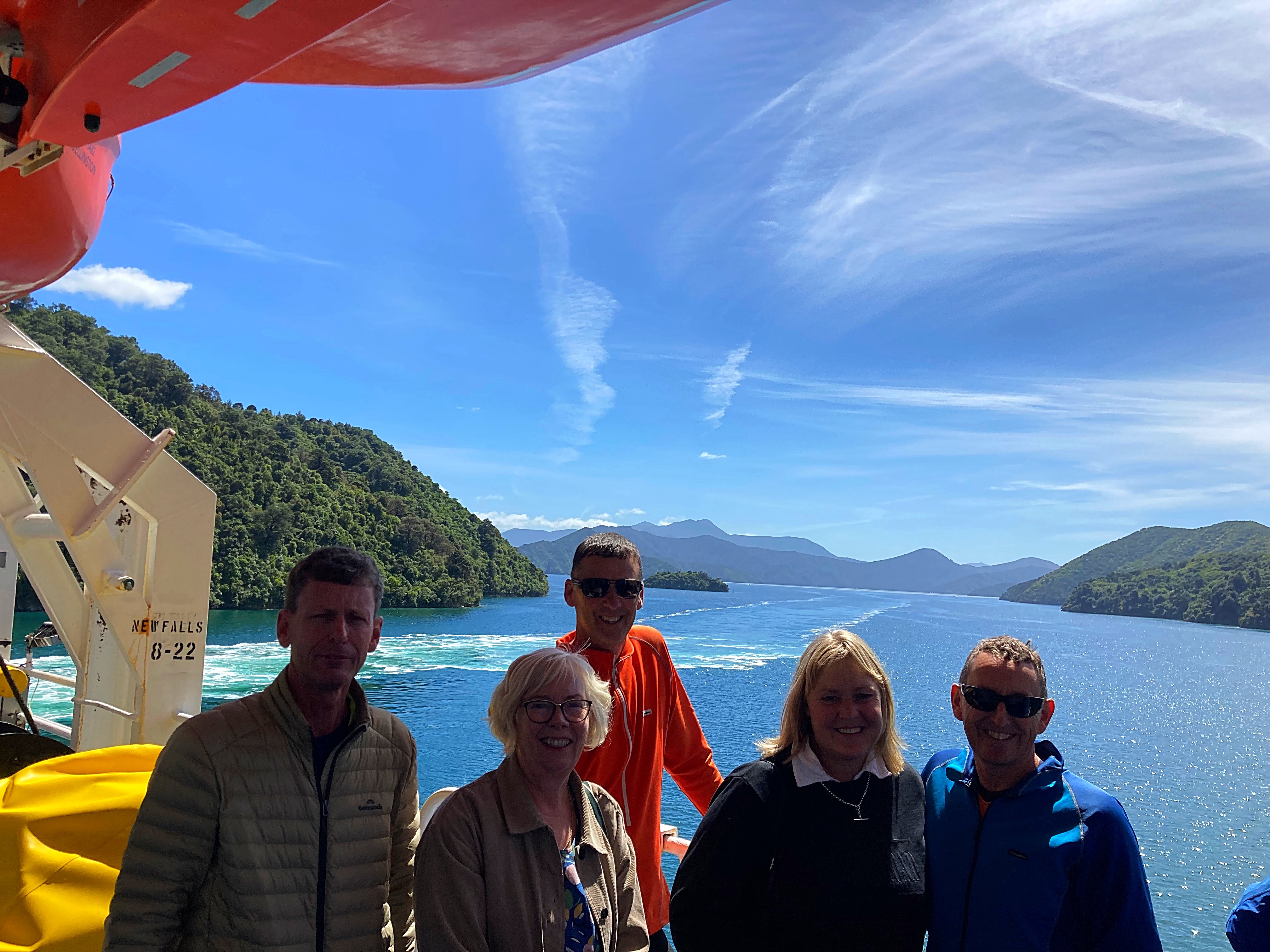
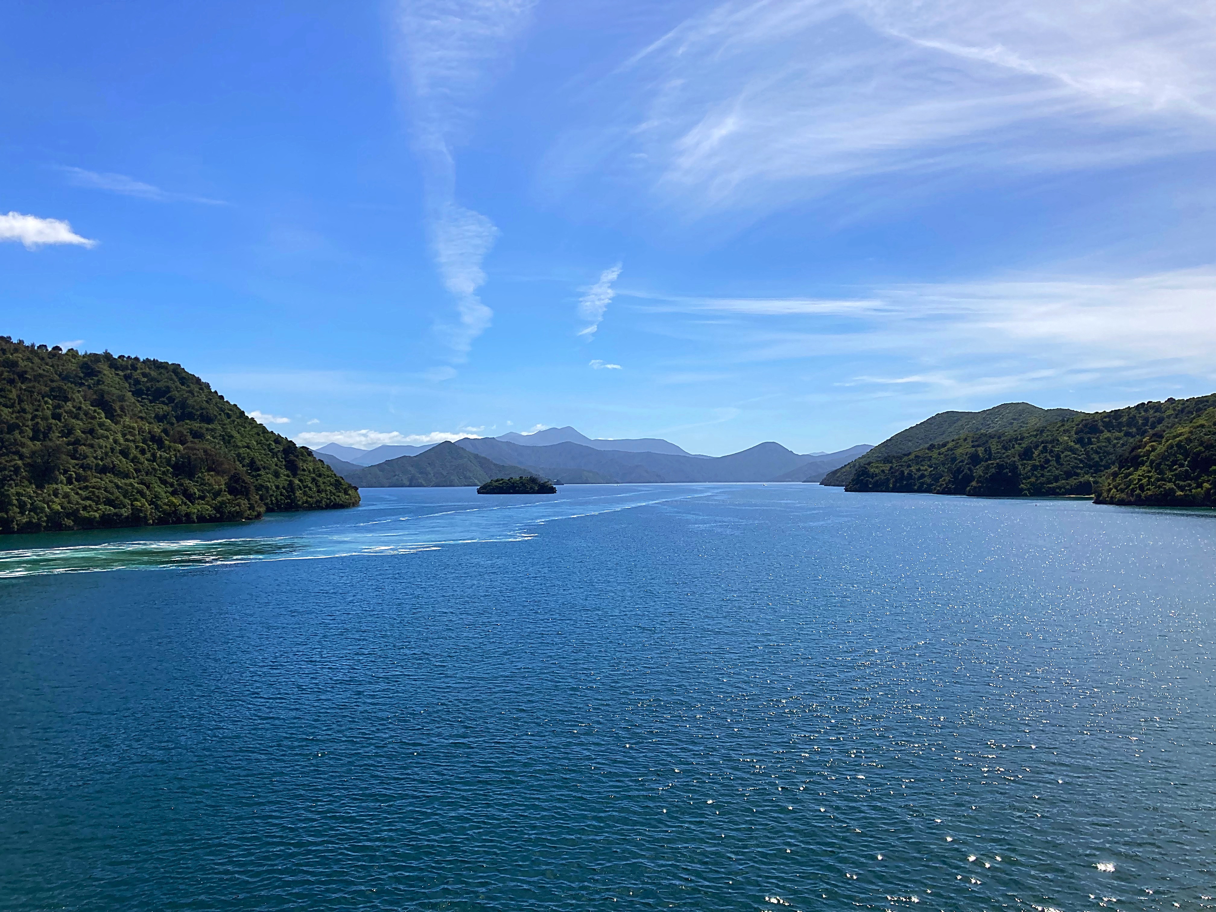
After an early start (some way earlier than others – Phil & Rosie & Chris & Mary left Taranaki at 2.30am) we met on the Interislander Ferry for a relaxing 3 hour crossing. It was a calm, blue sky day so a good start to our adventure.
We had decided to take the long way to Blenheim rather than going 25km down State Highway 1. How hard could a 60km ride around the coast be 
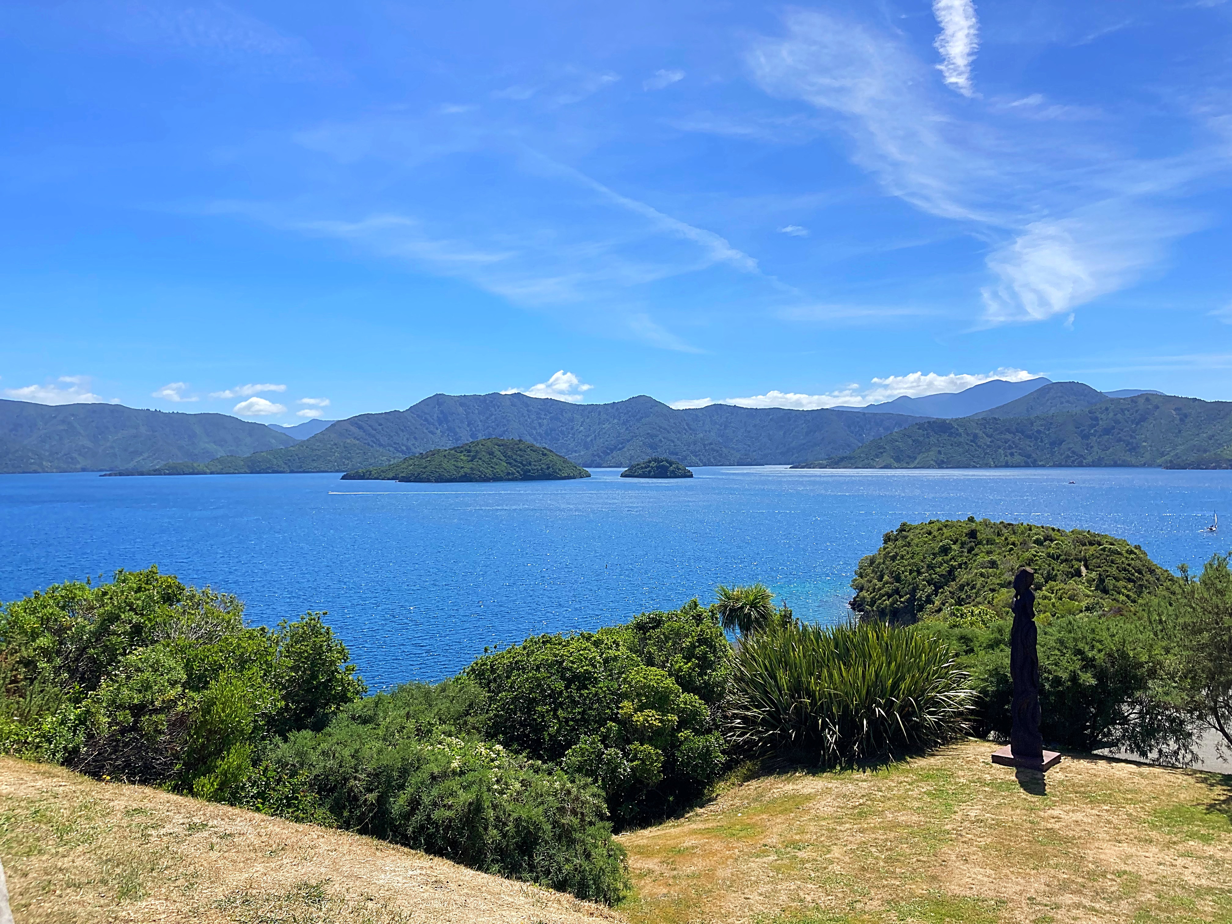
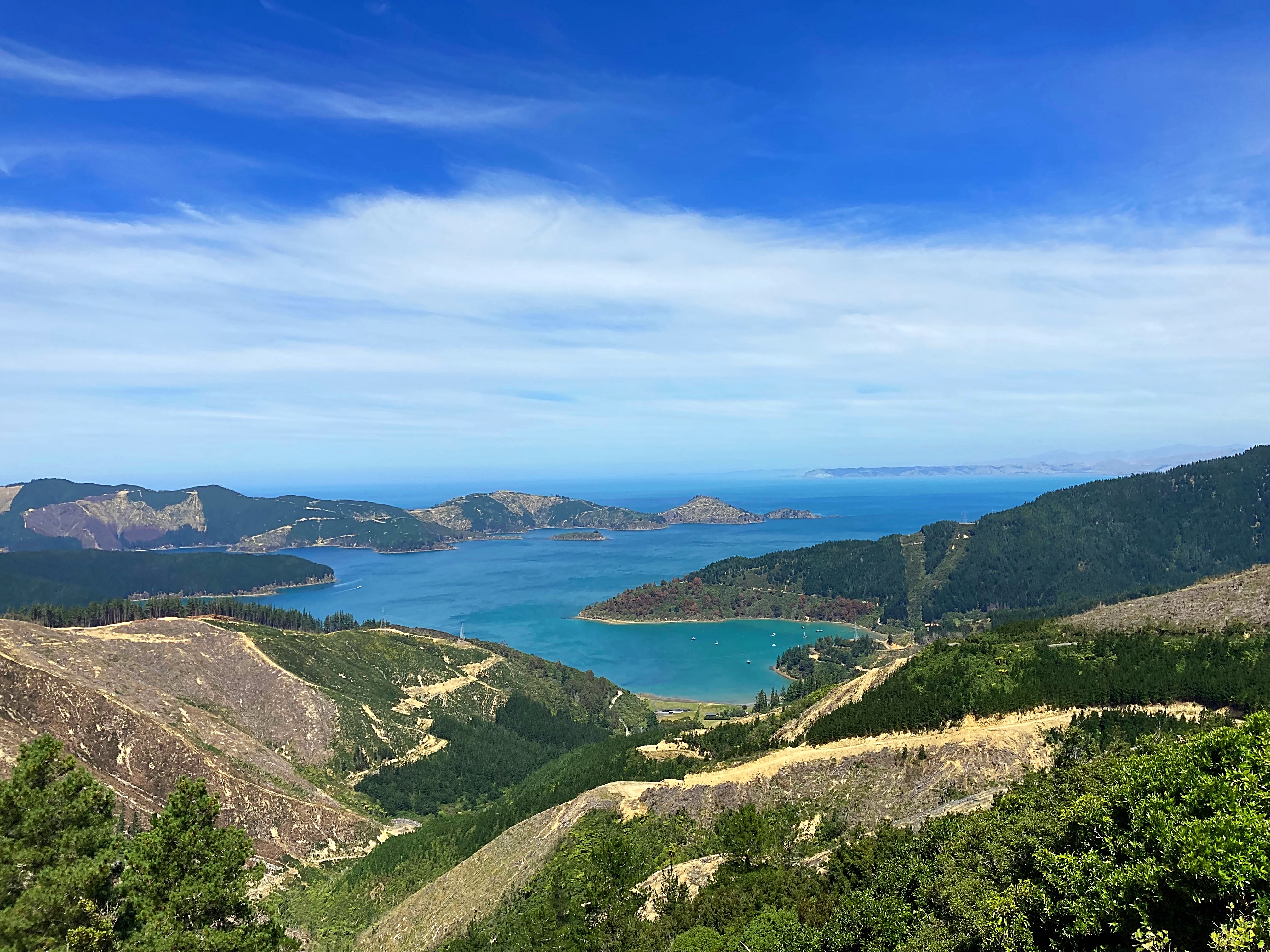
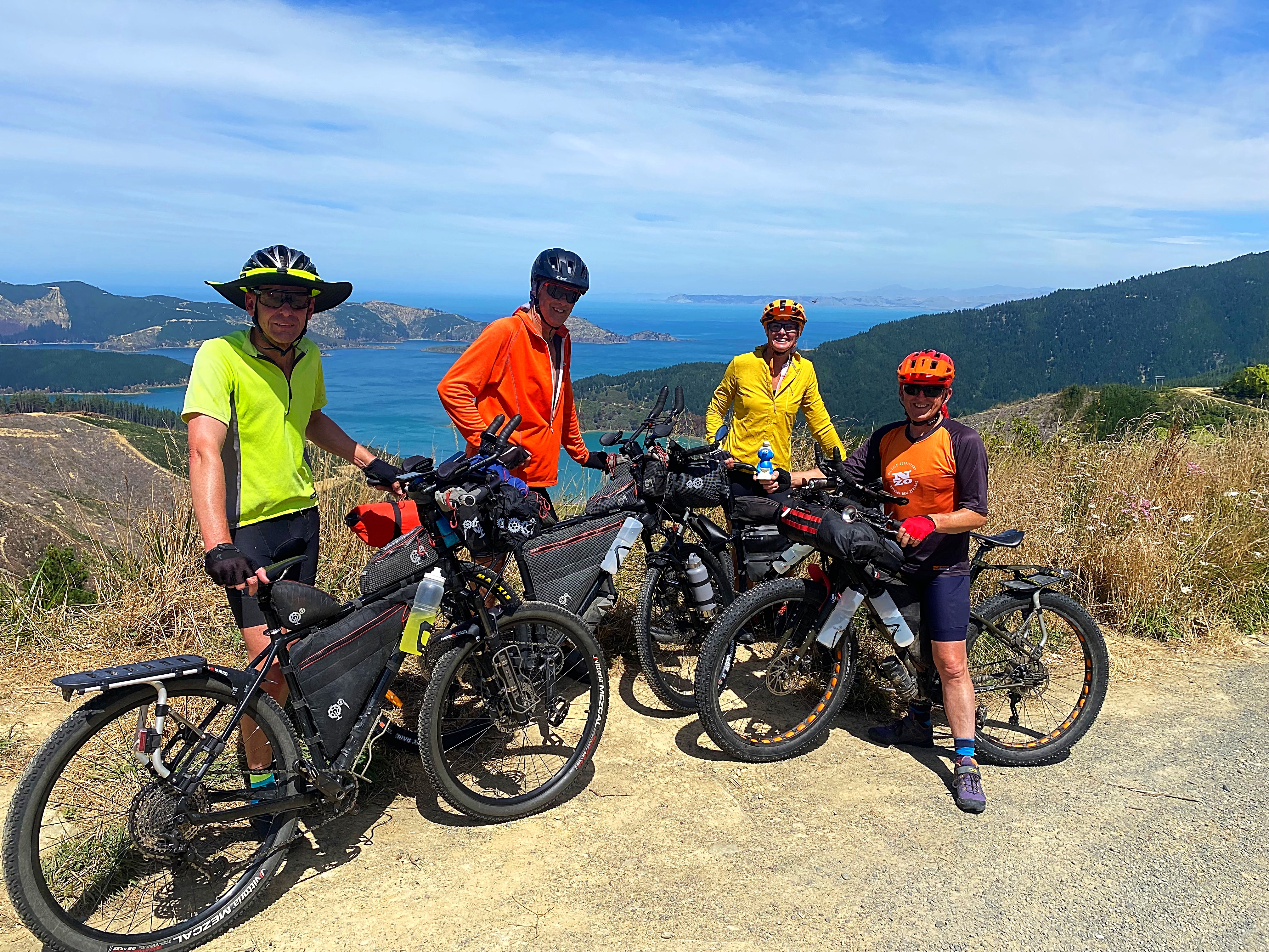
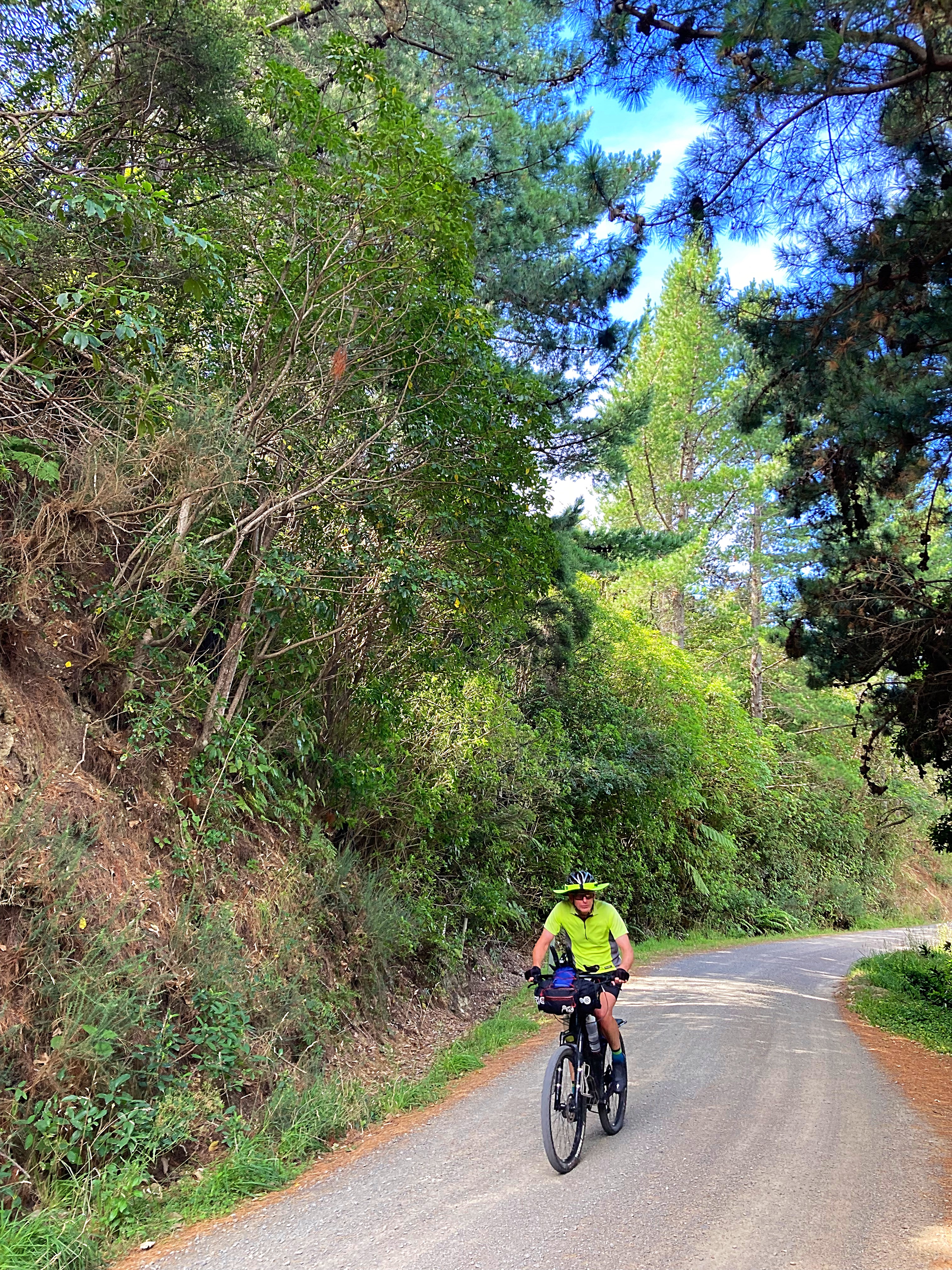
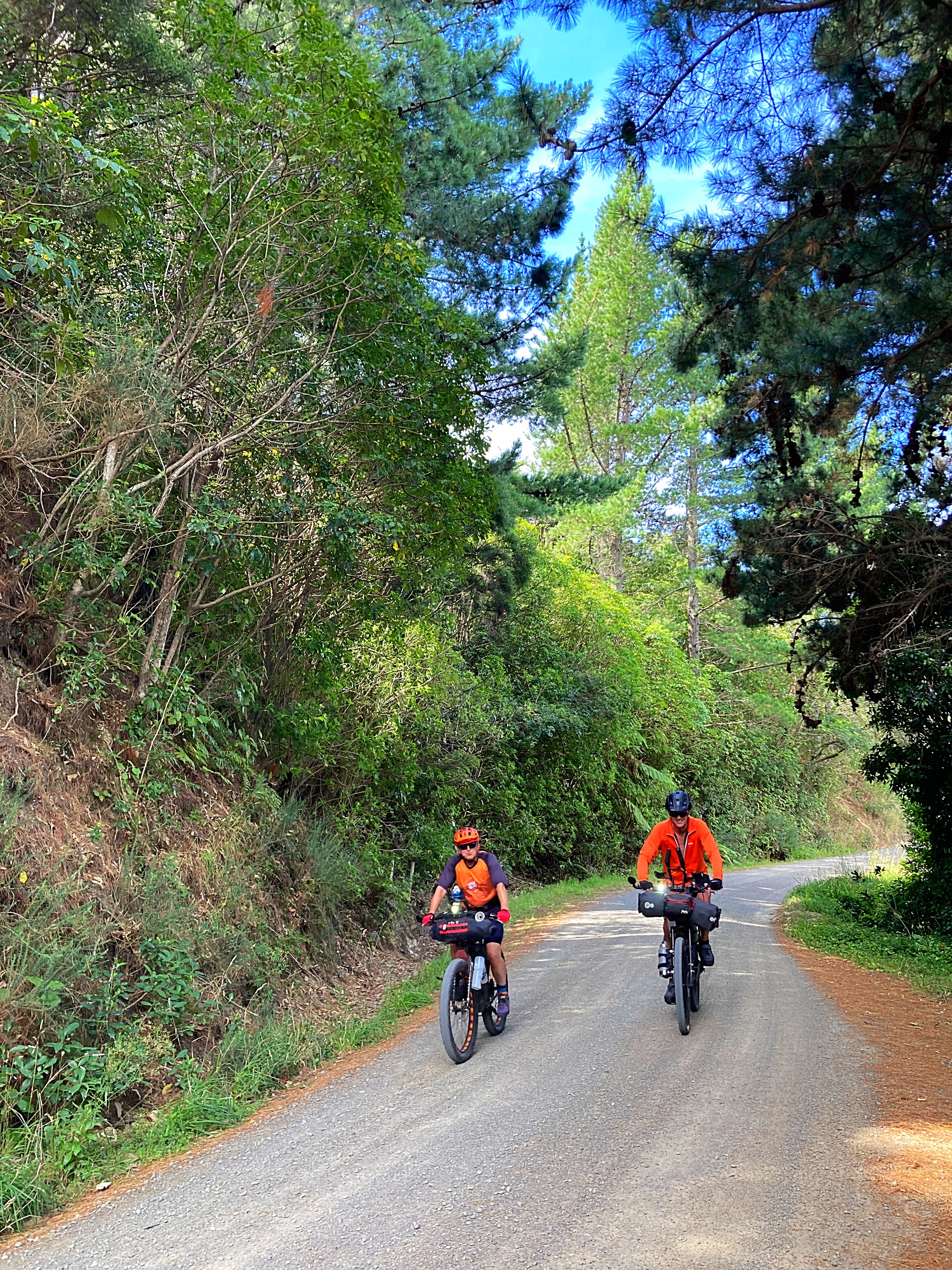
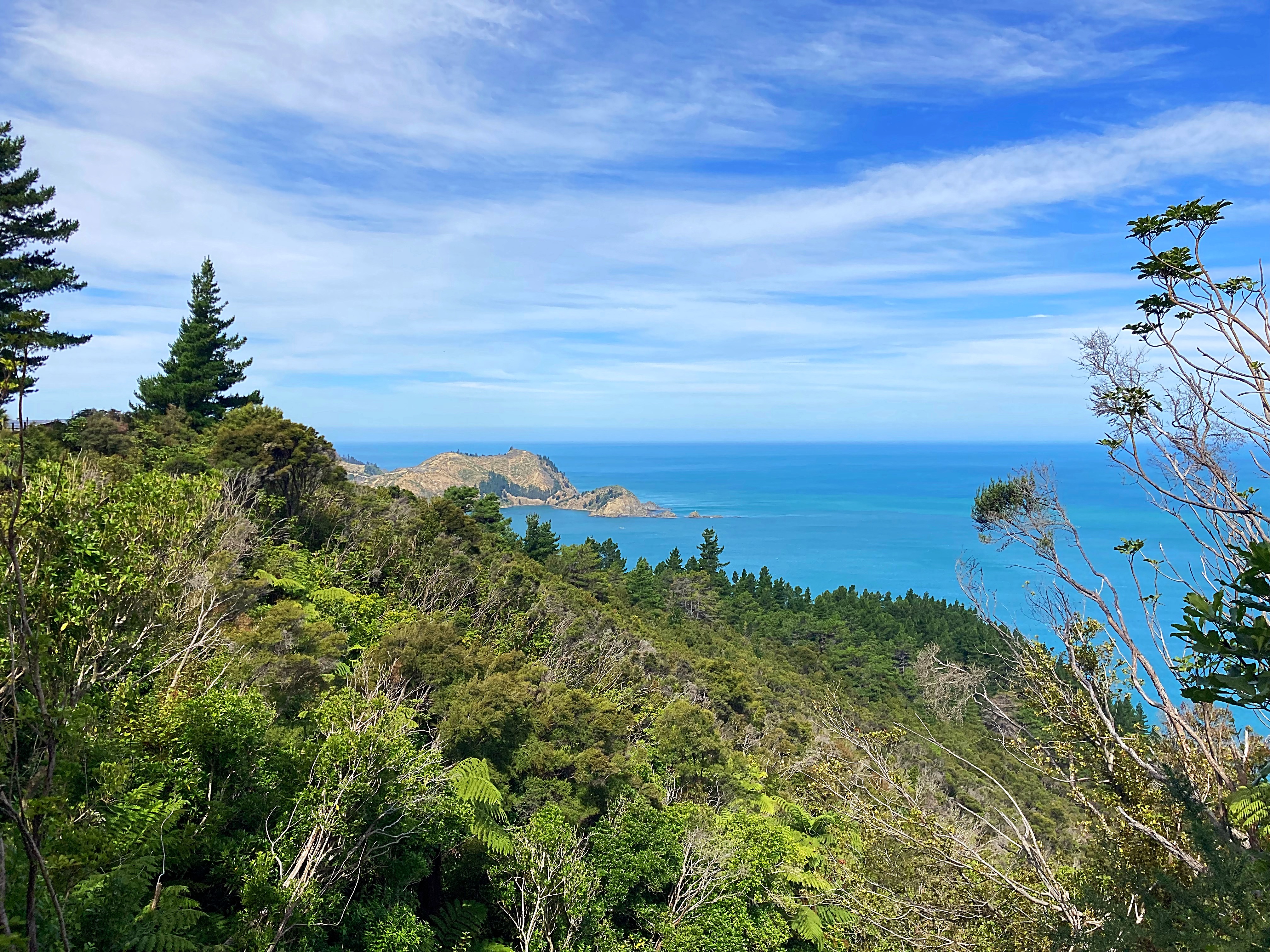
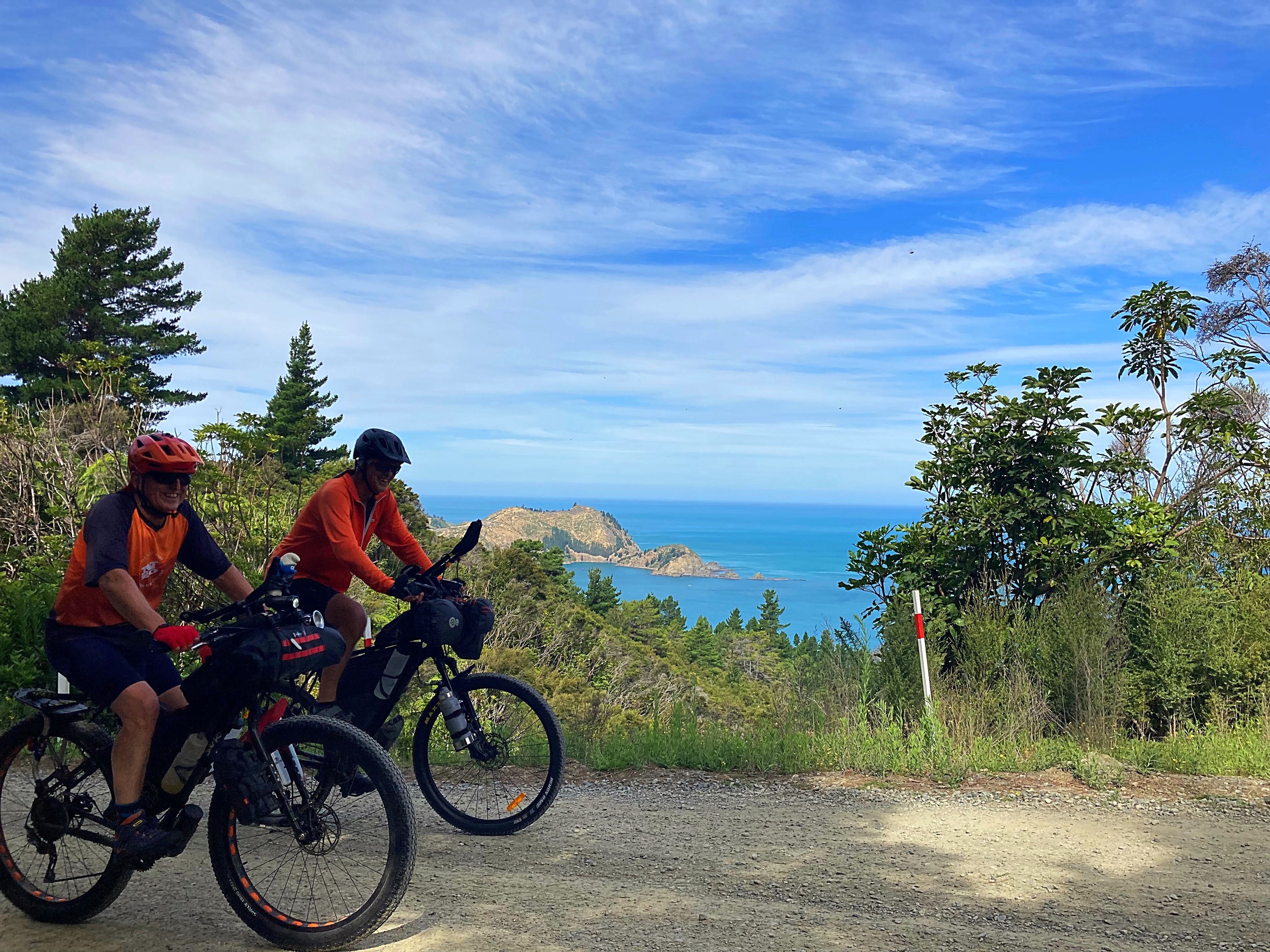
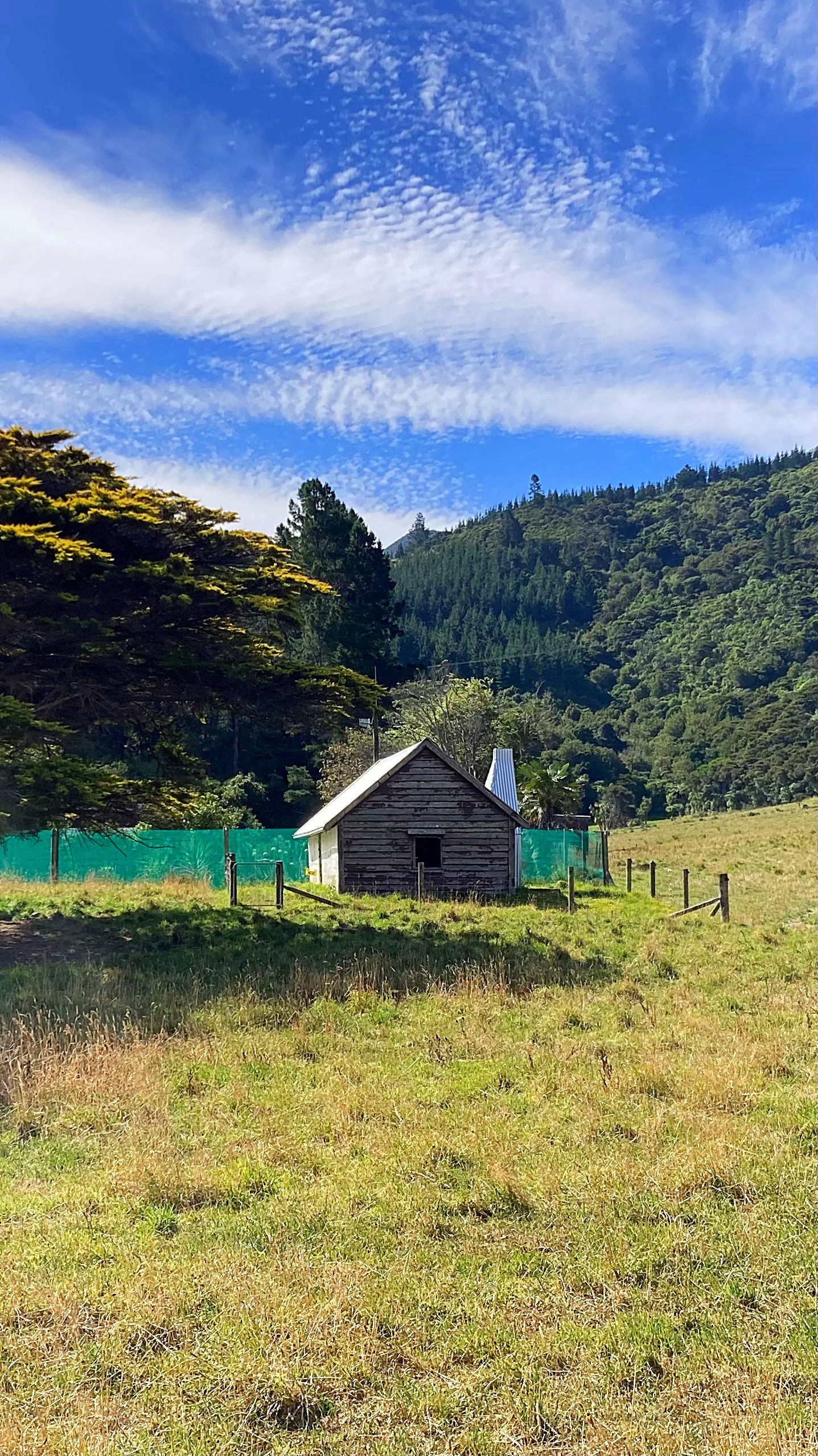
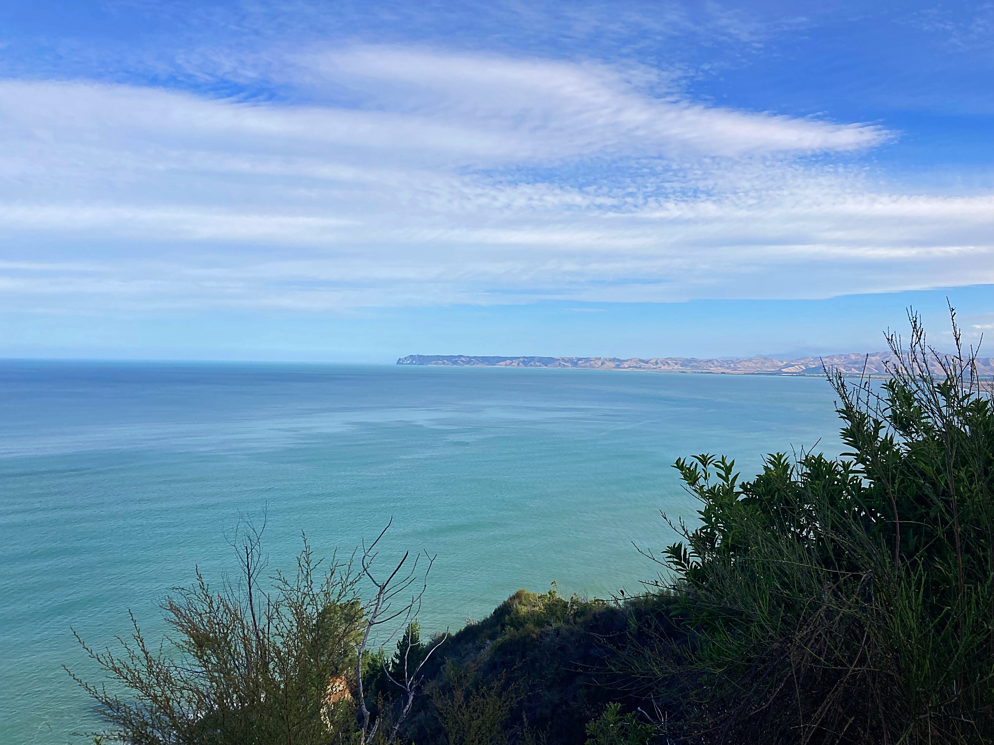
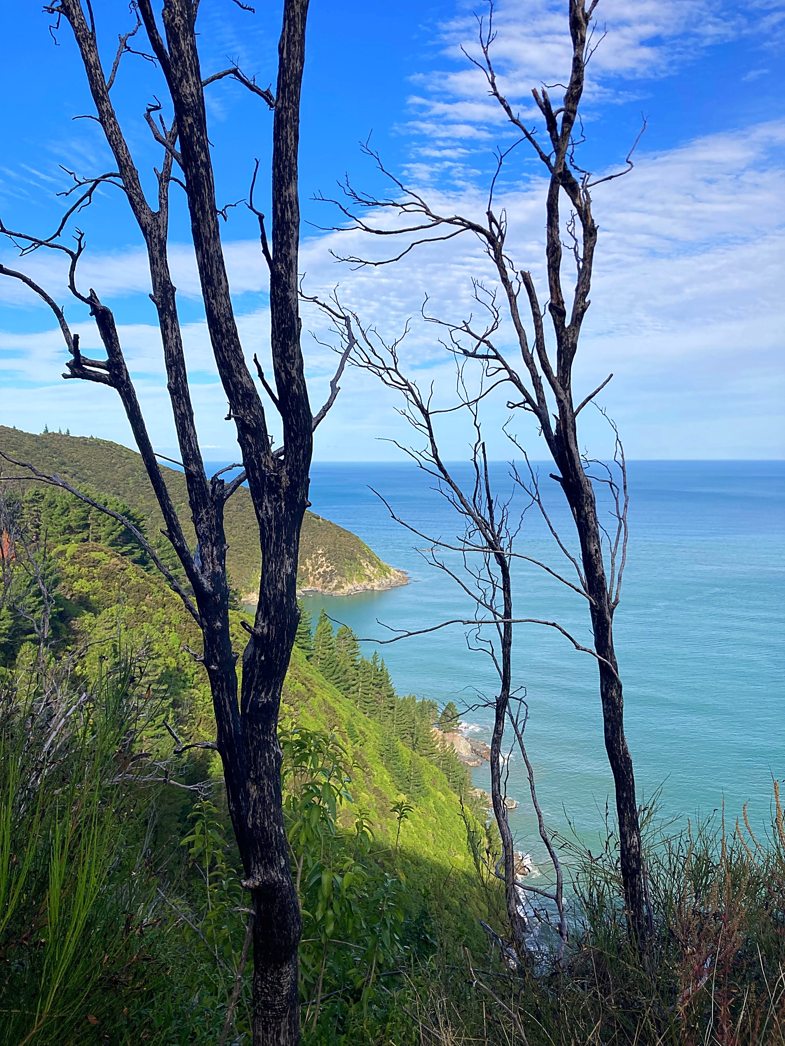
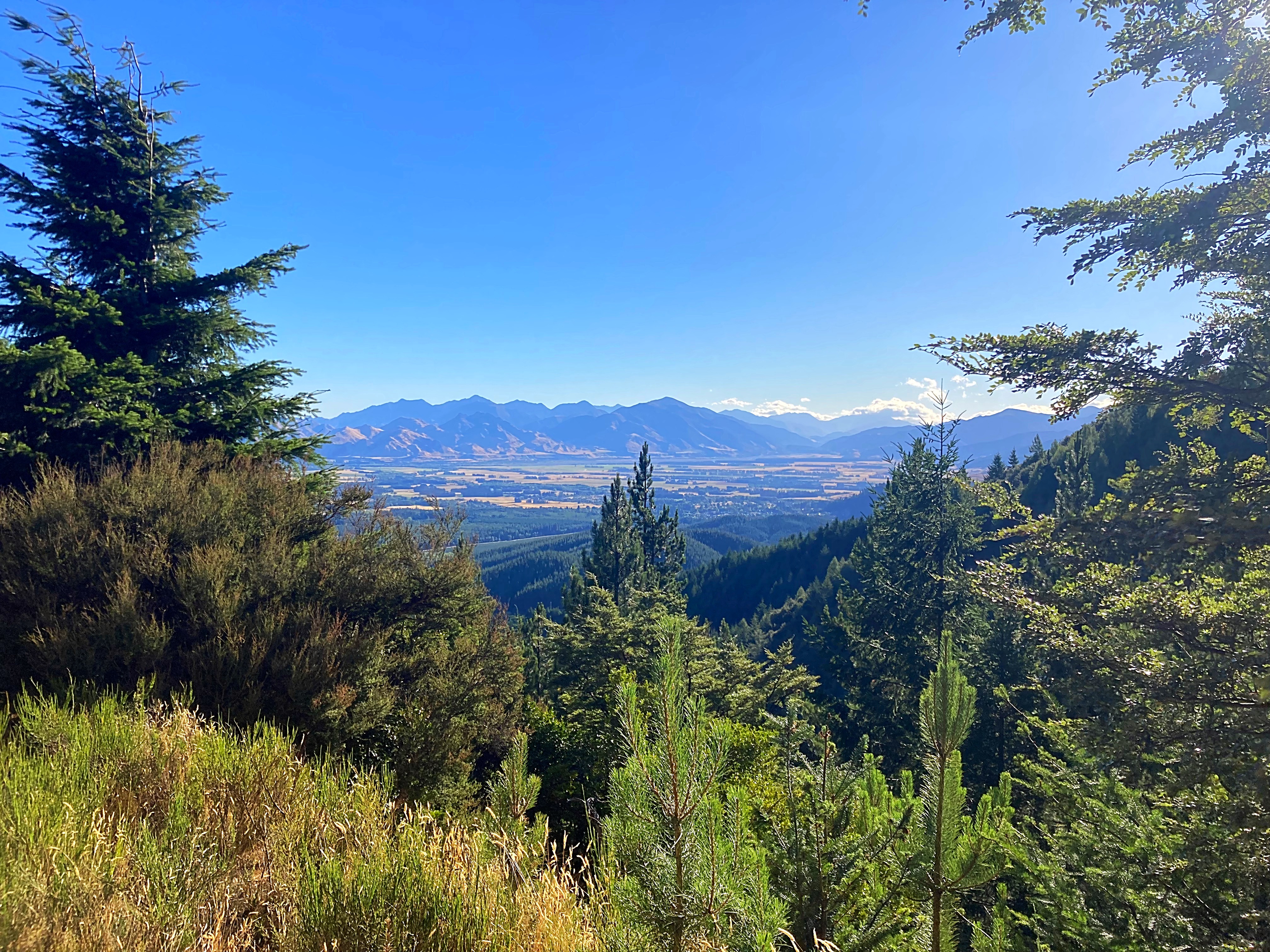
Quite damn hard it would turn out. It all started off very pleasant around the beautiful bays until we hit a hill that just kept on giving. Fortunately, it was tarsealed which always makes it easier. The view at the top over Oyster Bay was certainly worth it.
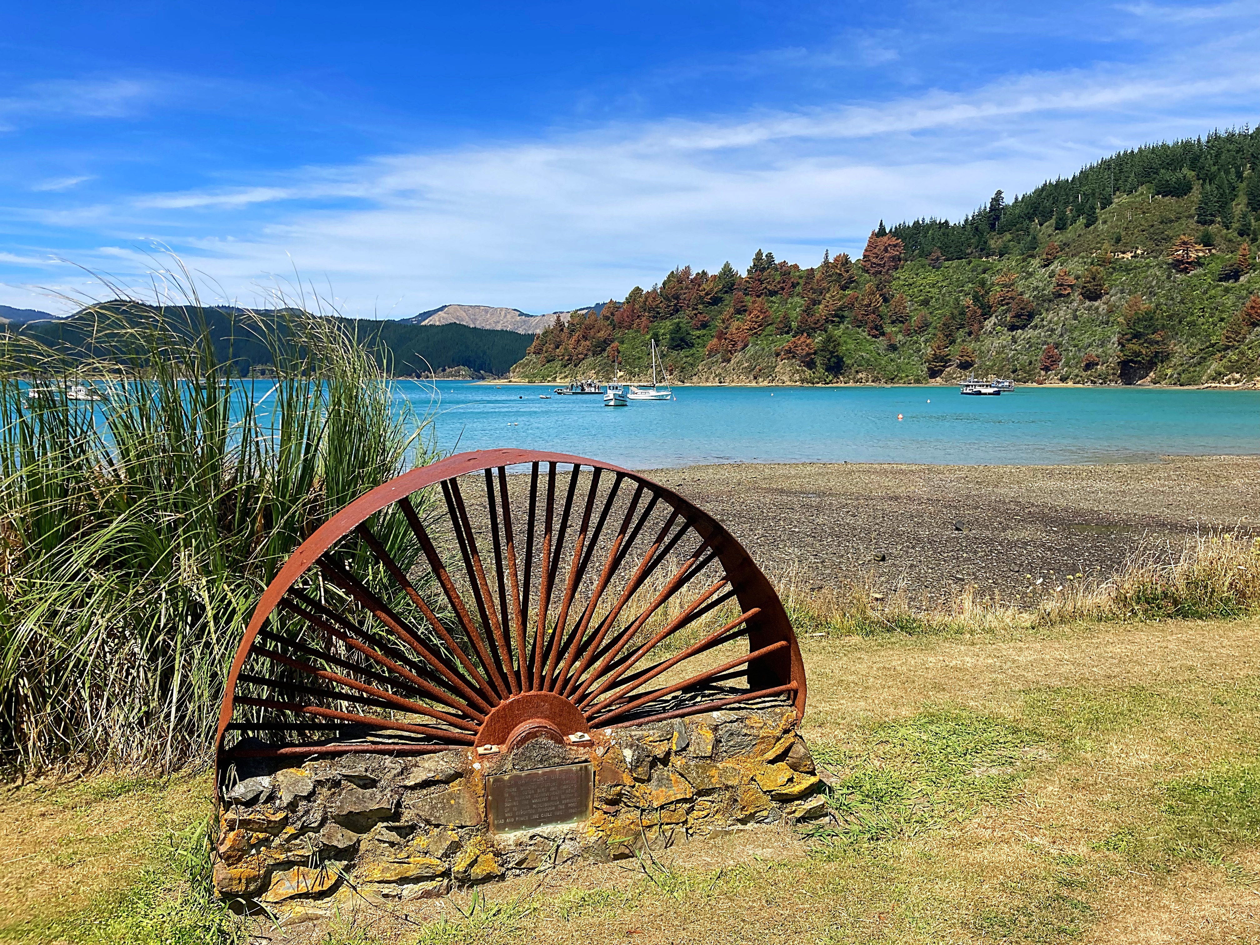
The downhill to Oyster Bay was also fun and on the recommendation of a local we had a picnic lunch there.
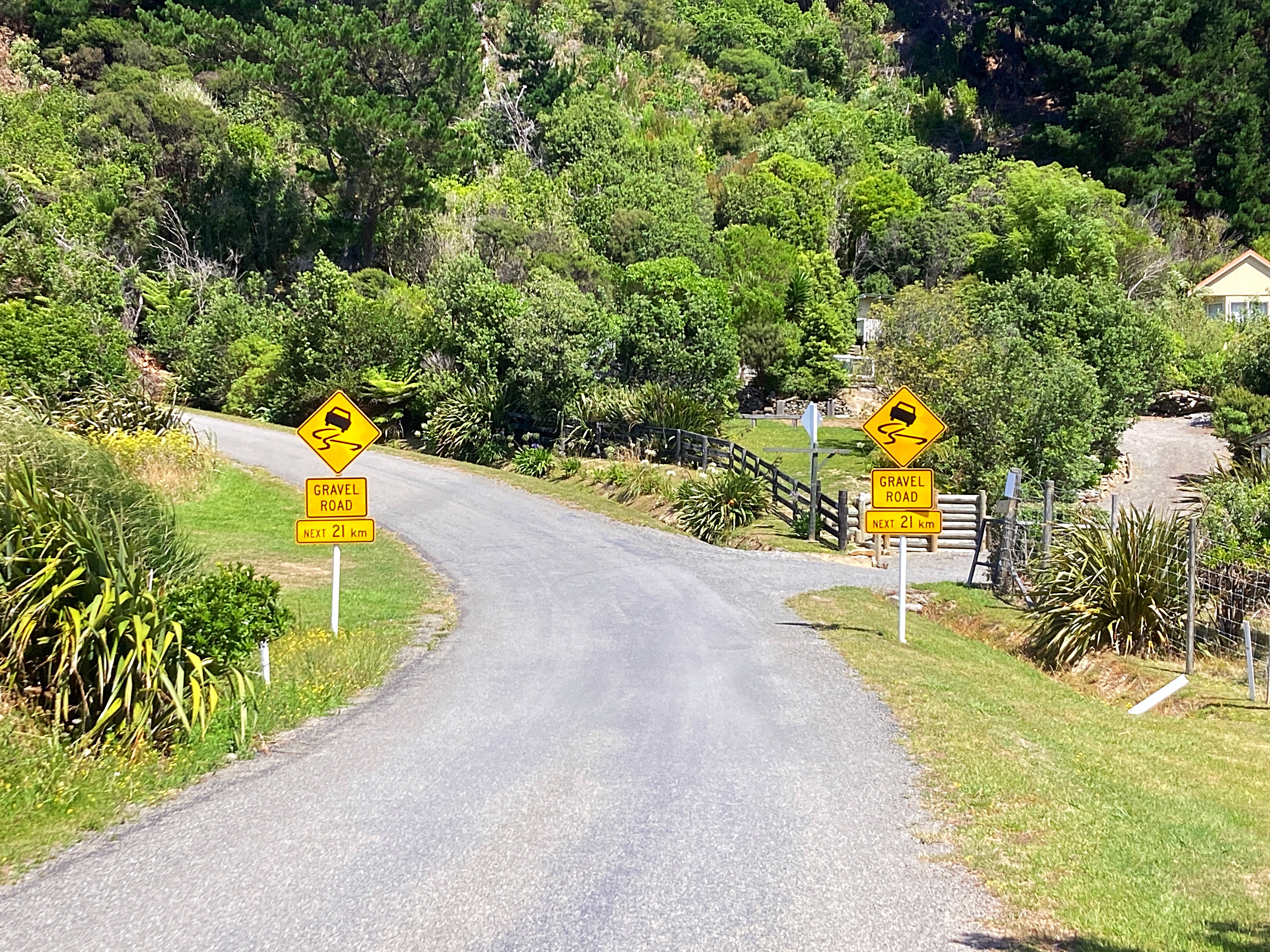
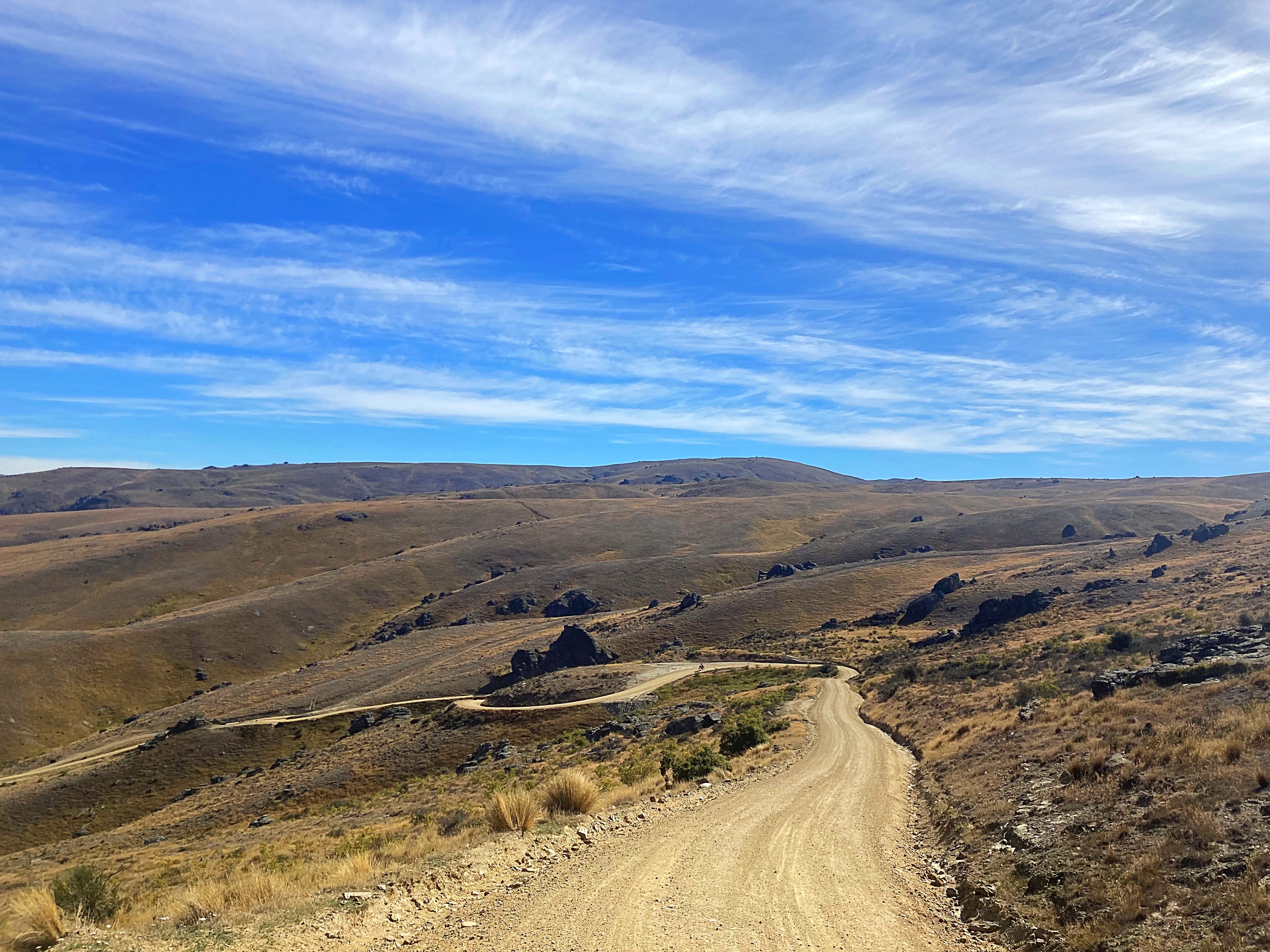
We then saw a sign that said “Gravel Road next 21km” joy upon joy. We went up and back down to sea level a number of times and it was pretty tough – the gravel was knarly and corrugated in places bringing ‘hike a bike’ into play a couple of times 
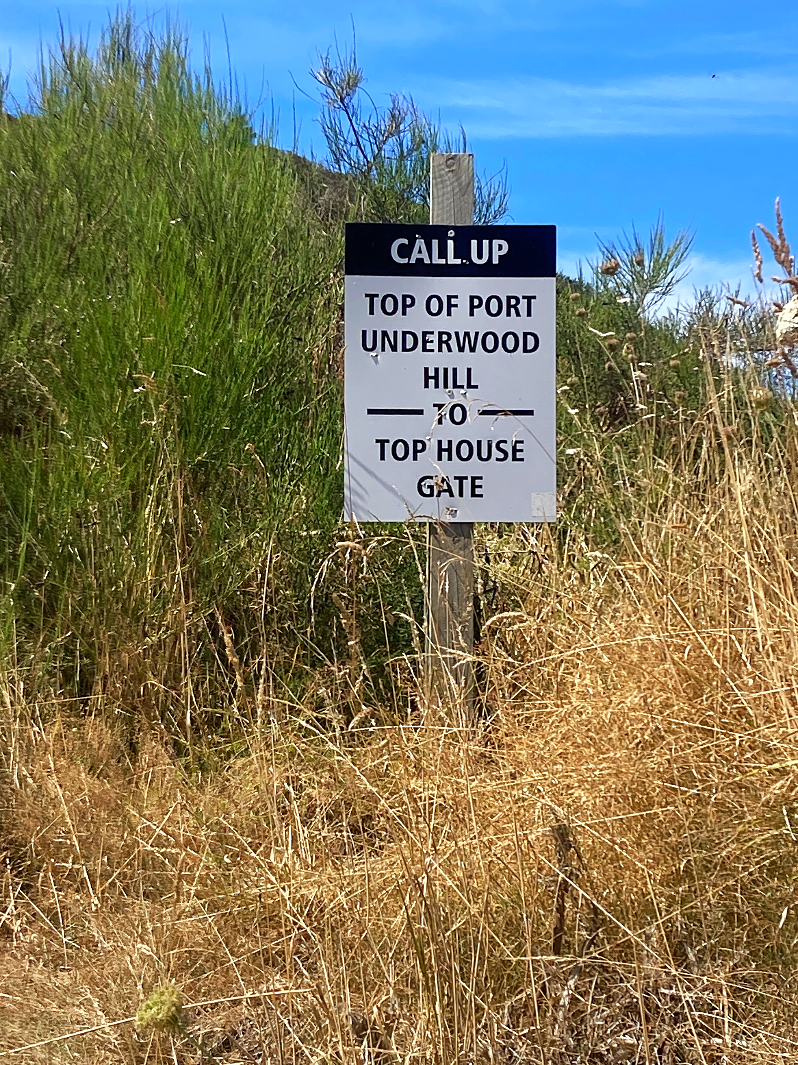
This coast line has a history steeped in whaling. John Guard, an Australian convict, was a whaler at Port Underwood and one of the original European settlers with the distinction of being the father of the first documented European child born in the South Island in the 1830’s. His house also witnessed the signing of Tiritiri o Waitangi on 17 June 1840.
We also passed Robin Hood Cottage, one of the oldest buildings in Marlborough.
In Whites Bay there is a historic Cable Station site. The former cable station was the Southern link in the initial Cook Strait communications cable which was active from 1866 to 1945. It was a simple copper telegraph cable laid across the seabed from Lyall Bay, Wellington to Whites Bay.
We finally made it back to the tarseal and had a beautiful 16 odd kilometre ride into Blenheim passing vineyard after vineyard.
Rosie and Mary, our trail angels for the first few days of our ride, had organised dinner and dessert along with breakfast for tomorrow. Very grateful after a longer than expected day. It was also Mary’s birthday so big ups to her for doing that for us on what should have been her special day  .
.
We’re all going to sleep well tonight 
13 February 2024
Day 2 – Blenheim to Upcot Station (Molesworth Rd) 79km 1350 metres climbed
After upsetting the neighbour at the motel for making too much noise at 6am we managed to get away at 6.45am.
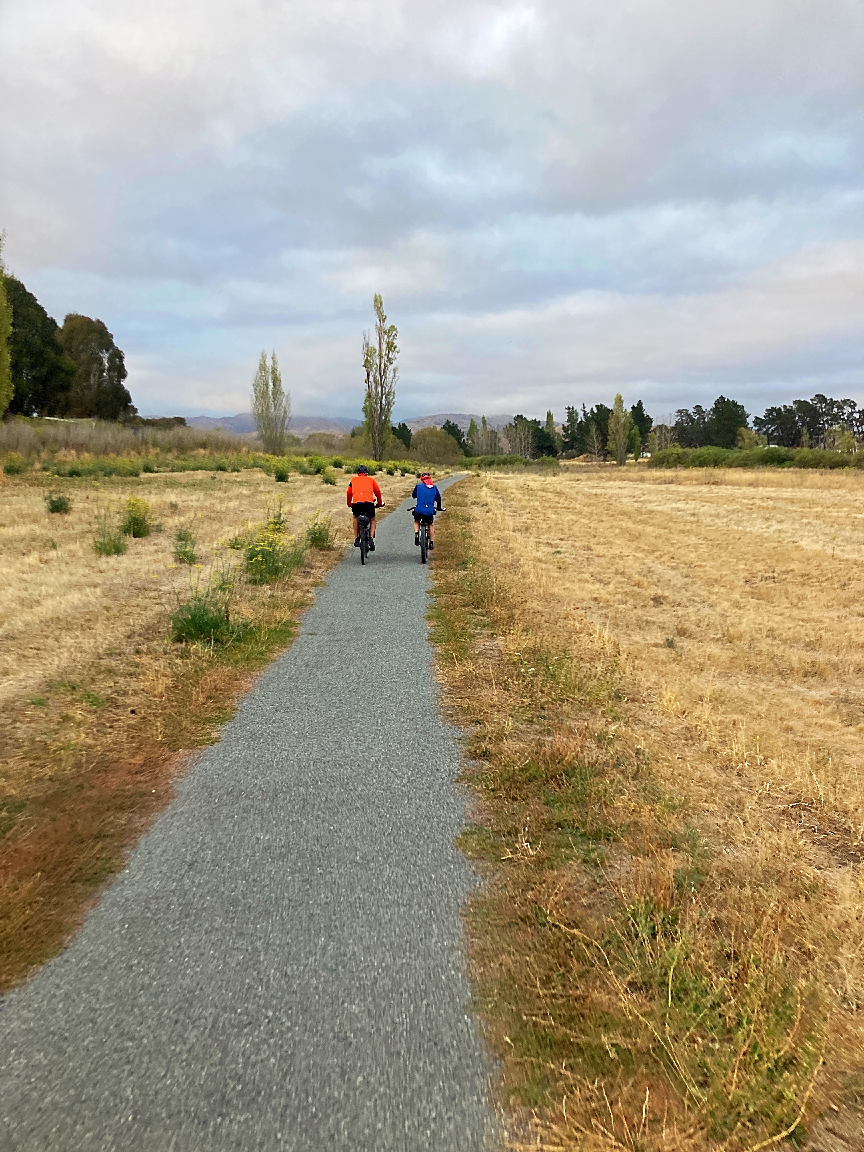
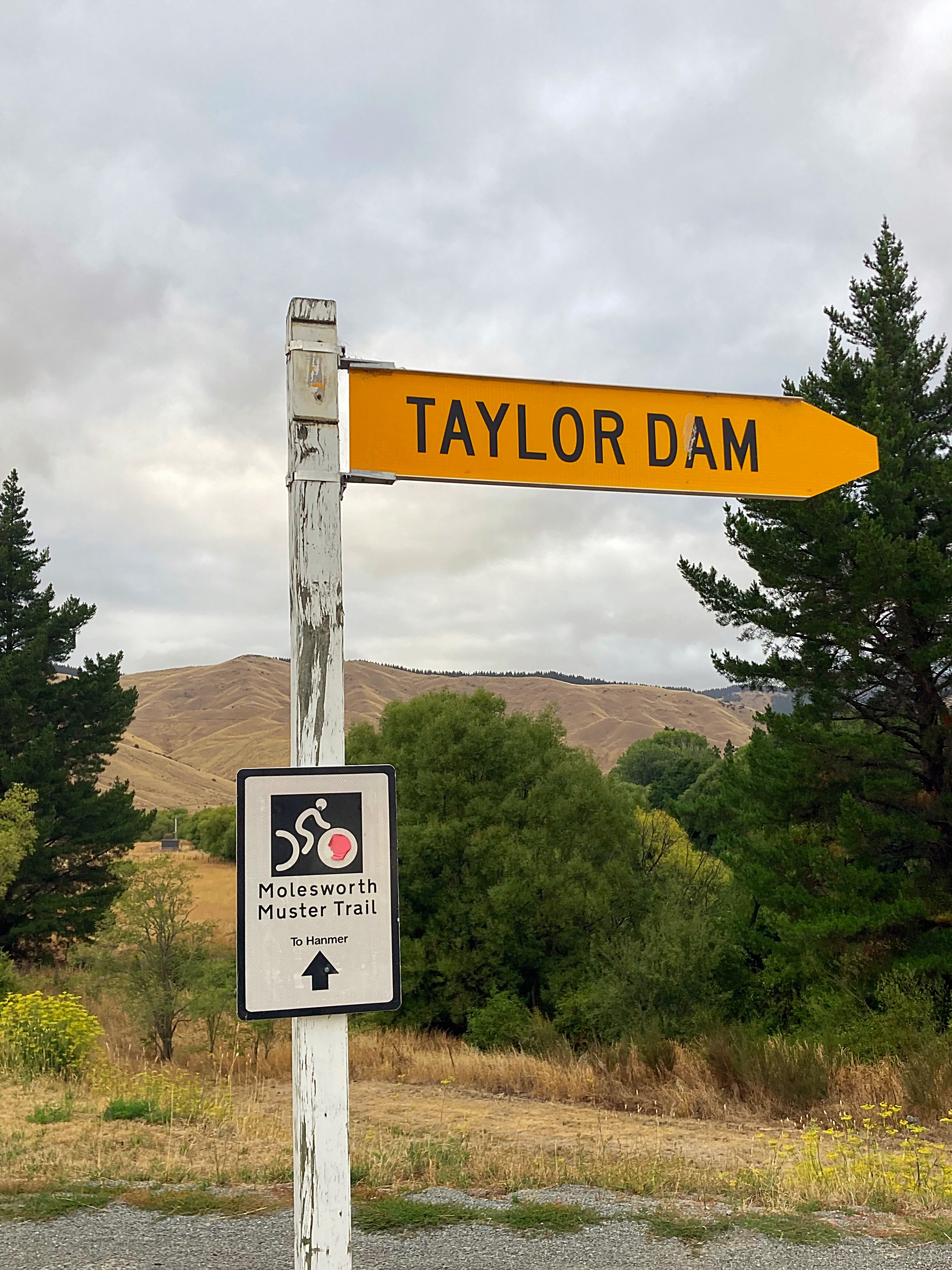
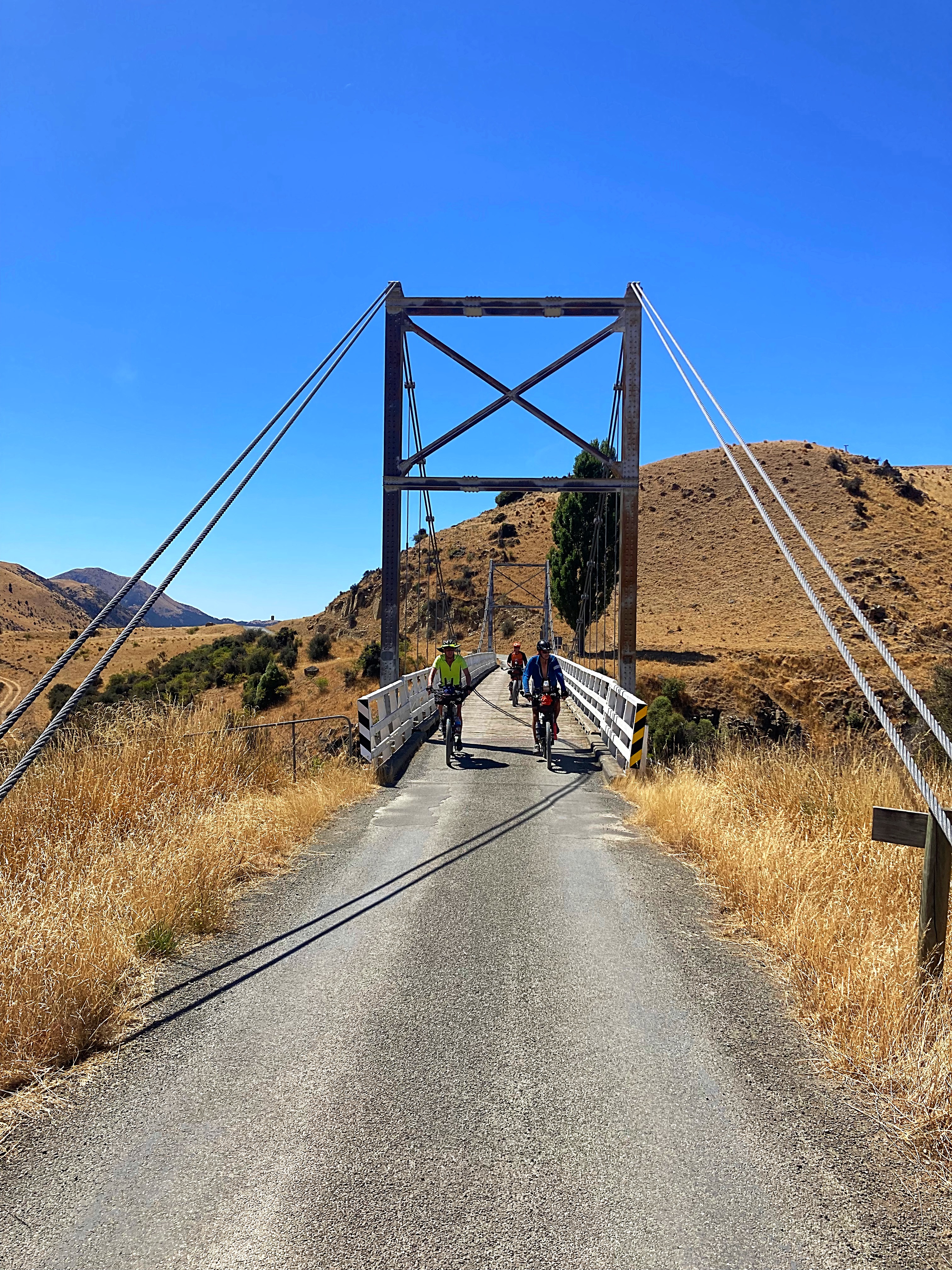
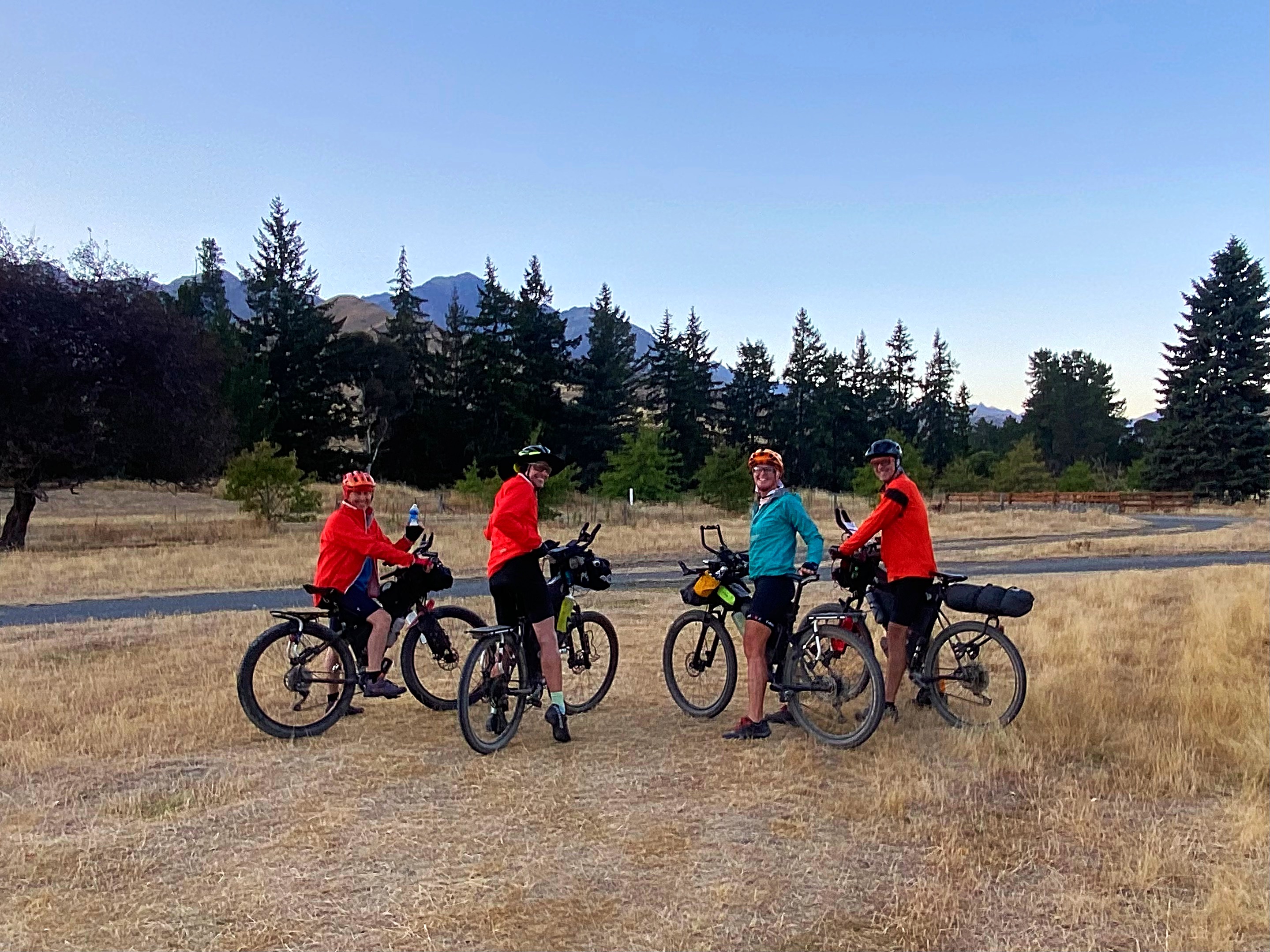
We followed a lovely cycle path out of Blenheim for about 9km before getting onto Taylor’s Pass Rd. Very pleasant riding in the cool morning conditions.
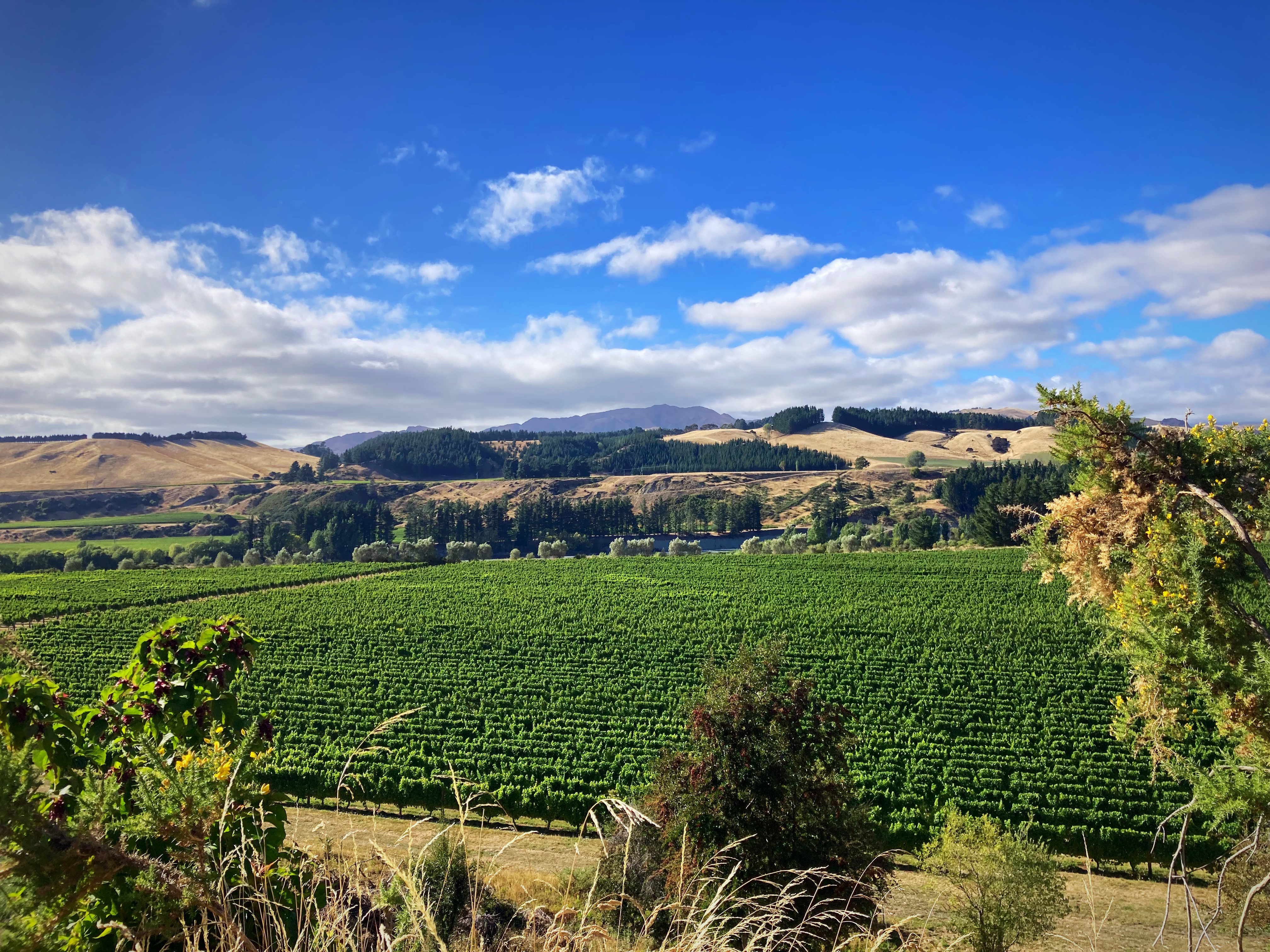
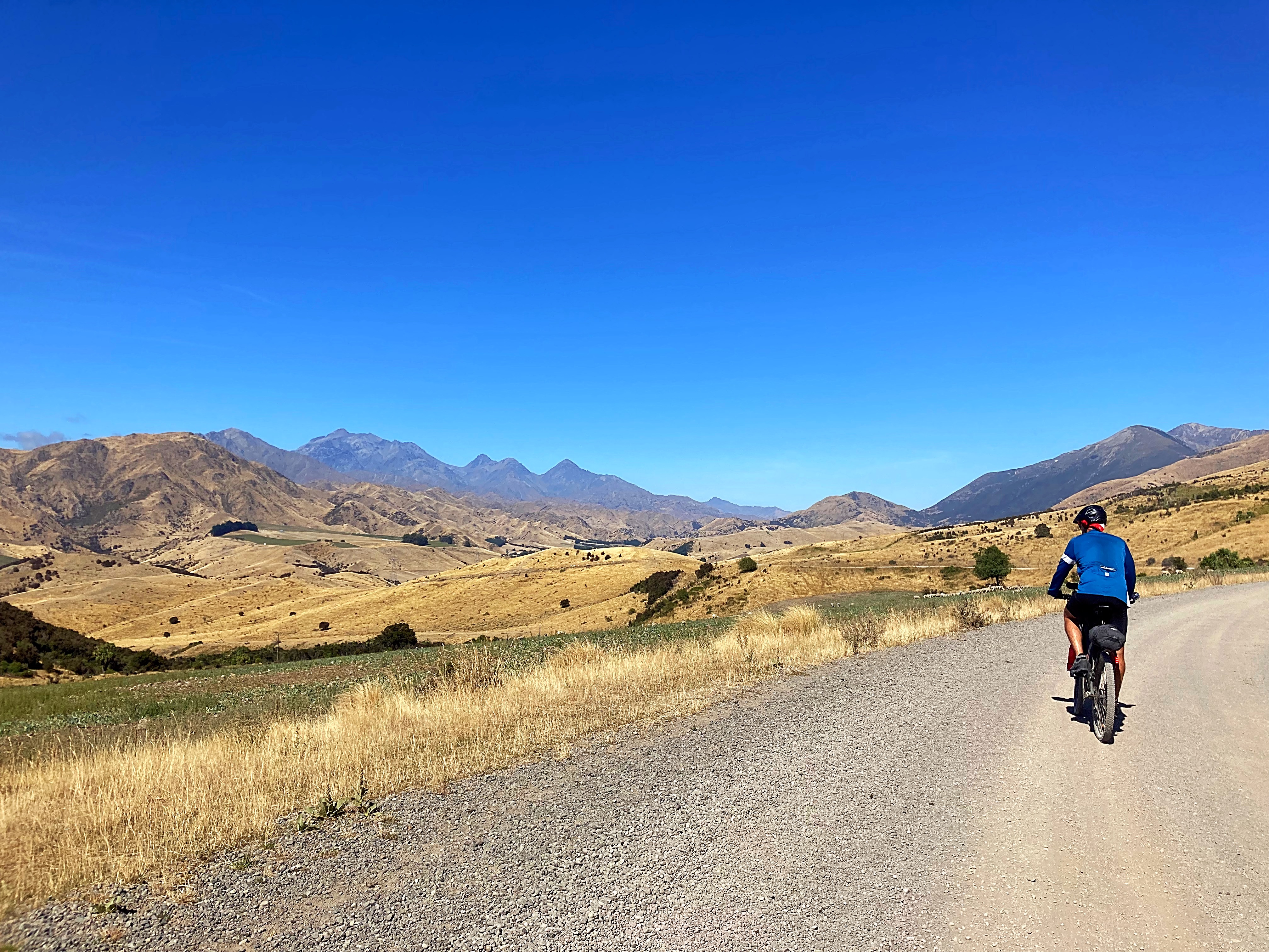
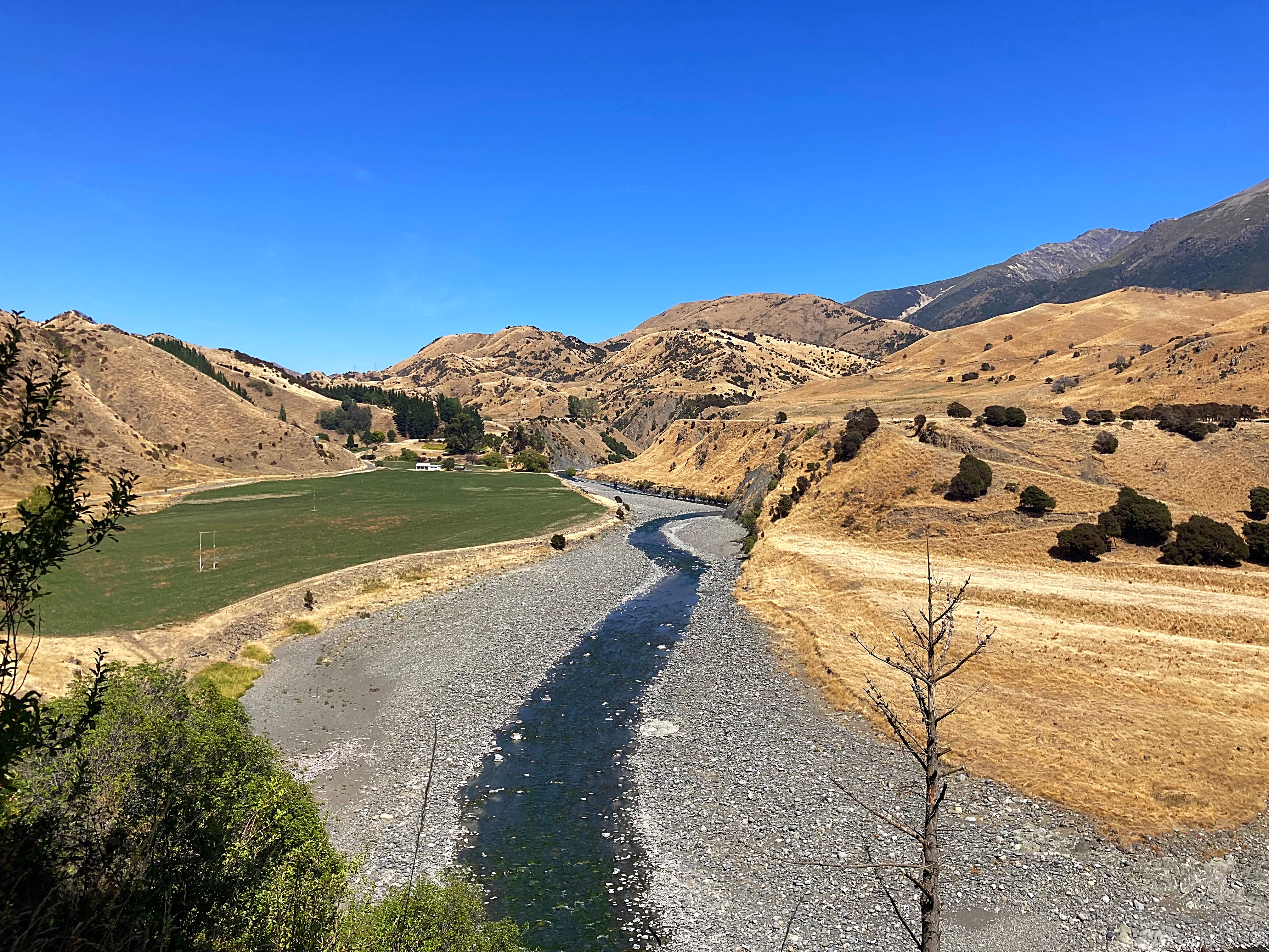
We then joined the Awatere Valley Rd which we would follow for the next 50km. Our vistas started with row upon row of vineyards before becoming large expanses of brown terrain.
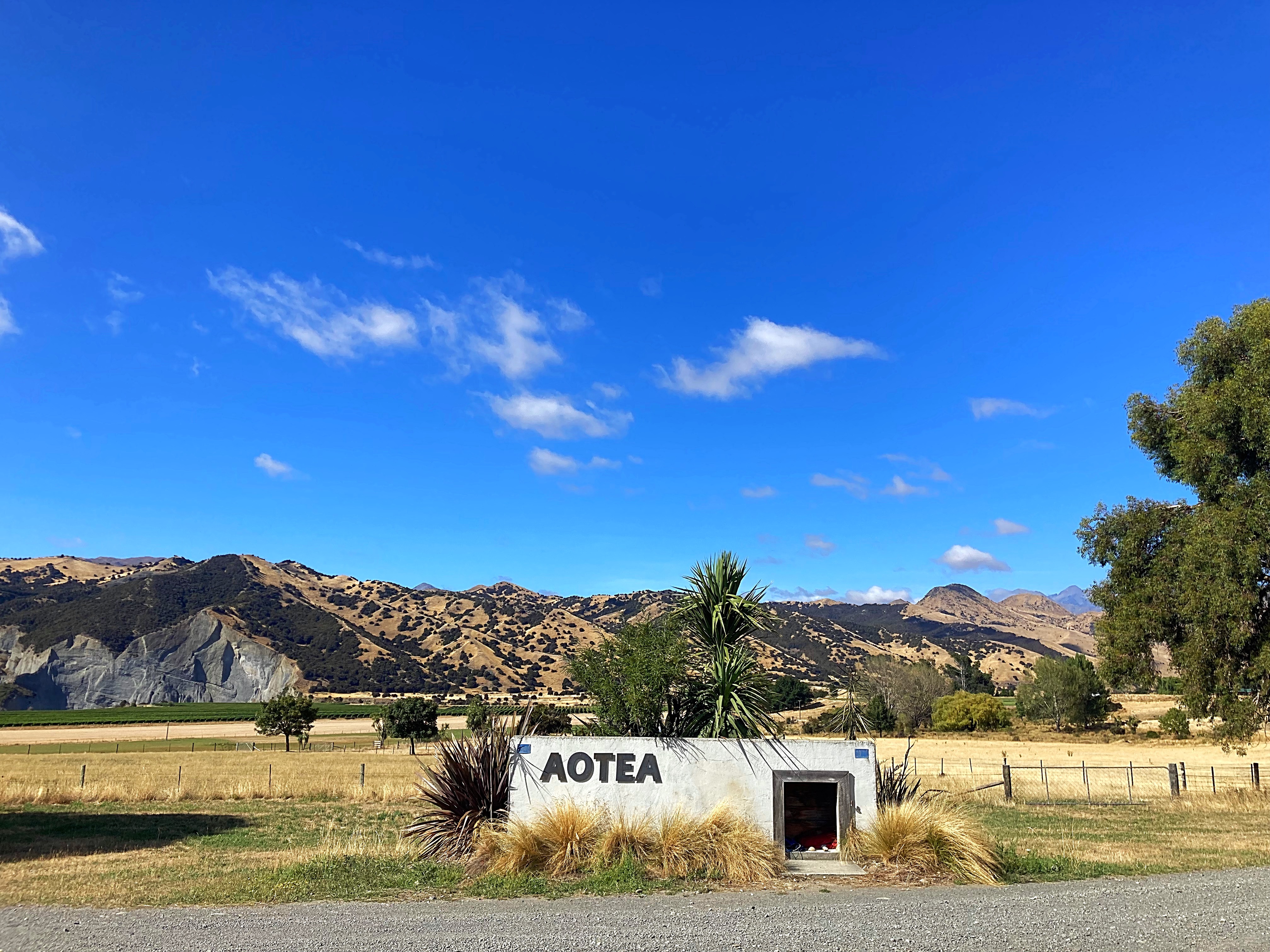
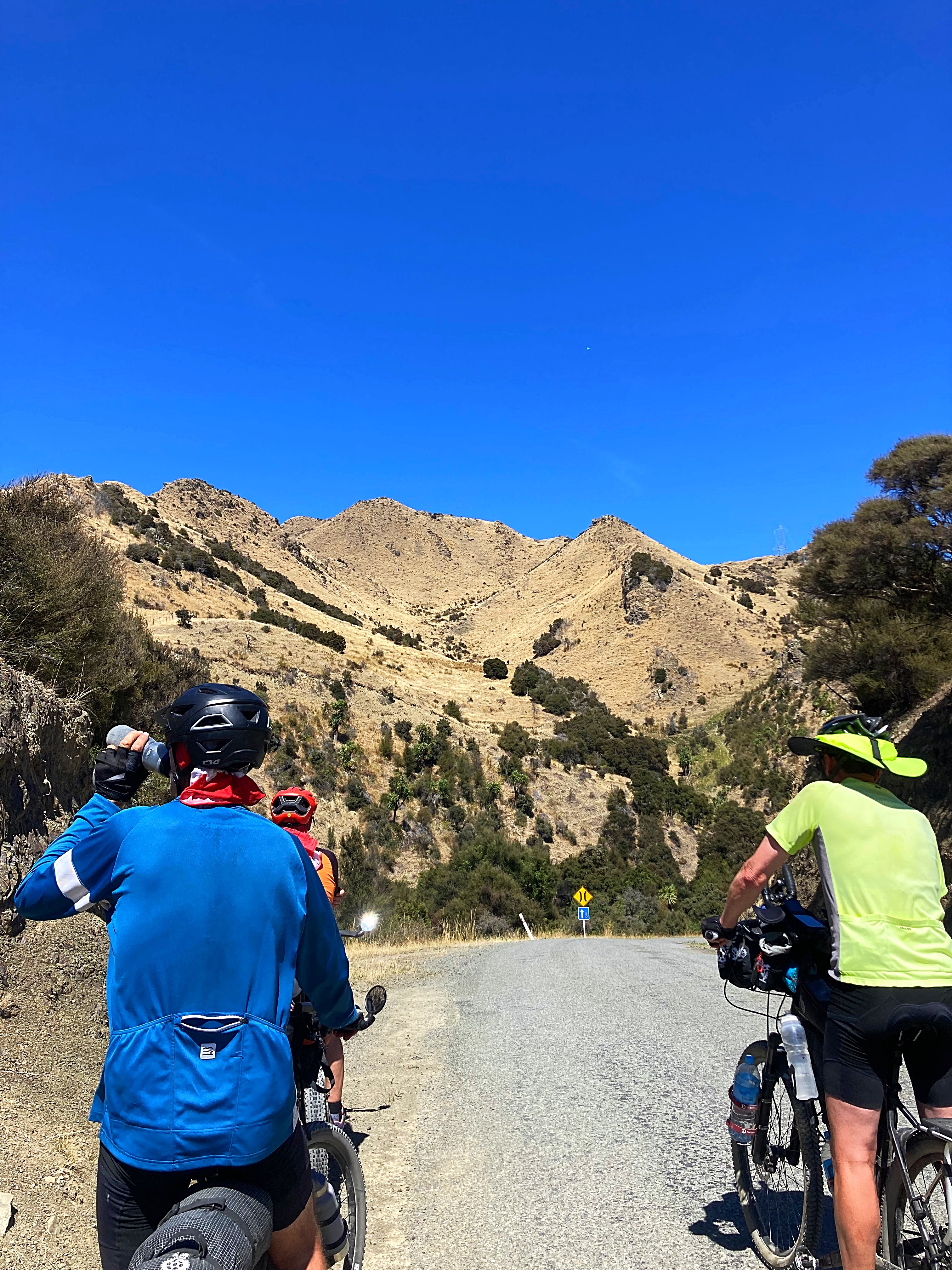
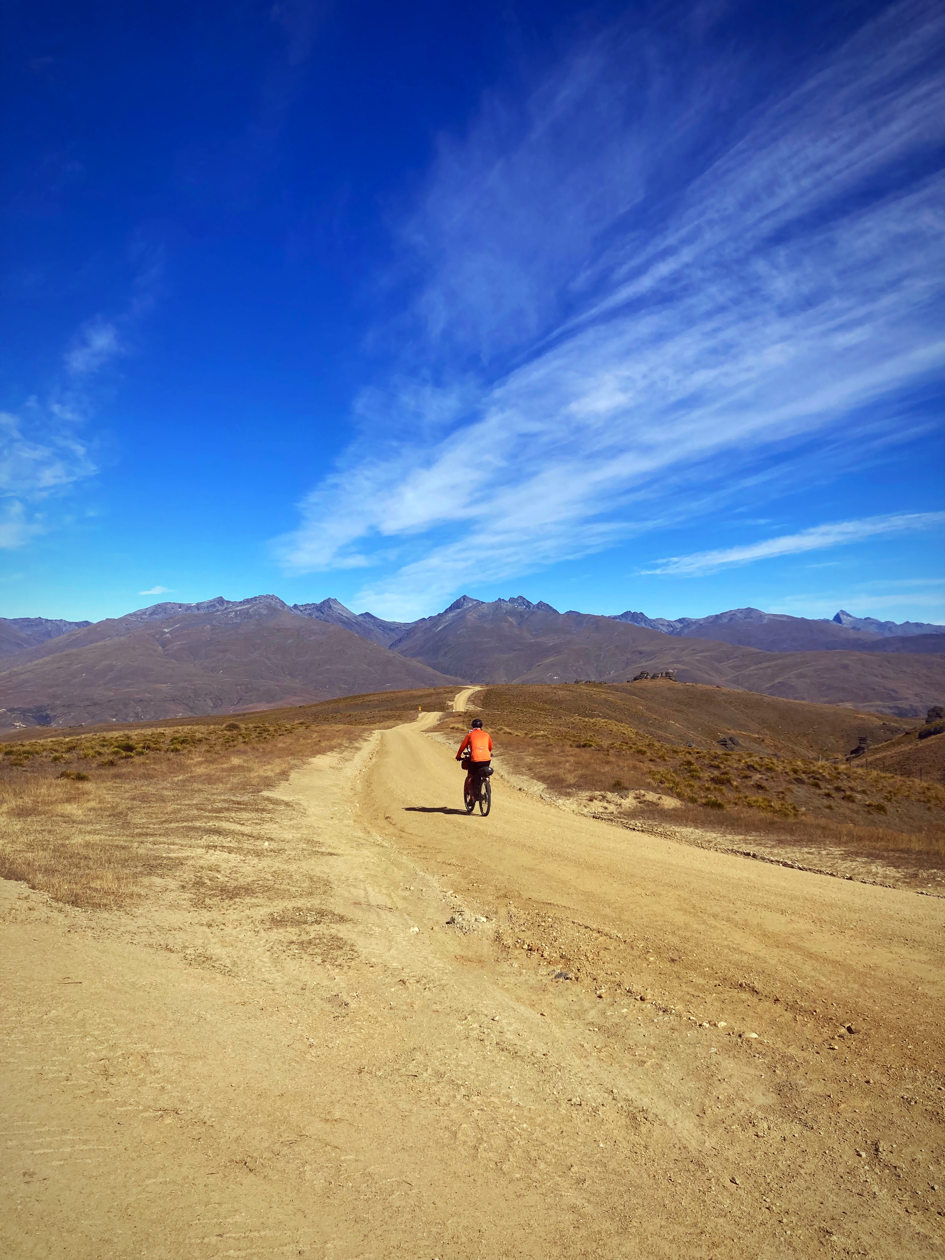
The sun had made an appearance by this stage and the sky was so blue against the brown hills. I just love these big country views. I was in my happy place even though we were climbing and descending regularly.
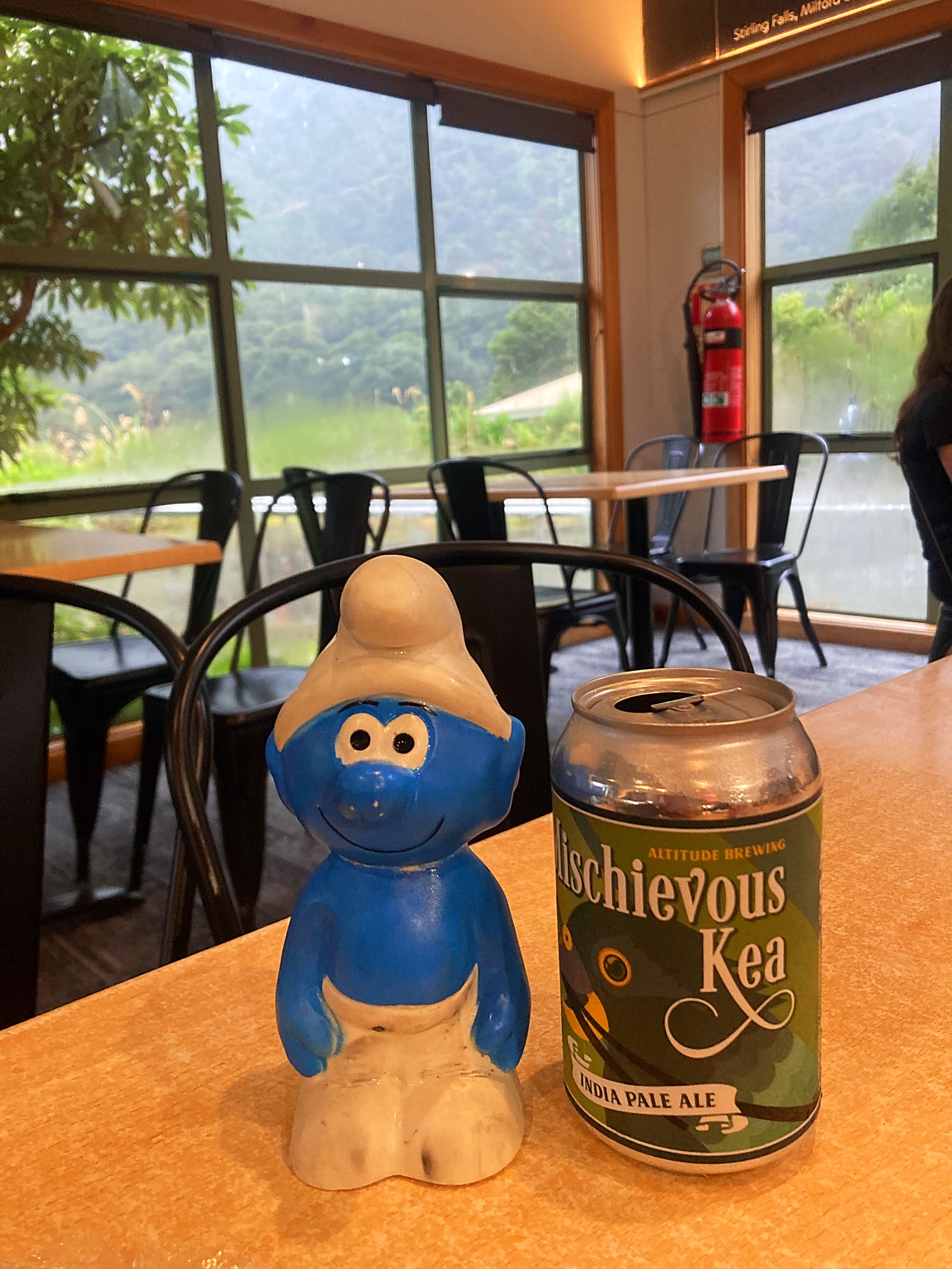
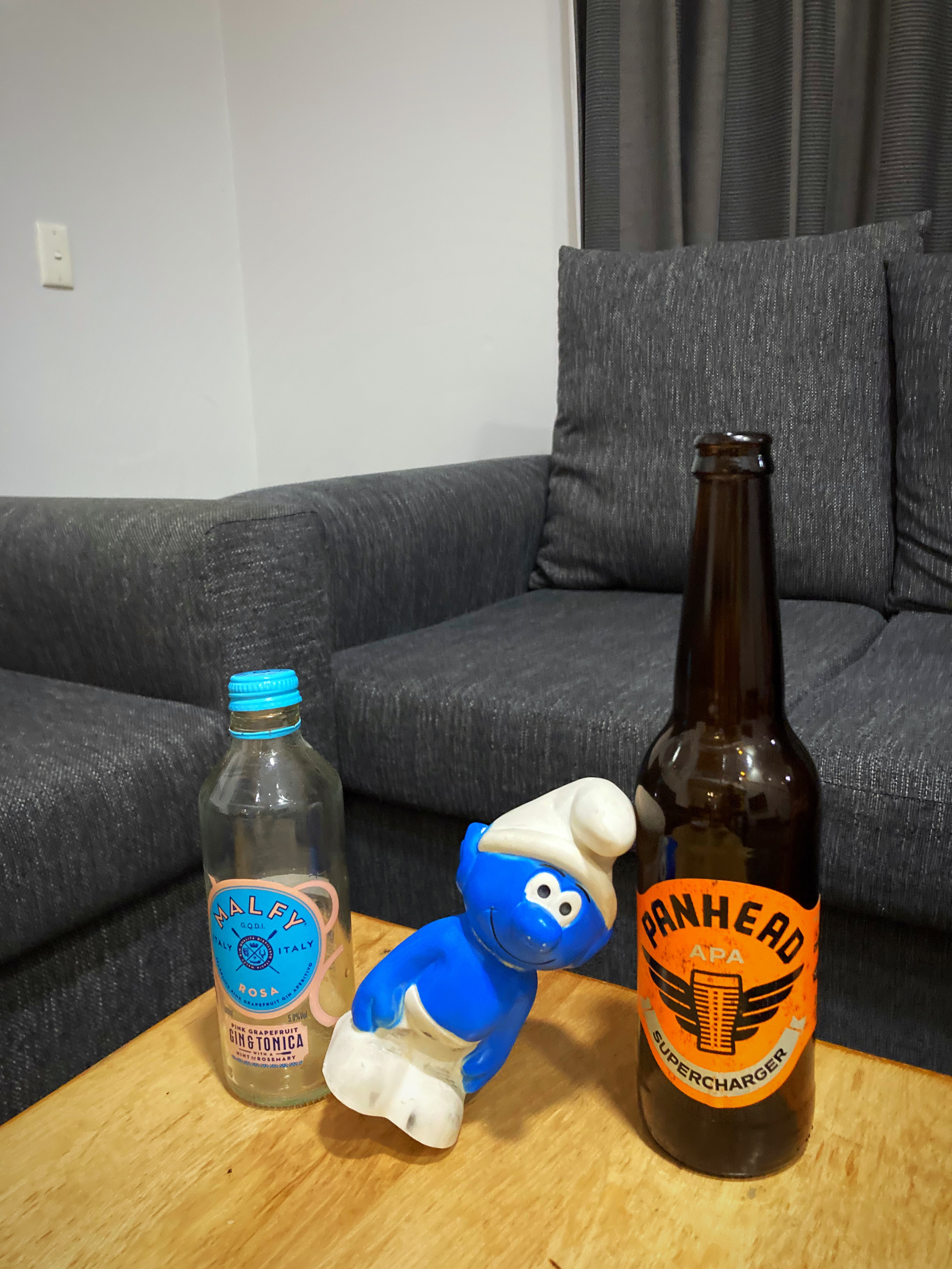
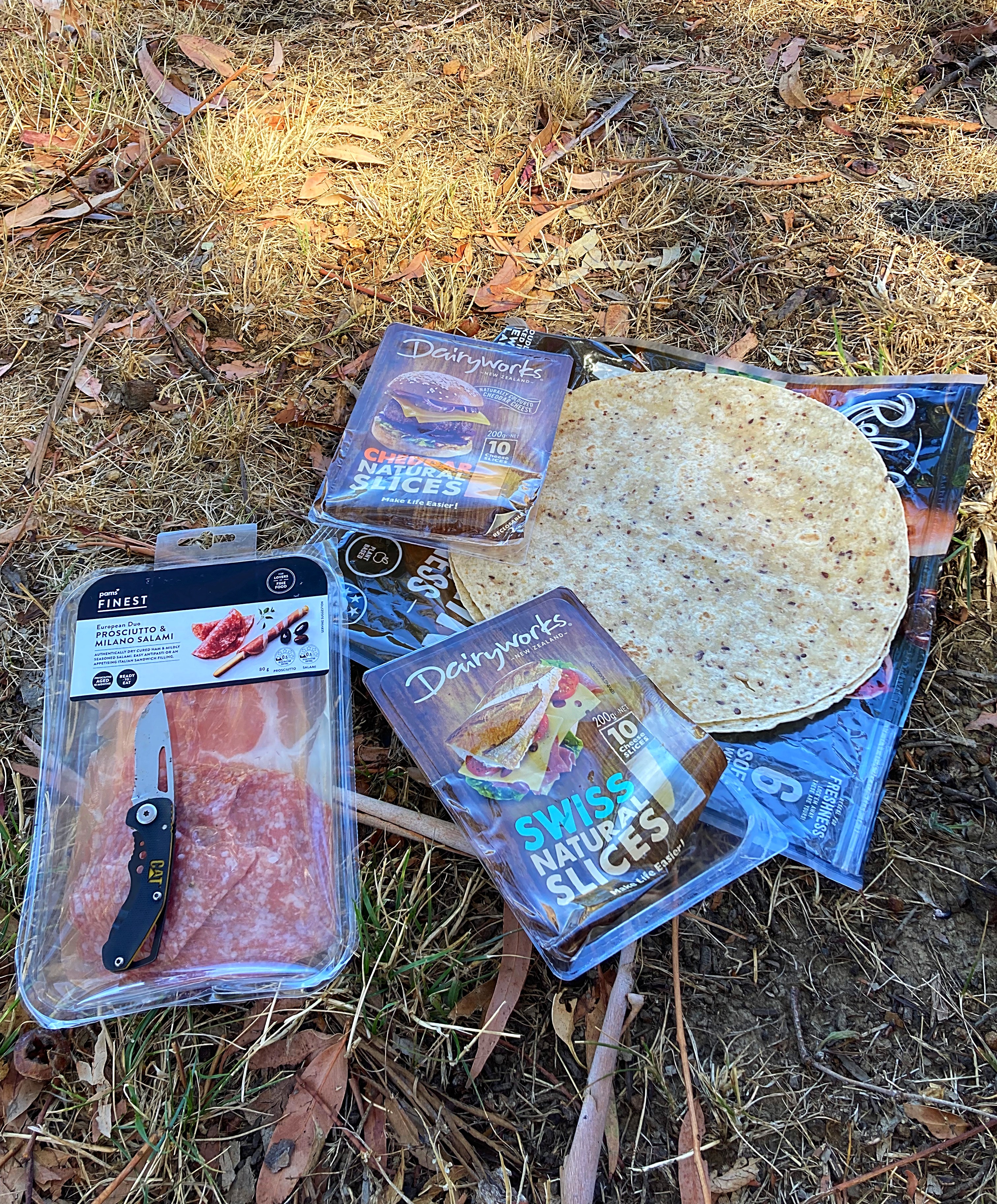
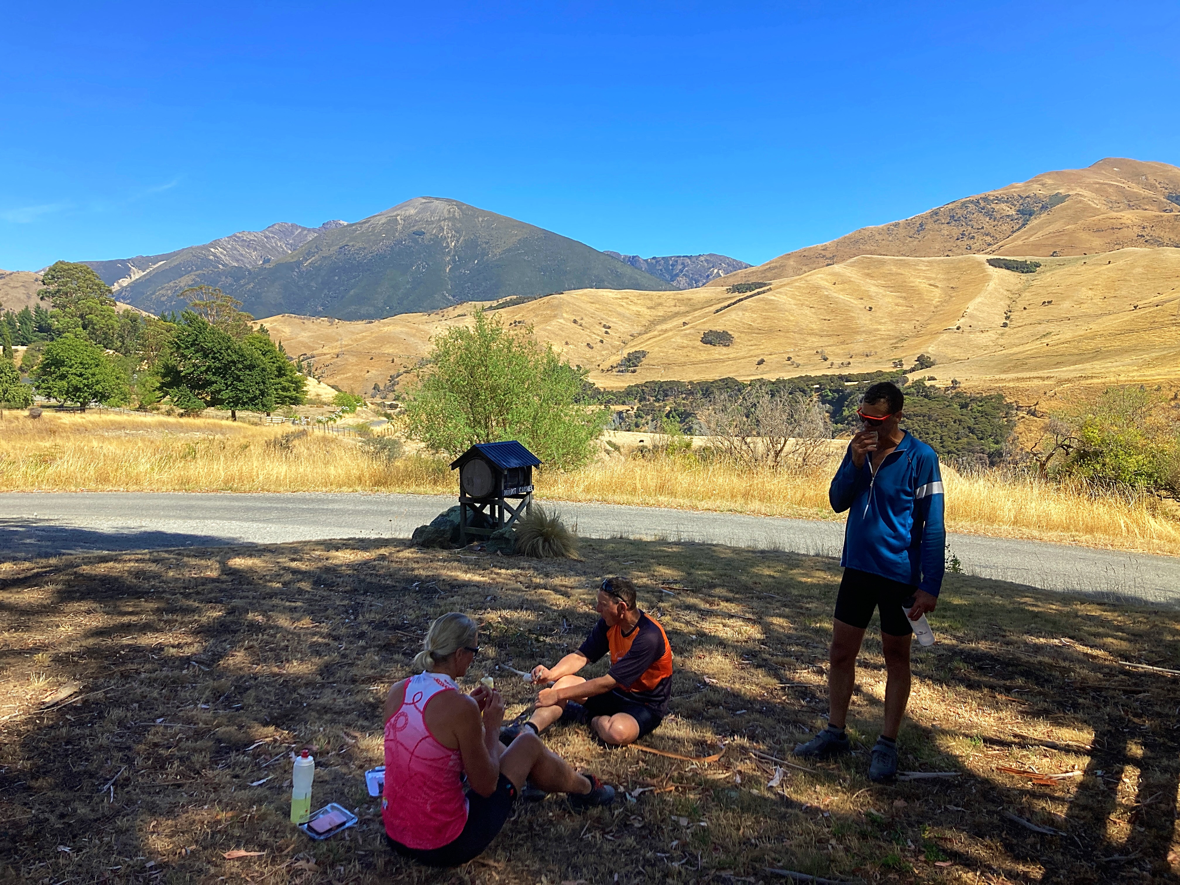
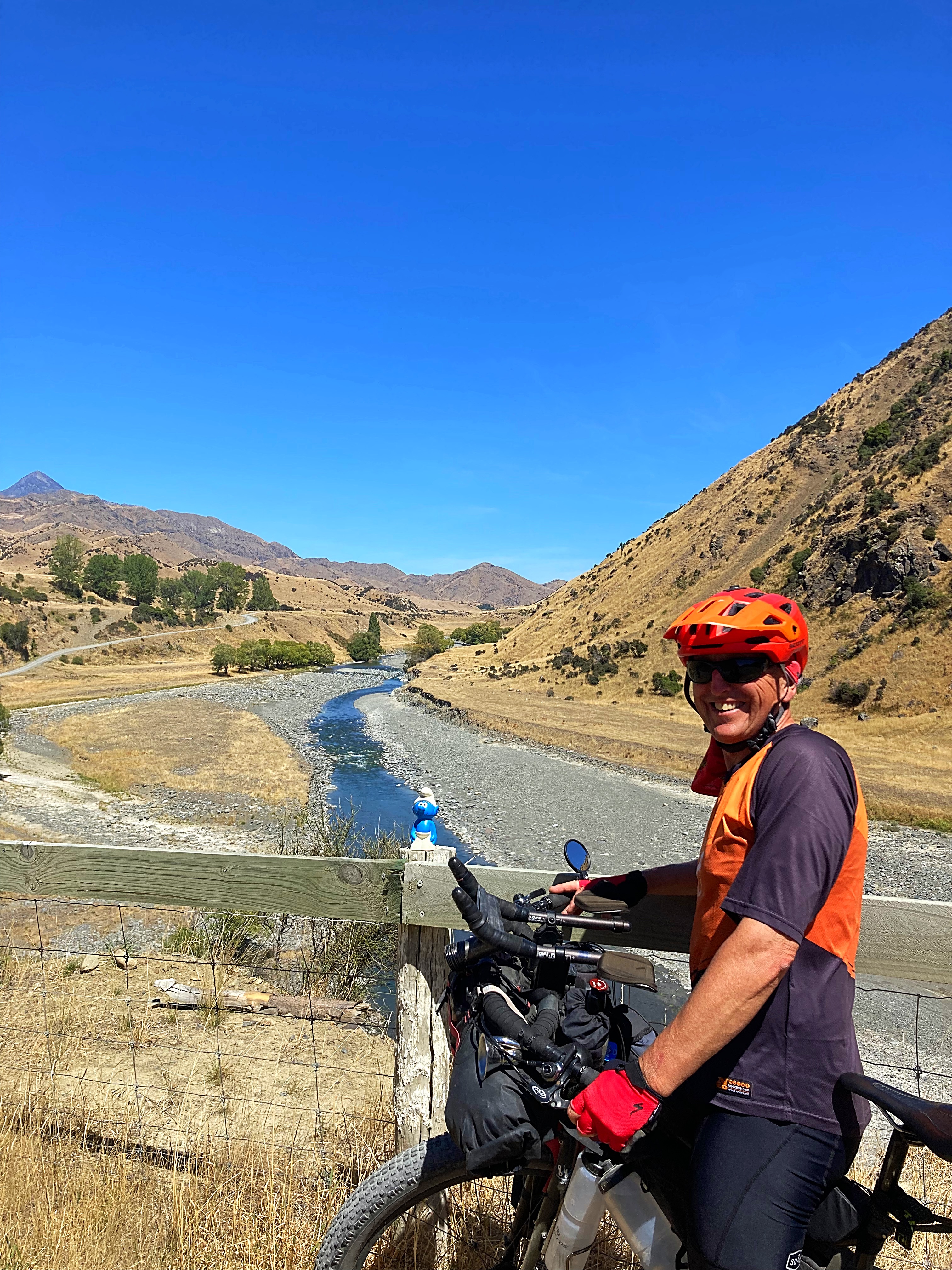
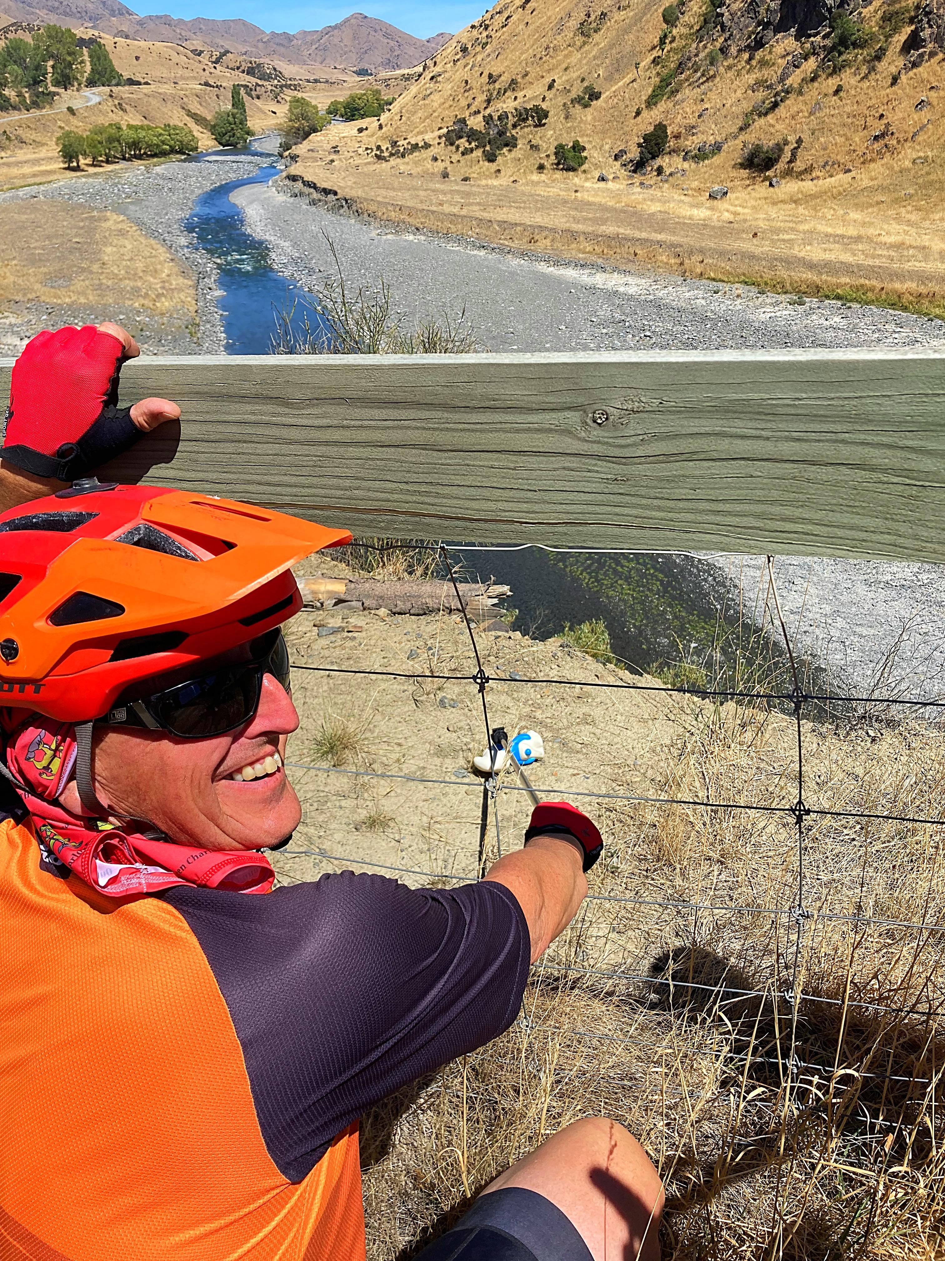
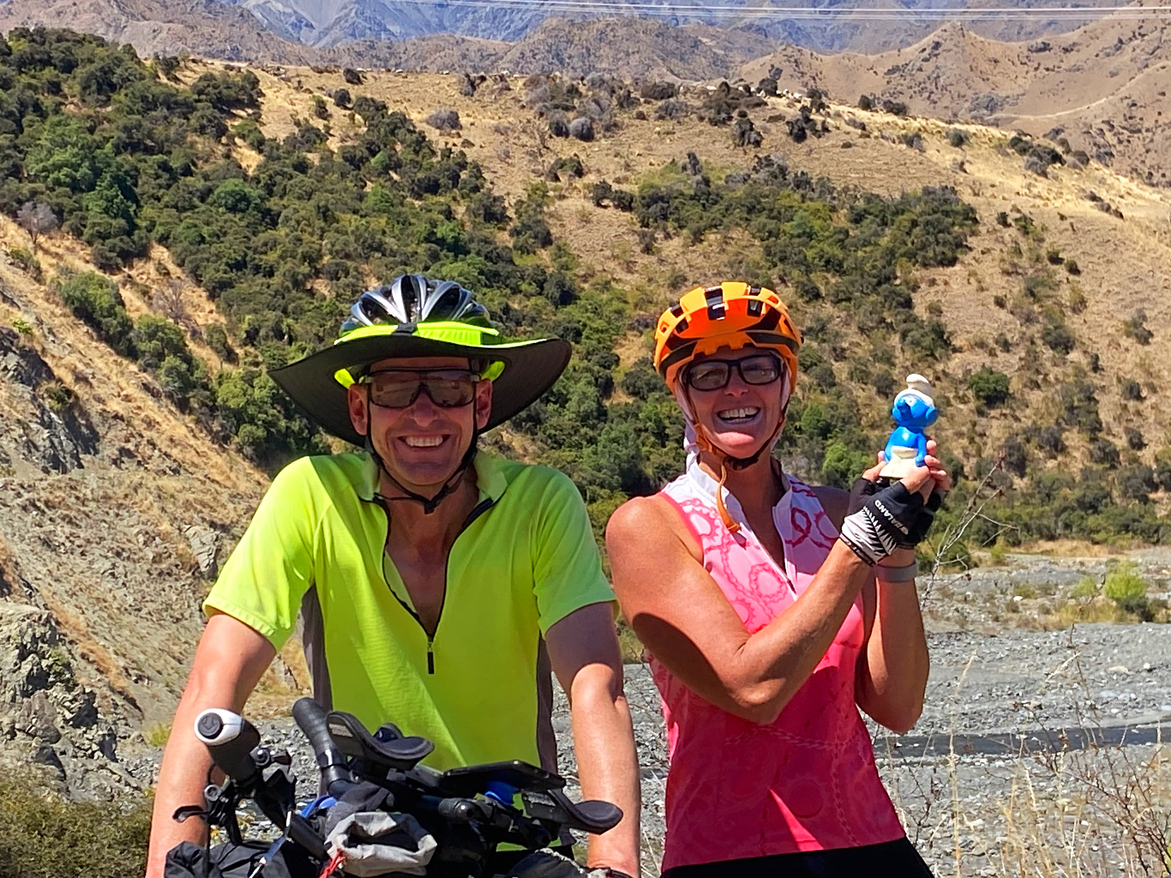
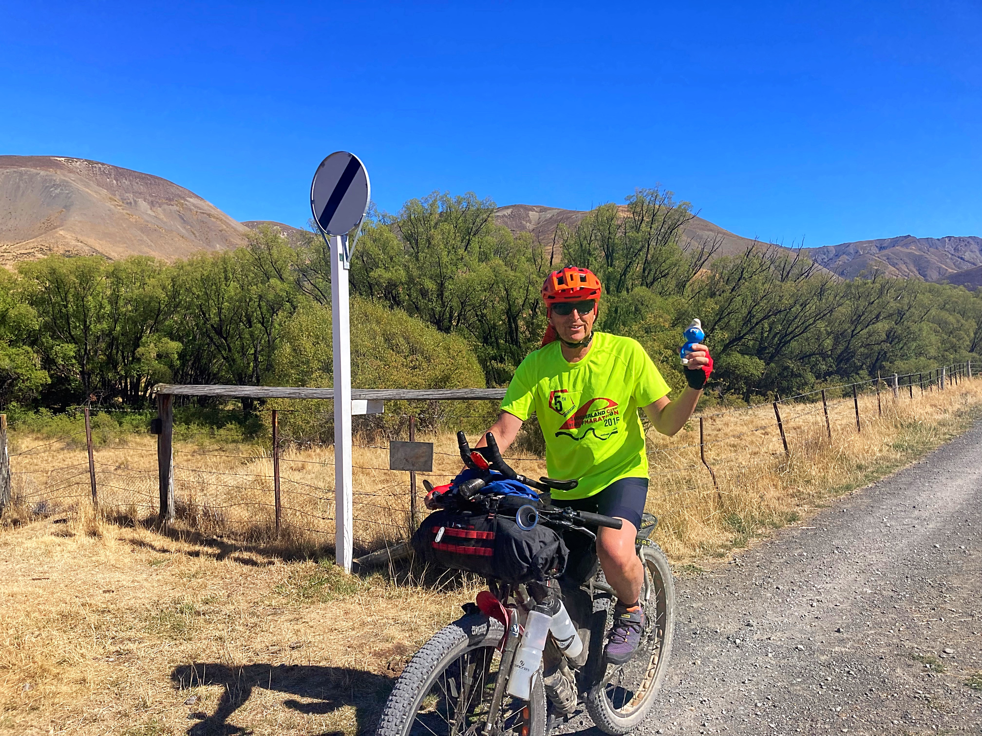
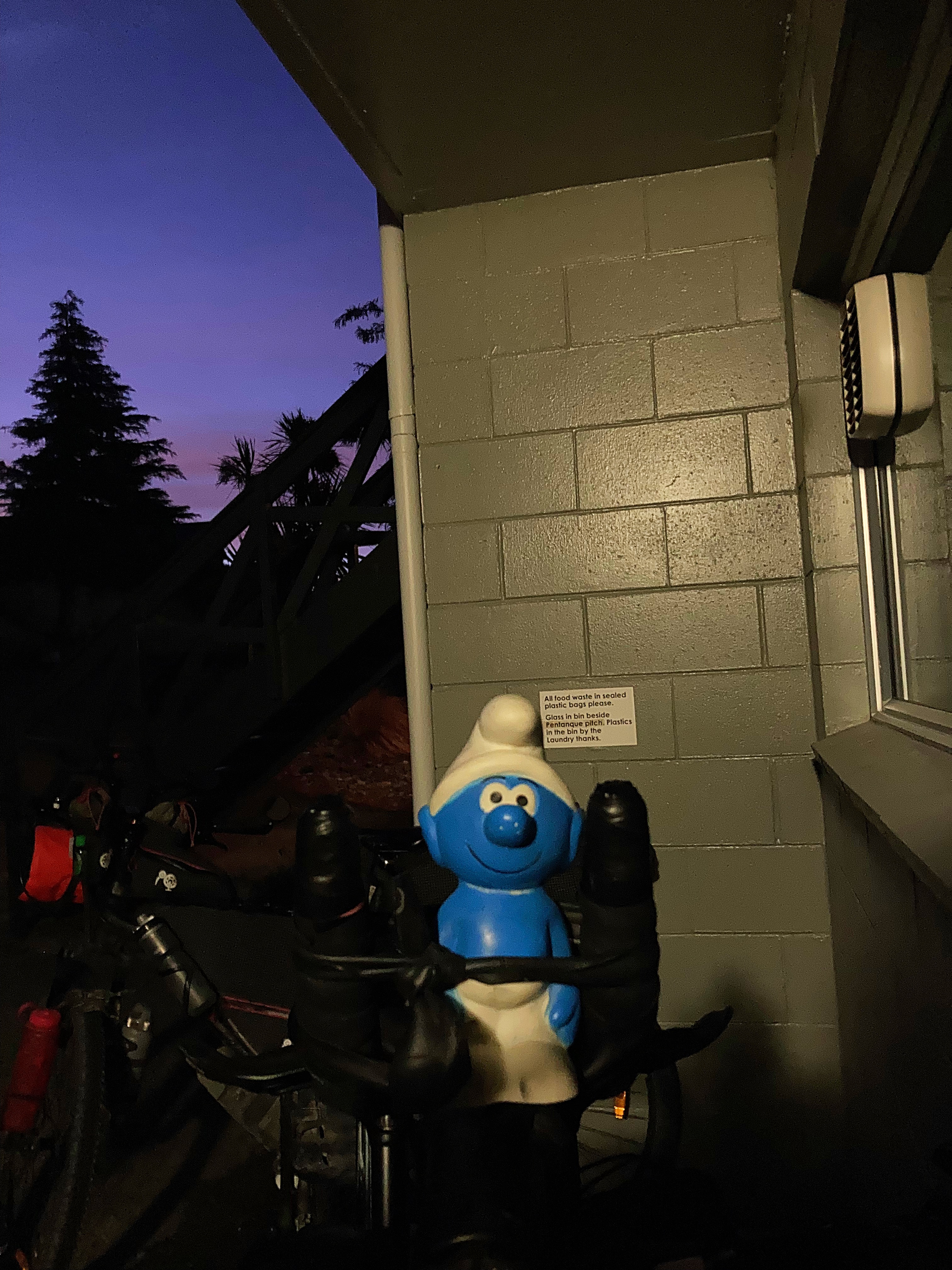
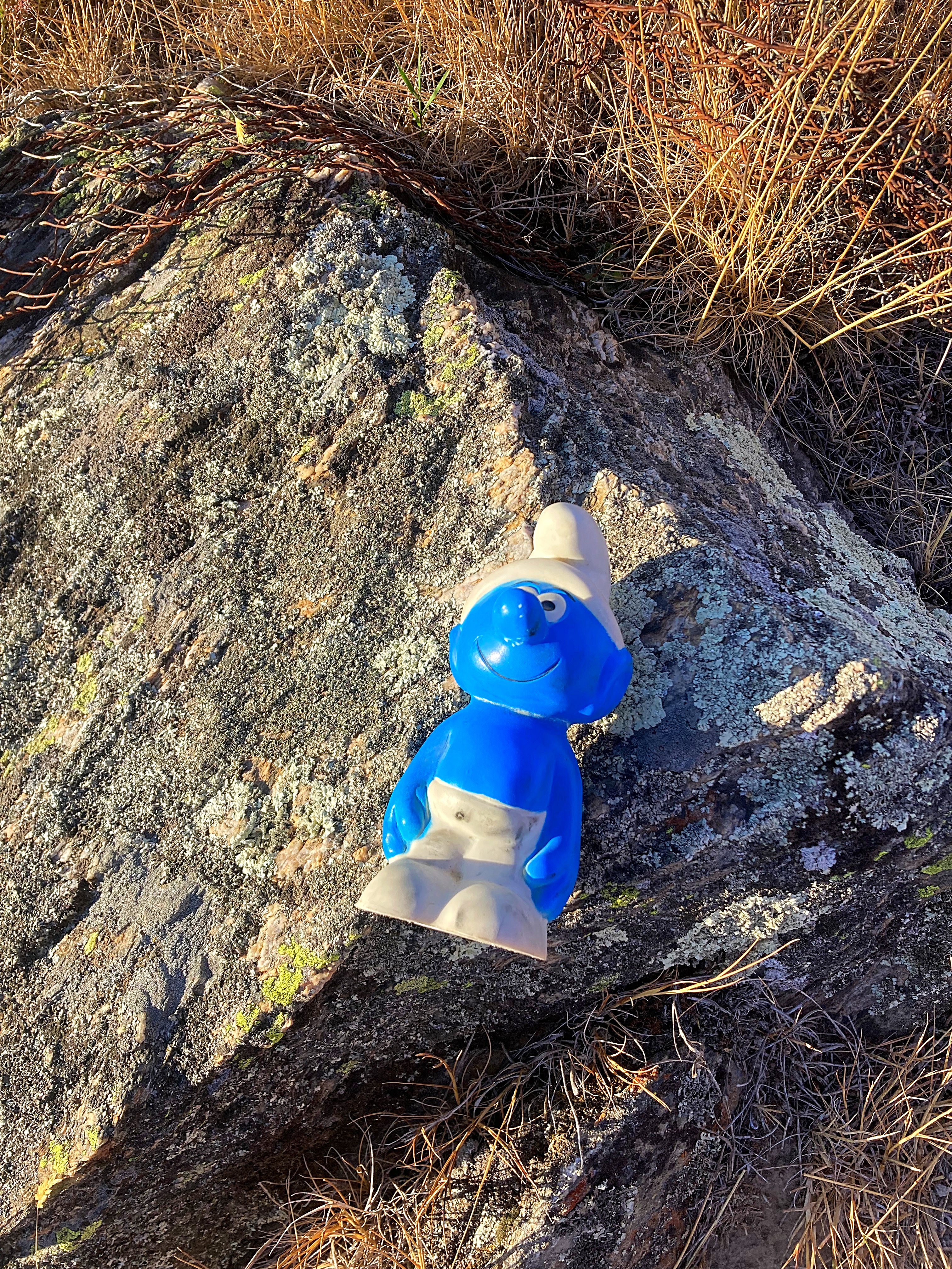
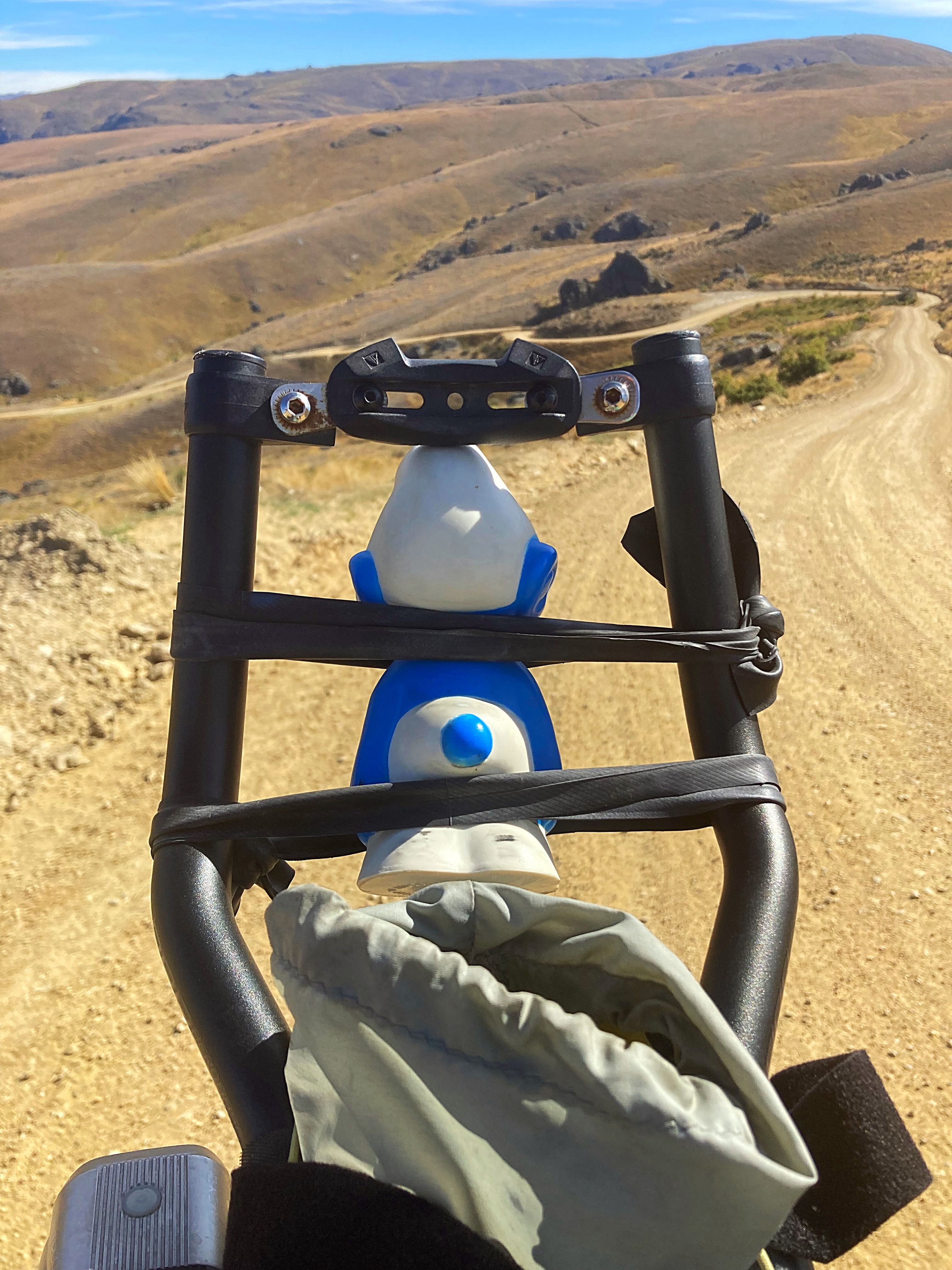
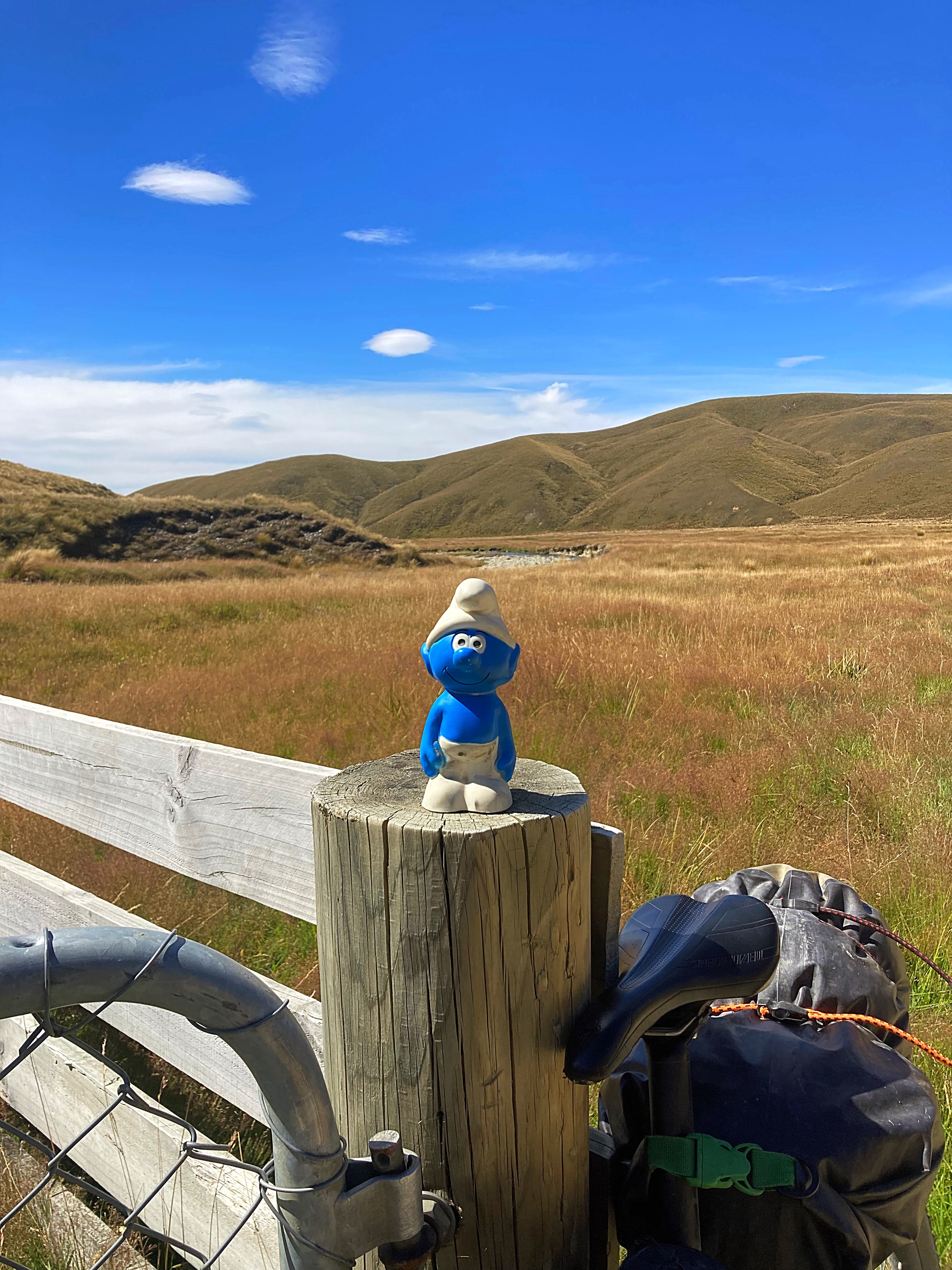
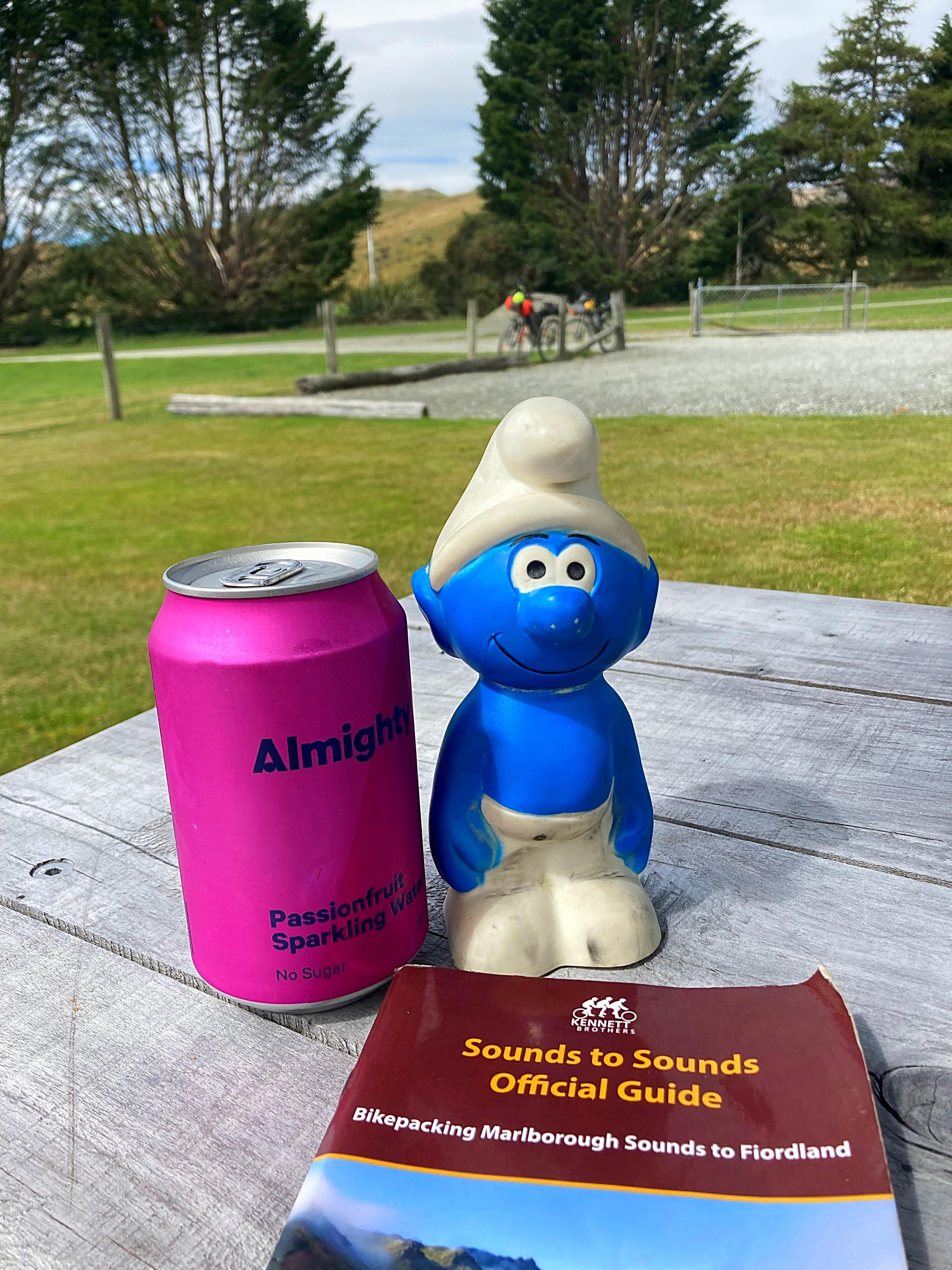
We found a shady spot for lunch. After lunch I asked Crammers if I could get a picture of our mascot Smurfy (a childhood toy of Crammers that he has just reunited with – long story  ). He put him on the fence post and said “don’t fall of ya bugger” So what happened, he fell off and nearly went over the edge of the cliff. Fortunately Crammers used his selfie stick to retrieve Smurfy
The temperature reached 31 degrees so we were getting pretty hot. We arrived at Upcot Station at 2pm – a record for Lambers & Crammers who earnt themselves the names of Dilly and Dally on past biking excursions 
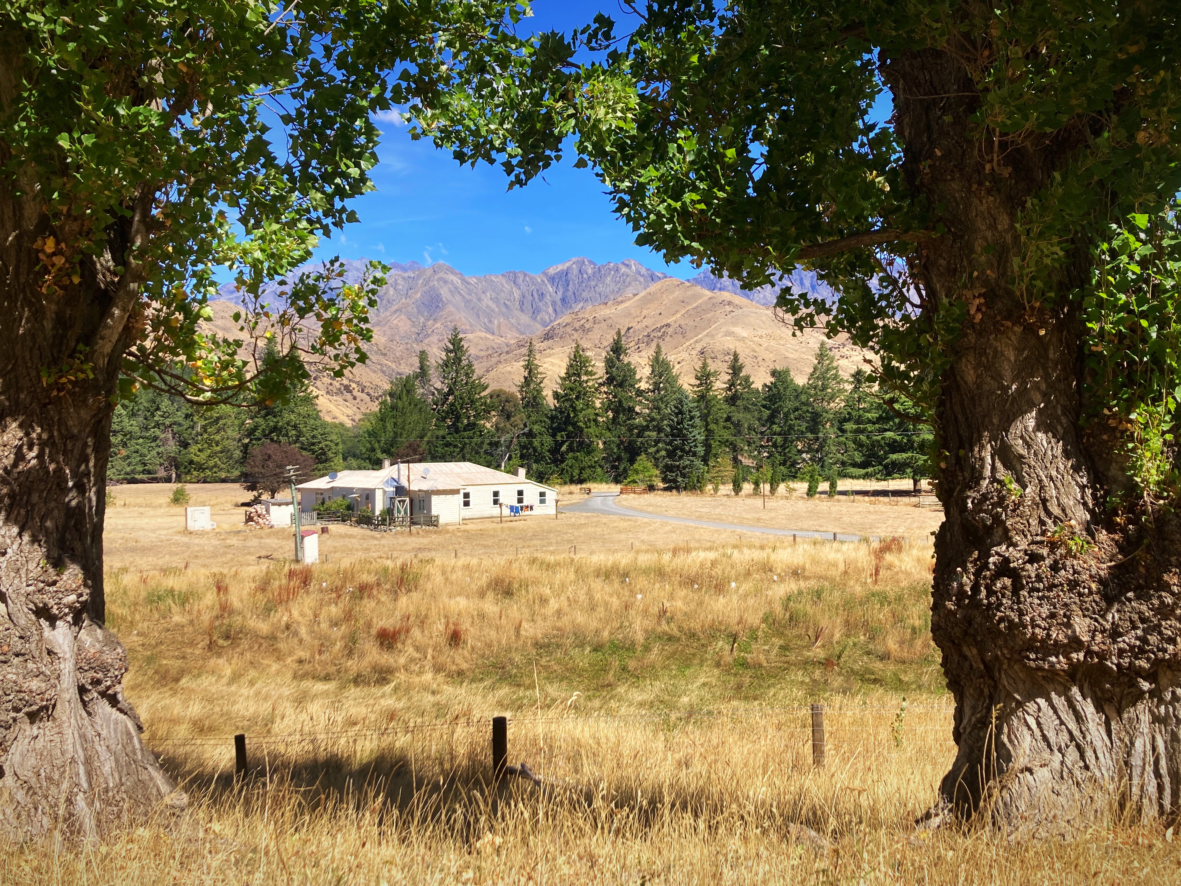
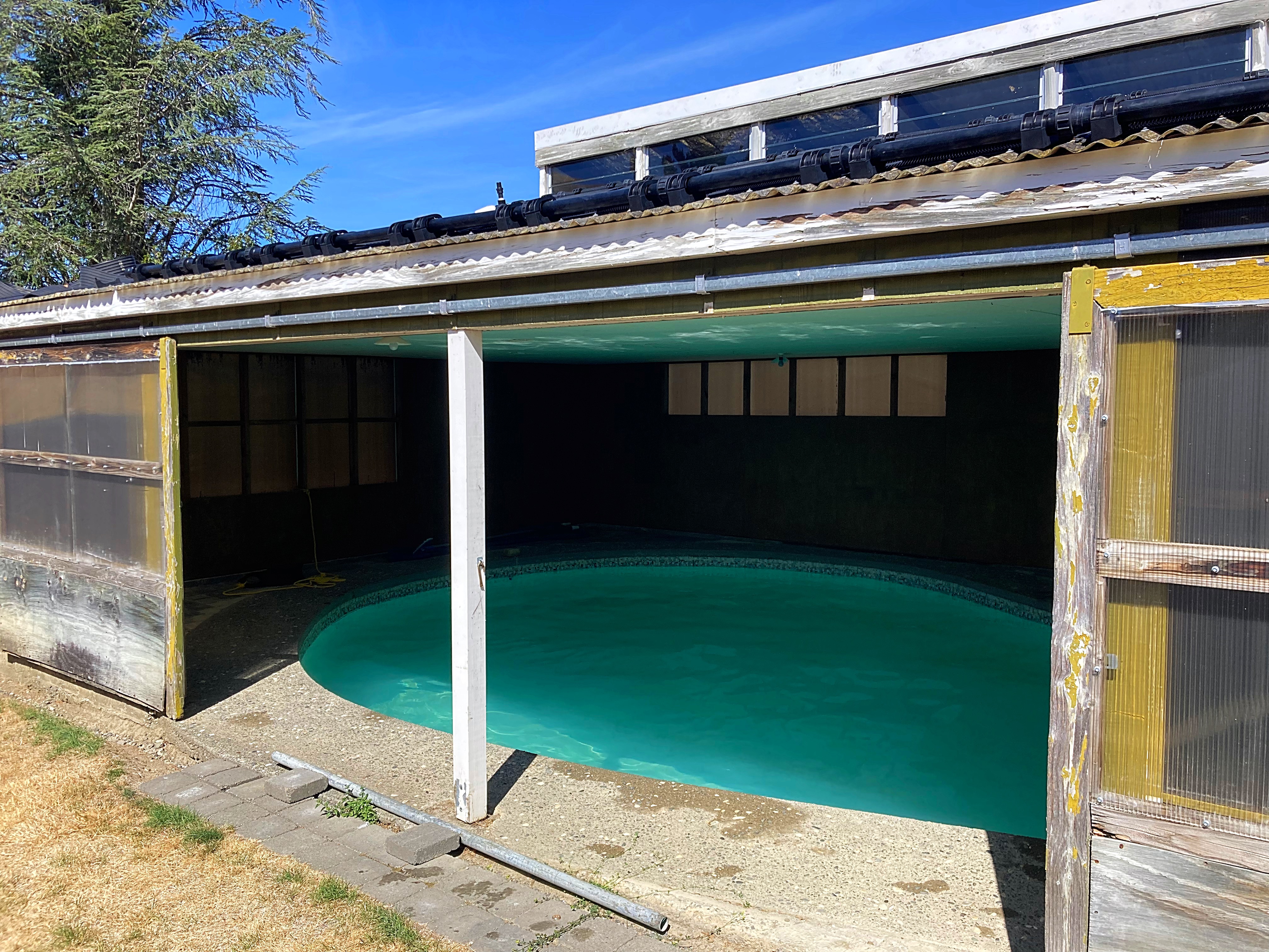
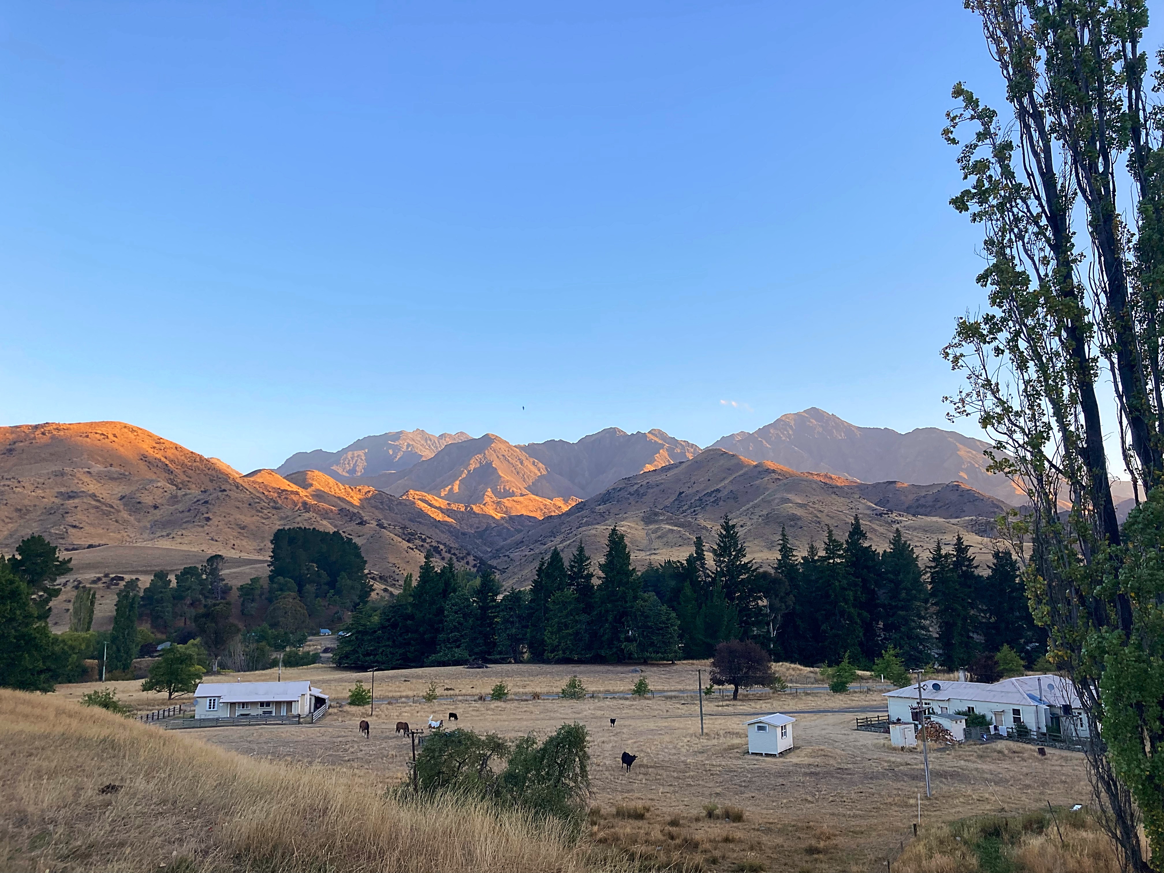
Our hosts at Upcot Station, Nicky, Bill and their daughters Mel & Lou are delightful  good old fashioned Kiwi hospitality. An absolute plus was they have a pool so that was first up on the agenda.
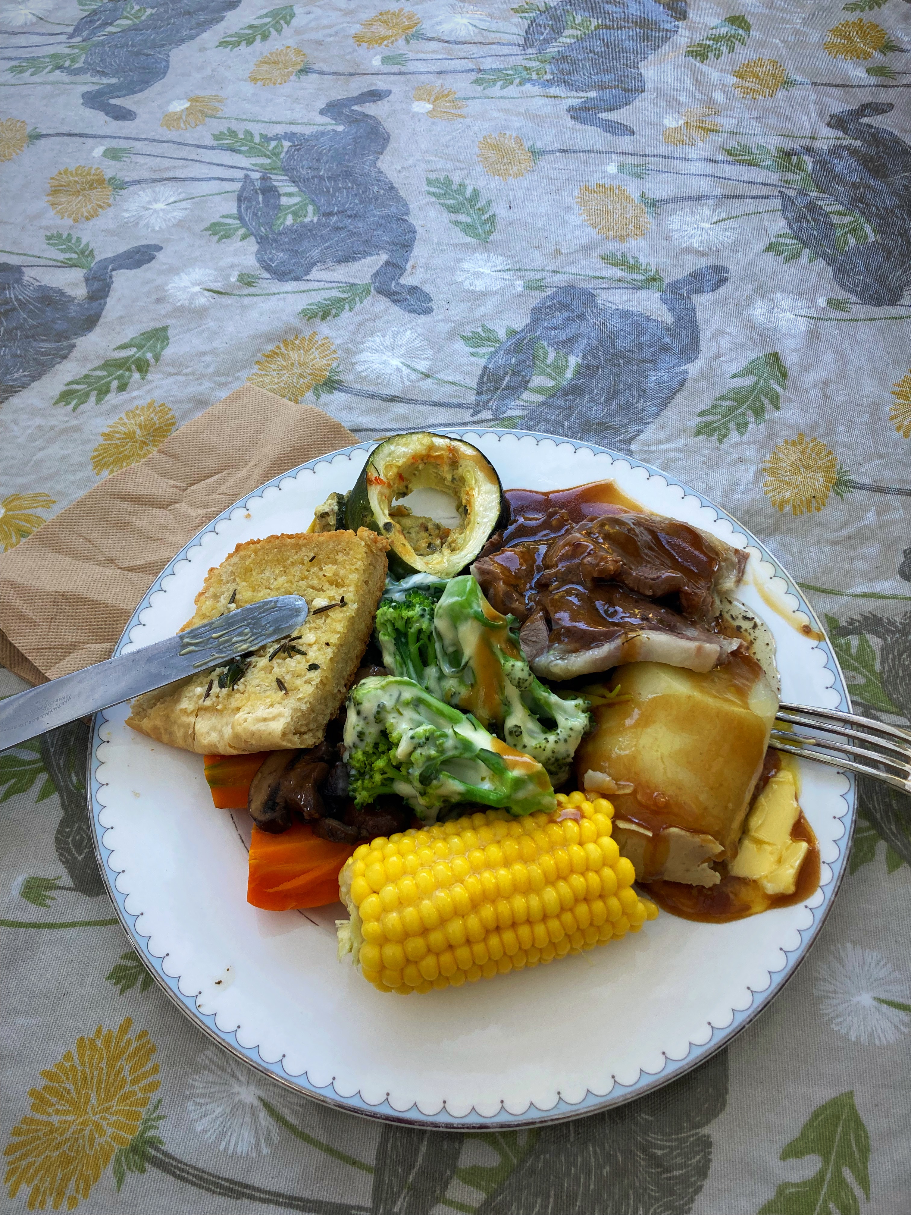
After cooling off and showering we had a delicious dinner – everything on the plate bar the mushrooms was home grown. This was followed by peach and nectarine crumble – also homegrown.
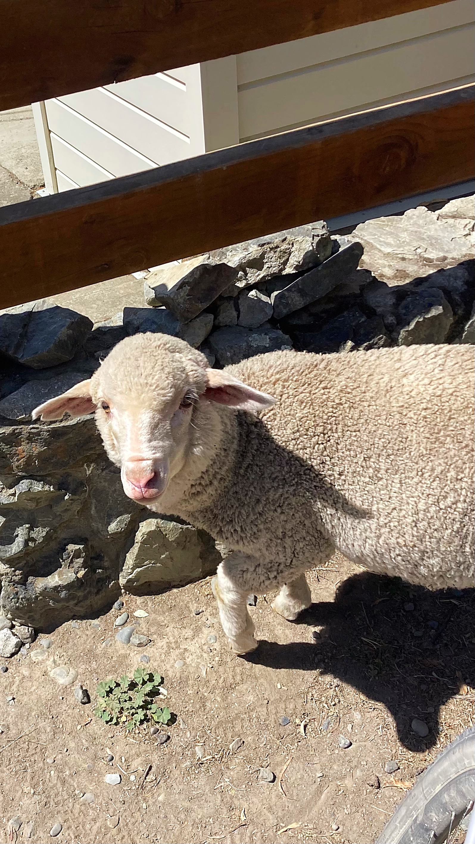
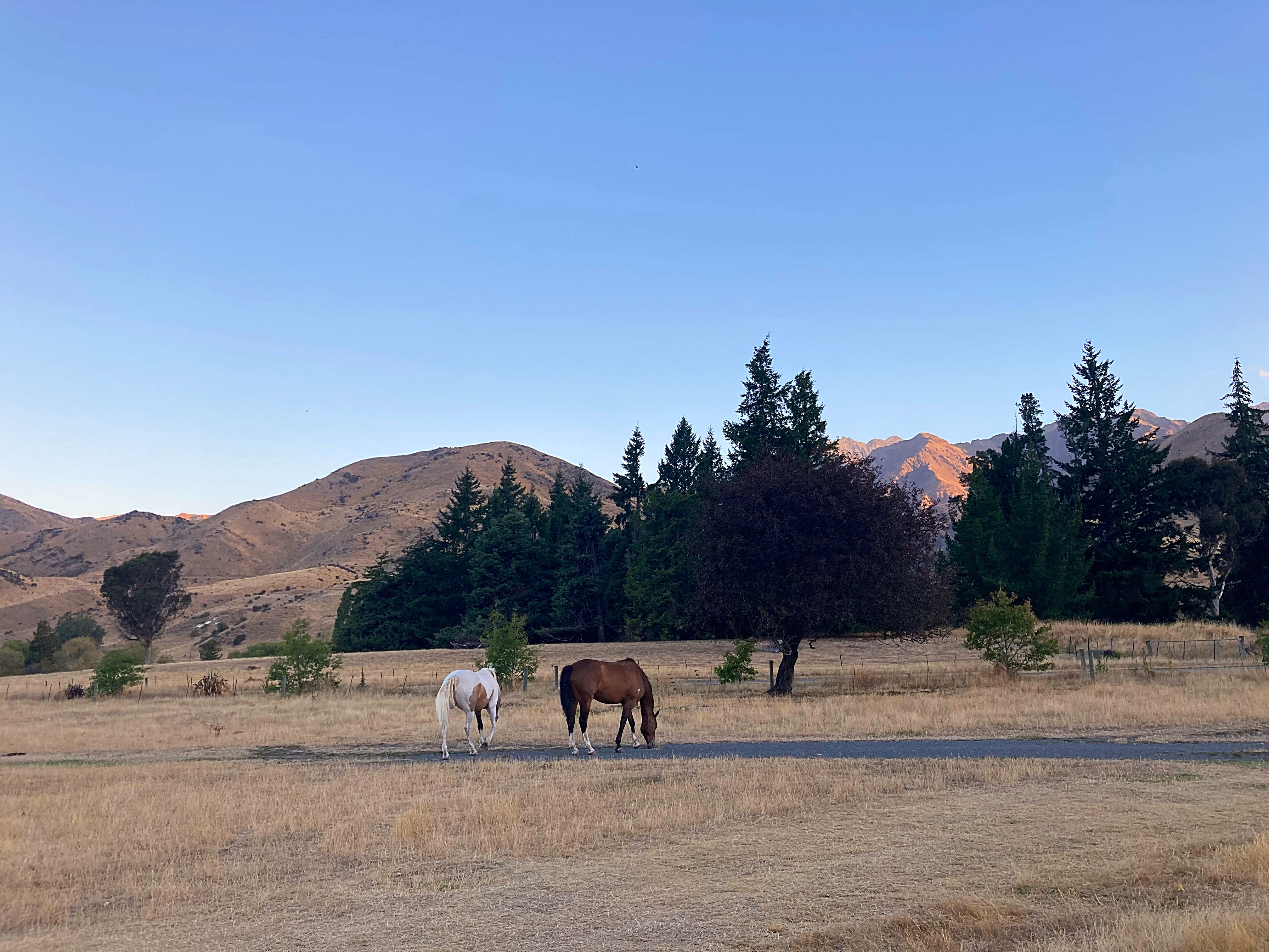
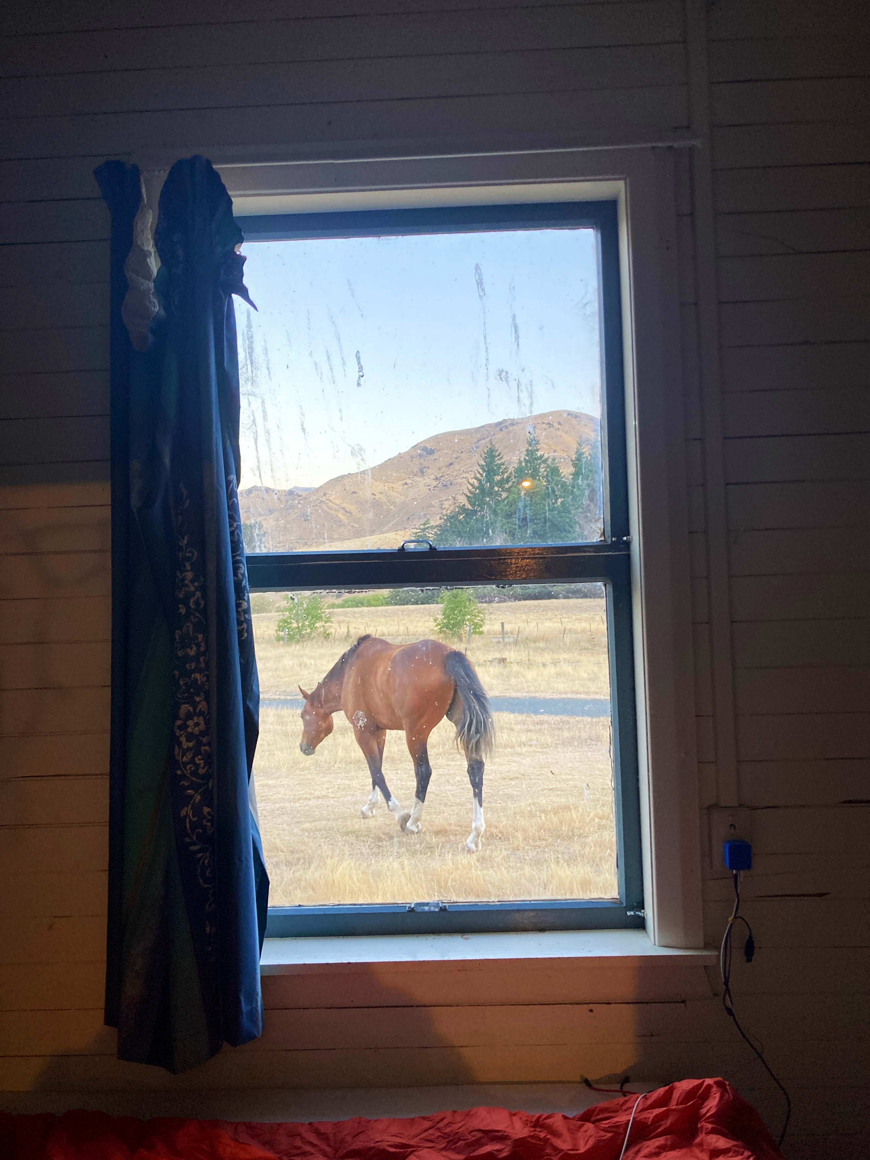
Bill is third generation on the property and they have 13,500 hectares. They run about 6000 sheep, have about 16 horses they use to work the property, a number of working dogs and beef cattle. It was so interesting talking to them about the property.
Enjoying the journey and meeting the people elevate these adventures to the next level 
14 February 2024
Day 3 – Upcot Station (Molesworth Rd) to Hanmer Springs 120km 2000 metres climbed
Another early morning as we were in for a big day on the pedals filled with saddles and passes. Mel whipped us up a delicious breakfast of eggs, bacon, sausages, fried potatoes and stewed tomatoes at 6am.
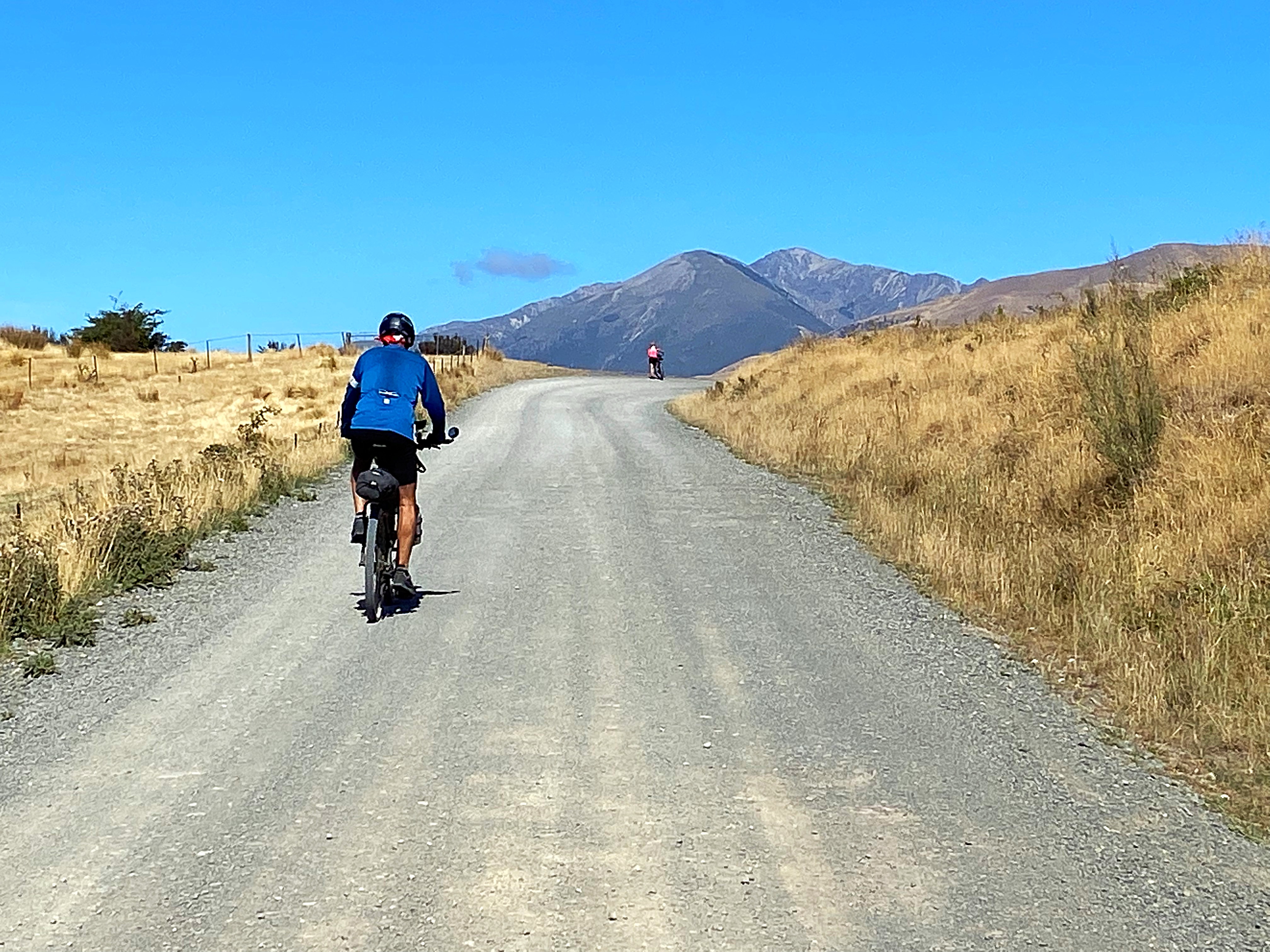
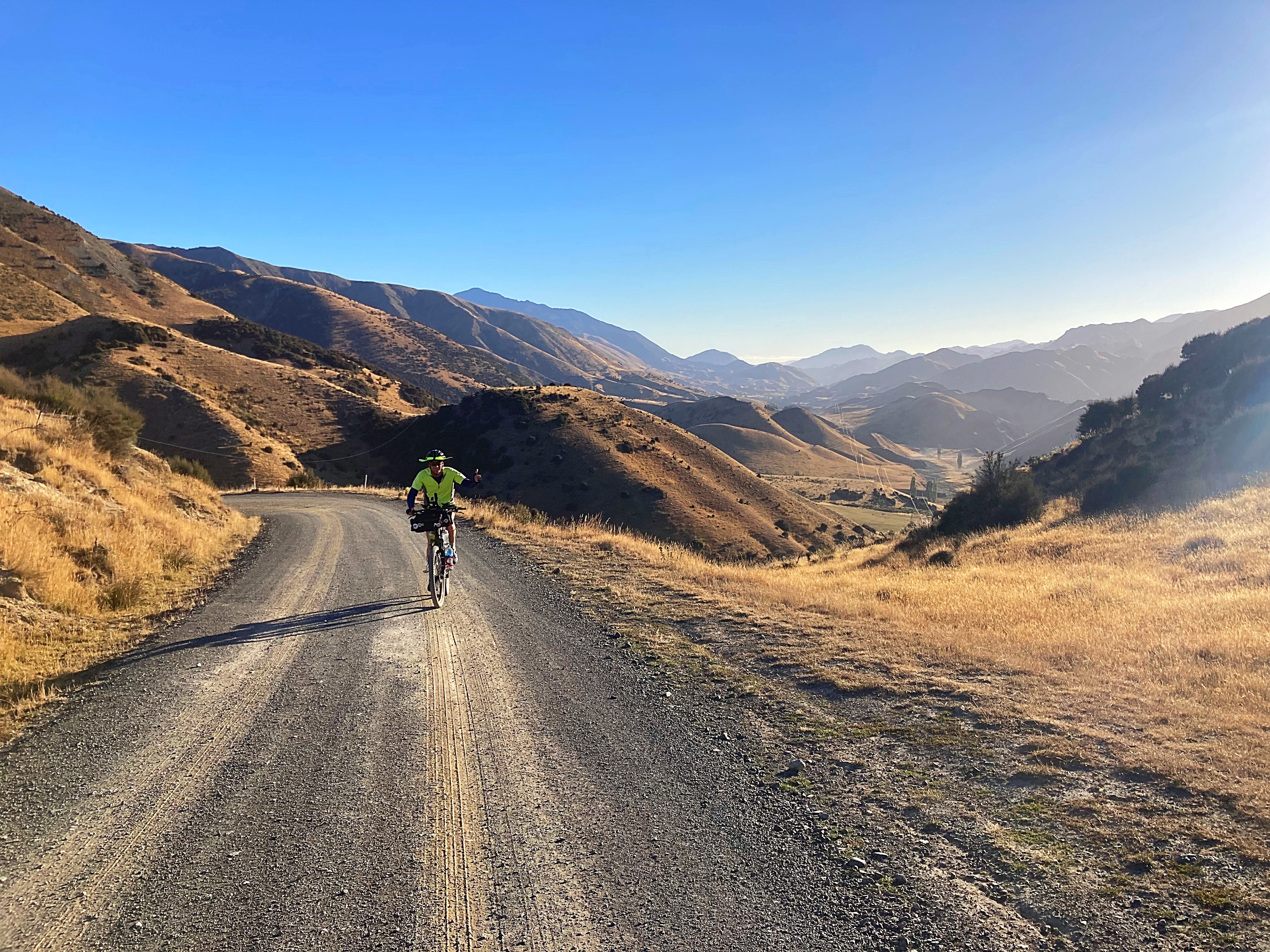
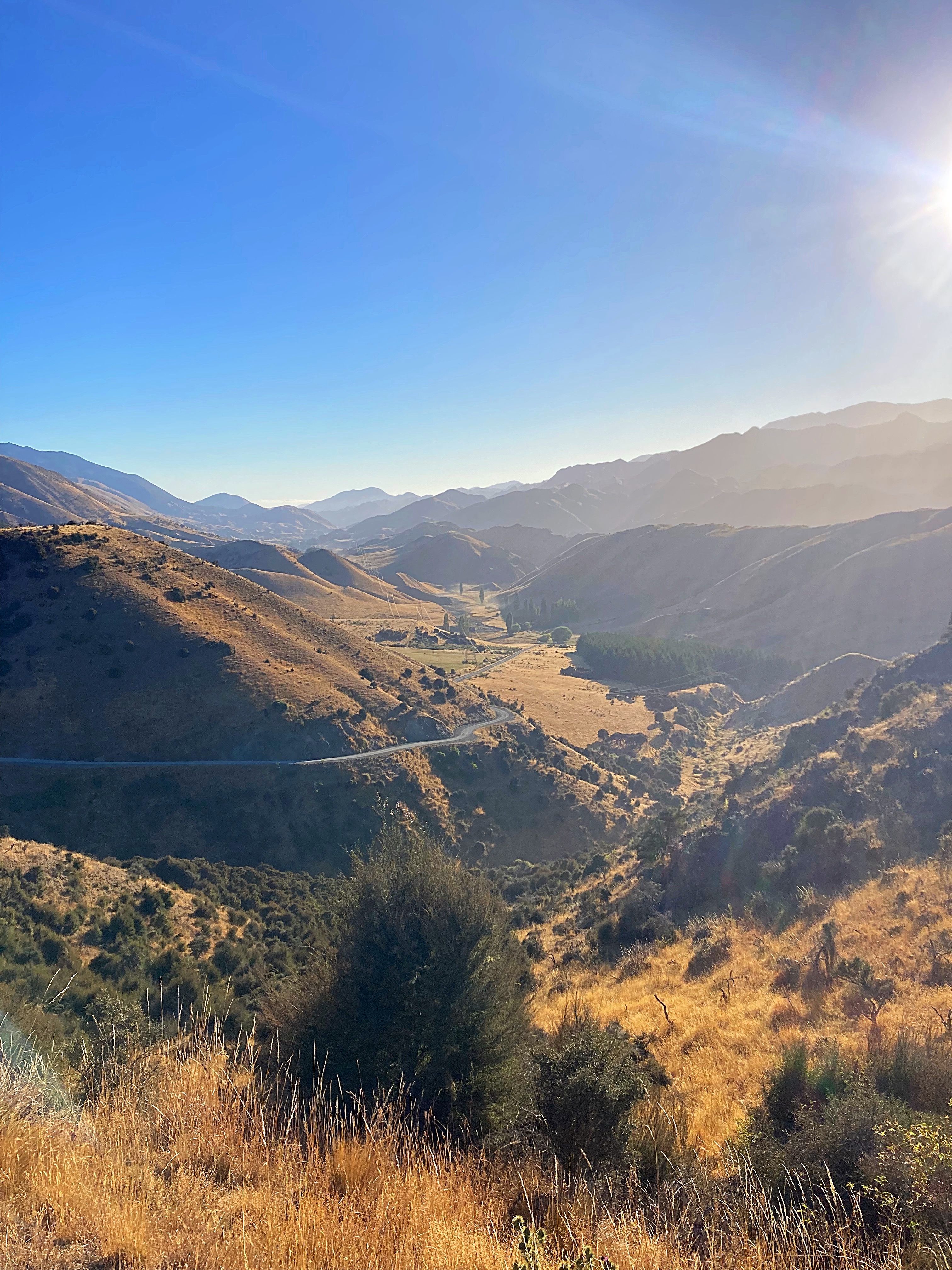
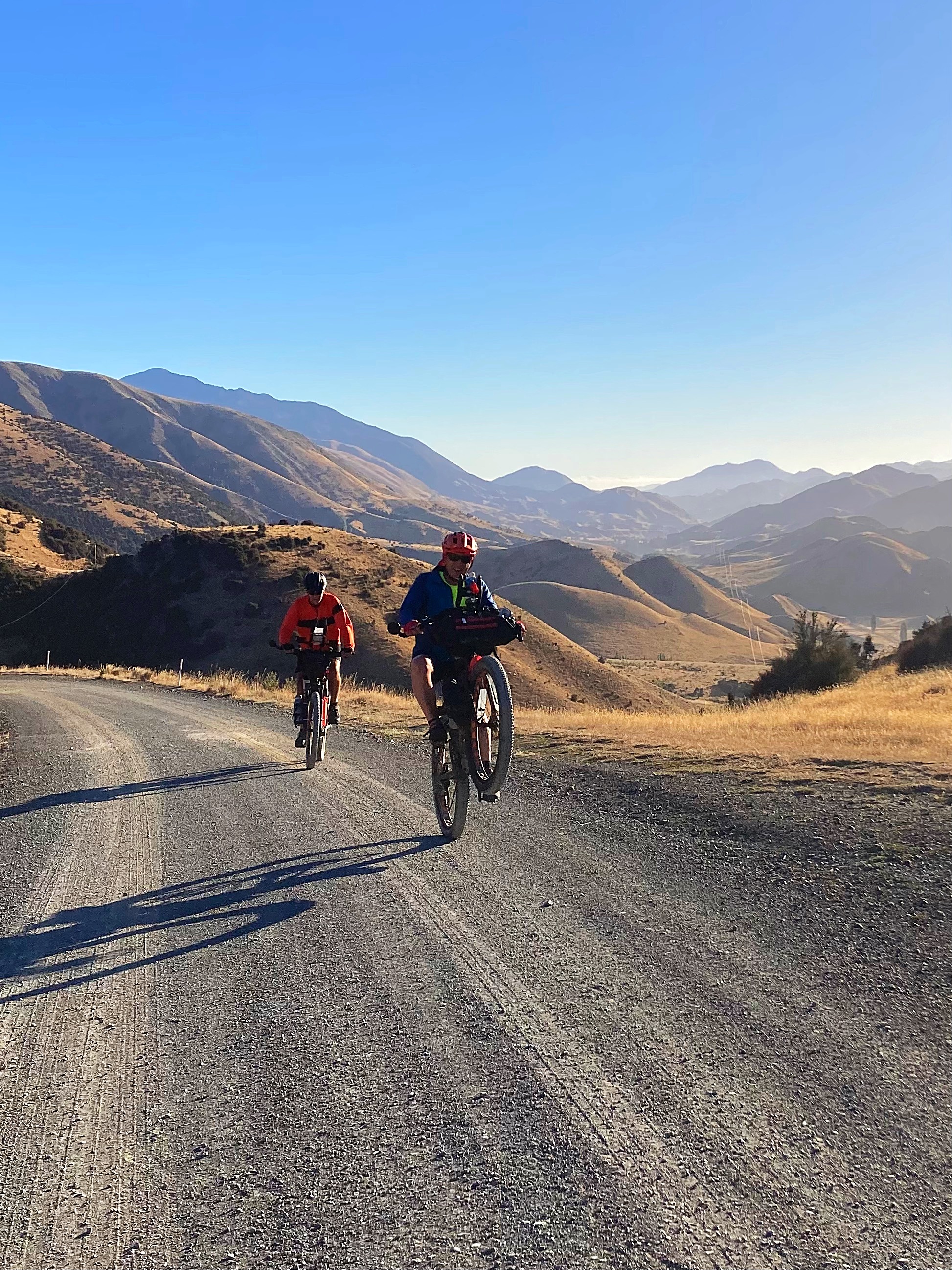
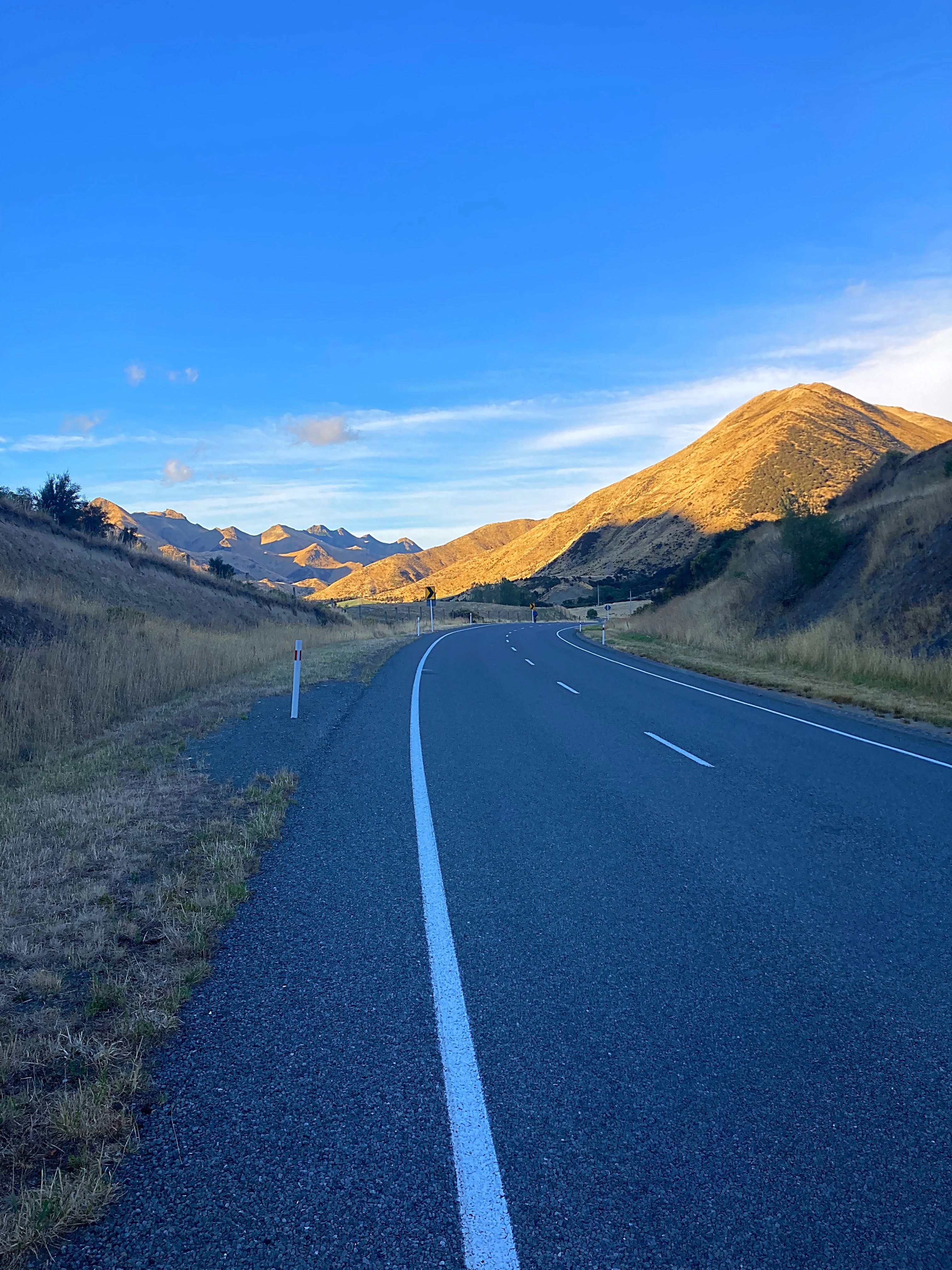
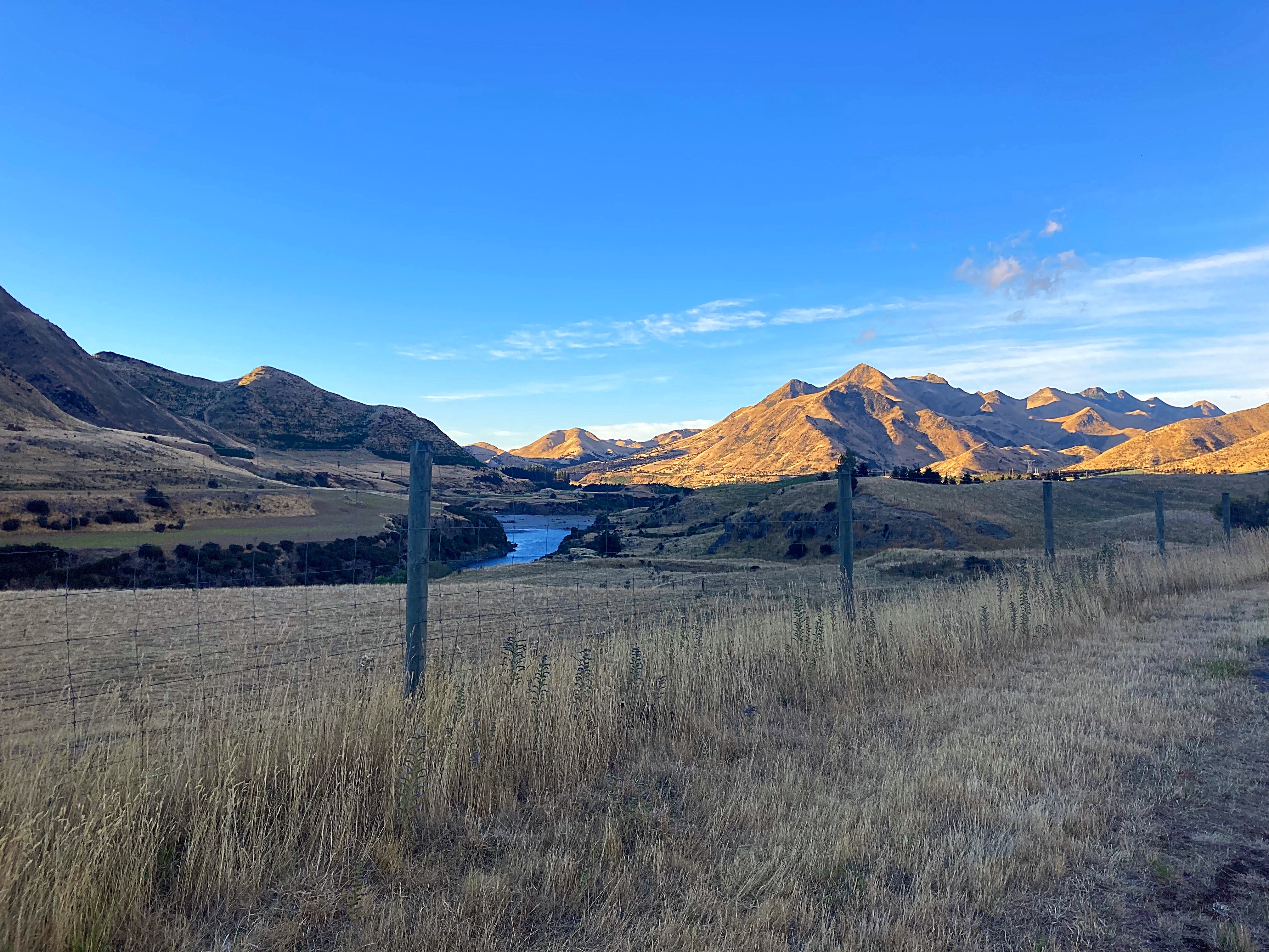
We left Upcot Station at 7am and five kilometres into the ride we hit the Upcot Saddle. It was another blue sky day so the vistas were magical. Check Crammers wheelie out that he pulled at the top – too much energy that boy.
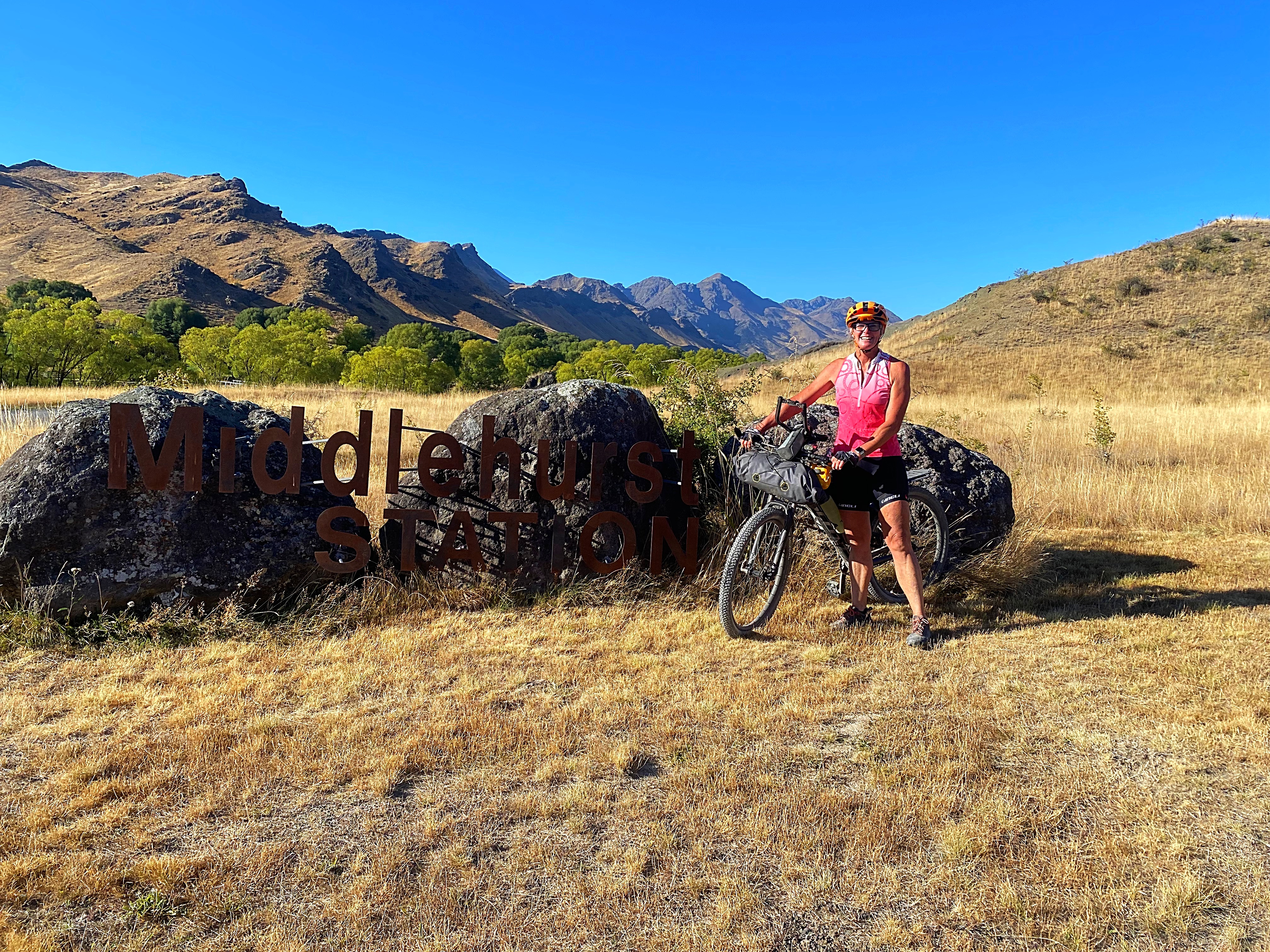
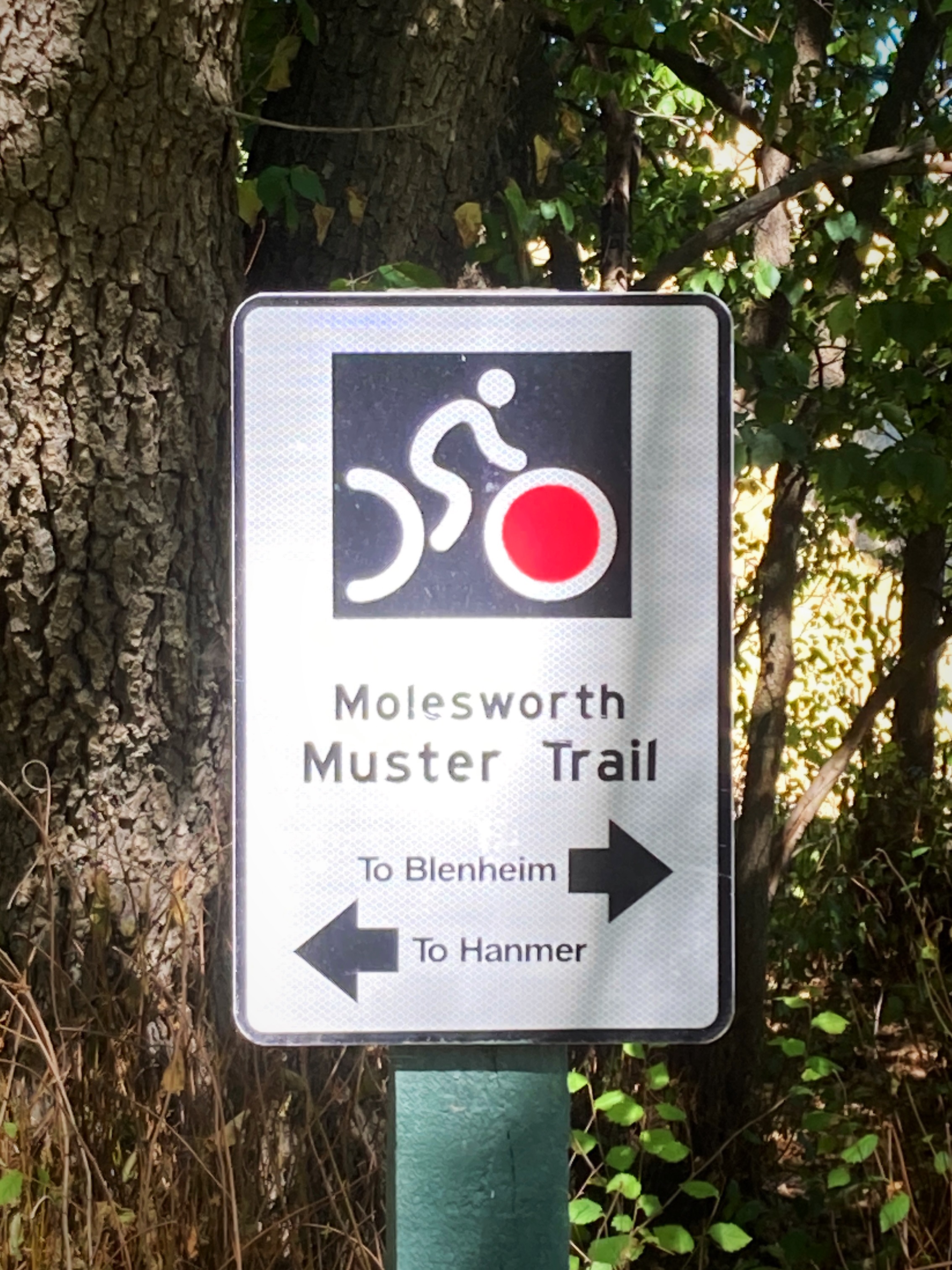
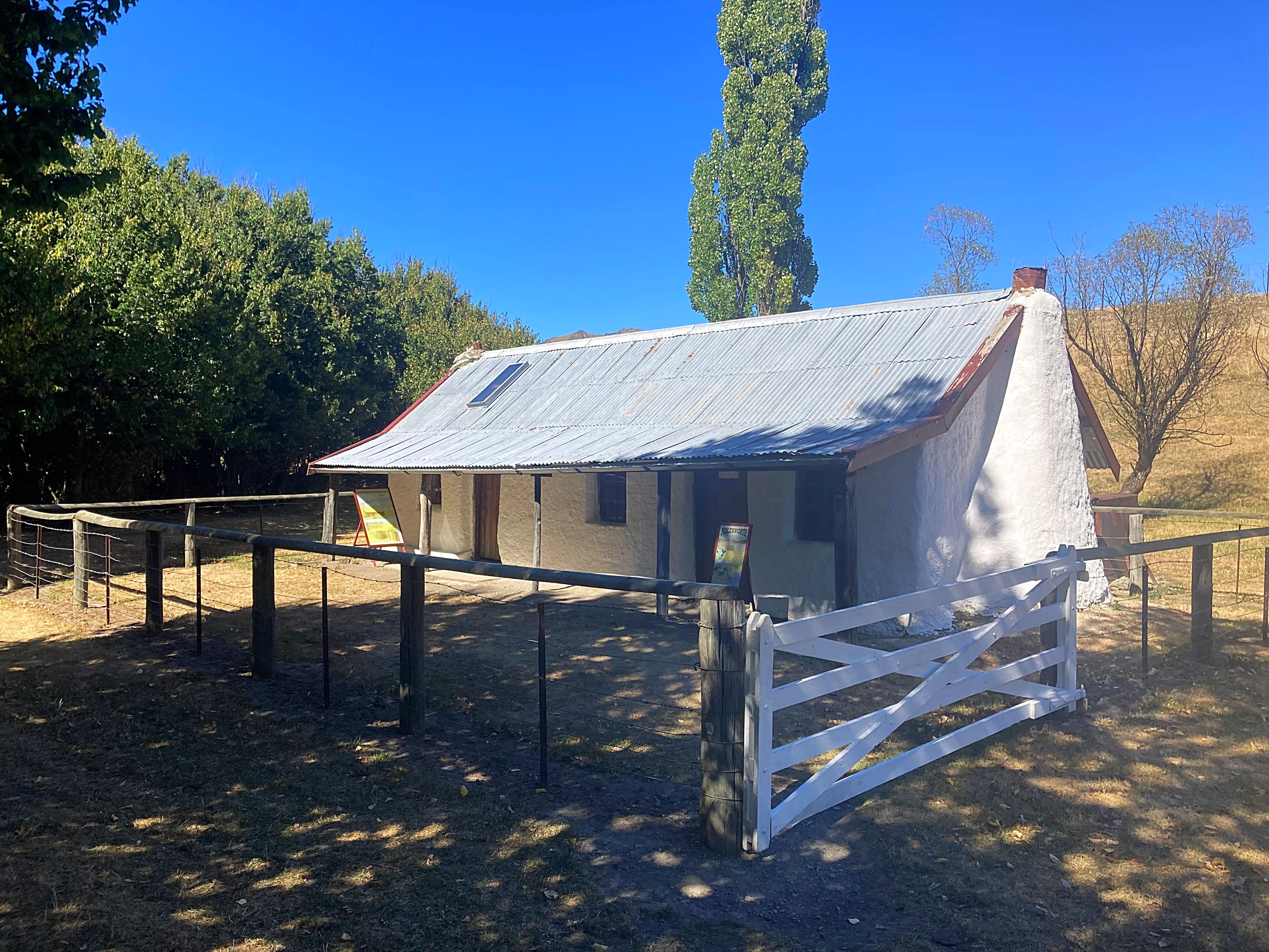
We then undulated up and down for another 25 kilometres before reaching the historic Molesworth Cob Cottage which is close to the current Molesworth homestead and associated buildings.
The cob cottage was built in 1865. Like many homes erected in New Zealand in the 18th century, the cob homestead was built of readily available materials. Forests in the area had been destroyed by the fires of moa-hunting Maoris and European farmers so the obvious choice of building material was cob. Cob is a primitive type of concrete, a wet clay mix reinforced with dung, chopped straw and salt which sets hard when dry.
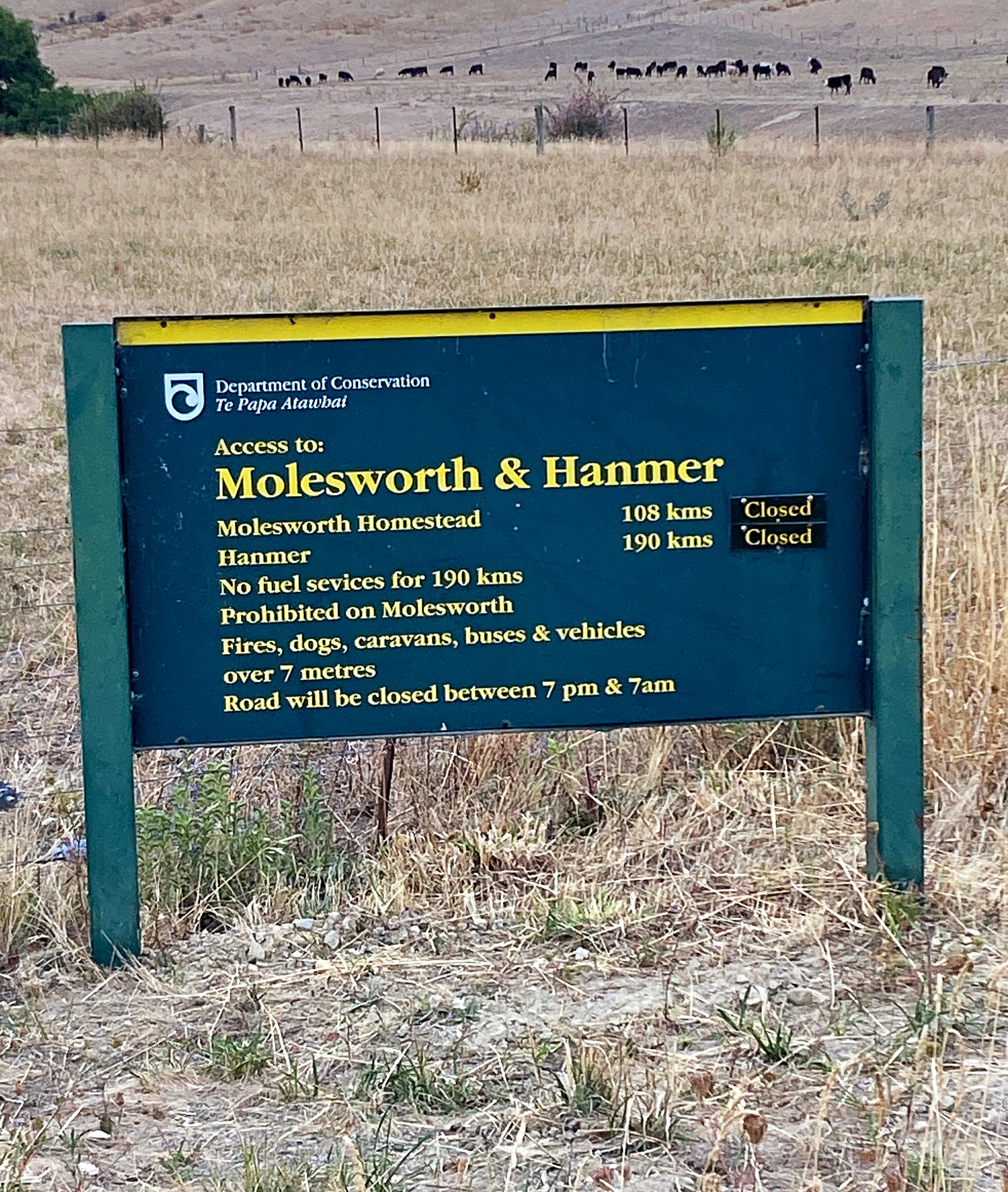
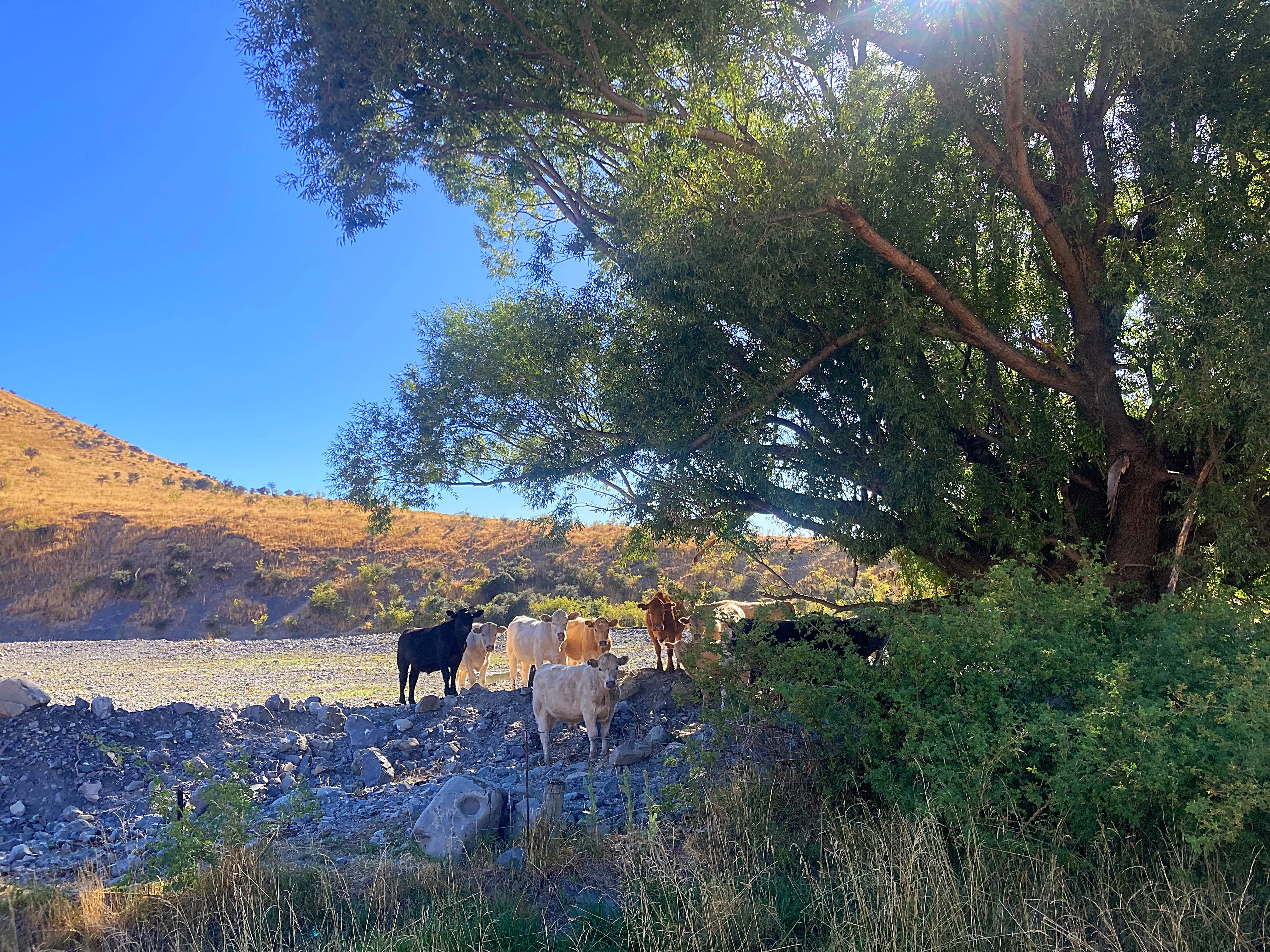
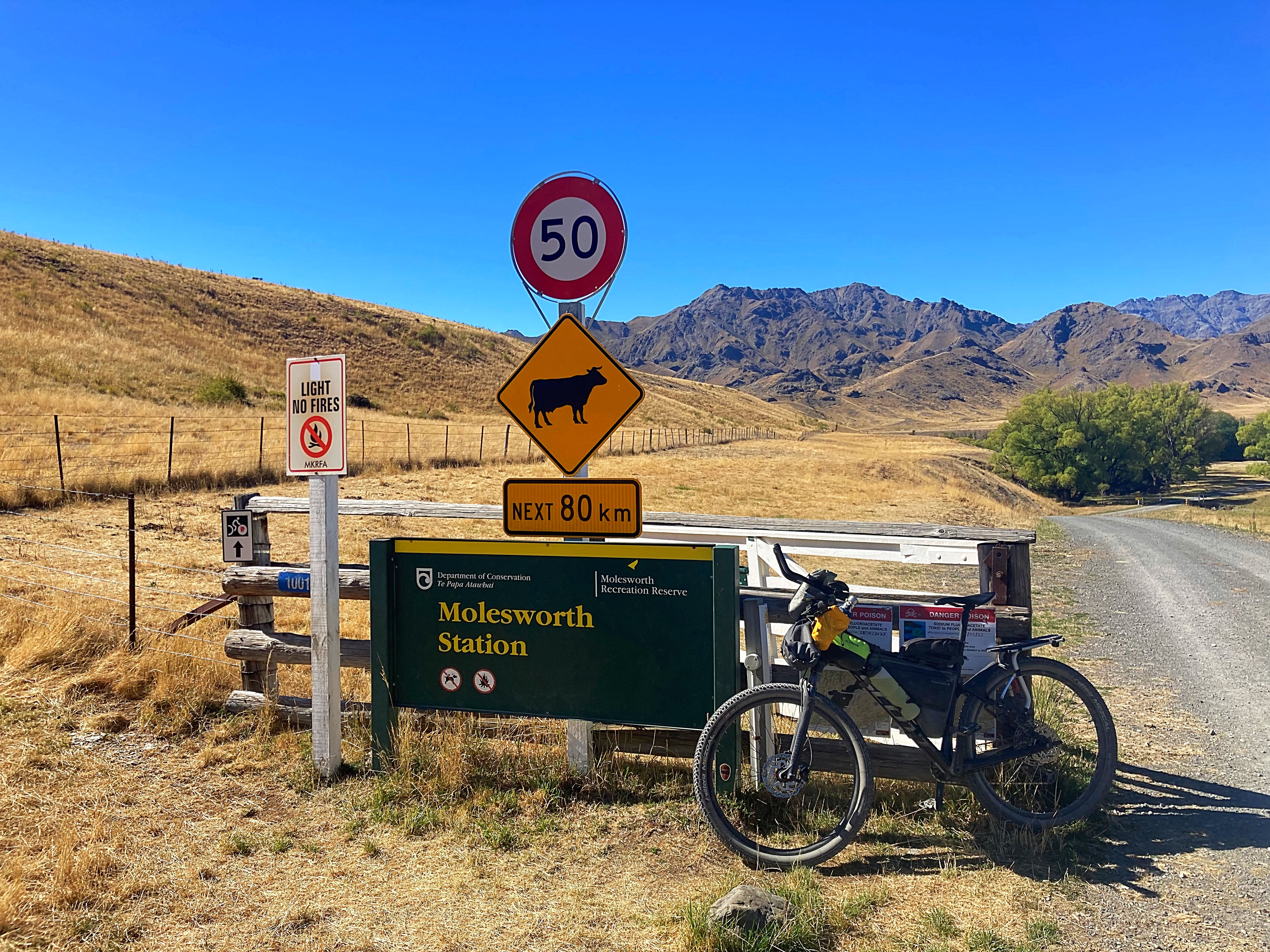
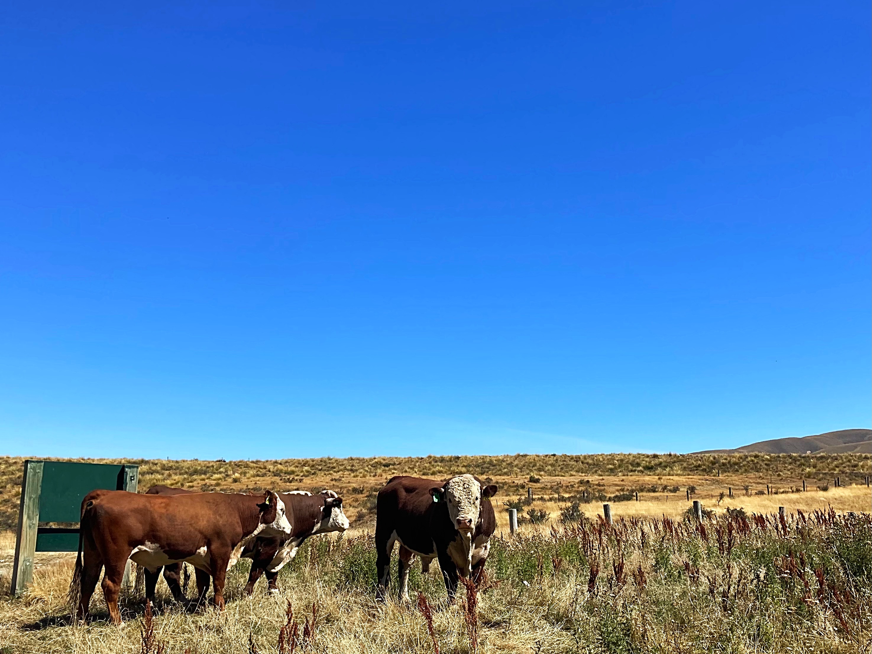
Molesworth Station is the largest farm in NZ at 182,000 hectares. It is owned by the Government and farmed in conjunction with the Department of Conservation. They run 9,000 to 10,000 head of cattle – mainly Hereford and Aberdeen Angus.
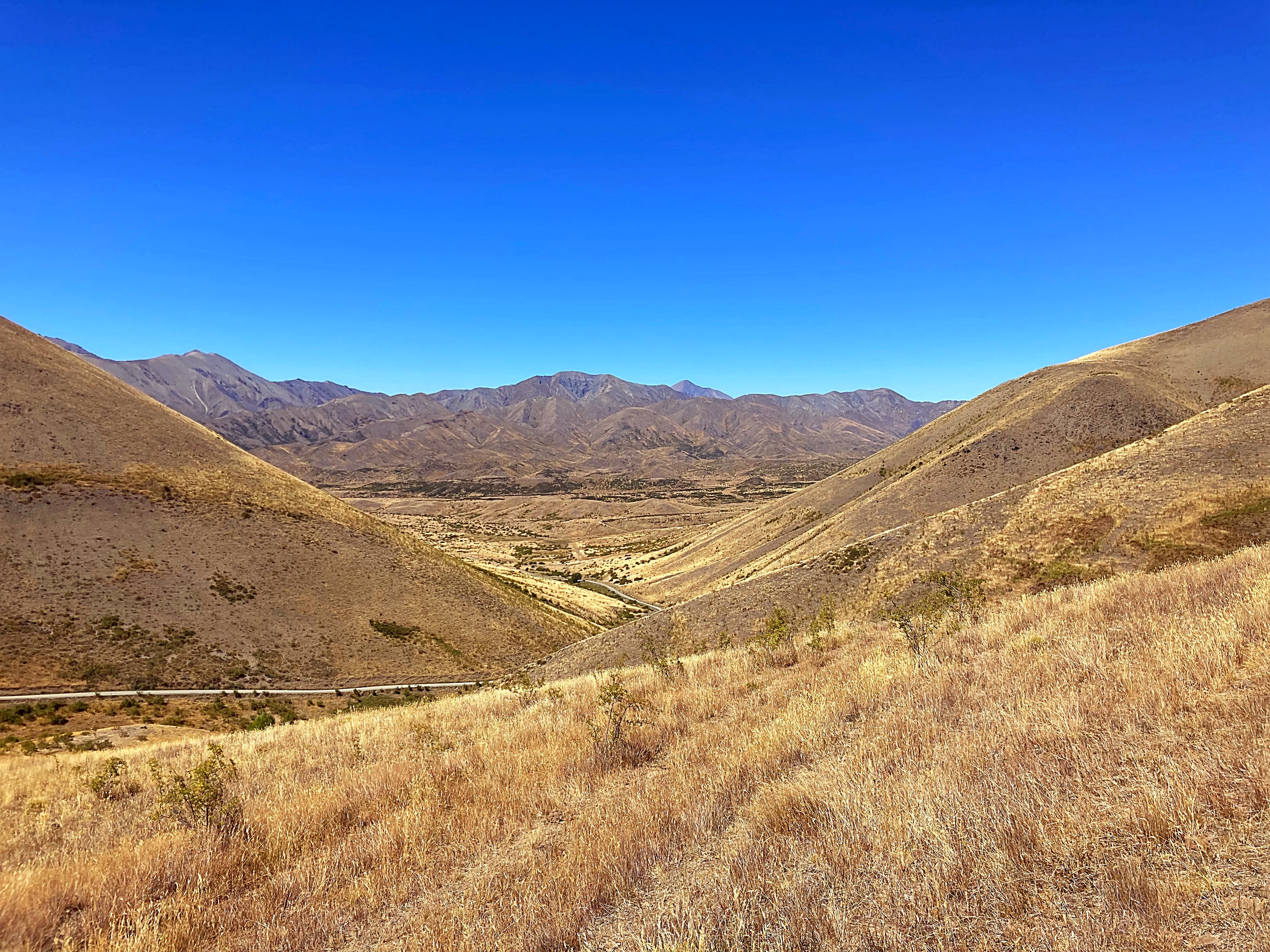
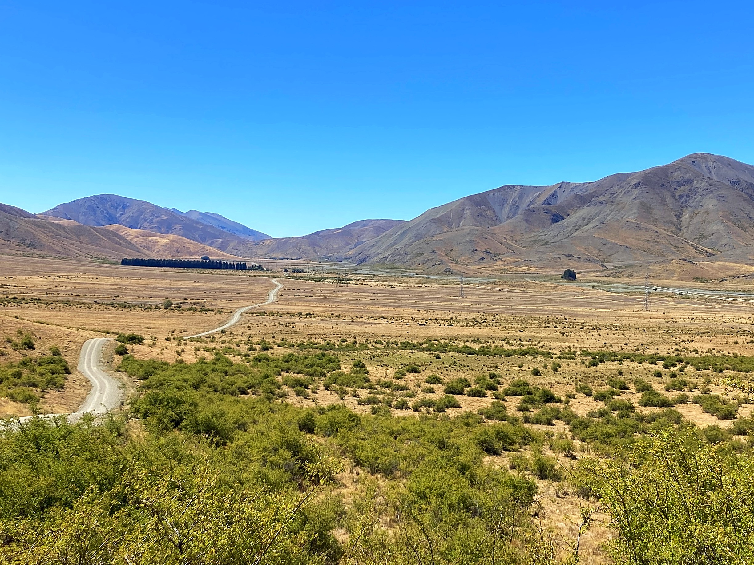
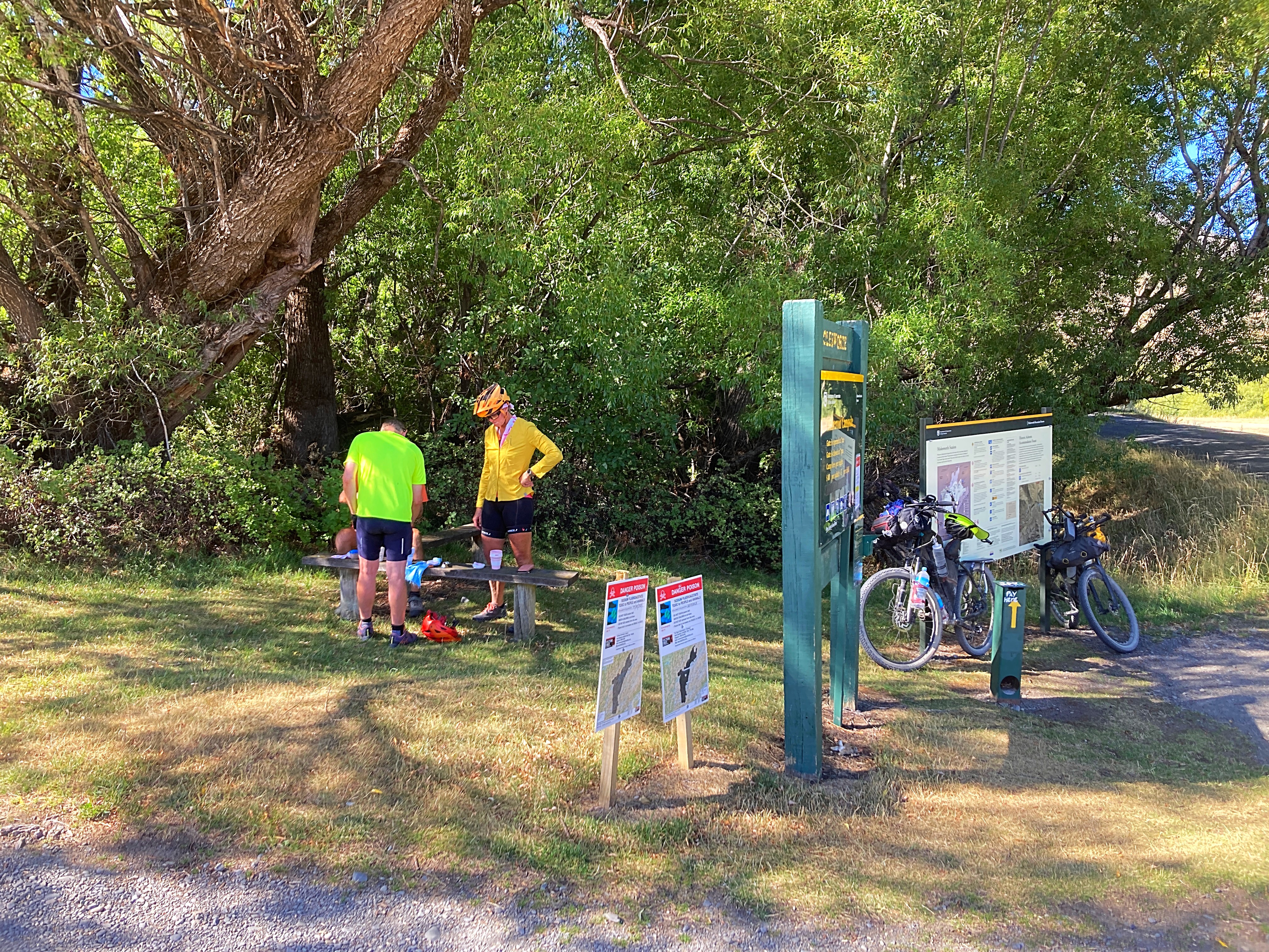
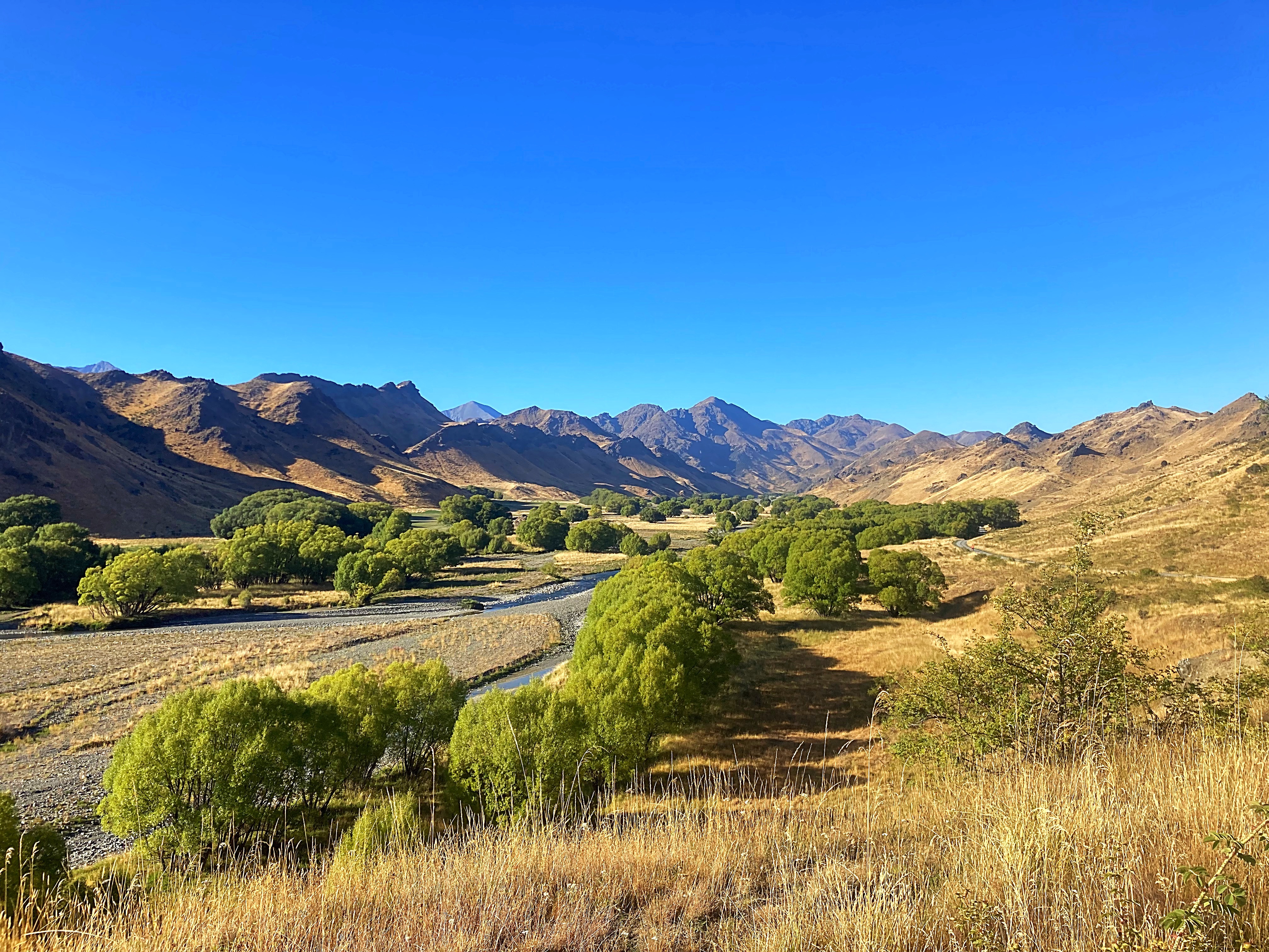
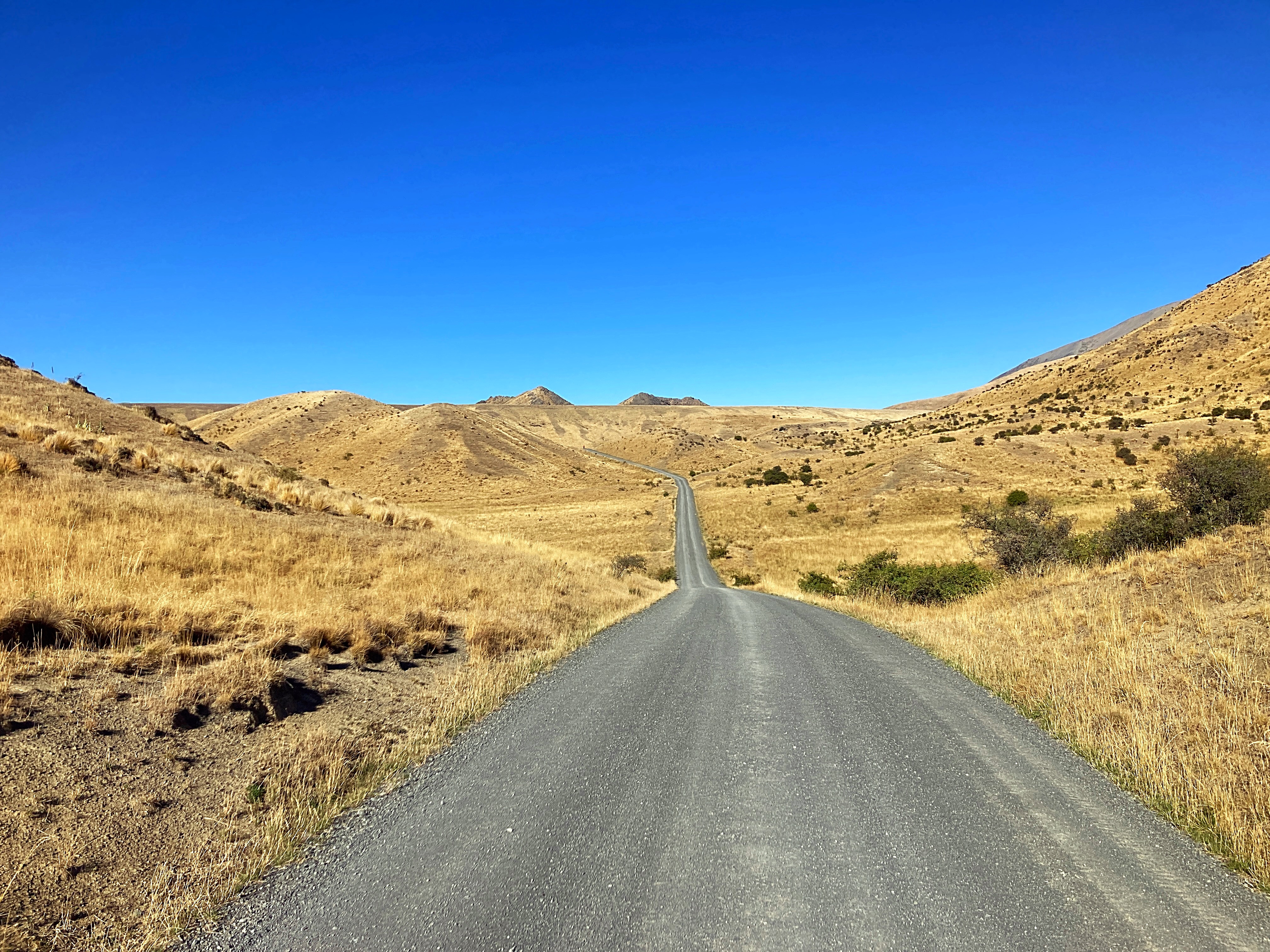
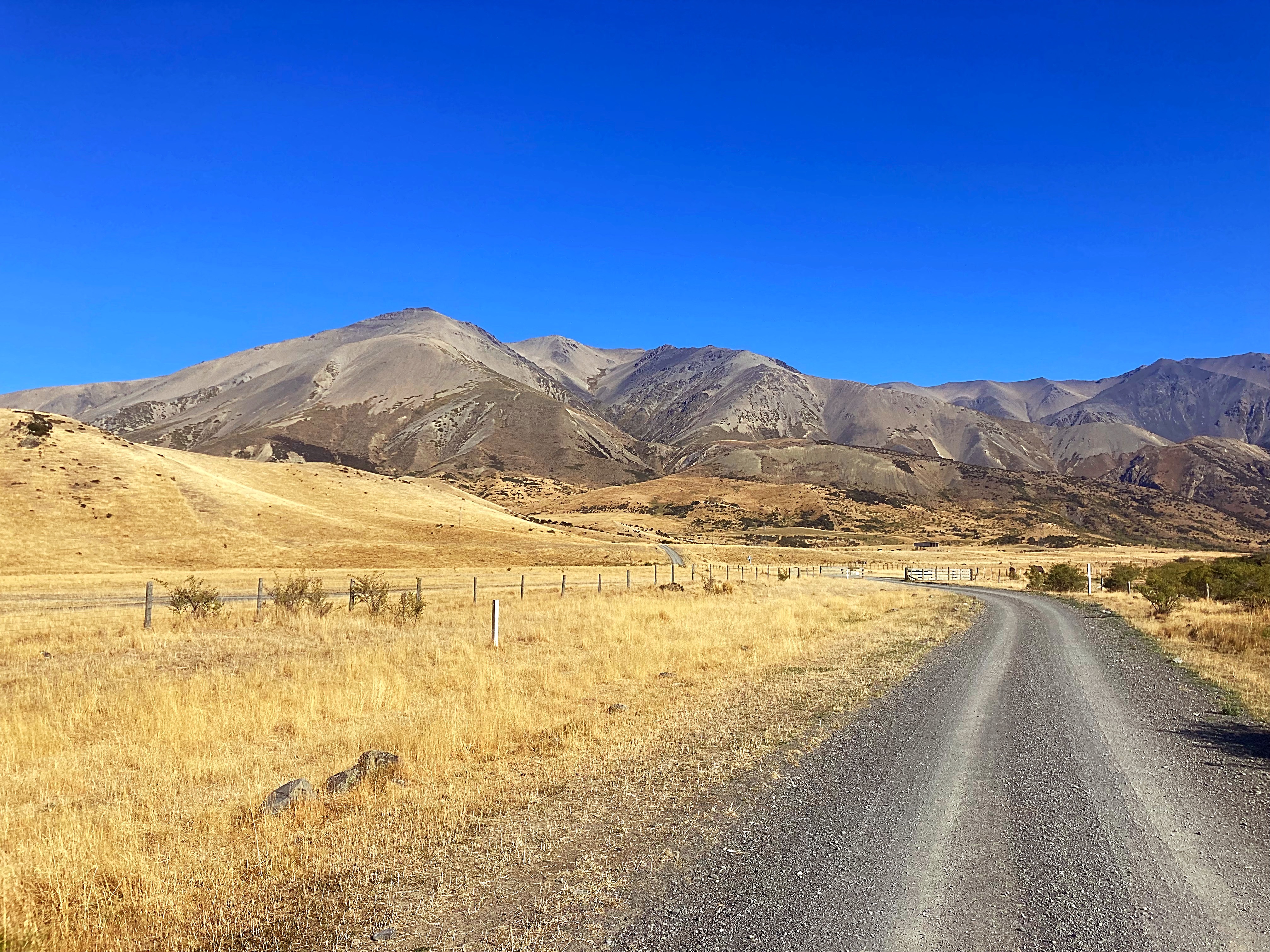
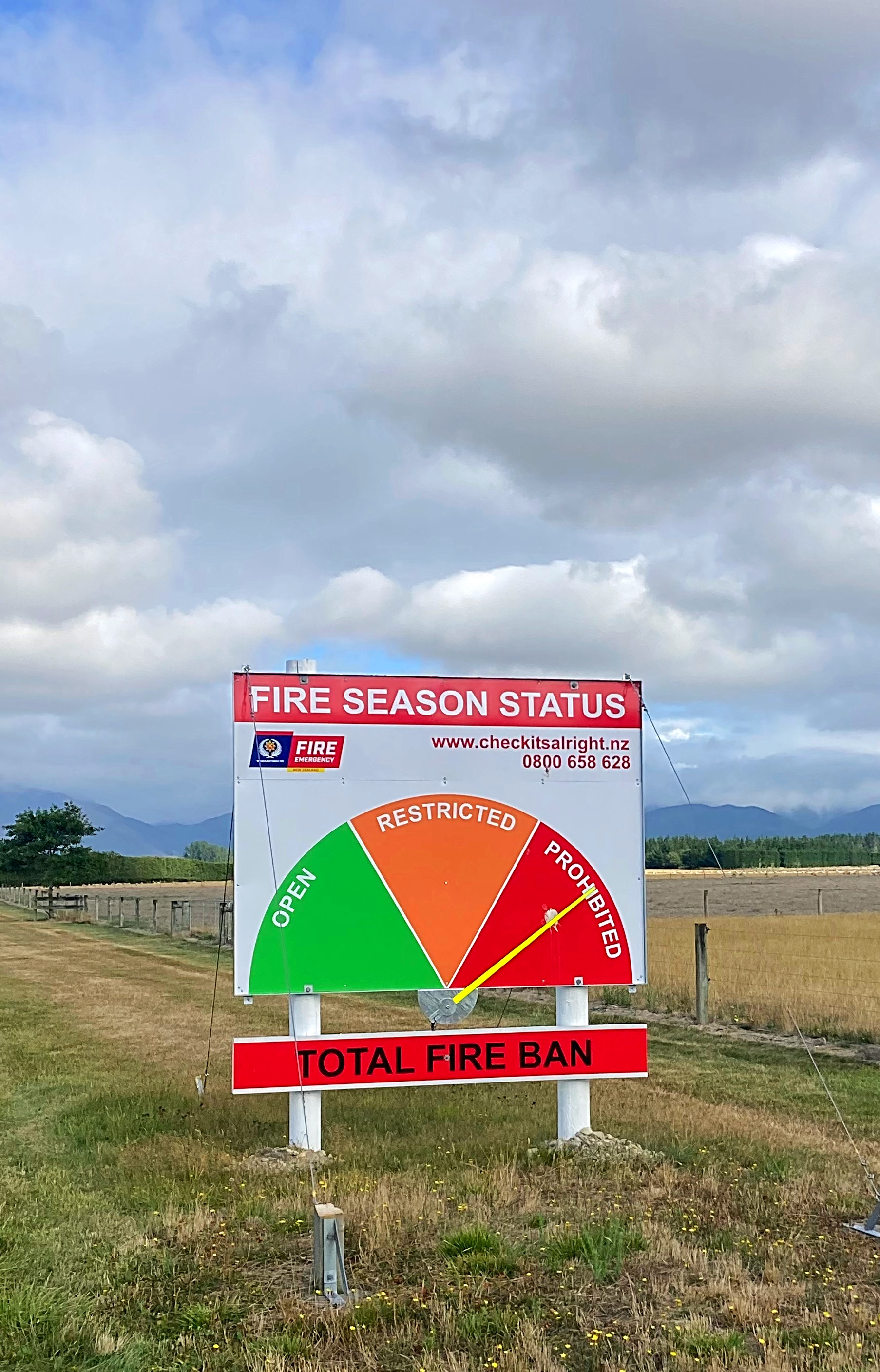
This road we were riding on passes through the driest areas of Molesworth, where rainfall is as little as 760mm per year. Since this also means less snow, cattle are brought into this area in winter to feed. The grass is precious – visitors are reminded of the fire risks.
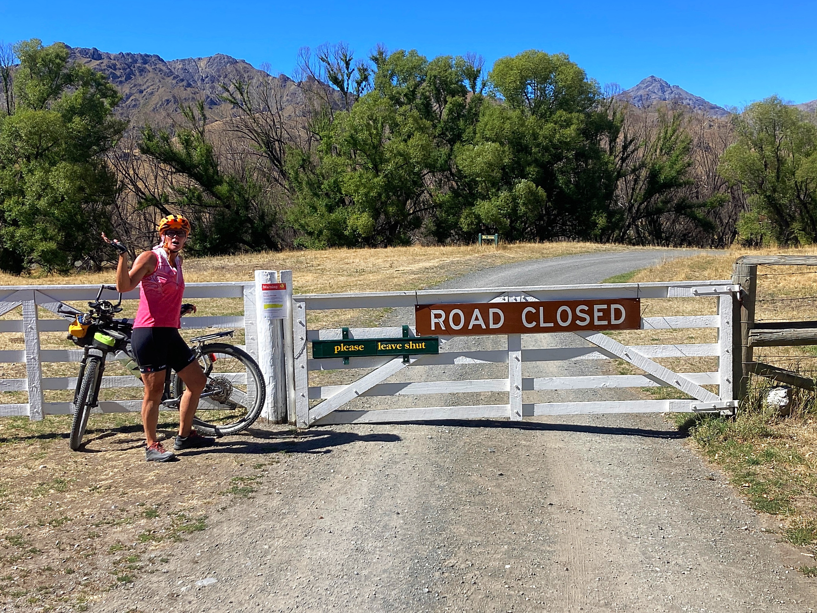
There is a high fire risk this summer so the road is actually closed to through vehicular traffic. Bikes, however are permitted.
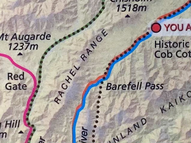
I discovered on the map on one of the information boards that there is a Rachel Range on the Molesworth – spelt correctly and all
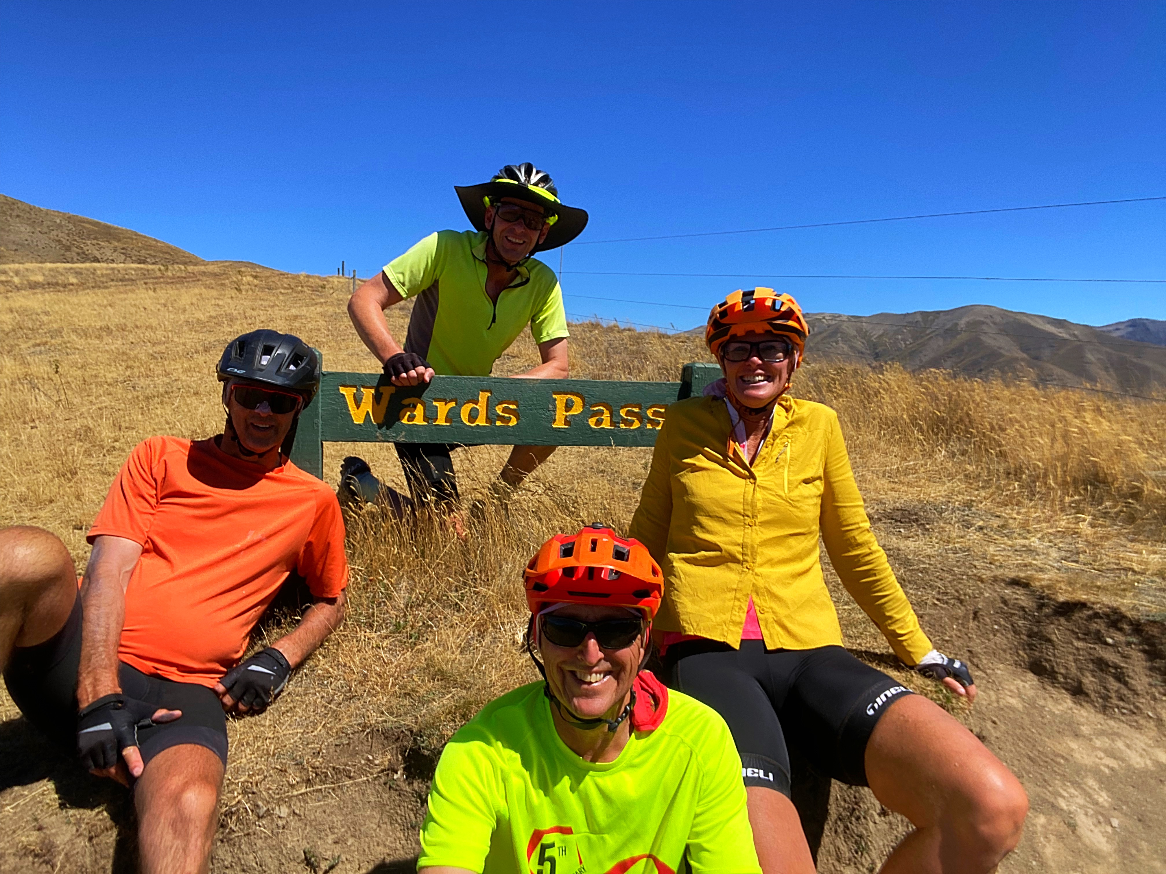
We had our first lunch here before hitting our next climb for the day – Wards Pass. This is the highest point on the road at 1145 metres above sea level. Another grunty climb with a headwind to boot at times .
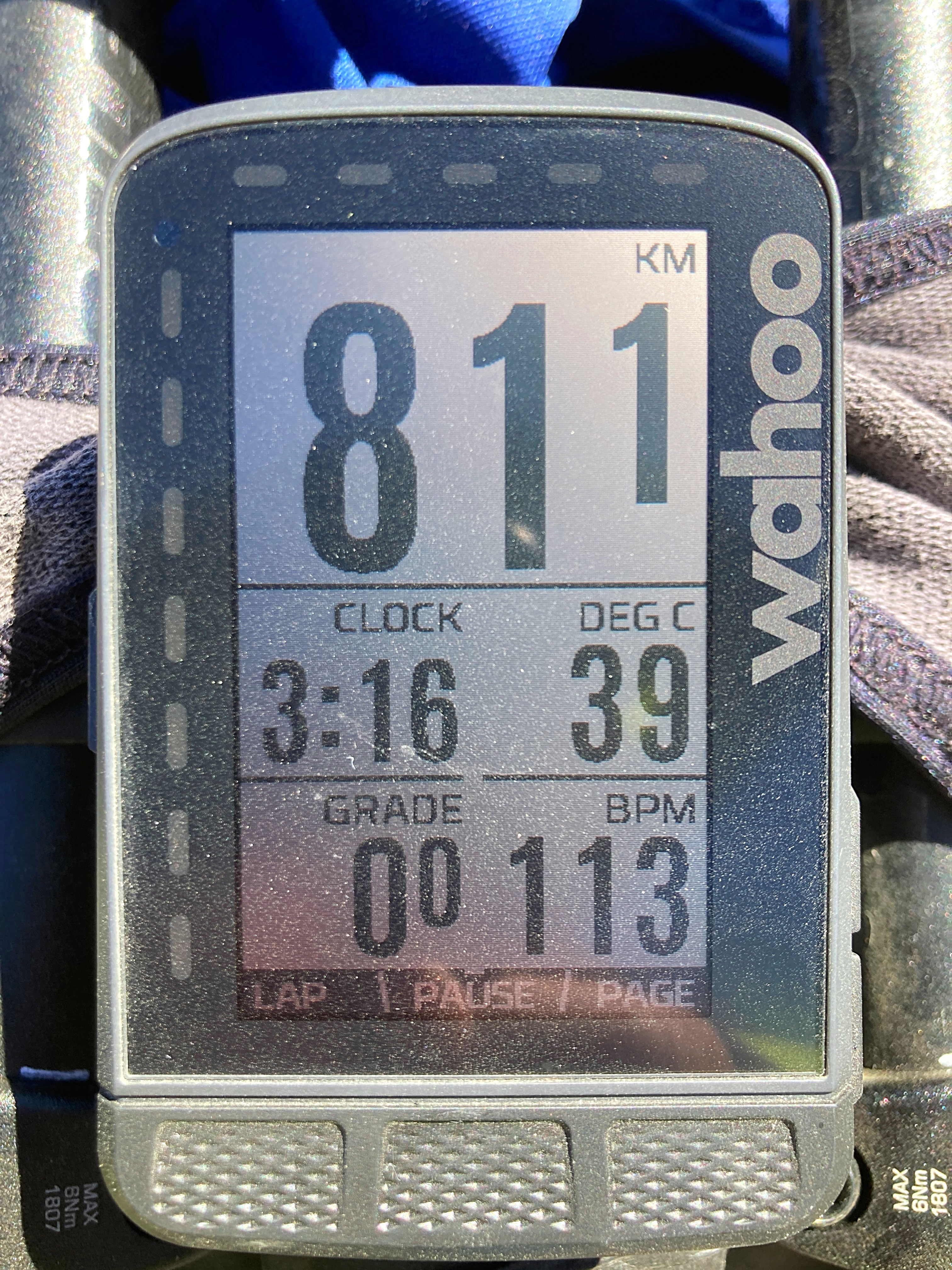
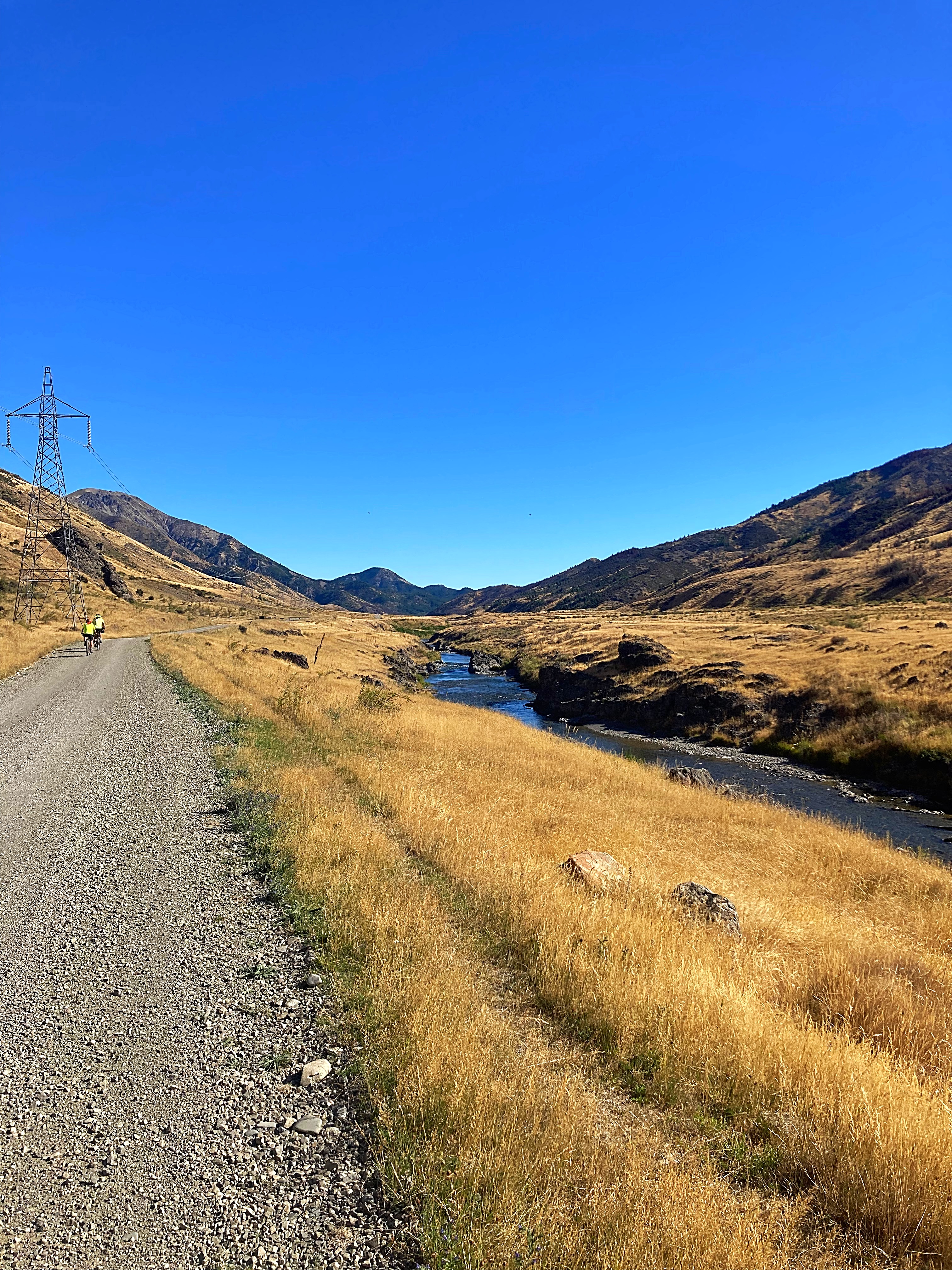
After Wards Pass we had more descents than ascents although there were still a few little blips as we call them. These blips were made all the more arduous when the temperature hit 39 degrees – we were exposed to the sun for most of the day.
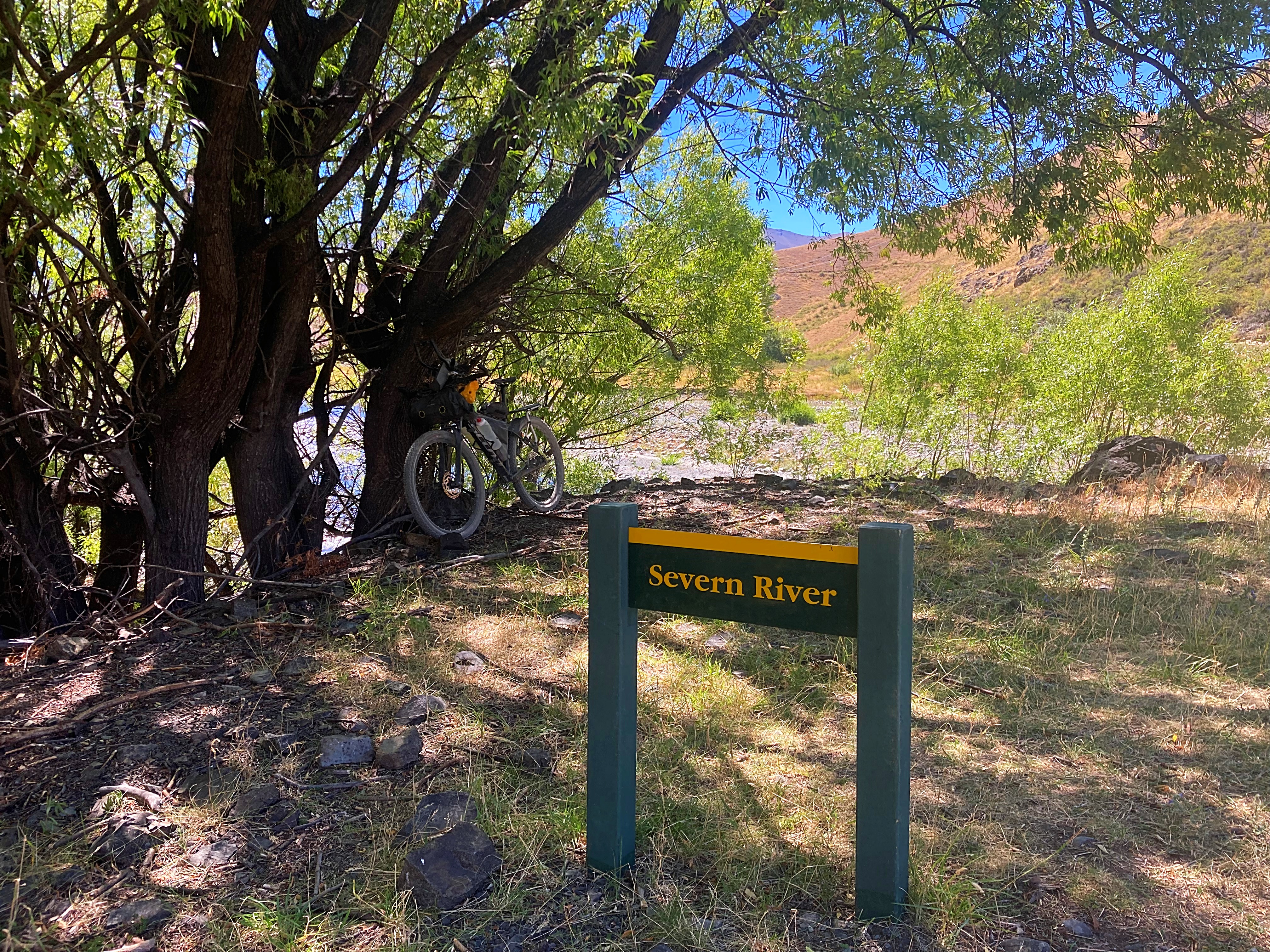
We made it out of the Molesworth Station where the fire ban is not in place so fired up the jet boil for a coffee. We were really over drinking warm water and in the latter part of the day, river water that we had acquired at our second lunch stop.
Coffee and Mel’s chocolate cake were a match made in heaven.
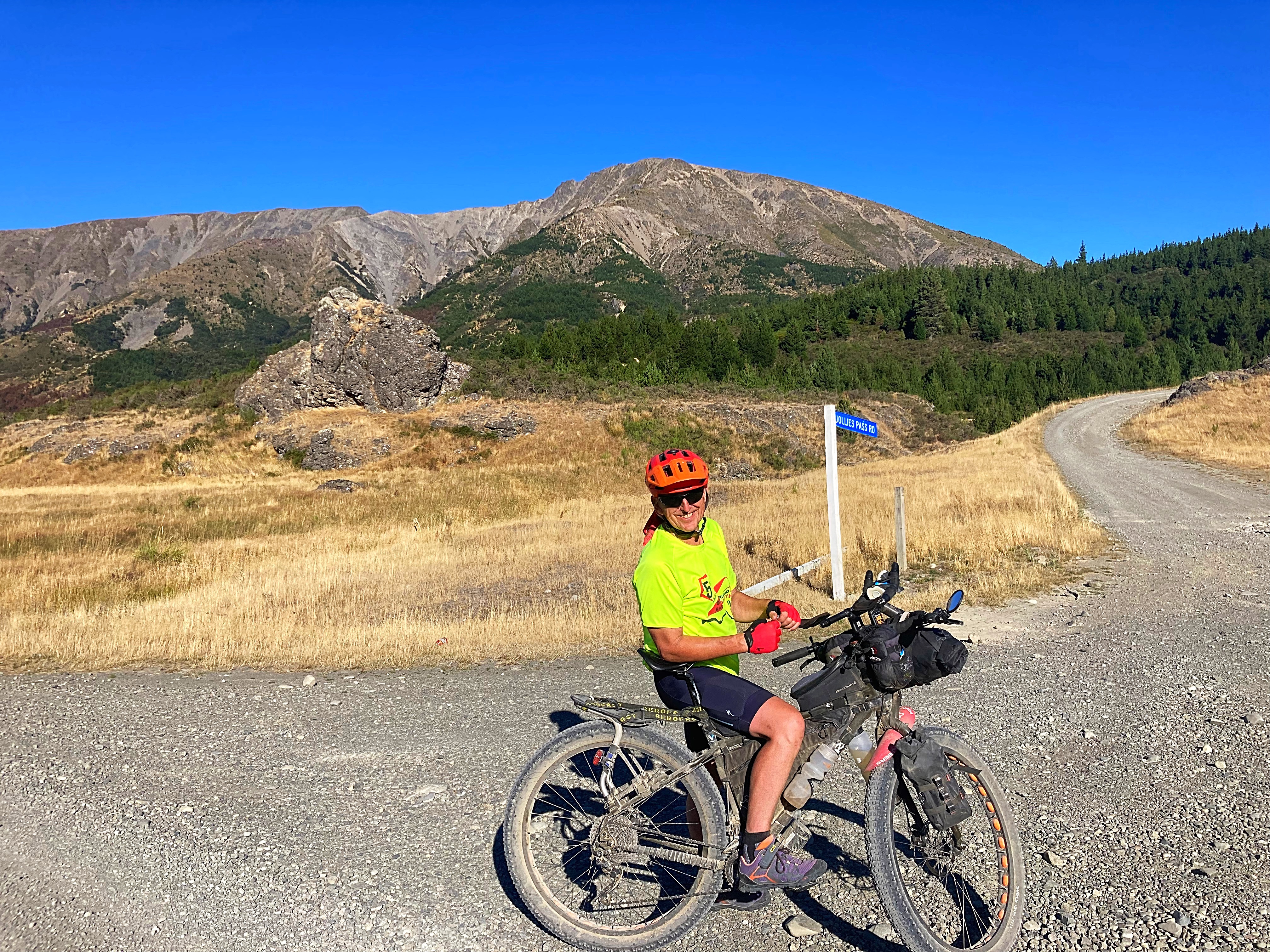
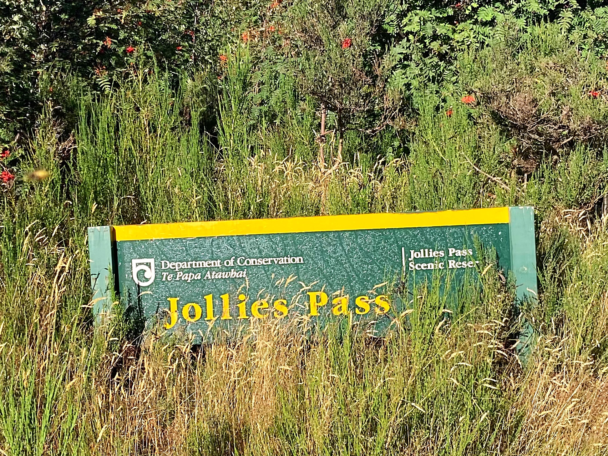
We had one more pass to go over before we hit Hanmer – Jollies Pass. Chris had done a reccy earlier on in the summer and his description of it had me a little on edge. A 4 kilometre climb to the top with a fairly steep descent on a four wheel drive track. It actually turned out to be rather Jolly the ascent was gradual and in the shade. The descent was pretty good with only two hike a bikes coming into play.
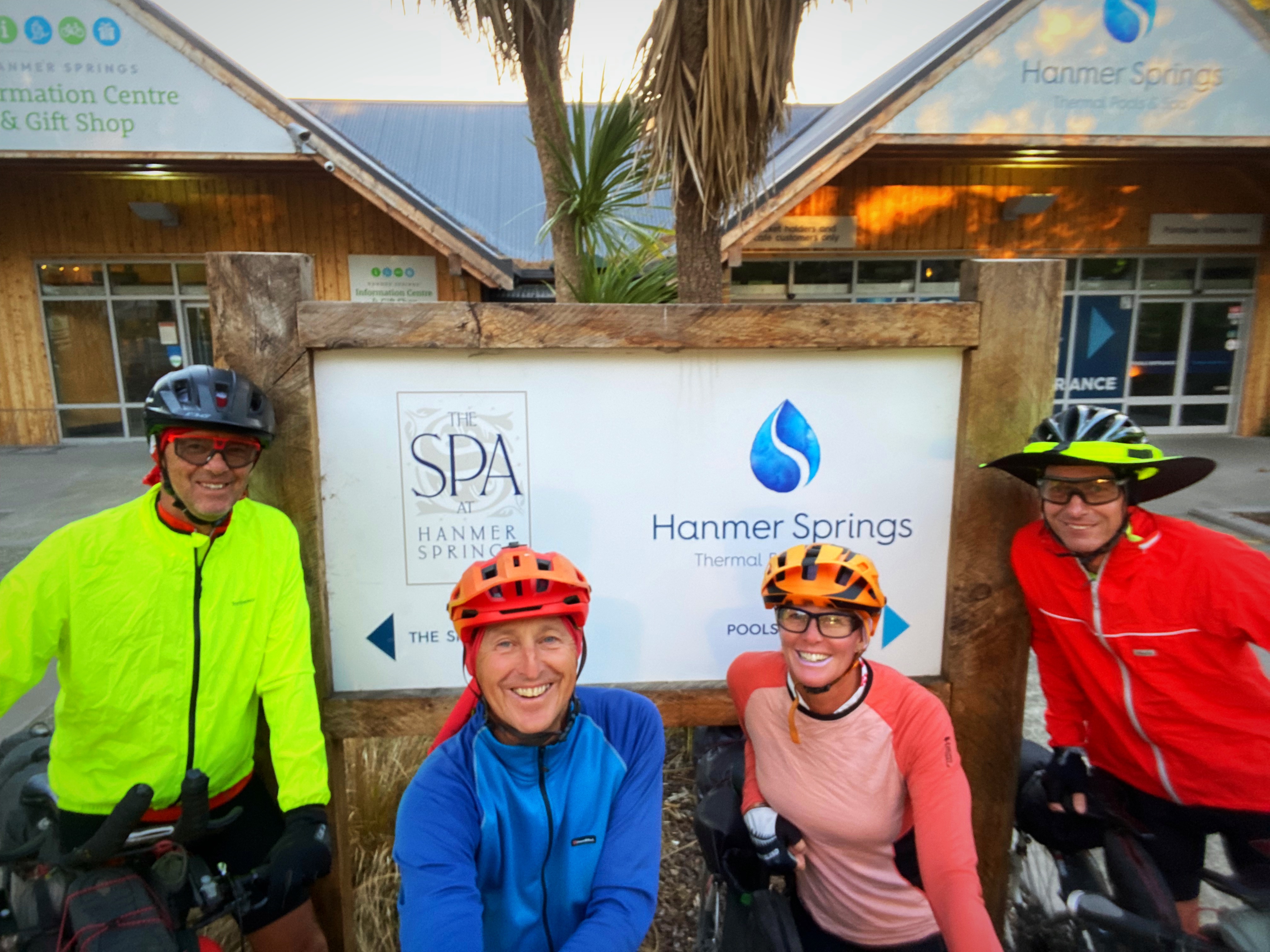
We got into Hanmer at 7pm – 12 hours after we left Upcot Station and just over 9 hours of actual riding time. We had a welcoming committee of Chris and Mary’s three grandkids who were very happy to see their Poppa. We then enjoyed a delicious home cooked meal before enjoying some much needed time off the pedals.
A challenging day but worth every pedal to enjoy such beautiful scenery
15 February 2024
Day 4 – Hanmer Springs to Amberley 131km 927 metres climbed
Well we got a bit cocky about today’s ride after yesterday’s mammoth effort. 112 kilometres on tarseal and 18 kilometres on gravel and in Crammers words “ how hard can it be”
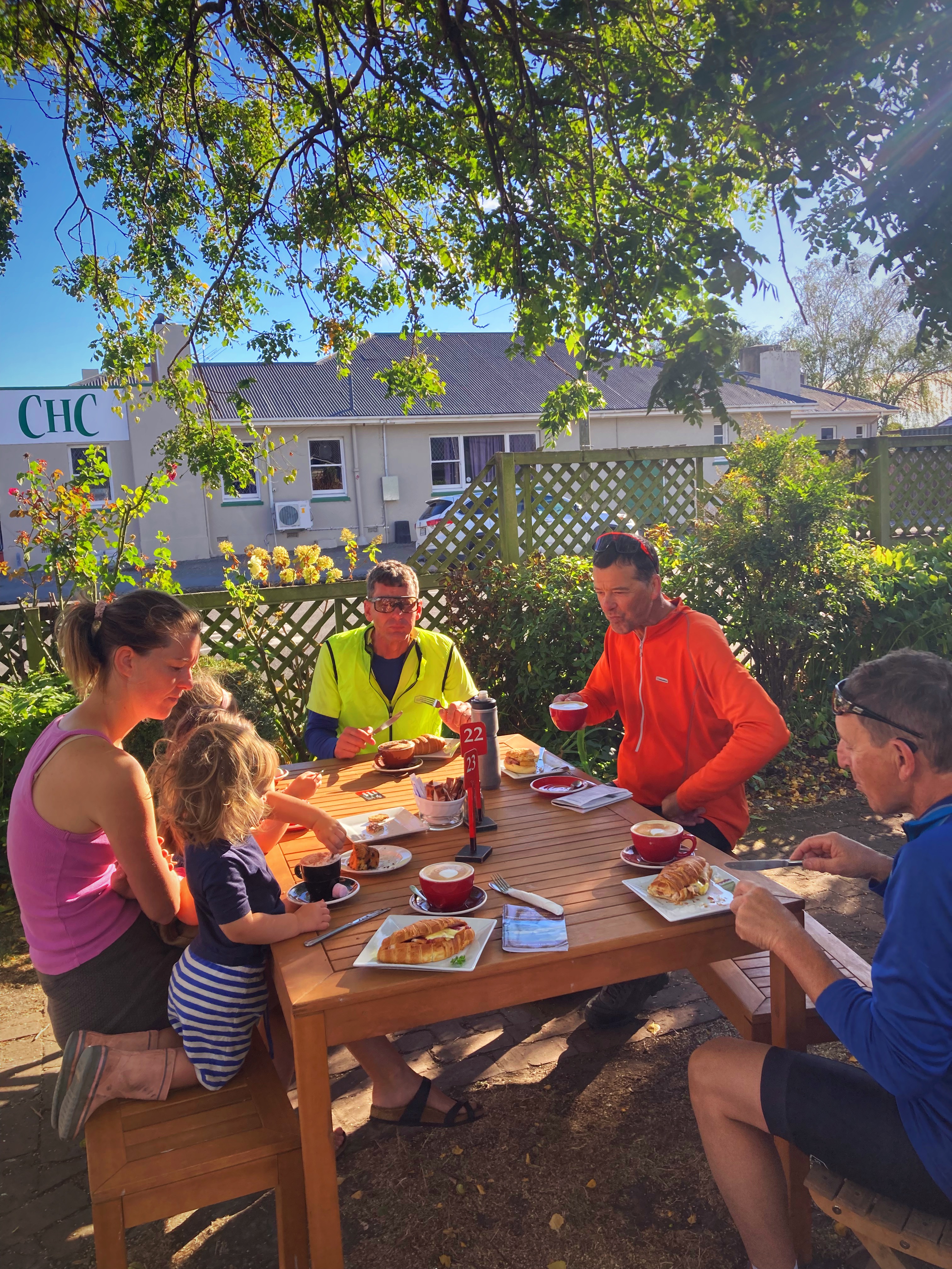
We rode on State Highway One from Hanmer to Culverden and had our second breakfast with Chris’s daughter and grandkids. After three days of no cafe stops, we went all out and had two coffees each.
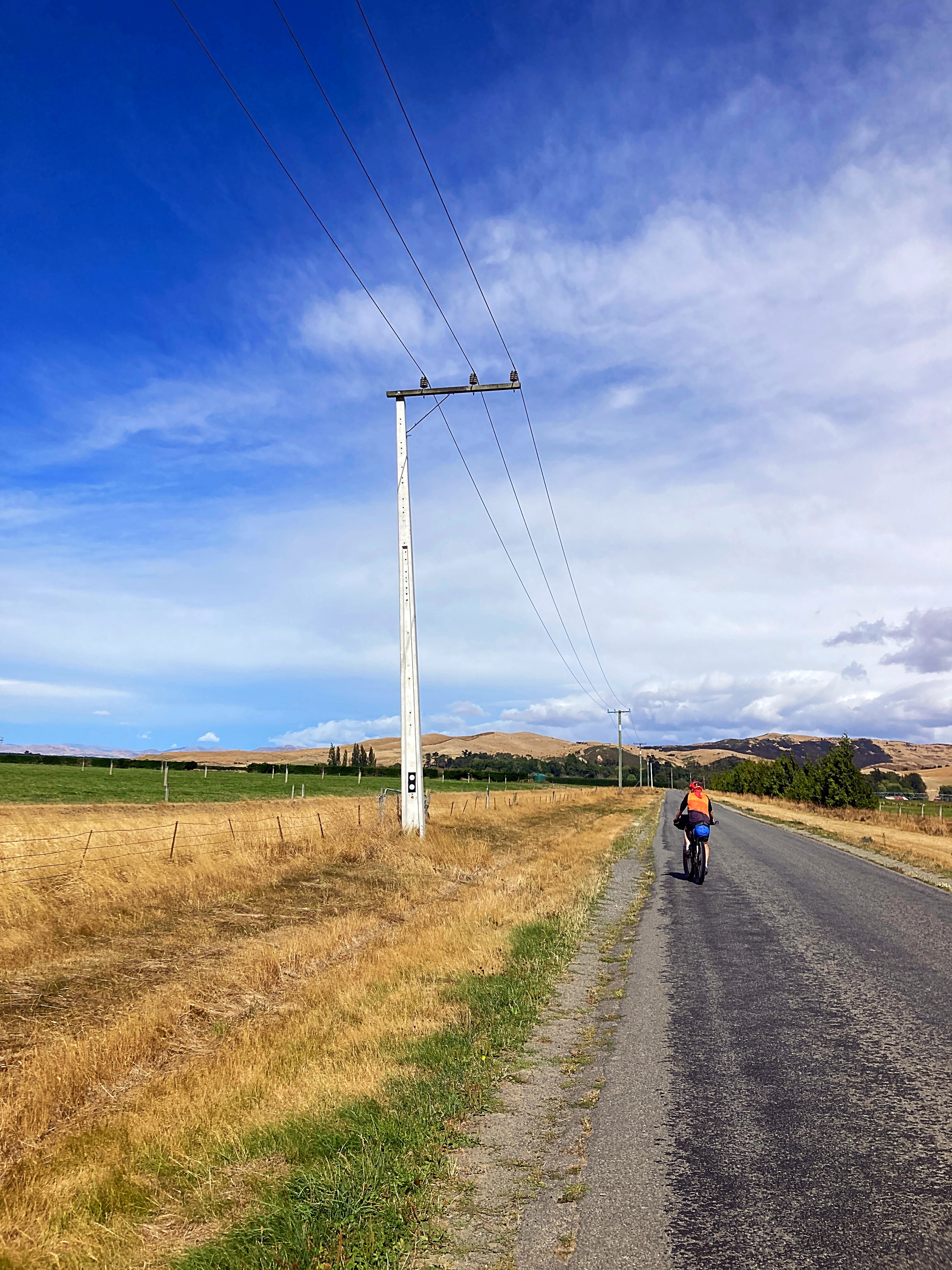
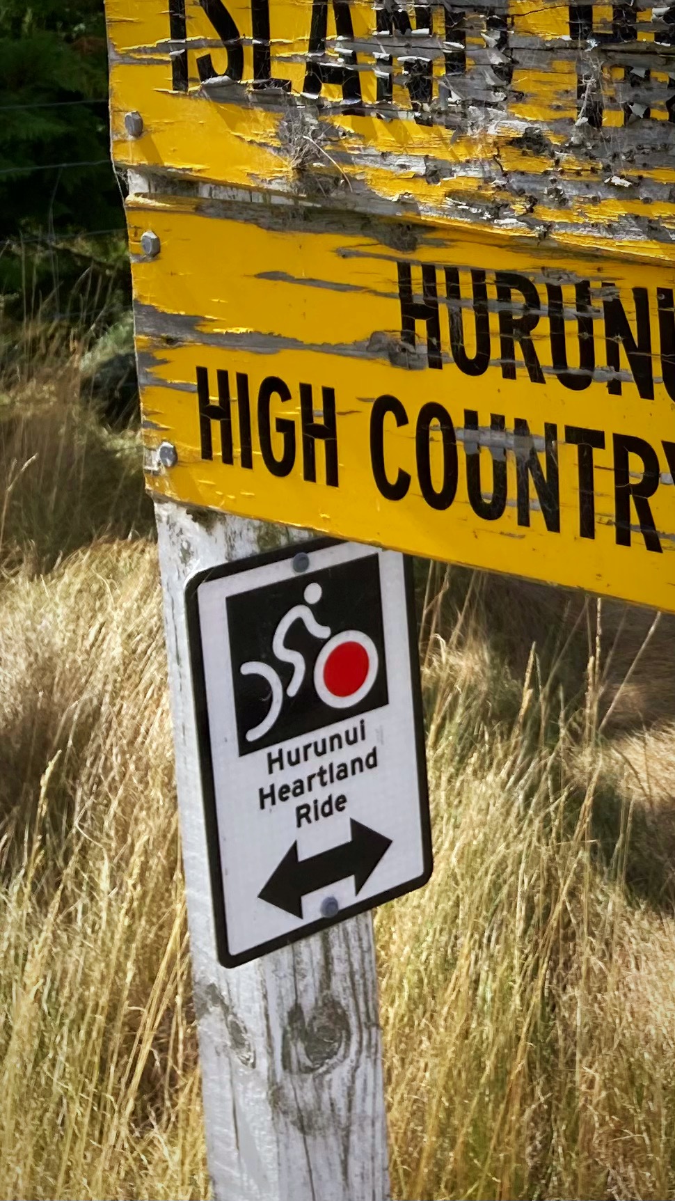
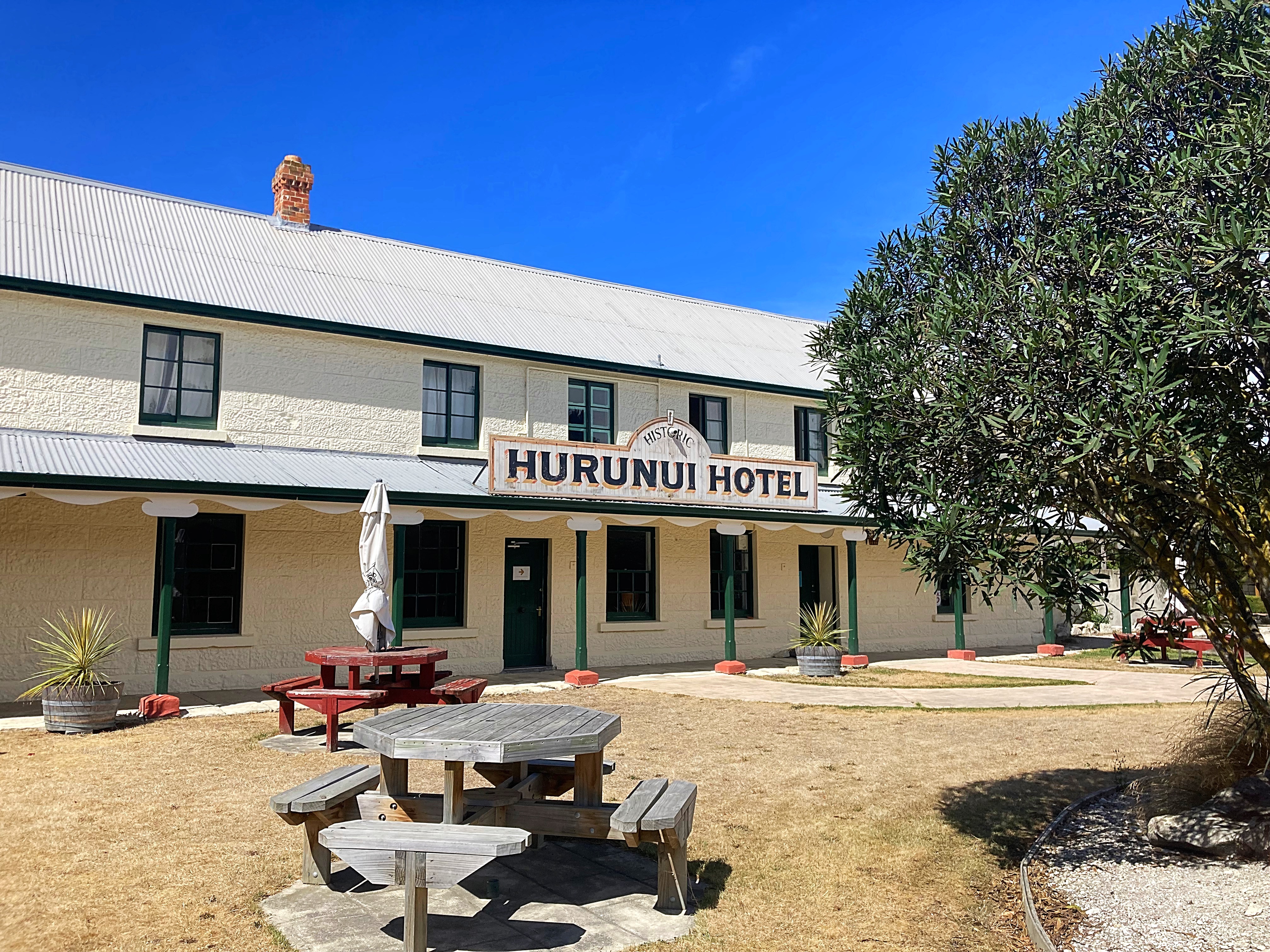
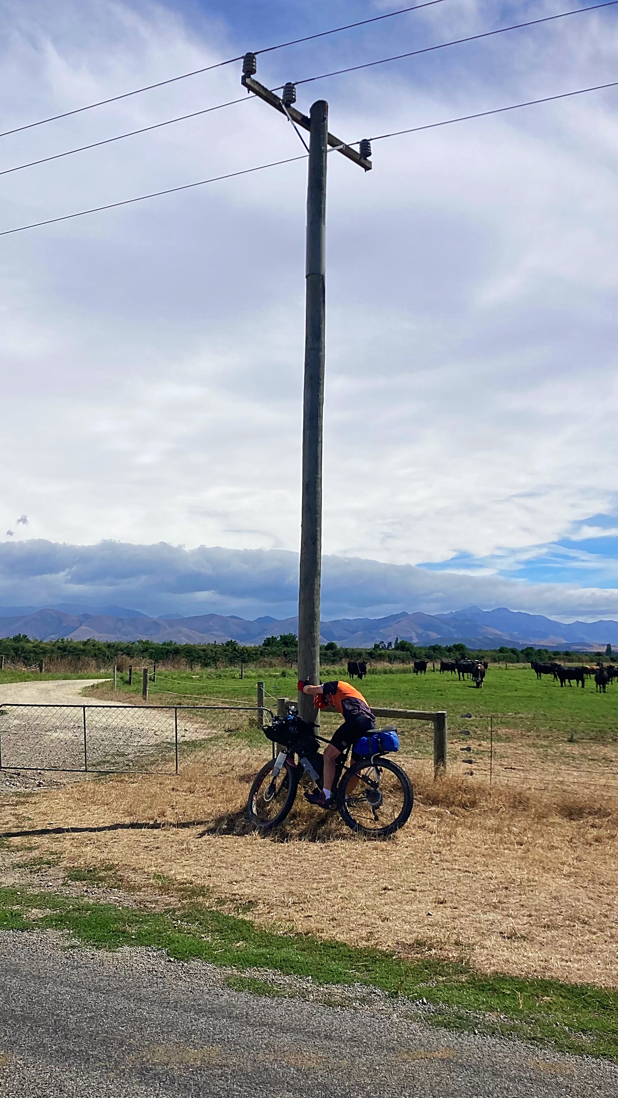
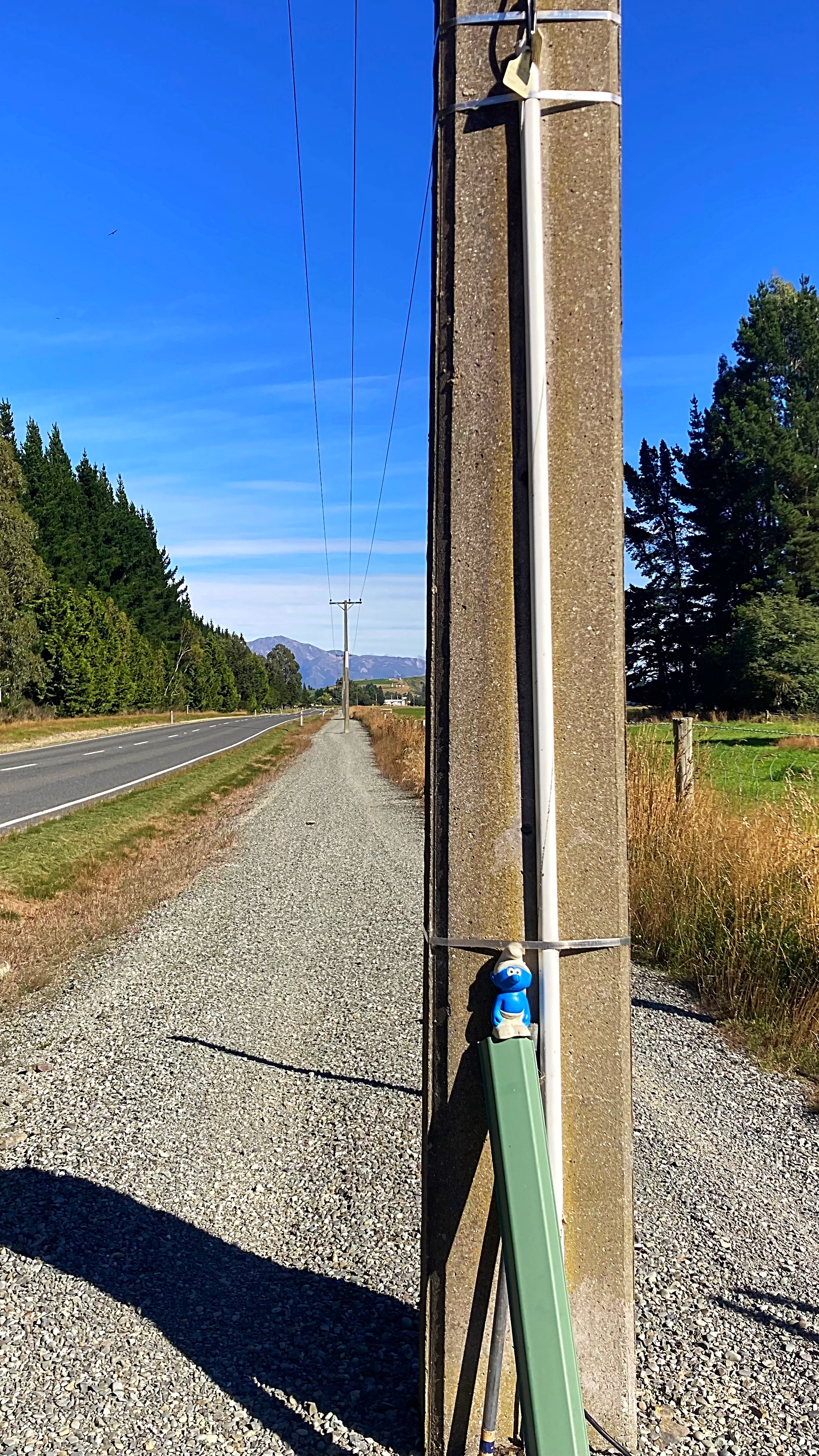
To be fair, the first 64 kilometres to Hurunui were awesome. It then went a little pear shaped as we hit a very strong headwind. It took us 50 minutes to do 8 kilometres it was horrendous and none of us had ridden in these winds before. Check out Crammers hanging onto the power pole for dear life . Fortunately we then turned and had a side tail wind which made things a little more pleasant into our lunch stop at Harwarden.
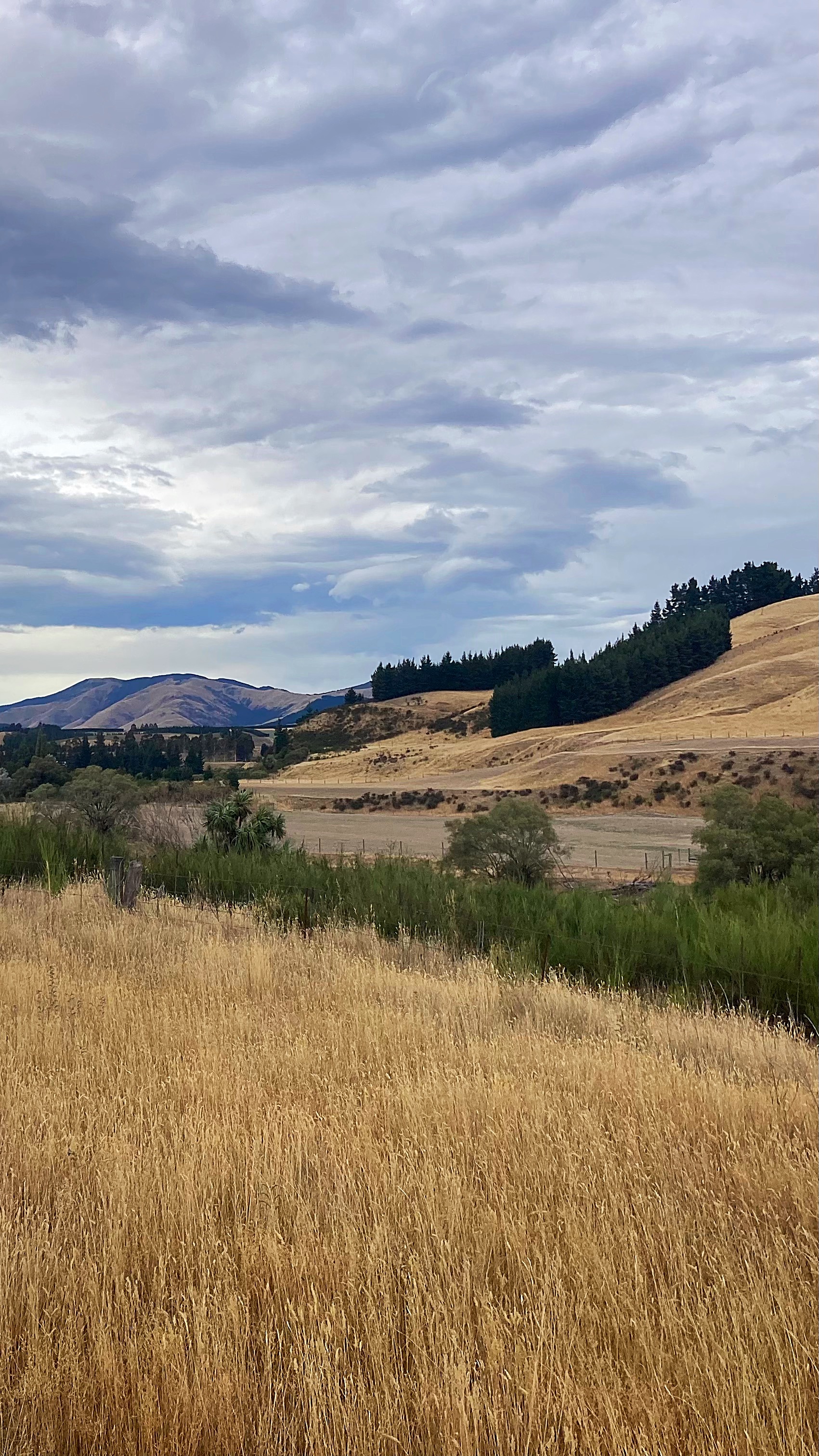
The first half of the day was spent riding through hectares of dairy farms with massive irrigation units pumping away. For the first time ever they have had water restrictions imposed on them. It is very easy to see where they irrigate as it’s super green versus being very brown up in the hills.
Dairying in Canterbury grew tenfold from the early eighties to 2009 / 2010. In the early eighties 20,000 hectares was used for dairy cows, now more than 200,000 hectares is used for dairy cows.
After Harwarden we headed for the hills and the gravel. We had winds coming at us from every direction in the last 50 kilometres.
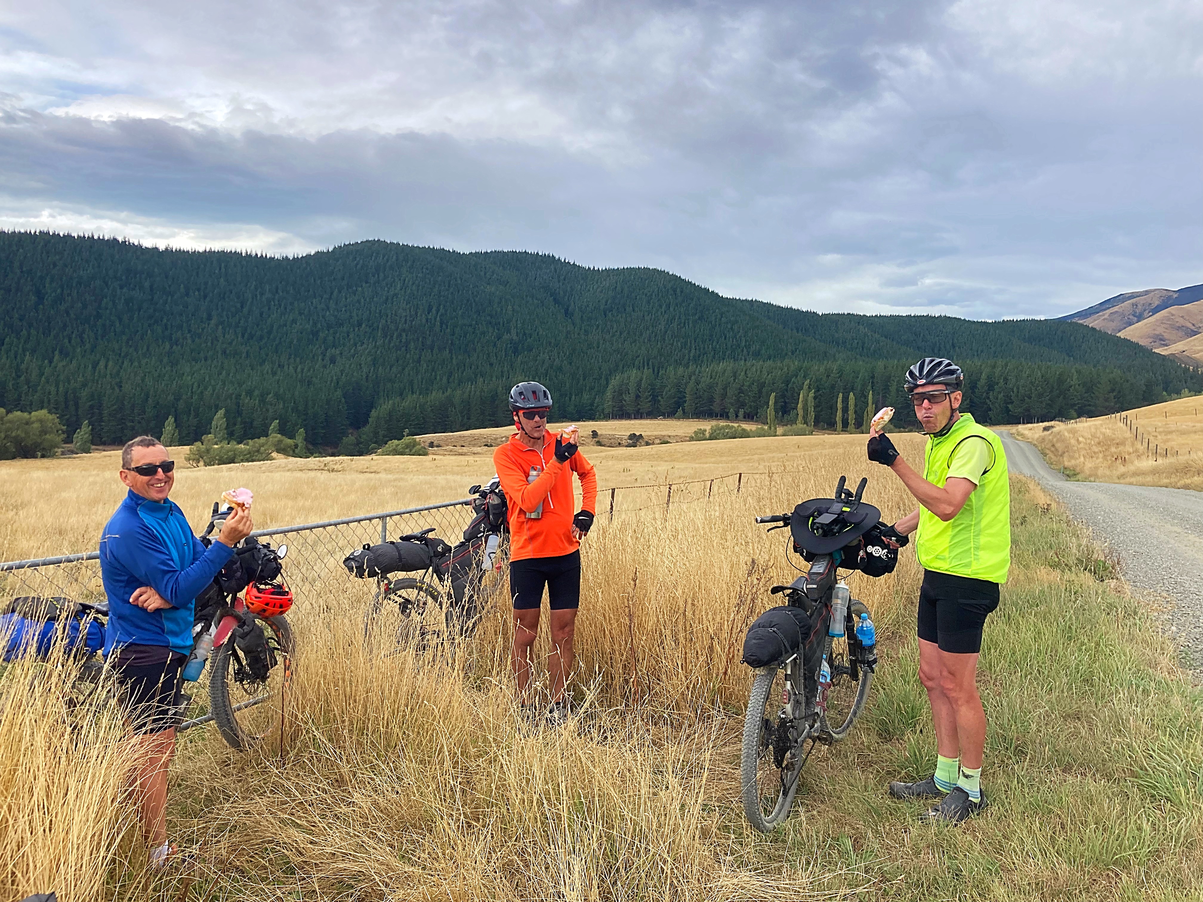
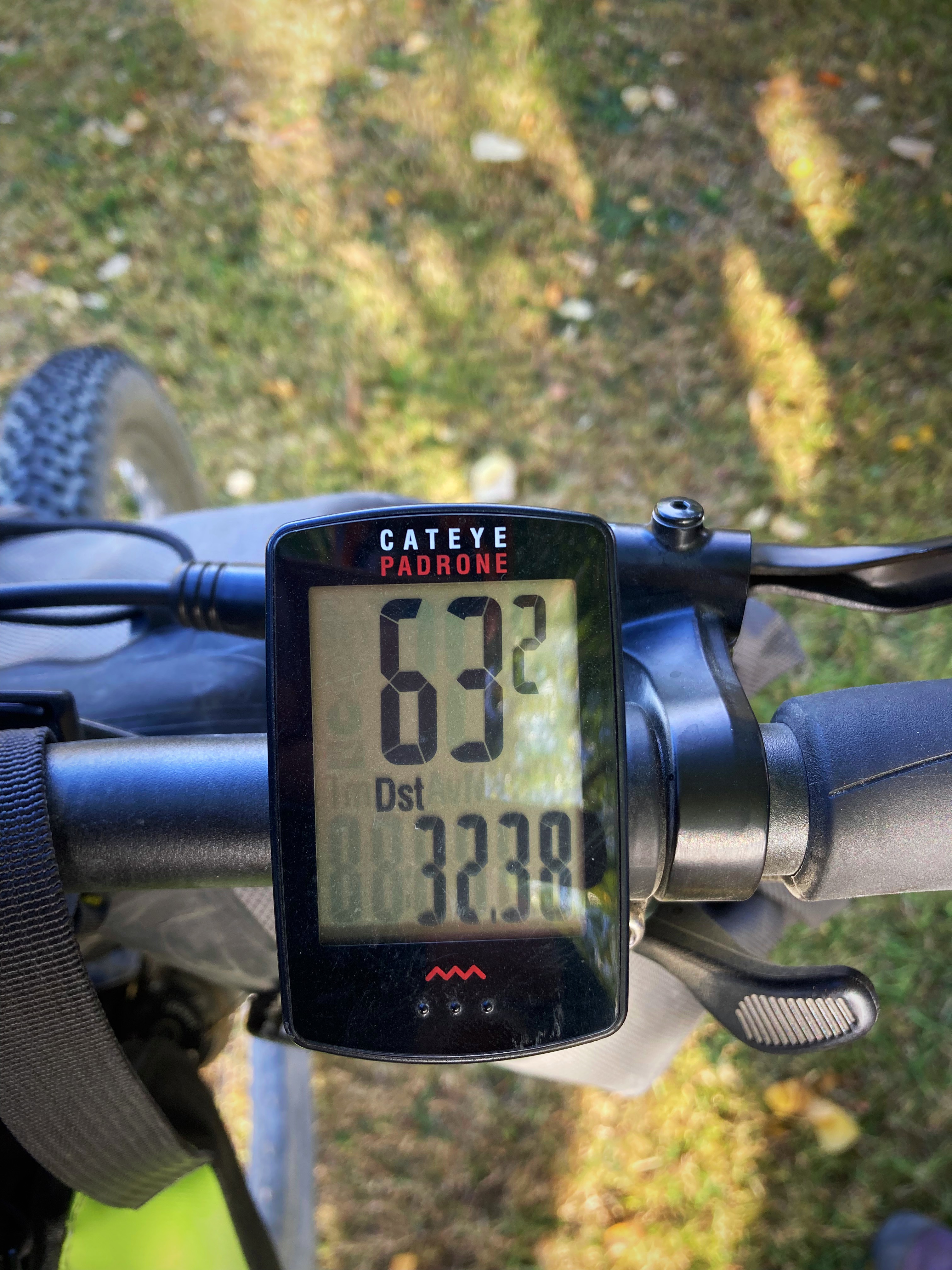
At about the 114 kilometre mark though we hit the tarseal again and had a tail wind. Just after we hit the tarseal the guide book noted the “Big Dipper” which was a steep descent with a quick ascent – I managed to hit 63 kilometres an hour going down – yee haa  . We cruised the rest of the way into Amberley at about 30 kilometres an hour
  .
.
Weatherwise today it was a lot cloudier but we still got to 29 degrees at one stage.
We enjoyed a yummy dinner at the Brew Moon Brewing Company – highly recommend.
16 February 2024
Day 5 – Amberley to Mt Hutt Lodge (Rakaia Gorge) 133km 989 metres climbed
The weather was a lot kinder to us today – the temperature was between 18 and 22 degrees with minimal wind – perfect biking conditions.
The Sounds to Sounds has two options in this area – go via Christchurch or around it. We chose to detour around it to places that I hadn’t been before.
At the junction where we took the detour option we stopped for a quick snack. I looked down and saw that my speedo was saying I was doing 63 kilometres an hour while I was stationary my protein bars are good but not that good. It then turned itself off but fired back up again later in the day – technology
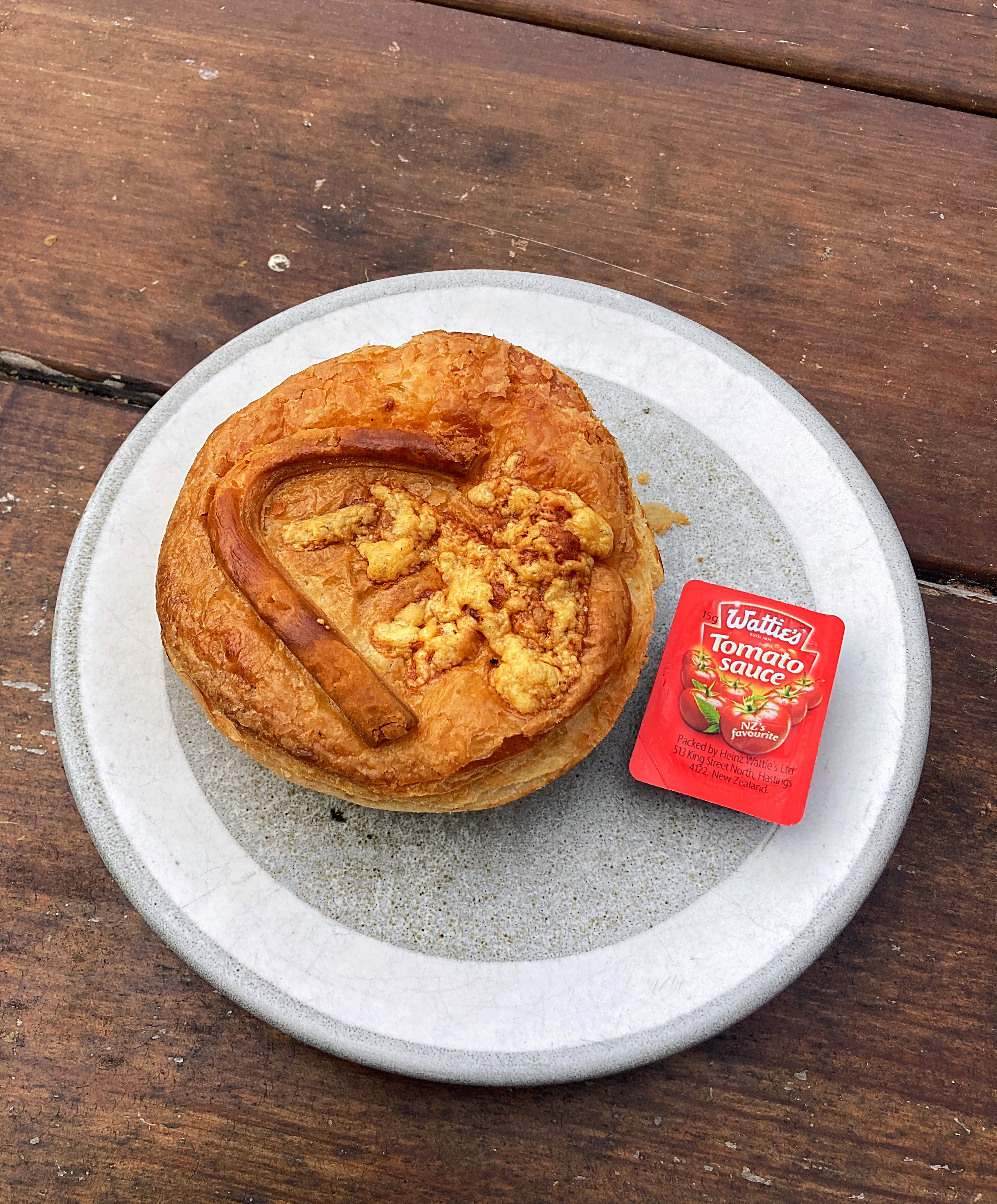
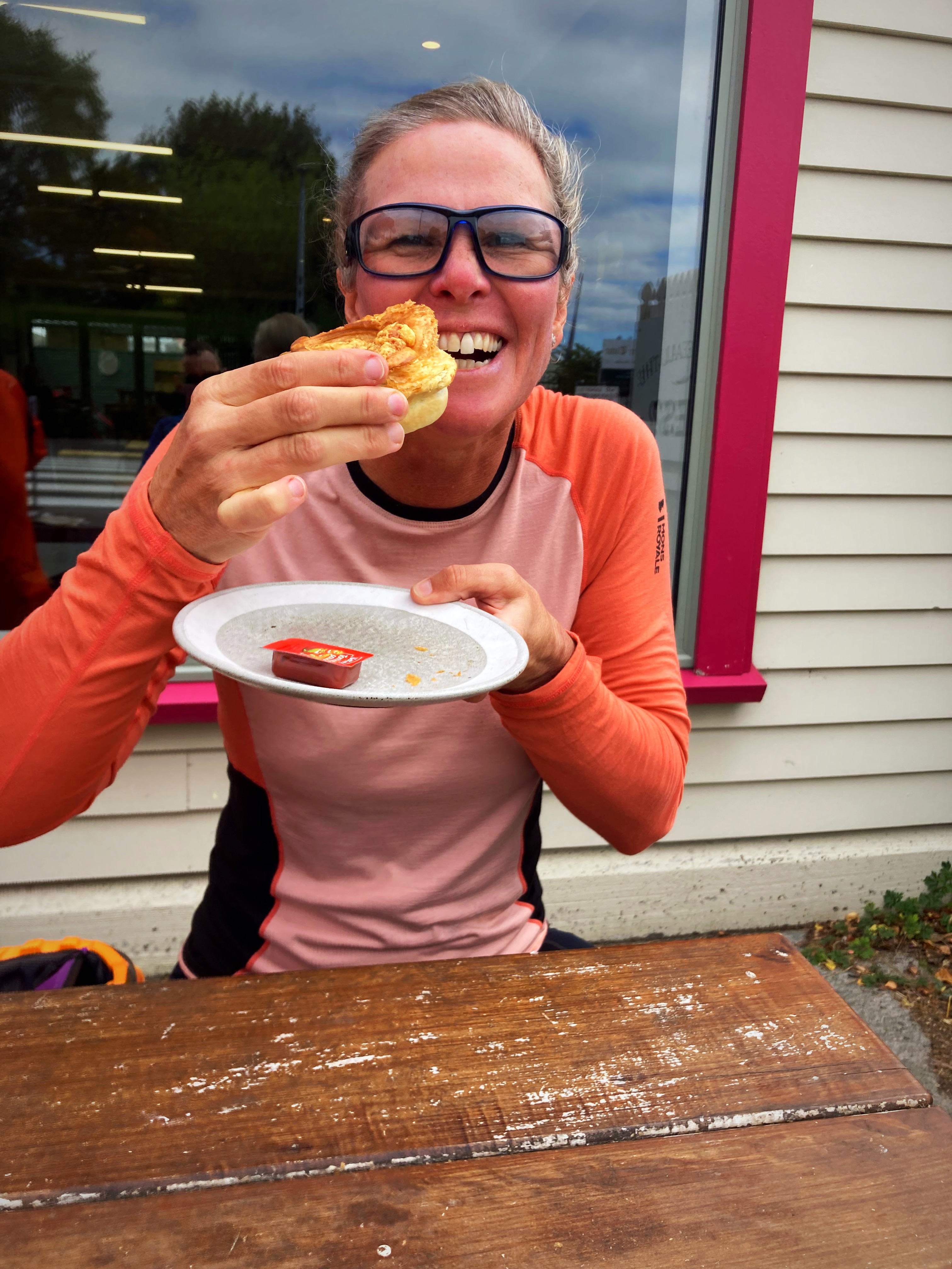
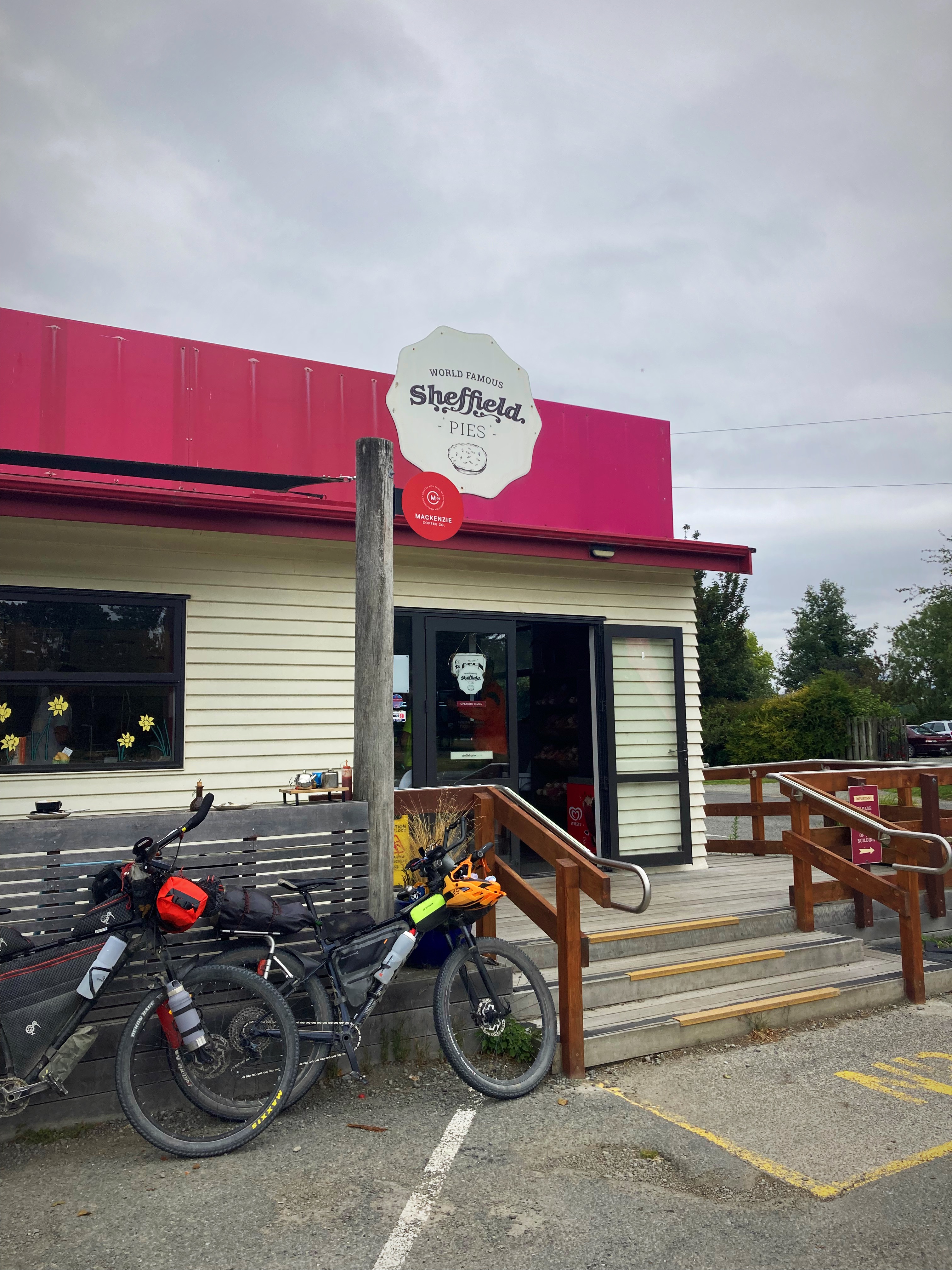
Today’s photo control point was a world famous Sheffield pie. We went through both Oxford and Sheffield where they have a Sheffield pie shop – was this going to be a two pie day
We got to Oxford after about 63 kilometres of riding and the mince and cheese pie hit the spot along with a coffee. Eighteen kilometres later we got to Sheffield and we decided a sweet treat and coffee were in order.
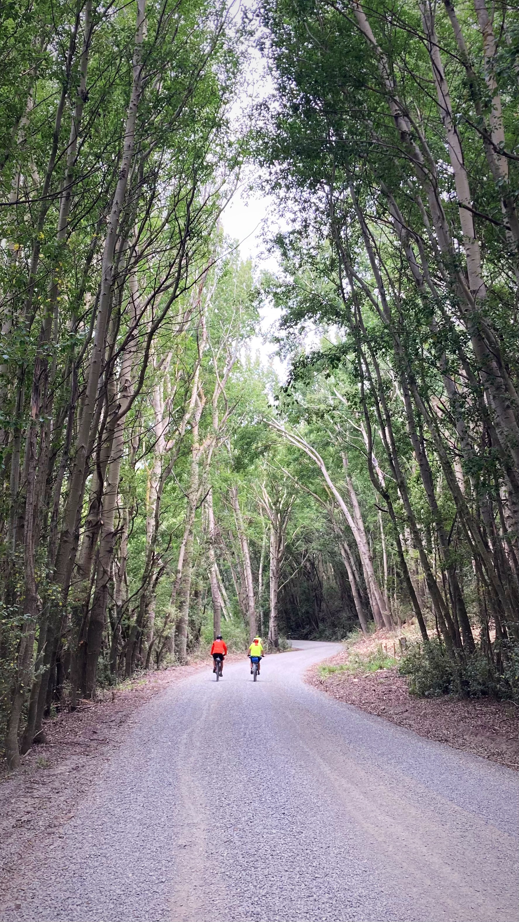
We had a bit of gravel riding after that but the gradient was gentle. We also had a couple of river crossings today – one with water and one without. I still managed to hike a bike in both – one I blame sun strike, the other I saw an option where I wouldn’t get wet feet. Of course Crammers and Chris managed to ride through both (they did get wet feet though ).
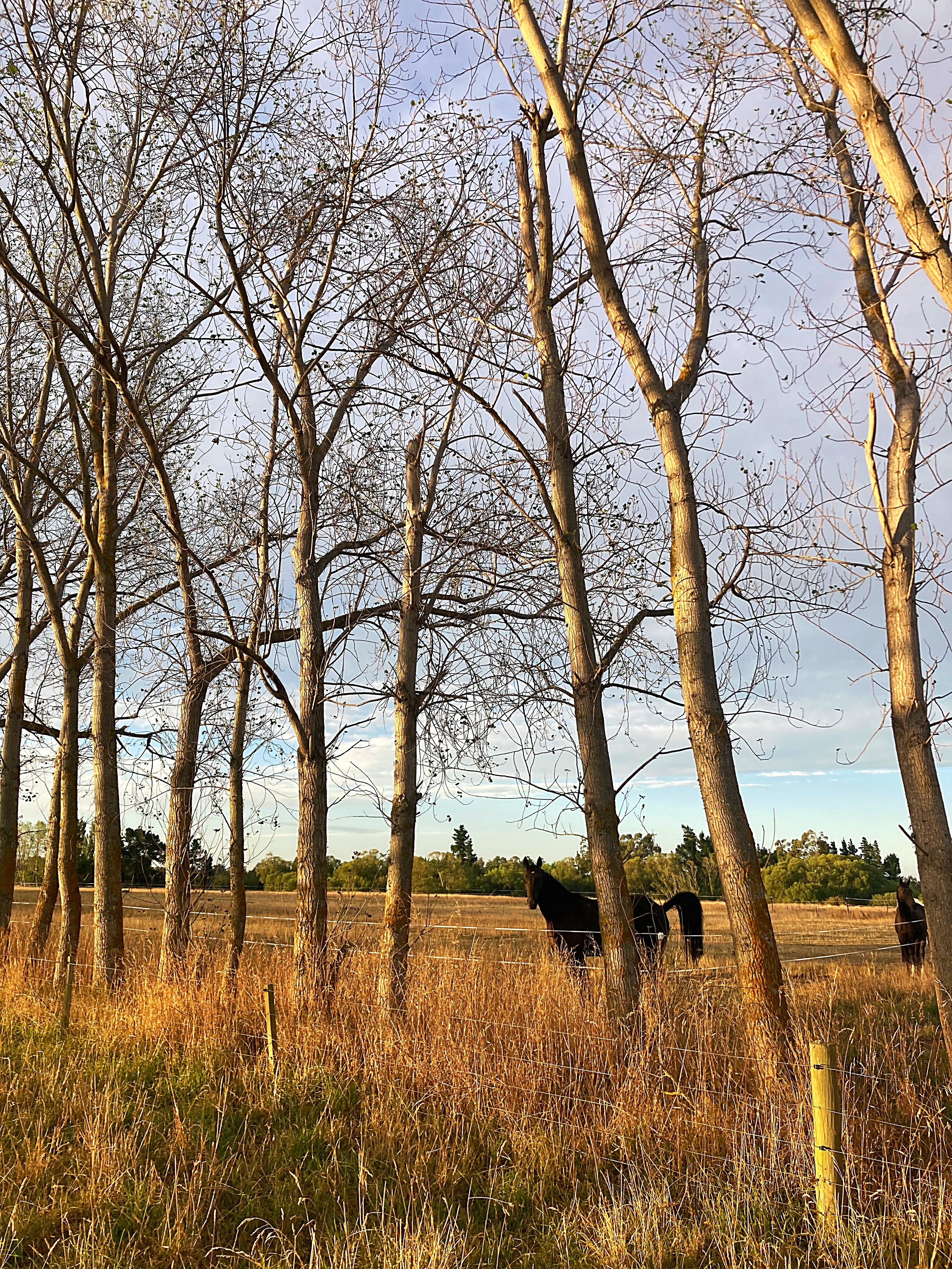
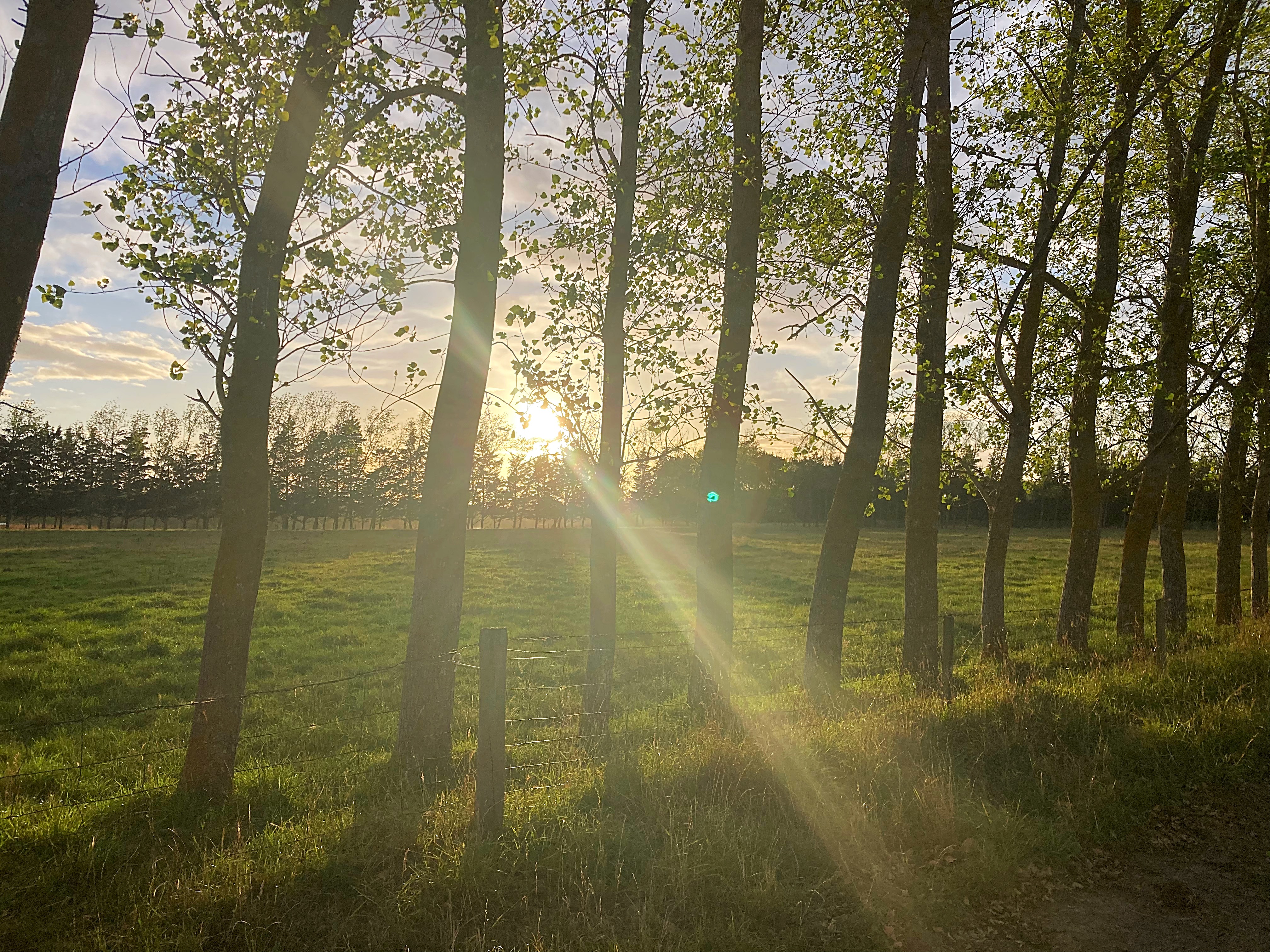
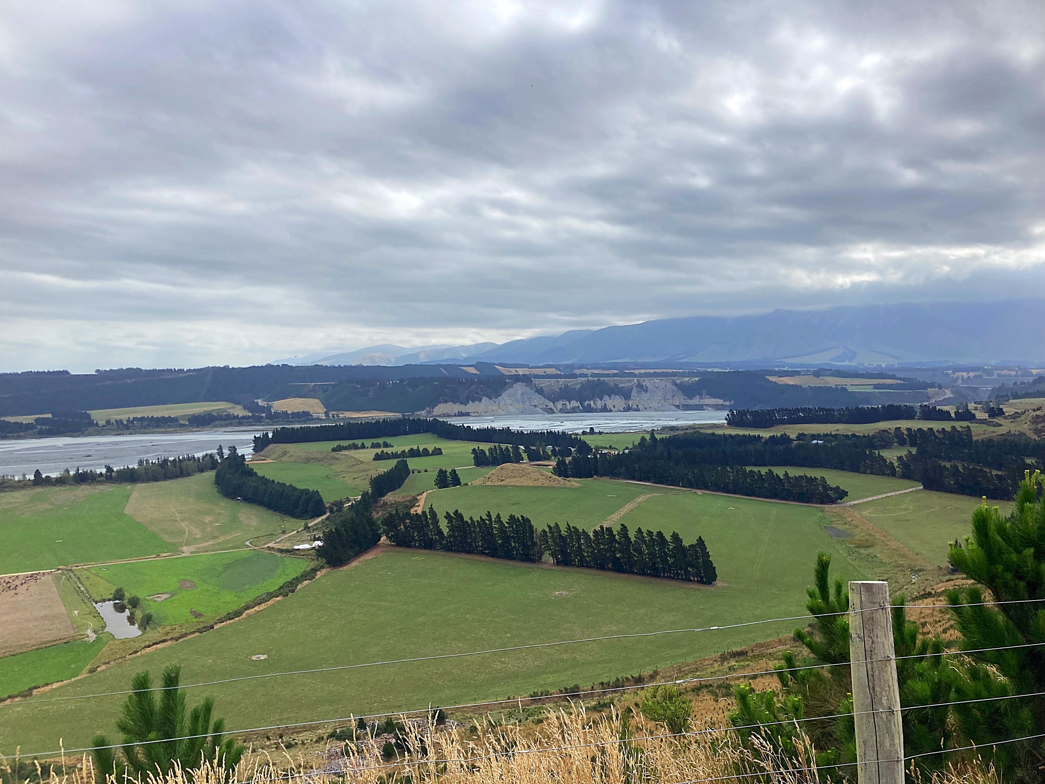
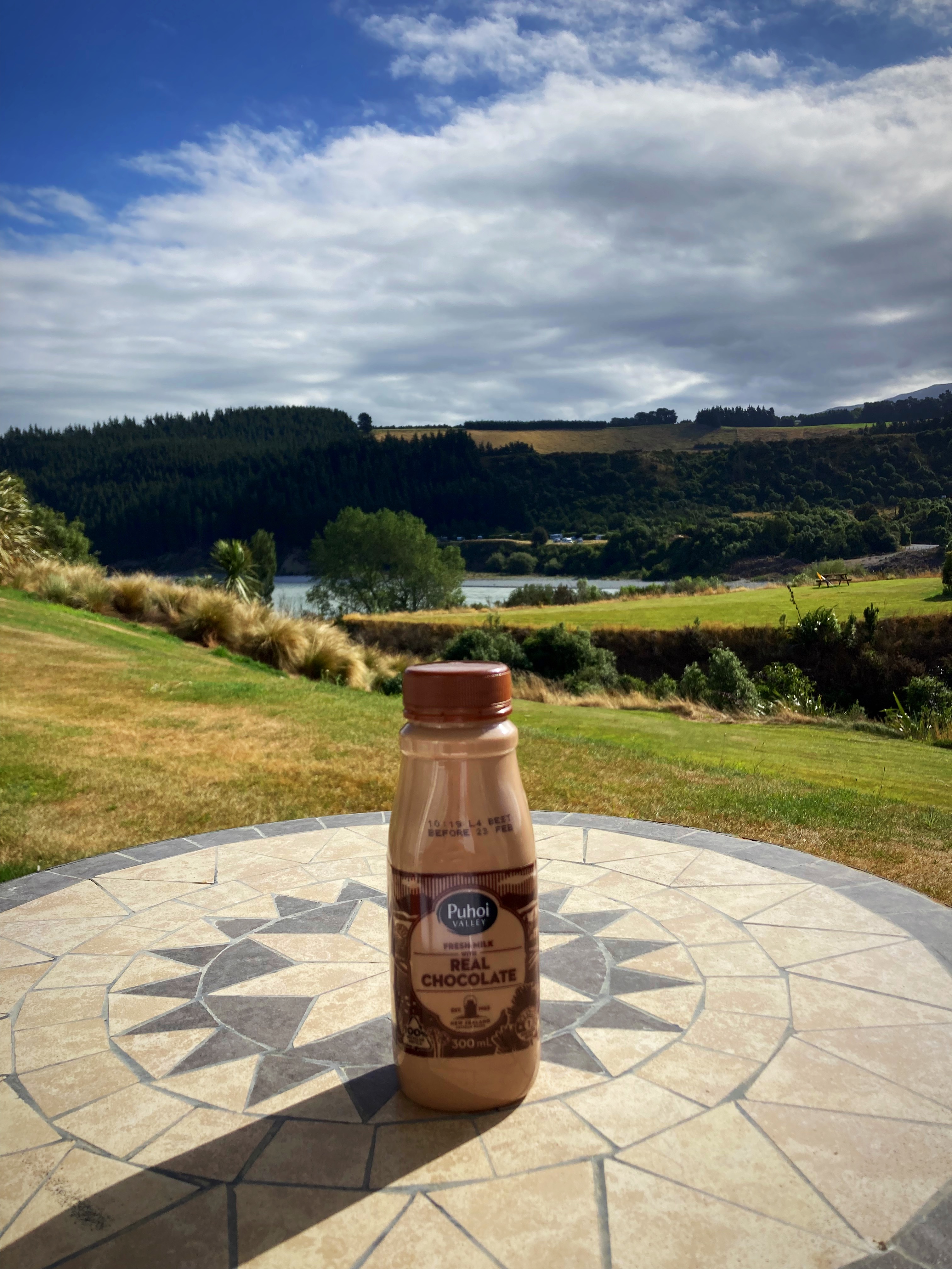
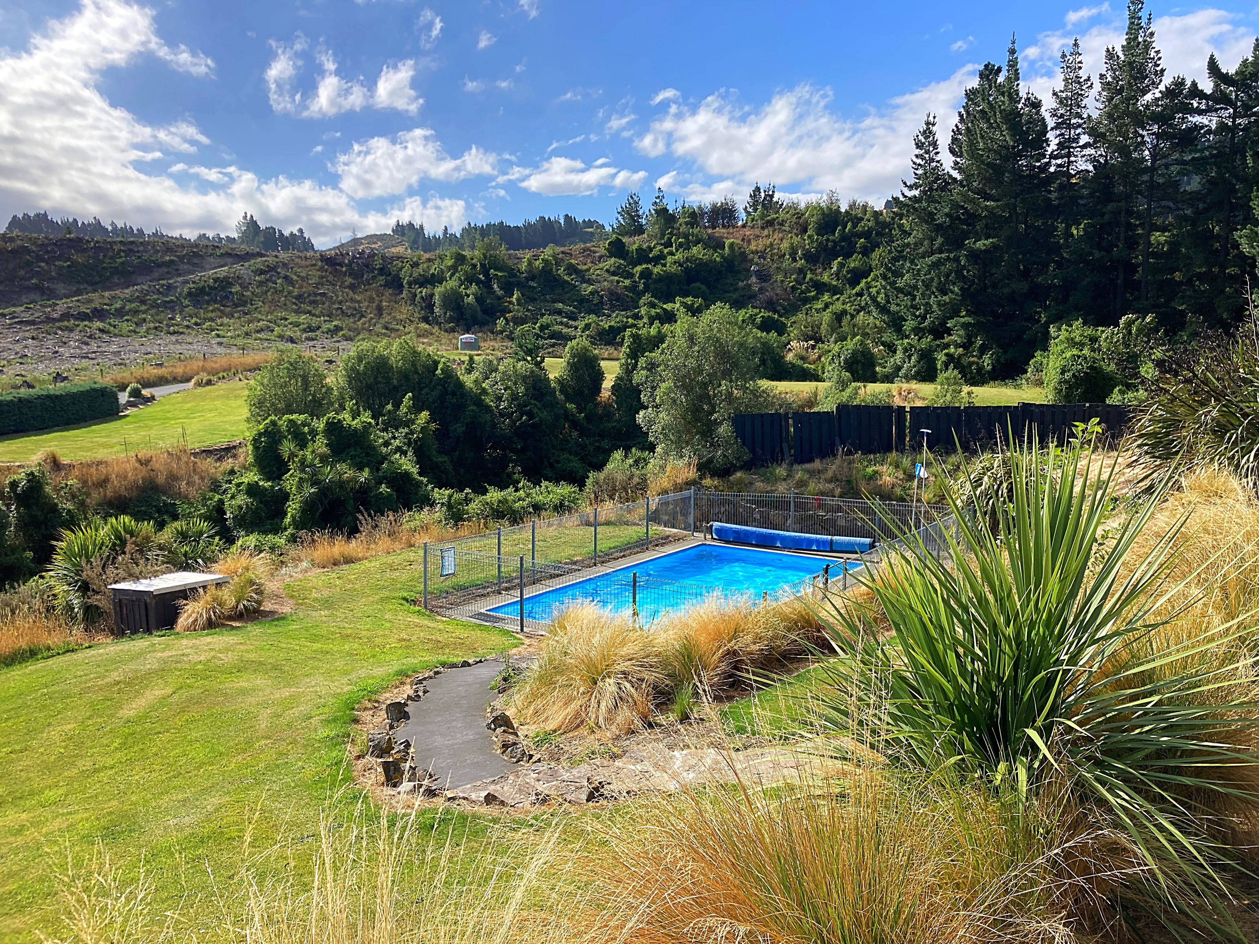
We had a nice view over the Rakaia Gorge before we started our descent. We were very happy to see the sign for Mt Hutt Lodge, and even happier to see they had a pool. I enjoyed my chocolate milk (a bikepacking staple) while taking in the vista. Unfortunately Mt Hutt was covered in cloud.
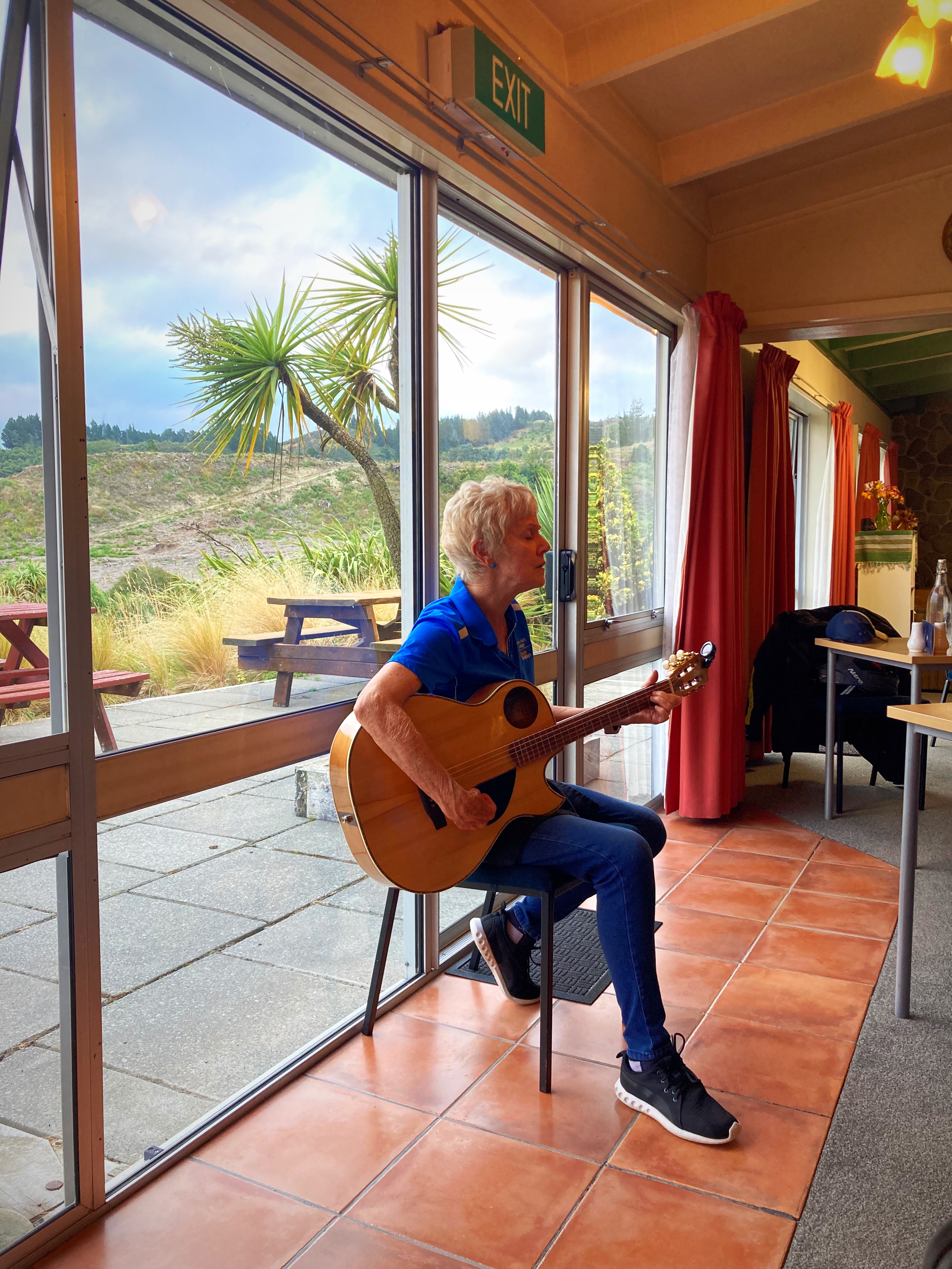
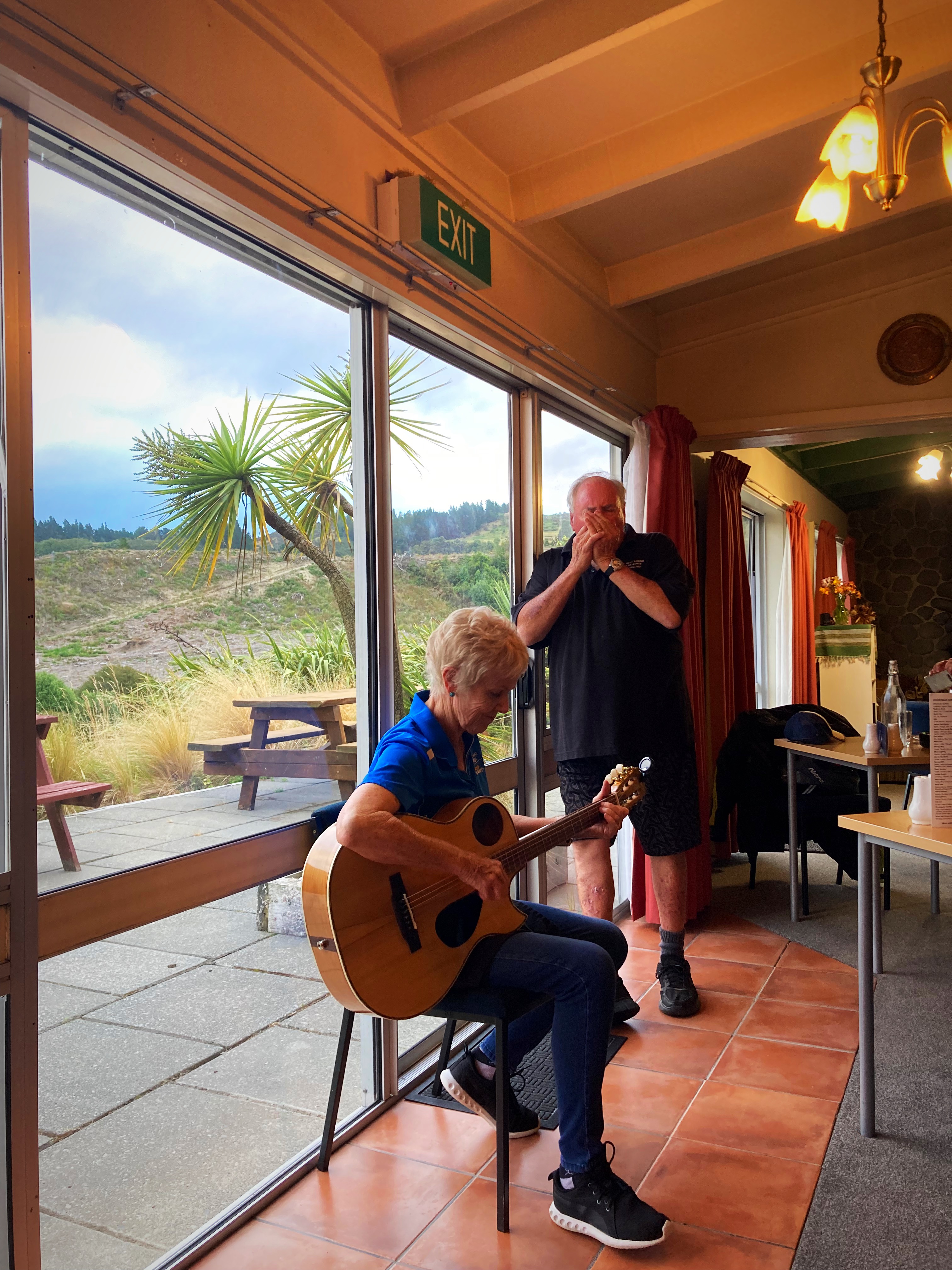
Our hosts here, Butch and Jo are so hospitable and we enjoyed a lovely meal in the restaurant – Butch is the chef. Jo then played guitar and sang us a couple of songs before Butch joined her with the harmonica. What a special touch to end another good day exploring our beautiful country.
Jo is also a highly acclaimed ski instructor who has taught all over the world and had a lot to do with establishing ski schools at the ski fields down here. She always travelled with a guitar so she could add that musical touch wherever she went. Butch was a professional surfer. They have owned and run Mt Hutt Lodge for the past twenty years.
17 February 2024
Day 6 – Mt Hutt Lodge (Rakaia Gorge) to Shear-Vue Farmstay (nearest town is Fairlie)152km 1234 metres climbed
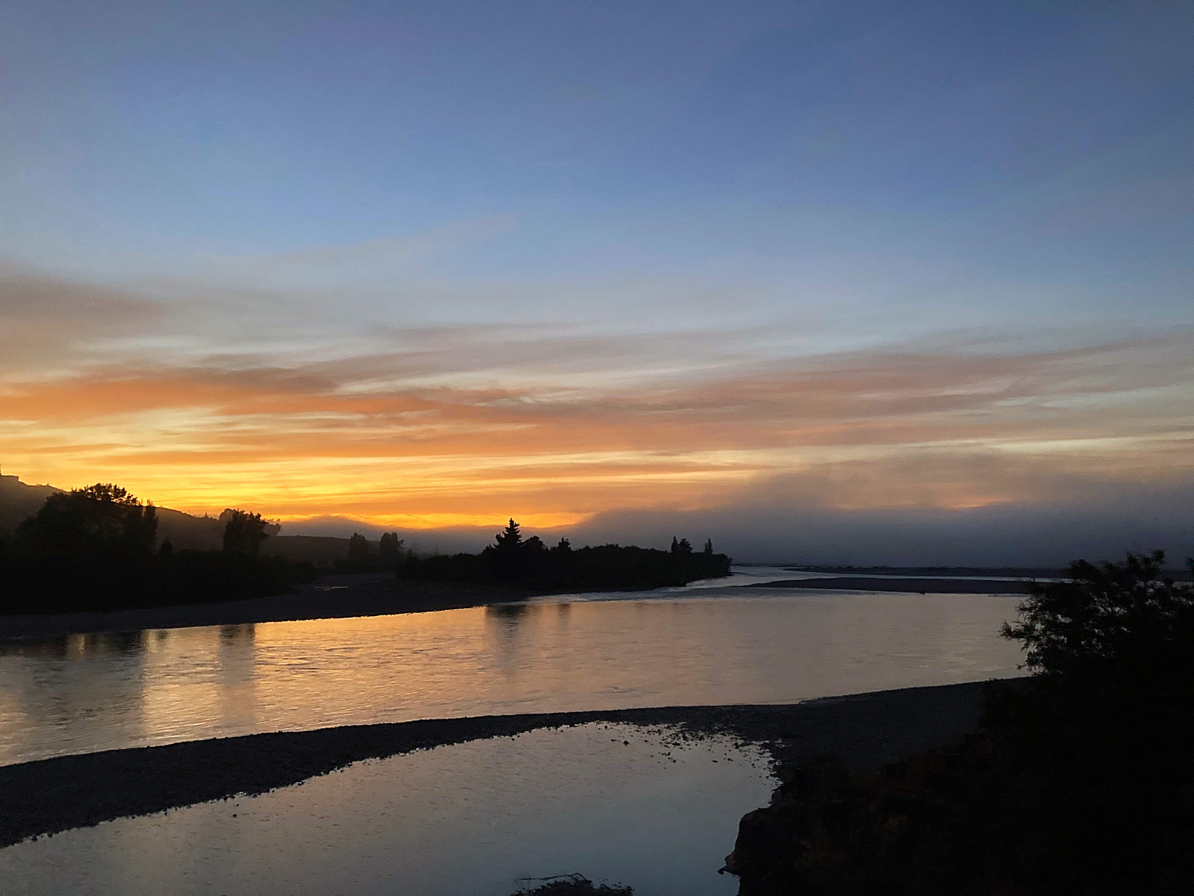
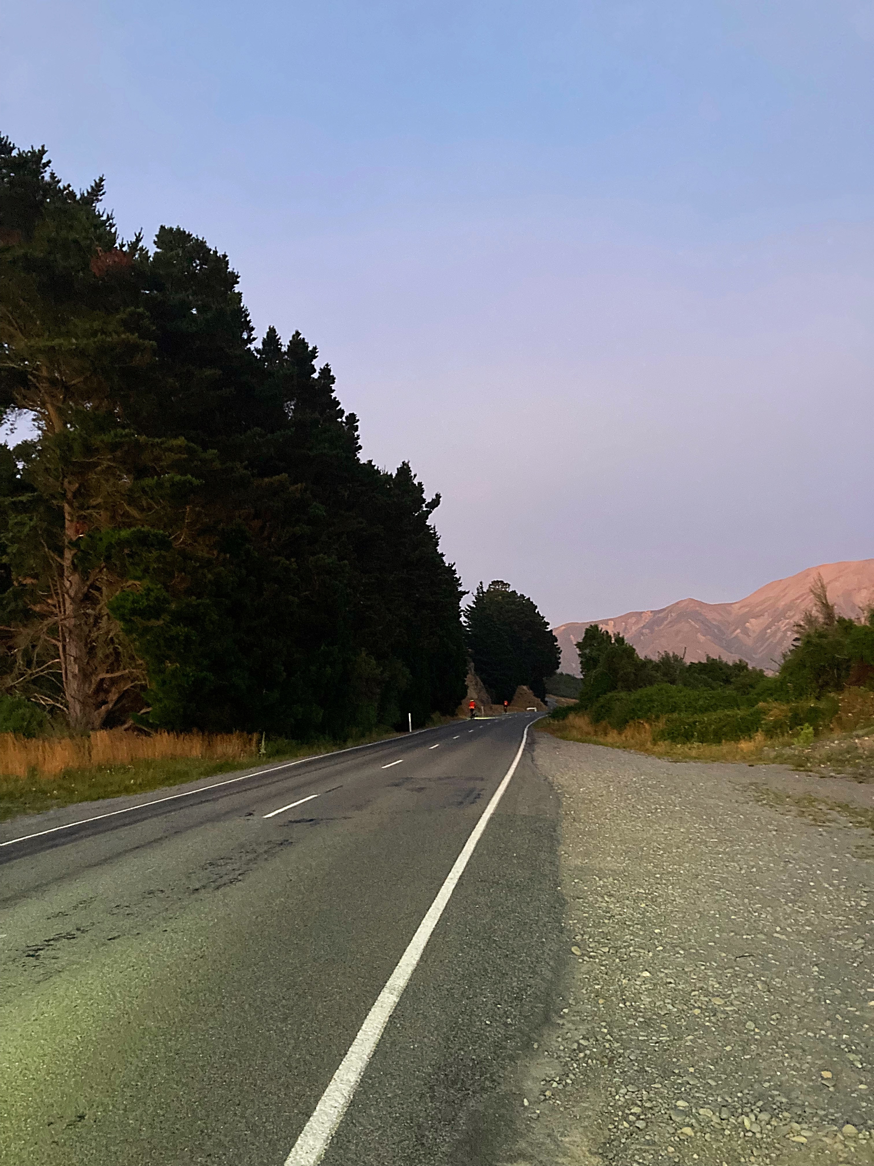
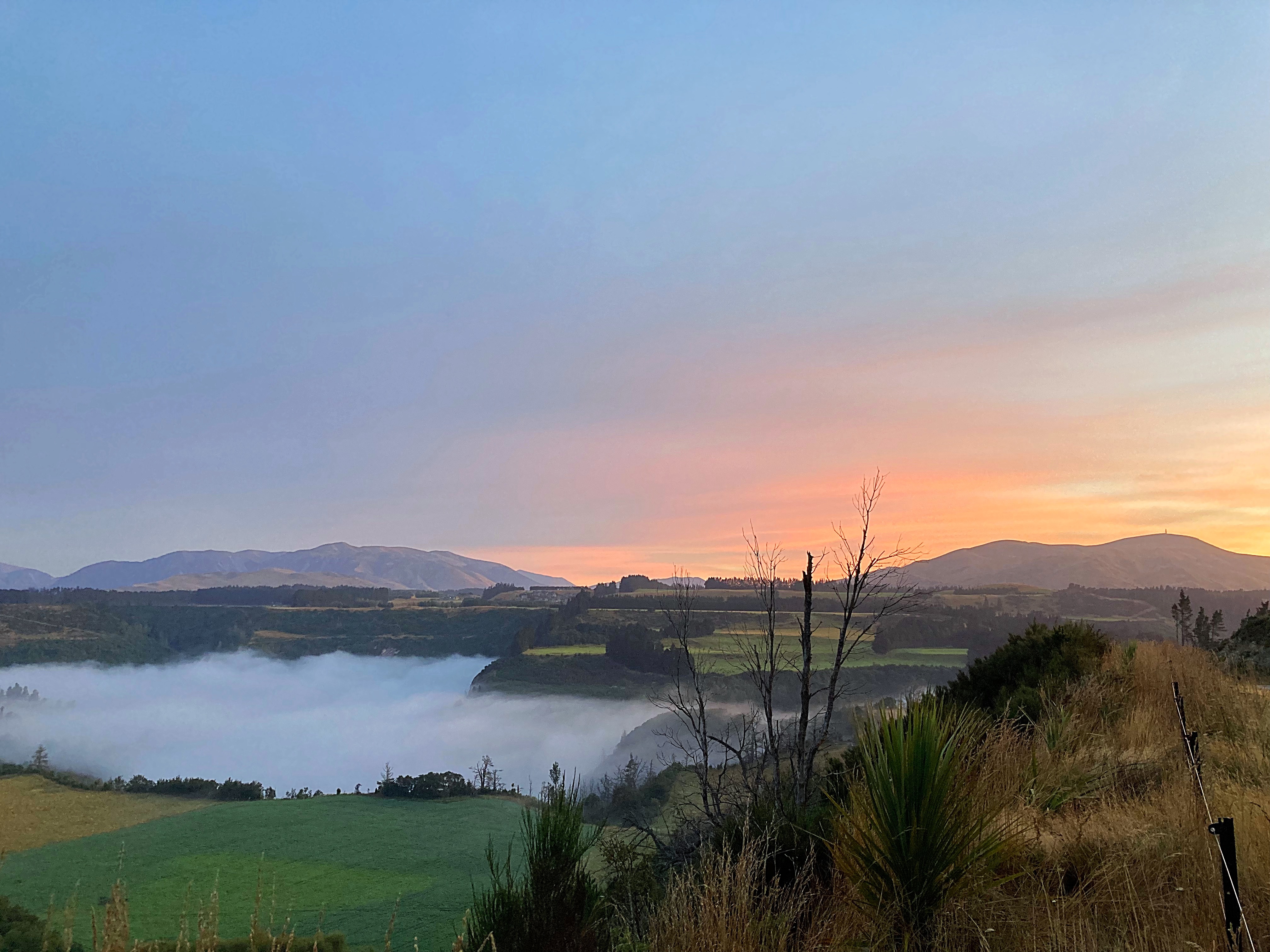
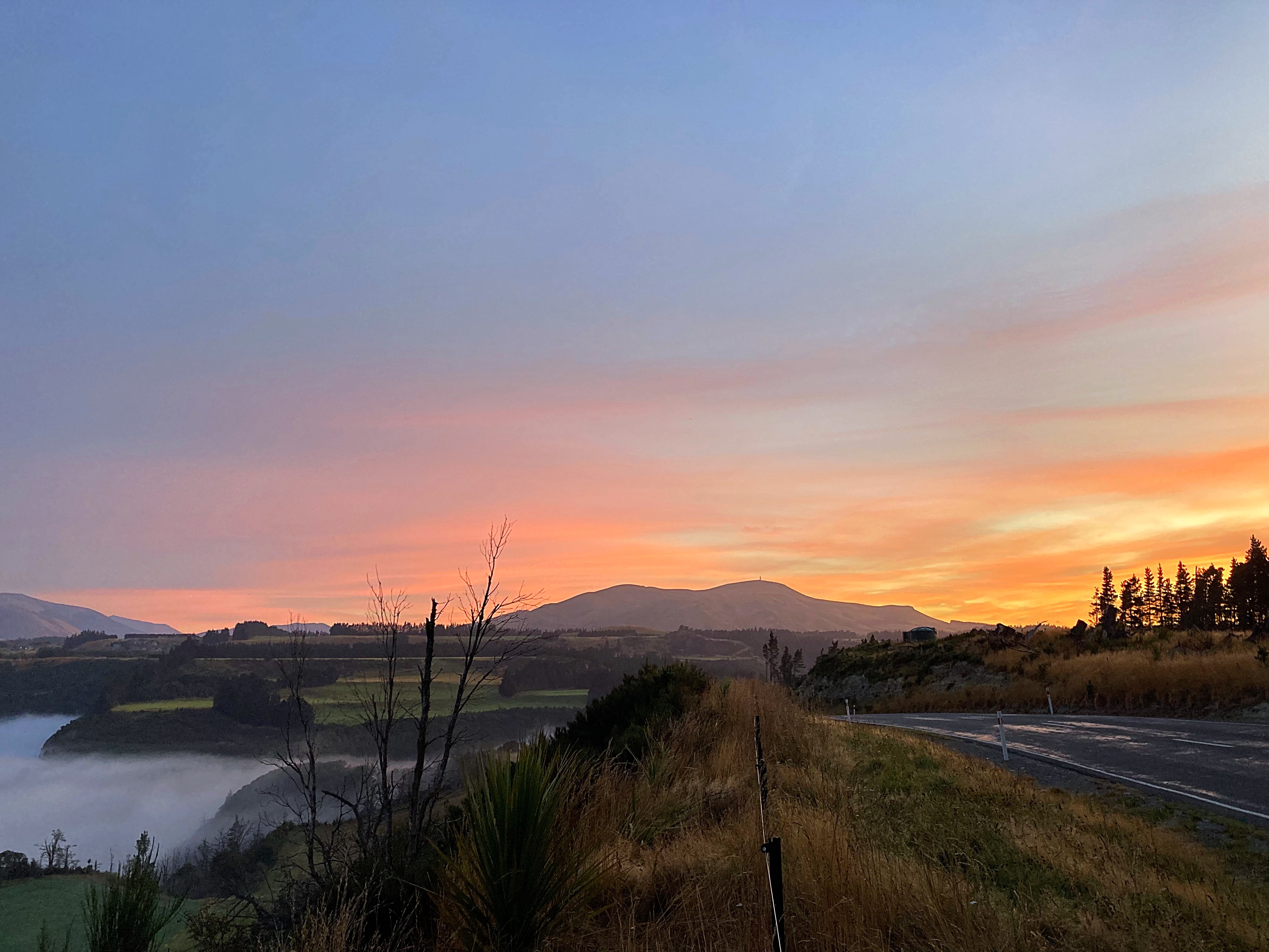
We had a big day ahead of us so decided to get an earlier start. We left Mt Hutt Lodge in the dark at 6.15am. It was pretty chilly too at about 7 degrees so the full fingered gloves came out.
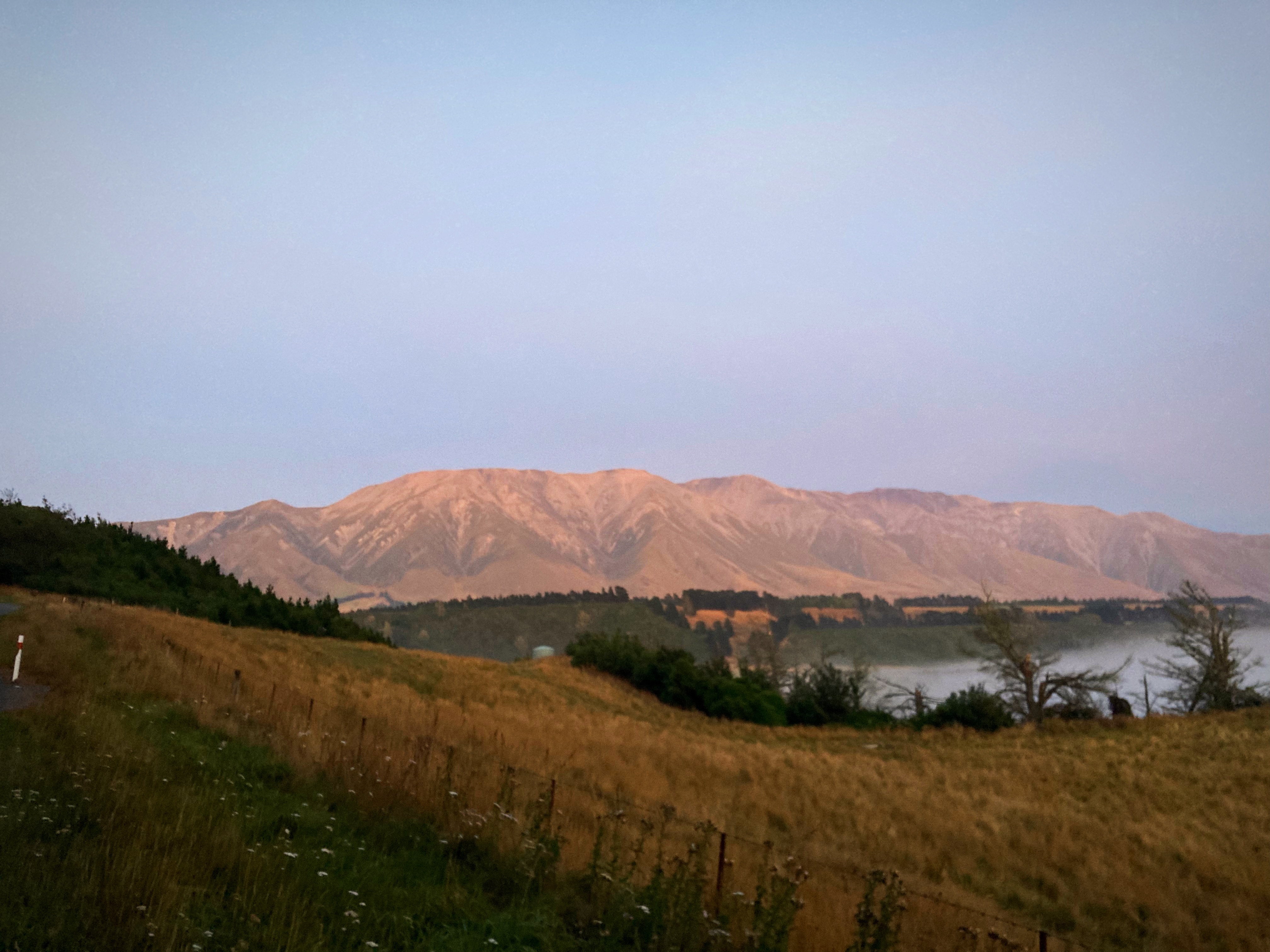
The cloud around Mt Hutt had cleared from the night before so it was nice to be able to see it. Mt Hutt is a popular ski resort.
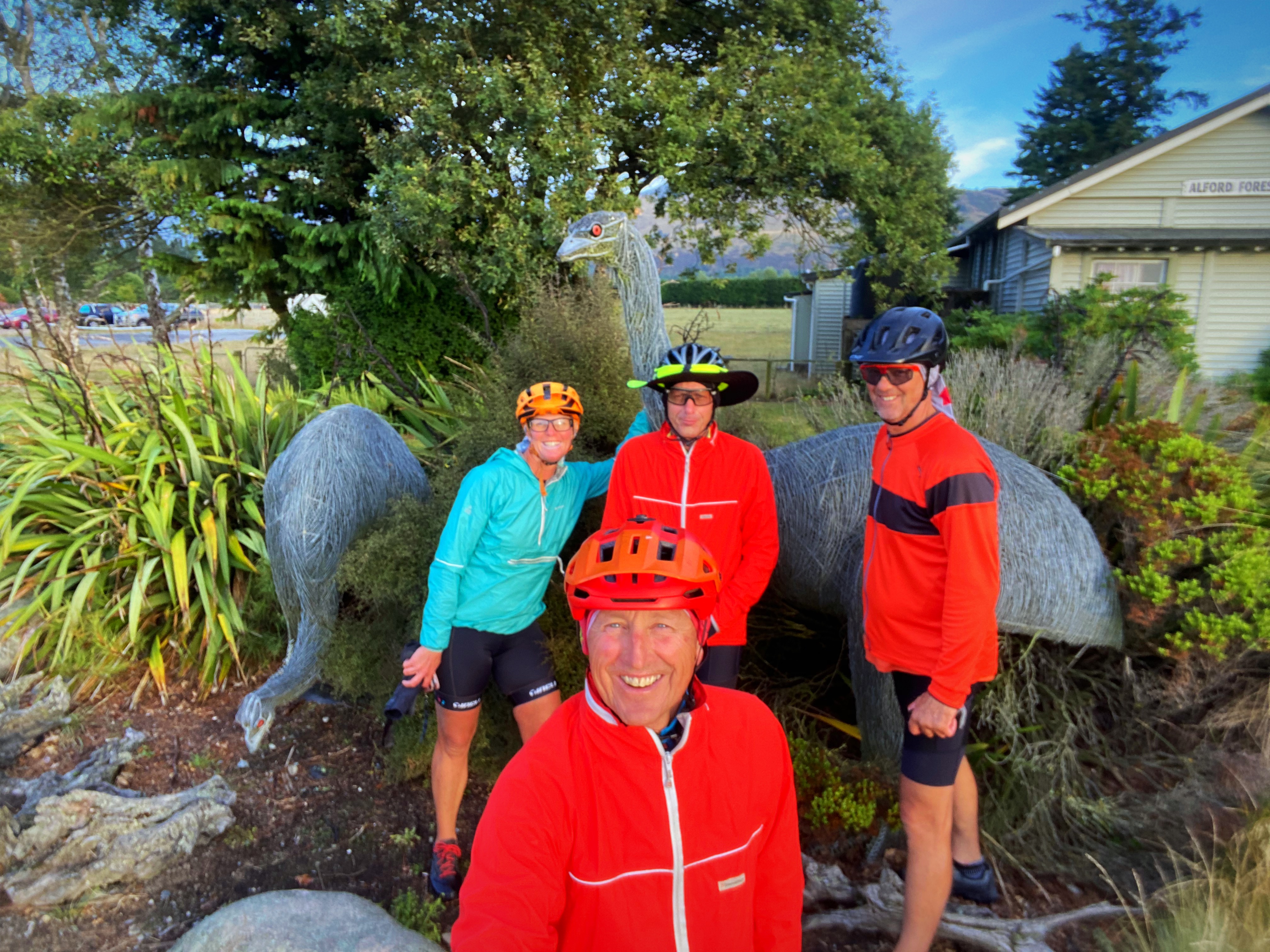
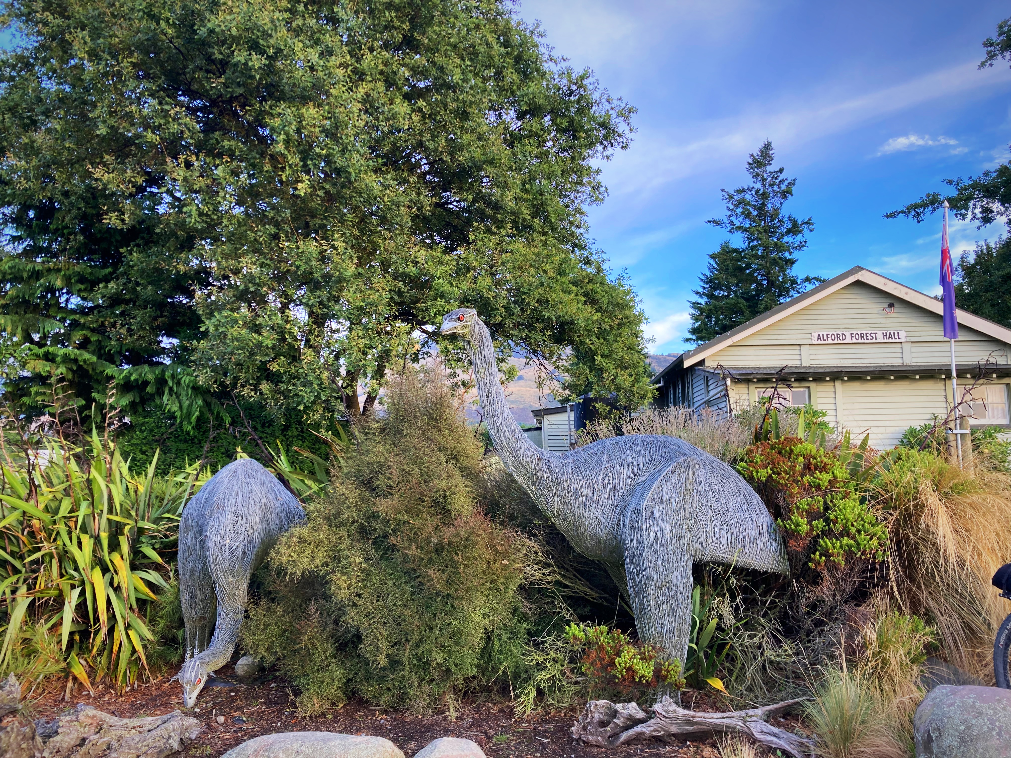
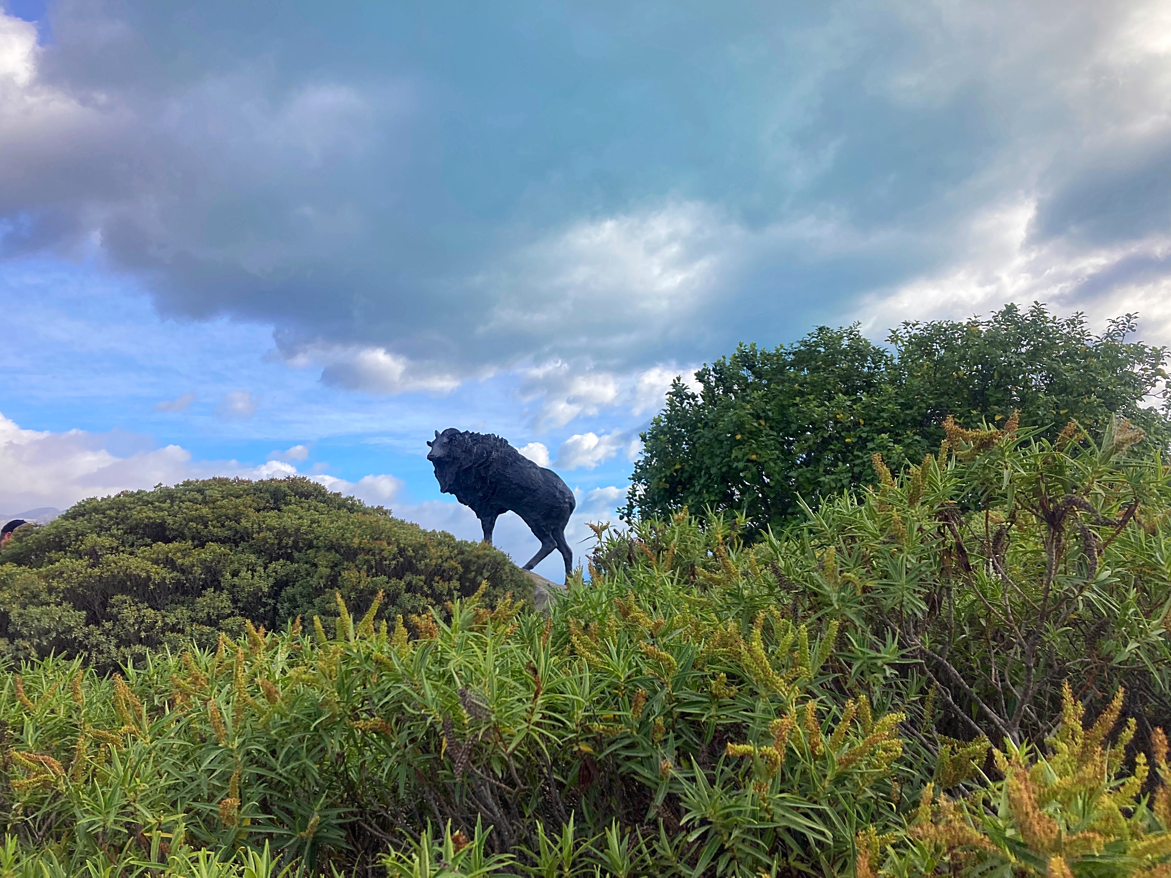
We had a photo control point at the Alford Forest Moa sculpture.
These extinct large birds weighed up to 235 Kilograms and stood more than three metres high. Grey or Reddish brown in colour: lifespan about 80 to 100 years. They were killed out about 400 years ago. Eleven different kinds of Moa were known to inhabit New Zealand. Around the Foothills Area they were known to be quite common, as many gizzard stones have been found. Their diet was mainly woody plants and grasses.
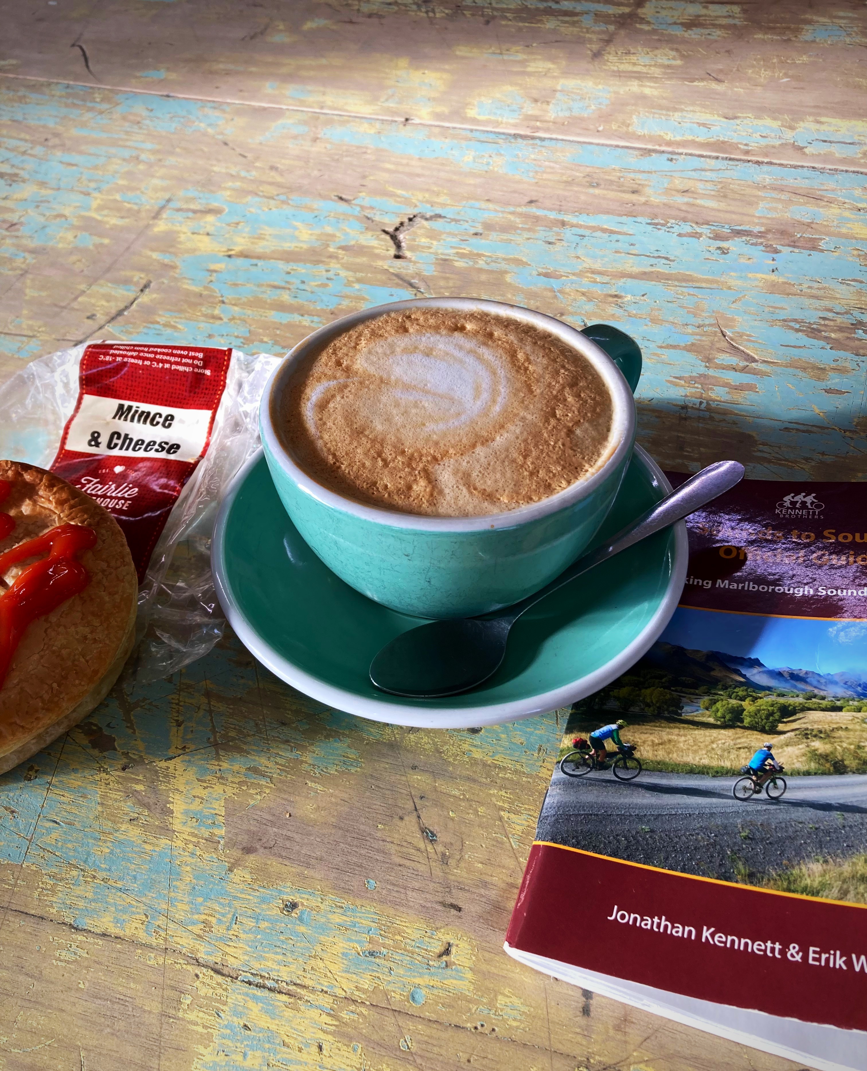
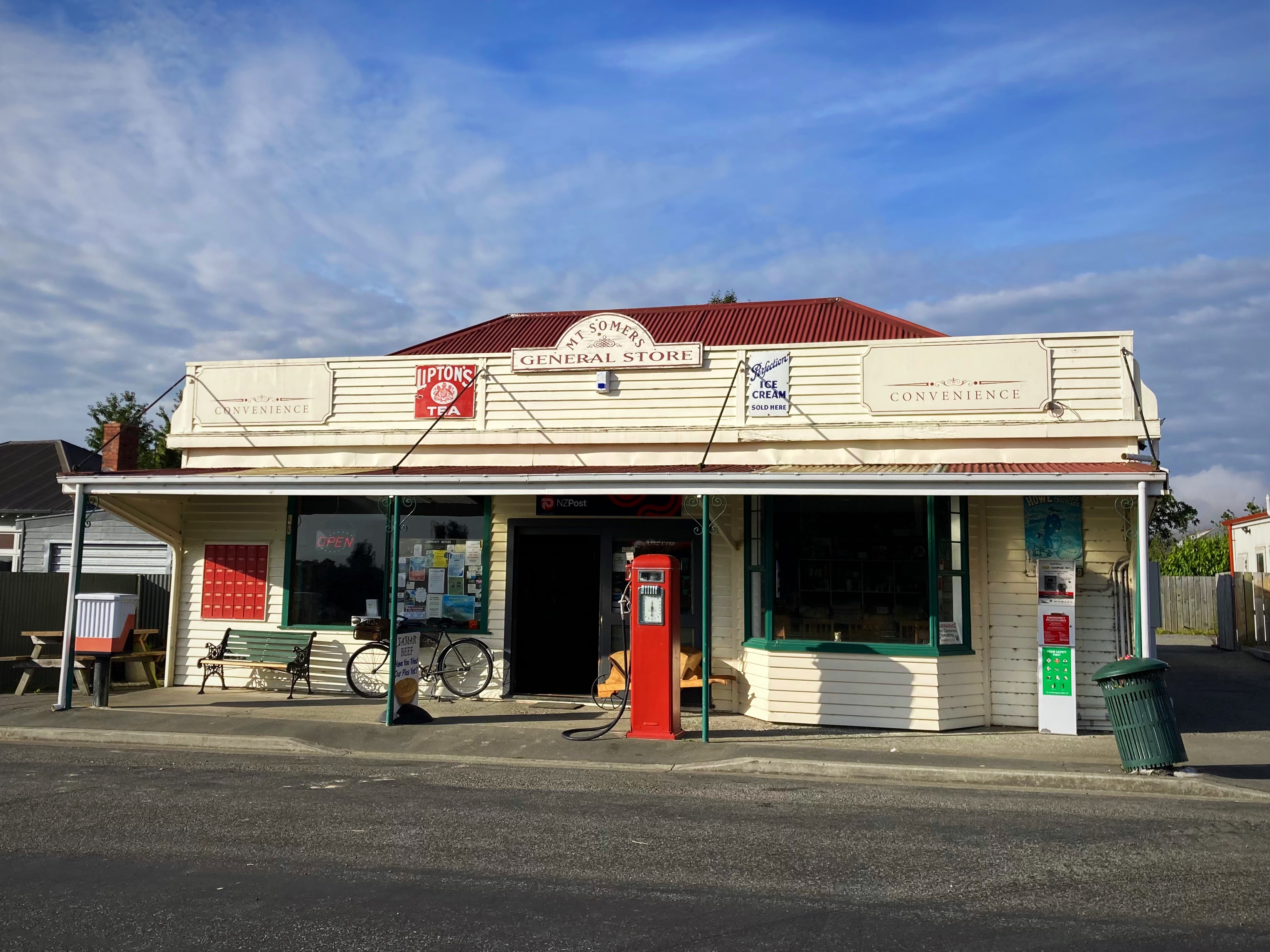
At 33 kilometres in we reached Mt Sommers where the General Store was serving coffee and hot pies – needs must. I had a Fairlie Bakehouse mince and cheese pie and I would have to say it was way better than the world famous Sheffield one from yesterday.
We then had 57 kilometres to our next sustenance spot – Geraldine. Of course the route had us out on the back country gravel roads. The woman in the General Store couldn’t fathom why we didn’t just take the main road, telling us that the gravel on the route we were taking was horrendous.
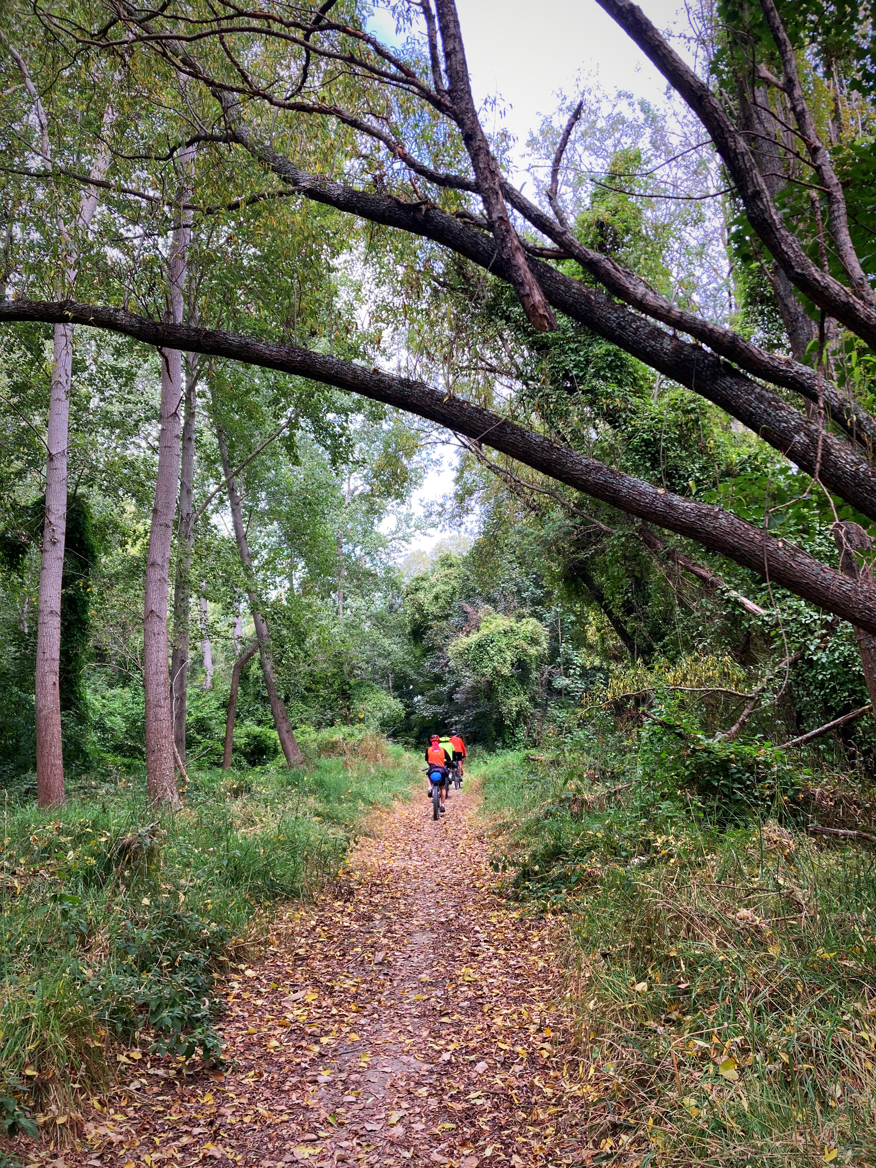
When we cross crossed the main Inland Scenic Route a number of times we were also questioning ourselves. To be fair the gravel wasn’t too bad. We did a cool little forest track just out of Geraldine which was a nice change.
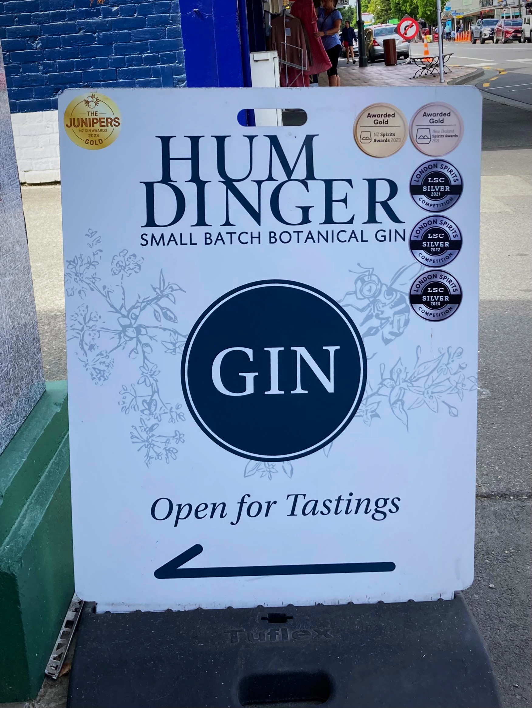
On entering the Main Street I saw a sign to my favorite gin shop – Humdinger, and they had a tasting going on. Man that hurt having to walk on past – in hindsight it was a very wise decision.
Second coffee of the day and a toasted sandwhich for lunch in Geraldine set us up for the afternoon, sort of.
We had a bit of a “oh bugger” moment when we had overshot a road we were meant to turn right into due to the signpost being missing. Back we went about 1.5 kilometres – doesn’t sound like much but on a 150 kilometre day
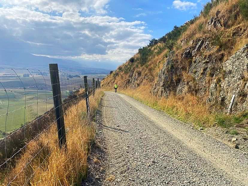
It was not long after this that it all went a bit pear shaped. At about 138 kilometres we started climbing, and climbing and climbing. Hicksy conceded first, closely followed by Crammers and I – hike a bike mode started. The Young One, meanwhile powered on and rode the whole of it – legend.
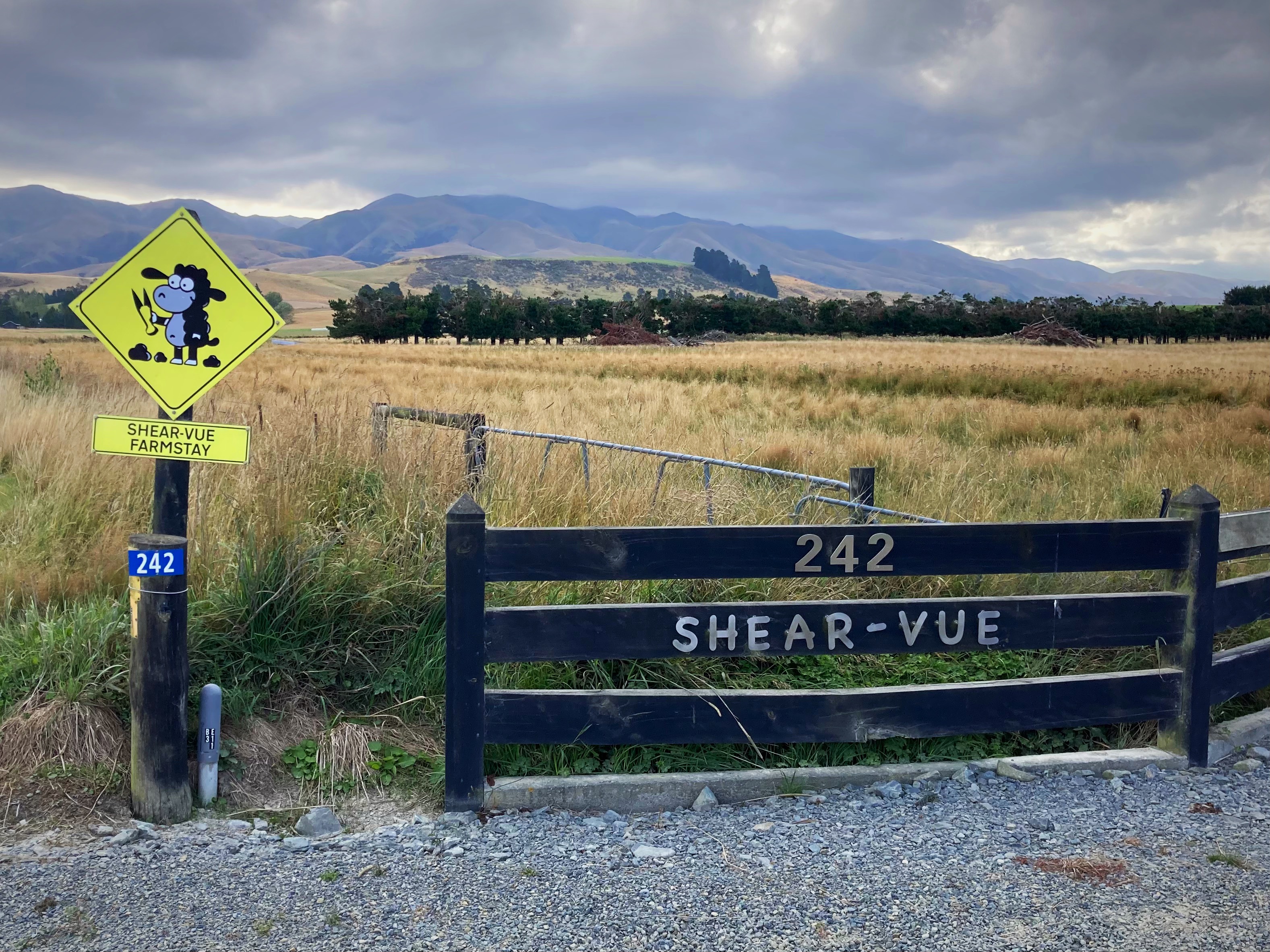
The descent to the main road was a welcome one and we only had a couple of kilometres left to get to Shear-Vue Farmstay for the night.
Our hosts, Julie and Tony, cooked us a delicious meal which we demolished all of. We were joined by another couple of female bikers who had ridden in from Geraldine.
After twelve hours out on the bike, my bed for the night has never felt so good 
18 February 2024
Day 7 – Shear-Vue Farmstay (nearest town is Fairlie) to Lake Tekapo 63km 928 metres climbed
We basically had a day off today with only a 62 kilometre ride. It is also Sunday so we enjoyed a leisurely breakfast with Julie and Tony and left Shear-Vue at about 8.30am.
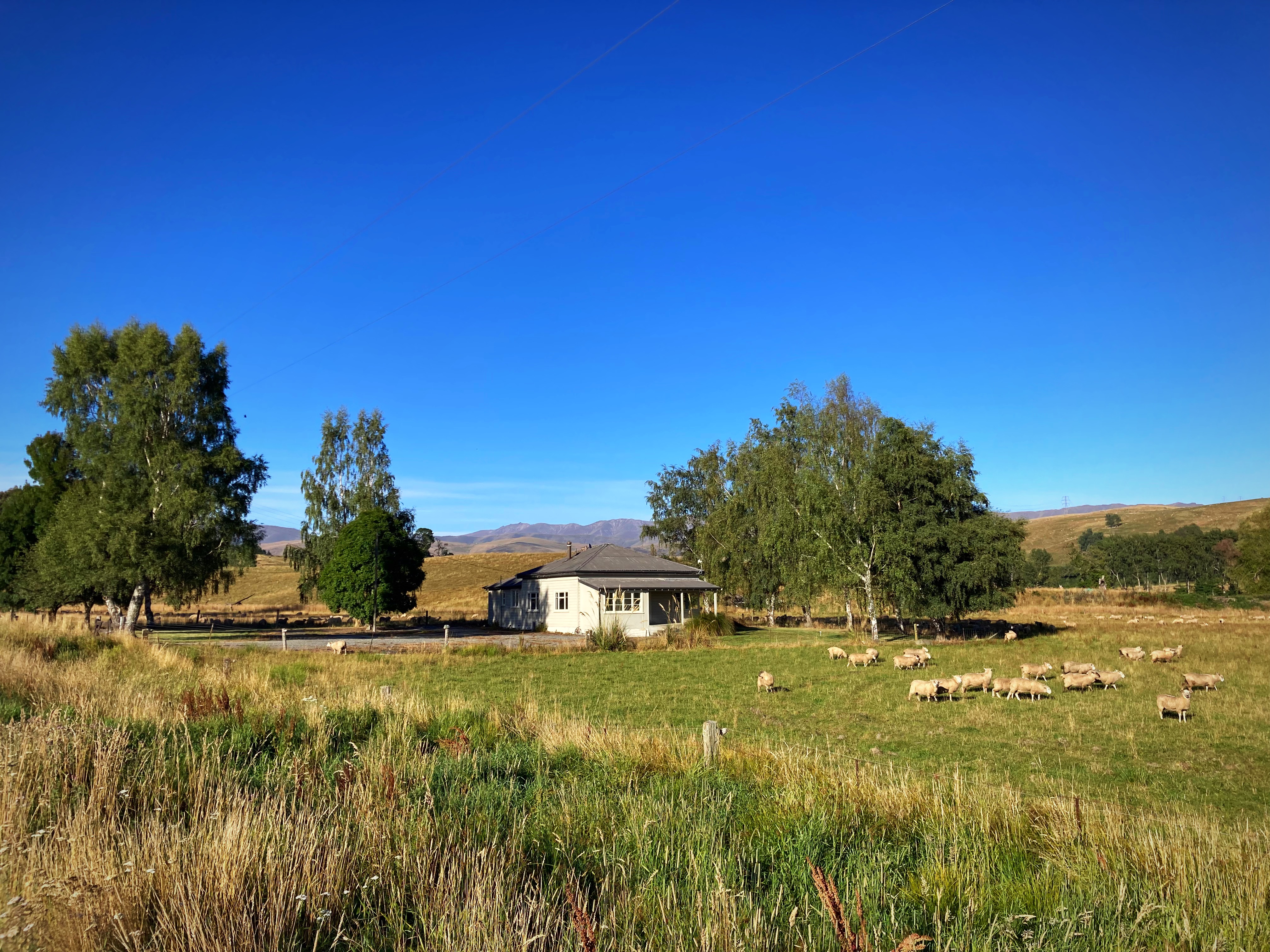
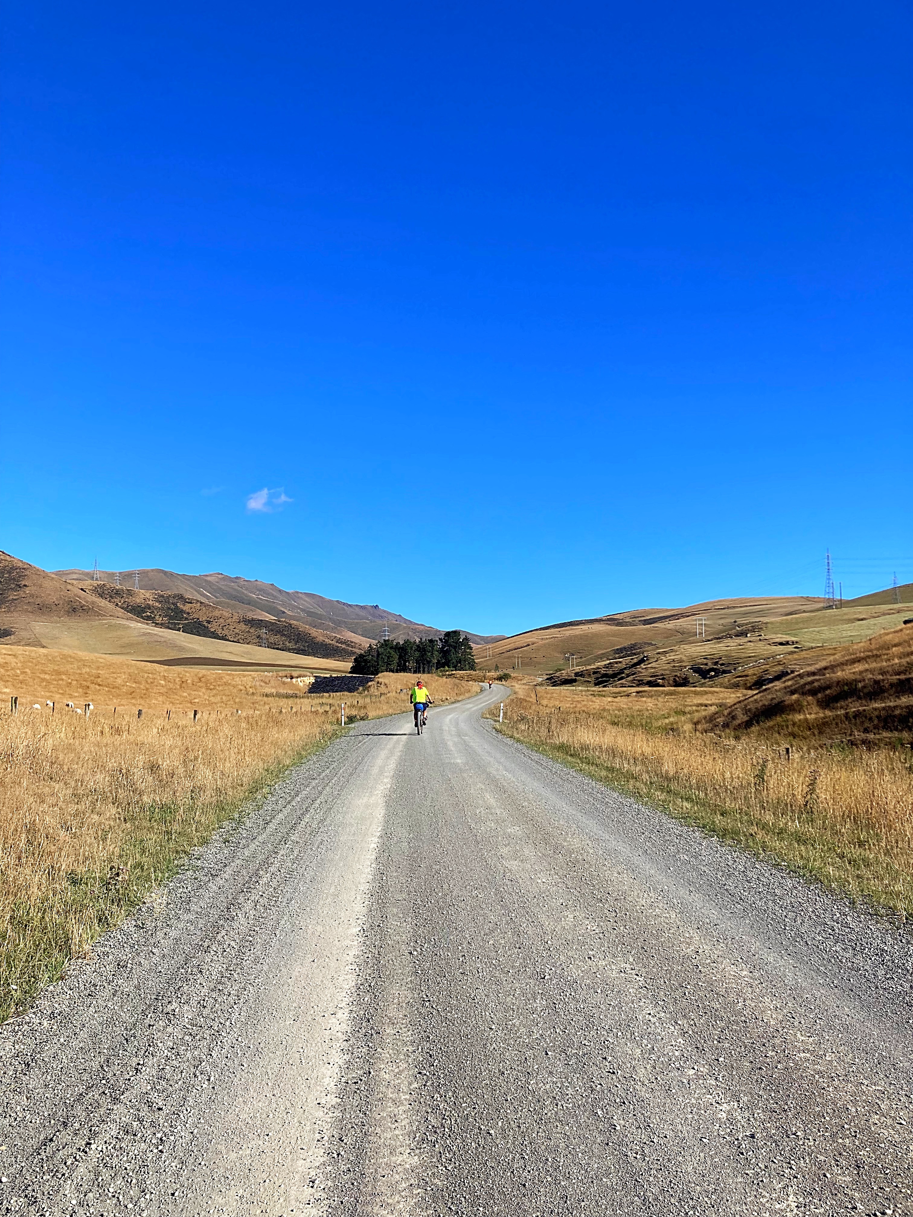
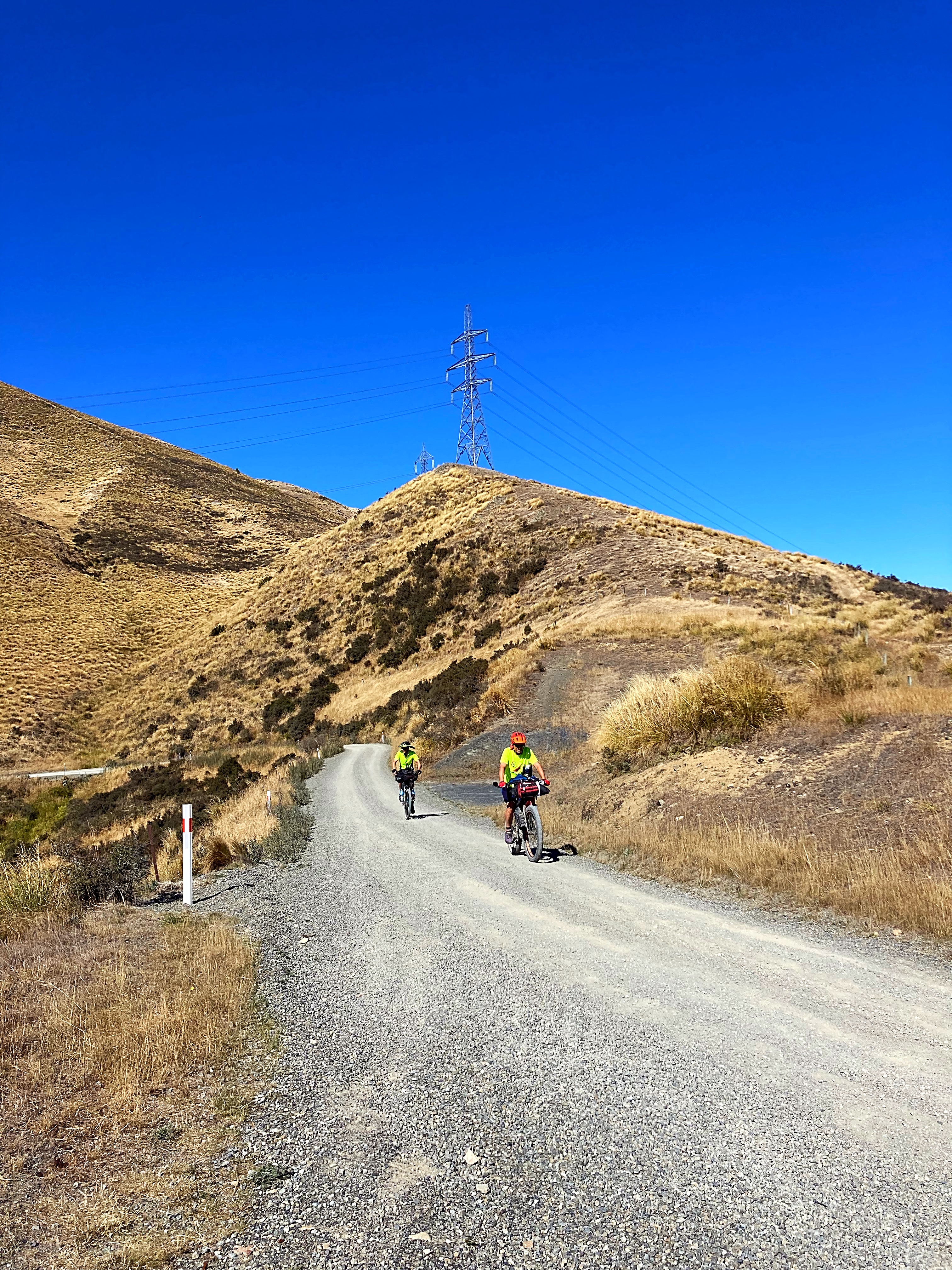
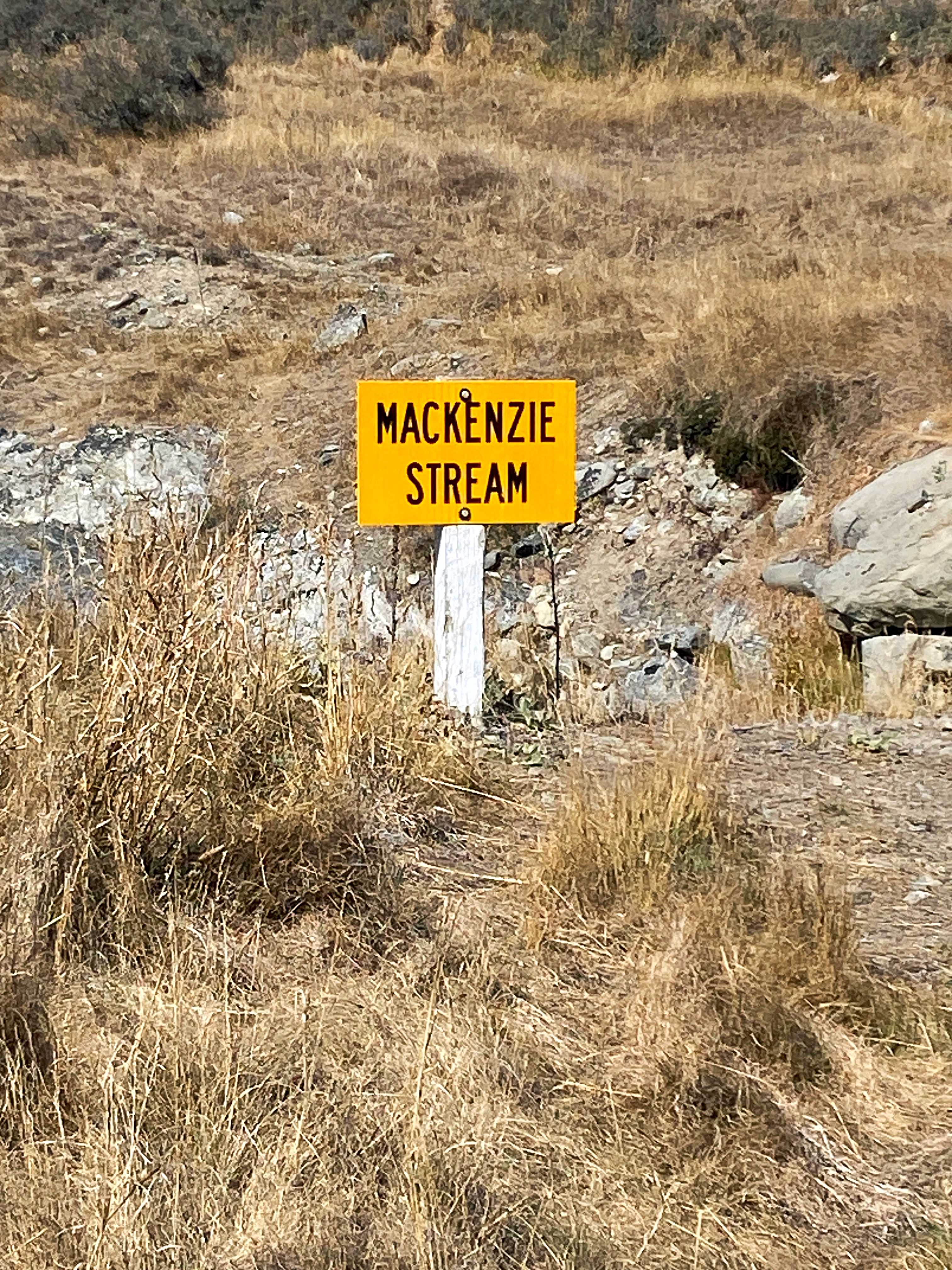
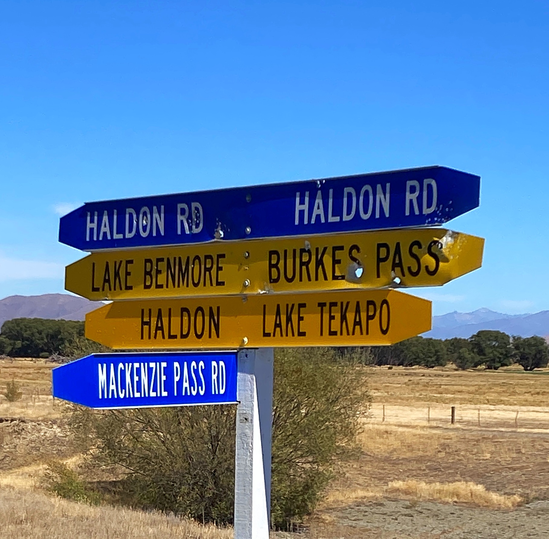
We were rolling through beef and sheep farms up through the valley trying to work out which was the ominous Mackenzie Pass – it’s like being on a mystery tour. It revealed itself about 4 kilometres from the summit with the last bit being a pinch climb – no hike a bike for me today though 
Just after we reached the summit, a couple of Americans on gravel bikes came up the hill. They are riding around the country with a group of others with a tour company.
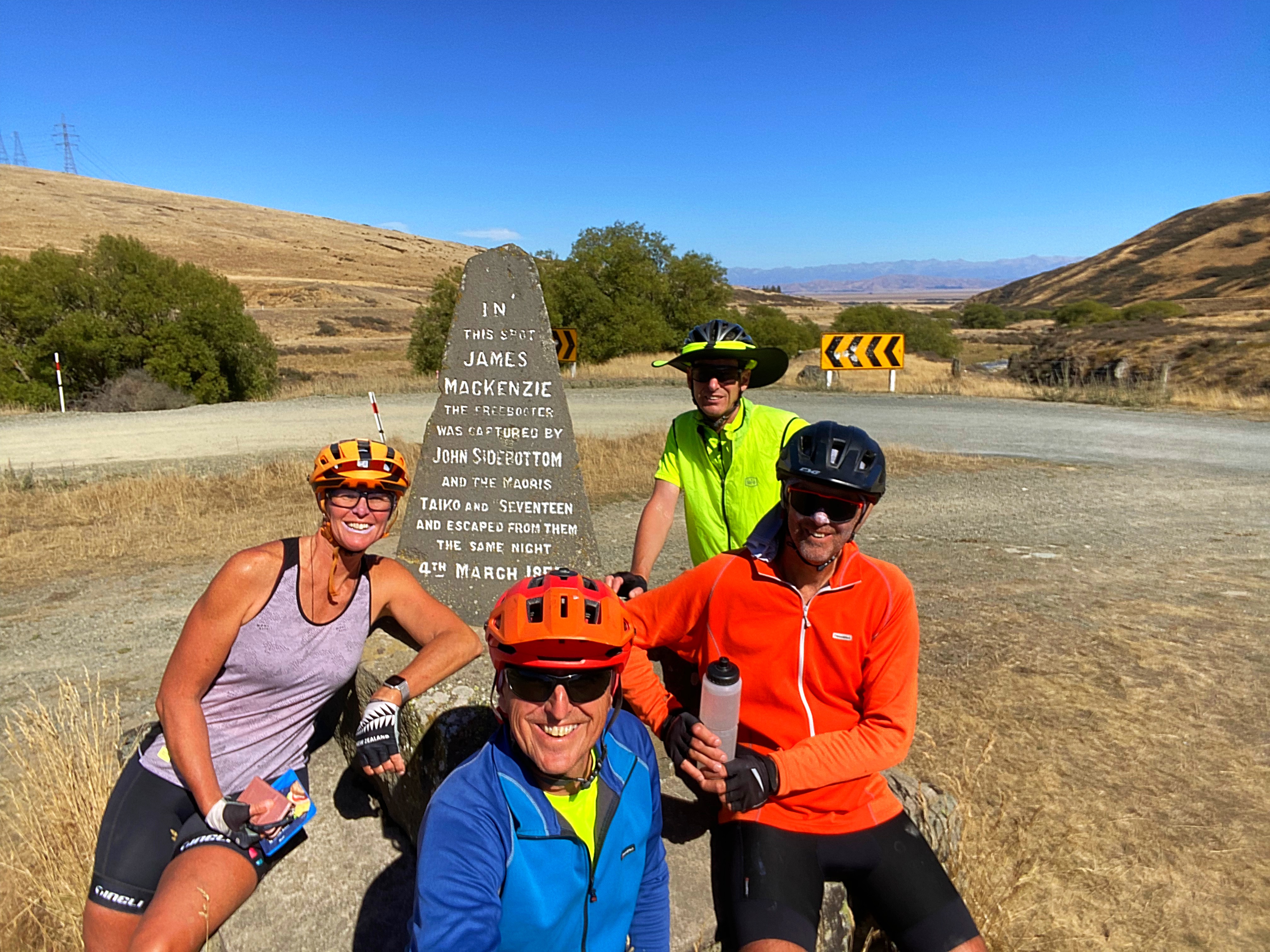
The pass is named after James Mackenzie. In March 1855, shepherds searching for 1000 missing sheep in the upper reaches of the Waitaki Valley apprehended suspected rustler James Mackenzie, one of New Zealand’s first and most enduring folk heroes.
On the west side of the pass stands a tri-lingual (English, Gaelic and Maori) stone cairn which reads ” In this spot James Mackenzie (sic) freebooter, was captured by John Sidebottom and Maoris, Taiko and Seventeen and escaped the same night, 4th March 1855.”
The exploits of Mackenzie and his loyal dog Friday left an indelible mark on the South Island high country. Canny pastoralists quickly realised the significance of the pass where he was found with the stolen sheep, and the open country beyond. This region was subsequently dubbed the Mackenzie Country.
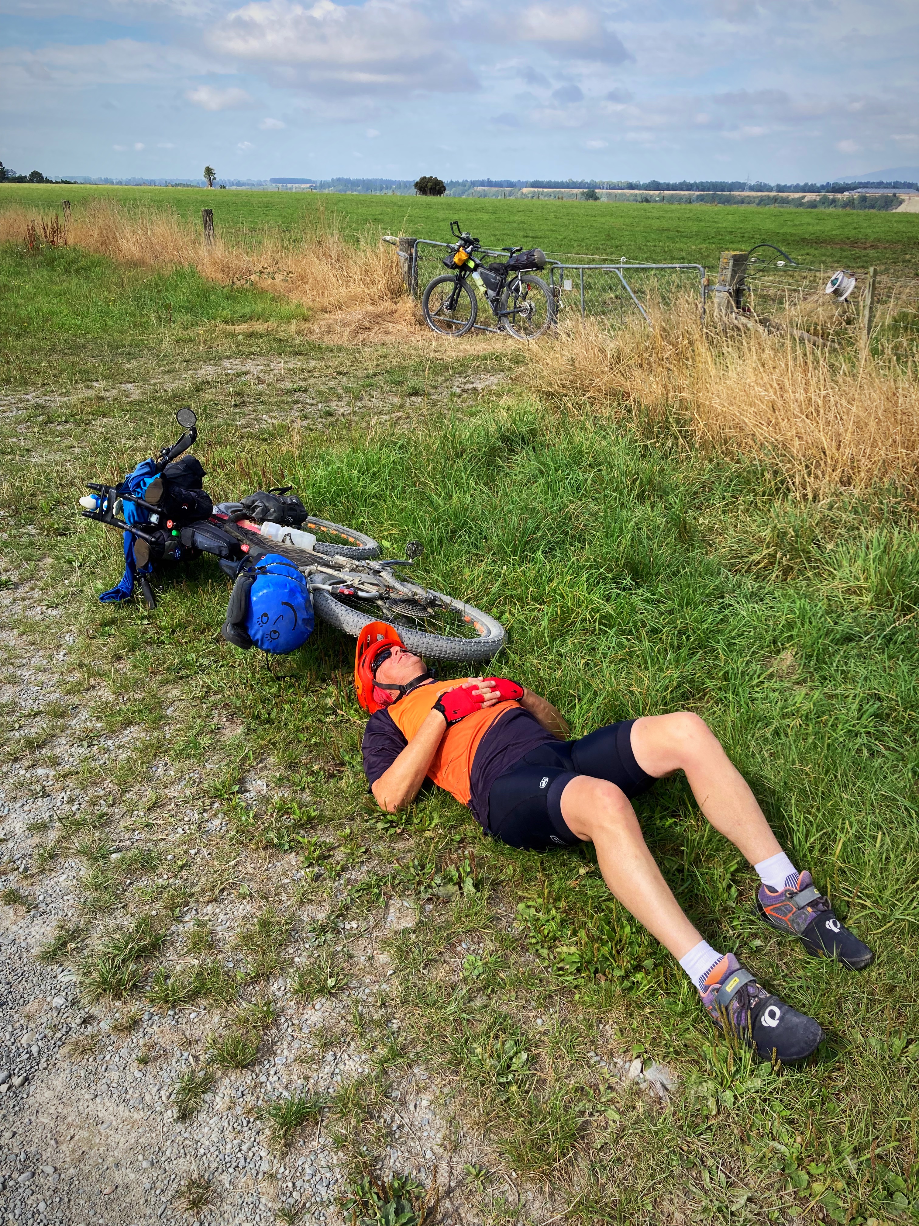
We had our first lunch near the memorial with one of us also having a lie down
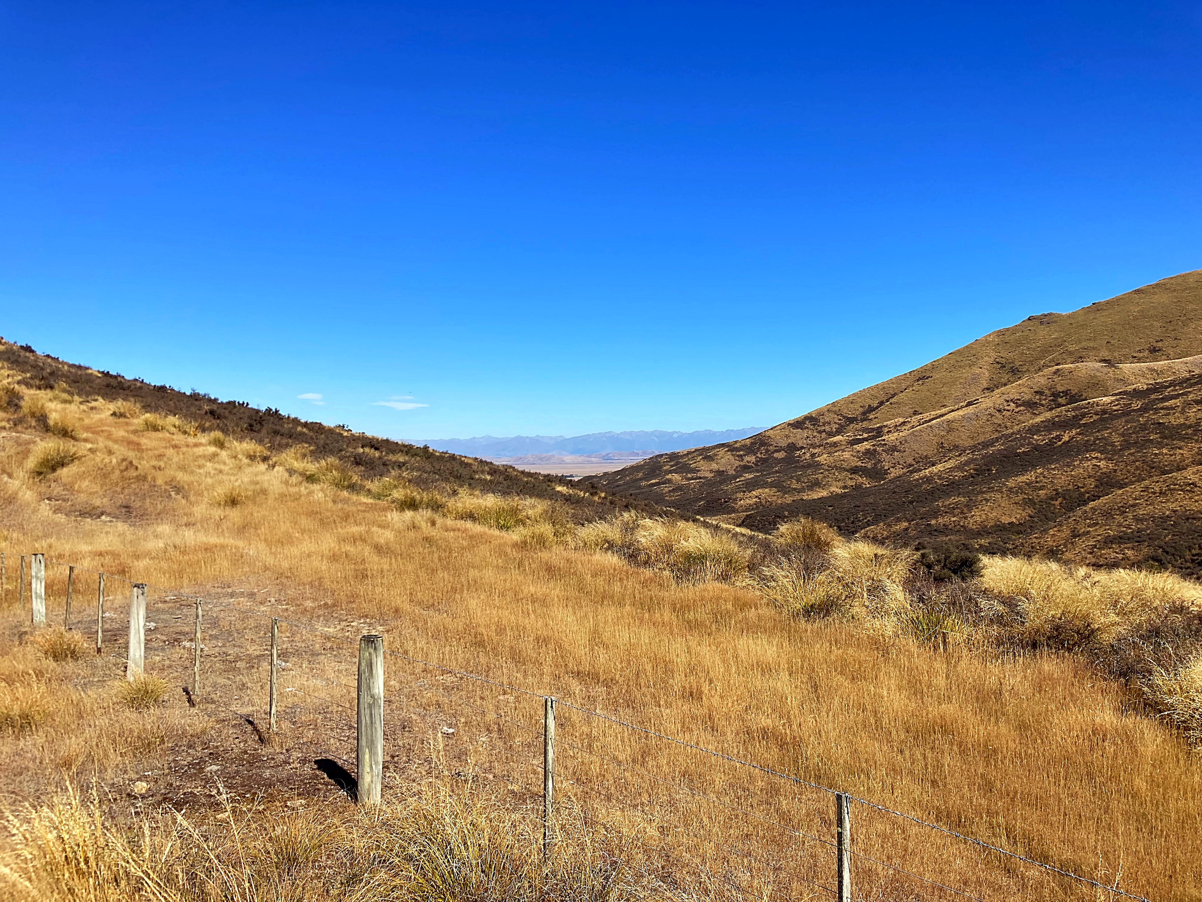
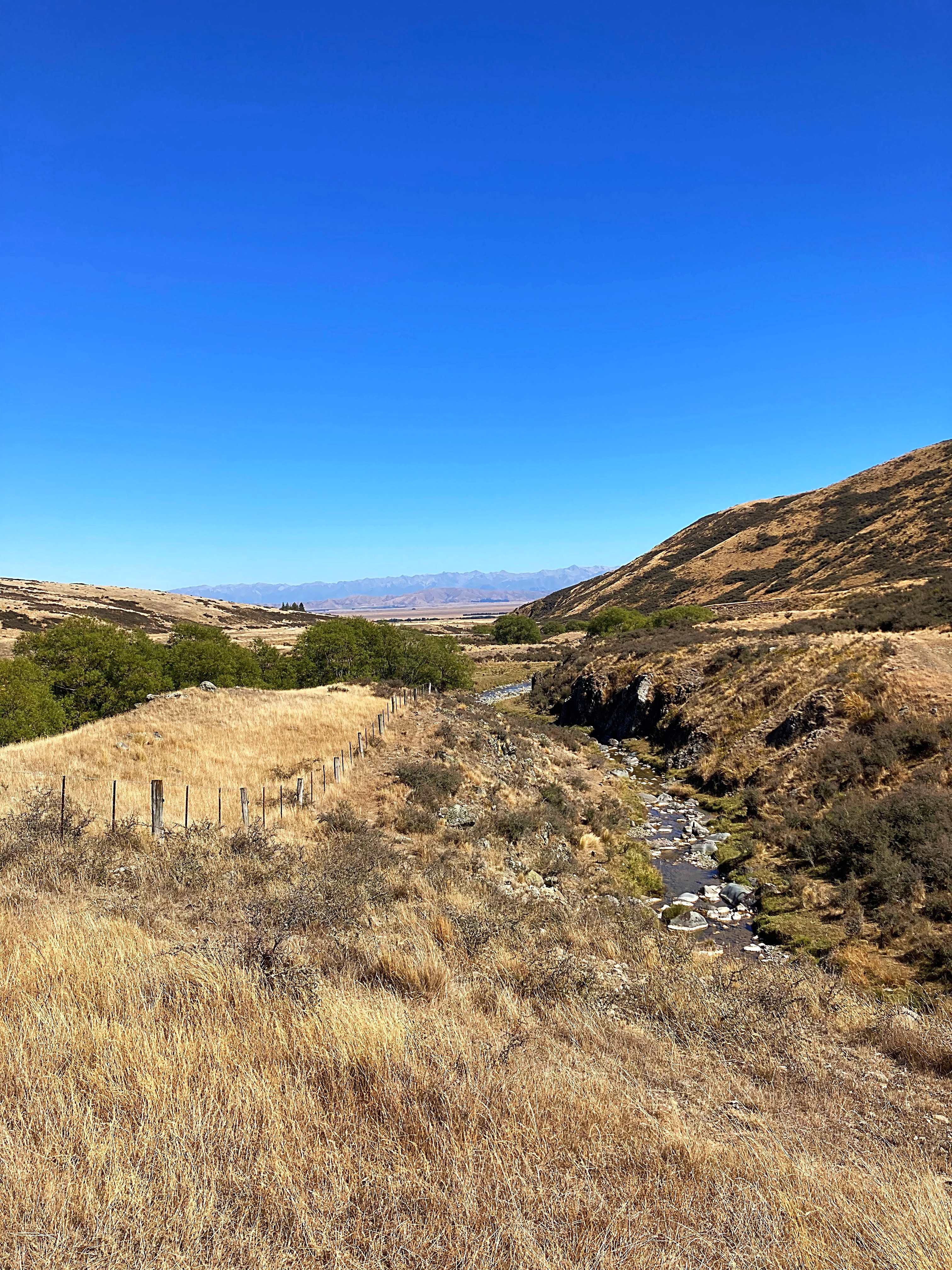
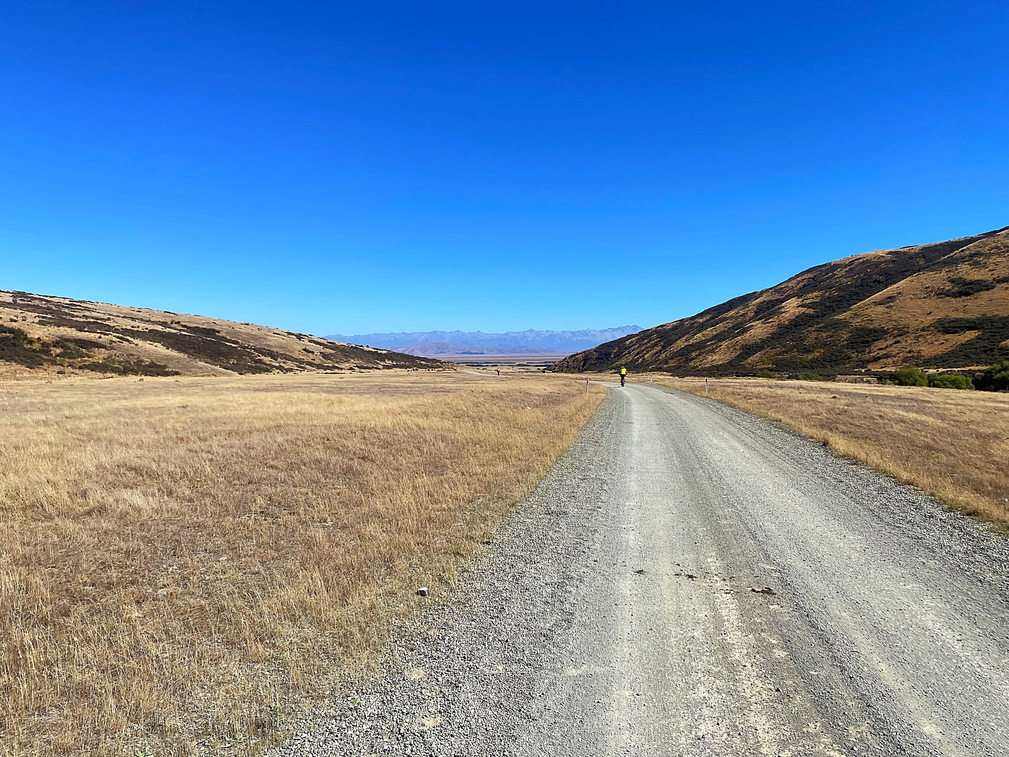
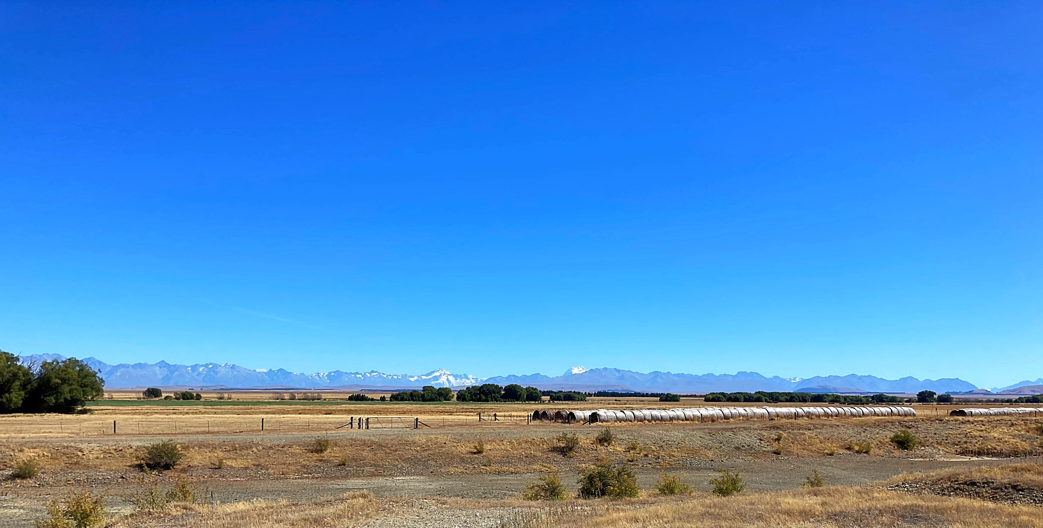
We then headed down the valley with the Southern Alps and the top of Aoraki Mt Cook in front of us. It is a barren but beautiful landscape, especially with a perfect blue sky day.
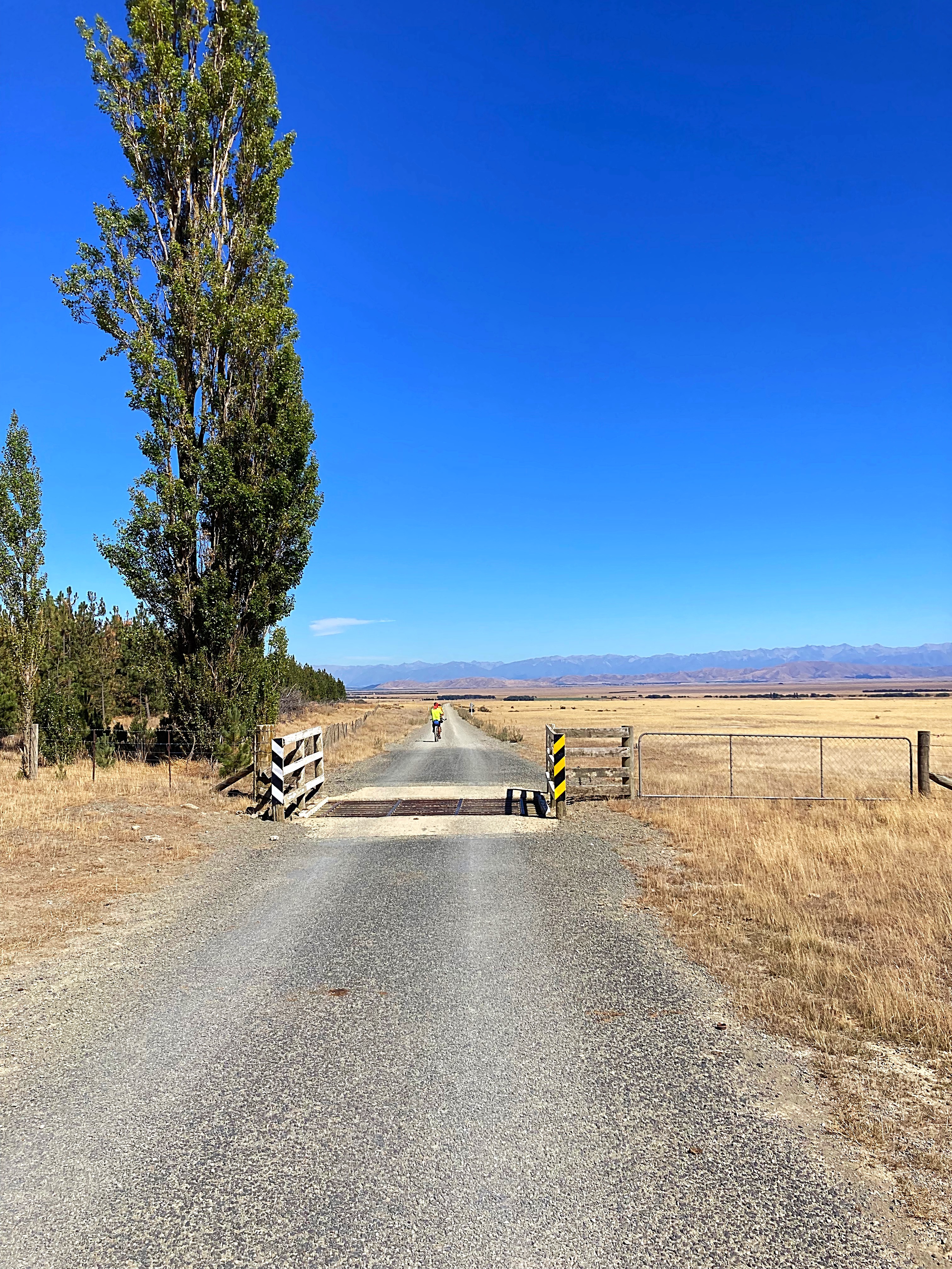
They have built a cycle path alongside State Highway 8 that heads into Tekapo and it is just as well, as it is not a particularly friendly road for cyclists.
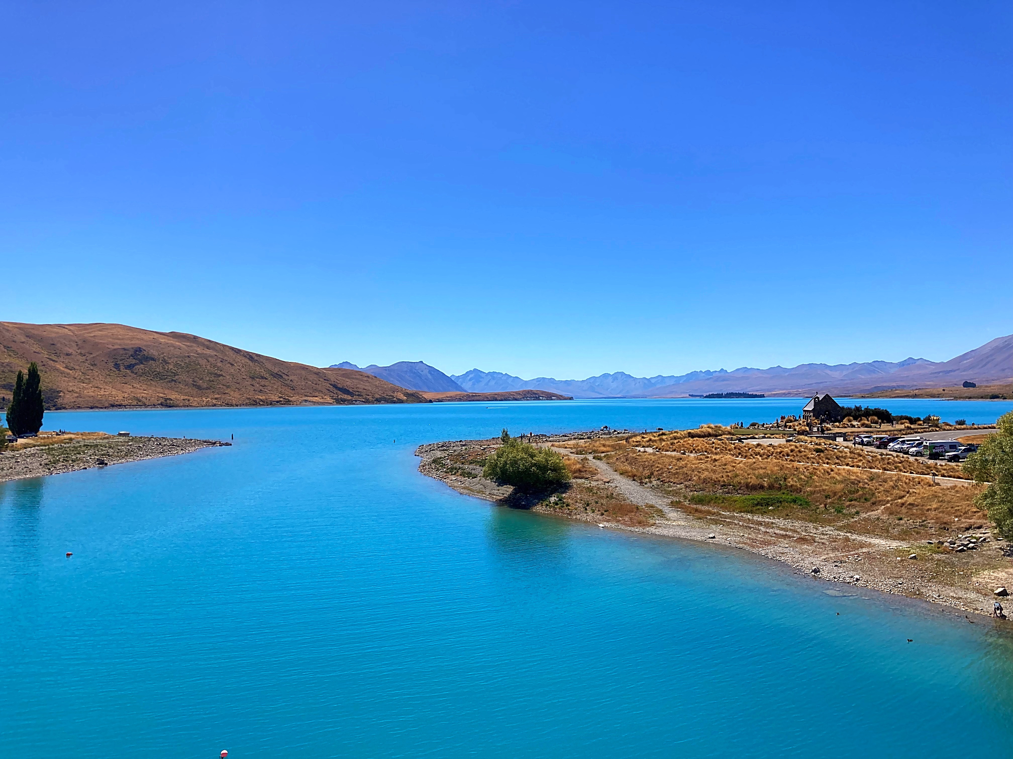
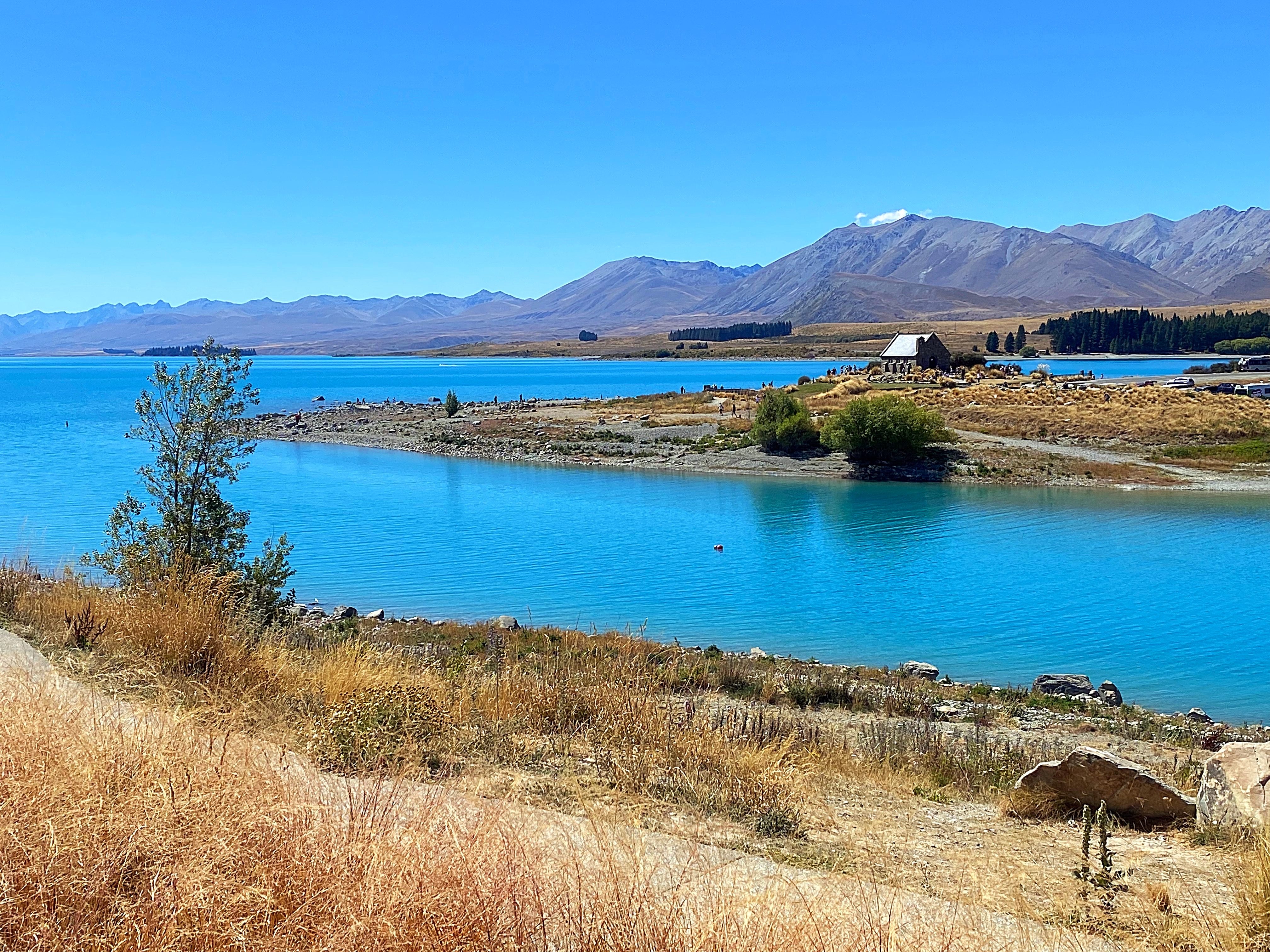
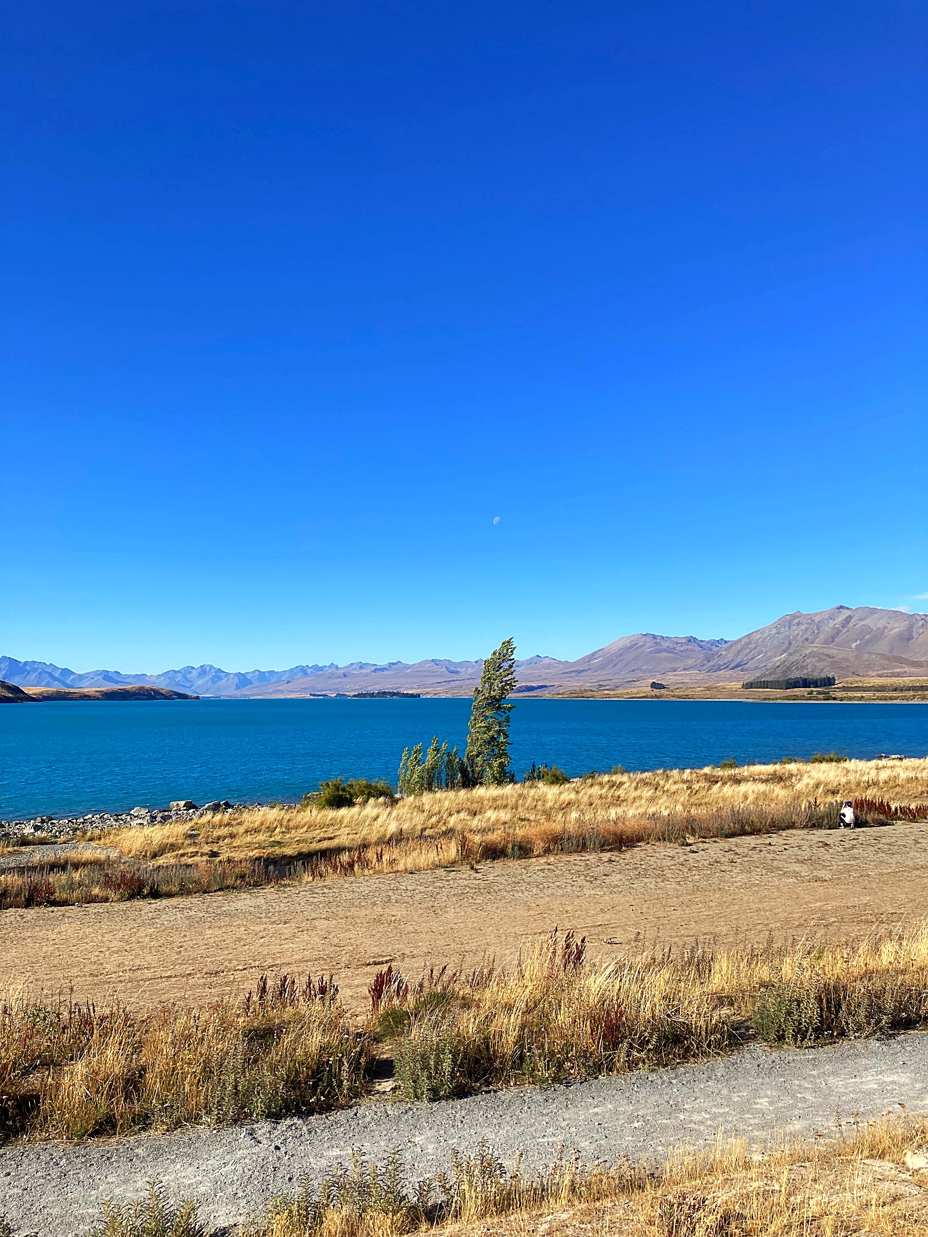
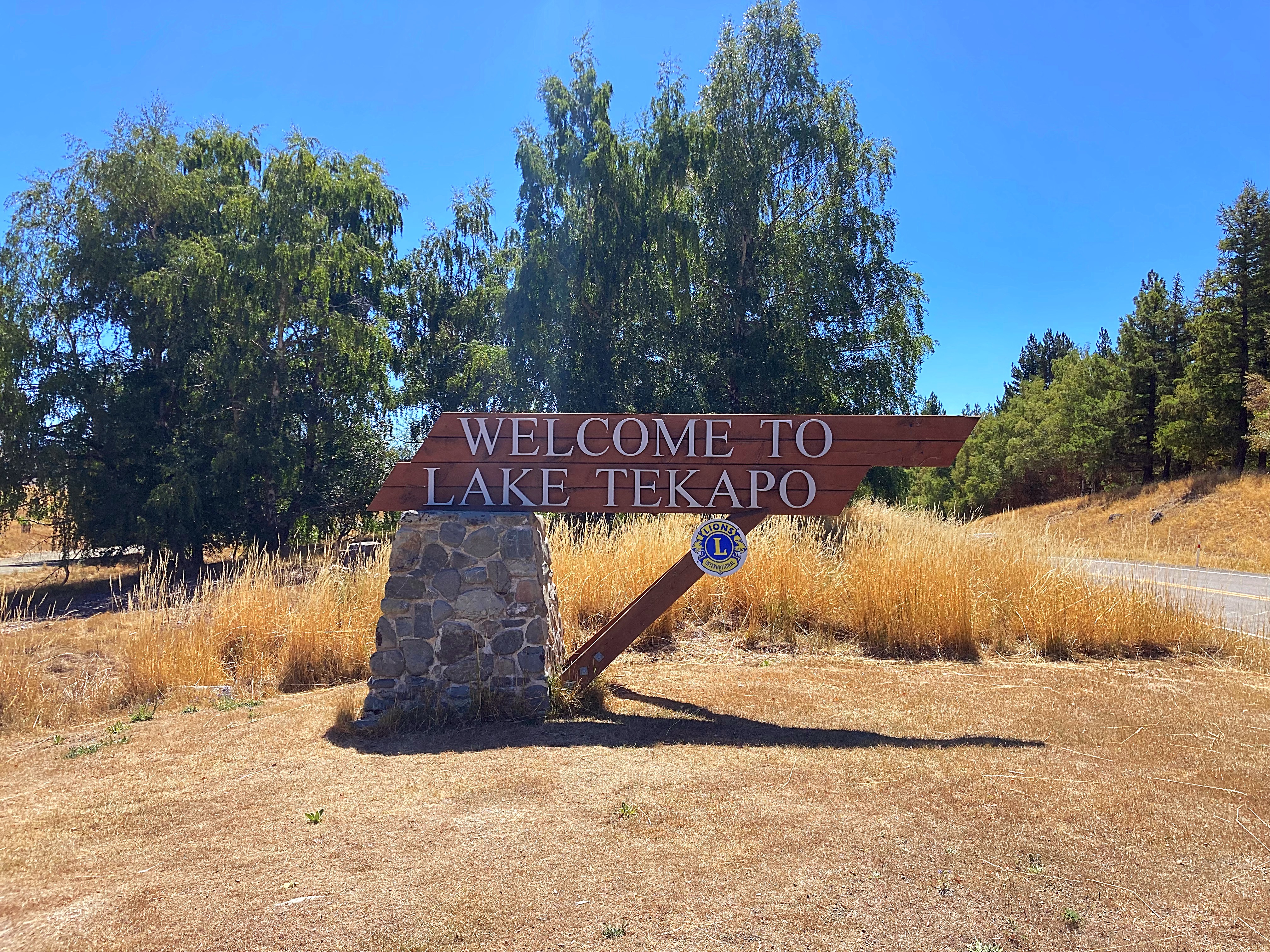
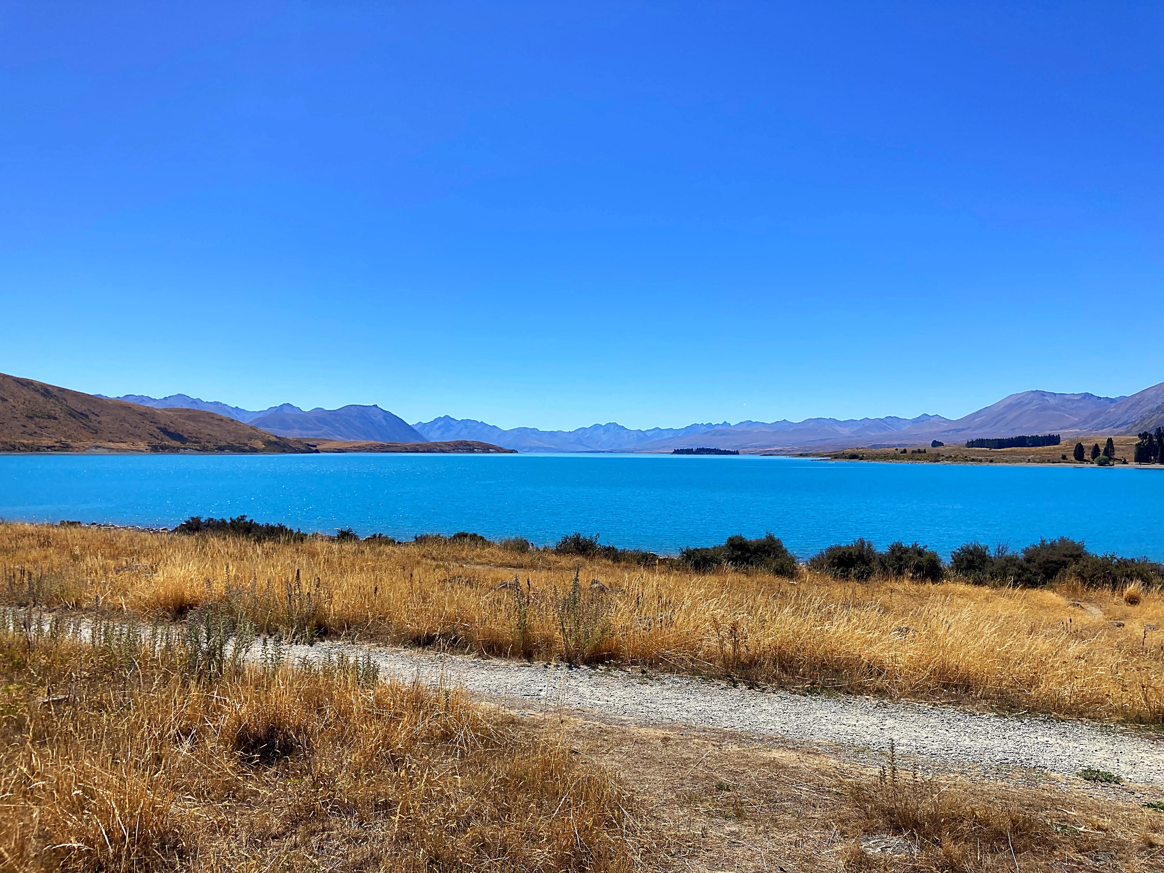
Lake Tekapo never ceases to take your breath away as you get a peak of it coming into town. The two rivers that feed the lake have their sources in the Southern Alps to the north. The meltwater from the Southern Alps is tinged with a light turquoise colour from the glacial silt. This gives Lake Tekapo its distinctive colour.
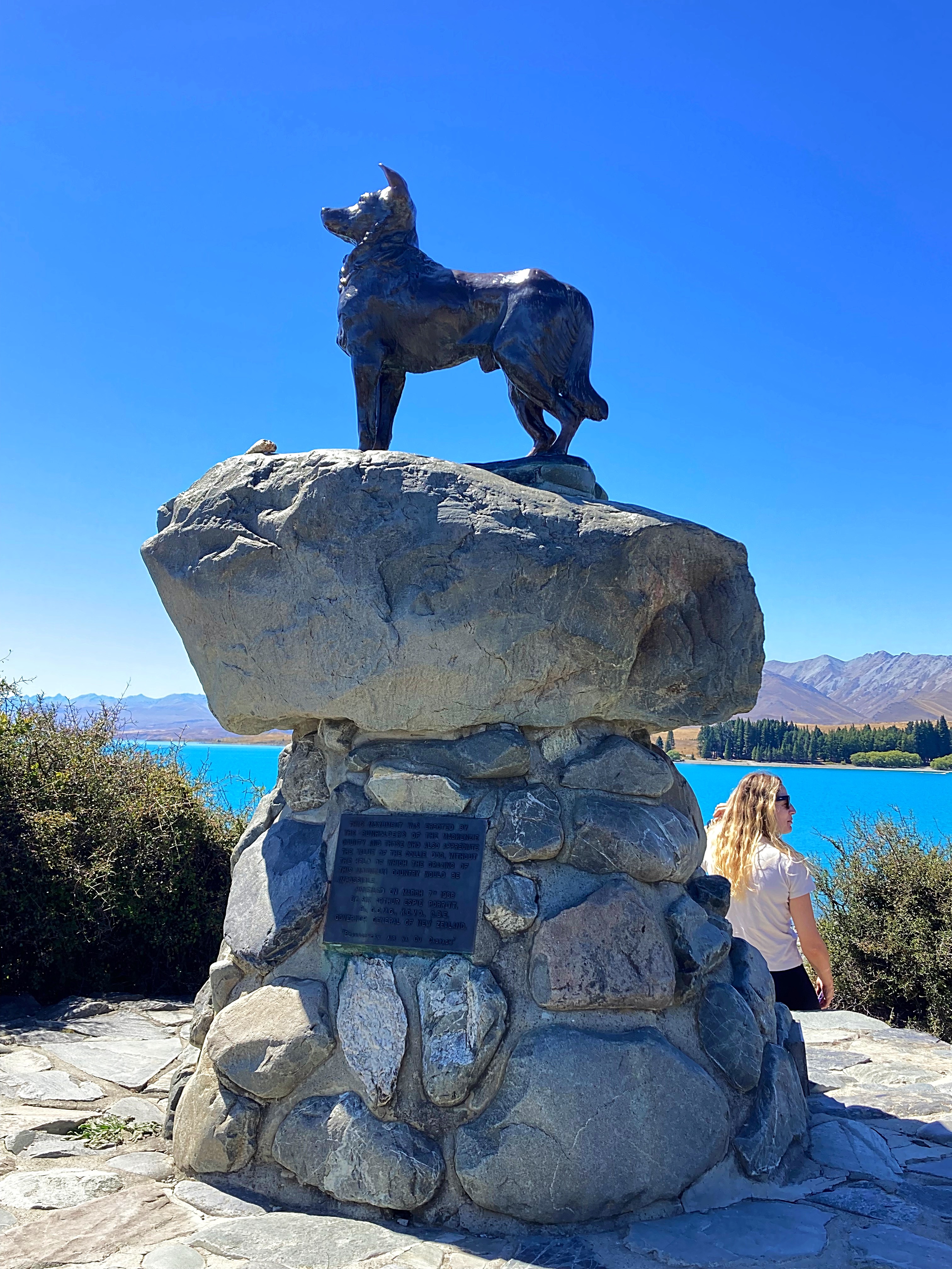
We cycled past the sheep dog memorial. In the 19th century, Scottish shepherds came to work on the pastoral runs of the eastern South Island. The high country could not have been farmed successfully without the border collies they brought with them. To honour these ‘canine Scots’, a statue of a collie has been raised at Lake Tekapo.
We also have a border collie in our group – can’t go past a lamp post without having a pee (no naming or shaming though).
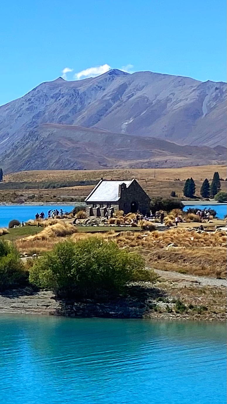
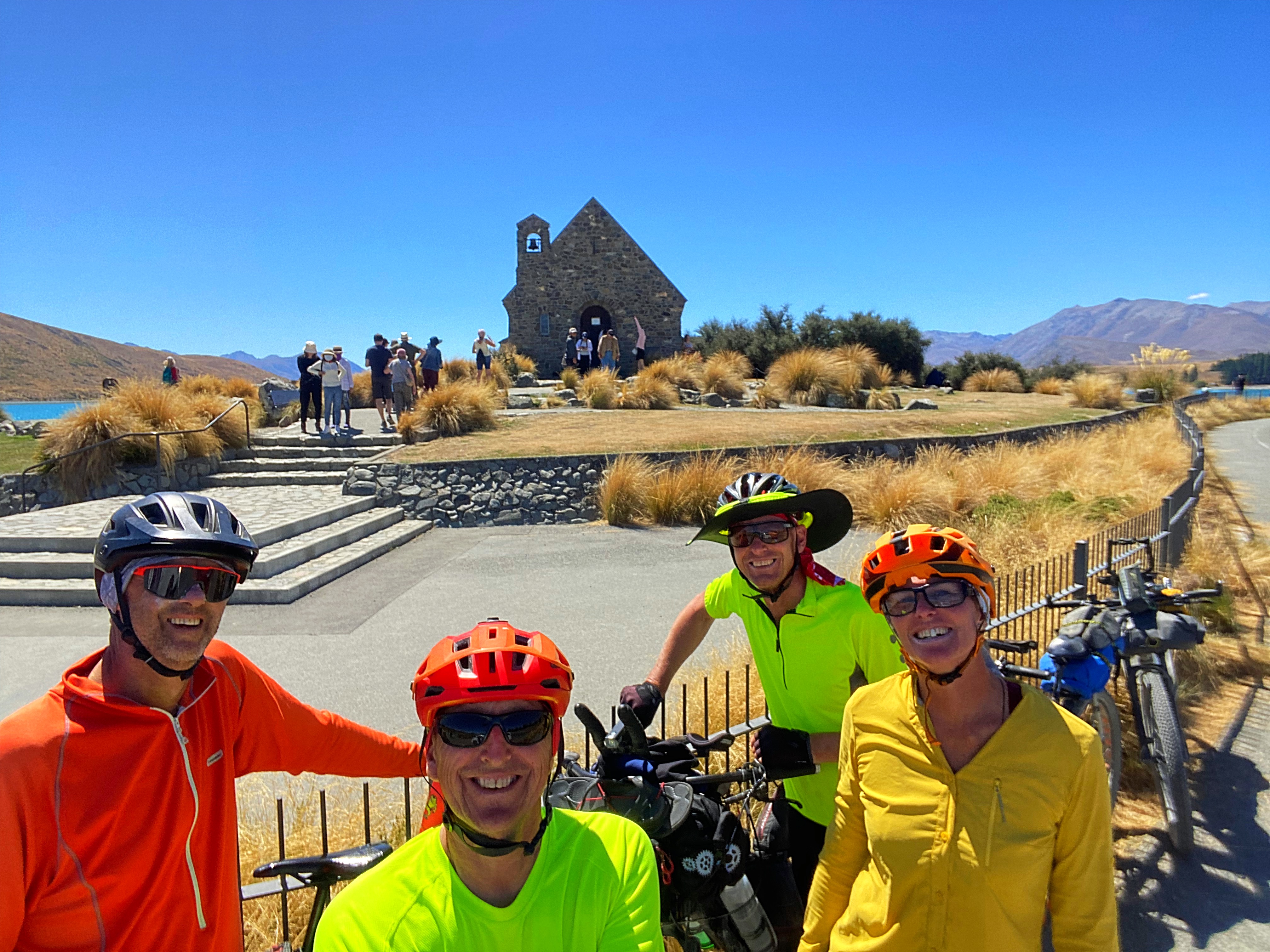
We also stopped at the Church of the Good Shepherd which was built to the glory of God and as a memorial to the pioneers of the Mackenzie Country.
Tekapo is a very popular spot with tourists and there were people everywhere today enjoying the vistas.
We’re staying in a very comfortable Air BNB and everyone was very happy with a shorter day and some downtime this afternoon. We all started the day feeling like we’d been hit by a bus 


19 February 2024
Day 8 – Lake Tekapo to Omarama 138km 818 metres climbed
Normal transmission has resumed with 138 kilometres under the pedals today.
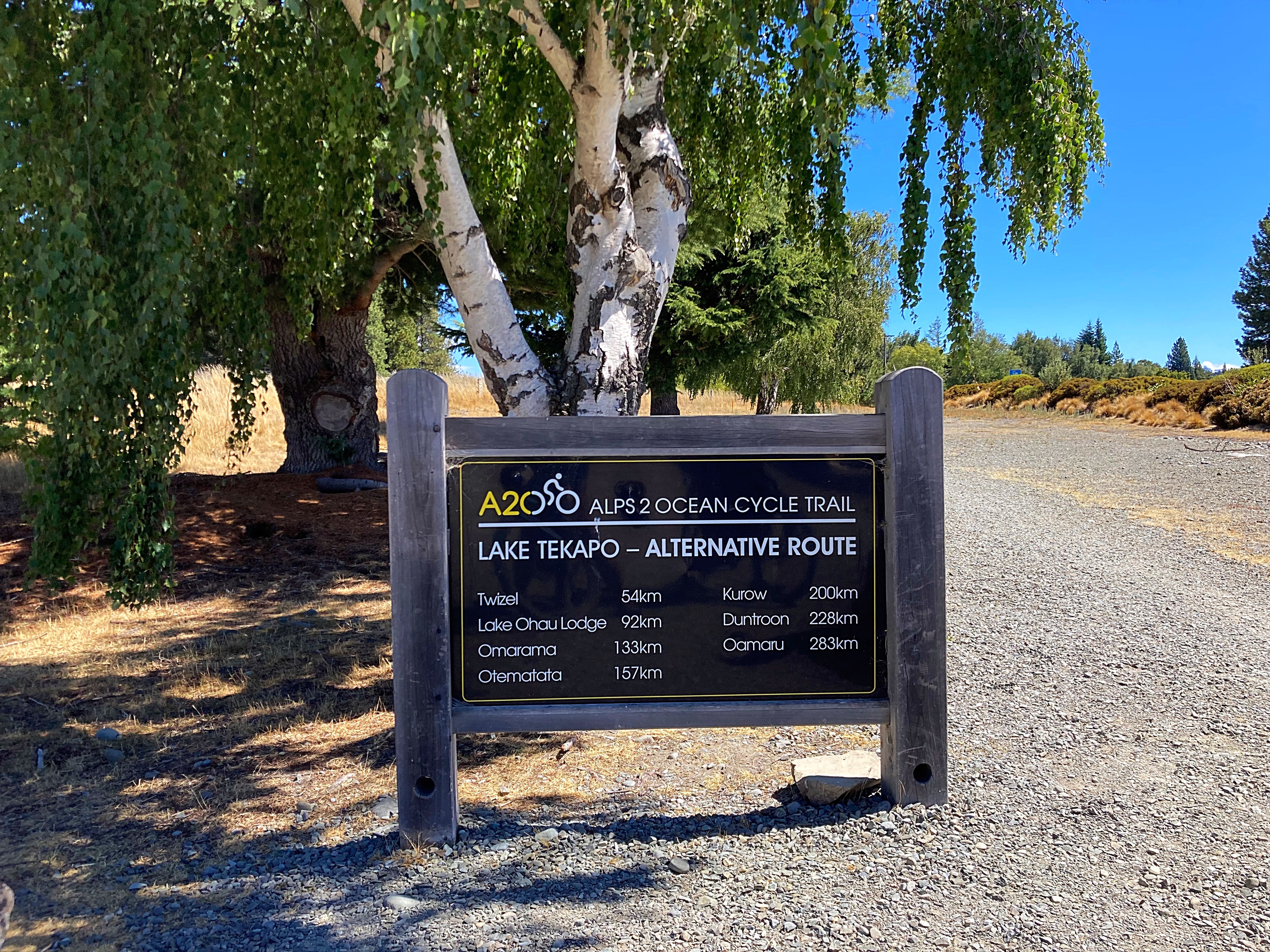
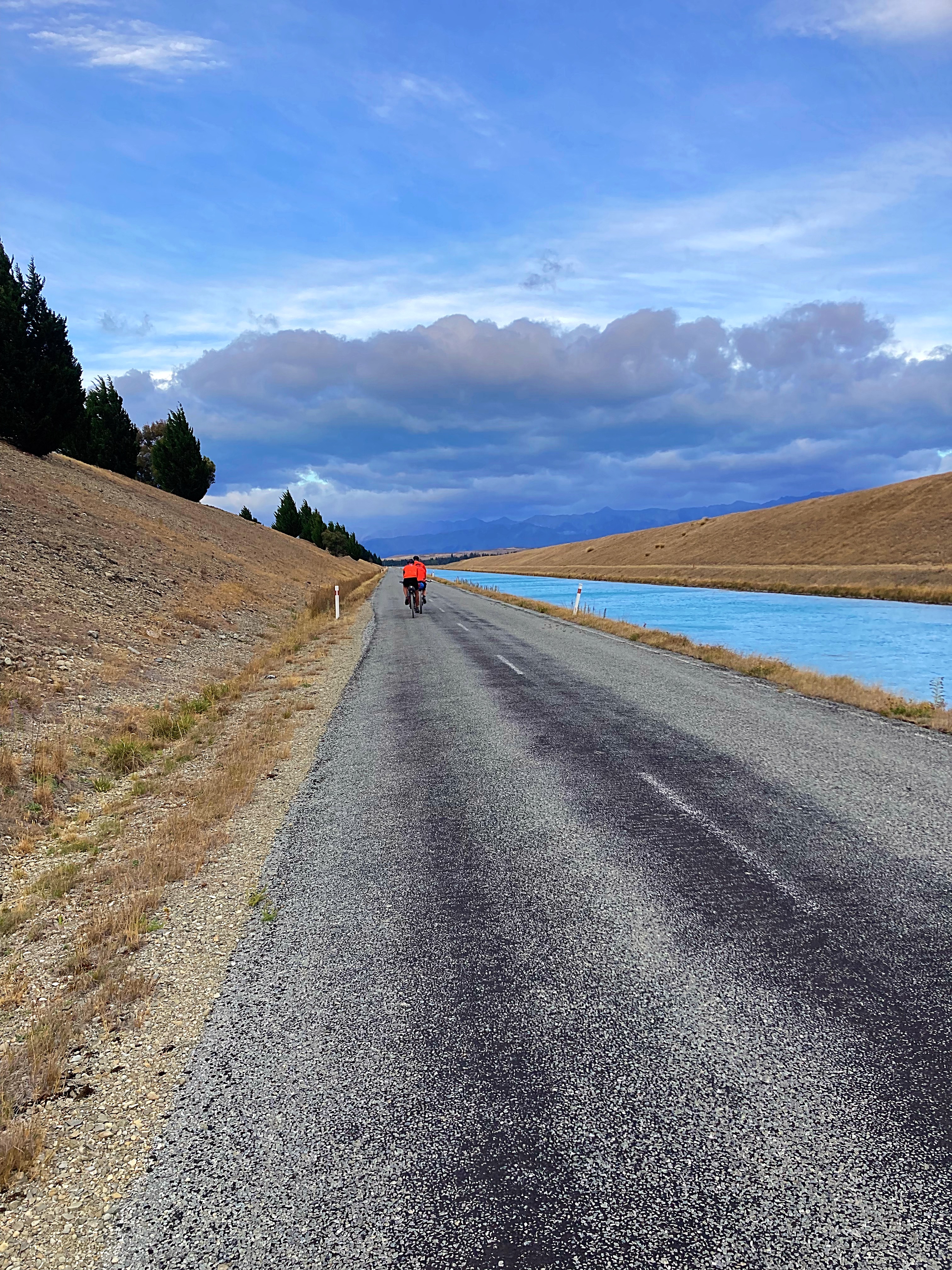
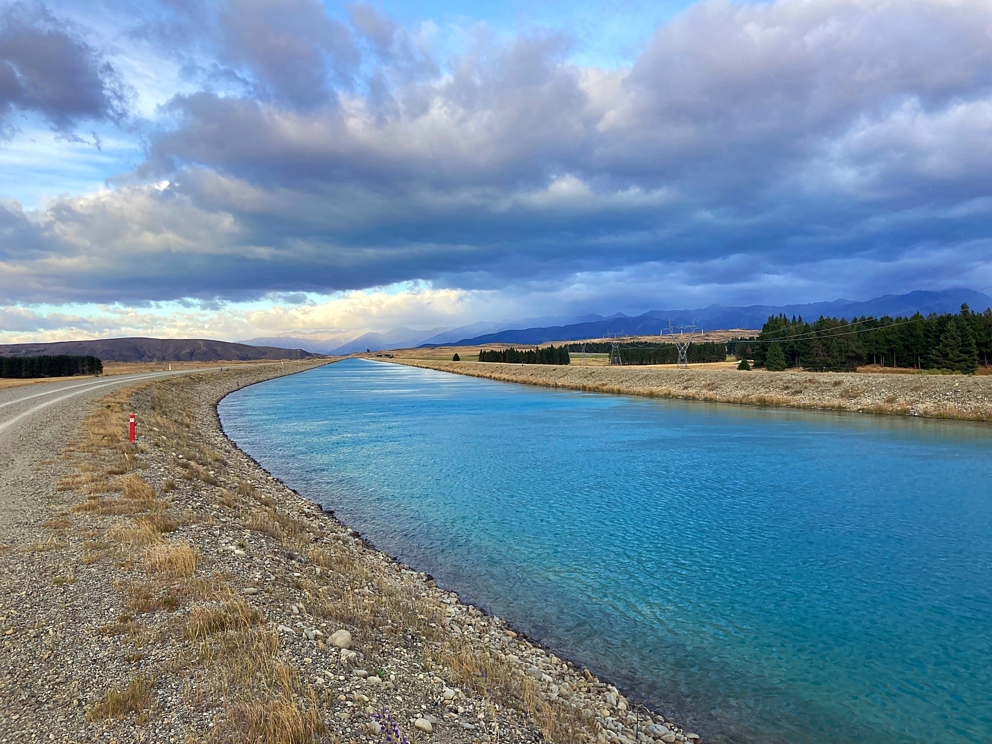
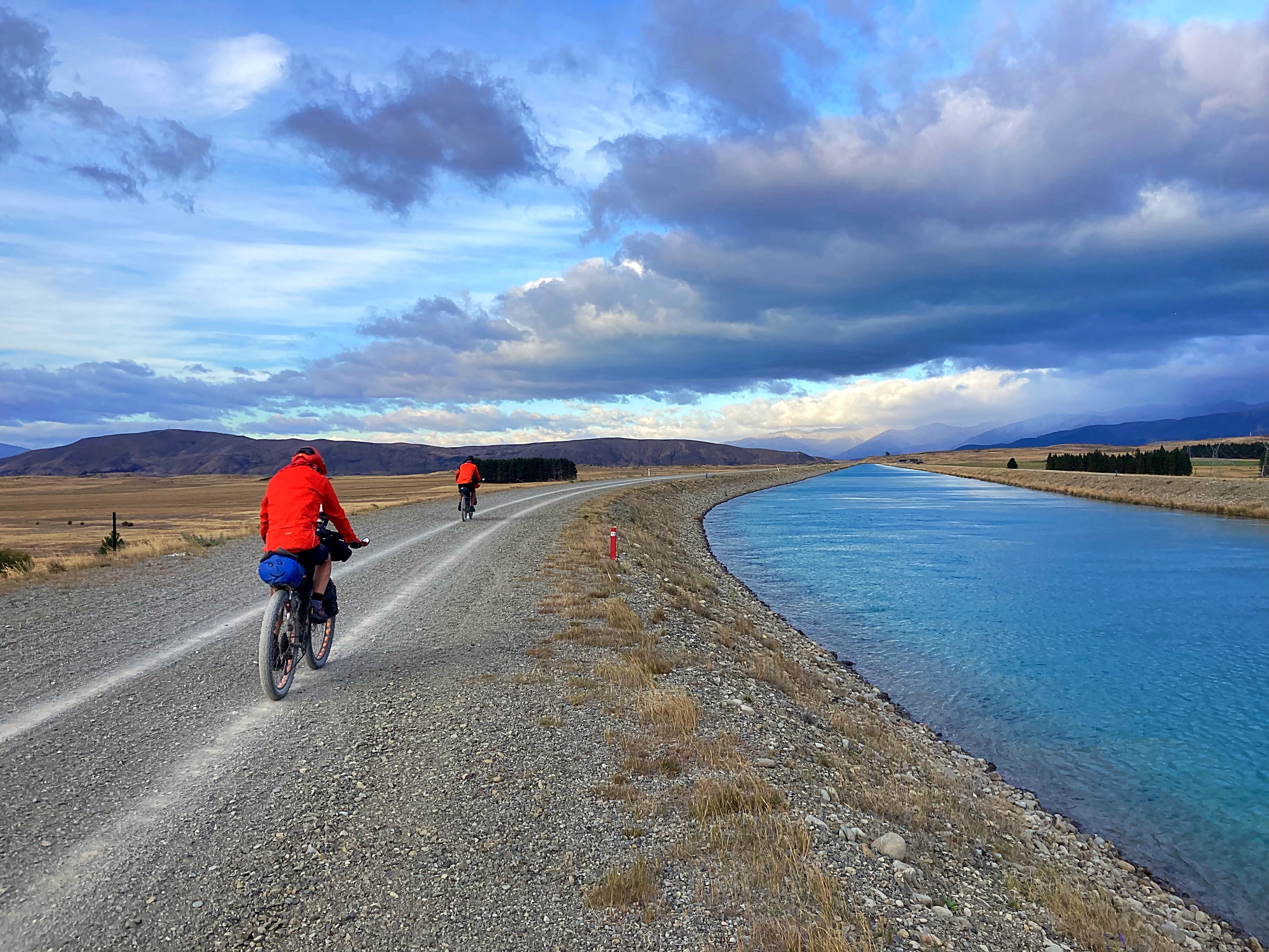
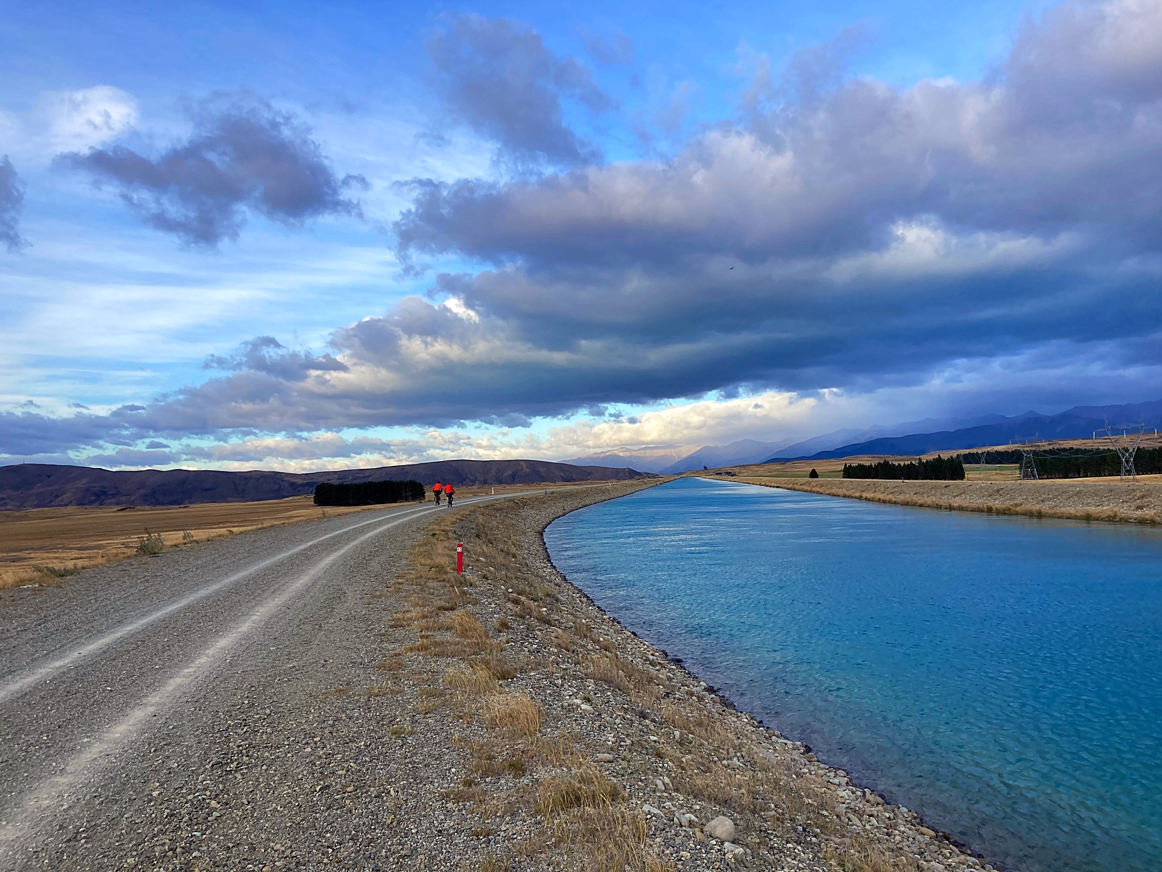
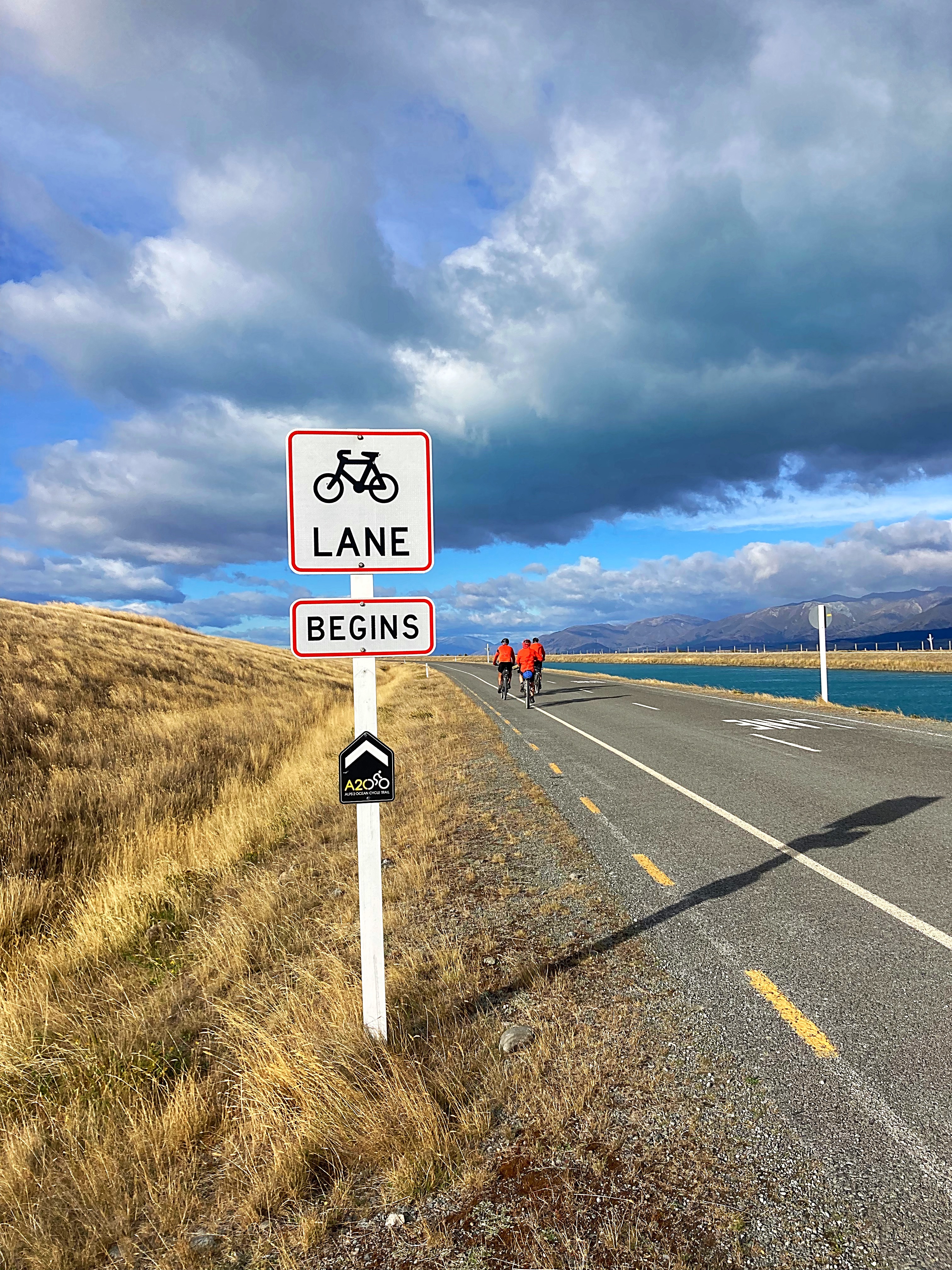
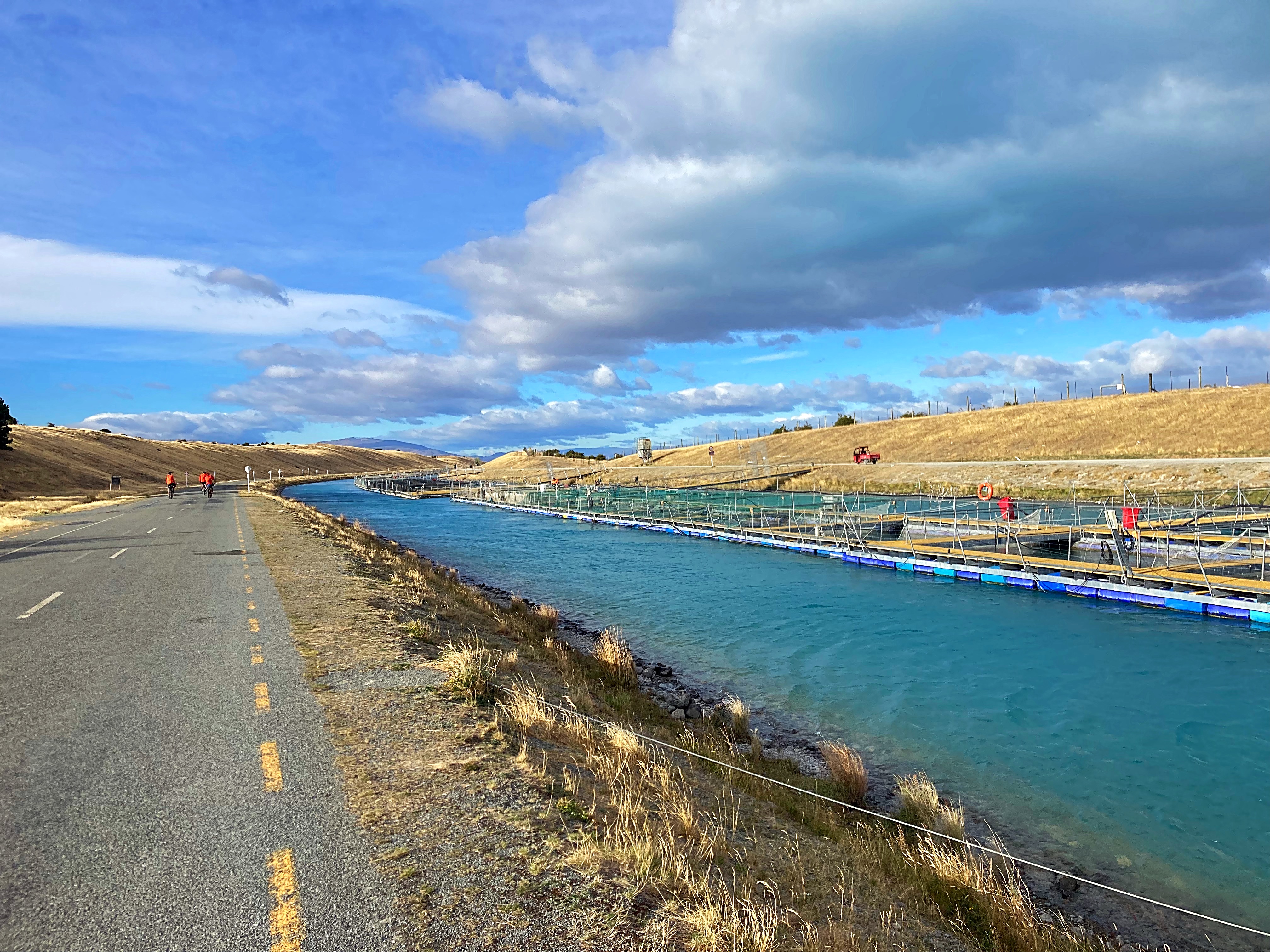
We followed the Alps to Ocean trail today starting out along the Tekapo Canals. Unfortunately we had some very strong winds this morning – some head winds and lots of buffeting side winds. I felt my bike was on a 45 degree angle half the time.
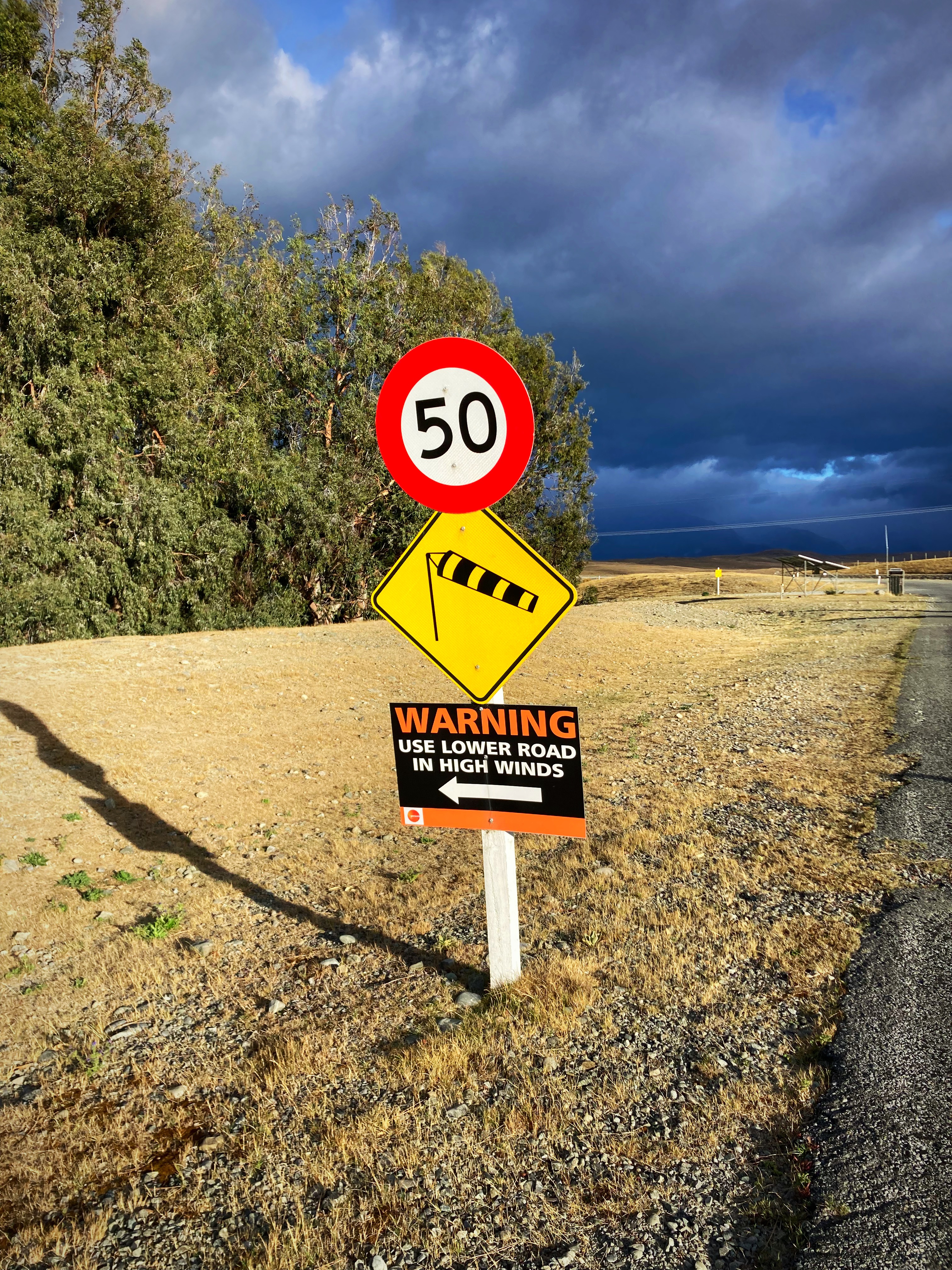
We got to one section of the canal where it had a low road in case of high winds – I’m not sure if it helped much.
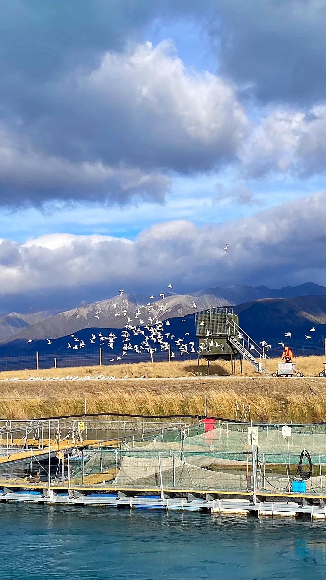
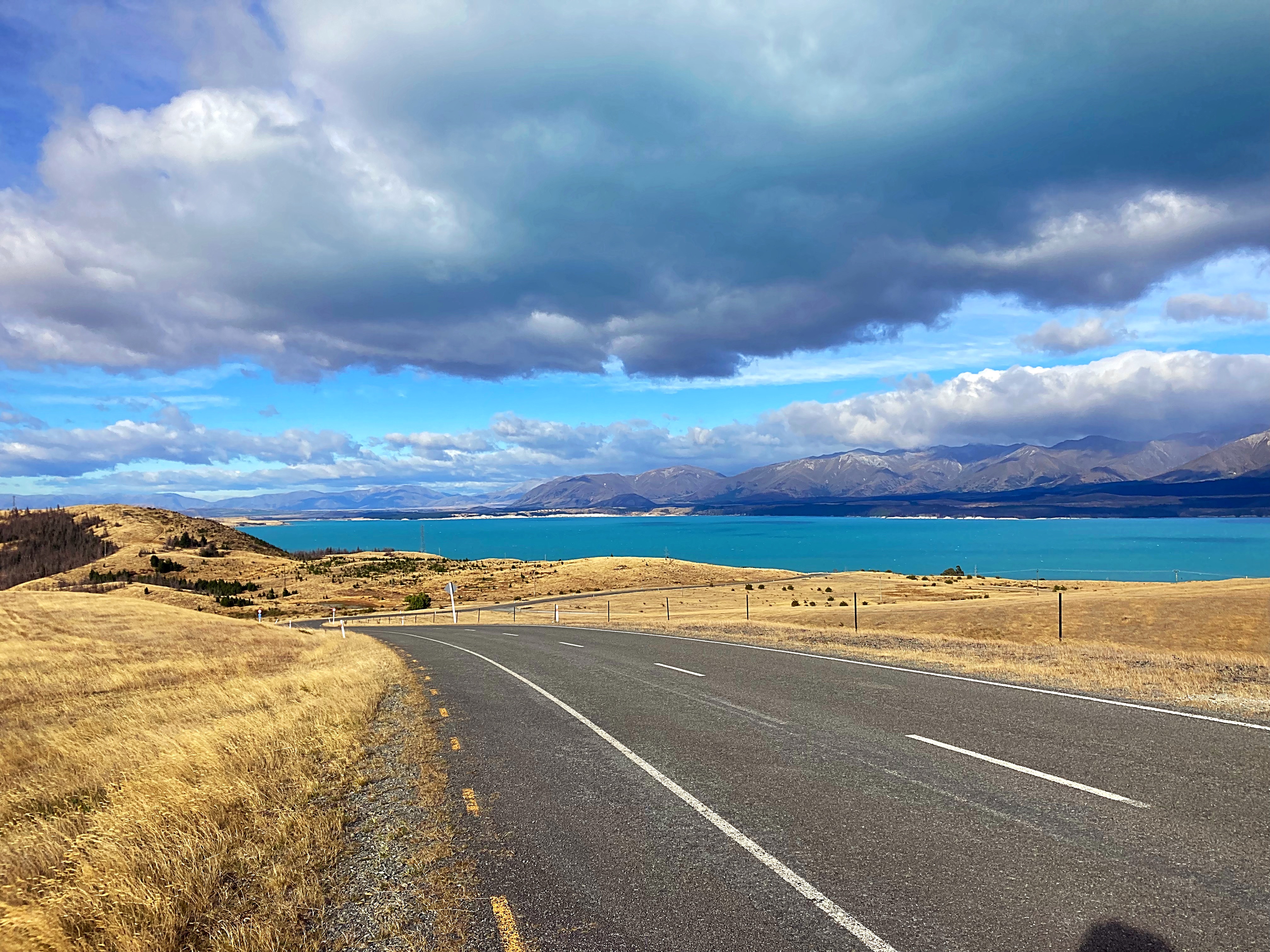
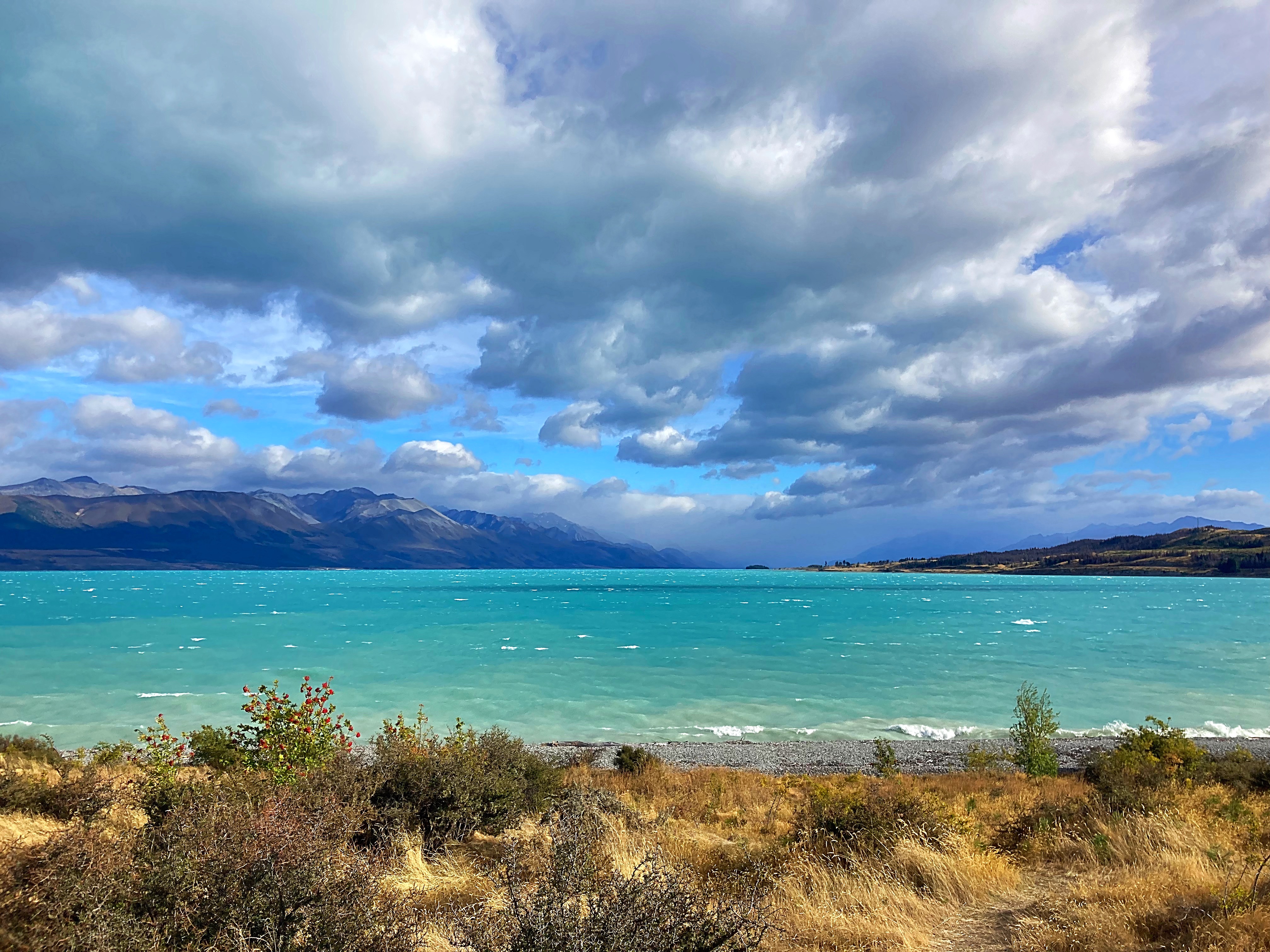
We passed some salmon farms on the canal before reaching Lake Pukaki. Unfortunately today, Aoraki Mt Cook was shrouded in cloud.
Lake Pukaki is the largest of three roughly parallel alpine lakes running north–south along the northern edge of the Mackenzie Basin on New Zealand’s South Island. The others are Lakes Tekapo and Ōhau. The glacial feed to the lakes gives them a distinctive blue colour, created by glacial flour, the extremely finely ground rock particles from the glaciers.
The lake is now part of the Waitaki hydroelectric scheme. The lake’s original outflow was at its southern end, into the Pukaki River. The outflow has been dammed, and canals carry water from Lake Pukaki and Lake Ōhau through the Ōhau A power station to Lake Ruataniwha.
Pukaki is also fed by the waters of Lake Tekapo, which are diverted through a canal to a power station on Pukaki’s eastern shore (Tekapo B station).
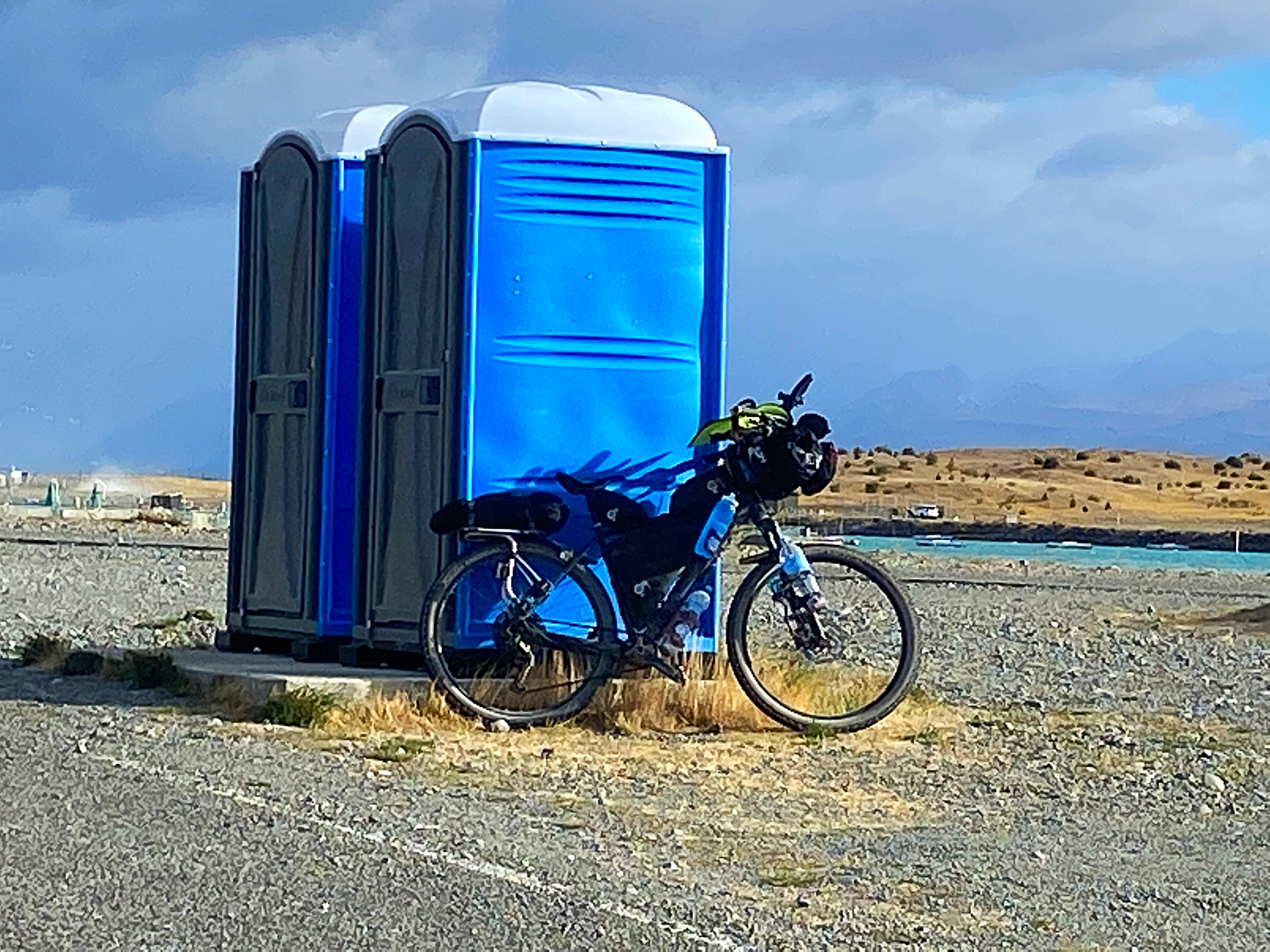
The border collie went up market today with a blue loo 
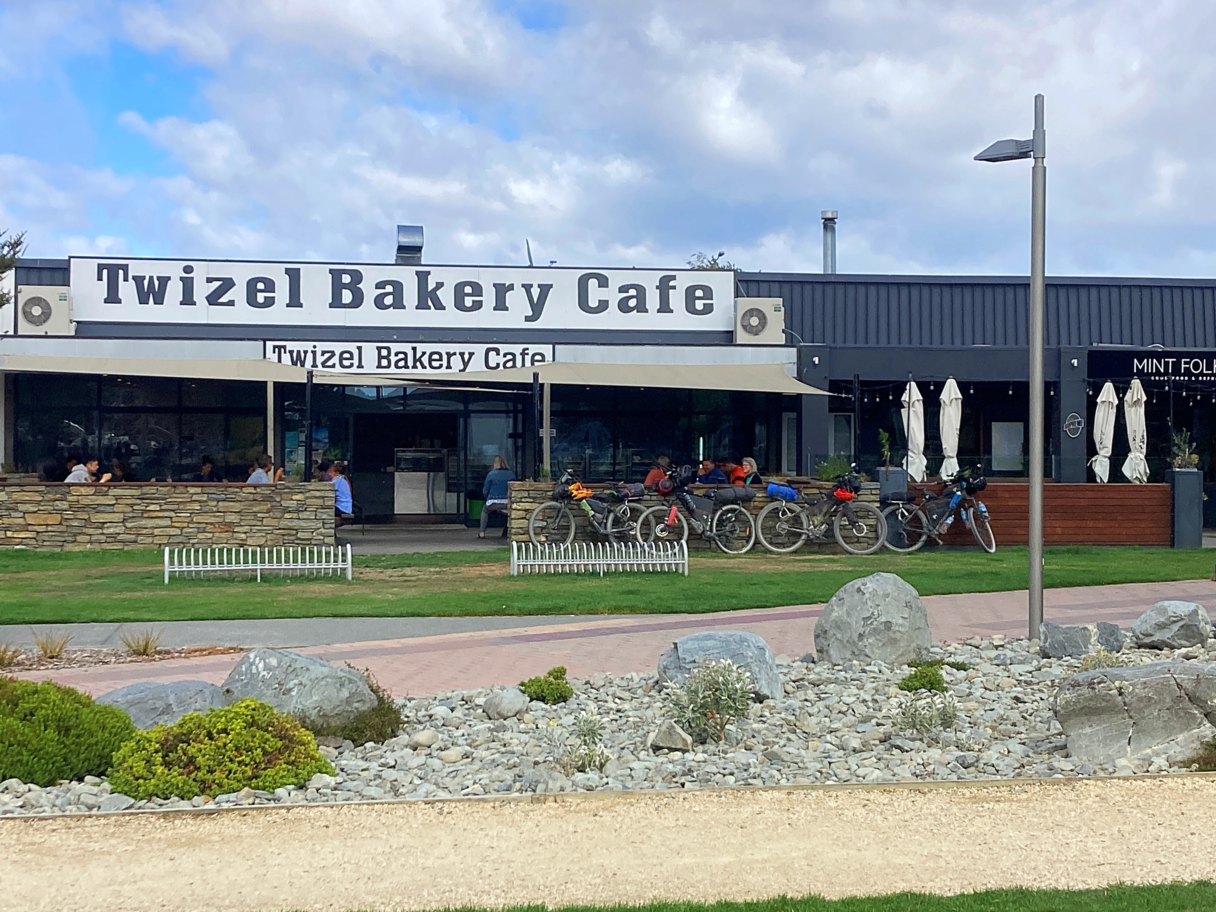
After Lake Pukaki we went cross country to Twizel and enjoyed some tail winds and good fast riding. We had our second breakfast in Twizel – toasted sandwiches all round and of course coffee and hot chocolate.
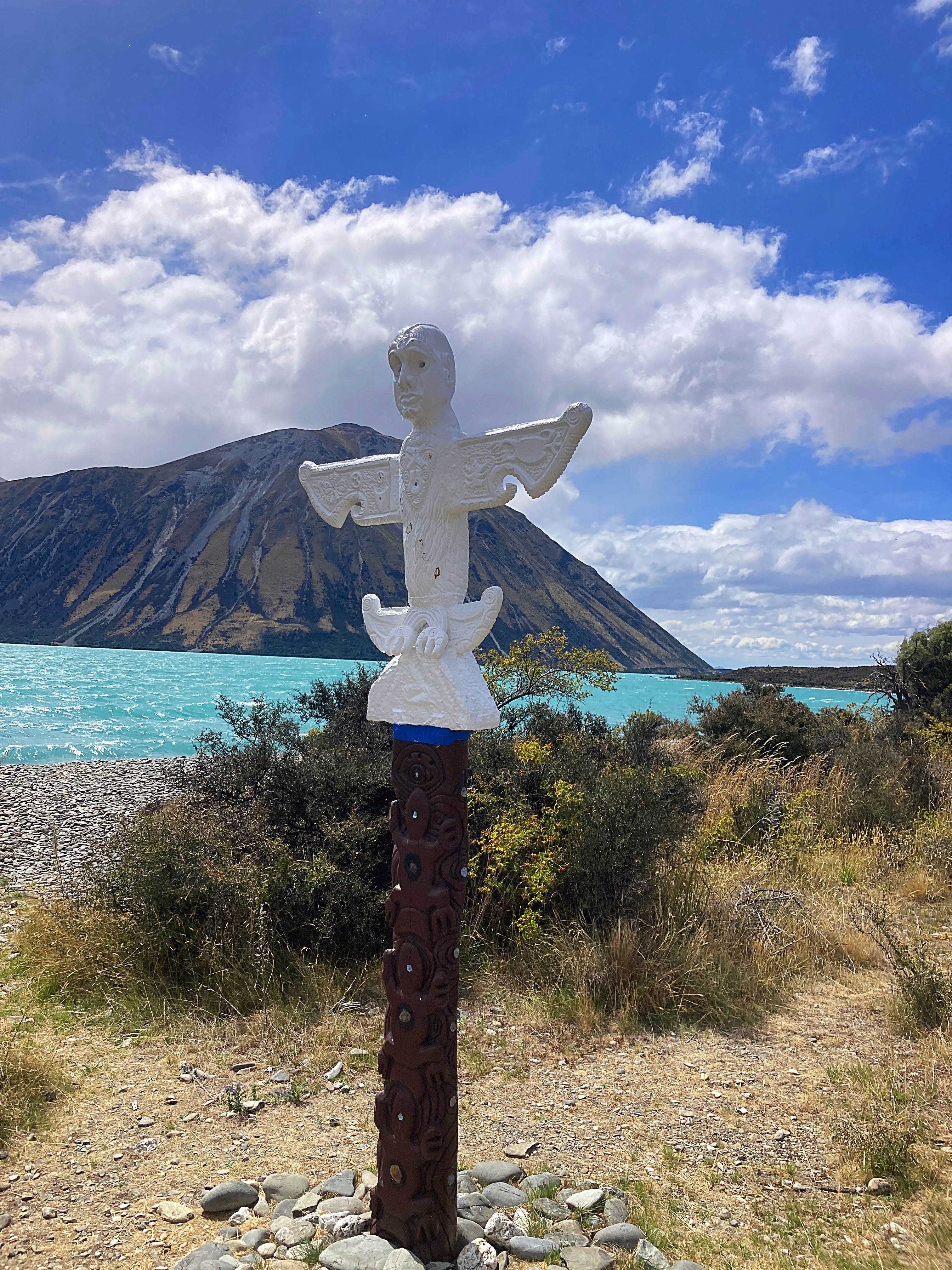
We followed the Ohau River to Lake Ohau and dropped down to the trail around the lake where it was slightly more sheltered from the wind.
Both Lake Pukaki and Lake Ohau looked like you could surf on them with the waves crashing onto the shoreline.
Third time unlucky with the final 10 kilometres into Lake Ohau Lodge – I’ve had a head wind every time I’ve ridden that road.
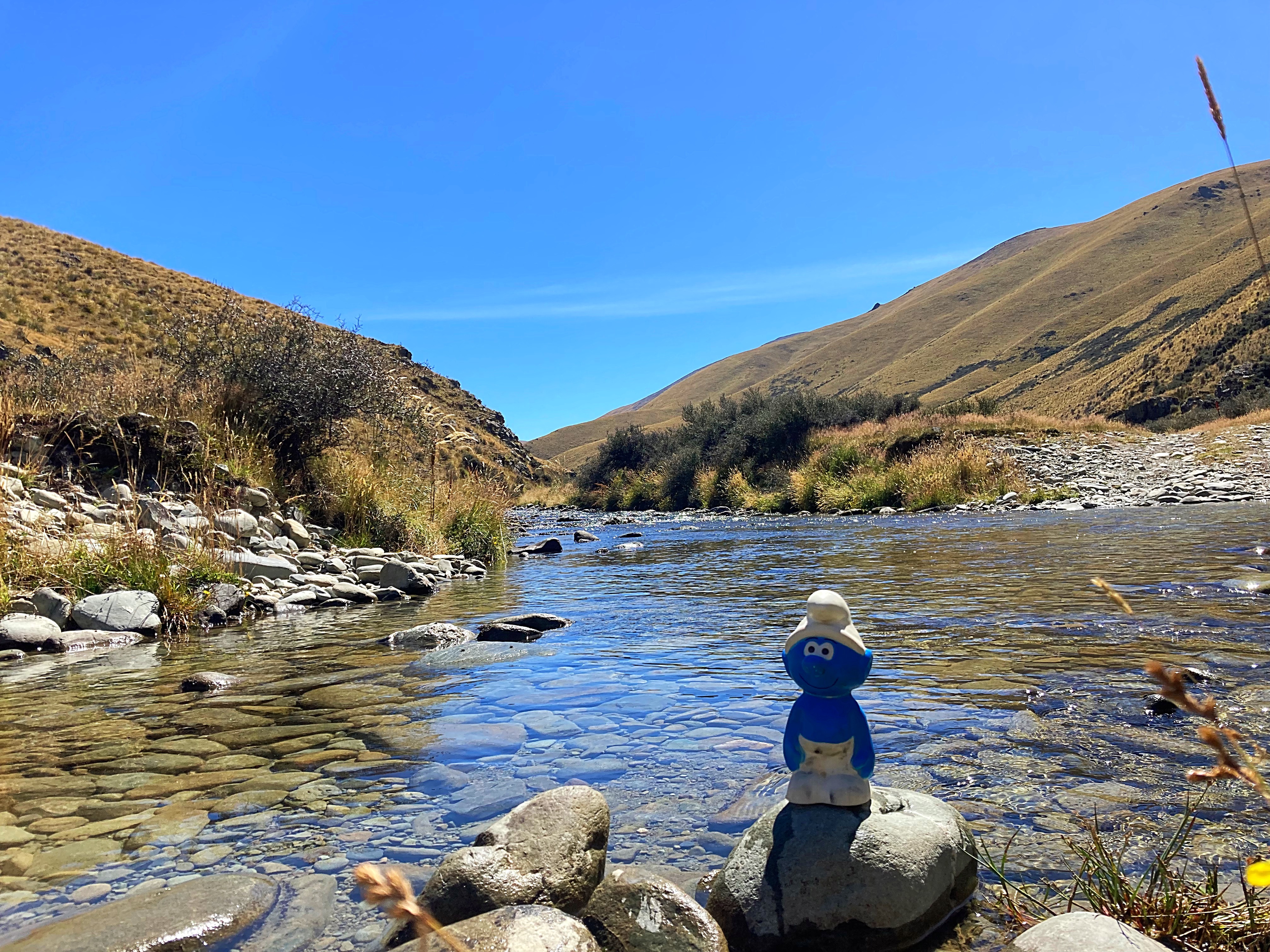
We then started the ascent up the Tarnbrae Track – high point 900 metres. We did actually have a bit of a tailwind up there but didn’t enjoy the rough track so much near the top. In fact, Crammers was so over it, poor smurfy was thrown off the bike
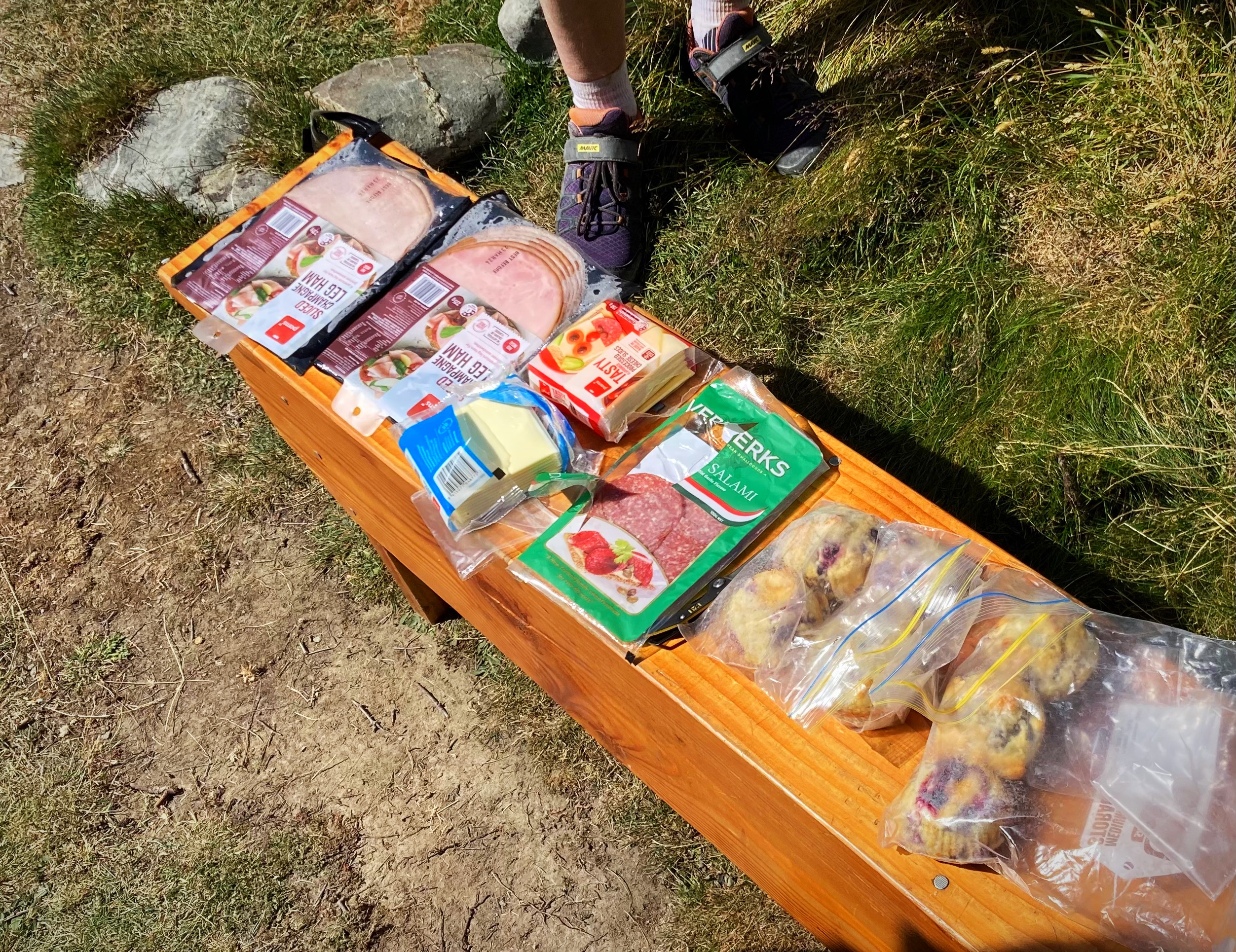
We met up with some friends / trail angels of the boys at the bottom of the track – Andrew & Barbara. Barbara had made us blackberry and white chocolate muffins – yummy ( we have extras for tomorrow too – very spoilt). They rode back to Omarama with us and joined us for dinner at the pub.
We will all sleep well again tonight.
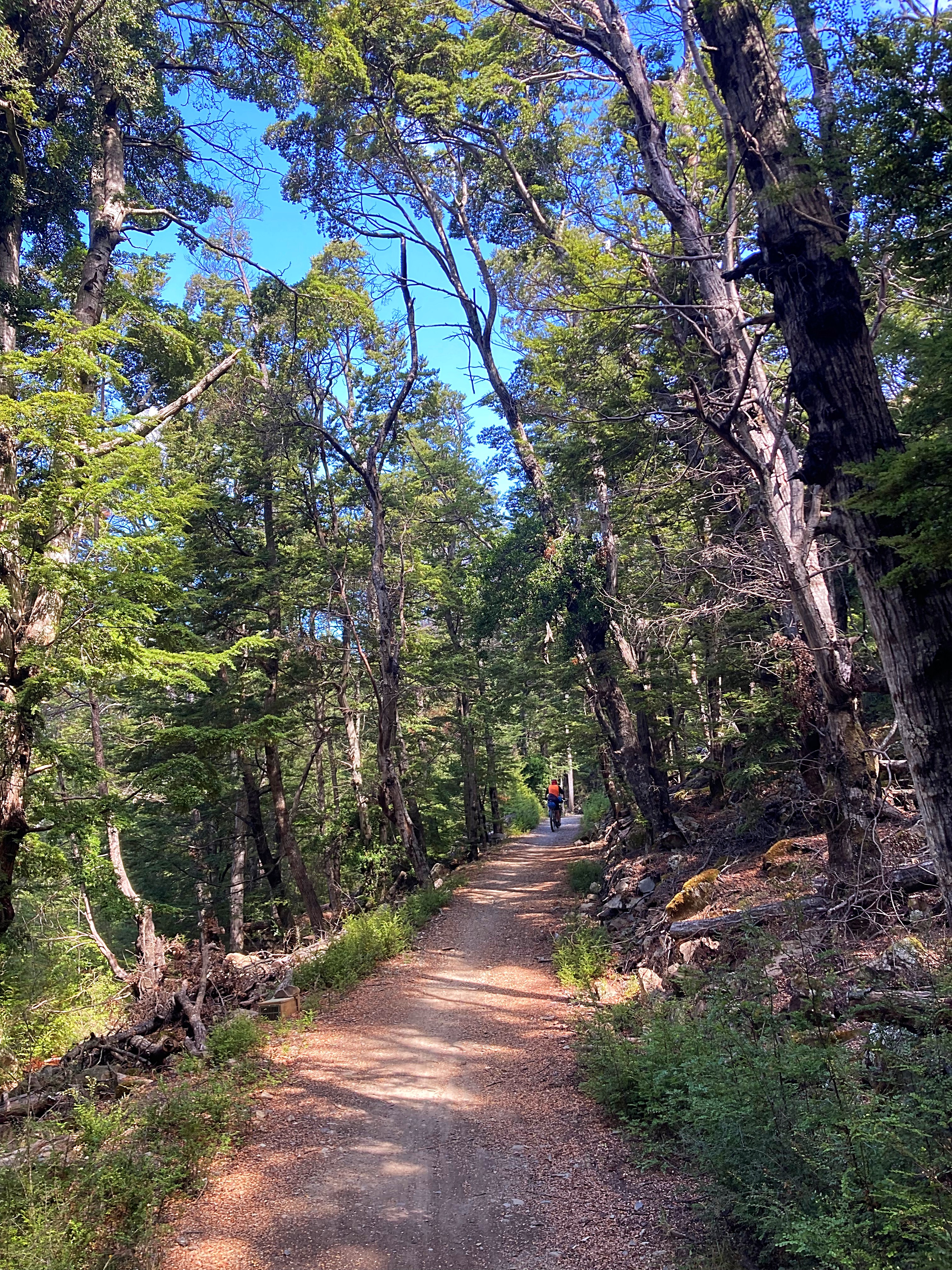
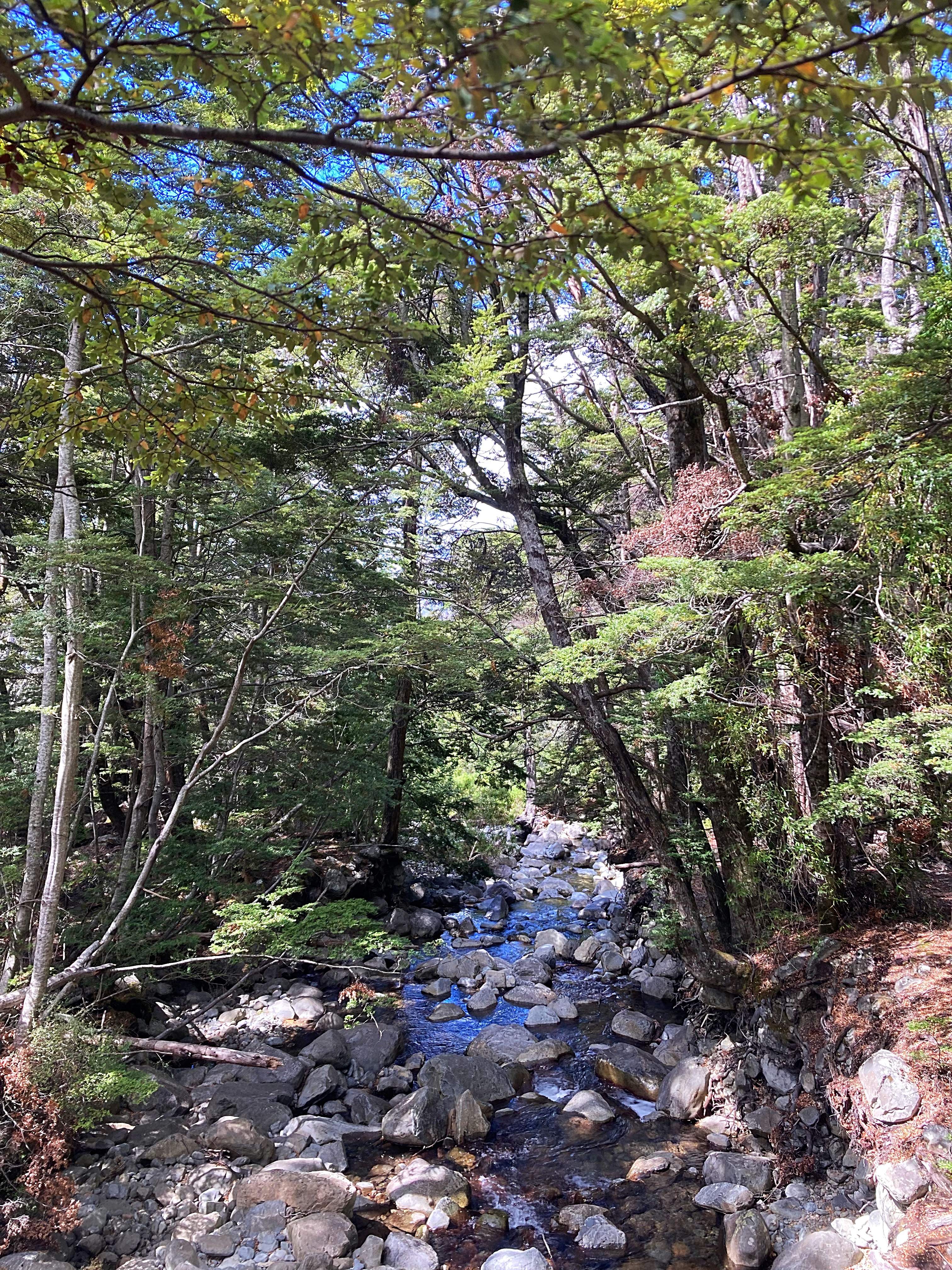
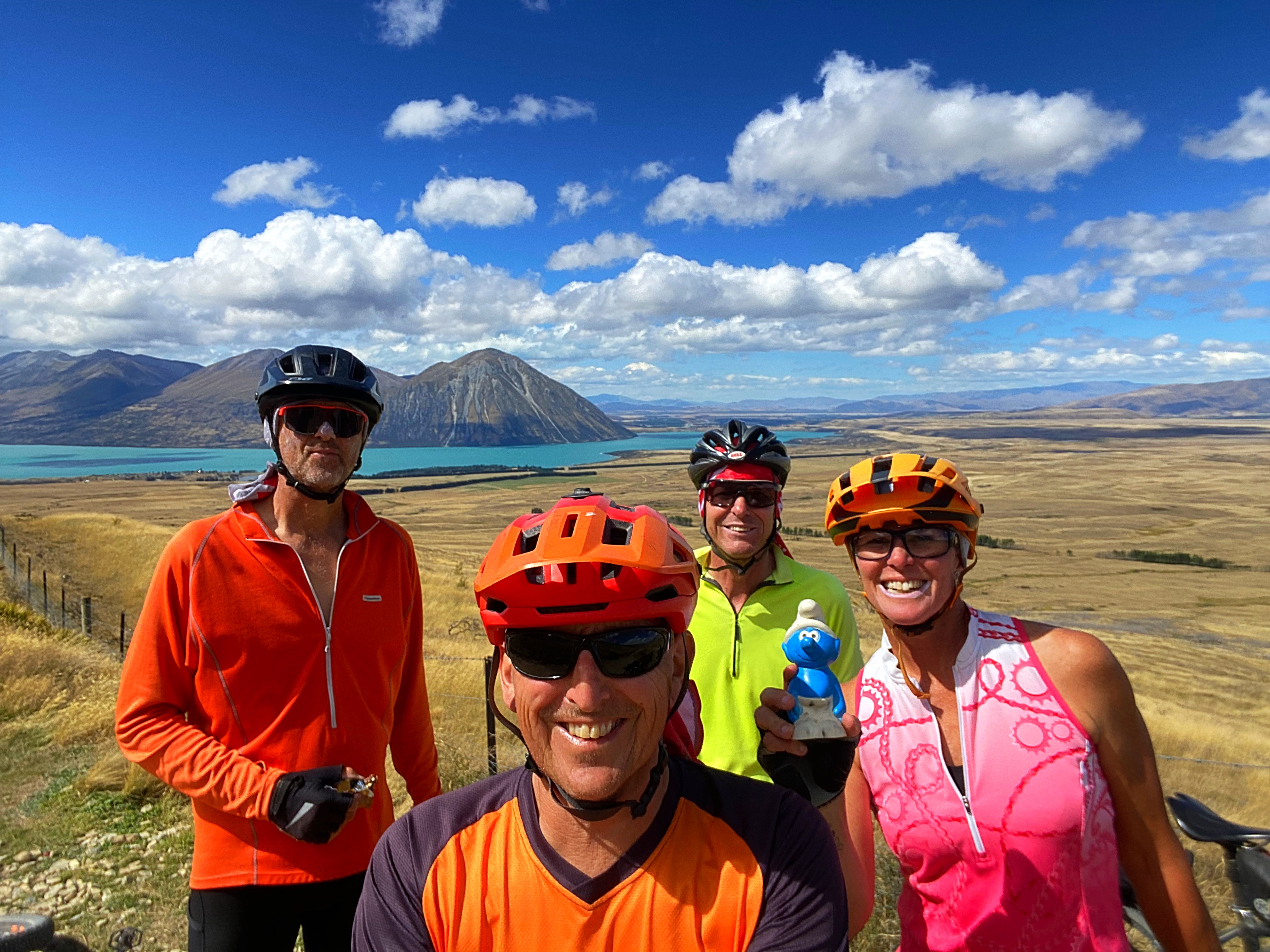
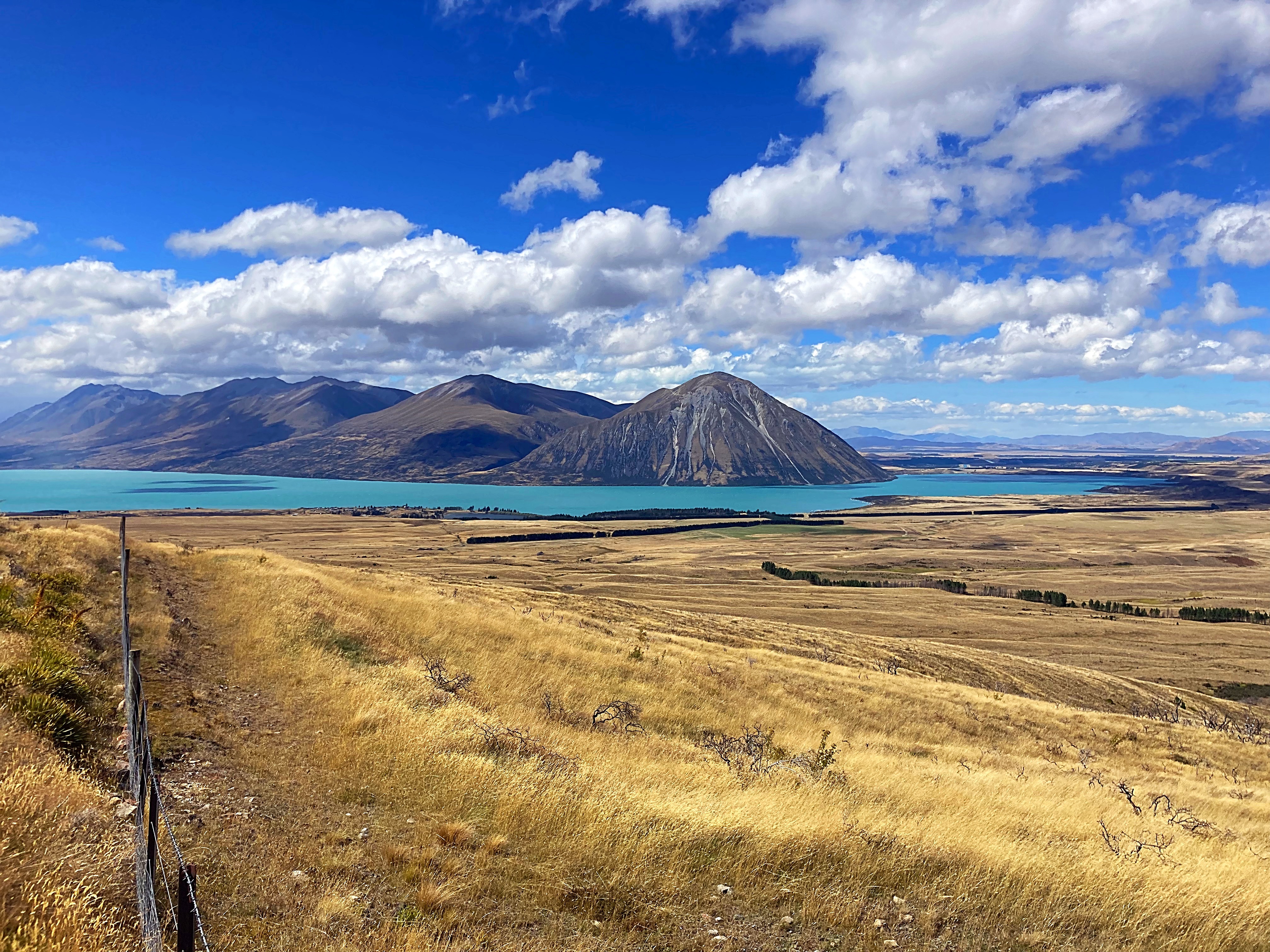
20 February 2024
Day 9 – Omarama to Oturehua 81km 1157 metres climbed
We woke to what felt like a winters morning and it’s supposed to be summer wouldn’t want to be here when it was really winter  .
.
We had all the layers on when we left Omarama – the temperature fluctuated between 1 and 5 degrees and everything was numb. We were chasing the sun but even when we found that, it didn’t help much.
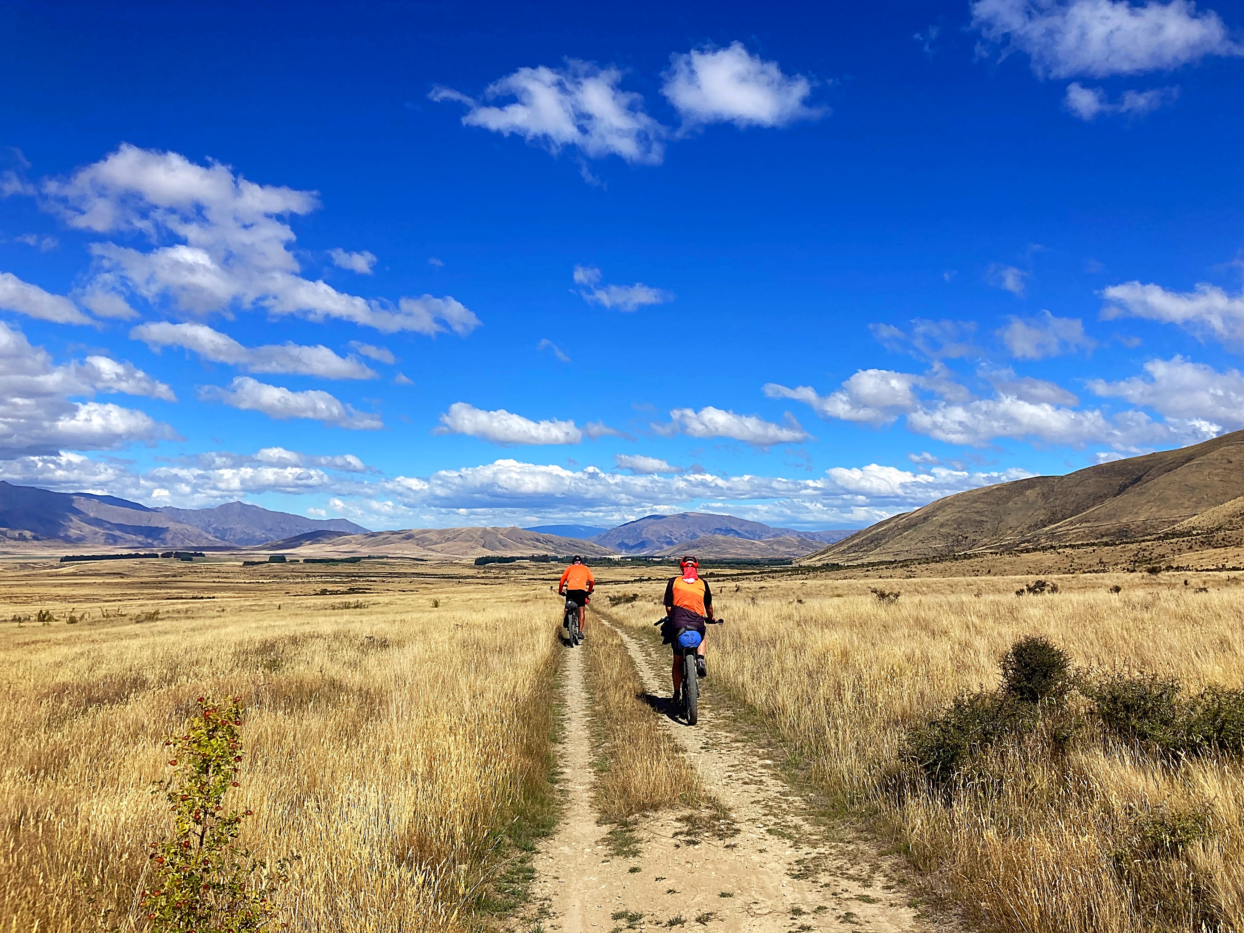
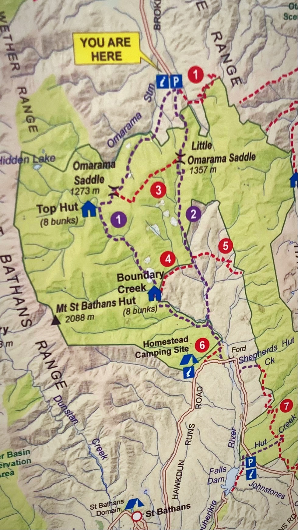
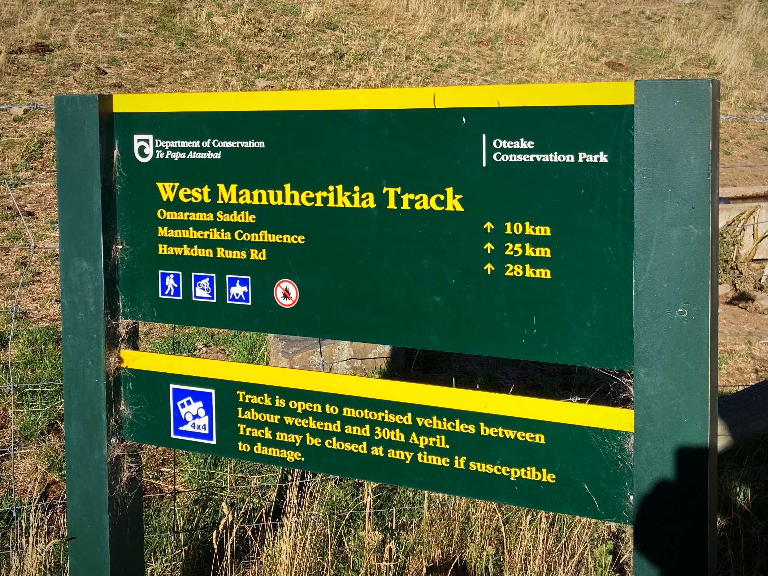
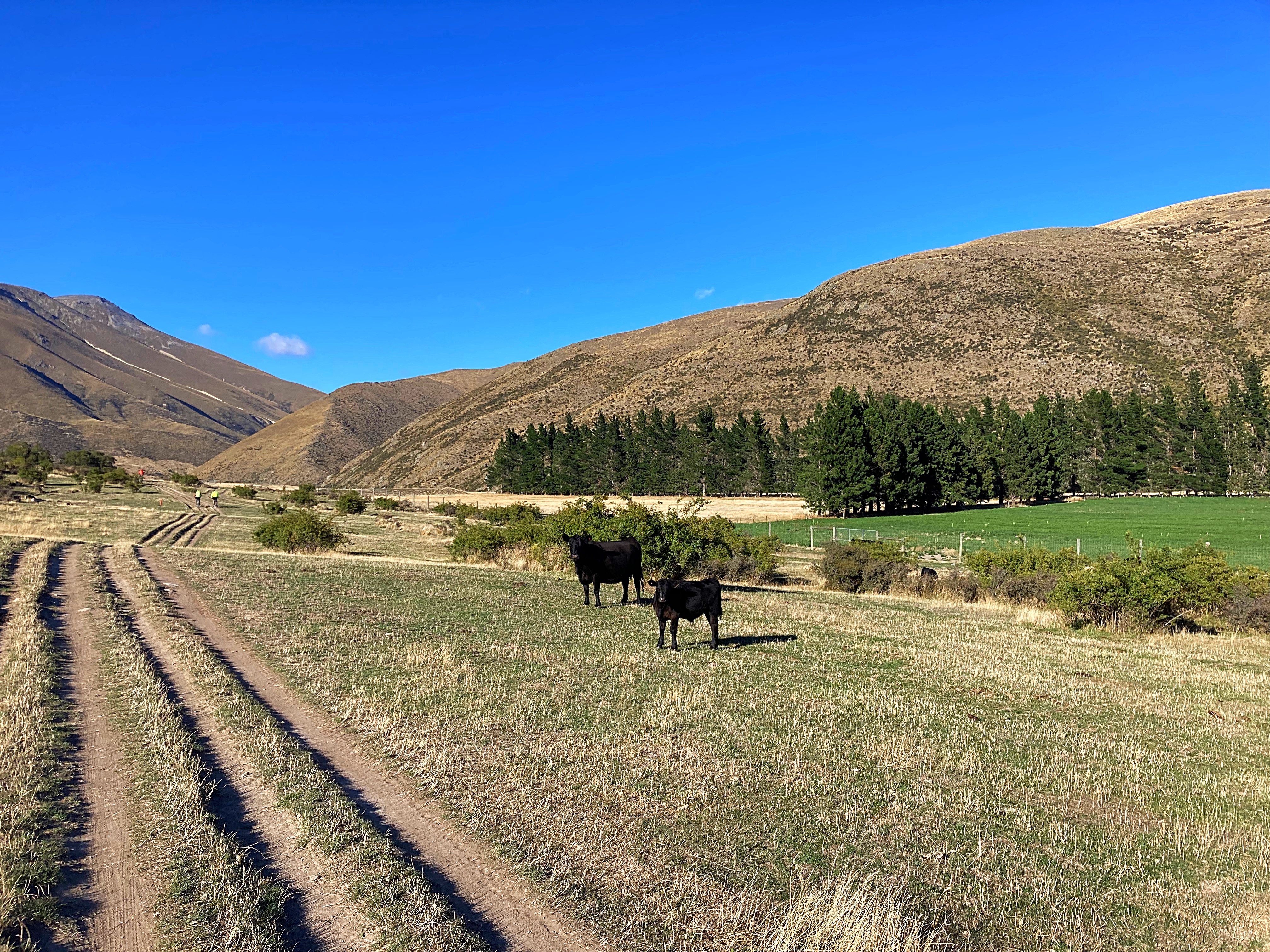
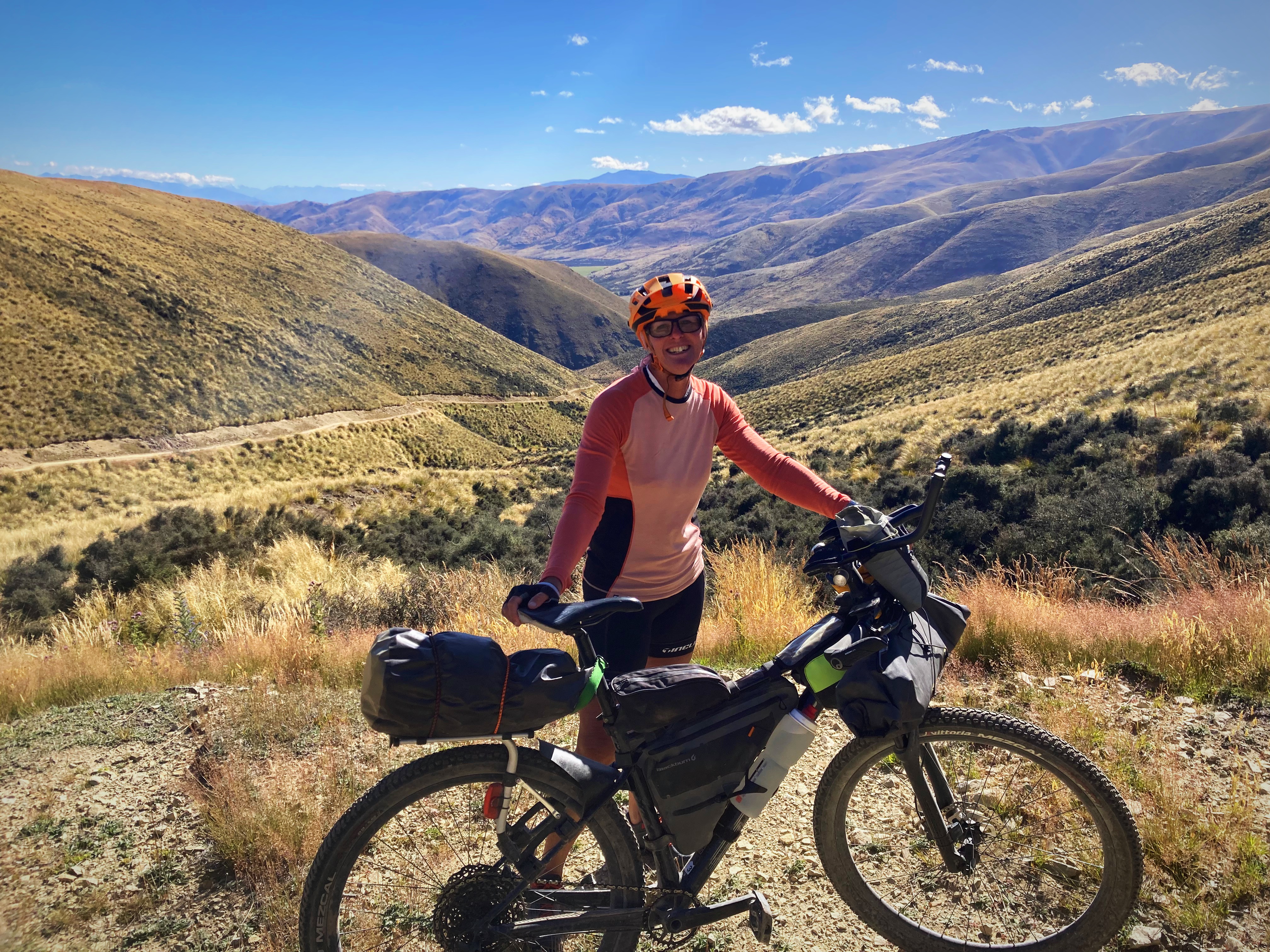
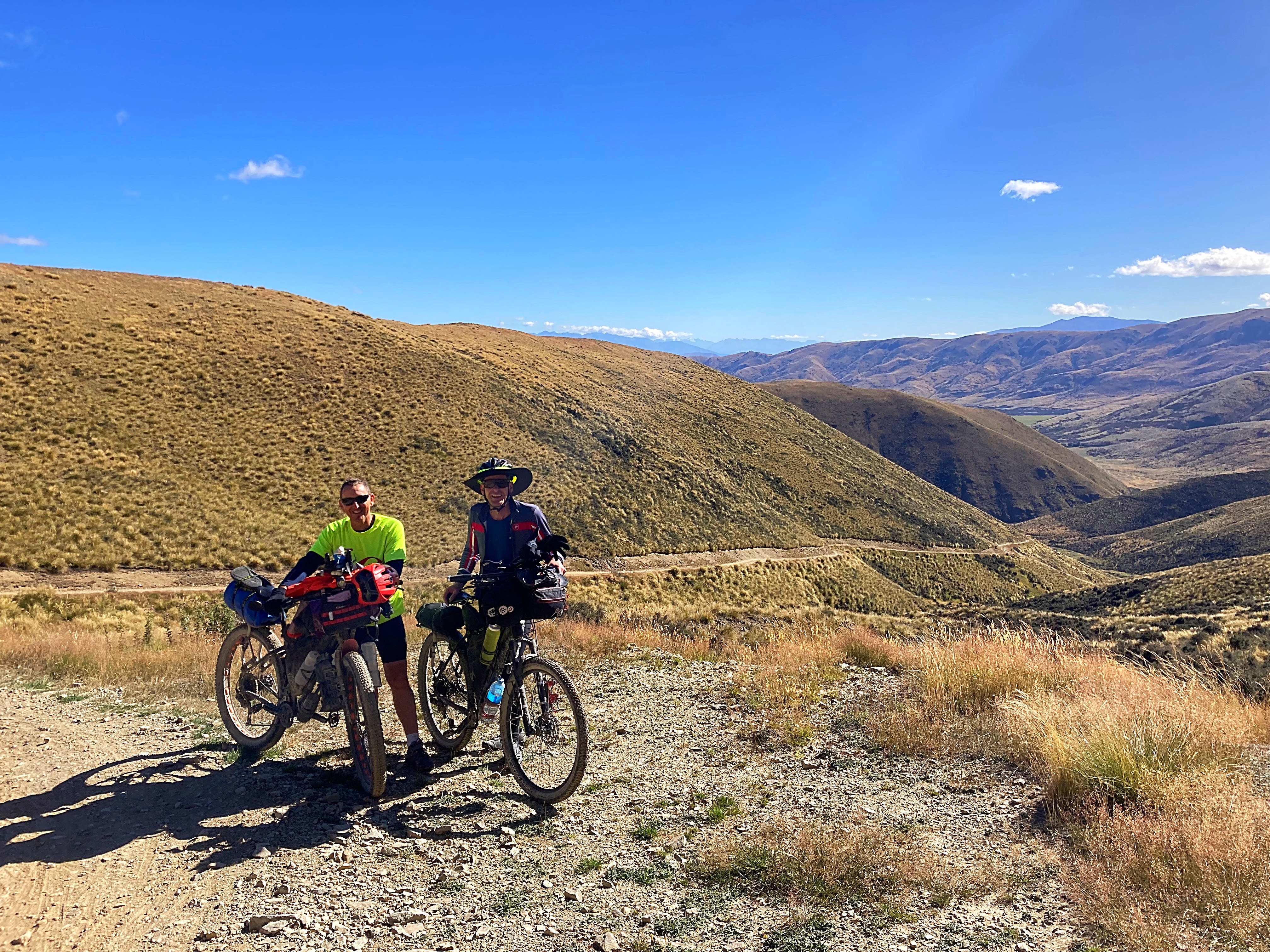
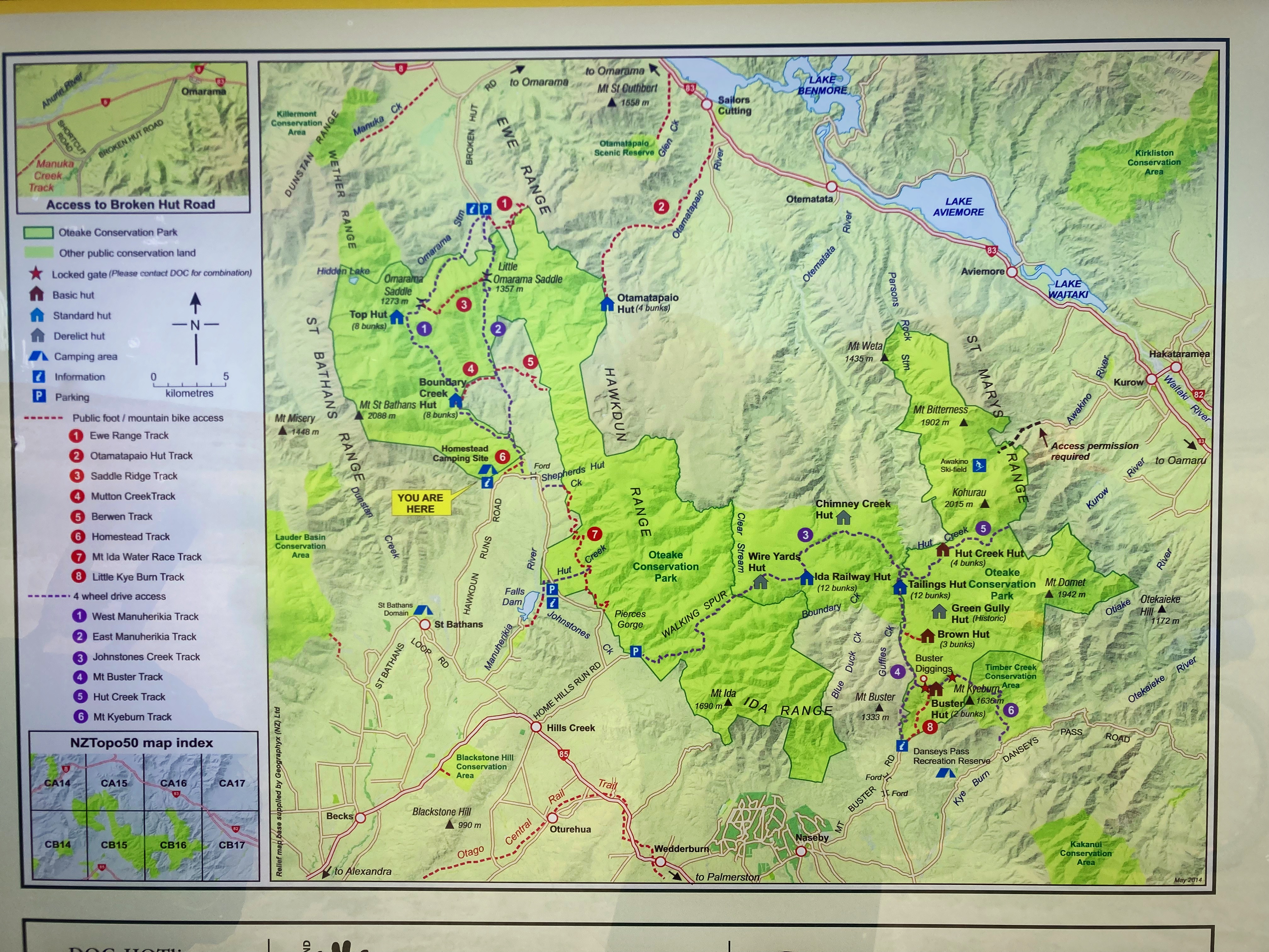
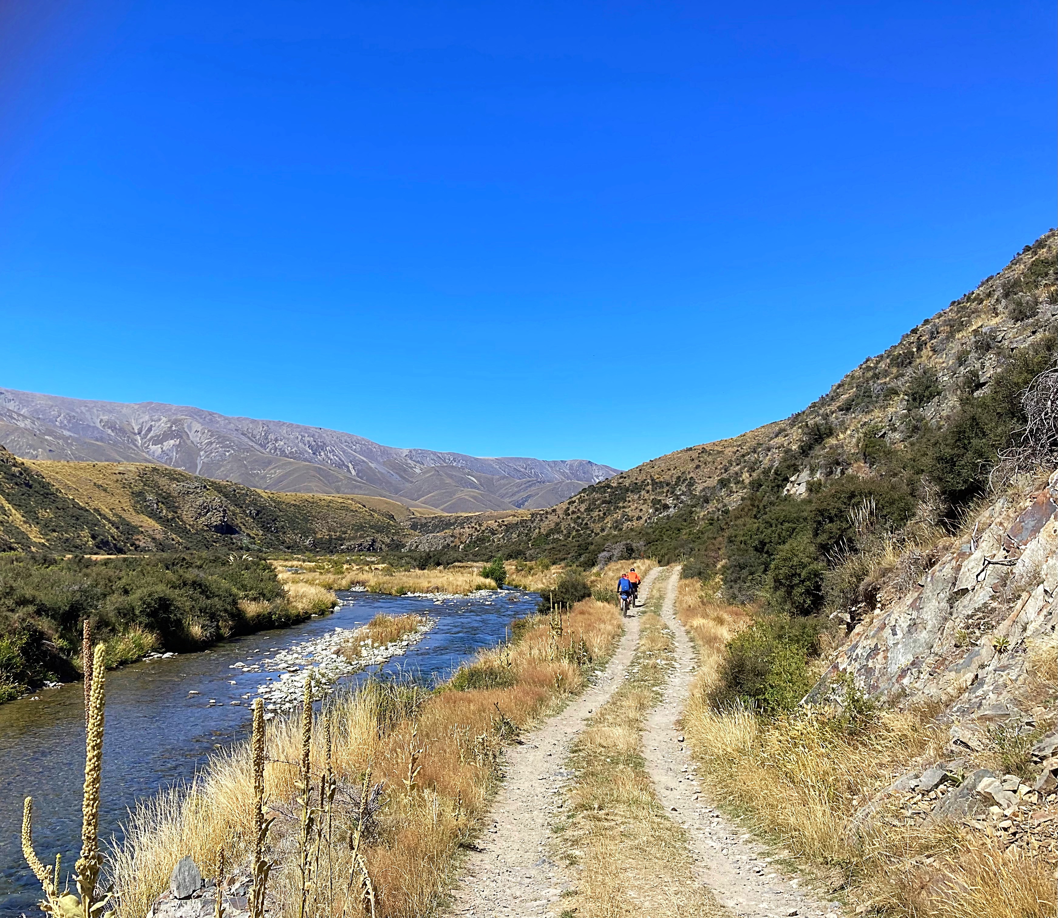
We had a 20 kilometre gradual climb up to the start of the West Manuherikia Track where we would start our climb over the Omarama Saddle.
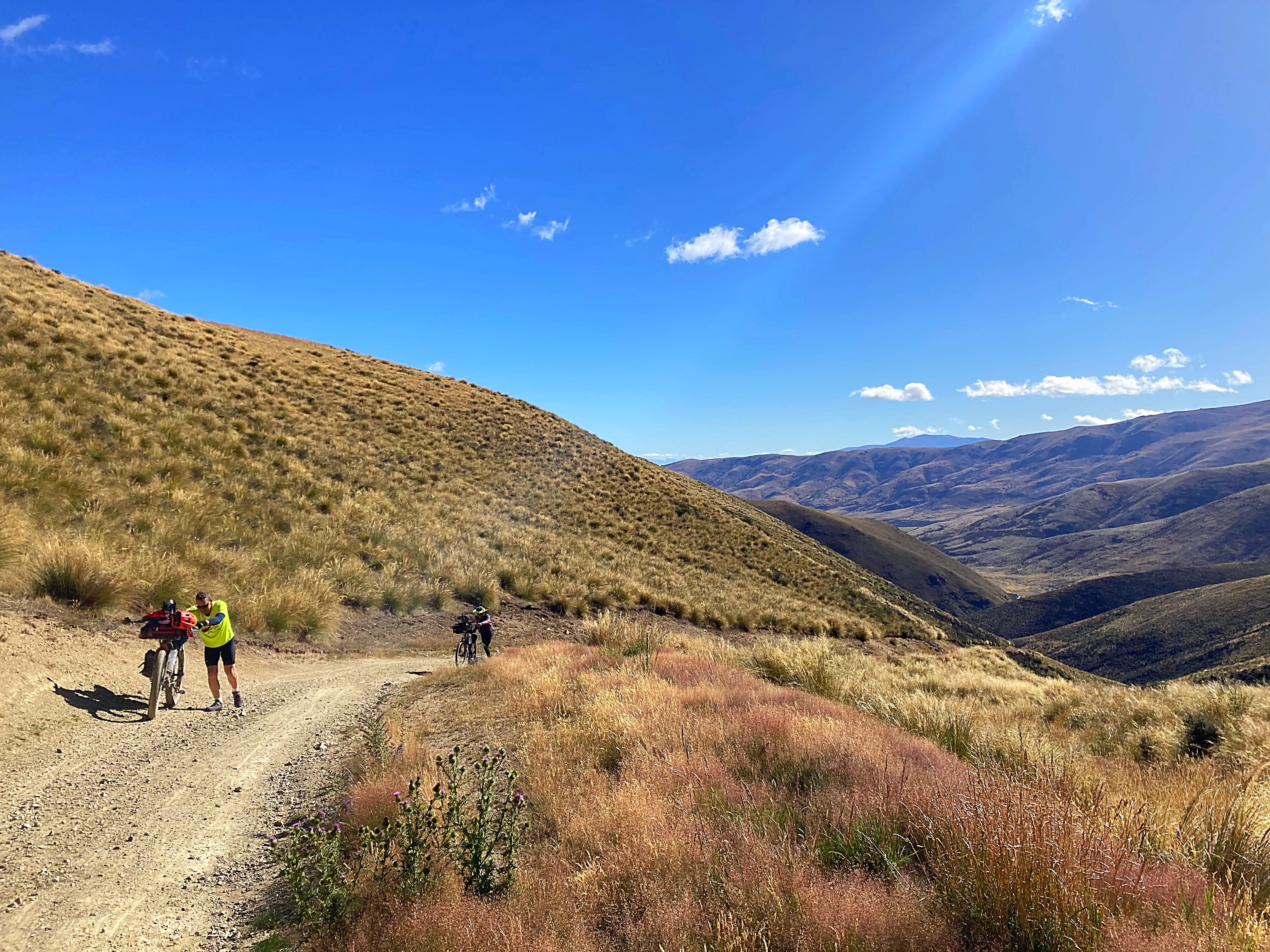
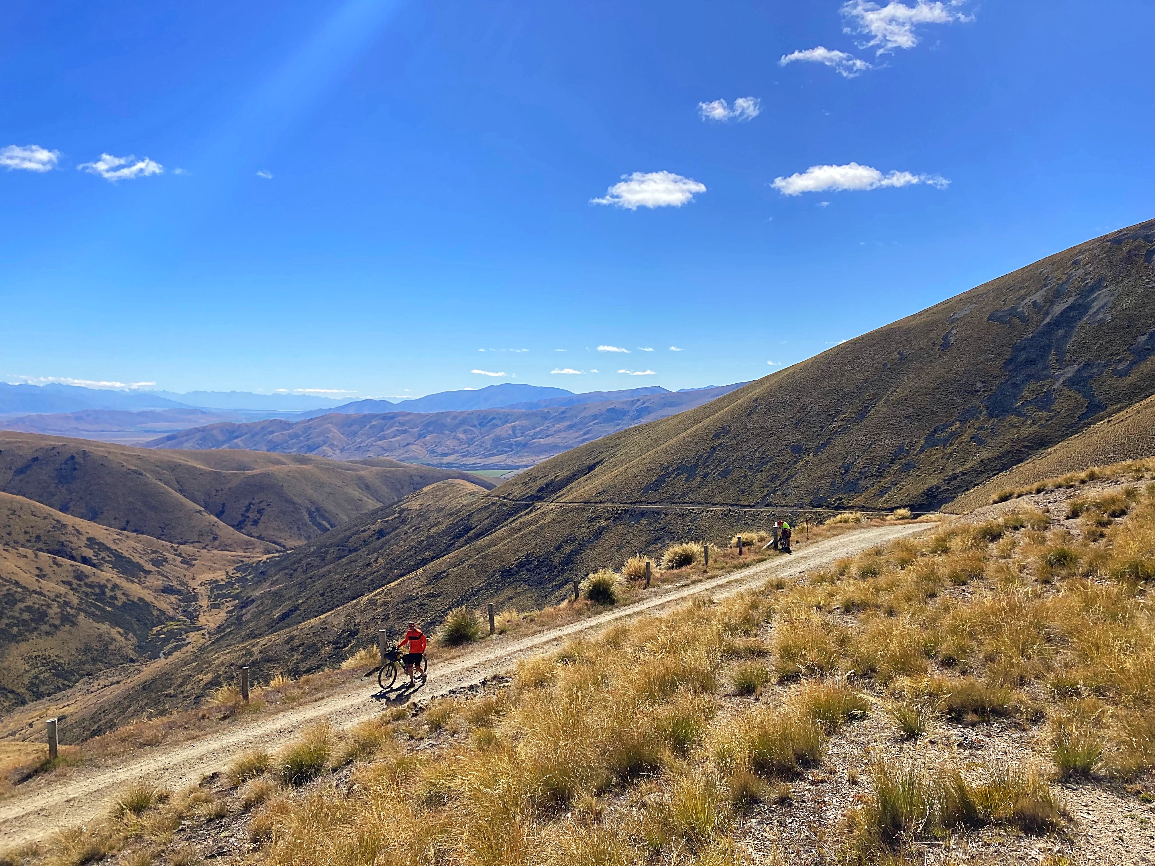
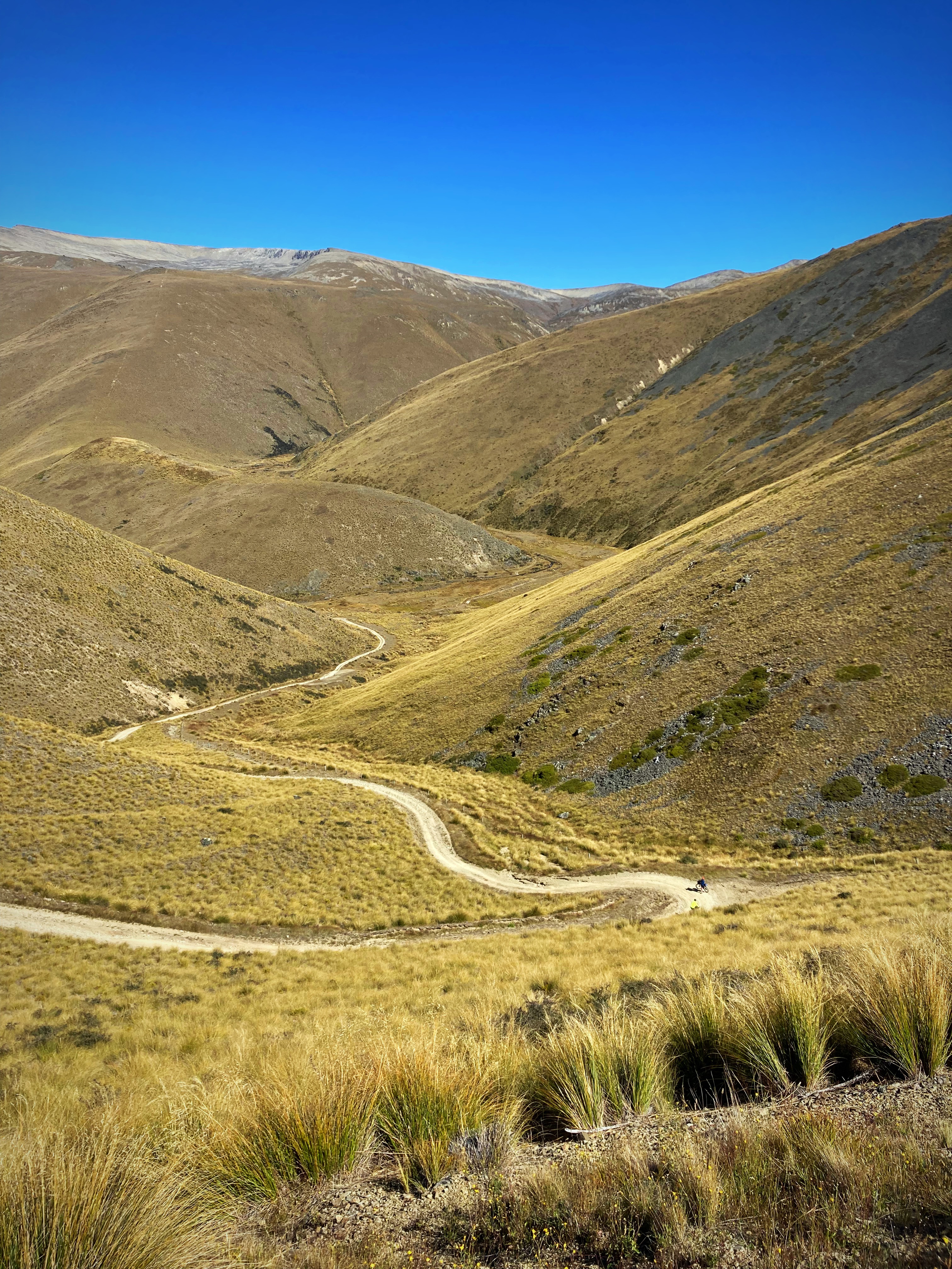
Five kilometres in and the climb and track surface took a nasty turn. Hike a bike kicked in – it took us about two hours to go 9 kilometres.
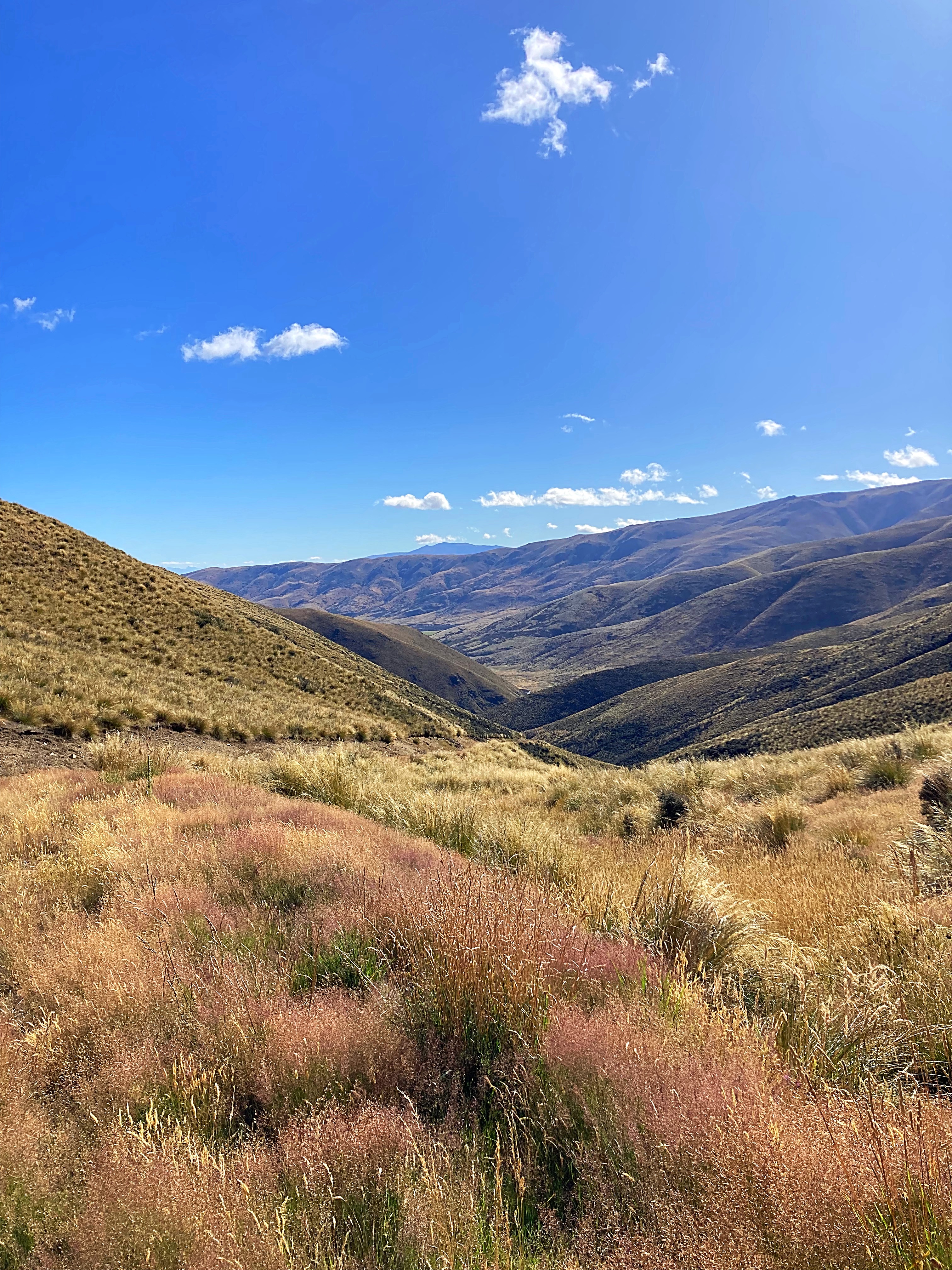
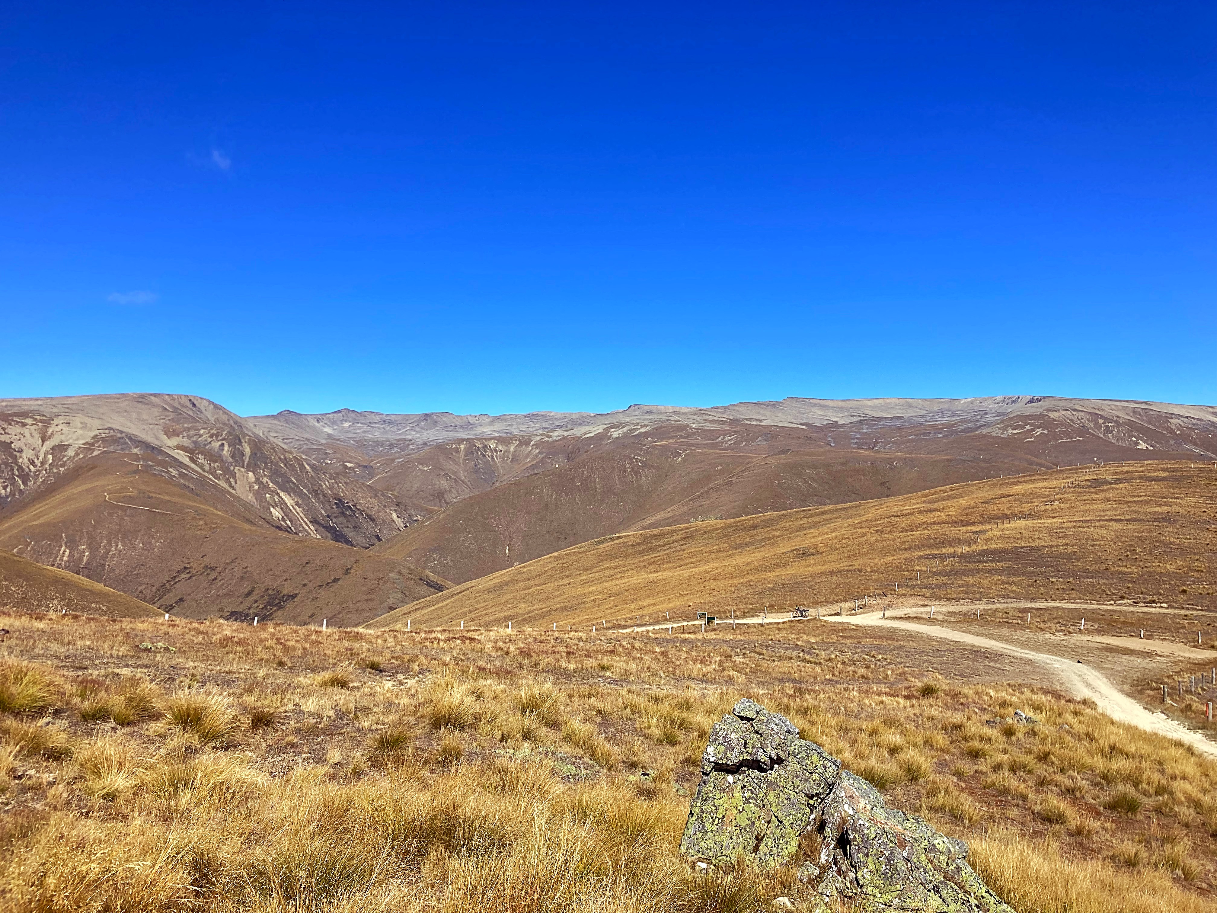
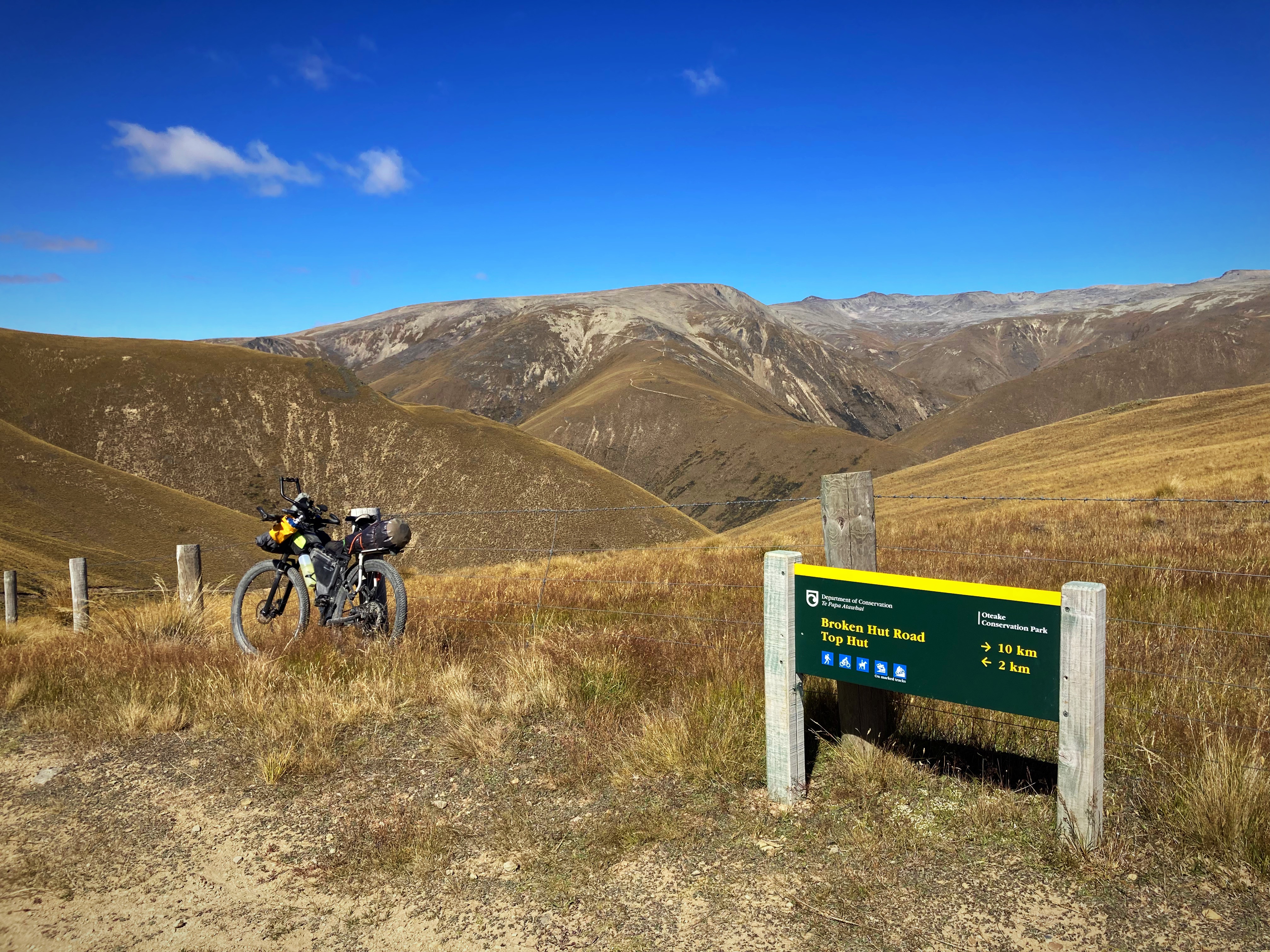
It was a welcome relief to reach the saddle at 1250 metres but when we saw what the downhill track looked like that relief disappeared fast.
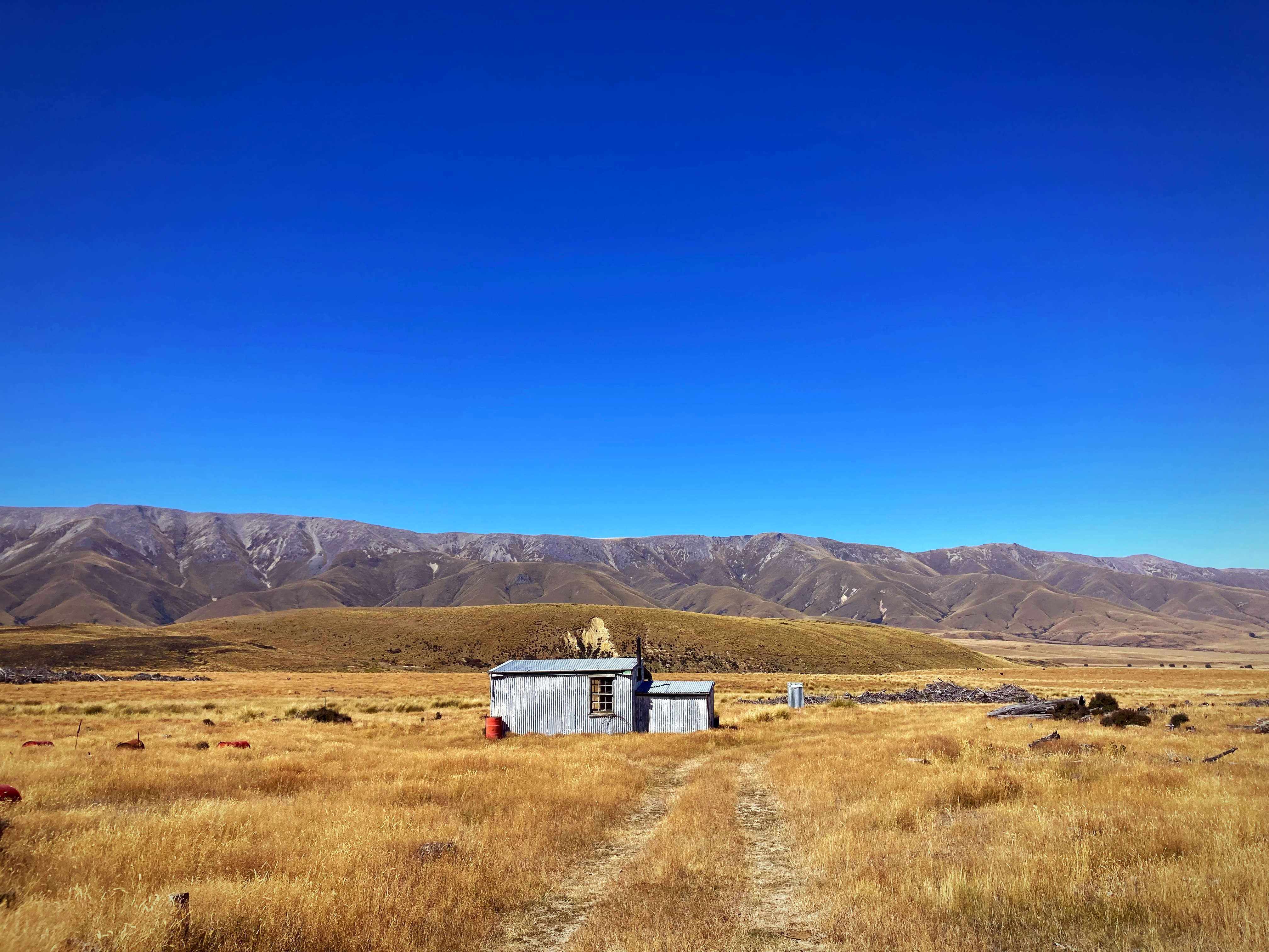
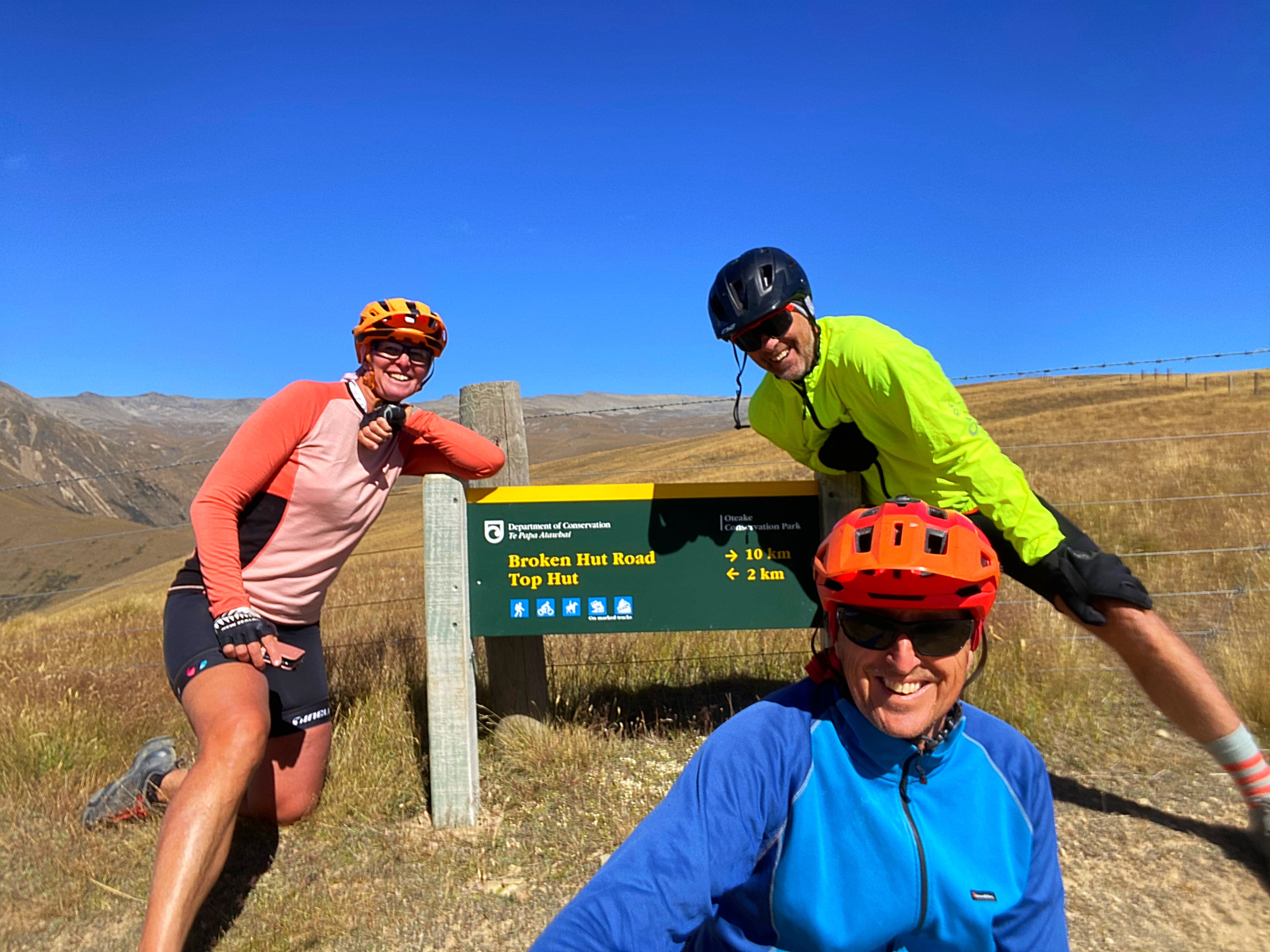
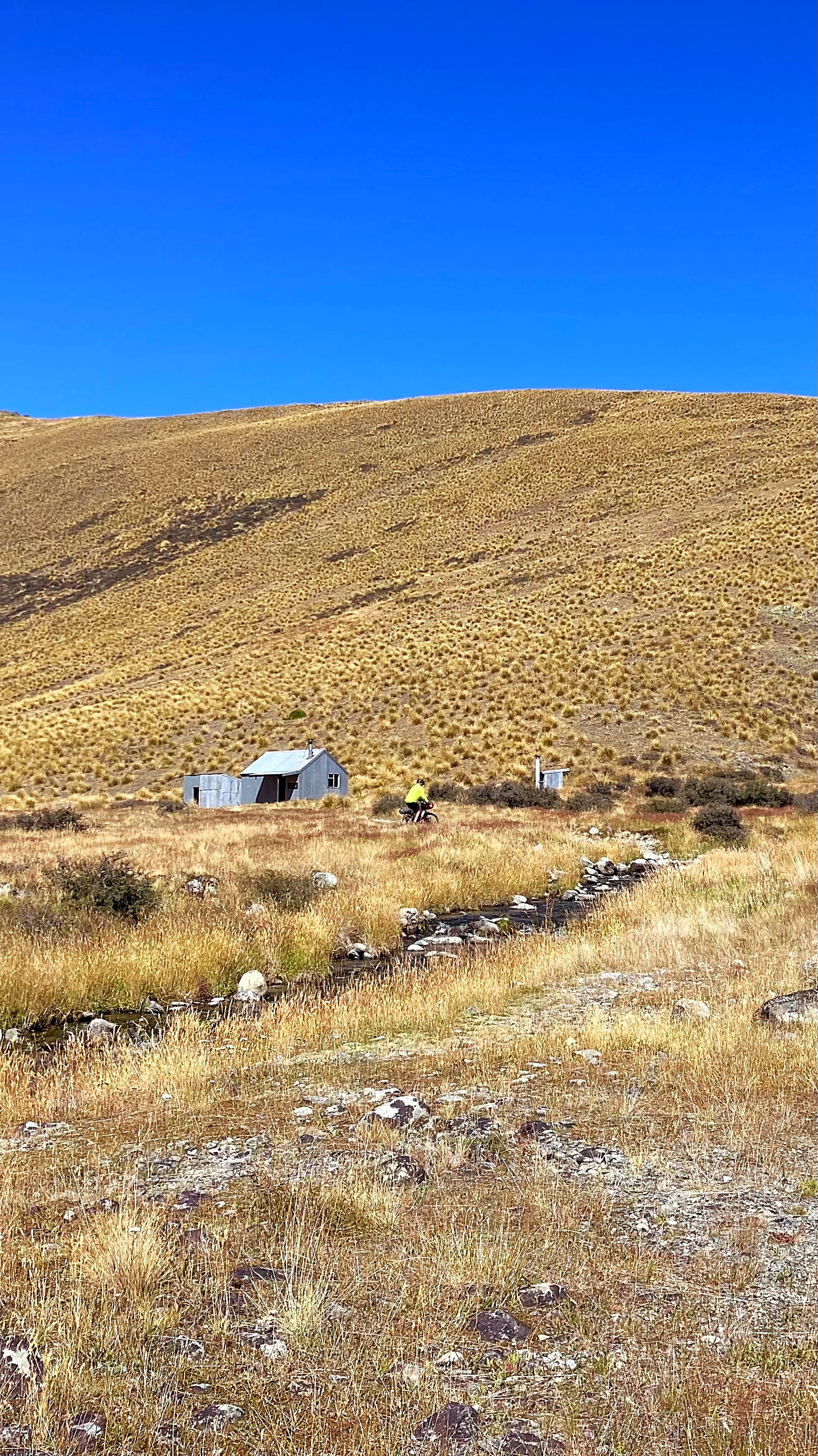
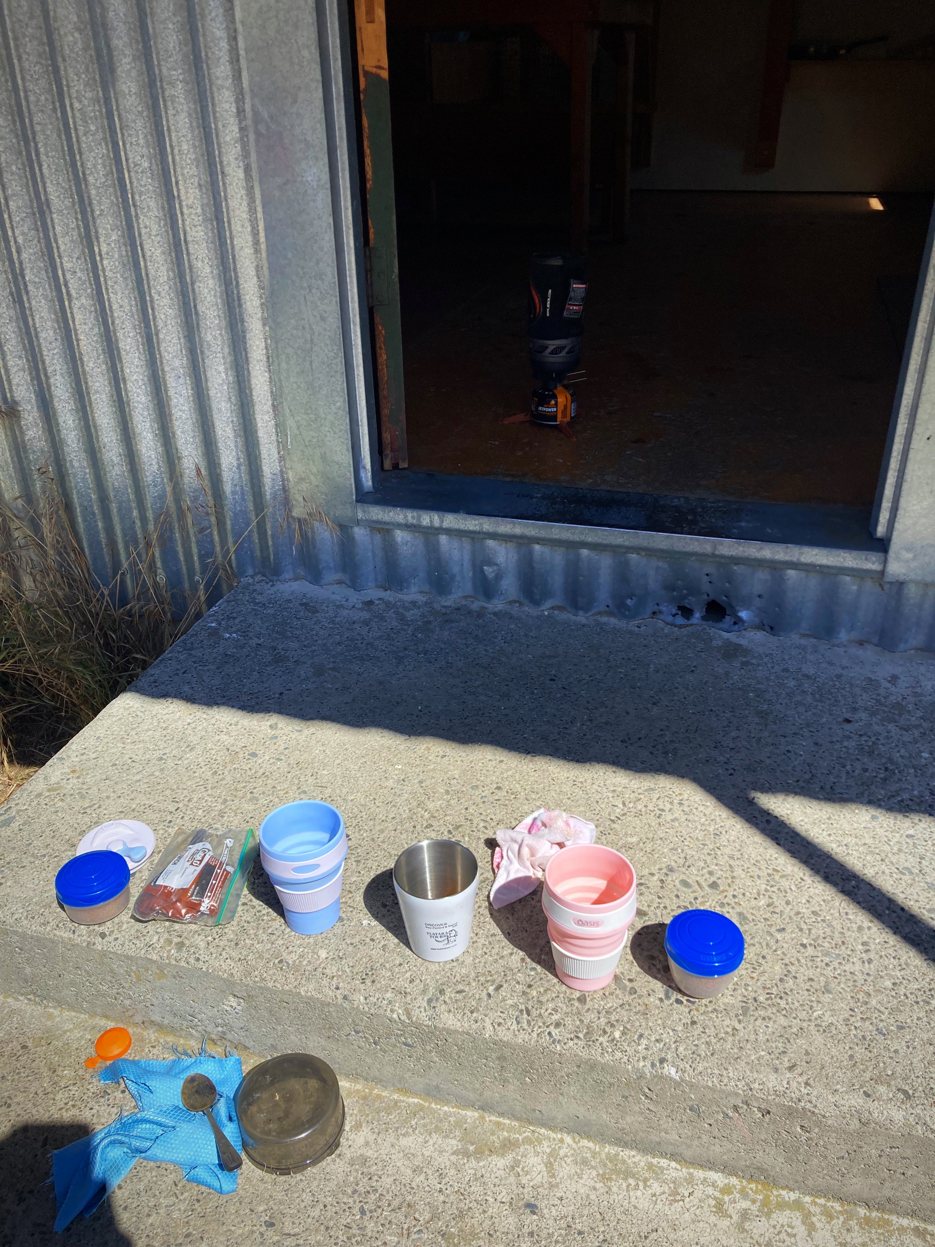
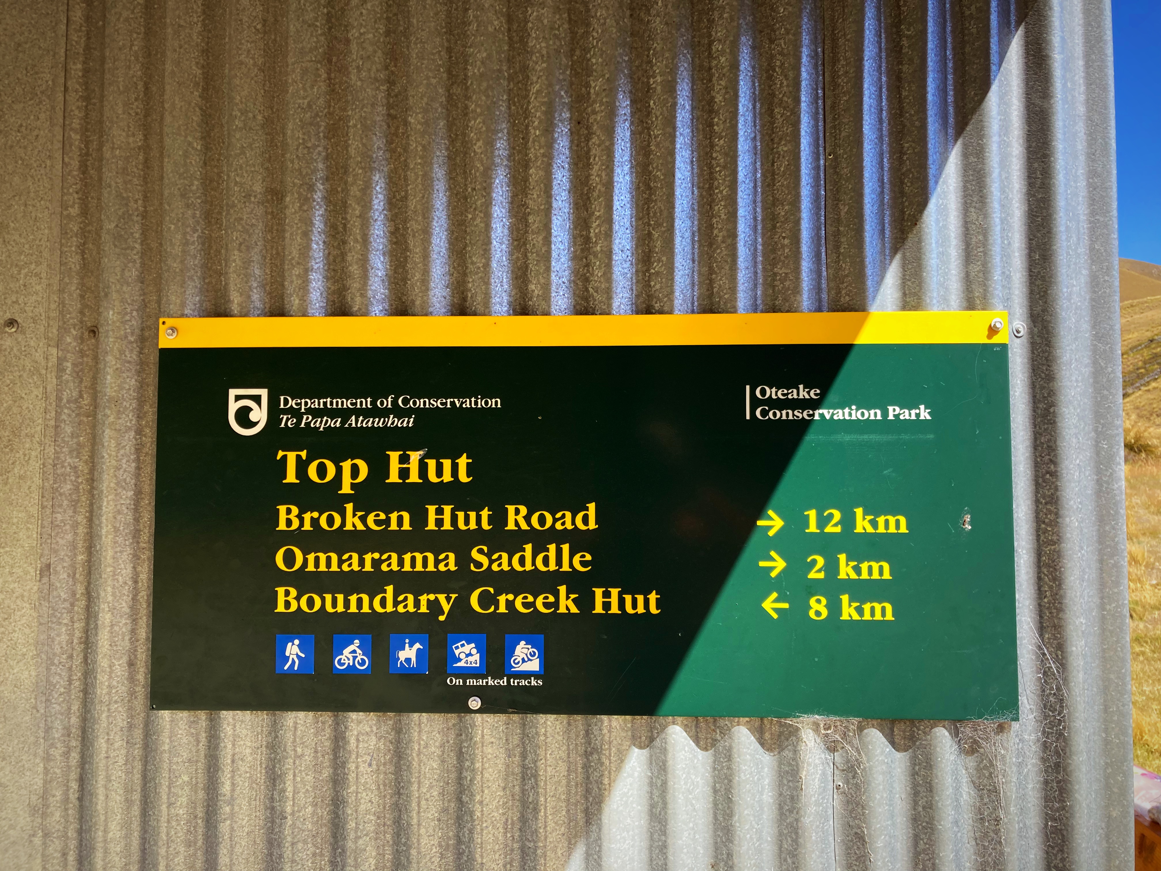
We slowly made our way down to the first hut (Top Hut) where we had lunch – even fired the jet boil up for coffee. We had crossed two fords by this stage – thirty to go
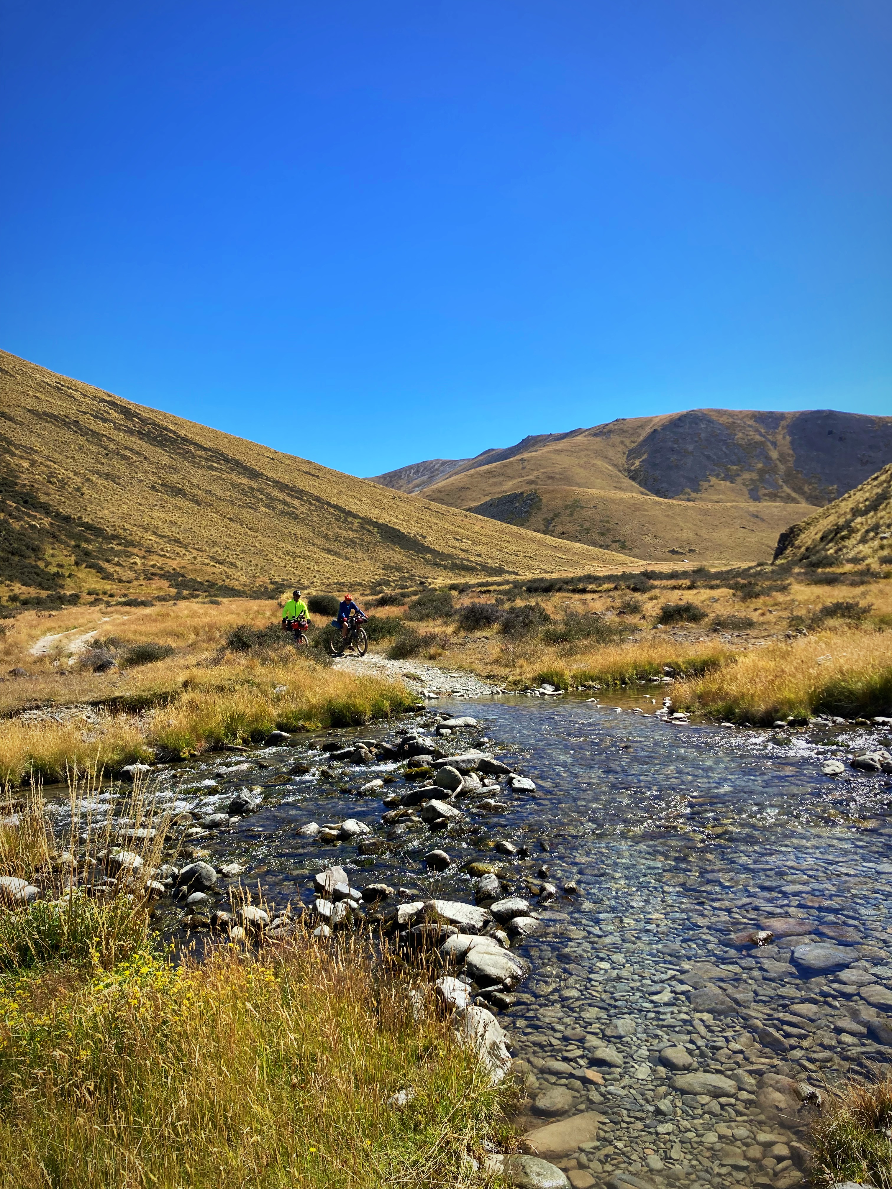
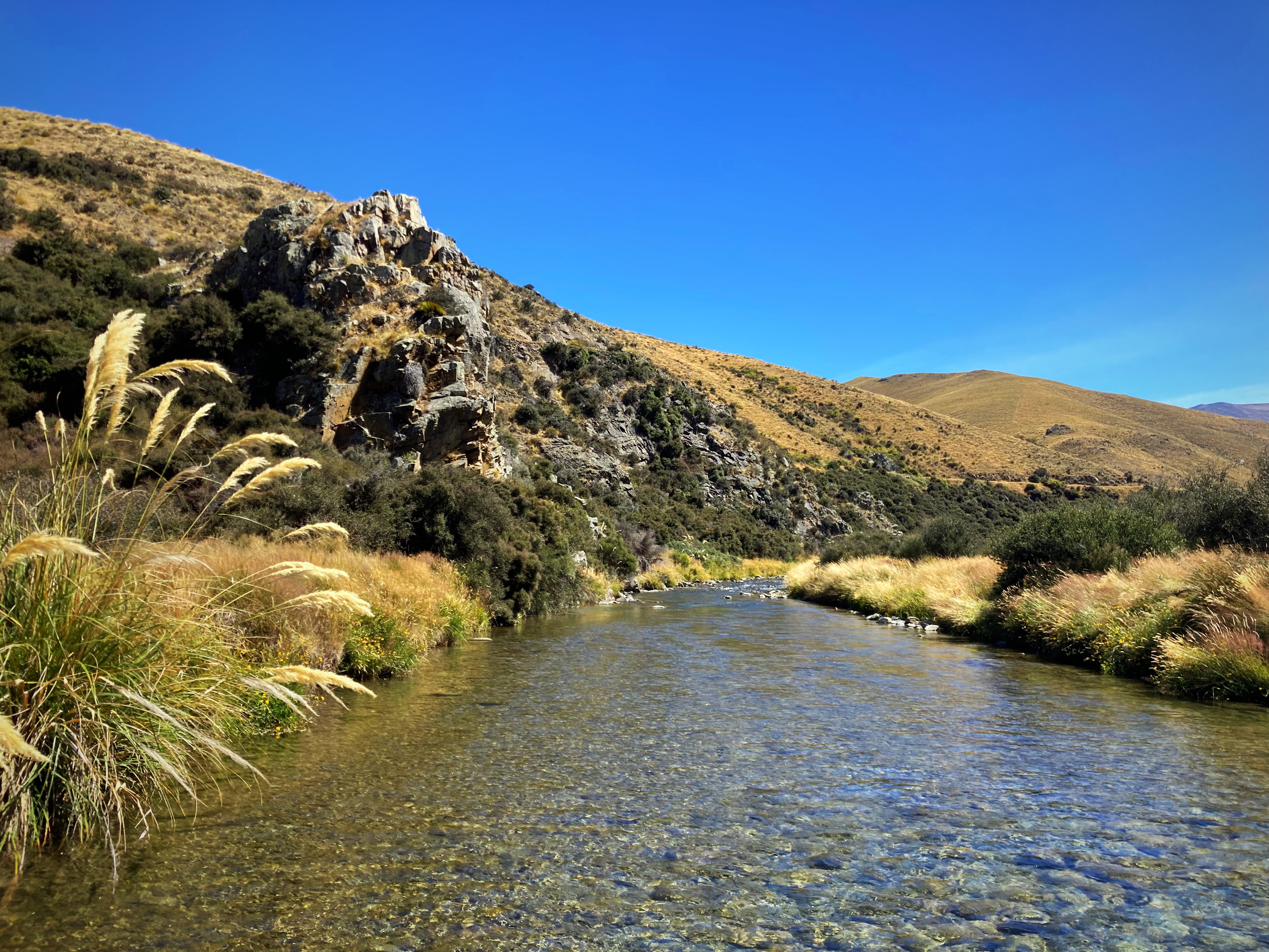
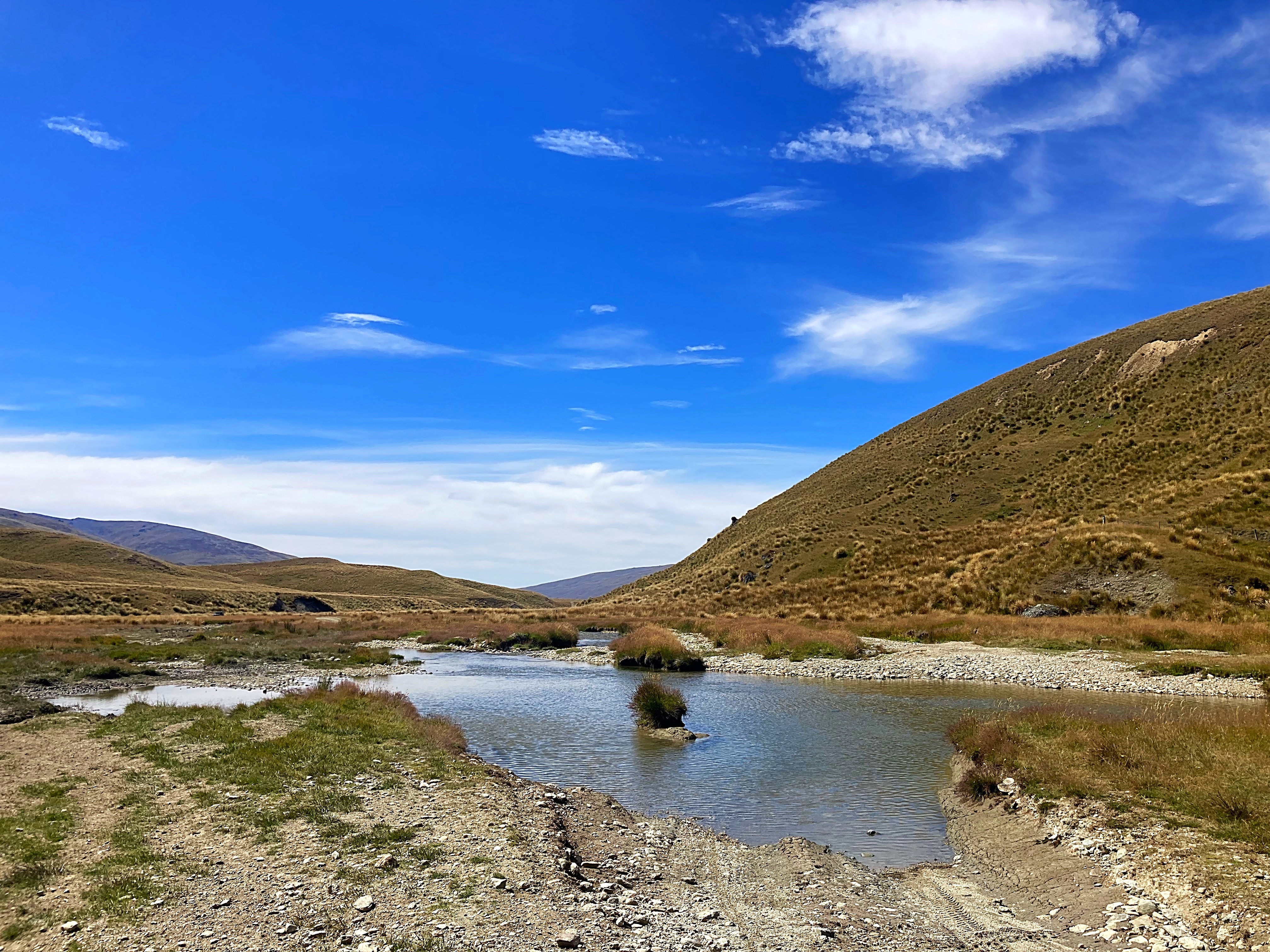
We lost count of how many fords we crossed but the guidebook says 30. Captain & Mrs Cautious walked anything that looked remotely deep but Crammers and the Young One attempted most of them with a very high strike rate. Put it this way, the only thing that got wet was our shoes and socks. The deepest ford was just above mid calf.
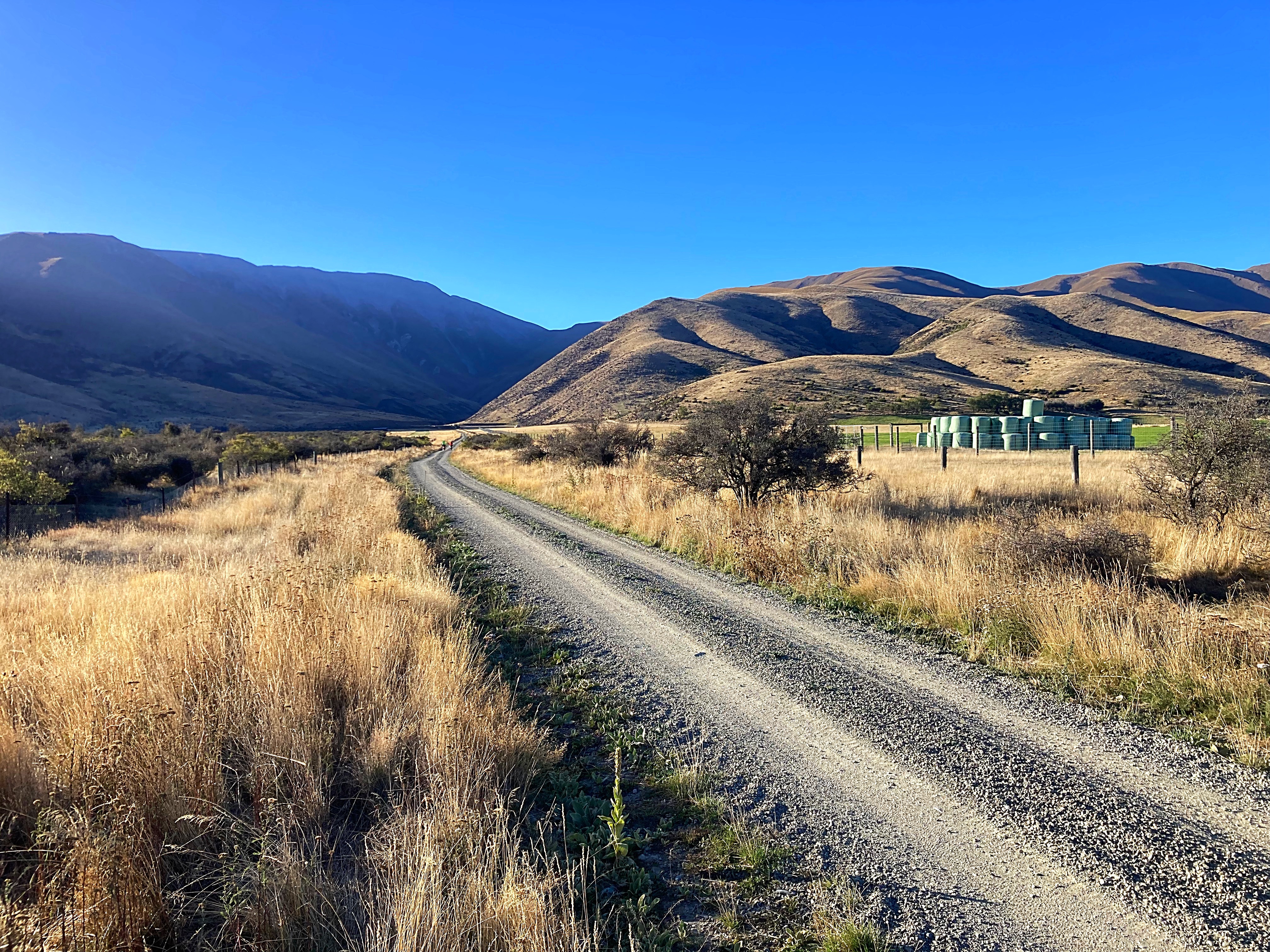
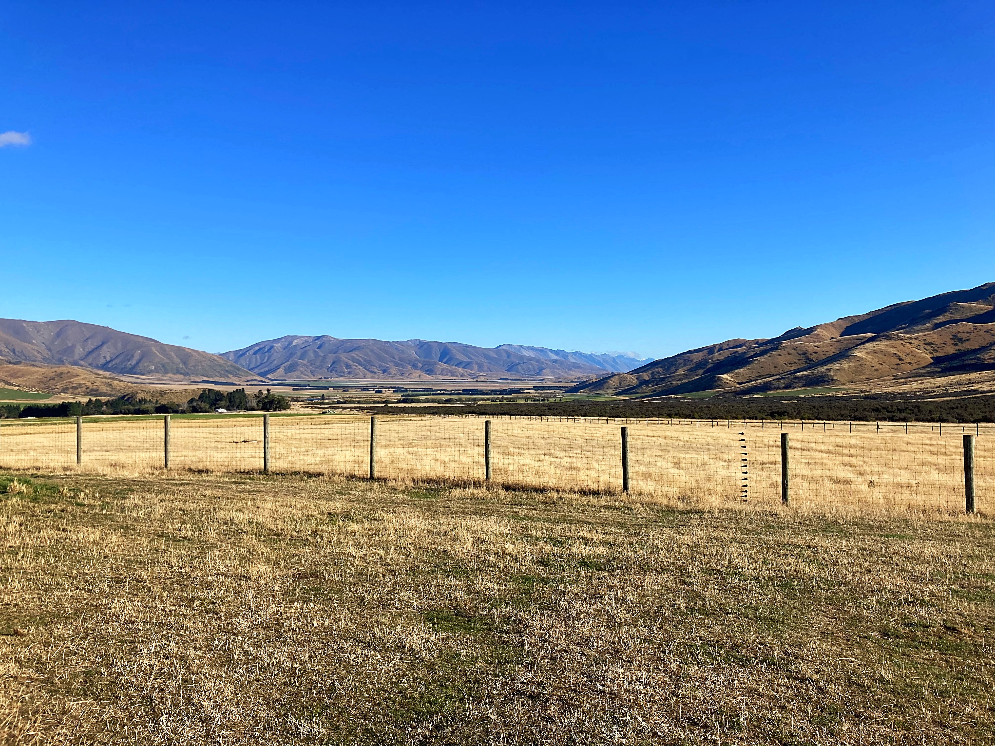
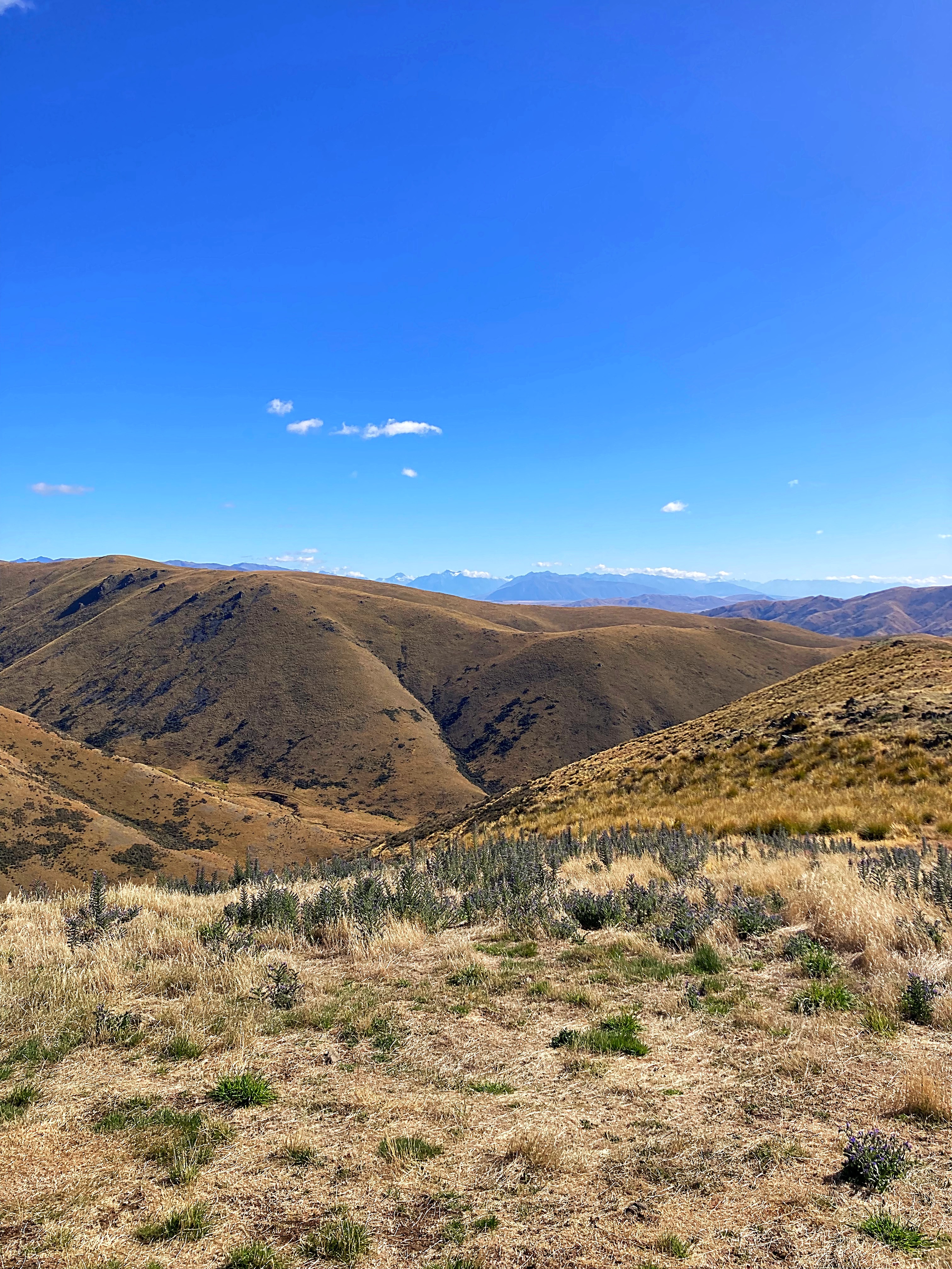
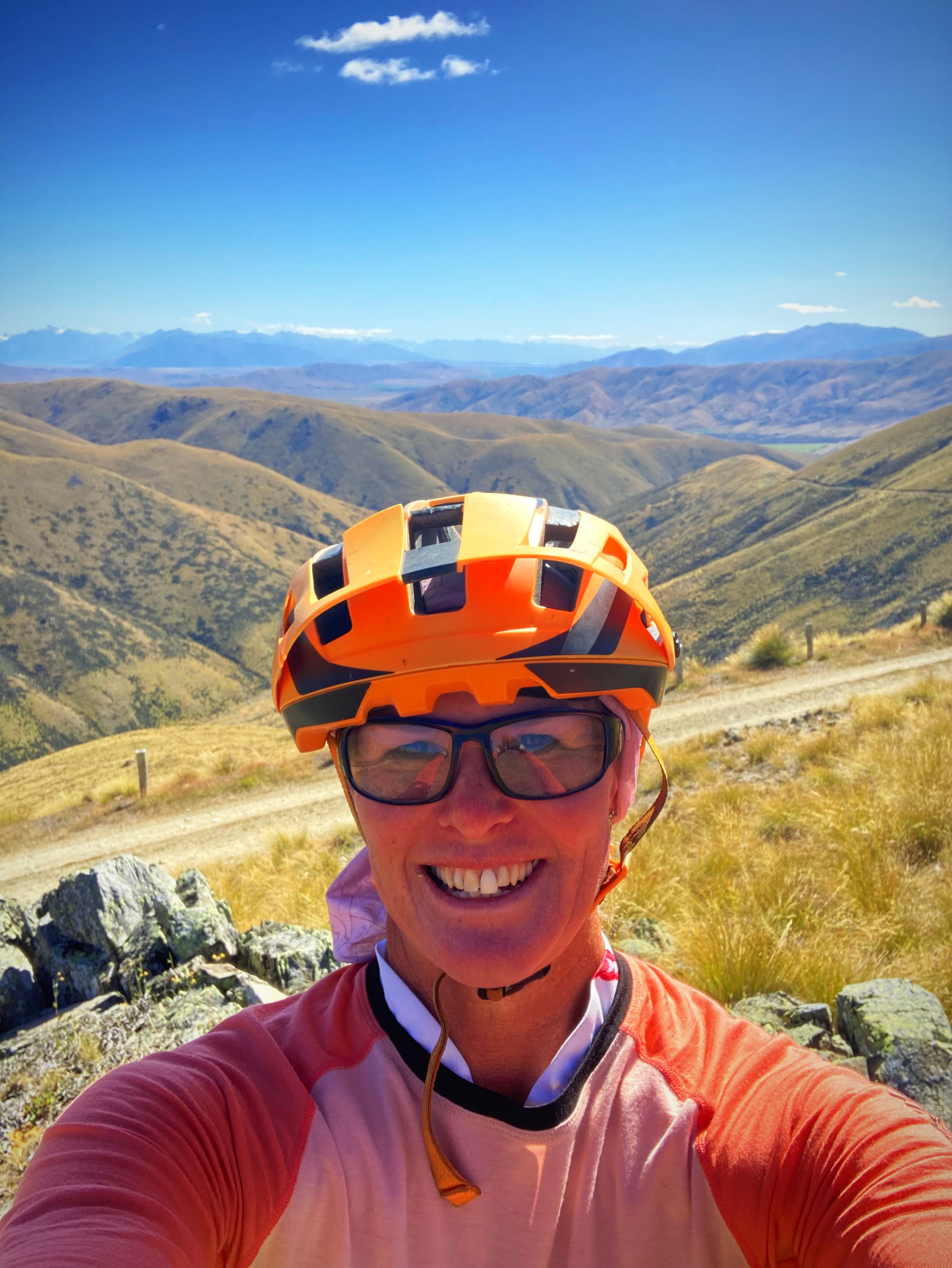
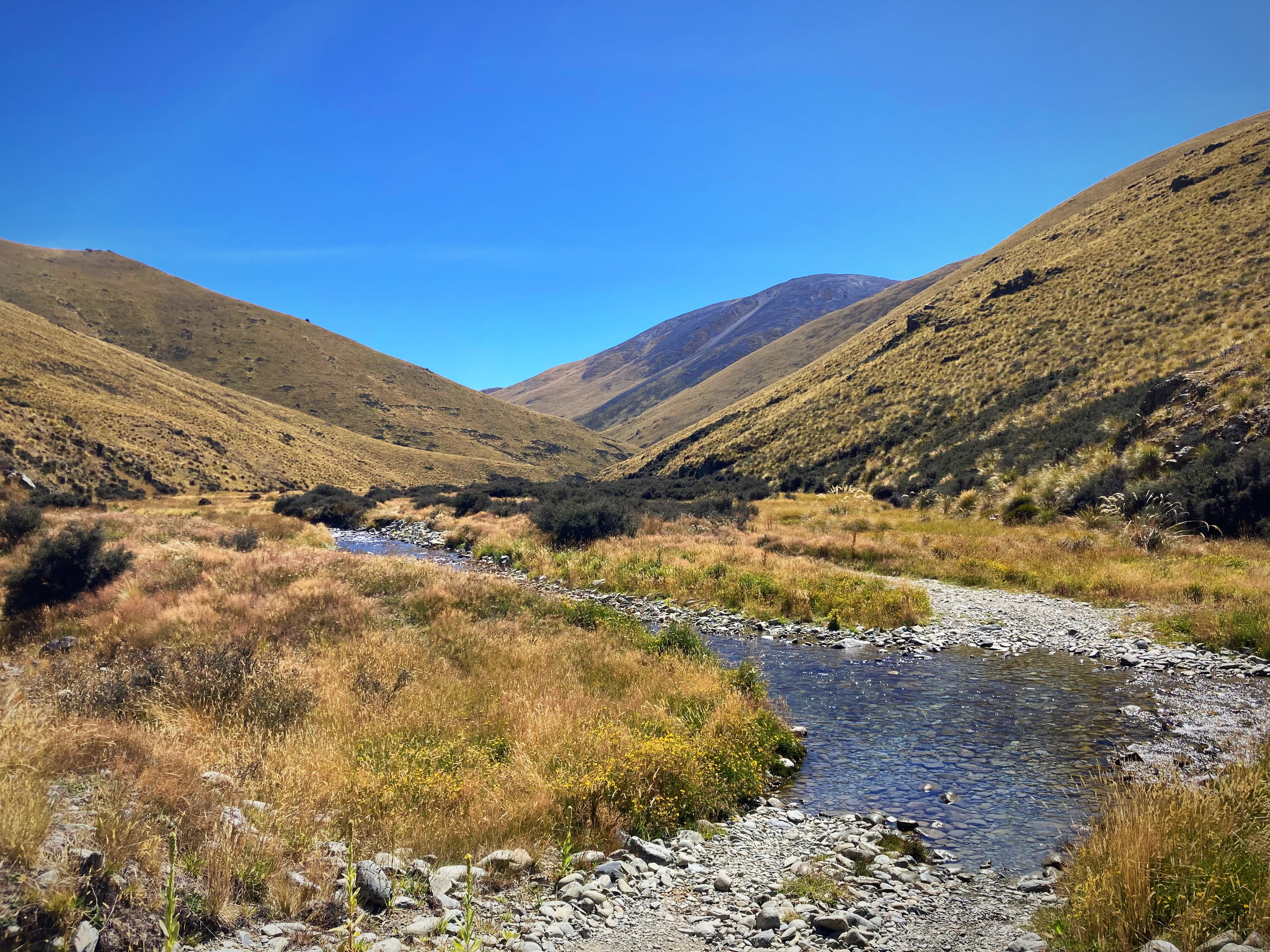
Once we left the track, we were on gravel roads all the way to Oturehua getting in at 5.45pm. Another big day out in big and remote country. Although it was challenging, it was a challenge I enjoyed. Doing it with like minded people who love a laugh also helps. Absolutely beautiful scenery and a pretty perfect day to do it – the winds had shifted from a nor wester yesterday to a southerly which was pretty mild.
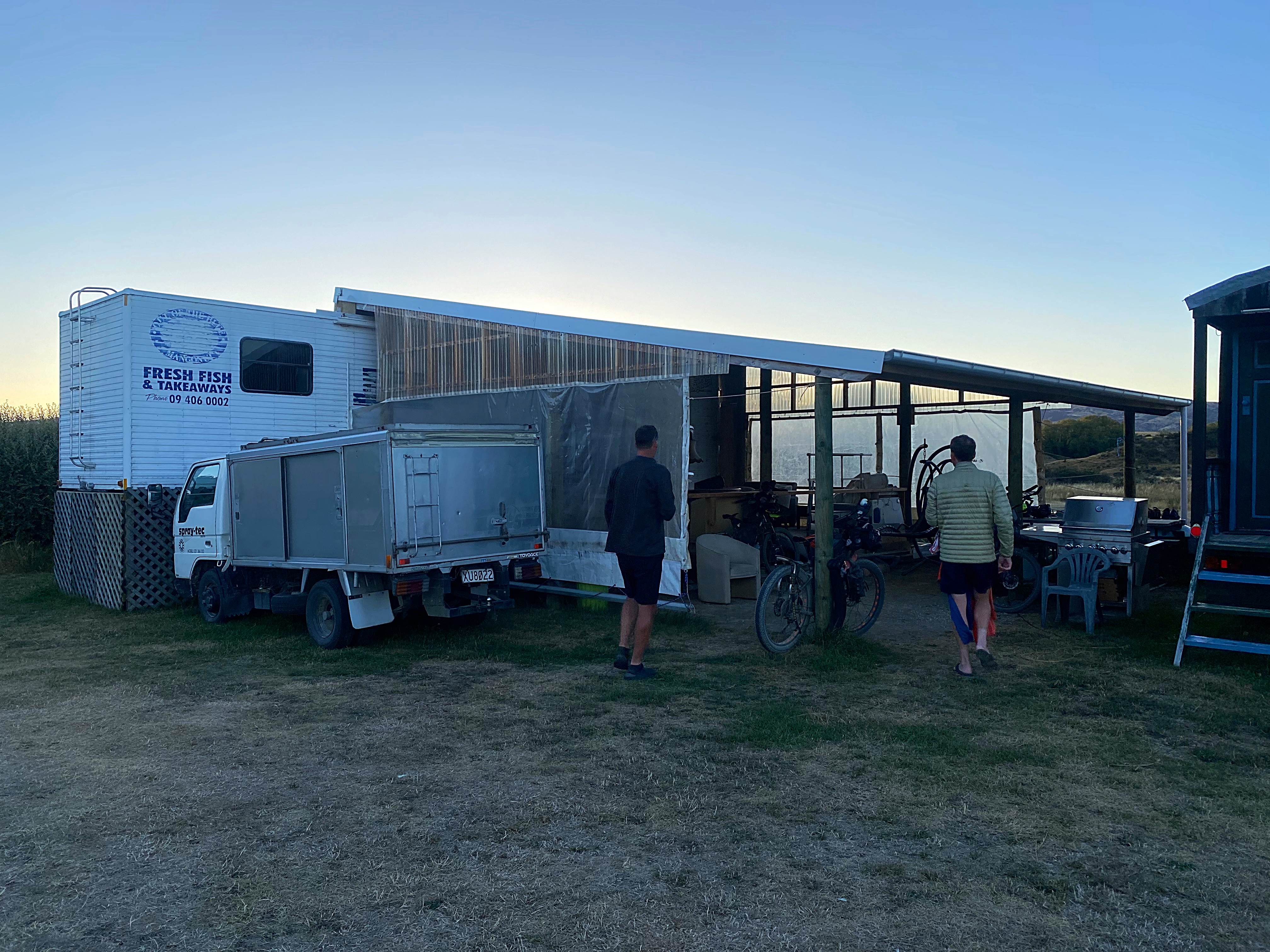
We’re staying at Crows Nest Accommodation in a converted transporter. Very quirky but it will do the trick.
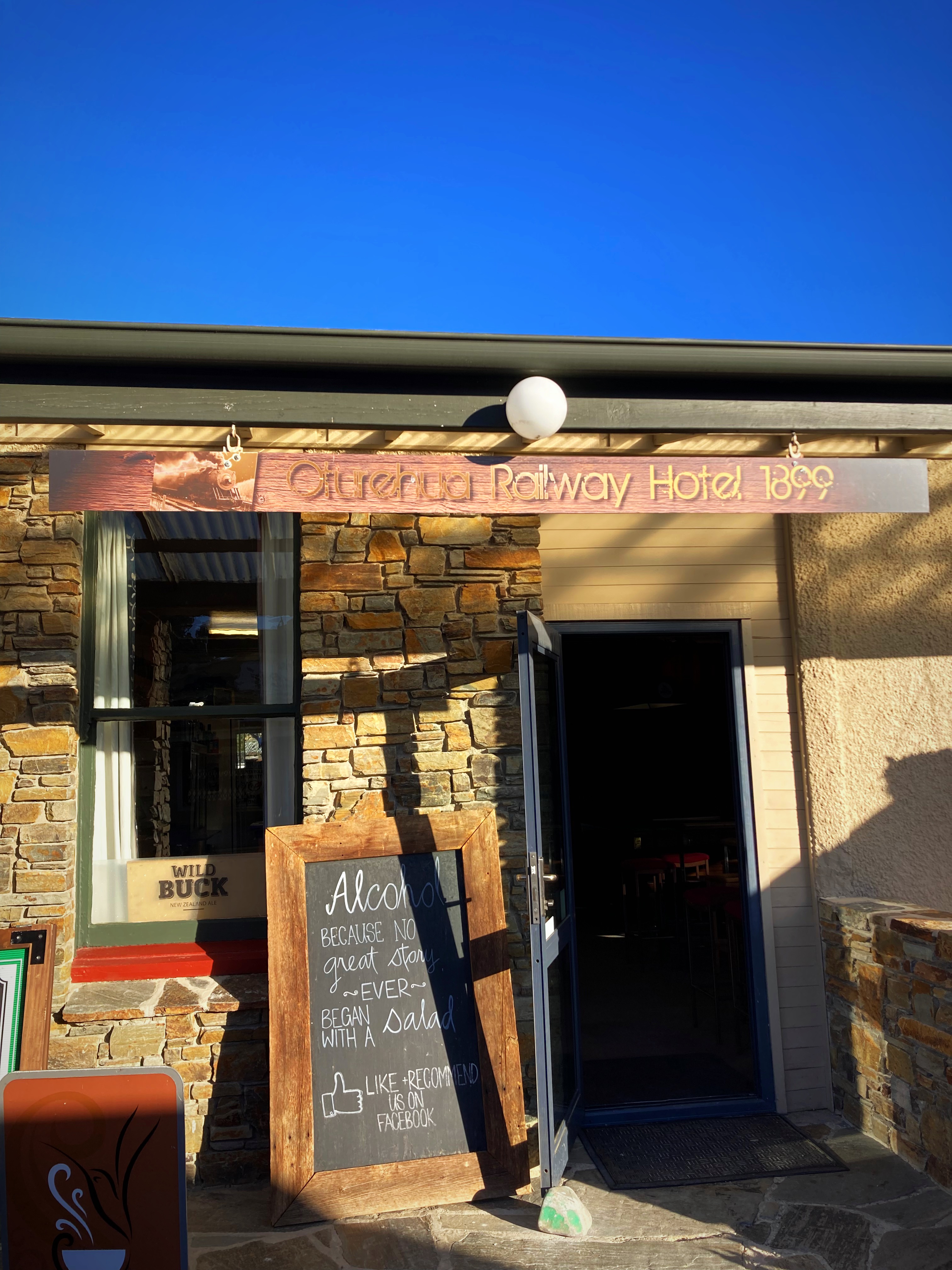
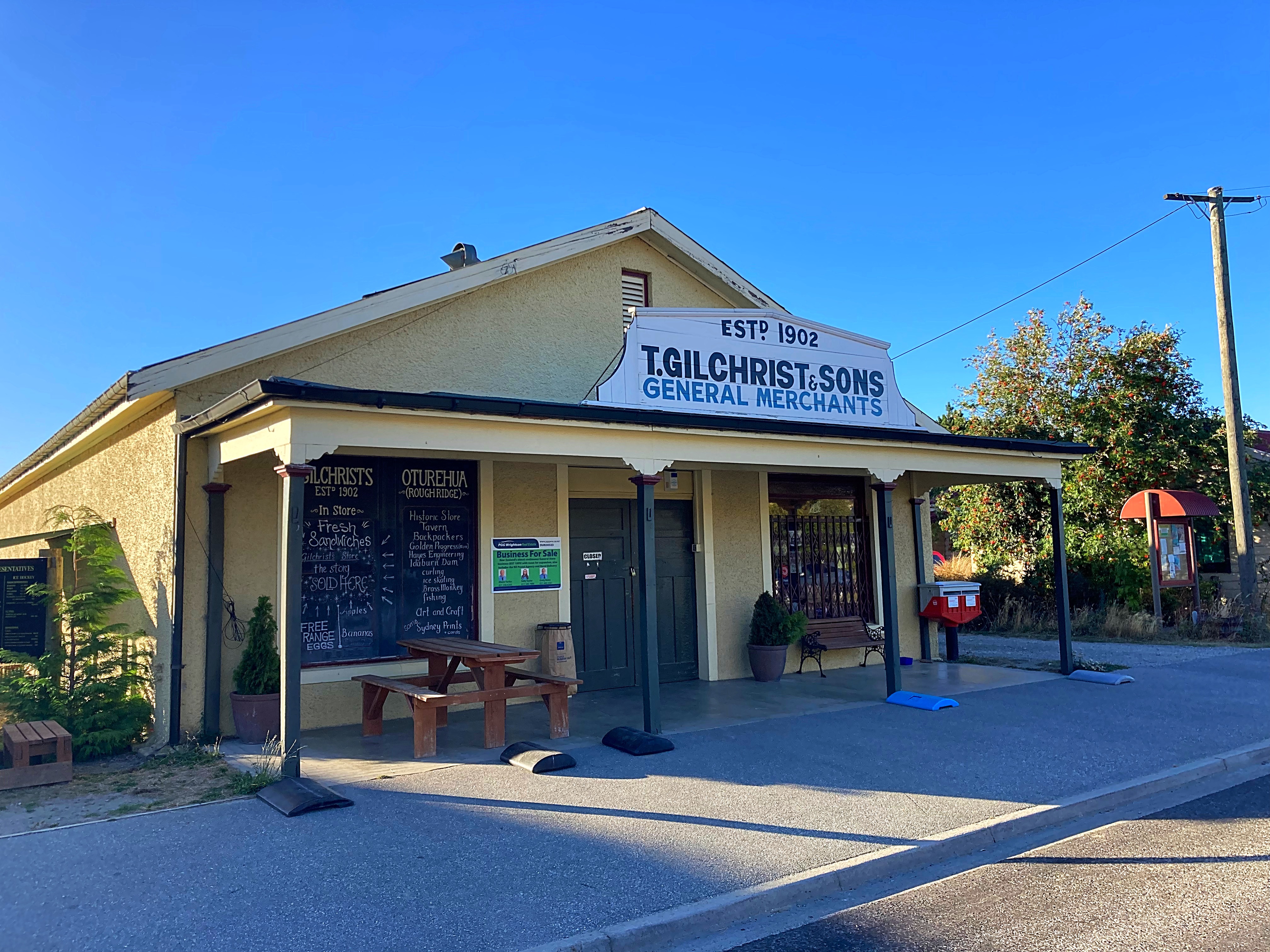
We had dinner at the Oturehua Railway Hotel which has been around since 1899. The food and hospitality were great. Just across the road is Gilchrists Store which is the longest running store in New Zealand.
21 February 2024
Day 10 – Oturehua to Cromwell113km 715 metres climbed
Another freezing start to the day with a 2 degree temperature dropping to minus 1. Everything was numb but once we got into the sunshine things did improve slightly.
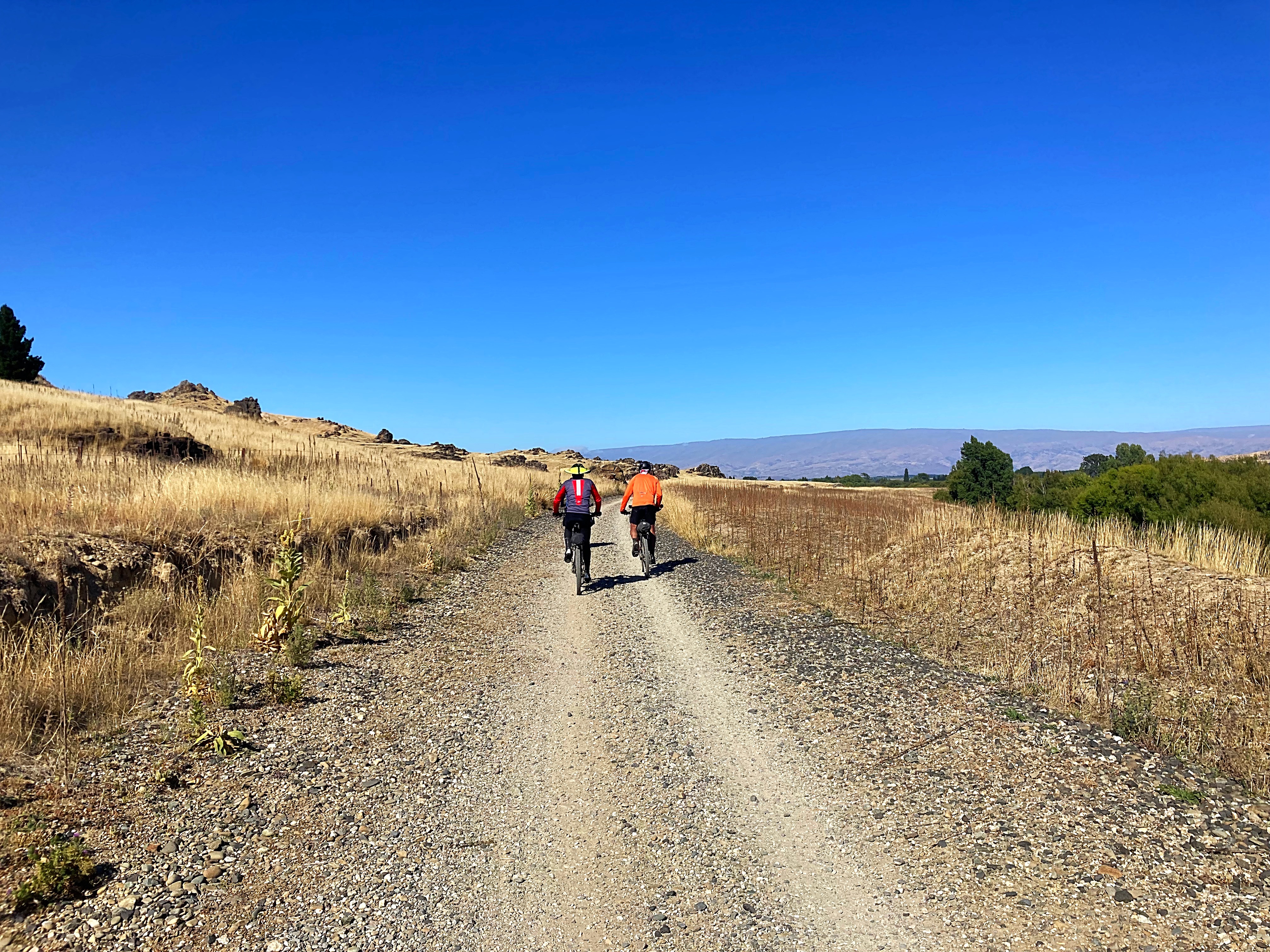
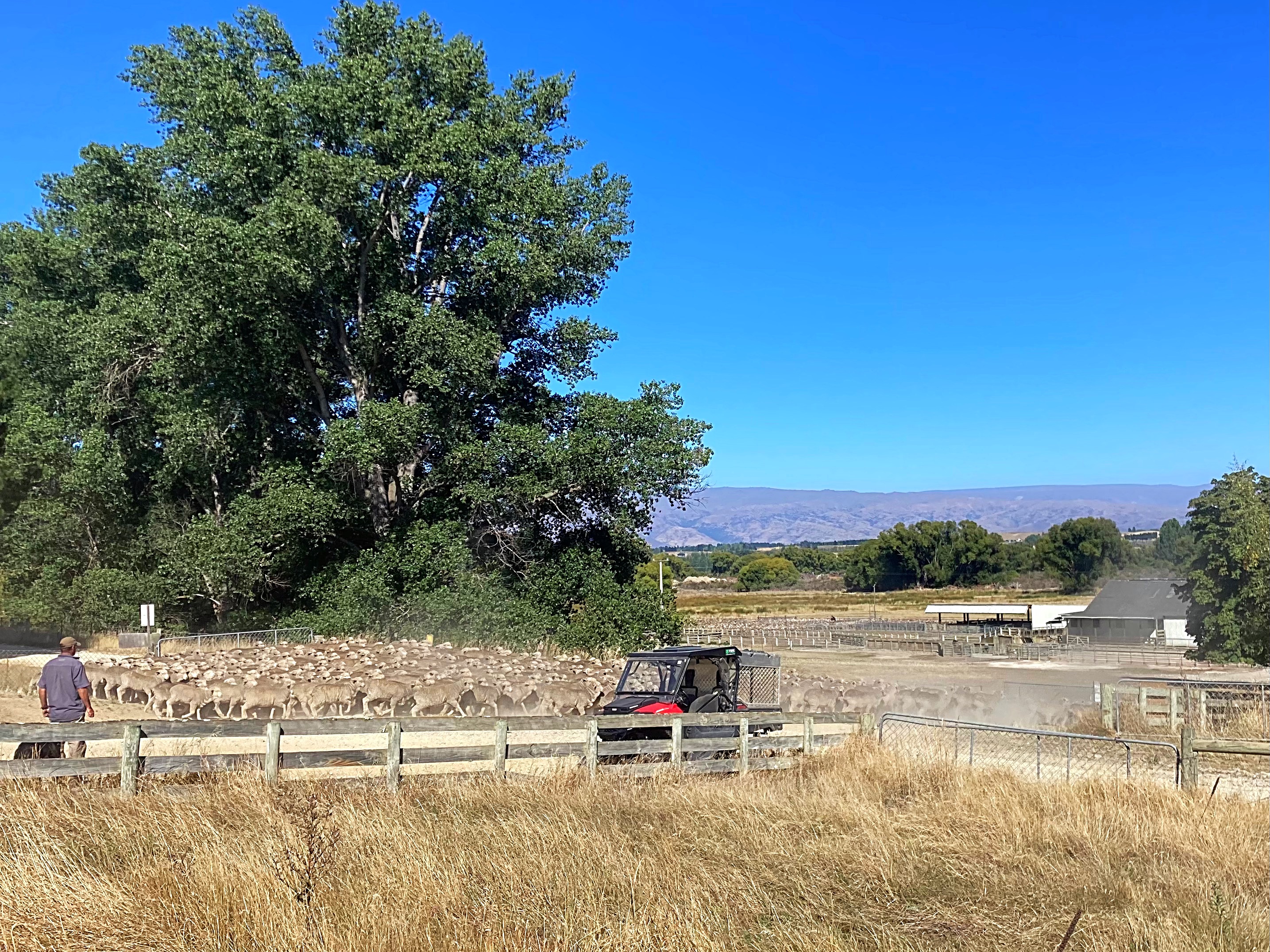
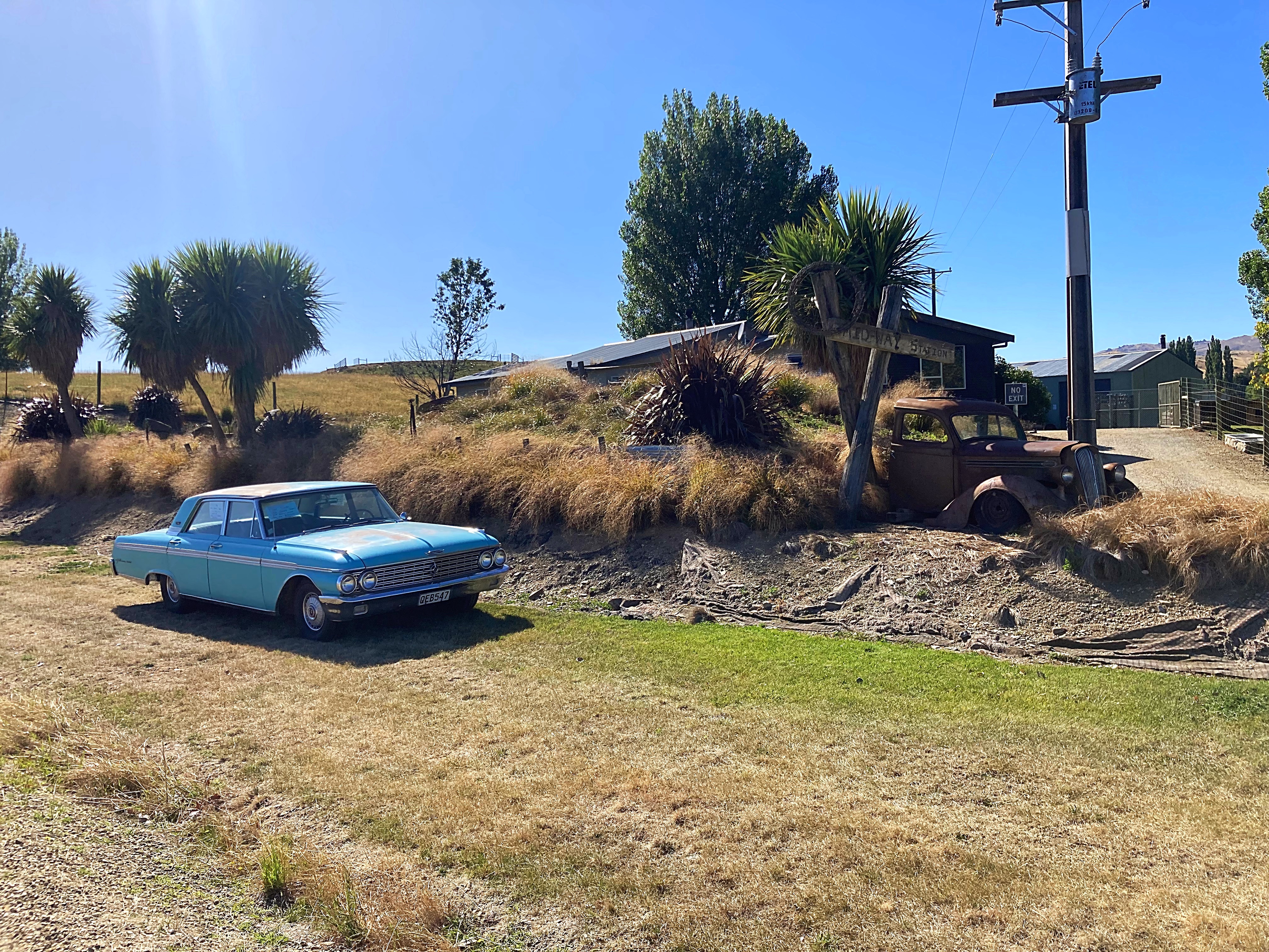
The first 60 kilometres of today’s ride was along the Central Otago Rail Trail (CORT) from Oturehua to Alexandra. The CORT bike trail was the inaugural bike trail in NZ and is iconic, showcasing the beautiful central Otago scenery.
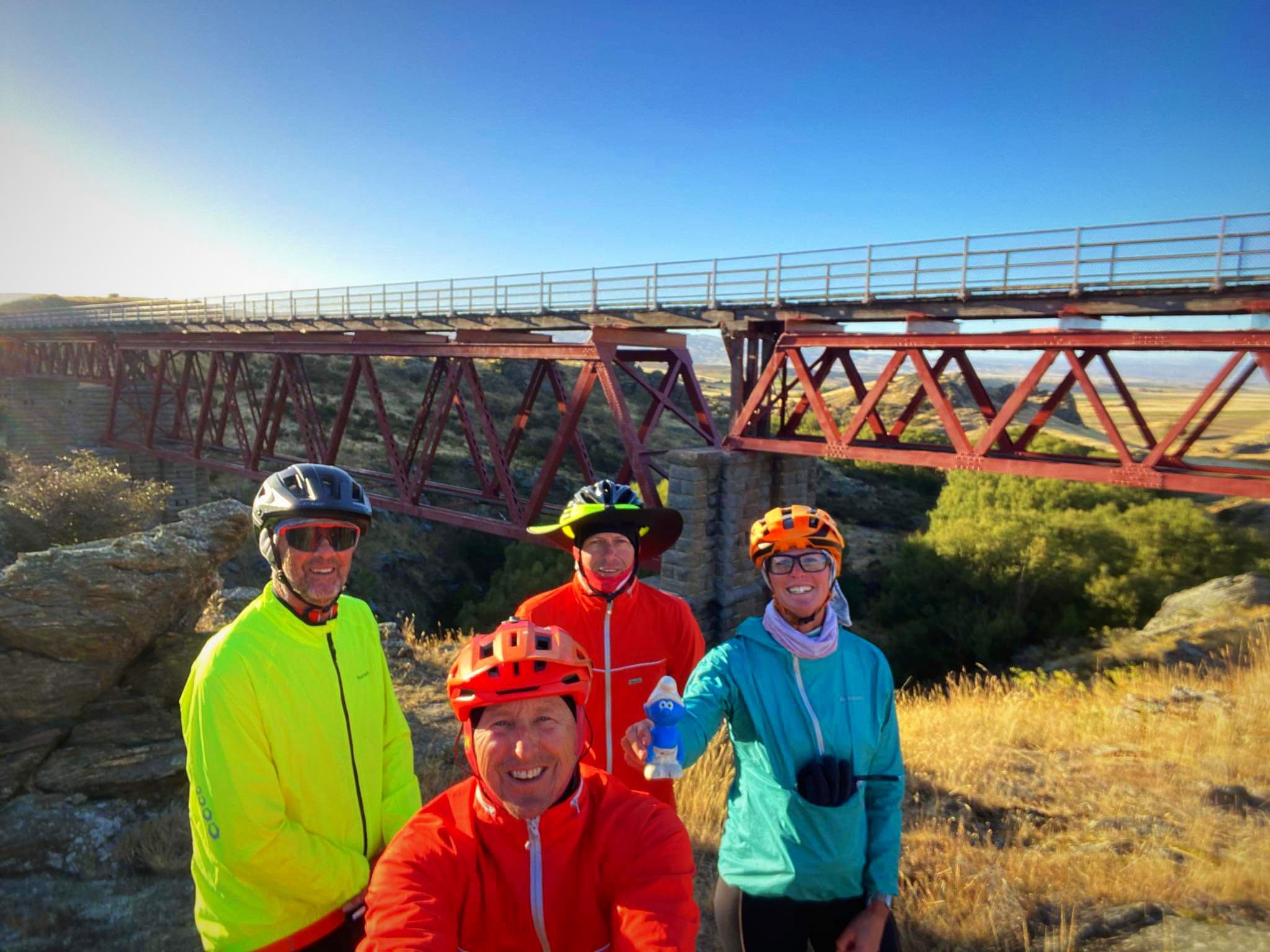
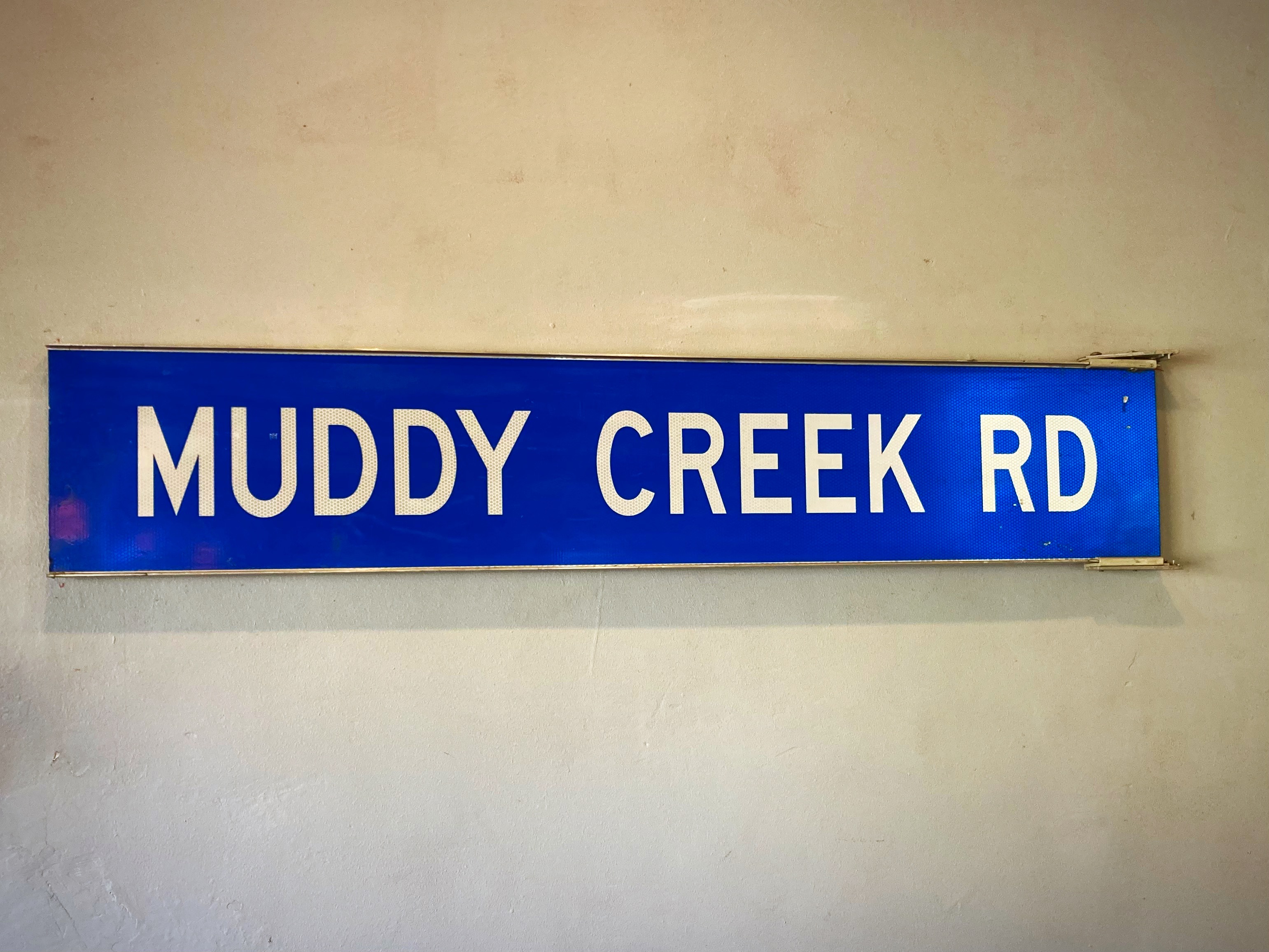
We stopped in Omakau for our second breakfast at the Muddy Creek cafe – amazing what a good coffee can do. Onwards to Alexandra where we enjoyed our second coffee of the day.
Unfortunately, we left Crammers in Alexandra to be evacuated out by his friend Paul. He’s running on one cylinder which is not ideal when you’re heading into remote locations. Lambers & Crammers / Dilly & Dally are taking a temporary hiatus.
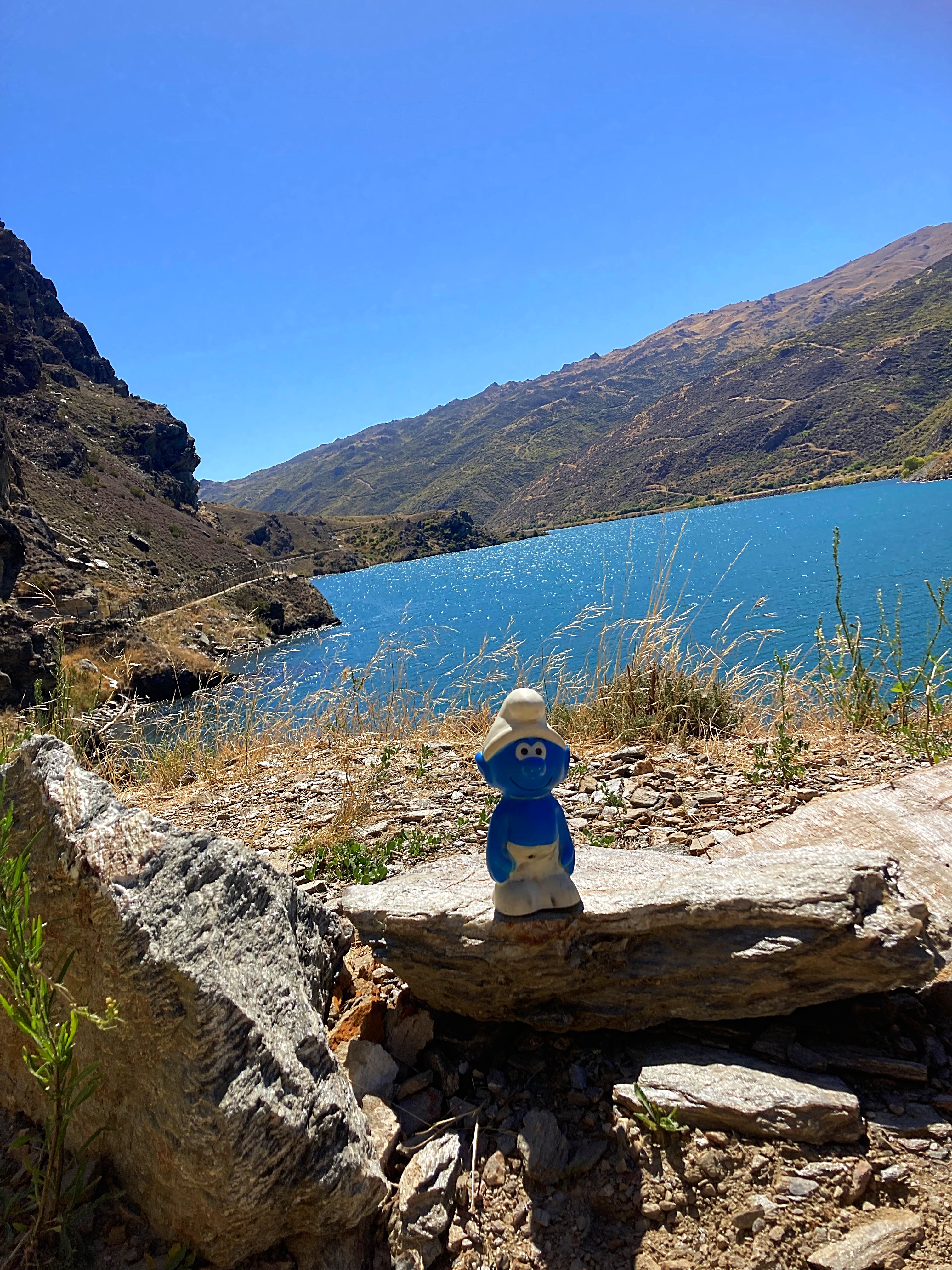
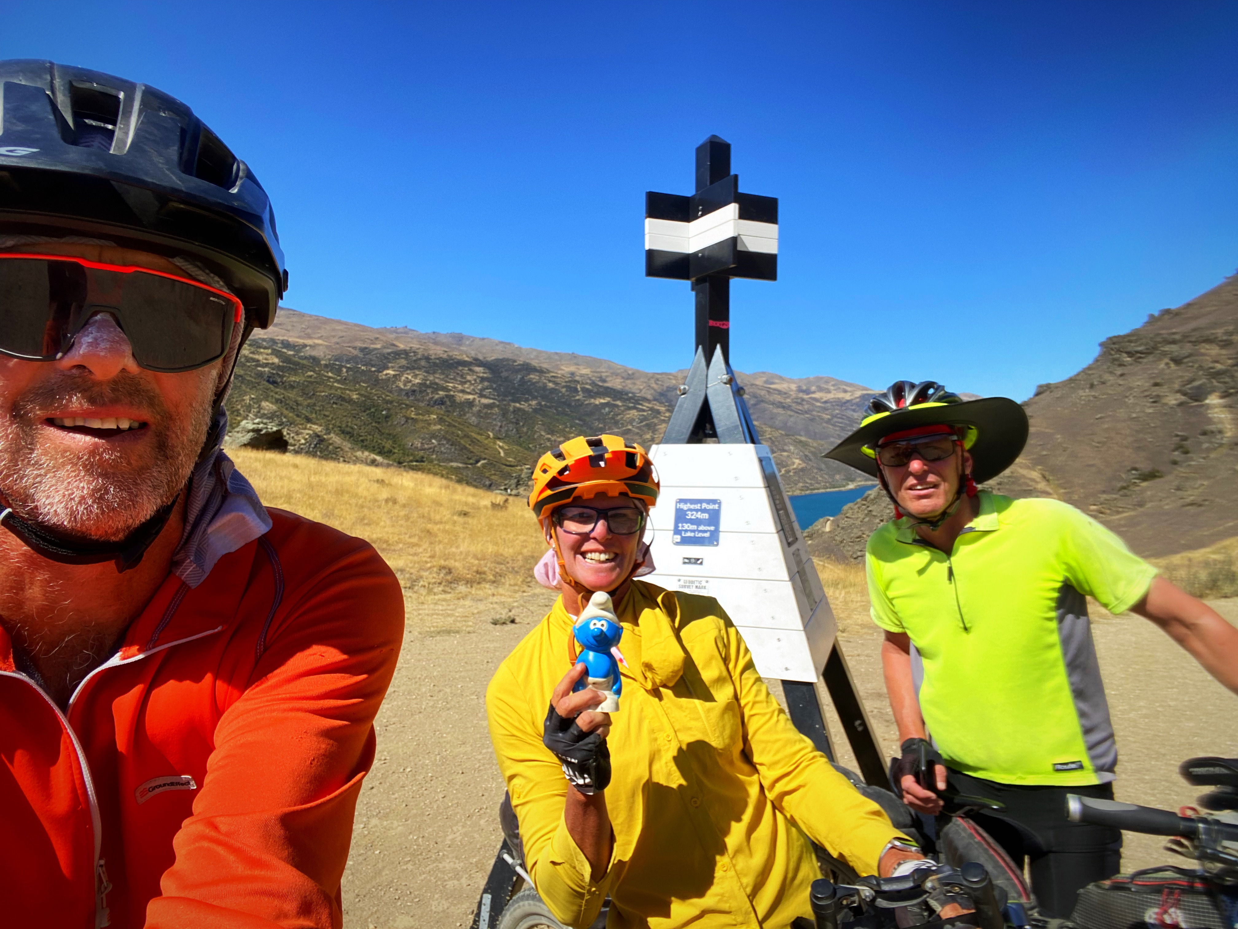
Smurfy is carrying on the journey though on my handlebars now. He survived his couple of photo shoots today and is safely tucked up in my helmet for the night 
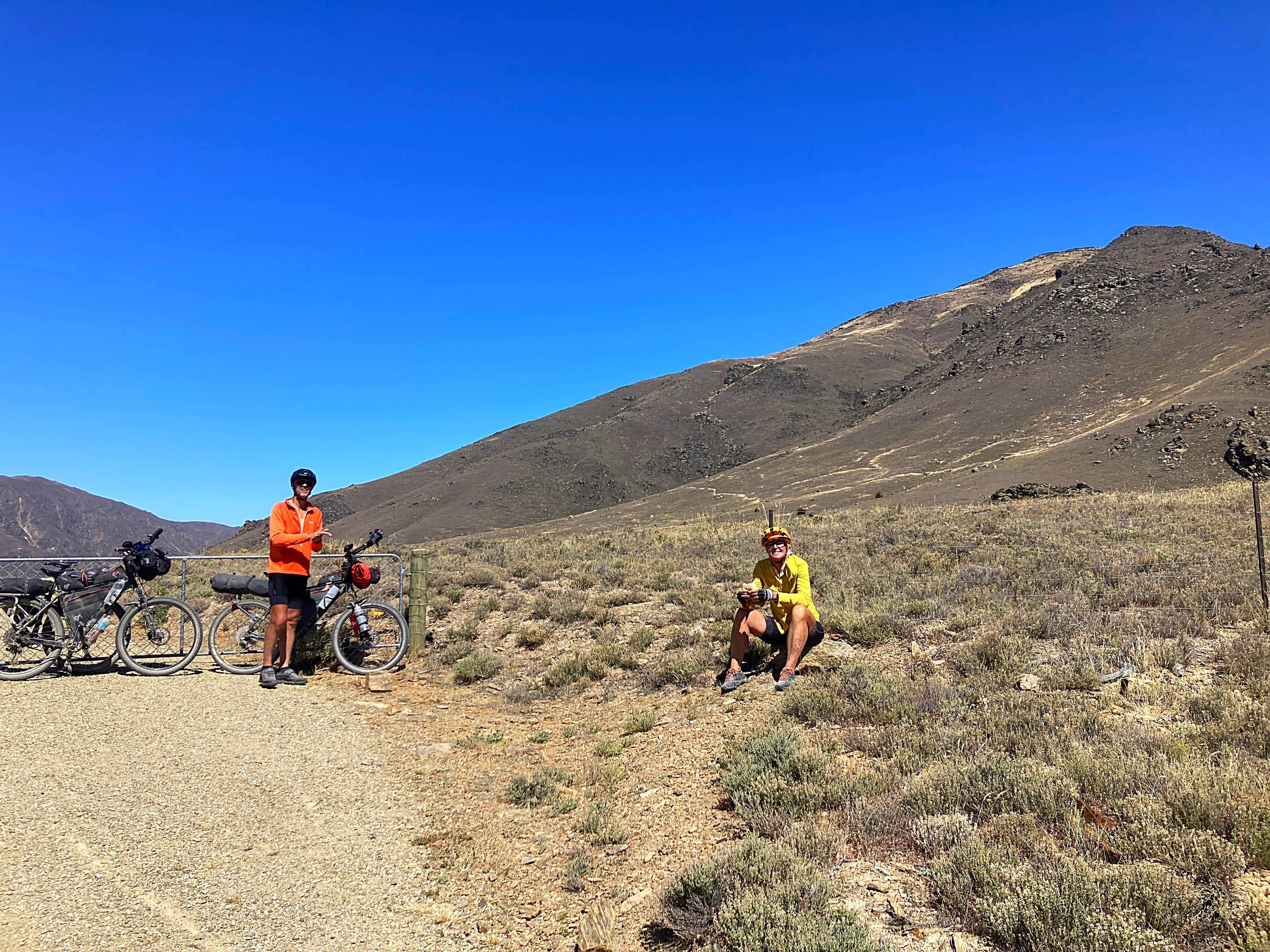
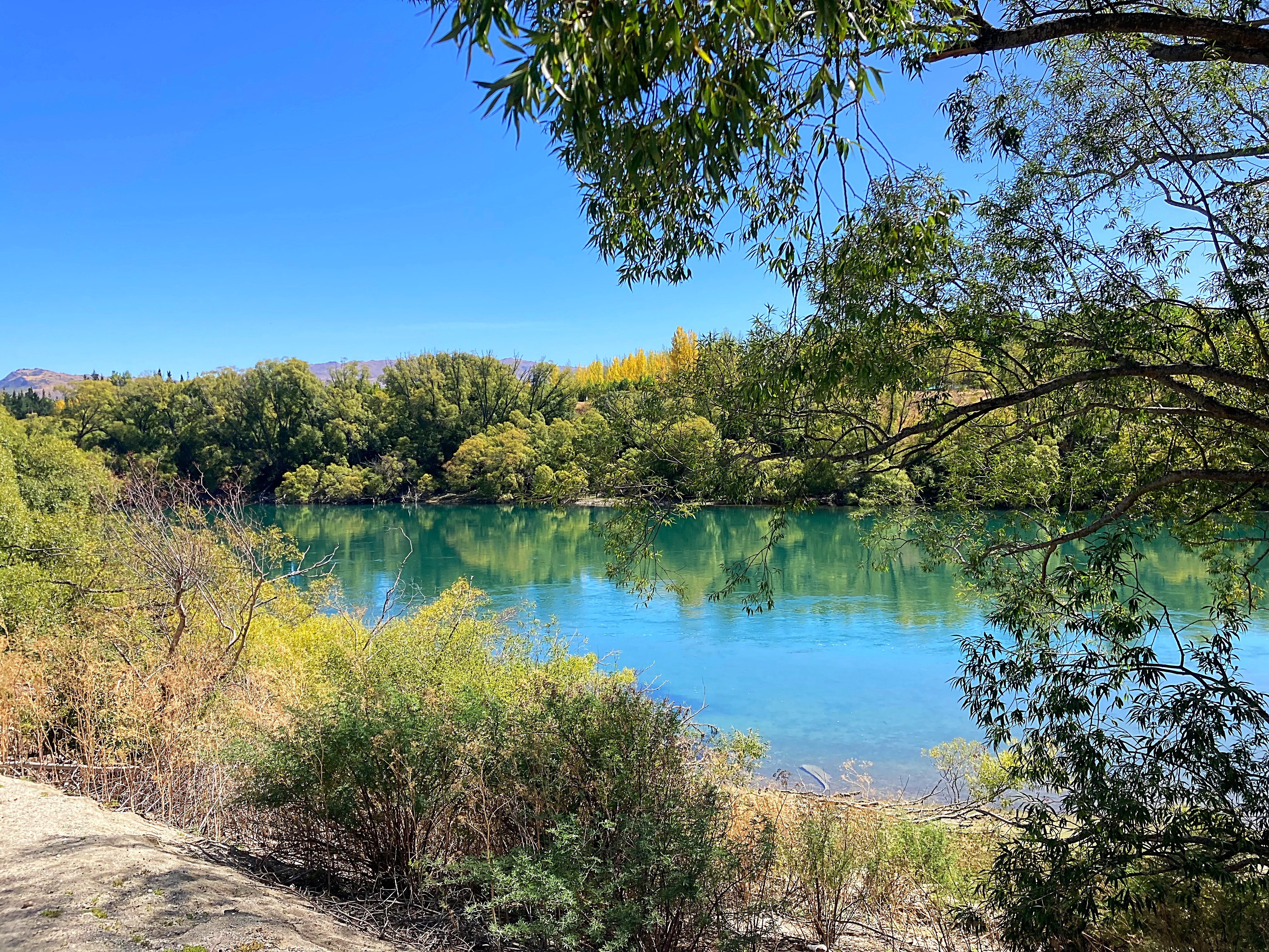
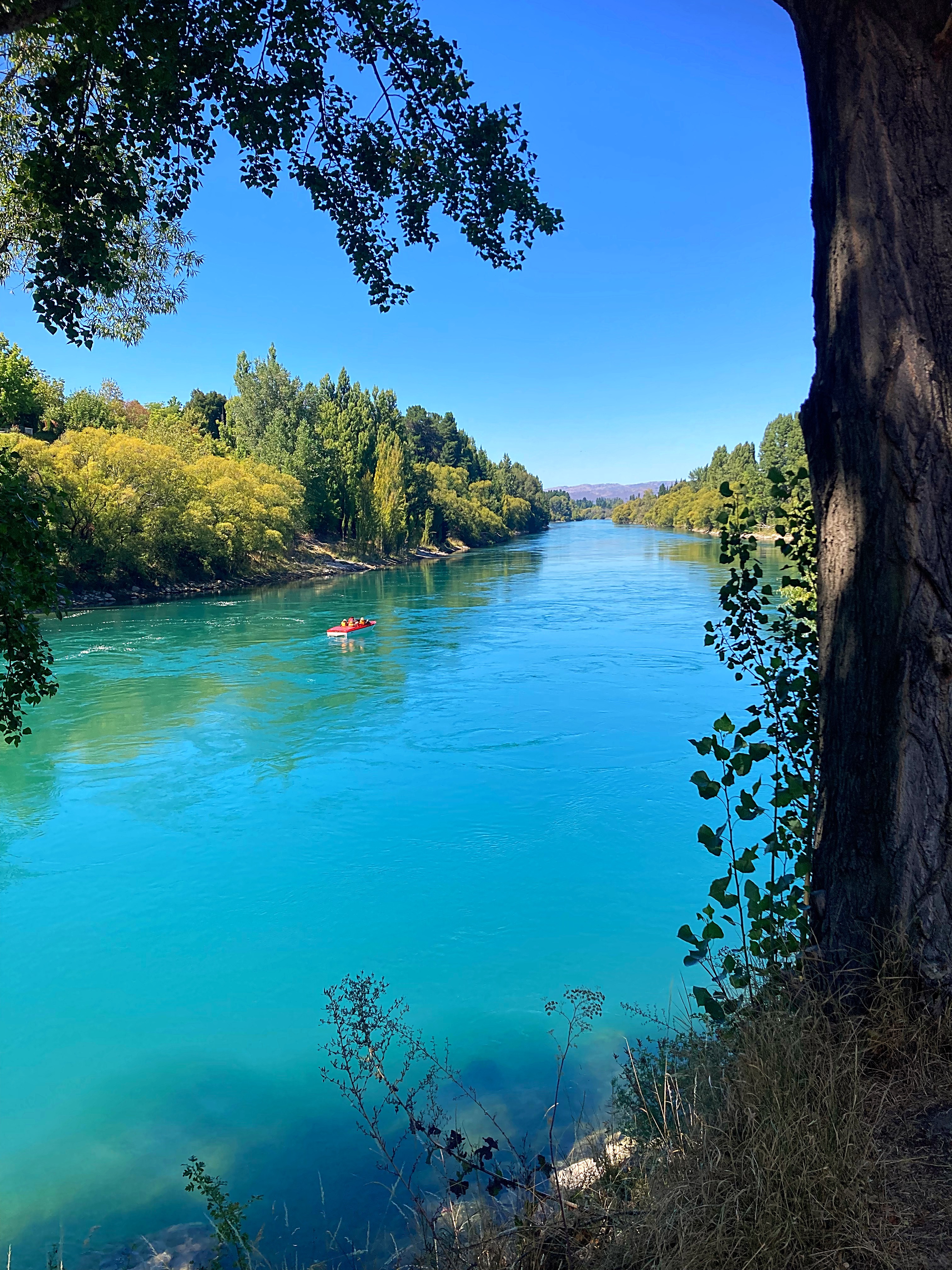
Then there were three . Next up was the River Trail between Alexandra and Clyde – one of my favorite short rides. We seriously had the most perfect day weatherwise  .
.
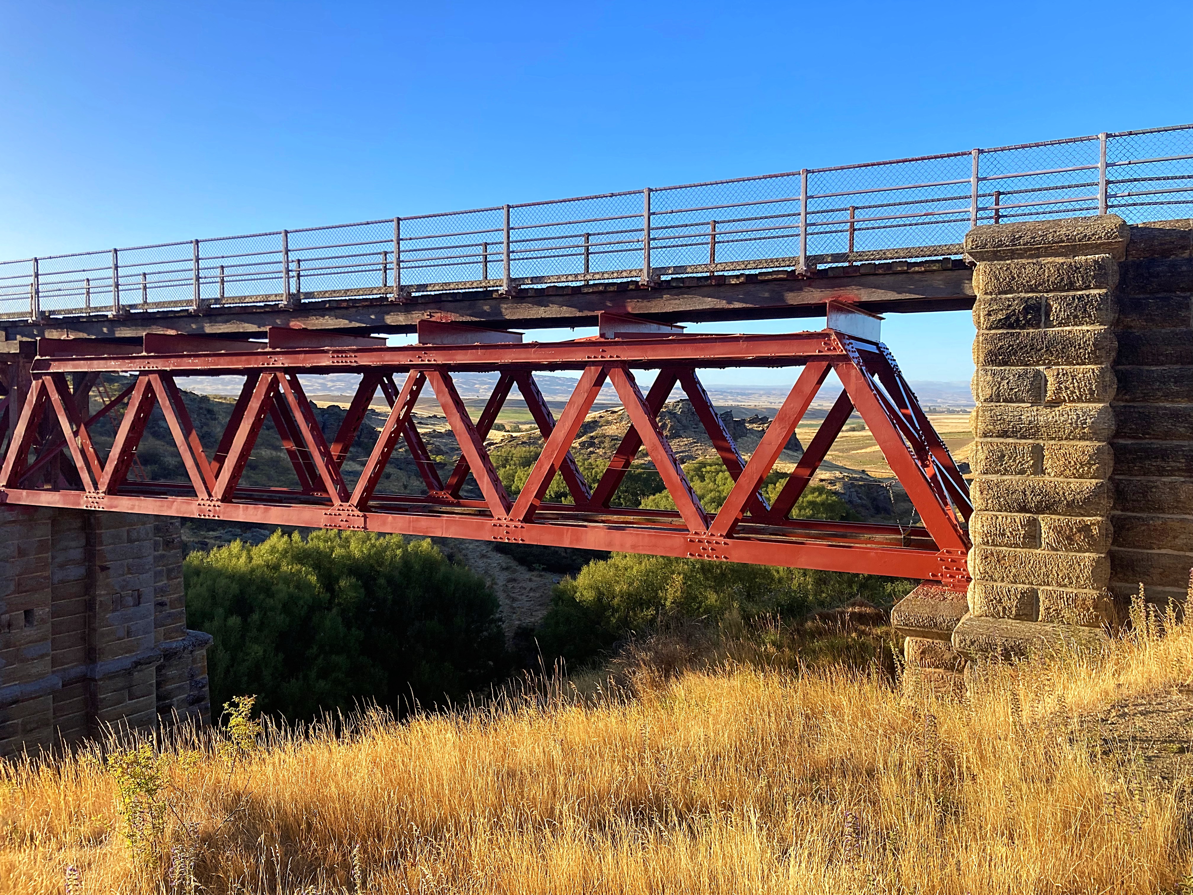
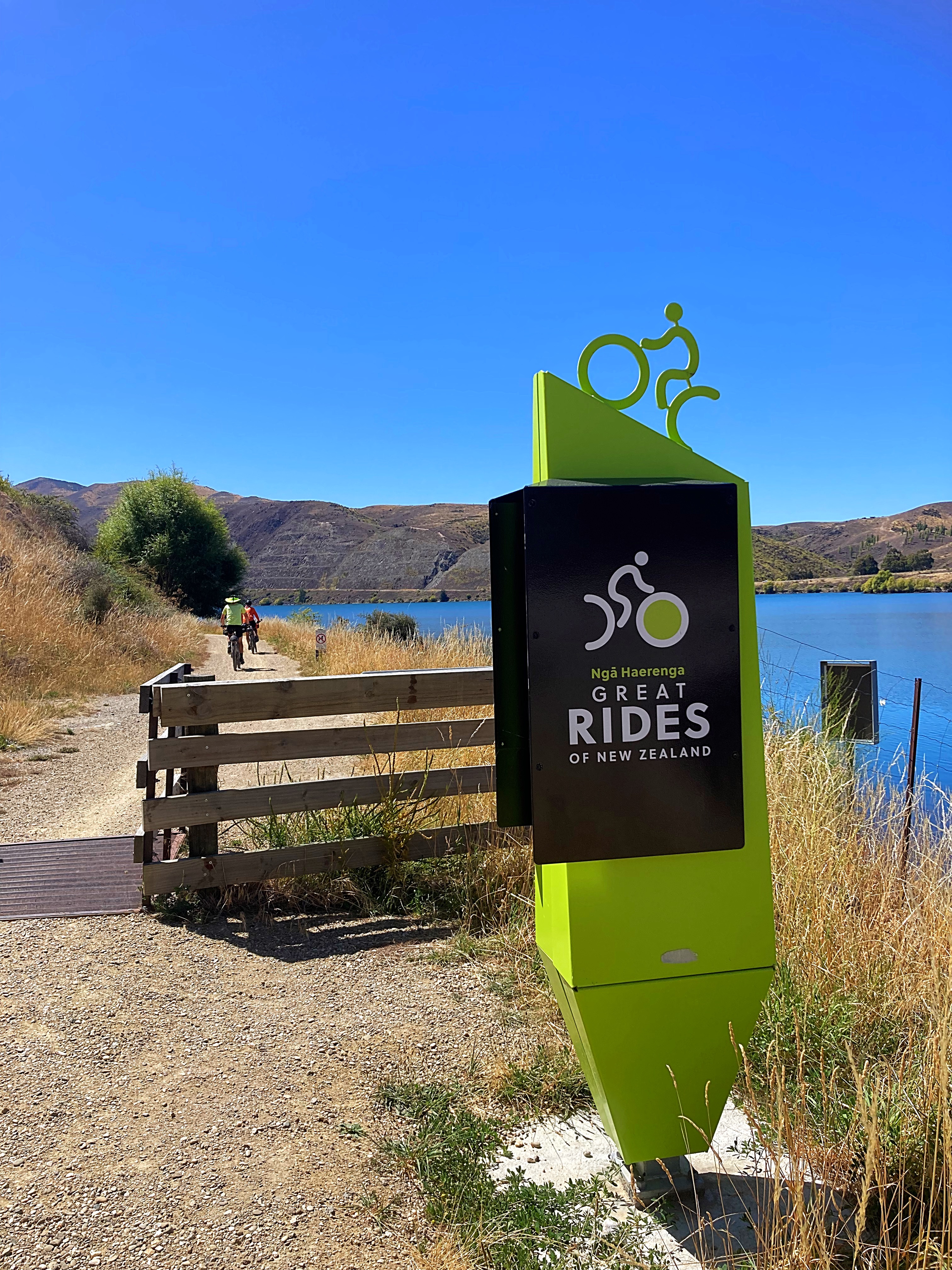
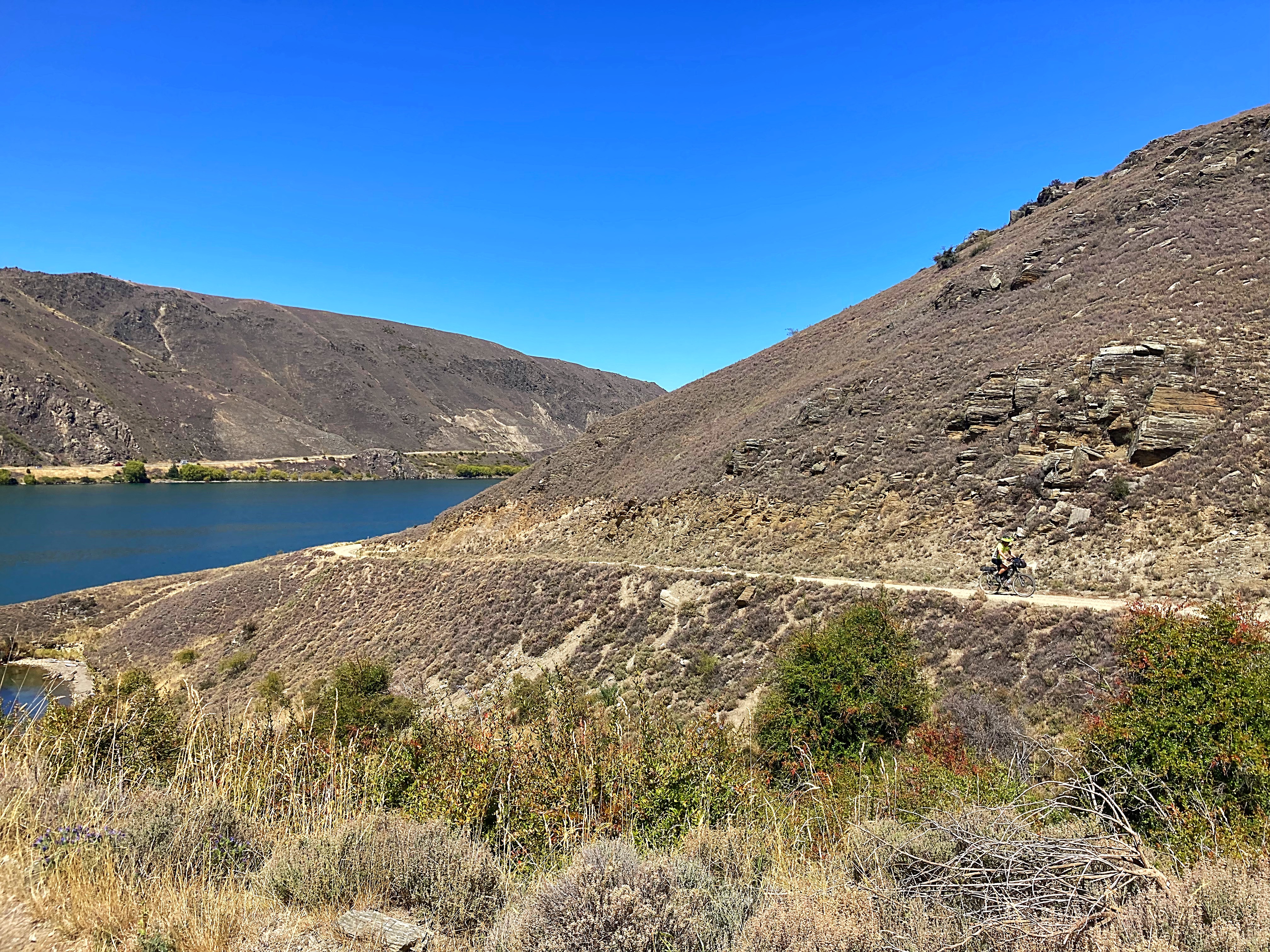
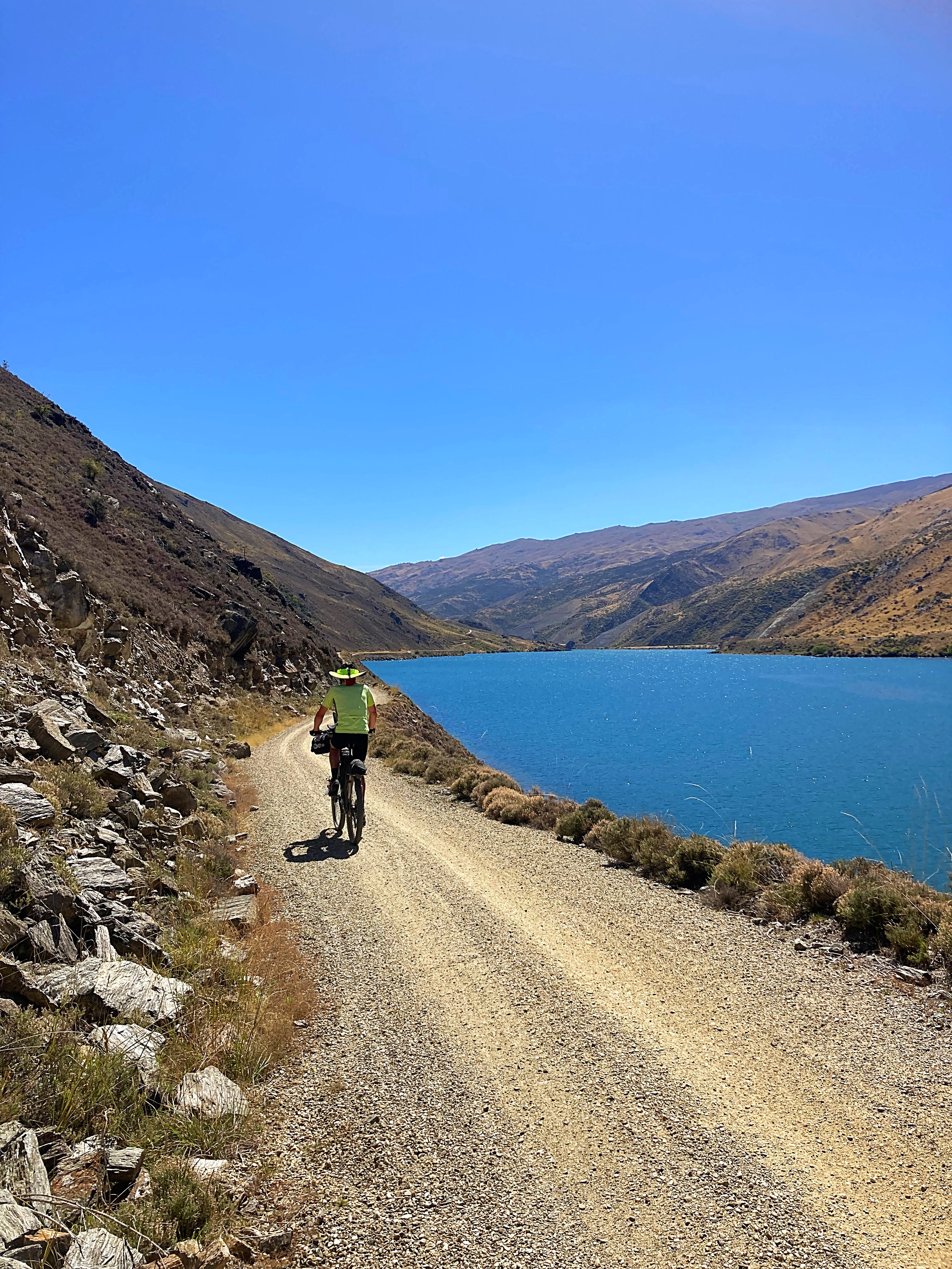
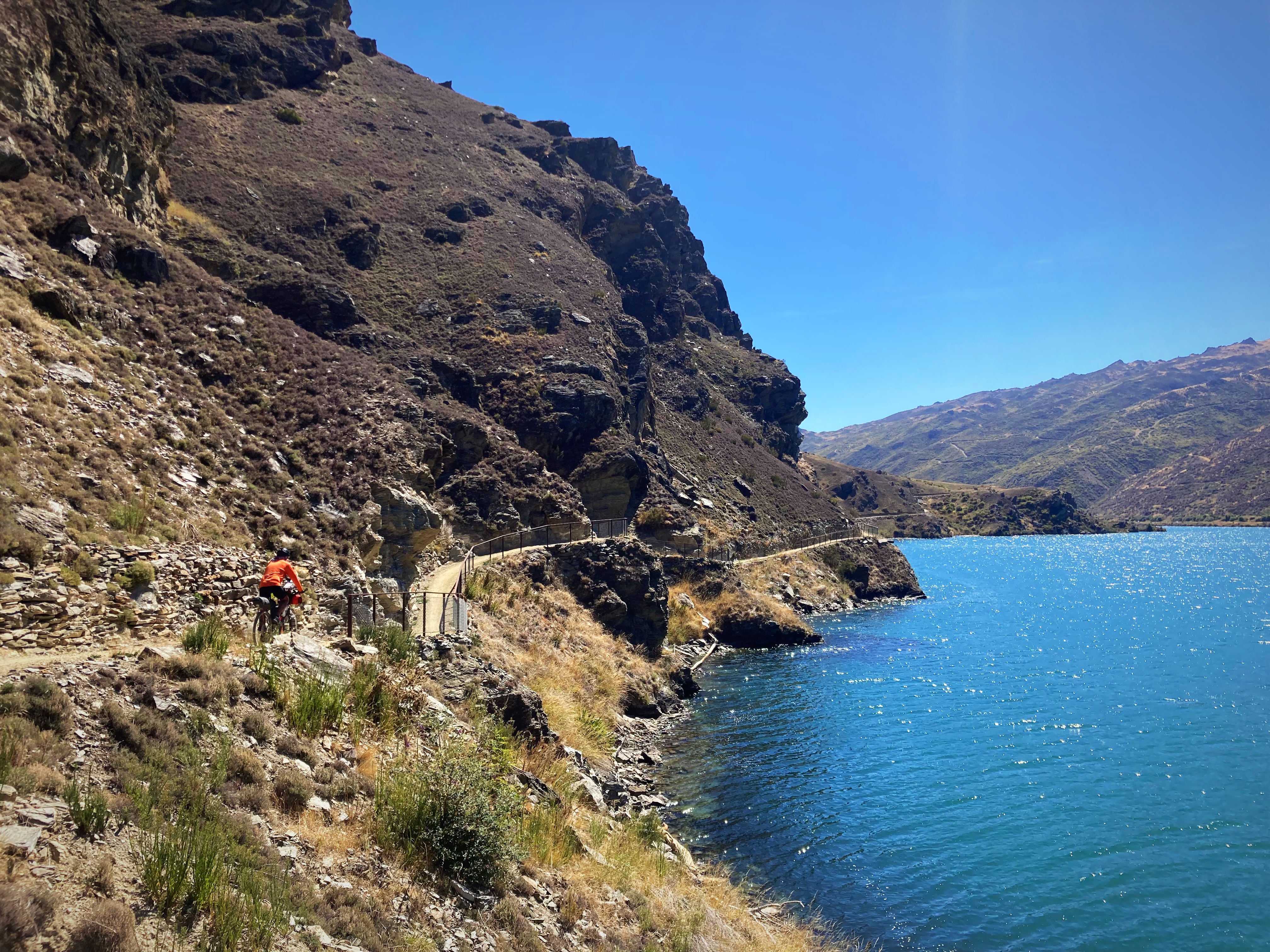
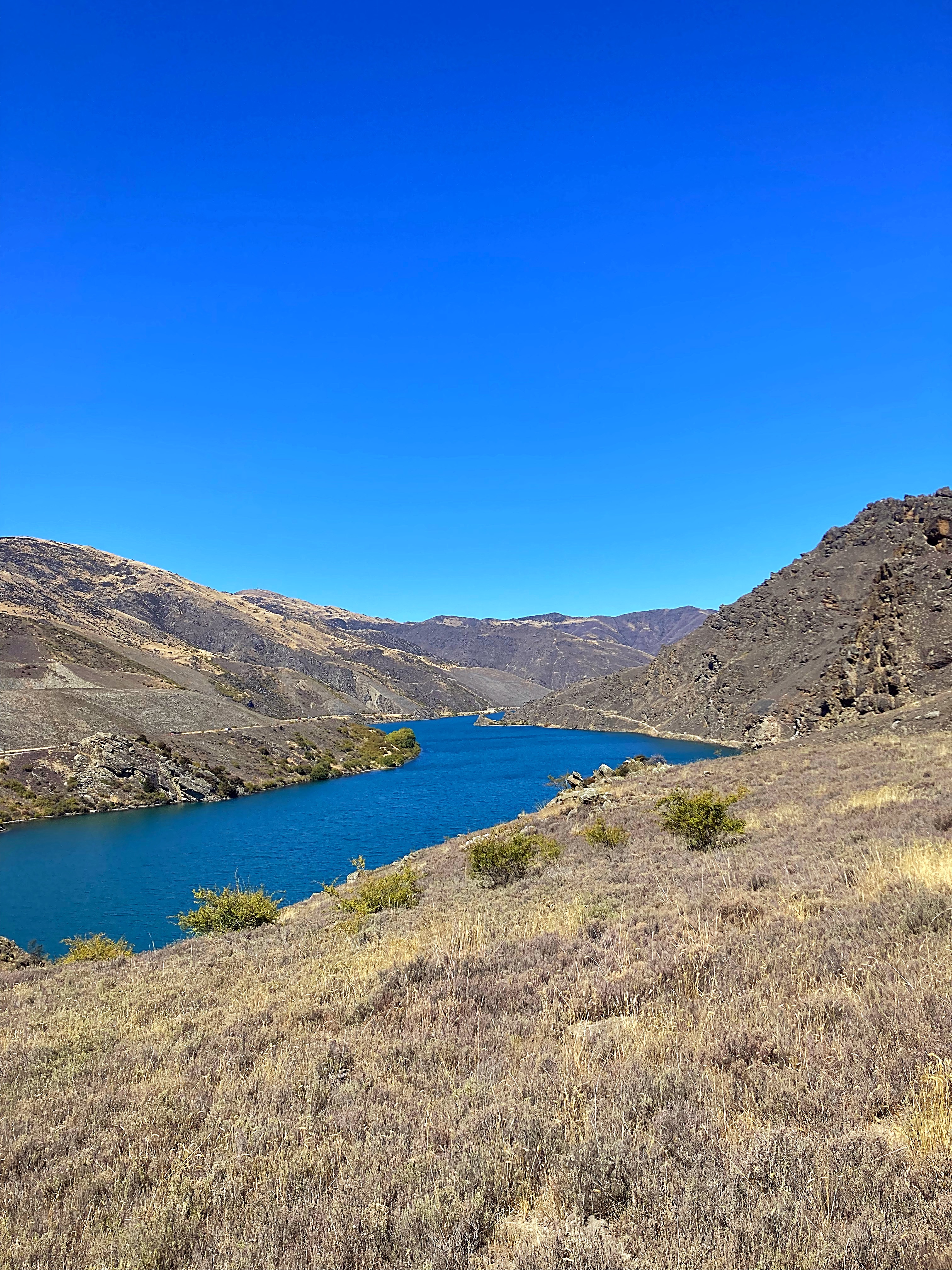
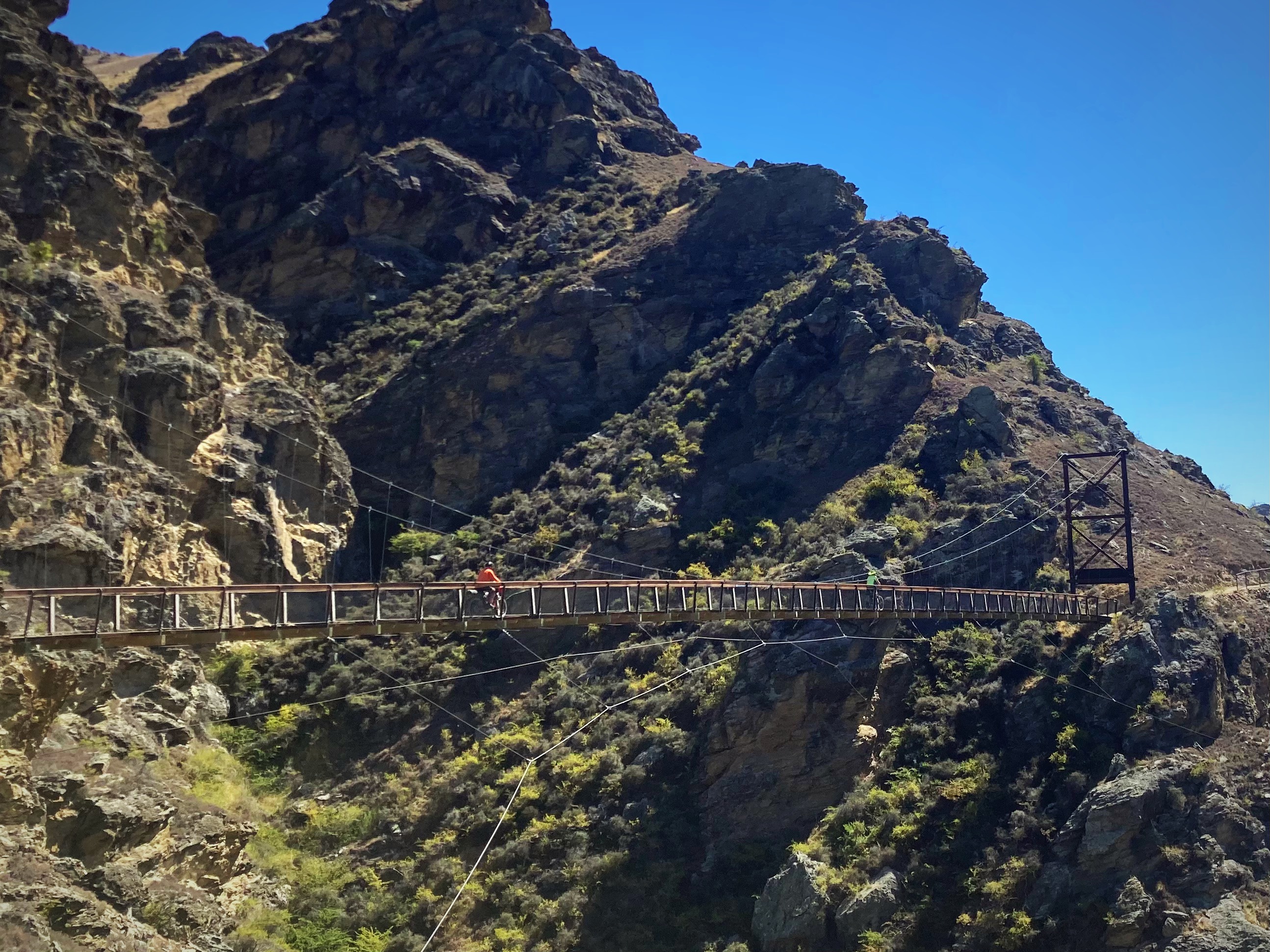
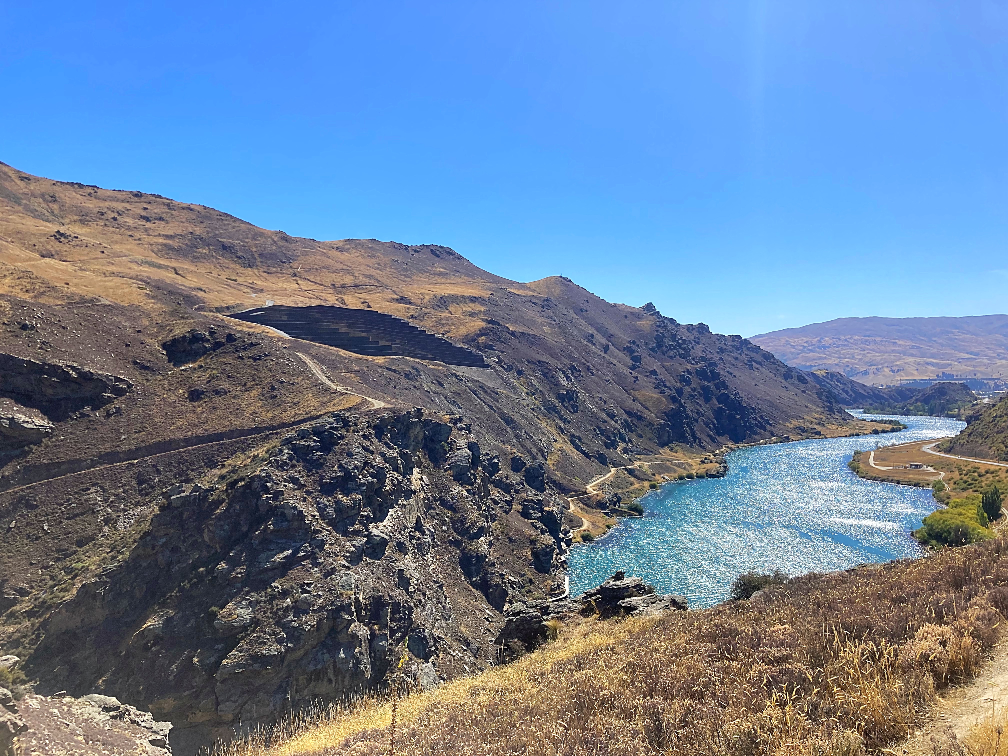
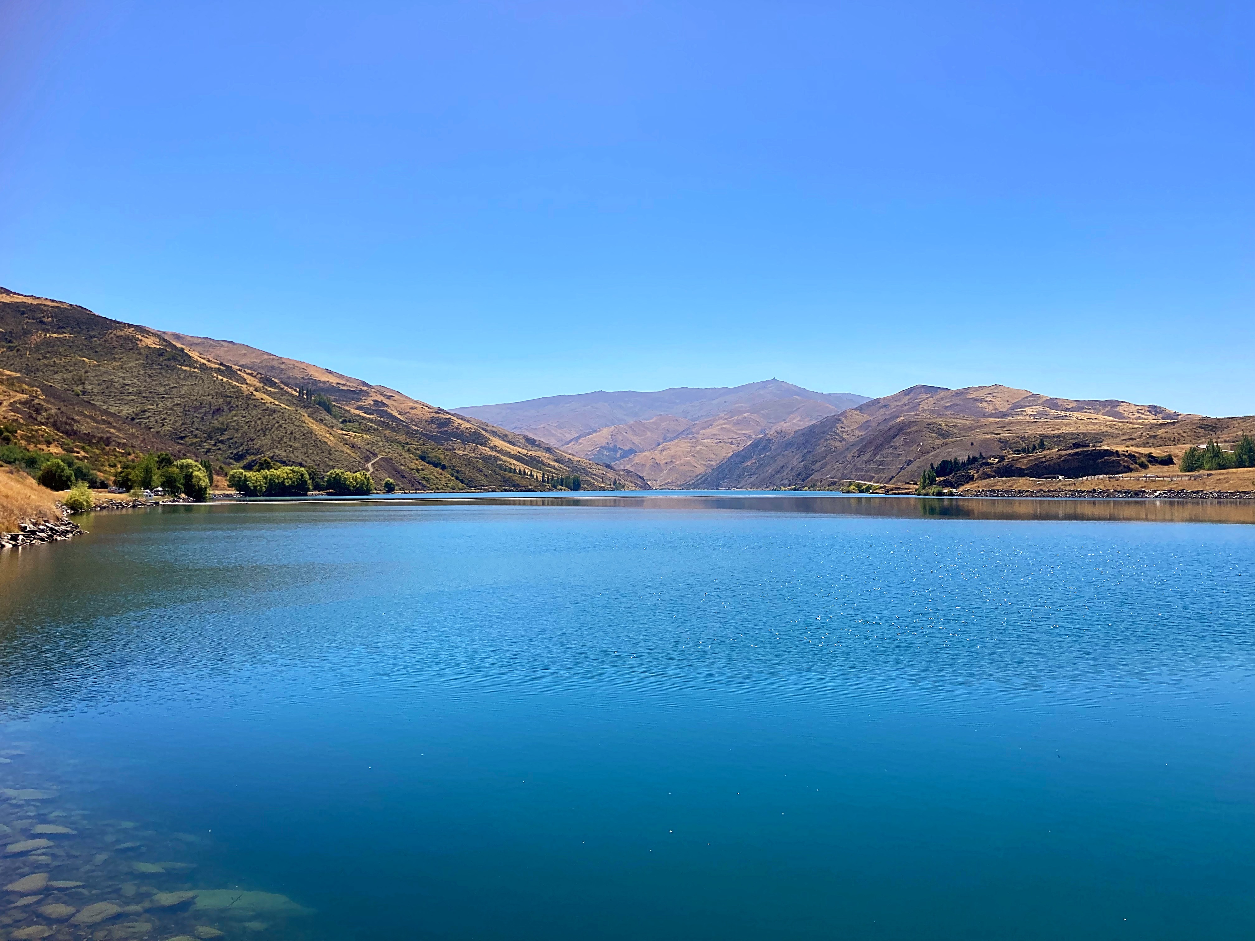
We didn’t venture up into Clyde but carried on along the Dunstan Trail which is NZ’s newest cycle trail. Linking the heritage towns of Cromwell and Clyde, this trail offers close survey of landforms shaped not only by nature but also the gold miners and dam-builders who toiled here during the last two centuries. Following in their footsteps, world-class track builders have constructed clip-on boardwalks, an 86m suspension bridge, and impressive rock walls. It is a spectacular ride.
Although I have ridden today’s trails a few times I am still blown away by the scenery. Admittedly the sunshine and blue skies add to the experience.
22 February 2024
Day 11 – Cromwell to Athol 93km 1844 metres climbed
And then there were two – the physcolists are dropping like flies. Hicksy had to pull the pin today due to an injury. The Young One and Lambers are pedalling on though.
And pedal we did – wowsers, what an epic day in terms of riding, climbing and scenery.
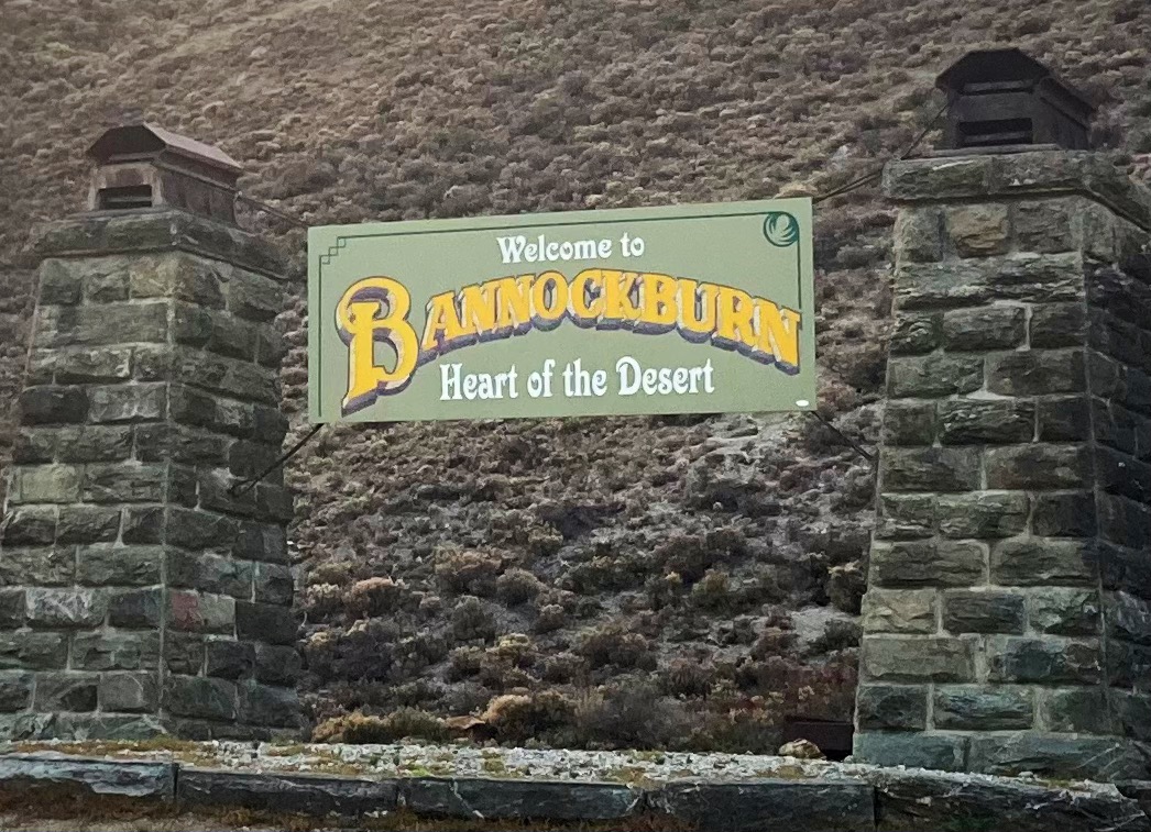
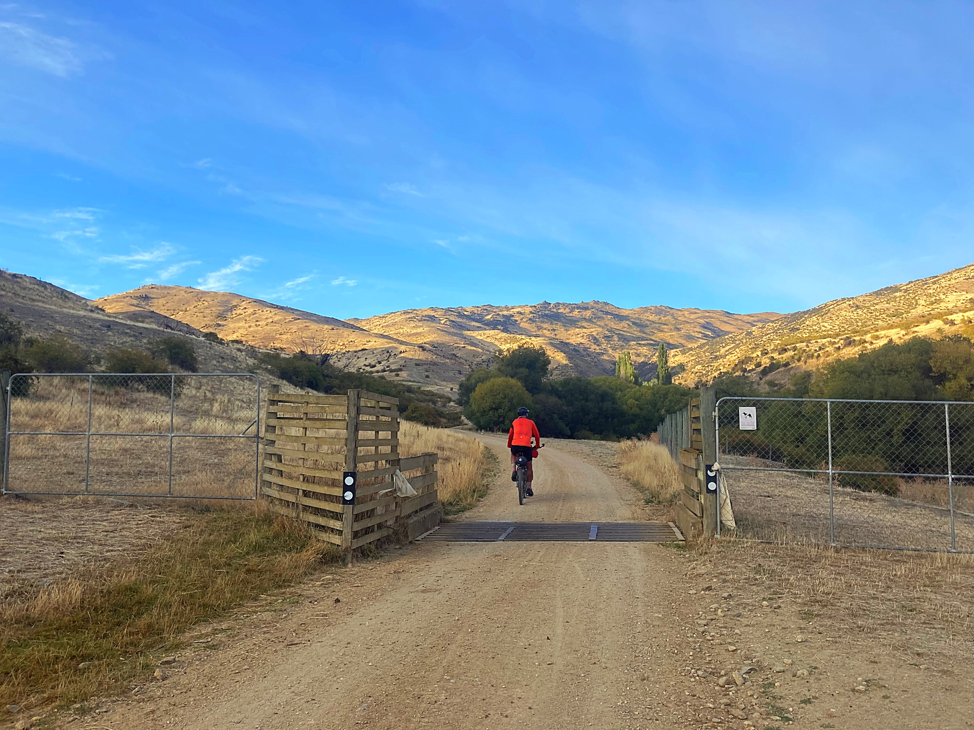
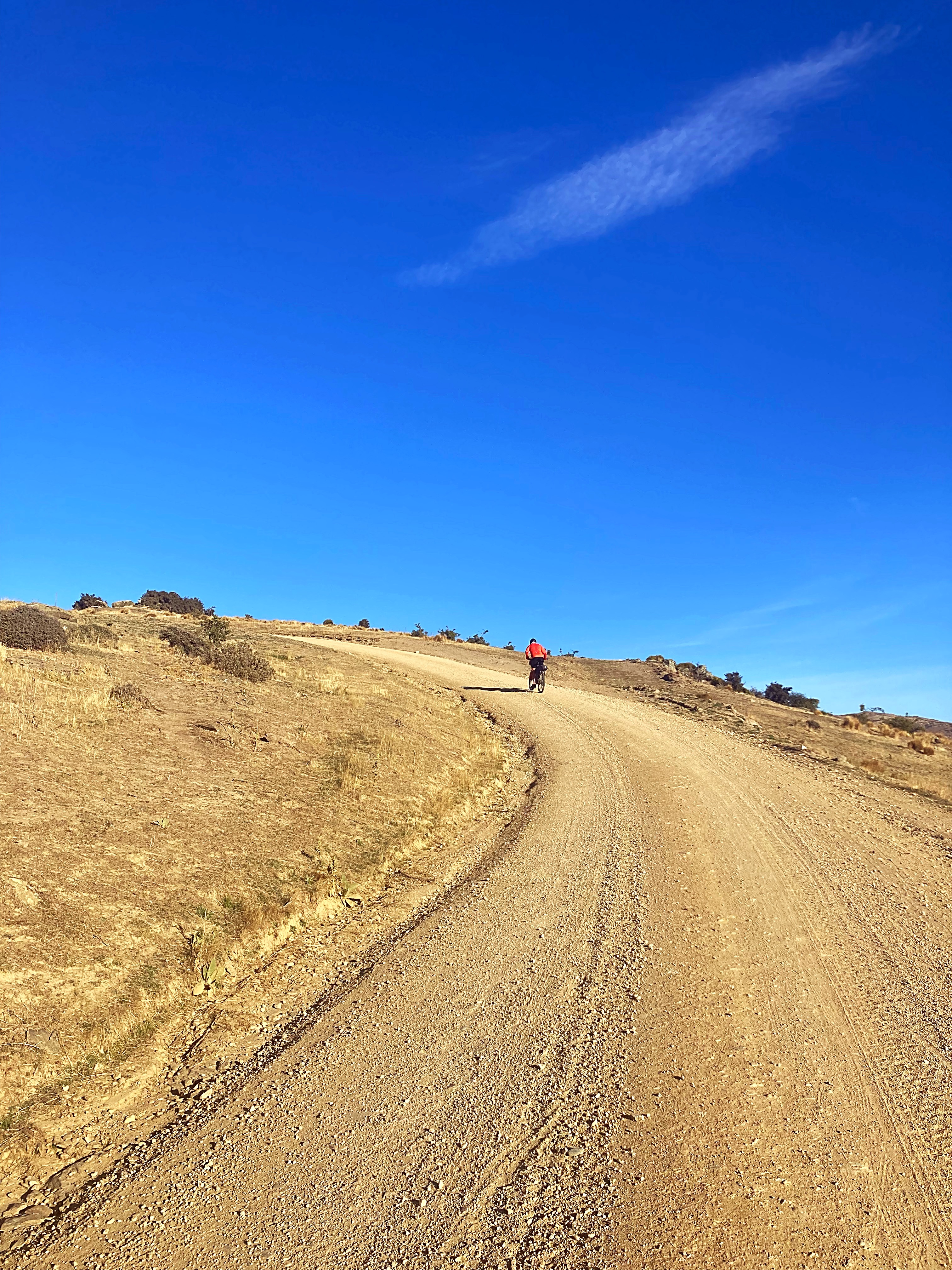
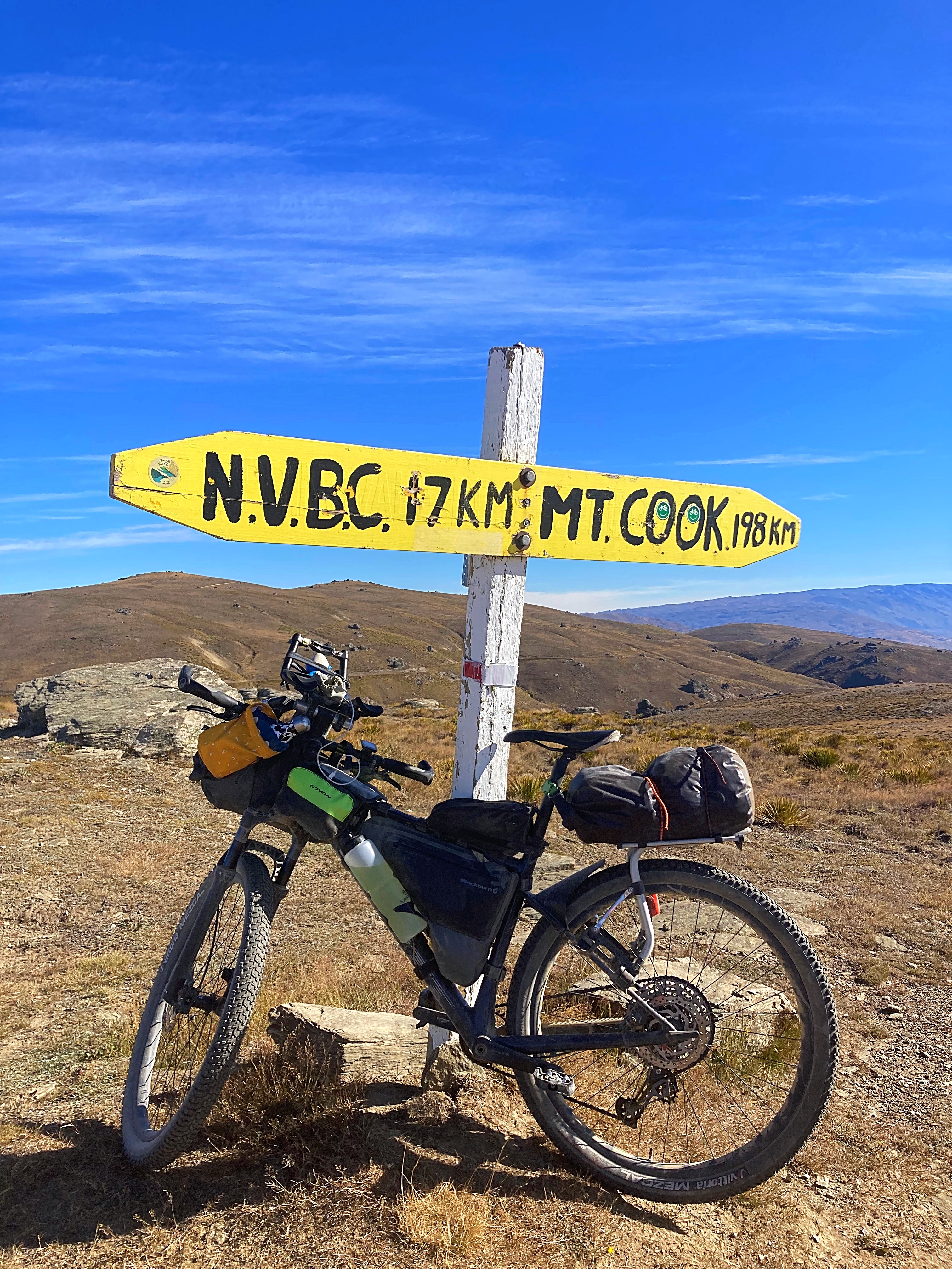
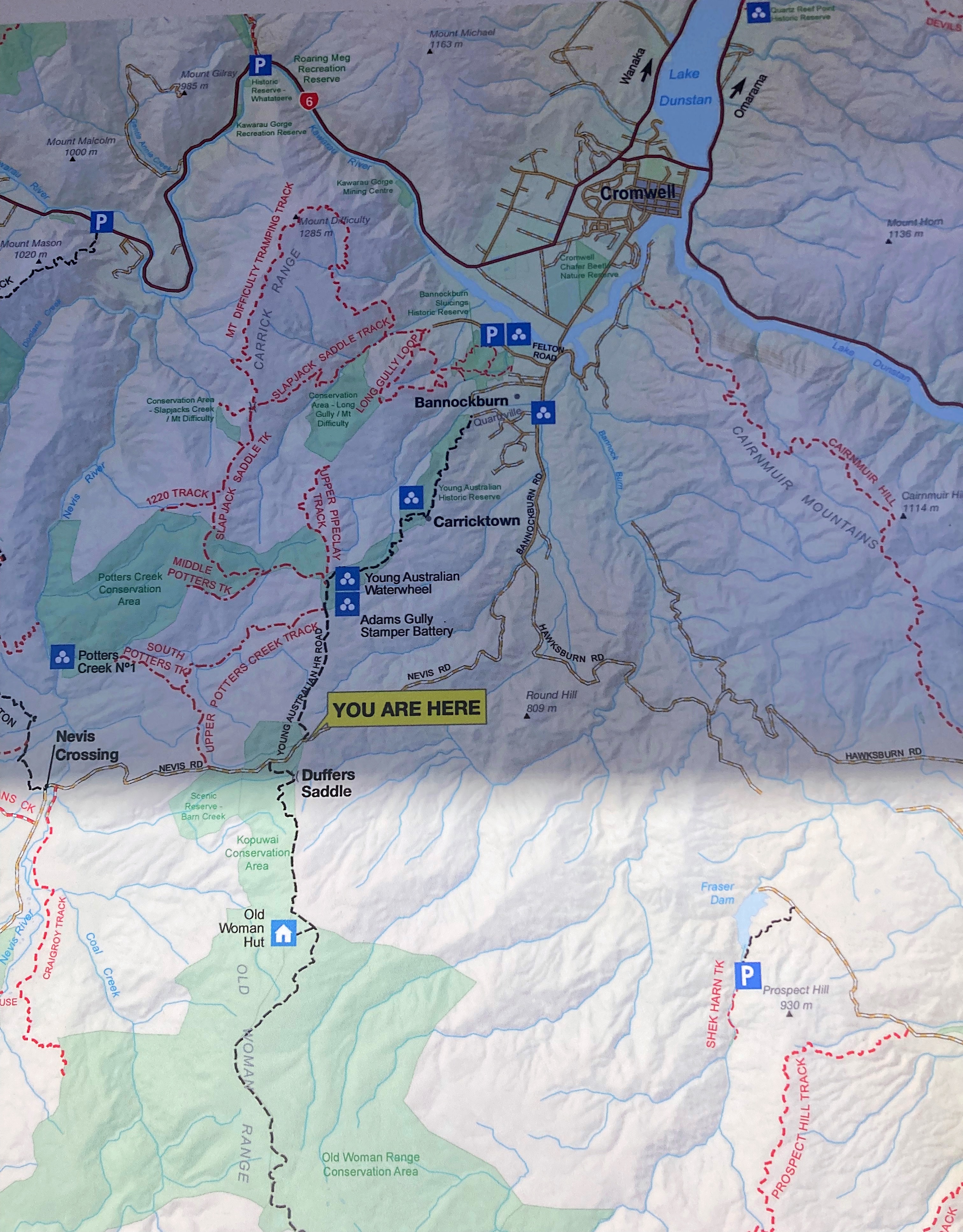
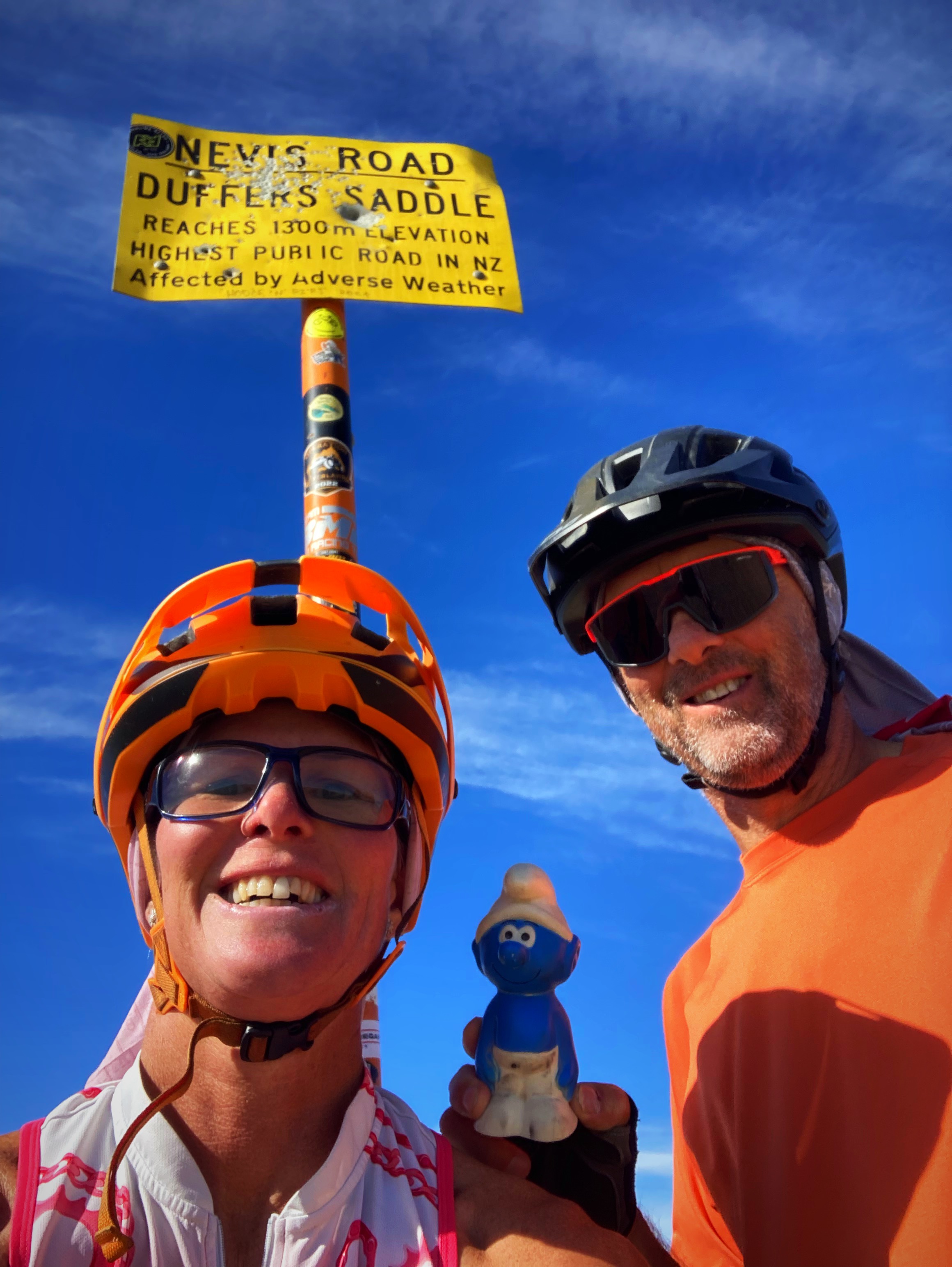
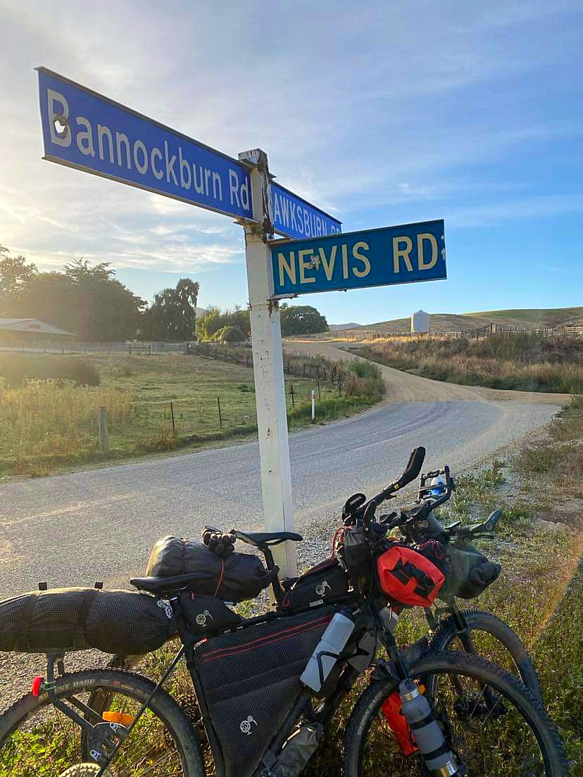
We left Cromwell just before 7am and headed back to Bannockburn to rejoin our route. Five kilometres in, we turned right onto Nevis Road where we would begin by climbing about 1000 metres in 10 kilometres to reach Duffers Saddle. Duffers Saddle is the highest public road in NZ with the high point at 1300 metres above sea level.
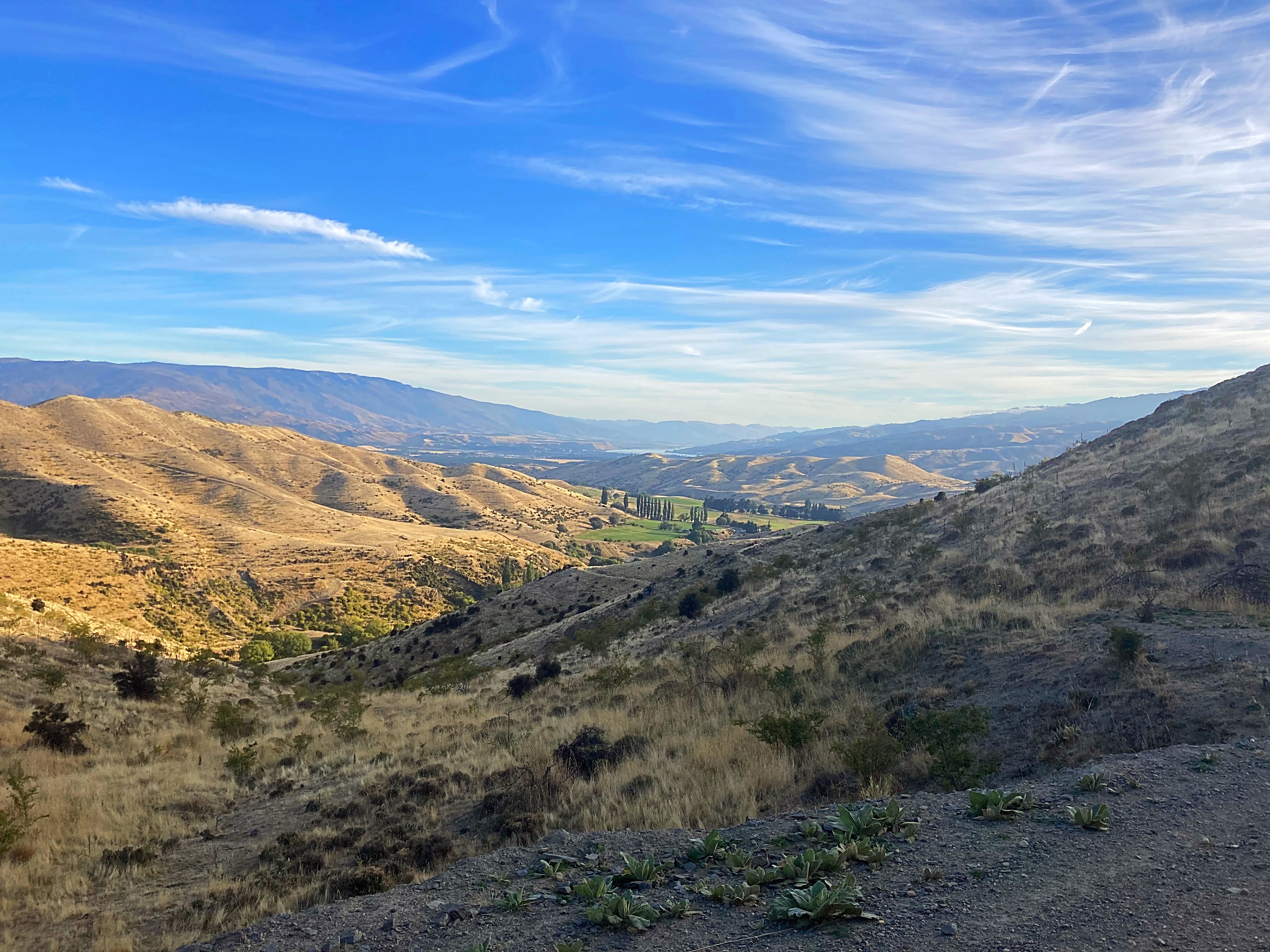
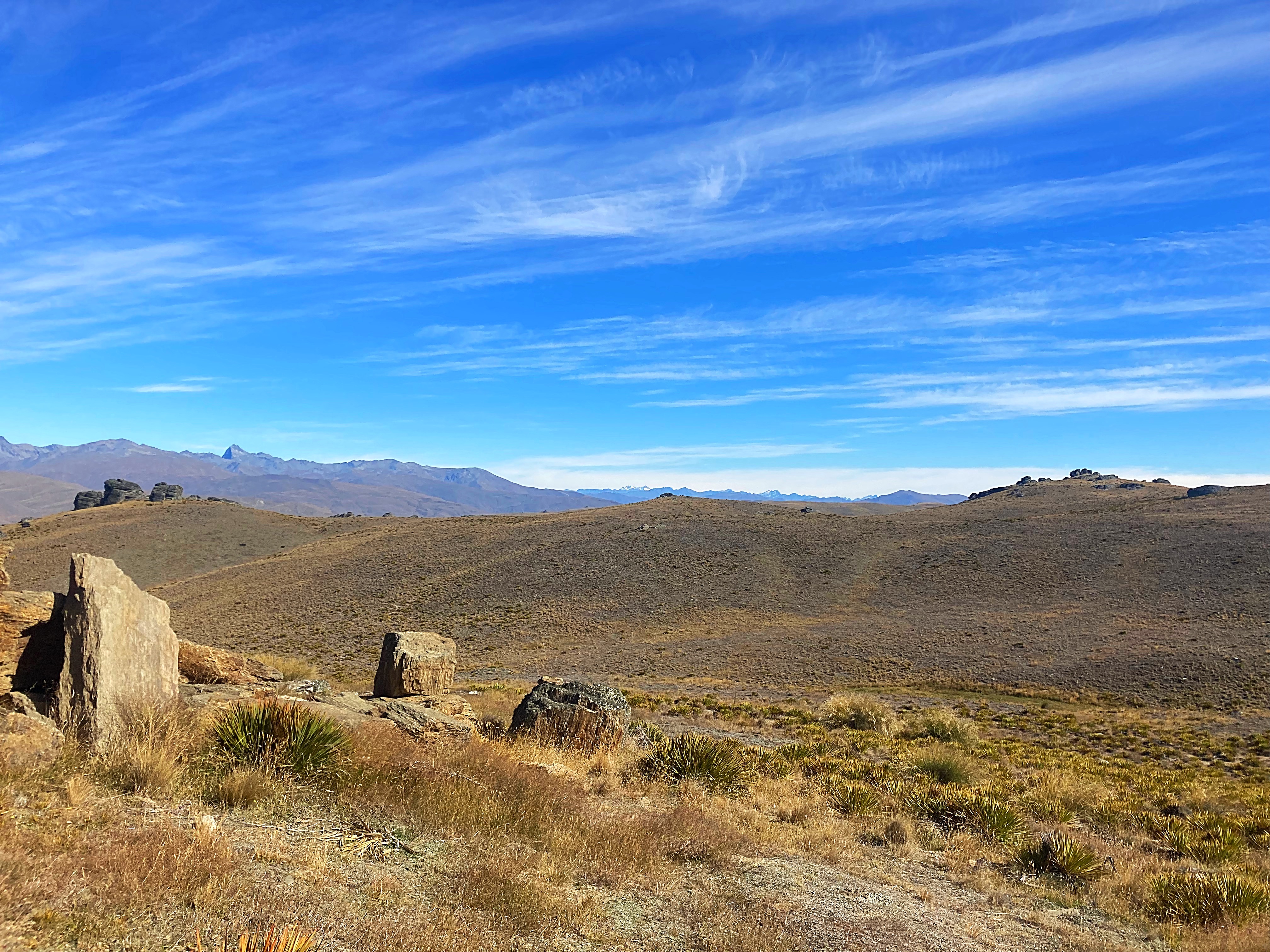
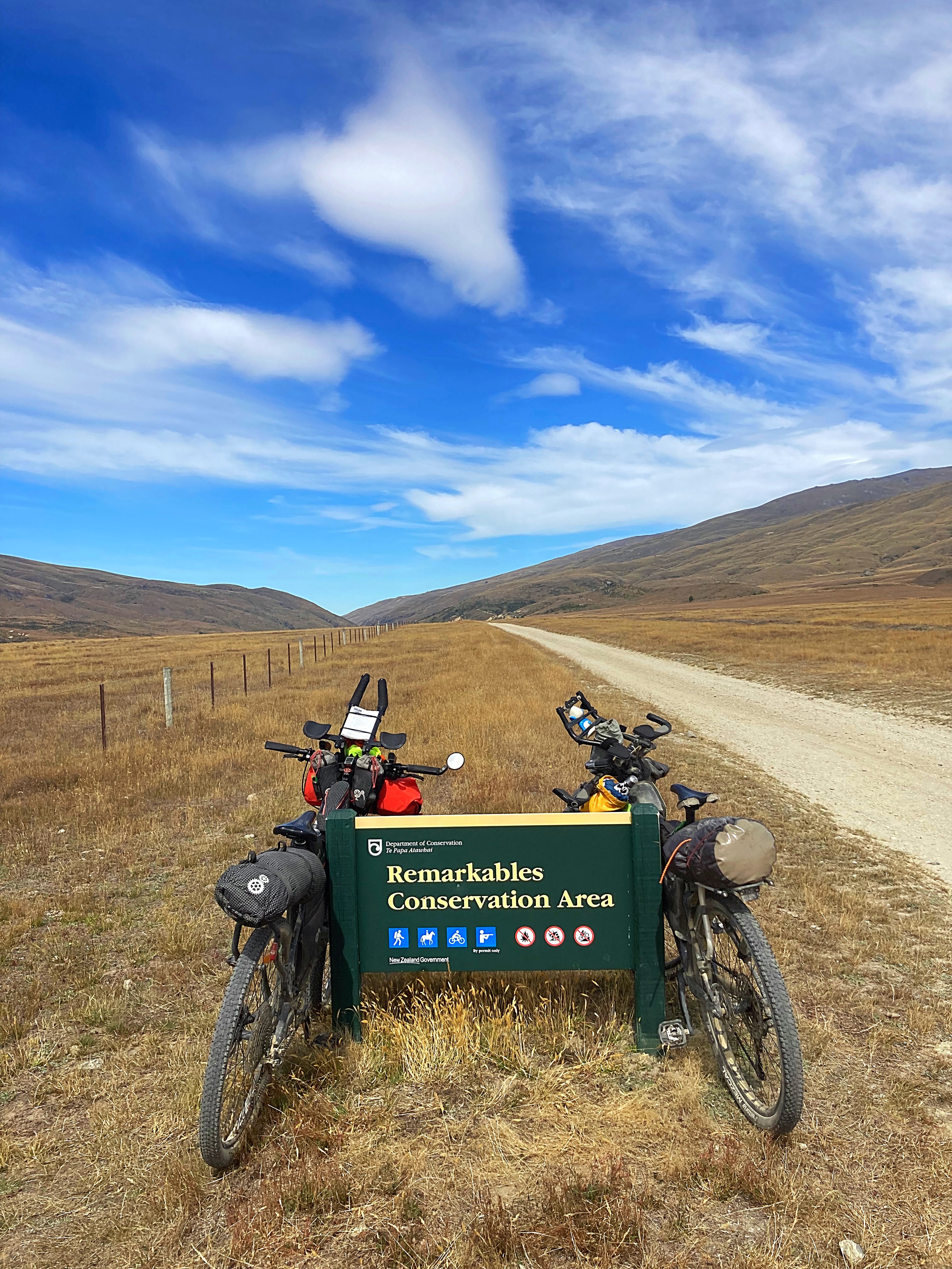
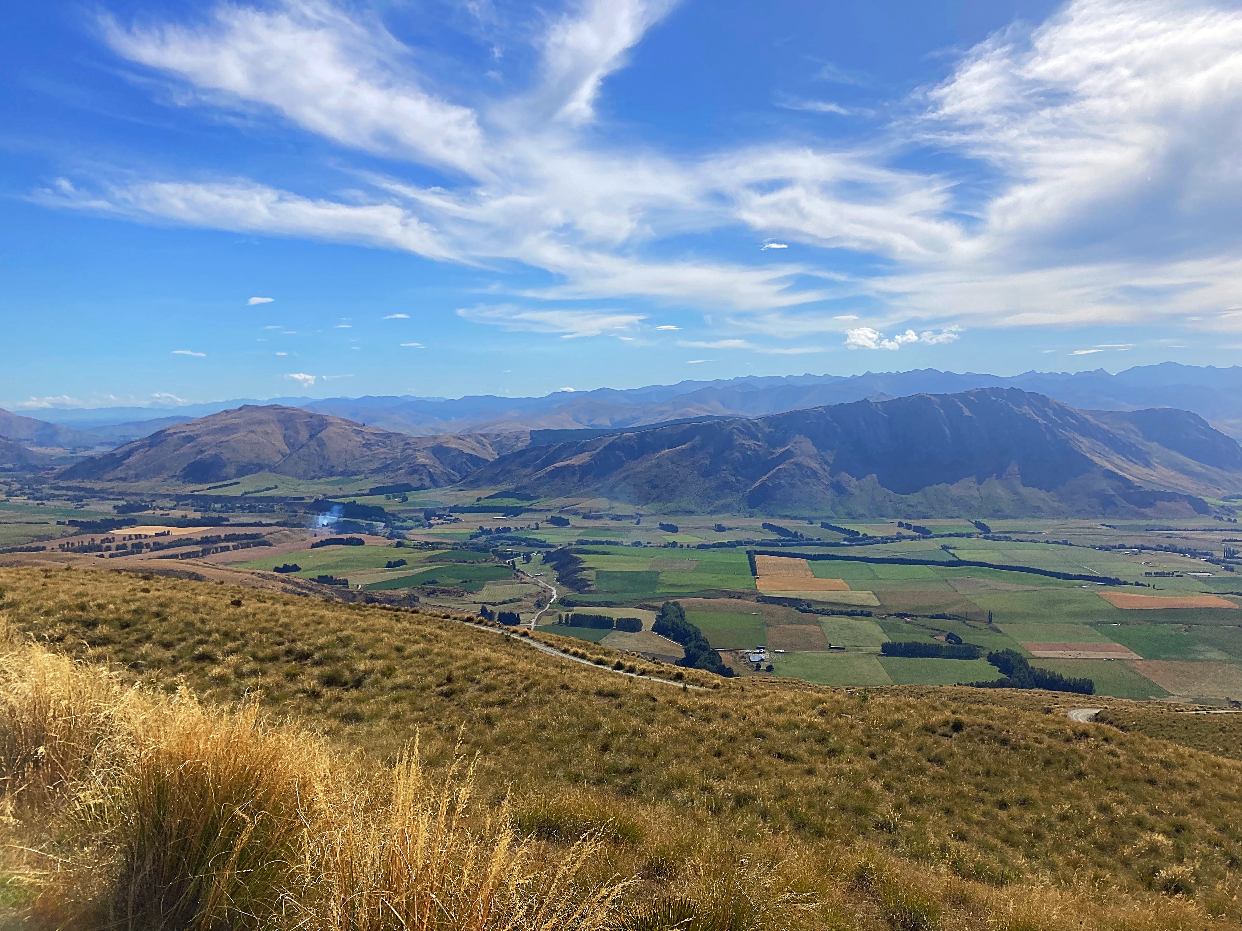
The surface was excellent and the climbing manageable – I had a couple of hike a bike moments but Chris rode the whole thing . The views were magnificent. Again we had perfect conditions with clear blue skies. It was quite surreal to be so high up and to get a Birds Eye view of The Remarkables and other mountain ranges. It was also so quiet.
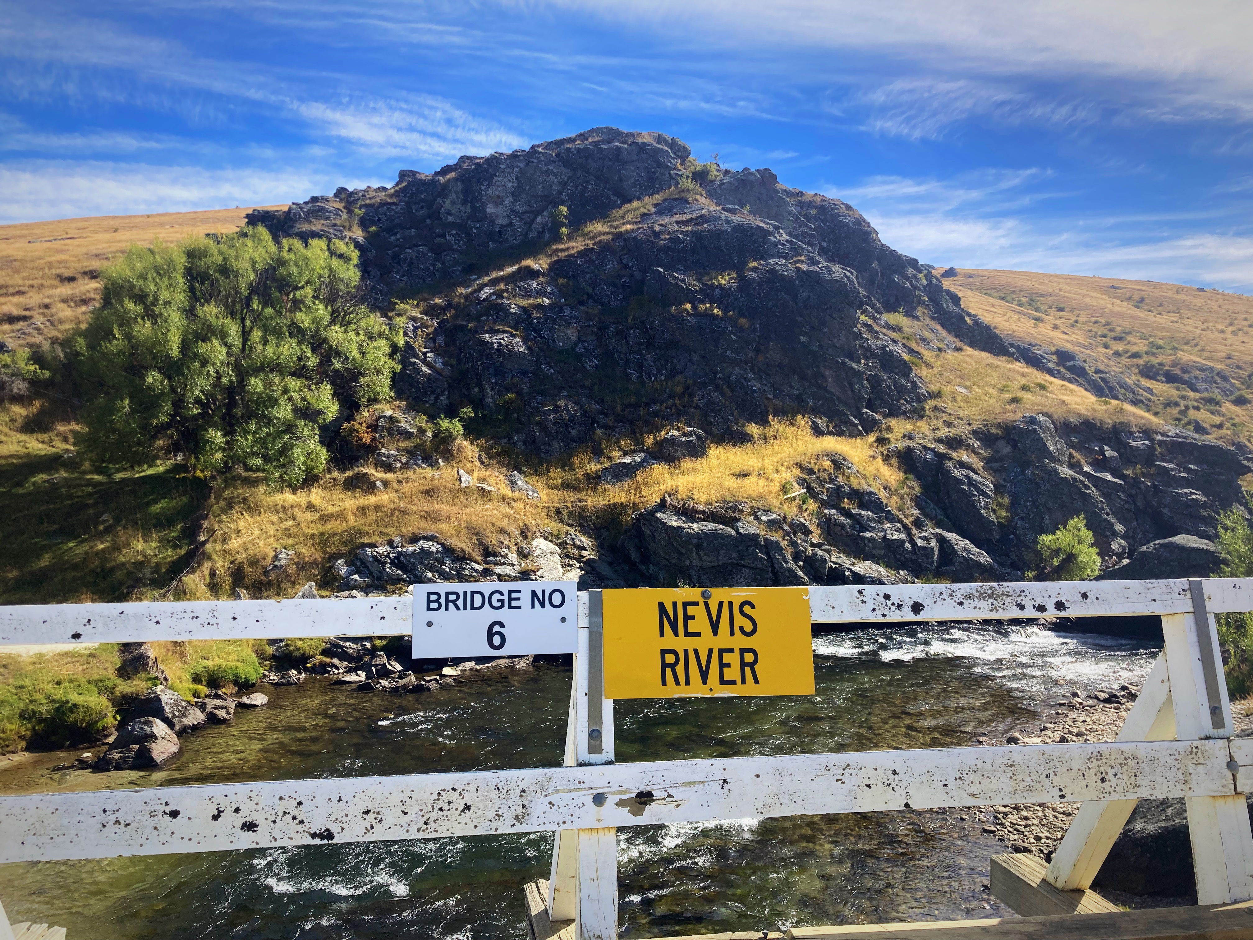
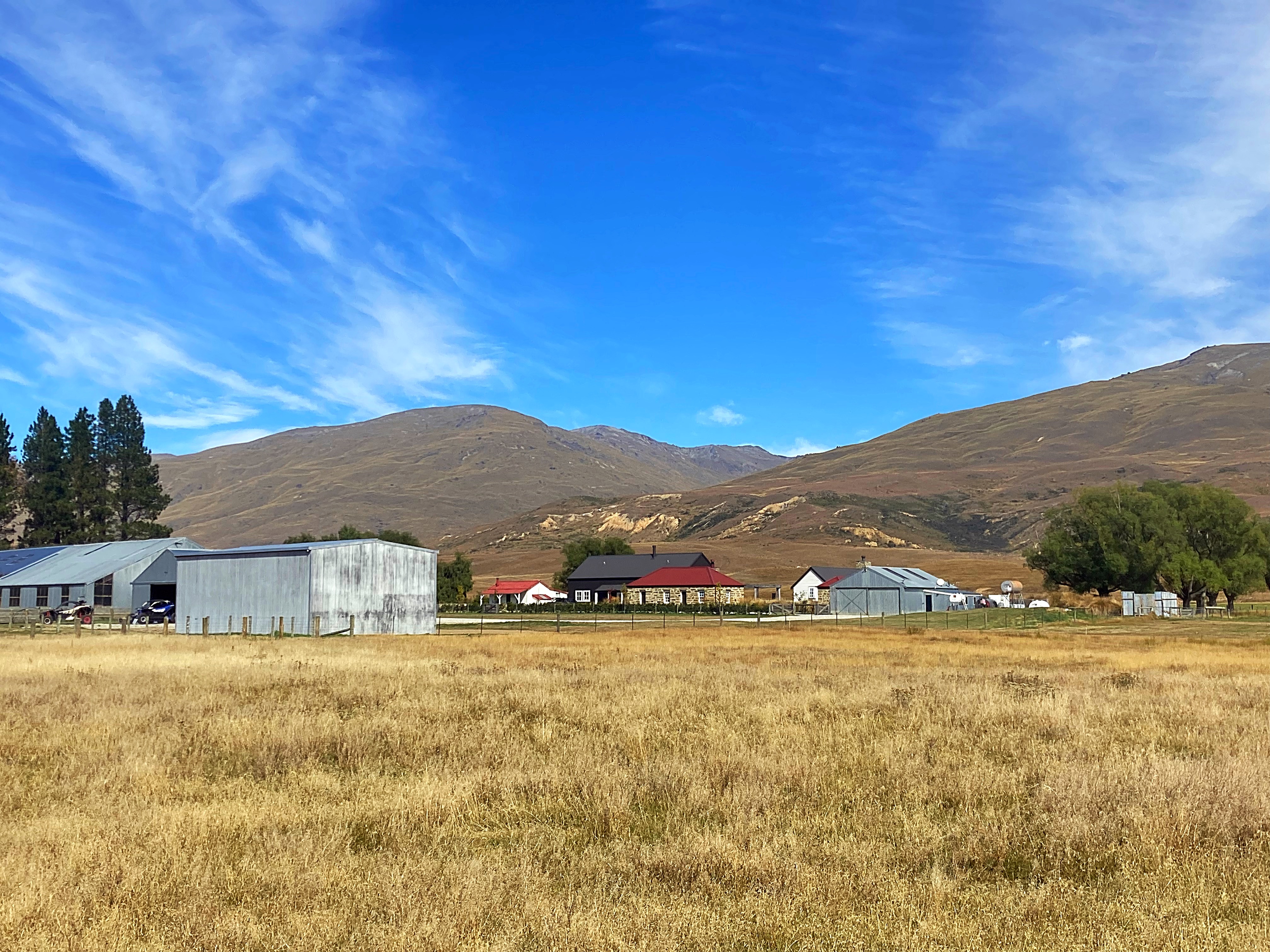
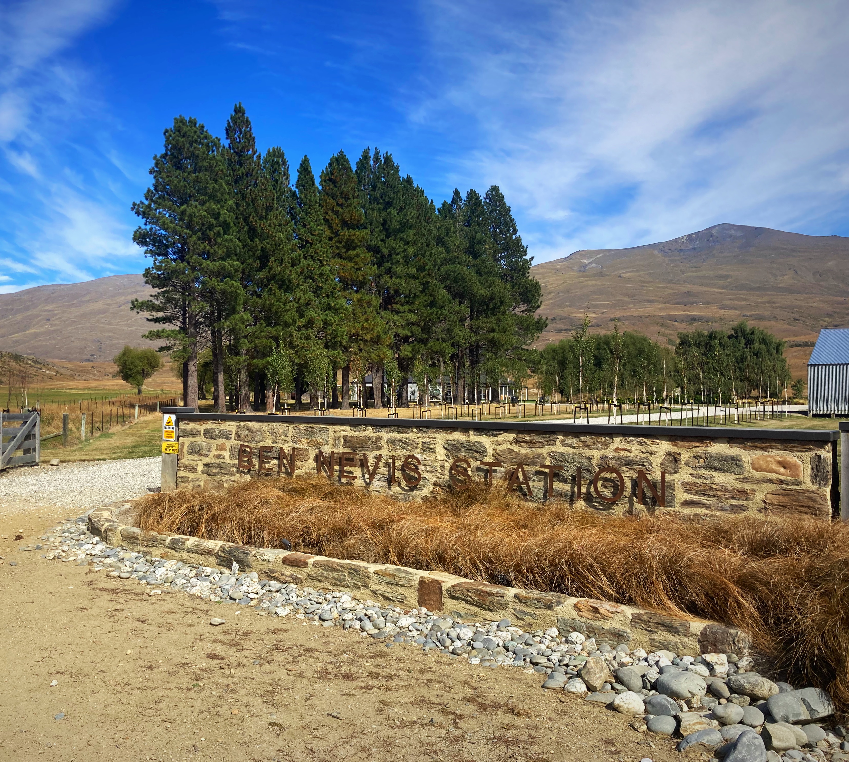
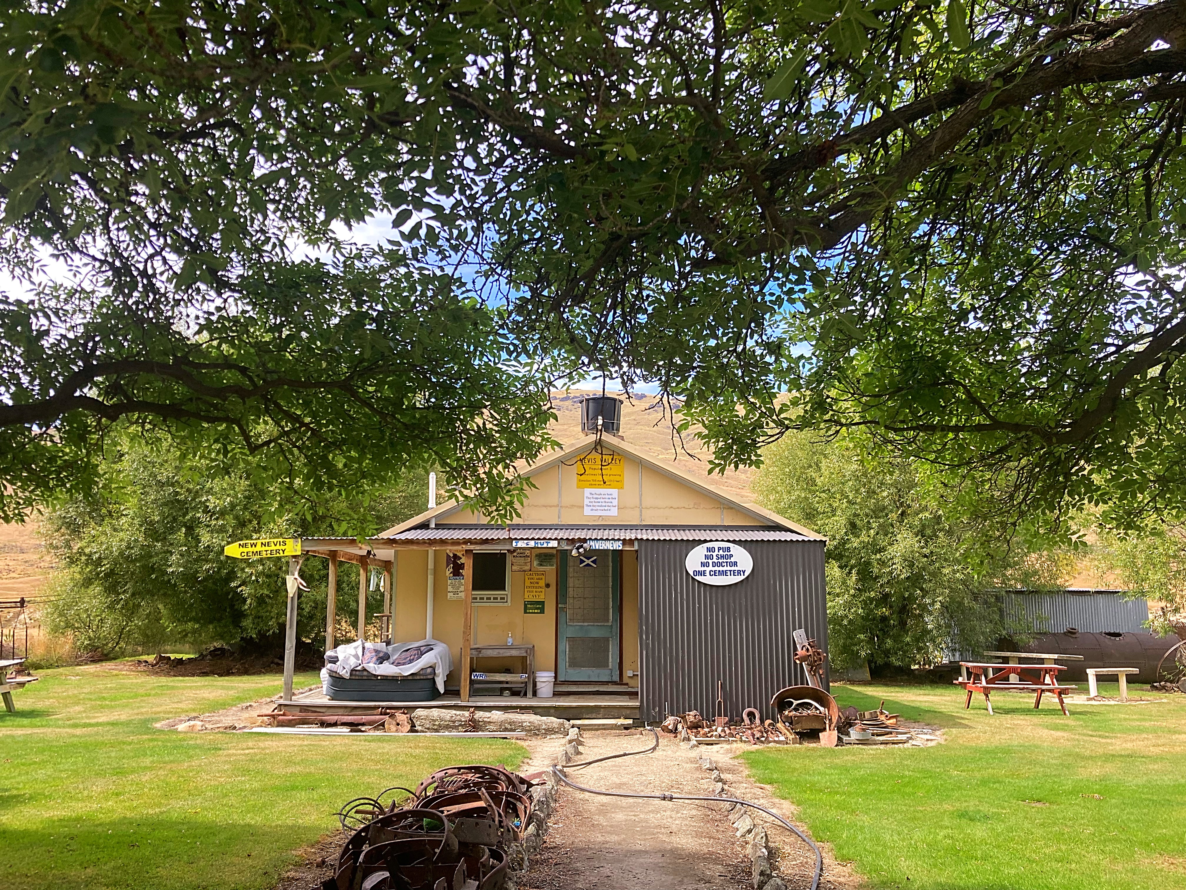
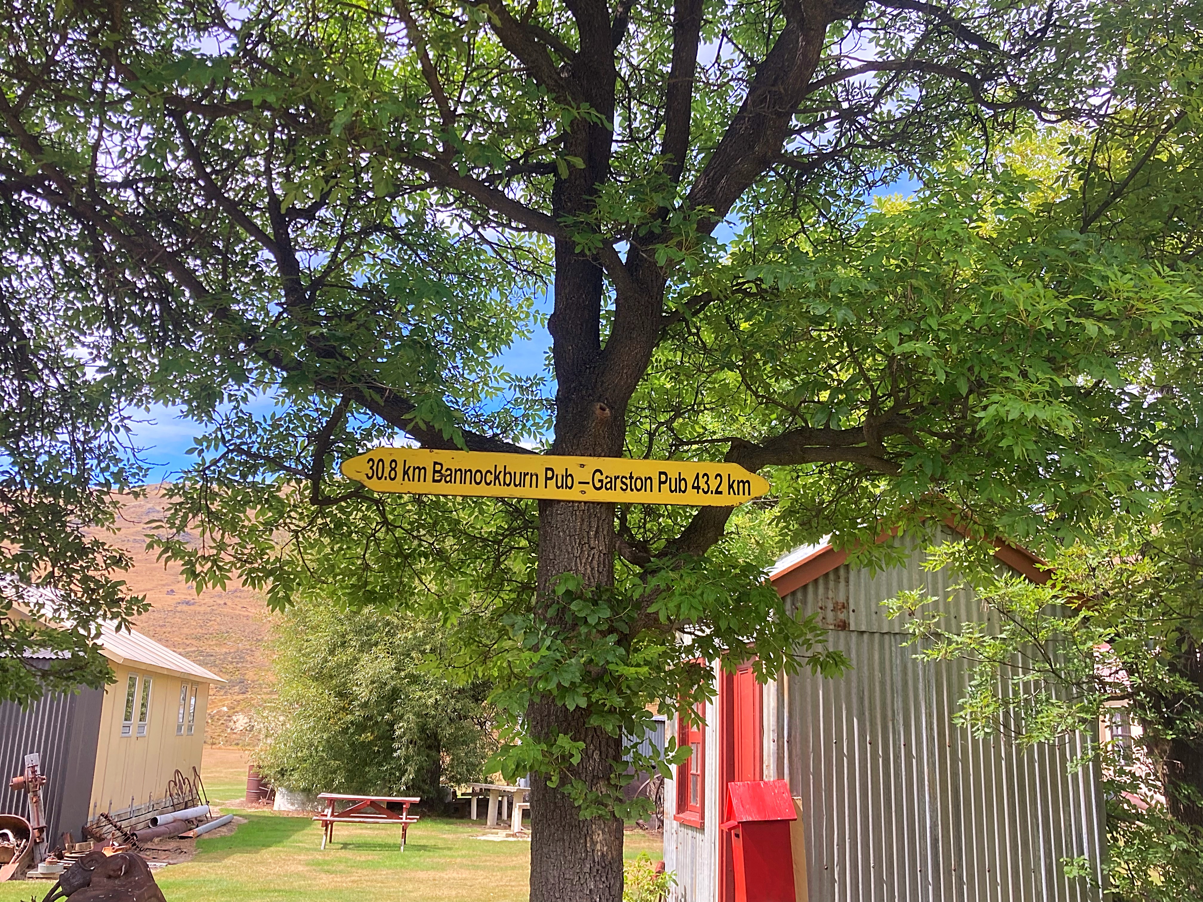
We took our time on the descent so we could soak it all in. We then crossed the Nevis Bridge before passing through the homestead and other buildings at Ben Nevis Station. We were then in the Nevis Valley.
The Nevis Valley was first used as a trail route by Maori people. Early European settlers farmed the valley and in 1862 gold was discovered by miners from the Dunstan goldfield (Central Otago) and the Nokomai Goldfield,(Southland) in October that year. Efforts to keep the find a secret failed – and so began the Nevis Valley gold rush.
Saved by the remoteness of this valley, the remains of numerous stone buildings from the gold mining days offer a fascinating insight into the perseverance and ingenuity of early pioneers. The relics include everything from the cemetery and settlement buildings through to a woolshed and the first ski hut.
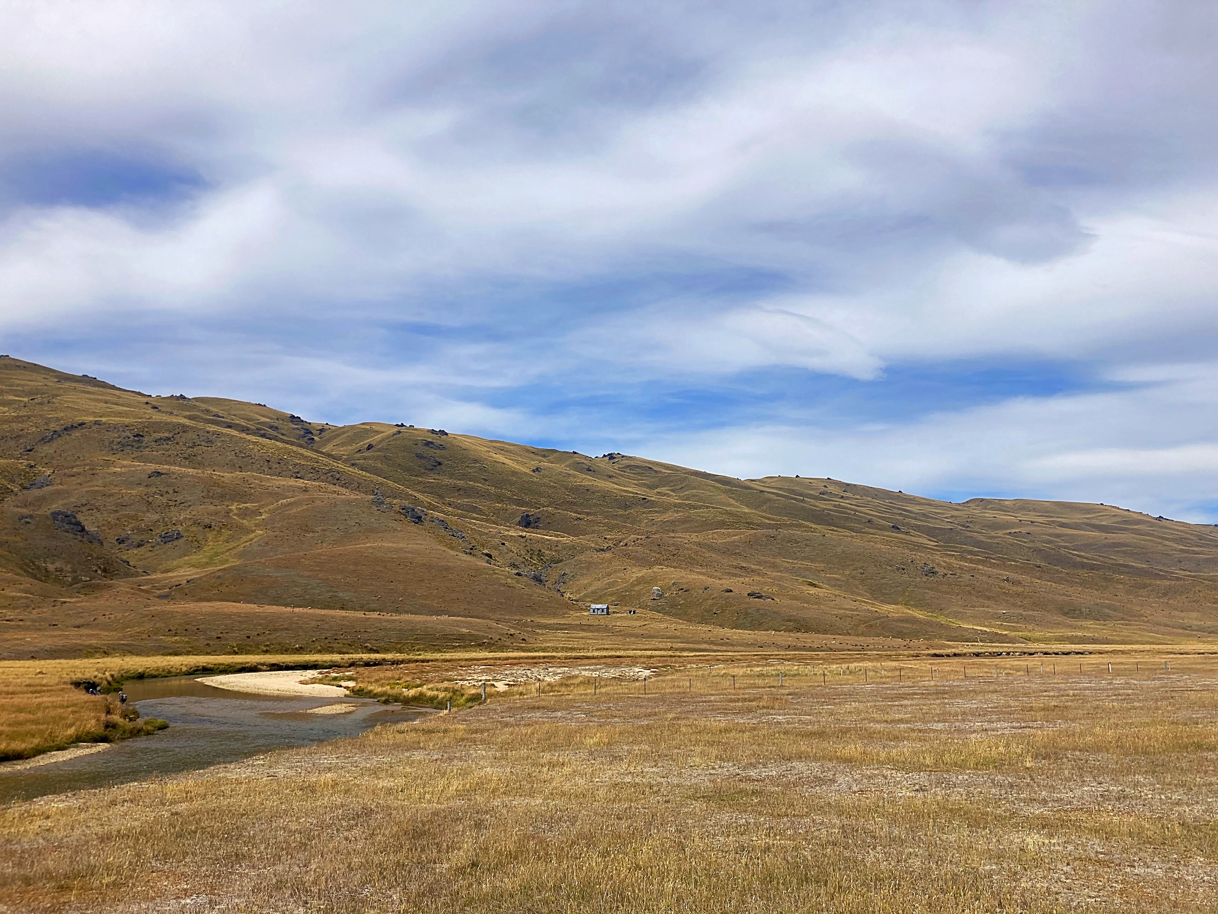
Today only the family at Ben Nevis Station occupies the area, so it still feels very isolated. High mountain ranges rise from either side of the valley – to the west the Remarkables and Hector Mountains, and to the east the Old Woman Range. Fed by numerous creeks from the ranges, the Nevis River meanders along the broad valley floor.
The archaeological significance of the Nevis Valley lies in the culmination of layers of interaction between humans and the natural environment from moa-hunting times to the pastoralism of today, forming a palimpsest. This has left a dynamic array of inter-related archaeological and historic sites which have been untouched by any modern developments. The Nevis Valley is the only extensive, isolated, yet easily accessible, valley system of this type in New Zealand where a range of key events of the region’s history can still be seen scattered on the landscape.
The Nevis Valley site is designated in the district plan as an Outstanding Natural Landscape.
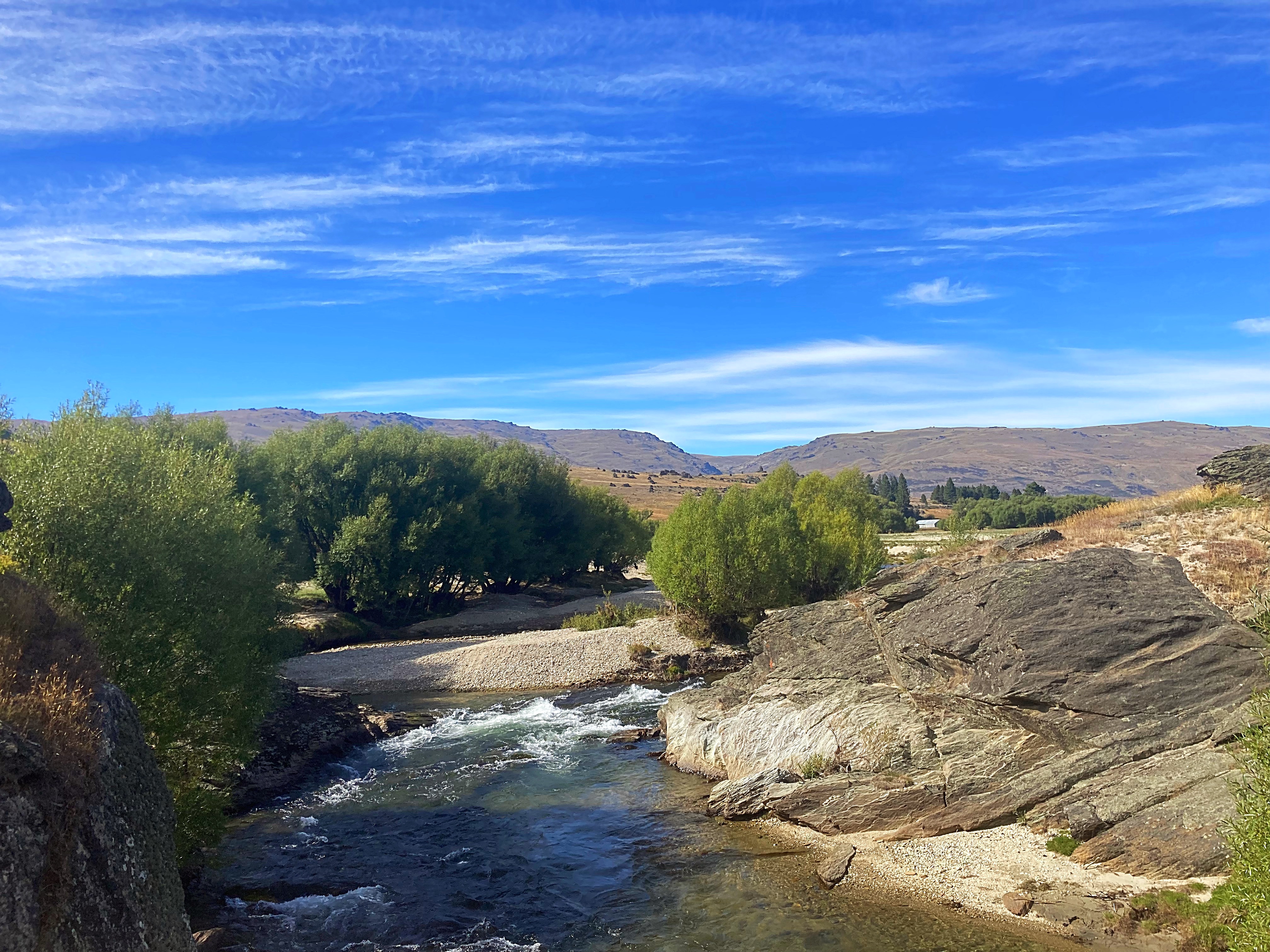
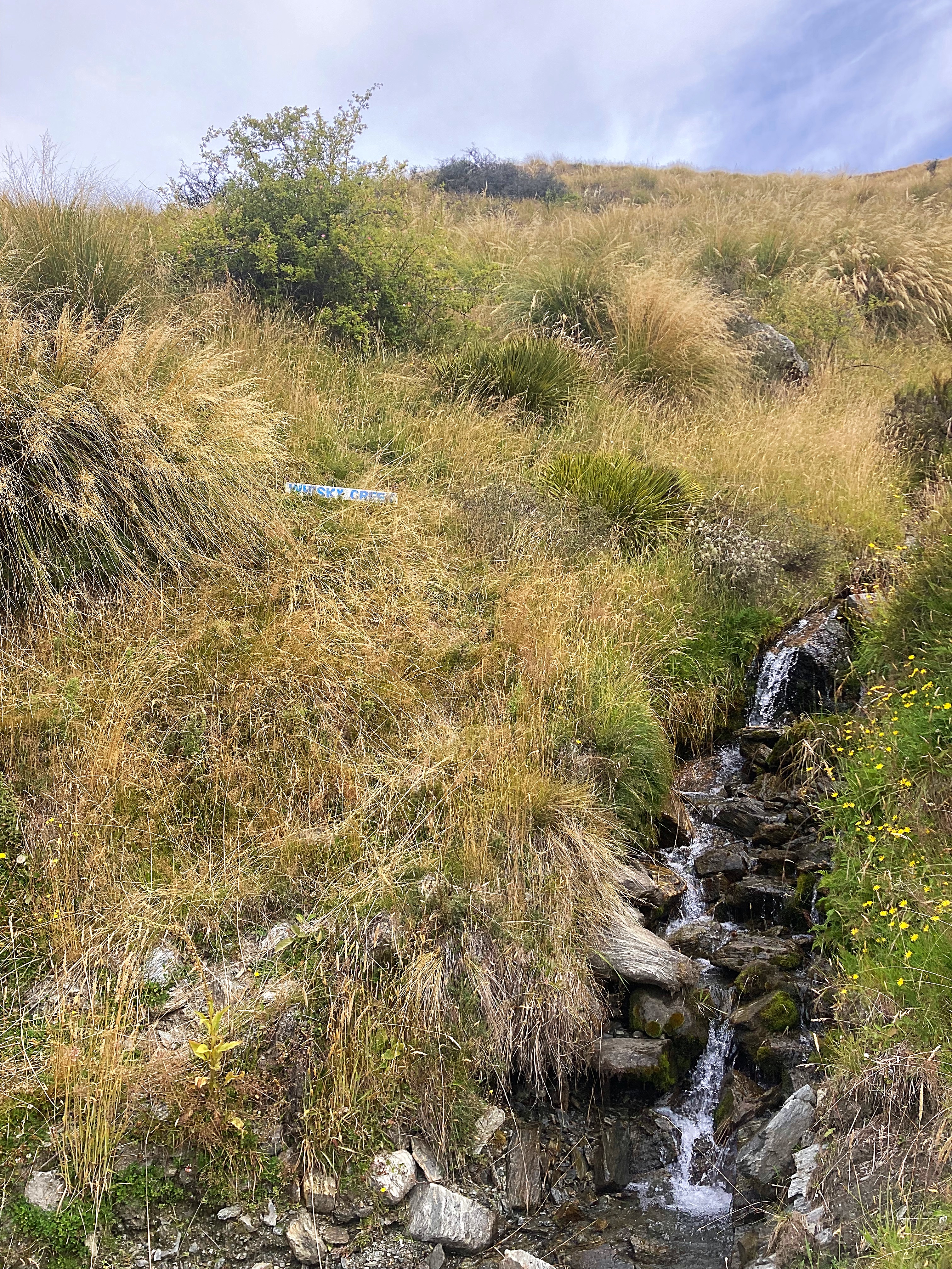
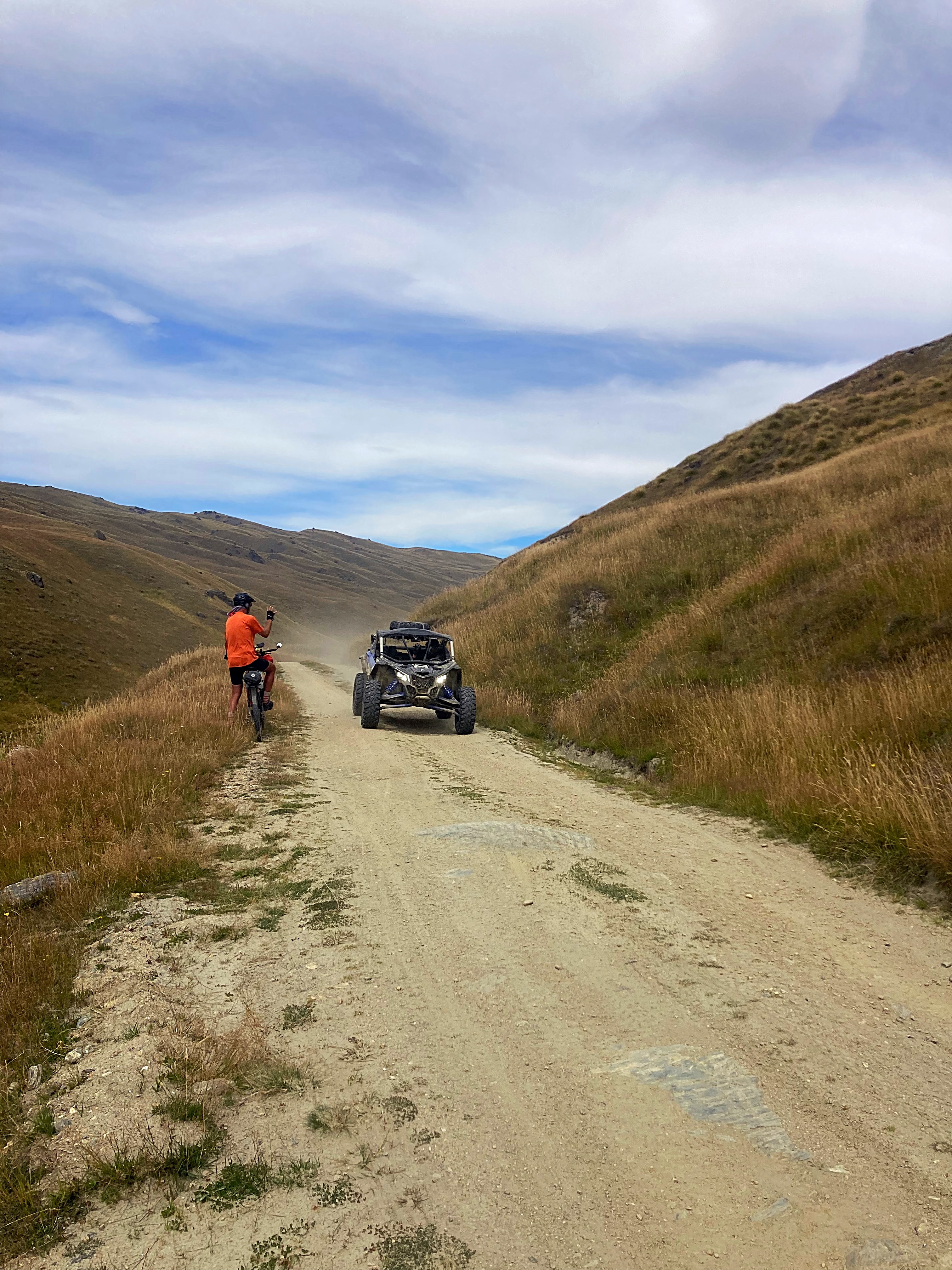
We crossed the river about 25 times. They weren’t as deep as the ones on the Omarama Saddle so I managed to ride quite a few. We came across a few vehicles, some Dusty’s (motorcycles) and some ATV’s having fun on the 4WD tracks. We also saw a few fishermen – apparently it is good fishing in the river.
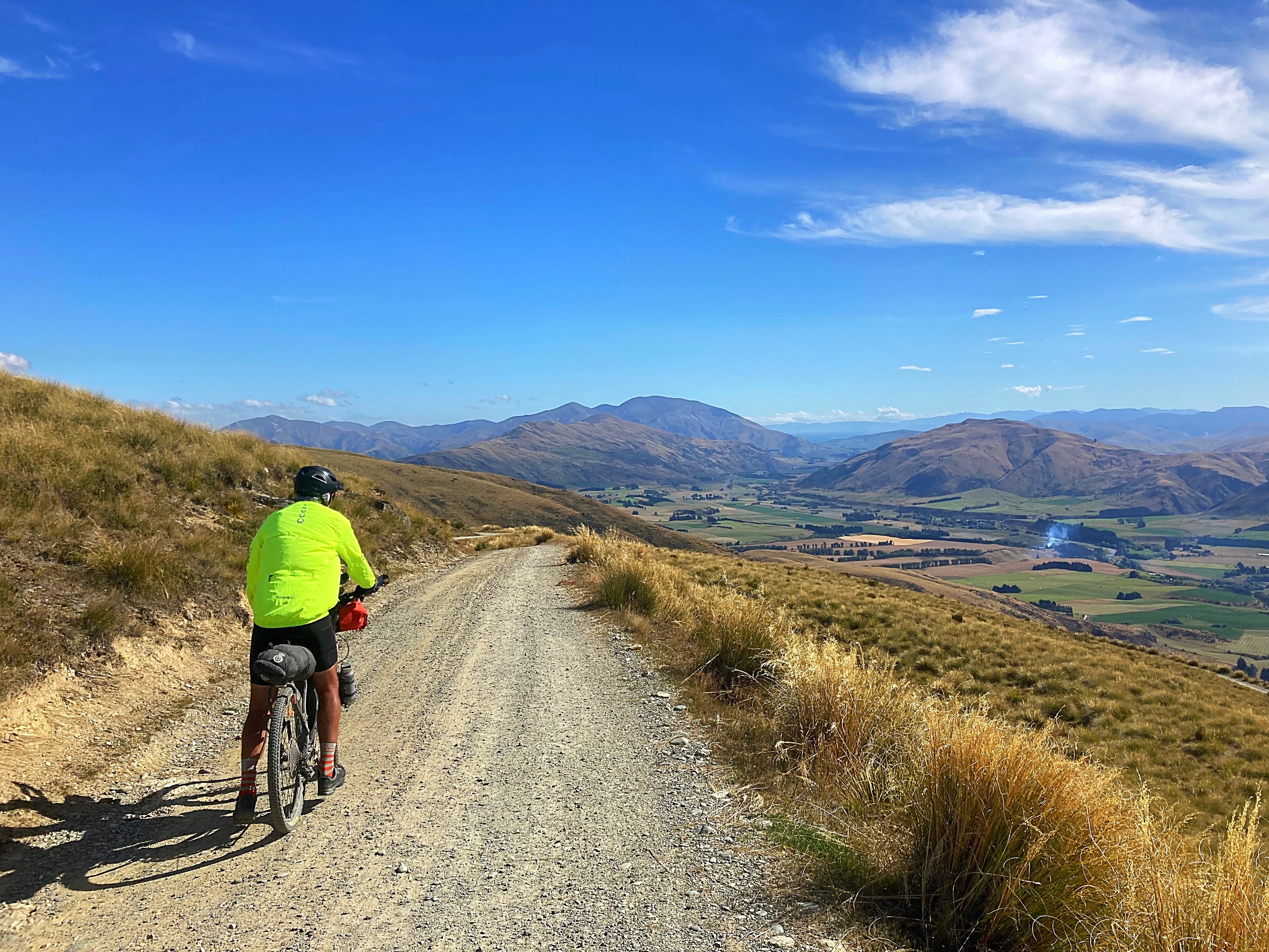
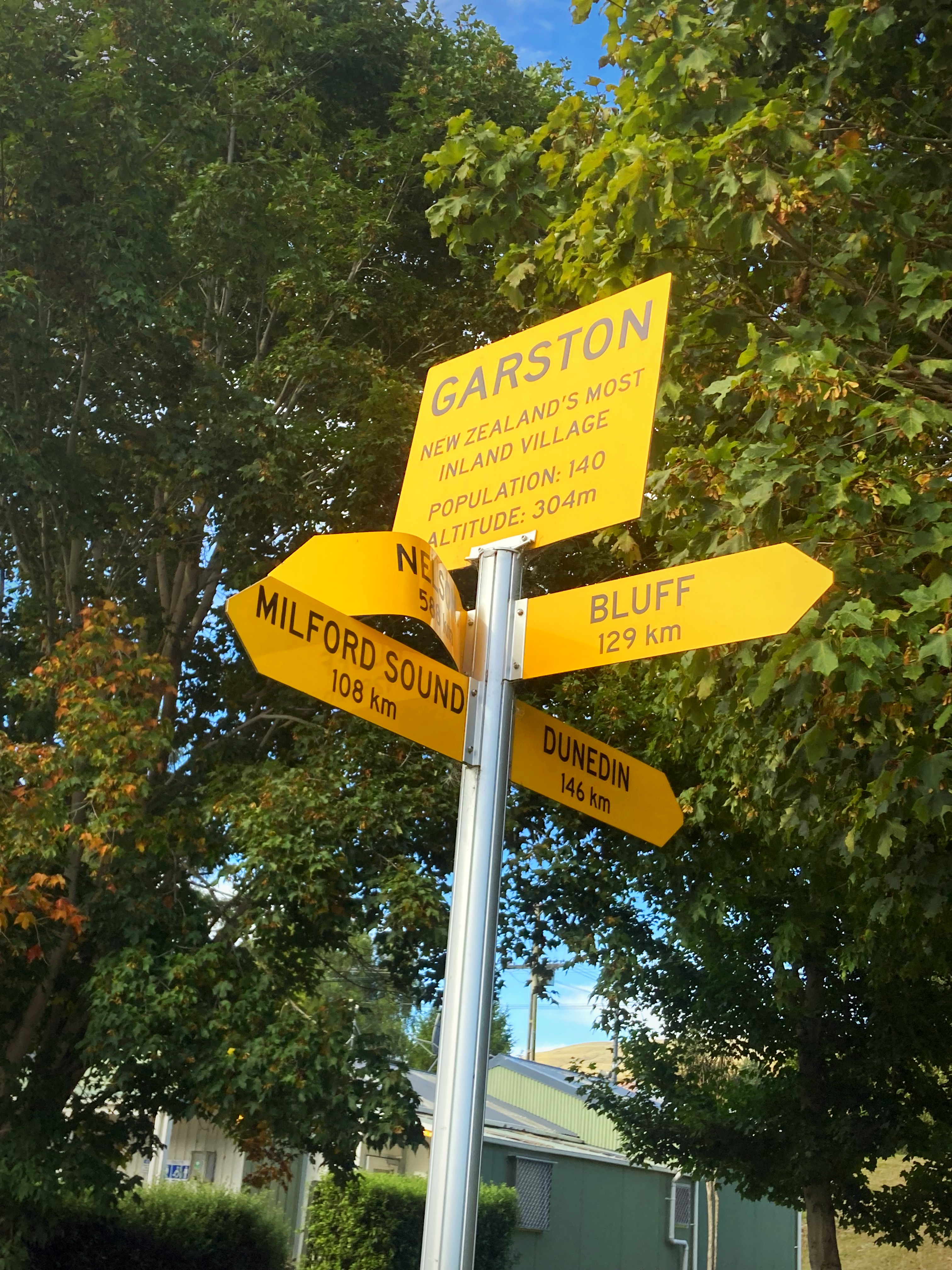
We then began our climb out of the Nevis Valley which has a high point of about 1100 metres, before descending into Garston (a valley of green which was in stark contrast to what we had looked at all day) and then riding 11 kilometres on the Around the Mountains cycle trail to Athol where we are staying tonight.
It would be fair to say that we felt pretty wrecked when we got in tonight.

23 February 2024
Day 12 – Athol to Te Anau 140km 820 metres climbed
We had a foggy start today and rode the first twenty kilometres not really seeing anything. Just before our second breakfast of the day at the Five Rivers Cafe, the fog cleared.
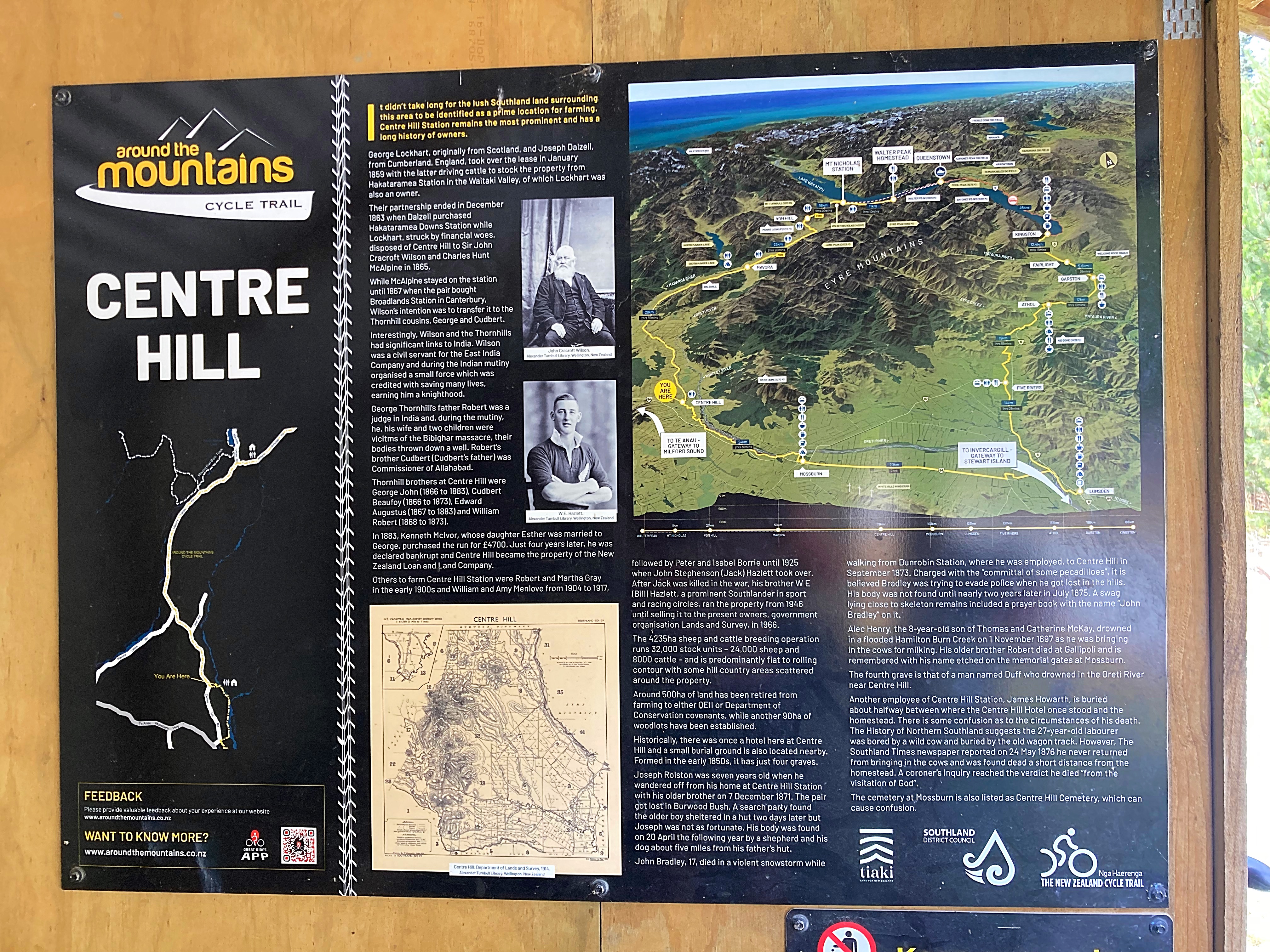
Apart from the delightful head winds which taunted us from the 20 kilometre mark to the 86 kilometre mark, it was perfect riding conditions. The first 86 kilometres were on the Around the Mountain Cycle Trail from Athol to the Mavora Lakes Road.
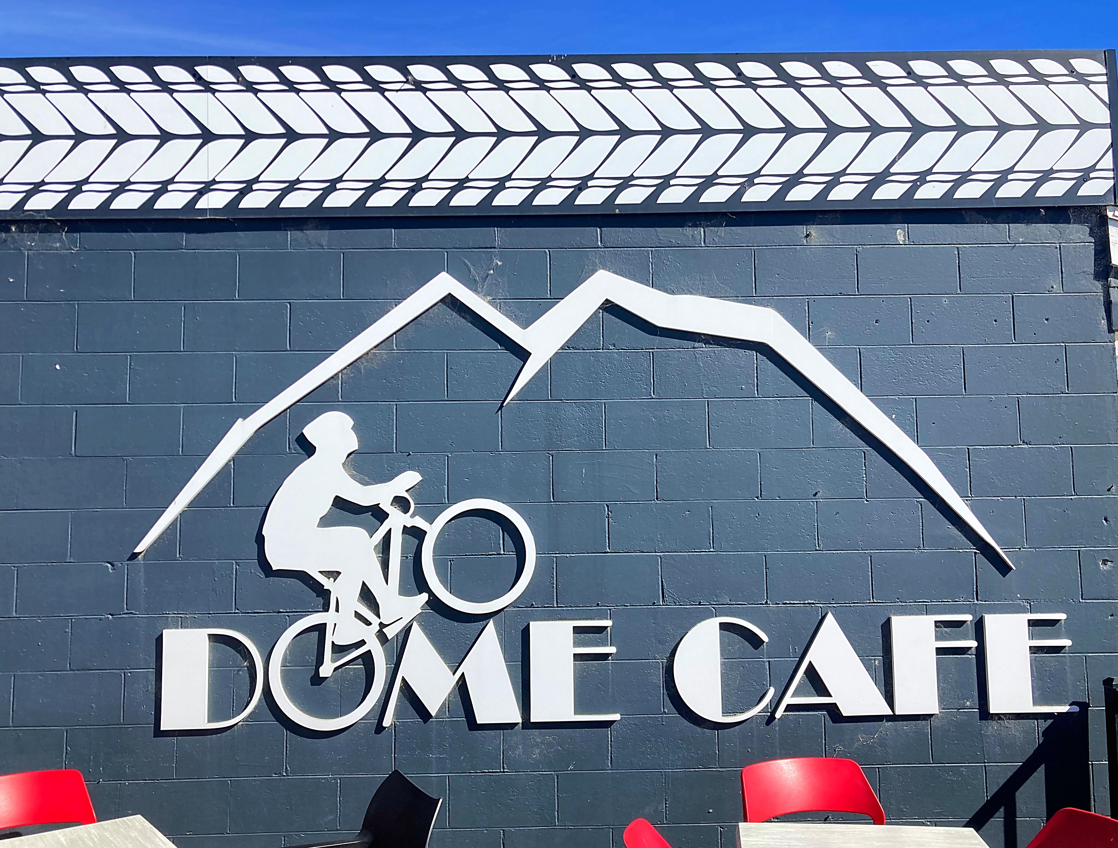
At the 50 kilometre mark, we stopped in Mossburn for our third breakfast at the Dome Cafe. We were clearly making up for the lack of coffee stops yesterday.
Just before Mossburn we rode down ‘border collie alley’ lucky for us the border collie has pulled up injured or we would have been out there all day.
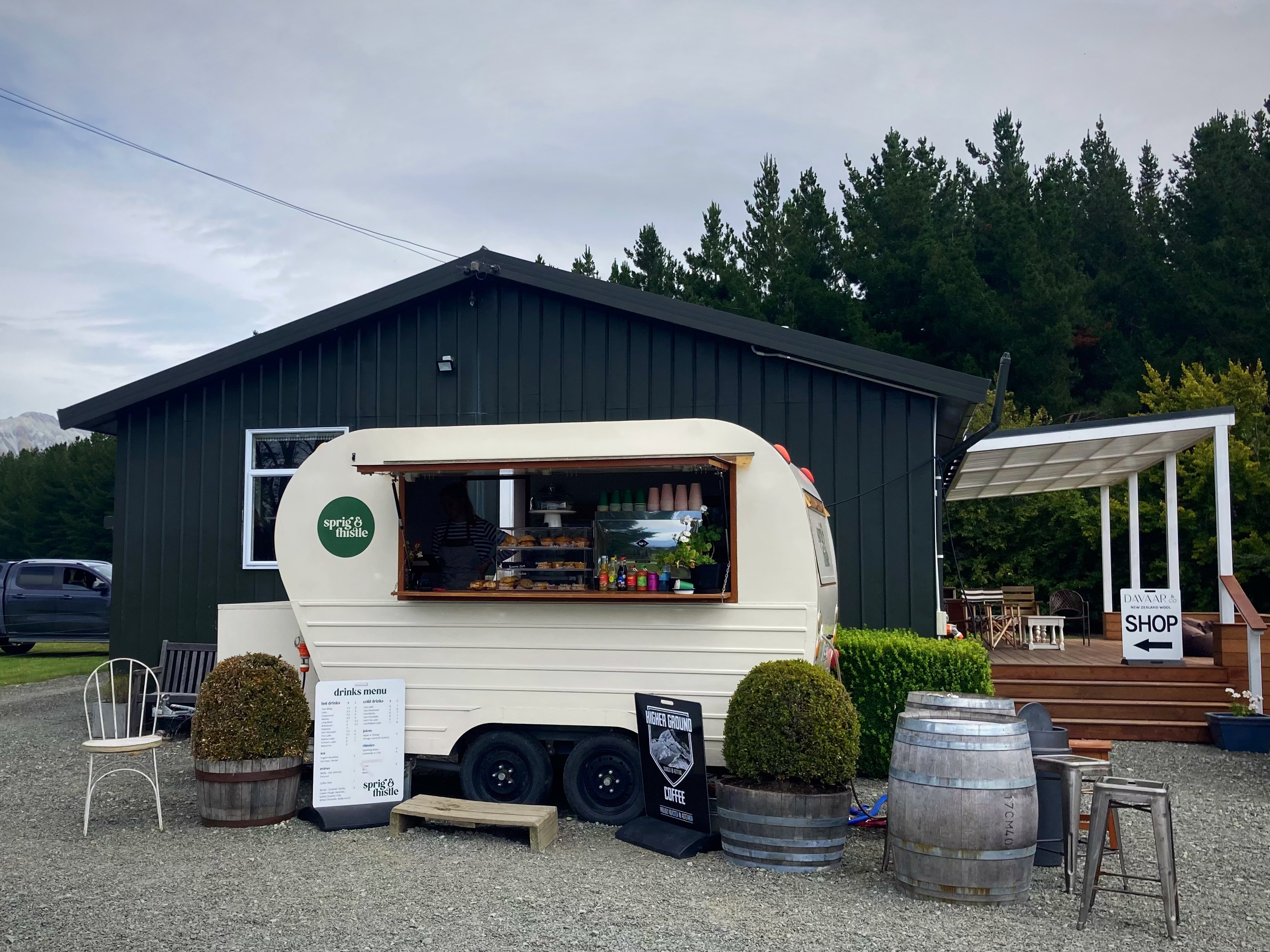
Just after getting back on the tarseal we had our third cafe stop of the day at the Sprig n Thistle – wow, what a great find. We then followed the main road for about 12 kilometres which was a bit hairy with cars and buses flying past at a rate of knots.
It wouldn’t be a Kennett Brothers adventure if we didn’t then leave the fast flowing tarseal to take in the back country gravel roads which added at least 25 kilometres to the ride overall today.
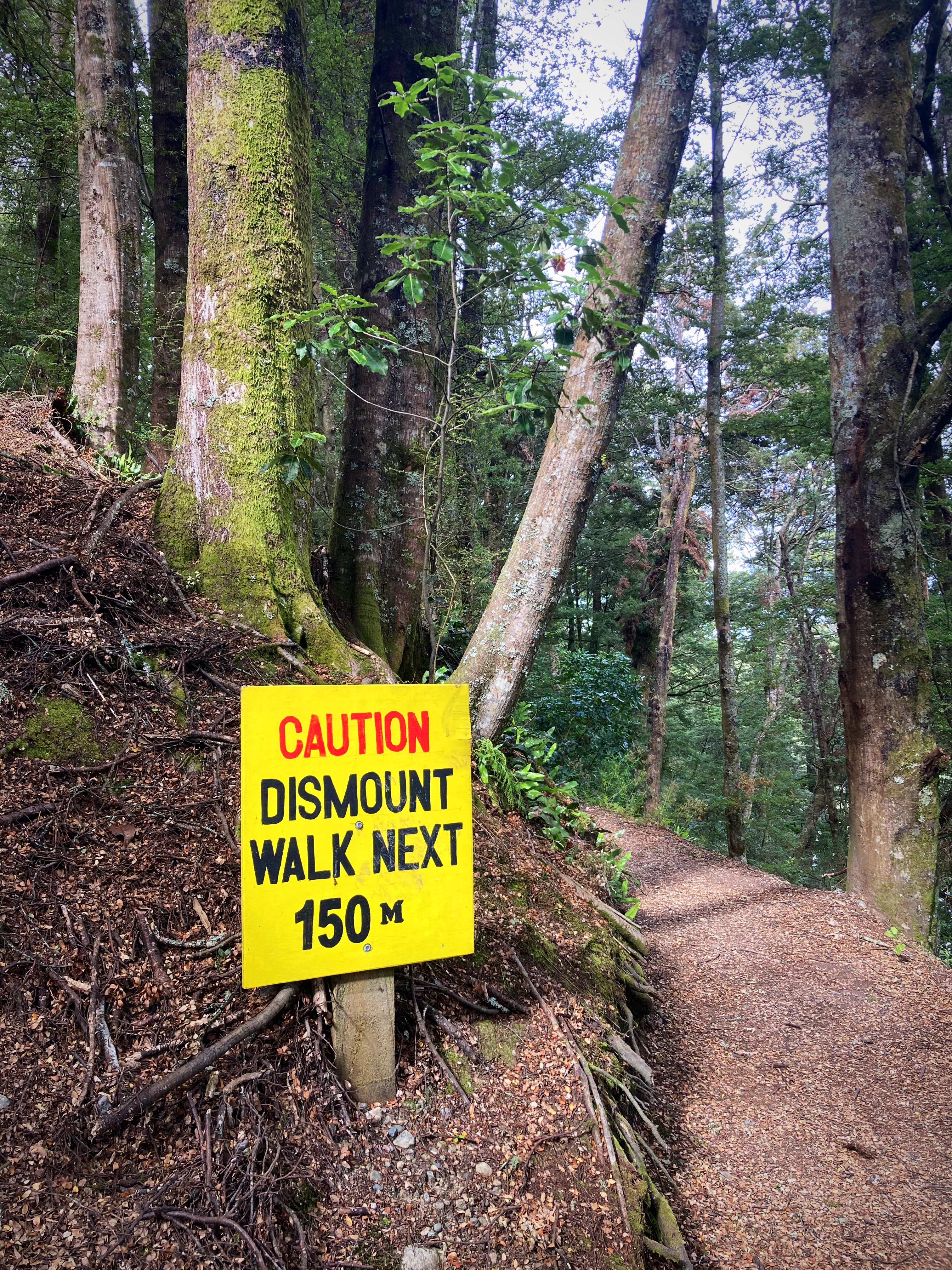
About 15 kilometres from Te Anau we got on the new Lakes2Lake Trail which was lovely and I am sure I would have loved it had I not been 125 kilometres deep . We made Crammers proud though by riding a “dismount and walk section”. We’re not as advanced as him though so there is no video footage while riding with one hand
We finally made it to Te Anau at about 6pm where we are staying at Hicksy’s nephews place. Hicksy was here to greet us, sort our washing, provide chocolate milk and generally fuss over us. The border collie has morphed into a trail angel
We enjoyed a lovely meal at the Te Anau Club – cannot go past blue cod when in the Deep South.
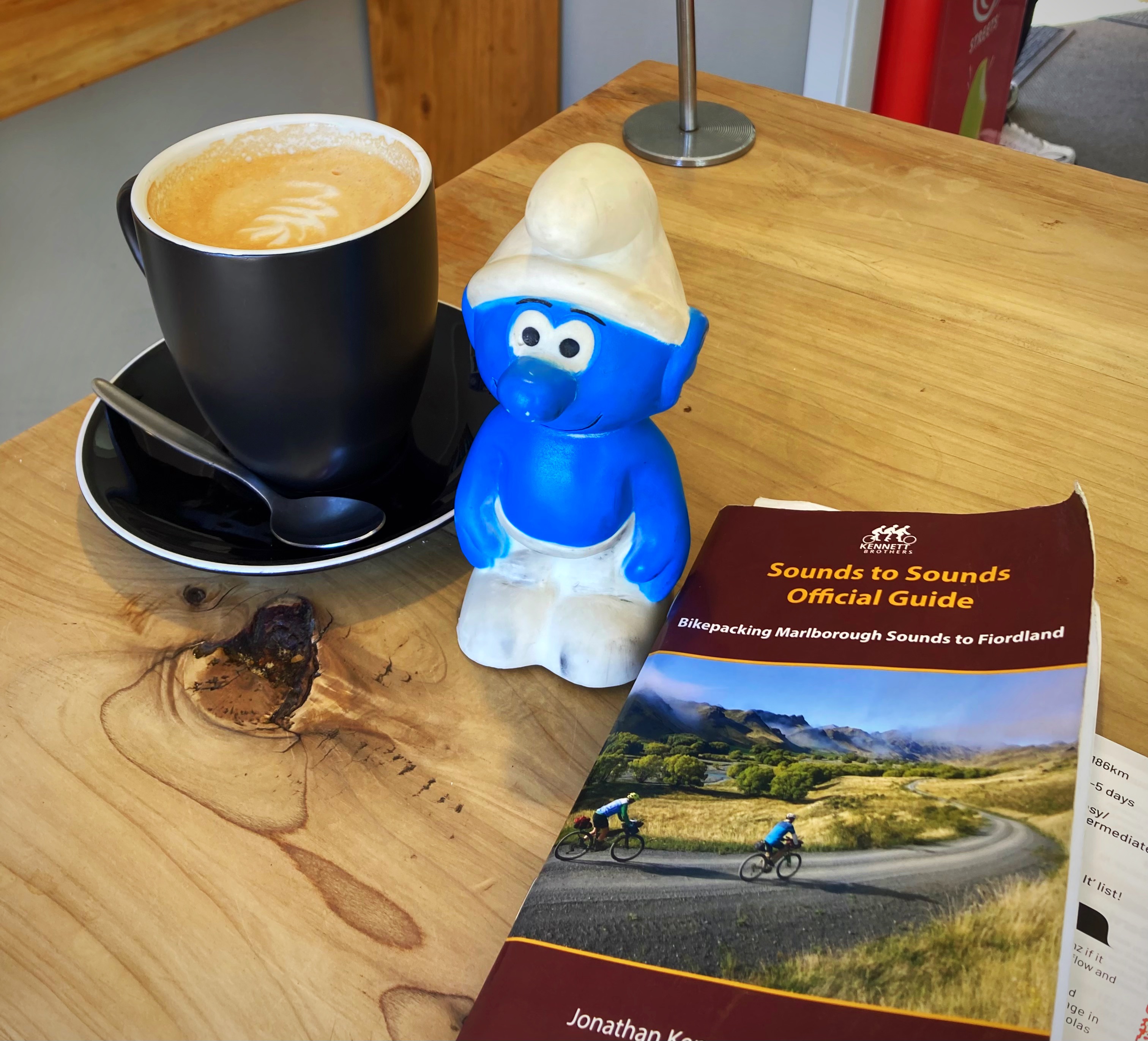
As you can see Smurfy is having the time of his life 
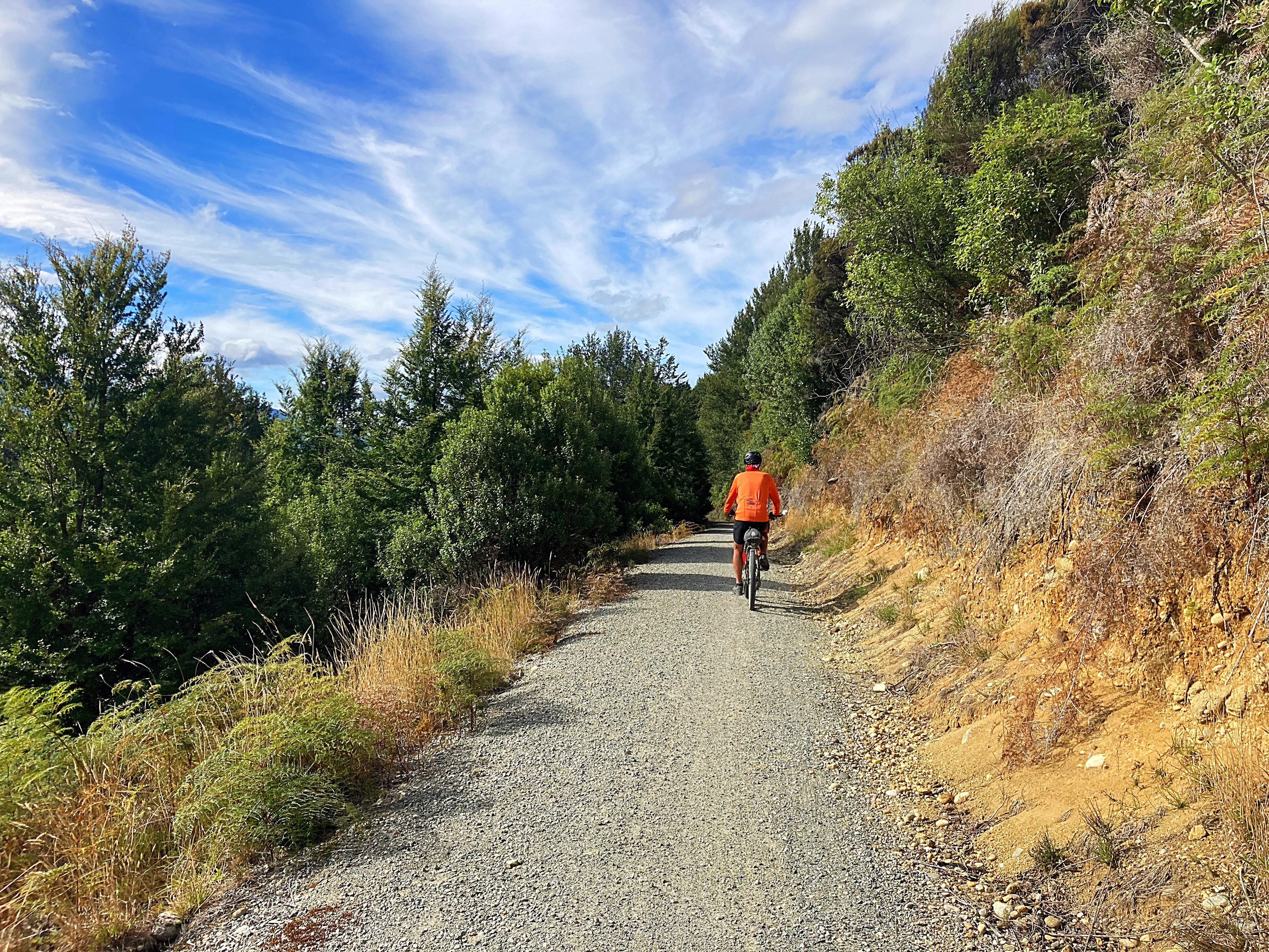
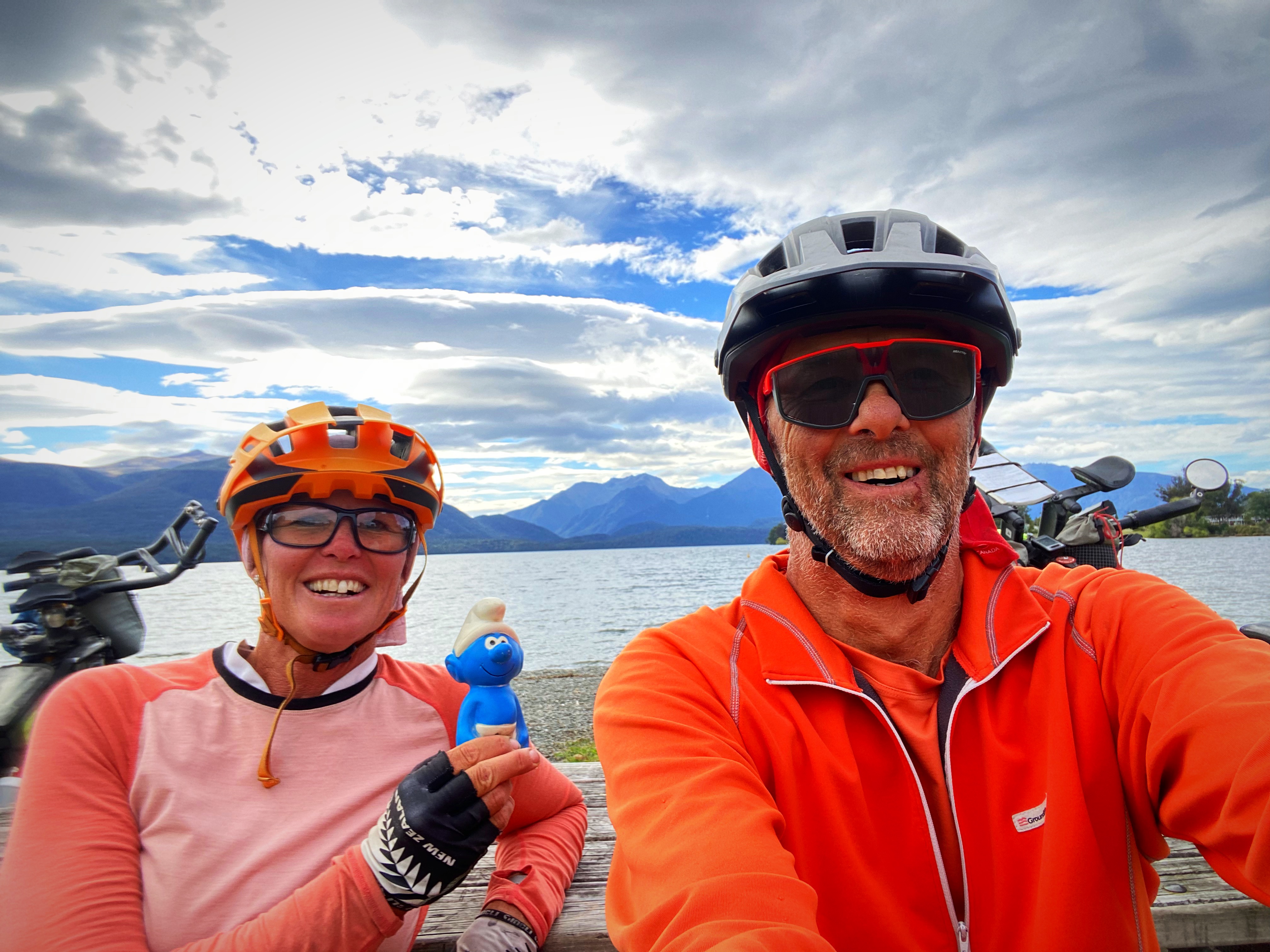
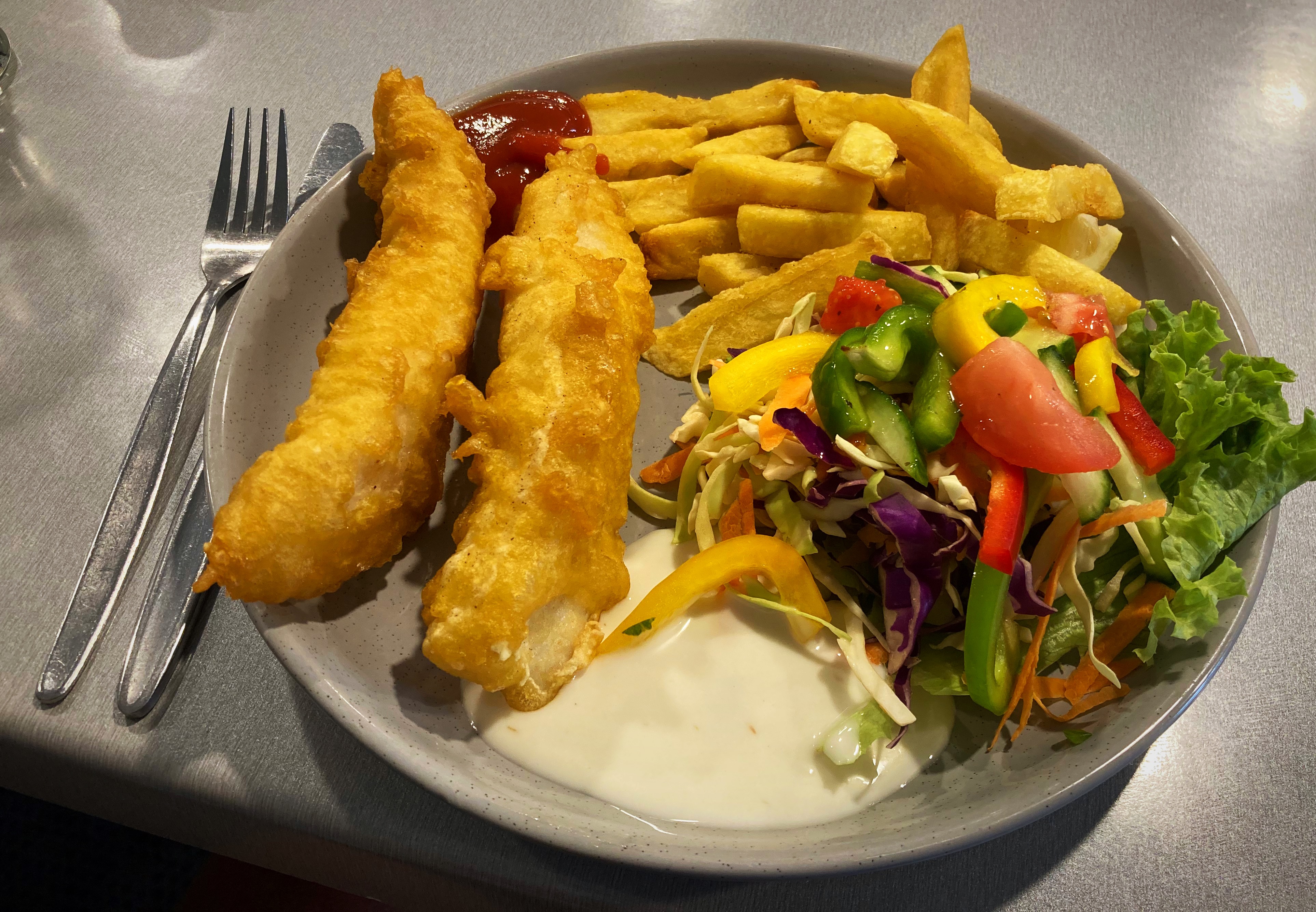
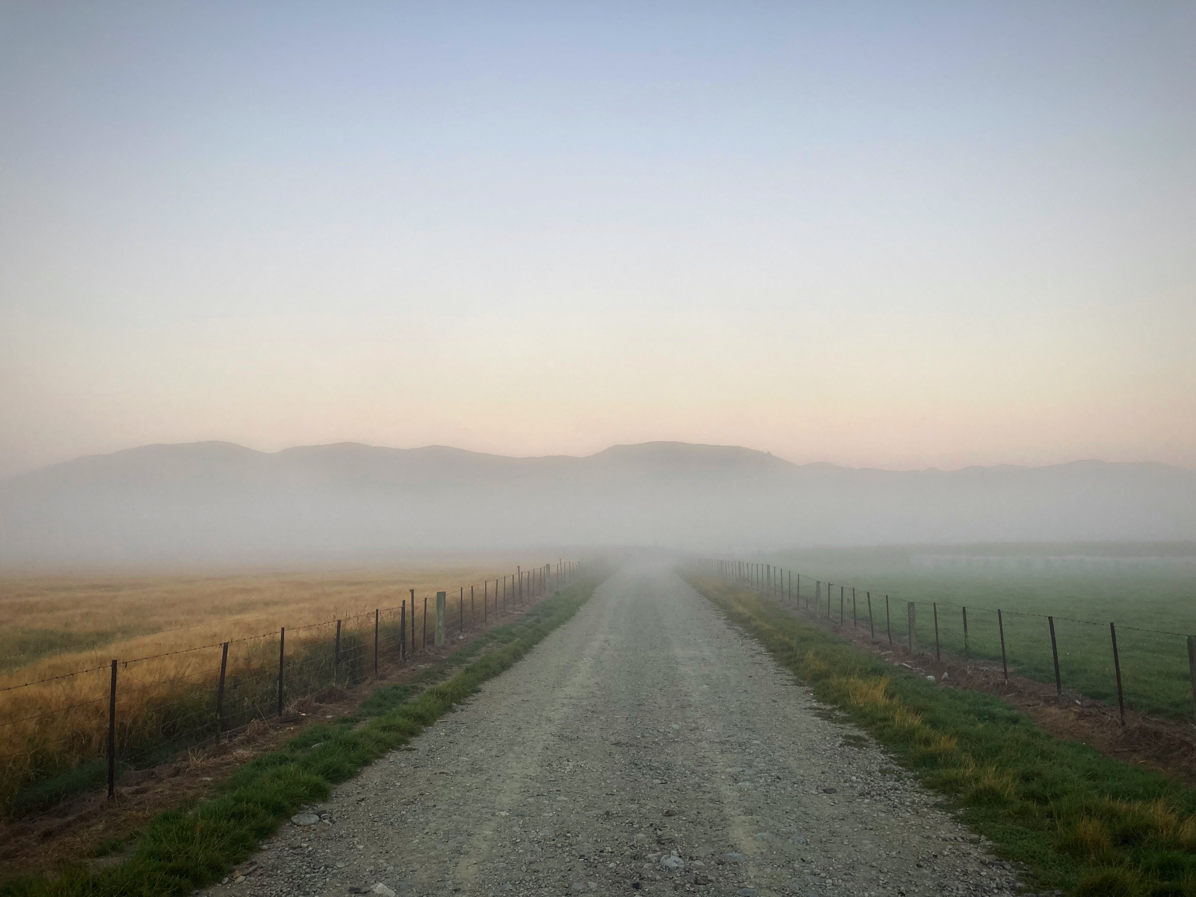
24 February 2024
Day 13 – Te Anau to Milford Sound 120km 1,600 metres climbed per the guidebook (my Strava said 2,700 metres and Chris’s Strava said 2,200 metres )
1,426 total kilometres in 13 days
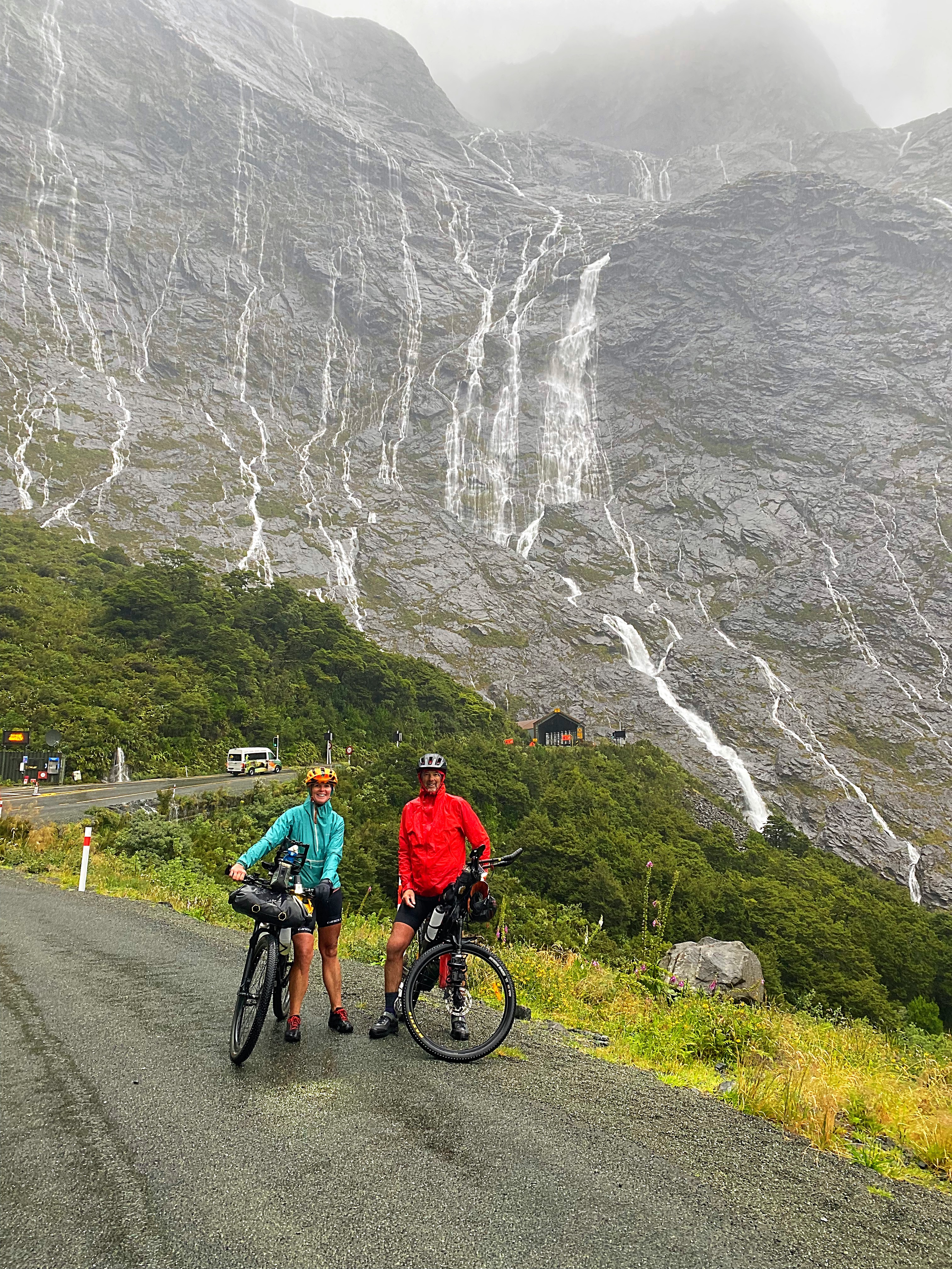
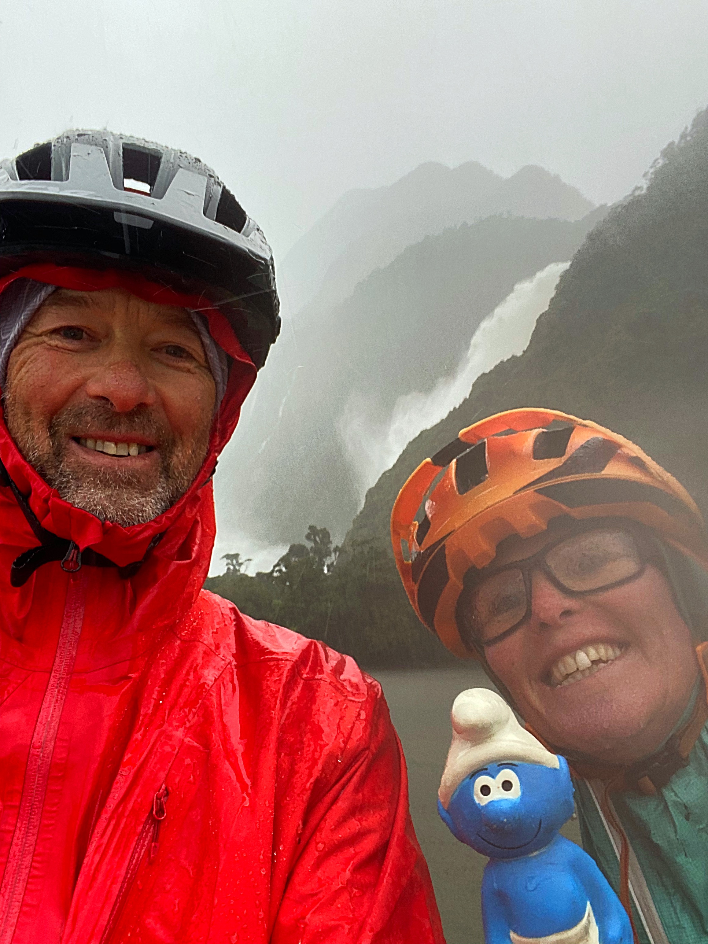
Twelve out of thirteen ain’t bad I suppose. The SUNGRL’s sun powers faltered on the last day, so Chris and I had a very wet ride into Milford Sound.
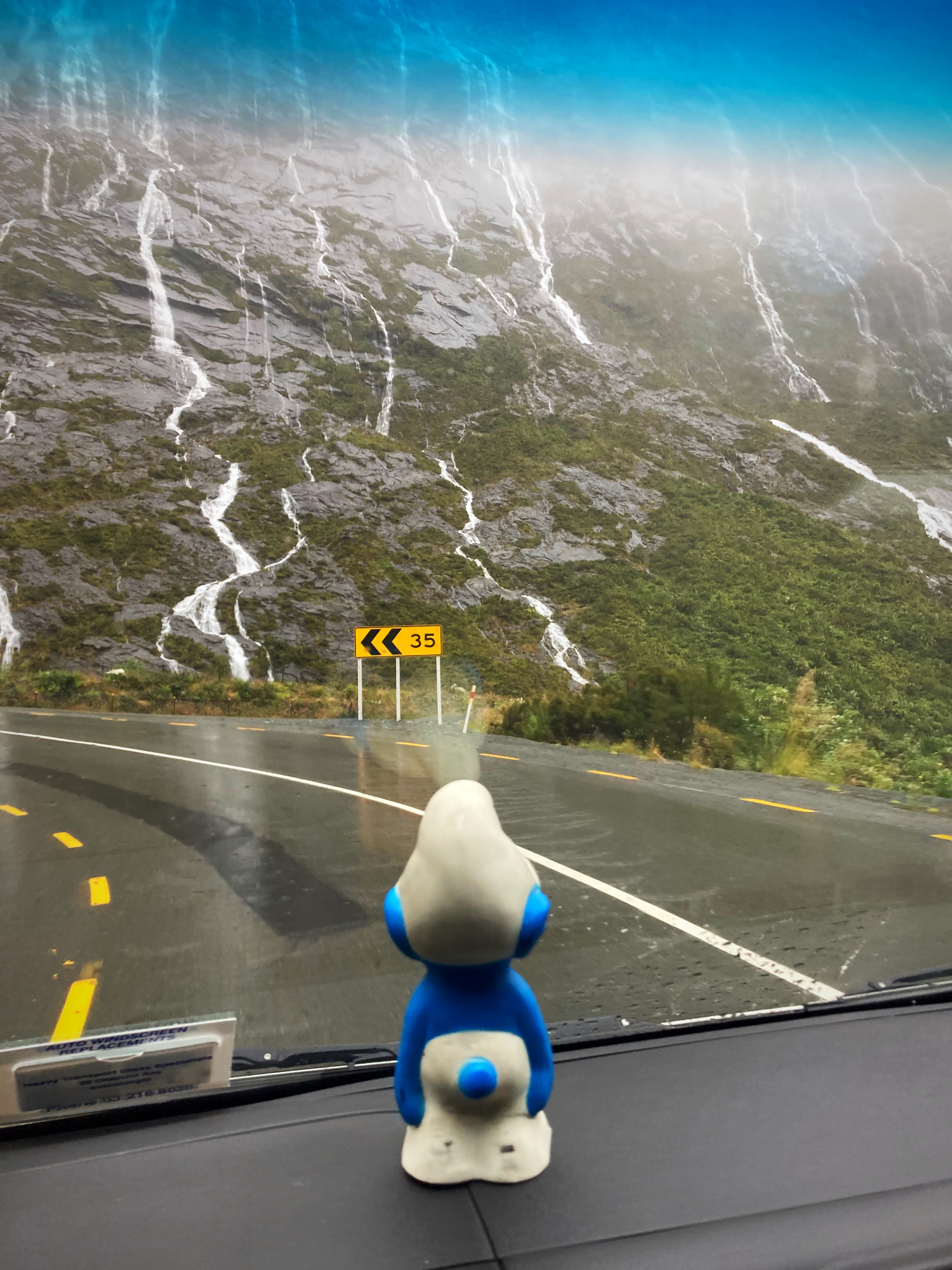
The forecast didn’t look flash, so we got away at 6am and had a few sprinkles and some gusty headwinds in the first 50 kilometres. By our third snack stop at 85 kilometres the heavens had really opened up, so it was pedals to the metal. One bonus of a wet day in Milford Sound is the amazing waterfalls coming down from the mountains. It is a mystical and magical place.
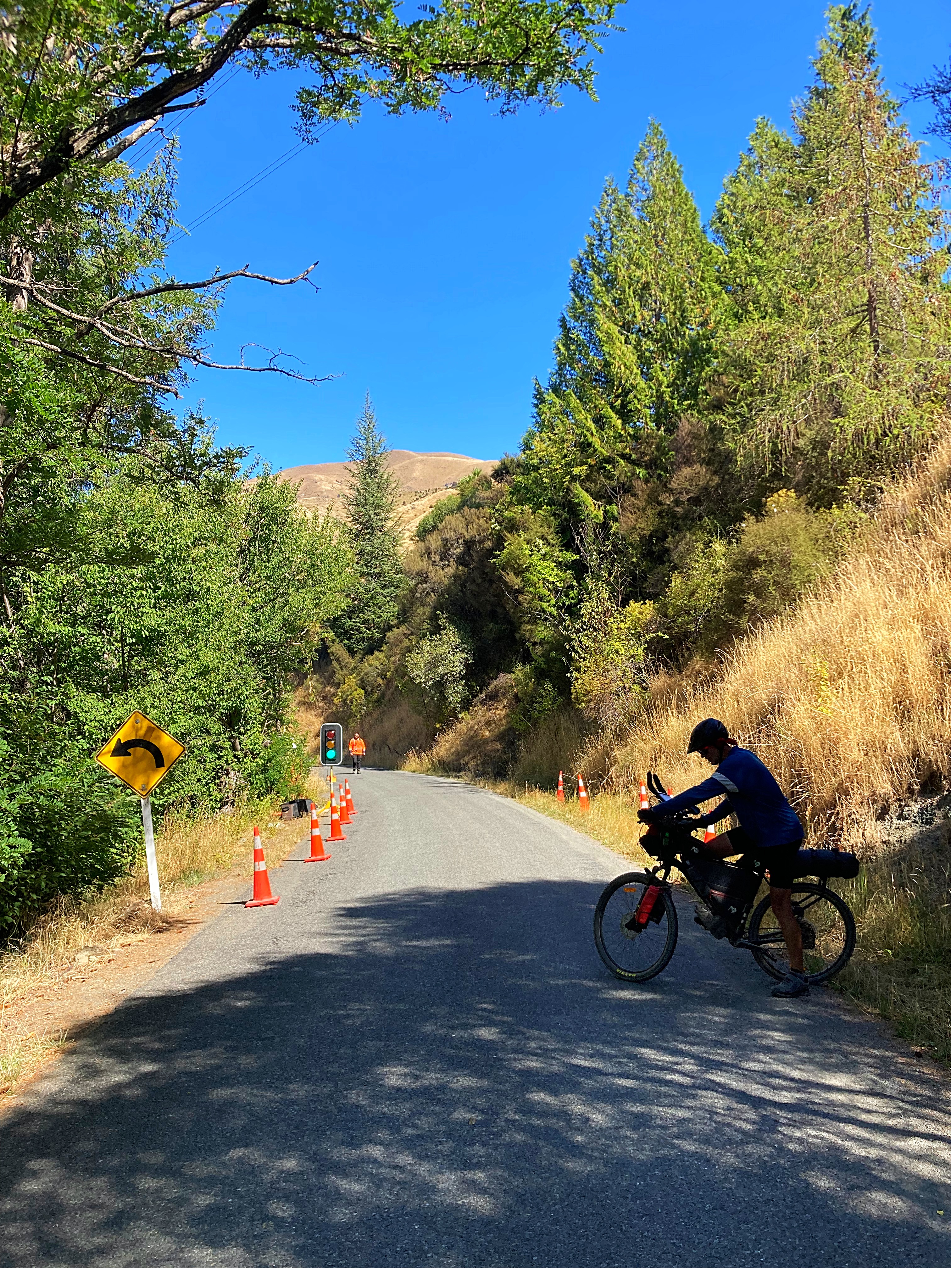
I had thought that the Homer Tunnel (which is where the big descent starts) was at the 110 kilometre mark. We had to stop at these traffic lights and I was thinking they were doing roadworks halfway up the climb – I didn’t realise we had actually made it to the tunnel at the 100 kilometre mark. It was then an 18 kilometre yahoo descent into the Sounds. Unfortunately due to the rain we had to curtail our yahoo a bit – it was still a fantastic feeling to know we were so close to the end.
We had made good time arriving at 2.15pm after seven hours and forty minutes riding time. We had even beaten our shuttle with Hicksy in it – Hicksy had one job – to cheer us over the finish line
We were soaked to the bone so it was a welcome relief to put dry clothes on and enjoy a hot drink and food.
Fiordland, the region where the Milford Sound is, has an average of about 7 metres of rain fall per year, over an average of about 200 rain-days per year. I guess we picked one of those 200 days
The rainfall and unpredictable weather patterns are due to the famous ‘Roaring Forties’ westerly air streams. These winds pick up moisture as they cross the Tasman Sea, are pushed up by the mountains then release it as heavy rain in the west and snow at higher levels.
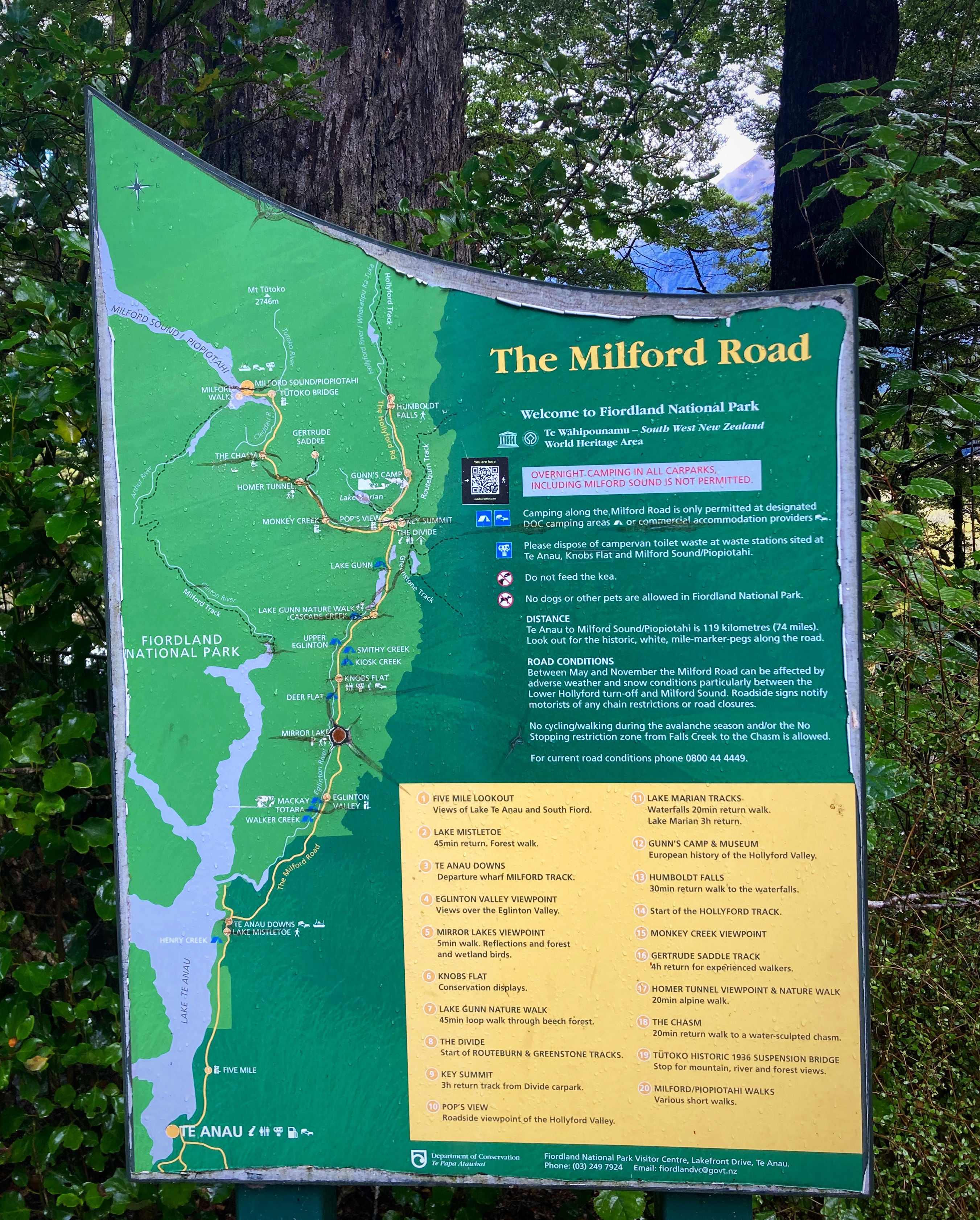
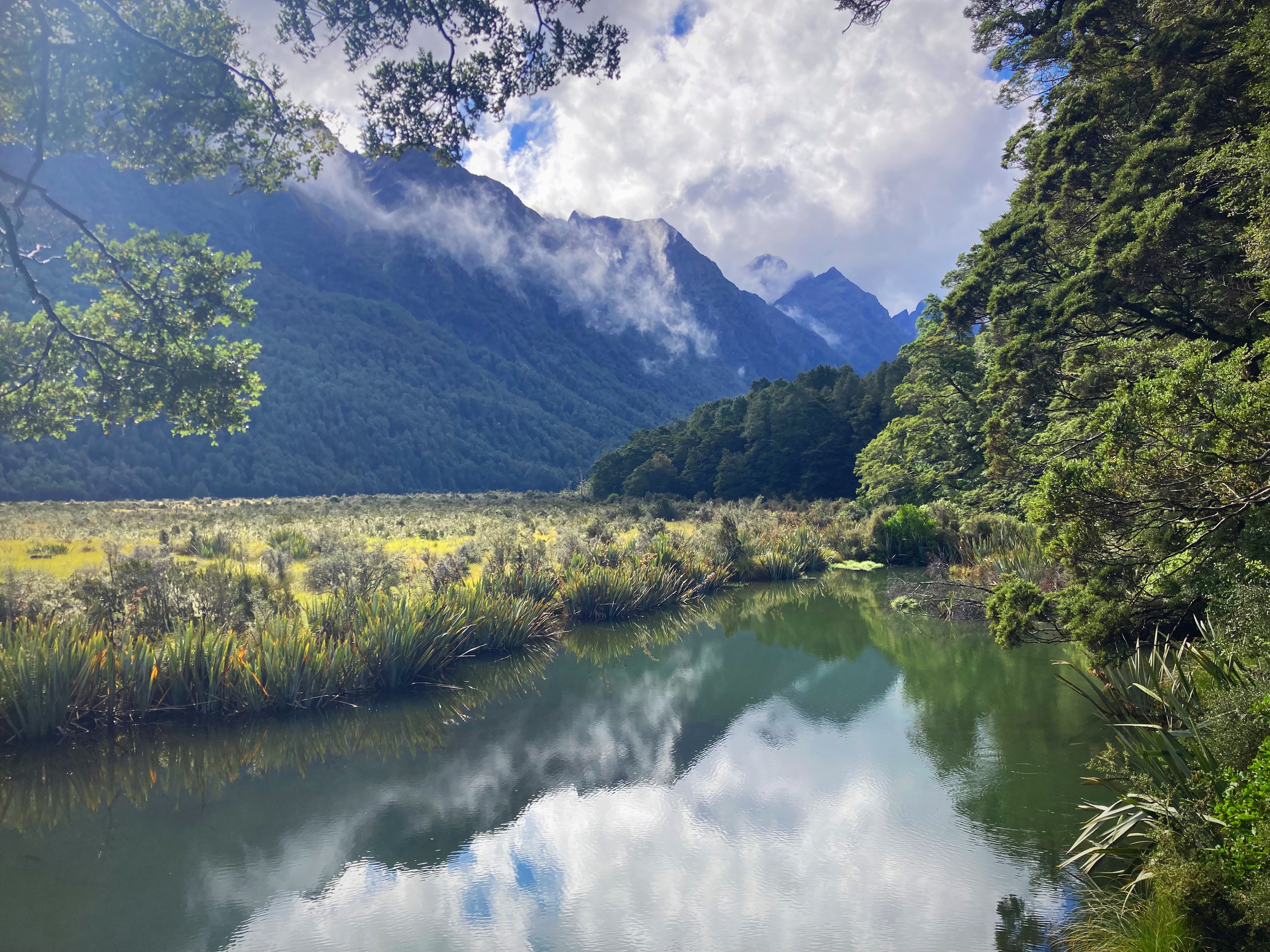
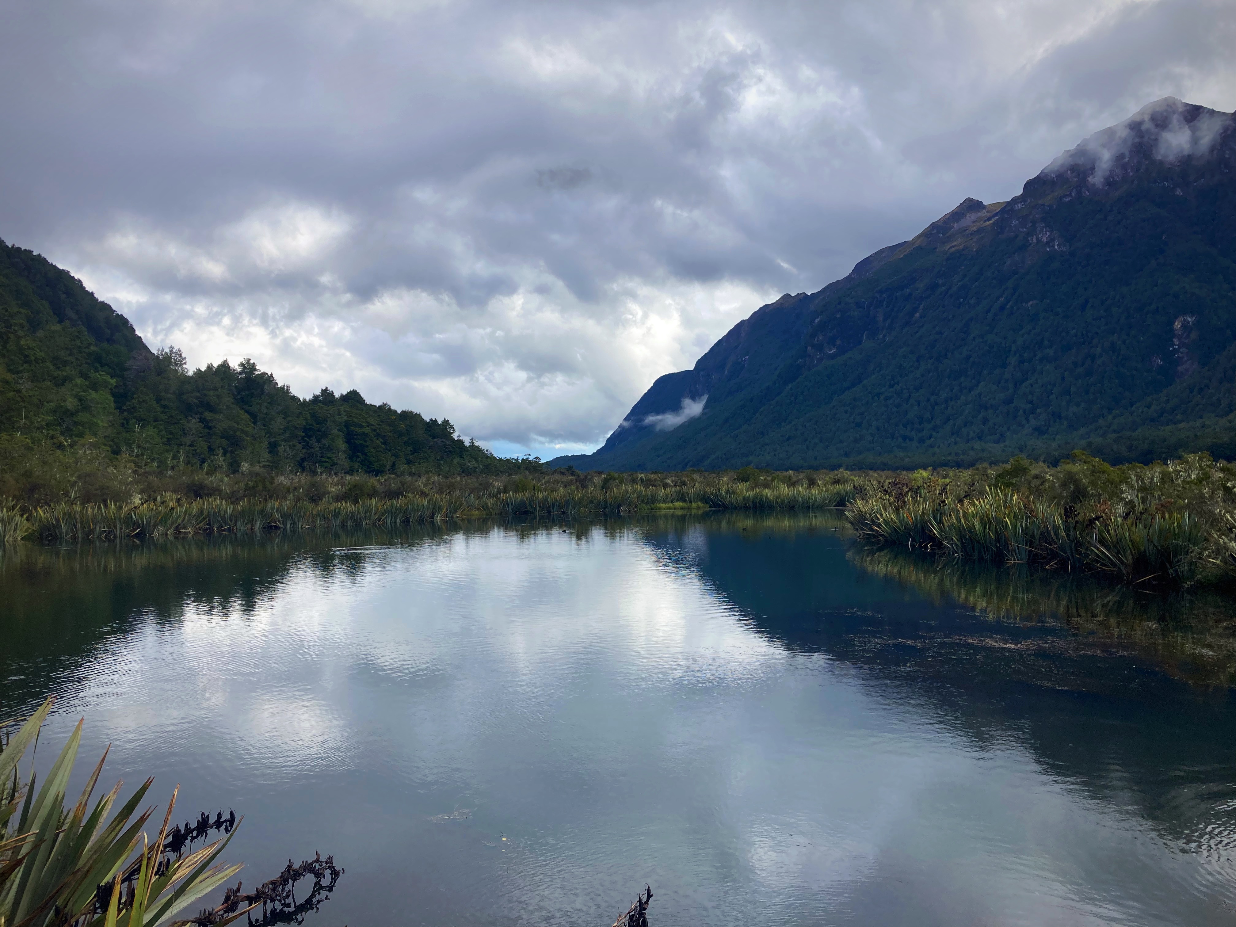
Safely in the shuttle with our bikes we headed back out of the Sounds to Queenstown. The sun then decided to come out so we stopped at the Mirror Lakes to have a look.
Mirror Lakes and the Eglinton Valley make a valuable contribution to Te Wahipounamu-South West New Zealand World Heritage Area. They are part of the largest system of inland waterways in New Zealand, stretching (almost unbroken) from Martins Bay/Kotuku in the north to Te Waewae Bay on the south coast.
Intact river systems, like these found in Fiordland, are becoming increasingly rare on an international scale. Many New Zealand plants and animals that live here will not survive unless the special character of their freshwater environment is safeguarded.
Our shuttle driver, Steve, kept us entertained with information and stories of the area. We had a debrief on speaker phone with Crammers from his hospital bed.
Back to Paul’s (our Queenstown Trail Angel) place to box the bikes up before a couple of drinks to celebrate another amazing journey on our bikes.
Thanks to my physcolists for another memorable adventure. We traversed some challenging terrain but what a treat it was to enjoy such beautiful vistas. There was never a shortage of banter and laughs and a privilege to share the experience with such great humans. Until next time….. 
Due to the weather we didn’t take many photos and to be honest I’m not sure they would have done the Milford Sounds justice. To get a better appreciation of the sheer beauty of this special place google Milford Sounds for some amazing videos on YouTube.