Mayfair Lakes Golf & Country Club – Vancouver, Canada

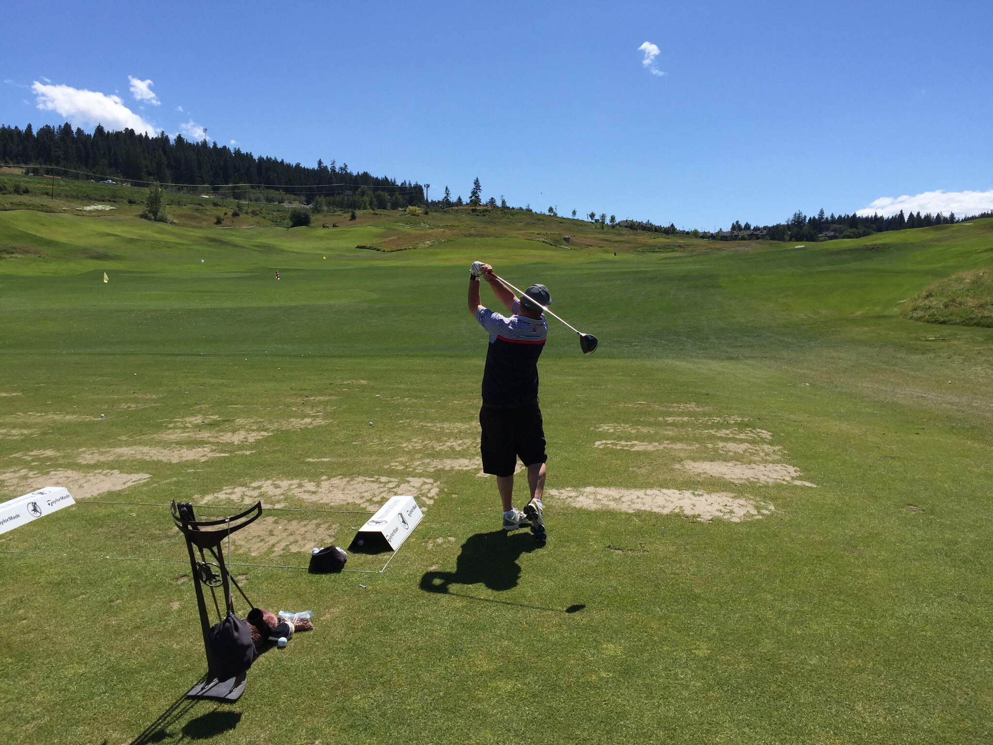
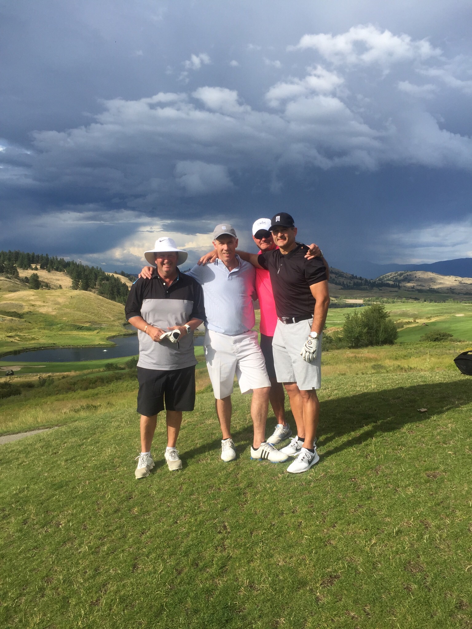
On Tuesday we decided to have a game of golf in Vancouver.  Steve had been checking out the deals of course and spotted Mayfair Lakes.  It was a shot gun start at 8am so we signed up.  We played with two local ladies although they were not members of this particular club.  They were lovely and a lot of fun to play with.  Ann was originally from Hong Kong but has been in Vancouver for twenty years – both her daughters were born in Canada.  Her husband has had to go back to Hong Kong for his job so she travels regularly back to Hong Kong to see him and play golf at Misson Hills where they are members.

Cindy was originally from Malaysia but has been in Vancouver for forty years.  It is always good to chat with the locals to get the inside running on the place.  The golf course was in the suburb of Richmond where 80% of the population is of Chinese descent.  

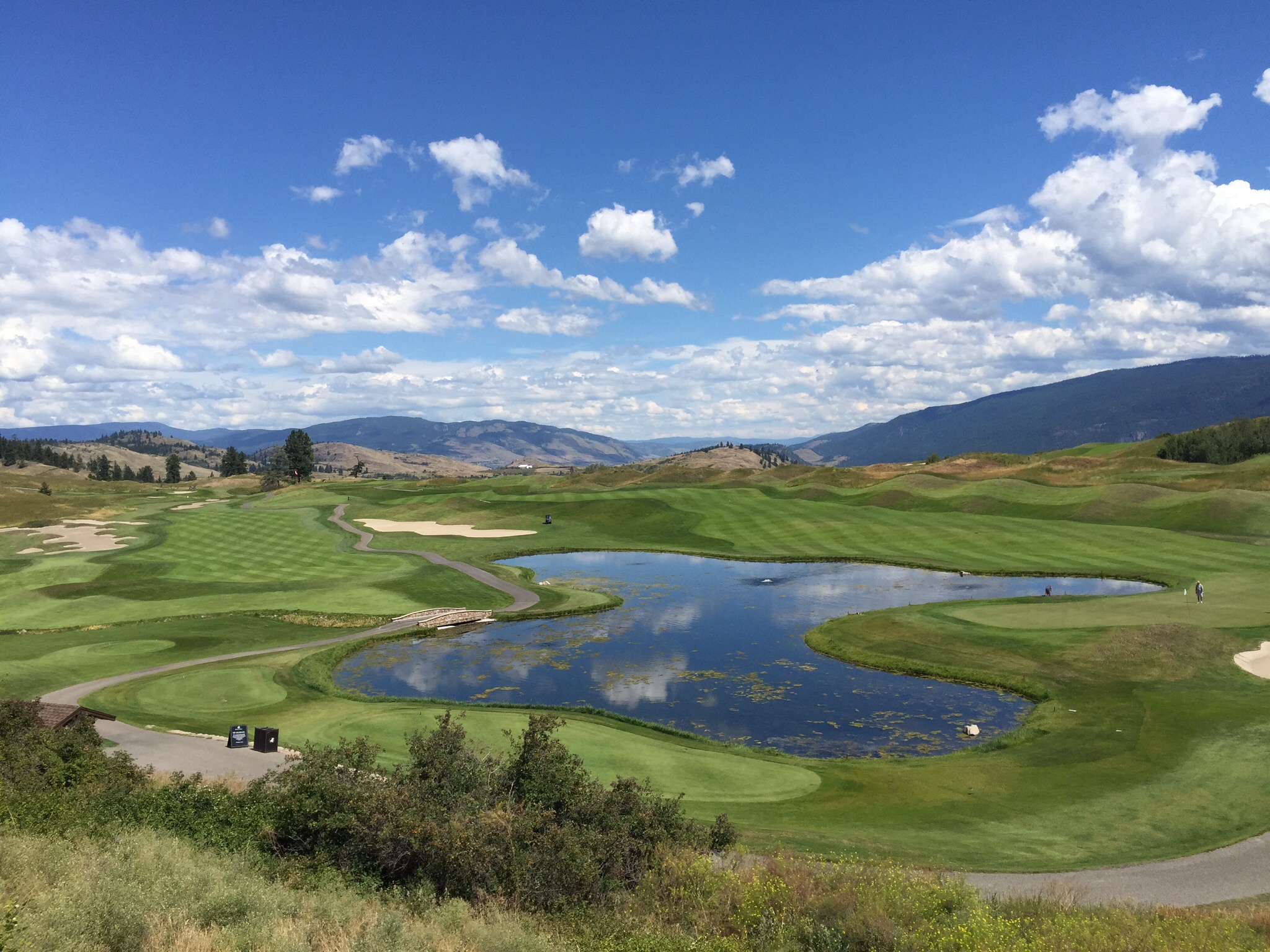
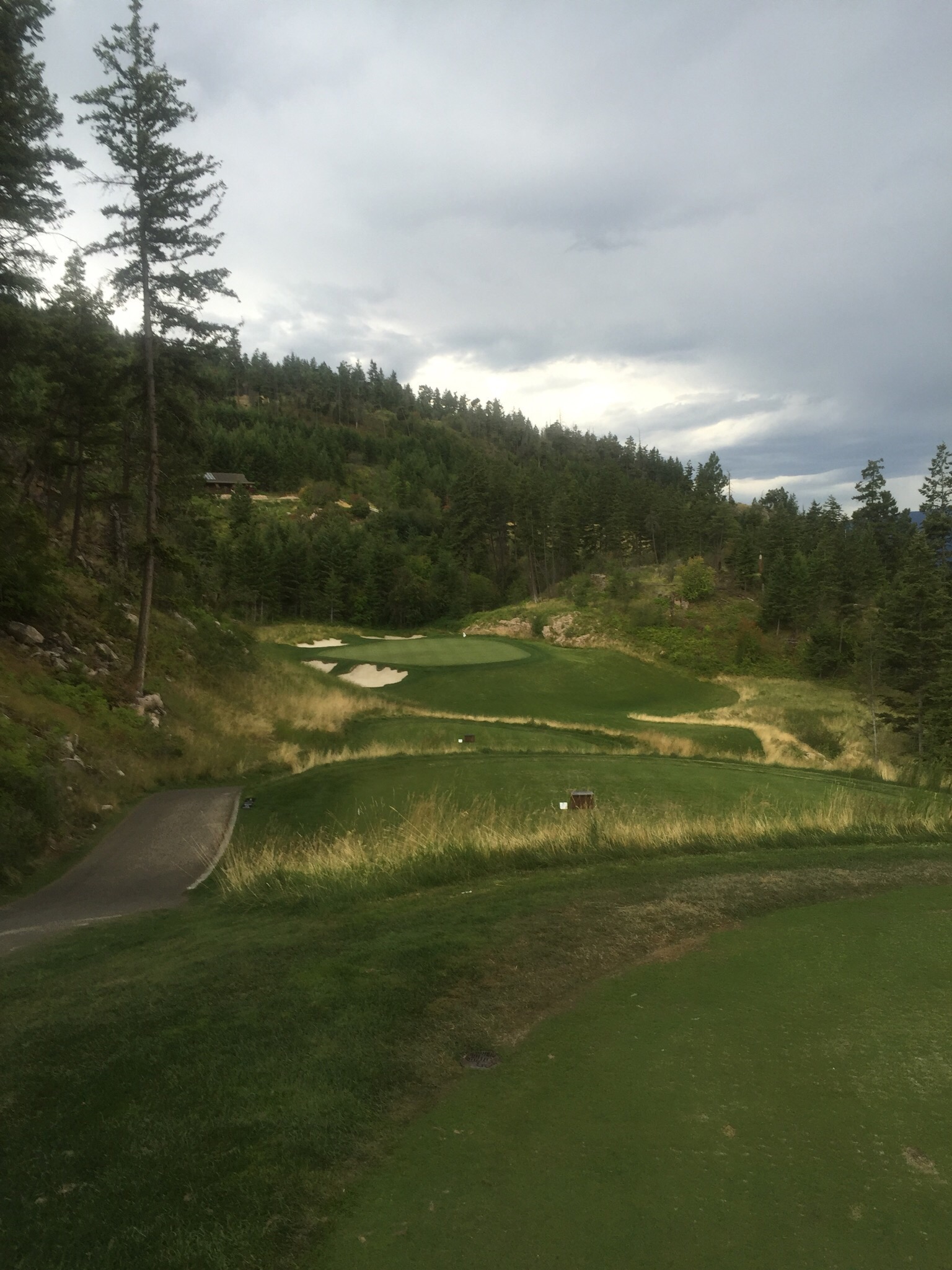
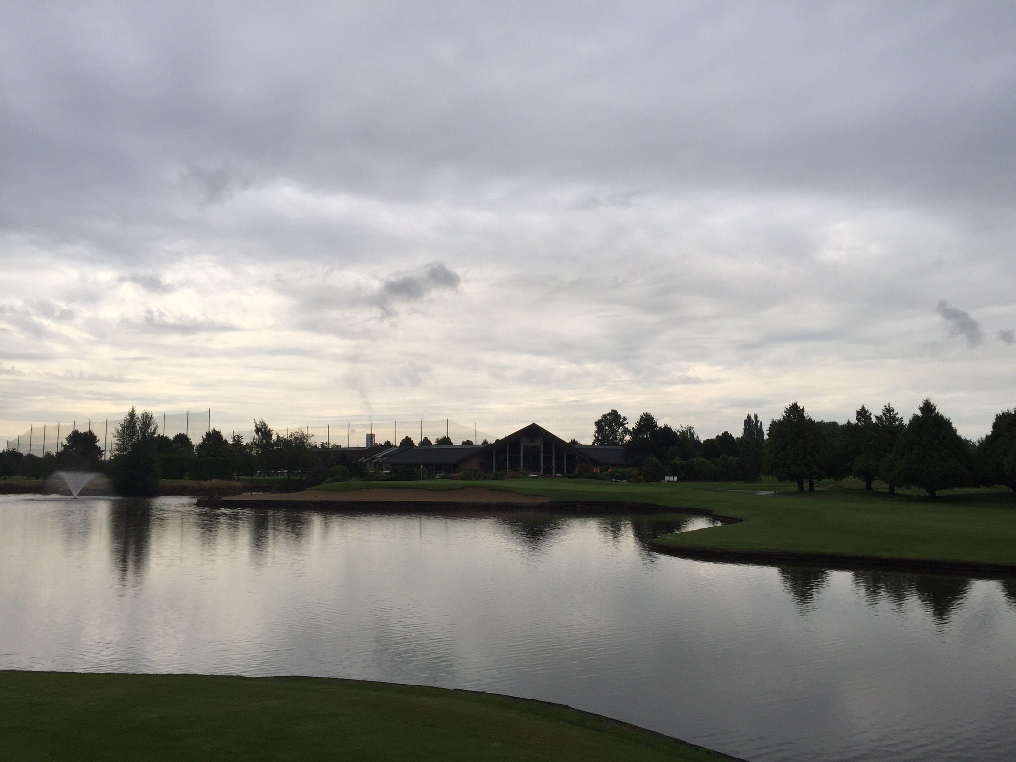
Unfortunately the weather wasn’t that nice – it was overcast and we got the odd spit of rain.  It appears that this is the normal state of affairs in Vancouver – the mornings start off cloudy and cool with the hottest part of the day being at 5pm.  The course was really nice and well maintained.  Thirteen of the eighteen holes had water on them – that is why it is called Mayfair Lakes!  I managed to lose three balls and Steve lost two although one of those was out of bounds into the trees along the road!
After the game we had a drink with Ann who then offered to drive us back to our accomodation which was very nice of her.  We have swapped email addresses and hope to catch up again in either Vancouver, Hong Kong or NZ!

Mayfair Lakes is a semi private golf club that was designed by Les Furber.  It has had the privilege of hosting many national tour events, including the Canadian Tour’s Telus Open and BC Tel Open (1994-2000), and continues to rank as a favourite among PGA and Canadian PGA tour professionals.


Posted in Canada, Vancouver | 1 Comment

Vancouver Day 3 – Vancouver, Canada

Erik my tour guide from Granville Island mentioned he was doing a walking tour in the city on Monday so I signed us both up.  The Tour Guys run various tours in the city and they are free- you just pay a tip to the guide at the end.  Check out http://www.tourguys.ca. We had 22 in our group today but Erik stopped in strategic points along the way and pointed out various things, told stories and discussed the history of what we were looking at.  It is such a cool way to see a city – it is amazing the things you don’t notice as you are wandering around on your own.

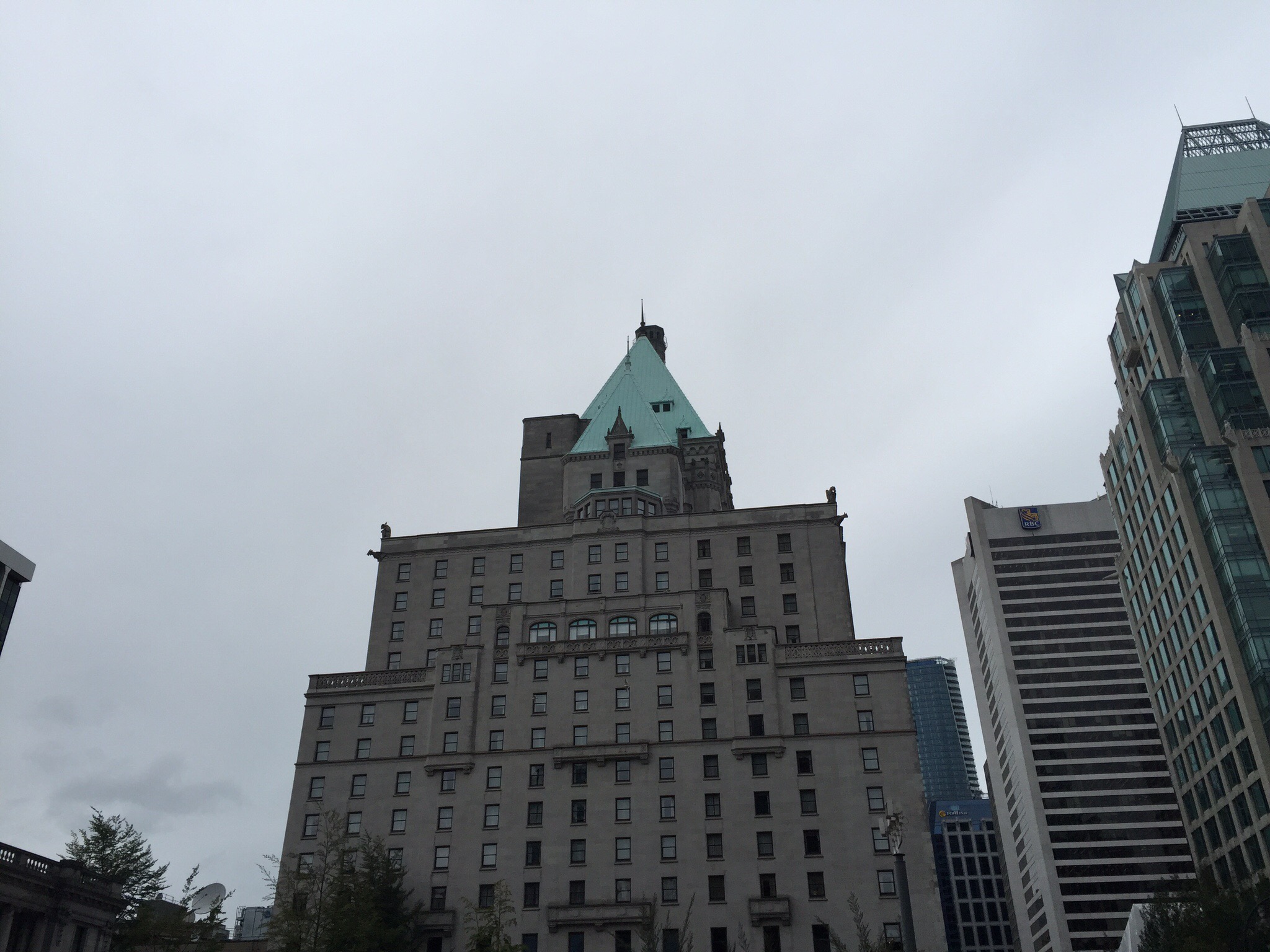
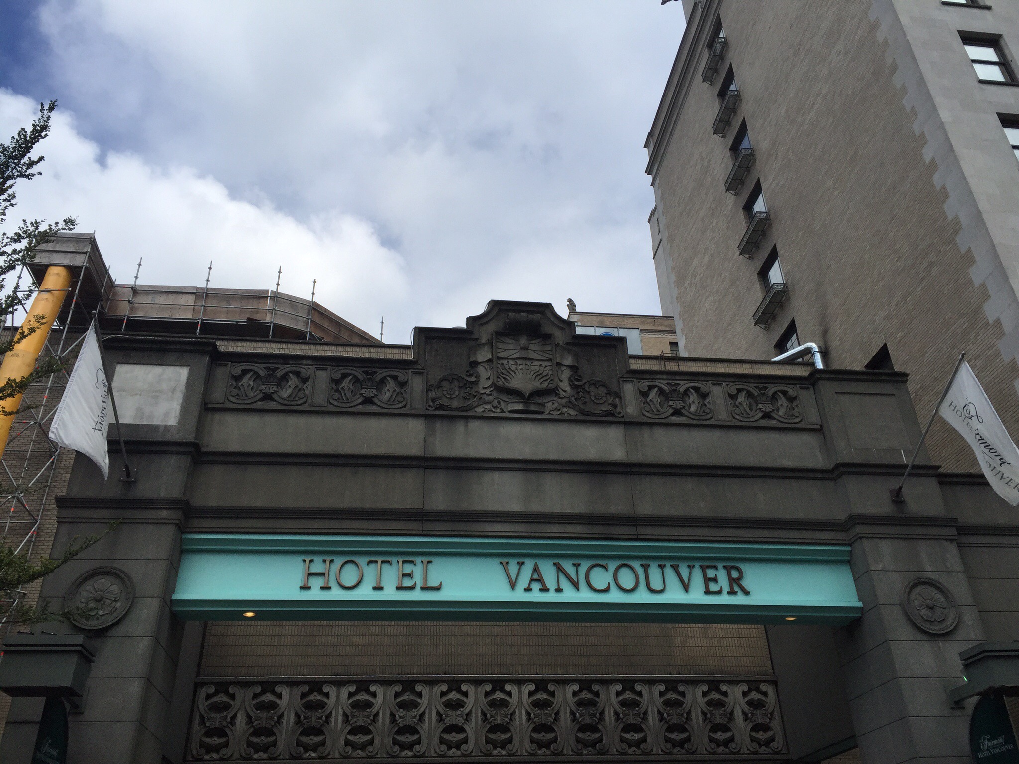
Our first stop was The Fairmont Vancouver Hotel.  Some of Canada’s most unique features are the majestic railway hotels that were built across the country by the Canadian Pacific and the Canadian National Railways. For their time, these hotels were miracles of construction and engineering. Everything that went into them was the biggest and best of their time and they have become very much a part of Canada’s national heritage and identity. The Hotel Vancouver was constructed in the style of a 16th century French Chateau, heavily favoured by Canadian railway companies at the time. The hotel stands 111 metres high and was the tallest building in the city when finished in 1939.  It cost CAD12 million to build and took 11 years to build because construction was halted for five years during the Great Depression.

Though its name and heritage date back to 1888, the present Hotel Vancouver first opened its doors in 1939, on the eve of the Royal visit of King George VI and Queen Elizabeth.  The King and Queen took high tea in the Royal Suite but didn’t actually end up staying in the hotel.   

 We then stopped at a building that was home to the suffragette movement in years gone by. Much like today’s women’s movements, the suffrage cause drew great strength from a world-wide constituency. Helena Rose Gutteridge was just such a dedicated transplant from London to the far flung shores of the British Empire in Vancouver, British Columbia. Born to a working-class London family that disapproved of girls’ education, Helena proved an early rebel. As a young teenager and aspiring ‘New Woman’ of her age, she left home, supporting herself in studies of hygiene and sanitation that gained her a teaching certificate. She won the right to vote for white women in Canada in 1917 and was the first female elected as a city councillor in Vancouver. Erik said that Canada was the second country to achieve the vote for women after Australia. I had to correct him and tell him that NZ was actually the first country in the world to achieve this feat in 1893. Further research shows that South Australia which was a self governing colony at the time acheived this in 1894, one year later so he can proabably be forgiven for being confused. : )

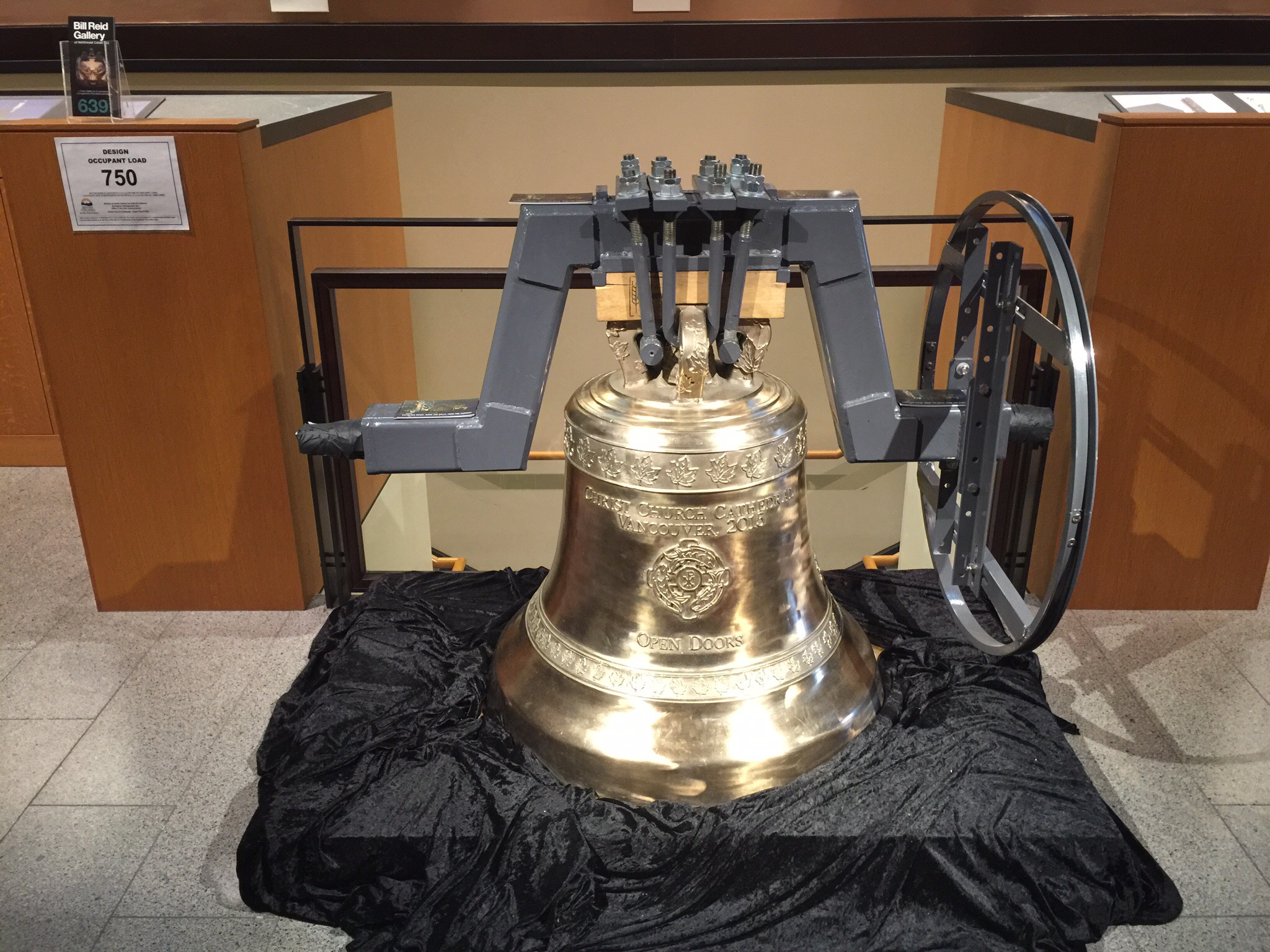
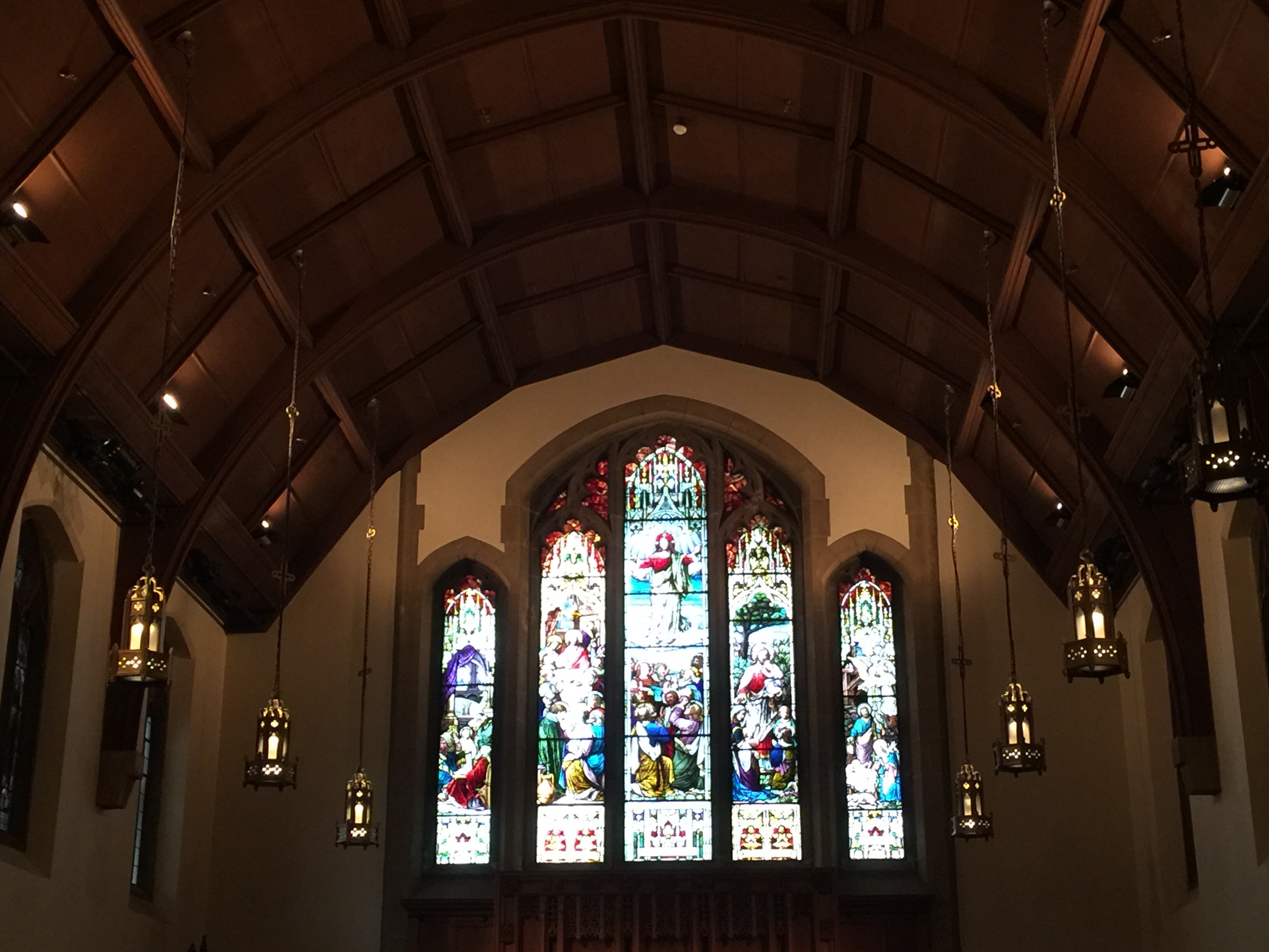
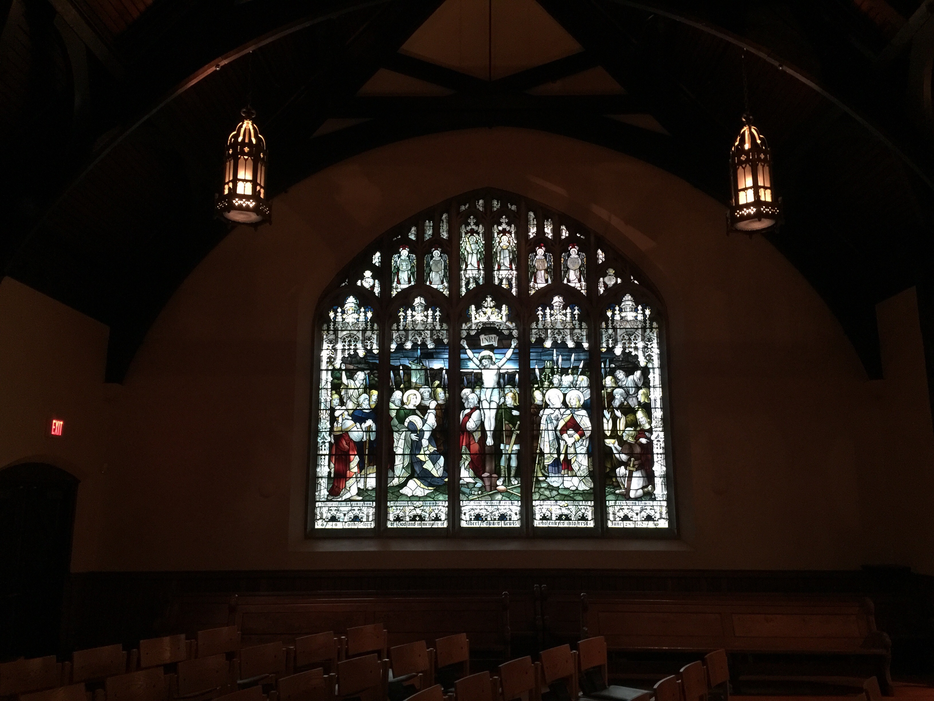
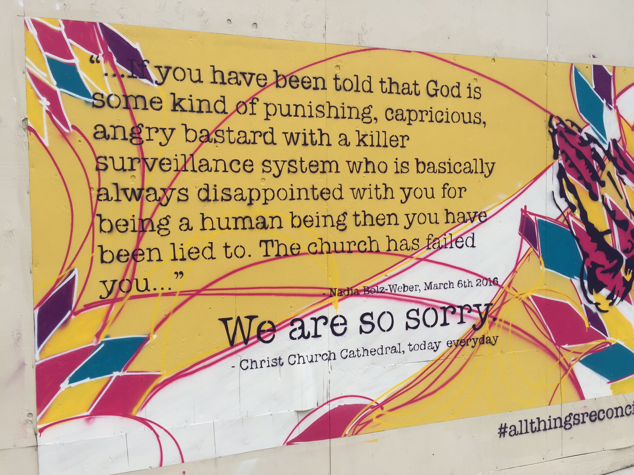
We then continued down Burrard Street to the Christ Church Cathedral.  The Cathedral was started in 1889 and completed in 1895.  The church was built in the Gothic Style with ceiling made of cedar planking and ceiling beams and floor constructed out of old growth Douglas fir.  It has been expanded many times over the last century with the organ also being replaced a few times.  In 1971 the church membership voted to demolish the building and replace it with a hi-rise tower complex designed by Arthur Erickson. This redevelopment was opposed by the public and in 1976 after much lobbying; the cathedral was named a Class A Heritage building in the municipality of Vancouver and the Province of British Columbia.

In 1995 an eleven-year program of restoration and renewal was begun. Christ Church Cathedral is the Regimental Church of the Seaforth Highlanders and is in the process of being designated Regimental Church of the BC Regiment, Duke of Connaught’s Own. It is also the church at which the British royal family worships when in Vancouver.

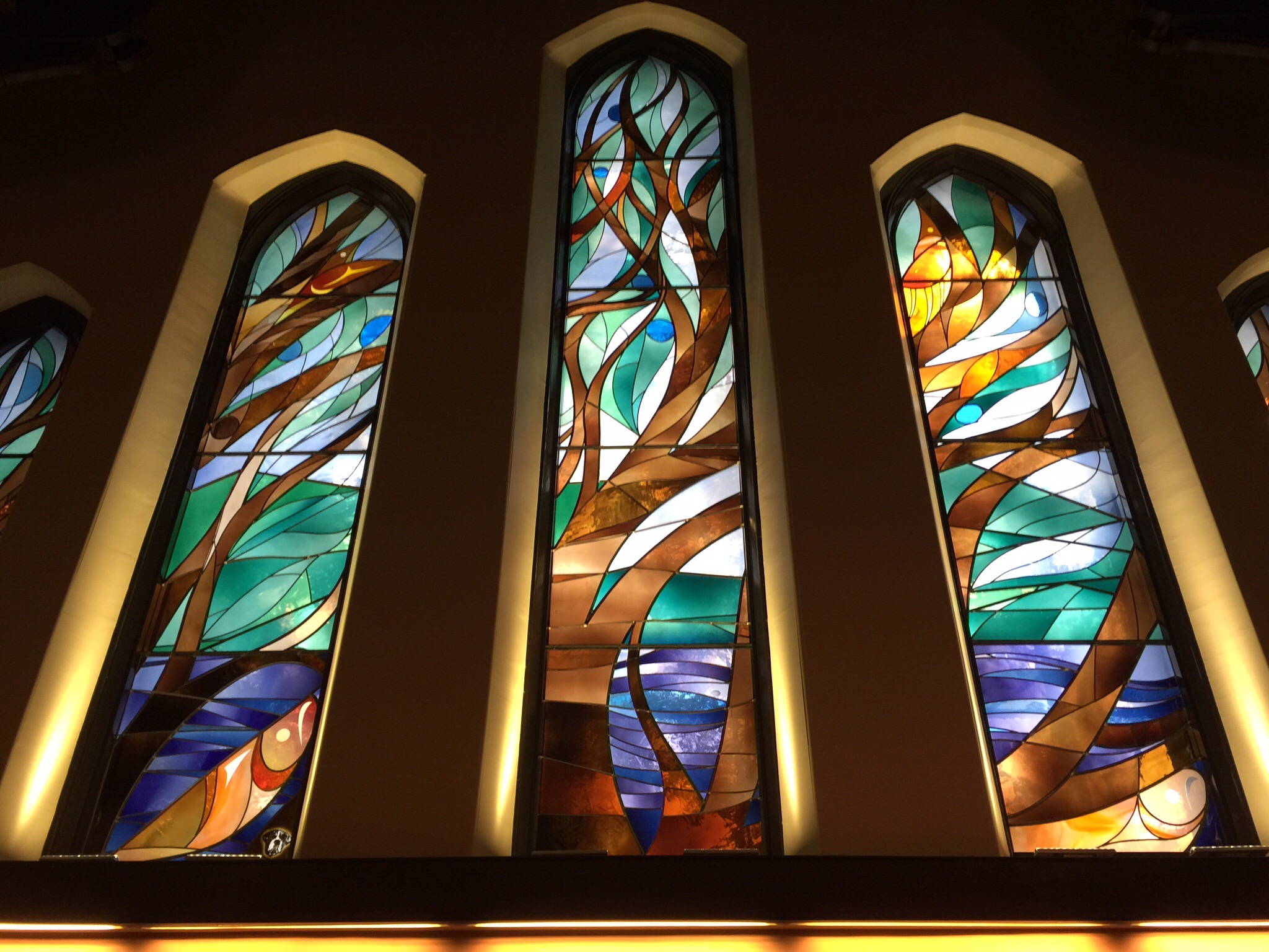
When we visited the inside of the cathedral was completely finished.  The outside is still covered in scaffolding with that work ongoing.   It is beautiful on the inside being restored to it’s original state.  The stained glass windows at the entrance to the church were designed by local artist Susan Point – he brief was to design something that represented BCs natural beauty.  The woman who donated the money for these windows did so on the proviso that her dog featured in them.  If you look carefully in the bottom left hand window you will see a dog’s face.Vancouver has a very strong and robust urban planning strategy.  Property developers wanting to build buildings have to do certain things like create parks and green spaces or contribute to the public artworks.  The minimum building height is 25 stories and the maximum is 40 although there are a few exceptions to this.  Vancouver has 27 protected view corridors which limit the construction of tall buildings which interfere with the line of sight to the North Shore Mountains, the downtown skyline, and the waters of English Bay and the Strait of Georgia.
  The dog’s face is in the right hand corner of the left hand panel – these windows were designed by Susan Point

An interesting billboard on the scaffolding outside the Cathedral

When the Park Place building that sits next to the Cathedral was being built it was restricted to 20 stories but wanted an extra 15 stories. The cathedral sits at about 10 stories high so the city did a deal with the developers – they could have another 15 stories if they effectively paid the cathedral for their space. This money has allowed the cathedral to be renovated and equated to approximately CAD12 million.

Vancouver has more high-rise buildings per capita than most North American metropolitan centres with populations exceeding 1,000,000.  Vancouver’s population density is the 4th-highest in North America and the city has more residential high-rises per capita than any other city on the continent.  There are roughly 650 high-rise buildings that equal or exceed 35 m (115 ft)., and roughly 50 buildings that equal or exceed 100 metres (328 ft). 
The tallest building in Vancouver is the 62-storey, 201 m (659 ft) Living Shangri-La and represents the city’s efforts to add visual interest into Vancouver’s skyline.   The Private Residences at Hotel Georgia completed in 2012 at 157 m (515 ft) and 48 stories is currently the second-tallest in the city.  One Wall Centre, at 150 m (492 ft) tall, with 48 storeys, is currently the city’s third tallest building.  One Wall Centre has the distinction of being the first building in the world to use a tuned liquid column damper to control wind vibrations.  One tower currently under construction, Trump Vancouver at 188 metres will become the city’s 2nd tallest building when completed in 2016.  It’s amazing Mr Trump didn’t go all out to become the tallest building!

The majority of the buildings have glass exteriors – apparently it rains a lot in Vancouver which means grey skies so the glass helps to create reflections to promote lightness.

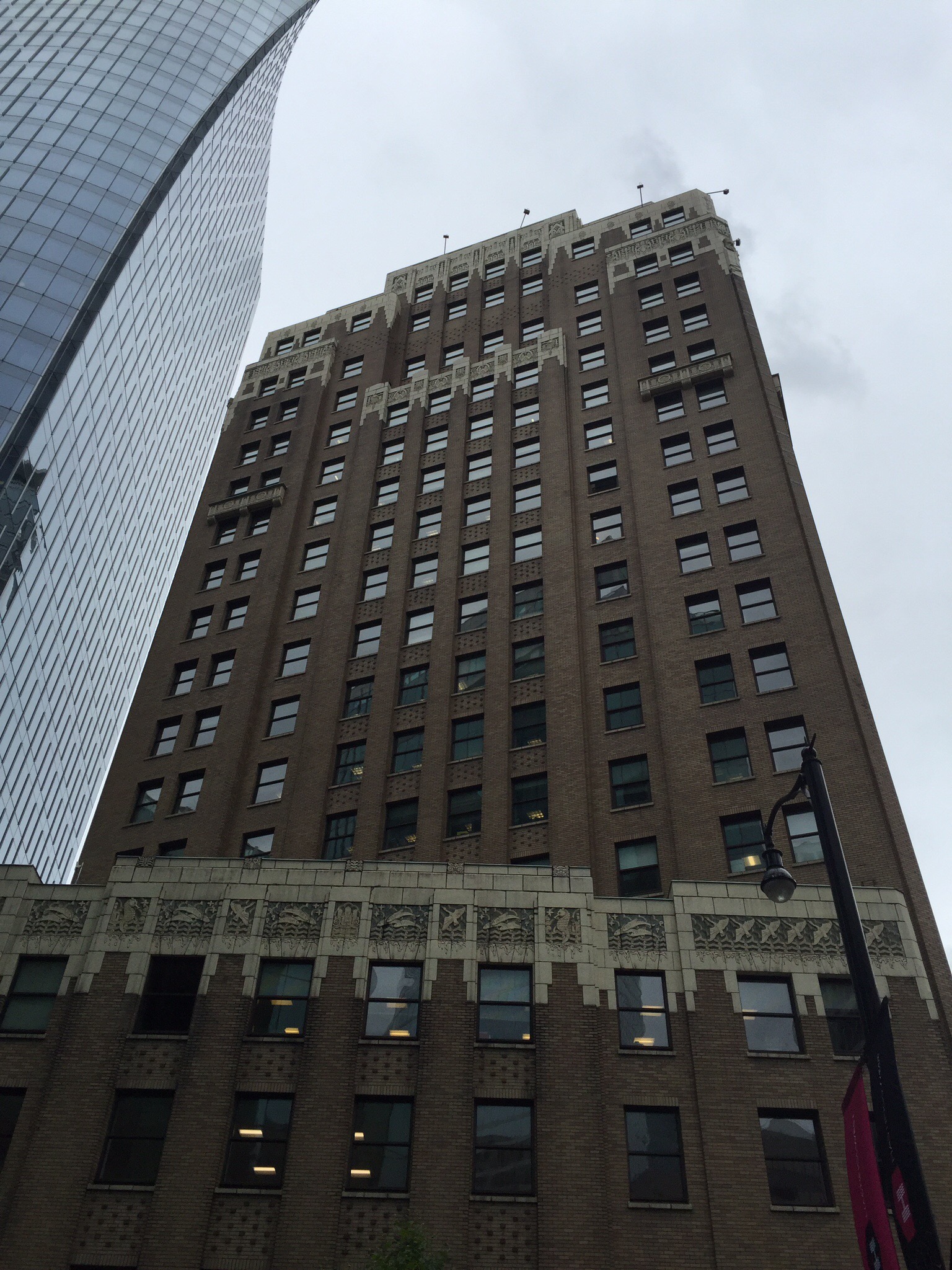
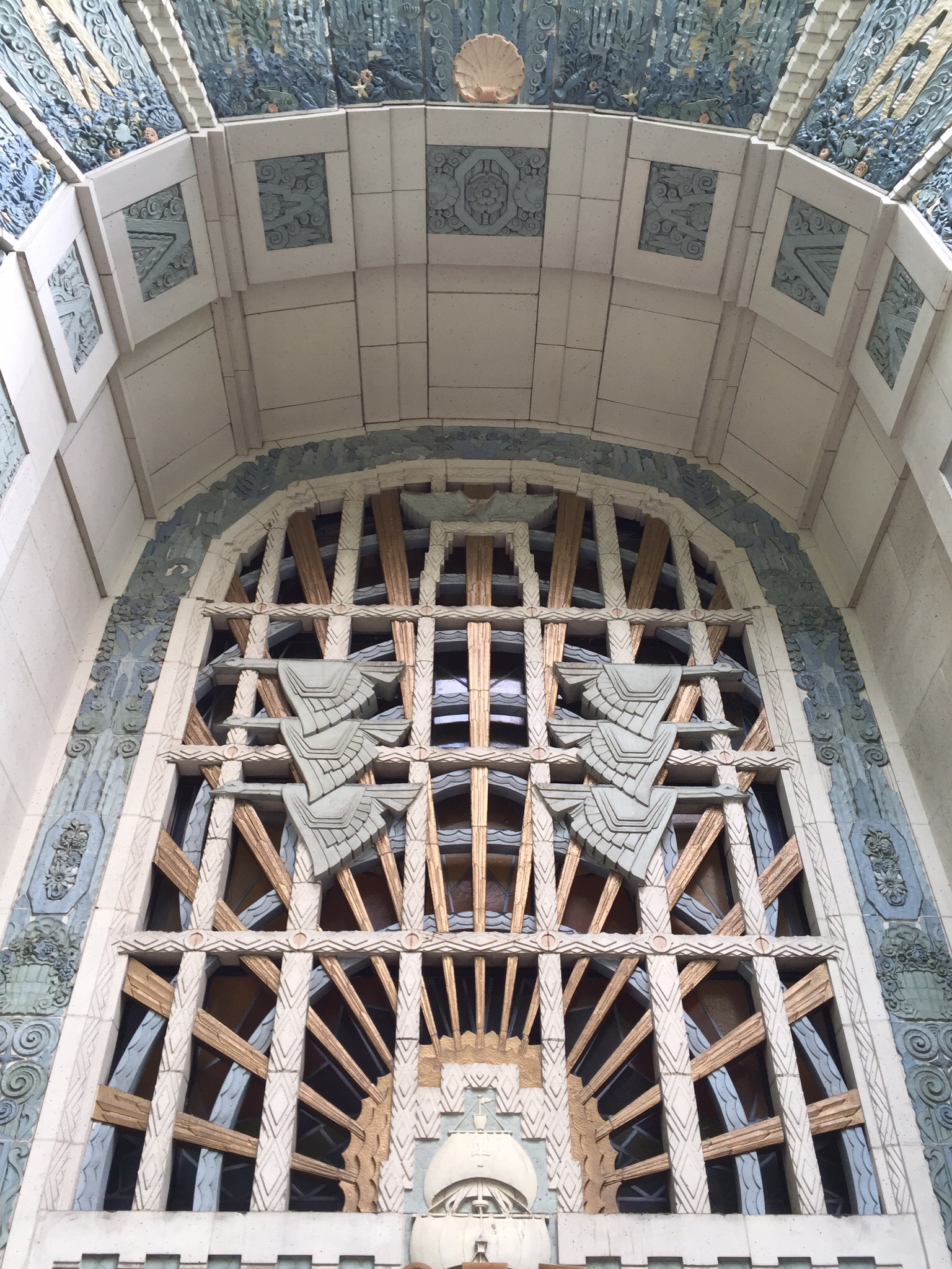
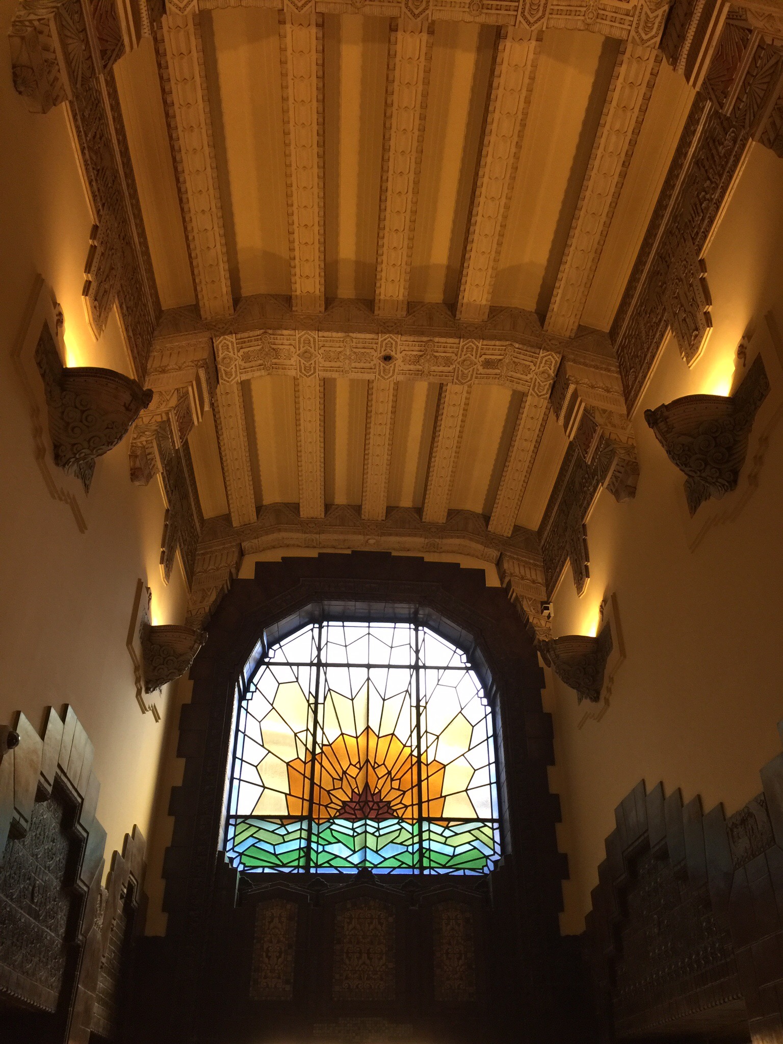
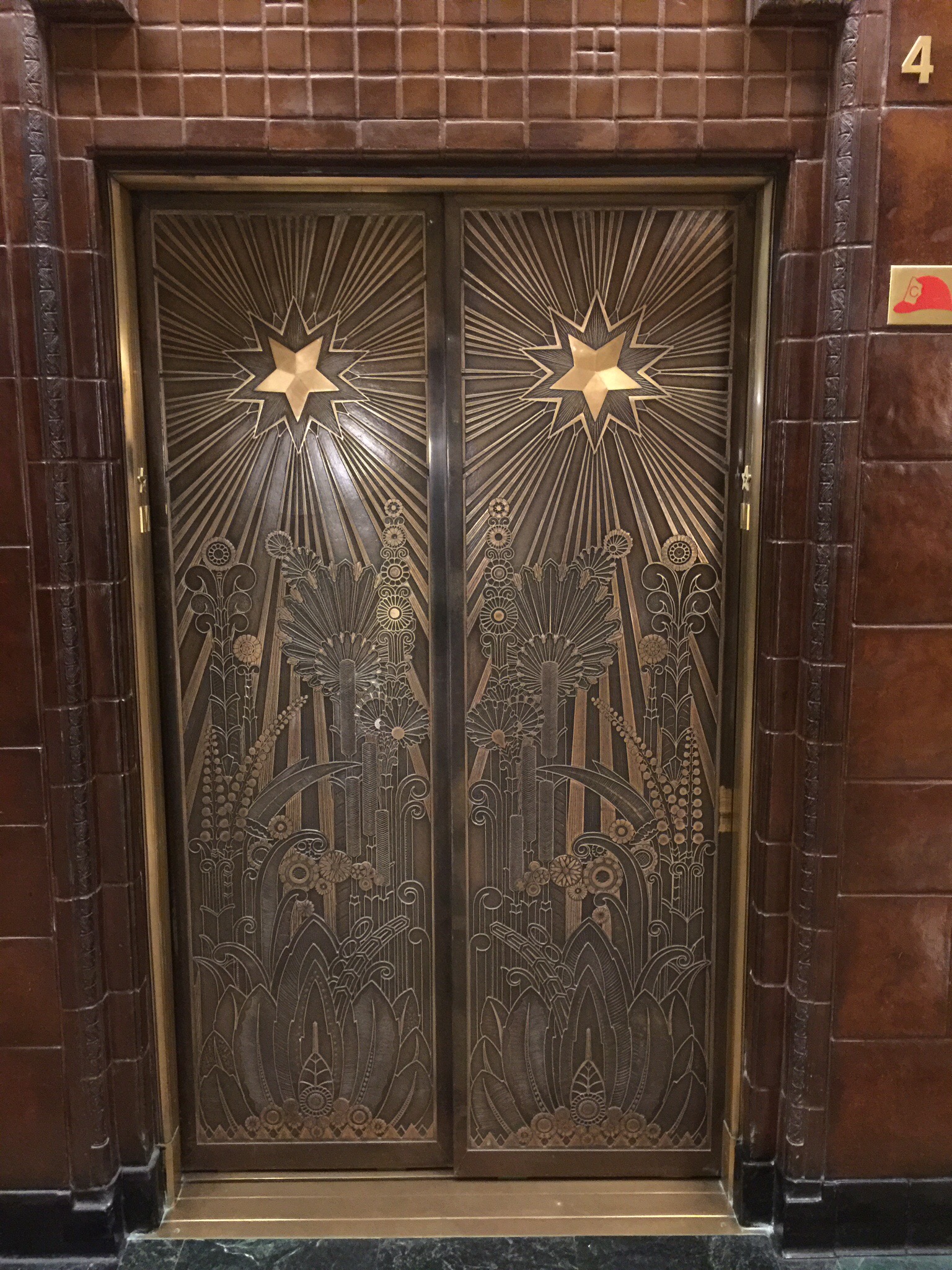
Next stop was the Marine Buildng which I was particularly interested in seeing given it’s Art Deco theme – this building was built in 1929 so is of a similar era to the Art Deco buildings in Napier, NZ which were built after the 1931 earthquake.  The Art Deco detail on this building was definitely more elaborate and intricate than that seen on the buildings built in Napier.  I imagine it had something to do with the budget : ). 

The brainchild of Lt. Commander J.W. Hobbs of Toronto, it was opened on 7 October 1930, and at 97.8 metres (321 ft) (22 floors) it was the tallest skyscraper in the city until 1939.  According to the architects, McCarter & Nairne, the building was intended to evoke “some great crag rising from the sea, clinging with sea flora and fauna, tinted in sea-green, touched with gold.” The building cost $2.3 million to build – $1.1 million over budget—but due to the Great Depression it was sold to the Guinness family of Ireland for only $900,000. The 2004 property assessment is $22 million.

There was an observation deck, but during the depression in the 1930s the 25-cent admission price proved unaffordable for most. Currently, there are no public galleries in the building.Inside the massive brass-doored elevators the walls are inlaid with 12 varieties of local hardwoods. All over the walls and polished brass doors are depictions of sea snails, skate, crabs, turtles, carp, scallops, seaweed and sea horses, as well as the transportation means of the era. The floor presents the zodiac signs. The exterior is studded with flora and fauna, tinted in sea-green and touched with gold.

The building has often been used in filmmaking and television production. It was the setting for the final scene in the movie, Timecop and it was used as the headquarters of the Daily Planet in the popular television show Smallville which is based on Superman. The building was used in the movie Blade: Trinity. It stood in for the Baxter Building in New York City in 2005’s Fantastic Four and its sequel, Fantastic Four: Rise of the Silver Surfer.


 We carried on downtown to Canada Wharf which is the rise ship terminal and also home to the Vancouver Convention Centre. A major expansion to the Vancouver Convention Centre opened in 2009, tripling the capacity of the original Canada Place venue in time for the hosting of the Winter Olympics in 2010. The region enthusiastically hosted the Vancouver 2010 Olympic and Paralympic Winter Games in February and March. More than 2.5 billion people around the world tuned in to watch 2,600 athletes from 82 nations compete. The highlight for Canadians? Winning the men’s hockey gold medal. They beat the USA, their fiercest rivals!

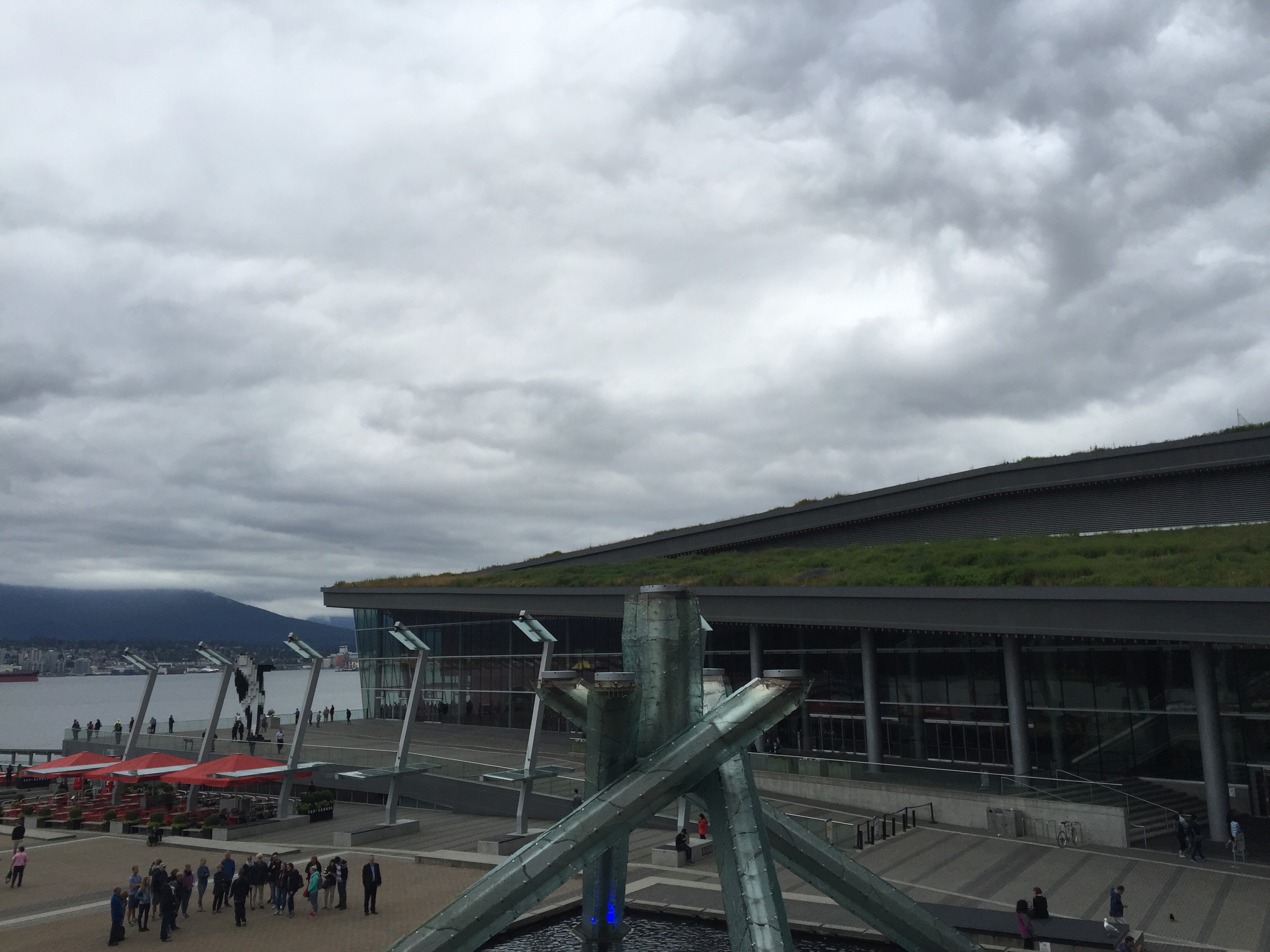
The new west building expansion is certified LEED (Leadership in Energy and Environmental Design) Platinum and is designated a PowerSmart Convention Centre by BC Hydro. It was awarded a “GO GREEN” certificate from the Building Owners and Managers Association (BOMA) for industry-approved, environmental best practices in building management. The living roof, seawater heating and cooling, on-site water treatment and fish habitat built into the foundation of the West Building make it one of the greenest convention centres in the world. The Centre recycles an average of 180,000 kilograms of materials annually, nearly half of the total volume of waste generated. It avoids canned goods, disposable utensils and dishes, and donates leftover food to local charities.

The 6-acre (24,000 m2) “living roof” is the largest in Canada and the largest non-industrial living roof in North America. The roof landscape is designed as a self-sustaining grassy habitat characteristic of coastal British Columbia, including 400,000 native plants and 4 colonies of 60,000 bees each which provide honey for the public plaza restaurant. No public access is allowed to the roof, which made it possible to create a fully functional ecosystem with natural drainage and seed migration patterns using the roof’s architectural topography. The landscape functionally connects to nearby Stanley Park via a corridor of waterfront parks. Irrigation to the roof is provided by the building’s wastewater treatment plant. In the event that the roof irrigation demands exceed the capacity of the wastewater treatment plant, make-up water can be provided by a reverse osmosis desalinization plant drawing and treating seawater pumped from the harbour as well as municipal water through an air gap connection to the storage tanks, as needed.  All wastewater generated in the building is treated and recycled for use in toilet and urinal flushing, as well as green roof irrigation. 

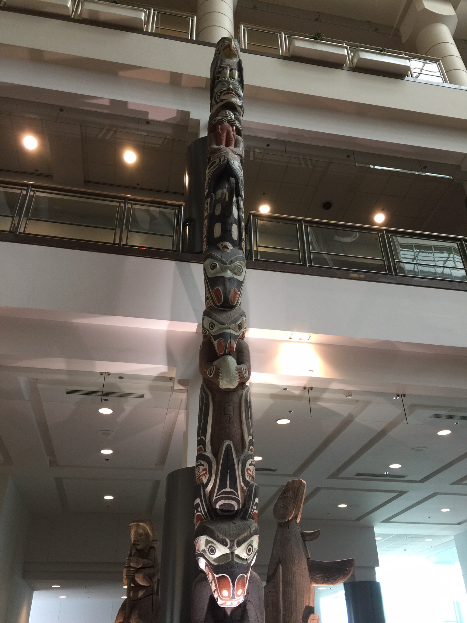
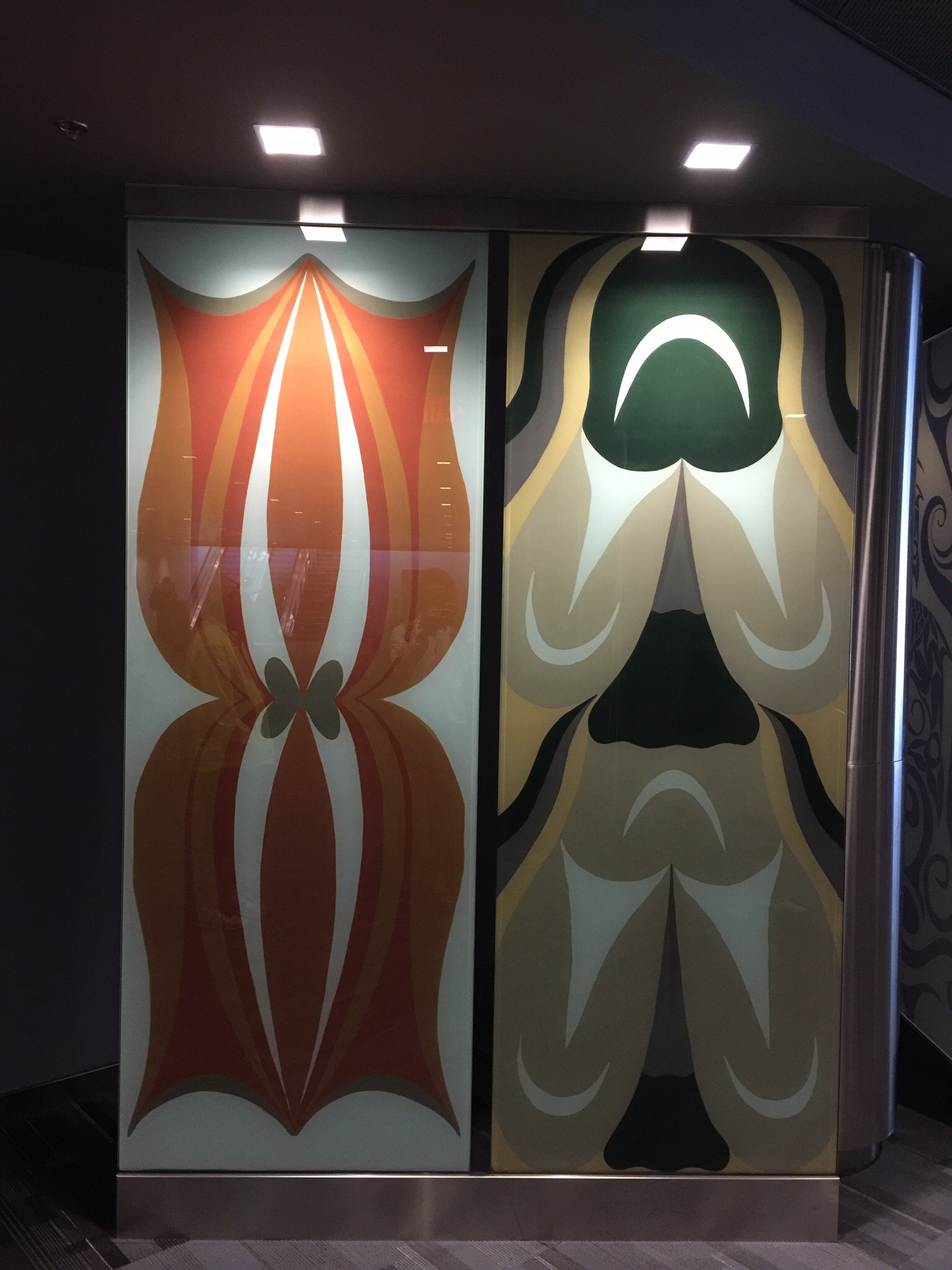
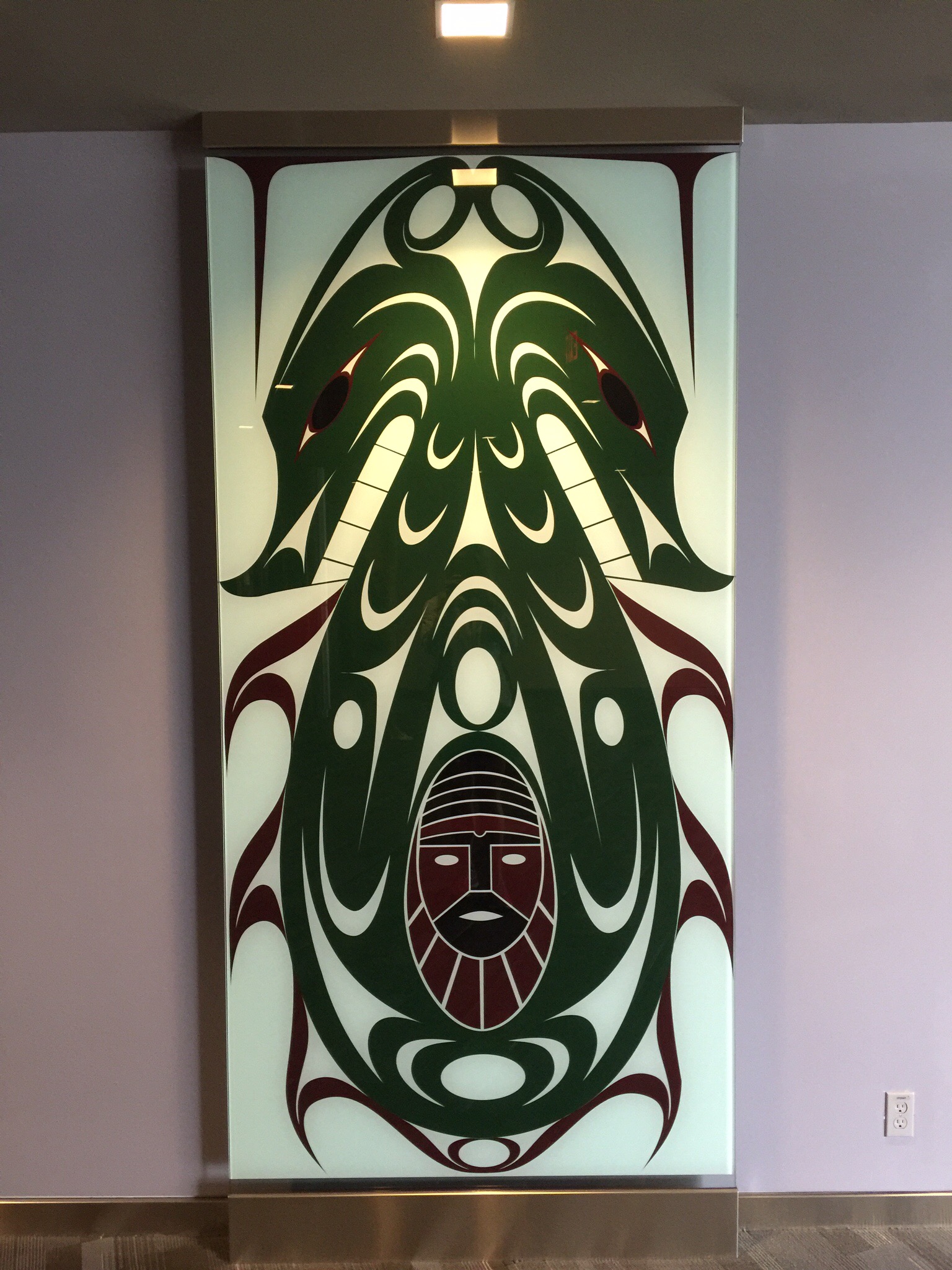
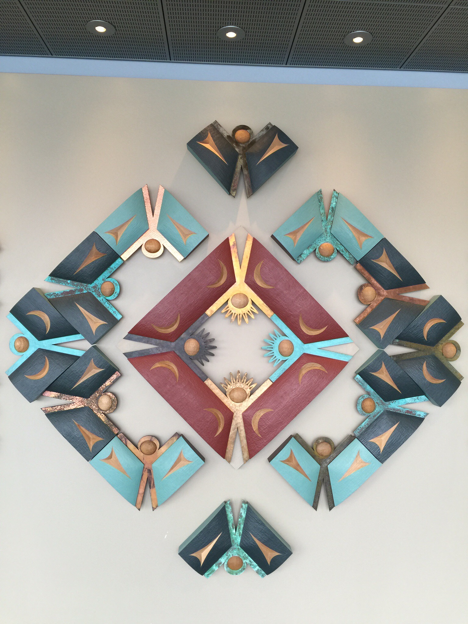
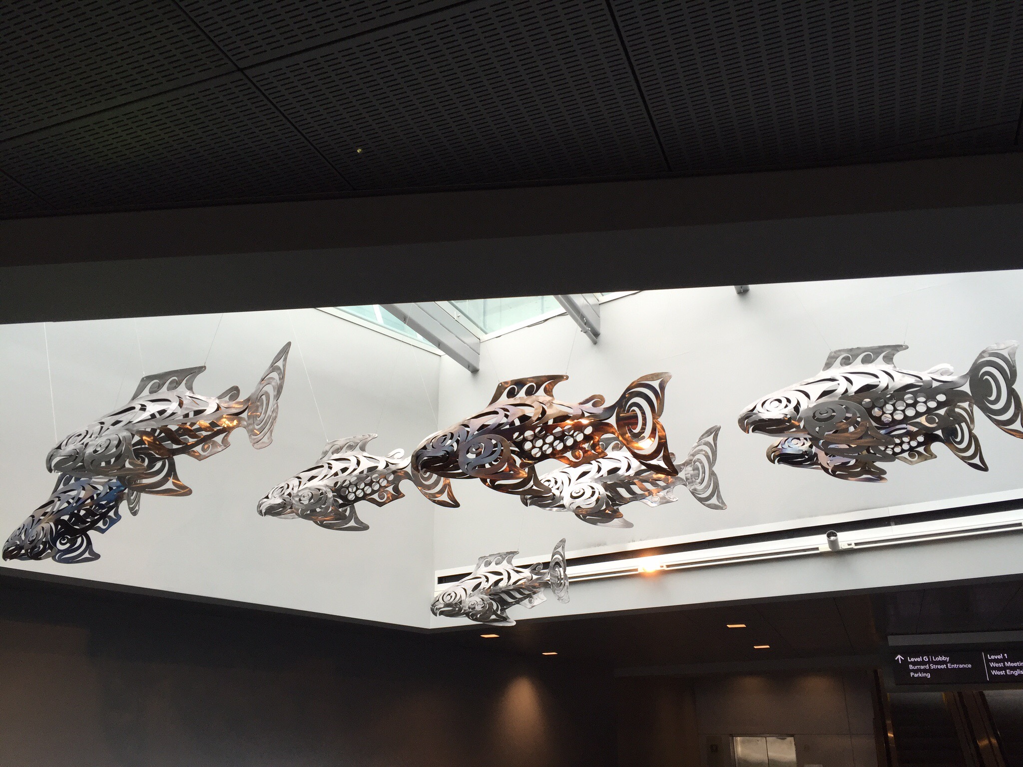
We saw various artwork in the Convention Centre including the Totem Pole.  Totem poles are monumental sculptures carved on poles, posts, or pillars with symbols or figures made from large trees, mostly western red cedar, by indigenous peoples of the Pacific Northwest coast of North America (northwestern United States and Canada’s western province, British Columbia).  The carvings may symbolize or commemorate cultural beliefs that recount familiar legends, clan lineages, or notable events. The poles may also serve as functional architectural features, welcome signs for village visitors, mortuary vessels for the remains of deceased ancestors, or as a means to publicly ridicule someone. Given the complexity and symbolic meanings of totem pole carvings, their placement and importance lies in the observer’s knowledge and connection to the meanings of the figures. We also saw some more Susan Point artwork. Susan Point is considered one of Canada’s most famous artists. She was born in Alert Bay, BC in 1952 and has lived on the Musqueam First Nation reservation in Vancouver since birth. She began her art career in 1981, choosing to concentrate on the traditional designs of her own people, and was particularly intrigued with the Spindle Whorl, an elaborately carved wooden disk used for spinning wool which inspires many of her works. A prolific artist, her large scale works grace public buildings on both sides of the Canadian and USA borders, paying tribute to the First People’s of these countries. She has received a National Aboriginal Award for her work as an artist and was recently awarded the Order of Canada.  We also saw a display of metal salmon. The salmon is a very important food source in this part of the world. Erik explained how salmon are born in fresh water and make there way down stream to the sea where they live their lives. When it is time for them to breed and subsequently die they swim upstream back to the place they were born. They then lay their eggs and die. Swimming upstream makes them a very strong fish with many health benefits for those that consume them. They have high levels of nitrogen so when the beers eat them and then defecate in the forest they return this nitrogen to the land which helps the trees prosper. It is a great story of the circle of life. The living roof on top of the convention centre 

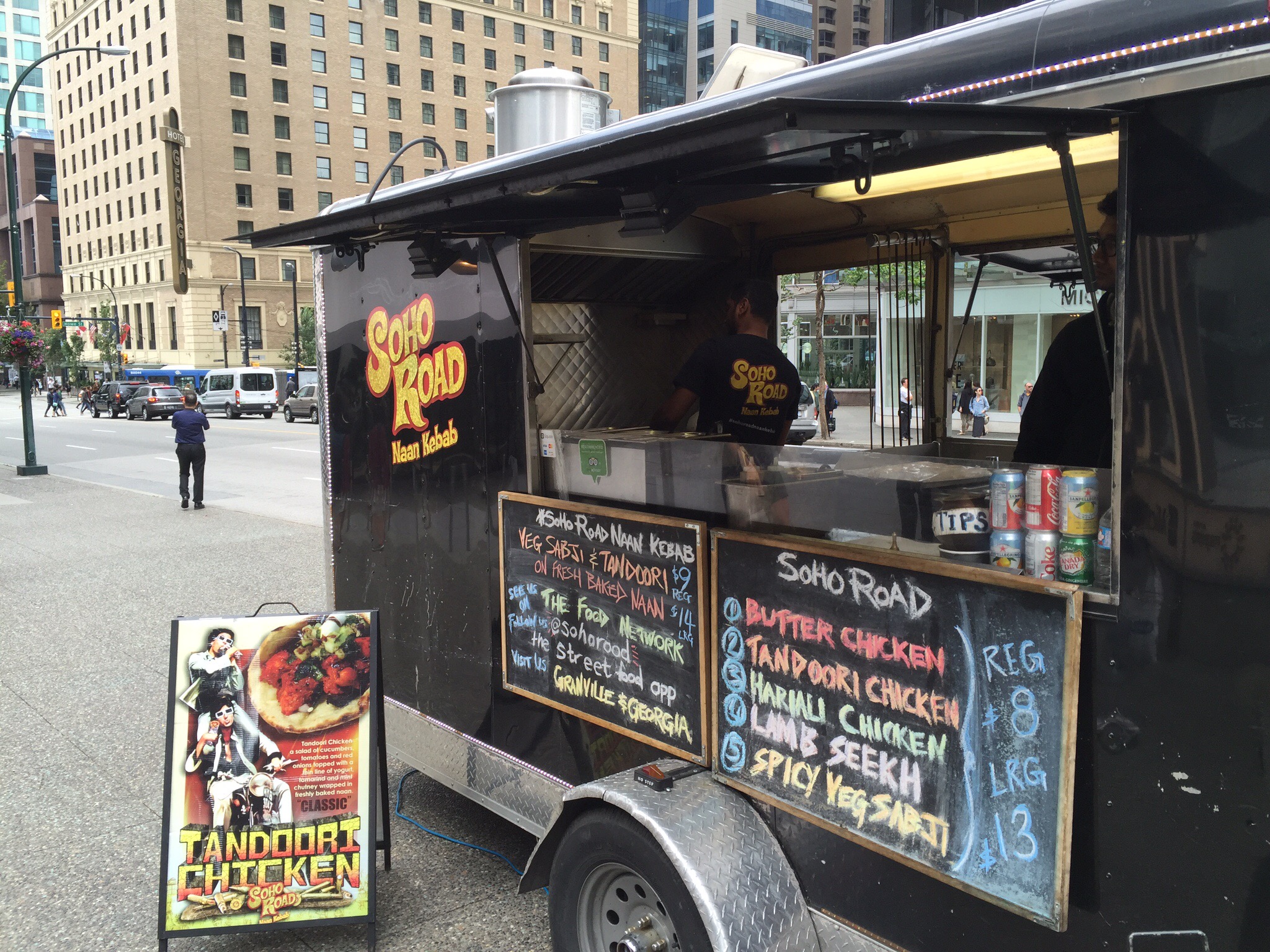
We saw a number of food trucks around the city – these are a new addition and are proving very popular. They cover a wide range of ethnic foods. Steve had spotted the Japadog Truck which sold hots dogs using Kurobata Pork which comes from a rare breed of pigs called Berkshire. The Berkshire breed is well documented as having superior meat quality when compared to other commercial pig breeds. The most popular Japadog is served with Japanese Mayo and seaweed. The verdict – pretty good 🐷 👌🏼. 

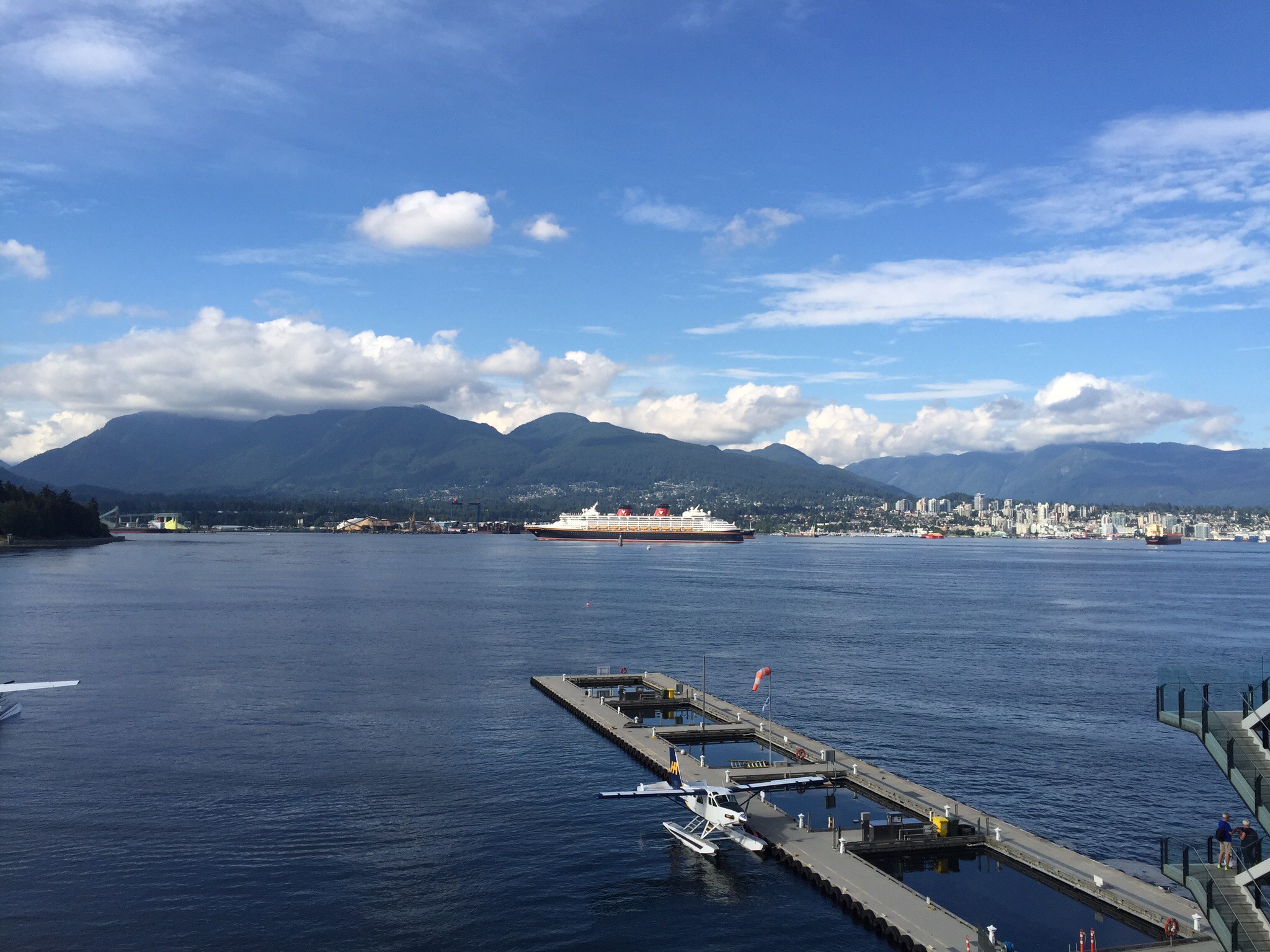
After the tour we had a wander around the shopping district which is very good.  It was then time for some liquid refreshments and we managed to get the best seats in the house at the Tap & Barrel.  They have a verandah that overlooks Coal Harbour which is home to the Sea Plane terminal.  This Sea Plane terminal is the 17th busiest airport in Canada.  The capital of Vancouver, Victoria, is located on the southern tip of Vancouver Island.  It can take about 5 hours to get here by road and ferry so it is much more time efficient to take a seaplane – it takes about 2o minutes!  There are many islands out from Vancouver, hence the use of seaplanes.

You can also see Vancouver’s North Shore and watch all the water activity including oil tankers, ferries and cruise ships.  Vancouver welcomes 829,000 cruise ship passengers a year – they have at least one cruise ship in port everyday between May and September.  The cruise ships depart here for Alaska, Hawaii and Asia.


Vancouver ex Wikipedia

Vancouver, officially the City of Vancouver, is the most populous city in the Canadian province of British Columbia. The 2011 census recorded 603,502 people in the city, and the Greater Vancouver area has a population of around 2.4 million. Vancouver is one of the most ethnically and linguistically diverse cities in Canada; 52% of its residents have a first language other than English. Vancouver is the most densely populated Canadian municipality with over 250,000 residents, and the fourth most densely populated such city in North America behind New York City, San Francisco and Mexico City.

The original settlement, named Gastown, grew up on clearcuts on the west edge of the Hastings Mill logging sawmill’s property, where a makeshift tavern had been set up on a plank between two stumps and the proprietor, Gassy Jack, persuaded the curious millworkers to build him a tavern, on 1 July 1867. From that first enterprise, other stores and some hotels quickly appeared along the waterfront to the west. Gastown became formally laid out as a registered townsite dubbed Granville, B.I. (“B.I” standing for “Burrard Inlet”). As part of the land and political deal whereby the area of the townsite was made the railhead of the CPR, it was renamed “Vancouver” and incorporated shortly thereafter as a city, in 1886. 

By 1887, the transcontinental railway was extended to the city to take advantage of its large natural seaport, which soon became a vital link in a trade route between the Orient, Eastern Canada, and Europe.  As of 2014, Port Metro Vancouver is the third largest port by tonnage in the Americas (displacing New York), 27th in the world, the busiest and largest in Canada, and the most diversified port in North America.  While forestry remains its largest industry, Vancouver is well known as an urban centre surrounded by nature, making tourism its second-largest industry.  Major film production studios in Vancouver and Burnaby have turned Greater Vancouver and nearby areas into one of the largest film production centres in North America, learning it the film industry nickname, Hollywood North.

Vancouver is consistently named as one of the top five worldwide cities for livability and quality of life, and the Economist Intelligence Unit acknowledged it as the first city to rank among the top-ten of the world’s most liveable cities for five consecutive years.  Vancouver has hosted many international conferences and events, including the 1954 British Empire and Commonwealth Games, UN Habitat I, Expo 86, the World Police and Fire Games in 1989 and 2009; and the 2010 Winter Olympics and Paralympics which were held in Vancouver and Whistler, a resort community 125 km (78 mi) north of the city.

Indigenous People

Archaeological records indicate the presence of Aboriginal people in the Vancouver area from 8,000 to 10,000 years ago. The city is located in the traditional territories of the Squamish, Musqueam, and Tseil-Waututh (Burrard) peoples of the Coast Salish group.  They had villages in various parts of present-day Vancouver, such as Stanley Park, False Creek, Kitsilano, Point Grey and near the mouth of the Fraser River.

Europeans became acquainted with the area of the future Vancouver when José María Narváez of Spain explored the coast of present-day Point Grey and parts of Burrard Inlet in 1791 – although one author contends that Francis Drake may have visited the area in 1579.  The city takes its name from George Vancouver, who explored the inner harbour of Burrard Inlet in 1792 and gave various places British names.

Today the Chinese are the largest visible ethnic group in the city, with a diverse Chinese-speaking community, and several languages, including Cantonese and Mandarin.  Neighbourhoods with distinct ethnic commercial areas include the Chinatown, Punjabi Market, Little Italy, Greektown, and (formerly) Japantown.

In the 1980s, an influx of immigrants from Hong Kong in anticipation of the transfer of sovereignty from the United Kingdom to China, combined with an increase in immigrants from mainland China and previous immigrants from Taiwan, established in Vancouver one of the highest concentrations of ethnic Chinese residents in North America.

Posted in Canada, Vancouver | 1 Comment

Vancouver Day 1 & 2 – Vancouver, Canada

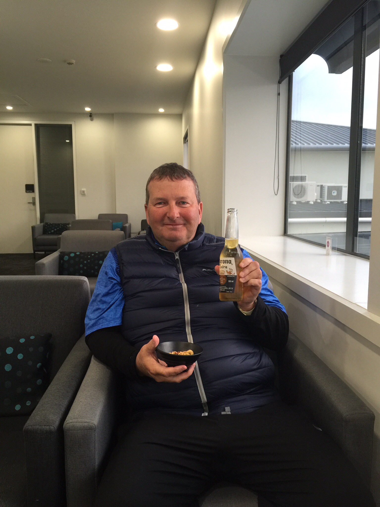
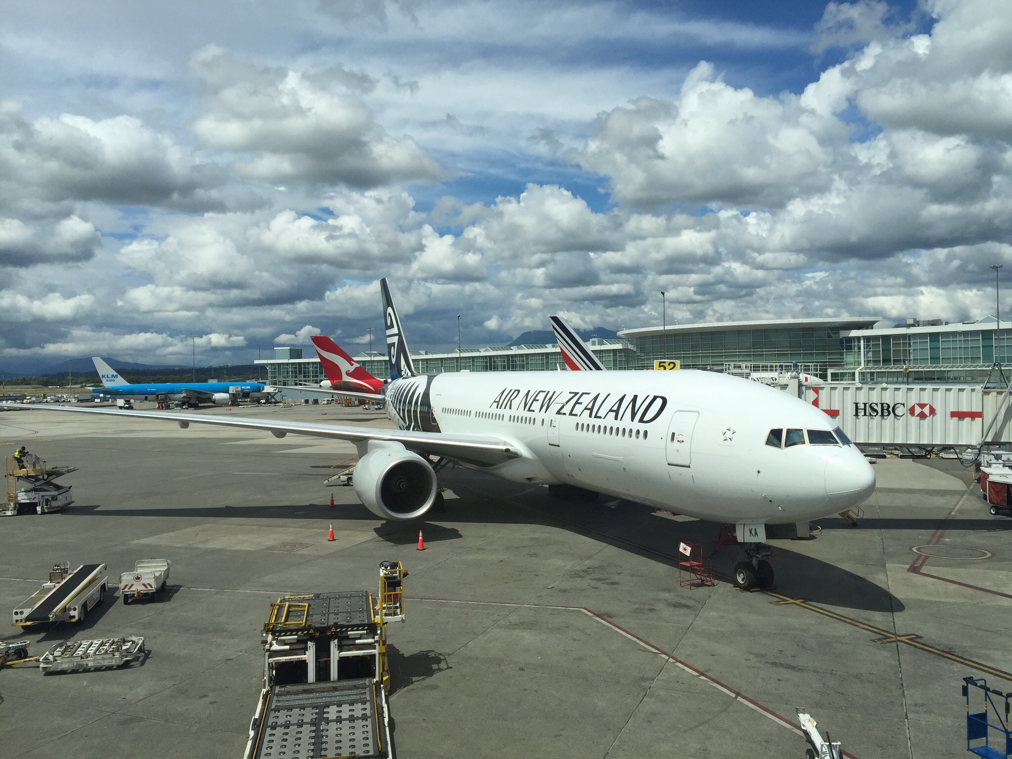
Our flight from Napier to Auckland was supposed to depart at 5.35pm but due to various weather issues most flights ran late that day.  We ended up departing about 6pm, arriving into Auckland at 7pm.  Our flight to Vancouver was departing at 8.05pm and all the Air NZ staff were telling us we had plenty of time – our bags were already checked through and all we had to do was to get ourselves through customs. Steve enjoying his first corona in 6 weeks : 0

When we got across to the International Terminal and upstairs to Customs and Security there was a queue out the door – it has been a long time since we have seen that. They have reduced the E-Passport readers to 2? By now it was 7.20pm and the queue was snaking it’s way round and round at quite a old pace. At 7.40pm my phone beeped to say our plane was boarding – we still had a way to go. The security staff said that the airline staff will come and find you if they need to – apparently the security staff don’t have the authority to expedite you up the queue. We eventually got through Security and ran to our gate and they were still boarding!  

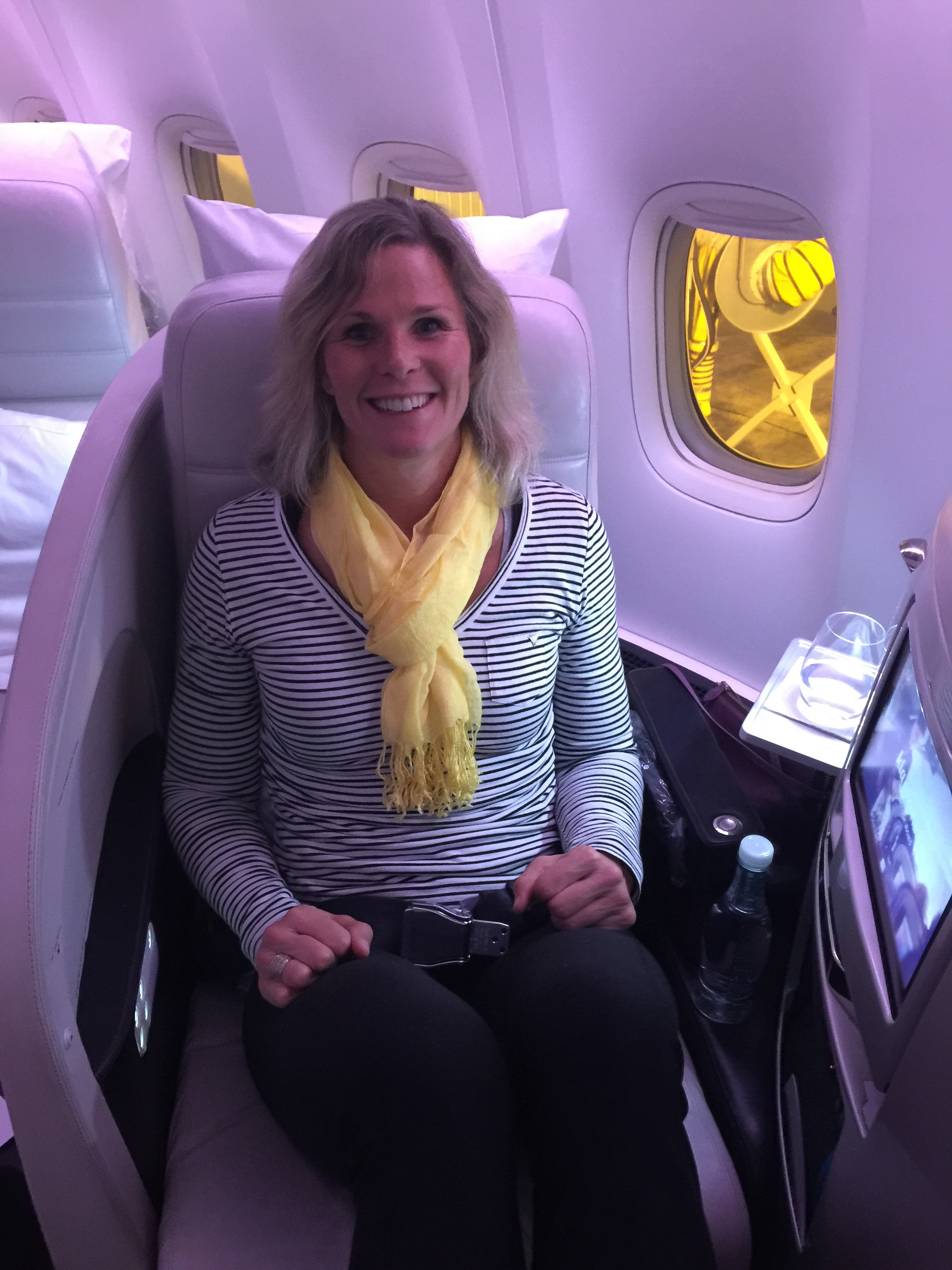
We were lucky enough to get our One Up upgrade so were in Business Class – sooo good!  The staff were amazing, the food exceptional and the lie flat beds spectacular.  Normally you can’t wait for a long haul flight to be over – I was very happy for this flight to go on as long as it liked : )
  We arrived into Vancouver at 2pm on Saturday afternoon – I love gaining time. It took a while to get our bags and then we had to queue for a taxi. The taxi queue is very well managed and moved quickly. Our taxi driver was so friendly and was happy to have his brain picked on various things. They have set fares for different sectors in the city which is great as it gives you certainty regarding what you will pay. We had booked an AirBNB which the taxi driver found easily.  

Our accomodation is a self contained unit on the bottom level of a house – it has everything we need and will be a great base for the next 5 nights.

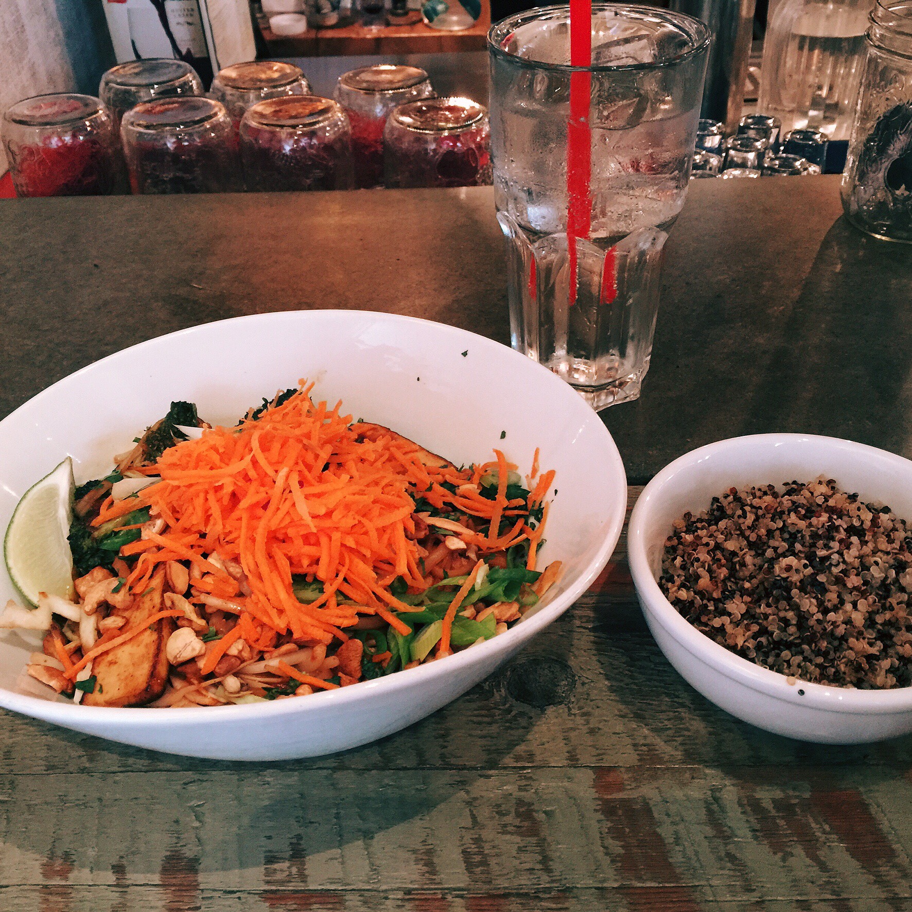
We took a walk down to the local neighbourhood for dinner – there were lots of little restaurants that looked good and were busy which is always a good sign.  We decided on Meet on Main – the food and service were great.  They had some very healthy and delicious salad options which I couldn’t resist.  After dinner we wandered home – it stays light until about 9.30pm so it’s a bit deceiving as to what time it really is.  We were feeling a bit tired but thought we should stay up a little later so we didn’t wake up at some ridiculous hour.  Fail – we were awake on and off through the night and then wide awake at 5.30am.  Just as well the Wimbledon Men’s Final was on.  Unfortunately we then went back to sleep so had a late start to the day!

We decided to take the bus downtown which is about 20 minutes away. The fare is CAD2.75 each and you have to have exact change which I managed. When we hopped on the bus and went to handover our CAD5 note and two quarters we discovered they don’t take notes. We didn’t have enough coins so the bus driver let us off entirely – result : )

We got off the bus in an area that looked to have lots going on.  This area was called Gastown.  Gastown was Vancouver’s first downtown core and is named for “Gassy” Jack Deighton, a Yorkshire seaman, steamboat captain and barkeep who arrived in 1867 to open the area’s first saloon. The town soon prospered as the site of Hastings Mill sawmill, seaport, and quickly became a general centre of trade and commerce on Burrard Inlet as well as a rough-and-rowdy resort for off-work loggers and fishermen as well as the crews and captains of the many sailing ships which came to Gastown or Moodyville, on the north side of the inlet (which was a dry town) to load logs and timber. The Canadian Pacific Railway terminated on piles on the shore parallel to Water Street in 1886. 

Today Gastown is a mix of “hip” contemporary fashion and interior furnishing boutiques, tourist-oriented businesses, restaurants, nightclubs, poverty and newly upscale housing. In addition, there are law firms, architects and other professional offices, as well as computer and internet businesses, art galleries, music and art studios, and acting and film schools.

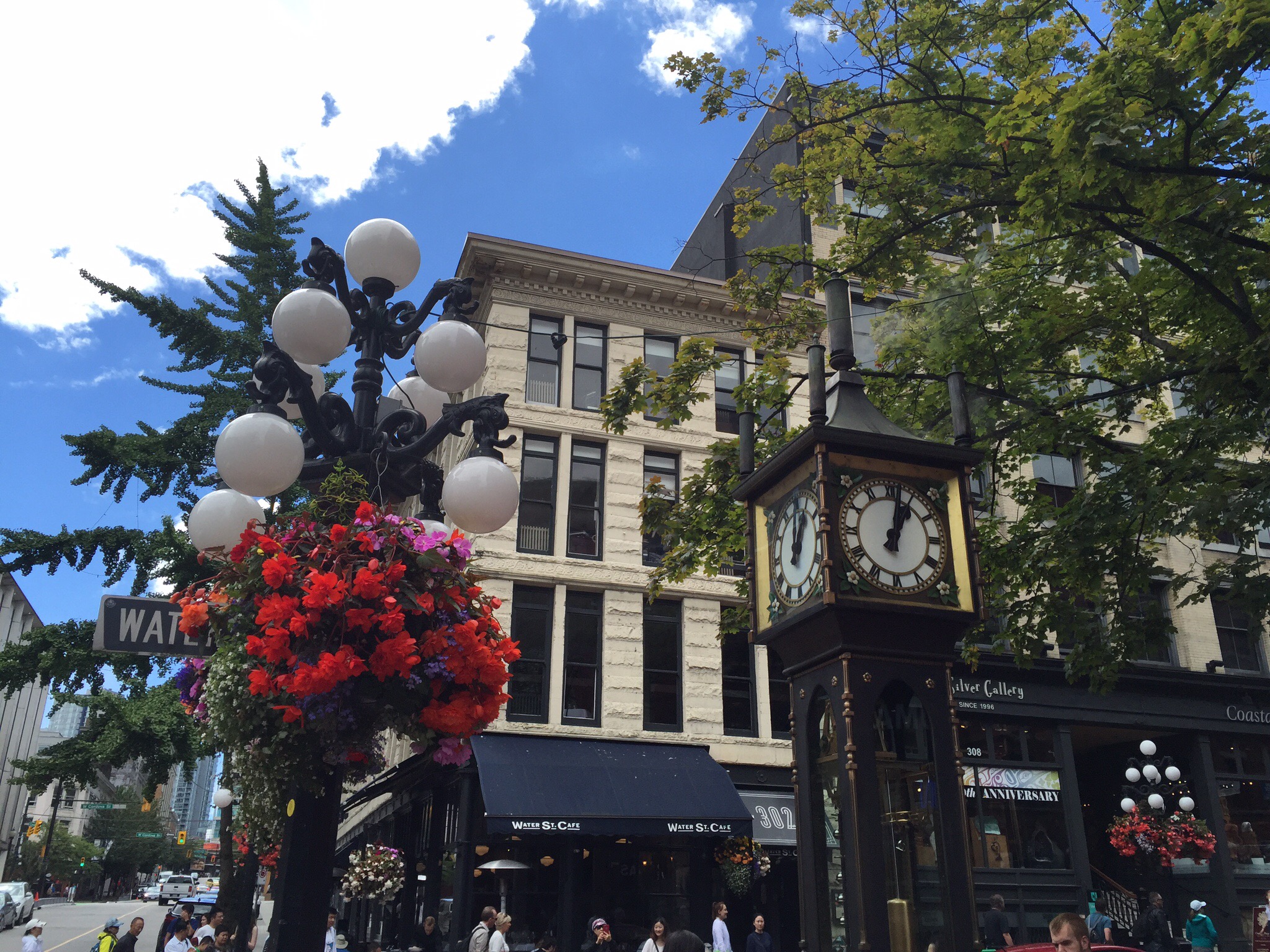
In the heart of Gastown on Water Street is Gastown’s most famous (though nowhere near oldest) landmark – the steam-powered clock on the corner of Cambie and Water Street. It was built in 1977 to cover a steam grate, part of Vancouver’s distributed steam heating system, as a way to harness the steam and to prevent street people from sleeping on the spot in cold weather.  We happened to be passing at 1pm when the clock started chiming and letting off steam.

We decided that a good way to get a feel for the city was to take a Hop On Hop Off tour. We were quite keen on checking out Granville Island which was about the fourth stop on the tour. We got off and had a wander around. There was a free tour departing at 3pm which I was keen on – Steve went and did his own tour.

  I met up with Erik our tour guide and the rest of the group – two Russians living in LA, a couple from Ohio and another couple from Kent in the UK. Erik was actually a historian and film maker who does freelance work – he had just completed a series of educational documentaries now being used in the schools. He was originally from Toronto but moved to Vancouver to pursue his film making career and never left. He was very knowledgeable and passionate about the city.

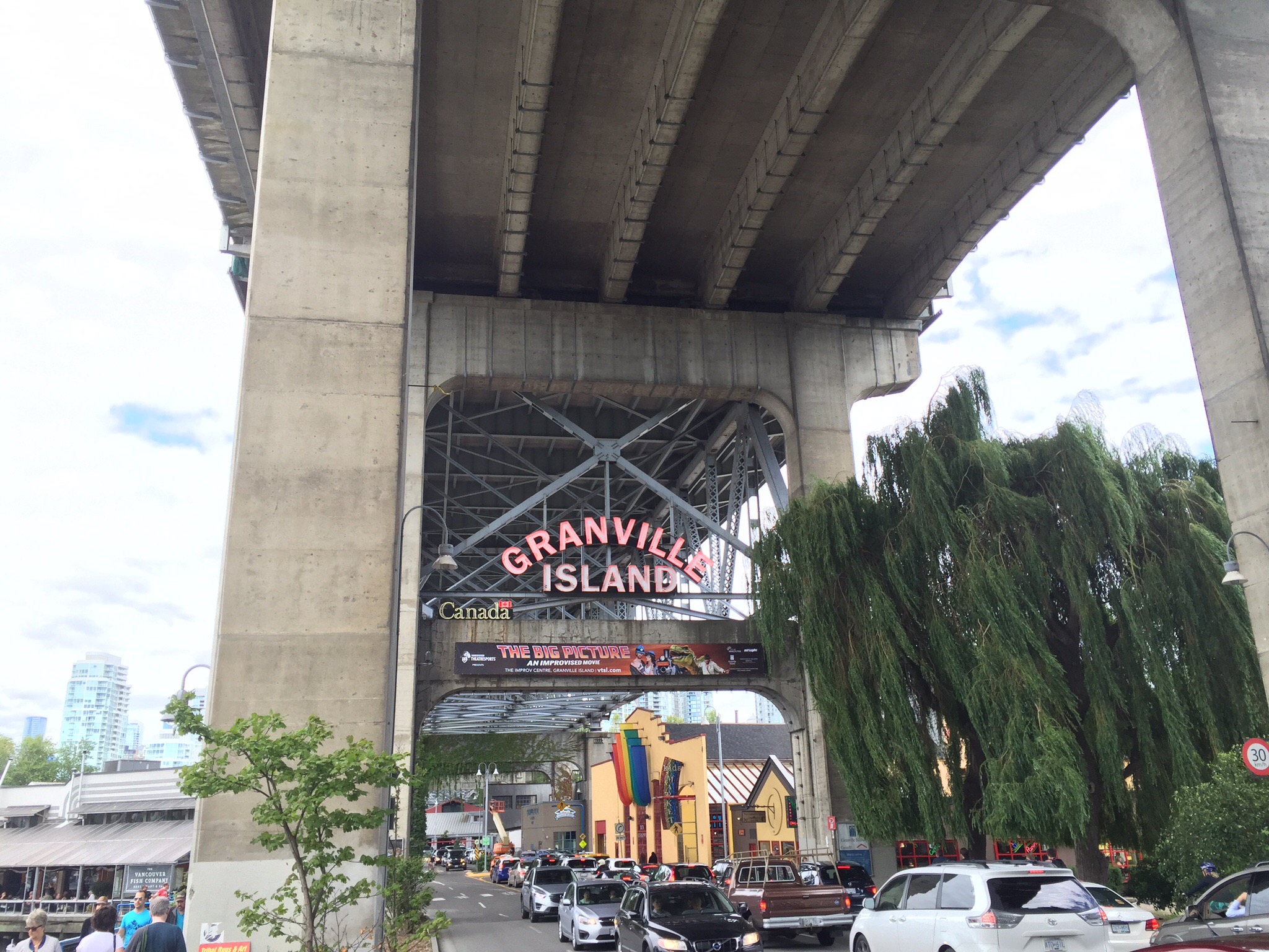
Granville Island is a peninsula and shopping district in Vancouver.  It is located across False Creek from Downtown Vancouver, under the south end of the Granville Street Bridge. The peninsula was once an industrial manufacturing area, but today it is now a hotspot for Vancouver tourism and entertainment. The area has received much acclaim in recent years for its buildings and shopping experience. The area was named after Granville Leveson-Gower, 2nd Earl Granville.

The island is home to 275 businesses and facilities that employ more than 2,500 people and generates more than $215-million in economic activity each year.  The island is managed by the Canada Mortgage and Housing Corporation (CMHC) which is a Government organisation.  The tenants don’t pay rent as such but a percentage of their profits – this calculation is overseen by the CMHC and independently audited.  All the tenants are local and no corporate chains are allowed on the island.

In 1915, with the port of Vancouver growing, the newly formed Vancouver Harbour Commission approved a reclamation project in False Creek for an industrial area. A 14-hectare (35-acre) island, connected to the mainland by a combined road and rail bridge at its south end, was to be built. Almost 760,000 cubic metres of fill was dredged largely by a man named Alvin Kingston, from the surrounding waters of False Creek to create the island under the Granville Street Bridge. The total cost for the reclamation was $342,000. It was originally called Industrial Island, but Granville Island, named after the bridge that ran directly overhead, was the name that stuck.

The very first tenant, B.C. Equipment Ltd., set the standard by building a wood-framed machine shop, clad on all sides in corrugated tin, at the Island’s western end. (Today the same structure houses part of the Granville Island Public Market.) The company repaired and assembled heavy equipment for mining and forestry industries and used barges for shipping.
By 1923 virtually every lot on the Island was occupied, mostly by similar corrugated-tin factories.

During the Great Depression, one of Vancouver’s several hobo jungles sprang up on the False Creek flats opposite Granville Island’s north shore.  “Shackers” lived on the island, in town, or in floathouses, and survived by fishing and beachcombing and sold salmon, smelt, and wood door to door or at the public market on Main Street.  They were basically self-sufficient and were left alone.

During the Second World War, Wright’s Canadian Ropes on the island was Canada’s biggest manufacturer of heaven-duty wire rope. Their Green Heart product was supplied to forestry and mining industries. A fire in 1953 gutted their Granville Island factory so they moved to south Vancouver in 1956.

In 1972, a federal order-in-council assigned management of the 14-hectare site to Canada Mortgage and Housing Corporation (CMHC).  The federal government invested $24.7 million there between 1973 and 1982.  In 1979, the federal and provincial governments converted a 50,000 square foot building to the Public Market. In 1980, the Emily Carr University of Art & Design was added to the island.

Emily Carr (December 13, 1871 – March 2, 1945) was a Canadian artist and writer heavily inspired by the Indigenous peoples of the Pacific Northwest Coast. One of the first painters in Canada to adopt a Modernist and Post-Impressionist painting style, Carr did not receive widespread recognition for her work until late in her life. As she matured, the subject matter of her painting shifted from aboriginal themes to landscapes—forest scenes in particular. As a writer, Carr was one of the earliest chroniclers of life in British Columbia. The Canadian Encyclopedia describes her as a “Canadian icon”.

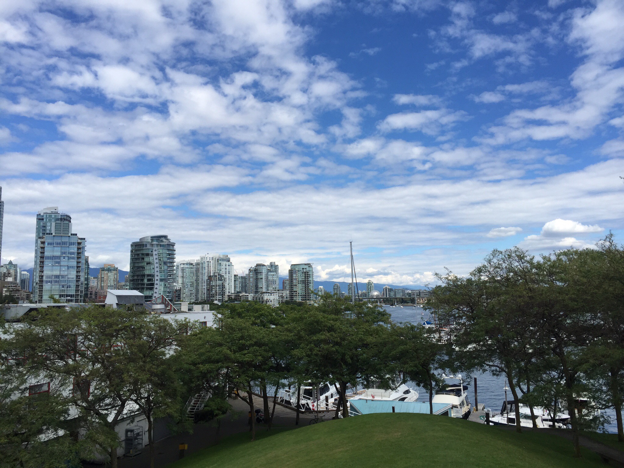
Ron Basford, the Minister responsible for CMHC, was referred to as Mr. Granville and was later recognized with the naming of Ron Basford Park on Granville Island.  Ron Basford Park was formed where they dumped all the old equipment and rubbish when they cleaned up the island – they weren’t sure what to do with it so they covered it in dirt and planted grass.  The hill has created a good vantage point looking back to the city.

Granville Island provides amenities such as a large public market, an extensive marina, a boutique hotel, the Emily Carr University of Art and Design (named in honour of the artist), Arts Umbrella, False Creek Community Centre, various performing arts theatres including Vancouver’s only professional improvisational theatre company Vancouver Theatresports League, the Arts Club Theatre Company and Carousel Theatre, fine arts galleries, and variety of shopping areas.


The Granville Island Public Market features a farmers’ market, day vendors, and artists offering local Vancouver goods. There are 50 permanent retailers and over one-hundred day vendors in stalls throughout the market selling a variety of artisan cottage-industry foods and handmade crafts on a rotating schedule.
  
Granville Island Brewing Co. is also the name of a beer company which originated on Granville Island in 1984, but whose main base of operations was moved to Kelowna, British Columbia some time later. In 2009 it was purchased by Molson’s Brewery and continues to brew small batches of its varieties at the Granville Island brewing original site, and offers beer tasting and tours of their brewing facilities. They were chosen as the official brewer for Expo 1986 – they outmanoeuvred the two largest Brewers in Canada – Molson and Labatt. All three Brewers, however, are now owned by foreign companies. 

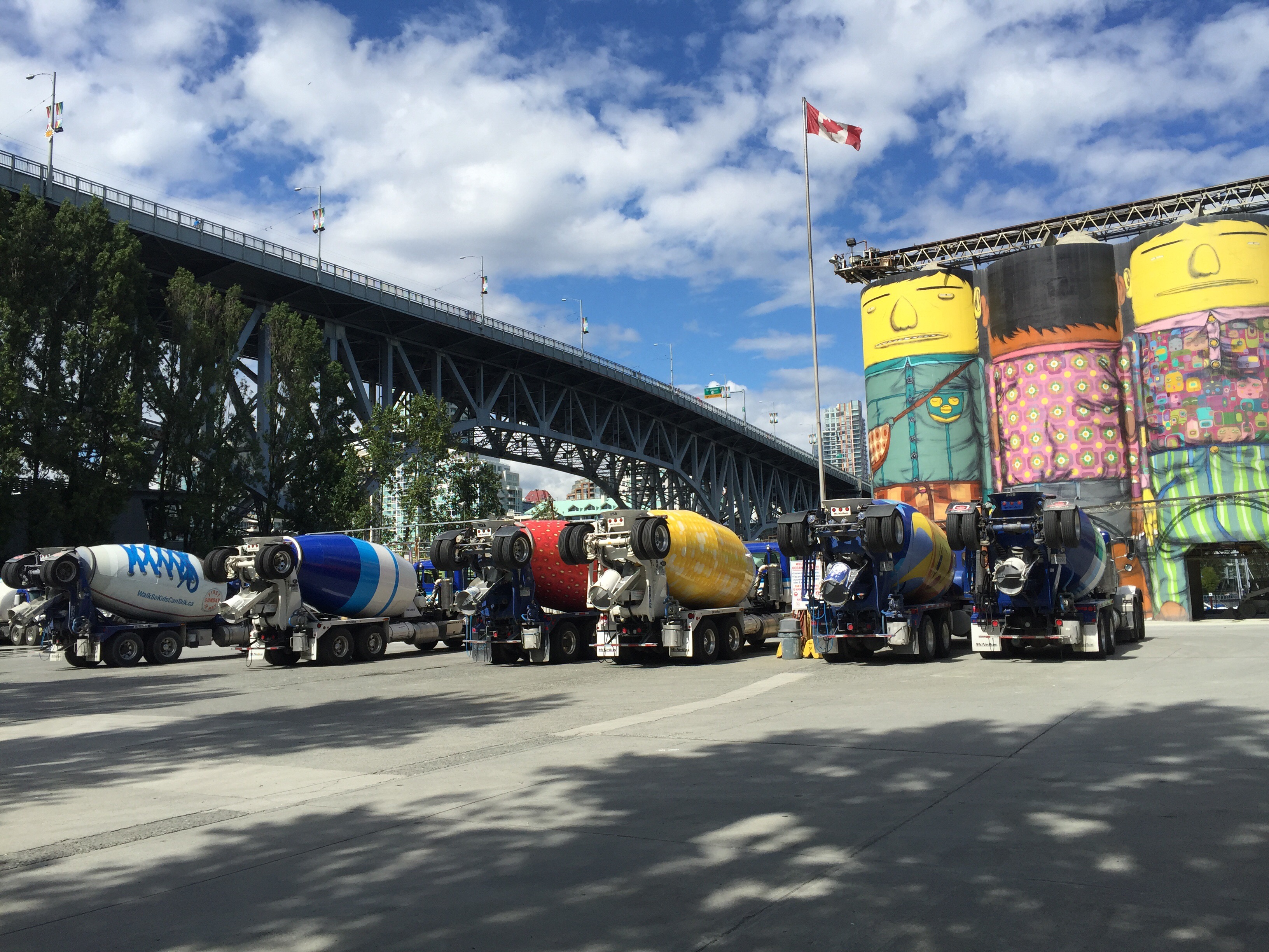
Ocean Concrete is the longest-established tenant on the island, having set up shop there in 1917. There were complaints about their concrete silo’s being an eyesore so they had them painted to fit in with the arty theme of the island. They went a step further and have also painted there concrete trucks.

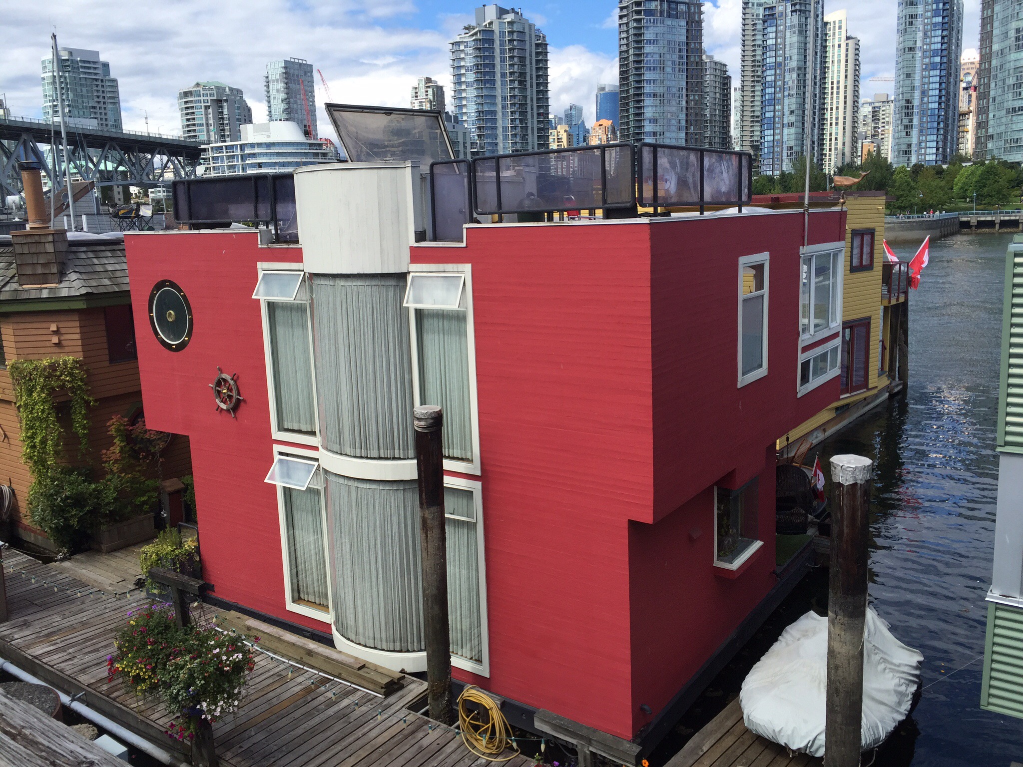
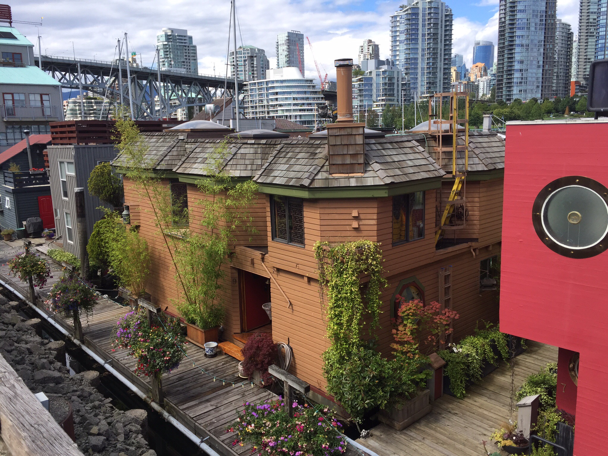
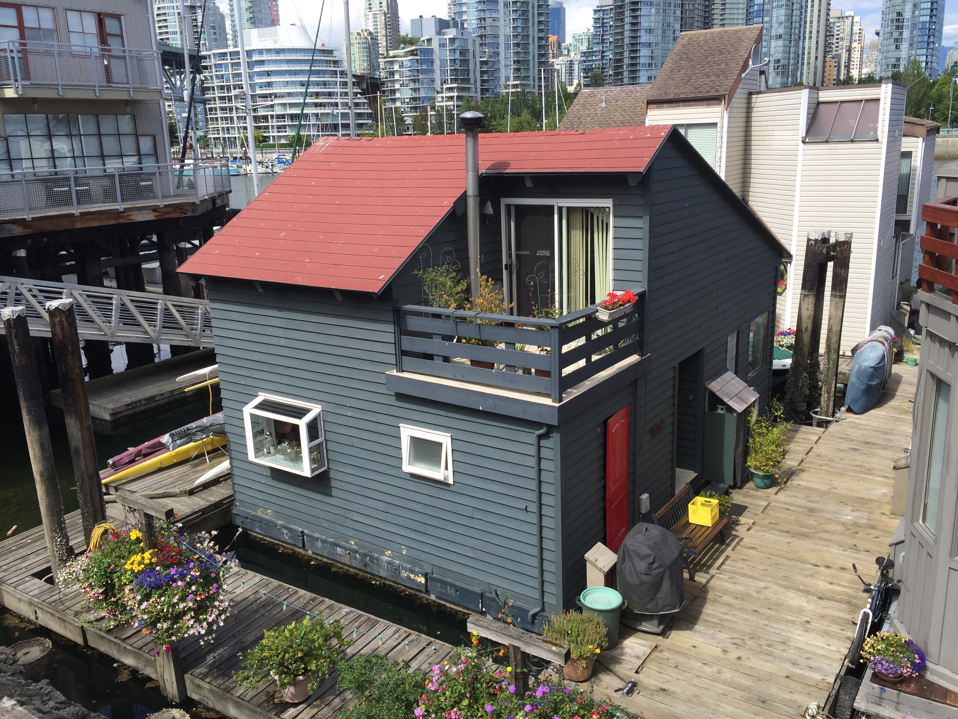
There is also a Sea Village which is effectively a group of houses floating on pontoons.  These houses are among some of the cheaper homes in Vancouver valued at between CAD400,000 and CAD1 million.  They were on the downtown side of False Creek but got evicted so relocated to the Granville Island side.  They don’t pay property taxes (rates) as they don’t have any land but they pay about CAD1,000 per month for utilities and sewerage services.  Vancouver’s property prices have been increasing like Auckland’s.  The average house price in February 2016 was CAD1.83 million – up 40% on a year ago.  The average salary is CAS55,000.  Erik says he lives in a mansion on an acre section with 5 of his friends – it costs them about CAD1,000 each per month.  He says a lot of foreign investors have bought property and rent it out.  He said this is a cheaper alternative to renting a condo.


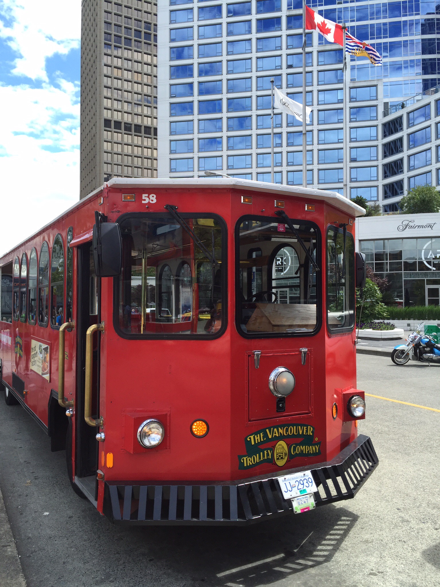
After the tour we hopped back on the Trolley Bus to head back to Gastown where we had a bite to eat before catching the bus back to our AirBNB. We had enjoyed our introduction to Vancouver and were looking forward to more exploring over the next few days.
 

Posted in Canada, Vancouver | 1 Comment

The Hump Ridge Track – Fiordland National Park, NZ

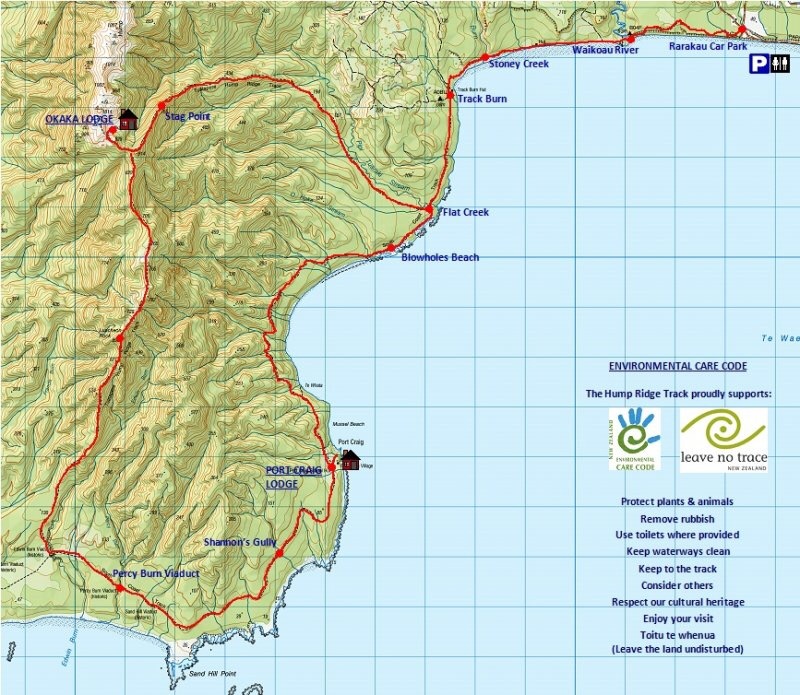
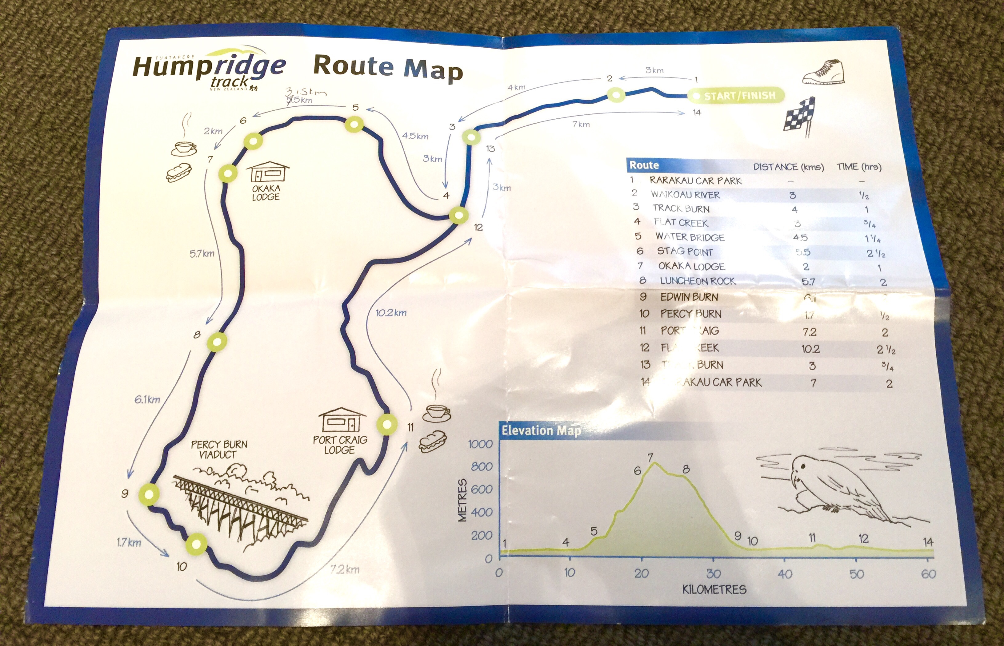
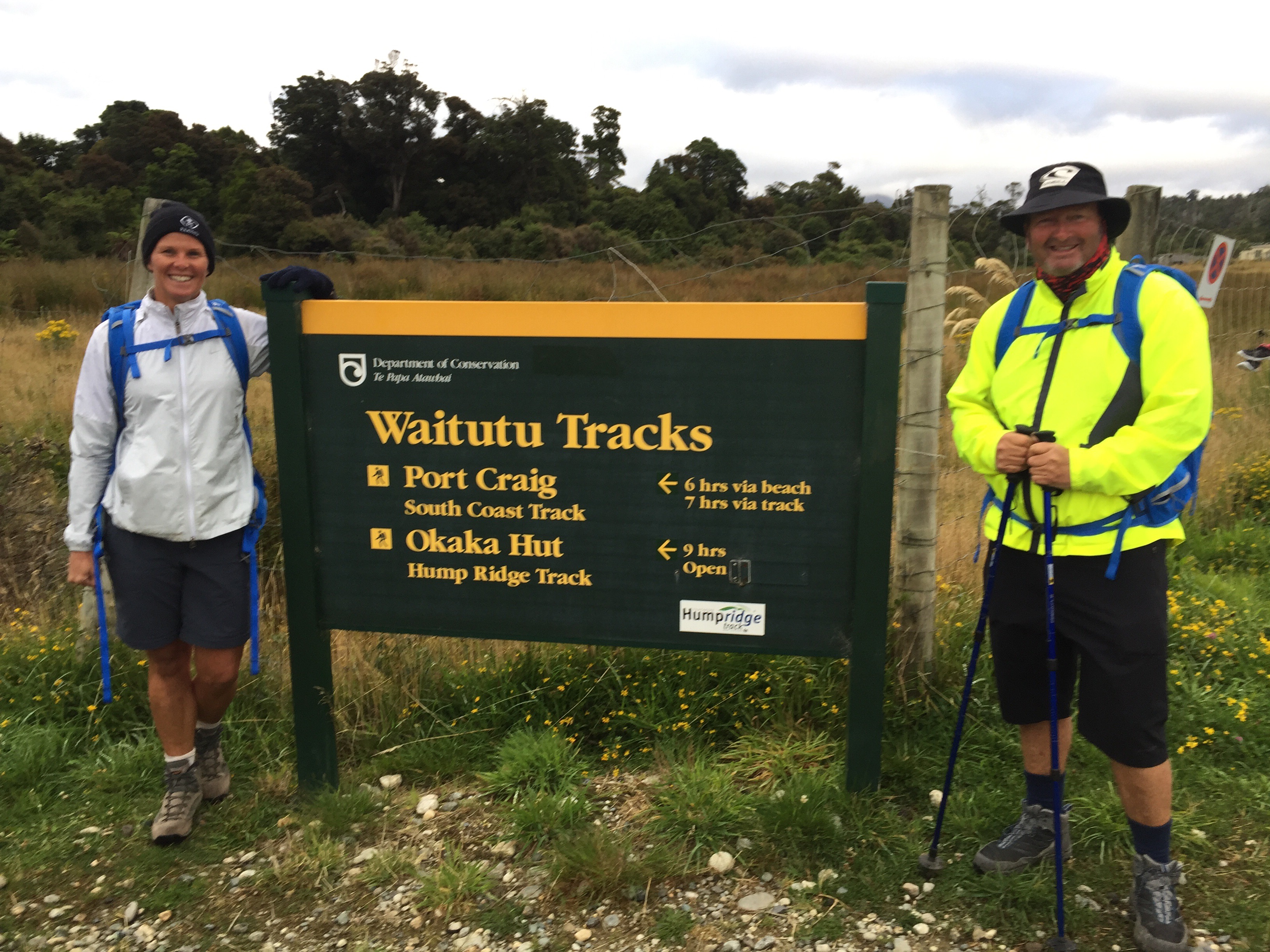
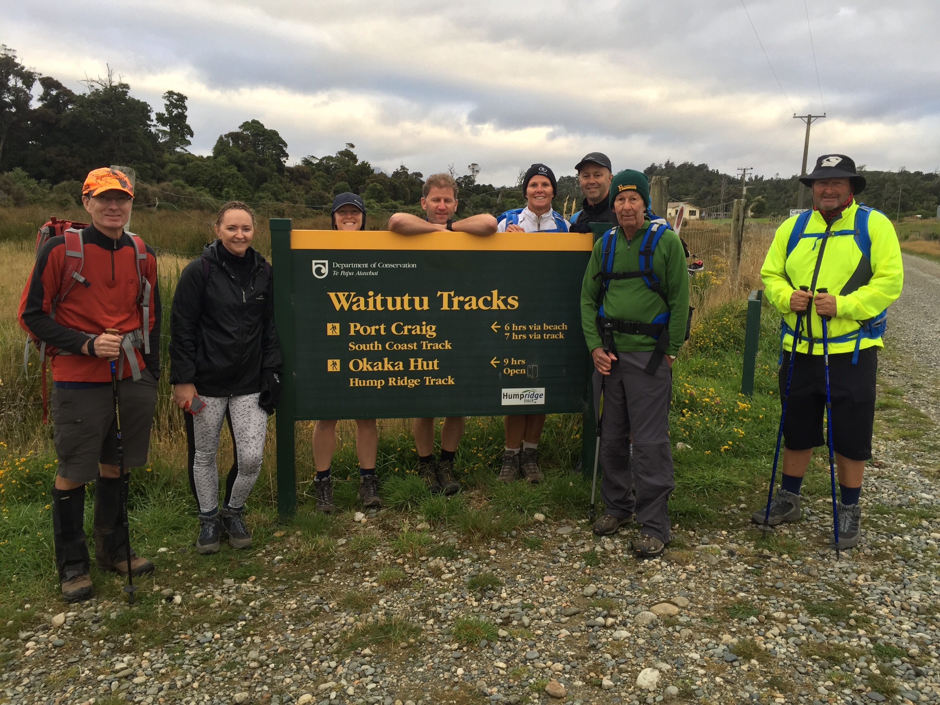
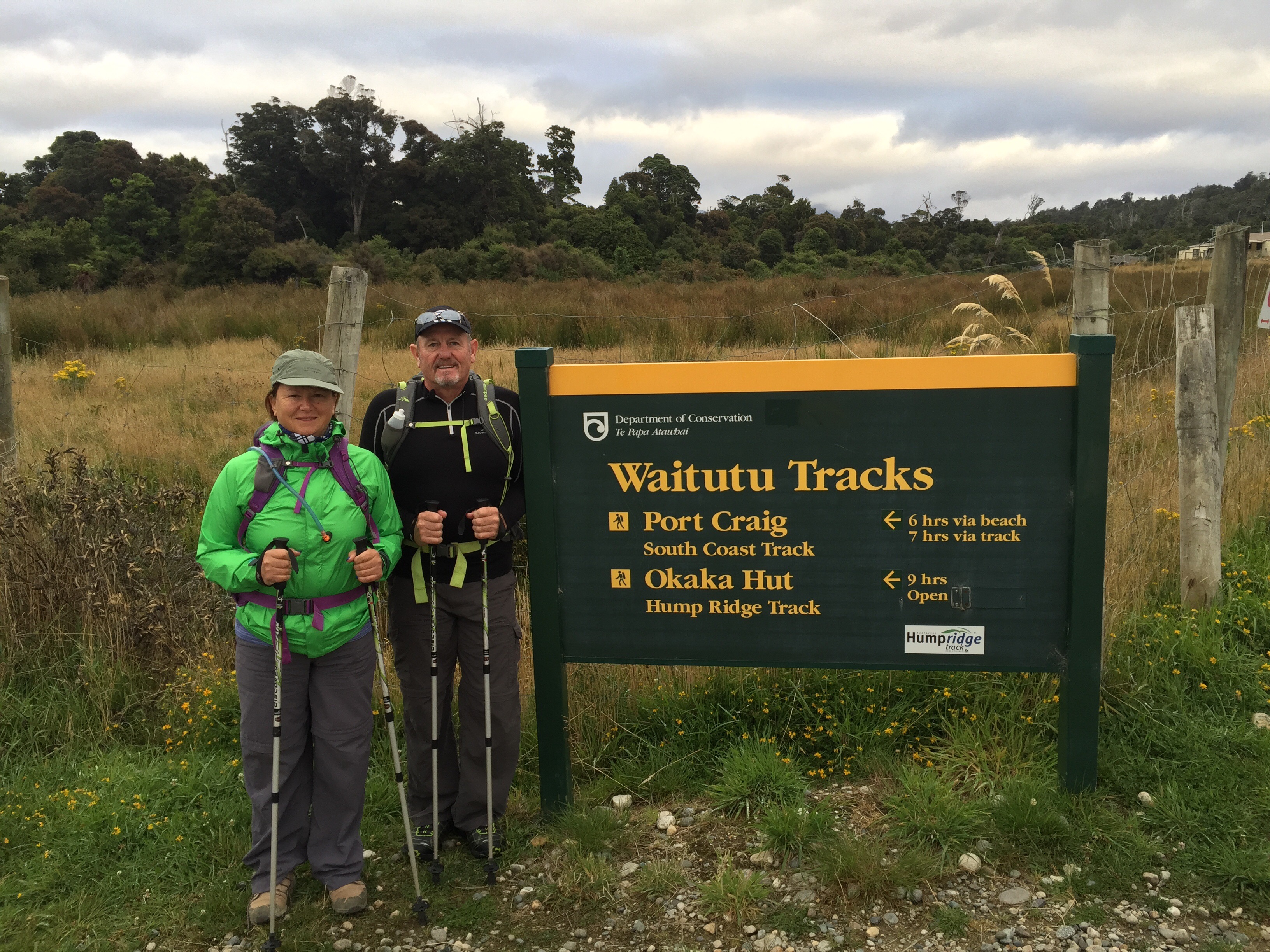
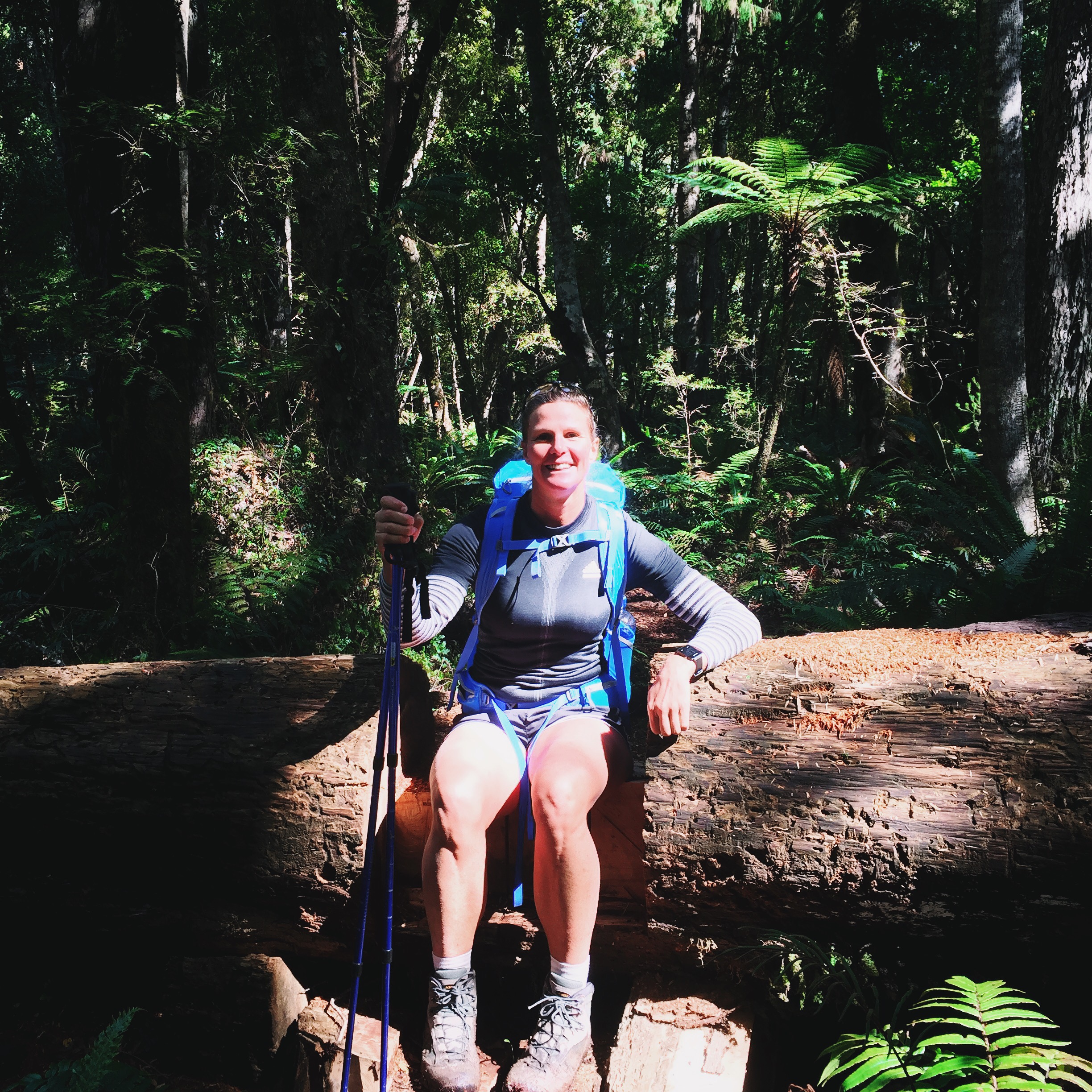
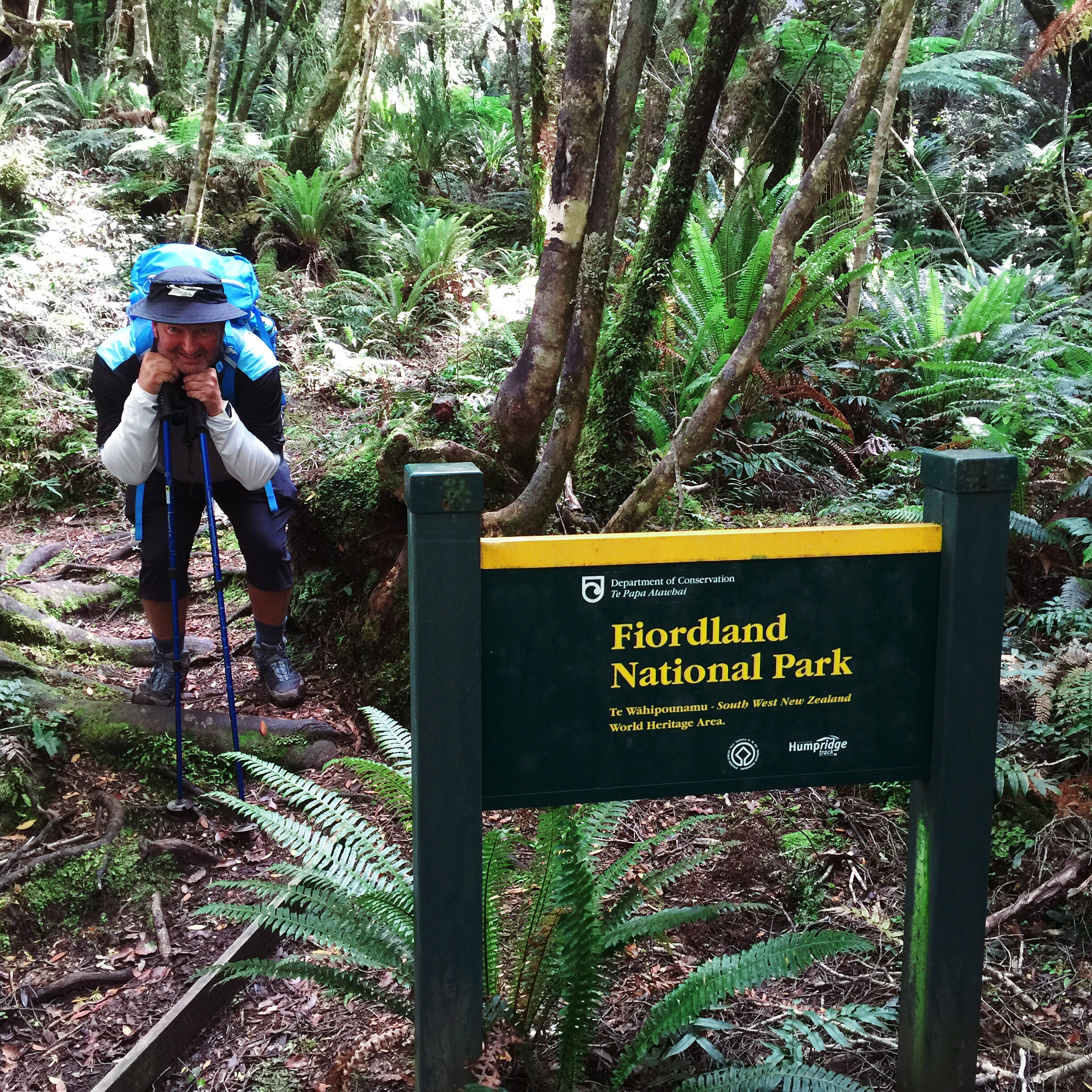
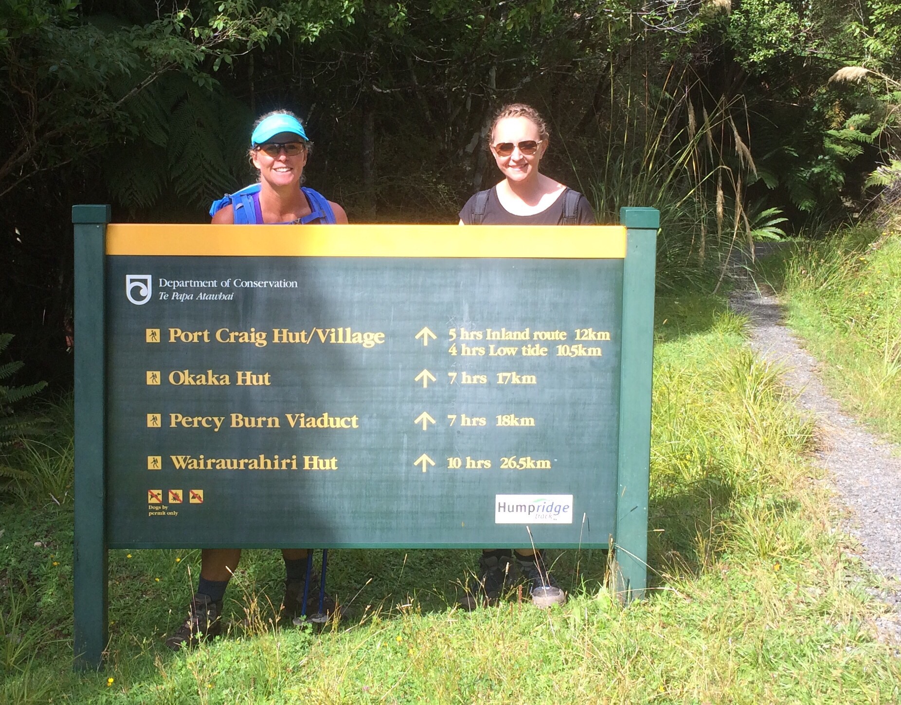
On the 1st of March 2016 eleven of us embarked on walking the Hump Ridge Track.  The Hump Ridge Track is located in the south east of Fiordland National Park, in the South Island of NZ.  The track is about 56.5km in distance and is based in the Waitutu Forest which is park of the Fiordland National Park.

About 1800 walkers complete the track each year.  The track was established in November 2001, with the initial cost for the project at $3,950,000.  The track crosses Māori land and much privately owned land. The Tuatapere Hump Track Trust owns two lodges and over 20 km of board walk, although the Department of Conservation maintains the track along the coast and the Port Craig School Hut which is used for accommodation by those not staying in the Lodges.  


 We all met in Queenstown the day before and enjoyed a lovely lunch at Jack’s Point Golf Course and Restaurant just around the shores of Lake Wakatipu from Queenstown.  Some of us had just finished a four day cycle trip in the Central Otago area while the rest of the group had flown into Queenstown specifically to do the Hump Ridge.

We had hired two Jucy rentals and drove in convoy to Tuatapere which is the closest town to the track.  Tuatapere is about two and a half hours south of Queenstown.  Tuatapere is a small rural town in Southland and is only 8km from the southern coast of NZ.  The Waiau River flows through the town before reaching Te Waewae Bay, where it has its outflow into Foveaux Strait.  The town has a population of about 600 and it’s main industries are forestry and farming.

We were booked into the Waiau Hotel for the night before starting the walk.  It was basic but comfortable.  We enjoyed a nice pub meal – blue cod – one of the perks of visiting the Deep South is the abundance of blue cod : ).  An early night was in order as we wanted to make an early srart the next day.  We all got our gear and food organised that night – this was the first multi day, self catering walk that some of us had done so we were all a bit apprehensive as to whether we had packed enough supplies of both food and clothing.

Day One

We awoke to a fairly cool and overcast day.  The breakfast at the Waiau Hotel was great so we were off to a good start.  We had to check in at the Hump Ridge Office and drop our packs off that were getting helicoptered up to the first hut.  Our ‘pack’ consisted of a black rubbish bag with our food for the next two nights and days and our clothing and toiletries.

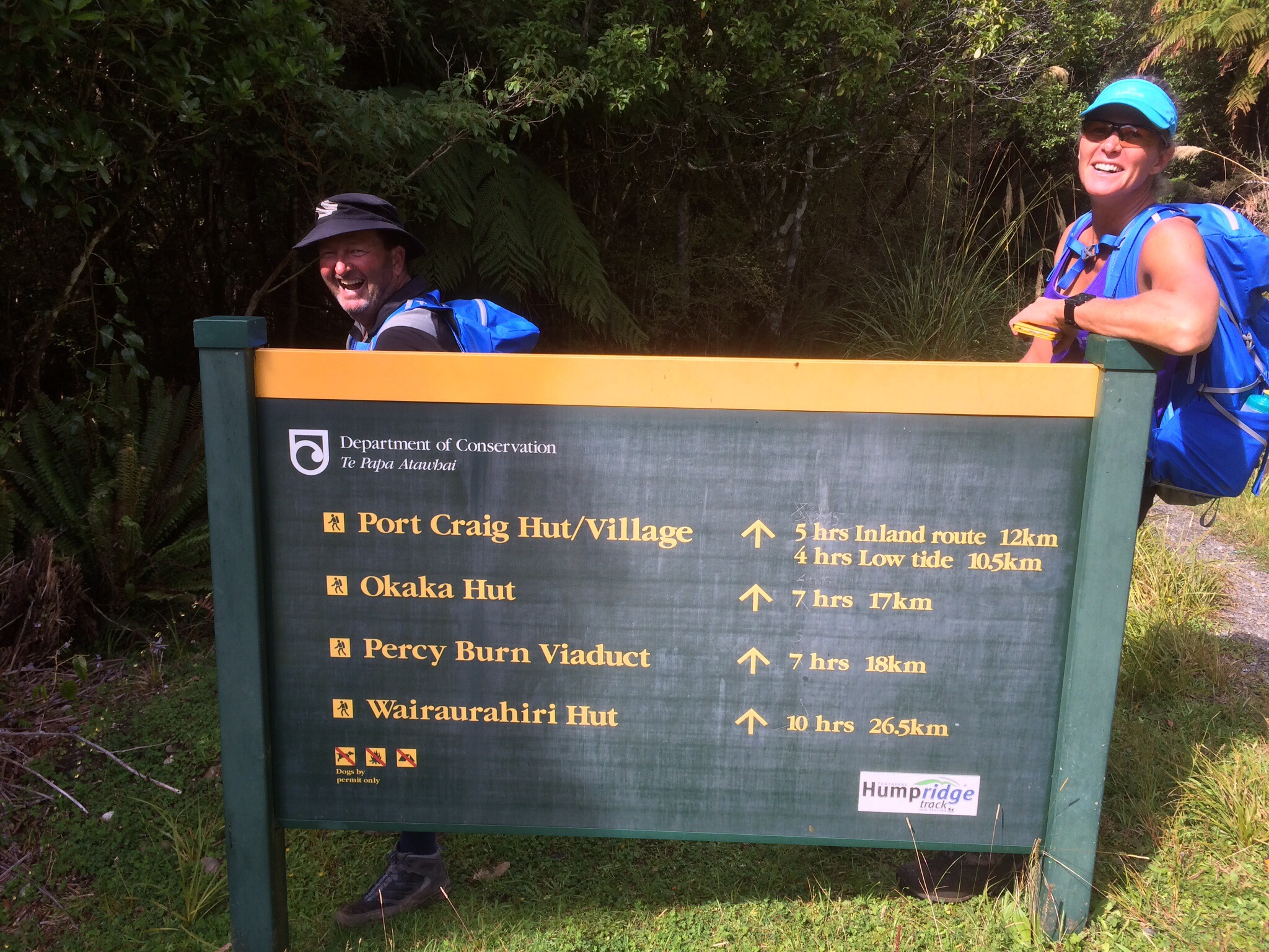
We then drove for twenty five minutes to the start of the track, parked our cars at the Rarakau car park and set off.  We had a map and had been given instructions by the Hump Ridge staff.     

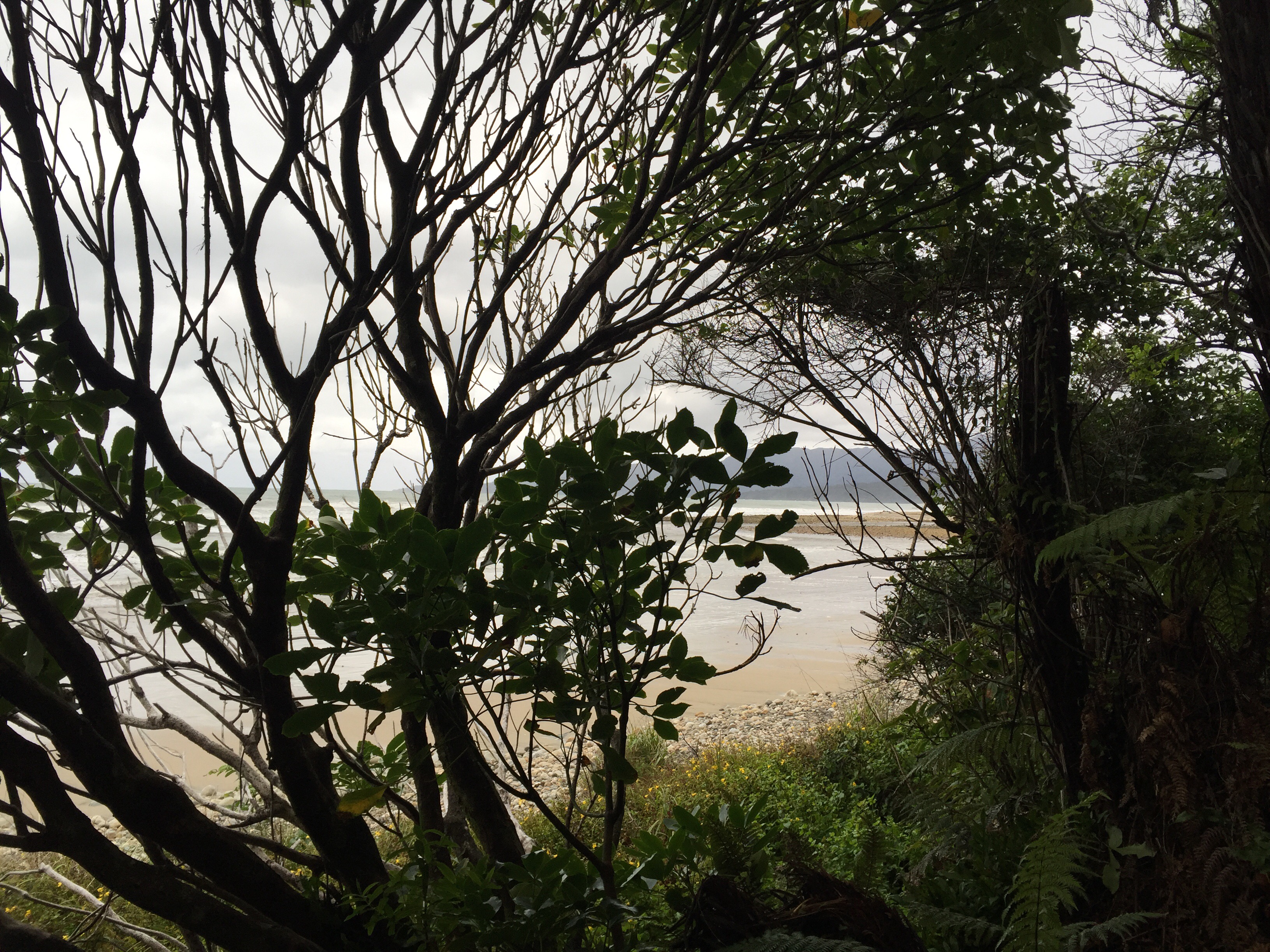
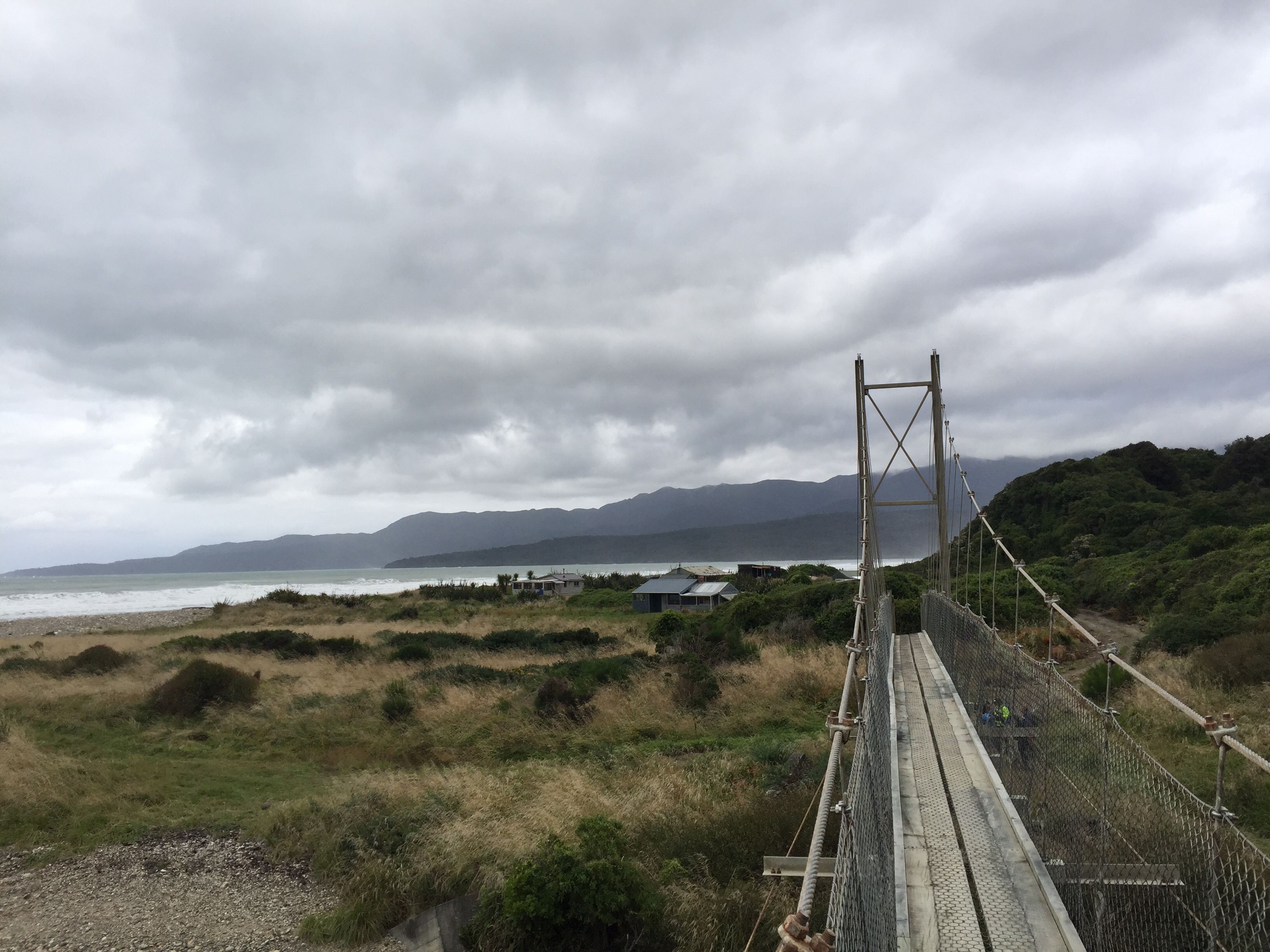
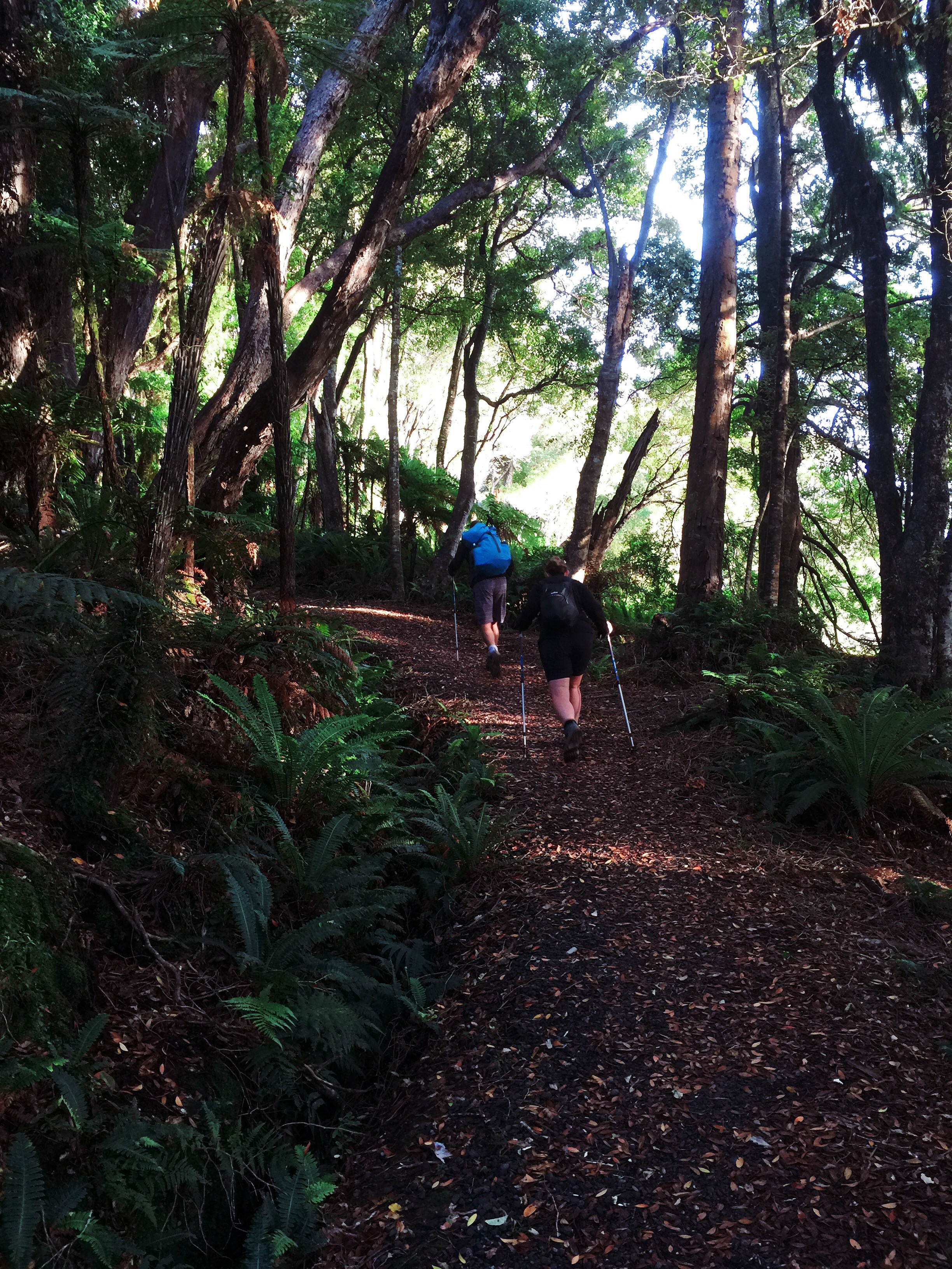
    The first part of the walk is through some bush and down a number of steps to the coast – note these are the same steps we will be coming back up on day three.  The track is a loop and you actually re trace your steps for the first ten kilometres on day three.  Everyone was in high spirits so the cool, cloudy weather didn’t put too much of a dampner on things.  At Flat Creek you start going inland and it is very sheltered in the bush.  The track was gradually ascending but you didn’t really notice it.  We stopped at Water Bridge for lunch and to refill our water supplies from the stream using a string and pot system. 
   
    
  The next three kilometres after lunch started to ascend more steeply.  The group got quite spread out but no one was ever on their own.  It had also got a bit wetter and cooler.  You had to climb over tree roots and pull yourself up – they had one kilometre markers for the last six kilometres and it seemed to take forever between markers.  The deal was that when you reached a kilometre marker you yelled out to give the group’s behind you some motivation.

I had paired up with Danny on this section and we made good progress – we were a bit concerned about what those behind us were making of the terrain : 0. One of these being Steve.  Steve had said to me not long after we entered the inland section of the walk “so is this what tramping is all about?”,  I said “yes”, his response was ‘hhhmmm’.  This was not boding well given we had to finish this day and back it for two more days!

Danny and I got to Stag Point and we had taken a couple of layers of clothing off climbing up to that point but we soon put them back on again – it was freezing.  You can see the Lodge from Stag Point – it was a welcome sight.  We discussed waiting for the others but decided we would get too cold so we carried on.  We had heard that the last two kilometres were a killer and took quite a while so we powered on.  We reached the one kilometre marker remarkably quickly and before we knew it we were at Okaka Lodge.  I think a more accurate reflection of day one is that the first fifteen kilometres are fairly sedate with the next three and a half kilometres being the killers before the last two kilometres ease nicely into the Lodge.  

   Okaka Lodge sits at 900 metres above sea level.  It was freezing – we couldn’t wait to have a hot shower.  Some of the others had arrived before us so were in the shower queue already.  You have a four minute time limit so the strategy is to get undressed, lather up and then turn the shower on so you can enjoy the full four minutes.  Pete adopted this strategy only to find he was in the shower that didn’t work!  Katrina, the Lodge Manager had forgotten to mention that we were down to one shower.  This standing around naked certainly didn’t help Pete’s chest infection.  By the time it was our turn we were well versed in how it all worked.  I am sure the limit was longer than four minutes because I ended up turning the shower off before my time ran out.  One of Steve’s bug bears at home is how long I take in the shower so maybe I am not too bad after all.

The rest of the group came in within an hour of us getting in and they were all in remarkably high spirits – I thought they may not have been happy with that climbing section but they all handled it very well.  After our showers it was time to have a red wine by the fire and meet some of the others doing the Hump Ridge.  There were a couple of Germans, Andrea, an Australian that we ended up doing quite a bit of walking with, an American and some fellow Kiwis.  Everyone was very friendly and keen to share stories.

We had decided to send some steak, coleslaw and fresh buns up in the packs that came up by helicopter.  We had a little issue with not having any oil to cook the steak with but luckily Robyn had an oversupply of butter along with a lot of other things 🙂  The original plan was to cook on the BBQ but the Lodge BBQ wasn’t in a good state and it was freezing outside.  After a bit of umming and arrghing by the boys Kaz and I took control and cooked the steaks in the frypan inside.  Never mind that we smoked out the kitchen! Dinner was good!

I had already decided that I was sleeping in my clothes – it was too cold to get changed.  The Lodge provided hot water bottles which were a godsend.  The beds were extremely comfortable too.

Katrina the Lodge Manager gave us a briefing for the next day as well as a forecast update.  The forecast was looking good and she said if you want to see the sunrise and have a good view over the area then you should climb the loop track before sunrise which was about 7.15am. 

Day Two

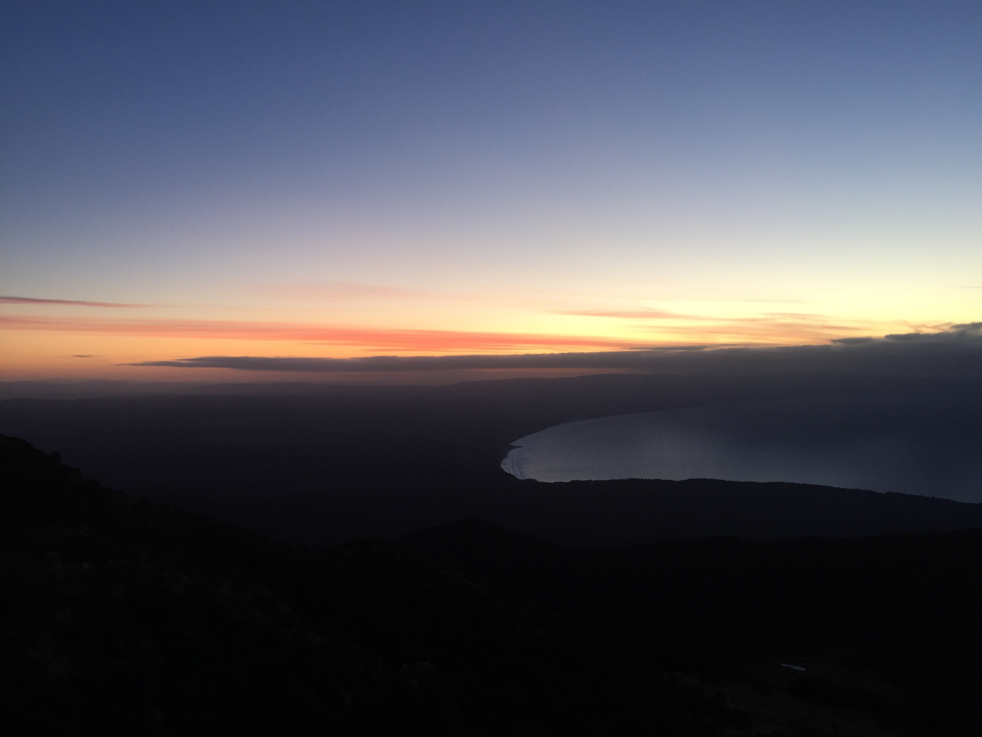
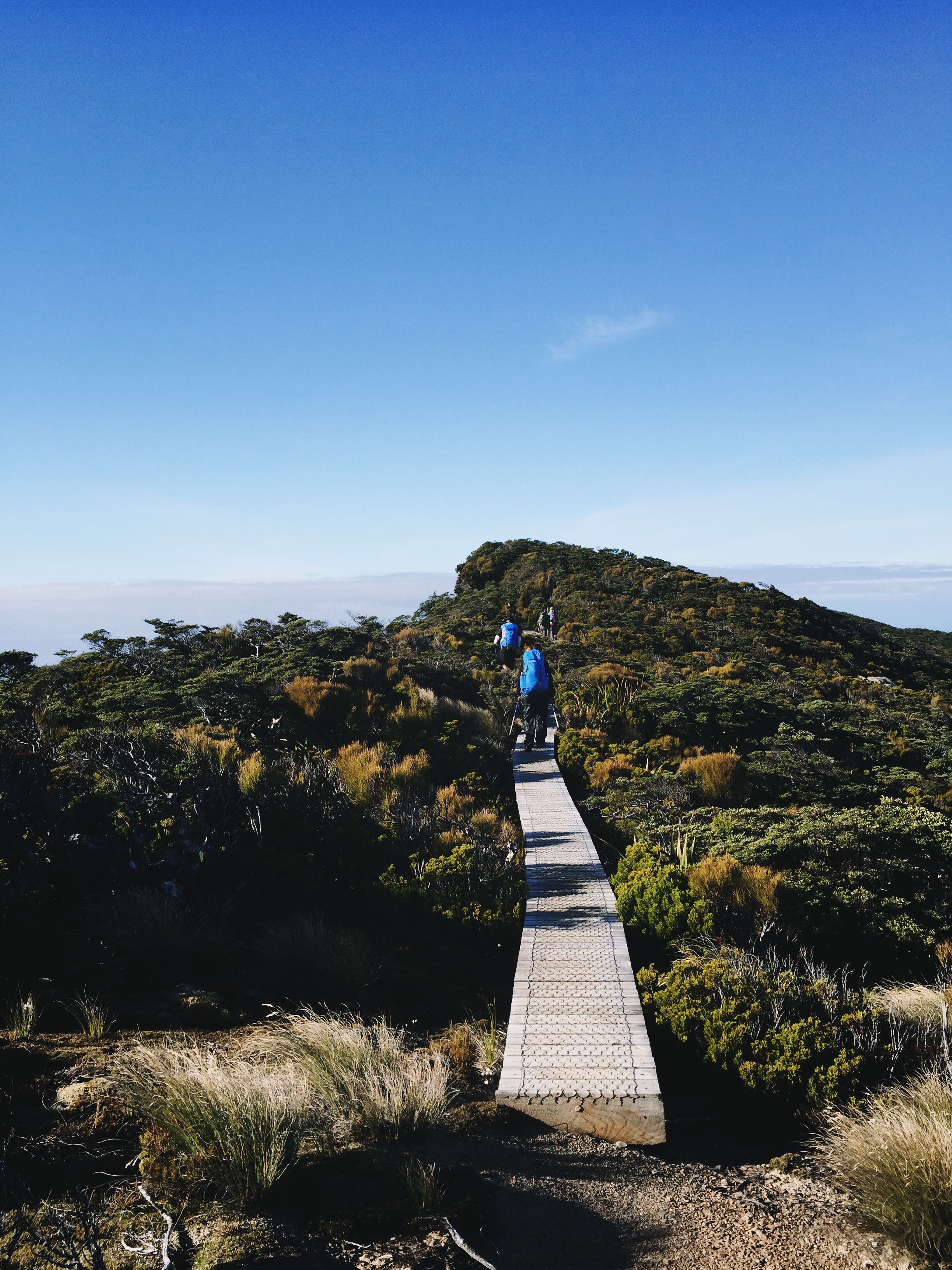
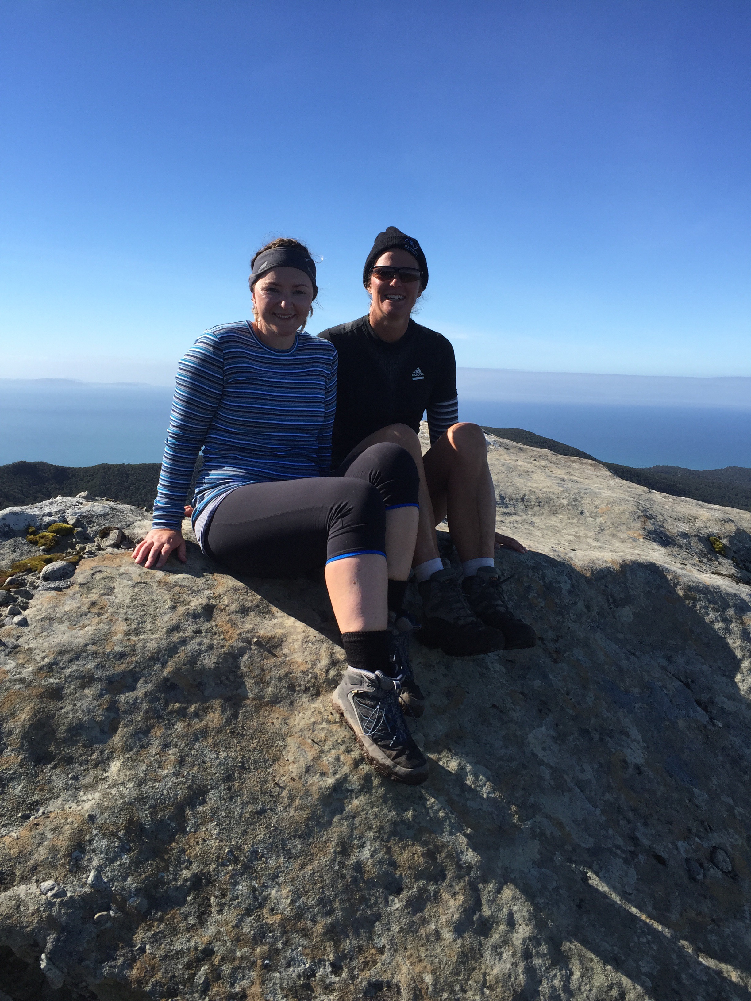
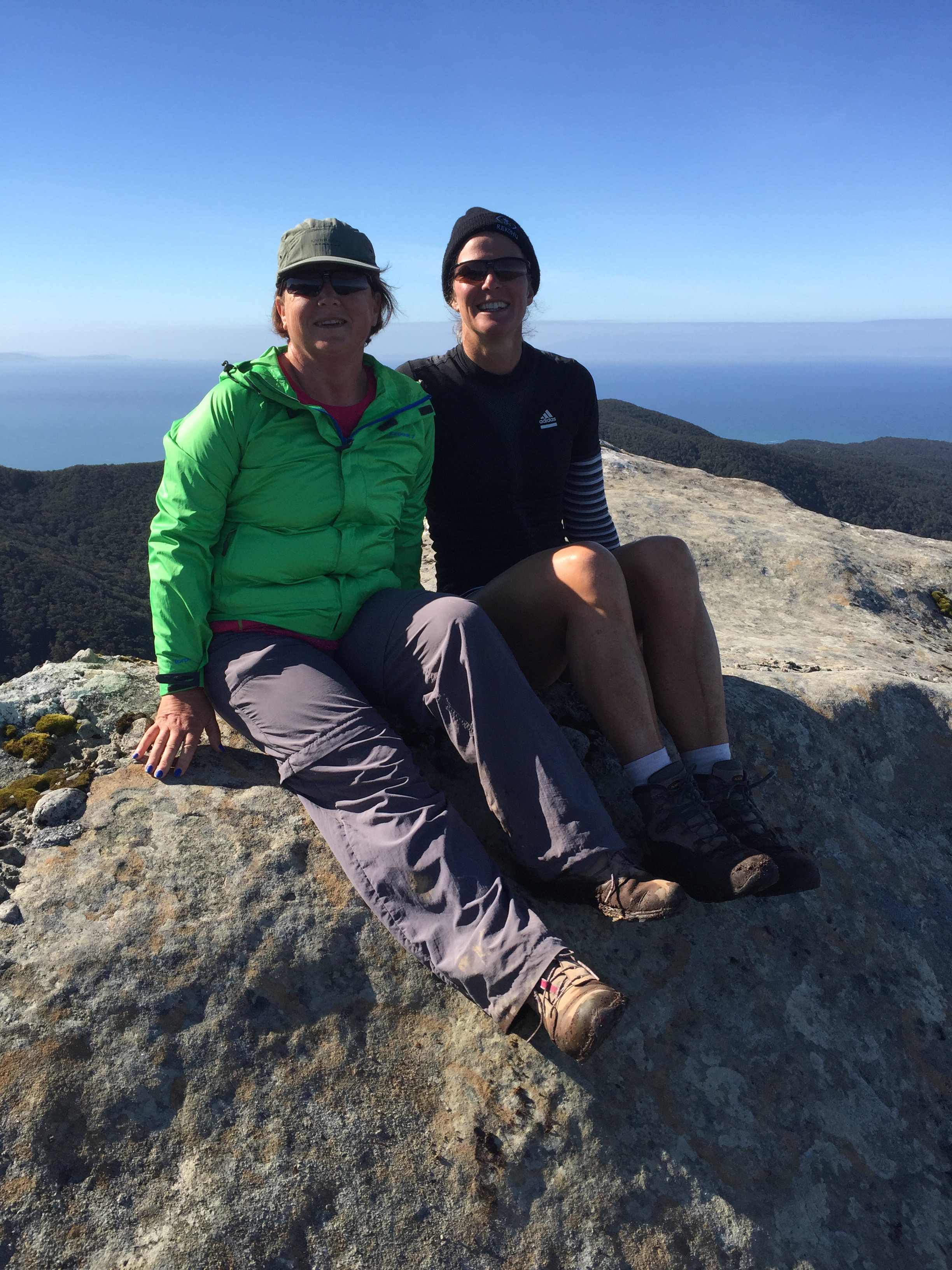
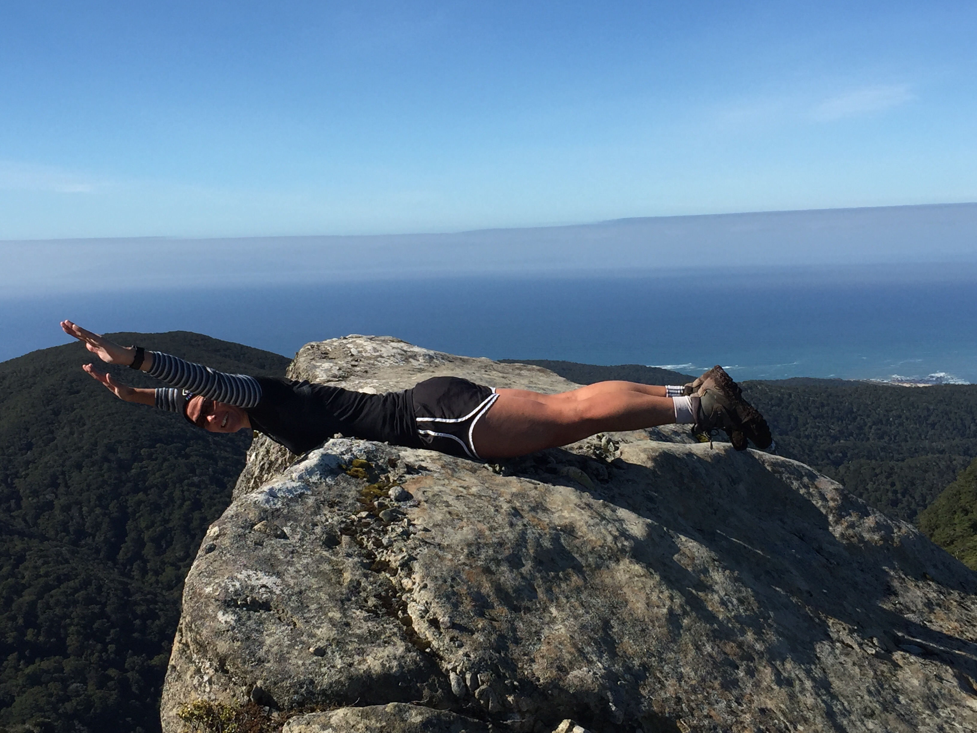
Kaz, Sheree and I were the only ones to get up at the crack of dawn and walk up to the summit to see the sunrise.  It was still freezing but the skies were clear – we were in for a nice day once that sun came up.  It was absolutely magical up there – the scenery is amazing.  It was well worth the trip. 


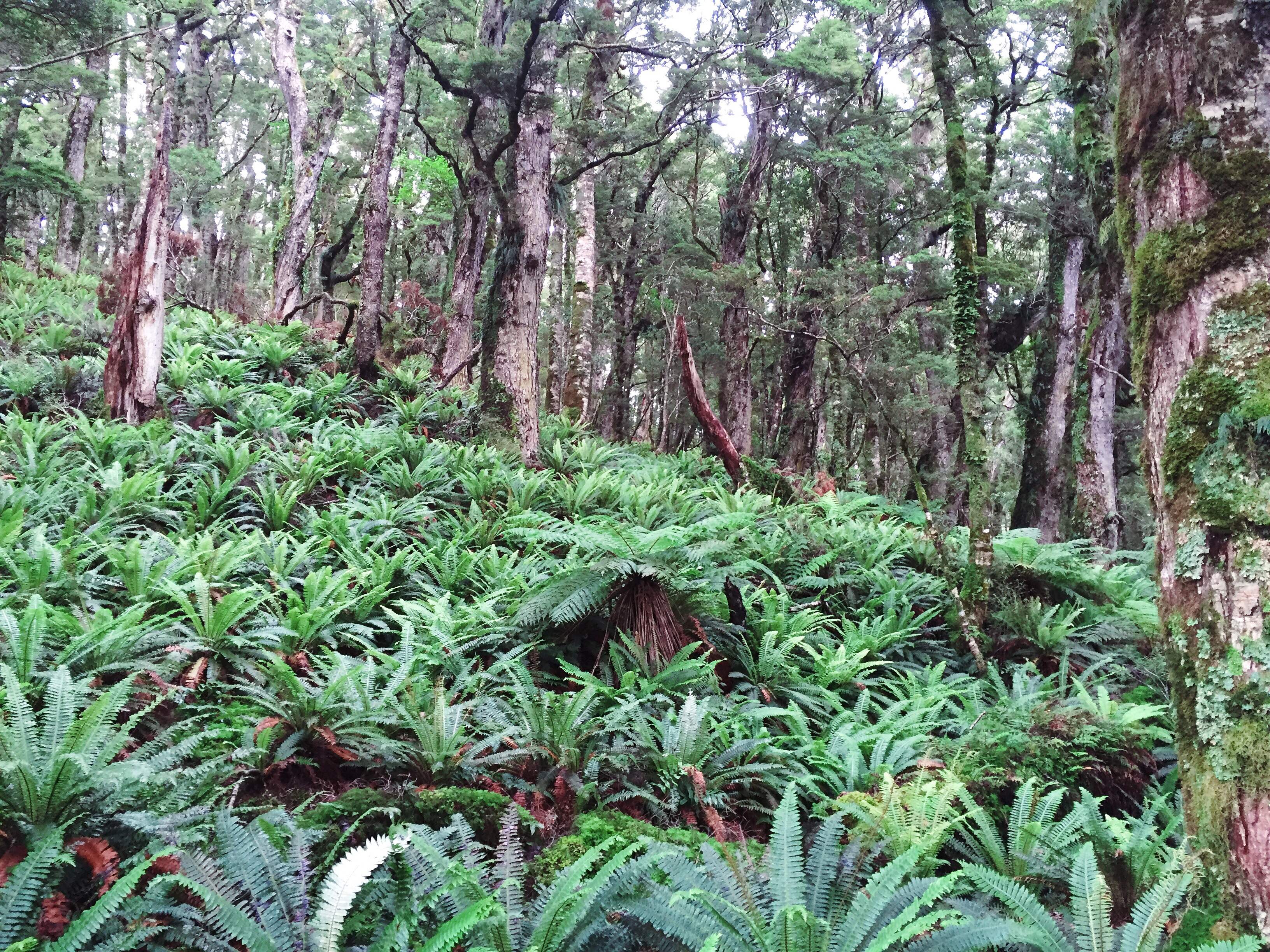
  After a breakfast of hot porridge and brown sugar we packed up and hit the track.  The gist of today was a walk along the ridge line before starting our descent back to sea level through the enchanted forest and then along the old railway line.  There was a clear blue sky and the vistas were spectacular – we were very fortunate with the weather because today was the day that you got to see the most.  After the first ten kilometres on day one you were in the bush with no views so it didn’t matter that it was overcast. 

                
The walk along the ridge line was fairly sedate.  We stopped at Luncheon Rock for morning tea – the views over Fiordland and out to Stewart Island were great.  The descent proved a bit more challenging as you negotiated trees and tree roots.  It seemed to take forever to get to our lunch stop at the Edwin Burn Viaduct. 


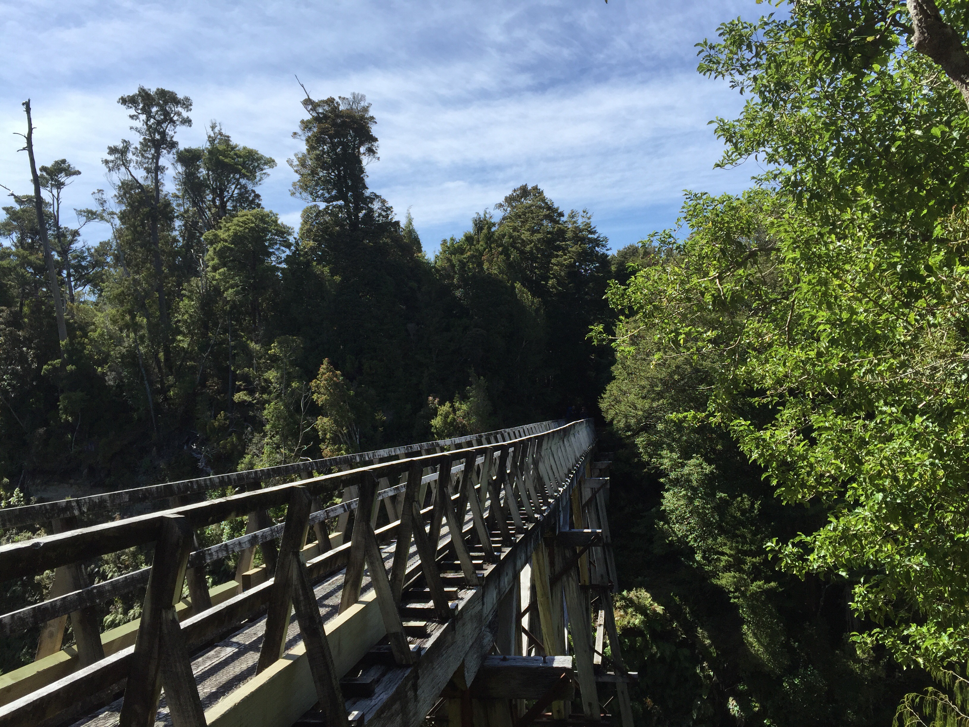
  The Edwin Butn Viaduct is 50 metres long and 22 metres high. There are three large viaducts on this track.   Between 1916 and 1928 these viaducts were part of the most ambitious milling project NZ had ever known.  These viaducts were part of a 14km tramway that ran from the mill settlement at Port Craig (our accommodation location for the night) almost to the Wairaurahiri River.  During the 1920’s Port Craig was the site of the largest and most modern sawmill in NZ. The Marlborough Timber Company employed over 200 men and produced up to 1,800 cubic metres of timber a month.  The viaducts were constructed out of Australian hardwood to carry the tramlines over the ravines.   By the time milling ceased in 1929, about 14 square kilometres had been logged. 

Out of the three viaducts, the Edwin Burn Viaduct is the only one to stand on Maori land.   The rights to construct on this land were granted by the then South Island Landless Natives Act of 1906. Today’s partnership between the Maori Trustee and the other stakeholders of this historic site requires respect from all users to safeguard the privilege of access.  

     
The largest viaduct is the Percy Burn Viaduct which is 125 metres long and 36 metres high. It is thought to be one of the biggest wooden viaducts in the Southern Hemisphere.   Unfortunately we had to climb down into the ravine and walk underneath it rather than crossing it.  After coming back up onto the track we had about seven kilometres to go. 

 The Port Craig Mill closed in 1930. In 1937, when all hope of revitalising the timber milling enterprise had faded, most plant and equipment was removed including the tramline rails and points. The wooden sleepers, however, were left intact and remain a feature of the track. 

These wooden sleepers along with the ‘dogs’ (pins keeping the sleepers in place) were set to haunt us for the next seven kilometres.  The track was reasonably straight but inclined gradually  We were getting tired and just wanted to be at the Lodge.  I was walking with Robyn at the back but when I got to the four kilometre mark I just had to power on – I walked the last four kilometres in fifty two minutes avoiding the ‘dogs’ as best I could.  I was very happy to reach the Lodge – day two had definitely been more physically demanding than day one.

Port Craig Lodge sits just above Mussel Beach.  It was a nice setting and Sue the Lodge Manager was very friendly.  Both showers were working, although because the temperature was remarkably warmer down here a hot shower wasn’t such an issue.  Tonight we had the Kaweka boil in a bag meals for dinner which went down a treat.  In chatting with Sue we learnt that the Hump Ridge Track is one of the harder tracks to do in NZ due to the distance you have to walk each day. 

    
  Most sources put the track between 55 and 63 km but several GPS tracked devices have measured it at 56.5 km (as of 2014).   The exact length of the track is unknown because of several factors such as the method of measurement and path taken. At several points there is the option to walk via the beach, the track or a four-wheel drive track which can alter the distance. The distance may change because of the complex path up and down the mountain through trees and over roots which will vary depending on the walker. Mapping the distance on a map also does not give its true length as there are many changes in elevation. There are several side routes such as the loop track above Okaka Lodge and the beach at Port Craig which will add to the distance travelled. There is also an additional 300 metres from the car park to the start of the track.

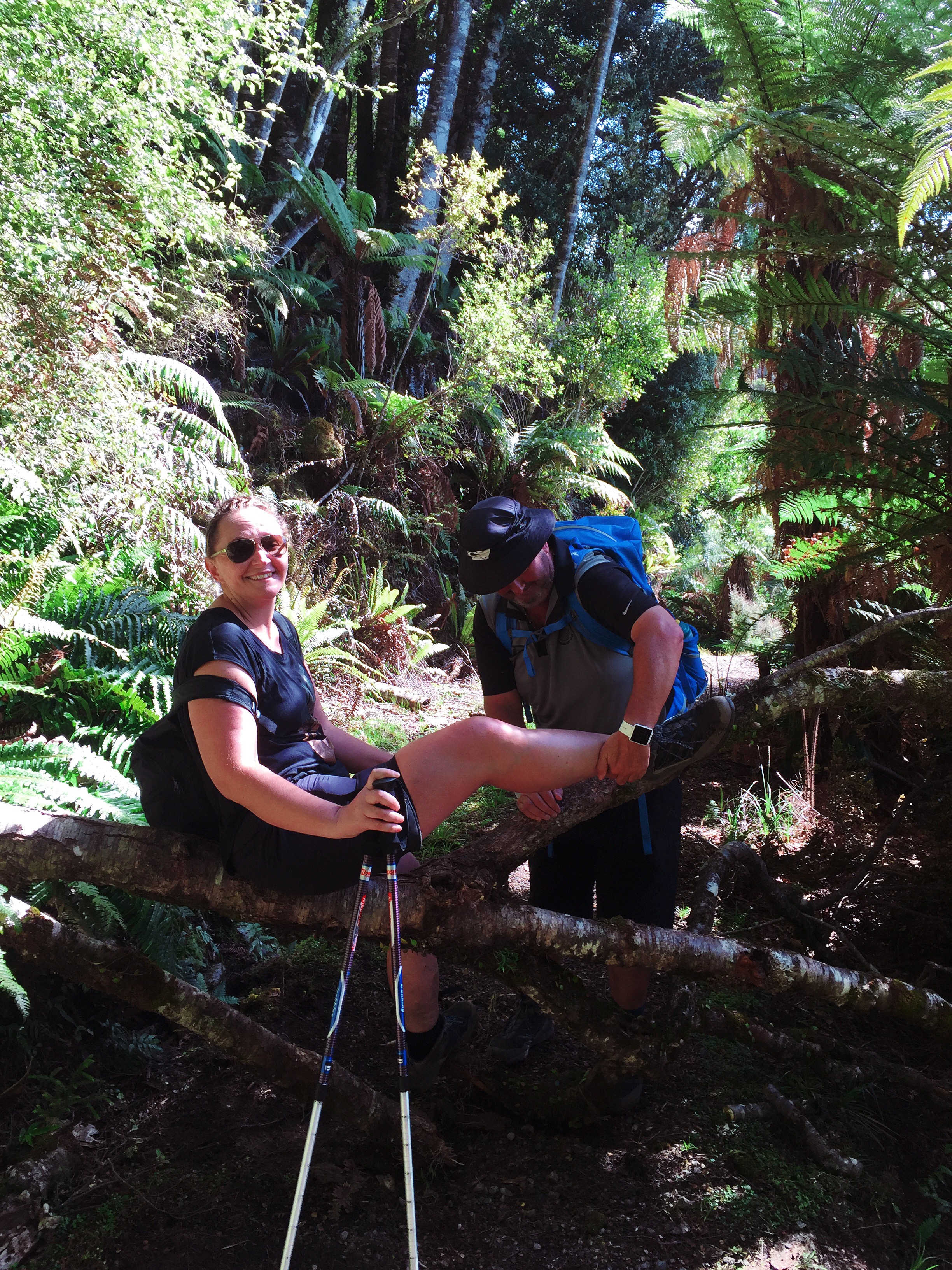
On waking in the night and going to the toilet all I knew was that my calf muscles felt like they were going to explode.  Given everyone else was asleep I couldn’t compare notes so did think that perhaps I had aggravated the calf tear I had done in October last year.  As I hobbled to breakfast the next morning I was pleased to see that everyone else’s calf muscles felt the same.

Day Three

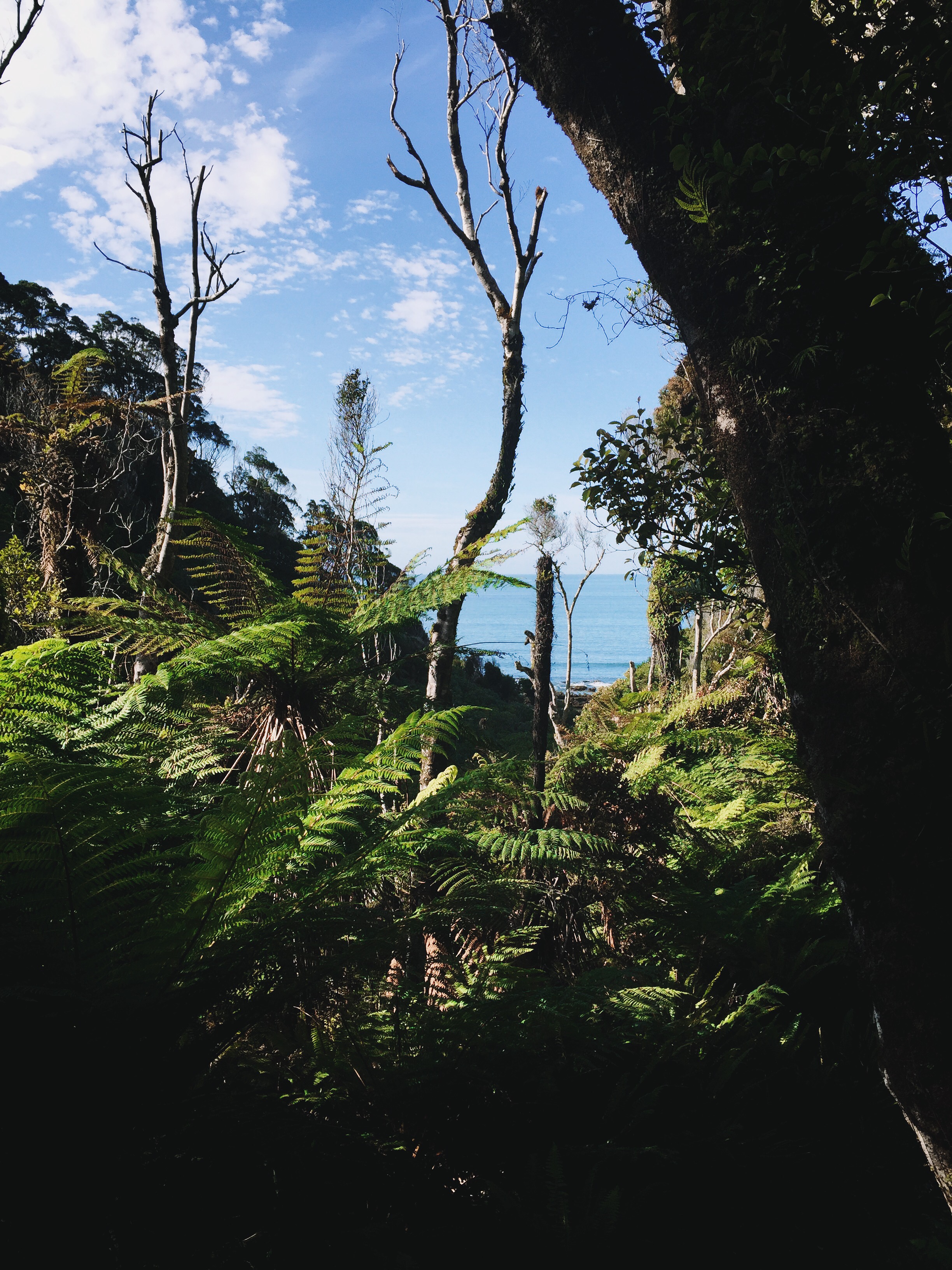
After another breakfast on hot porridge and brown sugar we started our last day on the Hump Ridge.  The track undulates gently through the bush although you can see glimpses of the coastline.  We then came out at Blowholes Beach before going back into the bush.  We then arrived back at Flat Creek, the junction where we had turned off towards Okaka Lodge on day one. 


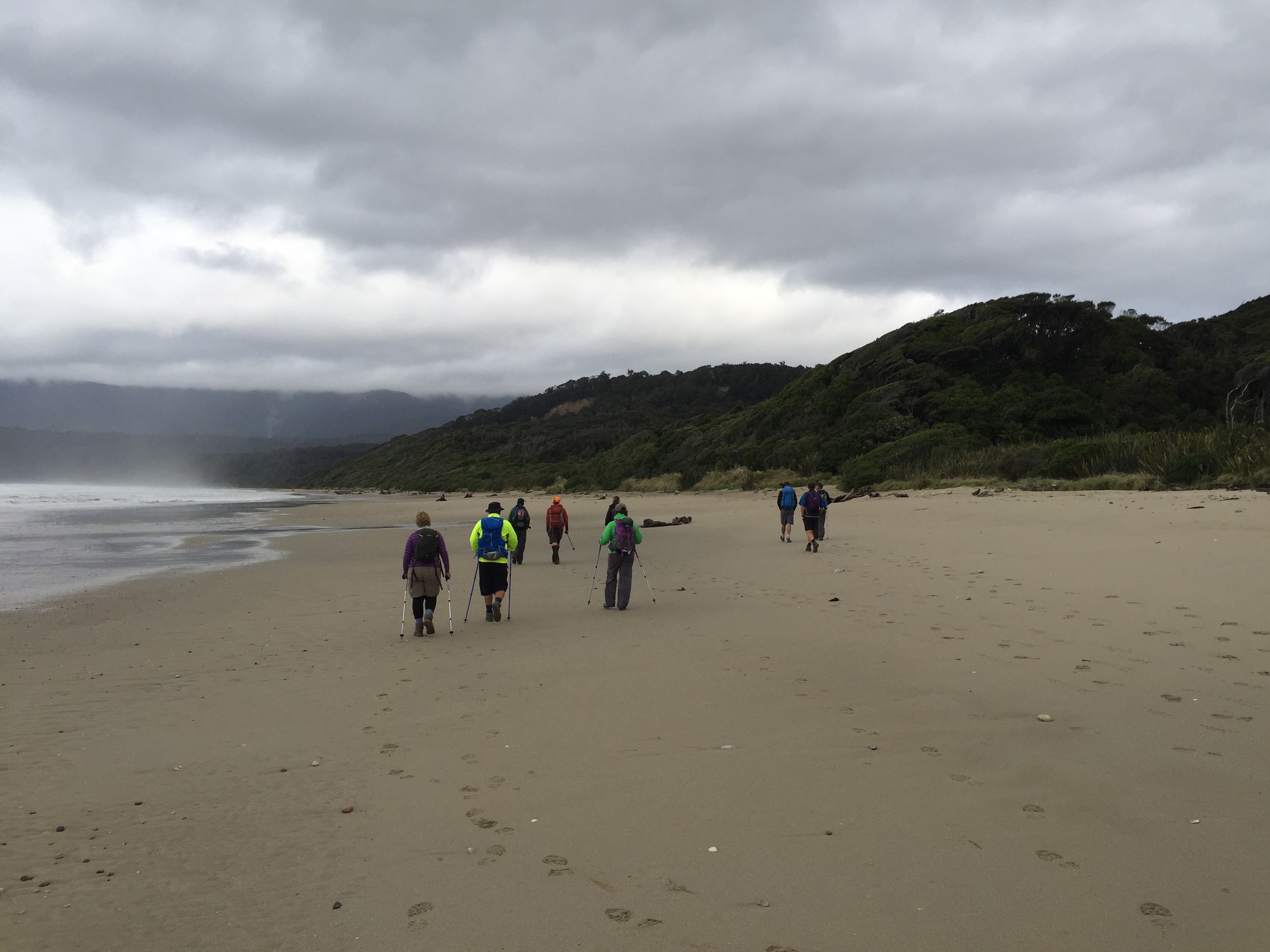
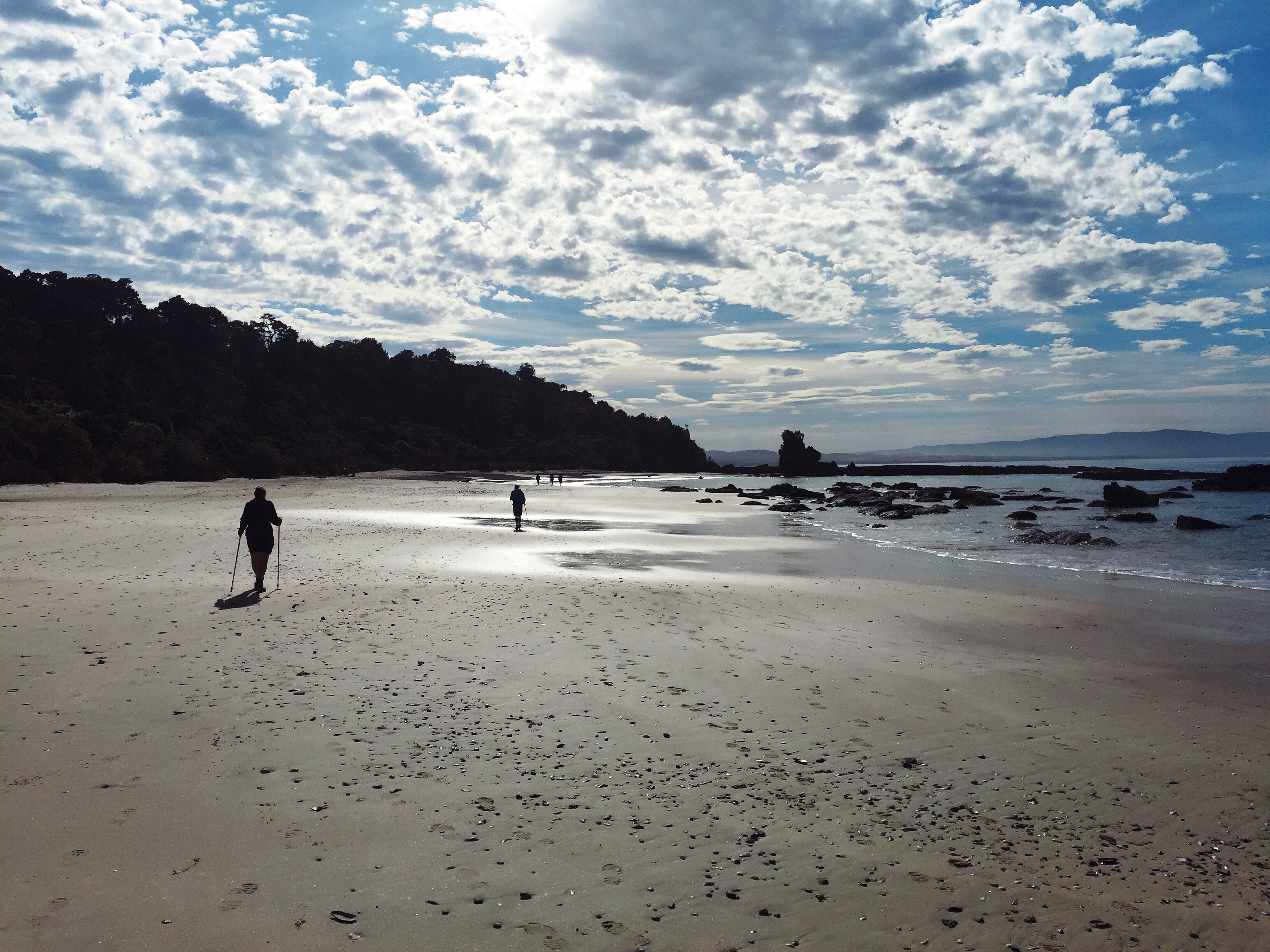
 The walk along the beach was nice – we had good views out to Stewart Island.  The weather was really pleasant but we were getting to the point where we just wanted to be finished.  The climb back up the steps was a bit painful.  We came across a guy heading down to the beach who said it wasn’t far to go to the end of the track.  Steve suddenly had a surge of energy and took off at a jog.  Robyn and I continued to walk.  It actually turned out to be a little way to the end – longer than Steve could sustain a jog anyway.  Apparently he slowed to a walk again before jogging the 300 metres to the carpark. 

    
 It was then into our cars for the trip back to Queenstown.  We had to make a stop in Tuatapere to drop Robyn off who was staying with her son Graham, who happens to be one of two local policeman in town.  Andrea, our new Australian friend had decided to get a ride back to Queenstown with us.  We stopped in Mossburn for an icecream.  The sight of eleven stiff and sore people getting out of two cars and endeavouring to cross the road got a smile from one of the locals – well actually it was more than a smile, she was cracking up.  We were seriously sore and our walking style left a lot to be desired.  Sheree thought she would end her days being run over by a car – there was a car approaching in the distance and she thought if she couldn’t get out of it’s way in time then so be it.

Back at our accomodation in Queenstown, Steve and I ended up with a loft bedroom – going up and coming down those stairs in the night was not fun!

All in all it had been a fabulous trip with a great group of people.  We enjoyed the experience of staying in the Lodges and meeting other people on the same journey.  We were also pretty proud of our efforts given it is one of the harder walks you can do.  The scenery was spectacular and it was so good to see that part of the country in all it’s glory.  Thumbs up to the Tuatapere Hump Ridge Track Trust and the Department of Conservation for all your efforts maintaining a wonderful piece of our country which allows people to get an insight into the wilderness, history and wildlife.

Posted in Fiordland, New Zealand | Tagged | Leave a comment

Clutha Gold Bike Trail – Central Otago, New Zealand

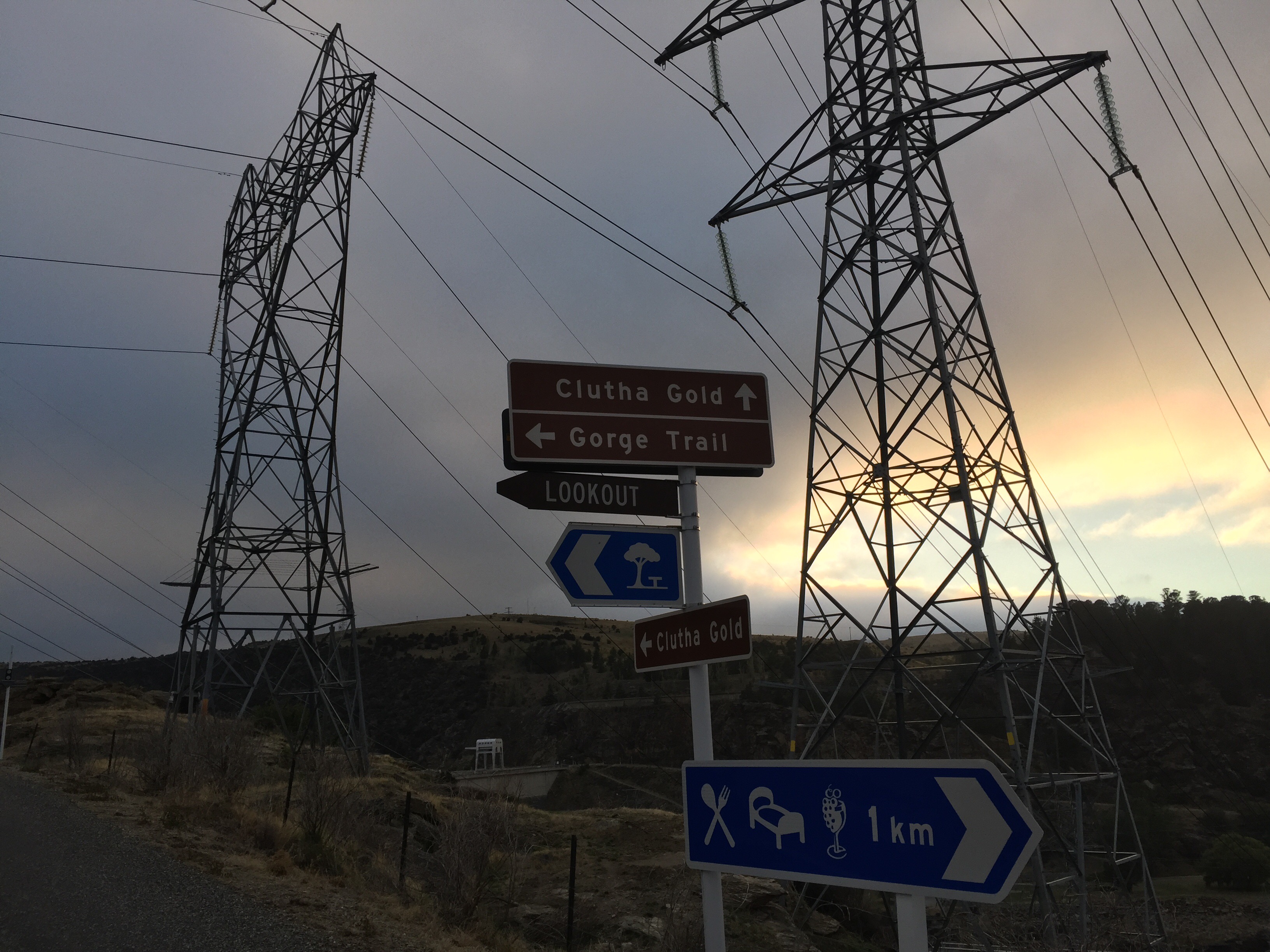
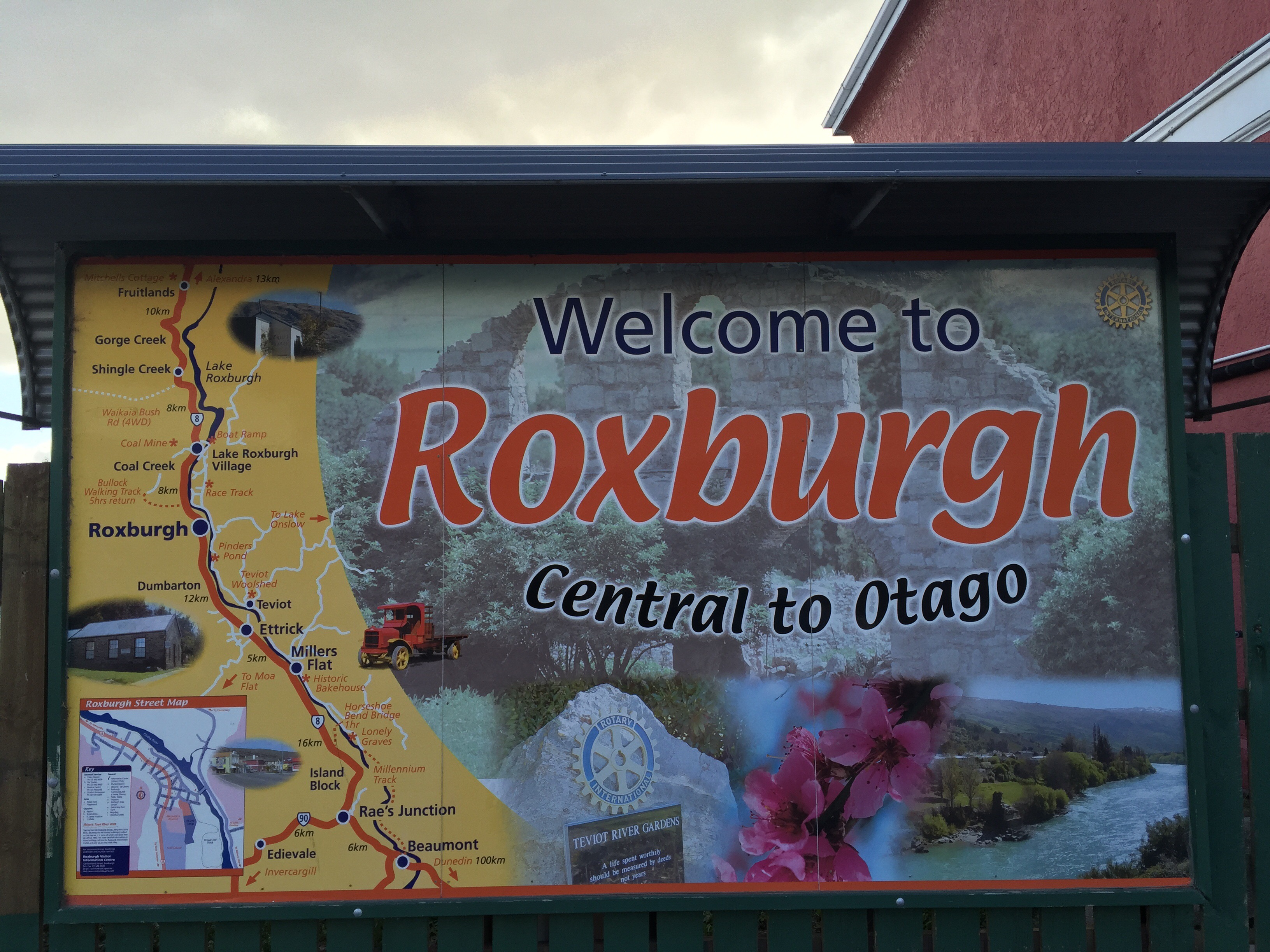
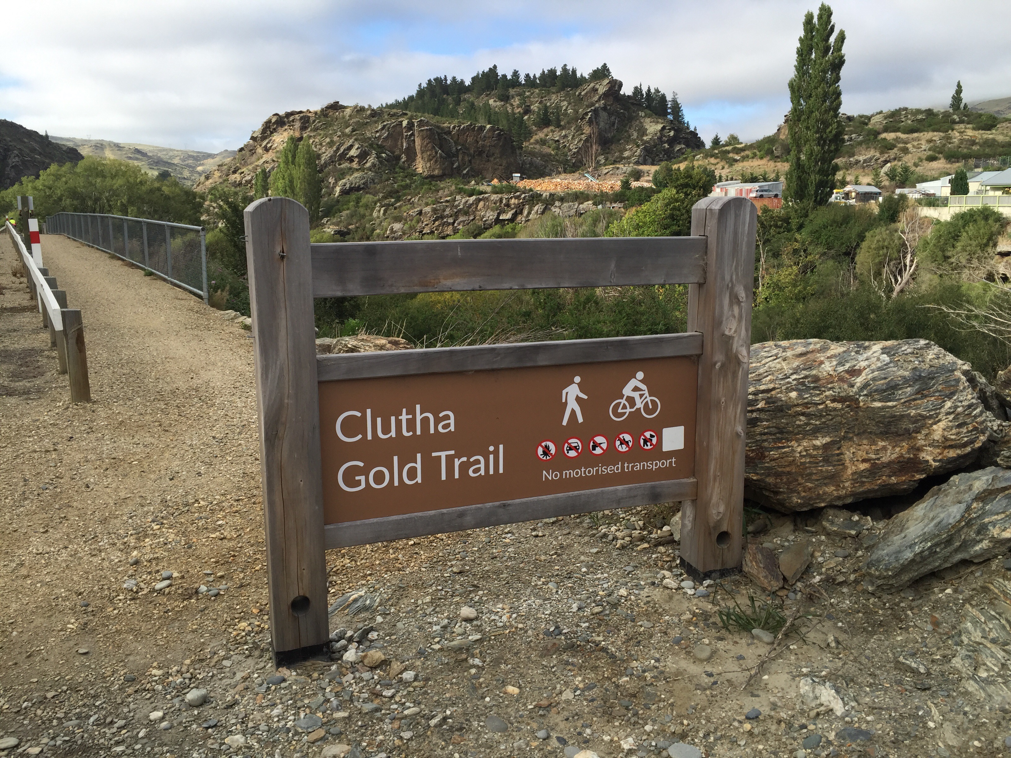
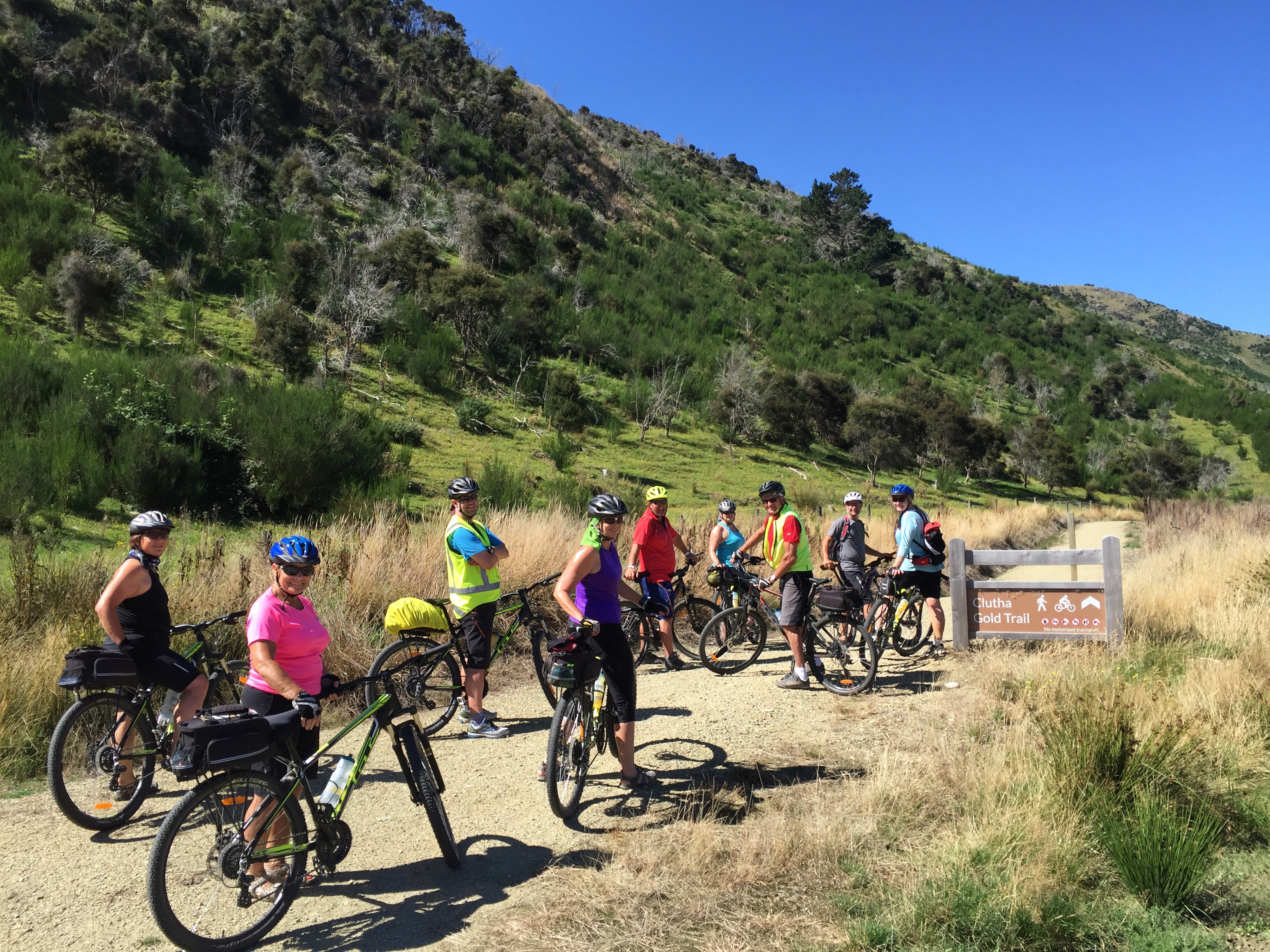
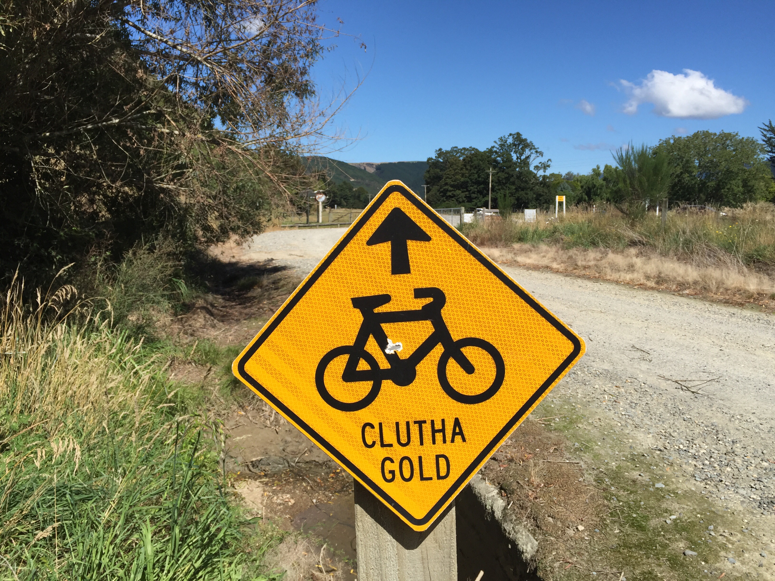
We had an early start on day four – we left the Lake Roxburgh Lodge at 7.30am – breakfast was some 10km away in Roxburgh township.  We rode up to the dam before getting onto the Clutha Gold Trail proper.  This trail, like the Roxburgh Gorge Trail was officially opened in October 2013 and showcases the area’s history of early Maori moa hunters, Chinese gold miners, European pastoral farming, mining and railways.

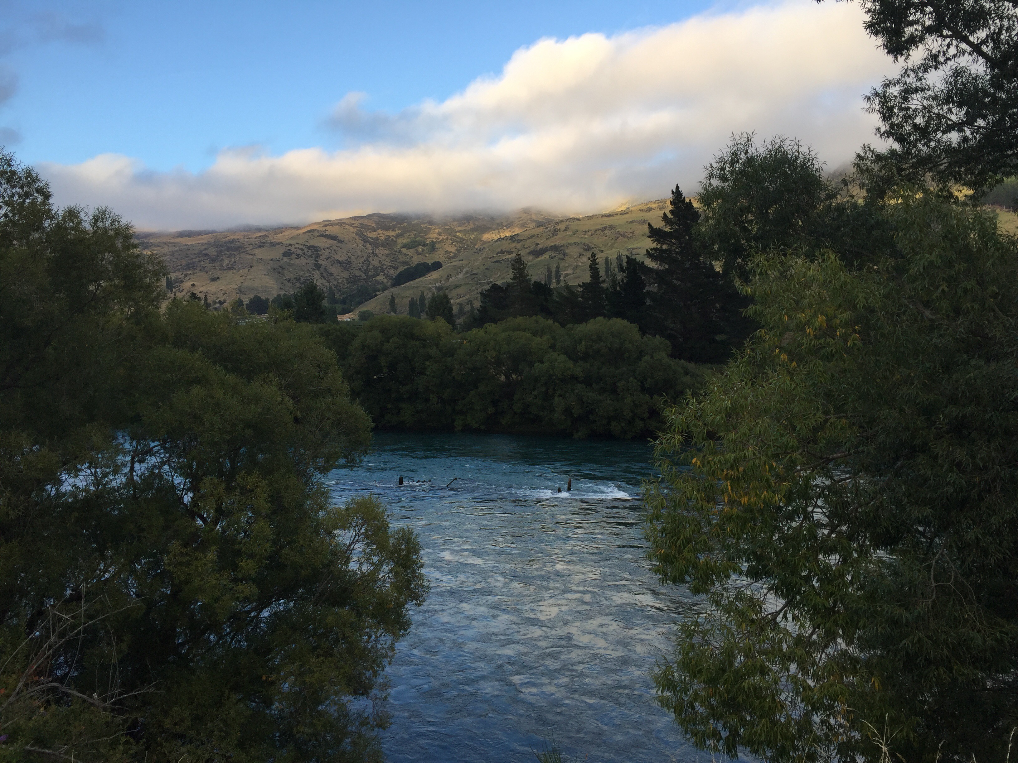
The trail continues to follow the mighty Clutha Mata-au River as it weaves through trees and traverses the beautiful Beaumont Gorge. It then branches off into farming valleys and some sections of the historic Roxburgh Branch railway line, including the 440m-long Big Hill Tunnel.  The trail is 73km in length starting at Roxburgh Dam Village and finishing in Lawrence which was Otago’s first gold-rush town after Gabriel Read discovered gold, in what became known as Gabriel’s Gully, in May 1861. At the height of the gold fever, Lawrence’s population reached 11,500, twice that of Dunedin’s. 

    
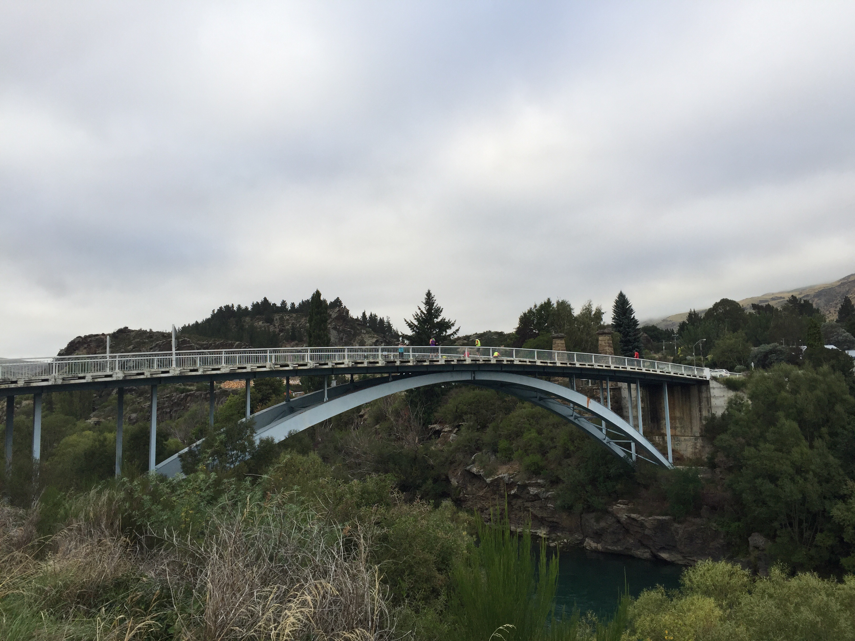
 We left the trail to bike across the Roxburgh bridge.  Early European settlers started arriving in this district in the late 1850s. When gold was discovered by Andrew Young and James Woodhouse in 1862, the pair unwittingly triggered the beginnings of what would become the township of Roxburgh, now home to more than 600 residents.

The pioneering spirit that braved the elements to mine, farm and cultivate the land was the same spirit the early engineers faced when challenged with constructing a bridge to cross this powerful Clutha Mata-au River. Despite its sturdy structure, the first bridge lasted only three years before the devastating floods of 1878 swept it away. A fine replacement suspension bridge was built nine years later and remained until the current bridge was built in 1974. Remnants of the Roxburgh Bridge Pier (1875) and the Roxburgh Suspension Bridge Tower (1887) are a reminder of the early engineering feats to cross this powerful and at times intimidating river. 

   
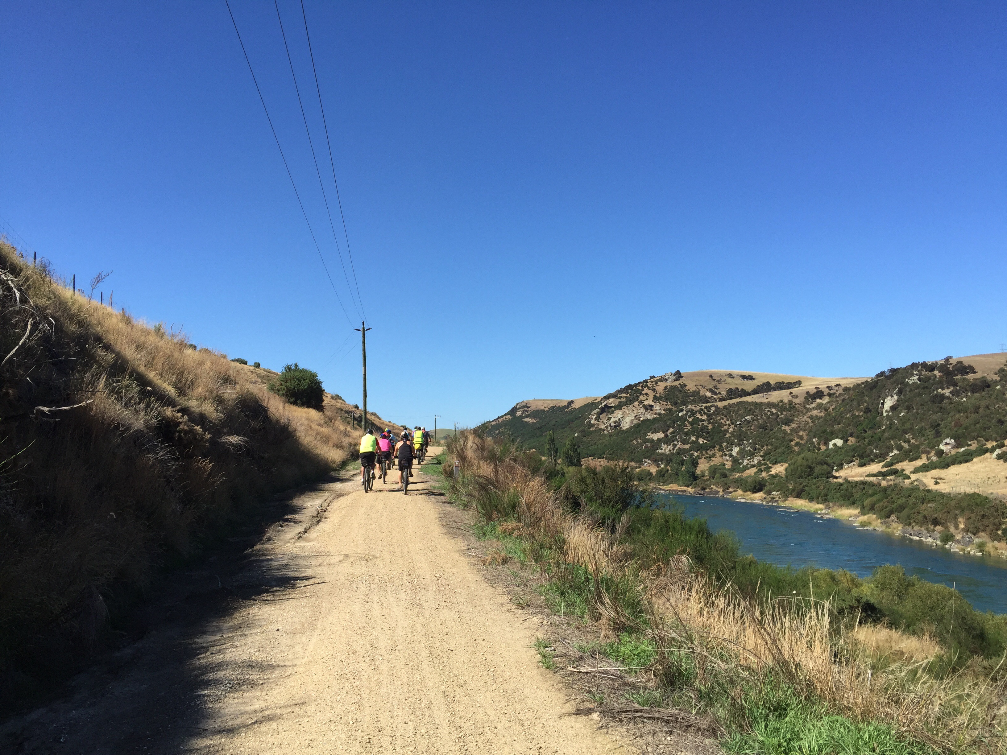
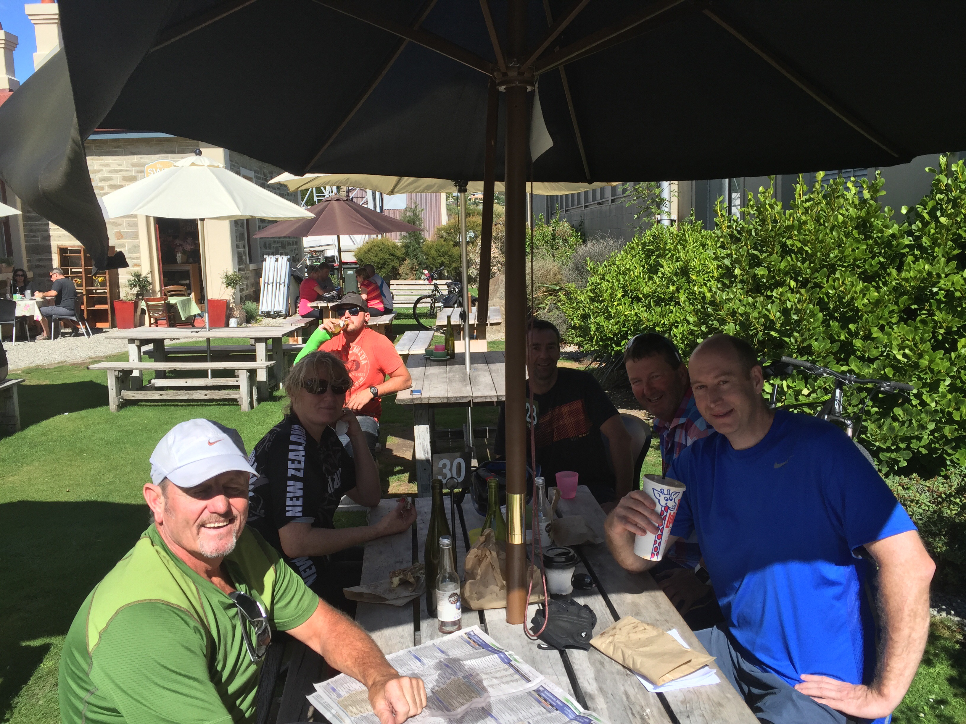
We had breakfast at The Store which was delicious.  They use Al Brown’s Best Ugly Bagels with various toppings. – so good. The coffee and cabinet food was also delicious – I couldn’t go past the cinnamon pinwheel scone!  Re fuelled, it was back on the bikes and back across the bridge to get back on the trail.  The riding was proving fairly easy as the trail descends gently alongside the river.  The sun was starting to appear and we were in for another nice day. 

 There is a lot of history along this trail with lots of information boards pointing out what was here in the past and what remains to this day.  We came across a sign that pointed out the remains of the Kohinoor dredge that sank in 1912 – you could just see the top of it as the water rushed over it.

Between 1902 and 1906 the Kohinoor dredge won 3,358 ounces of gold from the river. It is a reminder of the many dredges that worked this river and of the dangers they faced. There are the remains of at least three other dredges in the river alongside the trail.  As the more easily accessible gold deposits along the river were exhausted, the miners’ attention had turned to the potentially huge pickings on the river bed itself.

Dredging began as early as 1863 with simple spoon dredges. These were followed by current wheel driven bucket machines which in turn were followed by those driven by steam engines. The first steam dredge the Dunedin, designed and built specifically for this river, started working in this area known as Coal Creek after 1868. This type quickly came to dominate.  

In 1892 there were 10 steam dredges working in the river from Coal Creek to Horseshoe Bend. The constant sound of stone against metal all day and all night could be heard reverberating in the valley.

The technology developed for working this river was so successful it was exported all over the world. The dredges grew in size and power, changing the face of mining and the countryside, eating their way into the river banks and flats.

To make a living, miners increasingly had to go into partnership with other miners or work for wages on a dredge. Some of their early returns were so extraordinary investors were easily attracted to companies formed to build more, and better, bigger, more expensive dredges. But it was a gamble. Fortunes were made and lost.

The river had become known as the ‘golden river, by the late 1880’s because of the success of dredging. Successful dredges in this area had names such as the Golden Bed, the Golden Treasure and the Golden Gate. But as areas were worked out, farmers and horticulturalists increasingly objected to the destruction of valuable fertile land alongside the river and the price of gold eventually weakened. By the 1920’s nearly all the dredges had disappeared, only the largest few surviving. 

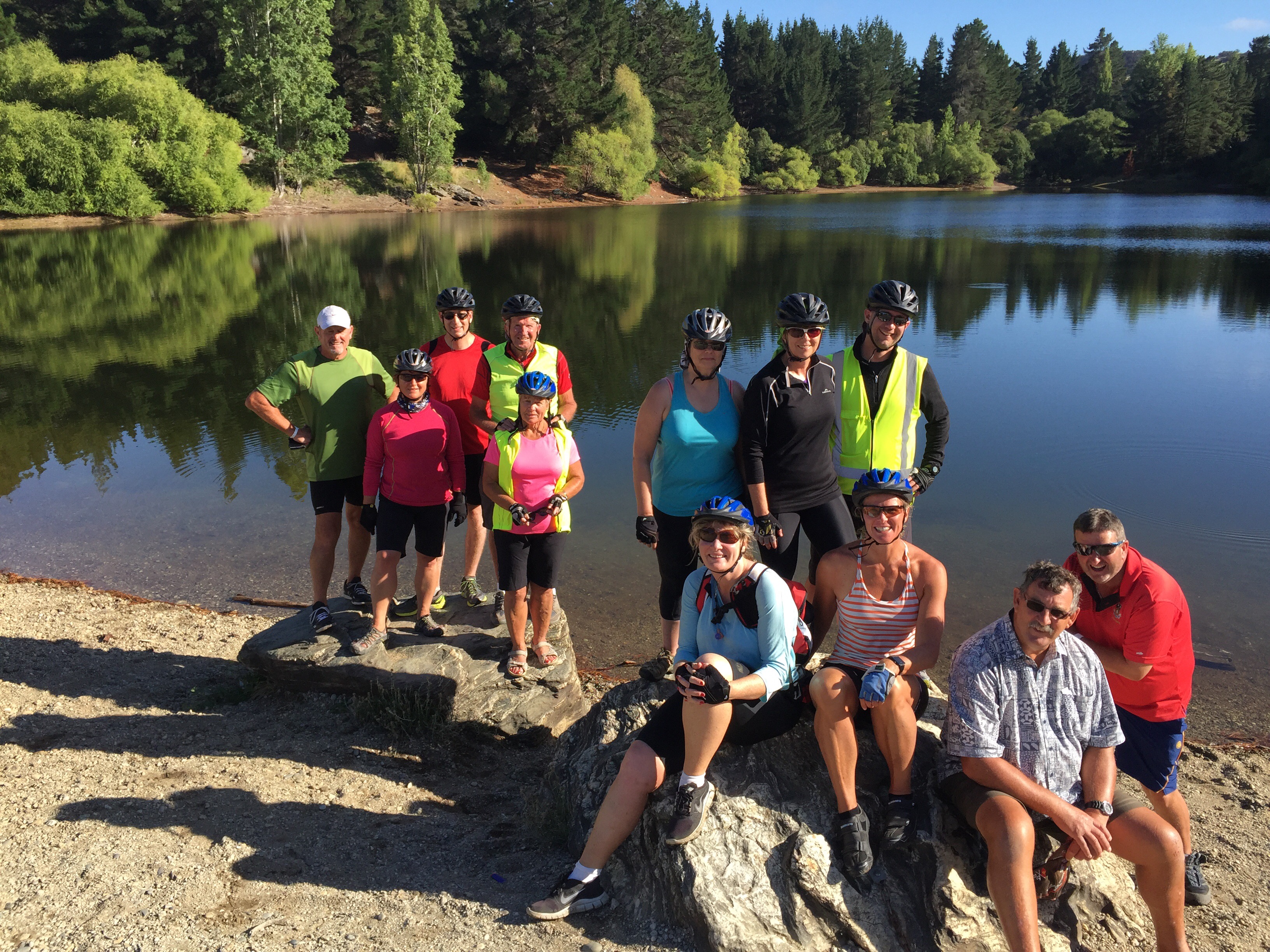
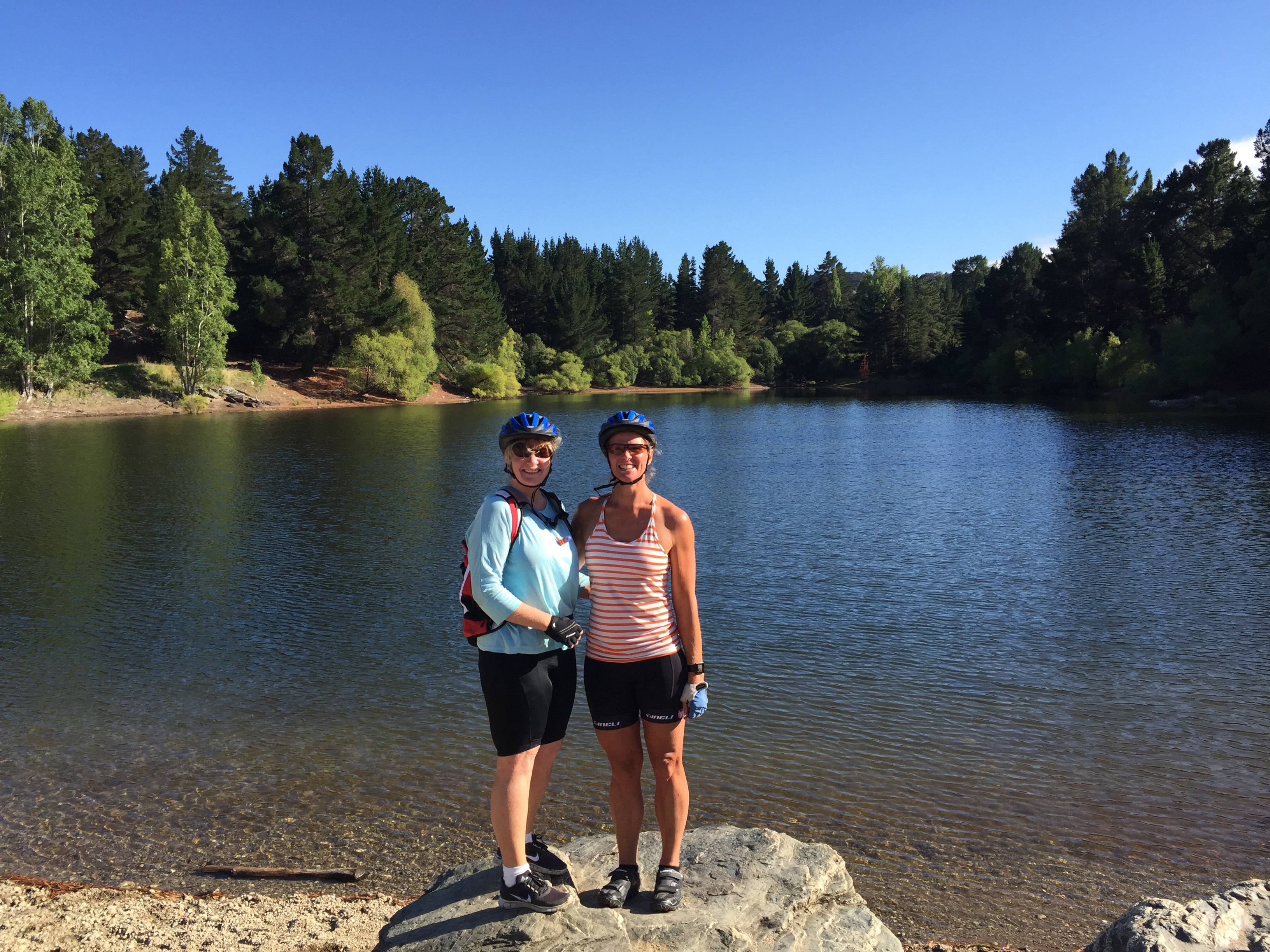
 Our next stop was Pinders Pond.  In 1918 what is now Pinders Pond was a large deep hole dug by Otago gold mining identity “Big” John Ewing. Having secured an interest free loan from the Mines Department, ‘Big’ John established the Teviot-Molyneux Gold Mining Company to dig down at the bend in the Clutha Mata-au River to reach the old river bed that he was convinced was rich in alluvial gold.

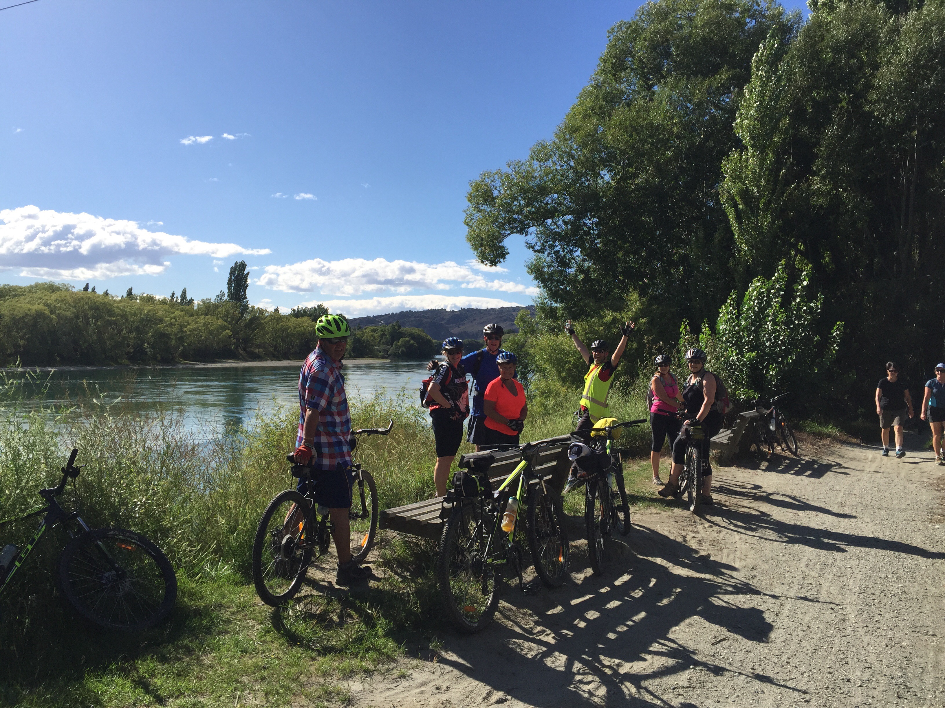
It is a very picturesque lake – time for a team photo. 

   
Our morning tea stop was at Millers Flat.  Millers Flat is a small town with a population of about 200 – fruit growing is the main industry in the area.  The Roxburgh Branch railway used to pass through the town; it was opened to Millers Flat in 1925 and was the terminus for approximately two and a half years, until the section to Roxburgh was opened. The line was closed in 1968, though the town’s station platform and some of the railway formation still exist.

After Millers Flat we passed a number of orchards then the landscape changed to a more rugged, bush clad landscape.  There were a few information boards here that detailed what was found along here in days gone by. 


The Moa – there were once 9 species, large and small of these flightless birds. 6 were once found in Otago including the largest bird to have ever existed and the smallest of the species. The forests they lived in covered this landscape. In the skies a huge eagle soared, the largest known bird of prey. It was the only predator of moa until the arrival of man.

These similar looking trees, Manuka and Kanuka once flourished together in this gorge. Nowadays you will mainly see stands of Kanuka after blight destroyed most of the Manuka back in the 1940’s. This was a misguided attempt to clear this perceived invasive ‘scrub’ for pasture. Instead it was quickly replaced by even more invasive weed types – broom and gorse. Kanuka are nursery trees. They are among the first to grow after natural or man made disasters along with Manuka, Kowhai and Ti-kouka – Cabbage Trees.

Within their shelter, slower growing trees like beech or totara seeded by their few survivors, can regenerate. One of our best known native trees the Kowhai, recognised by its bright yellow flowers, grows in abundance in this gorge. That is probably why the Maori called Beaumont District Te Kohai, a southern version of Te Kowhai.

The gorge is also home to NZ’s endangered native falcon, the Karearea – only 3,000 nesting pairs remain. It is one of the world’s fastest birds – it may be small but it strong and fearless. 


Our next stop was Beaumont, some 50km from Roxburgh Dam Villahe where we had started.  Beaumont is a small town which we didn’t go into – apparently there is not a lot there.  We had lunch on the banks of the river – it was quite warm so a few of us jumped in to cool off.  In writing this blog I read something that says you shouldn’t swim in the Clutha Mata-au as the currents are too strong – oops!  There was a local family swimming in there so when in Rome….  It was very refreshing and we didn’t stay in there too long – the locals were wearing wetsuits after all! 

   
The team had the option of finishing the cycle here or carrying on for a further 20km through to Lawrence – the word on the street was that the last 20km is nowhere near as scenic as the first 50km and there was a big hill.  Well you can guess what the consensus was – all but three of us jumped in the van to drive that last 20km to Lawrence.

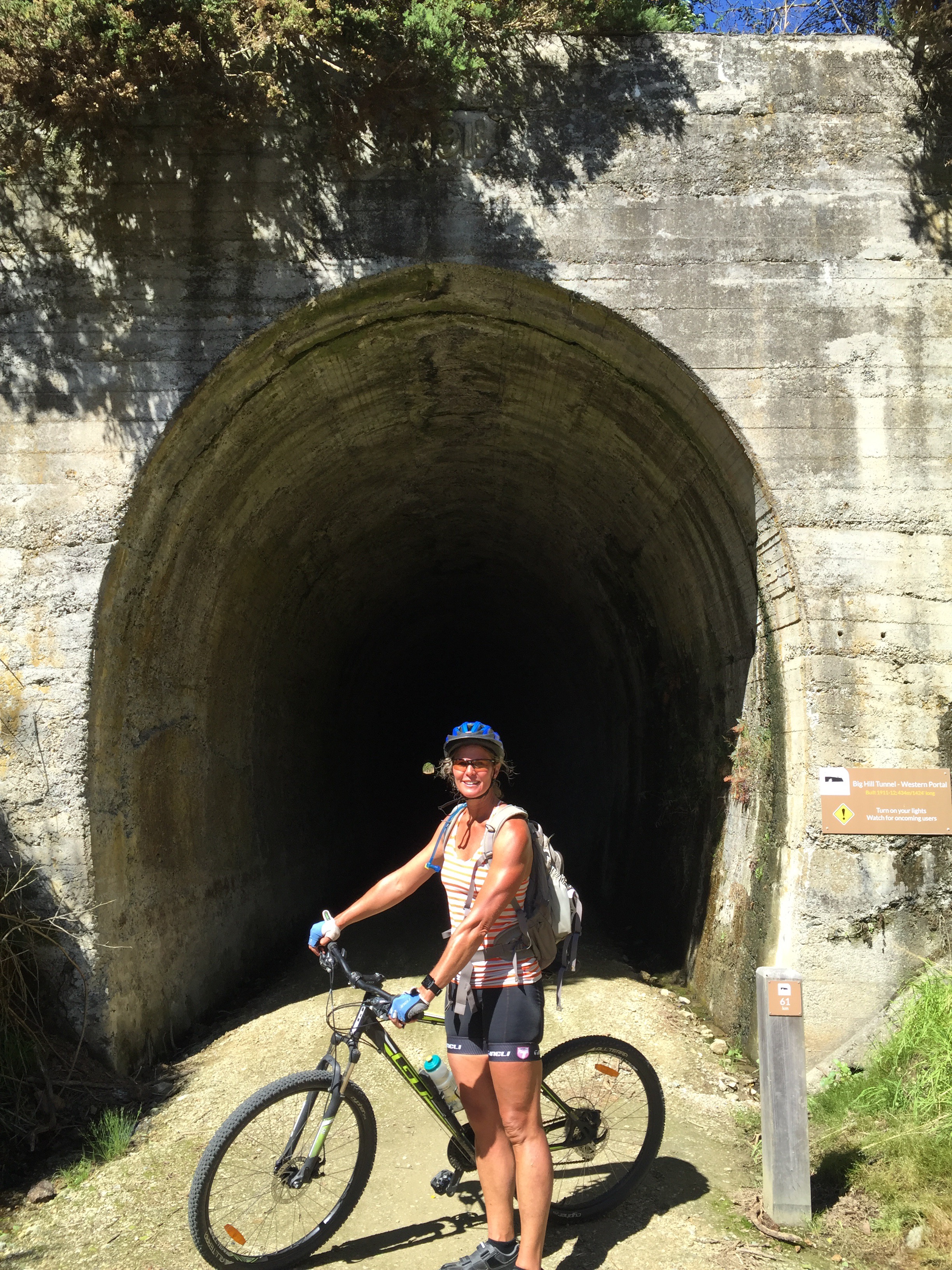
Andy, Danny and I cycled the last section and it was very pleasant.  The big hill wasn’t too bad and we got to cycle through the Big Hill tunnel which is 434 metres long.  It was an interesting experience cycling through the tunnel – it is a straight tunnel so you can see the light at the other end – I just set my sights on that light and kept pedalling – I didn’t come into contact with either side of the tunnel so was pretty pleased when I was safely through.  There was a bit of information along the way regarding the railway line. 

   
Construction of the Milton to Roxburgh branch line began in 1873 and the line reached Lawrence in 1877. Then there were arguments between neighbouring districts over the best route for a railway line into the Teviot District – from Lawrence or from Tapanui. After it was resolved it took another 51 years to reach Roxburgh, its destination from Lawrence, making it an epic public works project and the longest in NZ’s railway history.

Work began on the line in 1906 and it reached Big Hill in 1910. The next major section, the Big Hill Tunnel, was a challenging engineering task involving hard and often dangerous work. Initially 50 men were employed to dig the tunnel. Eventually this number rose to 100 men before the tunnel was finally completed on 30 March 1913. They cut through tons of schist rock veined with quartz.

Through sheer hard work and determination they created a tunnel 434 metres in length. Rumour has it that gold was found in the quartz. Whether this was true or not is still a mystery. By November 1913 the first train reached Craigellachie on the Beaumont side of the tunnel, then work began on the Beaumont railway station that became the terminus in December 1914. World War 1 interrupted progress, and it was not until 1921 that work resumed. The line finally reached Millers Flat in 1924 and Roxburgh in 1928.

Unfortunately the line was completed in time to face stiff competition for its services from steadily improving roads, trucks and buses. Over the next 30 years farmers and orchardists managed to keep a service open that could take fruit and livestock overnight to the Dunedin markets. But losses grew and despite the lobbying of many, the line’s closure became inevitable. It closed in 1968.

The next little settlement that we came to was Evans Flat where they had some interesting information regarding the first settlers in the region.  The first permanent European settlers in this wider region, known as Tuapeka, were George and Helen Munro, who arrived here from Scotland in 1857. George was a shepherd and Helen a capable homemaker. She knew what it was like to make do in their basic mud floor hut. She knew what it meant to be self sufficient making their bread, clothes, bedding and even their soap as well as preserving or salting their seasonal produce. Nothing was wasted. Mrs Munro also knew what it felt like to be isolated with the nearest neighbour 56km away. Apparently it was two years before she spoke to another woman.

Prospecting for gold was typically viewed as men’s work, but Mrs Munro was not fazed by this when she heard of Gabriel Read’s momentous find near Lawrence in 1861. Armed with only a dish and a butcher’s knife, she managed to uncover 18 ounces of gold just nine metres from their hut in Munro’s Gully. Mrs Munro is one of our hardy early settlers and is remembered as the only woman to discover a payable goldfield. 

 Just before you get to Lawrence there is a Chinese Camp heritage site. This Camp was at the gateway to the goldfields, and served as the foremost Chinese goldmining settlement in Otago. The Chinese population was about 100. It was a little township which catered for the Chinese goldminers’ needs (including Chinese Doctors) and its residents included intermarried families.  

The Camp was founded in 1867, but when the last Chinese resident died in 1945, its story was almost forgotten. The heritage site is owned by a Charitable Trust and their aim is to restore its original features. 

 Lawrence has a population of about 500 and it’s main claim to fame is of being the focal point for Otago’s 1860s gold rush, after the discovery of the metal at nearby Gabriel’s Gully by Gabriel Read. In mid-1862, it is estimated that twice as many people lived around the banks of the Tuapeka River as did in Dunedin itself. Additionally, the tune to New Zealand’s national anthem was composed in Lawrence by John J. Woods, a Lawrence school teacher.

The discovery of gold in the valley just outside Lawrence in May 1861 lured thousands. Gripped by gold fever, diggers descended on this gully like a disordered army after slogging for days over trackless terrain to reach this new El Dorado.

Gabriel Read, a Tasmania, set off Otago’s first gold rush. Read had honed his skills in both the California and Victoria goldfields of the 1840s and 50s before arriving in NZ in early 1861 armed with a tin dish, butchers knife and a spade. He arrived just as the young country was confident of a discovery.

Initially, those in power had played down the idea of a gold rush, choosing to ignore earlier gold finds by Maori and prospectors. One previous find was by shepherd Edward Peter, known as Black Peter. A native of Bombay, he had arrived in NZ in 1853 and found ‘colour in the creeks’ near Tokomariro (Milton), at Evan’s Gully and in the gully near Lawrence, but his gold finds were overlooked.

The wealthy landowners or ‘wool lords’, feared an influx of ‘gold maddened diggers’ who posed a threat to their land, wealth and dignity. However, by January 1857 the Provincial Government bowed to public pressure and set aside a bonus of five hundred pounds for the discovery of a payable goldfield within the Province of Otago.

On the momentous day in 1861, Gabriel Read took the loose gold in his shallow pan and stated ‘when I got to my tent and struck a light I judged I had nearly two ounces of gold’.

He fossicked the gully and surrounds the next day to be sure he had struck a rich goldfield then duly reported the discovery. The reaction was almost immediate and ‘in a few short months Otago had been elevated to the position of the foremost province in NZ’.

Otago had previously been one of the poorest provinces in NZ but this discovery of gold flooded Otago with wealth which transformed the social and political life of the province.

On arriving into Lawrence we stopped off at the second hand shop – Andy has a retro fetish!  We then went to another second hand shop that specialised in sports memorabilia which had all sorts of treasures.  When we got to our accomodation the beers were flowing – surprise, surprise! 

   
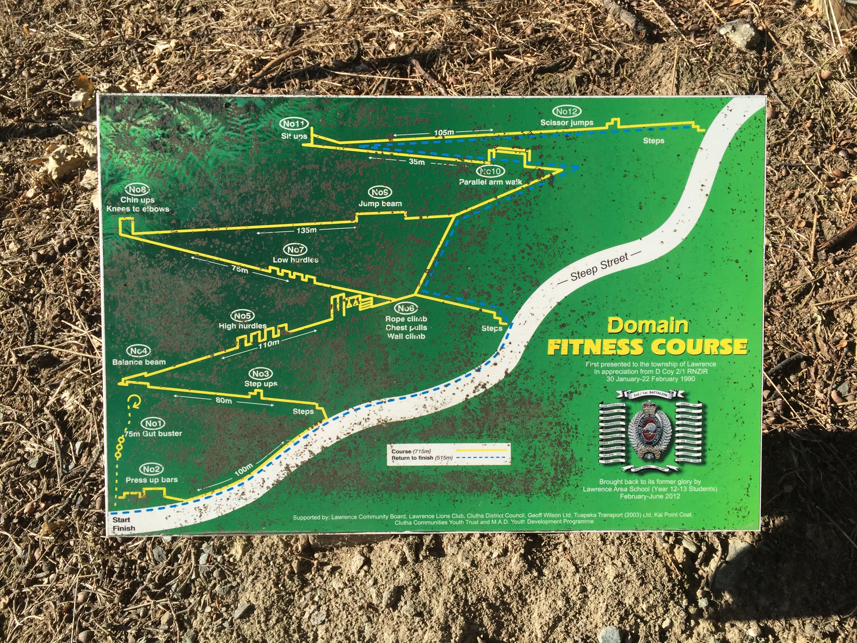
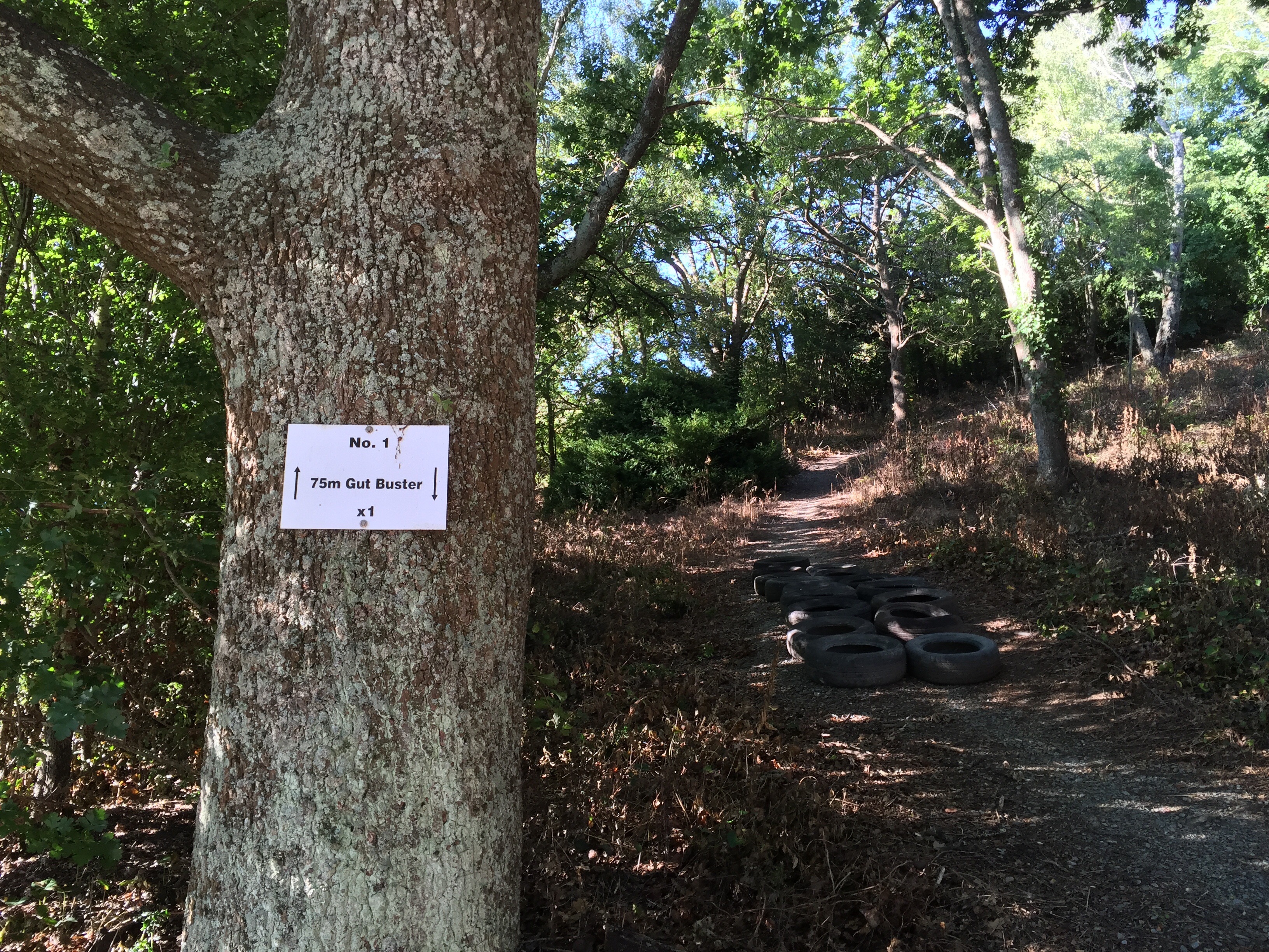
Some of us took a drive out to Gabriel’s Gully and then did a bit of a drive around Lawrence.  There were some very impressive old houses I must say.  It is a lovely little town with a large number of churches!   We also came across a fitness course in the domain – we were going to email Vicky and tell her that we had all completed it but we knew there was no way she would have believed us : 0

    
 That night we had dinner at Gabriel’s Cafe and Bar – the blue cod was a hit with a lot of us.  The waitress was a hit with some of the boys!

The next morning we drove back to Queenstown but not before a little detour to The Store in Roxburgh – another cinnamon pinwheel scone had my name on it!


Posted in Central Otago, South Island, New Zealand | Leave a comment

Roxburgh Gorge Cycle Trail – Central Otago, New Zealand

Today we said goodbye to our glamping site as we were on the move to the Roxburgh area for the next installment of cycling.  The weather was definitely on the improve.  The drive from Lake Hawea to Clyde took about an hour and a half.

The first part of today’s cycle was along the Clutha Mata-au River between Clyde and Alexandra.  Some of us had done this ride before on completing the Central Otago Rail Trail.  It is about 12km long and is such a lovely ride.  Our morning tea spot was at The Courthouse Cafe in Alexandra – this cafe is so nice and is located in Alexandra’s original Courthouse built in 1876.  After refuelling and purchasing some items for lunch we headed back down to the river to get onto the Roxburgh Gorge Trail. 


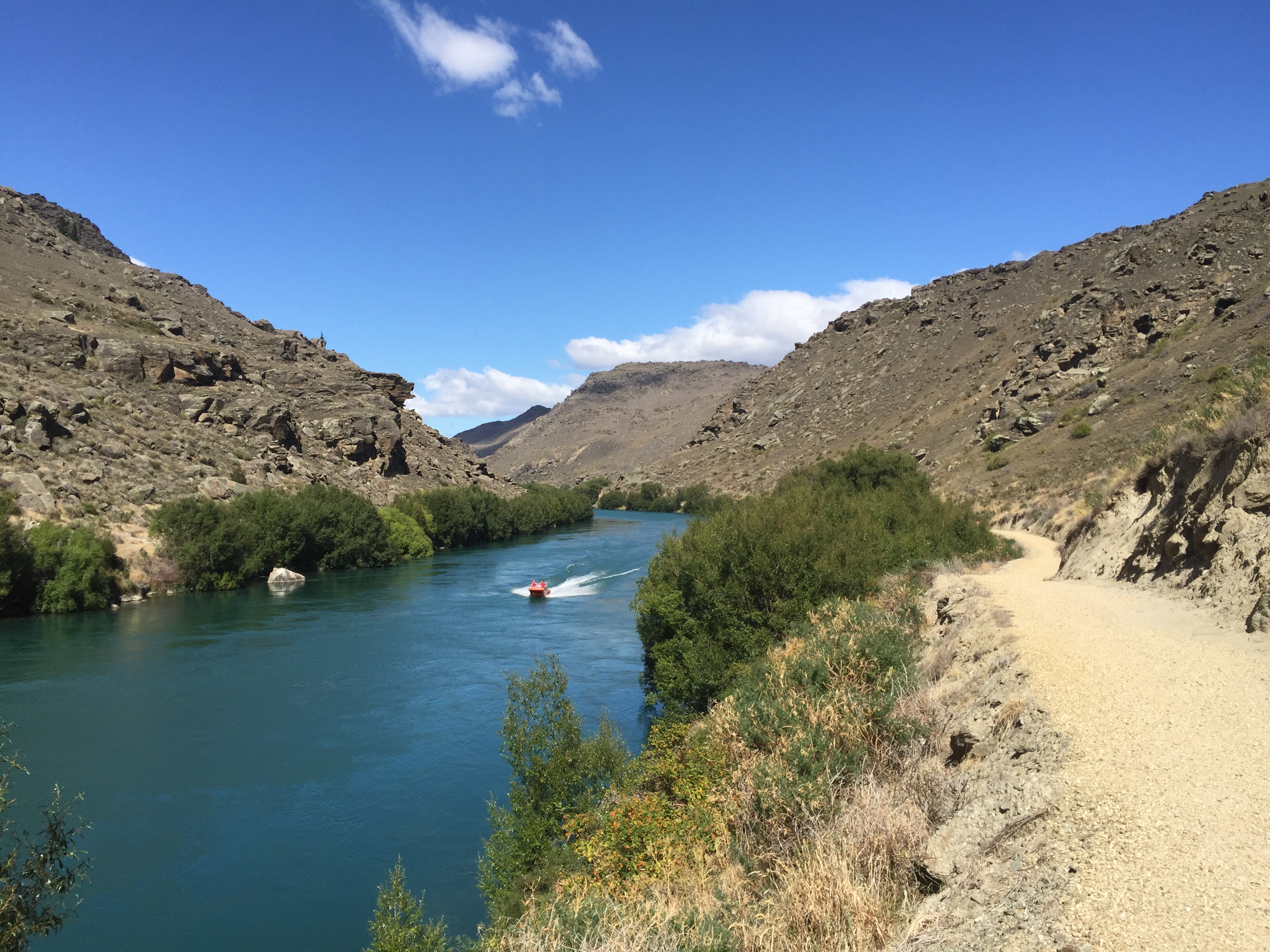
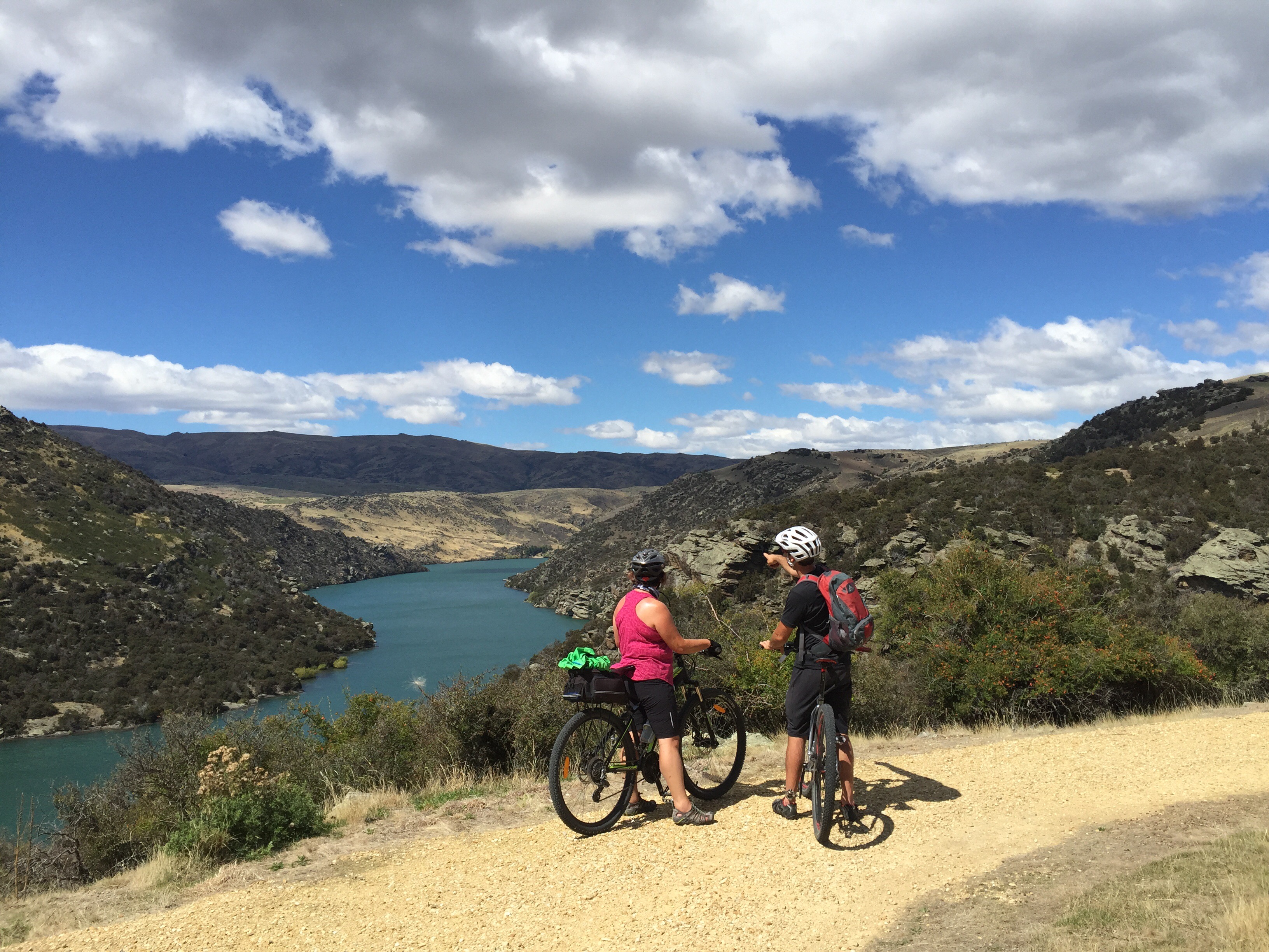
 The Roxburgh Gorge Trail was opened in October 2013.  The trail starts at Alexandra’s old stone bridge, which sets a flinty tone for the first section of the trail which passes through the gorge’s narrow gates, flanked by bluffs almost 350 metres high in some places. Despite rocky terrain, riding is made easy via a wide, smooth trail with a few gradual climbs.  Unfortunately it wasn’t a smooth ride for Steve Impey who managed to become separated from his bike coming down a hill.  His knee started to swell so he decided it was probably best to turn back and take a ride in the van. 

    
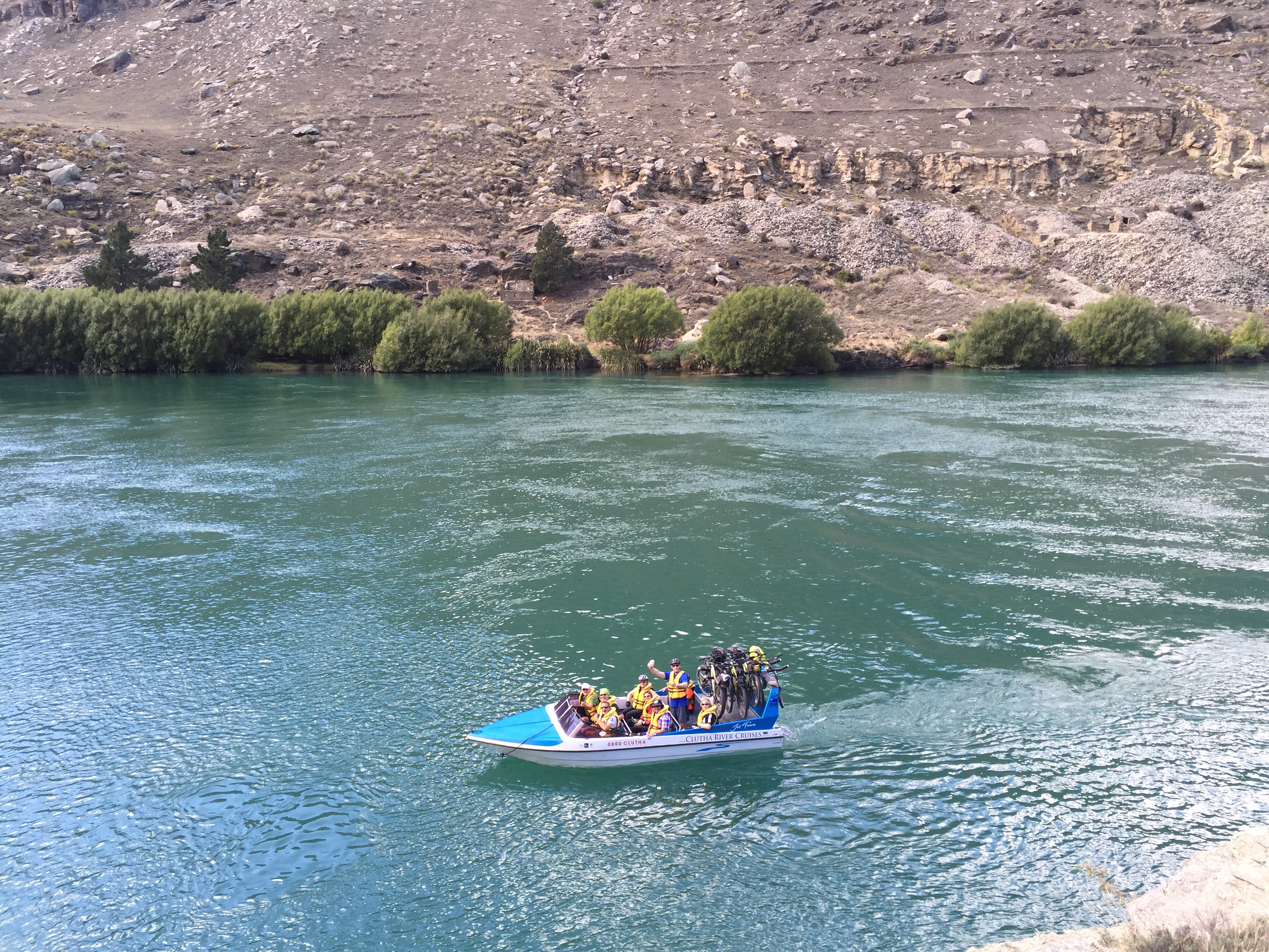
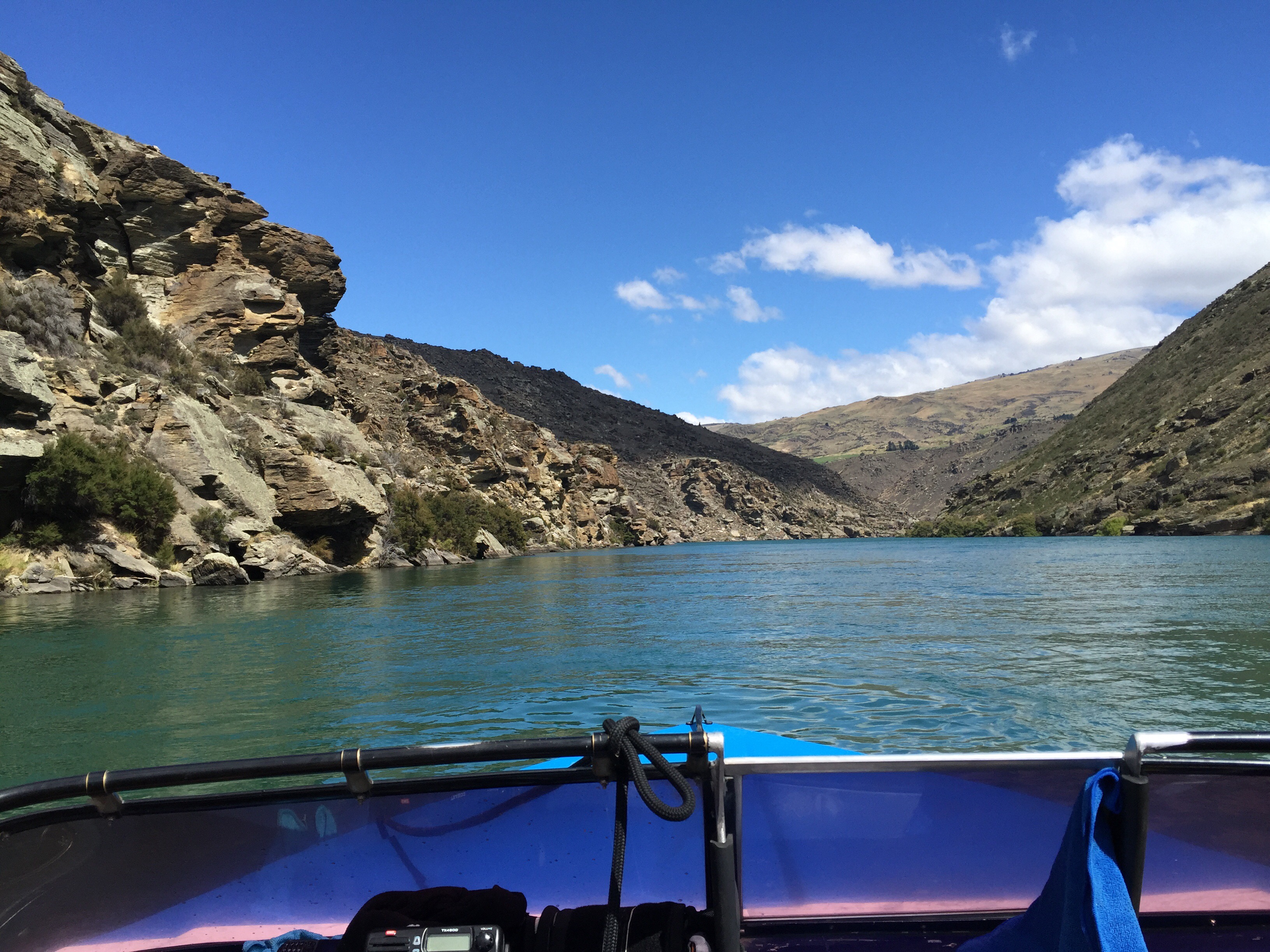
 The first part of the trail is 10km in length and the views are spectacular – you really get up close and personal with the River.  The middle section of the trail is impassable at Doctors Point so we had arranged for Lawrence from Clutha River Cruises to transport us and our bikes by jet boat 12km down the river.  We had to split into two groups.  Karen, Ross, Andy and I were in the second group – we got to Doctors Point just in time to see the first group whizzing around in the River. 

   
It had got quite warm and the River looking very inviting.  We decided to do some promotional shots with the Cactus Water : ) 

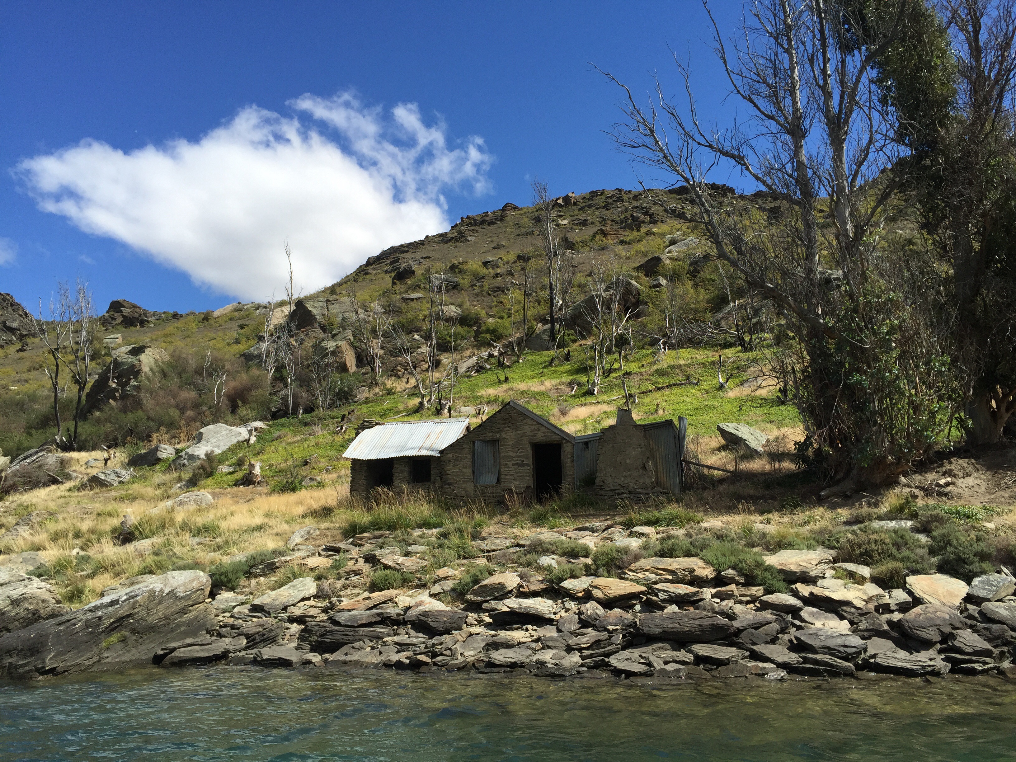
 Lawrence returned after dropping the first group off and loaded our bikes onto the boat.  He gave us some background information in relation to the gold rush days in the area and pointed out the fascinating gold rush-era relics including schist huts and water races built by the Chinese miners.  There was even a little schist hotel and pub still in tact.  The scenery was amazing and I was thinking that this trail would have to be one of the best rides I have done. 

    
 Gold was first discovered on a shelf at Doctor’s Point in 1877. Mining was difficult due to large boulders and a shortage of water, but returns were good. In 1913 gold was discovered even higher up. Heavy machinery was erected, but the same problems persisted. Mining resumed once more as part of a government scheme during the depression (1930s) and there was an influx of some 80 miners. The main race was refurbished using steel fluting and many stone huts were upgraded at the time.   I found an interesting article which I copied below regarding the destruction caused by the Dams.

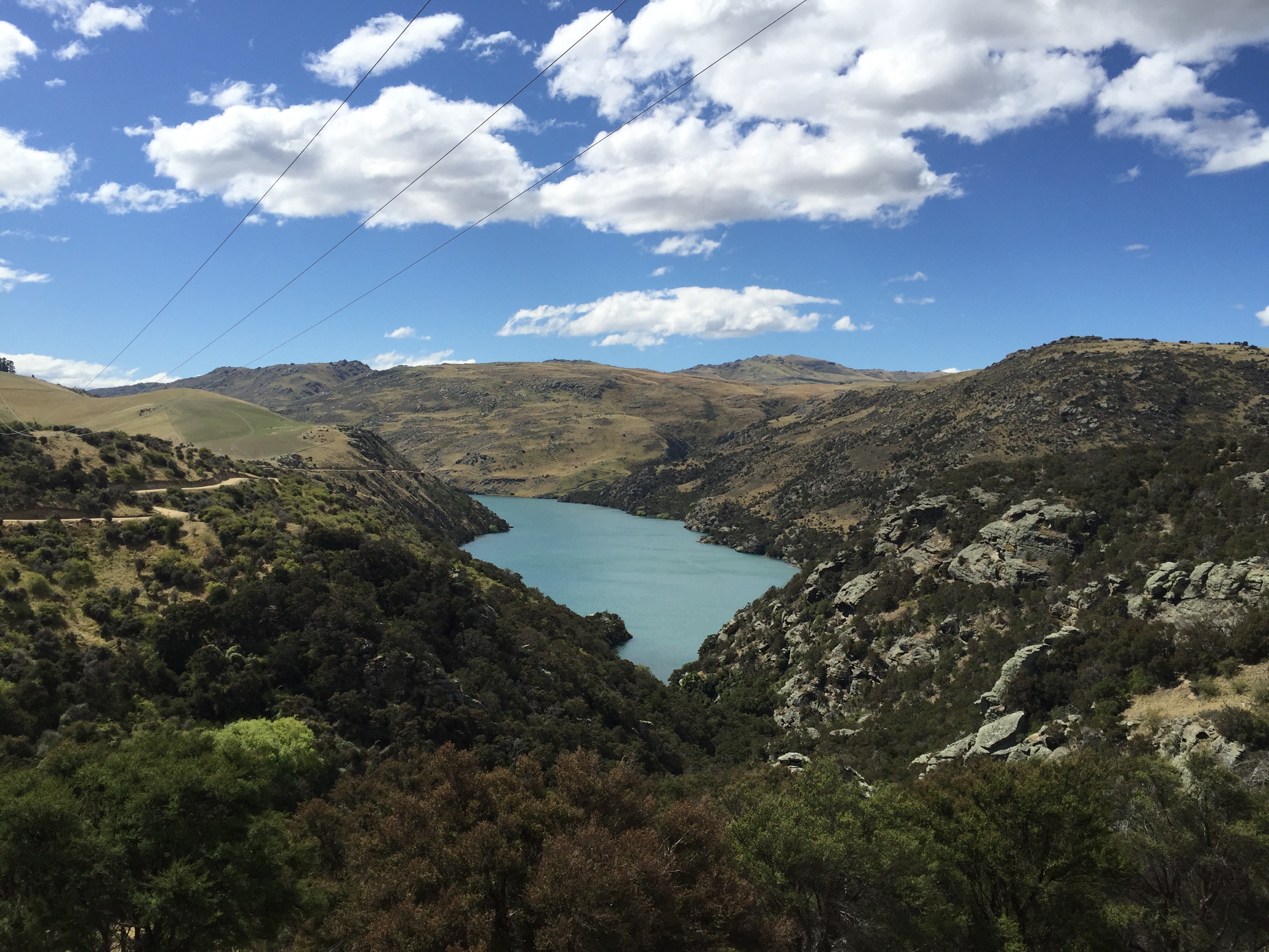
Lawrence dropped us at Shingle Creek jetty where the trail climbs gently to follow a series of river bends that offer ever-changing views of the landscape. The river slows and widens as it reaches the Roxburgh Hydro Dam, the dramatic industrial monolith that signals the endpoint of the trail.  There are some cool switchbacks that climb gently to the vantage point over the Dam. 


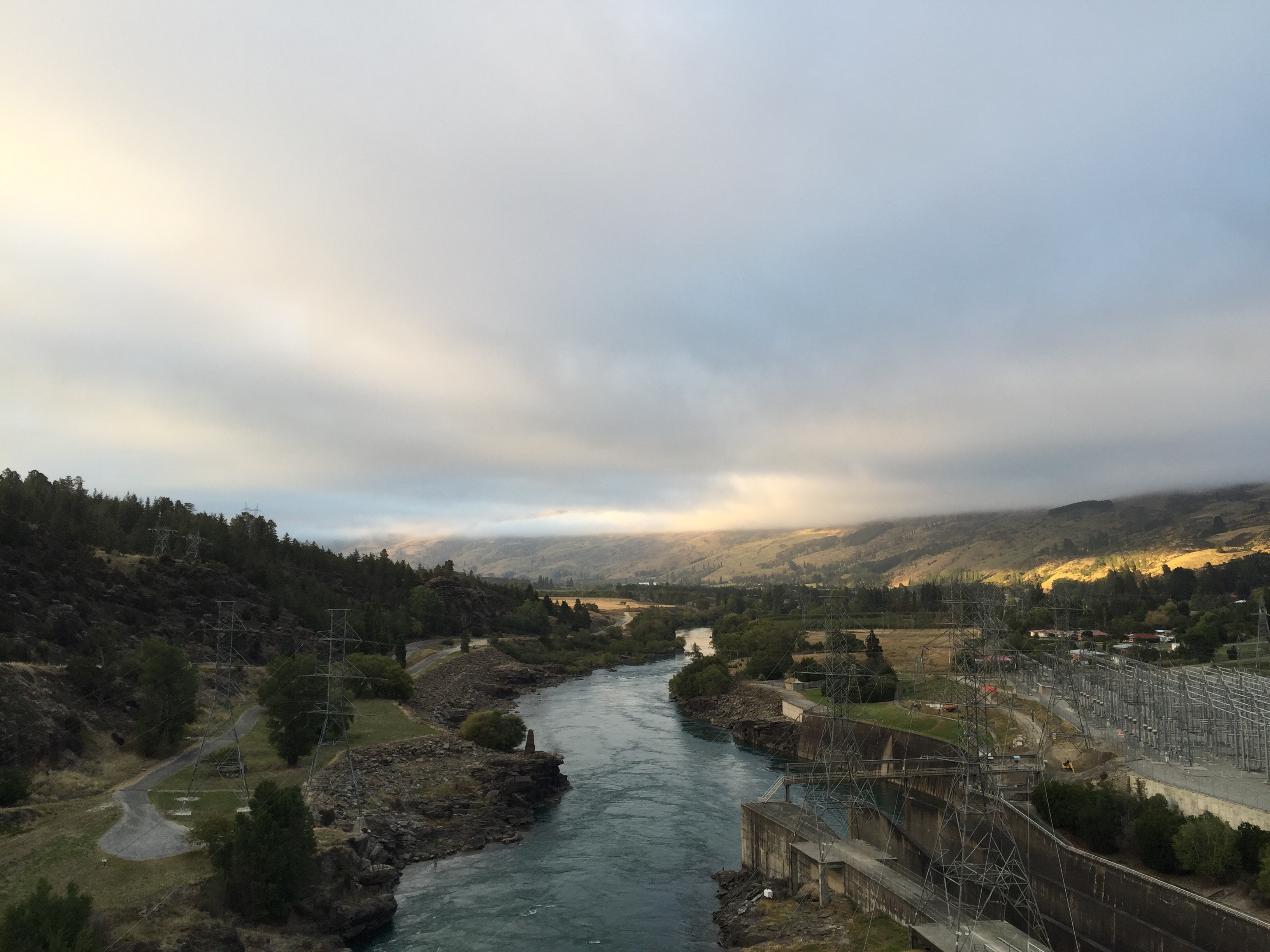
The Roxburgh Dam is the earliest of the large hydroelectric projects in the southern South Island of New Zealand.  The dam was constructed by a joint venture company between Holland, Hannen & Cubitts of the UK and S A Conrad Zschokke of Switzerland between 1949 and 1953.  Because of a lack of performance the initial contract was closed in 1953 and a new contract in which the original two companies were joined by Downer, a New Zealand construction company completed the main construction of the Station in 1957. The power station was commissioned over the period 1956-1962.  The generating capacity was doubled in 1961-62. Today the eight-unit power station has a capacity of 320 megawatts (430,000 hp) operated by Contact Energy.

We rode down into the Roxburgh Dam Village to Lake Roxburgh Lodge which was our accommodation for the night.  It is a lovely spot and the beers were flowing nicely as we enjoyed the garden at the Lodge.  Cheryl, Karen & I decided to go up to the dam and have a swim. I had really enjoyed my swim earlier in the day.  We met a couple of local kids who had been enjoying an afternoon swimming in the dam – they were very chatty and gave us an insight into their lives living in the area.  We gave them a ride back to the Village which they were very grateful for.

We enjoyed a lovely meal at the Lodge and had a catch up on our fine sessions from the past couple of days.

Wonders of the Roxburgh Gorge – source – http://www.mightyclutha.blogspot.co.nz

THE ‘Mighty Clutha’ forms the heart of one of the world’s most unique waterways. It traverses the dramatic semi-desert landscape of Central Otago, in the South Island of New Zealand, but the most spectacular river gorges, and much more, have been destroyed … by dams. This is the unofficial story of the Clutha Mata-Au River and its stolen treasures. It is a story steeped in bitterness, shame, destruction, and sadness.

Before the Roxburgh dam was commissioned in 1956, the 30 km Roxburgh Gorge was up to 400 metres deep, and so narrow that in places its towering walls rose vertically above the boiling waters of the Clutha Mata-Au. The river was so constricted that it flowed as swiftly as 40 kilometres an hour through narrow chutes hundreds of metres long. In other sections the current slowed – but not much, flowing over landslide obstructions that had at one time dammed the gorge, before being overtopped by massive rapids. Today’s sedate current bears no resemblance to the powerful torrent that once echoed through the gorge, drowning out the voices of men.

The first feature of the gorge, 675 metres below the Manuherikia confluence, was a constriction formed by schist bluffs on both sides that reduced the width to just 39 metres. This is now known as the “Italian Bend,” but the early gold-miners called this the “Gates of the Gorge.” Foot-tracks were etched precariously along the steep and boulder-tumbled walls of the gorge on both sides, as the miners hunted up gold and dug cave-like shelters under large slabs of fallen schist.

Just over five kilometres down the gorge from the “Gates,” and nearly two kilometres beyond Butcher’s Point, the true left wall of the gorge had long ago collapsed, blocking the river. The resulting over-topping waters had cut through the obstruction with unimaginable force, forming a torrential rapid that had over time, at its foot, scoured out a large, amphitheatre-like basin within high walls of unstable rock. This rapid, descending through a narrow chasm, was known as the “Golden Falls.” It filled the “Narrows” with a crashing din so loud that shouting men could not hear each other. In the centre of this basin below the rapid, the deeply driving waters had pushed up a shingle island. Hence, the name “Island Basin.” The Golden Falls and Island Basin were astonishing features in a remarkably dramatic location.

Beyond Island Basin at Doctor’s Point, two powerful rapids known as Doctor’s Falls No 1 & 2 dropped through a boulder strewn constriction below a maze of gold workings, stone cottages and cave shelters etched into the true-left side of the gorge. 

Nearly two kilometres below Doctor’s Point, the river again met a sudden obstruction. A huge schist slab had slid down from the true left into the river, against which river-borne shingle and boulders had jammed up, creating a rapid so tumultuous that the gold-miners called it the Molyneux Falls. Here was a ferocious whitewater descent, tumbling violently some four-metres down a twenty-metre section of boulders, at breathtaking speed. At normal or low flow, these falls were deadly. In high flow they were somewhat washed out, but still incredibly swift.

The gold-miners, dreaming of lowering the river above the falls to expose gold, tried several times to blast the huge thirty by twelve metre schist slab that lay at the head of the Molyneux Falls. But time and again the slab didn’t move. Drilling and blasting merely succeeded in cracking the slab, so that it settled into place even more.

Further down the gorge, other rapids also raced through narrow chutes, until finally, at the southern end of the gorge, after boiling through massive eddies near McKenzie’s Beach, the current eased slightly as it passed another bluff at Coal Creek – a site selected for the construction of the Roxburgh dam in 1947.

It is worth remembering that the wonderful features of the old Roxburgh Gorge were never physically destroyed prior to the filling of the Roxburgh reservoir. They were flooded, and now lie mothballed in silt. Given the limited lifespan of the ageing Roxburgh dam, and the silting, flooding and instability issues of the gorge, there is an ever-growing case for dam decommissioning and gorge restoration. 

Inevitably, some time in the future, the largest high volume rapids in New Zealand – the once thunderous Golden and Molyneux Falls, will be re-born. Gradually, decades of trapped sediment will be stripped away, and the long-hidden wonders of the Roxburgh Gorge will be revealed.

Posted in Central Otago, South Island, New Zealand | Tagged , | 1 Comment

Cycling in Queenstown and Wanaka – Central Otago, New Zealand

Our annual cycle trip this year was back in one of my favourite spots – Central Otago.  Central Otago is NZ’s most inland region, located in the southern half of the South Island. It is surrounded By Queenstown Lakes District in one side and Dunedin City on the other and includes the towns of Alexandra, Clyde, Roxburgh, Ophir, St Bathans, Ranfurly, Naesby and Cromwell.

We flew into Queenstown on Wednesday the 24th February ready to start the cycle the next day.  Andy from Natural High met up with us at Bespoke Cafe in Queenstown for breakfast.  The bikes were already loaded so we packed up the luggage and drove out to the airport to pick Ross & Cheryl up who flew in from Auckland that morning.

Queenstown to Arrowtown to Chard Farm Winery

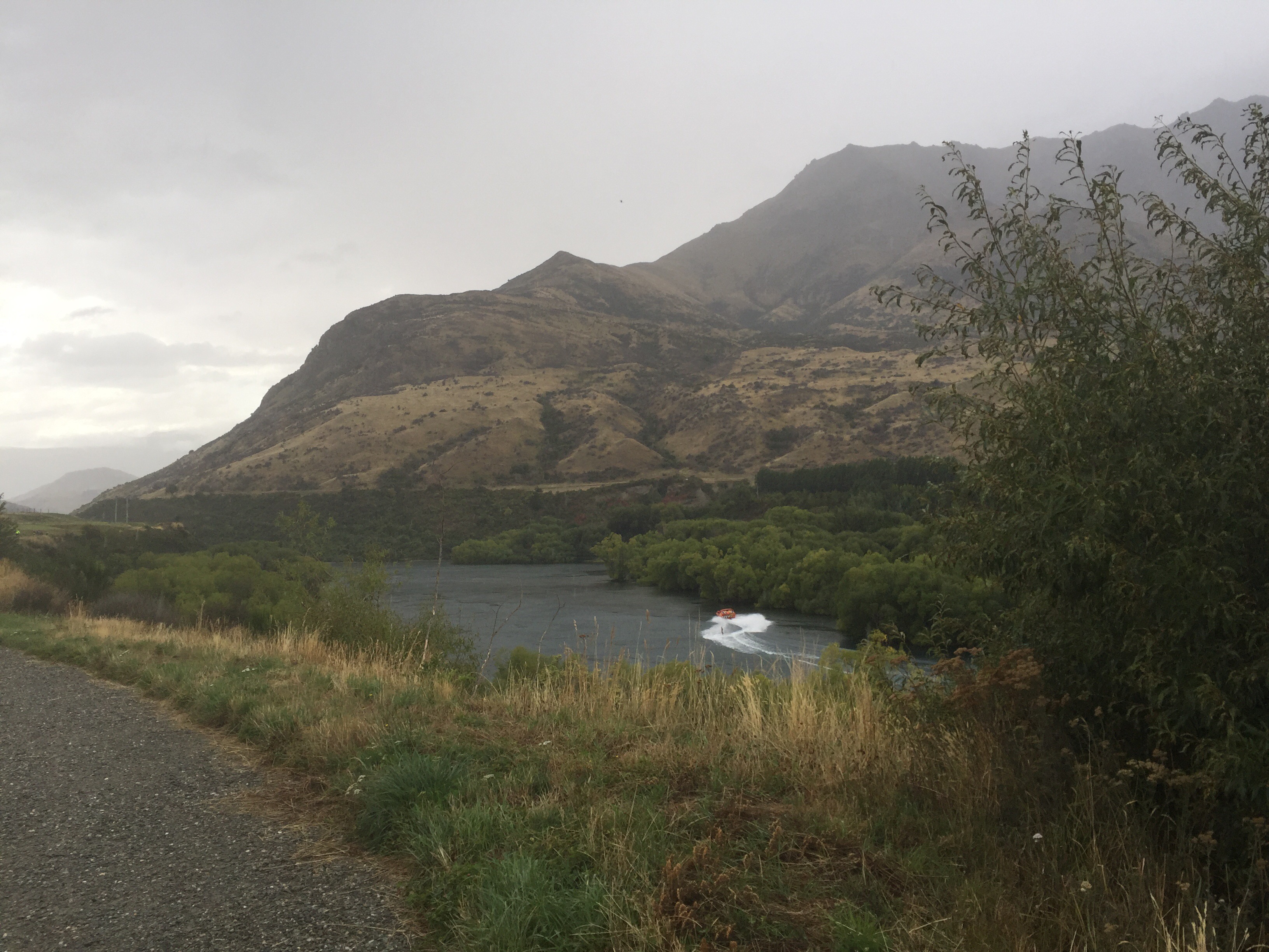
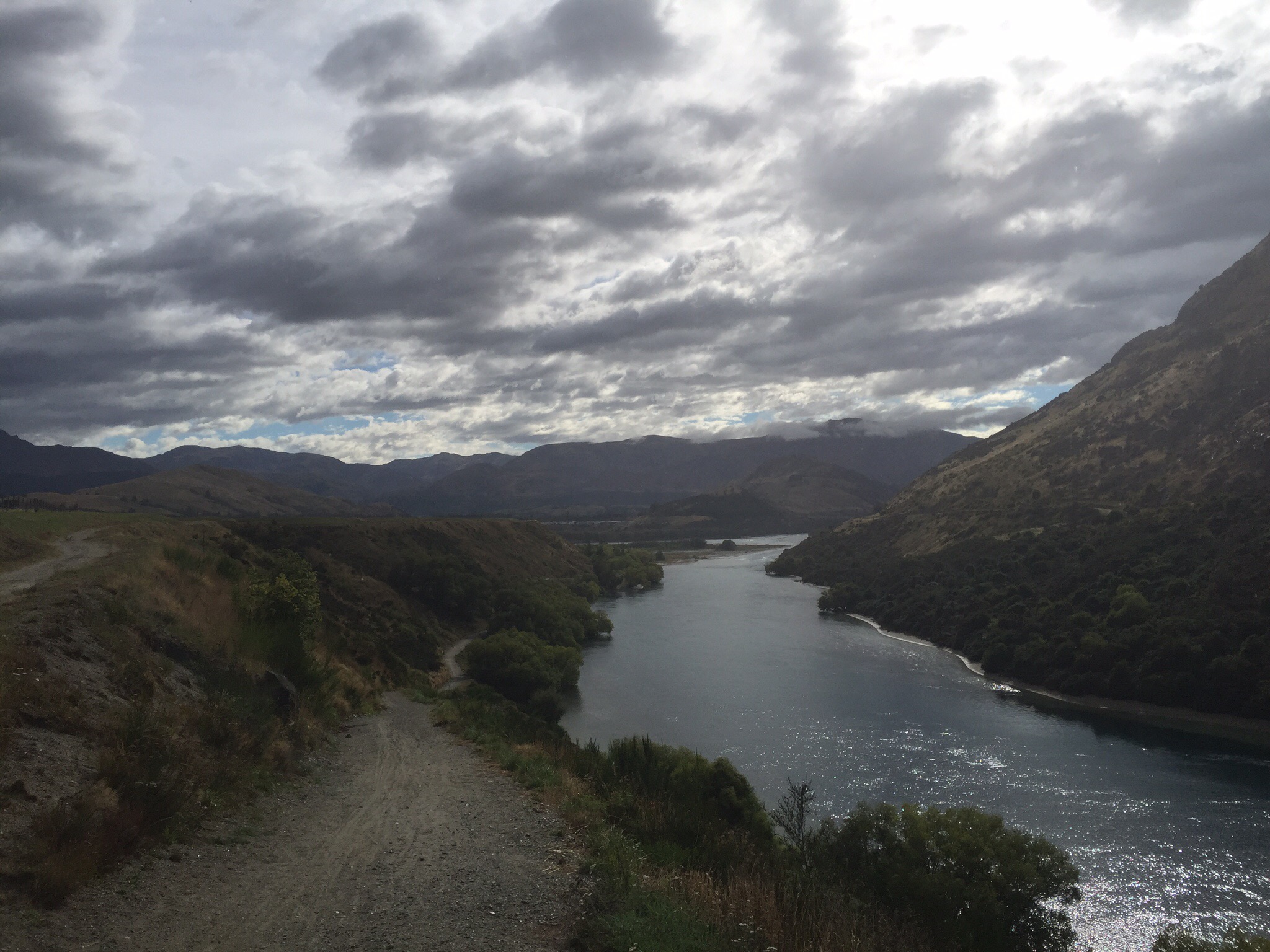
Today’s itinerary included riding from Queenstown Airport to Arrowtown and then from Arrowtown to Chard Farm Winery.  Unfortunately it was a bit of a gloomy day and we had a few spits of rain along the way.  We started the cycle along the Kawarau River where we saw a jet boat taking some tourists for a spin.  We the past the Queenstown sewerage treatment plant (affectionately known as the ‘pooh ponds’ by the locals) before reaching the historic Old Lower Shotover Bridge. 

    
 The Old Lower Shotover Bridge was built in 1871 although this was washed away in 1878 by flooding.  It was then rebuilt by the Public Works Department and re-opened in 1915.  It is 172 metres long and stands 16 metres above the river.  The shallow waters of the Shotover River feed into the Kawarau River, which draws water from the Frankton arm of Lake Wakatipu. 

    
 We took the Queenstown Trail which has quite a steep climb on it so we had to do a bit of bike pushing.  We meandered through the Millbrook Resort which is home to a 27 hole golf course and a large number of residences owned by a diverse group of investors.  The original 18 holes were designed by Sir Bob Charles but they have been significantly upgraded.  The additional 9 holes were designed by another NZ golf Pro – Greg Turner and his business partner Scott McPherson. 

   
Our next stop was Arrowtown where we had lunch.  Arrowtown is a charming and quirky old gold rush town.  The main street has many small town heritage buildings that stretch into a tree lined avenue of tiny miners’ cottages.  There are lots of restaurants and nice shops – this is a popular spot for the tourists who visit the region.

Arrowtown sits in the Arrow Basin alongside the Arrow River.  Gold was a discovered in the Arrow River in 1861 and by 1862, 1,500 miners were camped alongside the river.  In January 1863, 340kg’s of gold was lugged out by the first gold escort – this 340kg would be worth $18 million based on today’s prices.  When the West Coast goldfields opened in 1865 many European miners went over the Southern Alps in search of new gold.  The Government then invited Chinese miners to come and work.  The small Chinese Village they created remained settled until 1928 and you can still see some of its remnants today.

After lunch it was back on the bikes to ride along the Arrow River Bridges ride all the way out to the Kawarau Bridge which is used to bungy jump off.  This ride was fabulous – it gently undulated through the bush before continuing alongside the Kawarau River.  We got to the Kawarau Bridge where we saw some people jumping off.  Some of us jumped in the van to get a ride up the rather long driveway into Chard Farm winery while others rode it.  It was actually easier than it looked : )  In days gone by this driveway formed part of the old main coach link between Queenstown and Cromwell. 


The famous Central Otago Dunstan Gold rush of 1862 lured Richard Chard from Dorset, England out to New Zealand.  He arrived at the tender age of 14 and worked in the Dunstan and Gibbston areas for several years before settling atthe Morven Ferry end of the old coach road to Queenstown, a place that is now well known in the area as “Chard Farm”.  Chard started with a one-acre strip, enough to accommodate a vegetable plot and an orchard.  Richard milked a couple of cows, kept a few hens and became more interested in supplying the miners with food rather than the allurement of gold.  Slowly the farm grew to its current size of 50 acres as small plots were taken over.  

Richard died in 1905, leaving youngest son, Fred, to look after the farm.  Fred kept a bit of the market garden but concentrated on dairying and the first petrol driven milking machines were installed in 1929.  Apart from that little bit of technology, Chard Farm basically “stood still” for the next 50 years as Fred steadfastly refused to keep up with modern technology – “horse” power was the only power on Chard Farm.  The farm’s income was never more than $1000 a year – but as Eric Chard said, “we never made big money, but we were always happy and comfortable.” Fred and his son Eric moved to Arrowtown in 1978 – the end of an era.

Chard Farm then spent a brief period as a stonefruit orchard in the early eighties, during which a 4 million litre dam was built in the hills behind the farm to provide water storage for irrigation and frost fighting.

Rob Hay arrived back in New Zealand in 1985 after studying winemaking in Germany for three years.  He spent the year searching for a piece of land in New Zealand that best emulated the conditions – the “Terroir”- found in some of the greatest vineyard areas of the world – most notably the inland cool climates of Central Europe – Burgundy, Alsace, Champagne and South Germany.  Chard Farm was purchased in 1987 – it was the beginning of the Chard Farm Vineyard.

It was only fitting that a wine tasting followed the days cycling before jumping in the van for the trip to Lake Hawea and our accommodation for the next two nights.  We were going to be glamping on the shores of Lake Hawea – this was a first for the group.

Our glamping spot was nestled at the far end of the Lake Hawea Holiday Park and we enjoyed some lovely vistas over the Lake.  Tonight’s dinner was a BBQ  – Andy had gone to a lot of trouble to prepare a gourmet feast for us.  We had corn on the cob with butter three ways and this ‘to die’ for dessert – Pistachio Halva Ice Cream with Caramel Tahini Sauce.  Pre dinner we had some drinks of course, one of which was The Narcissist cocktail in Steve Thomas’s honour : )

It was a beautiful clear night and the moon was glowing brightly.  The wind did get up in the night though which created a lot of noise in our tents.  The tents had a lot of room and the beds were extremely comfortable. 


 Wanaka Cycling

It was a much nicer day the next day but the wind was blowing a gale which does not bode well for cycling!  We had three rides planned for today – Albert Town to Wanaka, Wanaka to Glendhu Bay and Albert Town to Luggate.

Albert Town is the confluence of the Clutha and Hawea Rivers and where we started our ride along the Clutha River Outlet Track around the edge of Lake Wanaka into Wanaka.  This track is about 13km.  Lake Wanaka and it’s surrounds are stunning and the clear blue skies enhanced that even further. 

   
Wanaka is a popular ski and summer resort town in the Otago region of the South Island.  It is situated at the southern end of Lake Wanaka, at the start of the Clutha River. It is the gateway to the Aspiring National Park.  It’s economy is based on the many outdoor opportunities it has to offer.  The town was originally settled during the gold rush of the 19th century.

After some sustenance in Wanaka and the ever increasing winds we decided to do the Glendhu Bay Track in reverse – Glendhu Bay to Wanaka.  This track winds its way alongside Lake Wanaka and we felt pretty exposed in places.  It was also quite a challenging track with a few climbs and steep descents. 

    
 Jim had given us one of his new products to take promotional shots with – True Nopal Cactus Water.  This is supposed to be the next trend in relation to healthy hydration.  This challenge got the creative juices flowing – no pun intended : ) 

   
By the time we finished this ride the weather was not looking too nice and the wind continued to blow.  It was decided to pass on the third ride of the day and instead head back to our glamping tents to freshen up for the evening.  We tossed up cooking another BBQ but decided it was probably safer to go to the Lake Hawea Hotel where we could enjoy a nice meal and some beverages with no threat of the rain putting a dampner on the BBQ.  It was also a Friday night and the Auckland Blues happened to be playing the Otago Highlanders so a few of the boys wanted to watch the game.

It did indeed start raining so we had made a good decision.  The meal was great and the majority of the boys were happy as the Blues had won.  We then went back to our campsite and enjoyed a nice cuppa and slice of cake in Cheryl and Ross’s tent before retiring for the night.


Posted in Central Otago, South Island, New Zealand | 1 Comment

Hawke’s Bay Cycling – Hawke’s Bay, New Zealand

The last weekend of January 2016 saw 19 of our friends descend on the Hawke’s Bay to ride the bike trails.

Hawke’s Bay has over 200km of cycle trails which meander between the twin cities of Napier and Hastings.  The trails are predominantly flat and take in the seaside and a couple of rivers.  There are three distinct cycling experiences: the Landscapes Ride, the Water Ride and the Wineries Ride.

The Hawke’s Bay to me, is the fruit bowl of New Zealand where all manner of fruit grows well due to it’s lovely sunny climate.  It is one of the oldest established wine regions and produces numerous grape varieties, with Chardonnay being the most planted.

Napier is also known as the Art Deco Capital of NZ.  The city chose to adopt this style of architecture after a devastating earthquake obliterated it in 1931.  There are approximately 142 Art Deco buildings in the region.  I recently did the Art Deco walking tour which is operated by the Art Deco Trust and it was fascinating.  It is amazing what you don’t see unless you know what you are looking for.

Day 1 – The Water Ride
After a yummy dinner of pulled pork and lamb on the Friday night we were up bright and early ready to travel over to Napier for our first day’s cycling.  The weather was warm with a bit of cloud.  We converged on the iSite along Marine Parade – some people had their own bikes while others were hiring from Napier City Bike Hire which is conviently located across the road from the iSite.

We headed north towards the Port.  Napier’s Port is the second largest export Port in the North Island based on tonnage.  The Hastings District, as one of the largest apple, pear and stone fruit producing areas in New Zealand has an important relationship with the Napier Port. It has also become an important grape growing and wine production area with the fruit passing from the growers around Metropolitan Hastings and then to Napier for exporting. Napier is an important service centre for the agriculture and pastoral output of the predominantly rural Hastings District.

The Port also welcomes between 60 and 70 cruise ships per annum between October and May.

The next point of interest was Ahuriri which is the historic fishing village.  This area is home to the old Customs House which served the Port between 1895 and 1953 before the service was moved into Napier.  The Harbour Board restored the building and set up a Trust to administer it so it could be used as a meeting place and future maritime museum.  It is open on Sunday’s for the public to view.  We also cycled past the old warehouses which have now been converted into bars and restaurants.

Next stop was Snapper Park Cafe which is not far from Bayview.  Bayview is approximately 10km north of Napier.  We met this interesting character along the way…

Snapper Park Cafe were on the money with their coffee and food.  We then headed inland along a trail known as the Whakamaharatanga Walkway which takes in rolling plains and farmland, much of which was underwater prior to the Napier earthquake of 1931. The earthquake shifted large tracts of land some two metres upwards, emptying a lagoon that previously covered the area. The land surrounding Whakamaharatanga Walkway has also been historically important to Māori, both spiritually and for gathering food. Two prominent old pa sites can be seen, with identifiable terraces, pits and middens.

  
There are some wetlands along this part of the trail which various birds call home.  We then cycled past the Hawke’s Bay Airport and alongside the Estuary which provides a valuable habitat for migrating birds like the Royal Spoonbill and various summer waders like the Bar-tailed Godwit who don’t breed here but migrate each year from Arctic Alaska.  We then crossed the old road and railway bridge that was replaced in 2003 by the Hawke’s Bay Expressway.

  
 After crossing some farmland and entering the suburb of Taradale our next destination was Church Rd Winery.  We had booked in here for lunch, a winery tour and some wine tasting.  Lunch was great and the tour afterwards was really interesting.


 Bartholomew Steinmetz planted the first vines next to Church Rd in 1897 making it one of the oldest wineries in the country.  He returned to his native Luxembourg in the 1920’s leaving the winery in the hands of 19 year old Tom McDonald who had been working for him since his early teens.  McDonald later bought the winery and set to making the first quality red wines in New Zealand, releasing the country’s first commercial Cabernet Sauvignon in 1949. Quality steadily increased and by the 1960s New Zealand’s wine connoisseurs snapped up McDonald’s red wines year after year.

Tom McDonald retired in 1976 and the winery carried on winemaking up until 1981 when a change of ownership saw the winery slowly shut down.  The Church Road Winery was renovated and reopened in 1989 with the express purpose to re-establishing it as the heart of quality red winemaking in New Zealand. From the 1990 vintage they produced their first Chardonnay, Cabernet Sauvignon and Merlot.


 Tom McDonald was a real local identity and during the 1931 earthquake was called upon to identify the bodies of the dead.

It was pretty hard to get back on the bikes for our 25km ride back to Napier but we all did it with a smile on our faces.  The weather had turned out really nice but there were some rain clouds on the horizon so it was pedal to the metal to ensure we didn’t get wet.  That night we had home made pizzas cooked on the Kamada Joe – Steve had to go to some lengths to get it super hot! 


Day 2 – The Wineries Ride
Day 2 of our trip was a Sunday so you can’t have a visit to the Hawke’s Bay without a visit to the Sunday Farmer’s Market at the Hawke’s Bay A & P Showgrounds in Hastings.  The team set off from Havelock North about 8.30am – the weather was pretty overcast and a bit cool but nothing like the lure of yummy food to get everyone motivated.  The plan was for Vicky and I to take the car to the markets so we could take everyone’s purchases home before jumping on our bikes and riding the 7km direct route back to Stortford Lodge where we would meet up with the others after the market.

We had a bit of time at the markets before the group caught us – Karen had taken a kerb the wrong way and fallen off.  She had a sore wrist and ribs but was OK to carry on.  Purchases on board we left the group to spend a bit more time at the markets.  After dropping the purchases at home we jumped on our bikes – we were about half way through Hastings when my phone rang – it was Karen ringing to say that Kevin had also taken a kerb the wrong way and he too had fallen off.  She said he was in a bit of pain so I should go back and get the car to pick him and his bike up.  I turned around and biked back to Havelock at top speed.  When I got there I had a text from Karen to say that they had called an ambulance – OK this was serious.

 By the time I got back to Hastings in the car with my bike on the back, Kevin was being loaded into the ambulance.  The irony of all this is that the Hawke’s Bay Hospital was 300 metres around the corner from the scene of the accident.  From the time of Karen’s phone call to me arriving back in the car was about 50 minutes.  It must have been a busy morning in the Hawke’s Bay for emergencies.  The other irony was that I had written in the trip notes “You will pass the Hastings Hospital on your left – this services the whole Hawkes Bay – hopefully we won’t need to pay a visit!”

Kevin’s wife Bridget went in the ambulance with him so we loaded both their bikes onto my car and I drove it around to the Hospital carpark.  The plan was to park it up so that when Kevin was discharged they could drive themselves home.  Little did we know.

The rest of the group carried on towards the actual wineries loop.  Before getting to the trail you ride down Oak Avenue which is lined with these huge Oak Trees that were planted in 1874.

 Unfortunately the weather was rather dull and we did get some light rain which meant we didn’t get to fully appreciate the environment and scenery.  We called into Te Awa Farm Winery and some of the crew did a tasting.  Steve went across to Trinity Hill and scouted out some picnic tables where we could enjoy our picnic lunch with a glass of wine.  After lunch we decided to head to the Bridge Pa Golf Club for a coffee but when we got there they had a problem with the water supply.  Things were getting desperate so we high tailed it back to Havelock North just in time to get a coffee before the cafes closed. 

   
We then got an update about poor Kev – he had broken the top of his femur so he had two options – surgery to repair said femur or replace the entire hip.  He opted for a hip replacement so the next day that is what he got.  None of us were expecting that but luckily Kev is a tough old bugger and he took it all in his stride and was up and about again within a matter of days.  I have renamed the Stortford Lodge intersection Kevvy’s Korner.

That evening we had dinner at Elephant Hill Winery.  This would be one of the best winery restaurants in the country and the food and service lived up to expectation.  It is a little on the pricey side but as a special treat it is well worth it.


Day 3 – The Landscapes Ride

The weather on Day 3 was much more in line with what we expect from the Hawke’s Bay – clear blue skies and hot temperatures.  We started Day 3 minus Kev & Bridget unfortunately plus a couple of others who had work commitments.  We all met at Cherry Grove Motel down in Havelock North and headed out on Te Mata Road towards the Tukituki River where the Landscapes Ride begins. 


It is approximately 6km from Havelock North to the start of the trail.  We then spent 8km riding along a limestone stop bank with apple trees and vines to our left and the Tukituki River to our right – unfortunately you cannot see the River due to the trees.  At the end of the 8km you turn right to cross Black Bridge before crossing the road to head towards the ocean where we stopped to watch some fisherman reeling in Kawhai. 

   
We then rode along the ocean towards Clifton and Cape Kidnappers through the seaside villages of Haumoana and Te Awanga. 


Cape Kidnappers is an extraordinary sandstone headland – it was named by Captain Cook after an attempt by local Mäori to abduct one of his crew. The cape is home to the largest and most accessible gannet colony in the world. The 13 hectare reserve includes the Saddle and Black Reef gannet colonies. Both are closed to public access, however the Black Reef colony can be viewed from the beach. There are several ways to get to the gannet colony – on foot, sitting on a tractor trailer, in a 4WD vehicle or by kayak. The Australasian Gannet is a member of the booby family, which includes shags, pelicans and frigate birds.  Adult Australasian gannets have a wing span of up to two metres and an average weight of two kilograms. Although ungainly on land, gannets are exceptional flyers and conduct spectacular high dives into the sea to catch fish.  They nest over summer; the first chicks hatch in early November and the last chicks depart the colony during May. The other major attraction at Cape Kidnappers is the golf course.  Designed by American Tom Doak, the course makes the most of the breathtaking natural landscape.  The sixth hole is widely regarded to be one of the great golf holes of the world. 

 Clifton Cafe is normally closed on a Monday but I had emailed them to say there were about 16 of us, it was Auckland Anniversary and it was still summer so he may want to re consider opening.  He obliged and we all enjoyed a nice lunch sitting outside. 

   
It was then back on the bikes for our 27km ride back to Napier.  We went back to Black Bridge the same way we had come but instead of turning left to go back towards Havelock North, we went under the bridge in the direction of Clive. 


 Clive which has a population of about 1,500, is part of the Hastings district. It was named (like many of the towns in the vicinity) after a prominent person from imperial India, in this case Robert Clive, better known as “Clive of India”.  The town of Clive is mainly rural, yet with the increasing number of people moving into Hawke’s Bay, and Clive being at the meeting point of Hastings and Napier, new subdivisions are being built to accommodate the growing population.  Clive is home to the Hawke’s Bay Rowing Club who train on the Clive River. The Hawke’s Bay Rowing Regatta is held on the first weekend of the year and was started in 1872.

It was such a nice day and the vistas were amazing – it was great to look back at Cape Kidnappers from the various vantage points on the way back.  It was fairly breezy and we came across some kite surfers who were really making the most of the conditions.

Steve managed to score a free beer from some young European tourists who were parked up along Marine Parade – he is so canny!  The rest of us had our hearts set on an ice cream and boy did it taste good. 

   
After dropping off the hire bikes we headed back to Havelock North in Bob the Bus from Napier City Bike Hire.  Some headed for the pool, some for a sneaky margarita at Mamacita’s down in the Village and others just chilled before enjoying a lovely BBQ at the Rochfort Resort. 

    
 The next day everyone started their journey home.  A few of us enjoyed a walk up Te Mata Peak and then a spot of paddle boarding over in Pandora’s Pond near Ahuriri. 

   
Another fabulous long weekend with fabulous friends, food and wine.  Let’s do it all again next year : )


Posted in Hawkes Bay, New Zealand | 1 Comment

Asia Pacific Amateur Golf Championships – Hong Kong

Our friend and fellow Manukau Golf Club member Nick Voke made the NZ Men’s Amateur Golf Team to play in the Asia Pacific Championships which was being held in Hong Kong at the beginning of October.  We were already in Asia and said that if Nick made the team we would go and watch him play.

We had never been to Hong Kong before and we were impressed with what we saw on our trip from the airport out to Kowloon where we were staying.  I thought it was quite a pretty city being surrounded by water and islands.  We arrived the evening before the tournament started and flew home to NZ after the tournament concluded on the Sunday.  We thought we would have a bit of time to look around in between the golf but that wasn’t practical given where we were staying.  We did venture to Hong Kong Island to have a drink with some friends one night.  We met them at Sevva on the 25th floor of the Princes Building which had good views over the harbour.  Unfortunately it started raining about 6pm so any visibility we had vanished.  Our limited exploring didn’t give us a good feel for Hong Kong at all really apart from to say it is very expensive.

The Asia-Pacific Amateur Championship is an annual amateur golf tournament. It is played at various locations throughout Asia-Pacific. It is organized by the Asia Pacific Golf Confederation (APGC) and was first played in 2009. It was organized in conjunction with the Masters Tournament and The R&A (Royal & Ancient), organizers of The British Open Championship. There are one hundred and twenty players from thirty nine countries competing.  The winner receives an invitation to the Masters and, along with the runner-up, gains entry to International Final Qualifying for the British Open.  

It is also considered an “elite” event by the World Amateur Golf Ranking in that any player that makes the cut is eligible to be ranked. Only the U.S. Amateur, British Amateur, and European Amateur have this distinction. The winner in 2012, Guan Tianlang went on to play in the 2013 Masters Tournament and so became the youngest player in Masters history at 14.

The 2015 tournament was held at The Clearwater Bay Golf & Country Club in Hong Kong which is an elite, privately owned and run country club, located on the Clear Water Bay Peninsula in Sai Kung Hong Kong. Access is restricted for members only.  

The Clearwater Bay Golf and Country Club was officially inaugurated on 16th December 1982. Although the grand vision to build this three in one facility comprising country club, golf and marina facilities actually originated in the mid 1960s, it took a decade to complete feasibility studies and file statutory applications before the vision could be realized. Finally the Club was incorporated as a non-profit making organisation in 1977. After making strenuous efforts to fulfil government stipulations, a lease was secured, and construction commenced in phases until the final completion in the early 1990s.

It was a long and arduous process transforming the barren and hilly site into today’s magnificent resort. Sometimes, the course of the Club’s early development was as rocky as the magnificent scenery that surrounds it.

They boast a prestigious membership of over 3,000 people of all nationalities. The unsurpassed scenic environment, sophisticated facilities together with their healthy finances make the Club one of the finest in the region.  

  
Nick played in this event in 2013 when it was held at the Nanshan International Golf Club in China where he tied for 33rd. Invitations for the championship are sent to the leading players in the Asia Pacific Golf Confederation. Nick is one of six golfers invited to compete from New Zealand – his current world amateur ranking is 143. 


Day 1

After a rain delayed start to the tournament, Nick finally teed off at about 2pm. He hit his first shot on the par three first to about six feet and made the putt for birdie. This set the tone for the front nine where he ended up five under after nine holes. He missed a birdie putt on the ninth which would have seen him card a 29. A strong performance on the back nine saw Nick get to seven under before poor light halted play on the 17th. In fact it was pretty dark and if it wasn’t for the light coming from the scoreboard it would have been very hard to see where you were putting. Unfortunately a bogie on the 17th saw Nick’s score drop to six under where he was tied for second – the leader had finished at eight under. 


Day 2

There were a few groups that didn’t finish play on Day One so it was an early start on Day Two to complete those holes before Day Two play could get underway. Nick had a steady round and finished one over for the day due to a double bogey on the par five eighteenth caused by his first tee shot not quite getting across the gulley.                      

Day 3

One hundred and twenty players started the tournament with sixty making the cut and progressing through to Day Three. Nick found his groove again and got to four under for the day by the sixteenth hole or nine under for the tournament. He had also missed two eagle opportunities on the par five fifth and on the drive-able par four seventh where he hit his tee shot to within five feet. The wind was starting to get up – there was a typhoon tracking up from the Philippines into central China and Hong Kong was forecast to be affected by it. Unfortunately Nick’s tee shot on the par three sixteenth got blown right into the bush, his second tee shot following suite. A second provisional ball found the green. The first two balls could not be found – the hand sized spiders spotted in their webs in the trees were also a bit off putting : ) A similar fate for his tee shots on the seventeenth saw the nine under cut back to even par. To his credit Nick carried himself exceptionally well and turned around and birdied the eighteenth. A disappointing finish but as Nick said ‘that’s golf”. 


Day 4

There was talk that Day Four may be called off due to the adverse weather conditions caused by the typhoon but Nick teed off at 7am. As soon as he teed off it seemed the wind really started to blow making it very tricky for the players to get the ball to do what they wanted it to do. The par five second runs along the coast line. The players managed to tee off and hit their second shots before the rain started – it was relentless and everyone had to get low to the ground to avoid being blown over. Not long after this three hooters sounded suspending play. The leaders hadn’t even teed off. 

In the end Day Four was cancelled with the winner being the leader after Day Three – Jin Cheng from China. Jin finished on eleven under, one shot clear of Ryan Ruffels and Cameron Davis from Australia who were tied on 10 under. Ryan Ruffels was the highest ranked amateur at the tournament with a world ranking of nine. Jin Cheng was ranked twenty nine.

Nick ended up being tied for 19th. The rest of the NZ Team finished up as follows:
Tae Koh – tied for 8th
Joshua Munn – tied for 8th
Ryan Chisnall – tied for 35th
Luke Toomey – tied for 39th
Nick Coxon – didn’t make the cut

  The NZ Men’s Amateur Golf Team and Quinton Chau a member at Clearwater Bay. From left to right – Nick Coxon, Tae Koh, Quinton Chau, Nick Voke, Luke Toomey, Ryan Chisnall and Joshua Munn

 Nick and his Caddy Ben (Ben’s Chinese name is Tong)   

 The boys from Manukau Golf Club with the Masters Trophy, the Asia Pacific Trophy and the Claret Jug in the background – Nick Voke, Steve Thomas (past President of Manukau Golf Club) and Tae Koh

 Nick looking very smart before attending the Gala Dinner

We thoroughly enjoyed watching the tournament.  It was a stunning golf course and it is very uplifting and motivating to watch these young men strive to be the best they can be.  The sportsmanship and spirit in which they play the game is a credit to them.  It was great to watch Nick play and to spend some time with him in between the golf.  We are looking forward to when we can attend another such tournament.  

If you would like to read more about the tournament please check out http://www.aacgolf.com 


Posted in Hong Kong | Tagged | Leave a comment

Santiburi Golf Club – Chiang Rai, Thailand

We have visited Chiang Rai twice before for the sole purpose of playing Santiburi.  It is such a picturesque course with some great water holes.  September is considered to be the end of the rainy season and is a litle cooler.  We encountered two holes of drizzle over five rounds – what ‘rainy season’.

We like to tee off early to beat the heat of the day and most days we had the course to ourselves.  There is a tendency to have a little fog at that hour of the morning but it lifts fairly quickly – in fact, on the last day we played, Steve teed off and the visibility on the first was fair but by the time I teed off you could see right down the first hole.  The fog adds a mystical air to the water holes.

We were a bit disappointed with the course management as the flags were in the same position for five days in a row – apart from being boring the holes also get worn.  The Caddies were also nowhere near as good as we had elsewhere with very little conversation or interaction at all.  No disrespect but they were also a little past their prime causing me to wonder if this is where they go just prior to retirement : )

Despite the above we really enjoyed our five days golfing – for me, having the course to yourself and being able to walk a round in three hours is perfect.  If I could do that at home I would play everyday!

Santiburi was designed by Robert Trent Jones II and opened in October 1992.  The course is part of the Santiburi Group who also have a course on Koh Samui (Santiburi Samui Golf Club) and one in Hua Hin (Royal Hua Hin Golf Club). 


Posted in Chiang Rai, Thailand | Tagged , , | Leave a comment