Road Tripping USA – USA

Our month in the USA came to an end last Tuesday evening when we made our way back across the Atlantic to Europe. We had a blast, played some great golf courses, met some great people, ate some good food, crossed seven States and saw so many things. Road tripping in the USA is easy and we would thoroughly recommend it.

Just a quick recap….

First up was New York for the US Open – an awesome experience – we’ll be back.

IMG_1005.JPG

Next stop Iowa State where we met up with Nick and the boys from the Cyclones Golf Team and were introduced to college life in the USA. It was a real pleasure meeting such friendly, talented and humble young men.

IMG_1006.JPG

We then got within an hour of Chicago and played at Cog Hill where Steve had the time of his life finding so many golf balls. Did a train trip into the city of Chicago where we did a Segway tour of the waterfront – freezing but fun. Loved the city and wished we had spent more time in there.

IMG_1003.JPG

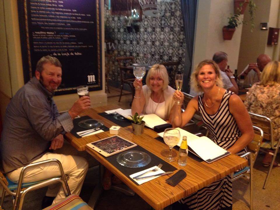
Next stop was Notre Dame University in South Bend where we played the Warren Course. It was then off to south Indiana to play Kampen Golf Course before driving further south to Indianapolis to play The Fort Golf Club where we met Shaun and Leigh from Kentucky and spent a great afternoon with them at the local pub due to the wet weather outside.

IMG_1002.JPG

The people of Kentucky were probably the friendliest we met on our travels even if we couldn’t understand a lot of what they were saying! The weather was great and we enjoyed both the University of Kentucky courses as well as Kearney Hill. It was a pleasure meeting Shaun Jackson on the Unique Farm Horse Tour and seeing the horse capital of the world. Sonya at the Lexington Inn made Steve’s week talking about little white tusses (although hers was a much darker shade).

IMG_0999.JPG

Almost heaven, West Virginia
Blue Ridge Mountain, Shenandoah River
Life is old there, older than the trees
Younger than the mountains, blowing like a breeze

Country roads, take me home
To the place I belong
West Virginia, mountain mamma
Take me home, country roads

We sang this song as we crossed into West Virginia – one of my all time favourite songs. We had a couple of days in Charleston enjoying the mountain air before heading to The Greenbrier which is graced by the gentry of the US and two Kiwis looking to play the fancy pants golf courses there. The courses were stunning and the surrounding vistas added to the enjoyment.

IMG_1007.JPG

Washington D.C. one of the safest places on the planet was our next stop. There is such a high police presence and with good reason I suppose – this is were the President of the USA resides. We swapped our car for a trolley bus and saw the sights of which there are many. My favourite city – I loved roaming around here and the fact that just about all the memorials, museums and other attractions are free is amazing. I also learnt what D.C. stood for – the District of Columbia – Washington is a District and not a State. It is good to learn something new everyday – keeps us young : )

IMG_1009.JPG

We swapped the trolley bus for the Amtrak and headed back to where it all began – New York City. This time though we spent three days roaming the subway popping up like Meerkats at all the amazing sights this crazy but cool city has to offer. We had a fantastic time and would do it all again in a heart beat : )

IMG_1005-0.JPG

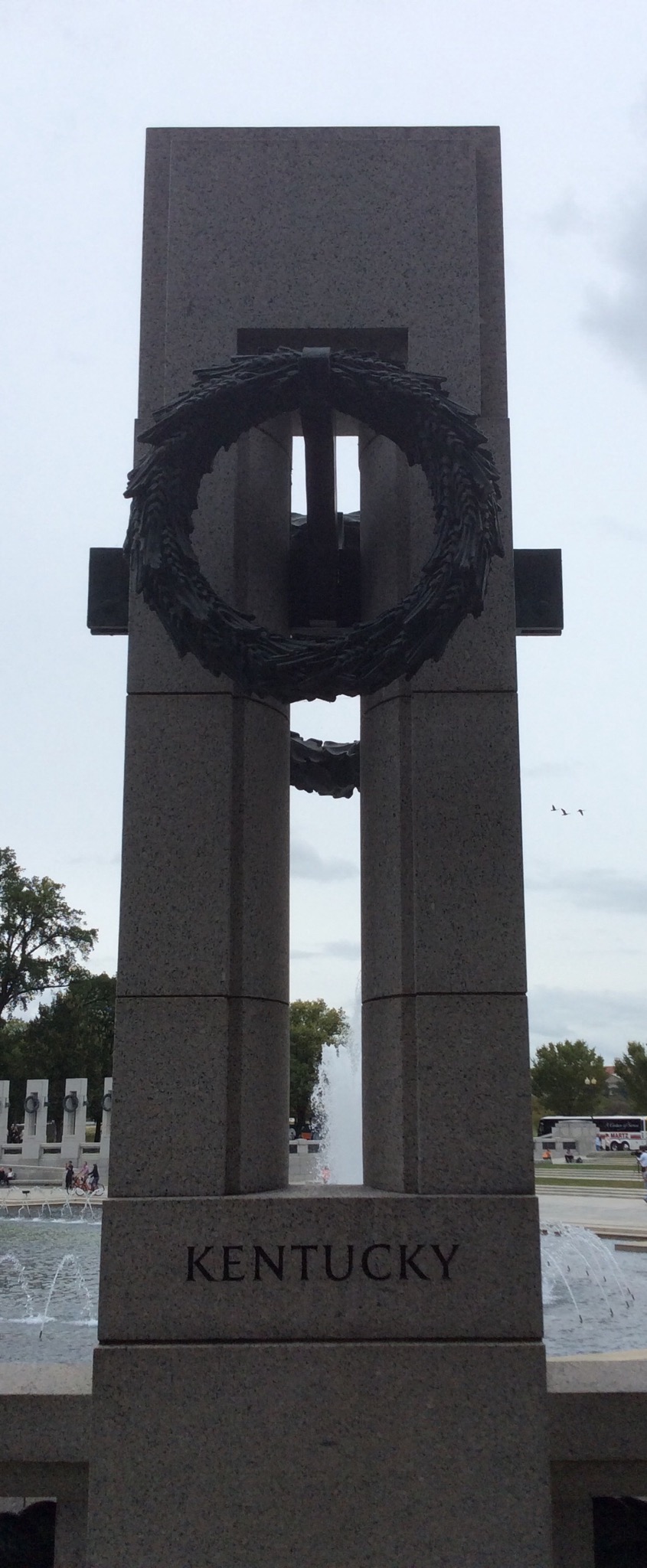
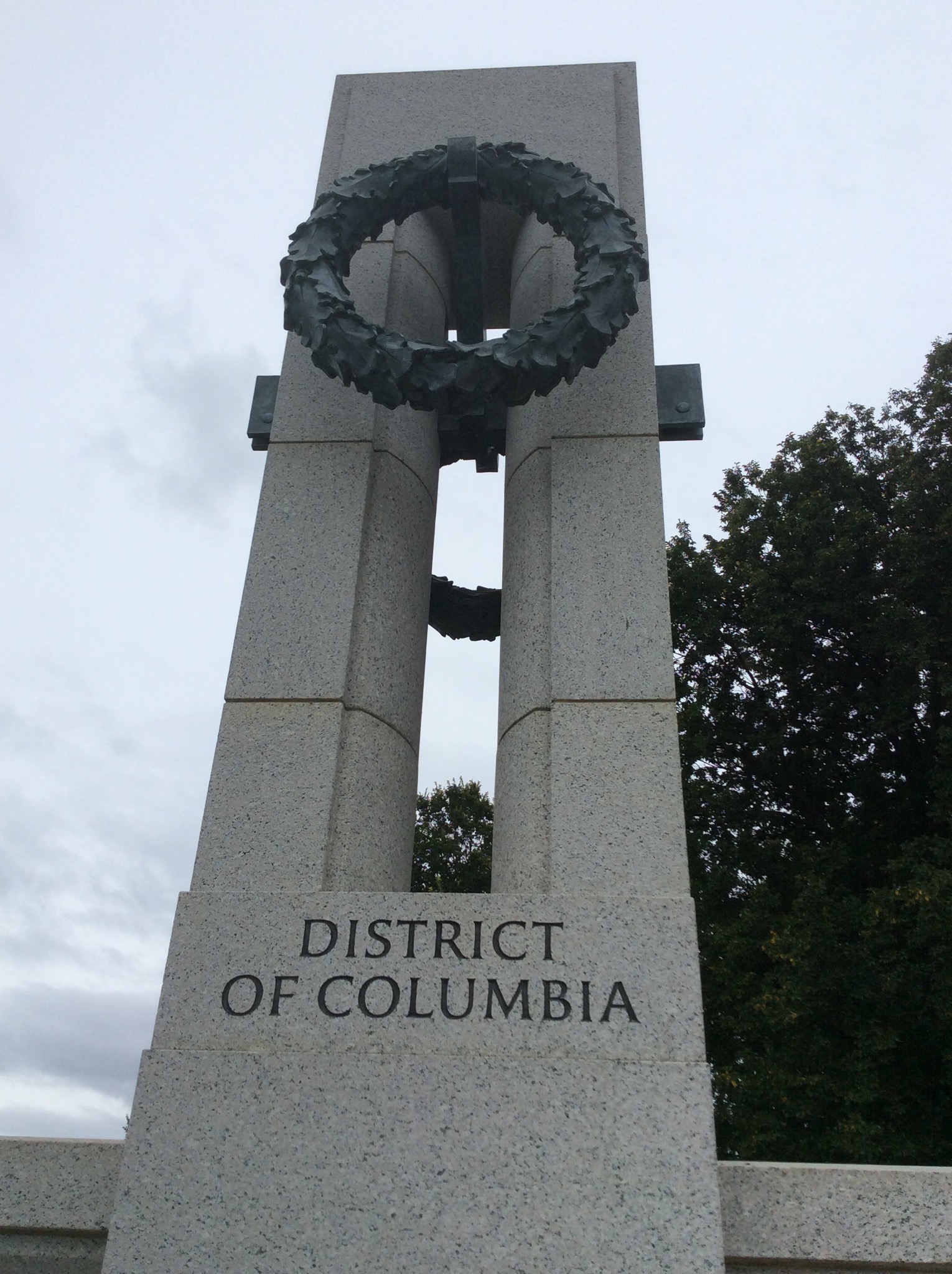
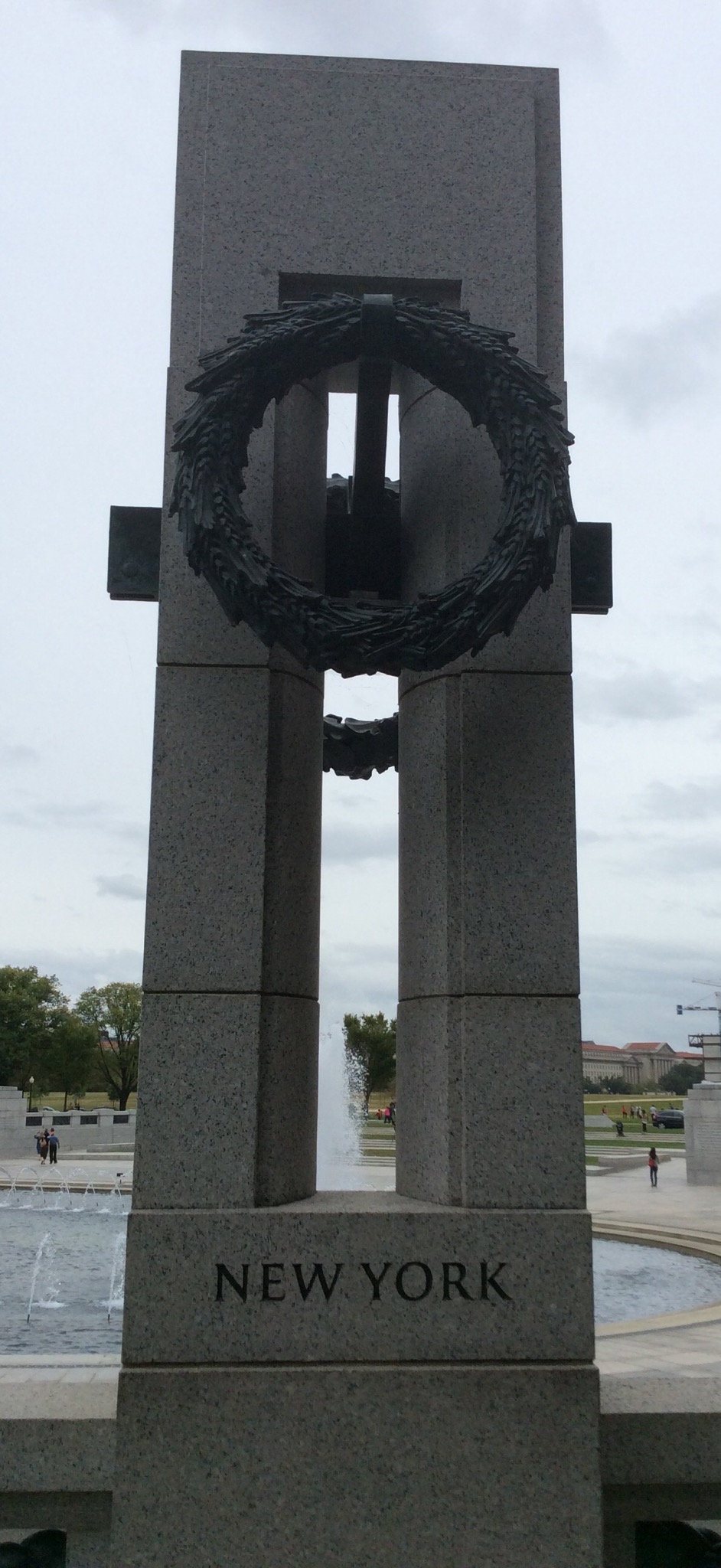
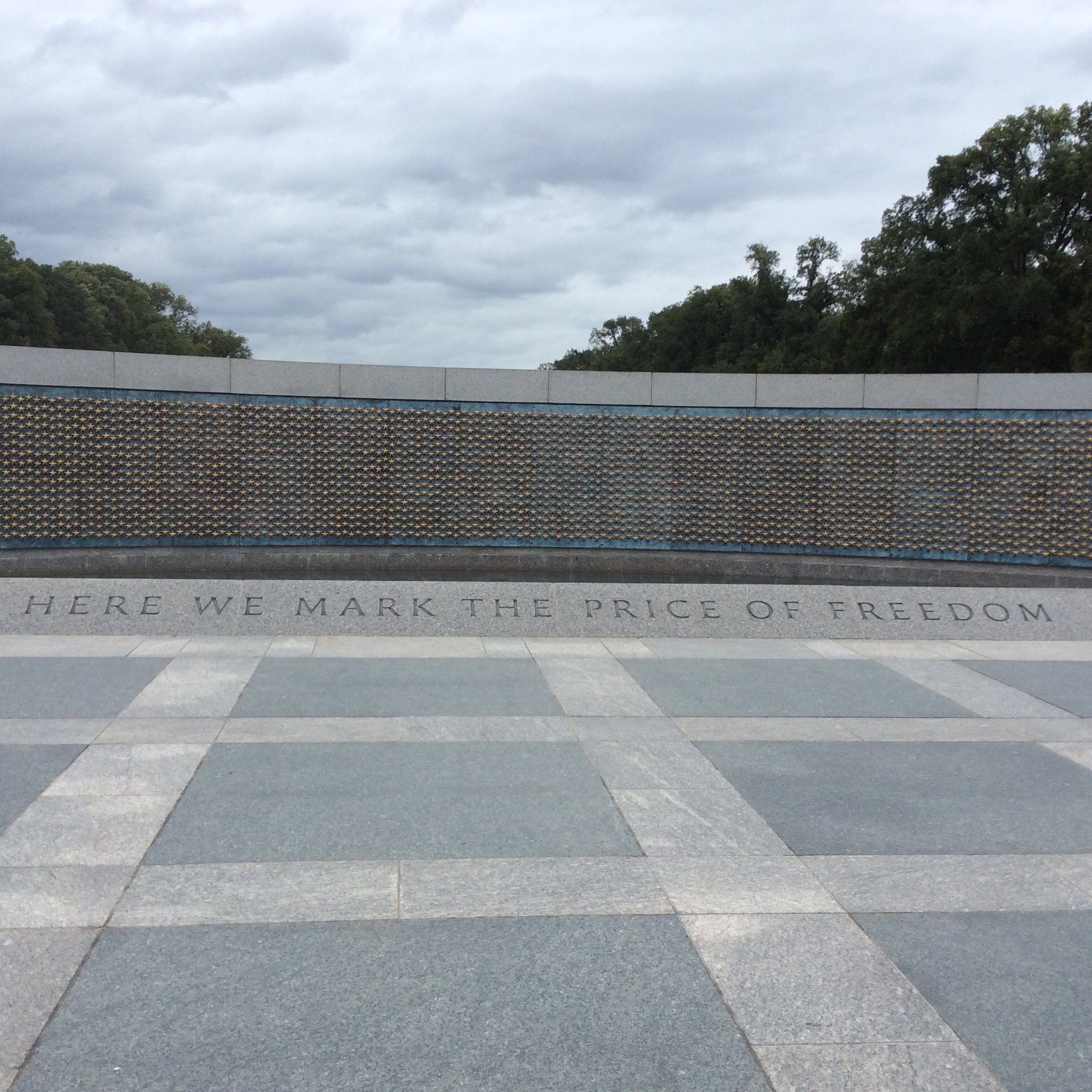
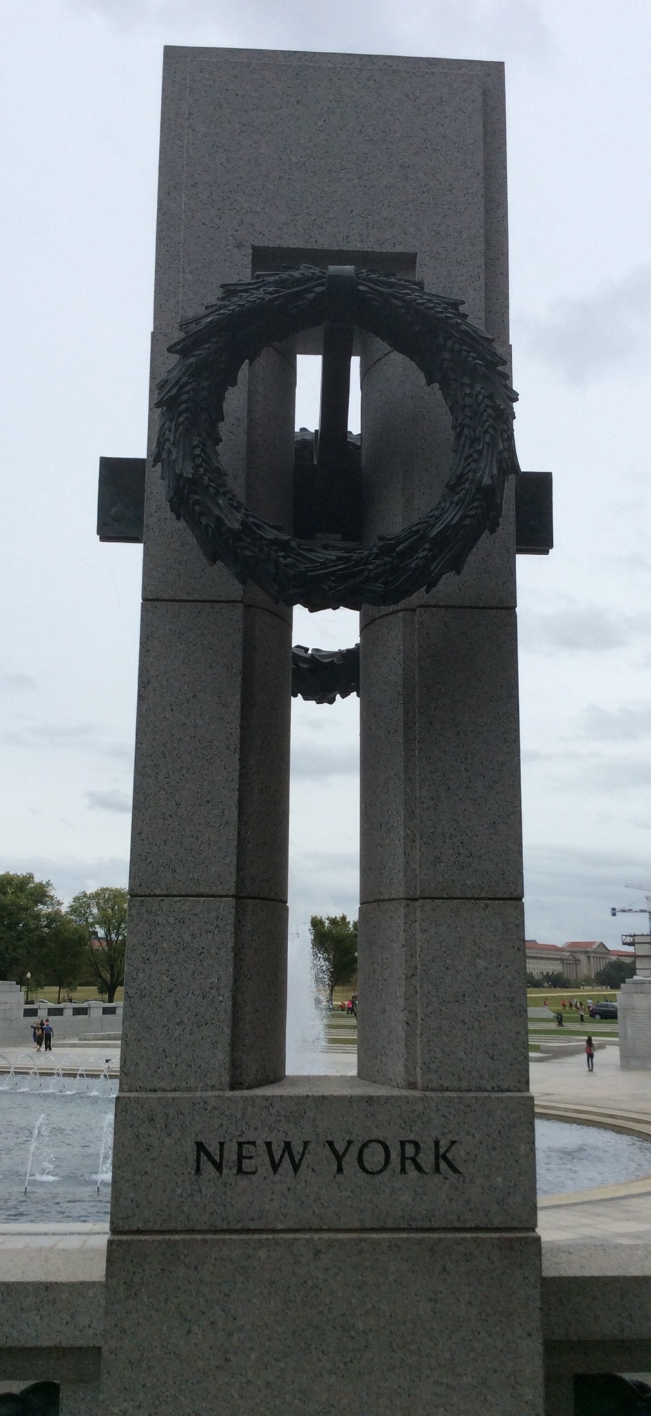
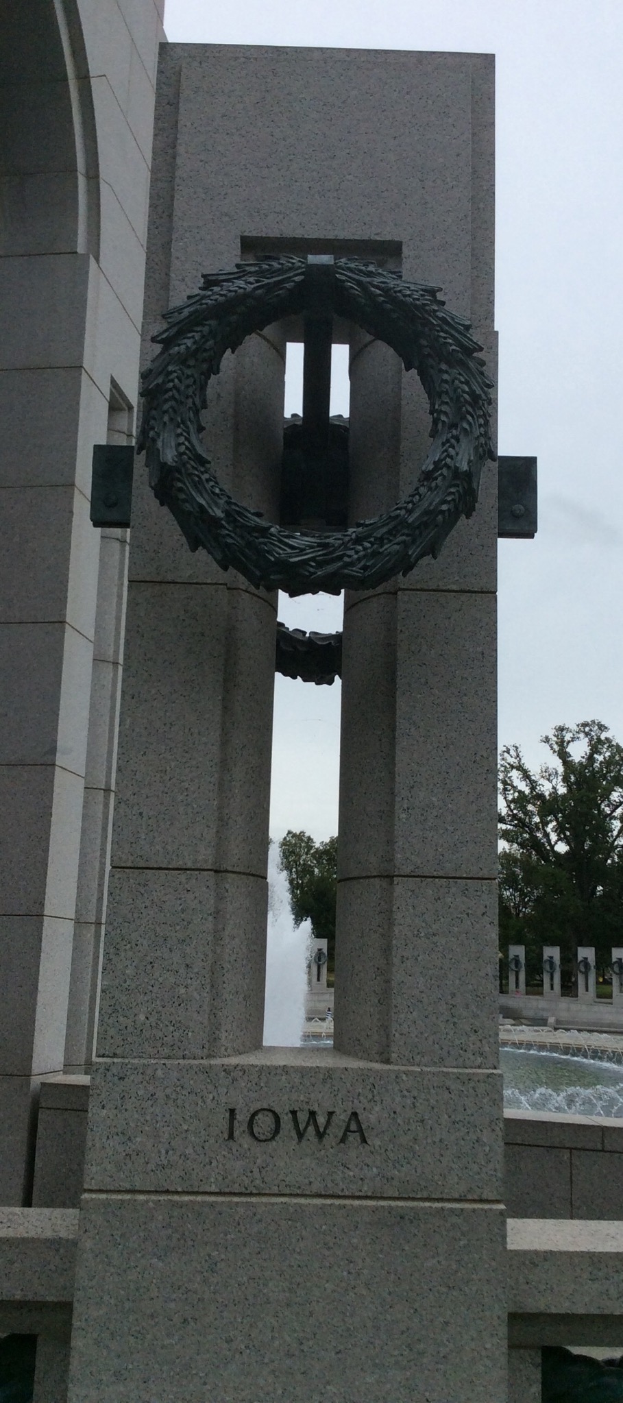
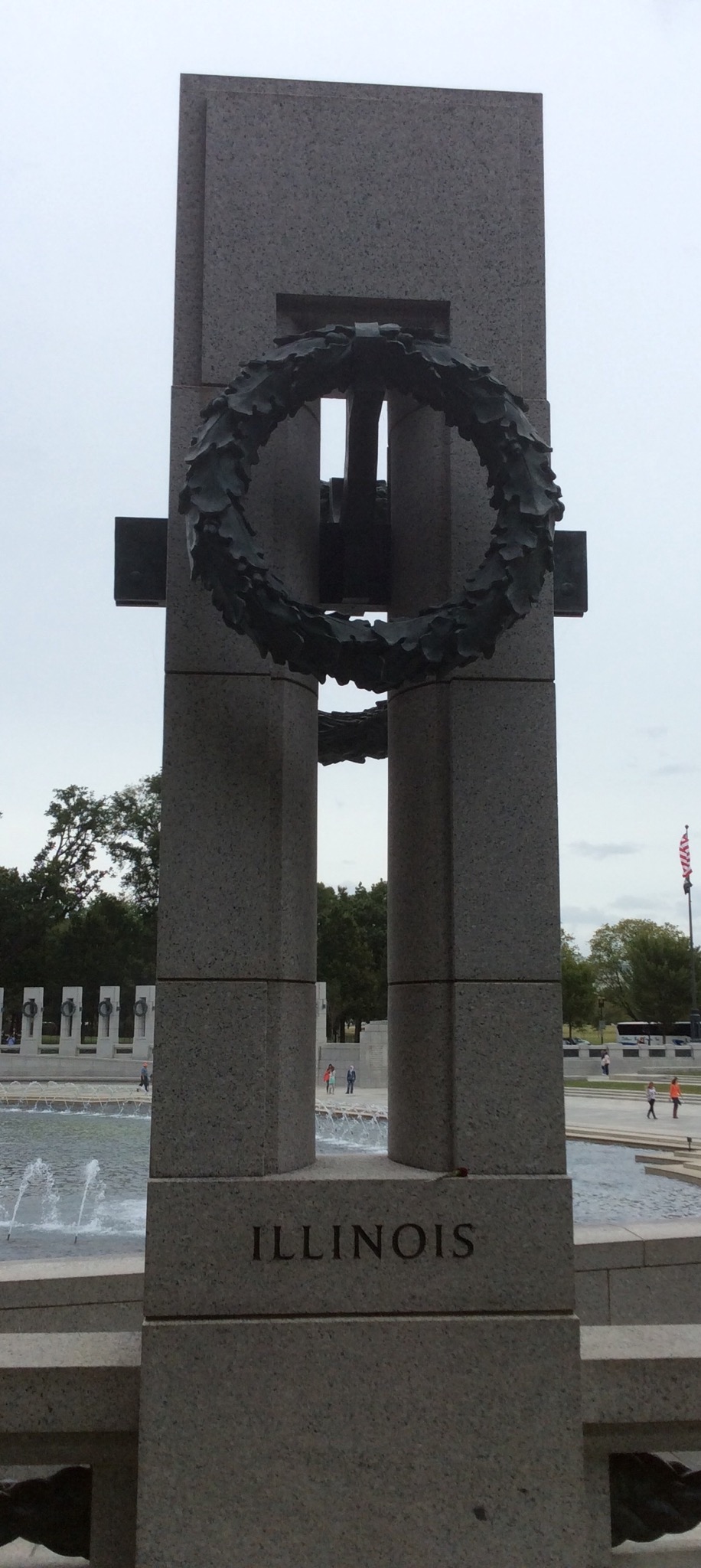
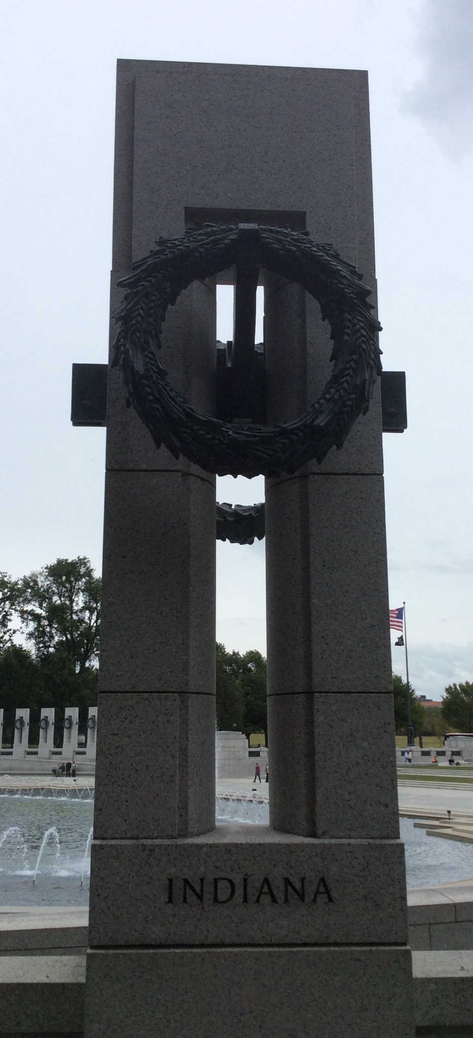
State and District plaques courtesy of the World War II memorial in Washington D.C. – District of Columbia that is for those that didn’t know ; )

Posted in United States of America | 2 Comments

New York City Sightseeing Day 3 – New York, USA

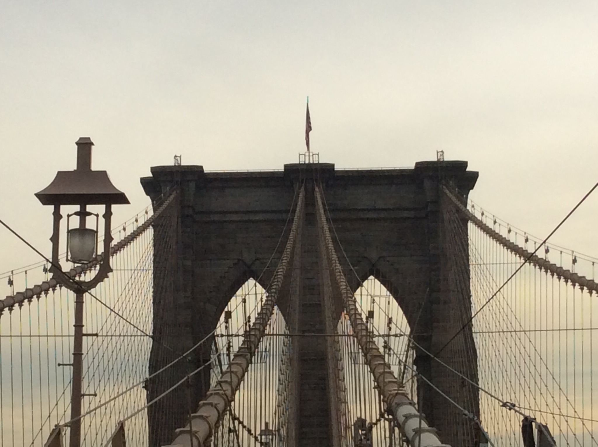
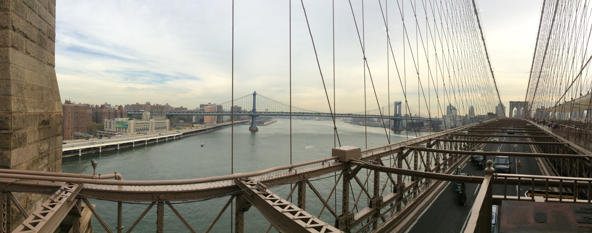
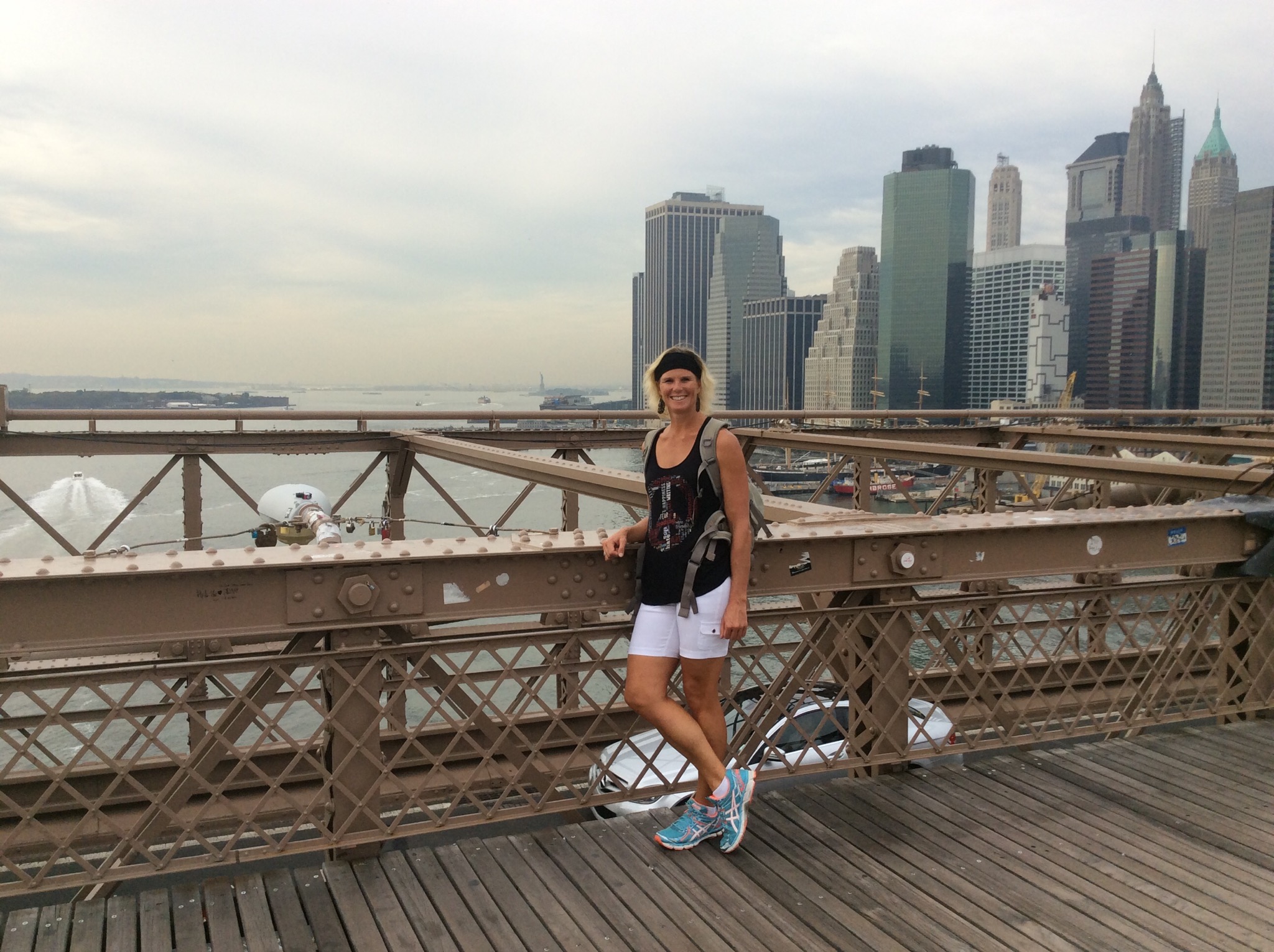
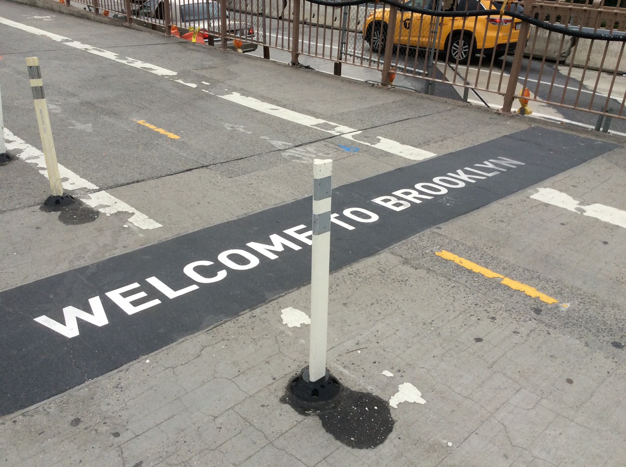
Our tour guide on the boat yesterday suggested walking over the Brooklyn Bridge (Steve probably could have killed him at this point ) so today we, we being the royal we decided to do that first up. It is like a pedestrian highway but very enjoyable. The walkway actually sits above the cars in the middle of the bridge so you get good views of Manhattan, Brooklyn and the Manhattan Bridge. It only takes about 30 minutes to walk across the bridge.

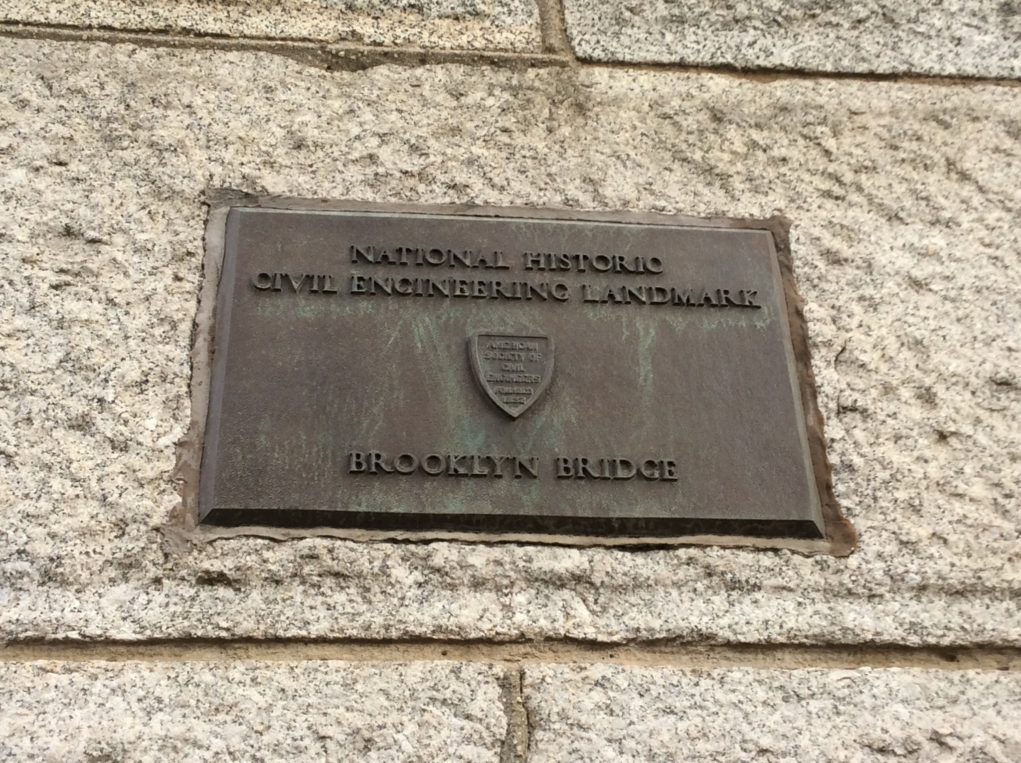
The Brooklyn Bridge is a hybrid cable-stayed/suspension bridge in New York City and is one of the oldest bridges of either type in the United States. Completed in 1883, it connects the boroughs of Manhattan and Brooklyn by spanning the East River. It has a main span of 1,595.5 feet (486.3 m), and was the first steel-wire suspension bridge constructed.

The Brooklyn Bridge was initially designed by German immigrant John Augustus Roebling, who had previously designed and constructed shorter suspension bridges.

While conducting surveys for the bridge project, Roebling sustained a crush injury to his foot when a ferry pinned it against a piling. After amputation of his crushed toes he developed a tetanus infection which left him incapacitated and soon resulted in his death, not long after he had placed his 32-year-old son Washington Roebling in charge of the project. Washington Roebling also suffered a paralyzing injury as a result of decompression sickness shortly after the beginning of construction on January 3, 1870. This condition, first called “caisson disease” by the project physician Andrew Smith, afflicted many of the workers working within the caissons. Roebling’s debilitating condition left him unable to physically supervise the construction firsthand.

In geotechnical engineering, a caisson is a watertight retaining structure used, for example, to work on the foundations of a bridge pier, for the construction of a concrete dam, or for the repair of ships. These are constructed such that the water can be pumped out, keeping the working environment dry.

Roebling conducted the entire construction from his apartment with a view of the work, designing and redesigning caissons and other equipment. He was aided by his wife Emily Warren Roebling who provided the critical written link between her husband and the engineers on site. Under her husband’s guidance, Emily studied higher mathematics, the calculations of catenary curves, the strengths of materials, bridge specifications, and the intricacies of cable construction. She spent the next 11 years assisting Washington Roebling, helping to supervise the bridge’s construction. There is a memorial plaque for Emily on the bridge.

IMG_1218.JPG

IMG_1220.JPG

IMG_1221.JPG

IMG_1226.JPG

IMG_1228.JPG

After a quick stop in Brooklyn it was back on the subway, destination The Meatpacking District. Two markets started operating in this area in the 1880’s on the old freight yards, the Gansevoort Market (originally the “Farmer’s Market”), an open-air space for the buying and selling of regional produce started in 1879, and the West Washington Market, 10 brick buildings used for meat, poultry and dairy transactions, relocated to the river side of West Street in 1884. By 1900, the area was home to 250 slaughterhouses and packing plants, and by the 1920s, what had been a neighborhood based on mixture of marketplaces became more tightly focused on meatpacking and related activities – although other industries continued to be located there.

The area’s decline began around the 1960s, as part of the general decline of the waterfront area. Containerization of freight, the advent of supermarkets which changed the distribution pattern for meat, dairy and produce from a locally or regionally based system to a more national one, the development of frozen foods and refrigerated trucks to deliver them, were all factors, but meatpacking continued to be the major activity in the neighborhood through the 1970s. At the same time a new “industry”, nightclubs and other entertainment and leisure operations catering to a gay clientele began to spring up in the area.

Beginning in the late 1990s, the Meatpacking District went through a transformation. High-end boutiques catering to young professionals and hipsters opened. In 2004, New York magazine called the Meatpacking District “New York’s most fashionable neighborhood”.

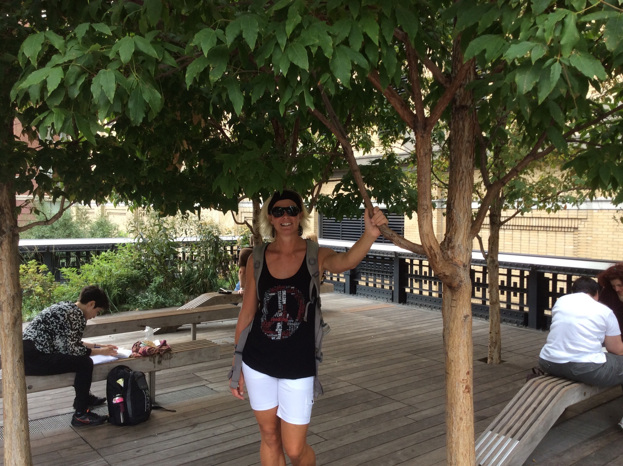
Although we are hipsters that wasn’t the reason for our visit. We were there to walk the High Line – as you can imagine all this walking was making Stevie a very happy boy : )

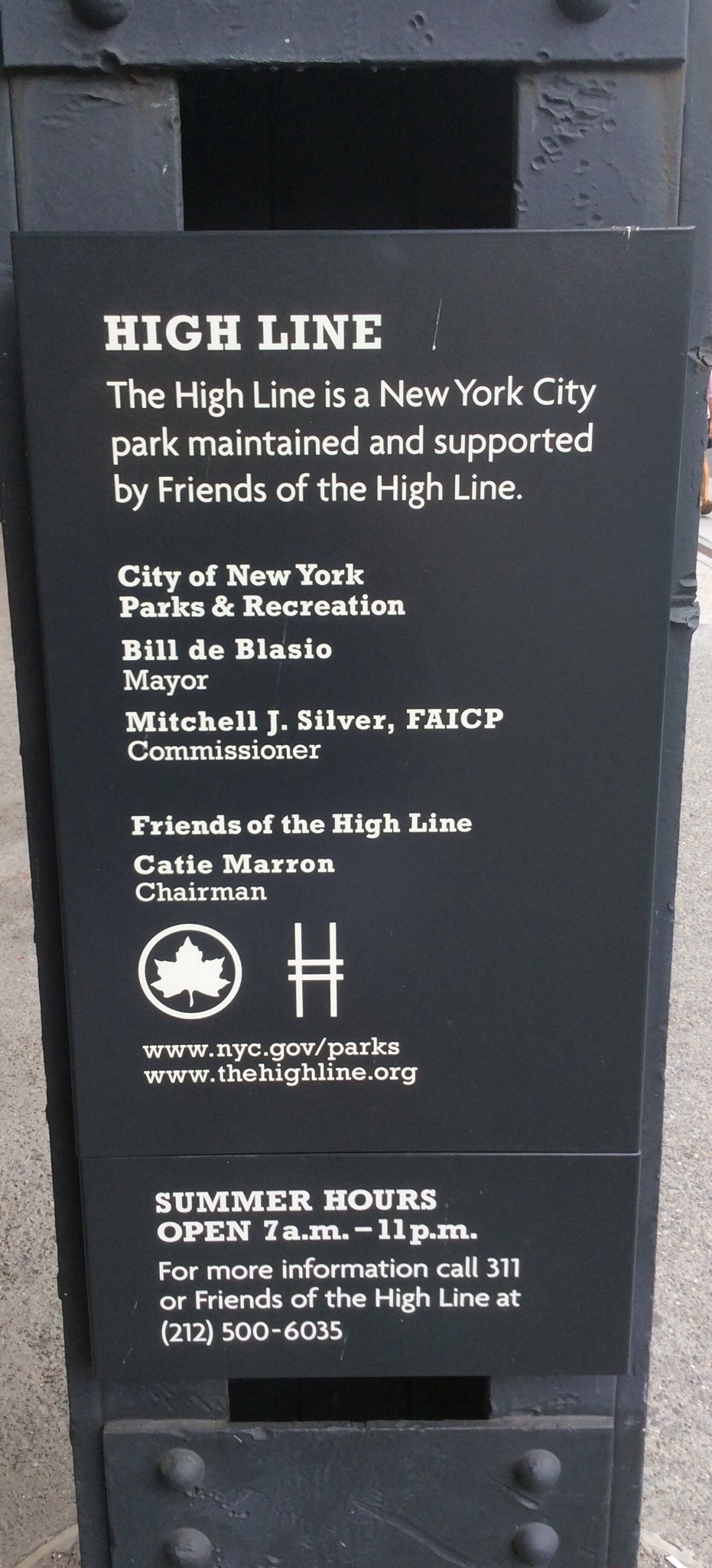
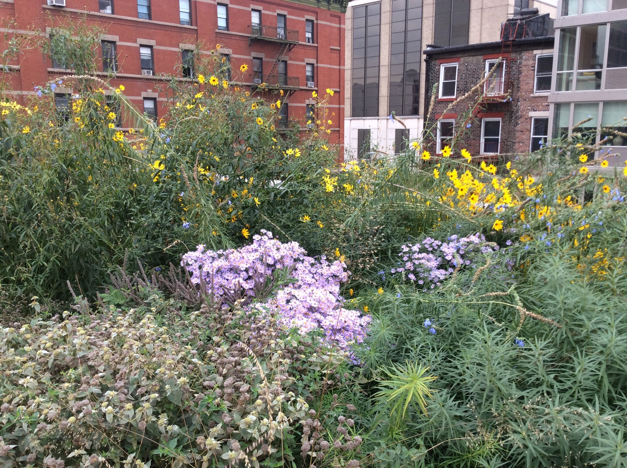
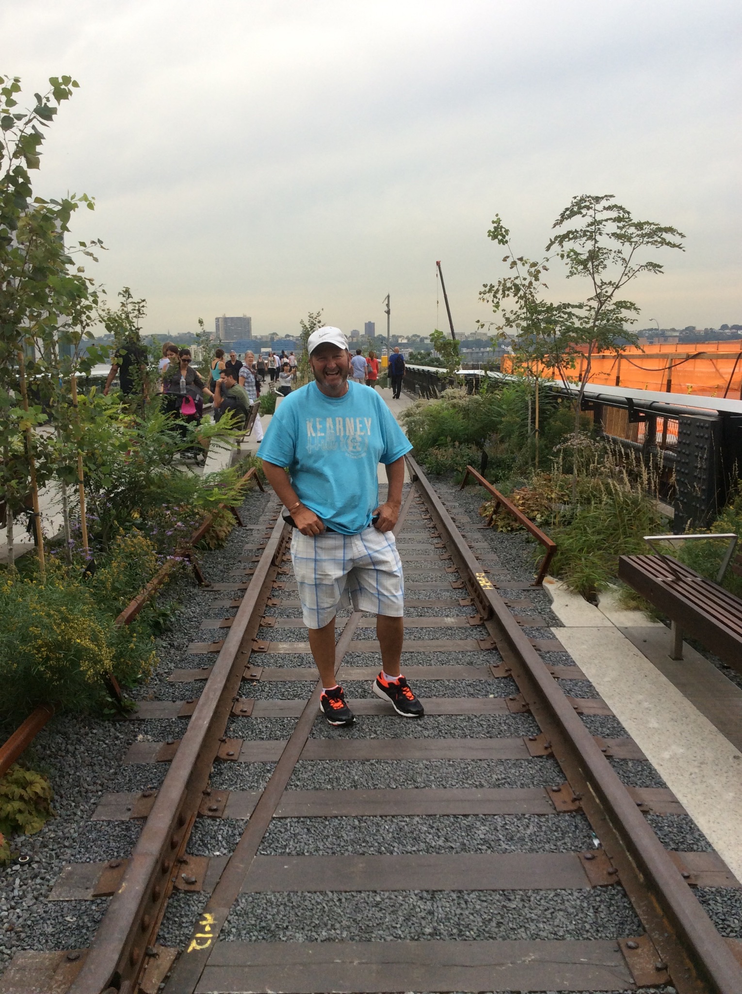
The High Line (also known as the High Line Park) is a 1.45-mile-long (2.33 km) New York City linear park built on a section of a disused New York Central Railroad spur called the West Side Line. Inspired by the 3-mile (4.8-kilometer) Promenade plantée, a similar project in Paris completed in 1993, the High Line has been redesigned and planted as an aerial greenway and rails-to-trails park.

Repurposing of the railway into an urban park began construction in 2006, with the first phase opening in 2009 and the second phase opening in 2011. The third and final phase officially opened to the public September 21, 2014, except for a short stub above Tenth Avenue and 30th Street, which opens in 2015. The project has spurred real estate development in the neighborhoods which lie along the line. The park is extremely popular; as of September 2014, the park gets nearly 5 million visitors annually.

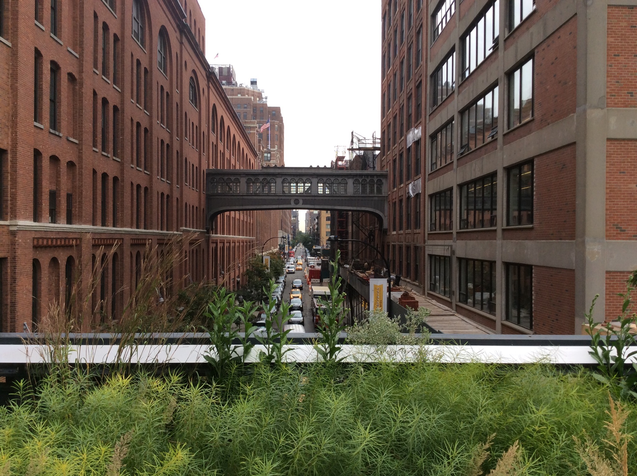
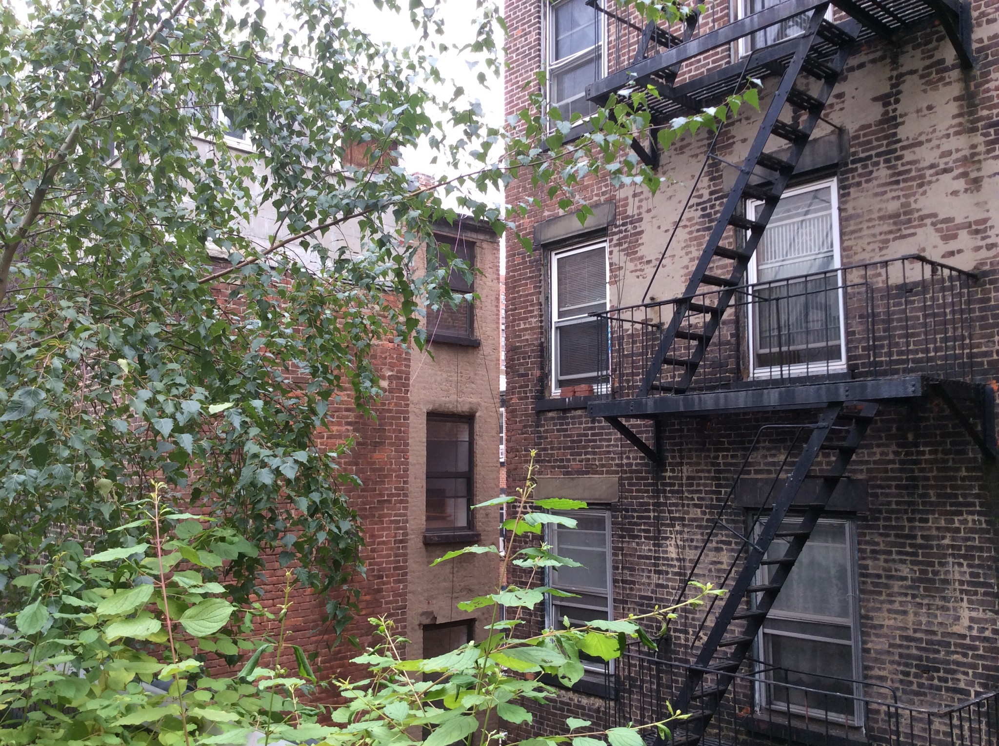
It was very cool and because you were elevated you got a good view of the disused warehouses below, apartment backyards, the Hudson River and the massive construction of apartment blocks that is going on. You could imagine the meatpacking industry in days gone by. Thanks Victoria Carter for the heads up about this innovative place to visit. An added bonus is that it is completely free for all to enjoy.

IMG_1243.JPG

IMG_1231.JPG

IMG_1234.JPG

IMG_1236.JPG

IMG_1239.JPG

IMG_1240.JPG

IMG_1242.JPG

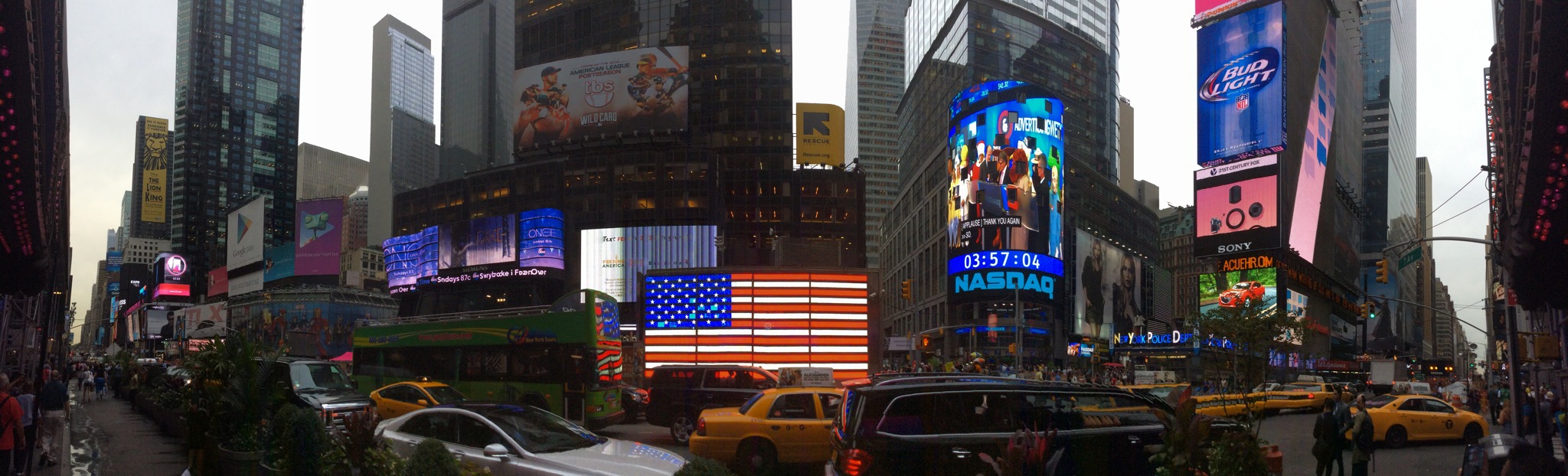
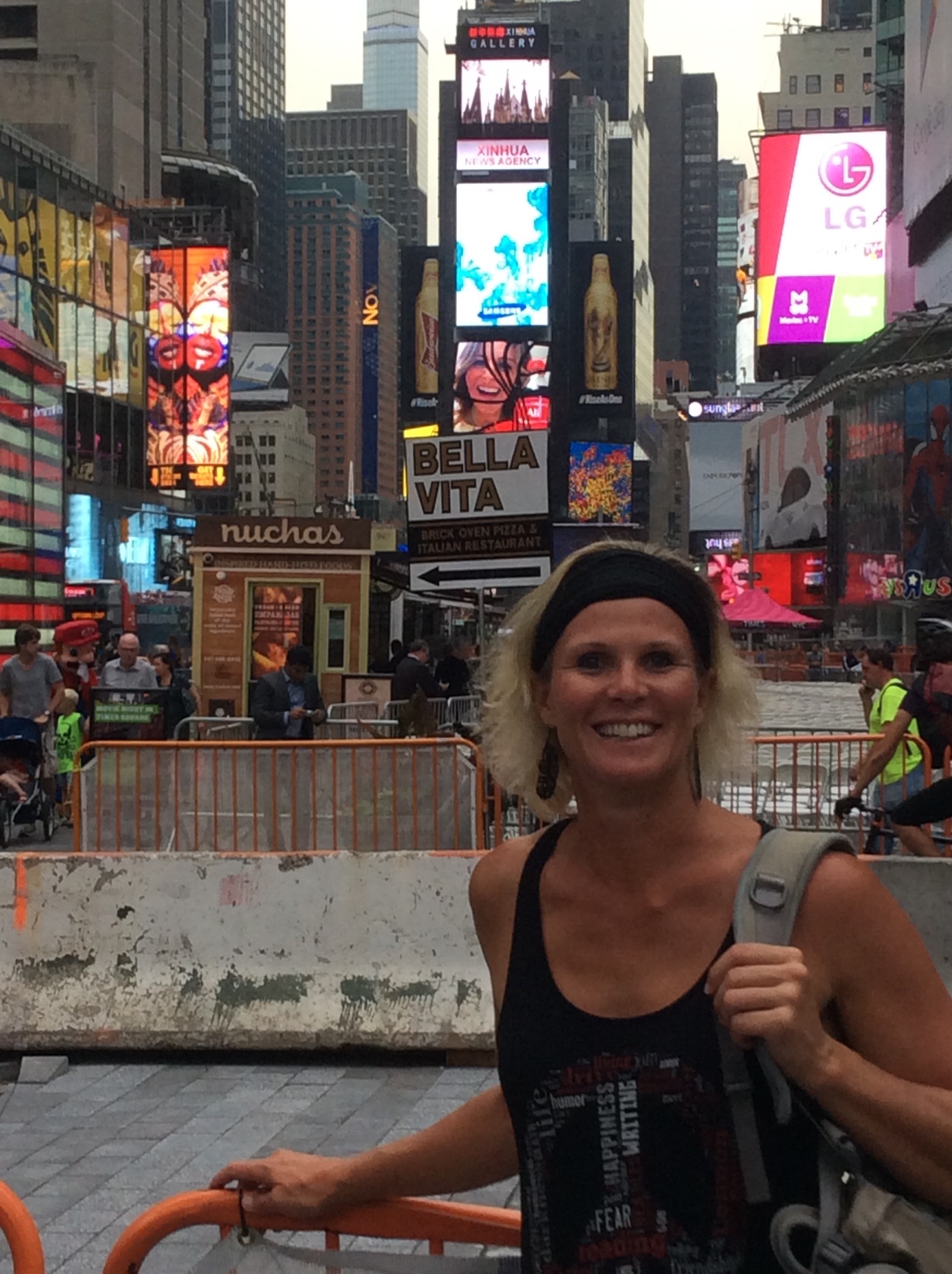
Last but not least on our agenda for the day was Times Square. Times Square is a major commercial intersection and a neighborhood in Midtown Manhattan, at the junction of Broadway (now converted into a pedestrian plaza) and Seventh Avenue and stretching from West 42nd to West 47th Streets. Brightly adorned with billboards and advertisements, Times Square – iconified as “The Crossroads of the World”, “The Center of the Universe”, and “The Great White Way” – is the hub of the Broadway Theater District, one of the world’s busiest pedestrian intersections, and a major center of the world’s entertainment industry. Times Square is one of the world’s most visited tourist attractions, hosting over 39 million visitors annually. Approximately 330,000 people pass through Times Square daily, many of whom are either tourists or people working in the area.

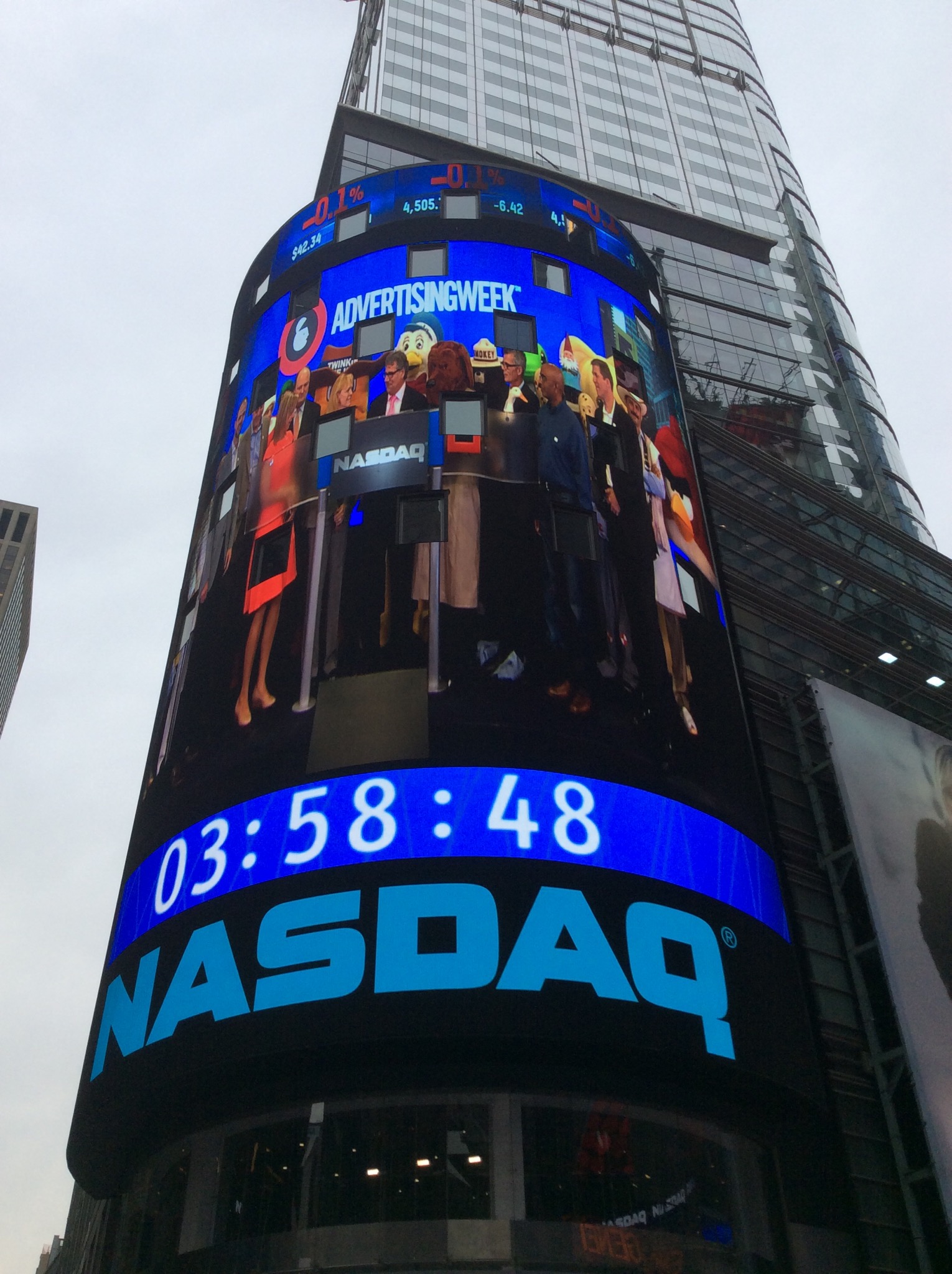
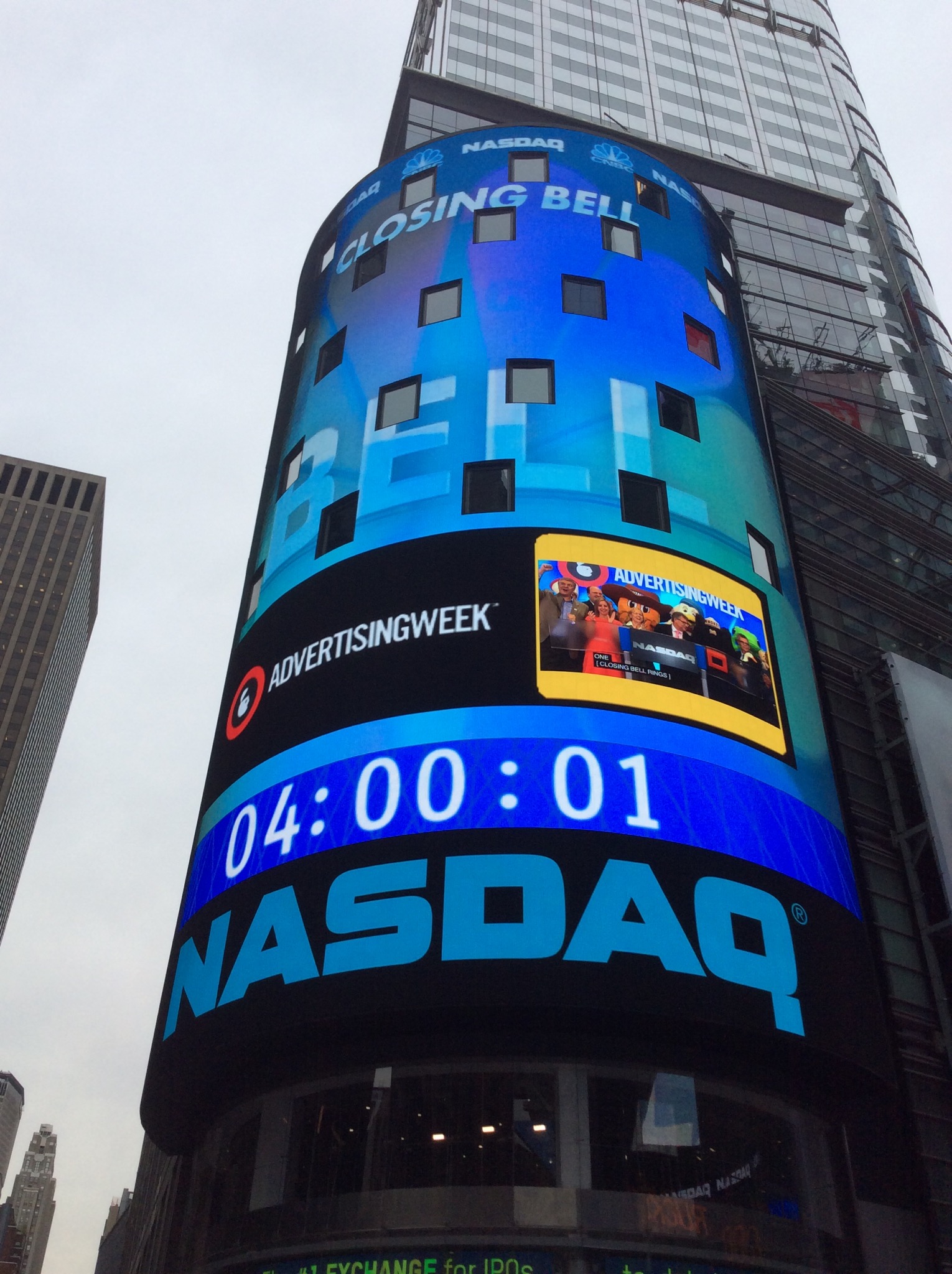
We can vouch for the 330,000 people – the place is madness – people and flashing lights everywhere! It was a must see though and we were there just in time to see the NASDAQ close on the big screen. The NASDAQ Stock Market, commonly known as the NASDAQ, is an American stock exchange. In terms of market share and volume traded, it is the largest stock exchange in the U.S. They have this televised closing bell ceremony everyday where special guests are invited to ring the closing bell. Only in America : )

IMG_1246.JPG

IMG_1247.JPG

IMG_1250.JPG

IMG_1252.JPG

New York is a crazy city but well worth visiting. There are so many sights and sounds and unfortunately we didn’t get round them all this time but got a good feel for the geography. We both decided that we will definitely return again in the future to finish off where we left off.

Posted in New York, USA | Leave a comment

New York City Sightseeing Day 2 – New York, USA

After a late start due to watching the last day of the Ryder Cup get underway we again headed to the subway. Internet coverage in the subway can be a bit patchy but Steve checked the Ryder Cup progress every chance he got. We were cheering for the Europeans and they did us proud at the end of the day.

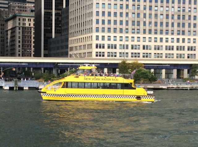
Today’s first destination was Pier 11 just past Battery Park. We were doing a city sightseeing cruise. It is a hive of activity down on the water with ferries, water taxis and sight seeing boats everywhere. Not to mention the helicopters that were buzzing around and landing on the pier next to us – at one stage there would have been 12 helicopters sitting there, rotors all going, waiting for the next lot of tourists. We were in what should have been a tranquil setting on the waters edge but it was hard to hear yourself think.
IMG_1138.JPG

We hopped on our boat and our guide introduced himself in his broken english – he was quite entertaining and so enthusiastic. We went past the other ferry terminals along the water front – in one terminal the ferries go to Governors Island which was closing down for the season today and in the other terminal the ferries go to Staten Island – these ferries run 24 / 7 and are completely free.

We passed by Battery Park which the locals refer to as The Battery. The park is 25 acres and is named for the artillery batteries that were positioned there in the city’s early years to protect the settlement behind them.

IMG_1139.JPG

IMG_1141.JPG

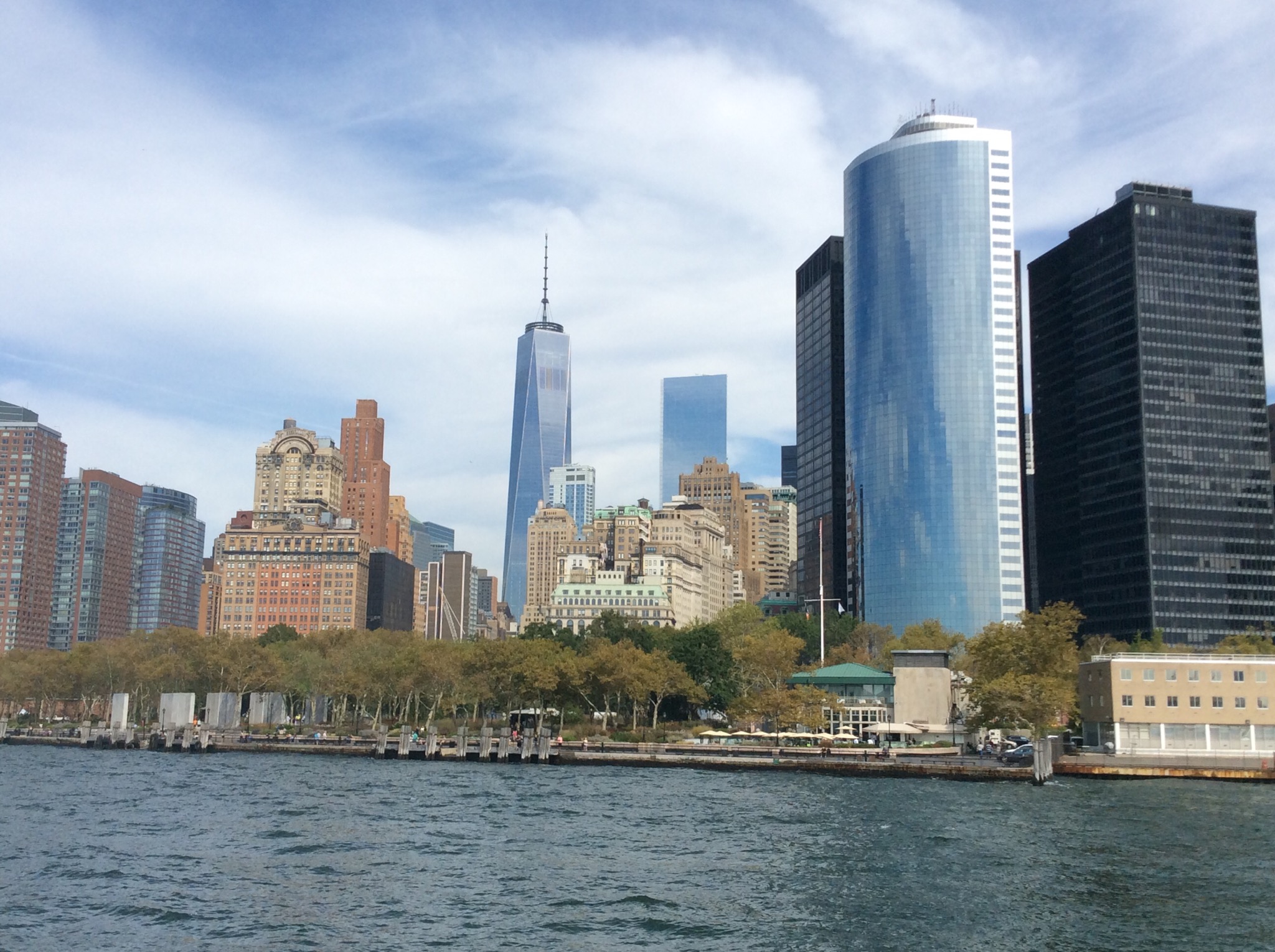
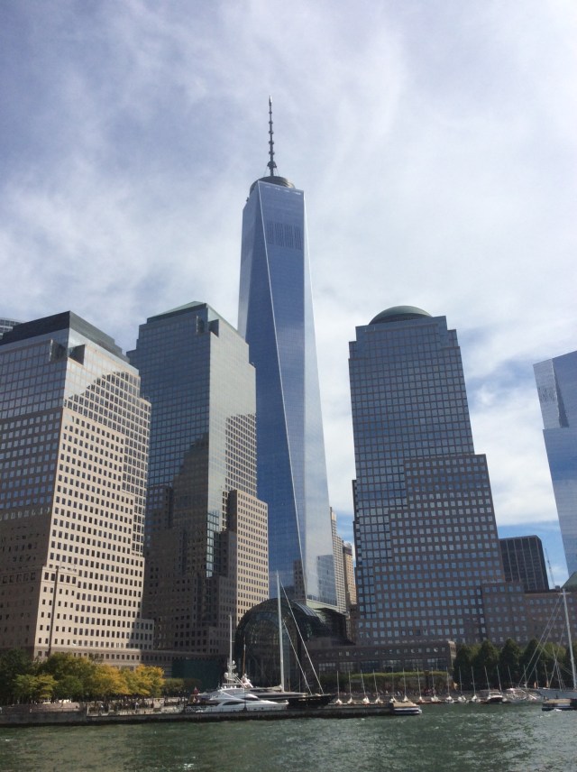
Our guide then pointed out the One World Trade Center which during construction was dubbed the Freedom Tower. The 104-story supertall structure, shares a name with the northern Twin Tower in the original World Trade Center that was destroyed in the September 11 attacks,

The tower’s steel structure topped out on August 30, 2012. On May 10, 2013, the final component of the skyscraper’s spire was installed, making One World Trade Center the fourth-tallest skyscraper in the world at the time by pinnacle height. Its spire allows the building to reach a symbolic height of 1,776 feet (541 m) in reference to the year of the United States Declaration of Independence. It has been the tallest structure in New York City since April 30, 2012, when it surpassed the height of the Empire State Building. The new World Trade Center complex, in which One World Trade Center will open later in 2014, will initially have three other high-rise office buildings, located along Greenwich Street, and the National September 11 Memorial & Museum, located just south of One World Trade Center, where the Twin Towers once stood. The construction is part of an effort to memorialize and rebuild following the destruction of the original World Trade Center complex during the attacks of September 11, 2001.
IMG_1147.JPG

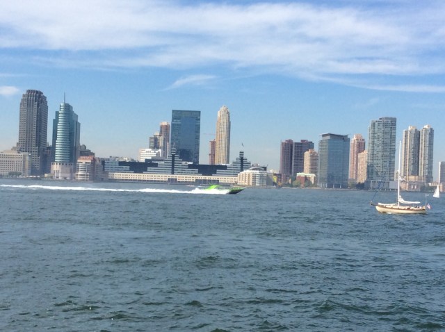
We then crossed to the other side of the Hudson River to the New Jersey side. New Jersey is a state in the Northeastern and Middle Atlantic regions of the United States. It is bordered on the north and east by New York State, on the southeast and south by the Atlantic Ocean, on the west by Pennsylvania, and on the southwest by Delaware. New Jersey is the fourth-smallest state, but the 11th-most populous and the most densely populated of the 50 United States. New Jersey lies entirely within the combined statistical areas of New York City and Philadelphia. It is also the second-wealthiest U.S. state by median household income, according to the 2008–2012 American Community Survey.

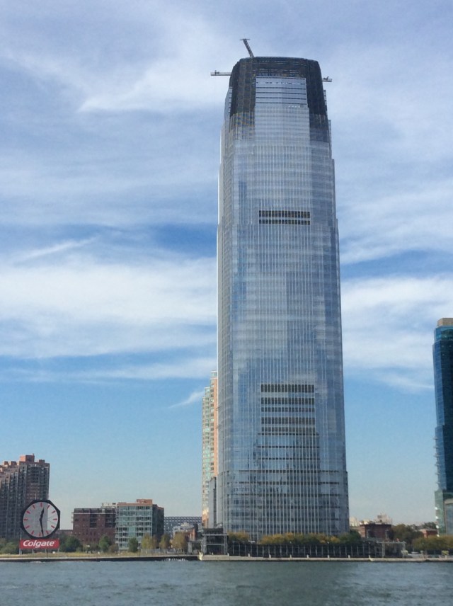
New Jersey is connected to Manhattan via the Lincoln and Holland Tunnels and the George Washington Bridge. We saw the Colgate Clock. The Colgate Clock is an octagonal clock facing the Hudson River near Exchange Place in Jersey City, New Jersey, United States, with a diameter of 50 feet (15 m). It is currently situated 400 meters south of the former site of the headquarters of consumer products conglomerate Colgate-Palmolive, which was until the 1980s based in Jersey City. The clock was maintained by John A. Winters from the 1930s until his retirement in 1976.

The current Colgate Clock was built in 1924 to replace an earlier clock designed by Colgate engineer Warren Day and constructed by the Seth Thomas Clock Company for the centennial of the Colgate Company in 1906. After the current clock’s construction, the earlier clock was relocated to a Colgate factory in Clarksville, Indiana.

As of 2005, the Colgate Clock stands on an otherwise empty lot; all of the other buildings in the complex were demolished in 1985, when Colgate left New Jersey. The lot is located on the Hudson River waterfront and the clock itself is 100 meters south of the Goldman Sachs Tower, the largest skyscraper in the state of New Jersey. The construction of that building in the early 2000s forced a relocation of the clock southward to its current location. At the time of the relocation the size of the Colgate advertisement attached to it was reduced to comply with the Hudson River No Billboard law. As a part of the relocation agreement Goldman Sachs now maintains the clock.
IMG_1148.JPG

IMG_1153.JPG

IMG_1154.JPG

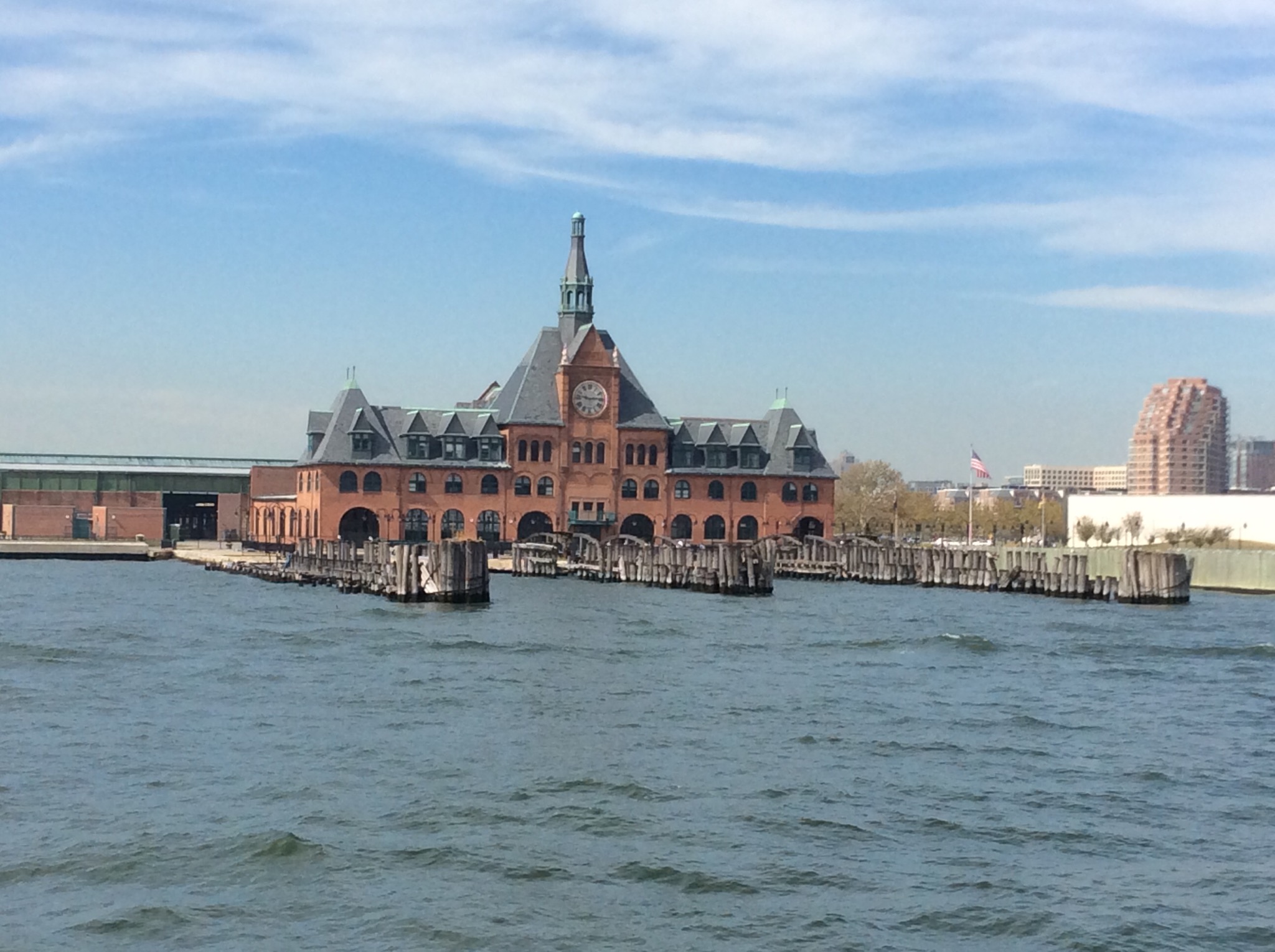
The Central Railroad of New Jersey Terminal, also known as Communipaw Terminal and Jersey City Terminal, was the Central Railroad of New Jersey’s waterfront passenger terminal in Jersey City, New Jersey. This terminal building was constructed in 1889 but was abandoned in 1967. It has been preserved though as a historic place.

IMG_1155.JPG

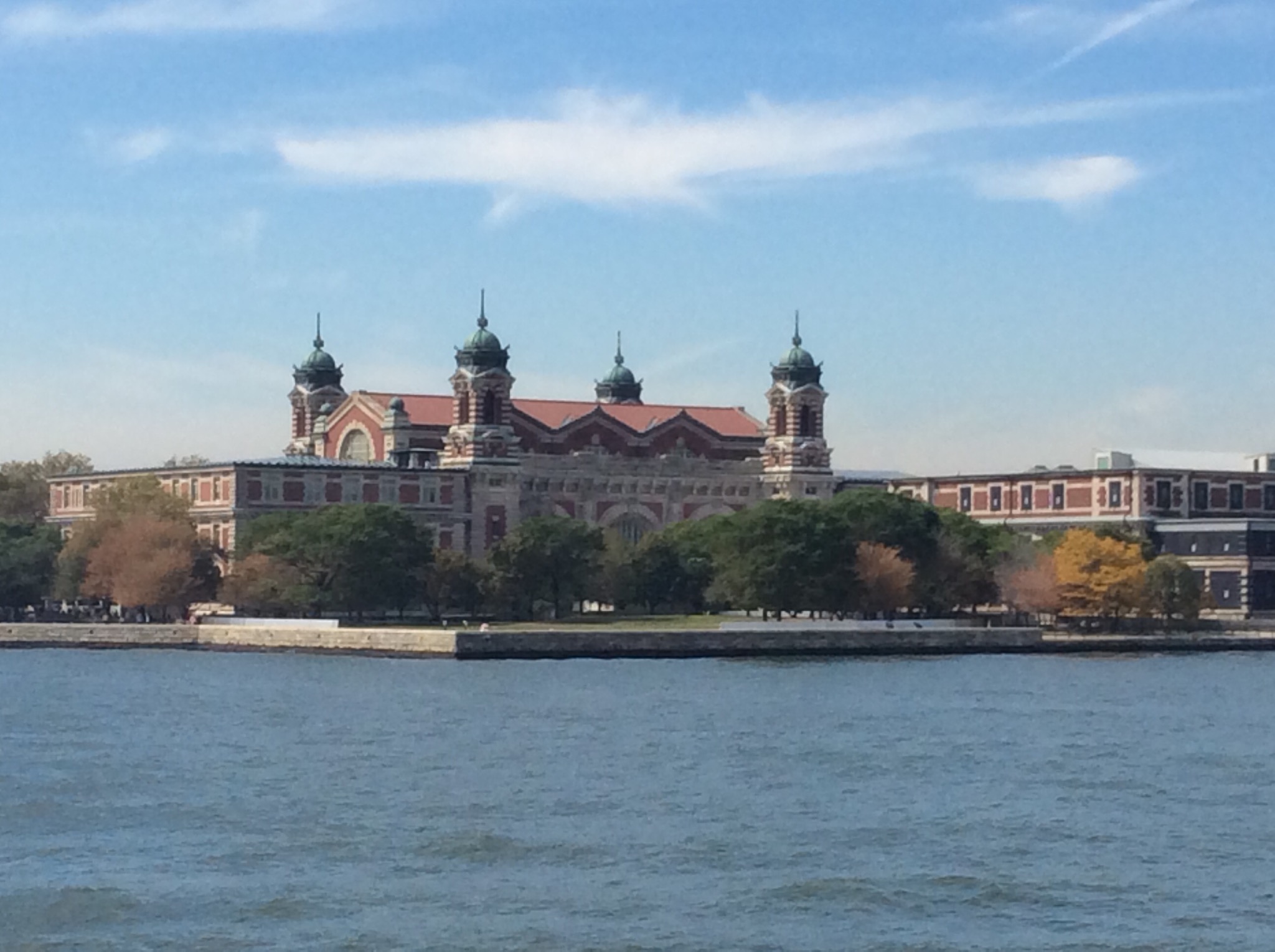
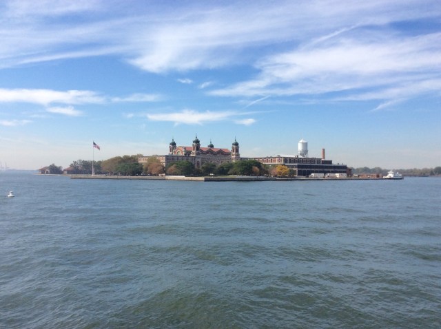
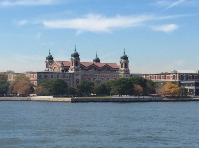
We then cruised past Ellis Island. Ellis Island, in Upper New York Bay, was the gateway for millions of immigrants to the United States as the nation’s busiest immigrant inspection station from 1892 until 1954. The island was greatly expanded with land reclamation between 1892 and 1934. Before that, the much smaller original island was the site of Fort Gibson and later a naval magazine. The island was made part of the Statue of Liberty National Monument in 1965, and has hosted a museum of immigration since 1990. Long considered part of New York, a 1998 United States Supreme Court decision found that most of the island is in New Jersey.
IMG_1158.JPG

IMG_1157.JPG

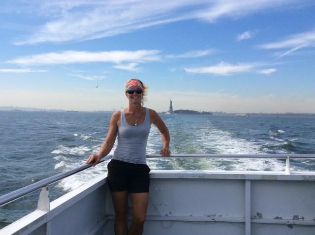
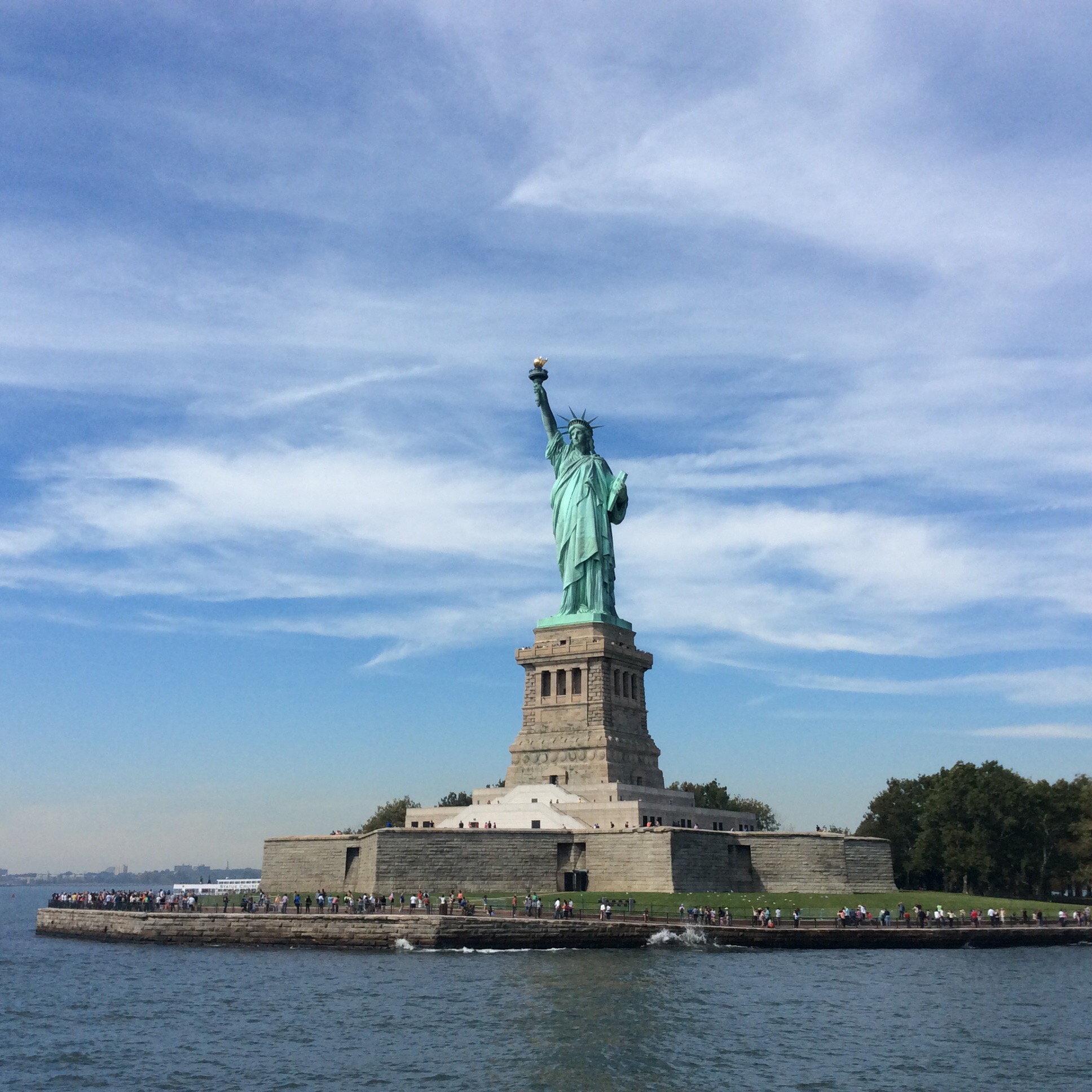
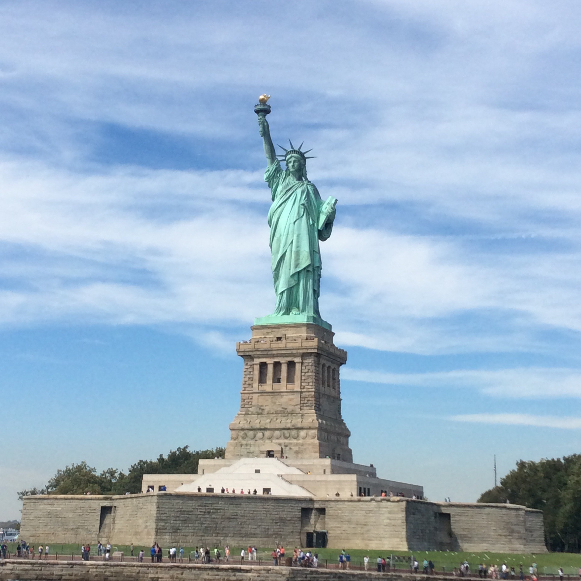
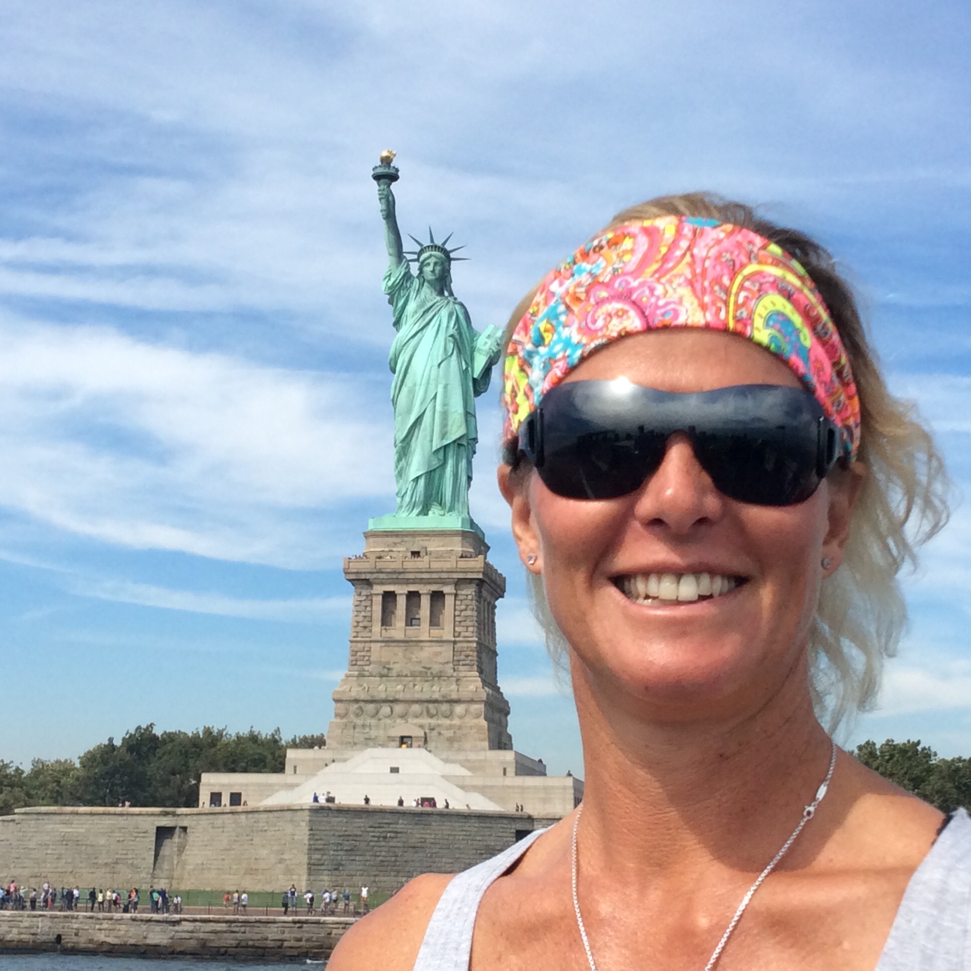
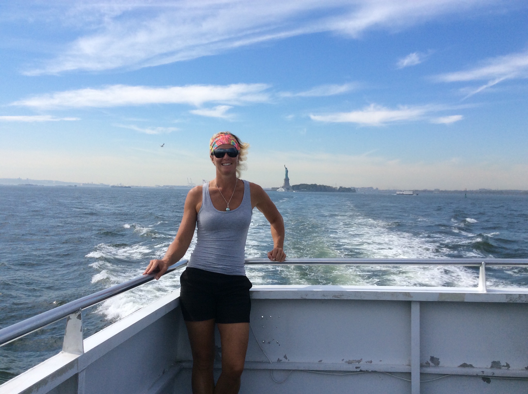
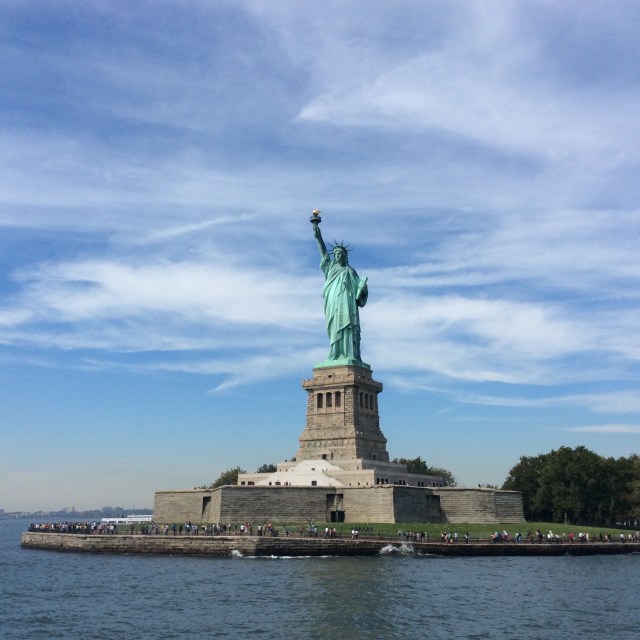
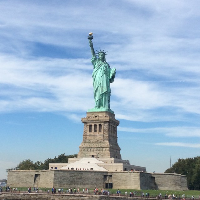
Now for the statue that I was most wanting to see – The Statue of Liberty. I suppose after seeing her at the start of many movies over the years I was excited to see her in the flesh.

The Statue of Liberty is a colossal neoclassical sculpture on Liberty Island in the middle of New York Harbor, in Manhattan, New York City. The statue, designed by Frédéric Auguste Bartholdi and dedicated on October 28, 1886, was a gift to the United States from the people of France. The statue is of a robed female figure representing Libertas, the Roman goddess of freedom, who bears a torch and a tabula ansata (a tablet evoking the law) upon which is inscribed the date of the American Declaration of Independence, July 4, 1776. A broken chain lies at her feet. The statue is an icon of freedom and of the United States: a welcoming signal to immigrants arriving from abroad.

Bartholdi was inspired by French law professor and politician Édouard René de Laboulaye, who is said to have commented in 1865 that any monument raised to American independence would properly be a joint project of the French and American peoples. He may have been minded to honor the Union victory in the American Civil War and the end of slavery. Due to the troubled political situation in France, work on the statue did not commence until the early 1870s. In 1875, Laboulaye proposed that the French finance the statue and the Americans provide the site and build the pedestal. Bartholdi completed the head and the torch-bearing arm before the statue was fully designed, and these pieces were exhibited for publicity at international expositions.

The torch-bearing arm was displayed at the Centennial Exposition in Philadelphia, in 1876, and in New York’s Madison Square Park from 1876 to 1882. Fundraising proved difficult, especially for the Americans, and by 1885 work on the pedestal was threatened due to lack of funds. Publisher Joseph Pulitzer of the New York World started a drive for donations to complete the project that attracted more than 120,000 contributors, most of whom gave less than a dollar. The statue was constructed in France, shipped overseas in crates, and assembled on the completed pedestal on what was then called Bedloe’s Island. The statue’s completion was marked by New York’s first ticker-tape parade and a dedication ceremony presided over by President Grover Cleveland.

The statue was administered by the United States Lighthouse Board until 1901 and then by the Department of War; since 1933 it has been maintained by the National Park Service. The statue was closed for renovation for much of 1938. In the early 1980s, it was found to have deteriorated to such an extent that a major restoration was required. While the statue was closed from 1984 to 1986, the torch and a large part of the internal structure were replaced. After the September 11 attacks in 2001, it was closed for reasons of safety and security; the pedestal reopened in 2004 and the statue in 2009, with limits on the number of visitors allowed to ascend to the crown. The statue, including the pedestal and base, was closed for a year until October 28, 2012, so that a secondary staircase and other safety features could be installed; Liberty Island remained open. However, one day after the reopening, Liberty Island closed due to the effects of Hurricane Sandy; the statue and island opened again on July 4, 2013. Public access to the balcony surrounding the torch has been barred for safety reasons since 1916.

In 1881 Auguste Bartholdi contacted Gustave Eiffel (the Eiffel Tower engineer) as he was in need of an engineer to help him to realise the Statue of Liberty. Some work had already been carried out by Eugène Viollet-Le-Duc, but he had died in 1879. Eiffel was selected because of his experience with wind stresses. Eiffel devised a structure consisting of a four legged pylon to support the copper sheeting which made up the body of the statue. The entire statue was erected at the Eiffel works in Paris before being dismantled and shipped to the United States.
IMG_1166.JPG

IMG_1168.JPG

IMG_1170.JPG

IMG_1176.JPG

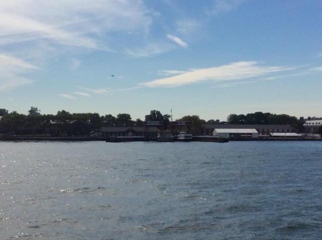
We then went past Governors Island which is a 172-acre (70 ha) island in Upper New York Bay, approximately 800 yards (732 m) from the southern tip of Manhattan Island and separated from Brooklyn by Buttermilk Channel, approximately 400 yards (366 m). It is legally part of the borough of Manhattan in New York City. The Native Americans of the Manhattan region referred to the island as Paggank (“nut island”), likely after the island’s plentiful hickory, oak, and chestnut trees;[4] the Dutch explorer Adriaen Block called it Noten Eylant, a translation, and this was borrowed into English as Nutten Island. The island’s current name, made official in 1784, stems from the British colonial era, when the colonial assembly reserved the island for the exclusive use of New York’s royal governors.

Defensive works were raised on the island in 1776 by Continental Army troops during the American Revolutionary War, and fired upon British ships before they were taken. From 1783 to 1966, the island was a United States Army post. From 1966 to 1996 the island served as a major United States Coast Guard installation.
IMG_1178.JPG

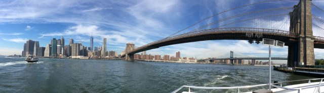
We did a cruise by the Brooklyn and Manhattan Bridges before getting off the boat in the financial district.
IMG_1186.JPG

IMG_1188.JPG

On our way to check out the financial district we passed by the National September 11 Memorial. The National September 11 Memorial is a tribute of remembrance and honor to the nearly 3,000 people killed in the terror attacks of September 11, 2001 at the World Trade Center site, near Shanksville, Pa., and at the Pentagon, as well as the six people killed in the World Trade Center bombing in February 1993.

The Memorial’s twin reflecting pools are each nearly an acre in size and feature the largest manmade waterfalls in the North America. The pools sit within the footprints where the Twin Towers once stood. Architect Michael Arad and landscape architect Peter Walker created the Memorial design selected from a global design competition that included more than 5,200 entries from 63 nations.

The names of every person who died in the 2001 and 1993 attacks are inscribed into bronze panels edging the Memorial pools, a powerful reminder of the largest loss of life resulting from a foreign attack on American soil and the greatest single loss of rescue personnel in American history.

It is a great place of reflection for the families of those that were killed but also for the general population – that day is marked in everyone’s lives for one reason or another. After having visited the Holocaust Museum in Washington D.C. we didn’t think we were up to visiting the actual museum – it was enough to see the memorial. The One World Trade Centre sits alongside one of the memorial pools. The top of one of the towers sits next to the memorial. There is a lot of construction in the area and apparently there will be seven World Trade Centres by 2020.

IMG_1196.JPG

IMG_1194.JPG

IMG_1197.JPG

IMG_1201.JPG

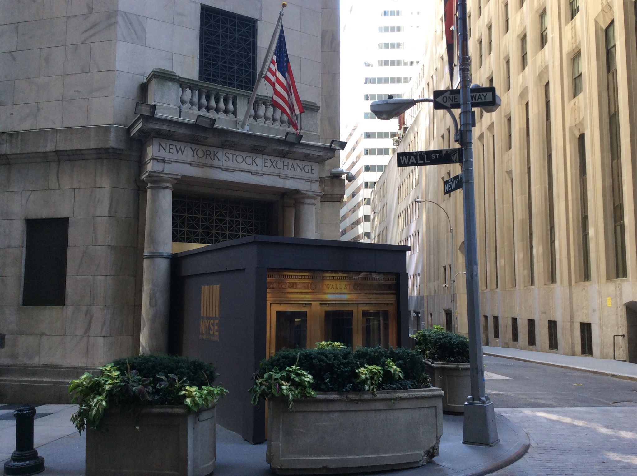
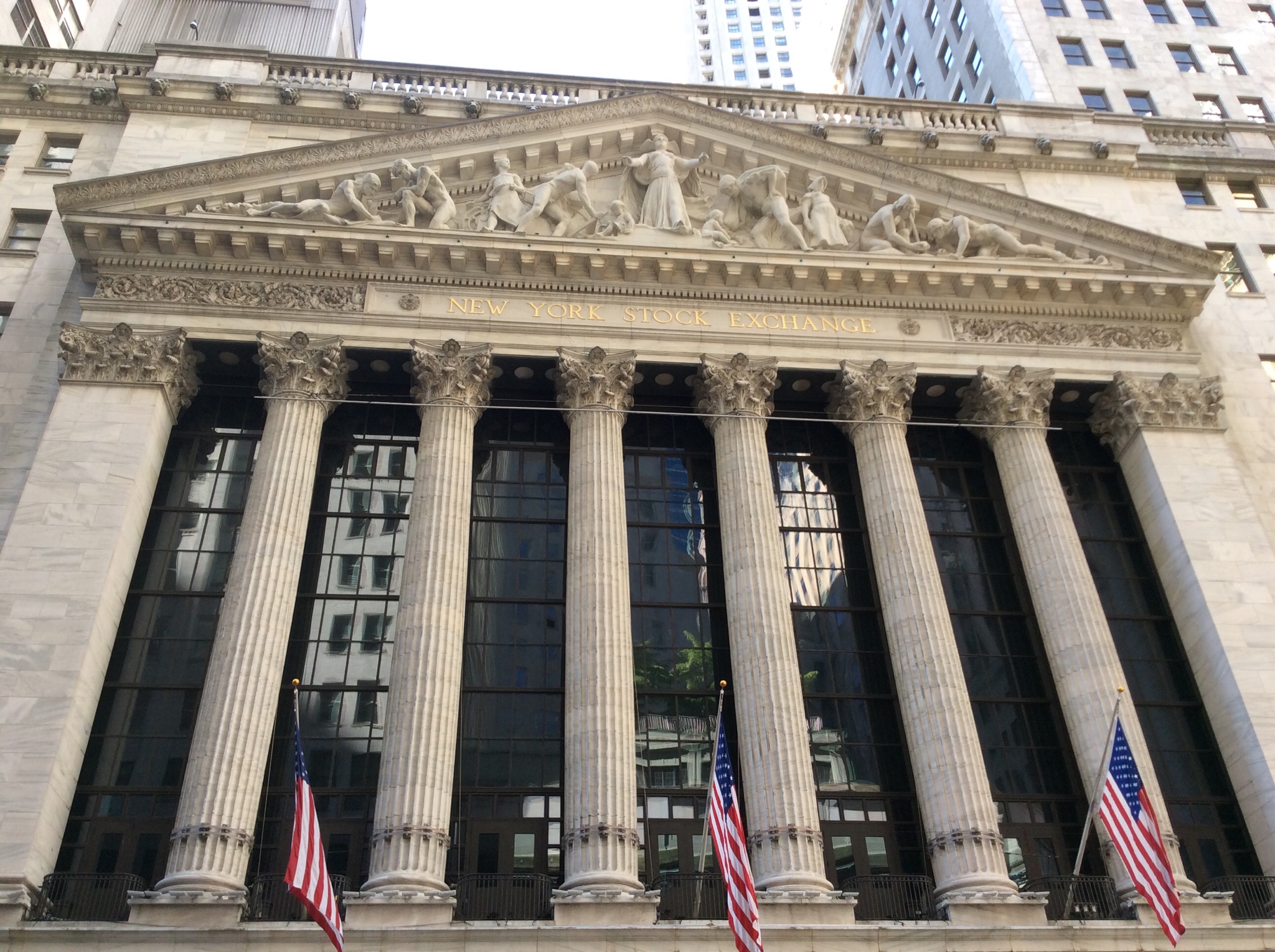
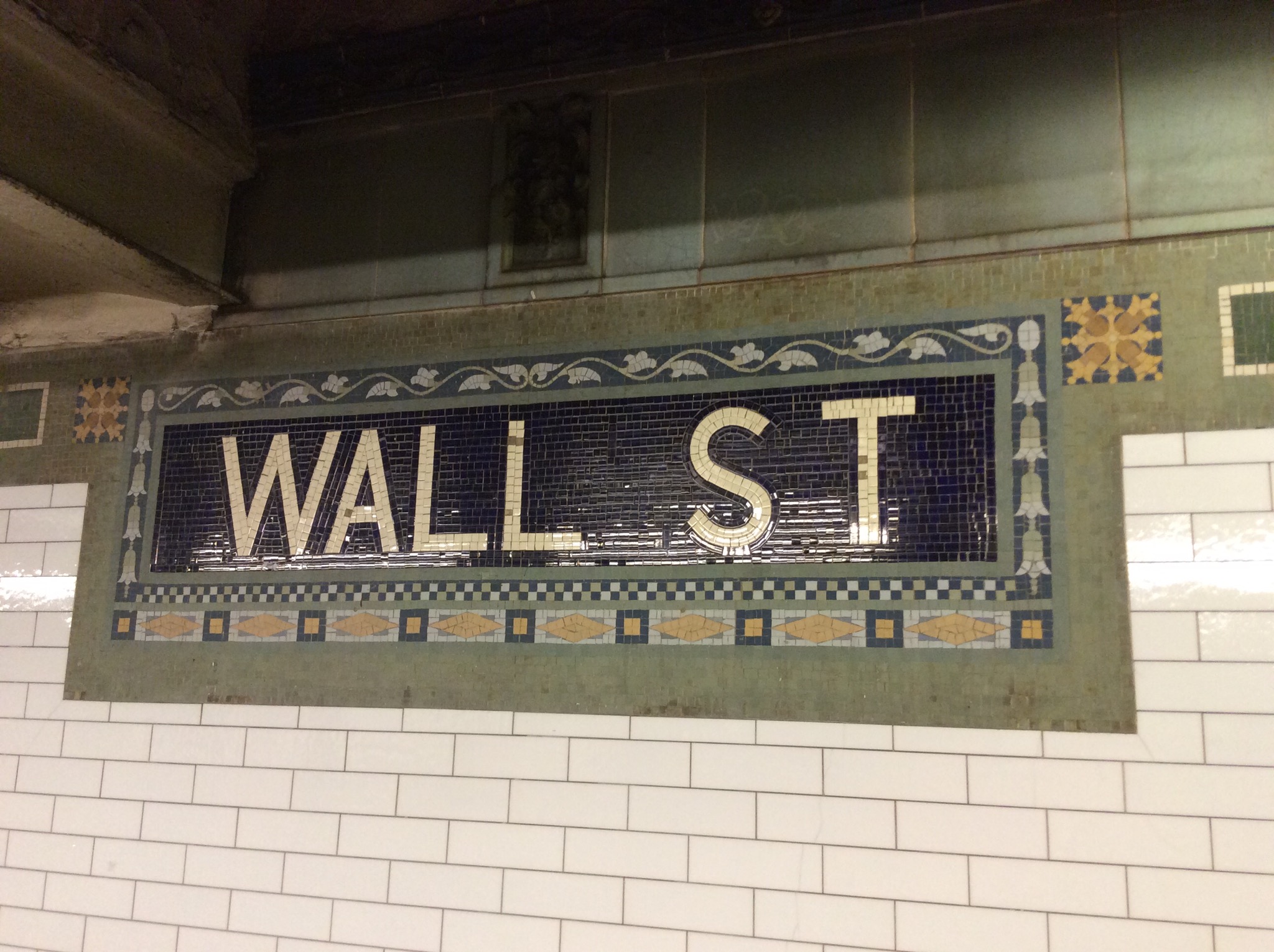
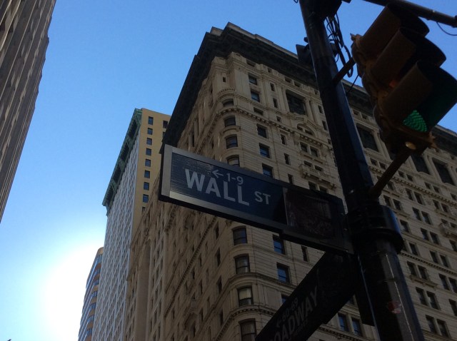
We then headed down the infamous Wall Street. Wall Street is located in lower Manhattan in the financial district of New York City. Over time, the term has become a metonym for the financial markets of the United States as a whole, the American financial sector (even if financial firms are not physically located there), or signifying New York-based financial interests.

Wall Street is the home of the New York Stock Exchange, the world’s largest stock exchange by overall average daily trading volume and by total market capitalization of its listed companies. Several other major exchanges have or had headquarters in the Wall Street area, including NASDAQ, the New York Mercantile Exchange, the New York Board of Trade, and the former American Stock Exchange. Anchored by Wall Street, New York City has been called the world’s principal financial center.
IMG_1213.JPG

IMG_1209.JPG

IMG_1207.JPG

IMG_1215.JPG

Posted in New York, USA | Leave a comment

New York City Sightseeing Day 1 – New York USA

New York greeted us with blue cloudless skies and a temperature of 31 degrees today. A perfect day for a stroll in Central Park. We caught the metro to Times Square and then a connecting train to West Central Park. There were people running, walking and biking everywhere – it was very cool.

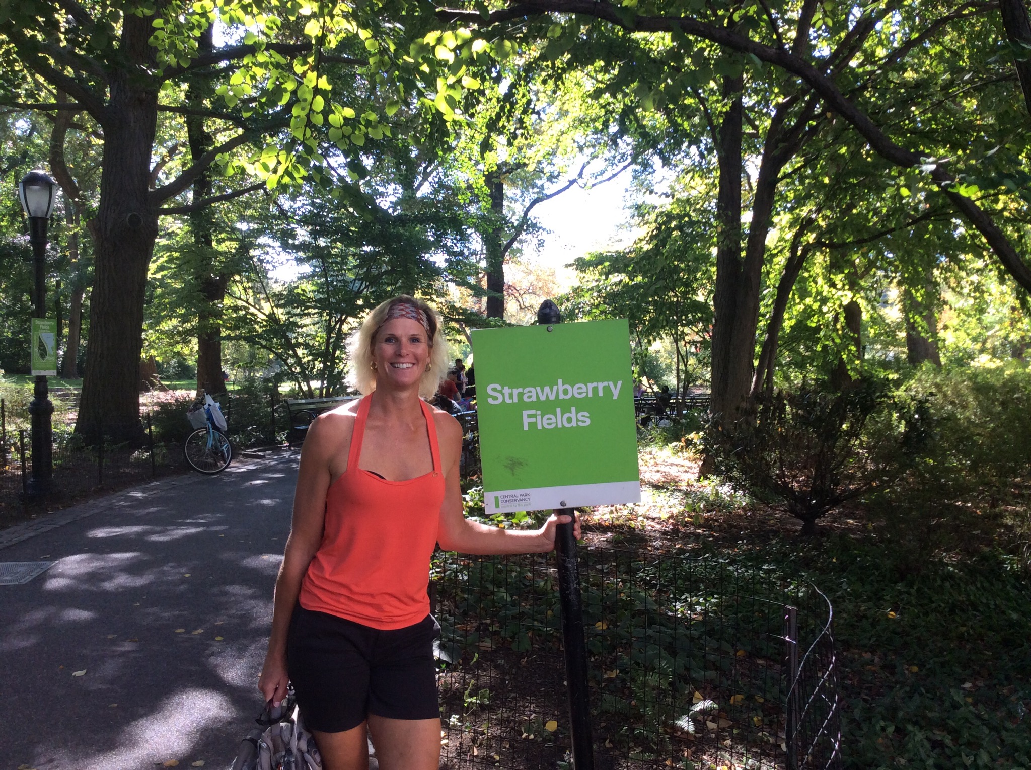
We checked out Strawberry Fields which is a 2.5 acre (10,000 m2) landscaped section in New York City’s Central Park that is dedicated to the memory of Beatles member John Lennon. It is named after the Beatles song “Strawberry Fields Forever”.

The entrance to the memorial is located on Central Park West at West 72nd Street, directly across from the Dakota Apartments, where Lennon had lived for the later part of his life, and where he was murdered in 1980.

IMG_1061.JPG

IMG_1058.JPG

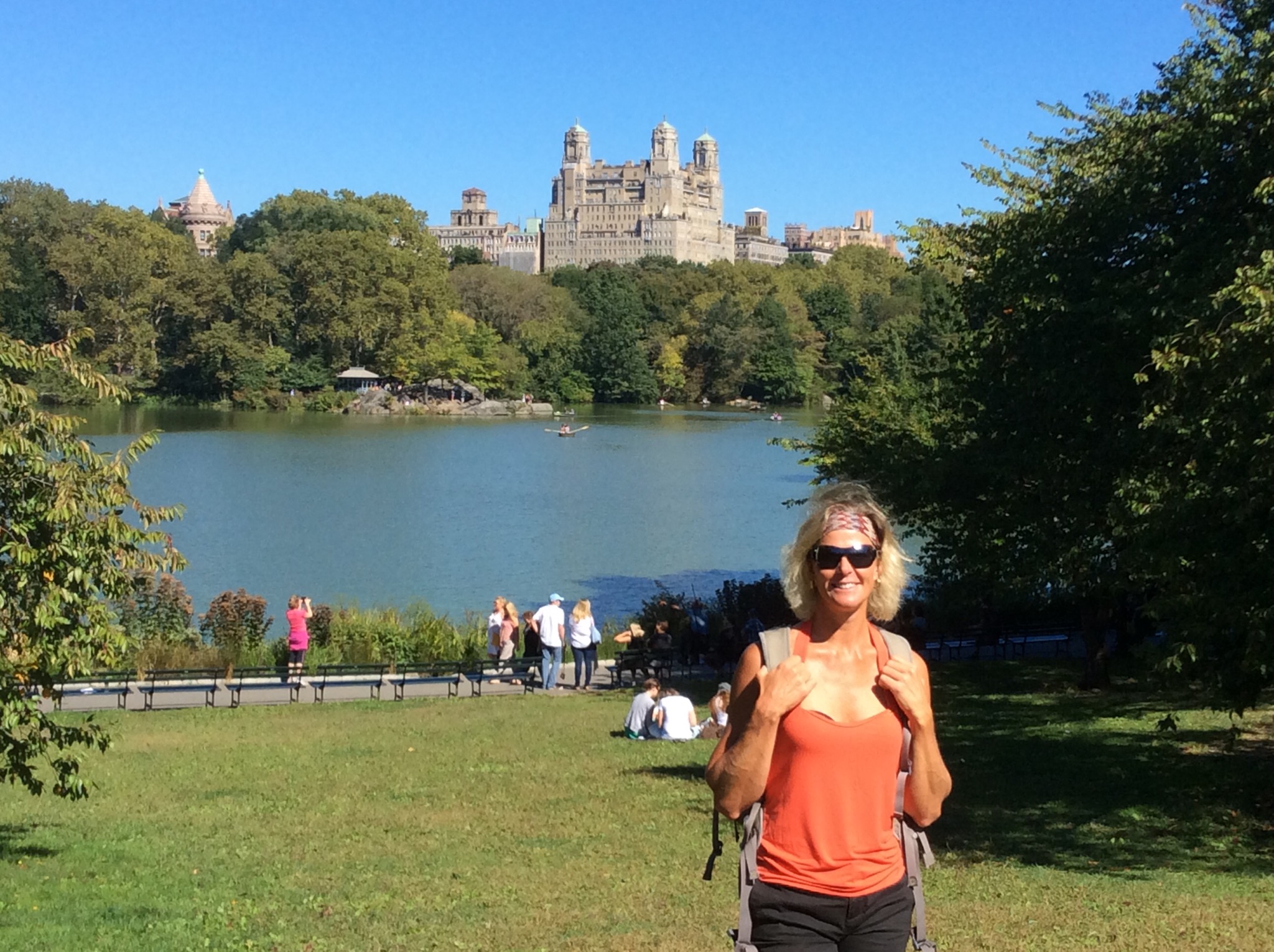
Central Park is an urban park in the central New York City borough of Manhattan. It was initially opened in 1857, on 778 acres (315 ha) of city-owned land (it is 843 acres (341 ha) today. In 1858, soon-to-be famed national landscapers and architects, Frederick Law Olmsted, (1822-1903), and Calvert Vaux, (1824-1895), won a design competition to improve and expand the park with a plan they titled the “Greensward Plan”. Construction began the same year, continued during the American Civil War further south, and was completed in 1873. Central Park is the most visited urban park in the United States.

They were setting up for a free concert in the park – Global Vision which was starring Jay-z and Beyonce. We could hear some music playing and it was loud so I don’t think us oldies would have coped actually being at the concert. We wandered across Bow Bridge which is the largest bridge in the park. We overheard someone saying it is the yes / no bridge – will she say yes or will she say no.

IMG_1065.JPG

IMG_1068.JPG

Fifth Avenue runs along the east side of Central Park so that was our next stop. Fifth Avenue is a major thoroughfare in the center of the borough of Manhattan in New York City, United States. The section of Fifth Avenue that crosses Midtown Manhattan, especially that between 49th Street and 60th Street, is lined with prestigious shops and is consistently ranked among the most expensive shopping streets in the world. In 2008, Forbes magazine ranked Fifth Avenue as being the most expensive street in the world. Some of the most coveted real estate on Fifth Avenue are the penthouses perched atop the buildings.

IMG_1077.JPG

On our travels we saw the Rockefeller Centre – not that we knew it was the Rockefeller Centre at the time – it was only after going through my photos that I saw my system had named the photo I took of this impressive building as The Rockefeller Centre. Such novices!

IMG_1079.JPG

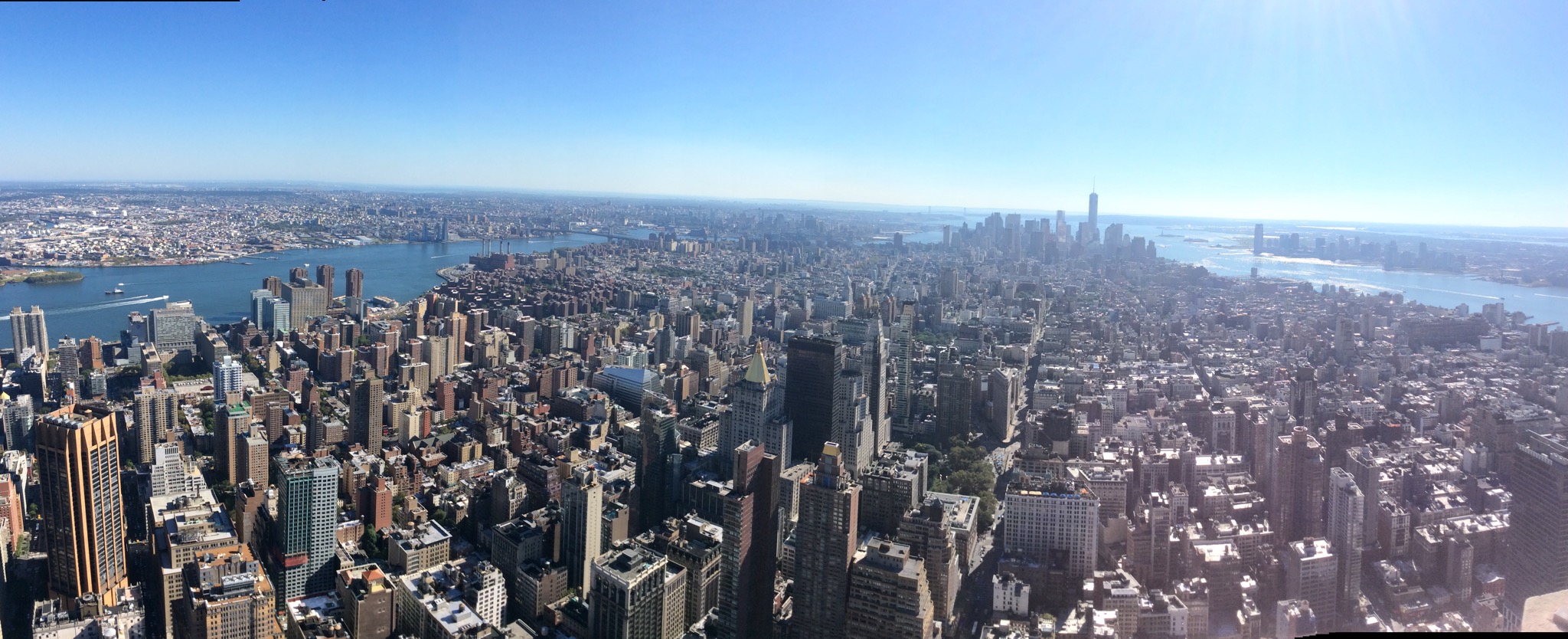
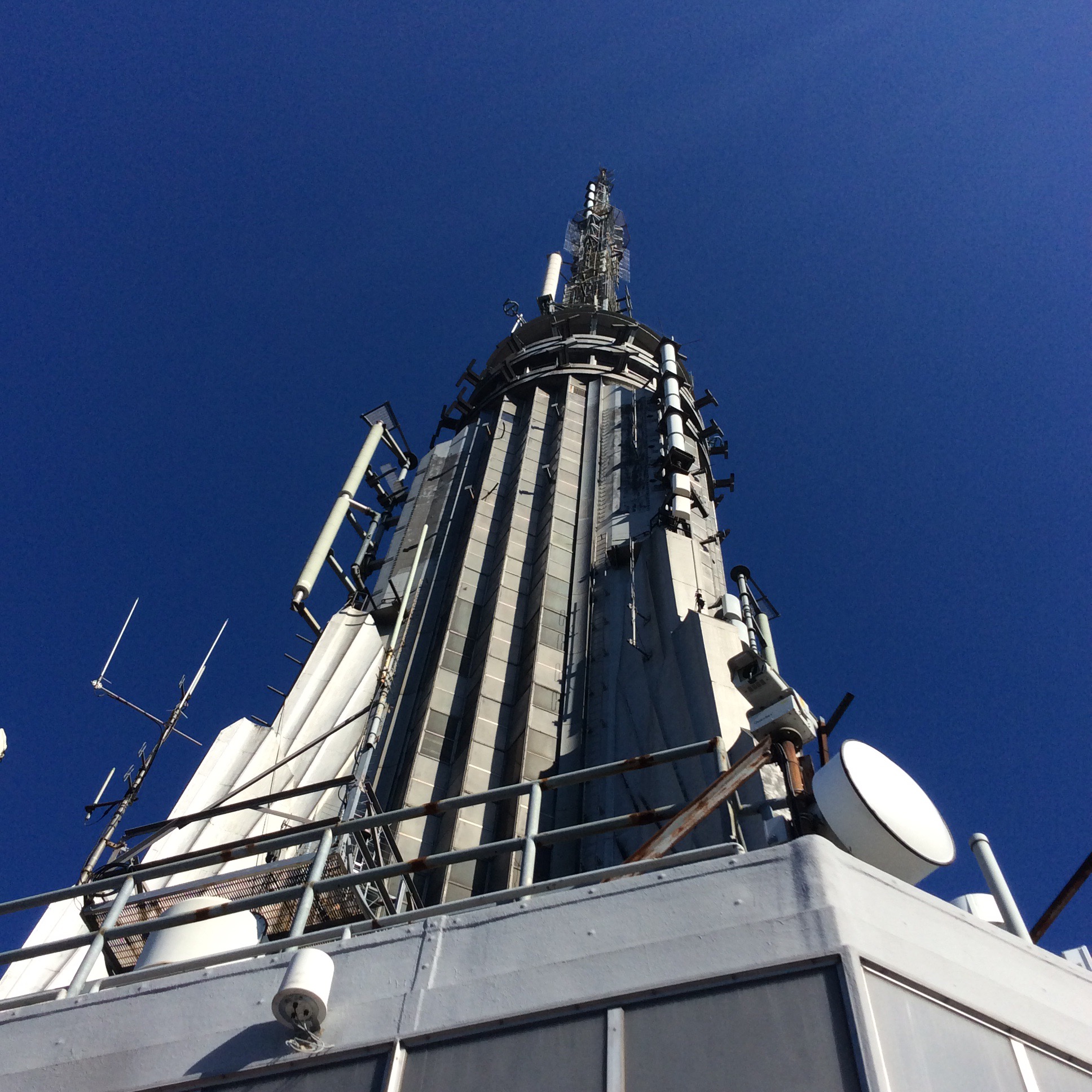
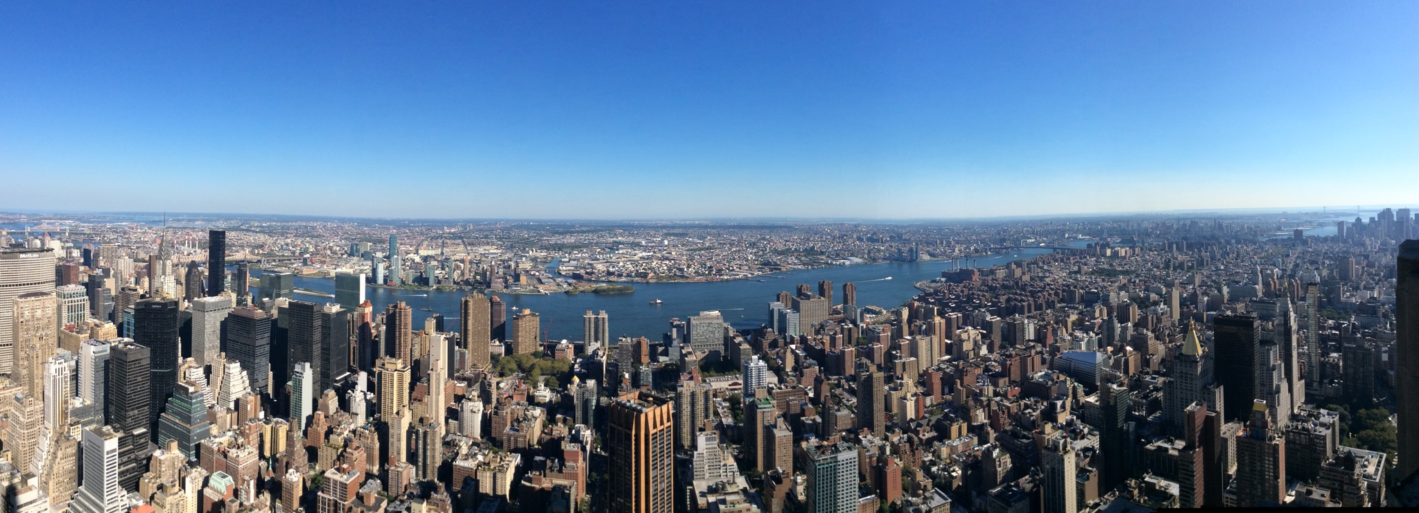
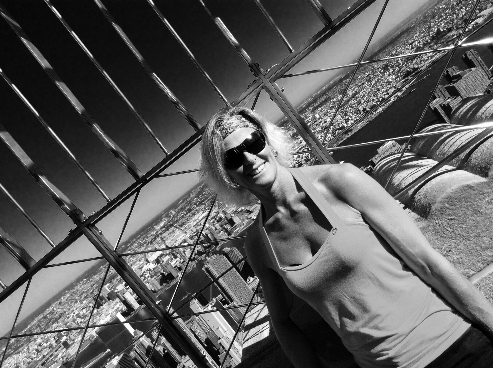
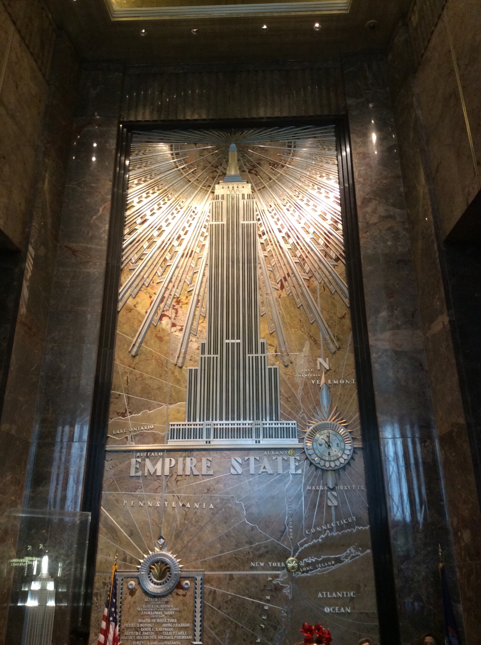
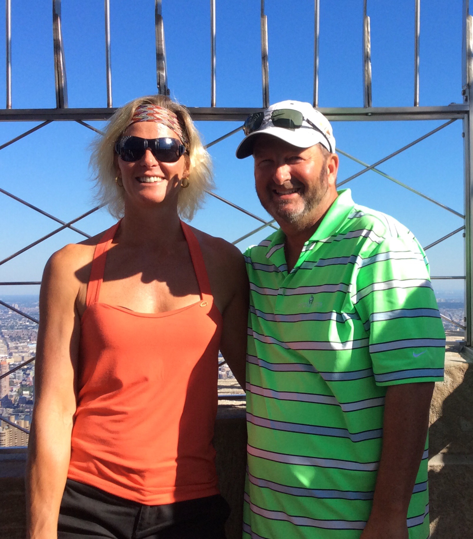
After a bite of lunch we headed for the Empire State Building – it was such a perfect day so we could see for miles. Such an impressive structure given it was completed in 1931. Being that high up and being able to see New York city in all it’s glory really put how huge the city is in perspective. We got a whole new appreciation for the place. We also got some great photos.

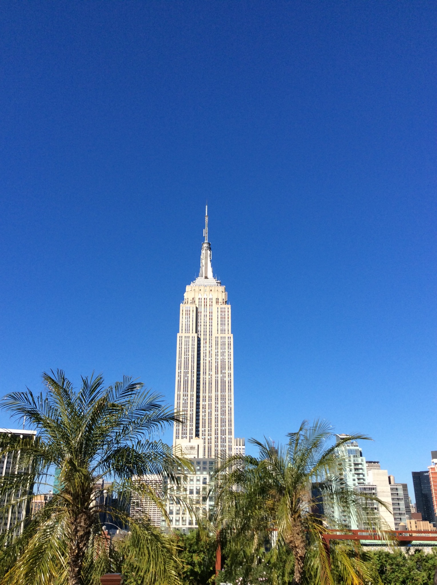
The Empire State Building is a 103-story skyscraper located in Midtown Manhattan, at the intersection of Fifth Avenue and West 34th Street. It has a roof height of 1,250 feet (380 m), and with its antenna spire included, it stands a total of 1,454 feet (443 m) high. Its name is derived from the nickname for New York, the Empire State. It stood as the world’s tallest building for nearly 40 years, from its completion in early 1931 until the topping out of the original World Trade Center’s North Tower in late 1970. Following the September 11 attacks in 2001, the Empire State Building was again the tallest building in New York (although it was no longer the tallest in the US or the world), until One World Trade Center reached a greater height on April 30, 2012. The Empire State Building is currently the fourth-tallest completed skyscraper in the United States (after the One World Trade Center, the Willis Tower and Trump International Hotel and Tower, both in Chicago), and the 23rd-tallest in the world (the tallest now is Burj Khalifa, located in Dubai). It is also the fifth-tallest freestanding structure in the Americas.

The building is owned by the Empire State Realty Trust, for which Anthony Malkin serves as Chairman, CEO and President. In 2010, the Empire State Building underwent a $550 million renovation, with $120 million spent to transform the building into a more energy efficient and eco-friendly structure. Receiving a gold Leadership in Energy and Environmental Design (LEED) rating in September 2011, the Empire State Building is the tallest LEED certified building in the United States.

IMG_1080.JPG

IMG_1082.JPG

IMG_1101.JPG

IMG_1102.JPG

IMG_1116.JPG

IMG_1121.JPG

IMG_1123.JPG

IMG_1126.JPG

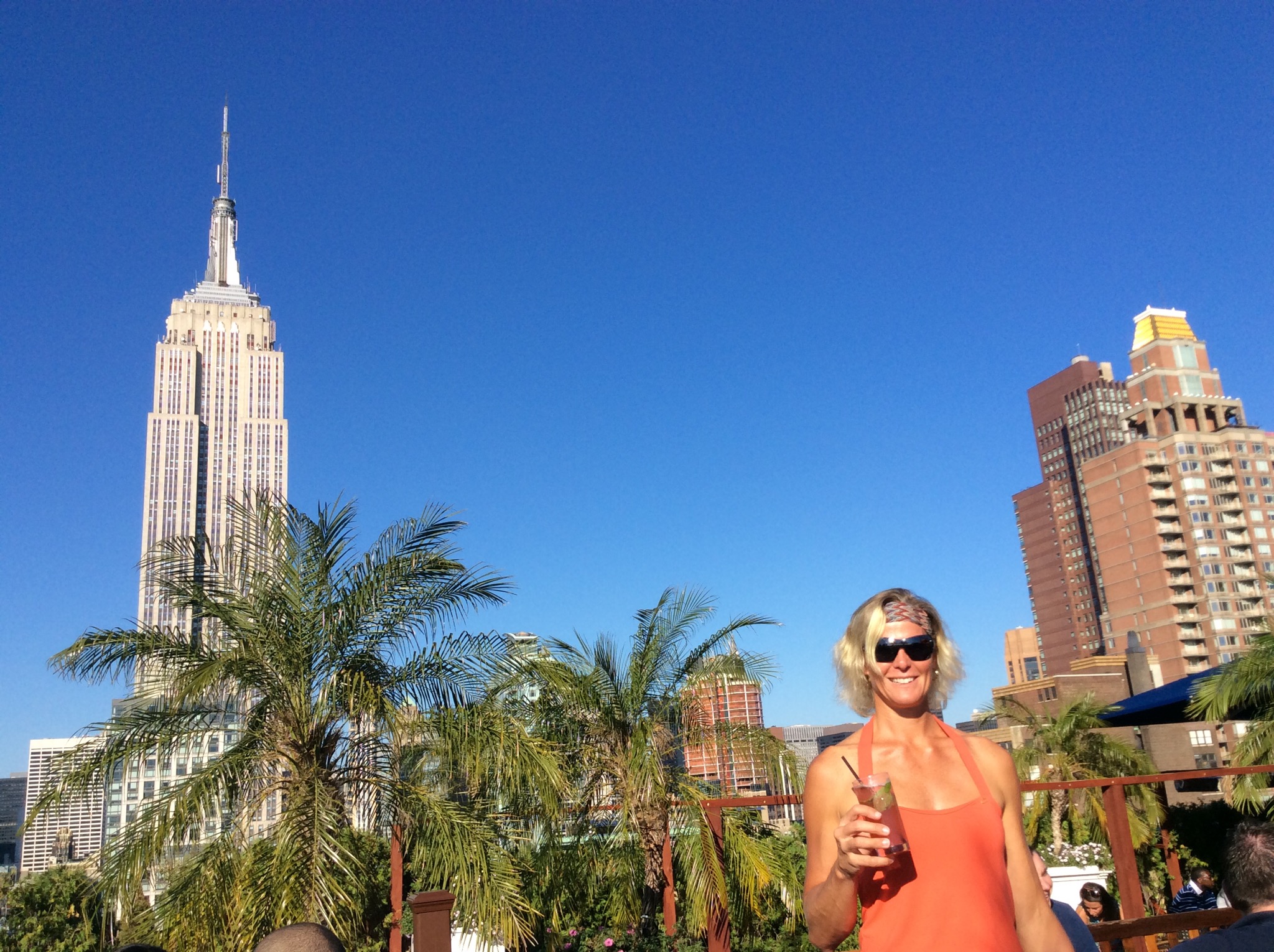
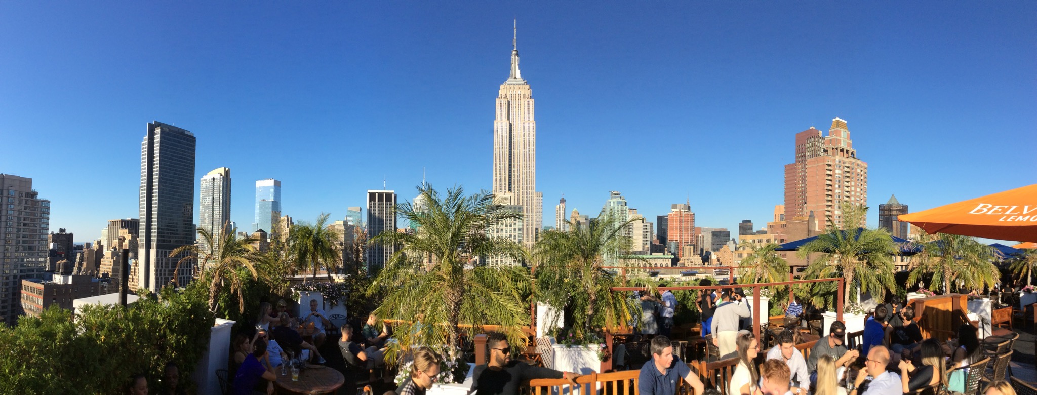
After all that sightseeing we were in need of some liquid refreshment. We wandered down Fifth Avenue and saw a sign for a roof top bar – 230 on Fifth. Given that it was the most stunning afternoon we thought that sounded perfect. Steve enjoyed a couple of 34oz glasses of Becks and I enjoyed a Raspberry Mojito. It was a very popular spot as you can imagine so we were happy to get a spot looking up at the Empire State Building.

IMG_1128.JPG

IMG_1130.JPG

IMG_1133.JPG

IMG_1134.JPG

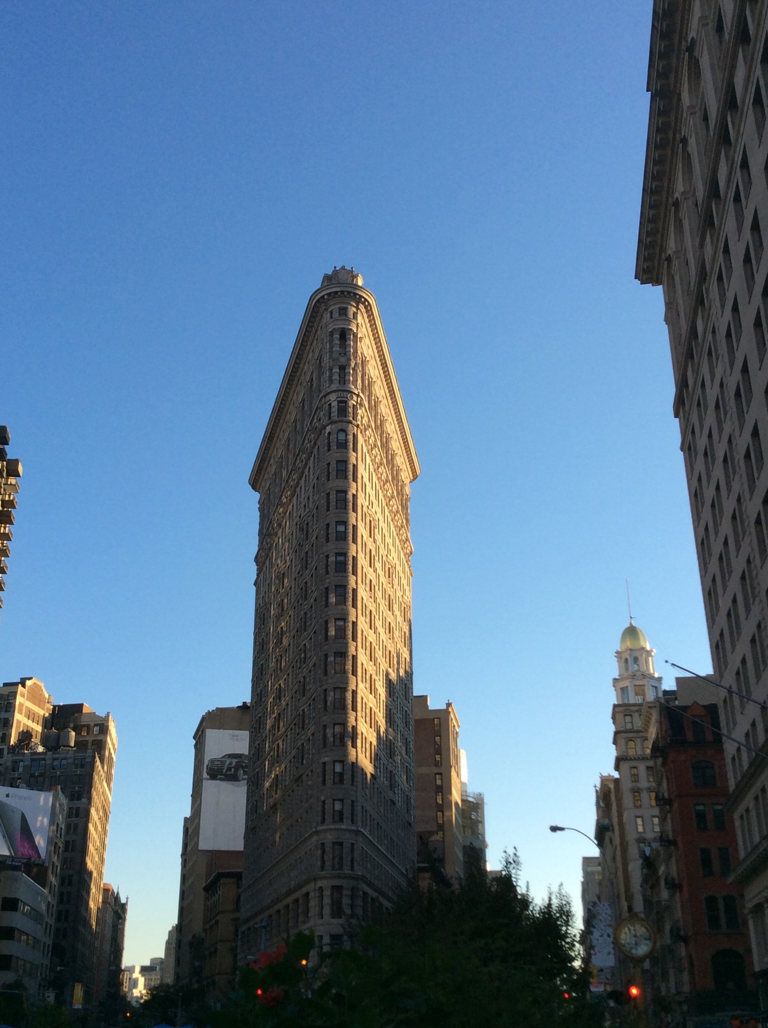
We headed to Madison Square to catch the subway back to the hotel. We came across the Flatiron building, which has been called “One of the world’s most iconic skyscrapers, and a quintessential symbol of New York City”. It anchors the south (downtown) end of Madison Square and the north (uptown) end of the Ladies’ Mile Historic District. The neighborhood around it is called the Flatiron District after it’s signature building.

IMG_1136.JPG

Posted in New York, USA | 1 Comment

Buildings in Washington D.C. – District of Columbia, USA

The District of Columbia was created to serve as the permanent national capital in 1790. Within the District, a new capital city was founded in 1791 to the east of a preexisting settlement at Georgetown. The original street layout in the new City of Washington was designed by Pierre (Peter) Charles L’Enfant.

It is set up in a grid like fashion with diagonal streets creating diamond shapes. The letter named streets run east to west and the numbered streets run north to south. The avenues are named after every State in the USA apart from California and Ohio – these are streets in the city. There are a lot of parks in the city and they say that 90% of Washingtonians can walk out their front doors and be in a park within 10 minutes.

Important to note, there is no J Street in any quadrant. This is because, until the mid-nineteenth century, the letters “I” and “J” were indistinguishable when written. Urban legend had said that J Street was omitted deliberately by L’Enfant due to a dispute with John Jay, the first Chief Justice of the United States Supreme Court; however, this was later proven to be a myth.

K Street is where all the notable law firms and lobbyists are. Apparently being referred to as a K Road lawyer is not a compliment.

After seeing images of some of the buildings in Washington D.C. on TV in the news and on TV programs it was cool to see some of them in the flesh.

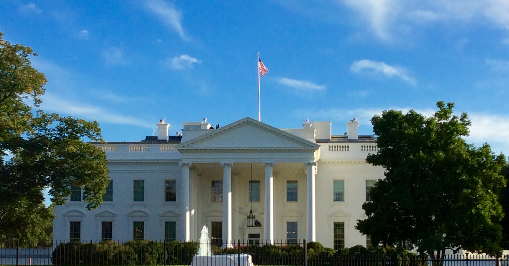
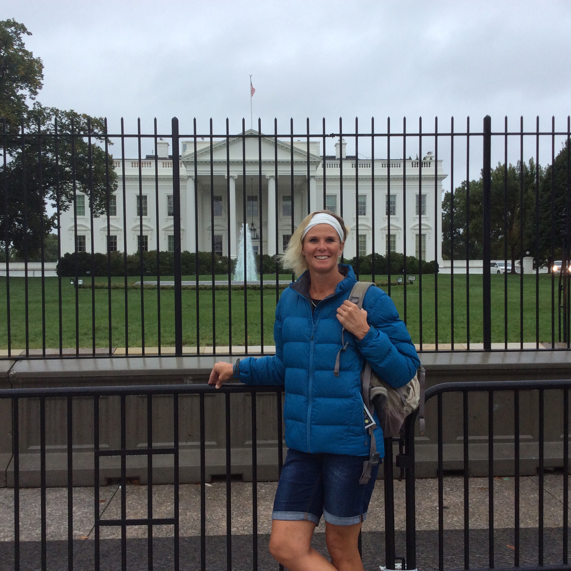
The White House is the official residence and principal workplace of the President of the United States, located at 1,600 Pennsylvania Avenue NW in Washington, D.C. It has been the residence of every U.S. president since John Adams in 1800.

Today, the White House Complex includes the Executive Residence, West Wing, East Wing, the Eisenhower Executive Office Building—the former State Department, which now houses offices for the President’s staff and the Vice President—and Blair House, a guest residence.

The Executive Residence is made up of six stories—the Ground Floor, State Floor, Second Floor, and Third Floor, as well as a two-story basement. The term White House is often used as a metonym for the Executive Office of the President of the United States and for the president’s administration and advisers in general, as in “The White House has decided that….”. The property is a National Heritage Site owned by the National Park Service and is part of the President’s Park. In 2007, it was ranked second on the American Institute of Architects list of “America’s Favorite Architecture”.

IMG_0928.JPG

IMG_0982.JPG

IMG_1015.JPG

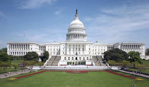
The United States Capitol, atop Capitol Hill at the eastern end of the National Mall in Washington, D.C., is the seat of the United States Congress, the legislative branch of the U.S. federal government, completed in the year 1800. Though not at the geographic center of the Federal District, the Capitol is the origin point at which the District’s four quadrants meet, and around which the city was laid out.

The Capitol hosts the presidential inauguration every four years. The Capitol Hill grounds consist of 274 acres.

IMG_1040.JPG

The Supreme Court Building is the seat of the Supreme Court of the United States. Completed in 1935, it is situated in Washington, D.C. at 1 First Street, NE, on the block immediately east of the United States Capitol.

The primary role of the US Supreme Court is interpreting the Constitution. In summary this includes settling disputes between States, hear appeals from State & Federal Courts and determine the constitutionality of federal laws.

The inscription on the buildings says “Equal Justice Under Law”

IMG_0941.JPG

The Library of Congress is the research library that officially serves the United States Congress, but which is the de facto national library of the United States. The collections of the Library of Congress include more than 32 million cataloged books and other print materials in 470 languages.

The Library of Congress is physically housed in three buildings on Capitol Hill and a conservation center in rural Virginia. The Library’s Capitol Hill buildings are all connected by underground passageways, so that a library user need pass through security only once in a single visit.

The picture below is the Thomas Jefferson Building and is the main library building. The other two buildings are the John Adams Building and the James Madison Memorial Building.

IMG_0942.JPG

The Department of the Treasury is an executive department and the treasury of the United States federal government. It was established by an Act of Congress in 1789 to manage government revenue. The Department is administered by the Secretary of the Treasury, who is a member of the Cabinet.

The Treasury Building was built between 1836 and 1869 and sits next door to The White House.

IMG_1018.JPG

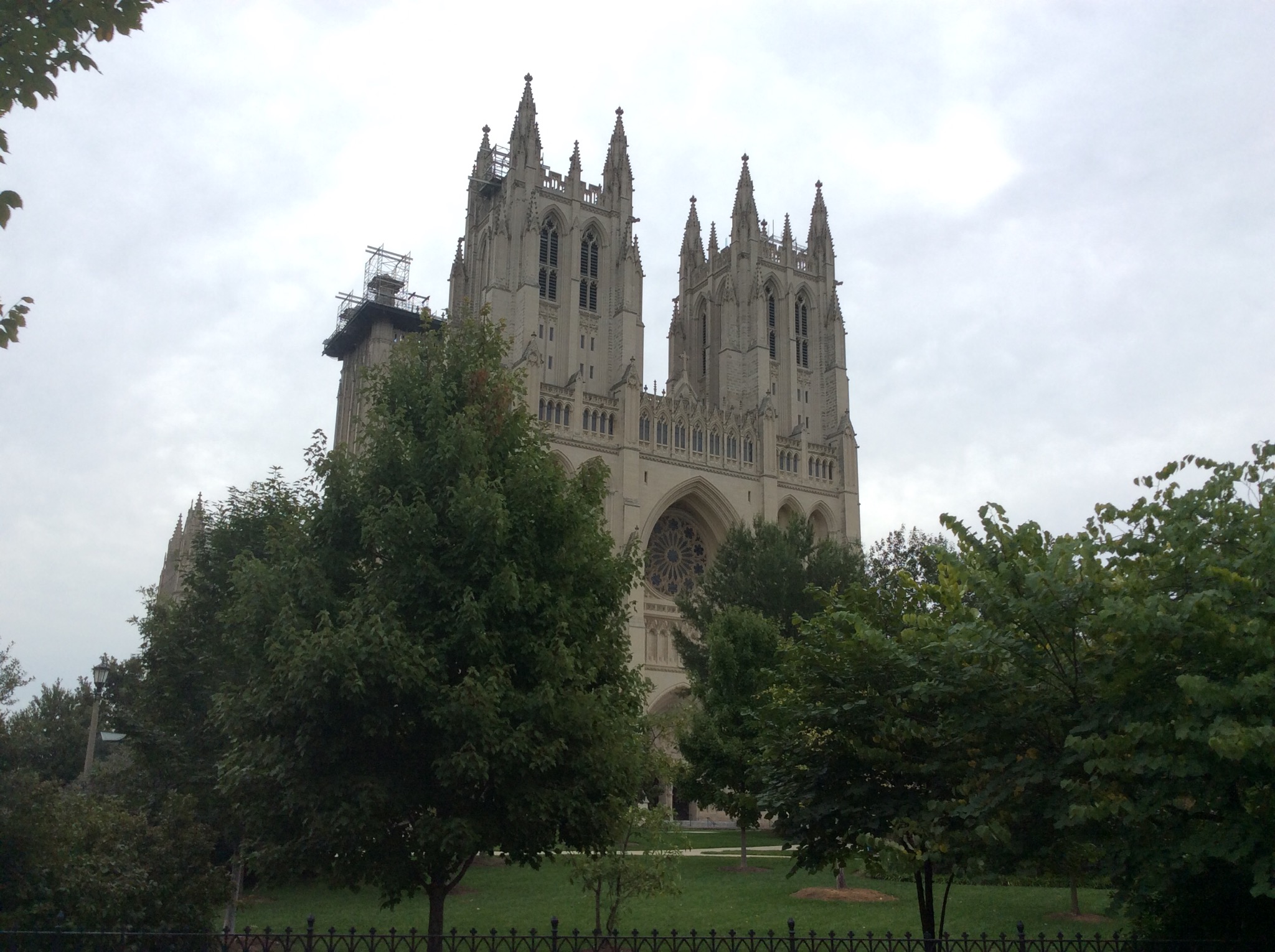
The Cathedral Church of Saint Peter and Saint Paul in the City and Diocese of Washington, operated under the more familiar name of Washington National Cathedral, is a cathedral of the Episcopal Church it is the sixth-largest cathedral in the world, the second-largest in the United States, and the highest as well as the fourth-tallest structure in Washington, D.C.

The Protestant Episcopal Cathedral Foundation, under the first seven Bishops of Washington, erected the cathedral under a charter passed by the United States Congress on January 6, 1893. Construction began on September 29, 1907, when the foundation stone was laid in the presence of President Theodore Roosevelt and a crowd of more than 20,000, and ended 83 years later when the “final finial” was placed in the presence of President George H. W. Bush in 1990. Congress has designated the Washington National Cathedral as the “National House of Prayer”.

IMG_0936.JPG

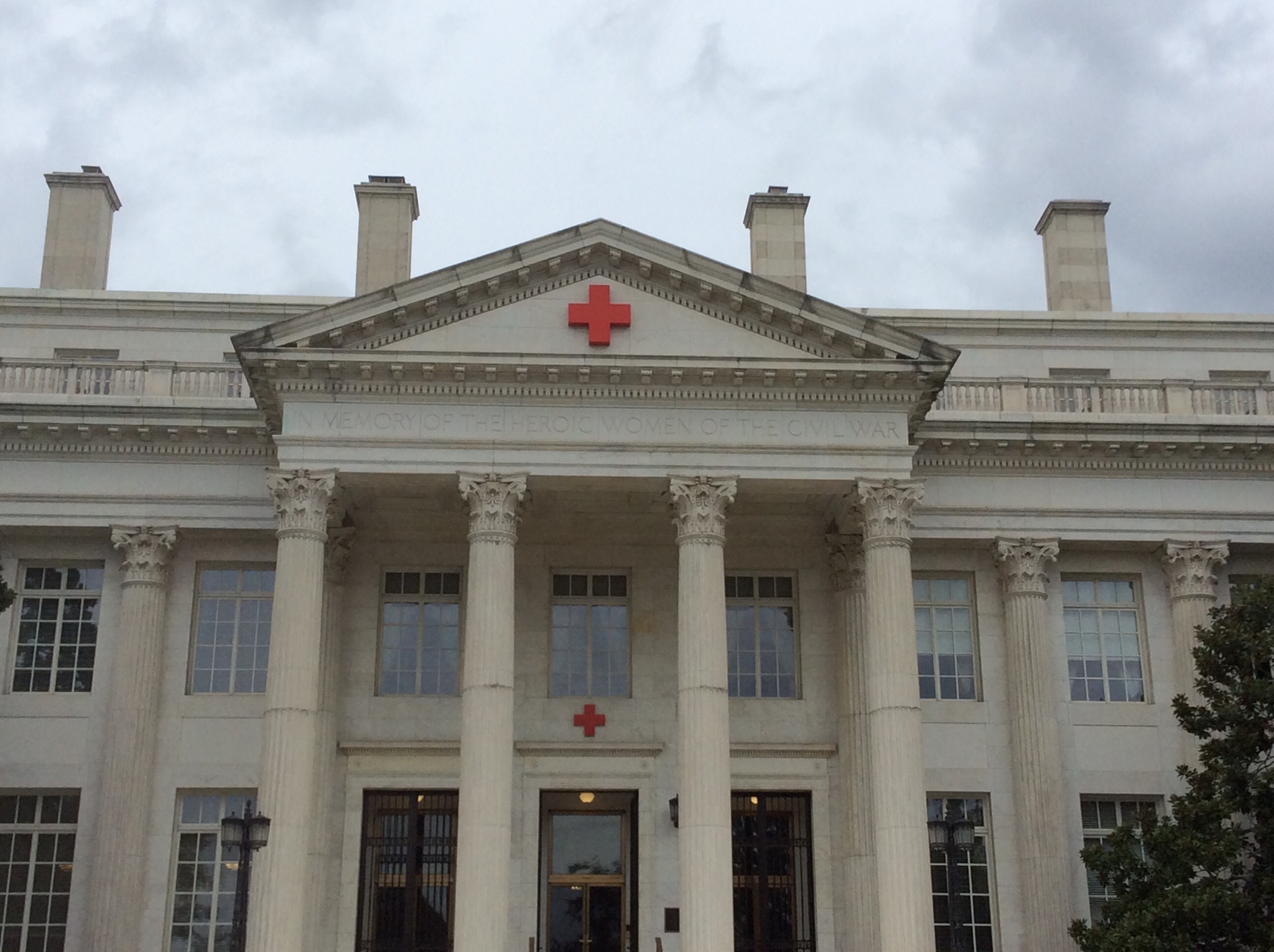
The American Red Cross National Headquarters was constructed between 1915 and 1917. It serves both as a memorial to women who served in the American Civil War and as the headquarters building for the American Red Cross.

It was declared a National Historic Landmark in 1965.

IMG_0984.JPG

We took a ride down Embassy Row. Embassy Row is the informal name for the section of Massachusetts Avenue, N.W. between Scott Circle and the North side of the United States Naval Observatory, in which embassies, diplomatic missions, and other diplomatic representations are concentrated. Washington, DC boasts more than 175 foreign embassies, residences, chanceries, and diplomatic missions. An embassy is the official mission through which one country conducts their foreign affairs in another country.

We also took a drive through Georgetown. Georgetown is a historic neighborhood, commercial, and entertainment district located in northwest Washington, D.C., situated along the Potomac River. Founded in 1751 in the state of Maryland, the port of Georgetown predated the establishment of the federal district and the City of Washington by 40 years. It is an expensive neighbourhood to live in. It is also the home of the George Washington University.

The land rates used to be levied on the road frontage of your property so we saw some pretty narrow houses one of which was only 2.8 metres wide. They also have preservation laws in place to ensure Georgetown maintains it’s historic feel – there is a saying “what you see will always be”.

Posted in District of Columbia, USA | Leave a comment

Museums in Washington D.C. – District of Columbia, USA

The Smithsonian is 19 world-class museums and a zoo—plus 9 research centers. These museums and the zoo are free to enter which is fantastic. They are so well run and staffed with very helpful people willing to impart their knowledge – they are definitely assisting with the increase and diffusion of knowledge.

British scientist James Smithson (d. 1829) left most of his wealth to his nephew Henry James Hungerford; however, when Hungerford died childless in 1835, the estate passed “to the United States of America, to found at Washington, under the name of the Smithsonian Institution, an Establishment for the increase & diffusion of knowledge among men.”, in accordance with Smithson’s will. Congress officially accepted the legacy bequeathed to the nation, and pledged the faith of the United States to the charitable trust on July 1, 1836. The American diplomat Richard Rush was dispatched to England by President Andrew Jackson to collect the bequest; Rush returned in August 1838 with 105 sacks containing 104,960 gold sovereigns (about $500,000 at the time).

Once the money was in hand, eight years of Congressional haggling ensued over how to interpret Smithson’s rather vague mandate “for the increase and diffusion of knowledge.” Unfortunately the money was invested by the US Treasury in bonds issued by the state of Arkansas which soon defaulted. After heated debate, Massachusetts Representative (and ex-President) John Quincy Adams persuaded Congress to restore the lost funds with interest and, despite designs on the money for other purposes, convinced his colleagues to preserve it for an institution of science and learning. Finally, on August 10, 1846, President James K. Polk signed the legislation that established the Smithsonian Institution as a trust instrumentality of the United States, to be administered by a Board of Regents and a Secretary of the Smithsonian.

We decided to go and check out the National Museum of American History which preserves about 3 million pieces.

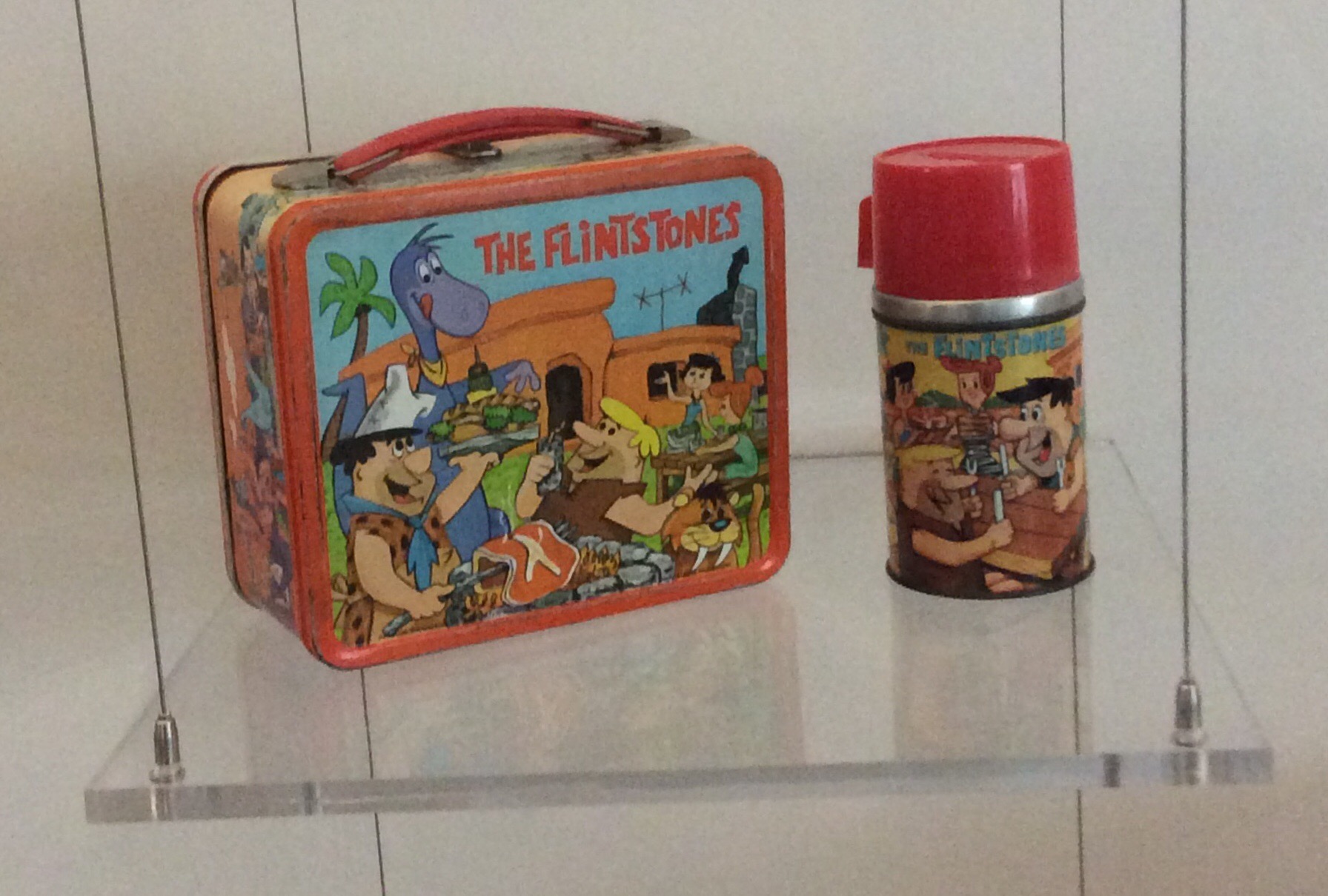
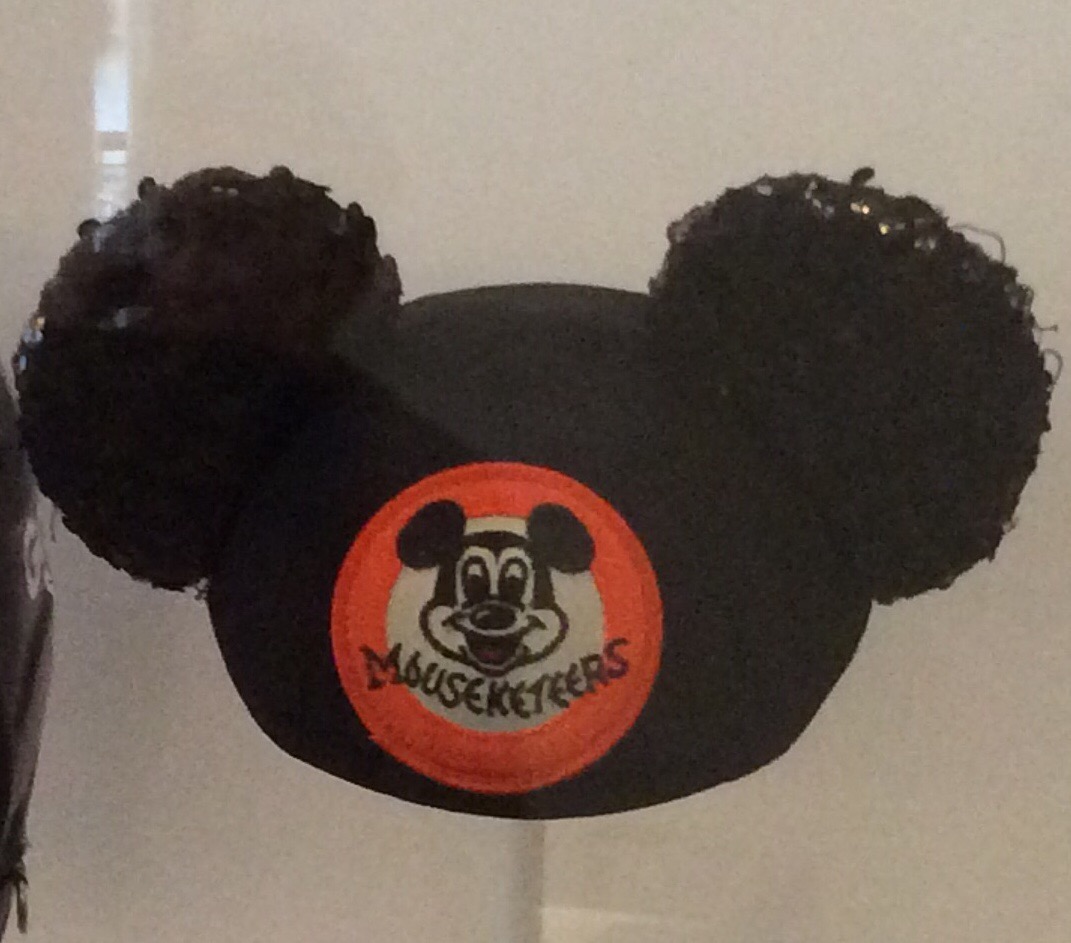
These bought back memories of the shows I used to watch when I was at primary school and just between you and me I wouldn’t say no to an episode of The Flintstones these days either. WILMAAAAA….

IMG_1020.JPG

IMG_1021.JPG

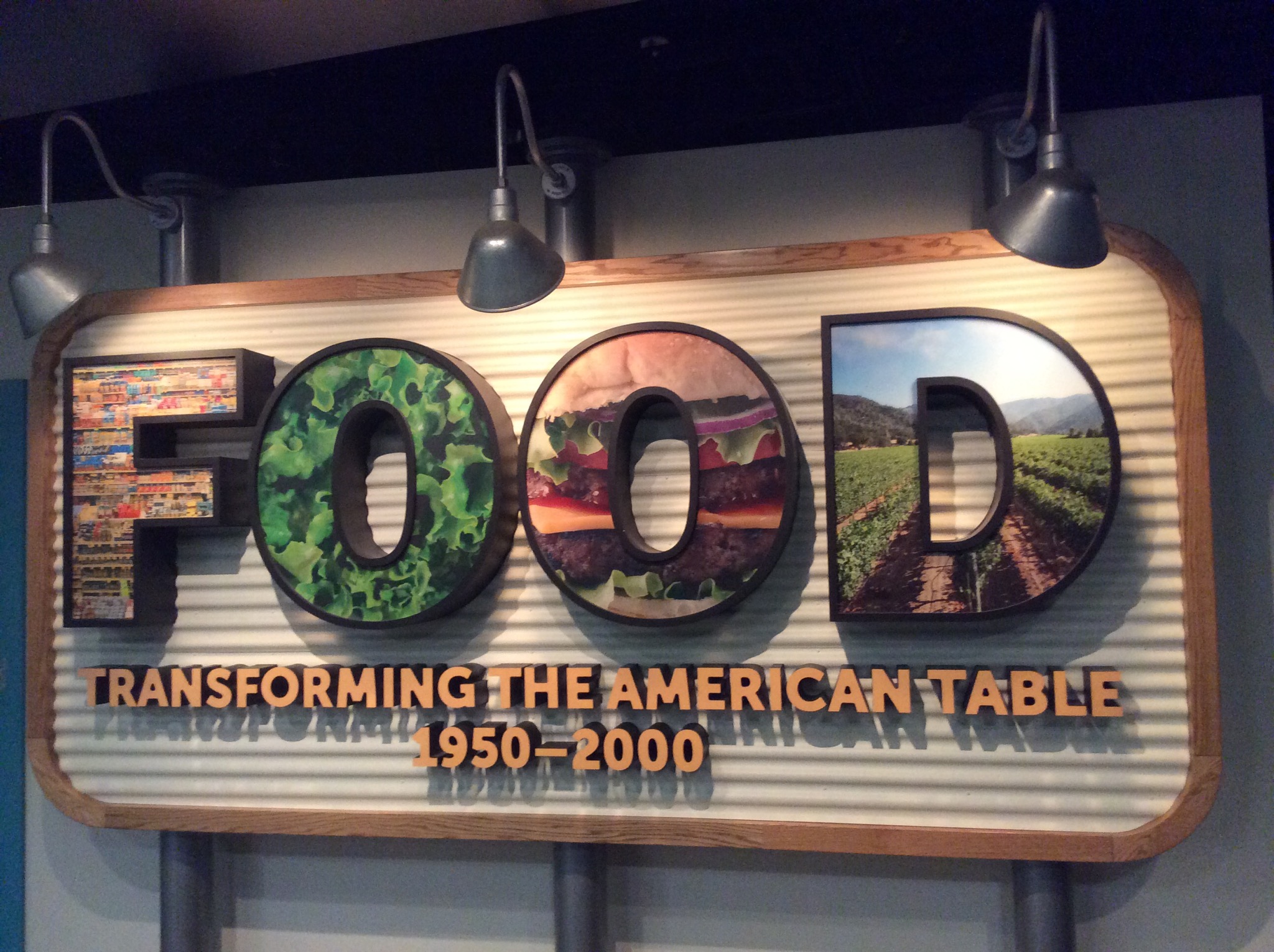
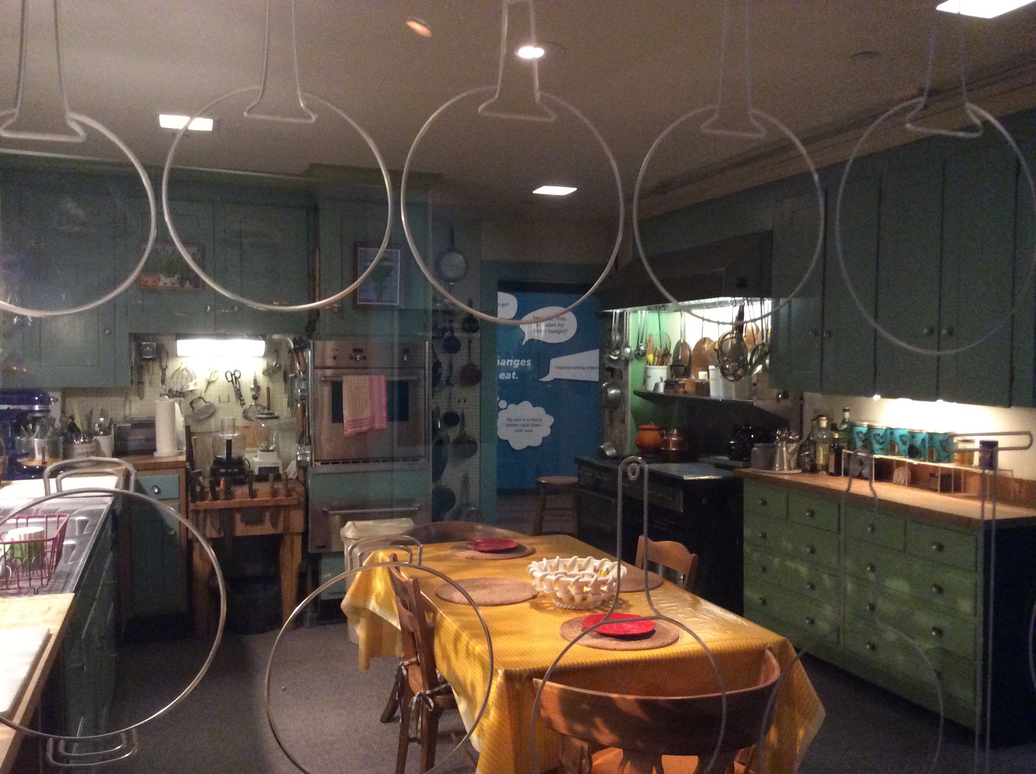
They had an exhibition of Food – Transforming the American Table which mainly showcased production methods etc… My thoughts when I read the sign were more about the amount of fast food places not only in the USA but the world over and the damage they are doing to the population. On a more positive note Julia Childs featured in the exhibition and they had her kitchen set up.

IMG_1023.JPG

IMG_1022.JPG

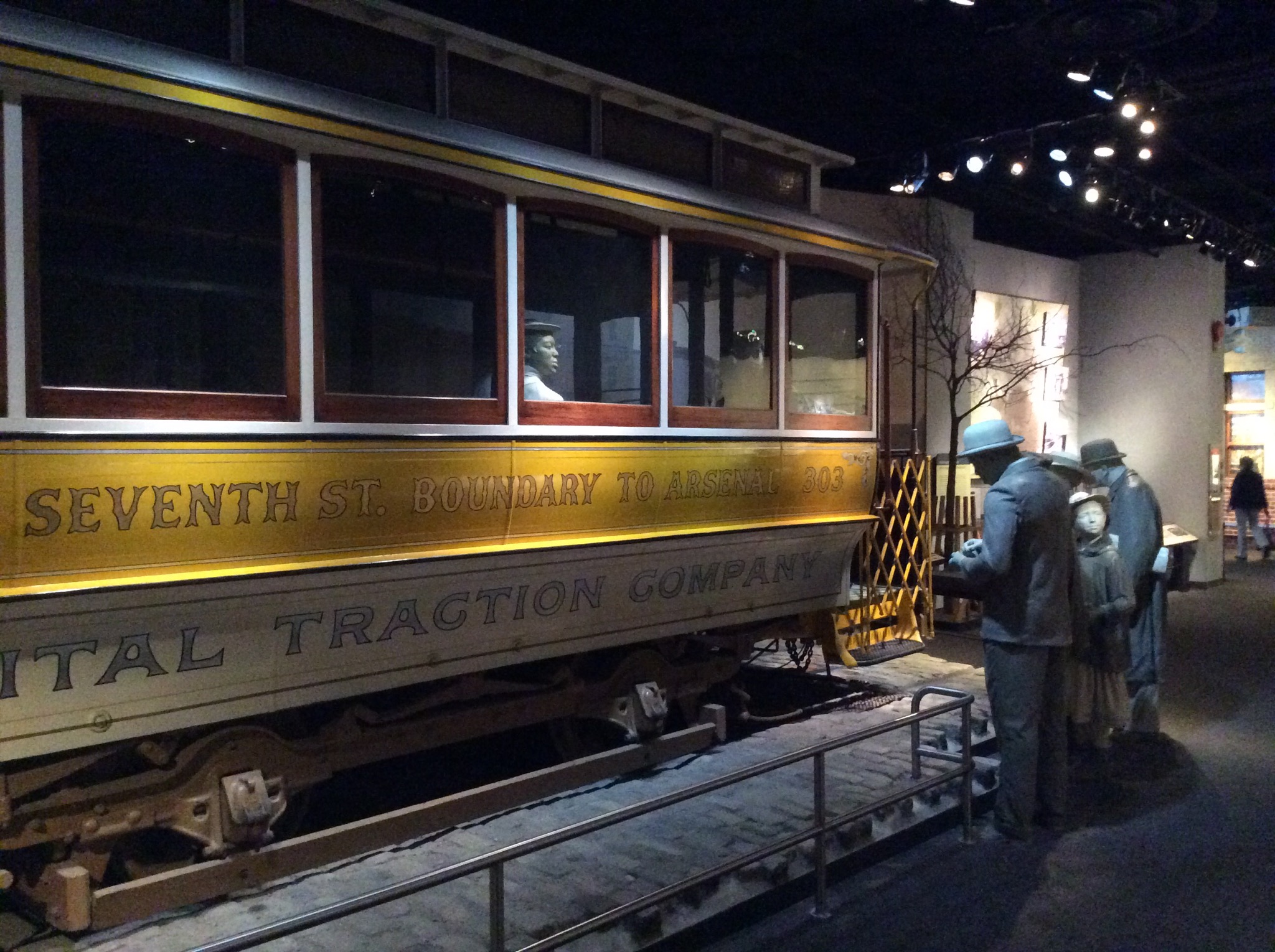
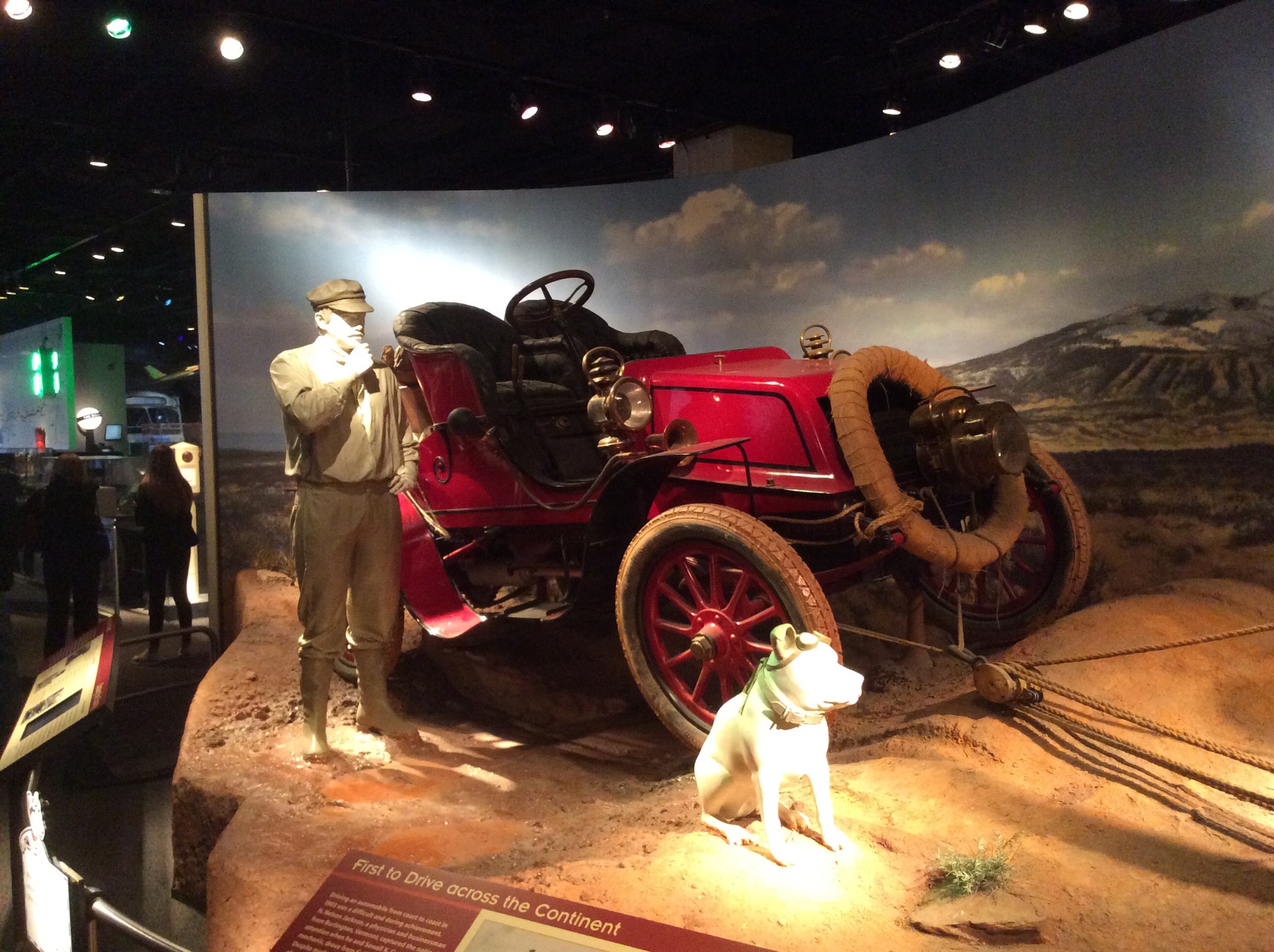
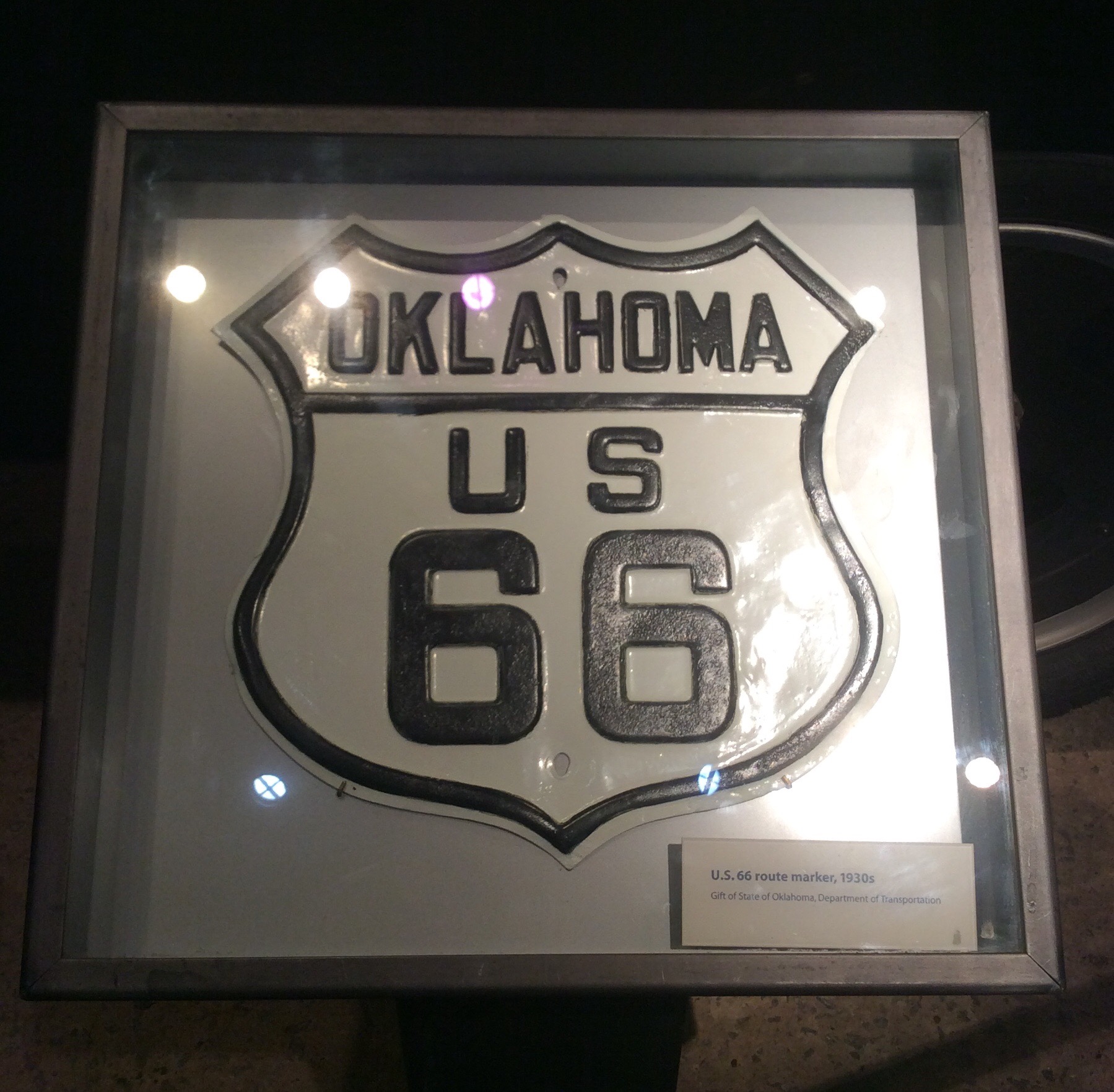
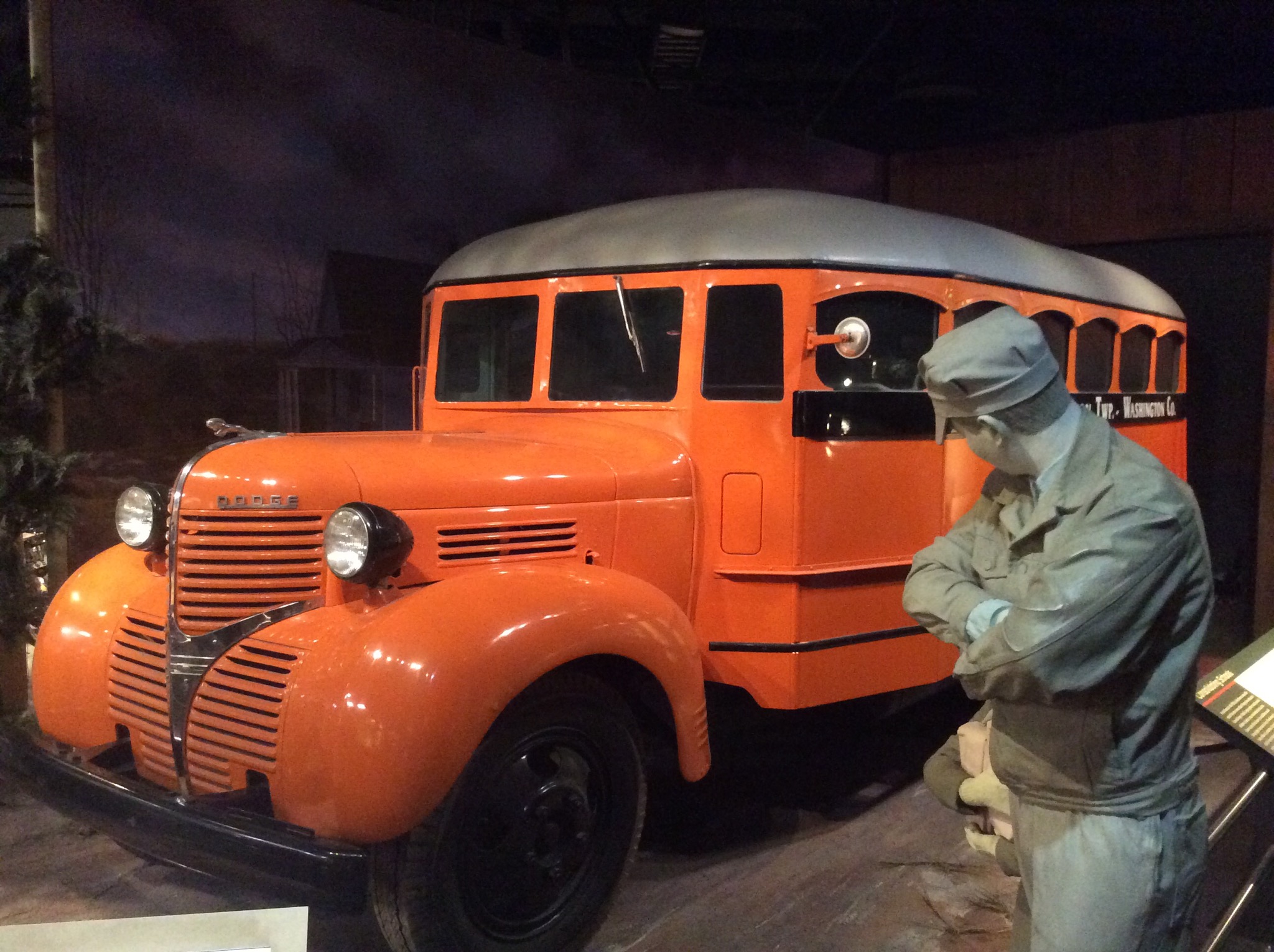
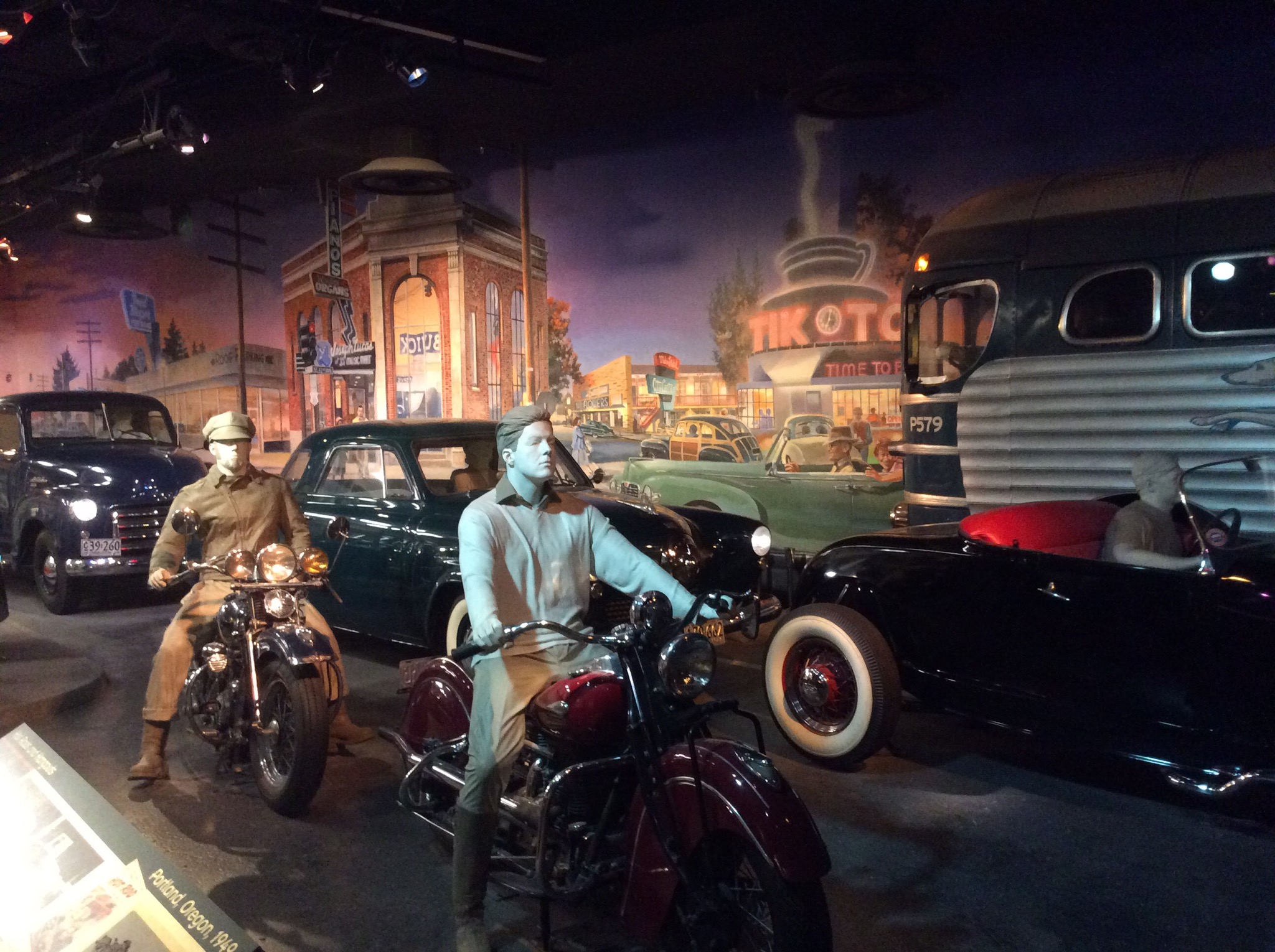
I thought the transport exhibition was really well done and again it was quite cool to see all these methods of transport which again we’ve only ever seen on TV in old movies and TV shows.

IMG_1025.JPG

IMG_1026.JPG

IMG_1027.JPG

IMG_1028.JPG

IMG_1029.JPG

IMG_1030.JPG

IMG_1033.JPG

The other thing we have noticed over here is all the coins you accumulate – they really are behind the times when it comes to getting rid of the smaller
coins. Apparently it costs more than a penny to produce a penny!

IMG_1032.JPG

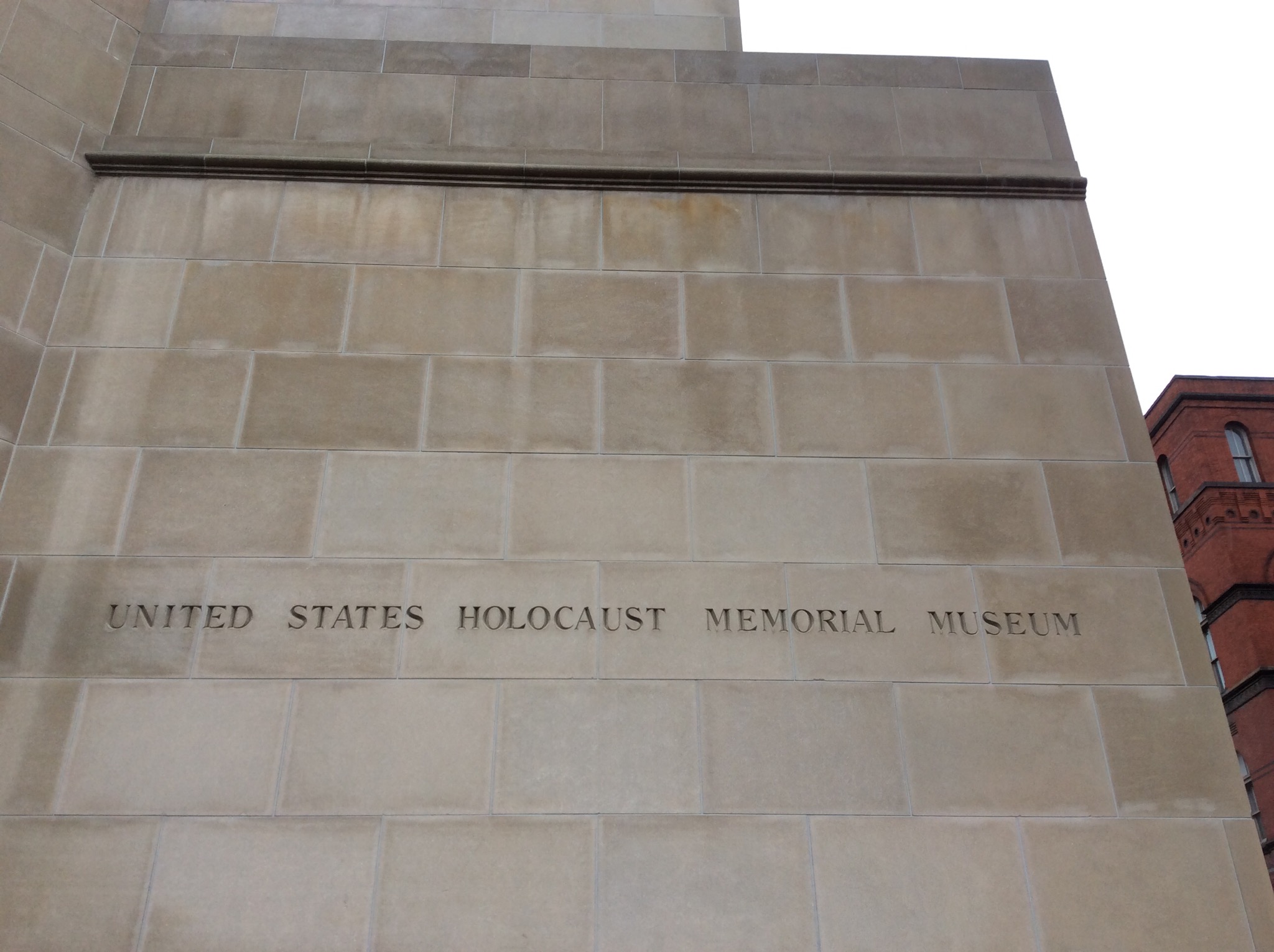
We also went through the United States Holocaust Memorial Museum (USHMM) which is the United States’ official memorial to the Holocaust. The USHMM provides for the documentation, study, and interpretation of Holocaust history. It is dedicated to helping leaders and citizens of the world confront hatred, prevent genocide, promote human dignity, and strengthen democracy.

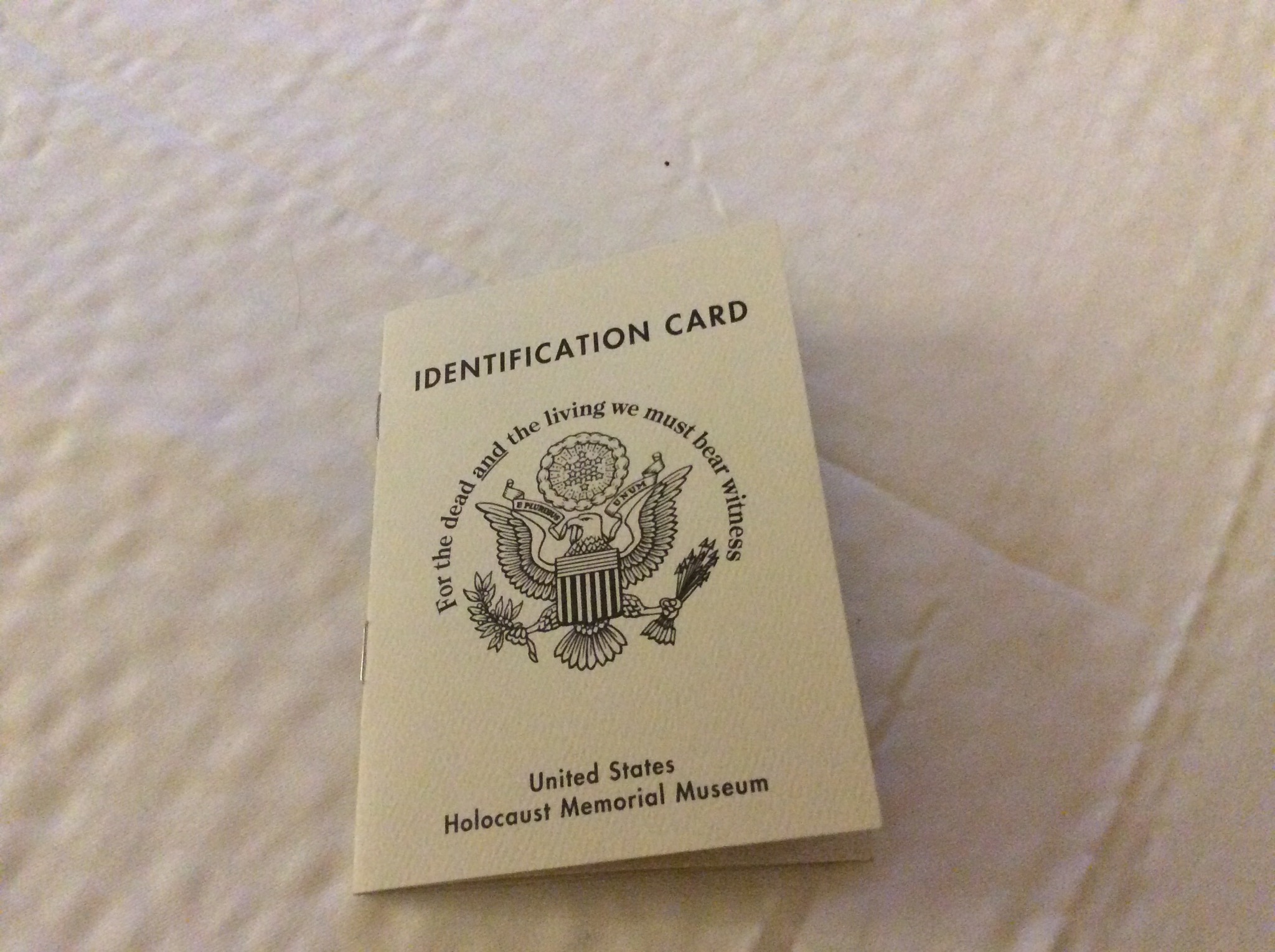
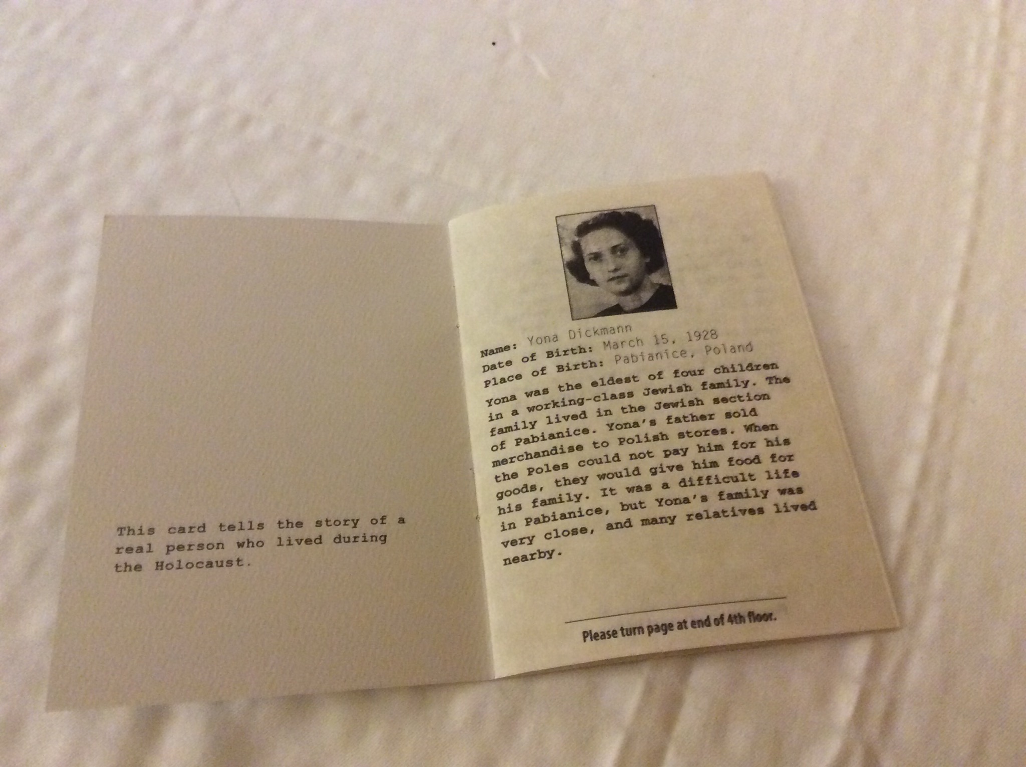
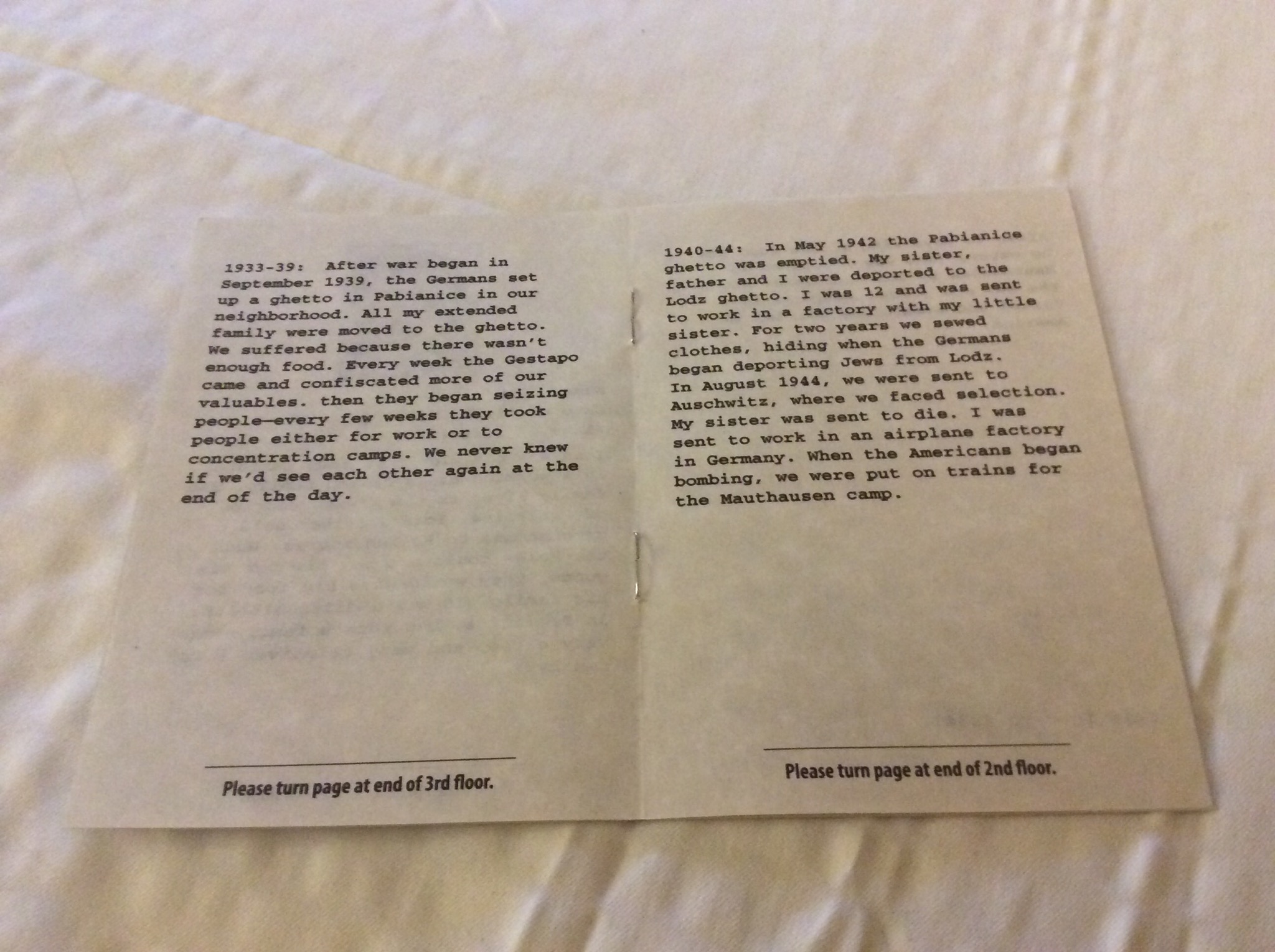
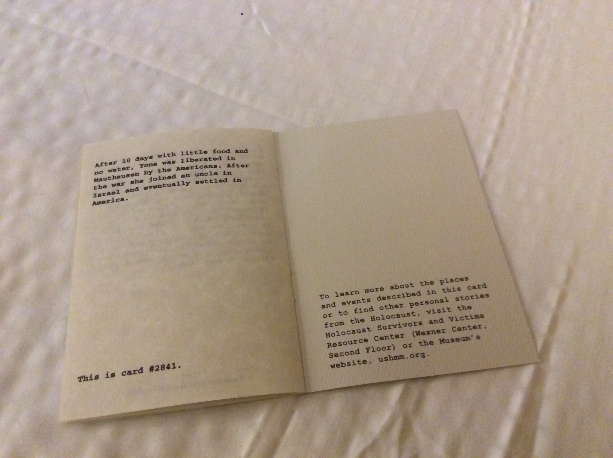
When you go in you take an identity card of someone that was affected by the holocaust – as you progress through the museum you read a bit more of their story. It helps to make it a bit more real. The museum covers three floors and is in chronological order. It was really interesting but boy oh boy a very sobering memorial.

IMG_1037.JPG

IMG_1049.JPG

IMG_1050.JPG

IMG_1052.JPG

IMG_1056.JPG

Posted in District of Columbia, USA | Leave a comment

Monuments in Washington D.C. – District of Columbia, USA

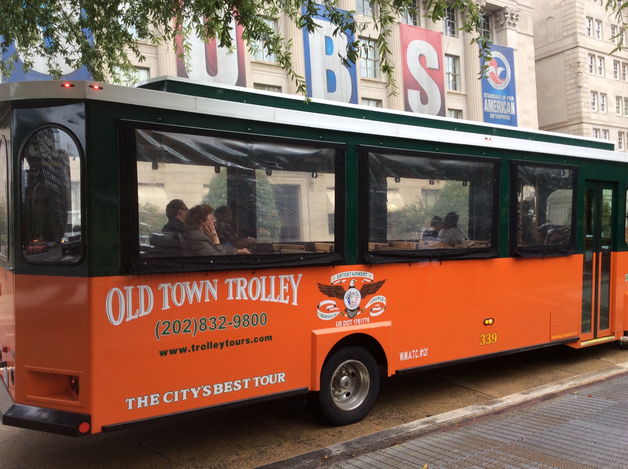
Washington, DC is a city of monuments and memorials. They honor the generals, politicians, poets and statesmen who helped shape the country. Although the most famous monuments and memorials are on the National Mall, you will find statues and plaques on many street corners around the city. We saw lots of monuments and memorials on our Old Town Trolley Bus tour.

IMG_1038.JPG

IMG_0939.JPG

The National Mall is a national park in downtown Washington, D.C. The National Park Service (NPS) administers the National Mall, which is part of its National Mall and Memorial Parks unit. The term National Mall commonly includes areas that are officially part of West Potomac Park and Constitution Gardens to the west, and often is taken to refer to the entire area between the Lincoln Memorial and the United States Capitol, with the Washington Monument providing a division slightly west of the center. The National Mall receives approximately 24 million visitors each year.

IMG_1041.JPG

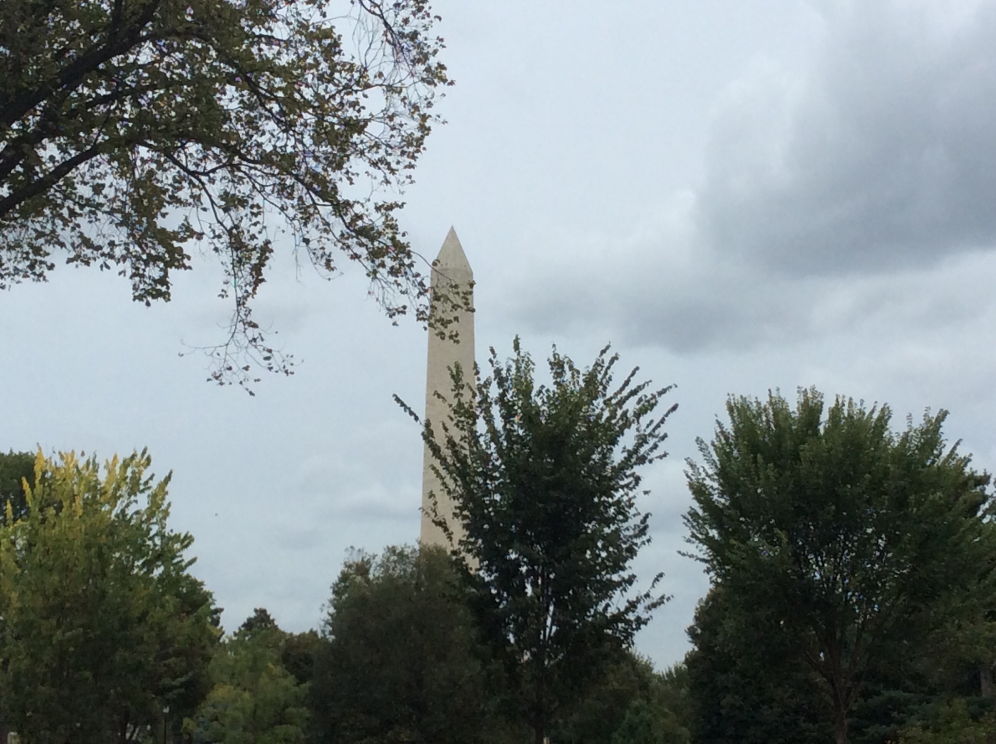
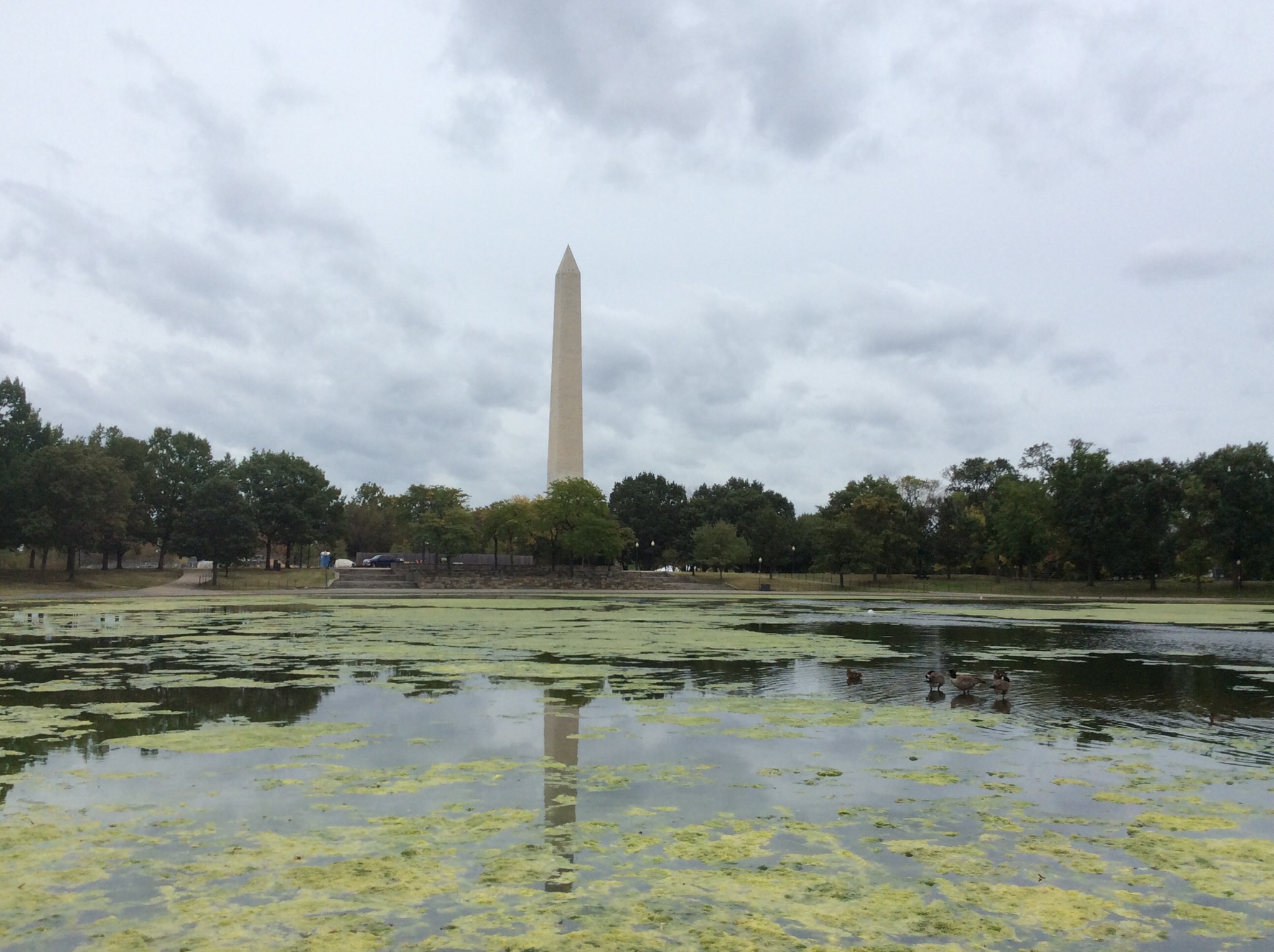
The Washington Memorial can be seen from many vantage points around the city and is the memorial to George Washington, the nation’s first president It took 40 years to complete its original construction due to lack of funds, but was finally dedicated in 1885. It has recently been refurbished to its original splendor. You can take the elevator to the top and see a great view of the city.

IMG_0985.JPG

IMG_0988.JPG

IMG_1013.JPG

The Lincoln memorial was dedicated in 1922 to honor President Abraham Lincoln. Thirty-eight Grecian columns surround a statue of Lincoln seated on a ten-foot high marble base. This impressive statue is surrounded by engraved readings of the Gettysburg address, his Second Inaugural address and murals by French painter Jules Guerin.

IMG_0989.JPG

IMG_0991.JPG

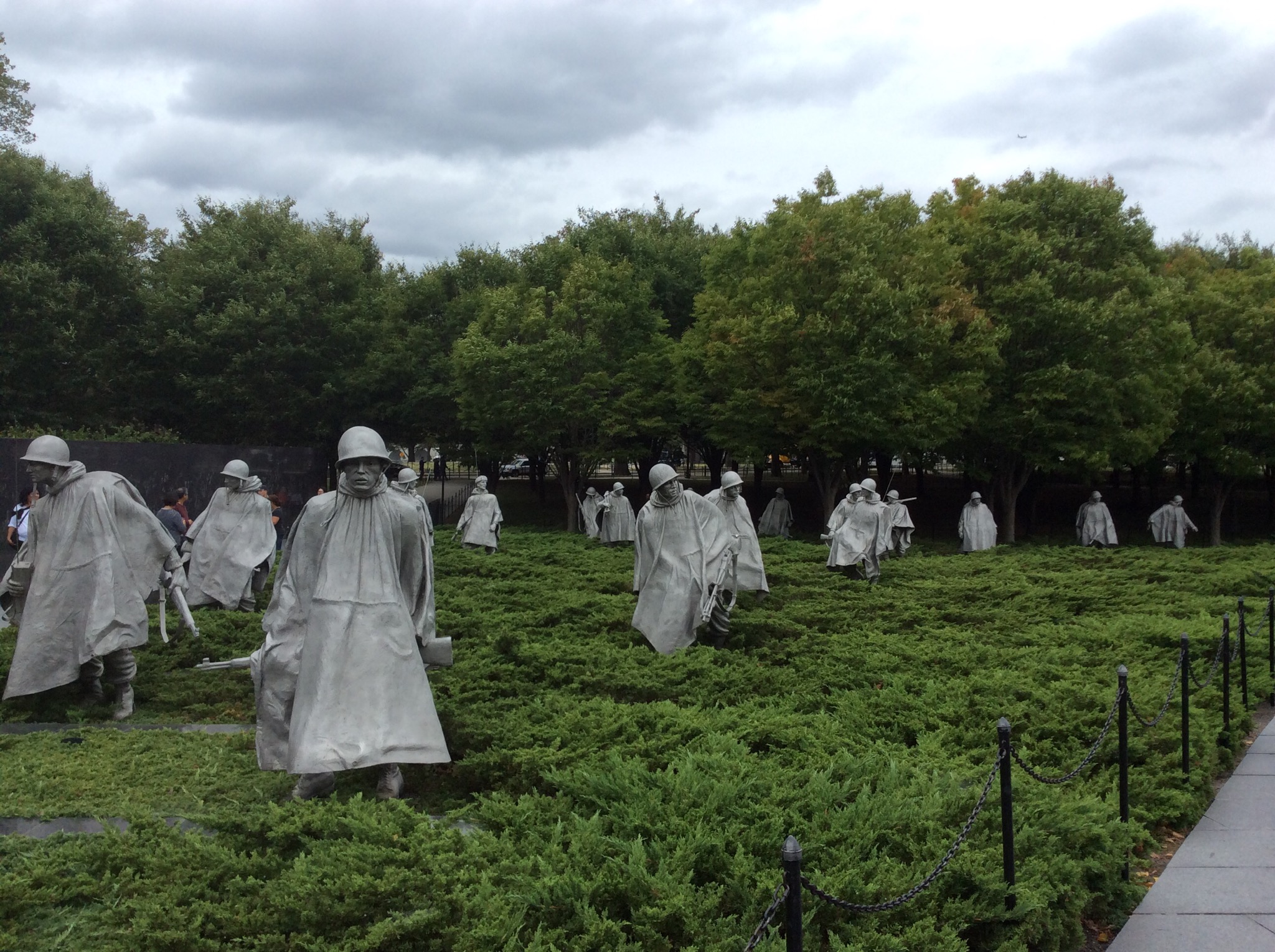
The Korean War Veterans Memorial honours those who were killed, captured, wounded or remain missing in action during the Korean War (1950 -1953). Nineteen figures represent every ethnic background. The statues are supported by a granite wall with 2,400 faces of land, sea and air support troops. A Pool of Remembrance lists the names of the lost Allied Forces. This included New Zealand.

IMG_0993.JPG

IMG_0997.JPG

The World War II Memorial, located on the National Mall is a beautiful place to visit and pay your respects to World War II veterans. The memorial opened to the public on April 29, 2004. The Memorial is an oval shape with two 43-foot arches, representing the war’s Atlantic and Pacific theaters. Fifty-six pillars represent the states, territories and the District of Columbia at the time of the World War II. Two sculpted bronze wreaths adorn each pillar. The bases of granite and bronze are adorned with the military service seals of the Army, Navy, Marine Corps, Army Air Forces, Coast Guard and Merchant Marine. Small fountains sit at the bases of the two arches. Waterfalls surround a wall of 4,000 gold stars, each one represents 100 U.S. deaths in the war. More than two-thirds of the memorial consists of grass, plants and water. A circular garden, called the “Circle of Remembrance,” is enclosed by a two-foot-high stone wall.
IMG_1010.JPG

IMG_1008.JPG

IMG_1011.JPG

IMG_1009.JPG

Posted in District of Columbia, USA | Leave a comment

Arlington National Cemetery – Virginia, USA

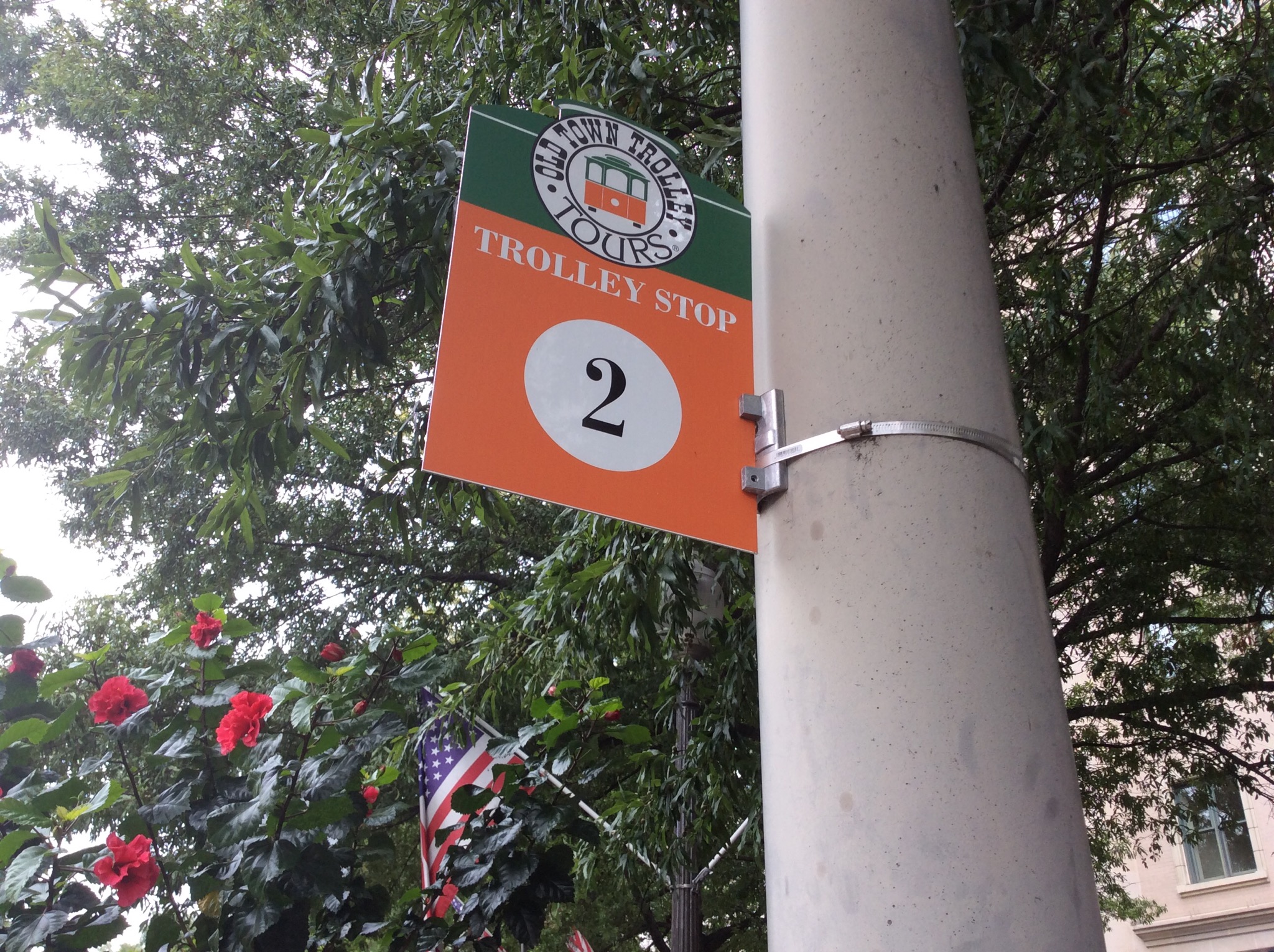
This morning we took an Old Town Trolley Bus tour around the city to orientate ourselves with the many neighbourhoods and sights. We went on all three lines to start with – the orange line being the National Mall and Downtown Loop, the green loop being the National Cathedral, Uptown & Georgetown Loop and the red line being the Arlington Cemetery Loop. We got off at the Arlington National Cemetery and although a humbling place to walk around is very interesting.

Arlington National Cemetery is a United States military cemetery in Arlington County, Virginia, across the Potomac River from Washington, D.C., beneath whose 624 acres (253 ha) have been laid casualties, and deceased veterans, of the nation’s conflicts beginning with the American Civil War, as well as reinterred dead from earlier wars.

The cemetery was established during the Civil War on the grounds of Arlington House, which had been the estate of the family of Confederate general Robert E. Lee’s wife Mary Anna (Custis) Lee (a great-granddaughter of Martha Washington). The cemetery, along with Arlington House, Memorial Drive, the Hemicycle, and the Arlington Memorial Bridge, form the Arlington National Cemetery Historic District, listed on the National Register of Historic Places in April 2014.

There are certain criteria that have to be met in order to be buried or cremated and interred in the columbaria but in general terms you have to have served in the Unite States military or have served the country politically.

The first military burial at Arlington was in May 1864. The flags in Arlington National Cemetery are flown at half-staff from a half hour before the first funeral until a half hour after the last funeral each day. Funerals are normally conducted five days a week, excluding weekends.

Funerals, including interments and inurnments, average between 27-30 per day. The cemetery conducts approximately 6,900 burials each year.

With more than 400,000 interments, Arlington National Cemetery has the second largest number of burials of any national cemetery in the United States. The largest of the 130 national cemeteries is the Calverton National Cemetery, on Long Island, near Riverhead, New York, which conducts more than 7,000 burials each year.

IMG_0948.JPG

IMG_0952.JPG

IMG_0976.JPG

IMG_0959.JPG

IMG_0977.JPG

IMG_0978.JPG

Five state funerals have been held at Arlington: those of Presidents William Howard Taft and John F. Kennedy, his two brothers, Senator Robert F. Kennedy and Senator Edward “Ted” Kennedy, and General of the Armies John J. Pershing. Whether or not they were wartime service members, U.S. presidents are eligible to be buried at Arlington, since they oversaw the armed forces as commanders-in-chief.

Among the most frequently visited sites in the cemetery is the grave of President John F. Kennedy, who is buried with his wife, Jacqueline, and two of their children. His remains were interred there on March 14, 1967, a reinterment from his original Arlington burial site, some 20 feet (6.1 m) away, where he was buried in November 1963. The grave is marked with an “eternal flame”. The remains of his brothers, Senator Robert F. Kennedy and Senator Edward M. “Ted” Kennedy, are buried nearby. The latter two graves are marked with simple crosses and footstones. On December 1, 1971, Robert Kennedy’s body was re-interred 100 feet (30 m) from its original June 1968 burial site.

IMG_0954.JPG

IMG_0955.JPG

IMG_0958.JPG

We went to see the Tomb of the Unknowns and saw the changing of the guard. The Tomb of the Unknowns has been perpetually guarded since July 2, 1937, by the U.S. Army. The 3rd U.S. Infantry Regiment (“The Old Guard”) began guarding the Tomb on April 6, 1948. There is a meticulous routine which the guard follows when watching over the graves. The Tomb Guard:

Marches 21 steps down the black mat behind the Tomb.
Turns, faces east for 21 seconds.
Turns and faces north for 21 seconds.
Takes 21 steps down the mat.
Repeats the routine until the soldier is relieved of duty at the Changing of the Guard.
After each turn, the Guard executes a sharp “shoulder-arms” movement to place the weapon on the shoulder closest to the visitors to signify that the Guard stands between the Tomb and any possible threat.

Twenty-one was chosen because it symbolizes the highest military honor that can be bestowed—the 21-gun salute.

Each turn the guard makes precise movements and followed by a loud click of the heels as he snaps them together. The guard is changed every half hour during daylight in the summer, and every hour during daylight in the winter and every two hours at night (when the cemetery is closed to the public), regardless of weather conditions.
IMG_0961.JPG

IMG_0963.JPG

IMG_0972.JPG

IMG_0975.JPG

Posted in Virginia, USA | Leave a comment

Washington D.C. – District of Columbia, USA

We woke on Tuesday morning to a foggy morning at The Greenbrier. It was also very chilly. We were going to play 9 holes before making our way to Washington D.C. We went to the driving range and it was not pretty so I decided it was better for all concerned if I gave golf a miss. Steve went off with a couple of guys from Pennsylvania while I persevered at the range. I was freezing so abandoned the range.
The sun came out about 9.45am. Steve managed to play 13 holes so he was pleased. We then hit the road – destination Washington D.C. some 400km away. The roads are very good over here so it is easy driving. We were a bit nervous driving in the city but Washington is a very orderly city and the traffic isn’t that bad. We had to drop the car off at Union Station and went round the block due to there not being any signs but eventually got it sorted. It is always a relief to drop a rental car back in one piece : )

IMG_3244.JPG

We then walked back to our hotel which despite my original post on Facebook is just around the corner from The White House rather than at The Whitehouse : ) The hotel is called AKA White House though and is very nice. As I said above, Washington is a very orderly place and easy to navigate around.

IMG_0928.JPG

We walked back through Chinatown and saw the Friendship Archway. Much of DC’s Chinatown is about symbols. The neighborhood is small and fragile, seemingly forever on the brink of extinction. Its identity as a destination hinges on a smattering of things Chinese: the restaurants (of course), the red and green lampposts, the Chinese characters on street signs. But without a doubt the most striking and enduring symbol of all is the great Friendship Archway, constructed in 1986 just east of 7th and H Streets NW, and said to be the largest in the world when it was constructed. Boldly symbolic of Chinese identity, this project ironically was once plagued by controversy over what sort of China it truly symbolized.

IMG_0926.JPG

Washington, D.C., formally the District of Columbia and commonly referred to as Washington, “the District”, or simply D.C., is the capital of the United States. The signing of the Residence Act on July 16, 1790, approved the creation of a capital district located along the Potomac River on the country’s East Coast. The U.S. Constitution provided for a federal district under the exclusive jurisdiction of the Congress and the District is therefore not a part of any U.S. state.

The states of Maryland and Virginia each donated land to form the federal district, which included the preexisting settlements of Georgetown and Alexandria. Named in honor of George Washington, the City of Washington was founded in 1791 to serve as the new national capital. In 1846, Congress returned the land originally ceded by Virginia and created a single municipal government for the remaining portion of the District in 1871.

Washington, D.C., had an estimated population of 646,449 in 2013, the 23rd most populous city in the United States. Commuters from the surrounding Maryland and Virginia suburbs raise the city’s population to more than one million during the workweek. The Washington metropolitan area, of which the District is a part, has a population of 5.8 million, the seventh-largest metropolitan area in the country.

Posted in District of Columbia, USA | Leave a comment

The Meadows Course at The Greenbrier Resort – West Virginia, USA

We woke to another stunning day at The Greenbrier. While I hit the gym, Steve went for a walk and checked out The Old White. He thought it looked rather challenging.
After breakfast we went for a drive to have a look at Oakhurst Links. Oakhurst Links is a historic golf course located at White Sulphur Springs, Greenbrier County, West Virginia. It is a nine hole course conceived in 1884, in a design based upon traditional Scottish design elements. The first competition at Oakhurst was held in 1888.

Located on the grounds is course developer Russell W. Montague’s home which served as the Oakhurst Links Clubhouse. It was built about 1880, and is a two story “I house” plan dwelling with sparse Colonial Revival stylistic elements. The property was operated as a golf course until 1912, when the property reverted to pasture.

Lewis Keller purchased the property in 1959 but it wasn’t until 1994 that a restoration effort was launched for the course. The National Hickory Championship has been played at Oakhurst since 1998. Modern players typically dress in period clothes and use hickory-shafted clubs and gutta-percha balls driven from tees fashioned from sand as was done before the wooden tee was invented.

The course struggled financially and Lewis Keller tried to find a buyer with no luck. Just before the bank foreclosed, Jim Justice the owner of The Greenbrier Resort purchased the property and added it to The Greenbrier fold. They have continued with the tradition of playing with hickory clubs and gutta-percha balls which you can hire.

We saw a couple dressed up playing a round – apparently the guy owns his own hickory shafted golf clubs. It was quite cool to see. We had a chat to the guy in the shop and he said it is really hard to play with these type of clubs. Just makes you appreciate how good these guys were back in the day. Bubba Watson holds the course record at Oakhurst Links – a 2 under 35. Apparently he gets really frustrated as the ball goes straight – for those of you who know Bubba Watson’s style you will know he hits everywhere but straight on purpose : )

IMG_0922.JPG

IMG_0921.JPG

IMG_0923.JPG

IMG_3230.JPG

This afternoon we played the Meadows course which is another picturesque course. This course originally designed by Alexander H. Findlay and opened in 1910. It was known as The Lakeside until 1999 when it re opened after being completely redesigned by Robert Cupp.

Although the weather was stunning, unfortunately my golf wasn’t quite as stunning. I got my 6 par quota though so coach Thomas was reasonably happy with me : )

IMG_3228.JPG

IMG_0932.JPG

IMG_3206-0.JPG

IMG_3207.JPG

IMG_3208.JPG

IMG_3209.JPG

IMG_3211.JPG

IMG_3212.JPG

IMG_3213.JPG

IMG_3214.JPG

IMG_3217.JPG

IMG_3218.JPG

IMG_3220.JPG

IMG_3221.JPG

IMG_3224.JPG

IMG_3225.JPG

IMG_3226.JPG

Posted in West Virginia, USA | Leave a comment