Grenada – Oceania Cruises

Today we took a tour around Grenada – what a fabulously lush and beautiful island. Sunny blue skies and a temperature of 29 degrees made for a great day. Our guide Louis picked us up from the terminal and we were off. Grenada is extremely hilly so we were pleased we were not doing a bike tour here : )

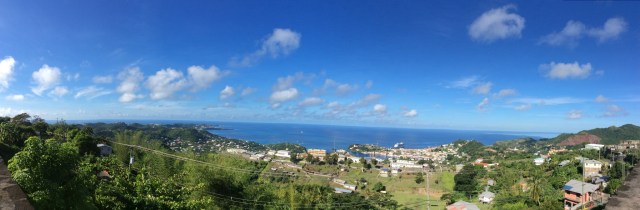
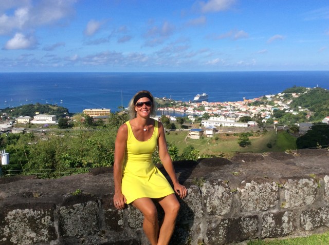
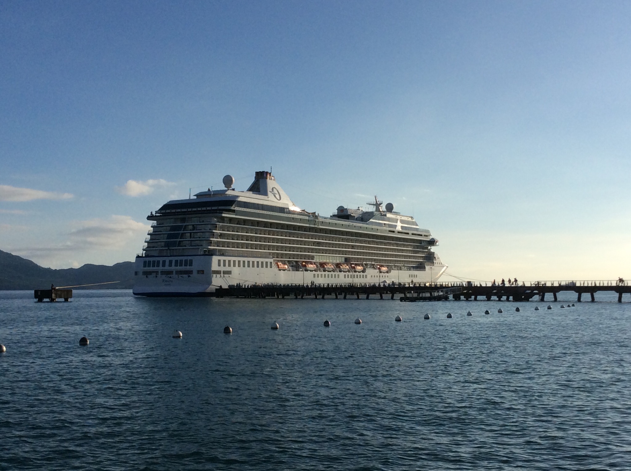
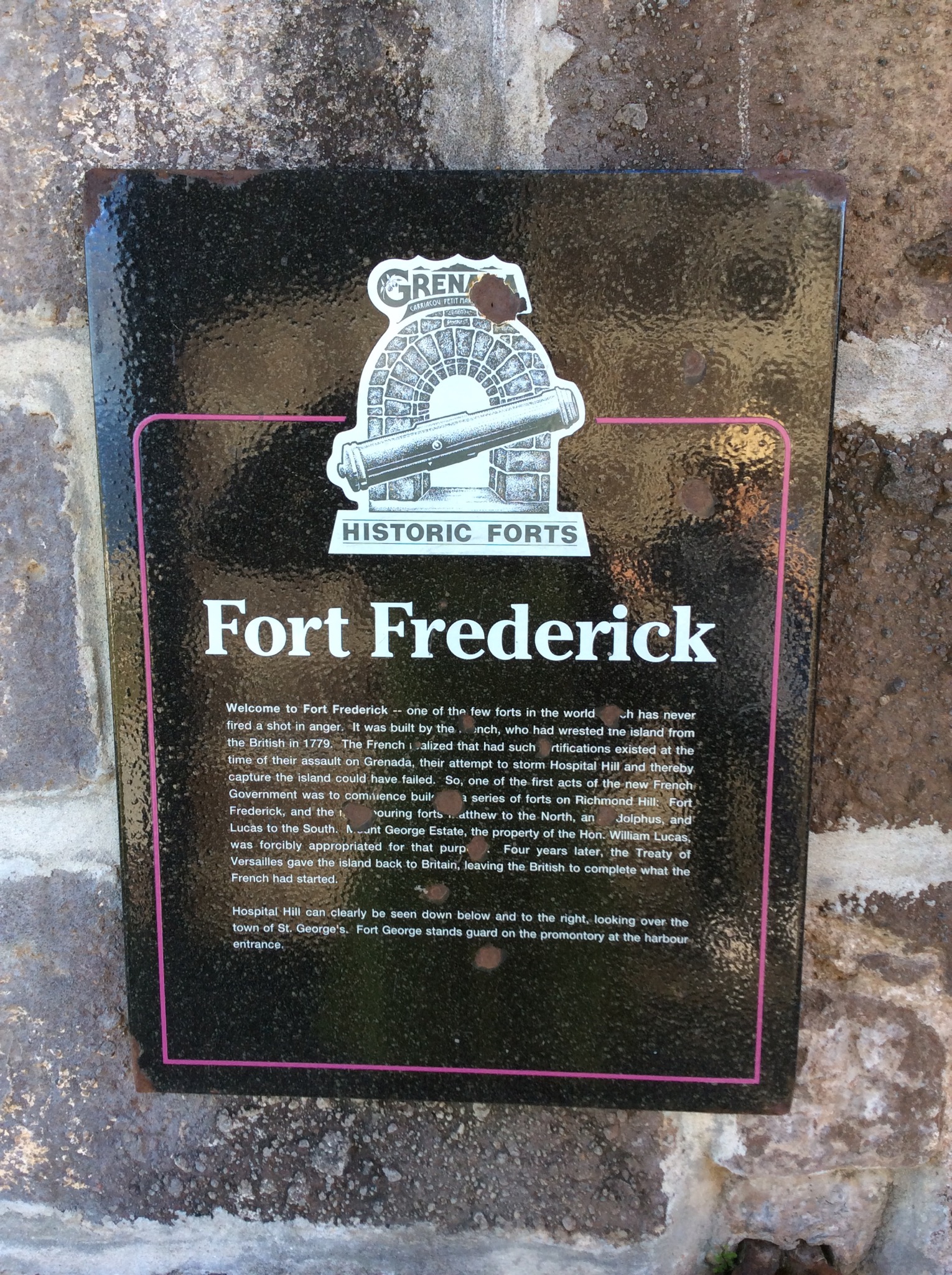
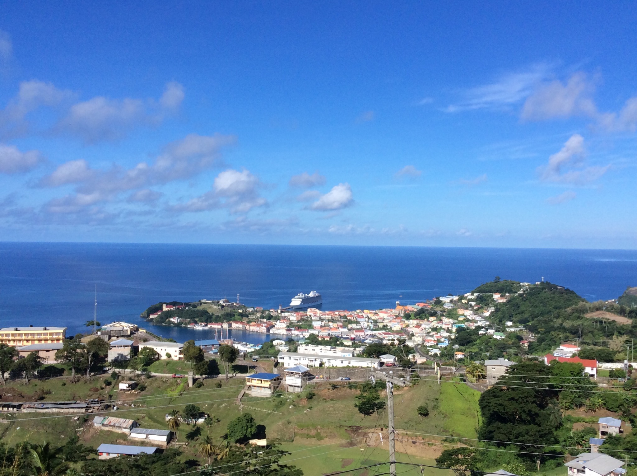
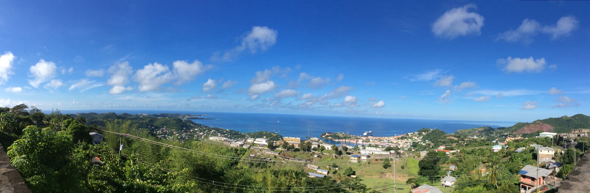
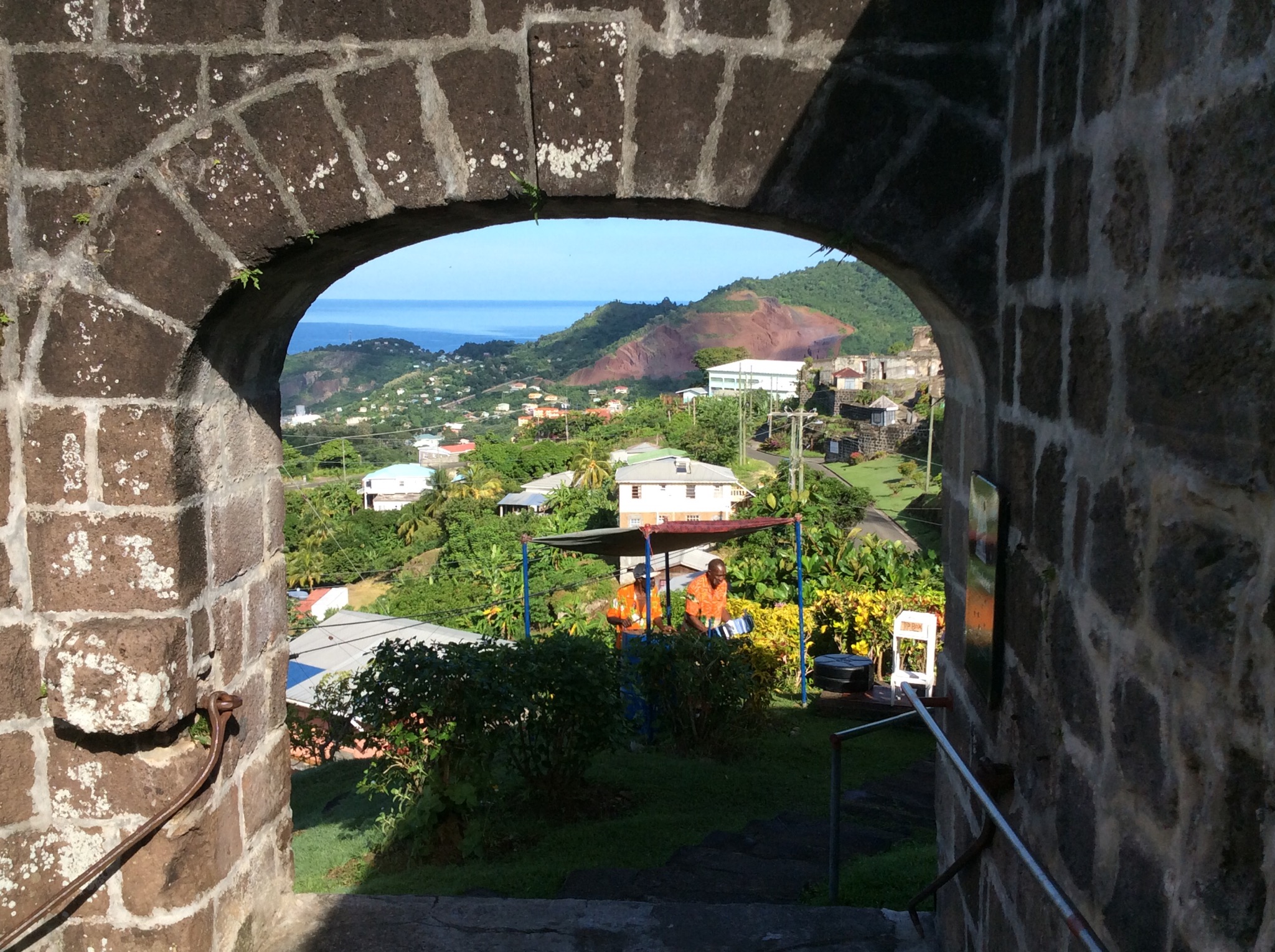
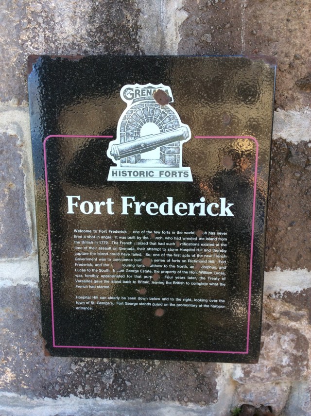
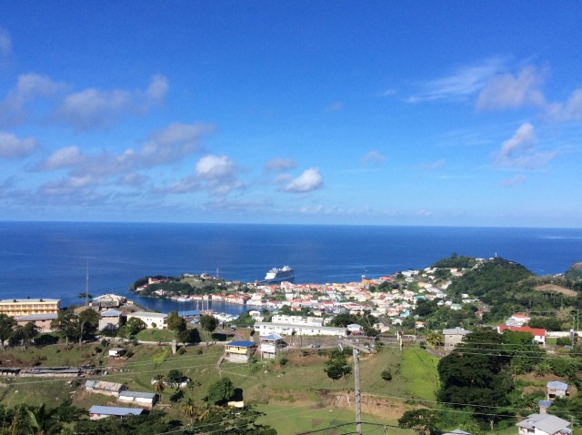
Our first stop was Fort Frederick which sits above St George’s Town and the port where our ship was docked. We had a fantastic view over the harbour which is a perfect horseshoe shape. Fort Fredrick construction was started in 1779 by the French and completed by the British several years later. A chain of forts (Fort Matthew, Fort Lucas and Fort Adolphus) adjoin Fort Frederick and are said to be connected by a network of subterranean tunnels. Large underground cisterns that held water for Her Majesty’s troops are still in use today.
IMG_2155.JPG

IMG_2156.JPG

IMG_2157.JPG

IMG_2161.JPG

IMG_2162.JPG

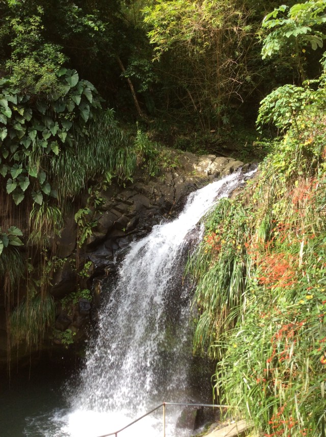
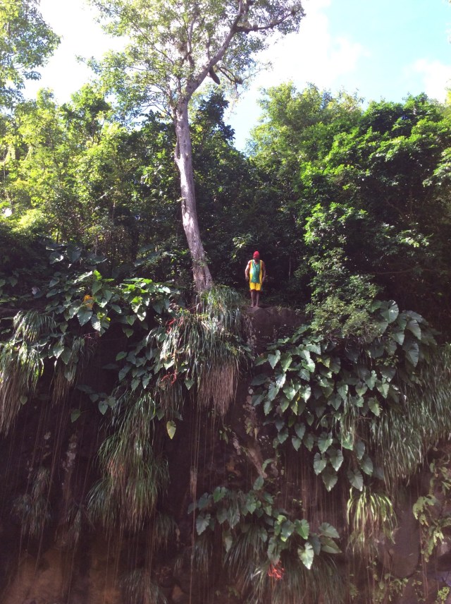
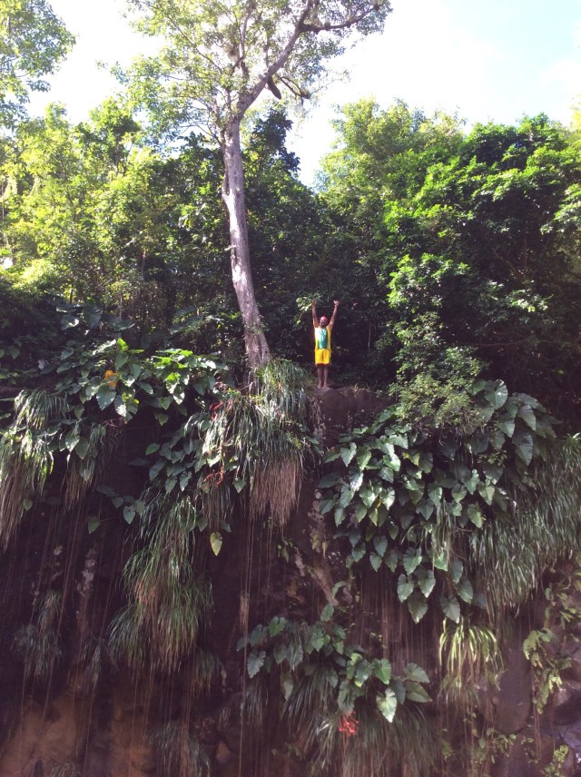
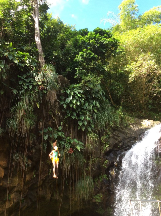
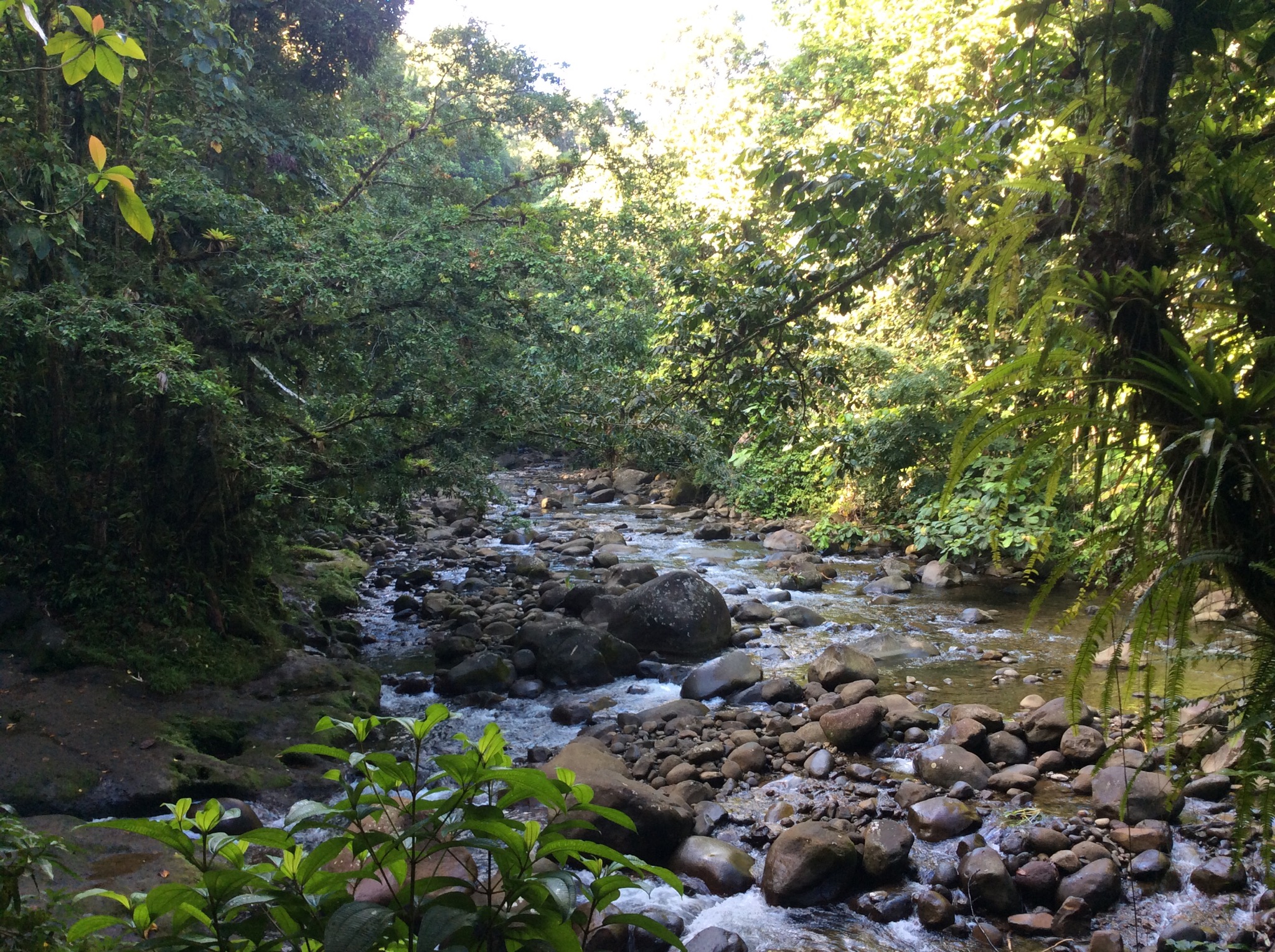
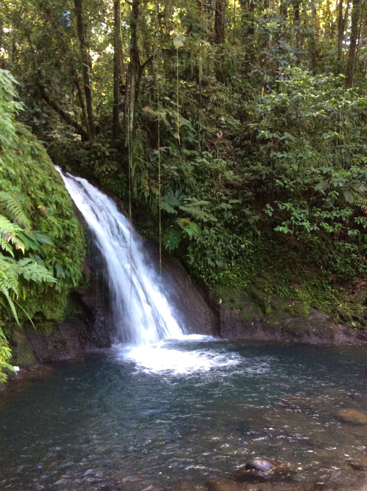
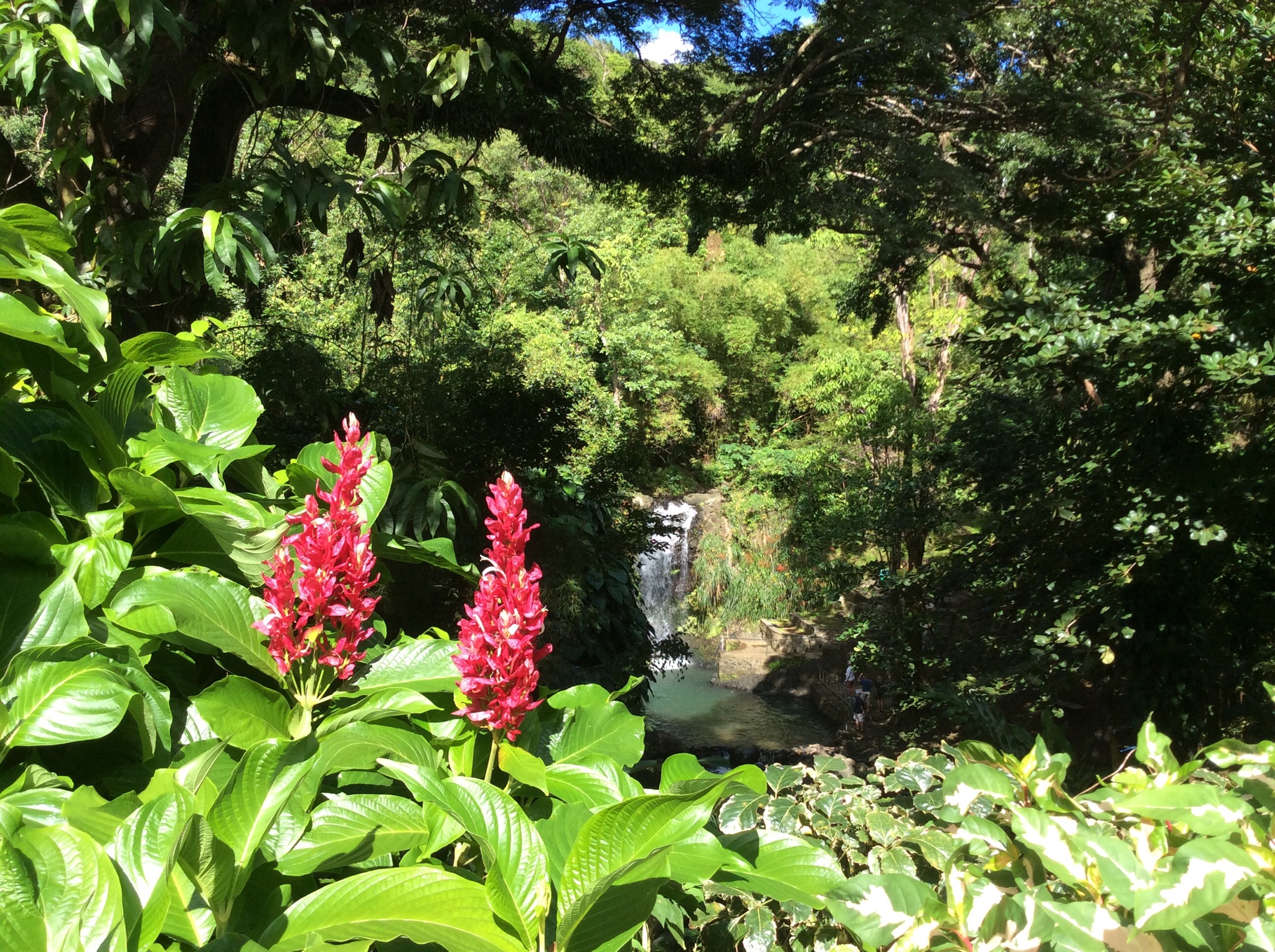
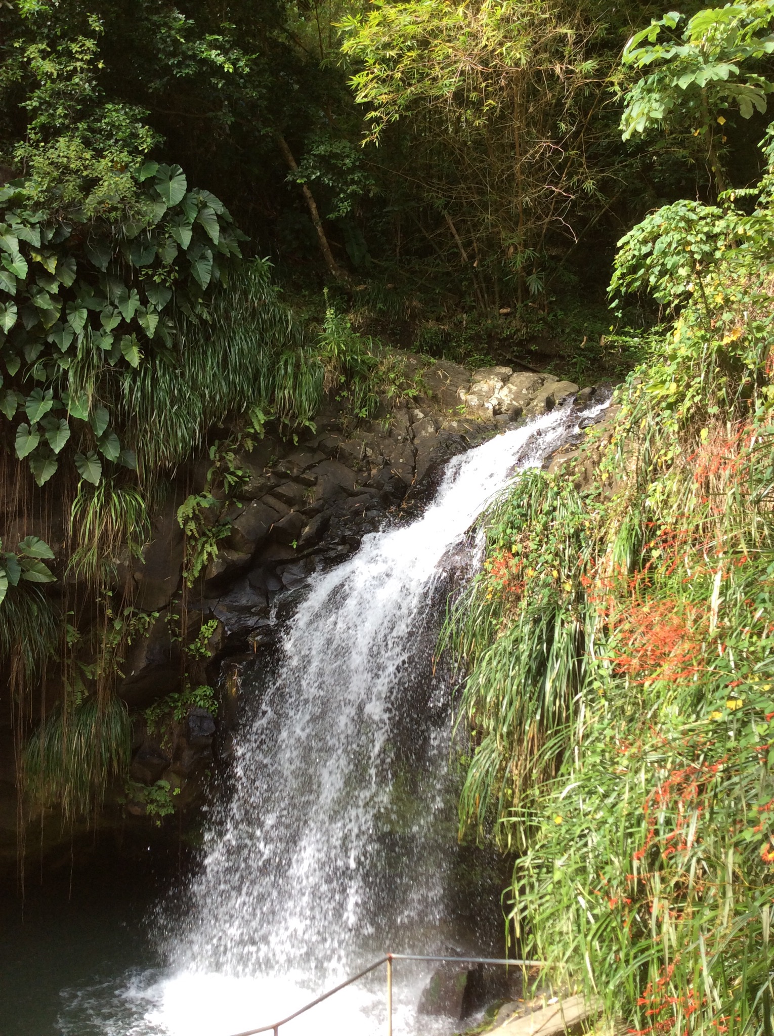
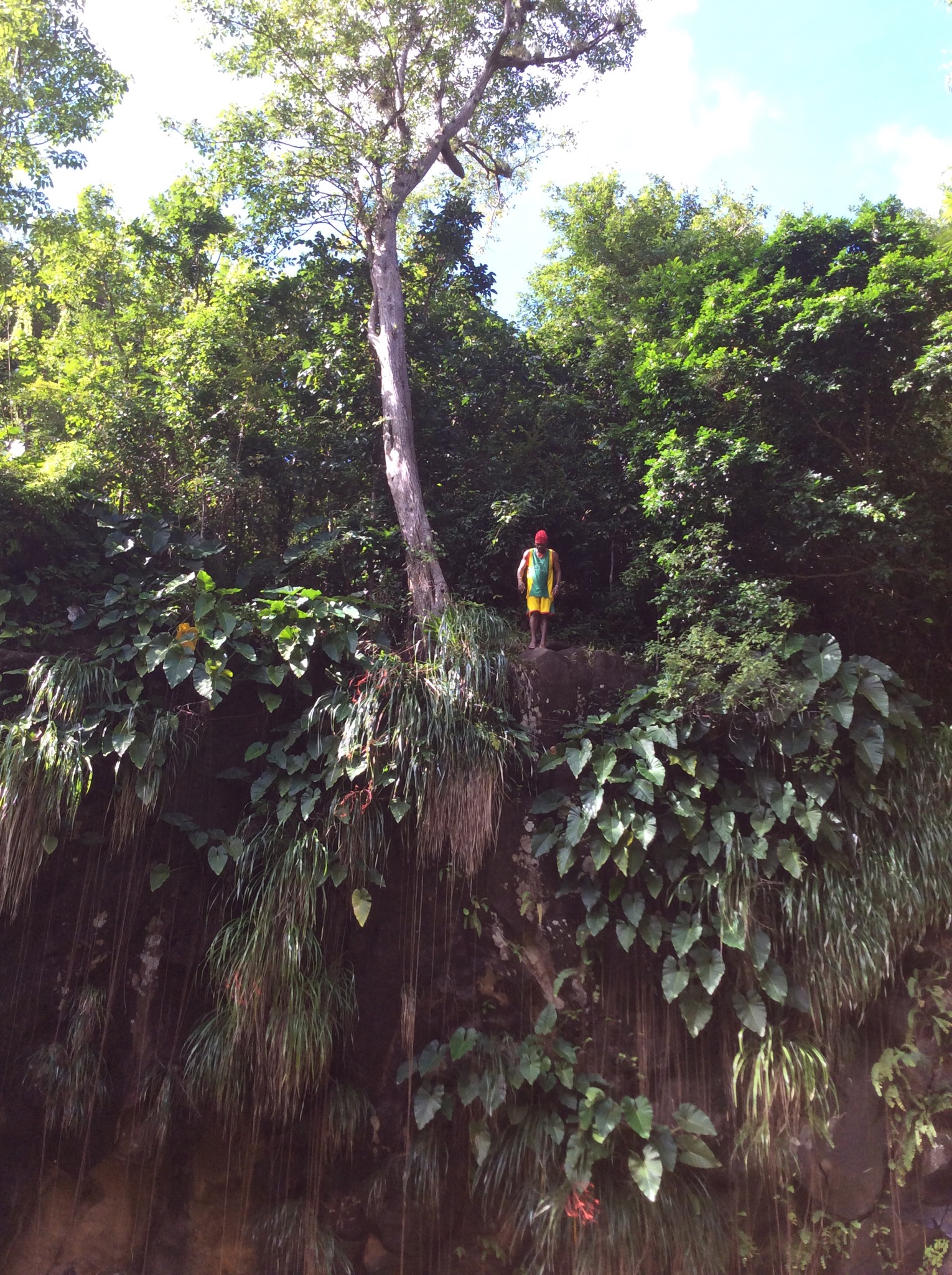
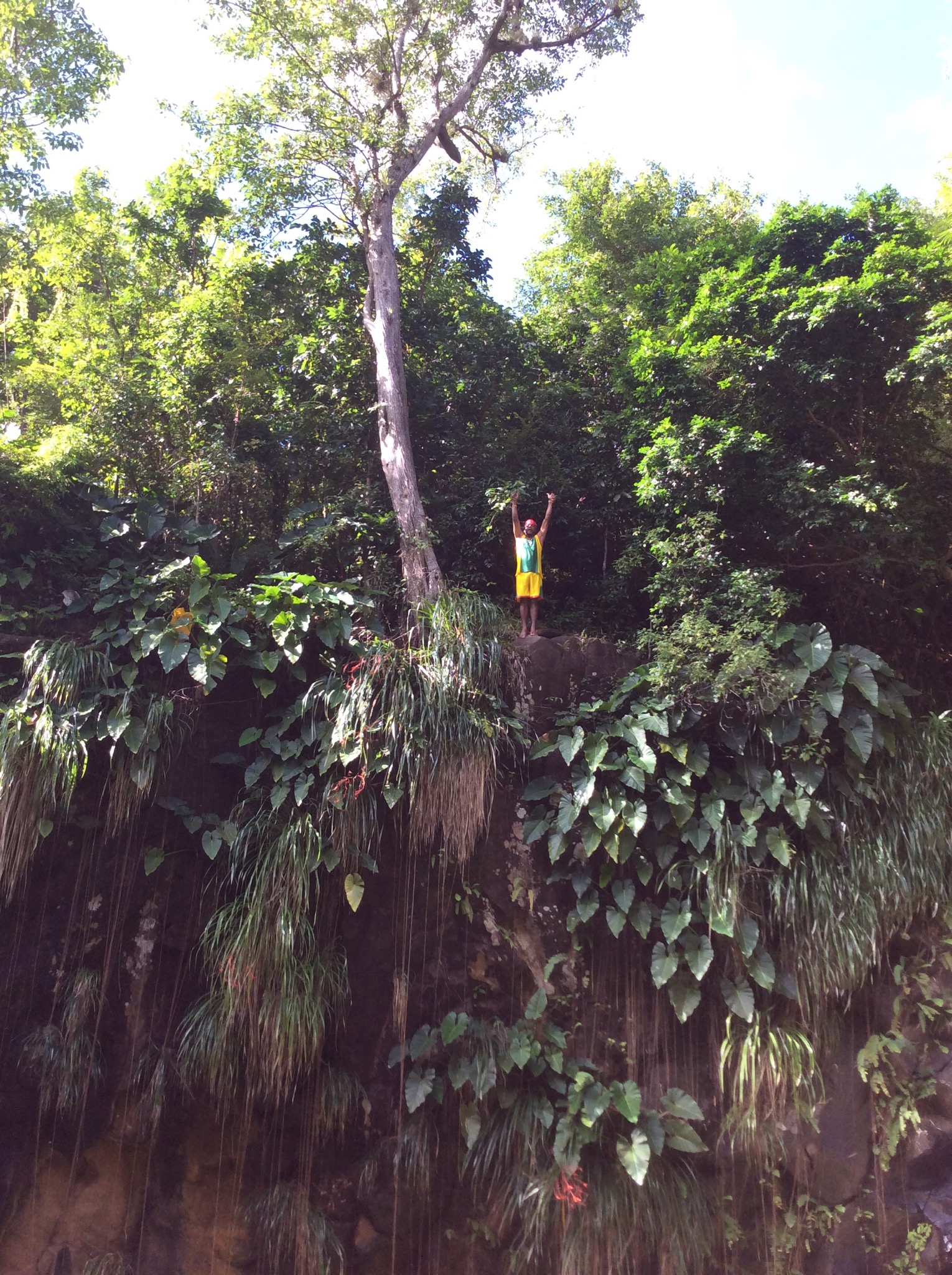
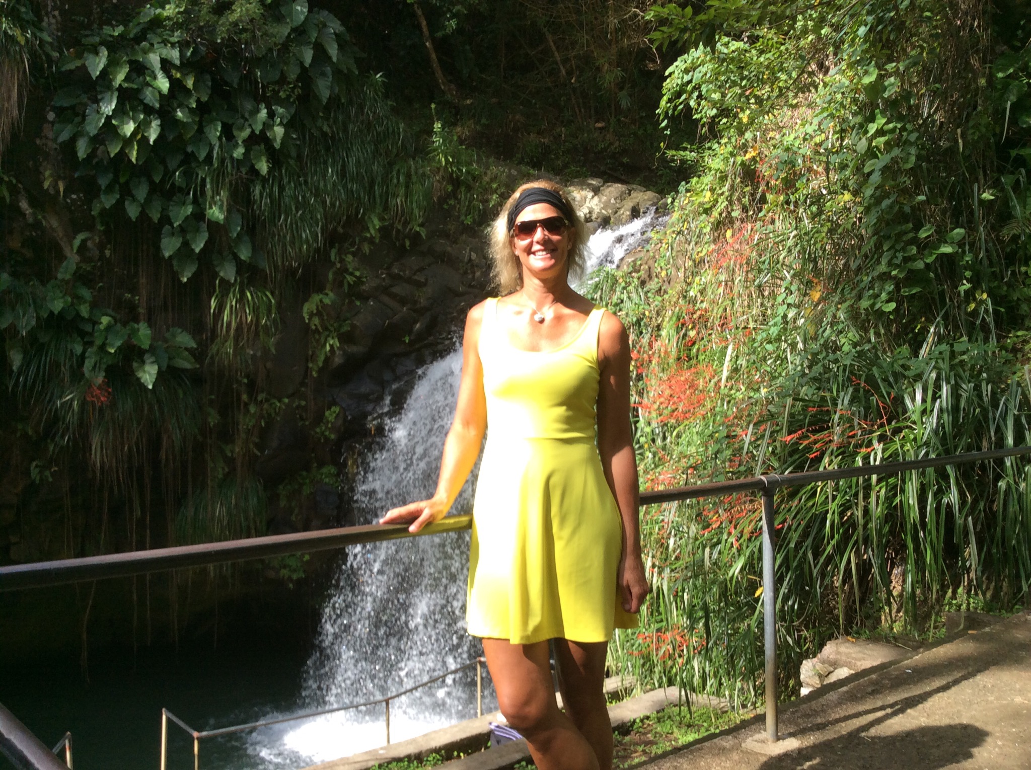
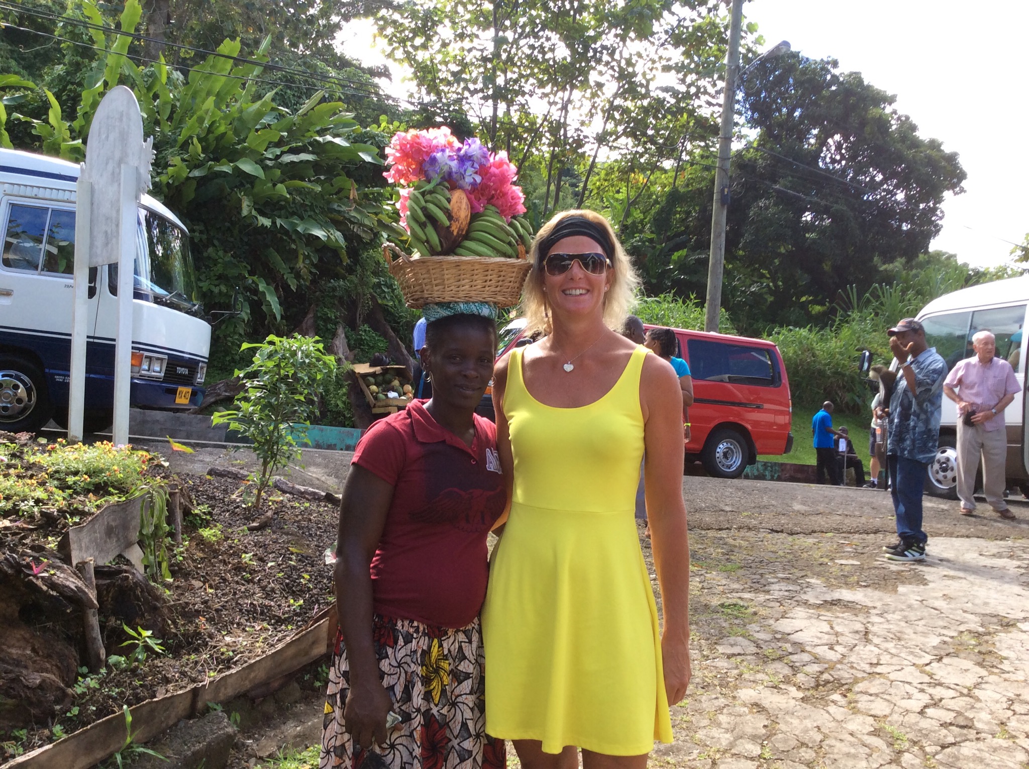
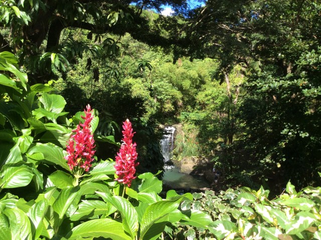
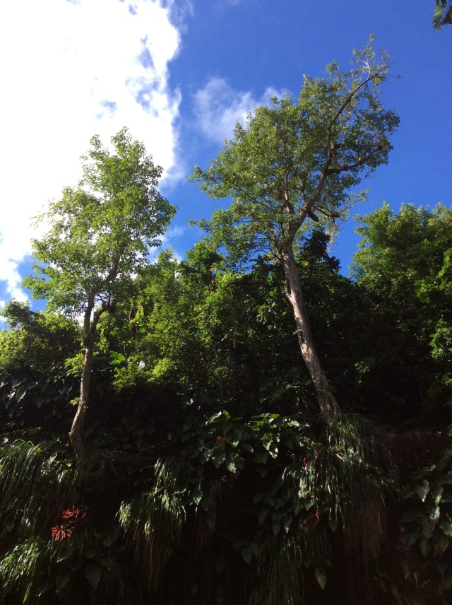
We then drove to Annandale Falls which is a waterfall surrounded by lush vegetation. At the entrance to the path of the falls there were a few stalls selling local items including spice necklaces. They smelt wonderful and apparently last for three years – unfortunately I think NZ Customs may have a problem on my return into the country if I purchased one of these necklaces. There was a guy playing a guitar and making songs up about you as you walked along, for a tip of course : ) When we got down to the falls there were these young guys who climb up and jump off the cliff into the water – again for a tip. We had learnt that unemployment is about 32% on the island so we thought good on these people for using their imagination – it was great watching them jump off for you.
IMG_2164.JPG

IMG_2165.JPG

IMG_2166.JPG

IMG_2167.JPG

IMG_2168.JPG

IMG_2170.JPG

IMG_2173.JPG

IMG_2176.JPG

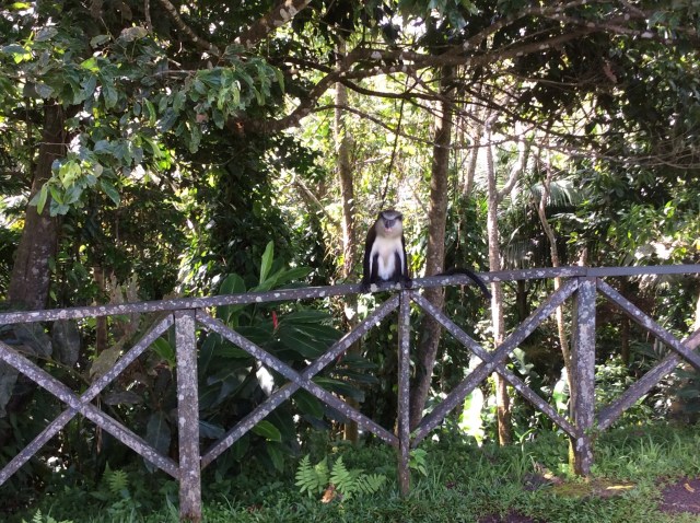
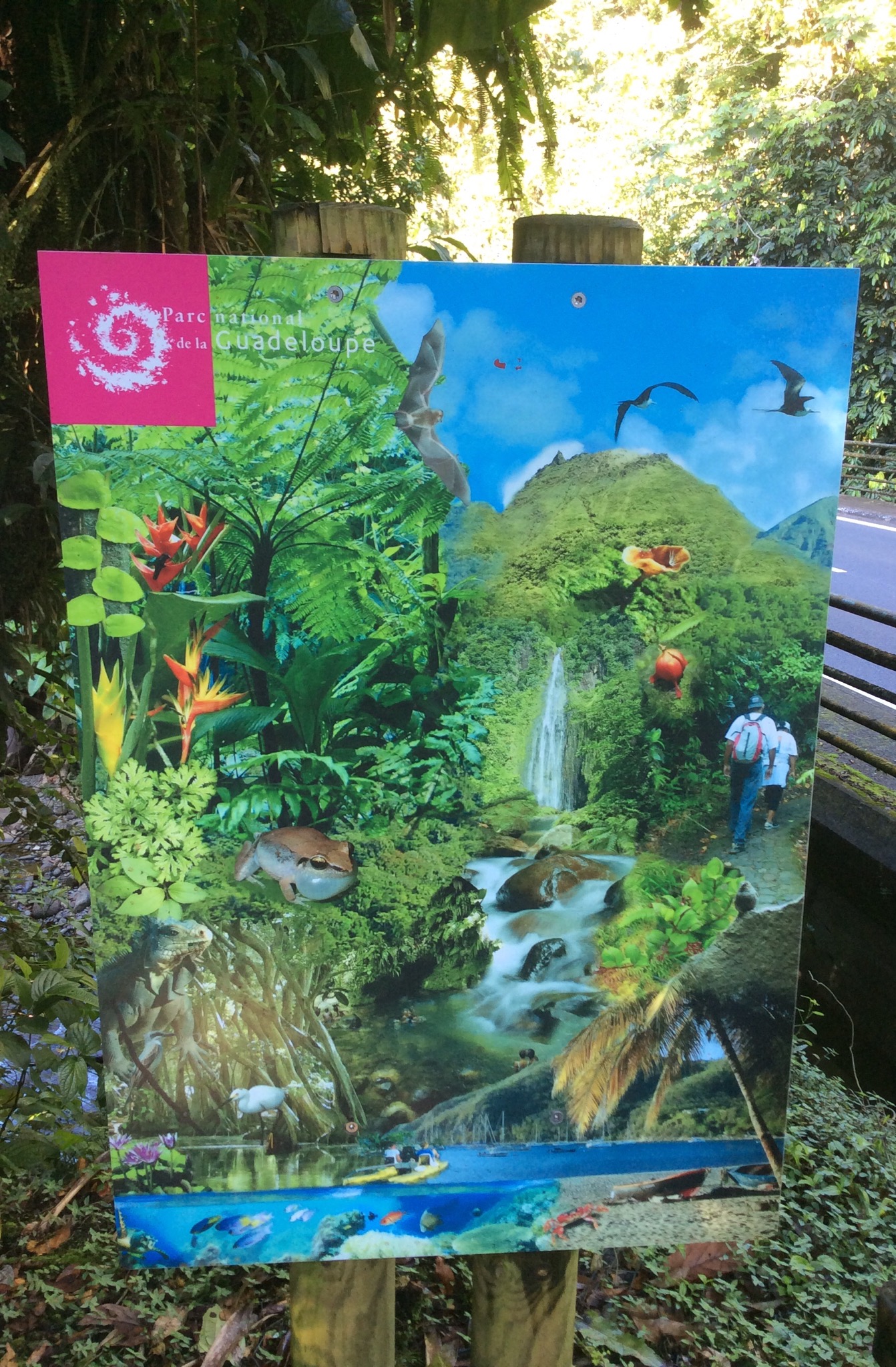
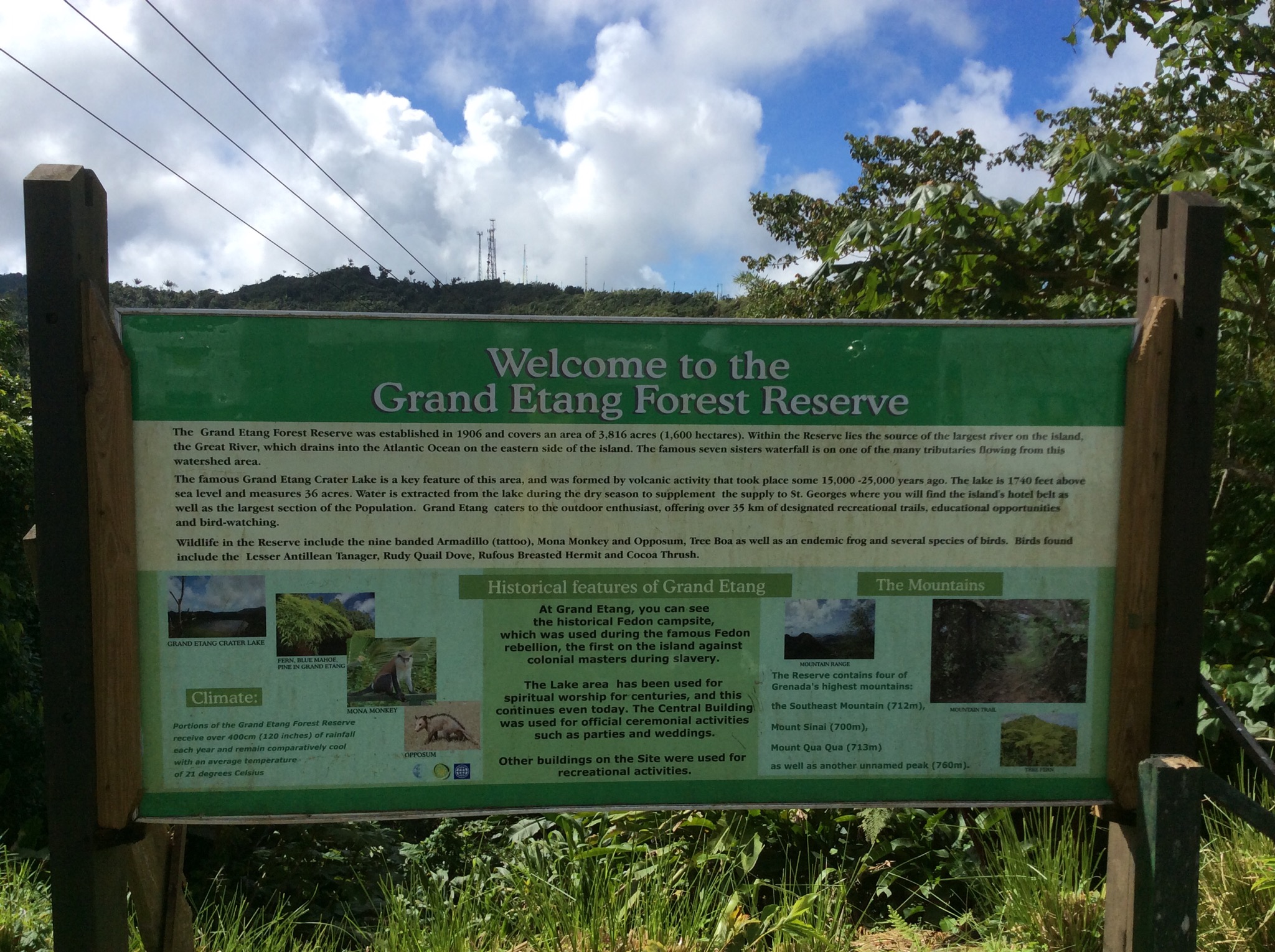
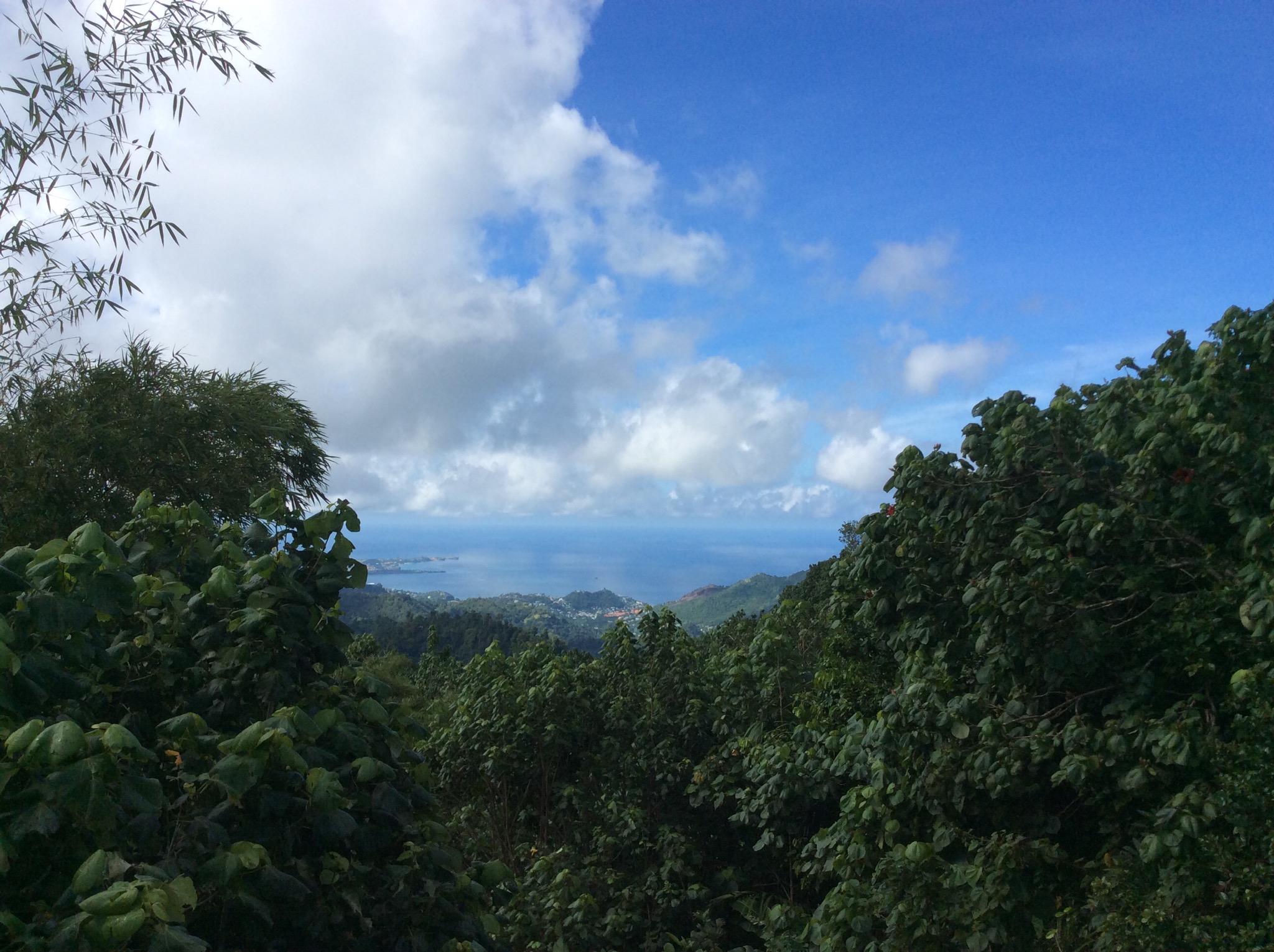
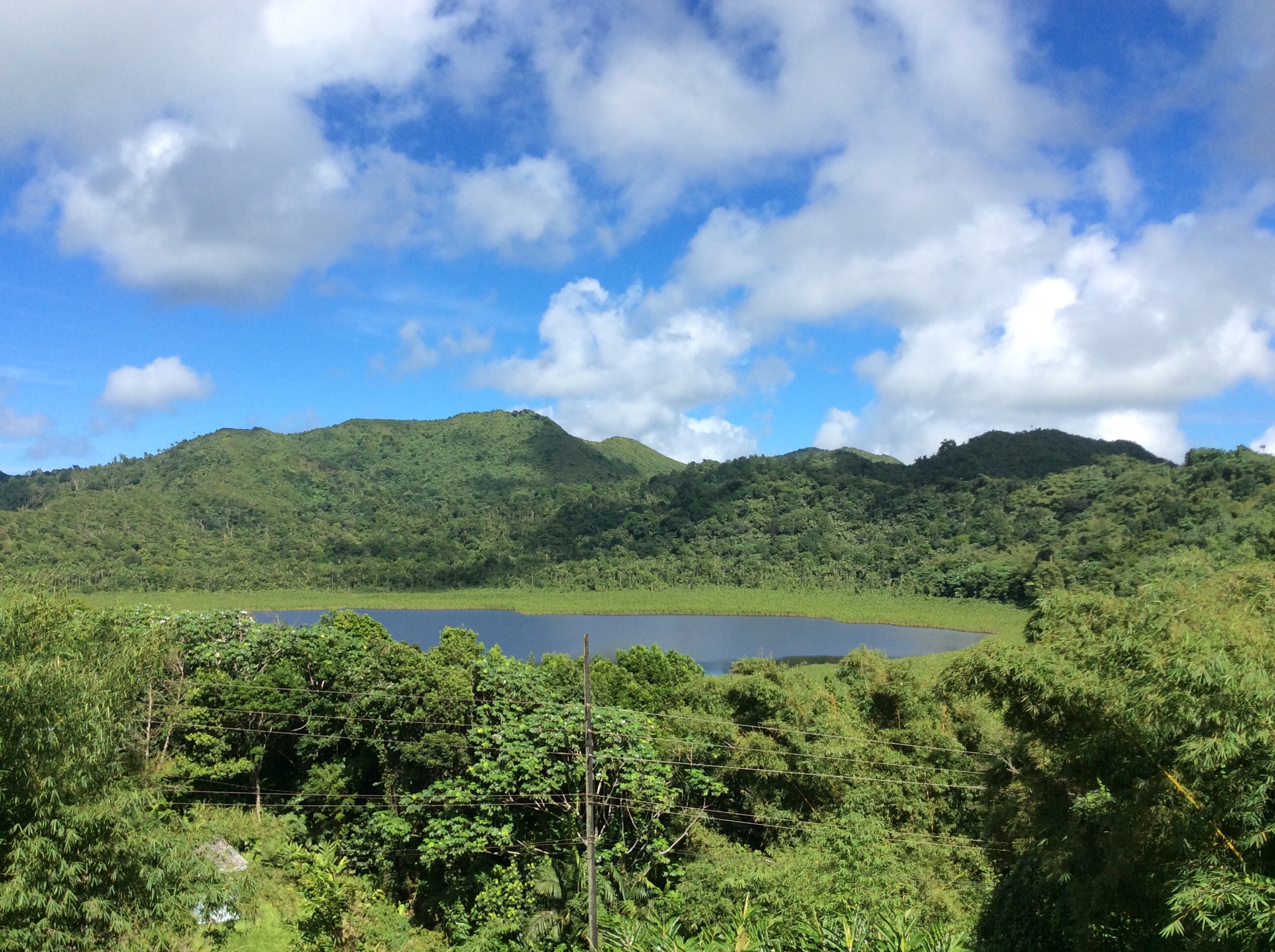
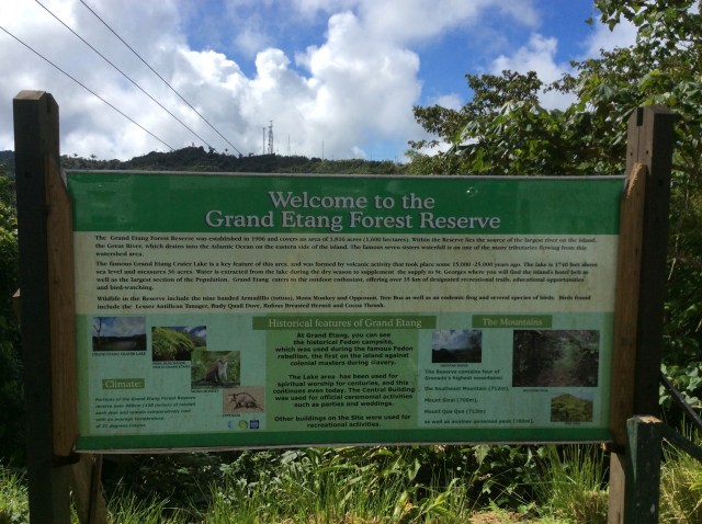
The Grand Etang National Park contains a lake that exists in an extinct volcano at 1,900 feet above sea level. We also saw a Mona Monkey.
IMG_2188.JPG

IMG_2179.JPG

IMG_2181.JPG

IMG_2182.JPG

IMG_2190.JPG

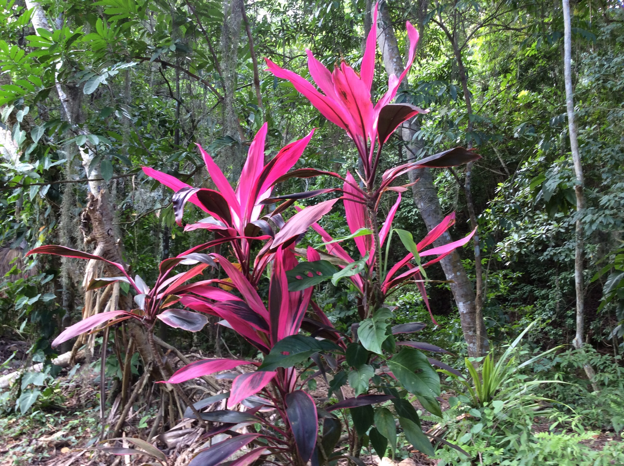
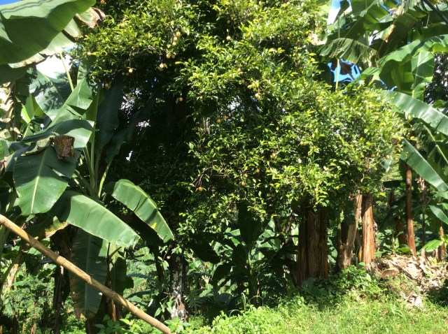
As we drove around the island Louis pointed out various plants, fruit and spice trees. I was quite enamoured with the lush vegetation. The island is split into 6 parishes – St George, St John, St Mark, St David, St Andrew and St Patrick and each one has some little villages of which one is the capital of the parish. There were a number of fishing villages dotted along the coast line. The housing varied from quite nice to subsistence. There were a lot of old cars which had been left to rust out littering the landscape which I thought detracted from one of the most stunning islands I’ve seen – it was a shame. The hilly terrain all over the island gave us some great views of the coast line.
IMG_2191.JPG

IMG_2192.JPG

IMG_2193.JPG

IMG_2195.JPG

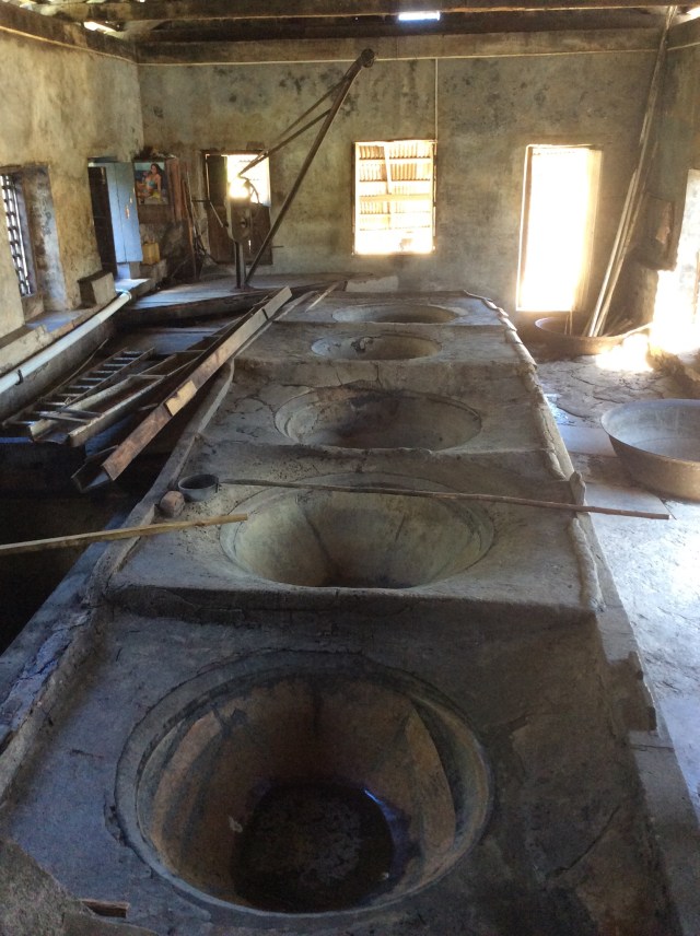
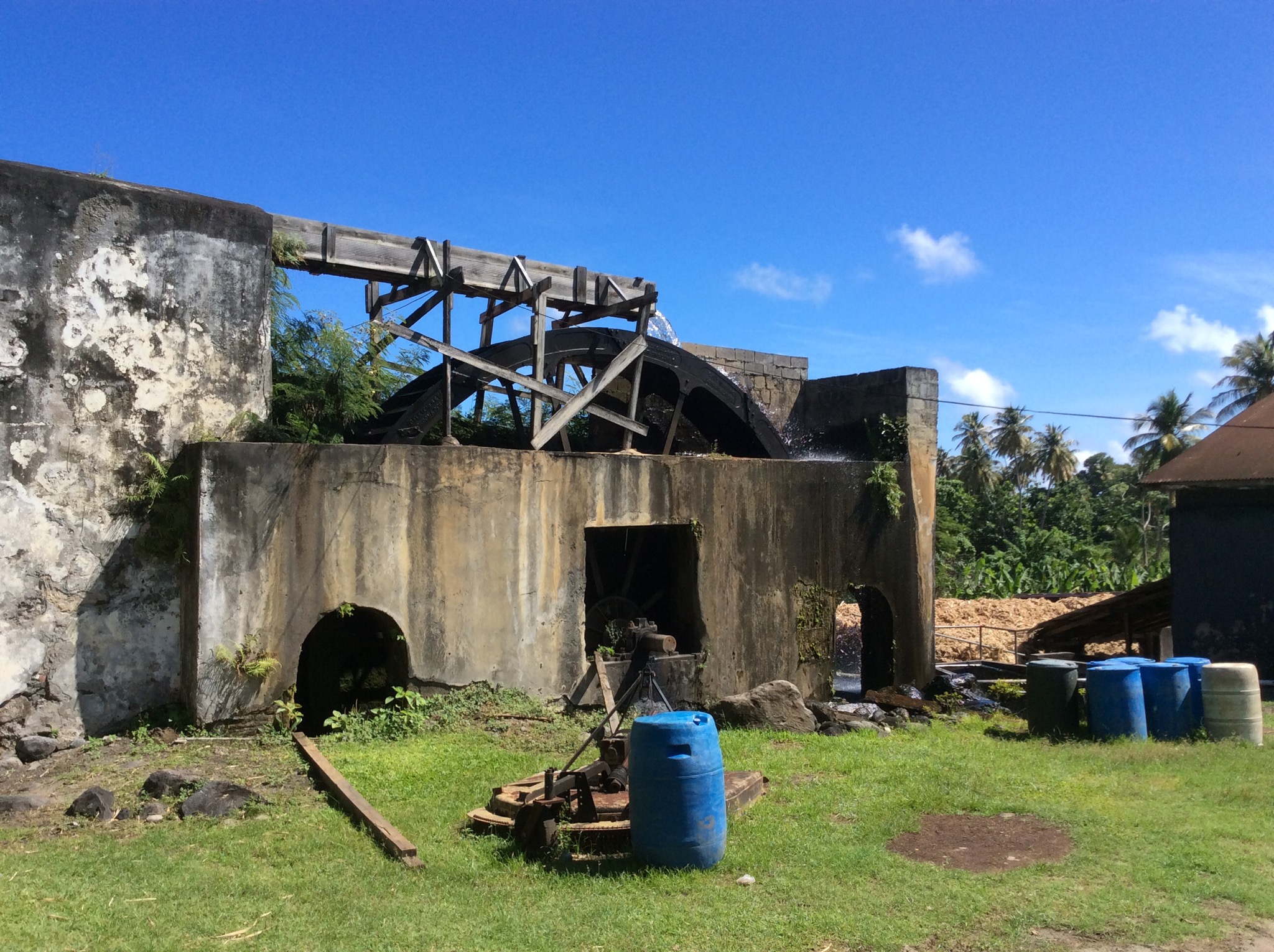
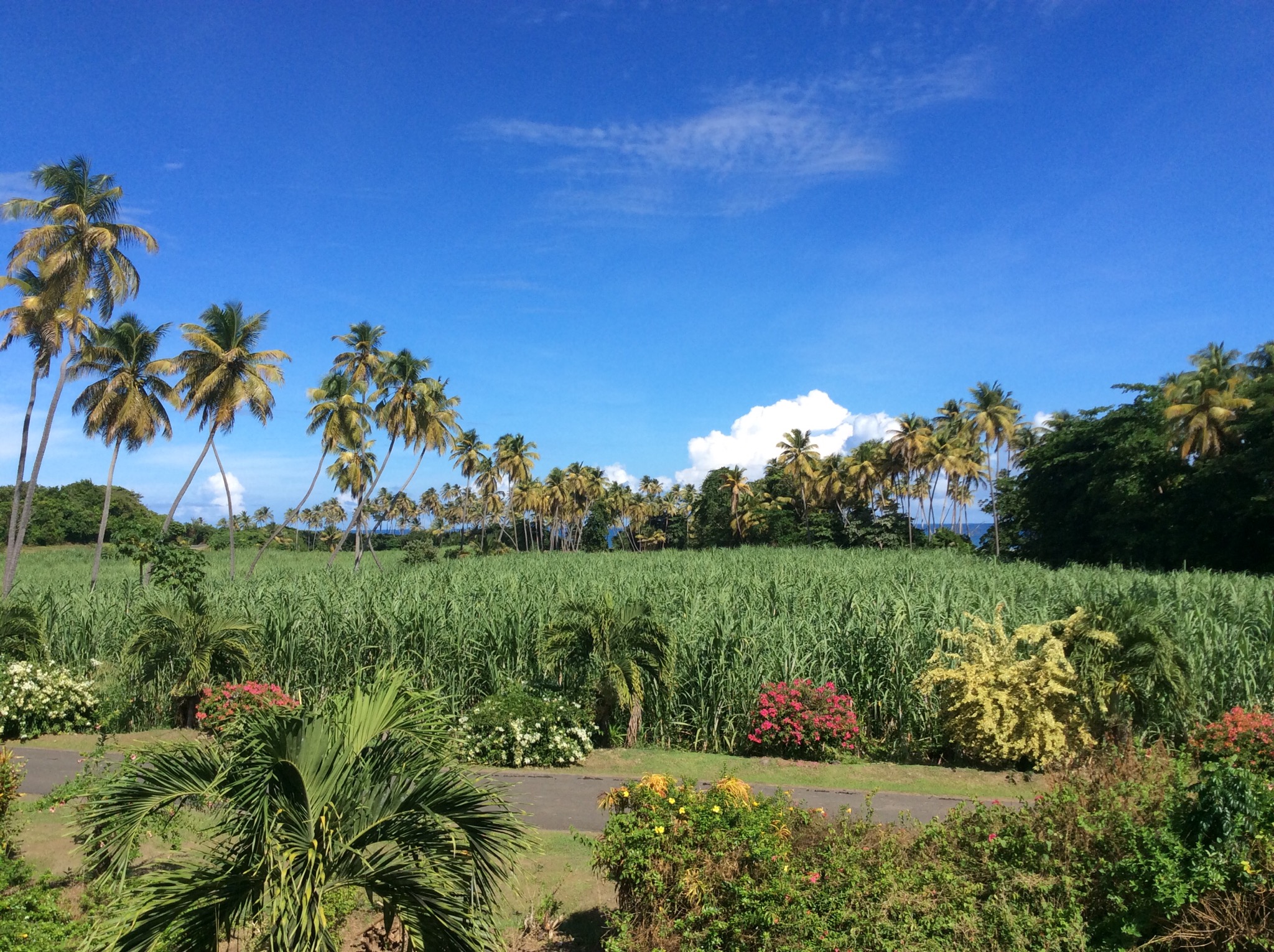
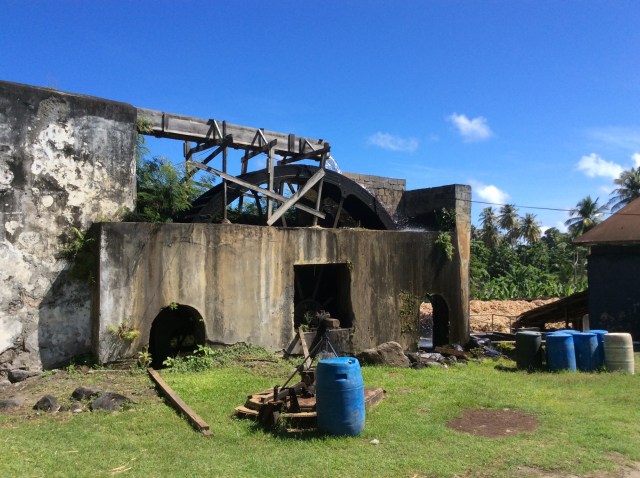
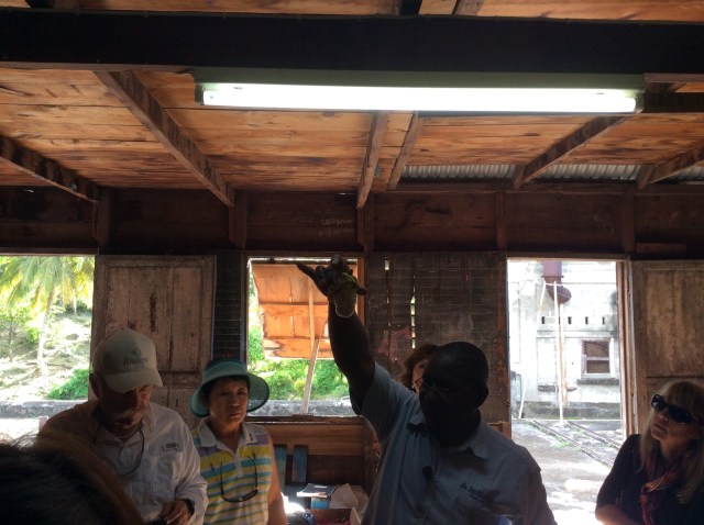
We stopped at the River Antoine Estate which is a rum distillery that still uses a 19th century water wheel to produce 152 proof liquor, considered too strong for visitors to bring home on a plane. The estate has been going since 1785 with very little change in the process over the years. We had a tour around the place and our guide was so lovely – she kept calling us all “my dear”. It was a Saturday so they weren’t crushing the sugar cane so we wandered freely through the place. NZ Health & Safety would have had a field day at this place.

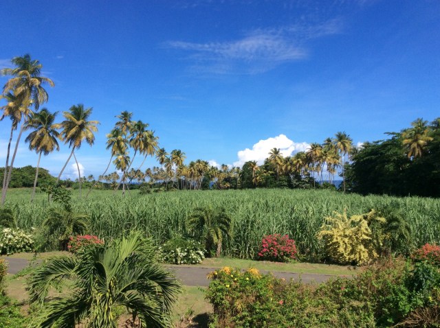
The sugar cane is harvested and then the juice crushed from it – the water wheel produces the power for the crushing machine. It goes through the crushing process twice. The sugar cane fibre is then burnt in the boiling house underneath the boiling pots. The cane juice enters these pots through a wooden guttering. It is then filtered and collected before being processed into syrup via the boiling process. An important ingredient in the sugar industry is white lime which is added to the cane juice as a purifier and as a means of obtaining a satisfactory level of acidity. The boiling pots are made from copper or iron taycher and go from large to small or hot to hottest. They hand ladle the juice from pot to pot. It is then transferred to a holding tank for 48 hours where it cools in preparation for the fermentation process.

The cool syrup is then pumped into a goose neck shaped boiler where the main fuel used for boiling the rum is wood. It is heated up to a temperature of 250 degrees. At this point the alcohol leaves the boiler in the form of vapour or steam into the vaporiser. From here it goes into the condenser and turns into rum. This is then stored and eventually bottled. Most of the rum produced at the River Antoine Estate is sold on the island to locals and tourists alike. The produce 69% alcohol (138% proof) and 75% alcohol rum. The 75% version or 152% proof is considered too dangerous to take on a plane.

I did not try the 69% or 75% rum choosing instead to try the rum punches which were very nice but pretty potent. Some of our fellow travellers tried the straight rum and said it definitely had the ability to curl your hair. The Estate employs 98 people including those that harvest the sugar cane. It has employed many generations over the years – our guide said her Grandmother and Mother both worked on the Estate.

IMG_2196.JPG

IMG_2197.JPG

IMG_2200.JPG

IMG_2205.JPG

We then had lunch at a restaurant not far from the Estate. The food was lovely and you could taste all the local flavours. We had a local drink made from yellow apples and lime juice – so yummy.
IMG_2206.JPG

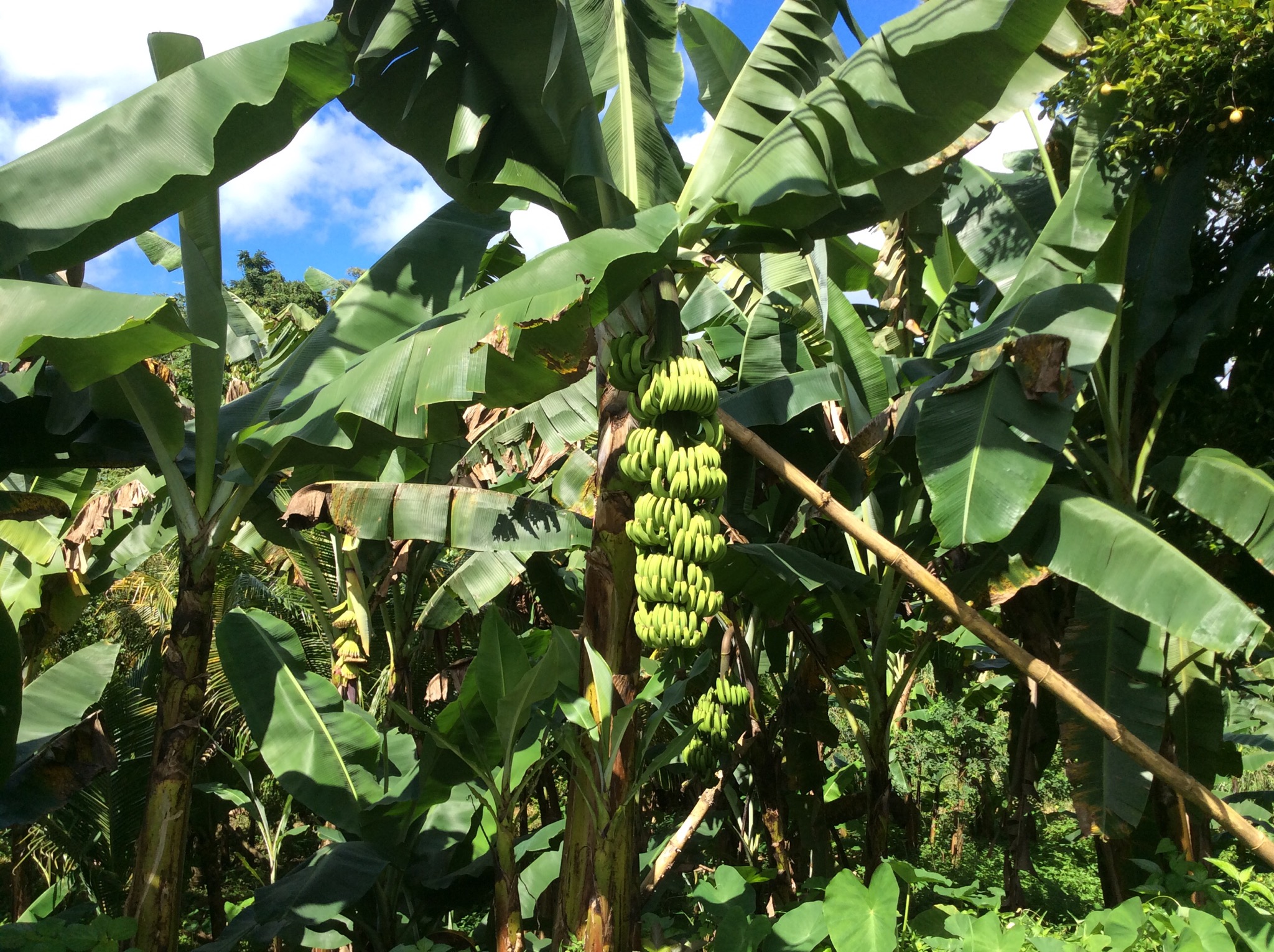
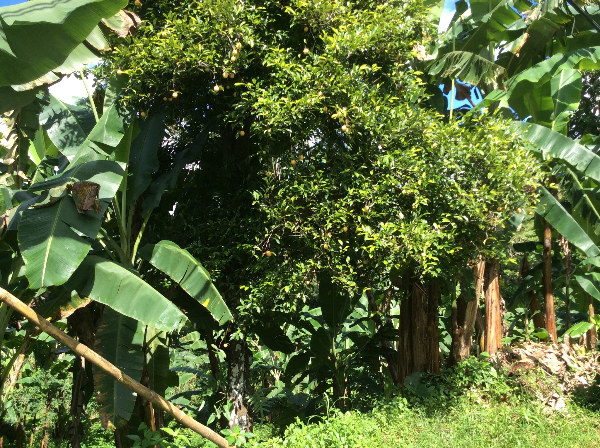
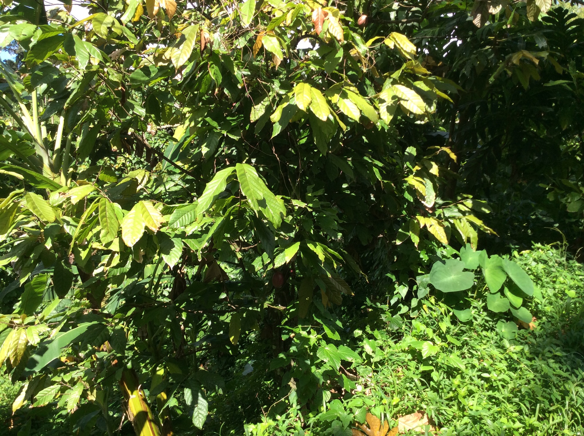
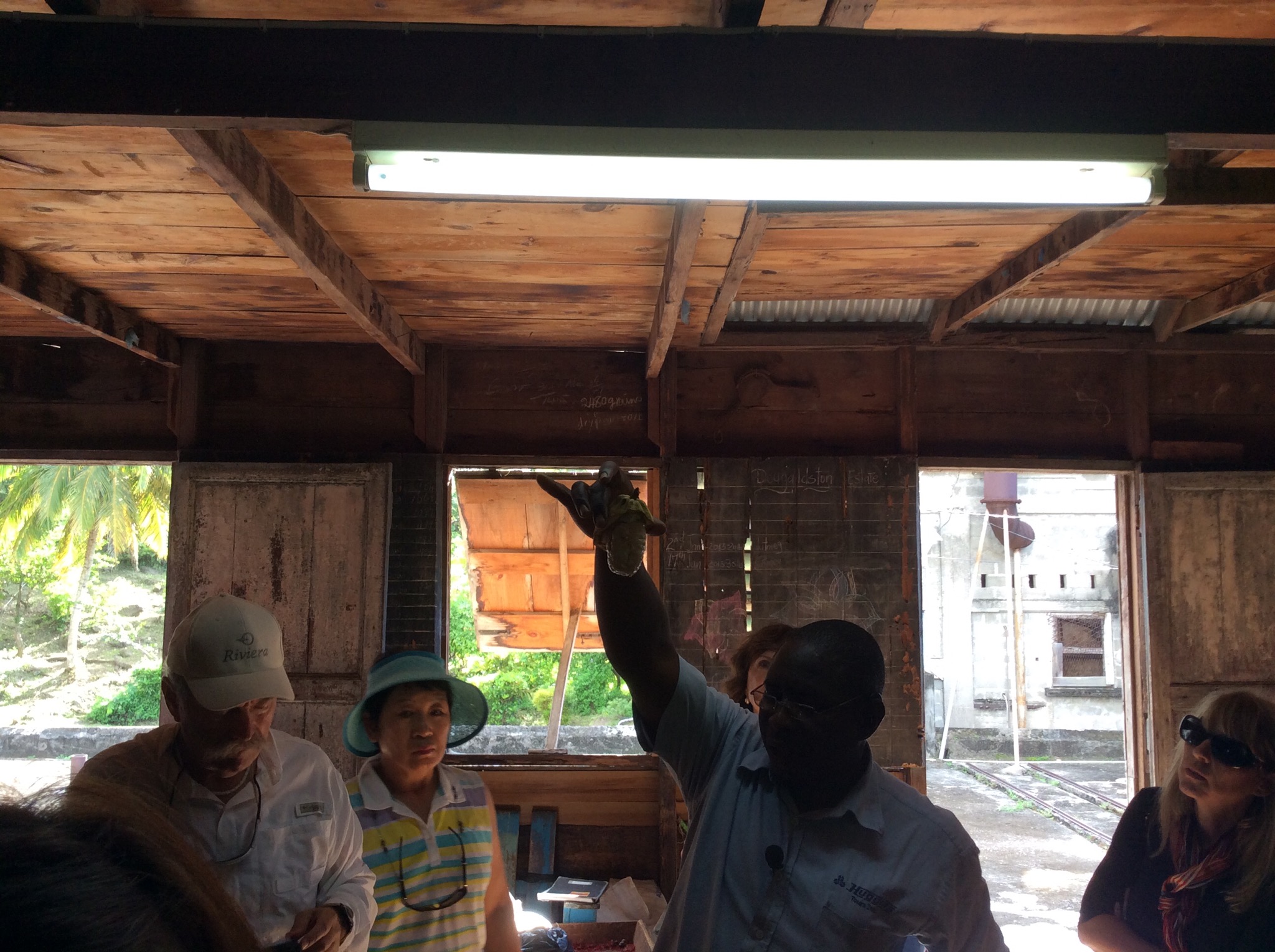
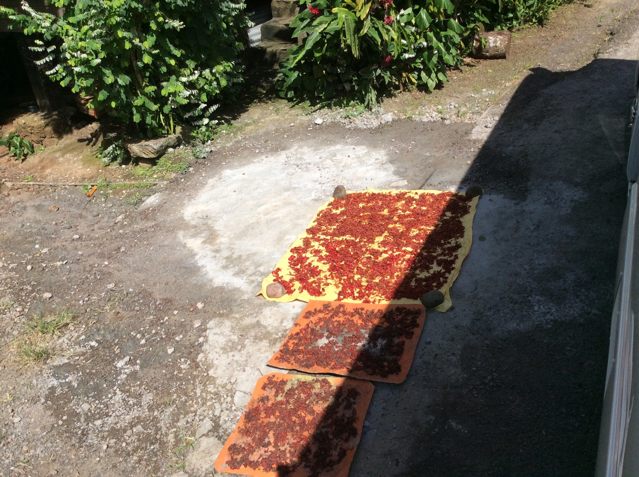
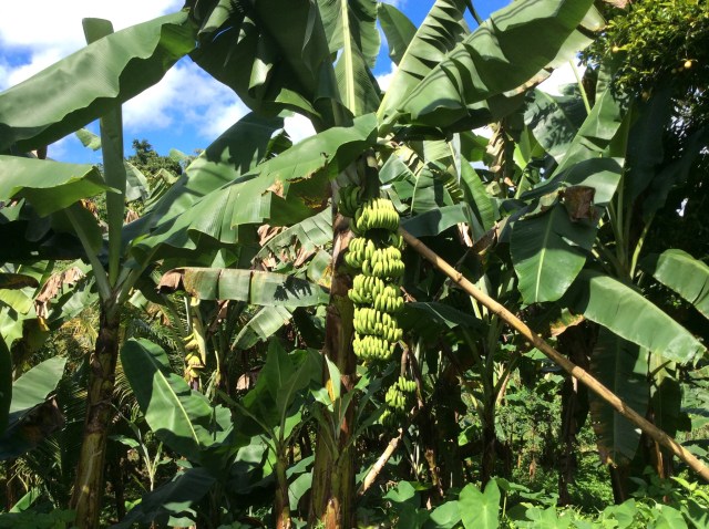
Next stop was the Dougaldston Spice Estate – a historical monument to Grenada’s past, where most of the island’s precious spices (nutmeg, allspice, clove, cinnamon, ginger, cocoa, bay leaves, mace) are grown and processed. Over the years the original owners and people that used to work the estate have died off and the younger generation have not taken up the reigns – the Estate is now a fraction of the size it was. The nutmeg is sold to the nutmeg factory in town and the cacao is sold to the chocolate factory – they then further process it and export it. The cacao that is grown and processed on the island is used in chocolate blends offshore rather than to produce edible chocolate. The island used to be a big exporter of bananas too but due to competition from larger countries this industry has also diminished with most produce being consumed locally by the population of 110,000.
IMG_2207.JPG

Grenada gets a lot of rain so water is not a problem – they collect it and treat it in the various treatment plants around the island. The electricity company on the island is Canadian owned and they use diesel generators to produce the power for the island which makes it quite expensive. It costs an average household USD120 per month for electricity. The fuel and oil on the island is purchased from Venezuela.

To the uninitiated, the Southern Caribbean island of Grenada is better known for its political history – U.S. troops intervened in a coup during President Reagan’s administration, at the time a controversial volley in the Cold War in 1983 – I don’t remember this but did some more research as it occurred in my lifetime (see below for more information).

It is also known for Hurricane Ivan, which damaged 90 percent of Grenada’s buildings, destroyed 85 percent of its nutmeg trees and left more than half the population homeless in September 2004. While you’ll still see some lingering effects as you tour around the island — churches without roofs, homes still being rebuilt. The famous nutmeg industry is still recovering from the 2004 hurricane – the trees take between seven and 15 years to mature enough to bear fruit. A year later with the help of international donors (Canada, the United States, China, Venezuela, and the European Union) Grenada had experienced a significant turn around in rebuilding efforts. By 2007, Grenada had participated as planned in the hosting of the 2007 Cricket World Cup.

St. George’s is the capital of Grenada. The city is surrounded by a hillside of an old volcano crater and is on a horseshoe-shaped harbor. The city is home of St. George’s University School of Medicine. The main exports are cocoa bean cacao, nutmeg, and mace spice. It has a moderate tropical climate that ensures the success of this spice production. It is known as the Isle of Spice.

In 1666, a wooden fortification was constructed by French colonists on a promontory overlooking Grenada’s natural harbour and named Fort Royale. In 1705, work started on a new star fort on the same site, with four stone-built bastions, to the design of Jean de Giou de Caylus, the Chief Engineer of the “Islands of America” the French West Indies. It was completed in 1710. Meanwhile, the original colonial settlement at the eastern edge of the harbour called Saint Louis after King Louis IX of France, later known as Port Louis, was found to be subject to flooding and malaria, so a new town was constructed called Ville de Fort Royale (“Fort Royal Town”). When the island was ceded to Great Britain by the Treaty of Paris in 1763, the new administration renamed it Saint George’s Town, after the patron saint of England and Fort Royale was renamed Fort George, after King George III. On the 1 November 1775 there was a fire in the town of St. George’s known as the great fire of St George’s. After the great fire of 1771, most of the boarding houses on Granby Street were moved to Gouyave.

Following the withdrawal of Bridgetown, Barbados, in the mid-1880s, St. George’s went on to become the replacement capital of the former colony of the British Windward Islands.

Though St. George’s was discovered by Christopher Columbus on this third voyage in 1498, the island was relatively neglected until 1650, when it was purchased by the governor of Martinique. The French began their colonisation with a series of skirmishes that virtually exterminated the island’s native Carib population. The survivors were pushed north to Le Morne des Sauterurs, where rather than surrender they jumped off the cliff to the jagged rocks below. Today the site of the Carib defeat is known as “Carib’s Leap.”

The average temperature is about 30 °C (86 °F). There are two seasons: the ‘dry’ season is from January to May and the ‘rainy’ season lasts for the rest of the year. There are short spells of rain in the dry period but they last no more than 5 minutes or so. Gray clouds over the mountains are the first sign of rain.

Spices
Nutmeg & Mace
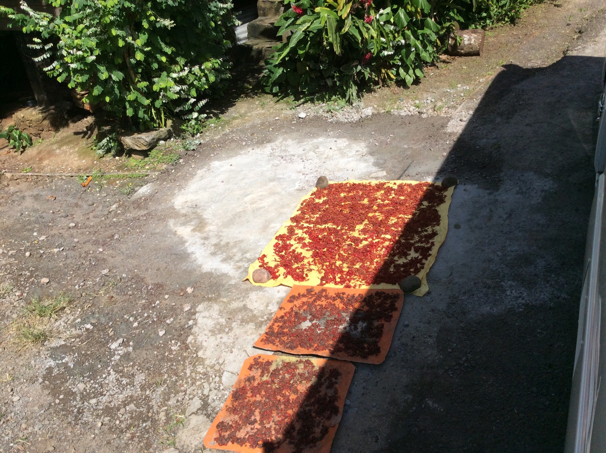
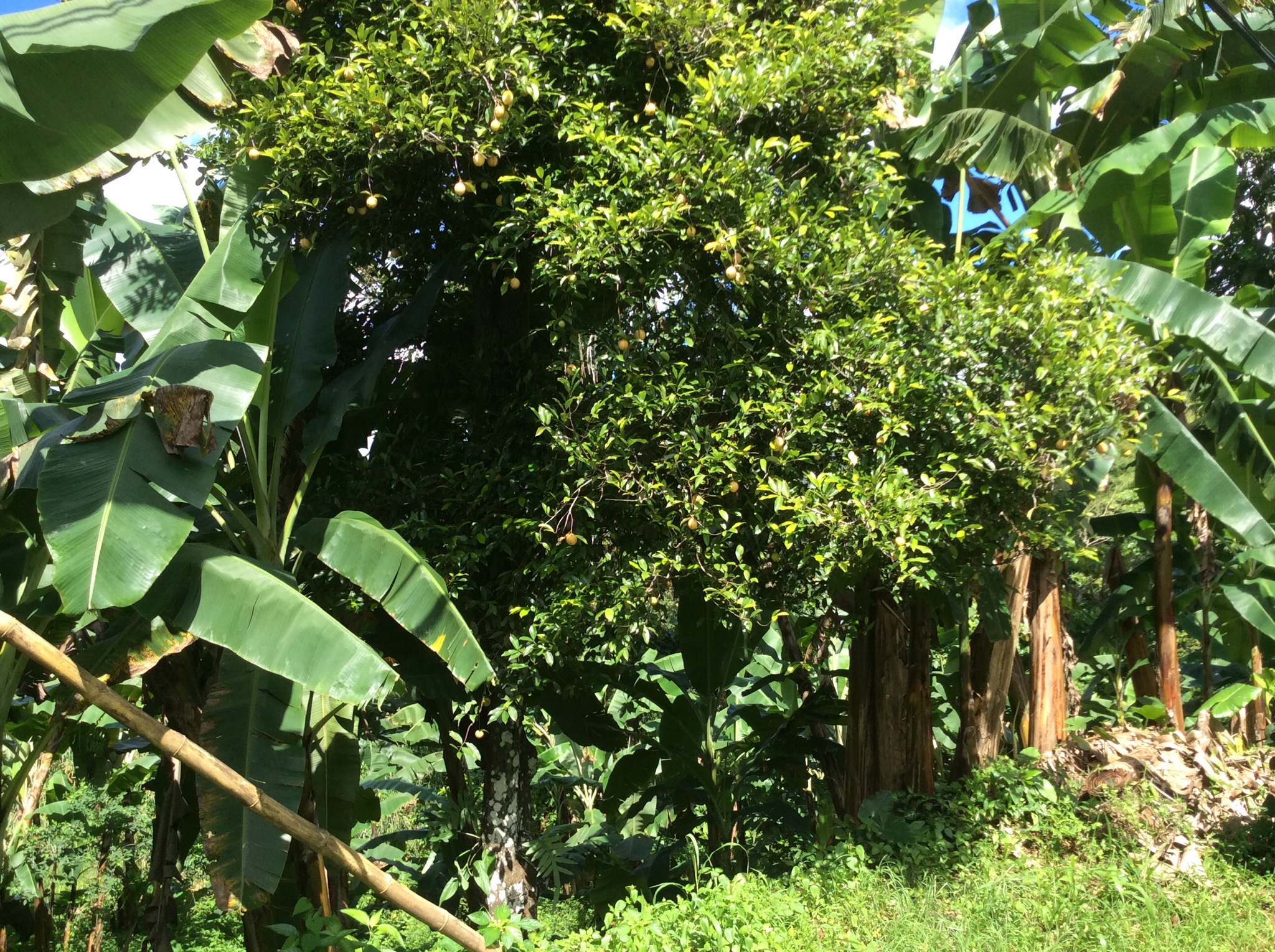
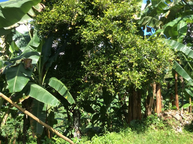
Nutmeg and mace come from the fruit of the aromatic Myrristica fragrans tree. The alien tree was adopted as from March 3, 1967 to the Spice Island. The tree is an evergreen with dark green leaves and small yellow flowers, and grows up to 12 meters tall. It starts bearing fruit after seven or eight years and continues to do so for up to 40 years. The fruit looks like an apricot and when ripe, slit to reveal a walnut sized seed. Covering the shell of the seed are lacy, red-orange strips, which are mace, and inside the shell is the seed itself – nutmeg. It is valued as a cure all for digestive, liver and skin problems and it is believed that it has aphrodisiac qualities as well. It is used extensively for cooking to enhance the flavor of cakes, soups, desserts, drinks and sauces.
IMG_2192-0.JPG

IMG_2195-0.JPG

Cinnamon
This comes from the inner bark of the cinnamon tree (Cinnamonum verum). Whole or ground, it is a popular household spice internationally. It is used to flavor beverages and cakes.

Clove
This dried flavored flower bud, whole or ground (Syzygium aromaticum) is used at home to season hams, sausages, meats, mincemeat pies, fish, turtle preserves and pickles.

Sugar cane
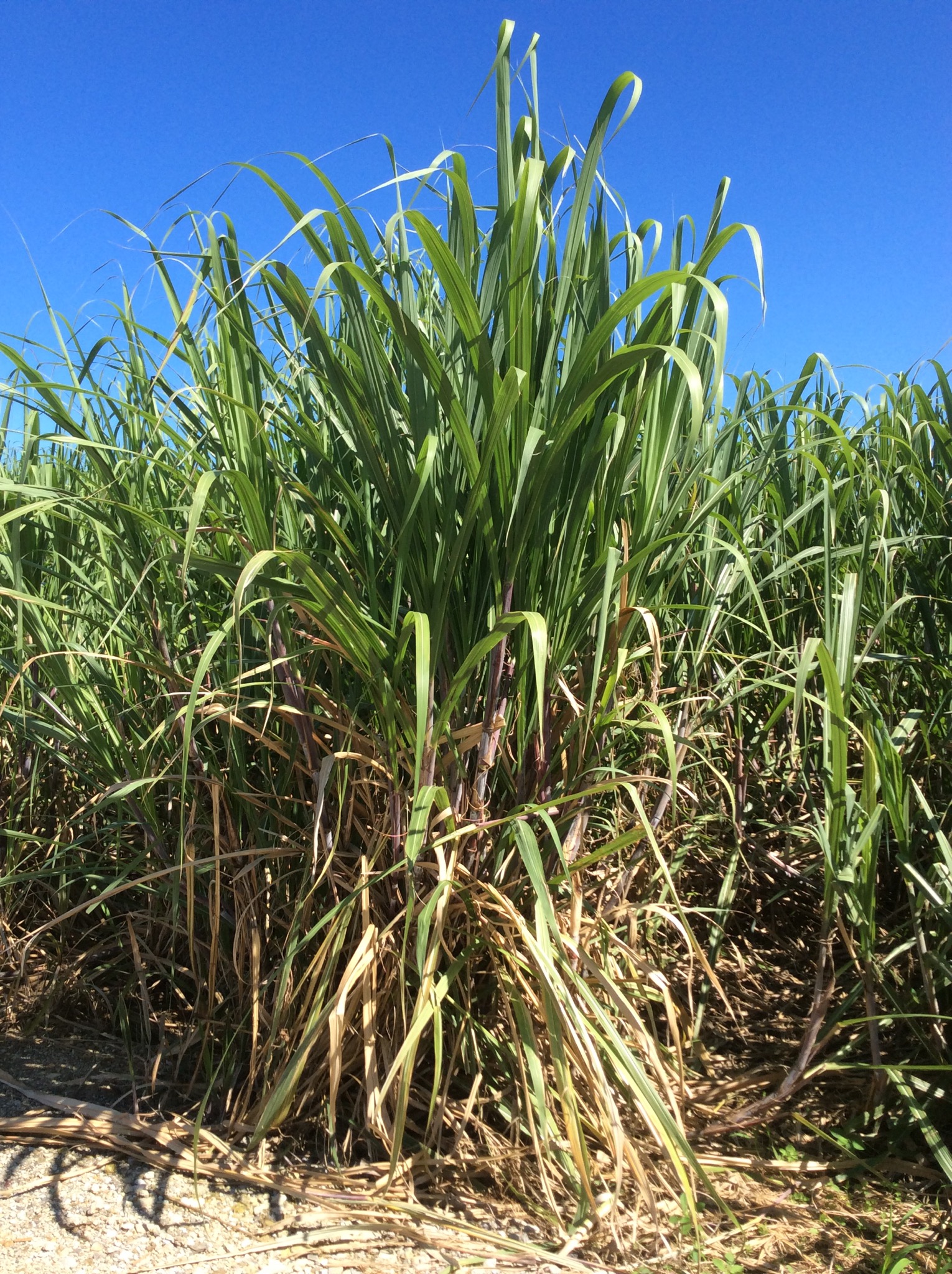
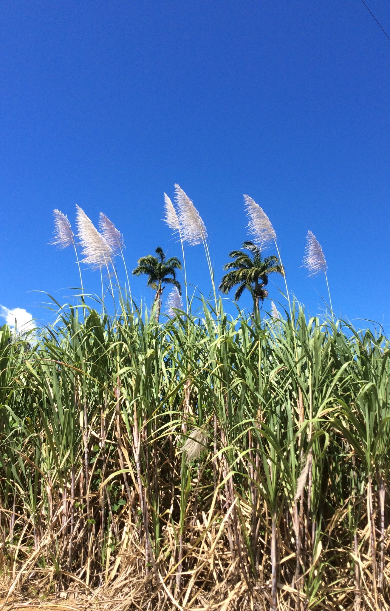
From June to December, cuttings from the tops of cane are laid in holes about five inches deep by five feet square then covered with soil. As the cane grows taller, fertilizer is used. Between planting and harvesting, bananas, corn, peas, potatoes, and other crops are cultivated. January to May, the ripe cane are cut and delivered to the mill to be ground. Boiling and clarifying the cane juice is the next operation. The juice is strained after grinding and then taken to the clarifying copper to be boiled. (Wood coal is the main source fuel). Lime is added to speed up the operation. The liquid sugar is put into coolers for about 14 hours. The molasses is then drained off and taken to the still house to be made into rum.

Operation Urgent Fury (1983)
Sir Eric Gairy had led Grenada to independence from the United Kingdom in 1974. His term in office coincided with civil strife in Grenada. The political environment was highly charged and although Gairy—head of the Grenada United Labour Party—claimed victory in the general election of 1976, the opposition did not accept the result as legitimate. The civil strife took the form of street violence between Gairy’s private army, the Mongoose Gang, and gangs organized by the New Jewel Movement. In the late 1970s the NJM began planning to overthrow the government. Party members began to receive military training outside of Grenada. On 13 March 1979, while Gairy was out of the country, the NJM—led by Maurice Bishop—launched an armed revolution and overthrew the government, establishing the People’s Revolutionary Government. The leftist New Jewel Movement was seen favorably by much of the Grenadan population.

On 16 October 1983, a party faction led by Deputy Prime Minister Bernard Coard seized power. Bishop was placed under house arrest. Mass protests against the action led to Bishop’s escaping detention and reasserting his authority as the head of the government. Bishop was eventually captured and murdered along with several government officials loyal to him. The army under Hudson Austin then stepped in and formed a military council to rule the country. The governor-general, Paul Scoon, was placed under house arrest. The army announced a four-day total curfew where anyone seen on the streets would be subject to summary execution.

The Organization of Eastern Caribbean States (OECS), as well as the nations of Barbados and Jamaica, appealed to the United States for assistance. According to a reporter for The New York Times, this formal appeal was at the request of the U.S. government, which had already decided to take military action. U.S. officials cited the murder of Bishop and general political instability in a country near U.S. borders, as well as the presence of U.S. medical students at St. George’s University, as reasons for military action. The reporter also claimed that the latter reason was cited in order to gain public support. It was later revealed that Grenada’s Governor General, Paul Scoon, had requested the invasion through secret diplomatic channels. Scoon was well within his rights to take this action under the reserve powers vested in the Crown.

On 25 October, Grenada was invaded by the combined forces of the United States and the Regional Security System (RSS) based in Barbados, in an operation codenamed Operation Urgent Fury. The U.S. stated this was done at the request of the prime ministers of Barbados and Dominica, Tom Adams and Dame Eugenia Charles, respectively. Nonetheless, the invasion was highly criticized by the governments in Canada, Trinidad and Tobago, and the United Kingdom. The United Nations General Assembly condemned it as “a flagrant violation of international law” by a vote of 108 in favour to 9, with 27 abstentions. The United Nations Security Council considered a similar resolution, which failed to pass when vetoed by the United States.

The Bishop government began constructing the Point Salines International Airport with the help of Britain, Cuba, Libya, Algeria, and other nations. The airport had been first proposed by the British government in 1954, when Grenada was still a British colony. It had been designed by Canadians, underwritten by the British government, and partly built by a London firm. The U.S. government accused Grenada of constructing facilities to aid a Soviet-Cuban military buildup in the Caribbean based upon the 9,000-foot length, which could accommodate the largest Soviet aircraft like the An-12, An-22, and the An-124, which would enhance the Soviet and Cuban transportation of weapons to Central American insurgents and expand Soviet regional influence. Bishop’s government claimed that the airport was built to accommodate commercial aircraft carrying tourists, pointing out that such jets could not land at Pearl’s Airstrip on the island’s north end (5,200 feet) and could not be expanded because its runway abutted a mountain and the ocean at the other end.

Nearly 8,000 soldiers, sailors, airmen, and marines had participated in Operation Urgent Fury along with 353 Caribbean allies of the Caribbean Peace Forces. U.S. forces sustained 19 killed and 116 wounded; Cuban forces sustained 25 killed, 59 wounded, and 638 combatants captured. Grenadian forces casualties were 45 killed and 358 wounded; at least 24 civilians were killed, 18 of whom were killed in the accidental bombing of a Grenadian mental hospital.

The date of the invasion (25 October) is now a national holiday in Grenada, called Thanksgiving Day, and the Point Salines International Airport was renamed in honor of Prime Minister Maurice Bishop in 2009 to Maurice Bishop International Airport,

Posted in Oceania Cruises | Leave a comment

Isla de Margarita, Venezuela – Oceania

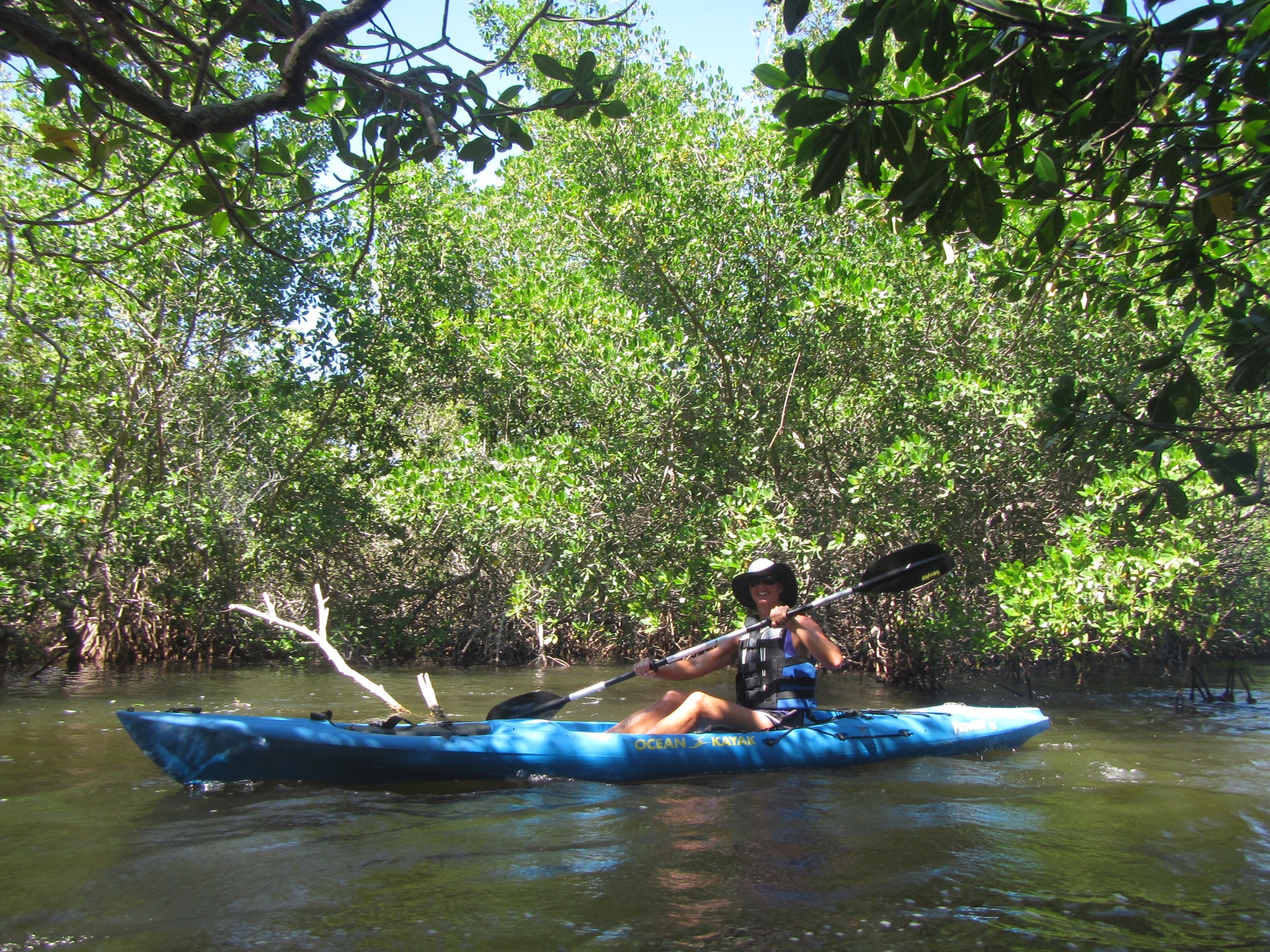
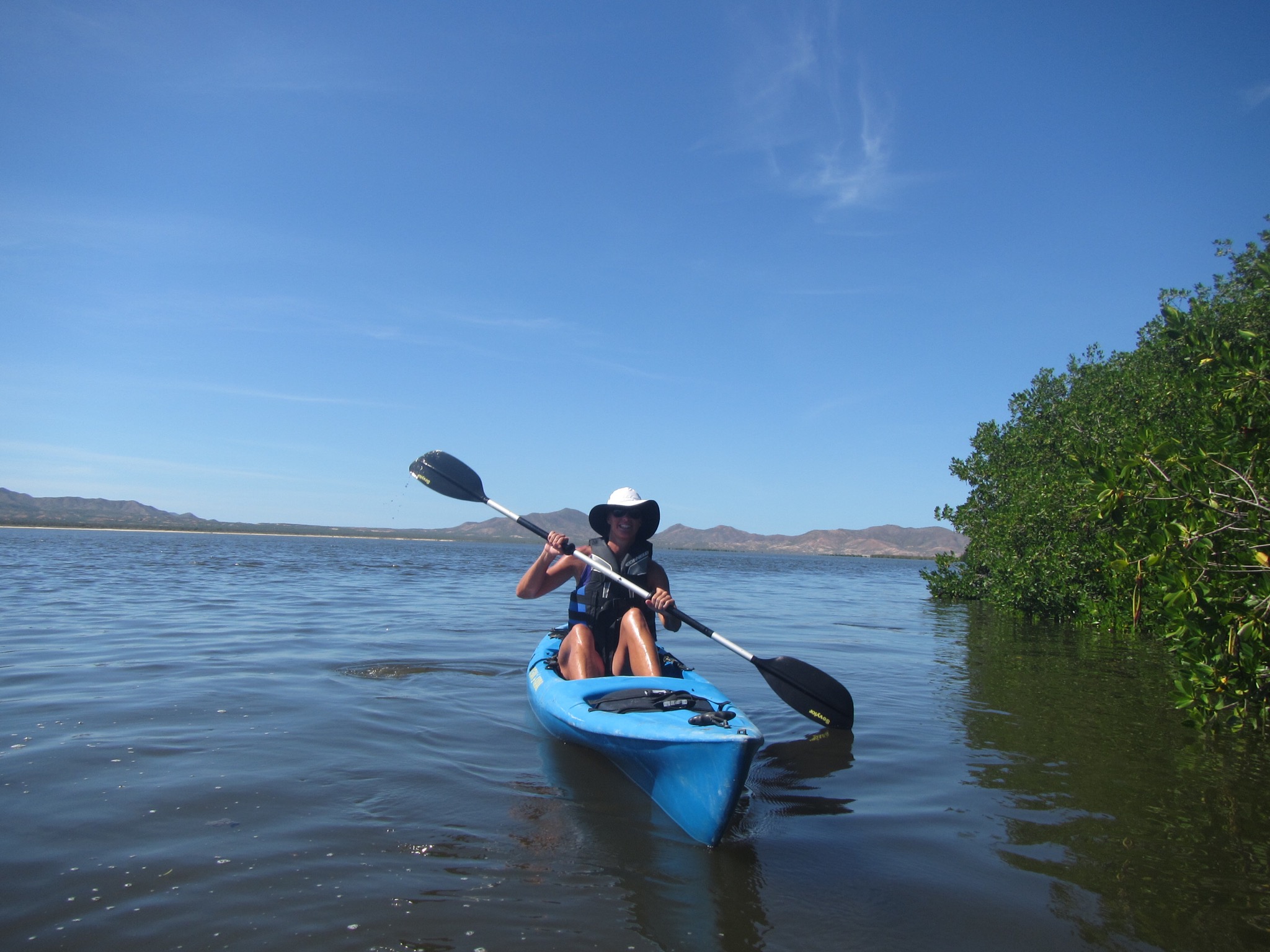
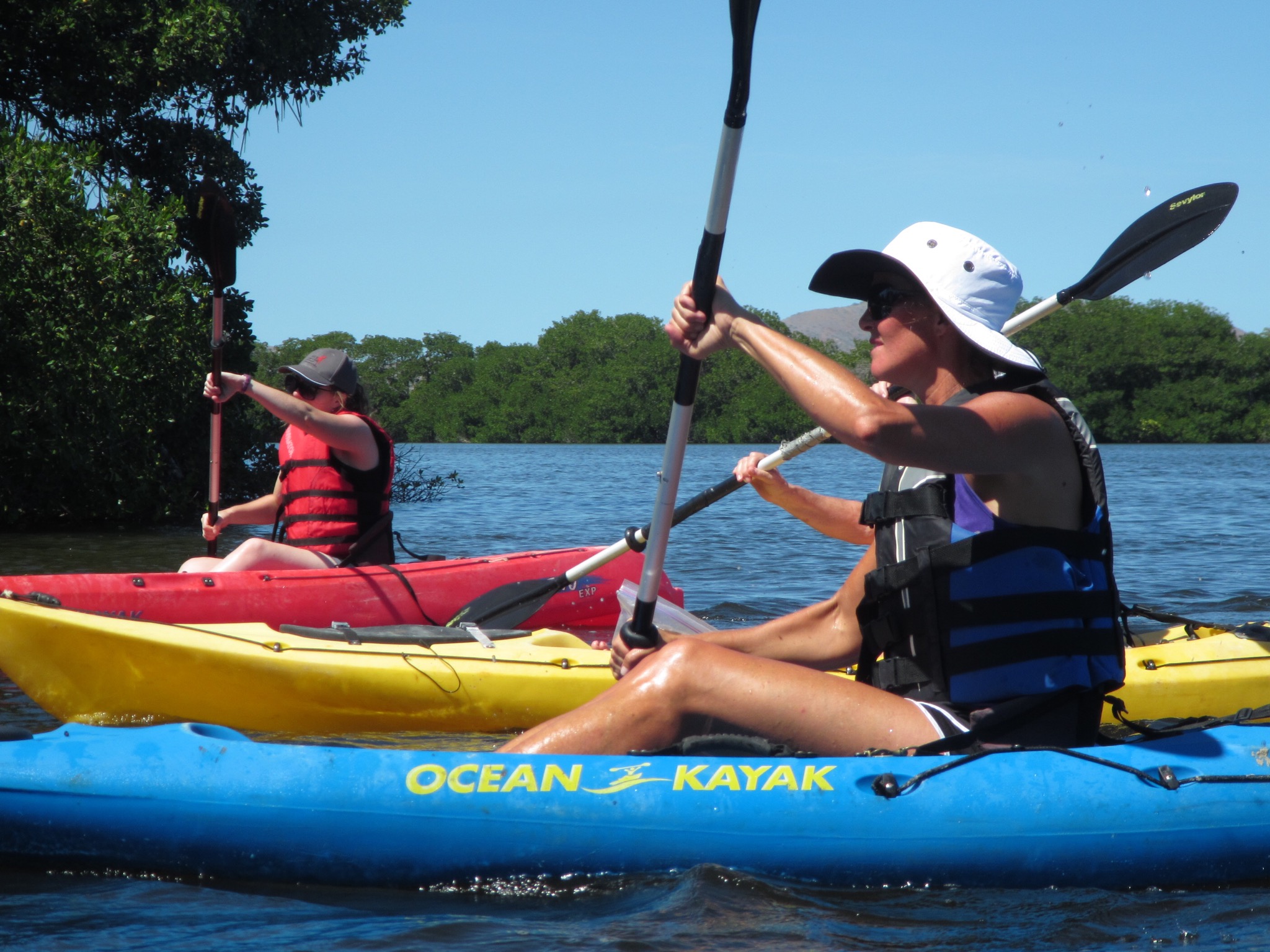
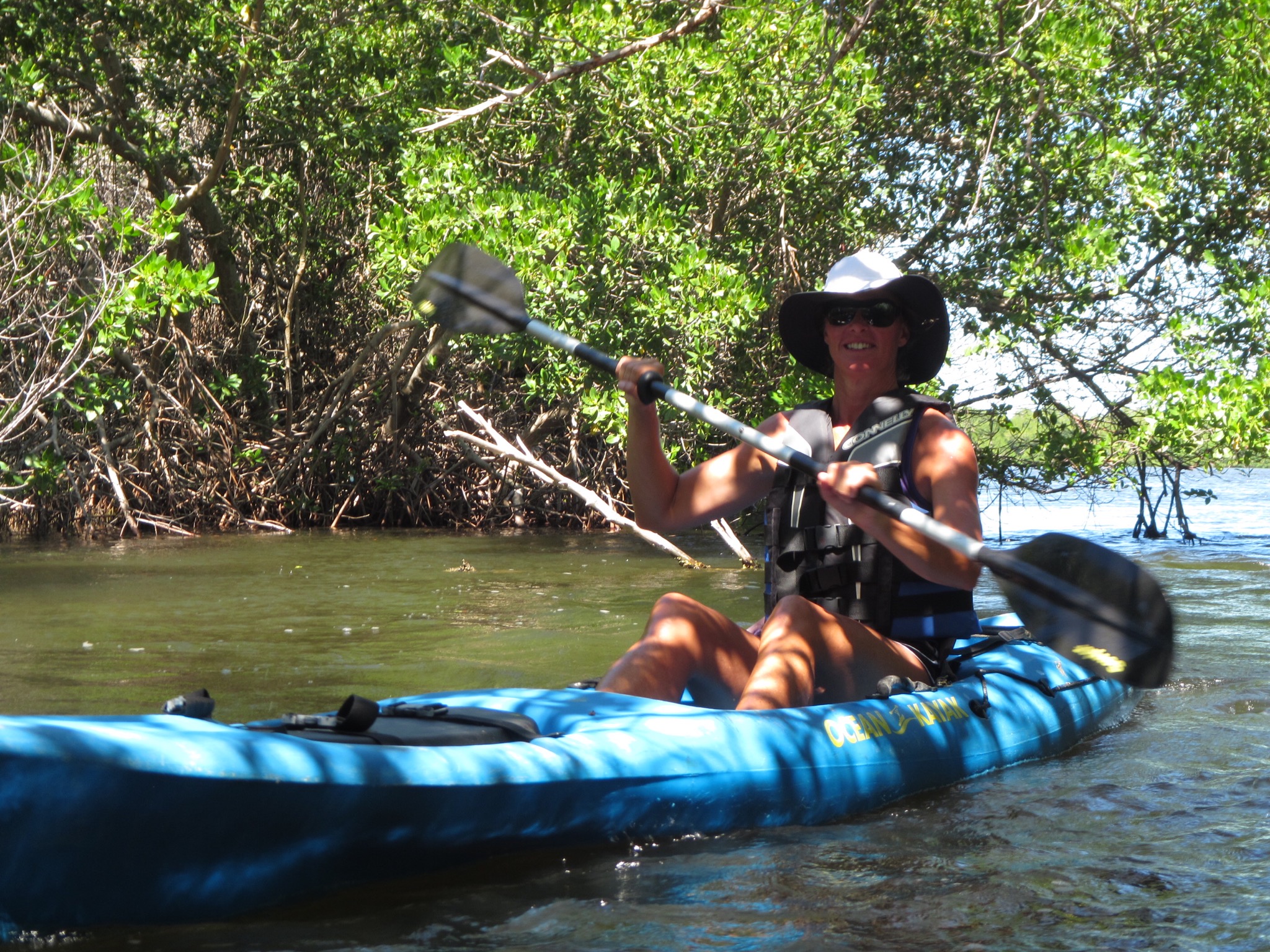
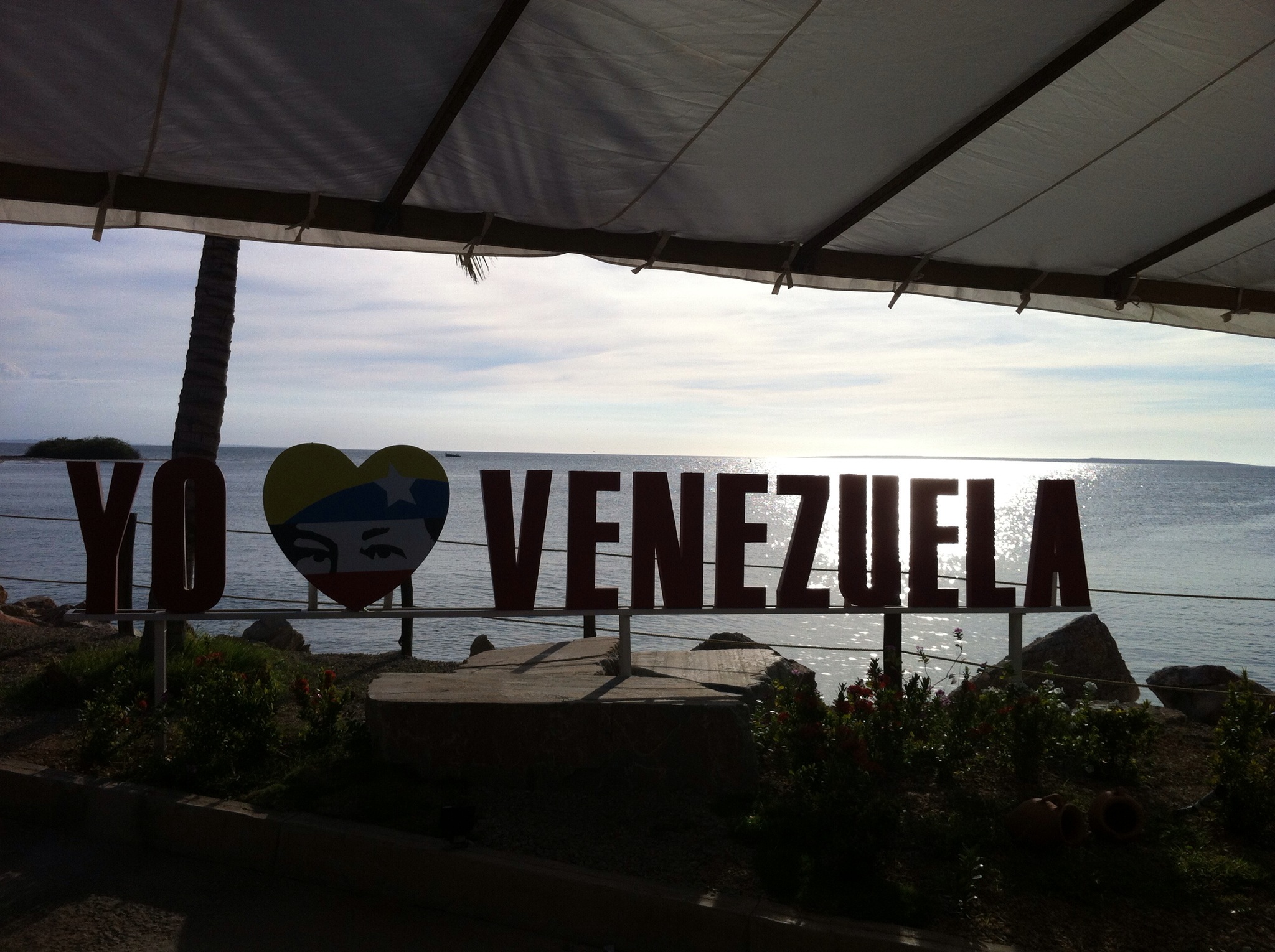
Today we docked in El Guamache on the island of Margarita just off the coast of Venezuela. I had decided to do a kayaking trip whereas all Steve’s table tennis had left him with a sore elbow so he decided to rest up for his upcoming golf games.

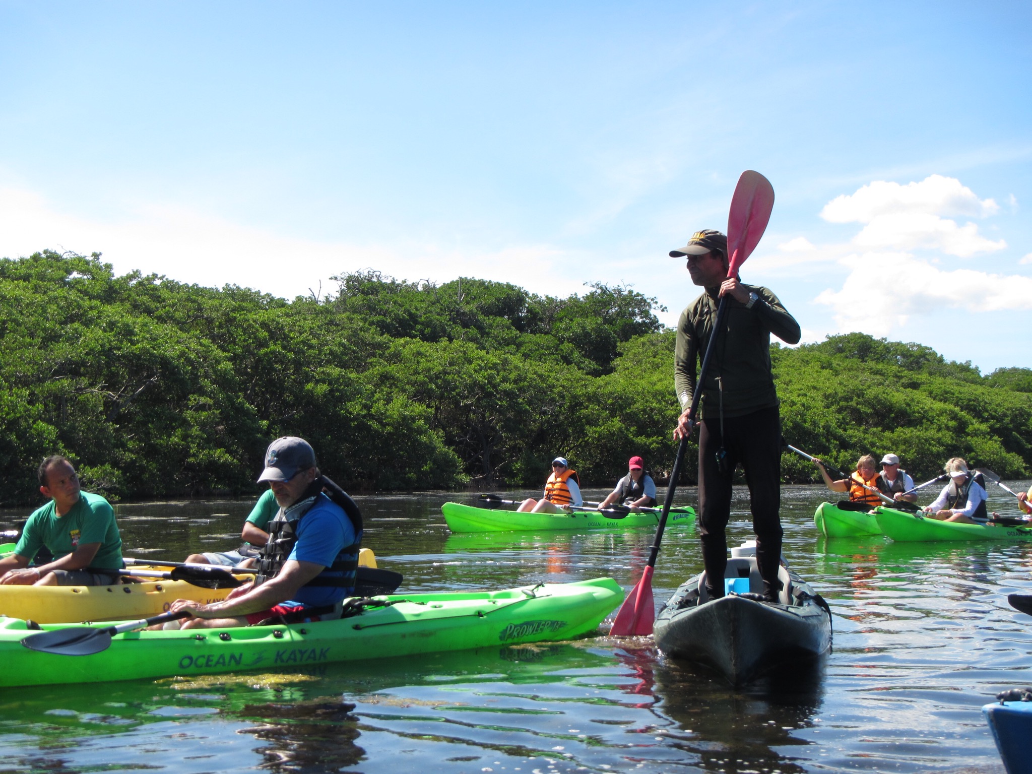
There were 24 of us on the kayak tour and we jumped into 4 open top jeeps to go across the island to the National Park. I was joined in my jeep by two guys from Miami, a couple from New York and a woman from Orlando. Lou, the woman from Orlando had visited New Zealand ten years ago and loved it. She thought it was so quaint – like a country stuck in the 1950’s but with internet! I told her we are not that backwards and I have been to some places in the US which truly are stuck in the 1950’s!

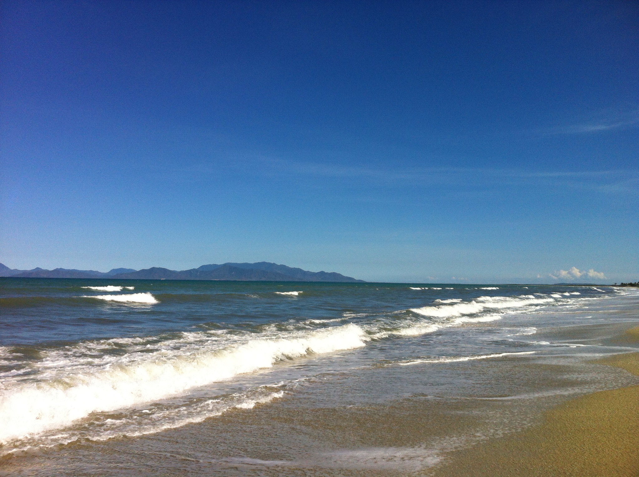
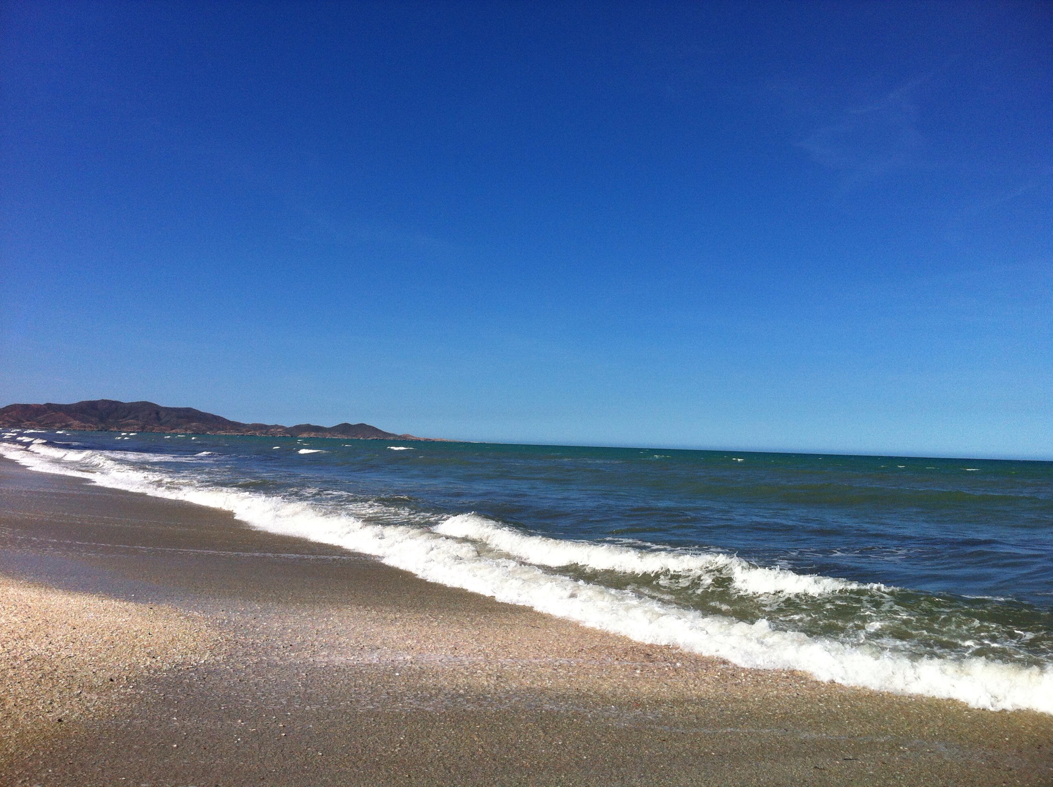
We got onto the highway which our driver, Antonio told us was a very important road – it is the only highway on the island that joins the east of the island with the west. We then went off road which was fun and drove alongside the longest beach on the island which is 26km long. Our kayaking guides Alfredo and Jeannine (husband and wife) met us at the kayak camp and we set off into the lagoon. Alfredo said if we had any questions to ask him, if we had any problems ask the wife!

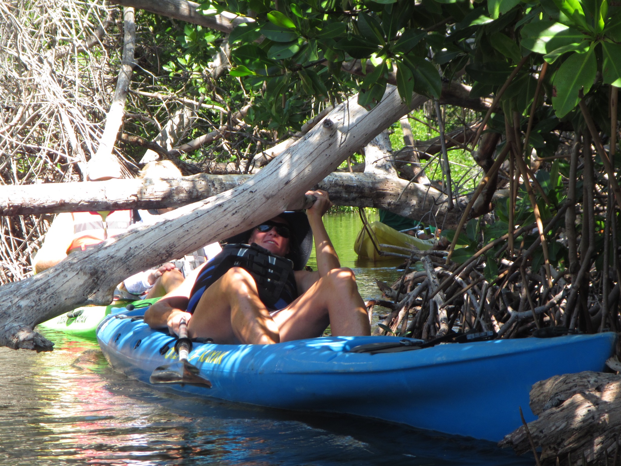
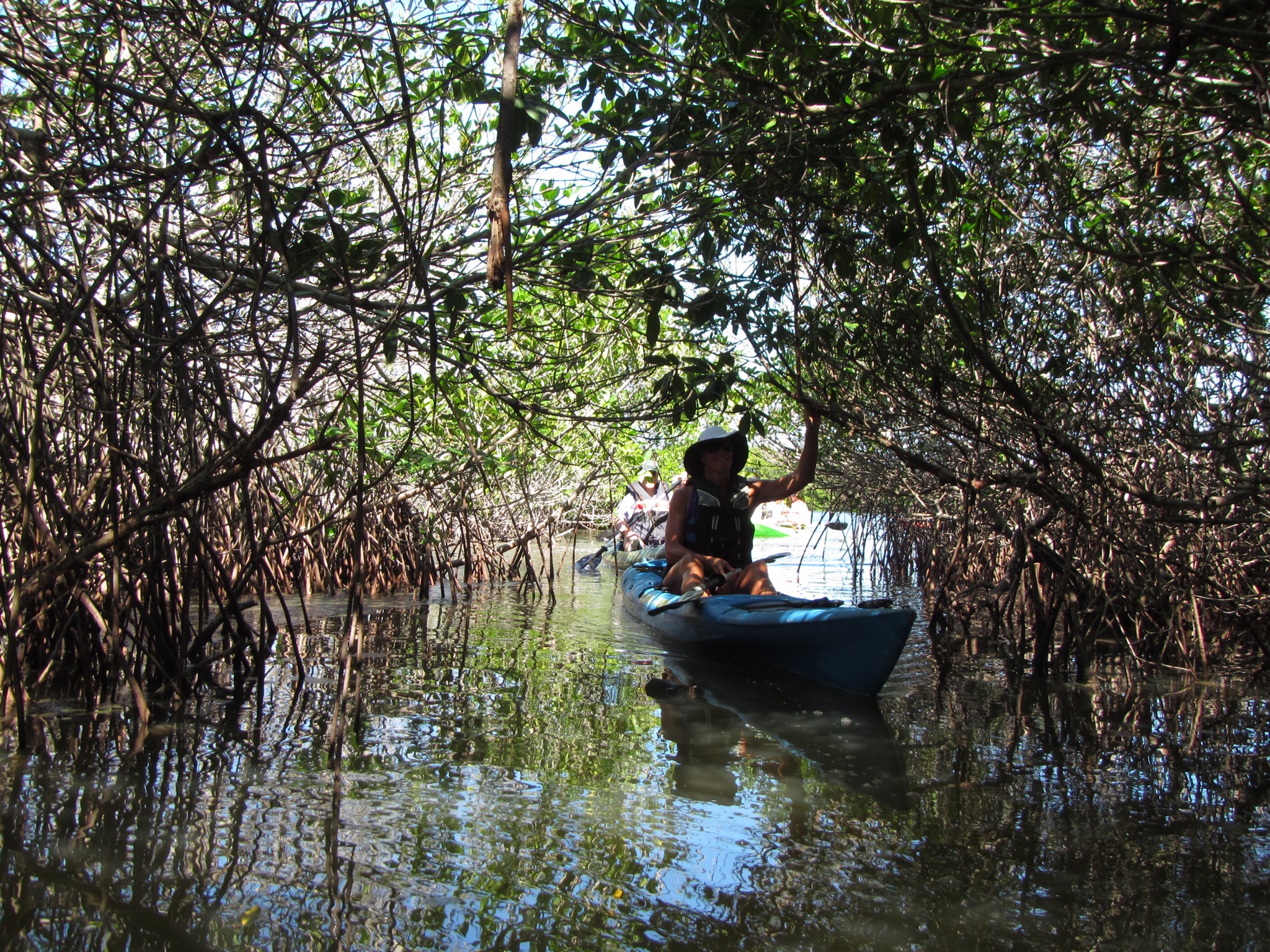
They have a lot of bird and fish life in the lagoon. It is a salt water lagoon that is more salty than the ocean. It was a clear blue sky day with a temperature of 32 degrees – the kayaking created just enough breeze to keep me comfortable. We had to negotiate through some small mangrove openings into different lagoons. It was very picturesque and so quiet.

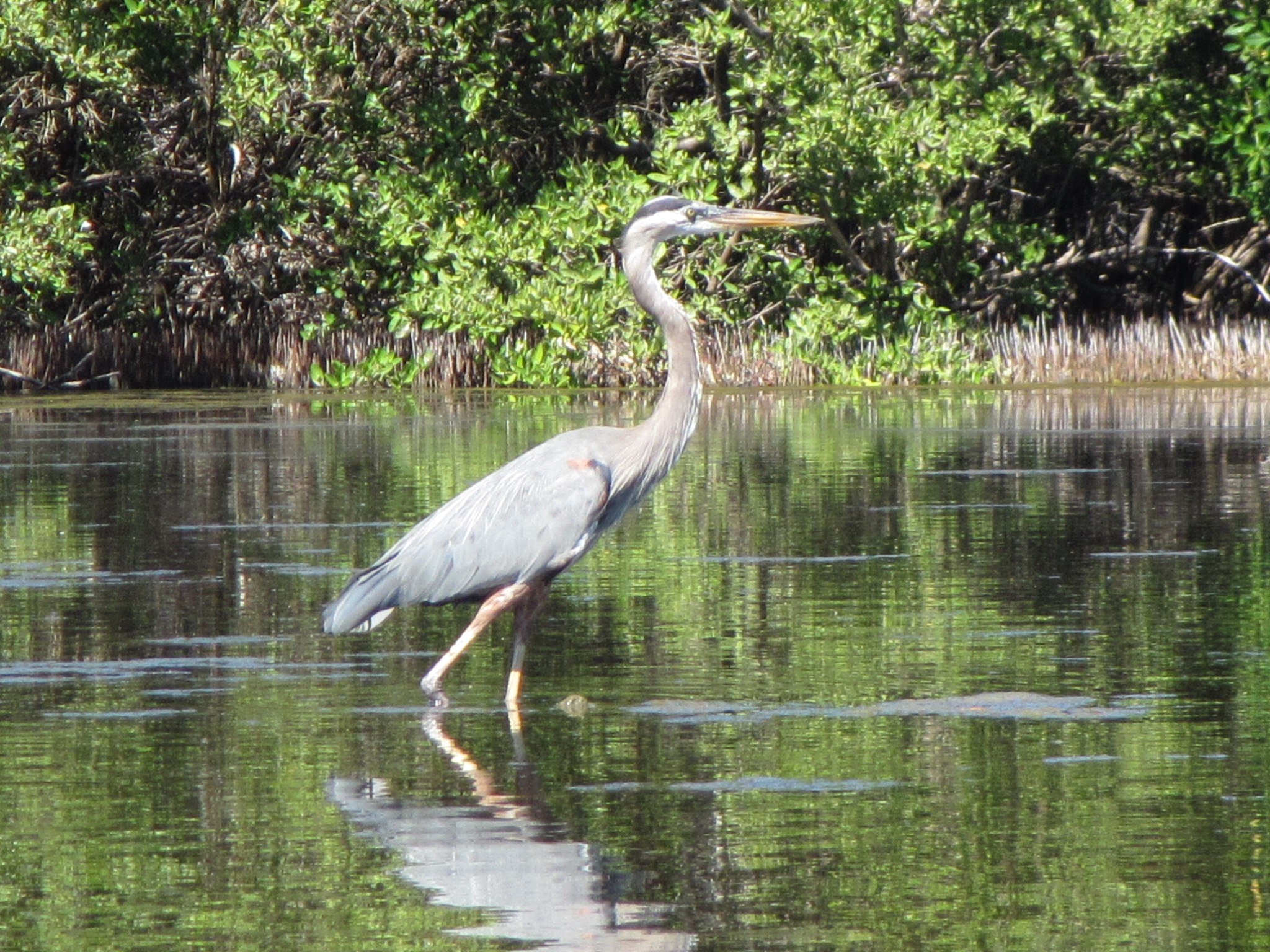
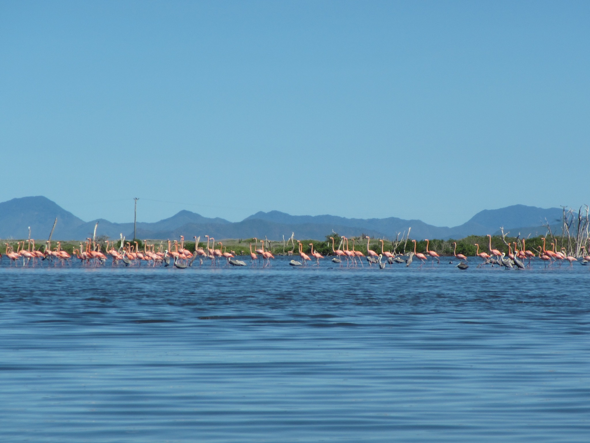
We saw a lot of bird life – herons and pelicans were flying around. We then went onto a different part of the lagoon and saw the flamingoes. Alfredo then took us into a shallow lagoon where we saw lots of medusa which by scientific definition is a free-swimming sexual form of a coelenterate such as a jellyfish, typically having an umbrella-shaped body with stinging tentacles around the edge. I could see lots of these medusa’s on the bottom of the lagoon. Alfredo picked some of them up to show us the different colours.

IMG_2429.JPG

IMG_2430.JPG

IMG_2431.JPG

IMG_2432.JPG

IMG_2433.JPG

IMG_2434.JPG

IMG_2435.JPG

IMG_2436.JPG

IMG_2437.JPG

IMG_2438.JPG

IMG_2440.JPG

IMG_2444.JPG

IMG_2445.JPG

After we finished kayaking we had some refreshments which included local rum and coke. We then went for a walk on the longest beach on the island – it is 26km long but we just explored a small portion of it. It was then time to go back to the ship but prior to embarking I purchased a locally sourced and made mother of pearl necklace and earrings.

IMG_4994.JPG

IMG_4996.JPG

IMG_4999.JPG

IMG_5003.JPG

Margarita Island (Isla de Margarita) is the largest island in the Venezuelan state of Nueva Esparta, situated off the northeastern coast of the country, in the Caribbean Sea. The capital city of Nueva Esparta, La Asunción, is located on the island. Primary industries are tourism, fishing and construction.

Christopher Columbus became the first European to arrive on Margarita Island in 1498. The local natives were the Guaiqueries people. The coast of the island was abundant in pearls, which represented almost a third of all New World tribute to the Spanish Crown. Margarita Island was fortified against the increasing threat of pirate attacks, and some fortifications remain today. In 1561, the island was seized by Lope de Aguirre, a notoriously violent and rebellious conquistador. Around 1675 the island was captured again, this time by Red Legs Greaves, a pirate known for his humanity and morality. He captured a fleet of Spanish ships off port, before turning the guns on the forts which he stormed and claimed a large booty of pearls and gold. Construction of the fort Santa Rosa was ordered by the governor, Juan Muñoz de Gadea, after the French buccaneer Marquis de Maintenon attacked the island in early 1676.

The island gained independence from the Spanish in 1814 after the collapse of the First Republic of Venezuela. It became the first permanently free territory in Venezuela. In the same year, Luisa Cáceres de Arismendi was detained for over three years in a dungeon of the Fortress of Santa Rosa on the island in an attempt to put pressure on her husband Juan Bautista Arismendi, who was fighting for independence. Simón Bolívar was confirmed as Commander in Chief of the Venezuelan Republic on the island in 1816. From there he started a nine-year campaign to free Venezuela, Colombia, Ecuador, Peru and Bolivia from the Spanish Crown.

Most of the island’s 420,000 residents live in the more developed eastern part of the island, which includes the large cities of Porlamar and Pampatar along with the state capital of La Asunción. The island can be reached by direct flights from Caracas, scheduled or chartered flights from a number of North American and European cities or ferries from Puerto La Cruz, Cumaná, and La Guaira. The climate is sunny and dry with average temperatures ranging from 24 to 37 °C.

Venezuela is a country on the northern coast of South America with an estimated population of about 29 million people. Venezuela is considered a state with extremely high biodiversity, with habitats ranging from the Andes Mountains in the west to the Amazon Basin rainforest in the south, via extensive llanos plains and Caribbean coast in the center and the Orinoco River Delta in the east.

Venezuela was colonized by Spain in 1522 amid resistance from indigenous peoples. In 1811, it became one of the first Spanish-American colonies to declare independence, which was not securely established until 1821, when Venezuela was a department of the federal republic of Gran Colombia. It gained full independence as a separate country in 1830. During the 19th century, Venezuela suffered political turmoil and autocracy, remaining dominated by regional caudillos (military strongmen) until the mid-20th century. Since 1958, the country has had a series of democratic governments. Economic shocks in the 1980s and 1990s led to several political crises, including the deadly Caracazo riots of 1989, two attempted coups in 1992, and the impeachment of President Carlos Andrés Pérez for embezzlement of public funds in 1993. A collapse in confidence in the existing parties saw the 1998 election of former coup-involved career officer Hugo Chávez and the launch of the Bolivarian Revolution, beginning with a 1999 Constituent Assembly to write a new Constitution of Venezuela.

Venezuela is among the most urbanized countries in Latin America; the vast majority of Venezuelans live in the cities of the north, especially in the capital, Caracas, which is also the largest city in Venezuela. Since the discovery of oil in the early 20th century, Venezuela has the world’s largest oil reserves and been one of the world’s leading exporters of oil. Previously an underdeveloped exporter of agricultural commodities such as coffee and cocoa, oil quickly came to dominate exports and government revenues. The 1980s oil glut led to an external debt crisis and a long-running economic crisis, in which inflation peaked at 100% in 1996 and poverty rates rose to 66% in 1995 as (by 1998) per capita GDP fell to the same level as 1963, down a third from its 1978 peak.

The recovery of oil prices after 2001 boosted the Venezuelan economy and facilitated social spending which significantly reduced economic inequality and poverty, although the fallout of the 2008 global financial crisis caused a renewed economic downturn. In February 2013, Venezuela devalued its currency due to the rising shortages in the country. Shortages of items included toilet paper, milk, flour, and other necessities. As of June 2014, Venezuela’s inflation has increased to 62%. This was one of the main causes of the 2014 Venezuelan protests.

United States–Venezuela relations are the bilateral relations between the United States of America and the Bolivarian Republic of Venezuela. Relations have traditionally been characterized by an important trade and investment relationship and cooperation in combating the production and transit of illegal drugs. Relations were strong under conservative neoliberal governments in Venezuela like that of Rafael Caldera. However, tensions increased after the socialist President Hugo Chávez assumed elected office in 1999. Tensions between the countries increased after Venezuela accused the administration of George W. Bush of supporting the Venezuelan failed coup attempt in 2002 against Chavez. Venezuela broke off diplomatic relations with the U.S. in September 2008 in solidarity with Bolivia after a U.S. ambassador was accused of cooperating with violent anti-government groups in that country, though relations were reestablished under President Barack Obama in June 2009. Despite Venezuela’s stated desire for improved relations with the U.S. and its appeals for mutual respect, tensions between both nations are still high as of 2012 due to continuity in U.S. foreign policy under Bush and Obama. In February 2014, Venezuelan Government ordered three American diplomats to leave the country on charges of promoting violence.

With rising oil prices and Venezuela’s oil exports accounting for the bulk of trade, bilateral trade between the US and Venezuela is surging, with US companies and the Venezuelan government benefiting. Nonetheless, since May 2006, the Department of State that, pursuant to Section 40A of the Arms Export Control Act, has prohibited the sale of defense articles and services to Venezuela because of lack of cooperation on anti-terrorism efforts.

Chávez dared the U.S. on 14 March 2008 to put Venezuela on a list of countries accused of supporting terrorism, calling it one more attempt by Washington, D.C. to undermine him for political reasons.

In May 2011, Venezuela was one of the few countries to condemn the killing of Osama Bin Laden.

Venezuela and the United States have not had ambassadors in each other’s capitals since 2010.

Posted in Oceania Cruises | Leave a comment

Bonaire – Oceania Cruises

Shy pink flamingoes, gentle sad-eyed donkeys and elusive sea horses all share something quite rare in today’s world. They flourish on or around Bonaire, one of the ABC isles (Aruba, Bonaire and Curacao) deep in the Southern Caribbean. Each lives in sanctuaries set up by island residents who boast an awareness and level of conservation that few countries can match.

Though ecotourism is one of the latest buzzwords in the travel world, Bonaire, just 50 miles off the coast of Venezuela, was a world leader in the field of ecology long before the term was even coined. The isle’s greatest claim to fame is proudly touted on its license plates — “Diver’s Paradise.” This is no tourist-bureau puffery, although many believe that the license plates should read “Nature Lovers’ Paradise.” Beyond the diving and snorkeling, there’s windsurfing, kayaking, bird watching, kite boarding, fishing, mountain biking and horseback riding.

Many Caribbean islands brag about their underwater worlds, but Bonaire has set the standard by which everywhere else in the world is measured — it led the way by protecting sea turtles back in 1961, banning spear-fishing in 1971, making it illegal to remove live coral in 1975 and establishing the first marine park in 1979. It also helps that the island is outside the traditional hurricane zone and is a desert island with no river runoff into the sea.

It has been called “Arizona by the Sea” for its climate and abundance of cacti. There is no rainy season and temperatures are consistently pleasant with lows in the 20s and highs in the 30’s. Unlike its better-known neighbors, Aruba and Curacao, this isle of 20,000 residents is quiet and laid-back. There are no flashy Las Vegas-type casinos as in Aruba or a showy pastel-colored capital city as in Curacao.

The first recorded Bonaire scuba diving began back in 1962 when Don Stewart, a would-be California actor, dropped anchor on this small, arid boomerang of an island. Considered the father of Bonaire diving, he was the first to use fixed moorings to prevent coral damage and helped set up the Caribbean’s first island-wide underwater park. He has received numerous international awards for his conservation efforts. The park is a United Nations Environmental Program Model Marine Protected Area.

“By the mid 70’s I developed the belief that divers are entitled to unrestricted use of the world’s seas for pleasure, knowledge and economic advantage, but must leave no mark,” Stewart said. “I like to think of Bonaire as the universal center of reef ecology. We’re like Greenwich, England: small and unknown, but everyone is setting their watches by us.”

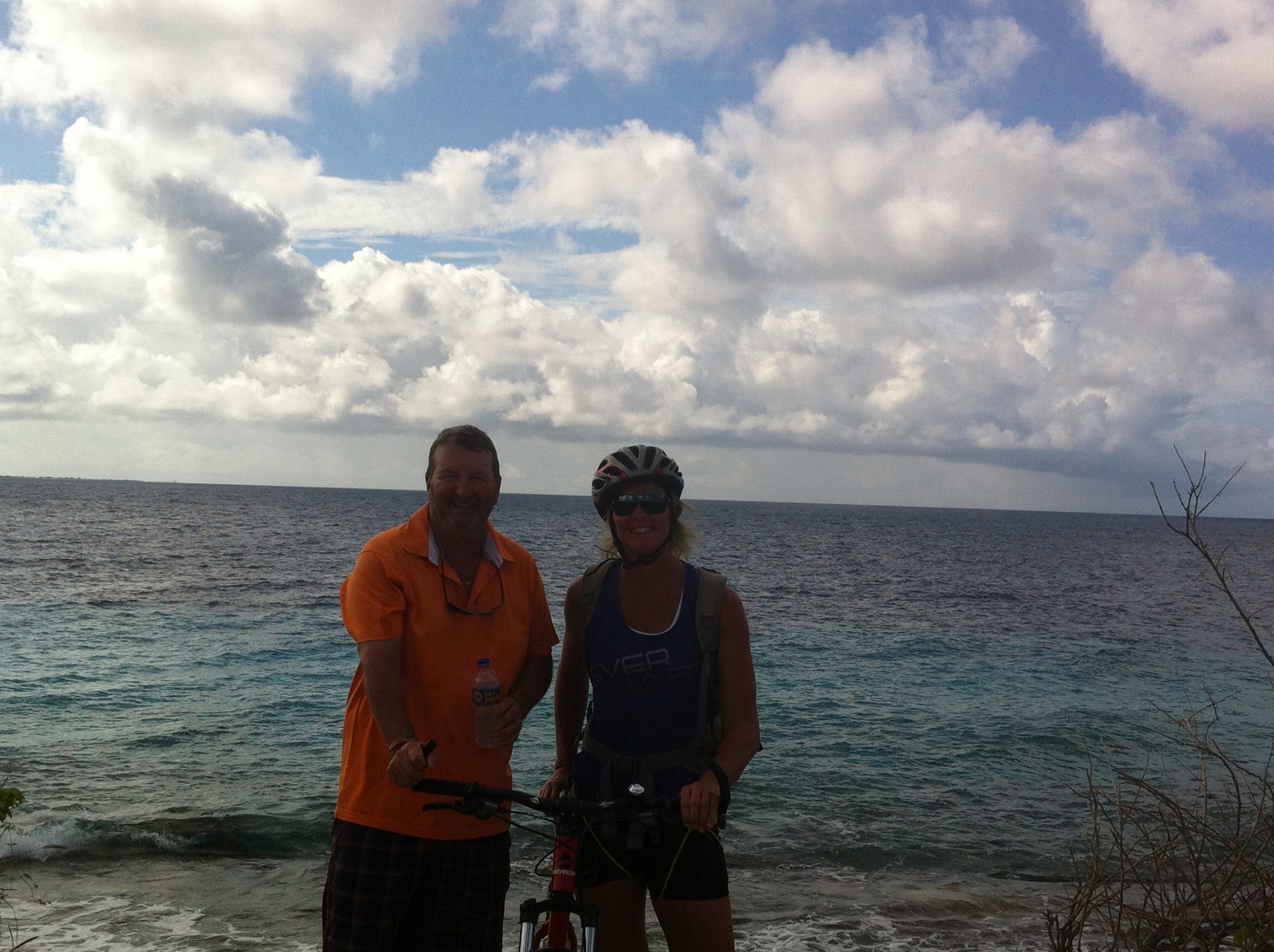
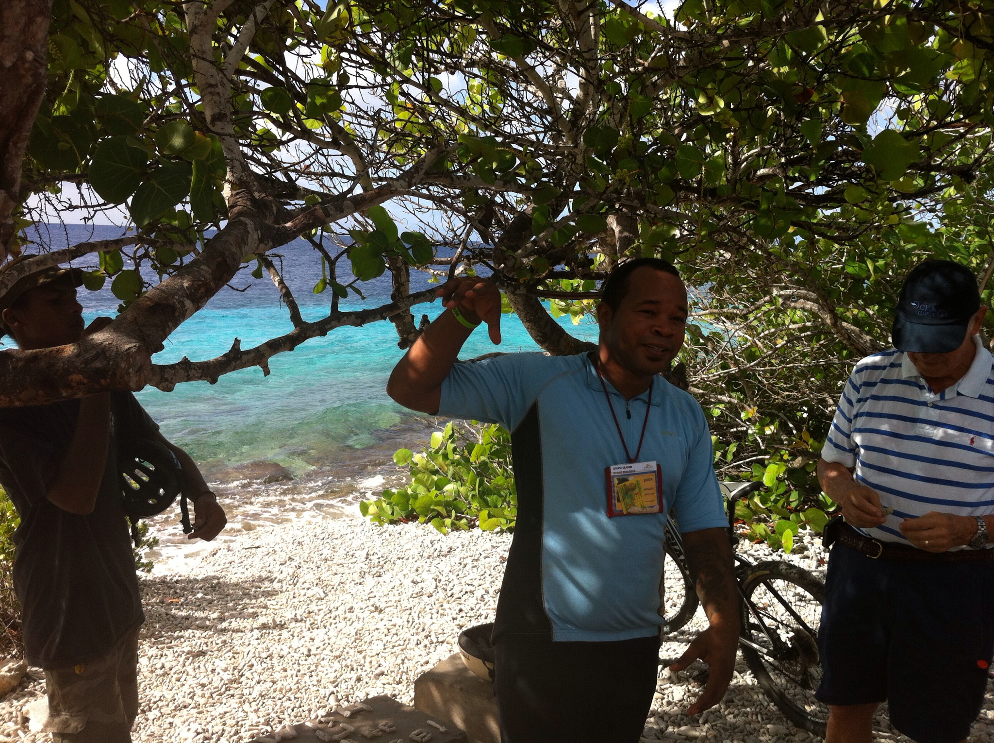
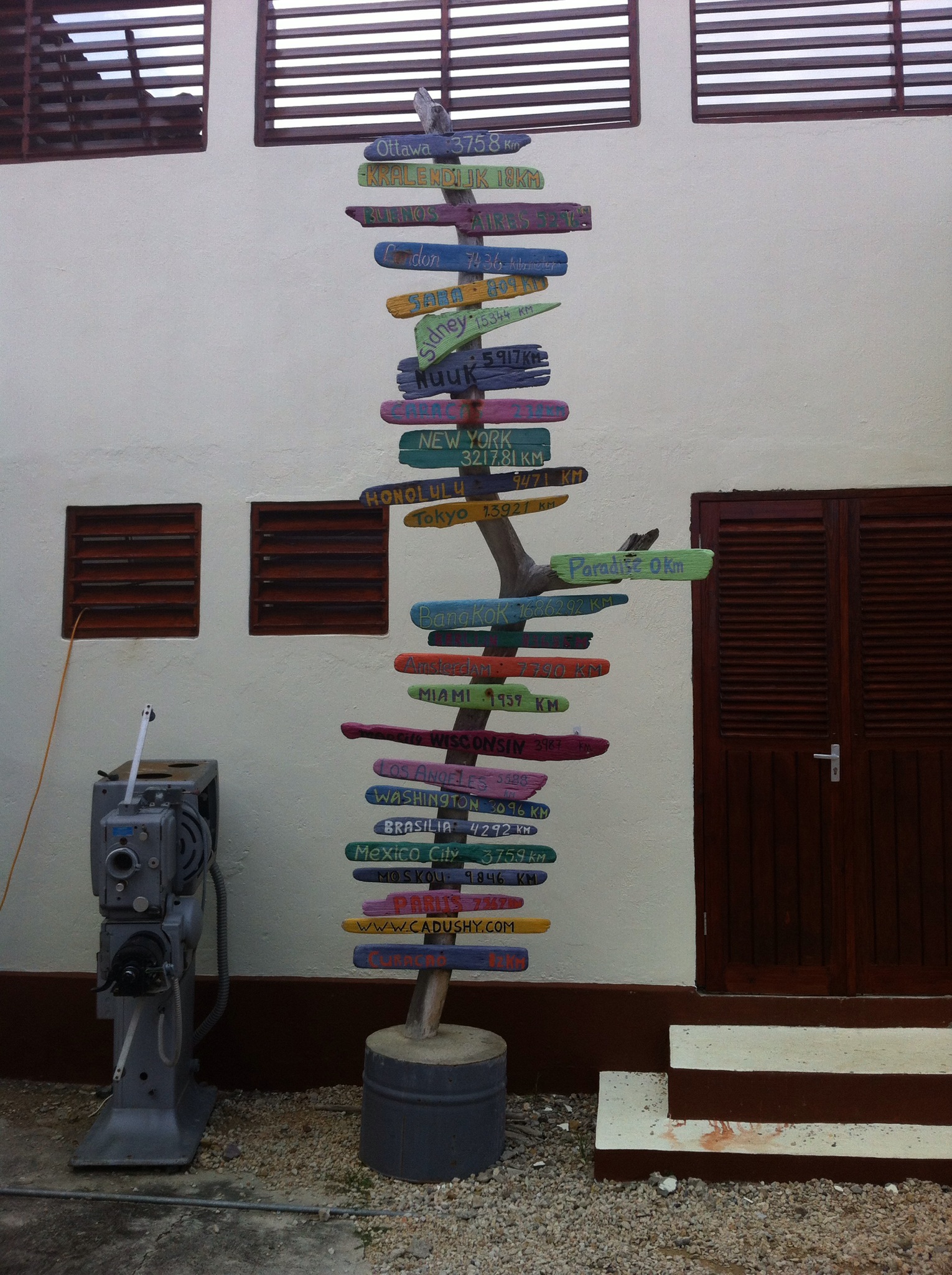
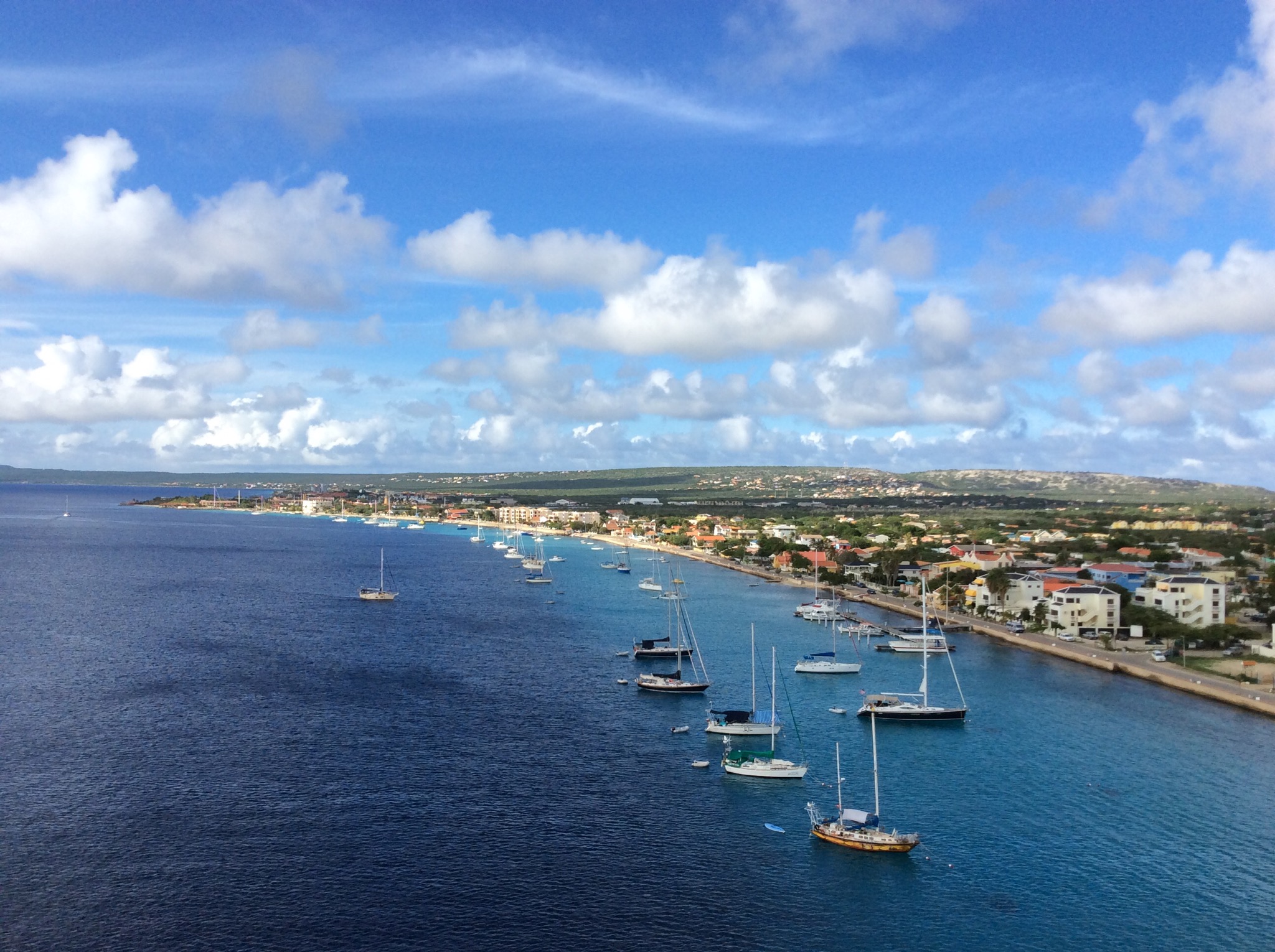
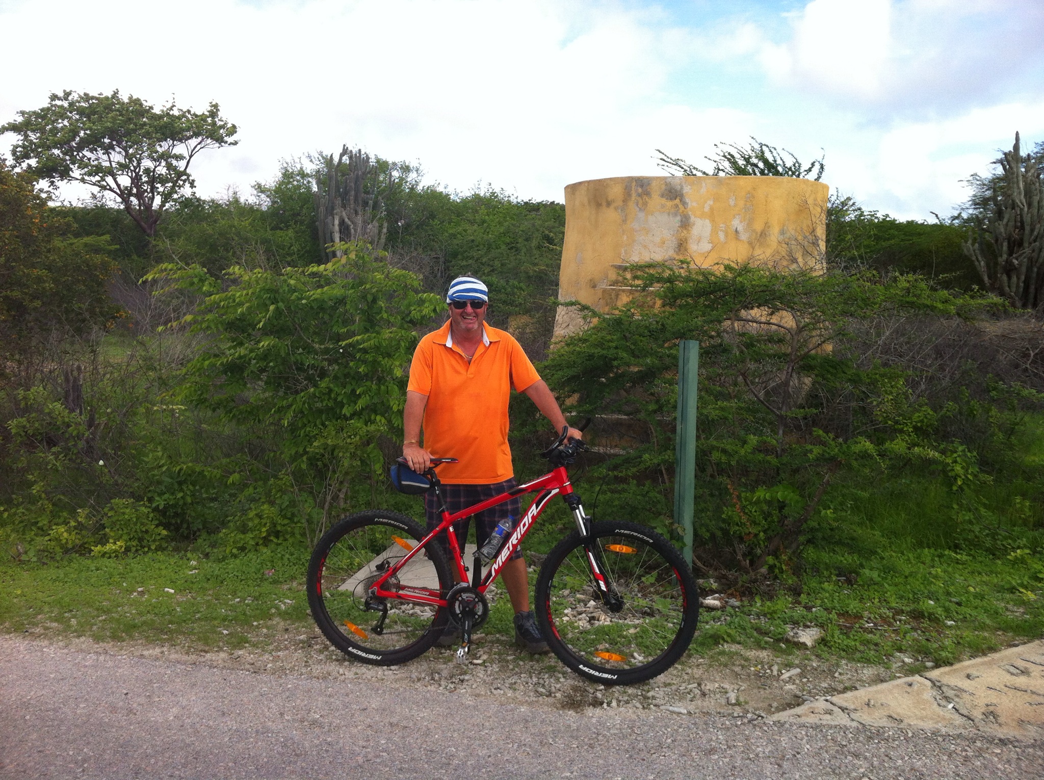
Given the above accolades we decided we needed to get out and about on the island to see this nature first hand. We took a cycle tour to Lake Goto. Our guide Jason met us at the pier and we drove out of town and got on our bikes. We biked alongside the coast line which was stunning – the water is so clear. Along the way we saw some brightly painted yellow stones with names on them – these apparently represent dive sites which are just off the shore – the majority of the dive sites surrounding Bonaire can be reached from the shore – no boat required.

It was very warm and humid but thankfully there was a breeze. We had a few stops along the way and Jason talked about the surroundings. Aloe Vera used to be grown and produced on the island but this has since been abandoned. Jason peeled some aloe vera for us to try – it is so bitter! He said there are three uses for aloe – the first is having a plant outside your front door to ensure a happy and healthy life, the second is the various medicinal uses and the third is mixing it with limestone to create a cement like paste that is used in the building trade. The yellow coloured houses we saw around the island are a result of this process.

At the end of the island we could see these large storage tanks – these are used to transfer various things from larger ships to smaller ships heading to Venezuela. Bonaire has a naturally deep port whereas Venezuela doesn’t. It is also used for ships that are not welcome in Venezuela – the products are transferred to ships bearing flags that are welcome in Venezuela.

We then headed inland to Lake Goto. Jason had us do an exercise on the edge of one part of the lake – he split us into girls and boys and we had to come up with a word about the opposite sex that we disliked. Crikey – one word! We then had to shout this word at the top of our lungs to hear the echo across the lake. The girls came up with snore while the boys came up with strip – go figure? Anyway, legend has it that this was the way the Indians used to communicate with each other across the lake in conjunction with smoke signals.

We then went around the lake to see if we could spot the pink flamingos and wallah there they were. Unfortunately they were a little way off shore but when the sun was on them you could see the lovely pink colour. This pink colour is a result of their diet of brine shrimp. Apparently in the mating season the numbers get to 15,000. Jason said there are currently about 200 on the lake. They are highly social birds among their own species but are skittish around humans.

With a comfortably dry climate and steady trade winds, Bonaire has long been recognised as and ideal locale for the production of salt. For over three centuries, the island’s culture and prosperity was dependant upon this most important of the world’s spices. Salt is still produced on Bonaire, although the stunning salt beds of Pekelmeer are also home to one of the hemisphere’s great populations of flamingoes.

We then carried onto a little settlement called Rincon where they had a cactus distillery. After my experience with the aloe vera I wasn’t too keen on cactus liqueur so I settled for a rum ball – yum!

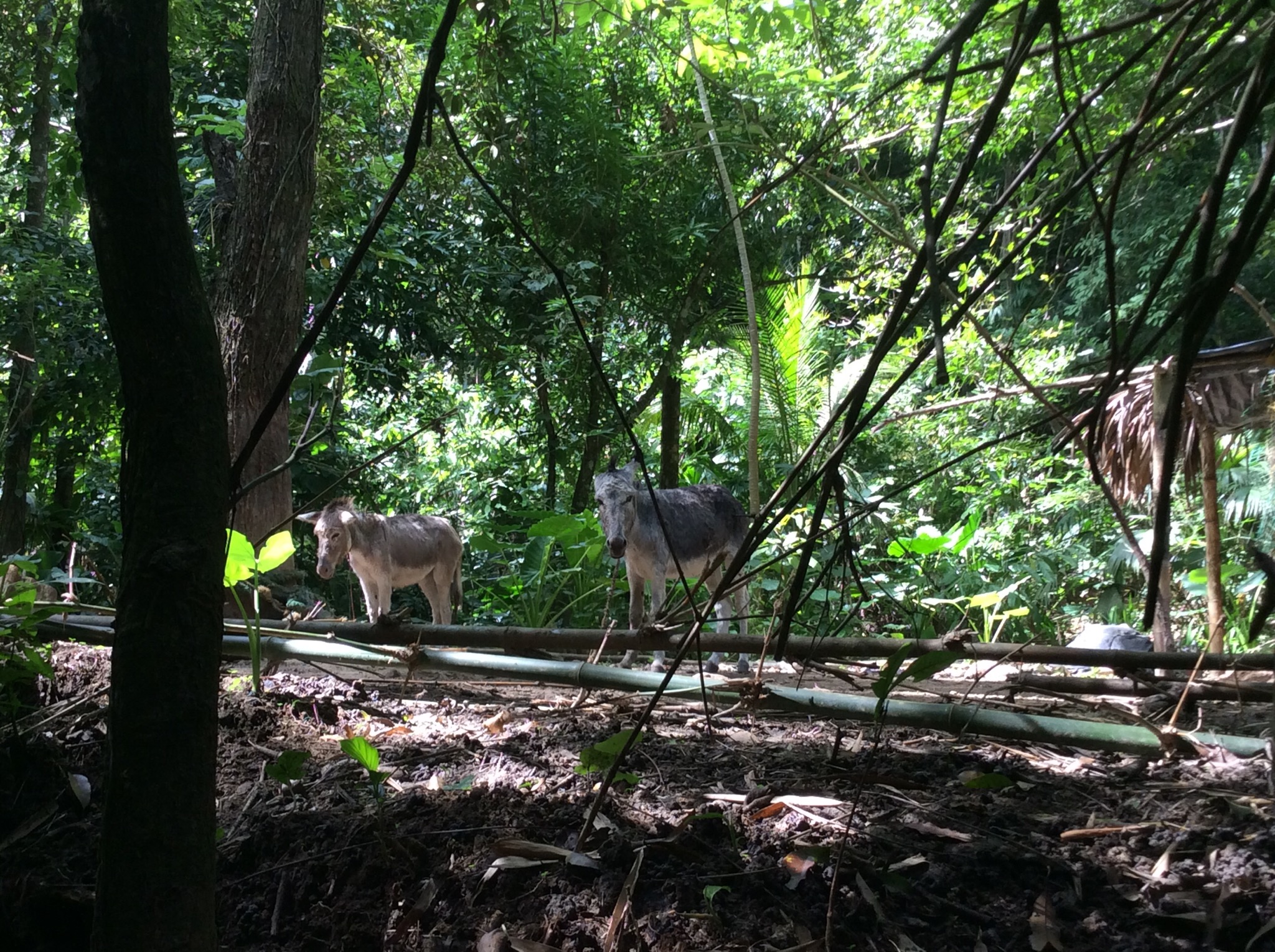
It was then back on the bus to return to the ship. Along the way we saw donkeys and goats. Apparently the goats are owned by various farmers who let them out during the day – they then roam freely grazing where they can and return home in the evening on their own accord. Well most of them do says Jason. We really enjoyed our day out on the bikes exploring Bonaire and learning about all sorts of things. We also learnt that we definitely need to work on our bike fitness when we get home, especially given we have three bike trips on the horizon when we return to Aotearoa : )

We then enjoyed a stroll through Kralendijk (pronounced Crawl-en-dike) which is the capital of Bonaire.

IMG_4963.JPG

IMG_4965.JPG

IMG_4967.JPG

IMG_4969.JPG

IMG_4970.JPG

IMG_4975.JPG

IMG_4976.JPG

IMG_4978.JPG

IMG_4986.JPG

IMG_4987.JPG

IMG_2134.JPG

IMG_2139.JPG

IMG_2143.JPG

IMG_2145.JPG

IMG_2148.JPG

IMG_2149.JPG

Posted in Oceania Cruises | Leave a comment

Tierra del Sol Golf Club, Aruba – Oceania Cruises

Yesterday we docked in Aruba at 12pm and caught a taxi to Tierra del Sol Golf Course with another couple on the ship. Aruba is part of the ABC Islands in the deepest part of the southern Caribbean. The other two islands that form the ABC islands are Bonaire and Curacao which are all under Dutch rule and are also referred to as the Dutch Antilles.

The taxi driver was in a hurry to get back to the port to get another fare so drove at break neck speed. Surprisingly I managed to get a quick look at the surroundings that were flying by – I noticed that the majority of the road signs and shop signage was in English. Most locals speak English, Spanish and Dutch, as well as Papiamento — a language native to the ABC islands. Bon Bini means welcome : )

“One Happy Island.” This, the official motto of Aruba, is plastered on each taxi’s license plate. Aruba’s economy is fueled by tourists’ dollars, and much of the island is heavily developed for them. Beyond that, Aruba has a rich, layered heritage. The first people to inhabit the island were a nation of Arawak Indians. (The name Aruba seems to have derived from the Arawak Indian word oibubai, which means guide.) In 1499, the Spanish explorer Alonso de Ojeda laid claim to the territory for Queen Isabella. Nearly 200 years later, the Dutch captured the islands of Aruba, Curacao and Bonaire from the Spanish, and much of that heritage can be seen in its pastel Old World architecture.

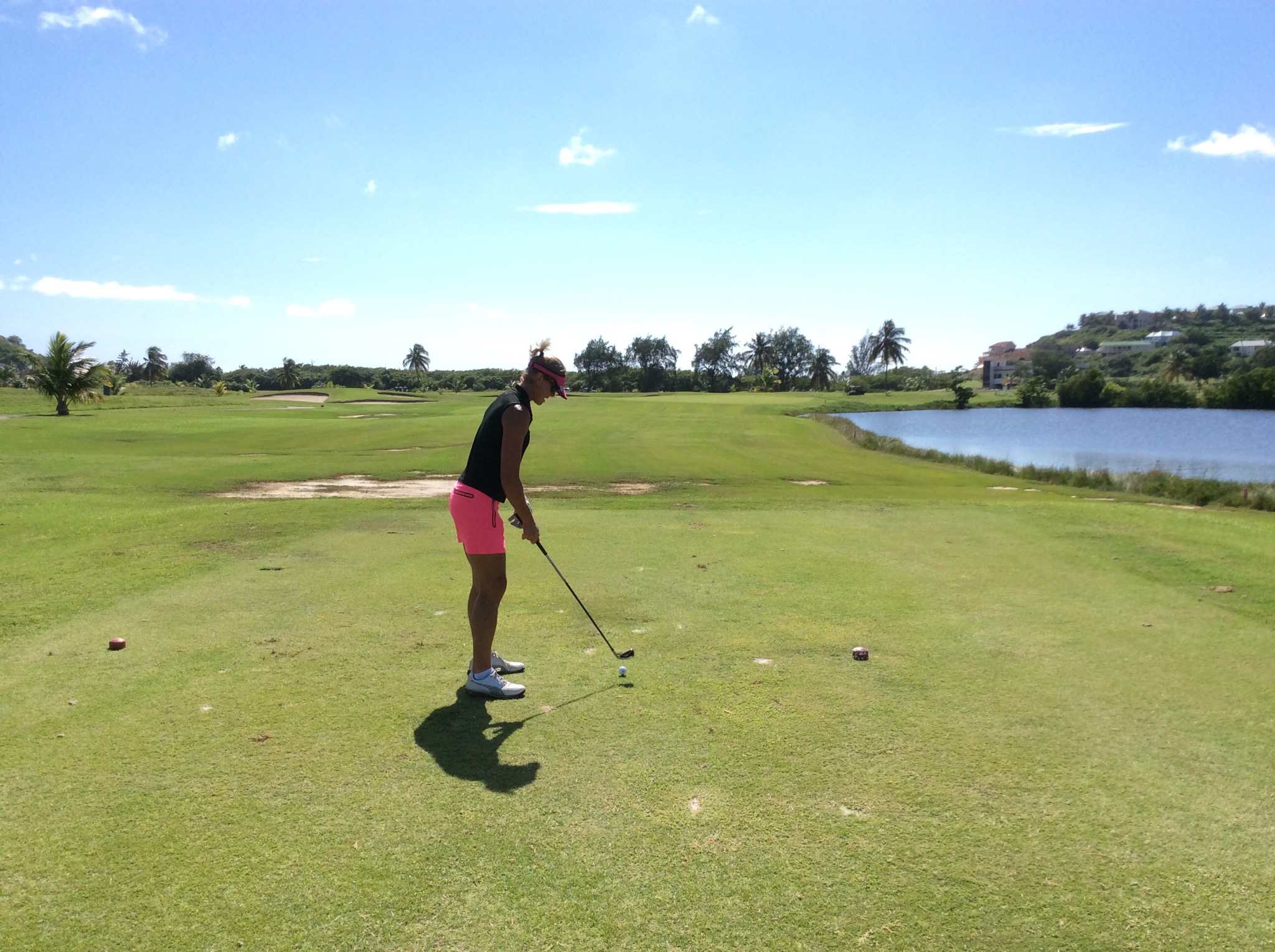
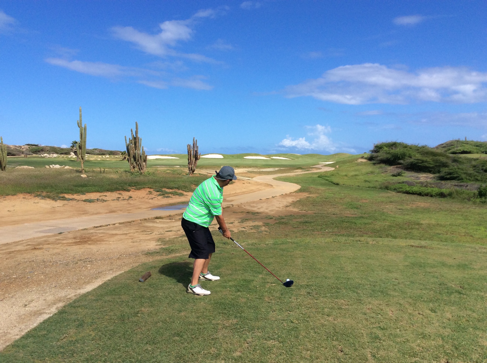
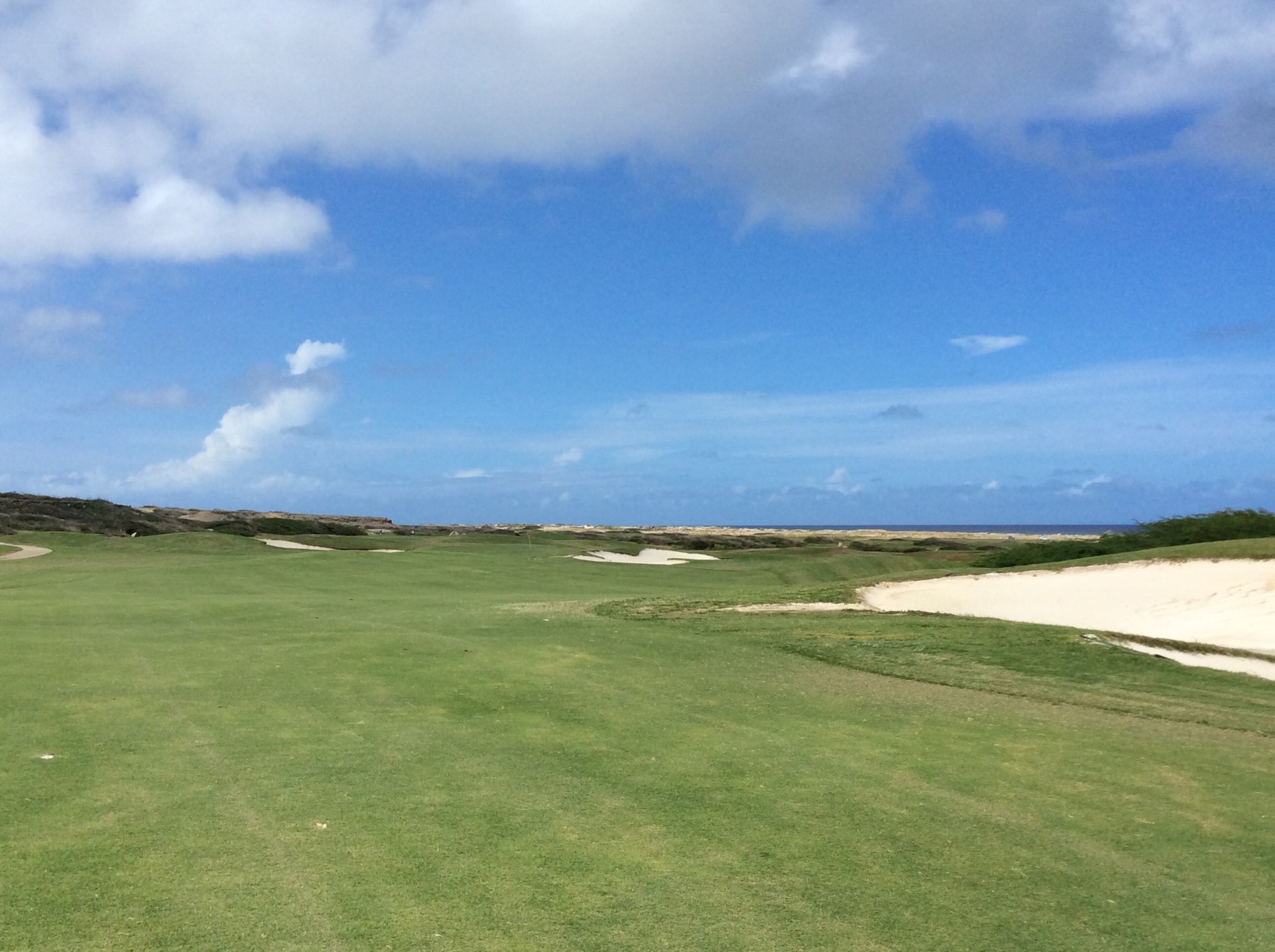
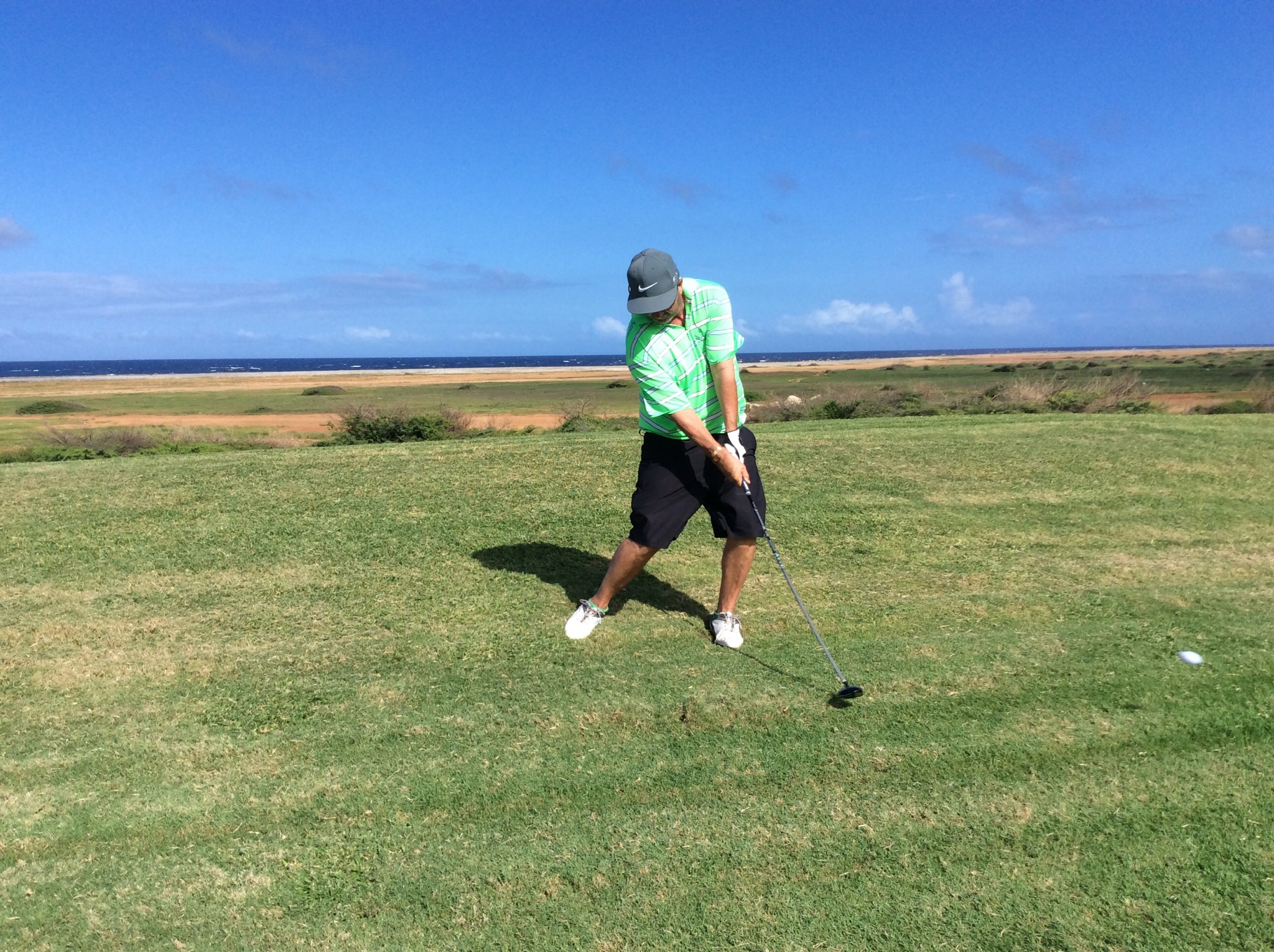
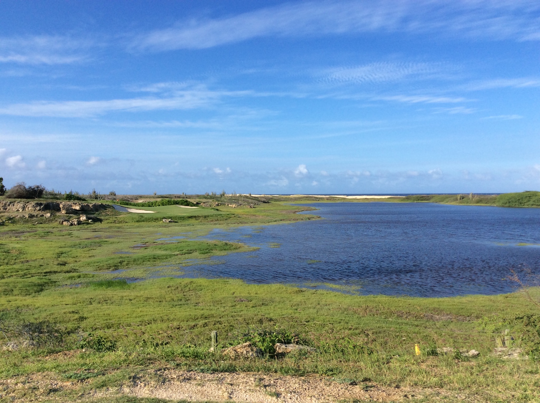
We checked in at the club house and then went to the driving range which sits on a hill facing the Caribbean where a head wind torments you. I have decided that wind is the natural element that I dislike the most. I was thinking this was going to be a fun round if we have to contend with this wind the whole way – I needn’t have worried as most of the holes were lower down and some were protected by various natural barriers. There were a couple of holes on the back nine though that were rather challenging as they were straight into the wind.

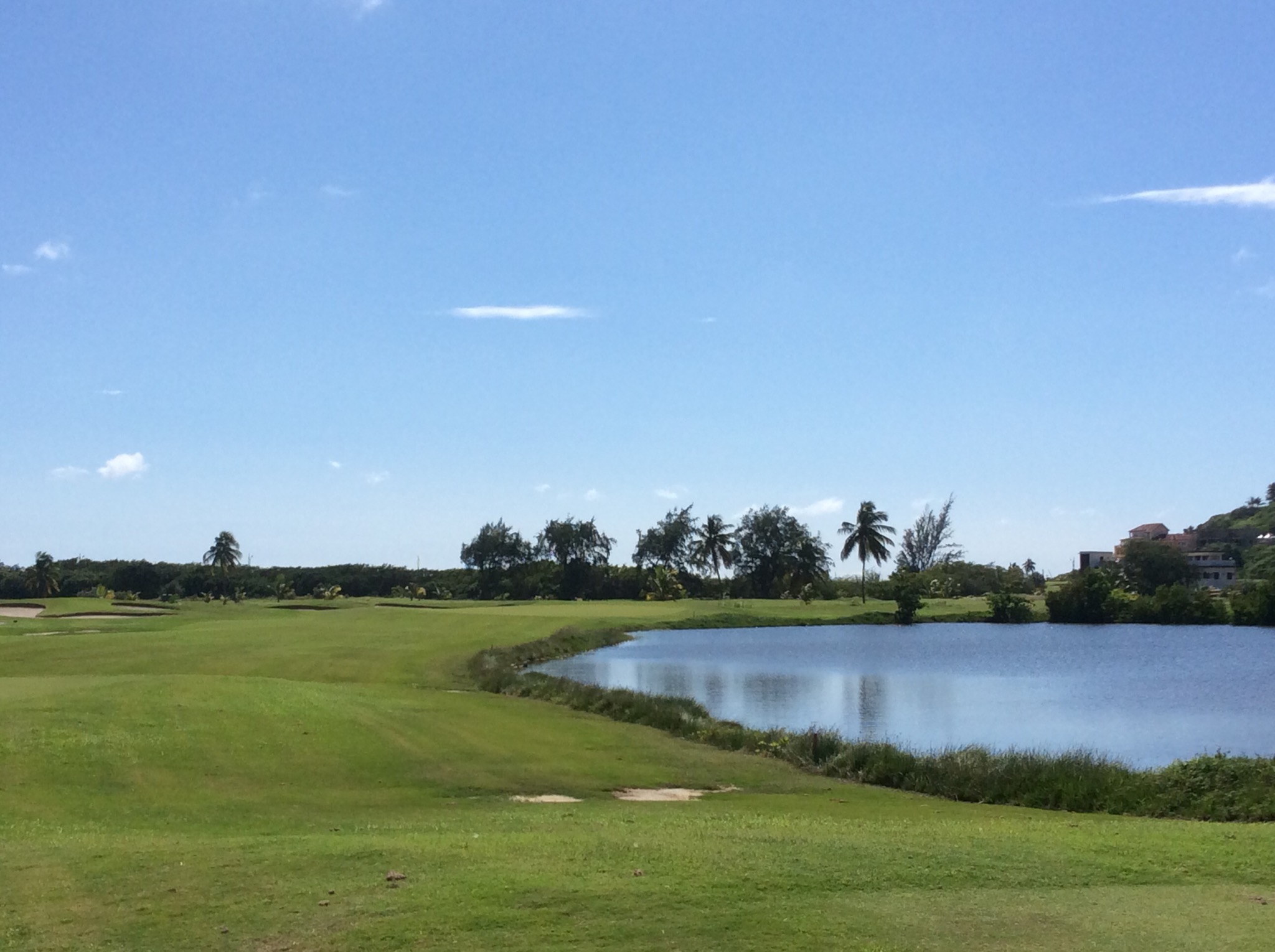
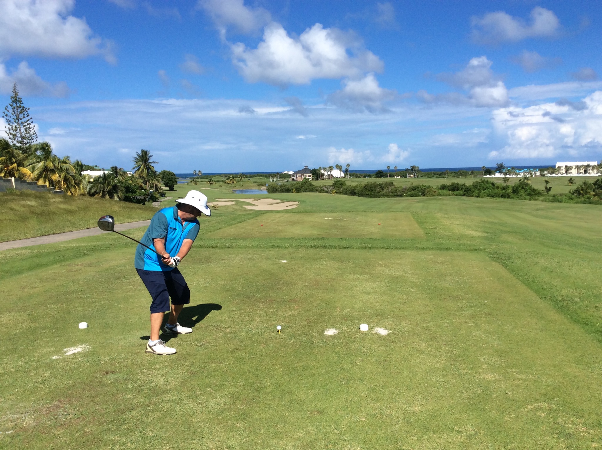
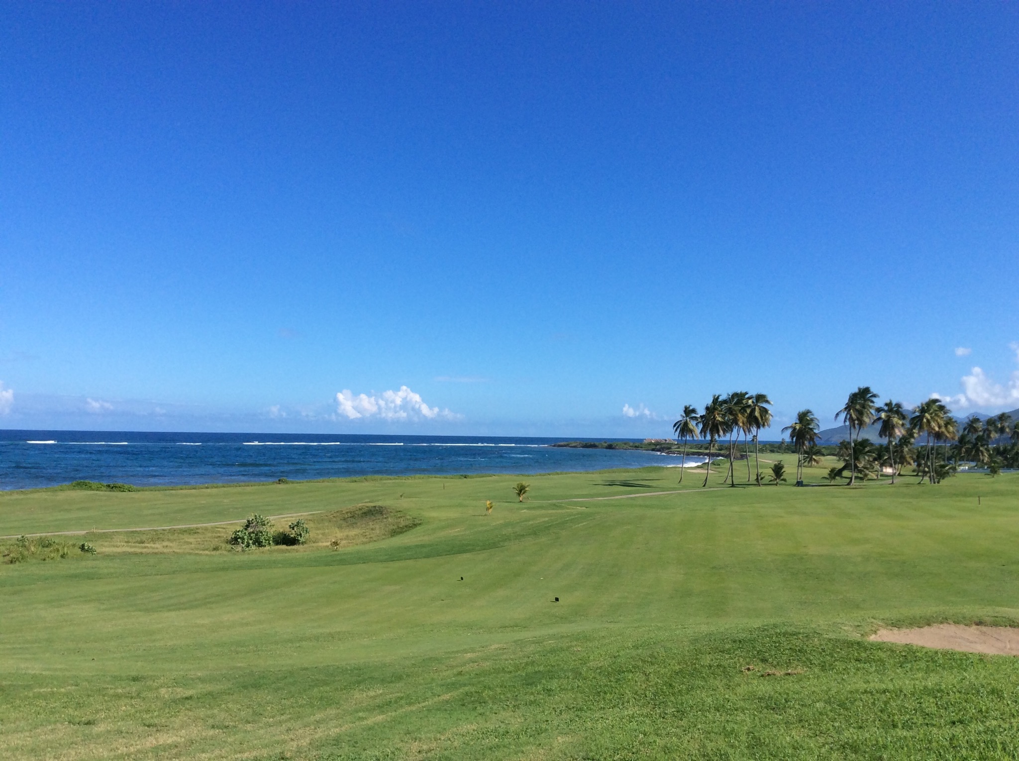
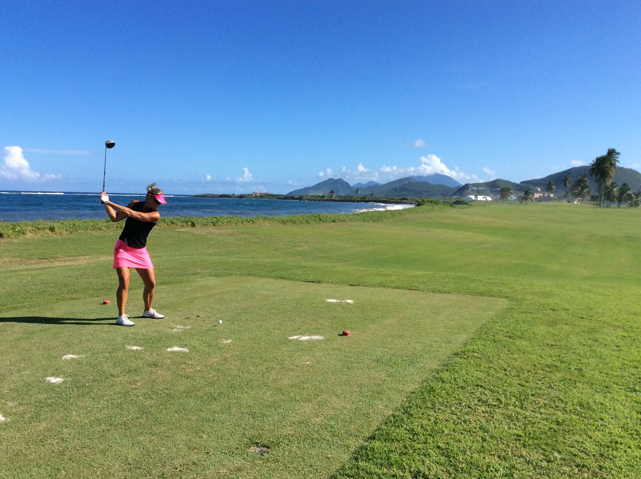
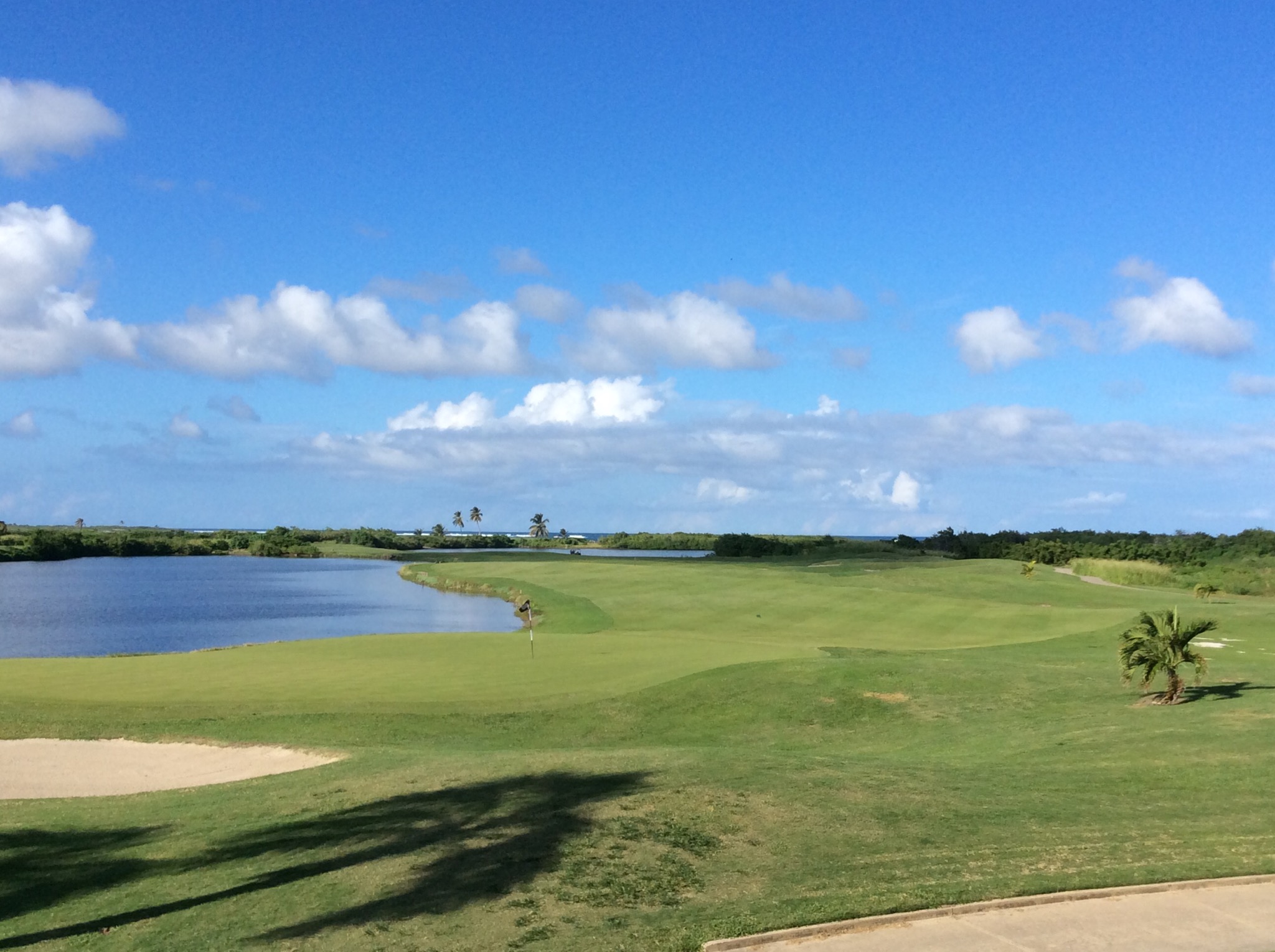
The course which opened in January 1995, was designed by Robert Trent Jones and was really enjoyable. The terrain was similar to what we have encountered in the desert in Arizona with lots of cacti and scrubby foliage. We played the first 10 holes on our own and then joined up with the couple we had shared a taxi with – Bill & Chris from Vancouver.

After golf we went back to the ship which was docked in Oranjestad (translation Orange Town) . The town was built around Fort Zoutman shortly after it was built in 1796 . Initially the town had no official name, being known only as the town on the Bay of Horses (Paardenbaai in Dutch), a place from which native-bred horses were raised and exported to neighboring Curaçao. The town has been the capital city of the island ever since and has a current population of about 30,000.

The city is named after the first King Willem van Oranje-Nassau (William of Orange-Nassau) – the first heir to the Dutch House of Orange. The name was conferred on the city in the 1820s when interest in Aruba increased due to the discovery of (alluvial) gold deposits.

Oranjestad is a jumping nightlife mecca, filled with restaurants, cafes, clubs, lounges, bars and casinos as we discovered when we went back ashore to explore. We went and had a few drinks at a bar called Mojito’s – good timing too as it was happy hour.

Aruba’s rich, multicultural past is reflected in the cuisine, architecture and warm, friendly people. What began as a fishing outpost for Amerindians has changed hands between the Spanish and Dutch throughout the centuries, and is now a diverse constituent country of the Netherlands. The population of Aruba is about 105,000 which is made up of a broad international mixture of well educated people with a pleasant nature and a zest for hospitality. The modern Aruban is generally of mixed ancestry, claiming Caquetio Indian, African and European roots. Aruba’s strong economy, excellent living conditions and prime weather continue to attract individuals from all over the world. Today, the island claims more than 90 different nationalities, who live and work peacefully on the island.

Best of all, there really is no bad time to visit Aruba. Located only 20 miles north of Venezuela, temperatures are consistently pleasant (lows in the 20s, highs in the 30s), there’s no “rainy” season, and its location is far below the Atlantic hurricane belt, so it’s less likely to be impacted by storms. Aruba’s dry climate is home to large mondis (forests of cacti), and you may feel like you are in Arizona, rather than the Caribbean!

IMG_2101.JPG

IMG_2103.JPG

IMG_2104.JPG

IMG_2106.JPG

IMG_2108.JPG

IMG_2114.JPG

IMG_2117.JPG

IMG_2119.JPG

IMG_2122.JPG

IMG_2127.JPG

Posted in Oceania Cruises | Leave a comment

Nassau, Bahamas – Oceania Cruises

After another day at sea we arrived in the Bahamas. It was sunny but very windy. We went ashore to be greeted by lots of singing and dancing and general mayhem among the locals – they are an outgoing bunch and although not unfriendly definitely not as friendly as the Bermudians.

The town of Nassau which is the capital of the Bahamas is a bustling little place with mainly t-shirt and jewellery stores aimed at the tourists on Bay Street which is the main shopping street. We had booked a Bites of Nassau Food Tasting and Cultural Walking Tour but it didn’t start until 11.30am so we checked out the town. We went to the Straw Market where the locals sell straw hats, baskets, carved figures, necklaces and the like. Here you can barter with the vendors to get the best price.

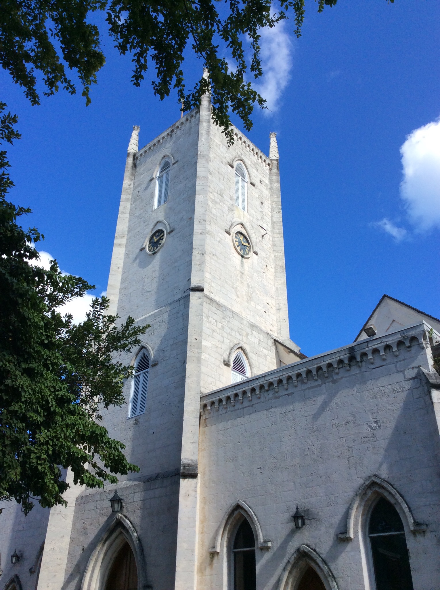
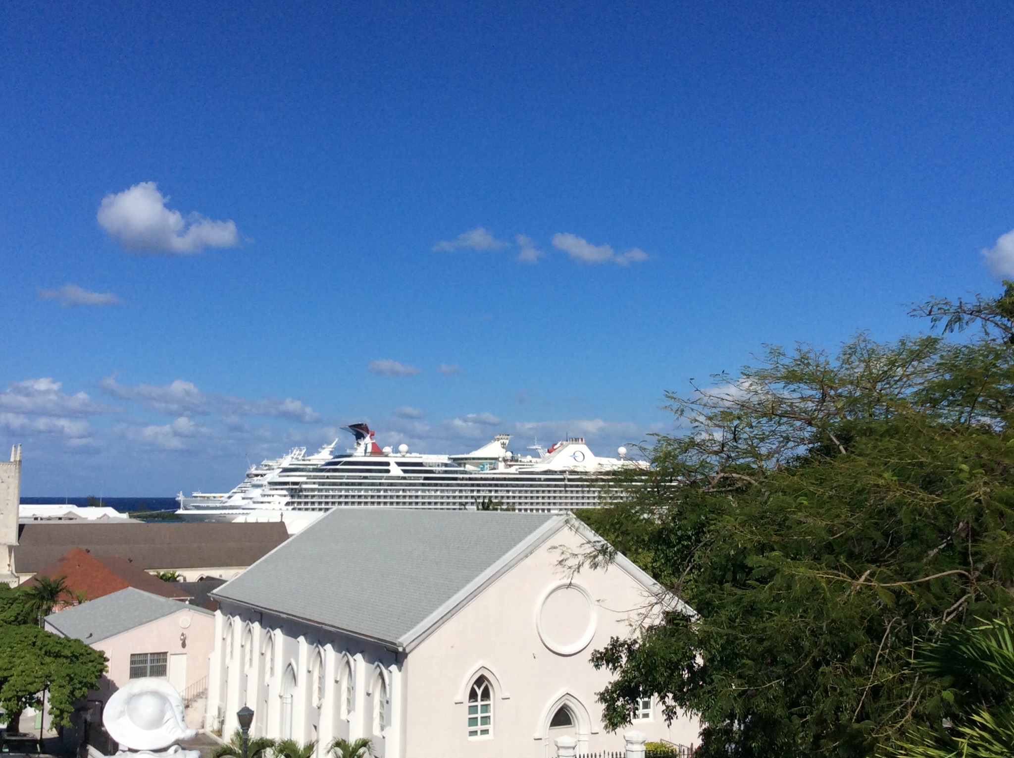
We then went to the Christ Church Cathedral which was our meeting place for the tour. Dating from 1837, this Gothic Episcopal cathedral is the venue of many important state ceremonies, including the opening of the Supreme Court, during which a procession of bewigged, robed judges emerges, followed by barristers, and accompanied by music from the police band.

IMG_2052.JPG

Our tour guide from Tru Bahamian Food Tours was Murray a born and bred Bahamian. He was so enthusiastic, knowledgeable and passionate we knew we were in for a good few hours.

Our first stop was Bahamian Cookin’ which has been owned and operated by Mrs Wilson and her family for the past 25 years. Here some of the group had Conc fritters – not being shellfish fans we had groper bites. They were delicious. Murray showed us a conc shell and told us how they dive for the conc’s and extract the meat from the shell. They never discard the empty conc shell’s where they find them as the conc’s will not return there. Instead some of the shell’s are ground down and used as building materials. Next up was twice cooked chicken, rice and peas, sweet potatoes, coleslaw and macaroni cheese. It was delicious – good homely flavours.

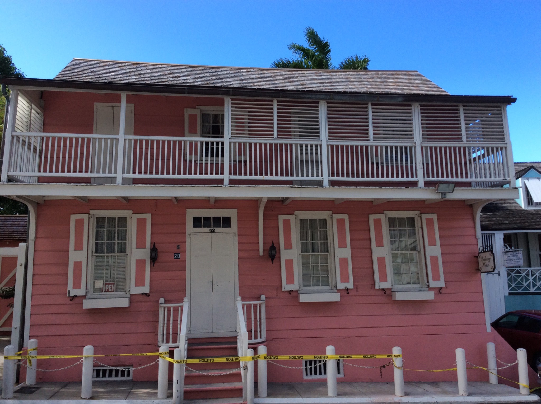
We then stopped off at Balcony House which is the oldest wooden building in Nassau having been built in the 17th century. We noticed a lot of the buildings were this pink colour which relates to the sap of a tree that they use to colour the paint.

IMG_2050.JPG

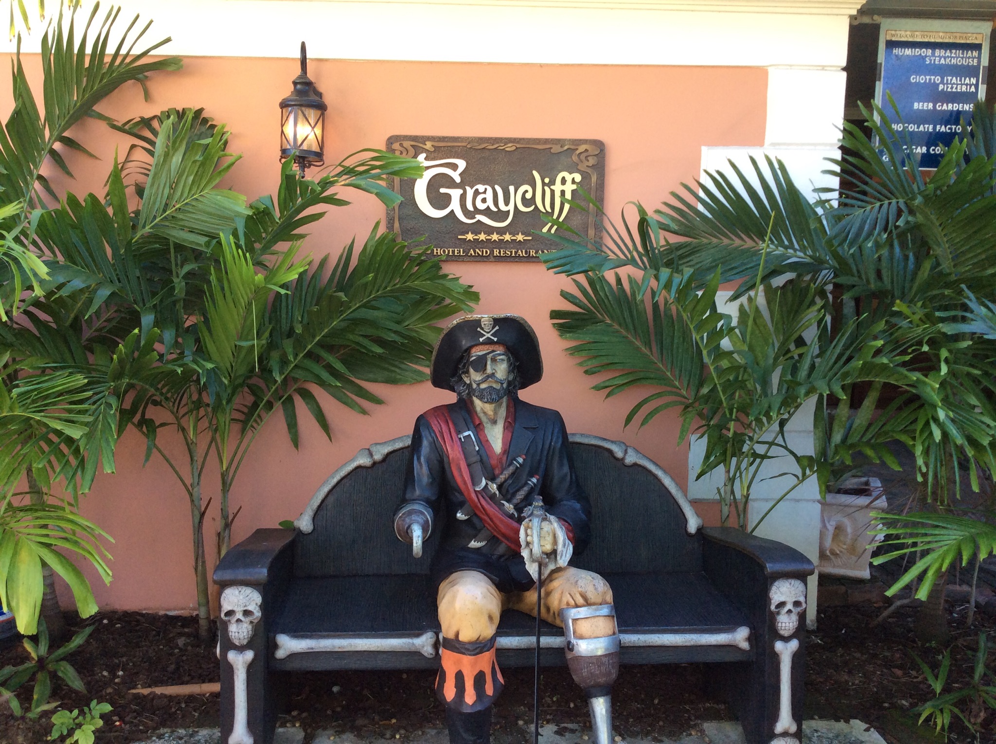
We then walked through Graycliff – a Georgian-style hotel and restaurant, this stomping ground of the rich and famous was constructed by Captain John Howard Graysmith in the 1720s. In the 1920s, it achieved notoriety when it was run by Polly Leach, a pal of gangster Al Capone. Later, under royal ownership, it attracted such famous guests as Winston Churchill and the Duke and Duchess of Windsor. The person that now owns it has diversified into cigar and chocolate making. As we walked through the lobby we noted it was pretty fancy – it costs USD900 per night to stay there and is a known celebrity spot. Apparently Jay-Z proposed to Beyonce there and it is not uncommon to see members of the Saudi Royal Family lying around the pool. You can actually pay USD25 per day to go and use the pool and the wifi.

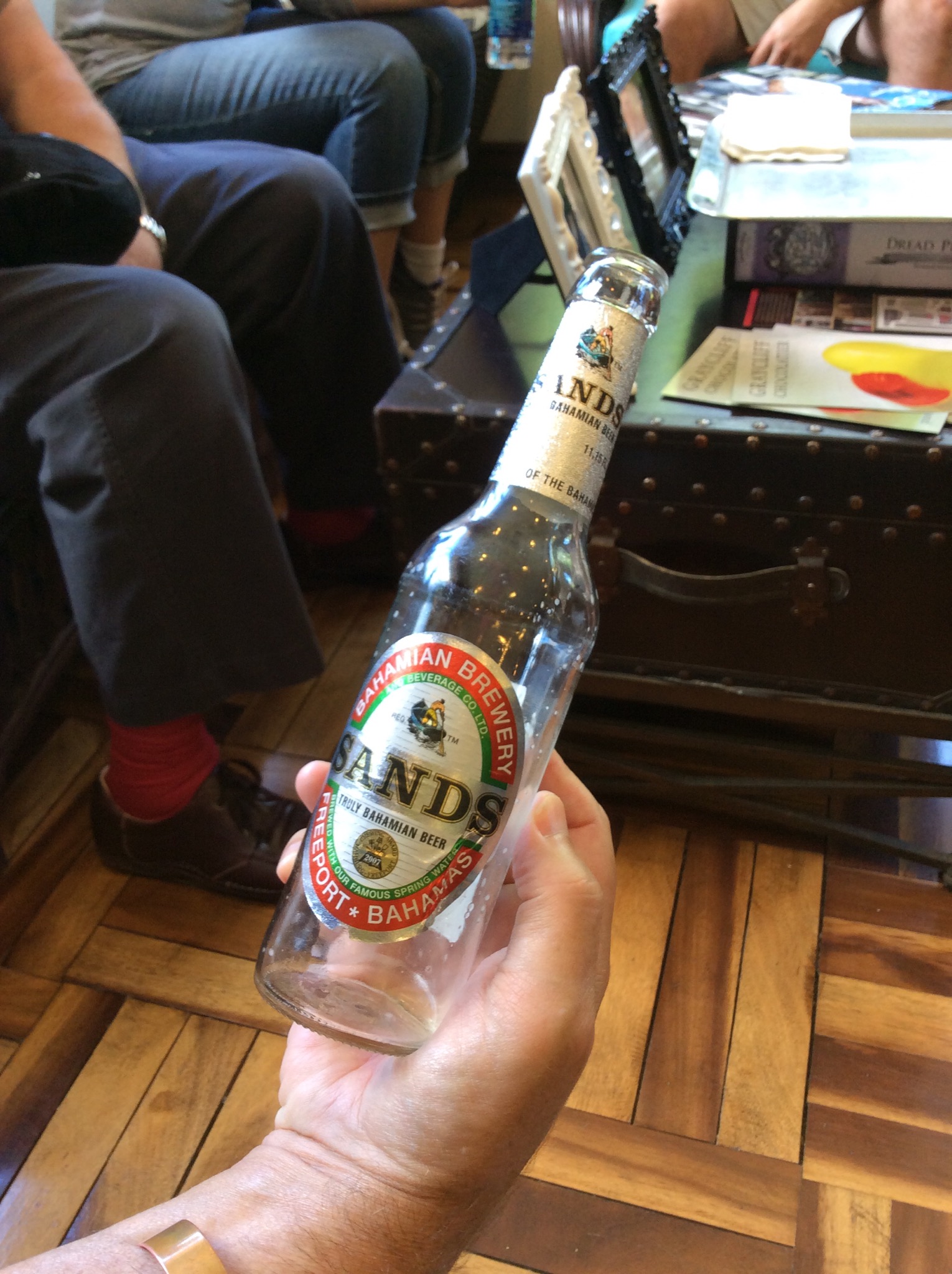
We went to the cigar factory but didn’t see any cigars being made – instead we had a beer tasting. The beer we tasted was a beer brewed locally called Sands using the Bahamian spring water. It was a light beer which is actually in contrast to what they prefer to drink which is a dark lager. Due to the hot temperatures the lager gets warm too quickly making it taste bitter hence the lighter Sands which doesn’t take on that bitter taste if it gets too warm.

IMG_2054.JPG

We then went across the courtyard to the chocolate factory and shop. We sampled a key lime pie flavoured white chocolate which was delicious. It shouldn’t really be called chocolate as it contains milk. The second tasting was a salted caramel dark chocolate – delicious. The chocolates are all handmade. At the moment they are importing the cacoa but have planted some trial plants on the island to see how they grow.

IMG_2055.JPG

IMG_2056.JPG

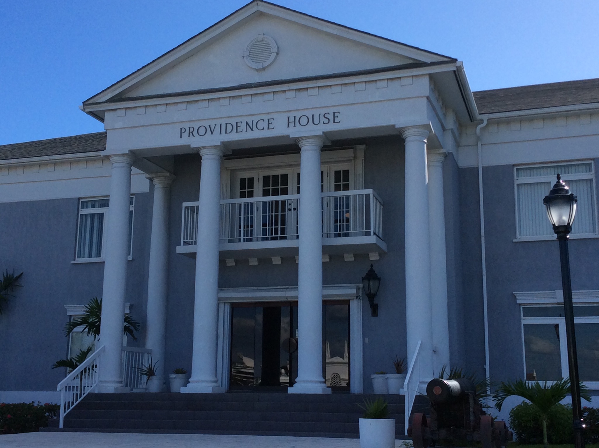
The Bahamas was under British rule until they gained independence in 1973. They are still part of the Commonwealth with Queen Elizabeth being their head of State and have a similar government and legal system as other Commonwealth countries. We walked through the grounds of Government house which sits up on a hill overlooking the town. This hill used to have some significance with the poorer and darker people living over the hill as opposed to the white merchants living in the main town area of Nassau. This house is the official residence of the archipelago’s governor-general, the queen’s representative to The Bahamas. (The post today is largely ceremonial, as an elected prime minister does the actual governing.) This pink-and-white neoclassical mansion dates from the early 19th century. Poised on its front steps is a rather jaunty statue of Christopher Columbus.

IMG_2057.JPG

IMG_2058.JPG

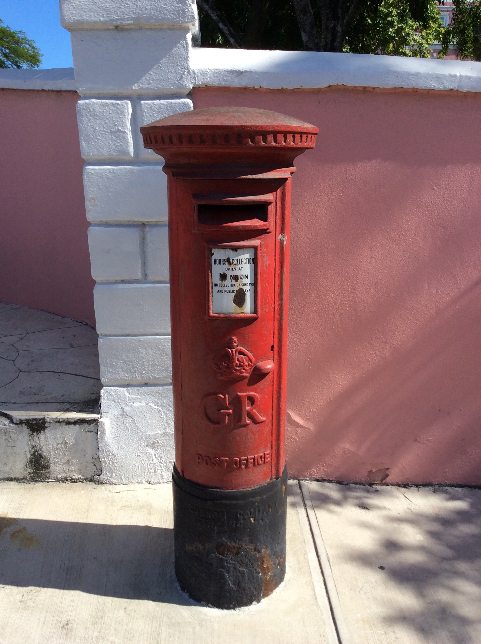
We found an old English post box outside Government House that dated back to King George’s reign – it had GR on it rather than the current ER.

IMG_2053.JPG

We then went to Van Breugel’s Bistro and Bar for seafood chowder or tomato soup in the case of the non shellfish lovers. The chowder and soup had a Thai influence and were quite spicy. The bread and garlic butter tempered the spiciness. It was interesting as the spiciness really hit the back of your throat rather than set your lips on fire as I have found most spicy food does. Given that I am not a spicy food lover I actually quite enjoyed it – it was very tasty with small amounts of basil and feta in it. Van Breugel’s is one of the high end restaurants in town and is frequented by a lot of the Government and business people of the Bahamas.

Time for our educational stop at Pure Carribean which is a specialty tea and spice merchant – my sort of place. Murray had pointed out a few trees around the town on our walk and explained the uses of some of them. The Bahamians place a heavy reliance on natural medicines and Murray’s knowledge of these things was fantastic. We smelt and tasted a few of the local products.

IMG_2060.JPG

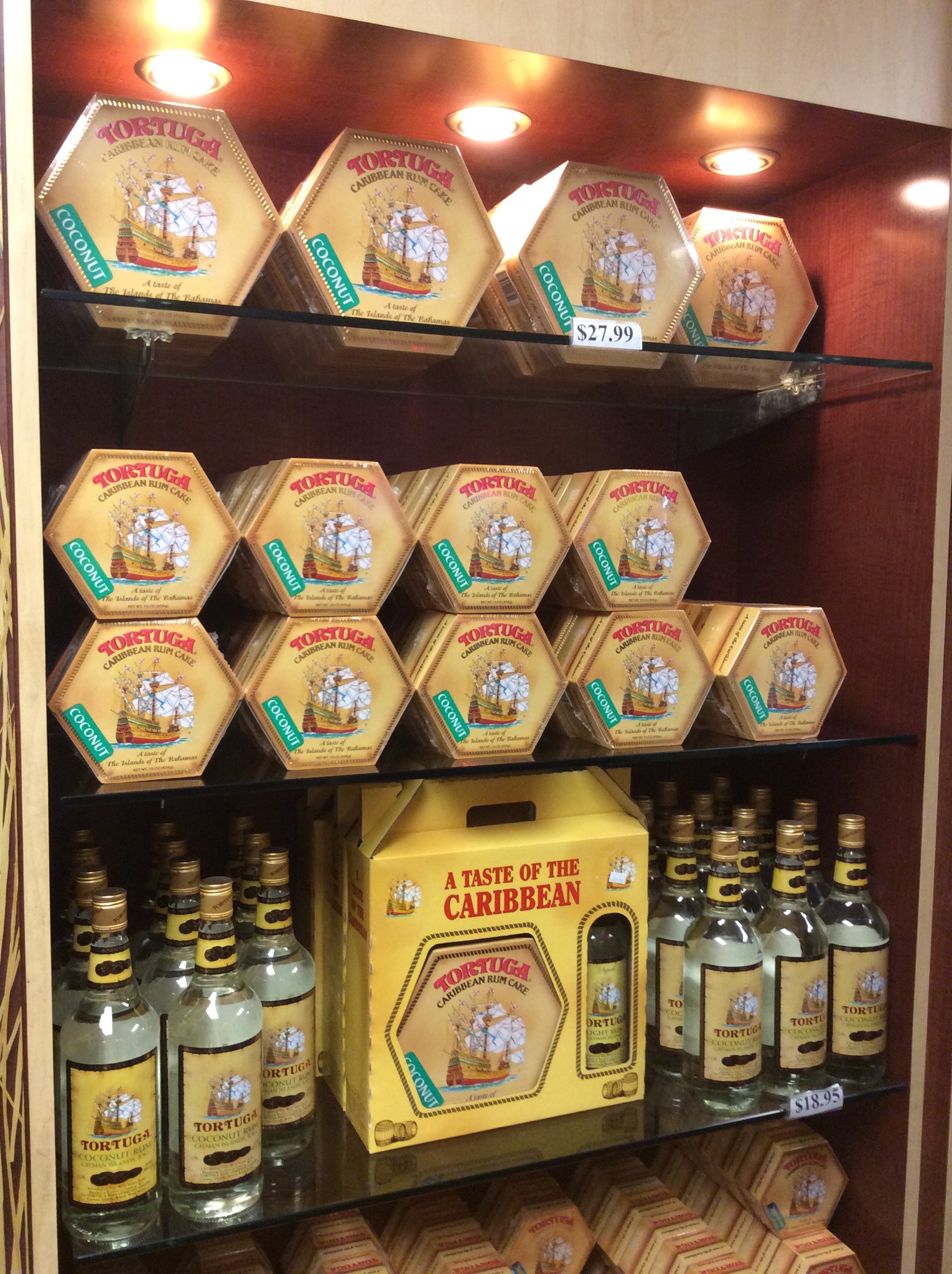
We then went to Athena Cafe and Bar which is a Greek restaurant but the patriarch of the restaurant had given our table away so we went to our last tasting before back tracking. Our last tasting was the Tortuga Rum Cake Company – the owners had started distilling rum which sold OK before they experimented with adding it to cakes – it was an instant success. The cake was very moist and although apparently due to the cooking process only contains 1% alcohol you could definitely taste the rum. We only had a small piece and that was definitely enough for me. Steve wouldn’t touch it – sprits of any description taste like cough medicine to him.

IMG_2061.JPG

We back tracked to Athena where we had a lovely Greek salad with sheep’s milk feta and kalamata olives. They import the cheese and olives from Greece and Murray emphasised that feta is not feta unless it is made from sheep’s milk. The family that own this restaurant have been on the island for many years and below the restaurant is a jewellery store which is also owned and operated by the family.

There were eight of us on the tour – 2 Canadians, 4 English people and us 2 Kiwis. Murray talked the entire time – as I said earlier his knowledge was amazing but there was a lot to take in so I don’t feel like I have done him justice above. It was a thoroughly enjoyable 4 hours and we bid fond farewells to our fellow tour party members.

Bahama Basics
Country – The Commonwealth of The Bahamas
Capital – Nassau, New Providence Island
Official Language – English
Unofficial Language – Bahamian Dialect, Creole
Population & Area – Over 380,000 people representing 50 countries from around the world. The Bahamas is an archipelago made up of over 700 islands and 2,000 cays, spanning a surface area of 5,382 square miles from the southeastern coast of Florida to the northwestern coast of Haiti.
Climate – Average temperatures range from 23 to 30 degrees celsius year round. Summer runs from late May to September and includes the rainy season. Winter is much cooler and brings with it a refreshing island breeze.
National Tree – Lignum Vitae
National Flower – Yellow Elder
National Bird – Flamingo
National Flag – made up of three colours – the aquamarine represents the ocean, gold represents the rising sun and the black represents the strength and unity of the people
Political Status – Independent Parliamentary Democracy, Member of Commonwealth States
Head of State – Queen Elizabeth II
Governor General – Dame Marguerite Pindling
Prime Minister – Perry Christie
Major Industries – Tourism, Financial Services, Fishing & Agriculture (they used to be a leading pineapple producer before the Philippines & Hawaii over took them)
Currency – The Bahamas has it’s own currency called the Bahamian Dollar but the Bahamian Dollar is pegged to the US Dollar so the currencies are used interchangeably
Claims to Fame – Columbus’ first landfall, Ernest Hemingway’s hang out, Academy award winner Sidney Poitier’s birthplace, Pirates of the Caribbean & James Bond movies, Olympic gold medal sprinters, World’s third largest barrier reef and the clearest waters on the planet.

Nassau’s modern growth began in the late eighteenth century, with the influx of thousands of American Loyalists and their slaves to the Bahamas following the American Revolutionary War. Many of them settled in Nassau (then and still the commerce capital of the Bahamas) and eventually came to outnumber the original inhabitants.

As the population of Nassau grew, so did its populated areas. Today the city dominates the entire island and its satellite, Paradise Island. However, until the post-Second World War era, the outer suburbs scarcely existed. Most of New Providence was uncultivated bush until Loyalists were resettled here following the American Revolutionary War; they established several plantations, such as Clifton and Tusculum. Slaves were imported as labour.

After the British abolished the international slave trade in 1807, they resettled thousands of Africans liberated from slave ships by the Royal Navy on New Providence (at Adelaide Village and Gambier Village), along with other islands such as Grand Bahama, Exuma, Abaco and Inagua. In addition, slaves freed from American ships, such as the Creole case in 1841, were allowed to settle here. The largest concentration of Africans historically lived in the “Over-the-Hill” suburbs of Grants Town and Bain Town to the south of the city of Nassau, while most of the inhabitants of European descent lived on the island’s northern coastal ridges.

Nassau was formerly known as Charles Town; it was burned to the ground by the Spanish in 1684. Rebuilt, it was renamed Nassau in 1695 under Governor Nicholas Trott in honour of the Dutch Stadtholder and later also King of England, Scotland and Ireland, William III from the Dutch House of Orange-Nassau. Due to no effective Governors (after Trott), The Nassau was in bad shape. In 1703 Spanish and French allied forces briefly occupied Nassau.

From 1703 to 1718 there was no governor in the colony and by 1713, the sparsely settled Bahamas had become a piratehaven. The Governor of Bermuda stated that there were over 1,000 pirates in Nassau and that they outnumbered the mere hundred of inhabitants in the town. They proclaimed Nassau a pirate republic, establishing themselves as “governors.” Examples of pirates that used Nassau as their base are Charles Vane, Thomas Barrow, Benjamin Hornigold, Calico Jack Rackham, and the infamous Edward Teach, known as “Blackbeard”; along with female pirates such as Anne Bonny and Mary Read.

In 1718, the British sought to regain control of the islands and appointed Captain Woodes Rogers as Royal governor. He successfully clamped down on the pirates, reformed the civil administration, and restored commerce. Rogers cleaned up Nassau and rebuilt the fort, using his own wealth to try to overcome problems. In 1720 the Spanish made an unsuccessful attempt to capture Nassau.

During the American Civil War, Nassau served as a port for blockade runners making their way to and from ports along the southern Atlantic Coast for continued trade with the Confederacy.

In the 1920s and 1930s Nassau profited from Prohibition.

IMG_2046.JPG

IMG_2049.JPG

Posted in Oceania Cruises | Leave a comment

Santa Marta, Colombia – Oceania Cruises

Today we docked in Santa Marta, Colombia. Santa Marta is the oldest city in Colombia, founded in 1525 by a Spanish Conquistador, the city is located on the northern coast of South America in a beautiful bay of quiet Caribbean waters. Before the arrival of the Spaniards, it was populated by a native groups of Indians that included the Karib & the Arawak. Among the indigenous inhabitants, the Tairona had the most complex social, economic, religious and political organization; they also developed an intricate and advanced system of terraces and irrigation to support their agriculture.

Nowadays, this city of nearly half a million residents finds that the economic impact of the region’s banana plantations has been surpassed by an increasing number of tourist activities that are enhanced by the city’s exuberant tropical vegetation, topographical contrasts and emerald-colored ocean.

Up until a few years ago, this port town 150 miles north of Cartagena was a hotbed of criminal activity, like so many other places in an increasingly calm Columbia. Today, much of the historic center has been freshly scrubbed, parks sprout flowers and greenery and people mingle on the shady edges of the Plaza de la Catedral or relax on benches at the Parque Bolivar (named after Simon Bolivar, who liberated Colombia, Venezuela, Bolivia and Ecuador and who died in Santa Marta).

While the city is no longer dangerous — thanks to a strong police presence — even a cursory walk around downtown Santa Marta reveals a place in transition. Artfully restored 19th-century buildings sit alongside crumbling structures. Boutique design hotels like La Casa del Farol, with rooms conjuring Paris or New York, have popped up next to youth hostels. Glassy condos rise along the palm-tree-lined boardwalk, where below, men hawk 10-cent shots of strong black coffee from pushcarts.

Santa Marta’s flag consists of two colors: white and blue. White symbolizes peace, in that all are united without restriction. Blue symbolizes the sky, the sea, the magic found in the horizon, and the snow-capped Sierra Madre mountains.

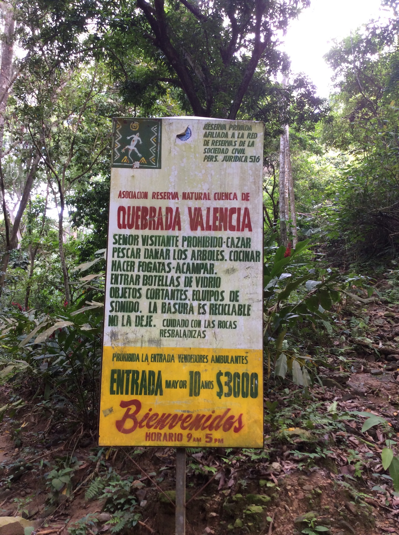
We took a tour to Parque Nacional Natural Sierra Nevada de Santa Marta where we walked through a lush forest to see the Quebrada Valencia waterfalls. The park is of such ecological and cultural importance that UNESCO declared it a Biosphere Reserve. Wildlife abounds, including Sierra parrots, tapirs and paramo deer. A variety of exotic flora also flourishes.

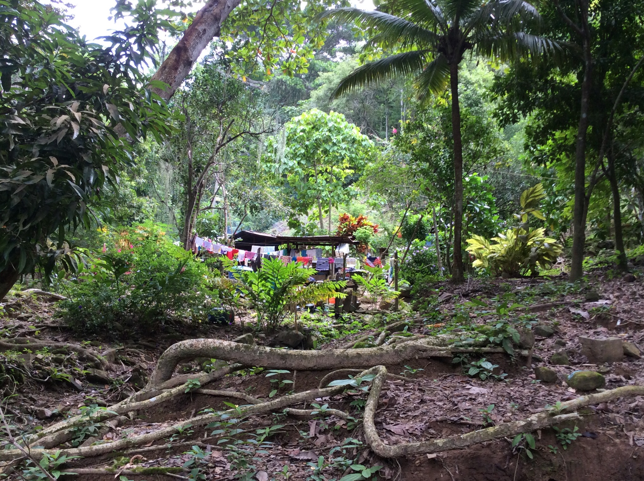
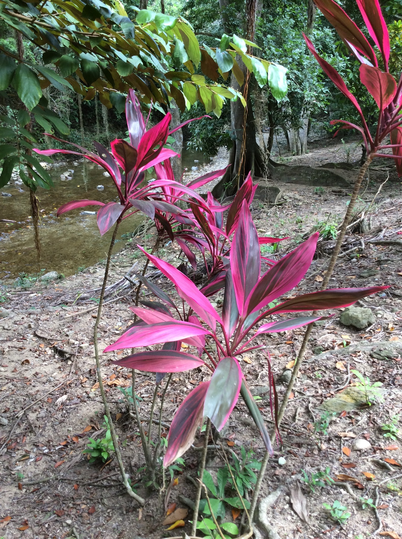
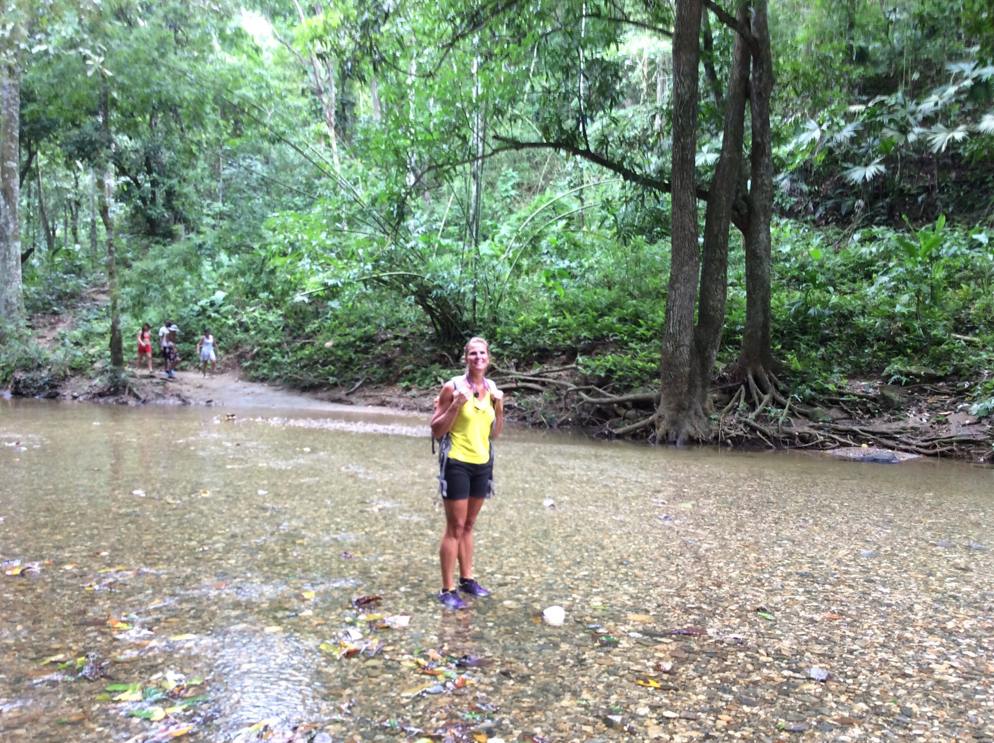
We had to cross a few rivers to get to the waterfalls. There were quite a few locals swimming in the natural pools. I climbed up a bit further to see higher up the waterfall – it is surrounded by lush vegetation. I could hear a lot of birdlife but unfortunately I didn’t manage to see any – the bush is very dense.

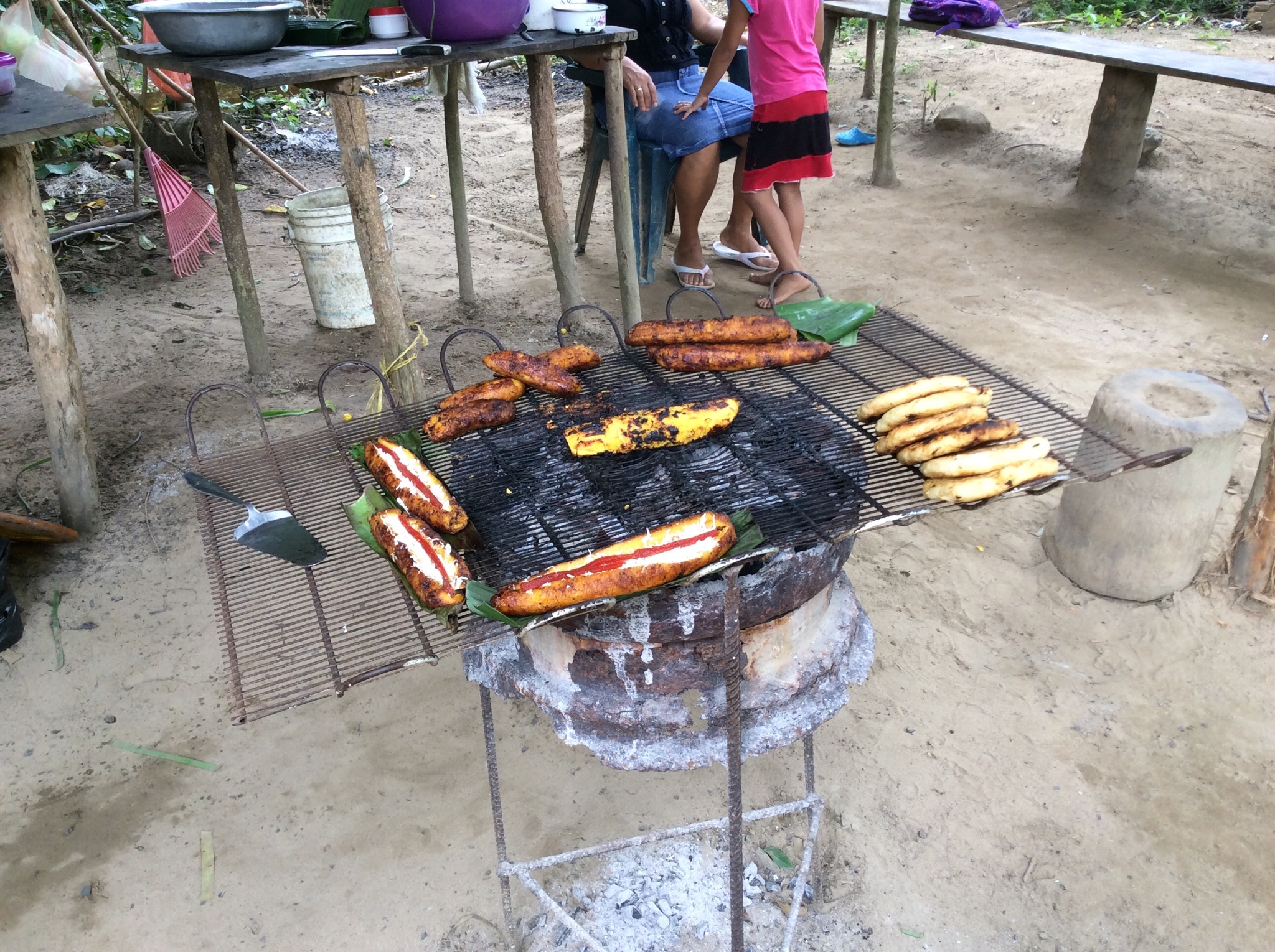
On the way to the waterfall we passed a few locals on horseback and a few little houses with chickens roaming wild. The locals had come out and were cooking local foods on barrel BBQ’s. There was a small banana plantation along the way also. I bought some organic chocolate from one of the locals on the way back – it is just cacoa powder and cacao butter and has no sugar added – it smells like chocolate but is quite bitter. Might have to take it back to Switzerland at Christmas time, melt it down, add maple syrup to sweeten it and give those Swiss a run for their money on the chocolate front : )

On the way back from the waterfall these four local teenagers were sort of walking with us – they kept looking at us and smiling and giggling. Towards the end of the walk one of them said in broken English – can we take your photo. I said sure – next minute I had the two girls and a guy lining up to have their photo with me. World famous in the Colombian forest : )

The temperature was about 32 degrees and 70% humidity – it was nice to feel heat like that again. We drove back through the town on the way back to the port and it was so busy – there were street vendors and people everywhere. It reminded us of Thailand but crazier.

Colombia, officially the Republic of Colombia, is a country situated in the northwest of South America, bordered to the northwest by Panama; to the east by Venezuela and Brazil; to the south by Ecuador and Peru; and it shares maritime limits with Costa Rica, Nicaragua, Honduras, Jamaica, Dominican Republic and Haiti. It is a unitary, constitutional republic comprising thirty-two departments.

The territory of what is now Colombia was originally inhabited by indigenous peoples including the Muisca, Quimbaya, and Tairona. The Spanish arrived in 1499 and initiated a period of conquest and colonization ultimately creating the Viceroyalty of New Granada, with its capital at Bogotá. Independence from Spain was won in 1819, but by 1830 “Gran Colombia” had collapsed with the secession of Venezuela and Ecuador. What is now Colombia and Panama emerged as the Republic of New Granada. The new nation experimented with federalism as the Granadine Confederation (1858), and then the United States of Colombia (1863), before the Republic of Colombia was finally declared in 1886. Panama seceded in 1903.

Since the 1960s, the country has suffered from an asymmetric low-intensity armed conflict. The conflict escalated in the 1990s, but since 2000 the conflict has decreased considerably.

Colombia is ethnically diverse, the descendants of the original native inhabitants, Spanish colonists, Africans originally brought to the country as slaves, and 20th-century immigrants from Europe and the Middle East have produced a diverse cultural heritage. This has also been influenced by Colombia’s varied geography, and the imposing landscape of the country has resulted in the development of very strong regional identities. The majority of the urban centres are located in the highlands of the Andes mountains, but Colombian territory also encompasses Amazon rainforest, tropical grassland and both Caribbean and Pacific coastlines.
Ecologically, Colombia is one of the world’s 17 megadiverse countries, and is considered the most megadiverse per square kilometer. Colombia is a middle power with the third largest economy in Latin America, is part of the CIVETS group of six leading emerging markets and is an accessing member to the OECD. Its principal industries include oil, mining, chemicals, health related products, food processing, agricultural products, textile and fabrics, garments, forest products, machinery, electronics, military products, metal products, home and office material, construction equipment and materials, banking, financial services, software, IT services and the automotive industry.

IMG_2076.JPG

IMG_2077.JPG

IMG_2078.JPG

IMG_2079.JPG

IMG_2080.JPG

IMG_2084.JPG

IMG_2085.JPG

IMG_2086.JPG

IMG_2090.JPG

IMG_2093.JPG

IMG_2096.JPG

IMG_2098.JPG

IMG_2100.JPG

IMG_2087.JPG

Posted in Oceania Cruises | 1 Comment

Thanksgiving – Oceania Cruises

Today is Thursday November the 27th – Thanksgiving Day and we are back on the Atlantic enroute to the Bahamas. There are a lot of Americans on the ship so there has been a lot of talk about Thanksgiving. I have never really understood what Thanksgiving is all about so thanks to the daily bulletin put out by Oceania I now understand:

Thanksgiving is said to originate from a mix of European and Native traditions where festivals were held to give thanks for a good harvest and for workers to rejoice together after much hard labour. It’s celebration is now an annual tradition in many parts of the world, ranging from the lower key Harvest Festivals in the churches in England to the popular Thanksgiving celebrations marked in Canada and Grenada in October, in Liberia on the first Thursday of November and in both the United States of America and in Leiden, Netherlands on the fourth Thursday in November.

It was back in 1863 that President Abraham Lincoln first proclaimed that a national day of thanksgiving should be celebrated in the United States. Unlike other festivals and celebrations of red, white and blue, the traditional autumn colours of gold, orange and brown are used to represent fall.

The modern American Thanksgiving holiday traces its origins from a 1621 celebration at the Plymouth Plantation in Massachusetts where the settlers held a harvest feast after a successful growing season. The feast is now represented by the popular Thanksgiving dinner, traditionally featuring turkey as its centrepiece, so renowned that the National Turkey Federation has presented the President with a live turkey and two dressed turkeys as part of a ceremony held every year since 1947.

In 1987 Ronald Reagan declared the live turkey should be “pardoned” so it could live out the rest of its days on a nearby farm. Subsequent Presidents have continued this developing tradition. It is said that Reagan adopted the idea from a similar event hosted by Harry Truman which he took from an anecdote of Abraham Lincoln, pardoning his son’s pet turkey.

Popular sports fixtures and lavish parades now run alongside traditional family gatherings as the fourth Thursday in November stretches into a four day weekend. The world famous Macy’s Thanksgiving Day Parade has been held annually in New York since 1924 and features floats with scenes from Broadway plays, balloons of cartoon characters and high school marching bands. The float that traditionally ends the parade is the Santa Claus float, the arrival of which is an unofficial sign of the beginning of the commercial Christmas season. Other parades are held the length and breadth of the US, including one of the largest to be found in Detroit, where the city Mayor presents Santa Claus with a key to the city.
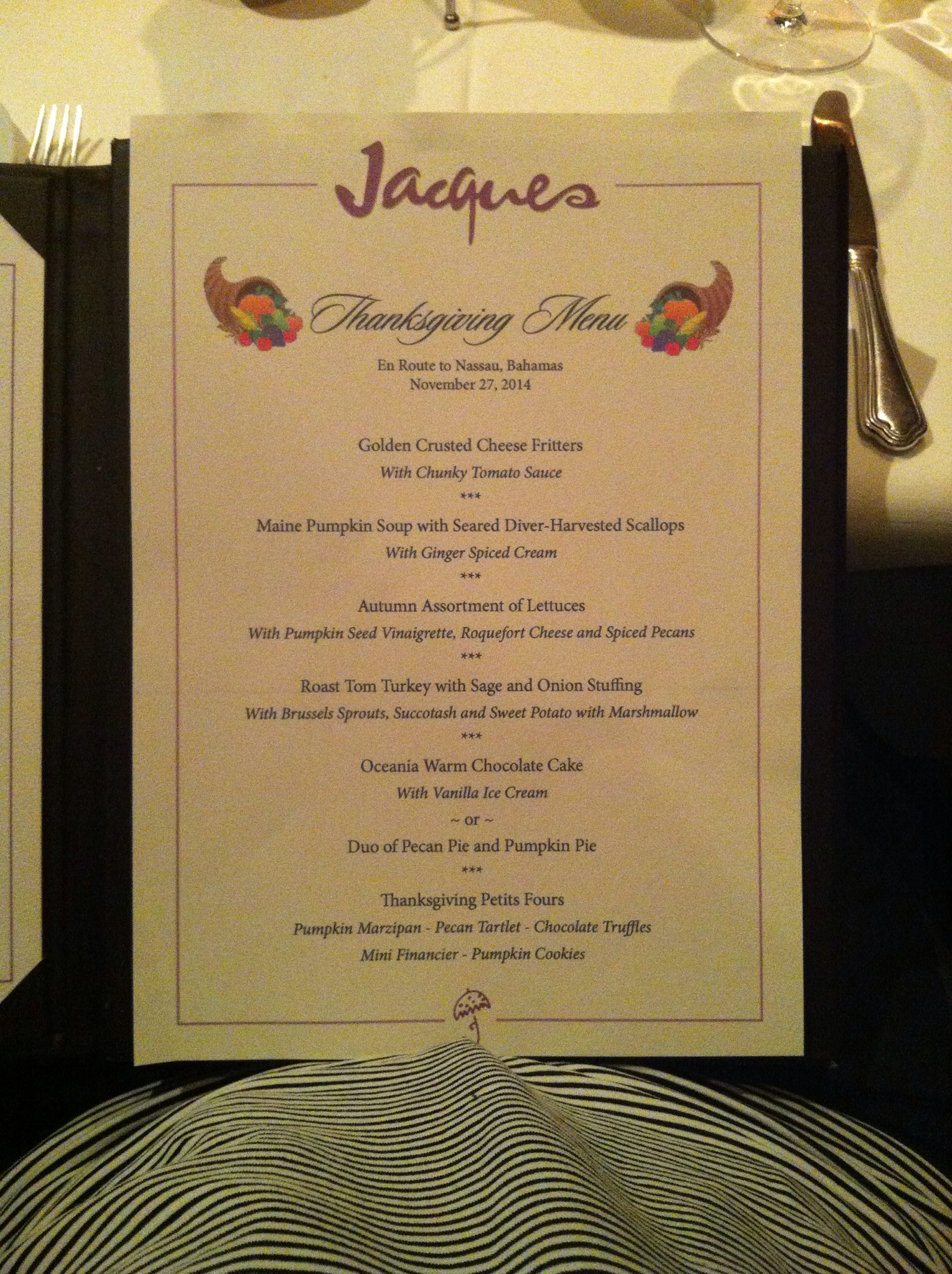
We decided to partake in the Thanksgiving menu offered in Jacques the French restaurant on the boat : )

IMG_4953-0.JPG

IMG_4954.JPG

IMG_4955-0.JPG

Posted in Oceania Cruises | Leave a comment

Port Royal Golf Club, Bermuda – Oceania Cruises

On day two in Bermuda we had a round of golf booked at the Port Royal Golf Club which held the PGA Grand Slam in October. We caught a taxi to the golf course and the taxi driver happened to be a member there. He said there are six courses on the island but he considered Port Royal the hardest.

It was another beautiful day and I was excited to be out on the golf course again after about a three week hiatus. The warm up on the driving range went well which doesn’t necessarily mean anything in relation to how I will play but I am always hopeful.

I actually played well shooting 90. Unfortunately all Steve’s table tennis playing had taken a toll on his elbow so he was in a bit of pain hitting the golf ball but still managed a reasonable round. The rough wasn’t long but it managed to hide the balls well that strayed there – we were likening it to the Bermuda Triangle. Steve lost a couple of balls in this rough when we were able to see approximately where they landed – do do do, do do do….

Bermuda was hit by two storms in October and we saw some remnants of the damage – trees uprooted and fencing knocked down. The first storm hit the island on the Friday before the practice round of the PGA Grand Slam on the Sunday. 1,000 people turned up to the golf course on the Saturday to clean the course up so the tournament could go ahead. The players were impressed with how they had managed to get it back in playable condition. The Pro-Am was held on the Monday and the tournament on the Tuesday and Wednesday. The television crews and players left the island on the Thursday and the second storm hit on the Friday.

The PGA Grand Slam tournament is a play off between the four winners of the majors. This year Rory McIlroy won both the British Open and the PGA Championship, Bubba Watson won the Masters and Martin Kaymer won the US Open. Because Rory won two of the majors Jim Furyk made up the numbers as a previous major winner. Martin Kaymer won the PGA Grand Slam at Port Royal in a sudden death playoff with Bubba Watson.

The views of the Atlantic from the 8th and 16th holes were amazing. I couldn’t get over the colour of the water – it was this beautiful turquoise colour. The 16th hole is the signature hole – it is a par 3 that runs along the coast line. The taxi driver told Steve that he should go back and hit from the tips where the pro’s hit from. It is 235 yards or 212 metres with the majority of that over the edge of the cliff which is covered in flora and fauna. His first shot didn’t quite carry the flora and fauna but his second shot ended up at the back of the green. I hit off the black tees which was 135 metres – unfortunately I ended up in the bunker and took two to get out – the Atlantic looming on the other side of the green was a bit intimidating. I ended up with a 5.

History of Port Royal Golf Club, Bermuda
Located in the Southampton Parish, Southampton Golf Club, as the course was originally known, was founded in 1965 under the chairmanship of Mr. Reginald Tucker, with land being purchased in July 1965 after being given the go-ahead on 15 June 1965 from G.H. Taylor Director of Public Works. The plan however was potentially jeopardised because some of the area was originally farmland and one owner refused to sell his property to the course. Undaunted, construction finally got under way in earnest on 1 December 1967, and the project was renamed Port Royal Golf Course.

The course was the creation of golf course architect, Robert Trent Jones. Design had to be changed several times initially due to land agreements, however this rerouting lead to the creation of the world famous, and much photographed, spectacular 16th hole – the tee and green of which perch precariously on cliffs overlooking the Atlantic Ocean.

The course was finally completed and opened in 1970. More recently, it underwent renovation in preparation for the hosting of the 2009 PGA Grand Slam of Golf. A member of the original design team, Roger Rulewich, has headed up this $14.5 million project and the course was officially reopened on 21 July 2009.

IMG_1979.JPG

IMG_1982.JPG

IMG_1990.JPG

IMG_1991.JPG

IMG_1994.JPG

IMG_1996.JPG

IMG_2001.JPG

IMG_2008.JPG

IMG_2015.JPG

IMG_2017.JPG

IMG_2018.JPG

IMG_2019.JPG

IMG_2021.JPG

IMG_2025.JPG

IMG_2032.JPG

IMG_2033.JPG

IMG_2034.JPG

Posted in Oceania Cruises | Leave a comment

Bermuda – Oceania Cruises

After five days crossing the Atlantic we were looking forward to exploring Bermuda. Our ship was docked at Kings Wharf, Bermuda for two days. Kings Wharf is also known as the Royal Naval Dockyard which was built by the British Navy in 1815. The Georgian style fort served as a North Atlantic base during the World Wars. In 1975 the Bermuda Maritime Museum opened, and restoration of the Dockyard has made it a popular tourist destination.

On the first day we got a day pass for the buses and ferries. First up we took the ferry across to Hamilton which is the capital of Bermuda. We were really impressed with the friendliness of the locals. Everyone said hello and asked how you were and they were all so genuine. We really liked the architecture as well – lots of quaint and colourful buildings all over the island. The building roof’s are also unusual in that they are tiled with a concrete or plaster covering. This finishing adds protection against the storms and high winds that sometimes plague the island.

We were studying the map and bus schedule on the ferry and one of the guys who works on the ferry came over and sat down to chat about the island. We had heard that Bermuda was very expensive and this guy confirmed this by telling us that there was very little property on the island that cost under USD1.2 million. He also said to be above the poverty line you had to be earning at least USD70,000. Almost everything is imported which adds to the expensive nature of everything. The local currency is the Bermudian Dollar which is valued at approximately 1:1 with the US Dollar.

Bermuda’s economy is based on offshore insurance and reinsurance, and tourism, the two largest economic sectors. Bermuda had one of the world’s highest GDP per capita for most of the 20th century and several years beyond. Recently, its economic status has been affected by the global recession, however, the people of Bermuda enjoy a high standard of living.

We had a wander along the waterfront in Hamilton which is called Front St where the Chelsea Football Club owner Roman Abramovich has one of his super yachts, Eclipse moored – it was huge. They have some lovely shops and they wouldn’t be a British Overseas Territory without Marks & Spencer. Apart from Marks & Spencer I found it hard to comprehend that the country was British as the people were all dark skinned and spoke with American like accents. The island actually reminded me of an upscale Fiji or Rarotonga.

IMG_1943-0.JPG

IMG_1946-0.JPG

IMG_1947-0.JPG

IMG_1950-0.JPG

We walked up to the bus station which was next to the City Hall. We were heading to St George. The island has these pink buses which go all over the island – we learnt quickly that the bus drivers think they are driving in the Formula One. The taxi driver we spoke to on our second day on the island said didn’t you see the t-shirts that said “I survived the Bermuda Buses” – definitely summed it up.

IMG_1955.JPG

St George used to be the capital of Bermuda. It is a UNESCO World Heritage site and there are many remnants of the island’s involvement in the American Civil War. We went to King’s Square which is the social centre of St George and saw the Town Hall which was built in 1782.

IMG_1957.JPG

IMG_1958.JPG

IMG_1959.JPG

IMG_1960.JPG

After St George we caught the bus back to Hamilton where we had lunch at the Pickled Onion. The menu was extensive and we enjoyed a nice lunch overlooking the water. Back on the bus after lunch to check out one of the south shore beaches – Horseshoe Bay. The colour of the water is amazing and we enjoyed our walk along the beach. Apparently the sea temperature is about 25 degrees and there were a few people out swimming. Back to the bus stop to catch the bus back to the ship.

IMG_1961.JPG

IMG_1962.JPG

IMG_1970.JPG

IMG_1963-0.JPG

IMG_1967.JPG

Bermuda lies about 600 nautical miles off the east coast of the US. “The Bermudas” are actually a group of approximately 180 islands, with the seven largest islands connected by causeways and bridges. At the core the islands are volcanic. The land above sea level is limestone formed over long centuries by coral and crushed sea shells. The ruggedly elegant limestone adds a wonderful (and practical) character to the style of the island’s architecture.

Bermuda has been on navigational maps of the new world since the 1500’s but none of the European powers exploring the Americas thought of settlement until the English in the early 1600’s. Well marked charts were obviously of little help over the centuries to the hundreds of ships which met their doom upon the treacherous reefs that surround Bermuda. Today the misfortune of the early sailors works to the islands advantage. The multitude of shipwrecks, together with having the northernmost coral reefs in the Atlantic, gives Bermuda some fantastic sites for snorkelling and SCUBA diving.

Following the US Civil War, Bermuda was growing and exporting a lot of vegetables to US markets in New York; among the best and most popular exports were onions. All was going smoothly and profitably until 1898 when some Texans got hold of a packet of onion seed from Bermuda. The entrepreneurial Texans registered the name Bermuda Onions and started growing and exporting them all over the US.

In the best English tradition, if it is 4pm in Bermuda it is time for Tea. Nearly 5,000 years after the Chinese first boiled the little green leaves, tea finally reached England in the mid 1600’s (well after coffee). It quickly became one of the favourite drinks of the working class. The tradition of Afternoon Tea as it is known today is said to have started in the mid 1800’s with the Duchess of Bedford, one of the Ladies-in-Waiting to Queen Victoria. On a stronger note, locally produced Black Seal Rum is an island favourite. When the rum is mixed with ginger beer soda you have the popular “Dark & Stormy.” Another popular mixed drink is the Bermuda Rum Swizzle. This cocktail combines rum, fresh fruit juice, bitters for the snap and grenadine syrup for sweetness. The Bermuda Brewery Company brews some very good, dark, German-Pilsner style stout beers.

Bermuda is the northernmost point of the so-called Bermuda Triangle, a region of sea in which, according to legend, a number of aircraft and surface vessels have disappeared under supposedly unexplained or mysterious circumstances. The island is in the hurricane belt and prone to severe weather.

The Bermuda Triangle is a region of the Western Atlantic Ocean that has become associated with mysterious disasters. Also known as the Devil’s Triangle, the triangle shaped area covers about 440,000 square miles between the island of Bermuda, the coast of southern Florida, and Puerto Rico.

The sinister reputation of the Bermuda Triangle may be traceable to reports made in the late 15th century by navigator Christopher Columbus concerning the Sargasso Sea, in which floating masses of gulfweed were regarded as uncanny and perilous by early sailors; others date the notoriety of the area to the mid 19th century, when a number of reports were made of unexplained disappearances and mysteriously abandoned ships. The earliest recorded disappearance of a United States vessel in the area occurred in 1918, when the USS Cyclops vanished.

The incident that consolidated the reputation of the Bermuda Triangle was the disappearance in December 1945 of Flight 19, a training squadron of five US Navy torpedo bombers. The squadron left Fort Lauderdale, Florida, with 14 crewmen and disappeared after radioing a series of distress messages; a seaplane sent in search of the squadron also disappeared. Aircraft that have disappeared in the area since this incident include a DC-3 carrying 27 passengers in 1948 and a C-124 Globemaster with 53 passengers in 1951. Among the ships that have disappeared was the tanker ship Maine Sulphur Queen, which vanished with 39 men on board in 1963.

Books, articles, and television broadcasts investigating the Bermuda Triangle emphasise that, in the case of most of the disappearances, the weather was favourable, the disappearances occurred in daylight after a sudden break in radio contact, and the vessels vanished without a trace. However, sceptics point out that many supposed mysteries result from careless or biased consideration of data. For example, some losses attributed to the Bermuda Triangle actually occurred outside the area of the triangle in inclement weather conditions or in darkness, and some can be traced to known mechanical problems or inadequate equipment.

In the case of Flight 19, for example, the squadron commander was relatively inexperienced, a compass was faulty, the squadron failed to follow instructions, and the aircraft was operating under conditions of deteriorating weather and visibility and with a low fuel supply. Other proposed explanations for disappearances in the Bermuda Triangle include the action of physical forces known to science, a “hole in the sky”, an unusual chemical component in the region’s seawater, and abduction by extraterrestrial beings. Scientific evaluations of the Bermuda Triangle have concluded that the number of disappearances in the region is not abnormal and most of the disappearances have logical explanations. Paranormal associations with the Bermuda Triangle continue to persist in the public mind.

Posted in Oceania Cruises | Leave a comment

Santa Cruz de Tenerife, Spain – Oceania Cruises

After a day at sea crossing the Straight of Gibraltar we were looking forward to exploring Tenerife. We had booked a tour to La Laguna a little town inland from the Port of Santa Cruz. We were also going to do a wine tasting and visit the wine museum. It wasn’t the best looking day weather wise but with my eternal optimism I thought it would clear up. As I came down the stairs from the gym I heard one of the ship’s officers on the phone and he was saying something about all tours being cancelled. I mentioned it to Steve but thought I may have misheard so we continued to get ready as if everything was on track.

As we were going to breakfast they announced over the loud speaker that the Government had in fact cancelled all tours on the island that day. They didn’t give any explanation so we were a bit disappointed and cursed the Spanish Government. The weather at this stage was still a bit bleak but looked to be clearing. We decided to go ashore anyway and explore the town – although overcast it never rained again all day. Steve had overheard some people saying that apparently the roads on the island were not that good and with all the rain they were too dangerous for the tours to proceed. I had a look on the internet and there was an article about the deluge of rain the island was expecting overnight which didn’t quite materialise. The Government obviously cancelled the tours based on the original forecast which did sound quite dire.

Update on the cancelled tour scenario – we watched the Q & A session with the ship’s Captain yesterday and he said about a month ago two cruise ship passengers died on the island as a result of bad weather so perhaps we can understand their conservatism : )

Santa Cruz de Tenerife is the capital (jointly with Las Palmas) of the Canary Islands, the capital of Province of Santa Cruz de Tenerife, and the island of Tenerife. Santa Cruz has a population of 206,593 within its administrative limits. The urban zone of Santa Cruz extends beyond the administrative city limits with a population of 507,306. This is the main city on the island of Tenerife with a population of nearly 1 million.

Located in northeast quadrant of Tenerife, about 210 kilometres (130 mi) off the northwestern coast of Africa within the Atlantic Ocean. Between the 1833 territorial division of Spain and 1927 Santa Cruz de Tenerife was the sole capital of the Canary Islands, when a decree ordered that the capital of the Canary Islands be shared, as it remains at present. The port is of great importance and is the communications hub between Europe, Africa and Americas, with cruise ships arriving from many nations. The city is the focus for domestic and inter-island communications in the Canary Islands.

The city is home to the Parliament of the Canary Islands, the Canarian Ministry of the Presidency (shared on a four-year cycle with Las Palmas), one half of the Ministries and Boards of the Canarian Government, (the other half being located in Gran Canaria), the Tenerife Provincial Courts and two courts of the Superior Court of Justice of the Canary Islands. There are several faculties of the La Laguna University in Santa Cruz, including the Fine Arts School and the Naval Sciences Faculty. Its harbour is one of Spain’s busiest; it comprises three sectors. It is important for commercial and passenger traffic, as well as for being a major stopover for cruisers en route from Europe to the Caribbean.

In 2012, the British newspaper “The Guardian” included Santa Cruz de Tenerife in the list of the five best places in the world to live along with the north coast of Maui, Hawaii; Sankt Paulidistrict in Hamburg; Cihangir district in Istanbul, and Portland, Oregon (United States).

The Canary Islands, are a Spanish archipelago located just off the northwest coast of mainland Africa, 100 kilometres (62 miles) west of the southern border of Morocco. The Canaries are one of Spain’s 17 autonomous communities and are among the outermost region of the European Union proper. The islands include (from largest to smallest): Tenerife, Fuerteventura, Gran Canaria, Lanzarote, La Palma, La Gomera, El Hierro, La Graciosa, Alegranza, Isla de Lobos, Montaña Clara and Roque del Oeste.

The archipelago’s beaches, climate and important natural attractions, especially Maspalomas in Gran Canaria and Teide National Park and Mount Teide (a World Heritage Site) in Tenerife (the third tallest volcano in the world measured from its base on the ocean floor), make it a major tourist destination with over 12 million visitors per year, especially Tenerife, Fuerteventura, Gran Canaria and Lanzarote. The islands have a subtropical climate, with long warm summers and moderately warm winters. Due to their location above the temperature inversion layer, the high mountains of these islands are ideal for astronomical observation. For this reason, two professional observatories, Teide Observatory on the island of Tenerife and Roque de los Muchachos Observatory on the island of La Palma, have been built on the islands.

During the times of the Spanish Empire the Canaries were the main stopover for Spanish galleons on their way to the Americas because of the prevailing winds from the northeast.

IMG_1931-0.JPG

IMG_1934.JPG

Posted in Oceania Cruises | Leave a comment