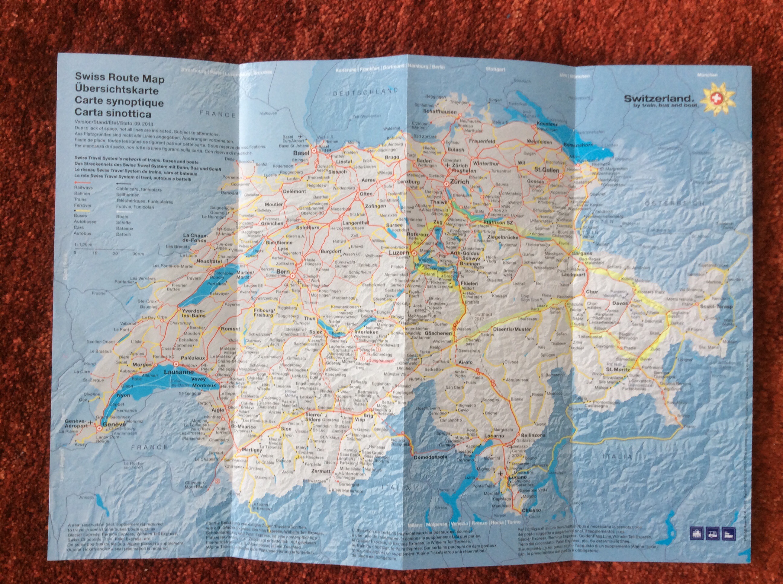
Rimutaka Rail Trail, Day 4 – Martinborough to Greytown – Wellington, New Zealand

Day four and our last day of cycling. Given the fairly light schedule we had lined up we had a bit of a sleep in which was nice – it was Sunday after all : )

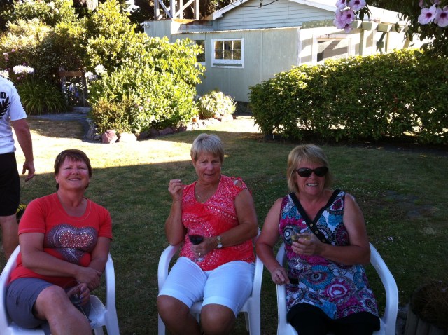
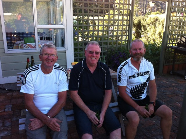
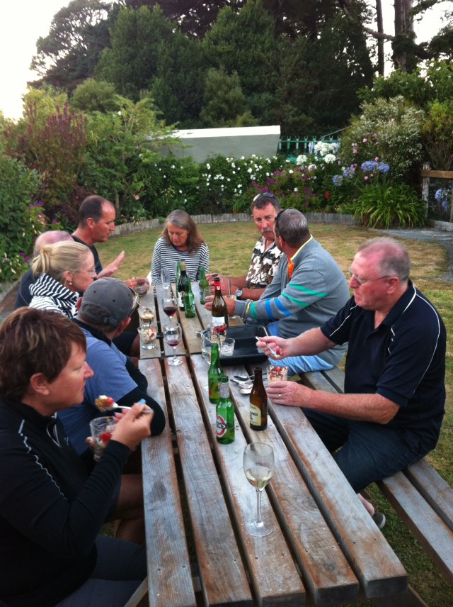
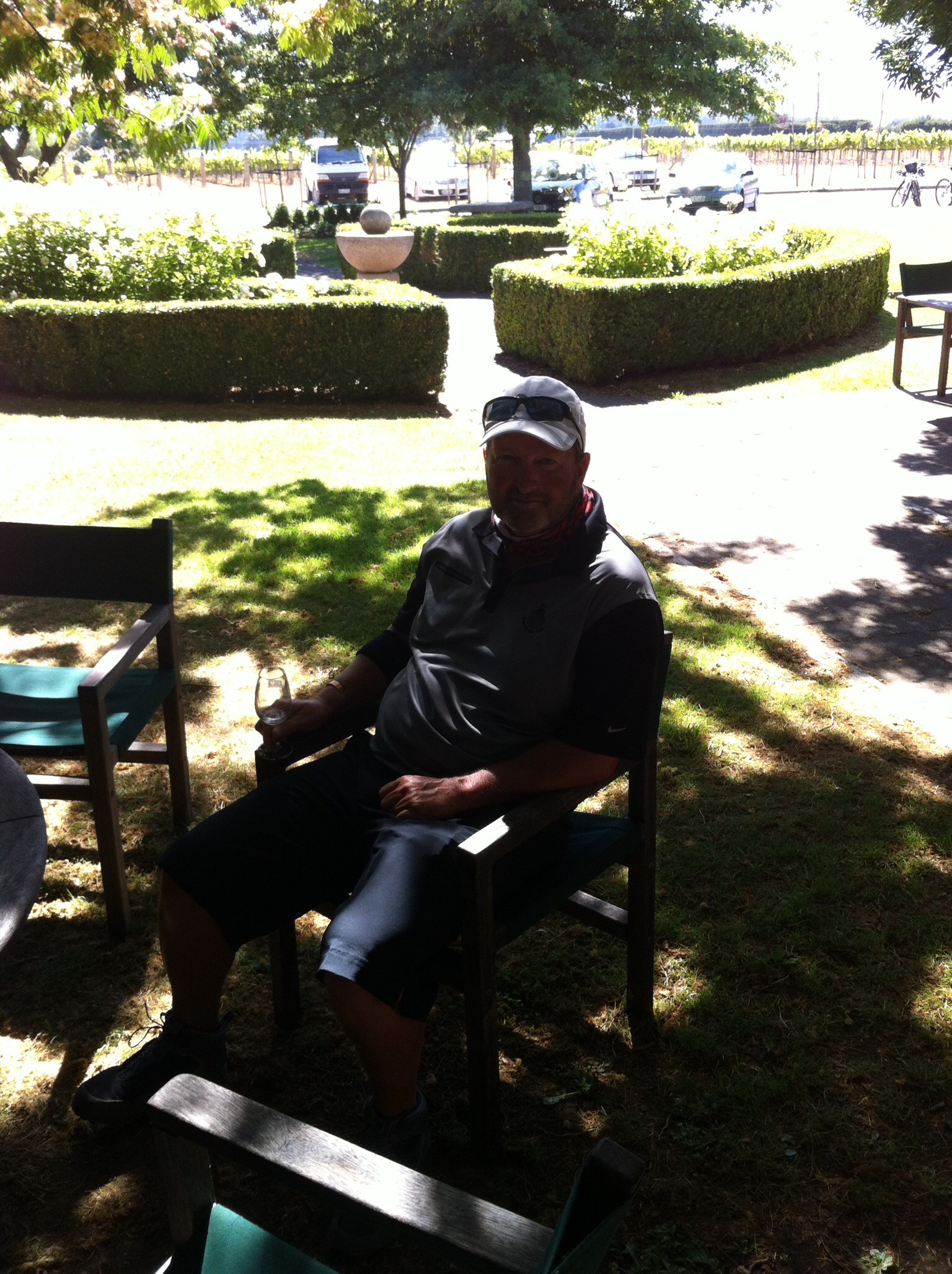
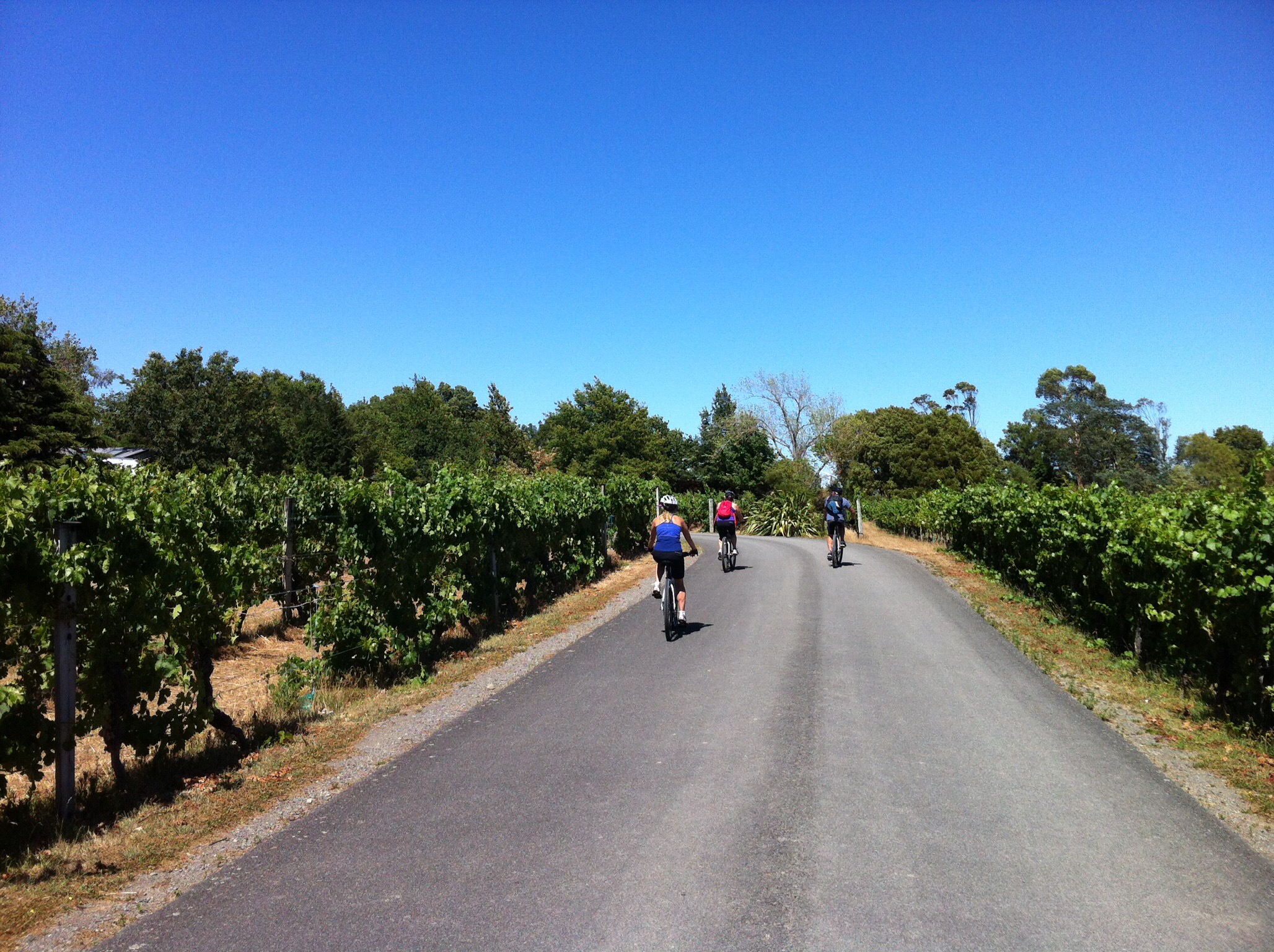
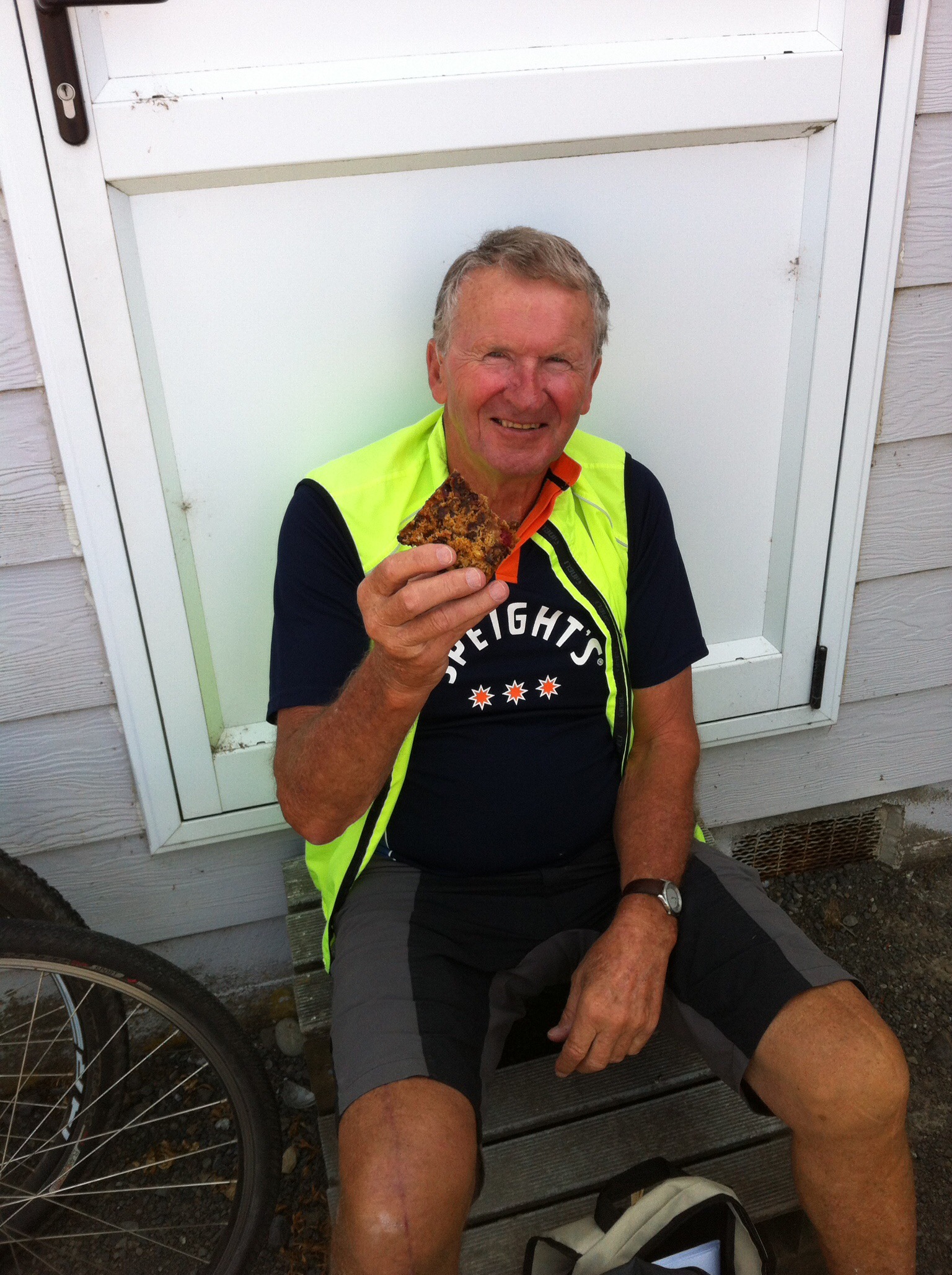
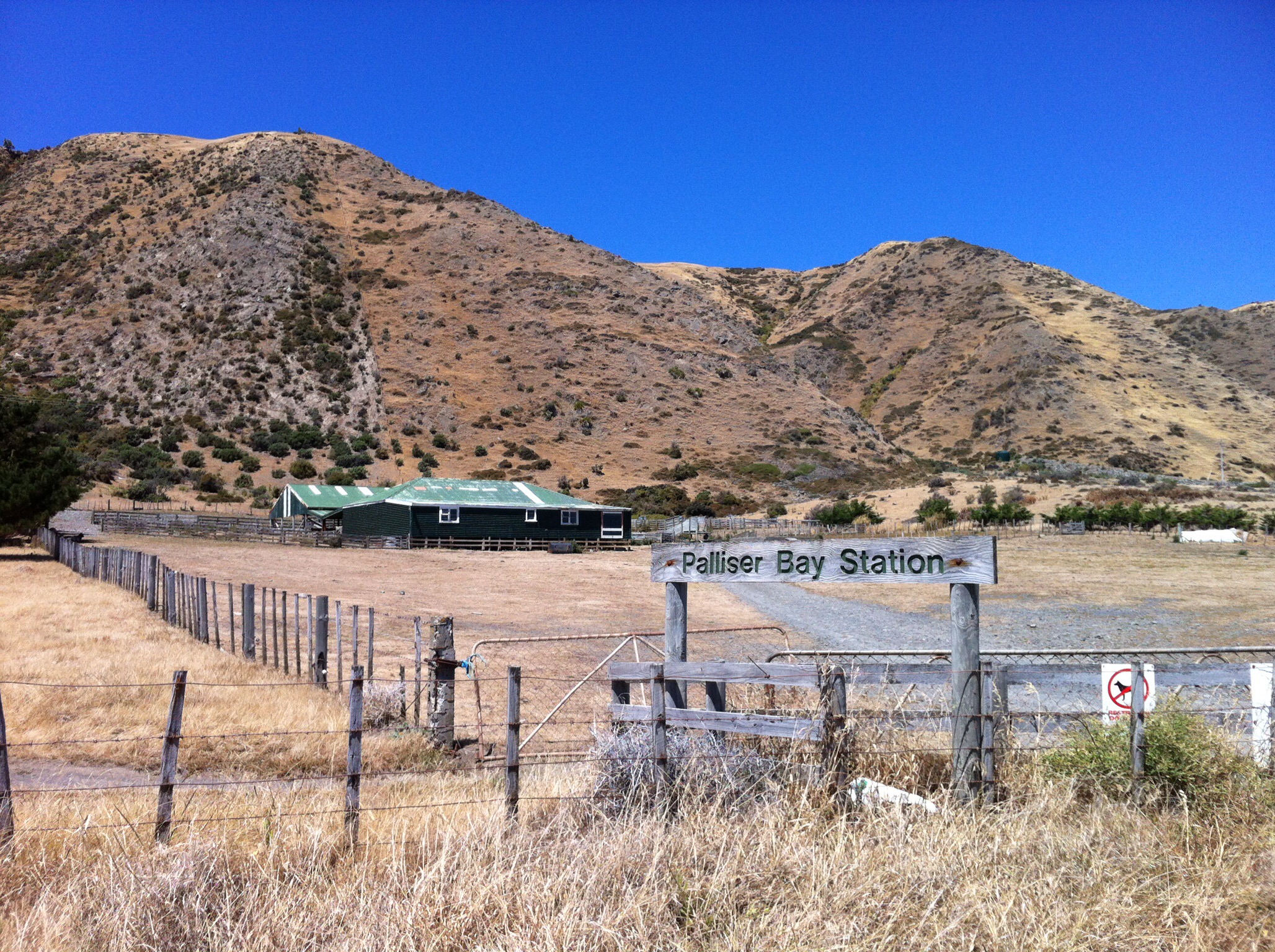
After breakfast and a masterclass in changing a flat tyre by Leona we were on our way. First stop Palliser – not the Cape this time but the vineyard. Despite it only being about 10.30am some of the troops were up for a little wine tasting. The rest of us went in search of coffee which was a waste of time – Martinborough on a sunny Sunday is a very popular place and most places had a 20 to 25 minute wait for coffee. Oh well we might as well hit the vineyards : )

IMG_6245

IMG_6006

IMG_5951

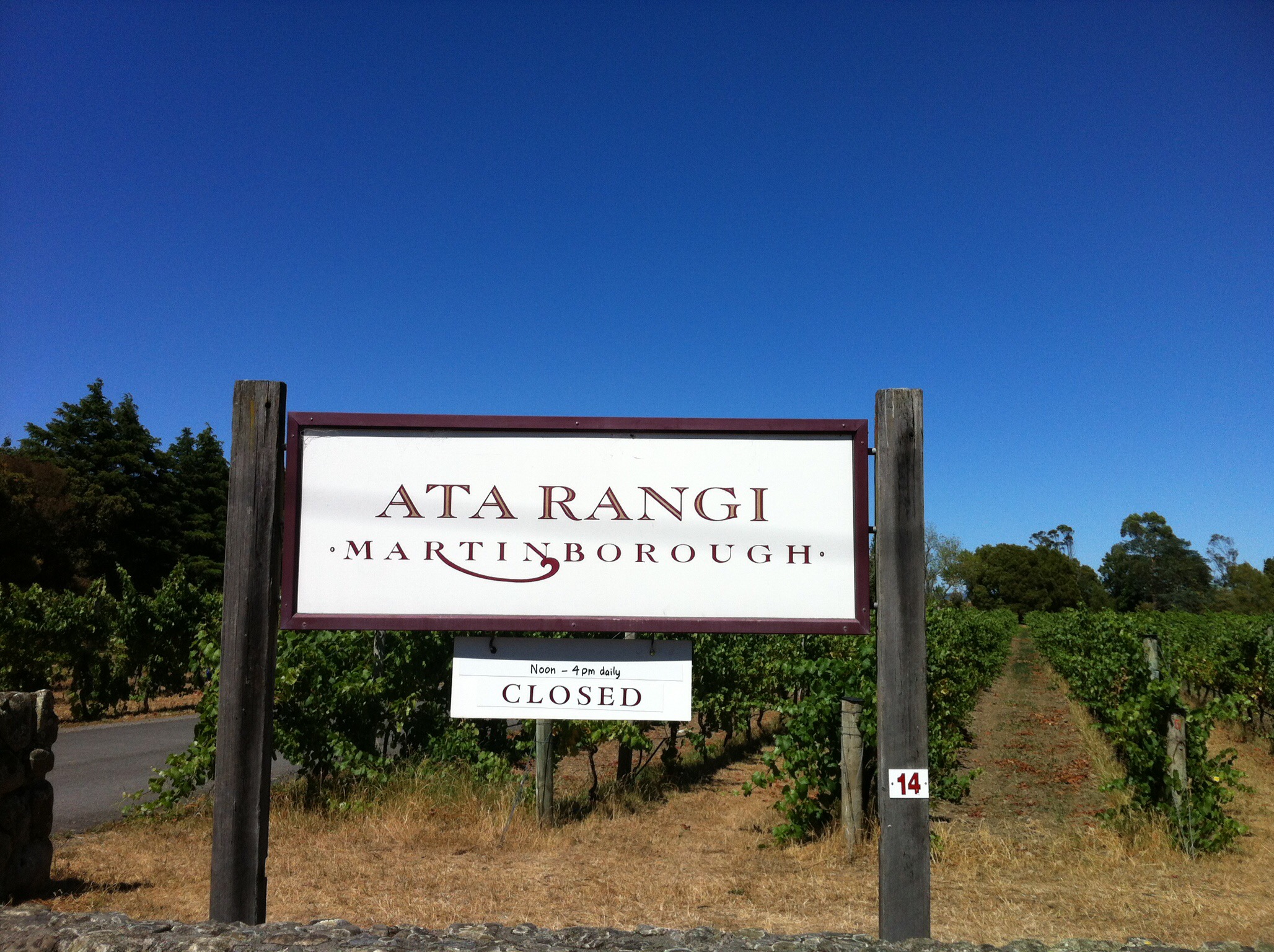
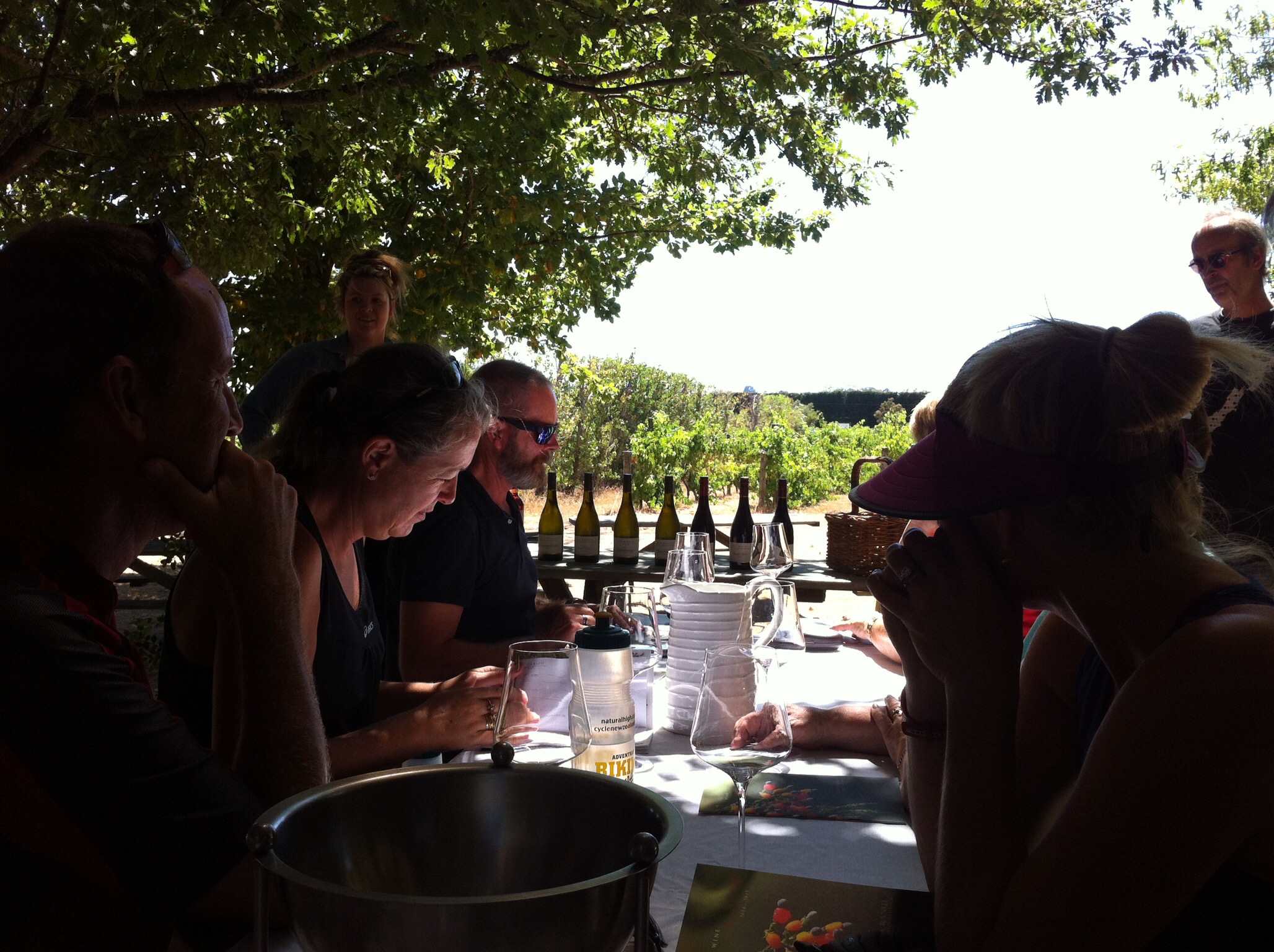
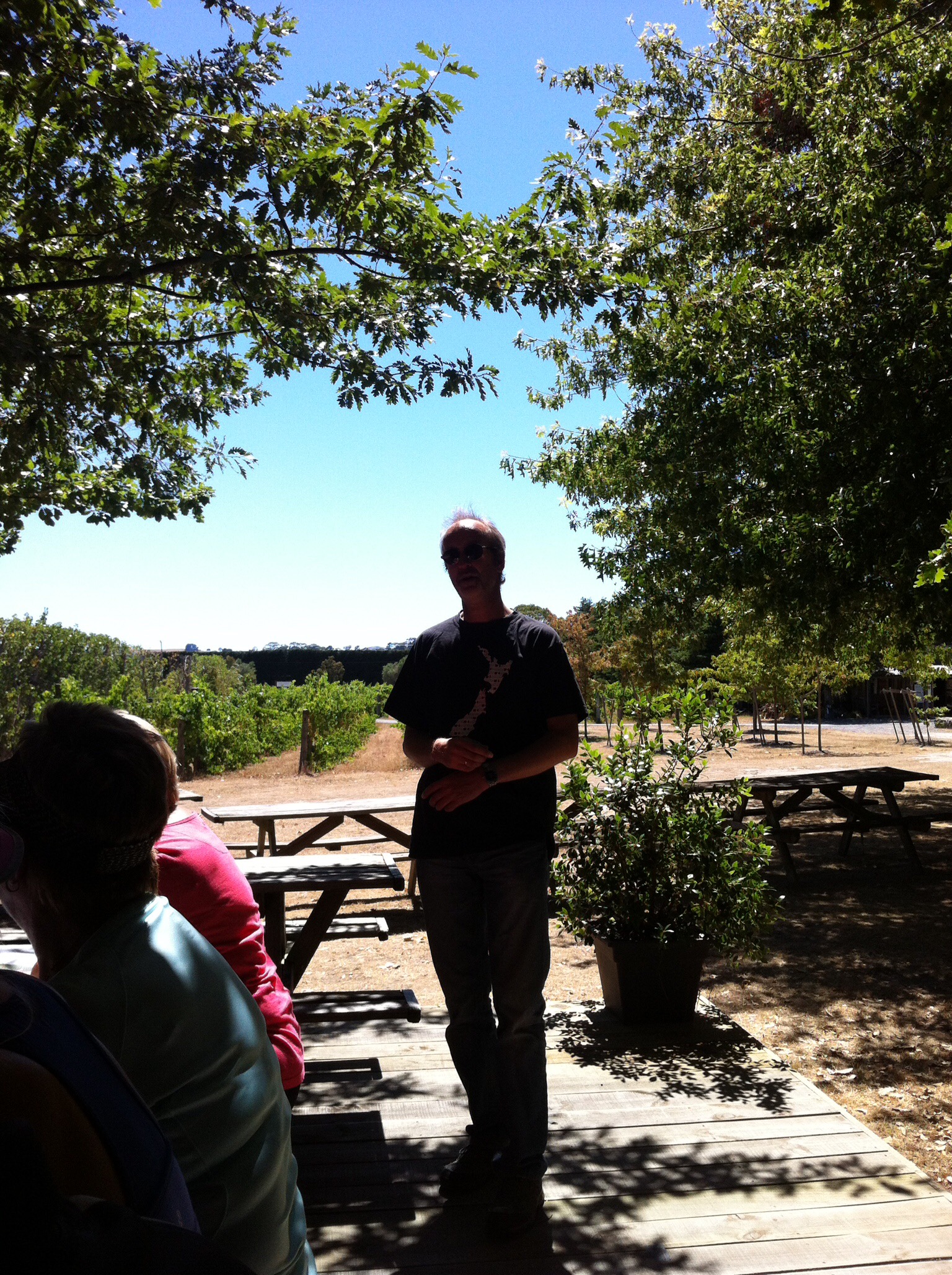
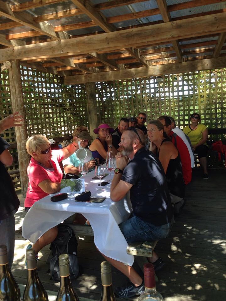
Next stop was Ata Rangi. Being one of Mike’s favourite vineyards he had organised a private tasting for us. Pete and Gillian from Ata Rangi took us through 9 of their wines – how lucky were we. The wines were delicious and Pete and Gillian’s knowledge was great – it was a very delicious, interesting and informative wine tasting.

Ata Rangi founder and ‘koro’ Clive Patton planted his first vines on a dry, scruffy 5 hectare paddock at the edge of the dying rural village of Martinborough in 1980 as one of four hardy blokes who pioneered wine growing in this tiny region. He’d sold his herd of dairy cows to buy the land, and studied all he could find on wine growing while hand digging in posts and planting vines through the rocks. His mates thought he was crazy, but he was smart enough to surround himself with capable women! His sister Ali, wife Phyll and dynamic winemaker Helen Masters, together with Clive, Gerry and their teams have built an enviable reputation for Ata Rangi as a producer of sought after wines. Ata Rangi have been celebrated internationally and now export to 27 markets.

Martinborough’s location in an open, south facing valley at the bottom end of the North Island is pivotal to it’s unique regional character. Icy, southerly Antarctic winds regularly impact on flowering and fruit-set, resulting in a low natural yield, that is, fewer berries per bunch and lots of very small berries. As the bunches are looser, each individual grape berry is more exposed to sun and wind than in most other regions. The effect is tougher, darker, tannin rich skins. Small berry sizes also means a high ratio of skins to juice, bolstering the sought after attributes in Pinot of more complex aromatics, fine, layered tannins with length and persistence, a more savoury palate feel and concentrated, multifaceted flavours with age.

Ata Rangi are also involved with Project Crimson which is a charitable conservation trust set up to look after New Zealand’s glorious native red flowering Rata and Pohutakawa ‘Christmas Trees’. Ata Rangi’s involvement evolved from their own Rata conservation efforts on the Ata Rangi Bush Block. They have produced a lively, aromatic Pinot Noir from their younger vines (about 20 years old) and they donate a percentage of the sales of this wine to Project Crimson. They also produce a delicious bush honey from this bush block – it is also so good!

IMG_5936

IMG_6120

IMG_6296

IMG_6124

IMG_5907

IMG_6225

IMG_5950

IMG_3003

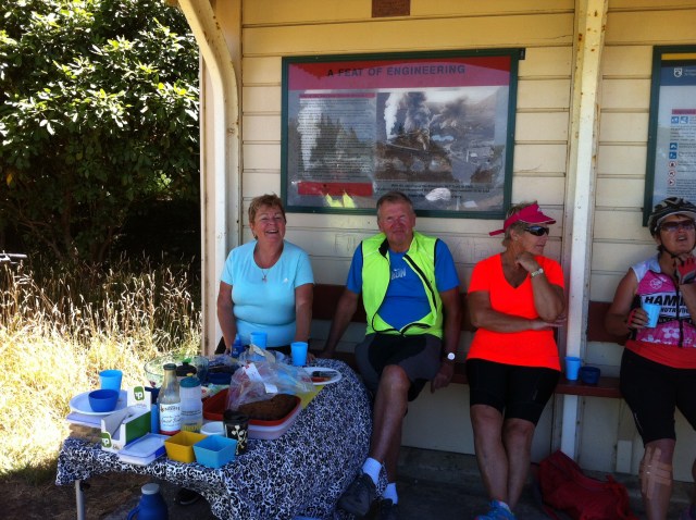
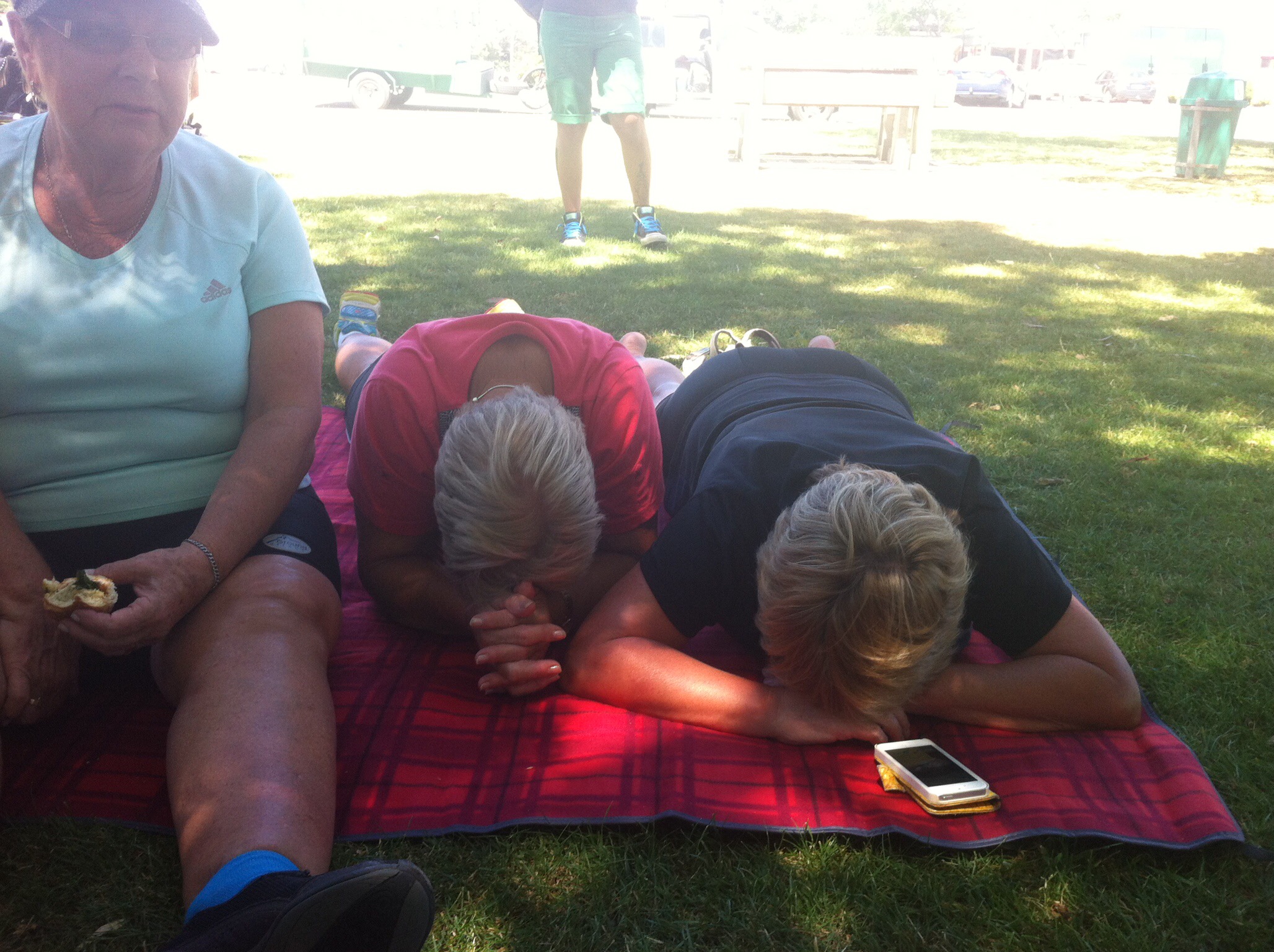
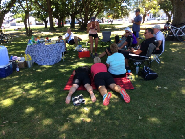
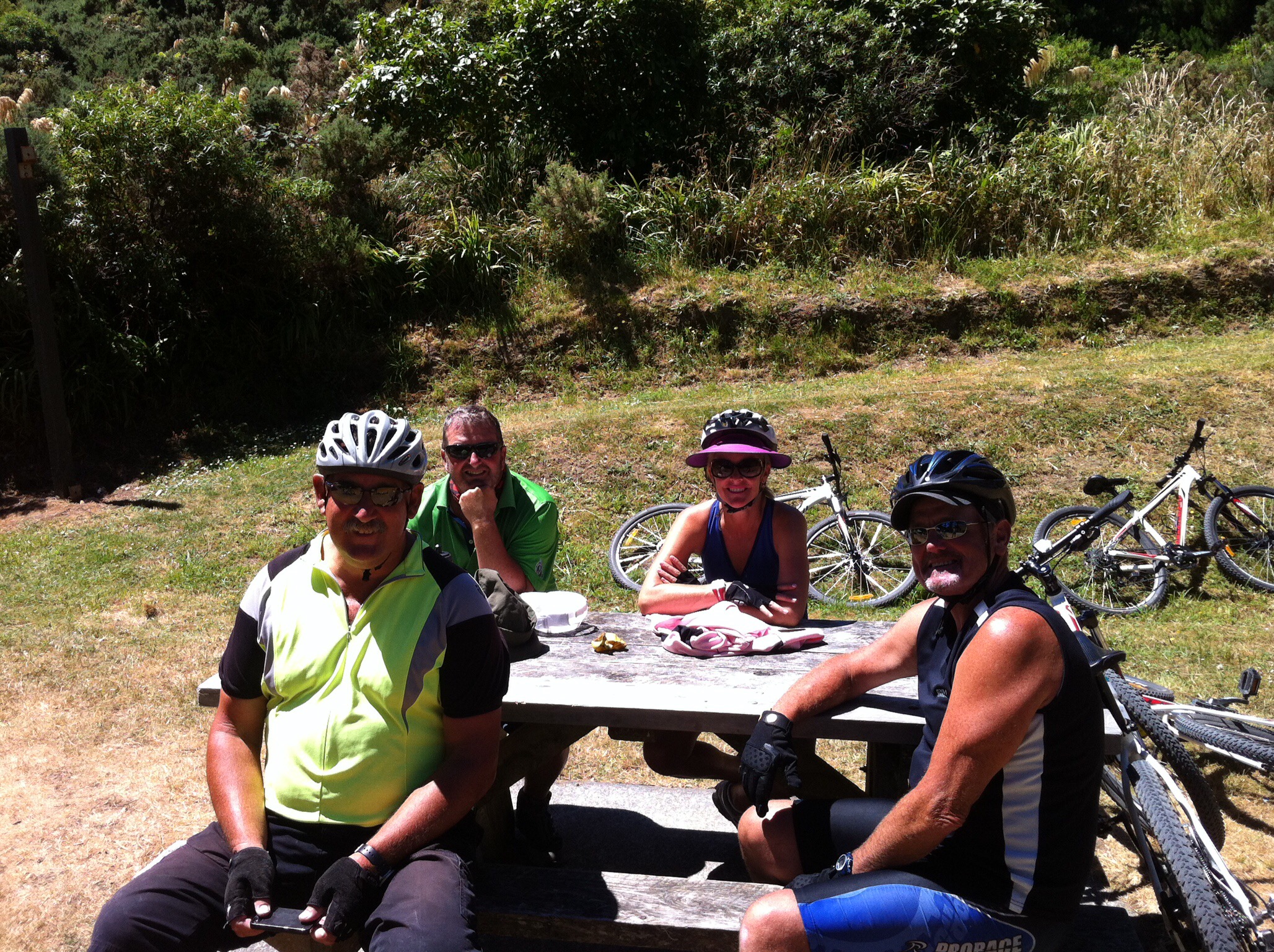
We had worked up an appetite with all that wine tasting so it was on our bikes and back to Martinborough’s town square for a picnic lunch that had been whipped up by our guide extraordinaires Andy and Leona. What a magic spot.

IMG_6065

IMG_5850

IMG_2976

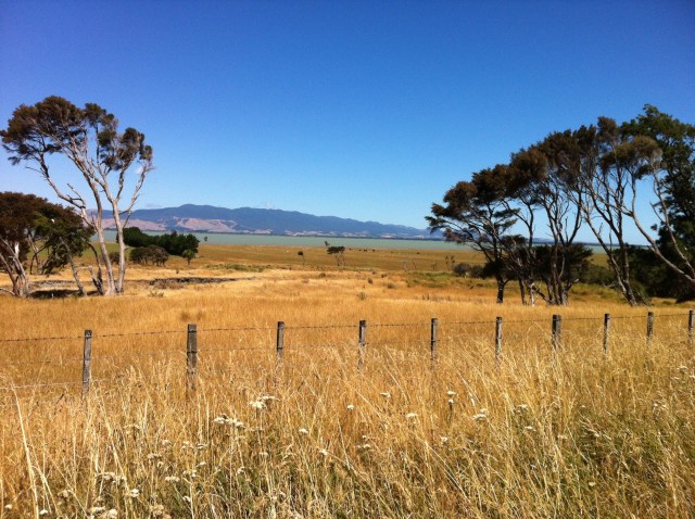
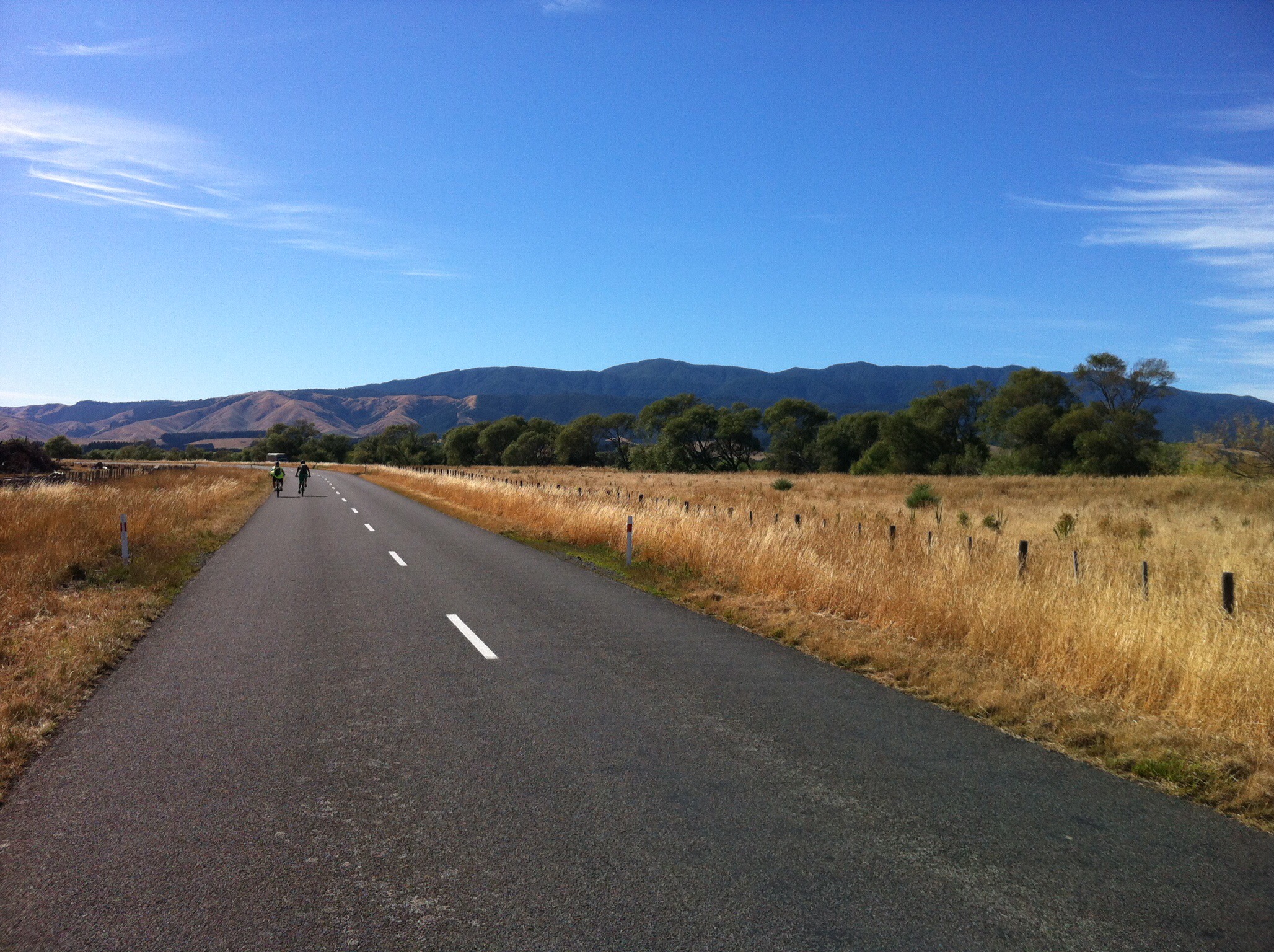
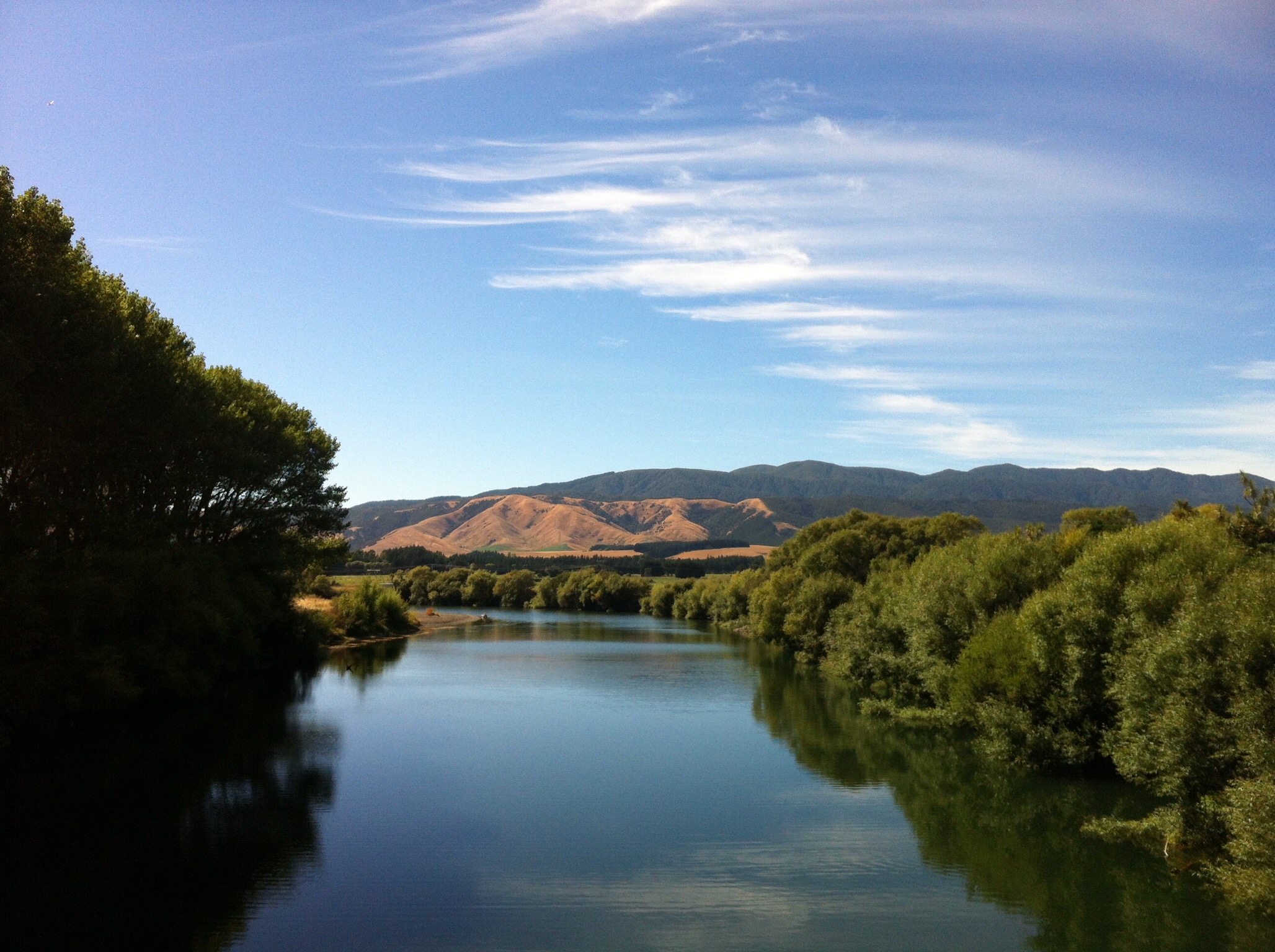
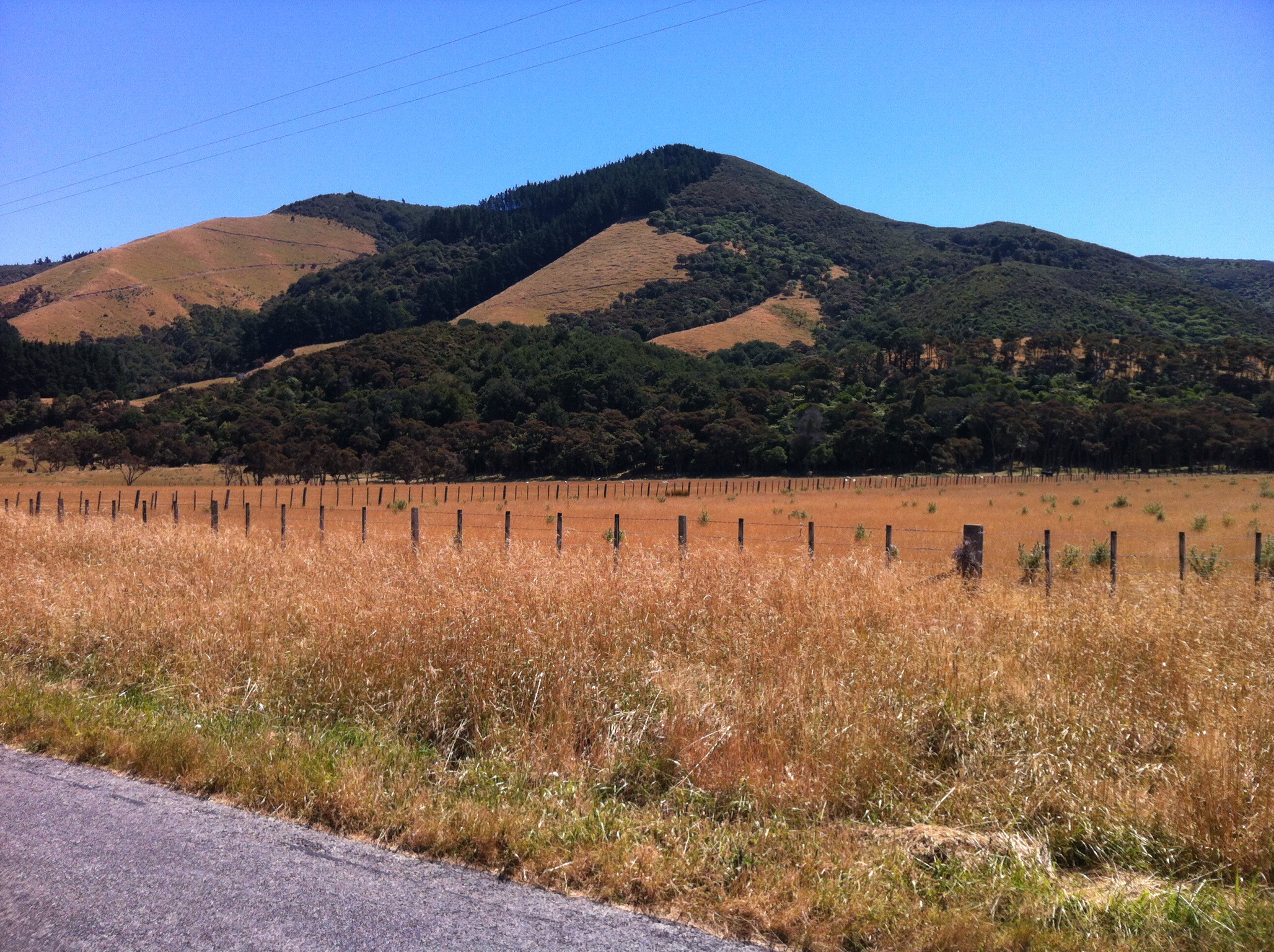
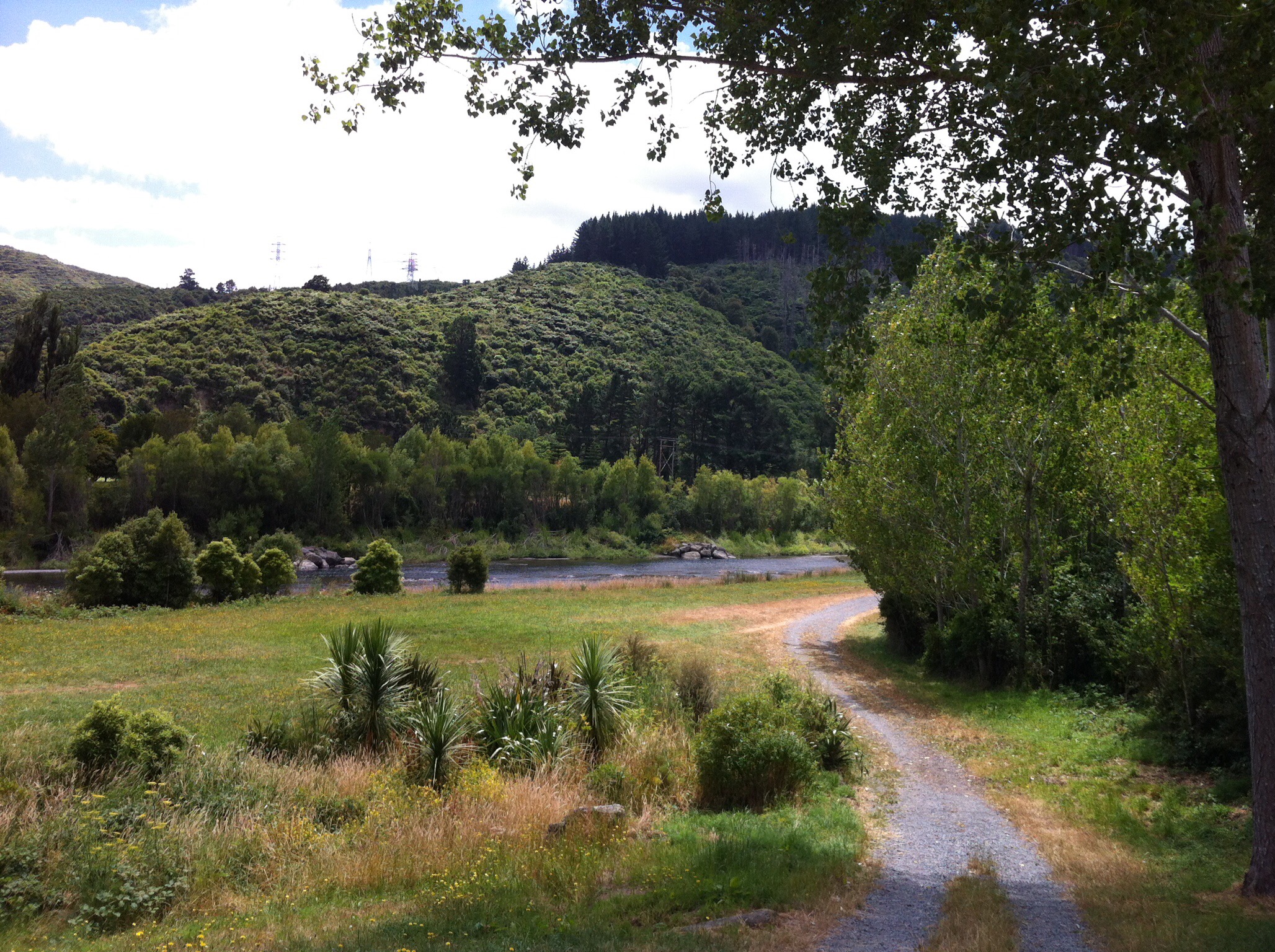
We were now Greytown bound for our last night on tour. Greytown is only 18km from Martinborough so not too arduous even in the heat. A local guy had given Andy and Leona a heads up re a good swimming spot in the river along our cycling route. It was only about 3km out of Martinborough and even though we hadn’t really worked up a sweat it was too good an opportunity to pass up.

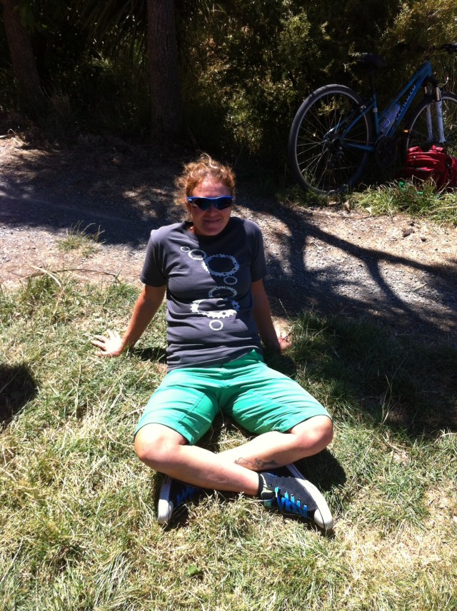
Again some of the troops were prepared with togs while the rest just jumped in again with their cycling wears or underwear – some more revealing than others : ) The water was a lot warmer than the sea had been at Palliser Bay the day before.

IMG_6228

IMG_5902

IMG_6141

IMG_2977

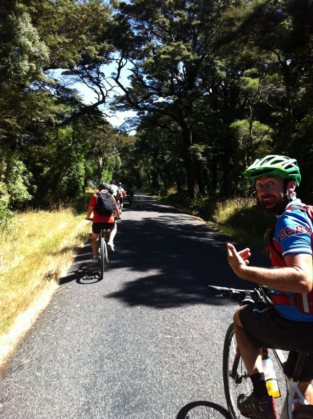
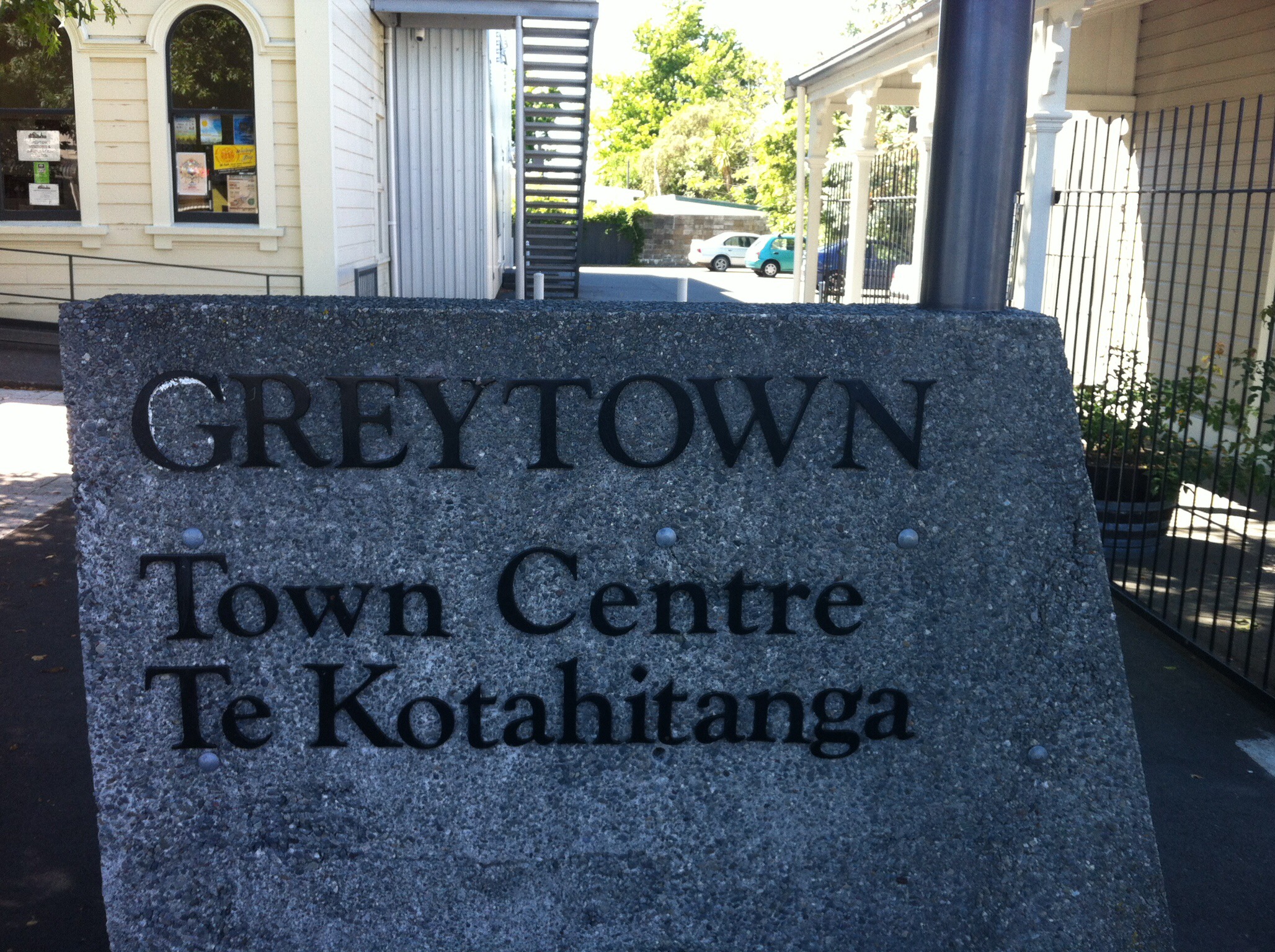
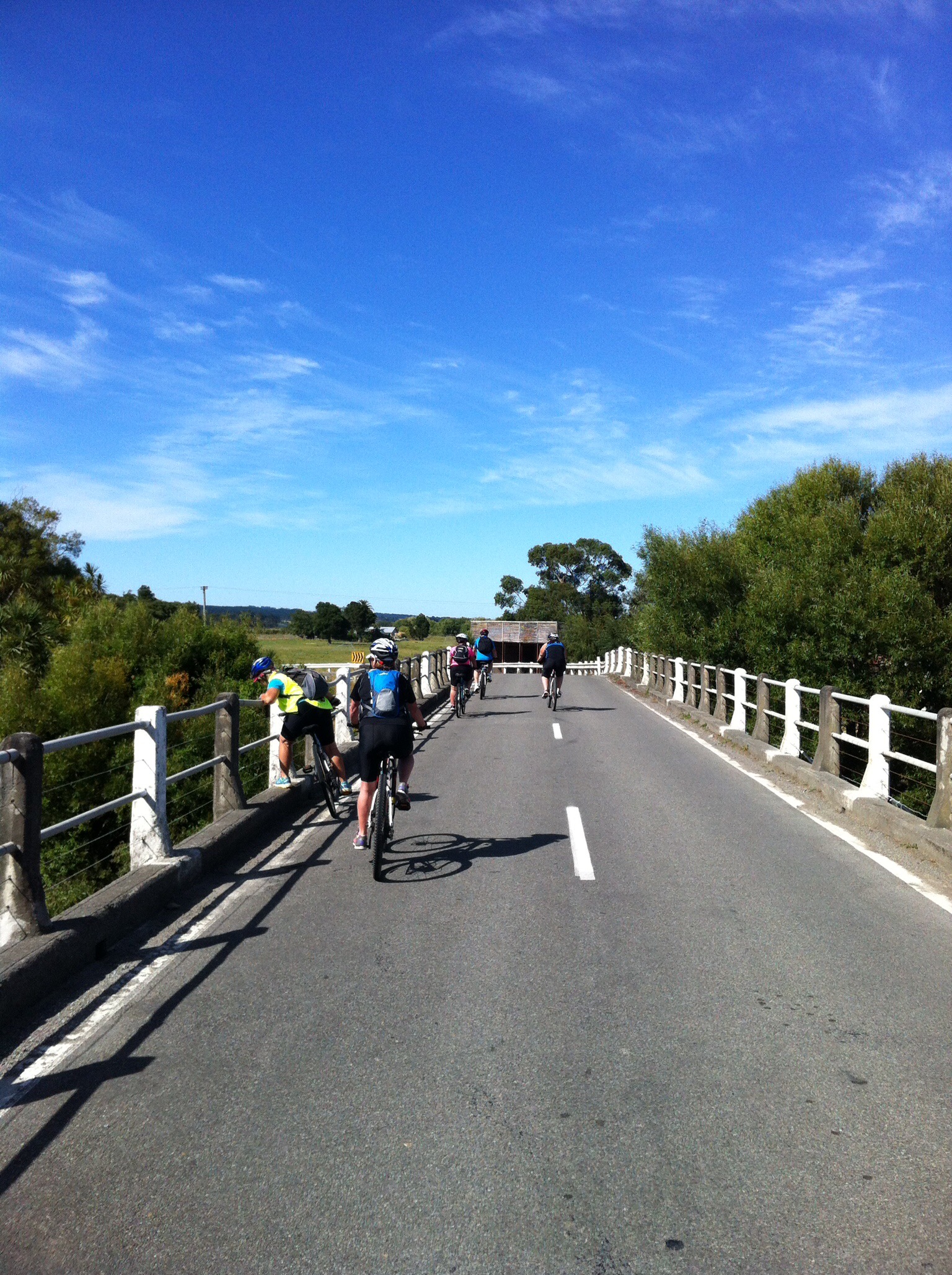
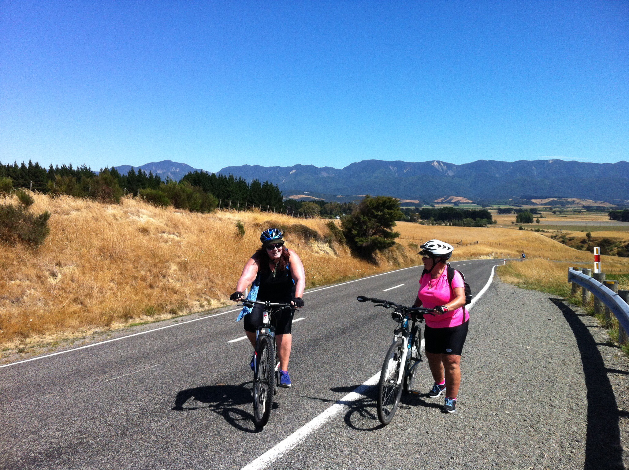
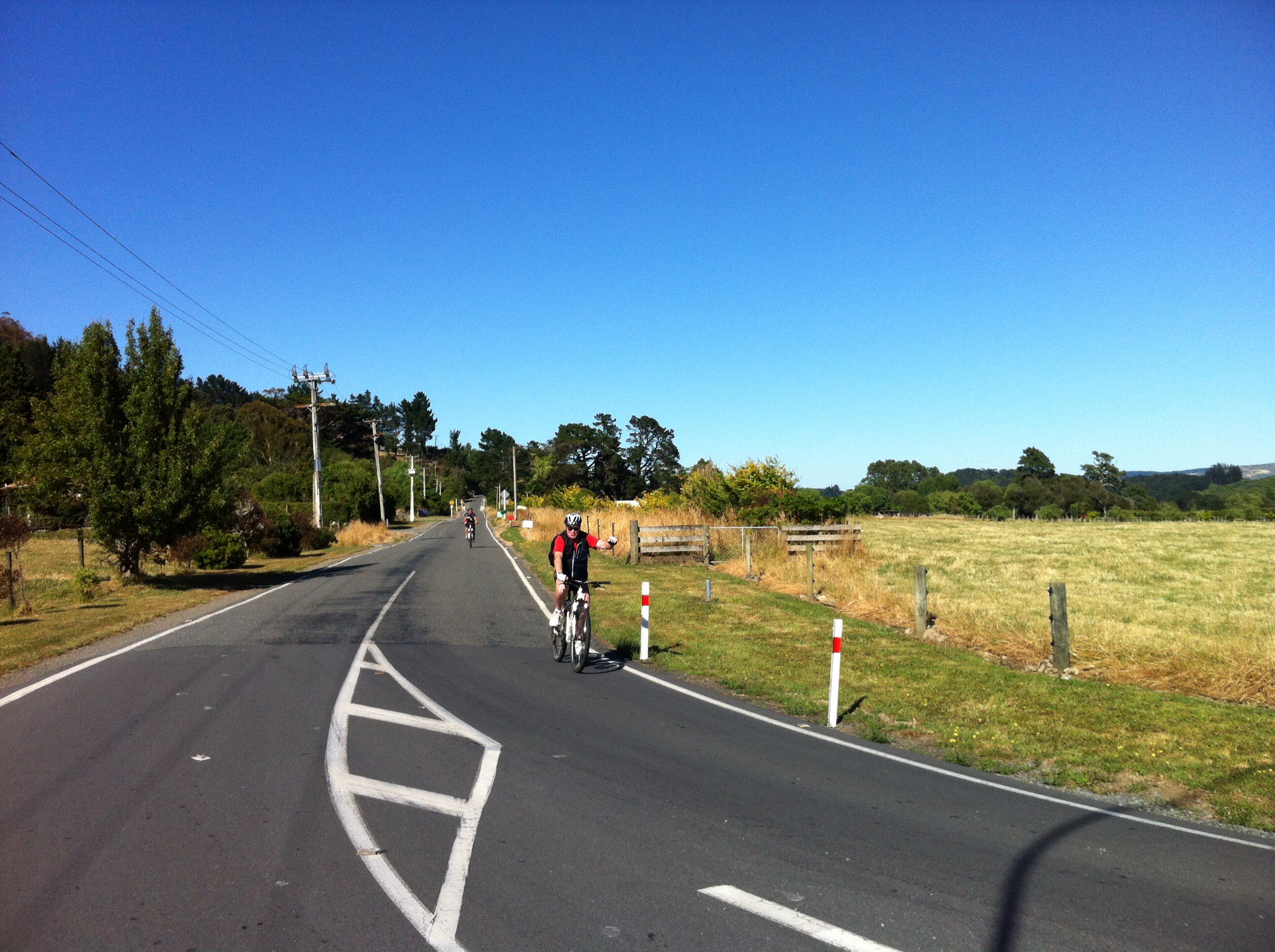
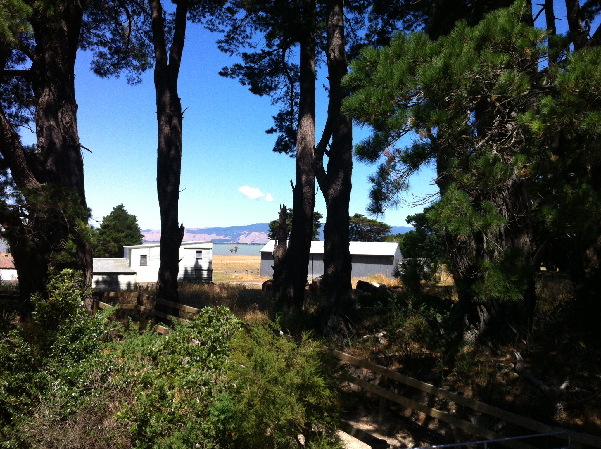
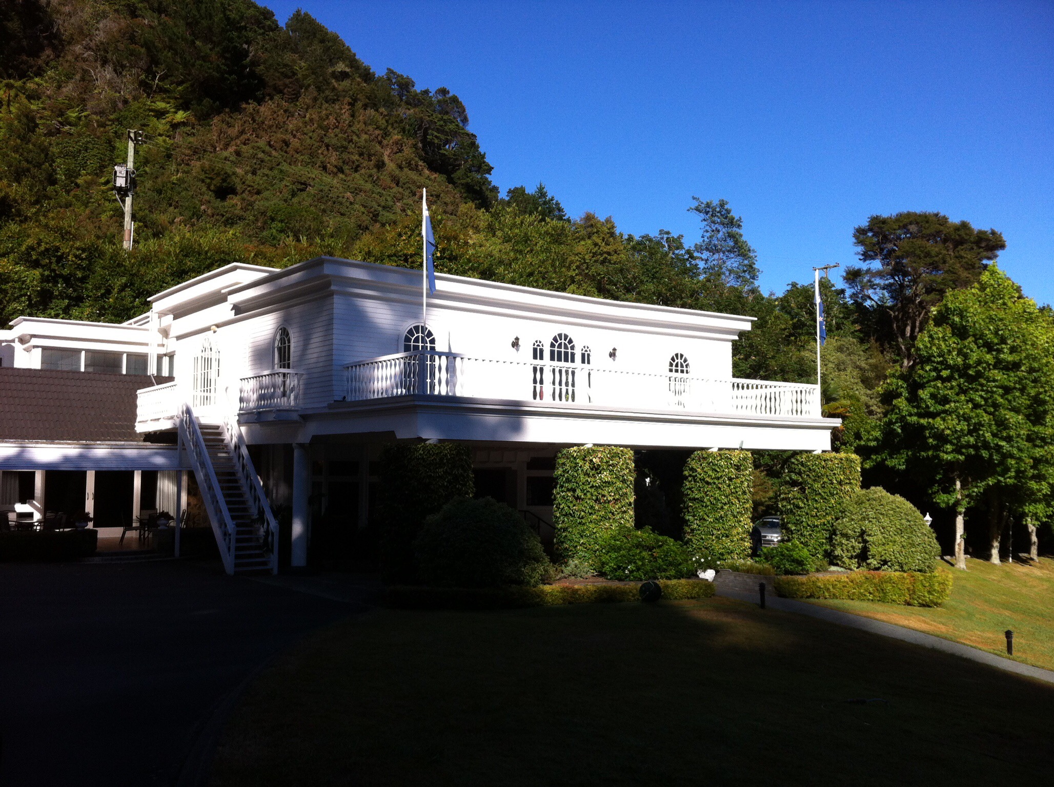
It was then back on the bike for the last time – Greytown here we come. The ride started on the main road but after we climbed a fairly steep hill we turned off and took the back roads. We saw Andy as we got into Greytown and he pointed us in the right direction to our accommodation for the night – The White Swan. When I parked my bike up for the last time I had just clicked over 180km – not bad over 4 days.

IMG_5911

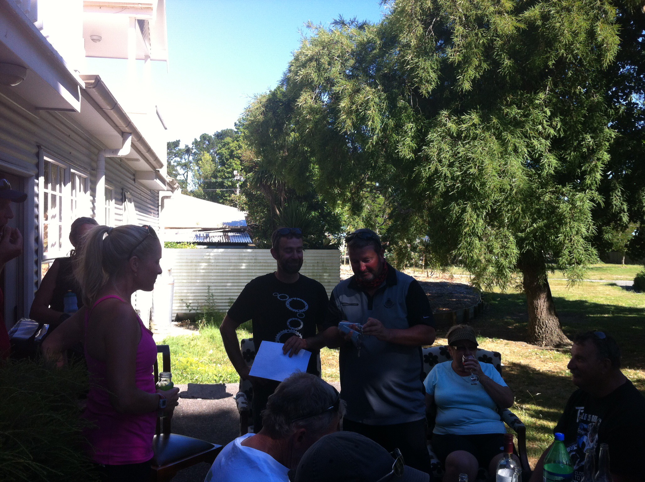
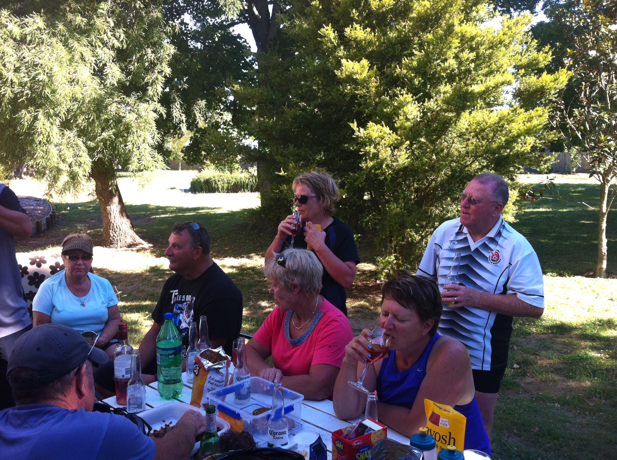
I had seen Andy out on the road and he had told me he was disappointed with the accommodation – I was thinking that’s a shame as it was supposed to be really nice and a treat for our last night. Everyone had congregated outside Andy and Leona’s room for a drink and snack and I was thinking it all looked pretty good. Steve and Andy then proceeded to allocate the rooms and Steve had a little story as to why each room was allocated to each couple. We then went upstairs and checked out everyone’s rooms – they were awesome. Andy is a damn good liar! They each had a theme — The White Room, Bombay, The Hunter etc…

IMG_6024

IMG_6250

IMG_5849

We had a lovely dinner in the dining room at The White Swan which was followed by our final fine session and farewell and thank you speeches. It had been another very successful bike trip. This is our sixth bike trip together and each trip continues to exceed our expectations, rekindle friendships and allow us to learn a little more about the beautiful country that we are lucky enough to call home.

We had another sleep in on Monday morning before having breakfast together and then spending the morning exploring Greytown. What a great little town with lots of lovely shops and cafes. Just out of town there is a little chocolate factory and shop called Schoc. Mike and I wandered down there to do a bit of sampling and then as a result of the sampling, some purchasing.

There are also a few restored houses to see along the main street where they have a plaque outside telling you what year the house was built – so quaint.

IMG_6081

IMG_6154

IMG_6189

IMG_5979

IMG_5864

IMG_6264

IMG_6119

We were originally going to catch the train back to Wellington but with a schedule change this would have meant we wouldn’t have got to explore Greytown. Leo to the rescue – he came to pick us up at 1pm and transport us back to Wellington airport for our flights home.

Another successful cycling trip over for another year – time flies when you’re having fun – it was over way too quick. Thanks to Andy and Leona from Natural High (www.naturalhigh.co.nz) and the great bunch of friends we have. Until we meet again…..

Posted in Wellington | Tagged , , , , , | Leave a comment

Rimutaka Rail Trail, Day 3 – Waiorongomai to Cape Palliser and onto Martinborough – Wellington, New Zealand

The SUNGRL really had returned to NZ with a vengeance – another spectacular day greeted us for our ride out to Cape Palliser. Today both Andy and Leona were going to ride with us so they went to Featherston to drop the car and trailer off and come back in the bus with Leo from Rimutaka Shuttles. He was going to provide vehicle support for the day as well as drive us back to Martinborough after we had reached Cape Palliser.

Camp Mother Sue had sorted the Ratanui lodgers out for breakfast so by the time the Burlings crew arrived the path was clear.  Again it was all hands on deck clearing up, doing dishes, packing bags and getting the food supplies packed up for the days adventure.  Everyone headed out on their bikes between 8.30am and 8.45am.  I stayed behind to wait for Andy, Leona and Leo to arrive back with the bus to make sure they collected all our belongings.  Leona and I then left Andy and Leo to the loading and jumped on our bikes to try and catch the group – we caught them at the 11km mark.
IMG_5993IMG_6298IMG_6247IMG_6216IMG_6223-1

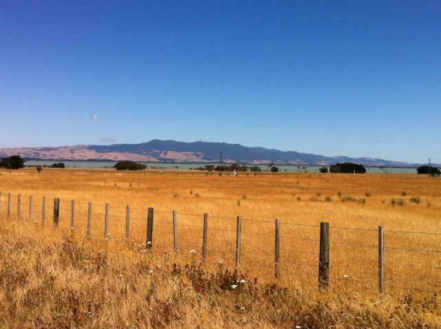
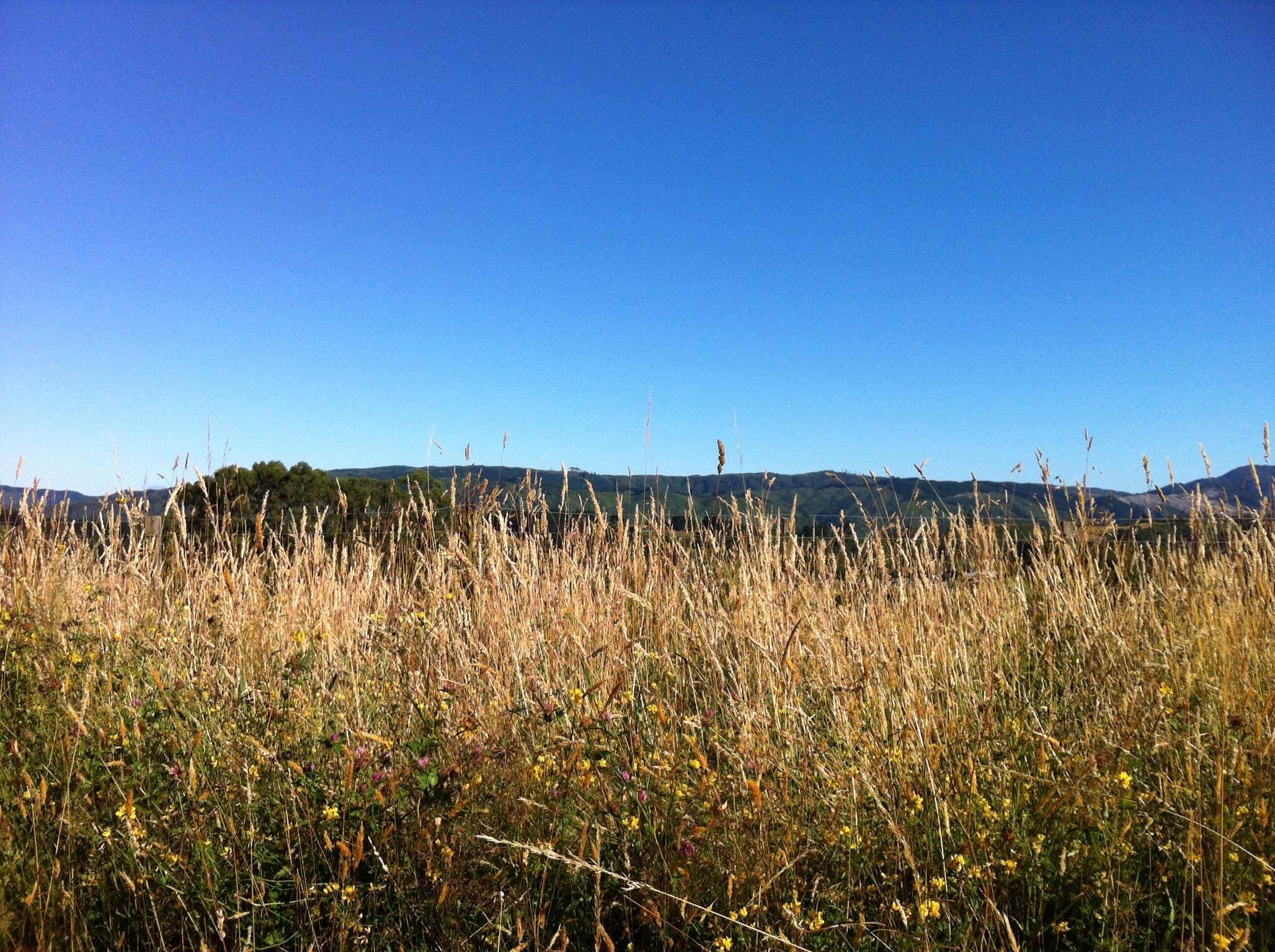
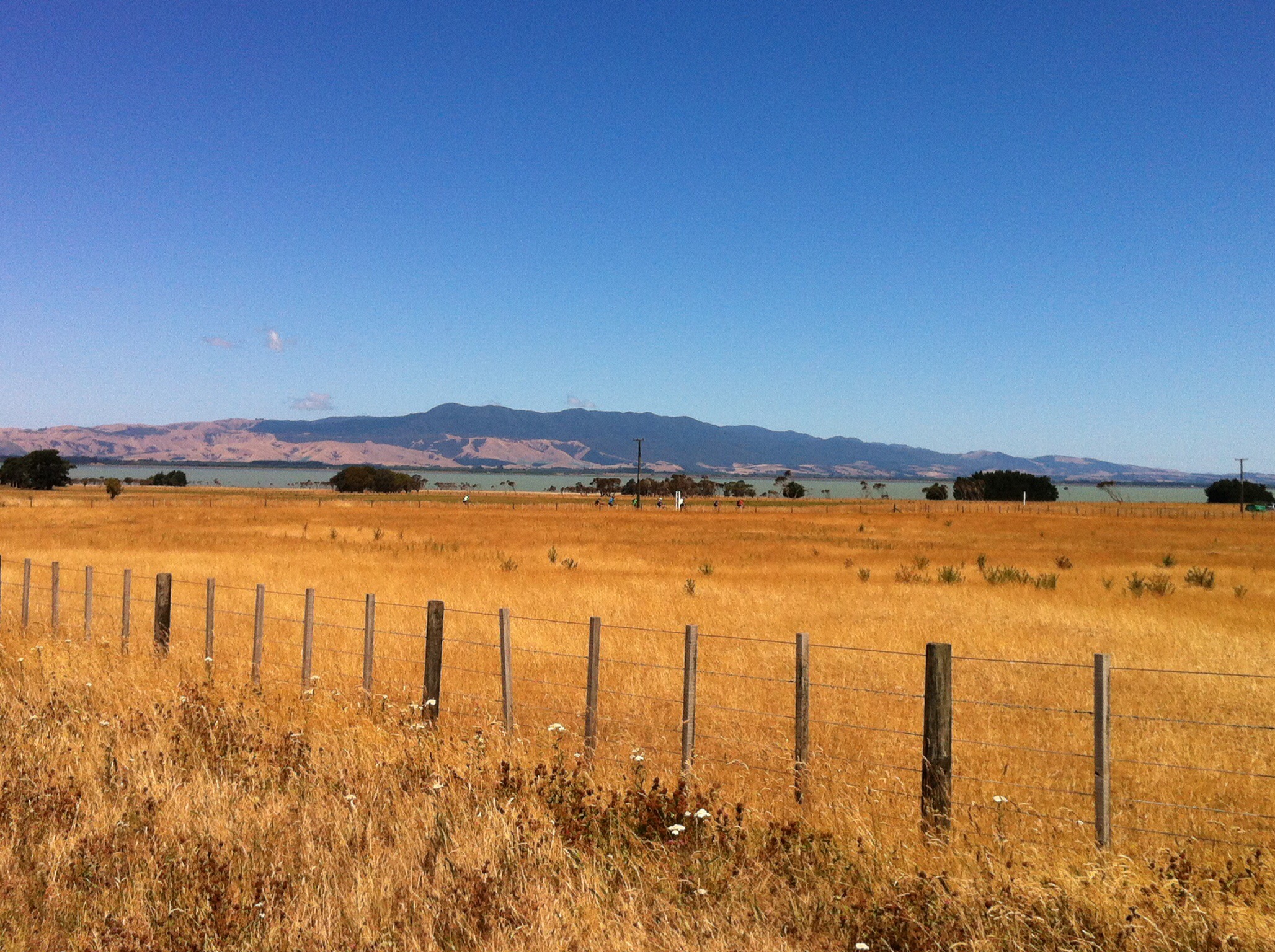
We were heading south and then around the bottom of Lake Wairarapa across the East West Access Road to the left. The official Rimutaka Rail Trail goes to the right and past Ocean Beach and around Turakirae Head and back up towards Eastbourne.  Sandra from Natural High had done a reconnoissance of this part of the track but thought it wasn’t up to standard and was a bit remote with no vehicle access.  Probably fine for hard core cyclists but we really are a very social cycling bunch. The scenery was beautiful and the clear blue sky made the colour contrasts that much more spectacular.
IMG_5934IMG_6023IMG_6061IMG_5897IMG_5714

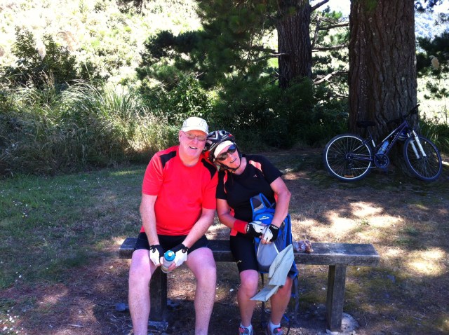
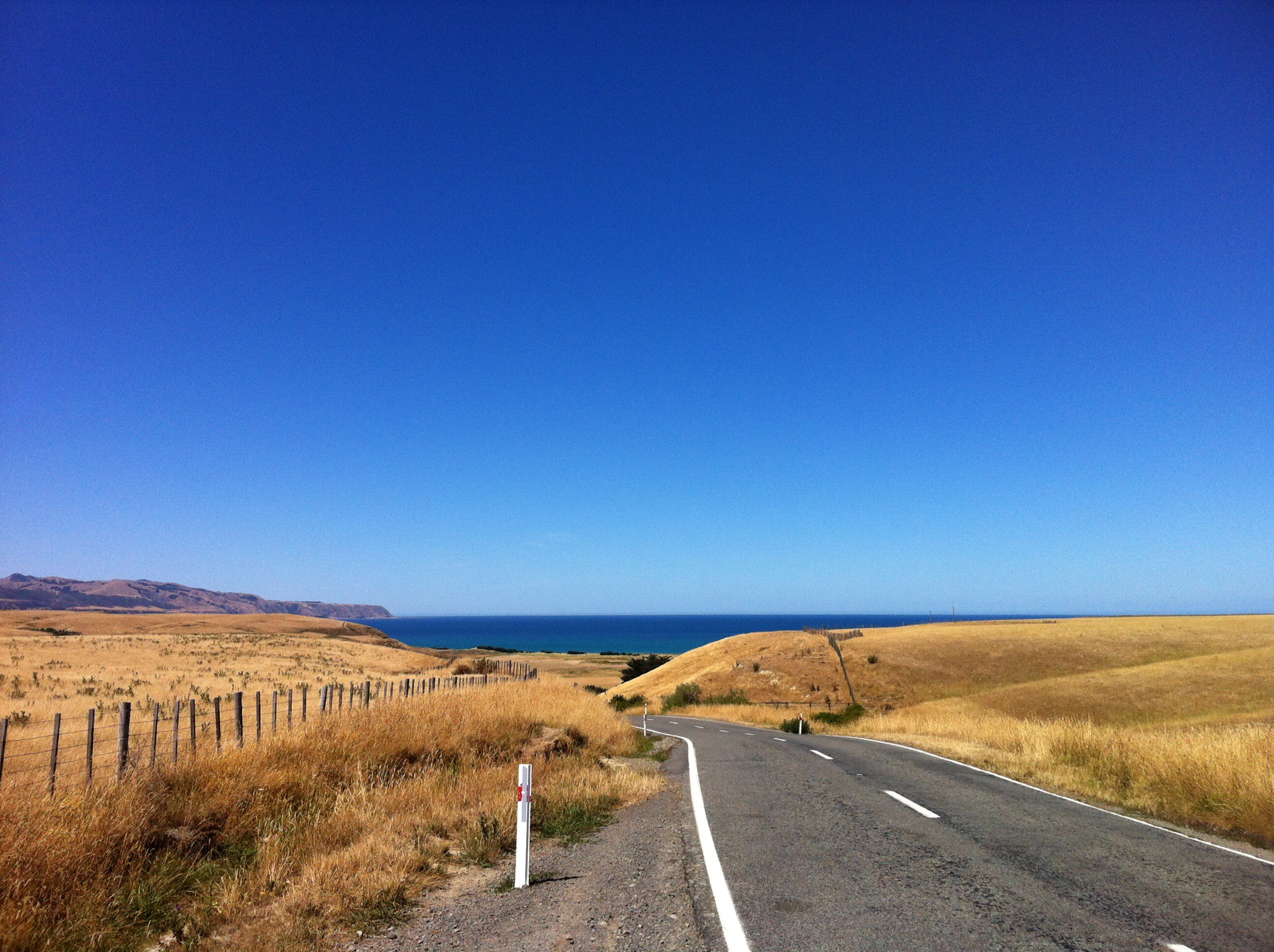
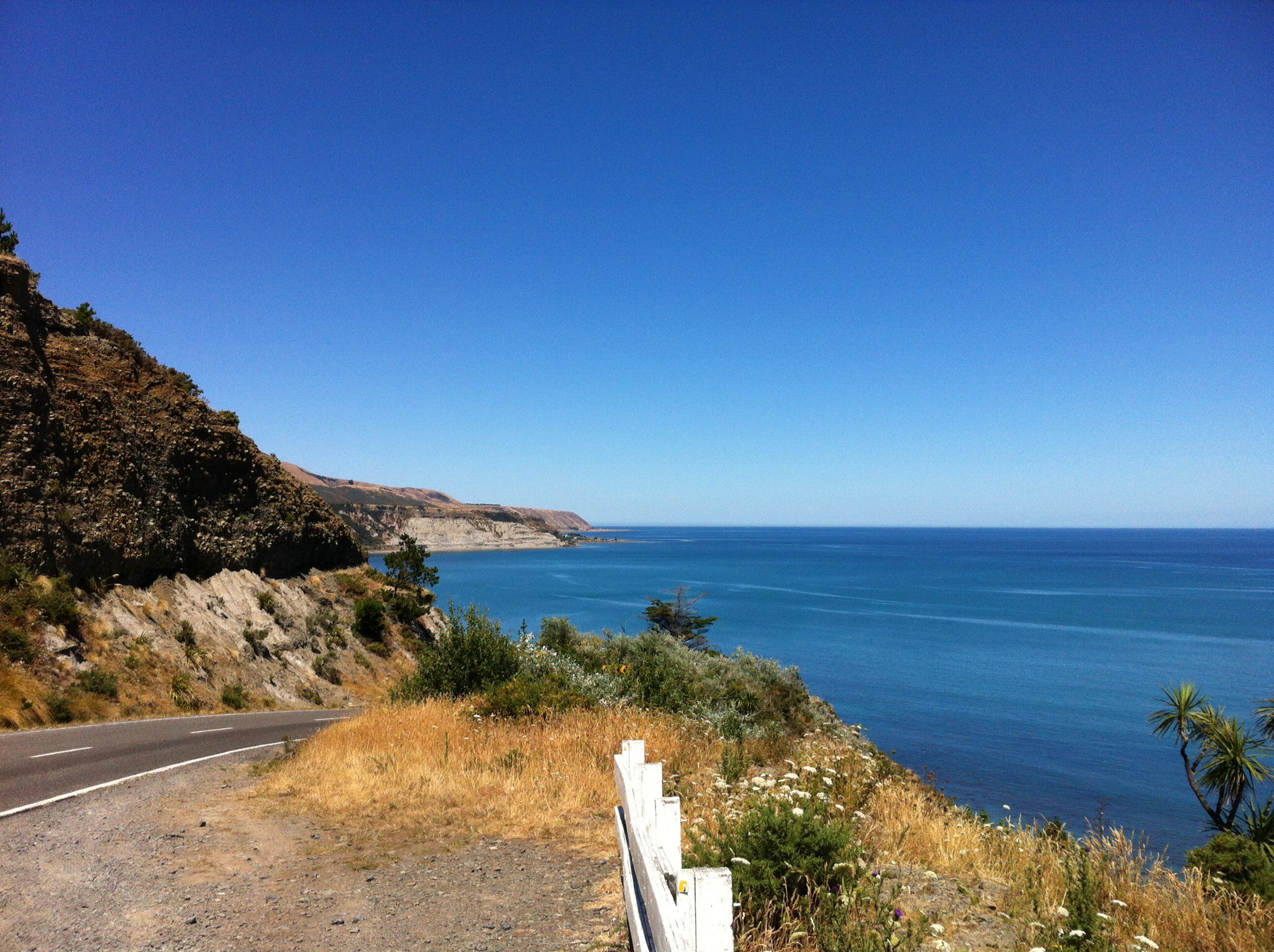
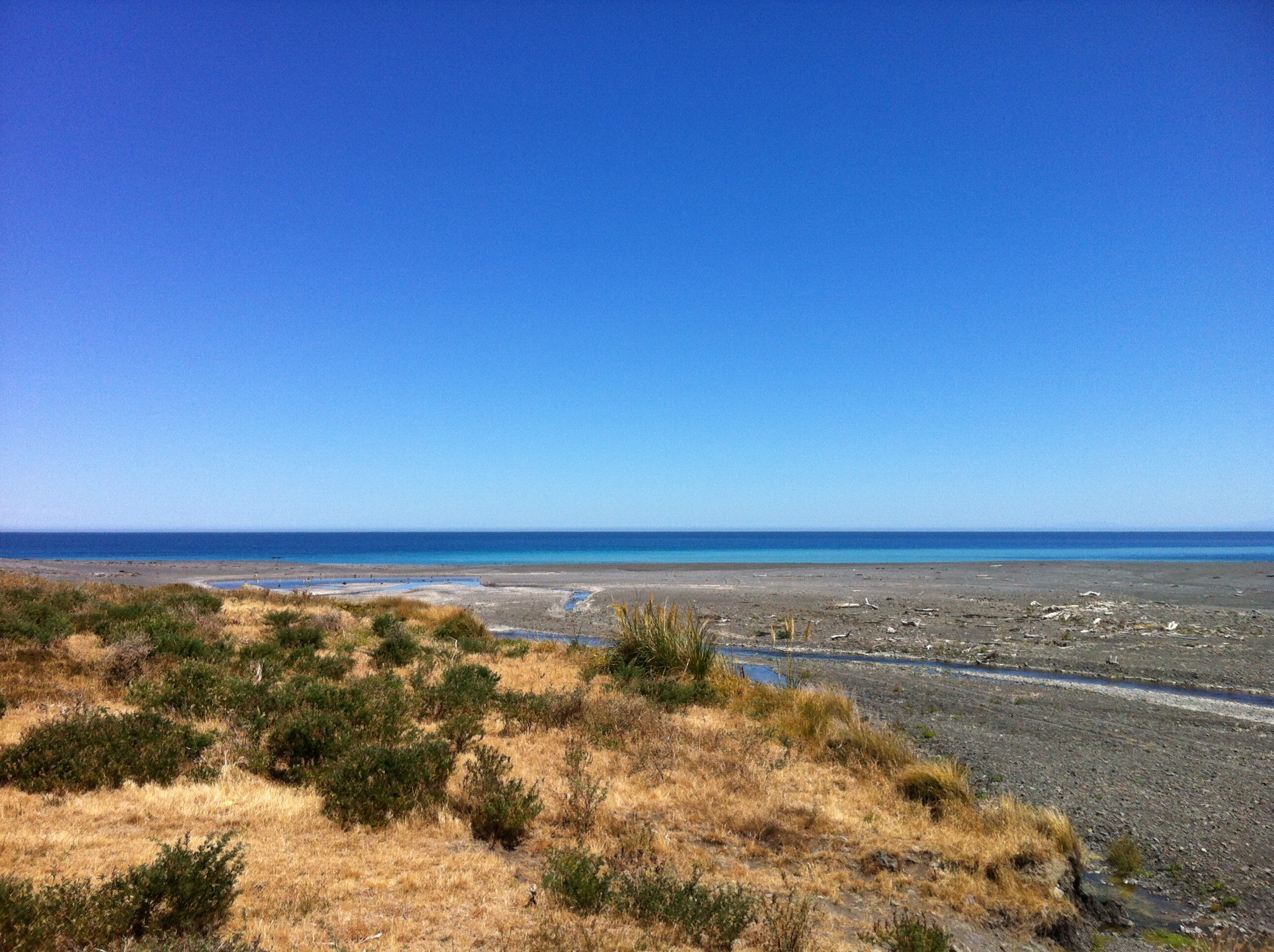
It was fairly easy riding to Pirinoa where we stopped for morning tea.  Leo had the table all set out – he was learning fast.  The Pirinoa Dairy did a good trade on pies too : ) After our refreshments we headed out towards Palliser Bay.  We had about 30km to go to get to our lunch stop at the Putangirua Pinnacles.  This part of the ride was more challenging with more ups and downs.  We took the Whatarangi Road to the left and after a few more ups and downs we were rewarded with the most spectacular views of Palliser Bay. We had some great downhill riding just before our lunch spot which was a sight for sore eyes.
IMG_5981IMG_5888IMG_5933IMG_5881IMG_6150IMG_6161IMG_5988IMG_6048IMG_6085IMG_6058

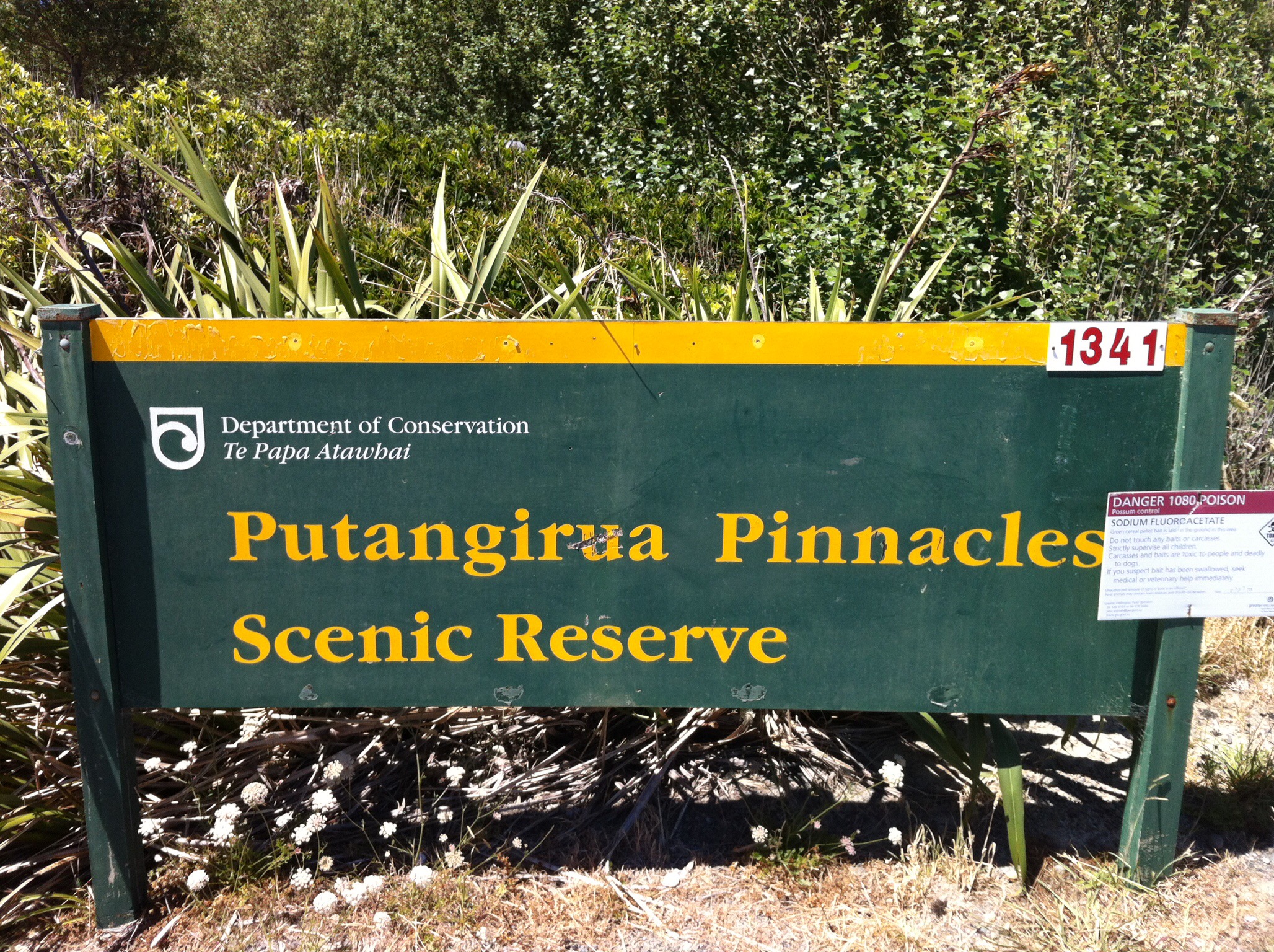
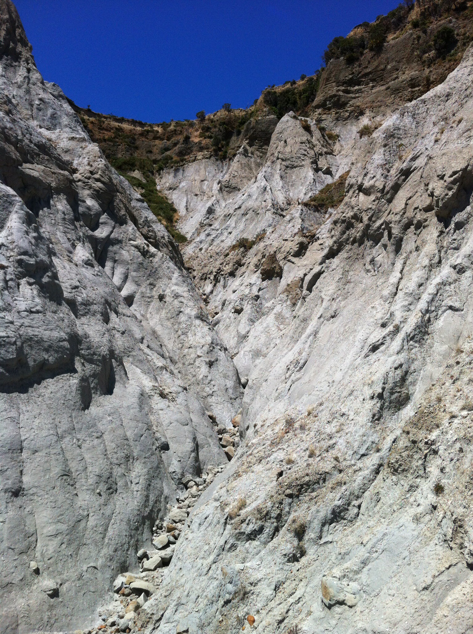
Our lunch spot was at the start of the walk to the Putangirua Pinnacles which are some of the most amazing rock formations you will ever see.  Apparently Peter Jackson used them in the Paths of the Dead sequence in the Lord of the Rings; The Return of the King.  The opening sequence for Braindead was filmed there too.  These ‘Hoodoos’ are one of the best examples of eroded earth pillars forming an eerie atmosphere within a tight valley in the Aorangi Ranges, just before Cape Palliser.  Some of the group had discussed walking to see the Pinnacles but it was a one and a half hour round trip and we were already on a tight schedule.  We’ll just have to store it up for next time we are down that way.

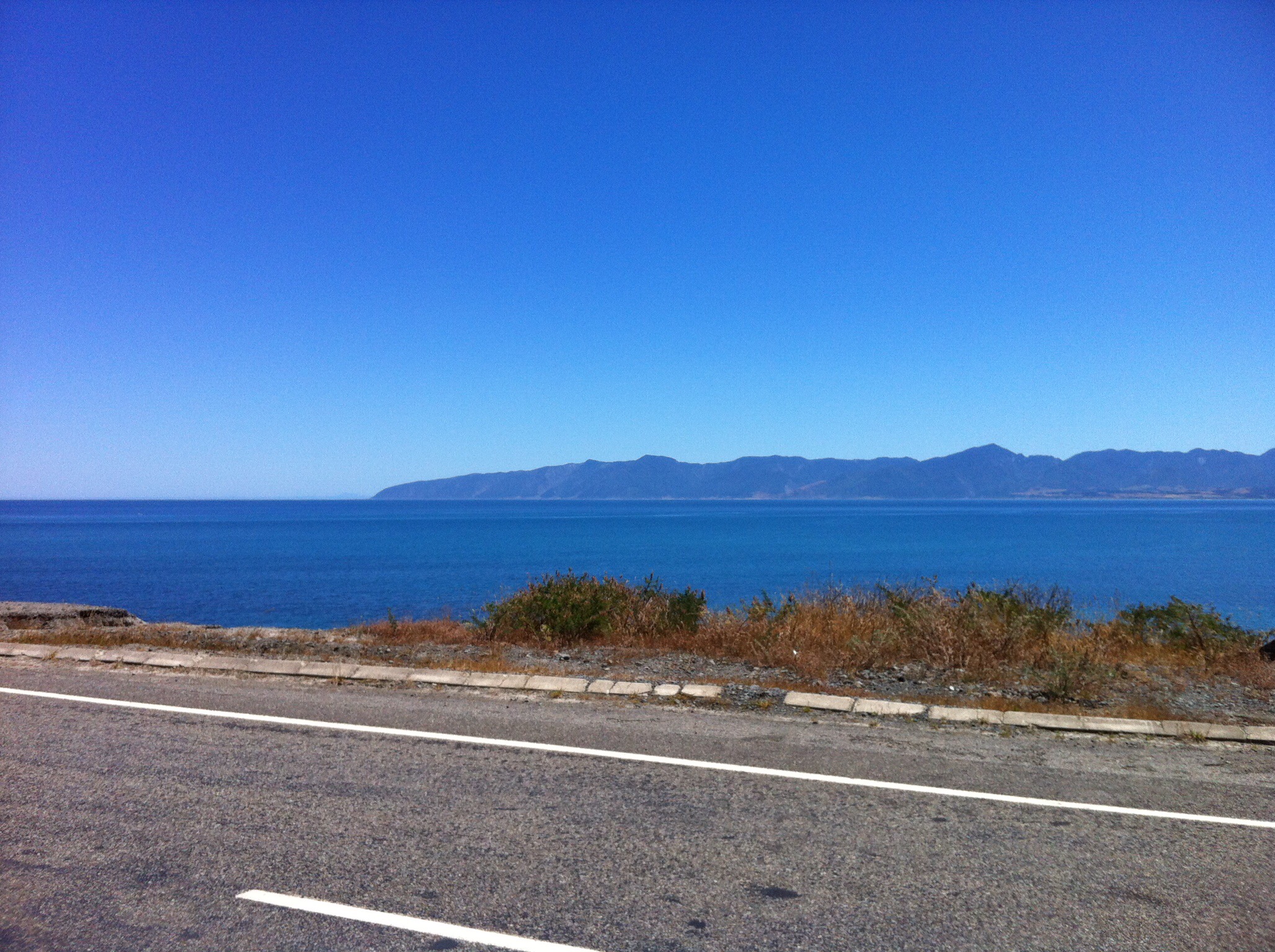
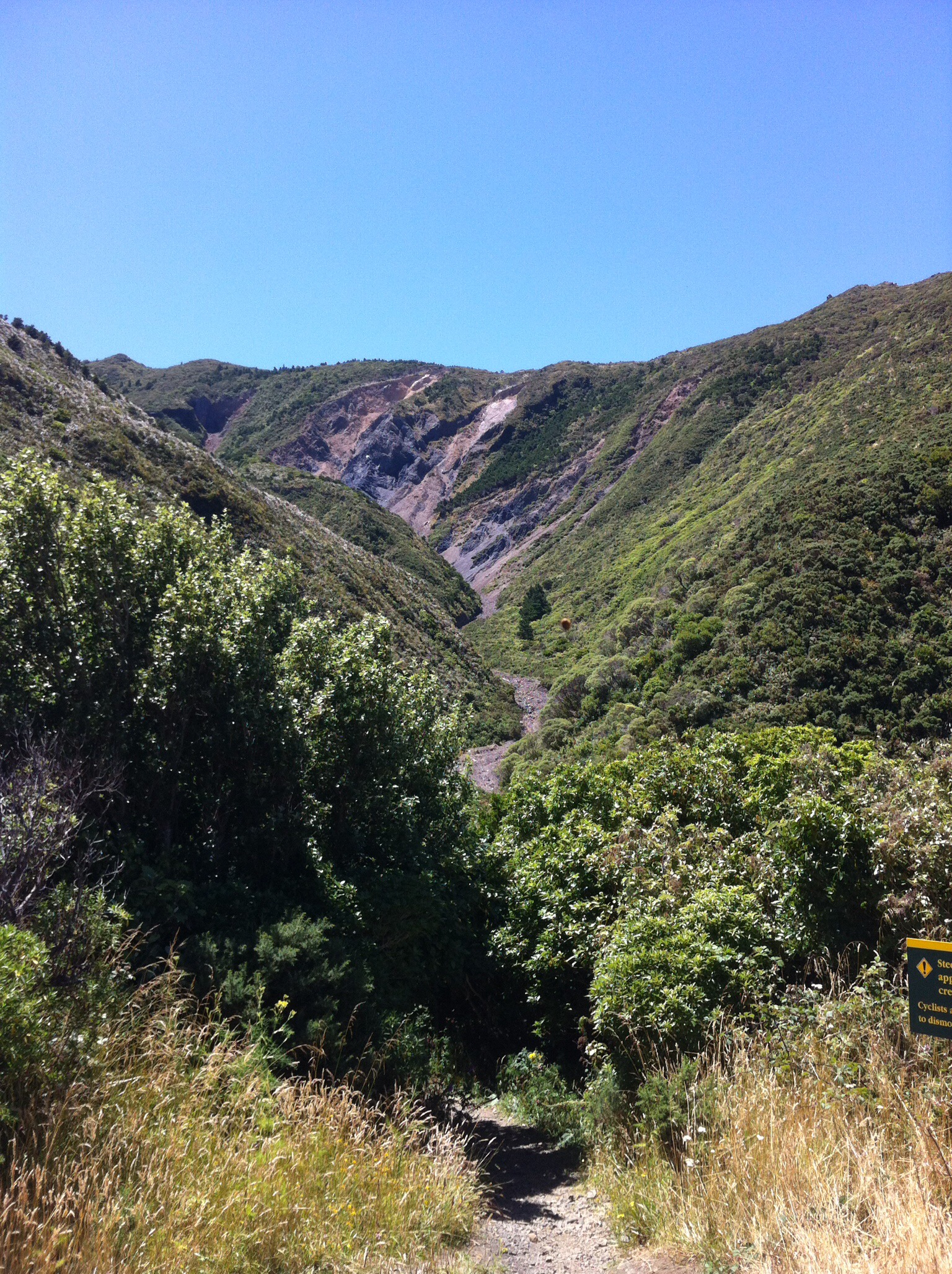
Fast learning Leo had the picnic table set up and an array of yummy food was set out. We had a quick bite and got on our way again – we had another 22km to go.  We had covered 50km and some people took the option of getting in the bus to travel the rest of the way out to the Cape.  They had all done very well given the ups and downs and the heat.  We had a few more ups to conquer before the road flattened out.  The large rock cliffs to our left were quite spectacular and were similar in colour and formation to the Pinnacles mentioned above.  Again the blue sky provided a fantastic contrast.

IMG_6277

IMG_6195

IMG_6197

IMG_6284

IMG_5989

IMG_6272

IMG_6046

IMG_6219

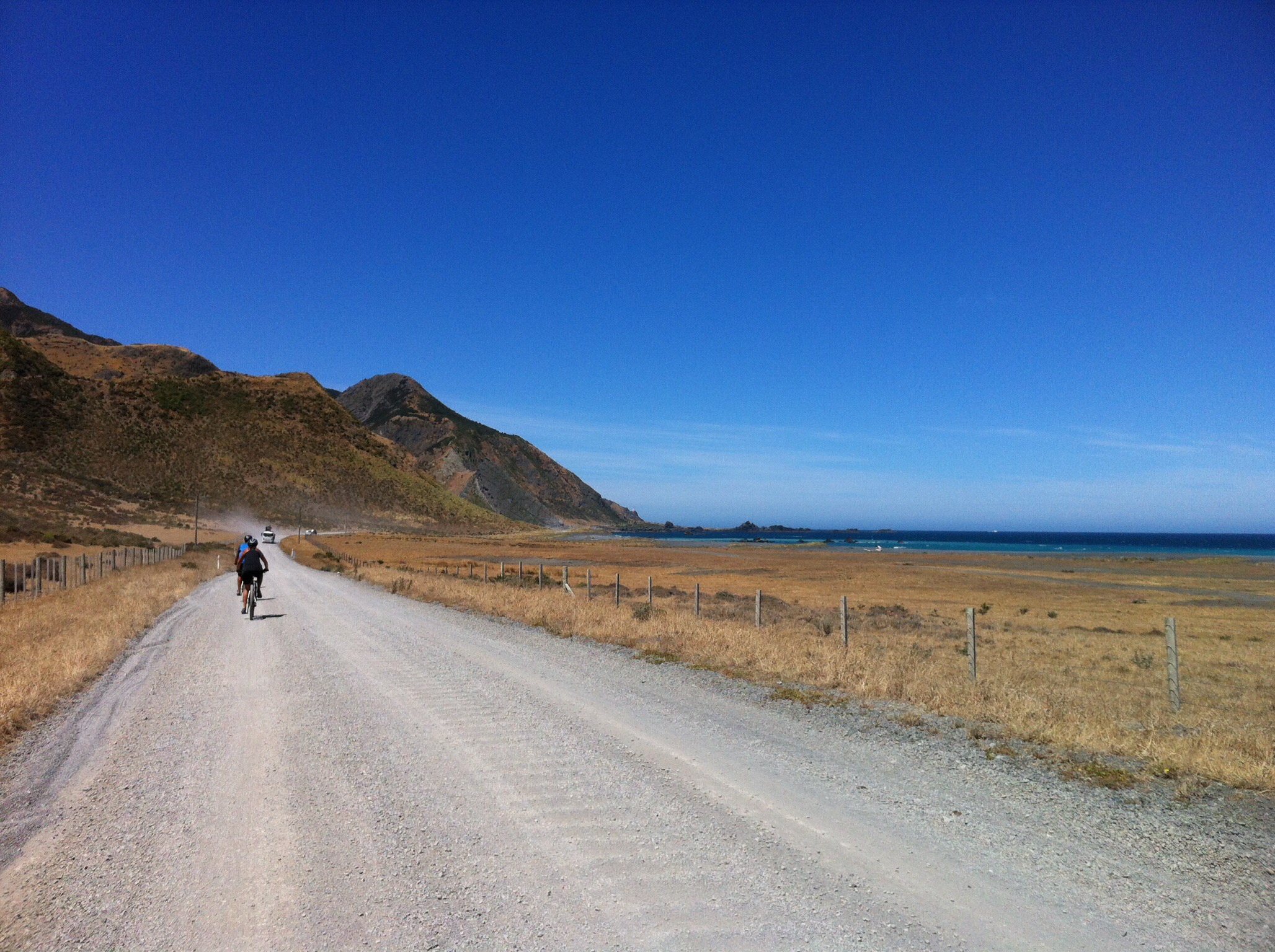
Julie and Cheryl decided to join the others in the bus at the 60km mark – they had done so well.  There were now 10 of us left on our bikes as we ambled towards the Cape.  We got to Ngawi which is a small fishing / holiday town.  Ngawi’s claim to fame is that they have more bulldozers per head of population than anywhere else.  The bulldozers are used to haul the fishing boats into and out of the wear as there is no wharf or other access to the ocean other than the beach, which can be notoriously rough at times.

Ngawi is also famous for a large population of fur seals and sea lions, and is popular not just with commercial fisherman but also with recreational fishermen.  The best fish to catch are Paua (a type of abalone which is prized for its iridescent shell as well as the flesh), crayfish (also known as rock lobster) and cod.

As we approached Ngawi, Karen said to me ‘this is where the 7km of gravel road starts out to the lighthouse’ – what!  I was feeling a bit jaded by this point so this did nothing to lift my spirits.  The wind had also got up a bit so we were battling a bumpy road and a head wind.  I shouldn’t complain really as I am sure the wind can be a hell of a lot worse than what we had and the blue skies and sunshine were still with us – in fact it was still very hot : )

IMG_6202

IMG_6057

IMG_6099

IMG_5999

IMG_6068

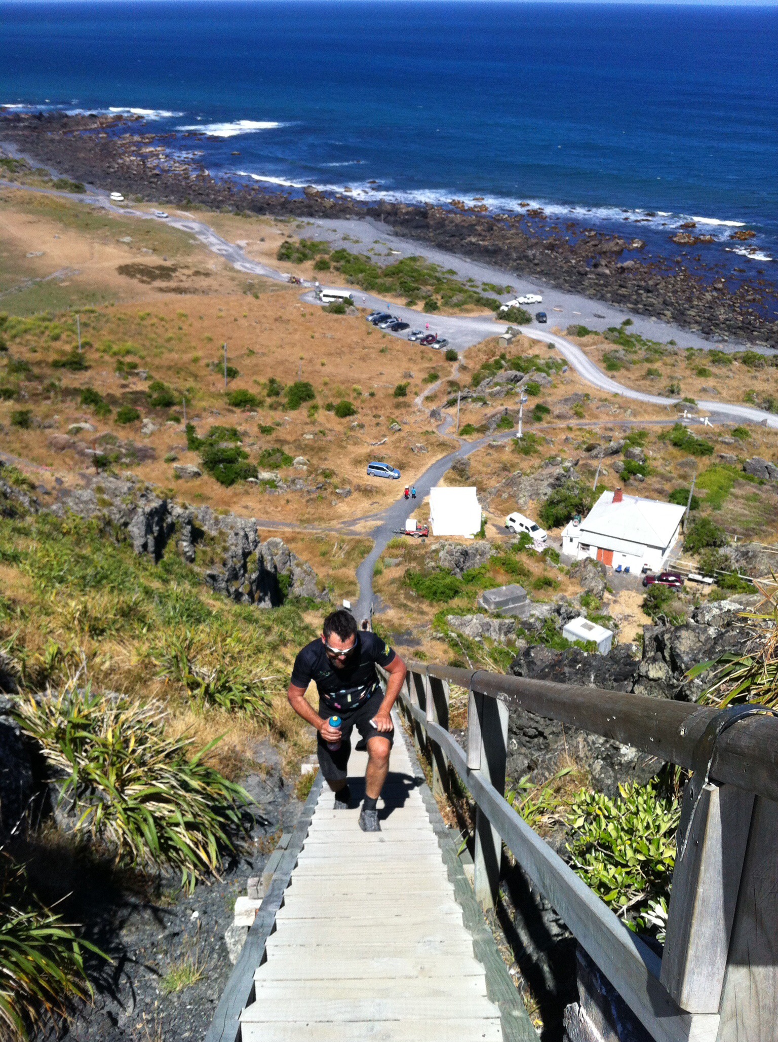
We could see the lighthouse about 5km out and it buoyed us along.  As we got closer to the lighthouse we could see some of the troops going up the stairs – all 273 of them!  Leo had the bus parked in the carpark so we dropped our bikes off and went off to conquer the 273 stairs – we knew on a day like this the views were going to be totally worth it.  We had one showoff amongst us who decided to run up the second half of the stairs but don’t worry we fined him for that aye Andy? And yes the views were totally worth it.  We could see the South Island through the heat haze in the distance. Cape Palliser is the southernmost point of the North Island.  

The lighthouse is owned and operated by Maritime New Zealand.  The lighthouse was built in 1897 and was originally fueled by oil. In 1954 the oil lamp was replaced with an electric one powered by a local diesel generator. This was subsequently replaced by a connection to the mains grid in 1967, although a diesel generator is retained for emergency power. The light was fully automated in 1986 and is now managed from a control room in Wellington.

As mentioned Cape Palliser Lighthouse has 253 steps to reach the base of the lighthouse, replacing an extremely dangerous and steep climb to the top of the bank which could result in injuries and possibly death if the user wasn’t careful. Since the stairs were installed, the lighthouse became more popular around New Zealand and even other parts of the world.  Cape Palliser Lighthouse is one of three New Zealand lighthouses with a distinct striped paint scheme; the other two are Dog Island Lighthouse and Cape Campbell Lighthouse, which both have black and white stripes.

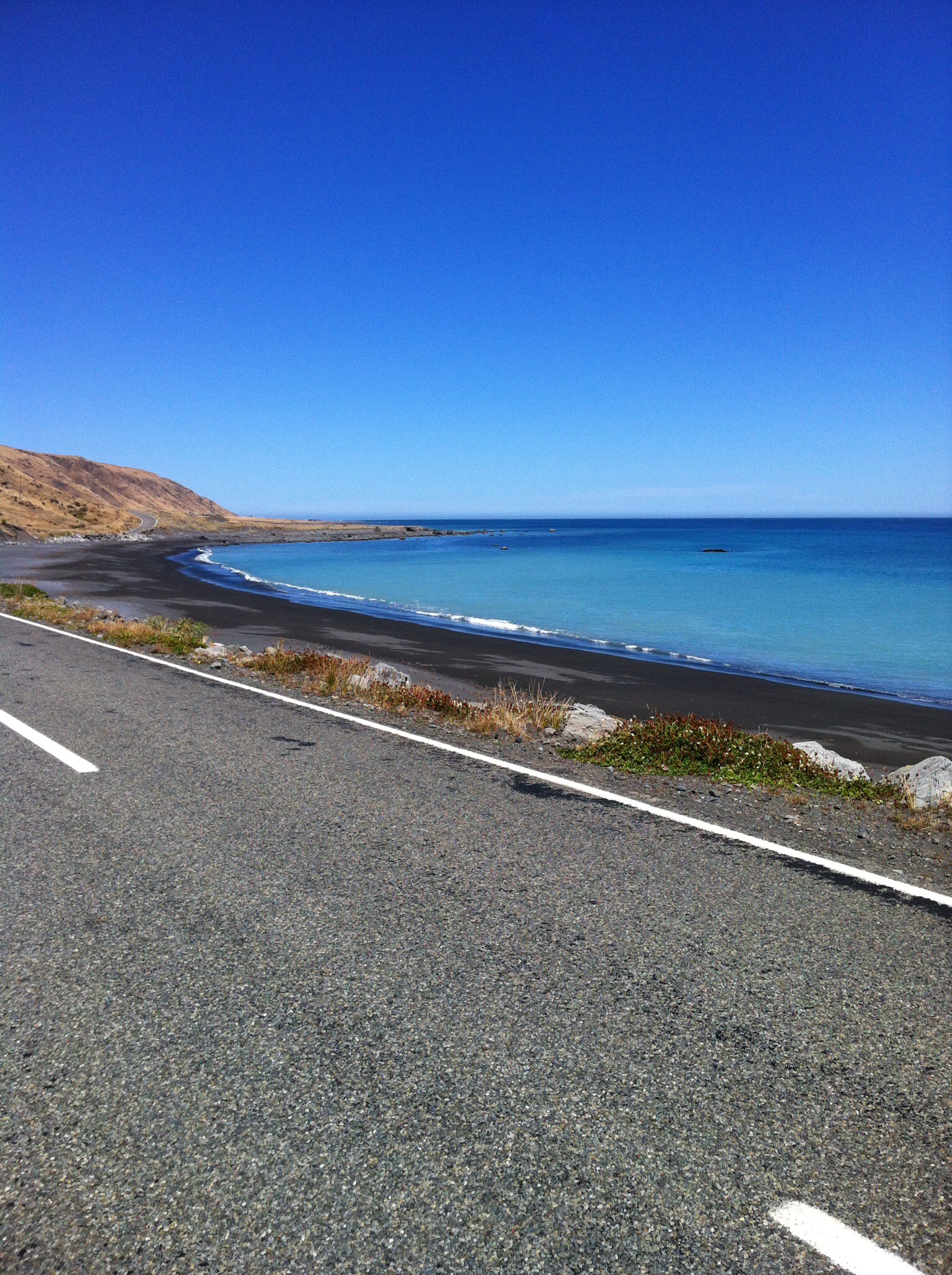
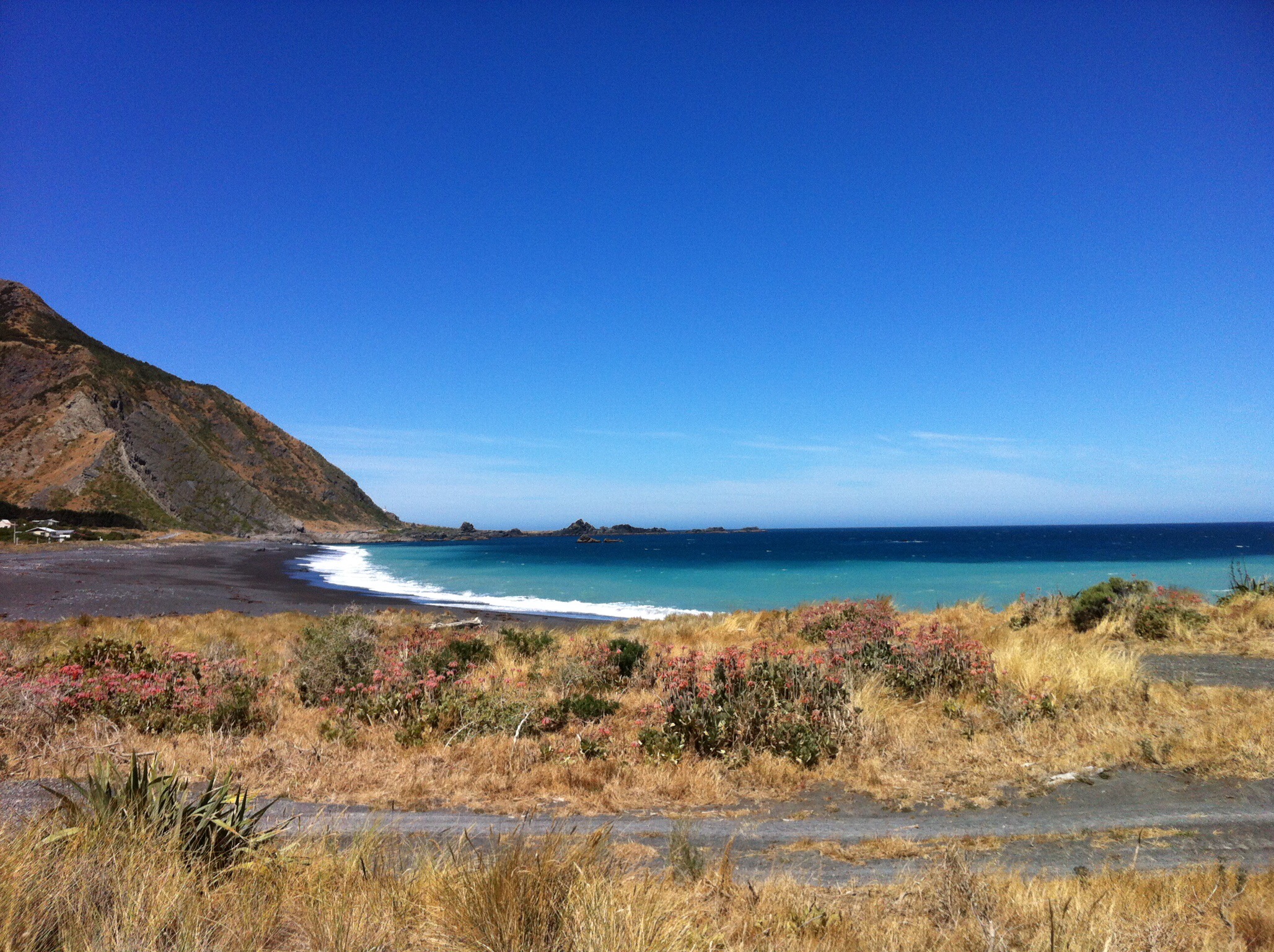
After descending the lighthouse stairs it was all aboard the bus – our bikes were neatly stacked on the bike trailer having a well earned rest as were we.  We decided to stop at one of the beaches we had cycled past for a swim – it was still very hot.  A couple of the team were organised and had their togs at the ready, the others that fancied a dip went in their cycling clothes.  I was one of the latter ones.  The sea was a bit brisk but I felt wonderful after I had been in.  The sand was really hot so you had to be careful not to burn your feet.  Meanwhile back at the bus the non swimmers had put the kettle on and cracked a few beers.  A great finish to a great day.

IMG_6088

IMG_5857

IMG_5863

IMG_6144

IMG_5854

All aboard again – destination Martinborough.  The trip took just over an hour and we all enjoyed riding in the bus rather than riding on our bikes.  Our accommodation for the night was at The Claremont Motel which is just out of town.  It is really nice and we knew we were going to have a very comfortable night.  After unloading the bus and sorting everything out we had 45 minutes to shower and re convene to walk to town for dinner.  The girls hit the showers first while the boys disappeared into the garden to re hydrate – say no more.  There were a few fishwives shouting from the rooms when they had not reappeared 5 minutes before we were due to walk to town!

Mike had booked us into Pinocchio’s in Martinborough.  We had an inside table which was a bit crazy given it was so hot and we were rather cramped.  We had to keep wandering outside to cool off.  I enjoyed my meal which was accompanied by some local Ata Rangi Rose.  After dinner we sat outside to have our fine session which as always was very entertaining and noisy.  We then walked back to The Claremont.  Due to the lack of light pollution the stars really shone so we spent the walk home admiring them.

IMG_5960

Posted in Wellington | Tagged , , , | 1 Comment

Rimutaka Rail Trail, Day 2 – Wallaceville to Waiorongomai – Wellington, New Zealand

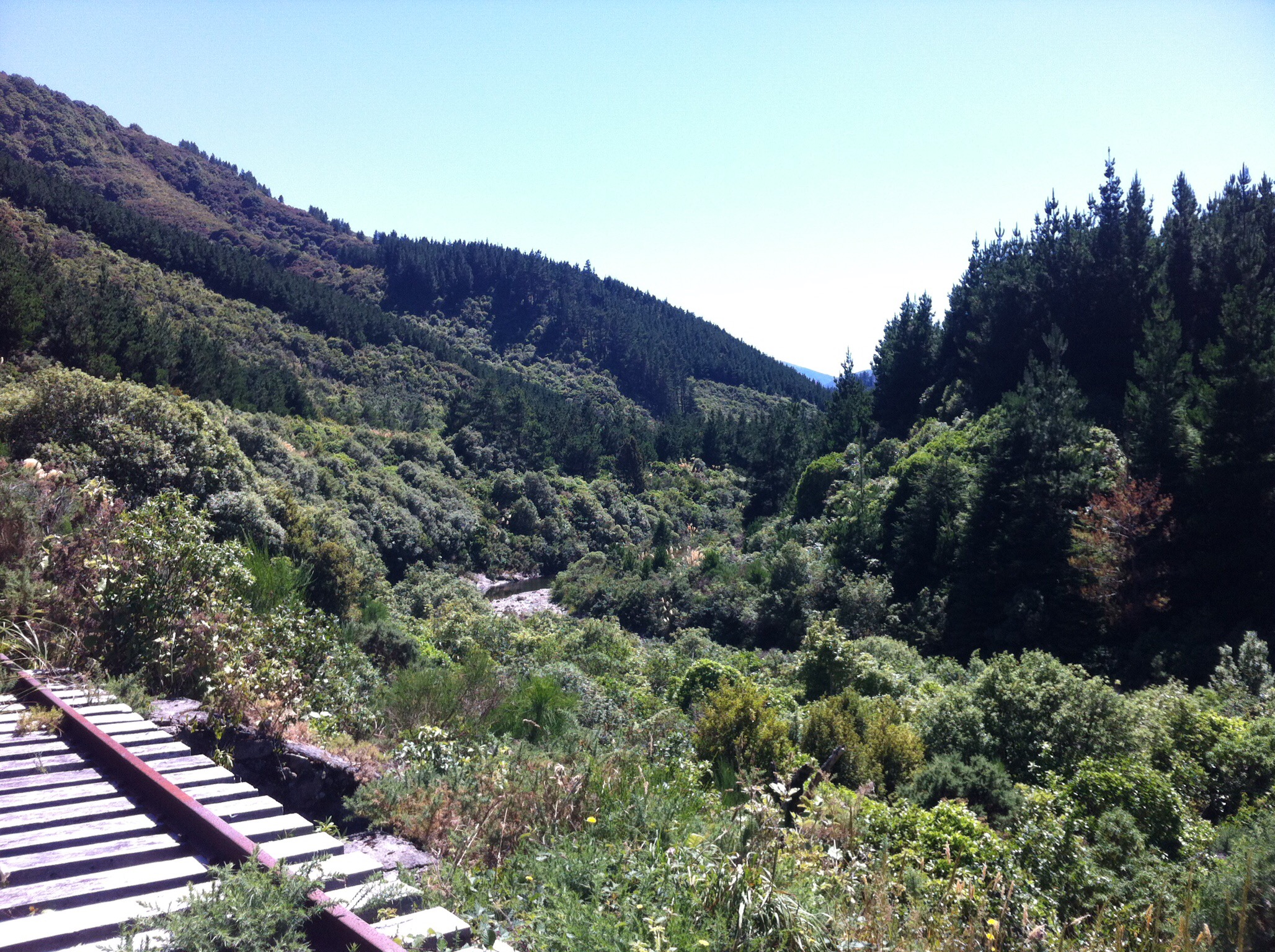
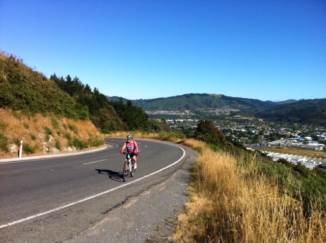
Another stunning day greeted us on Day 2. I must say I was pleasantly surprised – Wellington is not known for it’s weather. We turned left out of the Wallaceville House driveway and headed uphill. After about a kilometre we had some great views back to the Hutt Valley. We then descended down into Whitemans Valley where we saw a helicopter flying very low doing some aerial spraying. The landscapes were very pretty and the riding was lovely.
IMG_6258

IMG_6139

IMG_6115

IMG_6240

IMG_5973

IMG_6130

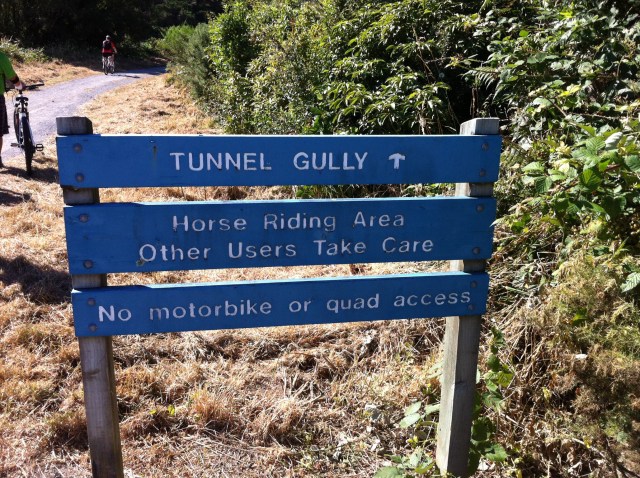
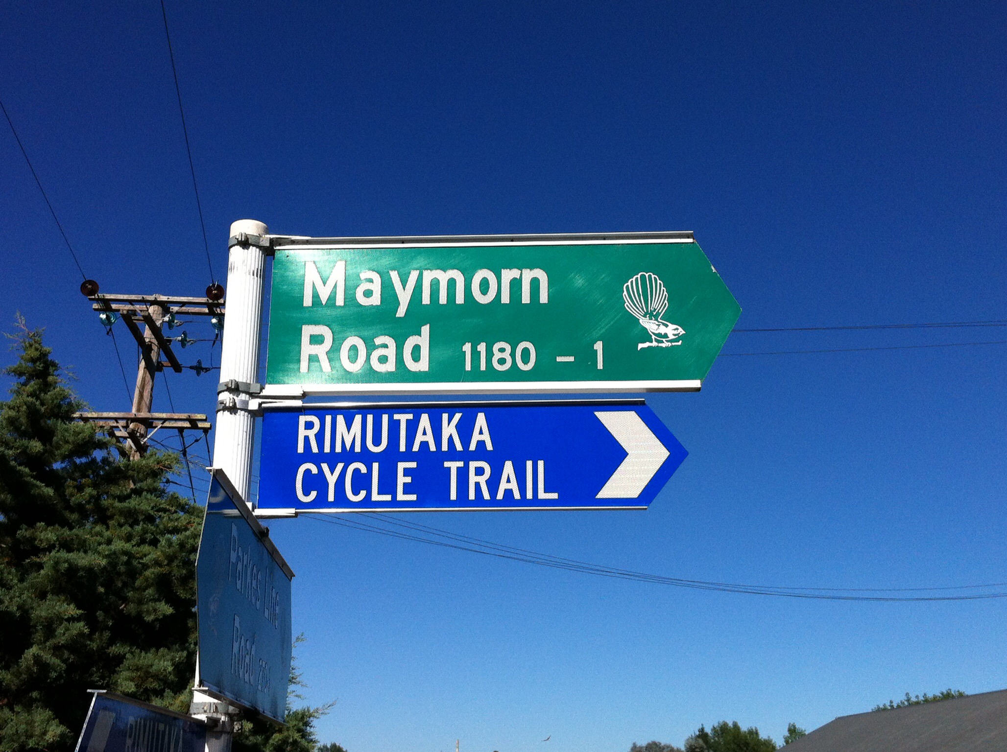
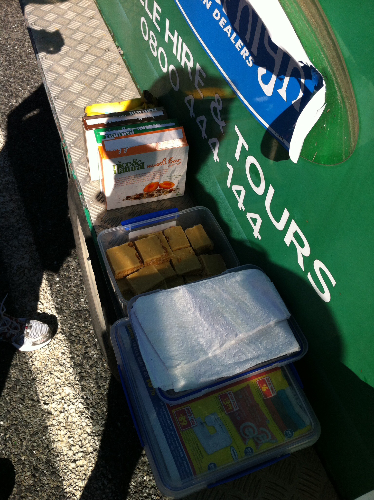
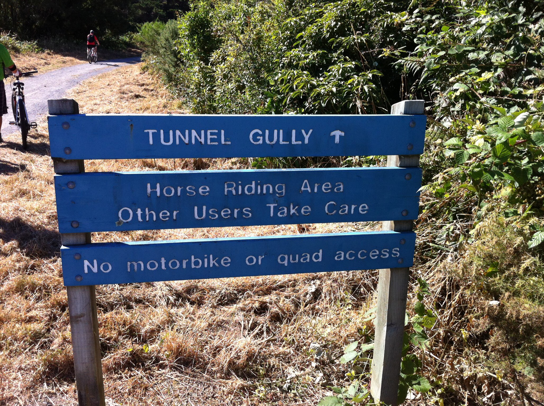
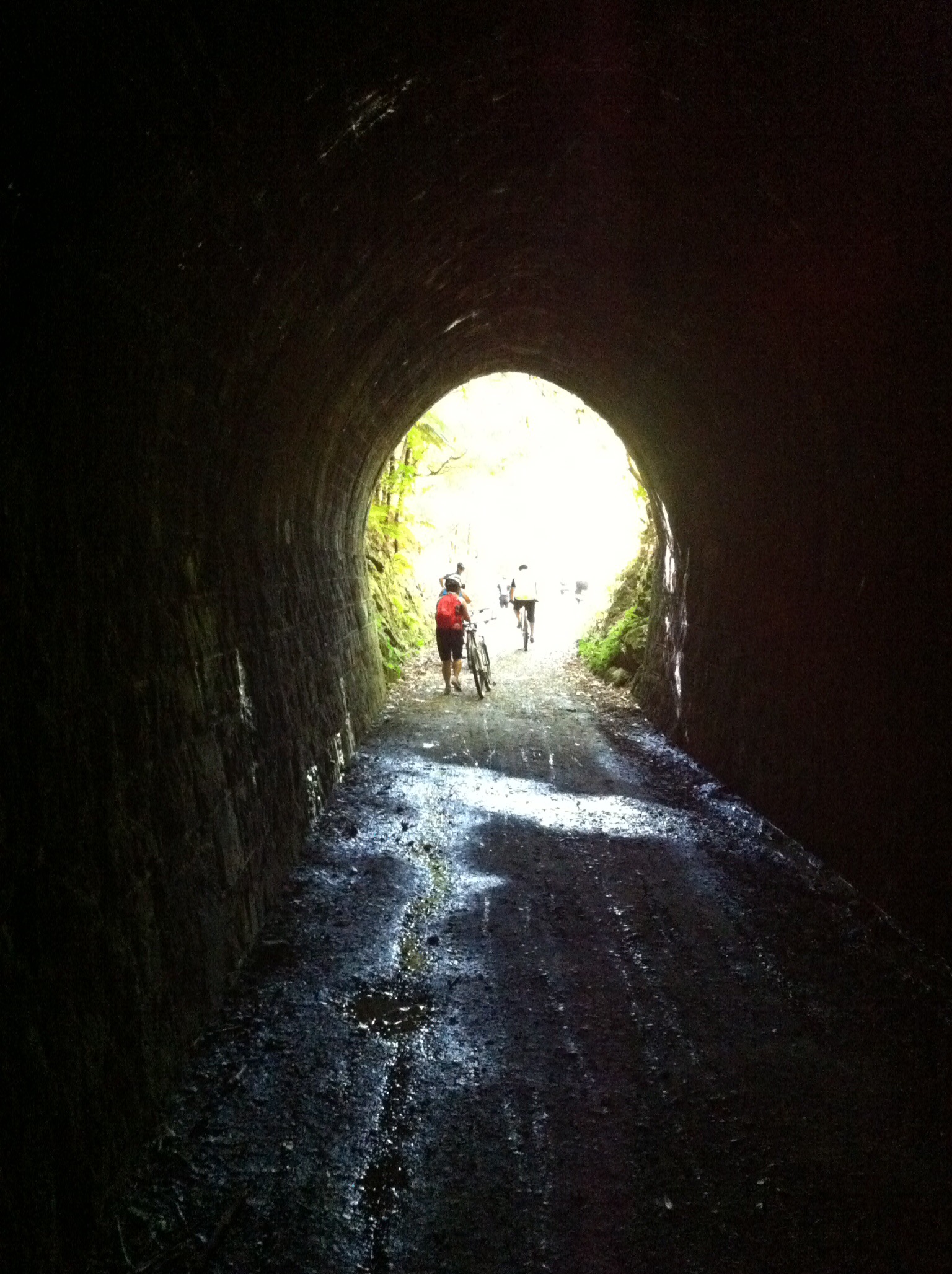
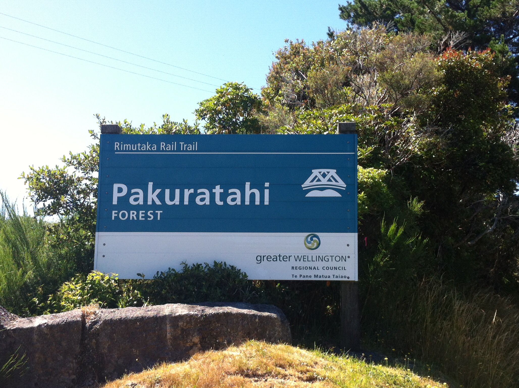
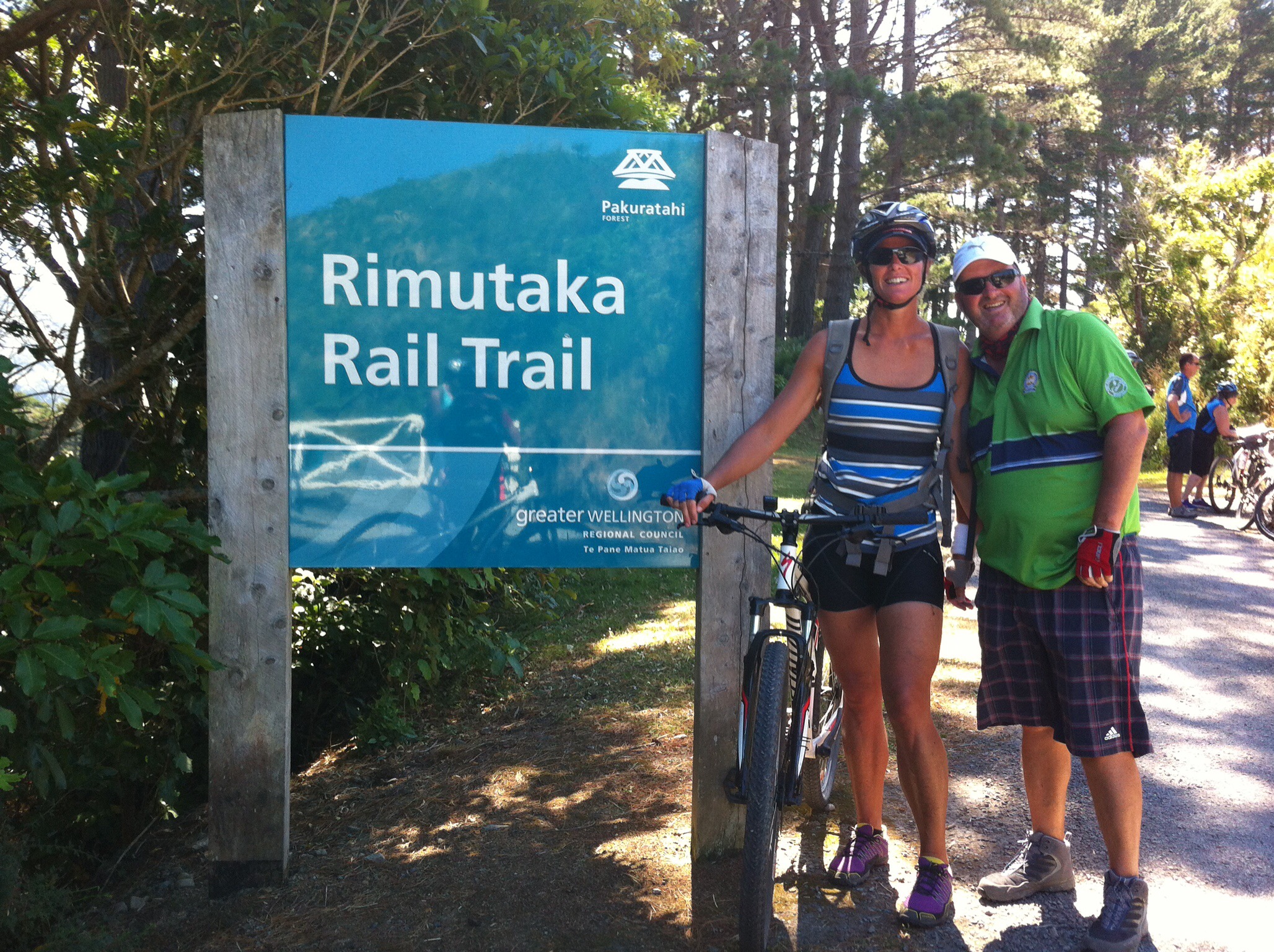
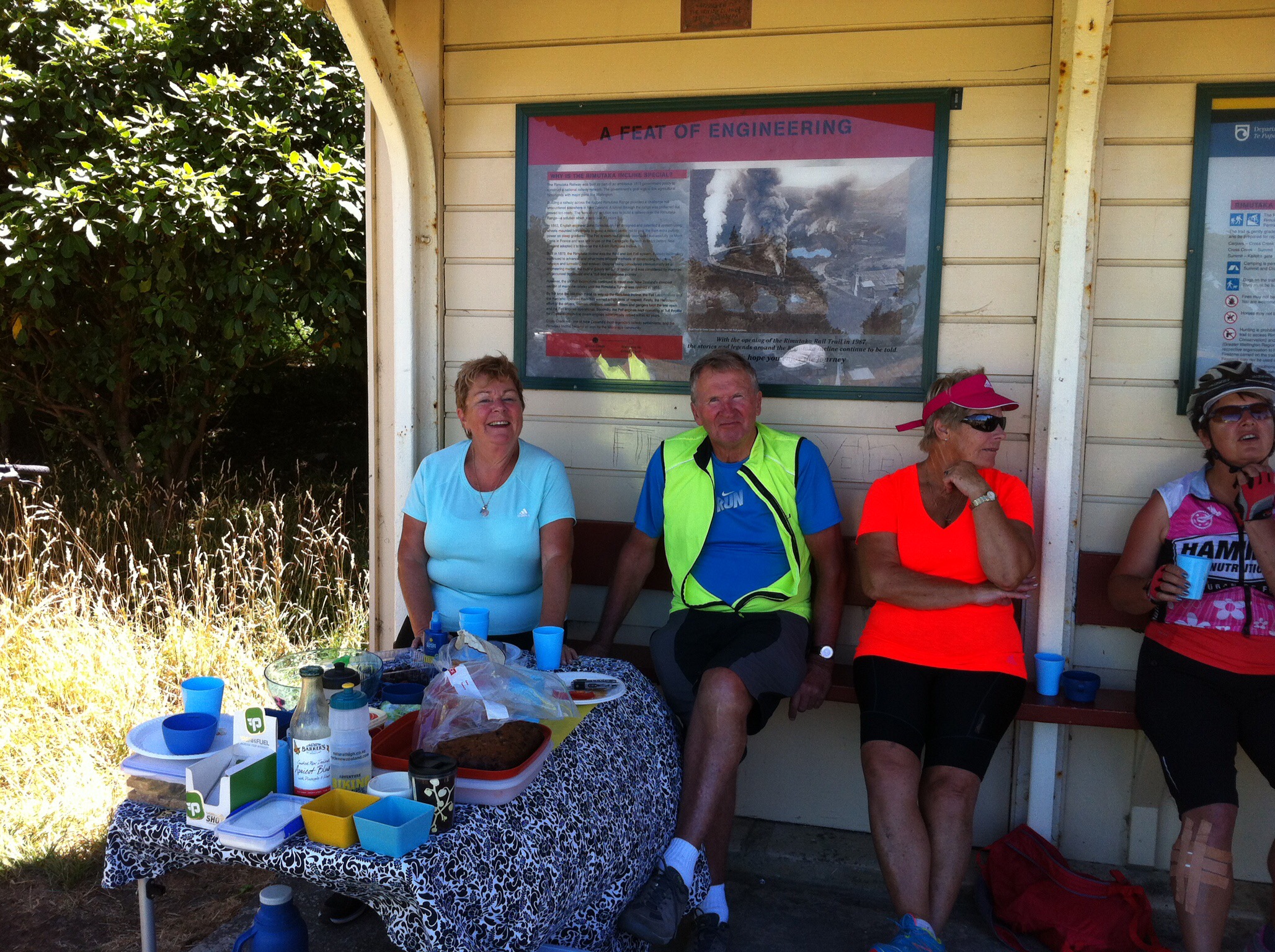
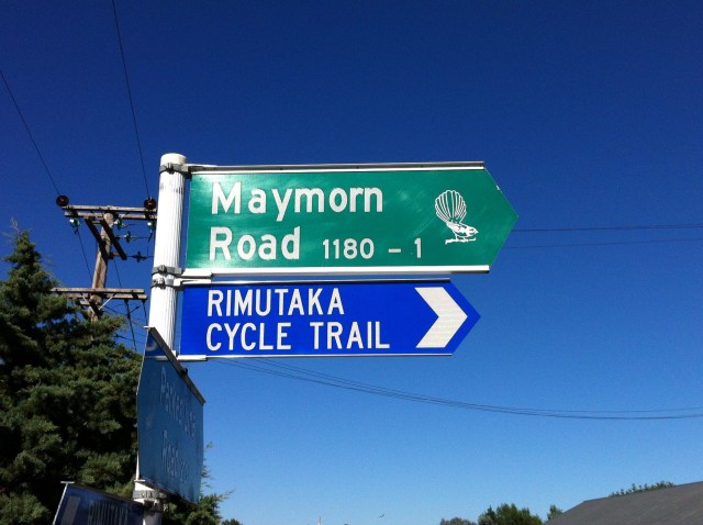
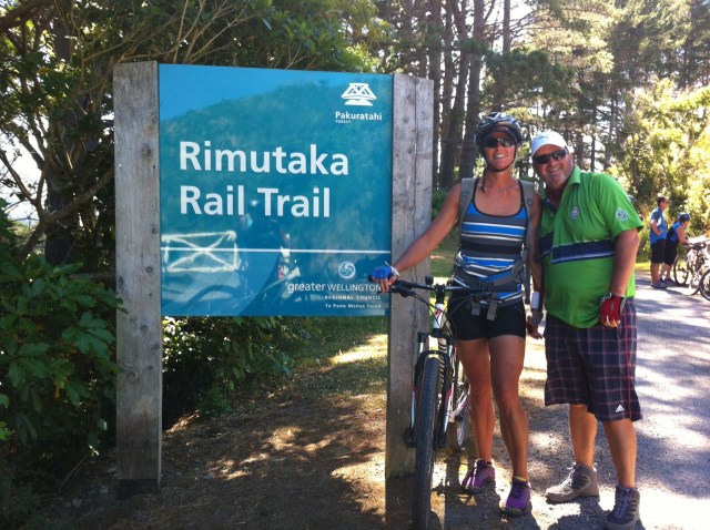
We all convened near Maymorn to have a piece of fruit or some home baking thanks to Karen & Sue. We then headed up to join the gravel cycle trail via Tunnel Gully – we passed through the disused Mangaroa Tunnel and followed the old railway line towards Incline Road. Incline Road runs parallel to State Highway 2 and takes you to the entrance of the official Rimutaka Rail Trail.  Leona had parked the car and trailer up so she could ride up to the official start point as there was potential for some wrong turns to be taken especially when the Rimutaka Rail Trail sign pointed two ways in the one spot.  The official start of the Rail Trail is about 240 feet or 75 metres above sea level.
IMG_5895-0

IMG_6131-0

IMG_6226-0

IMG_5942-0

IMG_6013-0

IMG_6052-0

IMG_6112

IMG_6162

IMG_5878

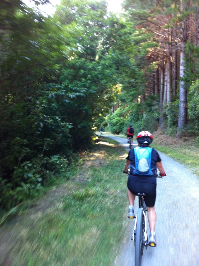
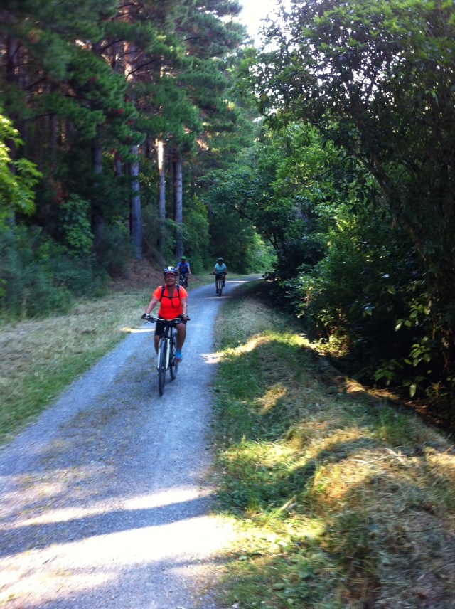
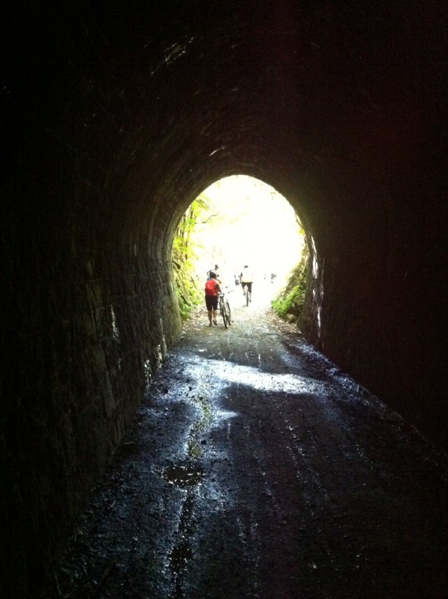
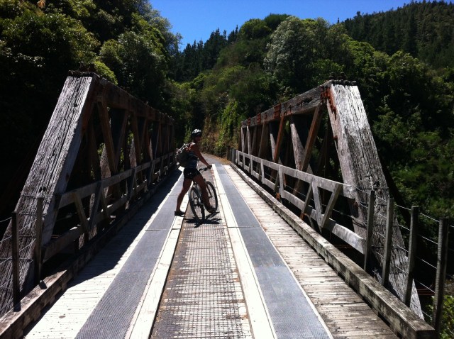
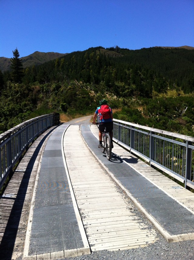
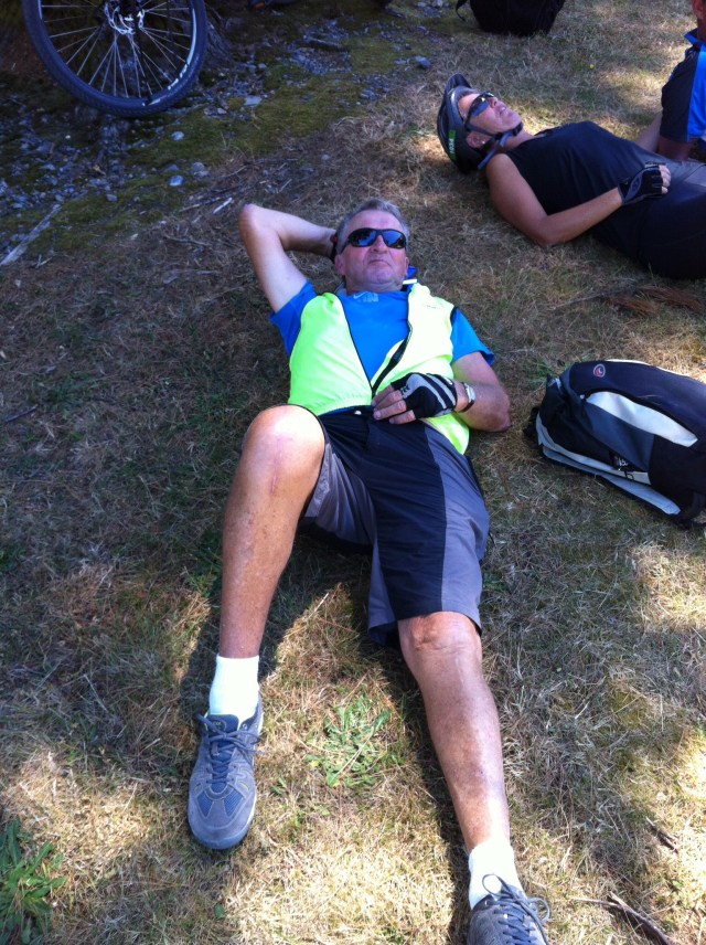
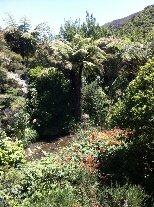
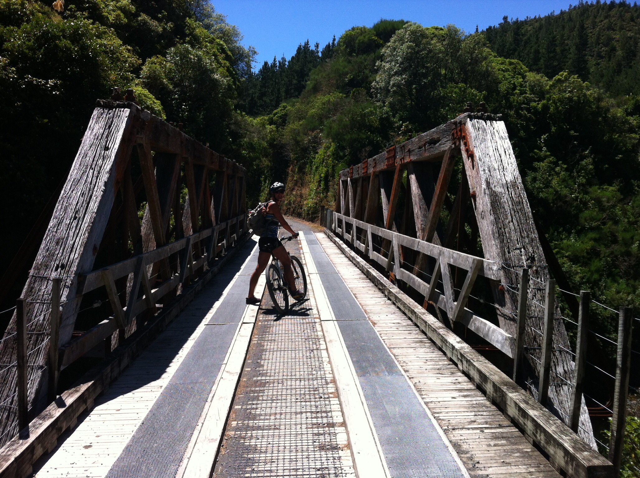
This part of the Rimutaka Rail Trail is fantastic – the trails are gravel and are surrounded by beautiful native bush. There are restored railway bridges crossing the Pakuratahi River and old tunnels, one of which is 584 metres long. The signs at the start of the tunnels tell you to dismount but generally you could see a light at the end of the tunnel – removing your sunglasses also helped! We definitely needed a torch in the 584 metre long tunnel though.

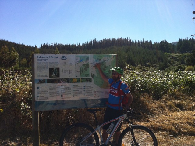
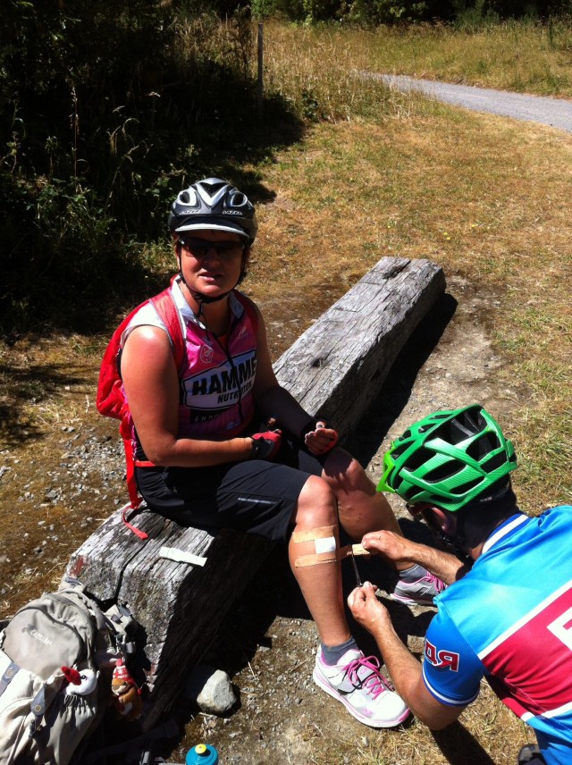
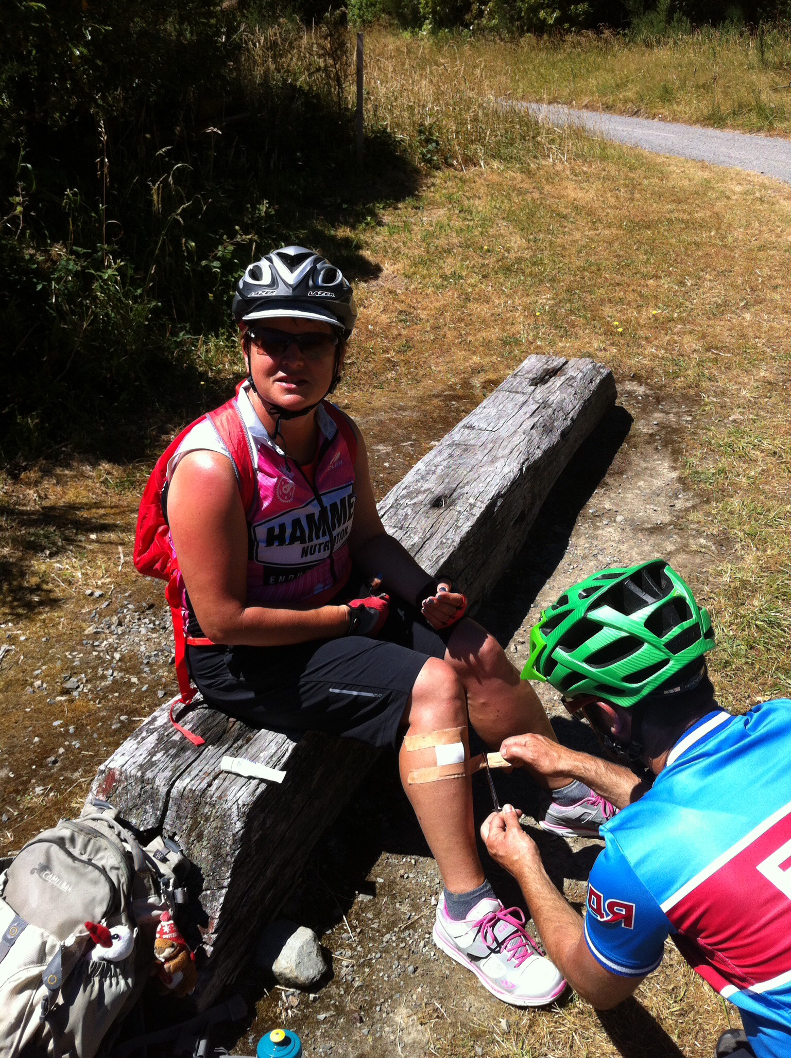
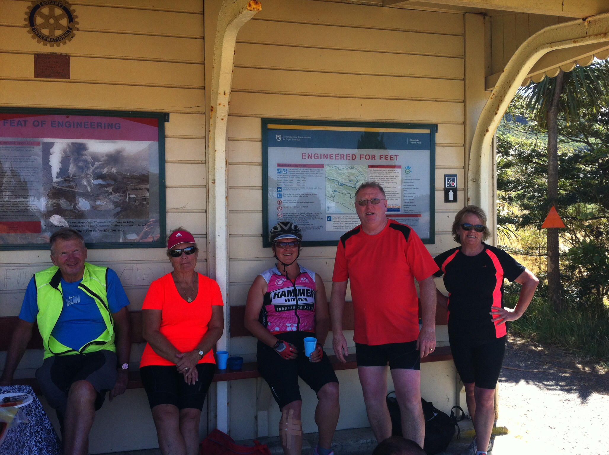
Along the way there are signboards which detail the railways history with stories of it’s construction, life along the railway and a freak accident that occurred in 1880 when carriages were blown off the line by a gale force gust of wind. The only freak accident we had was Karen taking a small spill when her cleats wouldn’t unclip – never fear Dr Andy was there.
IMG_5959

IMG_6125

IMG_6188

IMG_6248

IMG_6213

IMG_6166

IMG_6185

IMG_6094

IMG_6192

The railway across the Rimutaka Range was built between 1874 and 1878 as part of a line linking the port of Wellington with the fertile Wairarapa district.  Conventional locomotives hauled trains between Wellington, Upper Hutt, Kaitoke and Summit, where passenger and goods traffic was taken over by Fell locomotives for the descent of the Rimutaka Incline to Cross Creek.  The Incline was the steepest section of main-line railway constructed in New Zealand, and operated from 1878 to 1955.

The Fell system was the first third-rail system for railways that were too steep to be worked by adhesion on the two running rails alone. It uses a raised centre rail between the two running rails to provide extra traction and braking, or braking alone. Trains are propelled by wheels or braked by shoes pressed horizontally onto the centre rail, as well as by the normal running wheels. Extra brake shoes are fitted to specially designed or adapted Fell locomotives and brake vans, and for traction the locomotive has an auxiliary engine powering horizontal wheels which clamp onto the third rail. The Fell system was developed in the 1860s and was soon superseded by various types of rack railway for new lines, but some Fell systems remained in use into the 1960s.

The Fell system was designed, developed and patented by British engineer John Barraclough Fell. The first test application was alongside the Cromford and High Peak Railway’s cable-hauled incline at Whaley Bridge in Derbyshire, England, in 1863 and 1864.

These tests attracted the attention of the French Government, which conducted its own tests on the slopes of Mont Cenis in 1865. As a result, the Mont Cenis Pass Railway was built as a temporary connection between France and Italy whilst the tunnel under the Alpine pass was being built.  The Fell system was used in Brazil, Italy, France and the Isle of man.  Of these, the only one still in operation is the electrified Snaefell Mountain Railway on the Isle of Man, which occasionally uses the centre rail for braking only – the cars are all now equipped with rheostatic braking, which meets all normal braking needs. The only surviving Fell locomotive, New Zealand Railways H 199, is preserved at the Fell Engine Museum, Featherston, New Zealand, near the site of the Rimutaka Incline.

Places in New Zealand that used the Fell system:
1,067 mm (3 ft 6 in)
The Rewanui Incline on the West Coast of the South Island used a Fell rail for braking from its opening in 1914 to 1966. It closed in 1985.
The Rimutaka Incline on the Wairarapa Line near Featherston in the North Island opened in 1878 and closed in 1955. It was replaced by the long Rimutaka tunnel.
The Roa Incline on the West Coast of the South Island used a Fell rail for braking from its opening in 1909. It closed in 1960.
The Kaikorai Cable Car which ran from Dunedin to the Kaikorai Valley used an off-centre fell rail for braking.
1,000 mm (3 ft 3 3⁄8 in) Funicular railway
The Wellington Cable Car used a Fell rail for emergency braking from its opening in 1902 until 1978, when it was upgraded.
Unknown Gauages
Several bush tramways used Fell rails for braking.

Labour shortages, difficult access, severe weather and the gruelling nature of the work delayed the construction of the line.  For the hundreds of ‘pick and shovel’ workers conditions were harsh with most living in tents.  Camp stores were limited to basic supplies, such as flour, sugar, tobacco and tea.  Hunting Kereru (native pigeon) and wild cattle added interest at the end of the day and variety on the menu.  The closest hotel, the Golden Fleece at Pakuratahi was a five hour walk from Summit.

Work on the Pakuratahi Tunnel commenced in 1876 with the tunnel’s two headings meeting only three months later.  Bricks to line the tunnel could not be transported to the site, as the rails had not yet been laid.  The resourceful contractor instead made blocks on site from pressed sand and cement.  Workers pressed 13,500 concrete blocks, which now line the arch of the 73 metre tunnel.  Built on a 100 metre radius curve the tunnel is believed to be the first concrete structure in New Zealand.

The naming of the Rimutaka Range is attributed to the ancestor Haunui-a-nanaia.  Maori oral history records that Haunui travelled around the lower North Island naming many of the rivers, mountains and other natural features.  When he scaled this particular mountain range he stopped near the summit to rest and declared the entire range the ‘Remutaka’, which loosely translated means ‘to sit down’.  We now know the range as the Rimutaka.

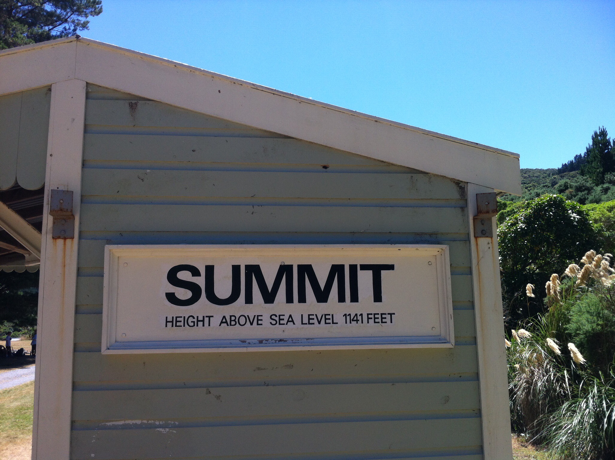
We were riding along a piece of New Zealand history and the signboards can make it a very informative ride if you stop to read them.  After about 11km we reached Summit.  The railway settlement of Summit existed here from 1878 until 1955.  Five houses for railway workers and their families, along with an engine shed and a signal box, were the only significant buildings at this remote outpost.  The railway yard was extended in 1903 to handle increased traffic and a turntable was installed for larger locomotives in 1943.  The main purpose of Summit was to shunt trains and change engines for the journey on the Rimutaka Incline.

“There was no road access, no electricity, or public telephones.  Travel was by rail and the Railways Department’s internal telephone system provided a limited link with the outside world” Lionel Stevens, child of Summit 1949 – 1951

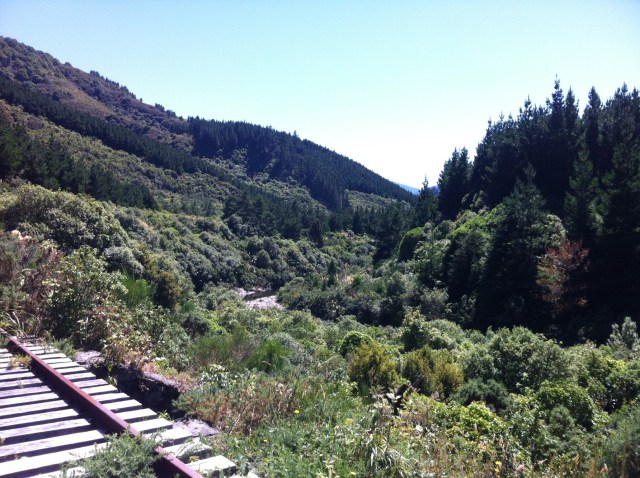
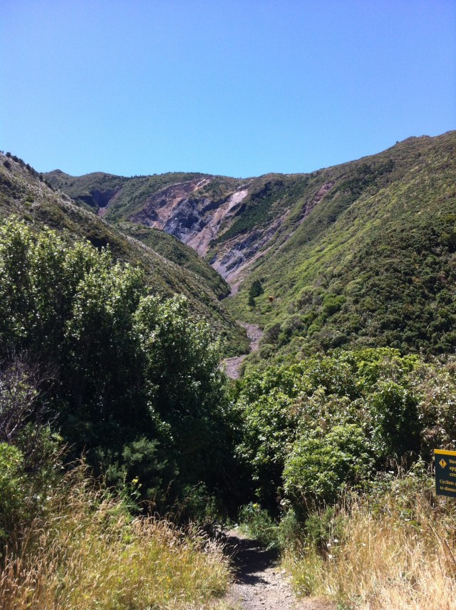
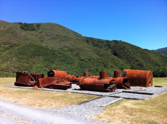
Summit sits at 1,141 feet above sea level or about 375 metres.  There were a few remnants of the settlement to be seen while we prepared ourselves for the descent.  It was very hot and a lot of us were running out of water.  Luckily we were about to descend the Rimutaka Incline to Cross Creek.  This part was good fun although I did find myself holding onto the brake levers to make sure I didn’t go hurtling into the bush.

IMG_5899

IMG_6173

IMG_6230

IMG_6283

IMG_6232

IMG_6045

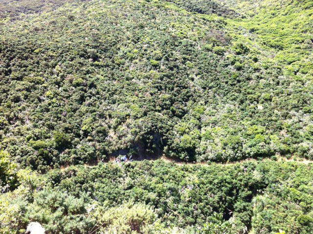
We got to a part of the Incline that they call Siberia – we dismounted to walk our bikes down the steep gully and up the other side.  Known as Horseshoe Gully while the railway was being built, this site earned the name Siberia by railway workers because of the severe winds that blasted through here.  The only fatal train accident ever to occur on the Rimutaka Incline happened at Siberia.  On 11 September 1880, a gust of wind hit a train broadside, pitching three carriages over the embankment.  Four children died as a result of the accident, and several other passengers were injured.
IMG_6181

IMG_6276

IMG_6208

IMG_6274

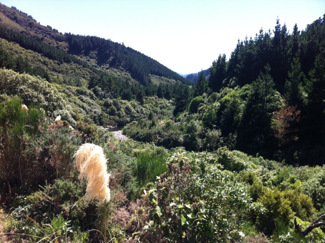
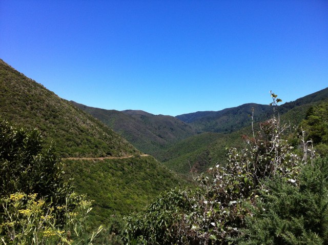
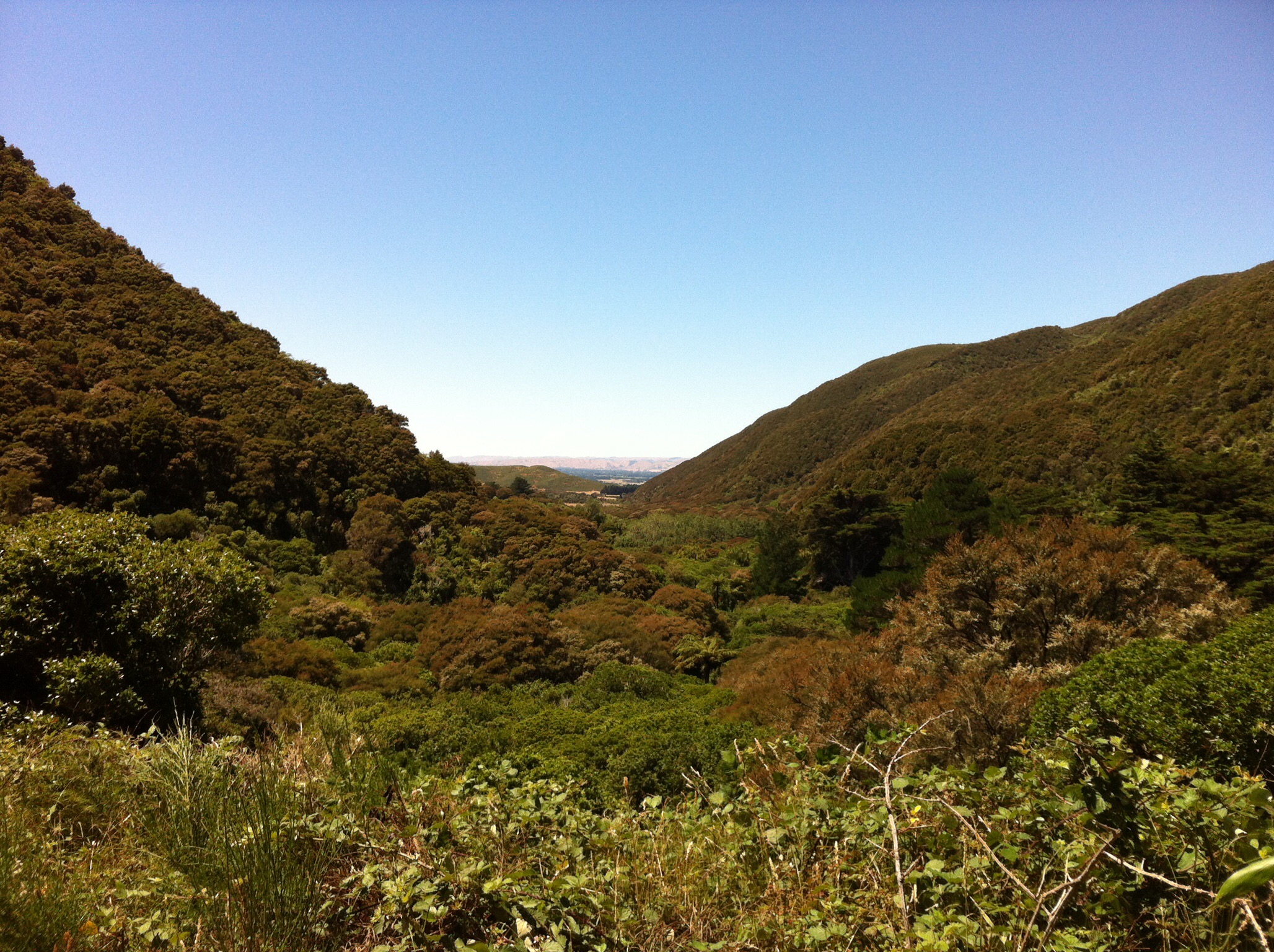
The scenery coming down the Incline was stunning.  You could see Lake Wairarapa in the distance.  According to Maori mythology, the demigod Maui pulled a large fish (ika) from the depths of the ocean.  The fish, Te Ika a Maui or the fish of Maui, is New Zealand’s North Island.  As part of the legend, Lake Wairarapa is considered Te Karu o te Ika a Maui or the eye of the fish of Maui.

IMG_6168

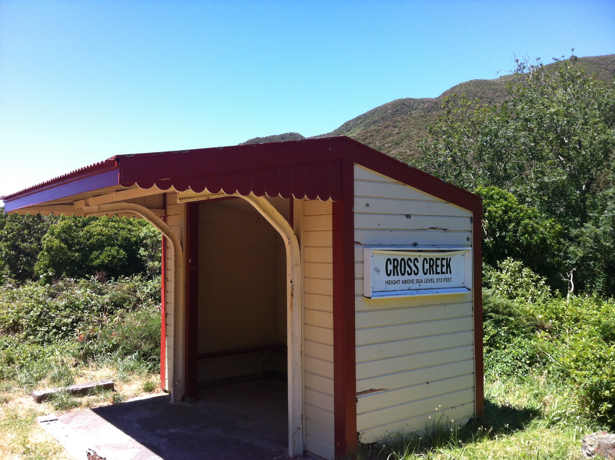
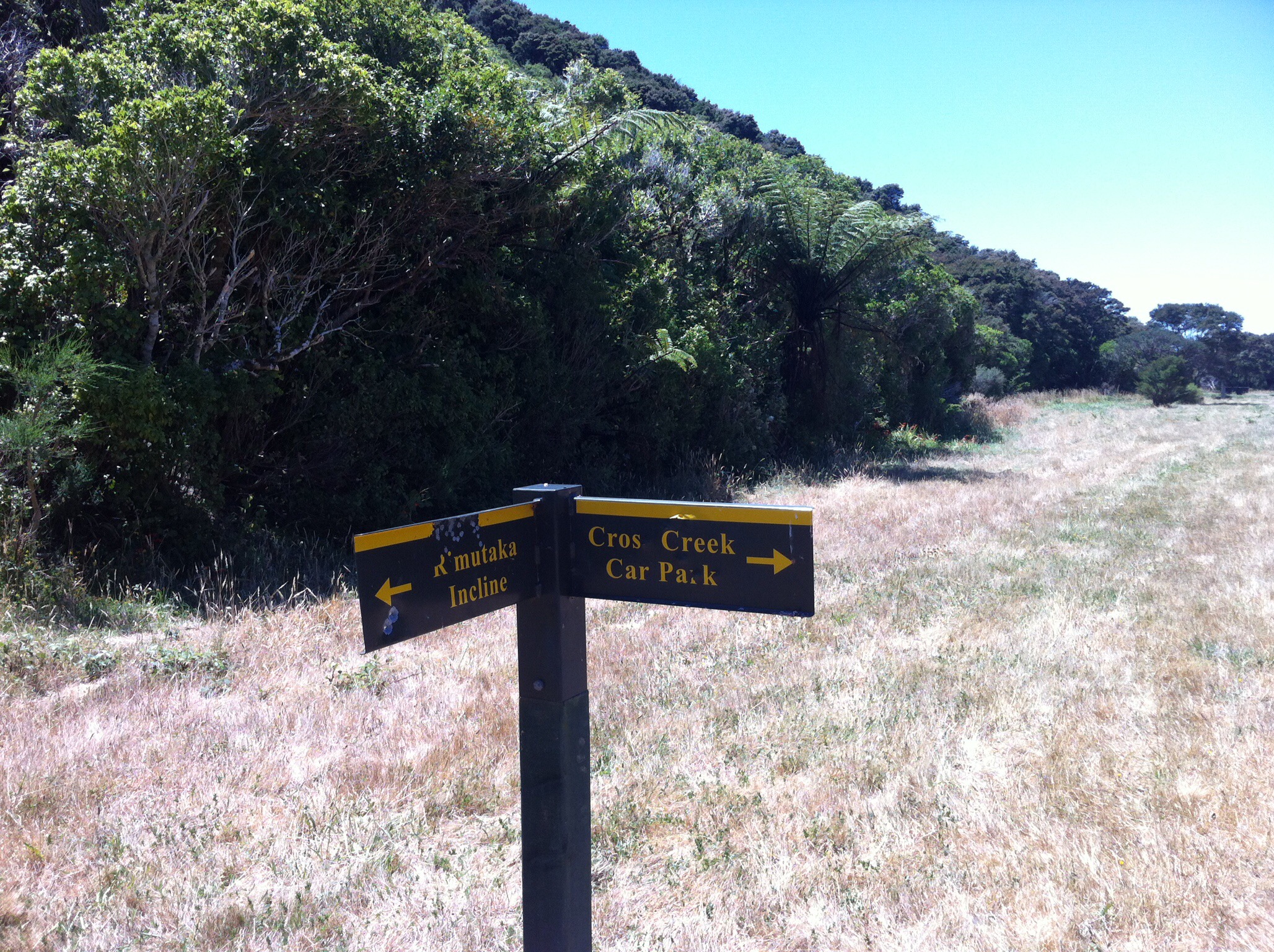
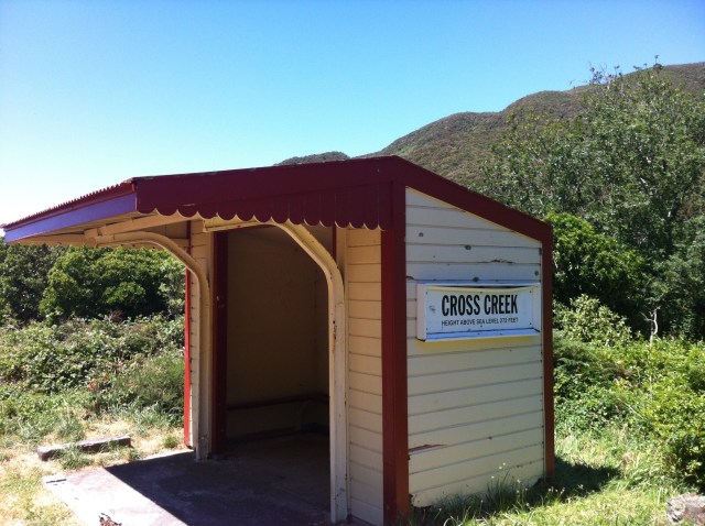
We got to the Cross Creek station which is 272 feet above sea level or 83 metres.  We had descended about 300 metres.  We then turned right onto the track to the carpark which was single lane most of the way.  I followed Glynis down and we took it nice and slowly.  Cheryl followed Andy down and she had the ride of her life : )  It was great fun but you wouldn’t want to meet anyone coming the other way.
IMG_6064

IMG_6267

IMG_5969

Leona had now rejoined the group with the car and trailer in the carpark.  She set up an awesome picnic lunch so we refuelled and re hydrated before we headed to Waiorongomai Station, our home for the night.  According to the trip notes it was about 10km along the side of lake Wairarapa.  It turned out to be 13km – it was all on the road and mostly downhill.  We were all eagerly looking out for the sign to Waiorongomai Station which some people found but then discovered we should have been looking for the sign that said Ratanui and Burlings – the name of the guest accommodation at Waiorongomai Station.  Of course the Waiorongomai Station sign was past the Ratanui and Burlings sign so additional cycling was also done on Day 2.  Don’t worry Andy was fined for this oversight!

IMG_5928

IMG_6089

IMG_6270

IMG_6286

IMG_5996

IMG_6241

IMG_6209

IMG_6073

IMG_6255

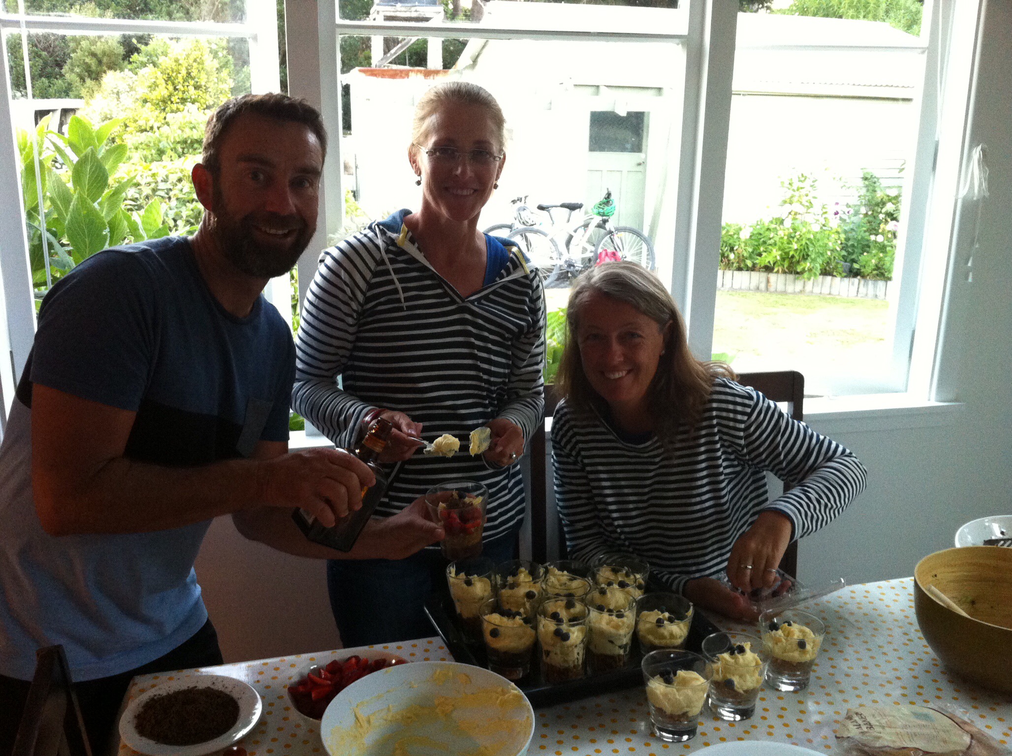
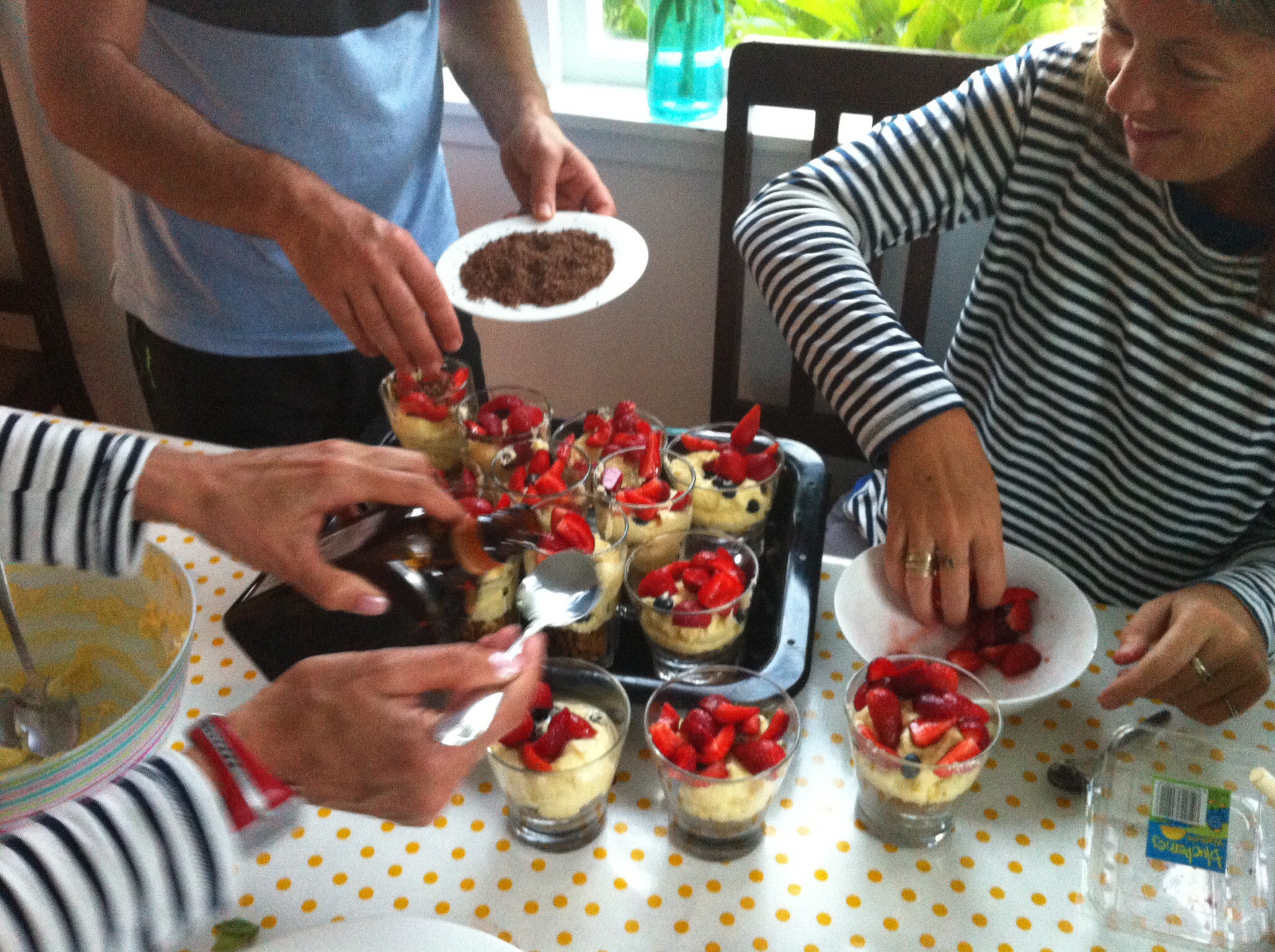
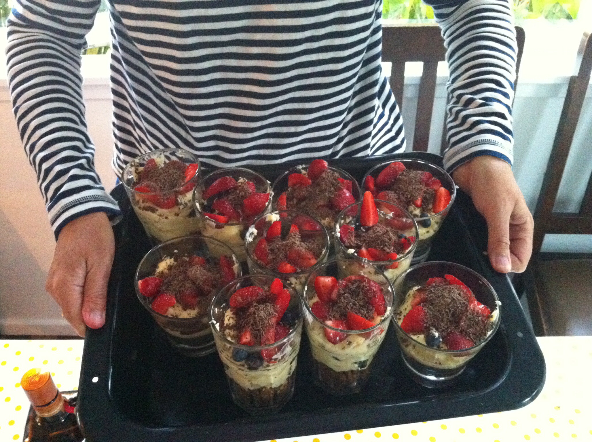
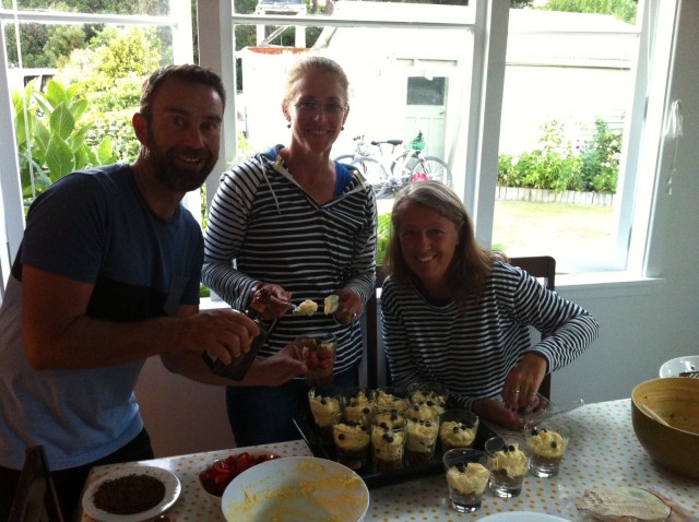
Ratanui Cottage and Burlings Batch were two old farm cottages that had been done up nicely for guest accommodation – they slept 9 and 8 people respectively.  The setting was amazing – clear blue skies and gently rolling hills.  Tonight’s dinner was a BBQ using beef from Waiorongomai Station.  Leona prepared some salads and Andy, Cheryl and Sue took control of the potatoes and corn.  Steve was charged with cooking the meat. Andy also made a deconstructed cheesecake for dessert with the help of his trusty assistants Hilary & Di.
IMG_5912

IMG_6098

IMG_6035

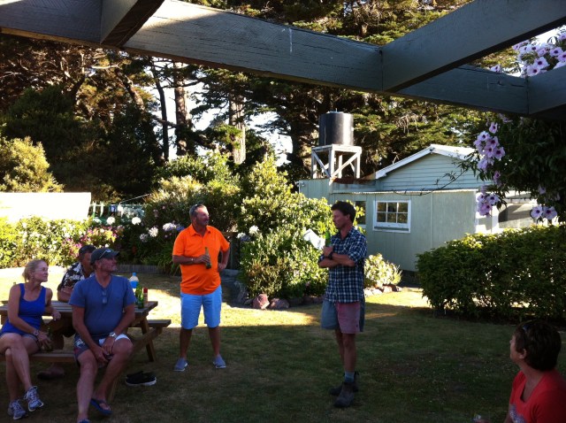
While we were waiting to tuck into this feast Charlie Matthews the farm manager came to speak to us about the Station.
IMG_6187

European settlement in the Wairarapa began in the early 1840’s, initially on large grazing runs leased from Maori, then through formal settlement from the 1850’s.  No pioneer New Zealand family has lived and farmed their land longer than the Matthews of ‘Waiorongomai’. Their story, shaped by the land itself, is an important part of the history of Aotearoa. The Matthews of Waiorongomai begins with the arrival of Charles and Elizabeth Matthews in 1842. They settled first in Wellington but, drawn by the pull of the land, moved to Wairarapa and purchased the first acres their descendants still farm today. Seven generations have lived on ‘Waiorongomai’. It is the story of a family devoted to its farming, the development of one of the country’s leading Romney sheep studs and the passing on of a love of the land from one generation to the next.

Charles and Elizabeth Matthews started farming Waiorongoami in 1850 and accumulated 9,312 hectares (23,000 acres).  The Matthews family continues to farm Waiorongomai which has now been consolidated to 3,011 hectares (7,500 acres).

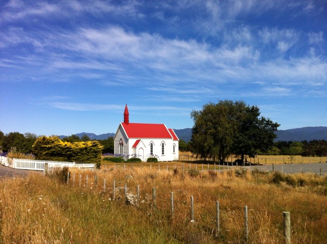
The children of Alfred and Hannah Matthews built a church on the land in 1927 as a memorial to their parents.  It was Alfred Matthew’s desire to have an ecumenical church as a place for the whole community to use and to serve as a memorial to the pioneers of the district and to all the families who have worked on Waiorongomai.  The headstones of Charles and Elizabeth Matthews are to the right of the main drive in front of the church.

IMG_5935

“In the history of New Zealand, Waiorongomai and the Matthews family are as one; one entity; lives and land locked together as the professional caretakers of a farm that has responded to their care and commitment.  …there is a responsibility to preserve Waiorongomai in a way that honours all the hard work of earlier generations.  It’s a legacy to be passed on.”  Linda Thornton. author of Waiorongomai: The Land and the People.  2011

Charlie was very interesting and everyone had a few questions for him.  They farm Romney sheep and also run beef.  They were supplying beef to the local supermarket in Greytown but after about 10 months the supermarket weren’t prepared to pay a premium for a premium product so it wasn’t worth their while.  Charlie said that when the sheep or beef leave the property to be killed they don’t know where the meat ends up which is a shame.

Speaking of beef, it was now time to tuck into our dinner.  Everything was delicious – you really appreciate the beautiful fresh meat and produce that we have available to us.  The dessert was also delicious.  Brian took over as chief dishwasher with some of the other boys drying.  What a great team effort.

We then sat outside until it got dark before retiring to our little corners of the cottages to get a good nights sleep as our biggest kilometre day of the trip waited to greet us the next morning.  Today had been the best one day cycle I had done – the tracks, the history, the scenery and the weather were just amazing.  Not to mention the company which is always top notch on our bike trips : )

IMG_5915

IMG_5885

IMG_6164

IMG_6001

IMG_6033

Posted in Wellington | Tagged , , , , | 1 Comment

Rimutaka Rail Trail, Day 1 – Wellington to Wallaceville – Wellington, New Zealand

We flew to Wellington from Napier on Wednesday afternoon after farewelling our English friends who were flying back to Auckland to depart the land of the long white cloud the next day. We had a great few days showing them around the beautiful Hawkes Bay.

It was another sunny day and the flight to Wellington was calm and clear but you always get the obligatory sway when you land into Wellington. We were greeted by Andy from Natural High at the Victoria Court Motel – always good to see this guy : ) He had an assistant guide with him for this tour, Leona, who is here from the UK on a two year work visa. We were also reunited with all our cycling buddies, some of which were already sampling grape juice of the alcoholic variety!

While in Wellington we took the opportunity to have dinner with Sooz and Darryl, our friends who live in Wellington. We had a delicious dinner at Dragonfly which is a modern Asian restaurant in Courtney Place. It was very nice and it was so good to catch up with Sooz and Darryl after a couple of years.

After dinner it was back to the motel for an early night – let the cycling begin.

Nothing beats an early morning lycra debrief. We all gathered in Andy’s room so he could issue us with maps and instructions. Day one was going to involve a bit of navigation which I was a bit worried about given my directional challenges. I was going to be sticking close to someone that looked like they knew where they were going. This too could prove a challenge given the misguided confident nature of our group!

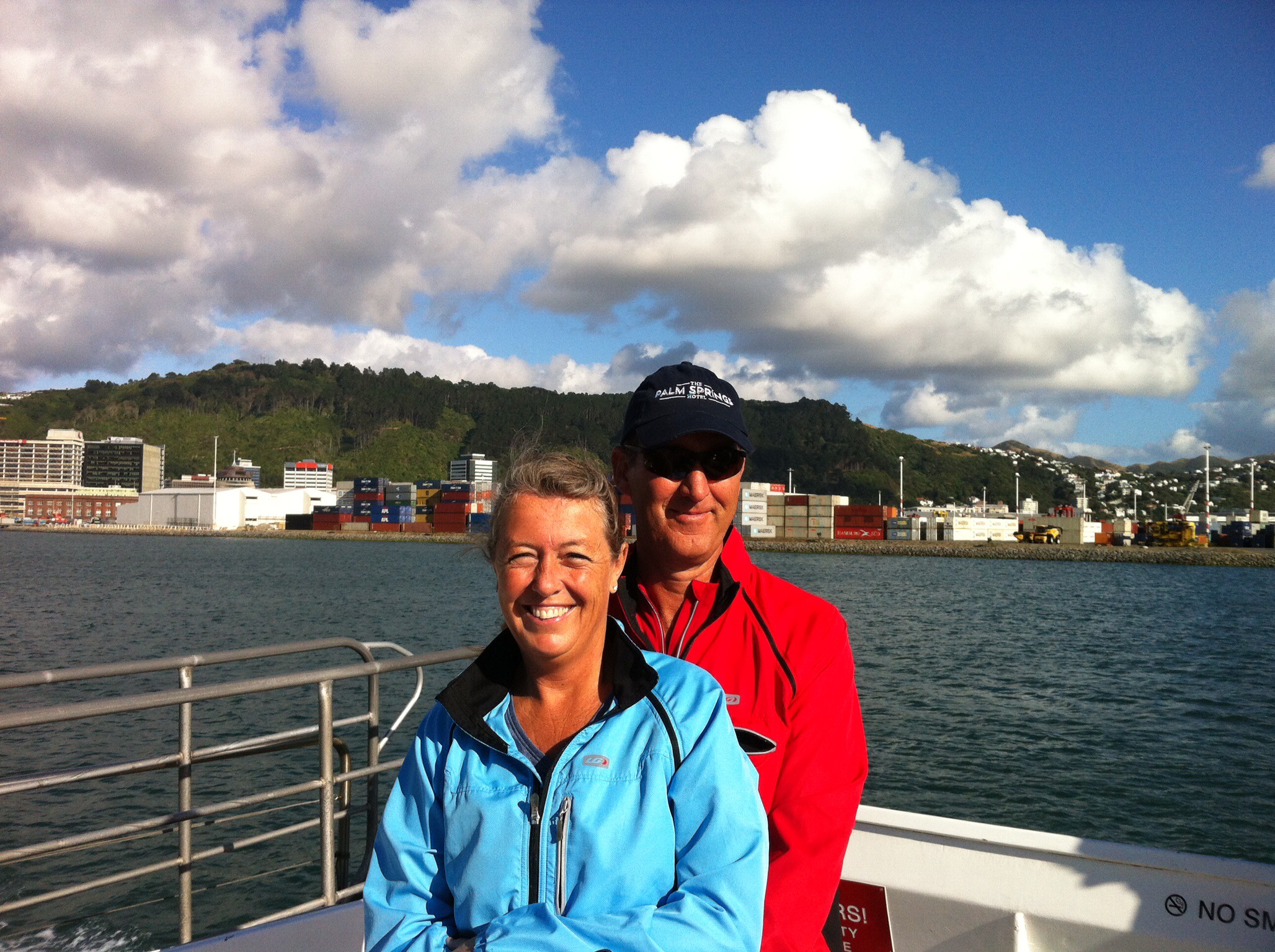
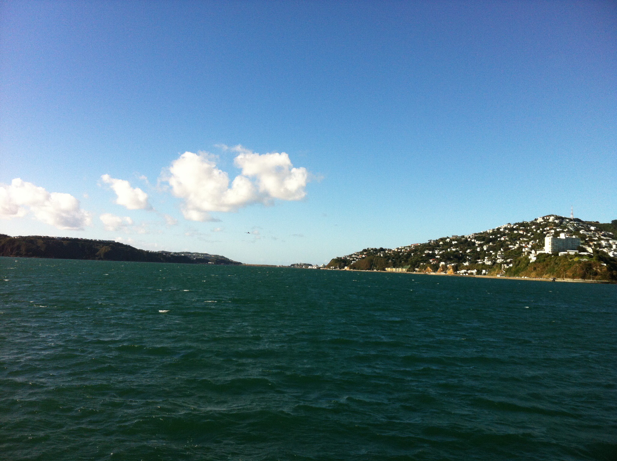
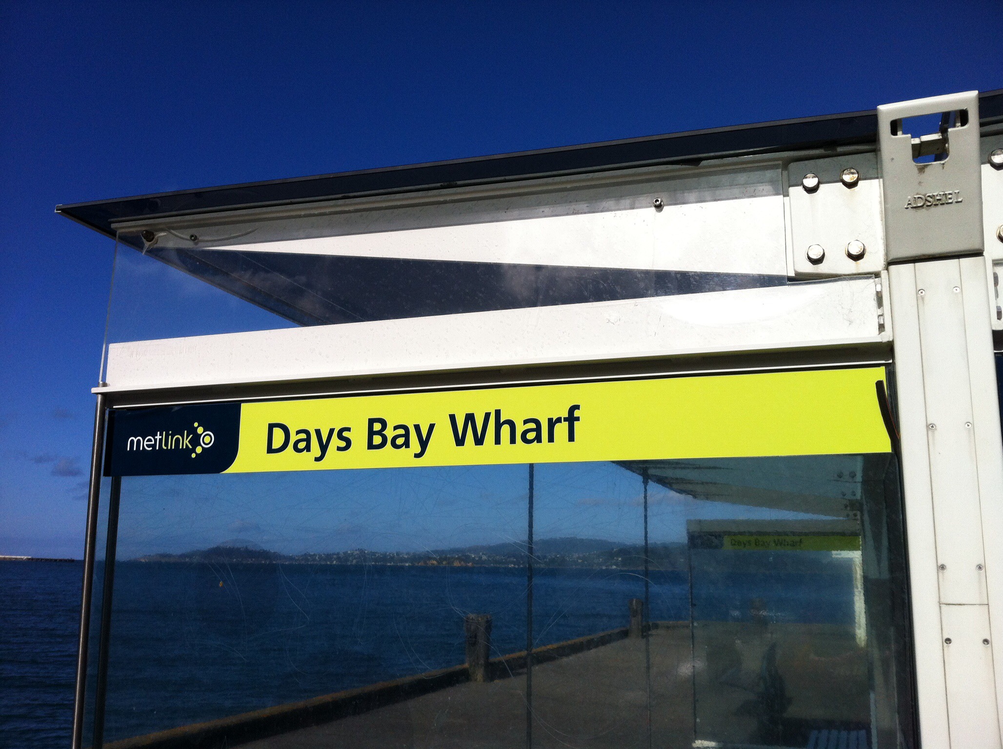
Armed with our maps we walked down to Queens Wharf to catch the Eastbourne ferry across to Days Bay. It was a clear day although a bit chilly -some of us decided to brave the cold to enjoy the Wellington Harbour views from the top of the ferry.

IMG_5916

IMG_5873

IMG_5957

IMG_5871

IMG_5903

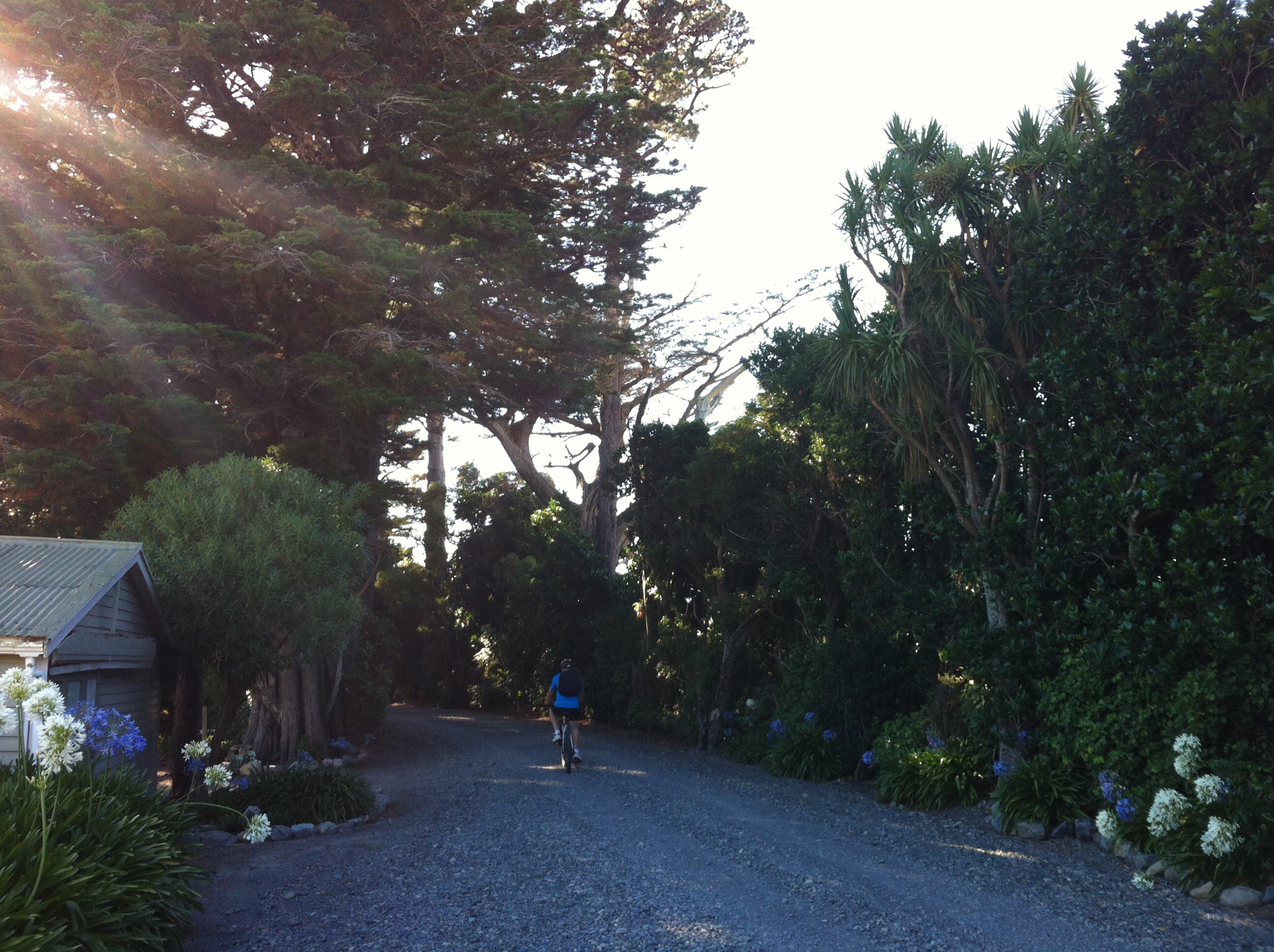
Andy, Leona and the bikes were waiting for us at Days Bay. After a bit of tweaking of bike seat heights, pedals and helmets we set off along the waterfront. This ride is not strictly part of the cycle trail but it is a very scenic road lined with Pohutakawa trees which weaves in and out of the small bays.

IMG_5875

IMG_5962

IMG_5965

IMG_6017

First stop was the Dowse Art Museum in Lower Hutt. A few of the group overshot the mark so had to be phoned and told to turn around. Steve was part of this group and was not happy to know that he had done more cycling than was required!

The Dowse Art Museum is a free public gallery for people to enjoy contemporary art and culture. There is not a lot there but what was there was very interesting.

IMG_5862

IMG_5990

IMG_6246

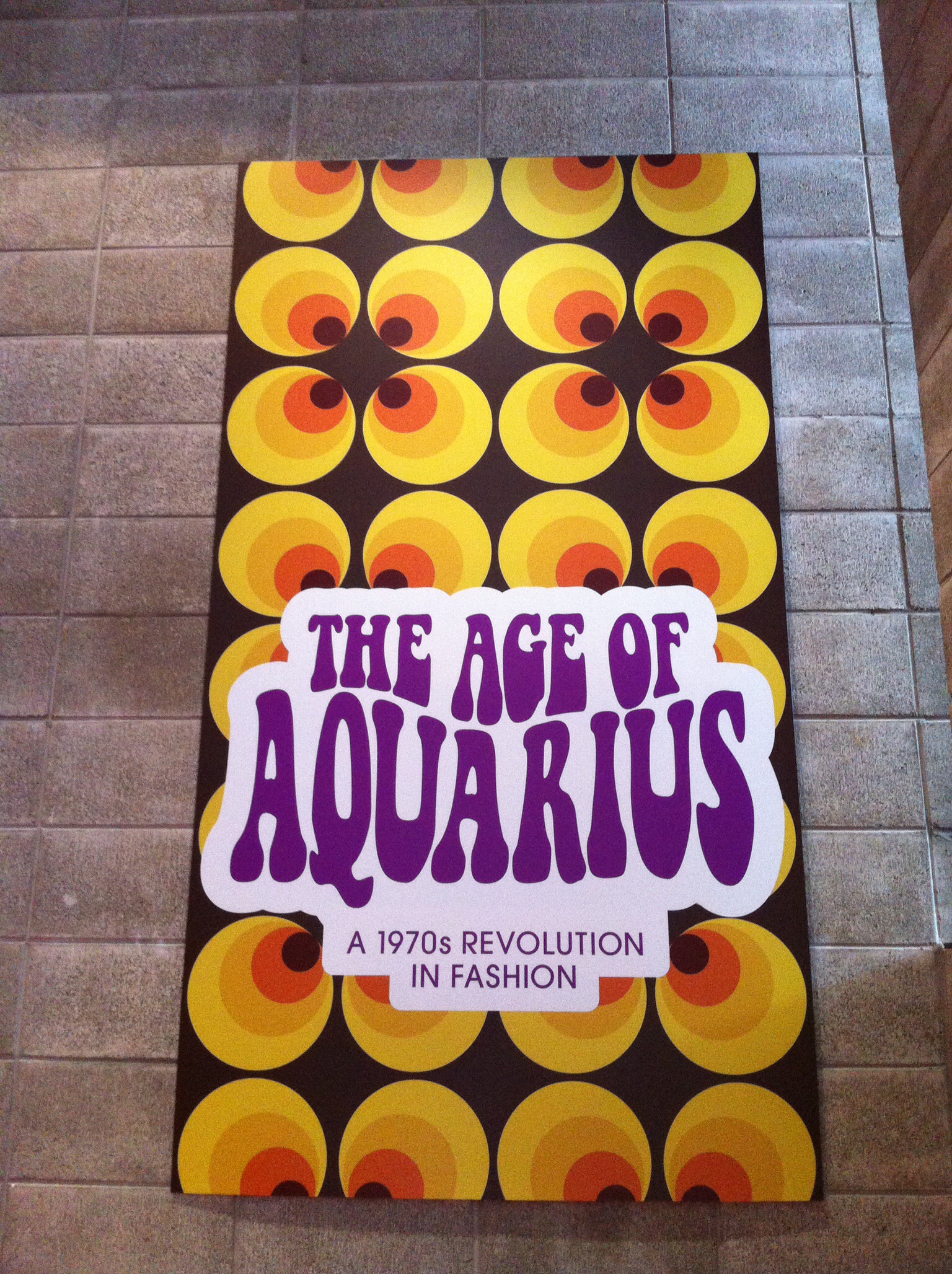
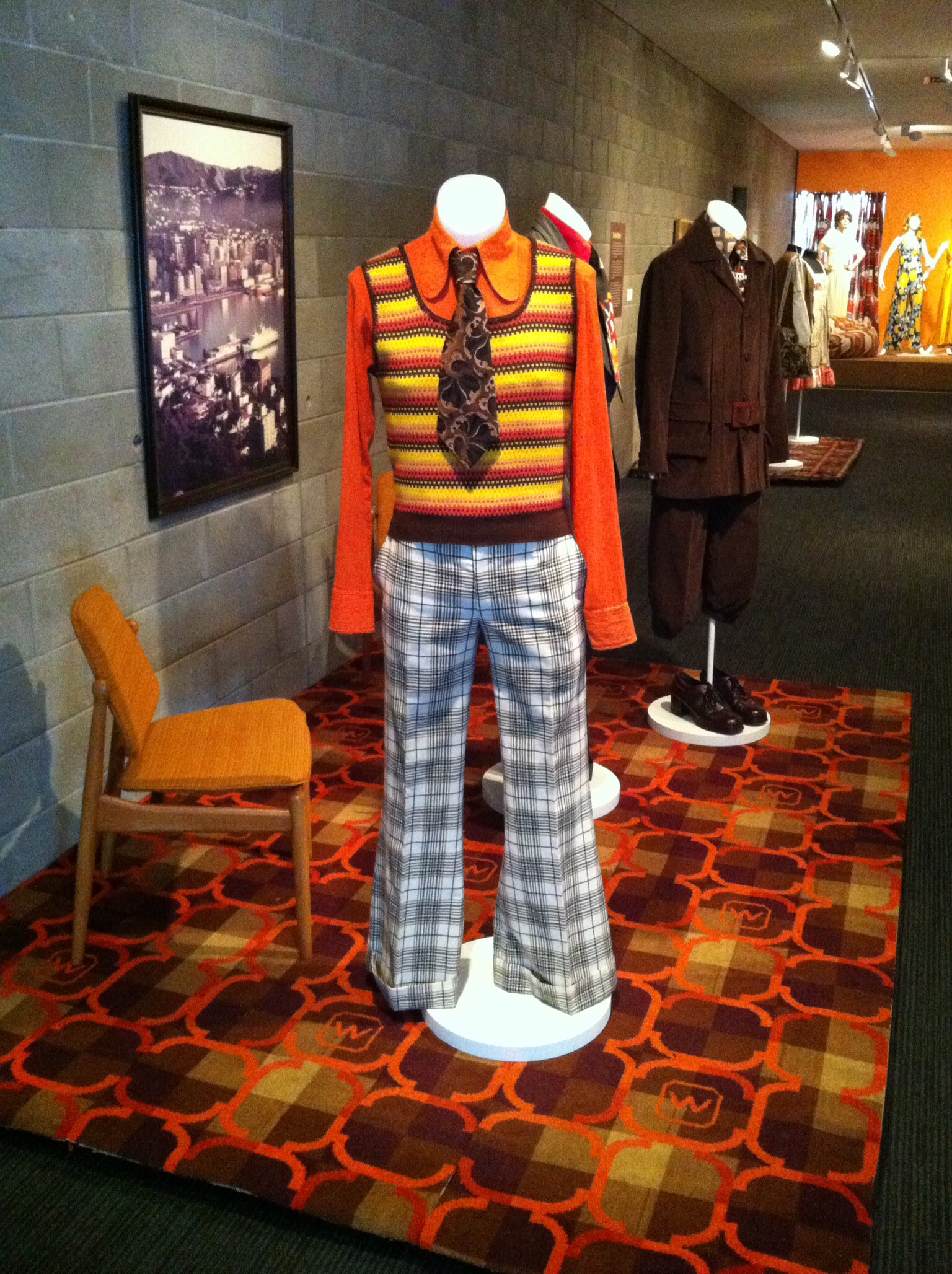
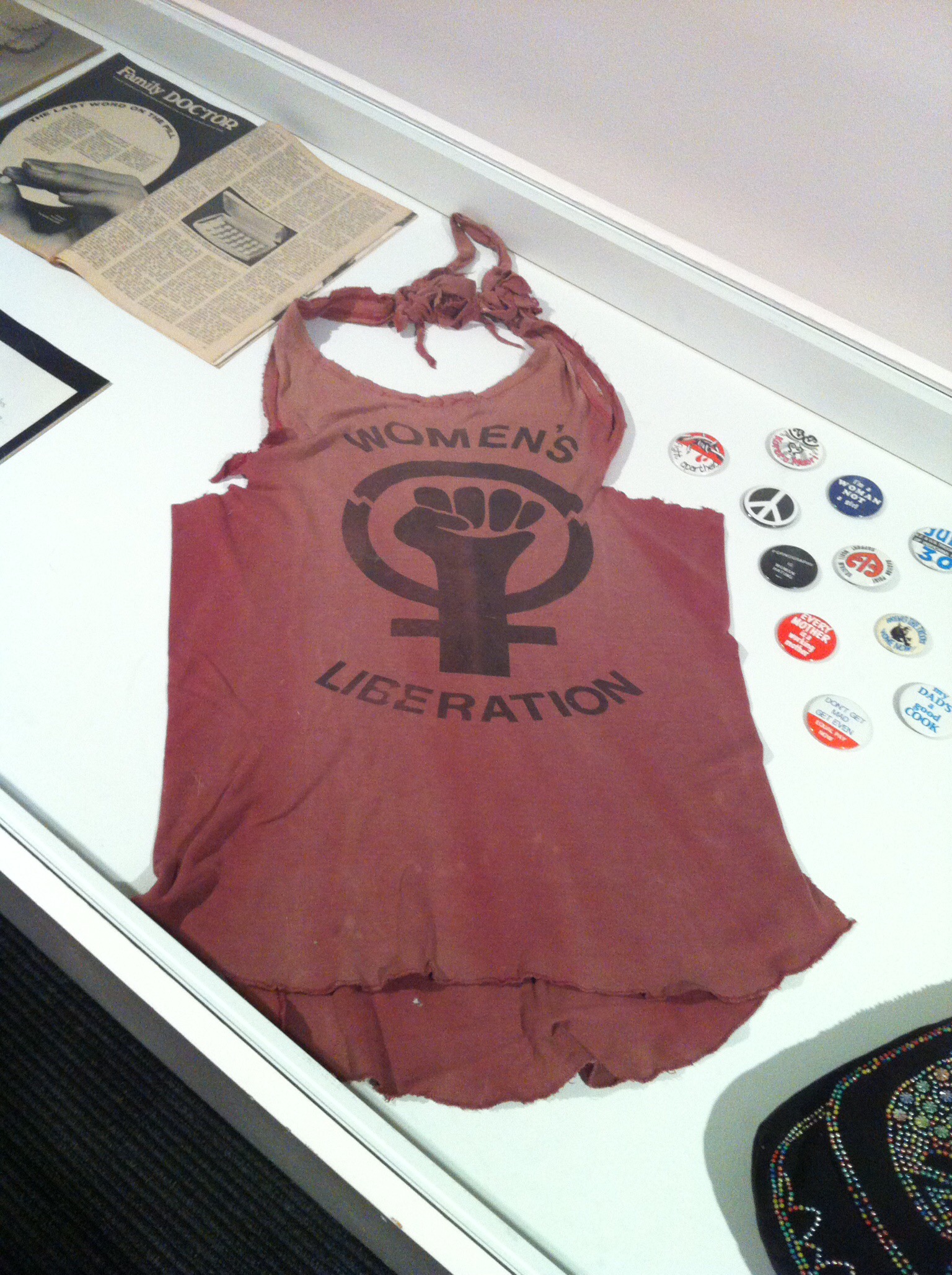
I enjoyed The Age of Aquarius: A 1970s Revolution in Fashion exhibition being a child of the 70’s.

IMG_6183

IMG_6047

IMG_5898

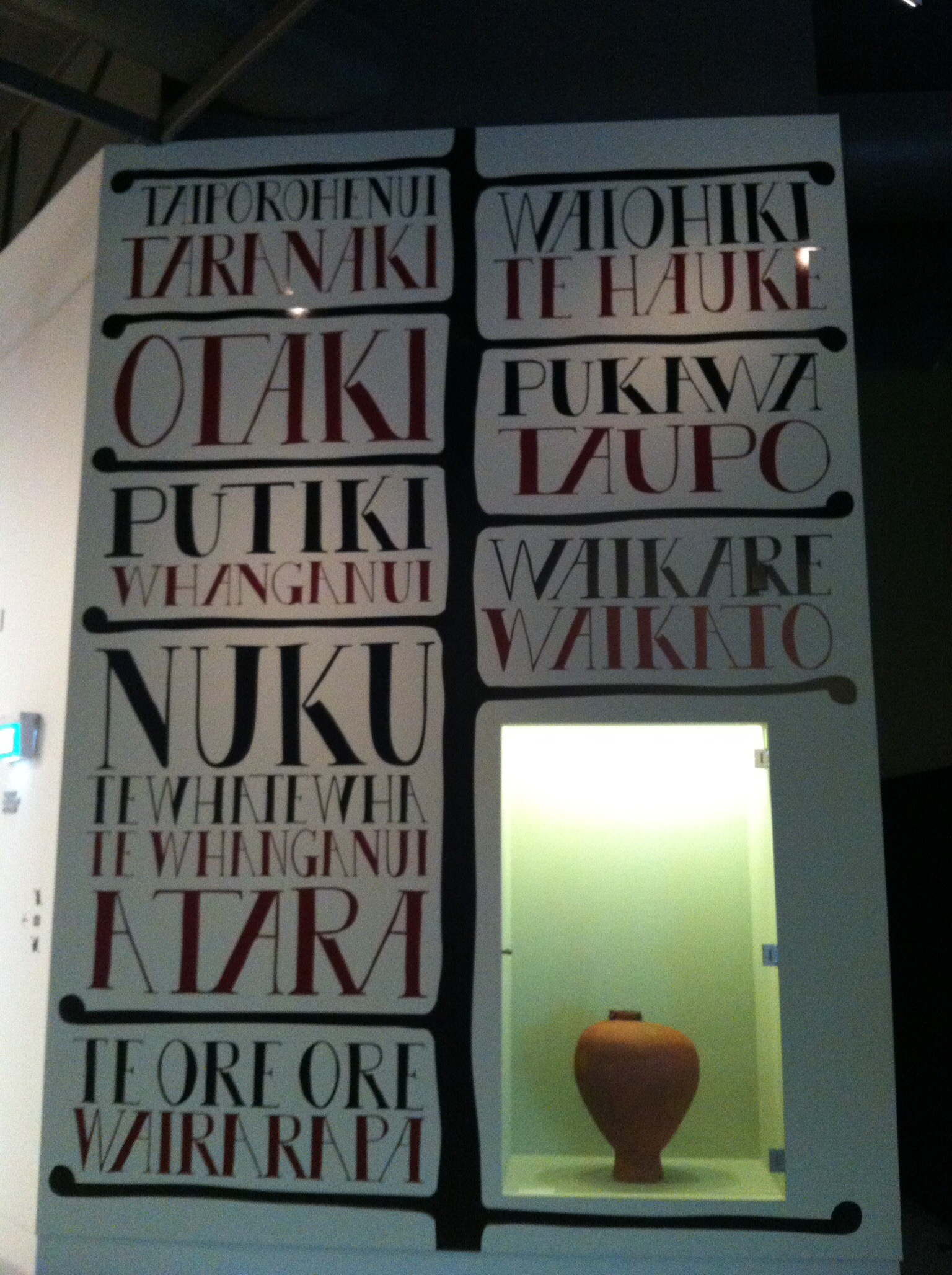
They also have a permanent exhibition showcasing Nuku Tewhatewha. This nationally significant Pataka (Māori store house, usually for food) was commissioned by paramount chief Wi Tako Ngatata of Te Atiawa and carved in the 1850s as a sign of support for Kīngitanga, or the Māori King Movement. It is one of only seven Pataka built around the North Island as ‘Pillars of the Kingdom’, and the only one to survive.

Nuku Tewhatewha has been on display at The Dowse since 1982 when it was returned to Wellington after a 70 year absence. It is no ordinary food store but has a long symbolic history linked to the history of Maori leadership throughout Aotearoa.

IMG_6032

IMG_5922

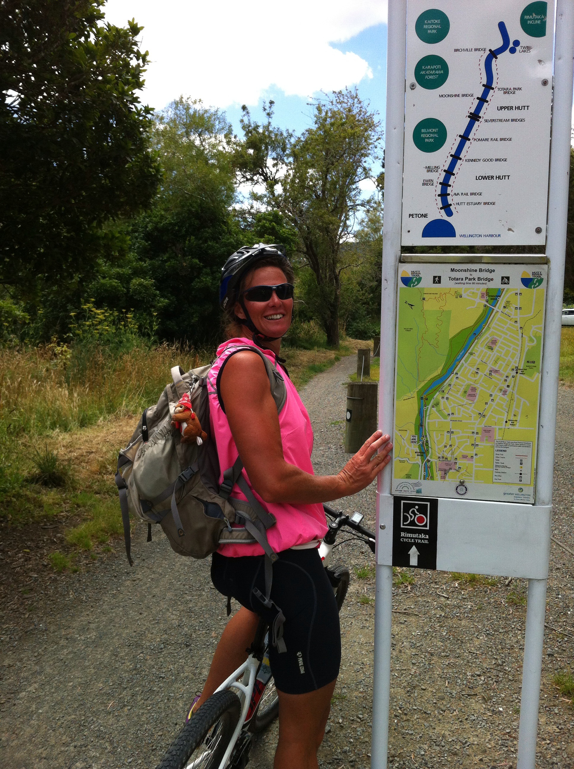
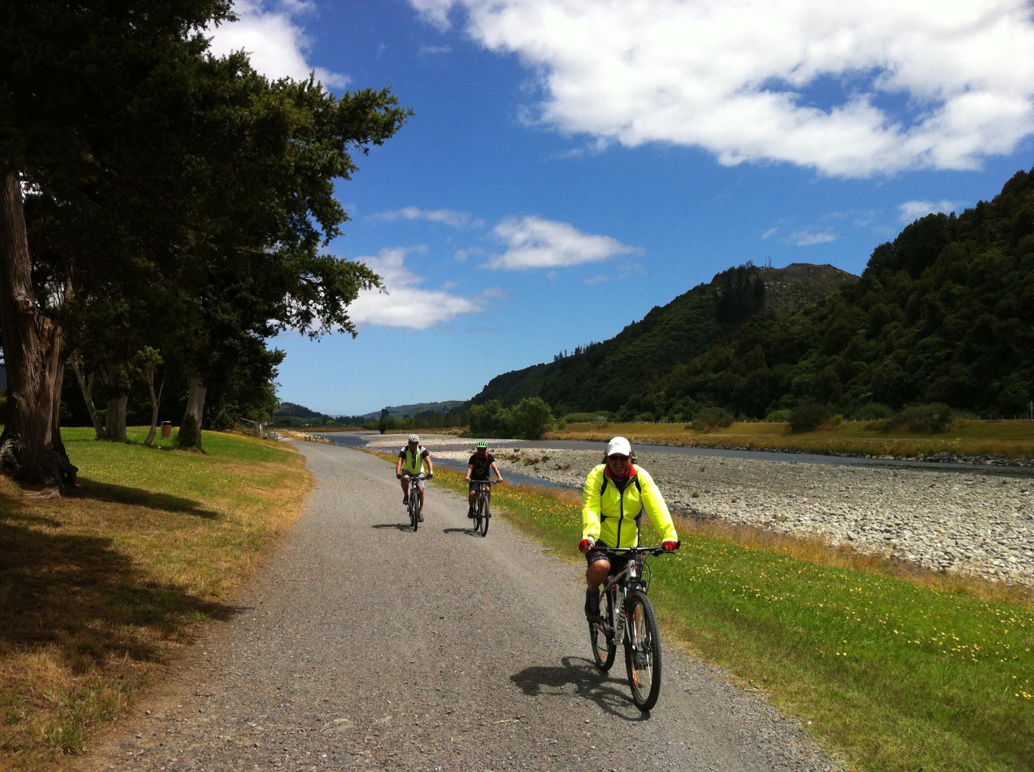
We had a nice lunch at the Dowse Art Gallery cafe and then it was back on the bikes and back to the trail. The trail meanders alongside the Hutt River and is easy riding. Our next navigational point was at Moonshine Bridge – again some of us were too busy talking so we overshot the mark but all was not lost, we just back tracked along State Highway 2 and followed the instructions to Wallaceville House, our accommodation for the night.

IMG_6291

IMG_6091

IMG_6156

IMG_6200

IMG_5424

IMG_6038

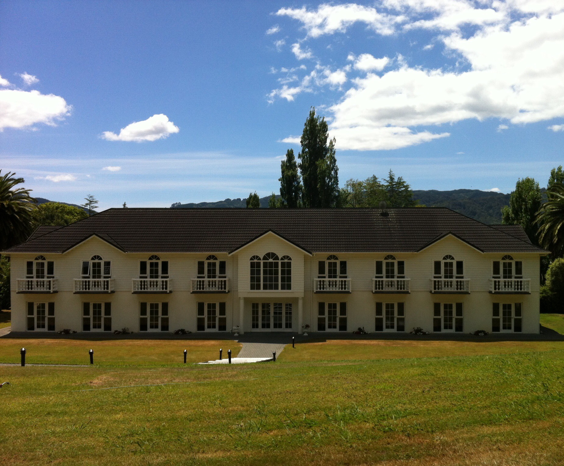
Wallaceville House was built early last century by celebrated architect, Mr Charlesworth. During WWII Mr Dick Jepsen purchased the property and made substantial alterations, such as the majestic staircase and elegant upstairs ballroom. In 1993 the property was further developed with the addition of a 16 room motor lodge. Proudly set in 4 acres of immaculate gardens, luscious lawns and surrounded by an amphitheatre of native bush it lent itself well to an afternoon sitting in the sunshine enjoying some liquid refreshments.

IMG_6051

IMG_5896

IMG_5853

IMG_6251

IMG_6269

IMG_6180

IMG_6275

IMG_6259

IMG_5956

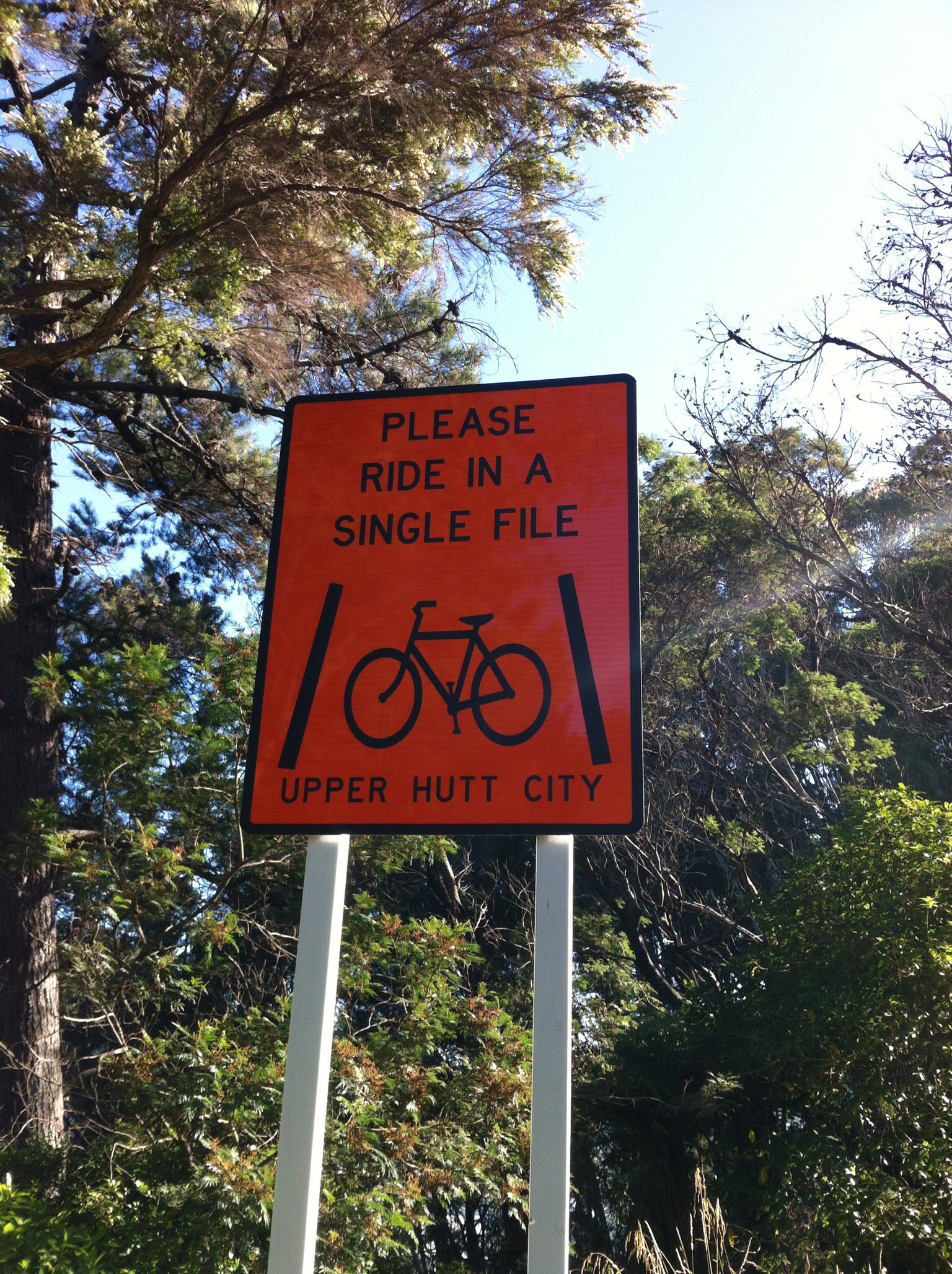
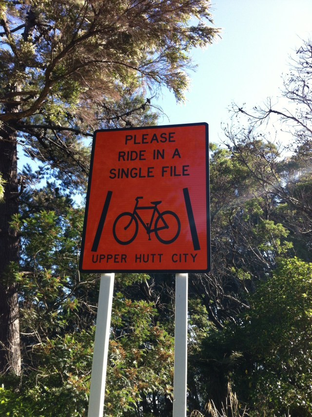
Julie, Cheryl, Karen and I biked down to Upper Hutt to purchase some supplies. I managed to get told off by the local constabulary for supposedly not riding single file but he really needed his eyes tested – of course I was riding single file. We then met up with Leona along the way who was walking her bike – she had forgotten her helmet (it is not compulsory in the UK to wear a helmet). Walking with her bike was probably a wise move given our track record with the local constabulary : )

We enjoyed a lovely meal that evening in the dining room. Andy had to go back to Wellington Airport to pick Sue up who had got her dates all wrong and had to work on the first day of the bike trip which was a shame. She was fined accordingly. Our normal court session was deferred until breakfast the next morning.

IMG_6011

IMG_5955

Posted in Wellington | Tagged , , , , , | Leave a comment

It’s a long way home…… but totally worth it!

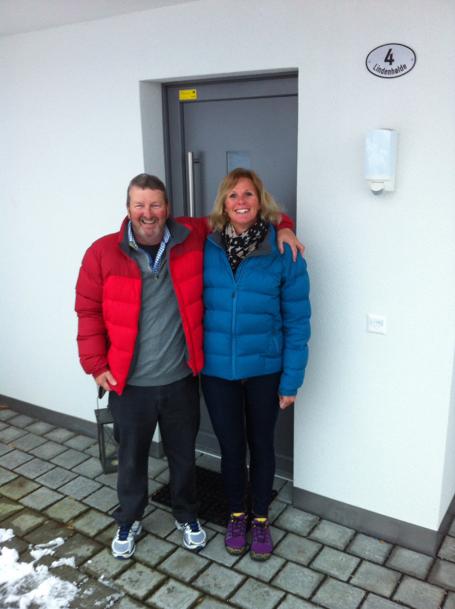
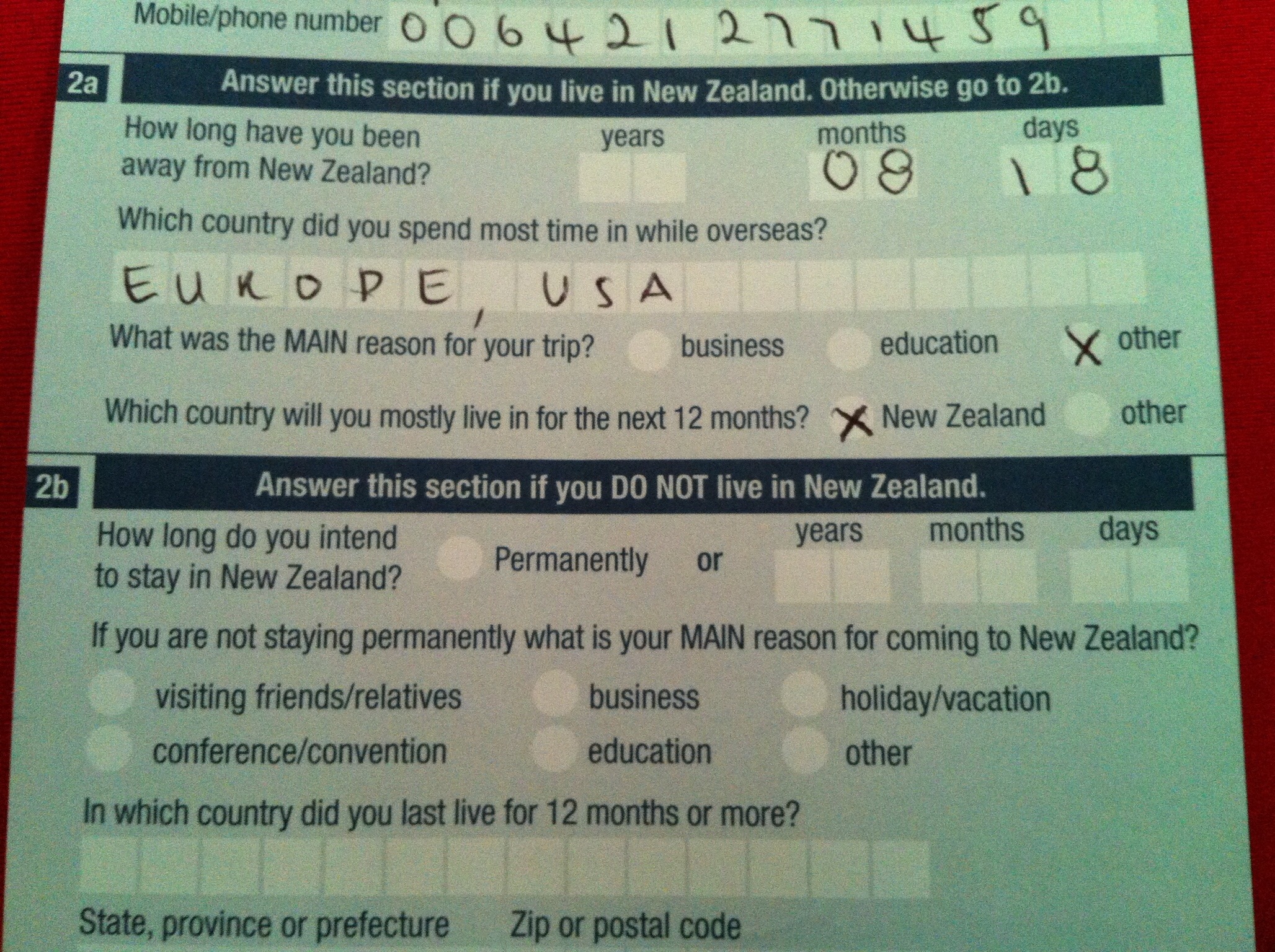
On Friday the 2nd January we left what has become our home away from home in Switzerland at 4 Lindenhalde, Buochs. Karin & Elvis drove us to Zurich where we caught our SWISS flight to Paris. It was very sad saying goodbye to our Swiss friends who we spent about 5 weeks with over the 8 months and 18 days that we were away.

2015/01/img_5717.jpg

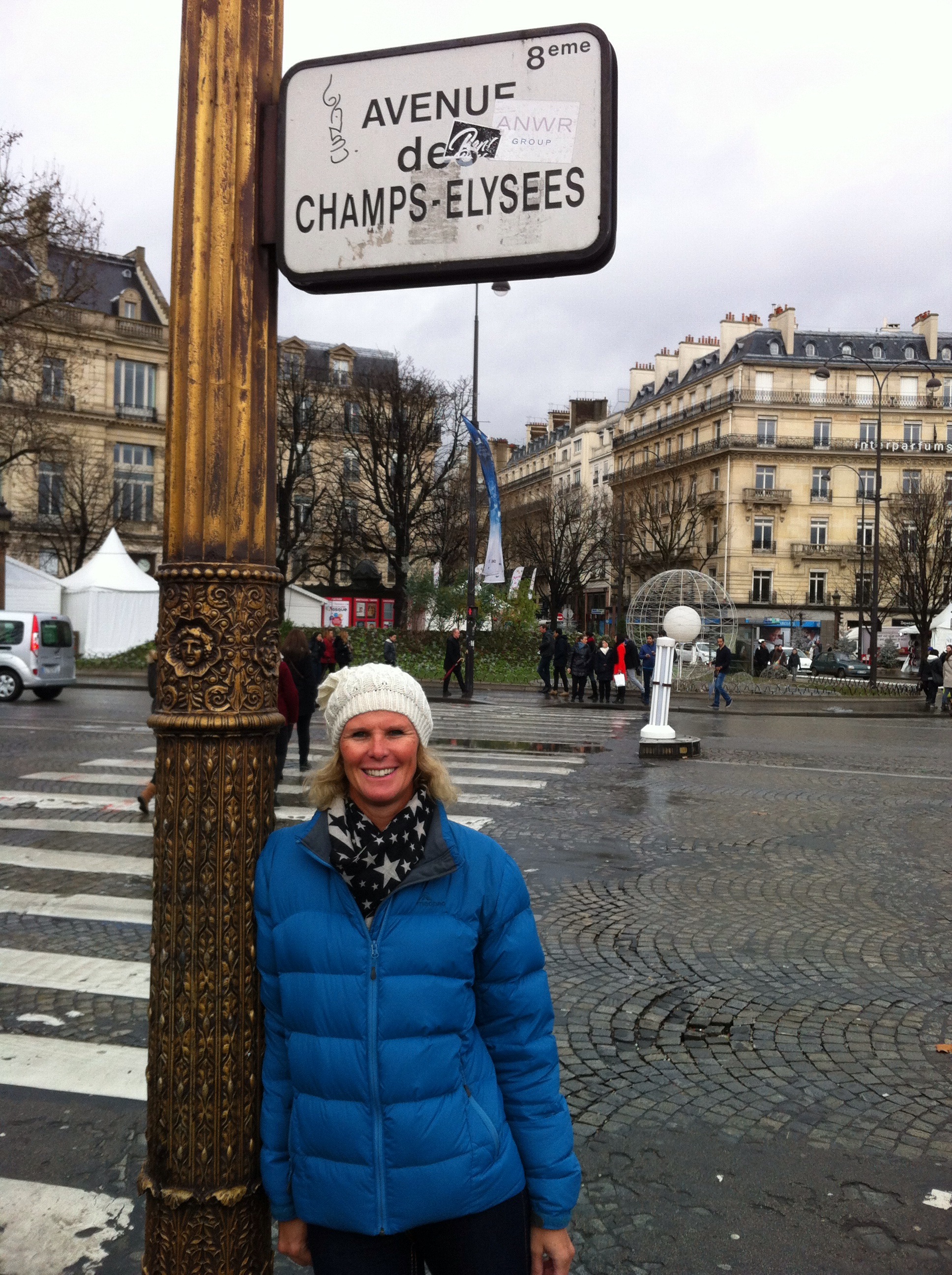
We spent two nights in Paris out near Charles de Gaulle Airport. On the Saturday we took the train into central Paris to revisit a couple of our favourite spots – the Champs Élysée and the Arc de Triomphe. It was a grey overcast day but Paris is always a cool city to visit no matter what the weather is doing. In saying that we were very happy not to be there when all the Charlie Hebdo drama went down three days later.

2015/01/img_5270.jpg

2015/01/img_5279.jpg

On Sunday we had a lunchtime flight on Malaysian Air to Kuala Lumpur which is another one of our favourite spots. Flight time was thirteen and a half hours. We were on the A380 which is a very comfortable plane to fly on. We never used to think twice about flying but after the aviation disasters of 2014 we both feel rather relieved when we reach our destination in one piece.

We arrived into Kuala Lumpur at 7am Monday morning and caught the KLIA Express into the city – 70km in 28 minutes. They also offer a free porter service which proved quite handy given our luggage had multiplied over the time we were away. We checked into The Majestic Hotel, our home for the next three nights. I headed straight to the pool – time to thaw out after all that snow : )

We spent the next three days swimming, shopping and generally relaxing. On Thursday morning I had set my alarm for 5am so we could get organised and out to the airport for our 9am flight. Unfortunately we both woke up at 2am and couldn’t go back to sleep. We were obviously very excited to be going home : )

2015/01/img_5294.jpg

2015/01/img_5298.jpg

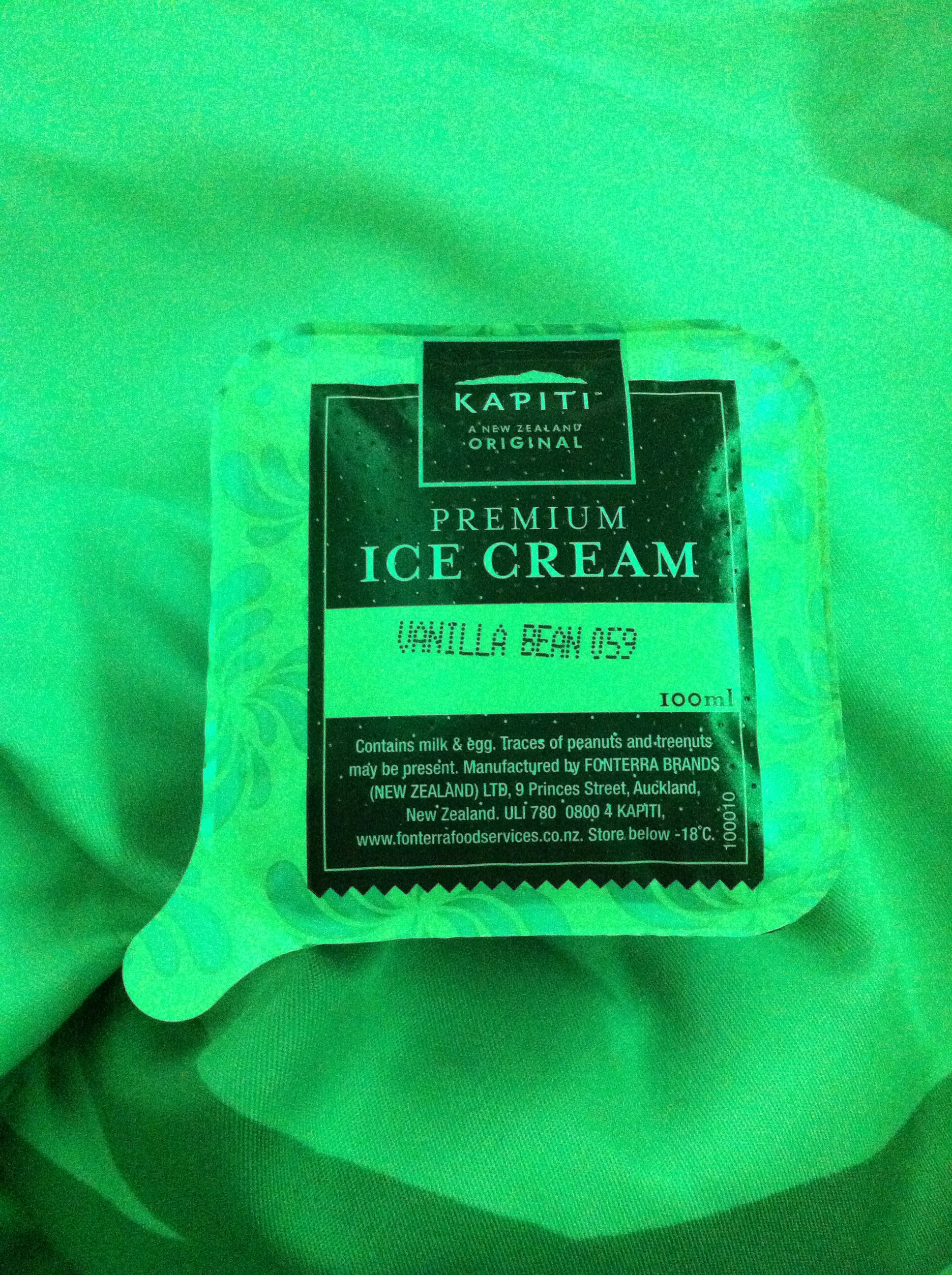
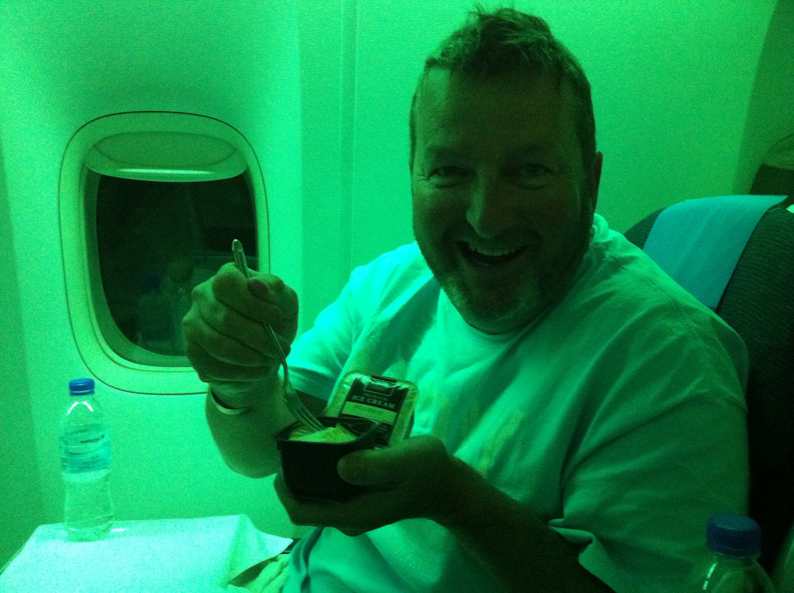
Our flight to Auckland was delayed by about 20 minutes and as soon as the seatbelt sign was switched off we both reclined our seats and went to sleep. We managed to get about seven hours sleep on the ten hour flight home. It was nice to be reunited with Kapiti Ice Cream for dessert.

2015/01/img_5300.jpg

2015/01/img_5299.jpg

We arrived into Auckland at 1am on Friday the 9th January. Jim was there to greet us – Rachel D had decided she needed a pit stop so missed our grand entrance. It was nice to see them both and there was a bit of catching up done on the ride back to their place.

2015/01/img_2963.jpg

2015/01/img_2962.jpg

On Friday Rachel & I took a trip to Omaha Bay Vineyard near Matakana to have lunch with Karen and Kaye. We picked Debbie up on the way – it is amazing we were still alive when we got to the Vineyard with all the gassing that was going on depleting the car’s oxygen supplies.

We got back to Rachel & Jim’s about 6pm – just in time for Jim to finish preparing a gourmet meal for us. NZ steak, caramelised onion and blue cheese tart, salad and lemon meringue pie for dessert. What a legend! Nick was back from Iowa so he also joined us for dinner. He gave the Wattle Downs neighbourhood a golfing demo hitting balls into the harbour.

On Saturday morning Steve played golf with his boyfriends – he was so excited to be seeing Henry, Bruce and Owen again. Unfortunately his golf wasn’t quite as exciting – he text me when he was on the 13th hole and said he was playing like an egg.

After golf we started the final leg of our journey – driving to our new house in the Hawkes Bay. The weather was amazing. We called in and saw Sheree, Matthew and the kids in Matamata. We reached Havelock North about 7pm and began the task of first unloading the car and then unpacking the bags. It was a nice feeling knowing that our ‘living out of a suitcase’ days were over – for now anyway!

In the 8 months and 18 days that we were away we managed to travel 121,826 kilometers and play 117 rounds of golf between us – Steve played 60 rounds and I played 57.

We flew 70,123 kilometers on 20 flights.

We traveled 6,468 kilometers on 27 different train trips.

We did 4 cruises and covered 17,829 nautical miles which is the equivalent of 33,019 kilometers.

We traveled 12,076 kilometers by car and even biked 140 kilometers in Bordeaux.

In total we visited 28 different countries.

We lived the dream that’s for sure and the highlight of our trip was the people we met along the way. We reconnected with some old friends – Karin & Elvis and Glen & Jo which was awesome. We also made some new friends – Denise & Gary, David & Audrey, Sheila & Gus, Nicholas & Veronica and enjoyed the company of many more along the way. We have now returned home to our family & friends. The 8 months and 18 days we were away we lived a travelers dream but in fact we are living the dream everyday being surrounded by so many fabulous people.

For those of you who have enjoyed following my blog I am pleased – I have enjoyed writing it and have certainly learnt a lot along the way. I have decided to continue blogging about our upcoming adventures so stand by and watch this space……….

Posted in Auckland | 2 Comments

The perfect start to 2015 – Switzerland

After a late night or should I say early morning there was minimal movement in the house until about 10am.  Beth and Shaun had stayed over as they live an hour and a half away in the Jura.  We had a lovely and typical Swiss breakfast – warm Zopf which is a braided loaf of bread, lots of different cheeses and cold meat.  We also enjoyed Elvis’s Mum’s homemade yoghurt and Bosnian honey.  Perfect : )

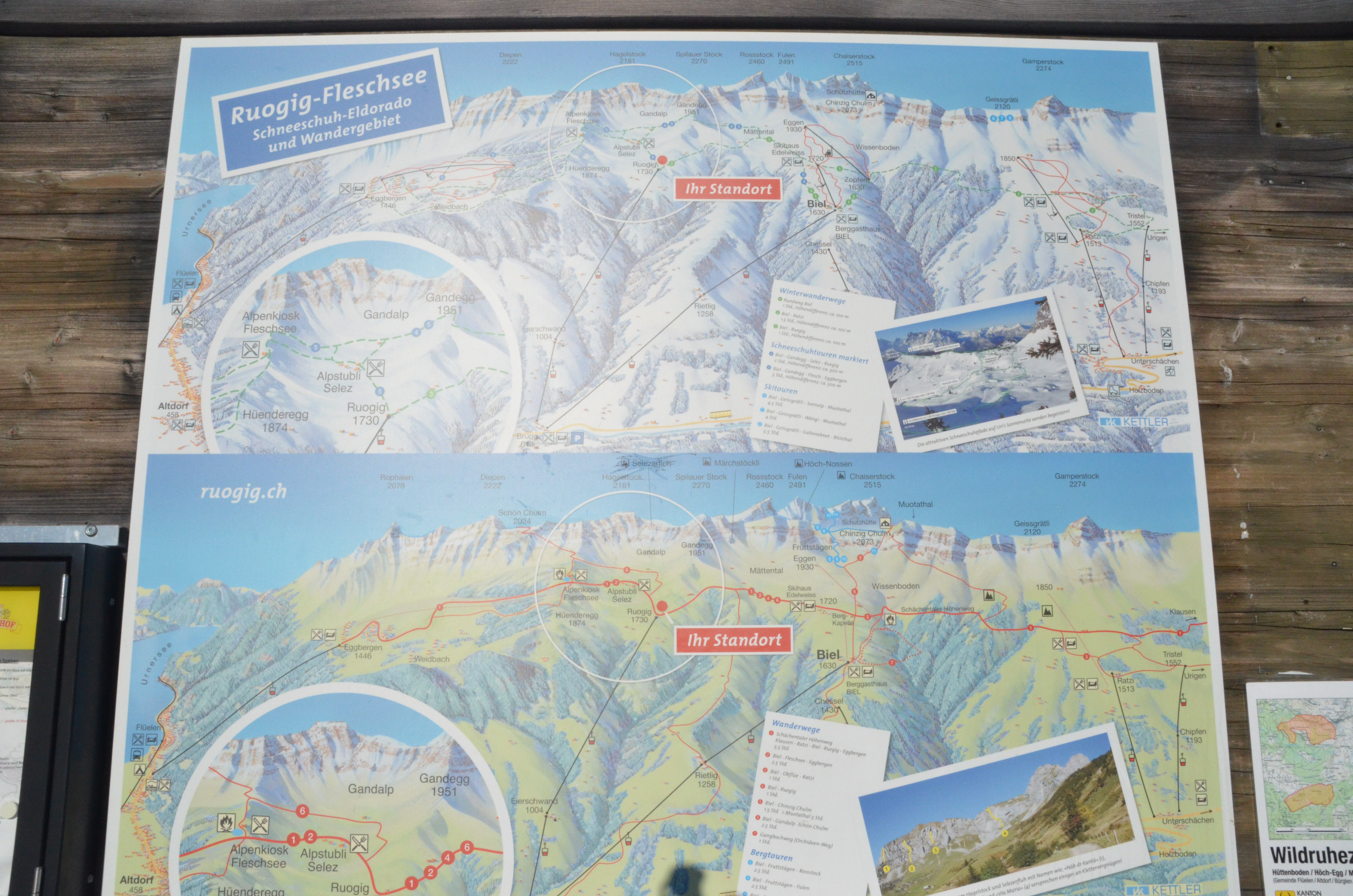
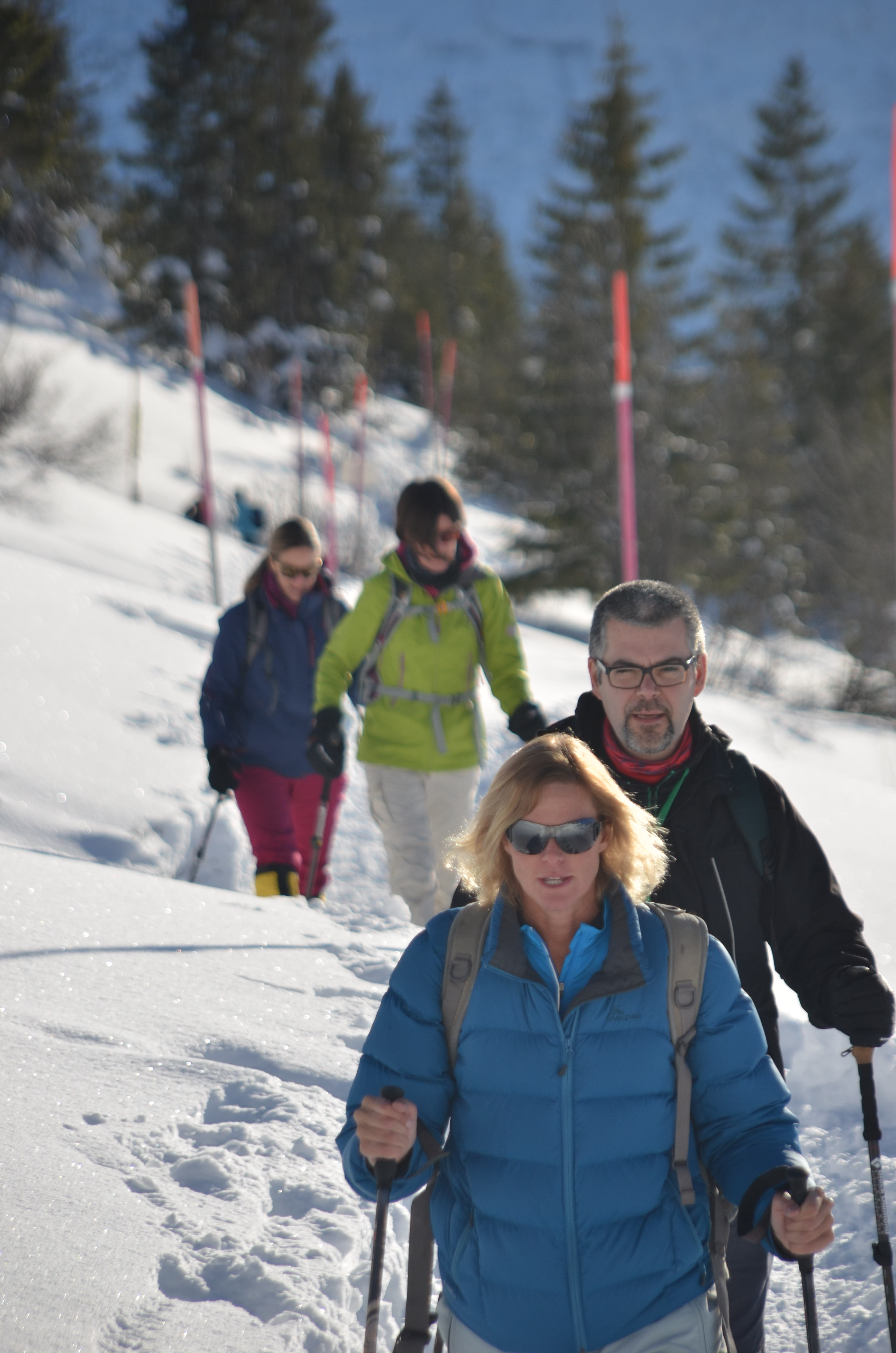
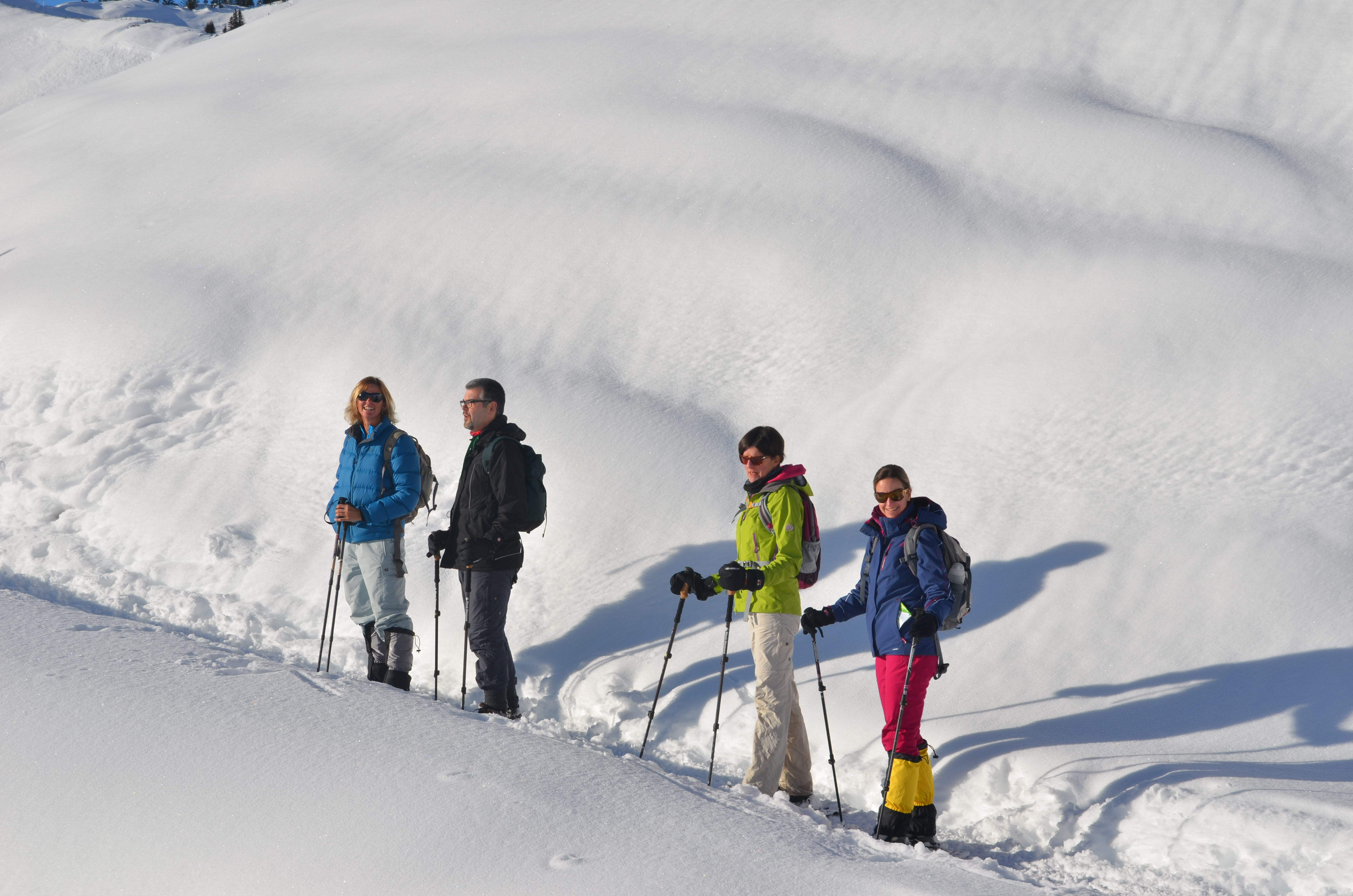
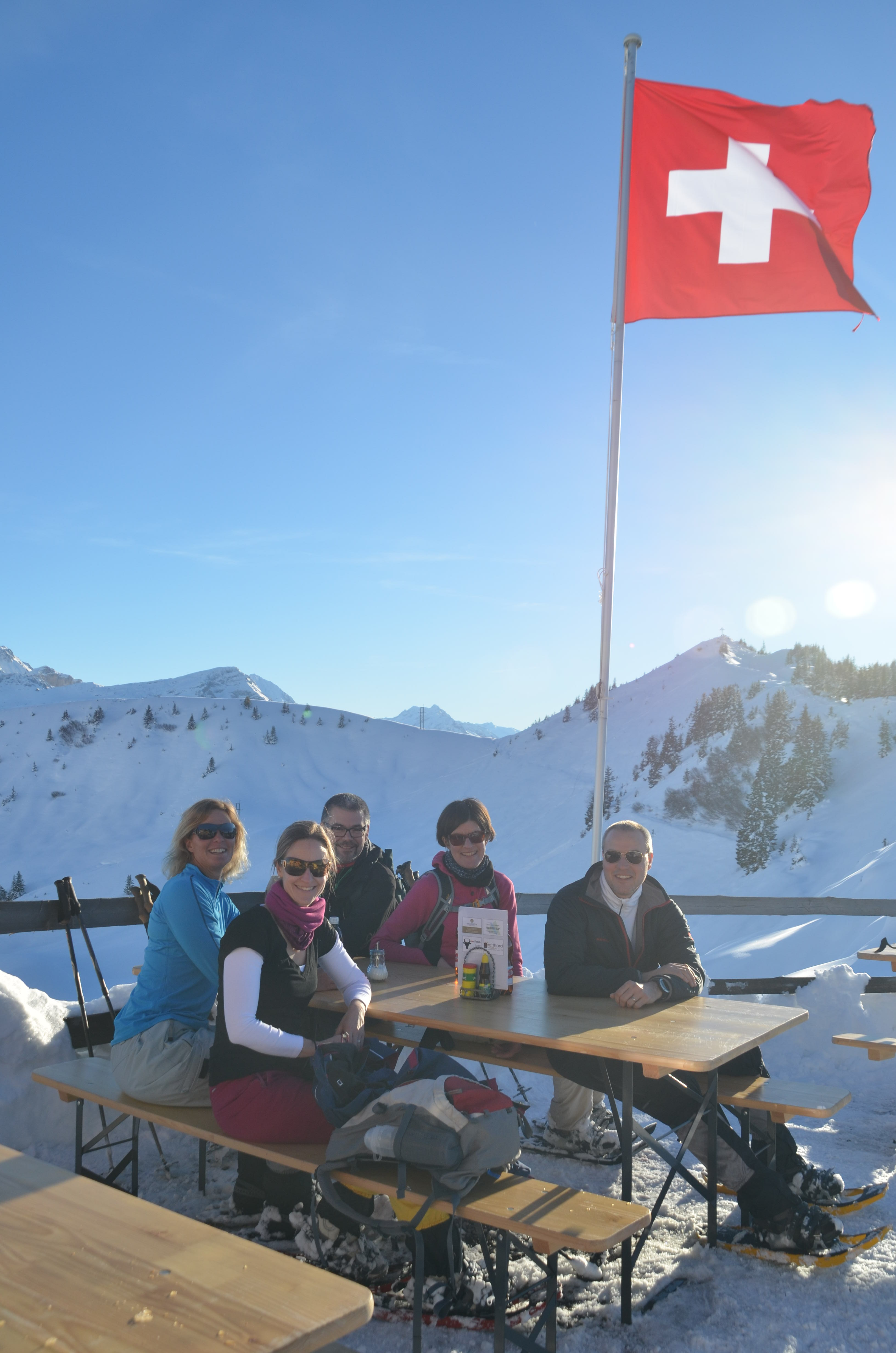
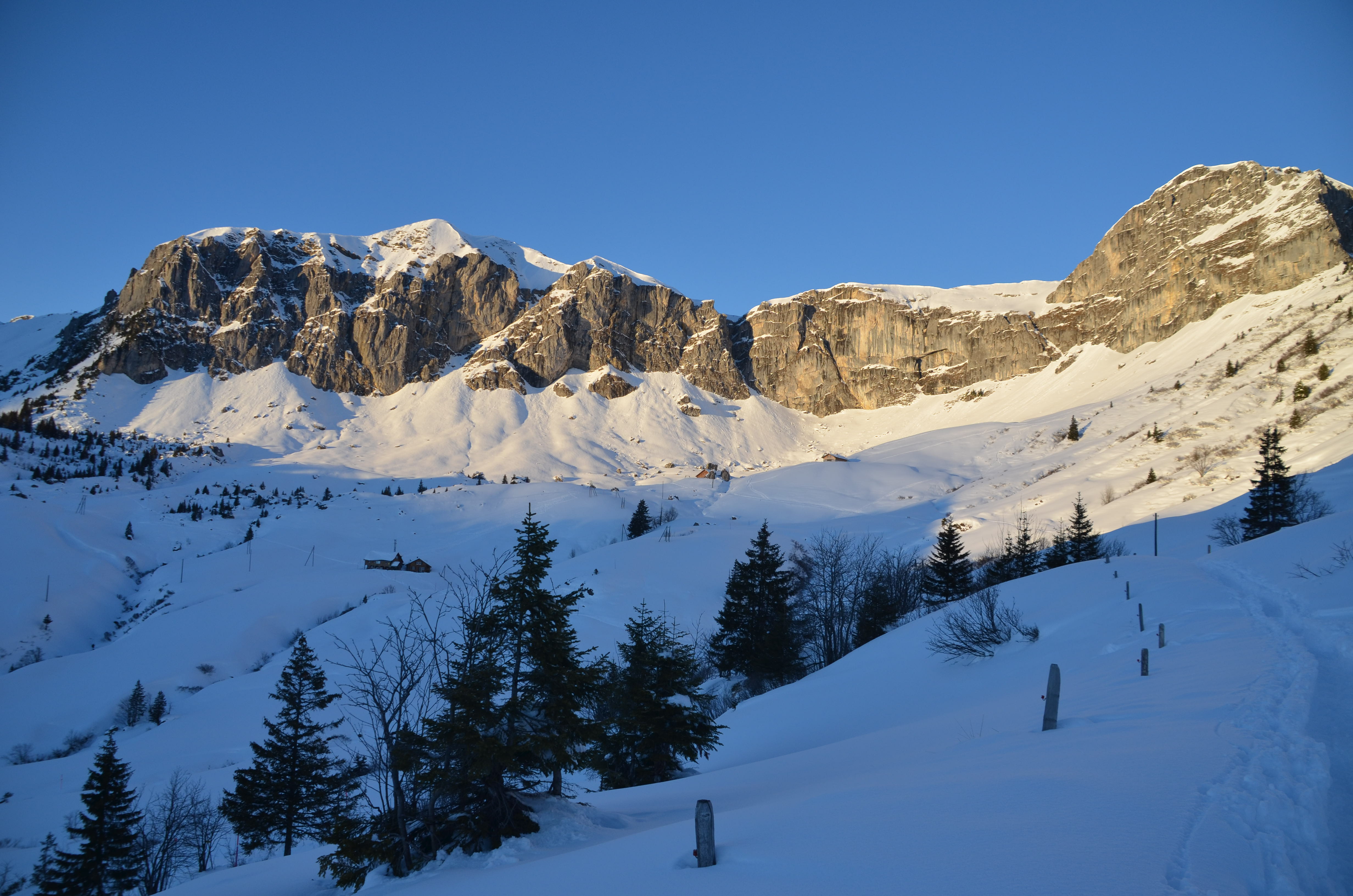
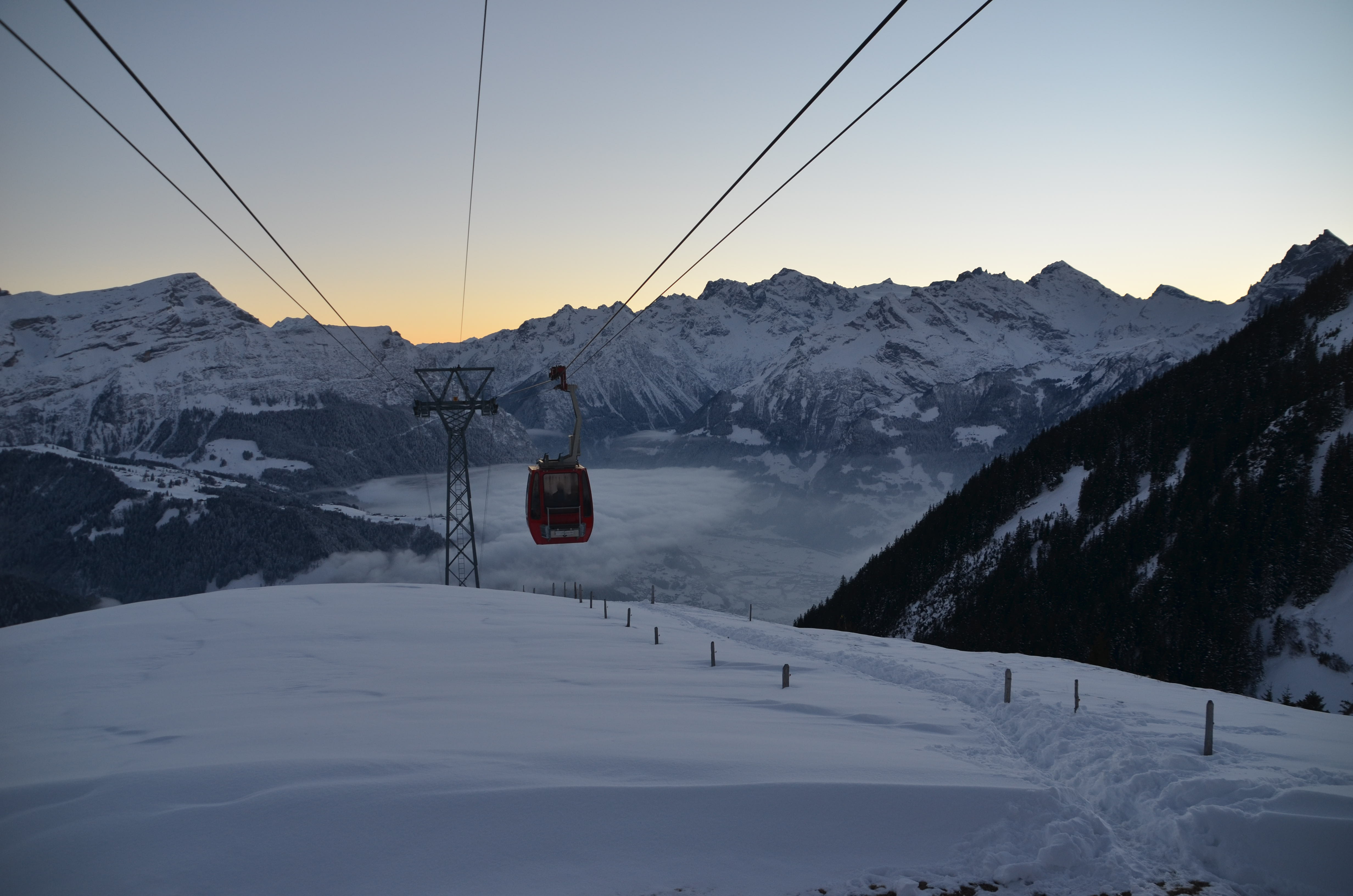
The plan was to go snow shoeing above Burglen which is next to Altdorf.  Steve decided his snow shoeing career was over for now so he stayed home.  There was a lot of low cloud but according to the webcam at the top of the Ruogig Gondola where we were heading it was a picture perfect day so off we went.

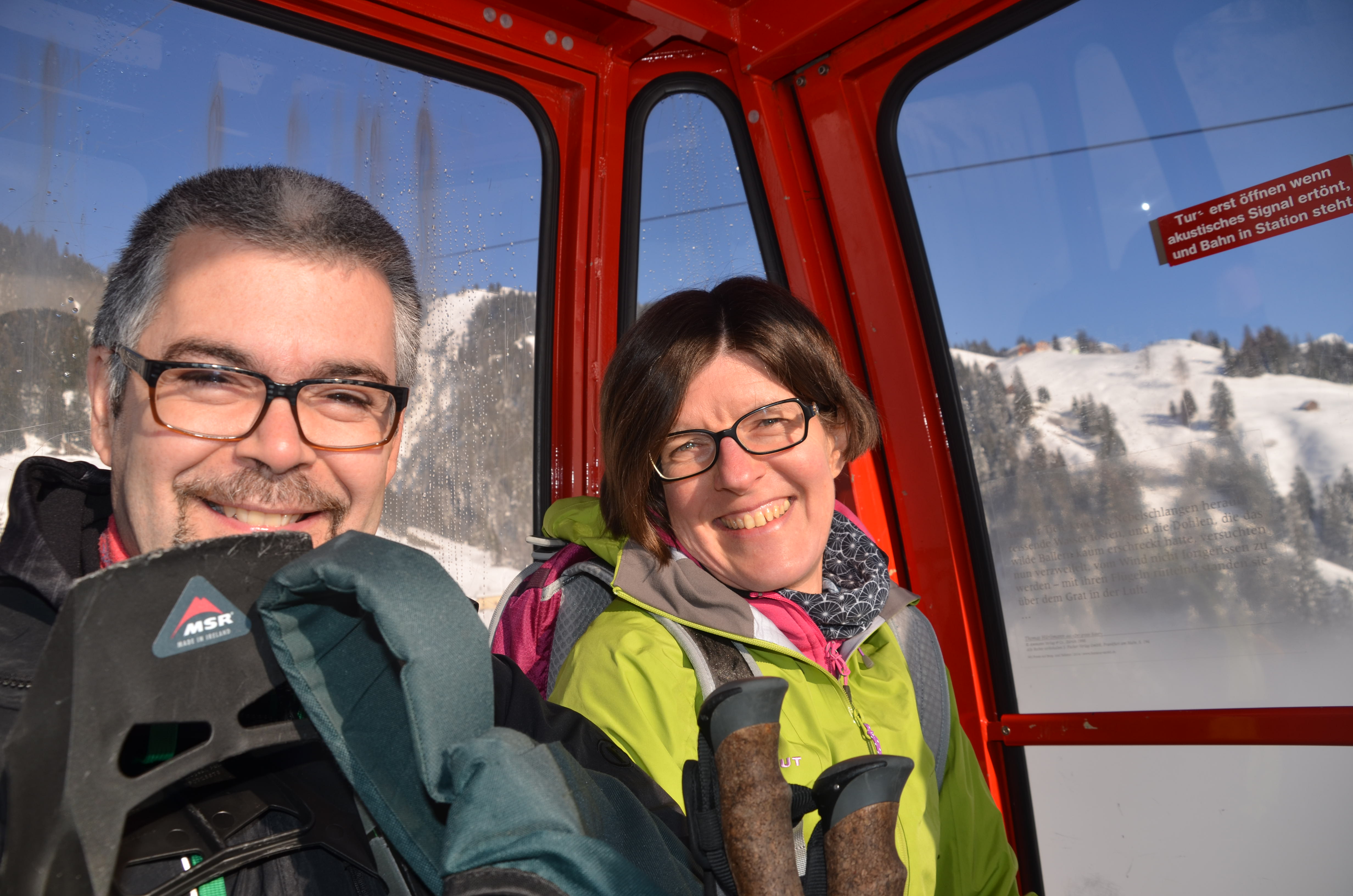
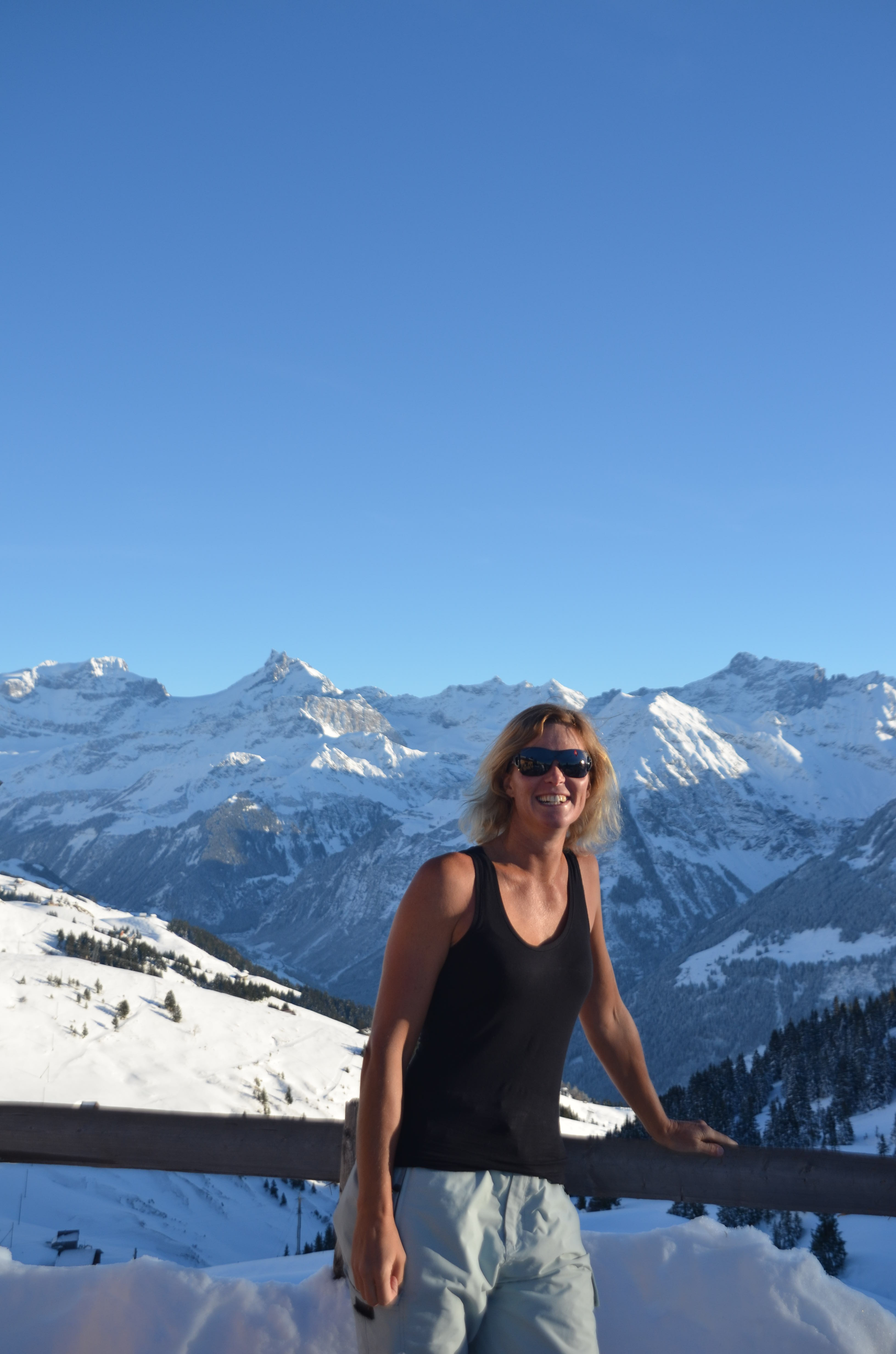
We had to catch two gondola’s up – the first one only seated four so we had to go in two lots.  The second gondola took six so we could all emerge out of the see fog into the glorious sunshine together.  It was magical.  I knew then that I truly am the SUNGRL – my heart sang as I felt that warm sunshine on my back : )

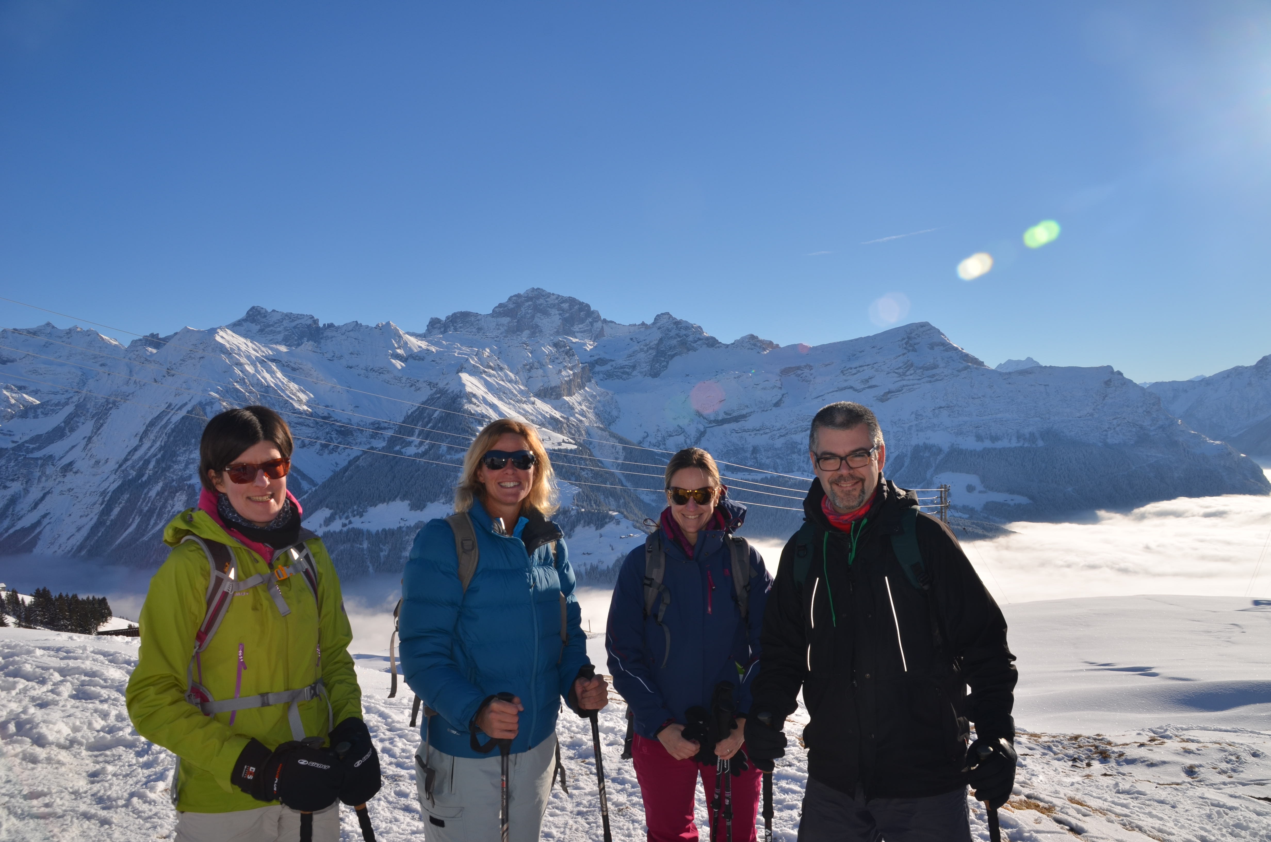
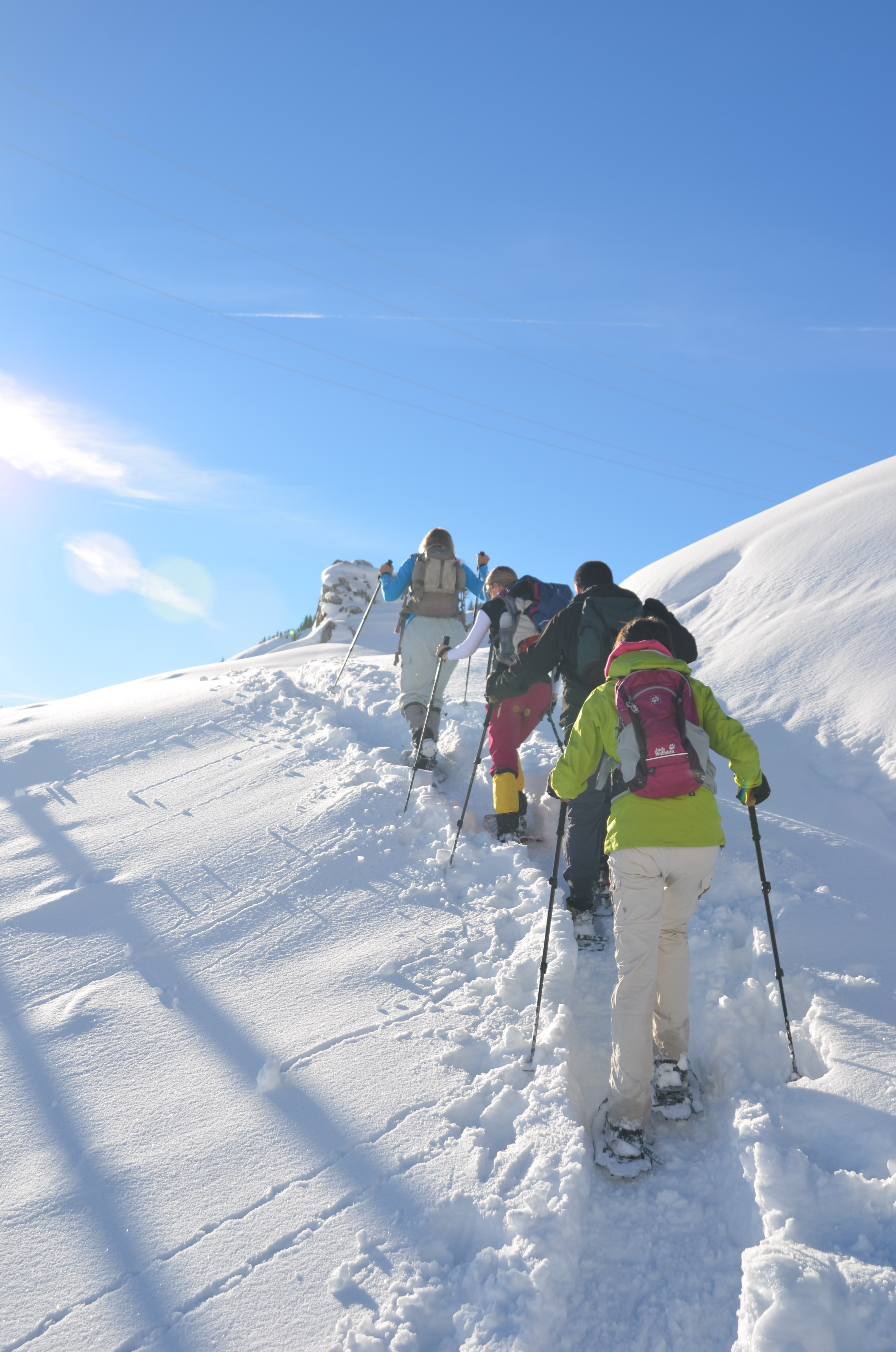
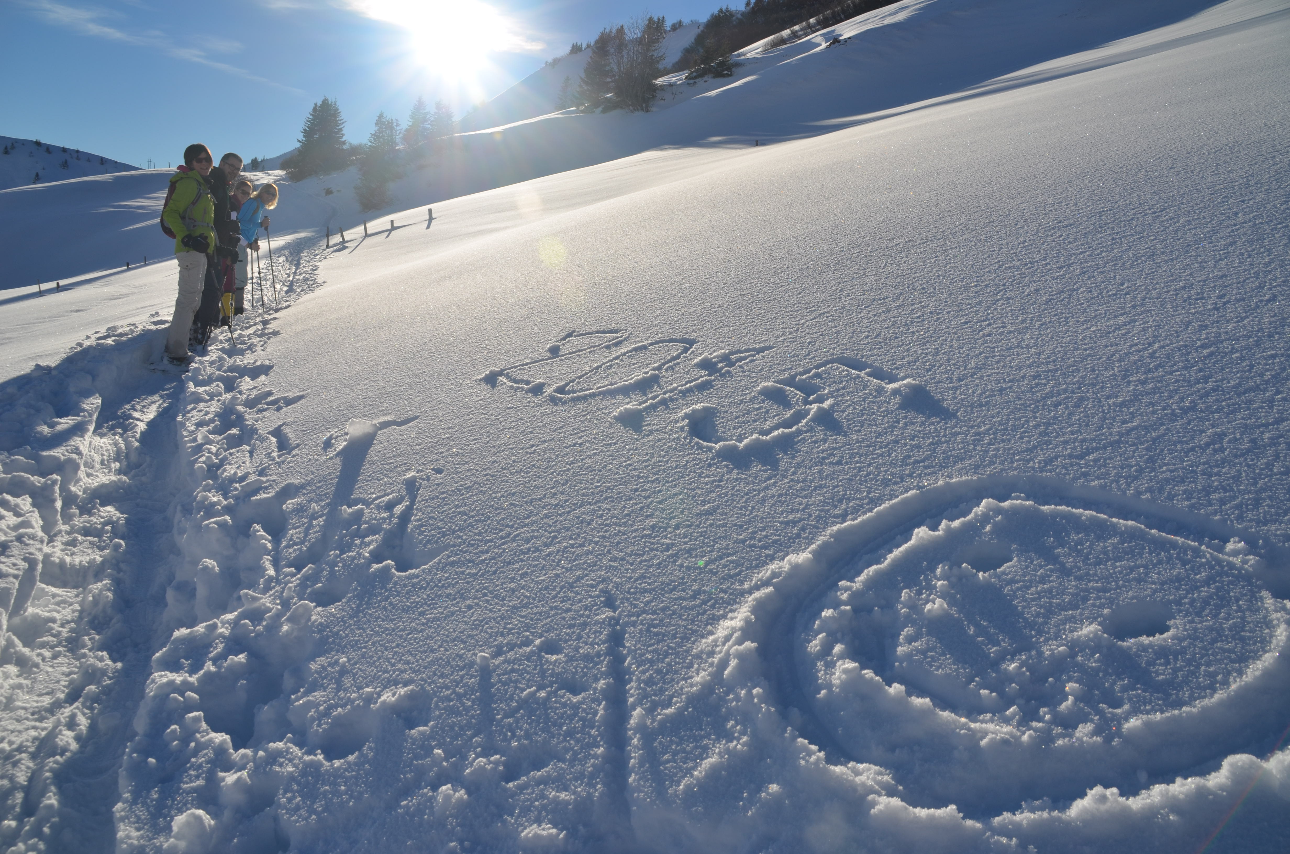
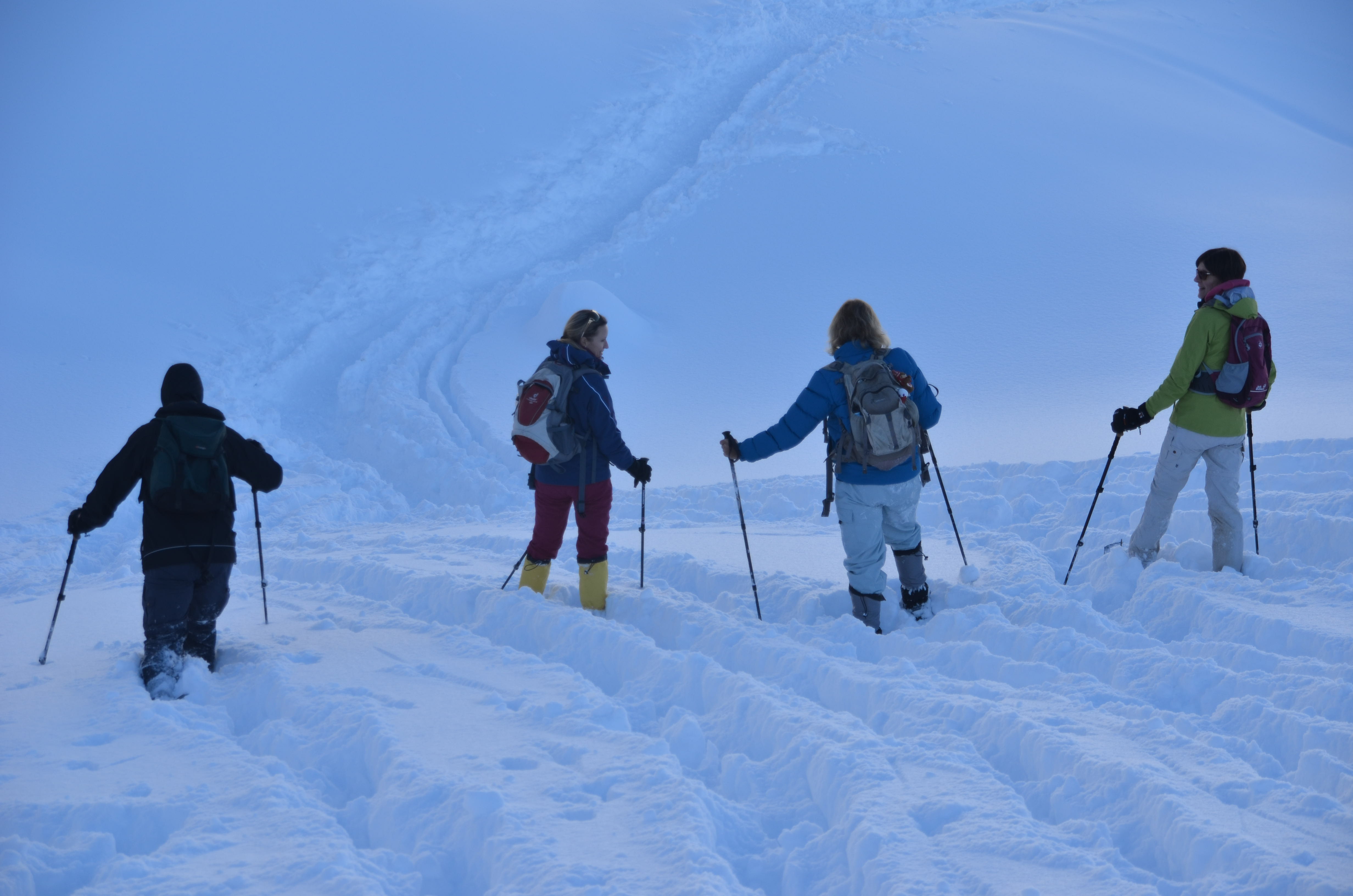
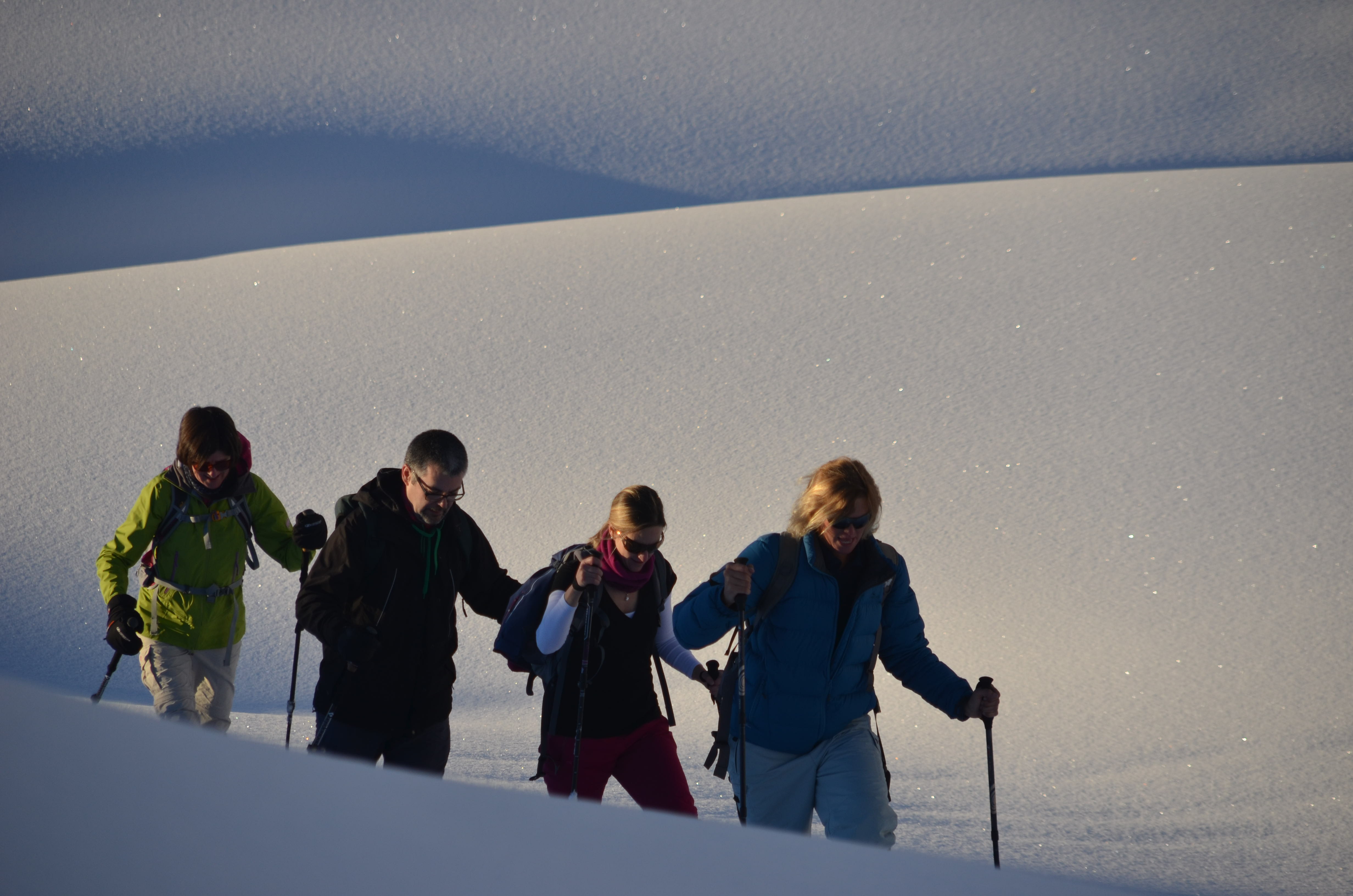
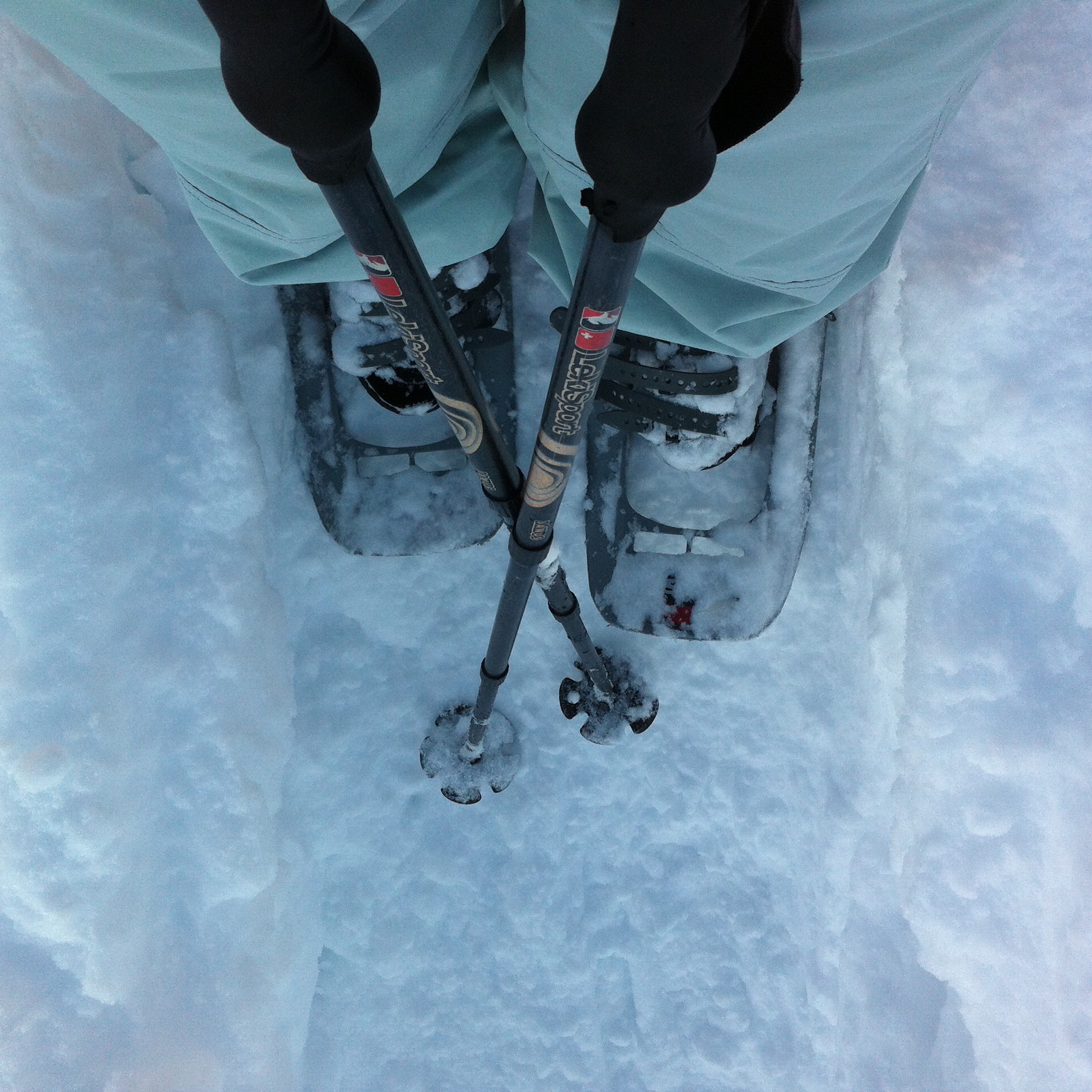
We got kitted up and off we went – it was a popular spot so the tracks had already been made.  It is still a good work out though.  We had about 2 hours of sunlight left so we did a loop up the valley and back down.  Shaun encouraged me to go into the deep snow and cut a path – it was so much fun.  I then fell over and could not get up so it was Karin and Shaun to the rescue.  We stopped for a drink near the top and I was so hot I stripped down to my singlet.  It didn’t take long for the sweat to get cold though so it was a short sharp cover up again – not before the odd pose though : )  On the way down we had some fun off trail running down in the soft snow – I also fell on my knees at one stage but managed to get myself upright again.

It was rush hour on the gondolas when we got back about 4.15pm so we had to wait a little while before we could descend.  It was nice to see the sun glow behind the mountains but this also meant we got chilly pretty fast.

Thanks to Paparazzi Elvis the pictures say it all…..

Snow-shoe hiking_2Snow-shoe hiking_3Snow-shoe hiking_5Snow-shoe hiking_6Snow-shoe hiking_7Snow-shoe hiking_11Snow-shoe hiking_15Snow-shoe hiking_16Snow-shoe hiking_18Snow-shoe hiking_21Snow-shoe hiking_22Snow-shoe hiking_24Snow-shoe hiking_26Snow-shoe hiking_36Snow-shoe hiking_37Snow-shoe hiking_40Snow-shoe hiking_43Snow-shoe hiking_48Snow-shoe hiking_56Snow-shoe hiking_57Snow-shoe hiking_61Snow-shoe hiking_68Snow-shoe hiking_70

/home/wpcom/public_html/wp-content/blogs.dir/eb7/67251693/files/2015/01/img_5699.jpg

/home/wpcom/public_html/wp-content/blogs.dir/eb7/67251693/files/2015/01/img_5701.jpg

We got back home about 6pm and farewelled Beth and Shaun who were heading home to the Jura. Our day was not over yet though – it was a quick change around of clothes and we were off sledging by moonlight. Steve had had all day to prepare himself.

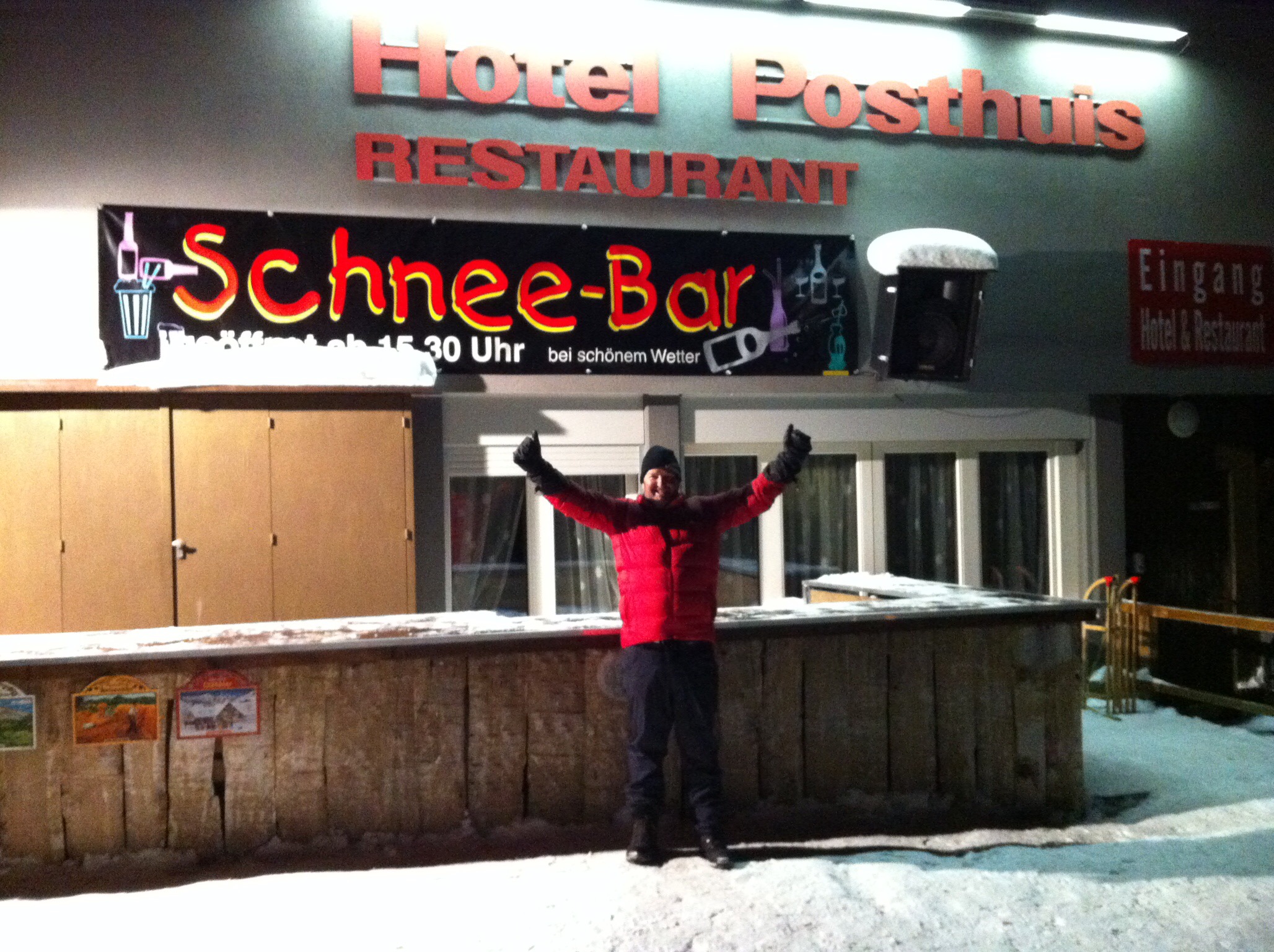
We drove about half an hour to Melchsee Frutt in the next canton of Opwalden. It is a ski resort. The carpark is about 1,000 metres up and you then catch a gondola up to approximately 2,000 metres. There are hotels and restaurants up there. We had dinner at Hotel Posthuis which was a bustling metropolis on New Years night. Karin, Elvis and I opted for the fondue – when in Switzerland and all. Steve had a schnitzel. We hadn’t had lunch so the bread and hot runny cheese went down a treat although I didn’t know when to stop so I think I will be off cheese for a while now : (

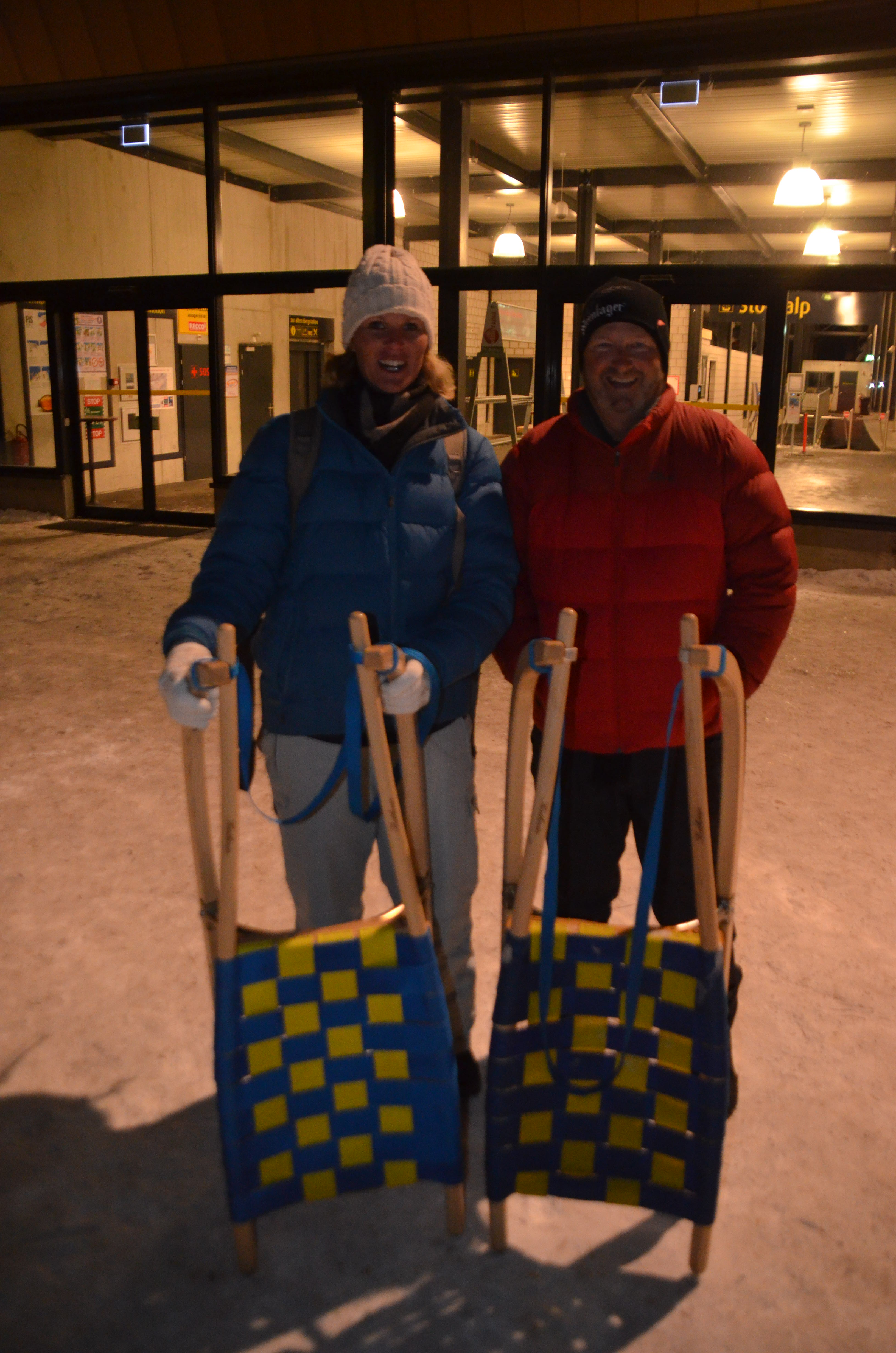
We had bought the sledges up with us on the gondola and parked them in the sledge parking lot outside the restaurant. We got kitted up and ready for our adventure. Elvis gave us some wise words of advice and off we went – we were sledging back down to the carpark, effectively 1,000 metres. The trail winds itself down the valley and is well prepared. We took a little bit to get used to steering and stopping but it was so much fun. We had lamps but we didn’t use them as the moonlight was perfect and our eyes adjusted accordingly. We had a number of stops down the valley just to take in the breathtaking scenery and stillness of the night. No words or pictures can describe it – the images are securely locked in my memory.

There was a group of about 6 young people hooning down the trail so we let them pass. They had lamps on – wussies! Anyway we came across them a bit further down and two of them had failed sledging 101’s first rule – don’t let go of the rope on the sledge! If you fall off, the sledge will invariably keep going – they had to climb down the side of the trail into the abyss to retrieve their sledges. They soon caught us up again and we let them pass – it was too perfect a night to share it with them.

It took us about an hour to get down – it was fantastic and if it hadn’t been 10pm which is when the trail closes I would have done it all again as would Steve who also had a ball. We then drove home to begin the task of packing for our journey home……

Moonlight Sledging_1Moonlight Sledging_2Moonlight Sledging_3/home/wpcom/public_html/wp-content/blogs.dir/eb7/67251693/files/2015/01/img_5710.jpg/home/wpcom/public_html/wp-content/blogs.dir/eb7/67251693/files/2015/01/img_5712.jpgMoonlight Sledging_4Moonlight Sledging_5

Posted in Switzerland | Leave a comment

New Year’s Celebrations – Switzerland

On the 31st Elvis went skiing with his friend Christophe and Karin & I went to Altdorf to get some more supplies for New Years Eve.  It had stopped snowing but remained cold.  Karin and I decided to build a snow bar next to Mr Mi for the evening’s celebrations.

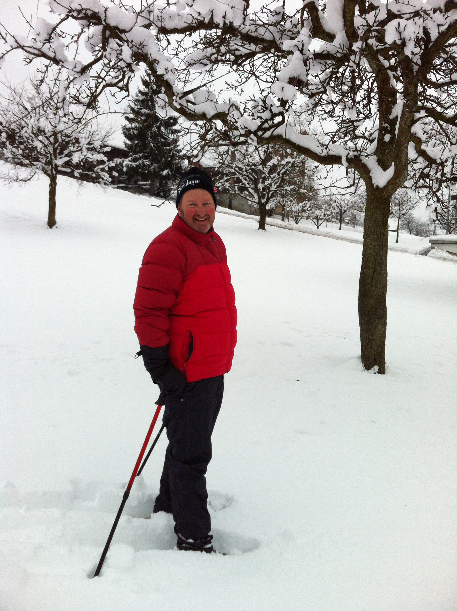
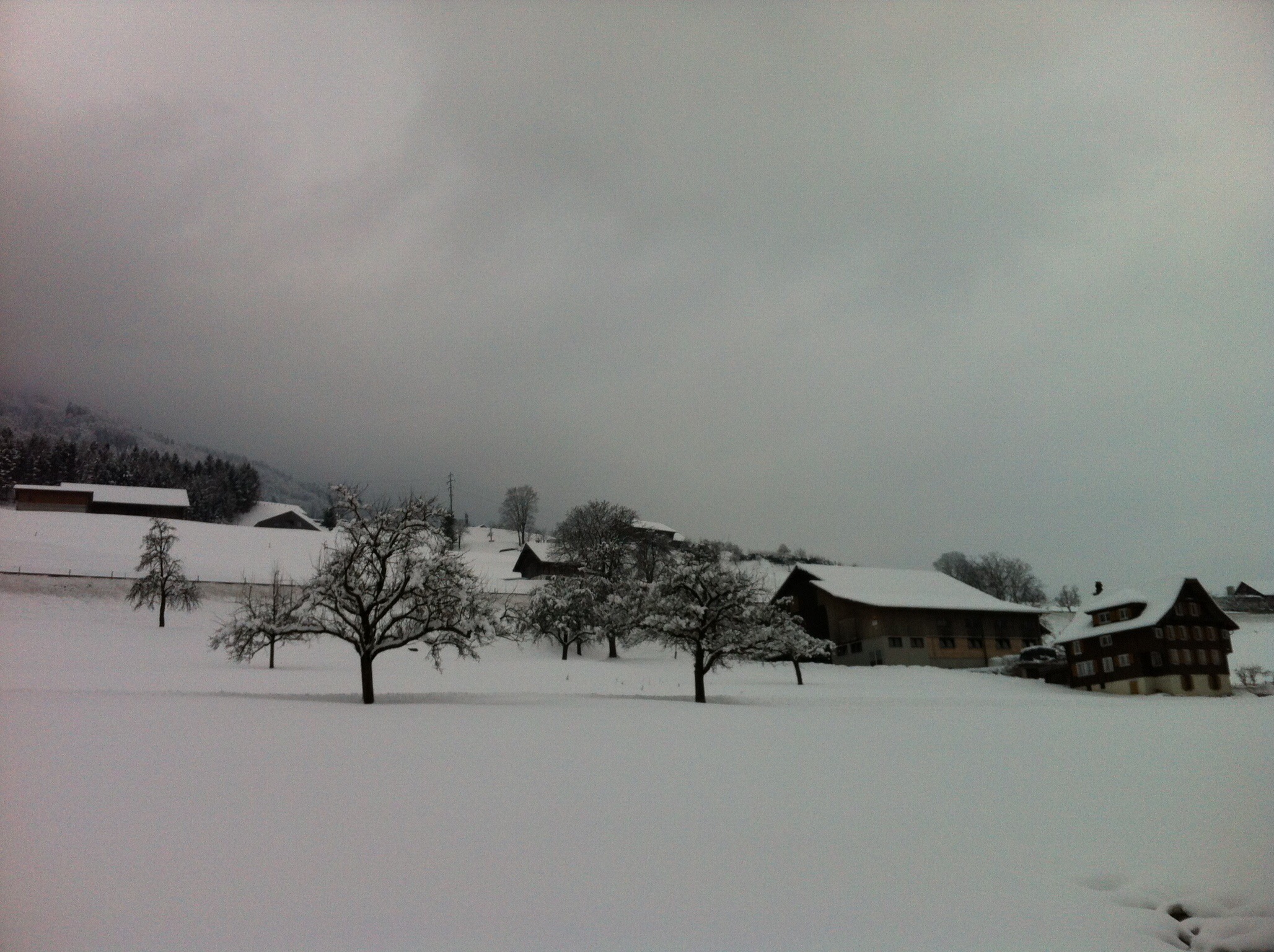
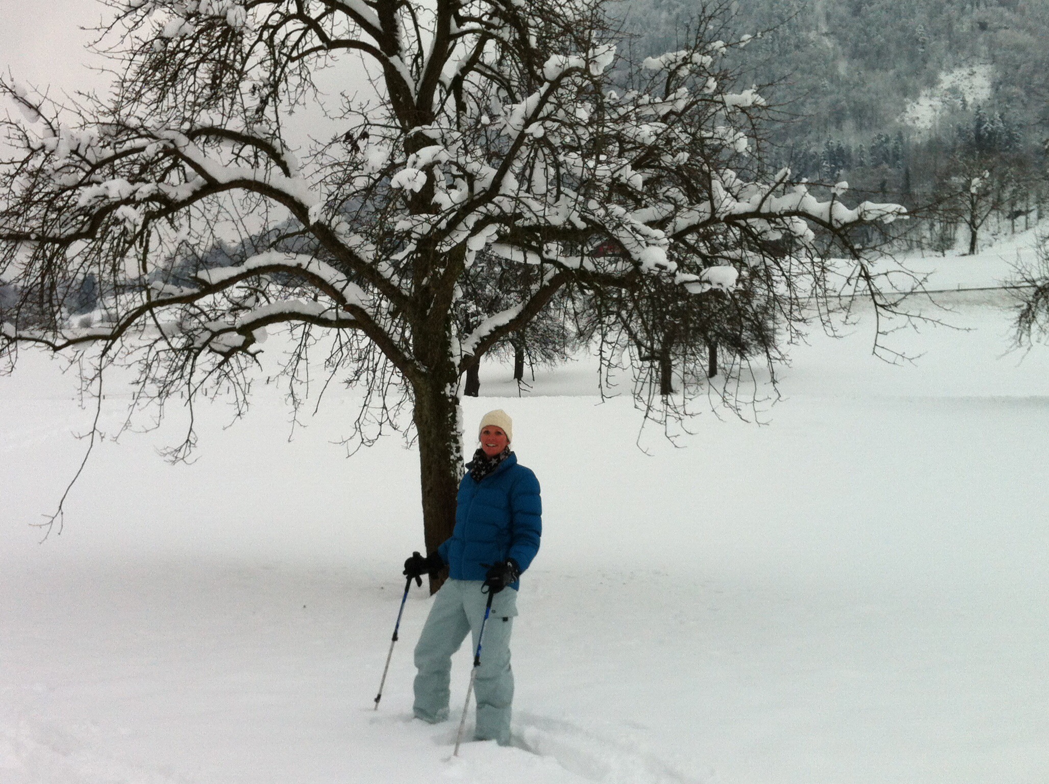
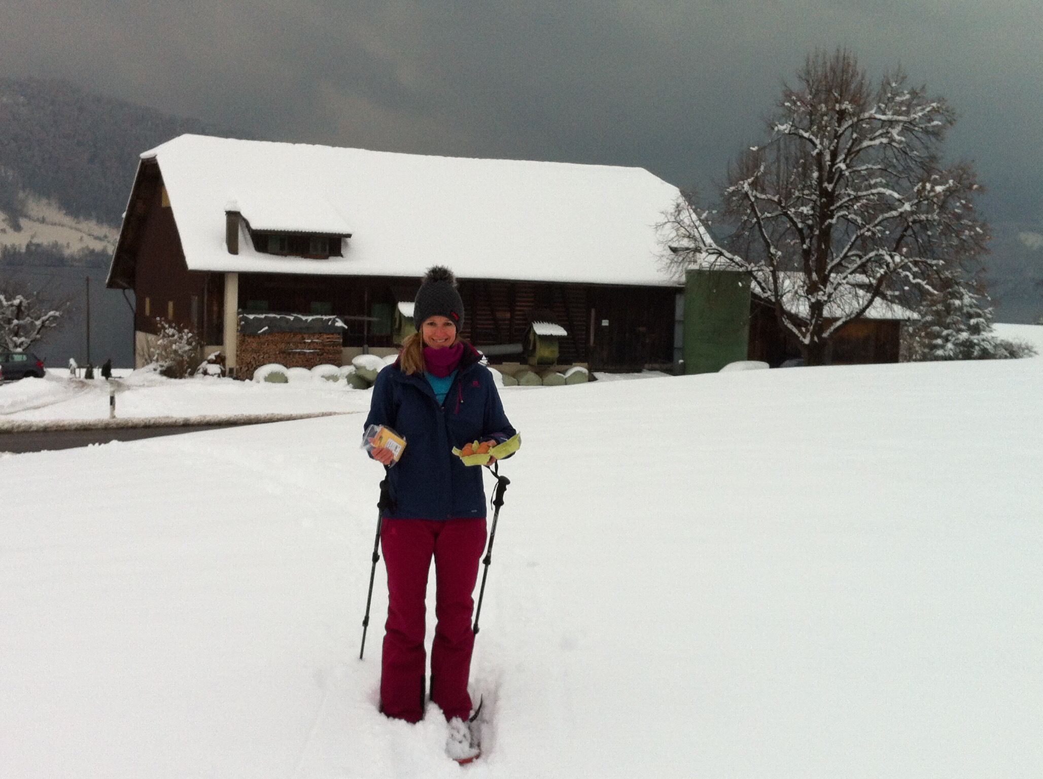
In between shopping and building the ice bar we went snow shoeing to the local farmers to buy some eggs and cheese. Steve joined us this time and quite enjoyed himself.

/home/wpcom/public_html/wp-content/blogs.dir/eb7/67251693/files/2015/01/img_5683.jpg

/home/wpcom/public_html/wp-content/blogs.dir/eb7/67251693/files/2015/01/img_5675.jpg

/home/wpcom/public_html/wp-content/blogs.dir/eb7/67251693/files/2015/01/img_5677.jpg

/home/wpcom/public_html/wp-content/blogs.dir/eb7/67251693/files/2015/01/img_5679.jpg

/home/wpcom/public_html/wp-content/blogs.dir/eb7/67251693/files/2015/01/img_5680.jpg

Originally there were going to be seven of us for dinner but that became nine after Christophe and his friend Tino decided to join us as well.  Beth and Shaun who we had met before were also coming as well as Elvis’s brother Manuel.

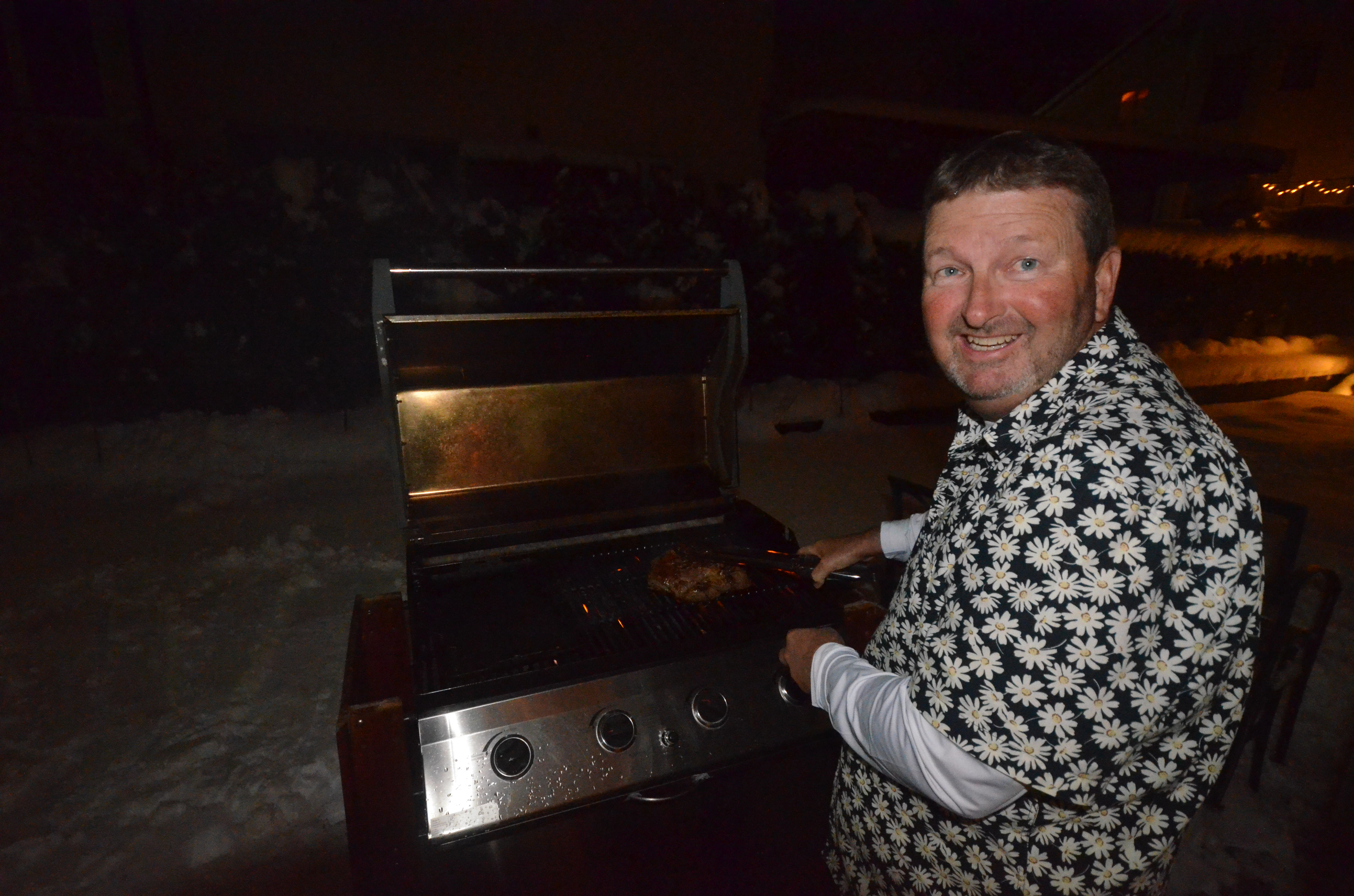
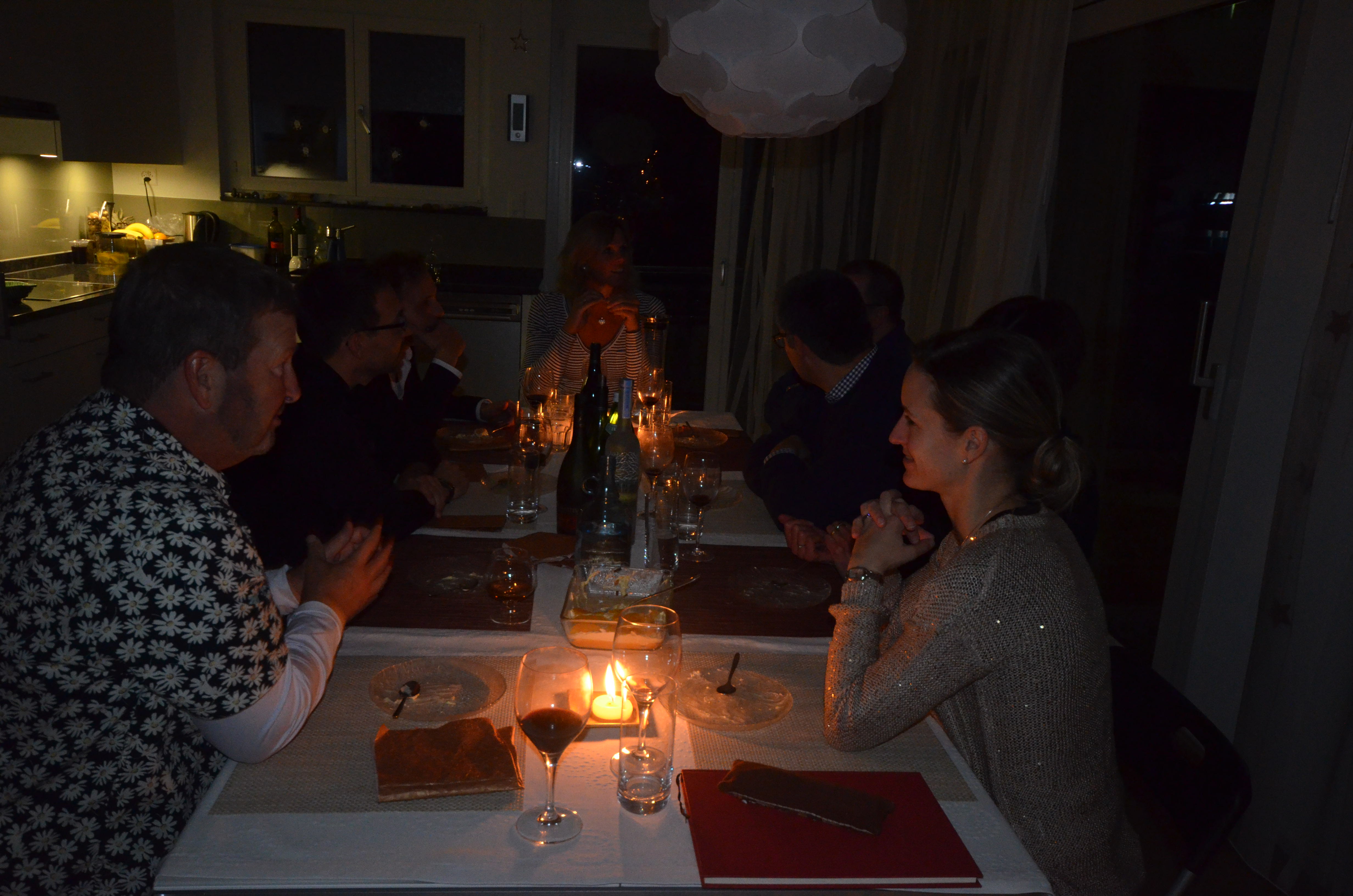
Steve cooked a big piece of lamb on the BBQ – 1.5 kilograms.  The Swiss don’t eat a lot of meat so they were in awe of this piece of lamb – just another Wednesday night for us Kiwi’s.  Karin made potato salad and we also had beans and carrots.  Beth had made the starters which included artichokes marinated in wild basil pesto – very nice.  In between the main and dessert some of us went for a walk down to the lake and up to the church – the fresh air was welcome after a cocktail of mulled wine, champagne, sauvignon blanc and red wine.  When we got back we enjoyed orange Tiramisu made by Karin which was delicious.

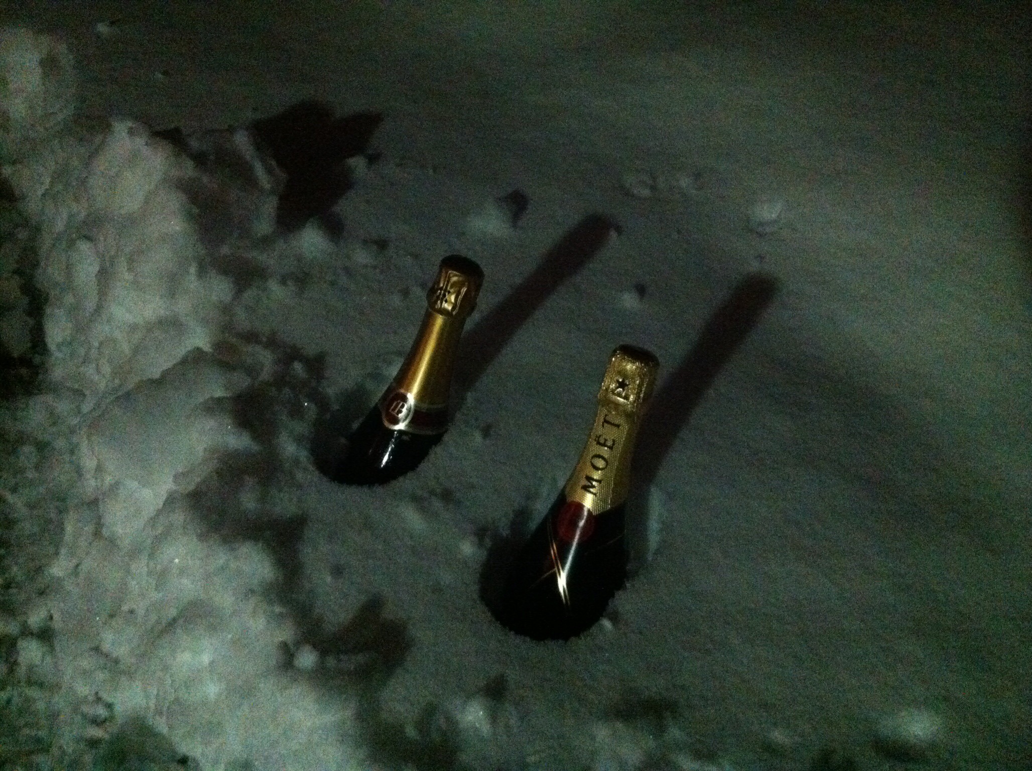
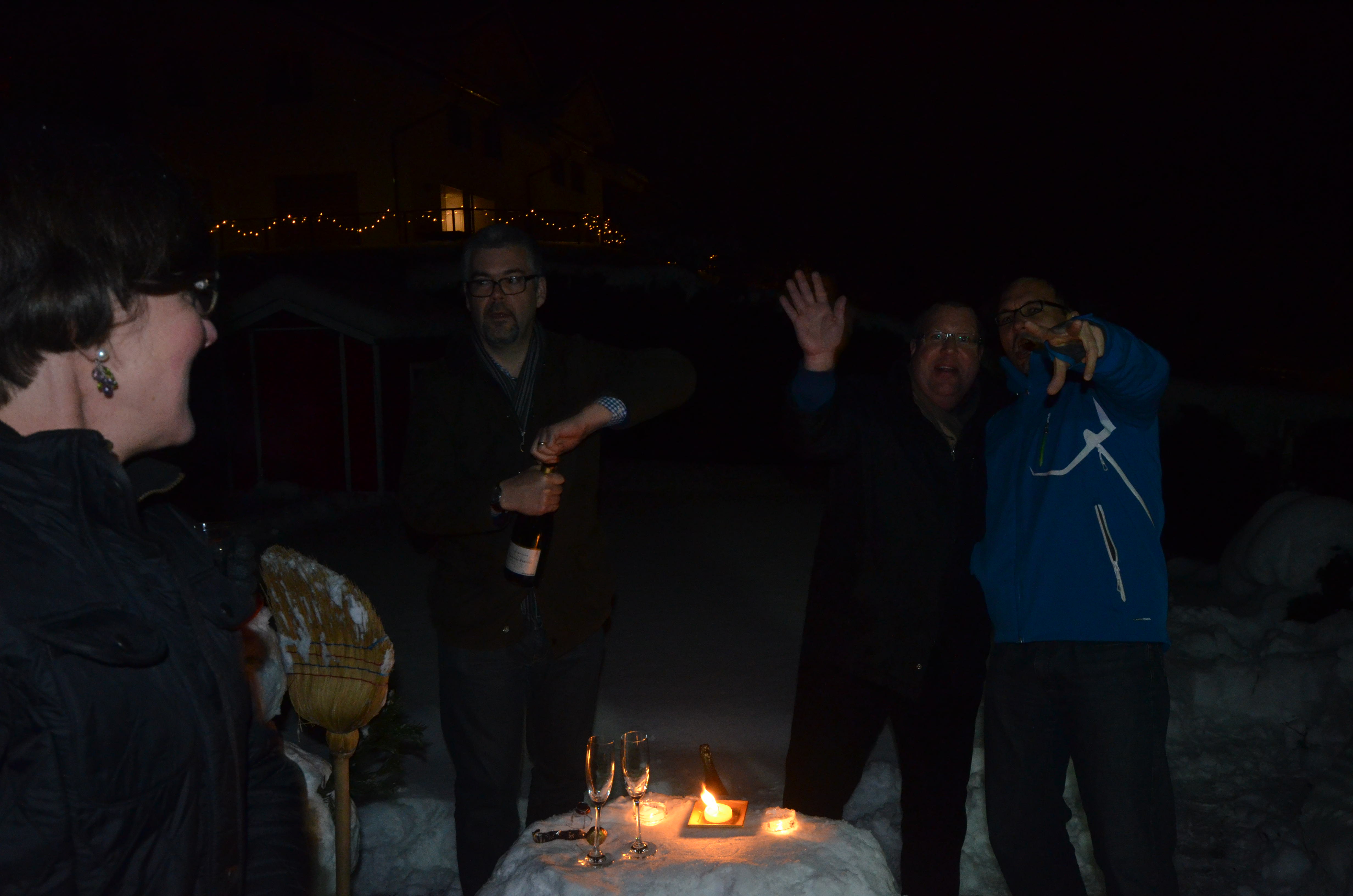
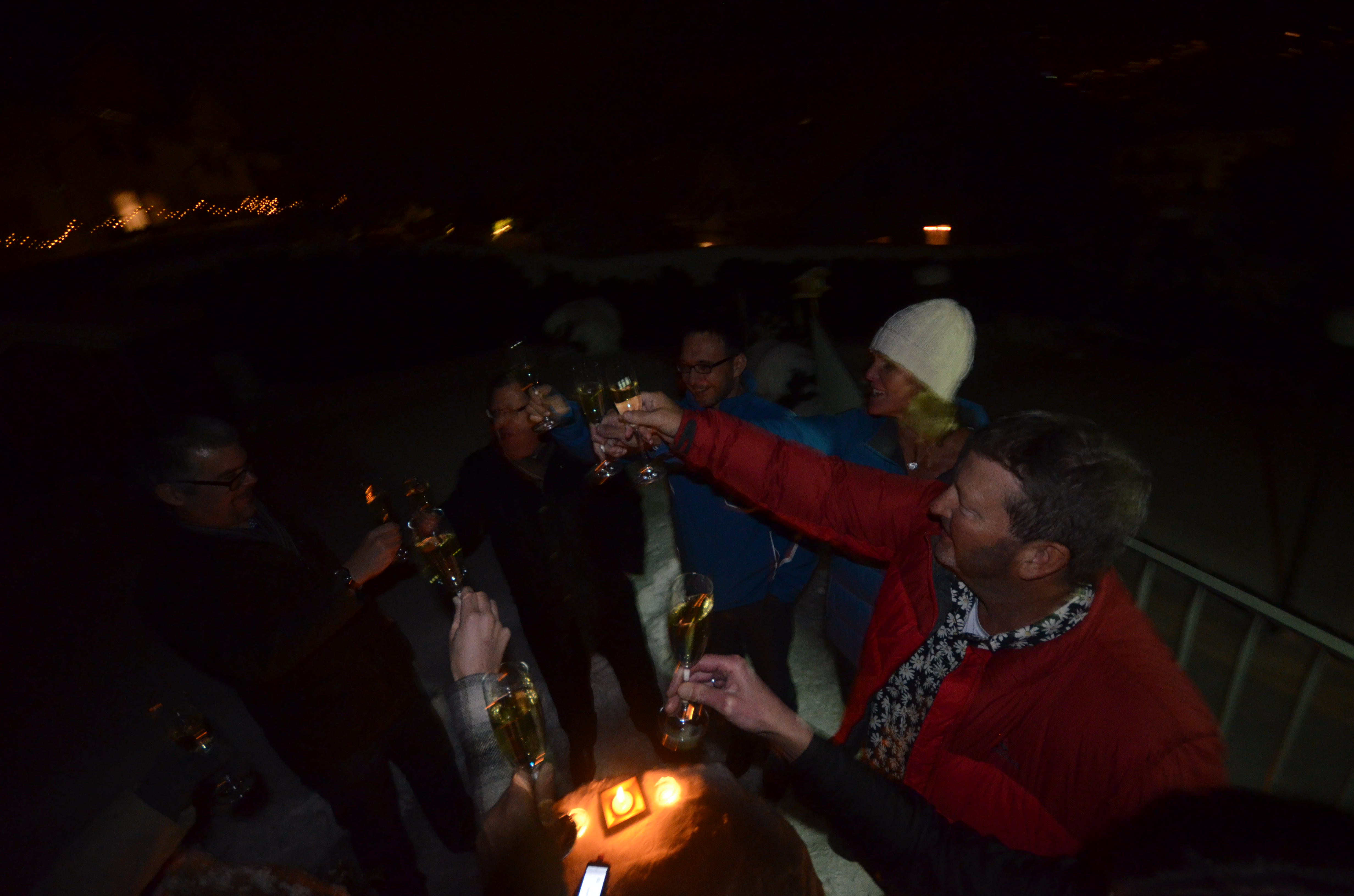
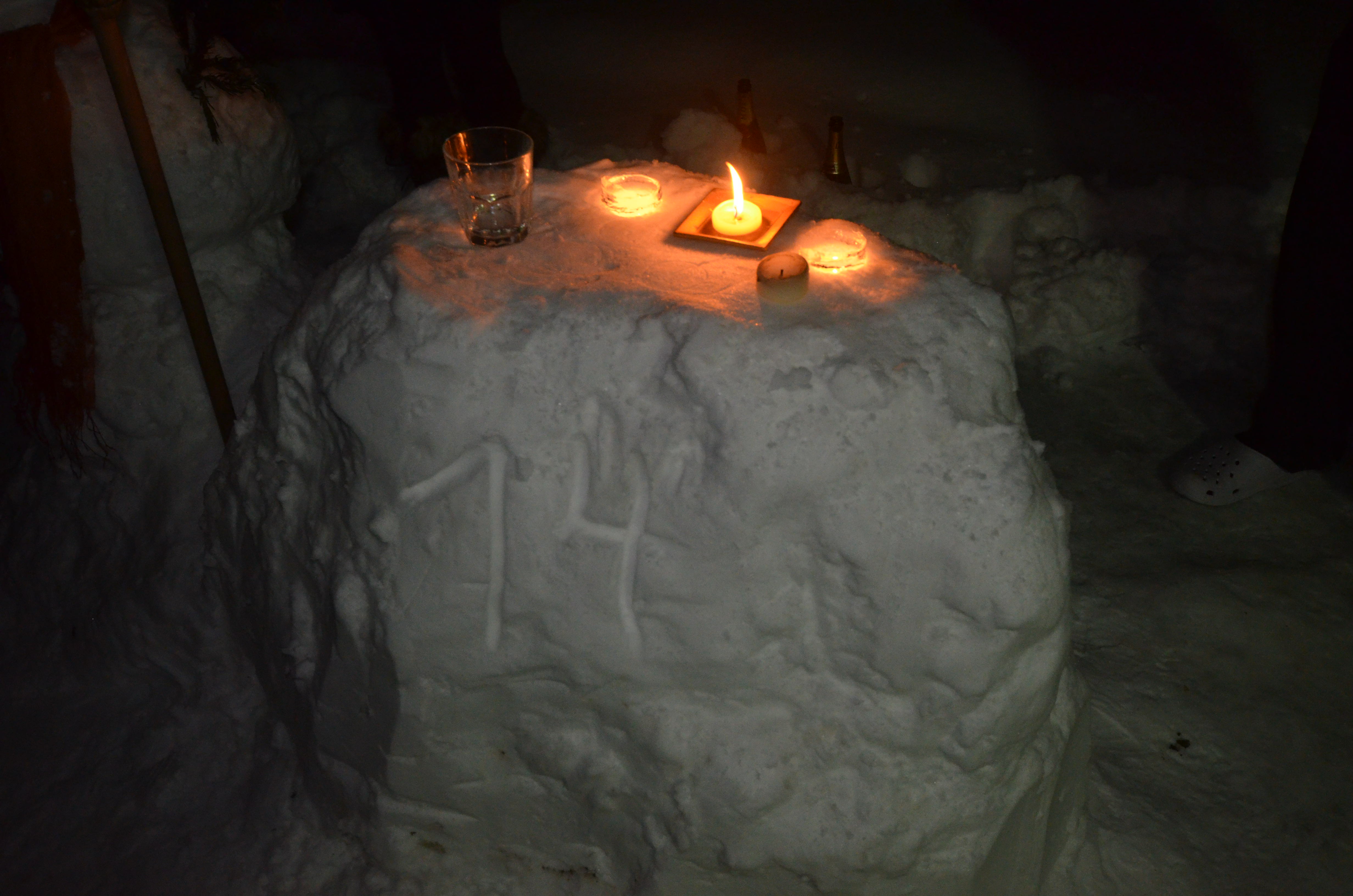
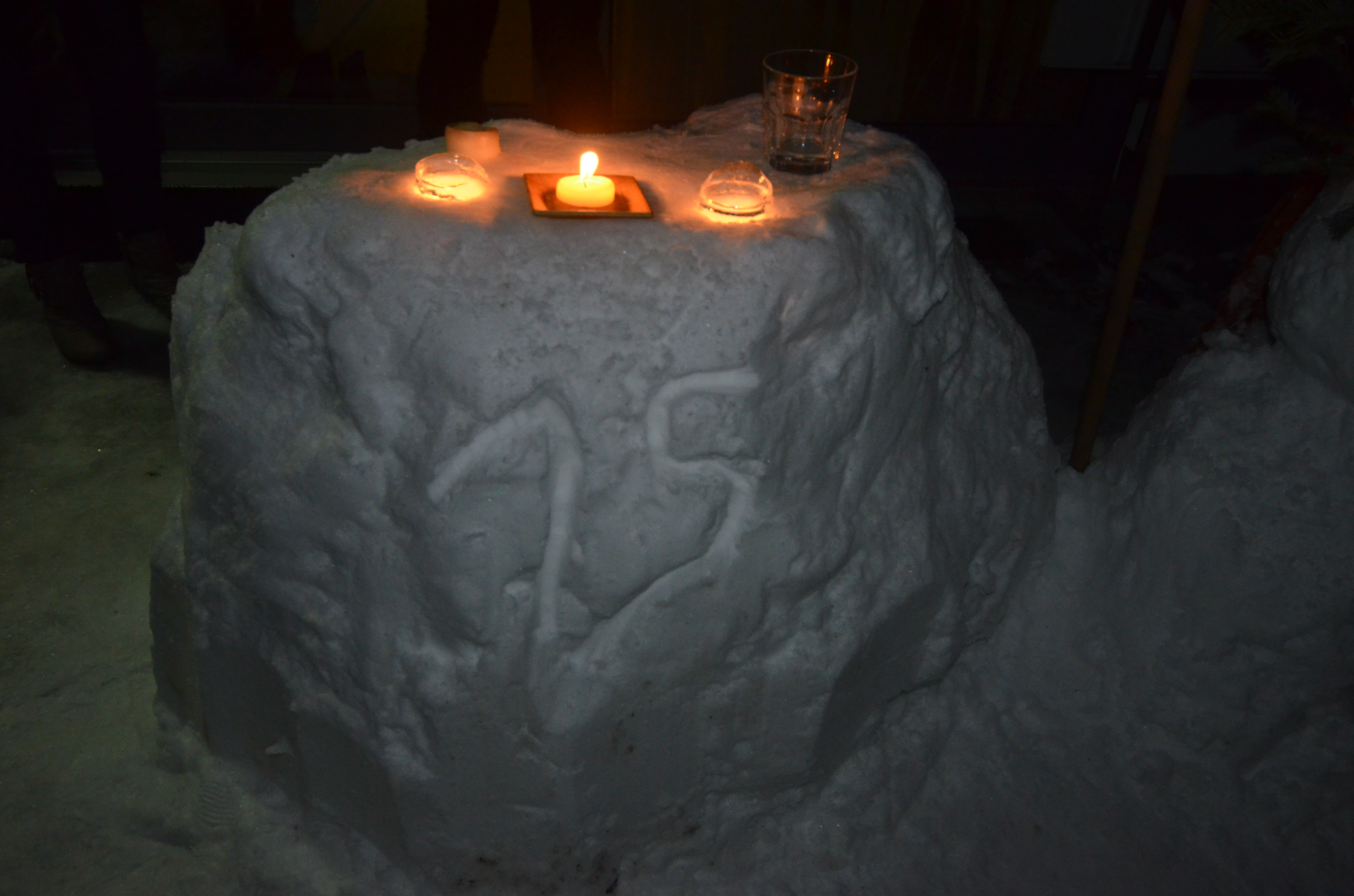
We all rugged up and went out to the snow bar about 11.50pm to do the countdown into 2015.  We had put the French champagne on snow so it was the perfect temperature for our New Year’s toast.  There were fireworks going on in the surrounding villages and they looked very pretty as they soared above the lake.

We lasted about half an hour outside before retreating into the warmth to drink and chat some more.  We eventually finished up about 2.30am!  It was great to share New Years Eve with Karin & Elvis and their friends : )
/home/wpcom/public_html/wp-content/blogs.dir/eb7/67251693/files/2015/01/img_5688-0.jpgNew Year Celebration_1New Year Celebration_16New Year Celebration_19New Year Celebration_22New Year Celebration_26New Year Celebration_30New Year Celebration_32New Year Celebration_35New Year Celebration_36

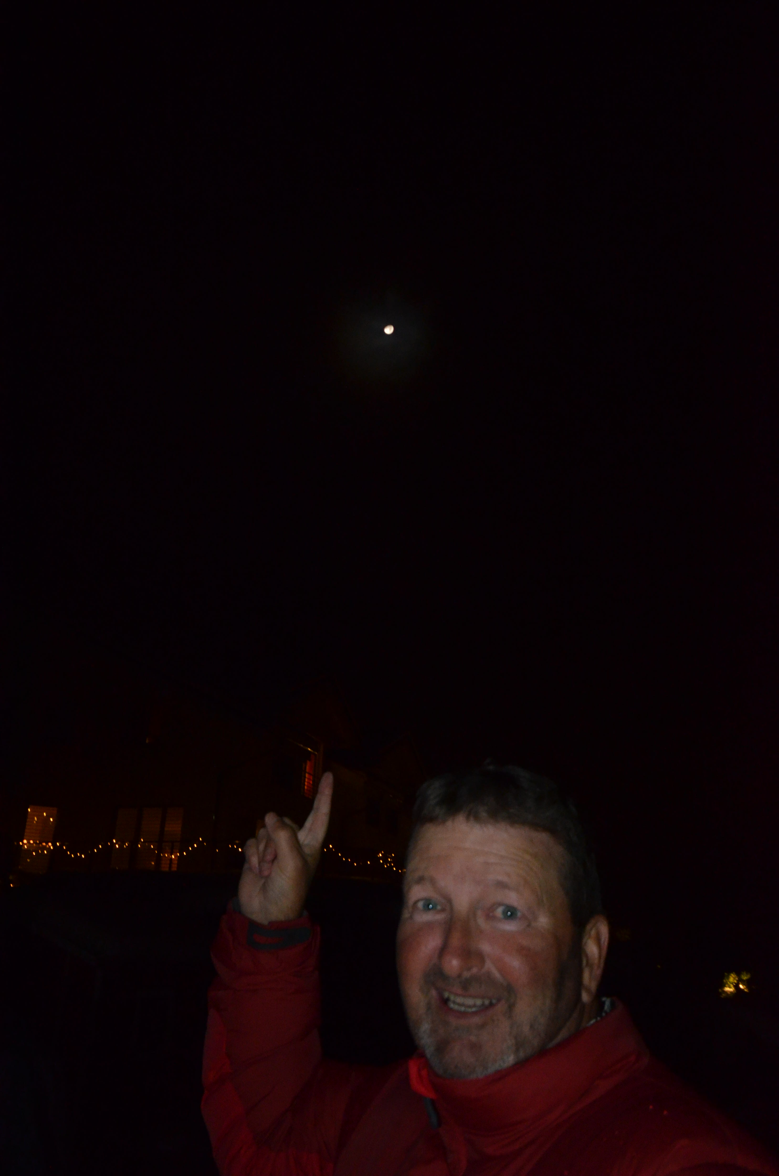
Steve had obviously had too much to drink as he thought the moon was a shooting star!
New Year Celebration_33

Happy New Year everyone – may 2015 be all you want it to be.

Posted in Switzerland | Leave a comment

2014 Blog Stats in Review – Happy New Year SUNGRL Followers

The WordPress.com stats helper monkeys prepared a 2014 annual report for this blog.

Here's an excerpt:

A New York City subway train holds 1,200 people. This blog was viewed about 6,000 times in 2014. If it were a NYC subway train, it would take about 5 trips to carry that many people.

Click here to see the complete report.

Posted in Uncategorized | 1 Comment

Snow Fun – Switzerland

On returning from our Glacier Express experience Steve had planned on cooking lamb on the BBQ. He hadn’t factored in that it would snow while we were away so off he went into the cold to cook our dinner : )
/home/wpcom/public_html/wp-content/blogs.dir/eb7/67251693/files/2014/12/img_5104.jpg

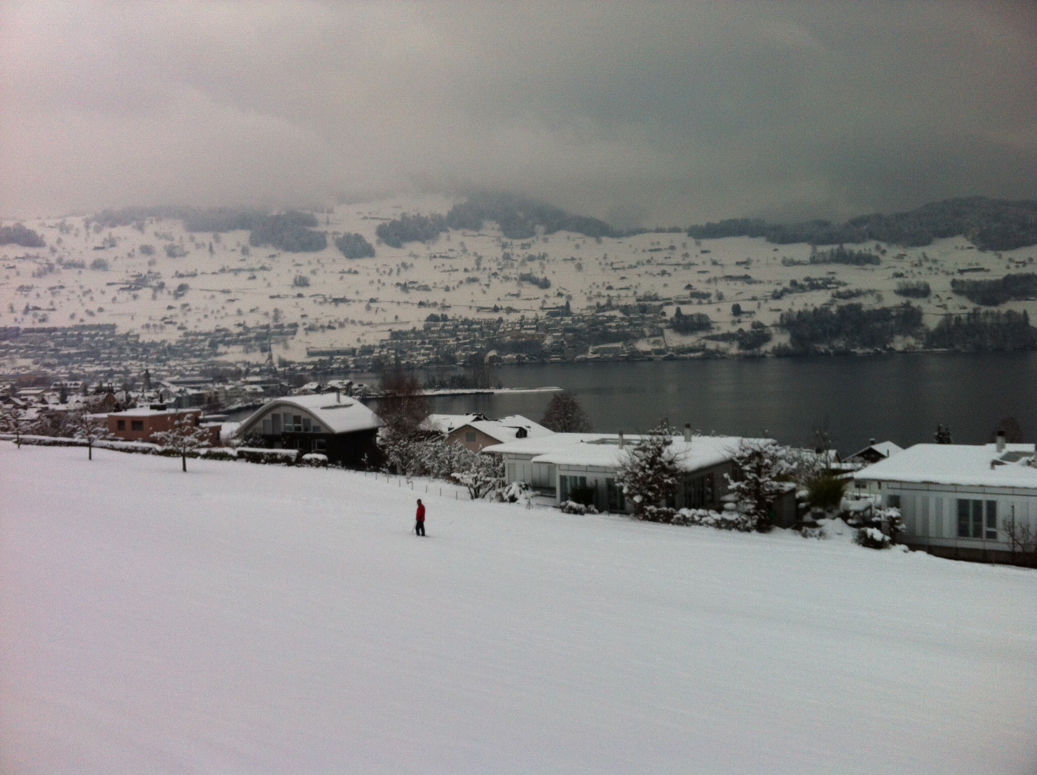
The next day we woke to quite a good snow covering. Being a snow virgin the first thing that Steve wanted to test out was how long it took to get beer and wine cold in the snow.
/home/wpcom/public_html/wp-content/blogs.dir/eb7/67251693/files/2014/12/img_5110.jpg

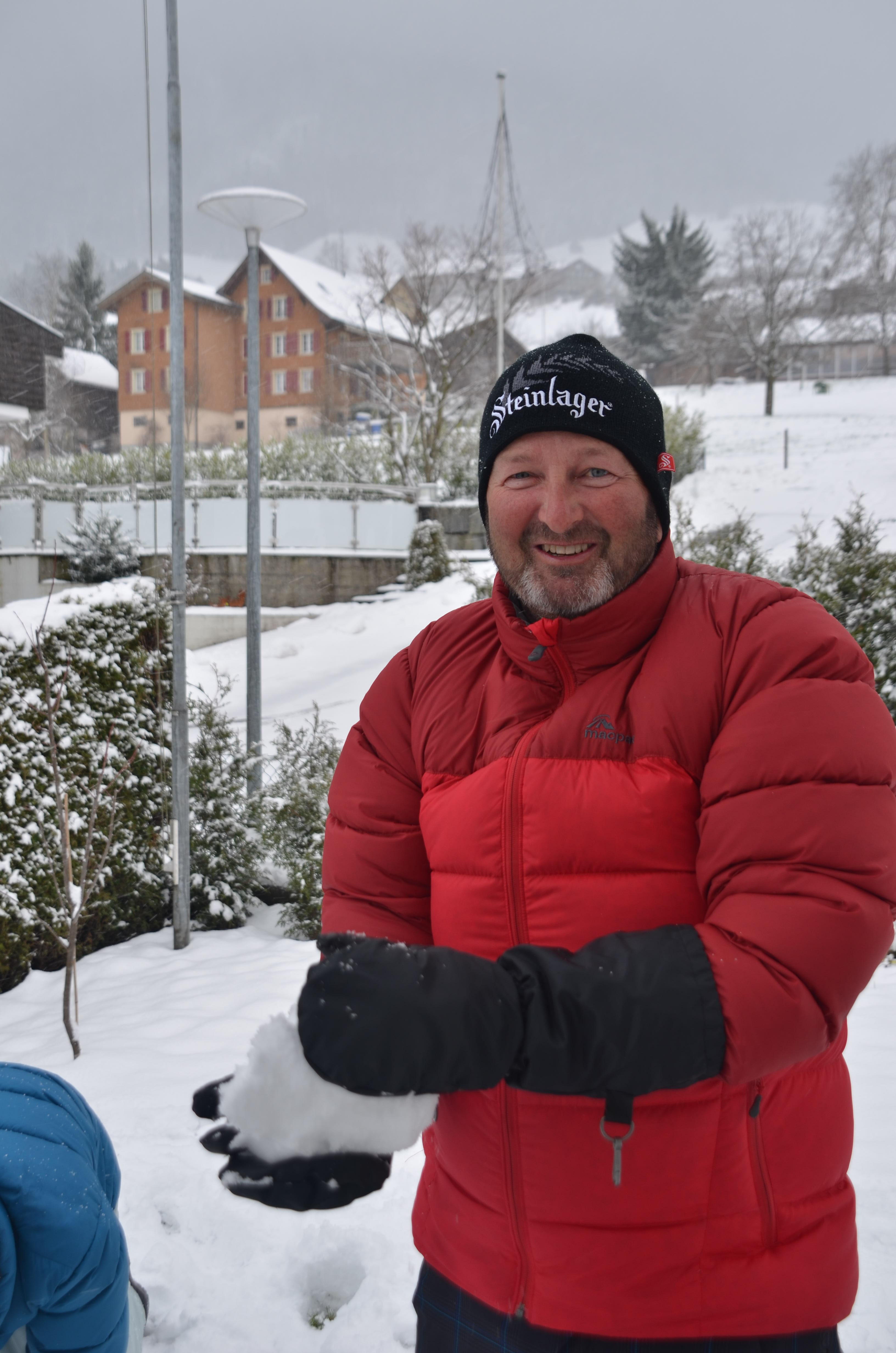
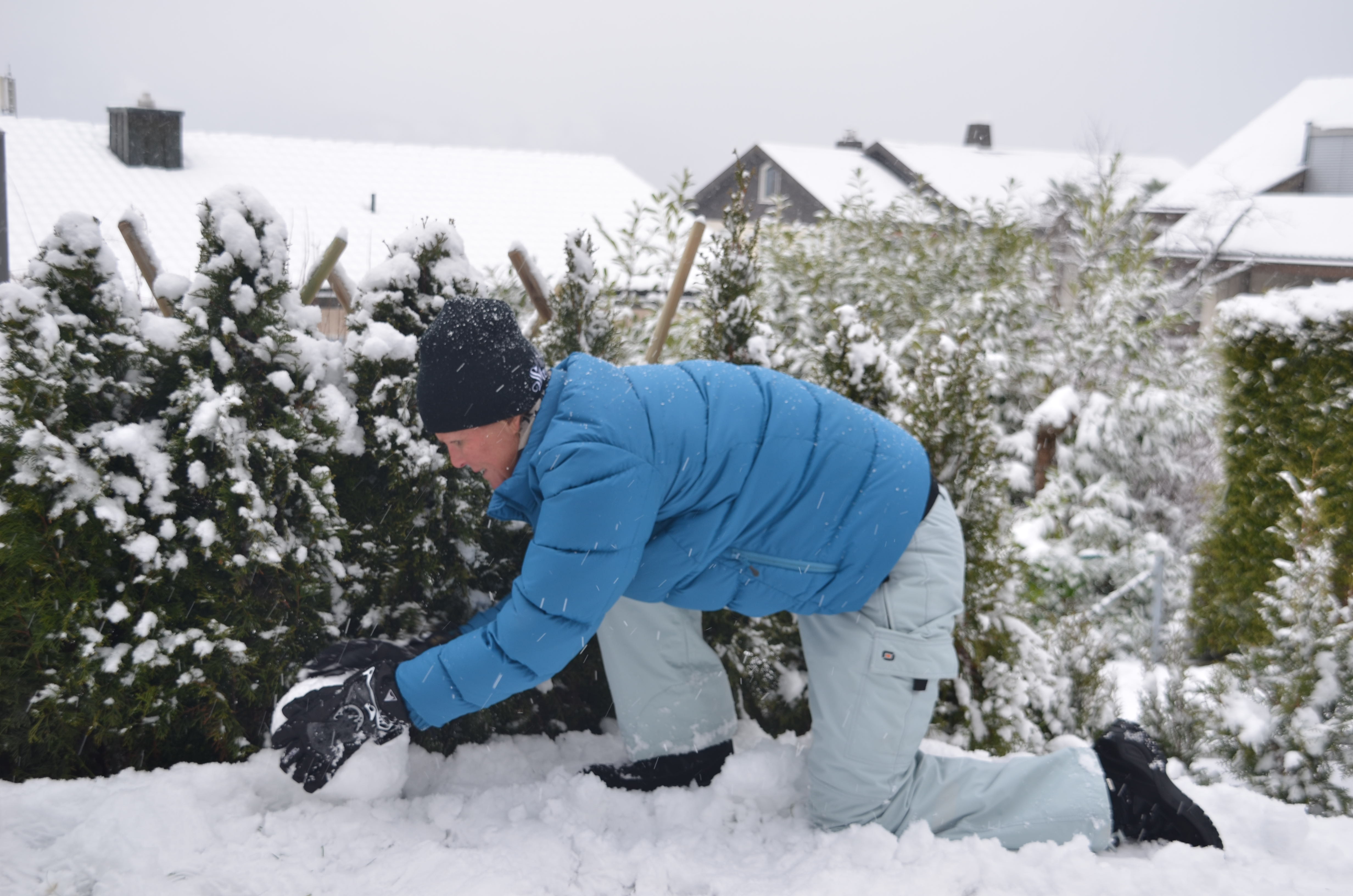
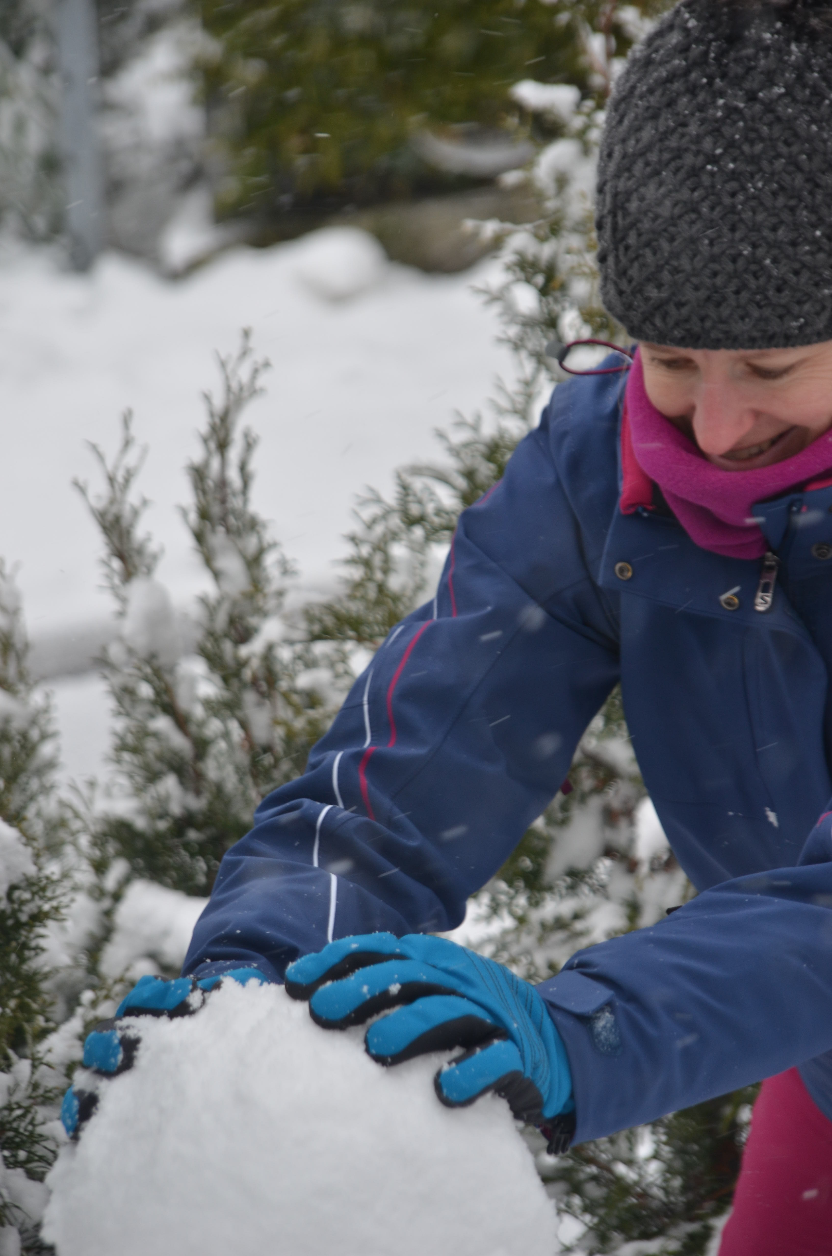
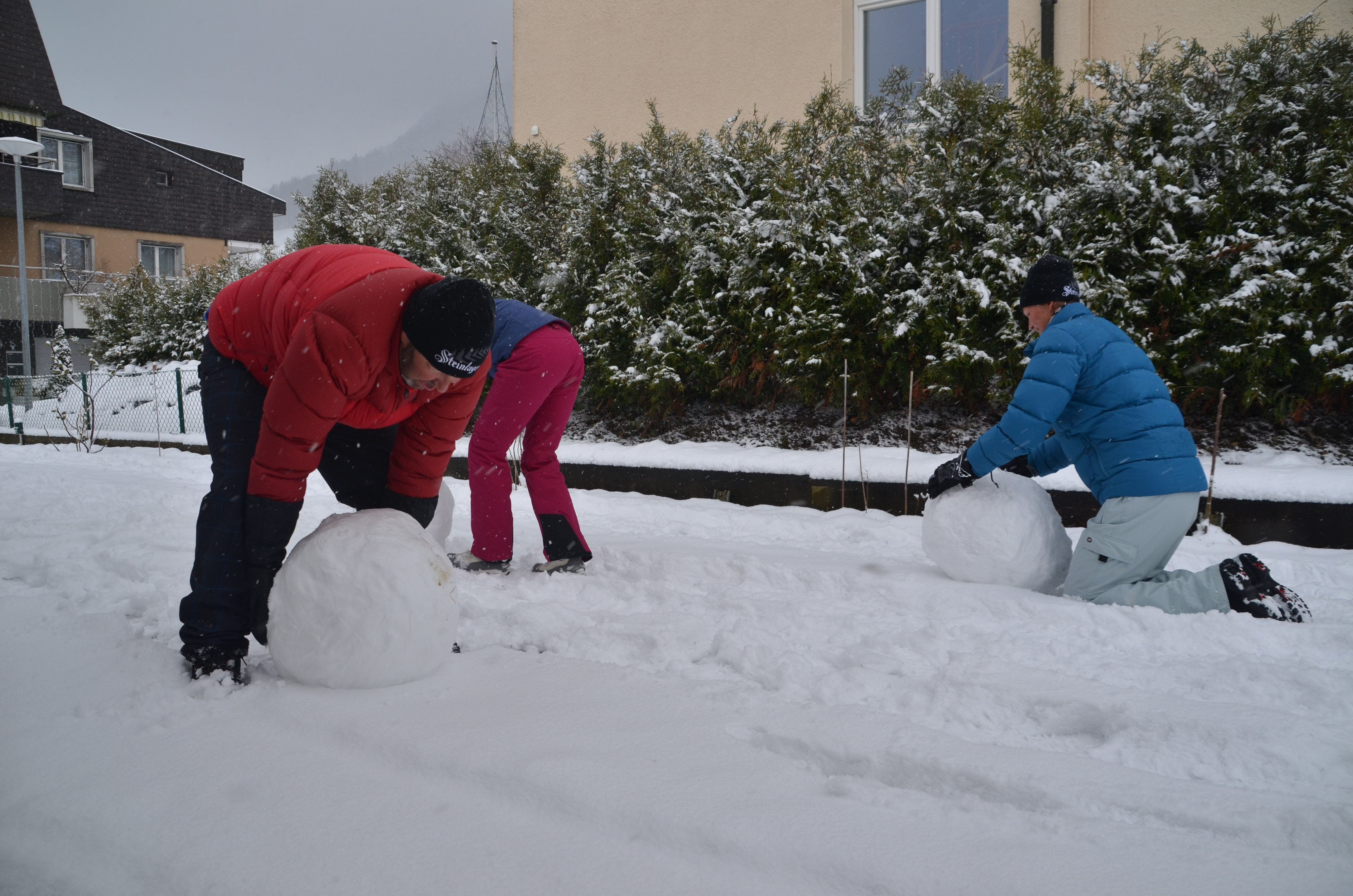
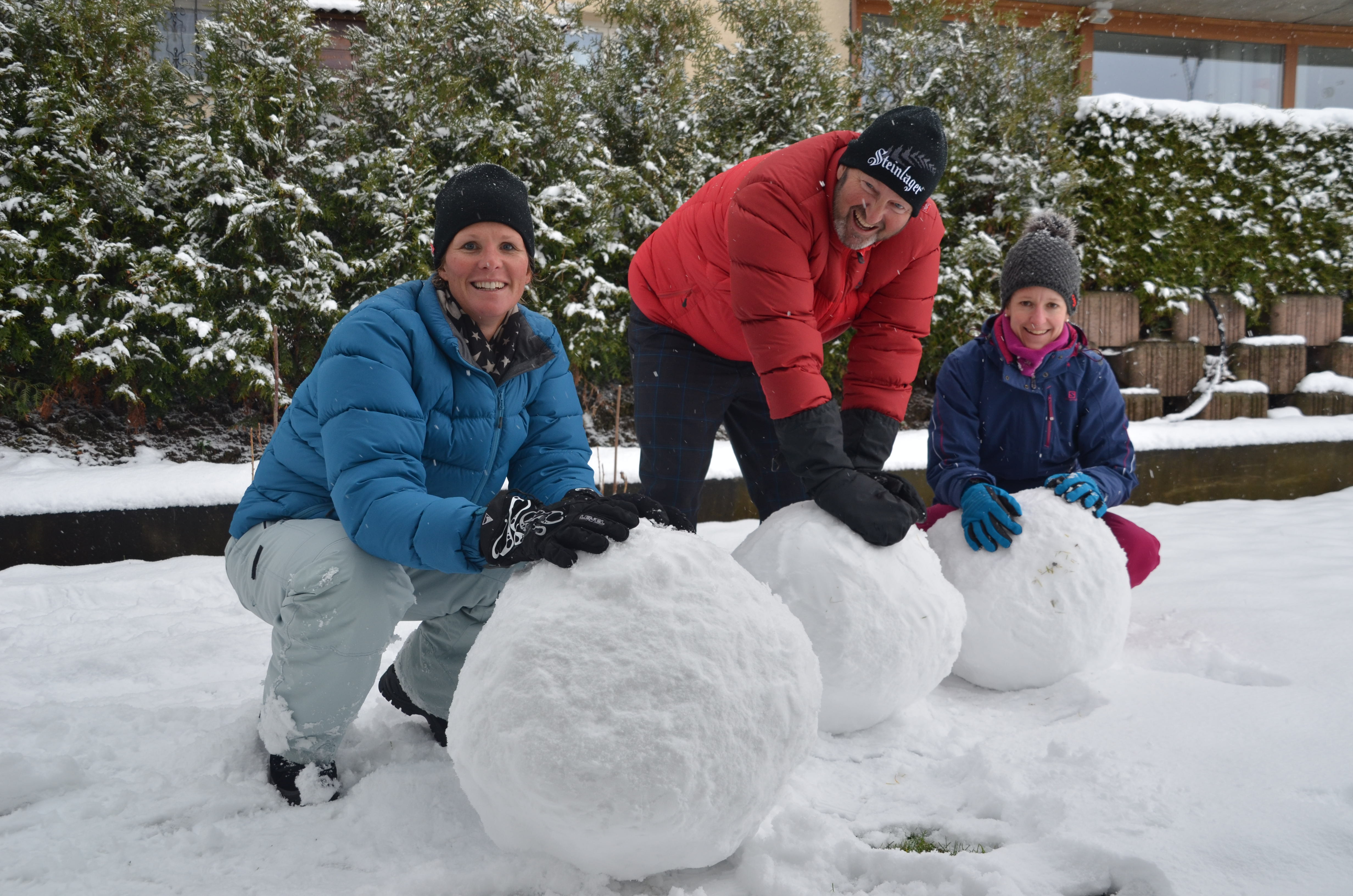
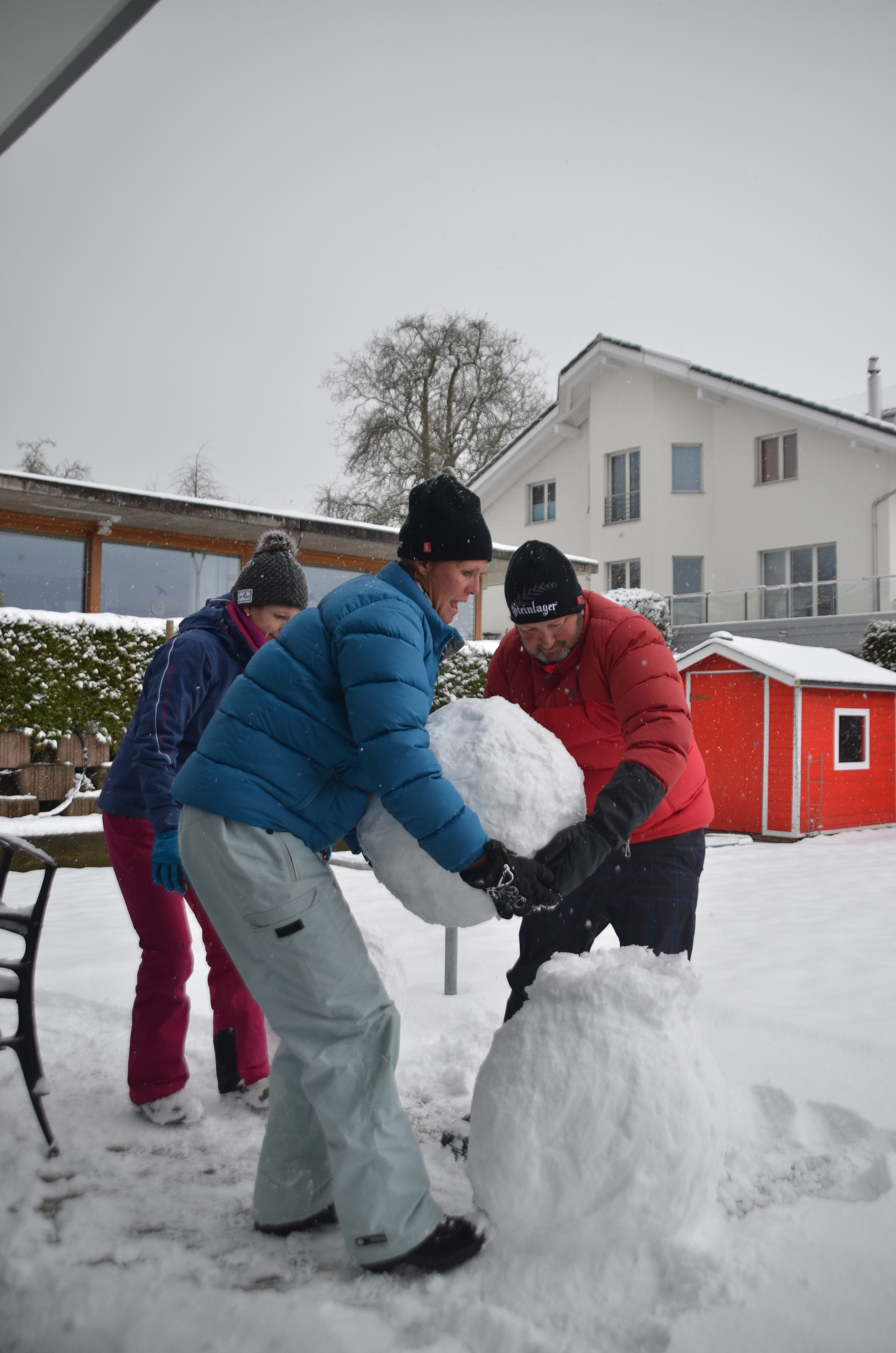
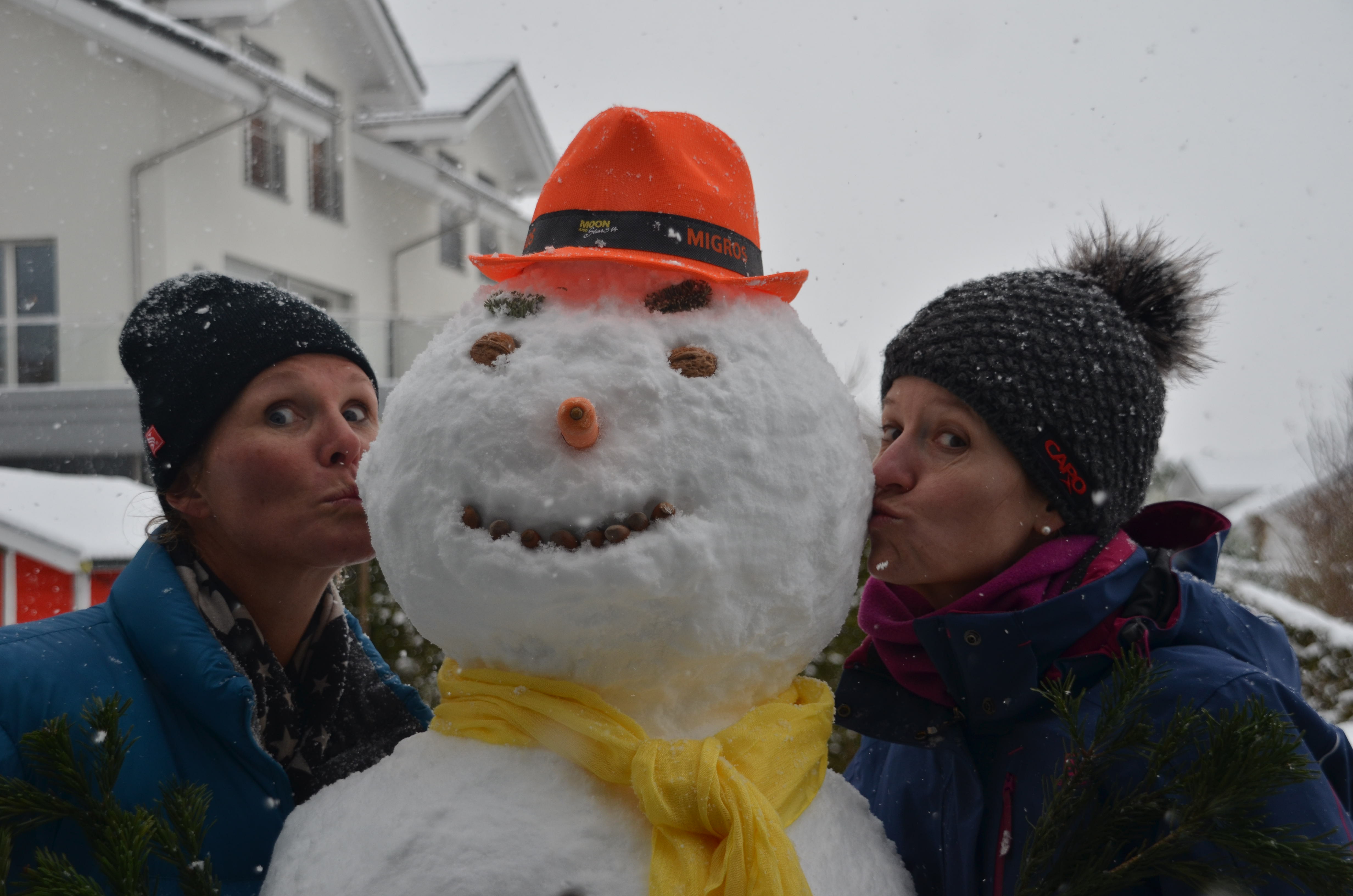
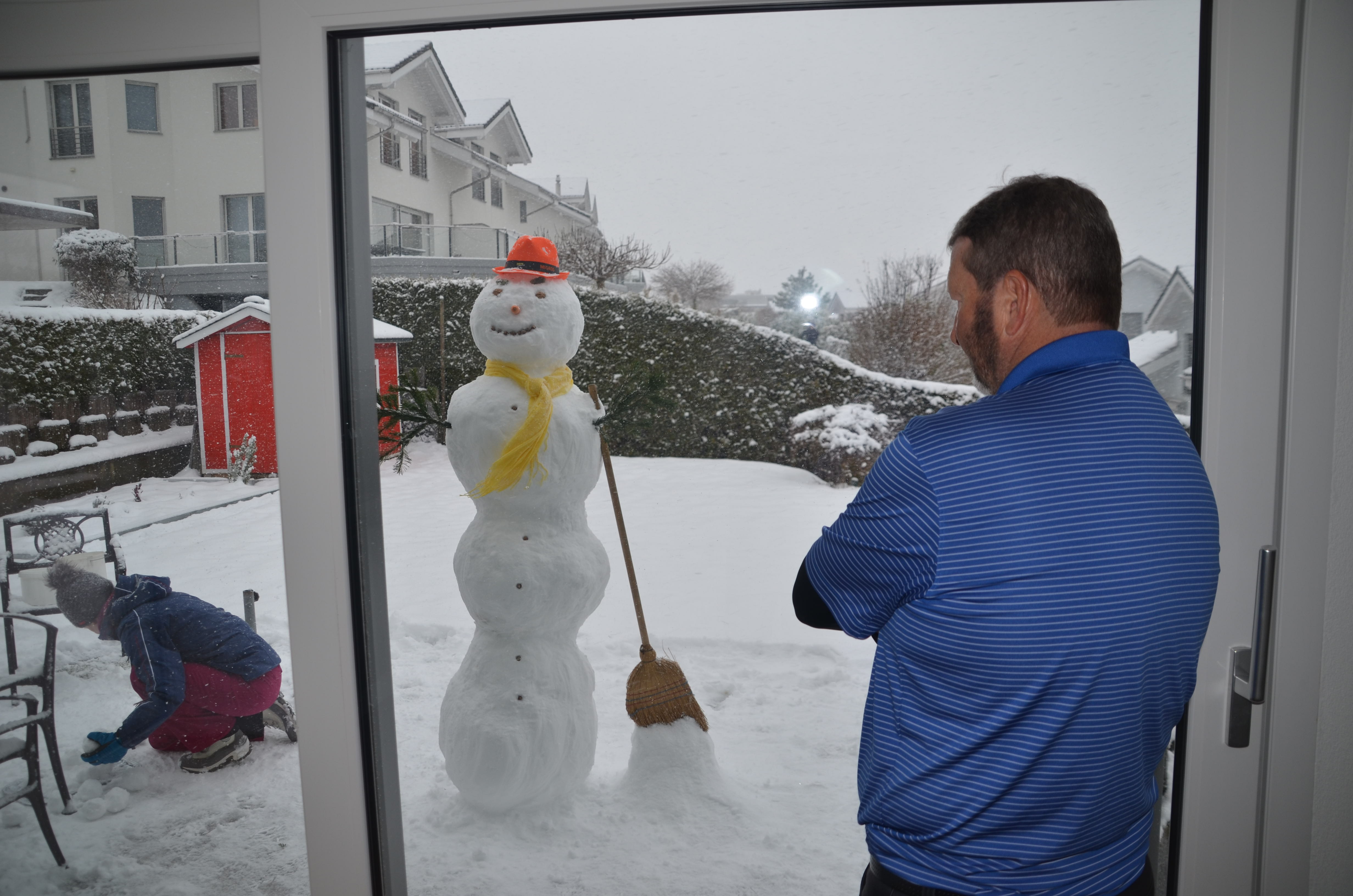
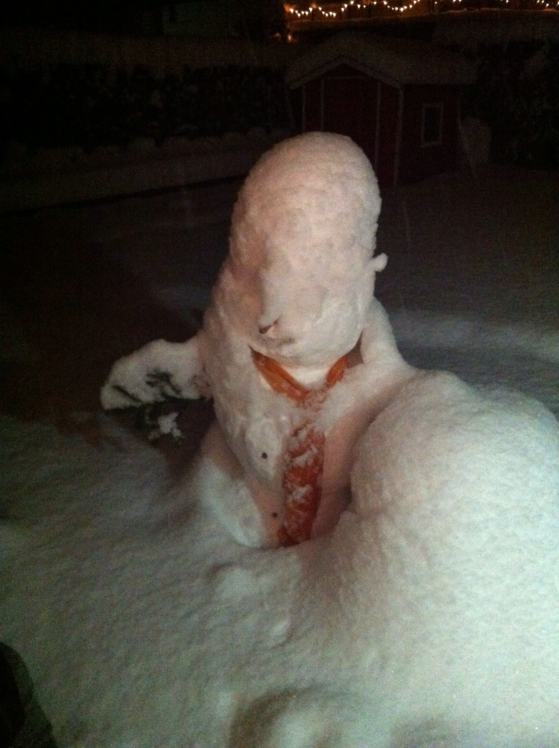
Next up on the agenda was building a snowman. I have only ever built one snowman in my life and that was back at the end of 1996 in Germany with my step sister Carey. I don’t remember the exact technique we used back then but it probably wasn’t up to Swiss standards : ) Karin showed us the Swiss technique of starting with a ball and then rolling it through the snow compacting it as you go. The ball gets bigger and bigger. We ended up with three rather large balls so decided our snowman was going to be tall. Karin made a smaller ball for the head. We then assembled the 4 balls and dressed the snowman appropriately. The hat we put on him was from Migros so we named him Mr Mi. By this stage Steve was inside with Elvis who had been documenting the building of Mr Mi on his camera. The boys thought Mr Mi was on a slight lean so we had to do some remedial work to make sure he was standing tall.
Building a snowman_2Building a snowman_1Building a snowman_3Building a snowman_4Building a snowman_9Building a snowman_12Building a snowman_16Building a snowman_25Building a snowman_28Building a snowman_32Building a snowman_33Building a snowman_37Building a snowman_38

If you are dressed appropriately it is amazing how long you can stay out in the snow. After building Mr Mi, Karin & I went snow shoeing – another first for me. Karin said there probably wasn’t quite enough snow to make it really fun but it was still enjoyable.
/home/wpcom/public_html/wp-content/blogs.dir/eb7/67251693/files/2015/01/img_5605.jpg/home/wpcom/public_html/wp-content/blogs.dir/eb7/67251693/files/2015/01/img_5610.jpg

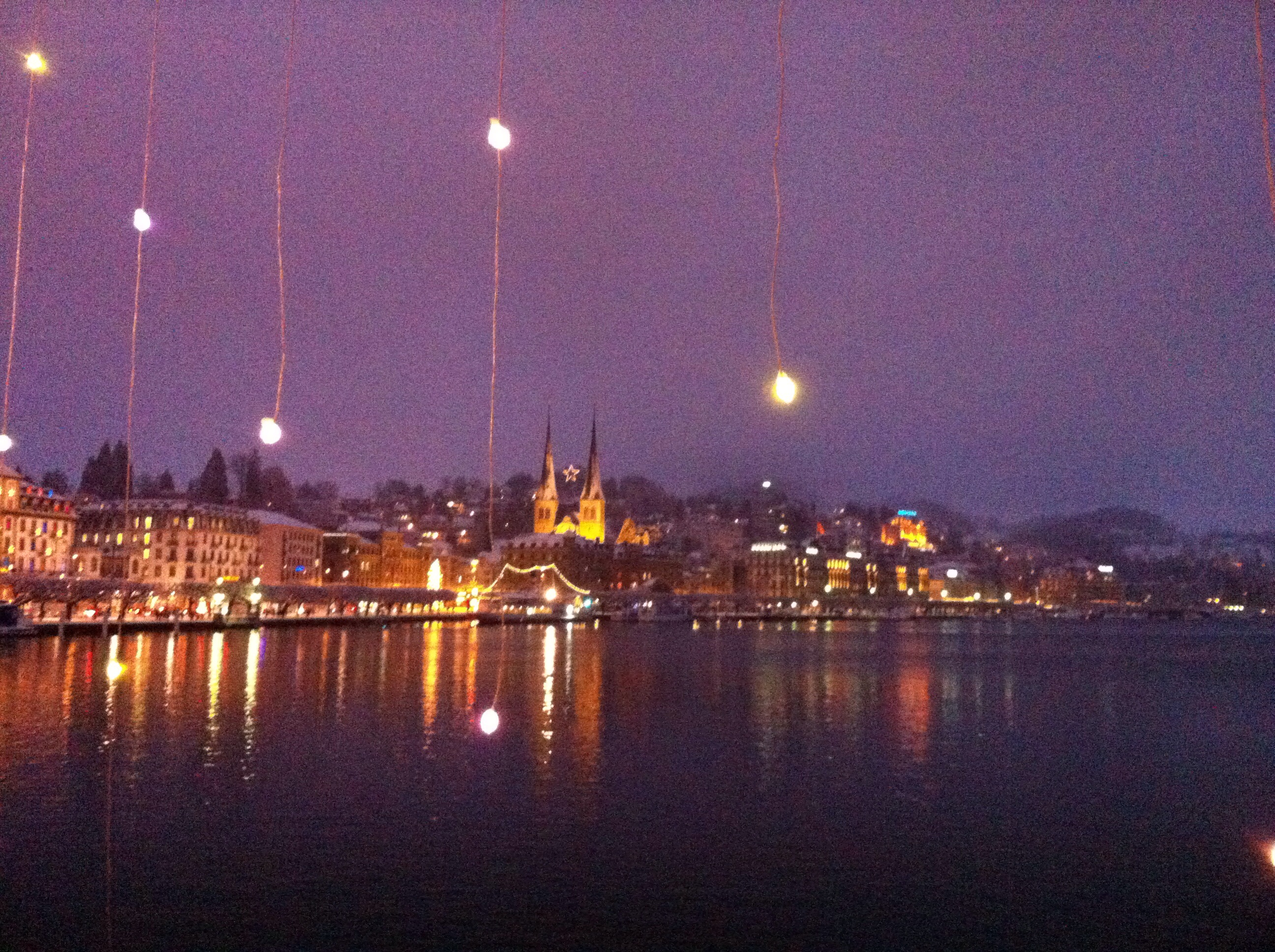
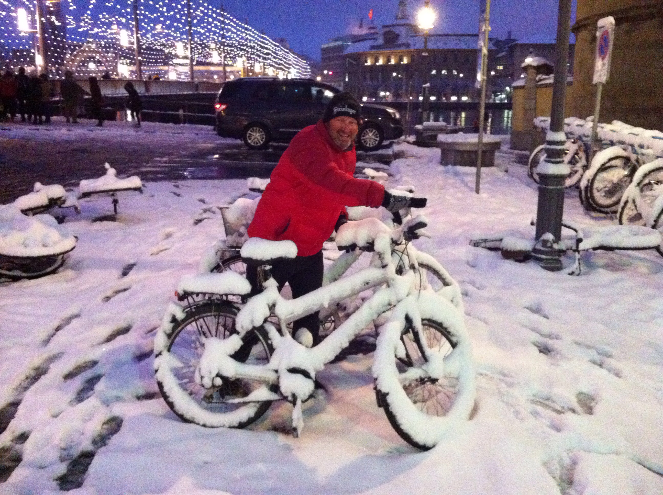
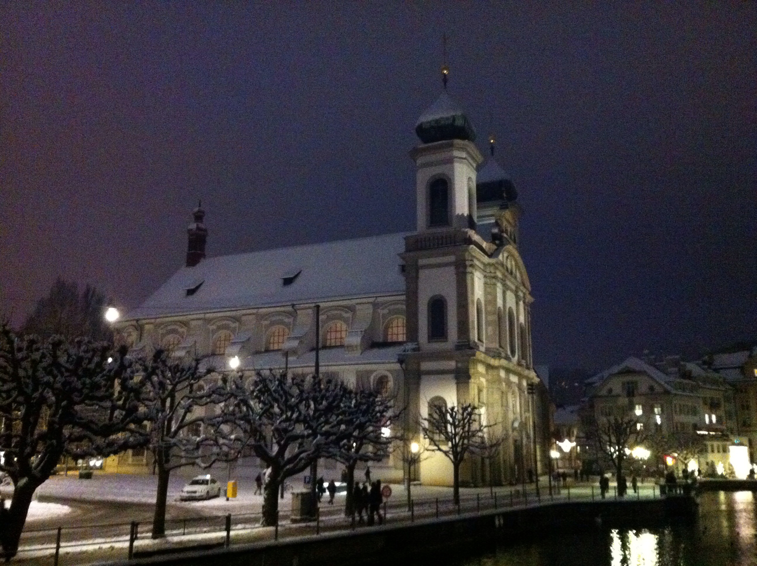
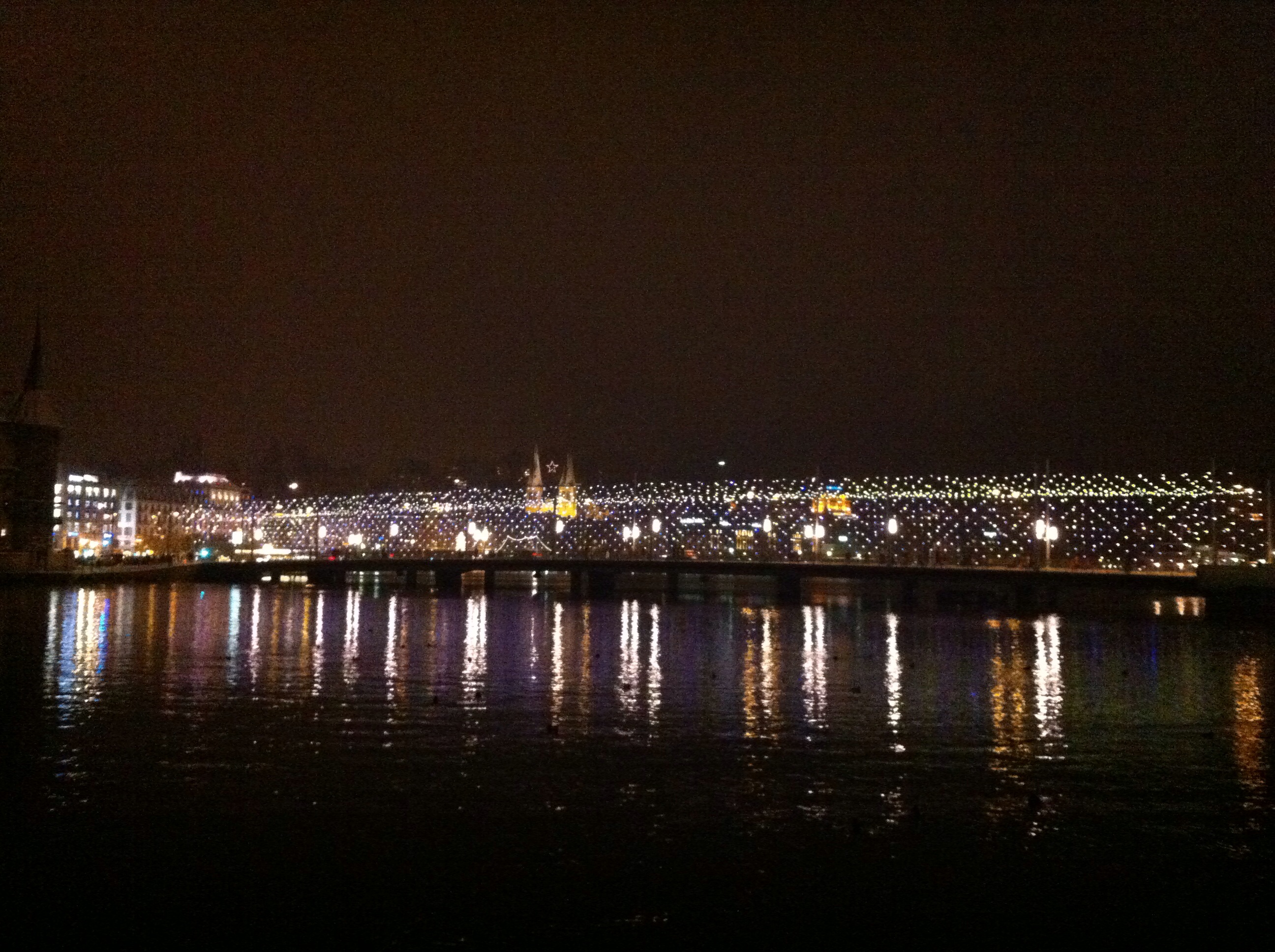
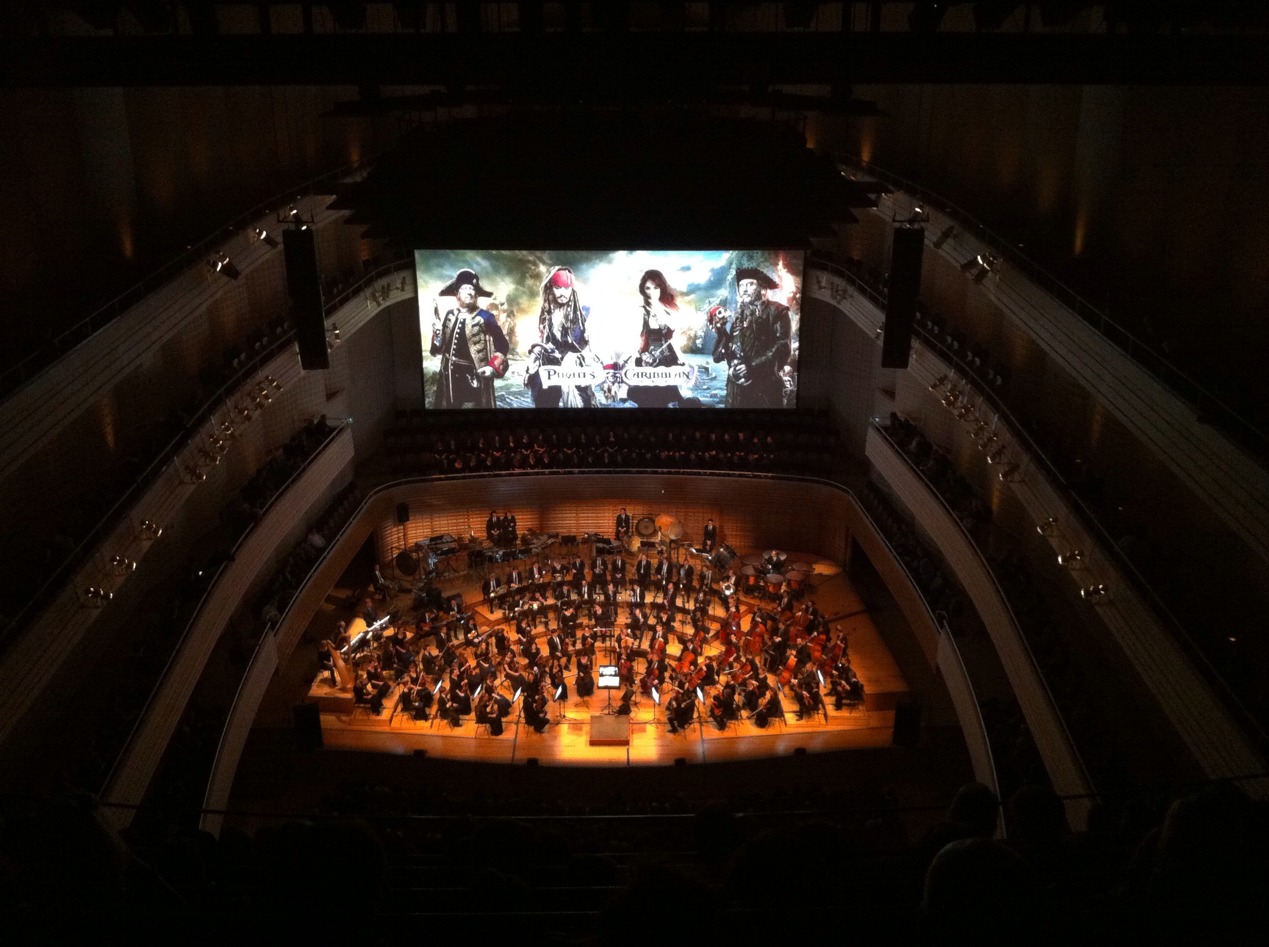
That evening Karin & Elvis had a surprise planned for us in Lucerne. By this stage it was snowing again so we had to take it slowly in the car. We had a wander around Lucerne before going for some dinner. Lucerne is a pretty place anyway but with the snow and the lights it was quite magical. The surprise that they had planned was going to see Pirates of the Caribbean On Stranger Tides in the Culture and Congress Centre. What made this special was that the movie was accompanied by The 21st Century Symphony Orchestra which is a 90 piece orchestra and a choir. You hear the actors speaking but all the music and singing is performed by the orchestra and the choir. The movie was in English with German subtitles. It was a unique experience and to start with you didn’t know where to look. The live music and singing were fantastic.

The Culture and Congress Centre in Lucerne (or KKL for Kultur- und Kongresszentrum Luzern) is a multi-functional building with a concert hall that is esteemed for its high-profile acoustics. It was built according to the plans of the architect Jean Nouvel and was inaugurated in 1998 with a concert by the Berlin Philharmonic Orchestra under the direction of Claudio Abbado.
/home/wpcom/public_html/wp-content/blogs.dir/eb7/67251693/files/2015/01/img_51321.jpg/home/wpcom/public_html/wp-content/blogs.dir/eb7/67251693/files/2015/01/img_5133.jpg/home/wpcom/public_html/wp-content/blogs.dir/eb7/67251693/files/2015/01/img_5143.jpg/home/wpcom/public_html/wp-content/blogs.dir/eb7/67251693/files/2015/01/img_5148.jpg/home/wpcom/public_html/wp-content/blogs.dir/eb7/67251693/files/2015/01/img_5149.jpg/home/wpcom/public_html/wp-content/blogs.dir/eb7/67251693/files/2015/01/img_5162.jpg

We woke up on the 29th to find Mr Mi doing the limbo – we couldn’t believe that he was actually still standing. Karin & I went for our morning walk and when we came back Mr Mi was really getting into Limbo mode. We decided he needed some remedial work – in fact, we had to amputate.
/home/wpcom/public_html/wp-content/blogs.dir/eb7/67251693/files/2015/01/img_5620.jpg/home/wpcom/public_html/wp-content/blogs.dir/eb7/67251693/files/2015/01/img_5621.jpg

After breakfast we went to the Landerpark which is a shopping centre. While we were there it started snowing quite heavily. We were supposed to be driving to Karin’s brother’s place about an hour and a half away for dinner.We decided it would be safer to take the train – we had to change trains a few times so the journey took about two and a half hours but it was definitely the safer option. We walked from the train station to Michael & Aileen’s apartment along the river bank in the snow – it was a bit chilly but nice to be at one with nature. Aileen prepared Arrabbiata sauce and pasta for dinner which was perfect. We sat in their winter garden which is like a conservatory – luckily they had heating : ) It was very cool looking out at the snow covered lawn and when I say covered I mean by about half a metre of snow. As the evening progressed the snow covering continued to grow. Michael drove us to the train station at the end of the evening – the roads were covered with snow which made for fun driving. We got back to the train station in Fluelen just before 1am and had to de snow Elvis’s car so we could drive home. We couldn’t get up the driveway when we got home so Elvis parked the car at the lake.
Train ride to Glarus_1Train ride to Glarus_4/home/wpcom/public_html/wp-content/blogs.dir/eb7/67251693/files/2015/01/img_5624.jpg/home/wpcom/public_html/wp-content/blogs.dir/eb7/67251693/files/2015/01/img_5630.jpg/home/wpcom/public_html/wp-content/blogs.dir/eb7/67251693/files/2015/01/img_5632.jpg

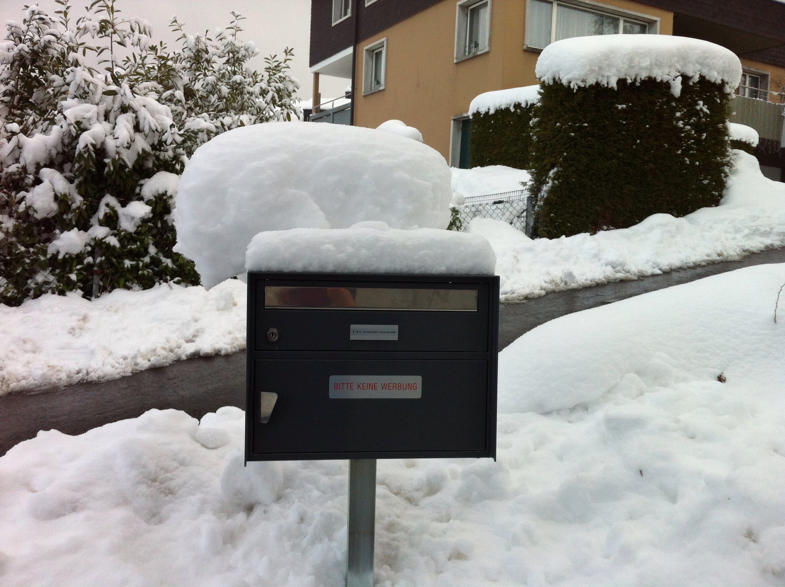
After our night out in Lucerne we had ended up pushing the car up the driveway and after coming back from the Landerpark we had only managed to push it half way up to a parking spot there. However, there was no way we could push it up that night. You can see from the two letterbox photos and Mr Mi how much snow we had had.
/home/wpcom/public_html/wp-content/blogs.dir/eb7/67251693/files/2015/01/img_5105.jpg/home/wpcom/public_html/wp-content/blogs.dir/eb7/67251693/files/2015/01/img_5197.jpg/home/wpcom/public_html/wp-content/blogs.dir/eb7/67251693/files/2015/01/img_5184.jpg

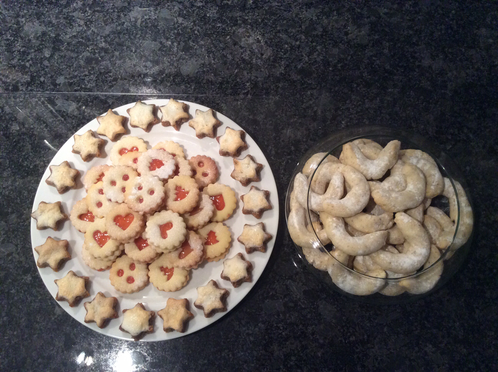
Due to our late night and the amount of snow on the ground we had a very quiet day on the 30th baking cookies. That evening we watched the movie The Hundred Foot Journey which was excellent.
/home/wpcom/public_html/wp-content/blogs.dir/eb7/67251693/files/2015/01/img_5661.jpg/home/wpcom/public_html/wp-content/blogs.dir/eb7/67251693/files/2015/01/img_5659.jpg/home/wpcom/public_html/wp-content/blogs.dir/eb7/67251693/files/2015/01/img_5666.jpg 

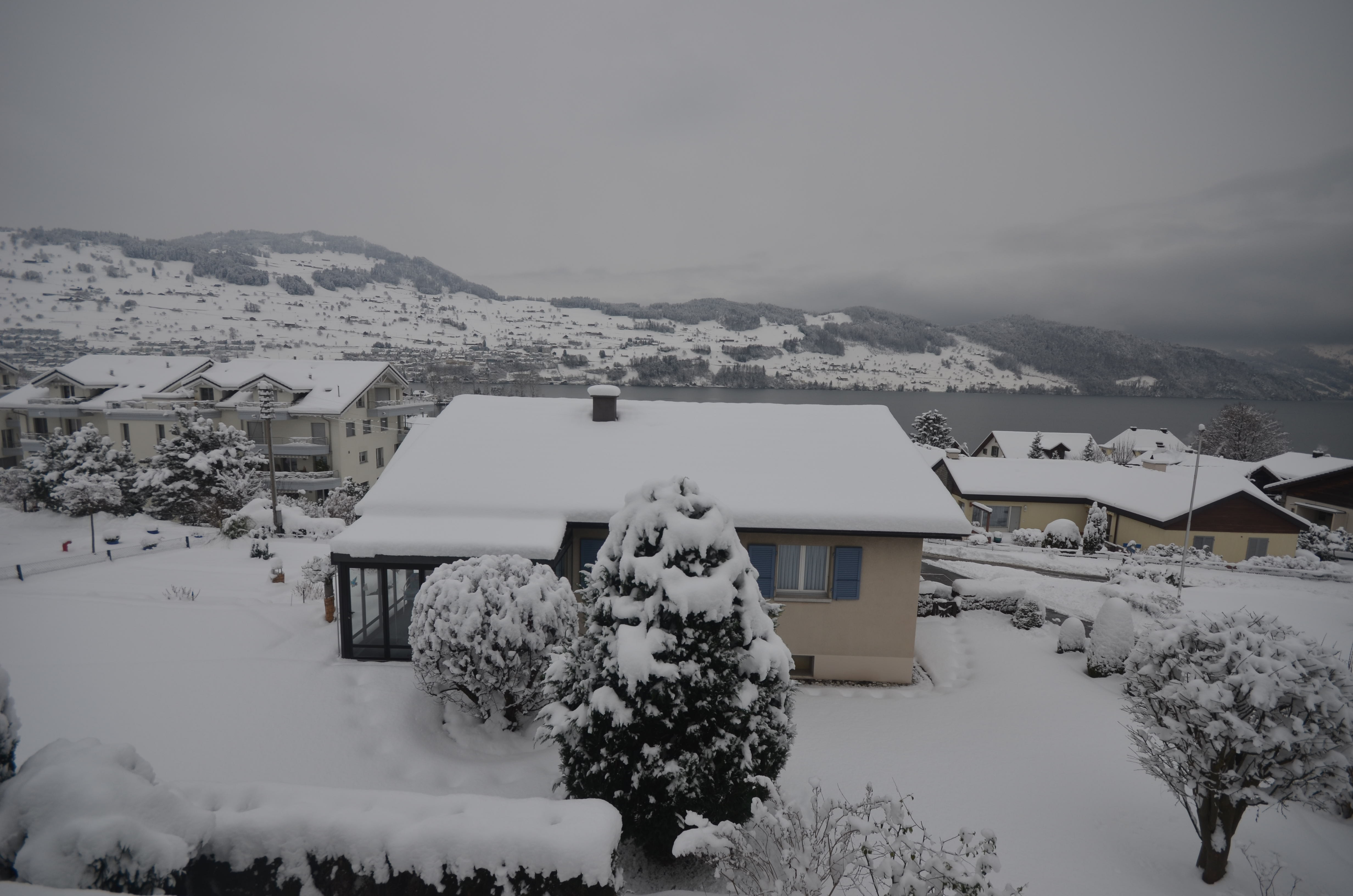
Below are some images from Karin & Elvis’s house as taken by Elvis.
Winter impression of the B&B_1Winter impression of the B&B_4Winter impression of the B&B_9

Posted in Switzerland | 1 Comment

The Glacier Express, St Moritz to Andermatt – Switzerland

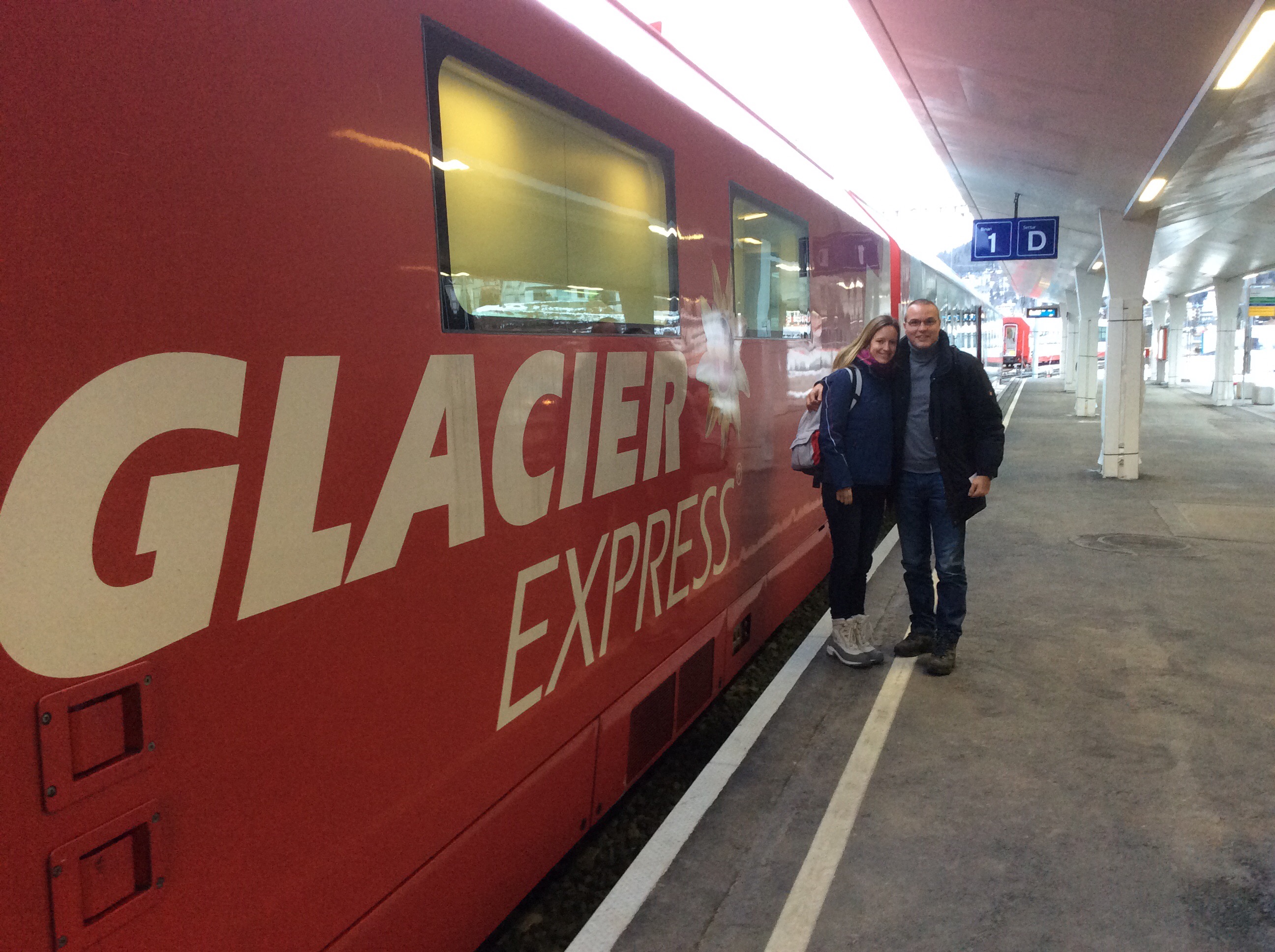
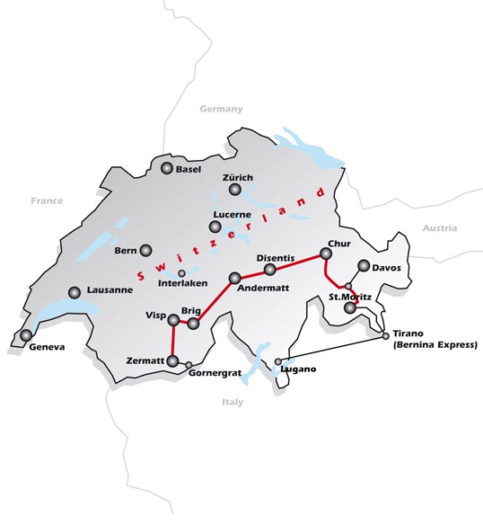
After exploring St. Moritz on Boxing Day we stayed in Zouz so we could get up early and catch the Glacier Express – it departed St. Moritz at 9.02am on Saturday the 27th December. There was a high level of excited anticipation. Karin & Elvis had never done the Glacier Express either so it was cool to be sharing this experience with them.

/home/wpcom/public_html/wp-content/blogs.dir/eb7/67251693/files/2014/12/img_2798.jpg

/home/wpcom/public_html/wp-content/blogs.dir/eb7/67251693/files/2014/12/img_2796.jpg

/home/wpcom/public_html/wp-content/blogs.dir/eb7/67251693/files/2014/12/img_2799.jpg

/home/wpcom/public_html/wp-content/blogs.dir/eb7/67251693/files/2014/12/img_2802.jpg

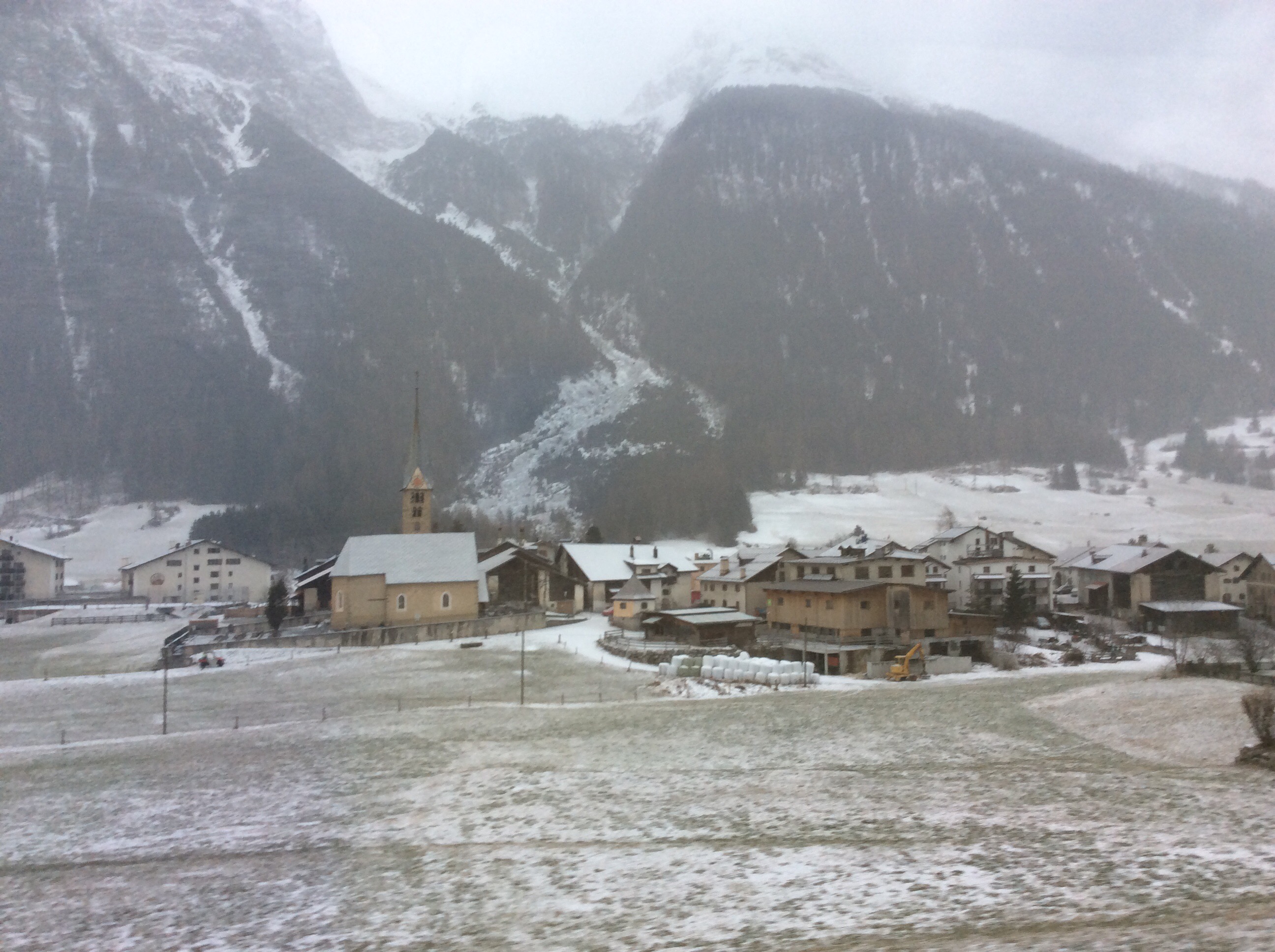
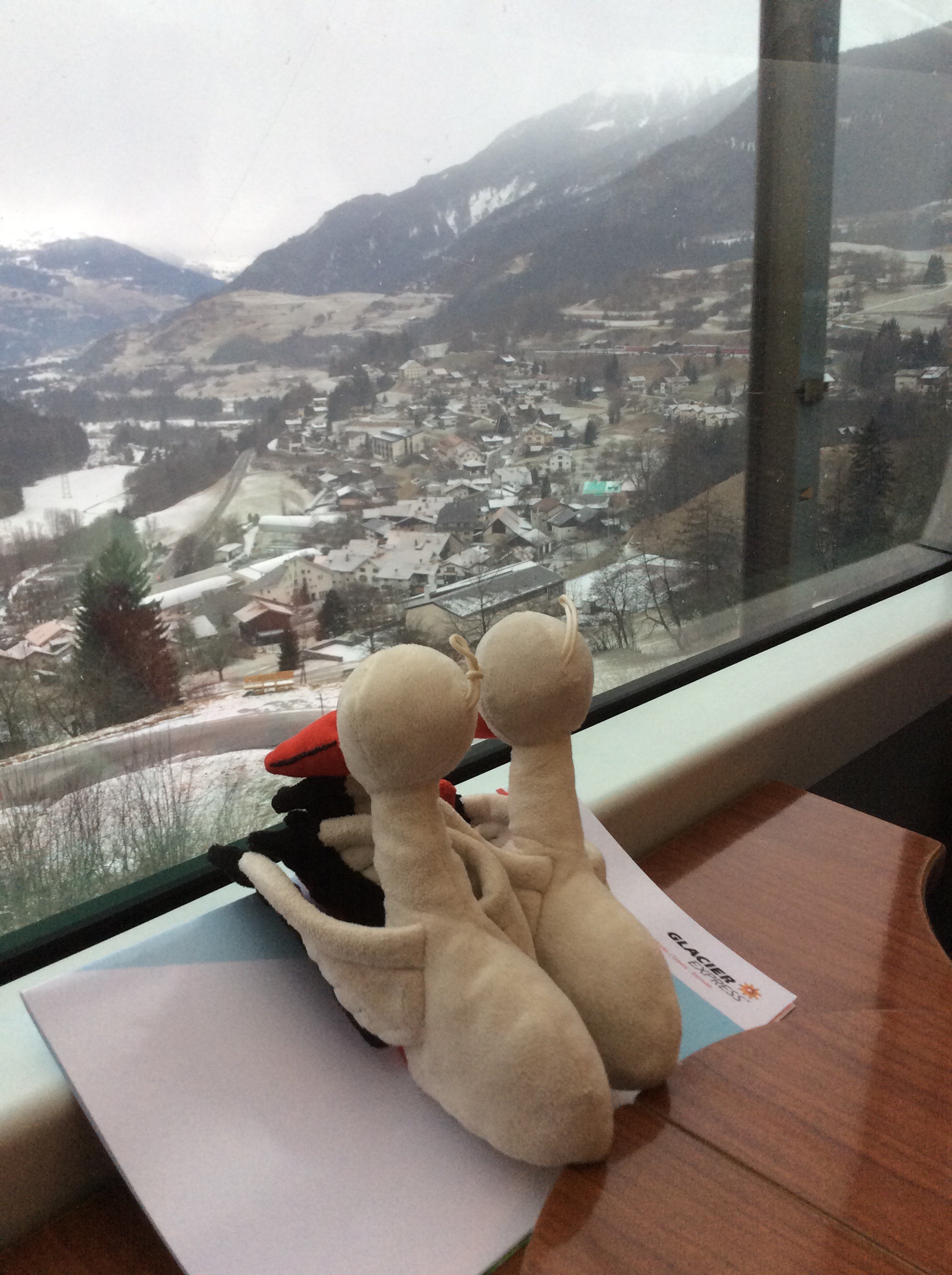
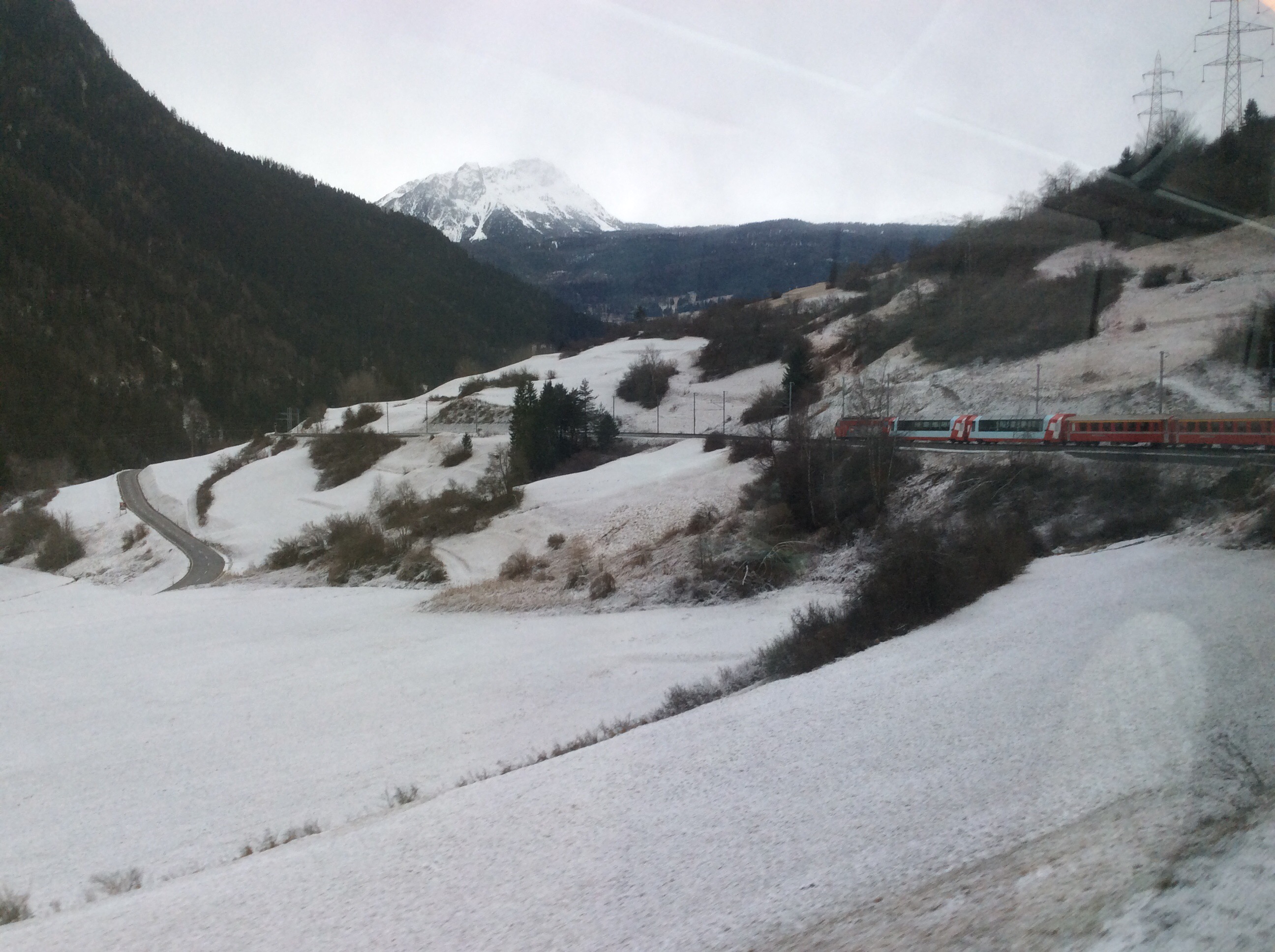
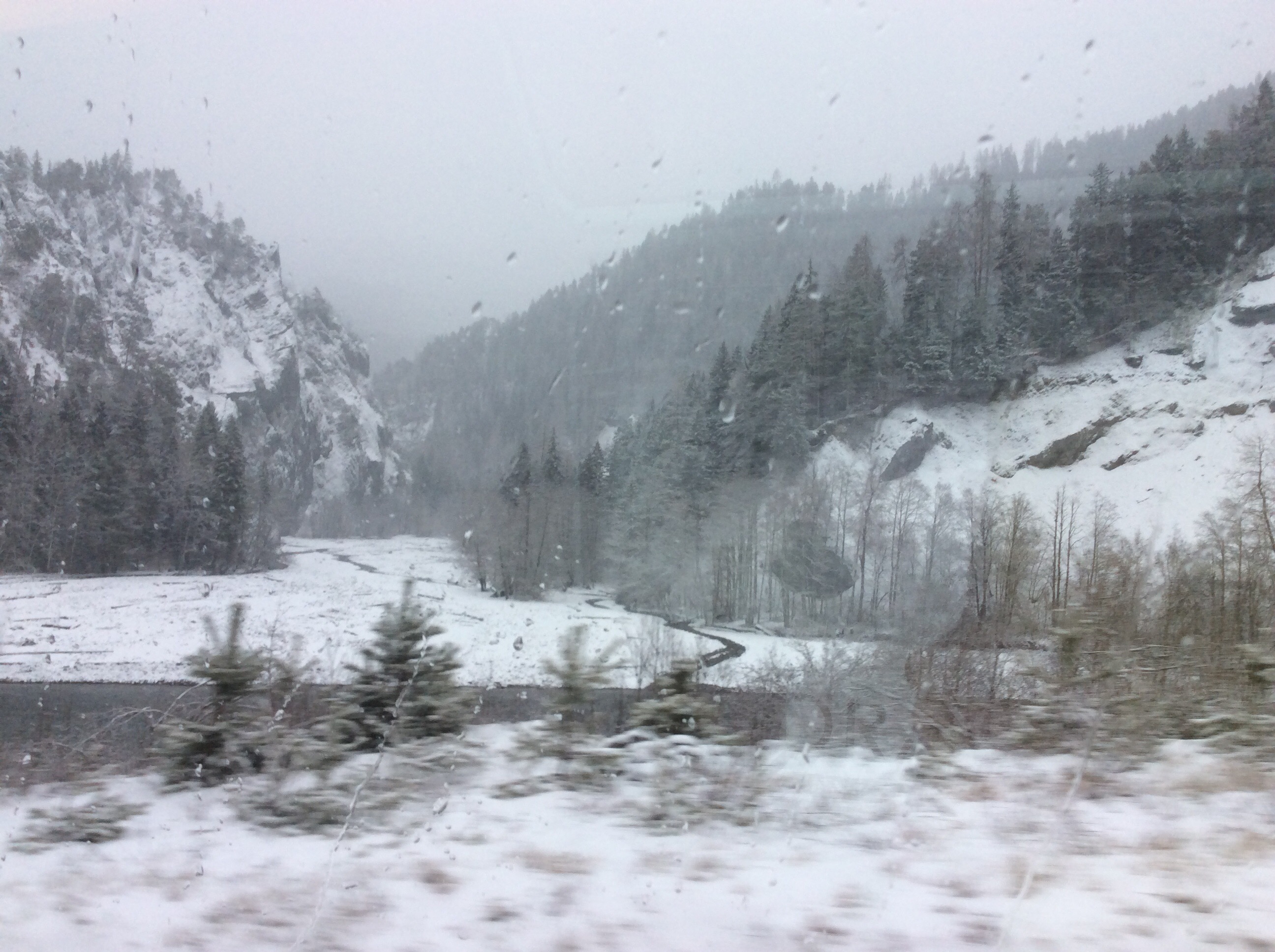
It was lightly snowing to start with and due to earlier snow the landscapes were very picturesque. It was certainly living up to expectation and we were committing the scenery to memory as it was very hard to capture it in pictures. The panoramic carriages are very comfortable and our carriage wasn’t that full to start with so we spread out a bit. They provide headphones for intermittent commentary about the different places you are passing through which is really interesting.

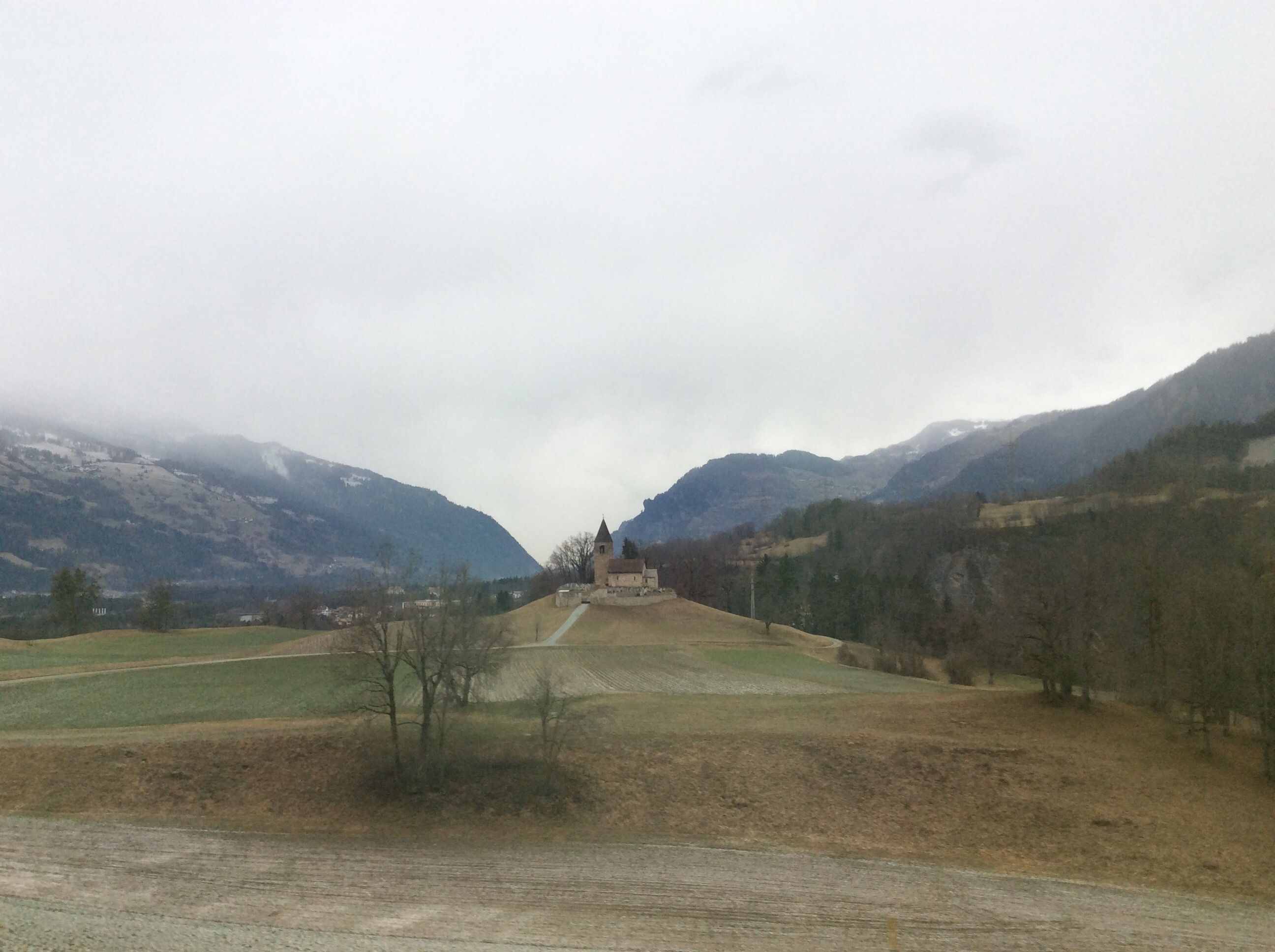
The first section from St.Moritz to Chur passes through the Landwasser Viaduct and the train descends from 1,775 metres above sea level to Chur which is the lowest point on the Glacier Express at 585 metres. We passed through the Domleschg Valley which is strategically positioned on the route to three main Alpine passes: the Splügen Pass, the San Bernardino Pass and the Julier Pass. To control this route, castles were built, making the Domleschg one of the Swiss regions richest in castles. It was an important trading route in the middle ages and we saw a few castle remains as we passed through.

/home/wpcom/public_html/wp-content/blogs.dir/eb7/67251693/files/2014/12/img_2810.jpg

/home/wpcom/public_html/wp-content/blogs.dir/eb7/67251693/files/2014/12/img_2818.jpg

/home/wpcom/public_html/wp-content/blogs.dir/eb7/67251693/files/2014/12/img_2821.jpg

/home/wpcom/public_html/wp-content/blogs.dir/eb7/67251693/files/2014/12/img_2826.jpg

/home/wpcom/public_html/wp-content/blogs.dir/eb7/67251693/files/2014/12/img_2830.jpg

/home/wpcom/public_html/wp-content/blogs.dir/eb7/67251693/files/2014/12/img_2836.jpg

/home/wpcom/public_html/wp-content/blogs.dir/eb7/67251693/files/2014/12/img_2843.jpg

/home/wpcom/public_html/wp-content/blogs.dir/eb7/67251693/files/2014/12/img_2848.jpg

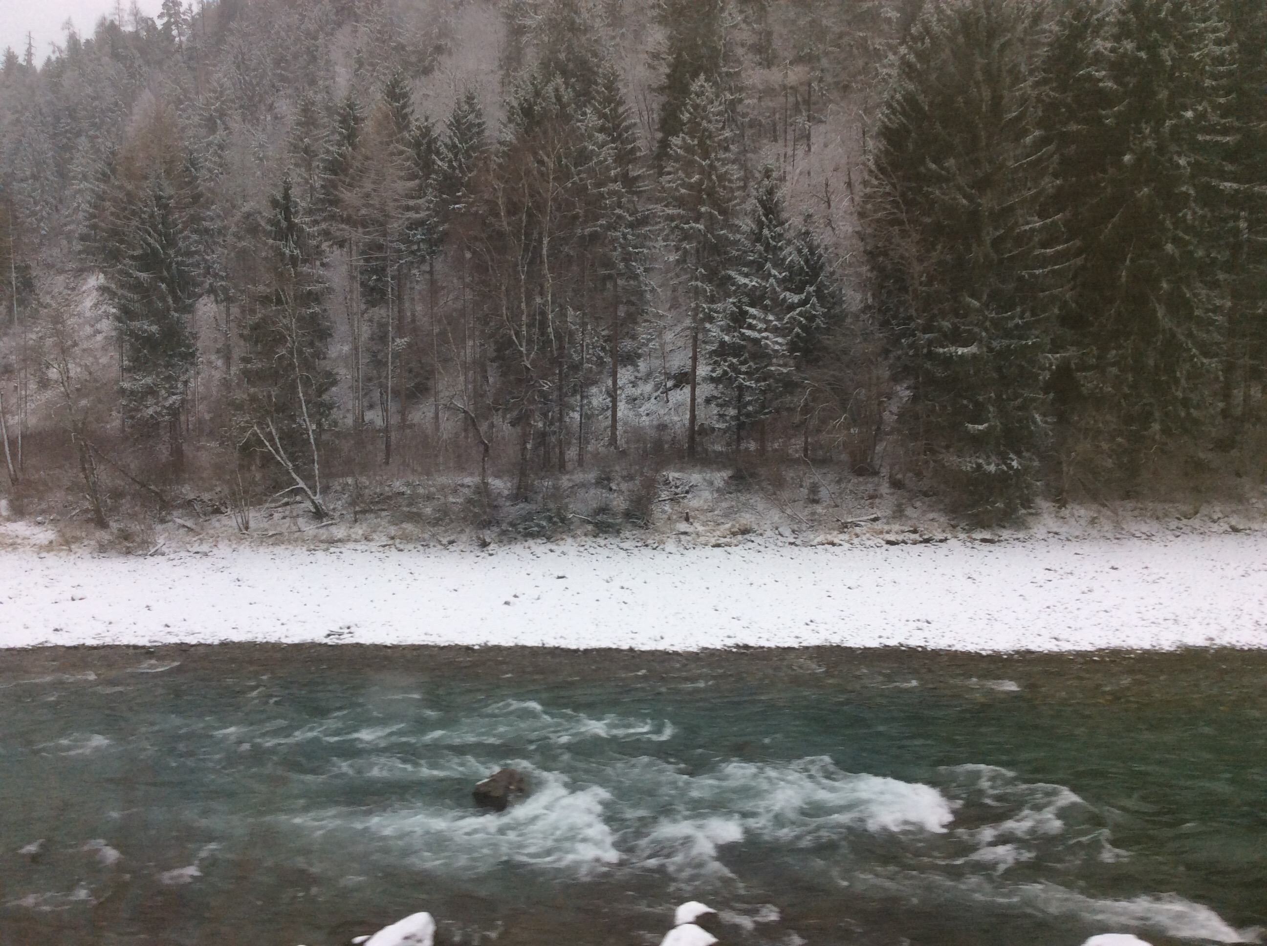
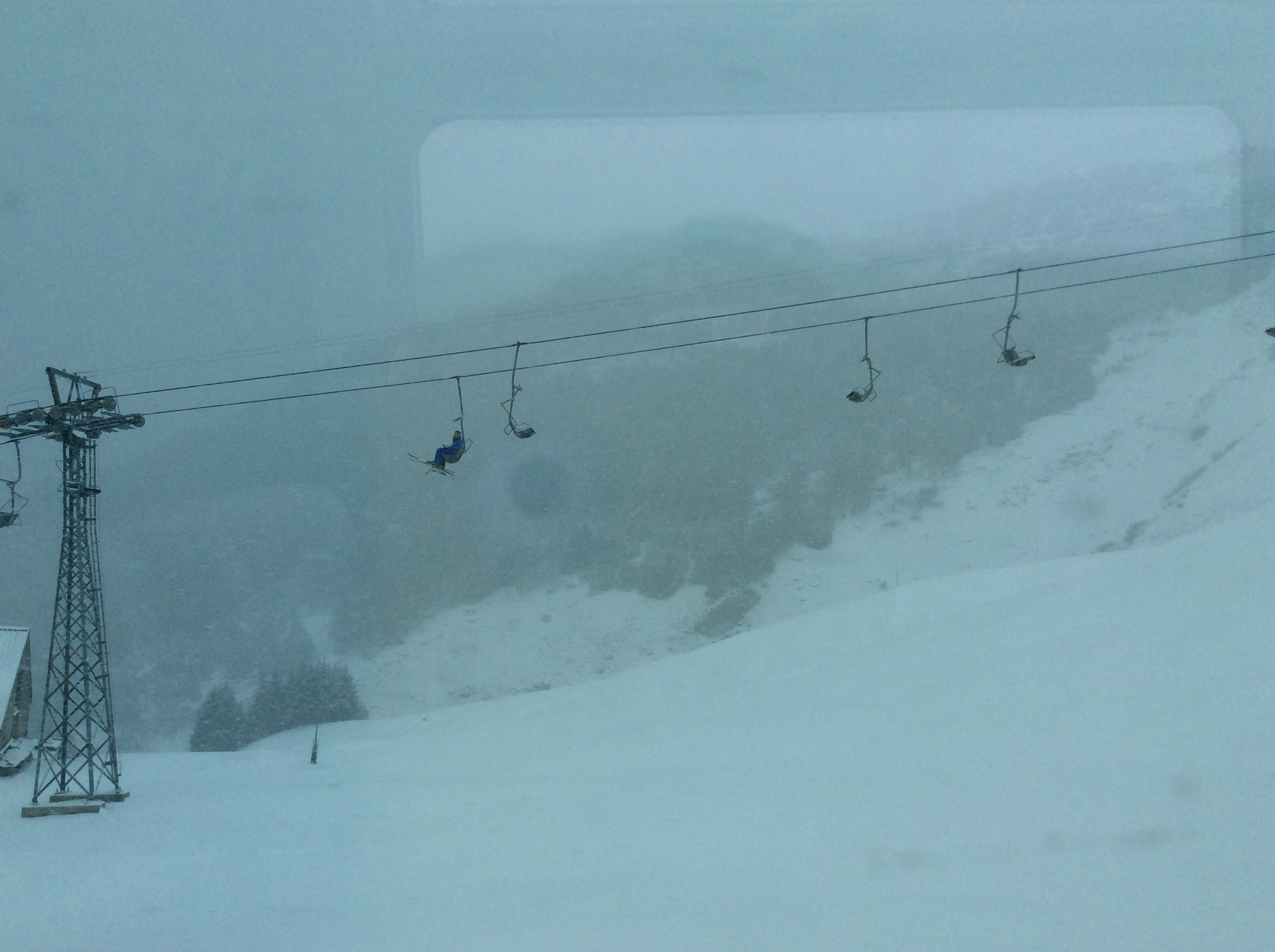
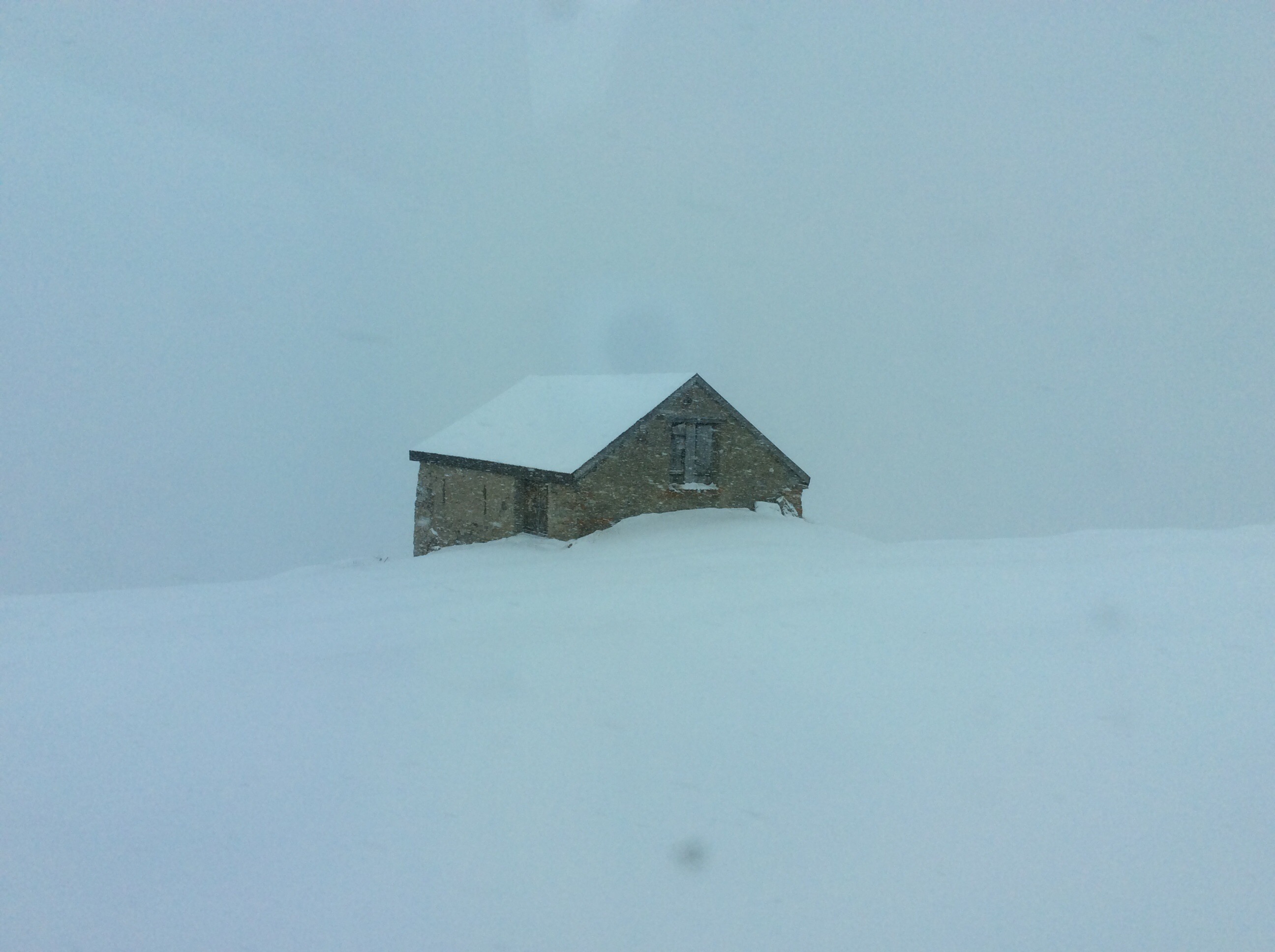
After leaving Chur where a few more people joined the train we started the climb up the Rhine Valley to the Oberalp Pass which is the highest point on the Glacier Express at 2.033 metres. The landscape looks very dramatic in the Rhine gorge between Reichenau and Ilanz, where the river is carved deep into the white rocks. This region is also referred to as the ‘Swiss Grand Canyon’. It was snowing as we climbed up the Rhine Valley and it was completely white outside – we saw a few hardy souls out skiing. We then descended down to Andermatt where we got off the train.

/home/wpcom/public_html/wp-content/blogs.dir/eb7/67251693/files/2014/12/img_2857.jpg

/home/wpcom/public_html/wp-content/blogs.dir/eb7/67251693/files/2014/12/img_2858.jpg

/home/wpcom/public_html/wp-content/blogs.dir/eb7/67251693/files/2014/12/img_2863.jpg

/home/wpcom/public_html/wp-content/blogs.dir/eb7/67251693/files/2014/12/img_2864.jpg

/home/wpcom/public_html/wp-content/blogs.dir/eb7/67251693/files/2014/12/img_2879.jpg

/home/wpcom/public_html/wp-content/blogs.dir/eb7/67251693/files/2014/12/img_2882.jpg
The Glacier Express carries on to Zermatt which is where the Matterhorn is but apparently the section from Andermatt to Zermatt is not as interesting and we wanted to get back to Bouchs that evening.

Andermatt serves as a crossroads between southern Switzerland and the North as well as between eastern Switzerland i.e. Graubünden/Grisons and Western Switzerland, i.e. Valais, Bern and the Swiss Romande. The town is thus connected by four Alpine passes: the Oberalp Pass (6,706 ft; 2,044 m.) to the East, the St. Gotthard Pass (6,909 ft; 2,106 m.) to the South, the Furka Pass (7,992 ft; 2,436 m.) to the West, as well as the Göschenertal Pass (4,652 ft; 1,418 m.) to the North. The Schöllenen Gorge in the Reuss Valley between Andermatt and Göschenen is the location of the infamous Devil’s Bridge.
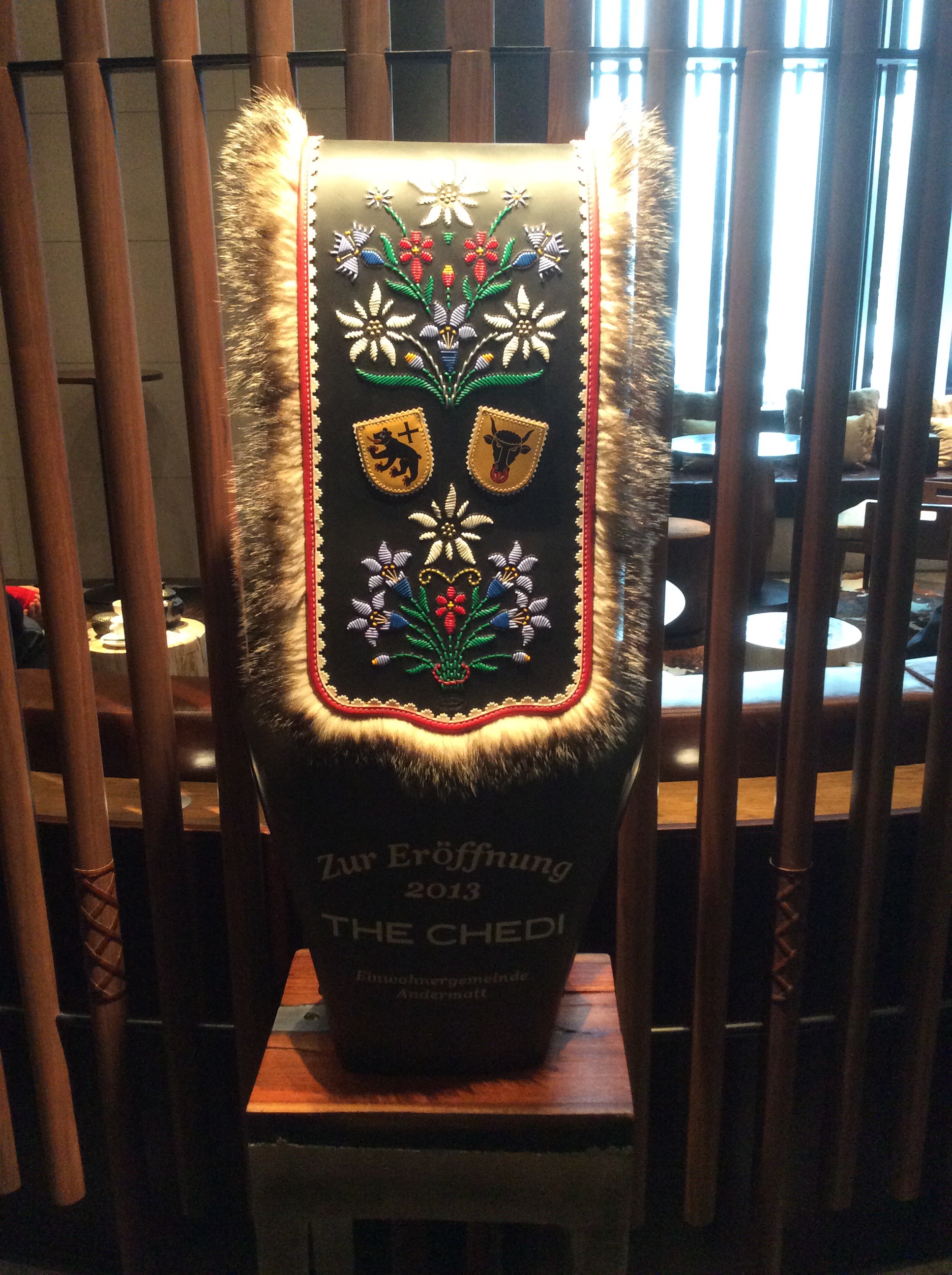
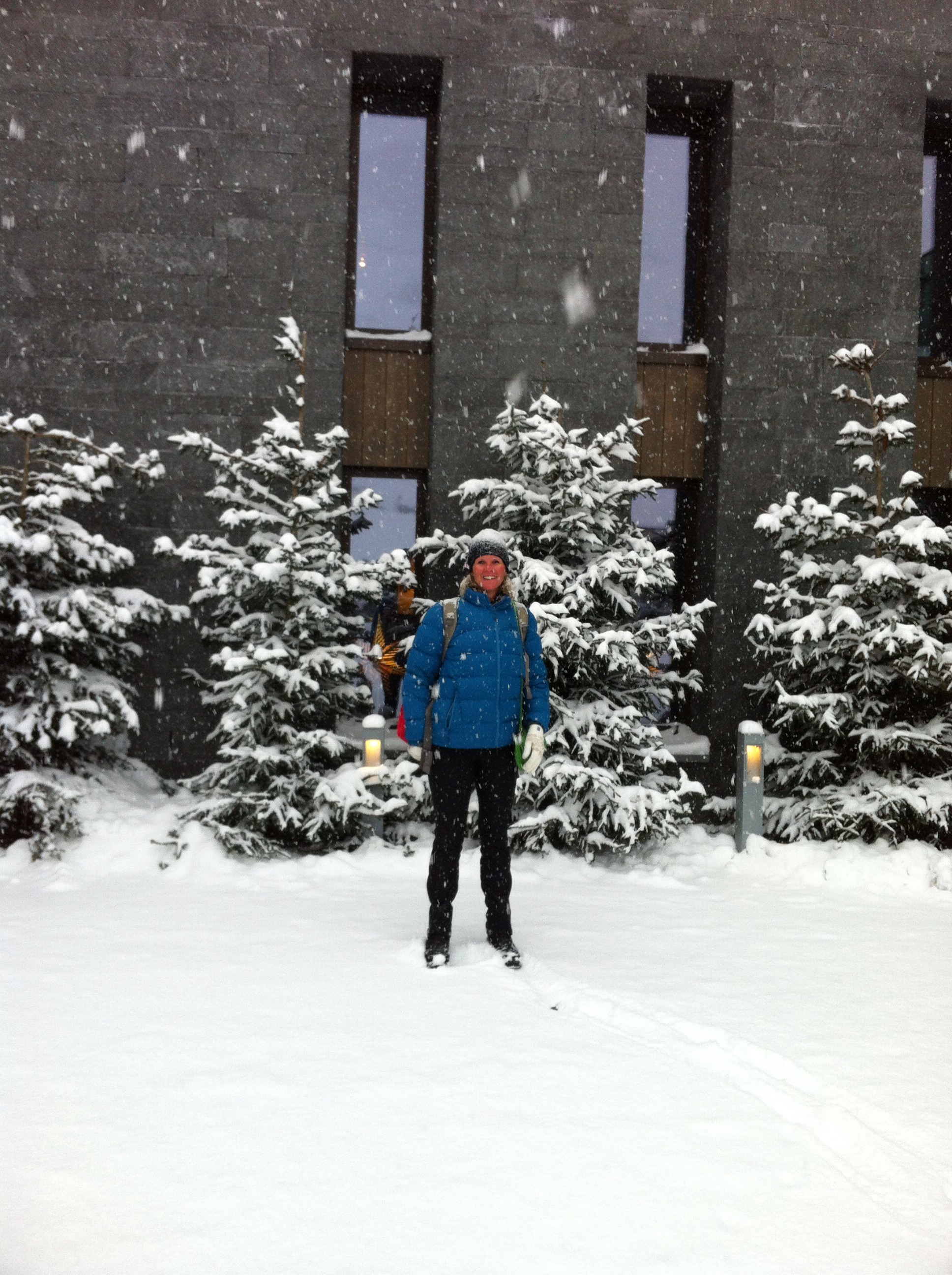
By the turn of the 21st century, as an alternative to the expensive skiing resorts in the Grisons (Graubünden) at St Moritz and Gstaad, Andermatt’s fortunes again revived and the town has seen considerable expansion and is currently undergoing much speculative building. We decided to have a drink at one of the newest hotels in Andermatt – The Chedi. It was very nice and had an indoor pool that people were lying around which seemed strange given it was snowing outside.

/home/wpcom/public_html/wp-content/blogs.dir/eb7/67251693/files/2014/12/img_2891.jpg

/home/wpcom/public_html/wp-content/blogs.dir/eb7/67251693/files/2014/12/img_2889.jpg

/home/wpcom/public_html/wp-content/blogs.dir/eb7/67251693/files/2014/12/img_2885.jpg

/home/wpcom/public_html/wp-content/blogs.dir/eb7/67251693/files/2014/12/img_5100.jpg

/home/wpcom/public_html/wp-content/blogs.dir/eb7/67251693/files/2014/12/img_2886.jpg

After our little taste of luxury we walked back to the train station to catch another train back to Buochs. We arrived home about 6pm to snow – our white Christmas had finally arrived : )

/home/wpcom/public_html/wp-content/blogs.dir/eb7/67251693/files/2014/12/img_2904.jpg

The Glacier Express
The Glacier Express is an express train connecting railway stations of the two major mountain resorts of St. Moritz and Zermatt in the Swiss Alps. The train is operated jointly by the Matterhorn Gotthard Bahn (MGB) and Rhaetian Railway (RhB). For much of its journey, it also passes along and through the World Heritage Site known as the Rhaetian Railway in the Albula / Bernina Landscapes.
The train is not an “express” in the sense of being a high-speed train, but rather, in the sense that it provides a one-seat ride for a long duration travel. In fact it has the reputation of being the slowest express train in the world.[1] As St. Moritz and Zermatt are home to two well-known mountains, the Glacier Express is also said to travel from Piz Bernina to Matterhorn.

The Glacier Express first ran in 1930. Initially, it was operated by three railway companies: the Brig–Visp–Zermatt Bahn (BVZ), the Furka Oberalp Bahn, and the RhB. Since 2003, the train has been operated by RhB and a newly established company, the MGB, which arose from a merger between the BVZ and the FO.

The trip on the Glacier Express is a 7½ hour railway journey across 291 bridges, through 91 tunnels and across the Oberalp Pass on the highest point at 2,033 m (6,670 ft) in altitude. The entire line is metre gauge (narrow gauge railway), and large portions of it use a rack-and-pinion system both for ascending steep grades and to control the descent of the train on the back side of those grades.

The completion of the final portion of the FO in 1926 opened up the Cantons of Valais and Graubünden to further tourist development. In particular, a pathway was laid for the introduction of Kurswagen (through coaches) between Brig and Chur, and between Brig and St. Moritz.

In early June 1930, the then Visp–Zermatt Bahn was extended to Brig by the opening of a metre gauge line along the Rhone Valley between Visp and Brig. For the first time, it was feasible to operate through coaches all the way from Zermatt to St. Moritz and return. On 25 June 1930, the first train of such coaches set out from Zermatt to St. Moritz, under the name Glacier Express. The new train’s name honoured the Rhone Glacier, which is near Gletsch, on the Furka Pass.

Until 1982, the Glacier Express operated only in the summer months, because the Furka Pass and the Oberalp Pass were both snowed over in winter. Initially, the train was made up of first to third class salon and passenger coaches, supplied by all three of the participating railway companies. Between Chur and Disentis/Mustér, passengers could enjoy a hot lunch in a Mitropa dining car. From 1933, the Glacier Express through coaches were attached to normal passenger trains between Brig and Zermatt.

In the earliest years of the Glacier Express, electric locomotives were used to haul the Glacier Express on the BVZ and the RhB, but steam locomotives were used on the FO. That changed in 1941-1942, when overhead catenary was installed on the FO, enabling completely electric operation for the full length of the route. However, no through trains were operated between 1943 and 1946, due to World War II.

Upon the resumption of daily through trains in 1948, the dining car service was extended from Disentis/Mustér to the top of the Oberalp Pass. Between the 1950s and the 1970s, both the BVZ and the RhB introduced new locomotive classes that, when attached to the Glacier Express, enabled reductions in schedule times. Meanwhile, the dining car service was extended further, to Andermatt.

In 1981 a Glacier Express era came to an end, with the final closure for the winter of the FO line over the Furka Pass and through the Furka Summit Tunnel, between Oberwald and Gletsch. In June 1982, that FO line was replaced by the newly opened Furka Base Tunnel. As a consequence, the Glacier Express not only became disconnected from its namesake Rhone Glacier, but also could now, for the first time, be operated on a year round basis.

At that time, the BVZ, FO and RhB took the opportunity to relaunch the Glacier Express as a tourist attraction. Promotional material focused on the train’s status as “the slowest express train in the world”, covering 291 km or 181 mi, 91 tunnels, and over 291 bridges. A special promotional wine glass on a sloping base emphasised the steepness of some parts of the route. Passenger numbers rose from 20,000 in 1982 to over 53000 in 1983, and to just over 80,000 in 1984.

In 1985 the Glacier Express timetable was completely revised. Between 1986 and 1993, the BVZ and the FO invested nearly 40 million Swiss Francs in constructing 18 new first class panorama cars for the train. By 2005 more than 250,000 passengers were travelling on the Glacier Express each year.

In 2006 a few scenes of the documentary film The Alps were shot inside the train, and further new panorama cars were added to the Glacier Express passenger car fleet. On 7 July 2008, the Albula Railway and the Bernina Railway were jointly recorded in the list of UNESCO World Heritage Sites, under the name Rhaetian Railway in the Albula / Bernina Landscapes. Currently, the Glacier Express is especially popular with tourists from Germany, Japan, and, increasingly, India.

On 23 July 2010 a Glacier Express train derailed near Fiesch on the Matterhorn Gotthard Bahn line. One passenger was killed and 42 were injured. The accident was blamed on human error.

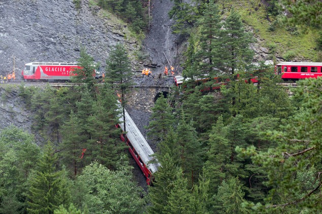
On the 13th August 2014 a landslide hit the Glacier Express in a deep wooded valley between Tiefencastel and Solis. Five people were seriously injured and another six sustained slight injuries.

/home/wpcom/public_html/wp-content/blogs.dir/eb7/67251693/files/2014/12/img_2936.jpg

Despite these two incidences accidents are rare on the Swiss rail network.

/home/wpcom/public_html/wp-content/blogs.dir/eb7/67251693/files/2014/12/img_2934.jpg

/home/wpcom/public_html/wp-content/blogs.dir/eb7/67251693/files/2014/12/img_2935.jpg

/home/wpcom/public_html/wp-content/blogs.dir/eb7/67251693/files/2014/12/img_2929.jpg

/home/wpcom/public_html/wp-content/blogs.dir/eb7/67251693/files/2014/12/img_2928.jpg

Posted in Switzerland | 1 Comment