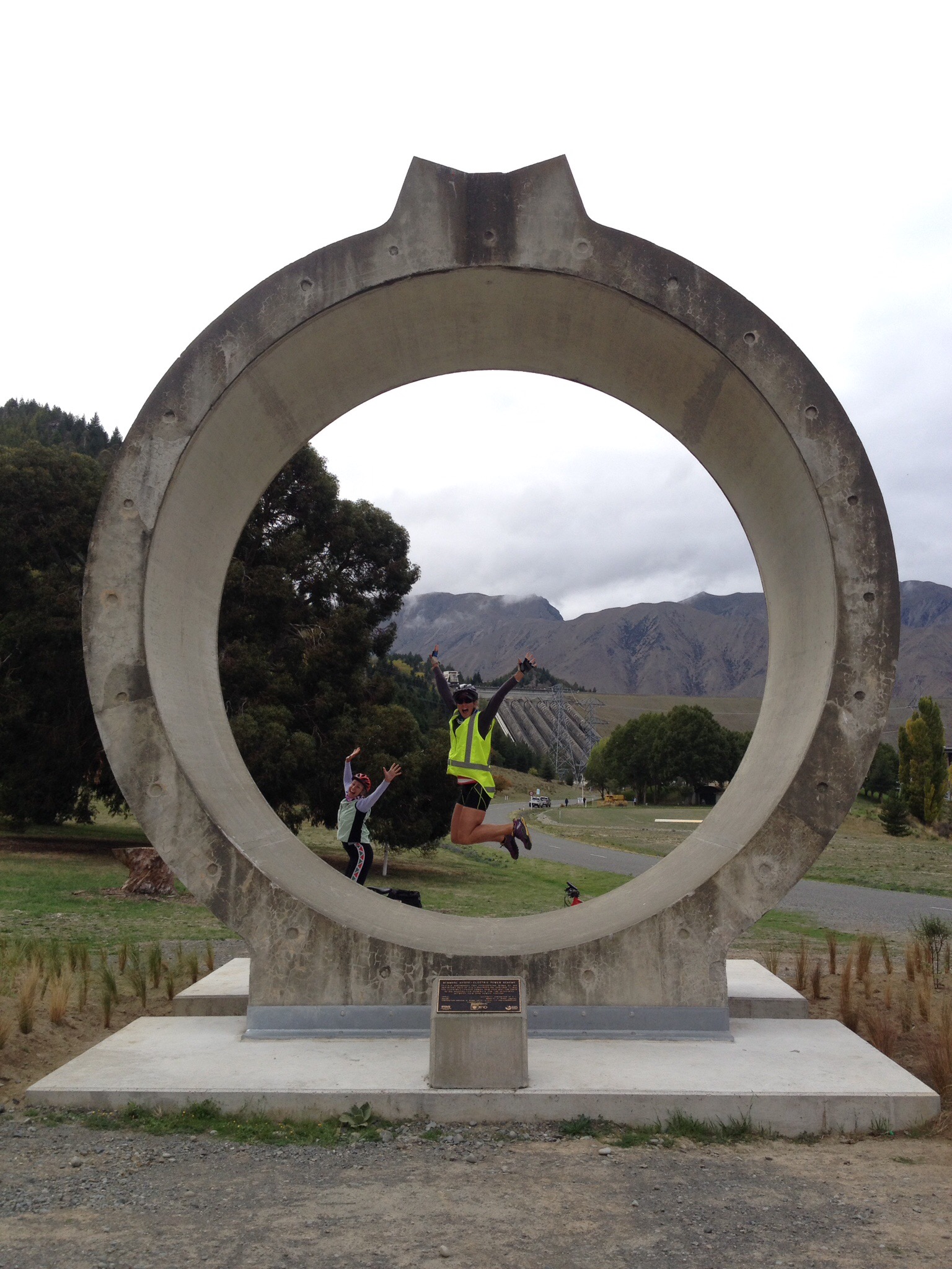
Alps to Ocean, Day 3 – Lake Ohau to Omarama – Mackenzie Basin, South Island, New Zealand

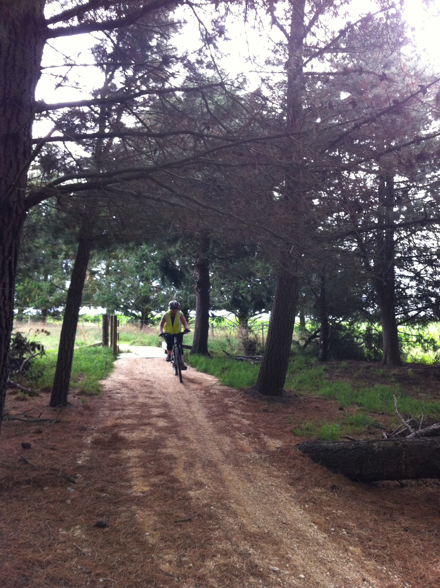
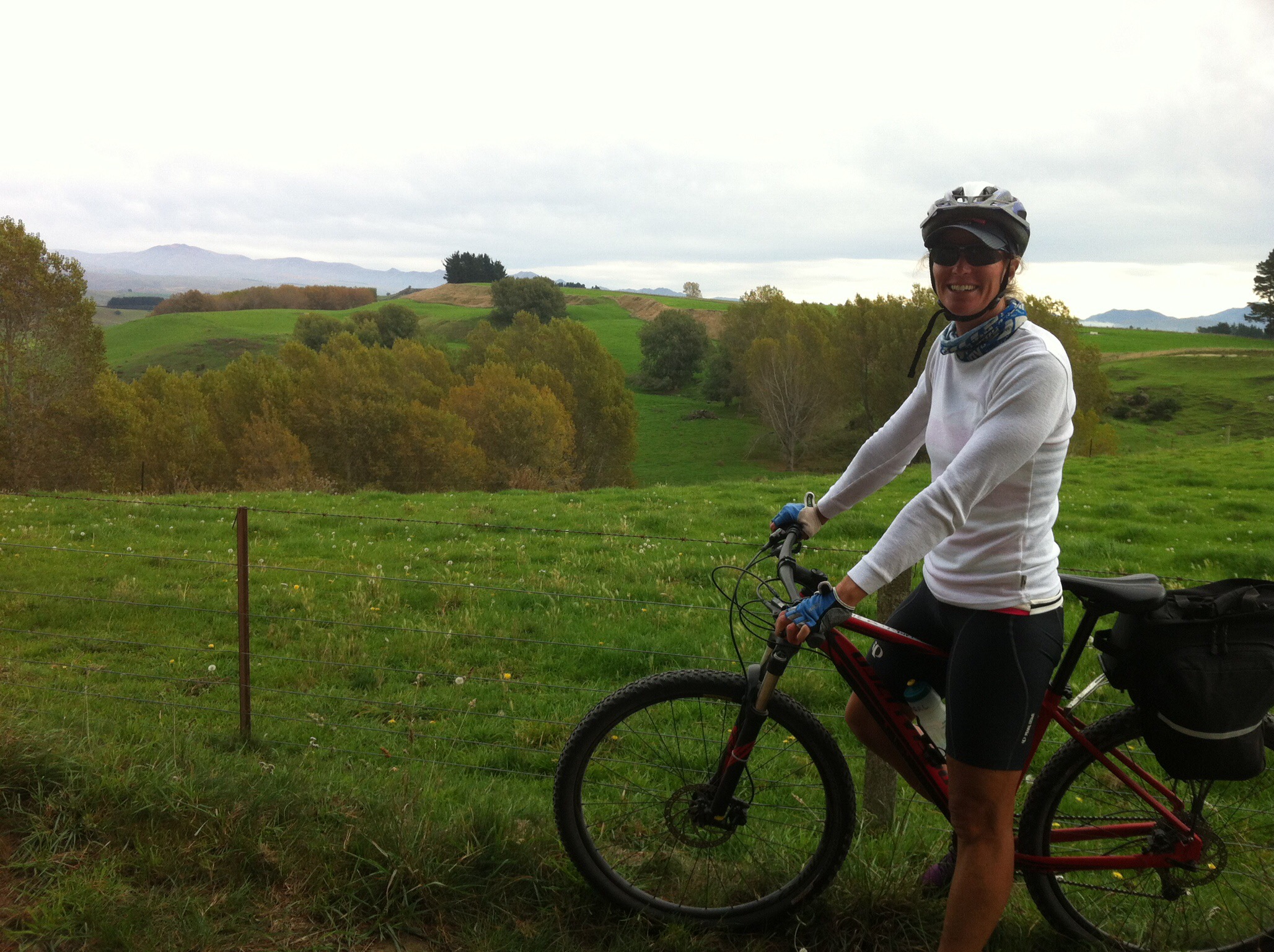
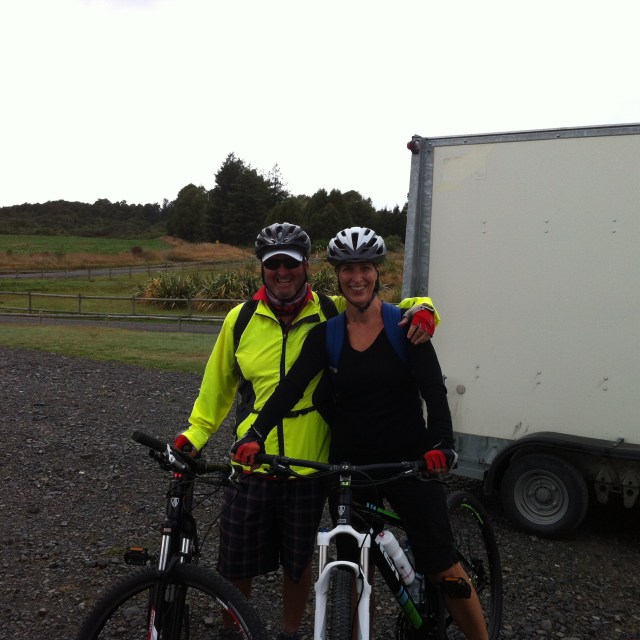
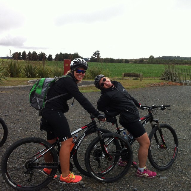
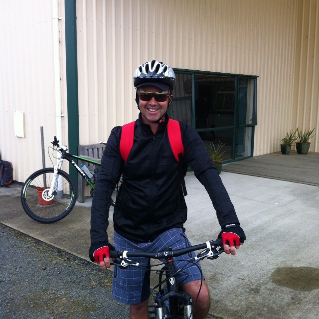
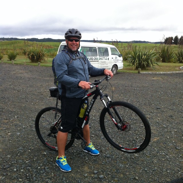
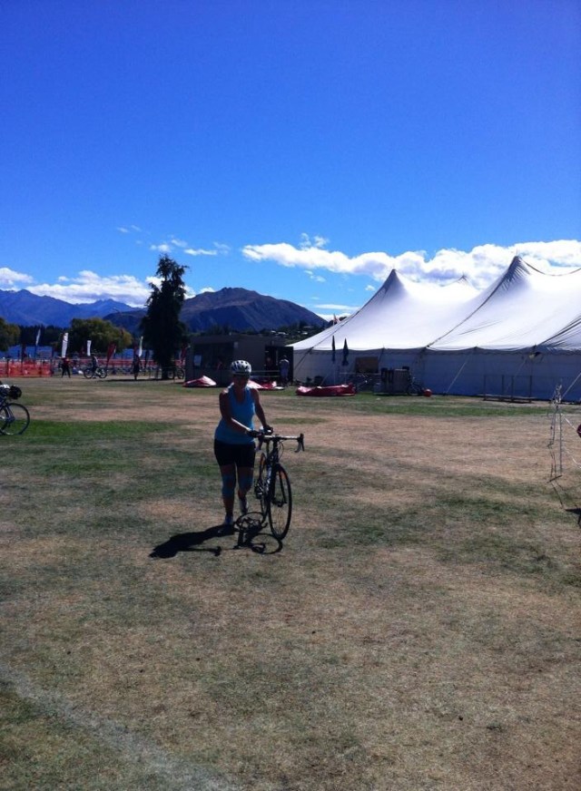
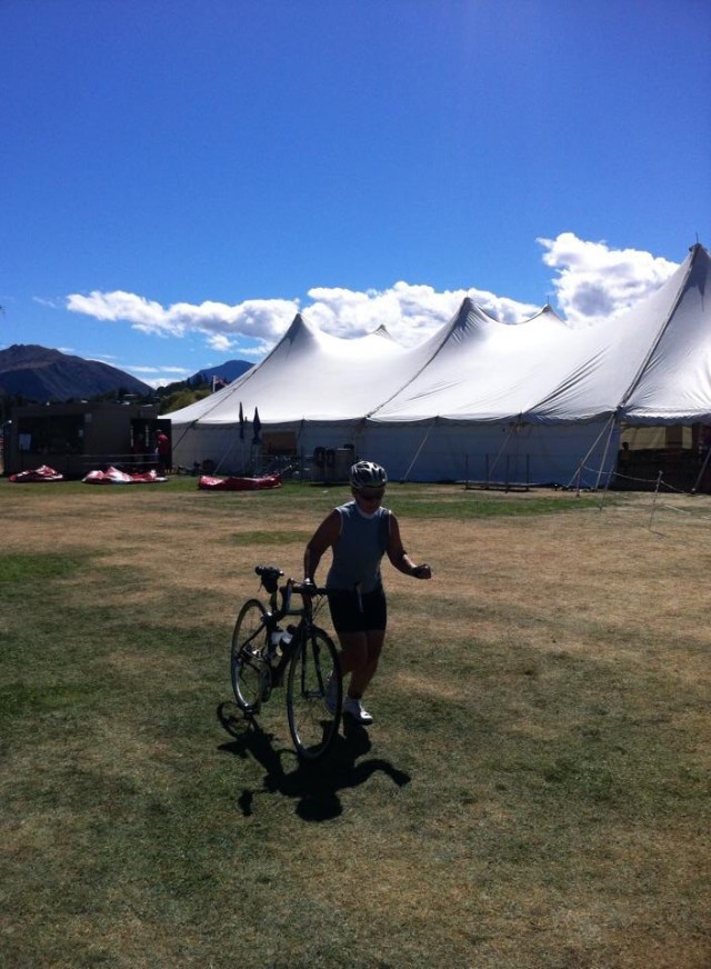
We woke up about 7.30am and my roomie Robyn reported it was raining – I told her that we weren’t leaving until 9.30am and it will be fine by then!  By the time we went for breakfast things were already looking brighter with a bit of blue sky poking through and by the time we biked out of there the rain had stopped and the sun was coming out.  SUNGRL – the forever optimist : )

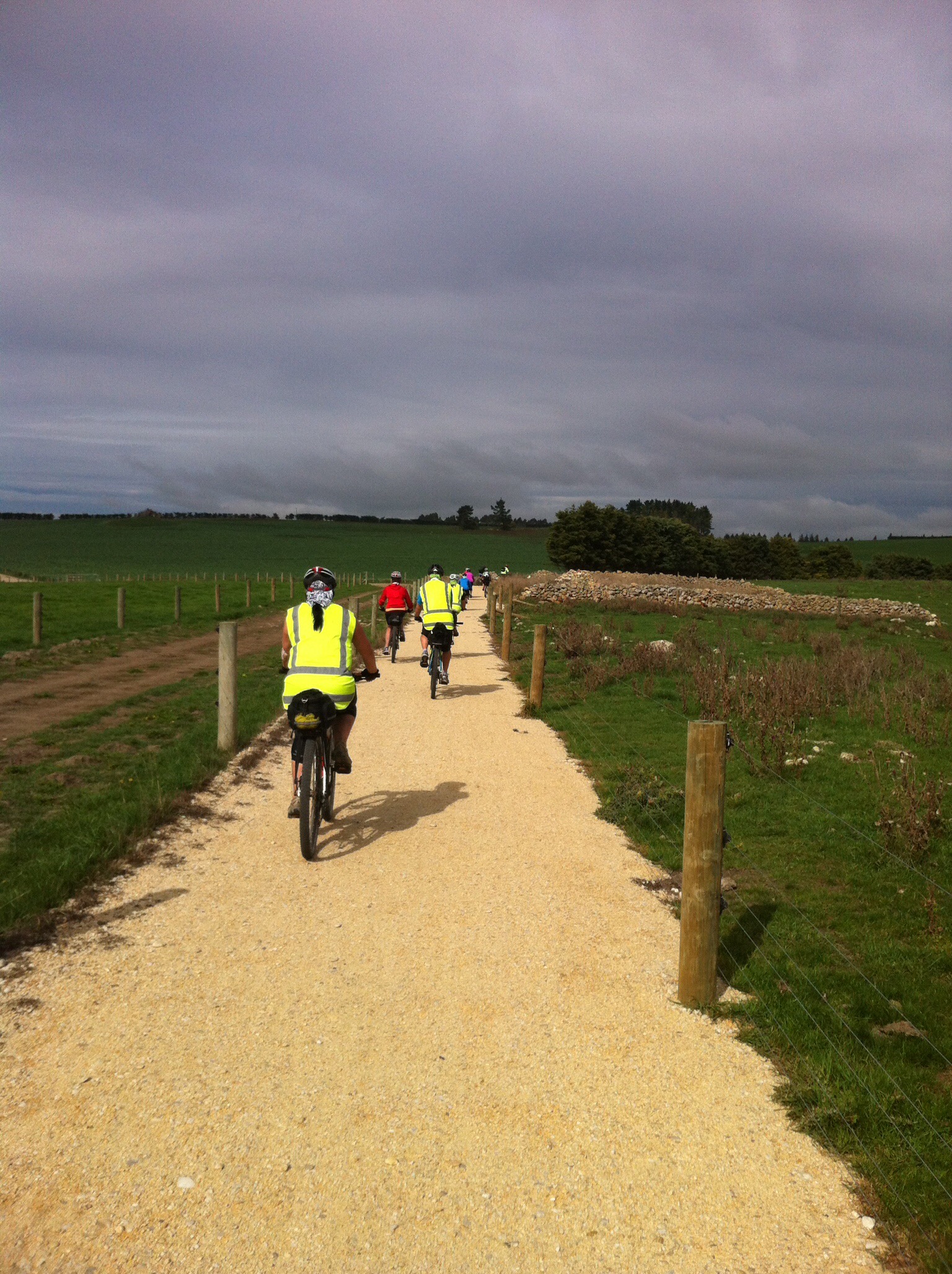
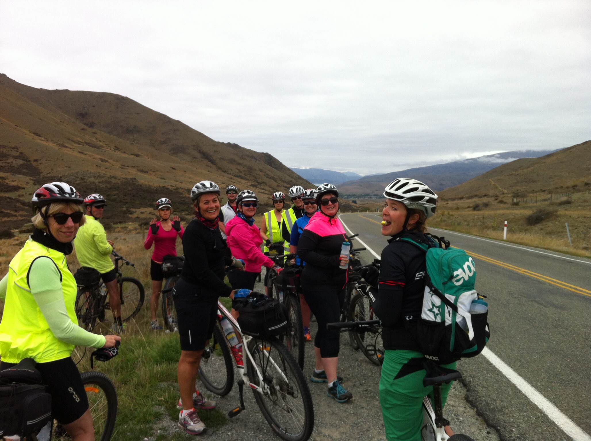
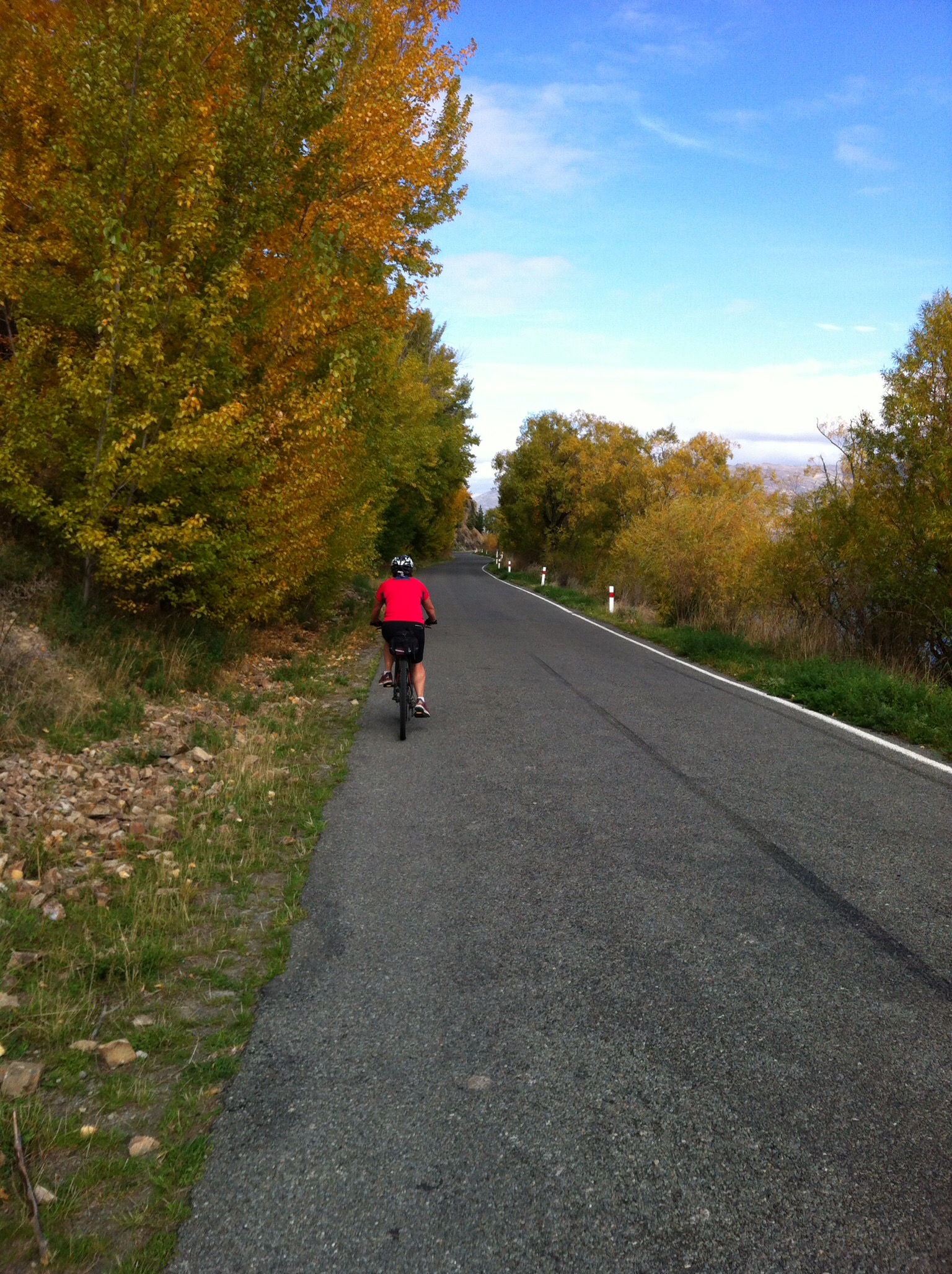
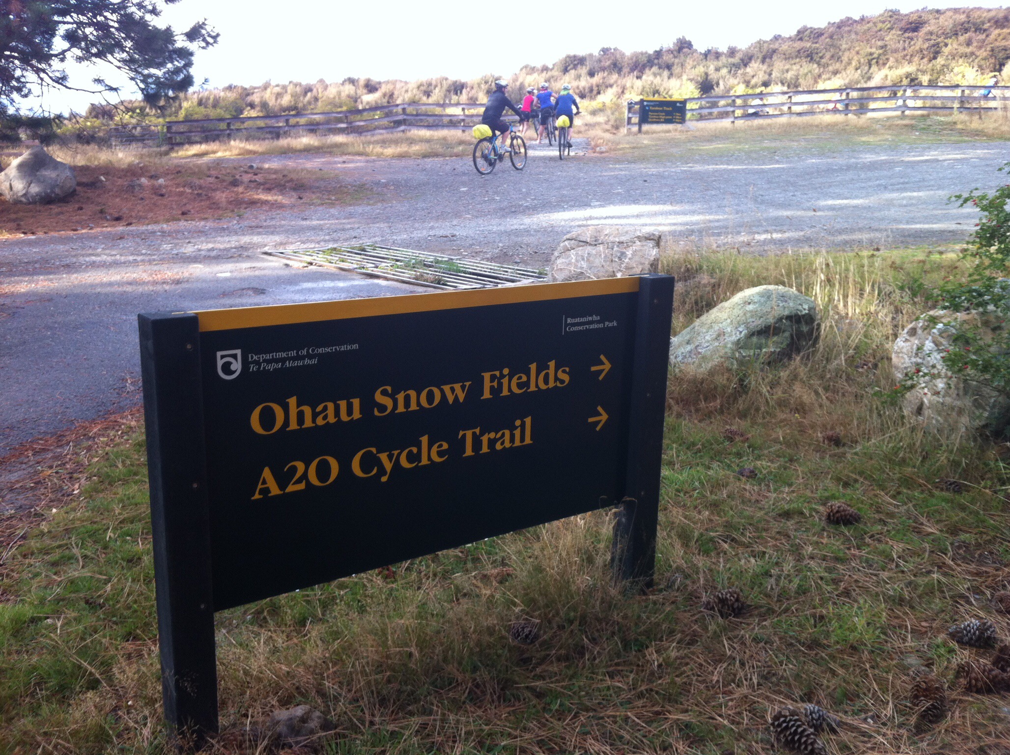
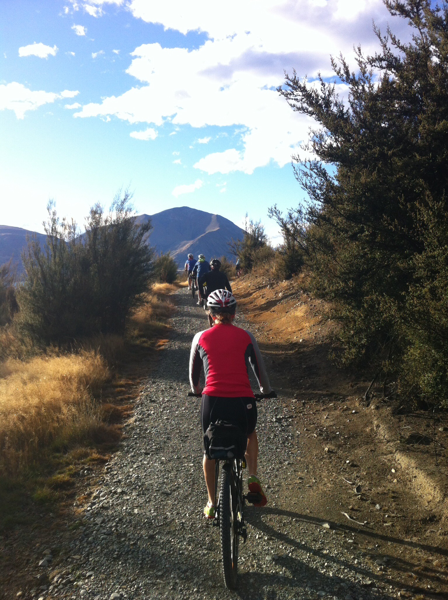
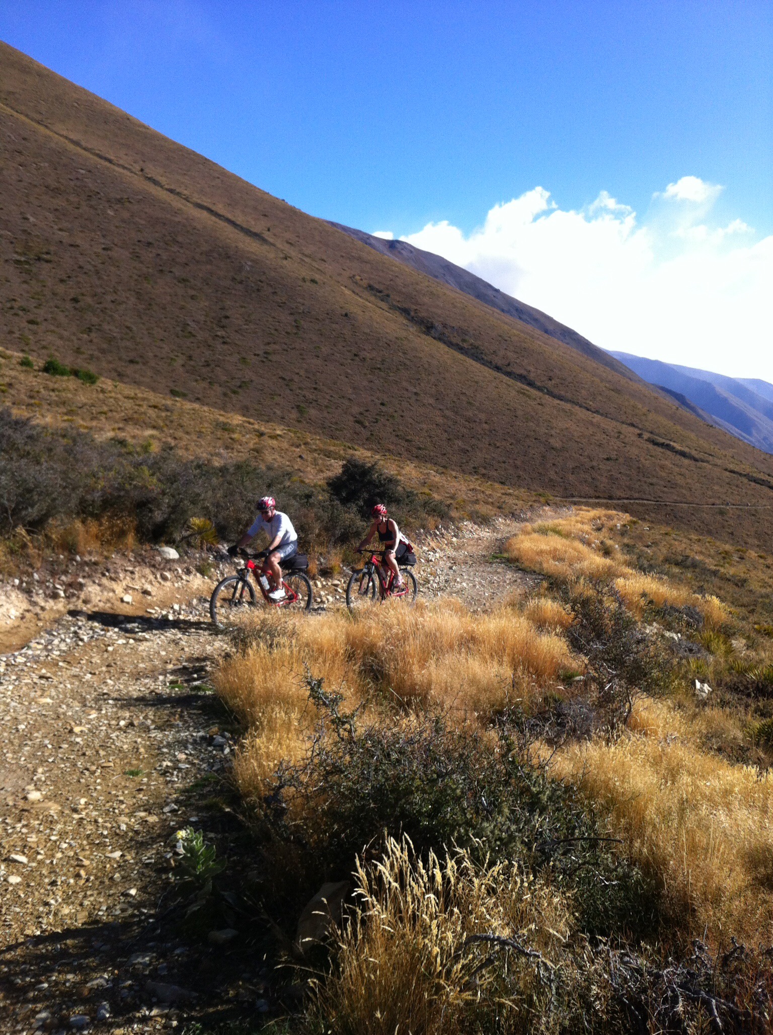
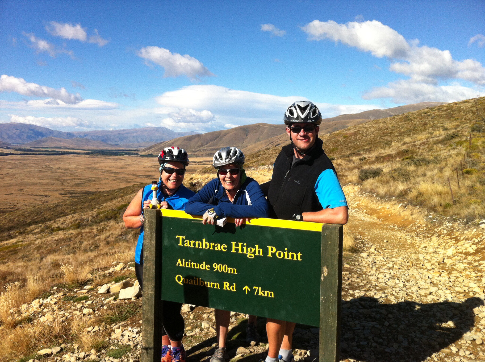
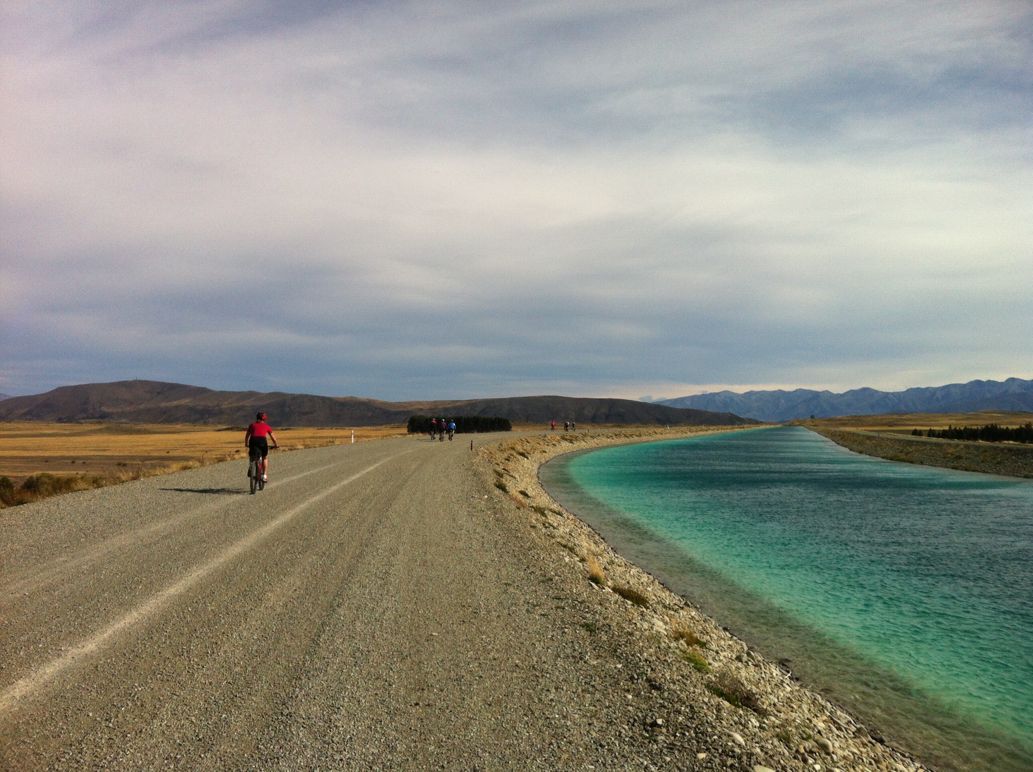
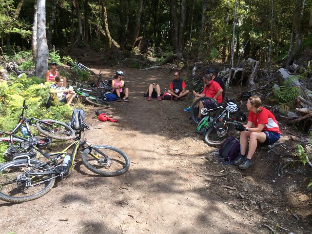
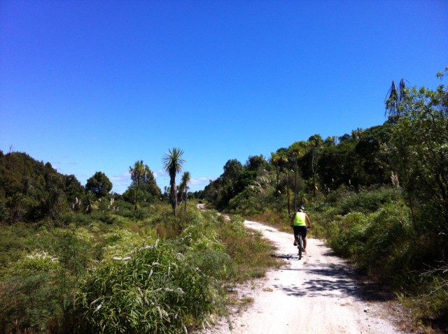
The new track goes ‘over’ the hill rather than round it so I was looking forward to seeing how this panned out.  The trip notes said that the first 6.3km is easy cycling before a 4km climb from 600 metres to 900 metres.  After completing this 10km we all decided that the trip notes need to be revised as everyone thought that the first 6km was harder than the 4km climb – the first 6km was uphill, windy and over various terrain.  The 4km climb was straight and steady – we even had a tail wind which was a nice change : )  We did learn some new terminology on this 4km though – ‘false summits’, of which there were a few – the trail appeared to reach the high point but kept winding upwards.


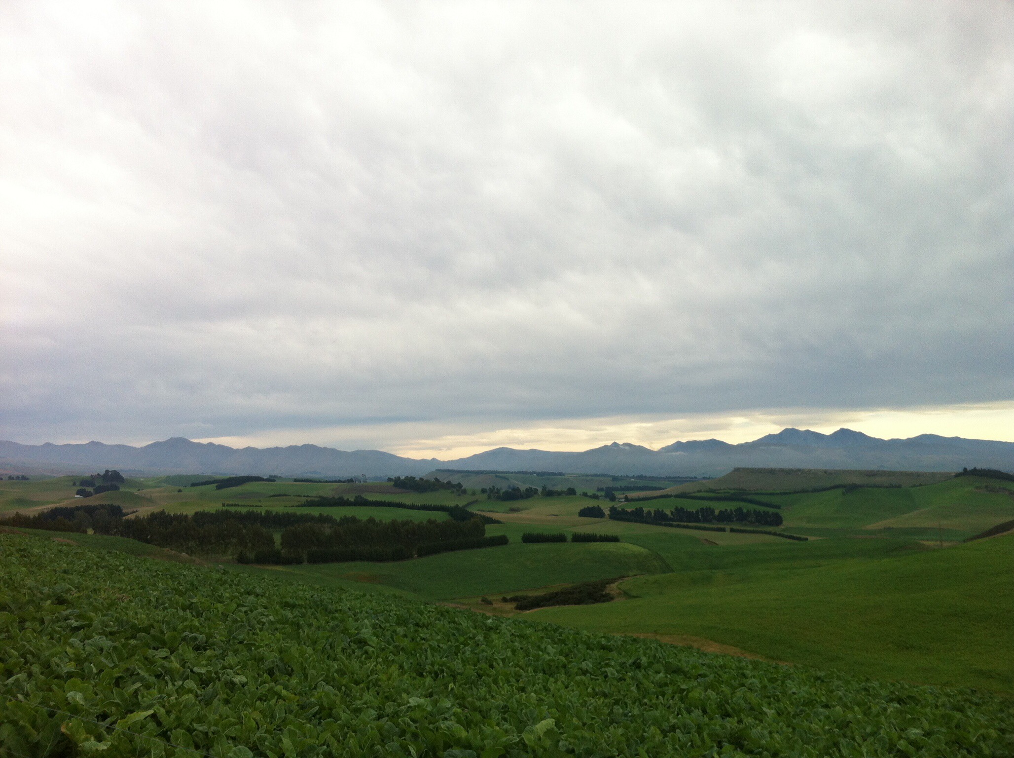
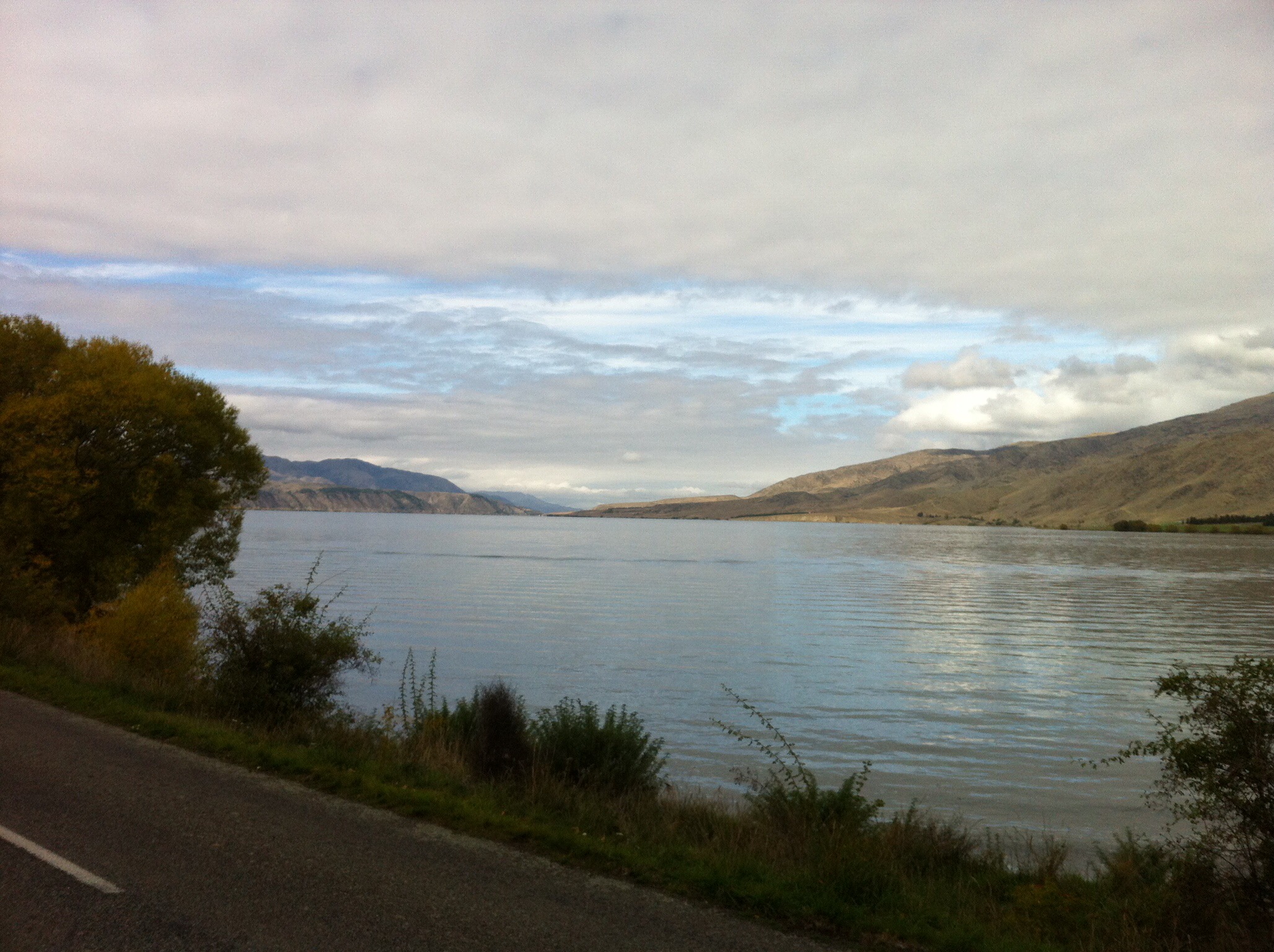
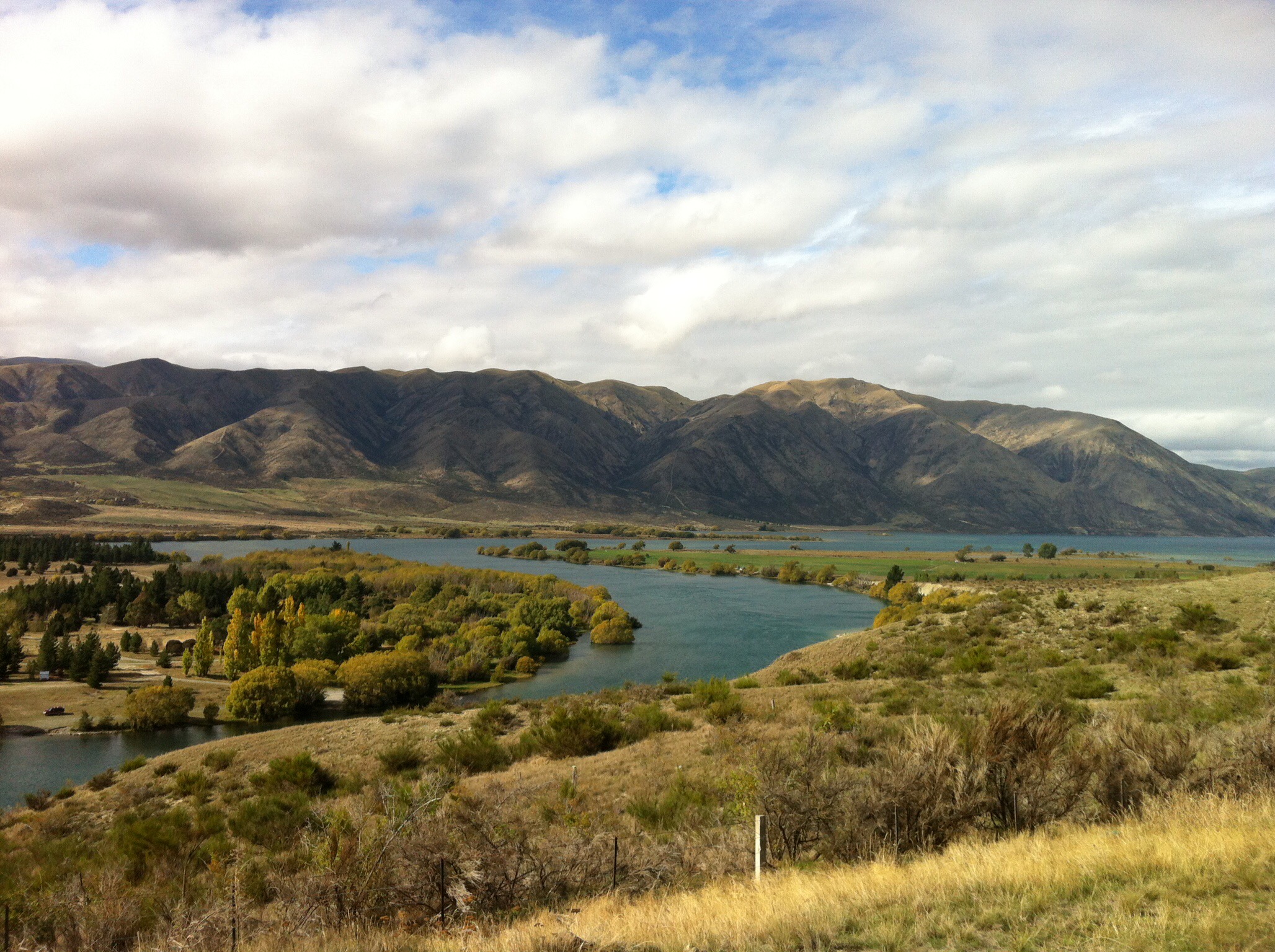
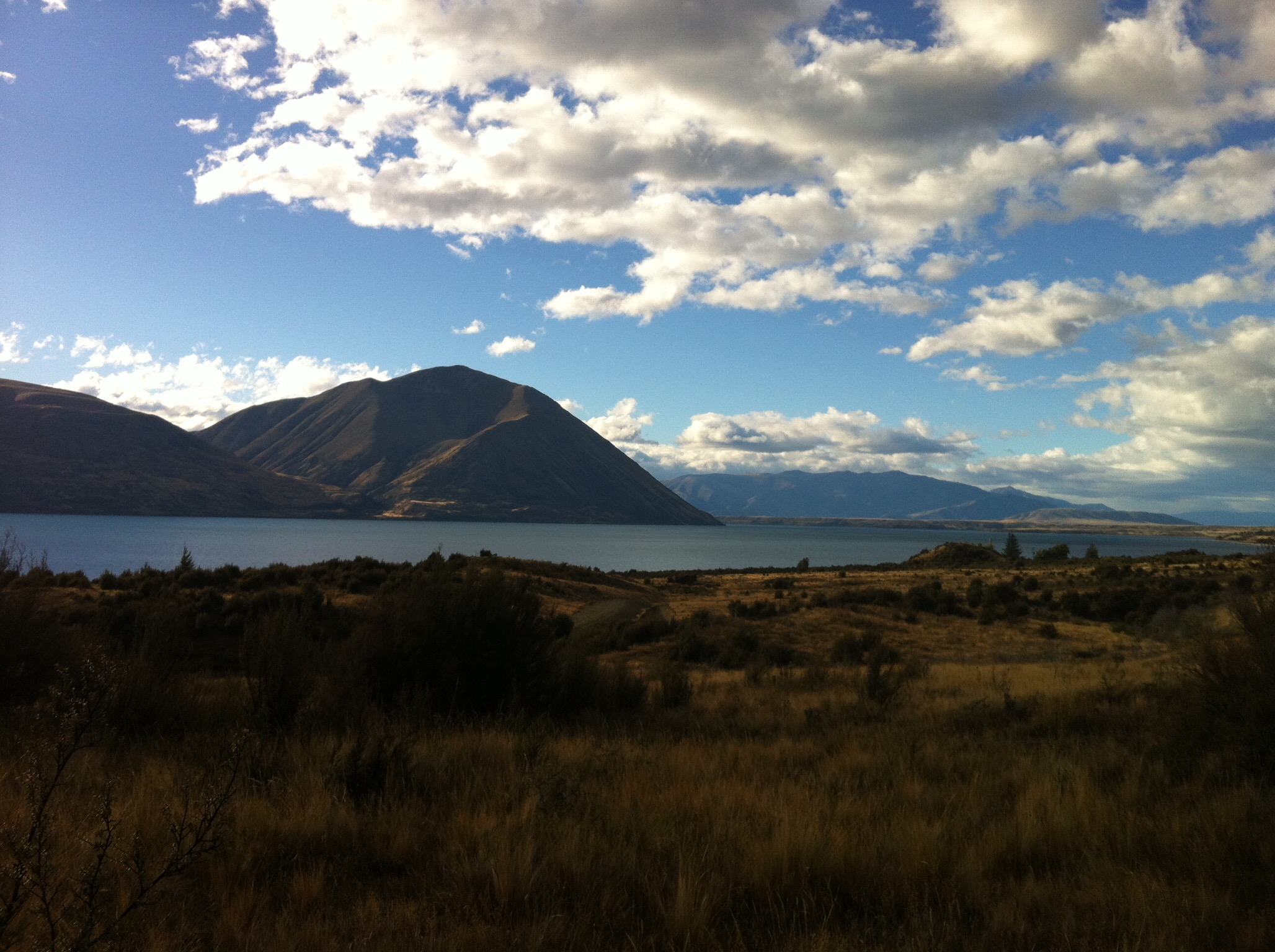
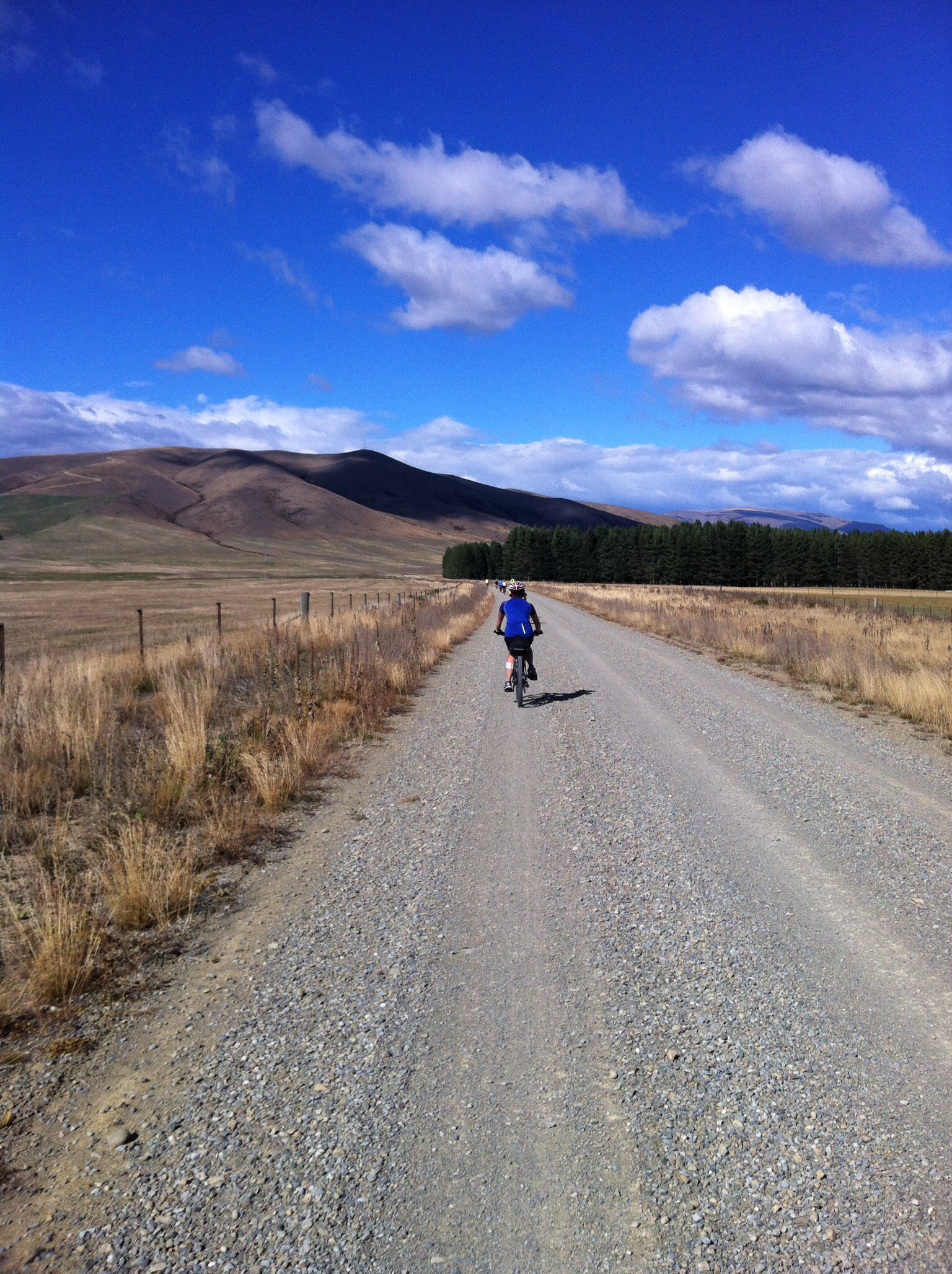
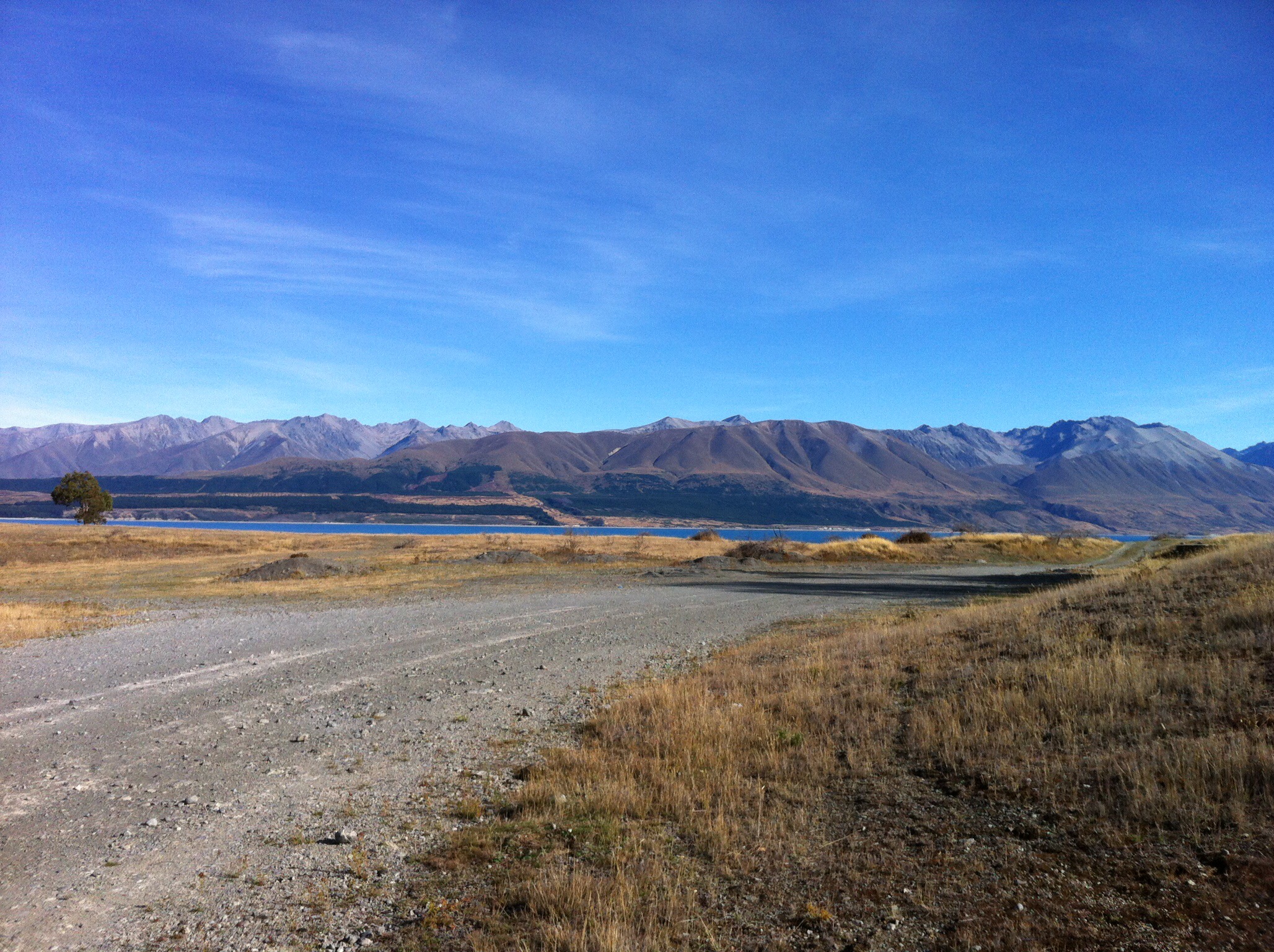
 The views back over Lake Ohau on the climb up were fantastic.  After reaching the true summit at 900 metres above sea level we had a few twists and turns before some fantastic downhill riding through the paddocks.  Just before the Quailburn Road intersection we were met by Rae & Trish who had decided to ride in the van for the first part of the day – there was a large puddle of water which they were encouraging us to ride through – the shoes got a little wet but it was great fun.

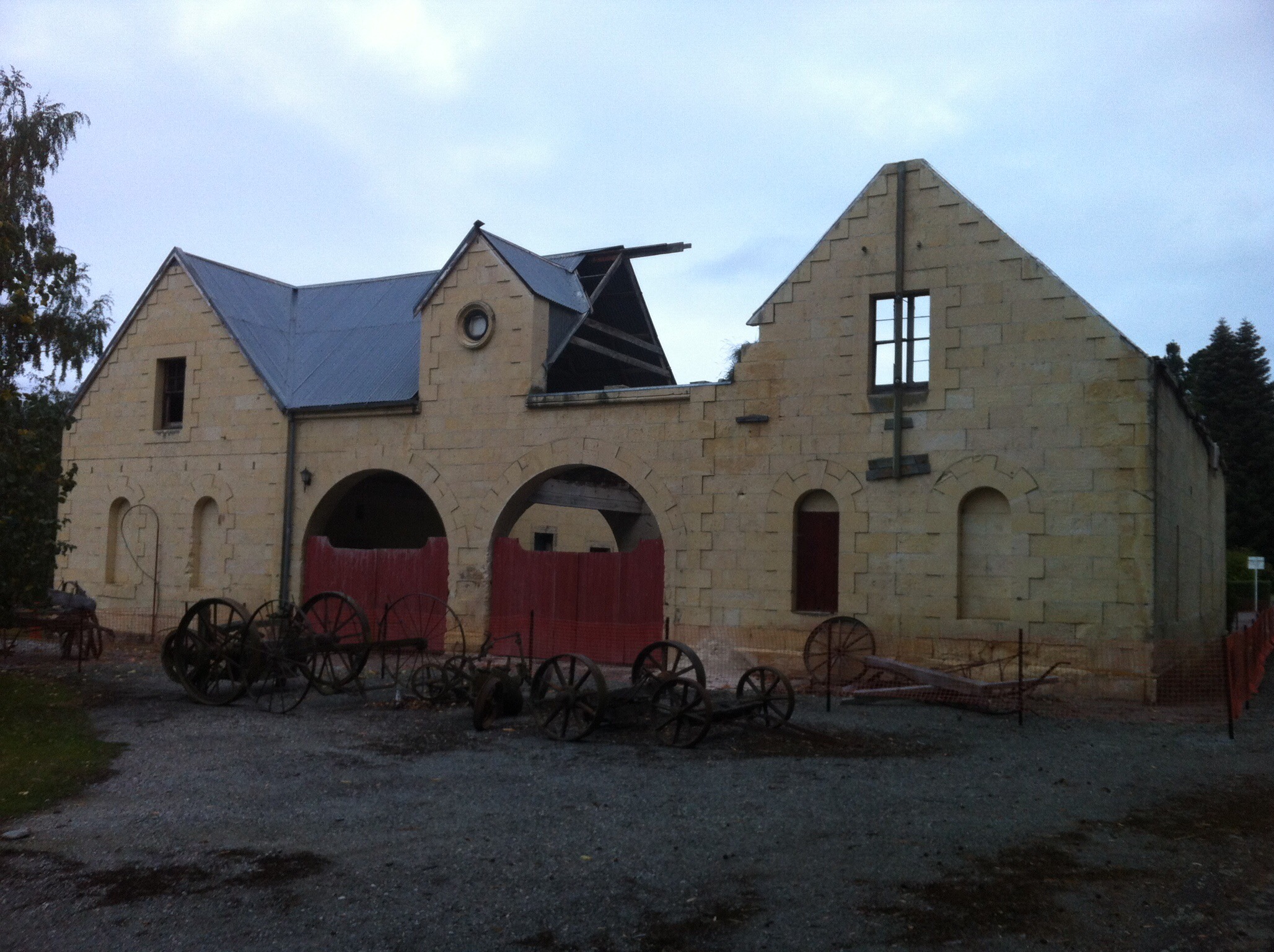
We then rode 2km up the road to a historic woolshed where we had lunch.  The woolshed was part of the Quailburn run on the Benmore Station – see below for more information on the Benmore Station.

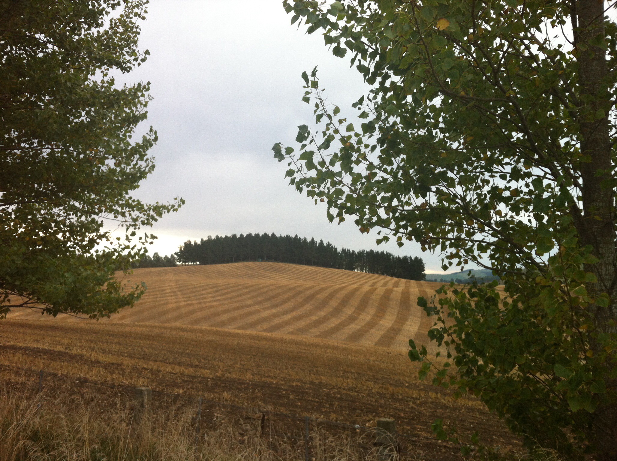
 After lunch we had about 22km to go before reaching today’s destination which was Omarama.  This riding was mainly downhill and to start with on gravel roads.  It was great fun until I had to get out of the way of an oncoming car and nearly came off my bike in the thick gravel.  Omarama which has a population of about 250 people is primarily a rural service centre, providing local farmers and other residents with necessities and facilities such as grocery shopping, fuel and mechanical services, as well as a post shop.  In more recent years these and similar services have expanded moderately, due to the increase in new residents and visitors, including anglers, artists, astronomers, sailplane enthusiasts, skiers and general tourists.  A significant proportion of permanent village residents are employees of (or contractors to) Meridian Energy Limited, a state-owned enterprise which is responsible for much of New Zealand’s hydroelectricity generation.

Due to the strong gliding conditions and spectacular scenery in the Omarama area, as well as the entire Mackenzie Basin, it is known as a world-class gliding location, gaining fame among sailplane pilots around the world after hosting the 1995 World Gliding Championships.

Omarama is Māori for “Place of Light”, a reference to its extraordinarily pure and clear sky.  Omarama is home of the annual mid winter star party. Local street lighting and other light sources are dimmed or switched off for the duration of the event.  Benmore Peak Observatory is located approximately 13 km north of Omarama, atop the nearby Benmore Range

We got to Omarama about 3pm and everyone was looking forward to a soak in the hotpools – Leona gave them a call and they were fully booked until 10pm!  It was Easter Saturday which explains why they were so busy – note for next time we’re passing through Omarama – book in advance!

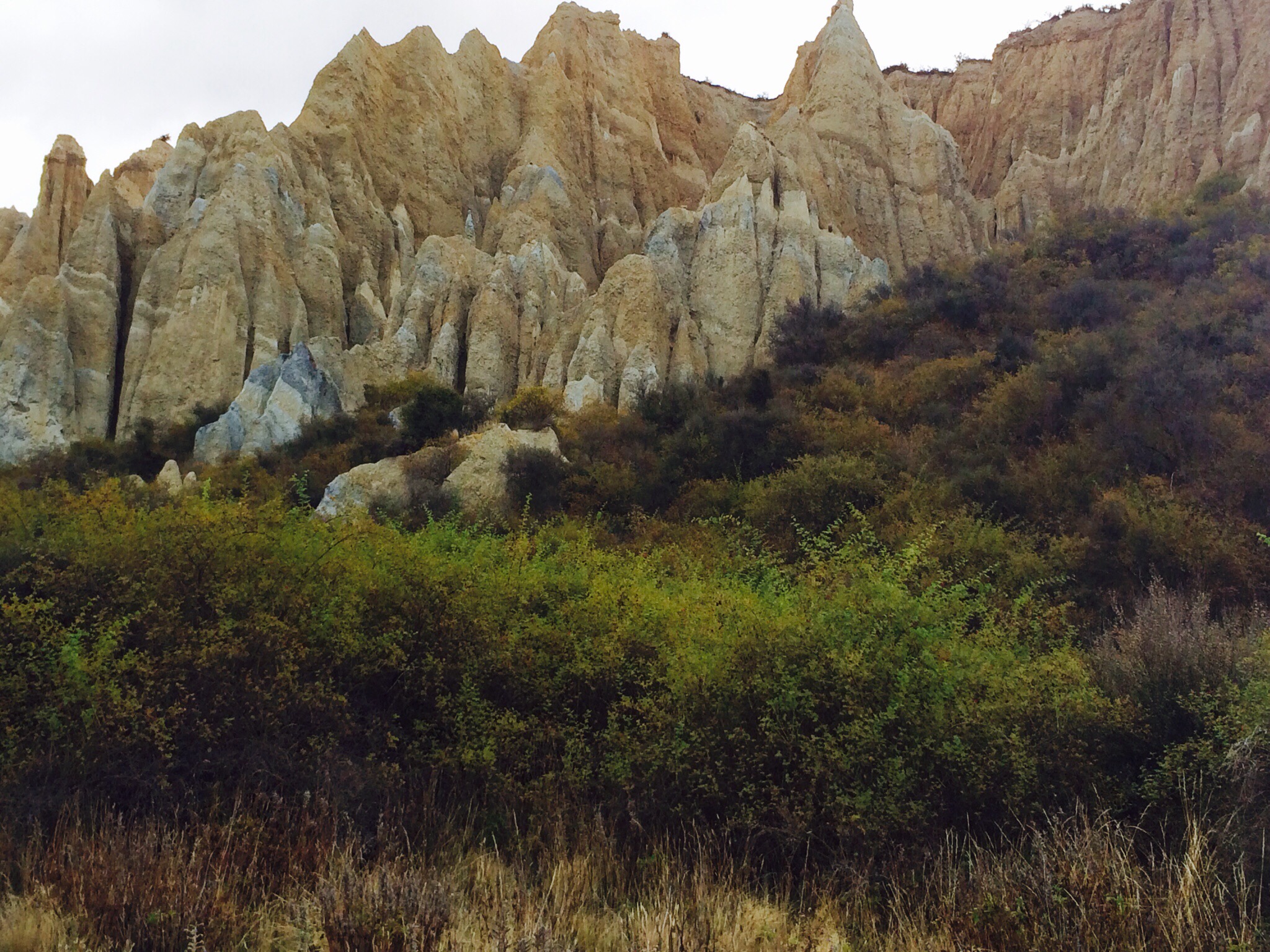
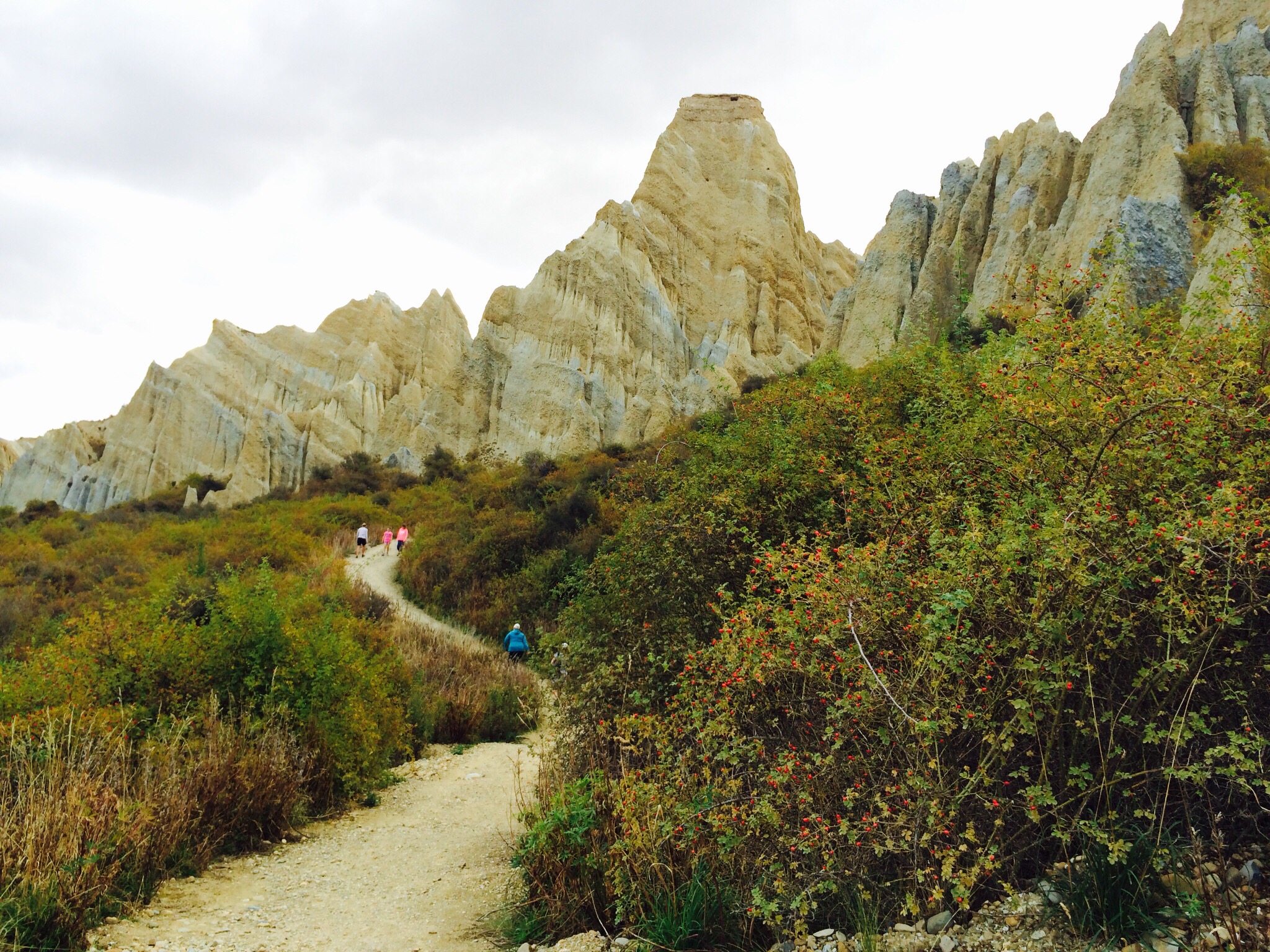
Instead of soaking in the hot pools we took a drive out to see the Clay Cliffs.  These reminded me of the fairy chimneys in Cappadocia in Turkey.  The Clay Cliffs are huge sharp pinnacles and ridges with deep, narrow ravines separating them. The Clay Cliffs are made of layers of gravel and silt, deposited by rivers flowing from glaciers existing 1-2 million years ago. Compared to the nearby mountains, which are 250 million years old, the Clay Cliffs are relatively new. Today the gravel and silt layers can be seen as sloping bands as the strata have been tilted since their deposition 1-2 million years ago.  

After our Clay Cliffs excursion it was time for a bit of R & R before dinner at the restaurant at the Heritage Gateway Hotel where again we had lots of laughs.

Benmore Station

Two Scotsmen set off in search of new country to settle.  Having come though Mackenzie Pass and crossed the Tekapo, Pukaki and Ohau rivers, they climbed to the top of the last terrace and saw straight ahead of them north-facing tussock-covered ridges sloping gently to rich grassy plains.  “I’ll take this country” said McMurdo pointing to the range.  “That’s just the country I’ve decided to take” retorted Fraser.

They debated for some time, neither giving way.  They decided to race to Christchurch to register the claim but this was over 200 miles away over very rough country.  In the end they decided to race to a matagouri bush about a mile away.  The winner was to take the land to the left, the loser the land to the right.  McMurdo won the race and named the land Benmore after his birthplace in Scotland.  The year was 1857 and the Mackenzie country was set to change.

By the late 1800’s over 80,000 sheep were being shorn each year at Benmore Station.  During shearing time the number of men working on the station swelled, with often 25 blade shearers on board.  Wool from Benmore sheep was sent to Oamaru and transported by ship to Dunedin.  Wool bales were loaded onto wagons pulled by bullock teams.  The bullocks could pull more slowly and surely than horses, grip the terrain better with their cloven hooves, and didn’t require supplement feeding.  It was a long, slow journey to Oamaru over rough roads, with the bullock teams travelling at a top speed of three kilometres an hour.

The woolshed was constructed in the early 1920’s from beech poles taken from Quailburn Bush.  Pockets of forest in gorges and gullies around Quailburn and Lake Ohau were the only local source of timber.  Beech was used for rails for yards, firewood and in the building of early huts.

Today we can only marvel at the conditions endured by farmers and their station hands.  Mustering was particularly trying as a vast amount of land had to be covered and the weather conditions were often ghastly.  The shepherds used horses on the flat but the high country, rising up to 1,900 metres was covered on foot.  A fall from steep icy slopes was a constant risk.

By purchasing neighbouring runs, Benmore became one of the largest properties in Otago with over 200,000 acres.  A huge public auction in 1916 marked the end of an era for Benmore.  It was broken up into pastoral runs which were then offered for licence.  As a result, twelve large stations and nine smaller ones were created.  The Quailburn Run where the woolshed is was named after the native quail that were found there. 

Posted in Mackenzie Basin, South Island | Tagged | 1 Comment

Alps to Ocean, Day 2 – Mt Cook to Lake Ohau – Mackenzie Basin, South Island, New Zealand

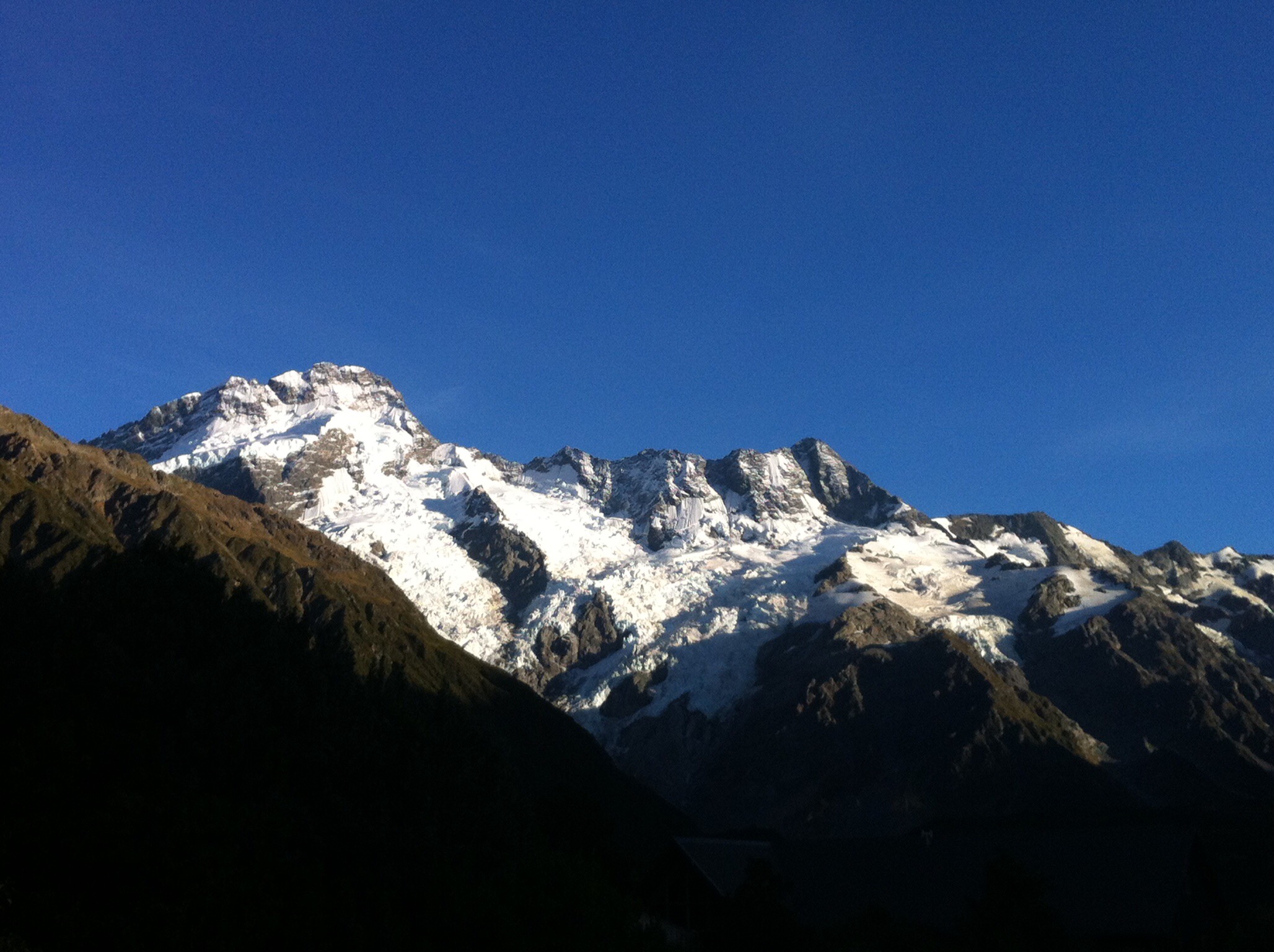
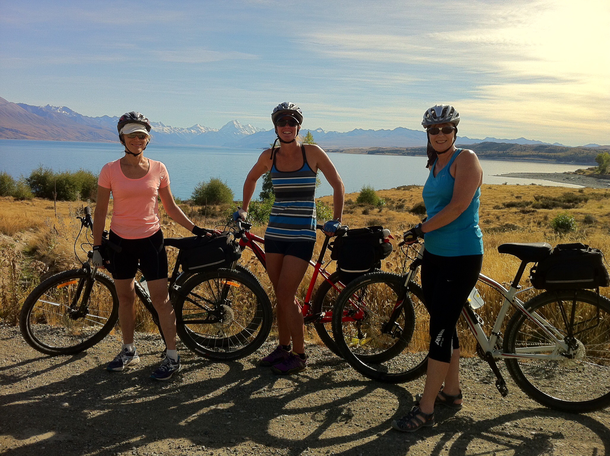
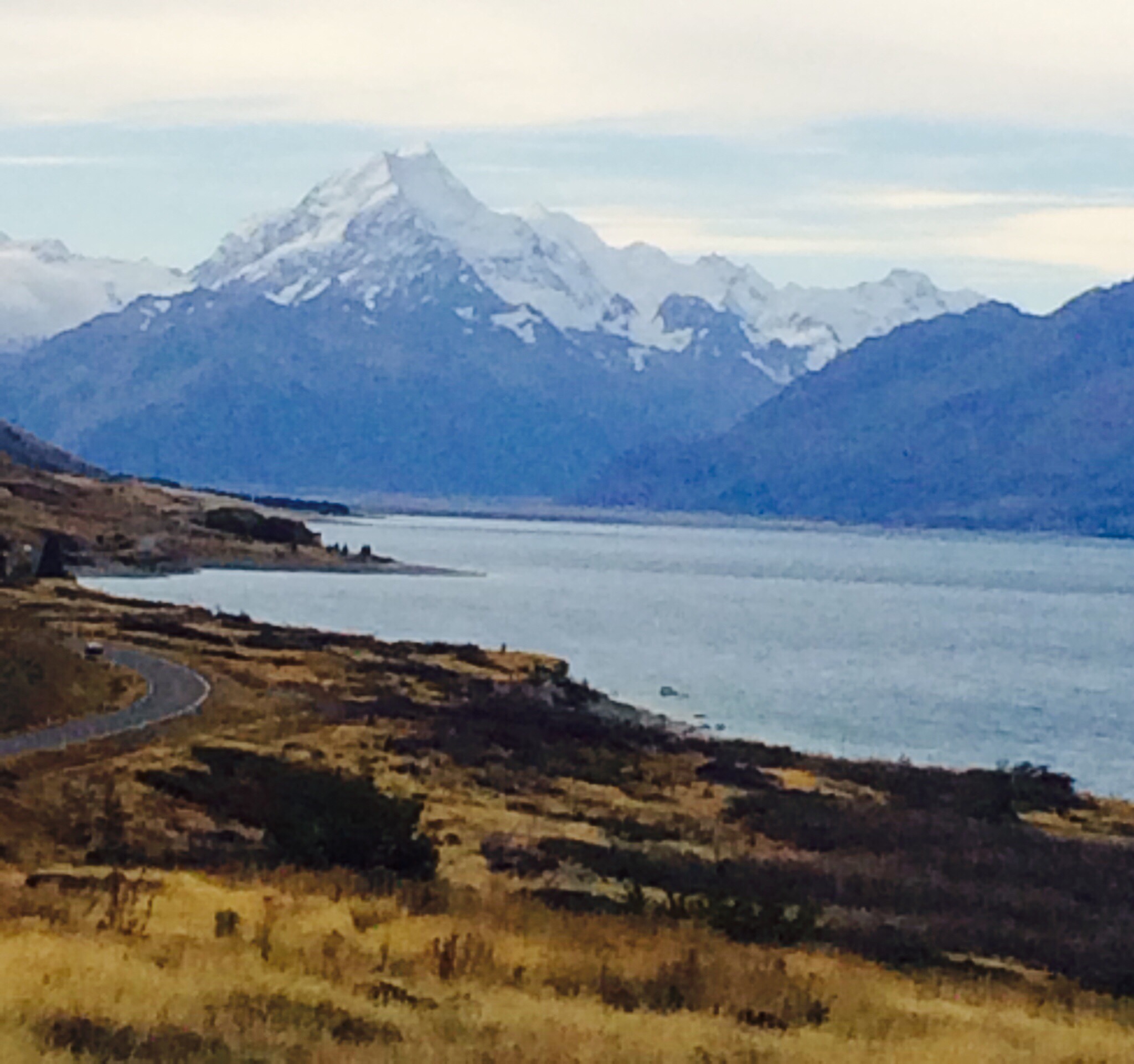
We awoke on Friday morning to see Mt Cook in all her glory.  This is very special as not everyone gets to see her – mountains do tend to attract clouds.  This is the second time I have done this trip and on both occasions I have been very fortunate to see Mt Cook cementing my SUNGRL reputation : )   

 
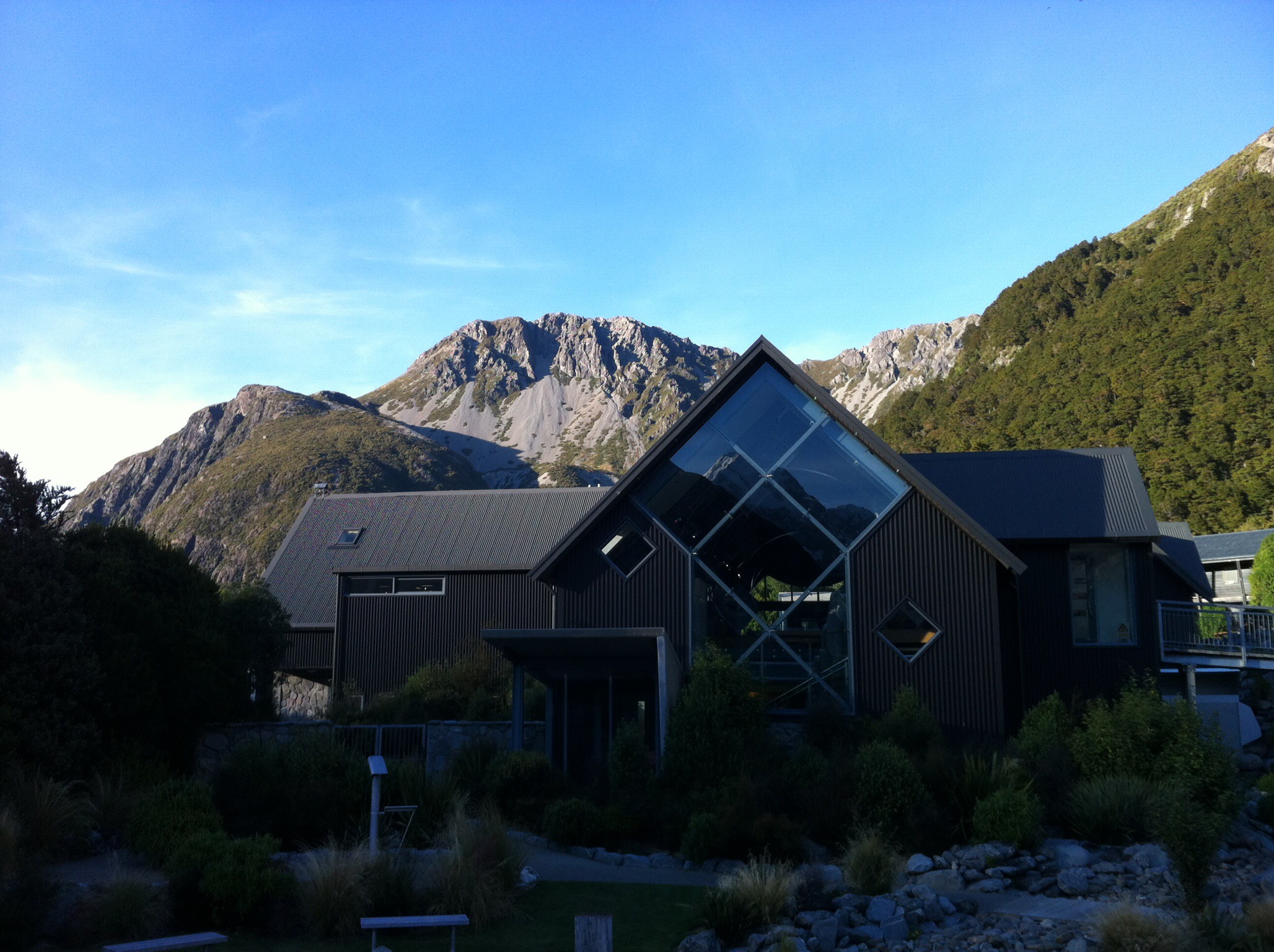
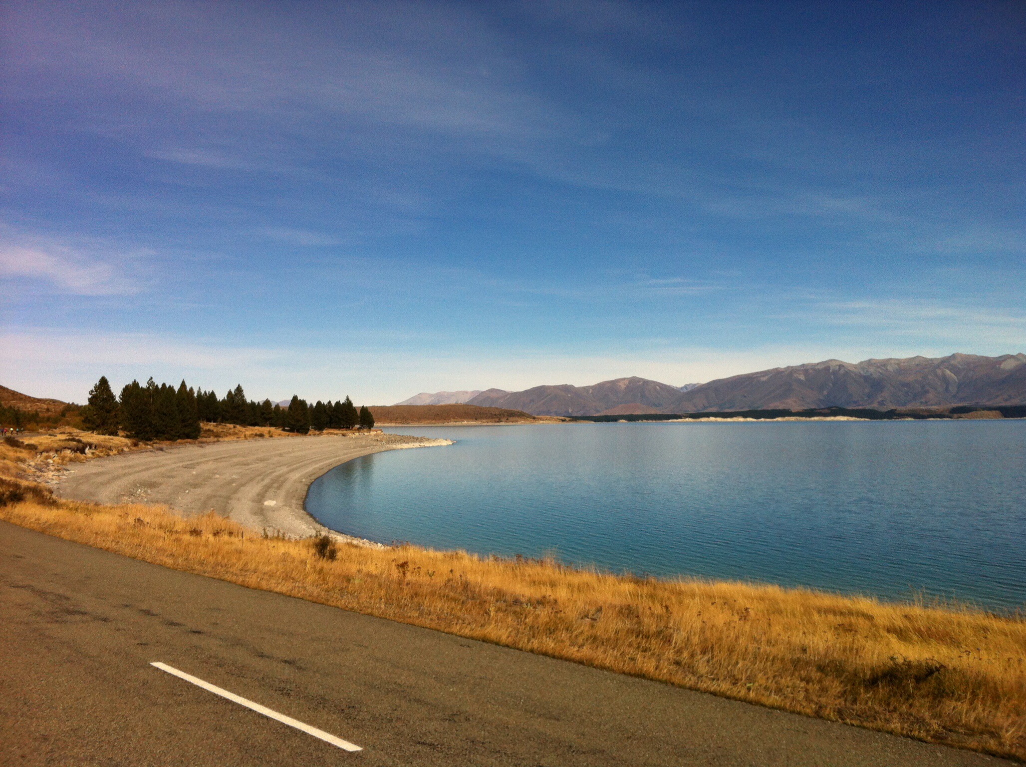
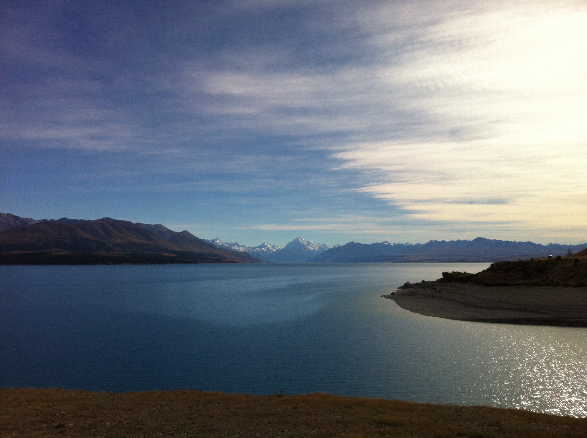
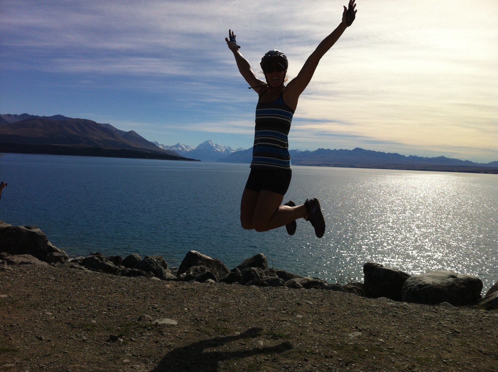
          After breakfast and a quick look around the very impressive Aoraki Mt Cook Visitor Information Centre we drove back to where we finished our cycle the day before.  We cycled along the shores of Lake Pukaki.  It was a stunning day and the vistas were magical.  We then crossed the highway to cycle the Pukaki Flats which is an expansive area of dry grasslands that are characteristic of the Mackenzie landscape.


 Next stop was Twizel where we had lunch at Poppies Cafe which was very nice.  The sun was out in full force so we were in for a hot afternoon.  We headed out of Twizel towards the Ohau Canal which meets up with Lake Ohau.  We then went off road again on a trail that skirts the foreshore of the lake.  It was a lovely track and much nicer cycling than on the road like we did the first time we did the ride in 2012.


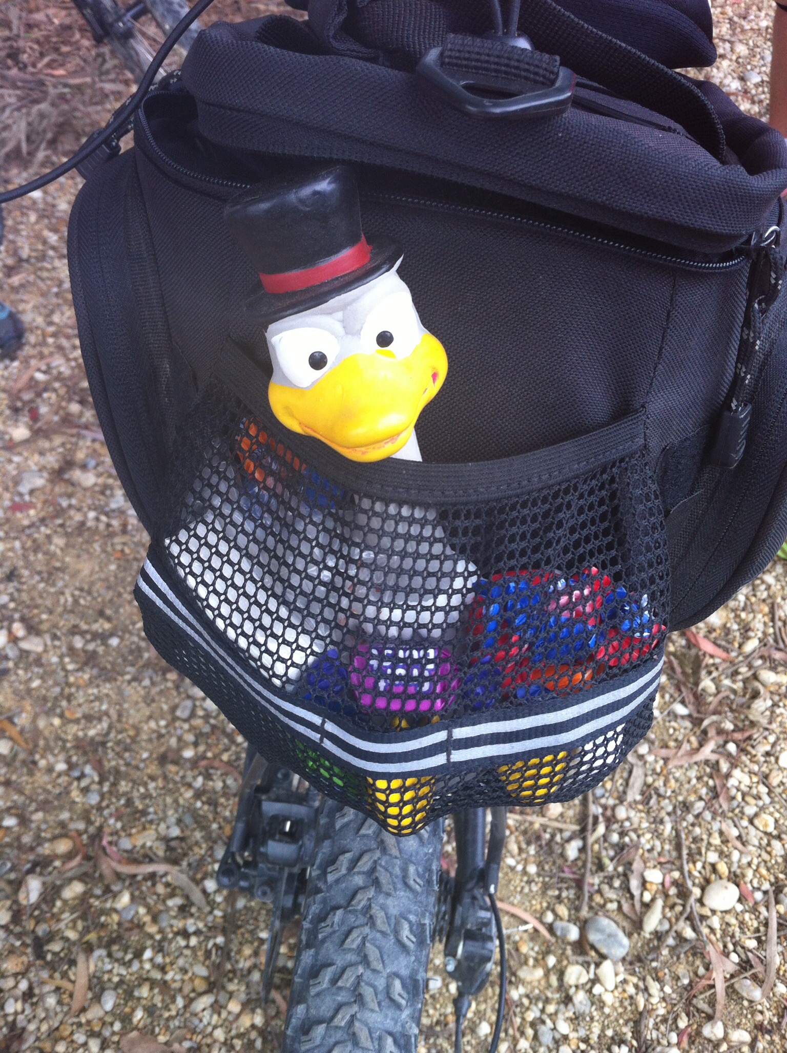
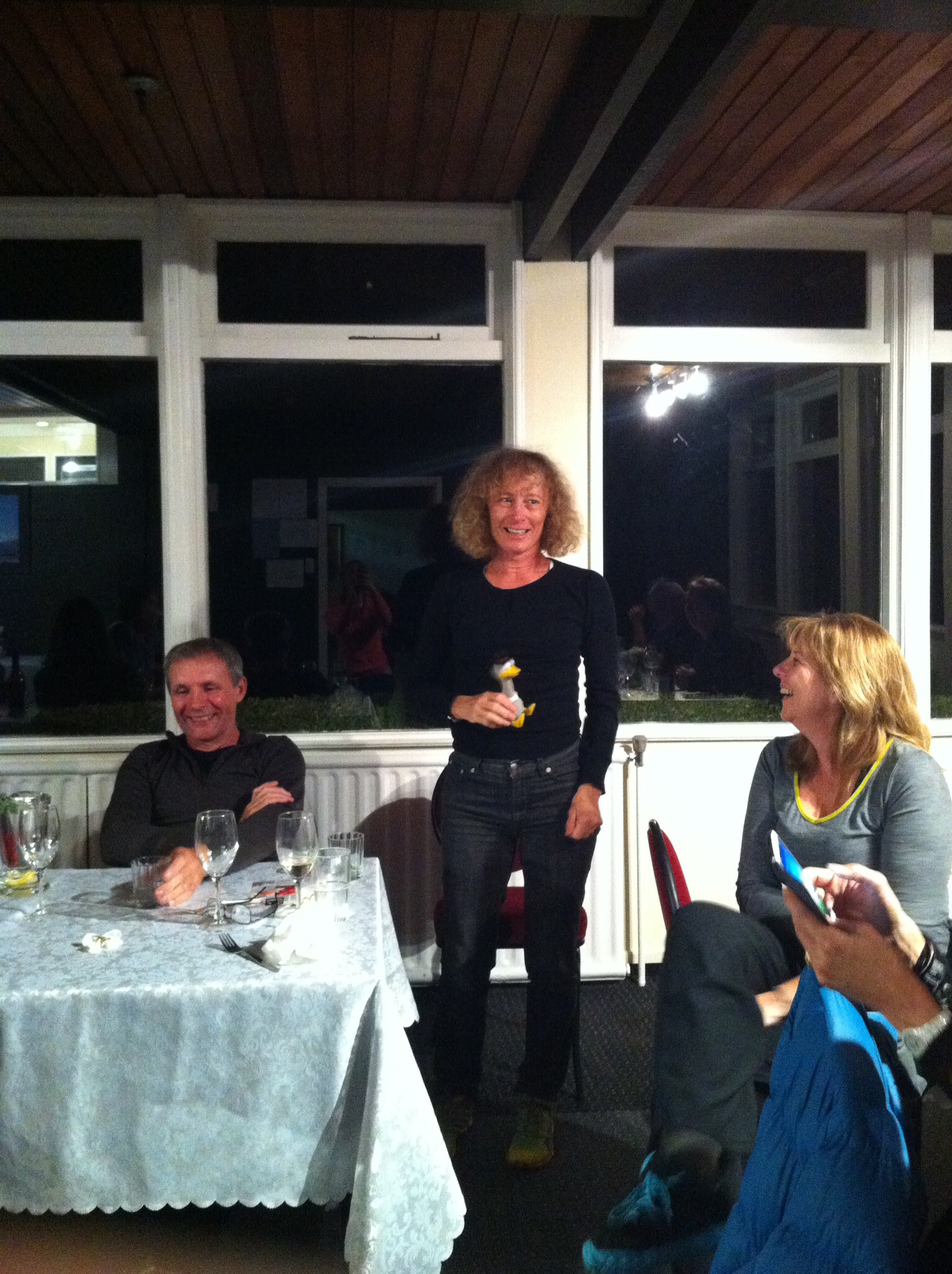
The lakeside track meets up with Lake Ohau Road 10km before the Lodge which was our accommodation for the night.  The wind seems to get up in the afternoon so we had a head wind to the Lodge which was a bit challenging for everyone.  The Lodge driveway was a welcome sight even though you still have about 500m of a gentle uphill to reach the Lodge itself.  We had a great meal at the Lodge and lots of laughs with the daily fine session.  Raewyn had fallen off her bike just before Twizel and Roberta had admitted to mistaking the Deep Heat for her toothpaste!  Roberta was awarded Duckhead our Dick of the Day award : )  Paul felt the need to give Murray a call to let him know about Roberta’s antics!  


Posted in Mackenzie Basin, South Island | Tagged | Leave a comment

Alps to Ocean, Day 1 – Christchurch to Mt Cook – Mackenzie Basin, South Island, New Zealand

The alarm went off at 4.30am so I could make my 6.40am flight to Christchurch.  I encountered a bit of fog on my drive from Havelock North to Napier airport but the airport area was clear so I thought there would be no delays from my end.  I checked in with plenty of time to spare and then found out the flight was delayed due to fog in Christchurch.  The rest of the cycle group were coming from Auckland and they were also delayed due to the fog in Christchurch.  In the end we were all only about half an hour behind schedule.

Ian our tour driver collected us from the airport, we then collected Margaret, Graeme, Trish and Rae from the hotel and regrouped at Natural High’s headquarters.  The bikes were loaded already so once the bags and food were loaded we were off.

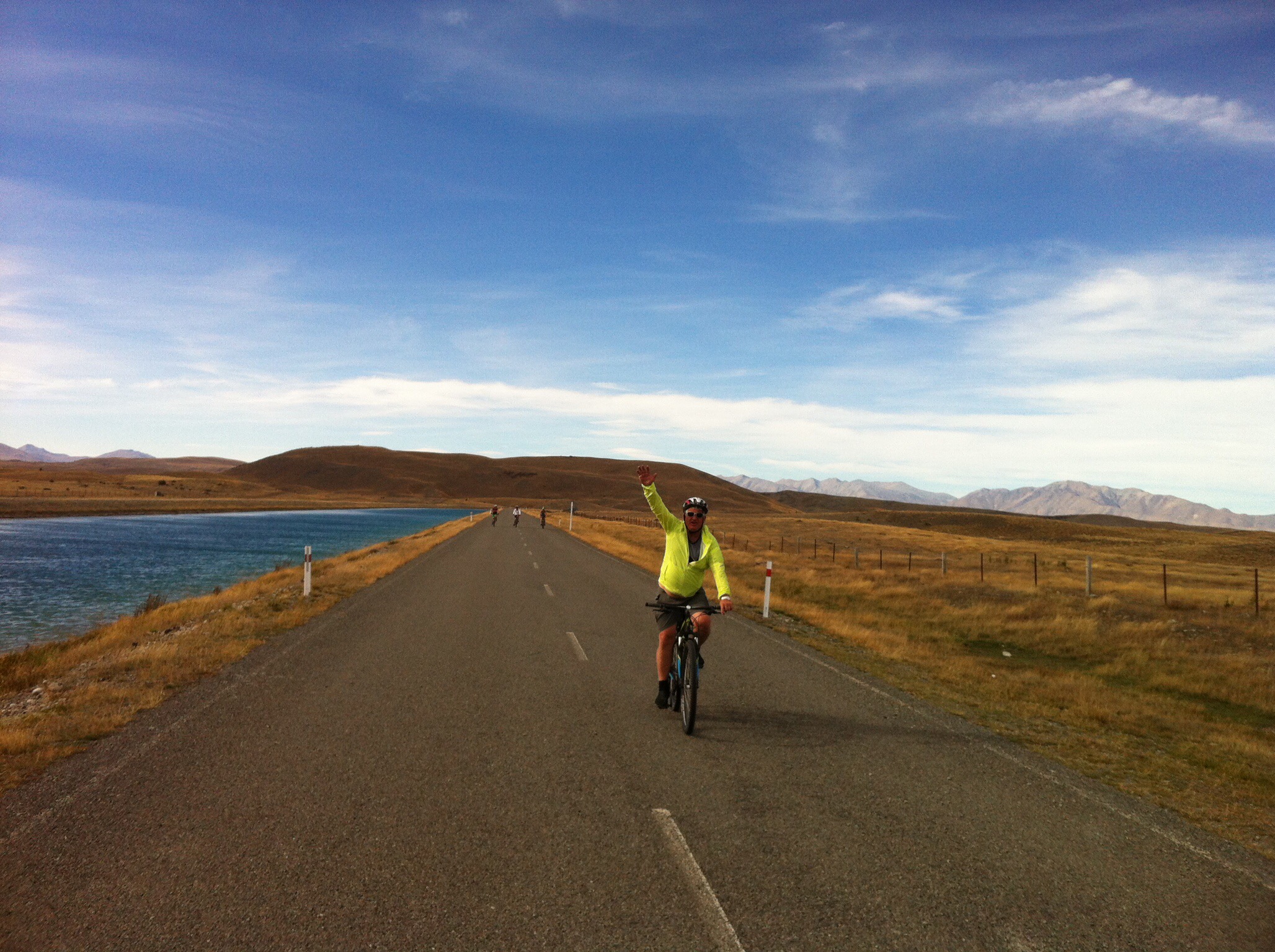
Morning tea or actually breakfast for some of the group was at Geraldine.  It was a nice day so we were getting some good vistas as we made our way towards Mt Cook.  We had a quick stop in Tekapo before heading out to the canals for lunch and a warm up cycle of 15km.  It was blowing a gale so we made hard work of the 15km.  Some of the group had gone ahead and stayed on the high road along the canal while the rest of us took a lower road which provided a bit of shelter.  On coming back up to the high road we were met by Trish who was walking her bike – she had been blown off and her bike had ended up on top of her!  The scenery was lovely though and we had some nice views of Mt Cook.  We also saw some salmon farms along the canal.  Some of the salmon were being fed so they were jumping out of the water.  The downhill at the end of the canal was certainly fun : )     

We then drove about an hour to our accomodation for the night at Aoraki Mt Cook Alpine Lodge.  It was a team effort cooking dinner.  In saying that my contribution was pretty minimal as I had a little snooze and by the time I got to the kitchen everything was under control.  Dinner and dessert which was a deconstructed banoffee pie was very nice.

After dinner we went up to The Hermitage which is a hotel that has various exhibitions etc… in relation to Aoraki Mt Cook and mountaineering in general.  We were booked in to do star gazing at 9.30pm – unfortunately there was a bit of cloud which meant it was not possible.  We spent half an hour in the Planetarium learning about the planets and the solar system instead.  It was very interesting but also a bit too relaxing sending some of the team to sleep after their 4.30am starts : )

Aoraki / Mount Cook

Aoraki / Mount Cook is the highest mountain in New Zealand. Until 2014, its height was officially listed as 3,754 metres, but new measurements have given a revised height of 3,724 metres (12,218 ft).[1] It lies in the Southern Alps, the mountain range which runs the length of the South Island. A popular tourist destination,[2] it is also a favourite challenge for mountain climbers. Aoraki / Mount Cook consists of three summits lying slightly south and east of the main divide, the Low Peak, Middle Peak and High Peak, with the Tasman Glacier to the east and the Hooker Glacier to the west.

The mountain is in the Aoraki / Mount Cook National Park, in the Canterbury region, which was established in 1953 and along with Westland National ParkMount Aspiring National Park and Fiordland National Park forms one of the UNESCOWorld Heritage Sites. The park contains more than 140 peaks standing over 2,000 metres (6,600 ft) and 72 named glaciers, which cover 40 percent of the park’s 700 square kilometres (170,000 acres).

The settlement of Mount Cook Village is a tourist centre and base camp for the mountain. It is 7 km from the end of the Tasman Glacier and 12 km south of Aoraki / Mount Cook’s summit. 

Posted in Mackenzie Basin, South Island | Tagged | Leave a comment

One Year on…

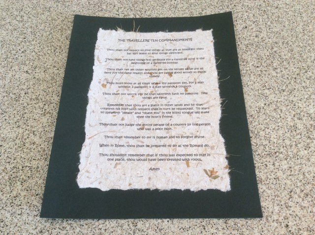
This time one year ago we were at the airport about to embark on our overseas adventure.  We went, we saw and we conquered.  We had a fabulous time, created lasting memories and made some good friends along the way.  Before we embarked on our adventure a friend gave me the following Travellers Ten Commandments which served us well. 

Thou shalt not expect to find things as they are at home for thou has left home to find things different.

Thou shalt not take things too seriously for a carefree mind is the beginning of a carefree holiday.

Thou shalt not let other tourists get on thy nerves as we are all here for the same reason and thou art paying good money to enjoy thyself.

Thou must know at all times where thy passport lies, for a man without a passport is a man without a country.

Thou shalt not worry, for he that worrieth hath no pleasure.  Few things are fatal.

Remember that thou art a guest in other lands and he that treateth his host with respect shall in turn be respected.  To learn to speaketh “please” and “thank you” in thy hosts tongue will make thee thy host’s friend.

Thou shalt not judge the entire people of a country by one person who was a poor host.

Thou shalt remember to err is human and to forgive divine.

When in Rome, thou shalt be prepared to do as the Romans do.

Thou shouldest remember that if thou was expected to stay in one place, thou would have been created with roots.

Amen


Posted in Hawkes Bay | 1 Comment

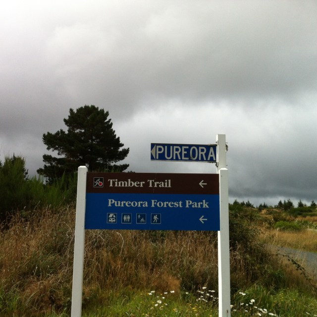
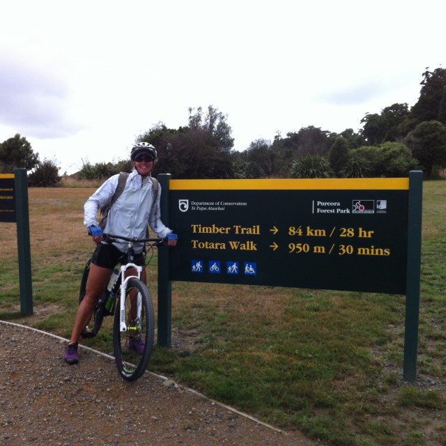
The Timber Trail – Pureroa Forest – Central North Island, New Zealand

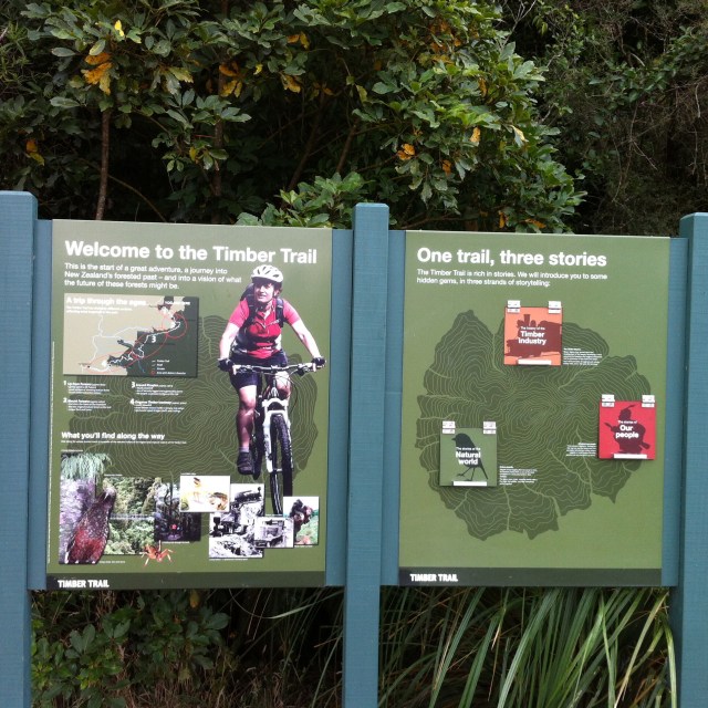
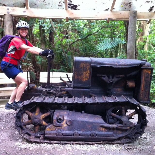
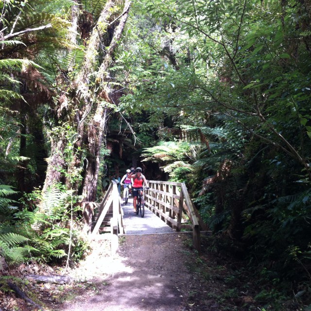
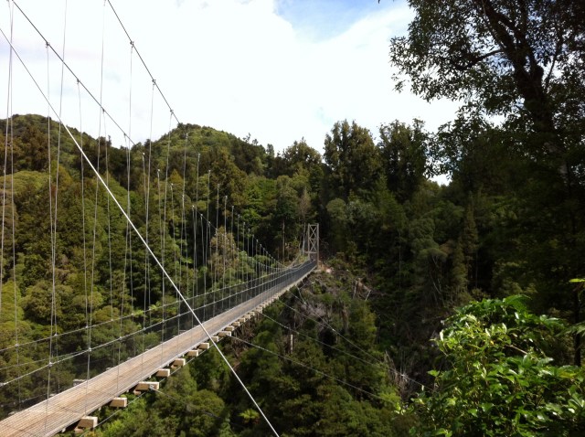
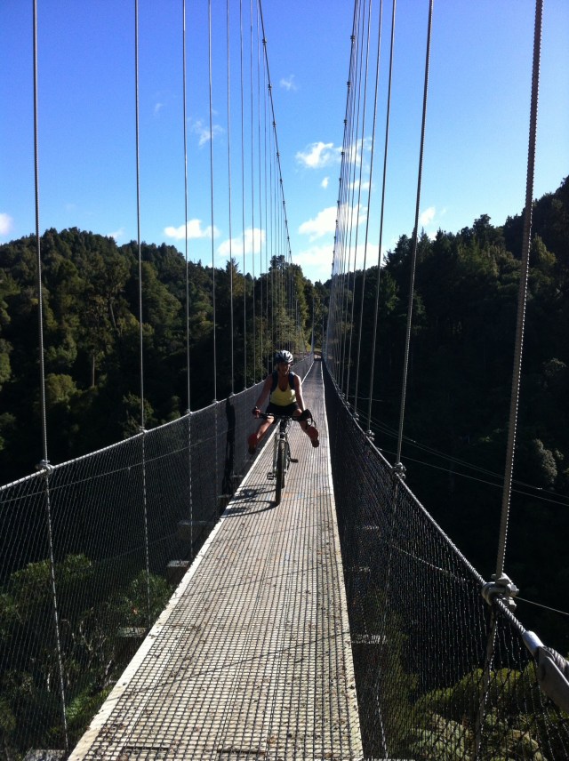
The Fab Four and Invited Guests took on The Timber Trail bike ride on the 27th and 28th February.  The Timber Trail is nestled in Pureora Forest, between Lake Taupo and Te Kuiti, in the Central North Island. The Timber Trail, originally known as the Central North Island Rail Trail or Pureora Timber Trail, in the North Island of New Zealand is an 83 kilometres (52 mi) cycleway (also used by walkers and hunters) in Pureora Forest Park, fully opened in 2013, with 35 bridges (built by DoC staff, community max workers, or contractors), including 8 large suspension bridges (one of the longest on a NZ cycleway, much more stable than the swing bridges used on older tracks).

It is one of several cycleways developed as part of the New Zealand Cycle Trail and passes through podocarp forests of rimu, totara, miro, matai and kahikatea, as well as some exotic forestry and regenerating bush.  About half the Trail is on the track-bed of an old bush tramway, including a spiral and tunnel. The Pureora Forest has around two metres of rainfall per year and this lush forest is the result.  Rivers flowing from the area contribute to the mighty Whanganui River catchment.  New Zealanders are blessed with more fresh water per person than any others on earth.

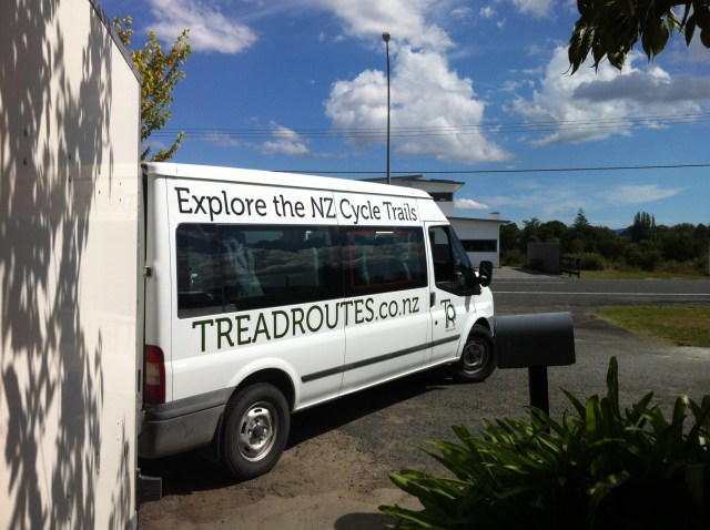
We decided to go with Ted from Tread Routes (www.treadroutes.co.nz) who organised our trip from start to finish.  Six out of the eight of us met in Hamilton where Ted picked us up about 4pm on the Thursday.  We then headed to Otorohanga to pick up Sheree and Matthew before making our way to Black Fern Lodge which was our lodgings for the night.  Black Fern Lodge is located in Waimiha which is about halfway between Te Kuiti and Taumarunui but more inland towards Taupo.  Before researching this trip I didn’t quite understand where this was either.    

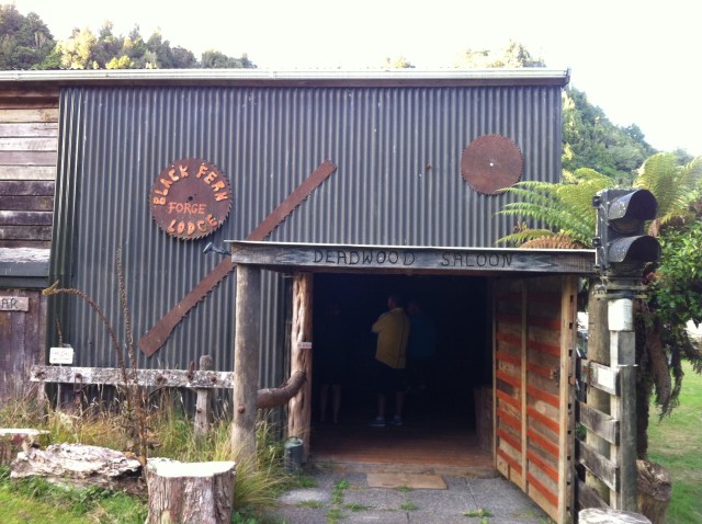
Black Fern Lodge has two accommodation options – The Lodge and The Forge.  We were staying in The Forge which is a converted shearing shed that has four ensuite bunk rooms which can sleep 4 people in each.  It is really cool and has been very well converted while retaining it’s charm and character.  We arrived there about 6.30pm and our host Maria had prepared dinner for us – all we had to do was heat it up.  There was the usual banter going on between us all and a nervous anticipation in the air.  After our hearty dinner and dessert we retired to our bunk rooms.  


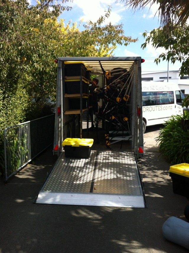
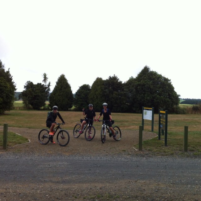
 On Friday morning we donned the lycra and jumped back in the van with Ted.  Because Black Fern Lodge is effectively in the middle of The Timber Trail you have to drive to the start at Pureroa which takes about an hour.  When we got there Ted unloaded all our bikes and we became acquainted with them.  It started drizzling on our drive in but by the time we started the 2km ride to the start of the trail some blue sky had started to appear.  Ted parked the van and bike trailer up securely at Pa Harakeke Eco Cultural Centre as he was riding the trail with us.  One of his team would collect it the next day and pick us up at Ongarue.  


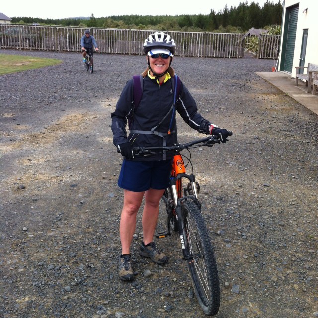
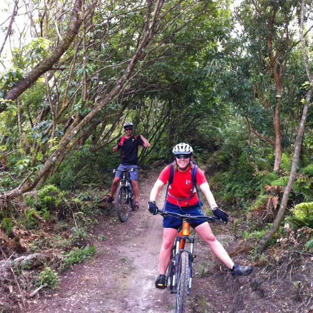
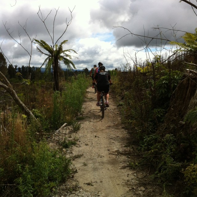
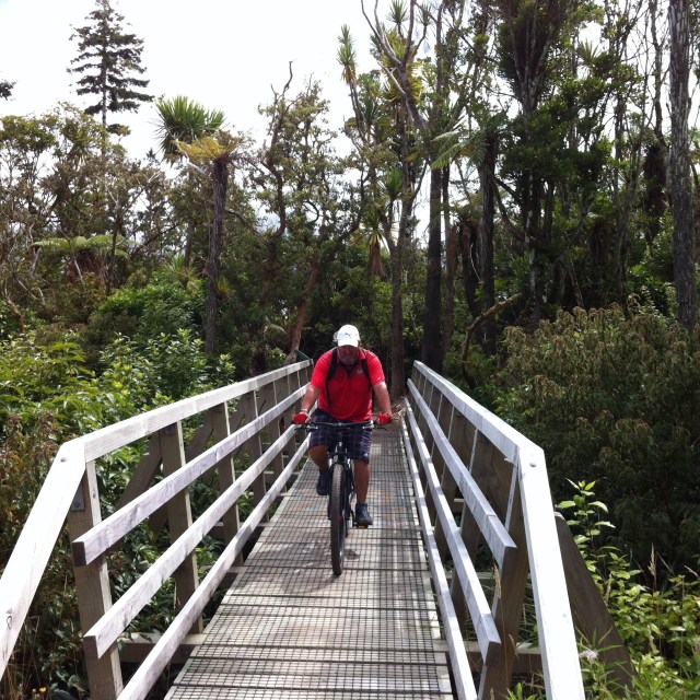
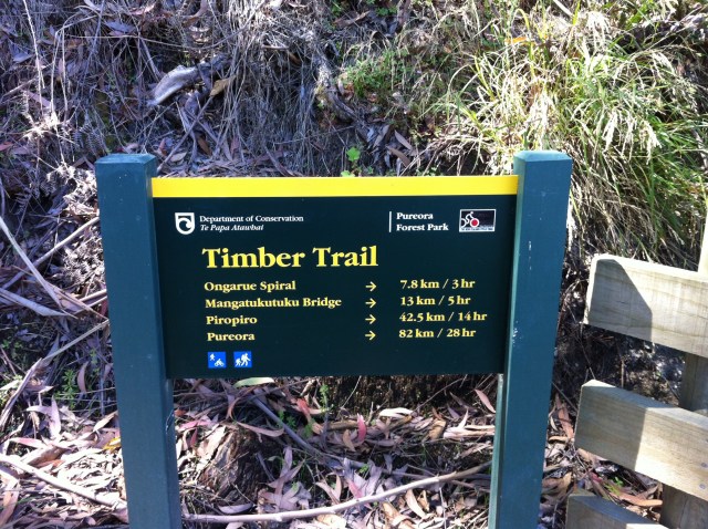
   The first 13km of the trail is uphill with the first 6km being a grade 2 and the next 7km being a grade 3 – interesting times ahead!  The trail setting is absolutely stunning – lots of beautiful native bush.  The 7km grade 3 ride was definitely challenging and we were very happy when we reached the summit.  We could see the western shore of Lake Taupo in the distance.  Although it wasn’t raining there was a bit of cloud around and you needed to layer up again when you stopped.  The starting point was at about 550m and we had climbed to about 950m above sea level.  


Pure-ora-o-Kahu is the proper name for this mountain.  It comes from a profound and positive story.  Kahu was a woman of great mana (status and dignity).  She trekked to these lands, named Maraeroa, in search of her son Raka-maomao.  It was a difficult trip and she became sick.  At last Kahu and her group came to the northern side of a mountain.  They rested in the sun.  Then they followed the stream to the summit, and offered prayers for Kahu, so the stream became Waimiha (Wai = water, miha = special incantations).  Kahu was bathed in the water, and the miha comforted her.  She revived, and recovered to full health.  The mountain became known as Pure-ora-o-Kahu which translates to The ritual purification of Kahu.

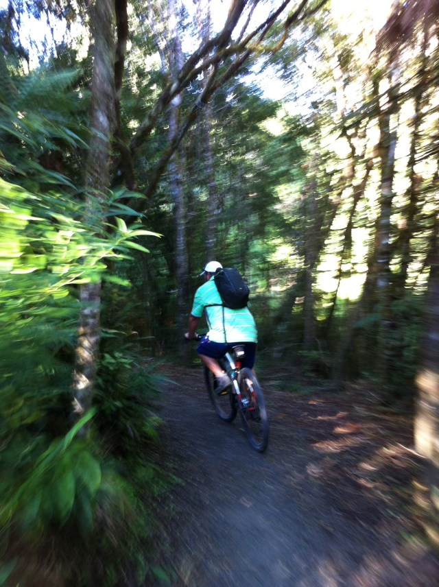
After reaching the summit the trail had an undulating downhill gradient and the next 10km is also considered to be grade 3 which means it is averagely technical from a mountain bike perspective.  It was fun going downhill but you really had to concentrate and get used to the impact on your hands and wrists.  The scenery continued to be spectacular and it was great to be surrounded by native bush and if you took the time to stop and listen you could hear the odd Tui.  


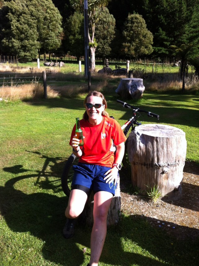
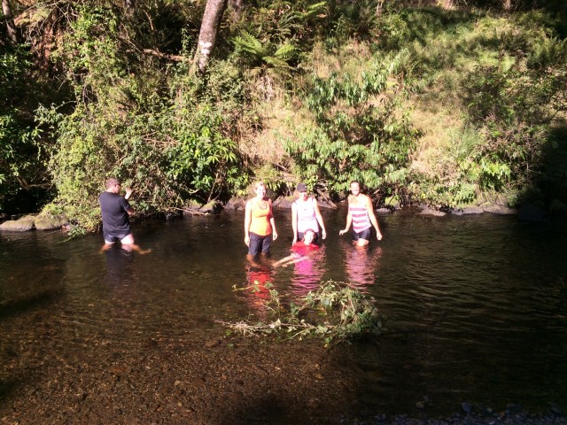
We rode until the 35km mark where we then went off the trail for 6km to get back to Black Fern Lodge.  There was a fairly large uphill part on this 6km and even I didn’t have the energy to ride up it.  It was a welcome relief to get to Black Fern Lodge and have a cold drink.  The weather had come out really nice now so we decided to go down to the river for a swim.  The water was quite chilly but nothing that us elite athletes couldn’t handle – our very own ice bath!  I am sure our muscles were all the better for it the next day.  


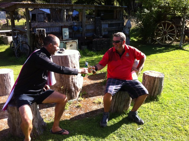
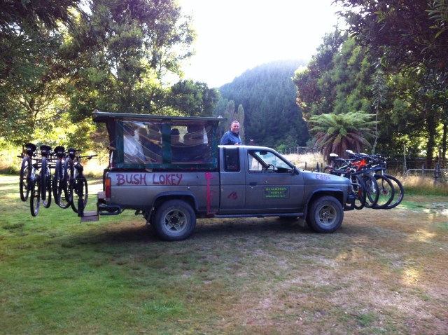
Again Maria had prepared our dinner so all we had to do was heat it up.  Harty, Jen and Kaz were on dinner duty tonight.  Ted also joined us which was nice although I am unsure what his thoughts on all the swearing were.  Jeffo sure can swear!  The team thought a few beers and a bottle of bubbles was in order to celebrate our great day.  Thomas and Harty decided to have a roadie and then a loud discussion after we had all gone to bed – they got a short sharp shift! On the Saturday we woke to a fabulous day.  Ted had negotiated a ride up the hill for us with Kerry from the Lodge – $5 each – so worth it!  Kerry loaded our bikes onto his Bush Lokey and we piled into the back – this was going to save us about a 45 minute walk although he only drove us about 2km.  Ted being the super fit guide that he was rode up the hill and nearly beat us.  


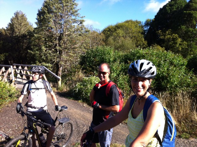
We got to the top of the hill, were reunited with our bikes and off we went.  Steve and Matthew took off first.  The rest of us were about to go when Ted said “who’s backpack is this?”  It was Steve’s – what a wombat!  We decided that Sheree would take it down and we wouldn’t tell him.  We got to the bottom of the hill and Steve was standing there panic stricken – he had realised he had left his bag at the top of the hill.  We took great delight in telling him he would have to bike back up and collect it.  He was white by this stage but then he noticed his bag on Sheree’s back.  I have never seen such a big smile – he was so relieved. After that bit of excitement we were on our way again until Harty’s chain broke – Ted wasn’t too far behind and had it fixed in a jiffy.  We rejoined the trail at the 35km mark where we had left it the day before.

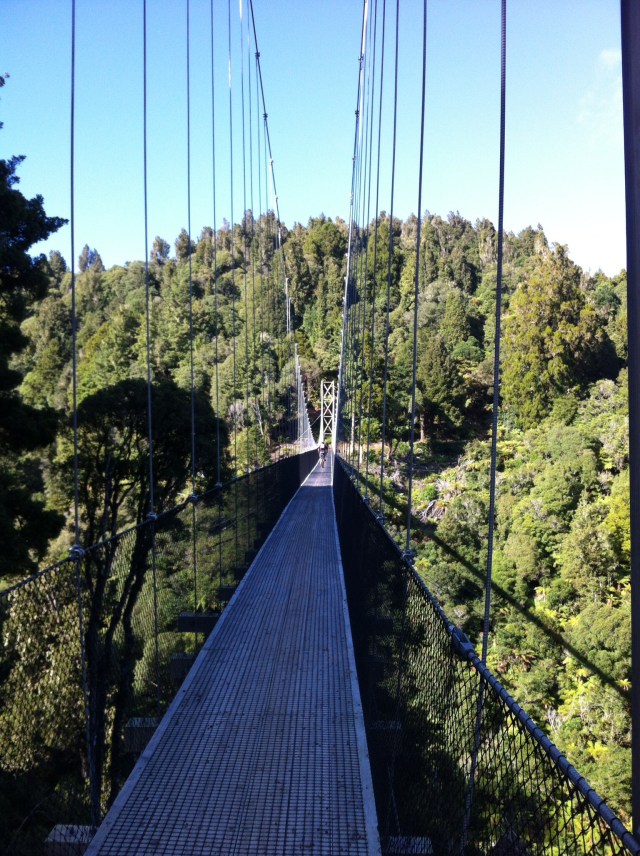
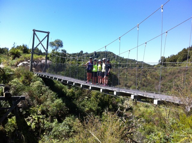
Apart from a 3km climb, today’s ride was going to be mostly downhill.  Because it was a Saturday we came across a few more people on the trail.  It was such a nice day and the bush and the vistas were awesome.  The downhill riding was so much fun.  There are eight suspension bridges on the trail – we went over the second and third longest ones on day one – 115m and 109m respectively and the longest one on day two which was the Maramataha Bridge which was 141m long and 53m high.  They really are an engineering feat and add to the uniqueness of this trail.  


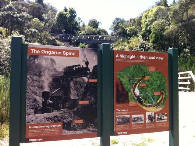
We also rode down the Ongarue Spiral which is at the 74km mark – it was an engineering triumph in it’s day.  The Ongarue Spiral took the tramway up 43 metres (141 ft) on a grade the bush lokeys could cope with (for 6 kilometres or 3.7 miles the gradient averaged 1 in 30).  Below the spiral the tramway was built by cutting a ledge in the ignimbrite cliffs. It continues to drop until reaching the bank of the Mangakahu Stream.  People used to take day trips out just to see it working.  

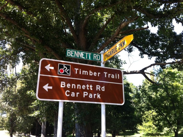
We then met someone coming the other way (mad) who said there were some bulls roaming about on the last part of the track which passes through private farmland.  We were thinking we were OK as we had farmer Kaz with us.  We saw evidence of these bulls on the track but they had obviously done a runner by the time we got there as they were nowhere to be seen – perhaps they heard farmer Kaz was on her way. Just after reaching the end of the private farmland we came to the end of The Timber Trail which is 83km long.  We then had to bike about 2km on the road into Ongarue.   


 The Tread Routes van was a welcome sight for all of us.  Day two had been fun but we were all pretty shattered after our 97km effort over two days.  The bikes were loaded and we were on our way back to Hamilton.  We had a quick refuel stop in Te Kuiti and then dropped Sheree and Matthew back in Otorohanga.  The Black Caps were playing Australia in pool play in the Cricket World Cup (a dress rehearsal for the final to be played at the MCG today, Sunday the 29th March 2015) so the boys were all keen to get home to watch the game. It had been a fabulous couple of days.  It was great to spend some quality time with the Fab Four and Invited Guests even if there was a fair amount of swearing and moaning about posteriors going on!  I’d do it all again in a heartbeat.  Thanks team for helping to create such wonderful memories – Sheree & Matthew, Camilla and Jaff, Jen and Kaz and of course Precious, aka Steve. Ted from Tread Routes was a fantastic guide and I would highly recommend anyone wanting to do this trail to get in touch with him.  He also has the DOC concessions for a number of other trails in the Central North Island – http://www.treadroutes.co.nz.

History of The Timber Trail

The Timber Trail, cost about $5.5m to build. It was one of the seven ‘Quick Start’ Projects announced in 2009, which were publicised as promoting economic growth. The Timber Trail took longer to complete than some later projects, so it was the tenth New Zealand Cycle Trail to be completed since Prime Minister John Key had launched the cycleways with the Green Party.

By mid 2011 only 23 kilometres (14 mi) was open, with tenders still not let for interpretation panels and five bridges.  It was then that the contract with the Ministry of Economic Development for community max and taskforce green workers ended. 12 staff had been trained in 12 months in basic woodwork, track construction, quad bike and 4WD driving and health and safety. DoC employed five from the MED scheme for six months to build 6 to 10 metres (20 to 33 ft) bridges, shelters, other structures, and some track construction. Another went on ‘community max’ with the recreation team.

Ongarue Spiral restoration work began in July 2011. The tunnel was strengthened and the stream re-diverted out of it (it had been diverted in when the tramway was replaced by logging trucks). The tunnel ceiling was reinforced with mesh, a lower bridge built to the right of the original bridge to preserve bits of the original and remnants of the upper bridge preserved in the new Trail bridge.

Negotiations were held to build a 30 metres (98 ft) suspension bridge over Mangakahu Stream to end the trail further east on Mangakahu Rd, but the Trail as built has another 4 kilometres (2.5 mi) of undulating ride keeping north of the stream, roughly following the tramway to within 2 kilometres (1.2 mi) of Ongarue.

In July 2011 Maramataha, Waione, and Waikoura bridges were tested to their 10 person weight limit using water weights to get council consent and 1.6 kilometres (0.99 mi) of track was built (though not surfaced).  Maramataha Bridge was finished in early October 2012 and opened on 1 November 2012.  The northern end Bog Creek and Orauhora suspension bridges were ready by December 2012.

On the 1 December 2012 southern section opening day 150 cyclists rode its four suspension bridges, the tramline and Ongarue Spiral.

The Timber Trail was declared fully open when the Minister of Conservation cut the ribbon on Saturday, 30 March 2013.

After the opening improvements and maintenance continued; in winter 2013 additional pumice was helicoptered to boggy patches on the Mt Pureora section. Other changes are likely. For example there were concession negotiations about lodgings at Piropiro Flats to supplement the existing campground, where stumps had been cleared.

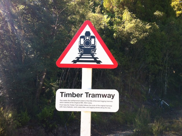
Most of the Timber Trail’s southern section follows the Ellis & Burnand tramway. Their timber sawmill at Ongarue was fed with logs (especially rimu) by a gradually growing network of tramways from 1903 until floods damaged the lines in 1958. From then until closure in 1966 the tramway was converted for use by logging trucks. However, as one of the best preserved bush tramways, it is considered a nationally significant site.

Posted in Central North Island | Leave a comment

Lake Wanaka Half – Wanaka, New Zealand

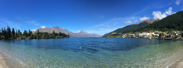
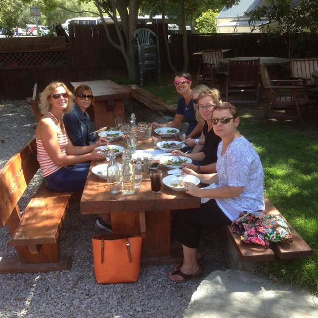
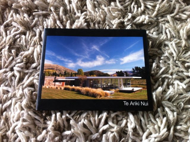
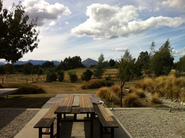
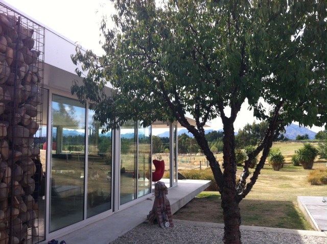
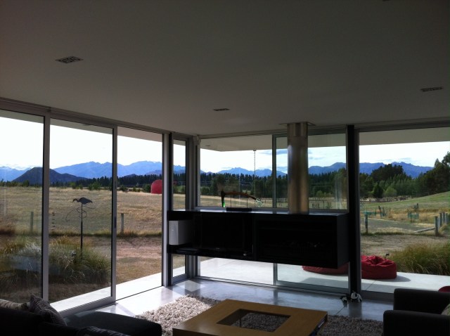
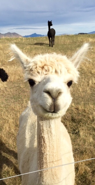
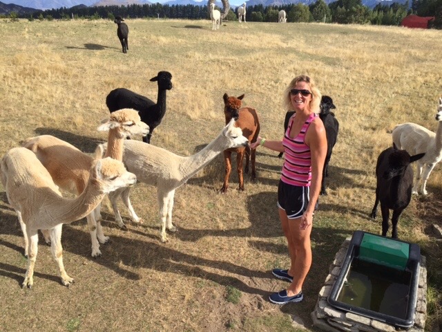
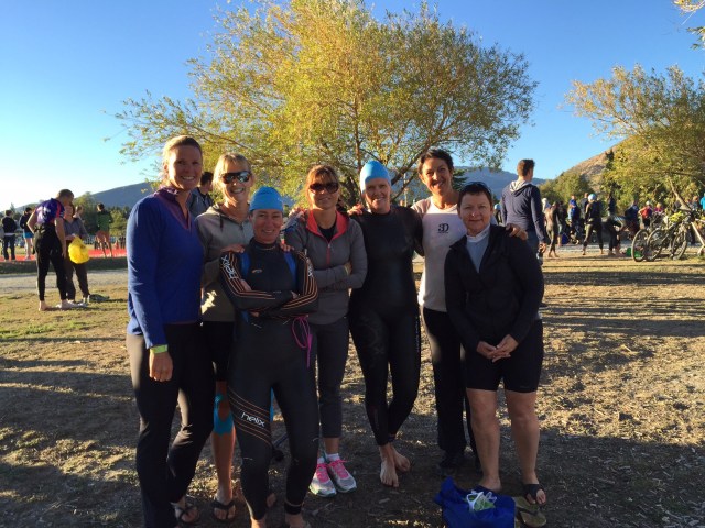
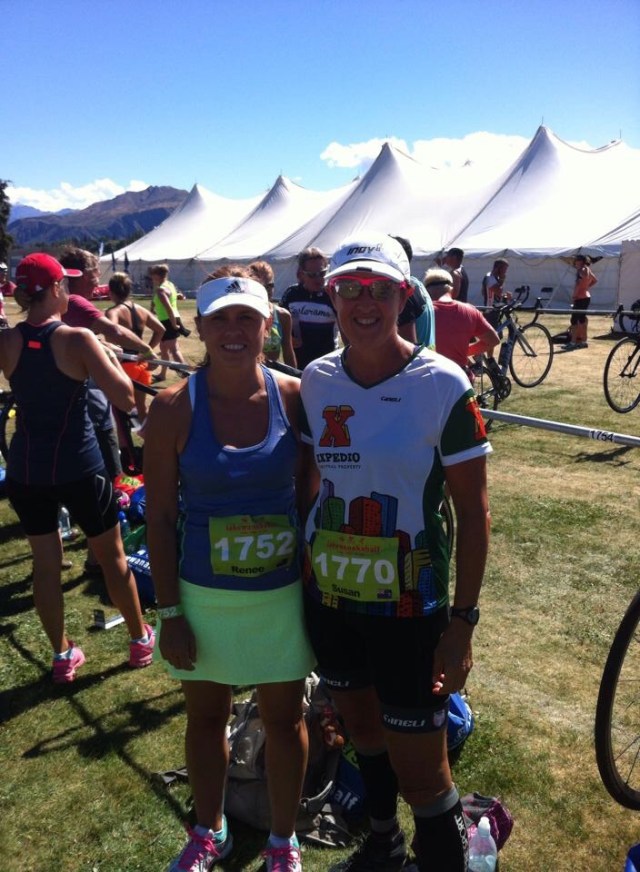
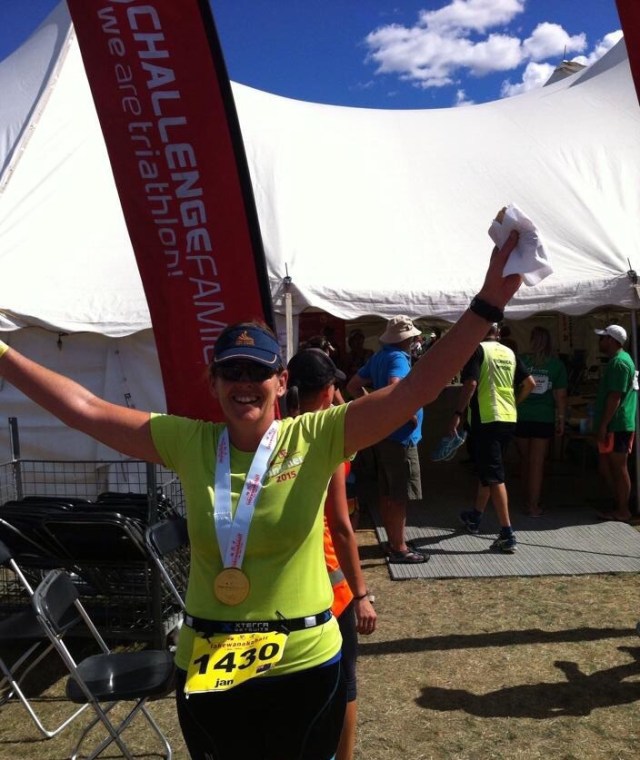
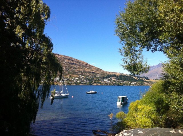
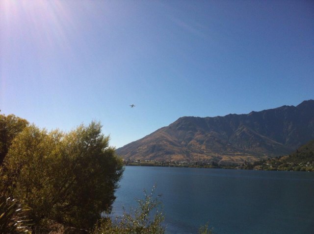
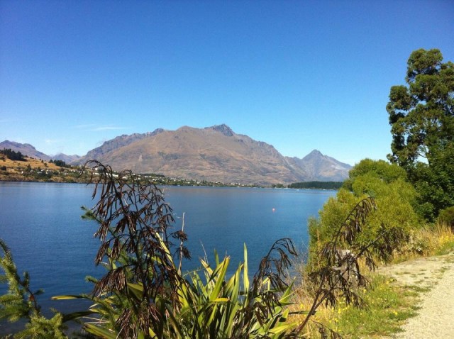
About a year ago I agreed to be part of a team doing the Lake Wanaka Half which is a half ironman distance triathlon – 1.9km swim, 90km cycle and a 21km run.  Of course a year out anything seems like a good idea : ).  To be fair I was going to be the team’s swimmer which given the distances the other team members have to cover is a minor role. I flew into Queenstown early Friday morning – the other six girls were flying in from Auckland at about lunchtime so I decided to go into Queenstown and have a look around.  It is such a stunning part of our country and I really enjoyed wandering along Lake Wakatipu and taking in the vistas.  I then went back out to the airport to meet the others, we picked up our Jucy hire cars and headed out of town.  First stop was lunch in Arrowtown before embarking on our journey over the Crown Range Rd to Wanaka.    We went into town to the race headquarters to collect our race packs.  There were a number of people in town preparing for the event.  Challenge Wanaka which is a full ironman distance race was also happening on the Sunday – 3.8km swim, 180km cycle and a 42km run. Carla had organised our accomodation at a place about 7km out of town called Te Ariki Nui.  It was a beautiful house in a gorgeous setting and they had all these sculptures around the property.  One of these sculptures who we named Jock gave us a bit of a fright as we pulled up in the cars – he was a larger than life axe wielding man.  He was positioned just up to the right of the garage and caught your eye as you pulled up which caused us to look twice to see whether he was real.   The couple that own the property, Robyn & Bill Hall are very well known in the NZ fashion scene through their business High Society which includes the labels Catalyst, Obi, Chocolat and Mosaic.  Bill then got into deep sea fishing where their boat is also called Te Ariki Nui.  Robyn found the four hectare block of land just outside Wanaka on one of her skiing trips where the glass house known as Te Ariki Nui was born.  It has 360 degree views taking in Black Peak, the Buchanan mountain range, Mt Maude, Mt Barker, the Cardrona Valley and the Mt Pisa Range.  It is a glass house that allows them to live right in the environment.  Because the house has lots of glass there is very little wall room for art so that is the reason for all the sculptures around the property. It is a stunning property and we knew we were in for a great weekend despite the small matter of a half ironman hanging over our heads.    There is a flock of Alpaca’s in the adjoining paddock so on Saturday morning we went to introduce ourselves.  There is a bucket of feed on this side of the paddock so we decided to feed them.  They are quite bolshy characters who take to spitting at you if they don’t like what is going on.  After the feeding frenzy we left them to it, came back inside, only to turn around and witness Alpaca sex which was very amusing.  We actually all they were Llamas so the term ‘llarma twerking” was born.

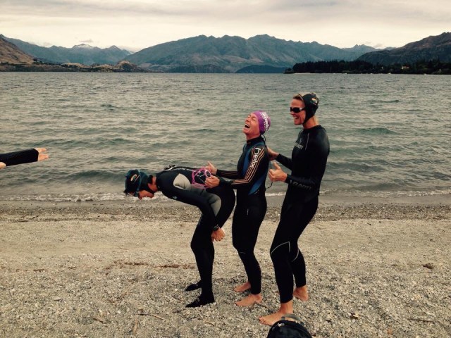
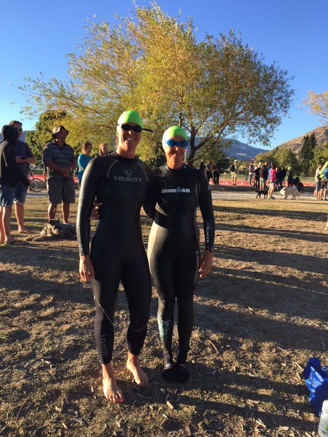
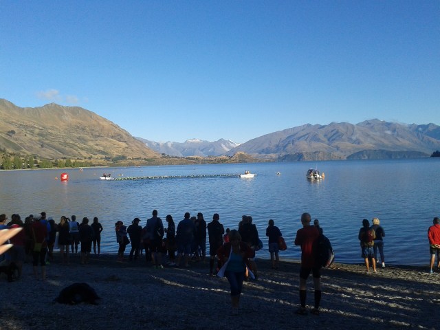
  After all that excitement it was off to town to have a trial swim in the lake in our wetsuits.  The wind had got up and the lake was quite choppy – this wasn’t boding well for raceday.  We had a bit of fun down on the lake and got acquainted with the water.    We then attended the race briefing which was good as I now had a good idea of the swim route which was nowhere near where I thought it was – thank goodness! Saturday afternoon comprised of another yummy lunch and getting the bikes into town to be racked for raceday.  Saturday evening was very relaxed and some of us watched the final of Masterchef Australia before an early night. Raceday dawned and it was a stunner.  The wind had dropped and it was one of those gorgeous South Island mornings – the lake was a millpond and the sun was shining.  I was so happy!    Carla and Jan were doing the entire race on their own so they were ready to roll quite early.    Sue and I were the team swimmers and we were starting about 20 minutes after the individual competitors at 8.35am.  The elite athletes and those doing the full ironman started at 7.15am. We waved Carla and Jan off as they headed into the lake before Sue and I got into our wetsuits and headed into the water to acclimatise.  The water was beautiful and so clear.  We did a bit of swimming and then slowly made our way out for the deep water start.  We decided to hang out at the back and to the right of the pack to avoid getting swam over and kicked in the head as everyone took off.  8.35am arrived and the hooter sounded – we were off.    The first leg was the longest and it took a few hundred metres to get my rhythm but once I did I loved every minute.  The water felt warm and you could see the bottom.  We had sunstrike on the last leg which made it a bit tricky to sight but the last buoy was there before I knew it.  I then had to run about 200 metres in my wetsuit to hand the transponder off to Vicky who was doing the cycle leg.  My swim time was approximately 41 minutes which I was really pleased with – it was actually over all too quickly. I could now relax.  We decided to go back to the house to have showers etc… before heading back to the race zone to cheer the others on.  90km was going to take the girls at least 3 hours so we had a bit of time.  We positioned ourselves at the start of the run leg and saw Carla come by – she was looking good.  It was then time to head back to the bike area so Renee and Sue who was also doing the run leg for her team could wait for Vicky and Shirley respectively.    Vicky and Shirley came in within a few minutes of each other – they did about 3 hours 37 minutes on the cycle leg.  The girls then headed off on their run.  We saw Jan come in about the same time so cheered her along – this was her first half ironman and she was going well.   It was then back to the run finish to wait for Carla to come in.  She did a total time of 5 hours and 53 minutes and came third in her age group.  She is such a legend. Next in was Renee with a time of 2 hours and 10 minutes for the run leg.  Vicky and I ran in with her across the finish line.    Our team time was 6 hours and 34 minutes.  Sue wasn’t far behind and her and Shirley’s team time was 6 hours and 41 minutes. While we were waiting we saw the leading elite athletes coming in – they had completed the full ironman in times of between 8 hours 37 minutes and 9 hours.  Amazing! It had turned out to be a really hot day so it was lovely sitting by the lake enjoying the sunshine.    Jan then came in with a time of 7 hours and 36 minutes.  She was super proud to have completed her first ever half ironman and rightly so.  It was then back to Te Ariki Nui for showers and some celebratory drinks and reflection.  We then enjoyed pizza for dinner before an early night – it had been a big day. Monday morning we all headed back over the hill to Queenstown and I waved the girls off back to Auckland.  My flight wasn’t until 1.30pm so I parked by The Boatshed Cafe in Frankton and walked along the edge of Lake Wakatipu before heading back to The Boatshed Cafe for lunch – the perfect end to a fabulous weekend in one of my most favourite parts of the world.    


Posted in Wanaka | Leave a comment

Sting & Paul Simon in concert – New Plymouth, New Zealand

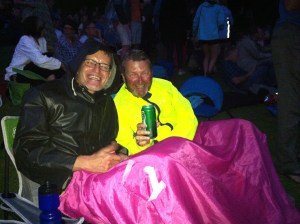
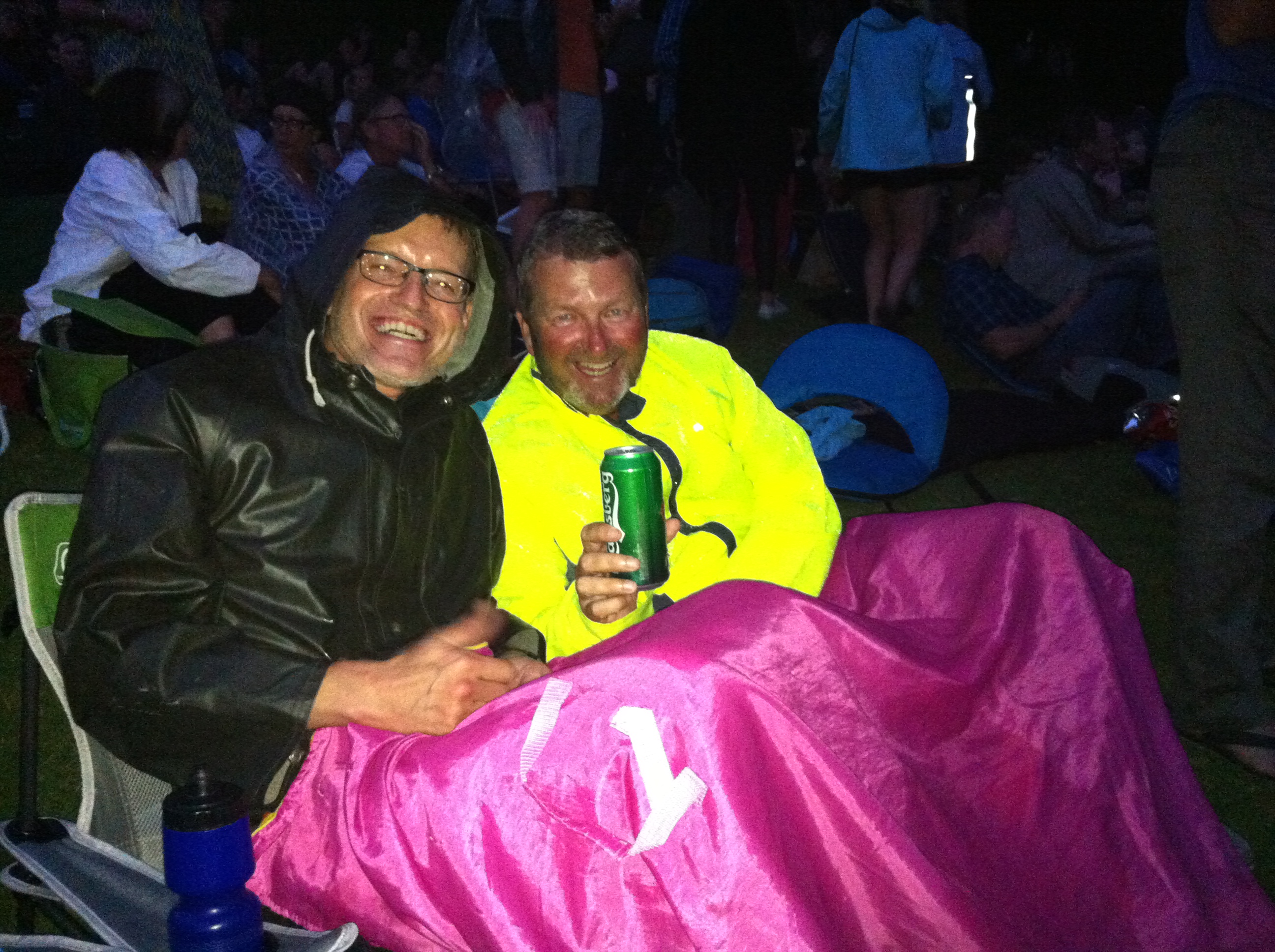
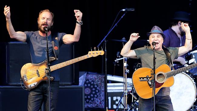
On the 31st of January we went to the Sting & Paul Simon concert at the Bowl of Brooklands in New Plymouth.  It is our favourite concert venue in NZ – a beautiful outdoor ampitheatre.  We went with our music loving friends Catherine & Simon and Pam & Dennis.

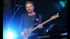
The concert started at 7.30pm sharp with both Paul Simon & Sting coming out on stage to sing a few songs together.  They then took turns entertaining us until 10.30pm.  It was one of the best concerts we’ve been too – top class entertainment for three hours solid.  They both came back on at the end and did Bridge over Troubled Water as an encore – WOW!

After weeks of fabulous weather there were a few showers forecast but we only got a small shower which certainly didn’t put a dampner on anything.

  Banner


IMG_5861

Sting & Paul Simon in actionsting

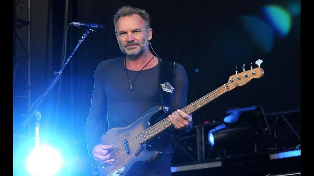
Sting

Gordon Matthew Thomas Sumner CBE (born 2 October 1951), known on stage as Sting, is an English musician, singer-songwritermulti-instrumentalist, activist, actor and philanthropist. He was principal songwriter, lead singer, and bassist for the new wave rock band The Policefrom 1977 to 1983, before launching a solo career.

He has included rockjazzreggaeclassicalnew-age and worldbeat in his music.  As a solo musician and a member of The Police, he received 16 Grammy Awards, his first for best rock instrumental in 1980, three Brit Awards, including Best British Male in 1994 and Outstanding Contribution in 2002, a Golden Globe award, an Emmy Award, and three Academy Award nominations for Best Original Song. He was inducted into the Songwriters Hall of Fame in 2002 and the Rock and Roll Hall of Fame as a member of Police in 2003. In 2000, he received a star on the Hollywood Walk of Fame for recording. In 2003, Sting received a CBE from Elizabeth IIat Buckingham Palace for services to music, and was made a Kennedy Center Honoree at the White House in 2014.

Sting was born in WallsendNorth TynesideTyne and Wear, England, on 2 October 1951, the eldest of four children born to Audrey (née Cowell), a hairdresser, and Ernest Matthew Sumner, a milkman and engineer.  He grew up near Wallsend’s shipyards, which made an impression on him. He helped his father deliver milk and by ten was “obsessed” with an old Spanish guitar left by an emigrating friend of his father.

He attended St Cuthbert’s Grammar School in Newcastle upon Tyne. He visited nightclubs such as Club A Go-Go to see Cream and Manfred Mann, who influenced his music.  After being a bus conductor, building labourer and tax officer, he attended Northern Counties College of Education from 1971 to 1974 and qualified as a teacher.  He taught at St Paul’s First School in Cramlington for two years.

Sting performed jazz in the evening, weekends and during breaks from college and teaching. He played with the Phoenix Jazzmen, Newcastle Big Band, and Last Exit. He gained his nickname after wearing a black and yellow sweater with hooped stripes with the Phoenix Jazzmen. Bandleader Gordon Solomon thought he looked like a bee, which prompted the name “Sting”. In the 1985 documentary Bring on the Night a journalist called him Gordon, to which he replied, “My children call me Sting, my mother calls me Sting, who is this Gordon character?”  In Time in 2011 he said: “I was never called Gordon. You could shout ‘Gordon’ in the street and I would just move out of your way.”

Sting married actress Frances Tomelty from Northern Ireland, on 1 May 1976. Before they divorced in 1984, they had two children: Joseph (born 23 November 1976) and Fuchsia Katherine (“Kate”, born 17 April 1982). In 1980, Sting became a tax exile in Galway in Ireland. In 1982, after the birth of his second child, he separated from Tomelty and began living with actress and film producer Trudie Styler. The couple married on 22 August 1992 in an 11th-century chapel in Wiltshire, south-west England.  Sting and Styler have four children: Brigitte Michael (“Mickey“, born 19 January 1984), Jake (born 24 May 1985), Eliot Pauline (nicknamed Coco”, born 30 July 1990), and Giacomo Luke (born 17 December 1995). Coco is singer and founder of the London group I Blame Coco. Giacomo Luke is the inspiration behind the name of Kentucky Derby-winning horse Giacomo.

Sting said his children will not inherit his £180m fortune, fearing his riches are “albatrosses round their necks”, that “there won’t be much money left because we are spending it.”  The Sunday Times Rich List of 2011 estimated Sting to be one of the 10 wealthiest people in British music.[103]

Both of Sting’s parents died from cancer in the 1980s (his mother in 1986 and his father in 1987). He did not attend either funeral, saying the media would be disrespectful to his parents.

Paul Simon

Paul Frederic Simon (born October 13, 1941) is an American musician, actor and singer-songwriter. Simon’s fame, influence, and commercial success began as part of the duo Simon & Garfunkel, formed in 1964 with musical partner Art Garfunkel. Simon wrote nearly all of the pair’s songs, including three that reached No. 1 on the U.S. singles charts: “The Sound of Silence“, “Mrs. Robinson“, and “Bridge Over Troubled Water“.  The duo split up in 1970 at the height of their popularity, and Simon began a successful solo career as a guitarist and singer-songwriter, recording three highly acclaimed albums over the next five years.  In 1986, he released Graceland, an album inspired by South African township music

Simon was born on October 13, 1941, in NewarkNew Jersey, to Hungarian Jewish parents.  His father Louis (1916–1995) was a college professor, upright bass player, and dance bandleader who performed under the name “Lee Sims”. His mother, Belle (1910–2007), was an elementary school teacher. In 1945, his family moved to the Kew Gardens Hills section of Flushing, Queens, in New York City.  The musician Donald Fagen has described Simon’s childhood as that of “a certain kind of New York Jew, almost a stereotype, really, to whom music and baseball are very important. I think it has to do with the parents. The parents are either immigrants or first-generation Americans who felt like outsiders, and assimilation was the key thought—they gravitated to black music and baseball looking for an alternative culture.”  Simon, upon hearing Fagen’s description, said it “isn’t far from the truth.”  Simon says about his childhood, “I was a ballplayer. I’d go on my bike, and I’d hustle kids in stickball.” He adds that his father was a New York Yankees fan.

Simon’s musical career began after meeting Art Garfunkel when they were both 11. They performed in a production of Alice in Wonderland for their sixth-grade graduation, and began singing together when they were 13, occasionally performing at school dances. Their idols were the Everly Brothers, whom they imitated in their use of close two-part harmony. Simon also developed an interest in jazz, folk and blues, especially in the music of Woody Guthrie and Lead Belly.

Simon’s first song written for himself and Garfunkel, when Simon was 12 or 13, was called “The Girl for Me,” and according to Simon became the “neighborhood hit.” His father wrote the words and chords on paper for the boys to use. That paper became the first officially copyrighted Paul Simon and Art Garfunkel song, and is now in the Library of Congress. In 1957, in their mid-teens, they recorded the song “Hey, Schoolgirl” under the name Tom & Jerry, given to them by their label Big Records. The single reached No. 49 on the pop charts.

After graduating from Forest Hills High School, Simon majored in English at Queens College, while Garfunkel studied mathematics at Columbia University in Manhattan.  Simon earned a degree in English literature, and briefly attended Brooklyn Law School after graduation, but his real passion was rock and roll.

Simon has been married three times, first to Peggy Harper in late autumn 1969. They had son Harper Simon in 1972 and divorced in 1975. The song “Train in the Distance,” from Simon’s 1983 album Hearts and Bones, is about this relationship.  Simon’s 1972 song “Run That Body Down,” from his second solo album, casually mentions both himself and his then-wife (“Peg”) by name.

His second marriage, from 1983 to 1984, was to actress and author Carrie Fisher to whom he proposed after a New York Yankees game.  The song “Hearts and Bones” was written about this relationship. The song “Graceland” is also thought to be about seeking solace from the end of this relationship by taking a road trip.  A year after divorcing, Simon and Fisher resumed their relationship for several years.

His third wife is folk singer Edie Brickell whom he married on May 30, 1992. They have three children: Adrian, Lulu, and Gabriel.

History of the Bowl of Brooklands

Captain Henry King established Brooklands farm in 1842, as a model farm for the New Zealand Company, promoters of the New Plymouth settlement. The farmhouse was razed by fire in 1861 at the end of the First Taranaki War, but its chimney still stands in Brooklands park today.[3] Between 1875 and 1880 there was an attempt to establish a vineyard in part of the Pukekura stream valley, but it was unsuccessful.[3] An area of 53 acres (21.5 hectares) became the property of prominent Taranaki businessman Newton King, and a mansion named Brooklands was built there in the first decade of the 20th century. When King died in 1927, he left the sum of £10,000 to the New Plymouth parks and reserves board. However, due to some failed business ventures prior to his death, the money was unavailable, and in 1934 the trustees of his estate gifted the property to the New Plymouth borough instead. Unable to find a use for the house, it was demolished in 1936.[5] The suburb expanded south to its current limits in the 1950s.

A large part of Brooklands is parkland, with Brooklands Park adjoining the New Plymouth racecourse and Pukekura Park. In 1957, its natural amphitheatre and lake were converted into the Bowl of Brooklands, recognised as one of New Zealand’s finest outdoor concert venues. The Bowl plays host to many international acts and is the venue for the New Zealand edition of the WOMAD festival.[2]

The park includes a children’s zoo, opened in 1965 and operated by the District Council.[3] A former colonial hospital building built in 1847 was moved to the Brooklands estate in 1904. Named “The Gables” it is New Zealand’s oldest surviving hospital building, and functions as a gallery for the Taranaki Arts Society.[3]

The world’s only Lawn Bowls Museum is located in Brooklands. It was established in 1980 and has more than 8000 exhibits.[4]

New Plymouth’s main electricity distribution substation is in the Brooklands area.


Posted in New Plymouth | Leave a comment

Rimutaka Rail Trail, Day 4 – Martinborough to Greytown – Wellington, New Zealand

Day four and our last day of cycling. Given the fairly light schedule we had lined up we had a bit of a sleep in which was nice – it was Sunday after all : )

After breakfast and a masterclass in changing a flat tyre by Leona we were on our way. First stop Palliser – not the Cape this time but the vineyard. Despite it only being about 10.30am some of the troops were up for a little wine tasting. The rest of us went in search of coffee which was a waste of time – Martinborough on a sunny Sunday is a very popular place and most places had a 20 to 25 minute wait for coffee. Oh well we might as well hit the vineyards : )

IMG_6245

IMG_6006

IMG_5951

Next stop was Ata Rangi. Being one of Mike’s favourite vineyards he had organised a private tasting for us. Pete and Gillian from Ata Rangi took us through 9 of their wines – how lucky were we. The wines were delicious and Pete and Gillian’s knowledge was great – it was a very delicious, interesting and informative wine tasting.

Ata Rangi founder and ‘koro’ Clive Patton planted his first vines on a dry, scruffy 5 hectare paddock at the edge of the dying rural village of Martinborough in 1980 as one of four hardy blokes who pioneered wine growing in this tiny region. He’d sold his herd of dairy cows to buy the land, and studied all he could find on wine growing while hand digging in posts and planting vines through the rocks. His mates thought he was crazy, but he was smart enough to surround himself with capable women! His sister Ali, wife Phyll and dynamic winemaker Helen Masters, together with Clive, Gerry and their teams have built an enviable reputation for Ata Rangi as a producer of sought after wines. Ata Rangi have been celebrated internationally and now export to 27 markets.

Martinborough’s location in an open, south facing valley at the bottom end of the North Island is pivotal to it’s unique regional character. Icy, southerly Antarctic winds regularly impact on flowering and fruit-set, resulting in a low natural yield, that is, fewer berries per bunch and lots of very small berries. As the bunches are looser, each individual grape berry is more exposed to sun and wind than in most other regions. The effect is tougher, darker, tannin rich skins. Small berry sizes also means a high ratio of skins to juice, bolstering the sought after attributes in Pinot of more complex aromatics, fine, layered tannins with length and persistence, a more savoury palate feel and concentrated, multifaceted flavours with age.

Ata Rangi are also involved with Project Crimson which is a charitable conservation trust set up to look after New Zealand’s glorious native red flowering Rata and Pohutakawa ‘Christmas Trees’. Ata Rangi’s involvement evolved from their own Rata conservation efforts on the Ata Rangi Bush Block. They have produced a lively, aromatic Pinot Noir from their younger vines (about 20 years old) and they donate a percentage of the sales of this wine to Project Crimson. They also produce a delicious bush honey from this bush block – it is also so good!

IMG_5936

IMG_6120

IMG_6296

IMG_6124

IMG_5907

IMG_6225

IMG_5950

IMG_3003

We had worked up an appetite with all that wine tasting so it was on our bikes and back to Martinborough’s town square for a picnic lunch that had been whipped up by our guide extraordinaires Andy and Leona. What a magic spot.

IMG_6065

IMG_5850

IMG_2976

We were now Greytown bound for our last night on tour. Greytown is only 18km from Martinborough so not too arduous even in the heat. A local guy had given Andy and Leona a heads up re a good swimming spot in the river along our cycling route. It was only about 3km out of Martinborough and even though we hadn’t really worked up a sweat it was too good an opportunity to pass up.

Again some of the troops were prepared with togs while the rest just jumped in again with their cycling wears or underwear – some more revealing than others : ) The water was a lot warmer than the sea had been at Palliser Bay the day before.

IMG_6228

IMG_5902

IMG_6141

IMG_2977

It was then back on the bike for the last time – Greytown here we come. The ride started on the main road but after we climbed a fairly steep hill we turned off and took the back roads. We saw Andy as we got into Greytown and he pointed us in the right direction to our accommodation for the night – The White Swan. When I parked my bike up for the last time I had just clicked over 180km – not bad over 4 days.

IMG_5911

I had seen Andy out on the road and he had told me he was disappointed with the accommodation – I was thinking that’s a shame as it was supposed to be really nice and a treat for our last night. Everyone had congregated outside Andy and Leona’s room for a drink and snack and I was thinking it all looked pretty good. Steve and Andy then proceeded to allocate the rooms and Steve had a little story as to why each room was allocated to each couple. We then went upstairs and checked out everyone’s rooms – they were awesome. Andy is a damn good liar! They each had a theme — The White Room, Bombay, The Hunter etc…

IMG_6024

IMG_6250

IMG_5849

We had a lovely dinner in the dining room at The White Swan which was followed by our final fine session and farewell and thank you speeches. It had been another very successful bike trip. This is our sixth bike trip together and each trip continues to exceed our expectations, rekindle friendships and allow us to learn a little more about the beautiful country that we are lucky enough to call home.

We had another sleep in on Monday morning before having breakfast together and then spending the morning exploring Greytown. What a great little town with lots of lovely shops and cafes. Just out of town there is a little chocolate factory and shop called Schoc. Mike and I wandered down there to do a bit of sampling and then as a result of the sampling, some purchasing.

There are also a few restored houses to see along the main street where they have a plaque outside telling you what year the house was built – so quaint.

IMG_6081

IMG_6154

IMG_6189

IMG_5979

IMG_5864

IMG_6264

IMG_6119

We were originally going to catch the train back to Wellington but with a schedule change this would have meant we wouldn’t have got to explore Greytown. Leo to the rescue – he came to pick us up at 1pm and transport us back to Wellington airport for our flights home.

Another successful cycling trip over for another year – time flies when you’re having fun – it was over way too quick. Thanks to Andy and Leona from Natural High (www.naturalhigh.co.nz) and the great bunch of friends we have. Until we meet again…..

Posted in Wellington | Tagged , , , , , | Leave a comment

Rimutaka Rail Trail, Day 3 – Waiorongomai to Cape Palliser and onto Martinborough – Wellington, New Zealand

The SUNGRL really had returned to NZ with a vengeance – another spectacular day greeted us for our ride out to Cape Palliser. Today both Andy and Leona were going to ride with us so they went to Featherston to drop the car and trailer off and come back in the bus with Leo from Rimutaka Shuttles. He was going to provide vehicle support for the day as well as drive us back to Martinborough after we had reached Cape Palliser.

Camp Mother Sue had sorted the Ratanui lodgers out for breakfast so by the time the Burlings crew arrived the path was clear.  Again it was all hands on deck clearing up, doing dishes, packing bags and getting the food supplies packed up for the days adventure.  Everyone headed out on their bikes between 8.30am and 8.45am.  I stayed behind to wait for Andy, Leona and Leo to arrive back with the bus to make sure they collected all our belongings.  Leona and I then left Andy and Leo to the loading and jumped on our bikes to try and catch the group – we caught them at the 11km mark.
IMG_5993IMG_6298IMG_6247IMG_6216IMG_6223-1

We were heading south and then around the bottom of Lake Wairarapa across the East West Access Road to the left. The official Rimutaka Rail Trail goes to the right and past Ocean Beach and around Turakirae Head and back up towards Eastbourne.  Sandra from Natural High had done a reconnoissance of this part of the track but thought it wasn’t up to standard and was a bit remote with no vehicle access.  Probably fine for hard core cyclists but we really are a very social cycling bunch. The scenery was beautiful and the clear blue sky made the colour contrasts that much more spectacular.
IMG_5934IMG_6023IMG_6061IMG_5897IMG_5714

It was fairly easy riding to Pirinoa where we stopped for morning tea.  Leo had the table all set out – he was learning fast.  The Pirinoa Dairy did a good trade on pies too : ) After our refreshments we headed out towards Palliser Bay.  We had about 30km to go to get to our lunch stop at the Putangirua Pinnacles.  This part of the ride was more challenging with more ups and downs.  We took the Whatarangi Road to the left and after a few more ups and downs we were rewarded with the most spectacular views of Palliser Bay. We had some great downhill riding just before our lunch spot which was a sight for sore eyes.
IMG_5981IMG_5888IMG_5933IMG_5881IMG_6150IMG_6161IMG_5988IMG_6048IMG_6085IMG_6058

Our lunch spot was at the start of the walk to the Putangirua Pinnacles which are some of the most amazing rock formations you will ever see.  Apparently Peter Jackson used them in the Paths of the Dead sequence in the Lord of the Rings; The Return of the King.  The opening sequence for Braindead was filmed there too.  These ‘Hoodoos’ are one of the best examples of eroded earth pillars forming an eerie atmosphere within a tight valley in the Aorangi Ranges, just before Cape Palliser.  Some of the group had discussed walking to see the Pinnacles but it was a one and a half hour round trip and we were already on a tight schedule.  We’ll just have to store it up for next time we are down that way.

Fast learning Leo had the picnic table set up and an array of yummy food was set out. We had a quick bite and got on our way again – we had another 22km to go.  We had covered 50km and some people took the option of getting in the bus to travel the rest of the way out to the Cape.  They had all done very well given the ups and downs and the heat.  We had a few more ups to conquer before the road flattened out.  The large rock cliffs to our left were quite spectacular and were similar in colour and formation to the Pinnacles mentioned above.  Again the blue sky provided a fantastic contrast.

IMG_6277

IMG_6195

IMG_6197

IMG_6284

IMG_5989

IMG_6272

IMG_6046

IMG_6219

Julie and Cheryl decided to join the others in the bus at the 60km mark – they had done so well.  There were now 10 of us left on our bikes as we ambled towards the Cape.  We got to Ngawi which is a small fishing / holiday town.  Ngawi’s claim to fame is that they have more bulldozers per head of population than anywhere else.  The bulldozers are used to haul the fishing boats into and out of the wear as there is no wharf or other access to the ocean other than the beach, which can be notoriously rough at times.

Ngawi is also famous for a large population of fur seals and sea lions, and is popular not just with commercial fisherman but also with recreational fishermen.  The best fish to catch are Paua (a type of abalone which is prized for its iridescent shell as well as the flesh), crayfish (also known as rock lobster) and cod.

As we approached Ngawi, Karen said to me ‘this is where the 7km of gravel road starts out to the lighthouse’ – what!  I was feeling a bit jaded by this point so this did nothing to lift my spirits.  The wind had also got up a bit so we were battling a bumpy road and a head wind.  I shouldn’t complain really as I am sure the wind can be a hell of a lot worse than what we had and the blue skies and sunshine were still with us – in fact it was still very hot : )

IMG_6202

IMG_6057

IMG_6099

IMG_5999

IMG_6068

We could see the lighthouse about 5km out and it buoyed us along.  As we got closer to the lighthouse we could see some of the troops going up the stairs – all 273 of them!  Leo had the bus parked in the carpark so we dropped our bikes off and went off to conquer the 273 stairs – we knew on a day like this the views were going to be totally worth it.  We had one showoff amongst us who decided to run up the second half of the stairs but don’t worry we fined him for that aye Andy? And yes the views were totally worth it.  We could see the South Island through the heat haze in the distance. Cape Palliser is the southernmost point of the North Island.  

The lighthouse is owned and operated by Maritime New Zealand.  The lighthouse was built in 1897 and was originally fueled by oil. In 1954 the oil lamp was replaced with an electric one powered by a local diesel generator. This was subsequently replaced by a connection to the mains grid in 1967, although a diesel generator is retained for emergency power. The light was fully automated in 1986 and is now managed from a control room in Wellington.

As mentioned Cape Palliser Lighthouse has 253 steps to reach the base of the lighthouse, replacing an extremely dangerous and steep climb to the top of the bank which could result in injuries and possibly death if the user wasn’t careful. Since the stairs were installed, the lighthouse became more popular around New Zealand and even other parts of the world.  Cape Palliser Lighthouse is one of three New Zealand lighthouses with a distinct striped paint scheme; the other two are Dog Island Lighthouse and Cape Campbell Lighthouse, which both have black and white stripes.

After descending the lighthouse stairs it was all aboard the bus – our bikes were neatly stacked on the bike trailer having a well earned rest as were we.  We decided to stop at one of the beaches we had cycled past for a swim – it was still very hot.  A couple of the team were organised and had their togs at the ready, the others that fancied a dip went in their cycling clothes.  I was one of the latter ones.  The sea was a bit brisk but I felt wonderful after I had been in.  The sand was really hot so you had to be careful not to burn your feet.  Meanwhile back at the bus the non swimmers had put the kettle on and cracked a few beers.  A great finish to a great day.
IMG_6088

IMG_5857

IMG_5863

IMG_6144

IMG_5854

All aboard again – destination Martinborough.  The trip took just over an hour and we all enjoyed riding in the bus rather than riding on our bikes.  Our accommodation for the night was at The Claremont Motel which is just out of town.  It is really nice and we knew we were going to have a very comfortable night.  After unloading the bus and sorting everything out we had 45 minutes to shower and re convene to walk to town for dinner.  The girls hit the showers first while the boys disappeared into the garden to re hydrate – say no more.  There were a few fishwives shouting from the rooms when they had not reappeared 5 minutes before we were due to walk to town!

Mike had booked us into Pinocchio’s in Martinborough.  We had an inside table which was a bit crazy given it was so hot and we were rather cramped.  We had to keep wandering outside to cool off.  I enjoyed my meal which was accompanied by some local Ata Rangi Rose.  After dinner we sat outside to have our fine session which as always was very entertaining and noisy.  We then walked back to The Claremont.  Due to the lack of light pollution the stars really shone so we spent the walk home admiring them.

IMG_5960

Posted in Wellington | Tagged , , , | 1 Comment

Rimutaka Rail Trail, Day 2 – Wallaceville to Waiorongomai – Wellington, New Zealand

Another stunning day greeted us on Day 2. I must say I was pleasantly surprised – Wellington is not known for it’s weather. We turned left out of the Wallaceville House driveway and headed uphill. After about a kilometre we had some great views back to the Hutt Valley. We then descended down into Whitemans Valley where we saw a helicopter flying very low doing some aerial spraying. The landscapes were very pretty and the riding was lovely.

IMG_6258

IMG_6139

IMG_6115

IMG_6240

IMG_5973

IMG_6130

We all convened near Maymorn to have a piece of fruit or some home baking thanks to Karen & Sue. We then headed up to join the gravel cycle trail via Tunnel Gully – we passed through the disused Mangaroa Tunnel and followed the old railway line towards Incline Road. Incline Road runs parallel to State Highway 2 and takes you to the entrance of the official Rimutaka Rail Trail.  Leona had parked the car and trailer up so she could ride up to the official start point as there was potential for some wrong turns to be taken especially when the Rimutaka Rail Trail sign pointed two ways in the one spot.  The official start of the Rail Trail is about 240 feet or 75 metres above sea level.

IMG_5895-0

IMG_6131-0

IMG_6226-0

IMG_5942-0

IMG_6013-0

IMG_6052-0

IMG_6112

IMG_6162

IMG_5878

This part of the Rimutaka Rail Trail is fantastic – the trails are gravel and are surrounded by beautiful native bush. There are restored railway bridges crossing the Pakuratahi River and old tunnels, one of which is 584 metres long. The signs at the start of the tunnels tell you to dismount but generally you could see a light at the end of the tunnel – removing your sunglasses also helped! We definitely needed a torch in the 584 metre long tunnel though.

Along the way there are signboards which detail the railways history with stories of it’s construction, life along the railway and a freak accident that occurred in 1880 when carriages were blown off the line by a gale force gust of wind. The only freak accident we had was Karen taking a small spill when her cleats wouldn’t unclip – never fear Dr Andy was there.

IMG_5959

IMG_6125

IMG_6188

IMG_6248

IMG_6213

IMG_6166

IMG_6185

IMG_6094

IMG_6192

The railway across the Rimutaka Range was built between 1874 and 1878 as part of a line linking the port of Wellington with the fertile Wairarapa district.  Conventional locomotives hauled trains between Wellington, Upper Hutt, Kaitoke and Summit, where passenger and goods traffic was taken over by Fell locomotives for the descent of the Rimutaka Incline to Cross Creek.  The Incline was the steepest section of main-line railway constructed in New Zealand, and operated from 1878 to 1955.

The Fell system was the first third-rail system for railways that were too steep to be worked by adhesion on the two running rails alone. It uses a raised centre rail between the two running rails to provide extra traction and braking, or braking alone. Trains are propelled by wheels or braked by shoes pressed horizontally onto the centre rail, as well as by the normal running wheels. Extra brake shoes are fitted to specially designed or adapted Fell locomotives and brake vans, and for traction the locomotive has an auxiliary engine powering horizontal wheels which clamp onto the third rail. The Fell system was developed in the 1860s and was soon superseded by various types of rack railway for new lines, but some Fell systems remained in use into the 1960s.

The Fell system was designed, developed and patented by British engineer John Barraclough Fell. The first test application was alongside the Cromford and High Peak Railway’s cable-hauled incline at Whaley Bridge in Derbyshire, England, in 1863 and 1864.

These tests attracted the attention of the French Government, which conducted its own tests on the slopes of Mont Cenis in 1865. As a result, the Mont Cenis Pass Railway was built as a temporary connection between France and Italy whilst the tunnel under the Alpine pass was being built.  The Fell system was used in Brazil, Italy, France and the Isle of man.  Of these, the only one still in operation is the electrified Snaefell Mountain Railway on the Isle of Man, which occasionally uses the centre rail for braking only – the cars are all now equipped with rheostatic braking, which meets all normal braking needs. The only surviving Fell locomotive, New Zealand Railways H 199, is preserved at the Fell Engine Museum, Featherston, New Zealand, near the site of the Rimutaka Incline.

Places in New Zealand that used the Fell system:
1,067 mm (3 ft 6 in)
The Rewanui Incline on the West Coast of the South Island used a Fell rail for braking from its opening in 1914 to 1966. It closed in 1985.
The Rimutaka Incline on the Wairarapa Line near Featherston in the North Island opened in 1878 and closed in 1955. It was replaced by the long Rimutaka tunnel.
The Roa Incline on the West Coast of the South Island used a Fell rail for braking from its opening in 1909. It closed in 1960.
The Kaikorai Cable Car which ran from Dunedin to the Kaikorai Valley used an off-centre fell rail for braking.
1,000 mm (3 ft 3 3⁄8 in) Funicular railway
The Wellington Cable Car used a Fell rail for emergency braking from its opening in 1902 until 1978, when it was upgraded.
Unknown Gauages
Several bush tramways used Fell rails for braking.

Labour shortages, difficult access, severe weather and the gruelling nature of the work delayed the construction of the line.  For the hundreds of ‘pick and shovel’ workers conditions were harsh with most living in tents.  Camp stores were limited to basic supplies, such as flour, sugar, tobacco and tea.  Hunting Kereru (native pigeon) and wild cattle added interest at the end of the day and variety on the menu.  The closest hotel, the Golden Fleece at Pakuratahi was a five hour walk from Summit.

Work on the Pakuratahi Tunnel commenced in 1876 with the tunnel’s two headings meeting only three months later.  Bricks to line the tunnel could not be transported to the site, as the rails had not yet been laid.  The resourceful contractor instead made blocks on site from pressed sand and cement.  Workers pressed 13,500 concrete blocks, which now line the arch of the 73 metre tunnel.  Built on a 100 metre radius curve the tunnel is believed to be the first concrete structure in New Zealand.

The naming of the Rimutaka Range is attributed to the ancestor Haunui-a-nanaia.  Maori oral history records that Haunui travelled around the lower North Island naming many of the rivers, mountains and other natural features.  When he scaled this particular mountain range he stopped near the summit to rest and declared the entire range the ‘Remutaka’, which loosely translated means ‘to sit down’.  We now know the range as the Rimutaka.

We were riding along a piece of New Zealand history and the signboards can make it a very informative ride if you stop to read them.  After about 11km we reached Summit.  The railway settlement of Summit existed here from 1878 until 1955.  Five houses for railway workers and their families, along with an engine shed and a signal box, were the only significant buildings at this remote outpost.  The railway yard was extended in 1903 to handle increased traffic and a turntable was installed for larger locomotives in 1943.  The main purpose of Summit was to shunt trains and change engines for the journey on the Rimutaka Incline.

“There was no road access, no electricity, or public telephones.  Travel was by rail and the Railways Department’s internal telephone system provided a limited link with the outside world” Lionel Stevens, child of Summit 1949 – 1951

Summit sits at 1,141 feet above sea level or about 375 metres.  There were a few remnants of the settlement to be seen while we prepared ourselves for the descent.  It was very hot and a lot of us were running out of water.  Luckily we were about to descend the Rimutaka Incline to Cross Creek.  This part was good fun although I did find myself holding onto the brake levers to make sure I didn’t go hurtling into the bush.

IMG_5899

IMG_6173

IMG_6230

IMG_6283

IMG_6232

IMG_6045

We got to a part of the Incline that they call Siberia – we dismounted to walk our bikes down the steep gully and up the other side.  Known as Horseshoe Gully while the railway was being built, this site earned the name Siberia by railway workers because of the severe winds that blasted through here.  The only fatal train accident ever to occur on the Rimutaka Incline happened at Siberia.  On 11 September 1880, a gust of wind hit a train broadside, pitching three carriages over the embankment.  Four children died as a result of the accident, and several other passengers were injured.

IMG_6181

IMG_6276

IMG_6208

IMG_6274

The scenery coming down the Incline was stunning.  You could see Lake Wairarapa in the distance.  According to Maori mythology, the demigod Maui pulled a large fish (ika) from the depths of the ocean.  The fish, Te Ika a Maui or the fish of Maui, is New Zealand’s North Island.  As part of the legend, Lake Wairarapa is considered Te Karu o te Ika a Maui or the eye of the fish of Maui.

IMG_6168

We got to the Cross Creek station which is 272 feet above sea level or 83 metres.  We had descended about 300 metres.  We then turned right onto the track to the carpark which was single lane most of the way.  I followed Glynis down and we took it nice and slowly.  Cheryl followed Andy down and she had the ride of her life : )  It was great fun but you wouldn’t want to meet anyone coming the other way.

IMG_6064

IMG_6267

IMG_5969

Leona had now rejoined the group with the car and trailer in the carpark.  She set up an awesome picnic lunch so we refuelled and re hydrated before we headed to Waiorongomai Station, our home for the night.  According to the trip notes it was about 10km along the side of lake Wairarapa.  It turned out to be 13km – it was all on the road and mostly downhill.  We were all eagerly looking out for the sign to Waiorongomai Station which some people found but then discovered we should have been looking for the sign that said Ratanui and Burlings – the name of the guest accommodation at Waiorongomai Station.  Of course the Waiorongomai Station sign was past the Ratanui and Burlings sign so additional cycling was also done on Day 2.  Don’t worry Andy was fined for this oversight!

IMG_5928

IMG_6089

IMG_6270

IMG_6286

IMG_5996

IMG_6241

IMG_6209

IMG_6073

IMG_6255

Ratanui Cottage and Burlings Batch were two old farm cottages that had been done up nicely for guest accommodation – they slept 9 and 8 people respectively.  The setting was amazing – clear blue skies and gently rolling hills.  Tonight’s dinner was a BBQ using beef from Waiorongomai Station.  Leona prepared some salads and Andy, Cheryl and Sue took control of the potatoes and corn.  Steve was charged with cooking the meat. Andy also made a deconstructed cheesecake for dessert with the help of his trusty assistants Hilary & Di.

IMG_5912

IMG_6098

IMG_6035

While we were waiting to tuck into this feast Charlie Matthews the farm manager came to speak to us about the Station.

IMG_6187

European settlement in the Wairarapa began in the early 1840’s, initially on large grazing runs leased from Maori, then through formal settlement from the 1850’s.  No pioneer New Zealand family has lived and farmed their land longer than the Matthews of ‘Waiorongomai’. Their story, shaped by the land itself, is an important part of the history of Aotearoa. The Matthews of Waiorongomai begins with the arrival of Charles and Elizabeth Matthews in 1842. They settled first in Wellington but, drawn by the pull of the land, moved to Wairarapa and purchased the first acres their descendants still farm today. Seven generations have lived on ‘Waiorongomai’. It is the story of a family devoted to its farming, the development of one of the country’s leading Romney sheep studs and the passing on of a love of the land from one generation to the next.

Charles and Elizabeth Matthews started farming Waiorongoami in 1850 and accumulated 9,312 hectares (23,000 acres).  The Matthews family continues to farm Waiorongomai which has now been consolidated to 3,011 hectares (7,500 acres).

The children of Alfred and Hannah Matthews built a church on the land in 1927 as a memorial to their parents.  It was Alfred Matthew’s desire to have an ecumenical church as a place for the whole community to use and to serve as a memorial to the pioneers of the district and to all the families who have worked on Waiorongomai.  The headstones of Charles and Elizabeth Matthews are to the right of the main drive in front of the church.

IMG_5935

“In the history of New Zealand, Waiorongomai and the Matthews family are as one; one entity; lives and land locked together as the professional caretakers of a farm that has responded to their care and commitment.  …there is a responsibility to preserve Waiorongomai in a way that honours all the hard work of earlier generations.  It’s a legacy to be passed on.”  Linda Thornton. author of Waiorongomai: The Land and the People.  2011

Charlie was very interesting and everyone had a few questions for him.  They farm Romney sheep and also run beef.  They were supplying beef to the local supermarket in Greytown but after about 10 months the supermarket weren’t prepared to pay a premium for a premium product so it wasn’t worth their while.  Charlie said that when the sheep or beef leave the property to be killed they don’t know where the meat ends up which is a shame.

Speaking of beef, it was now time to tuck into our dinner.  Everything was delicious – you really appreciate the beautiful fresh meat and produce that we have available to us.  The dessert was also delicious.  Brian took over as chief dishwasher with some of the other boys drying.  What a great team effort.

We then sat outside until it got dark before retiring to our little corners of the cottages to get a good nights sleep as our biggest kilometre day of the trip waited to greet us the next morning.  Today had been the best one day cycle I had done – the tracks, the history, the scenery and the weather were just amazing.  Not to mention the company which is always top notch on our bike trips : )

IMG_5915

IMG_5885

IMG_6164

IMG_6001

IMG_6033

Posted in Wellington | Tagged , , , , | 1 Comment