Billings – Montana, USA

We have spent the last three days in Billings playing golf, shopping and a little bit of sight seeing.  There is no Sales Tax (GST) in Montana so a little bit of retail therapy was had : 0

When the Northern Pacific Railroad set its sights on southeastern Montana in the late 1870’s, the small town of Coulson saw opportunity.  It’s residents raised land prices significantly and Northern Pacific chose to establish it’s own town rather than pay the outrageous prices.  Thus, in March 1882, the “Magic City” was born.  Seemingly overnight, like magic, Billings was established and became one of the most vibrant towns in the west.

Billings sits at 3,567 feet above sea level and has a population of 104,000 with over 140,000 in the entire Yellowtsone County.  Billings is the State of Montana’s largest city.  The average temperature in January is zero degrees while the average temperature in July is 30 degrees Celcius.

One of Billings’ most significant industries is oil refining with three plants surrounding the city.  These three refineries produce about 180,000 barrels of oil a day from oil operations in Montana, Wyoming and primarily Canada.  That oil is then distributed to nine western states.

Agriculture is Montana’s number one industry, hence it plays a vital role in Billings economy.  A diverse climate and fertile soil help Montana farmers and ranchers produce a wide variety of high quality food products.  While wheat and beef are the two largest commodities, many other products contribute to the state’s agriculture, including corn, barley, sugar beets and cattle.

Sugar beets are second only to sugar cane as a source for sugar.  This is one of Billings most lucrative industries, the sugar beet thrives here.  Farmers all over the region grow the crop and sell it to the Western Sugar Cooperative Plant – one of the nation’s largest sugar cooperatives with a local processing plant processing a multi-million dollar crop of sugar beets each year.

We didn’t get a lot of time to do much sightseeing here but I did borrow a bike and go for a ride along the Yellowstone River.  The Visitor Information Centre has bikes you can borrow for free – you just need to leave your credit card number as security.  

The Yellowstone River is a tributary of the Missouri River, approximately 692 miles (1,114 km) long, in the western United States. Considered the principal tributary of the upper Missouri, the river and its tributaries drain a wide area stretching from the Rocky Mountains in the vicinity of the Yellowstone National Park across the mountains and high plains of southern Montana and northern Wyoming.  In Montana the river has been used extensively for irrigation since the 1860s. In its upper reaches, within Yellowstone Park and the mountains of Montana, it is a popular destination for fly fishing. 

It was really hot but the breeze I generated as I whizzed along kept me cooler.  I spotted the Rimrocks, known as the “Rims” by the locals which are geological rimrock sandstone formations that outcrop in sections of Billings.

I also spotted these little white paws spray painted on one side of the bike path and a large paw spray painted on the other side – it certainly made me be aware of my surroundings.  The bike paths were actually concrete with a yellow line down the middle – I made sure I applied the left hand drive rules : )


The Great Montana Centennial Cattle Drive Monument 1889 to 1989

The Montana Centennial Cattle Drive Bronze is dedicated to every child who dreamed of being a cowboy… Every cowboy who dreamed of clear water and rolling prairies… Every traveller who gazed at Montana’s mountains and knew they were home… And all the Montanans who hold the dream of our precious heritage in their hearts.

Posted in Montana, USA, United States of America | 1 Comment

Eagle Rock Golf Club – Montana, USA

We found this little course on the Internet just outside Billings that we thought looked pretty good and if you played after 3pm it was only USD25 each including a cart.  Our first round was on Sunday afternoon and although the weather was warm the black clouds were rolling in.  We had been treated to a massive lightening and thunderstorm on the Saturday night so we knew how wet we could get if the heavens opened up.  SUNGRL being the external optimist believed we would be fine.  We got a few spits on the second hole and the wind got up but that was the extent of it.  Montana is getting with the SUNGRL’s mantra – it never rains in my world : )

We got chatting to the guys in the Pro Shop and they were quite interested in NZ.  I went off to the toilet and when I came back Steve was behind the counter – what the…  He was busy showing them Cape Kidnappers on their computer and giving them his email address for when they come to visit.

It is a nice little course and we managed to play 18 holes in two hours and forty minutes.  Steve went back to the Pro Shop afterwards to buy some golf balls and they gave him the staff discount rate : )

We went back out there this afternoon for the same deal.  It was a typical Montana Big Sky Day – blue skies with not a cloud in sight.  The course looked even better in the sunshine.  We played the 18 holes in about three hours today.

History of the Course

As Matt Martinson grew up on this piece of property in Montana, he dreamt of building a home here. But instead, he and his family built something that the community of Billings can enjoy.

From the beginning, the vision was to design a high end daily fee course with a residential community. Matt and his father, Vernon, began building the course many years before it opened. Eaglerock opened to the public in 2003. It is located just 15 minutes from downtown Billings. The 18-hole facility has a fun, challenging layout with scenic views and beautiful sunsets over the lake. The family has a passion for the game of golf and have enjoyed the journey of bringing something to their community that will last for generations to come.

Eaglerock is a labor of love, started by a father and son. Hard work and a commitment to the family vision made it a dream come true.


The Rattler strikes again – he tapped in for a birdie : )

My second shot landed on the path so I did a Phil Mickleson and played it where it lay – I made a bogey but was pretty happy with my path efforts : )

Cart with a view and natural air conditioning – the cart had no windscreen which turned out to be ideal given it was about 33 degrees!

Posted in Montana, USA, United States of America | Leave a comment

Old Works Golf Club – Montana, USA

We travelled thirty minutes from Butte to Anaconda to play the Old Works Golf Course which is a Jack Nicklaus Signature design.  Like a Phoenix rising from the ashes, the Old Works Golf Course has been reborn on the site of Anaconda’s historic century old copper smelter.  Jack Nicklaus incorporated many historic relics in his Signature design.  

It is a really nice course with interesting surrounds due to it’s mining history.  During the initial design phase, Jack Nicklaus believed slag would add a historical aspect and wondered if the slag would be a viable alternative for bunker sand.  After doing some field testing they confirmed that slag was an inert material that posed no risk so the bunkers are filled with black slag.  The slag is a by-product of the copper smelting process.  The practice facilities at the course are also great.    Due to my many experiences in the bunkers I can also tell you that hitting out of the slag was better than hitting out of conventional sand : )

History of the Land

In 1883, an Irish immigrant, Marcus Daly backed by J.B. Haggin and others purchased the land on which the city of Anaconda and the Old Works were to be built. In September 1884 the Upper Works began production, with a capacity to treat 500 tons of ore daily.  Remnants of the Upper Works can be seen today when playing the front nine at Old Works.

In 1886, installing updated equipment increased capacity to 1,000 tons per day.

The need for more smelting capacity from the Butte mine’s resulted in construction beginning on the Lower Works in 1887, one mile east of the Upper Works. Shortly after completion, the Lower Works were destroyed by fire. The rebuilt Lower Works were operational by 1889 with a capacity to process 3,000 tons of ore daily. To keep up with the ore supply, a third smelter was planned across the valley. Marcus Daly never saw these Reduction Works in operation; he died in New York in 1900.

The new more modern Washoe Smelter had the capacity to process all of the ore from the Butte mines, resulting in the dismantling and closure of the Old Works. The location lay idle until 1983 when it became a super fund cleanup site. In 1989, Anaconda citizen’s formed a group to promote the construction of a “world class” golf course on the site. Through hard work and cooperation, between the community, ARCO, State and Federal Agencies along with golf legend Jack Nicklaus, ground was broken on May 26, 1994.


Posted in Montana, USA, United States of America | Leave a comment

Our Lady of the Rockies – Montana, USA

On Friday I joined a tour to go and visit Our Lady of the Rockies.  There were 9 of us on the tour including three children.  Our guide Rhonda was really good and told us a lot about both the statue and the area.  Butte sits at about 5,400 feet above sea level and Our Lady is at 8,510 feet so we had a bit of a climb in the van to get there.  Prior to the tour we watched a video about how Our Lady came to be.  It was very interesting and the passion of the people involved was quite phenomenal.  The statue was made in 4 sections and Butte literally came to a standstill when the final piece of the statue was helicoptered up and put into place, as you can see the statue from the town below.  The statue sits on top of the Continental Divide that separates the Pacific from the Atlantic – we crossed the Continental Divide six times before reaching the top.

The statue was first imagined by local resident Bob O’Bill. In 1979, his wife was seriously ill with cancer. He promised the Blessed Virgin Mary that he would make a 5-foot statue of her in his yard if his wife recovered.  When she recovered he began the project with his fellow workers who gradually changed the initial vision to a 90-foot-high mountain top statue. Many people in Butte donated materials and time to make the statue a reality. The design for the statue was engineered by Laurien Eugene Riehl. He was a retired engineer for the Anaconda Company who donated his engineering skills to the project. The statue had to withstand the powerful windsheers that buffet the ridge tops. Joe Roberts donated his lot and buildings for the construction of the statue. The statue was airlifted from Roberts Rocky Mountain Equipment to its present site on the Continental Divide.

Work on the project began in December 29, 1979. Volunteers spent many summer evenings blasting a road to the top of the Rockies, sometimes making only 10 feet of progress a day. The base of the statue was poured in September 1985 with 400 tons of concrete. The concrete was provided by Pioneer Concrete Company, a longtime family business in Butte, Montana. On December 17, 1985, a CH-54 Tarhe from the Army National Guard’s 137th Aviation Company lifted the statue in four sections into place.

Our lady of the Rockies is entirely nondenominational, and was dedicated by workers to woman everywhere, especially to mothers. 

A chapel was built on the site some years later with the base being in the shape of a star.  On the walls of the base they have a Womens Memorial Board where thousands of women’s names are listed under the year they died.  These names include Princess Diana and Mother Theresa.

You also got a really good view up there over the town and the various mountain ranges that surround the town.  You can see the active mine below and the lake of extremely toxic water as a result of the mining industry that has dominated this town for many years.

The pit of greenish poison a mile is a half a mile wide and over a third of a mile deep. It hasn’t always been so – it was once a thriving copper mine appropriately dubbed “The Richest Hill in the World.” Over a billion tons of copper ore, silver, gold, and other metals were extracted from the rock of southwestern Montana, making the mining town of Butte one of the richest communities in the country, as well as feeding America’s industrial might for nearly a hundred years. By the middle of the twentieth century, the Anaconda Mining Company was in charge of virtually all the mining operations. When running underground mines became too costly in the 1950’s, Anaconda switched to the drastic but effective methods of “mountaintop removal” and open pit mining. Huge amounts of copper were needed to satisfy the growing demand for radios, televisions, telephones, automobiles, computers, and all the other equipment of America’s post-war boom. As more and more rock was excavated, groundwater began to seep into the pit, and pumps had to be installed to keep it from slowly flooding.

By 1983, the hill was so exhausted that the Anaconda Mining Company was no longer able to extract minerals in profitable amounts. They packed up all the equipment that they could move, shut down the water pumps, and moved on to more lucrative scraps of Earth. Without the pumps, rain and groundwater gradually began to collect in the pit, leaching out the metals and minerals in the surrounding rock. The water became as acidic as lemon juice, creating a toxic brew of heavy metal poisons including arsenic, lead, and zinc. No fish live there, and no plants line the shores. There aren’t even any insects buzzing about. The Berkeley Pit had become one of the deadliest places on earth, too toxic even for microorganisms. 

They are working to clean the site up.  The most recent development in the clean-up was the construction of a treatment plant on Horseshoe Bend. This facility treats and diverts water coming from the Horseshoe Bend flow. In addition, it will be able to treat the existing Berkeley Pit water in 2018, or whenever the water level hits the critical point of 5,410 feet (1,650 m) above sea level. This number was set by federal order and is intended to protect the ground water from being contaminated by the water in the pit.

The Berkeley Pit is a Superfund site – Superfund or Comprehensive Environmental Response, Compensation, and Liability Act of 1980 (CERCLA) is a United States federal law designed to clean up sites contaminated with hazardous substances and pollutants.

Posted in Montana, USA, United States of America | Leave a comment

Butte – The Richest Hill on Earth – Montana, USA

We arrived into Butte on Wednesday for three nights.  We had been told that Butte was a nice town with a lot of history and it was also relatively close to a Jack Nicklaus golf course Steve had found on the web and wanted to play.

Butte is a city in, and the county seat of, Silver Bow County I the state of Montana.  As of the 2010 census, Butte’s population was approximately 34,200. Butte is Montana’s fifth largest city.

In the 19th and 20th centuries, Butte experienced every stage of development of a mining town, from camp to boomtown to mature city to center for historic preservation and environmental cleanup. Unlike most such towns, Butte’s urban landscape includes mining operations set within residential areas, making the environmental consequences of the extraction economy all the more apparent. 

Butte was one of the largest cities in the Rocky Mountains in the late 1800s and early 1900s. Silver Bow County (Butte and suburbs) had 24,000 people in 1890, and peaked at 100,000 in 1920. The population steadily declined with falling copper prices after World War I, eventually dropping to 34,000 in 1990 and has since been reasonably stable.  In its heyday from the late 19th century to circa 1920, it was one of the largest and most notorious copper boomtowns in the American West, home to hundreds of saloons and a famous red-light district. 

Butte began as a mining town in the late 19th century in the Silver Bow Creek Valley (or Summit Valley), a natural bowl sitting high in the Rockies straddling the Continental Divide. At first only gold and silver were mined in the area, but the advent of electricity caused a soaring demand for copper, which was abundant in the area. The small town was often called “the Richest Hill on Earth”.

Since the 1950s, five major developments have occurred: the Anaconda’s decision to begin open-pit mining in the mid-1950s; a series of fires in Butte’s business district in the 1970s; a debate over whether to relocate the city’s historic business district; a new civic leadership; and the end of copper mining in 1983. In response, Butte looked for ways to diversify the economy and provide employment. The legacy of over a century of environmental degradation has, for example, produced some jobs. Environmental cleanup in Butte, designated a Superfund site, has employed hundreds of people.

Around 20 of the headframes still stand over the mine shafts, and the city still contains thousands of historic commercial and residential buildings from the boom times, which, especially in the Uptown section, give it a very old-fashioned appearance, with many commercial buildings not fully occupied. 

A century after the era of intensive mining and smelting, the area around the city remains an environmental issue. Arsenic and heavy metals such as lead are found in high concentrations in some spots affected by old mining, and for a period of time in the 1990s the tap water was unsafe to drink due to poor filtration and decades-old wooden supply pipes. Efforts to improve the water supply have taken place in the past few years, with millions of dollars being invested to upgrade water lines and repair infrastructure. Environmental research and clean-up efforts have contributed to the diversification of the local economy, and signs of vitality remain, including a multimillion-dollar polysilicon manufacturing plant locating nearby in the 1990s and the city’s recognition and designation in the late 1990s as an All-American City and also as one of the National Trust for Historic Preservation’s Dozen Distinctive Destinations in 2002. In 2004, Butte received another economic boost as well as international recognition as the location for the Hollywood film Don’t Come Knocking, directed by renowned director Wim Wenders and released throughout the world in 2006.

Given the mining history we thought we would go and check out the World Mining Museum.  They have recreated an 1890s mining town, with 15 intact historic structures and approximately 35 buildings constructed from old materials by the many volunteers who put the museum together from the mid-1960s to the 1980s.  The museum is located on the site of The Orphan Girl Mine which gives you an opportunity to look at the 100 foot tall head frame and hoist house up close as well as some of the original equipment.  They also do underground tours but we weren’t too keen on that.  Instead we looked at all the exhibits and photos – it was an extremely dangerous industry to be involved in.

The Orphan Girl Mine also remembers the 2,500 men who were killed in the Silver Bow Mining District since 1865. These men lost their lives in a mining, mill/smelter, concentrator, or railroad accident in any of the mine outfits in this district that employed so many for so many years. The fine presentation of four polished black granite slab memorial walls, that were sandblasted with all the names of the deceased miners are a great tribute to these souls who died on the job.

Over the years of its operation, The Orphan Girl Mine was a copper/zinc/gold/silver mine, owned and operated by Anaconda Copper Mining Company. A tremendous amount of copper was brought to the surface, creating wealth and prosperity for owners, and a decent if dangerous living for workers. At other times, gold, silver and zinc mining were also very profitable for owners and helped to keep the economy of Butte humming along. It was open from 1875 to 1956, which is a fairly long time for a mine to be in production; which gives an idea about how much rich volume of hard rock ore this mine had within its walls.

They also had a couple of separate exhibits – one was a dolls house exhibition which was really good.  The detail in these doll’s houses was unbelievable.  The photos below don’t do them justice.

Some of the Health & Safety signs from days gone by…

The Doll’s Houses including Sherlock Holmes Baker Street….

The Copper King Mansion, also known as the W. A. Clark Mansion, is a 34-room residence of Romanesque Revival Victorian architecture that was built from 1884 to 1888 as the Butte, Montana residence of William Andrews Clark, one of Montana’s three famous Copper Kings.  Apparently he was worth about USD200 million when he died in 1925.  His last surviving daughter has just passed away and her jewellery collection alone was worth USD30 million!


We had been told to try Huckleberries if we came across them – we saw a sign for Huckleberry Smoothies so we pulled in and got one – it was very yummy : )

We also found a really nice Cafe called The Hummingbird Cafe – lots of fresh, healthy food with vegetarian and gluten free options.  I had a ‘Parading without a Permit’ smoothie – strawberries, banana, almond butter, chocolate and soy milk – delicious.  

This community garden was next door to the Cafe. 

Posted in Montana, USA, United States of America | 5 Comments

Meadow Lark Country Club – Montana, USA

As mentioned in my previous post, we had a tee time booked at Meadow Lark which was nearly put in jeopardy due to me throwing my credit card away in the carpark!

We got organised very quickly upon arriving at the golf course.  It was hot – about 35 degrees!  The course is very picturesque with lots of trees.  After playing five rounds at Desert Blume which has no trees I had a bit of trouble on the first couple of holes but it sorted itself out.

The Canada Cup was in the bag so today the boys were playing for the Budweiser at the end of the round.  We had a nice afternoon and Gary was victorious again – Stevie was buying the beers.

Meadow Lark Country Club was founded in 1919 and sits on the beautiful curving Missouri River.  They had obviously had some issues with flooding because along one of the holes they had all these old cars forming a stop bank.


Posted in Montana, USA, United States of America | Leave a comment

Crossing the Border – Montana, USA

On Tuesday the 2nd August we left Medicine Hat after a wonderful week of good company, good food, wine, golf and many laughs.  Gary & Anita were kindly driving us across the border into Great Falls, Montana where we picked up a rental car to continue our trip in the US of A.

We travelled through more prairie land and saw many crops – wheat, flaxseed, canola, barley and lentils.  There are just thousands of acres planted out in these crops.  The harvest will start in the next two to three weeks so the crops were looking particularly good. We were travelling along at quite a good speed when eagle eye Gary spotted a rattle snake sunning itself on the side of the road. We pulled over and went back to get a closer look – Steve and I had never seen one before. To be honest Steve couldn’t have cared less if he never saw one so kept quite a distance away! I of course wanted to get a photo. Kamikaze Gary wanted to get the snake to rattle so used Steve’s 5 iron to provoke it much to Steve’s disgust! I must say I was a bit nervous but apparently they only strike you if they are coiled and this one wasn’t. He was just annoyed that someone was poking him with a 5 iron!  Photo obtained we moved on. 


We were going to cross the border at Coutts on the Canadian side and Sweetgrass on the US side.  Gary & Anita said that the US customs officials could be a bit tough here so we made sure we had everything in order.  You are not allowed to take any meat, fruit or unprocessed food across the border so we duly ate the apples and sandwiches we had made before crossing the border.

You drive up to the booth and hand your passports over.  We knew we would have to step inside given we were from NZ and sure enough we were told to pull into the carpark and go inside.  We all went and sat inside and waited to be called.  The lady that questioned us was very pleasant and all we had to do was supply an address in the US where we would be staying.  We then had to pay USD6 each for our Visa Waivers and we were on our way.  I got all the passports, paperwork and my credit card back from her and off we went.  That was fairly painless.

Last glimpse of the Canadian flag before crossing into the US.

A few minutes down the road I had this sudden thought that I hadn’t put my credit card away – I knew she had handed it back to me and when I had hopped in the car I had handed the passports and paperwork to Steve to put away.  We pulled over on the side of the highway and searched the car – no credit card!  The only thing I could think was that when we were wandering back through the carpark I had dropped it – I was so excited that it all went smoothly and was busy explaining that we had until the 30th October to leave the US that I was probably waving my hands around as I do!

What to do?  It wasn’t that simple to go back as that would mean crossing the border back into Canada and then re entering the US.  Not to mention we were on a tight schedule – we had a tee time booked!  I tried phoning the credit card company but it wouldn’t go through.  Anita looked up the phone number for the border crossing and Gary phoned them.  Hallelujah the card had been found in the carpark and handed in.  Gary asked if they could possibly courier it to Great Falls were we were staying the night – due to them being in the middle of nowhere the courier services are not too frequent!  We got put through to the supervisor and it turned out he was travelling to Great Falls the next morning and would bring it through with him.  It also turned out that he was married to a Kiwi girl from Wellsford, north of Auckland.  

The world really does have some good people in it and perhaps some of those good deeds we have done in the past gave us a little bit of good karma : )

Relieved, we carried on with our plans.  What a noggin I was!

We arrived into Great Falls about 2pm and went straight out to Meadow Lark Golf Club.  After golf we had a drink and some appetisers in the club house.  It was a hot day so we found a nice shady spot to watch the golfers on the 18th green.

We checked into our hotel and met in the bar for a drink.  We got chatting to the waitress who made a couple of bar and dinner suggestions for us.  She also showed us a picture of her three year old daughter and told us that she was a You Tube sensation singing Adelle’s Hello with a cardboard guitar.  The clip has had over a million views.  If you want to see it type in Adelle Kimber Hello to your browser.  This is the You Tube Link  https://youtu.be/HpKaPlU9Wkk.  So, so cute!

Anyway we went into Great Falls and checked out Sip n Dip, a bar she had recomended.  We were unsure what to expect.  It turned out they have a swimming pool in the wall behind the bar and there were two guys swimming around in there with mermaid tails on : 0. It was ladies night.  We got seats right up at the bar so we could check it out – it was amusing to start with but then we found it a bit weird.  These guys would swim around then stop to wave at us.  A girl joined them later in the evening.  We ended up having a late dinner there and in true American fashion the portions were huge!  Steve got a full rack of ribs and declared them some of the best ribs he had ever eaten.

After dinner it was back to the hotel. I had to go on a mission the next morning to get a bottle of champagne for our US customs friend who was dropping my credit card off at 9am. I google mapped the supermarket and it said there was one 950 metres away. Perfect. What I didn’t see was that the 950 metres was the direct route – I had to take a much longer route due to the railway line and highway. I got back with 20 minutes to spare. He arrived at 9am on the dot and it was service with a smile – what a nice guy : )

It was then time to say goodbye to Steve’s brother from another mother, Gary and his lovely wife Anita.  We had such a blast with them and look forward to catching up in NZ at some stage in the not too distant future we hope : )

Great Falls, Montana

Great Falls is a city in and the county seat of Cascade County, Montana, United States.  The 2015 census estimate put the population at 59,638.

Great Falls takes its name from the series of five waterfalls in close proximity along the upper Missouri River basin that the Lewis and Clark Expedition had to portage around over a ten-mile stretch; the effort required 31 days of arduous labor during the westward leg of their 1805-06 exploration of the Louisiana Purchase and to the Pacific Northwest Coast of the Oregon Country. Each falls sports a hydroelectric dam today, hence Great Falls is nicknamed “the Electric City”. 


Posted in Montana, USA, United States of America | Leave a comment

Desert Blume Golf Club – Medicine Hat, Canada

Wednesday the 27th July was round one of the Canada Cup at Desert Blume Golf Club in Medicine Hat.  Steve & I met Gary & Anita at the course and the banter began.

The course is 6,900 yds long with a par of 72. Its a challenging course that weaves its way around and through the large sandstone coolies that were carved millions of years ago by rivers long gone. The course is a hybrid between a links course and a strategic desert course, there are no trees at Desert Blume just desert brush native to the area. 

The format of the Canada Cup was match play on the front nine, back nine and overall and stroke play on the front nine, back nine and overall.  There was a total of 6 points up for grabs each time they played.  Considering Steve had never seen the course before he was on fire on day one.  He won everything taking out 6 points.  Gary played really well too and wasn’t far off the pace shooting a 78.  As you can imagine Steve was gloating big time and Gary was thinking holy gimoly where did this guy come from?

Round two was the next day and Pat & Kay joined us so the girls played together and the boys played together.  The boys played behind us but Steve still managed to tell us what to do on the 3rd hole – he got a short, sharp shift.  It was a bit of a change in fortunes for Steve with Gary winning 4 points to Steve’s 2.  Beginners luck on day one perhaps for Stevie: 0

Round three was played on the Sunday which is couples day so Steve, Gary, Anita and I played together again.  Some of their friends also played and we were part of the overall competition.  Steve’s fortunes did not change back unfortunately and he went down 4 to 2 again.  The overall Canada Cup score at this point was Steve 10, Gary 8.

Round four was played on Monday and again Pat & Kay joined us so it was boys and girls again.  The boys saw the resident Bull Snake on the second hole.  We were playing in front of them again but didn’t see it – thank goodness!

Anyway Steve’s fortunes were still down and he lost everything on the front nine.  He was down about three shots.  On the back nine it came down to the 18th.  Steve had to win this hole in order to tie the Canada Cup.  Gary hit one of the best wedges of his life to be within 4 feet of the hole.  Steve made him mark it – Gary was expecting Steve to give him the putt but he was hanging on for grim life.  Steve had a twelve foot birdie putt which lipped out and went four feet past.  They both made their putts which meant Gary got 5 points and Steve got 1.  Gary 13, Steve 11.  In the words of our famous America’s Cup commentator Peter Montgomery, Canada’s Cup was still Canada’s Cup!

Gary nearly caused an eclipse of the sun, his grin was so wide!

We had a drink in the bar afterwards and then Steve had to present the Canada Cup to Gary.  Gary supplied the Canada Cup which was a cup and plate featuring the Royal Canadian Mounted Police – these were manufactured locally and have quite a historic significance in the area.  Although Gary won the Canada Cup he actually gifted it to Steve along with another cup for me to take home : )

This is the email that Gary sent to his golfing mates:

Well boys I am pleased to announce the Canada Cup stayed in Medicine Hat!!!

Day 1 —NZ 6 points

Day 2—NZ 2 points

            CAN 4 points

Day 3—NZ 2 points

            CAN 4 points

Day4—NZ 1 point

            CAN 5 points

TOTAL CAN🇨🇦🇨🇦🇨🇦🇨🇦13

             NZ 🇬🇸🇬🇸🇬🇸🇬🇸 11

Please see presentation below!! 

Drove Steve and Rachel to Great Falls yesterday, they graciously accepted to take the Alberta Hycroft Plate and Cup back to New Zealand as a momento of their visit to Medicine Hat!!!

Until next time!!!

Cheers 

Gary

PS 

I also recall the Budweiser Cup🍺🍺🍺 played yesterday at Meadowlark Golf Club in Great Falls came back to Med Hat🇨🇦🇨🇦🇨🇦

Steve decided we are brothers from a different mother!!!!👍👍🍷🍷🍺🍺🇨🇦🇨🇦🇬🇸🇬🇸Look at that grin : )

  Stevie keeping his distance : 0

My golfing buddies – Anita and Kay

Posted in Canada, Medicine Hat | 1 Comment

Medicine Hat Adventures – Medicine Hat, Canada

On Tuesday we drove from Calgary to Medicine Hat which is about a three hour drive further east in Alberta.  We had been warned that the landscape was going to be very flat with long straight roads – they weren’t wrong.  We saw lots of fields of Canola flowers and wheat and not much else!  I had never thought about where Canola Oil came from.

Canola was developed through conventional plant breeding from rapeseed, an oilseed plant already used in ancient civilization as a fuel.  When the war blocked European and Asian sources of rapeseed oil, a critical shortage developed, and Canada began to expand its limited rapeseed production.  After the war, demand declined sharply, and farmers began to look for other uses for the plant and its products. Rapeseed oil extracts were first put on the market in 1956–1957 as food products, but these suffered from several unacceptable characteristics. Rapeseed oil had a distinctive taste and a disagreeable greenish color, due to the presence of chlorophyll.  

Canola was bred from rapeseed at the University of Manitoba, Canada, by Keith Downey and Baldur R. Stefansson in the early 1970s, having then a different nutritional profile than present day oil in addition to much less erucic acid.  A variety developed in 1998 is considered to be the most disease and drought resistant canola variety to date. This and other recent varieties have been produced using genetic engineering. In 2011, 26% of the acres sown were genetically modified (biotech) canola.

Canola was originally a trademark, but is now a generic term for edible varieties of rapeseed oil in North America and Australia. In Canada, an official definition of canola is codified in Canadian law.  Canada is the second largest producer of Canola Oil in the world.  Our first stop in Medicine Hat was Best Buy which is a large electronics store – this store has overtaken the hardware store in Stevie’s world.  I sat in the car and read my book, although I discovered after Steve returned to the car and we drove around to the supermarket that there was actually a shopping mall within 100 metres!


We were spending the first couple of nights out at Elk Water Lodge which is in the Cypress Hills, about 40 minutes from Medicine Hat.  The plan was to get out there, unpack and go and play the 9 hole course.  That wasn’t to be, the thunder clouds moved in and there was quite a downpour with lots of thunder and lightening. 

Elkwater is an unincorporated community at the western edge of the Cypress Hills in southeastern Alberta.  The former hamlet is located within Cypress Hills Interprovincial Park on the south edge of Elkwater Lake, and consists mostly of a collection of cabins. The name “Elkwater” is translated from Blackfoot.  Since the Elkwater townsite is in a provincial park, it is administered by the provincial government. Residents can never own the land on which their cottages or homes are built. Leases must be negotiated with the provincial government.

It is a lovely spot and we enjoyed a little wander around the lake one morning.  We had been told that Cougars had been spotted in the area : 0


On Thursday we drove back into Medicine Hat to the Desert Blume Golf club to meet up with Gary & Anita for a game. This was the start of the Canada Cup – a sporting rivalry that was borne back on a cruise ship in the Mediterranean in June 2014. Steve and I had taken a shore excursion to Sorento and the Isle of Capri in Italy. We were sweltering in the heat waiting for the ferry to take us back to the cruise ship when Steve and Gary struck up a conversation. It turned out that Gary was a keen golfer with a healthy competitive streak – bingo – two peas in a pod. Gary was with his wife Anita and their friends Pat & Kaye. No doubt Steve spun a few yarns which lead to a daily ping pong and mini putt competition on the cruise ship. Email addresses were exchanged and the rest is history. Check out the Desert Blume blog post regarding the scintillating and nail biting Canada Cup.

We had a lovely dinner at Gary & Anita’s before going to a concert at the Stampede Grounds.  This week was Stampede Week in Medicine Hat.  The concert featured Harlequin, Chillawack and April Wine.  They are old Canadian rock bands so we didn’t know any of their songs but it was still a fun atmosphere.


On Thursday we golfed again but this time Pat & Kay joined us so it we split up into girls and boys.  That evening we went to Pat & Kay’s for pizza – they have a pizza oven and are quite the masters.  The pizzas were delicious.  We even had a desert pizza which had Nutella, blueberries, goats cheese, white chocolate and roasted walnuts on it – it was delicious.  Steve was up to his old egg tricks again so had the girls out on the lawn giving it a go with some success.


On Friday night, Gary & Anita had organised a party with some of their friends.  They prepared a great meal of ribs, sausages and salads.  We were on desert so we did our Kiwi BBQ desert – fruit, chocolate bits and mini marshmallows on the BBQ.  There were about 29 people expected so we did 29 little packages up.  It was a fun night and really nice to meet all their friends.  Steve was up to his usual Minister of Tourism for NZ antics, the Kiwi BBQ desert was a hit as was the NZ wine we had taken over so hopefully we will have a few more Canadian visitors in the near future.  


This is how you buy Chocolate Chips – 2.4kg.  They don’t muck around with the 250 gram bags we buy!

We had a quiet start to the day on Saturday. I took a walk down town to do some exploring in the morning and then in the afternoon we went to the Rodeo. We had never been to a Rodeo before so it was really cool. We saw the guys jumping off the horse to catch the calf, the guys lassoing the calf and then having to restrain it, wild horse riding and of course the wild bull riding. The cowgirls also did there stuff with a time trial around three barrels and then a couple of girls doing acrobatics while riding their horses at top speed. It was very entertaining. Unfortunately one of the bull riders got hurt and had to be taken away by ambulance – the bull had fallen on his leg so it was potentially broken. They took a lot of precautions loading him onto the gurney wth neck braces etc… It is a very dangerous sport and as Steve says “they must have rocks in there heads to do it”!

They also have a big fair going at the rodeo with rides, food and an exhibition hall.  It goes on for a week and is a big thing for the community – it is known as the Medicine Hat Stampede.  The ‘performers’ are professionals and travel all over the place participating in shows for prize money.  Over 500 volunteers work at the Stampede which has been going since 1887 making it one of the oldest Stampedes in North America.


Monday night was our last night in Medicine Hat so we met Pat & Kay at the Local for dinner. Another evening filled with laughter and various shenanigans. We have had such a fabulous time connecting with our Canadian friends. The hospitality that they have shown us has been outstanding and we feel very privileged to have been invited into their homes and to have shared quality time with them. They have been fantastic tour guides and we’ve enjoyed learning about their corner of the world which we also happen to think is pretty awesome : )

Steve sitting between two dominant woman – not sure if he has his eyes closed because he is in heaven or because he is fearing for his life!

Pat & Gary – Pat with his pint of Coke!

Steve enjoying his personal space being invaded by the hugging monster Gary : ). The headwear is courtesy of the fries the boys had just enjoyed!

Medicine Hat has a population of approximately 63,000 people.  Historically, Medicine Hat has been known for its large natural gas fields, being immortalized by Rudyard Kipling as having “all hell for a basement”.  Because of these reserves, the city is known as “The Gas City”. It is Alberta’s sixth largest city
The name “Medicine Hat” is the English translation of Saamis (SA-MUS) – the Blackfoot word for the eagle tail feather headdress worn by medicine men – or “Medicine Hat”.

In 1883, when the Canadian Pacific Railway (CPR) reached Medicine Hat and crossed the river a town site was established using the name from the First Nations legends. As the west developed, Medicine Hat became instrumental with the development of the first hospital past Winnipeg in 1889 and as a CPR divisional point. It was incorporated as a town on October 31, 1898, and as a city on May 9, 1906. Medicine Hat is halfway between Winnipeg and Vancouver.

Rich in natural resources including natural gas, coal, clay, and farmland, the town was known in the early days as “the Pittsburgh of the West”.  A number of large industries located here, under the inducement of cheap and plentiful energy resources. Coal mines, brick works, pottery and glass bottle manufacturing plants, flour mills, etc. became established. The agricultural potential of the surrounding area, both in crop and livestock, also made the town a viable service centre with a well established transportation route. An economic boom was experienced between 1909–1914 bringing the population to over 10,000. Little growth occurred between the World Wars, although the population swelled in the mid-1940s due to the town hosting one of the largest Second World War P.O.W. camps in Canada. It was not until the 1950s that the town again experienced significant commercial development. Today, Medicine Hat prides itself as one of the most economical places to live in Canada, with its unique city-owned gas utility and power generation plant being predominant factors. Major industries have included chemical plants, a Goodyear tire and rubber plant, greenhouses, numerous oil and gas related companies, a foundry, I-XL Industries (a brickworks dating from the 1880s), to name a few.

Alberta, Saskatchewan and Manitoba are the three prairie provinces in Canada as they are partially covered by prairie or grasslands.  Medicine Hat receives less precipitation annually than most other cities on the Canadian Prairies and plentiful sunshine and is widely known as “The sunniest city in Canada”,  making it a popular retirement city.   

Medicine Hat has a sister city type relationship with New Plymouth in NZ potentially through the gas industry.  It was quite fitting that I visited Medicine Hat given I am the SUNGRL and I was born in New Plymouth!

 This landmark in Riverside Park in downtown Medicine Hat represents a more modern influence of the railway, and is located just a stones throw from the old railway bridge that spans the South Saskatchewan River. Two vintage diesel train engines, numbered 1418 and 1424, have been on permanent display here since 1985. As noted on the placard, these engines were retired after traveling more than seven million miles. 

The Ewart Duggan House.  In 1887, John Ewart built this house using brick manufactured by B.C. McCord at the site if the present day I-XL Medicine Hat Brick & Tile plant.  As the oldest standing home in Alberta, it is a testament to the durability of brick.  I-XL Ltd acquired this historic home and in 2002 donated it to the community for use by the Museum (which is next door) as part of the Esplanade.

The court house built in 1919 which is still used today.

In 1883, the Canadian Pacific Railway stopped to build a bridge across the South Saskatchewan River.  This was the first major river crossed by the railway after leaving Winnipeg.  The bridge took a year to build.  

St Barnabas Anglican Church also built of the brick produced by B.C. McCord

Ben C. McCord came to the Medicine Hat area with his brother in about 1880 from British Columbia.  He established the Medicine Hat Brick and Tile Company which operated between 1885 and 1925.  The company produced bricks for the school house, the residence and warehouse of Mr. Ewart, and the houses of Mr. Tweed and Mr. Cousins.  Jacob and Charles Purmal took over the company in the 1890’s and renamed it Purmal Brick Company.  In 1929 Herbert J. Sissons bought the company, and it has remained in the Sissons family ever since. The company was renamed I-XL Industries in 1971. 

A chokecherry tree which is native to North America.  For many Native American tribes choke cherries were the most important fruit in their diets.  Nowadays the fruit is used to make jam, jelly or syrup but the bitter nature of the fruit requires sugar to sweeten the preserves.  Chokecherry is toxic to horses, moose, cattle, goats, deer and other animals with segmented stomachs.

About a year ago mail delivery to homes was stopped and these neighbourhood mail boxes installed.  Perhaps that is the next step for NZ Post given it has just reduced our home mail deliveries to three days a week.

Posted in Canada, Medicine Hat | 1 Comment

Calgary Adventures – Calgary, Canada

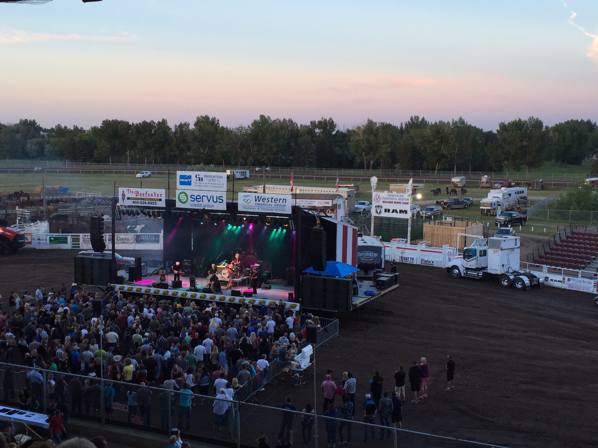
After sleeping in the other bedroom (due to our bed still being in a state of disrepair) we got up early on Saturday morning to pack up and tidy the cabin ready to hit the road.  We were heading to Calgary where Diane and Ken have their primary residence.  We were originally going to take two cars but with one being incapacitated we had to fit into one – Smokey the cat and all.  It actually worked out really well with all of us in the one car from a sharing the stories, knowledge and experience point of view.  It didn’t appear to sit well with Smokey though – he was quite unsettled for the first half of the journey.

We travelled along the Kootenay River over the Kootenay Crossing before travelling along the Vermilion River and over the Vermilion Crossing.  We then reached the Continental Divide of the Americas (also known as the Continental Gulf of Division, the Great Divide, or merely the Continental Divide) which is the principal, and largely mountainous, hydrological divide of the Americas. The Continental Divide extends from the Bering Strait to the Strait of Magellan, and separates the watersheds that drain into the Pacific Ocean from (1) those river systems that drain into the Atlantic Ocean (including those that drain into the Gulf of Mexico and the Caribbean Sea), and (2) along the northernmost reaches of the Divide, those river systems that drain into the Arctic Ocean.

Though there are many other hydrological divides in the Americas, the Great Divide is by far the most prominent of these because it tends to follow a line of high peaks along the main ranges of the Rocky Mountains and Andes, at a generally much higher elevation than the other hydrological divisions.

In 1913, Boundary Commissioners R.W. Cautley and A.O. Wheeler toiled up peaks and passes and through marshes, tracing streams to their sources.  With the mineral rights and natural resources of two provinces at stake, precise mapping of the boundary became essential.The four Rocky Mountain national parks of Banff, Jasper, Kootenay and Yoho share boundaries, scenery, geology, plant and animal life, human history and importance to the world.  These four parks were declared a UNESCO World Heritage Site in 1985.  World Heritage sites and monuments are considered to be of such exceptional interest and of such universal value that protecting them is a concern of all mankind.

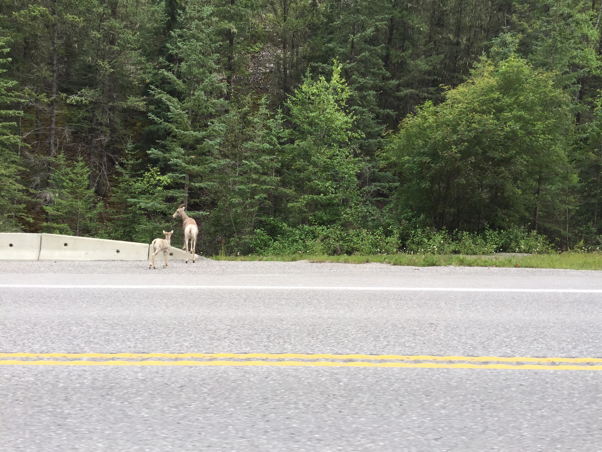
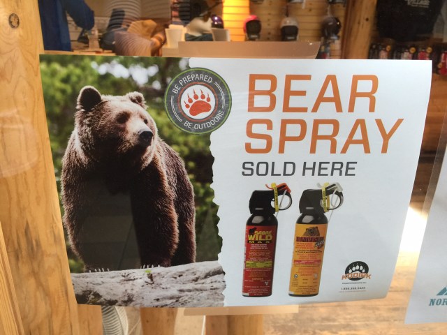
 We have heard so many stories of seeing wildlife along the roads etc… We got very excited when we first came across a mountain sheep and her baby and then saw a grizzly bear walking alongside the road.  The mountain sheep are nothing like the sheep we have at home – they look more like goats – they’re quite wiry.  You can imagine the excitement when we saw the bear – unfortunately there was another bloody tourist in front of us and they slowed to take pictures which meant by the time we got alongside it, it was disappearing into the bush so we didn’t get a photo.  A fabulous memory to have in our minds anyway.The plan was to try our luck at Lake Louise – this is peak tourist season and it was a Saturday so it is not always possible to get up there.  We drove into the village only to see signs saying “Carpark Full” and all these traffic controllers turning people around.  There would be no Lake Louise visit for us today unfortunately.  We backtracked with our next stop being Banff.

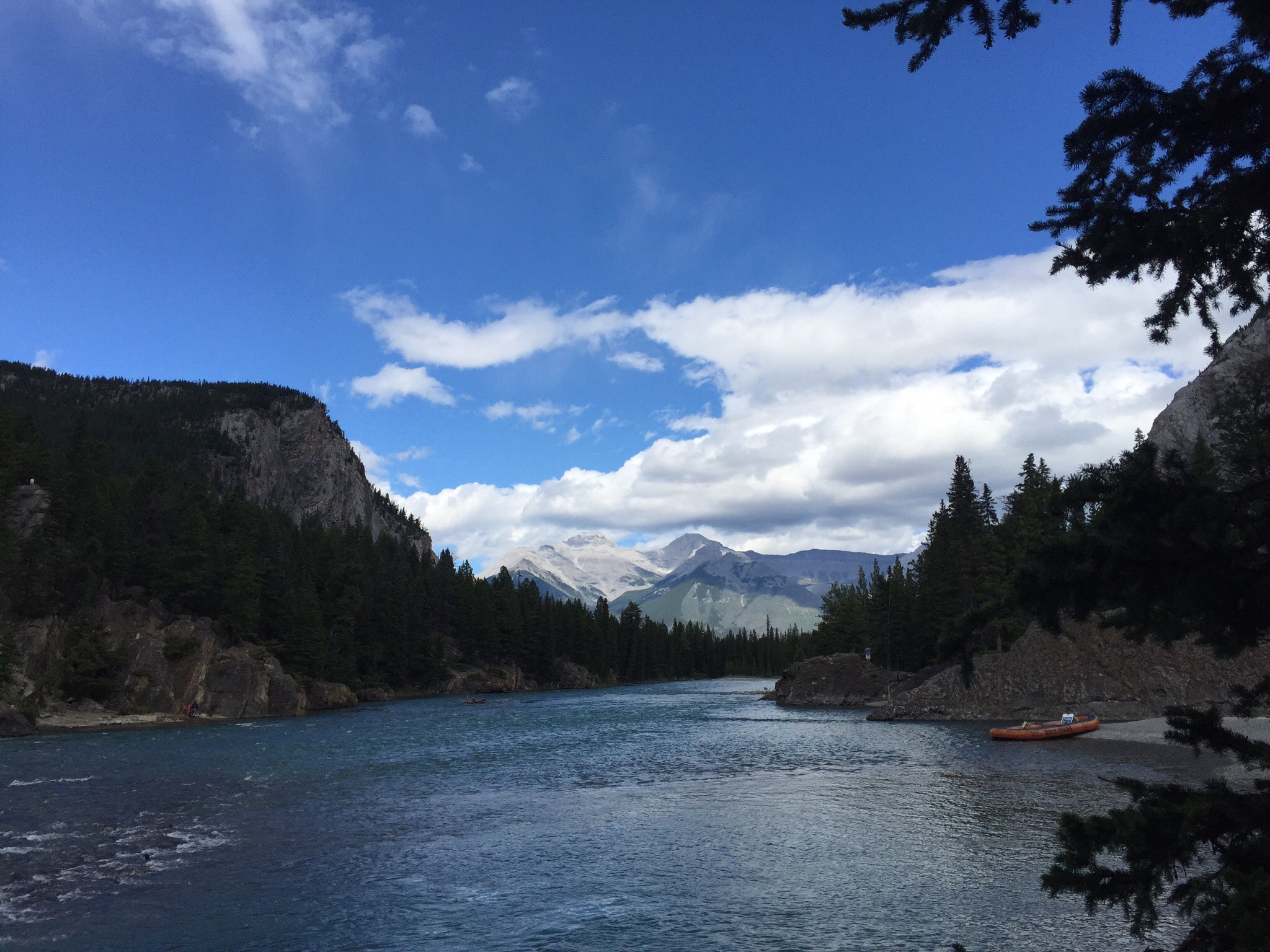
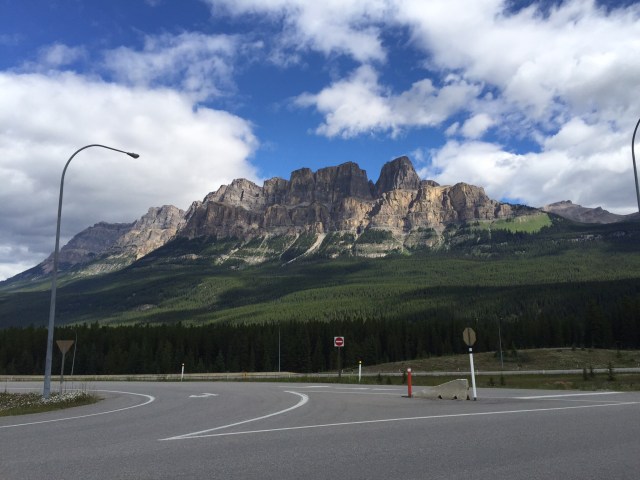
The mountains that we saw in this area were once flat beds of rock that lay buried to the west.  Immense pressures within the earth cracked the rock layers millions of years ago, forcing them to slide atop one another and shift many kilometres eastward.  These thrust-fault mountains are now the front ranges of the Rocky Mountains.  Much later, great amounts of glacier ice filled the spaces between the mountains, so deep that some of the summits were buried.  For many thousands of years, ice and snow ruled.  About 15,000 years ago, the ice began to melt back to where it is today.
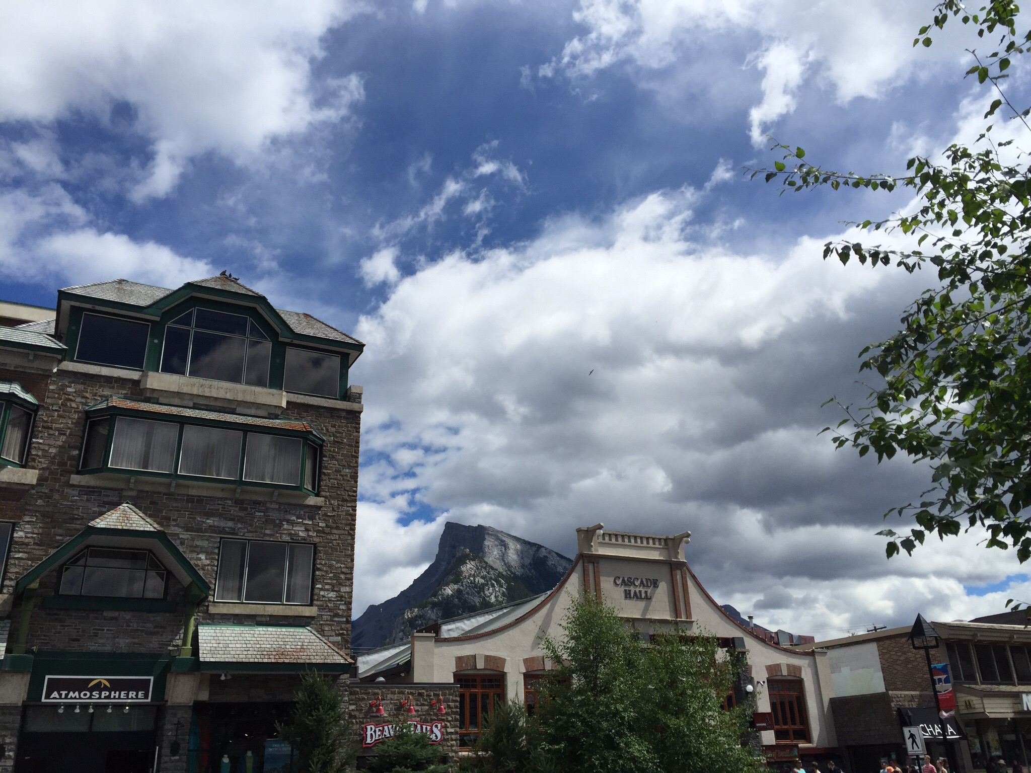
Mt Rundle

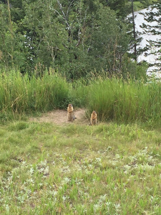
Two friendly little gophers were curious to see if we had any tasty morsels for them : )

Banff, Canada’s first national park, was less than 26 square kilometres when established in 1885.  Now covering 6,500 square kilometres of the Canadian Rocky Maountains, it has now become a leader in nature conservation.  Cattle once grazed the meadows.  The railroad cut off water flows.  Wolves were killed off, leaving over-abundant elk to destroy willow and aspen thickets.  In the mid-twentieth century, the lakes were treated with toxic pesticides to control mosquitoes.

But national parks are meant to be passed on to future generations unimpaired.  That is why Parks Canada has used science, innovation and partnerships to restore much of the ecological health of these wetlands.  Cattle are long gone.  Wolves, Cougars and grizzly bears have returned.  Elk are no longer over-abundant and, in response, willow thickets and aspen forests thrive again.  Working with partners, Parks Canada has restored water flows to keep wetlands healthy.  Frogs, fish, Eagles, moose and beavers are among the wildlife that have benefited.

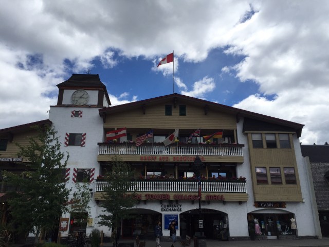
Banff is an awesome little town – it is really touristy but still manages to maintain it’s charm. We had a wander around the shops – you could spend quite a few hours there and part with a bit of money. Luckily, Smokey had us on a tight schedule. We did go into a photo gallery where the photographer had spent many an hour in nature waiting to capture that perfect moment. His work was phenomenal and none of it is photoshopped – it is as he shot it. I fell in love with a photo of a bear cub and couldn’t leave without it. The photographer was in the gallery so he signed the back for me. I could have gone crazy in there.

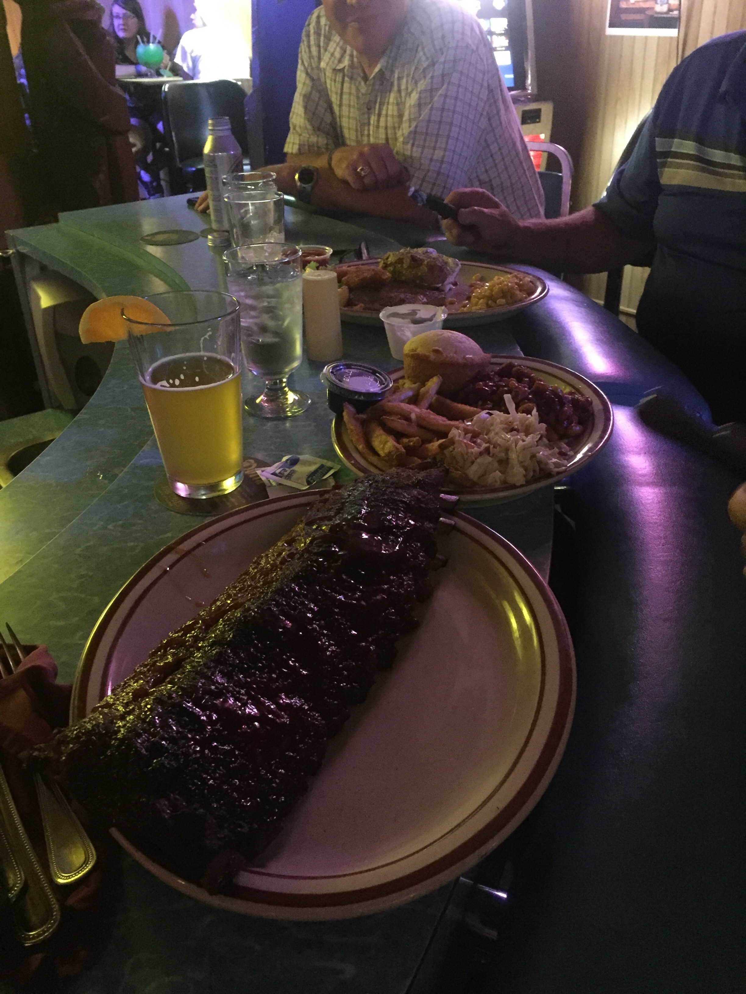
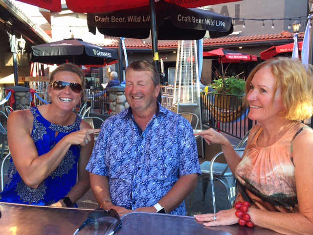
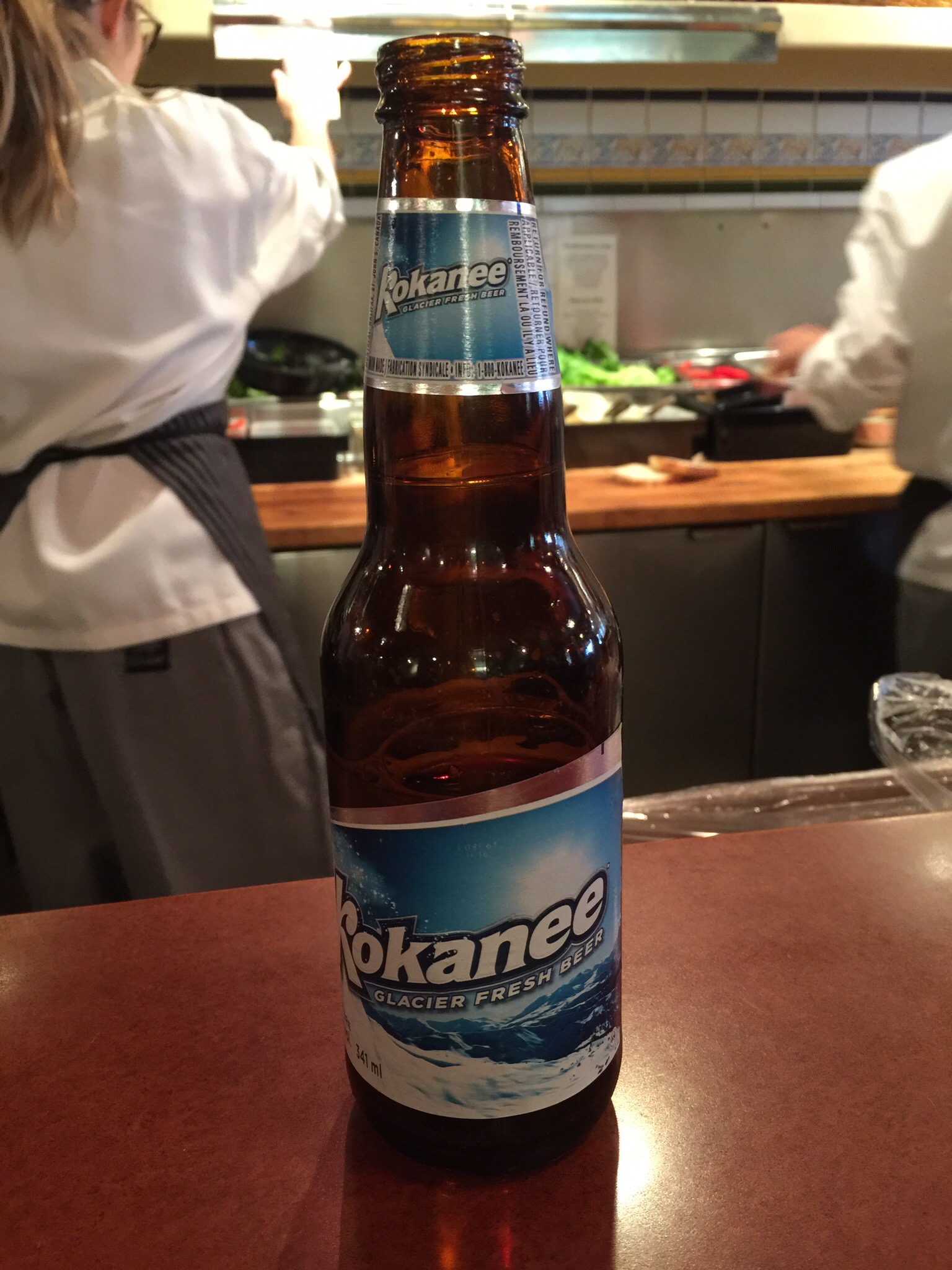
We had a casual lunch at Coyotes Southwestern Grill sitting at the counter and Steve enjoyed a local beer.  A quick freshen up for Smokey and we were on the road again.  


Banff is a town within Banff National Park in the province of Alberta.  At an elevation of 1,400 m (4,600 ft) to 1,630 m (5,350 ft), Banff is the community with the second highest elevation in Alberta after Lake Louise.  The Town of Banff was the first municipality to incorporate within a Canadian national park. 

Banff is a resort town and one of Canada’s most popular tourist destinations, known for its mountainous surroundings and hot springs. It is a destination for outdoor sports and features extensive hiking, biking, scrambling and skiing areas within the area. Sunshine Village, Ski Norquay and Lake Louise Mountain Resort are the three nearby ski resorts located within the national park.

Banff was first settled in the 1880s, after the transcontinental railway was built through the Bow Valley. In 1883, three Canadian Pacific Railway workers stumbled upon a series of natural hot springs on the side of Sulphur Mountain. In 1885, Canada established a federal reserve of 26 km2 (10 sq mi) around the Cave and Basin hot springs, and began promoting the area as an international resort and spa as a way to support the new railway.  In 1887, the reserve area was increased to 673 km2 (260 sq mi) and named “Rocky Mountain Park.” This was the beginning of Canada’s National Park system.

The area was named Banff in 1884 by George Stephen, president of the Canadian Pacific Railway, recalling his birthplace in Banff, Scotland. The Canadian Pacific built a series of grand hotels along the rail line and advertised the Banff Springs Hotel as an international tourist resort.

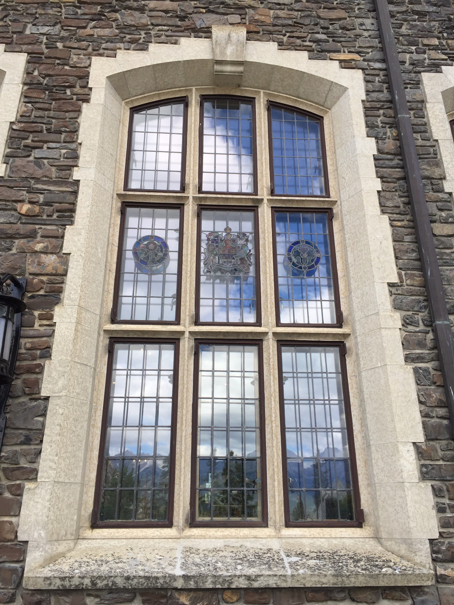
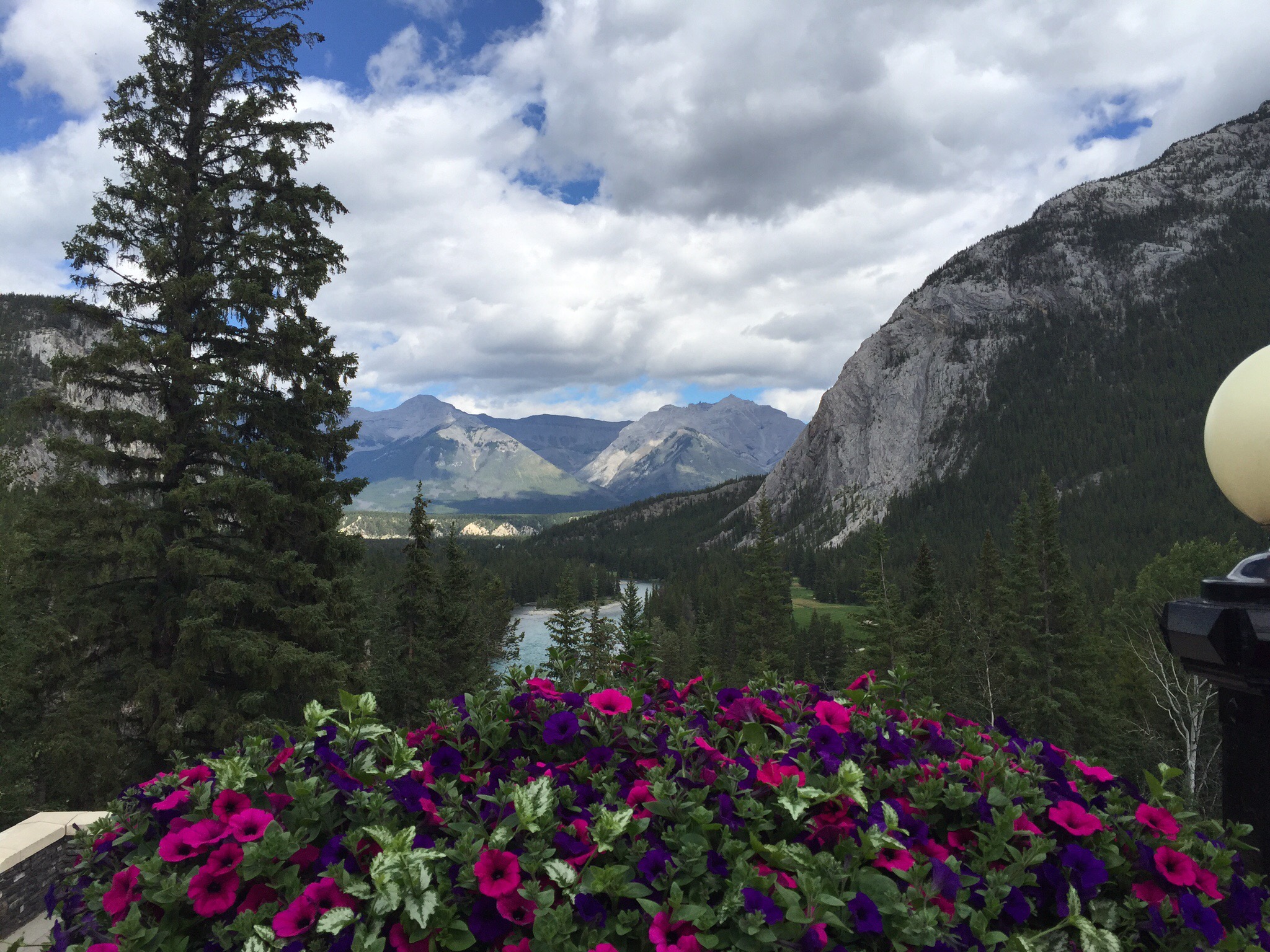
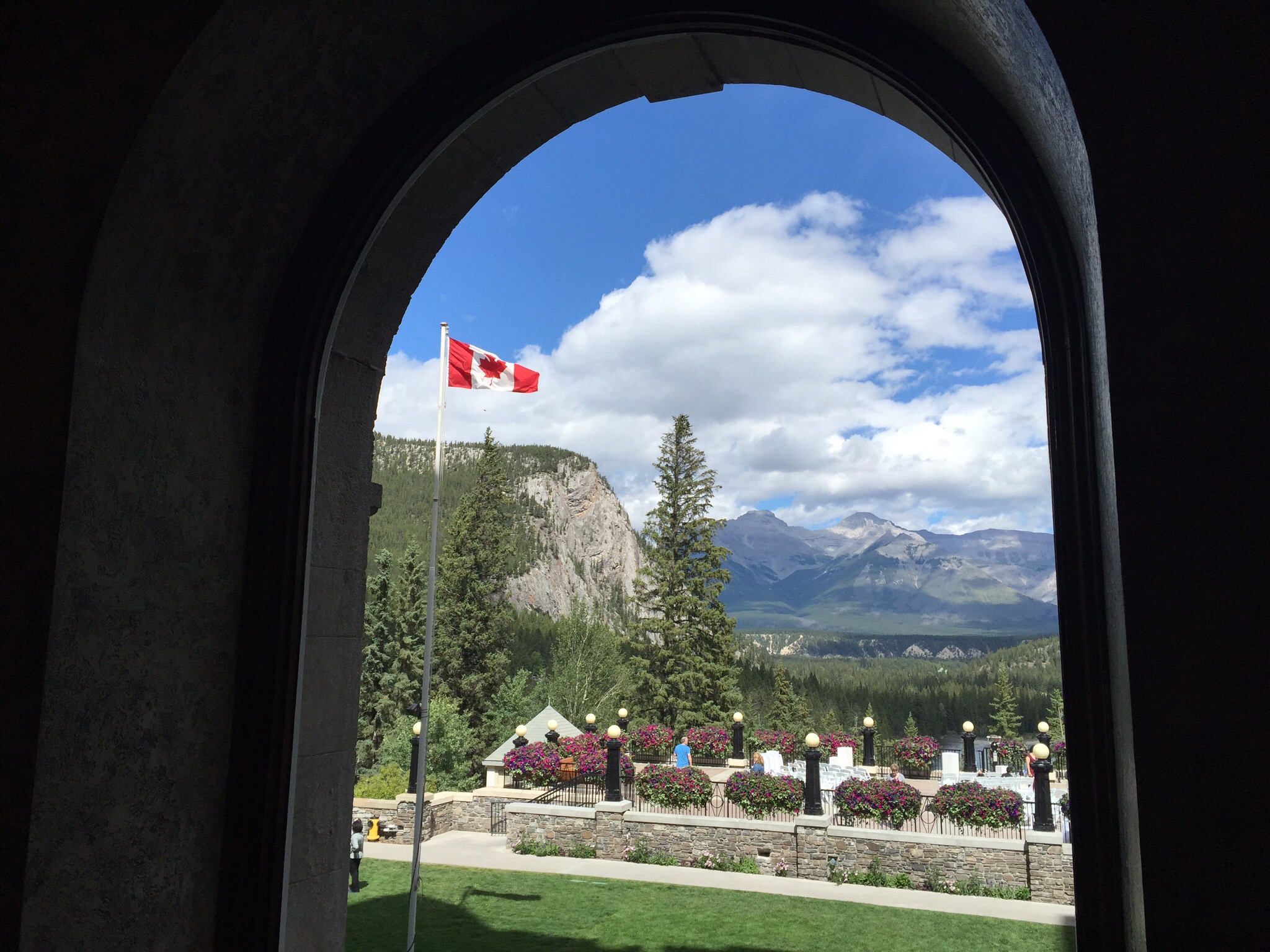
Speaking of such, our next stop was The Fairmont Banff Springs Hotel which was opened in 1888 by the Canadian Pacific Railway.  This landmark hotel was the inspiration of Sir William Cornelius Van Horne, 19th century railway pioneer and hotel visionary, who famously quipped “If we can’t export the scenery, we’ll import the tourists.”  It was originally a five storey, wooden structure built on a cement foundation.  The architect was the renowned Bruce Price of New York.  The hotel was described as “a bastion of luxury,” and boasted 250 rooms with the cost of a room starting at $3.50 per night.  The hotel opened seasonally from the 15th May until the 1st October.

Due to the increasing popularity of the hotel as an international mountain resort destination, a decision was made in 1910 to replace the wooden hotel in stages.  In between 1911 and 1914, the 11 storey centre tower designed by Walter Painter of Pennsylvania was added as the first stage of the new grand and luxurious hotel.  In 1926, disaster struck when the north wing of the original wooden hotel burnt down.  Subsequently, the new north and the south wings were quickly rebuilt and completed on the 15th May 1928.  Styled in the spirt of a Scottish baronial castle, the thick limestone blocks used on the exterior were quarried from Mount Rundle, a short distance from the hotel along the Spray River.  Hundreds of Italianstone cutters and Scottish stone masons were employed to complete the project.

It is a stunning piece of architecture located in a stunning setting.  It reminded me of the Vaduz Palace in St Moritz, Switzerland although with this one you could go in and have a look around.  There had been a wedding on the balcony and they were just taking some photos and setting up for the reception so we got to see that.  It is very grand inside.  It is also a very popular tourist attraction with lots of people coming and going.


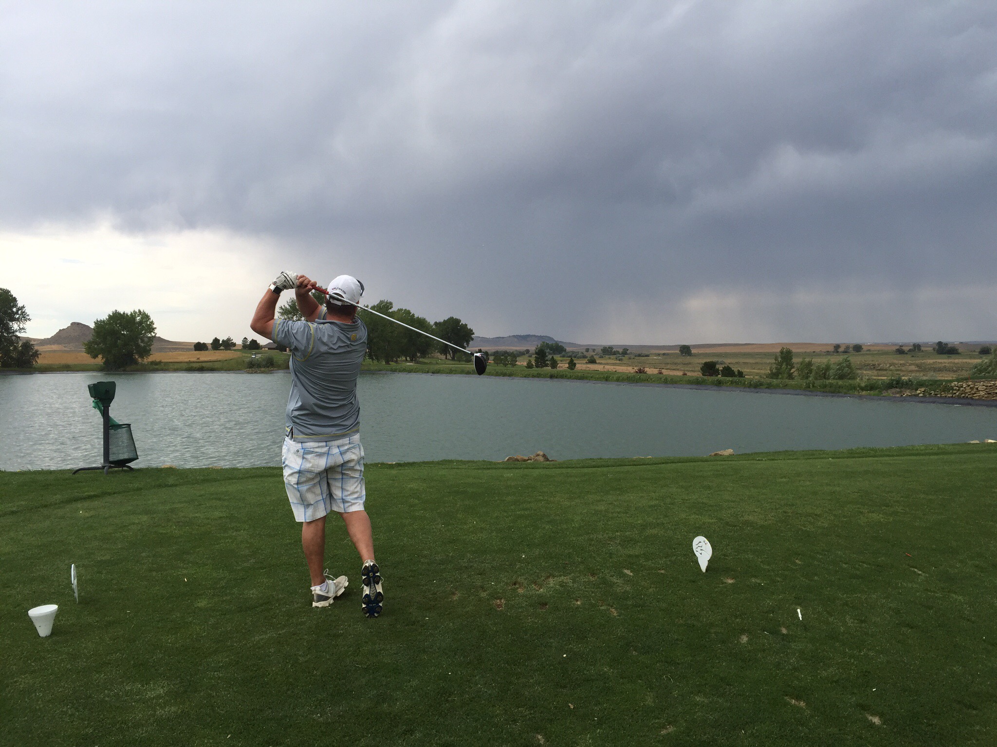
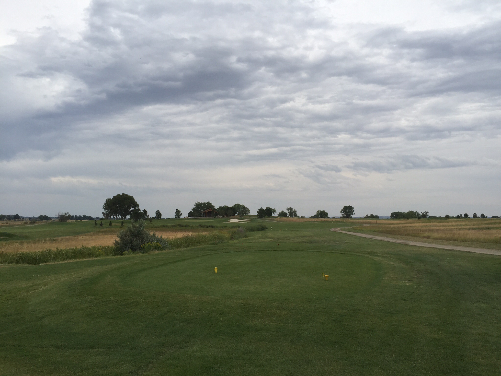
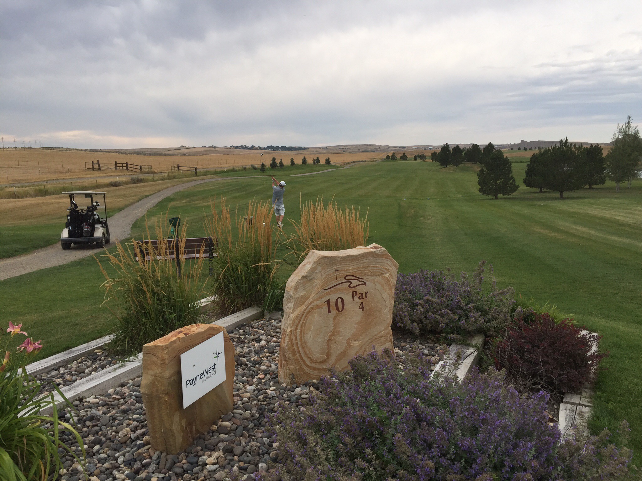
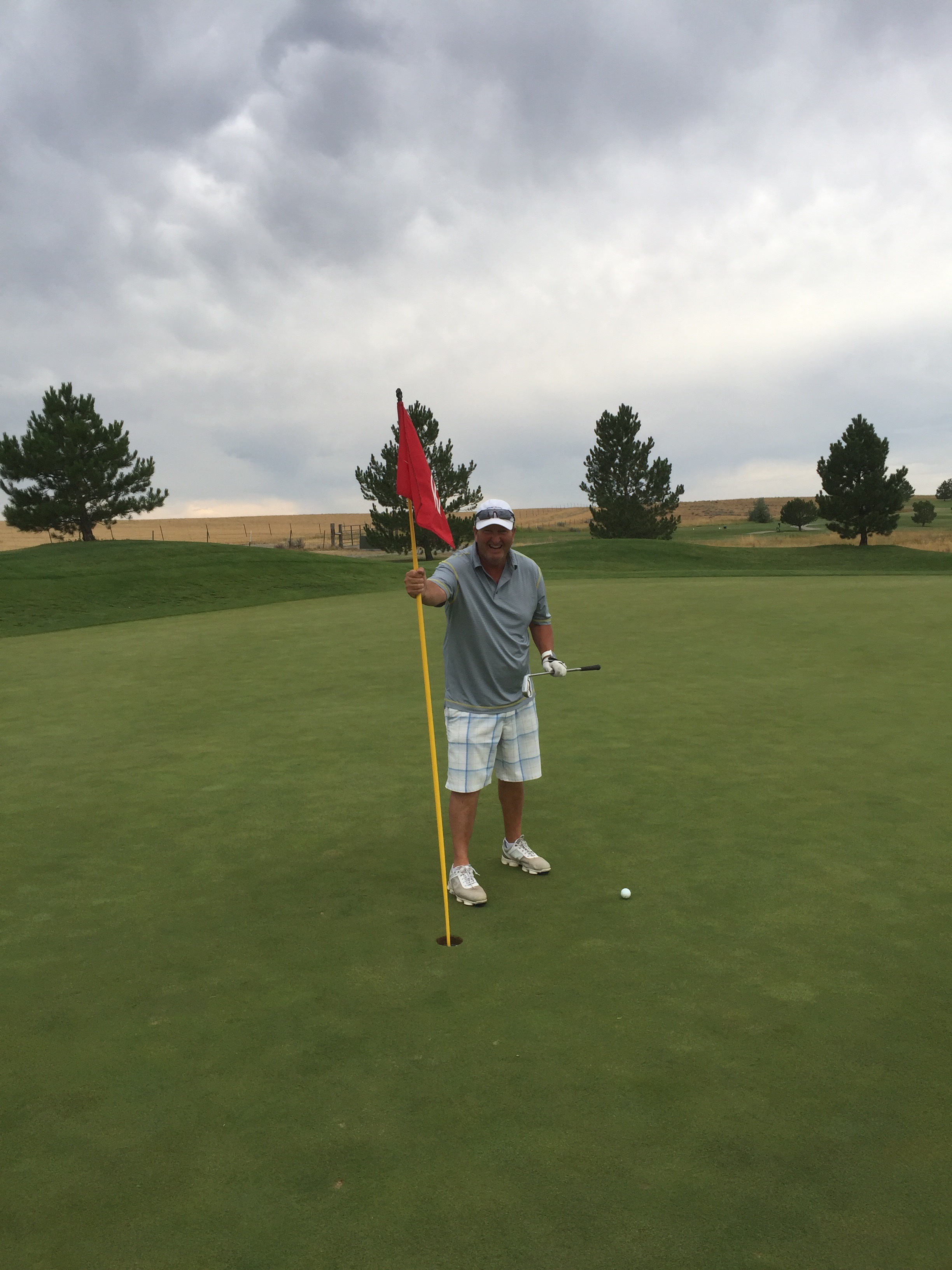
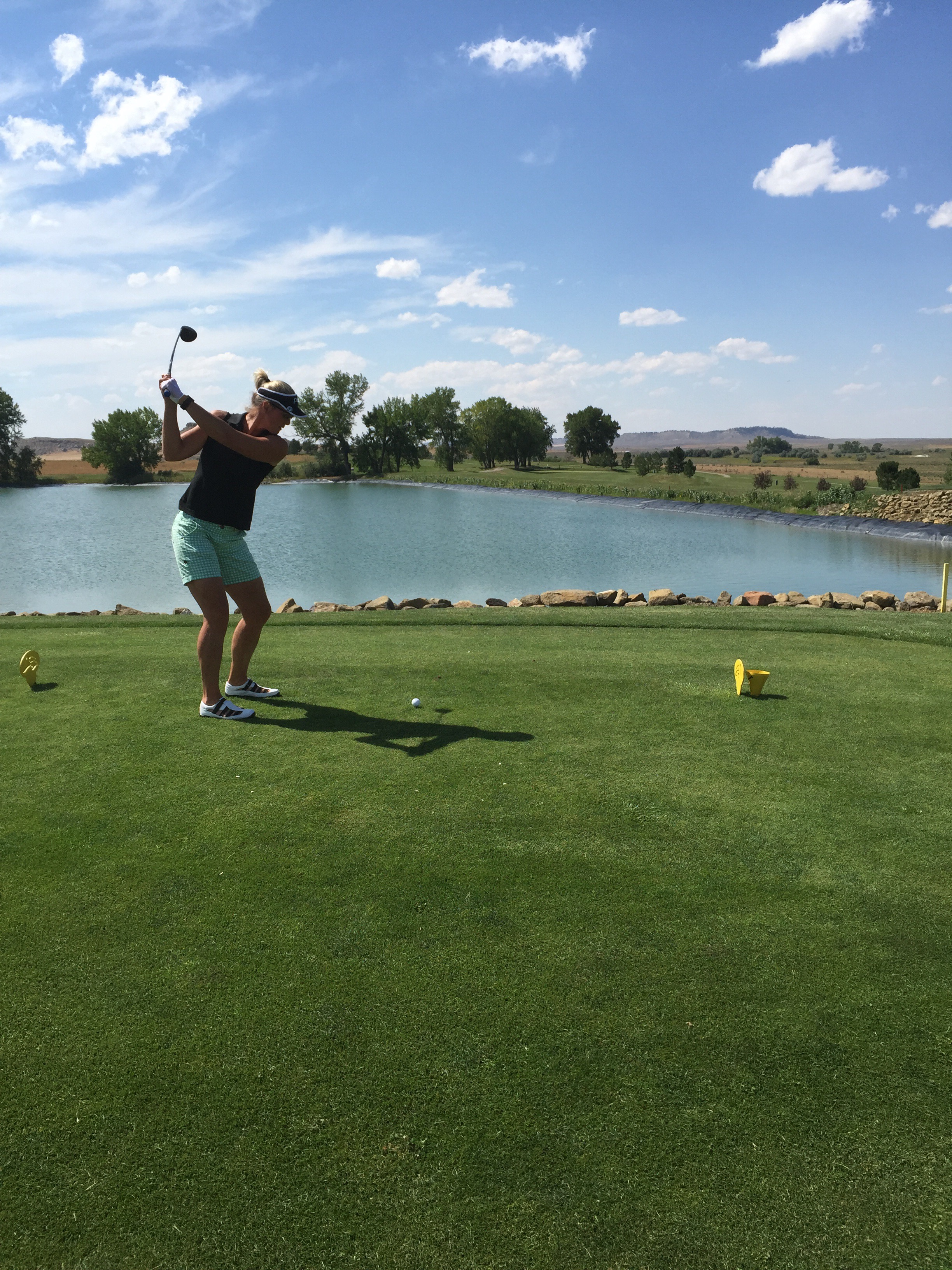
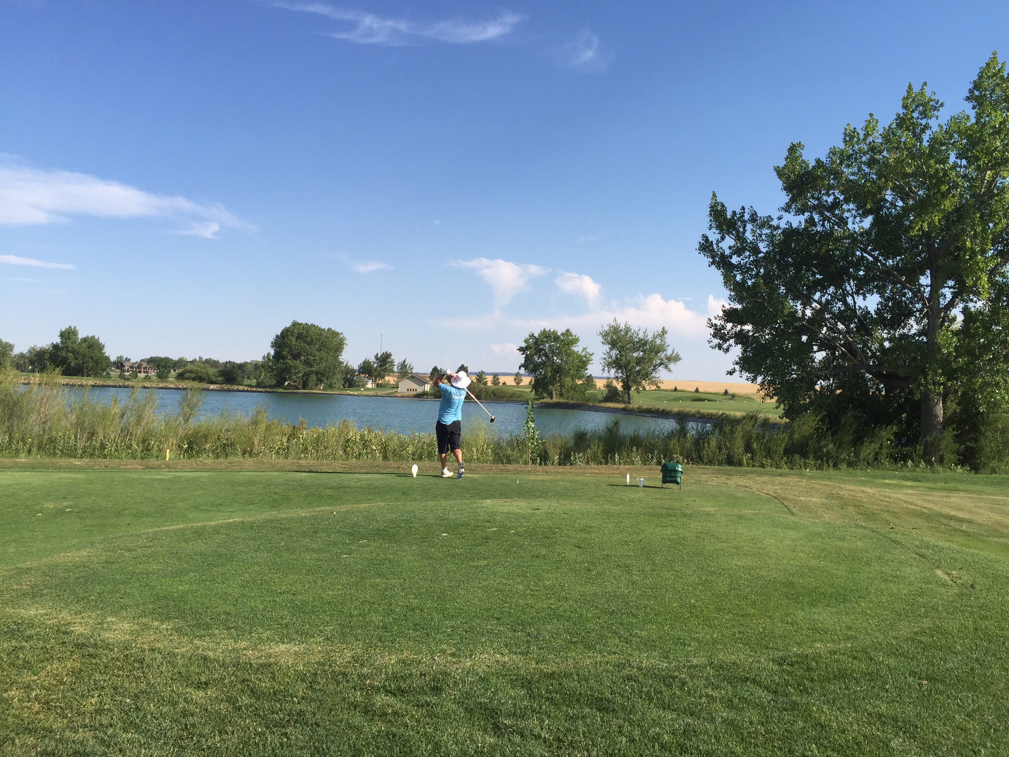
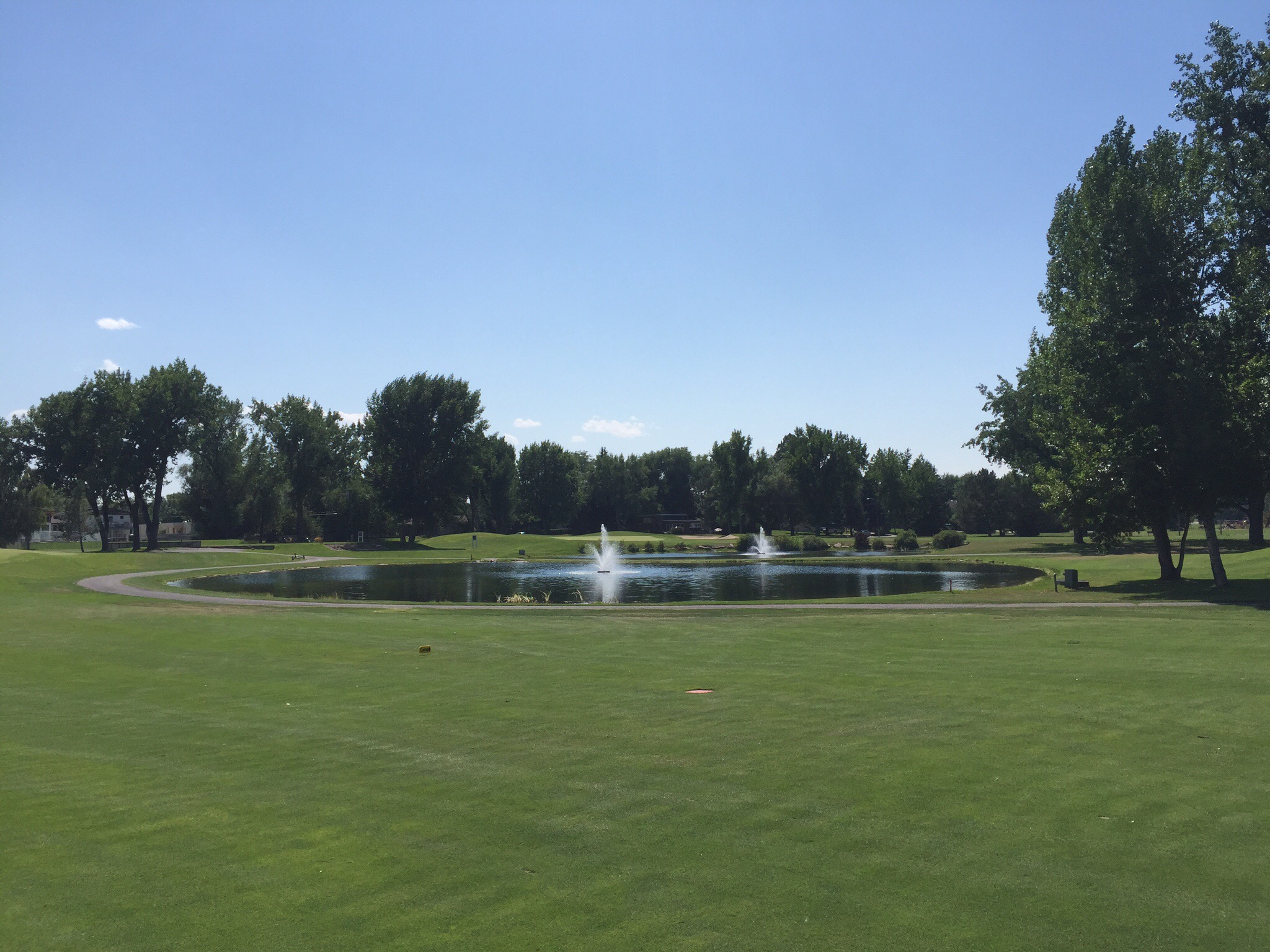
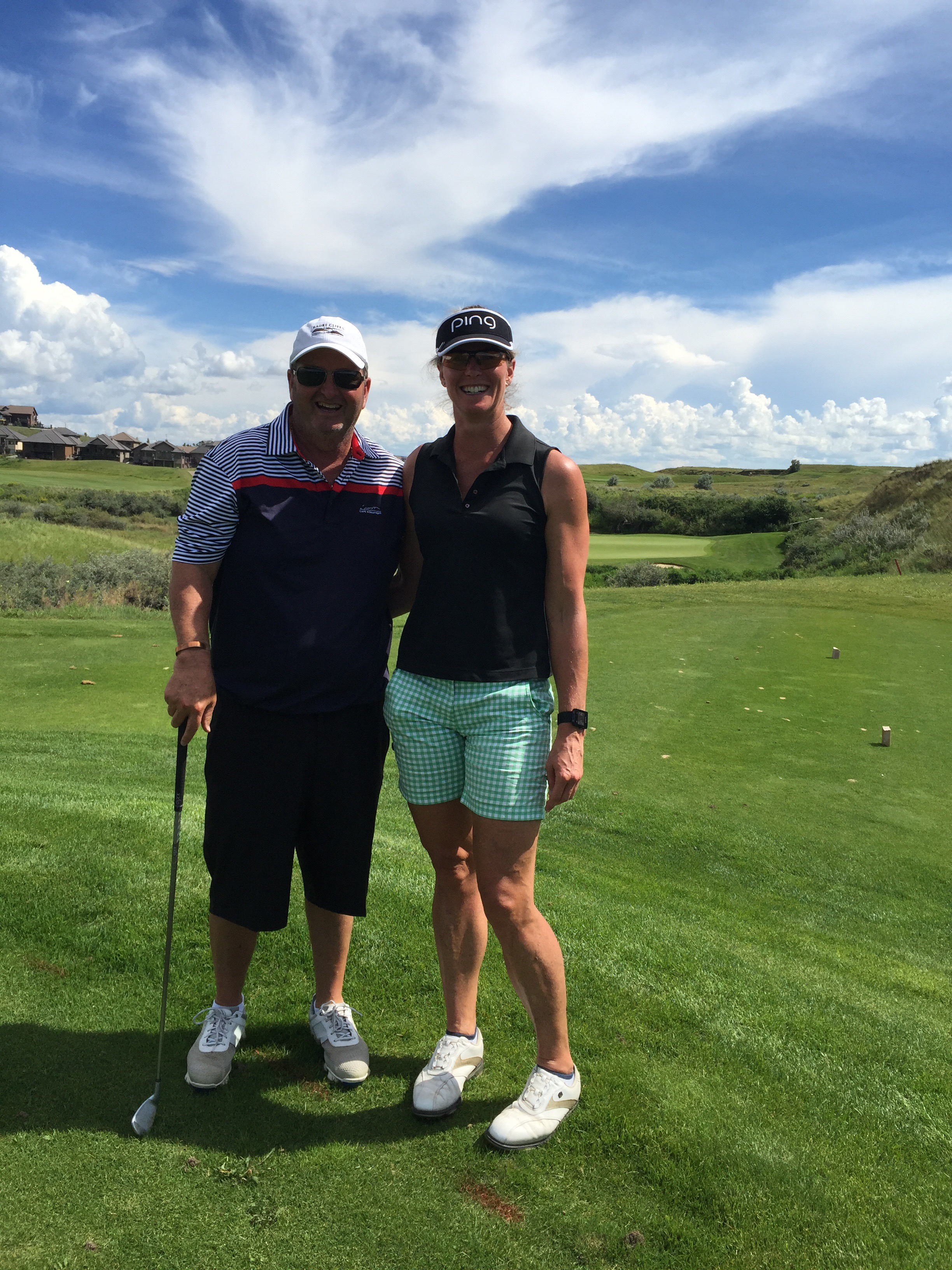
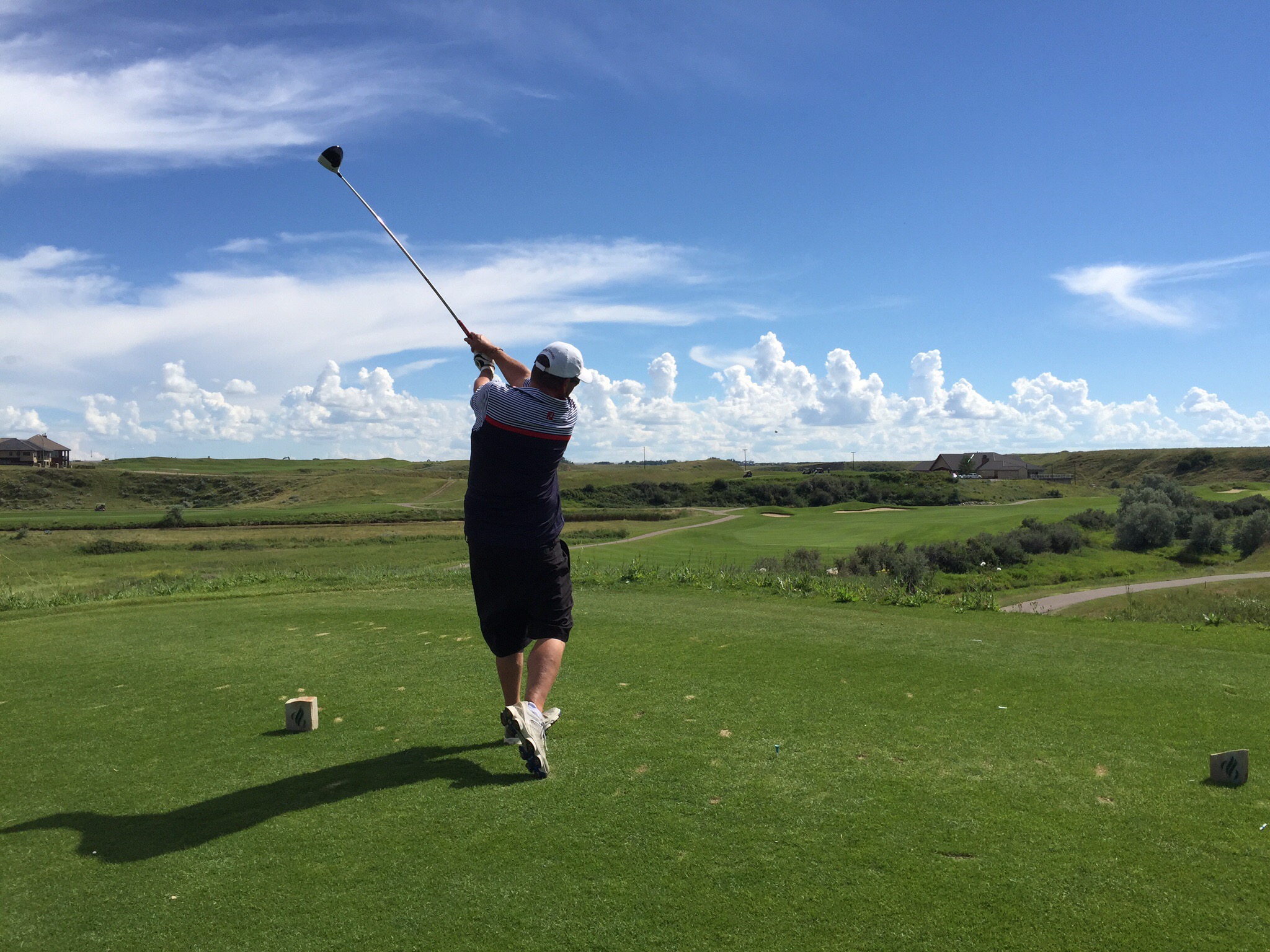
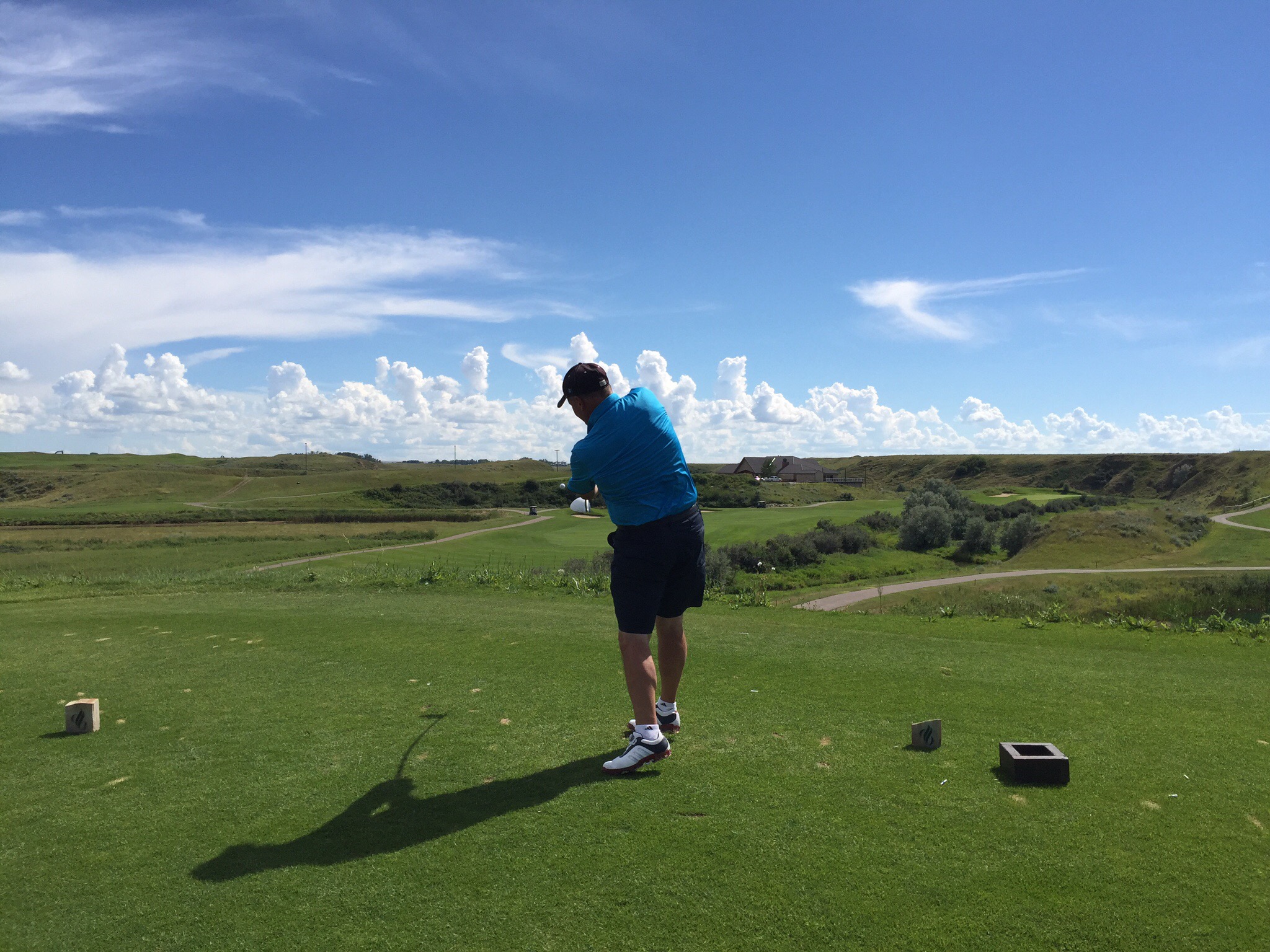
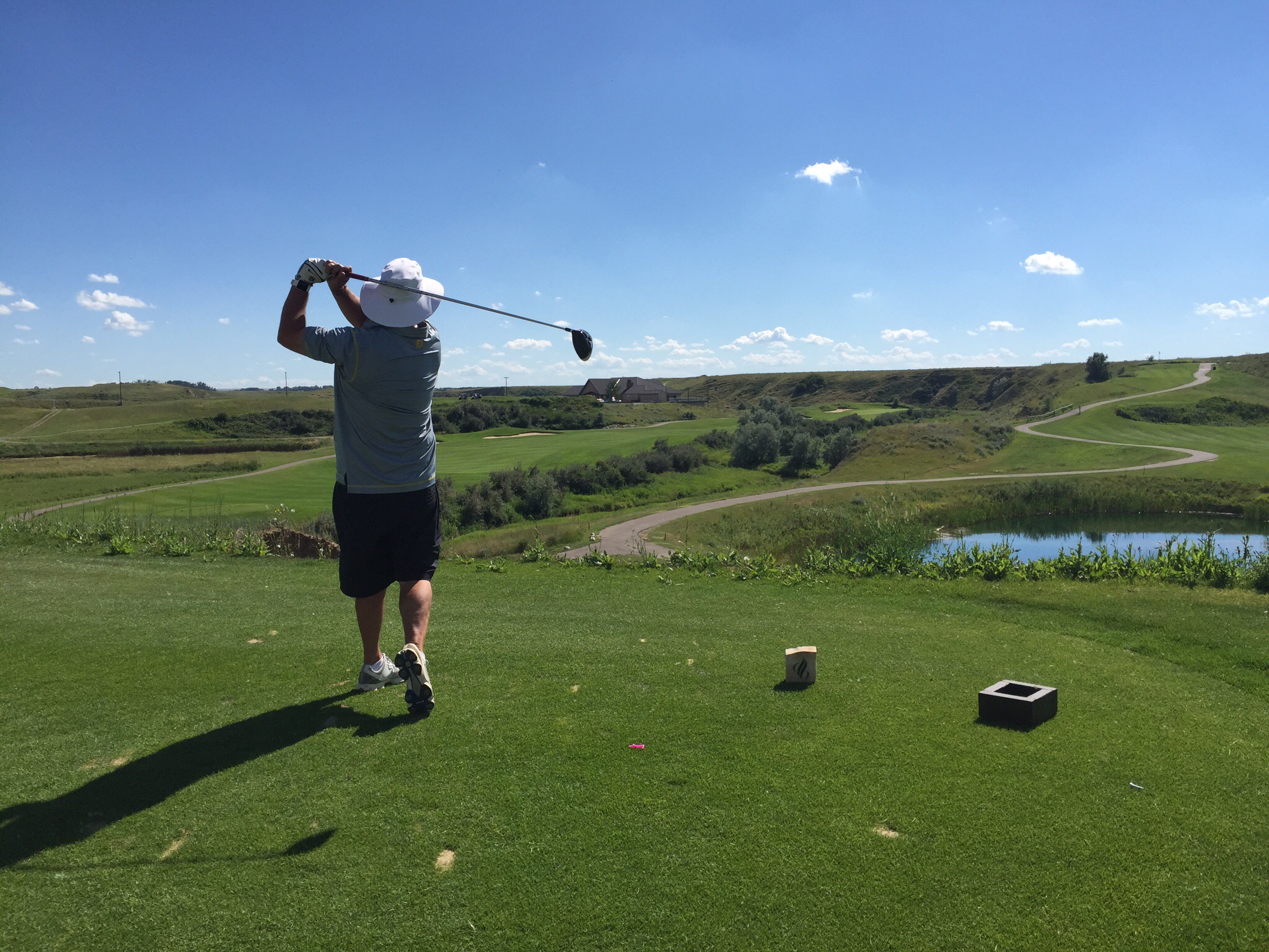
 We then drove out to the springs and alongside some of the holes on the Banff Springs Golf Course – wow, what a stunning looking course. Another to add to the list.


By this time it really was time to get Smokey home – we still had another hour or so to Calgary.  He had settled down and slept most of the way home.

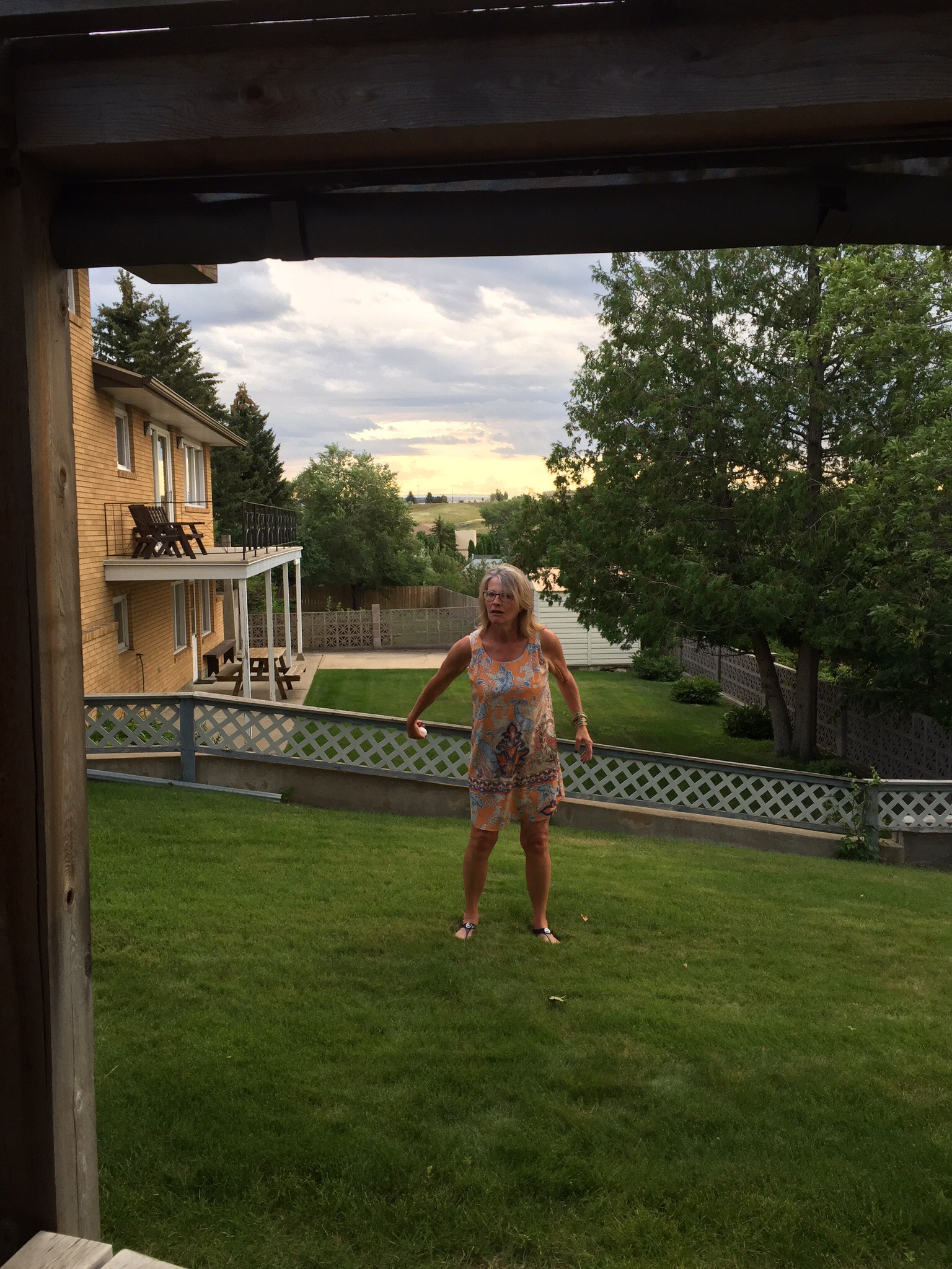
Sunday was a lovely day so we took a walk around the South Glenmore Park along the reservoir.  The Calgary Ironman was on so we got to see some of the runners who were also running alongside the reservoir.

That afternoon Diane and Ken hosted a family BBQ – their son, daughter in law and granddaughter were back from Ottawa so it was nice to meet them and also some other members of the extended family.  Canadians are very congenial like Kiwi’s so as you can imagine it was a great evening.  Ken worked his magic on the BBQ with the lamb patties for the home made burgers and we had some delicious salads and home made raspberry flan and a rhubarb, custard pie.  The raspberries and rhubarb were home grown.  Everything was so, so good!  We washed it down with some Pegasus Bay Riesling.

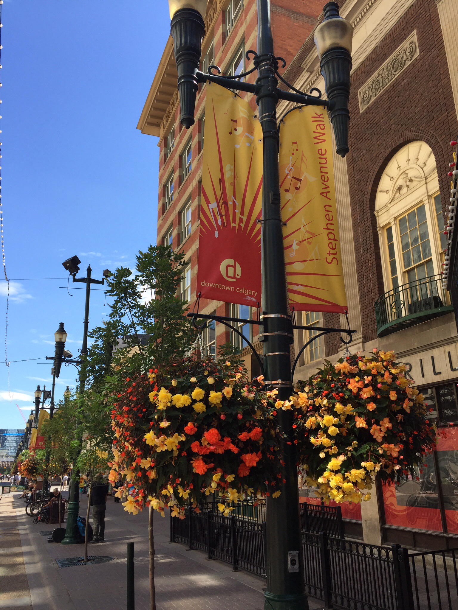
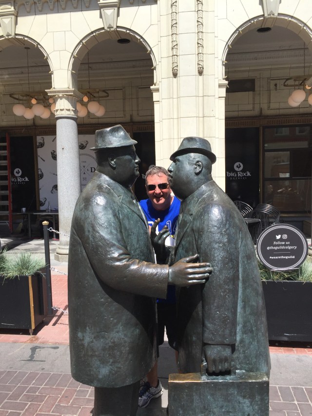
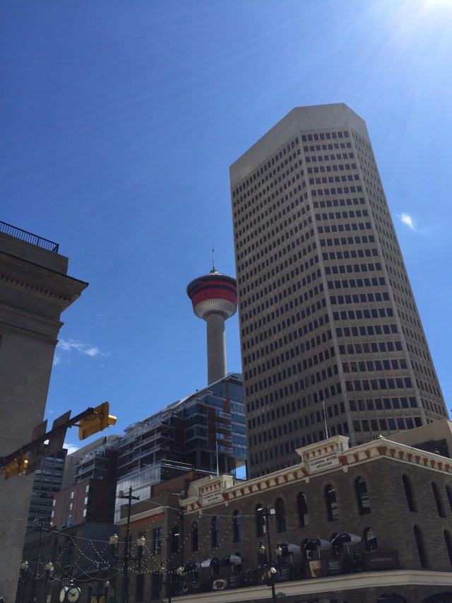
Monday was another lovely day so we ventured into downtown Calgary to have a look around.  It is a really nice city and has all these glass walkways between buildings to make it more pleasant in winter to move about the city.  We wandered down the Stephen Avenue Walk which is a pedestrian and cyclist only street during the day.  There is some lovely architecture along here.  They have preserved the outside facades and erected taller buildings behind in some cases.  


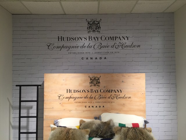
We had a look around the Hudson’s Bay Company department store. The Hudson’s Bay Company, commonly referred to as The Bay (La Baie in French), is a Canadian retail business group. A fur trading business for much of its existence, today Hudson’s Bay Company owns and operates retail stores throughout Canada, Germany, Belgium and the United States with Galeria Kaufhof, Gilt, Hudson’s Bay, Home Outfitters, Lord & Taylor, Saks Fifth Avenue and Saks Fifth Avenue OFF 5TH. The Company was incorporated by English royal charter in 1670.


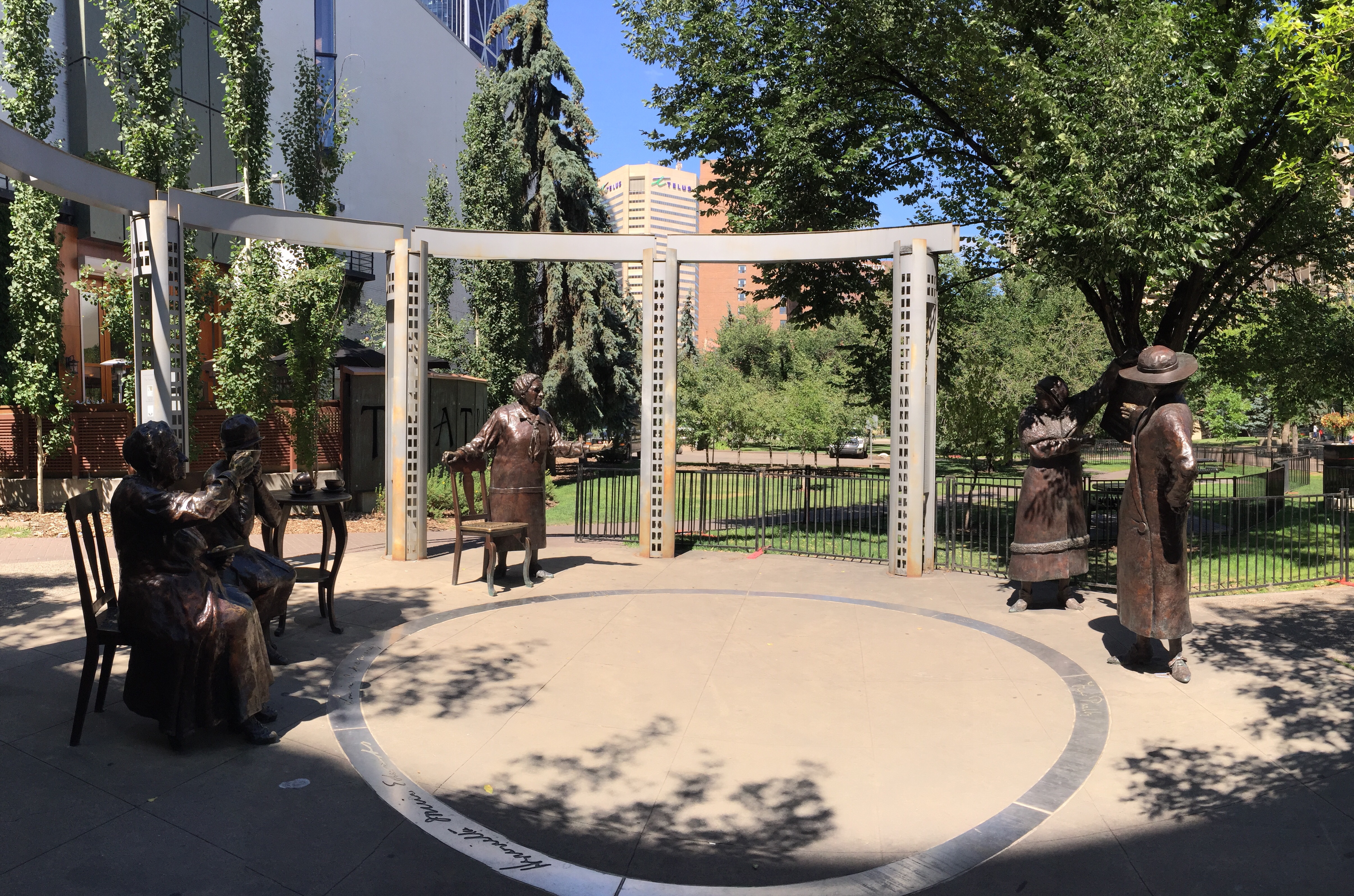
We then walked towards the Olympic Plaza which is an urban park and gathering place in downtown Calgary.  It was created as the venue for the medal ceremonies at the 1988 Winter Olympic Games. It is now used for various events and doubles as a ice skating rink in the winter.  Along the way we came across the Famous Five.  

The Famous Five or The Valiant Five were five Alberta women who asked the Supreme Court of Canada to answer the question, “Does the word ‘Persons’ in Section 24 of the British North America Act, 1867, include female persons?” in the case Edwards v. Canada (Attorney General).  The five women, Emily Murphy, Irene Marryat Parlby, Nellie Mooney McClung, Louise Crummy McKinney and Henrietta Muir Edwards, created a petition to ask this question. They sought to have women legally considered persons so that women could be appointed to the Senate. The petition was filed on August 27, 1927, and on 24 April 1928, Canada’s Supreme Court summarized its unanimous decision that women are not such “persons”.  The last line of the judgement reads, “Understood to mean ‘Are women eligible for appointment to the Senate of Canada,’ the question is answered in the negative.” This judgement was overturned by the British Judicial Committee of the Privy Council on 18 October 1929. This case came to be known as the “Persons Case”.

These five Albertan women were drawn together by the tides of history and a shared idealism. Each was a true leader in her own right: one a police magistrate, another a legal expert who founded the National Council for Women, and three served as Members of the Legislative Assembly of Alberta. And they did all this before they were even fully defined as “persons” under Canadian and British law.

Separately, these five women were champions of the rights and welfare of women and children. They worked hard and courageously in the face of the prejudices and resistance of the day. Together, they formed an unstoppable force that changed the world for women in Canada and in all Commonwealth countries.

The Famous 5 sculpture was done by Edmonton sculptor Barbara Paterson and an identical one is also on Parliament Hill in Ottawa. Paterson captured the five women at the moment they reunited over a cup of tea to celebrate their victory.   

I particularly liked this following quote by Louise McKinney (1868 – 1931):

“What, after all, is the purpose of a woman’s life? The purpose of a woman’s life is just the same as the purpose of a man’s life: that she may make the best possible contribution to the generation in which she is living.”


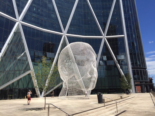
The 12 metre tall, bent-wire head of a young girl called “Wonderland” was created by Spanish sculptor Jaume Plensa.  The  artist’s concept represents the hopes and dreams of young Albertans and the youthful energy of the tenants.  This sculpture is located outside The Bow building.

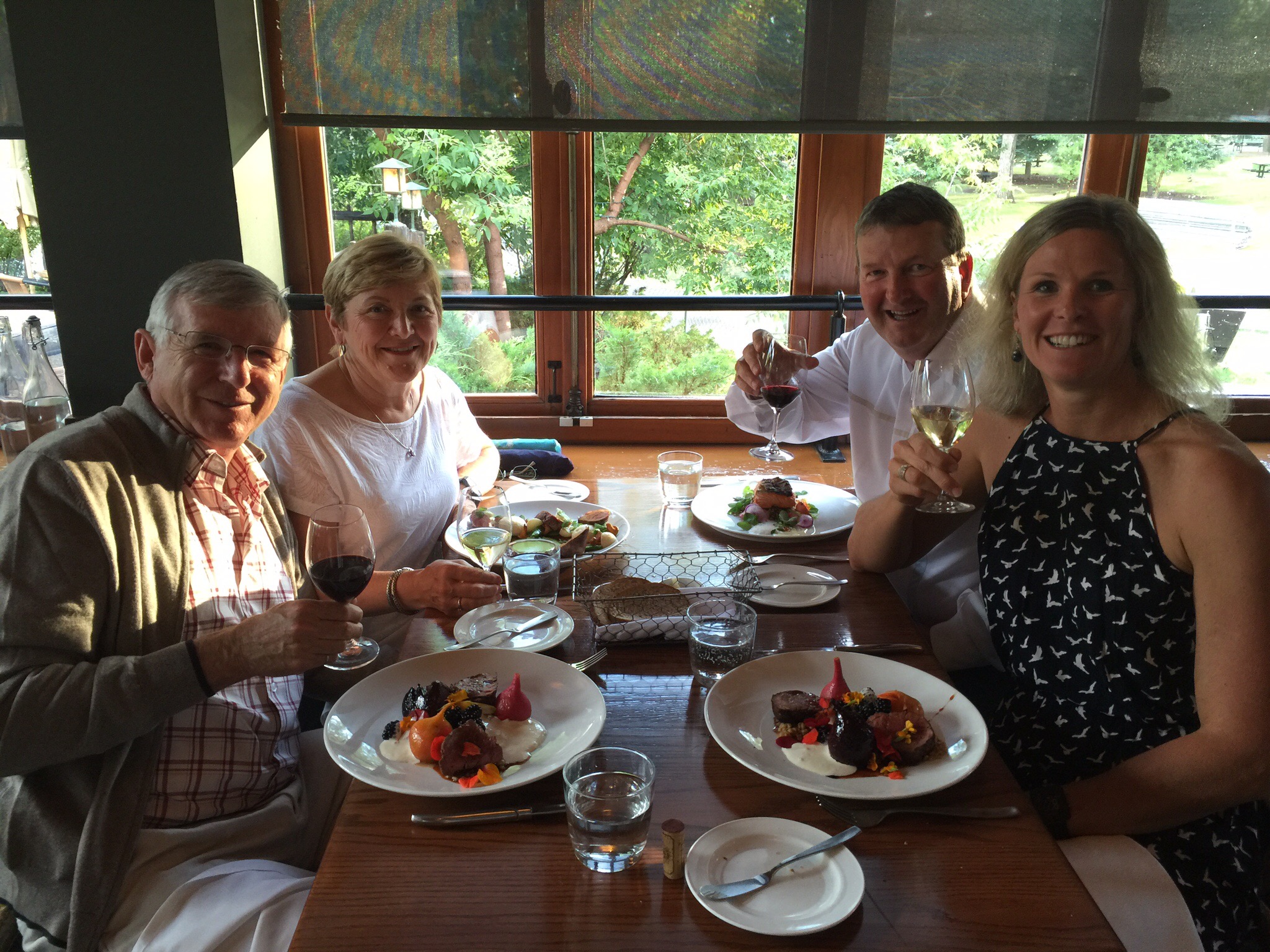
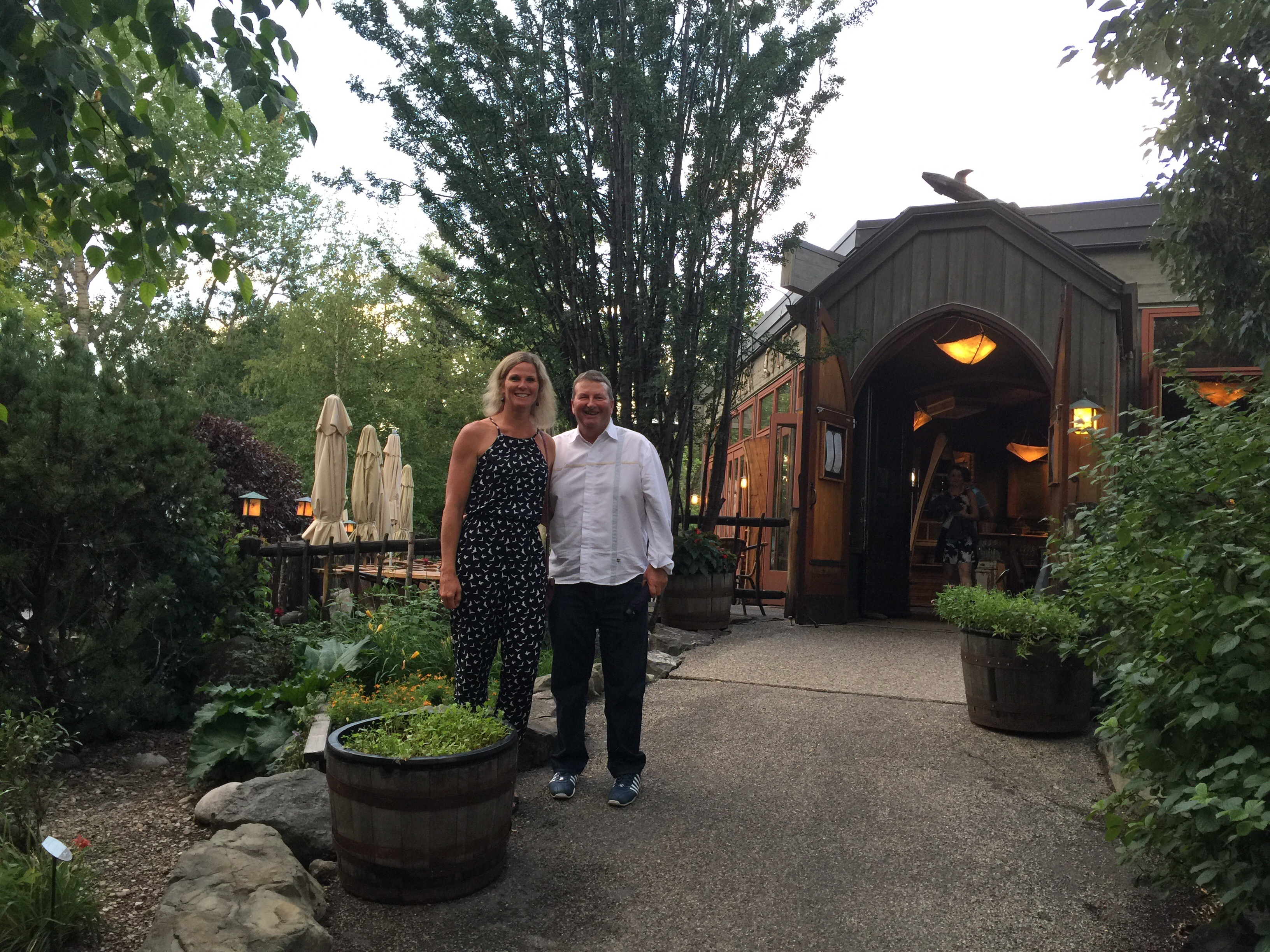
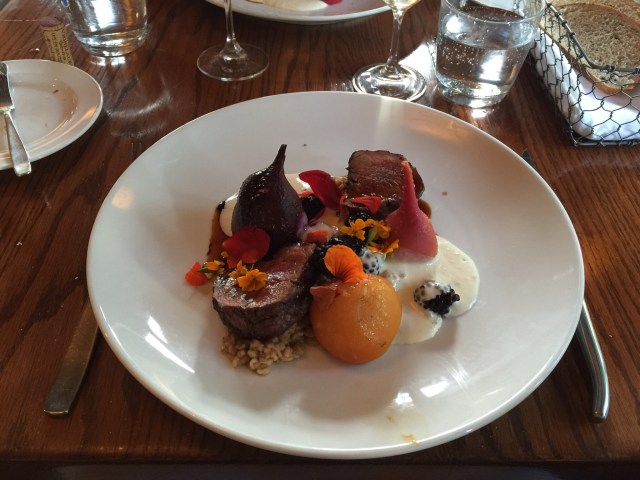
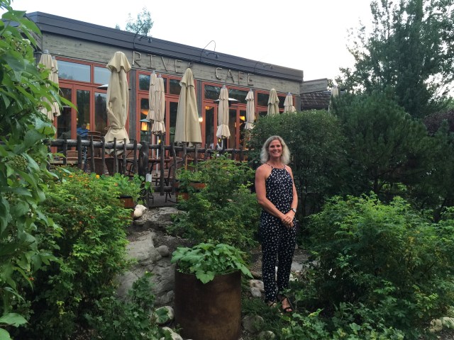
That evening we came back into the city to have dinner at the River Cafe on Prince’s Island.  If you had been standing on this island in 1885, you wouldn’t even have been standing on an island.  This was just a bend in the Bow Riveruntil 1886, when the Eau Claire and Bow River Lumber Company dug a channel to get logs from Kananaskis closer to Calgary sawmill.

The resulting island was named after the company’s manager, Peter Prince.  Prince was one of Calgary’s earliest entrepreneurs.  In 1889 he formed the Calgary Water Power Company to supply electric streetlights to the town.  Despite its name, the company used steam generators powered by sawdust until 1893, when Prince built Calgary’s first hydro-electric plant near the east end of the lagoon. 

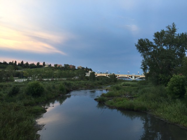
The River Cafe serves seasonal Canadian food.  They are dedicated to sourcing the best tasting local ingredients in season. They connect directly with growers and producers at their farms, gardens and ranches, and carefully choose those purveyors who are responsible stewards of the land. They support and honor the connection to these farms by always identifying the provenance of their ingredients on menu.  The food was delicious with a creative use of local flavours.  After dinner we wandered back along the river where we had some great views of the city.  We saw all these groups of young people on their phones and realised they were all chasing Pokemon – another sign the world has gone mad!

We really enjoyed our time in both Invermere and Calgary and have to say a huge thank you to our hosts Diane and Ken.  They shared their homes, knowledge and passion with us so generously as well as Smokey the cat.  They are so well travelled in both Canada and the rest of the world that their knowledge and experience is endless – they are an inspiration.


Calgary

Calgary is a city in the Canadian province of Alberta. It is situated at the confluence of the Bow River and the Elbow River in the south of the province, in an area of foothills and prairie, about 80 km (50 mi) east of the front ranges of the Canadian Rockies. In the 2011 census, the City of Calgary had a population of 1,096,833 and a metropolitan population of 1,214,839, making it the largest city in Alberta, and the third-largest municipality and fifth-largest census metropolitan area (CMA) in Canada.

The economy of Calgary includes activity in the energy, financial services, film and television, transportation and logistics, technology, manufacturing, aerospace, health and wellness, retail, and tourism sectors.  The Calgary CMA is home to the second-highest number of corporate head offices in Canada among the country’s 800 largest corporations.

With the energy sector employing a huge number of Calgarians, the fallout from the economic slump of the early 1980s was significant, and the unemployment rate soared.  By the end of the decade, however, the economy was in recovery. Calgary quickly realized that it could not afford to put so much emphasis on oil and gas, and the city has since become much more diverse, both economically and culturally. The period during this recession marked Calgary’s transition from a mid-sized and relatively nondescript prairie city into a major cosmopolitan and diverse centre. This transition culminated in the city hosting Canada’s first Winter Olympics in 1988.  The success of these Games essentially put the city on the world stage.

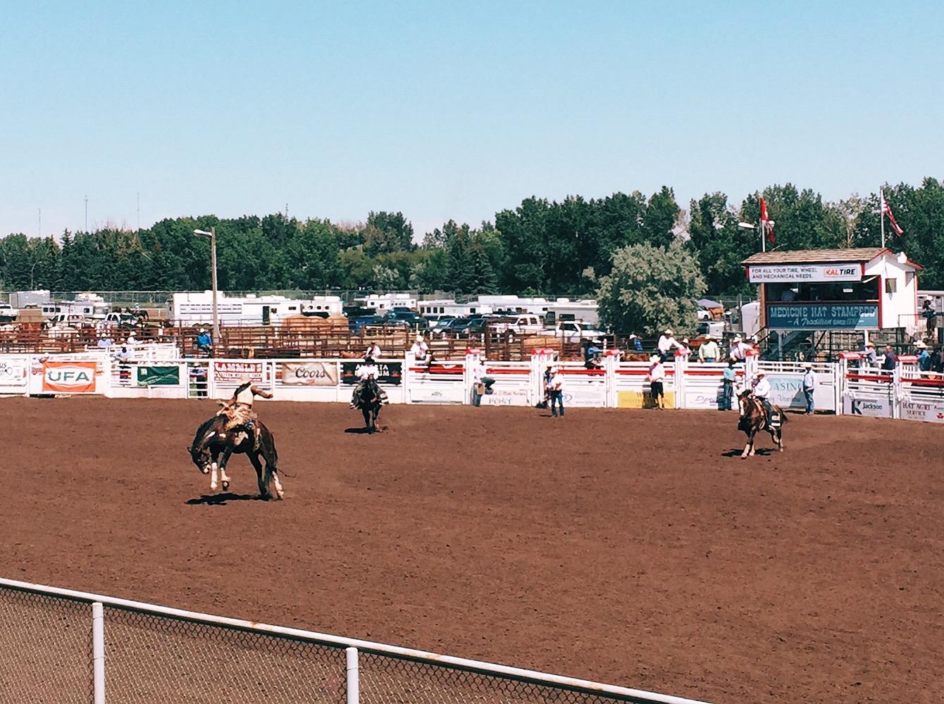
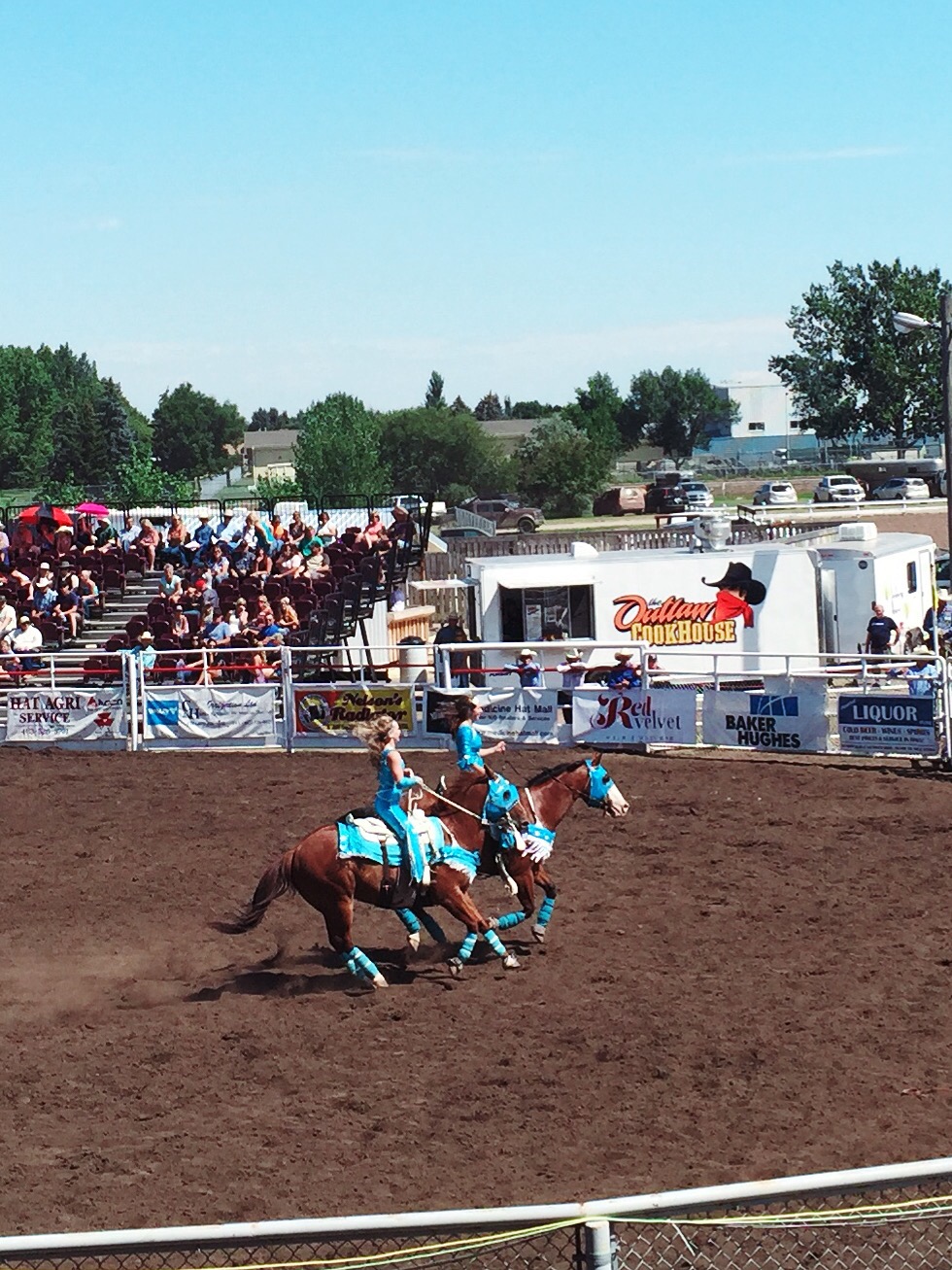
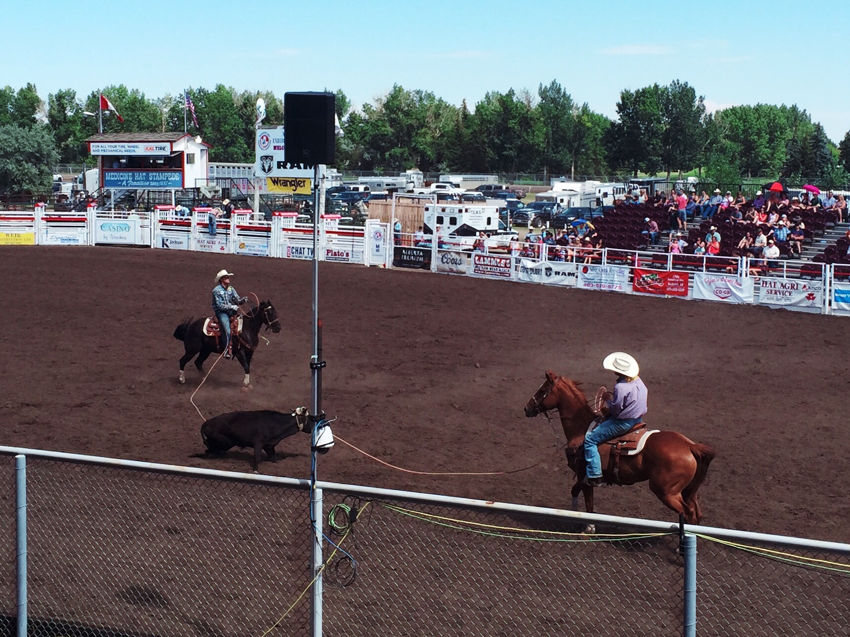
Thanks in part to escalating oil prices, the economy in Calgary and Alberta was booming until the end of 2009, and the region of nearly 1.1 million people was home to the fastest growing economy in the country.  While the oil and gas industry comprise an important part of the economy, the city has invested a great deal into other areas such as tourism and high-tech manufacturing. Over 3.1 million people now visit the city annually for its many festivals and attractions, especially the Calgary Stampede. The nearby mountain resort towns of Banff, Lake Louise, and Canmore are also becoming increasingly popular with tourists, and are bringing people into Calgary as a result. Other modern industries include light manufacturing, high-tech, film, e-commerce, transportation, and services.

Widespread flooding throughout southern Alberta, including on the Bow and Elbow rivers, forced the evacuation of over 75,000 city residents on June 21, 2013 and left large areas of the city, including downtown, without power.
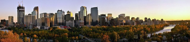
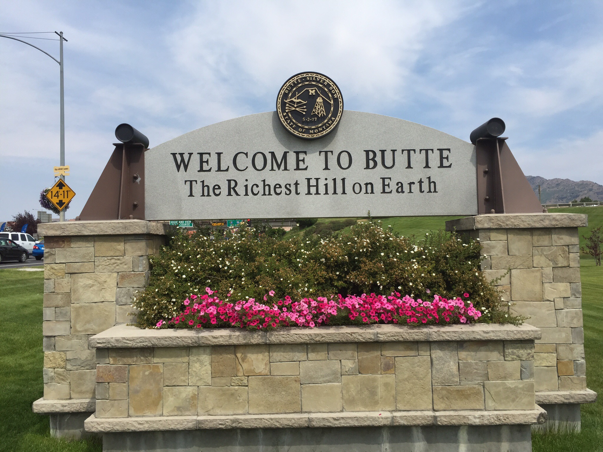
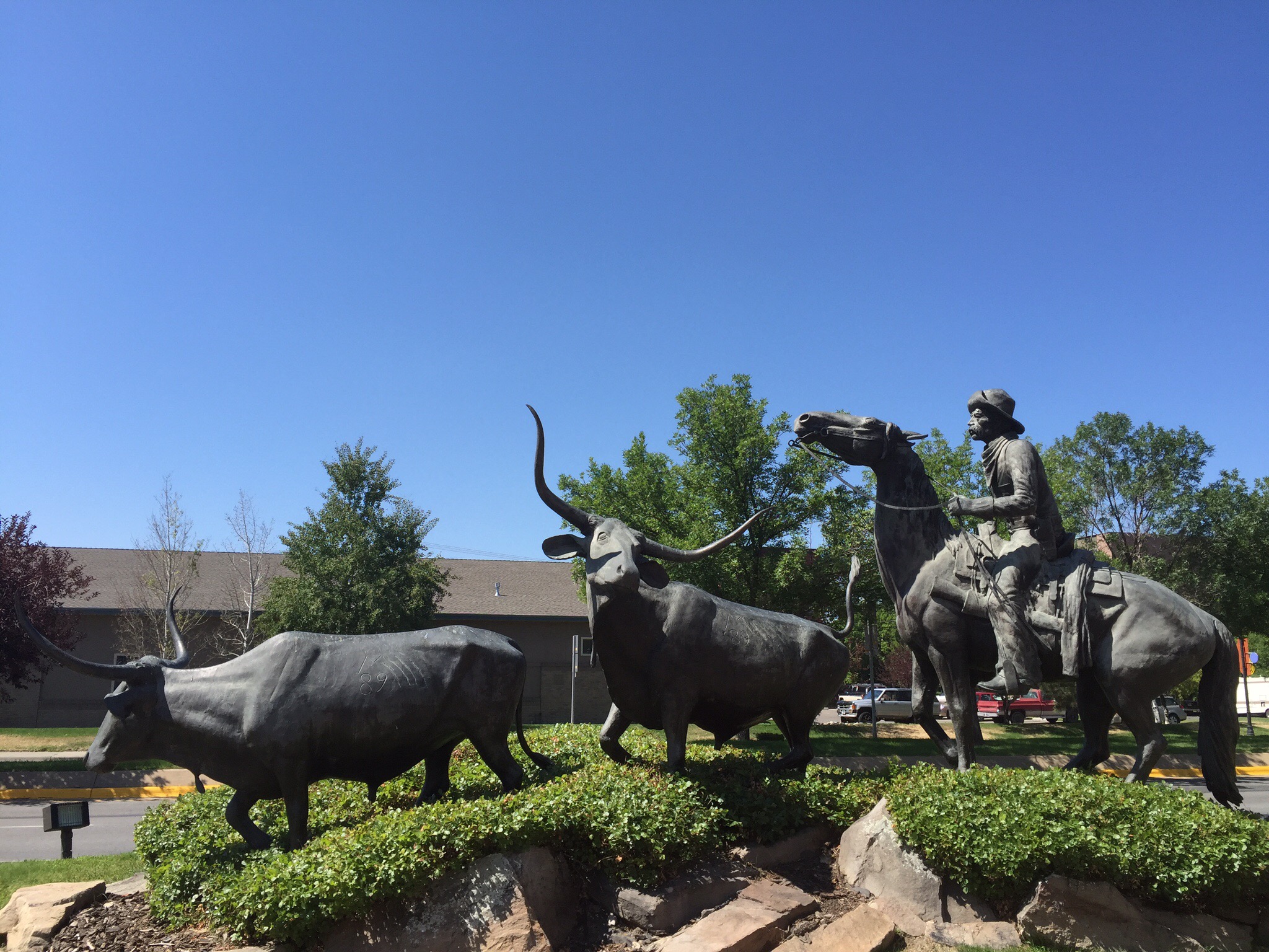
Posted in Calgary, Canada | 1 Comment