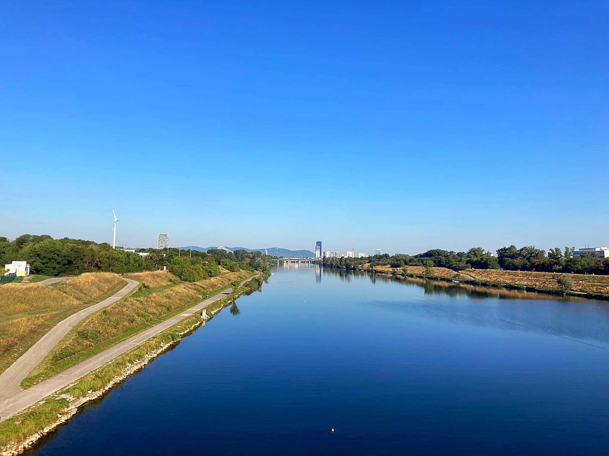
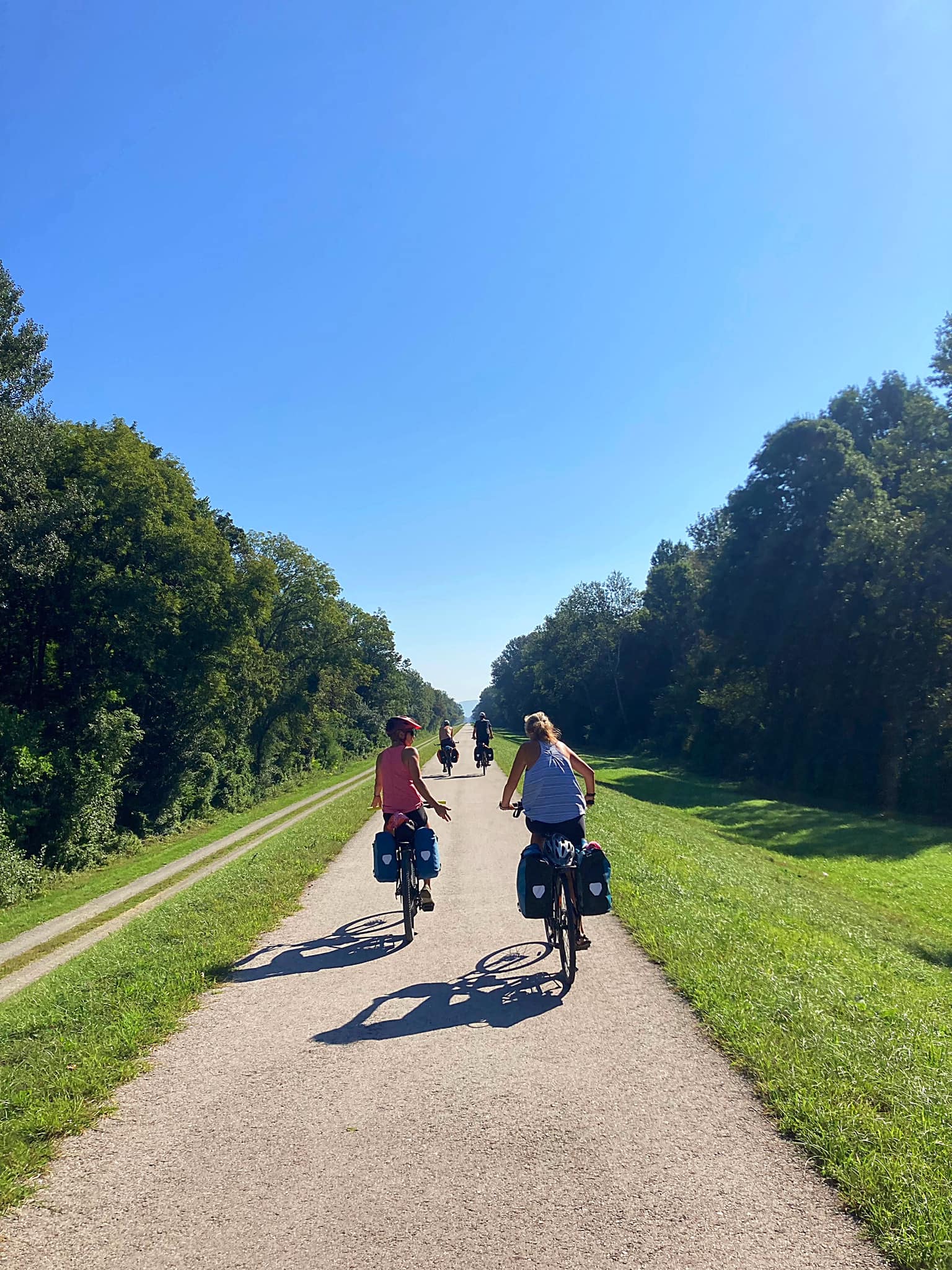
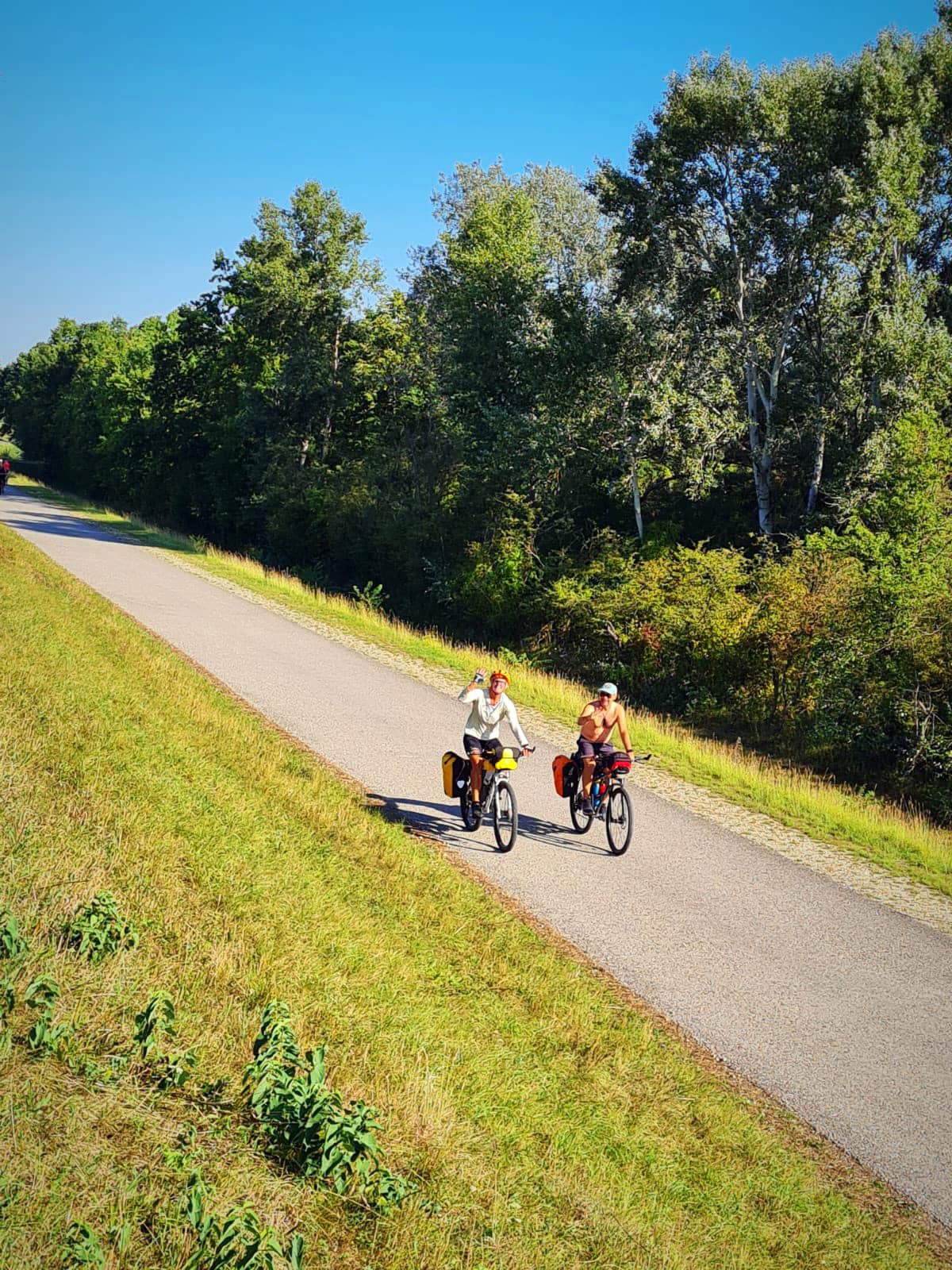
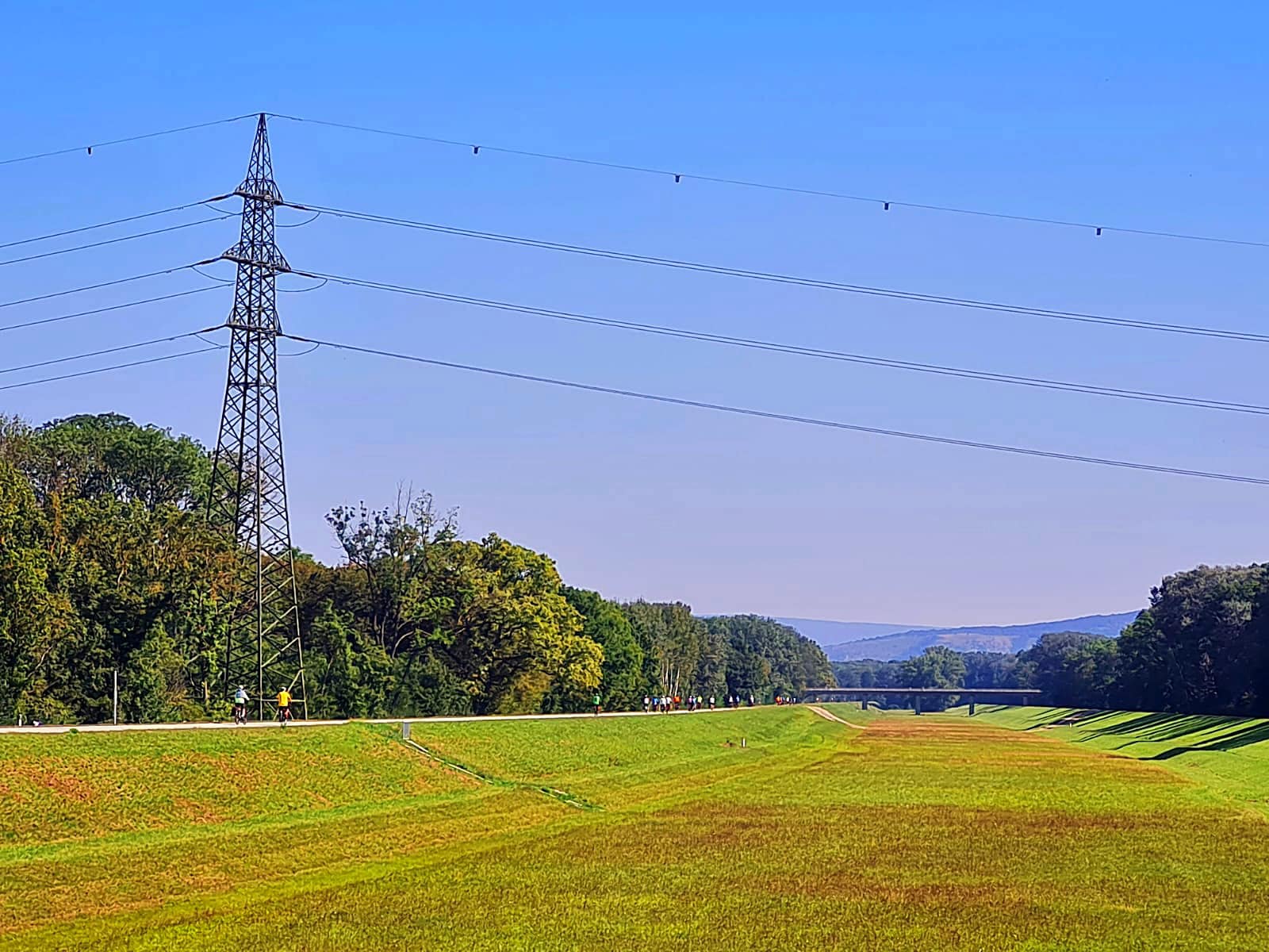
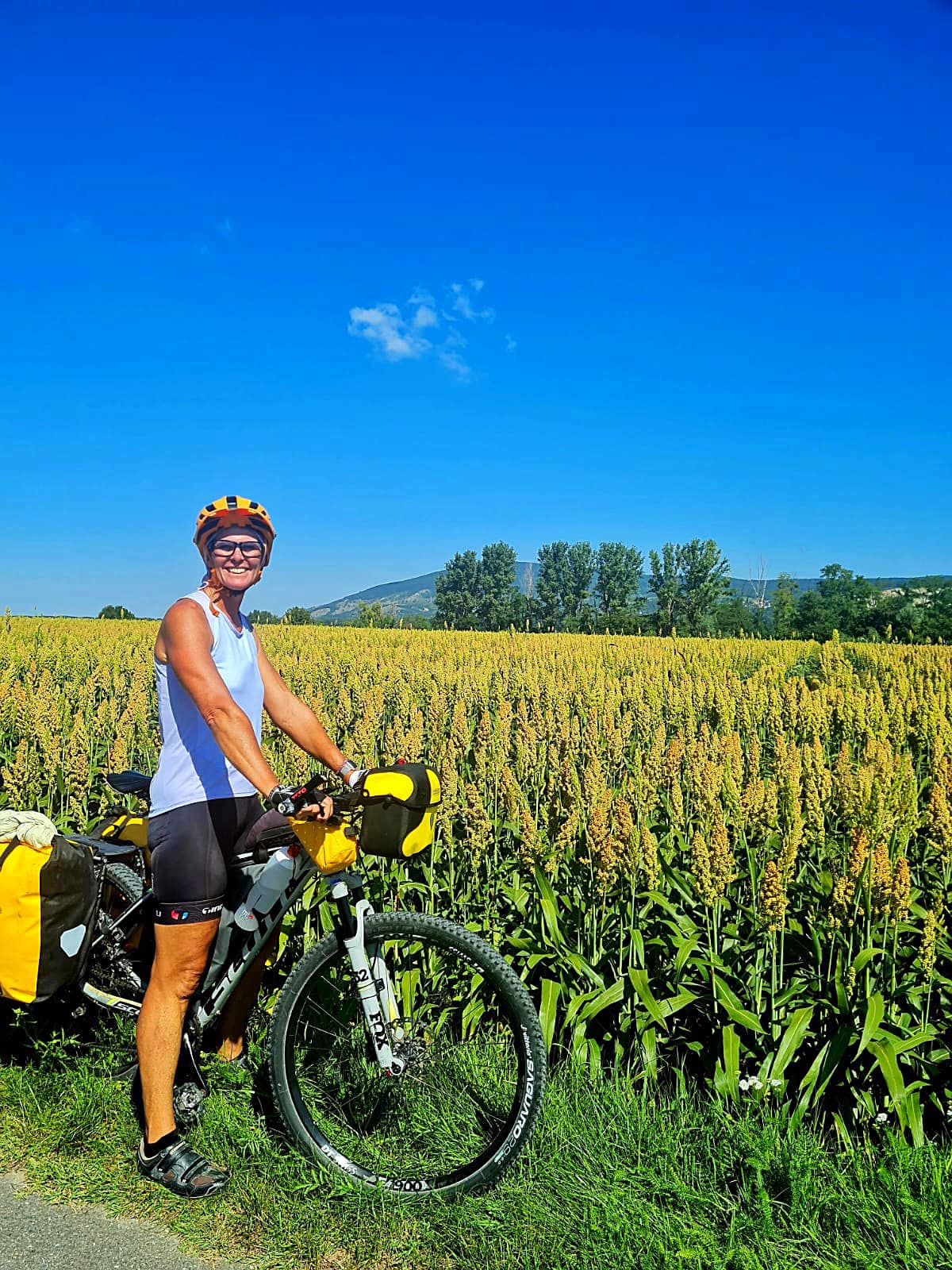
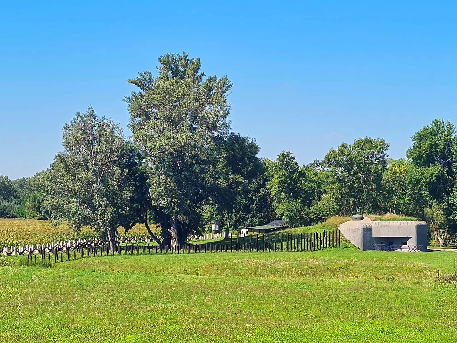
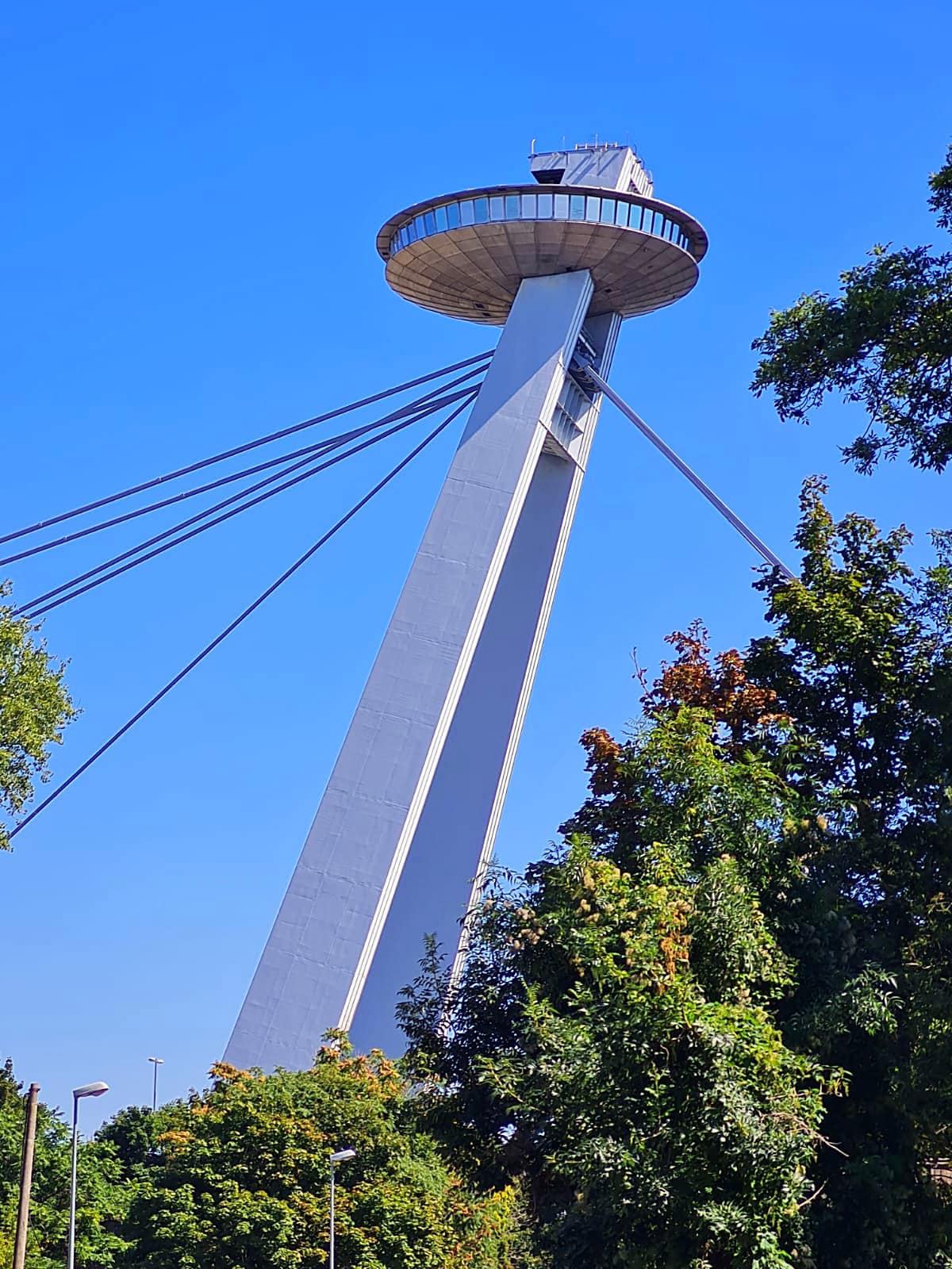
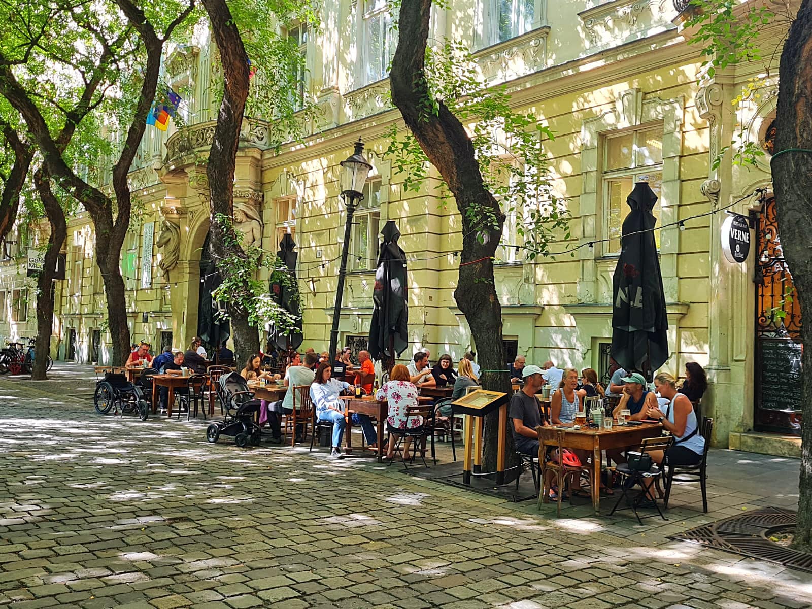
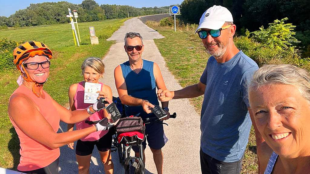
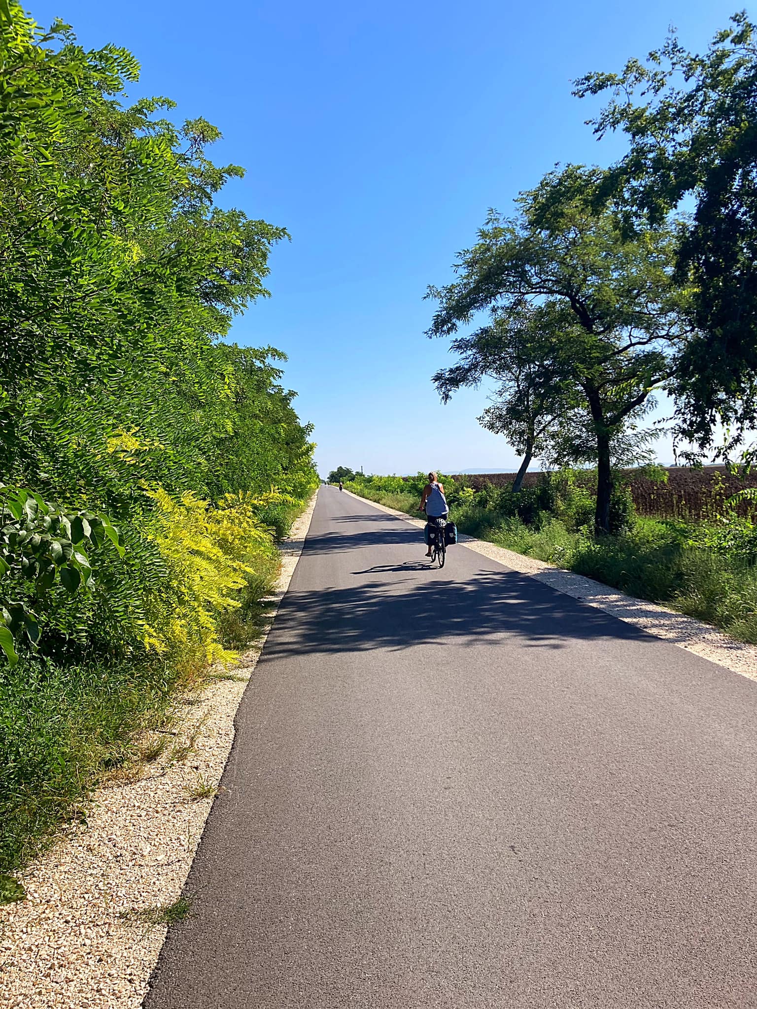
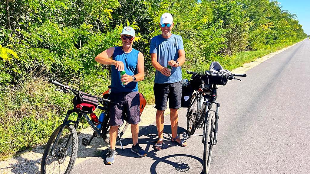
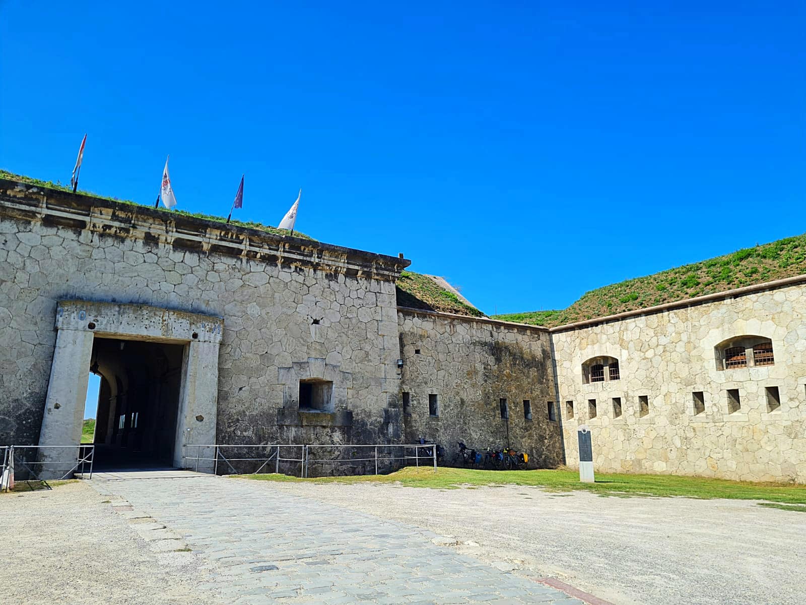
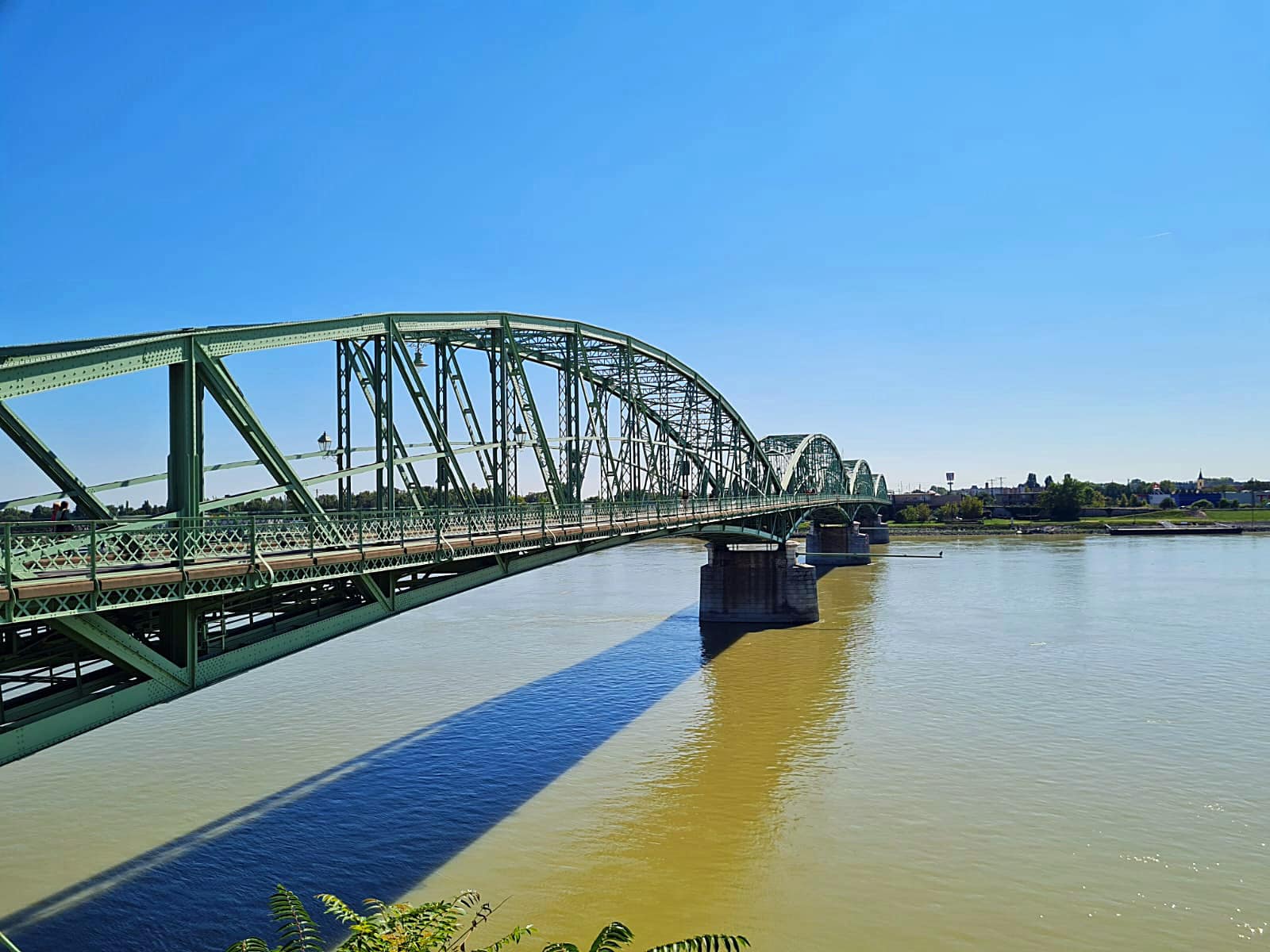
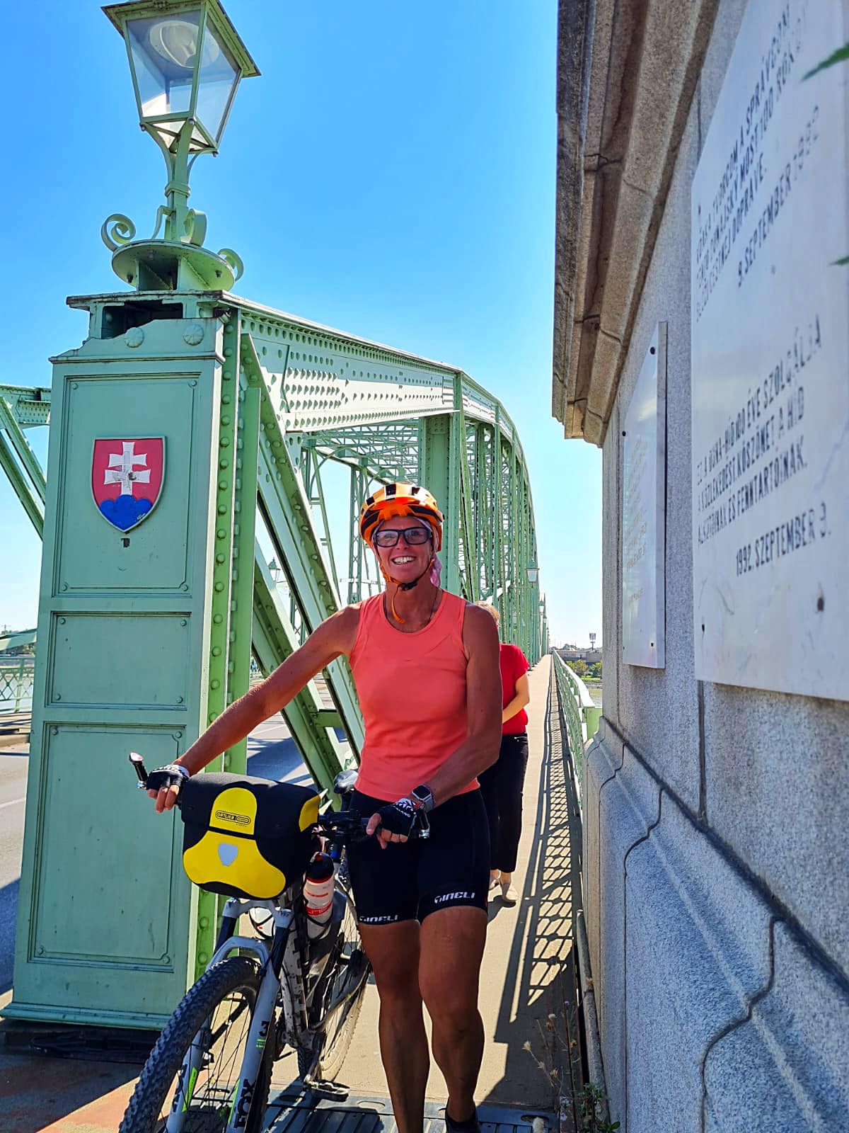
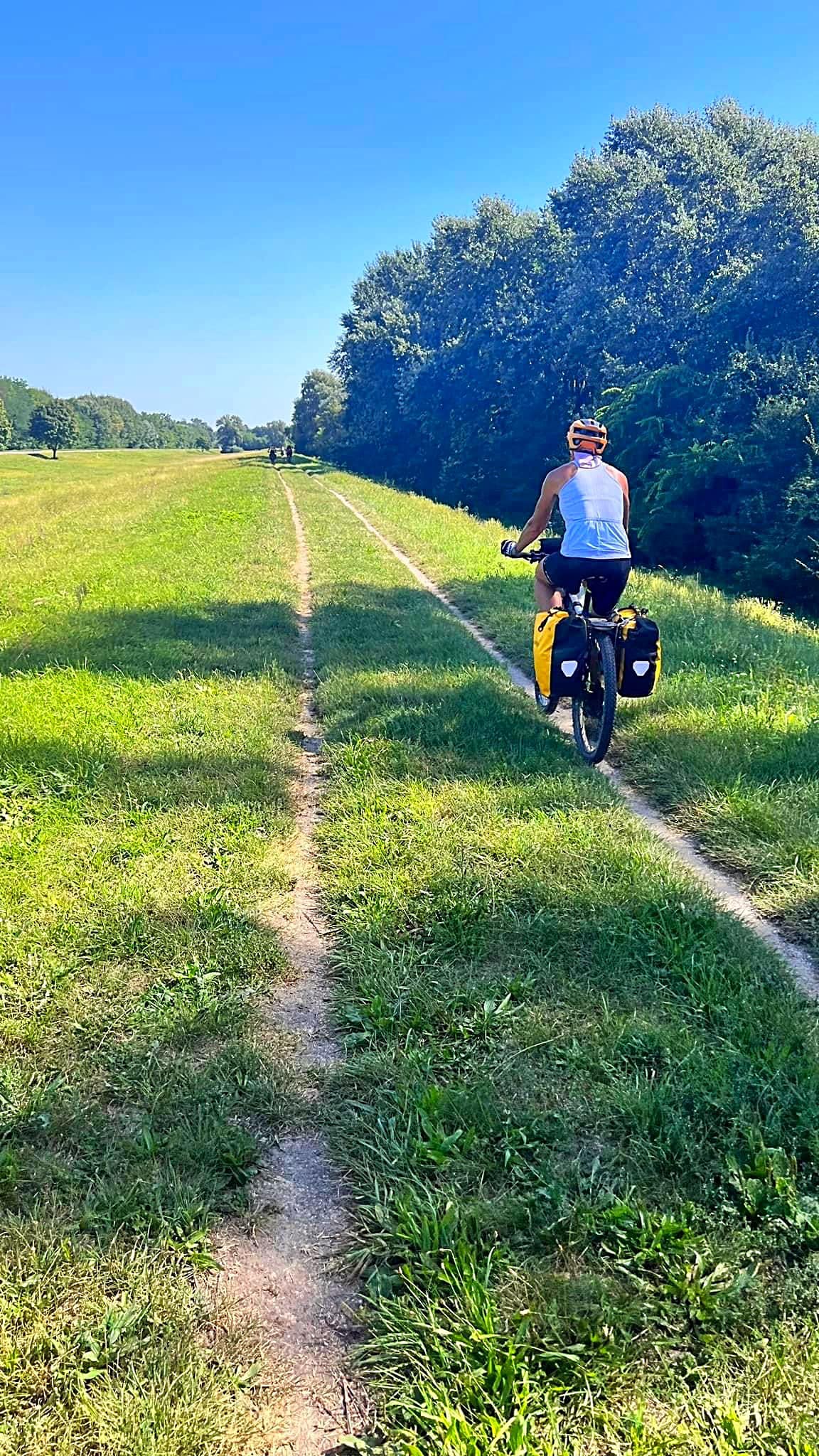
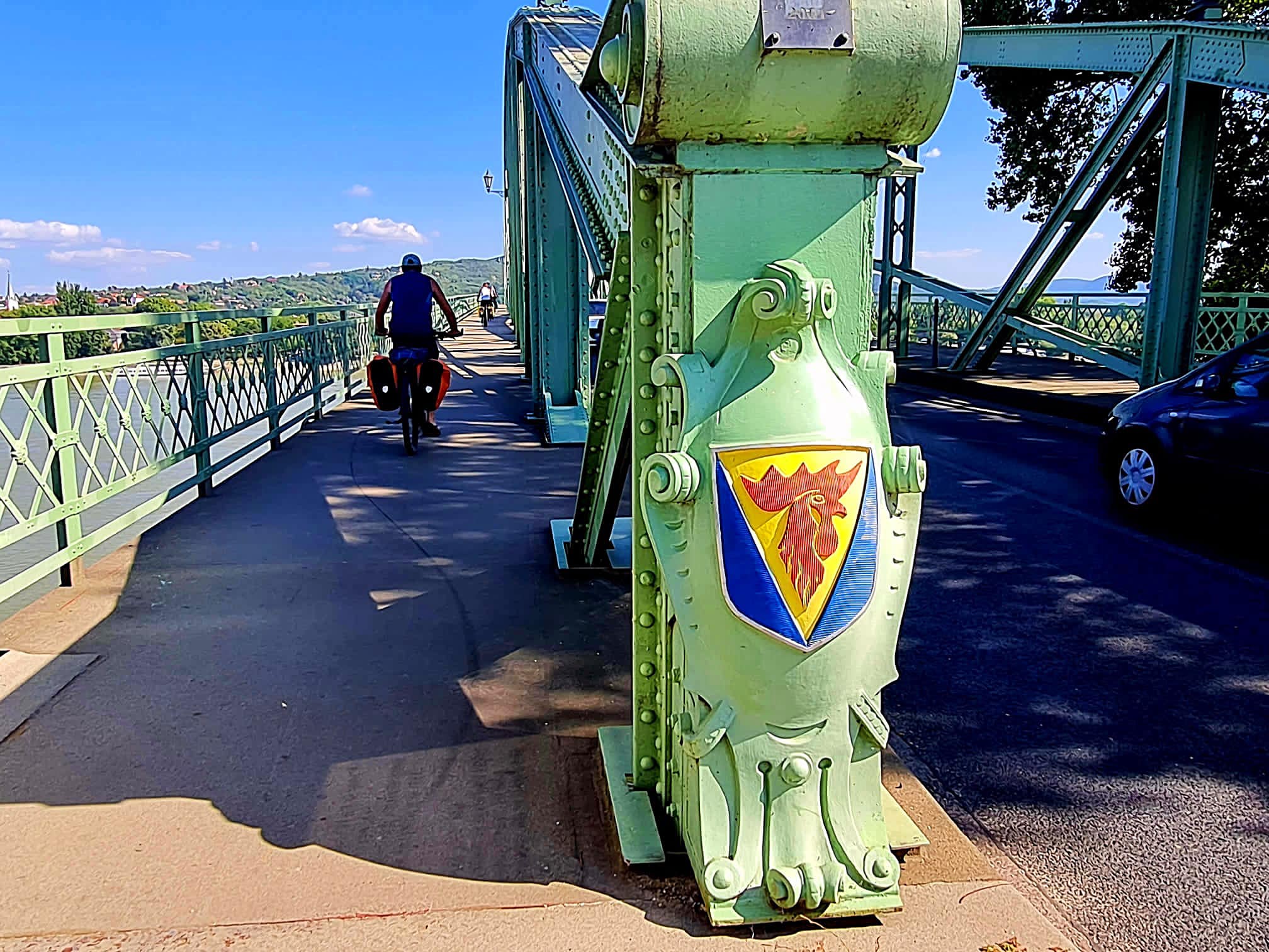
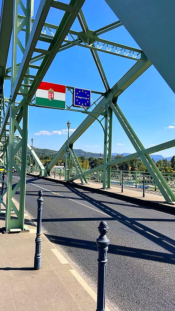
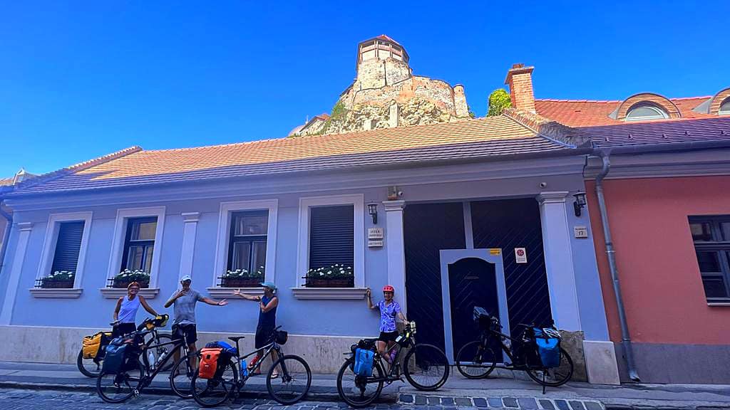
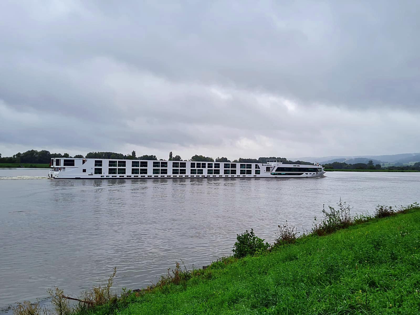
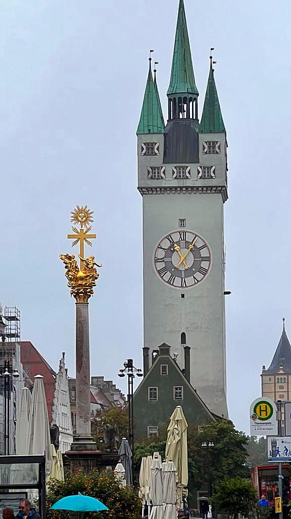
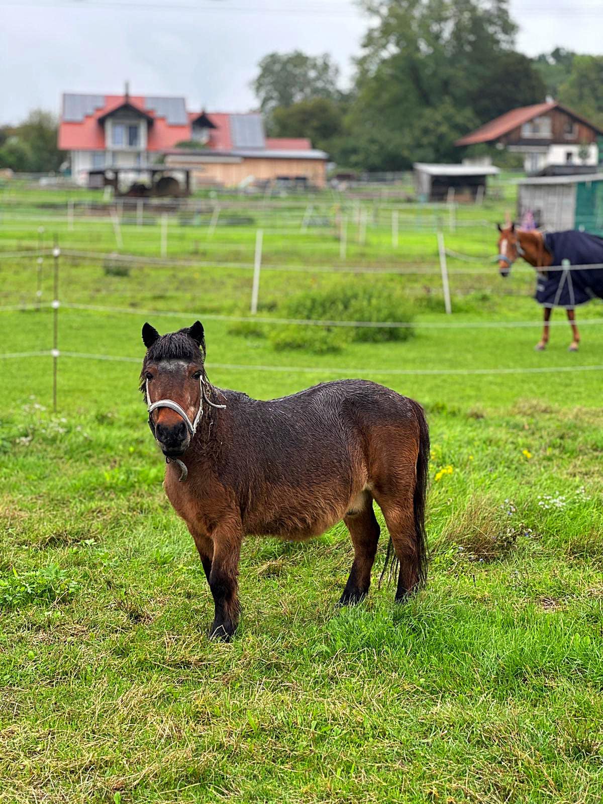
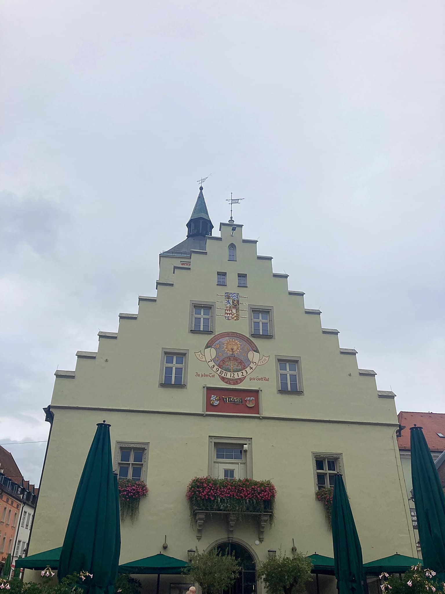
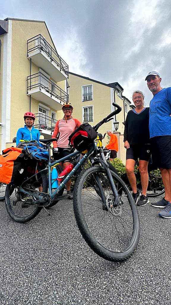
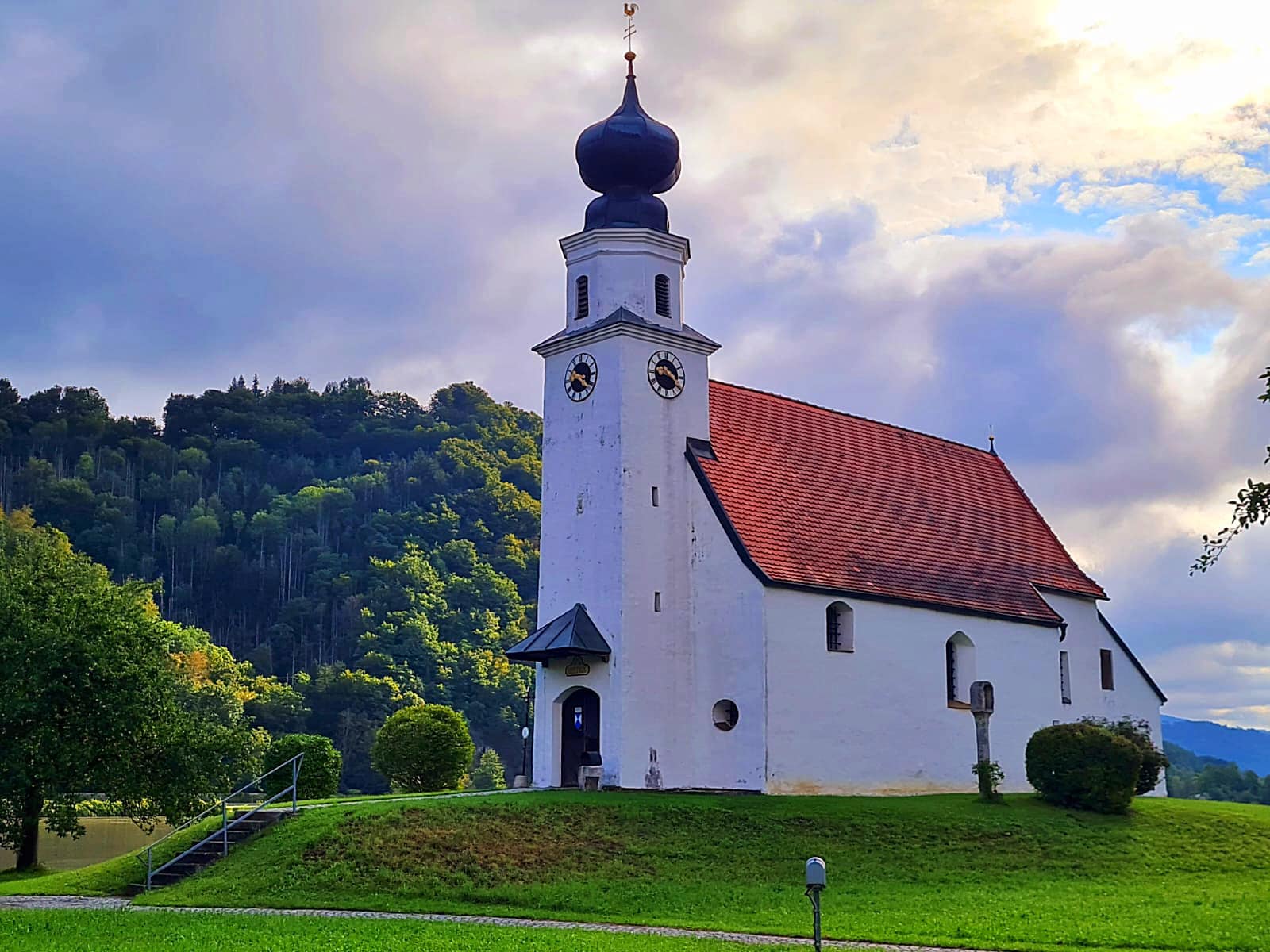
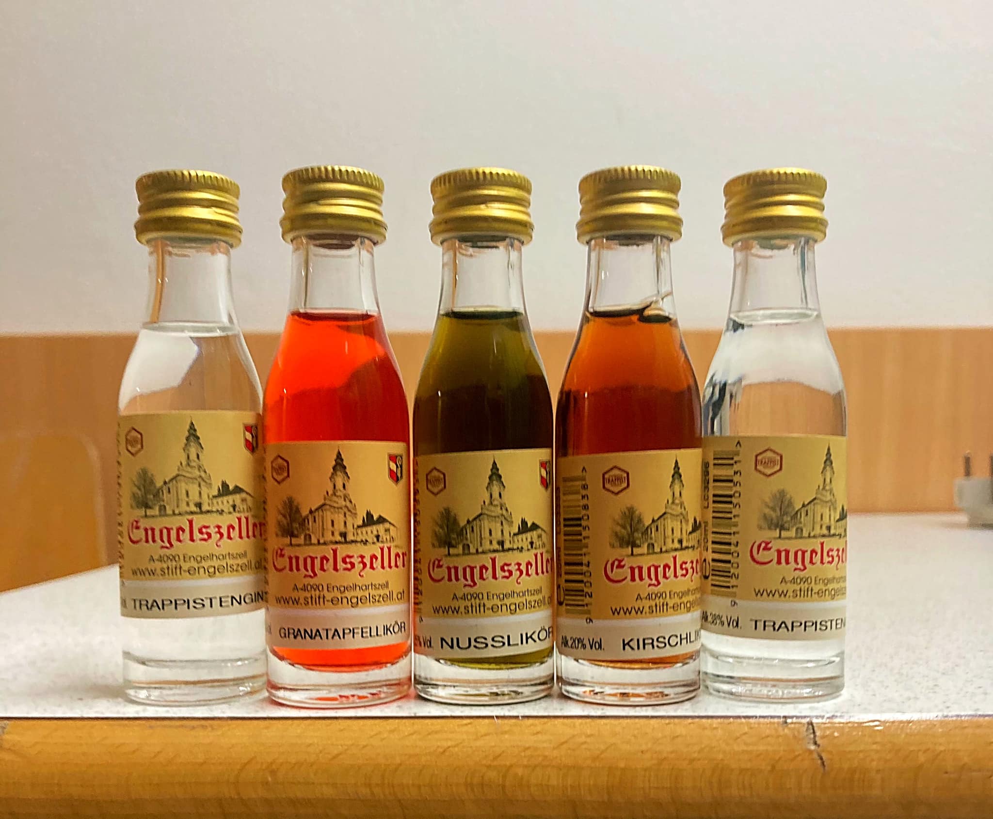
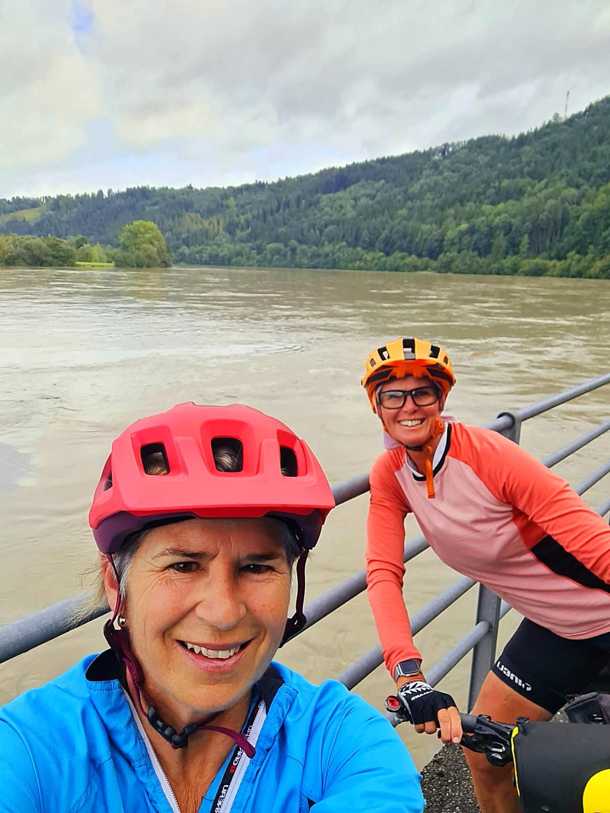
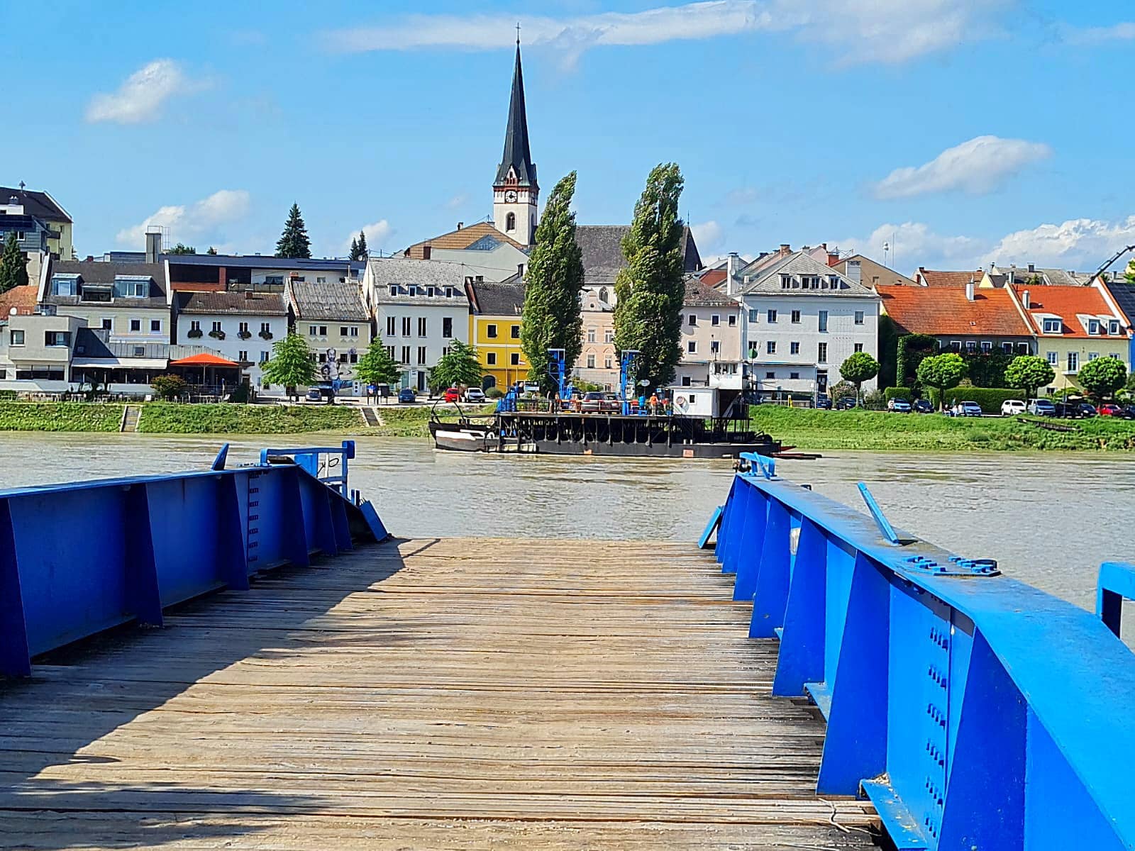
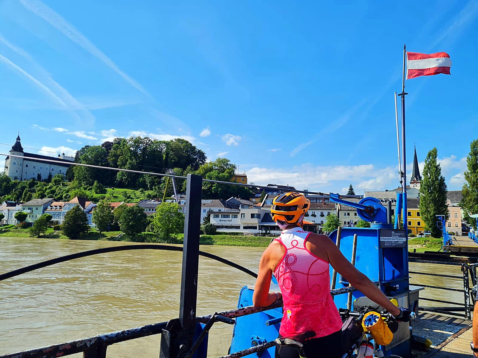
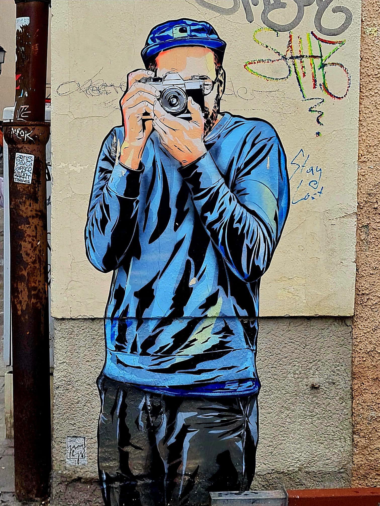
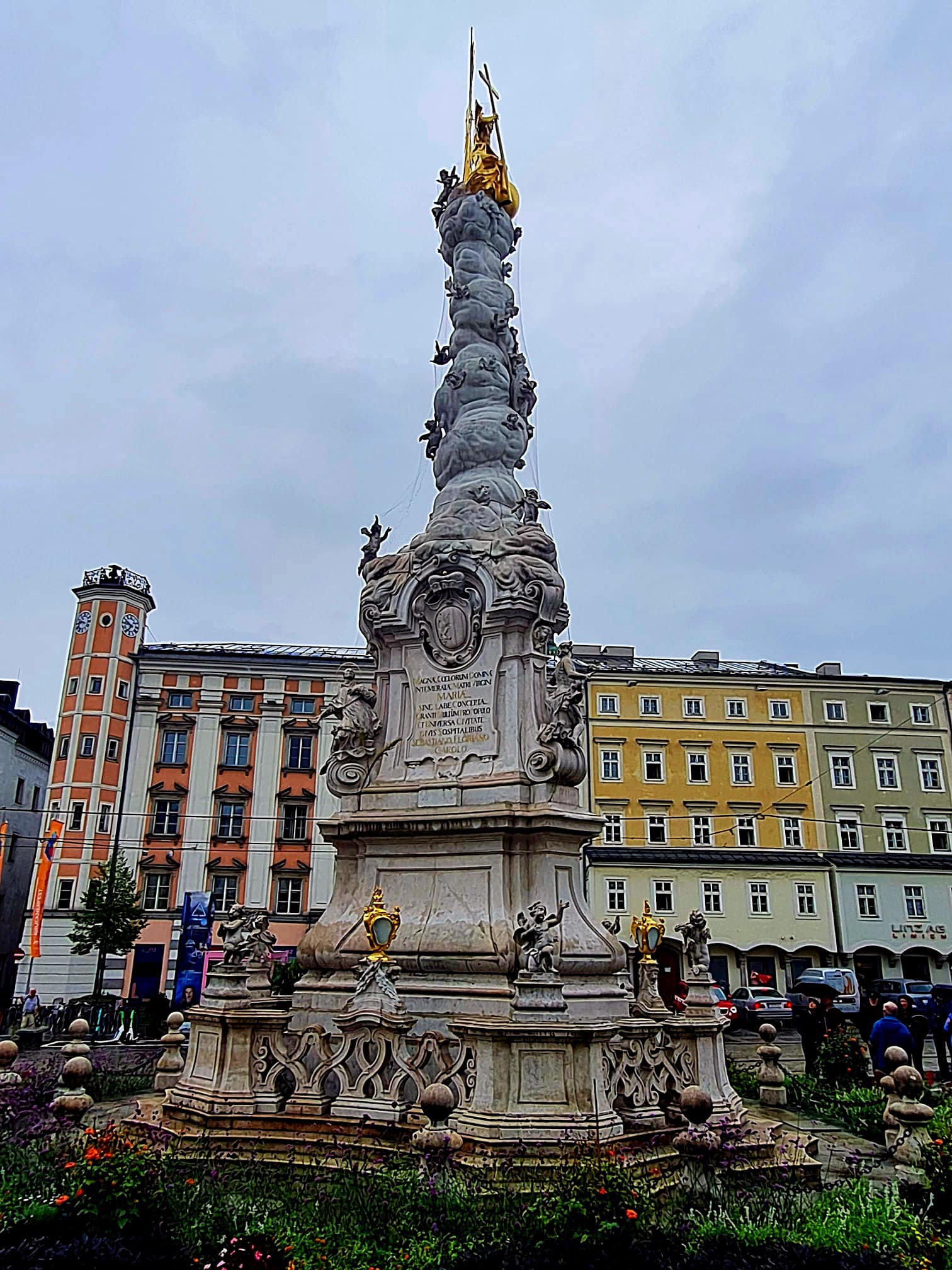
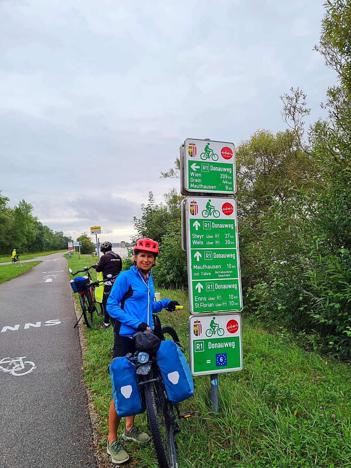
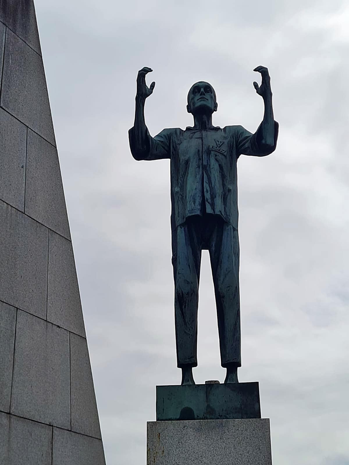
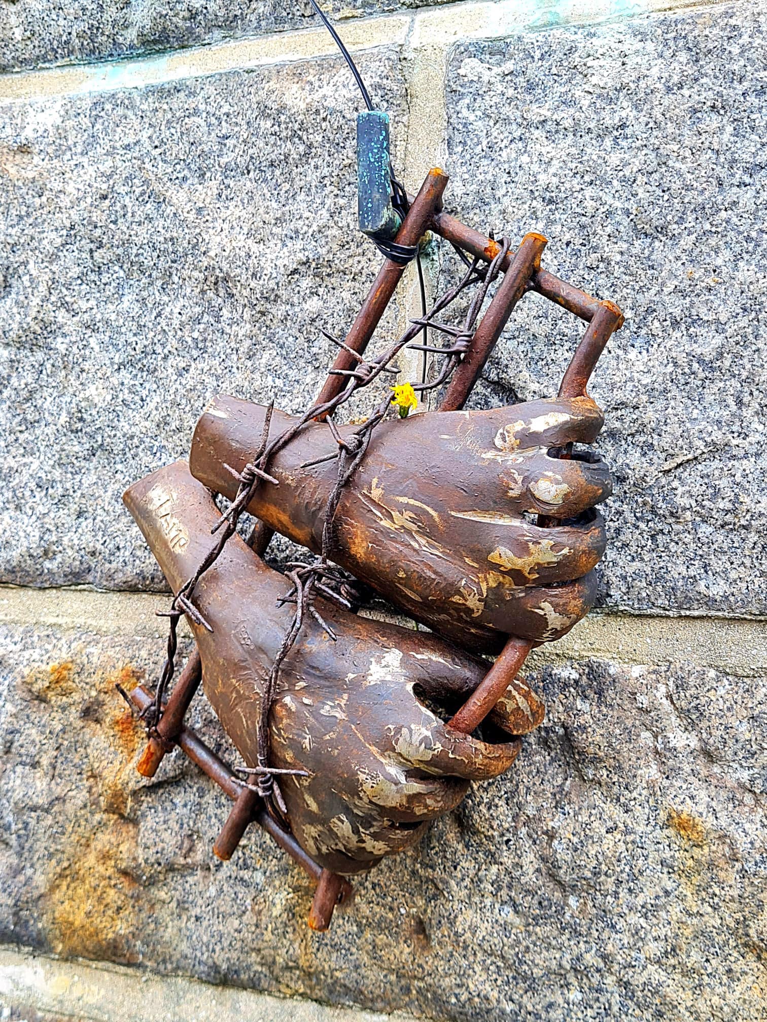
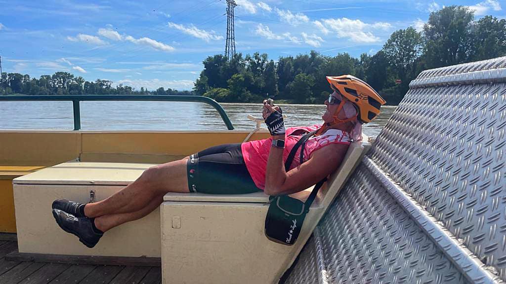
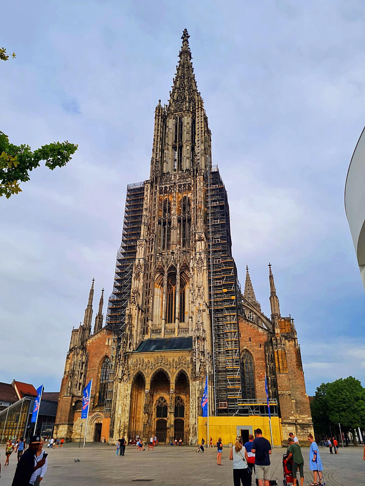
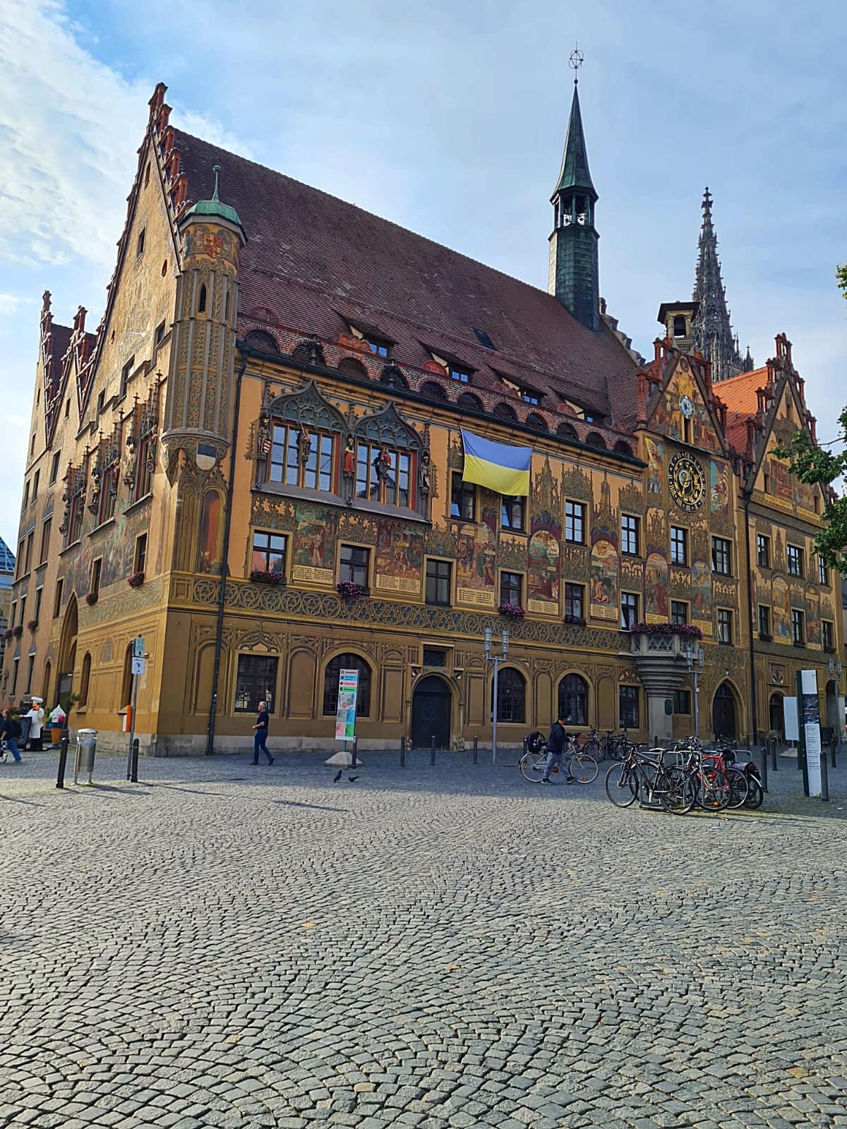
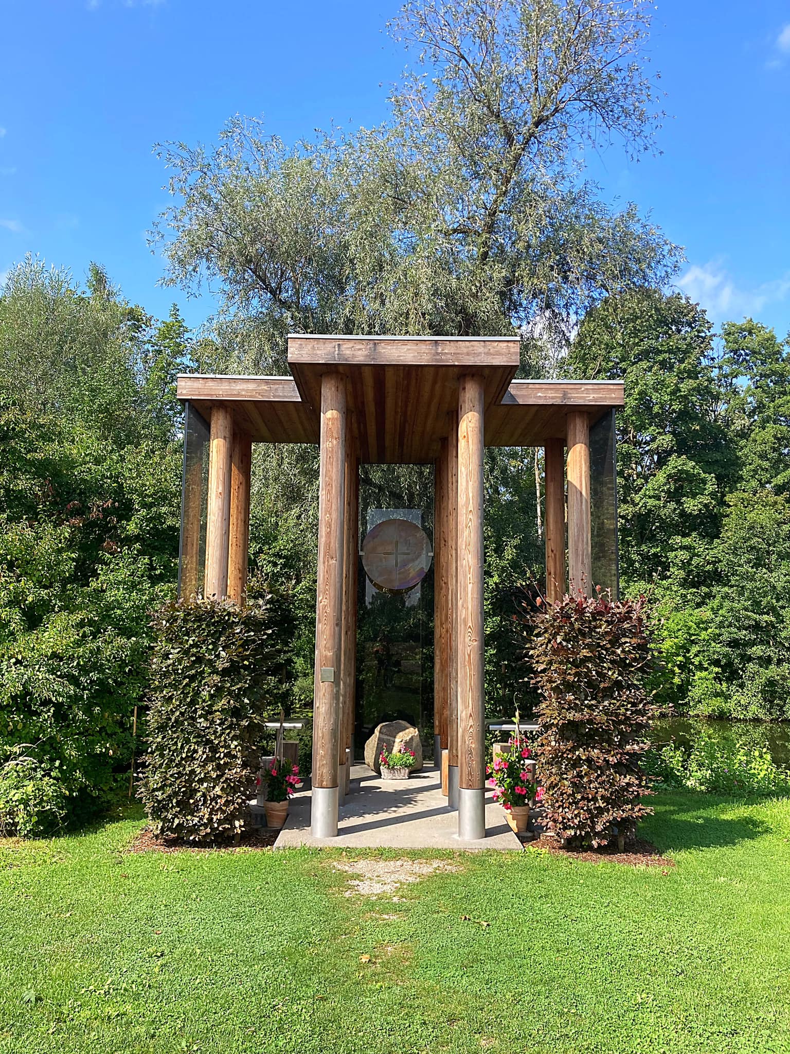
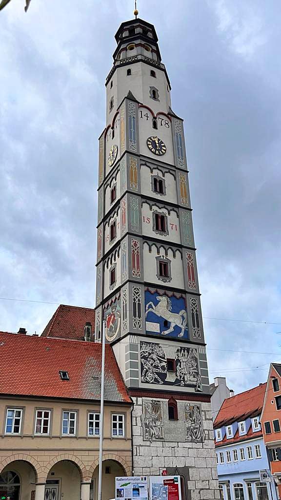
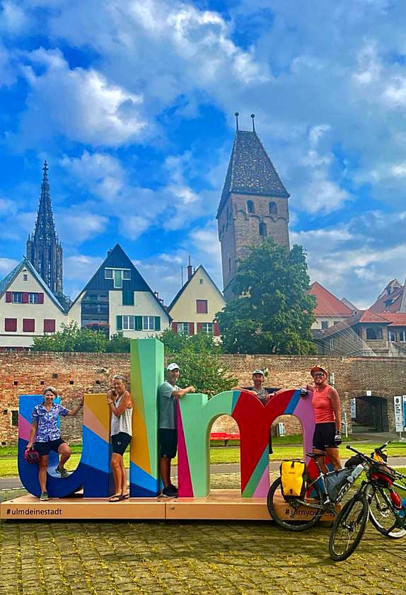
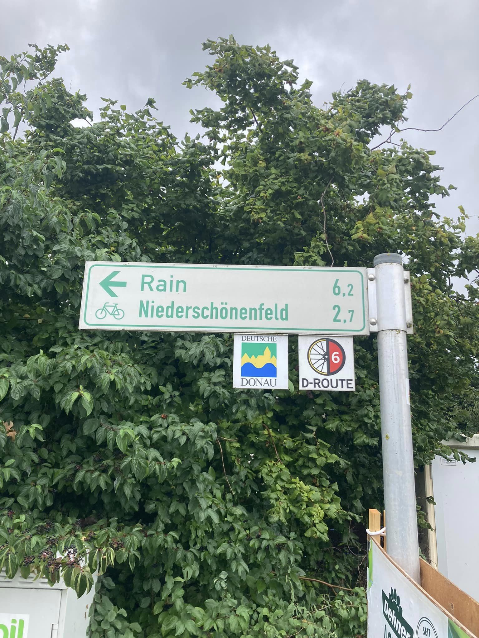
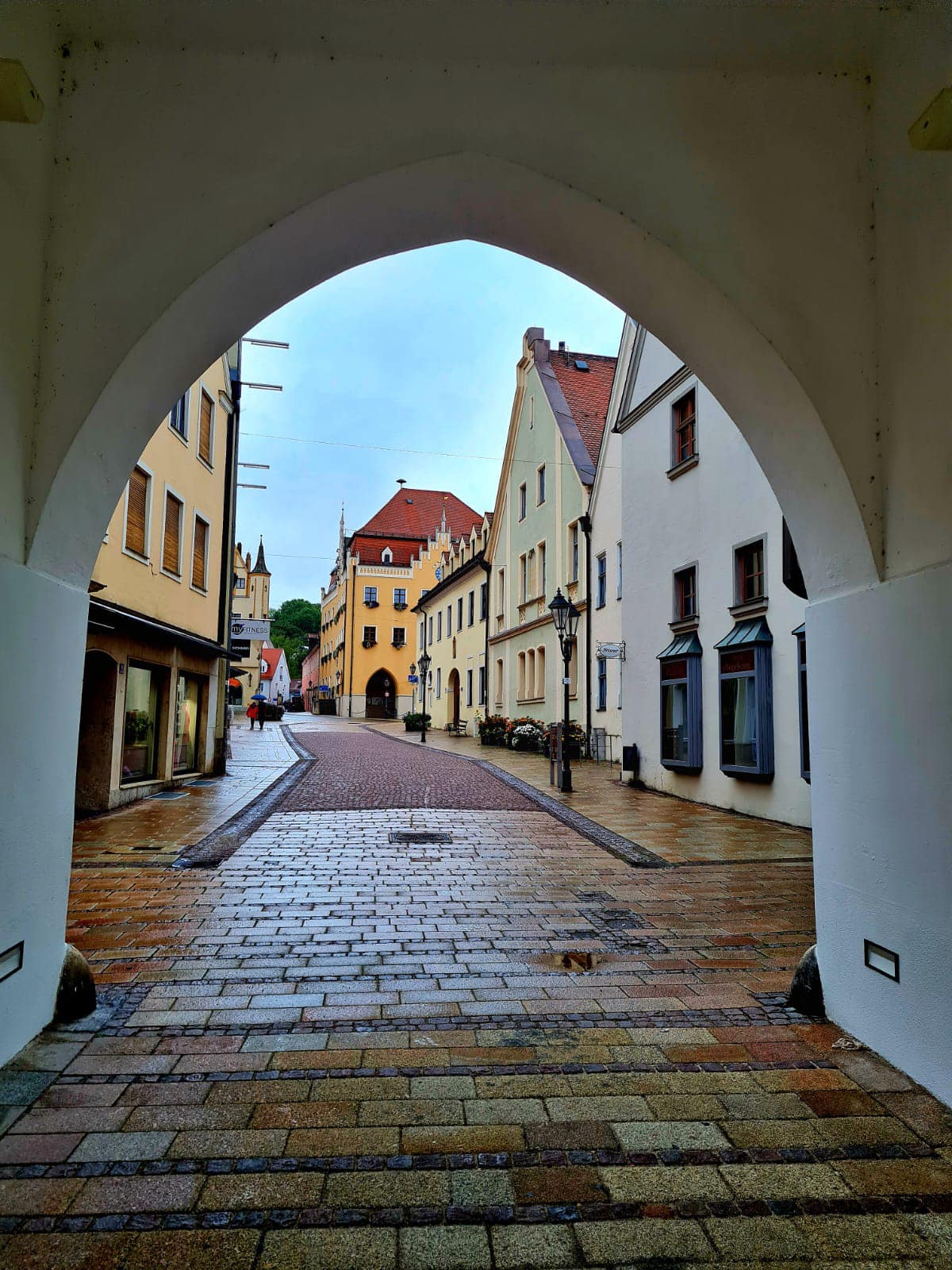
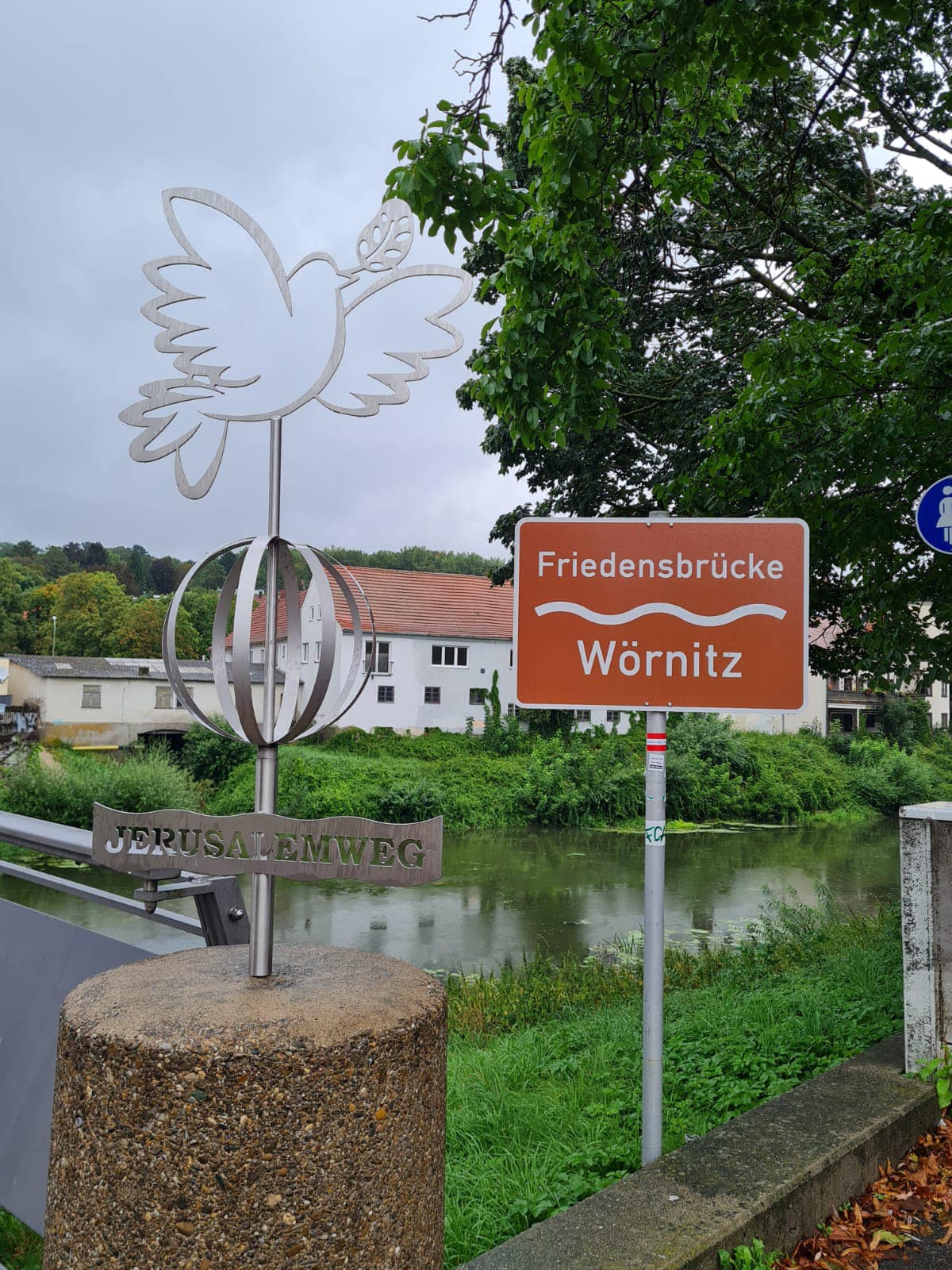
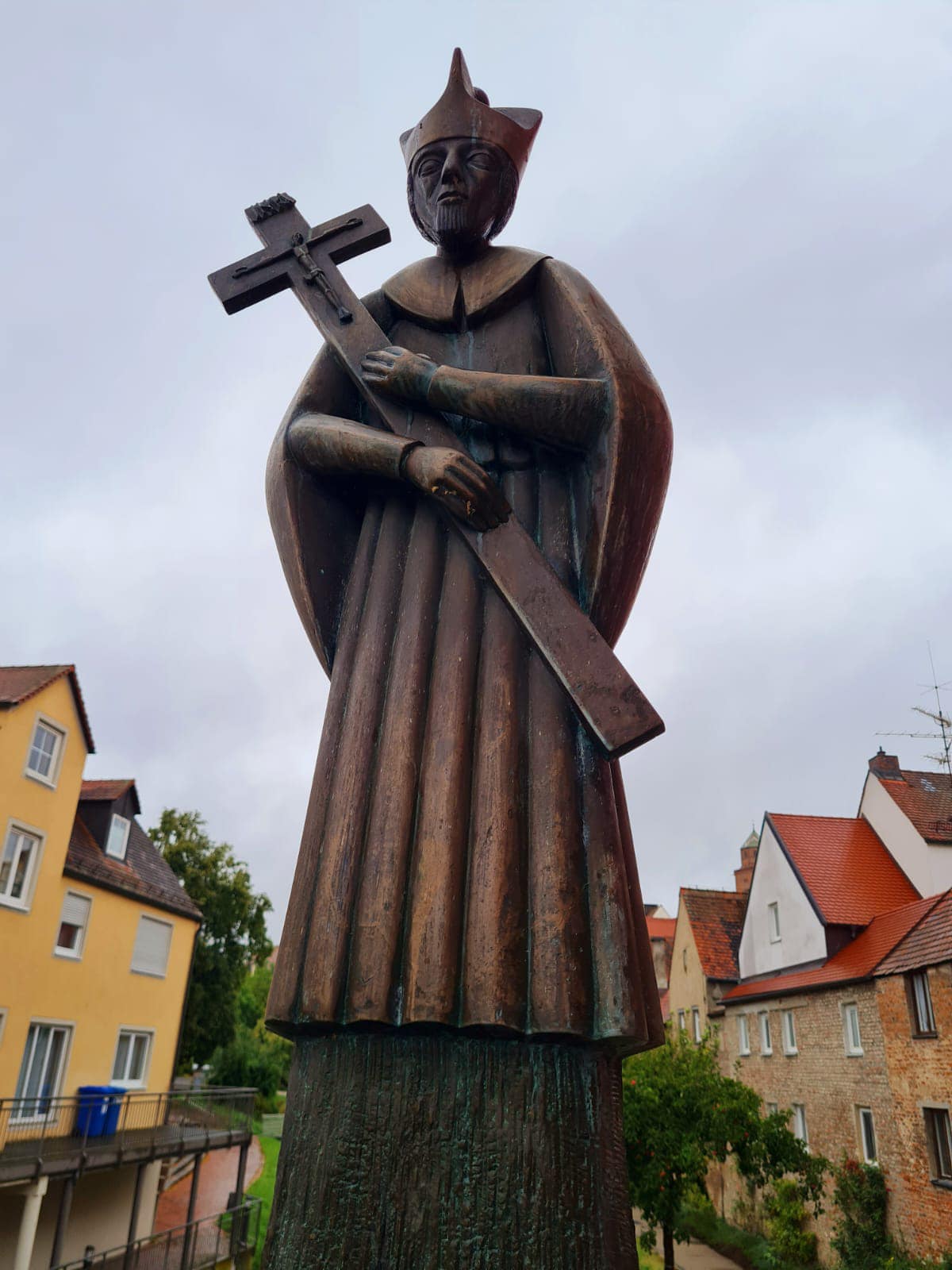
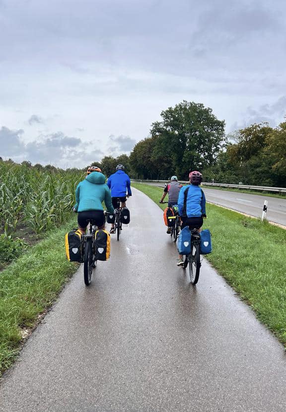
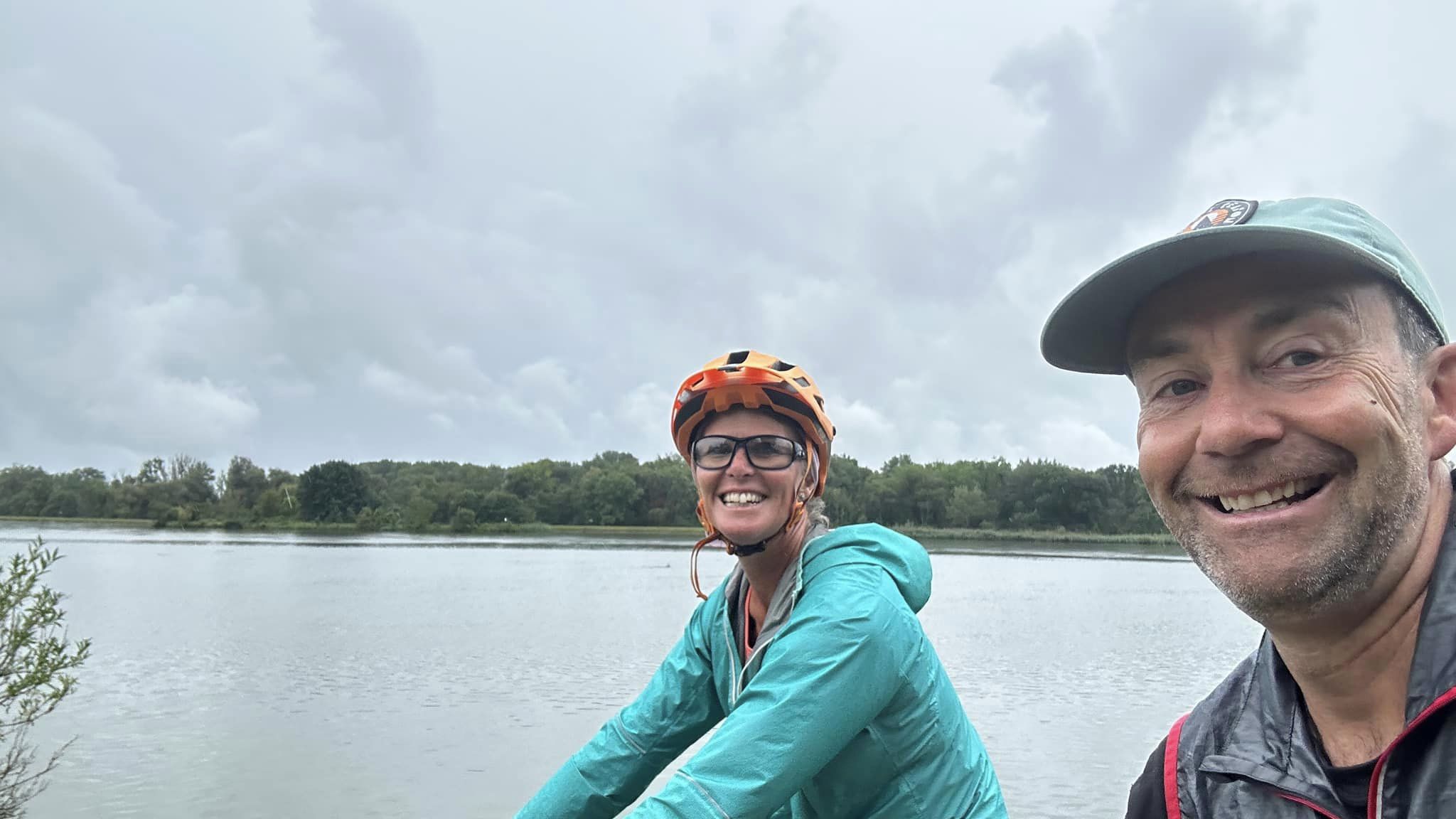
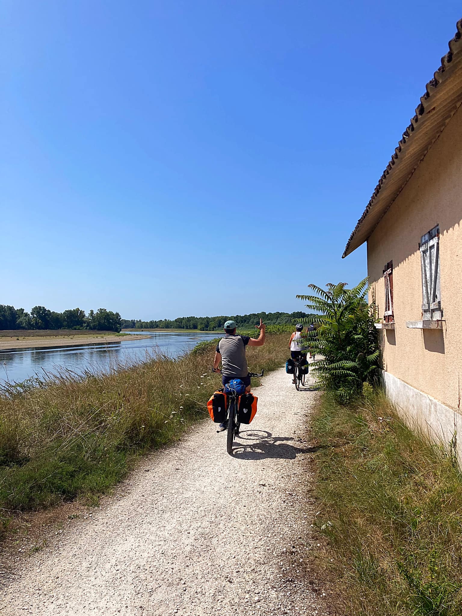
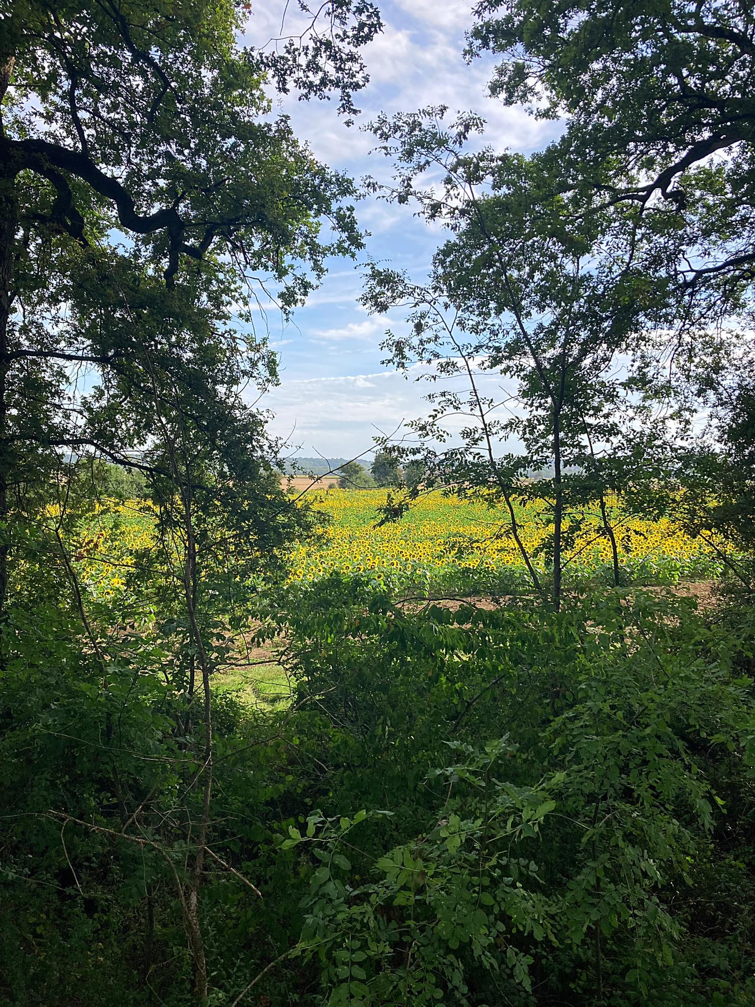
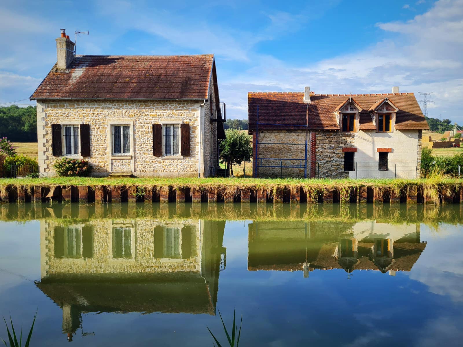
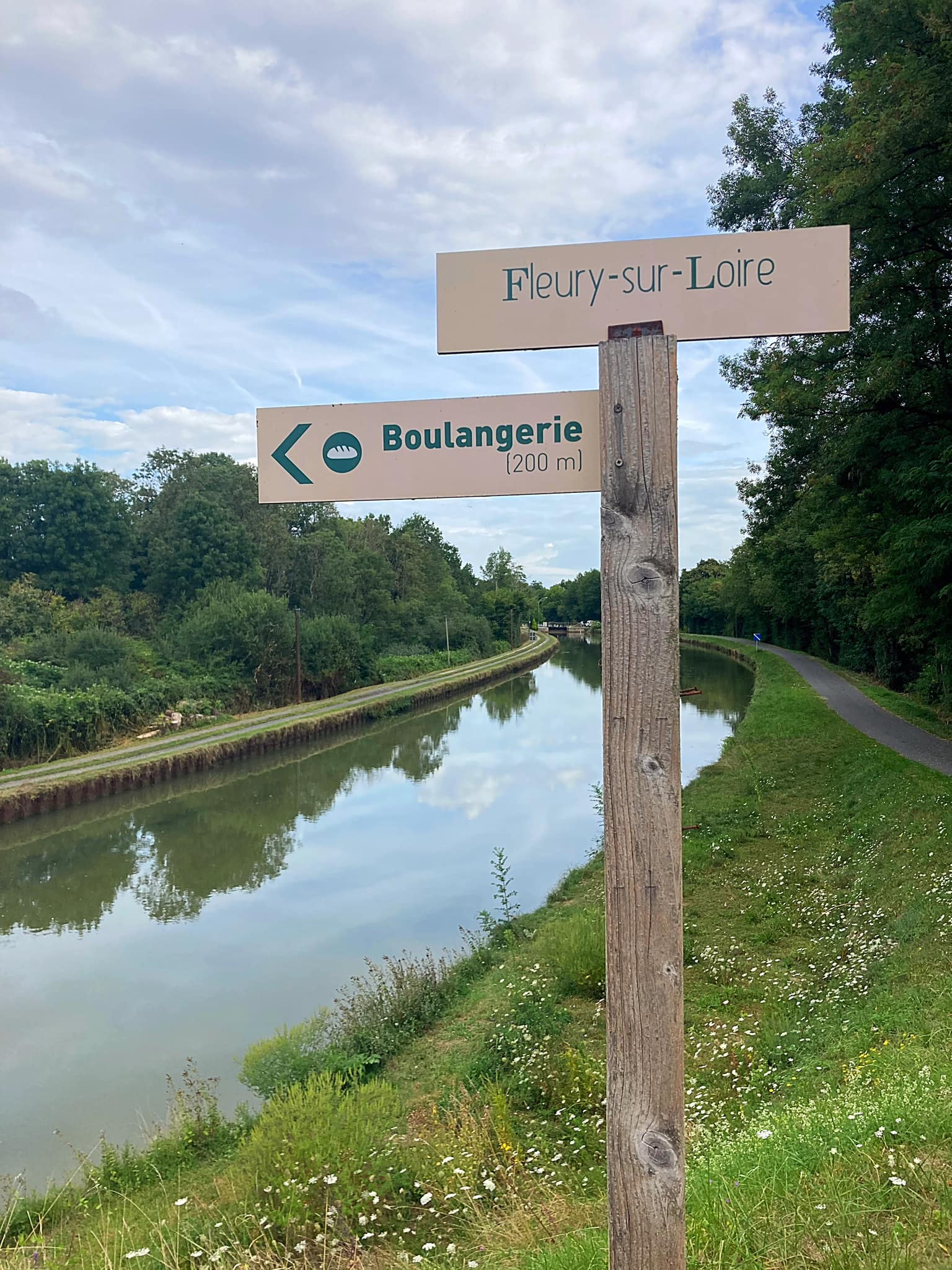
Euro Velo 6 – Week 3 – Charlon-sur-Saone to Laufenberg – 416km – cumulative 1,352.8km

Day 15 – Chalon-sur-Saone to Dole – 95km

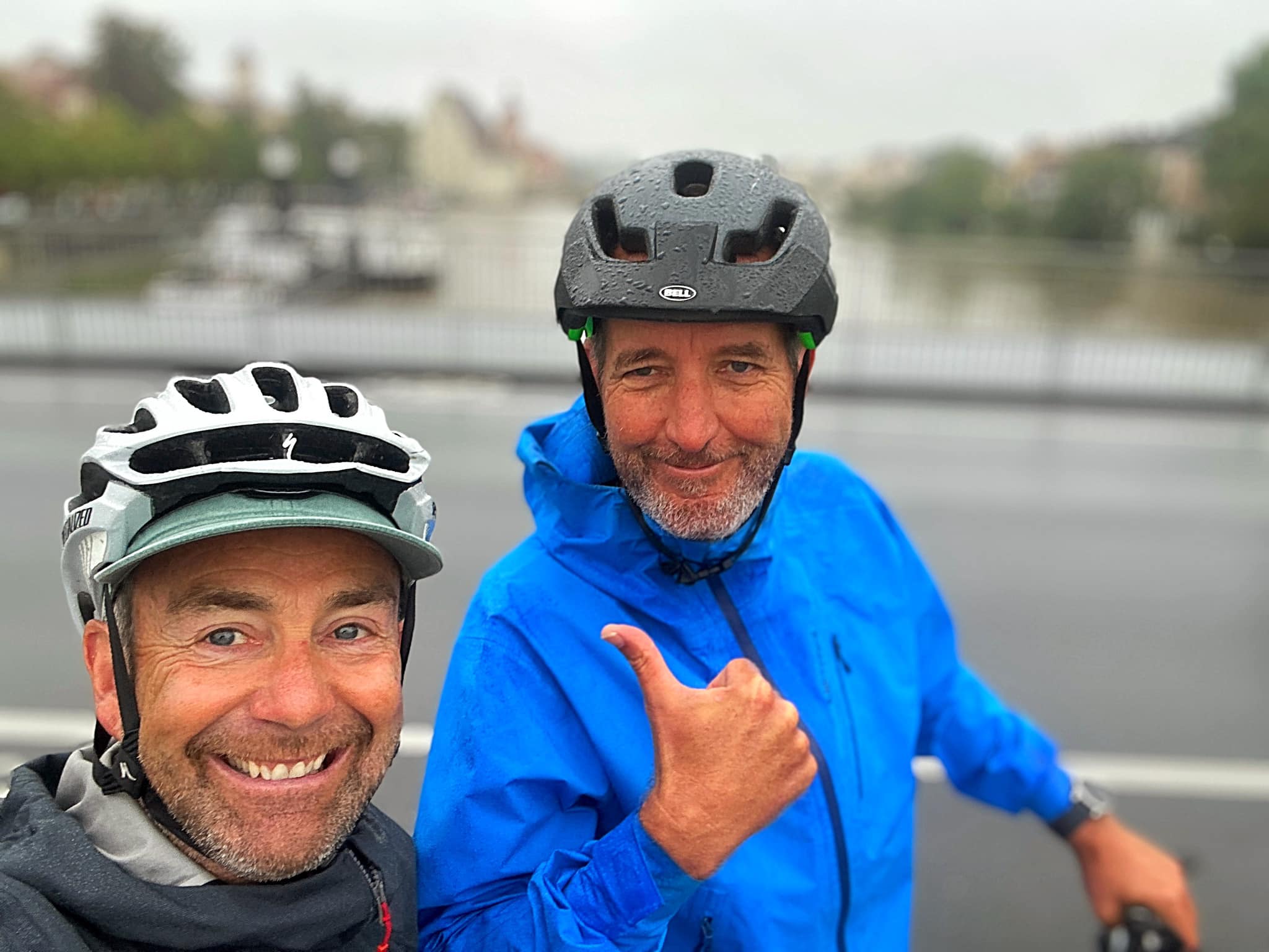
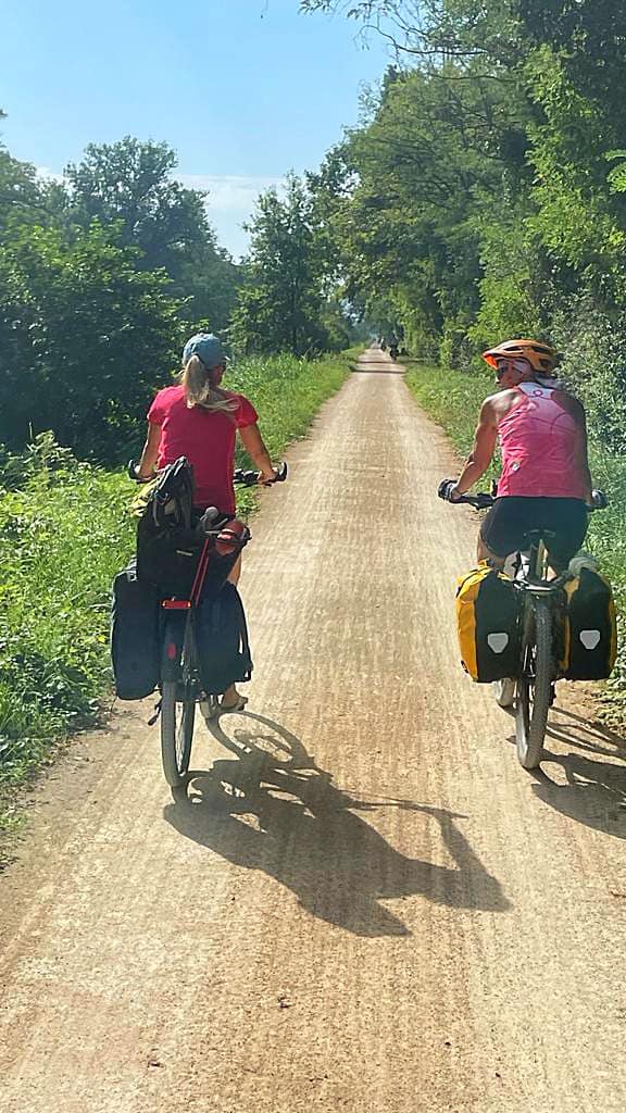
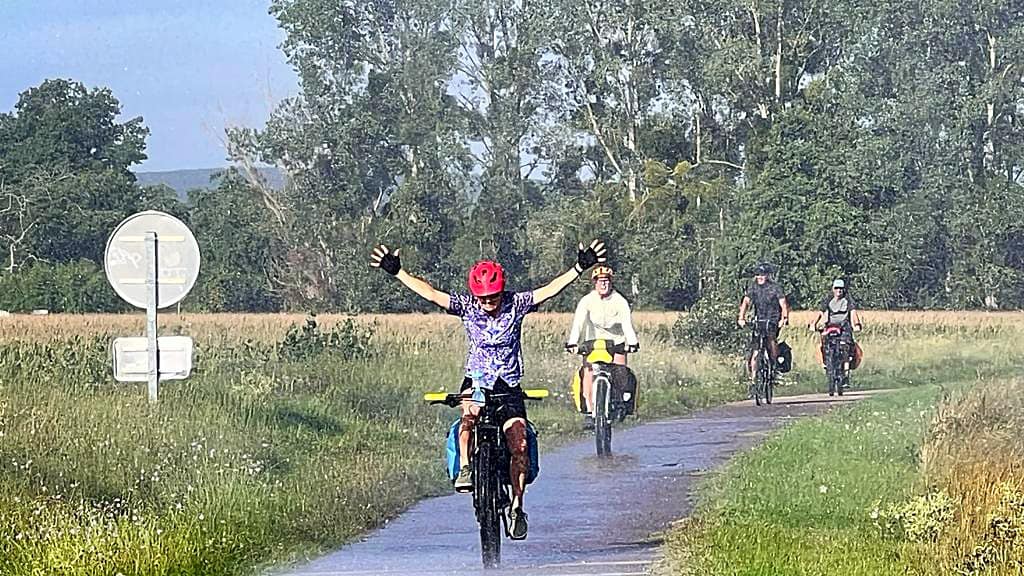
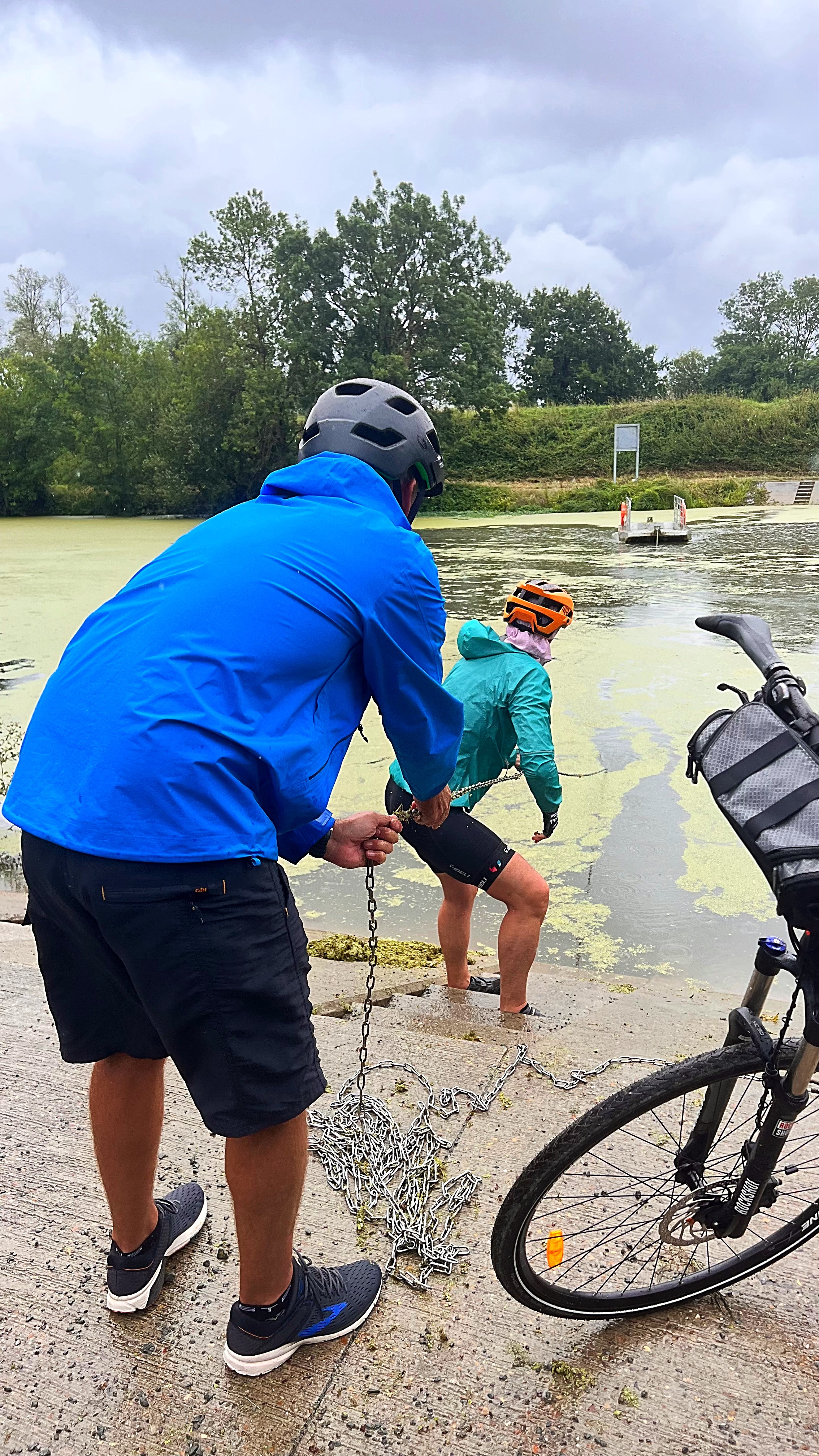
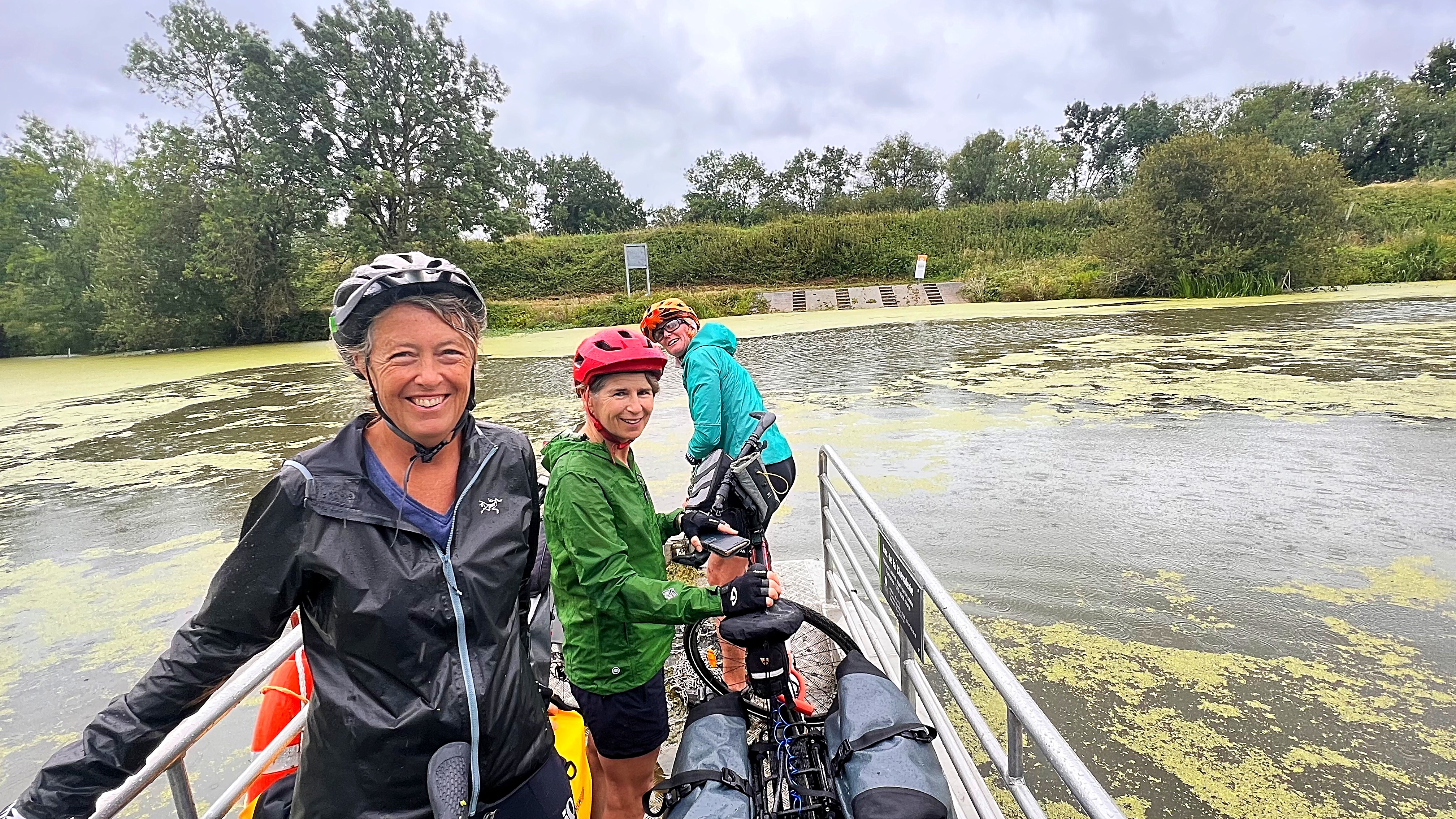
The SUNGRL’s powers took a break this morning and we started our cycle in the rain 🌧️. There was also some confusion as to how far we we had to go. Google maps by bike said 71km and Euro Velo 6 app said 95km – it was probably a no brainer that it was going to be 95km but we did a sweepstakes anyway and JP won.

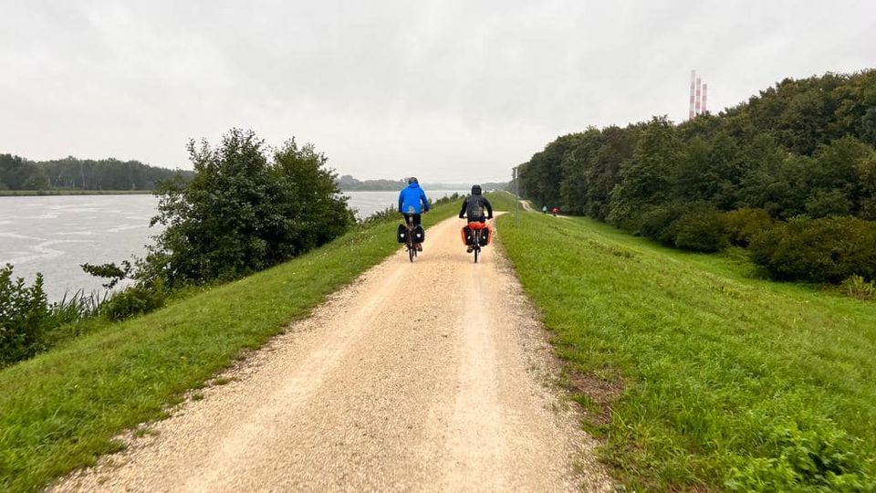
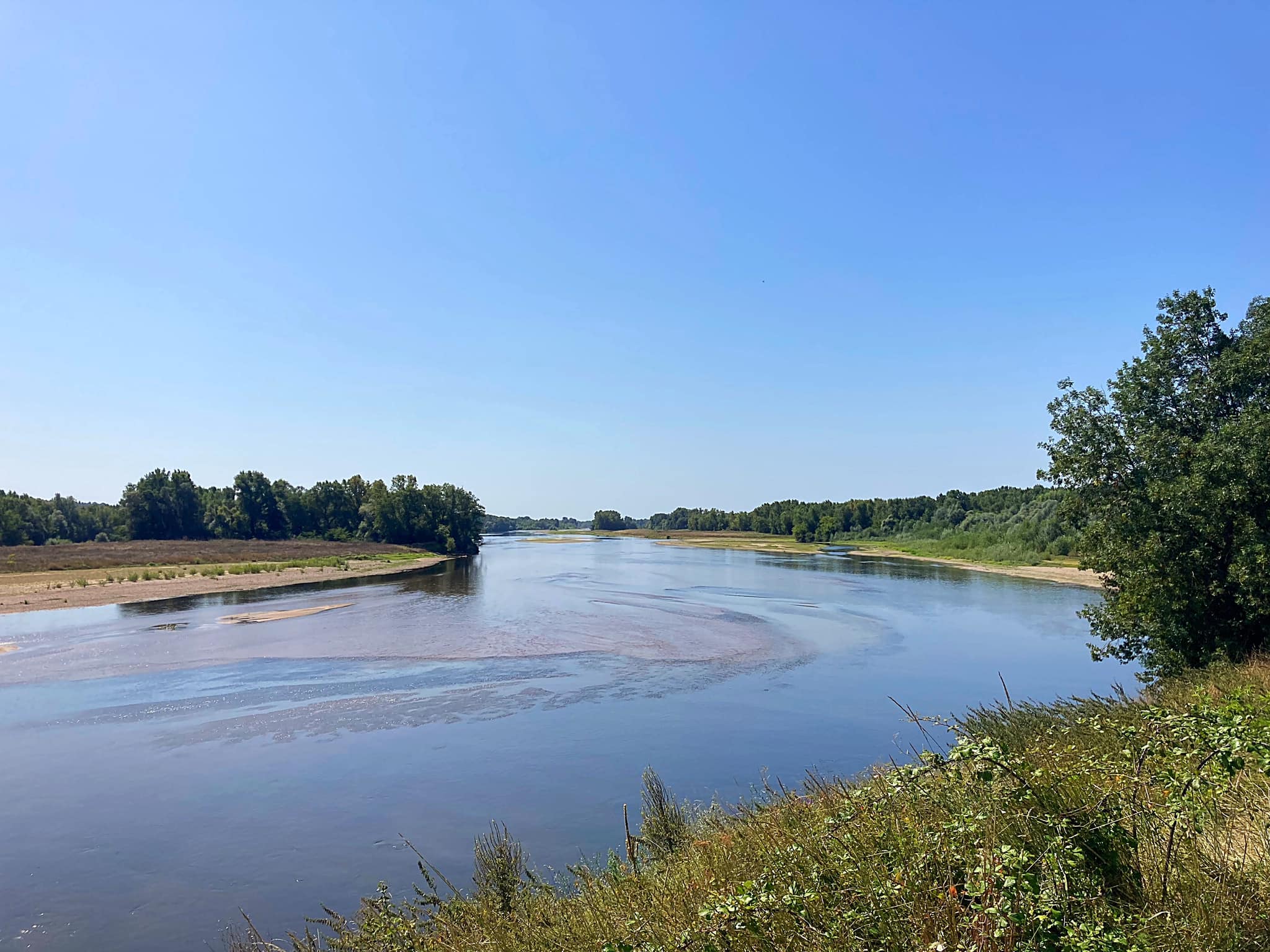
We started off on the Saone and then switched to following the Doubs River which is a left bank tributary of the Saone.

Today is a public holiday in France – it is The Feast of the Assumption of Mary (L’Assomption de Marie) which celebrates the Catholic belief that the Virgin Mary’s spirit and body was assumed to heaven. It is an important occasion for village and church festivals. Forty seven percent of the country are catholic.

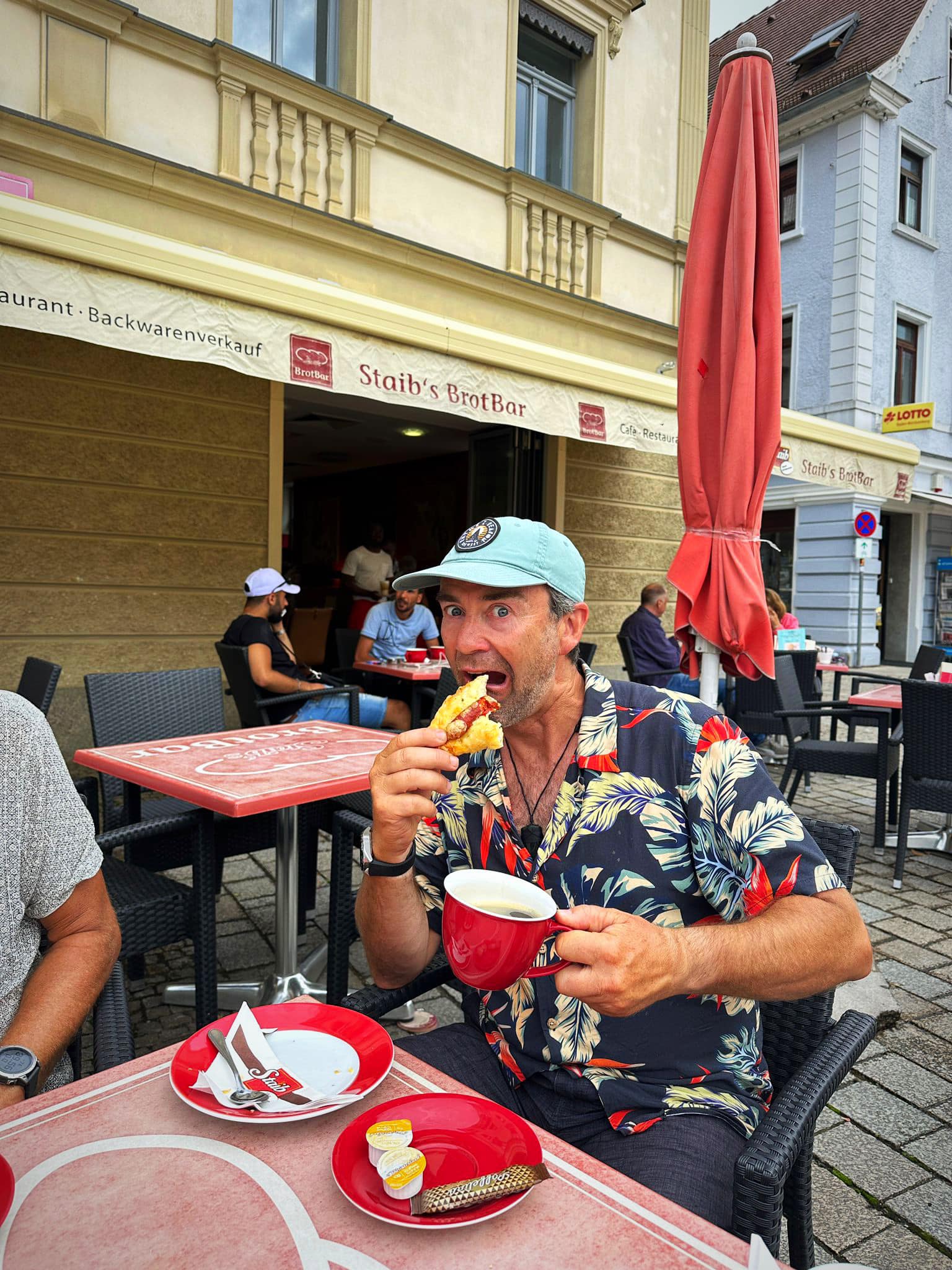
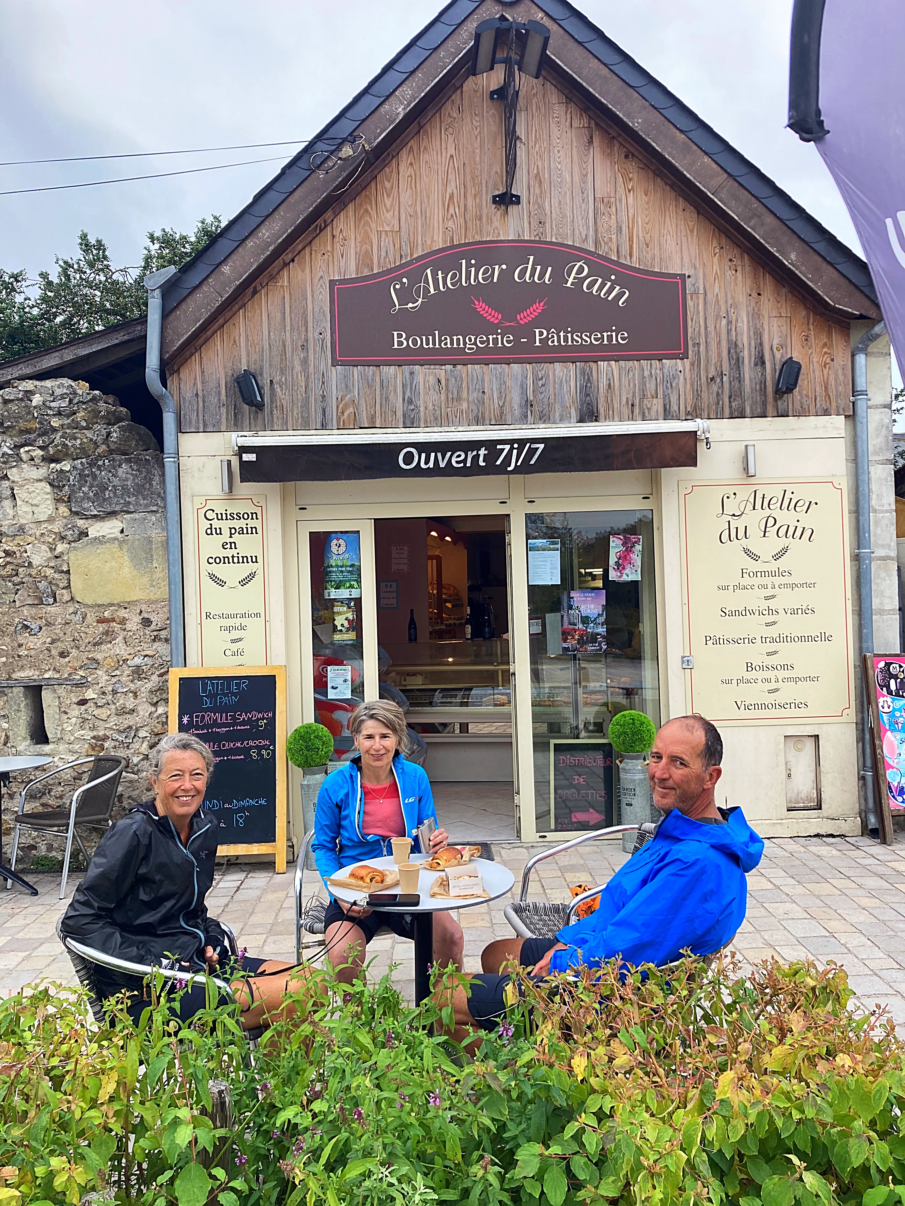
We stopped for a coffee and pastry in Abbeley and the weather was starting to clear up.

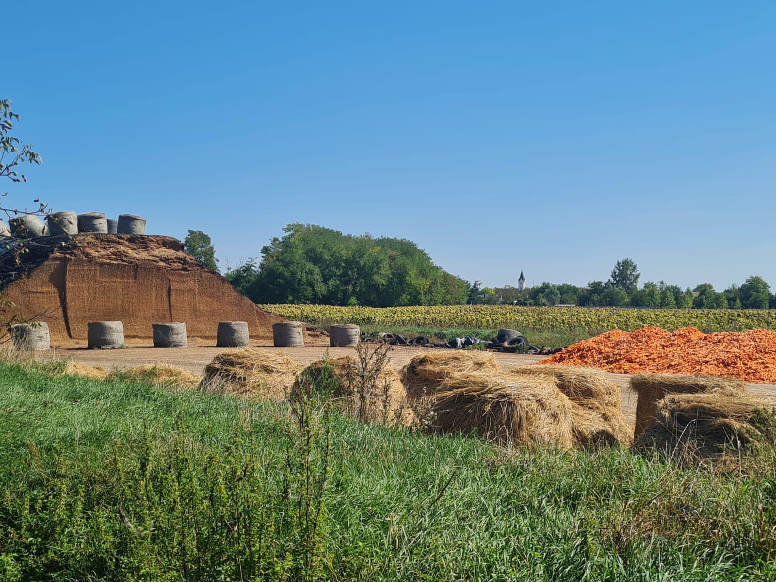
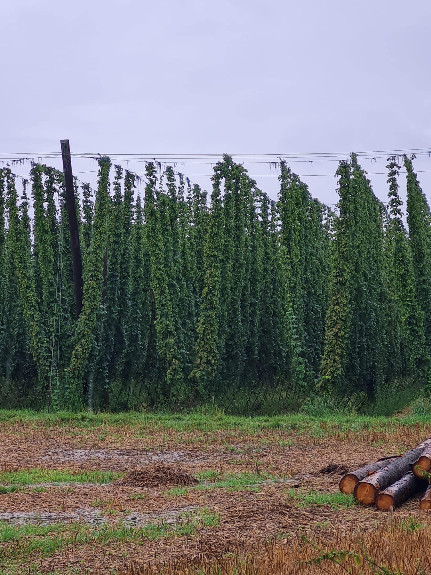
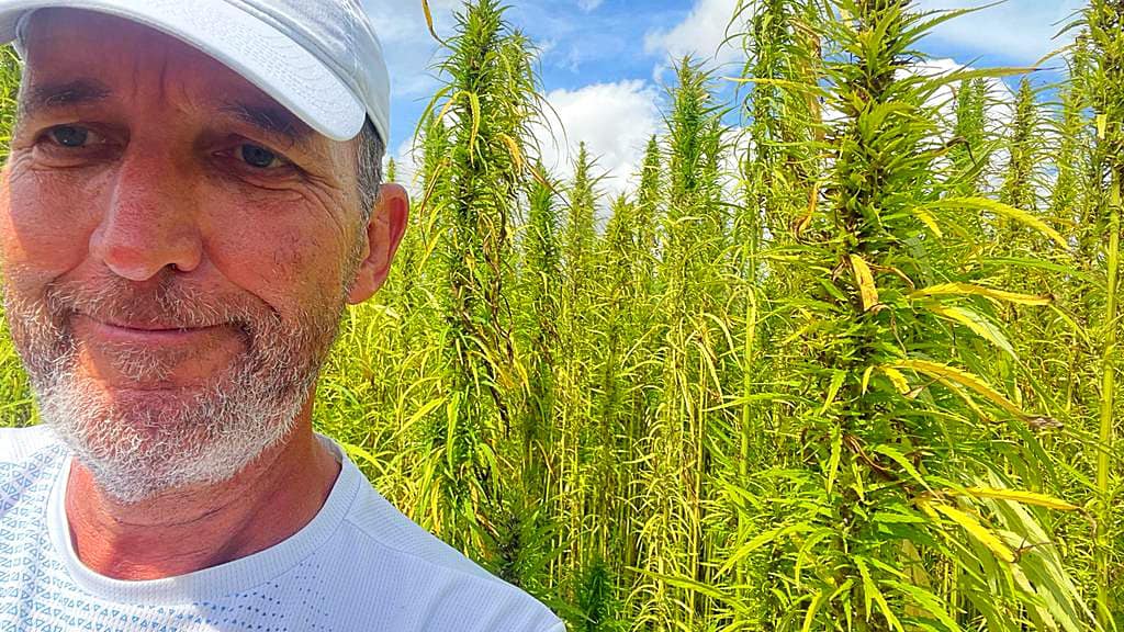
Today’s landscapes included lots of vast open fields planted with crops including corn, soy (edamame) and hemp. When we rode along the rivers they were just below the bike path level. It was definitely cooler today only getting to about 28 degrees.

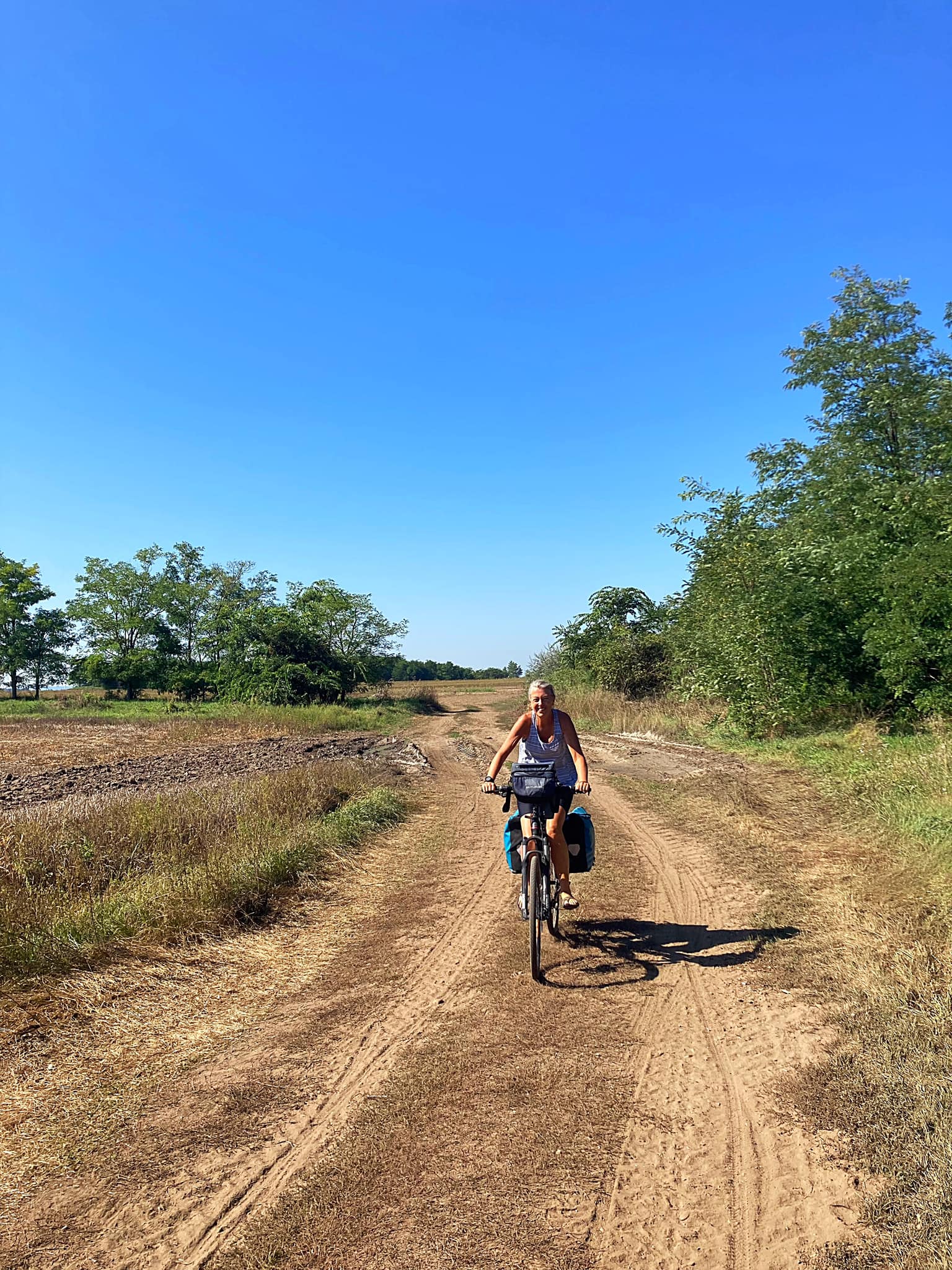
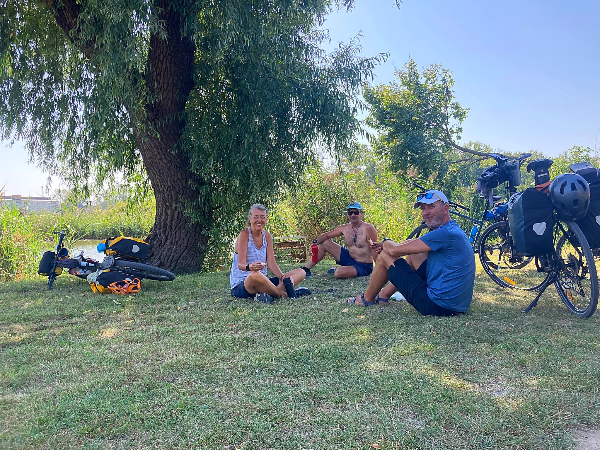
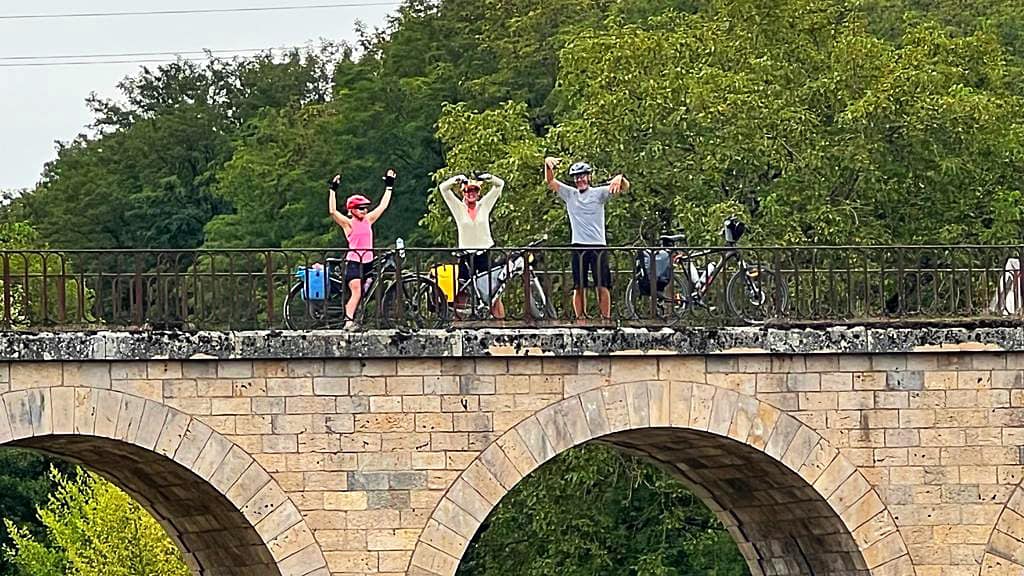
We had another hike a bike experience after taking a shortcut through a paddock 🤦‍♀️. We had a picnic lunch by the river before celebrating the 1,000km mark – we are just under a third of the way to Belgrade.

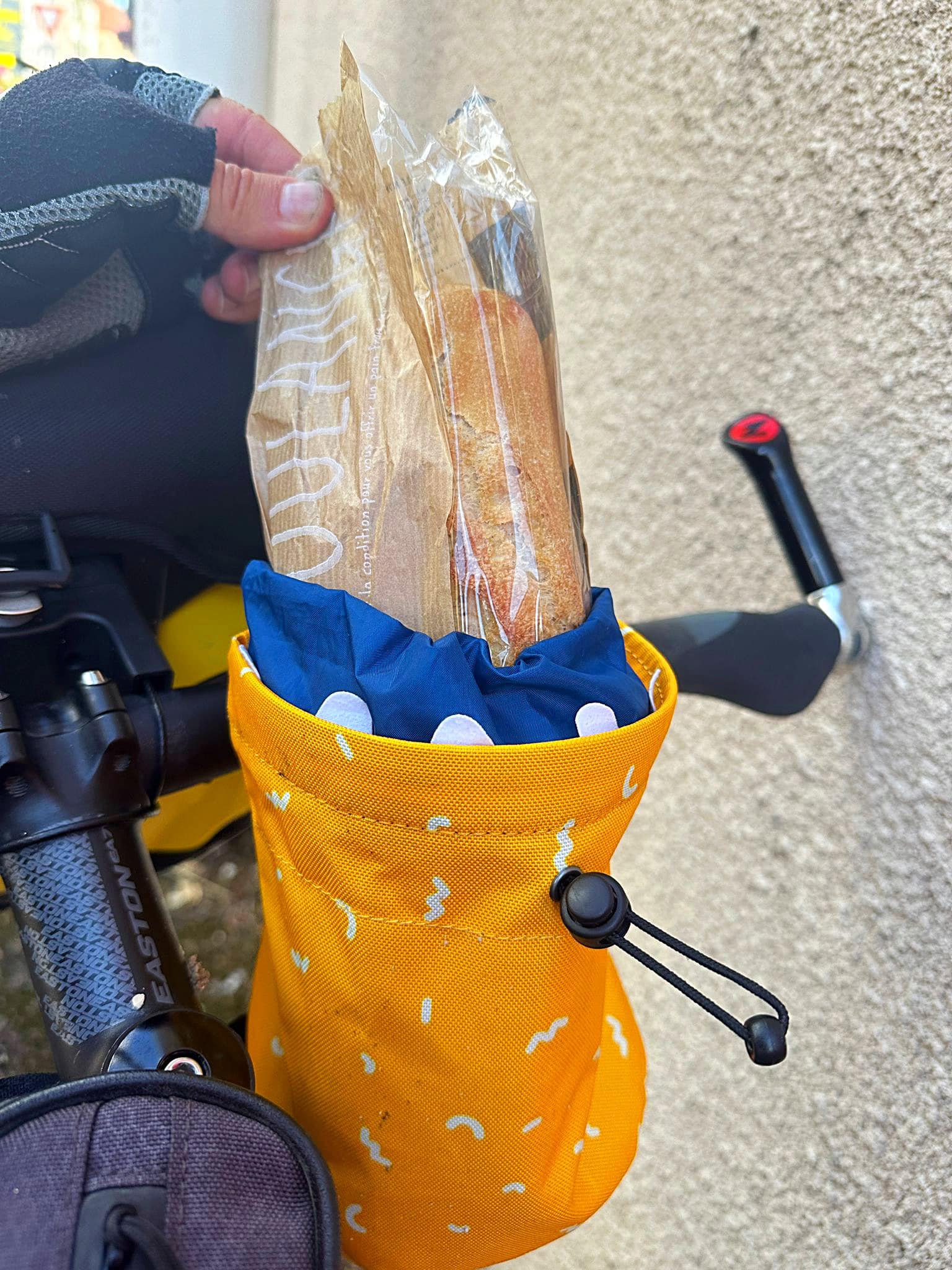
I was able to try out my new baguette holder today too.

We are staying in Dole tonight and there are no pineapples or bananas in sight 😂.

Day 16 – Dole to Besancon – 66km

Due to our big day yesterday, getting in a bit later and staying out of the centre we decided to have breakfast in the city and do a little explore before heading off.

Finding a cafe in France that does anything resembling what we consider breakfast is impossible, so it was a pastry and sub par coffee at the boulangerie. When in France…

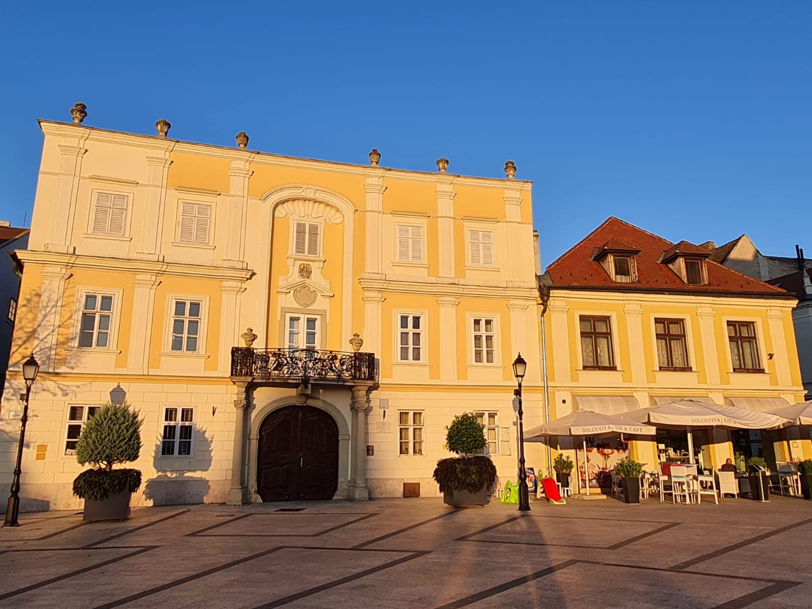
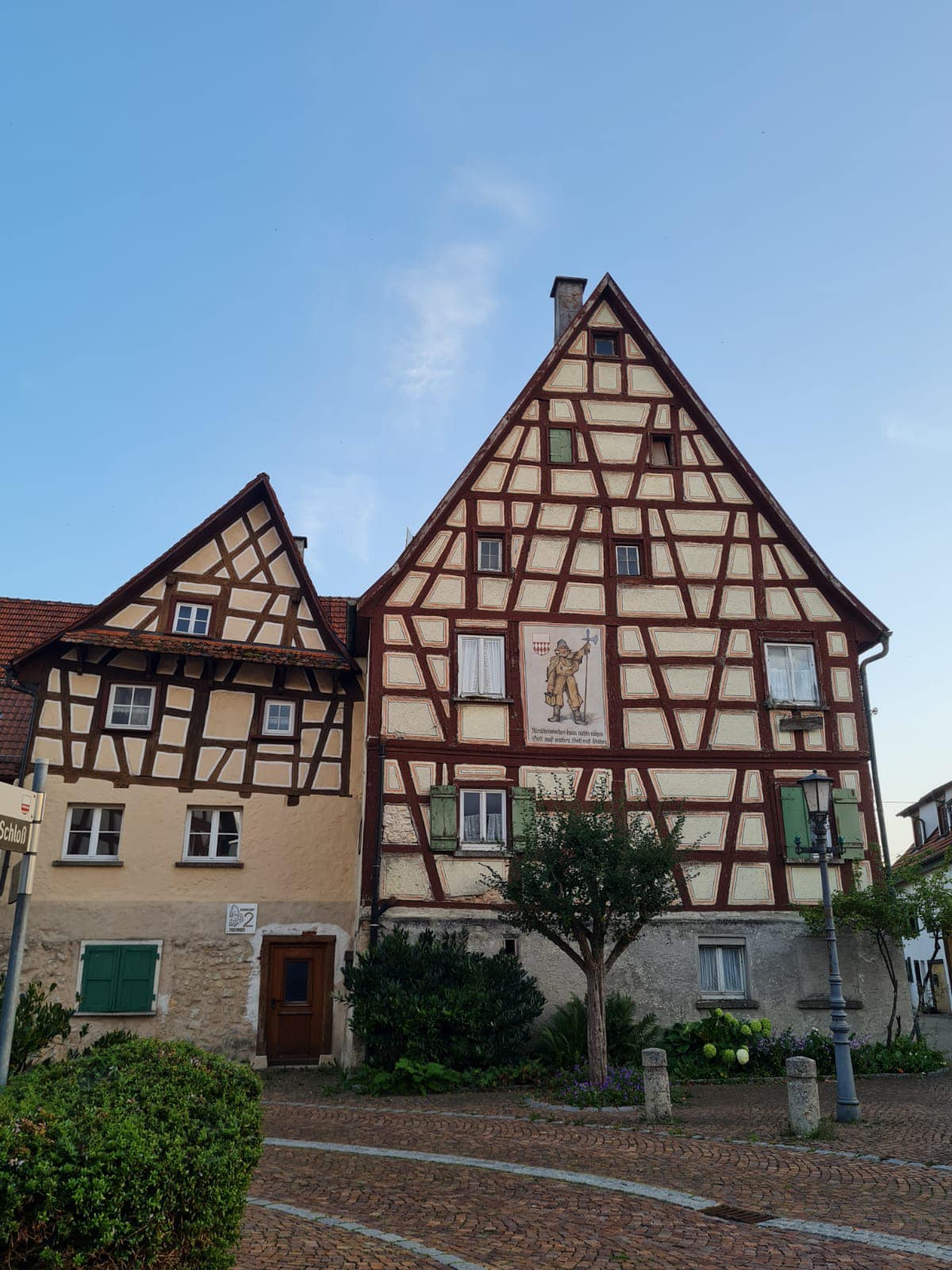
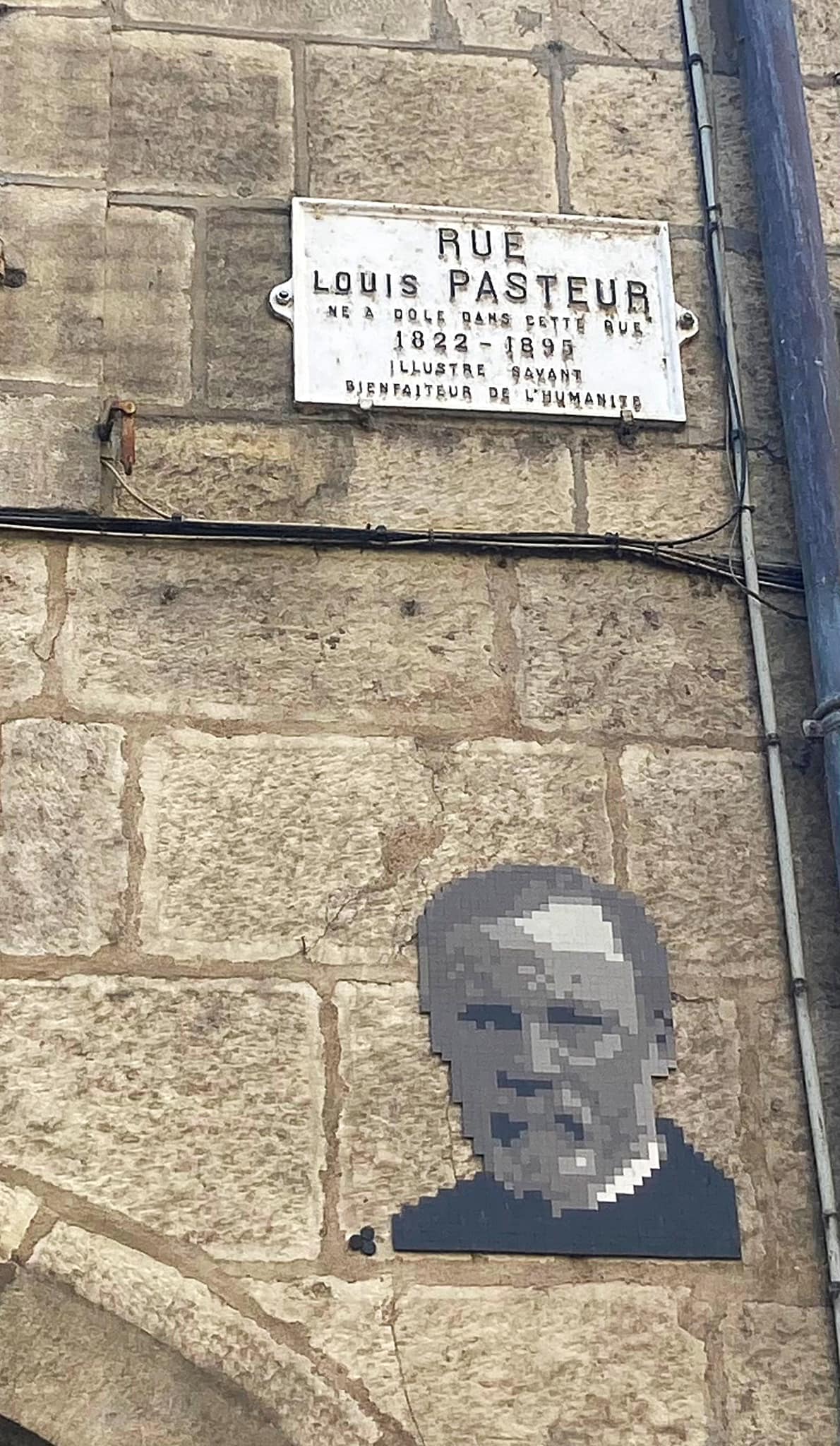
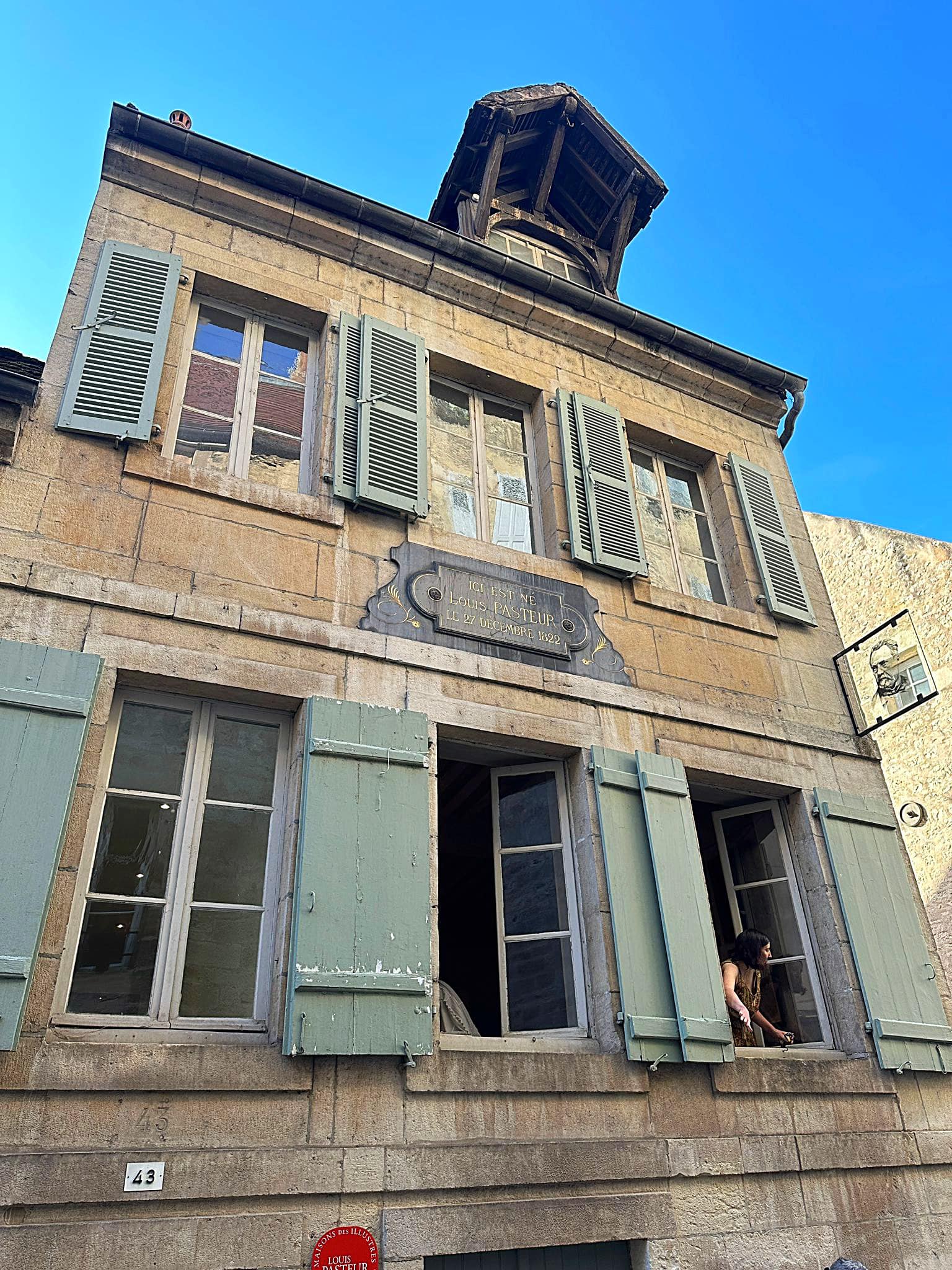
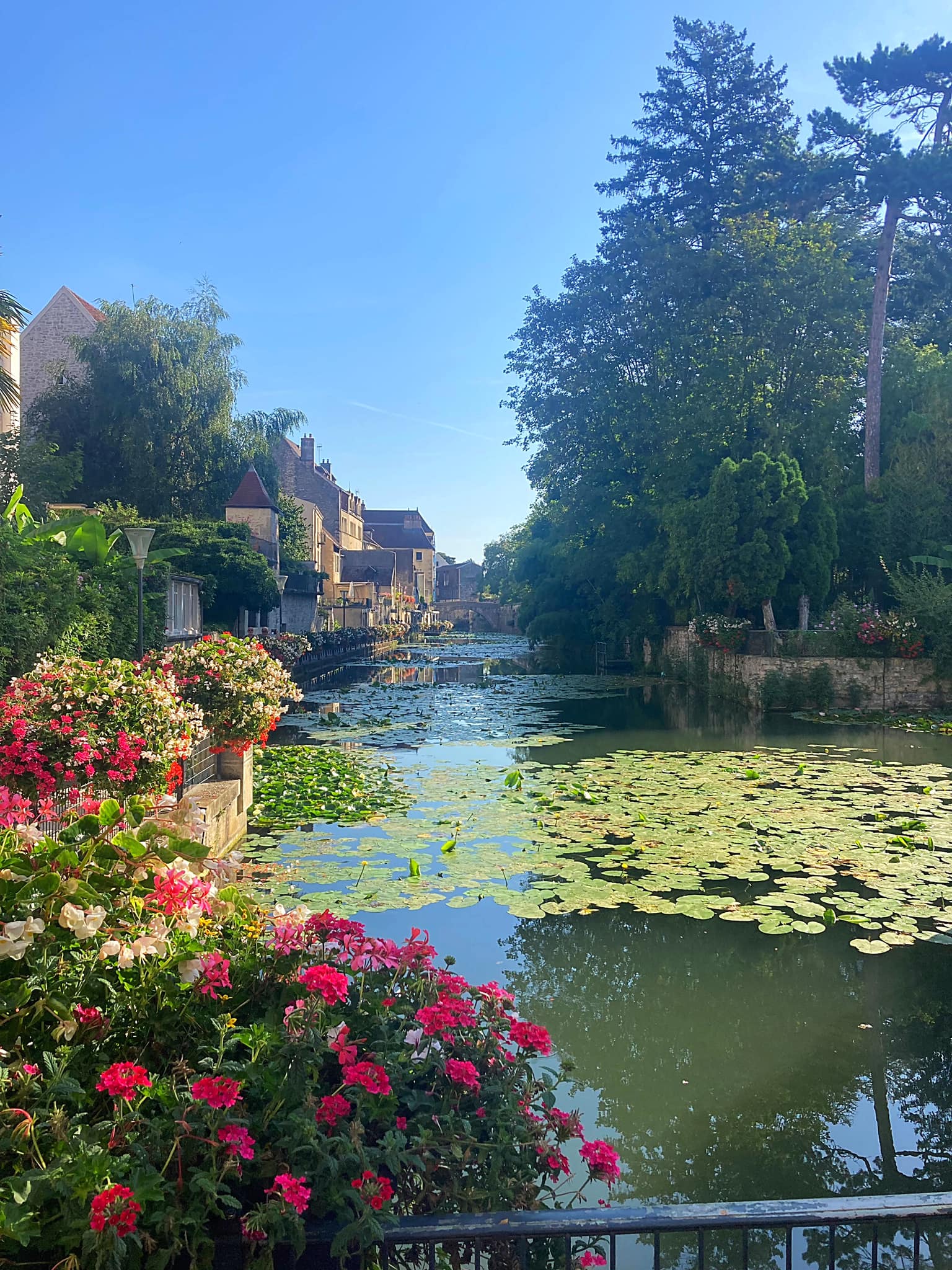
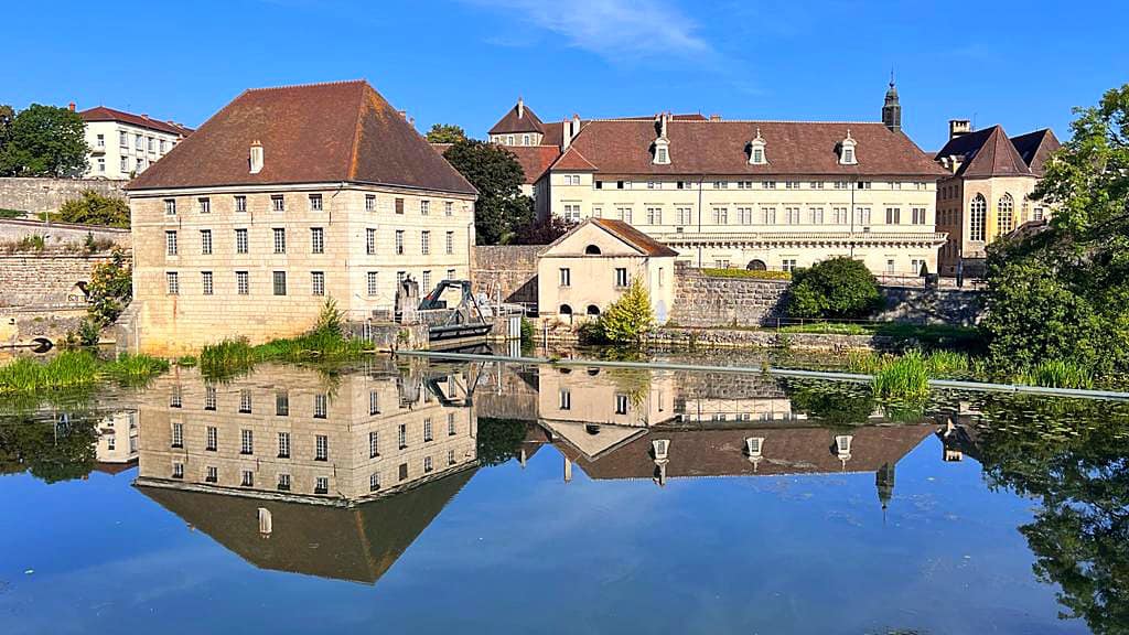
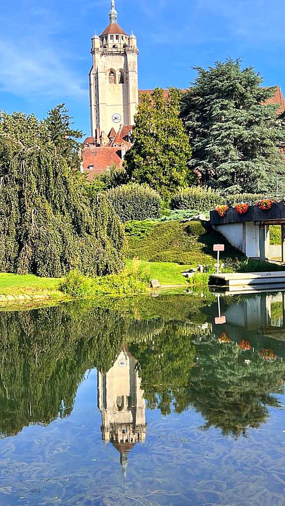
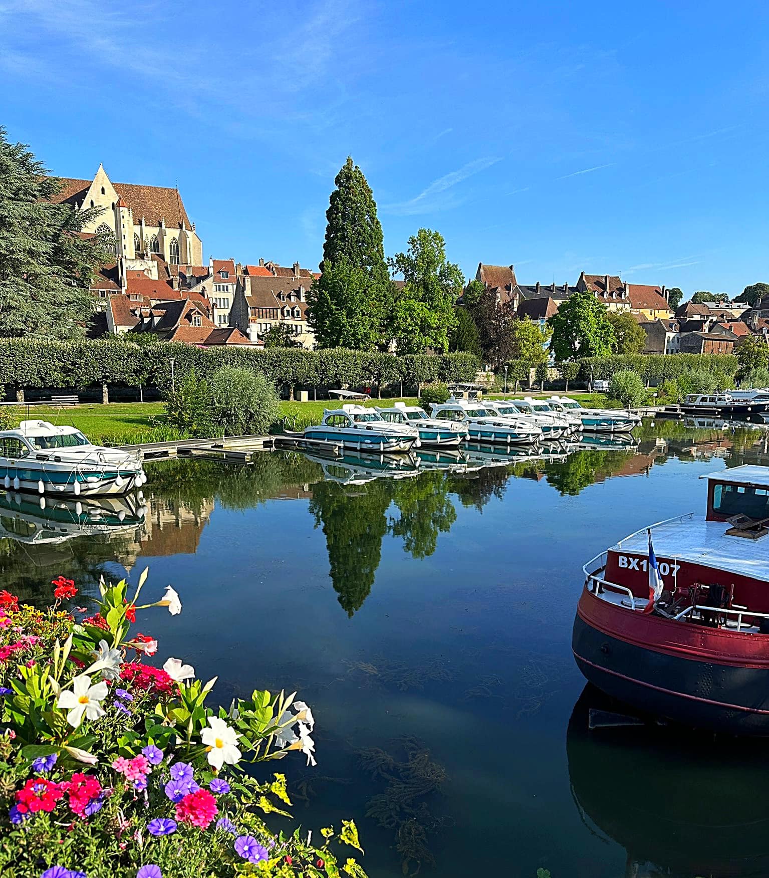
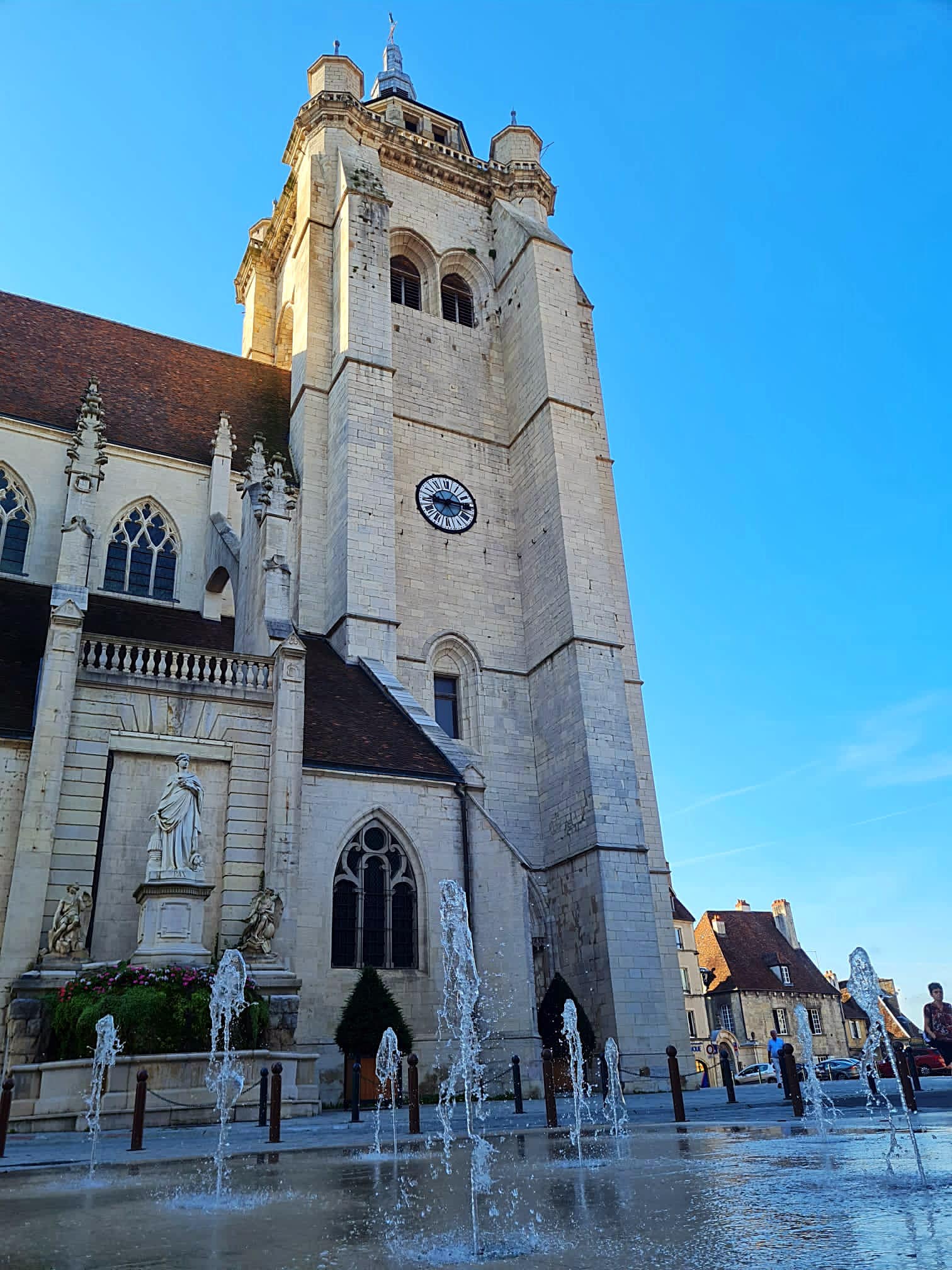
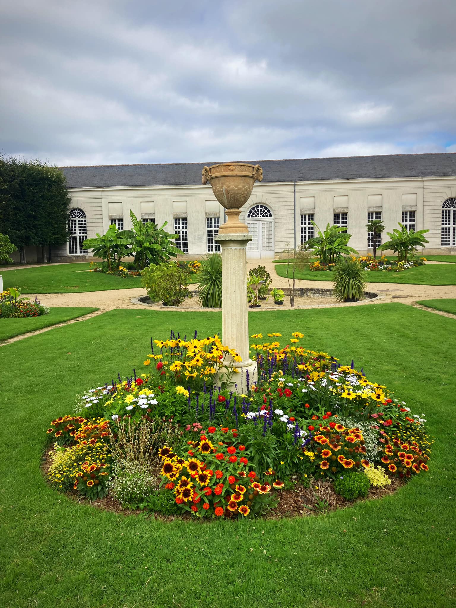
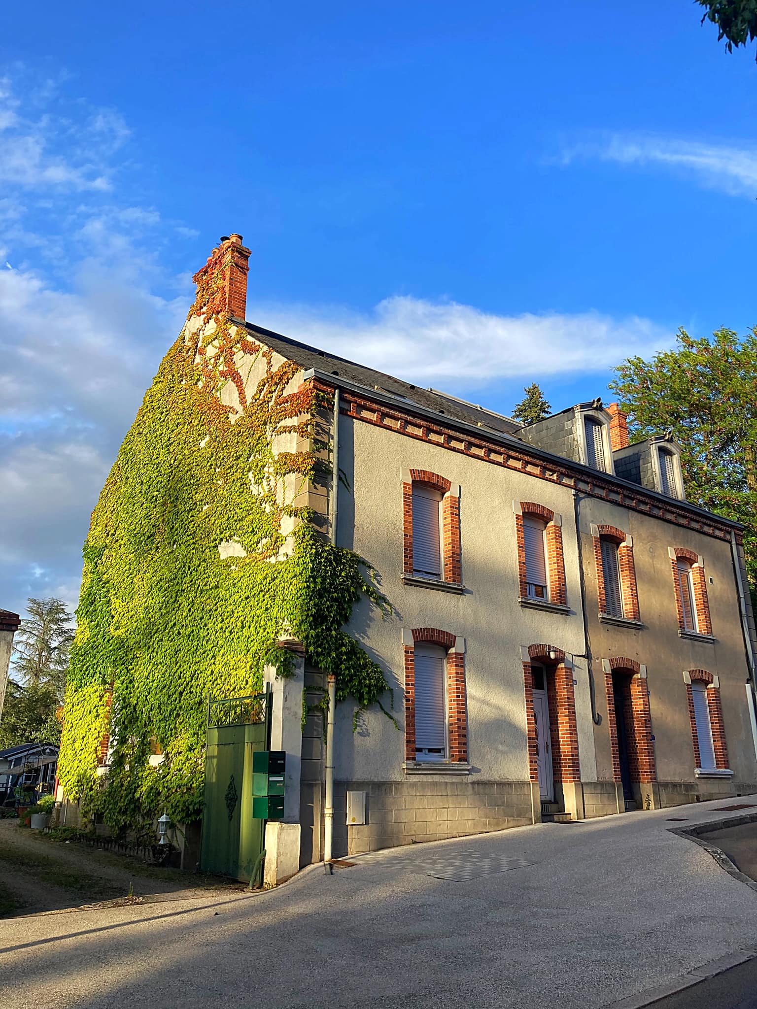
However, Dole would have to be the prettiest town we have come across. What a gem. It has a population of about 24,000 and one of its famous residents was Louis Pasteur.

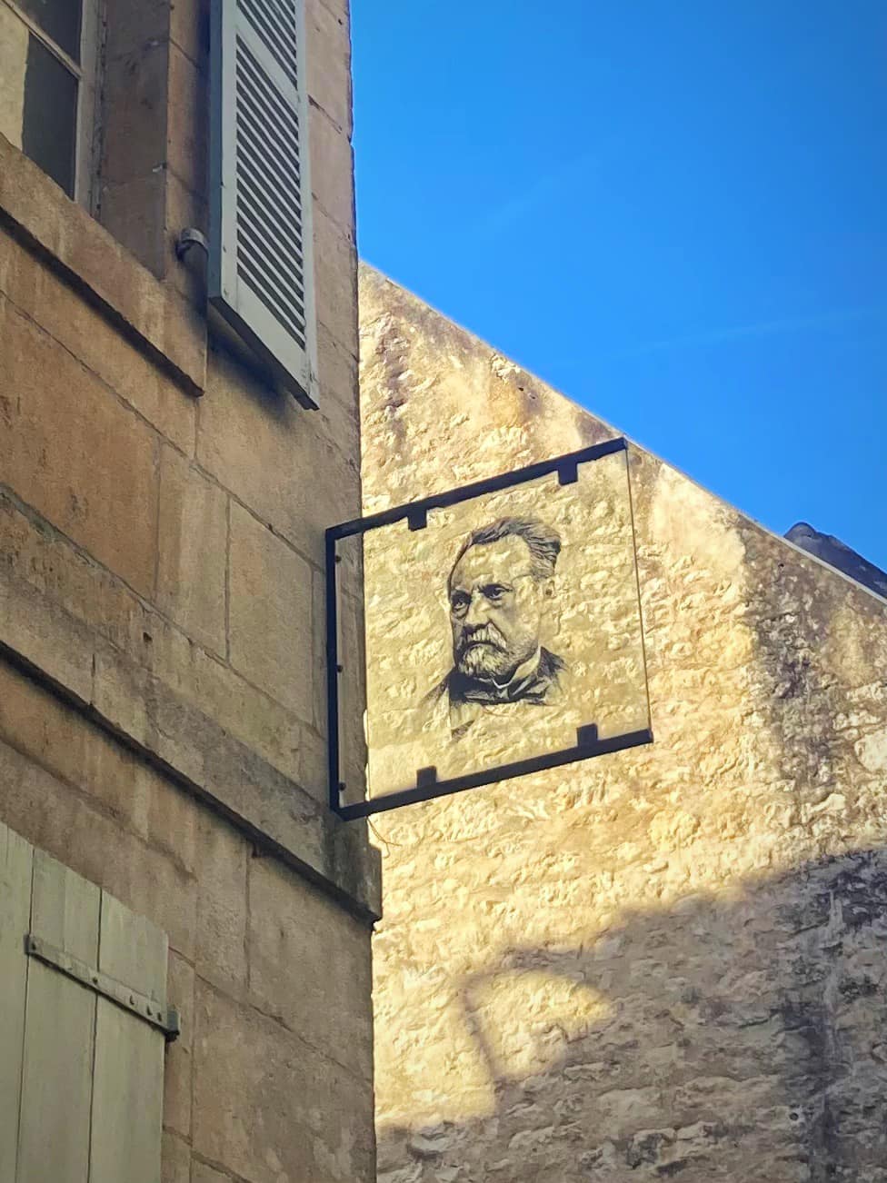
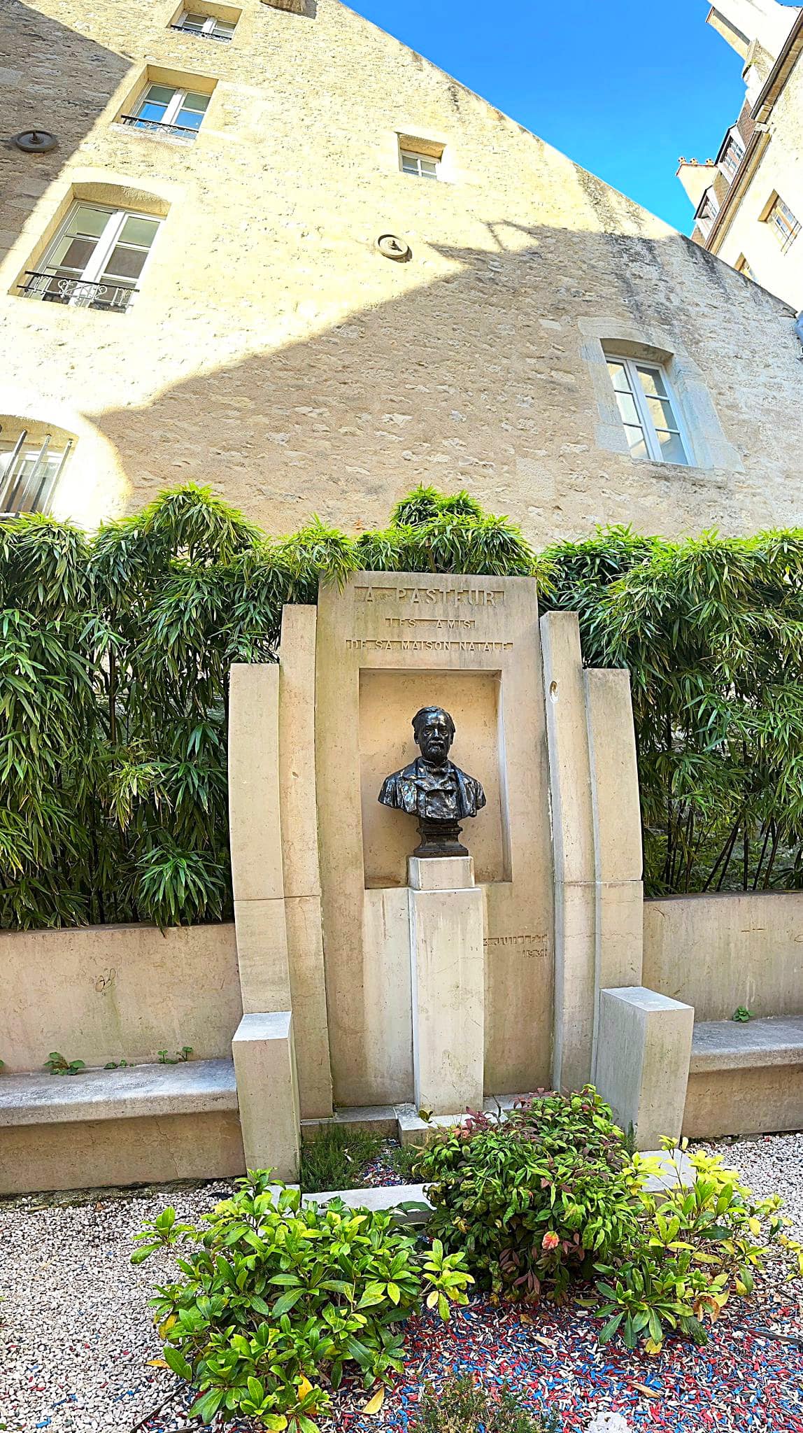
Louis Pasteur was a French chemist and microbiologist renowned for his discoveries of the principles of vaccination, microbial fermentation, and pasteurization, the last of which was named after him. He is also regarded as one of the fathers of germ theory of diseases, which was a minor medical concept at the time. His many experiments showed that diseases could be prevented by killing or stopping germs, thereby directly supporting the germ theory and its application in clinical medicine. He is best known to the general public for his invention of the technique of treating milk and wine to stop bacterial contamination, a process now called pasteurization.

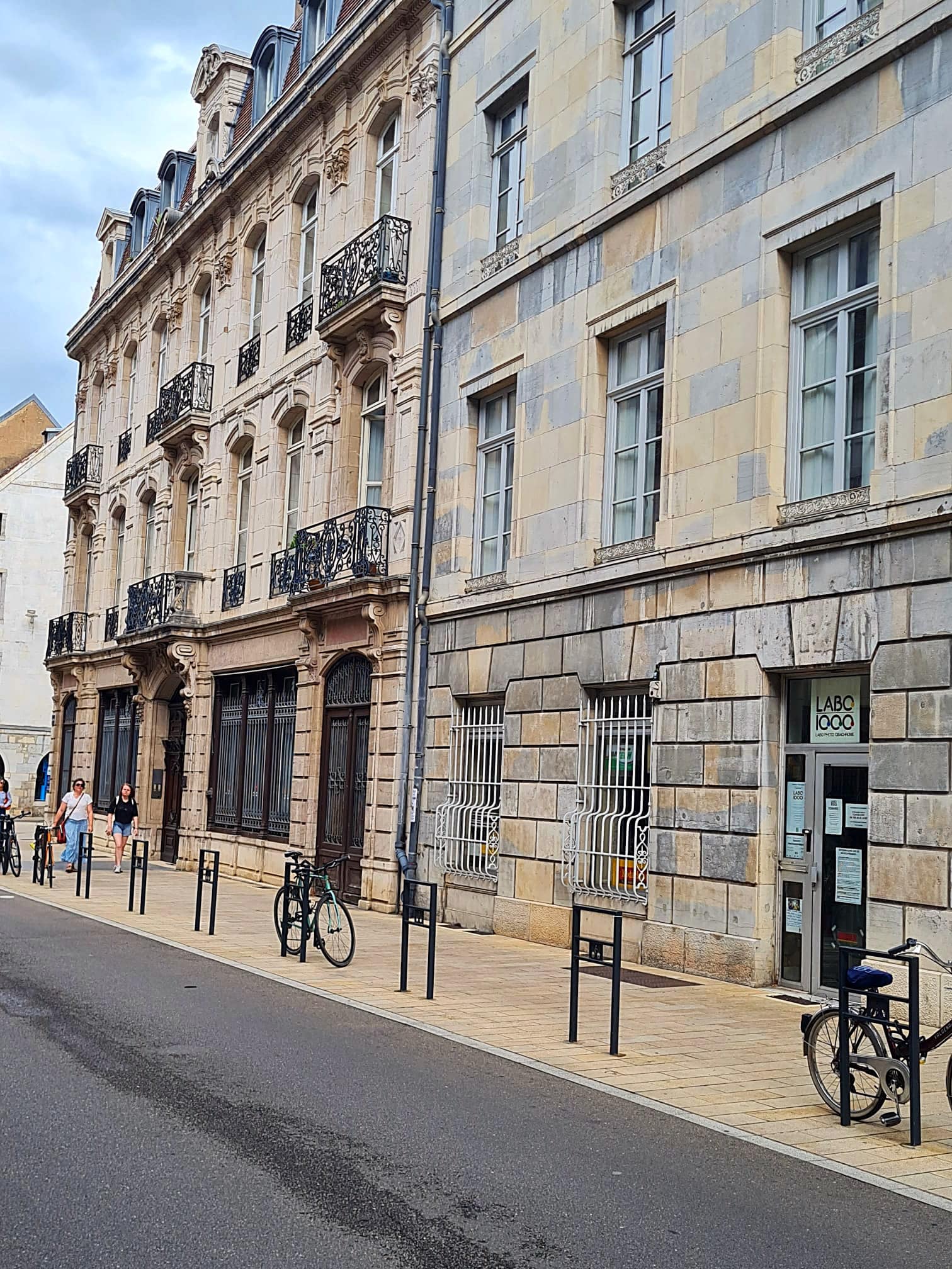
We had a wander round and visited the house where Louis Pasteur grew up.

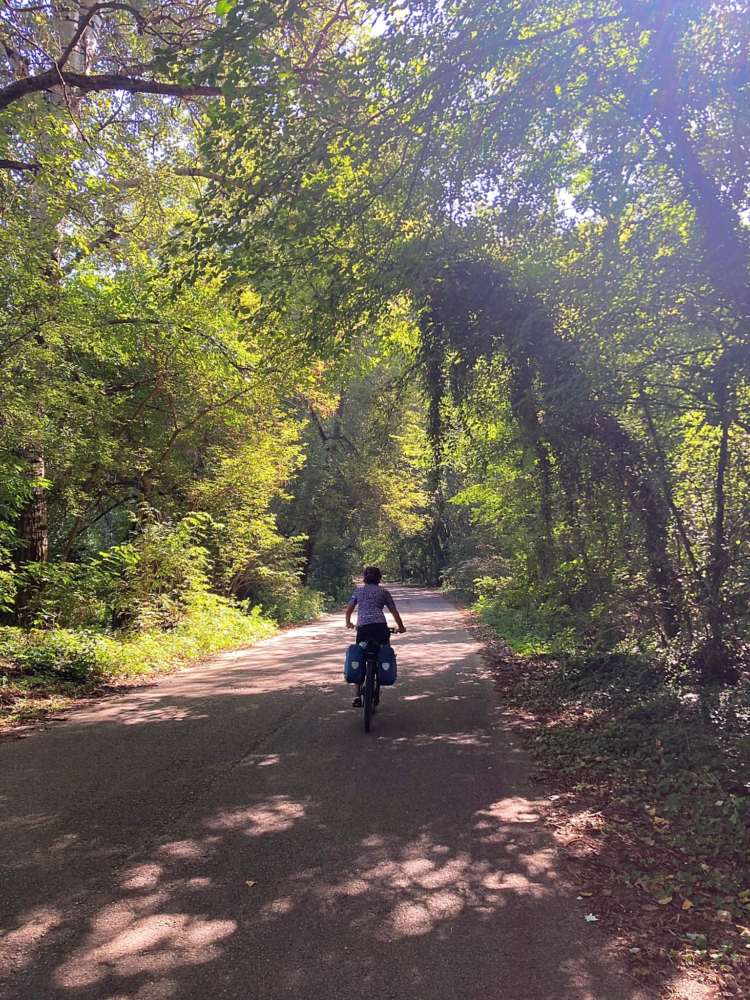
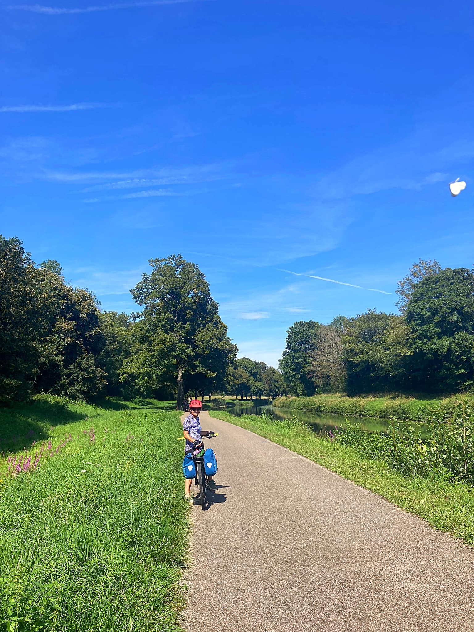
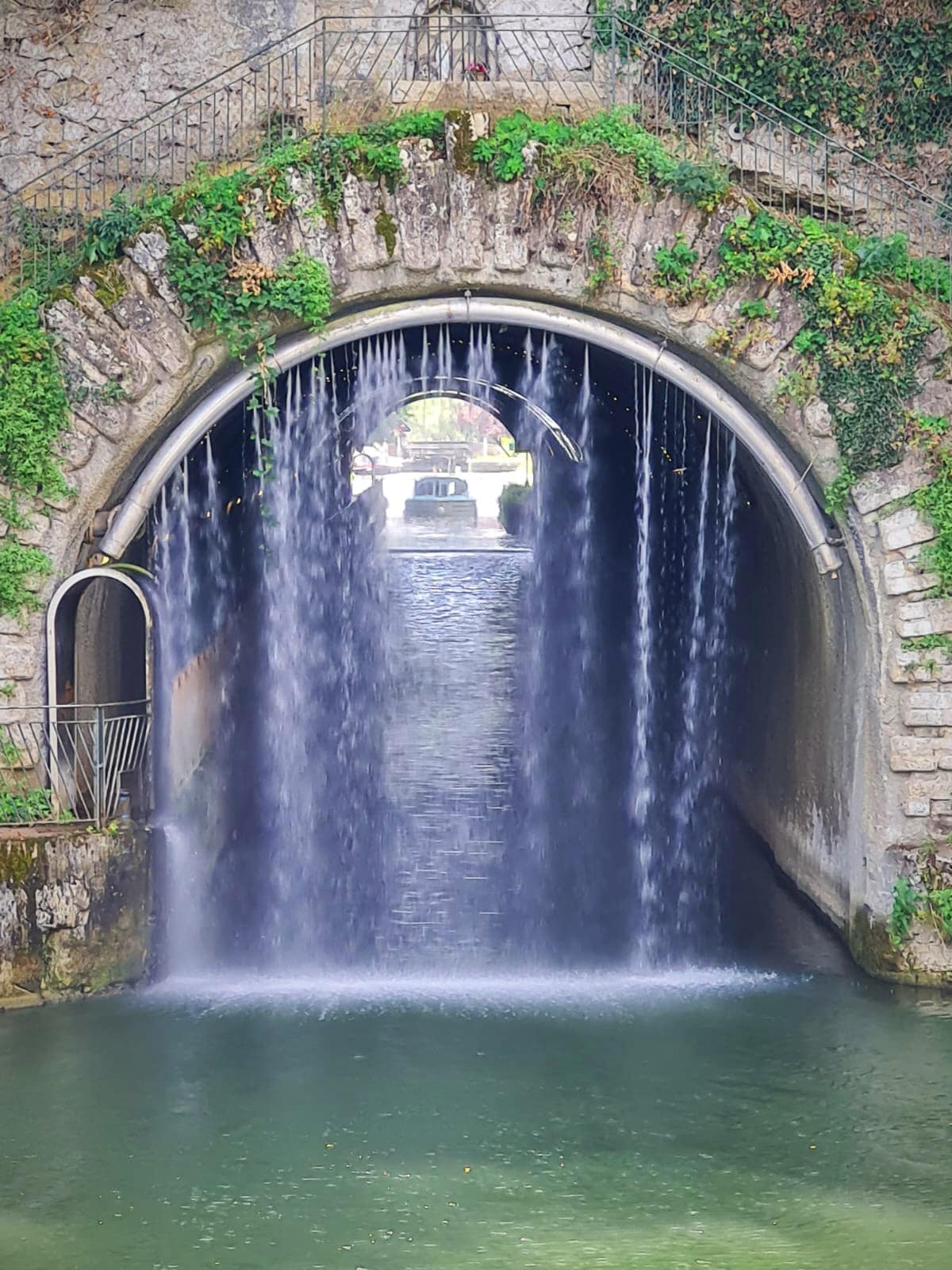
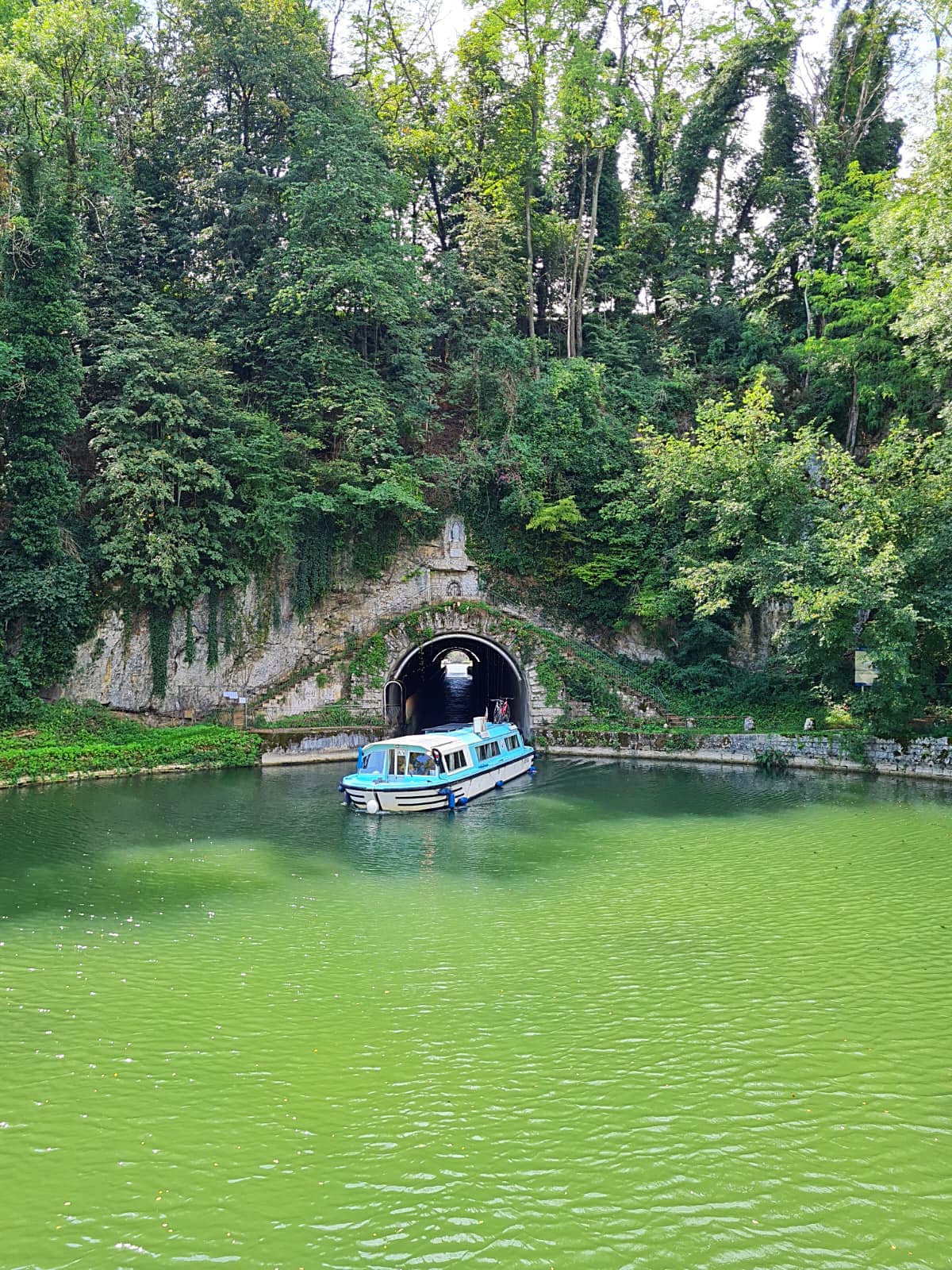
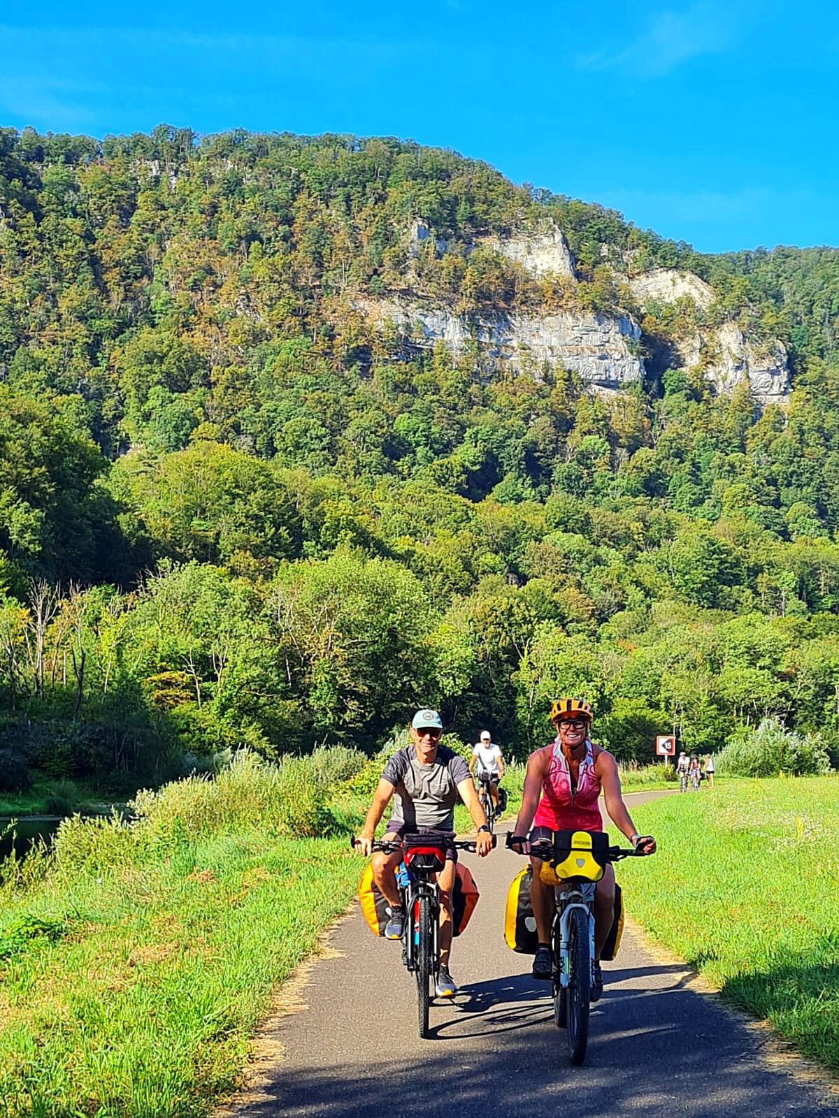
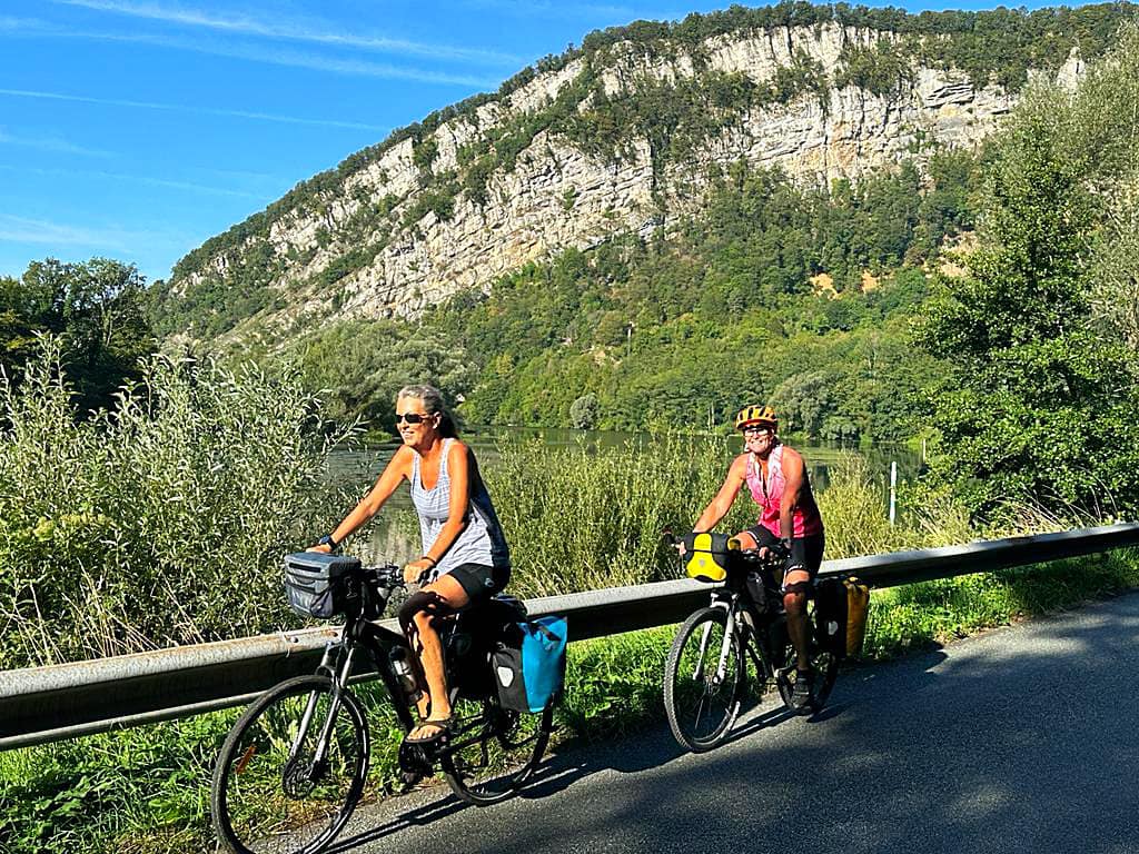
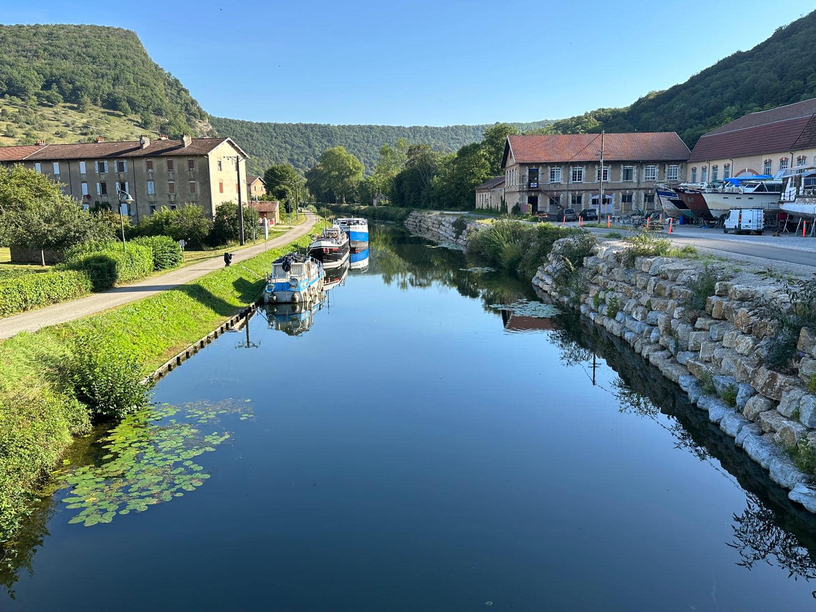
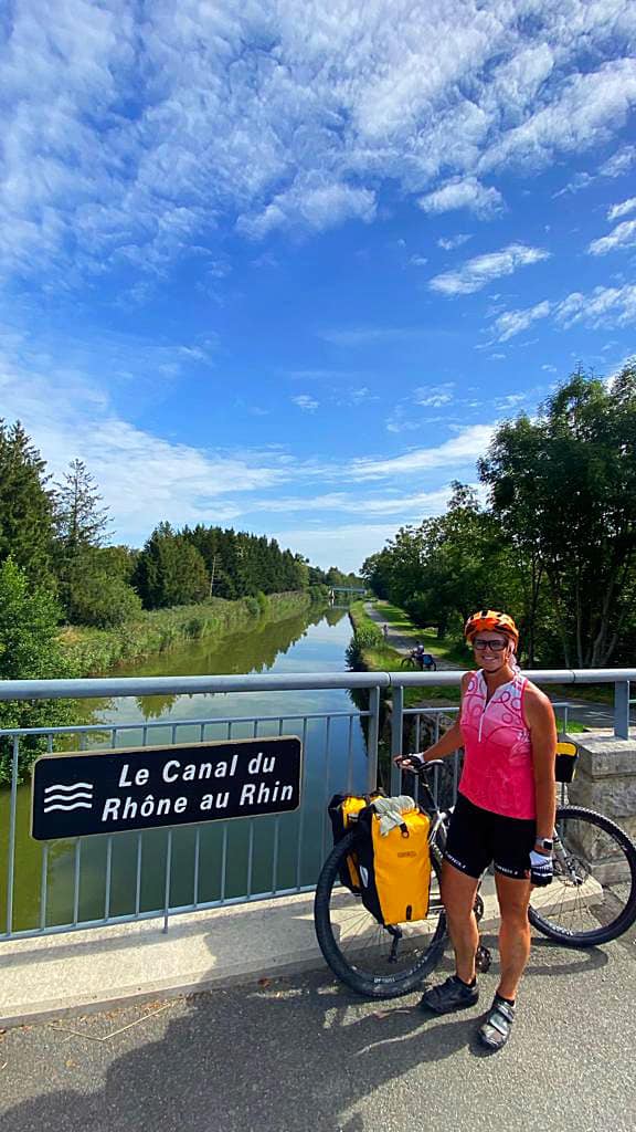
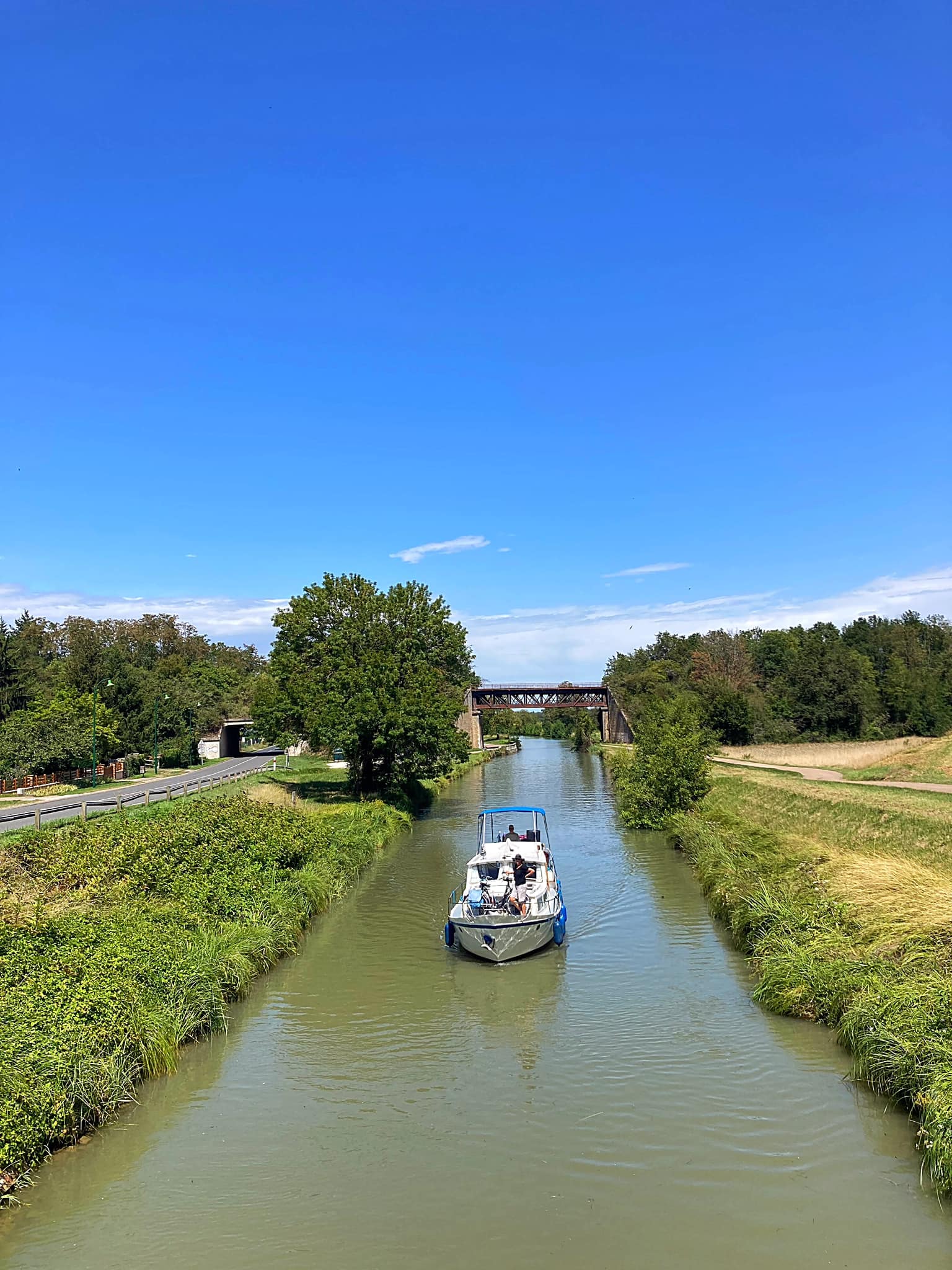
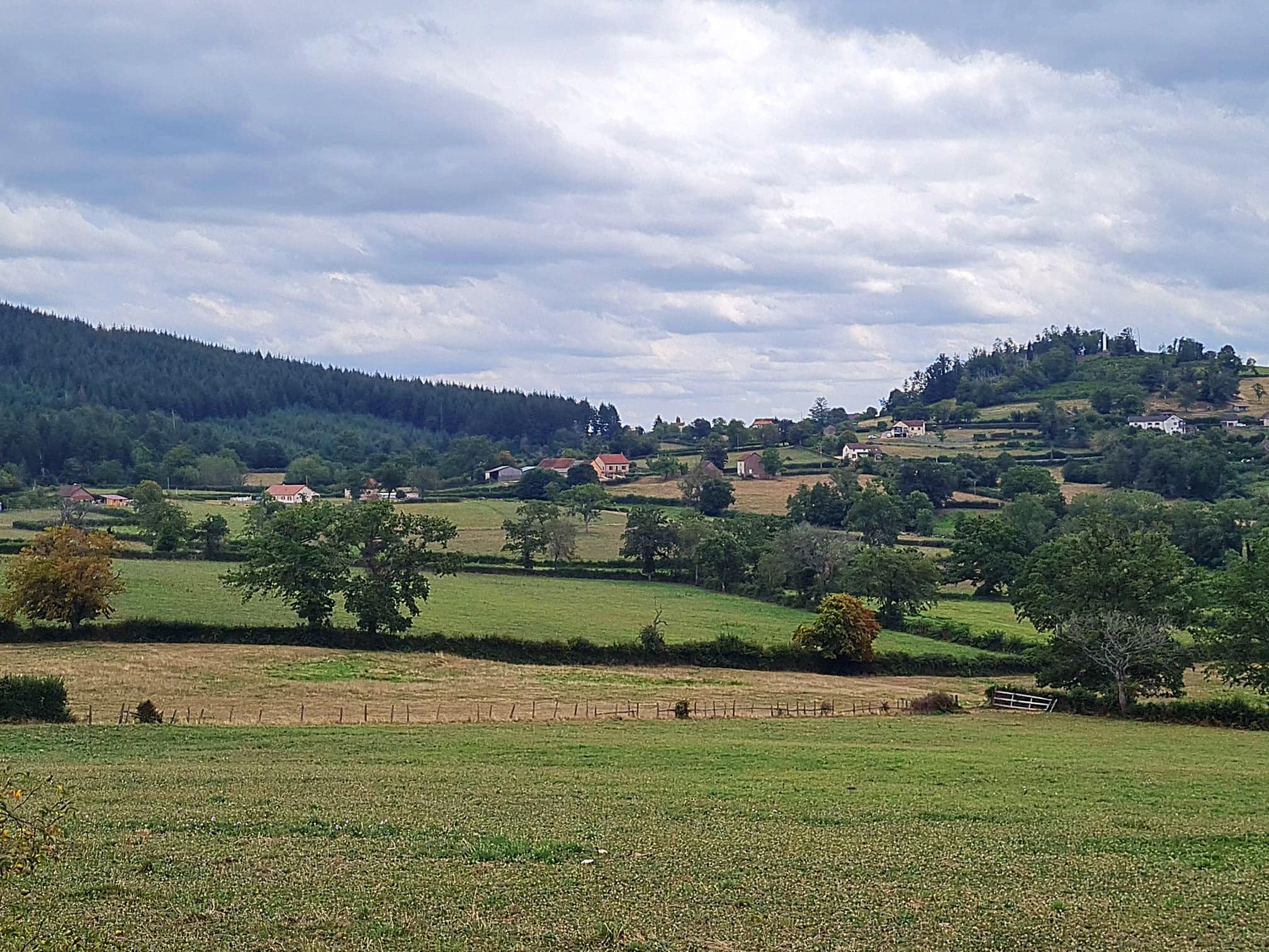
It was a blue sky day and the cycling today was magical – we spent a lot of it along the Canal du Rhône au Rhin. The landscapes have changed from rolling pastures, to high cliffs and bush along the rivers and canals. We are getting closer to the Swiss border now.

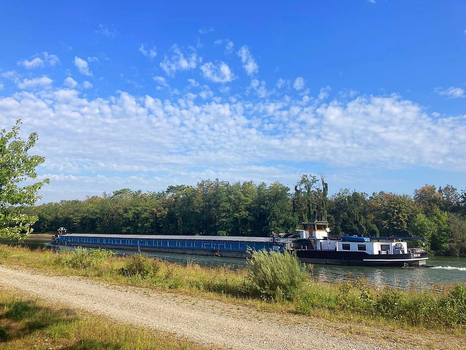
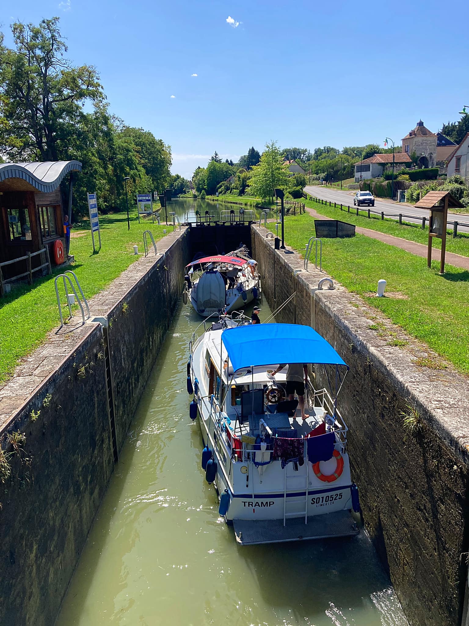
The Canal du Rhône au Rhin, built between 1784 and 1833, is a magnificently scenic route through the Jura, with wooded cliffs and blueish ranges of hills in the background. The two historic towns, Dole and Besançon, both have spectacular settings. It is used by large numbers of boats heading south from Germany and Switzerland to the Mediterranean, but it is also a cruising waterway in its own right, especially in the picturesque valley of the Doubs.

There was a lot of activity in the skies too with fighter jets flying backwards and forwards. We couldn’t always see them but there were jet streams all over the place.

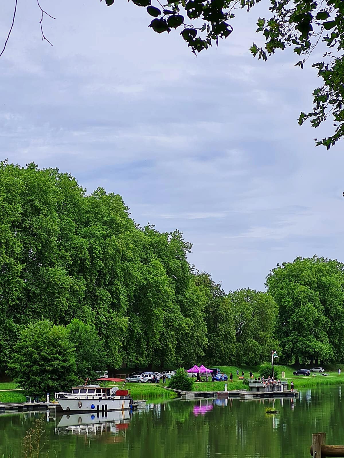
We had a lunch stop at a makeshift beach spot where people paid EU4.50 to swim in the lake. It was super busy but not on our agenda to pay to go for a swim.

Tonight we are in Bescanon where we are staying for two nights – tomorrow we are having a rest day so everyone is looking forward to resting their derrière 😉

Day 17 – Besancon – 0km

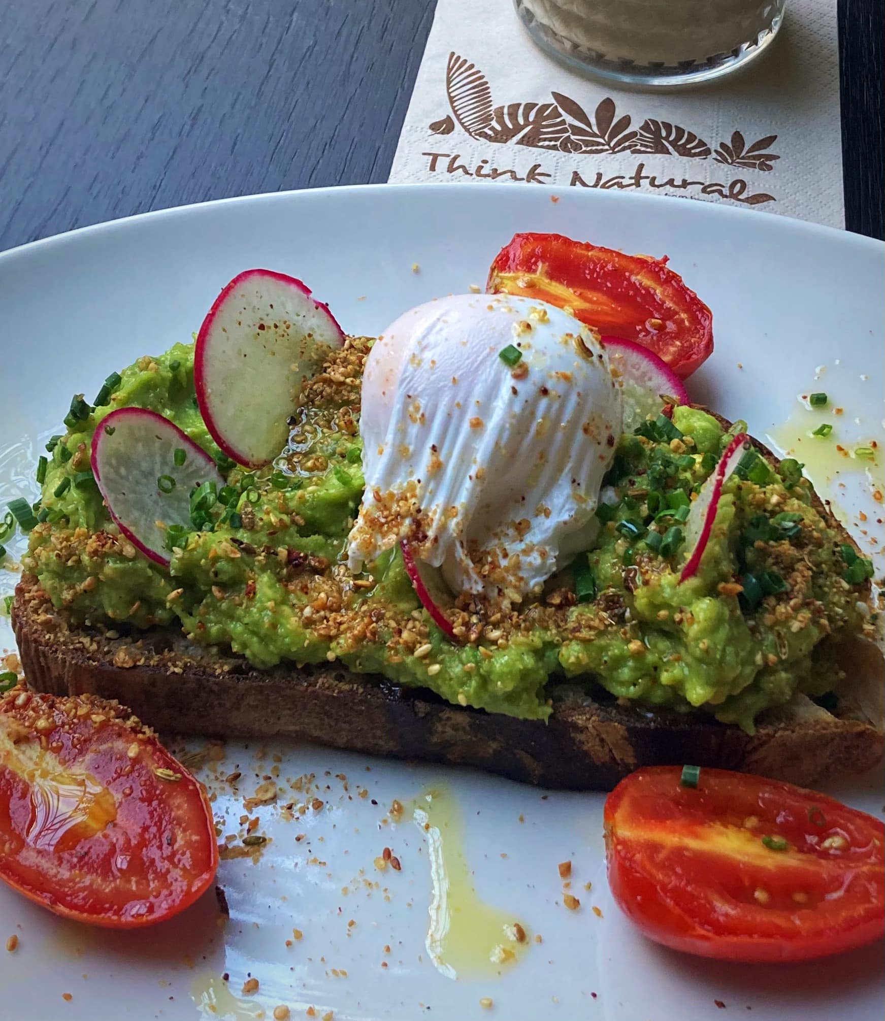
Today our bikes remained stationary but after a home cooked breakfast of poached eggs and avocado we walked into the city to explore.

Besancon has a population of about 120,000 and 280,000 in the wider area. It is the historical capital of watchmaking in France. This has led it to become a centre for innovative companies in the fields of microtechnology, micromechanics, and biomedical engineering. The University of Franche-Comté, founded in 1423, enrolls nearly 30,000 students each year, including around 4,000 trainees from all over the world within its Centre for Applied Linguistics (CLA). It is the greenest city in France.

After yesterday’s beautiful weather, the day started off grey with a few showers. This kept us cool as we climbed up to the citadel.

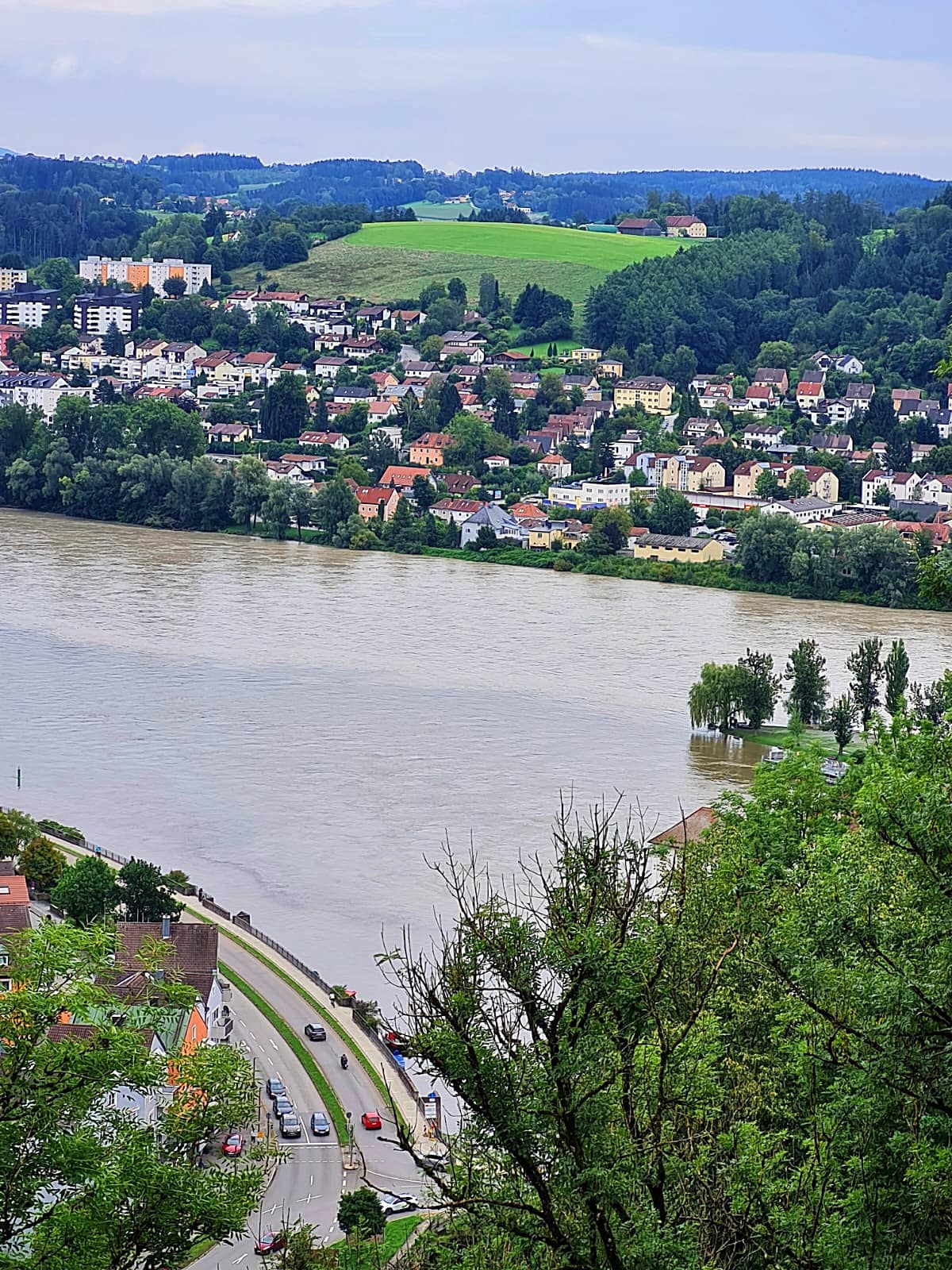
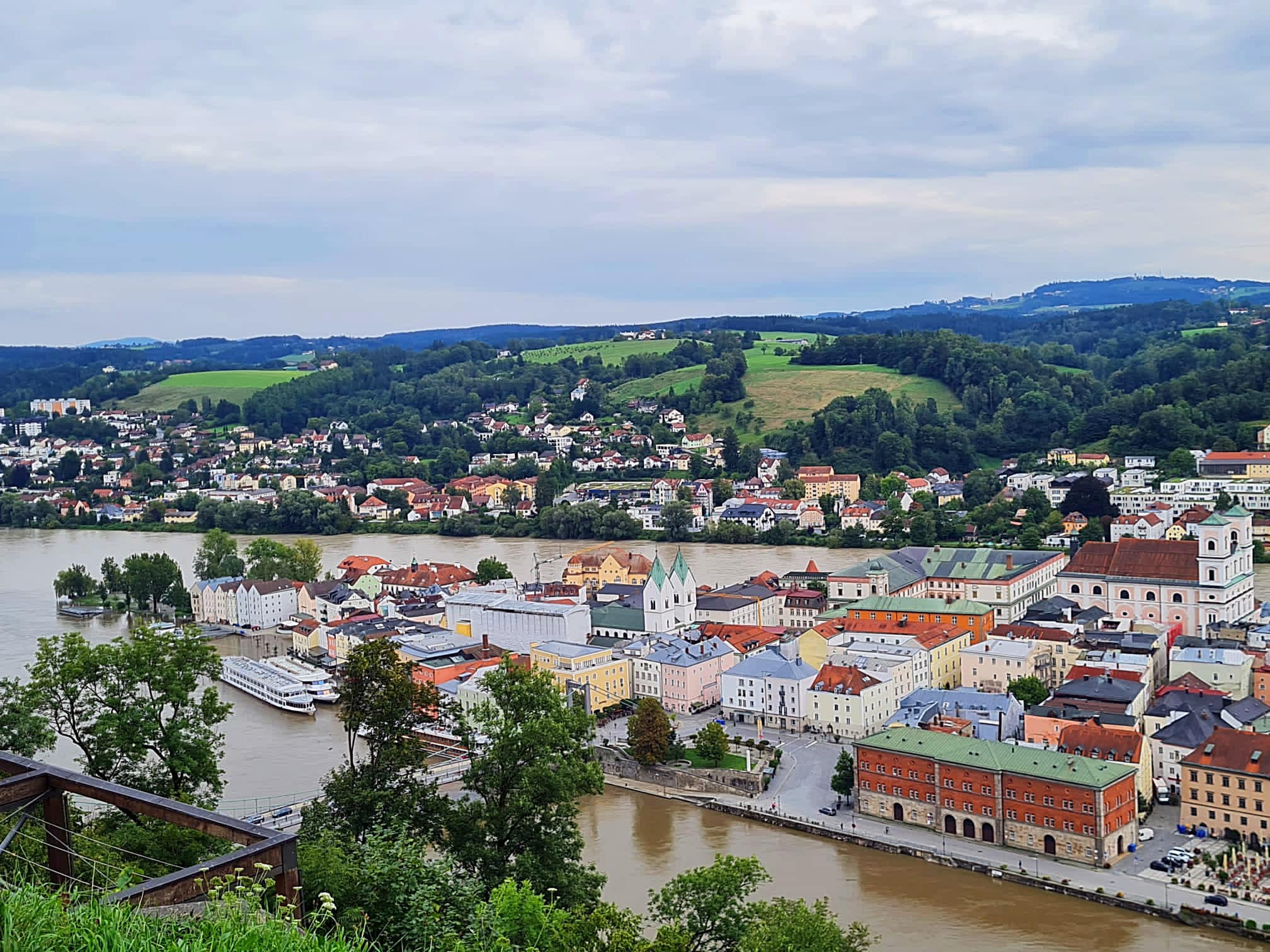
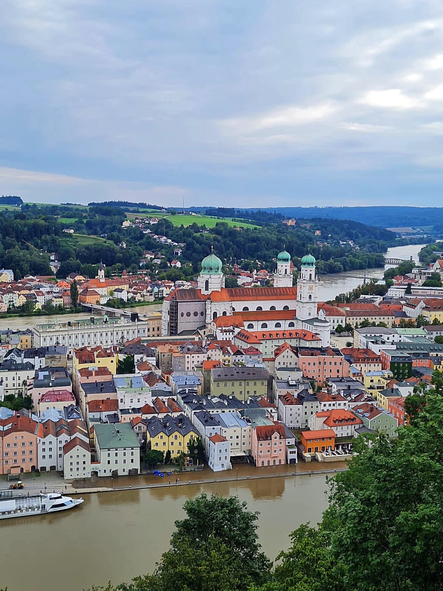
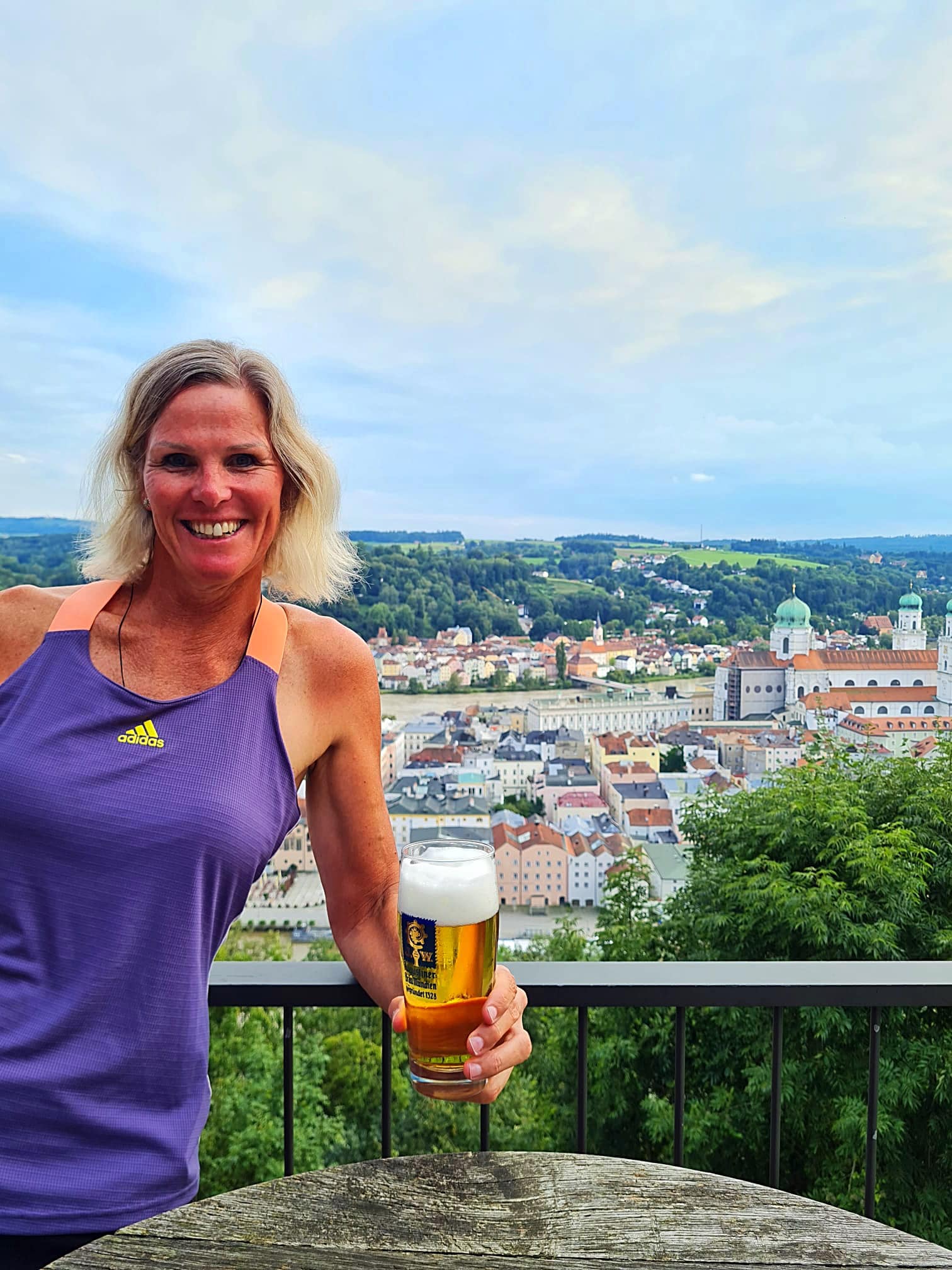
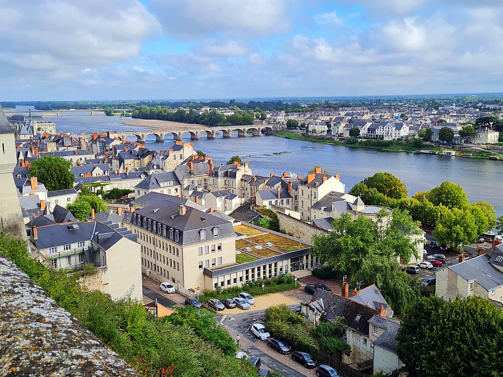
The Citadel of Besançon is a 17th-century fortress in Franche-Comté, France. It is one of the finest masterpieces of military architecture designed by Sébastien Le Prestre de Vauban. The Citadel occupies 11 hectares (27 acres) on Mount Saint-Etienne, one of the seven hills that protect Besançon, the capital of Franche-Comté. Mount Saint-Etienne occupies the neck of an oxbow formed by the river Doubs, giving the site a strategic importance that Julius Caesar recognised as early as 58 BC. The Citadel overlooks the old quarter of the city, which is located within the oxbow, and has views of the city and its surroundings.

On 7 July 2008, UNESCO listed the Citadel, together with nearby Fort Griffon, as a World Heritage Site for its testimony to Vauban’s work and its influence in the design of military fortifications and strategy from the 17th through 20th centuries.

Sébastien Le Prestre de Vauban, Seigneur de Vauban, later Marquis de Vauban (baptised 15 May 1633 – 30 March 1707), commonly referred to as Vauban, was a French military engineer and Marshal of France who worked under Louis XIV. He is generally considered the greatest engineer of his time, and one of the most important in European military history.

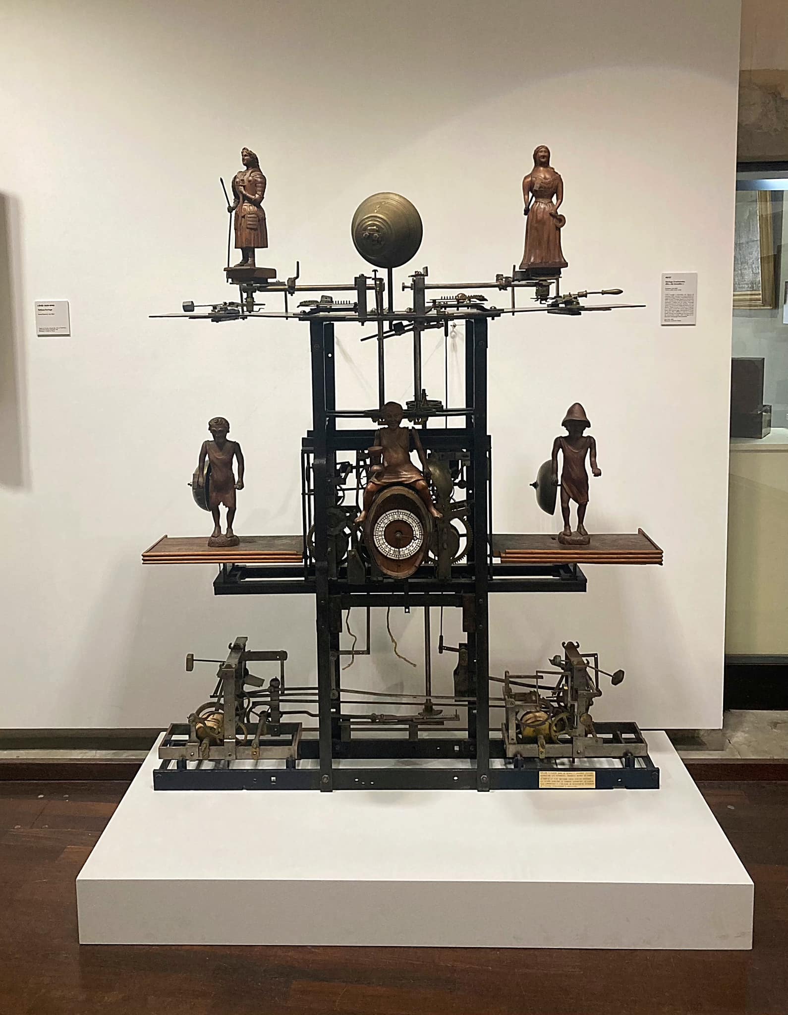
We came back down to the city for some lunch and a wander around before visiting the Musée du Temps (Museum of Time).

Measuring the passing of time involves identifying the rhythms and regularities in natural phenomena. Following the apparent movement of the heavenly bodies, of the sun, as well as the moon and stars, people marked out time on the basis of astronomy. The sundial divides up the days, the calendar fixes the rhythm of the years.

Time can we watched and can also be made. The birth of clockmaking from the Middle Ages led to the appearance of time created by man; mechanical time. “The sun lies, the clock tells the truth” became the watchmakers motto.

In the 1970’s, the arrival of quartz and outsourcing to Asia triggered a collapse of a large part of the regional industry, which is however still present in Besancon.

We climbed up to the palace tower to see the Foucault pendulum. It is 13 metres high and reproduces the experiment carried out by Leon Foucault at the Pantheon in Paris in 1851 to make the Earth’s rotation visible.

A little wander back through the streets before coming home to help prepare a delicious home cooked meal in the backyard.

Day 18 – Besancon to Montbeliard – 100km

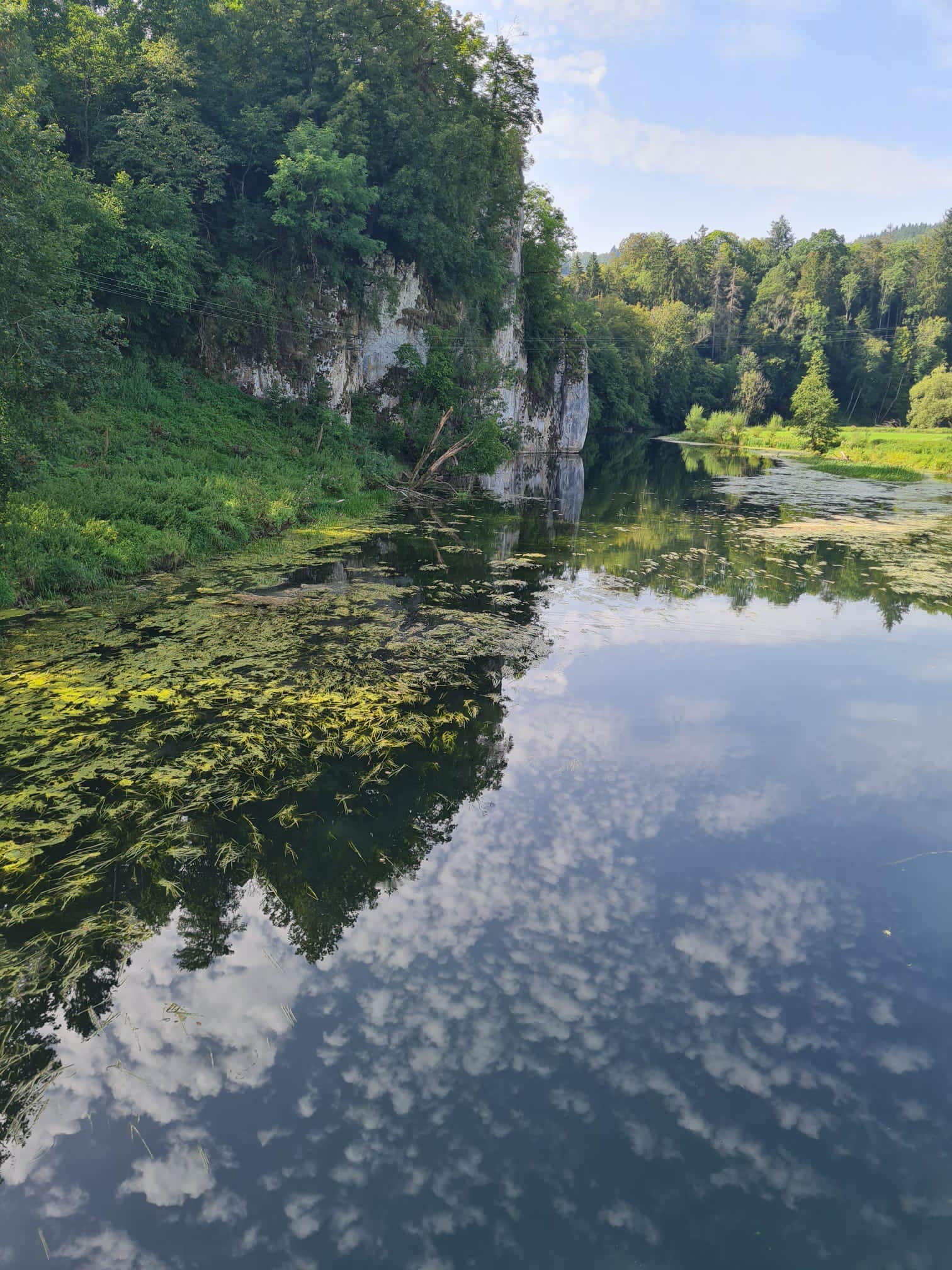
We had a big day ahead so we left Besancon at 8am – clear blue skies. We cycled past the citadel and up the valley. We started off along the Doubs with cliffs and bush on both sides – it actually reminded us of home – a little bit like the Wanganui River.

Again the trails were fantastic. We met a lady and a couple pushing their religious wares just before Baumé-les-Dames who pointed us in the direction of coffee and treats which happened to be in the Super U supermarket. The lady told me I was only the second person from NZ she had met. The coffee was on point – finally.

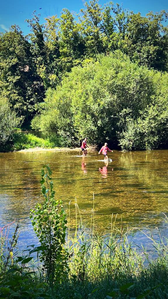
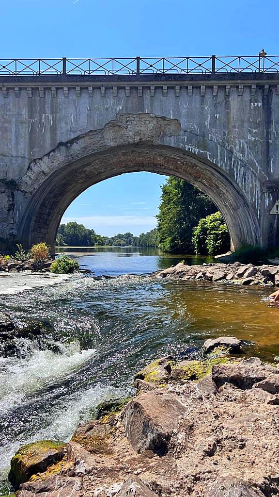
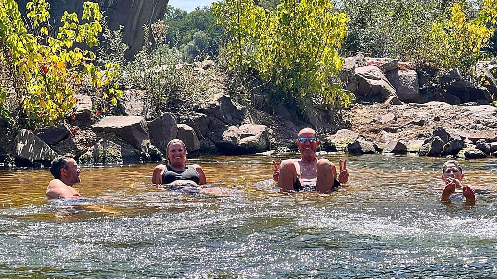
Our lunch stop today was in L’isle-sur-le-Doubs where we had a picnic by the river – my raisin baguette, goats cheese and honey was heavenly 😋. We saw a family swimming in the river and we wanted a part of the action – it was pretty hot. It was so refreshing.

We cycled back through town after lunch and the temperature on the pharmacy sign said 40 degrees but we think it was only about 33 degrees – still very hot.

We were back along the Canal du Rhône au Rhin heading for Montbeliard. My Swiss friend, Karin, met us about 20km from Montbeliard. She had driven, biked, trained and biked again from her home near Lucerne.

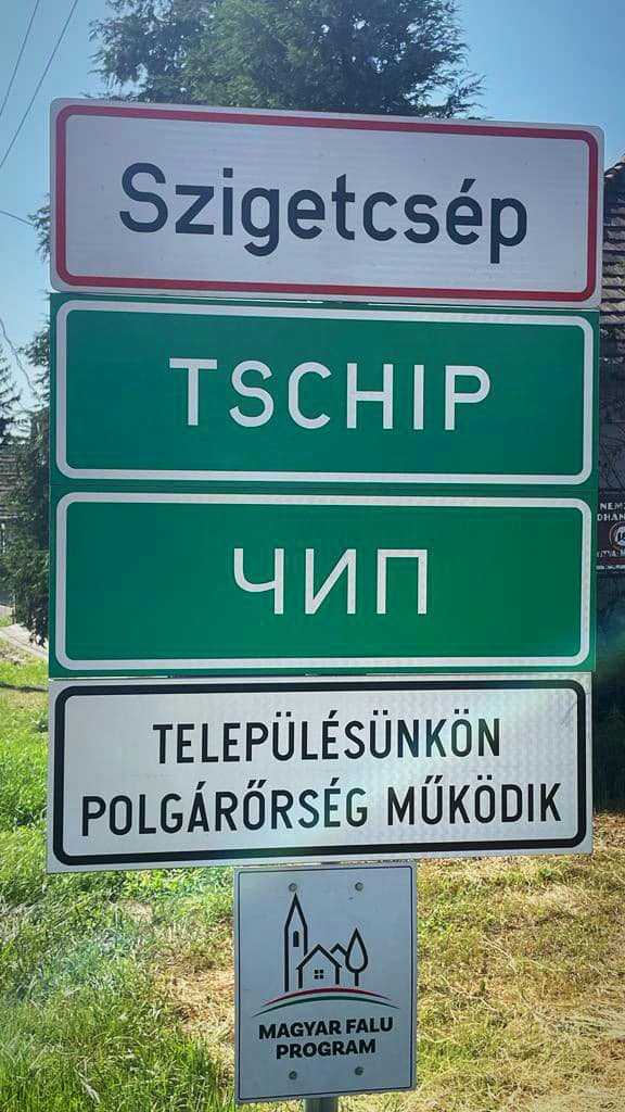
We are staying in the centre of Montbeliard which is a very pretty city. It has a population of 26,000 and is only 13km from the Swiss border.

We got cleaned up and had a walk around. JP, Karin and I walked to the park which has gardens, sculptures and a maze.

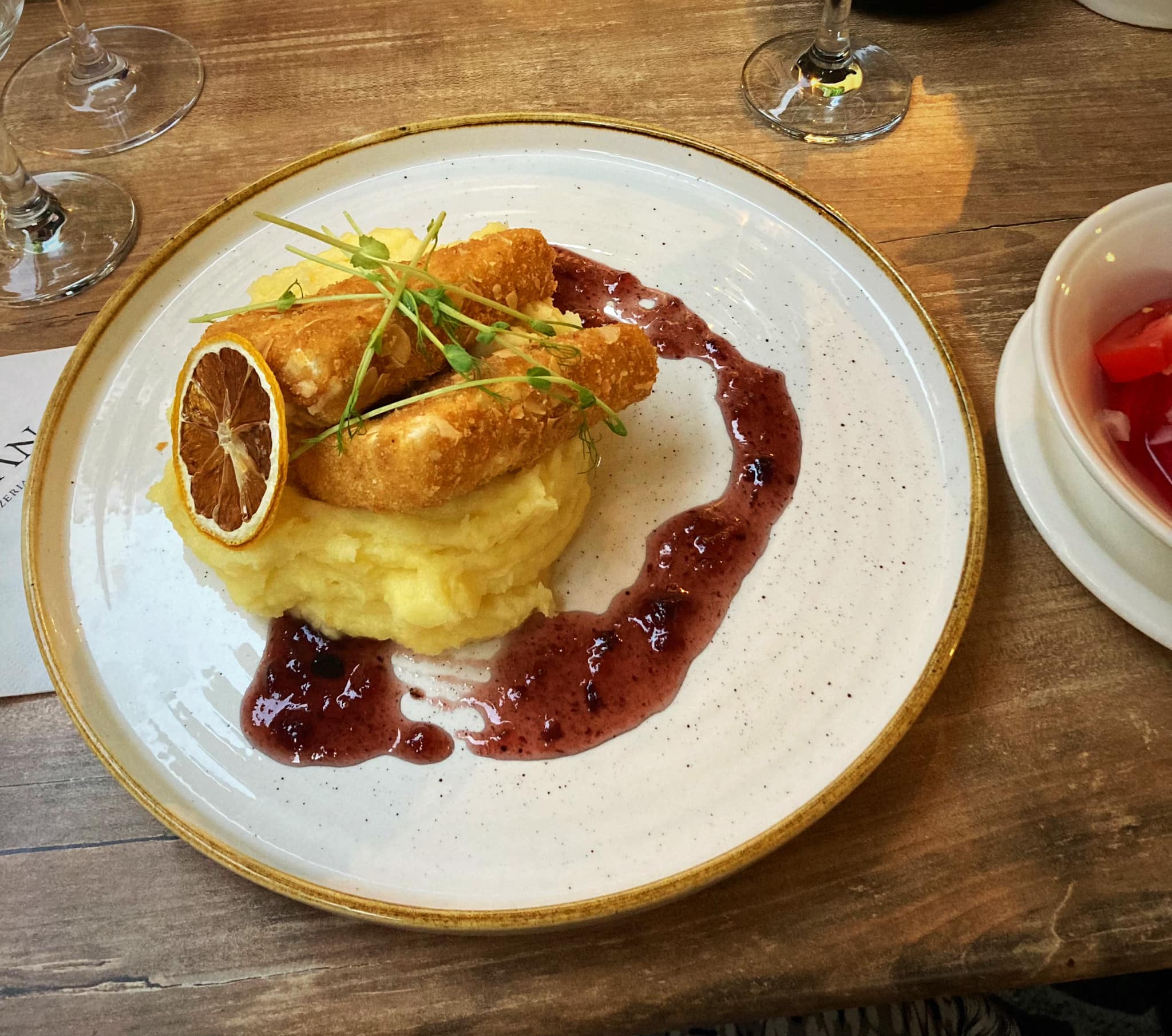
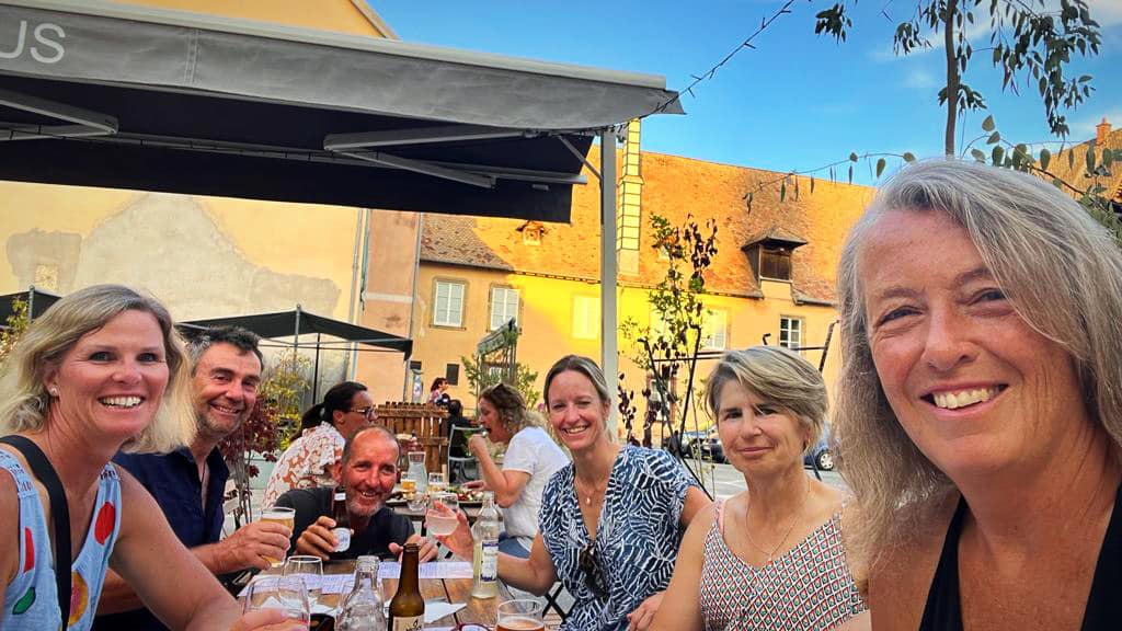
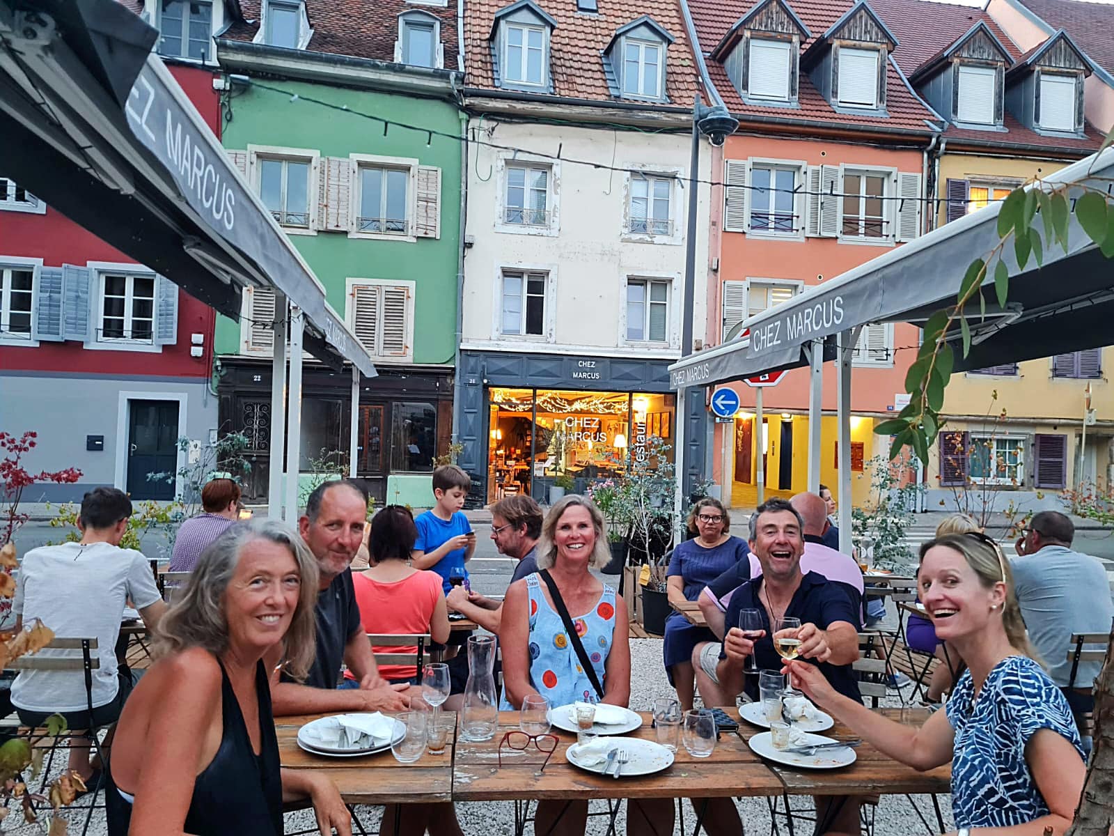
We then met the others for dinner at Chez Marcus. Marcus, the owner appeared to be a one man band, taking orders, preparing drinks, cooking the food. He was hilarious and told us he spoke all sorts of languages – it just depended on what he was drinking at the time 😂. When Hilary had gone to book us a table she used her best French – when she had finished, Marcus said ‘for a moment then I thought you were trying to speak French’ 😂

Another delicious dinner and lovely to have Karin as part of the crew for the next two days.

PS according to Hilary we only did 99.6km but all good accountants round up 😜

Day 19 – Mountbeliard to Mulhouse – 59km

An easier day today. We enjoyed a nice breakfast at the hotel before visiting the Decathalon store for more supplies.

Another beautiful hot day mostly spent alongside the Canal du Rhône au Rhin. We came across the Staircase locks of Valdieu-Lutran. This is a succession of locks on the canal, in which at least one door is used for both upstream and down stream locks. There were about 12 of them and I think it would take all day to make your way up or down.

We had a lovely coffee stop in Dannemarie alongside the canal. There was a sign showing we had another 1,570km to Budapest 😱. There was an interesting sign in the toilets at the cafe too – especially the last illustration 🤔

We came across the College Episcopal of Zillisheim. It hosted the first pupils on the 26th of October 1869. As an academic and Catholic institution it hosts boys and girls from the last year of primary school to the French baccalaureate. For 150 years it has been a real breeding-ground for the diocese: it has trained several generations of pupils including more than 1000 priests and bishops.

As we stopped to take a photo, a father and son were walking along. They stopped to chat and it turned out that the father had been the chef at the school for 19 years – cooking three meals a day for 700 students!

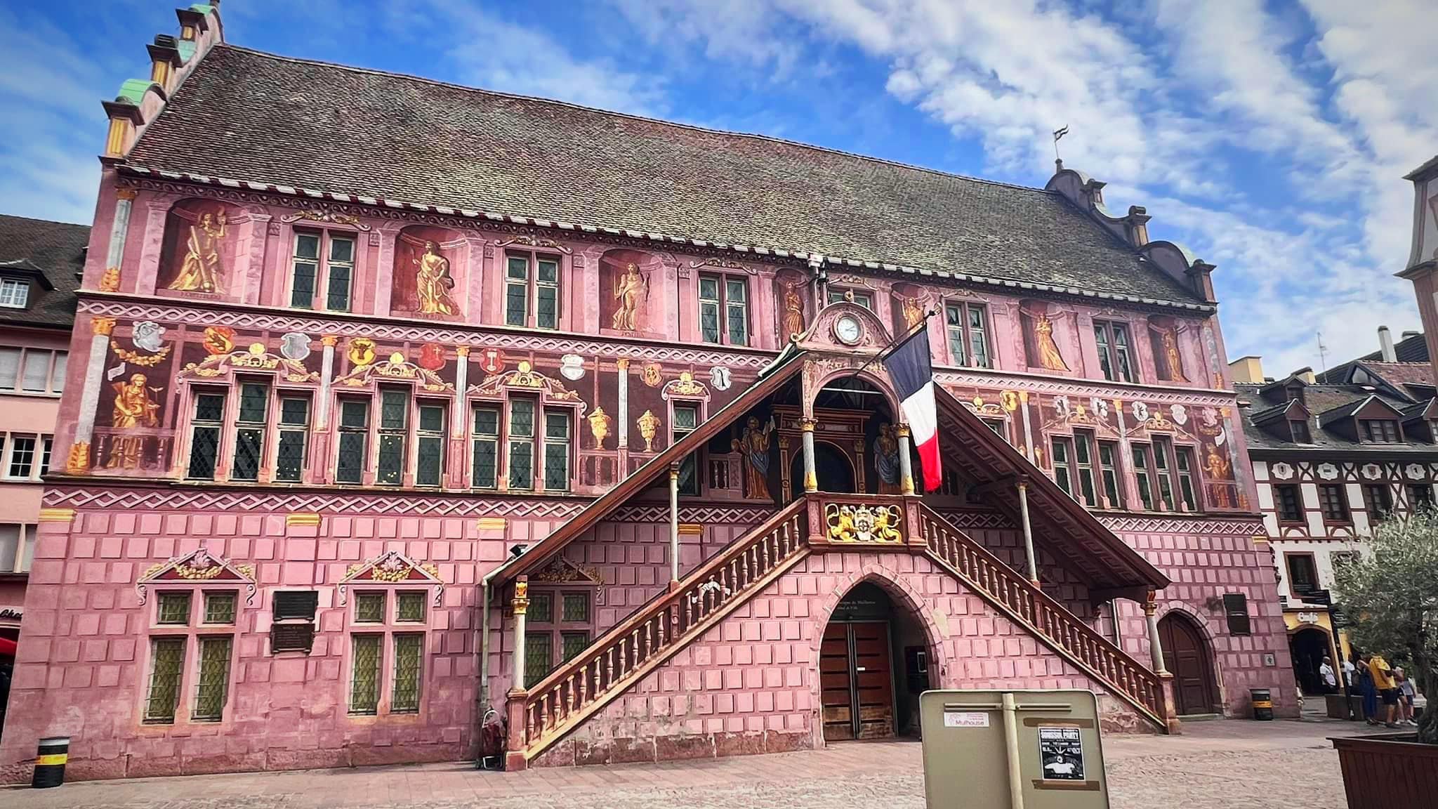
We arrived into Mulhouse at 2.30pm so parked up the bikes and went exploring.

Mulhouse has a population of about 110,000 and is famous for its many museums. The town’s development was stimulated first by the expansion of the textile industry and tanning, and subsequently by chemical and Engineering industries from the mid 18th century. Mulhouse was for a long time called the French Manchester. Consequently, the town has enduring links with Louisiana, from which it imported cotton, and also with the Levant.

In 1515 Mulhouse joined the Swiss Confederation, in 1798 it was under French rule, after the Franco Prussian war in 1870 – 1871 it became part of the German empire. After World War I ended in 1918, French troops entered Alsace, and Germany ceded the region to France under the Treaty of Versailles. After the Battle of France in 1940, it was occupied by German forces until its return to French control at the end of World War II in May 1945.

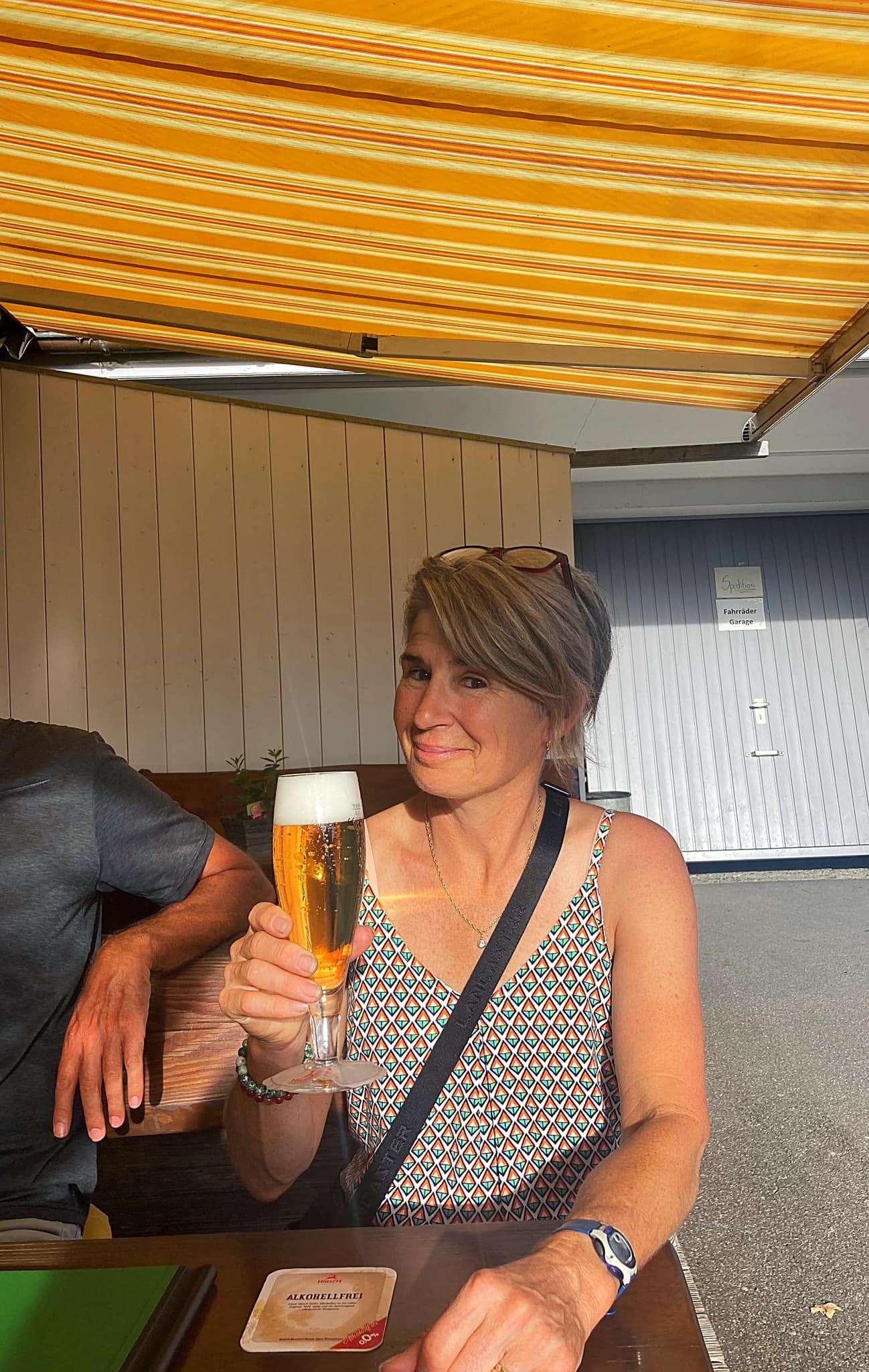
Tonight is our last night in France. This trip was dreamed up to celebrate my 50th birthday in July 2021 but had to be delayed. The team wanted to do a belated celebration and honoured my request for a picnic in the park with champagne. They even managed a little cake. Lovely to celebrate with a such a special group of friends 🥰 in what has become a very special place to me. France you have exceeded all my expectations.

Day 20 – Mulhouse to Basel – 44km

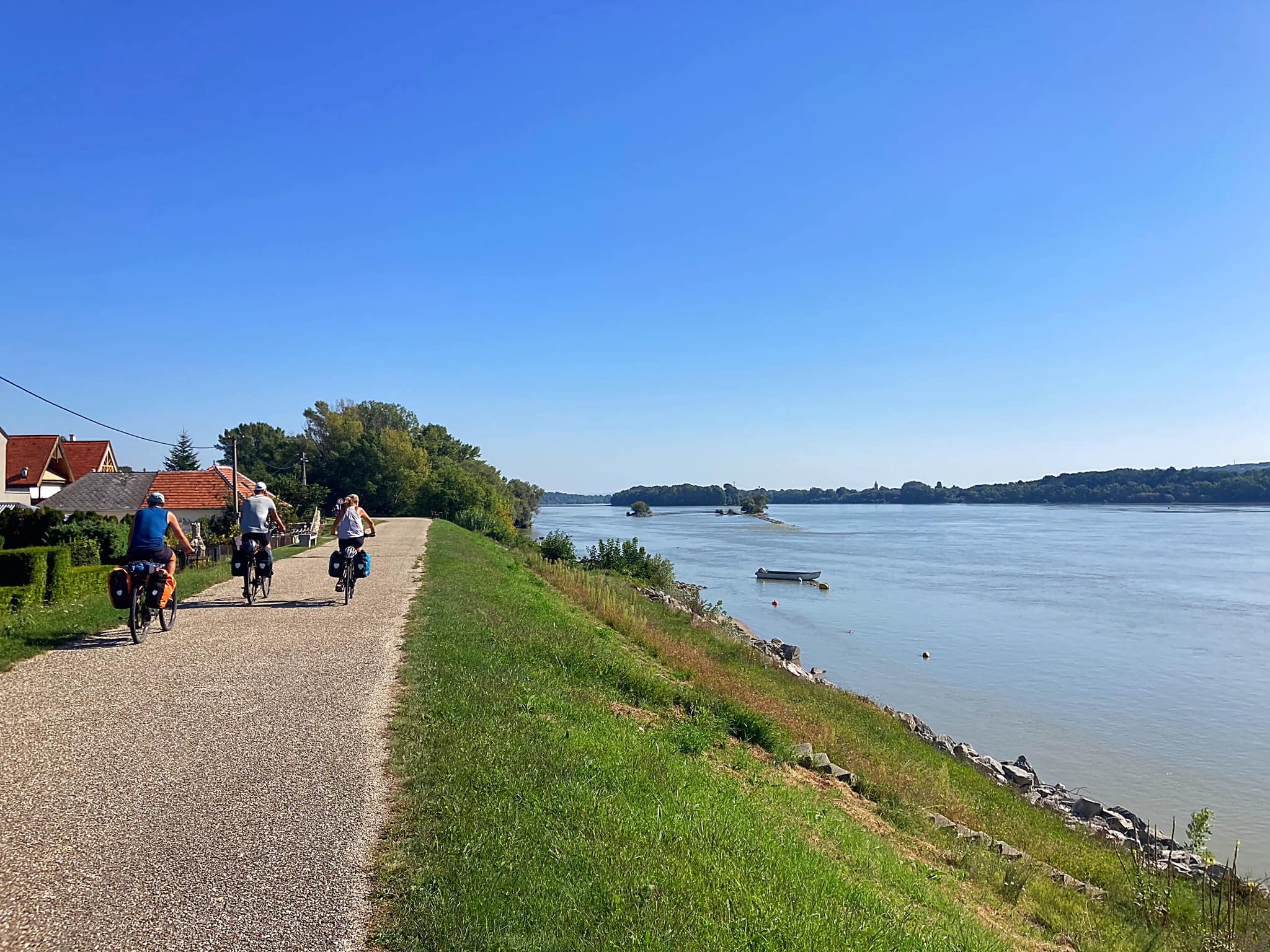
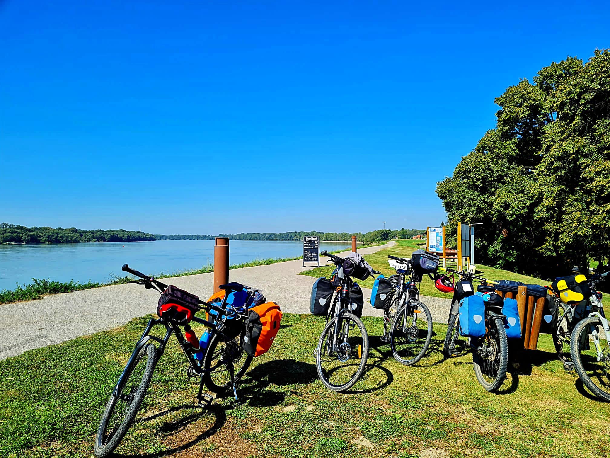
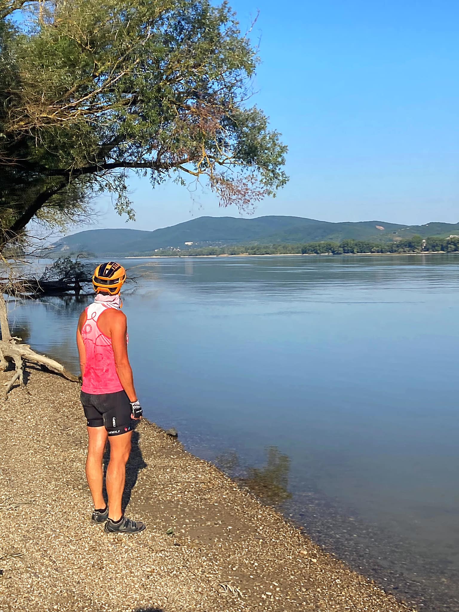
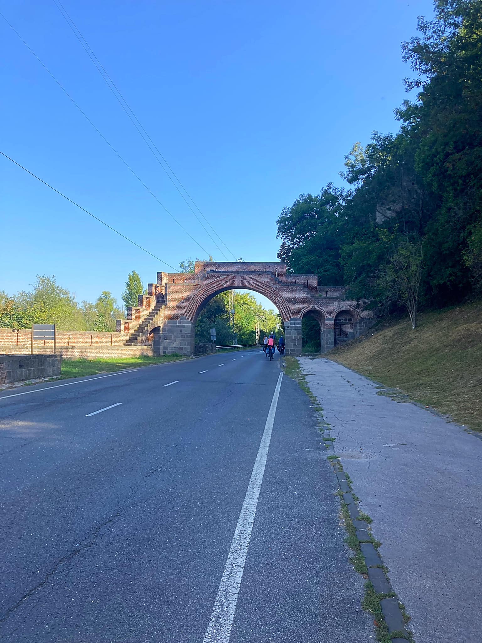
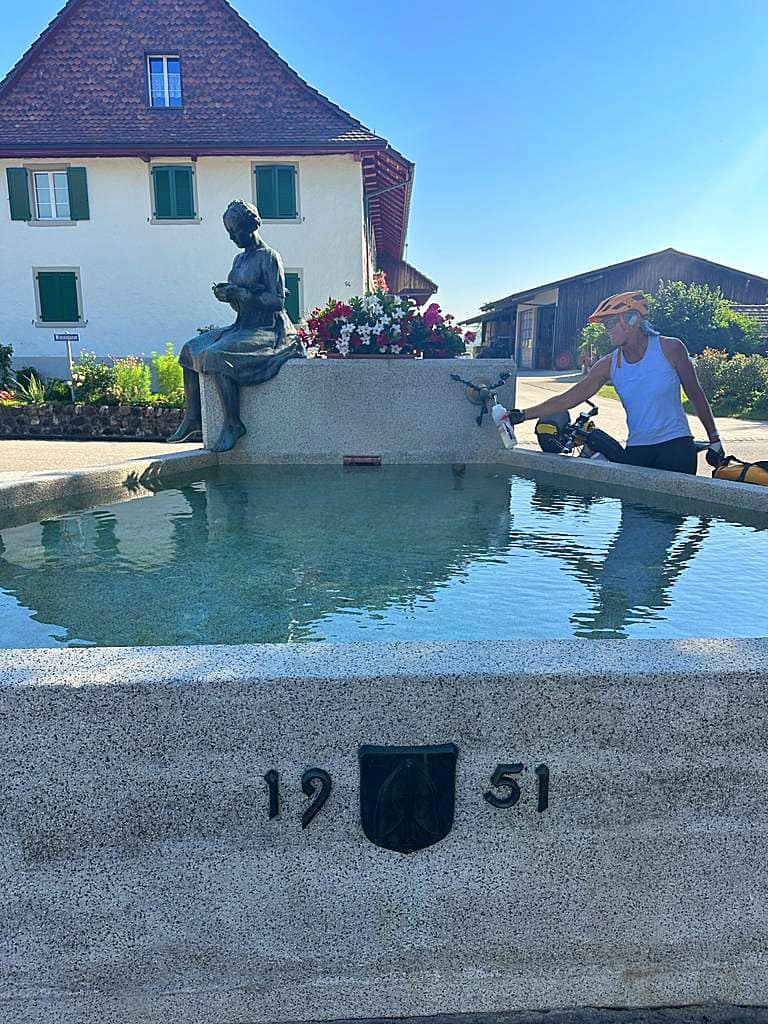
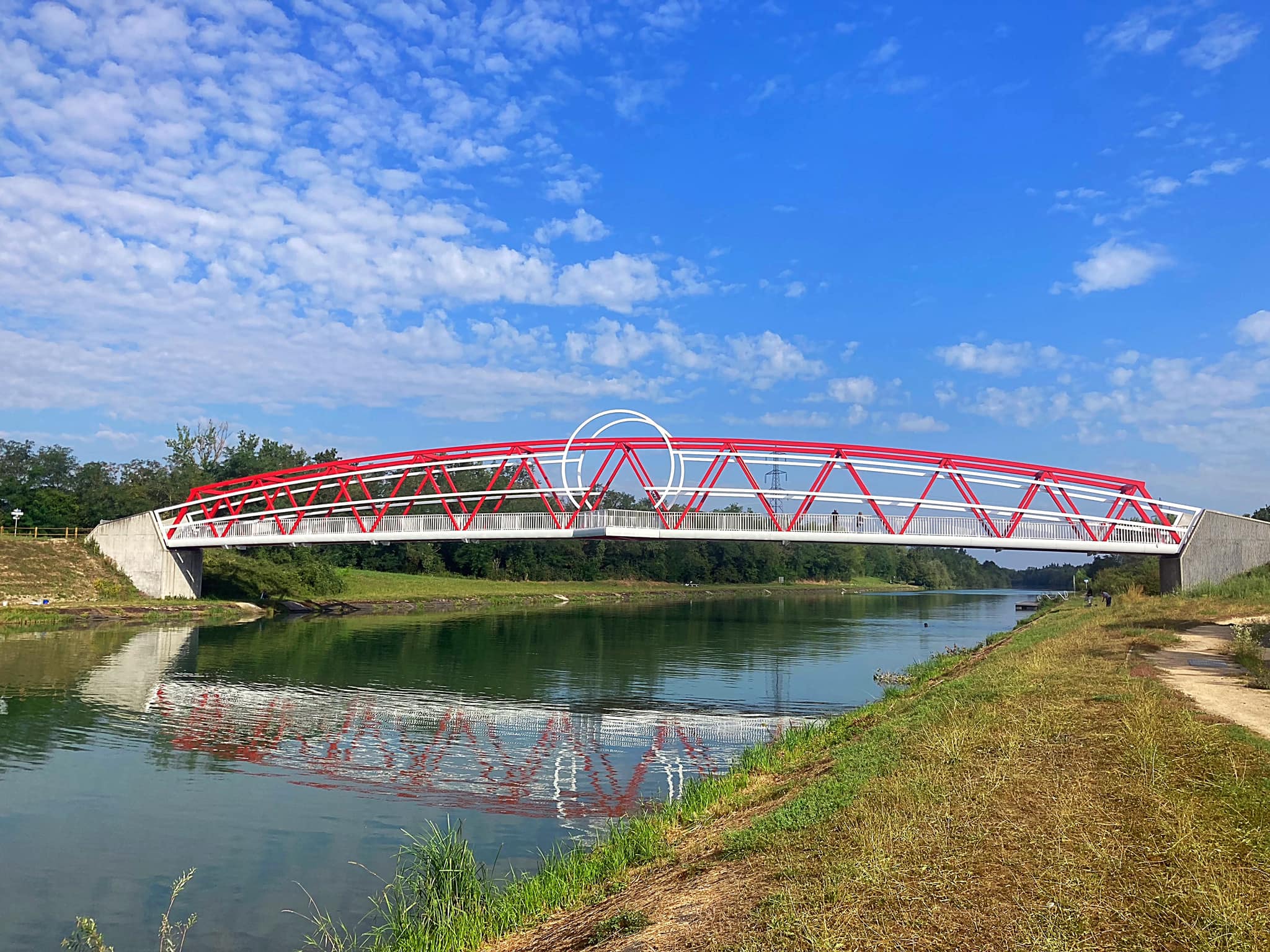
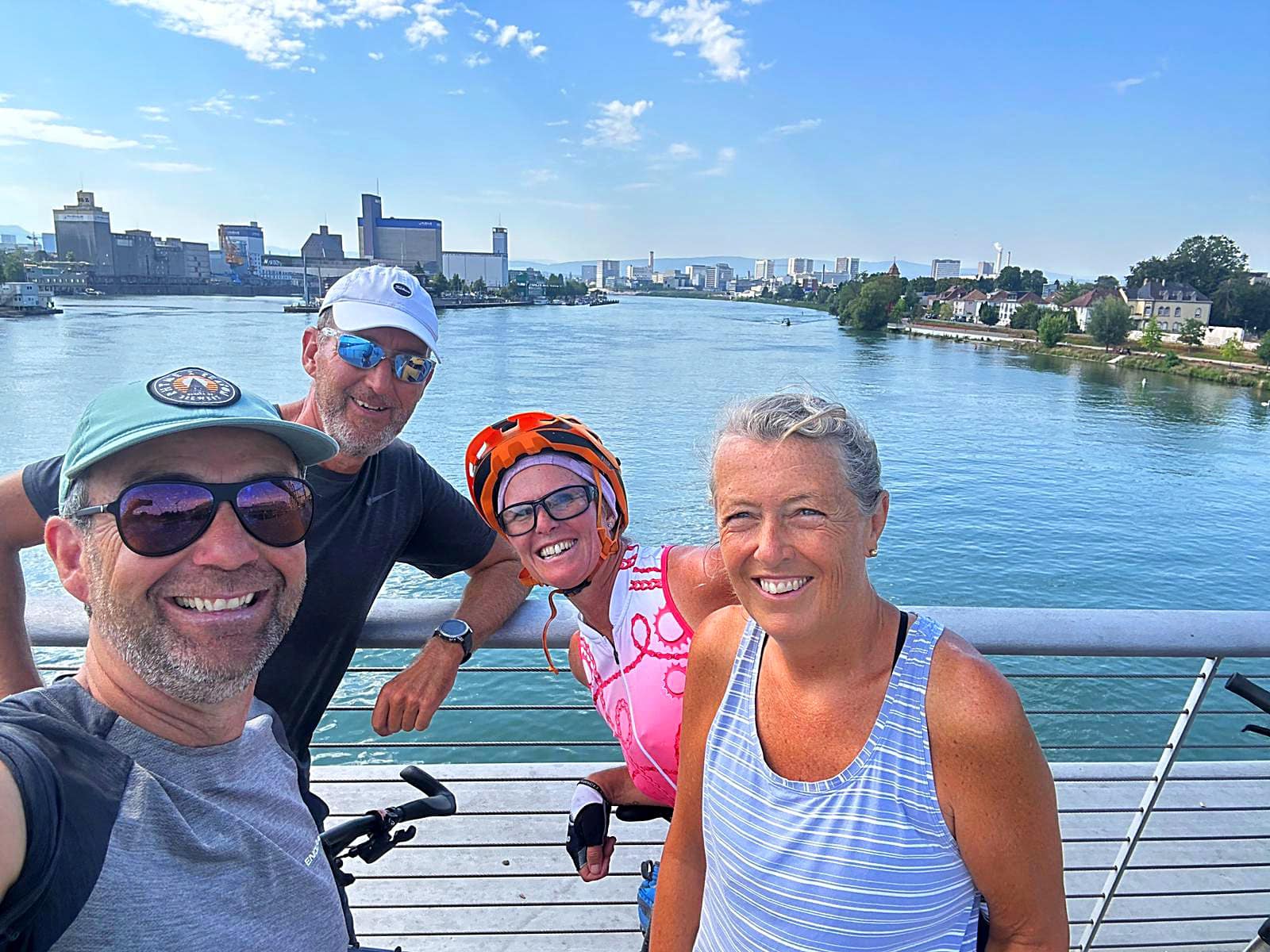
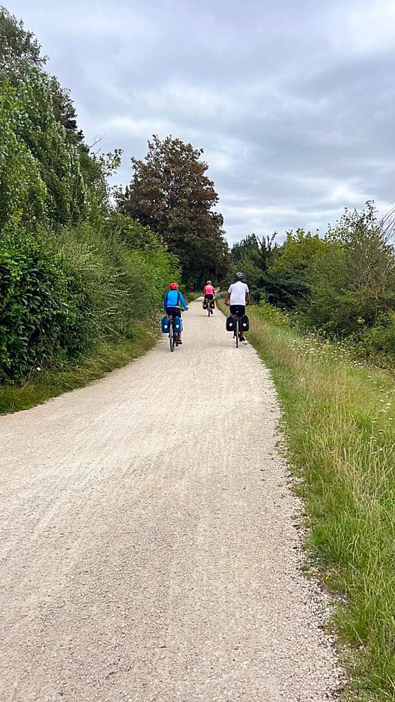
One of our best days on tour yet. A gentle 44km from France to Germany to Switzerland along the Canal du Rhône au Rhin and out onto the Rhine River.

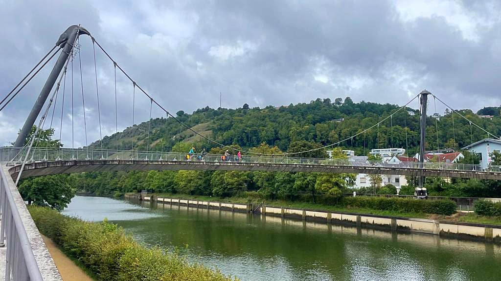
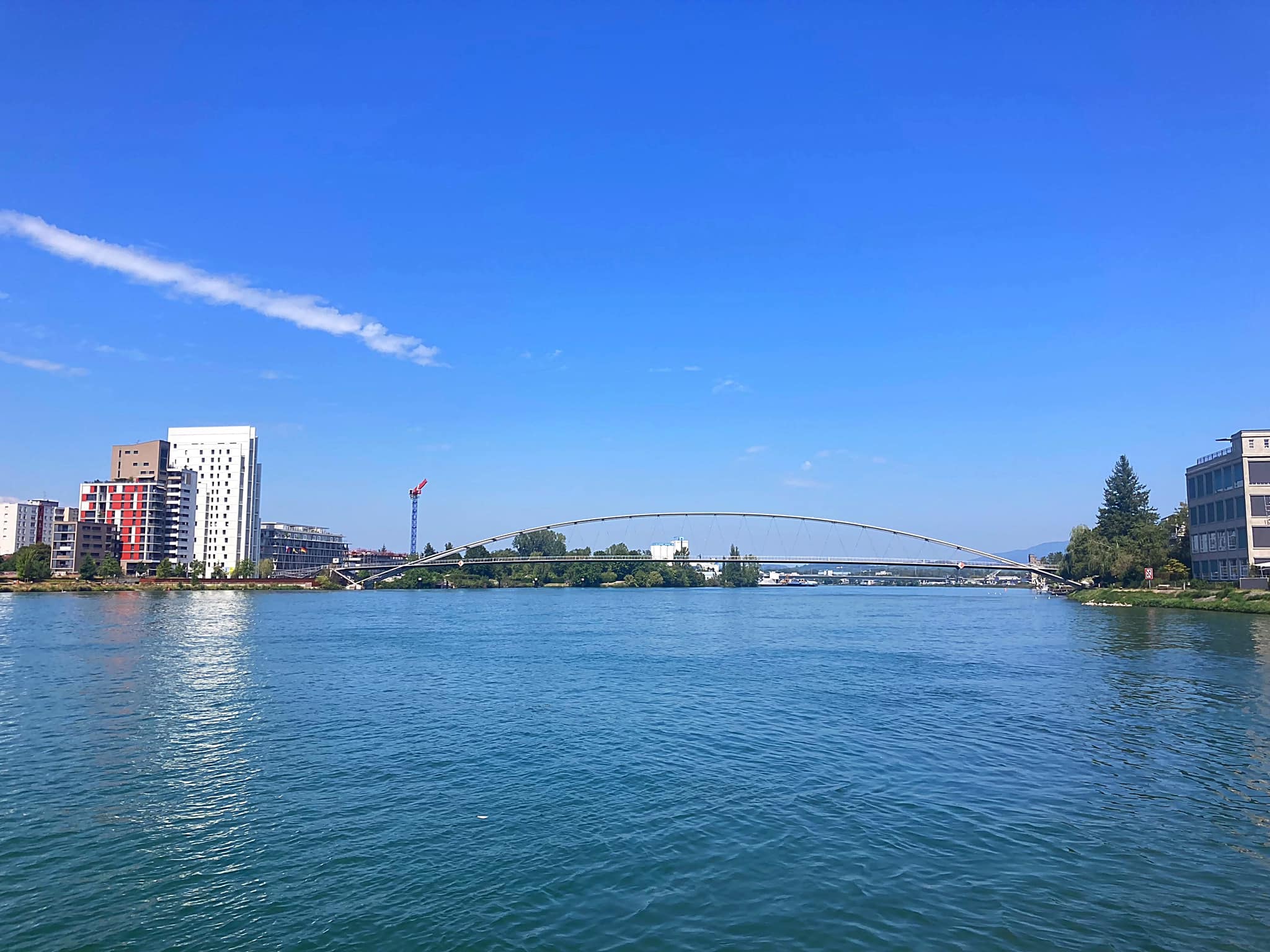
We said goodbye to France as we crossed the world’s longest pedestrian and cyclist suspension bridge that links Huningue in Alsace, France with the German town of Weil am Rhein in southern Baden. The Dreiländerbrücke (Three Countries Bridge) is 248 metres long.

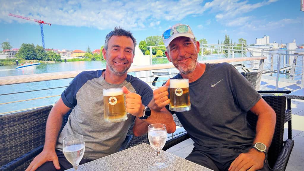
We had breakfast in France and lunched in Germany just under the bridge at an Italian restaurant. We were covering all bases today. After lunch we biked 5 or so minutes to enter Switzerland.

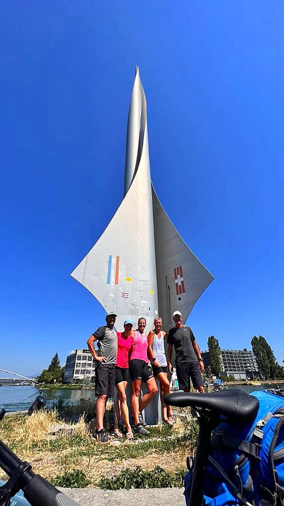
A certain point in the Rhine marks the point where the three countries meet. While it is hard to get there without a boat, there is a landmark you can visit by bike.

The tri-border point, or Dreiländereck as it is called in German, marks the point where Germany, France, and Switzerland intersect. The marker itself is built to resemble a futuristic rocket, with one of the three country flags on each of the wings. It is located on a piece of Swiss land approximately 150 meters (495 feet) southeast of the actual point where the three borders intersect.

What makes this tri-border point rare compared to most is that there are no passports or visas needed to cross it, or any other border in that location, given that all three countries have a free travel agreement.

We took a number of photos here and made some videos of us riding around three countries in three seconds – if only.

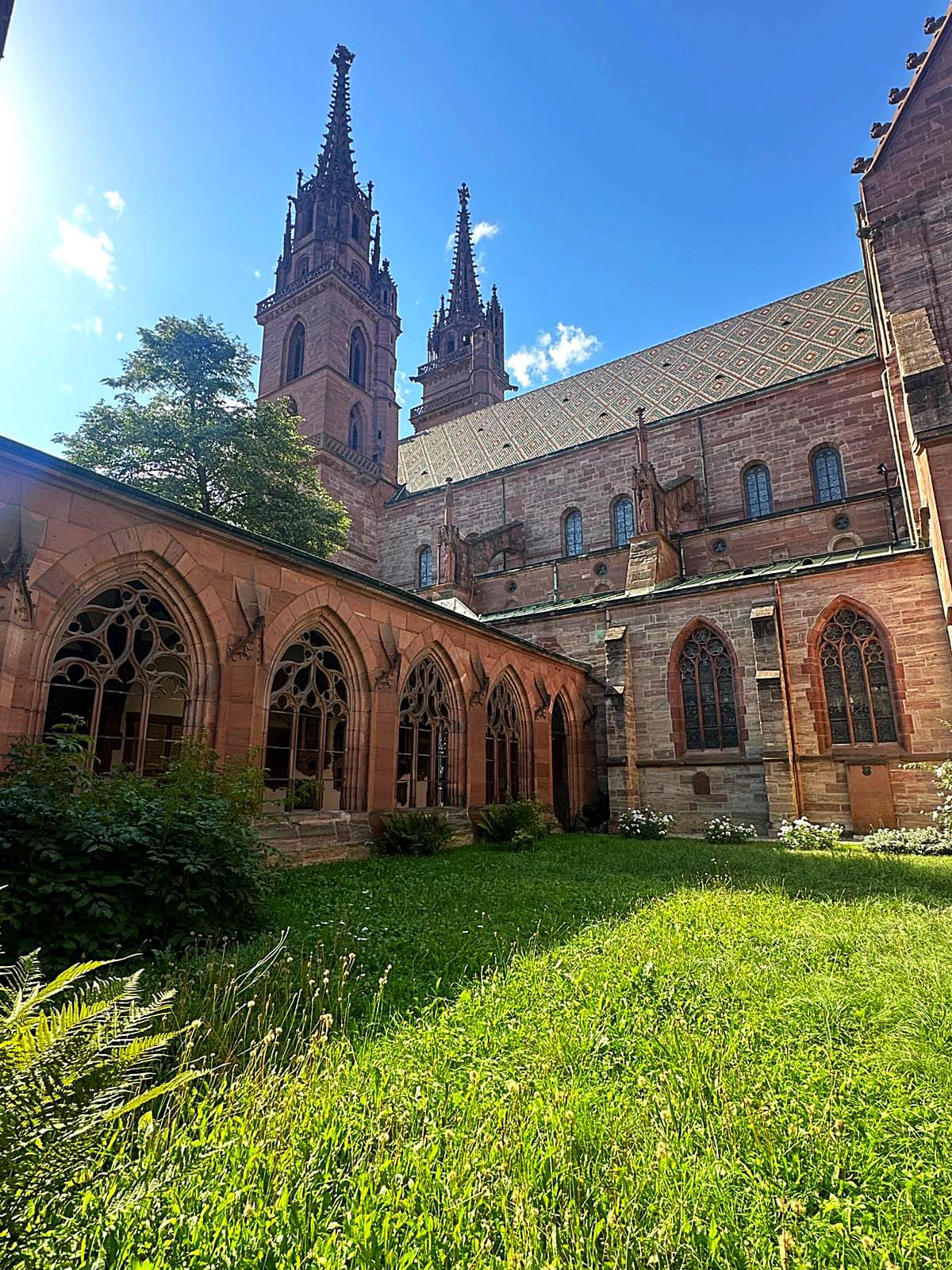
We then headed into Basel. Basel is Switzerland’s third-most-populous city (after Zürich and Geneva), with 165,000 inhabitants within the city municipality limits. Basel is commonly considered to be the cultural capital of Switzerland and the city is famous for its many museums. The University of Basel, Switzerland’s oldest university (founded in 1460), and the city’s centuries-long commitment to humanism, have made Basel a safe haven at times of political unrest in other parts of Europe.

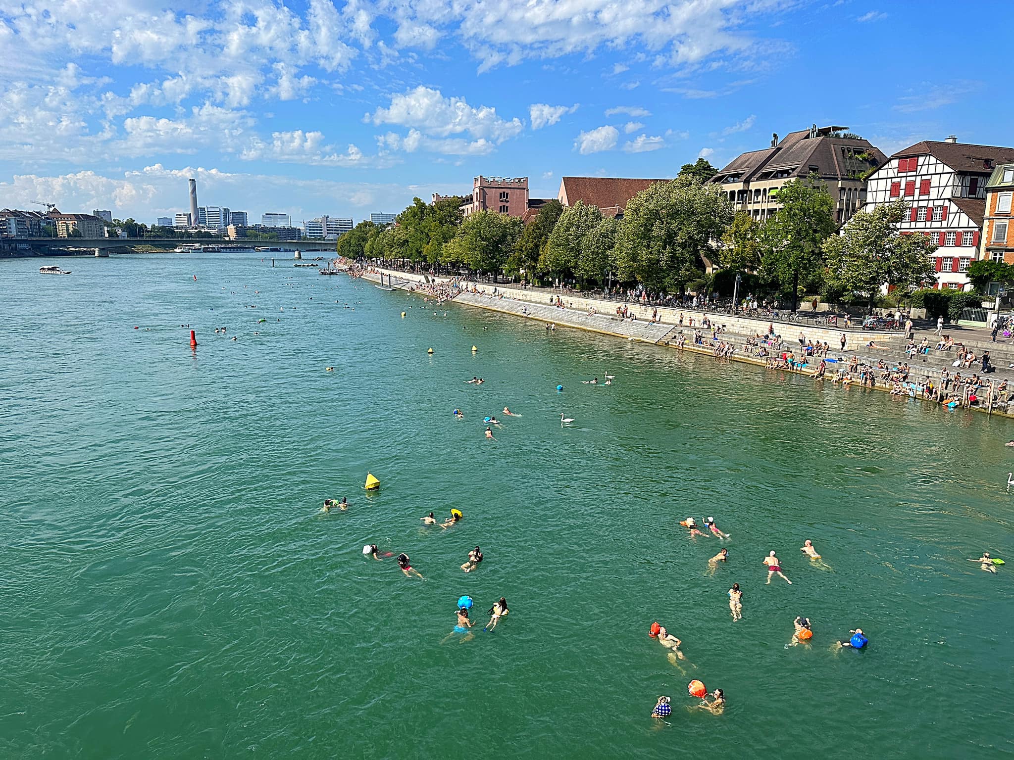
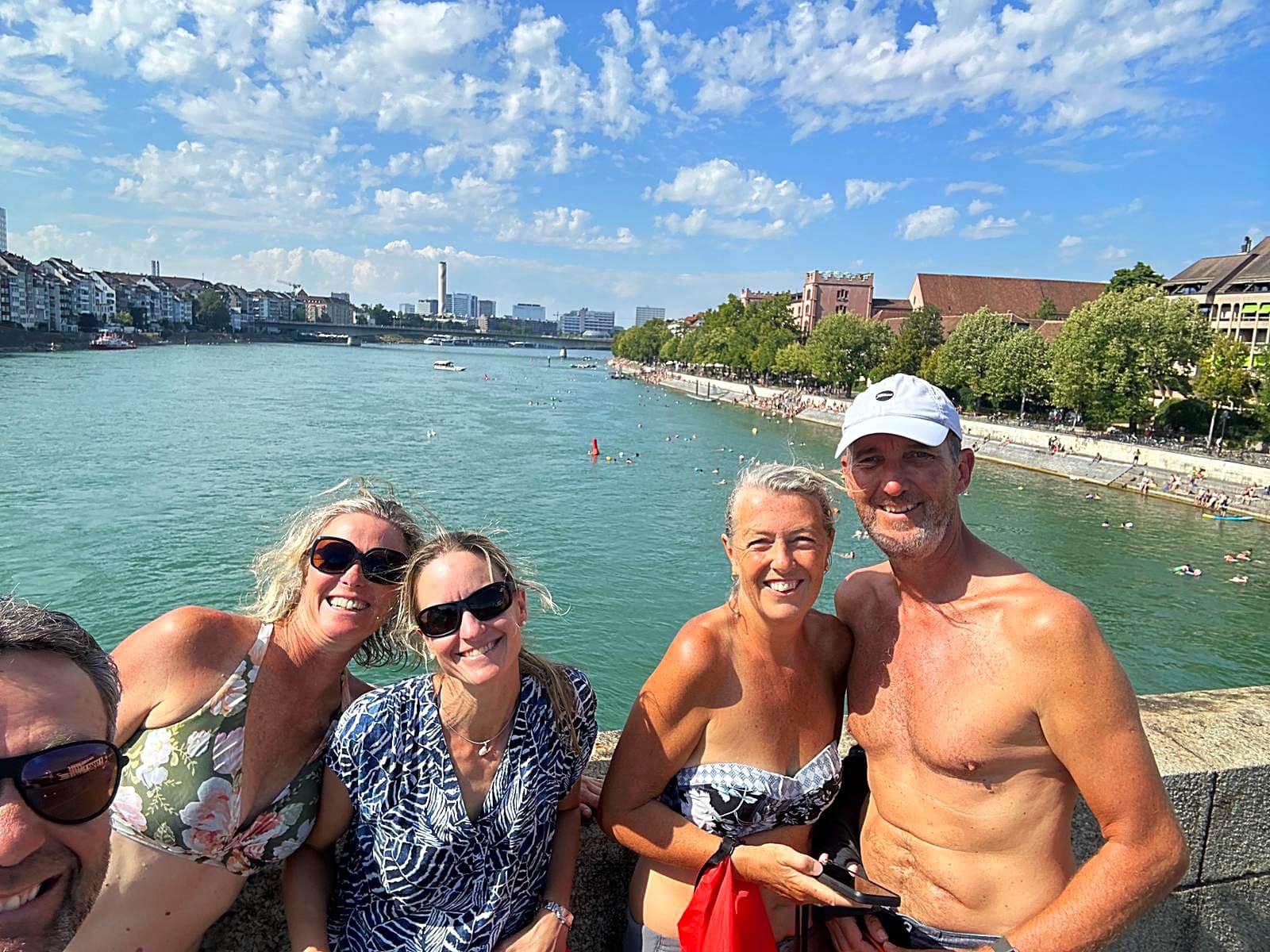
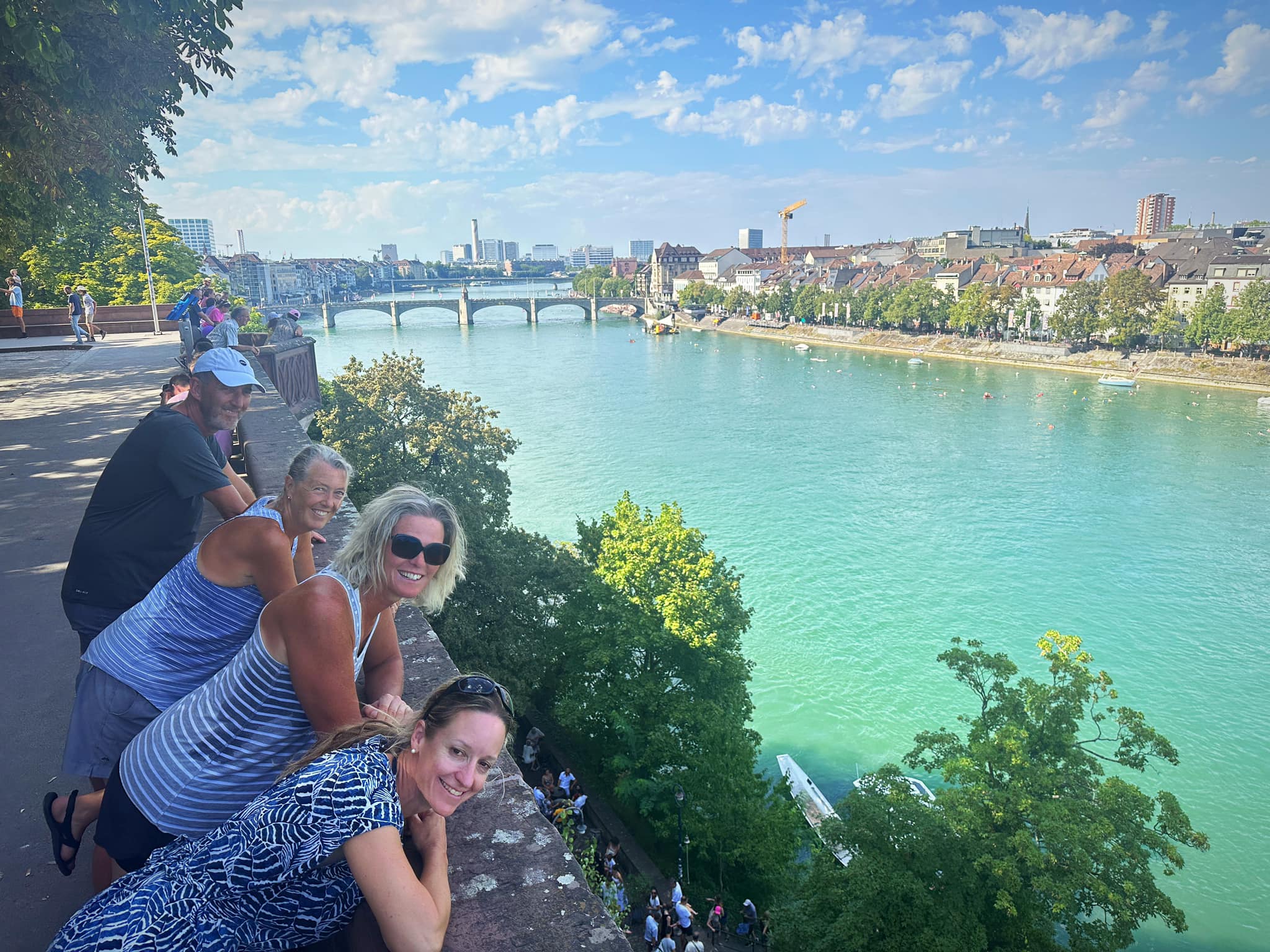
It was 32 degrees and as we biked to our hotel we saw hundreds of people floating down the Rhine and that’s exactly where we wanted to be. After securing our bikes at the hotel we walked up river for 1.2km, jumped in and then floated down river. OMG it was so good and so much fun.

Karin then took us on a walking tour around Basel which is a beautiful and vibrant place. We got some refreshments at the supermarket and came back to the hotel for a picnic dinner in the garden.

It was then back to the Rhine for a sunset float back down the river. One of those special experiences hard to explain but captured in your mind and soul.

Unfortunately we said goodbye to Karin after our sunset float as she headed back home 😢. She was an excellent tour guide and linguist helping us with our French and German. JP also left us this morning on her own little adventure to visit some friends in Germany. She’ll be back with us tomorrow night for our first night in Germany.

Day 21 – Basel to Laufenburg – 52km

We had a lovely cool nights sleep at Hotel Rochat last night, followed by an expensive but very nice latte before going in search of a wicklefisch.

A wicklefisch is a dry bag you can put your belongings in to take with you as you float down the river. It all began in the late 1980s, when a serious chemical accident turned the Rhine in Basel into a sewer.

In subsequent years, much work was undertaken to make the water clean once again and provide a habitat for fish. Some fantastic projects were launched, including Wickelfisch creator, Tilo Ahmels’s, idea to equip Basel’s swimmers with a swimming bag designed for use in the Rhine.

Together with local energy operator IWB, the idea for the first Wickelfisch bags was thus developed. They were carefully crafted from fabric and needed to be light yet tear-resistant. A distinctive design with a sealing system that also needed to be secure and absolutely waterproof – and quick and easy to use.

And so the Wickelfisch was born! An original Basel invention, and a registered trademark since 2010.

I bought one I can colour in, which will make it a one of a kind.

Not long after leaving Basel, we crossed into Germany. All in all today I crossed the border 4 times. The border being the middle of the Rhine.

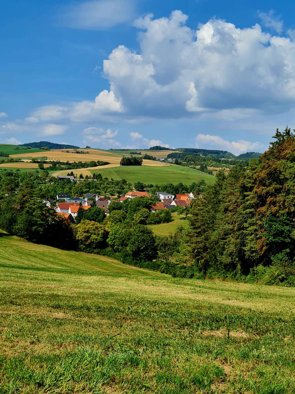
It was quite an industrial landscape after we left Basel before getting into rural Germany. We spent quite a bit of time along the Rhine. It was a super hot day – 31 degrees but feeling like 34 🥵

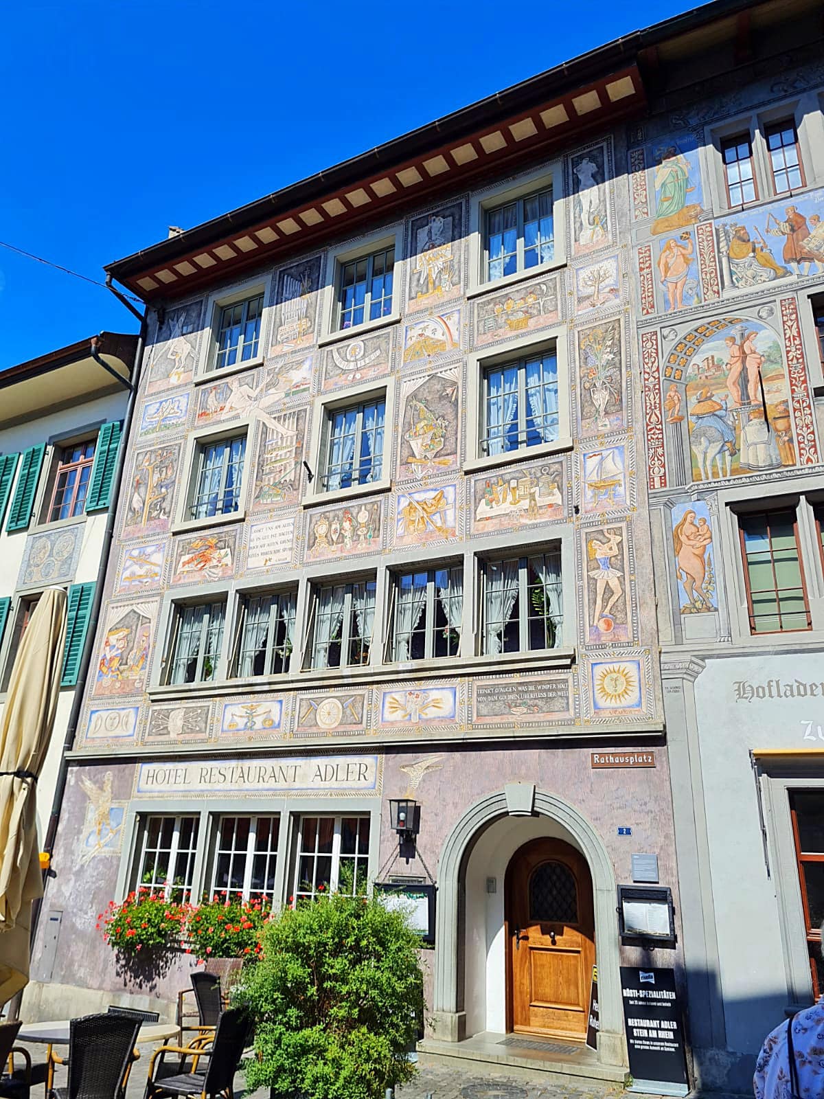
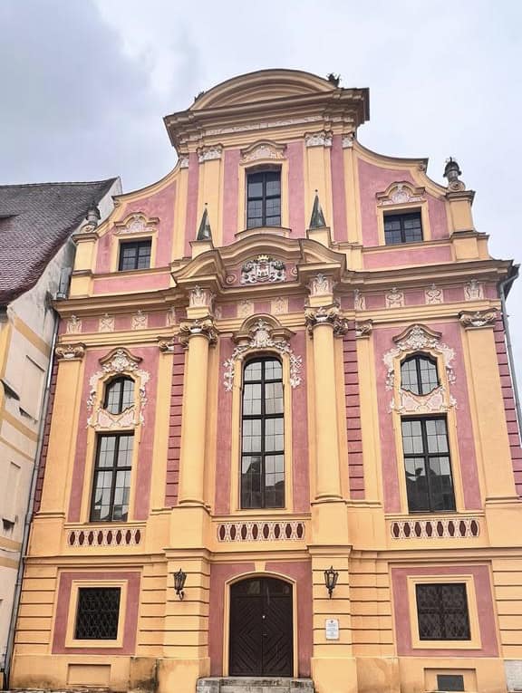
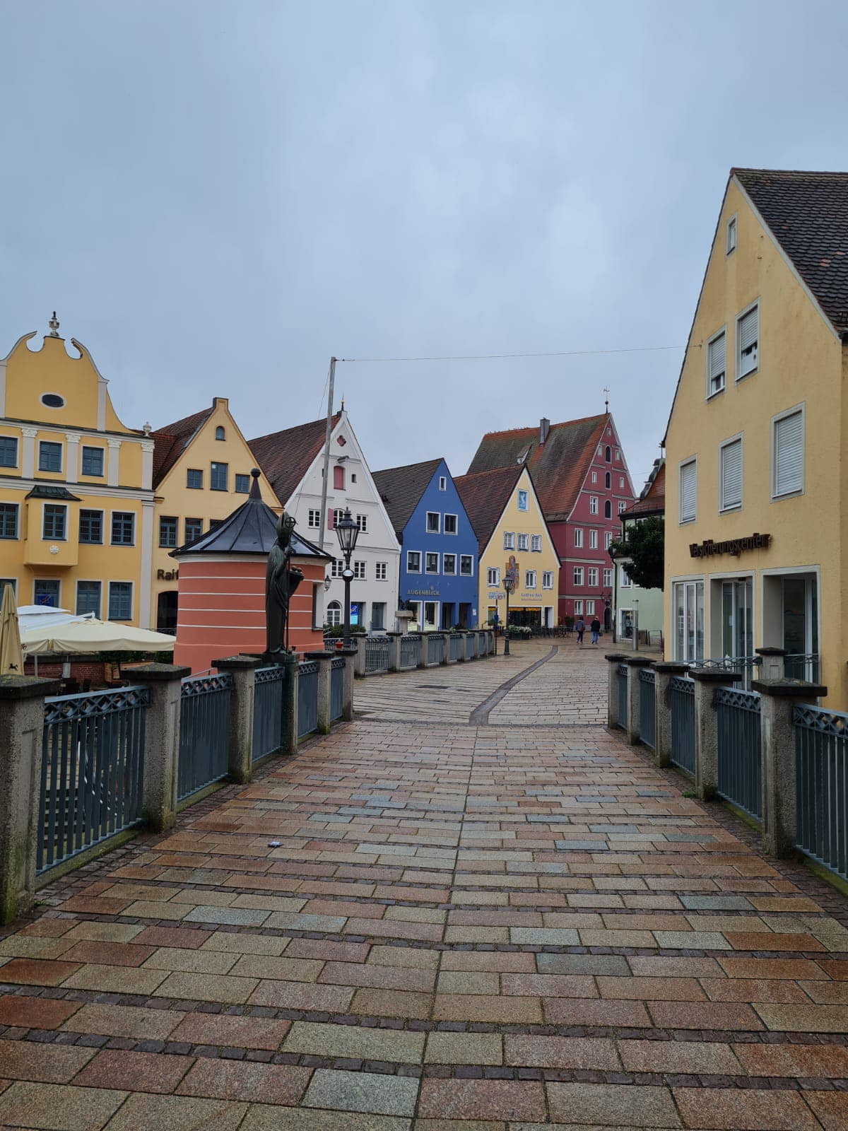
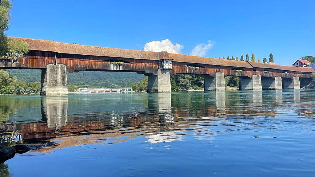
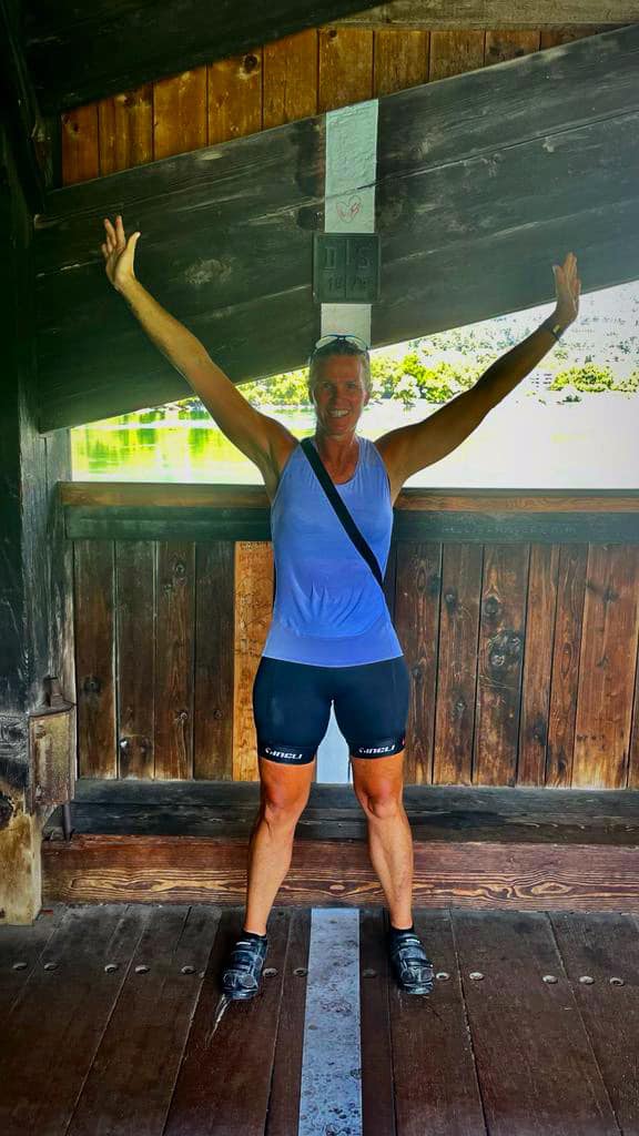
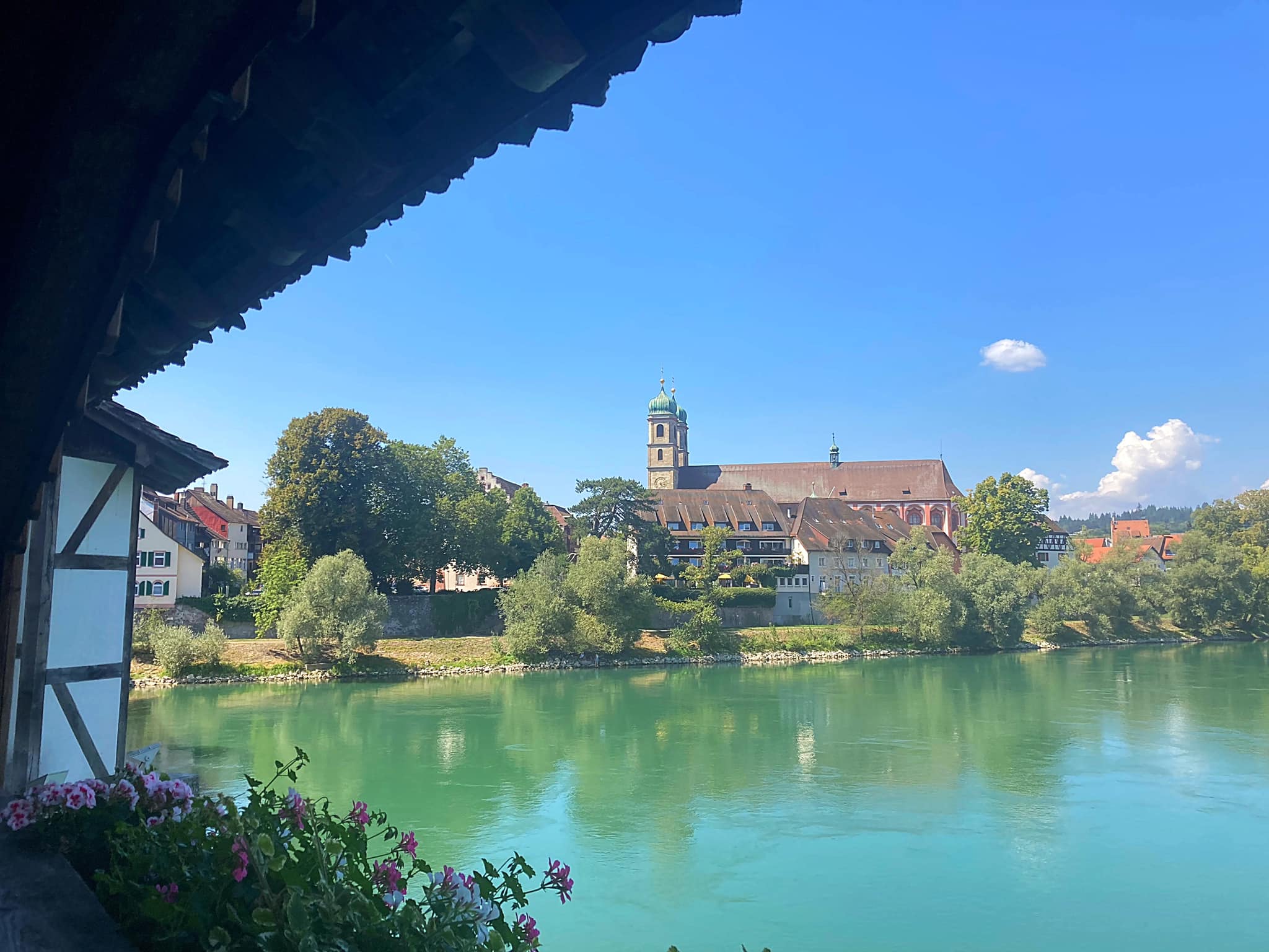
We had lunch in Bad Säckingen, had a dip in the Rhine to cool off and then walked over the Holzbrücke Bad Säckingen (German name) or Säckingerbrücke (Swiss name) which is a bridge over the Rhine. It connects the German city of Bad Säckingen with the village Stein in Switzerland. The covered bridge spans 203.7 metres (668 ft) over the Hochrhein and is the longest roofed wooden bridge in Europe. The bridge is listed as a national registered monument in Switzerland.

The bridge was built in 1272 and was destroyed several times (1570, 1633, 1678). The current bridge was completed in 1700. Originally a road bridge, the bridge is now only open for pedestrians.

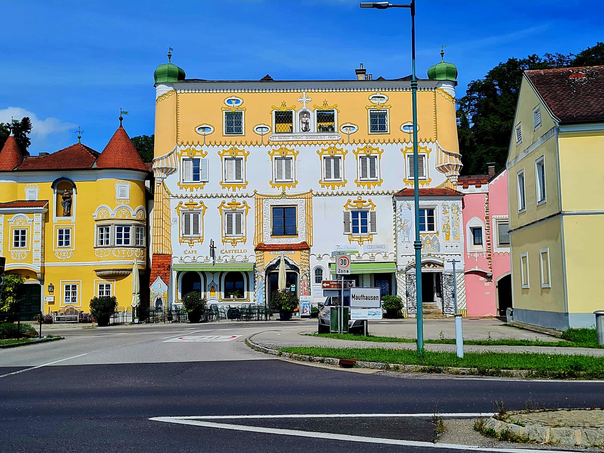
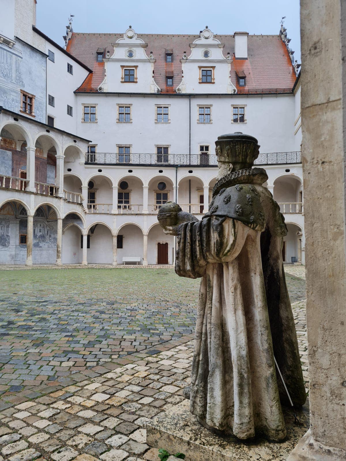
Ten kilometres on we reached Laufenburg, our home for the night. Laufenburg is a town in Baden-Württemberg, Germany, part of the Waldshut district. It has approximately 4300 inhabitants. Laufenburg is separated from a Swiss city with the same name by the river Rhine.

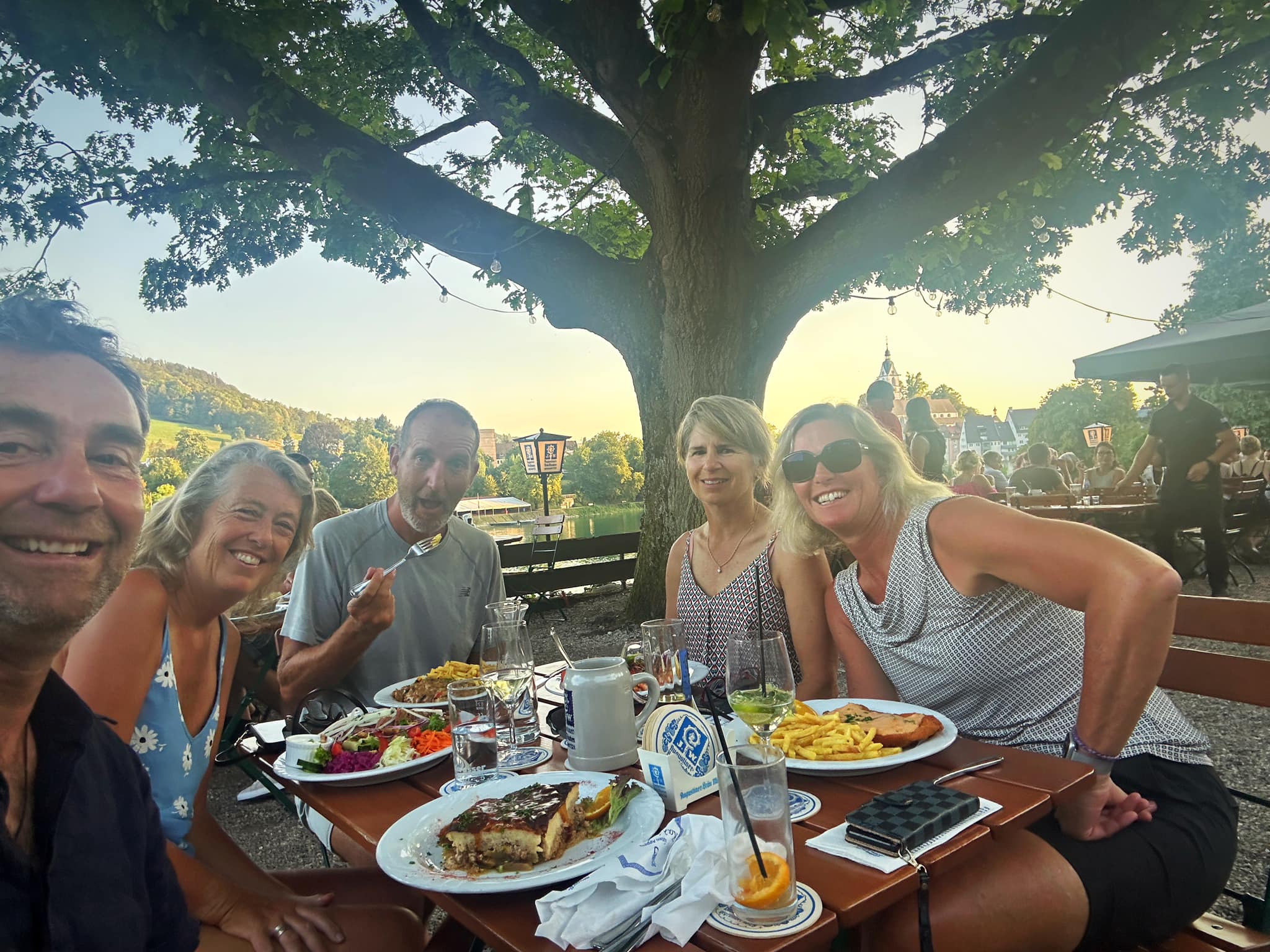
Graham and I went for another swim in the river before dinner. It is still very hot and these temperatures are set to stick around until early next week 🥵.

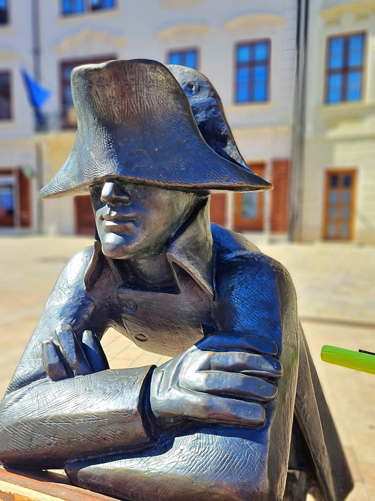
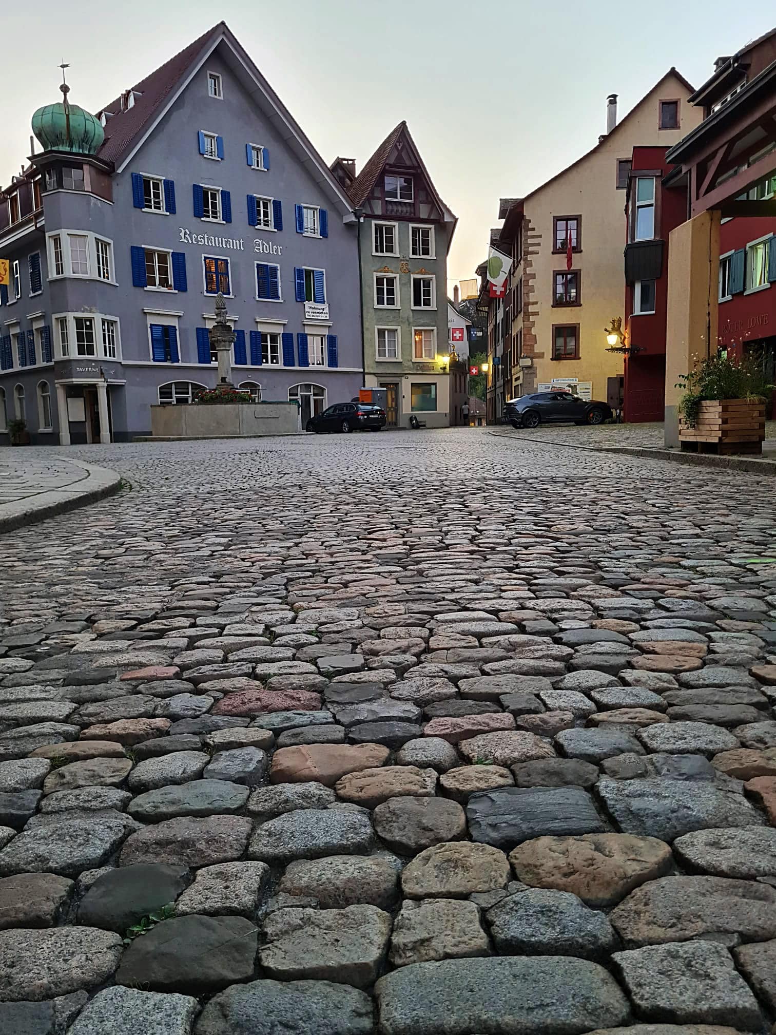
After dinner, JP and I walked across the bridge to Laufenburg in Switzerland. The two sister towns that form Laufenburg are quite exceptional. Napoleon split the town in two over 200 years ago, but joint cross-border festivals are still an essential part of life in Laufenburg.

Posted in Euro Velo 6, France - EV6 | Tagged | 1 Comment

Euro Velo 6 – Week 2 – Blois to Charlon-sur-Saone – 541km – cumulative 936.8km

Day 8 – Blois to Orleans – 80km

Another day of beautiful trails and the hottest day we’ve had so far at about 26 degrees. Definitely getting some great tan lines 🤦‍♀️

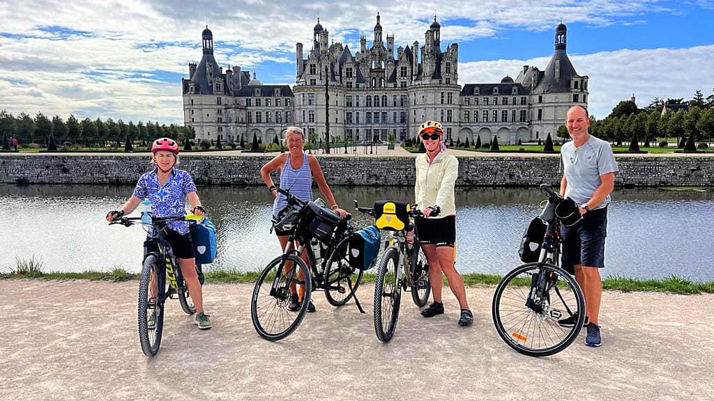
First stop was the largest chateau on the Loire – Château de Chambord. The Chateau took 28 years to build (1519 to 1547) and was originally constructed as a hunting lodge for the King of France, Francis I. It has a very distinctive French Renaissance architecture, which blends traditional French medieval forms with classical Renaissance structures.

We were nearing the 50km mark and we hadn’t seen a boulangerie so hunger and pain au chocolat withdrawal symptoms were kicking in. What we are learning is that the early bird catches the worm with the pain au chocolat so today was a fail. Never fear 😧 we did find some equally delicious treats to satisfy ourselves – this is the land of treats after all.

We had an after lunch coffee stop in Beaugency. When we told the waitress that we only wanted coffee and wouldn’t be eating she frowned then looked around the number of empty tables and then said ‘OK, yes this is possible’. We’re still getting our heads around acceptable French food and drink etiquette.

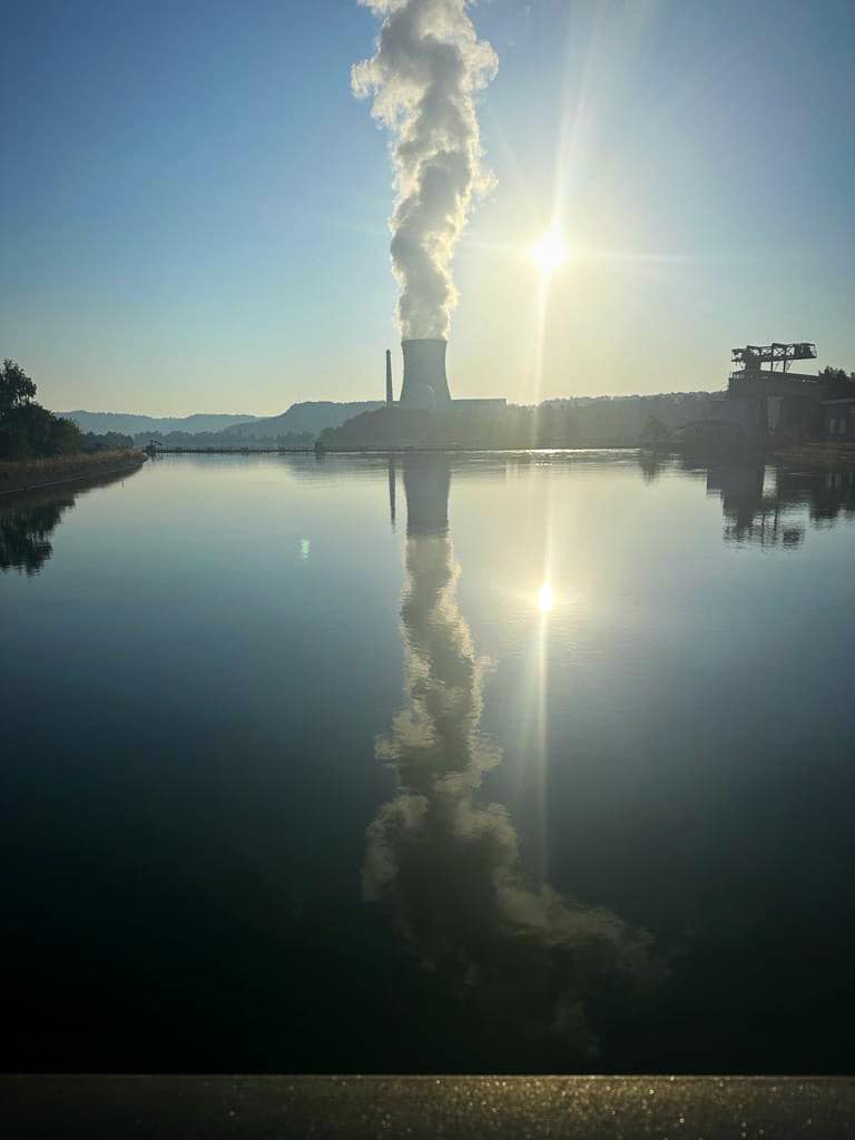
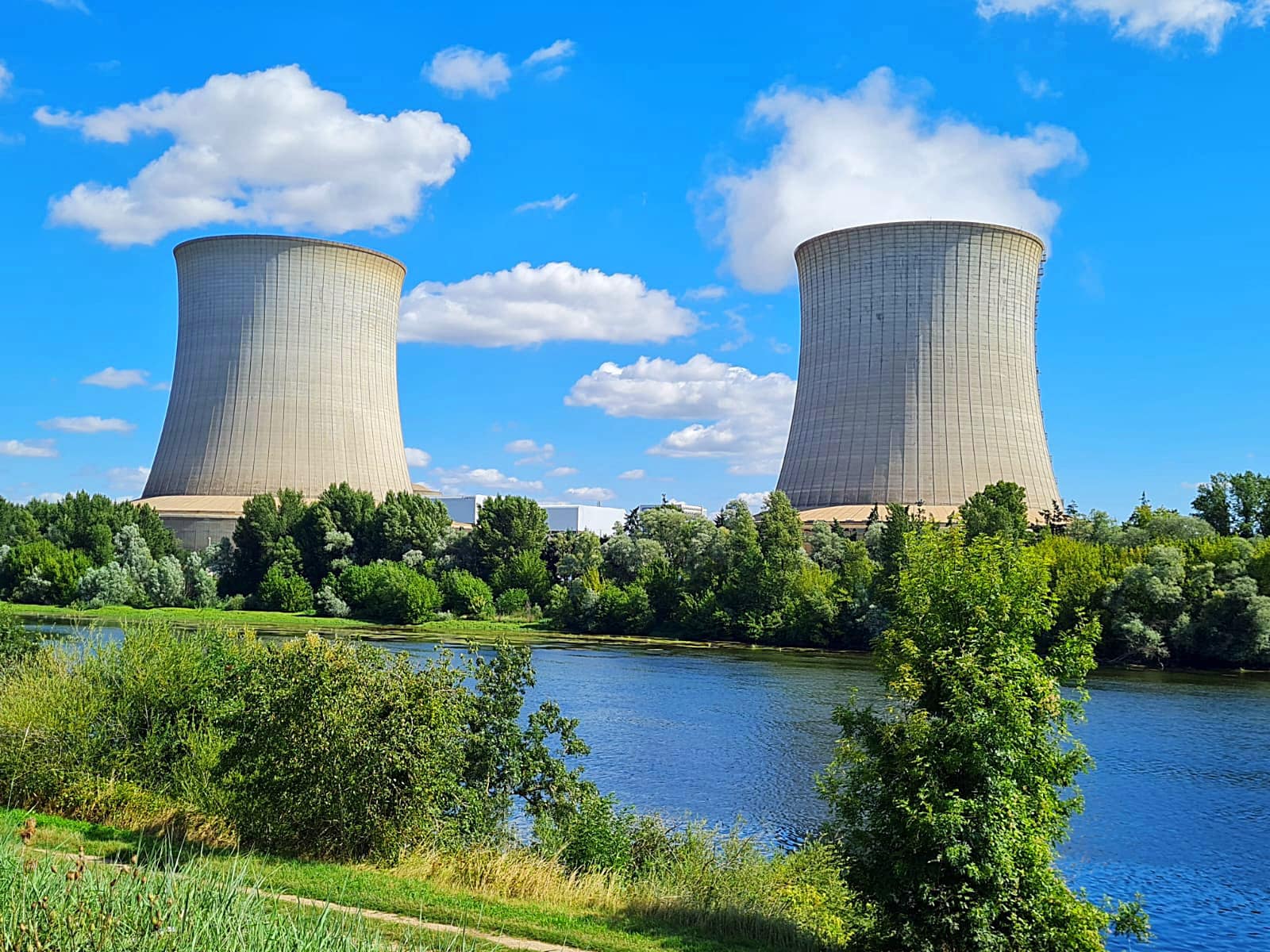
We went past the Saint-Laurent Nuclear Power Station. Interestingly the water in the river got clearer after that or was I just imagining things?

Tonight we are in Orleans – city population 120,000 and wider metropolitan population about 450,000.

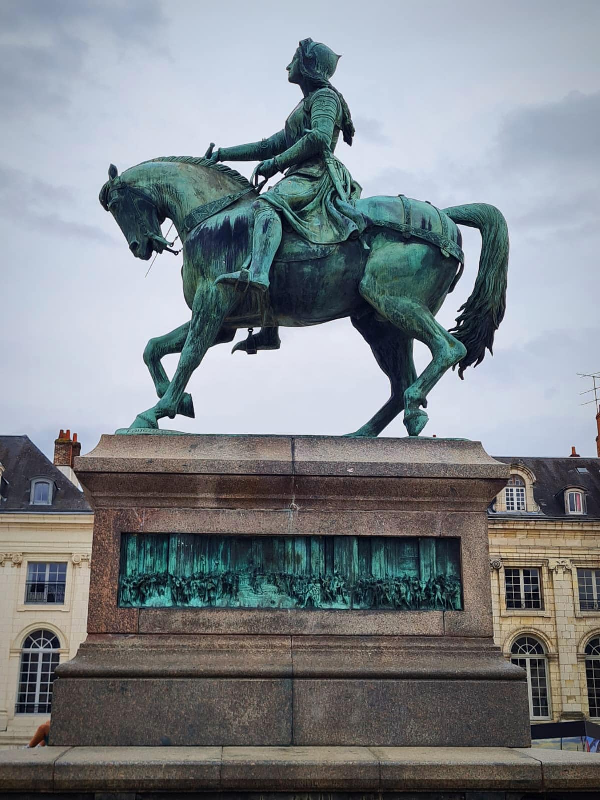
The city owes its development from antiquity to the commercial exchanges resulting from the river. An important river trade port, it was the headquarters of the community of merchants frequenting the Loire. It was the capital of the Kingdom of France during the Merovingian period and played an important role in the Hundred Years’ War, particularly known for the role of Joan of Arc during the siege of Orléans.

Joan of Arc (Jeanne d’Arc) was born in 1413. She heard voices from God which led to assist with the reclaiming of France during the 100 year war. In 1430 she was captured by the English and after a trial was burnt at the stake in 1431. Some believed she was a witch because she heard voices.

Joan of Arc was finally canonised in 1920 and proclaimed the second patron Saint of France in 1922 (the Blessed Virgin being the first, and Saint Teresa of the Child of Jesus being a secondary patroness alongside Joan of Arc).

The First World War had reconciled the French of all sides around the figure of Joan of Arc as a symbol of resistance to occupying forces.

After checking into our accommodation we wandered down to the centre of town to see the many tributes to Joan of Arc as well as the Cathedral of Orleans.

It was originally built from 1278 to 1329. It was partially destroyed in 1568 by the Huguenots during the French Wars of Religion, but was rebuilt between 1601 and 1829. The edifice is in the Gothic architectural style.

During the Siege of Orléans, the cathedral was visited frequently by Joan of Arc. The cathedral’s stained glass windows now depict the story of Joan’s actions that contributed to the lifting of the siege.

Day 9 – Orleans to Sully-sur-Loire – 56km

Disclaimer – at the end of the day, we all go through our photos and share the good ones so I cannot take credit for all the photos that I am posting.

We cycled back through the historic centre of Orleans before getting back on the river trail. I cannot rave enough about how good the trails are.

JP stopped a couple of local ladies out for a walk who directed us into the village of Jargeau where we found a thriving village square. There was a constant queue outside the Boulangerie which we took as a good sign.

I got a cappuccino which looked better than it tasted but it was fun sitting there with the locals partaking in their morning routine.

We visited the marine museum in Chateauneuf-sur-Loire which was interesting. The Loire river is the longest river in France at 1,006km’s long. The Loire Valley has been called the “Garden of France” and is studded with over a thousand chateaux which were originally created as feudal strongholds, over centuries past, in the strategic divide between northern and southern France; now many are privately owned.

In 1700 the port of Nantes numbered more inland waterway craft than any other port in France. Navigation on the river was tricky due to the shallow draft and the railways rapidly killed off the traffic from the 1850’s. As of 2017 there are only 4 navigable sections of the river which equates to about 500km or half the length of the river.

We enjoyed a picnic by the river before the final 20km’s to our home for the night – Sully-sur-Loire.

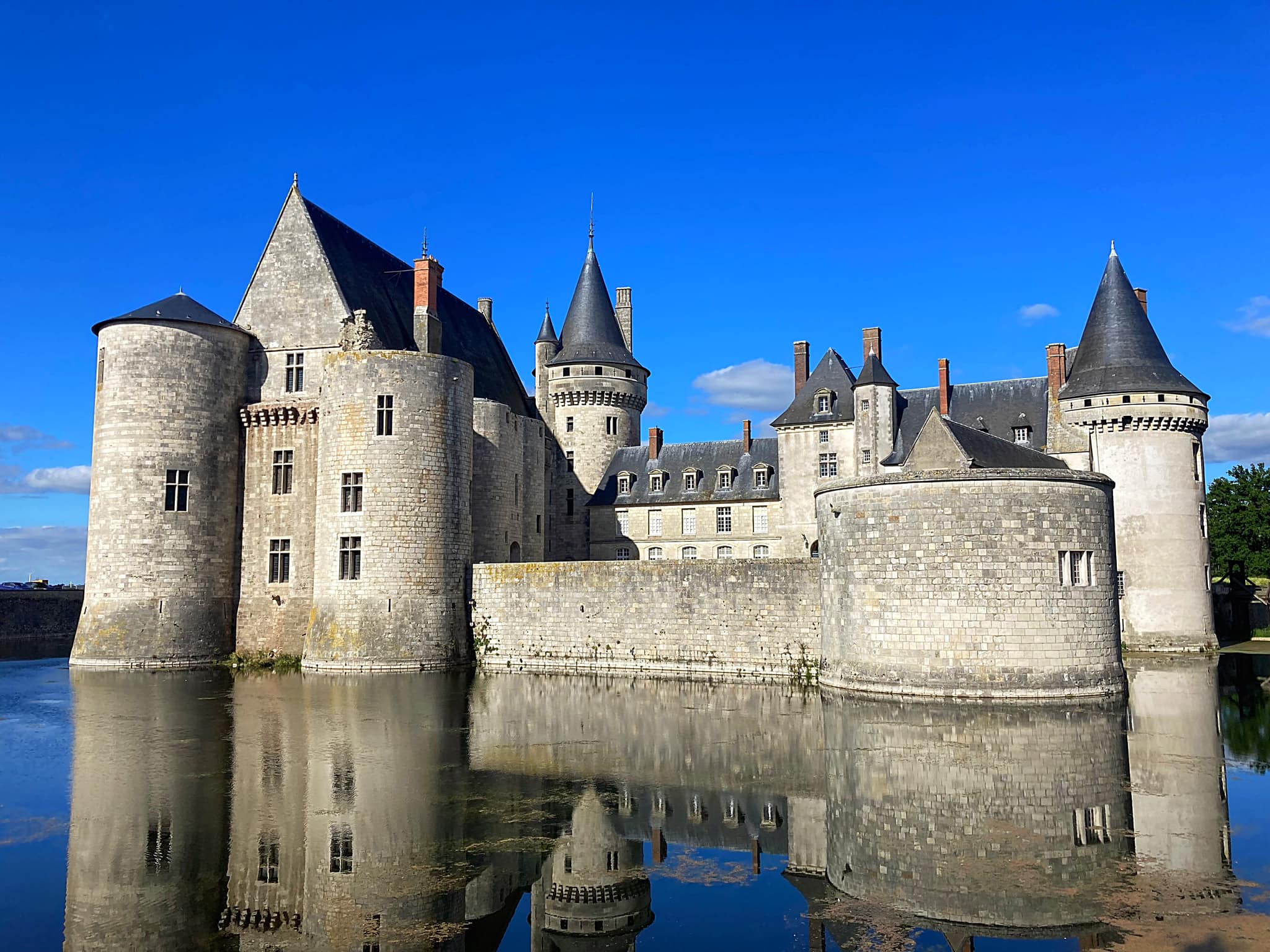
Another day, another chateau. The chateau in Sully-sur-Loire is a chateau-fort, a true castle, built to control one of the few sites where the Loire can be forded. Forded meaning that the river could be crossed, hence the moat around the castle.

We finished off our day with a walk around the town, a home cooked meal by JP and a game of Cabo.

Day 10 – Sully-sur-Loire to Sancerre – 88km

They say time flys when you’re having fun – can’t believe we’re 10 days and over 500kms in on our adventure.

We set off a bit earlier today to get a head start on the heat. This morning’s cycling was heaven on earth – beautiful paths, scenery and conditions.

The second half of the day we did a lot of cycling along the canals which was a nice change. These canals were created to link up the various rivers.

Built in the 16th, 17th and 18th century, the canals represented a time when roads were primitive and a good day’s travel was measured in the tens of miles. These historic waterways were largely abandoned in the late 18th century when railroads became the primary means of transport, and lay almost forgotten until the 1960s when they were “discovered” by young British travel entrepreneurs. Since that time, the concept of barging has changed from carrying freight to welcoming passengers from around the world on modern vessels that could be more appropriately named “canal yachts.”

Although the barges now carry passengers, much has remained the same on these living antique waterways. They are still bisected by locks (which raises or lowers the barges between the different levels of land), and many old locks are still attended by lock keepers; passing through them is part of the experience.

We watched a couple of boats come across the canal bridge at Briare – this bridge of water crosses over the Loire.

Completed in 1624, the Canal de Briare served as the water route transporting wine and other important cargo to Paris. A two-hour drive south from the City of Light, the Canal de Briare is a desirable barging destination, with such close proximity to Paris.

After lunch it got really hot so we stopped to put our feet in the canal which was very refreshing. We timed our stop well as we watched a couple of boats come into the lock.

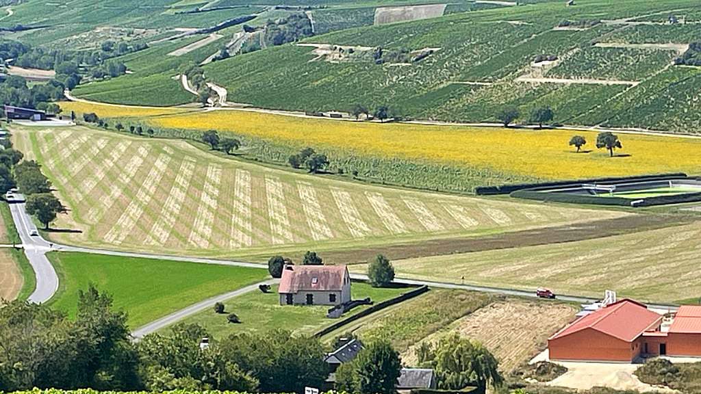
We then had an uphill climb into the village of Sancerre, home for the night. Well worth the climb. Sancerre is famous for its Sauvignon Blanc. Tomas our guide from Caves Ambacia said it is the best Sauvignon Blanc in the world followed by NZ. Apparently it has won 4 out of the last 5 years at the world wine awards with NZ winning the other year.

We had a great wander around, lots of little wine shops. Our 5th ‘pyscholist’, Andy has joined us tonight for dinner which was delicious 😋

Day 11 – Sancerre to Chateau de Maucouvent, Challuy – 67km

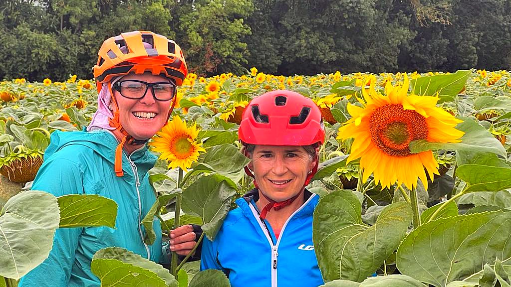
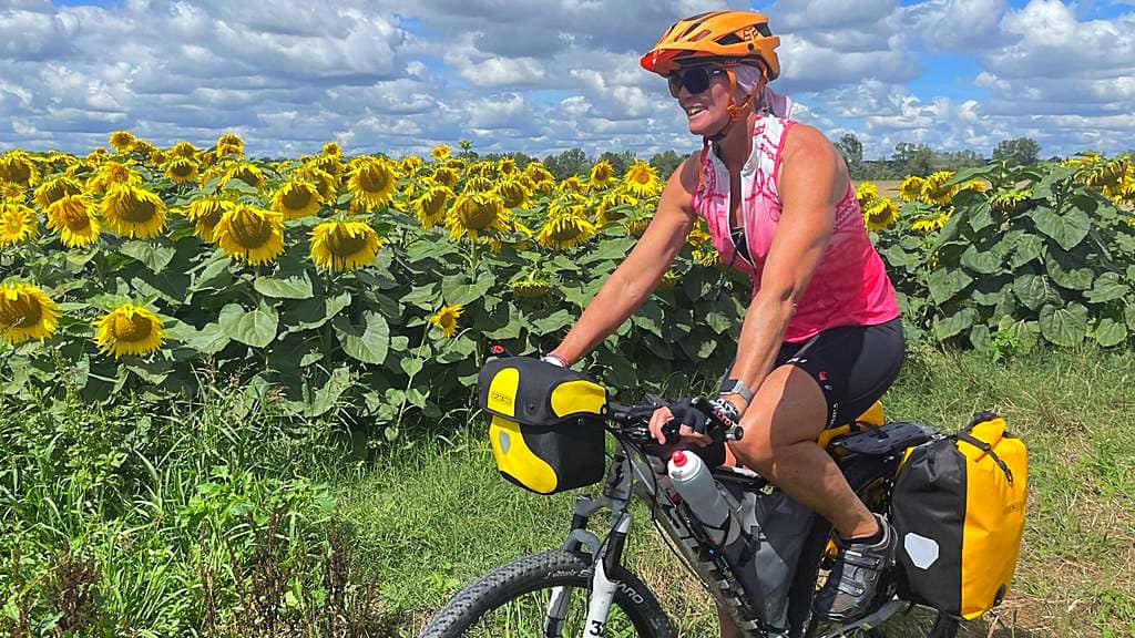
A clear blue sky morning made the 4km descent down from Sancerre this morning just magical – the sun hitting the vines and sunflower fields just perfectly. An image that couldn’t be captured in a photo but captured vividly in our minds.

None of us slept particularly well last night so we were all a bit jaded after our big day yesterday. The scenery wasn’t as special after we left Sancerre as it had been, so it was pedals to the metal. We came across an irrigator that was watering more path than corn field so decided to have a bit of fun with that.

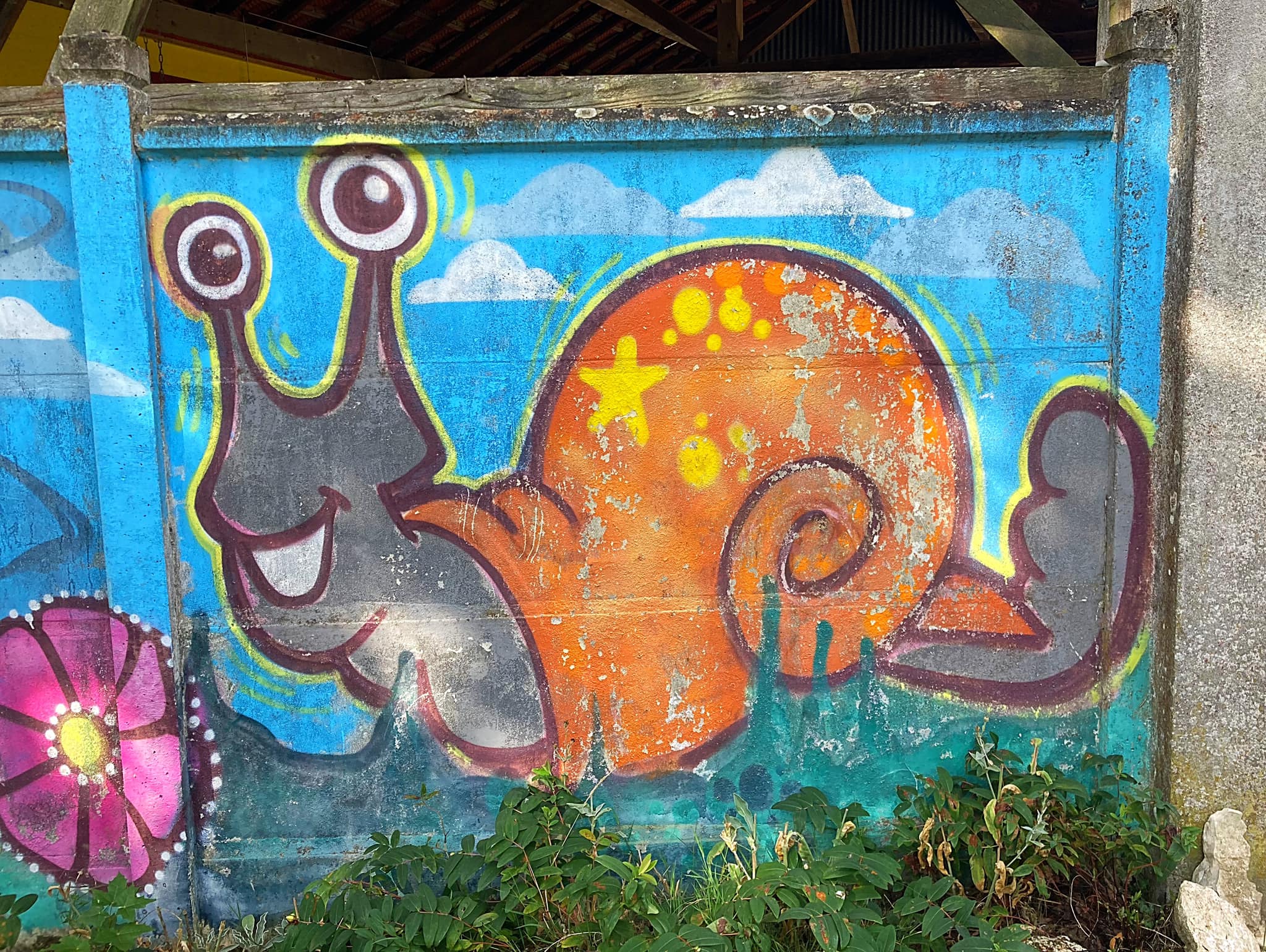
We had a couple of sustenance stops but nothing to write home about. We saw goats, horses, a wild deer and an escargot 🐌 farm.

It got hotter and hotter as the day went on and we got back onto the canal paths which are so picturesque. We were all hoping for a spot to have a swim and just after our lunch stop we found it.

We all jumped in with our cycling clothes on – heaven. The last 8km to our accommodation in wet clothes kept us cool.

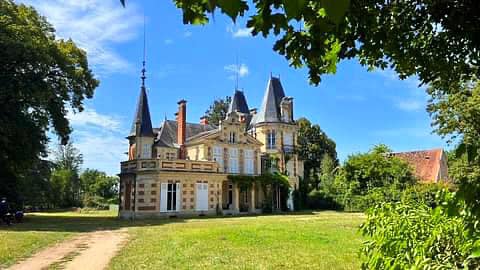
Tonight we are staying in a chateau called Chateau de Maucouvent which is about 5km from Nevers. It was built in 1875 and owned privately by a family for over a century. It was occupied by the Germans in World War II.

Our host, Natalie, said they bought the place in 2011 and did it up over Covid, doing most of the work themselves. It has three rooms so we have the place to ourselves.

We treated ourselves to a three course meal cooked by Natalie’s husband. Absolutely delicious.

Day 12 – Chateau de Maucouvent, Challuy to Bourbon Lancy – 86km

After a beautiful and traditional French breakfast at our chateau we headed back to the trail

We were back along the canals which were quite still, reflecting the trees and buildings beautifully.

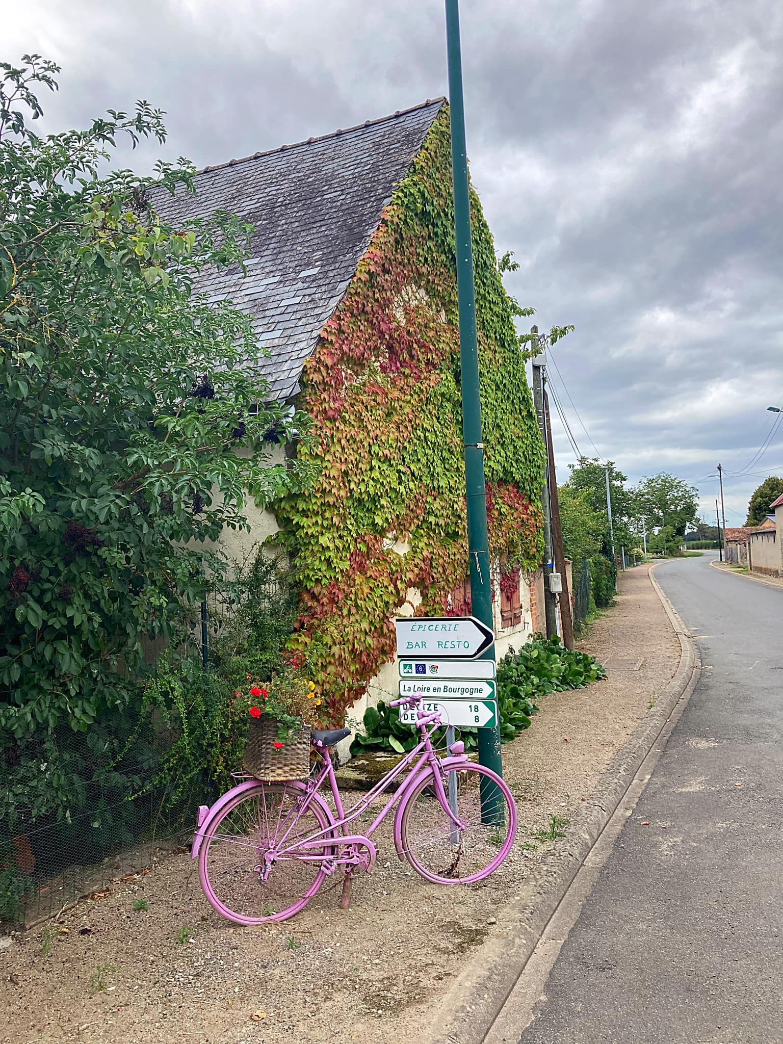
We stopped in Decize to check out a bike shop that no longer existed. Instead we found a bar full of mostly French men cheering on the French women’s soccer team who were in a penalty shootout with our neighbour’s, the Matilda’s. It was a tricky decision as to who we should be supporting so we remained neutral. The emotions were running high for the French and it was great to watch. Unfortunately they fell short and the atmosphere in the bar went flat. That was a right time, right place moment.

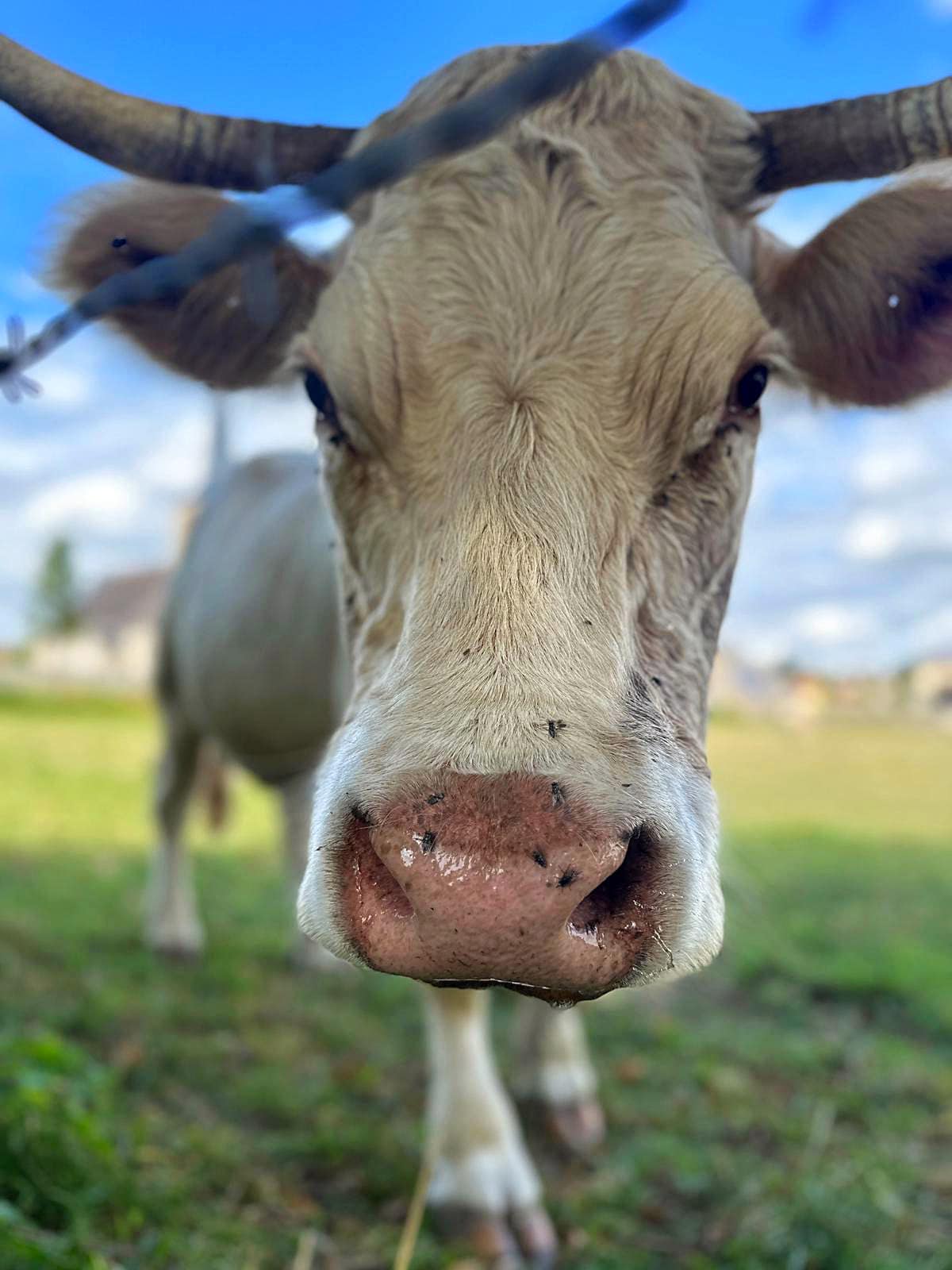
We had a picnic lunch just before leaving the canals to go inland. The last 40km was on rural roads where we saw a lot of Charolais cattle (we had been served this for dinner at the Chateau).

The Charolais or Charolaise is a French breed of taurine beef cattle. It originates in, and is named for, the Charolais area surrounding Charolles, in the Saône-et-Loire department, in the Bourgogne-Franche-Comté region of eastern France.

They are raised for meat and are among the heaviest of cattle breeds: bulls weigh from 1000 to 1650 kg (2200 to 3600 lb), and cows from 700 to 1200 kg (1500 to 2600 lb). The coat ranges from white to cream-coloured; the nose is uniformly pink.

Andy took some very up close and personal photos of these animals 😂

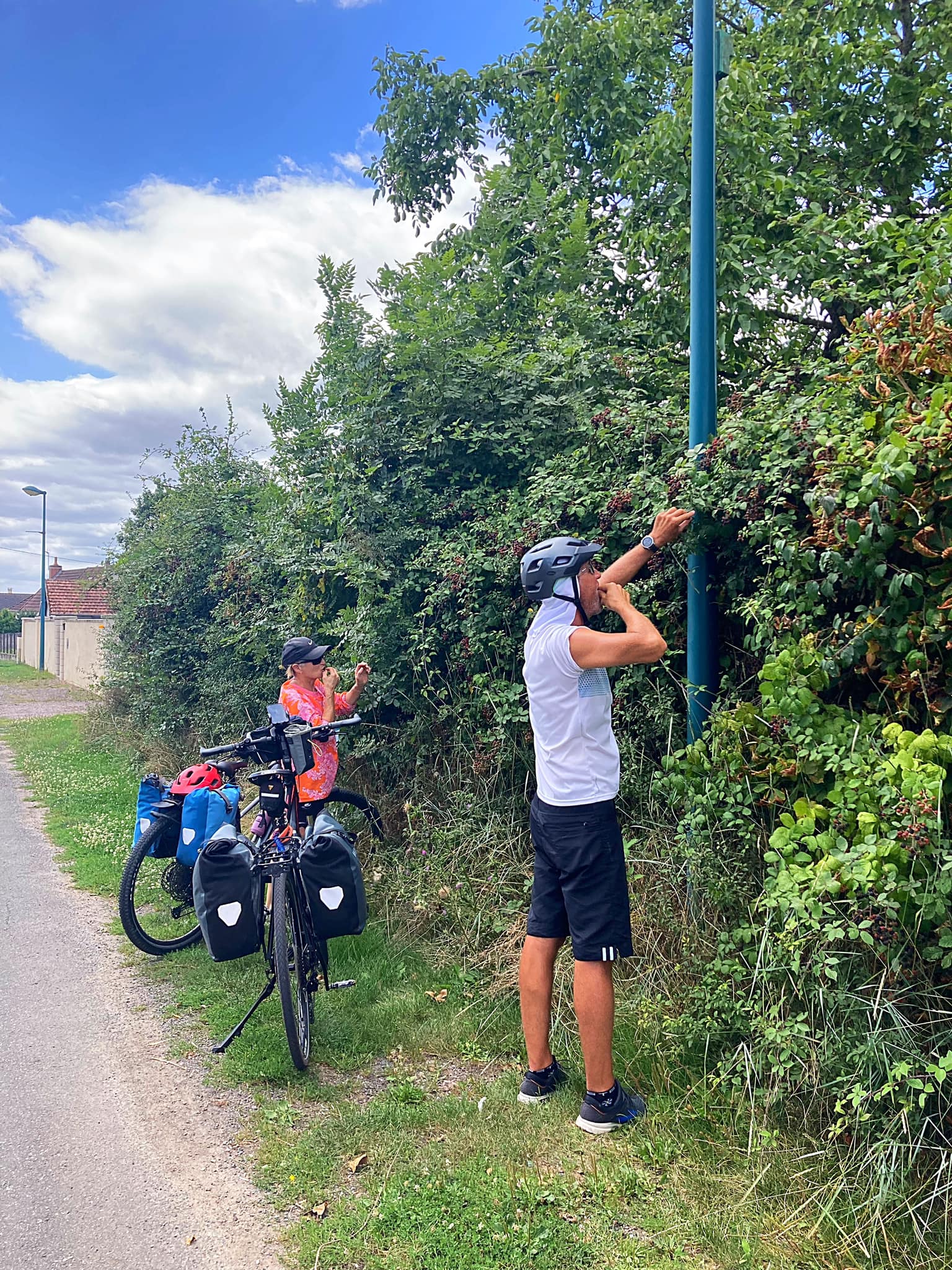
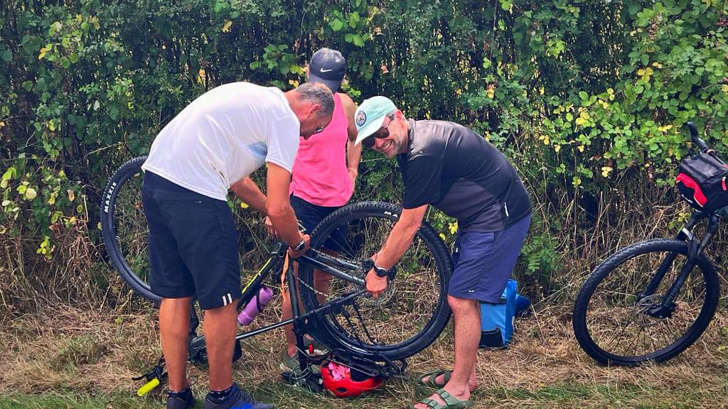
JP had the second bike malfunction of the trip with a flat back tyre and a slow leak in the front. This may or may not have happened when her and Graham go up close and personal with the blackberry bushes. There were loads of berries on the side of the roads which are delicious. JP gave us some good advice – never pick below the level of a peeing dog 🐶😂

We are in Bourbon-Lancy tonight which is a rural town on the river Loire with a walled medieval area on the dominant hill. It has an authentic medieval belfry, wooden frame houses and fortifications which date from 1495.

We didn’t find a good swimming spot today so we went to the local pools when we arrived to cool off and do our yoga stretches – we only got a few strange looks from the locals.

Tonight we wandered into the centre of town where we managed to get a table at one of the more popular spots. Again the French delivered 😋

Day 13 – Bourbon-Lancy to Brandon – 92km

After our swim yesterday we were looking at our plans for today, only to discover that the accommodation we had booked was 50km off the Euro Velo 6 route – oops 😬. We can’t quite work out how that happened but decided an adventure on the road less travelled can’t be all bad.

We spent the first 40km on the Euro Velo 6 route which was along the same canal we have been following for the past couple of days – Canal latéral à la Loire which translates to canal parallel to the Loire.

We then had to fire up Google maps to navigate our way to Brandon. It took us on all the D roads which are mainly rural. Graham was in charge of navigation and he did a great job.

We had a picnic lunch stop at Charolles and arrived just as all the locals were coming out of the church dressed in their Sunday best with the bells tolling.

We had a small hiccup at the end when the map took us under the highway through a disused underpass. It did the trick though and got us under the highway.

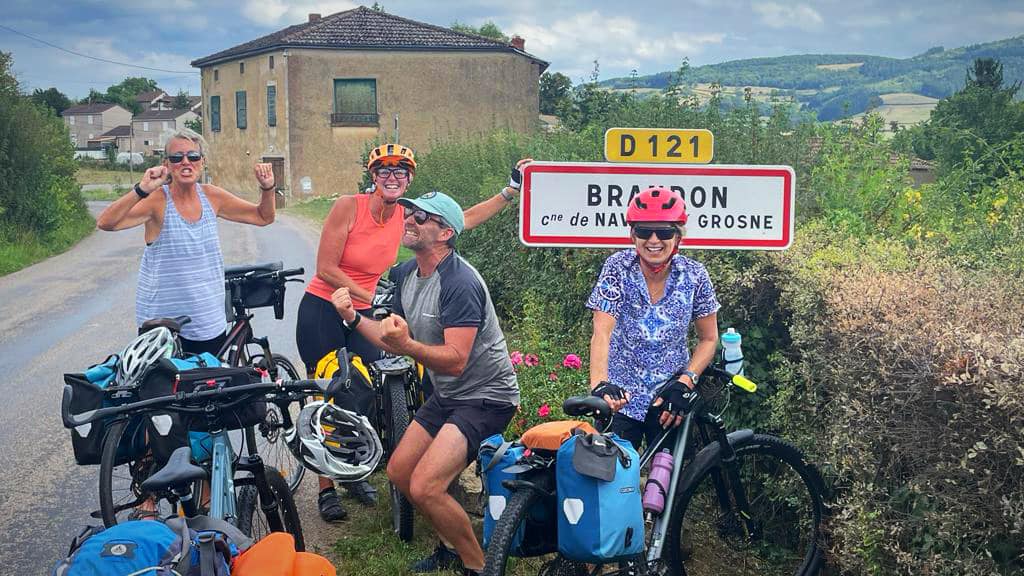
We were a little concerned that Brandon even existed as we only saw a sign to it about 6km out. By the time we reached Brandon we had all run out of water and were so hot it was a relief to finally be here.

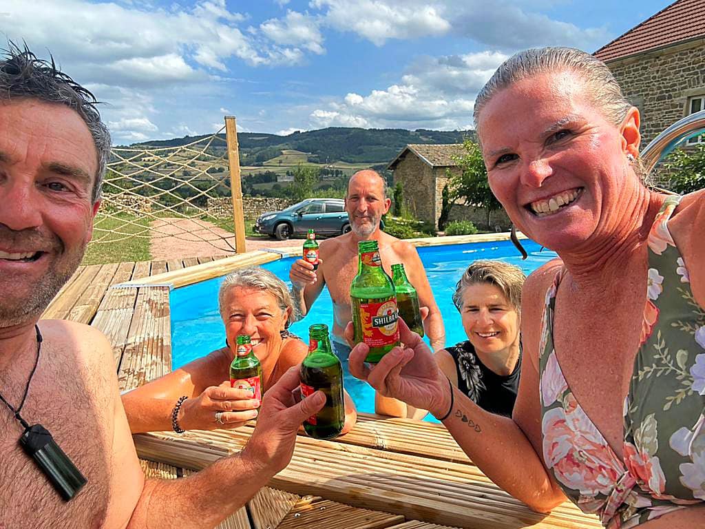
Our accommodation – Bourgeoise @ Brandon, was a welcome sight and the pool an even better one.

Our host, Jonathan, is an absolute delight. He is English but before coming to Brandon 4 years ago, lived in Melbourne for 28 years. The Villa is beautiful and he has done a great job on the renovation.

He only put the pool in this year and we were very thankful. He had a cold beer for each of us – I don’t even drink beer but I made short work of it 🍻.

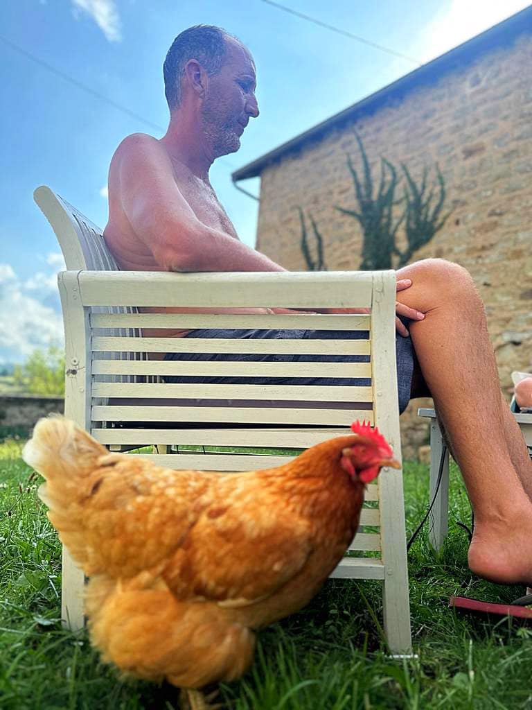
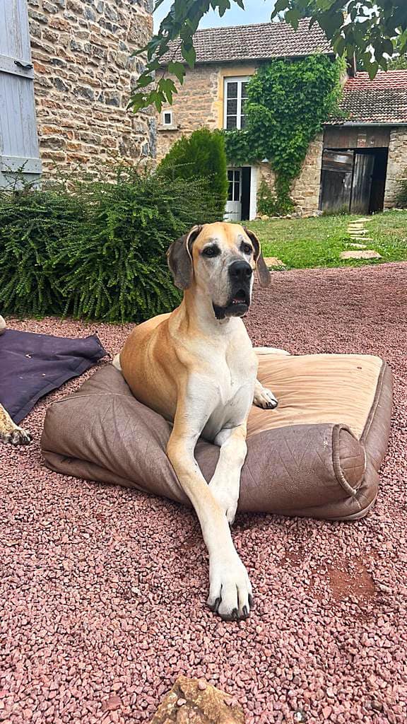
He has a menagerie of animals – 2 Great Danes (Freya and Skyla), 4 goats (Hansel, Gretel, Marie Antoinette and Louis) and 4 chickens (Barbara, Margaret, Mary and Victoria). There were 5 chickens but Elizabeth got eaten by a fox. All the animals are super friendly.

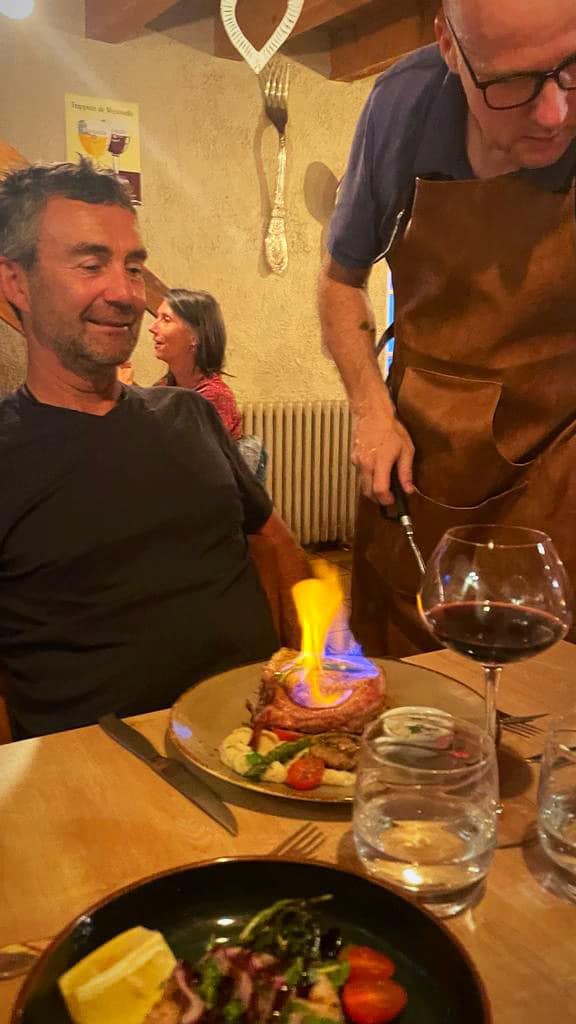
Jonathan booked us a table at the only restaurant in the village – Moulin de Brandon. It is run by a Flemish couple, Sarah and Joeri. They only seat 16 people a night and it is just the two of them. Sarah is front of house and Joeri is the chef. He cooks on a vertical BBQ using vine wood.

Jonathan had mentioned we might get a thunderstorm due to how hot it had been. It was hard to believe but when we walked the kilometre down the road the sky in the distance was getting blacker and blacker and there was rolling thunder.

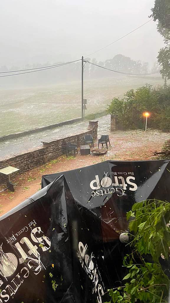
We got to the restaurant and Sarah and Joeri greeted us and said we could perhaps have a drink outside but should eat inside. We had only taken a sip when the rain came and we rushed inside. What followed was crazy – horizontal rain, huge hail stones that I thought were going to break the windows, lightening and more thunder. It went on for about half an hour and the tables and umbrellas got blown everywhere and were damaged. They said they have never experienced that before. The power then went out but they got it going again.

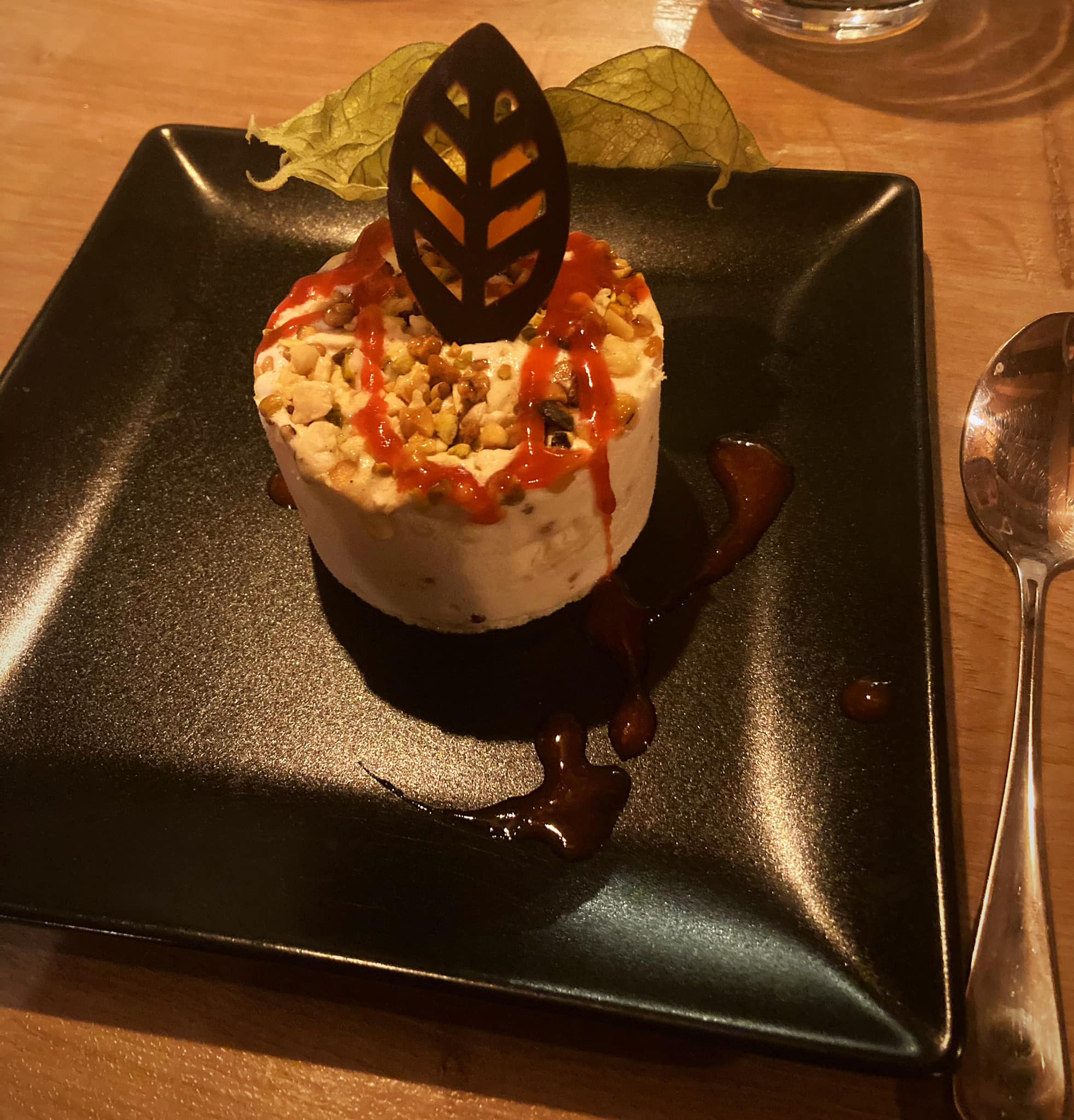
Meanwhile hail had come down the chimney putting the BBQ out. After the storm passed they proceeded to cook and serve us the most delicious meal in between dealing with a couple more power outages. I had quail to start, pork flambés and nougat Icecream. We loved the personal service and very homely atmosphere. A night we won’t forget in a hurry.

Just goes to show, every cloud has a silver lining (and a few hail stones).

Day 14 – Brandon to Charlon-sur-Saone – 72km

Jonathan provided a delicious and typical French breakfast of baguettes, pastries, cold meats and cheese accompanied by his lively banter and Freya and Skyla mooching about. Another spot that was hard to leave but cycle on we must.

The morning was very foggy and misty and the extent of last nights storm became more and more evident as we cycled on – lots of leaves and trees down.

Andy had our third bike malfunction with a puncture. Our tube supplies were getting low so our focus today was on finding a bike shop to replenish supplies.

I then got a bee sting on my neck which fortunately, after the initial fright and sting didn’t come to much.

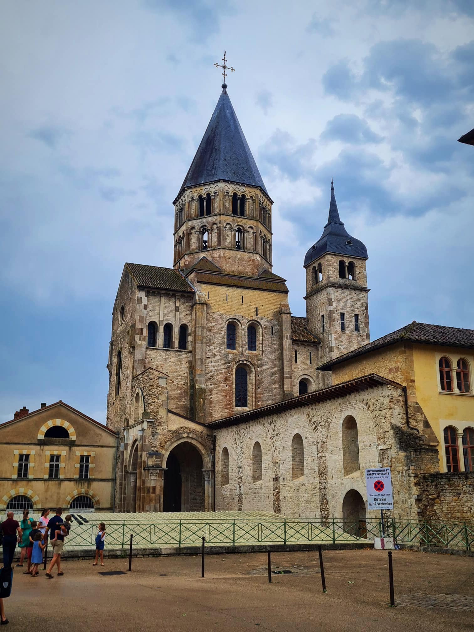
Twelve kilometres from Brandon we stopped in Cluny to see the abbey which is a former Benedictine monastery dedicated to St Peter. It was established in 910 and disestablished in 1790.

The town of Cluny was born from the Abbey. In 910, according to the traditions, twelve monks from the Jura mountains settled in a Carolingian villa (rural estate), at the request of William the Pious, Duke of Aquatine. Their observance of the Benedictine rule set an example to be followed from Spain to Poland, from England to Italy and as far as Jerusalem. The number of Cluniac monks at the peak of the order, is estimated at more than 10,000.

Another silver lining today was that there is a rail trail from Cluny to Charlon-sur-Saone called the Voie Verte or the green line. Rail trails are never steep so it was a beautiful flat ride.

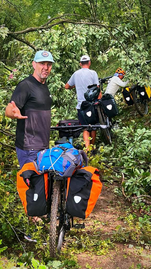
We set off from Cluny only to find numerous trees down across the track – some were a little more navigable than others. Twice we had to take our panniers off and form a chain gang to get them across the trees.

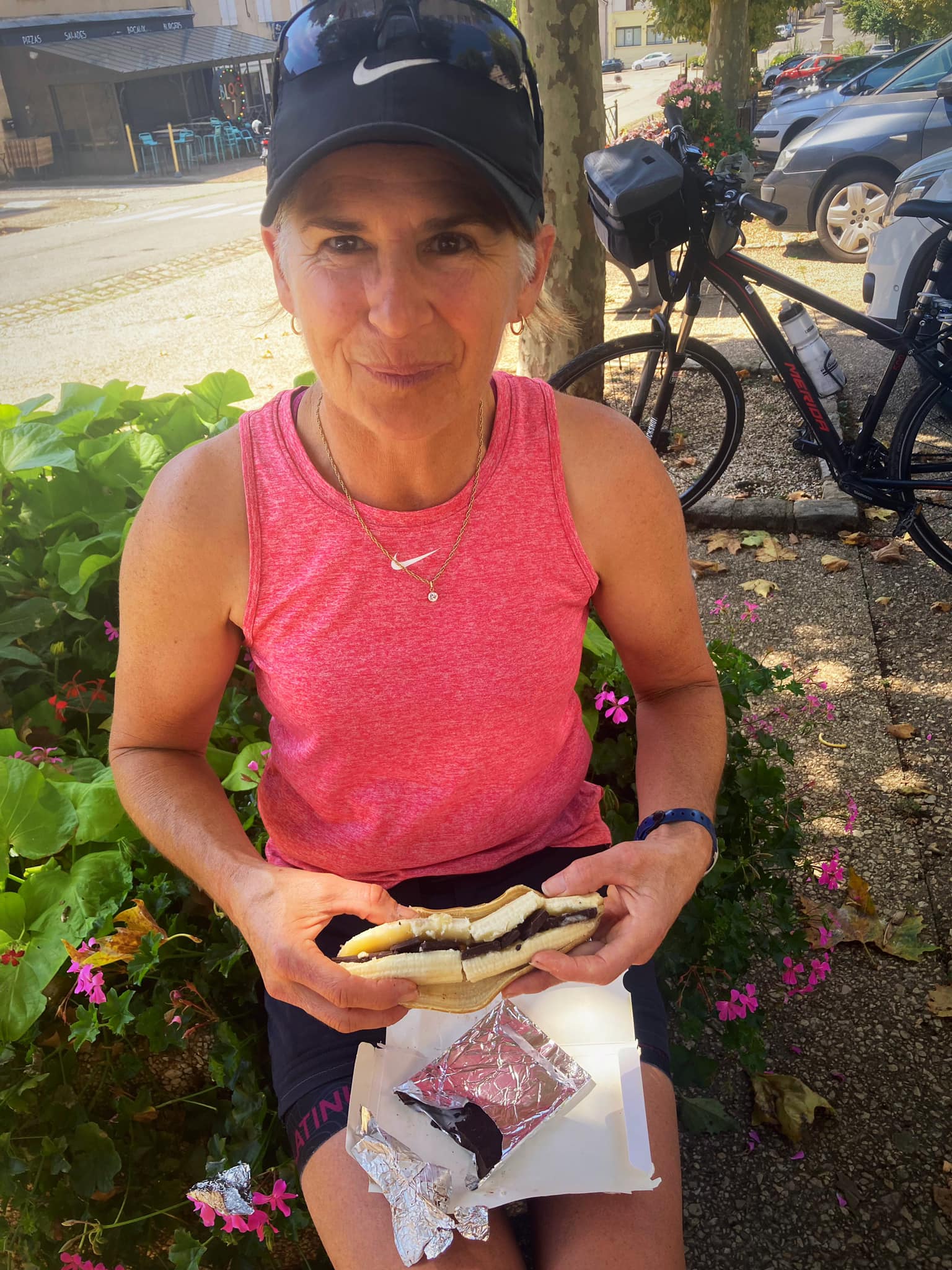
We stopped in Saint-Gengoux-le-National for lunch. The sun had broken through and it was pretty hot. Our after lunch treat was a banana split, JP style, a banana stuffed with dark chocolate. A real energy booster.

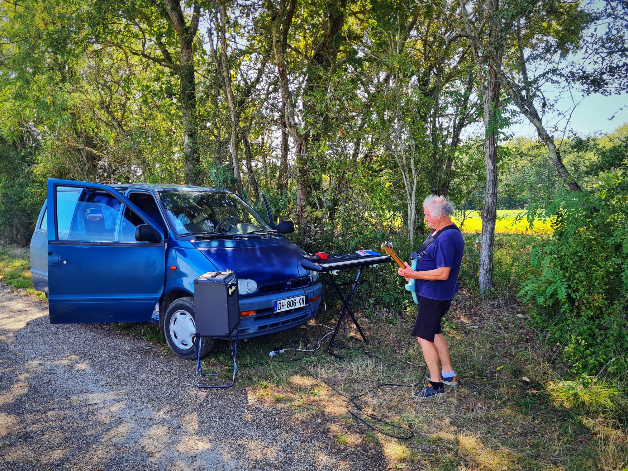
After lunch we came across a guy playing an electric guitar just off the track next to a corn field. At first we thought the music was coming from this little old lady coming towards us on her bike but when we looked up we saw this guy playing away. JP climbed up the bank to get a closer look, Hilary and I had a little boogie on the track. The sights you see.

We discovered that Charlon-sur-Saone had a Decathlon store (a sports store on steroids) so that was our first port of call to replenish some bike supplies. Luckily we don’t have a lot of space for shopping because it is the sort of shop you can spend hours in and come out with many things you potentially don’t need.

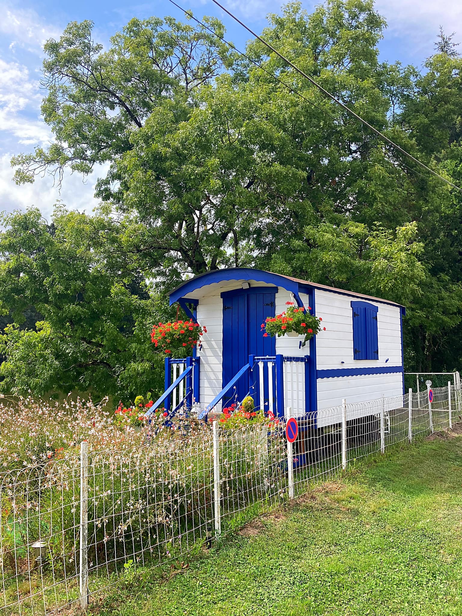
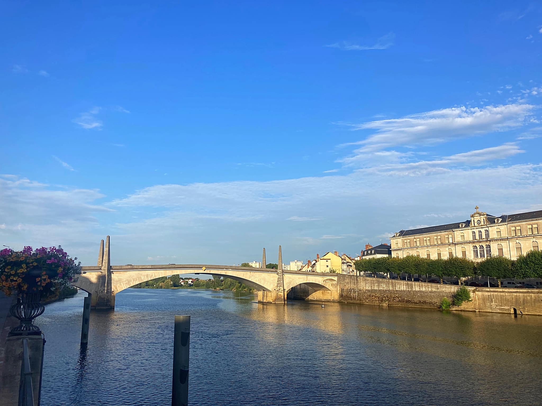
We then headed to our accommodation in the historic centre – a three level apartment. No bike storage unfortunately, but luckily a good amount of storage in the lounge which is on the ground floor. We also got our first glimpse of the Saone river – the second main river on the Euro Velo 6.

After a G & T, we had a little wander round town – the river is definitely its best feature. JP then whipped us up one of her famous salads washed down with a second G & T. We will definitely sleep well tonight, it has been an adventurous and hot couple of days. I am also developing some very interesting tan lines 😳

Posted in Euro Velo 6, France - EV6 | Tagged | Leave a comment

Euro Velo 6 – Week 1 – Saint Brevin to Blois – 395.8km

An idea dreamed up after completing the Tour Aotearoa in 2018 is finally coming to fruition. It was originally planned for 2021 as a 50th birthday adventure and delayed because the world went mad.

New Zealand 🇳🇿 to Thailand 🇹🇭, Thailand 🇹🇭 to France 🇫🇷 we are finally here and ready to roll 🚴🚴🚴‍♂️🚴‍♂️

I’m very grateful to some equally crazy friends (psycholists) who have agreed to come along for the ride.

Tomorrow we start the Euro Velo 6 from the Atlantic in St Nazzaire, France towards the Black Sea. We will cycle as far as Belgrade in Serbia, some 3,200km in about 60 days following 4 rivers and entering 9 countries.

https://en.m.wikipedia.org/wiki/EV6_The_Rivers_Route

Day 1 – Saint-Brevin to Nante – 63.5km

Day 1 was a pretty special day that exceeded all our expectations. We took a train from Nantes to Saint-Nazaire and then a taxi to Saint-Brevin where the official start of the Euro Velo 6 is. The reason for the taxi was to safely cross the Saint-Nazaire Bridge which is 3.3km long and crosses the Loire river.

We were a bit stressed about the train as we were told we would only have 2 minutes to get on with our bikes but it was actually sitting on the platform about 20 minutes early. We did however have to take our bikes up and down an escalator – that was a first.

When we arrived in Saint-Breven, we went down to touch the Atlantic Ocean which was surprisingly warm and then took a photo of the official sign. We then proceeded to cycle round in circles working out which way we were supposed to be going 🤦‍♀️. Once we worked it out we then discovered we had taken a picture of the finishing sign rather than the starting side of the sign. Not a good start 😂

The signage along the trail is pretty good thankfully. We followed the river, went inland, along a canal and into a couple of villages. A cup of coffee was high on the priority list which we managed about 20km in.

The stone buildings and houses were a highlight. Absolutely loved the trail which was a mixture of light gravel paths and quiet country roads. We took a ferry back across the river at Indre – timed our ride perfectly as the ferry departed just after we got on and it was free.

Cycled back through the industrial outskirts of Nantes before Hilary took us on a cycle tour around the city. While her navigation skills are excellent, her regard for safety is questionable after nearly getting us run over on numerous occasions. The drivers here are very courteous to cyclists but I think Hilary took that for granted a little too much back in the city, especially with the buses. Plus we’re still getting used to which way to look as they drive on the other side of the road to what we are used to.

Nantes is a very cool city though and we enjoyed exploring it. We checked out Les Machines de l’ile or The Machines of the Island an exhibition and animation space. They have this mechanical elephant 12 meters high and 8 meters in width that walks around, makes noise and blows water out its trunk. It is a sight to behold.

https://en.m.wikipedia.org/wiki/Nantes

Day 2 – Nante to Montjean sur Loire – 69.5km

I forgot to mention yesterday that the heatwave in Europe is fake news – well it is in France anyway. It’s been about 22 degrees which is actually perfect for cycling. We did wake to pouring rain this morning but it was forecast to stop at 9am, which it did. We have also had a tail wind for the first two days 👏🏻. Today was the first day being fully loaded but we managed well.

The trails along the river were again amazing and with the tail wind we really whipped along. We did four crossings of the Loire today. It was so windy when we crossed one of the bridges we had to walk. Graham reckons it was blowing between 60 and 80km an hour – hold onto your helmet stuff.

We had a coffee stop in Mauve sur Loire where they had a lovely boulangerie (bakery) where some pain au chocolat were purchased and consumed (not by me – just saying). The church yard was some archeological site where they were excavating for bones 😳

Lunch was in Ancenis. We’ve noticed a lot of snails 🐌 on the trail which is probably fitting given escargot is a specialty here – Graham suggested collecting them up for dinner – that was a hard no from me.

There have also been a number of wild berries along the trails. There were some blueberry 🫐 looking ones that JP found out were in fact not blueberries. She took one for the team and you’ll be pleased to know she’s still alive 😅

The number of cyclists on the trail going both ways is amazing and they’re all loaded up so are obviously bike packing like us. Lots of families with kids either riding or being towed. Very cool to see.

Fortunately, JP is still alive as she is taking our end of ride yoga sessions every day 🧘‍♀️. Watch this space.

Day 3 – Montjean sur Loire to Saumur – 95km

A big day on the pedals today and slightly longer than planned due to a detour that ended up being useful.

We had an early start today due to it being a big day and the forecast looking a little ominous from about 11am 🌧️. Clearly the SUNGRL powers are still adjusting to the northern hemisphere.

The obligatory pain au chocolat was acquired in the village of Savennieres (not by me though 😇). We went through a lot more beautiful little villages today. You hardly ever see anyone though.

I then had an issue with my front derailer cable which our resident fix it man, Graham, couldn’t sort so we accidentally detoured to Angers which had a number of bike shops.

The guy at Art De Roue was fantastic and replaced the cable while we had lunch. JP went off and acquired a hip flask – we have driven her to drink after only 3 days. She tells us it’s for her oat milk which is nowhere to be found at the cafes we have been frequenting so she’s going to do BYO.

After leaving Angers we came across a cable ferry that we had to use to cross a small tributary called sur-l’ Authion. That was a first.

Unfortunately we had a bit of precipitation but not enough to be too painful. We had a stop in St-Mathurin sur Loire where we came across a photo exhibition, one of 13, showcasing 240 sports photos highlighting the work of 17 French and foreign photographers who have covered the greatest international sporting competitions. Front and centre was the All Blacks doing the haka at the 2011 World Cup final against France at Eden Park. JP couldn’t resist joining in.

We had 30km to go to Saumur and it was a bit of a slog. A nice hot shower, a glass of wine, some snacks and a game of Cabo has put us back on track. JP is now whipping us up a delicious pasta dinner – living our best life for sure ☺️

Day 4 – Saumur to Brehemont – 56.5km

After we had all showered last night we discovered we had used dishwash liquid instead of body wash – no wonder we were all squeaky clean (also proves how bad all our eyesight is).

We had an explore around Saumur this morning and checked out the Chateau de Saumur which was originally constructed as a castle in the 10th century. We are now in chateau and wine country.

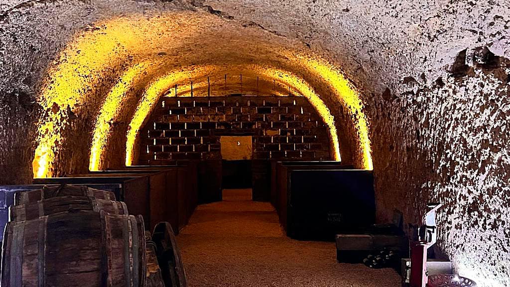
The trail took us through the beautiful village of Souzay Champigny past lovely cream-colored stone buildings, typical of the region, and into a magical and mysterious medieval tunnel system carved out of the cliffs.

The tunnel system was originally created from quarrying the cream Tuffeau stone, used for the buildings and castles the Loire region is famous for. The quarried caverns provided an inexpensive framework for medieval living spaces and buildings, known as troglodyte houses.

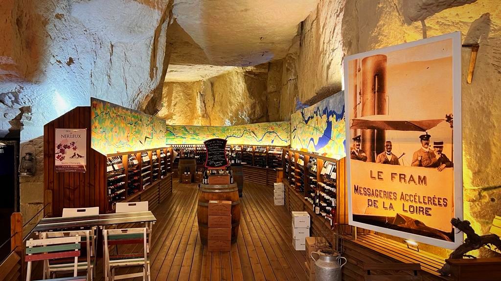
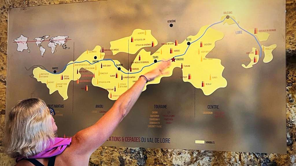
We then came across a gourmet cafe / shop selling local specialties, wine and art. The wine cellar was set up with a picture of the Loire river running around the wall with wines from each area for sale underneath. It was too early for wine so JP and I tried a Nantes cake instead which is made with rum.

In the 18th century, the port of Nantes was enriched by the triangular trade and saw many goods from the Caribbean colonies such as cane sugar, dark rum, and vanilla; ingredients that were later used in the composition of the Nantes cake. It hit the spot nicely.

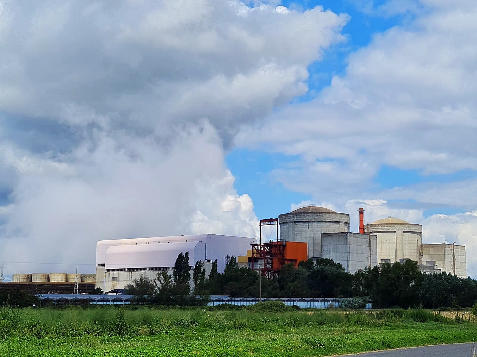
There are 4 nuclear power plants along the Loire so we decided to take a look at the Chinon one. It has 7 reactors but only 4 are operational. It produces 6% of France’s electricity.

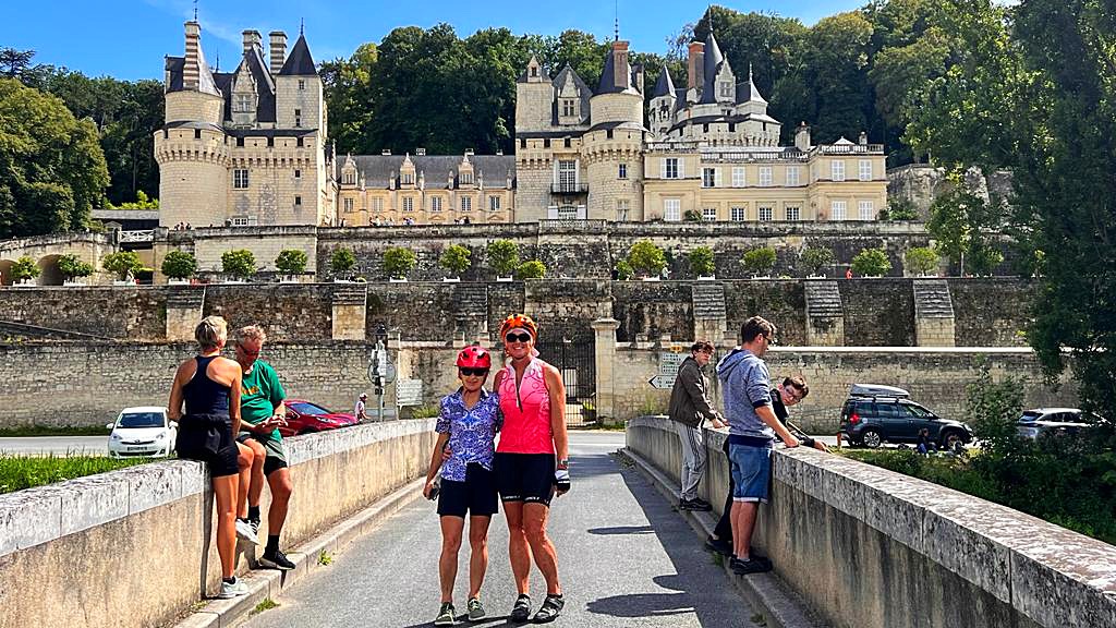
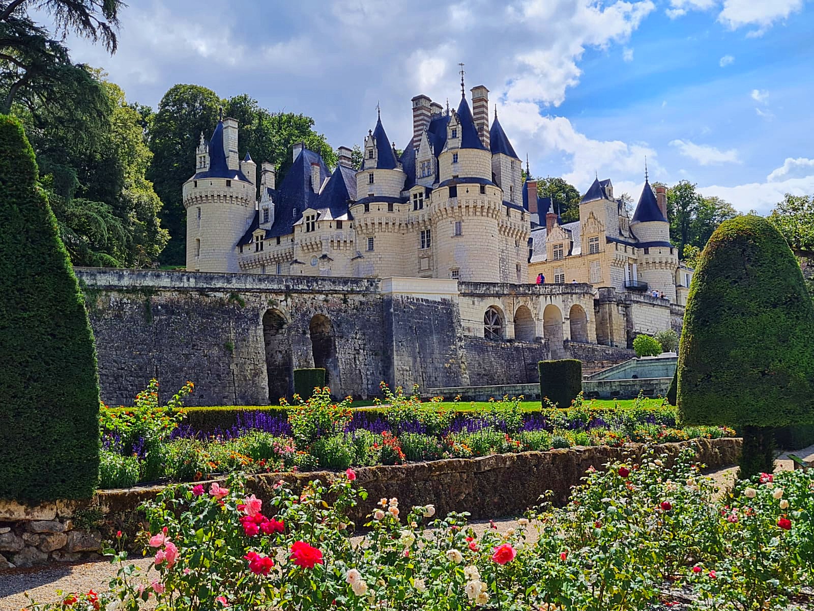
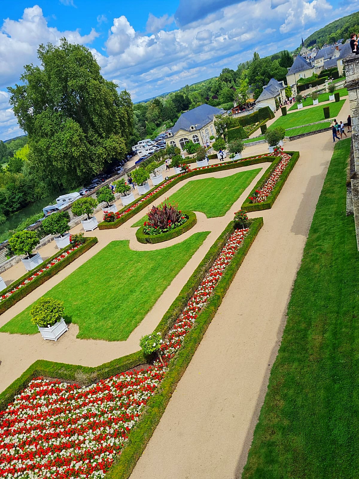
From nuclear power to Sleeping Beauty – our next stop was Château d’Ussé which was built in the 11th century and was one of several that inspired Walt Disney in the creation of many of the Disney Castles.

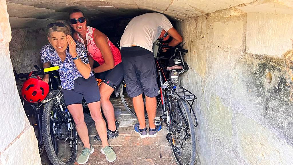
It was then a further 8km into Brehemont where we are staying in a loft style apartment four stories up in an early 19th century building. There is no lift so our legs were not thanking us. Thankfully they had bike storage in a little cave at the bottom of the building.

We then discovered the only place to eat was at the campground whose restaurant was fully booked. We ended up having feu or fire bread for dinner at the campground bar. The feu came about when the bakers would pull off a little bit of dough the size of a small bun and put it in the oven to see if the fire was hot enough before putting the loaves in. Apparently, they are very common at the Christmas / specialty markets between Saumur and Tours (tomorrows destination). I was pretty happy with my warm feu with goats’ cheese and garlic butter.

Day 5 – Brehemont to Tours – 37.8km

We only had a short day today but we decided to get away early so we could enjoy our next destination – the city of Tours.

First stop was Chateau Villandry which was once owned by Napoleons brother. Its famous Renaissance gardens include a water garden, ornamental flower gardens, and vegetable gardens. The gardens are laid out in formal patterns created with low box hedges. In 1934, Château de Villandry was designated a Monument historique. Like all the other châteaux of the Loire Valley, it is a World Heritage Site.

Unfortunately it wasn’t the nicest day so we didn’t do the garden tour. We did, of course visit the boulangerie where the baguettes were fresh out of the oven.

We came across a quinoa crop which was interesting as I’ve never seen that before.

Over the last few days we have also seen a number of poplar plantations. Poplar is used to make both light and strong packaging in a process that is much less energy-consuming than that of the equivalent to make cardboard or plastic packaging. As a result, poplar as a raw material for packaging is much more sustainable than any other material.

Poplar’s remarkable hygienic qualities, naturally bactericidal, make it perfect for food packaging as it is moisture resistant, aiding in the proper conservation of fruits, vegetables, seafood and is always suitable for cheese and wine. Due to its resistance, poplar is also used to make industrial packaging, such as pallets.

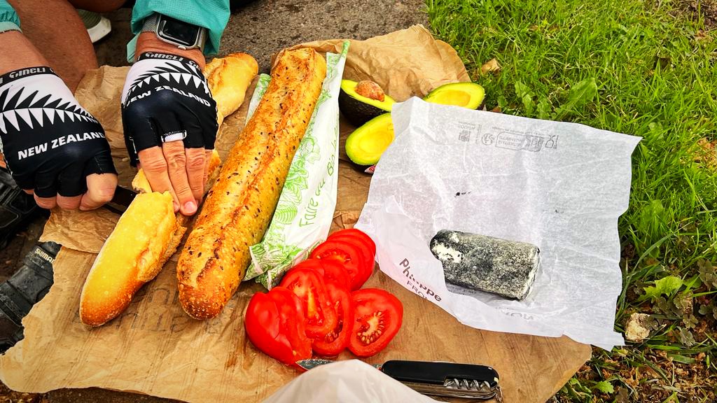
Tours has a number of markets so we acquired some avocado, chèvre (goats cheese), tomatoes and a couple of baguettes for our picnic lunch.

Tours has a population of about 137,000 and is known as the garden city. The historic city is nicknamed “Le Petit Paris”. The city was greatly affected by the First World War. A force of 25,000 American soldiers arrived in 1917, setting up textile factories for the manufacture of uniforms, repair shops for military equipment, munitions dumps, an army post office and an American military hospital at Augustins. Tours was also marked by the Second World War as the city suffered massive destruction in 1940.

I finally found a half decent cafe o’alit today so had two to make up for the last 4 days.

After some confusion we found our AirBNB for the night which is very nice and spacious. Unfortunately the host misled us on bike storage so we had to improvise and take the front wheels off two of the bikes and carry them up two circular, narrow flights of stairs.

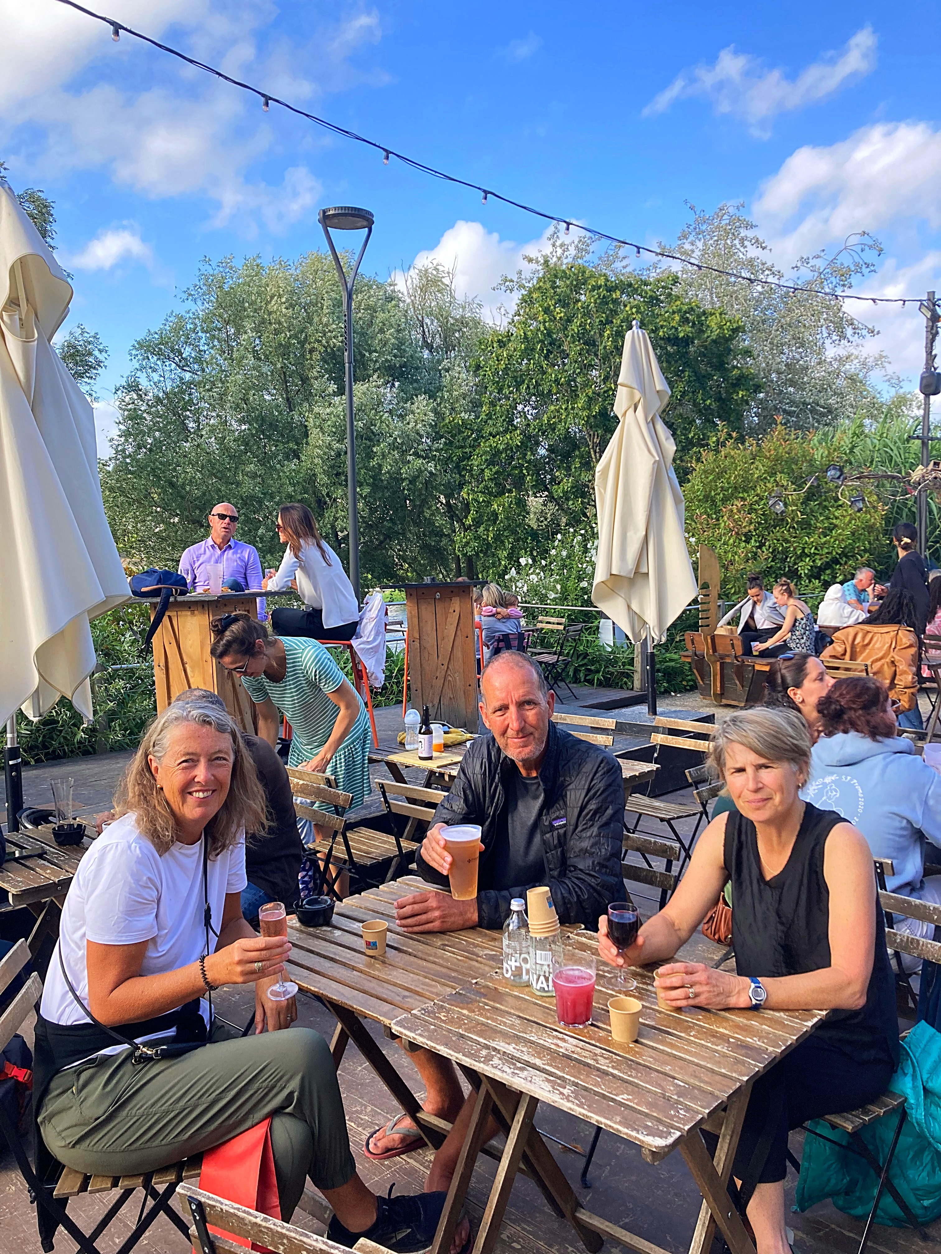
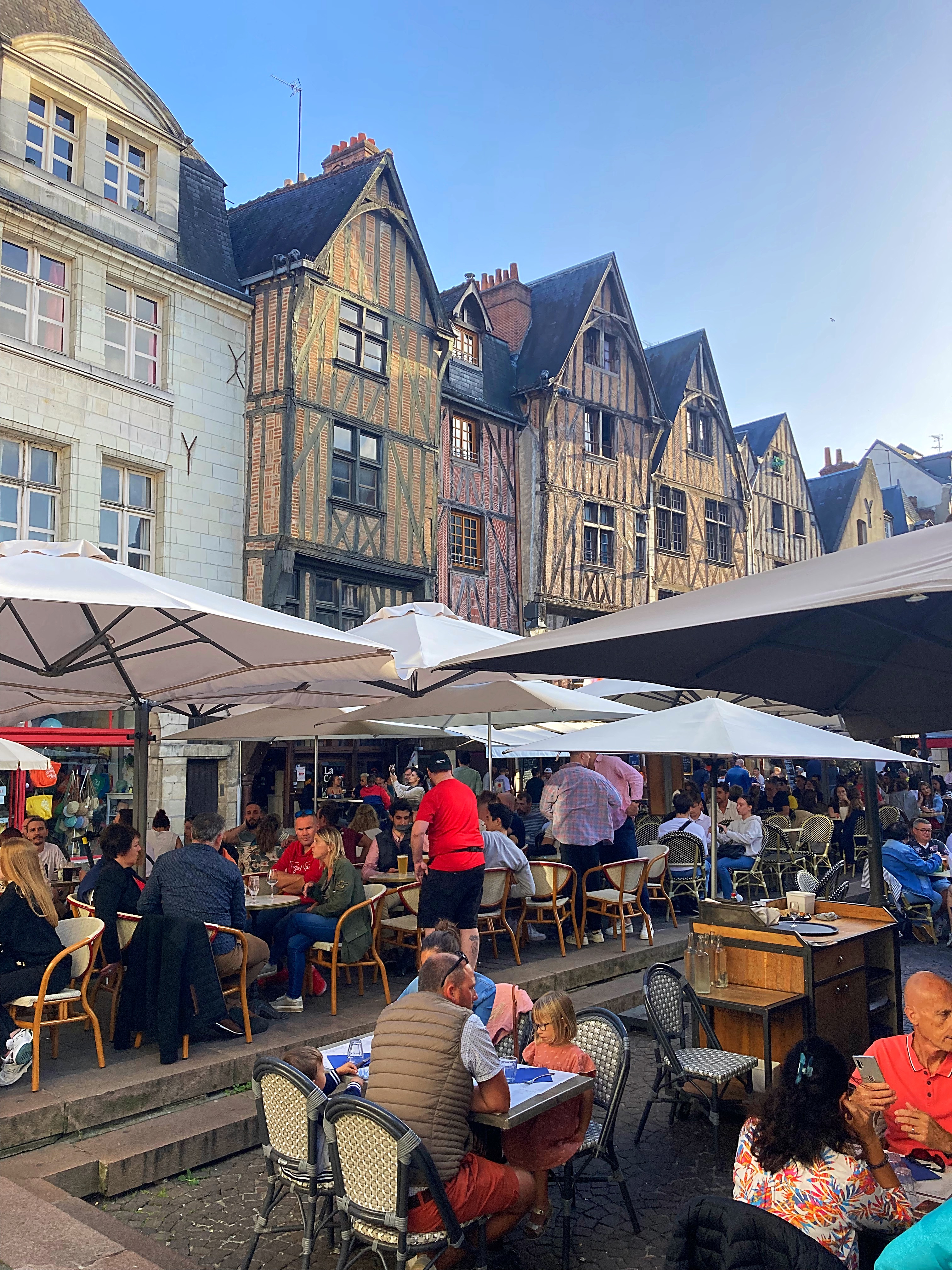
We had a wander around the city after we checked in. It is a really nice city with a good vibe. We had a drink down by the river and then went to Place Plumereau, the old medieval town, for dinner. The square has half-timbered houses from the 15th century, alongside the beautiful Romanesque and Renaissance façades, this square was the economic center of the city from the 13th to the 16th century.

Tonight, I had the best meal so far on tour – baked Camembert with honey, salad, potatoes, Parma ham, tomatoes – yum, yum, yum 😋

Day 6 – Tours to Amboise – 30.5km

When you are carrying everything on your bike you don’t want to carry too much. Having limited clothes means having the ability to wash and dry our clothes overnight is quite important. We had a washing machine last night but no washing powder or drying rack. We used body wash and turned the place into a Chinese laundry, even utilising the wine rack for our smalls.

Today, being a Sunday, we thought we would take it easy with a short ride from Tours to Amboise (I can hear my other psycholist friends back in NZ giving me grief for that).

It was a beautiful ride along lovely paths and through vineyards. Definitely a highlight so far.

Amboise has a population of 13,000 and I think all of them were at the Sunday market. It was fantastic with all sorts of things from food to clothes to jewellery and even mattresses.

Being on a bike also limits your shopping ability which Stevie is very happy about.

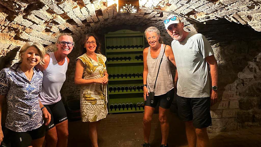
After enjoying the market and the town which again was really busy we went and did a wine tour at Caves Ambacia. The reviews said it was fantastic and they were right.

Our guide, Tomas, was so good and extremely knowledgeable. The Caves have been around since 1463 and were once owned by Leonardo da Vinci. Up until 2017 they were owned by the same family for 13 generations or 600 years. From what we could understand, the taxes on passing from one generation to the other are very high which caused the family to sell – it might also have had something to do with it being the unlucky 13th generation.

The caves alone are owned by a master wine maker now who makes wine with grapes grown by various growers in the region.

In NZ, we define our wines by the grape variety. In France they define them by the region. There are very strict rules about what and how you grow and make the wine.

AOC is short for Appellation d’Origine Contrôlée, and refers to standards set for wines made in France. There are 363 AOCs for wine and spirits in France which control everything from how the grapes are grown to what wine varieties are in the bottle.

The two grape varieties used at Caves Ambacia were Chenin from the Vouvray region for their whites and Cot (Cabernet Franc) from the Chinon region for their reds. To be honest it was all a bit confusing and the more wine we sampled the more confusing it got.

https://www.vinsvaldeloire.fr/en/wine/vouvray

https://www.vinsvaldeloire.fr/en/wine/chinon

Regardless the tour was fantastic and afterwards we enjoyed a glass of wine, escargot 🐌 and a selection of cheeses. Janine had a 1990 Vouvary (chenin) and Hilary and I had a 1997 pétillant which is a sparkling chenin. Very good.

It was my first time having escargot 🐌 and while they weren’t offensive I couldn’t quite get my head around them. Luckily my biking buddies loved them.

The other thing this area is famous for is goats cheese. The four goats cheeses, two cows milk cheese and one sheep milk cheese we tried all came within a 25km radius of the caves.

The Loire Valley is the largest producer of wine in France and we’re cycling the whole way through it 😀.

Day 7 – Amboise to Blois – 43km

Our bed and breakfast hosts in Amboise, Christine and Philippe, were so lovely. Christine spoke really good English but Philippe didn’t – he asked Christine to tell us that he loves rugby and he thinks the French will beat us in the opening game.

He is an artist and paints these 3D images on flat board which were very clever. Christine did our washing for us yesterday and our breakfast this morning was very yummy with fresh baguettes and homemade jam.

Last night while we were sitting outside playing cards, three hot air balloons came over the house on a trip over the Loire.

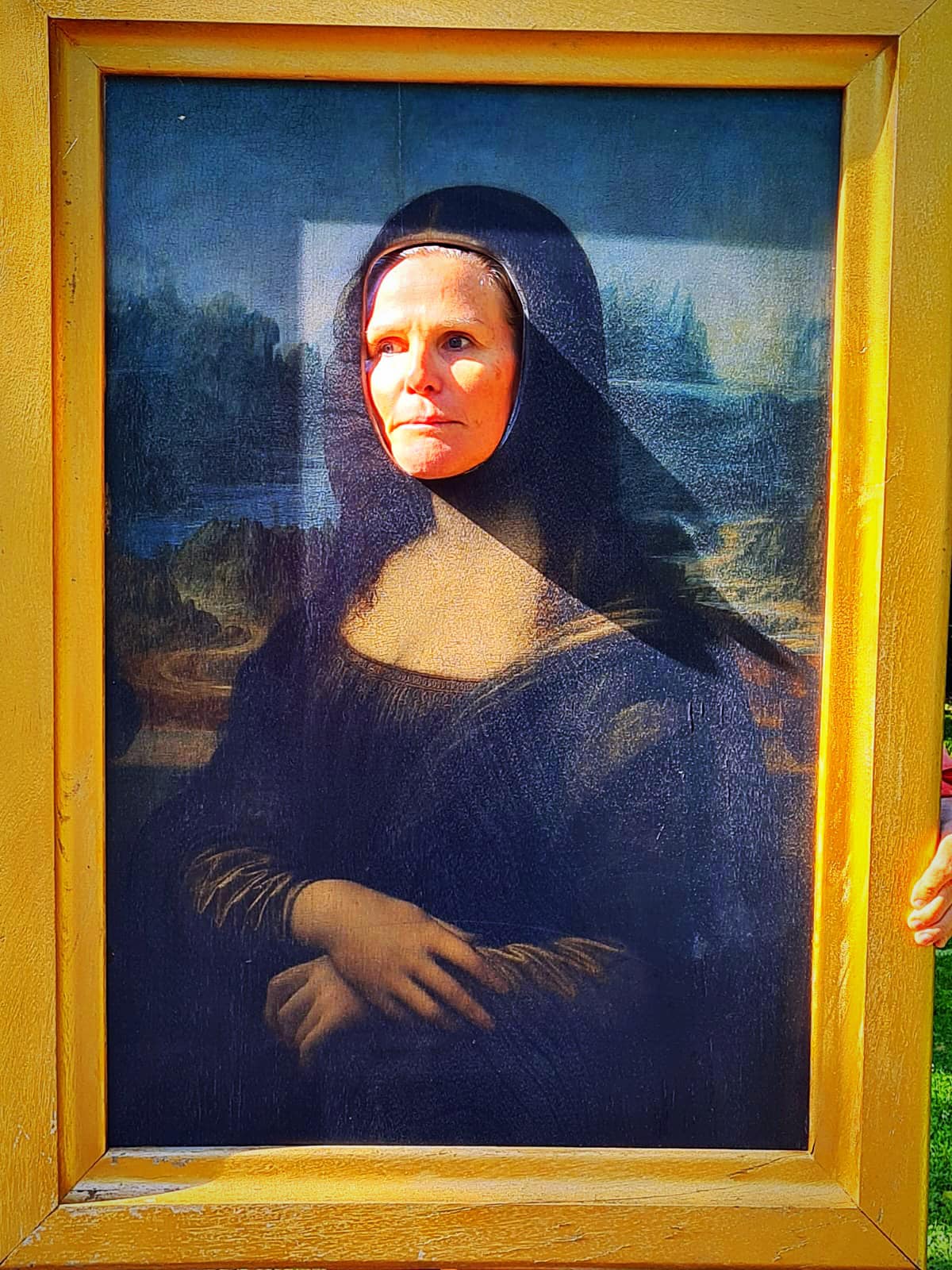
Amboise is a real tourist town, made famous by the fact that Leonardo da Vinci lived in Chateau Du Clos Luce which is in Amboise from 1516 until his death in 1519 at the age of 67. You can visit the chateau, park and exhibition. In my ignorance I wasn’t that keen to visit but it turned out to be so interesting and I learnt a lot.

His work on the human anatomy was fascinating. One of the fore fathers he looked to was Hippocrates (father of medicine) who asserts that disease, far from being from divine origin, is linked to external factors.

Leonardo looked to the work on the soul by Aristotle who explains that the organic soul is the source of vital capacity through animal spirits. The vegetative soul is responsible for reproductive functions and for the growth of the body. The sensitive soul is the one that induces perception through the senses, physical movements and emotions. The intellective soul is the one that enables consciousness and reflection.

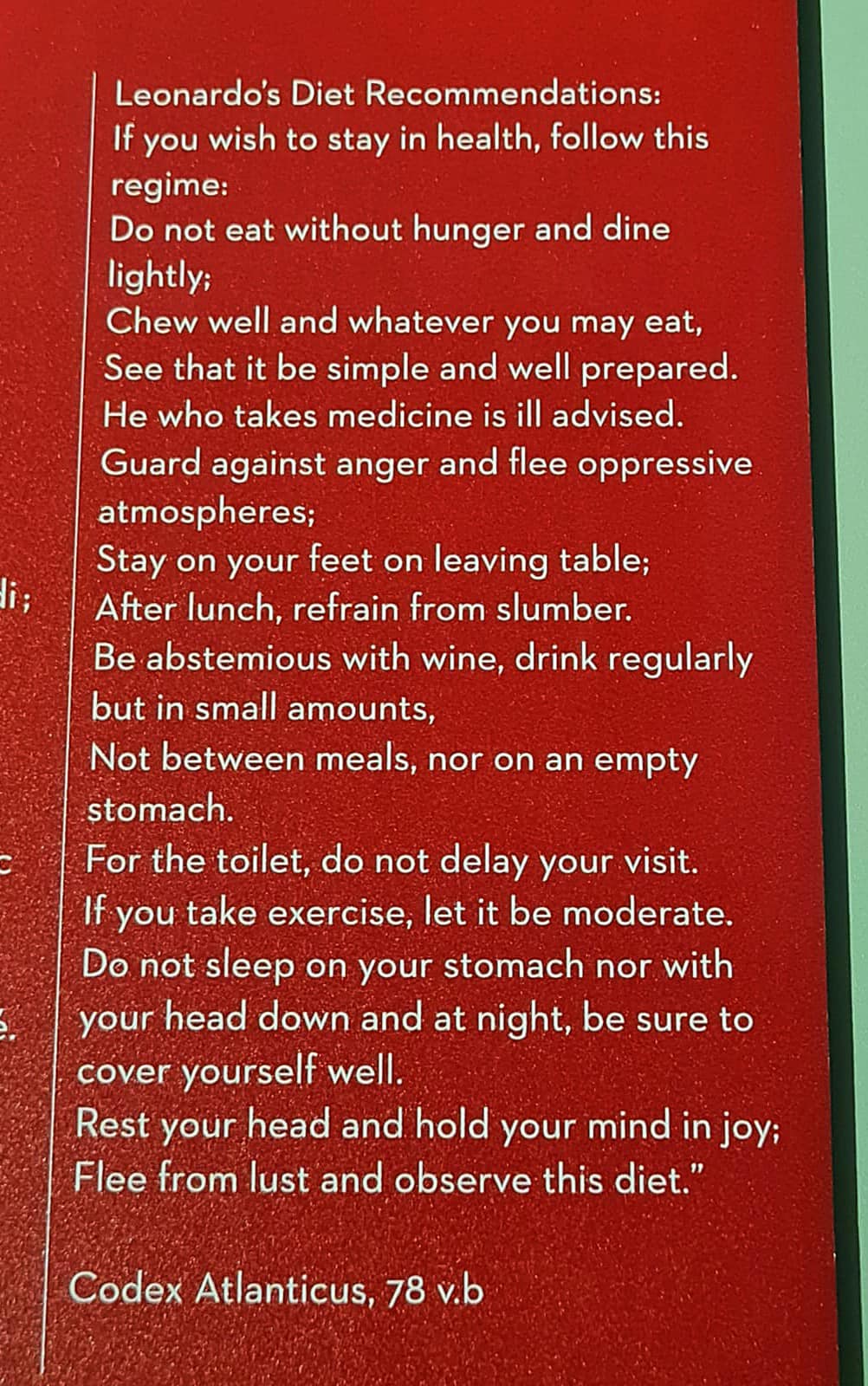
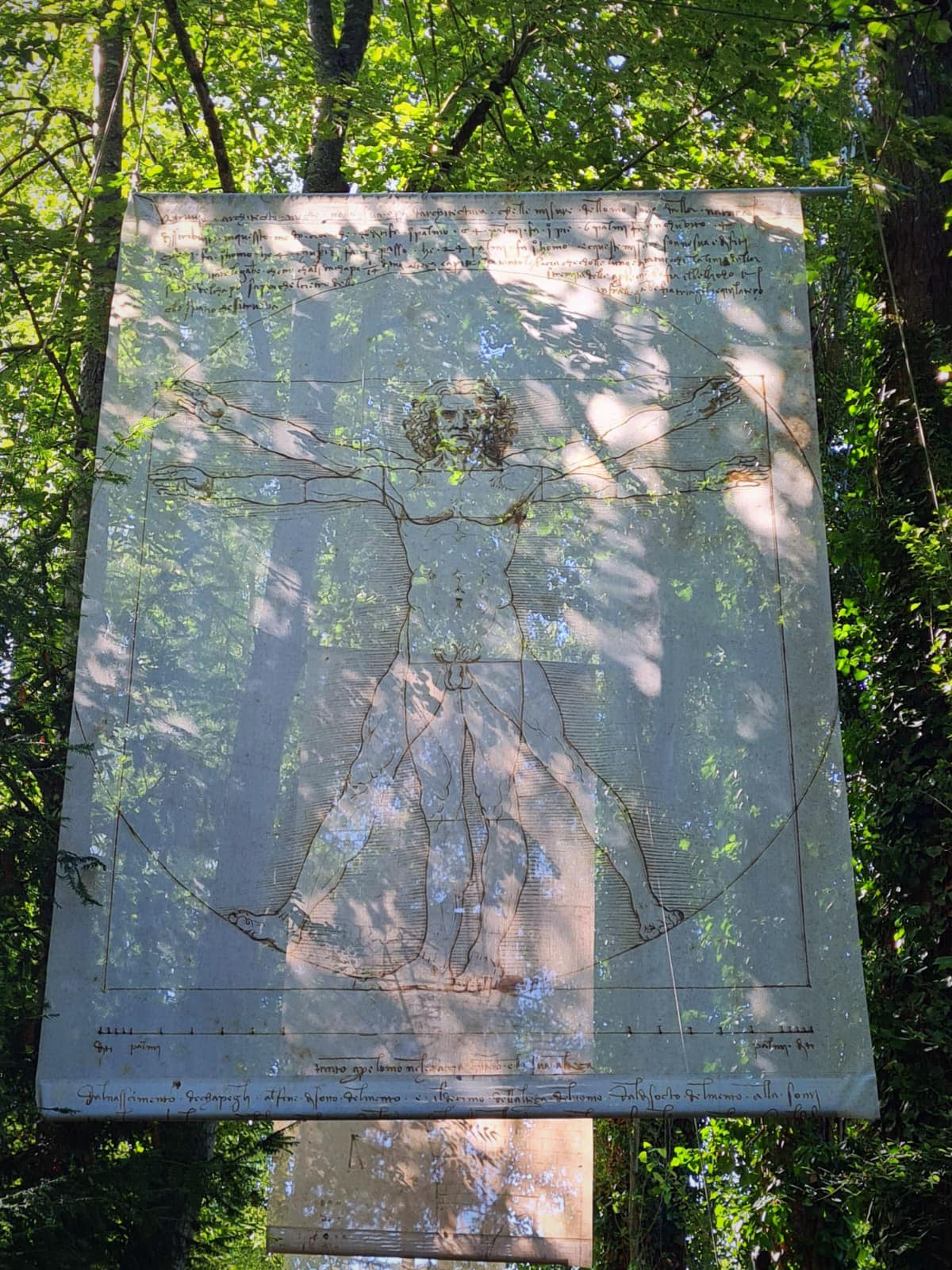
His diet recommendations were also interesting – photo attached.

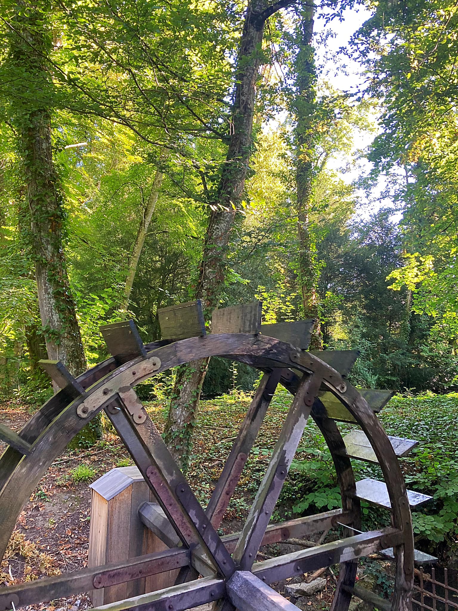
In the park they had models of various machines and shapes that he had drawn. He was an artist, an engineer, an architect, an anatomist and scientist.

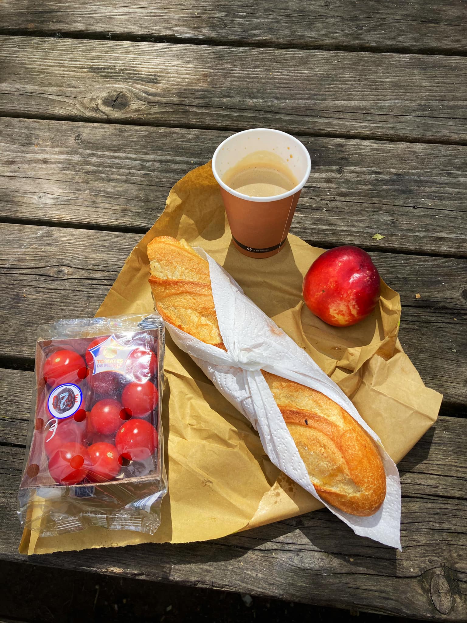
It was then back on the bikes for 23km to Chaumont-sur-Loire where we had lunch in the park – goats cheese, honey and roast tomatoes on a fresh baguette 😋

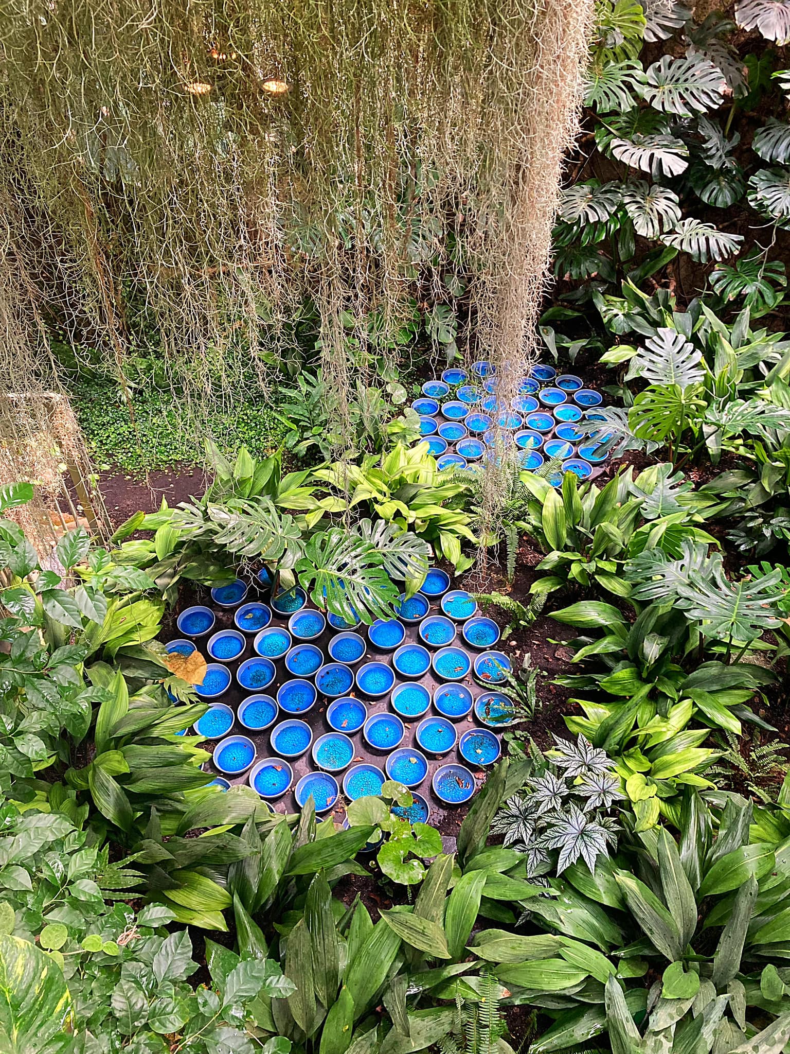
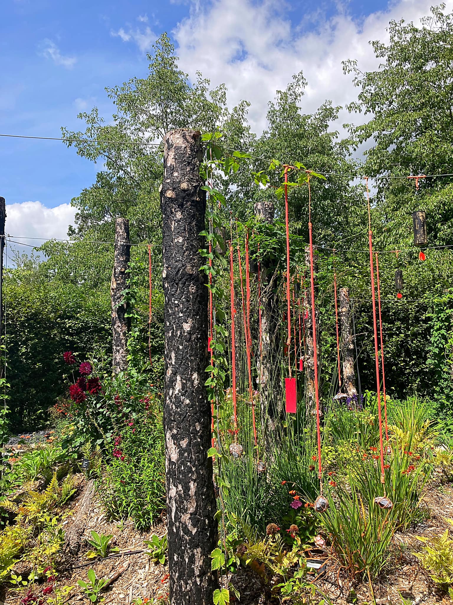
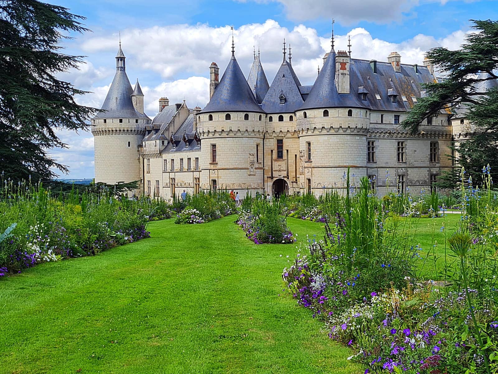
JP and I then visited the garden festival at the Chateau Chaumont-sur-Loire. The grounds comprise 34 hectares – permanent gardens, a plant collection and an annual exhibition. The annual exhibition this year is entitled Resilient Garden – being resilient is turning a challenge into a strength. There were about 30 gardens all showcasing how the designer used plants and the natural environment to combat the challenges the earth is facing.

After a couple of hours roaming about in there it was back on the bikes for 20km to Blois, home for tonight. We’re staying in the historic centre in a very cool apartment.

Blois has a population of 47,000 and during the Renaissance, Blois was the official residence of the King of France.

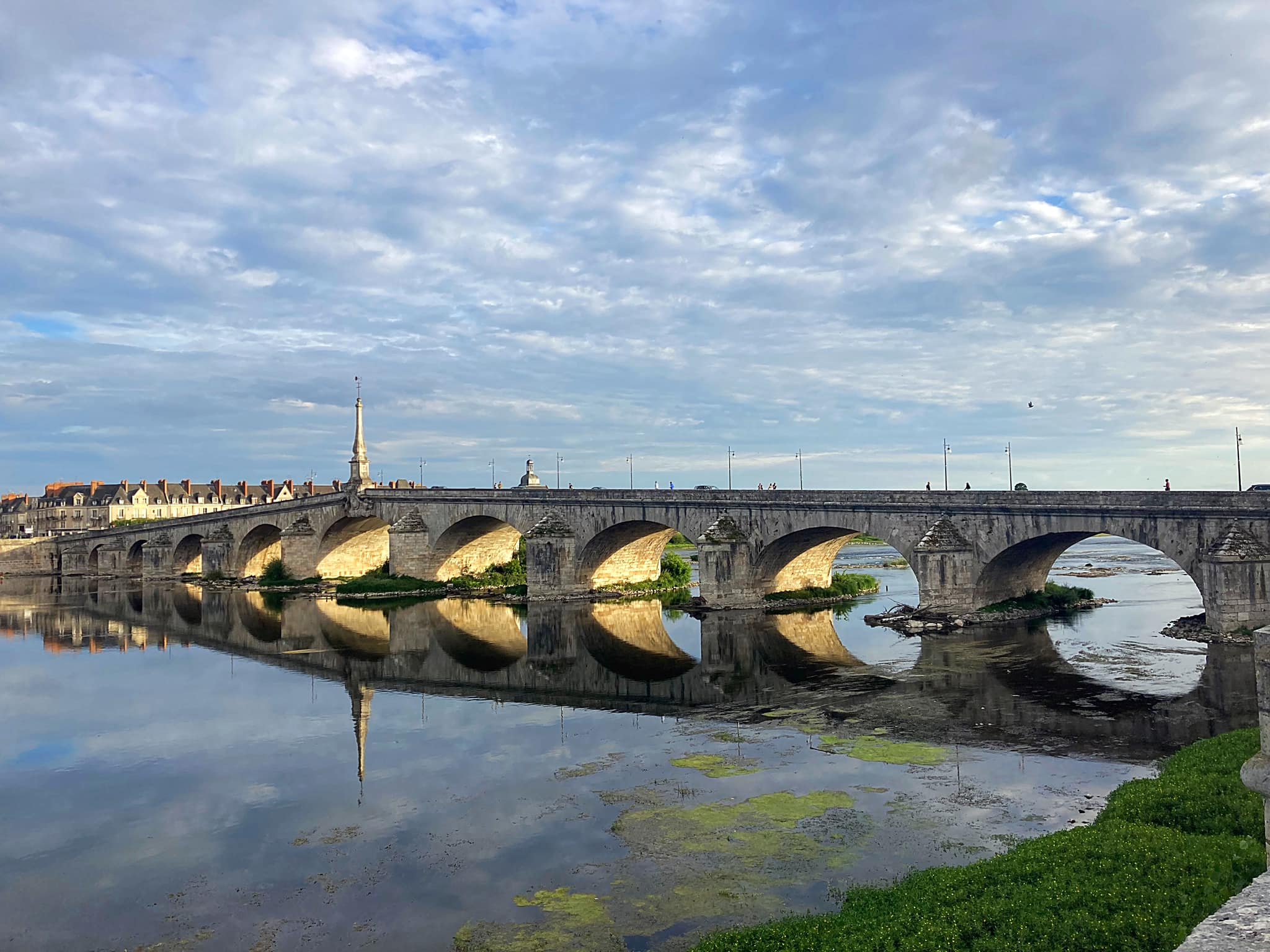
The Jacques-Gabriel Bridge (architect) spans the Loire River in Blois, since the beginning of the 18th century. With a total length of 283m, it is made up of 11 arches, and is the last arch bridge on the river that is pointed.

Posted in Euro Velo 6, France - EV6 | Tagged | 4 Comments

Pou Herenga Tai – Twin Coast Cycle Trail – Northland, New Zealand

On Friday the 13th March we headed to Horeke on the Hokianga Harbour.  There were 22 of us descending on this little settlement to cycle the Twin Coast Cycle Trail.  We had decided to base ourselves in Horeke and to do the cycle trail over two days, being shuttled to the middle of the trail in Kaikohe each morning.

Our base was to be the Horeke Hotel which is the oldest surviving pub in New Zealand.  The Hotel is located on the waterfront of the Hokianga Harbour in the Far North District.  The oldest parts of the building date back to 1833.  It may not have had a liquor licence back in 1833, but that did not stop it serving beer to the many ship builders working in the first commercial shipbuilding yard in New Zealand.

Horeke is the oldest settlement in the Hokianga and the second oldest European settlement in New Zealand after Russell which is on the opposite coast.

Because we were such a big group we were split into three groups for accommodation purposes – one group stayed at the Hotel, one group stayed in the House on the Water and one group stayed at The Riverhead Guesthouse.  The House on the Water was originally built in 1924 and the front part of the house sits over the water on stilts – it has been fully refurbished inside and it is lovely.  The Riverhead Guesthouse is up on the hill overlooking the harbour and is a beautiful old style Kauri villa.  It was originally built in Kaiwaka in 1871 and moved to Horeke in 1979 where it was restored.

By 6pm everyone had arrived and after settling into their respective accommodation spots we converged in the Hotel bar.  It was great to have the team back together, many of whom have done various cycling trips together over the years.  We met Peter & Laurel, the owners of the Hotel and Mike the barman and all round organiser of all things food and beverage.

While eating our dinner (which was delicious), Peter gave us a history lesson on Horeke and surrounding areas.  Horeke was originally called Deptford after the Royal Navy shipyard in England.  David Ramsay and Gordon Davies Brown came from Sydney to set up a trading post and shipbuilding settlement in 1826.  Three ships were built – a 40 ton schooner called Enterprise, a 140 ton brigantine called New Zealander, and the 394 ton barque Sir George Murray, but the firm went bankrupt in 1830.

New Zealand’s first murder trial took place at the nearby Methodist Mission. In 1838 a Maori ferry man murdered a pakeha passenger in an argument over a fare. The man, a mere slave, was tried at Mangungu with the assent of Maori chiefs, and was executed and buried on the low mangrove island opposite Horeke. This was New Zealand’s first murder trial. Yet the court had no legal jurisdiction at all. Both, Maori and pakeha put increasing pressure on Britain to formally claim New Zealand, so British law could apply.

By 1825, the Hokianga Harbour had its first white settler. Jack Marmon, known as Cannibal Jack, was the son of a Sydney stonemason. He jumped ship, married a Maori woman and settled near Horeke, across the river at Marmon’s Point. There was no white man nearer than the missionaries at Kerikeri. A man of slight build, aggressive manner and quick mind, he lived as a Maori joining in their intertribal fights. He was popularly believed to have ‘joined the Maoris in their cannibal feasts’. He died in 1880 and was buried at Marmon’s point after a drunken Irish wake.

After a good nights sleep we met at the Hotel for breakfast which was plentiful.  Peter and Laurel had started loading up our bikes onto the trailer ready to transport them and us to Kaikohe for the first of two days cycling.

img_0102-1

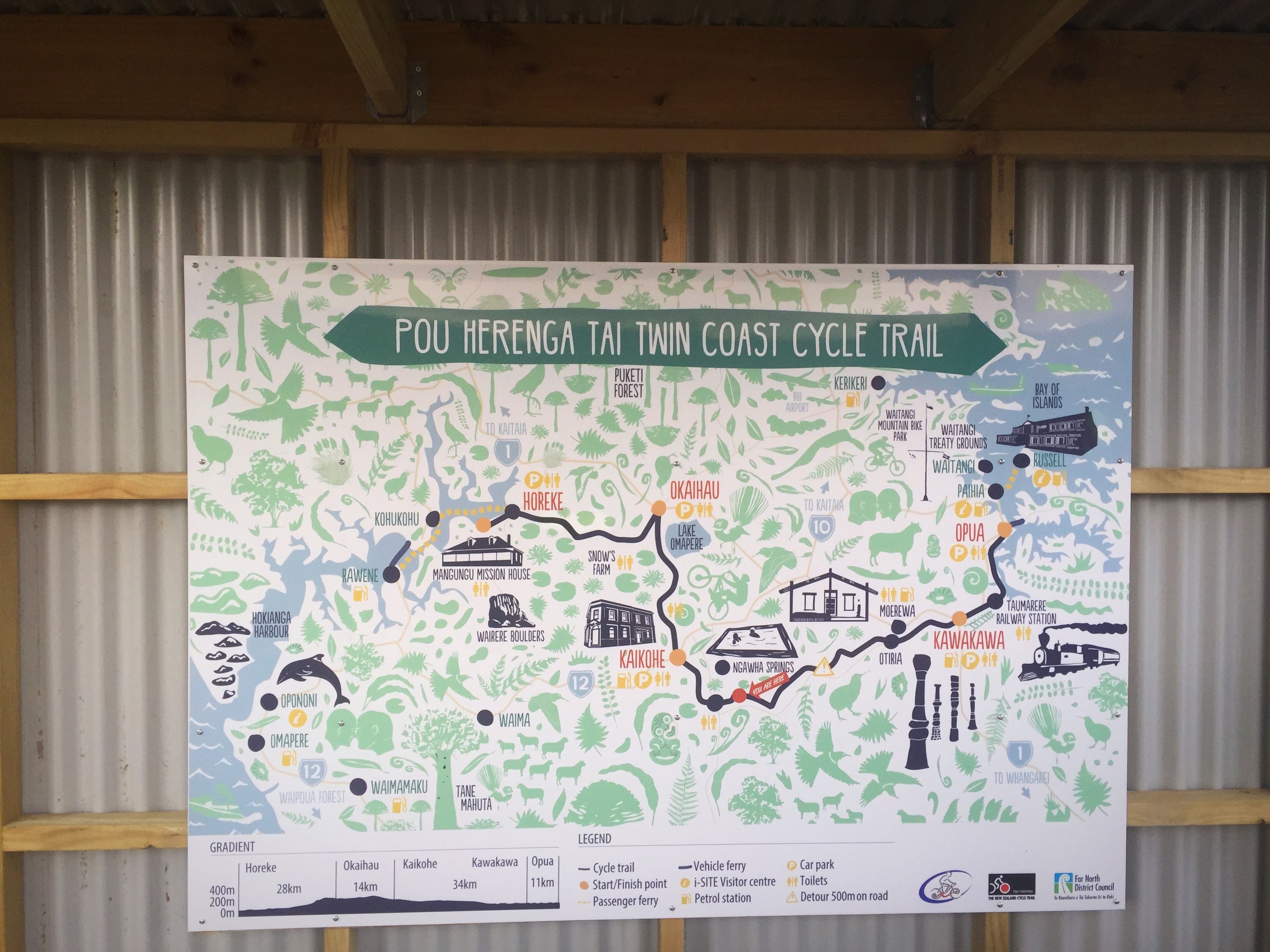
The Twin Coast Cycle Trail is 87 kilometers long and goes from Opua in the Bay of Islands to Horeke in the Hokianga Harbour.  You can ride it in either direction.  We did it over two days and went from Kaikohe which is effectively the centre of the trail to Opua (45km) on day one and from Kaikohe back to Horeke (42km) on day two.

img_0106

Kaikohe is Northland’s largest inland town and mainly services the mid-north’s farming, horticulture and forestry industries.  Kaikohe is steeped in Maori history and owes it’s pioneering growth to the kauri gum trade.  The town also boasts the largest grass airfield in the southern hemisphere – the Kaikohe Aerodrome was built in 1942 as a US Marines bomber base.  It is now used for general aviation.

The Kaikohe district endured several conflicts during the 19th century land wars. The famous chief Hone Heke (1807 – 1850) settled in Kaikohe at the end of the land wars and died here in 1850. The first Maori Member of Parliament was his nephew who was named after him.

In 1914 the rail link between Auckland and Kaikohe was opened which was a major development as travel to Auckland had been a major expedition by land and sea with freight being hauled on mud roads by bullock trains and horse carts.  Kaikohe peaked as a trading centre in the 1950’s when the train station hosted six north bound and six south bound trains a week carrying both passengers and freight.

It was a lovely day – earlier in the week the weekend forecast did not look good.  My SUNGRL powers were on point.  A couple of friends from Auckland, Jo & Torry, joined us on day one and they also bought along our Scottish friends, Geraldine and Ross.  Geraldine and Ross lived in Auckland for twenty years before returning to Scotland to live – it was a real treat to be able to catch up with them both.

Everyone set off at their own pace.  The trail has been well built and goes through a lot of farmland.  We passed through the rural settlement of Otiria which is the northernmost operational point of the national railway network – it is the terminus of the North Auckland line.

Everyone stopped in Kawakawa for lunch and there were some good offerings to be had.  My SUNGRL powers had waned a little during the first 34km (I was probably talking too much and not concentrating) and we got a light shower of rain.  We had just made it to Kawakawa when there was a heavier downpour – good timing.

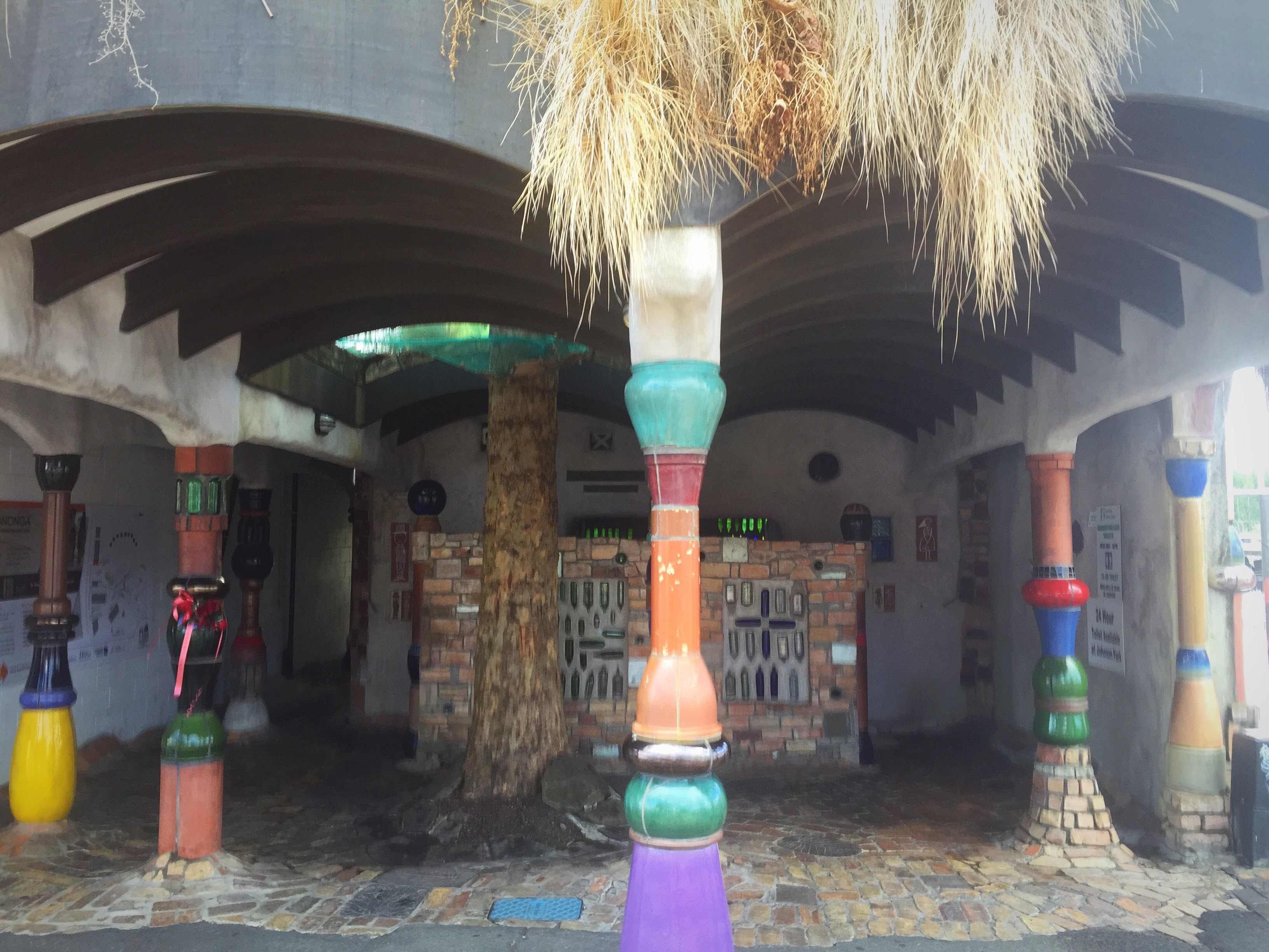
Kawakawa is famous for it’s fancy public toilets, otherwise known as the Hundertwasser toilets.  They have golden orbs, mosaic tiles, copper handwork, sculptures and cobblestone floors.  They were designed by Austrian architect, Friedensreich Hundertwasser, who was a resident of the town from 1975 until his death in 2000.

img_0112

Kawakawa is also famous for The Bay of Islands Vintage railway.  The railway, which runs down the middle of the main street, was re-established in the late 1980’s (after its early life hauling coal from nearby mines). It now operates a scenic tourist railway between Kawakawa and Taumarere Station. It is unique as it is the only working railway in New Zealand where the trains travel down the middle of a State Highway.

We were just finishing our lunch when the train went down the main street.  We rode alongside the railway line as we left Kawakawa and got to the Taumarere station just as the scenic train was heading back to Kawakawa.  Taumarere had a population of 1,500 in the mid 1800’s when coal was discovered.  The coal mine opened in 1867, and coal was initially hauled by horse-drawn carts on a wooden tramway to the deep-water access at Taumarere, loaded onto barges and then taken to Opua to be reloaded onto ocean going ships.

The tramway was replaced in 1867, making it the first railway line to be opened in the North Island.  The first engine was called Puffing Billy, although he ran out of steam within a year and was replaced.  The line first carried passengers in 1871 and was the first passenger train in the North Island.

The coal mine closed in 1912 but the railway continued to service the carrying of meat and butter from nearby Moerewa until the 1980’s after which it was used occasionally for freight and tourists.  The last NZ Railway train ran in 1971 and the line was closed in 2000.  The Bay of Islands Vintage Railway Trust has reopened the historic line to Taumarere as a flourishing tourist venture.  They eventually want to restore the line through to Opua.

We rode across the railway bridge after the train had gone and then followed the estuary all the way to Opua where Peter and Laurel were waiting with the vans, trailers and cold beers.  Opua is a bustling commercial port with a large marina and boatyard.  It is the first port for overseas yachts arriving in NZ after crossing the Pacific Ocean.  There is also a car ferry that takes you across to Russell which is the oldest European settlement in NZ.

All aboard the vans to our next stop – Ngawha Springs.  It was actually quite hot so the thought of hoping into a hot pool was not so appealing.

Te Waiariki Ngawha Springs are natural geothermal healing waters that come directly from the earth.  There are 16 mineral baths each with unique nutrient and temperature characteristics, used for centuries for relaxation as well as their therapeutic qualities and healing properties.  They are culturally significant and have a rich social, environmental and political history.  The Parahirahi Ngawha Waiariki Trust as kaitiaki has a responsibility to ensure that the springs are maintained and developed so that future generations can enjoy their healing waters.

The pools have a variety of temperatures and bubble from the ground into large wooden tubs.  The hot springs arising in this area are slightly acidic and are rich in ammonia, bicarbonate, boron and mercury, which is not typical of other springs in New Zealand. Tests have shown that the pools contain in varying amounts also boric acid, bromide, calcium chloride, caesium, carbon dioxide, magnesium, iodine, fluoride, lithium, sodium, ammonium, rubidium sulphate, silica, potassium and some other minerals.

All pools have personal names. Amazingly they have different colours and different temperatures even though they are in close proximity of each other.  So, while Bulldog has black water and a temperature between 41-48 degrees, a small pool located about 3 meters away from it has white water and a cool temperature.

Every pool has its own individual spring, each with its own temperature. The difference in the colour of each pool is an indication of the variation in mineral composition and individual underground source. The spring waters are presented in their natural state and are not in any way processed.

We opted for the cooler pool first before venturing into the hotter ones.  Surprisingly the hotter ones weren’t too bad.  In the last pool we went into, a local lady hopped in and proceeded to put her head under.  Our understanding was that you couldn’t put your head under in thermal or mineral pools so we asked her about it.  She told us that this was the only pool you could do it in and that it was noted on the information board.  She had been coming to the pools for years and she told us some stories of how the healing properties in the pools had helped various people that had serious illnesses. 

She told us that the pool we were in had a high concentration of boric acid and magnesium and that it was good for eye health and arthritis.  We decided to put our heads under to absorb as much of the goodness as possible.  I’m still needing to wear glasses so it was not a miracle pool!

After our healing experience we headed back to Horeke to enjoy some liquid refreshments before dinner.  Our Swiss and Thai friends were travelling in this area and had arranged to call in for a drink with us.  It was a beautiful evening which made it so nice to sit out on the deck and watch the sun go down.  Our friends went back to their camperan to cook dinner while we enjoyed another delicious meal at the Hotel.

The tradition on our annual bike trips is to have a court session at night where anyone that has done something silly during the day gets fined.  Normally I am the judge, jury and executioner but this year Steve Thomas and Rachel Darlington had relieved me of such duties.  I had given then strict instructions of course – I don’t let go easily.

Steve, Rachel Darlington and myself then joined our Swiss and Thai friends for a little after dinner party in their campervan.  There was no way they were driving anywhere after that so luckily Peter had said they could park up outside the hotel.  I did, however, drive us back up to the Riverside when possibly I should not have.  I got a fine for this the next night despite having the fine master and his sidekick in the car with me.

On Sunday morning there was thick fog not just in my brain but also blanketing the Harbour – it was quite eerie.  We headed to the Hotel for breakfast before again setting off to Kaikohe in the vans.  Today we were cycling back to Horeke which was about 42 kilometres.

img_0163

The trail between Kaikohe and Okaihau follows a disused railway corridor and climbs gently to the highest point of the trail at 280 metres above sea level. The first part of the trail was mainly through bush or old forestry areas.

We came across an old rail tunnel that was built in 1915 – it was 80 metres long with a slight curve in it so you couldn’t quite see the light at the end of it.  I decided to ride through it with no light on but as I got inside I thought some light would be good.  As I fossicked around trying to turn my light on I lost my orientation and headed a bit far left and before I could unclip my left shoe I was having an involuntary lie down inside the tunnel – I am getting a very bad reputation for these.  Luckily Kaz came back to find me with her light on as my light battery was dead and my phone flew out of the holder as I hit the ground.  A little bit of blood never hurt anyone and of course a fine at the evening’s court session!

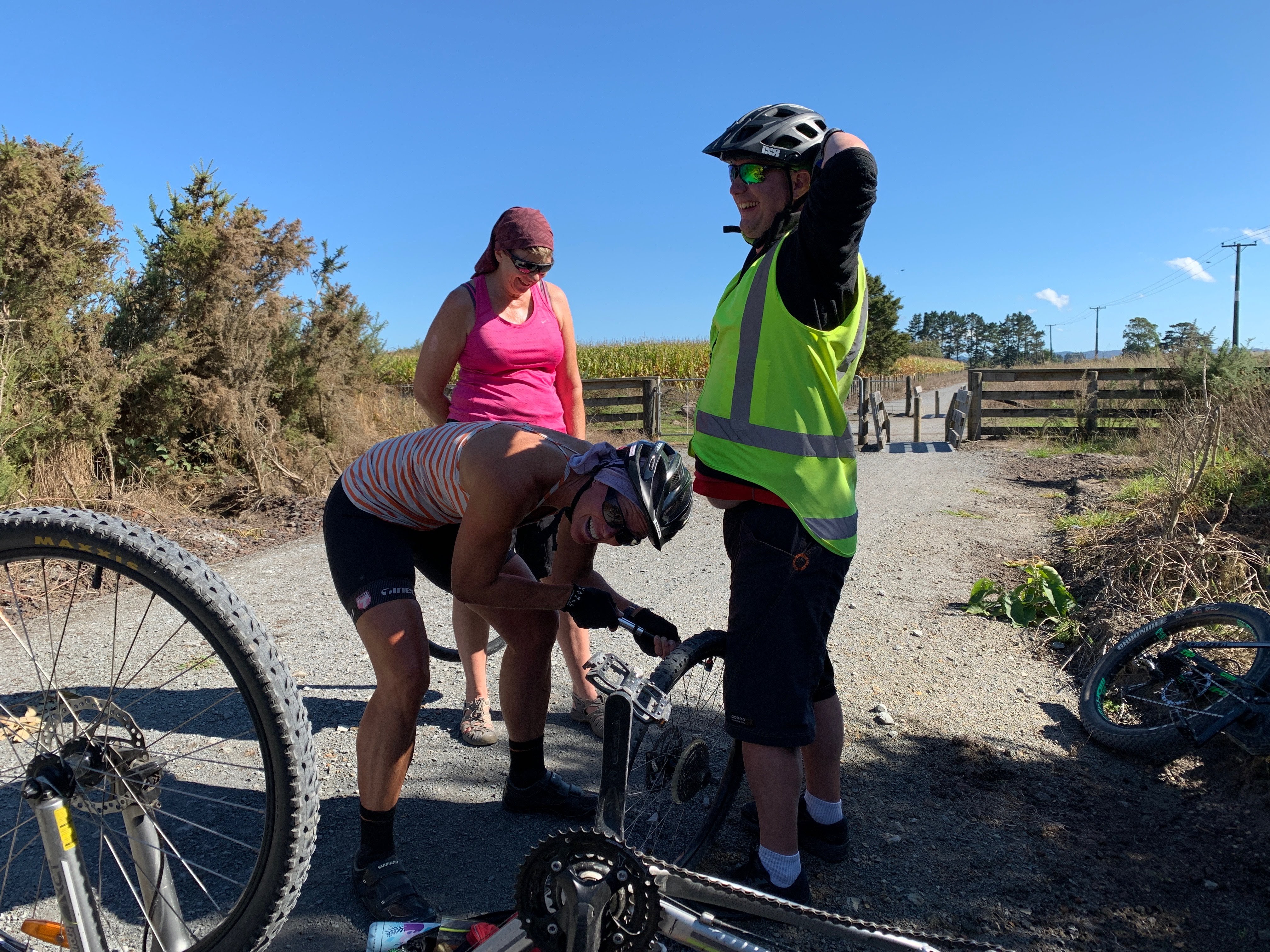
Just before Lake Omapere came into view we came across Margaret, Graeme and Trish fixing a flat tyre.  We all had a go at pumping up Margaret’s tyre while Kaz took some questionable photos!

img_4845

The tranquil waters of lake Omapere are the ancestral home of indigenous tuna or eel that provide a bountiful food source for the local people.  Tuna, during the months from February to April set off on an epic journey from the lake, down the Utakura River and through the Hokianga Harbour, swimming thousands of miles to their spawning grounds in the Pacific Ocean, somewhere between Tonga and Fiji.  Their offspring, after floating on the southern current back to New Zealand coastline, scale enormous obstacles back upstream to make it back home.  It is during this migration that local people have traditionally set nets on the river to harvest this rich bounty of the sea.

The plan was to grab some lunch in Okaihau – Peter had said that one of the two cafes may be open?  As we passed through Okaihau there was no sign of anything open so we carried on conjuring up plans as to what we could do once we got back to Horeke.

When Okaihau was settled in the 1880’s, British builders Charles & Walter Rowsell established four sawmills in the mid north region.  We passed one of the mills that transformed kauri, kahikatea and totara from the surrounding hills into weatherboards, flooring, furniture, fenceposts and spars to supply the growing community.  Many houses in the area were also built by the Rowsells.

Not long after Okaihau we came across a beautiful big Puriri tree.  “He’s as tough as an old Puriri post” is a saying testament to the durability and strength of the stately Puriri tree, endemic to New Zealand and synonymous with the landscape of the Far North.  Many of the Puriri fence posts we were passing on the trail are over 100 years old and still standing straight and strong.

Early settlers prized the plentiful, rot-proof wood but were daunted by it’s stubbornness.  They discovered that most nails would simply bounce off the surface and had to invent a special fence staple to penetrate the grain.  They also learned that even when a Puriri is felled and milled into posts it will continue to grow.  An incident recorded by New Zealand Geographic tells of a farmer who cut down a Puriri, quartered it and used the posts to build a hay barn.  Three of the posts sprouted.

For Maori, who also called the tree kauere, the Puriri provided many resources.  The leaves were used for making an infusion for bathing muscle aches and sprains; a useful laxative, a salve for sore throats and ulcers and the bark for dying flax.  The wood was used to fashion gardening tools, paddles, weapons and hinaki (eel traps) because it was one of the few timbers that would sink.  The grubs of the Puriri moth that burrowed deep into the truck made good eating.

After leaving the trail beside the road we started riding through farmland again and had some great views down the Utakura Valley.  We descended down some pretty cool switchbacks before coming around the corner by the Utakura River where we found a lot of the group having a picnic lunch.  Tony had decided to buy a loaf of bread and some potato chips so we could all make potato chip sandwhiches – that was a blast from the past – I haven’t had a chip sandwhich for years.  I was pretty hungry (nothing new there) so they went down a treat.

Riding alongside the Utakura River was beautiful – it was another sunny day.  We had a pit stop at Snows Farm where we saw all these old tractors and some quaint accommodation.  There was also a tap for us to fill up our water bottles.  This part of the trail was definitely my favorite.

Not far from Horeke you ride along a 1 kilometre boardwalk through the Mangrove Estuary to Hokianga Harbour.  It was a great way to end the ride.

We all had showers to freshen up and then relaxed on the balcony taking in the beautiful vista.  Mike the barman then arrived with hot pizza – that went down a real treat!

At 4pm we had organised a cruise on the Hokianga Harbour.  Craig the skipper of the Ranui pulled up at the wharf outside the Hotel and on we got.  It was a beautiful evening and so calm out on the water.  It was a BYO scenario so we had purchased a few liquid refreshments to enjoy while we cruised.

We went past the Mangungu Mission House nestled up on the hill just past Horeke.  Māngungu was established on the shore of the spectacular Hokianga Harbour in 1828 as a Wesleyan Mission station. It was built in 1838-1839 for the Reverend Nathaniel Turner.

Following lengthy discussions, the largest signing of the Treaty of Waitangi in the country took place here, with over 70 chiefs adding their assent before a crowd of up to 3,000 people.  The event is remembered each year on 12 February.

Honey bees were introduced at Māngungu, providing a major contribution to the success of pastoral farming in New Zealand.

From 1840, the mission house was occupied by the Reverend John Hobbs and his family.   Hobbs had drawn the plans for the house – a single-storey structure in a symmetrical, Georgian style – and supervised its construction from local kauri.

The family left Māngungu for Auckland in 1855 and the house was moved to Onehunga where it was used as a Methodist parsonage and then sold to private owners.  The mission house was returned to the Māngungu site in the 1970s, restored on behalf of Heritage New Zealand, and opened to visitors in 1977.

Next to the Mangungu Mission House stands the little chapel looking over the shore of the tranquil and picturesque harbour. The original church, which could take 800 people, was demolished in the late 1800 to build mill workers’ cottages in Kohukohu.

The present chapel is the disused Methodist church from Kohukohu which was shifted across the water to Mangungu and re-sited nearby the mission house.

img_0193

We then cruised up one arm of the Hokianga and saw a shag colony before returning to the Harbour.

12,000 years ago, the Hokianga was a river valley flanked by steep bush-clad hills. As the last ice age regressed, the dramatic rise in sea level slowly flooded the valley turning it into a tidal saltwater harbour with abundant sheltered deep water anchorages. This was the harbour that the explorer Kupe left from, and in 1822 it was home to the first European timber entrepreneurs.  Southern right whales possibly frequented the bay historically, prior to significant depletion of the species caused by commercial and illegal hunting.  Today, large whales are rarely seen in the bay, although the harbour is a well-regarded area in which to watch smaller dolphins and killer whales.

The area around the harbour is divided in three by the estuary. To the south are the settlements of Waimamaku, Omapere, Opononi, Pakanae, Koutu, Whirinaki, Rawene, Waima, and Taheke; to the north are Broadwood, Pawarenga, Panguru, Mitimiti, and Rangi Point; and at the top of the harbour upstream from the narrows are Horeke, Kohukohu, and Mangamuka.

We then headed to Kohukohu where we went ashore to have a look around and enjoy a beer at the pub.  I was expecting the pub to be in a historic building or have some history but it wasn’t and it was a bit underwhelming.  The town, however, was very cool and had some quirky and quaint buildings.

The first recorded European to enter the Hokianga Harbour arrived in 1819 and by the 1830s, Kohukohu was the heart of New Zealand’s timber industry.  The country’s first Catholic mass was celebrated 8 kilometres north of Kohukohu at Totara Point in 1838.

For nearly one hundred years Kohukohu was an important timber milling town and the largest commercial centre on the north of the harbour. In 1900, the township had a population of almost 2,000 people.  Today, Kohukohu is a community of 150 people who live within the village and approximately 350 who live in the surrounding area.

It was then time to return to Horeke for another yummy dinner and of course the daily court session.  I was fined for falling off my bike but I was not alone.

We enjoyed breakfast together on Monday morning before we all set off on our journey’s home.  The Covid-19 pandemic was making headlines daily but at this stage we were probably all a bit blase about it.  We were certainly not practicing social distancing or contemplating what was to come ten days later.  We have now been in level 4 lockdown for 12 days and although we are getting used to it this is not how we like to live our lives.

I am very grateful that we got to spend that weekend on the Hokianga Harbour.  It was fantastic – great accommodation, great cycling, great food and great friends.  The cycle trail exceeded my expectations – it was in good condition and there was a good variety of scenery along the way.  The area has a lot of history and some untouched natural beauty.  The cycling is not hard and the way we did it was very enjoyable and achievable for all.

Thanks to the team for helping create some more special memories – Margaret & Graeme, Trish, Hilary & Graham, Karen & Danny, Kaz & Pete, Peter & Lynette, Debs, Rachel D, Di & Mike, Cheryl & Ross, Kaye & Tony, Stevie and of course our honorary Kiwi, Andrea.

Thanks also to Peter, Laurel and Mike at the Horeke Hotel for transporting us around, feeding and watering us and providing a lovely place to stay.  Also, a big thanks to Ollie for helping out with the bikes each day – you were a star.


Posted in Northland, Uncategorized | Tagged , | Leave a comment

Kopiko Aotearoa – New Zealand

After completing the Tour Aotearoa in 2018, we were keen to see what the next adventure courtesy of the Kennett Brothers was going to be.  Let me introduce you to Kopiko Aotearoa – a 1,000 odd kilometre brevet from Cape Egmont to East Cape.  Lambers and Crammers were on tour again.

Kopiko means ‘to go alternately in opposite directions, meander, wander, ramble’. With Crammers involved there was to be no meandering but there was a lot of rambling 🤔.  We managed to talk and laugh our way across the country.

You could have taken this journey in either direction.  We chose to go from West to East as we heard that we were more likely to encounter a tail wind that way 😉.  Don’t beleive everything you hear – we had to wait until we were nearly at the East Cape lighthouse before we encountered a tail wind!

We had heard that there were going to be a lot of hills and that rumour proved to be true – my rides up Te Mata Peak definitely helped my preparation.  The plan was to complete the trip in 10 days which we did. According to Crammers Strava stats we pedalled 1,075km, climbed 19,995 metres and spent 75 hours on our bike seats.  We think the metres climbed were a little overstated after seeing other people’s statistics but whatever it was it was a lot!

As with the Tour the highlight was the people we met along the way – the comradery between the riders is fantastic.  We also got to reconnect with some of the people we had met on the Tour which was the icing on the cake.  It was also great to go to places that we have never been to before and will possibly never go to again.  The highlight for me would have to be Lake Waikaremoana – it was a stunning day and to come up over the hill to see the Lake in all her glory was special.

I am collating this blog as I am on day four of the covid-19 lockdown – it is hard to believe that it was less than a month ago we were on this biking adventure.  I love bike packing due to it’s simplistic nature – you are generally carrying all that you need on a daily basis – your bike, food and a place to sleep.  I believe one of the positives of this lockdown process is that some people will also get back to appreciating the simple things in life.

Be safe, be kind and Kia Kaha New Zealand.

Sunday 23rd February 2020

Day 1 – Cape Egmont Lighthouse to Purangi – 114km – 1,450m climbing

If you want to break a drought then organise a cycle trip! Driving out to the Lighthouse was wet and it was rather cool while I was setting my bike up.

We soon warmed up but the tail winds we were promised proved elusive. We’ve renamed them multi directional head winds 💨🚴‍♀️🚴‍♂️.

The cycle through Pukeiti was beautiful and Founders Cafe had opened specifically for us so it would have been rude not to stop.

There had been a few gentle climbs to Parihaka and then Pukeiti which proved a good warm up for what was to come.

With our first coffee under our belt we headed for New Plymouth where we had organised lunch with friends and family. It was James (Crammers son) 18th Birthday. Two coffees down and we were farewelled by the troops.

Just past Lepperton we came across a winery selling French wine and coffee. The lure of coffee was too much so in we popped. It turns out the winery sells non alcoholic French wine – Sur Le Mur has the exclusive rights to this particular wine. It was really interesting but we stuck to the coffee and the owner spoiled us with a number of sweet French treats. After doing the sniff test I succumbed to a small taster of the bubbles – very drinkable.

We met a local couple down by the Bertrand Road Suspension Bridge who had bought their goat 🐐 Honey down to eat the grass as they were short at home.

We then had a fairly good climb just before Purangi where the gravel road started. Laurel from Purangi Orchard (our accommodation for the night) had said there was 15km of gravel before their place. I was really hoping she had got confused and thought we were coming from the east because my butt wasn’t up to another 15km and definitely not 15km of gravel. Thankfully 😅 I was right and the Purangi Orchard appeared like an oasis just around the corner 😊.

We were staying in an old school house. Our roomies for the night were Shirley and Marcus so it was lots of fun sharing stories – they had also done Tour Aotearoa in 2018 when we did it.

Our hosts, Laurel & Ian were so hospitable and invited us down for dessert and coffee after dinner. That was a nice treat. They were lovely people and we enjoyed chatting with them.

Crammers was quite miffed at the end of the day because we had cycled all this way and we were still in the Naki. As the crow flies he was probably only 50km from home. We’d spent all day going around in a circle around the mountain 🏔 😂.

Monday 24th February 2020

Day 2 – Purangi to Ohura – 95km – 1,550m climbing

We woke very refreshed after a snuggly night in the schoolhouse – Marcus was guilty of snoring but we were all rather weary so it wasn’t a problem 😉.

It was a beautiful blue sky day although a little chilly when we set off. The 15km of gravel road with a few climbs meant it didn’t take long to warm up. It also didn’t take long for me to have my first involuntary lie down 🤦‍♀️ oops 😬

After removing a number of prickles from my butt we did three good climbs before descending into the Republic of Whangamomona. The scenery was fantastic.

In 1989 regional council boundaries were redrawn, with an emphasis on connected catchments. These revised maps made Whangamomona part of the then-Manawatu-Wanganui Region. Residents objected, as they wanted to continue being part of the Taranaki Region, and on 1 November 1989, they responded by declaring themselves the “Republic of Whangamomona” at the first Republic Day. Though the move began as a pointed protest, the town continued to hold a celebratory Republic Day once a year, during which a vote for President was held. The day has become a local festival day, and attracts visitors from throughout the North Island. In 2001, the celebration became biennial, held in January to take advantage of the summer weather.

We couldn’t have got a better day to come through here ☀️😎. We had a coffee stop at the pub – it was going to be the only one of the day.

We then headed towards Ohura through a lovely valley. We had a great view to Mt Ruapehu and Mt Ngurahoe.

We came across some interesting signage on a property – clearly they have not been swept up in Jacindamania 🤔

Our photo control point today was the Moki Tunnel which was built between 1935 and 1936. About two decades ago, a witty traveller nailed up a sign re-naming the Moki Tunnel as the “Hobbit Hole”. This nickname is still used today.

We then had a long descent down the Tangarakau Gorge which was a gravel road. It looked like we were descending but it definitely didn’t feel like that!

We met a Dutch couple at our lunch stop who kindly refilled my water bottles in their campervan. It was lucky they did as it was really hot and I would have run out prior to Ohura.

We had a few more climbs and some awesome descents before we got to Ohura. The New Zealand Ministry for Culture and Heritage gives a translation of “place which is uncovered” for Ōhura. Ohura was the centre for coal mining in the region, operating through to circa 1965, where previously the mines, railway network and farming had been major parts of the local industry.

In 2013 it had a population of 129 but from what we could see that may have declined.

Surprisingly there is a Mexican food caravan in town run by a fantastic lady called Michelle. In fact it appears that Michelle runs the town – we organised our accommodation through her and even got the key to the school swimming pool from her.

We had spotted the pool as we rode in and thought it looked very inviting. We were right – it was so refreshing and a great relief for the aching knees.

Michelle then whipped us up a delicious Mexican meal which we ate while the sun went down. There are at least 15 cyclists in town tonight so lots of good chat and laughs.

Crammers is relieved to have left the Naki finally 😂. We are now in the Ruapehu District.

Tuesday 25th February 2020

Day 3 – Ohura to the middle of the Timber Trail – 95km – 1,580 metres climbing

After a communal breakfast in the house we shared with some fellow riders we went to farewell Michelle at the Mexican food cart who was hard at work again feeding the cyclists.

It was a foggy morning but you could see the blue sky in the distance so we knew we were in for another hot one.

The first 35km was generally on tarseal with a fairly decent climb over the Okahukura Saddle. There was a pinch climb at the top so we stopped to catch our breath and have a snack. We then heard a siren and an ambulance 🚑 came racing up the other side. We were hoping it wasn’t for a fellow cyclist behind us. We started our very fast descent and towards the bottom and came across a fire engine 🚒 coming the other way. Around the next blind corner was another one which nearly collected Crammers as he got a bit close to the centre line 🙈.

We then had about 15km on gravel into Ongarue. We stopped there to see if there was any coffee on offer to no avail. A cold drink, a water refill and a lie down had to suffice. That hammock was so comfy – I was a bit worried I was going to do myself an injury getting back out 😂.

Next up was the Timber Trail – we have ridden this Trail a number of times but always in the other direction. The last time we rode it was in 2018 and they had a lot of rain so the track wasn’t in good shape. They’ve done and are doing some work on it so it rolled pretty well. There were also a lot more descents than we remembered in reverse so that was cool.

We were playing Russian roulette going this way though as the East to Westers were coming in the opposite direction along with those doing the Tour Aotearoa. It wasn’t too bad and it was nice to chat to the Tour Aotearoa riders having done it two years ago.

We met the first rider coming from the East – he had ridden about 800km in four days. The lovely thing was that he stopped to have a quick chat – what a machine. About 15 minutes behind him were three other East to Westers but they weren’t stopping – obviously trying to catch the first guy.

Crammers got a jet boil for Christmas so we decided if he was carrying it we better use it. It was luxury having a cuppa on the Trail.

We made it to the Timber Trail Lodge at 5pm – we really are exceeding all expectations with our timing on this trip. Dinner was being served at 7pm but we were offered complimentary pizza 🍕which was yum.

Had an interesting chat to these seasoned riders from Christchurch who are doing the Kopiko with us. They have some matching riding outfits – one of which they wear to dinner 😉.

Another outstanding dinner tonight which went down a treat. We’re currently sitting on the deck enjoying a spectacular night sky.

A big tick ✔️ today for no involuntary lie downs and no wind 💨.

Wednesday 26th February 2020

Day 4 – Timber Trail Lodge to Whakamaru- 85km – 1,625 metres climbing

As we sit down to do our homework tonight I can officially say it was a tough day in the office. We averaged 11.8km an hour and spent most of the day on gravel.

We started the day well with a rather large breakfast at the lodge. We then had the usual sun blocking and butt blocking to do before setting off about 8am. It was to be another day playing Russian roulette with the TA riders and the East to Westers.

We had about a 500 metre climb for the first 23km so those coming the other way were going reasonably quickly which resulted in a few near misses and eventually with me upside down 🤦‍♀️. Crammers wasn’t quick enough with his camera today so there was no photographic evidence 😉 so did it really happen!

We then decided that Crammers should take the lead with the Queen Mary (his tank of a bike) so he could stop them in their tracks. Things quietened down a bit as we approached the highest point.

The boys from Christchurch then caught up with us and Kamikaze Kevin took the lead on the 13km downhill. Man that was fun – the track is in great condition.

We stopped off at the Historic Tractor site and had a chat with this young German guy who was touring around NZ on his bike. He really was carrying everything but the kitchen sink!

In fact today was a very social day. Those who know us well, know we love a good yarn so we did have a lot of chit chats with our fellow riders going the other way. We’ve been trying to gain some insight into the days we have ahead of us because tomorrow we enter unchartered territory. So far it is not sounding good so maybe we’re better off not knowing 🤔.

After getting off the Timber Trail it was onto the forestry roads towards the geographic centre of the North Island. We saw our fellow riders, Grant & Alison who told us about a good water source just around the corner. Down the bank Crammers went to fill up our bottles which we didn’t end up drinking as we did have enough as it turned out. We love carrying additional weight 😬.

Next excitement was the Arataki swingbridge – it is a right balancing act and my aero bars kept whacking me on the head. When we did the TA, Crammers kindly took my bike across but this time I was determined to do it myself 😊.

Not long after this our butts got a reprieve as we hit the tar seal again for a few kilometres. We met this guy who has come all the way from the UK to do the TA and he was moaning about how much road riding there was – he said he should have stayed home and gone for a jog. Maybe he should have done his research before coming all the way down here 🤔.

We then got onto the Waikato River Trail towards Whakamaru. We are convinced that the people who built these trails were saddists – the pinch climbs are nasty 🤢, especially after a long, slow day.

We then arrived into the Republic of Whakamaru. They have set up a staging post for us here at Maggie & Gary Bruntons. Maggie is doing the TA next week but they have set up a little oasis for us – shower with towels, charging station, washing machine & dryer, ice bath and we can camp in their orchard. Absolutely outstanding. Gary welcomed us with our entry visas to the Republic of Whakamaru 😂.

Our clothes are pretty much walking around on there own so after 4 days they’ve finally been tamed 😅.

We are now enjoying a meal at Russmans across the road. A lovely end to a challenging day. We have now hit the 400km mark and have done over 6,000 metres of climbing.

Thursday 27th February 2020

Day 5 – Whakamaru to Murupara – 121km – 1,500 metres climbing

Our first night using the tents went pretty well and it was remarkably warm. There was quite a bit of road noise with a lot of trucks going through most of the night. I woke at 5am but must have gone back into a deep sleep because the next thing I know Crammers is knocking on my tent and it was 6.40am. We had planned on leaving at 7am but that didn’t quite work out.

First up we had 25km on the Waikato River Trail which took us to the southern end of it. It turned out to be reasonably pleasant as we rolled up and down along the river. There were a few “Jenny Craig” gates as Crammers calls them to get through. The bags on our bikes usually slow us down going through them.

Today’s instalment of Russian roulette was bought to us in the form of State Highway One – so many trucks who show us cyclists very little mercy 😳.

Thankfully we only had a short time on State Highway One before quite a bit of back country gravel roads with a bit of tar seal thrown in to give our butts a reprieve. We didn’t have a lot of breakfast so had to have a few snack stops today.

Our first cafe stop was at the 68km mark at the Waikite Valley Thermal Park which we got to at 3pm so it was a late lunch. The three wise men from Christchurch were there so we swapped a few stories. It was so hot the thermal pools didn’t tempt us at all.

We had a very big climb out of Waikite and then we were up and down to the Waiotapu Tavern. Our photo control point today was at the Waiotapu Thermal Mud Pools.

We met this guy walking along the road and he said he was looking for a place to swim – Crammers had mentioned this thermal spring you could swim in so I was thinking it was one in the same. I gave him instructions to where we were going but when we got there I realised this was no swimming spot – not at 100 degrees Celsius – oops 🙊. We saw this guy again as we biked out and I told him he couldn’t swim there – he was flying high I think and was muttering away. We cycled on.

Waiotapu means sacred water and there are many geothermal wonders to see here. The mud pools were originally the site of a large mud volcano which was destroyed through erosion in the 1920’s. They are quite amazing bubbling away.

We had a couple of kilometres on the highway before ducking back into the Bush to do a bit more of the Te Ara Ahi Trail before popping back out on to state highway 38. It was about 5pm so the usual logging truck traffic had dispersed so we didn’t have to play Russian roulette with them thank goodness. The last 13 kilometres into Murupara is all down hill so we got some pretty good speeds up coming into town.

The heat of the day combined with sitting on a bike seat for long periods of time is cause for a very hot ass and as Crammers says we could probably fry an egg on it.

We’re staying in a cabin at the campground and had dinner at the only cafe in town. We bumped into a couple of guys we did the TA with in 2018 who are going East to West. It was great to see them and catch up on the news as well as get some insight into what we have coming up – the theme is lots of hill climbing 🙈.

Friday 28th February 2020

Day 6 – Murupara to Lake Waikaremoana – 99km – 2,918 metres climbed

It was an interesting night at the Murupara Motor Camp with some jam fest going on in the vicinity until after 2am 😳. I was a little worse for wear when the alarm went off at 6am.

Fortunately today exceeded all our expectations in terms of riding, scenery and socialising.

We left Murupara at 7.15am and it didn’t take long until we were climbing our way into the hills. You could see the ranges in front of you so it was pretty obvious we were going up. The tar seal lasted longer than we expected so that was a bonus.

We enjoyed doing a bit of cycling with Lisa and Brenda from Blenheim. Lisa’s husband is going from East to West while her parents look after their kids.

Our photo control point today was the Maori Pou statues.

We had a big climb back up after this before a lovely descent into a valley which went alongside the river where we saw a few of the infamous wild horses of Urewera.

Today we also went past the halfway point at the Okahu Road turnoff – apparently this point is equidistance between Cape Egmont and East Cape. It will be interesting to see if it is once we finish because we calculated we were at the halfway point in Murupara.

Our one and only cafe stop today was at the 50km mark at Ruatahuna. It is a very new and modern set up servicing the remote communities on State Highway 38.

We were lucky enough to get there while Jonathan Kennett was there. Jonathan and his wife are riding a tandem from the East – that must be a serious test of their marriage 😳.

Jonathan and his brothers are legends in the cycling fraternity in NZ having pioneered many events and trails. They organised the Tour Aotearoa and now the Kopiko.

We had a nice lunch at the cafe along with about 20 other cyclists most of whom had come from the East. The chicken burger, two coffees and a slice of chocolate cake were just what the doctor ordered 😉.

We were also lucky enough to catch up with Gill, another one of our cycling buddies from the TA. We ended up having a two hour lunch break 🙈 – we are slipping back into our old habits 😂.

It was probably quite good as our big lunch had time to settle before we settled in for a 13km climb. The sun had come out but we were in the bush a lot of the time so it was a perfect temperature. The scenery was just stunning – an amazing part of NZ.

With 15km to go we got our first glimpse of Lake Waikaremoana – it was a big WOW 😮 moment. We then undulated around the edge of the lake slowly descending down to the holiday park where we have set up camp for the night. It is a Friday night so the place is pretty busy so our only option was to put the tents up.

The guy running the camp re opened the shop up for us as we had got in after it closed at 5.30pm. We needed some breakfast and lunch supplies for tomorrow. We also decided a treat was in order after 6 days 🍫.

Our campsite is right next to the lake and we are currently sitting at the picnic table admiring the many stars above. With minimal light pollution it is pretty spectacular.

Crammers whipped up a couple of honey & soy dehydrated meals which were delicious. I’ve even managed two cups of tea and of course a few bits of chocolate 😋.

With no trucks roaring by and no jam fest it should be a fairly peaceful night 🤞.

Saturday 29th February 2020

Day 7 – Lake Waikaremoana to Donneraille Park (10km on from Tiniroto) – 109km – 2,650 metres climbed

Just as we settled into our tents for a peaceful night a couple of Moreporks decided to have a pow wow in the trees above our tents. The ducks then put their 2 cents worth in 😂. Fortunately it didn’t take long for them to go to sleep too 🦆 😴.

The wind 💨 then got up and caused a bit of a stir every now and then. I was trying to work out if it was going to be a headwind 😳. By the time we got up at 6am it was completely calm 👍🏼.

I had to wake Crammers this morning – he was out for the count 😴.

We then went to a new low – Mince and Cheese pies for breakfast 😚. We had run out of breakfast foods and that’s all the camp shop had on offer.

We had about a 15km ride to Tuai first up. We had looked to stay at Tuai but it didn’t pan out. After biking through it we were very pleased about that – I mean it has a street named Rotten Row 🤔.

We meandered along on a mixture of gravel and tarseal before turning off at Ohuka. After a quick snack we then started climbing up a value add hill – it just kept on giving. It was then up and down with a few more value add hills. The descents were pretty awesome though.

We did have a little wind moment in amongst it all when we were nearly blown off our bikes. A little bit of hike your bike was in order until we got out of the wind and could hop back on.

We stopped at some shearer’s quarters who had a sign out welcoming us in. They had little mince pies and tea and coffee – it was a 1 and a bit Pie day 😋.

Amazingly we were on tarseal all the way to the Tiniroto Tavern. The East to Westers had put the living fear into us telling us how hard we were going to find it. To be honest, although our climbing stats are up it was no harder than any other day.

We got a very hospitable welcome at the Tiniroto Tavern where we were joined by a few of our riding crew. Warm water just doesn’t cut the mustard in the afternoon so a ice cold lemon, lime & bitters hit the spot.

We had another 14km to our accommodation for the night which is a converted shearer’s quarters – Mahaanui Quarters. It is very cool – $100 for the whole place and it sleeps 6. Brenda, Lisa and Tony have joined us for the night. Crammers & I whipped up steak, mash, broccoli and cheesy courgettes 😋. Our hostess, Sally is awesome – she’s even taken our washing home to dry in her drier. Our second lot of washing in 7 days 🌸.

The day started out a bit overcast and we had a few spots of rain at one stage but eventually the sun came out and it was business as usual. It was another very scenic ride – lots of high country beef and sheep farms. So cool to be experiencing a new part of our beautiful country.

Sunday 1st March 2020

Day 8 – Donneraille Park (10km on from Tiniroto) to Matawai – 125km – 2,471 metres climbed

Sally from Mahaanui Farmstay kindly took us and our bikes back to the main road 😅 – we had detoured 4km off the track for the night and the climb back out of there was hideous.

We made really good time on the first 50km today but it was a game of two halves. I managed to hit the deck again and this time Crammers was there to capture the Kodak moment 😂.

I also thought I saw a big stag on the side of the road but it turned out to be an oversized goat with horns. Hallucinations don’t usually start so early in the day – it was a sign that this was going to be a long day 😂.

The other thing we have seen a lot of over this side of the island are Turkeys 🦃 running wild and as Crammers says ‘us turkeys on bikes are fitting right on in.’

We had decided we were going to eat our homemade ham and cheese sandwiches at the Rere Rockslide which was at 75km but it was a real push to get there.

The Rere Rockslide is a natural rock formation that you can slide down into on some sort of floatation device and there is a small lake at the end. The most successful thing to use is a boogie board but we saw people on an air mattress and a unicorn. The unicorn 🦄 started going down OK before turning around so the people hit the water backwards. Very amusing.

The landscapes today consisted mainly of sheep and beef farms and we had a lot of gravel roads to contend with 😳.

After lunch it really was a hard slog – both of our legs had had enough and we had 50 kilometres to go 🙈. The sun wasn’t out in force but it was very hot. We had to go and commandeer more water supplies from a sheep stations water tank.

Fortunately the last 14km was on tarseal and Matawai was a sight for sore eyes. Our friends Steve & Sue from Opotoki were also a sight for sore eyes as they surprised us in Matawai with homemade shepherds pie, banana & date loaf and breakfast supplies 😋. Our first Trail Angels of the KA 😇 and we’ve just hit the 850km mark.

We demolished the shepherds pie and shared the loaf with some of our riding buddies for dessert. We’re very popular now 😉.

We are staying in a cute cabin at the Matawai campground. It feels a lot cooler than where we’ve come from but they tell us the heat should be back with us as we hit the coast 👍🏼. Looking forward to finally seeing the East Coast 🌊 tomorrow.

Monday 2nd March 2020

Day 9 – Matawai to Te Kaha – 128km – 2,827 metres climbed

Our Trail Angels had left us Vogel’s and avocado 🥑 for breakfast so that was a right treat. The camp store also opened at 6am especially for us so we treated ourselves to a coffee.

Crammers tried to charge his bike at the EV charging station before we set off. Our fellow rider, Fiona, took a photo and was going to post it to the Kopiko Facebook page so he would get disqualified 😂.

Next stop was Motu township which at about 8am is fairly quiet. We came across the three wise men from Christchurch winding their way up the Motu Rd. They had stayed in the Motu community centre for the night.

The Motu Road was the first properly formed crossing of Eastland, opened 15 years before the Waioeka Gorge road that is now State Highway 2.

The first full trip over the Motu Rd by motorcar was in 1914. The driver commented, “it was the most dangerous trip in New Zealand, and he would not take it on again, except in case of urgent business”. Even before the two ends of the Motu Rd were connected, they were bicycled, linked by a horse track that was first cut through in the 1870s.

The Motu Rd is 48km long with a high point of 780 metres above sea level. There are three climbs but they were very pleasant. The bush and views down the valley are stunning although it was a bit overcast this morning.

Just before we reached the coastline about 1pm our Trail Angel, Steve, appeared again with hot coffee and home made sandwiches 👍🏼.

We got our first glimpse of the East Coast just after lunch – we were quite excited to be finally seeing the other coast after 900km on the pedals.

The road up the coast (State Highway 35), meanders up and down and inland along the coast. We did have visions of riding right alongside the coast all the way but unfortunately that is not the case.

The landscape and properties remind us of those in the far north – wild and rustic. There are a lot of “No Trespassing”, “Keep Out”, and “Private Property” signs up which gives it a bit of a hostile feel.

To start with the beaches look a bit unkept with drift wood scattered along the shoreline. The further up we went the sandier they have become.

We have pulled a bit of a swifty tonight and have been transported back to Opotoki for the night. Our spot tracker is having a sleepover in a tree about 5km past Te Kaha 😉.

We have been spoilt by our Trail Angels again with a roast dinner and trifle.

The washing is done, lunches made and bikes sorted ready to go back to be reunited with our spot tracker in the morning. We are looking forward to the final push to the East Cape tomorrow – we have 108 kilometres to go – yahoo 👏🏻🚴‍♂️🚴‍♀️☀️😎

Tuesday 3rd March 2020

Day 10 – Te Kaha to East Cape – 110km – 1,445 metres climbed

Today was the grand finale – the end of another epic Lambers & Crammers adventure – we finally made it all the way to the East Cape after 10 days on the pedals.

According to Crammers Strava stats we pedalled 1,075km, climbed 19,995 metres and spent 75 hours on our bike seats. No wonder our bodies are feeling a little weary tonight.

After our luxurious night in Opotoki we were on the road at 6am back to where our spot tracker was having a sleepover. Crammers located the spot tracker only to discover the little plastic bag it was stored in had been nibbled by some nocturnal creature 😳. It was still flashing so onto the back of the bike it went for the final time.

We got away on our bikes at 7.30am. We hadn’t seen our cycling buddies that had stayed in Te Kaha so we thought they’d got the jump on us and we’d be playing catch up.

The terrain was lovely – gently rolling hills. We had knocked out 52km by about 11am and along came our Trail Angel, Steve, with our thermos of hot coffee 👍🏼. We also learnt that all our riding buddies were about 10 kilometres behind us – that gave us a bit of a boost – we had finally shaken our dilly dally status 😉.

We came across this road sign showing a cow on what looked like a skateboard – we were looking forward to seeing them hoofing along on there boards 😂.

The beaches were definitely nicer the further north you went. Didn’t see so many hostile signs today.

Our Trail Angel and his trusty dog then met us in Te Araroa for lunch. It was quite breezy but it was looking like we might finally get that tail wind we had ridden over 1,000 kilometres to find 👍🏼.

We had been told that the last 22km to the lighthouse was all on gravel. Again those Easties had misinformed us – about 8km was tarseal – you beauty. The other 14km was shake your chamois stuff.

Our first glimpse of the lighthouse confirmed we had a little hike to do once we finally finished pedalling.

Today was the best riding day – not too much climbing, lots of sweeping downhills, tarseal, sunshine, a tail wind around to the lighthouse and a big dose of adrenaline.

Steve cheered us over the finish line before we ditched our bikes to hike up the 700 odd steps to the lighthouse. We took a bottle of beer and a small bottle of bubbles to celebrate at the top.

The lighthouse was relocated to it’s current position from East Island in 1922. It was fully automated in 1985 and is controlled by Maritime NZ in Wellington.

We met some of our riding buddies on our way back down so it was good to be able to high five them in person.

It was then back into the car for the 3 hour trip back to Opotoki with a detour to Waihau Bay for a milkshake and some chips 😋.

Steve Thomas and Sue had whipped us up a yummy meal to complete a great day.

Thanks to my riding buddy Crammers – we managed to talk and laugh our way across the country. Top job on the bike maintenance – we had no misdemeanours 👍🏼.

Once again we met some great people and reconnected with some of our fellow TA riders. Crammers has renamed all us mad buggers – we’re now known as ‘psycho lists’ 😂

Posted in New Zealand | Tagged , , | 2 Comments

Bali – Indonesia

We travelled to Bali on the way home from Thailand on the 5th October 2019 for a week.  I had been ‘influenced’ by the Gram so decided we should go and check the place out.  I specifically wanted to stay in an area called Canggu which had all these amazing cafes, restaurants and bars.  The other thing I wanted to do was learn to surf.

Bali is a province of Indonesia and the westernmost of the Lesser Sunda Islands. Located east of Java and west of Lombok, the province includes the island of Bali and a few smaller neighbouring islands, notably Nusa Penida, Nusa Lembongan, and Nusa Ceningan. The provincial capital, Denpasar, is the most populous city in the Lesser Sunda Islands and the second largest, after Makassar, in Eastern Indonesia. Bali is the only Hindu-majority province in Indonesia, with 83.5% of the population adhering to Balinese Hinduism.

Bali is Indonesia’s main tourist destination, with a significant rise in tourism since the 1980s.  The tourism industry is primarily focused in the south, while also significant in the other parts of the island. The main tourist locations are the town of Kuta (with its beach), and its outer suburbs of Legian and Seminyak (which were once independent townships), the east coast town of Sanur (once the only tourist hub), Ubud towards the centre of the island, to the south of the Ngurah Rai International Airport, Jimbaran and the newer developments of Nusa Dua and Pecatu.

Bali’s tourism economy survived the Islamists terrorist bombings of 2002 and 2005, and the tourism industry has slowly recovered and surpassed its pre-terrorist bombing levels; the longterm trend has been a steady increase of visitor arrivals.  China tops the list of tourists visiting the island followed by Australia, India and Japan.

Bali is part of the Coral Triangle, the area with the highest biodiversity of marine species especially fish and turtles.  In this area alone, over 500 reef-building coral species can be found. For comparison, this is about seven times as many as in the entire Caribbean.

We arrived at Ngurah Rai International Airport about 2pm and that’s where the fun began!  It took us about two hours to get our bags before we set off to find our driver, Putu.  We then got our first taste of Bali traffic – we had been told it was bad and it was.  We took an hour to go about 1 kilometre and didn’t get to our accommodation until after 6pm, so all up it was two hours to go 16 kilometres!

We were staying at Villa Sally which is in the heart of Canggu.  The staff that greeted us were so lovely – another thing we had heard is that the Balinese people are some of the nicest people in the world.  The villa was awesome with an open plan and open air kitchen and lounge.  We also had our own private pool so our week in Bali was shaping up well.

Villa Sally Canggu

We were pretty hungry after all that travel so walked around the corner to Milk & Madu for our first taste of all the good food that I had been seeing on the Gram.  It didn’t disappoint.  We had been up since 3am so it was an early night.

Milk & Madu

I had my first surf lesson booked for 9am Saturday so after a leisurely breakfast I was picked up by my surf instructor Jack.  We drive to Batu Bolong beach which is the spot for beginners.  I had my one and only surf lesson in February 2019 at Curio Bay in the Catlins so I am very much a beginner.

Jack went through the basics on the beach before we headed out into the surf.  The tide was coming in and I must say I felt a bit sea sick with all the rocking and rolling out there.  I managed to get up a couple of times but spent a lot of time arsing off and having to paddle back out – this surfing lark is a great workout but very tiring.  The lesson went for two hours and afterwards Jack bought me a very strong coffee before dropping me back at the Villa.

After a bit of chill time we walked to Cinta Café for lunch.  The café, as with a lot of the eating establishments overlooked the rice paddy fields.  I enjoyed a yummy Quinoa salad and cinnamon smoothie.  Steve had the burger and Bintang for $11.  We then took a walk to Berawa beach which is about 1.5 kilometres from Villa Sally.  On the way back we checked out Synkonah Bar which had ocean views from the rooftop terrace.  We had dinner at Silk Road which was so tastefully decorated and the food was even tastier!

Cinta Cafe

Synkonah

Sunday was a chill day – no surfing so I decided to have a massage – blissful!  We went in search of a place to watch the rugby – the All Blacks were playing Namibia in their third round pool match at the Rugby World Cup 2019.  Not far up the road we came across a sports bar called Salvador – they had a big screen, cold Bintangs and yummy food – a great find.  And as expected, the boys in black romped home 71-9.

We called in at Healthy Tribes on the way back for a coffee and a cinnamon scroll.  You can probably tell this trip is all about the food and visiting as many places that I have drooled over on the Gram!

Sunday afternoon called for more chilling by the pool before venturing out for yet more food.  This time we went to The Greenhouse where I had a yummy buckwheat bowl and a mint blast cocktail.  The cocktail was not the best choice – it was made with Crème de Menthe and was so strong.

Monday morning I was back into the surfing – Jack had handed me over to his friend Ramli – not sure what I should have read into that but it was all good.  Ramli was lovely and picked me up at 6am on his scooter – I insisted on wearing a helmet so he gave me his and went without.  Apparently it is illegal not to wear a helmet in Bali and to be honest I didn’t see a lot of people flouting the law.

The surf was quite messy and I didn’t feel I did too well although managed a few rides.  My feet are getting ripped up through hitting the board as I jump up and the body is feeling a bit sore – definitely getting a good workout!

IMG_8046

Steve and I took a taxi to the Beach Walk Mall in Kuta – not really worth it but we wanted to check it out.  We taxied back to The Common in Batu Bolong for lunch.  I then thought we could walk back to our villa only to discover that would involve walking along the infamous Canggu shortcut.  The shortcut is 800 metres long and cuts through the evergreen rice paddy fields between Batu Bolong and Berawa.  While it might seem nice and serene to drive between rice paddy fields the chances of falling into them are high.  The road is narrow, badly cobbled with a drop off.  It can take between 5 to 15 minutes to navigate it, depending on traffic.

Plan B – call a Grab – Asia’s equivalent to Uber.

The Common Bali

That night we went to Sista which is a restaurant specialising in dumplings that has a Chinese – French fusion vibe.  All the places we have been have a cool ambience and generally overlook the rice fields.  Another yummy meal – we haven’t been disappointed yet!

Ramli picked me up at 6am again on Tuesday morning for my third surfing lesson.  The waves were smaller today and I felt I made a lot more progress.  I got taken out a few times getting back out into the surf so Ramli showed me how to do the ‘turtle’.  The ‘turtle’ is when you roll onto your back with the surfboard on top of you.  The other option is throwing the board to the side and diving underneath the wave.  This is quite effective, although depending on the force of the wave, your ankle that has the cord attached to it can feel like it is about to be amputated.

We had lunch at District Canngu and chilled out on the beanbags at the back of the restaurant.

District Canggu

I then went exploring in Berawa to check out some of the places I had seen on the Gram.  I follow GuGuide on the Gram – GuGuide aka Lani is an expat Australian living in Canggu.  She knows all the best places to check out and where all the deals are.  I had to call into Sprout Bali which is a wholefoods café based around a nutrition conscious, holistic approach and focused on fresh, wholesome food, impeccable coffee and sustainability.  They have a childcare facility attached to the café called The Garden Kids Club which is also based around the same principles.  I enjoyed a raw peanut butter and chocolate cookie and an impeccable coffee while watching all the little sprouts coming and going next door.

The Gu Guide

Sprout Bali

6am on Wednesday morning I was off to Batu Bolong again on the back of Ramli’s scooter.  I advanced to a lighter board, one made of fibreglass rather than polystyrene.  It also only had one fin versus three on the bigger board.  It took a little bit to get used to from a balance perspective – you had to get your body position right as you lay on the board or it tended to wobble.  The surf conditions were the best yet and I had some great rides.  My feet had been getting rather battered and bruised dragging them up onto the board, so I resorted to wearing little booties.  These helped but the damage was done!

I had earned the gigantic sub that I had for lunch at The Greenhouse – so yummy and I ate it all!  We walked to Berawa beach to watch the sunset – a must do when you are in Bali.  The waves were quite big so only more accomplished surfers were out in them – it was so cool to watch.  The beach and the beach bars are a hive of activity at this time of the evening so it was great to be amongst it.  On our way back we stopped at Synkonah for dinner.  Synkonah specialises in Mediterranean cuisine and doubles as a gin bar – they had quite a selection so I enjoyed a Tangerine Tom Collins – gin, lime, lemon, orange, pea flower tea and soda – so good.  Well actually I enjoyed two as it was happy hour.

On Thursday I had my final surf lesson with Ramli.  He let me stick with the lighter board so that must have meant I had progressed.  I had so many good rides it was awesome.  Ramli’s friend had come out to take some photos of me in action so I had a memento of my time spent learning to surf at Batu Bolong.  My feet were in serious need of attention though – I would be wearing jandals for a while to come.

That evening we took a taxi to Seminyak to meet Mel & Cam for dinner.  We had worked out earlier in the year that we were both going to be there on this one night so we organised to meet up at a restaurant that we had been recommended called Sarong.  It was a fairly up market restaurant with a great ambience and it was busy.  The food was Indian and Asian fusion and was so yummy.  Some things were a little spicy for me but I battled through them.  The dessert menu was the best I have ever seen – I could have eaten everything on it.  We got the Snickers bar creation to share and ended up ordering another one it was so good!

We were heading home to NZ on Friday afternoon so it was only right I got one last massage in.  We also went and had another yummy lunch at The Greenhouse – this time we shared a sub – I hadn’t done the hard yards in the surf that morning so couldn’t justify a whole one.  I then had to pop back to District Canggu for the best chocolate shake ever – oats, yoghurt, milled flaxseed, dates, raw cacao, cinnamon, maca, coconut milk and ice.

It was back to reality – my food and surf odyssey was over.  This was our first trip to Bali and to be honest it had never been on my radar – I had heard too many horror stories about the traffic, chaos and of course the terrorist bombings in earlier years.  I then started following some ex pat Kiwis who lived in Canggu in particular and was inspired by all the innovative, healthy food options.  Canggu definitely lived up to expectation in the food stakes and I loved learning to surf.  The traffic is chaos and like many of these Asian countries there are infrastructure issues where the country cannot keep up with the increasing demands put on these places by tourists.  I am writing this blog whilst in lockdown due to Covid-19.  This virus is having an impact the world over.  It is, however, also allowing some places to take a well earned break and there have been some positives on the environment front.

I have included links to some of the yummy places we frequented – my only hope is that these places can weather the Covid-19 storm and come out the other side.  Kia Kaha from New Zealand.

Posted in Bali | Tagged | Leave a comment

Angkor Golf Resort – Siem Reap, Cambodia

There are two golf courses of note in Siem Reap – the Siem Reap Booyoung Country Club and the Angkor Golf Resort.

As with all things golf, Steve did his research and decided that the Angkor Golf Resort was the better of the two so after negotiating a good rate we booked four rounds in during the ten days we were in Siem Reap.

Angkor Golf Resort opened in December 2008 and was designed by British Golfer and former world number 1, Sir Nick Faldo. Built on former rice paddies, Faldo created subtle undulations, water hazard and aggressive bunkering to create a challenge but also a fair test for all levels of golfer.

Angkor Golf Resort hosted the 2012 Handa Faldo Cambodian Classic, a professional tournament on the Asian Tour and is the host venue in Asia for the Ladies European Tour LallaAicha Qualifying School. Other annual tournaments include the Faldo Series Asia Cambodian Qualifier, Angkor Amateur Open and Angkor Fourball championship.

We really enjoyed the course – it was well maintained and picturesque with a fair bit of water to avoid. It was a fun course and we had two good caddies who added to the entertainment. They were very excited when they knew we were playing four rounds as the golf course was pretty quiet so they hadn’t had much work. One of them bought me sticky rice wrapped in banana leaves that her Mum had made one morning – so yummy.

We observed that all the green keeping staff got around the golf course on bicycles.  In Thailand they all get around on motorbikes.

img_7203

We caught a TukuTuk to the golf course and back to the hotel which was a new experience – great natural air conditioning after the round 😉.


Posted in Cambodia, Uncategorized | Tagged , , | Leave a comment

Siem Reap – Cambodia

We spent 10 days in Siem Reap in Cambodia in early August. People that had been there before thought that was quite a long time and the locals who asked us how long we were there for were also surprised. It turned out to be a good decision as we really felt like we had plenty of time to explore and get to know the place.

Cambodia 🇰🇭

Cambodia is a country located in the southern portion of the Indochina peninsula in Southeast Asia. It is 181,035 square kilometres (69,898 square miles) in area, bordered by Thailand to the northwest, Laos to the northeast, Vietnam to the east and the Gulf of Thailand to the southwest.

The sovereign state of Cambodia has a population of over 15 million. The official religion is Theravada Buddhism, practised by approximately 95 percent of the population. Cambodia’s minority groups include Vietnamese, Chinese, Chams and 30 hill tribes. The capital and largest city is Phnom Penh, the political, economic and cultural centre of Cambodia. The kingdom is an elective constitutional monarchy with a monarch, currently Norodom Sihamoni, chosen by the Royal Throne Council as head of state. The head of government is the Prime Minister, currently Hun Sen, the longest serving non-royal leader in Southeast Asia, ruling Cambodia since 1985.

See below for more detail on the History of Cambodia

Siem Reap

Siem Reap is the capital city of Siem Reap Province in northwestern Cambodia. It is a popular resort town and a gateway to the Angkor region.

Siem Reap was little more than a village when French explorers such as Henri Mouhot “re-discovered” Angkor in the 19th century. However, European visitors had visited the temple ruins much earlier, including António da Madalena in 1586″. In 1901, the École française d’Extrême-Orient (EFEO) (‘French School of the Far East’) began a long association with Angkor by funding an expedition into Siam to the Bayon. The EFEO took responsibility for clearing and restoring the whole site. In the same year, the first Western tourists arrived in Angkor, a total of about 200 in just three months. Angkor had been “rescued” from the jungle and was assuming its place in the modern world.

With the acquisition of Angkor by the French in 1907 following a Franco-Siamese treaty, Siem Reap began to grow. The Grand Hotel d’Angkor opened in 1929 and the temples of Angkor became one of Asia’s leading draws until the late-1960s, when civil war kept tourists away. In 1975, the population of Siem Reap, like all other Cambodian cities and towns, was driven into the countryside by the communist Khmer Rouge.

Siem Reap’s recent history is coloured by the horror of the brutal Khmer Rouge regime. Since Pol Pot‘s death in 1998, however, relative stability and a rejuvenated tourist industry have revived the city and province.

Siem Reap now serves as a small gateway town to the world heritage site of Angkor Wat. In recent years, the city has regularly ranked in the top ten for “Best Destination” lists produced by entities such as TripAdvisor, Wanderlust Magazine, and Travel+Leisure.

The Khmer Rouge

The Khmer Rouge was Cambodia’s ruling party from 1975 to 1979 and was responsible for one of the worst mass killings during the 20th Century.

Under the leadership of Pol Pot, the dreaded Khmer Rouge brought Cambodia back to the old ages by forcing millions of people to leave the city and work on farms in the countryside. The communists believed that cities were tools towards capitalism. So in order to create the ideal communist society, people had to live and work in the rural areas as peasants. Peasants were viewed by the Khmer Rouge as ideal communists for the Cambodian state as they were simple, uneducated and hardworking.

The evacuation of the city was the first of many radical steps taken by the Khmer Rouge. The organization then dictated the life of every Cambodian citizen with rules on religion, money and private ownership. Communications with the outside world were eliminated and family relationships were dismantled. All rights and responsibilities were eradicated as Pol Pot declared the nation to start at “Year Zero”, signifying the end of Cambodia’s 2000-year history. The Khmer Rouge arrested any person suspected of having relations with the former government or foreign affairs. Many of these arrested people were ethnic Vietnamese, ethnic Chams, Cambodian Christians and Buddhist monks.

The assassinations occurred in great numbers as it happened everywhere in the country. Most of those who were executed were buried in mass graves. To save on ammunition, executions were commonly done using hammers, spades, axe handles or sharpened bamboo sticks. Many victims were even forced to dig their own graves. The Khmer Rouge killed almost 25% of the country’s population. Almost 2 million people of Cambodia were massacred or died from diseases, starvation, exhaustion and forced labor.

The Khmer Rouge command was finally overthrown in 1979 by the invasion of the Vietnamese troops after many violent border confrontations. In the years that followed, Cambodia went through a process of healing and reopening to the international community. Survivors told their stories as the 1980s Hollywood movie “The Killing Fields” brought the Khmer Rouge victims to worldwide attention.

Exploring Siem Reap

Steve arrived the night before I did as I was coming from Switzerland. He had been picked up by transport arranged by the hotel which was a tuk-tuk Cambodian style – a scooter pulling a chariot. He described it as being picked up in a trailer 😂. He organised some transport for me the next day and I was not quite sure what to expect but actually I loved my chariot and enjoyed cruising around in them for the rest of our stay.

We went into town for some dinner that night to an area called Pub Street – Steve’s idea of heaven. It is an area where two roads meet at an intersection and at 5pm they are closed off to the traffic so it becomes a pedestrian only area. There are lots of bars and restaurants and the atmosphere is very buzzy. The beer in most bars is USD0.50 cents and cocktails are about USD2.50. We had a great dinner and were very impressed with the range of eating options and the reasonable prices. They did fresh spring rolls like they do in Vietnam so I was in heaven.

The next morning we spent relaxing by the pool which was nice. I did some research on cafes and good coffee and The Little Red Fox Espresso came up. We got dropped off in Pub Street and I navigated my way to Hup Guan Street and discovered an area called Kandal Village. The ‘Village’ has a few small businesses, including a few cafes, an Italian trattoria, a silk textile shop, spa, and a handful of boutiques and concept stores. It was so peaceful and I loved the intimacy of all the shops.

Kandal Village grew one small business at a time and slowly earned a reputation of being a peaceful place to escape the hustle and bustle of the city and tuk-yuk drivers. The business owners got together and voted on a name – they chose Kandal Village because almost all the tuk-tuk drivers were familiar with the name – which means ‘middle’ and it is located behind the old Phsar Kandal which is the Centre Market.

Rather than a website, blog or app, which would be the first step for most place-branders, the group chose an endearingly old-fashioned tool of persuasion to promote the emerging new district – a petite paper brochure featuring all the businesses, which they distributed around Siem Reap. Of course social media has now put it on the digital map.

What I was soon to discover in Siem Reap was that there are a number of socially responsible businesses putting a huge emphasis on the training and well being of their staff who are predominantly young. Over fifty percent of the population in Cambodia is under 22 years old due to the atrocities the people endured in the 1970’s so they are a vital part of the future of the country.

Being a lover of good food and coffee I wanted to visit and support all these places and I wasn’t dissapointed in any of them and was super impressed with the staff who are friendly, speak good english and appear to really want to better themselves. Interestingly enough most of these places were started and are owned by expats who then employ and entrust the Cambodian people to run them – they are the ones promoting the advancement of the young people who are willingly responding.

We engaged in conversations with some of the people we met about the political state of their country and without being too forthcoming there was a definite unfavourable flavour emerging. It is widely known that Cambodia is one of the most corrupt countries in the world and although they have a ‘democratically’ elected Government there are many questions as to the validity of the election process. I don’t have an in-depth knowledge of this but my impressions are that the people are trying very hard to make the most of what they have without too much input or assistance from the Government and that there are a lot of foreign organisations trying their best to help the people to be able to help themselves.

See below for some of these amazing cafes, restaurants and socially conscious organisations making a difference to the lives of the local people in Siem Reap that we visited.

City Tour & Floating Village

On the first night in Pub Street we met a tuk-tuk driver called TukTuk Charlie and he was quite a character. He said he could take us on a city tour one day if we liked and gave us his business card – very professional 😉

We got in contact with him and on Thursday he came to pick us up from the hotel. We passed the small killing field close to the centre of town near the Wat Thmey Temple.

The Wat Thmey Temple is a live monastery where a large Stupa memorial can be found. The stupa has glass sides filled with the skulls and bones of those who died during the Khmer Rouge. These have been diligently gathered by local residents in memory of their families and friends. The Wat Thmei Temple is the spot of one of the terrible killing sites where hundreds of Cambodian civilians were tortured, killed and buried. The mass of bones and skulls at the stupa shows the cruel behavior of the Khmer Rouge at the time.

We also went past the children’s hospital Kantha Bopha, which had been founded by a Swiss paediatrician called Beat Richner. After working in Zurich’s children’s hospital he took up a role with the Swiss Red Cross and travelled to Cambodia just prior to the Khmer Rouge reign in 1975. He returned to Cambodia in 1992 and dedicated the rest of his life to building and running the 5 children’s hospitals that are now in Cambodia where children are treated free of charge.

See below for some more information about a man who can only be described as a hero and humanitarian of the highest order.

We then passed the King Master Statue which is a popular shrine for Cambodians to come and pray and you’ll often see many people praying and cleaning the area. On the other side of the street is a pagoda called Preah Ang Chek.

Opposite this area is the royal residence which is the king’s official residence when he is in town. You might hear some people refer to it as the Royal Palace, but it is a residence and not a palace.

We then headed about 30 minutes out of town to see the floating village. We weren’t quite sure what to expect and when we got there we saw a number of buses and quite a few people. We bought our tickets and headed out to the wharf which was quite chaotic with all these boats. It turned out a friend of Charlie’s worked on one of the boats so we went on that boat and it ended up with just us on the boat with Charlie, the boat owner and his friend. First stop was the bottle store 🤔 which was a shack on the side of the river where the beer was stored in ice.

The boys, including Steve all cracked open a beer as we cruised up the channel filled with very brown and murky water into the Lake. I had everything crossed that the boat was lake worthy 🤞.

We then entered the lake proper which is called Tonlé Sap, Khmer for ‘vast body of fresh water’ and more commonly translated as ‘great lake’. It is a combined lake and river system of major importance to Cambodia. It is in the heart of Cambodia and is home to many floating villages. The area around the Tonle Sap including the province of Siem Reap is part of the greater Tonle Sap Biosphere Reserve.

We saw little boats buzzing everywhere – this is how the lake people who live in the floating villages get around. There are schools, shops, cafes (tourist orientated) and even farms located on the lake – just like a village on land only it is on water.

I was talking to my friend Daniel who runs Childs Dream in Thailand after our trip and he was telling me that they have built a high school on the lake along with two boarding houses – one for girls and one for boys. Prior to this there was no high school on the lake meaning unless the lake children went and lived in town they didn’t continue with their higher education. The school has 200 students, some of who travel by boat daily to get there. Those that live too far away can stay in the boarding houses. Childs Dream raised the money to build these facilities but the financial management and daily operations are handled by the Cambodian Government.

For more information about what Childs Dream does in Cambodia check this link out https://childsdream.org/cambodia/

Five provinces circle the area of Tonle Sap Lake. More than three million people inhabit the lake and surrounding banks and 90% of them earn a living by catching fish or are involved in some sort of agriculture.

The Lake is the largest body of fresh (although I would seriously question the term ‘fresh’ 😂) water in South East Asia. It’s dimensions change depending on the monsoon and dry season. During the monsoon season between June and October, the lake is filled by water flowing from the Mekong and is 14 meters in depth with a surface of 10,000 square kilometres . In the dry season from November to May it’s size is 3,000 square kilometers with two meters in depth and the water flows out from the Lake to the Mekong. In the monsoon season the flooded forest surrounding the edge of the lake provides the best shelter for all kinds of spawning fish. The lake has over 300 species of fresh water fish as well as snakes, crocodiles, tortoises, turtles and otters. It also has more than 100 varieties of water birds including storks and pelicans.

The lake is an important commercial resource, providing more than half of the fish consumed in Cambodia. In harmony with the specialized ecosystems, the human occupations at the edges of the lake is similarly distinctive – floating villages, towering stilted houses, huge fish traps, and an economy and way of life deeply intertwined with the lake, the fish, the wildlife and the cycles of rising and falling waters

Charlie and the boat boys were talking about crocodile farms on the lake and I couldn’t quite work out how this worked. Anyway we pulled up next to a floating house / pontoon and went aboard. Charlie took us over to this pen that had about 6 massive crocodiles 🐊 in it – they didn’t look real but when Charlie splashed a bit of water into the pen they were very much alive. The pen next door had about 50 smaller crocodiles 🐊 in it. They breed them for the meat and skin. To be honest I was pretty freaked out! The pens are blocked off under the water but still 😳.

They also had a number of birds in pens – chickens, geese etc… that are also farmed for eating. I was quite happy to get back on the boat and head back to what was still dry land.

Daniel also told me that a few years back they had really bad flooding in Siem Reap and the outer areas – the lake flooded and the crocodiles escaped and were found all over the place, including in town 😳. On the way out to the lake we saw all these houses built on 14 metre high stilts – this is for when the rainy season comes and the lake floods – these houses can only then be reached by boat too.

Charlie took us back to town in the TukTuk with a new appreciation for our lives in NZ on dry land free of crocodiles 😉.

Phare Circus

On the Friday night I went to the Phare Circus. More than just a circus, Phare shows are unlike any in the world: dance, theater, original live music and breathtaking circus arts are used to tell uniquely Cambodian stories from recent history, folklore and modern society.

Phare artists are graduates of Phare Ponleu Selpak, an NGO school and professional arts training center in Battambang, Cambodia.

The Phare Ponleu Selpak Arts (PPSA) was founded in 1994 by nine young Cambodian men returning home from a refugee camp after the fall of the Khmer Rouge. At the camp they took drawing classes and found art to be a powerful tool for healing. When they returned home they began offering free drawing classes to street children. Soon they opened a school, eventually offering formal K-12 education and professional arts training in the areas of visual arts (illustration, painting, graphic design, and animation), theater, music, dance, and circus. Today more than 1,200 pupils attend the public school daily and 500 attend the vocational arts training programs. All programs are offered for free.

In 2013, with the aim of financial self-sufficiency, PPSA created Phare Performing Social Enterprise (PPSE) with three missions:

• Create meaningful employment opportunities for Cambodian artists

• Create financially sustainable social businesses that provide a reliable income streams for Phare Ponleu Selpak

• Revitalise the arts sector in Cambodia and promote Cambodian art locally and internationally

PPSE is the parent company of: Phare, The Cambodian Circus.

• Opened in February 2013

• Based in Siem Reap

• Nightly professional shows under a 330-person big top, 365 days a year

• Almost 75% of profit goes directly to PPSA

• Seen by over one hundred thousand people

• In the media: CNN, Al Jazeera, The Guardian, BBC News, AFP, and many more

• Organizers of the Tini Tinou International Circus Festival, the only circus festival in Cambodia

• Oversee Phare Boutique, which sells original paintings, drawings and music CDs from PPSA and local products made by Cambodian NGOs.

The performance I went to was entitled “White Gold” and it was about rice.

‘In the Khmer language, “nourishment” cannot be expressed without the word “rice”. Cambodians are born, live, work and die in the rice fields. Rice is eaten morning, noon and night. Rice represents the richness of Cambodia but also how Cambodia is exploited by the outside world.

“White Gold” begins with a celebration of people’s respect for rice. After damaging his father’s mandala by accident, our leading character finds himself thrown from his village, into a world where rice becomes commerce and hard labor.

As the community’s values shift towards monetary interest, they find themselves plunged into competition, jealousy, greed, self-interest.

“White Gold” follows an individual and his community as they balance the demands of the modern world, community and Buddhist teachings of moderation.’

This was all portrayed through traditional music, dance, acrobatics and painting. It was so cleverly done and I was enraptured for the whole performance – I had a few heart in the mouth moments with some of the acrobatics – amazing!

Check out https://pharecircus.org

Countryside by Scooter

On the Saturday I had booked to do a bicycle tour into the rural villages with Butterfly Tours. Butterfly Tours was set up by a university student wanting to earn a bit of money to fund his education. He now employs other students who take guided tours when they are not studying.

I got picked up from the hotel in a TukTuk and taken to the Butterfly Tours office . When I got there I was the only one booked for the bicycle tour but three people had booked for the scooter tour so they asked me if I wanted to join that. Steve and I had talked a few times about why riding a scooter in these countries without a motorbike licence is not a good idea as you would not be covered by your insurance if something happened. I threw caution to the wind and did it anyway 😮.

We started off on the road with other cars but it wasn’t long and we were riding on dirt lanes in the countryside – what could possibly go wrong!

First stop was the local market – it was very local and I was not enticed to buy anything. There is minimal refrigeration of meat products and the flies are fairly rampant. Our guide Vong pointed out dog meat which is quite commonly consumed by the locals – in fact he said there is very little that the locals do not eat 🤔.

We then went to the rice fields were Vong talked about the cultivation and harvest of rice. These two little girls came to listen in and they were the cutest little buttons – curious but cautious of these strange looking humans all al the same time.

Cambodia lies in the Mekong Peninsula of Southeast Asia, with a total land mass of 178,520 km2, of which about 22% is arable. Much of the country is taken up by a central plain, in the middle of which is the huge freshwater lake Tonle Sap which we visited on Thursday. This plain is the country’s grain basket; it is bounded by mountain ranges in the southwest and northeast.

The climate is tropical monsoonal; there is a short rainy season, prolonged dry season, and irregular rainfall both from year to year and within years. Most rain falls from May to mid-November. Often, a 10- to 15-day dry spell (called the short dry season) occurs in July or August.

The population in 2011 was 14.3 million. An estimated 66% of the population is dependent on farming. Agriculture made up 36.7% of GDP in 2011. The main agricultural products are rice, rubber, maize (corn), vegetables, cashew, cassava, and silk. Rice is the country’s staple food, providing 65–75% of the population’s energy needs.

Cambodia’s economy has been driven more by other sectors in recent years, particularly garment manufacture, as well as construction and tourism. Oil and mineral deposits hold promise of future major contributions to the country’s GDP.

As a result of food shortages in the late 1970s, many Cambodian farmers were forced to eat their rice seed and traditional varieties were lost. In the 1980s, more than 750 traditional Cambodian rice varieties were reintroduced to the country from its seed bank in the Philippines – a vivid demonstration of the foresight that created the seed bank in the 1960s. With assistance from the Australian Agency for International Development (AusAID), they were also able to introduce improved rice varieties, better crop management, and extensive training programs, as a result of which Cambodia became self-sufficient in rice in the 1990s for the first time in 30 years.

Rice in Cambodia is grown in four different ecosystems: rainfed lowland, rainfed upland, deepwater, and irrigated. The rice area has been expanding since the 1990s, from about 1.9 million ha in 1995 to 2.8 million ha in 2010. The proportion of rice area under irrigation increased from 15% in 2006 to 25% in 2010.

The rainfed lowlands of Cambodia are bunded fields that are almost completely dependent on local rainfall and runoff for water supply. Rainfed lowland rice is cultivated in all provinces. The largest concentration is around Tonle Sap, the Tonle-Basaac River, and the Mekong River.

The rainfed uplands are unbunded fields that depend entirely on rainfall. They are generally found scattered on rolling lands, some of which are mountainous forested areas. They form only a small proportion of the total rice land in Cambodia.

Deepwater rice is grown in low-lying areas and depressions where maximum water depth can reach more than 3 m. The floodwaters originate from Tonle Sap and the Mekong and Tonle-Basaac rivers and their tributaries.

Next stop was a distillery of sorts where they made rice wine. Srah, or rice wine, is one of Cambodia’s oldest and most traditional alcoholic drinks. It’s been used through the ages in ceremonies and celebrations, as well as medicinally. An apple a day for us in the West is a pre-breakfast shot of rice wine for a Cambodian farmer. And while younger people in the cities may have moved on to beer and whiskey, in the countryside rice wine is still the dominant post-work tipple. They have also been known to give the woman a shot of rice wine after they give birth to warm them up.

Rice wine is produced by mixing boiled rice with a type of yeast called called mae. The mixture is put into clay jars to ferment, then a few days later it’s boiled over a hot fire that is kindled with leftover rice husks. The resulting steam is condensed and cooled, producing an 80 percent spirit that is blended to produce 35 percent rice wine.

Although producing srah is a Cambodian tradition, in recent times home brewers and mass manufacturers have been trying to create higher alcohol per volume (APV) rice wine as quickly as possible by using chemical additives—namely methanol. Methanol poisoning from rice wine has become a problem in the countryside, with hundreds having been hospitalised and dozens dying after imbibing impure or phoney srah over the past four years.

Once the rice has been used to make the wine it is often fed to pigs – rice wine production and pig farming go hand in hand. Most rice wine is produced for personal / family consumption so it is the pig farming that brings in the income – they sell the live pigs for between USD3 and USD4 per kilogram.

We of course had to sample the rice wine which I liken to petrol ⛽️ 😂. They say it is similar to Japanese Sake. Either way it is not for me 😉, I’ll be sticking to the real stuff 🥂🍷 .

We then went to see some traditional basket weaving. We also learnt about how important the palm tree 🌴 is. They use the trunks for beams in houses, the leaves for the roof, the root for medicine and the flower for palm juice.

img_7129

We also stopped off at a place making clay pottery – they use these moulds that they then put in a big kiln.  Interestingly minions figures as well as Angry Birds are popular.

On our way back to the Butterfly Tours office we stopped at a Buddhist Pagoda and while we were there we witnessed a sun halo☀️😇. Halos are rings of light that can encircle the sun or the moon, and they usually occur when a thin layer of cirrus clouds are present in the sky. According to the Weather Channel, Sun Halos are caused by mixed components of chemistry, physics and geometry.

Recall that the atmosphere is a mix of gases, including oxygen, nitrogen and water vapor. At high enough altitudes in the sky, the water vapor condenses and then freezes into ice crystals. As sunlight passes through the ice crystals, the geometry of the crystals cause the light to refract, similar to what happens when light passes through a prism. How cool 😎.

We all made it safely back to the office with no mishaps or incidences 😅.

Cocktail Making Class – Asana

Steve, who doesn’t like cocktails, suggested we go to a cocktail making class so he could learn how to make them for me – how sweet.  We saw a flyer advertising a class where they use traditional khmer herbs, spices and infused rice spirits to create cocktails.

The class was held at Asana, Old Wooden House which is the only house still existing in the old market district.  The house has been transformed into a bar but it still has a very homely feel – you can go upstairs or sit under the house next to the garden.
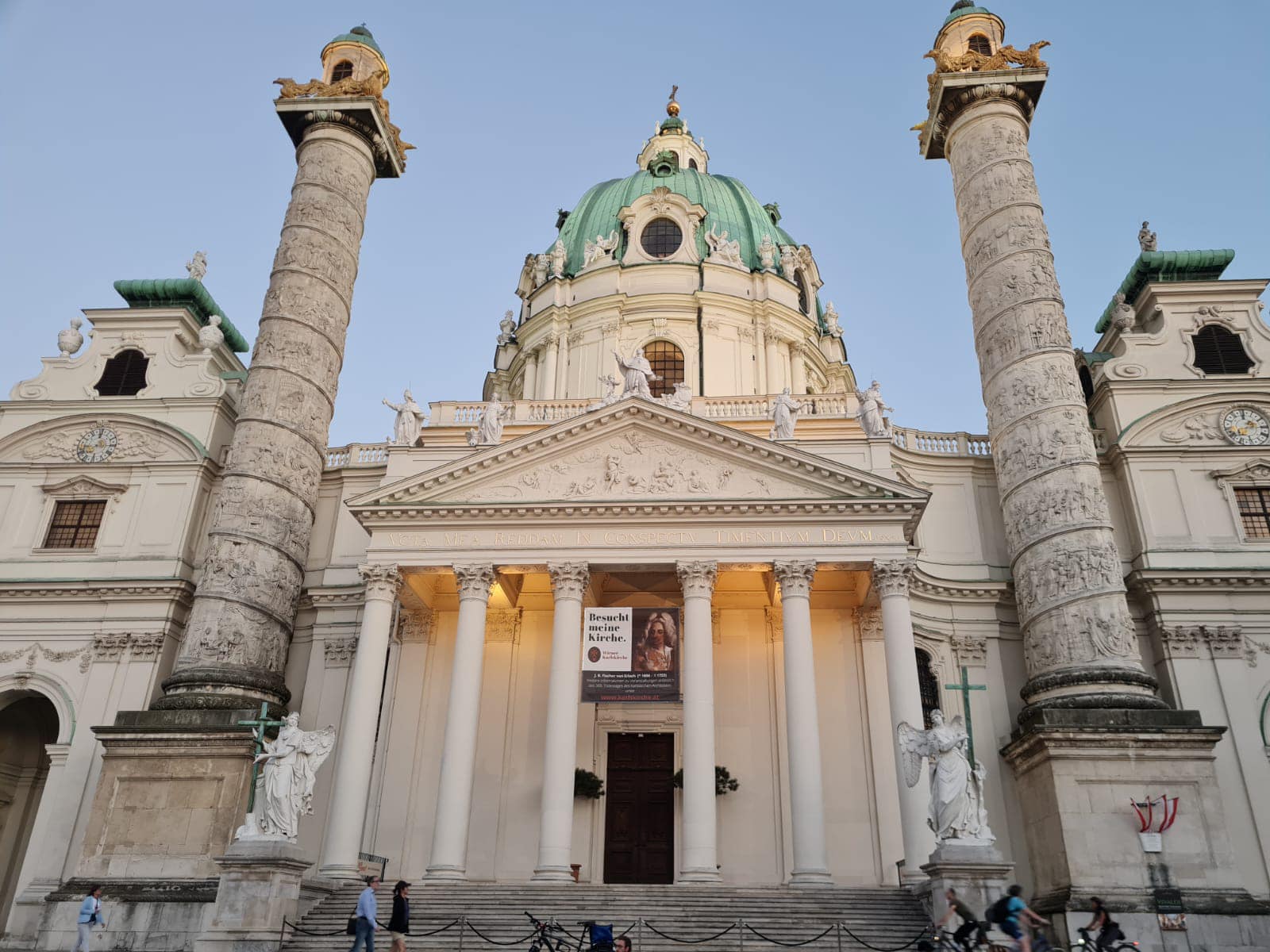
We were the only ones booked for the class that evening and our teacher was awesome.  She taught us to make a Ginger Mojito which was really nice – Steve even drank his one – his first cocktail ever.  He thinks that spirits taste like medicine but the way this cocktail was made, the fresh ingredients were the heroes of the drink.

The second one we made was called Tamarind Sauce which we used white rum, rice paddy herbs, tamarind juice and kaffir lime leaves – it had a real sweet, sour taste going on and was really nice.  Again you could taste the natural ingredients rather than the alcohol so Steve also drank this cocktail.

We could choose what to make for the third cocktail and Steve made one using lemongrass and I made a Sombai Sling which had a lot of different spirits in it including a locally made liqueur called Sombai Galangal (strong ginger) and Tamarind.  It was nice but the alcohol taste overpowered the natural flavours.

It was great fun and afterwards we relaxed in the hammocks and chairs they had under the house and enjoyed a few nibbles along with the last cocktail we had made.

Angkor Wat

We saved Siem Reap’s biggest tourist attraction until last – Angkor Wat – the place most people would associate with Cambodia. We had a private tour arranged through the hotel. It was pretty hot so I had dressed appropriately forgetting that you have to cover your legs and shoulders in the temples. I had to buy some floaty pants and wear one of Steve’s t-shirts which I actually grabbed out of the washing pile. I looked and smelt like a right dag so there are no photos of me 😂. So was I really there 🤔 ?
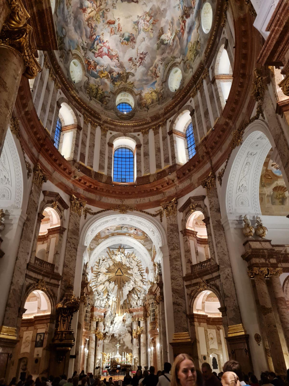
Anyway despite not looking or smelling the best it was an interesting tour – the construction and detailed artwork or devatas are amazing and especially when you consider the era that it was built in.
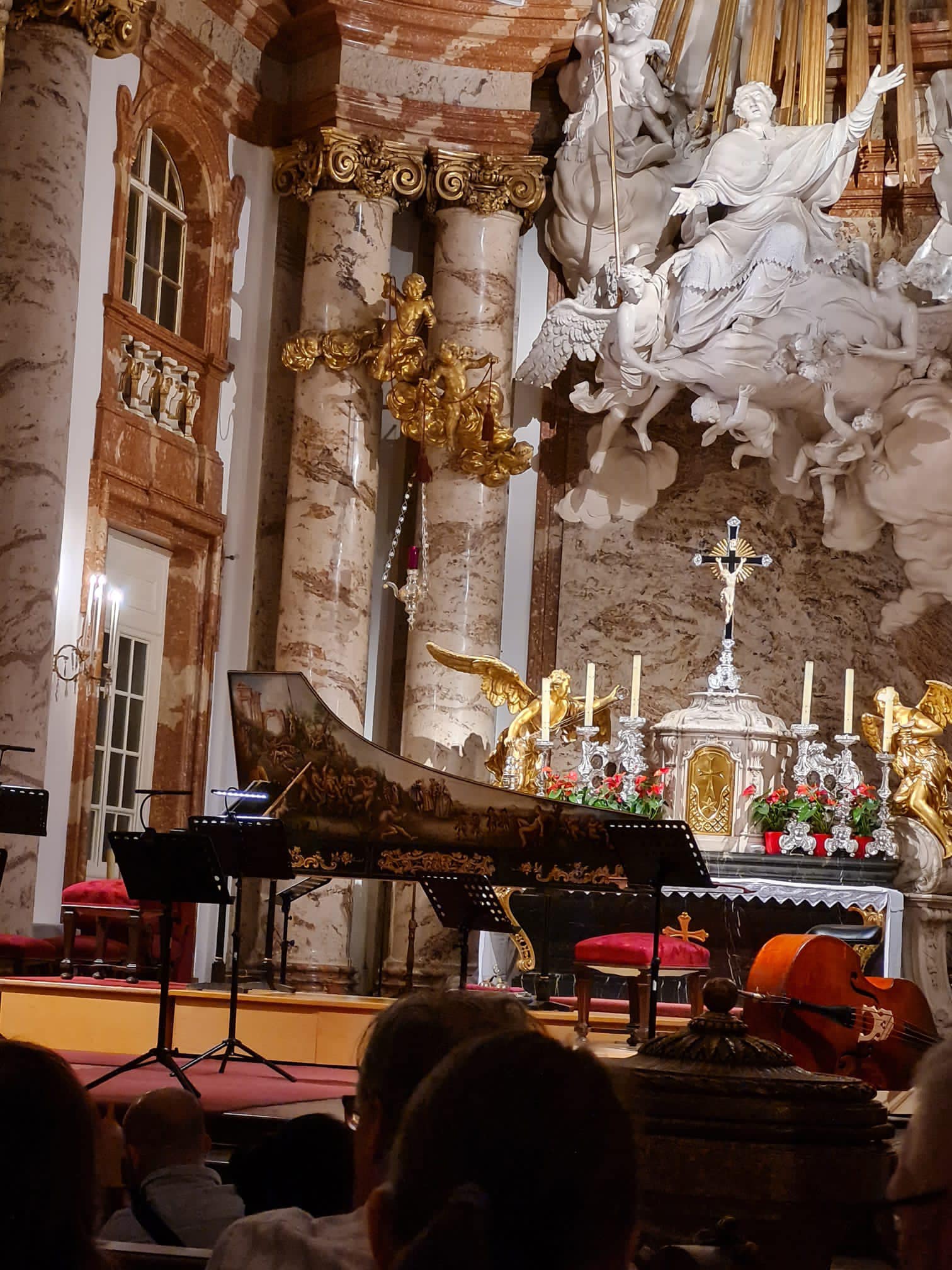
Angkor Wat is a temple complex and is the largest religious monument in the world, on a site measuring 162.6 hectares.

Originally constructed as a Hindu temple dedicated to the god Vishnu for the Khmer Empire, it was gradually transformed into a Buddhist temple towards the end of the 12th century. It was built by the Khmer King Suryavarman II in the early 12th century in Yaśodharapura (present-day Angkor), the capital of the Khmer Empire, as his state temple and eventual mausoleum. Breaking from the Shaiva tradition of previous kings, Angkor Wat was instead dedicated to Vishnu. As the best-preserved temple at the site, it is the only one to have remained a significant religious centre since its foundation. The temple is at the top of the high classical style of Khmer architecture. It has become a symbol of Cambodia, appearing on its national flag, and it is the country’s prime attraction for visitors.

Angkor Wat combines two basic plans of Khmer temple architecture: the temple-mountain and the later galleried temple. It is designed to represent Mount Meru, home of the devas in Hindu mythology: within a moat more than 5 kilometres long and an outer wall 3.6 kilometres long are three rectangular galleries, each raised above the next. At the centre of the temple stands a quincunx of towers. Unlike most Angkorian temples, Angkor Wat is oriented to the west; scholars are divided as to the significance of this. The temple is admired for the grandeur and harmony of the architecture, its extensive bas-reliefs, and for the numerous devatas adorning its walls.
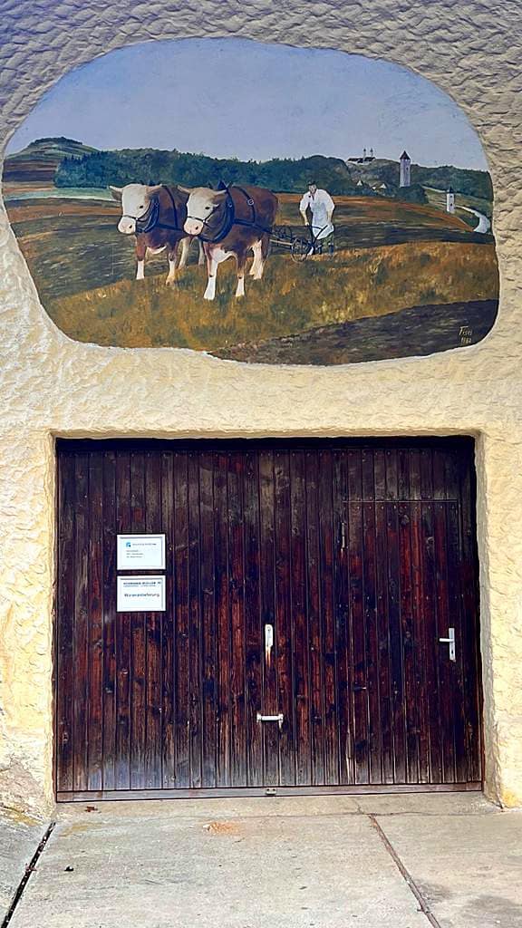
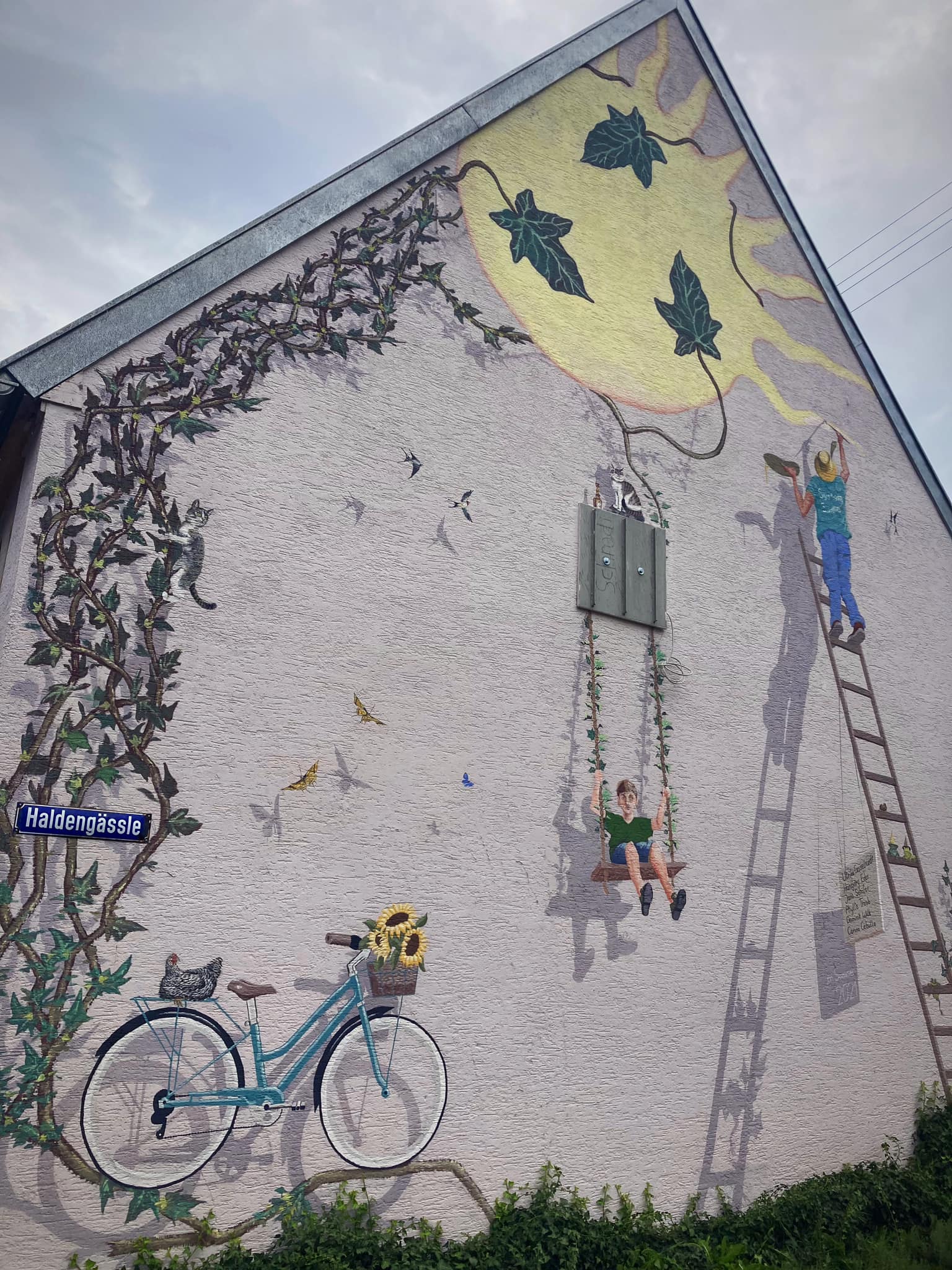
We also visited Angkor Thom which is a lot smaller. I really liked the Bayon Temple which is the temple at the centre of the city, it was a lot more intimate than Angkor Wat.

Angkor Thom (literally: “Great City”), was the last and most enduring capital city of the Khmer empire. It was established in the late twelfth century by King Jayavarman VII. It covers an area of 9 km², within which are located several monuments from earlier eras as well as those established by Jayavarman and his successors. At the centre of the city is Jayavarman’s state temple, the Bayon, with the other major sites clustered around the Victory Square immediately to the north.

The last temple we visited was the Tomb Raider temple, officially known as Ta Prohm.

Dubbed the Tomb Raider temple because it provided the mystical backdrop for the 2001 Hollywood hit starring Angelina Jolie. Constructed in 1186 as one of the first buildings in Jayavarman VII’s grand vision of creating a network of public buildings and structures, Ta Prohm was originally named Rajavihara – monastery of the king – and served as Mahayana Buddhist monastery and university.

Jayavarman VII – who completed Angkor Wat, which was started by Suryavarman II – dedicated the sacred site to his family, with evidence of this found in inscriptions on the temples’ stele. For example, Ta Prohm’s main image represents Prajnaparamita – the personification of wisdom in Mahayana Buddhism – was modelled on the King’s mother.

The stele records also reveal Ta Prohm was home to more than 12,500 people, including 18 high priests and 615 dancers. More than 800,000 people living in surrounding villages provided services and supplies to the temple, which was home to a bounty of treasures that took in gold, pearls and silks.

It also notes there were 102 hospitals in the Kingdom at that time.

After the fall of the Khmer Empire in the 15th century, Ta Prohm was abandoned and left to let nature take her course for centuries. When restoration of the temples started in the early 21st century, then under the direction of the French, experts decided to leave the enchanting, root-entangled temple as it was – swallowed by the jungle.

Extensive conservation and restoration works have taken place in recent years. All around the temple there were areas where the stones from various parts of the temple were laid out and numbered being prepared to be put back together like a jigsaw puzzle. What a painstaking process and one that will take many years. The trees that had grown inside the ruins and become part of the structure were quite incredible.

During our stay in Siem Reap we stayed in a couple of places – the first place was a small hotel called Anachak Angkor Residences which was about ten minutes from town. We treated ourselves for the last four nights at the Anantara which was very nice. It was also about ten minutes from town and they offered a free return TukTuk service.

On our last night at the Anantara we had drinks with an Australian guy and his daughter. They recommended we try this restaurant called Wild which only served Spring Rolls and had a cool outdoor seating arrangement including a treehouse to sit in. You can’t book so we decided to take a TukTuk there and try our luck.

When we arrived there was a group of four and a couple queued. The owner told the group of four it may be a while before they could get in so they left. The next group, a couple, seemed to know the owner and said they would comeback another night which put us to the front of the queue. We were happy to wait. In the meantime a couple of guys queued behind us and were chatting away to us – they asked us if we had come because the place was number one on TripAdvisor. We hadn’t known that so that was pretty cool. We got a spot on the grassy area within ten minutes.

The place is owned and run by a young French couple who left their Parisian life to find more passion and purpose in their lives. All the food and unique cocktails are crafted in house using local products with as much of it being organic as possible. They pay their local Cambodian staff above the standard and they get bonuses based on the profits made. They have a little shop at the back of the restaurant selling items made locally by local families and businesses. All the profits go to a local NGO called Soulcial Trust which supports social inclusion of people with disabilities, through sport.

We had a couple of different types of spring rolls each and they were delicious. I tried the fresh ones which were a take on a burrata salad with a basil oil for dipping – OMG they were so good. I couldn’t resist trying the dessert option too of a deep fried, chocolate filled spring roll – pretty damn good!

We interacted with the French couple who were lovely and very accomodating to everyone in what was quite a busy environment. They said it took them a while to find the perfect spot for the restaurant as they wanted an outside area where people could dine in a picnic type environment. They do also have table seating on an outdoor terrace. It was very unique, simple and delicious 😋. A great way to spend our last night in Siem Reap.

History of Cambodia

In 802 AD, Jayavarman II declared himself king, uniting the warring Khmer princes of Chenla under the name “Kambuja”. This marked the beginning of the Khmer Empire, which flourished for over 600 years, allowing successive kings to control and exert influence over much of Southeast Asia and accumulate immense power and wealth. The Indianised kingdom facilitated the spread of first Hinduism and then Buddhism to much of Southeast Asia and undertook many religious infrastructural projects throughout the region, including the construction of more than 1,000 temples and monuments in Angkor alone. Angkor Wat is the most famous of these structures and is designated as a World Heritage Site.

After the fall of Angkor to Ayutthaya in the 15th century, a reduced and weakened Cambodia was then ruled as a vassal state by its neighbours. In 1863, Cambodia became a protectorate of France, which doubled the size of the country by reclaiming the north and west from Thailand.

Cambodia gained independence in 1953. The Vietnam War extended into the country with the US bombing of Cambodia from 1969 until 1973. Following the Cambodian coup of 1970 which installed the right-wing pro-US Khmer Republic, the deposed king gave his support to his former enemies, the Khmer Rouge. The Khmer Rouge emerged as a major power, taking Phnom Penh in 1975 and later carrying out the Cambodian genocide from 1975 until 1979, when they were ousted by Vietnam and the Vietnamese-backed People’s Republic of Kampuchea, supported by the Soviet Union, in the Cambodian–Vietnamese War.

Following the 1991 Paris Peace Accords, Cambodia was governed briefly by a United Nations mission (1992–93). The UN withdrew after holding elections in which around 90 percent of the registered voters cast ballots. The 1997 factional fighting resulted in the ousting of the government by Prime Minister Hun Sen and the Cambodian People’s Party, who remain in power as of 2019.

Cambodia is a member of the United Nations since 1955, ASEAN, the East Asia Summit, the WTO, the Non-Aligned Movement and La Francophonie. According to several foreign organisations, the country has widespread poverty, pervasive corruption, lack of political freedoms, low human development and a high rate of hunger. Cambodia has been described by Human Rights Watch‘s Southeast Asian Director, David Roberts, as a “relatively authoritarian coalition via a superficial democracy”. Constitutionally a multi-party liberal democracy, the country is effectively governed under one-party rule as of 2018.

While per capita income remains low compared to most neighboring countries, Cambodia has one of the fastest growing economies in Asia, with growth averaging 7.6 percent over the last decade. Agriculture remains the dominant economic sector, with strong growth in textiles, construction, garments and tourism leading to increased foreign investment and international trade. The US World Justice Project‘s 2015 Rule of Law Index ranked Cambodia 76 out of 102 countries, similar to other countries in the region.

Cafes, restaurants and socially conscious organisations

The Little Red Fox Espresso

The Little Red Fox Espresso deserves it’s reputation as making the best coffee in Siem Reap – I would go as far as saying it makes the best coffee ever! It was so good as was the food and service. It is owned by a couple of Australian guys who have a social conscience in both how they treat people and the environment being one of the first cafes in Siem Reap to take noticeable action towards lowering its daily carbon footprint and sharing the knowledge on how to go green and clean with their team and the community.

This is their vision:

Our vision here at The Little Red Fox Espresso is one that always looks into the future for our team. Training and support in our workplace is of integral importance. We endeavour to guide our team members in many aspects of life. Hospitality skills, English skills, general world knowledge, health and hygiene, savings plans, personal development, environmental improvement This is of the utmost importance for creating a future for someone that is stable, able and full of self confidence.

http://www.thelittleredfoxespresso.com

HAVEN

HAVEN is a non-religious social enterprise and a training restaurant for vulnerable young adults from orphanages* and safe shelters, as well as underprivileged young adults from very rural poor areas. By teaching these young people quality work skills as well as important life skills, we support thesm in their transition from institution to real world as well as giving them a chance to step out of the poverty cycle.

We first opened in 2011 in the Old Market area in Siem Reap‘s town center. During the four years at our first location we could accept a total of 25 disadvantaged young adults to do the vocational training.

With the increasing demand for training places, but with lease prices skyrocketing in the center, we moved our HAVEN Training Restaurant to a bigger, more special and more beautiful new space in the Wat Damnak area in December 2015. Here we can take in and train more students, create more secure jobs for employees and welcome more guests.

HAVEN is run by 2 dedicated Swiss people, 1 Cambodian Head Chef and around 20 wonderful employees (the HAVEN Family). These are all beautiful people either acting as teachers & mentors, helping us train the trainees or making sure everything runs smoothly in the restaurant.

Each year we take in around 15 trainees, who we train and teach on a daily basis.

In addition to the work training and the life skills workshops we also take financial responsibility of all our trainees and provide them with protected and guided shared housing, meals, medical care and a monthly training allowance. Furthermore we offer them English and computer lessons.

http://www.havencambodia.com/en/welcome/

Marum

Marum is another vocational training restaurant giving marginalised and at risk youth a chance to learn basic life and work skills. It is run by an organisation called Friends International.

Siem Reap, the home of Angkor Wat, is the center of the tourism industry in Cambodia. With the number of tourists rising at an average of 15% a year, this status has led to Siem Reap being a driver of the Cambodian economy. However, increases in wealth have not been equitable throughout the province, and many marginalized children are forced into risky situations in order earn income for their families, including working on the streets in tourist areas. This exposes children to a variety of dangers such as sickness, drug use and exploitation by locals and tourists.

Kaliyan Mith (“Good Friends” in Khmer) fully utilizes the Friends model of social business, social support, and public mobilization to build the futures of children and families. Responding to the problems of predatory tourism, child abuse, lack of access to education, and youth employment, the program assisted 11,412 children, youth and caregivers in 2017.

Also falling under the Friends International model is the Friends ‘n’ Stuff shopping experience.

“Founded in Phnom Penh in 2005, Friends ‘n’ Stuff is an ethical lifestyle brand that is rooted in and inspired by Southeast Asia. Our contemporary, playful designs delight customers so we can help empower families.

We proudly pioneered upcycled fashion in Cambodia and built a reputation as one of the region’s leading socially-conscious brands. Every Friends ‘n’ Stuff purchase creates a positive social impact, as all profit is reinvested into the lifesaving programs of Friends-International. We provide training, a stable income, social support, and employment assistance to parents in need.”

I really enjoyed my lunch here and visited the Friends ‘n’ Stuff shop at the restaurant which had so many cool things recycled from all manner of recycled material. I could have gone crazy 😜 😉.

https://friends-international.org/in-cambodia/#siemreap

Smateria

Smateria design and make bags and accessories from recycled materials. I visited their shop and was so taken with the funky and functional bags – again I could have gone crazy 😜 but managed to engage the self control and ‘tight-arse’ Accountant mindset 😂. I am now, however, the proud owner of a very cool handbag made from recycled fishing net and car tyres 💗.

Smateria’s journey begins when founders Jennifer Morellato and Elisa Lion met in Cambodia, sharing a passion for creativity, sustainability, and business. After prototyping their first bags with upcycled and recycled materials, they took the entrepreneurial plunge to transform their ideas into a thriving social enterprise.

Bags and accessories that fuse together fashion, playfulness and social consciousness.

Our passion lies in taking unusual materials and crafting them into innovative and fashionable bags and accessories, using recycled materials wherever possible. We do this to stretch the boundaries of a material’s usability, quashing the idea that fabrics and materials can only be used for specific purposes.

We couldn’t be happier with where this journey has taken us so far. Since beginning in a small garage space in Cambodia 2006, we now have several shops across Siem Reap and Phnom Penh, online stores and distributors that continue to spread our style worldwide.

At Smateria our passions go beyond creating unusual designs. We have a clear mission to employ Cambodian workers in a fair and sustainable way, where employees are treated well and priority is given to the employment of women and mothers.

Over 80% of our current employees are women, and we challenge the glass ceiling by ensuring all our staff have equal opportunities to grow and develop within their roles. We offer a free childcare centre on site, and all our staff receive benefits such as English lessons, double maternity and family support leave, health insurance, savings accounts, and training to develop their skills and careers.  All our employees are given paid holiday leave which they must take, so we can ensure they can see their families, take rest, and have a healthy work-life balance. It is our mission to create a safe, happy workplace where Cambodian women are given space to thrive.

Our workshops are made safer for our employees by following the leading standards for luminosity, space per employee, and ergonomics. They also receive professional training on fire safety, have regular electrical audits, and professional training to balance health and work.

http://smateria.com

Common Grounds

“Common Grounds is not only about freshly brewed coffee, a selection of pastries and tasty sandwiches as well as delicious soups of the day – it’s also about people. You don’t have to be a socially responsible traveller to enjoy a freshly brewed cappuccino, a grilled cheese sandwich and tomato soup combo or some of the local Khmer dishes, but the team at Common Grounds also aim to promote ’micro-enterprise development’, giving locals a working chance and create income that helps to sustain the Children’s Home in Siem Reap Common Grounds serves as a vocational training center, teaching English and computer skills and provides housing for long and short-term volunteers and staff.. If you bring your own laptop, there is also free wireless Internet and, as a whole, we believe Common Grounds is a good choice whether you’re looking for a healthy breakfast, lunch or dinner.” Lonely Planet Magazine

http://commongroundscafes.org

img_7348

New Leaf Cafe

My keyboard journey of all things good in Siem Reap lead me to the claim that the New Leaf Cafe did the best Espresso Martini in town plus some pretty good food. They donate a share of their profits to various local charities helping local people and are always striving to improve their environmental impact.

Georgina and Ian, first met in January 2013 whilst volunteering at a school in Siem Reap. They shared a common desire – to build a sustainable business that provides charities with much needed funding & support.  They chose to establish a social enterprise cafe/restaurant in the heart of Siem Reap.  The concept appealed to them as a way in which to give back: creating jobs, sourcing locally / sustainably and generating profits that are donated to charities focused on education.

As a social enterprise, New Leaf has implemented numerous environmentally friendly initiatives and adopted fair employment practices; including a living wage, profit share, regular training and providing career development opportunities.
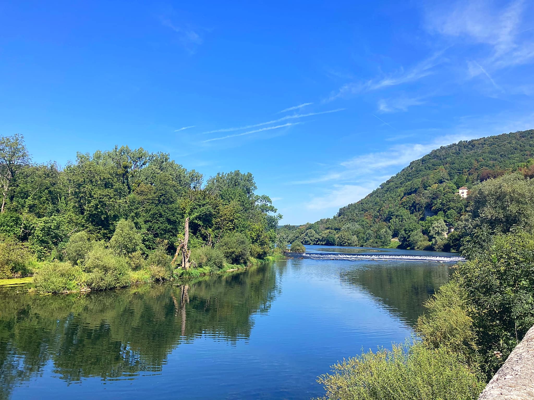
New Leaf opened its doors in July 2013 and within 3 months made its first cash donation. Since then New Leaf has donated over $40,000 and 2,000 books.

New Leaf’s vision is to support education in Siem Reap province, through profits generated by being a high quality dining experience that offers a “taste of Cambodia”.

https://newleafeatery.com/about-us/

The Hive

Known for its superb coffee and a distinctly inner city vibe, the Hive is a bustling social hub for expats and tourists alike. Since its conception in 2013, this Australian owned, locally managed café has cemented itself as a Siem Reap favourite. If you’re a coffee lover, a brunch goer, a juice detoxer, early diner or simply looking for a touch of home, The Hive awaits.

Cafe .9 by Lynley

We went to Cafe .9 by Lynley a couple of times for the delicious Schnitzel Sandwhich with green salad and home made potato salad. The cafe is located in Kandal Village and I highly recommend it if you’re looking for some yummy, flavourful home cooking 😋.

img_6969

Maybe Later

Maybe Later serves California style Mexican food.  The primary mission of the Maybe Later family is to help rebuild the creative community that once thrived in Cambodia, before it was intentionally and savagely destroyed in the recent past.  Our present focus is on developing young creative talent interested in the genre of “street art” stemming from the late 1970’s and 1980’s American hip hop, breakdancing, skateboarding, and surfing cultures.  We believe in the unique power of this public domain art form to transform the energy of communities and entire cities, hence the choice to transform our entire building into a skeleton with paint.  We also know that a properly funded and organised street art scene in any city provides children and young adults with a healthy way to grow and express themselves, while reducing the allure of dangerous drugs and other harmful addictions.

Our secondary mission is to demonstrate, by example, that a profitable hospitality business serving a tourism-driven market can be achieved with little or zero destructive environmental impact.  To this end we have partnered with @PICUPS.KH (Plastic Initiative Cambodia) to help eliminate single-use plastic from Cambodia and the World at large.  Everything we use is made from plant based organic compounds that will fully bio-degrade in 30 to 180 days in the right composting environment.

They had a very cool cocktail menu with some amusing descriptions:

Maybe Later – it’s been said the path to Hell is paved with good intentions.  So to Hell with all the things you intended to accomplish today, and quite possibly tomorrow, once you make this choice.  Vodka, white rum, gin, fresh pineapple juice and orange fruit juice, finished with cranberry (be careful with these, very strong drink).

Yoga Pants Dropper – now that you’re properly stretched, calm, and meditated….. you’re craving something healthy but also a little naughty because you realise there’s only 1 day left of this epic vacation you’ve spent cleansing your body and mind.  So order one of these, ask for the wi-fi password, and get your ‘right swipe’ on before it’s too late.  Bacardi silver rum, fresh pineapple, fresh lime, fresh kale, soda.

Kulen Mountain Cooler – the first sip of this refreshment is like taking a cool bath under a gushing waterfall in the jungle on a sweltering hot day.  Finishing the third one is like doing the exact same thing, with a naked stranger.  Bombay sapphire gin, fresh water melon, fresh cucumber, palm sugar, soda.

Beat Richner & the Kantha Bopha Children’s Hospitals

Beat Richner (13 March 1947 – 9 September 2018) was a Swiss pediatrician, cellist and founder of children’s hospitals in Cambodia. He created the Kantha Bopha Foundation in Zurich in 1992 and became its head. Until his death in 2018, Beat and another expatriate oversaw and ran the predominantly Cambodian-manned hospitals. As both a cellist and a medical doctor, Richner was known by patients, audiences, and donors as “Beatocello”.

After receiving his medical degree in 1973, Dr Richner specialized in pediatric care at the Zurich Children’s Hospital. Following this, working for the Swiss Red Cross, he was sent to Cambodia where he worked at the Kantha Bopha Children’s Hospital in Phnom Penh in 1974 and 1975. The hospital is named in memory of HRH Samdach Preah Ang Mechas Norodom Kantha Bopha (1948–1952), who was the daughter of King Norodom Sihanouk and died at a very young age. When the Khmer Rouge overran Cambodia, Richner was forced to return to Switzerland where he continued his work at the Zurich Children’s Hospital.

In the process of pursuing his medical career and an interest in music and entertainment, Dr. Richner developed the character of “Beatocello”, an artistic and comedic clown who played the cello. Along with this persona, Richner also published many children’s books based on “Beatocello”.

In December 1991 Richner returned to Cambodia and saw the devastation that had taken place following the ensuing conflicts with the Khmer Rouge and Vietnam. He was asked to re-open and re-build Kantha Bopha by the Cambodian government. Creating the Kantha Bopha Foundation in March 1992, Richner officially returned to Cambodia to begin reconstruction and Kantha Bopha was reopened in November 1992. Since then, the foundation has funded the expansion of Kantha Bopha Children’s Hospitals to include five hospitals in total.

As “Beatocello”, Richner performed free concerts at the Jayavarman VII hospital in Siem Reap on Thursday and Saturday nights, during the high season. The evenings included songs, played on his cello, and talks on the health crisis in Cambodia. He asked the young tourists for blood, the older tourists for money, and the ones in between for both.

Richner and his work in Cambodia were also the subject of six documentary films by Georges Gachot: Bach at the Pagoda (1997), And the Beat Goes On (1999), Depardieu goes for Beatocello (2002), Money or Blood (2004), “15 Years of Kantha Bopha” (2007), “Beatocello’s Umbrella” (2012) . In 2006, the documentary “Dr Beat and The Passive Genocide of Children” by Australian film maker Janine Hosking was produced.

Prior to his death, of the 2400 Kantha Bopha staff members, Dr. Richner alongside the head pathologist Dr. Denis Laurent, were the only expatriate staff members employed at the hospitals.

Richner waged war on the large aid agencies, claiming that their policies of poor health care for poor people in poor countries are both illogical and immoral.

Richner was named “Swiss of the Year” in 2002.

He died of a serious illness on 9 September 2018 aged 71.

The five children’s hospitals built by Richner and the Kantha Bopha Foundation are located in Cambodia’s major cities. All of the hospitals provide treatment free of charge.

The Kantha Bopha hospitals treat half a million children per year free of charge. Approx 100,000 seriously ill children are admitted. Japanese encephalitis, malaria, dengue fever and typhoid are common, often exacerbated by the presence of TB. TB is the number one killer. Mortality rate is an astonishingly low 1%. Richner says that over 80% of all paediatric health care in Cambodia is provided by his hospitals.

The hospitals are primarily funded by donations from individuals in Switzerland. Operational expense in 2006 were in the order of US$17m. Since the Foundation started in 1991, it has reportedly raised US$370 million.

In addition to medical care, the hospitals also provide an International Postgraduate Course. The Kantha Bopha Academy for Pediatrics was started in 2009. The program includes lectures and courses on general pediatrics, infectology, immunology and diagnostic imaging. The course program also includes an introduction into the organization and management of a children’s hospital and maternity facilities in a poor tropical country.

Posted in Cambodia | Tagged , , | 3 Comments

My Swiss Summer – Switzerland

I enjoyed another trip up to Switzerland to visit my very good friends Karin & Elvis in July. You just can’t beat summer in Switzerland!

The trip from Bangkok started extremely well with an upgrade to Business Class on Swiss Air. The flight was overbooked in economy and being a single traveller I got lucky. I landed in Zurich at 7pm and it was still 32 degrees!

After a bit of a sleep in the next day we went on a bike ride along the river to Dallenwiel where they have a factory that makes goat cheese. I was really channeling my Heidi here 🐐 👧 😂. We also enjoyed some time in Lake Lucerne and by the pool.

On Thursday we went on a road trip to Bern which is where the Swiss parliament resides. One of the cool things to do in Bern is to float down the Aare – the swift flowing river that winds its way through the city.

The Aare river flows around three sides of the city of Bern. Extending 288 kilometers, the Aare is the longest river flowing entirely within Switzerland. The Aare river has a special meaning in the Swiss capital, Bern. The Bernese have a special love for “their” river. And they treat it with the same tenderness with which the renowned Aare Loop flows around the city. The Aare is their pride and joy, and the center of daily life. In the Middle Ages, in particular, when the city of Bern was spread only on the lower part of the peninsula, the Aare provided great protection from foreign armies on three sides of the city. It wasn’t until the construction of the first high bridges in the 19th century that there were multiple ways to access the city

In the summer it is particularly popular – who needs the sea when you have the Aare. There were so many people enjoying the free lido area on the banks of the river and also floating down it. We walked alongside the river for about a kilometre and then got all set to jump off the bridge in to the quite fast flowing river below. Karin & Elvis did it but I chickened out – I could see the bottom and wasn’t too keen on hitting it. I went to the side of the river and jumped in from there. Karin & Elvis waited for me part way down and we floated the rest of the way together. It is so much fun but there is an art to getting out – you have to get to the side and then grab onto the railings and hold on or you will continue down the river. There are some dam gates further down but that area is a no go for safety reasons.

We repeated the experience another couple of times – it is addictive and I probably could have done it all day long if it hadn’t been for walking bare feet in the searing heat. The river temperature was about 21 degrees so positively tropical – as you can imagine the river can get pretty cold but the great summer weather worked it’s magic for us.

img_4797

Prior to floating down the river we went to the Zentrum Paul Klee museum which is dedicated to the artist Paul Klee and features about 40% of his works.  Paul Klee (18 December 1879 – 29 June 1940) was a Swiss-born artist. His highly individual style was influenced by movements in art that included Expressionism, Cubism, and Surrealism. Klee was a natural draftsman who experimented with and eventually deeply explored color theory, writing about it extensively; his lectures Writings on Form and Design Theory (Schriften zur Form und Gestaltungslehre), published in English as the Paul Klee Notebooks, are held to be as important for modern art as Leonardo da Vinci‘s A Treatise on Painting for the Renaissance. He and his colleague, Russian painter Wassily Kandinsky, both taught at the Bauhaus school of art, design and architecture. His works reflect his dry humor and his sometimes childlike perspective, his personal moods and beliefs, and his musicality.

The exhibition was broken down into the various periods of his life and focused on who he was associating with at the time in terms of his art. It was really clear to see how his art changed over the years and the influence those other artists had on him – they also displayed some pieces from these artists to enable you to see the commonalities. One such artist was Pablo Picasso whom he admired greatly and who he finally got to meet in 1933 / 1934 while exhibiting in London and Paris.

They also had a feature exhibition downstairs entitled Ecstasy or Ekstase in German which was quite bizarre in my opinion.

Ecstasy – a desire for moments of intense pleasure and passion is a universal feature of human existence. This exhibition explored the great diversity of ecstatic phenomena and traces their changing cultural meanings and representations in visual art.

There was lots of footage of events / gatherings / parties where people were dancing, shaking, crying uncontrollably – very psychedelic 🤪🥺

img_4798

On the way back to Buochs we called into another village called Hergiswil where there was a group of people practising the Alphorn. The Alphorn is also known as an Alpine Horn or Alpen Horn. It has its origins in central Europe, primarily in Switzerland, Austria, Germany, and Northern Italy. It is a natural conical (cone-shaped) horn made of wood, and is played with a cup shaped mouthpiece, similar to trumpet, french horn, or trombone.

I can imagine it is quite an art to play one of these instruments.

On Saturday the 27th July I borrowed one of Karin’s friends electric mountain bike so we could cycle up the Buochserhorn – the home mountain of the village of Buochs where Karin & Elvis live. The Buochserhorn standing at 1,807 metres high is in the Swiss Prealps, overlooking Lake Lucerne on the range west of the Schwalmis.

You can cycle up to about 1,500 metres and walk the rest of the way to the top. We mainly cycled on the roads and passed many farmers houses – you have to have a permit to drive your car up there so the traffic is pretty much restricted to those living up there. I just love checking out the farm houses and barn set ups which house the cows in both the summer (for the heat) and the winter (due to the snow and cold weather). It is so different from NZ – most farms have between 15 and 25 cows whereas in NZ an average form would have about 180 cows and in a lot of cases even more.

It was a fantastic day and the views were pretty spectacular. We had taken the binoculars up with us so we could check out what Elvis was doing at home 😂.

We cycled back down a different way and had lunch in Niederrickenbach next to a Benedictine monastery. I really enjoyed my sausage salad – if you have read any of my previous Swiss blogs you will know I am not usually a sausage fan but I love Swiss sausages.

After lunch and a wrong turn initially, which resulted in pushing my bike back up a hill 😂, the road effectively wound it’s way through a forest to the bottom. It was stunning and right up my alley. Karin had been teaching me some german sentences – one a day, so today she decided I should learn to count from one to ten so most of the way down I was repeating the numbers in German to myself. We had to stop regularly as the brakes on the bikes overheat so at each stop I had to count to ten 👩🏼‍🎓 with proper pronunciation – easier said than done for me with my Kiwi accent 🙄.

After a stunning day on the Saturday the rain came on Sunday and stayed around most of the day so a chill day at home was in order.

On Monday afternoon we went and played a round of golf at Andermatt which is a really nice course in a popular ski area. It was really windy and that combined with borrowed clubs that Noah potentially used it was an interesting round. Actually things improved and it was a very enjoyable afternoon.

img_6400

The plan for the next few days was to head over to Glarus where Karin’s parent live and do a bit of hiking.

The most scenic route to Glarus is over the Klausen Pass which is a high mountain pass in the Swiss Alps connecting Altdorf in the canton of Uri with Linthal in the canton of Glarus. Somewhat unusually, the boundary between the two cantons does not lie at the summit of the pass, but some 8 kilometres down the slope towards Linthal, with the summit being in Uri. The summit of the Pass sits at 1,948 metres.

I have been up here before and it is a stunning part of Switzerland. The plan was to drive to Urnerboden which is on the other side of the Klausen Pass, park the car and catch the bus back up to the summit of the Klausen Pass and begin our hike to the Glacier Lake from there.

We were running a bit tight on time and everything in Switzerland runs to a precise timetable as you can imagine so there is really no wriggle room 😂. We calculated we would probably be fine, that was until we came across a farmer moving cows on the road just past the summit on the way down. OMG, talk about browns cows! And they were weeing and pooing all over the place – Elvis had cleaned his car for my arrival so it was looking a bit grim after that encounter.

img_6551

We finally got past the cows and Karin started channeling Lewis Hamilton and it was time to hold on – it is very windy coming down the Klausen Pass with lots of drop offs 🥺. She was worrying about me feeling sick but having to hang on to stop flying out of my seat was enough of a distraction. I was also charged with counting down the clock. We pulled into the carpark and the bus was already there – Karin had to put her boots on but I was ready to go so she told me to run to the bus and tell it to wait. I had only learnt a few sentences in German at this stage and “can you wait for my friend” was not one of them but I was prepared to put on the Kiwi charm and hand signals if necessary. Fortunately there were a few other people getting on the bus and paying their fares so by the time I got to the front of the queue Karin had arrived 😅.

We caught our breath whilst on the bus going back up tp where we had just come from.

First stop was the Griesslisee (glacier lake) from where you can see the Clariden Glacier. This lake formed in the 1980’s and doesn’t have an official name. We had our lunch on the lakes edge and of course had to test out the water – at first it was nice and refreshing but it did not take long for the feet to start going numb ⛄️. There were a few small glaciers floating on the lake and we watched one small one disappear under the water. There were a number of loud crashes where bits of ice or rocks fell into the lake on the far side – you could always hear them but not always see them.

We left the lake and started the hike towards the cable car that would take us down to Urnerboden where we had left the car. We stopped off at a little Alp to have some refreshments – coffee with liquor in it to be precise 😉 and met up with some people that Karin had been talking to on the bus. It turned out that Karin had taught one of the woman’s sons a few years back.

Back on the track which was undulating and crossed a few pastures and waterways – we had seen a lot of different flowers along the way which added to the magic of it all. We were climbing up a rocky path that twisted and turned when something ran across a few metres in front of us. My first reaction was “there’s a cat” but then I realised it was a Marmot.
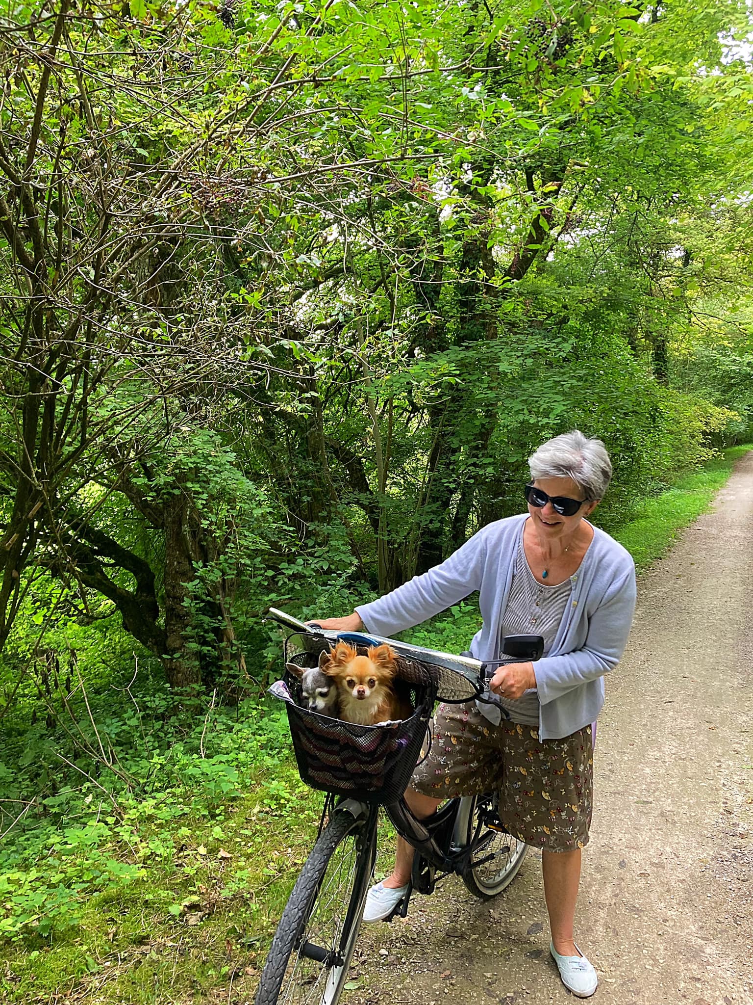
img_4799

Marmots are large rodents with characteristically short but robust legs, enlarged claws well adapted to digging, stout bodies and large heads and incisors to quickly process a variety of vegetation. Marmots are the largest members of the squirrel family. Some species live in mountainous areas where they typically live in burrows and hibernate there through the winter. Most marmots are highly social and use loud whistles to communicate with one another, especially when alarmed.

I had seen Marmots in captivity before but never in the wild so it was quite exciting. We decided to climb up onto a grassy hill and wait to see if the marmot appeared again. About ten minutes later he came out of hiding and went back towards the path, where he stood on his hind legs and started whistling. Next minute on the either side of the valley we spotted another marmot who whistled back. It was quite fascinating to watch – luckily we had taken the binoculars so we could take a closer look.

We carried on and came across another couple of marmots running through the field – they stood on top of this cliff looking down the valley for quite a while so again we could observe them through the binoculars.

We arrived at the 2,000 meter high Fisetengrat on the Fiseten Pass and took the cable car back to the Urnerboden Valley which is the largest alpine meadow in Switzerland where approximately 1,200 cows roam in spring and autumn. There is even a cheese factory there to process all the milk produced and Karin purchased a few cheeses to take to her parents.

When we got to the cable car the same family that we had talked to on the bus and at the little Alp were sitting inside – they had taken the road so had beaten us there.

The descent down to Urnerboden was about 700 metres – the cable car goes diagonally down the mountain above the forest. I love cable cars!

Enroute to Karin’s parents in Schwanden we stopped off at Karin’s favorite spot – the Berglistüber waterfall. As early as 1897, this waterfall was described as one of the most beautiful waterfalls in Switzerland. You can venture behind the “water curtain” and comfortably reach the outcrop of the thrust fault which we did. The rock face consists of about 150 million year old winter limestone from the so-called Griesstock Nappe. The underlying shale rocks are of about 50 million year old flysch rock, which was deposited over the bedrock and has barely shifted since that time.

When we woke up on Wednesday morning it was raining which had been forecast. We went into Glarus and did a spot of retail therapy which is always good fun. The weather cleared up in the afternoon so Karin’s Mum drove us up to the top of the village and we walked to Karin’s brother’s place in Glarus. It was nice to get more of a feel for the place that Karin had grown up in.

Before dinner we went and played a little nine hole golf course which was fun.

The 1st of August is the national holiday of Switzerland. Although the founding of the Swiss Confederacy was first celebrated on this date in 1891 and annually since 1899, it has only been an official holiday since 1994.

We had planned a hike to Leglerhütte which sits at 2,273 meters above sea level and is a restaurant / hotel up in the Alps in Glarus – the area is known as a wildlife sanctuary where if you are lucky you can see a few alpine animals.

We caught the cable car at Kies-Mettmen up to Mettmenalp which sits at 1.600 meters so our hike for the day was going to take us up some 600 metres. At Mettmenalp, there is a beautiful water reservoir called Stausee Garichti. The water was so clear and calm it is a paradise on its own. There are a couple of routes you can take up to Leglerhütte and we decided to go with the one that started with a short, sharp uphill. We had another route option after we got to the top of this section – the first one would have taken us down 500 meters and back up again or you could just continue upwards – you can guess which one we took 😊.
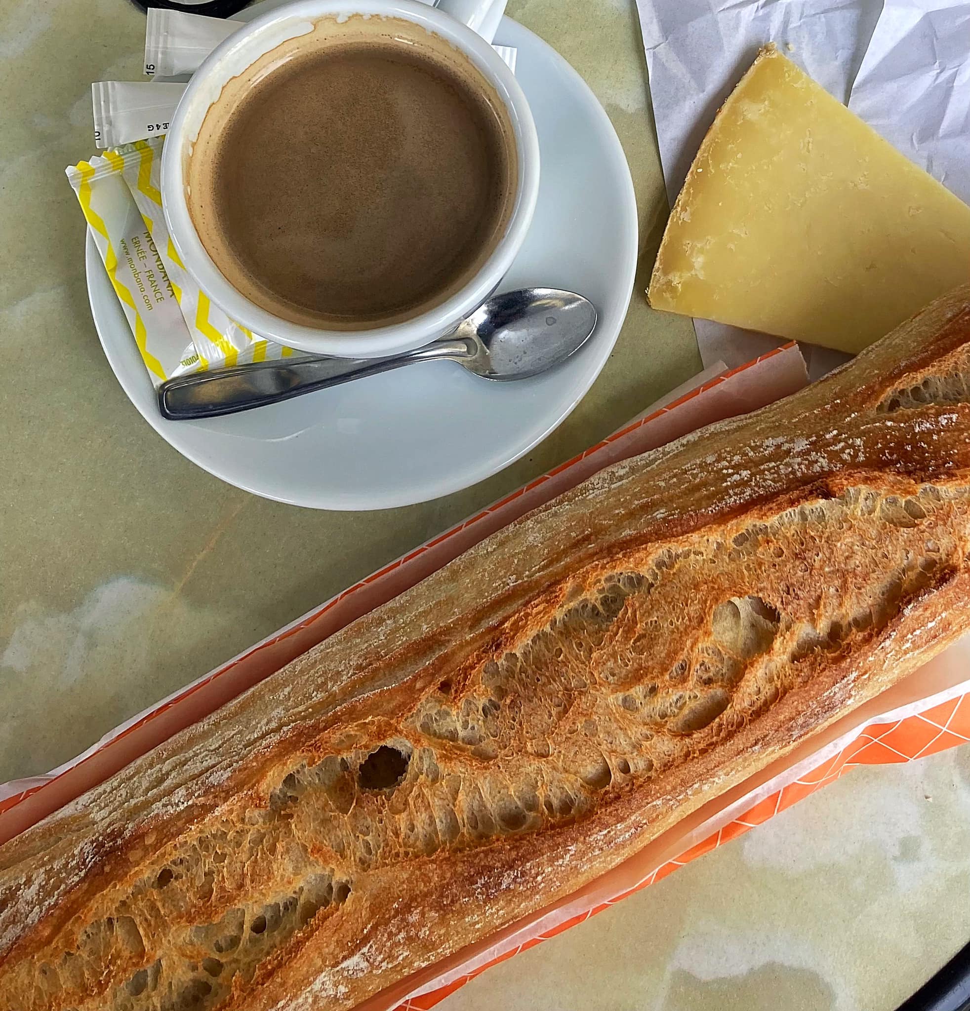
The views were stunning and I enjoyed the landscape. As we got into the pre Alps the vegetation changed and we came across some snow / ice which was fun to walk across.

We enjoyed some lunch at the Leglerhütte – we had a traditional soup called Bunder Gerstensuppe or Swiss Barley Soup. Karin & Elvis said it was definitely not up to standard and I thought it lacked flavour so that was a shame. We had a delicious summer fruit pastry wth whipped cream to make ourselves feel better 😋.

Because we were up at 2,273 metres, the clouds kept rolling in and out so the views were constantly changing. We re traced our steps back down for a while before branching off to take a different route back to Mettmenalp. We found this big cave which had a fast flowing river flowing through it so decided to take a short cut through it which added to our adventure.

It was a beautiful day and I just loved all the nature that we were seeing. We took a small detour once we got back to the Stausee Garicht and came across a nice stream where we took our boots off and soaked our feet – man it felt good.

There was an information board next to the stream that referred to a Swiss doctor called Max Bircher-Benner whose theory of life was based on harmony between people and nature. He was also the guy who invented Bircher Muesli.

Bircher-Benner was born in 1867 and attended Zurich University to study medicine and then opened a general clinic. During the first year the clinic was open, Bircher-Benner came down with jaundice, and he claimed he became well again by eating raw apples. From this observation, he experimented with the health effects raw foods have on the body, and from this he promoted muesli, a dish based on raw oats, fruits, and nuts. Bircher-Benner expanded on his nutritional research and opened a sanatorium called “Vital Force” in 1897.

He believed raw fruits and vegetables held the most nutritional value, cooked and commercially processed foods held even less, and meat held the least nutritional value. Eventually, Bircher-Benner gave up meat entirely and became a vegetarian. Other scientists of the time did not respond well to what Bircher-Benner referred to as his “new food science,” but the general public caught on to his ideas to the point where he had to expand his sanatorium practice. His nutritional habits and eating patterns steadily grew in popularity until he died on January 24, 1939 in Zürich at the age of 71.

Bircher-Benner’s work was not recognized by other scientists until the discovery of vitamins in fruits and vegetables in the 1930s.

Even though the level of processed food would have been fairly low back in those times, how ahead of the game was Dr Bircher-Benner?

We caught the cable car back down to where we had parked the car and went back to Karin’s parents to enjoy a coffee and some treats under the shade of the trees in the backyard – it had been such a lovely day.

That evening we had a BBQ and waited for it to get dark so we could watch all the fireworks and bonfires which is a tradition on Swiss National Day. On all the mountains that were surrounding us we could see bonfires – we got the binoculars out so we could take a closer look. All the neighbours come out into the street and it was quite a festive atmosphere.

img_6869

The next day we headed back to Buochs – we took the Pragel Pass which is a mountain pass joining the cantons of Glarus & Schwyz. Unfortunately it was raining and cloudy so we didn’t see the best of the Pass. We did stop and pick wild blueberries though – we accessed these off the side of the road – knowing how expensive they can be in NZ, how good is that 😊.

My last two days in Switzerland were lovely and sunny so we enjoyed a couple of nice walks by the lake, a couple of lake swims, paddle boarding and mojitos by the pool. It was such a lovely way to finish off my trip with all my favourite things. Big thanks to Karin & Elvis for the creation of many more wonderful memories. It was then time to say ‘until next time’ 👋 😘.
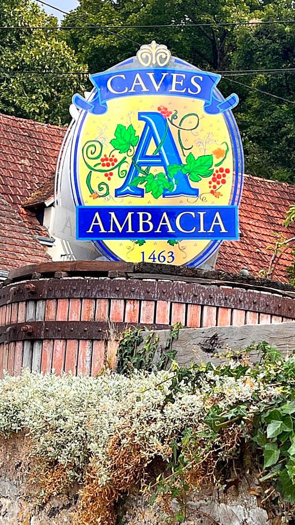
Posted in Switzerland | Tagged , , , , , , , , , , | 3 Comments

Nikanti Golf Club – Bangkok, Thailand

Today we treated ourselves to a round at the Nikanti Golf Club. Steve has played there a couple of times before and had said how much he enjoyed it so we played it on our way to Bangkok.

Nikanti sits in the fresh air among former rice paddies about an hour from Bangkok proper and was established in 2014. Nikanti is a reasonably short course but uses water and elevated and undulating greens to give those that play the course a bit of a challenge.

It also has a unique routing. Rather than having a traditional front and back nine, Nikanti is made up of three loops of six, each one starting and ending at the main clubhouse. Finally, each circuit comprises two par-3s, two par-4s, and two par-5s. Having an equal number of par-3, par-4 and par-5 holes is somewhat controversial, but why not? Par-72 is still on offer, and it gives golfers the chance to play a wide variety of holes through the round.

I loved the course and played OK – I only lost 5 balls 😉. Steve played really well and it took him until the last hole to lose his first ball. Our caddies were sweet but boy did they have some lungs on them when they were yelling ‘four’ while standing right behind you 😡. The facilities are impressive and very modern and we made the most of them.

Posted in Bangkok, Thailand | Tagged | 1 Comment